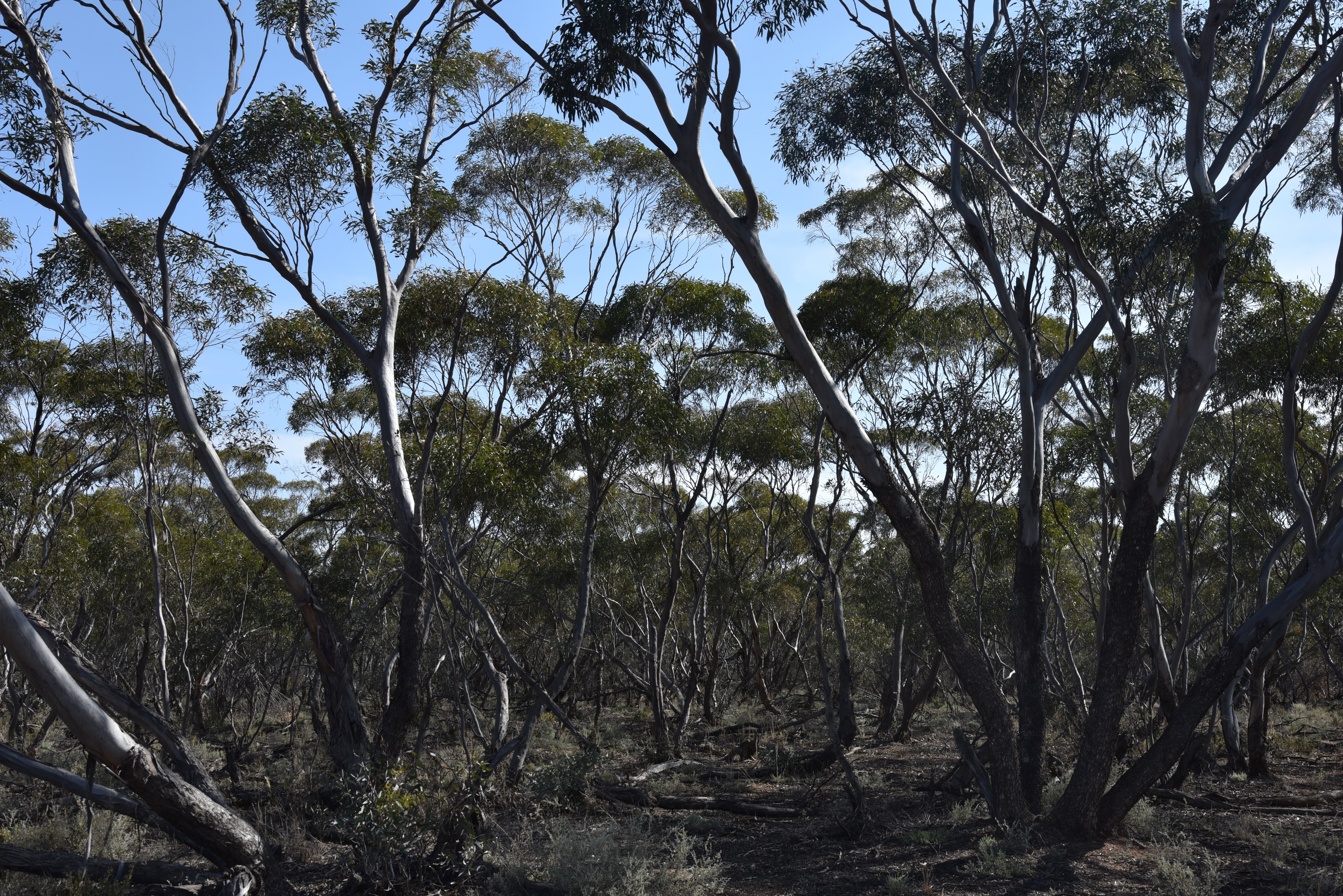
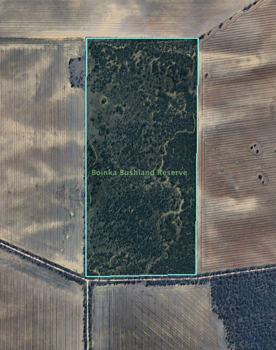
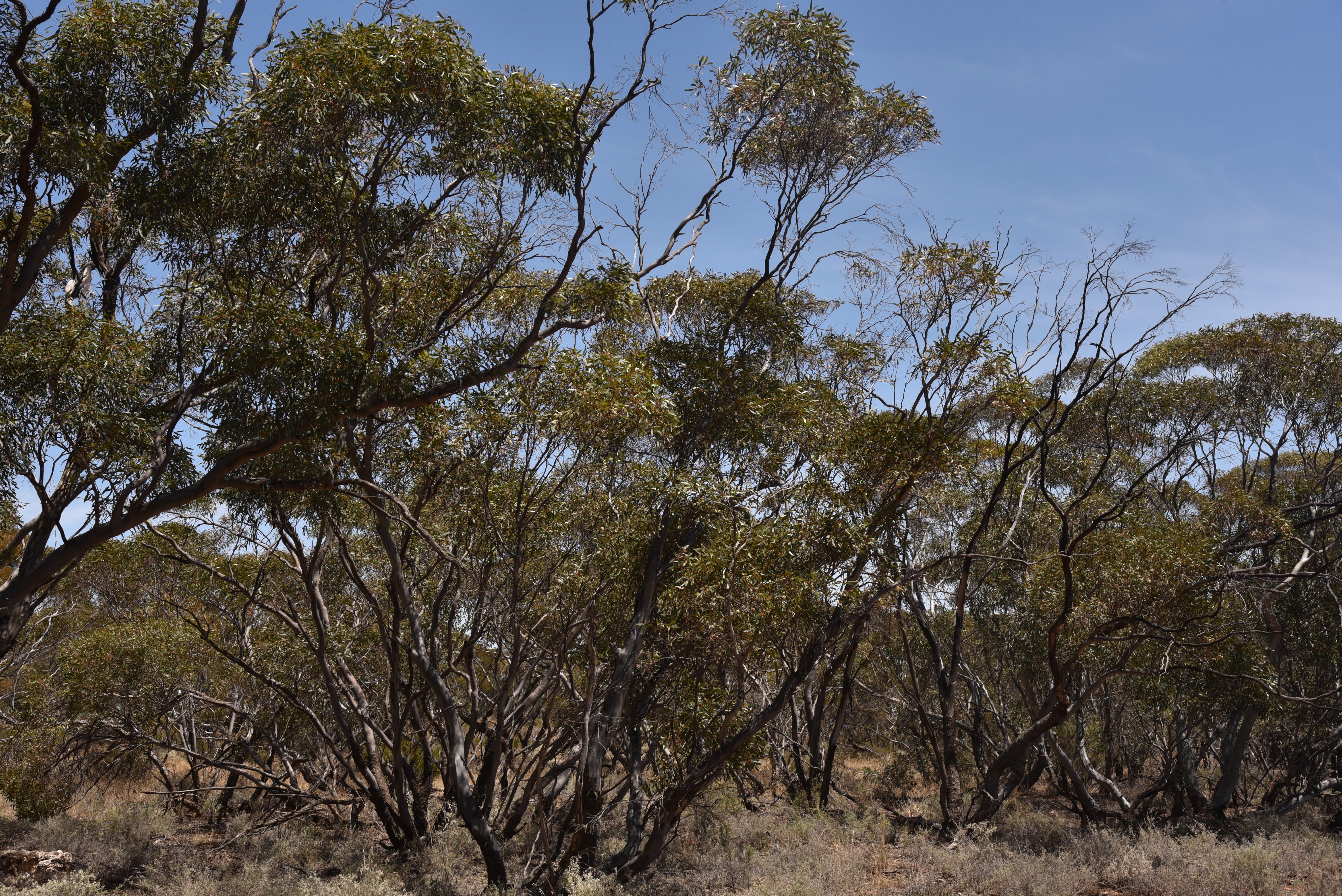
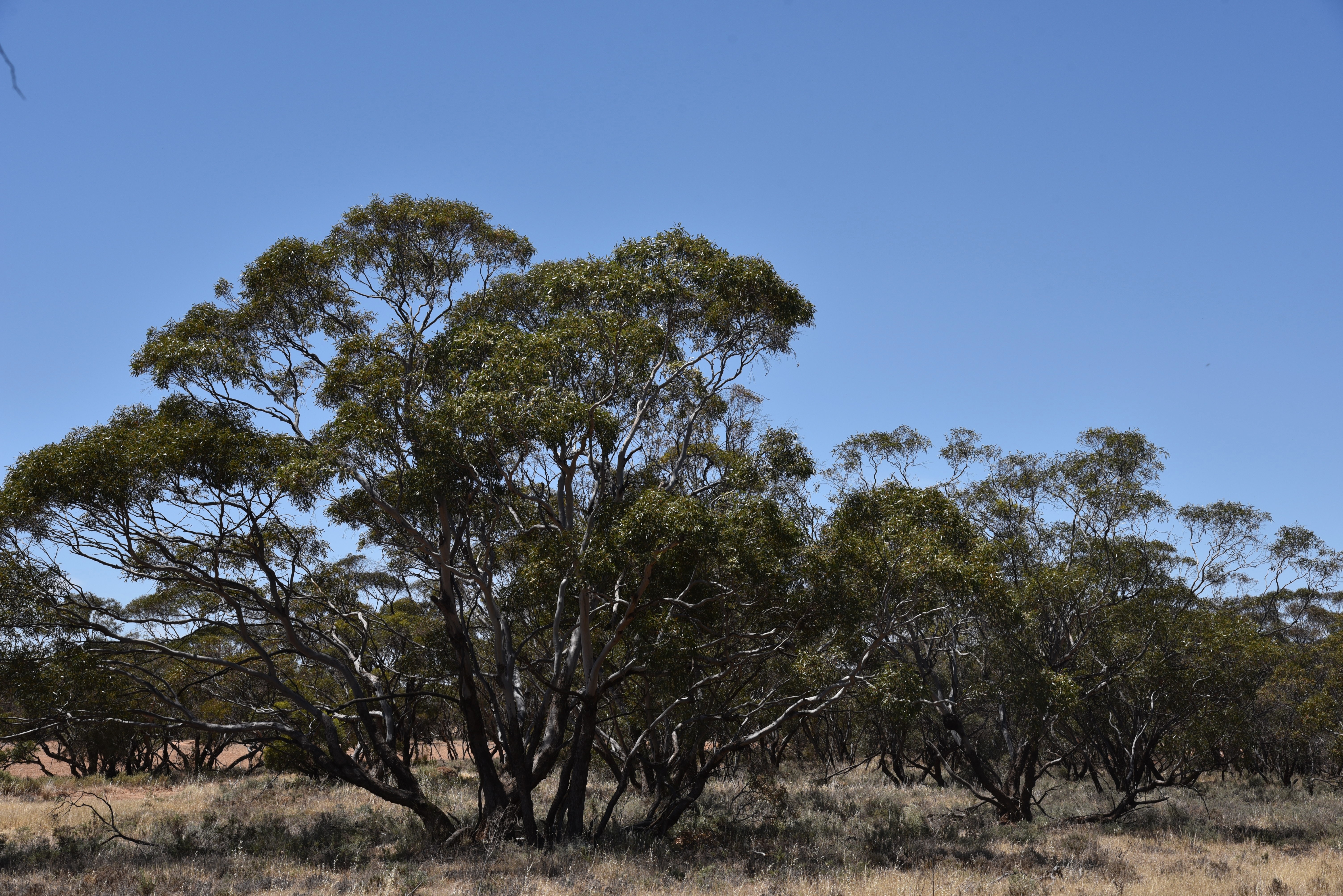
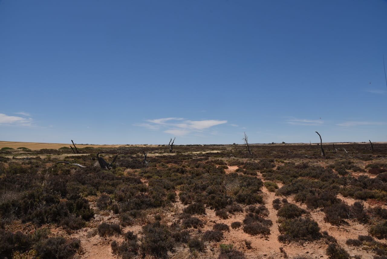
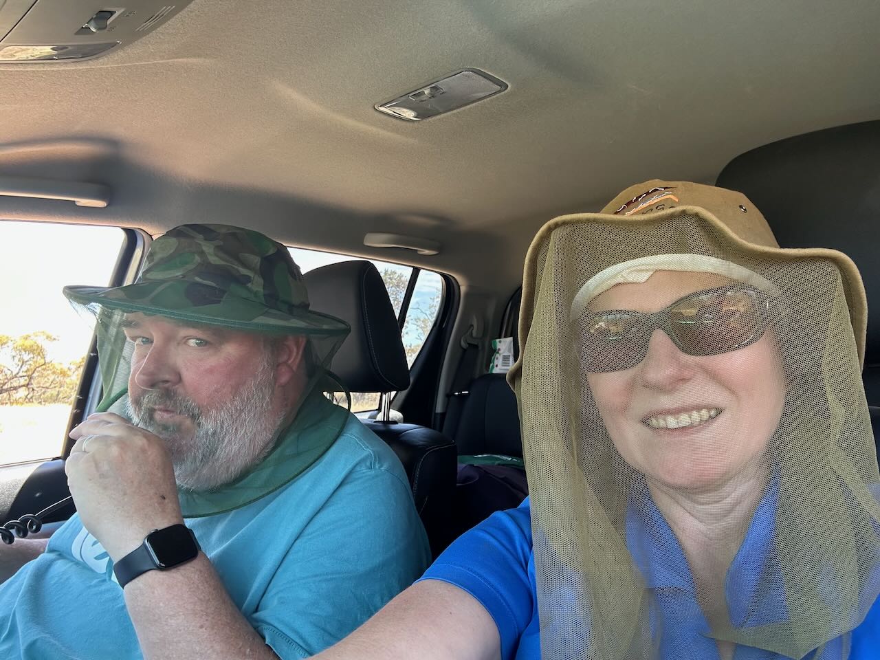
Next for the day (13th November 2023) was the Boinka Bushland Reserve VKFF-4163. This was to be the first time the park had been activated for the World Wide Flora Fauna (WWFF) program.
The reserve is located about 4 km east of Tutye and about 8 km west of Linga in northwest Victoria.
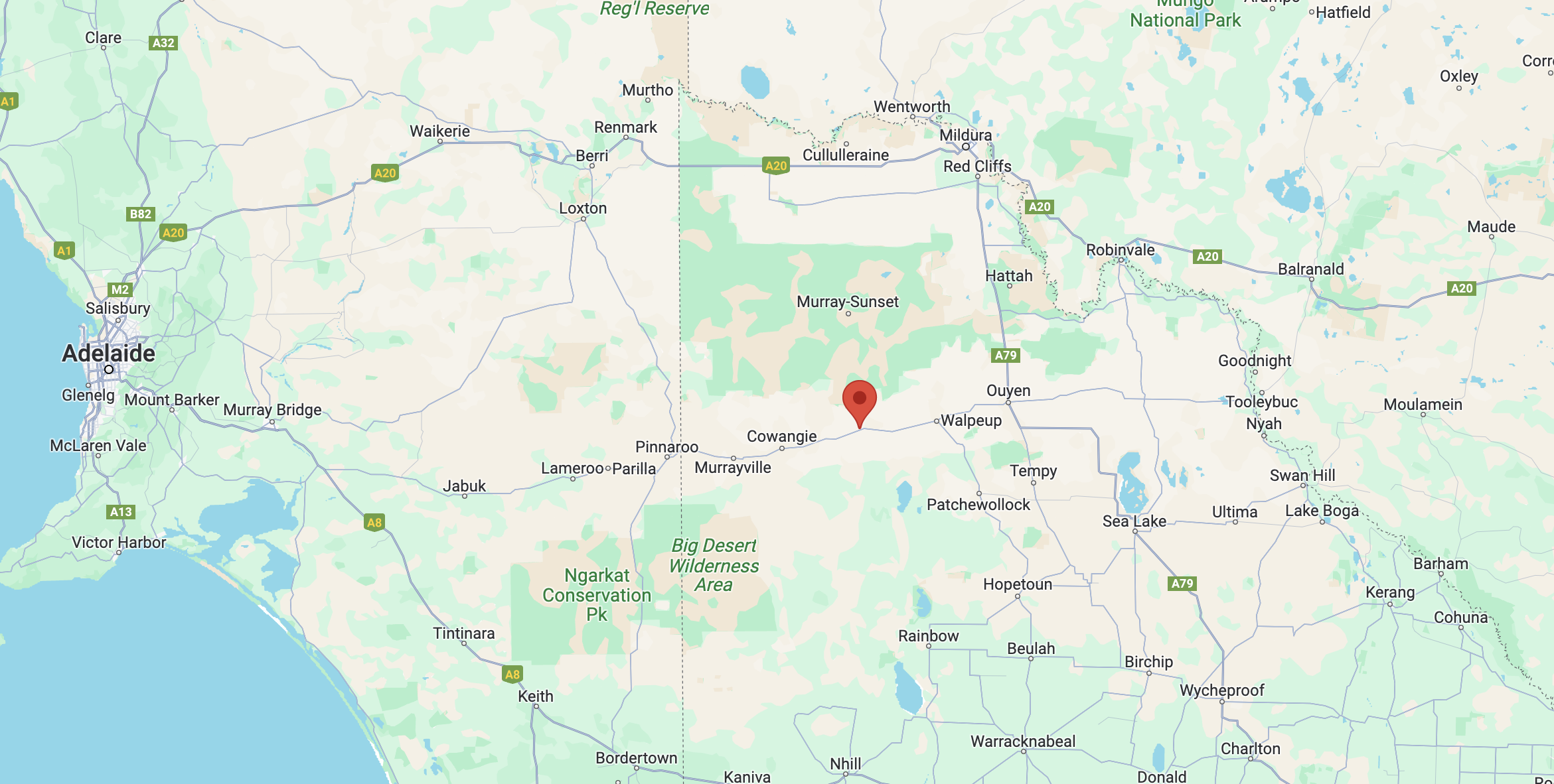
Above:- Map showing the location of the Boinka Bushland Reserve. Map c/o Google Maps.
Boinka is a small town and locality in north-western Victoria. Boinka is pronounced bow-in-ka. (Kow Plains 2024). The name Boinka means “flat black beetle” in the language of the indigenous people of Lake Hindmarsh (Hartmann).
The locality of Boinka stretches all the way from the Murray Sunset National Park in the north to the Wyperfeld National Park in the south.
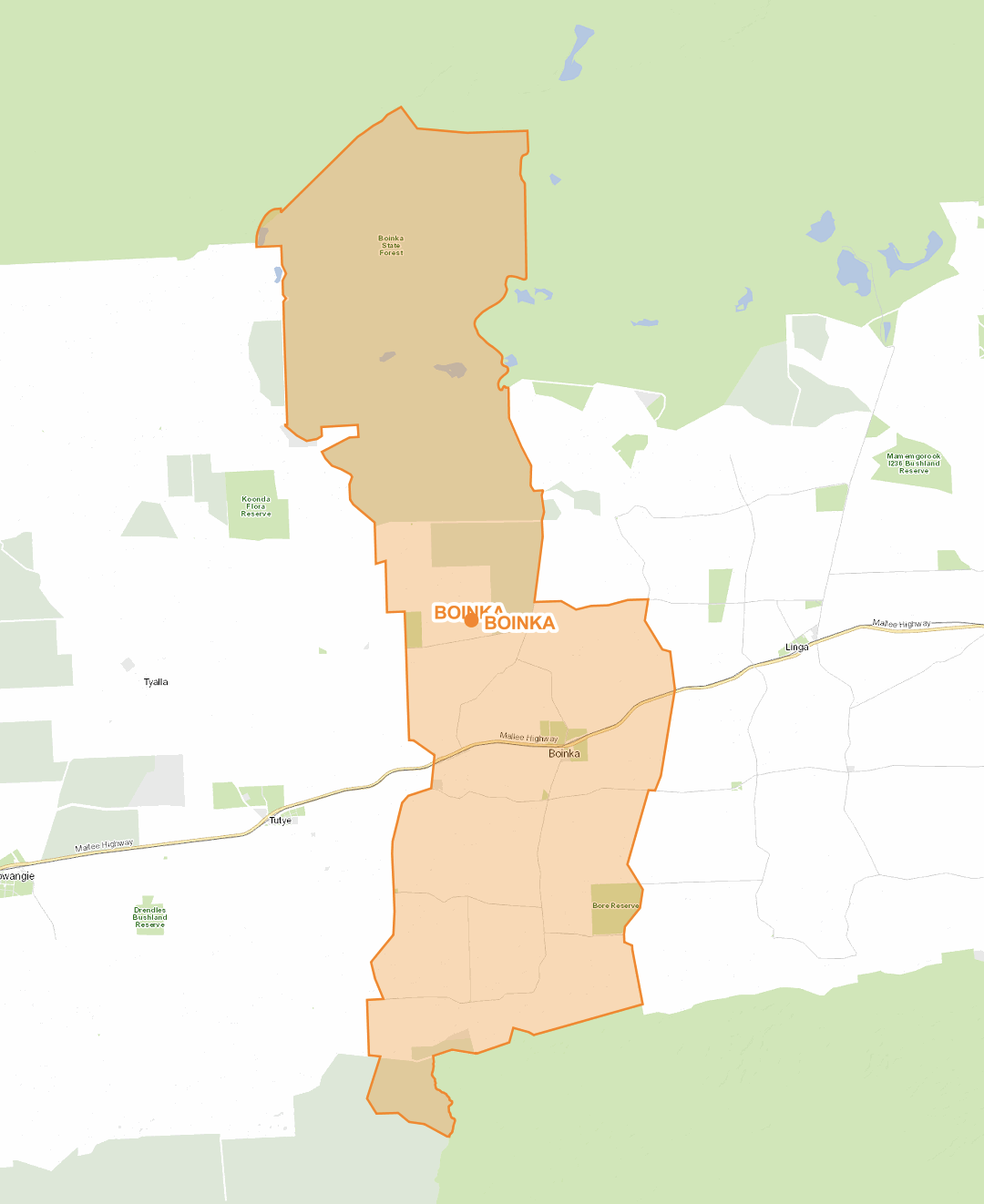
Above:- Map of the locality of Boinka. Image c/o maps.land.vic.gov.au
European settlers commenced arriving in the Boinka district in 1911. This included Murdock McDonald who was one of the first settlers. He camped on his allocated block at Campbell’s tank which was situated under a stand of Mallee Black-box. (Ballinger 2012)
Above:- The Parish of Boinka, c. 1921. Image c/o National Library of Australia
The Boinka town bore was sunk in 1910, tapping into artesian water that rose above ground level. (Ballinger 2012) The first store opened in a tent. It was operated by J. Kay who sold groceries. That same year in 1912, Boinka township allotments were sold. The average price per block at Boinka was £48.45. (Mallee Highway 2024)
The Post Office was opened on the 15th day of July 1912 and this closed in 1975. (Phoenix 2024) Over the next few years, Boinka had a plumber, a coffee palace, a draper, a butcher, a grocery, blacksmiths, a boarding house, a Bank of Victoria, and a saddler. (Victorian Places 2024) (Ballinger 2012) In 1913 a public hall was constructed. (Victorian Places 2024) By the early 1920s, a Presbyterian church was established. The town also had a sports ground and tennis courts. (Ballinger 2012)
In 1912 the railway was opened to Boinka. The Boinka railway station opened on the 25th day of June 1912 and closed on the 1st day of November 1968. (TrainsandTrams 2024)
Above:- Filling tanks from the main water tank of the Boinka water supply, c. 1925. Image c/o Museums Victoria.
The former State School No 3800 is now the Boinka Community Centre. The school was opened on the 14th day of July 1913, following representation from 13 parents to the District Inspector Hurley. The first lessons at Boinka were held in an old coffee palace, which was a pine and canvas building with an iron roof. The Head Teacher at Boinka was Robert Currie. He had a total of 23 pupils. The school moved to the public hall in 1913, and at that time had a total of 34 pupils. In 1973 the school moved to a single-room building, that is today used by the Boinka community for meetings and functions. The school building is listed as a part of Heritage Victoria. (Victorian Heritage Database 2024) (Ballinger 2012)
Above:- Article from the Pinnaroo and Border Times, Fri 2 Oct 1914. Image c/o Trove.
Outlying schools were opened at Boinka West which operated between 1917-1921, and Boinka North which operated between 1926-1940. (Victorian Places 2024)
The Boinka Cemetery was first noted on the 14th day of July 1916 in meeting minutes for the Boinka Cemetery Trust. At that time burial charge rates were ten shillings for land for a single grave (8’X4′), fifteen shillings for land 8’X8′ and one pound for grave sinking. In March 1918, funds were obtained for a cemetery fence. The earliest recorded burial at the cemetery is of Lois Harrop in 1916. (Ballinger 2012)
Limestone is widely found in the Boinka district and was used in the construction of several houses in the district. There is a surviving limestone fence that was built in c. 1920 by the land owner, Mr. M.O. Kelly. (Ballinger 2012)
By 1921, Boinka had a population of 242 people. (Victorian Places 2024)
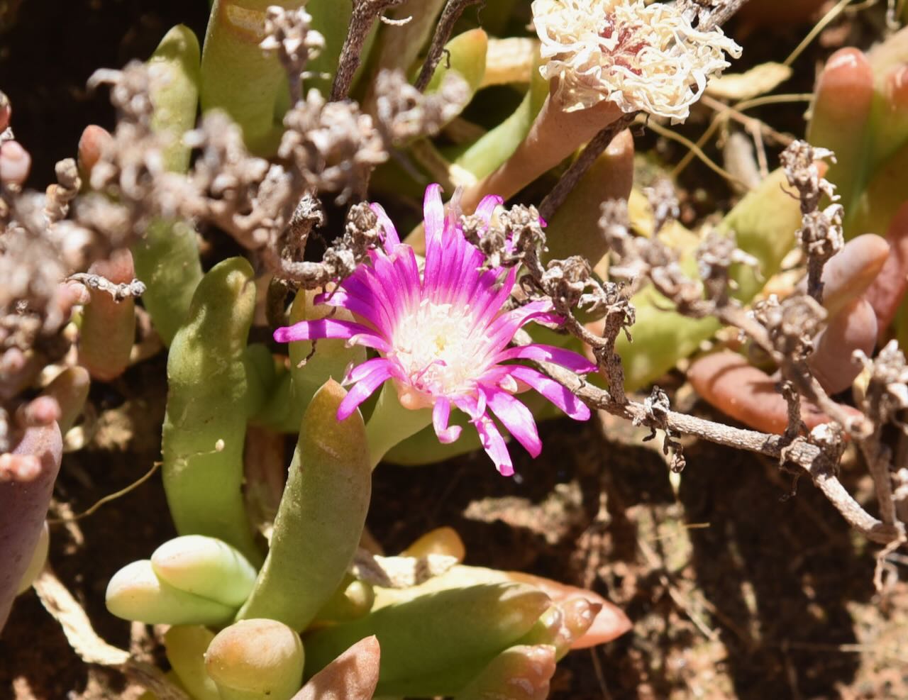
Pale Myoporum is a native shrub of about 2 metres that is widely found in South Australia. In the late 1980s, a population of Pale Myoporum was found near Boinka. The plant is now listed in the Victorian Flora and Fauna Guarantee Act of 1988 as being one of only two places where Pale Myoporum is known to grow indigenously outside of South Australia. (Department of Sustainability and Environment 2003)
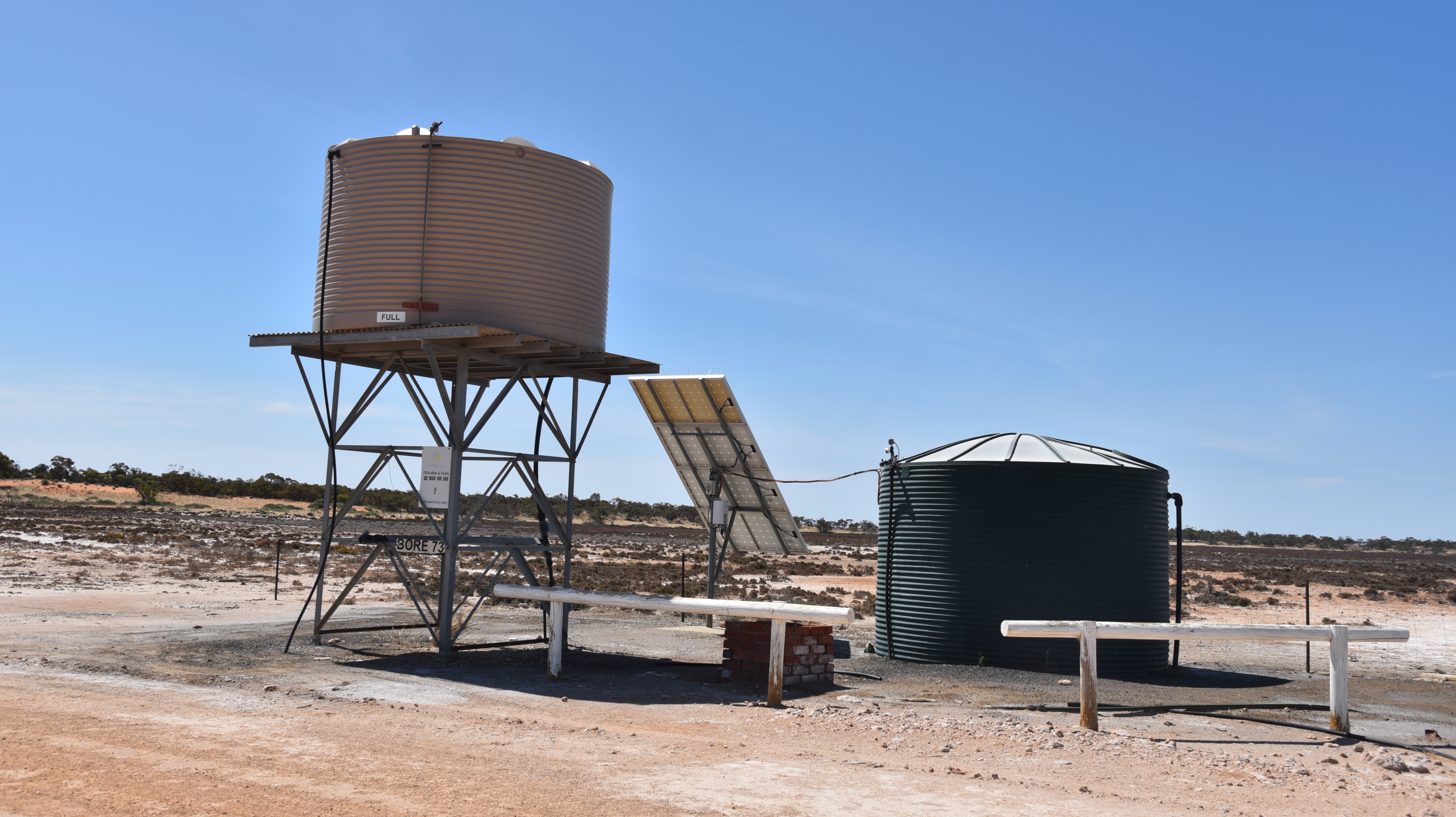
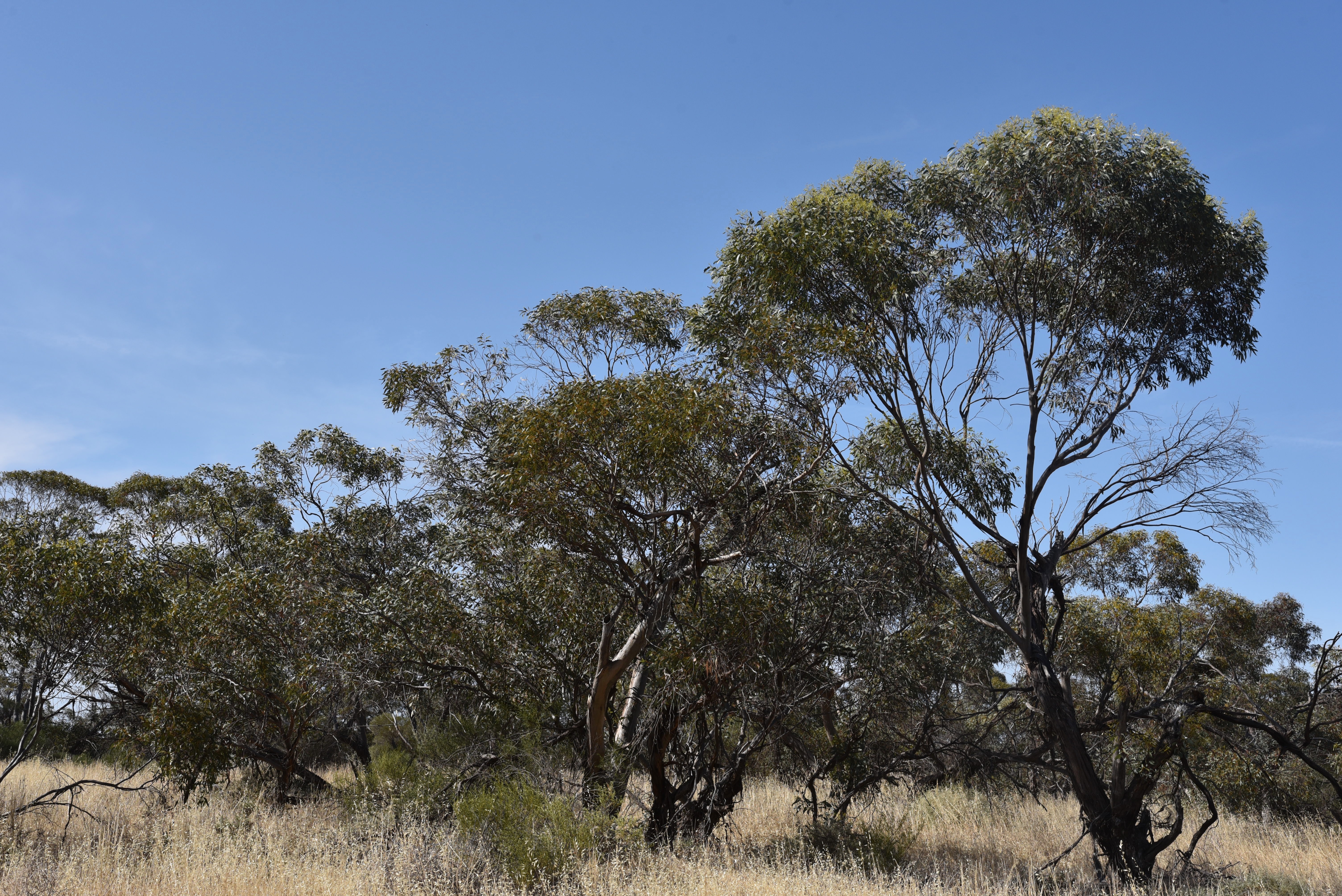
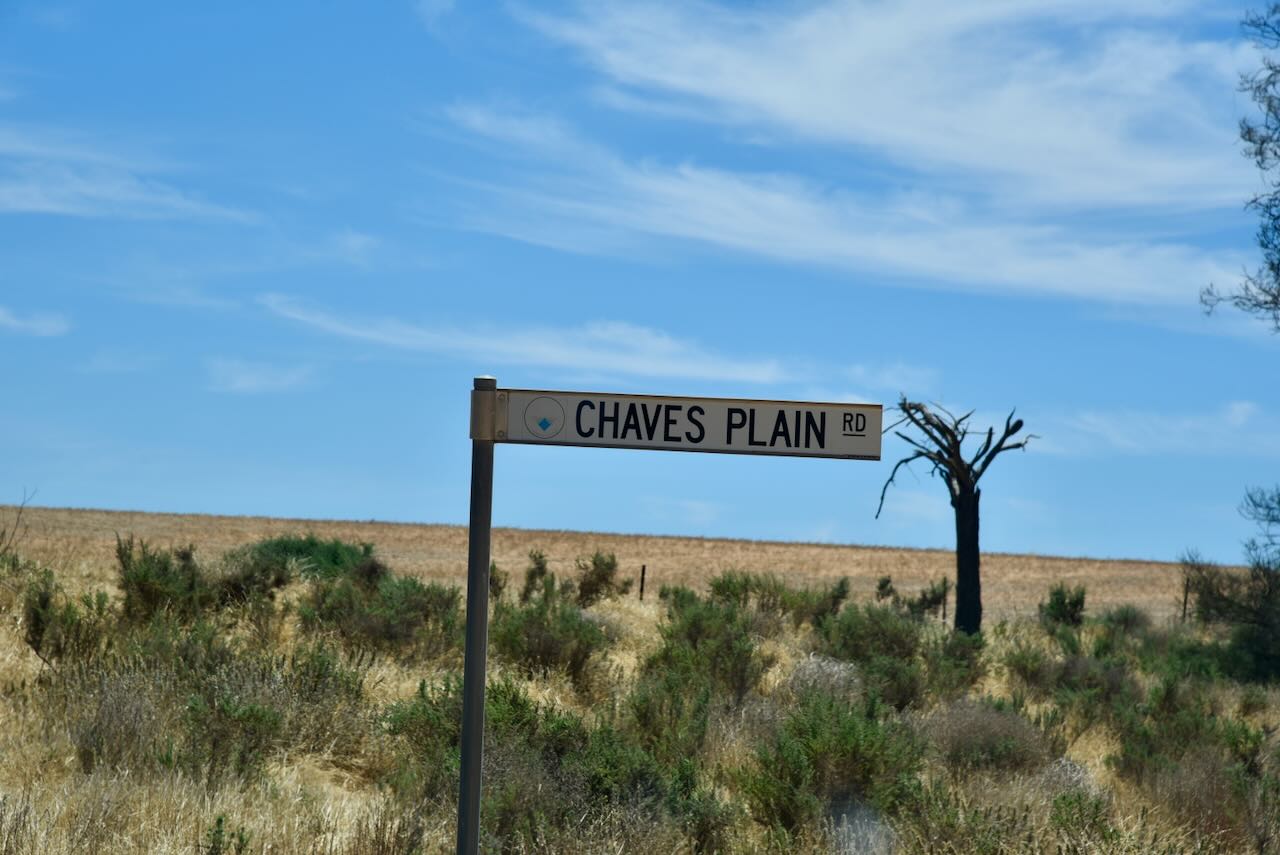
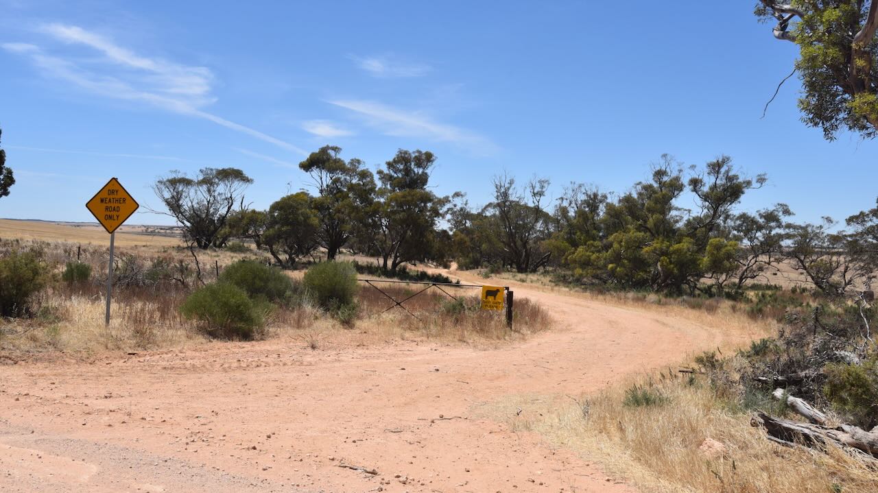
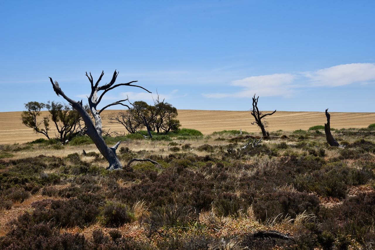
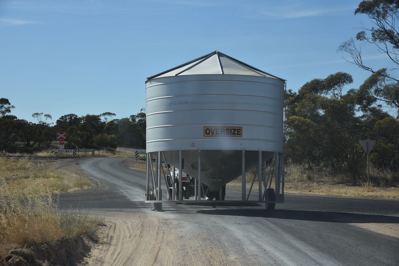
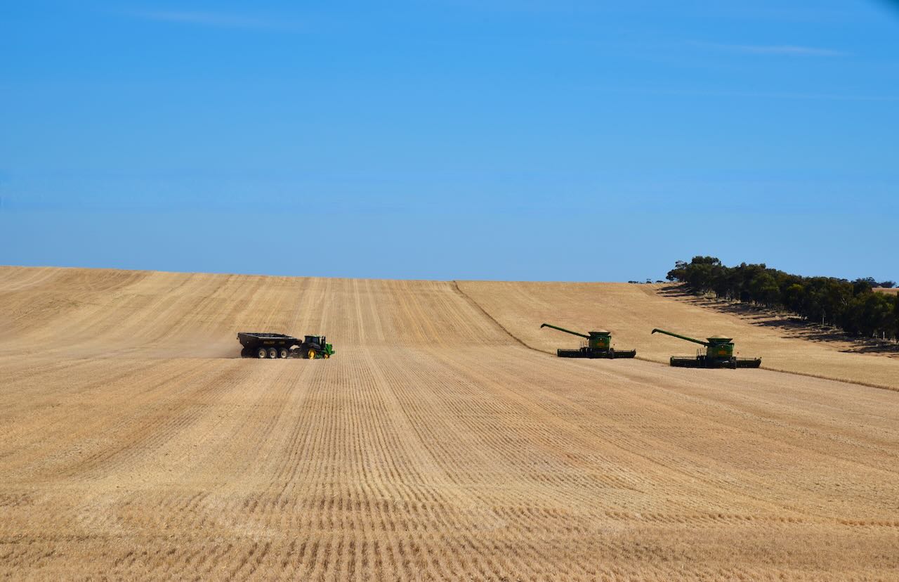
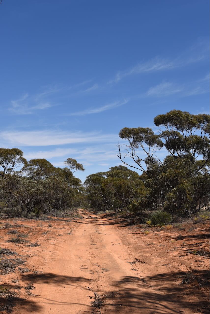
On our way to the reserve, we passed one of the many bores in the district.
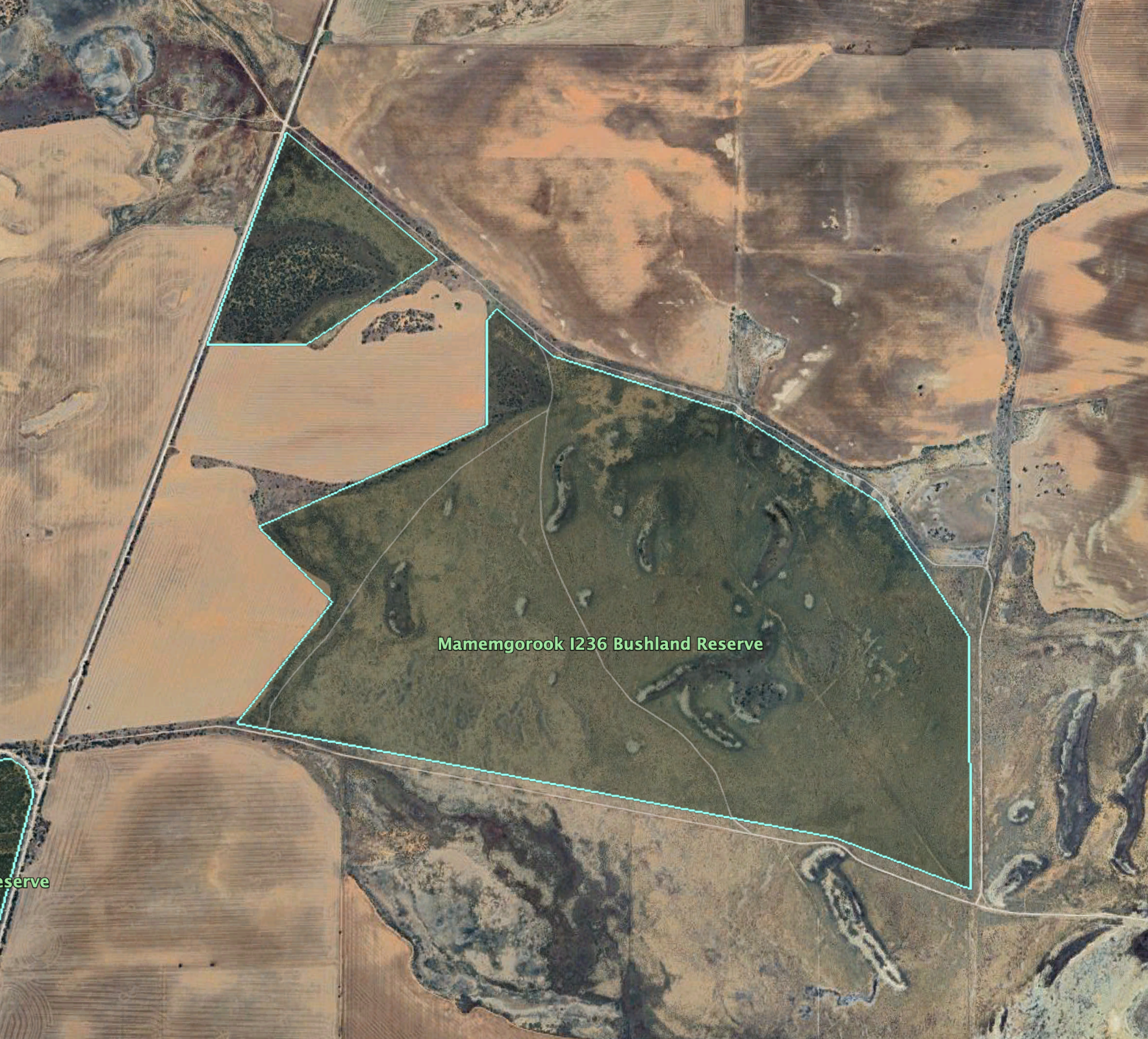
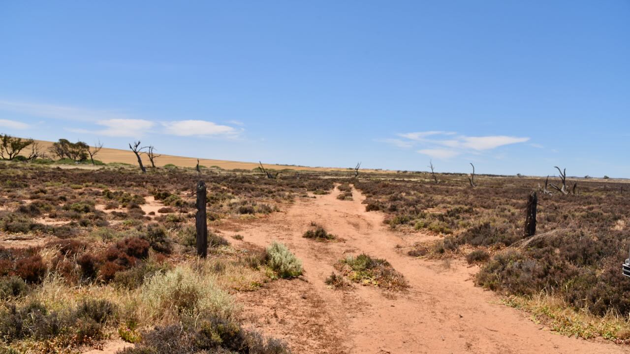
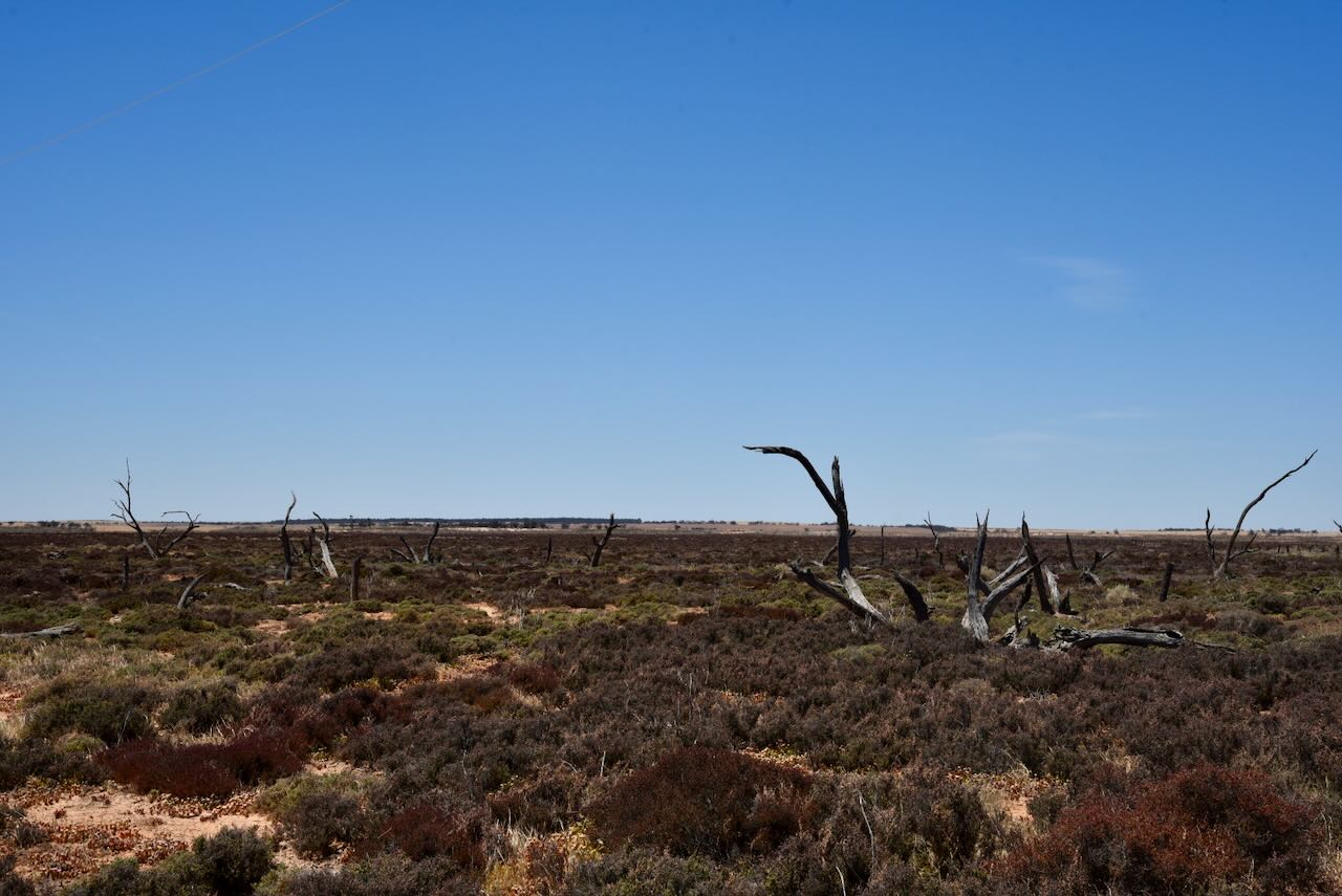
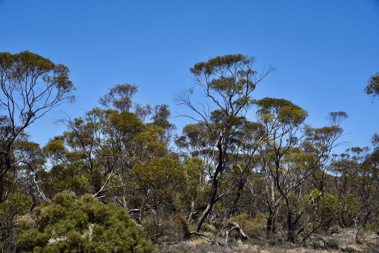
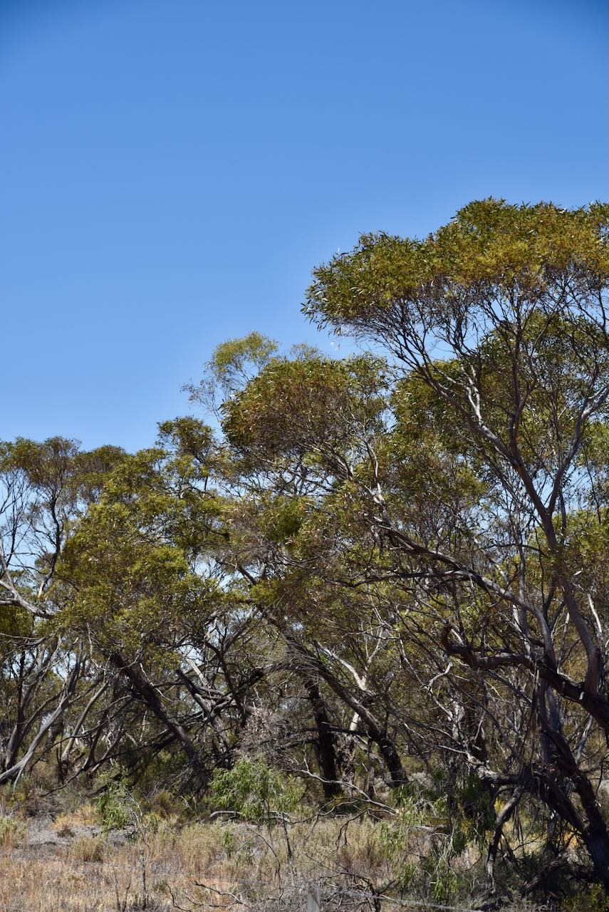
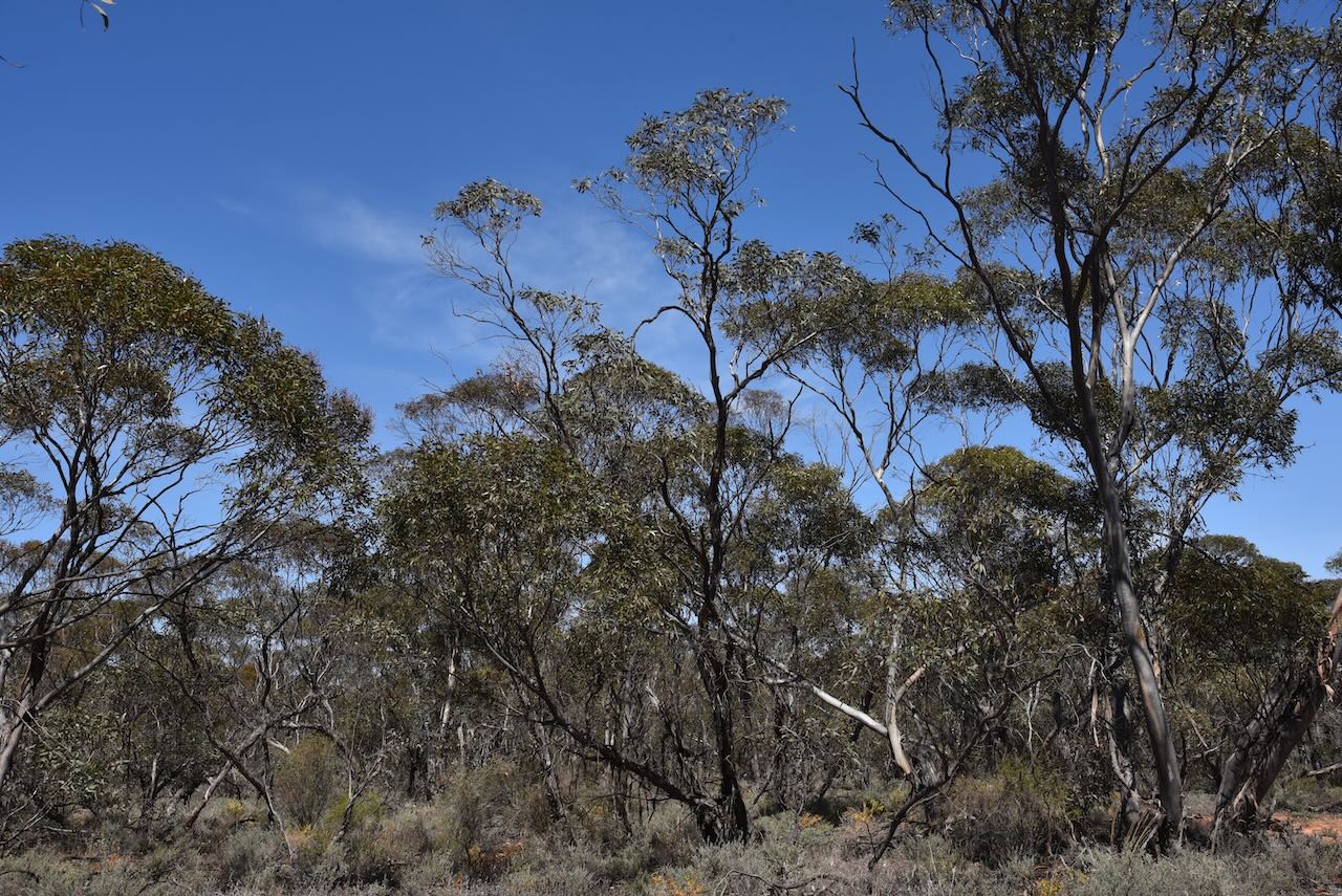
The Boinka Bushland Reserve is about 79 hectares in size and was declared on the 1st day of May 1979 (CAPAD 2022).
The reserve is located on the northern side of Artesian Bore Road, near the junction of Ewins Road.
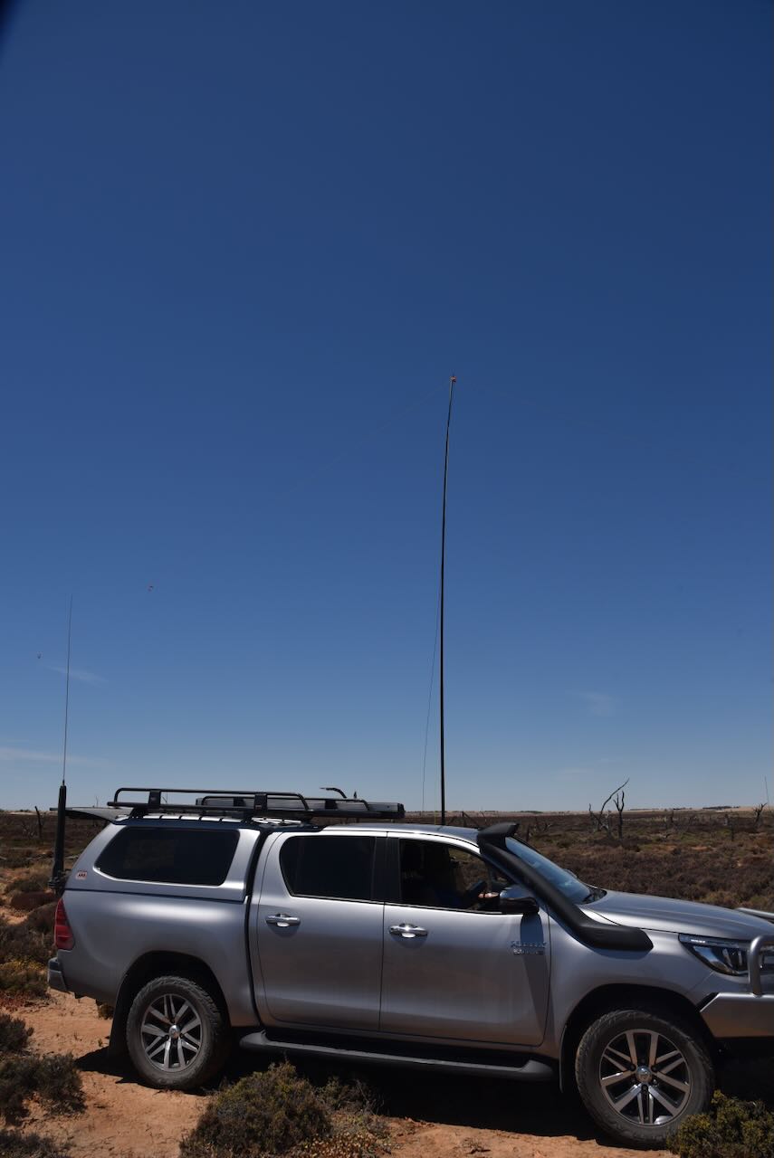
We ran the Yaesu FT857, 40 watts, and the 20/40/80m linked dipole for this activation. I used the special event callsign of VI10VKFF to celebrate the 10-year anniversary of the WWFF program in Australia.
Marija worked the following stations on 40m SSB:-
- VK3SQ
- VK2BD
- VK1AD
- VK1NAM
- VK3ATC
- VK3BBB
- VK2CCP
- VK3MTT
- VK3DAC
- VK4FE/3
- VK5HS
- VK2IO/p (Wangie Wildlife Reserve VKFF-2475)
I worked the following stations on 40m SSB:-
- VK3SQ
- VK2BD
- VK1AD
- VK1NAM
- VK3ATC
- VK3BBB
- VK2CCP
- VK3MTT
- VK3DAC
- VK4FE/3
- VK5HS
- VK5MK
- VK5GY
- VK3UH
- VK3VIN
- VK3PF
- VK3CEO
- VK2HHA
- VK5PE/m
- VK3EJ
- VK3YV
- VK1RF
- VK2MK
- VK4CEE
- VK3SG
- VK3APJ
- VK3PI
- VK5ARP
- VK1DI
- VK5FBIC
- VK5PKN
- VK3NEB/5
- VK5FANA
- VK3MIJ
- VK1AO
- VK2MET
- VK4NH
- VK4DXA
- VK3CAT
- VK3KIM
- VK3KAS
- VK2IO/p (Wangie Wildlife Reserve VKFF-2475)
I worked the following stations on 20m SSB:-
- VK7XX
- VK4EMP
- VK4TI
- VK4MUD
- VK4XCS
- ZL3ET
- ZL2GLG
- ZL2LDX
- VK2HDT
- VK8HPB
References.
- Australian Government, 2024, Collaborative Australian Protected Areas Database, viewed 3rd February 2024.
- Department of Sustainability and Environment, 2003, ‘Pale Myoporum’, Action Statement No. 161, viewed 3rd February 2024.
- Hartmann, The Aborigines of Victoria
- Heritage Council of Victoria, 2024, Victorian Heritage Database, viewed 3rd February 2024.
- Kow Plains Homestead Committee, 2024, Kow Plains Homestead, viewed 2nd February 2024.
- Ballinger, R, 2012, Mildura (Former Shire of Walpeup) Heritage Study Stage 2, viewed 2nd February 2024.
- Phoenix Auctions, 2024, Post Office List, viewed 2nd February 2024.
- Southern Mallee District Council, 2024, Boinka Vic, viewed 2nd February 2024.
- Trainsand Trams, 2024, <https://www.trainsandtrams.com/railways-maps/station-details/>, viewed 2nd February 2024
- Mallee Highway Touring Route, 2023, <https://www.malleehighway.com.au/html/boinka.html>, viewed
- Victorian Places, 2024, <https://www.victorianplaces.com.au/boinka>, viewed 2nd February 2024.