A few days ago I received my latest WWFF Activator Points Award certificate.
Thank you to all of the WWFF participants and to Swa ON5SWA the Awards Manager.


A few days ago I received my latest WWFF Activator Points Award certificate.
Thank you to all of the WWFF participants and to Swa ON5SWA the Awards Manager.
It was now day three of my trip, Friday 12th April 2024. Before heading out to activate a park I had a final look around Kimba.
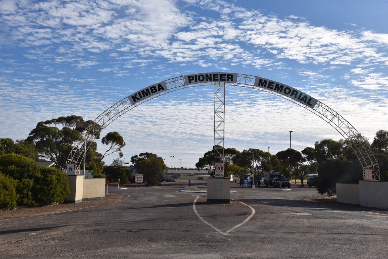
My first stop was the Kimba Pioneer Memorial Arch on Buckleboo Road at the Recreation Reserve. The Kimba area was first settled in the 1870s. The memorial arch commemorates the courage and faith of the early pioneers of Kimba. (Monument Australia 2024)
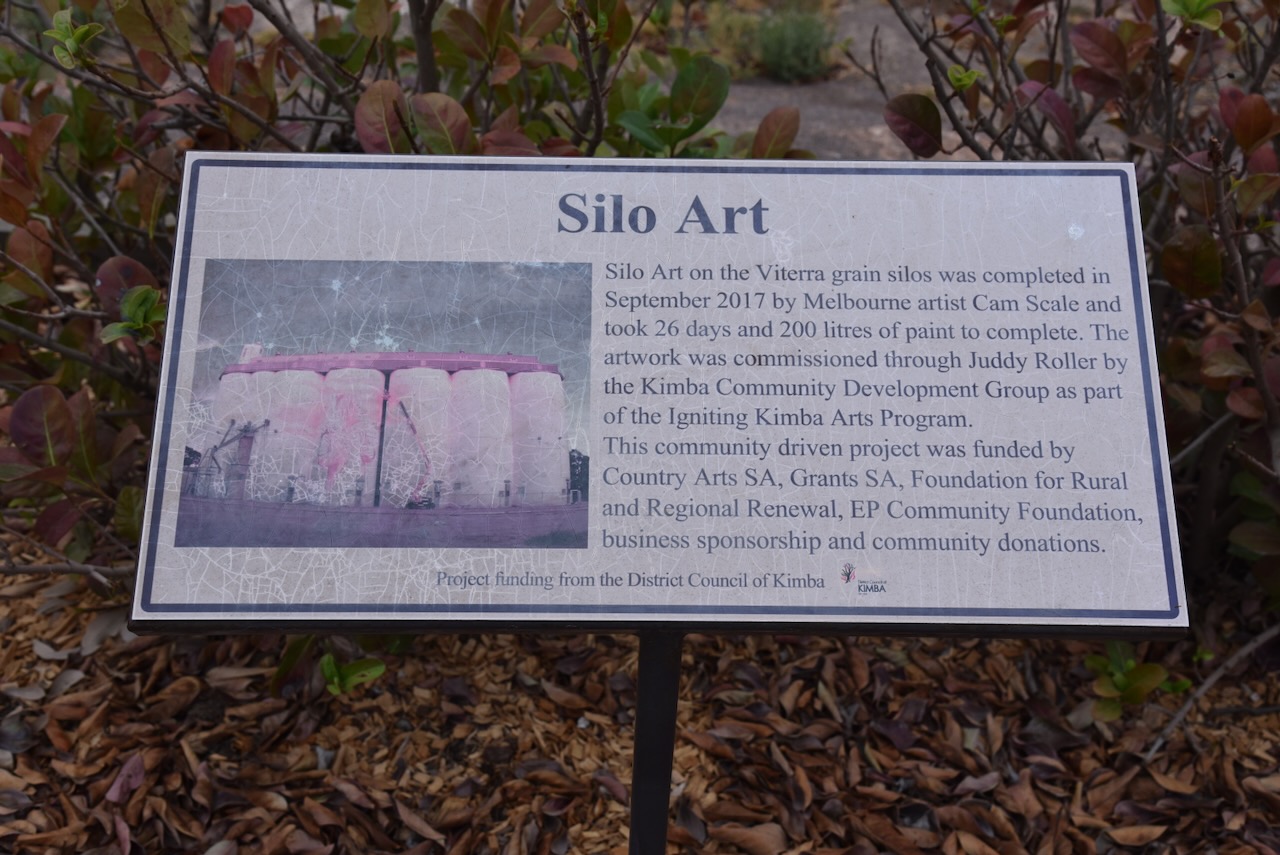
At the recreation reserve, you can find some excellent murals. The first is called ‘Sharing our History’ and is dedicated to the pioneers of the Kimba district. It was pained in August 2001. The two other murals were painted by Neil Swanson and is dedicated to local wool/sheep growers. (Kimba District Council 2024)


I then drove up to Whites Knob Lookout which is an ironstone conglomerate just to the northwest of Kimba on Tola Road. There is a statue of explorer Edward John Eyre and an indigenous man at the top of the lookout. It was erected in November 2011 and was sculpted by Roland Weight and Marcus Possingham. (Kimba District Council 2024)


I then drove out to the Kimba Aerodrome and viewed the monument to honour Leslie ‘Allen’ Venning. He owned a private plane and conducted an emergency aerial service for the Kimba district for many years. In 1954 Mr Venning obtained his flight radio telephone operator licence and his full pilot licence. On that same day, he purchased an Auster plane which logged over 130 flights, several of which were used for emergency purposes. Mr Venning sold the plane and purchased another Auster followed by a Cessna. These planes logged 152 and 20 flights respectively. In the case of emergencies, Mr Venning removed the seats of his plane to accommodate a stretcher. Along with his brothers, Mr. Venning was involved in the preparation of the new aerodrome site in the 1950s. At this site Mr Venning built his own aerodrome hangar.


I then visited the Institute Memorial Gardens. The cross and Honour Roll erected in the gardens is in memory of the men and women who served Australia. The garden also features a memorial plaque erected to honour the pioneers and early settlers of the Kimba district.


Adjacent is the Kimba mosaic which showcases the eleven native Australian species found in the Kimba region. It includes the Red-capped robin, Chalky Wattle, Crested Dragon, Sandhill dunnart, Wooly-glandular daisy bush, Thorny Devil, Scarlet-chested Parrot, Galah, Major Mitchell Cockatoo, Bottlebrush hakea, and Malleefowl.


The area of Tola was named after Tola Tank on section 34, Hundred of Solomon. The Tola School opened in 1924 and closed in 1945. All that remains of the school is an old shed and some tyres used as part of a playground. (Place Names 2012)


The reserve is located on the corner of Tola Road and Balumba Hill Road.

Above:- An aerial view of the Tola Conservation Reserve. Image c/o Google Earth.
The Tola Conservation Reserve is about 30 hectares in size and was proclaimed on the 28th day of January 1988. (CAPAD 2022) (Place Names 2012)


I worked the following stations on 40m SSB:-
I worked the following stations on 20m SSB:-
References.
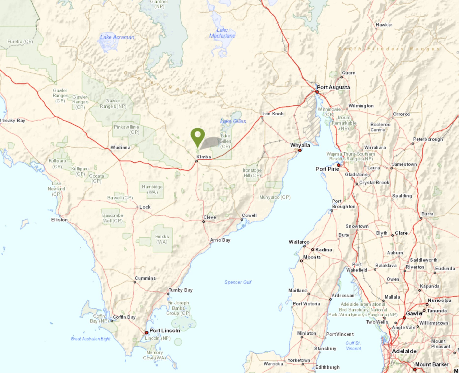
My final park for Thursday 11th April 2024 was the Pinkawillinie Reservoir Conservation Reserve VKFF-1740. The reserve is located about 36 km northwest of Kimba and about 499 km from Adelaide.

Above:- Map showing the location of Pinkawillinie Reservoir Conservation Reserve. Map c/o Google Maps.
Pinkawillinie is a corruption of the Aboriginal word pingknoweileni meaning ‘place of many rabbit-footed bandicoot burrows’.
From 1863 Gregory Hawson (b. 1823. d. 1885) held the ‘Pinkawillinie Run’. He emigrated to Australia with his parents Henry Hawson and Elizabeth Emlyn Hawson nee Cowell in 1839 from England aboard their own ship Abeona. They were among the first settlers on the Eyre Peninsula in South Australia. They took up 6,000 acres of land including current day Port Lincoln and built their first homestead at Kirton Point. Gregory Hawson took up land north of Kirton Point and established the Polda sheep station at Mount Wedge. (History Trust 2024)

Above:- Gregory Hawson. Image c/o State Library South Australia.
The Hundred of Pinkawillinie was proclaimed on the 1st day of June 1922. In 1926 the Pinkawillinie School was opened. It closed in 1968. The Pinkawillinie South School opened in 1930 and closed in 1947. (Place Names 2012)

Above:- Article from the News Adelaide, Wed 24 Apr 1929. Image c/o Trove
The northern boundary for the Pinkawillinie Reservoir Conservation Reserve is Buckleboo Hundred Line Road. The southern part of the park is accessed via Pinkawillinie Reservoir Road which runs off Johnson Road.

Above:- Aerial view of the Pinkawillinie Reservoir Conservation Reserve. Image c/o Google Earth.
The reserve is about 279 hectares in size and was established on the 14th day of May 1987. (CAPAD 2022)


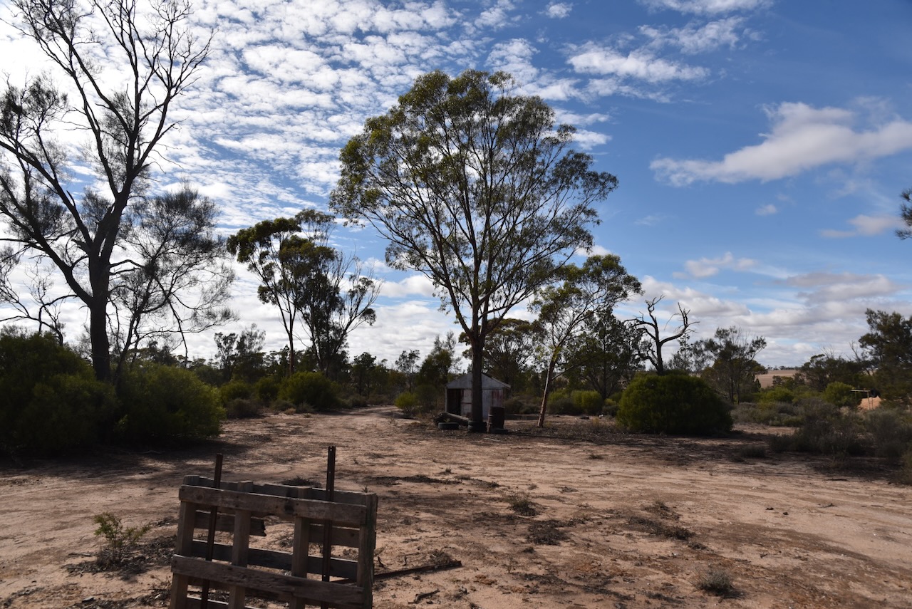
After the activation I visited the site of the old Pinkawillinie school (1926-1968)


Above:- The Pinkawillinie School. Image c/o Kimba Konnections Facebook.
It was starting to get dark and as I travelled back to Kimba I enjoyed watching a magnificent sunset.


Once back in Kimba I headed to the Kimba Hotel and enjoyed another very nice meal and some refreshments.

I worked the following stations on 20m SSB:-
I worked the following stations on 40m SSB:-
References.
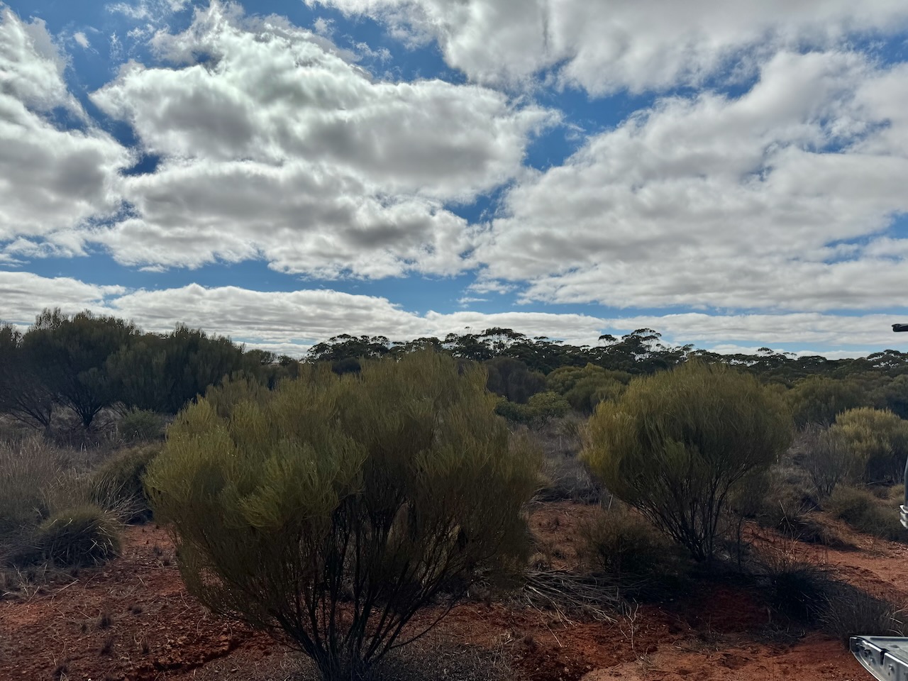
My fifth park for Thursday 11th April 2024 was the Moongi Conservation Reserve VKFF-1728. The park is about 41 km northwest of Kimba and about 504 km from Adelaide.

Above:- Map showing the location of the Moongi Conservation Reserve. Map c/o Google Maps.
Moongi is an aboriginal word meaning ‘good place’. The town of Moongi was proclaimed on the 17th day of March 1932. The town ceased to exist by 1981. (Place Names 2012)

Above:- A plan of the town of Moongi. Image c/o Trove.
In 1928 the Moongi school was opened. It closed in 1946. The Methodist Hall at Moongi was opened in 1932. (Chronicle 1932) (Place Names 2012) (Pt Lincoln Times 1928).
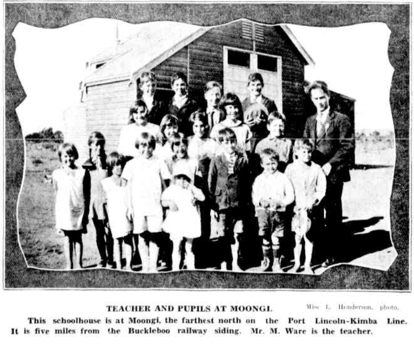
Above:- Moongi school – teacher and pupils. Image c/o Chronicle, Adelaide, Thu 23 Jul 1931.
The Moongi Conservation Reserve is about 232 hectares in size and was proclaimed on the 13th day of September 1990. (CAPAD 2022)


The reserve incorporates the old town of Moongi and part of the old railway line.
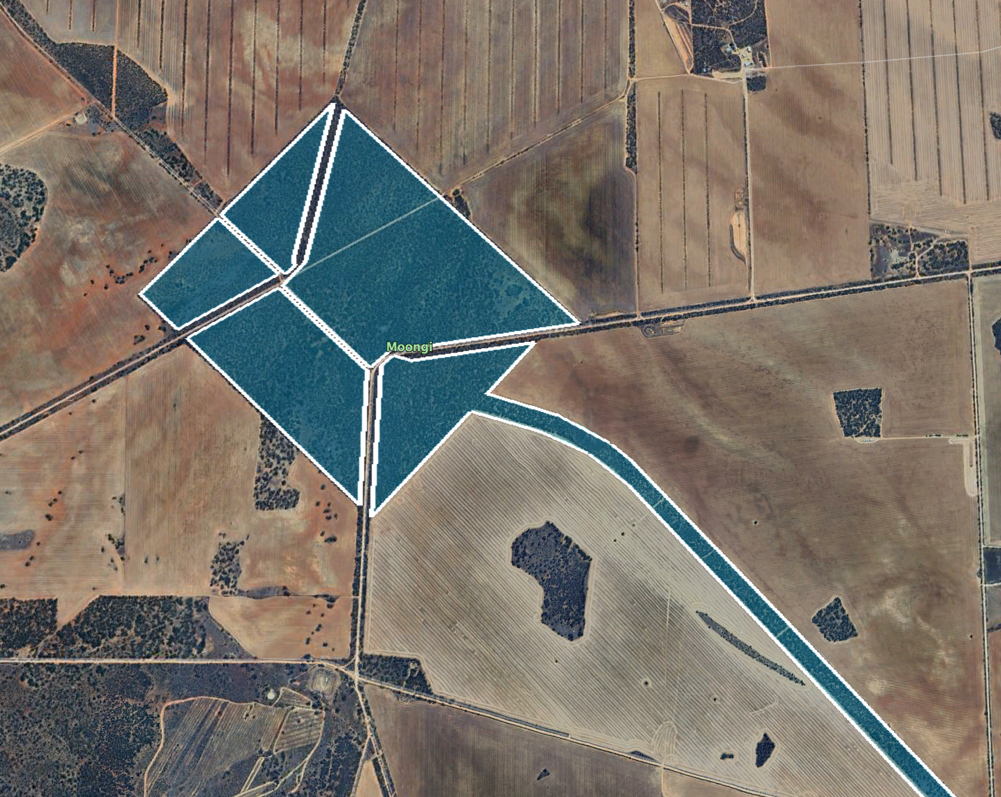
Above:- An aerial view of the Moongi Conservation Reserve. Image c/o Google Earth.
I worked the following stations on 20m SSB:-
I worked the following stations on 40m SSB-
References.
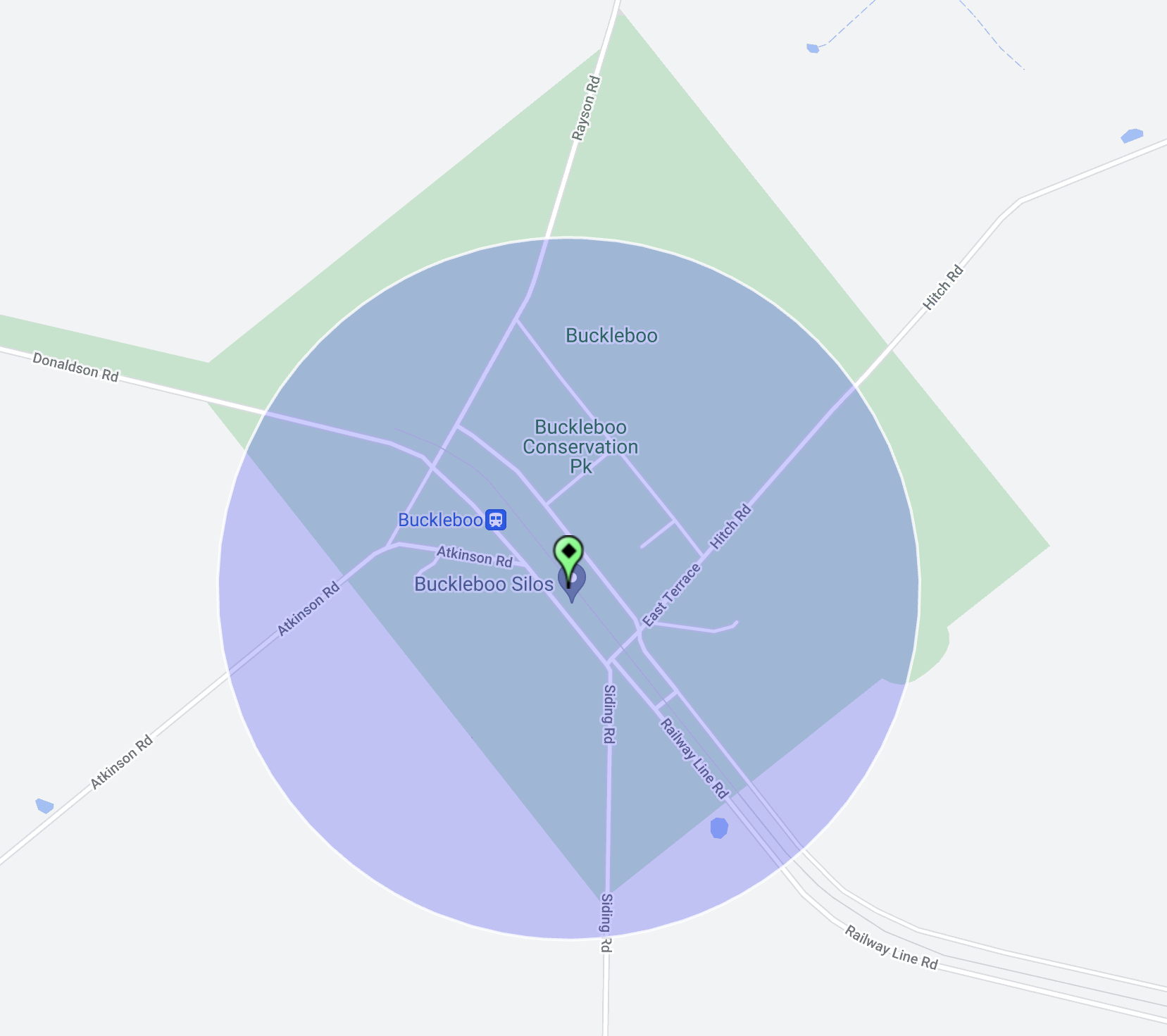
My next activation for Thursday 11th April 2024 was the Buckleboo Conservation Reserve VKFF-1689 and the Buckleboo silo VK-BCO5. Buckleboo is about 32 km northwest of Kimba and about 495 km from Adelaide.

Above:- Map showing the location of the Buckleboo Conservation Reserve. Map c/o Google Maps.
The Hundred of Buckleboo was proclaimed on the 1st day of June 1922. The name was adopted from an adjacent pastoral run held by John Love and R Love from 1864.

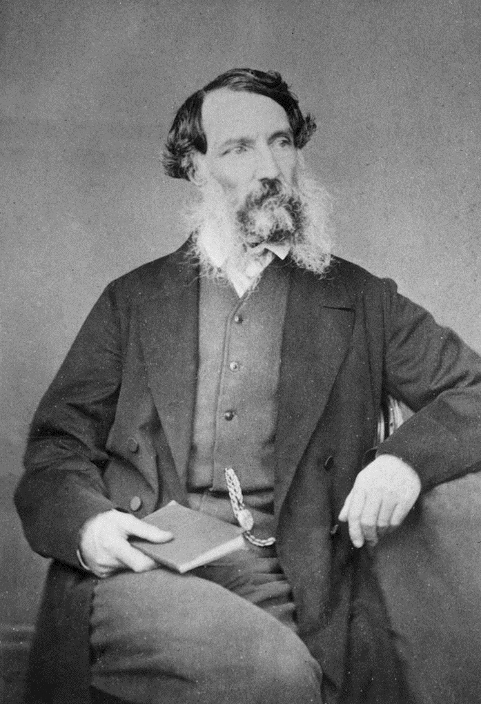
Above:- John Love. Image c/o State Library South Australia.
The government town of Buckleboo was surveyed in November 1924 and proclaimed on the 17th day of December 1925 by Tom Bridges, the Governor of South Australia. The Buckleboo school opened in 1929 and closed in 1949. (Place Names 2012)
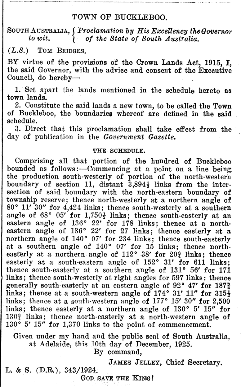
Above:- Proclamation of the town of Buckleboo. Image c/o SA Govt Gazette, Dec 17, 1925.
The railway line reached Kimba in 1913, two years before the town was declared. In 1926 the line was extended north to Buckleboo. Until 2005, Buckleboo was the railhead for one branch of the Eyre Peninsula Railway, a narrow gauge railway that principally hauled grain via Kimba and Cummins to Port Lincoln for export. The last train to Buckleboo was in 2005. (Kimba Visitor Guide 2019)
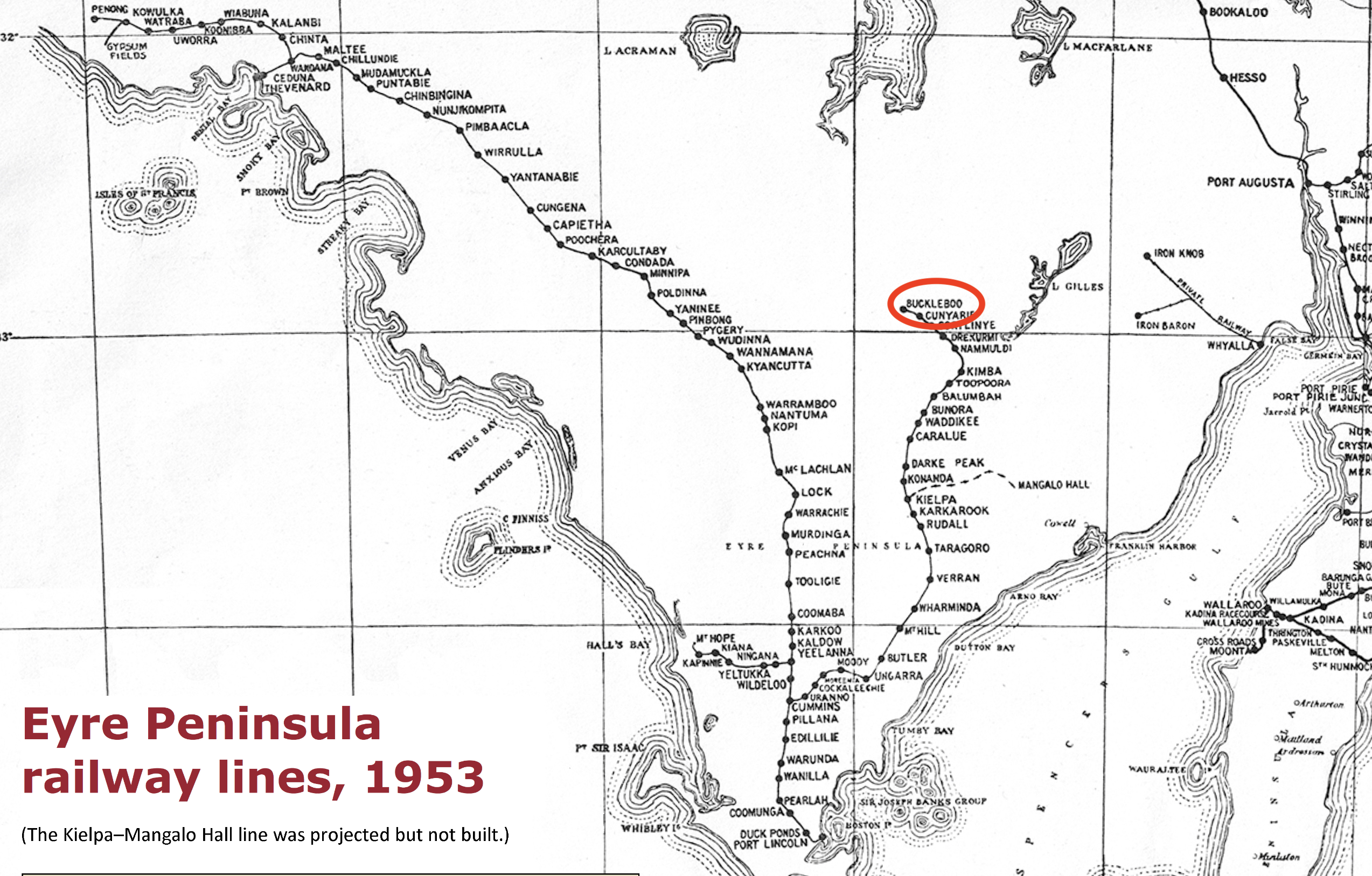
Above:- Railway lines of the Eyre Peninsula, 1953. Image c/o Wikipedia.
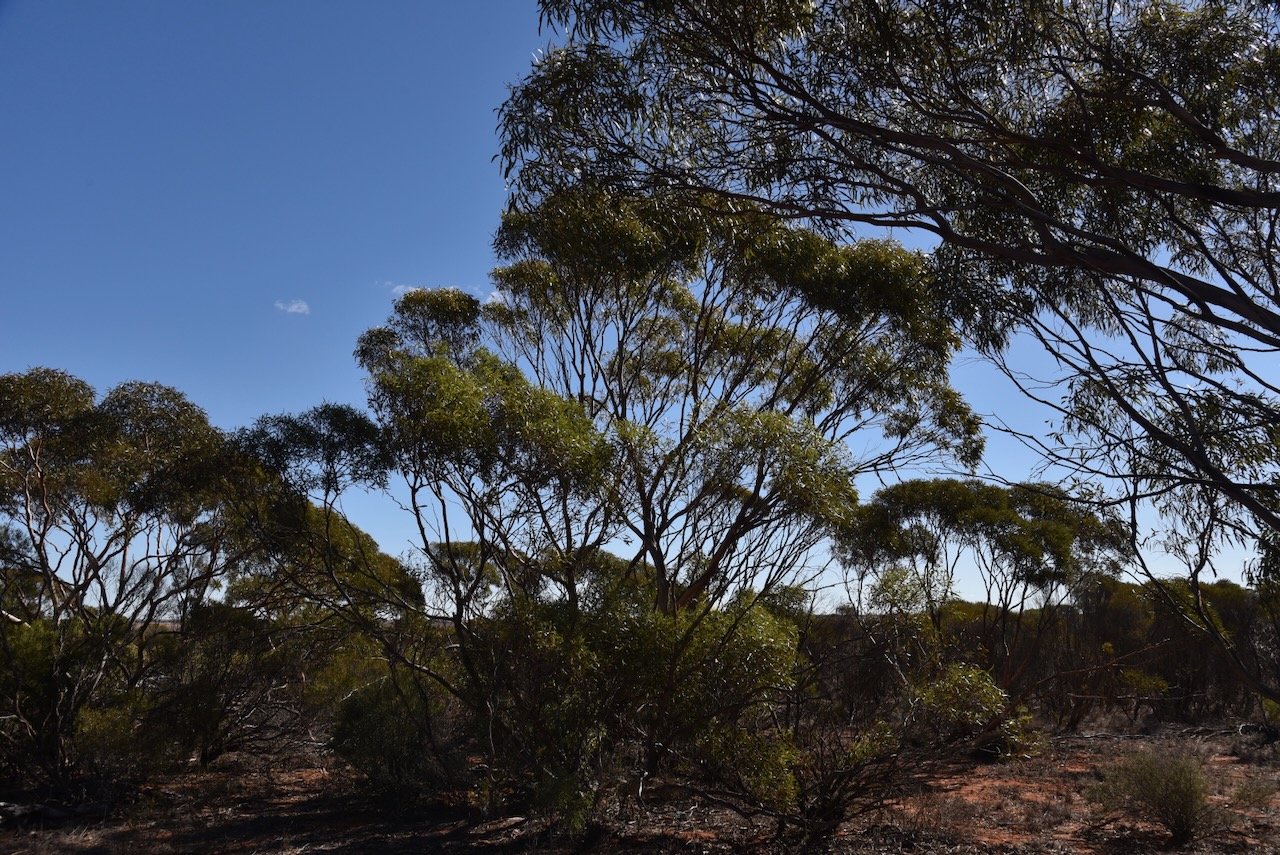
The Buckleboo Conservation Reserve is separated into seven sections around the old town of Buckleboo.

Above:- An aerial view of the Buckleboo Conservation Reserve. Image c/o Google Earth.
The reserve is about 281 hectares in size and was established on the 13th day of September 1990. (CAPAD 2022)

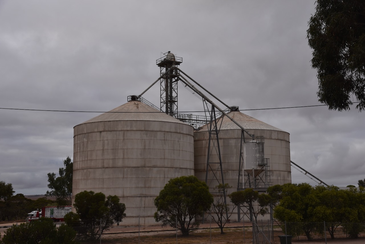
The Buckleboo silos are located alongside the old railway line, between Donaldson Road and Railway Terrace.
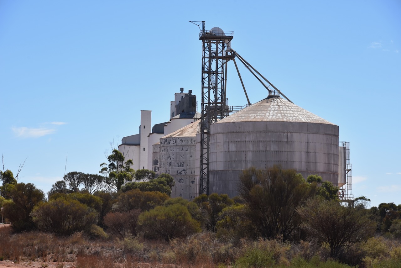


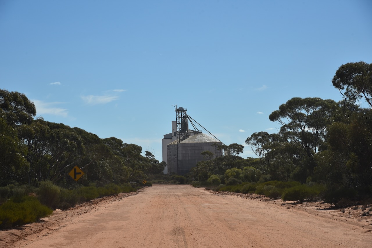
I parked on Donaldson Road within the activation zone of the silo. I ran the Yaesu FT857, 40 watts, and the 20/40/80m linked dipole.
Above:- the activation zone at the Buckleboo silos. Image c/o SiOTA website.
I worked the following stations on 40m SSB:-
I worked the following stations on 20m SSB:-
References.
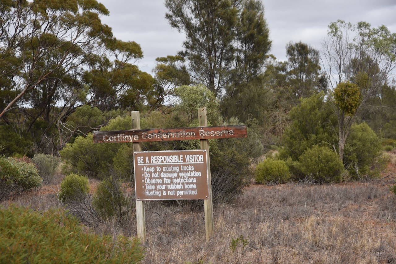
After leaving Cortinlye Conservation Reserve on Thursday 11th April 2024 I headed to my next park activation for the day, the Cunyarie Conservation Reserve VKFF-1702.
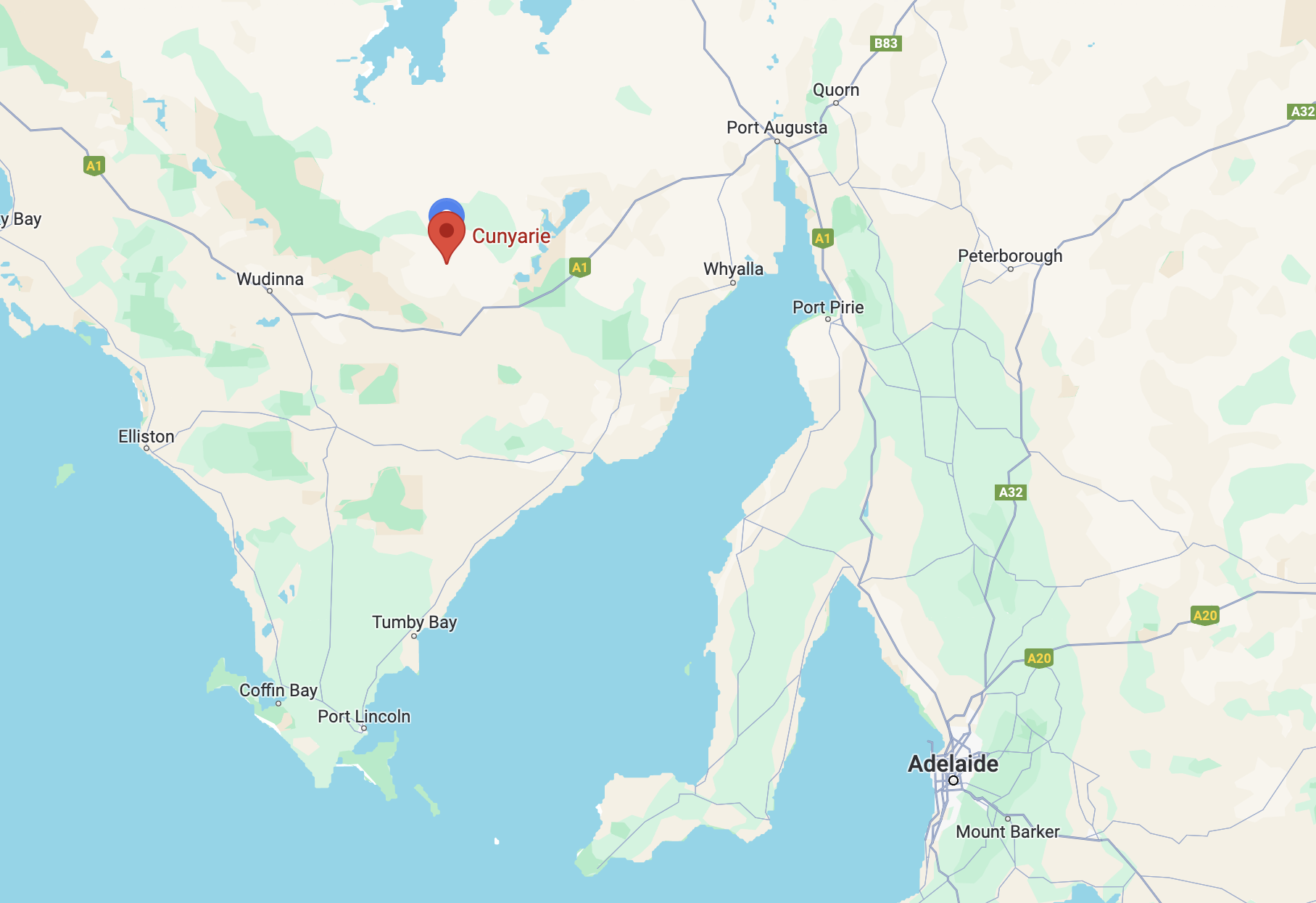
Above:- Map showing the location of the Cunyarie Conservation Reserve. Map c/o Google Maps.
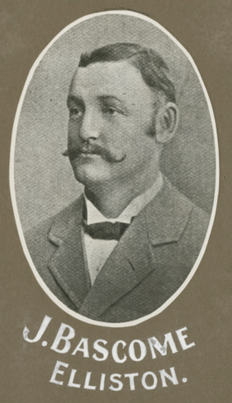
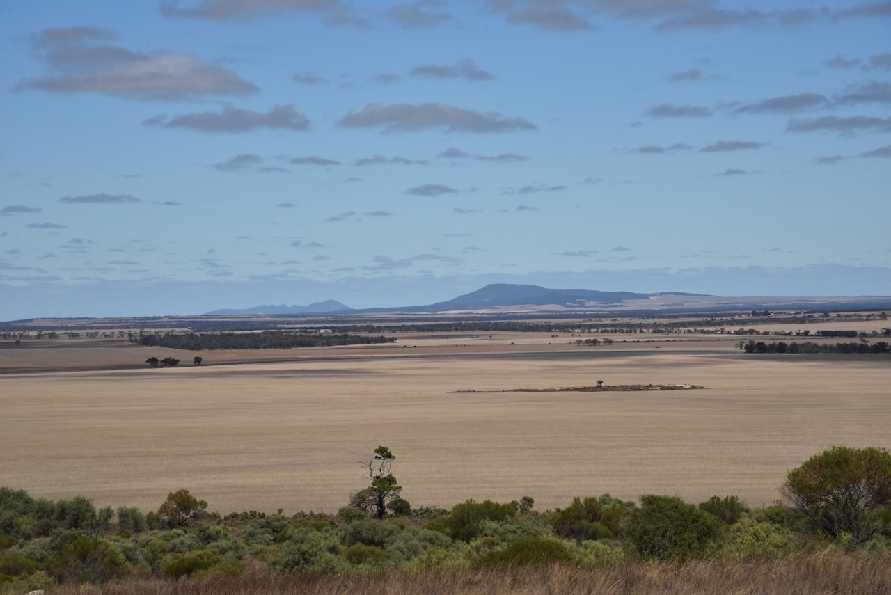
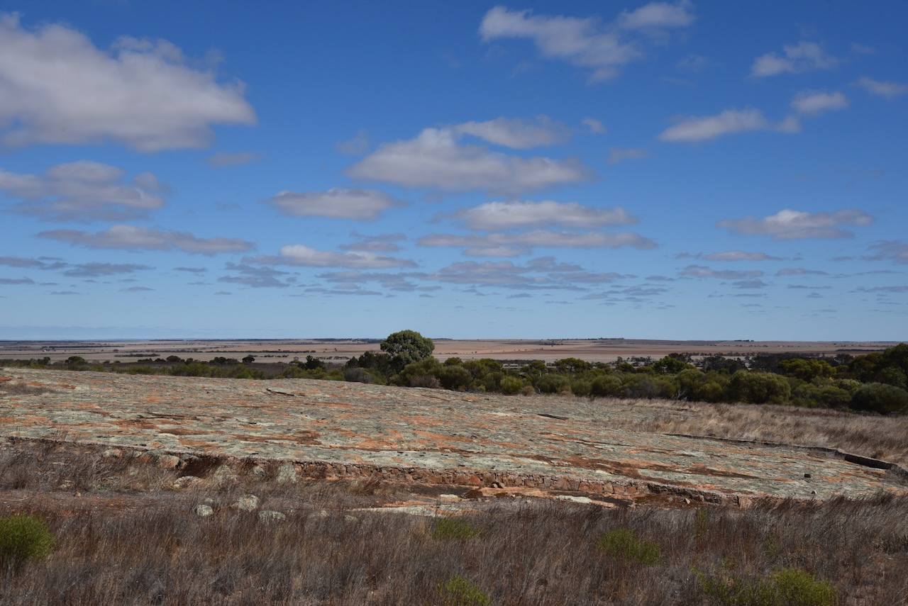
Before reaching the park I stopped at the Bascombe Rocks Lookout on Buckleboo Road.
Bascombe Rocks is situated in the Hundred of Cortlinye and was first named Cortlinye Waterhole. Cortlinye is an aboriginal word for black oak, which portrayed the land at the time. The surveyors watered their horses at this location and the locales referred to it as ‘The Soak’. It always had water in it although only drinkable for stock. The area was named after Mr John Bascombe who held a pastoral lease in 1874 and the area was called the ‘Cortlinye Run.’
Above:- John Bascombe. Image c/o State Library South Australia.
Then Bascombe Rocks was situated on the dirt track to station country, where people would use it as a rest stop. Bascombe Rocks was also the site for some of the first tennis courts in the district. ‘The Rocks’ became part of the water runs for the government dam situated to the west.
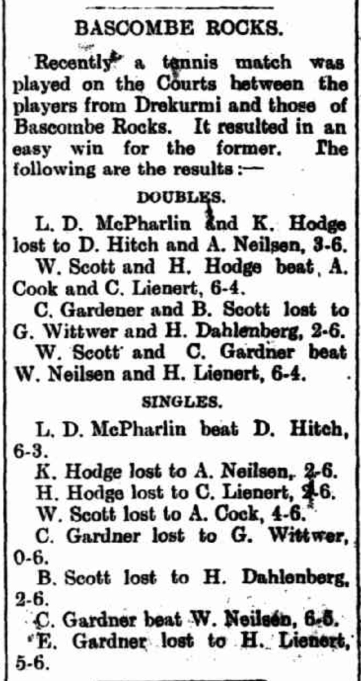
Above:- Article from the Kimba Dispatch, Fri 6 Apr 1928. Image c/o Trove.
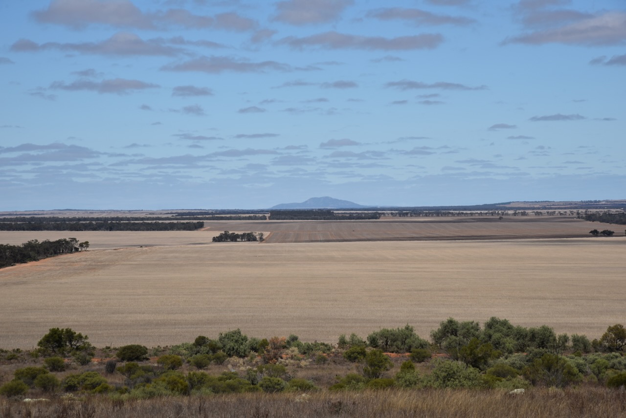
The lookout has a shelter with a table and benches, an information board, and a cairn.

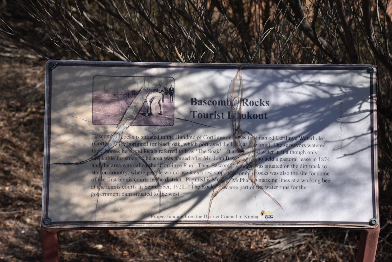
There are some nice views of the surrounding countryside from the lookout.


Cunyarie is an aboriginal word for rockholes that are located in the district. The Hundred of Cunyarie was proclaimed on the 1st day of June 1922. The Cunyarie School opened in 1927 and closed in 1936. The town of Cunyarie was proclaimed on the 16th day of February 1928. (Place Names 2012)
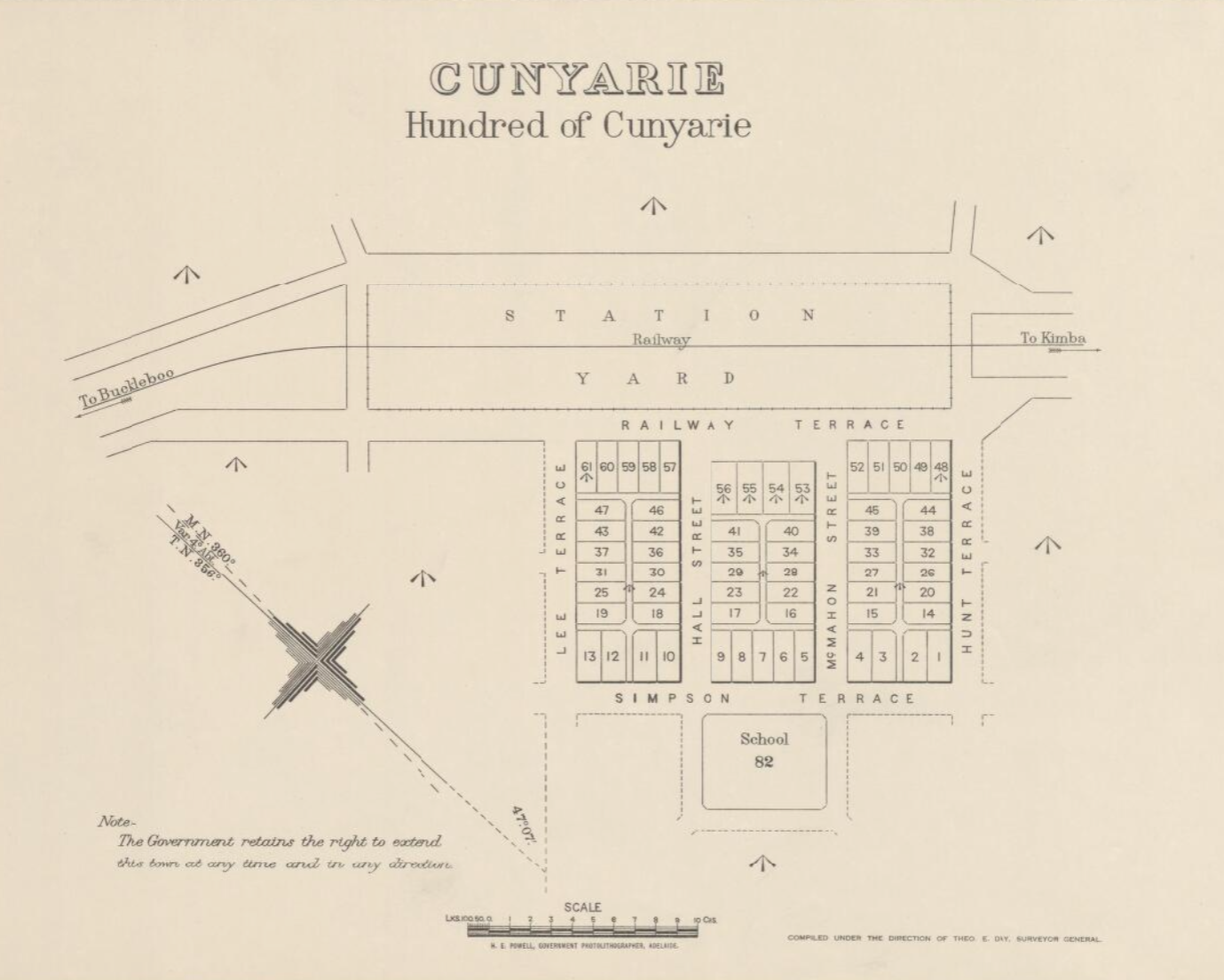
Above:- A plan of Cunyarie. Image c/o Trove.
The Cunyarie Conservation Road is triangular in space and is bordered by Bucklebood Hundred Line Road to the south, Cunyarie Dam Road to the west, and Railway Line Road to the east.
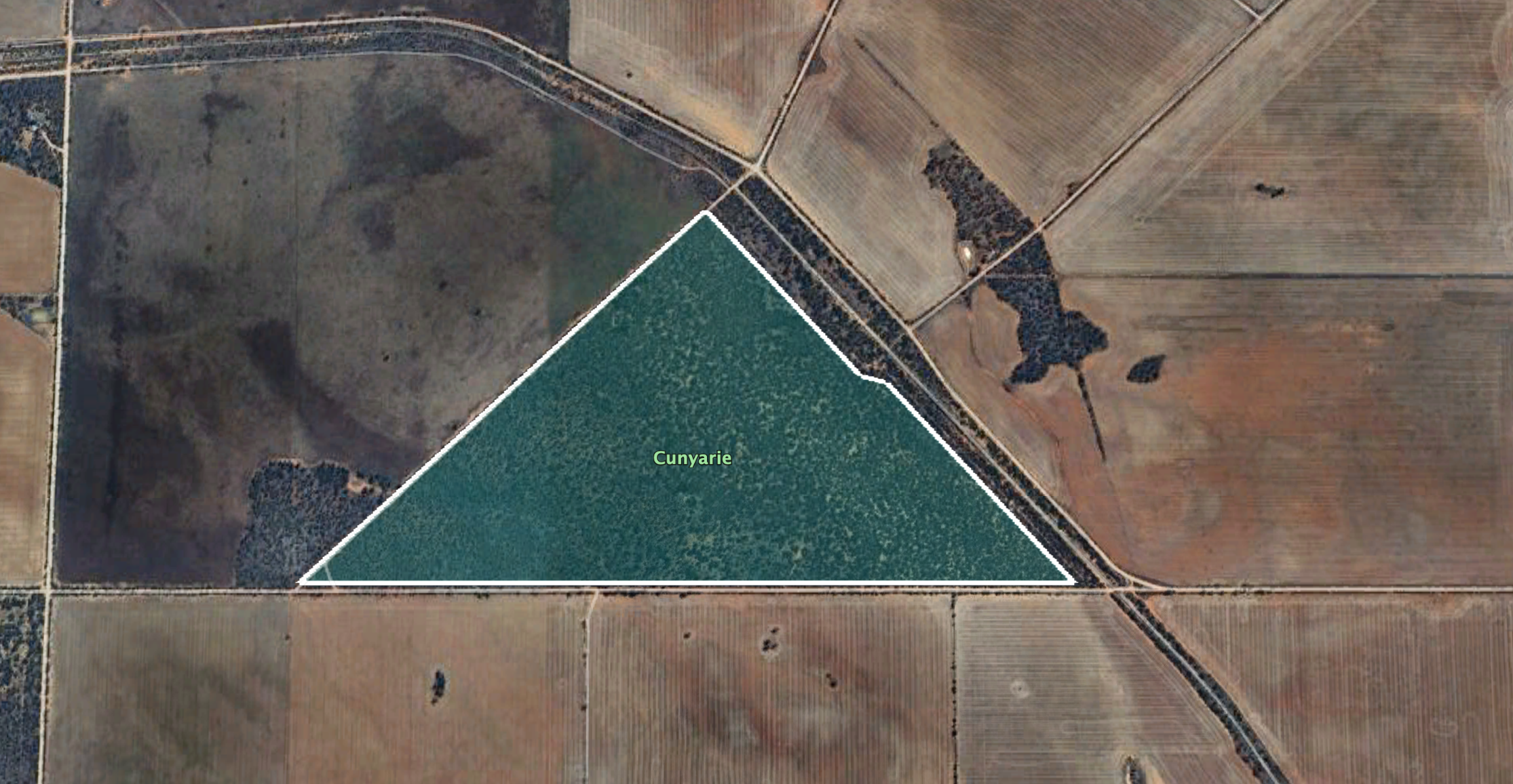
Above:- Map showing the Cunyarie Conservation Reserve. Image c/o Google Earth.
The reserve is about 94 hectares in size and was established on the 24th day of October 1985. (CAPAD 2022)
I ran the Yaesu FT857, 40 watts, and the 20/40/80m linked dipole for this activation.
I worked the following stations on 40m SB:-
I worked the following stations on 20m SSB:-
References.
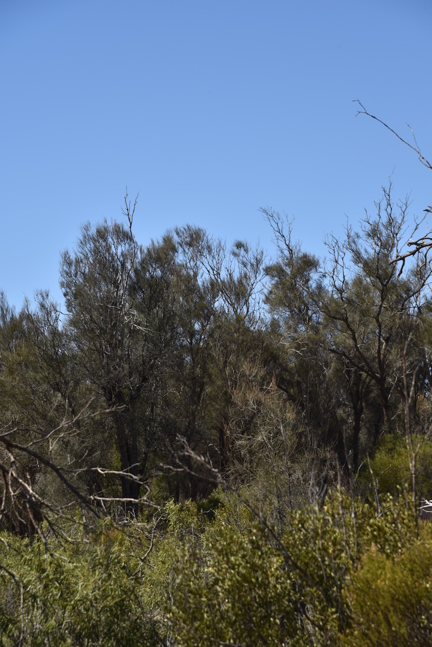
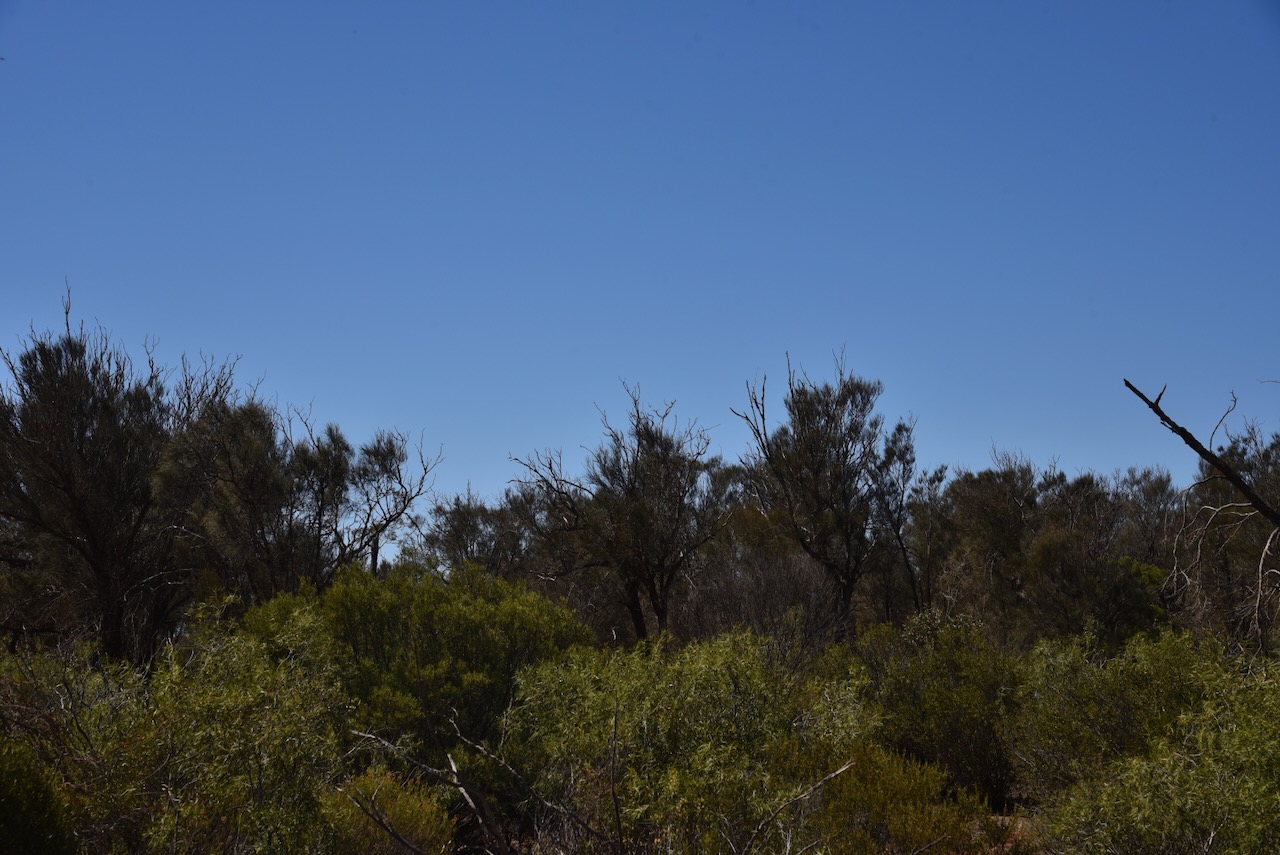
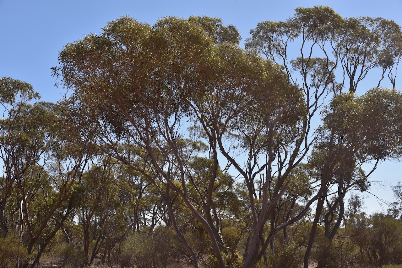
My second activation for Thursday 11th April 2024, was the Cortlinye Conservation Reserve VKFF-1700. The park is located about 13 km northwest of Kimba and about 475 km from Adelaide.

Above:- Map showing the location of the Cortlinye Conservation Reserve. Map c/o Google Maps.
Cortlinye is an aboriginal word meaning ‘black oak’. The Cortlinye Run was held by John Bascome (b. 1863. d. 1929( during the 1870s.
Above:- John Bascome. Image c/o State Library SA.
The Hundred of Cortlinye was proclaimed on the 1st day of October 1914. In 1922 the Cortlinye School was opened. It closed in 1946. In 1920 the Cortlinye East School opened. It closed in 1942. In 1926 the Cortlinye South School opened in 1926. It closed in 1941. (Place Names 2012)

Above:- Article from the Kimba Dispatch, Fri 9 Dec 1938. Image c/o Trove.
The Cortlinye Conservation Reserve is located on the western and eastern side of Buckleboo Road near Emu Rocks Road.

Above:- An aerial view of the Cortlinye Conservation Reserve. Image c/o Google Earth.
The reserve is about 208 hectares in size and was established on the 12th day of November 1987. (CAPAD 2022)

I ran the Yaesu FT-857, 40 watts, and the 20/40/80m linked dipole for this activation. I set up near the junction of Emu Rocks Road and Buckleboo Road.
I worked the following stations on 40m SSB:-
I worked the following stations on 20m SSB:-
References.
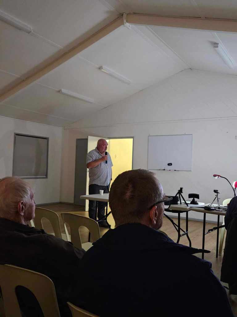
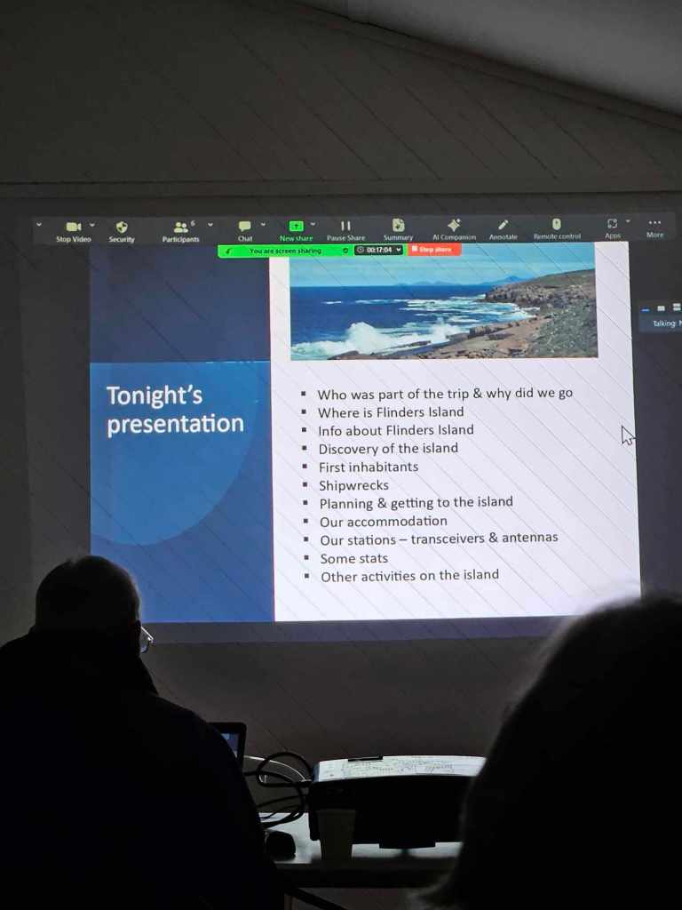
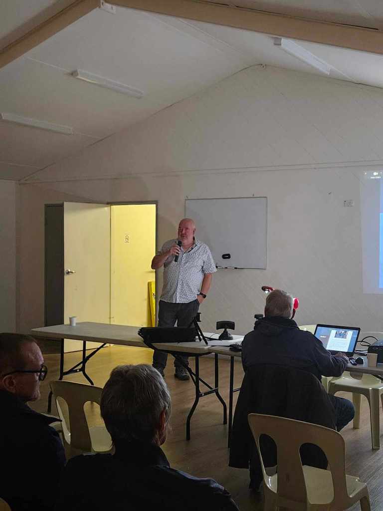
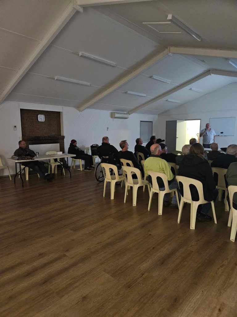
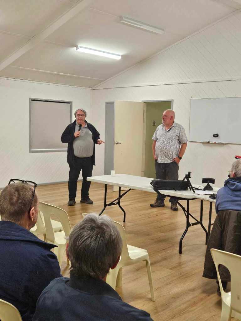
Last night I attended the North East Radio Group at Modbury and delivered a presentation on our recent trip to Flinders Island, South Australia. A number of members were present at the meeting along with several others who were having the meeting streamed. Grant VK5GR was also present and helped out with answering some questions from the audience.
Thanks to NERG for allowing me the opportunity of presenting.

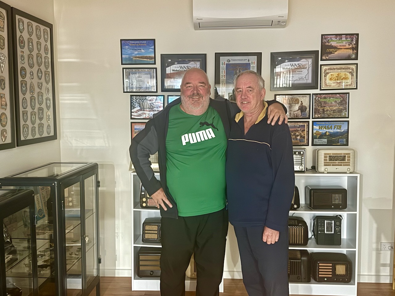
Had a great afternoon last weekend. An amateur radio friend Craig VK5QA/VK3CLD and his lovely wife Leonie popped in to see us.


My first park activation for Thursday the 11th day of April 2024 was the Mootra Conservation Reserve VKFF-1730. This was to be the first time that the park had been activated for the World Wide Flora Fauna (WWFF) program.
Above:- Map showing the location of the Mootra Conservation Reserve. Map c/p Location SA Map Viewer.
I had visited Kimba previously, but a long time ago. And because I arrived when it was dark the night before, I decided to have a quick look around after breakfast.
Kimba is derived from an aboriginal word meaning ‘Bushg Fire.’ The District Council of Kimba’s logo reflects this with a burning tree. (Dist Council of Kimba 2024)
Before European settlement, the area around Kimba was occupied by the Barngarla (also known as Parnkalla or Pangkala) aboriginal people.
The first European in the district was explorer Edward John Eyre. In 1839 he travelled through the area on his passage from Streaky Bay to the head of Spencer Gulf.
Above:- Edward John Eyre. Image c/o Wikipedia.
By the 1870s land was settled by leaseholding pastoralists. From the early 1900s, the area was more intensely settled for wheat farming. Bags of wheat were loaded onto bullock drays and carted to Cowell about 76 km to the south. By 1913 Kimba was connected by a railway from Port Lincoln. This encouraged further wheat farmers into the district. By 1915 the town of Kimba was officially proclaimed.
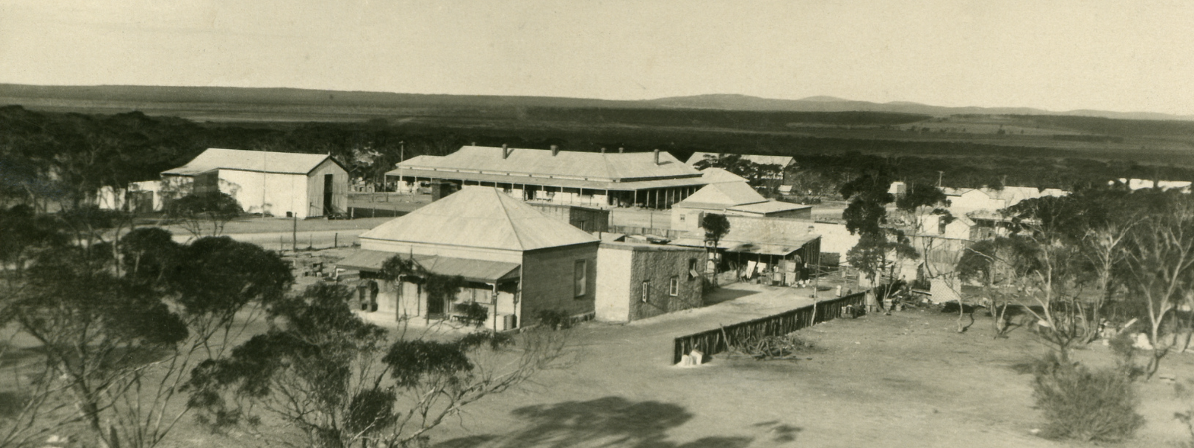
Above:- A view of Kimba, c. 1928. Image c/o State Library South Australia.
Below is a great promotional video on Kimba.
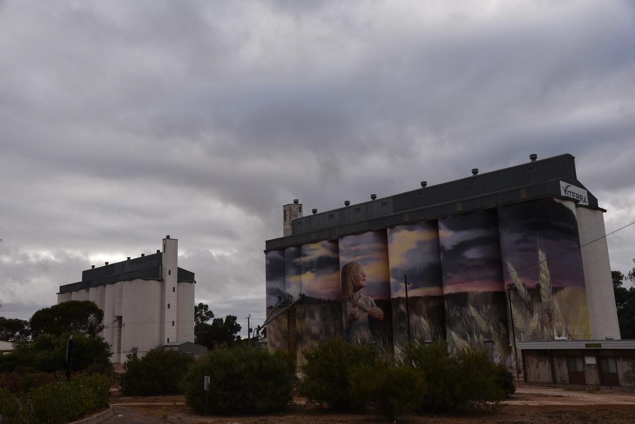
Before activating the park, I walked across the road from where I was staying, to get some photographs of the Kimba silo during daylight. I had activated the silo the night prior for the Silos On The Air (SiOTA) program.

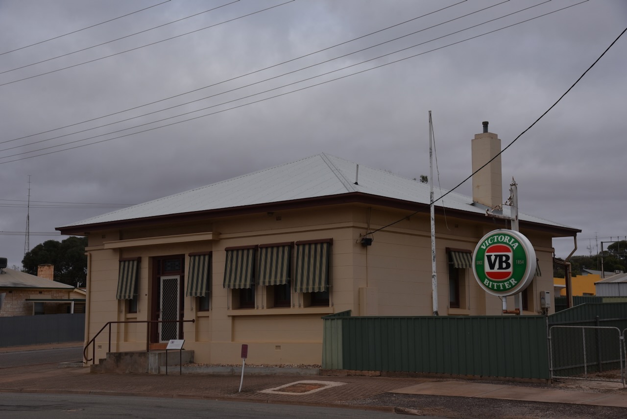
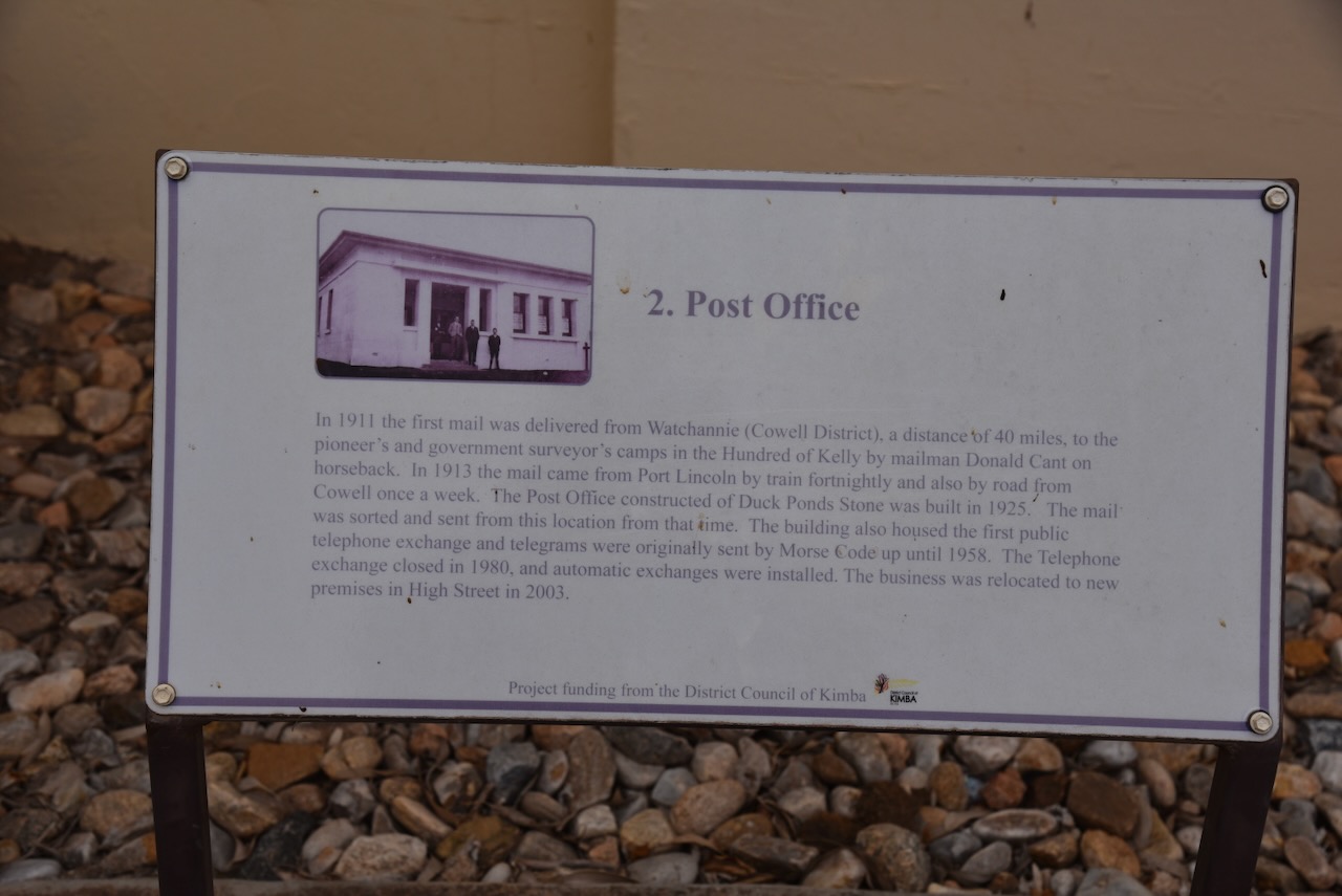
Diagonally opposite the silos is the old Post office. In 1911 the first mail was delivered from Watchannie (Cowell District), a distance of 40 miles, to the pioneer’s and government surveyor’s camps in the Hundred of Kelly by mailman Donald Cant on horseback. In 1913 the mail came from Port Lincoln by train fortnightly and also by road from Cowell once a week. The Post Office constructed at Duck Ponds was built in 1925. The mail was sorted and sent from this location from that time. The building housed the first public telephone exchange and telegrams were originally sent by Morse Code up until 1958. The telephone exchange closed in 1980, and automatic exchanges were installed. The business was relocated to new premises in High Street in 2003.
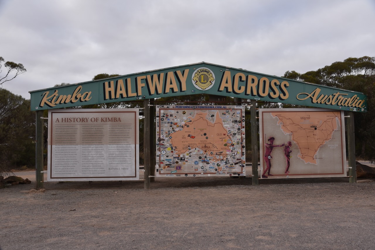
I then visited the Halfway Across Australia sign at Kimba. The information sign provides information about Kimba with its location being halfway between Sydney and Perth.
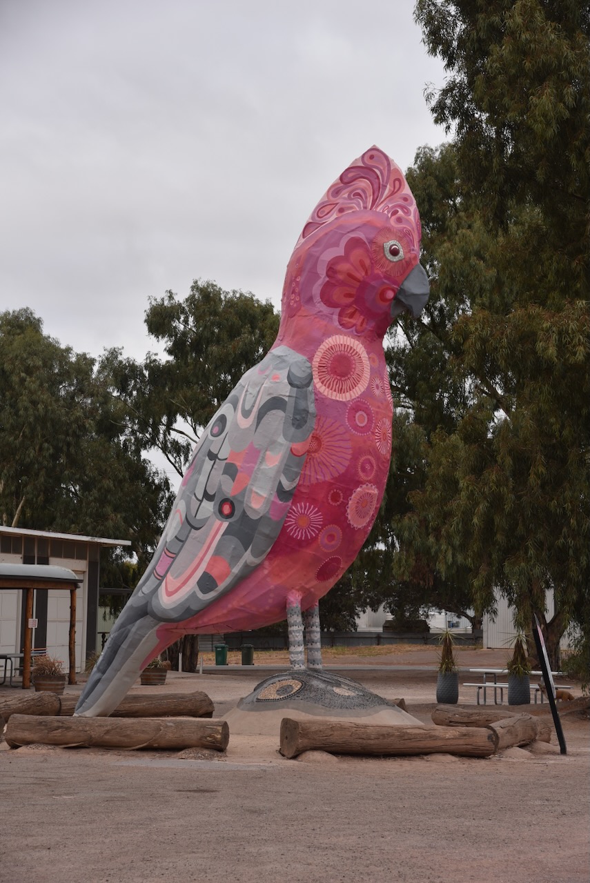
My next stop was the Big Galah which stands at 8 metres high on the Eyre Highway at Kimba. It was in much better shape compared to my last visit. The Big Galah underwent a full renovation in 2021. (Dist Council of Kimba 2024)
The park is located at the intersection of Inglis Road and Pile Pudla Road.
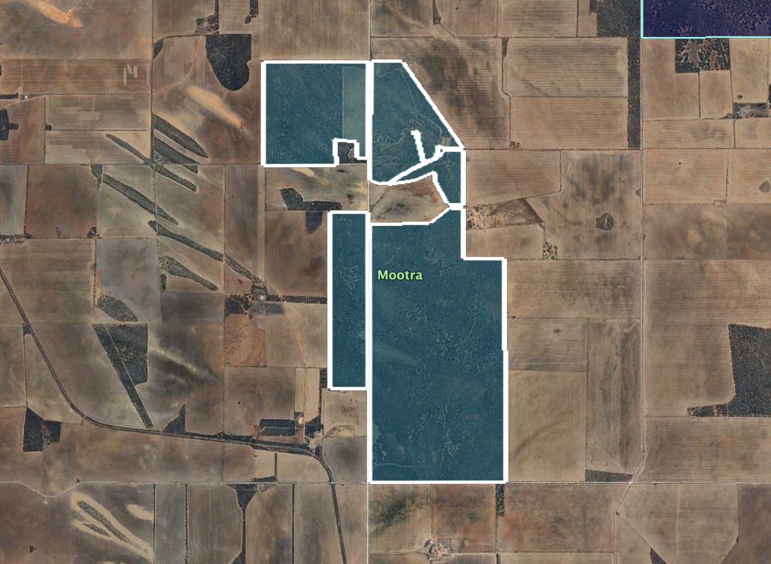
Above:- An aerial view of the Mootra Conservation Reserve showing its boundaries. Image c/o Google Earth.
Mootra Conservation Reserve is about 949 hectares (2,350 acres) in size and was established on the 2nd day of March 1989. The land was previously used as the Mootra Water Conservation Reserve. (Wikipedia 2024)
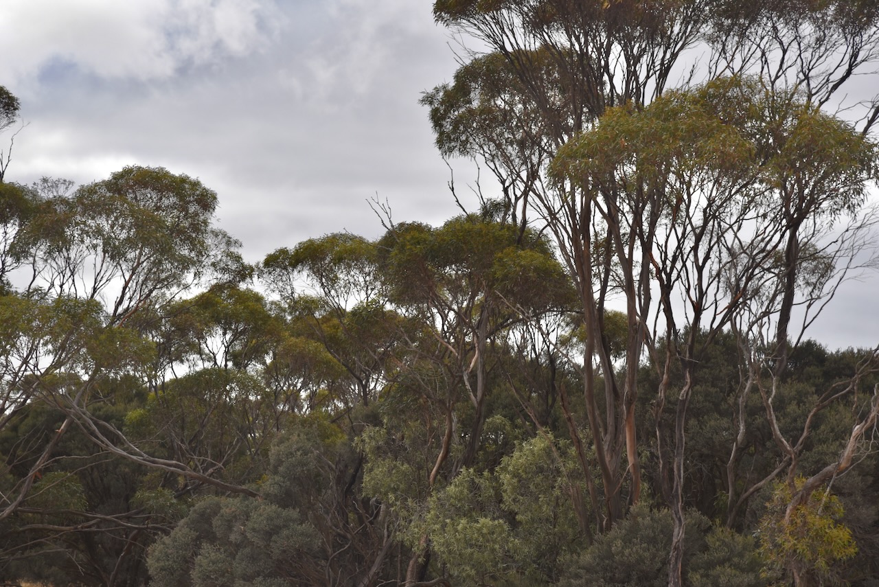
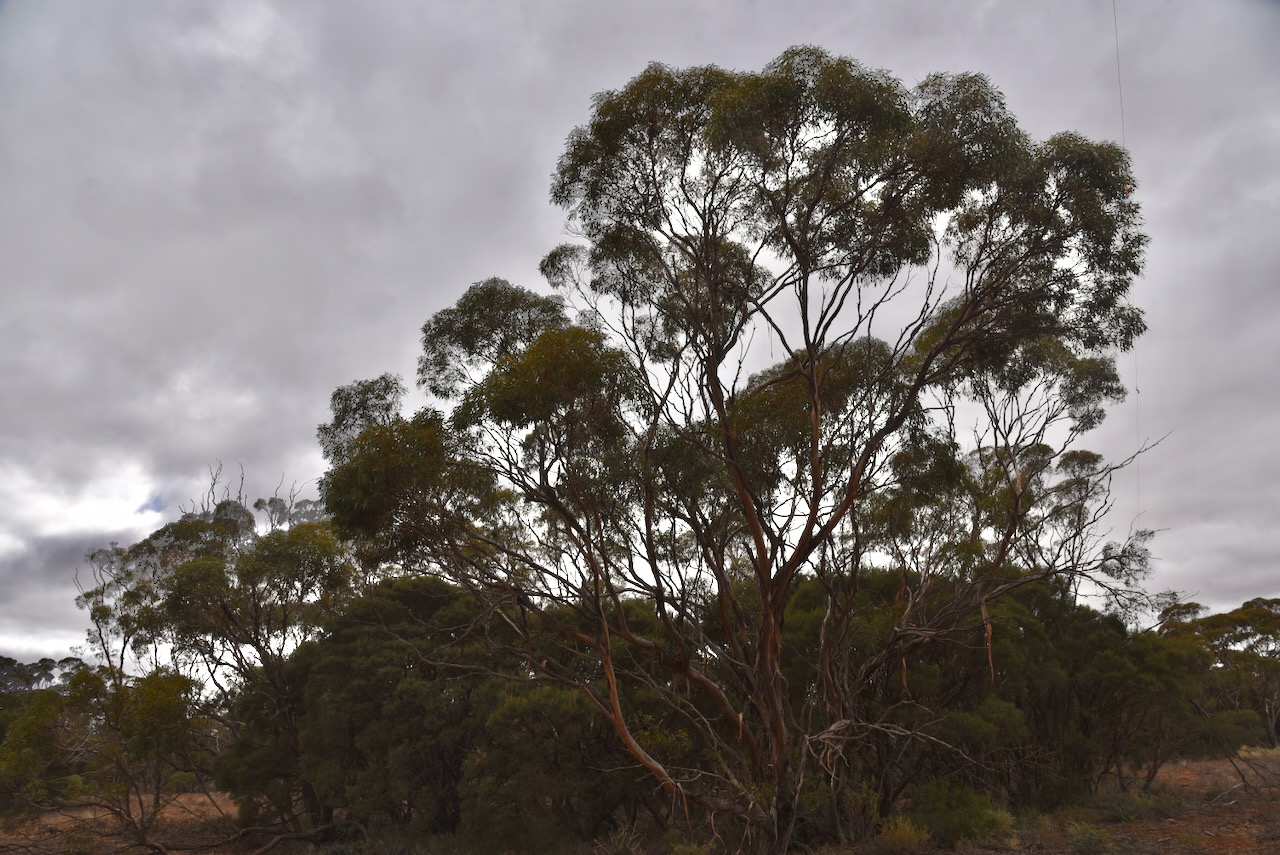
I ran the Yaesu FT857, 40 watts, and the 20/40/80m linked dipole for this activation.
I worked the following stations on 40m SSB before the UTC rollover:-
I worked the following station on 20m SSB before the UTC rollover:-
I worked the following stations on 20m SSB after the UTC rollover:-
References.
Amateur Radio, Short Wave Listening, travel and history
Amateur radio experiences with VK1DA
Brisbane - Australia
german amateur radio station
Summits On The Air
SOTA on the peaks, wilderness QRP and some bushwalking
A fine WordPress.com site
Amateur Radio Adventures
Summits on the Ai
Amateur radio station from Belgium
Radio craft, homebrew, QRP/SOTA, AM
Ego loqui ad viros super montes
My adventures with Amateur Radio and Geocaching!
The rantings of VK2GAZ on his SOTA experiences in Australia
A survivor, with minor cuts and abrasions.
The Art and Craft of Blogging
The latest news on WordPress.com and the WordPress community.
Blog of Justin Giles-Clark VK7TW's SOTA and amateur radio adventures.
Occasional SOTA & Microwave operation
