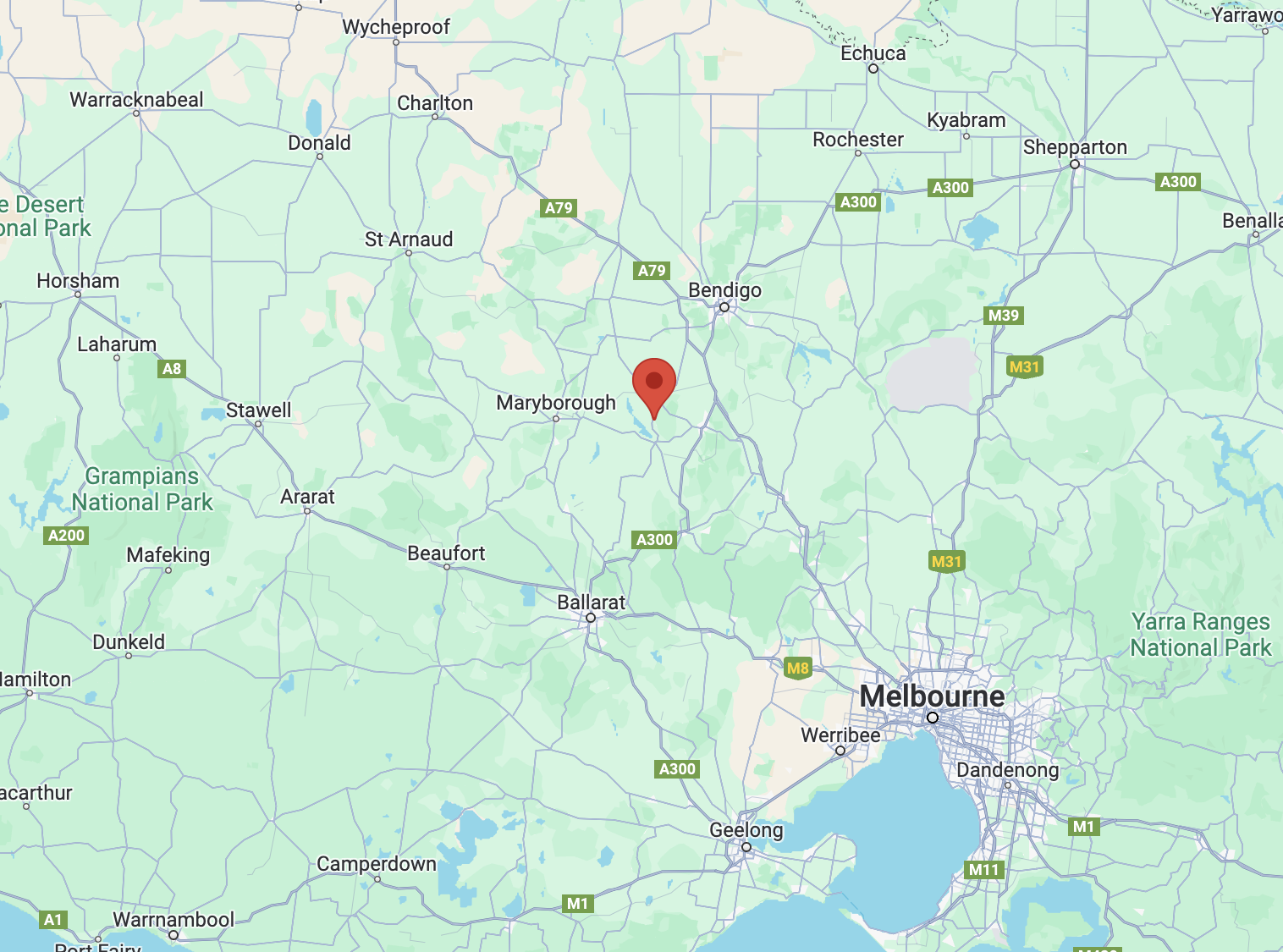
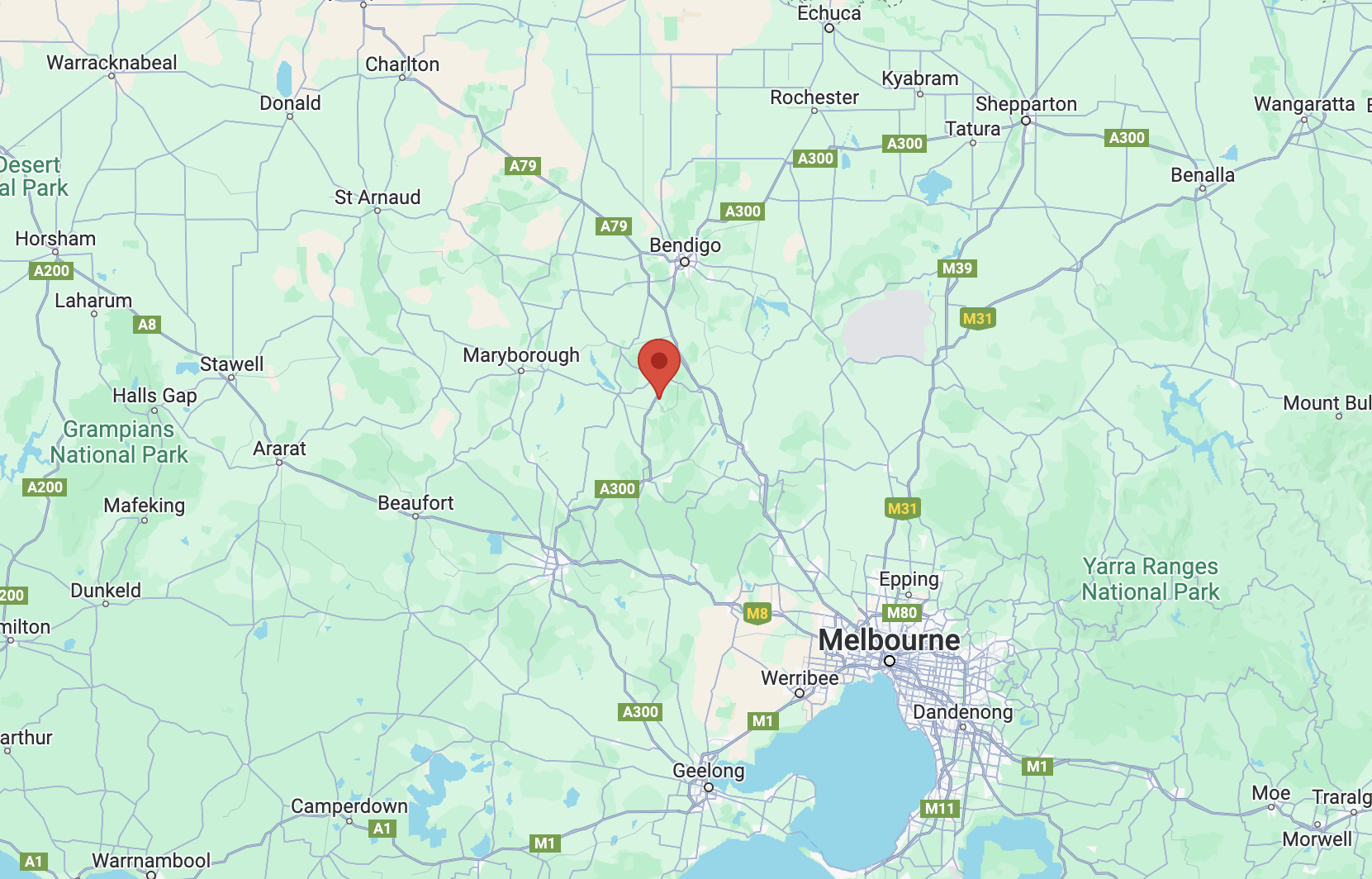
Our next activation for Monday 27th November 2023 was Mount Tarrengower VK3/ VN-023 for the Summits On The Air (SOTA) program.
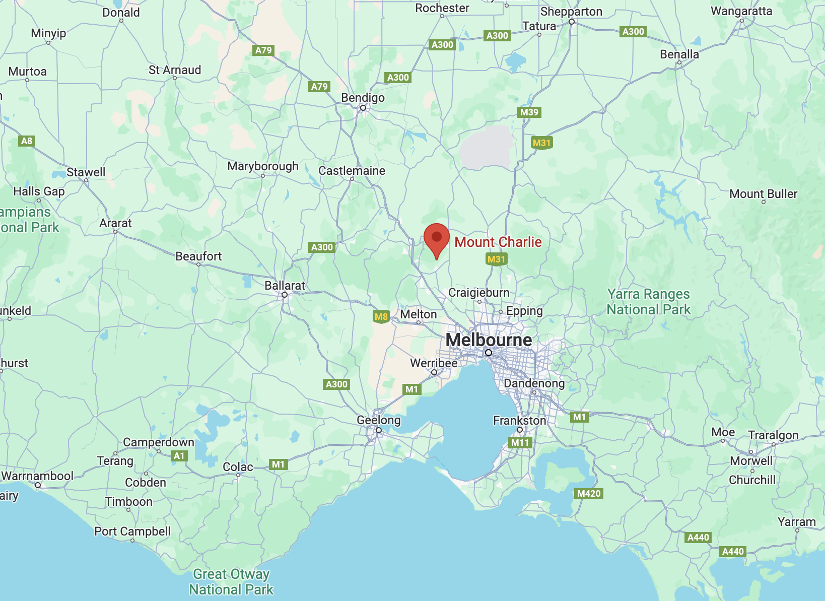
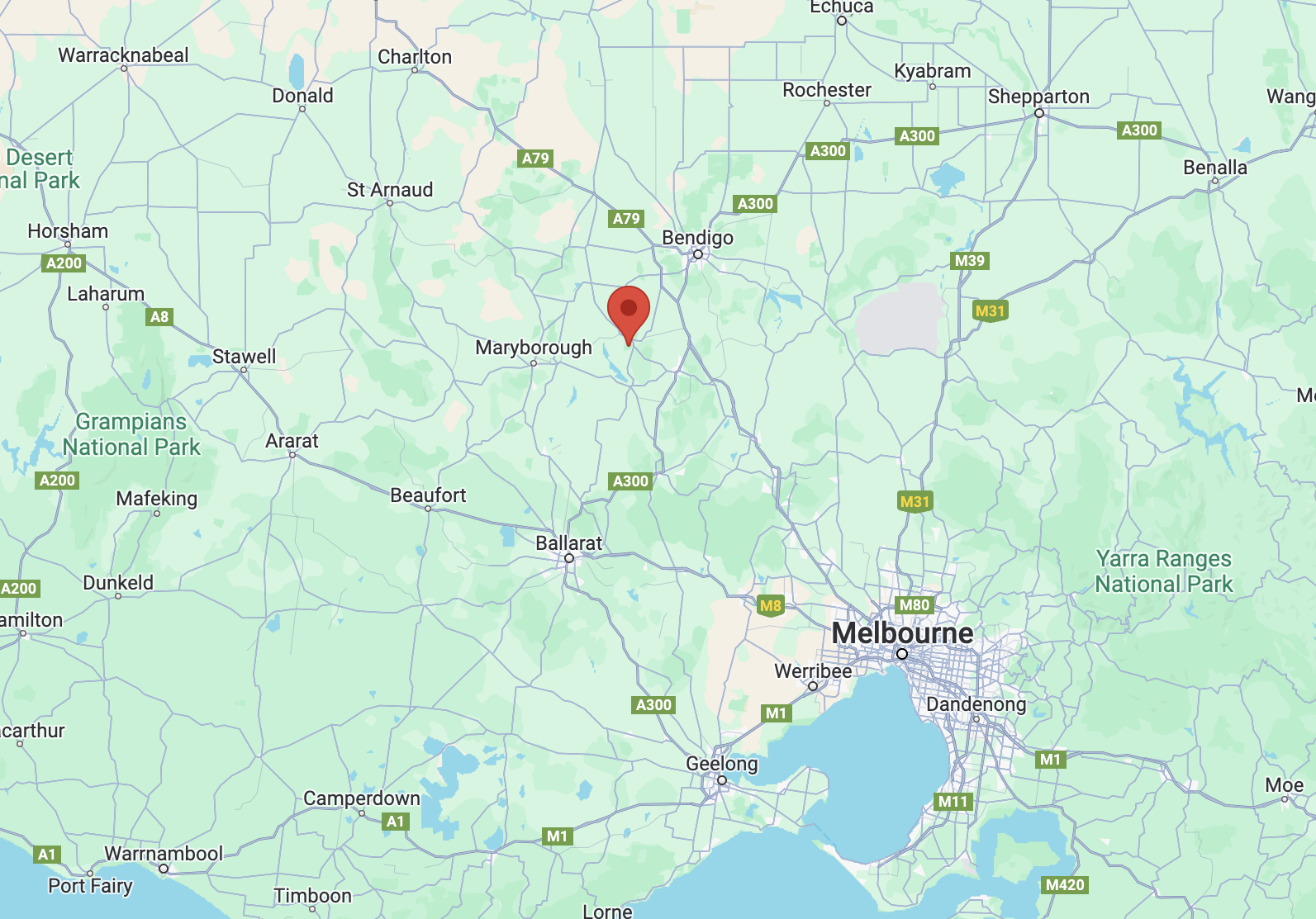
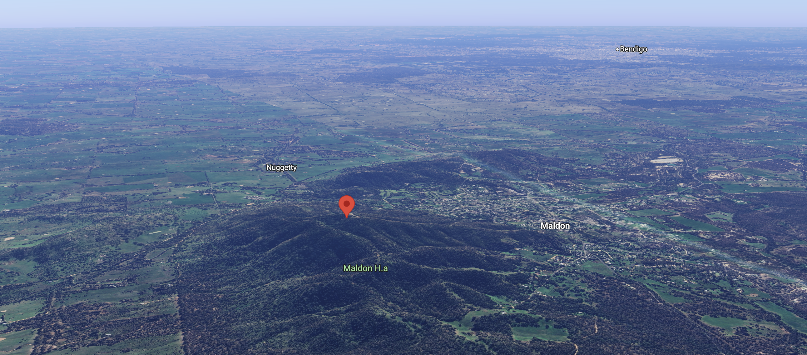
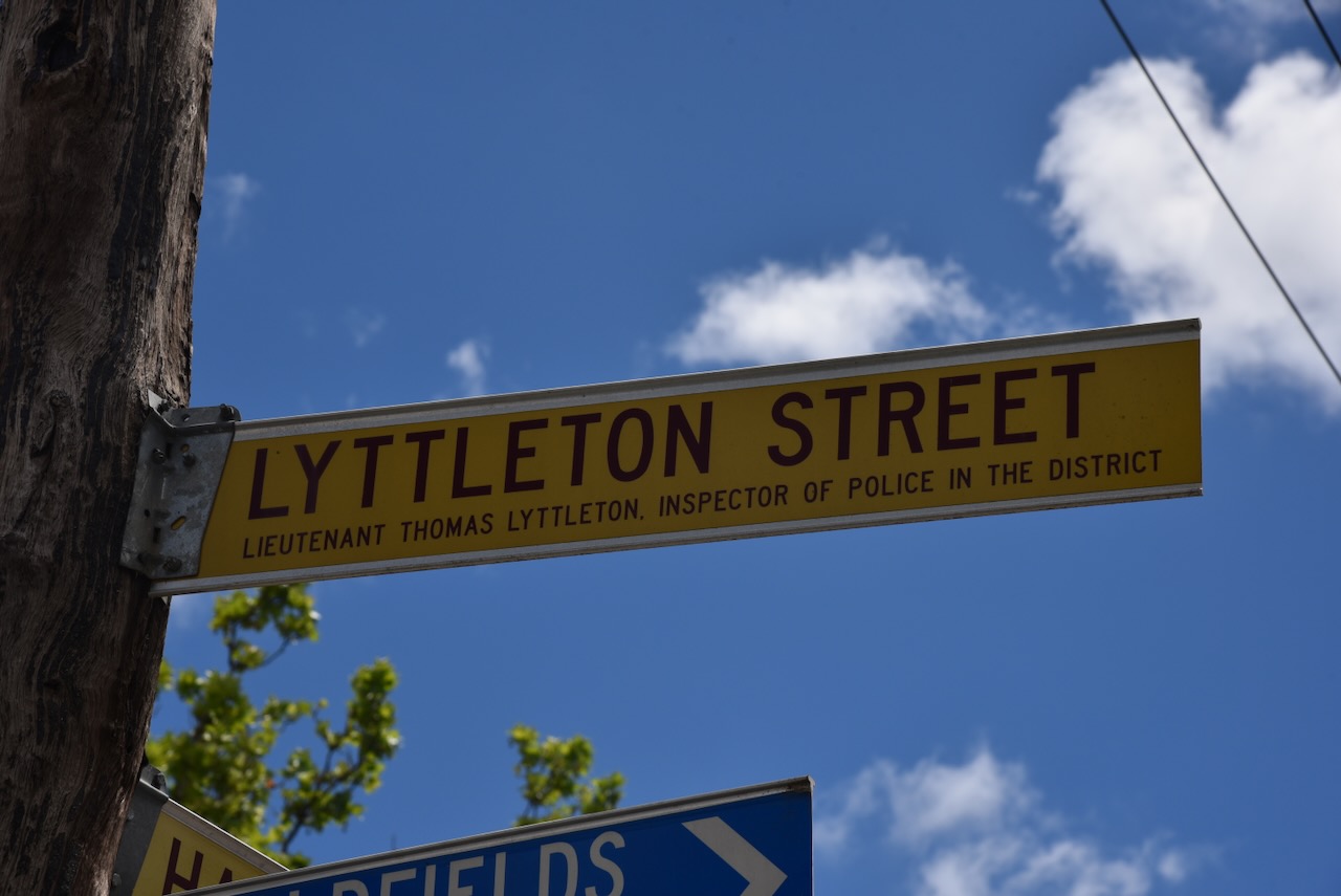
The summit is located about 4 km (by road) west of Maldon and about 148 km northwest of the city of Melbourne.
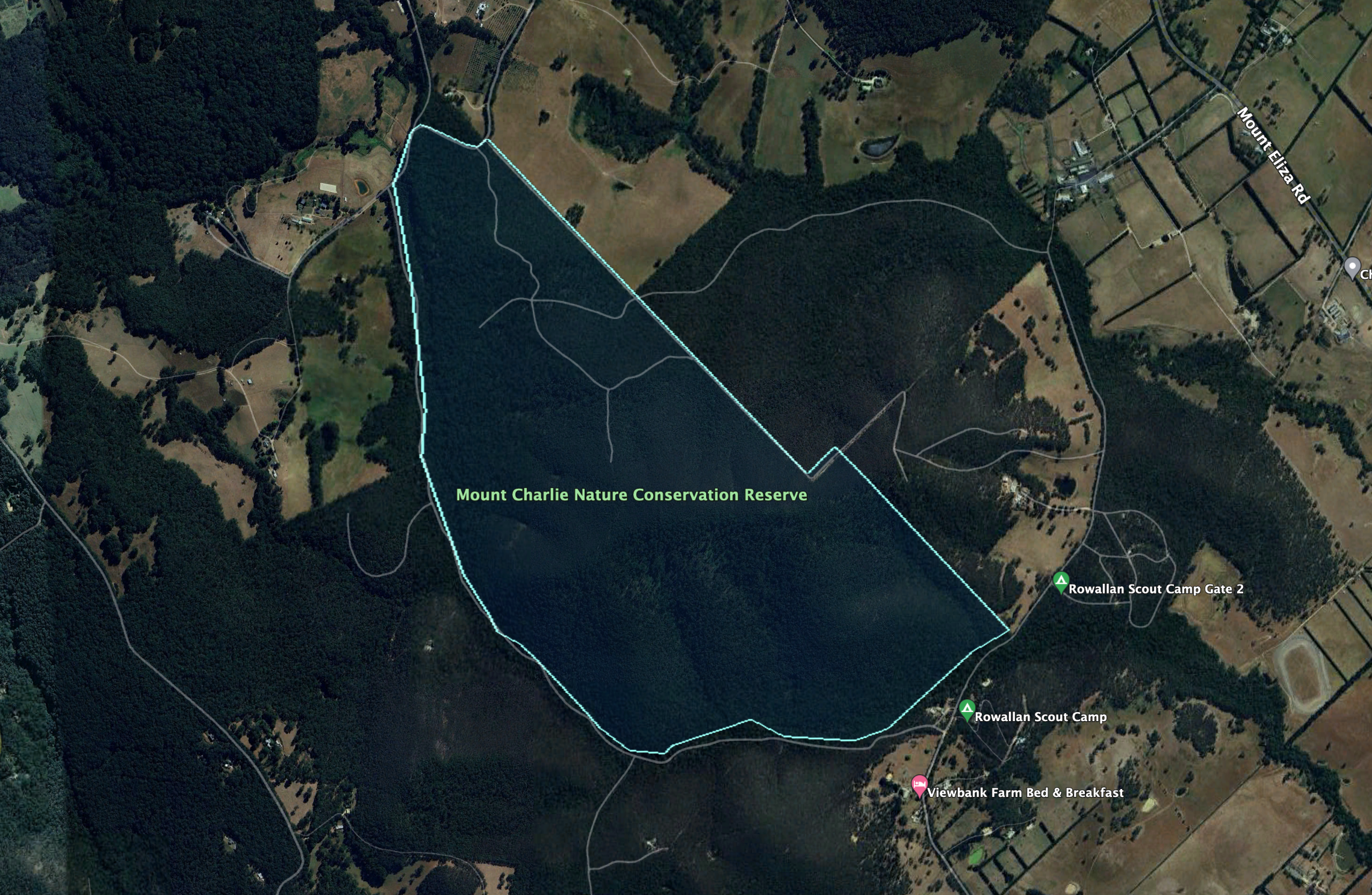
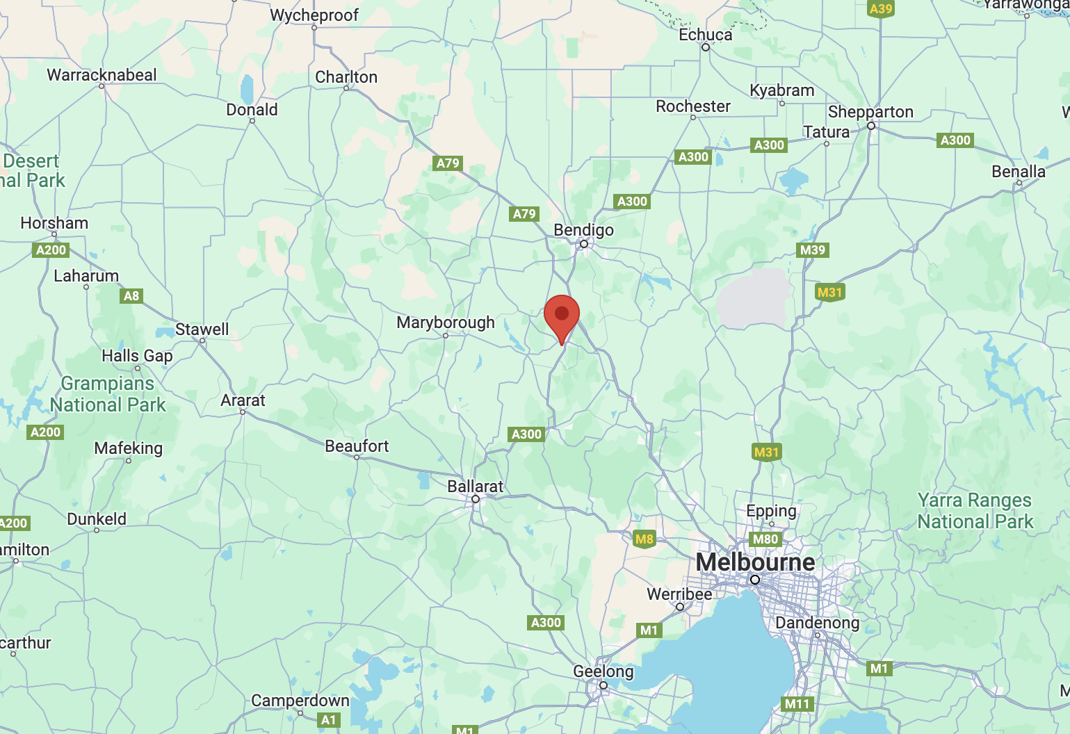
Above:- Map showing the location of Mount Tarrengower. Map c/p Google Maps.
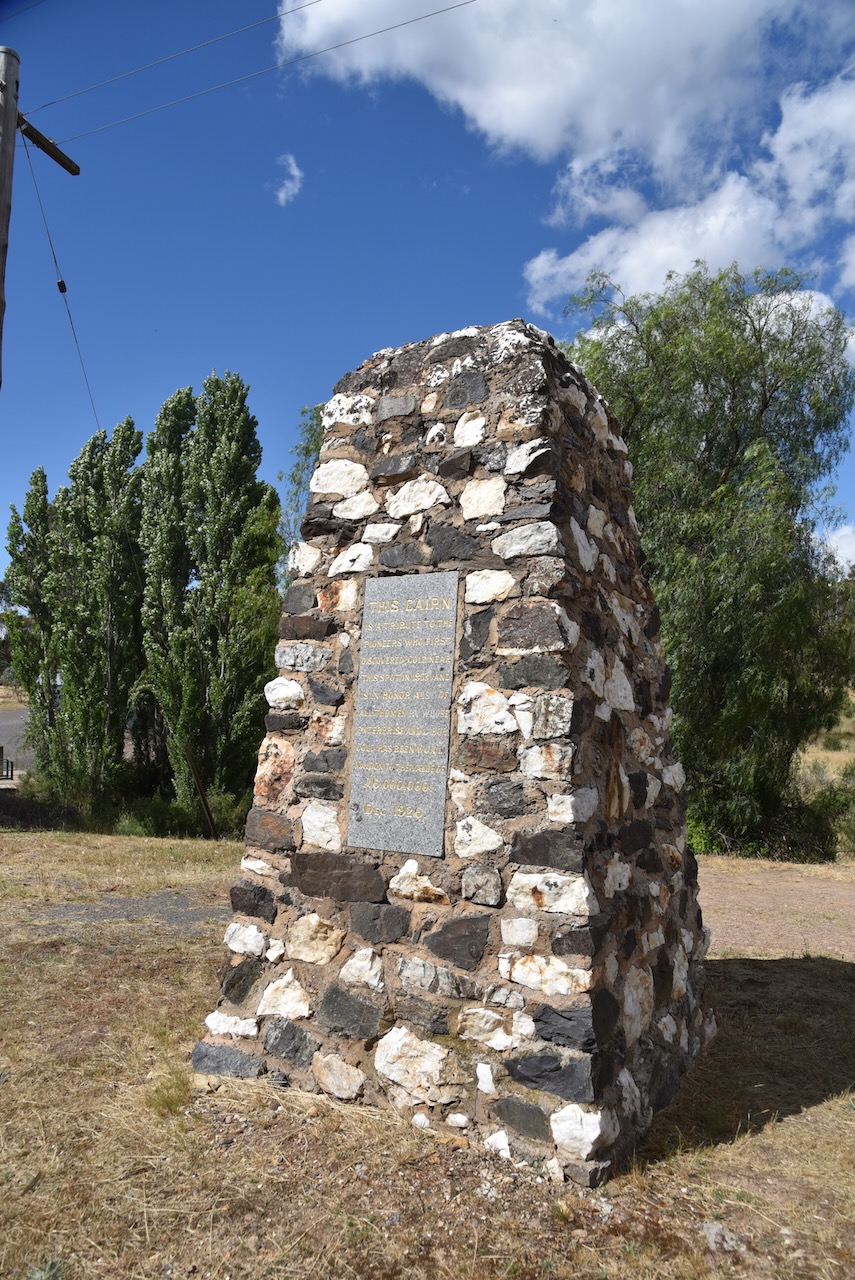
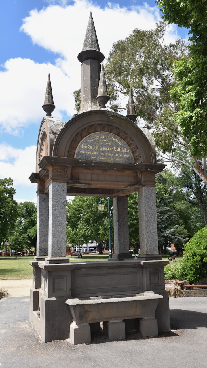
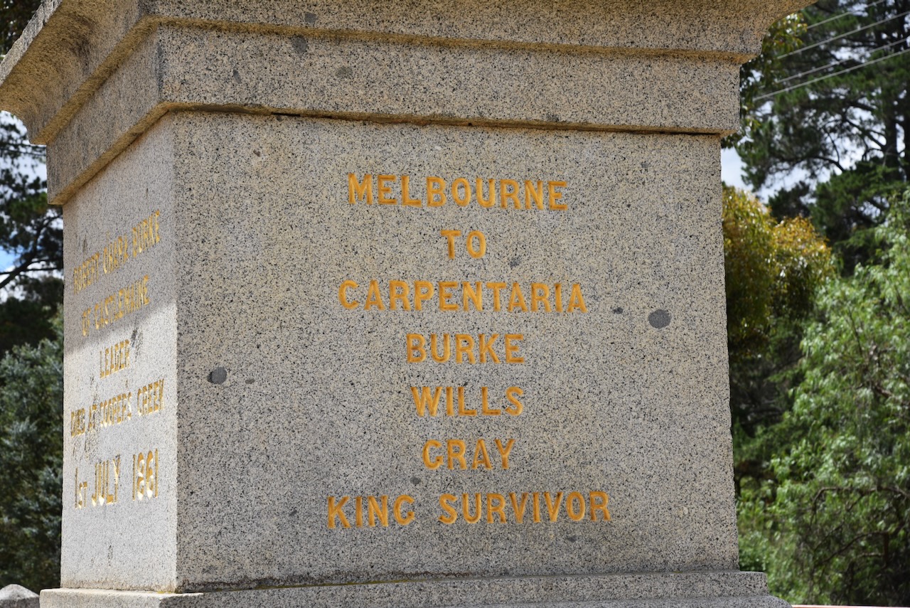
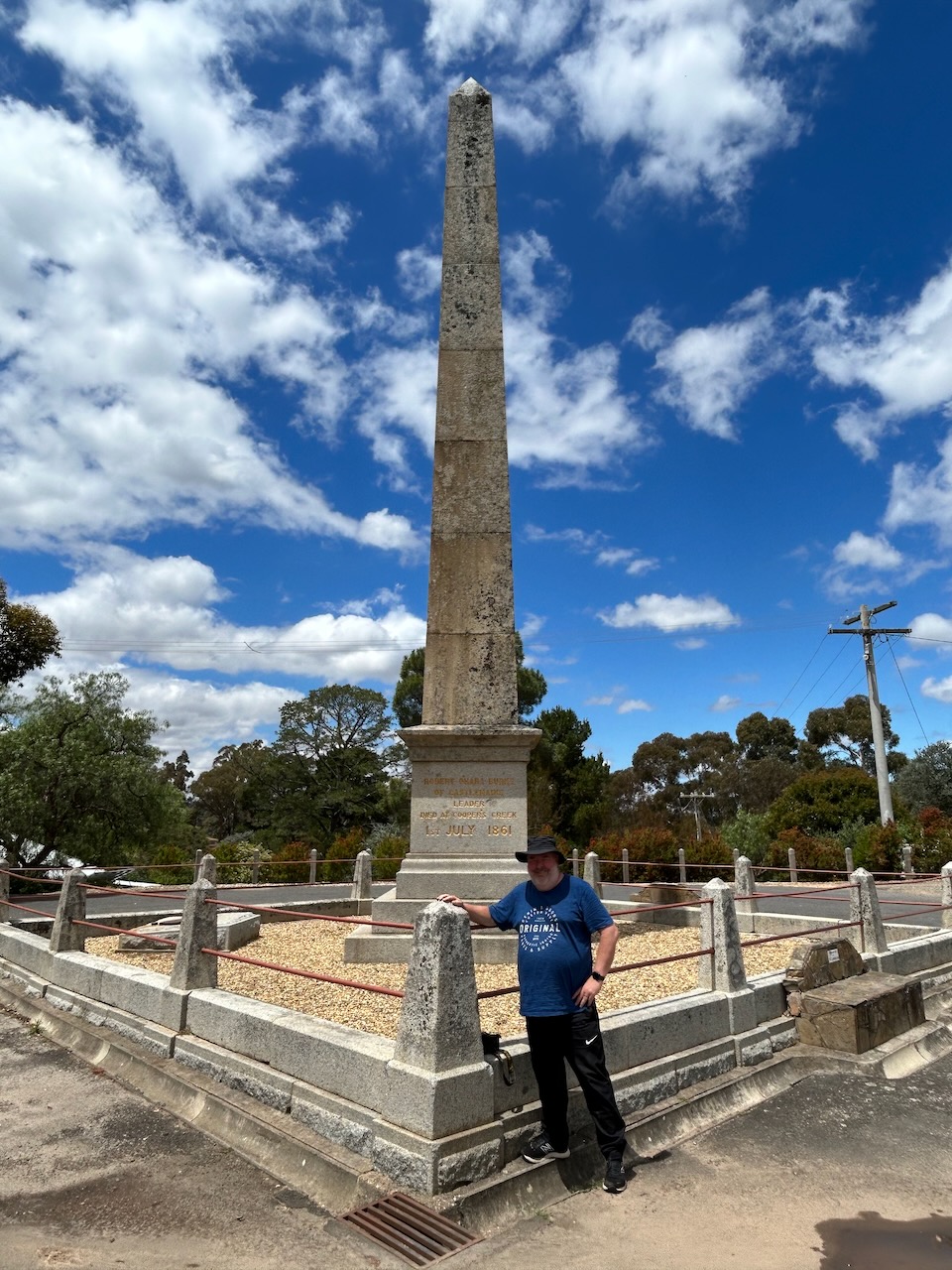
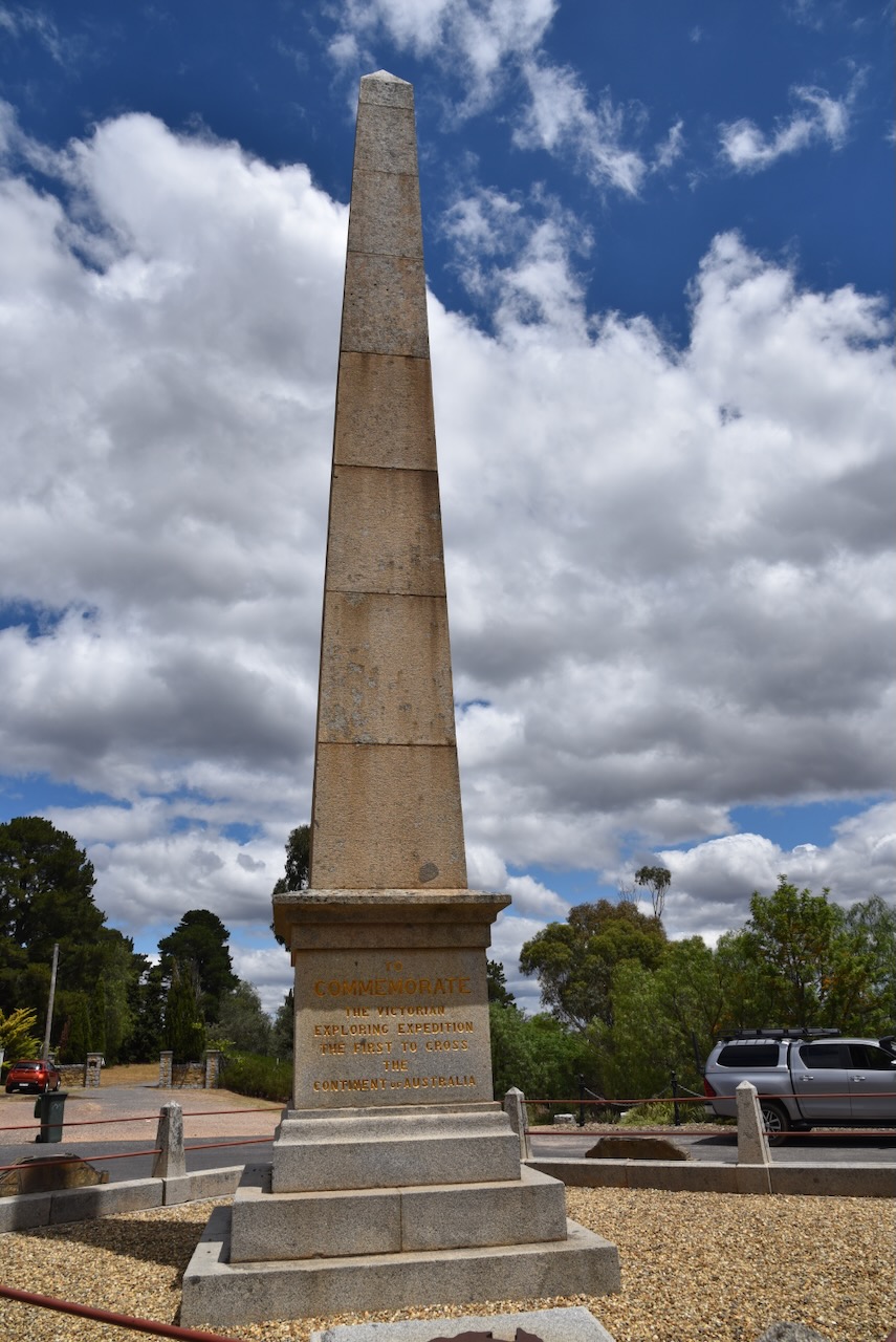
As you enter the little town of Maldon, you can view the Maldon Pioneer Memorial on the Castlemaine-Maldon Road. The memorial commemorates the pioneers who discovered gold in the district. It was erected in 1926. (Goldfields Guide 2024) (Monuments Australia 2024)
The plaque reads:
“This cairn is a tribute to the pioneers who first discovered gold near this spot in 1853, and is in honor also of all the men by whose enterprise and labor gold has been on in Maldon to the vavlue of £6,000,000. Dec. 1926.”
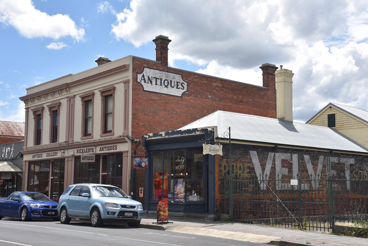
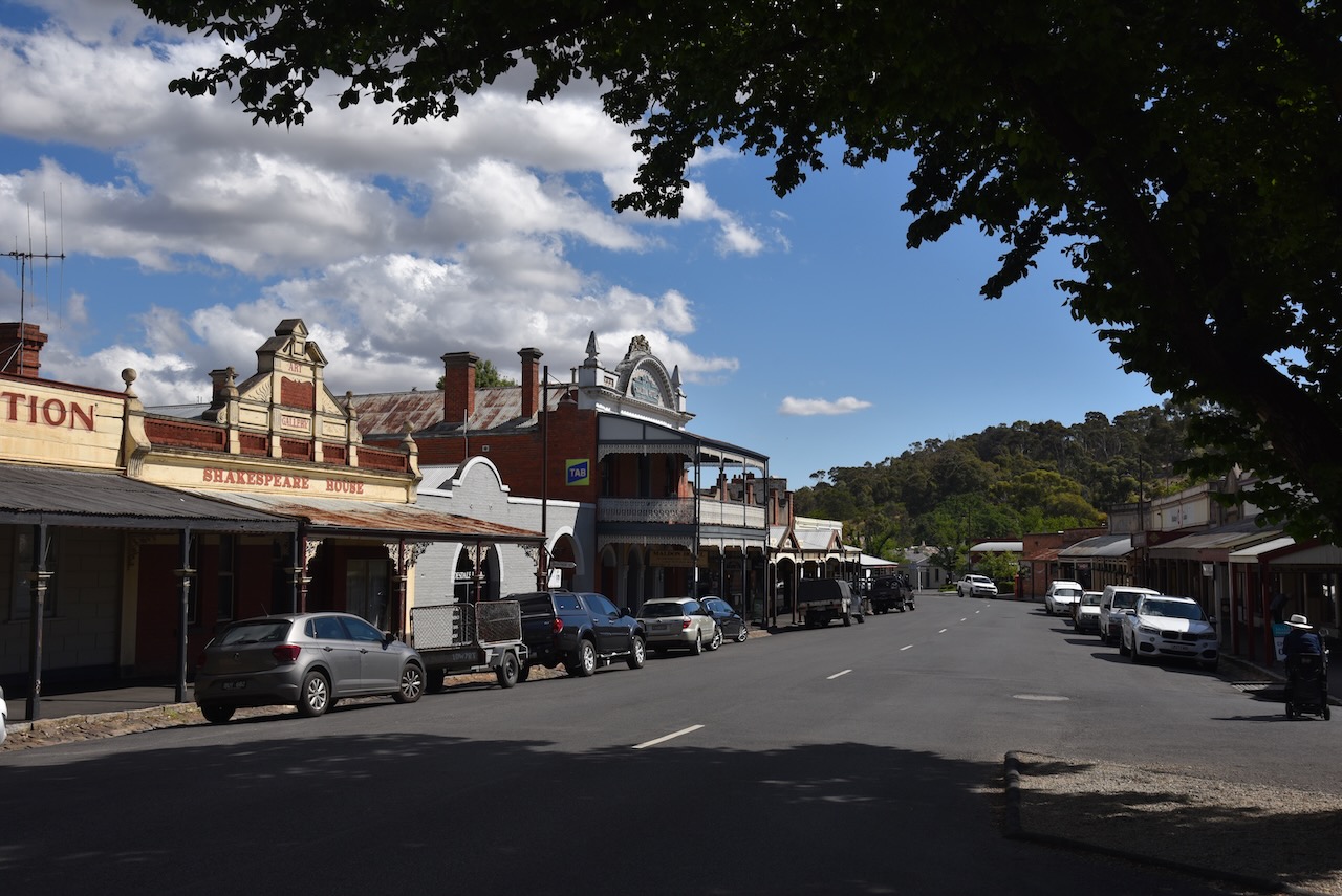
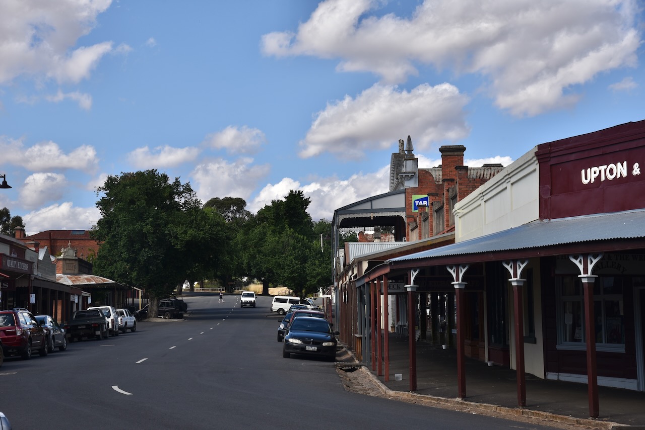
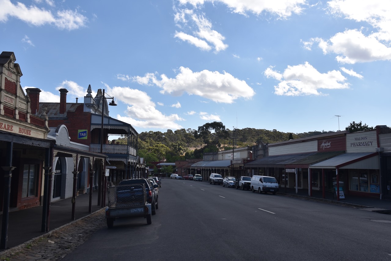
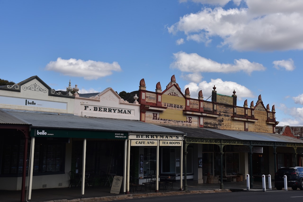
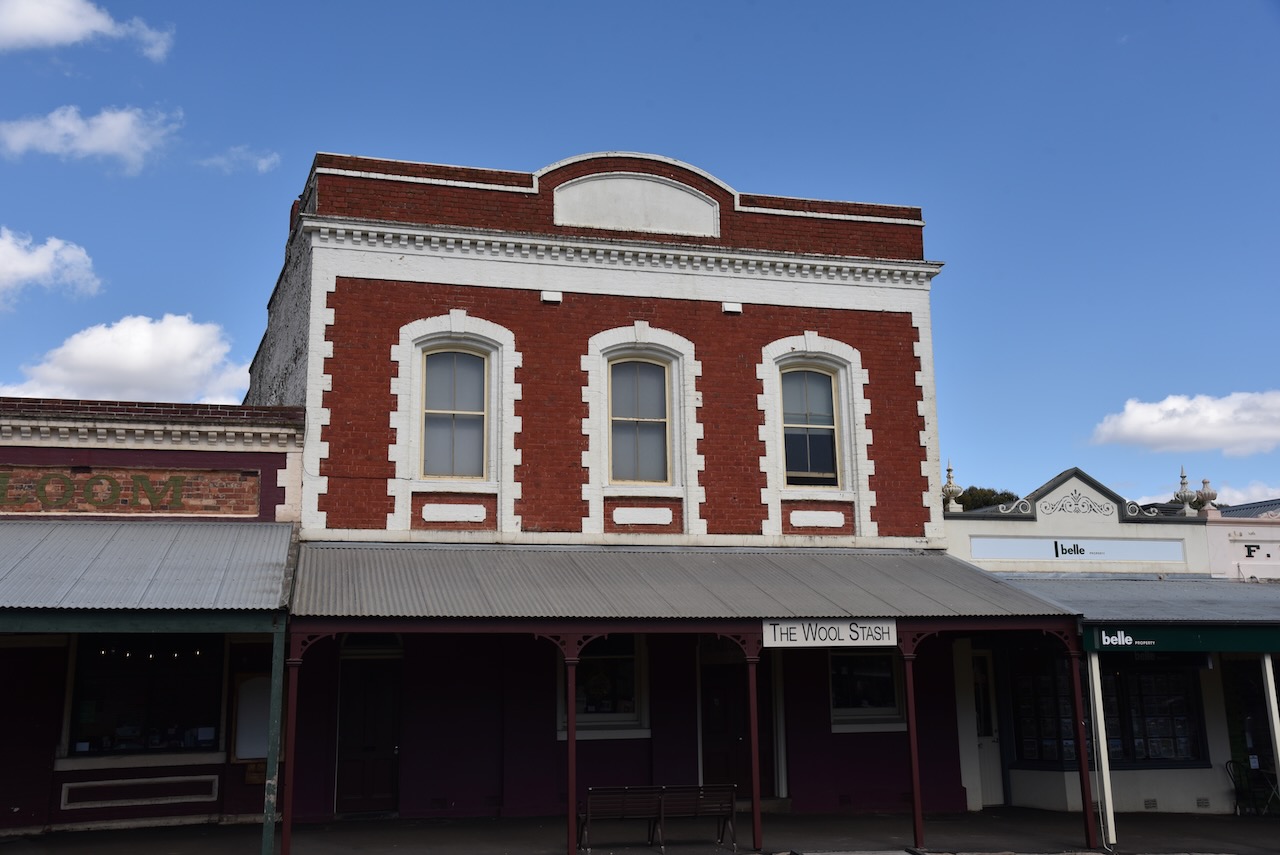
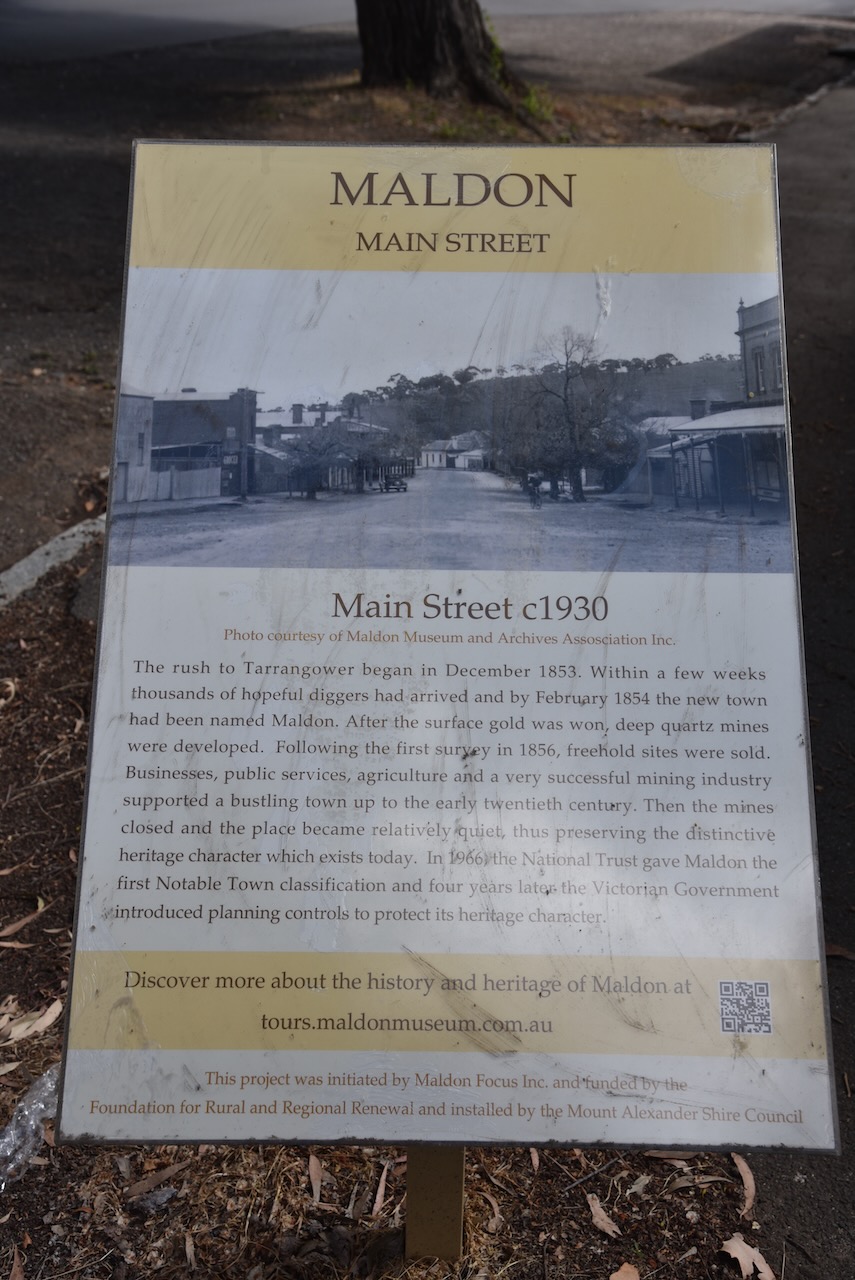
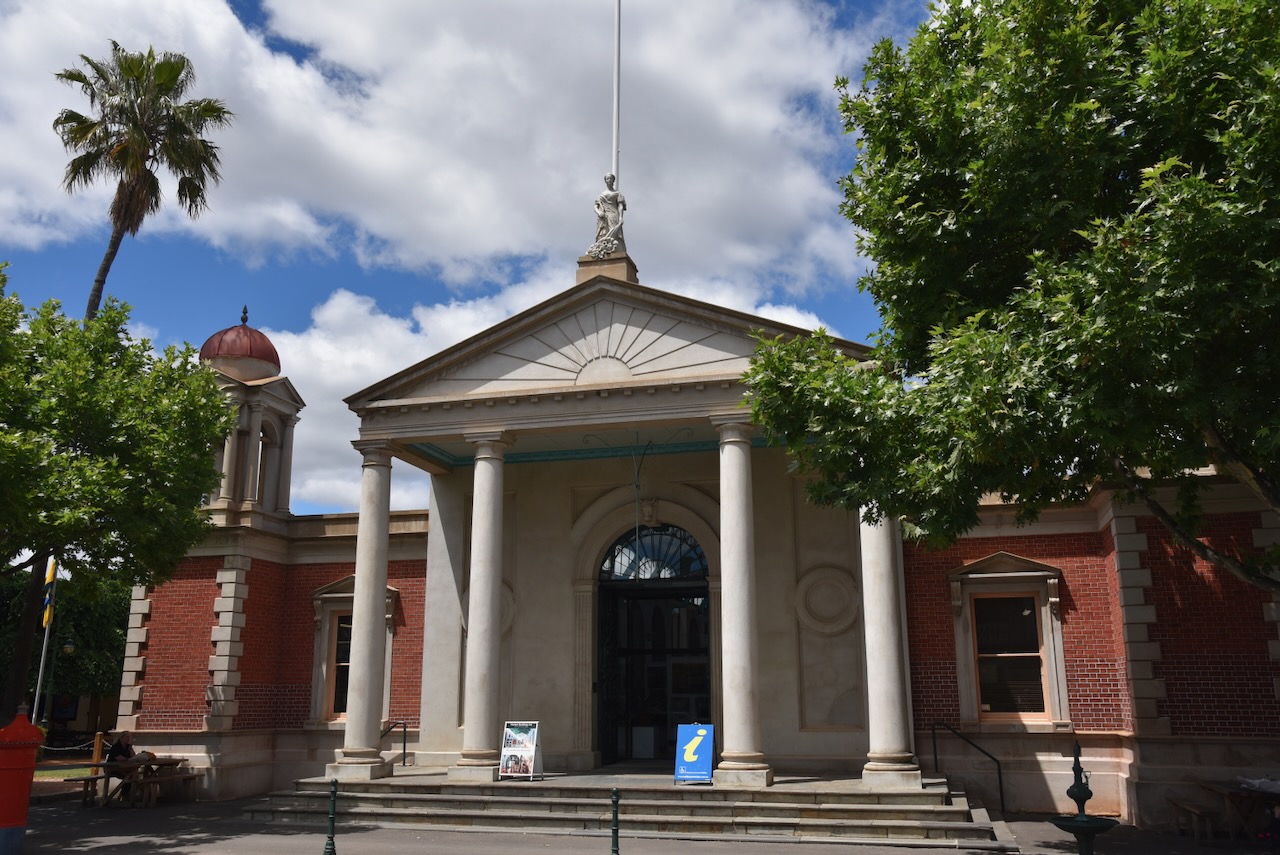
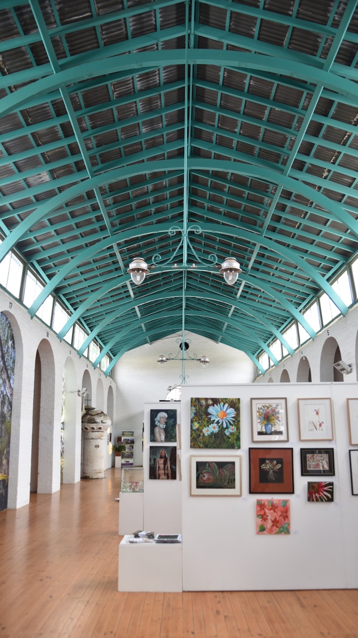
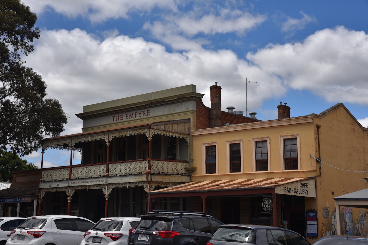
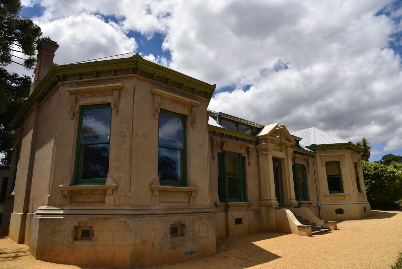
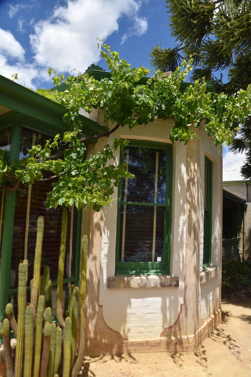
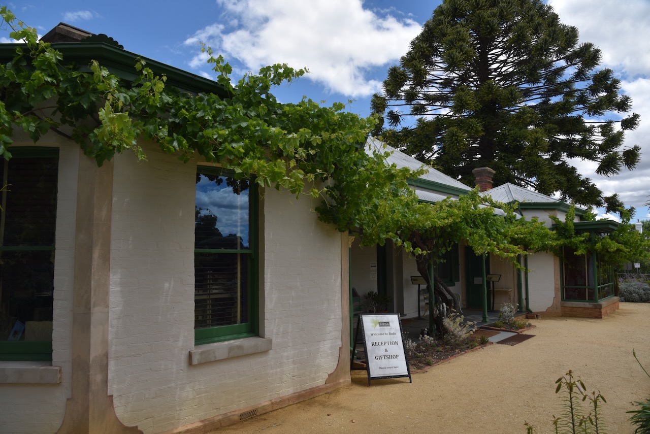
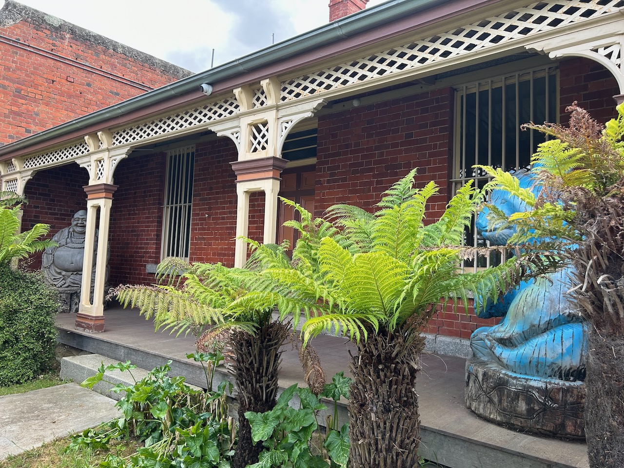
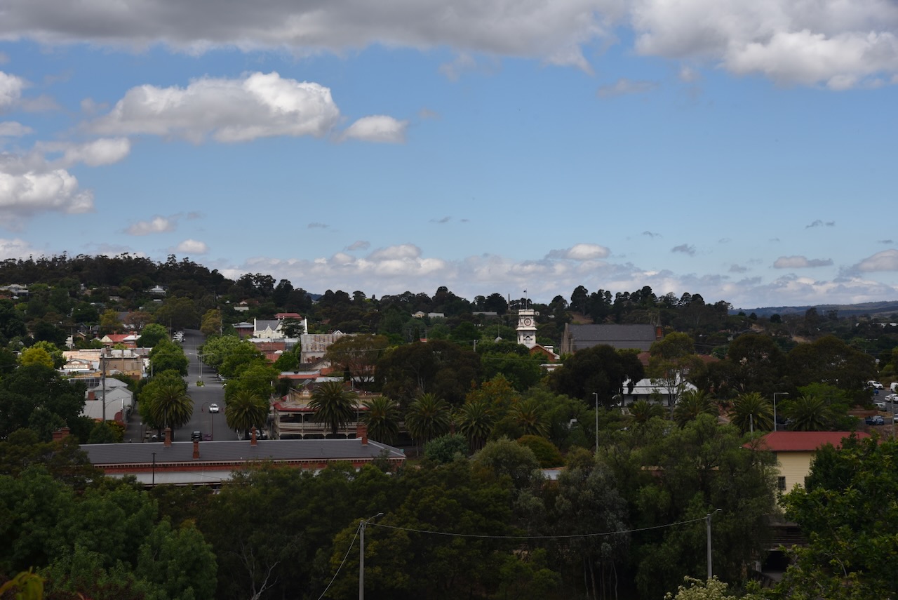
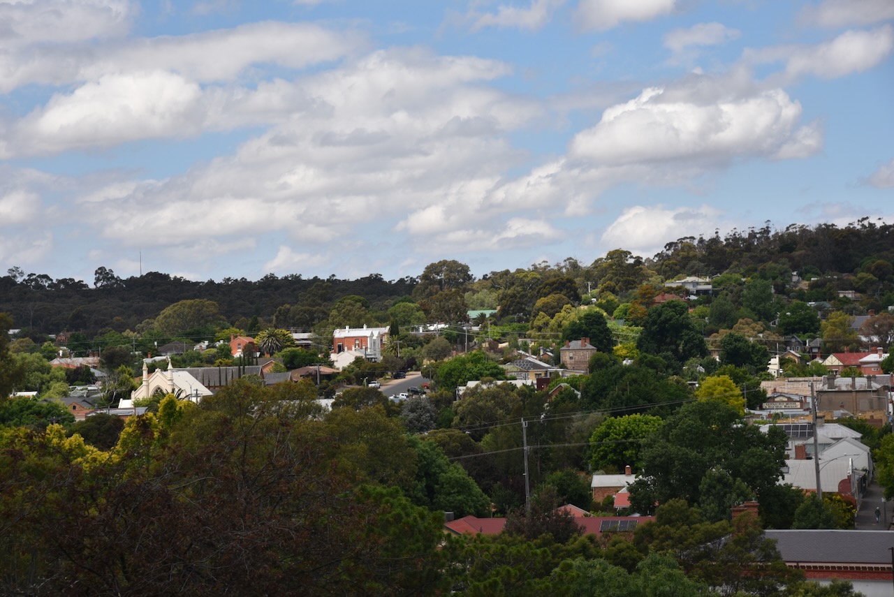
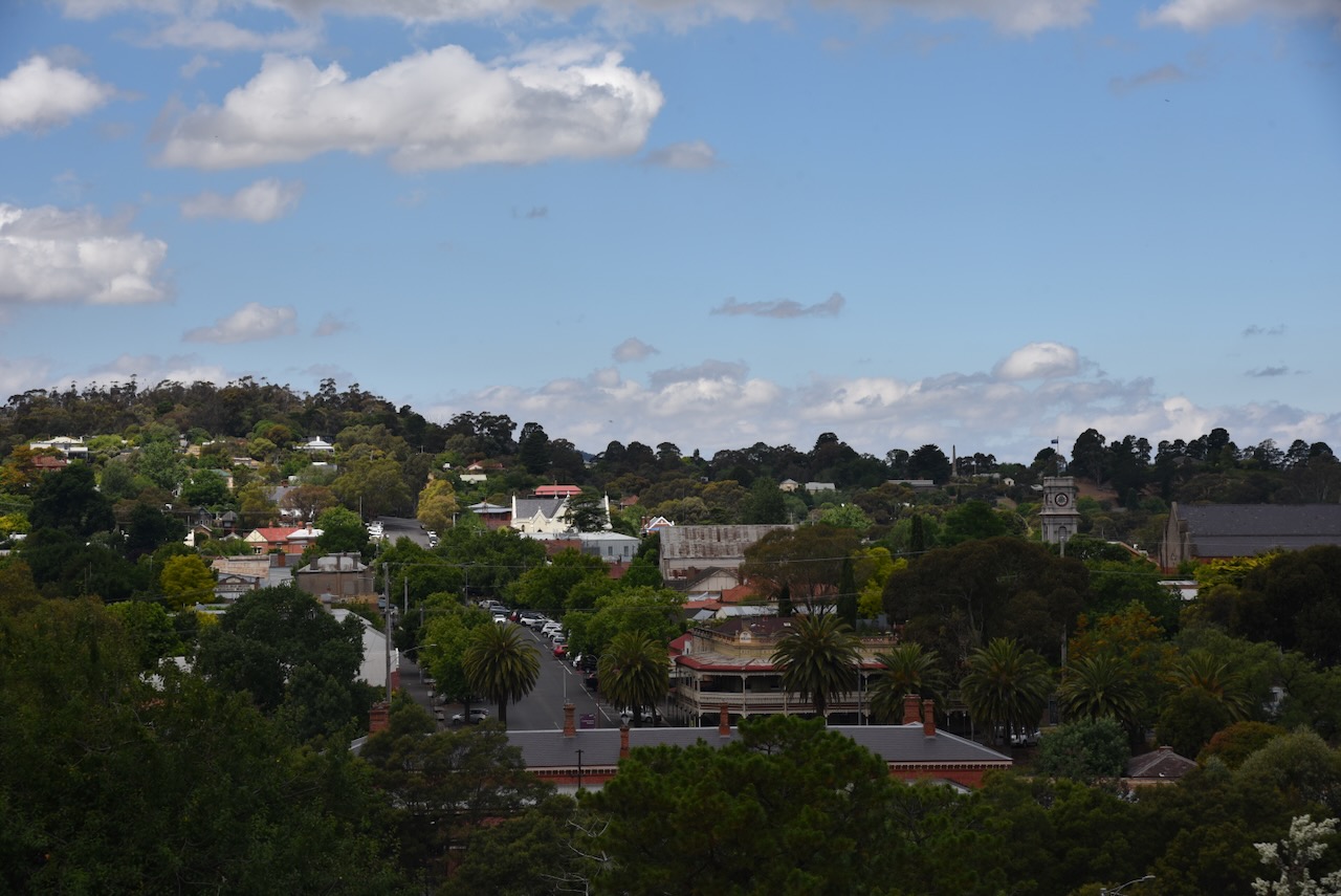
Maldon is one of my favourite towns in Victoria. It is a former gold town with a real country feel, containing several historic buildings. Maldon was declared Australia’s first notable town in 1966 by the National Trust. (Victorian Places 2024)
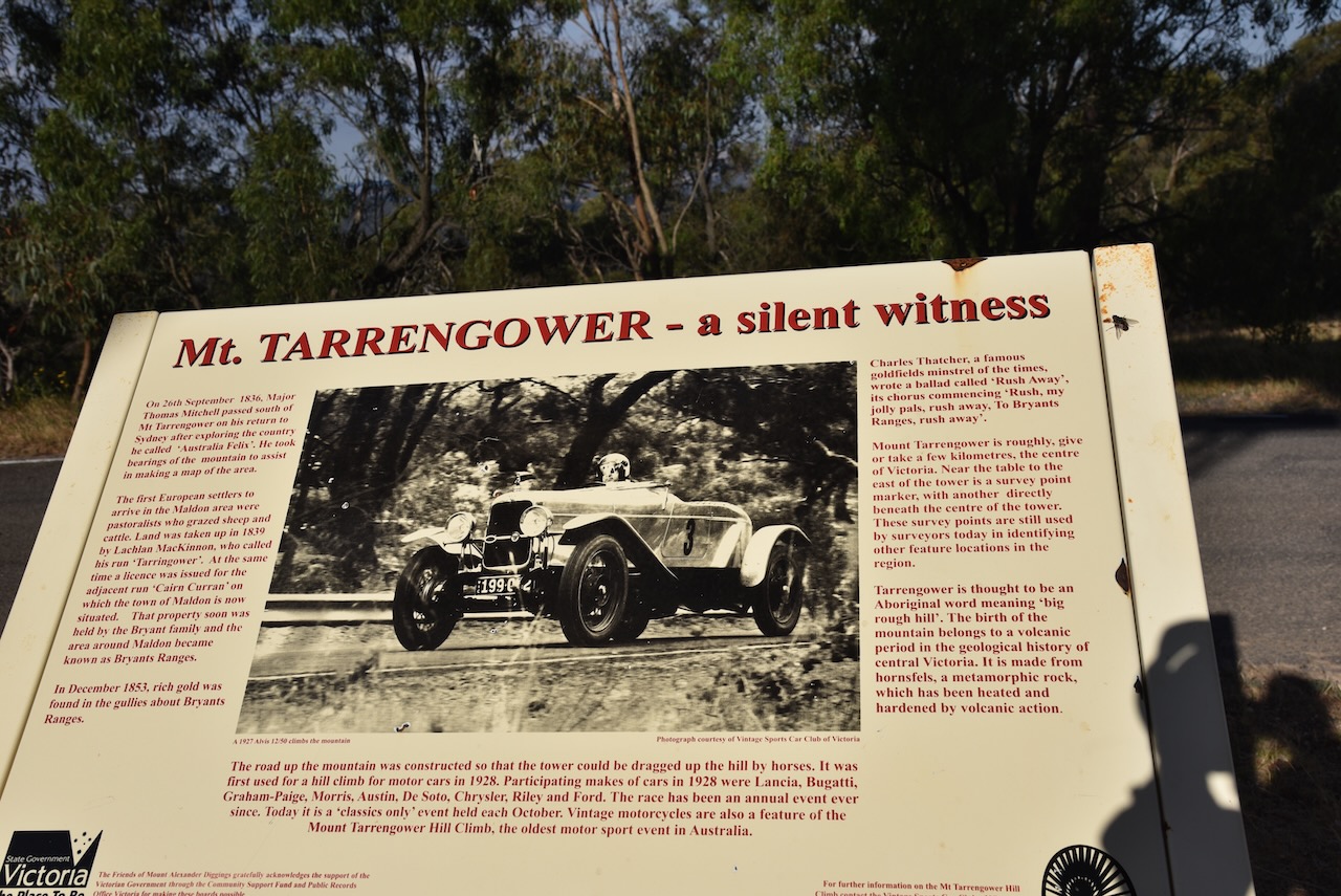
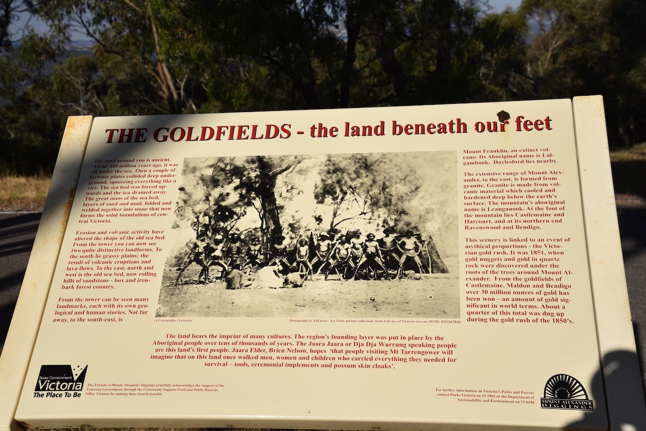
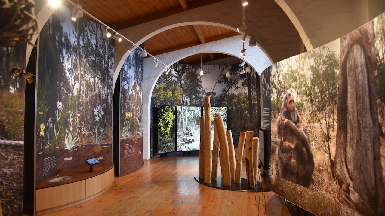
The original inhabitants of the area were the Dja Dja Waurrung aboriginal people. The first European to travel through the area was explorer Major Thomas Mitchell in 1836 during his Australia Felix expedition. This was followed by pastoralists who set up pastoral runs in the district.
The town of Maldon is situated on the former Cairn Curran pastoral run, established in 1840, and owned by the Simson brothers, John, Donald, & Hector. The brothers Donald and Hector had arrived in Australia from Scotland in 1839. They were followed later by their brother John. The brothers also owned Tarrangower Run located immediately to the south of Cairn Curran. (Pioneering Family 1934) (Victorian Places 2024)
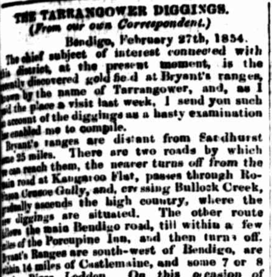
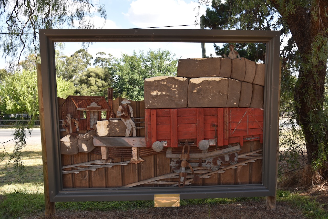
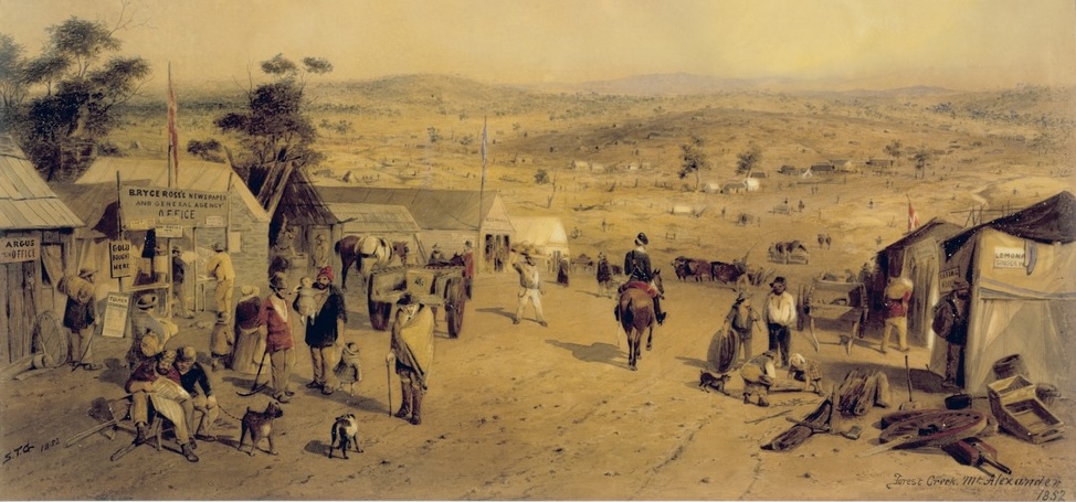
In December 1853, a Polish immigrant John Mechosk, discovered gold near the foot of Mount Tarrengower. As a result, a gold rush occurred in 1854 with the goldfield named Tarrengower Fields. Just one month after the discovery of gold, the Chief Commissioner for Goldfields reported that 3,000 miners had arrived at the diggings.
In 1854 it was reported that the road from Castlemaine to Maldon was lined with shops with storeowners thriving from the miners:
“The road follows up the course of Long Gully, where the diggings were first opened, for a couple of miles, and is lined on either side by an almost continuous row of stores, refreshment tents, eating houses, doctors’ tents, apothecaries’ shops, and, in fact, shops of every description.” (Tarrengower Diggins 1854)
Above:- part of an article from the Empire, Sydney, Tue 7 Mar 1854. Image c/o Trove.
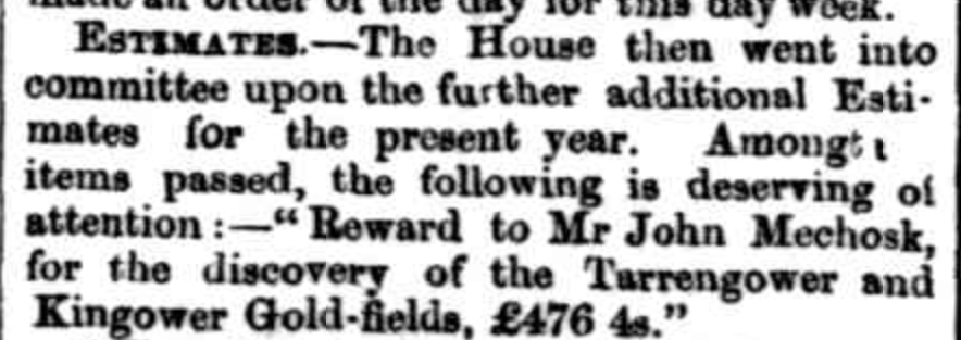
In 1857 Mechosk was issued with a reward of £476 for his discovery of the Tarrengower and Kingower goldfields. (Victorian Places 2024)
Above:- Article from The Star, Ballarat, Fri 18 Sep 1857. Image c/o Trove.
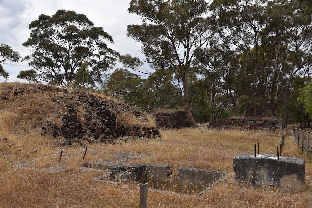
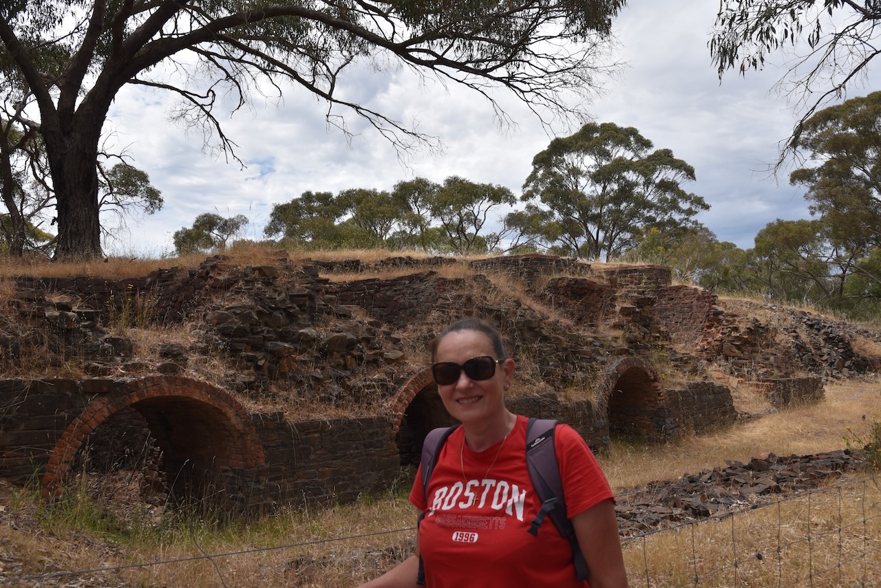
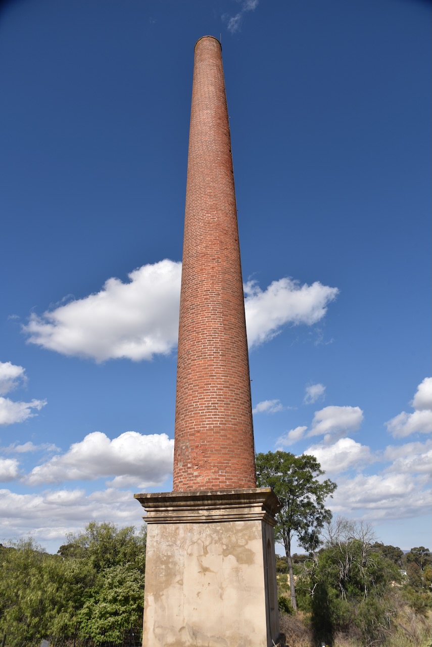
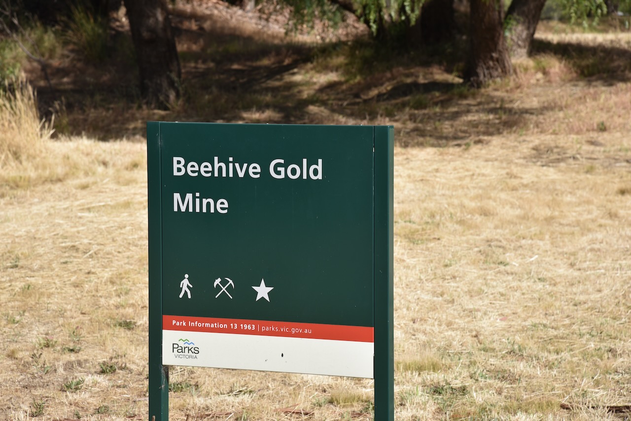
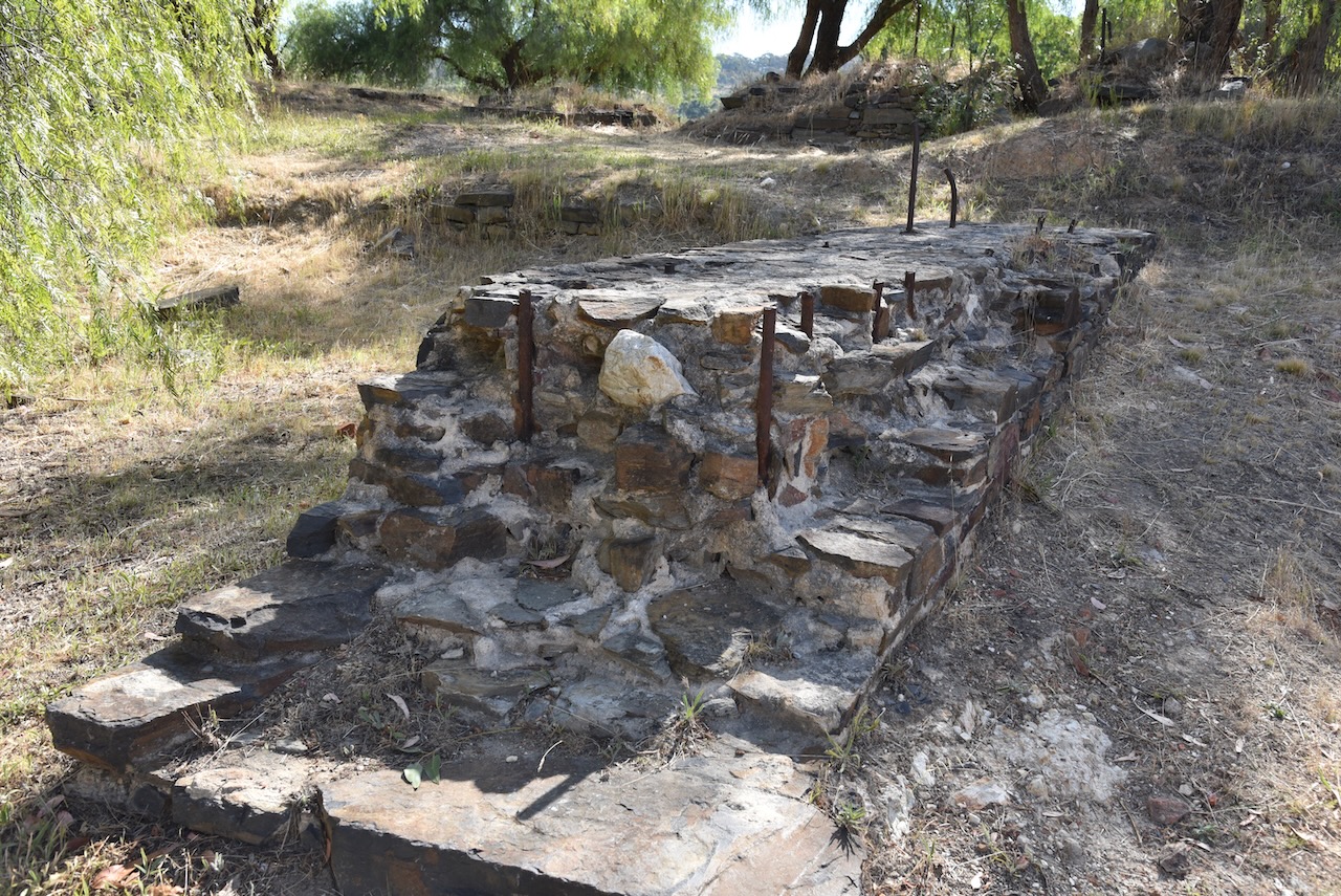
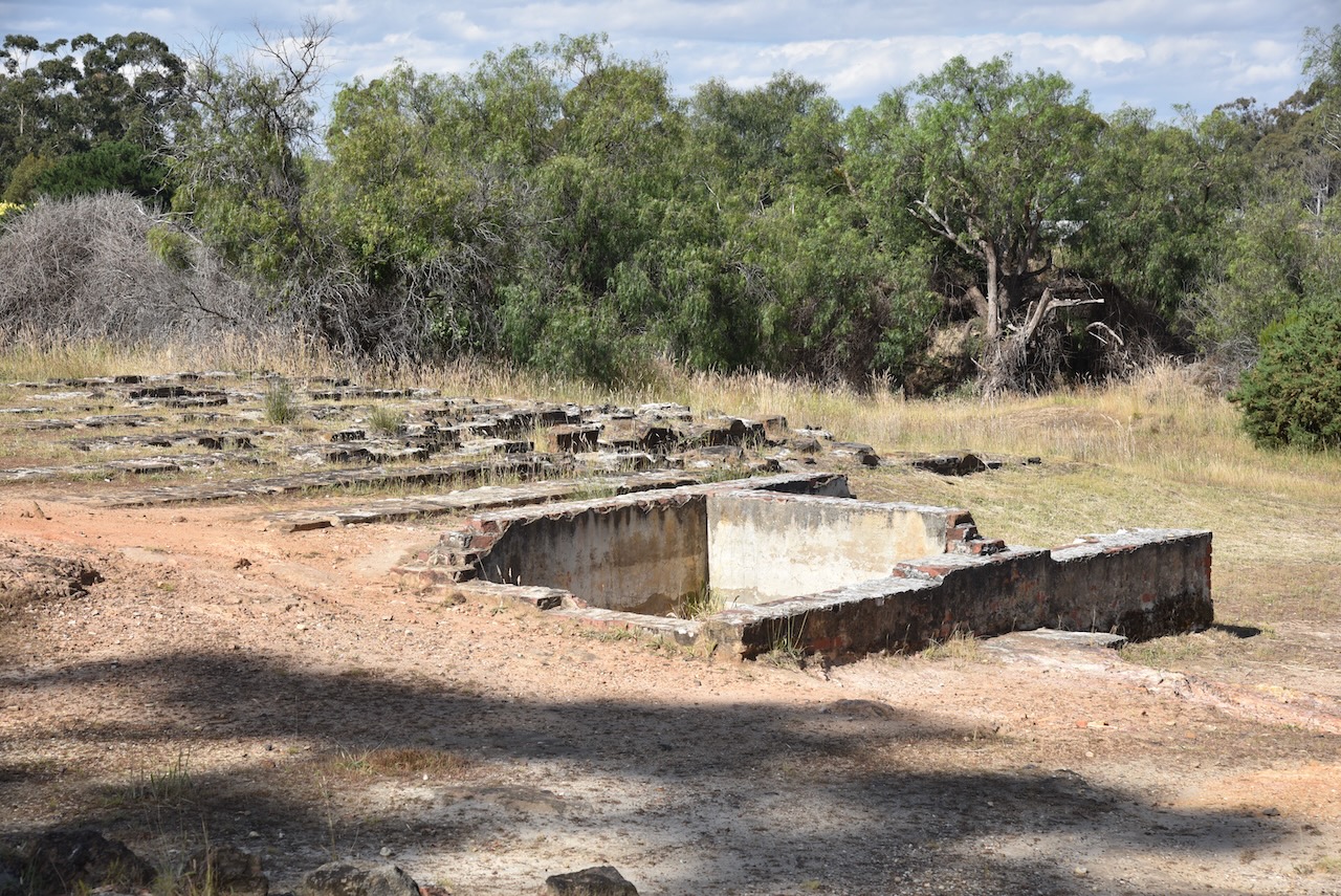
One of the richest fields in the Maldon district was known as Nuggety and was found in 1855 in the hills north of Maldon. The Department calculated that over 300,000 ounces of gold were taken from Nuggety. Another rich area was the Beehive Company, located immediately east of Maldon’s commercial centre. The remains of the chimney, built in 1863, can be seen today. (Victorian Places 2024)
The township of Maldon was surveyed soon after. It is believed that Maldon was proposed by a member of the survey party, as the hills in the area resembled those in Maldon in Essex, England. (Victorian Places 2024)
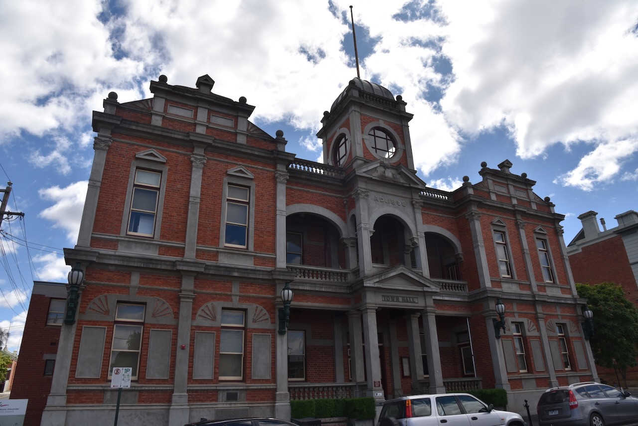
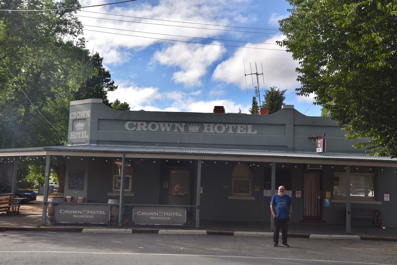
By 1854 Maldon had a brewery and several hotels. In 1855 a Wesleyan church was opened. In 1858 the municipality of Maldon was established, followed by the District of Maldon in 1863. On the 12th day of January 1864 the Shire of Maldon was created. By 1858 Maldon had its own newspaper, the Tarrangower Times newspaper, numerous hotels and banks, and two schools. This was followed by a hospital and an athenaeum in 1859. An Anglican church was built in 1861, followed by a Welsh Congregational Church and a Methodist Church in 1863, and a Welsh Baptist Church. (Victorian Places 2024)
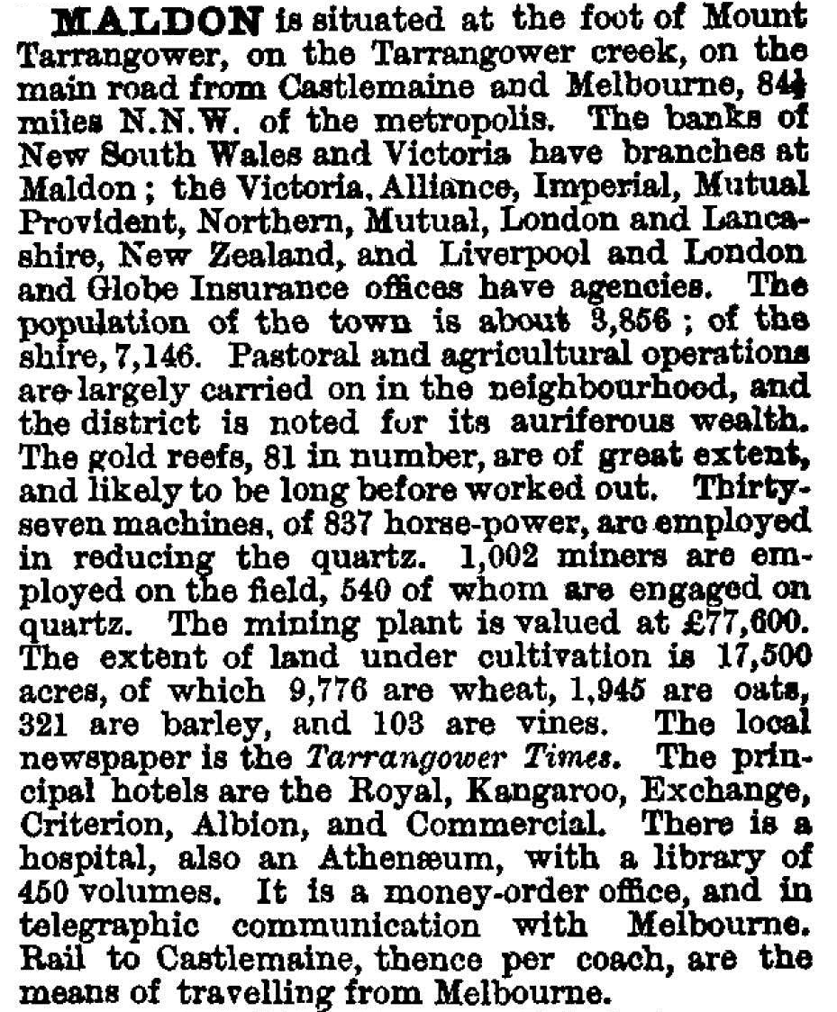
Maldon’s population peaked during the 1870s, with the town having a population of 3,817 [people in 1871. The Australian Handbook in 1875 described Maldon as follows…..
As late as 1903 there were still over 1,000 diggers on various sites around Maldon. About 2.1 million ounces of gold was extracted at Maldon worth about 3 billion dollars in today’s value.
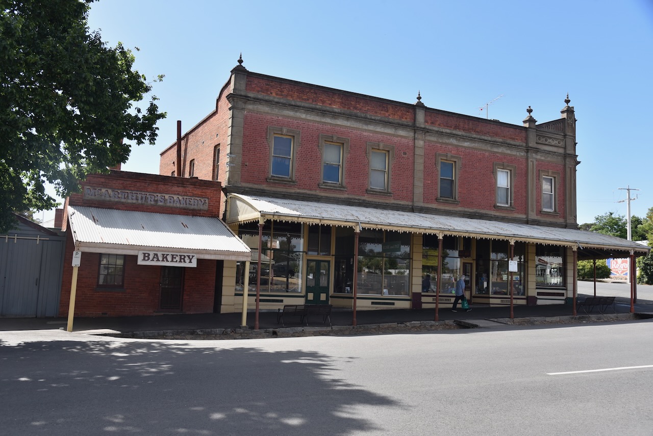
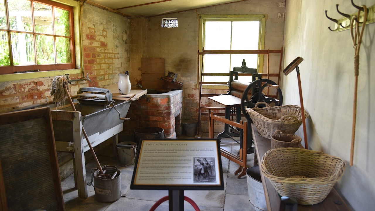
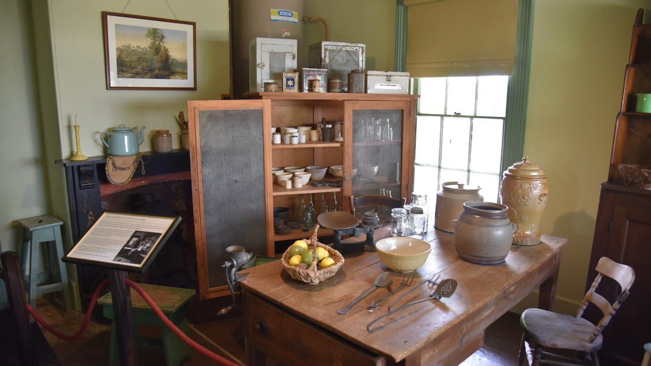
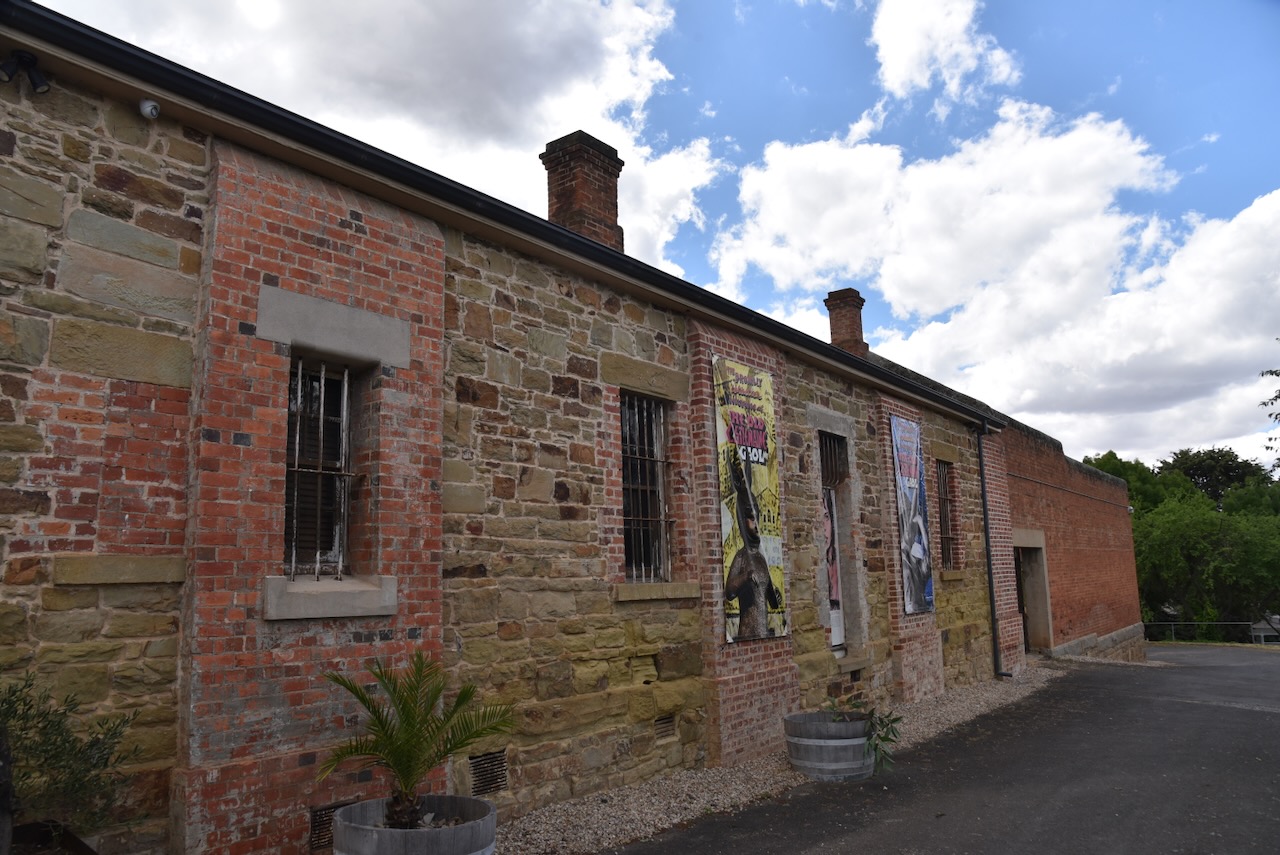
The old McArthur’s Bakery is located in Maldon’s Main Street. The McArthur family operated a bakery here from 1854 until the 1930s. (Maldon Museum 2024)
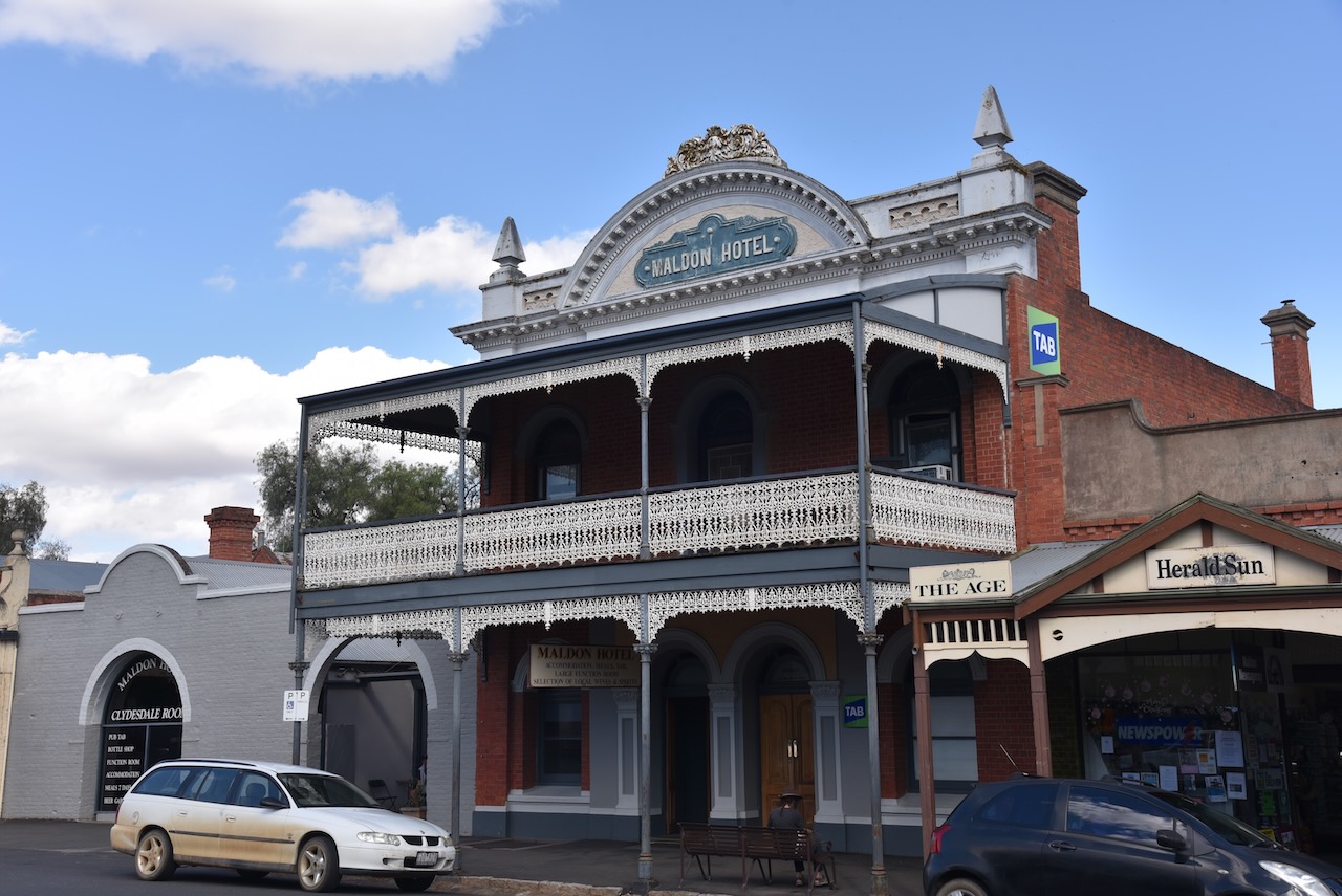
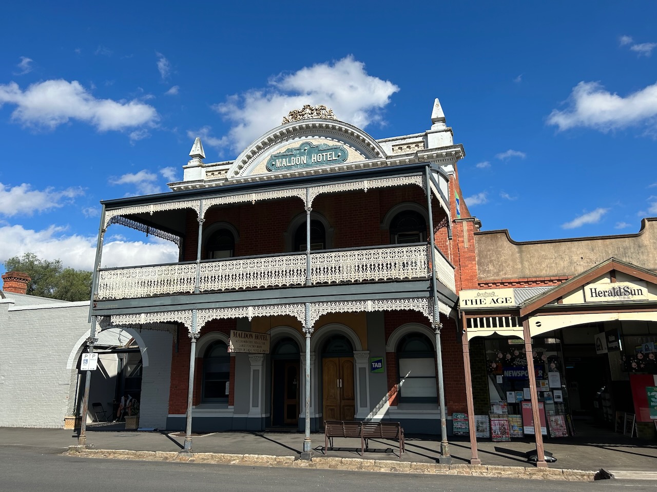
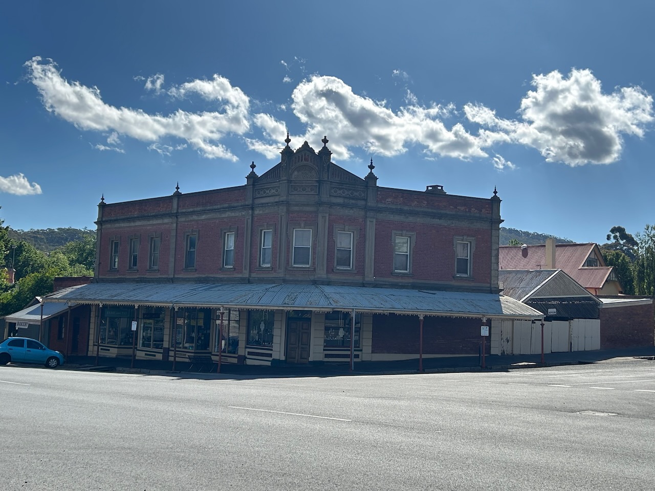
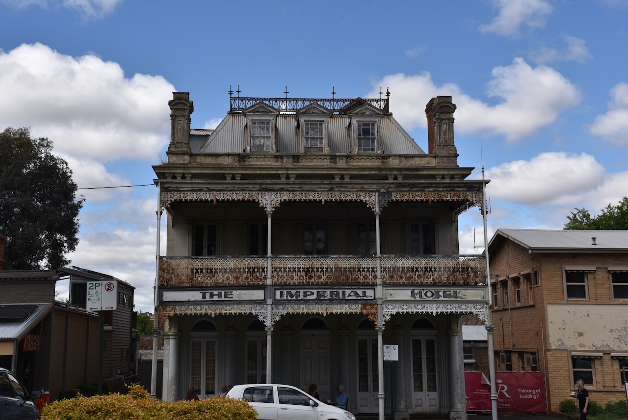
The original Maldon Hotel consisting of a weatherboard structure was built on this site c. 1860. The current building, the hotel and stables, was built in 1909 and was designed by architect Louis Boldini. This was the last grand building to be built in Maodon before the town’s decline. (Maldon Museum 2024)
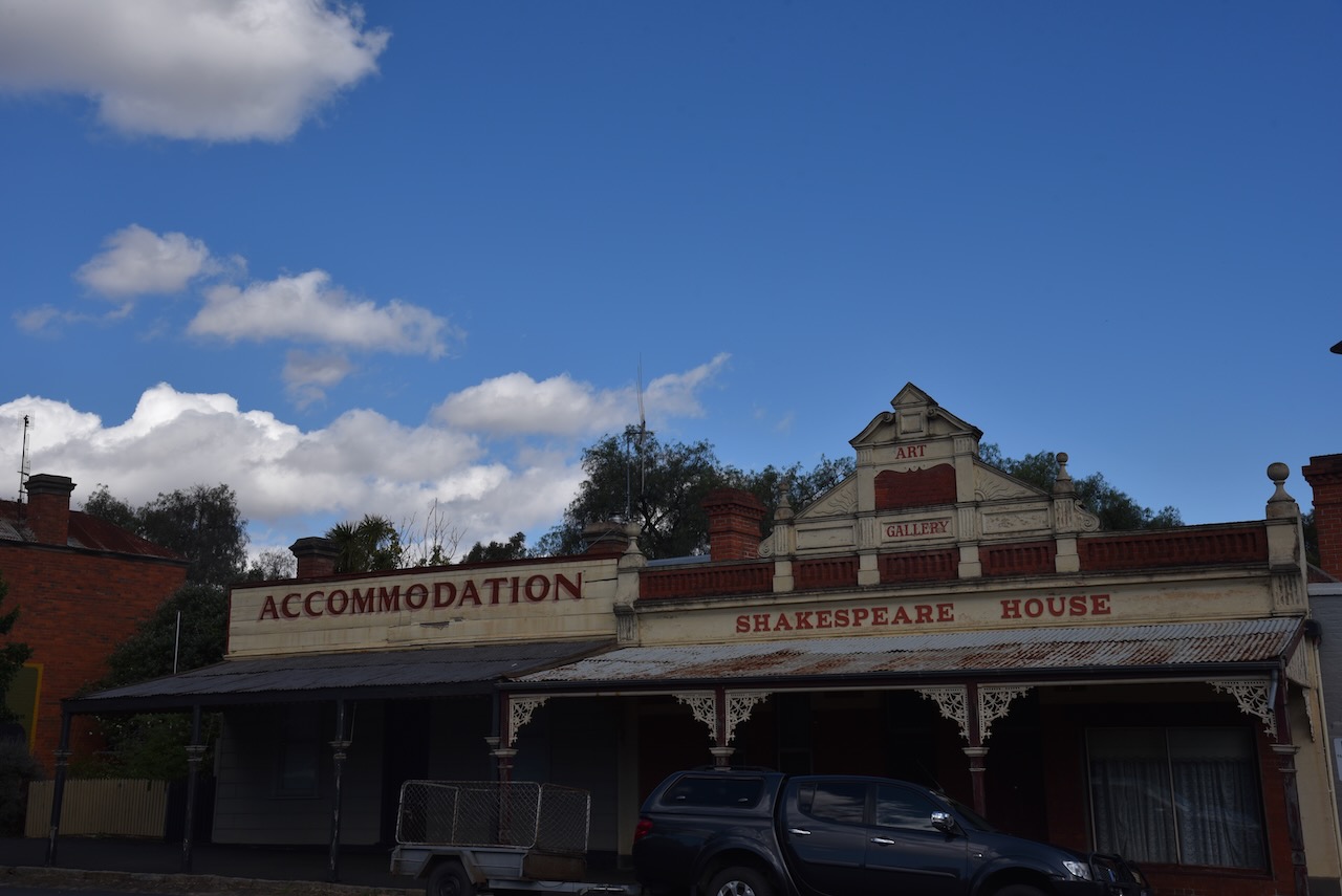
Alongside the Maldon Hotel is Shakespeare House built in 1907. Before this current building, the Shakespeare Hotel consisting of a simple timber structure was built in 1864. (Maldon Museum 2024)
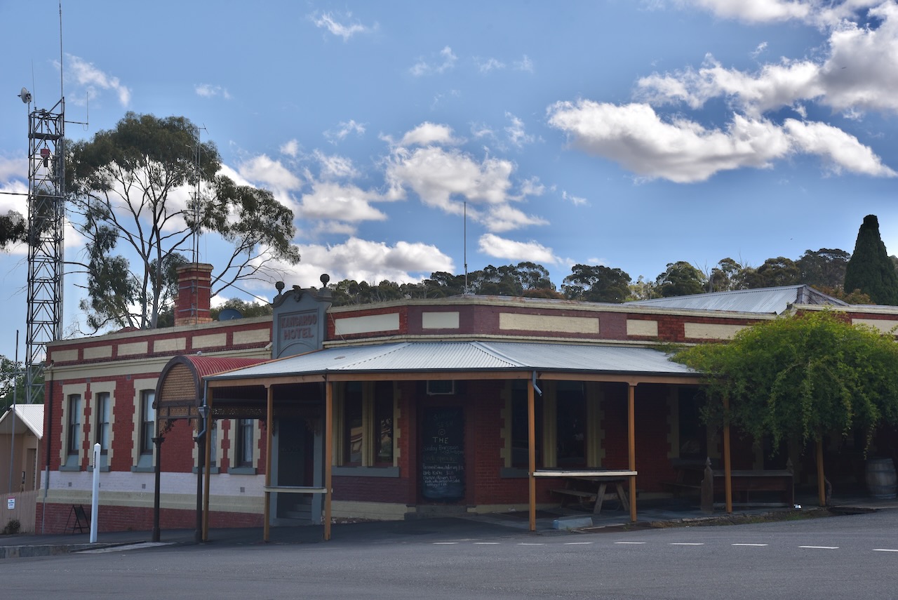
From 1856, a Kangaroo Hotel has operated on this site continuously. It included its own amusement theatre, one of 3 in Maldon during its peak. In 1859 the hotel almost burnt to the ground when somebody set off fireworks during a performance. The brick corner section of the current building dates from 1866. (Maldon Museum 2024)
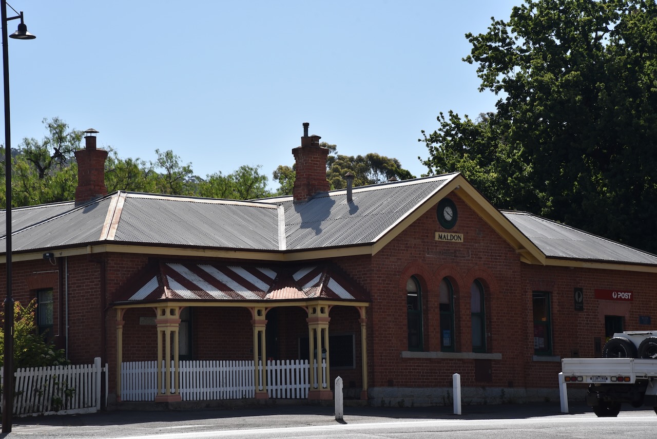
The Maldon Post Office has operated from this building and location on High Street since 1870.
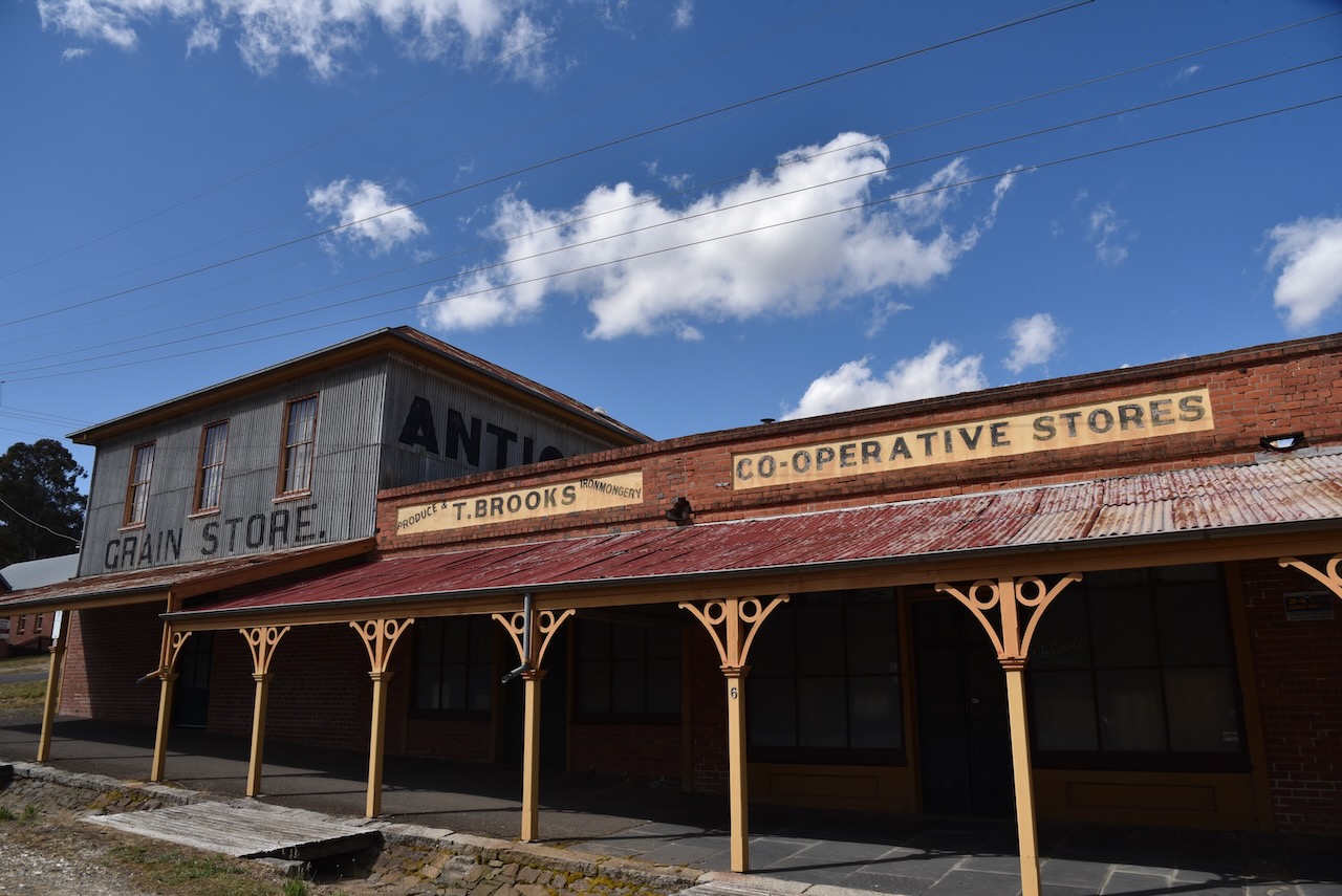
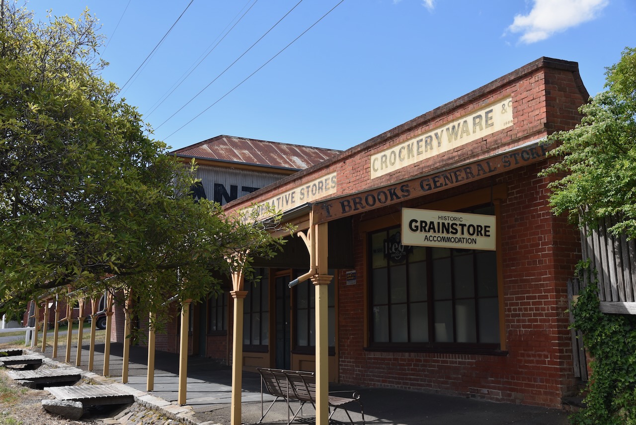
The Maldon Grain Store dates back to the 1860s and is now used as apartments.
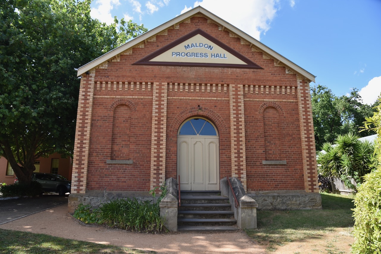
The Maldon Progress Hall was built in 1873 as a Temperance Hall and was used by the Salvation Army from 1884 to 1903.
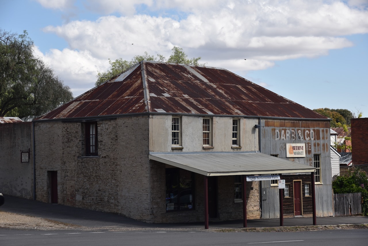
The old Franklin’s building was built c. 1870 and is now the Beehive Market.
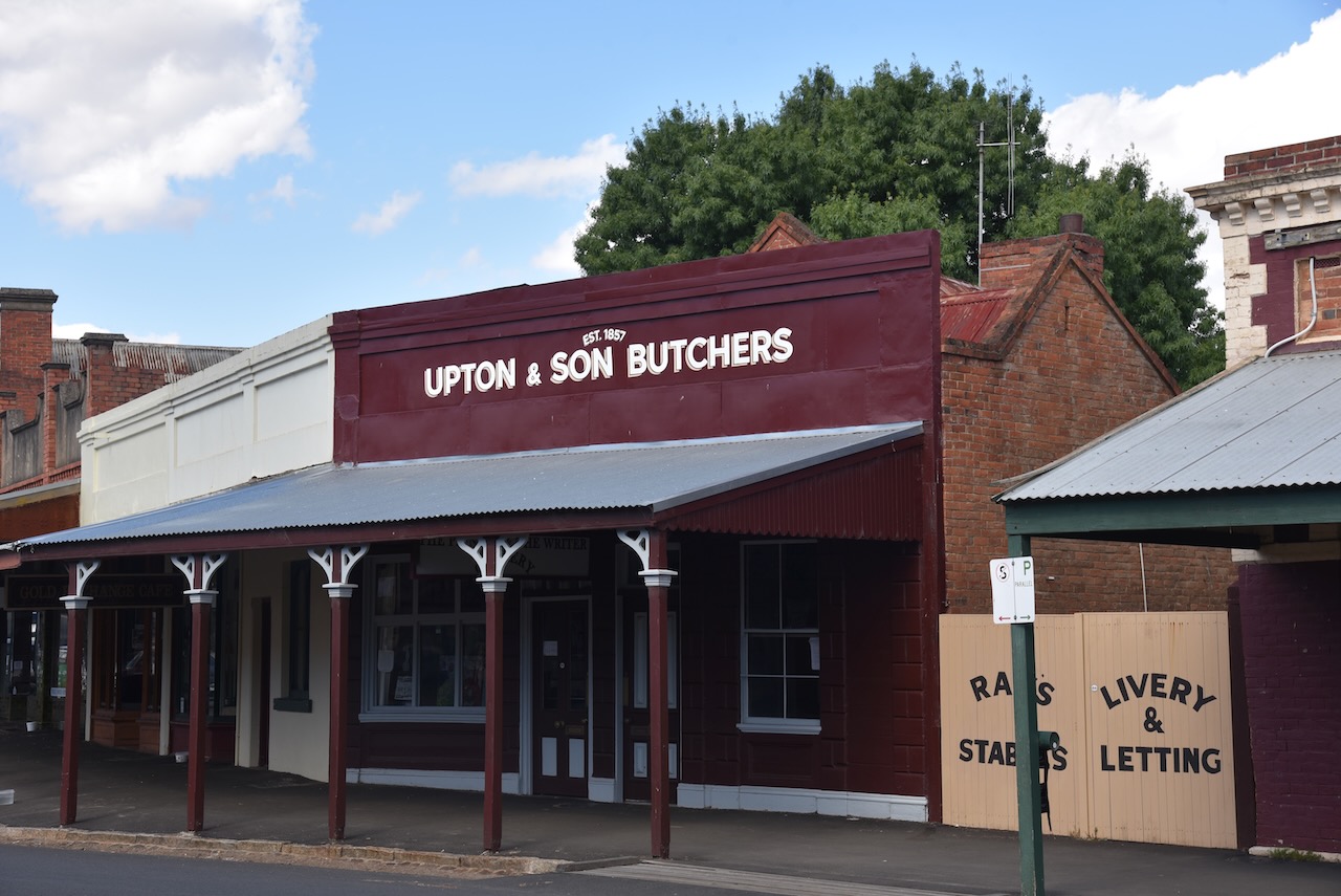
The small brick Upton & Sons butcher shop located in Main Street was built c. 1858 by George Upton. It was used as a butcher shop until at least 1900. (Maldon Museum 2024)
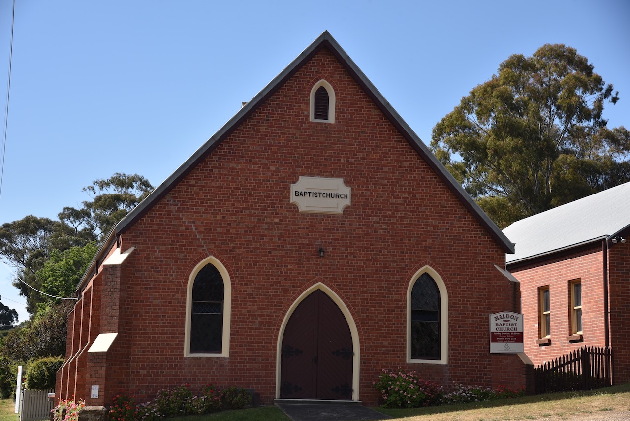
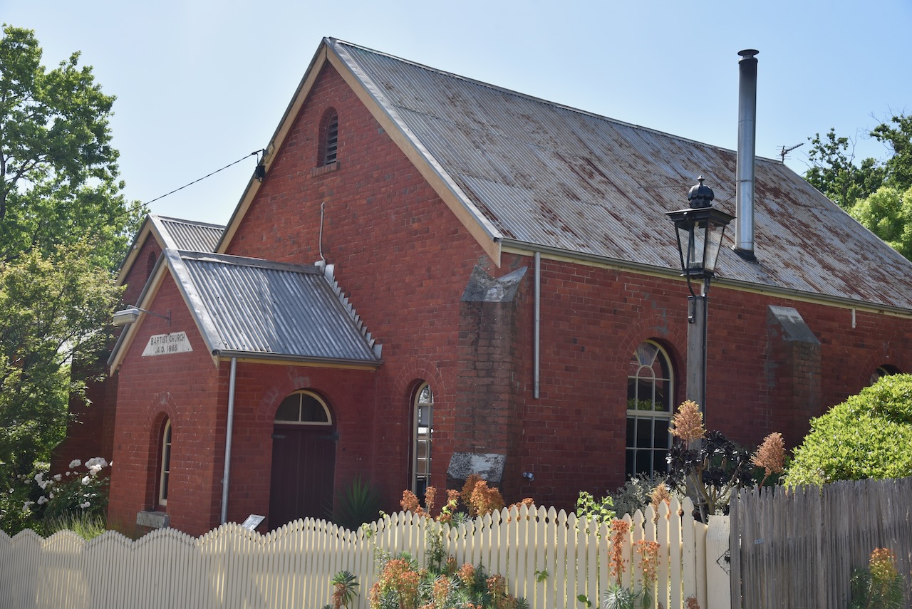
The Welsh Baptist Church was built in 1865.
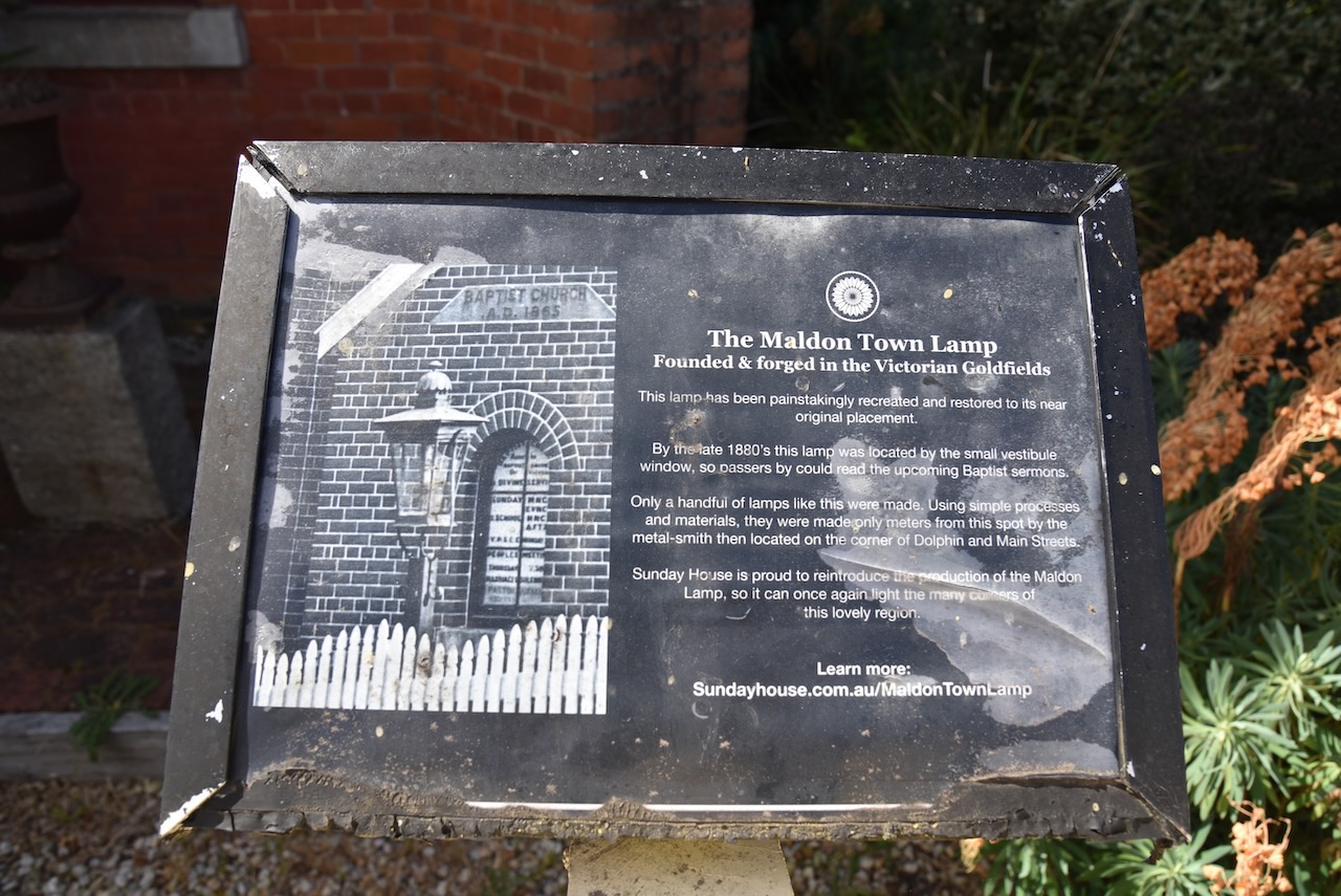
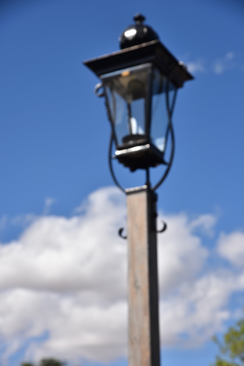
Near the church is the Maldon Town Lamp that was founded and forged in the Victorian goldfields. By the late 1880s, this lamp was located by the small vestibule window so that passersby could read the upcoming Baptist sermons. Only a handful of lamps of this kind were made, using simple processes and materials by a metal smith at Maldon.
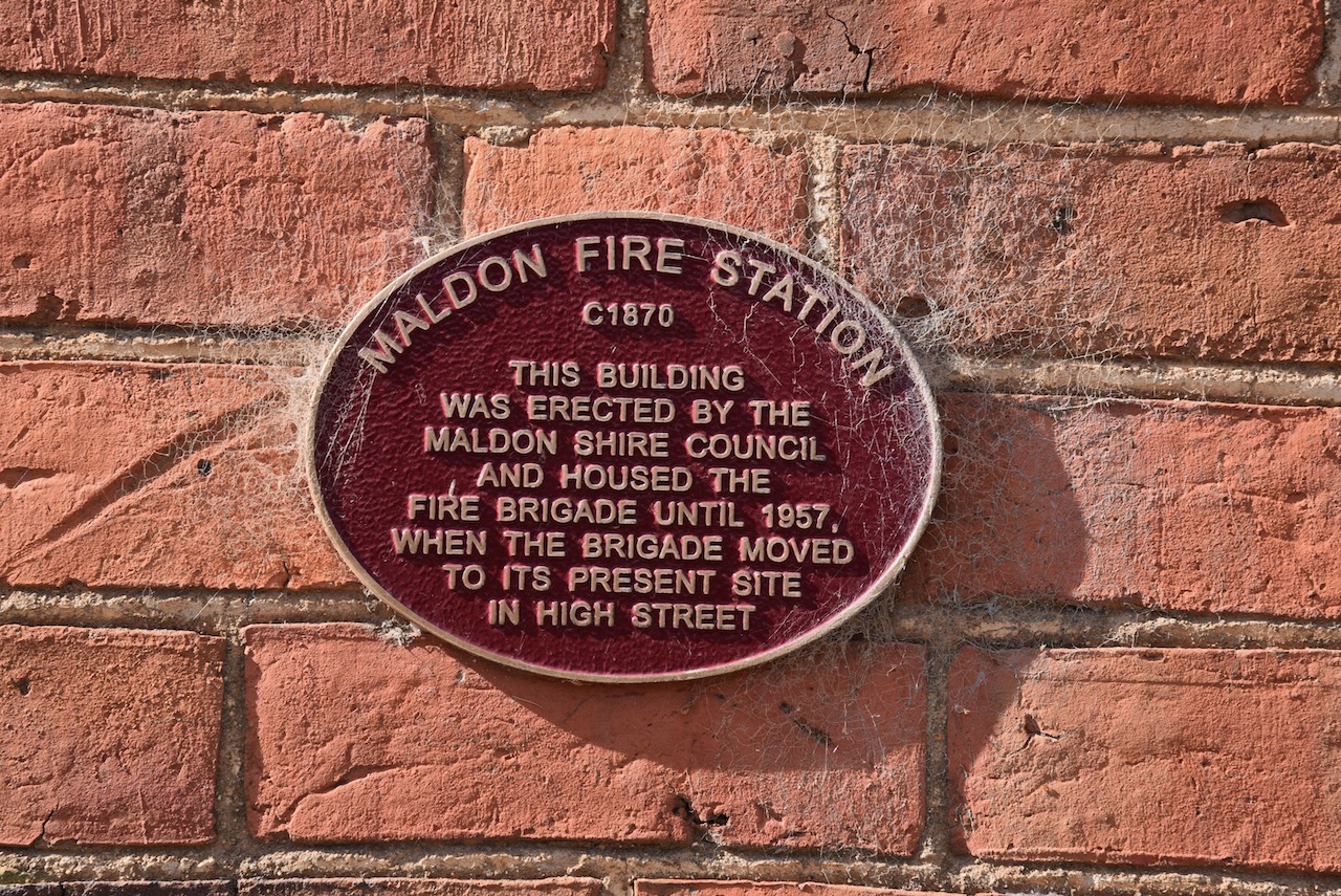
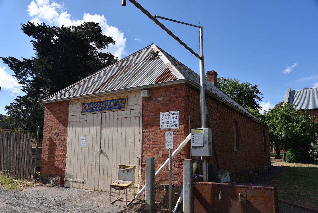
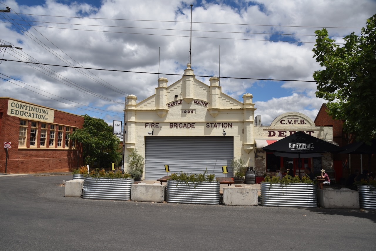
The Maldon Fire Station building was built c. 1870 by the Maldon Shire Council. It was used by the fire brigade until 1957 before they relocated.
The Maldon Bakery is reputedly Australia’s oldest continuously running bakery, still containing its original Scoth Oven. It was built in 1854 by George McArthur Sr. (Maldon Bakery 2024)
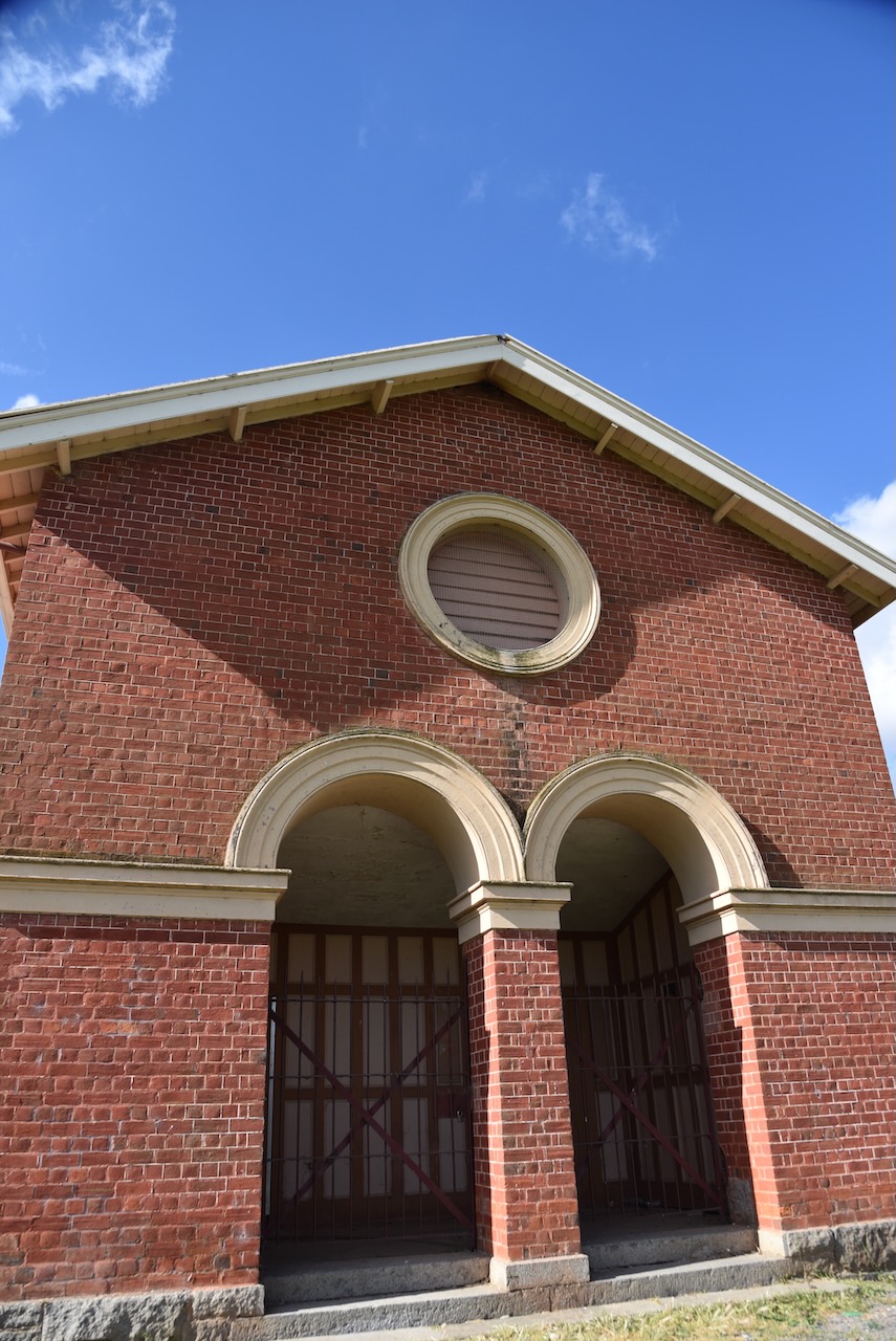
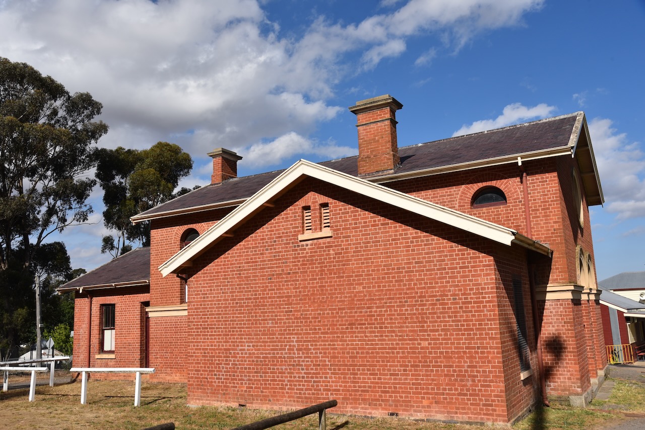
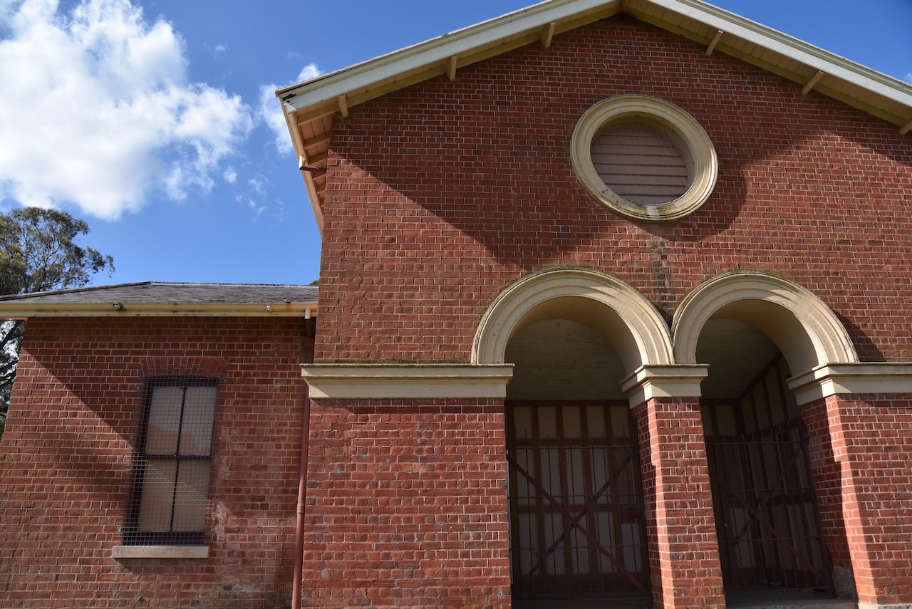
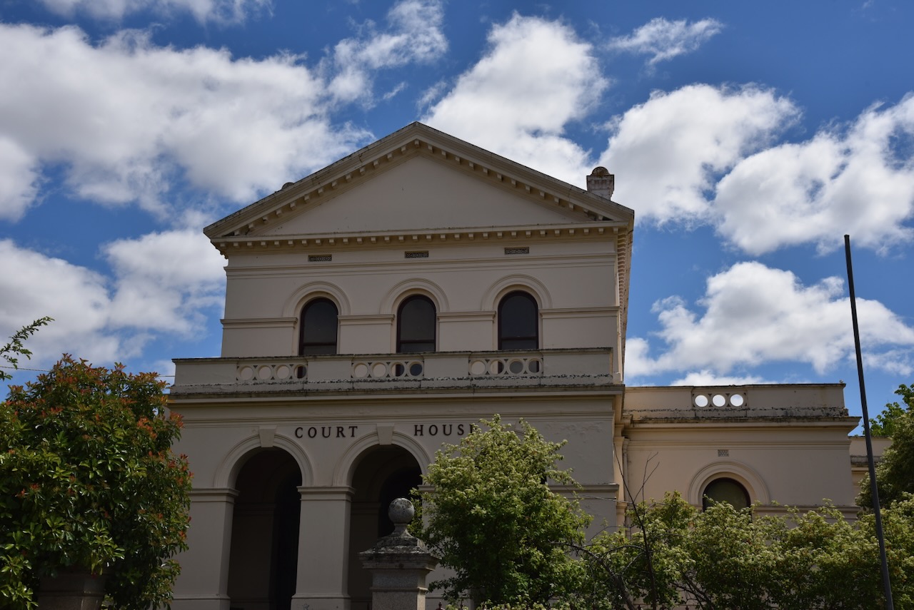
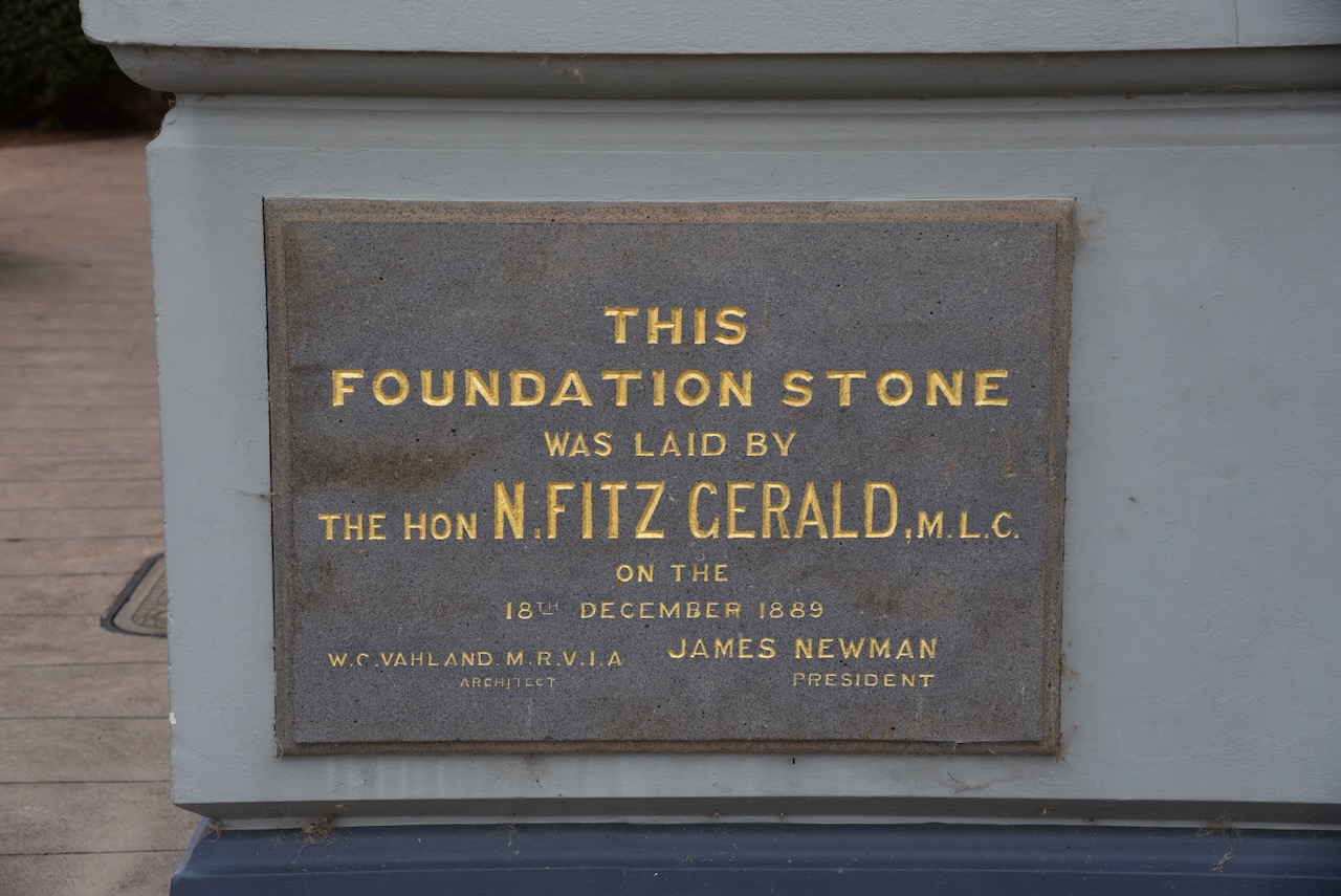
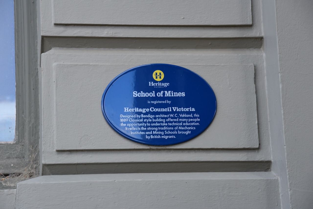
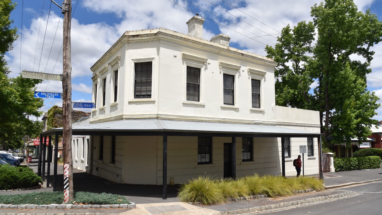
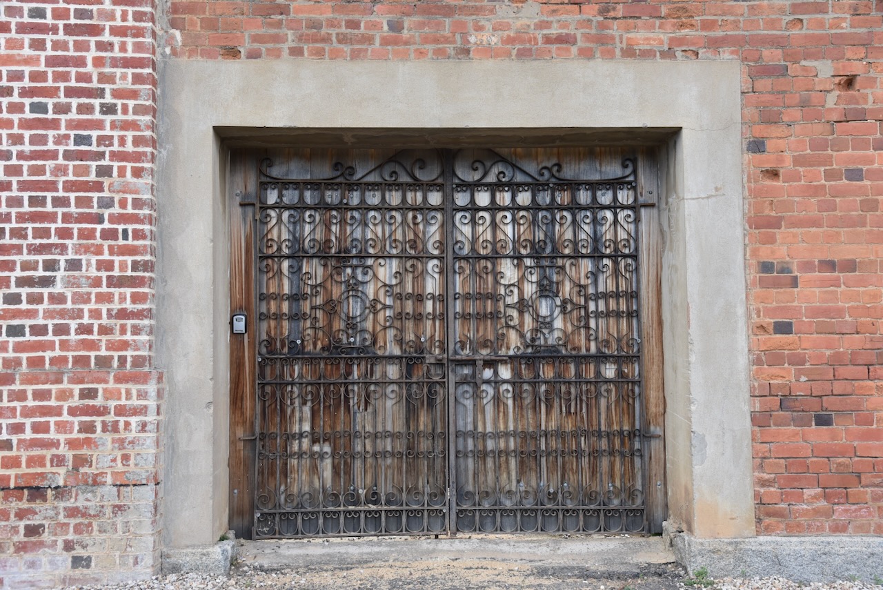
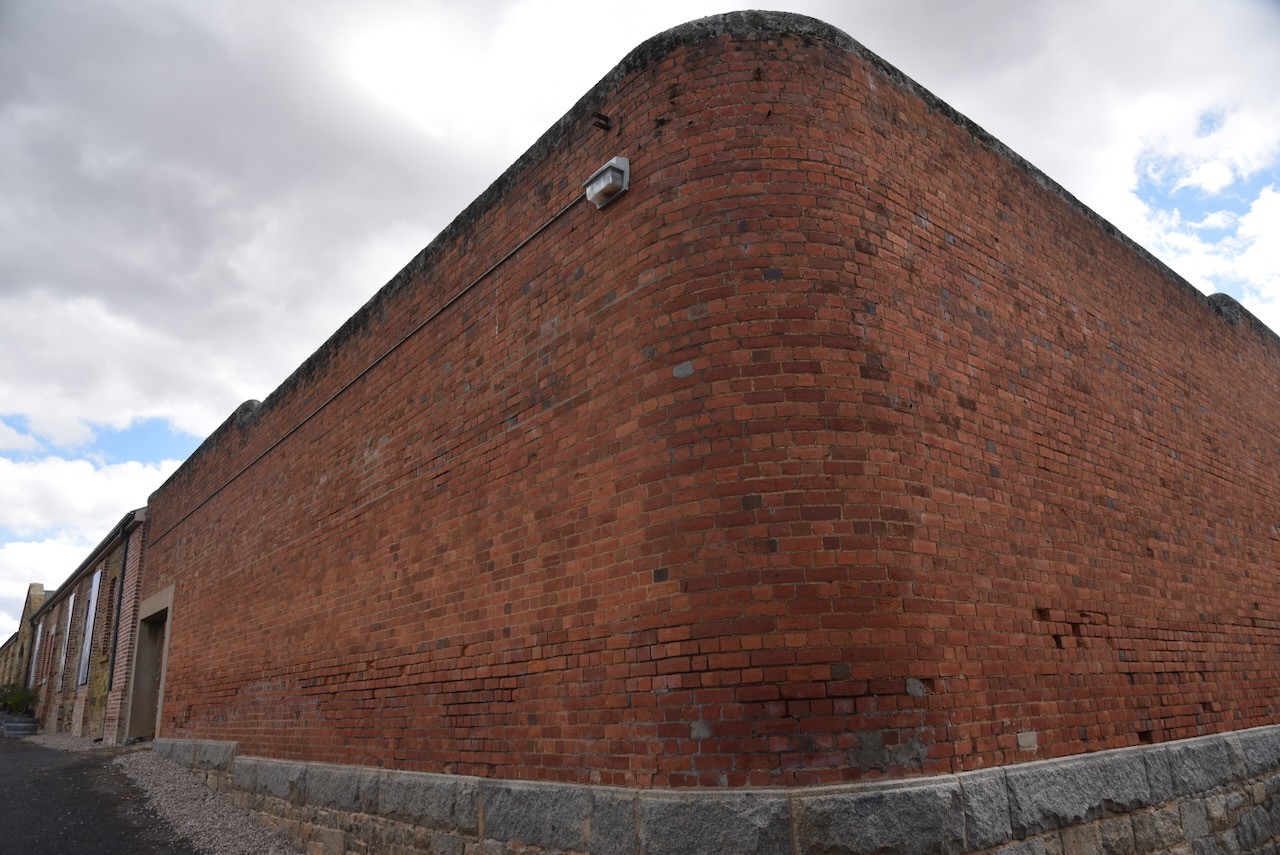
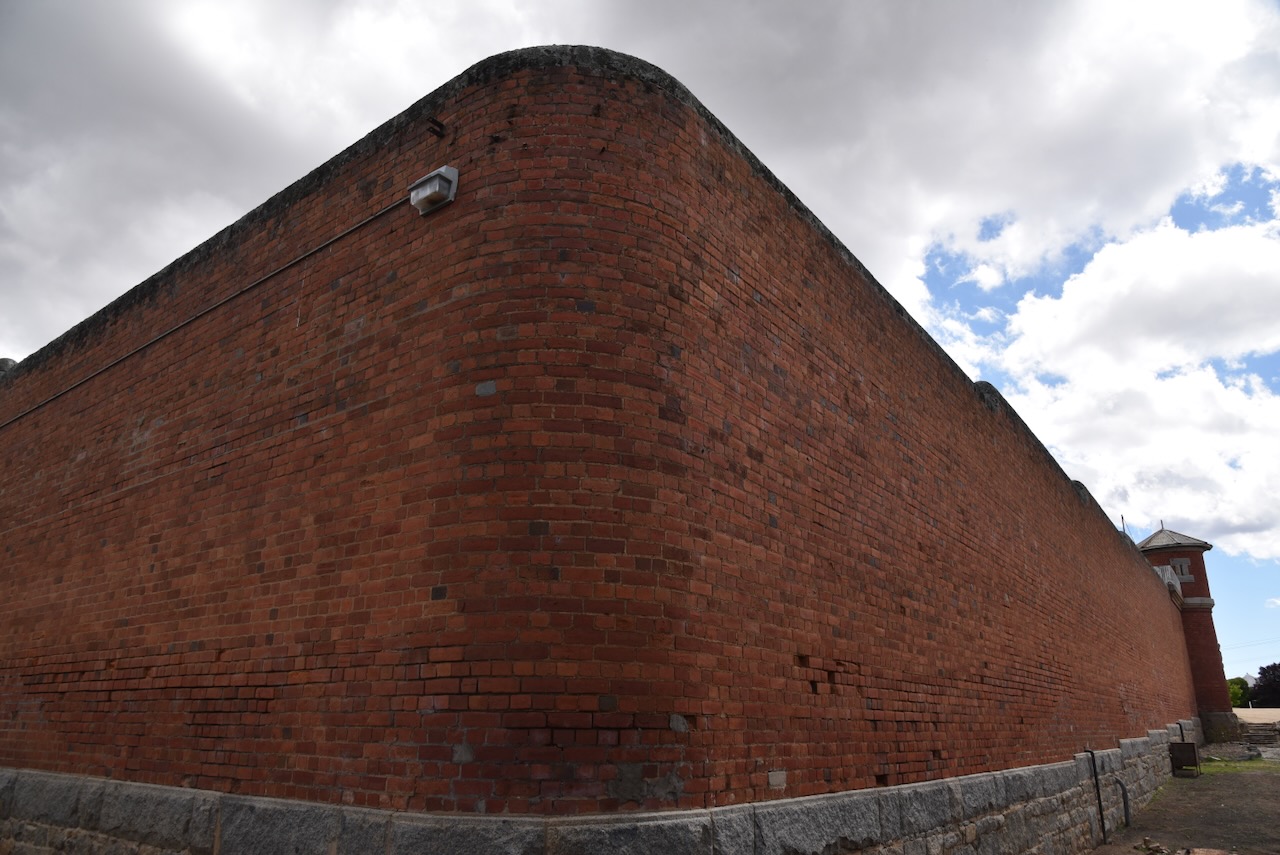
The first Maldon courthouse was a timber building, built in 1857. By 1860 plans had been drawn up for a new brick courthouse by architect Kawerau from the Public Works office. John Robertson was the successful tender in December 1860 for £2016. Reportedly there were issues with the building of the courthouse and construction halted in February 1861. Work recommenced in Aril 1861 with Maldon bricks being used in place of Castlemaine bricks. By mid-1861 the building was opened. It was closed in 1968-1969. (Heritage Council 2024)
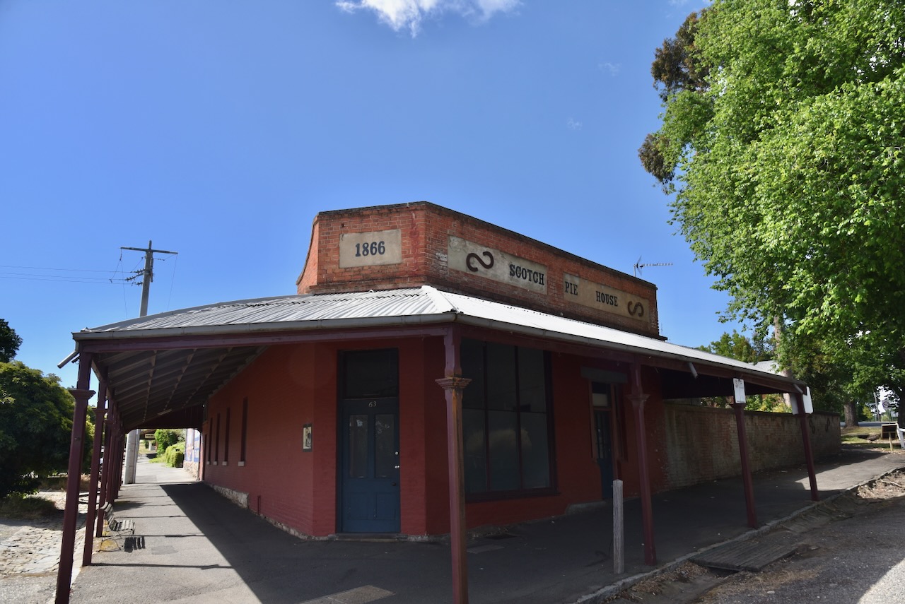
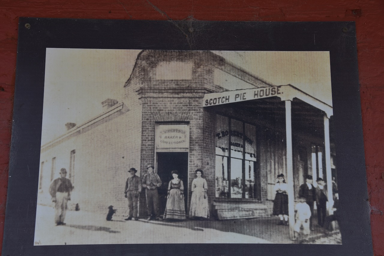
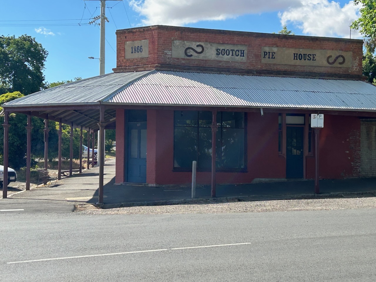
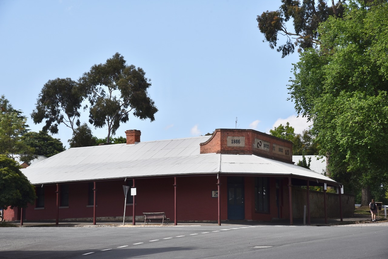
Scotch Pie House Scotch Pie House was built in 1866 following a fire that destroyed a previous store operated by Warnock Bros. (Maldon Museum 2024)
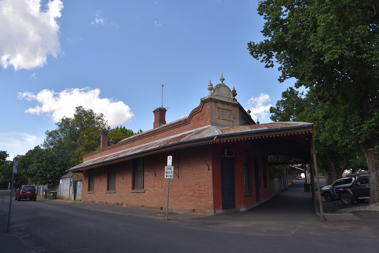
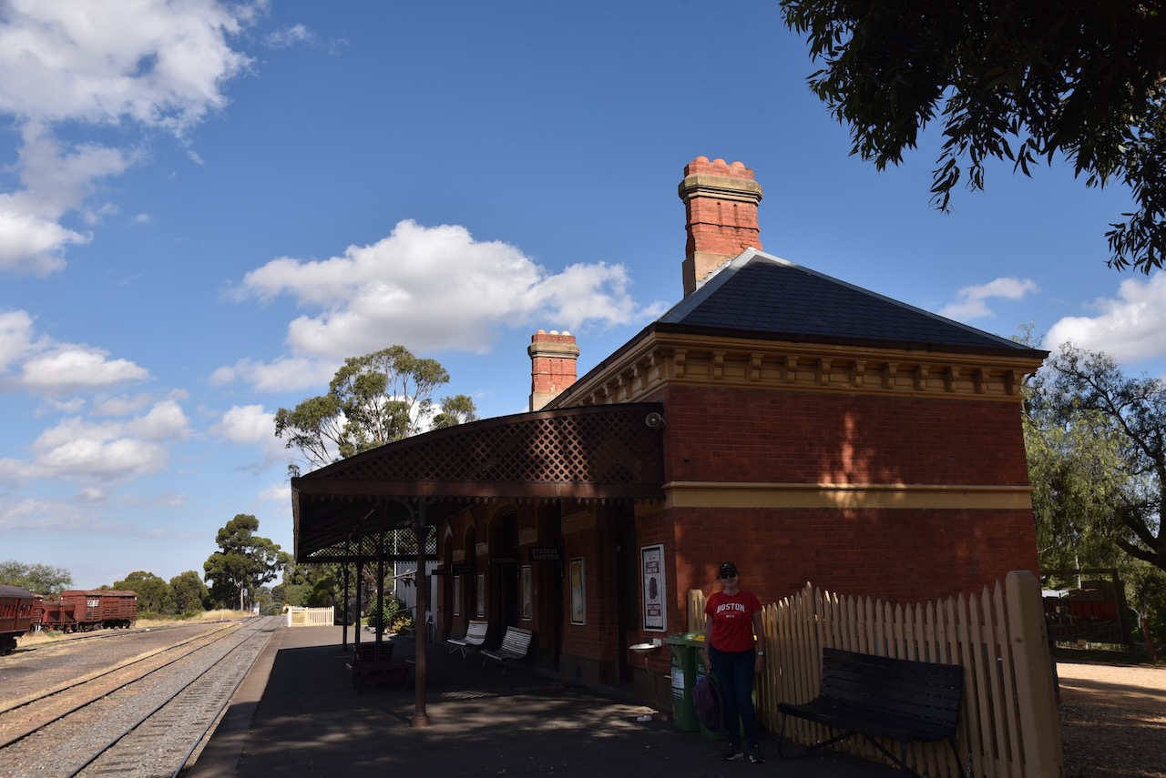
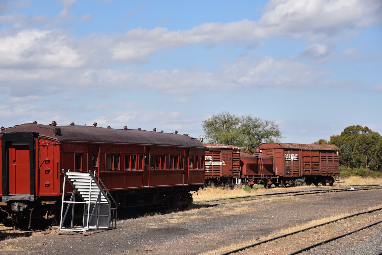
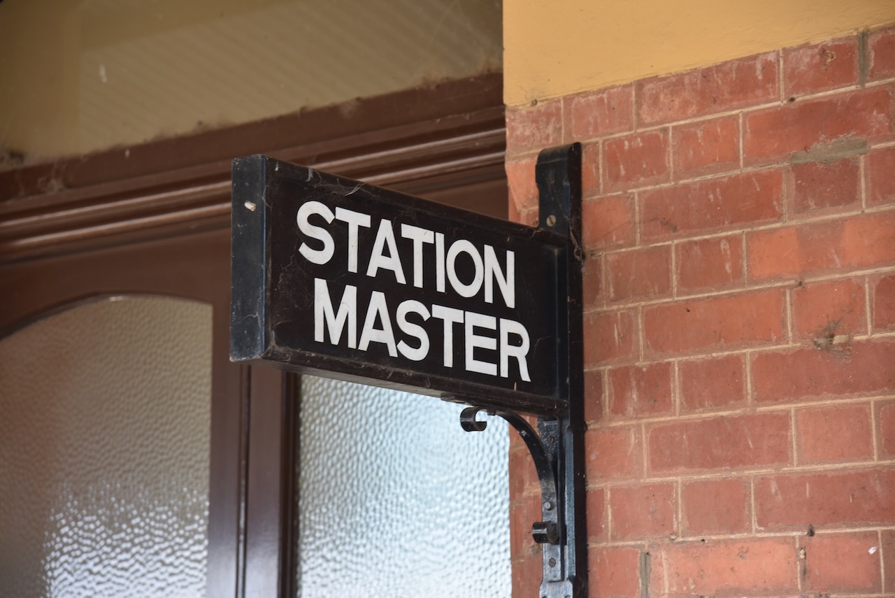
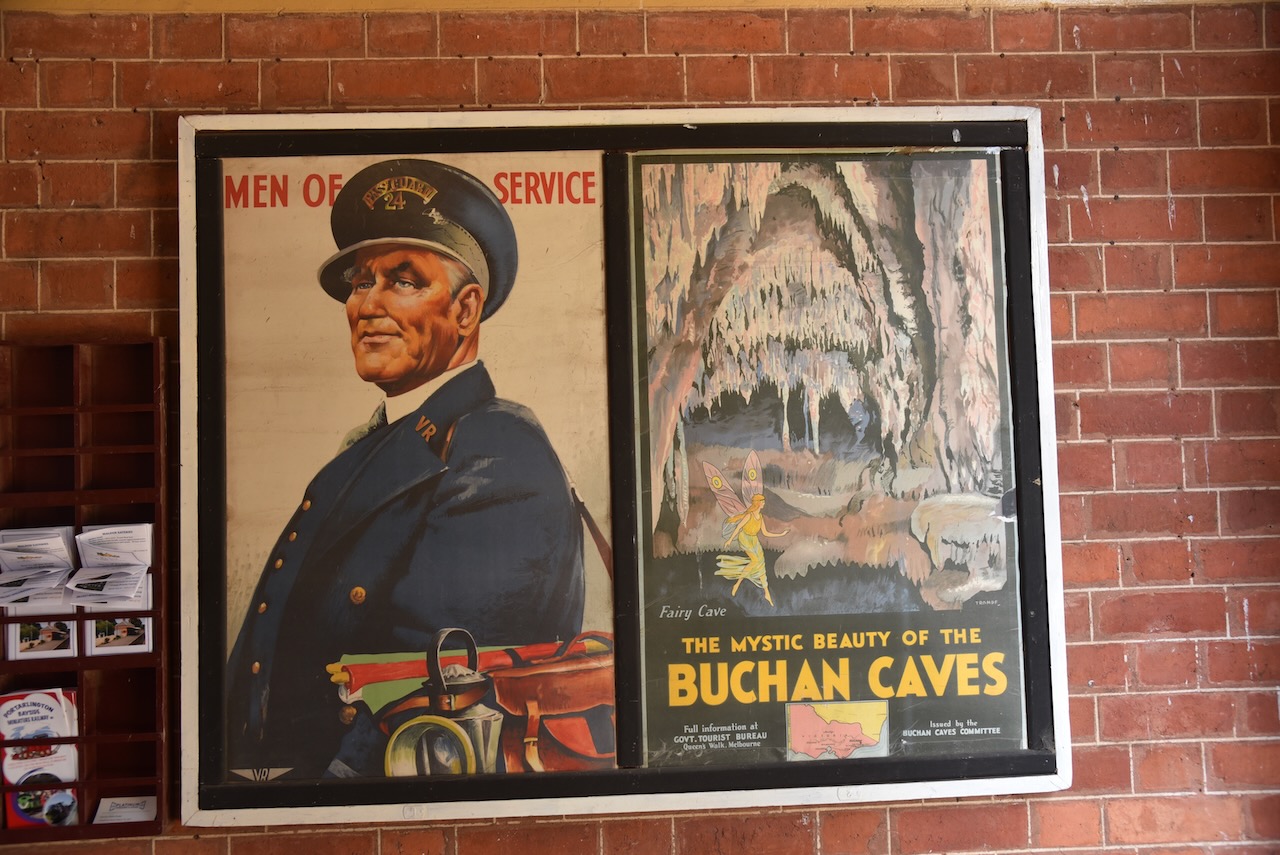
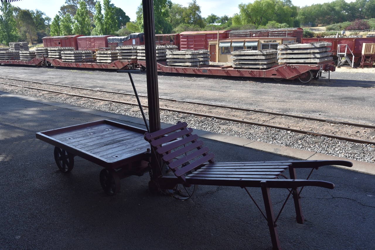
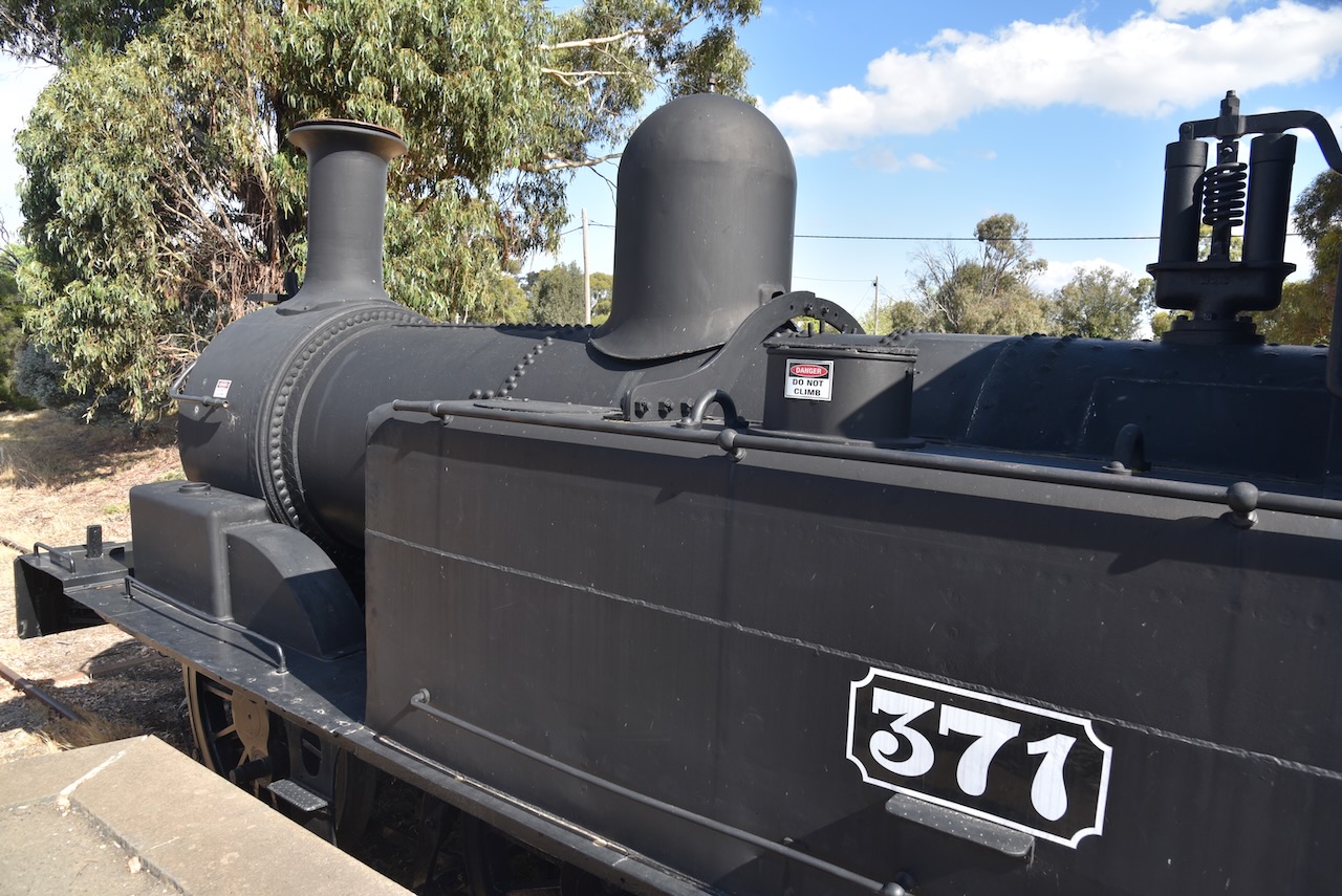
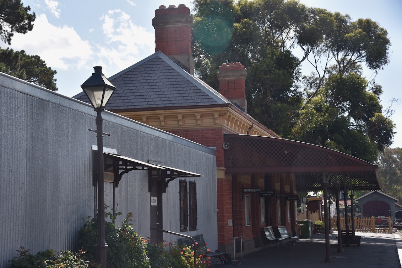
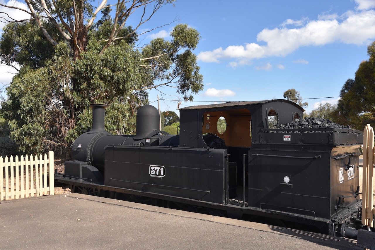
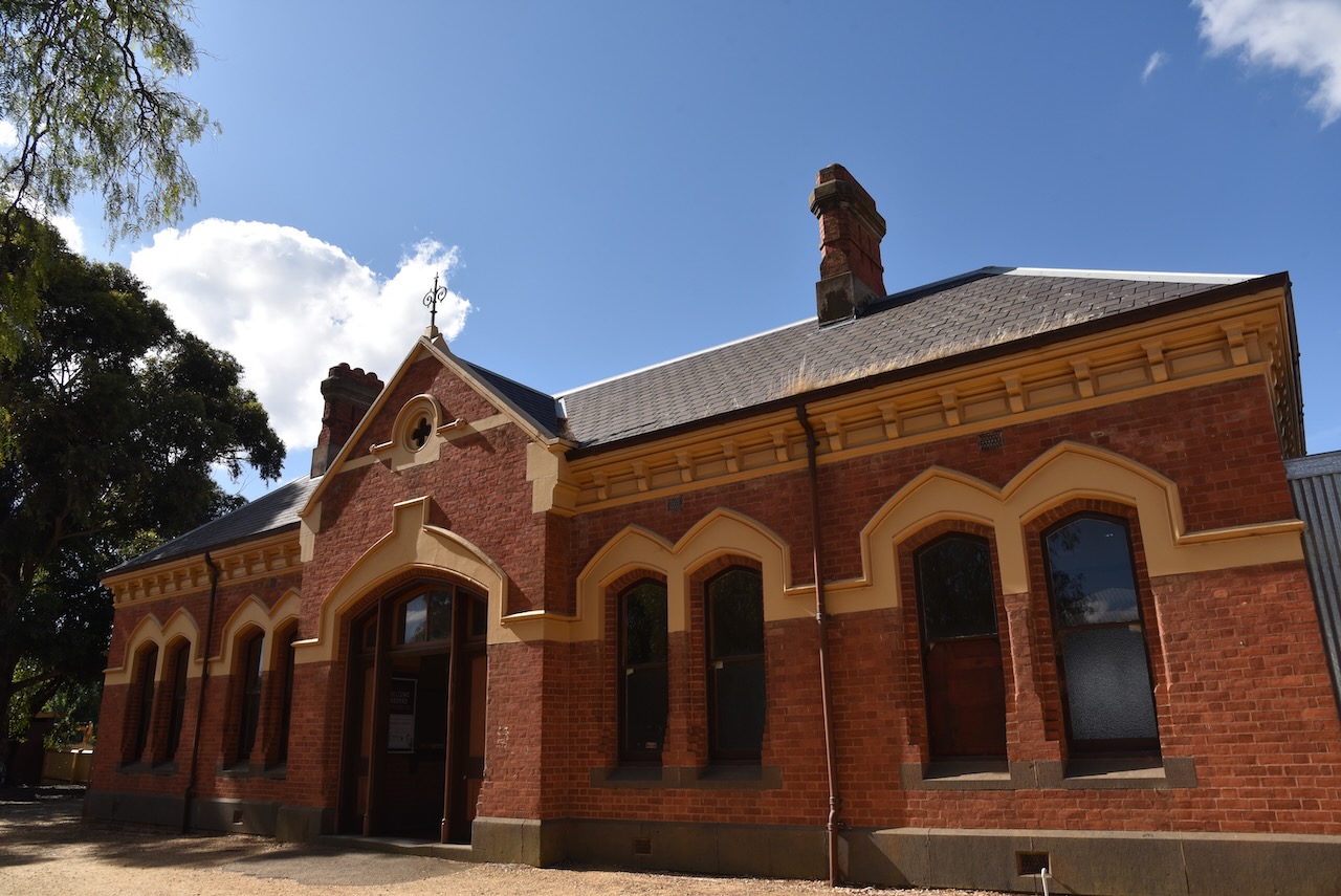
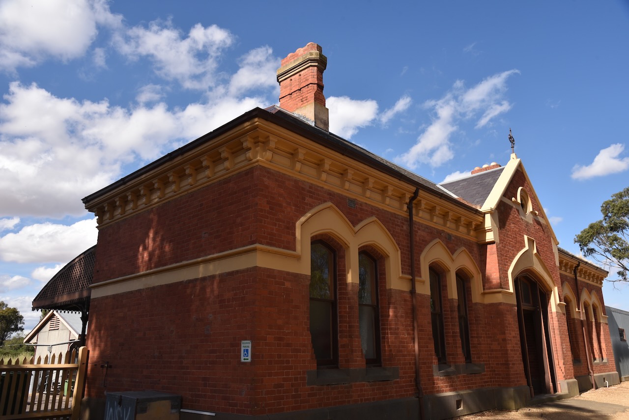
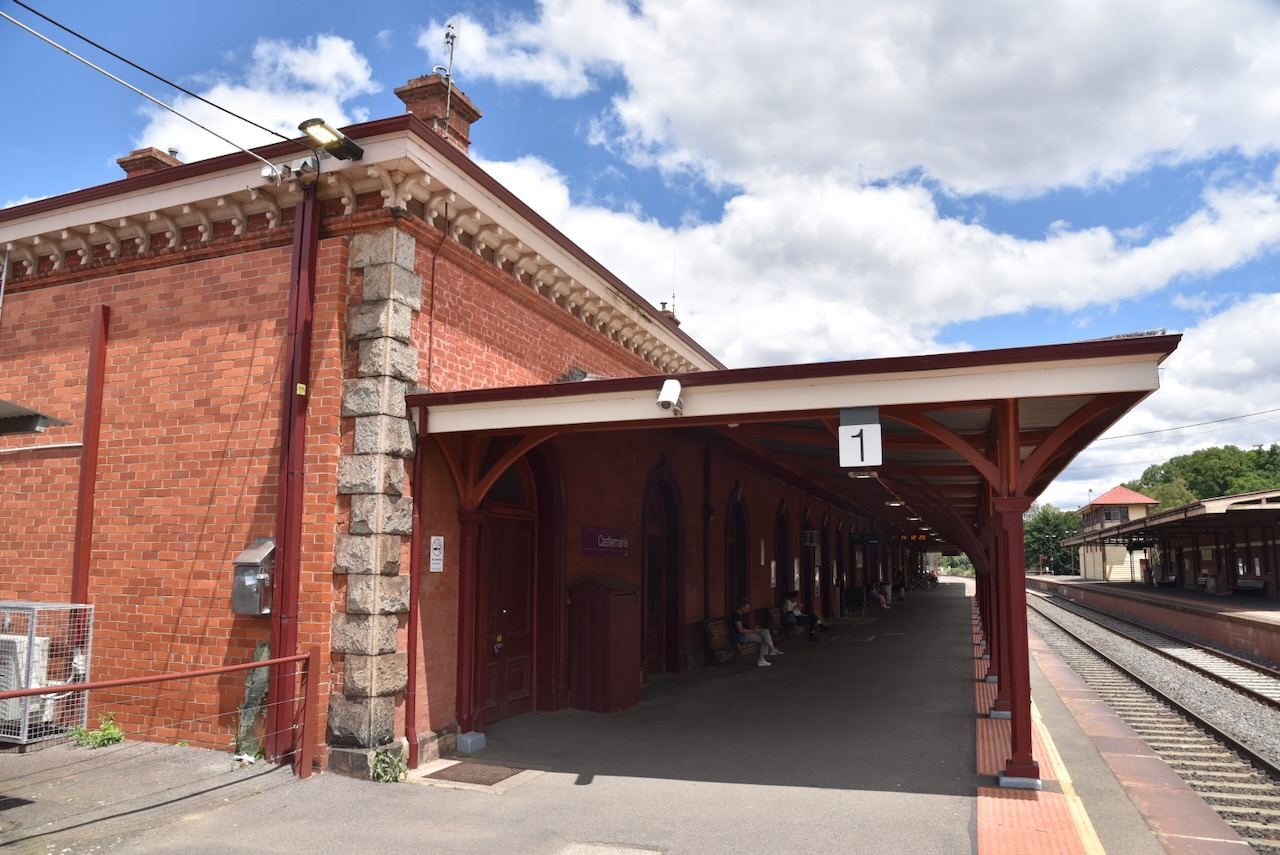
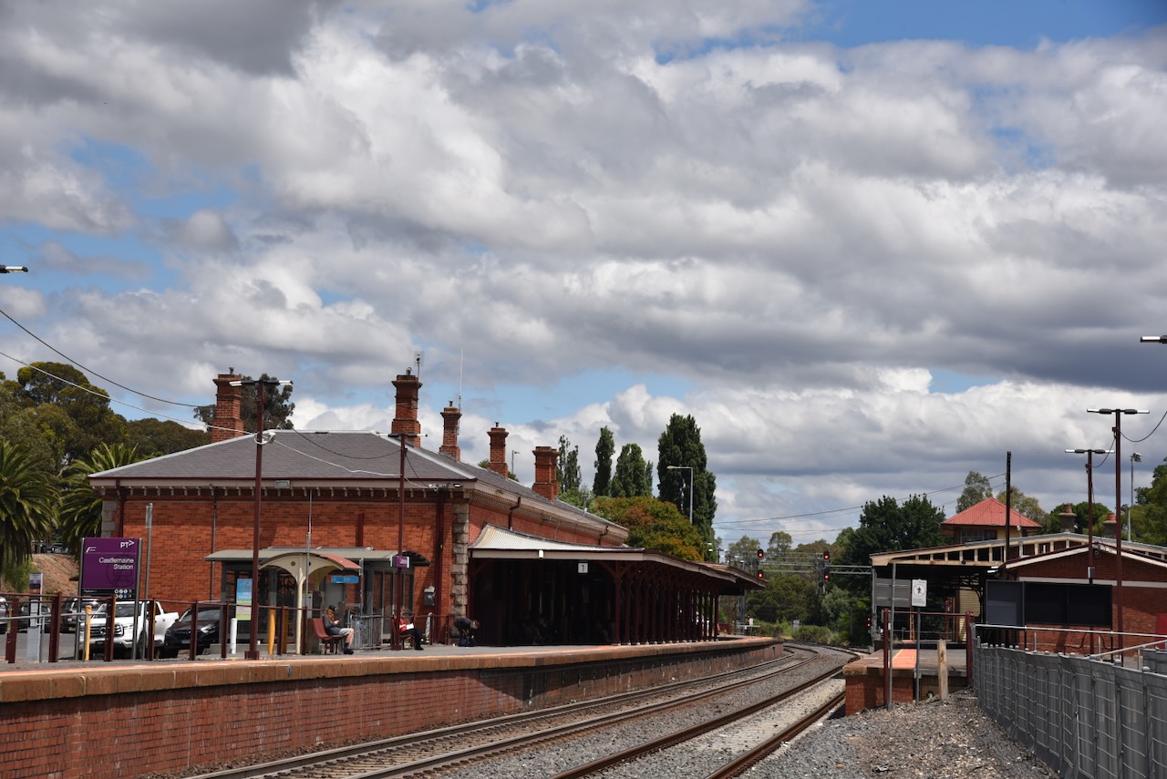
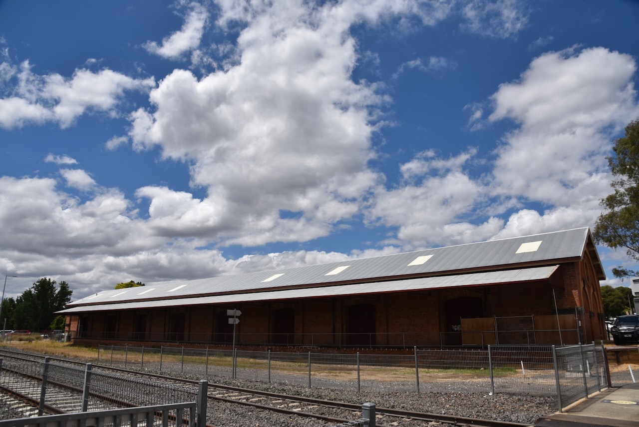
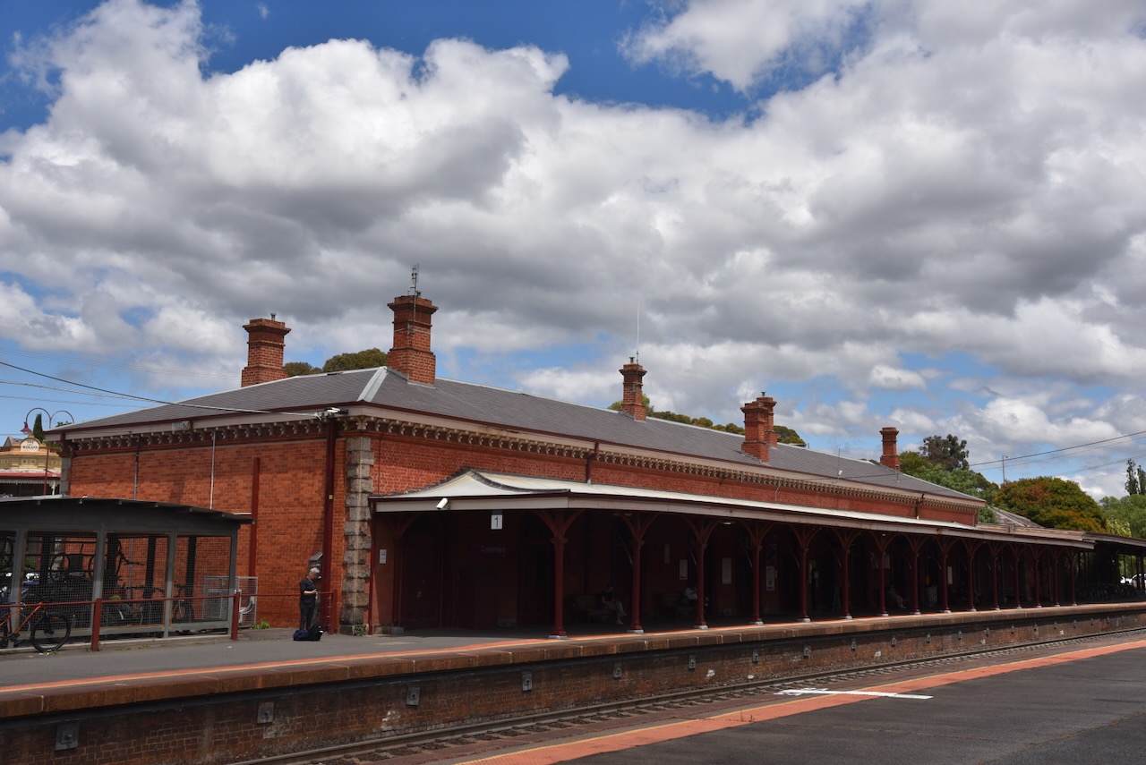
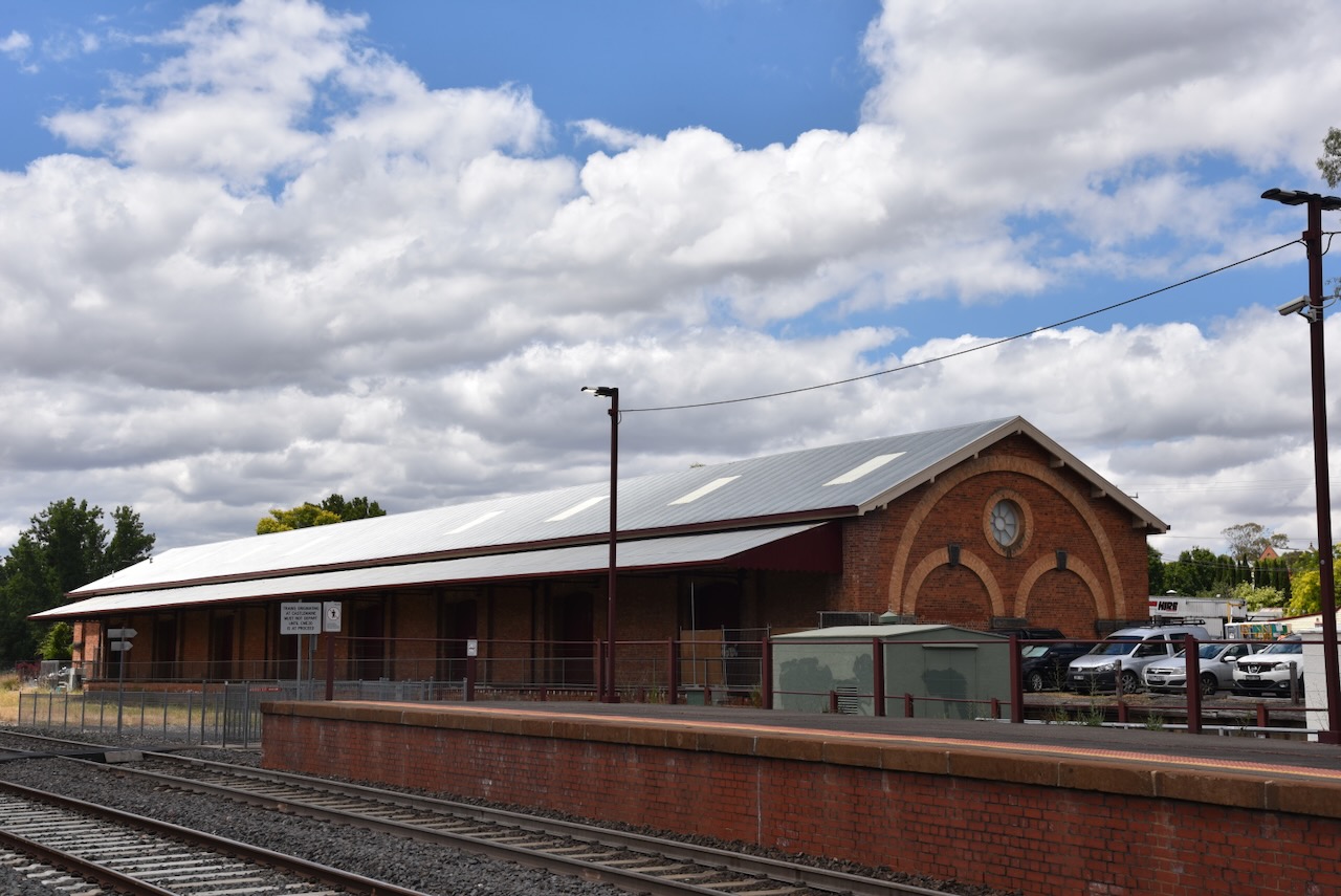
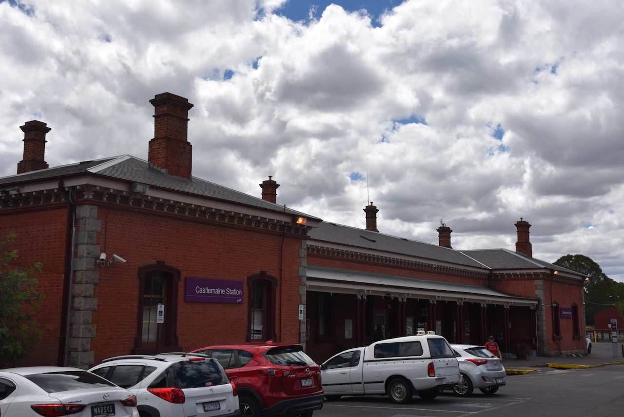
The Maldon railway station is located on the Victorian Goldfields Railways Maldon branch line, off the main Bendigo, Echuca and Swan Hill lines. The station was opened on the 16th day of June 1884, with passenger services concluding on the 6th day of January 1941. Following that the line was used for goods traffic until its closure on the 3rd day of December 1976.
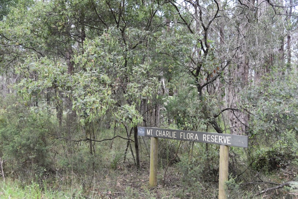
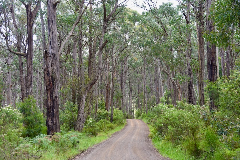
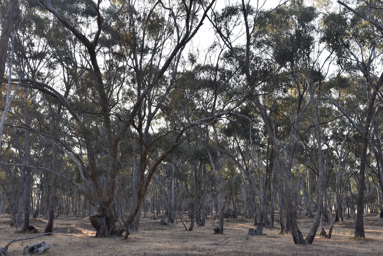
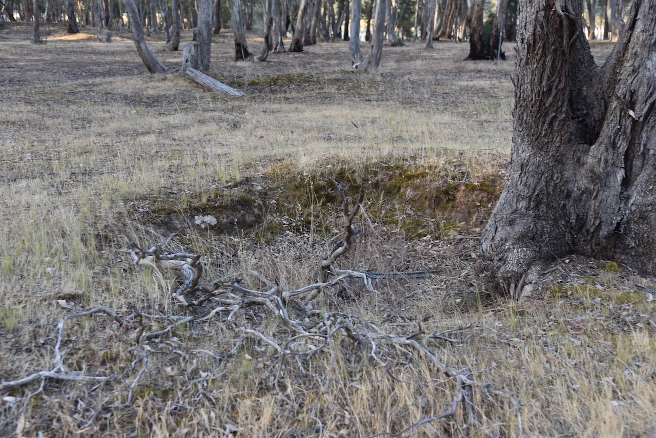
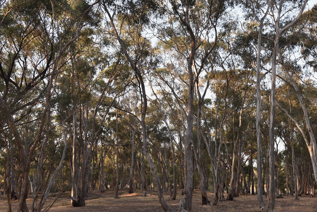
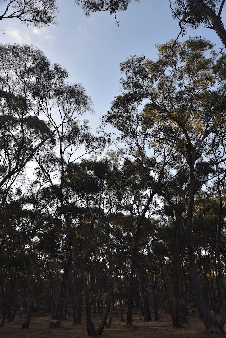
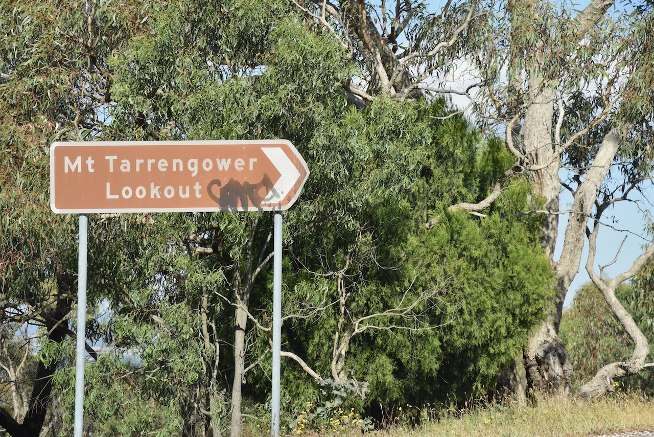
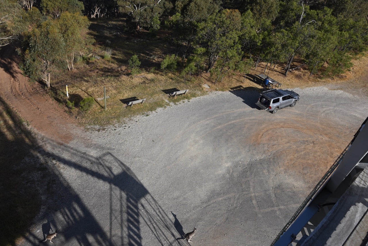
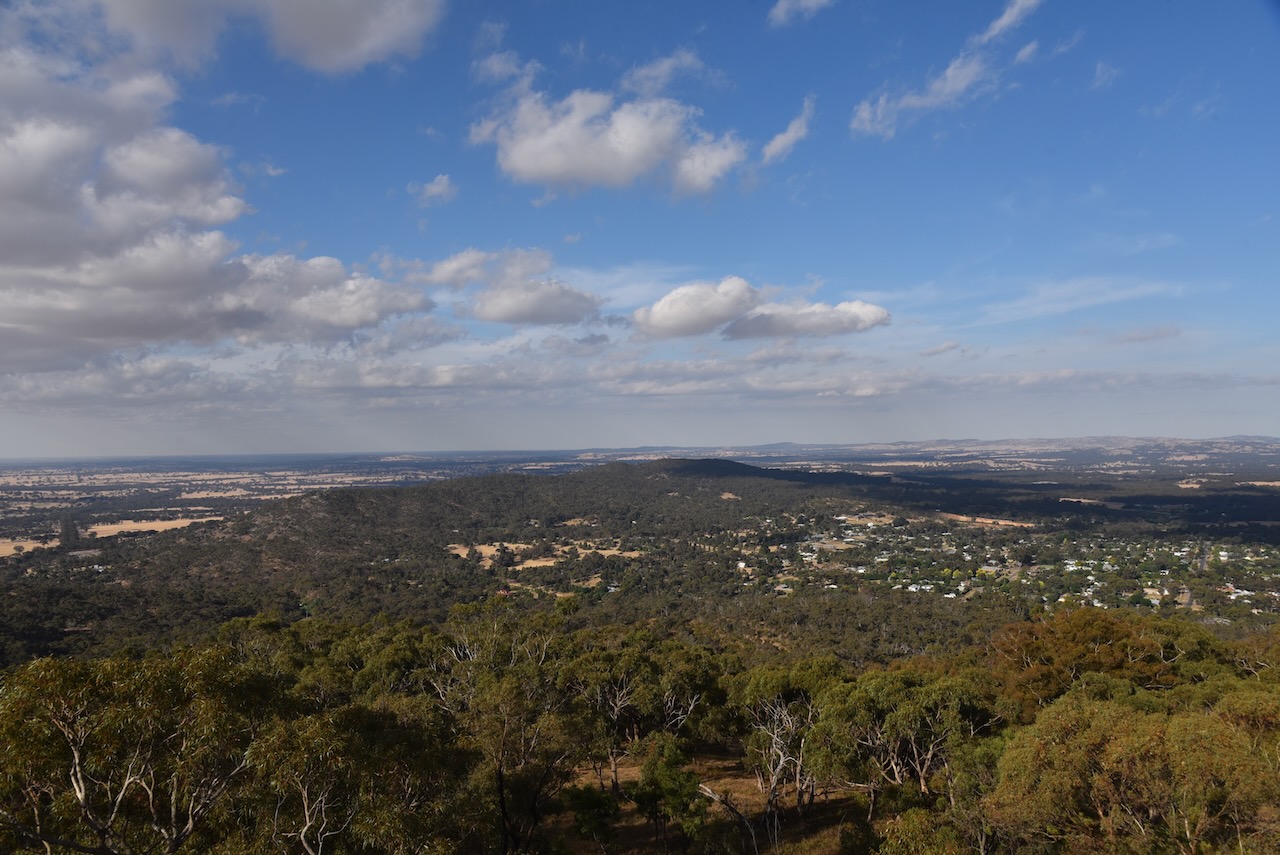
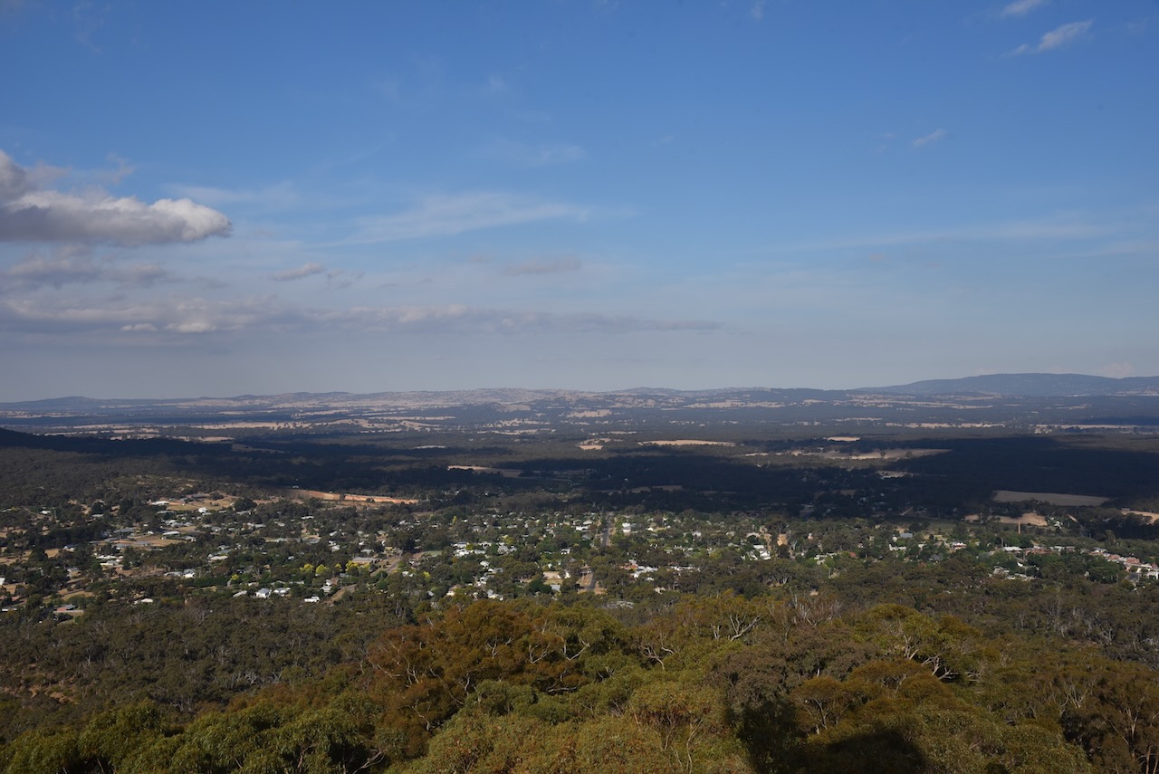
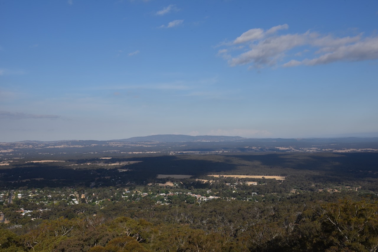
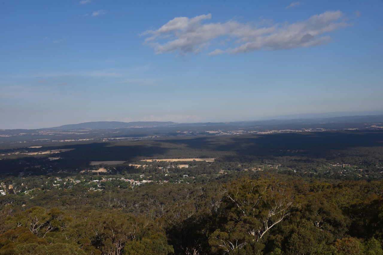
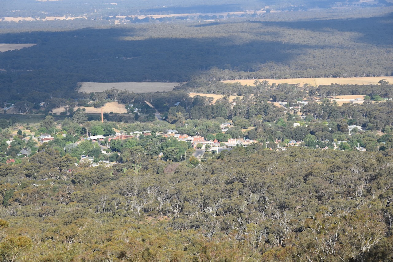
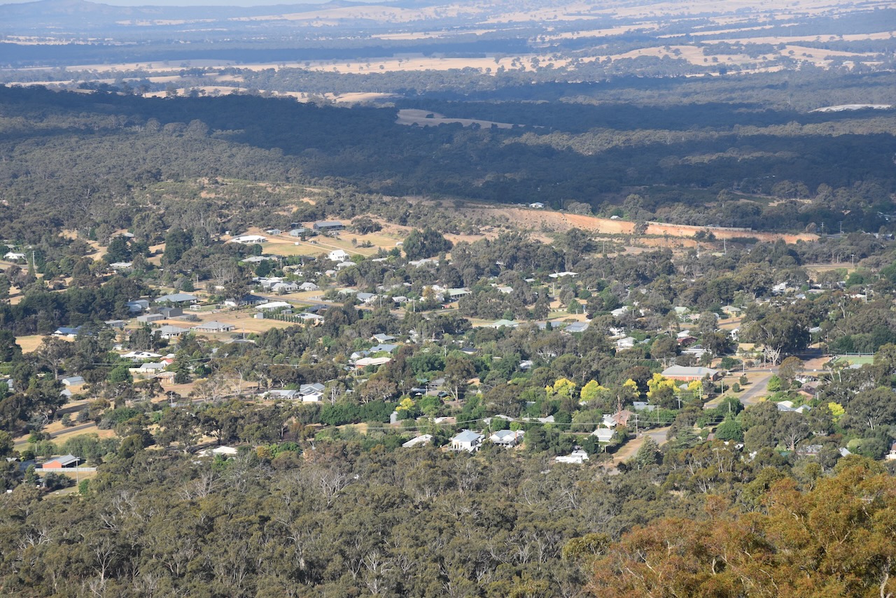
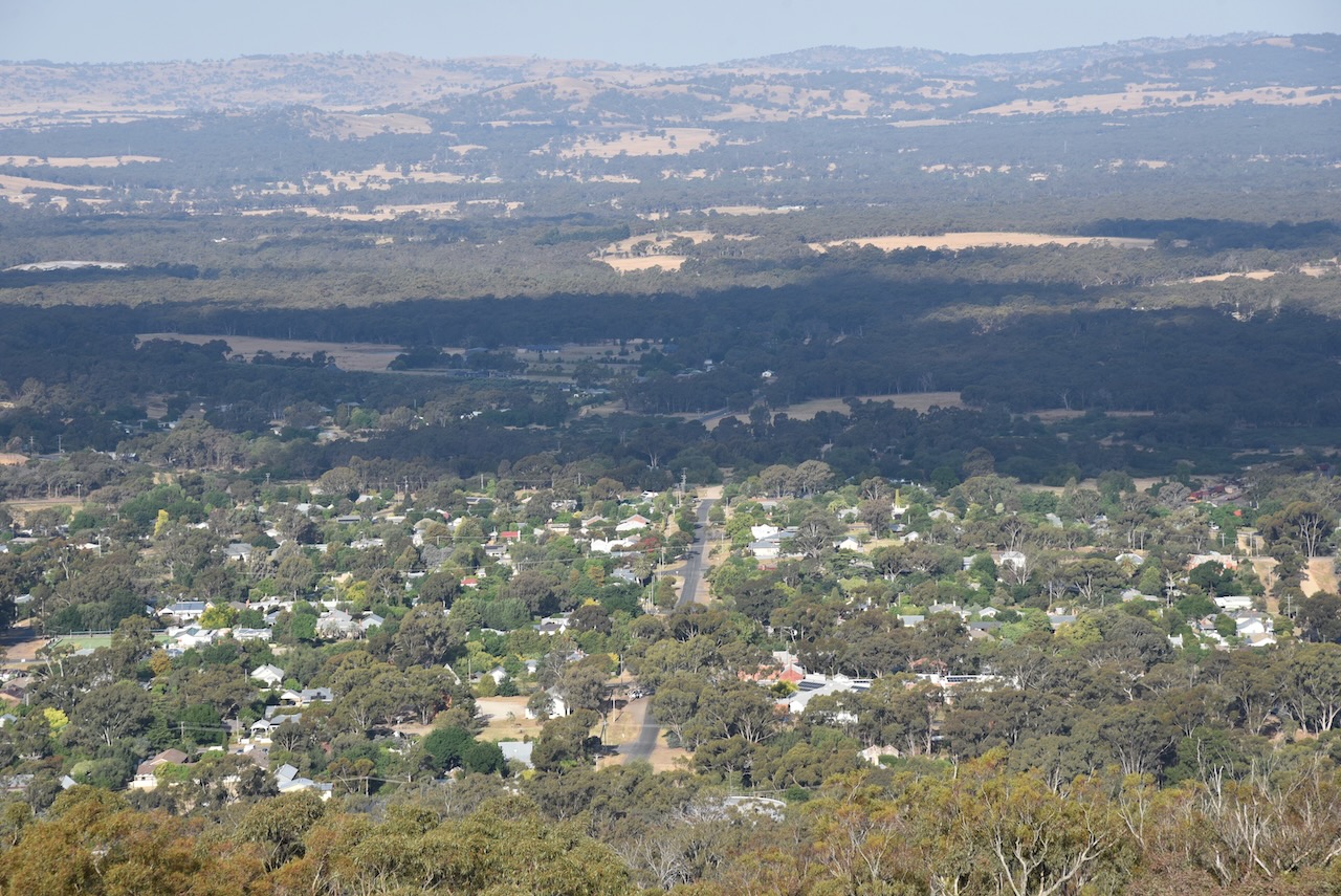
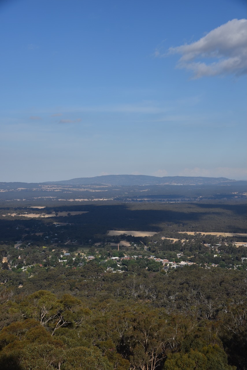
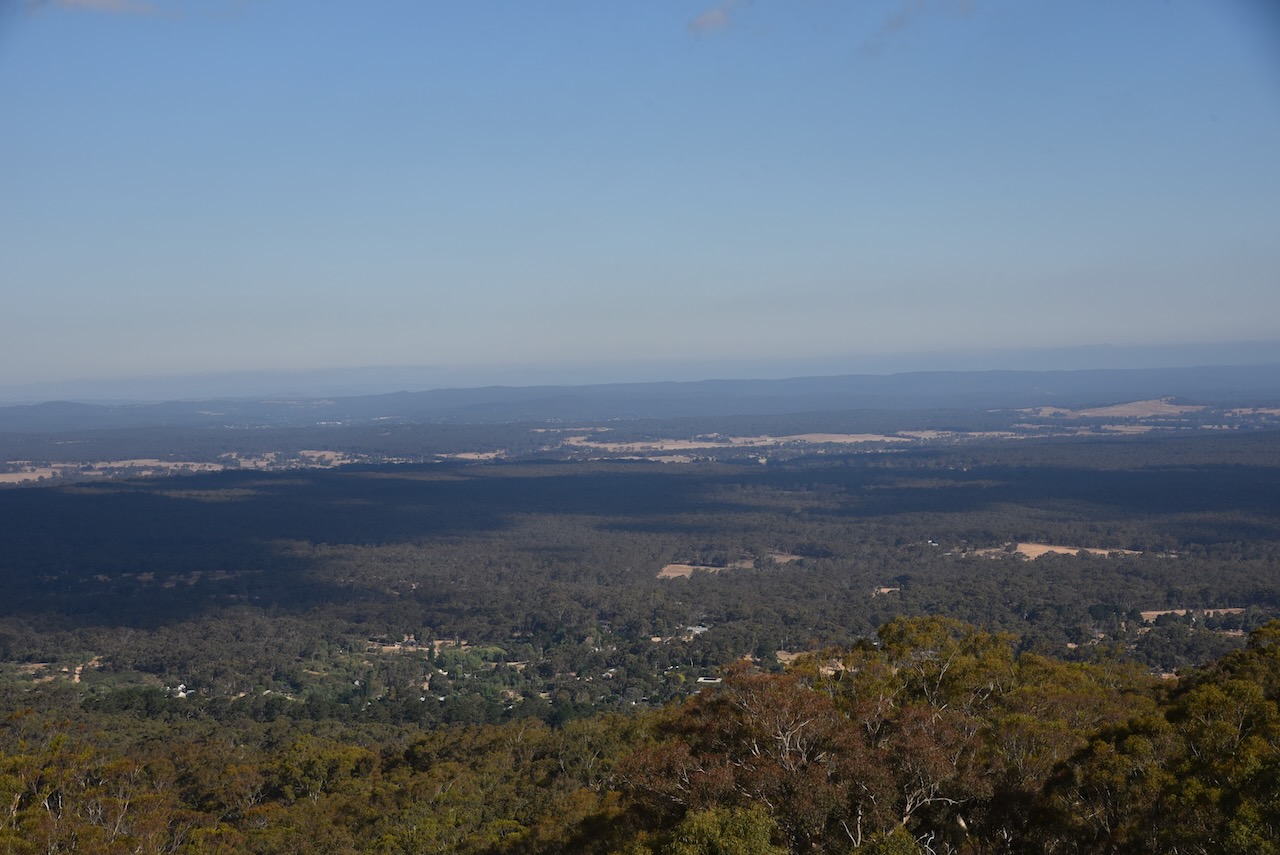
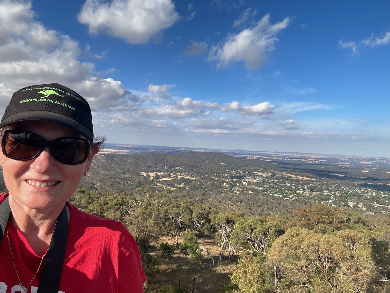
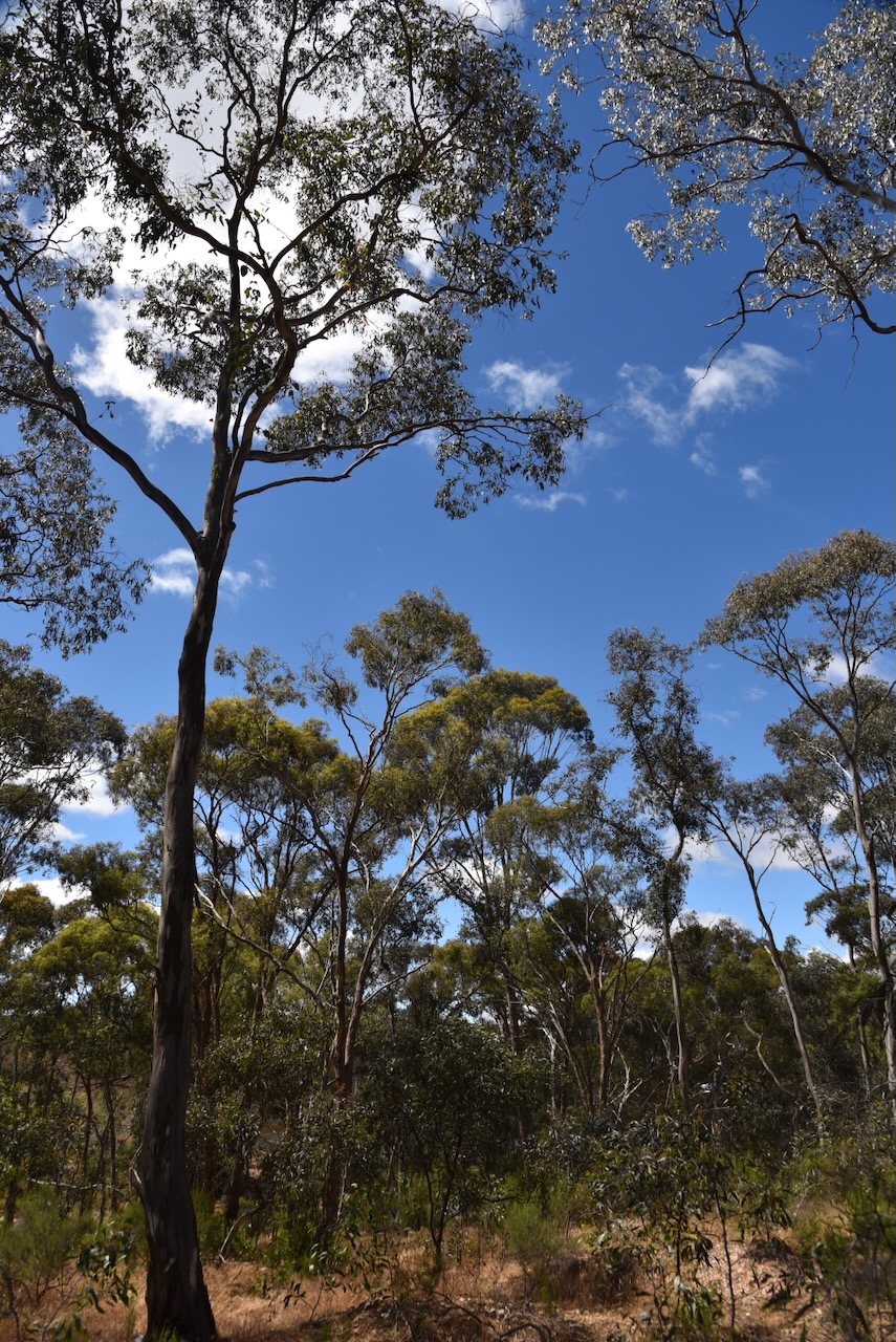
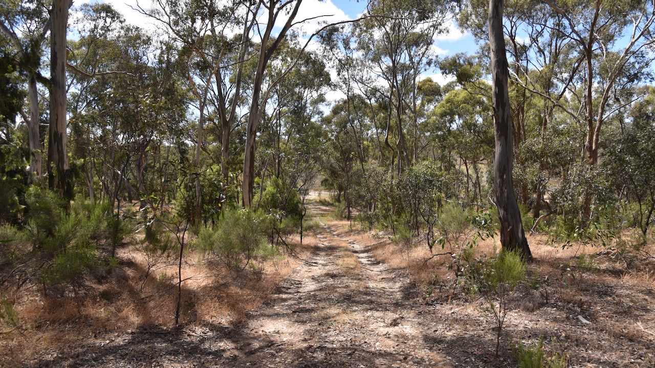
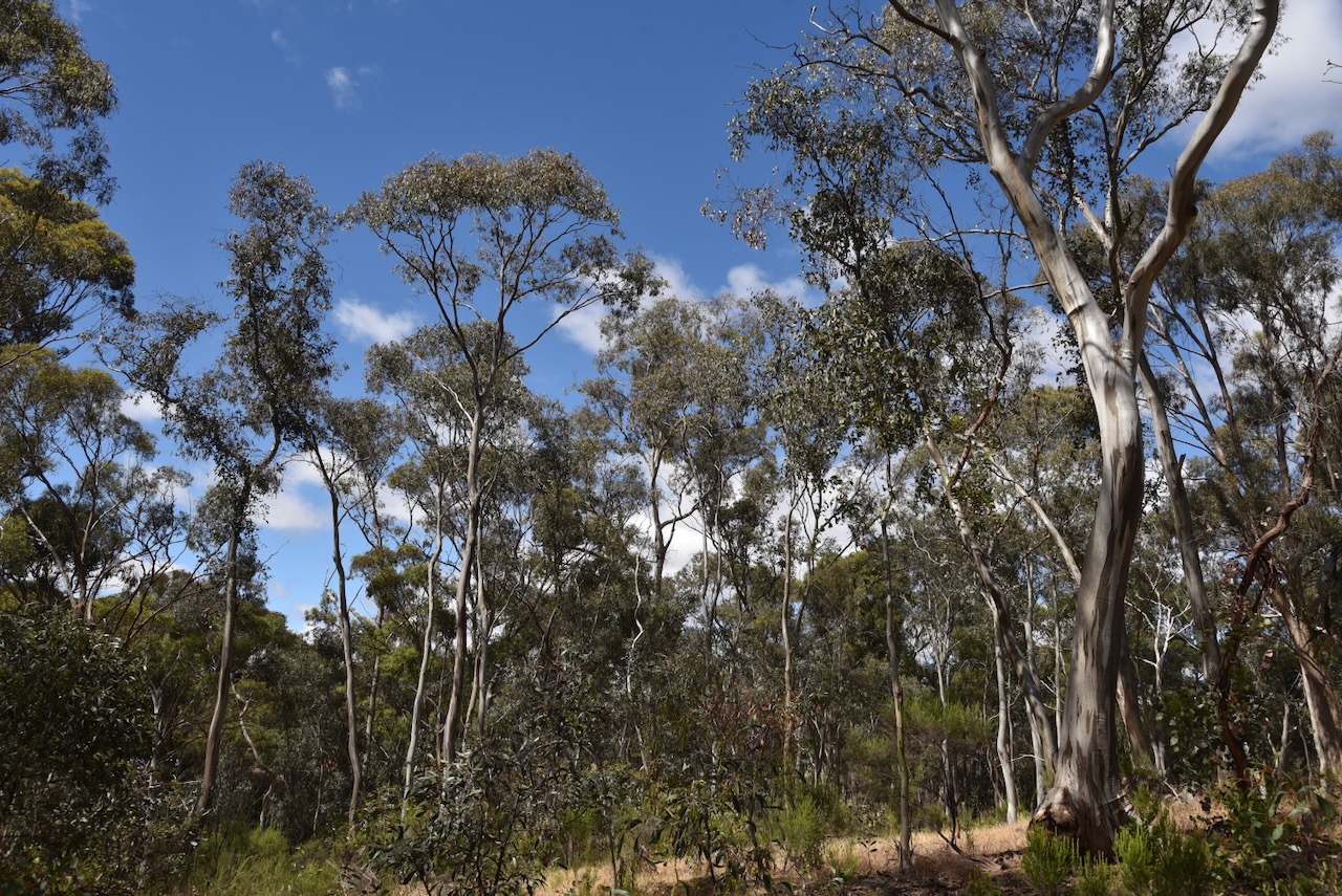
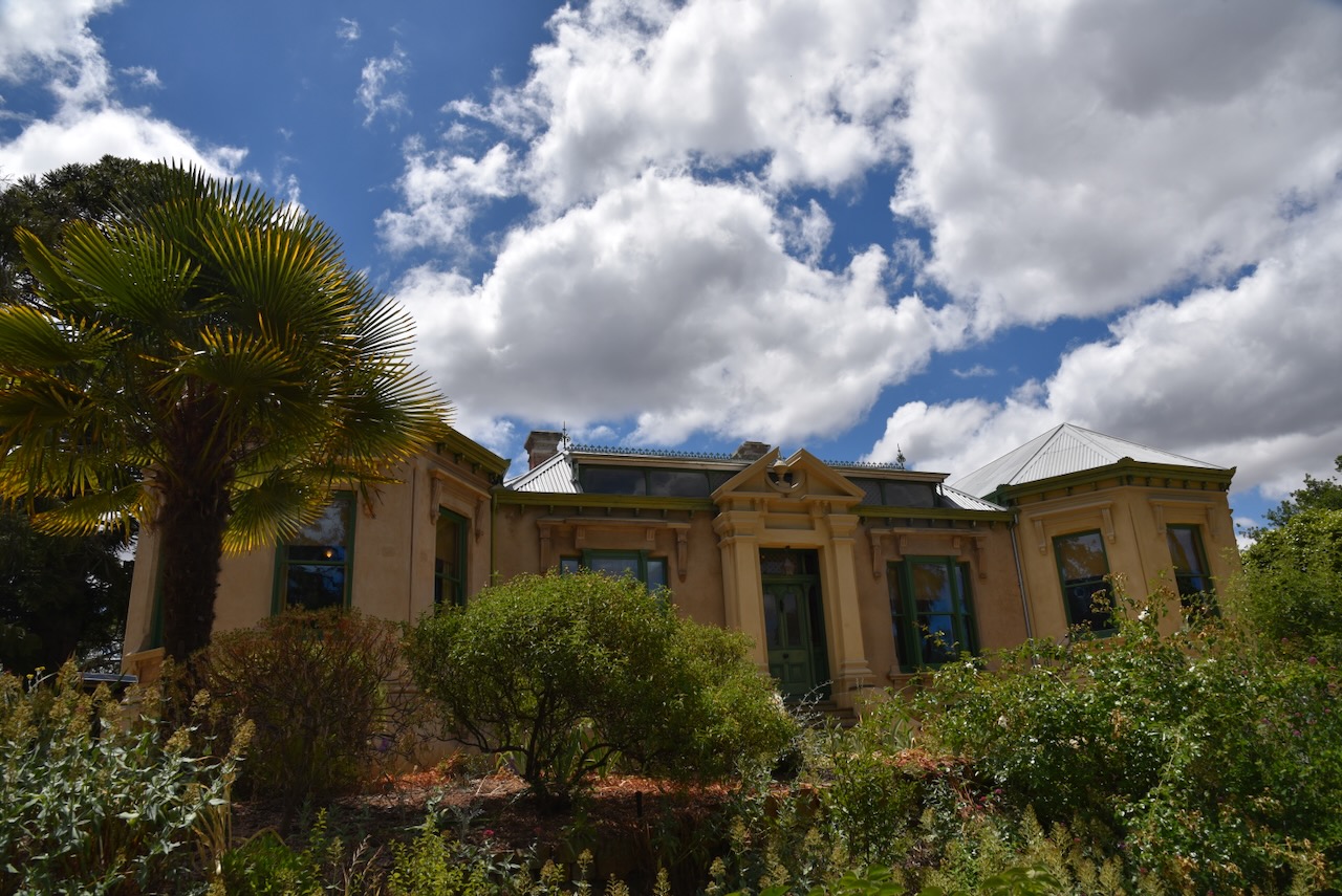
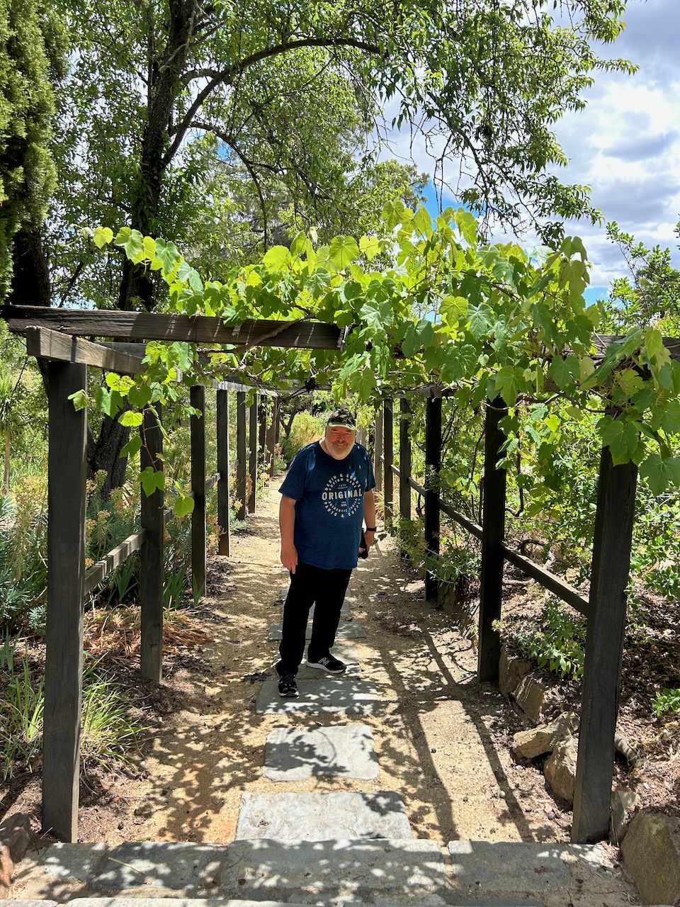
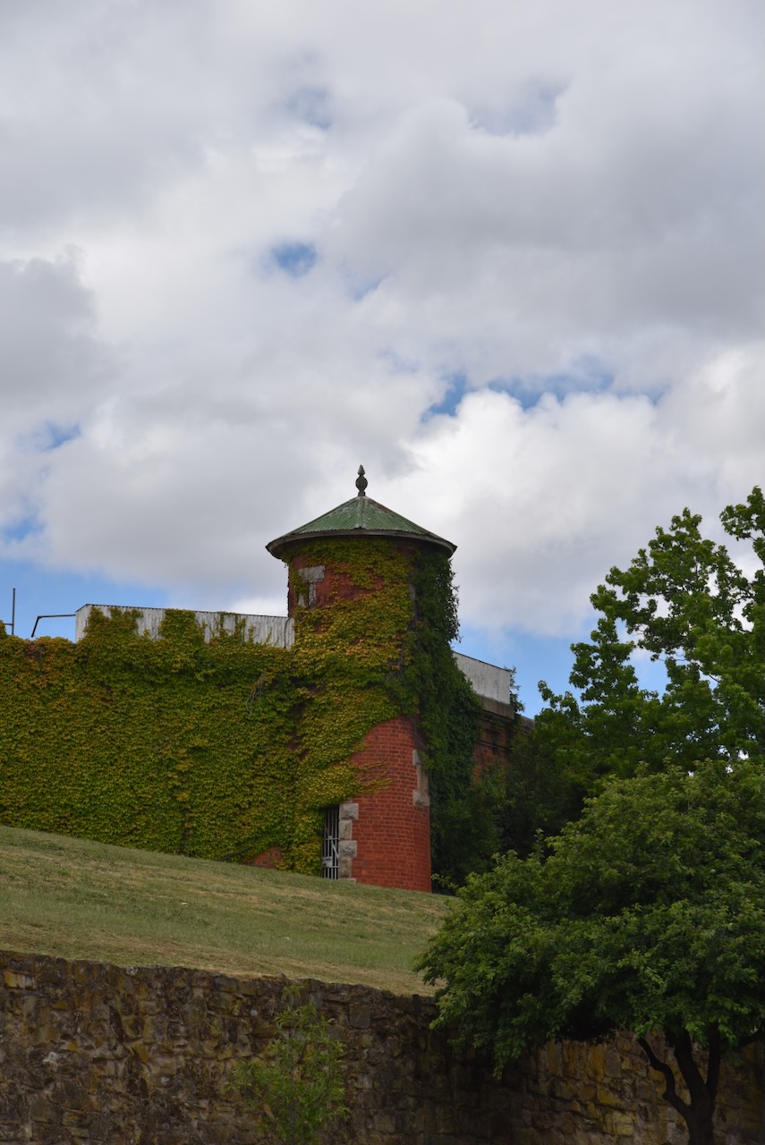
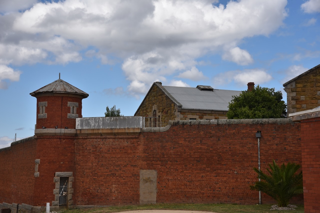
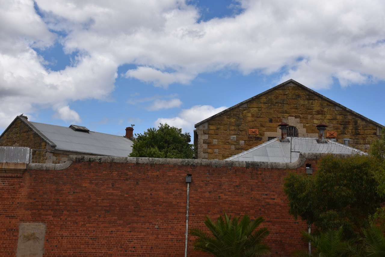
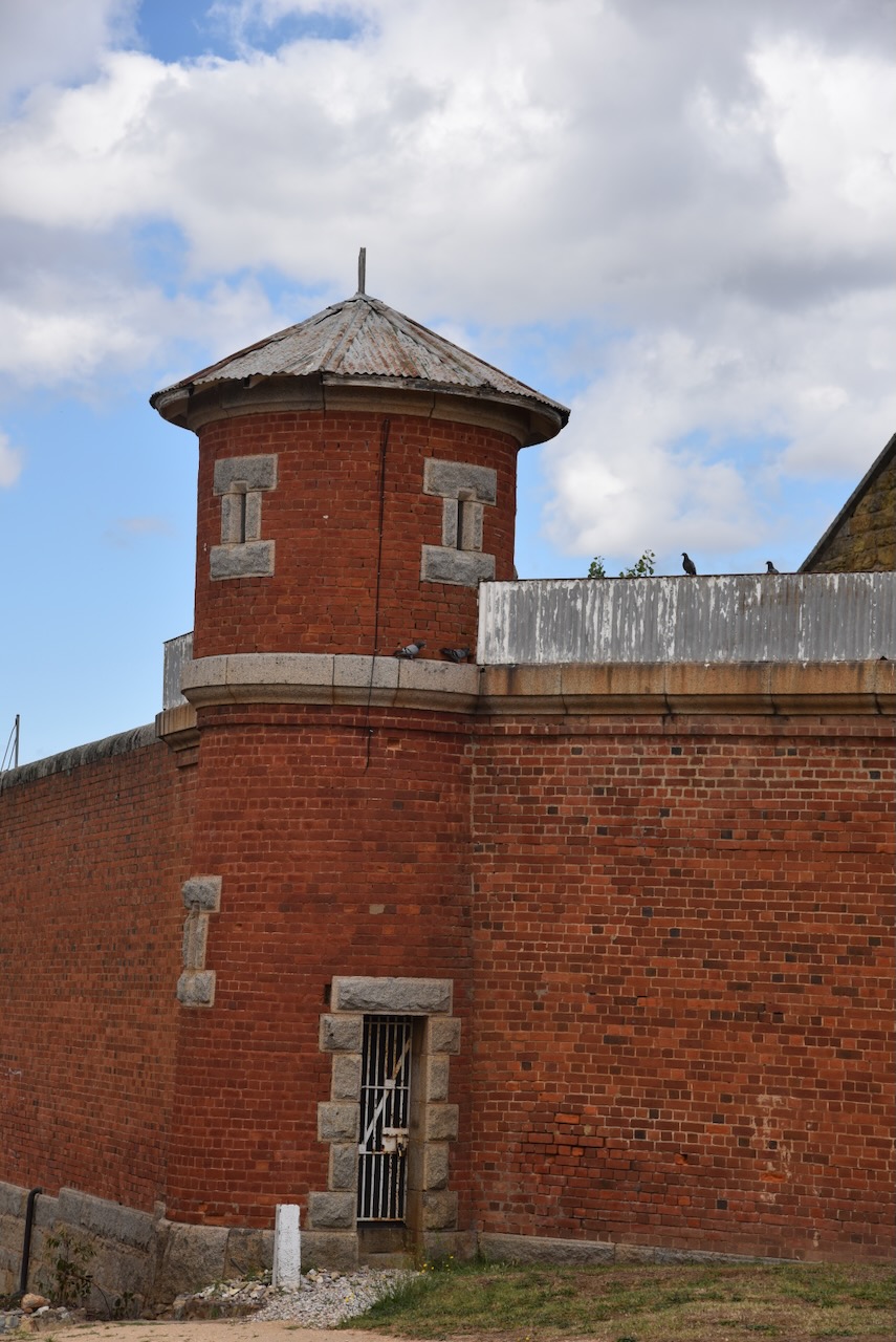
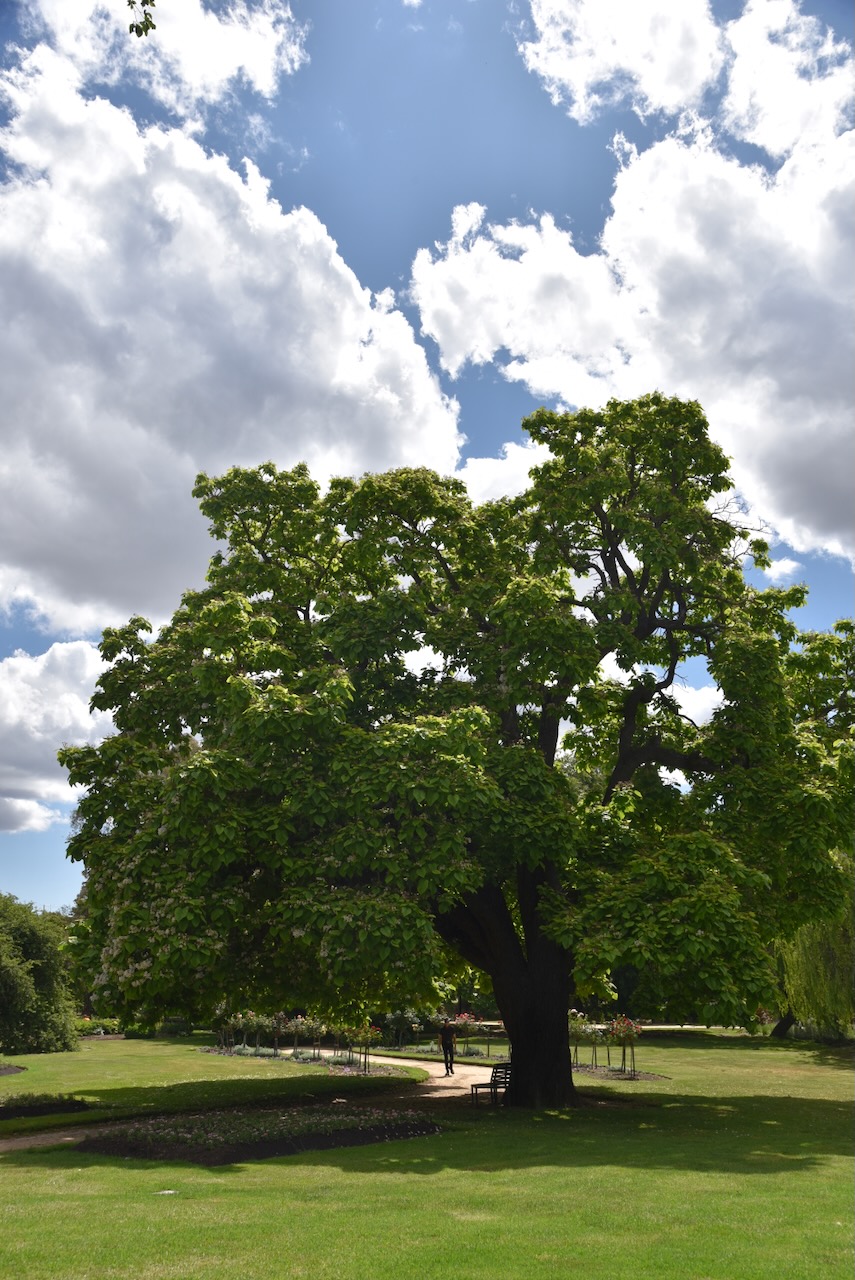
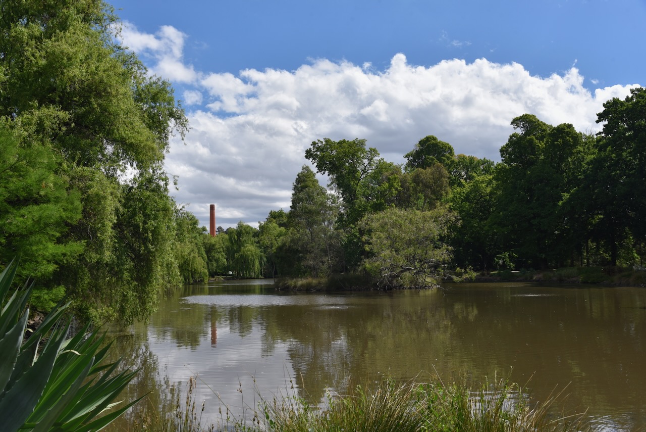
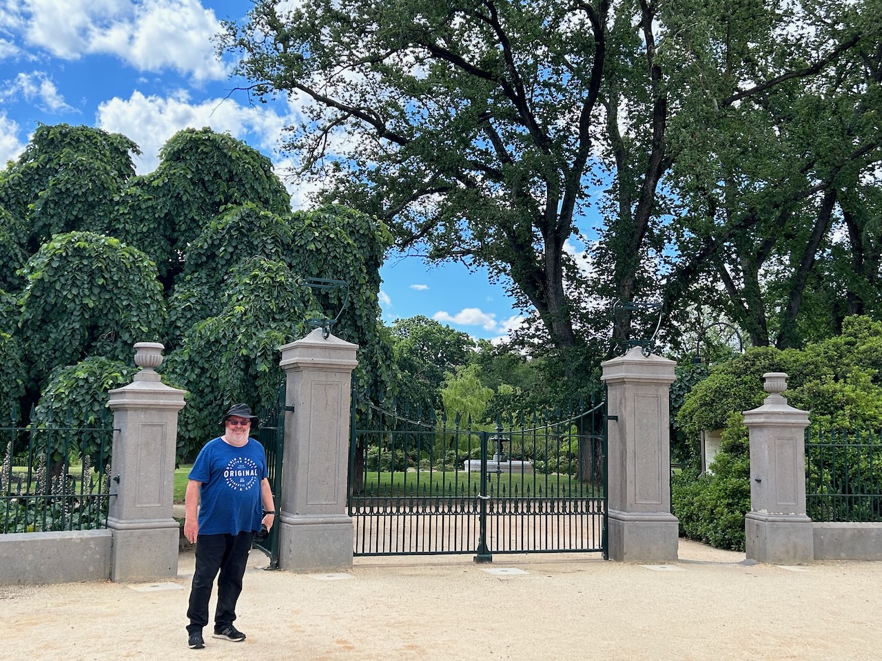
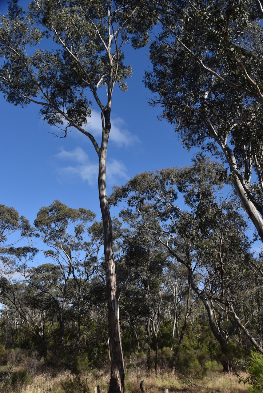
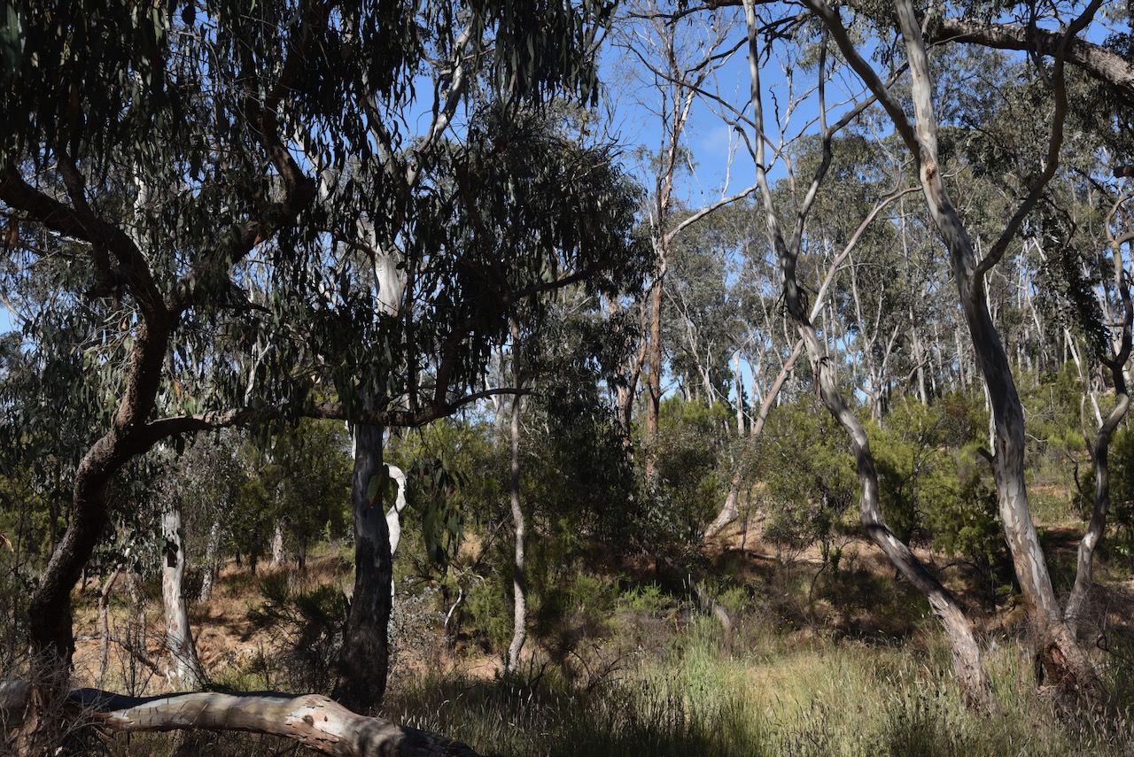
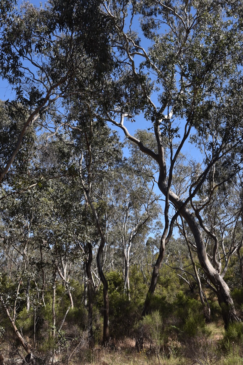
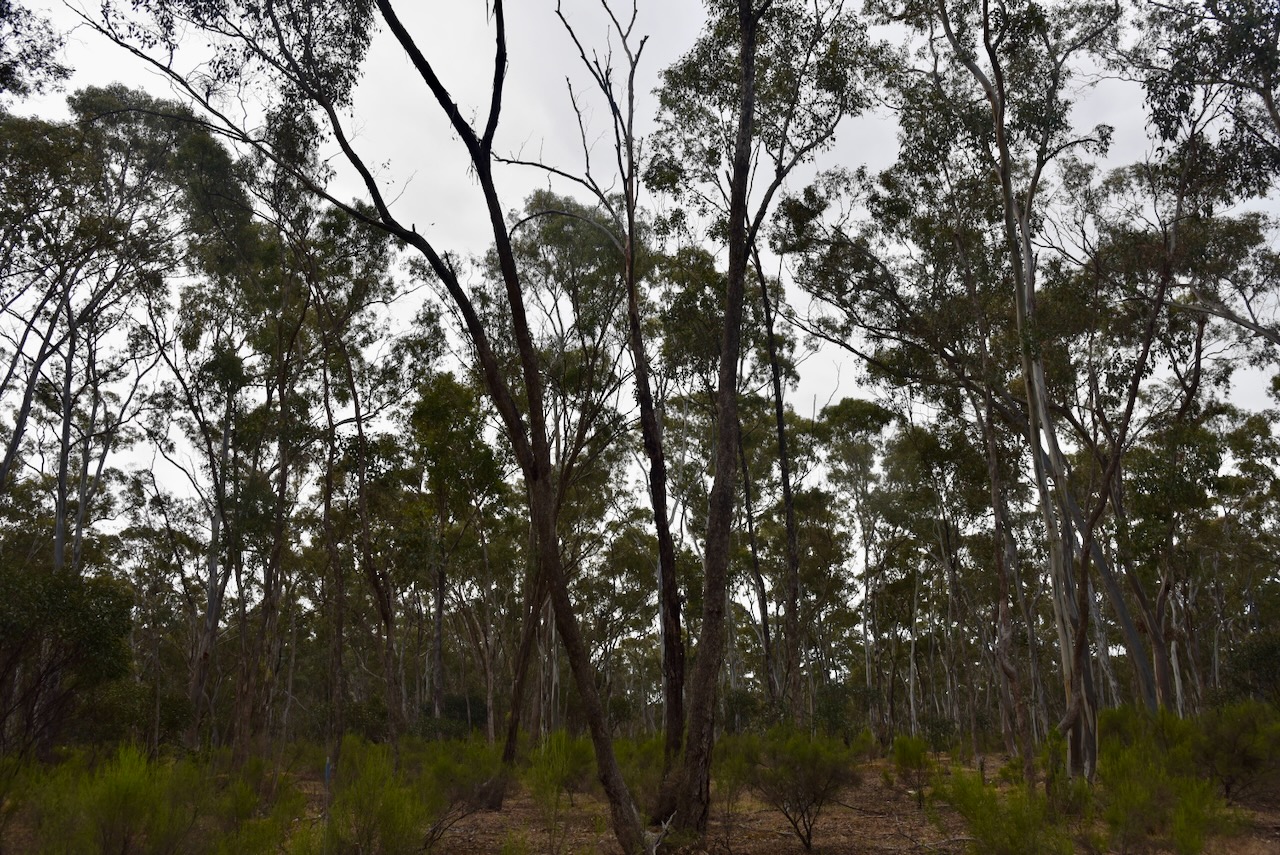
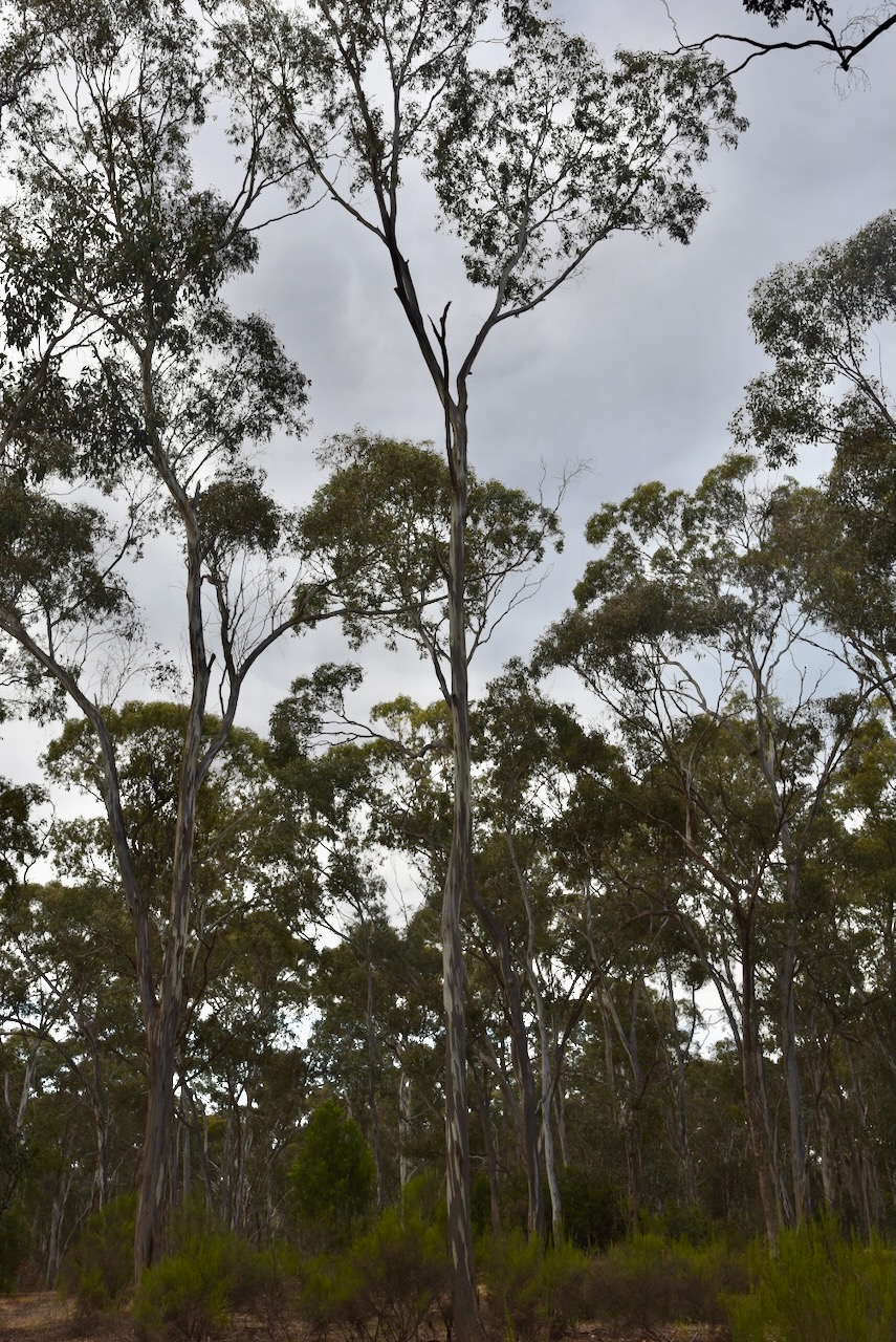
After a good look around Maldon and some lunch, Marija and I headed up to Mount Tarrengower.
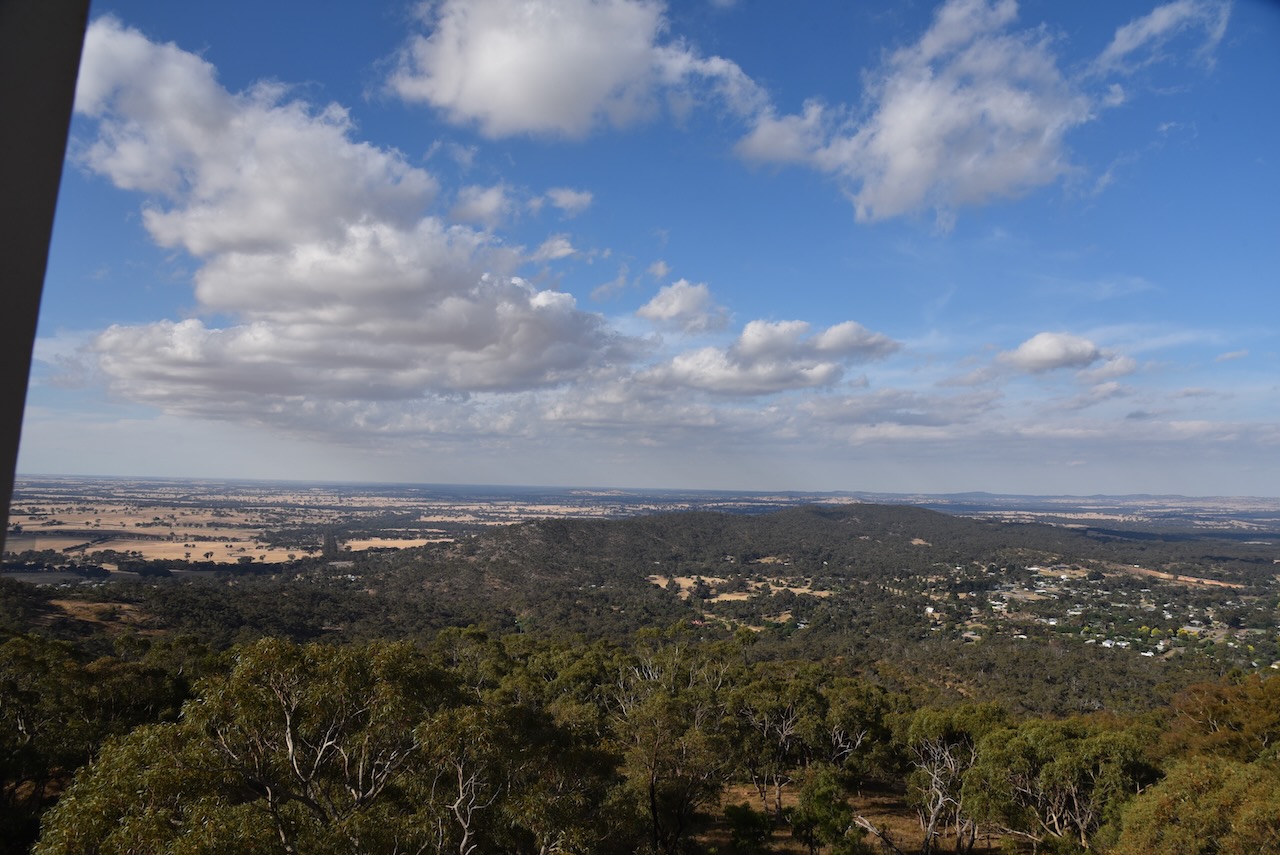
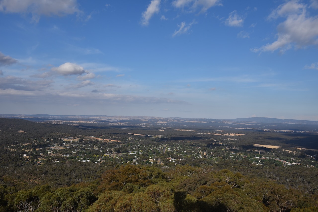
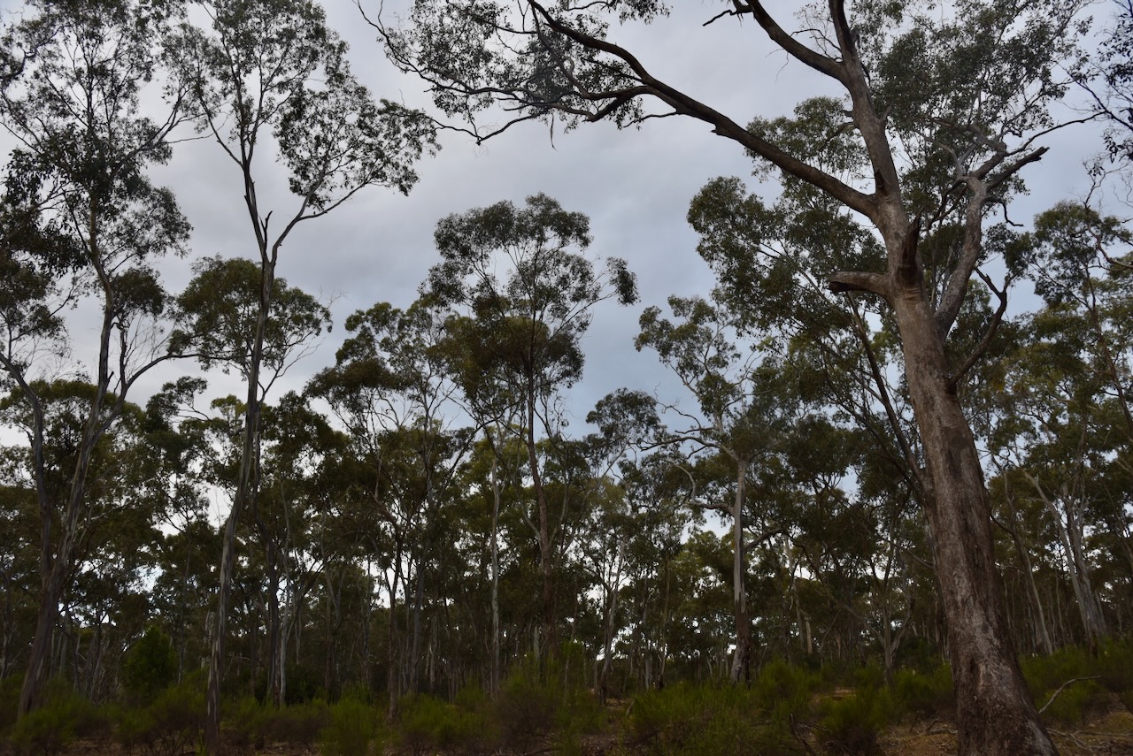
The summit is 565 metres above sea level and is worth 2 points in the SOTA program. It has been activated a total of 89 times since July 2012.
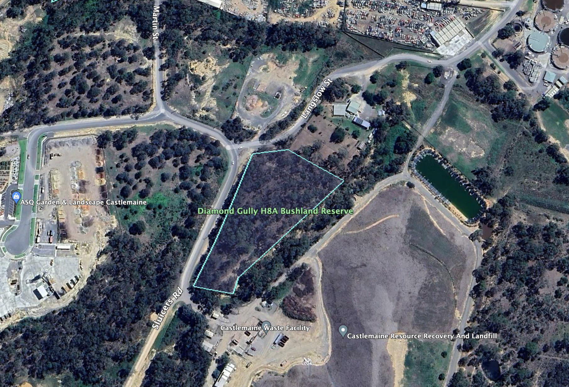
Above:- an aerial view of Mount Tarrengower with Bendigo in the distance. Image c/o Google Maps.
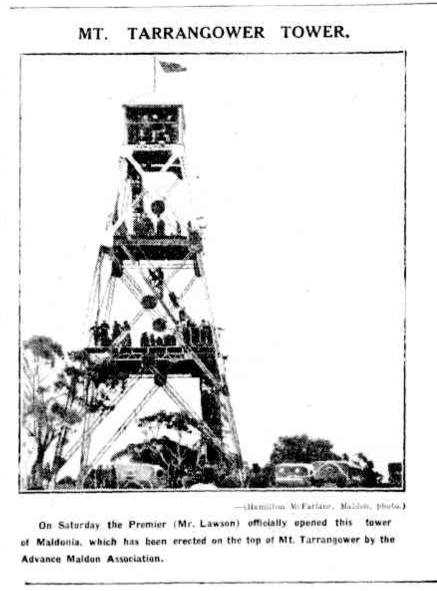
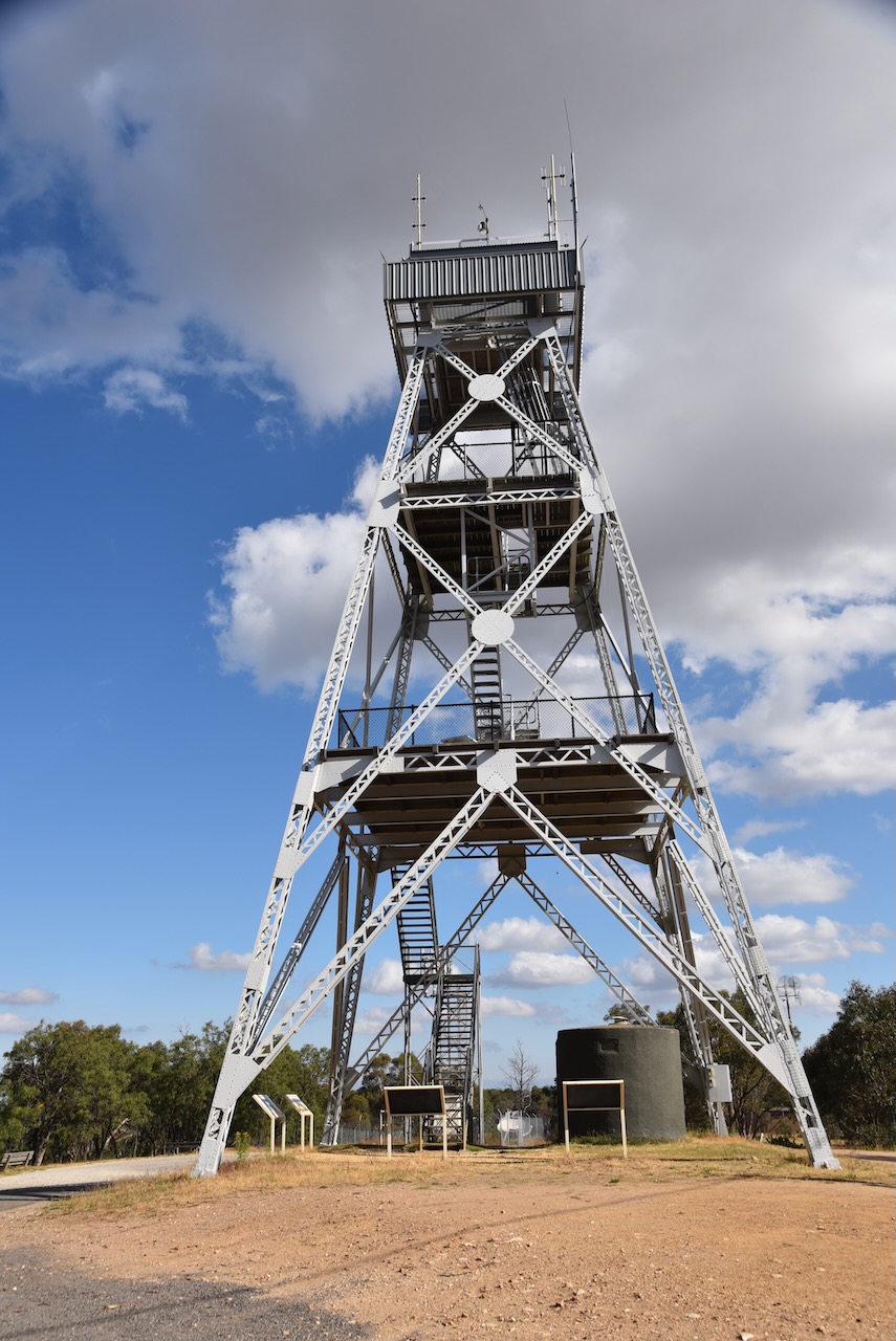
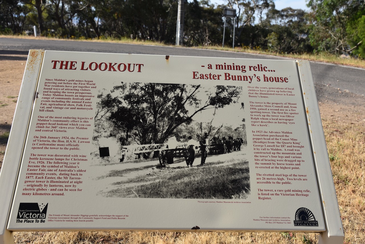
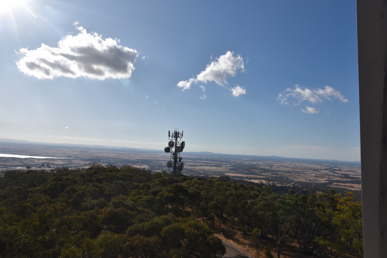
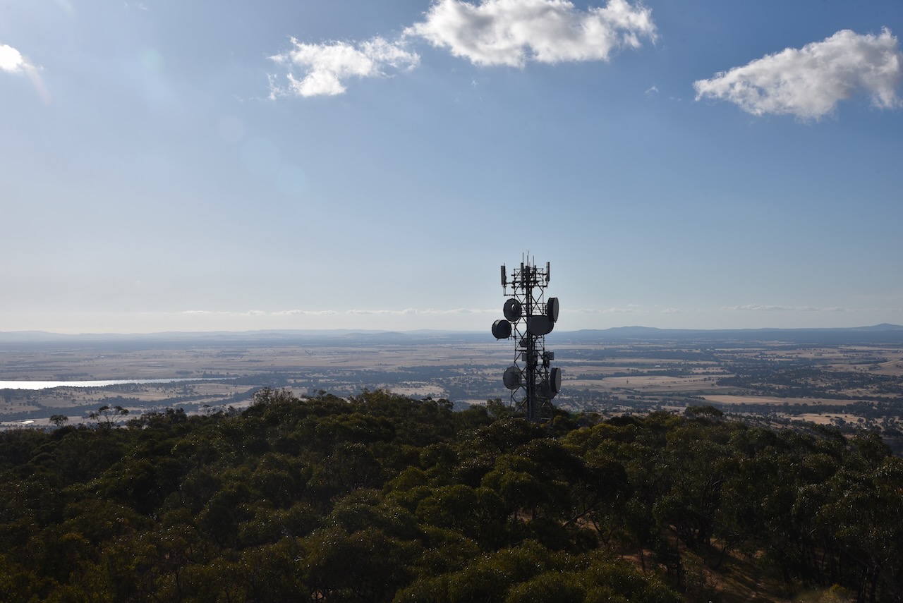
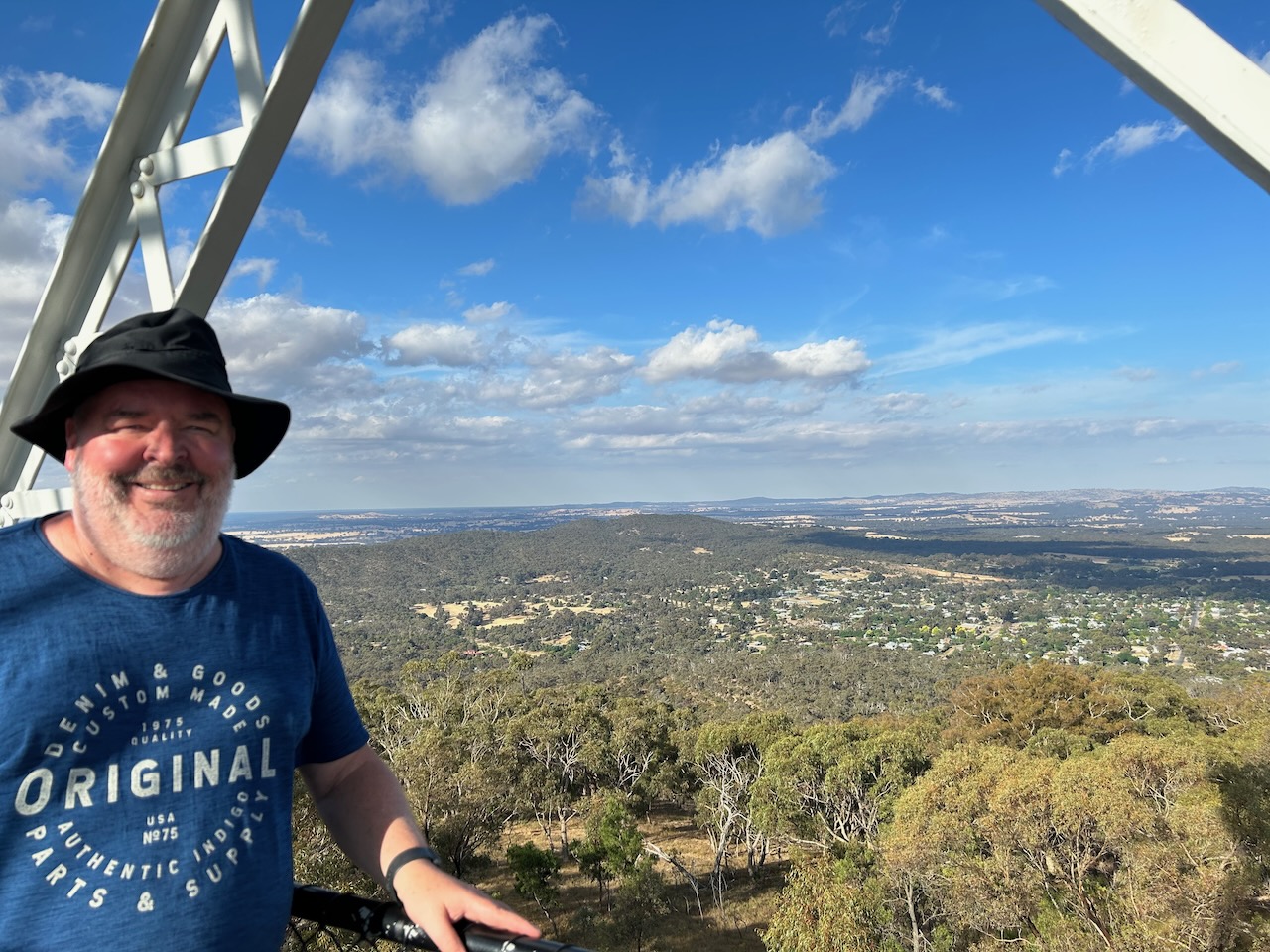
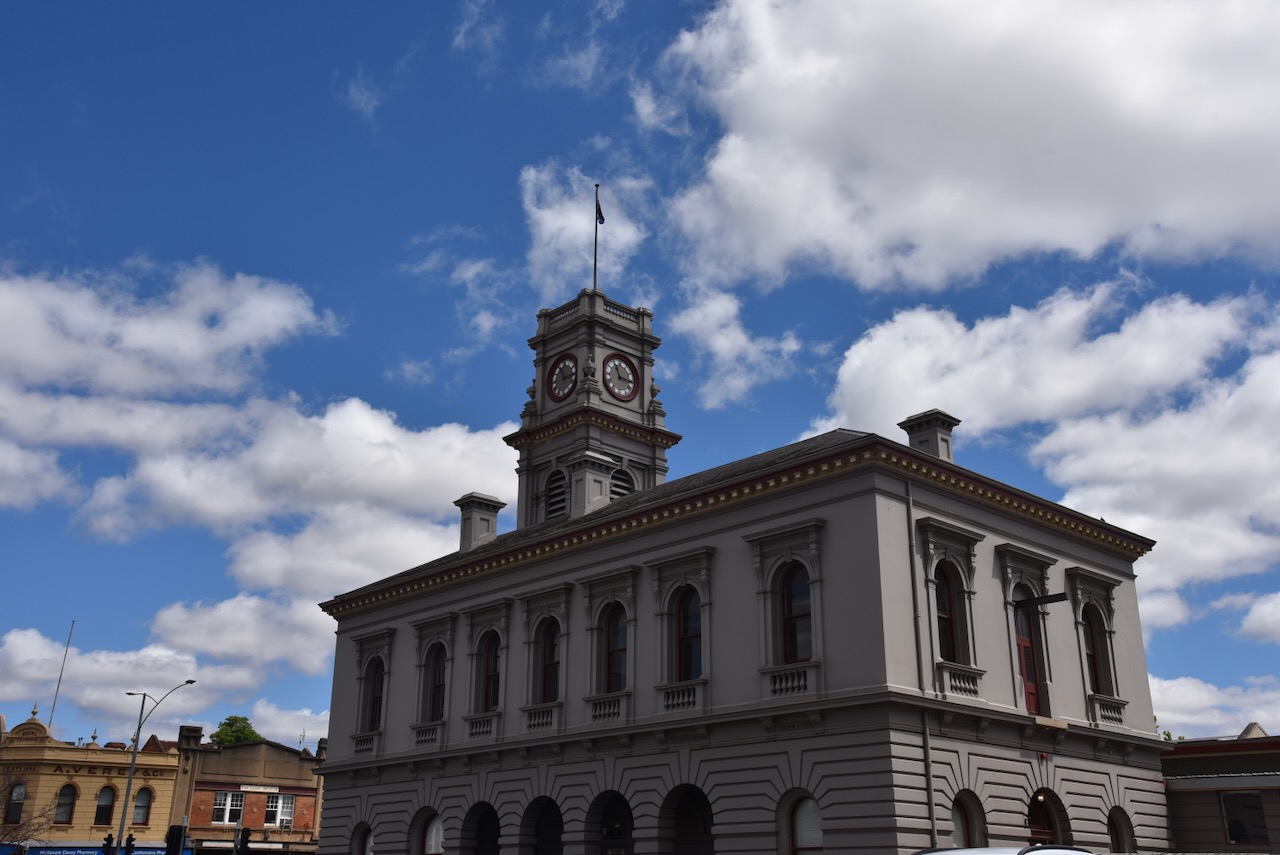
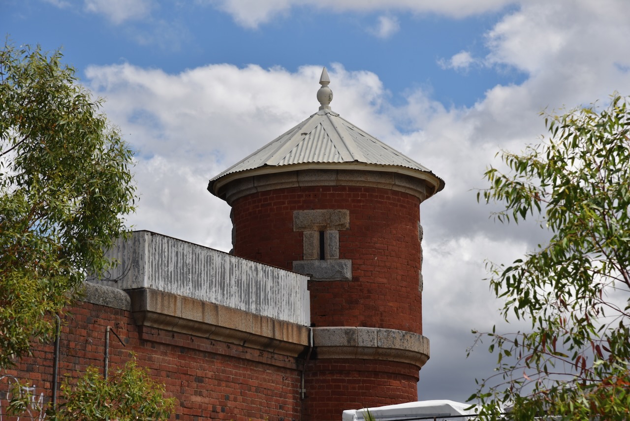
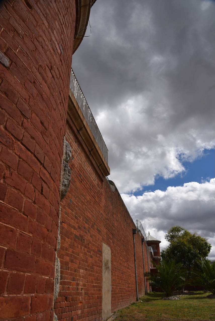
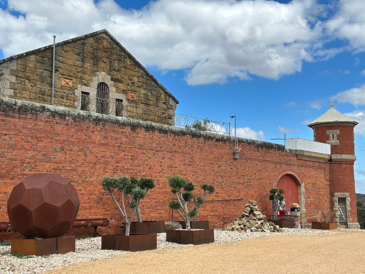
Mount Tarrengower has a lookout tower in the former of a poppet head. It was built in 1923 using the poppet head from Bendigo’s Comet Mine. The Advance Maldon Association had purchased the poppet head for 87 pounds and brought it to Maldon by rail. A road was constructed to the top of Mount Tarrengower and the tower’s four legs and various pieces of bracing were dragged up to the summit by horse teams. On the 26th day of January 1924, the Victorian State Premier Hon H.S.W. Lawson officially opened the tower to the public.
Above:- Article from The Argus, Melbourne, Tue 29 Jan 1924. Image c/o Trove.
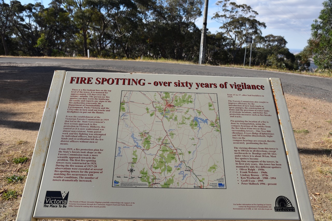
The tower has three levels, the first two open to the public. The third level is a fire lookout tower section and is closed to the public. The fire lookout commenced in 1950 and is manned about 125 days of the year during the summer months. The first fire spotter was Oliver Ralph who was described as having ‘eyes like a hawk.’ (Goldfields Guide 2024)
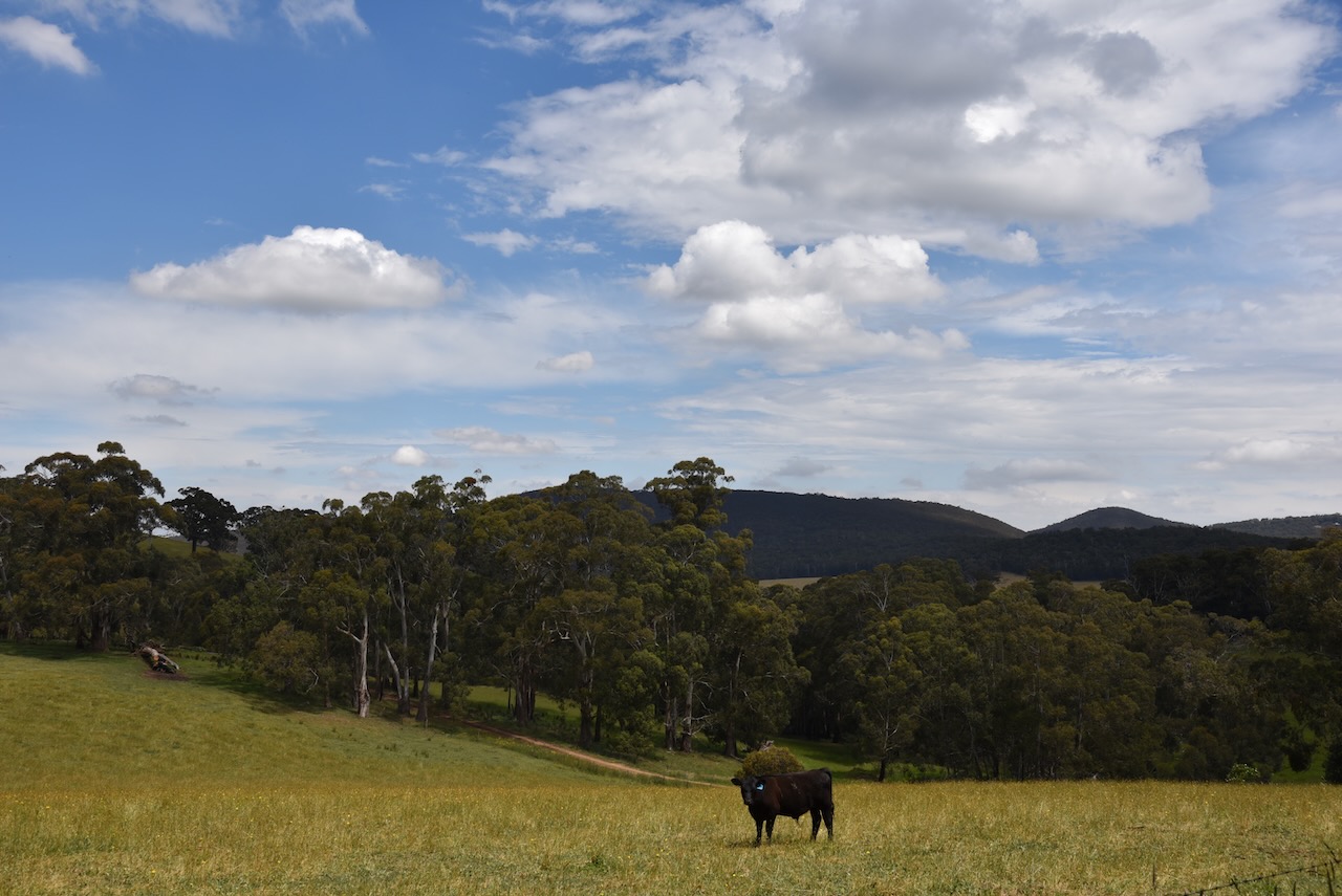
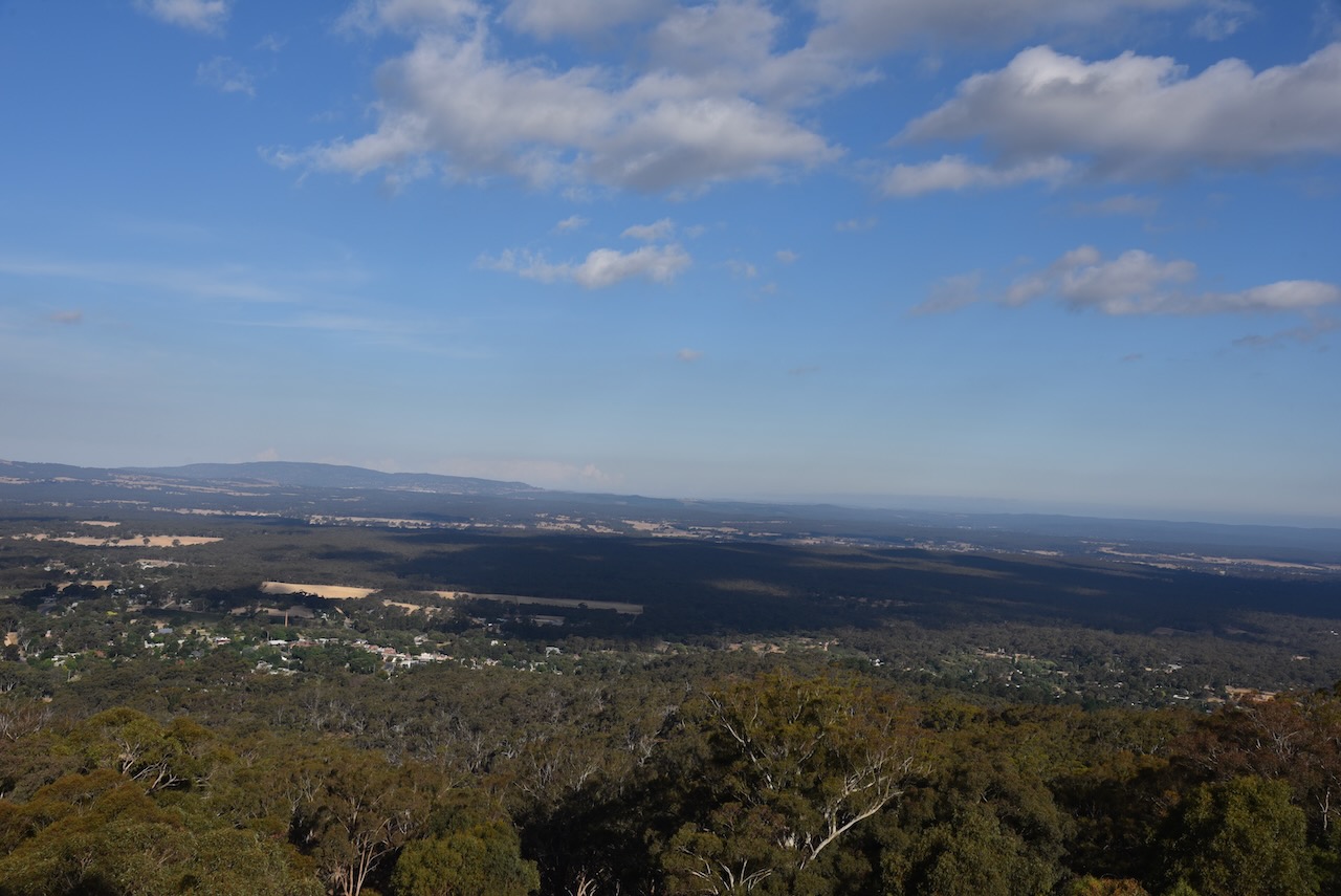
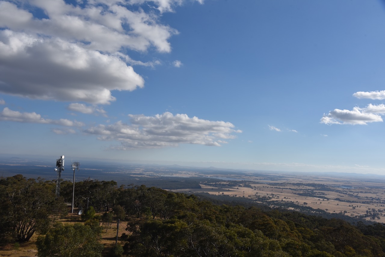
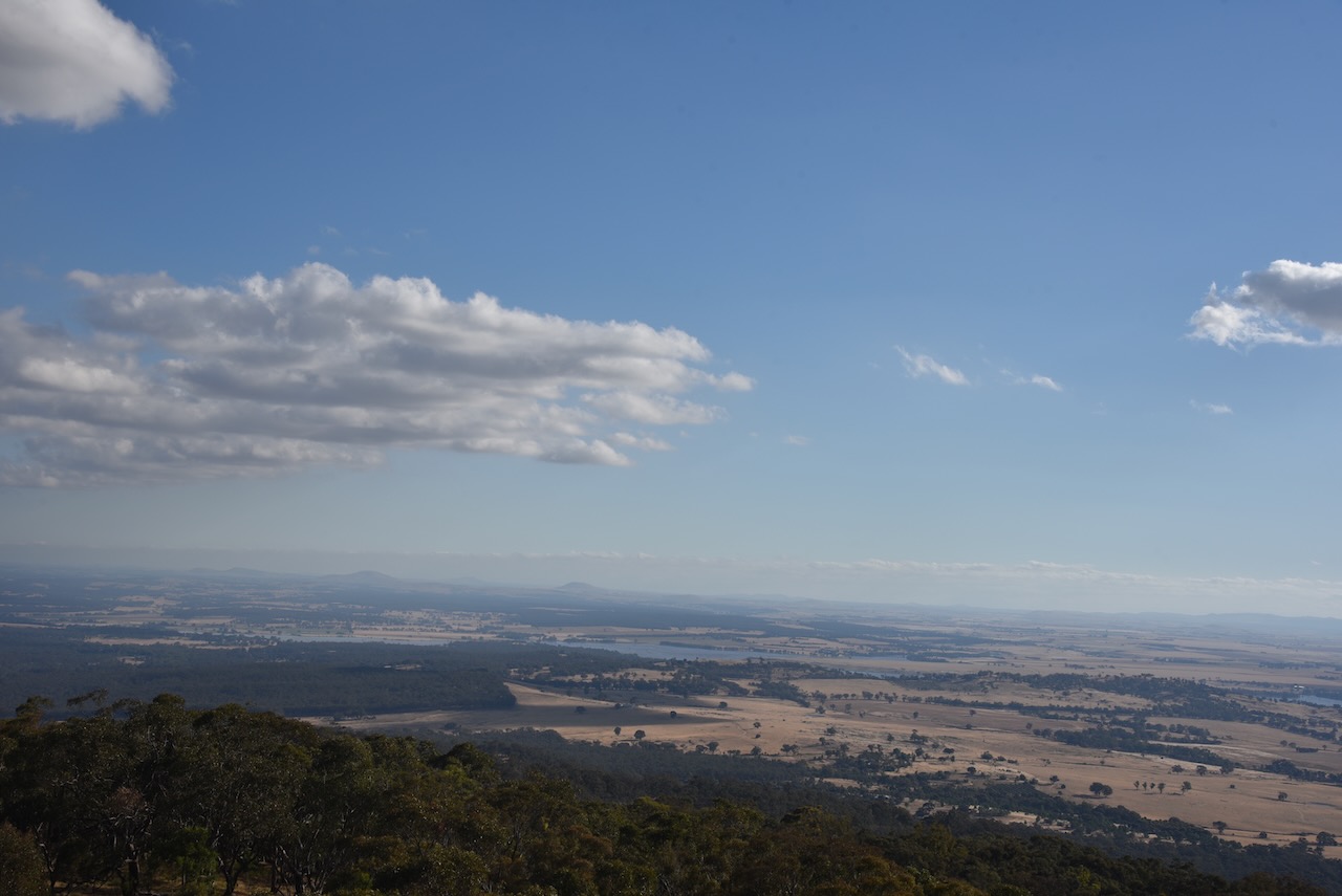
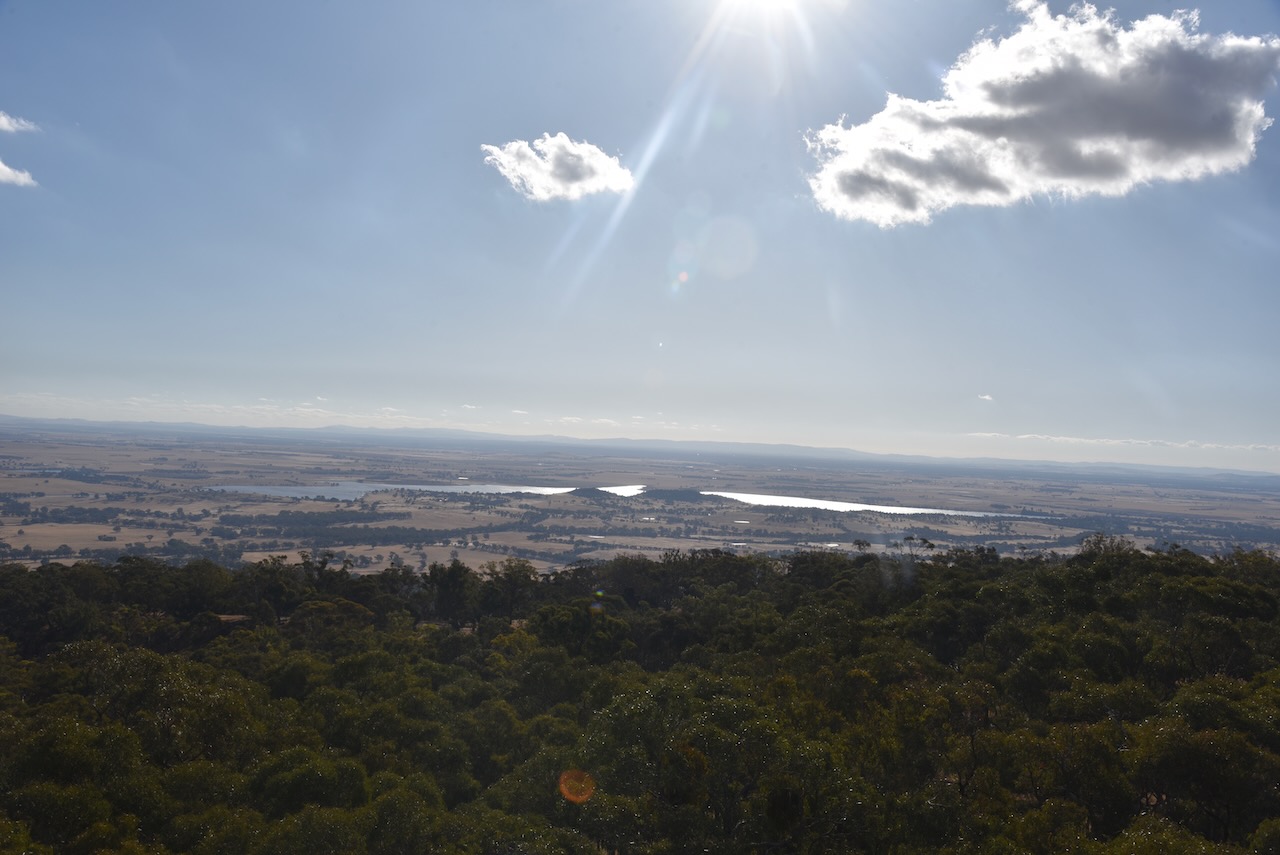
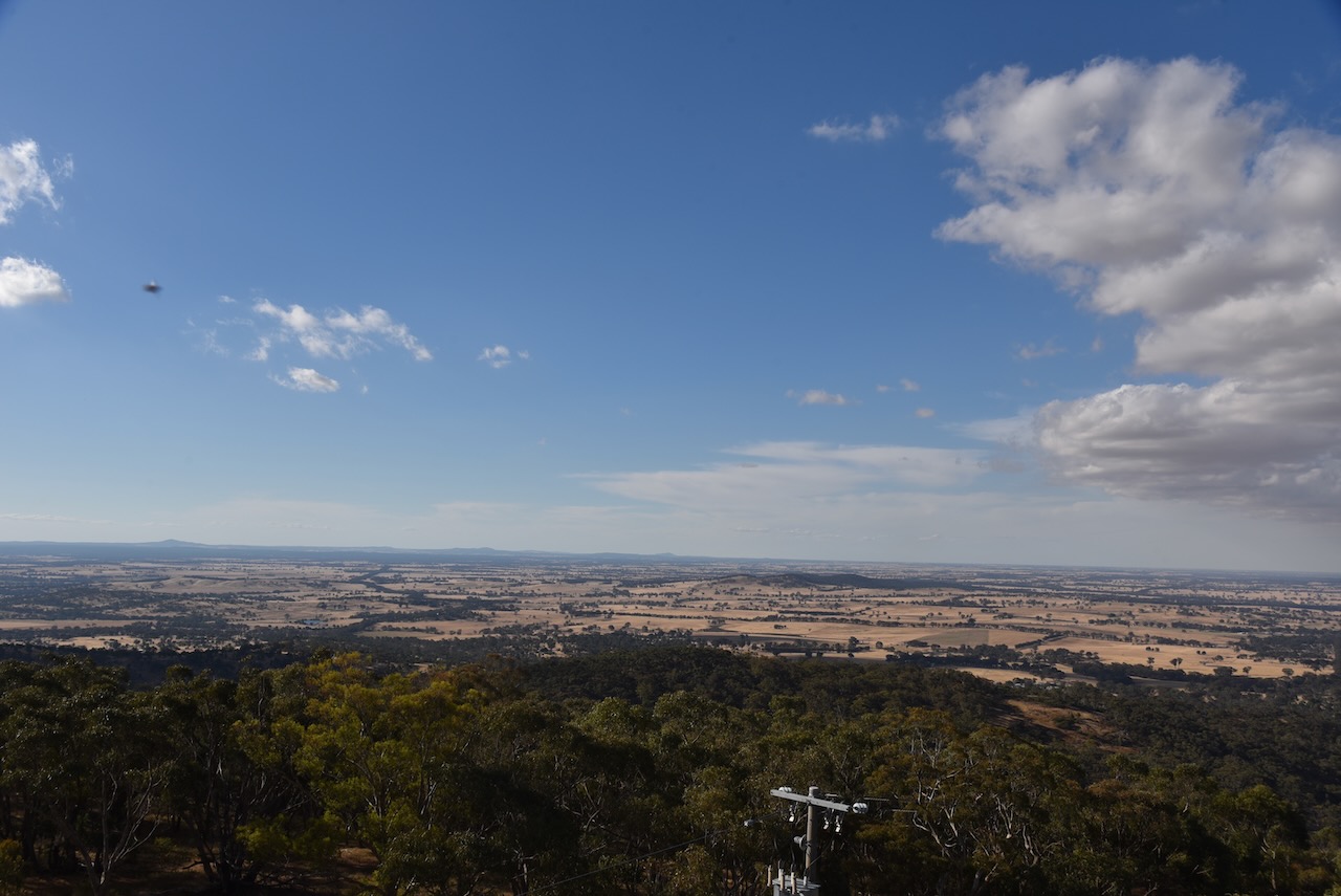
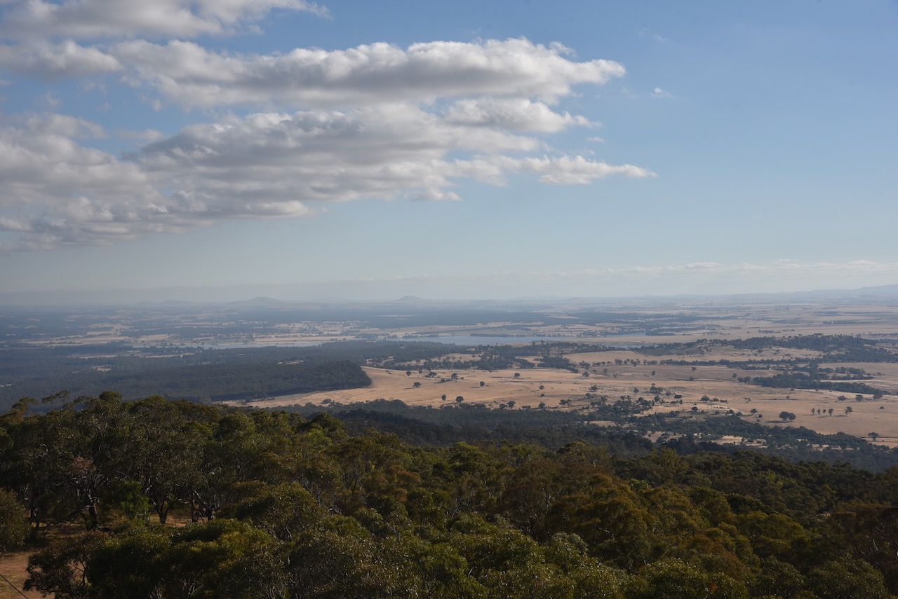
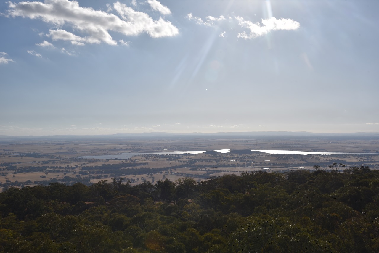
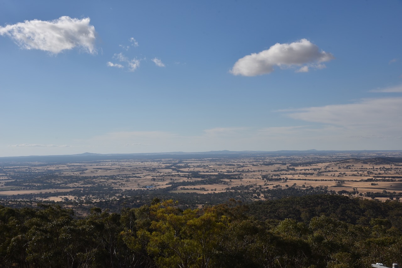
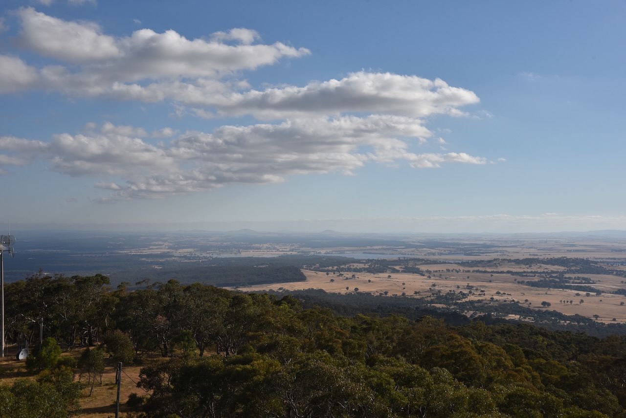
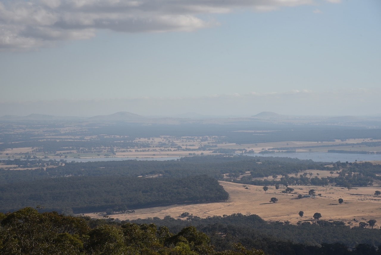
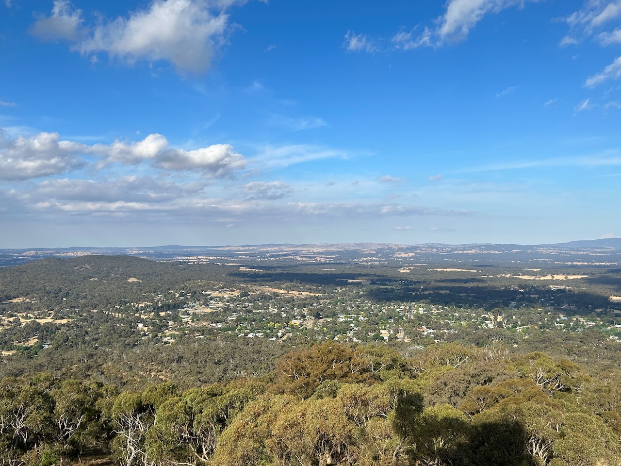
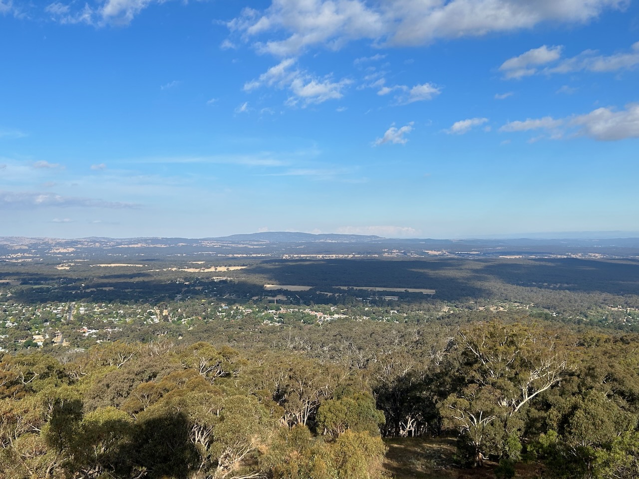
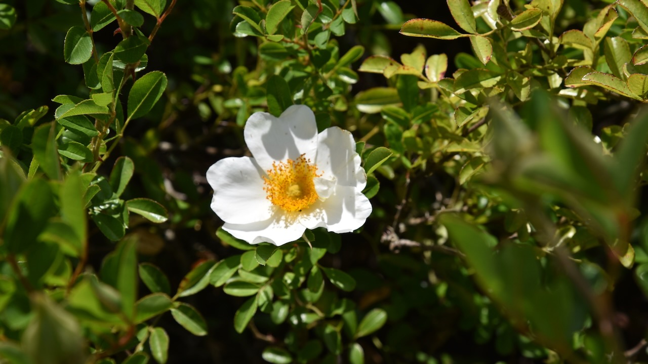
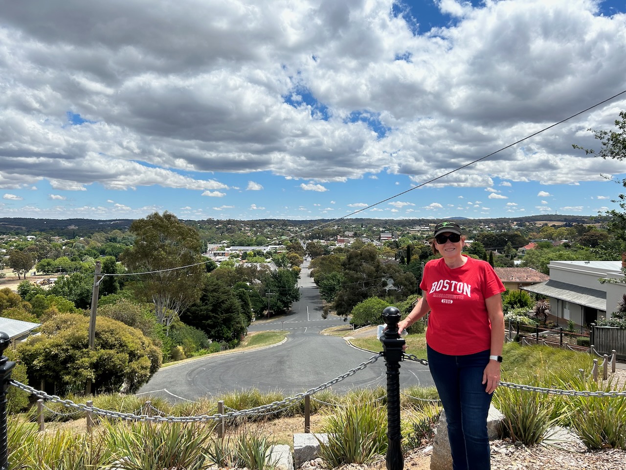
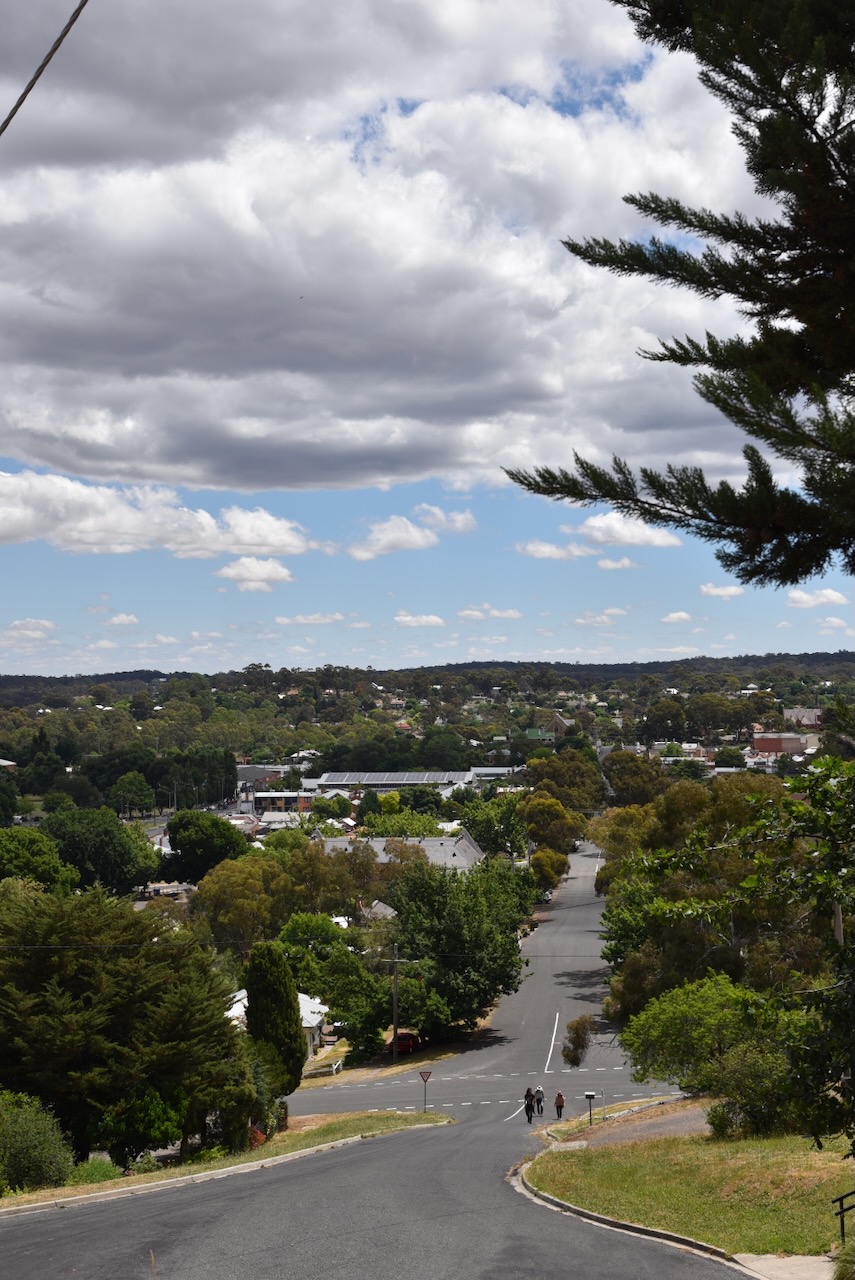
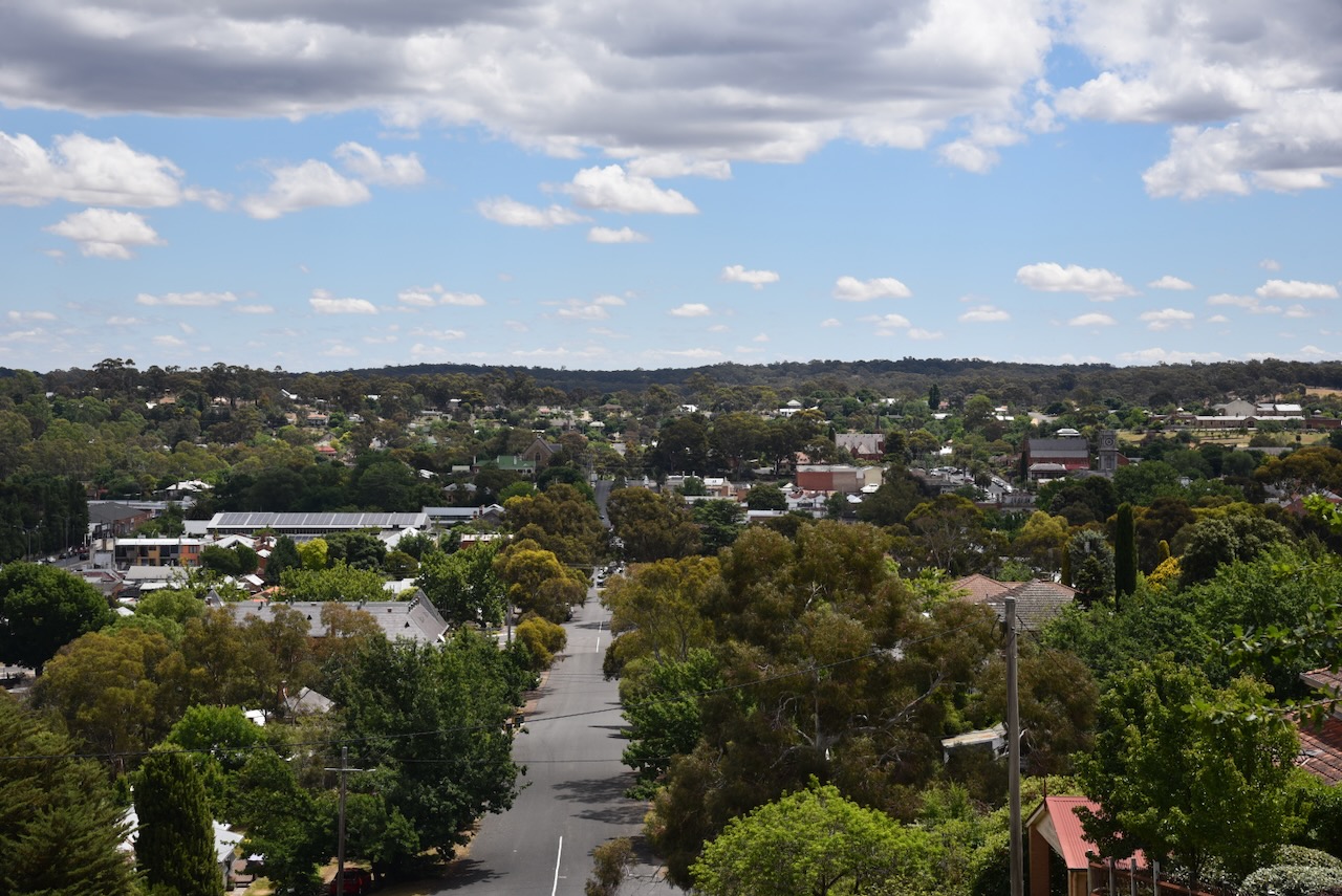
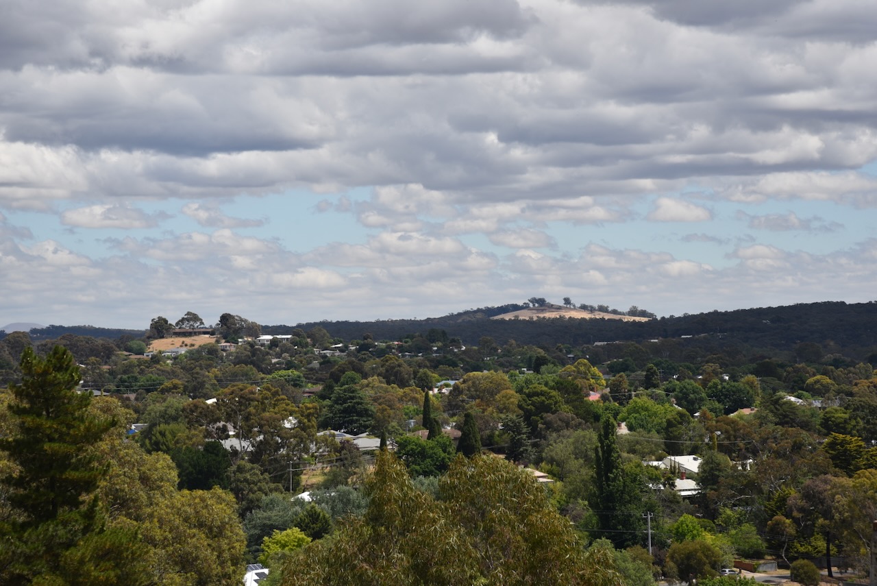
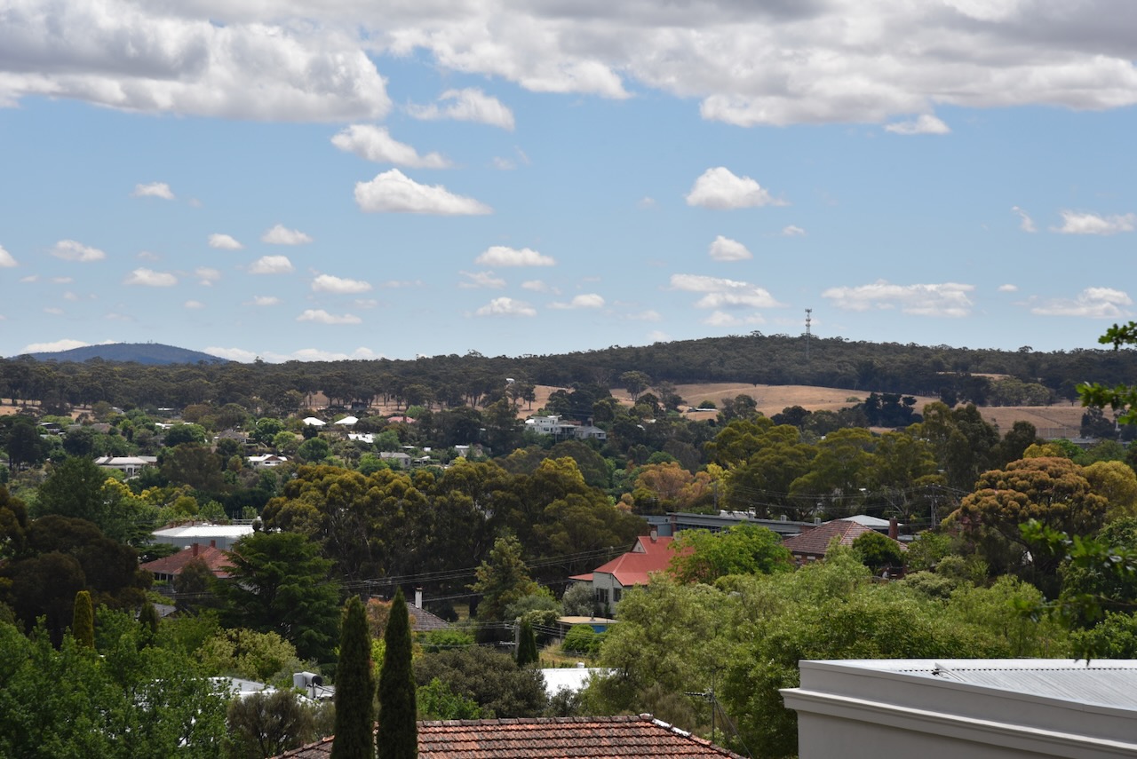
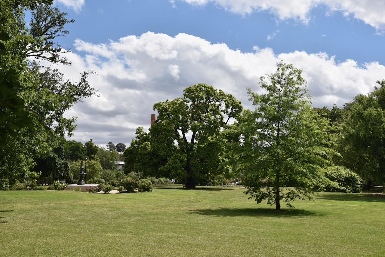
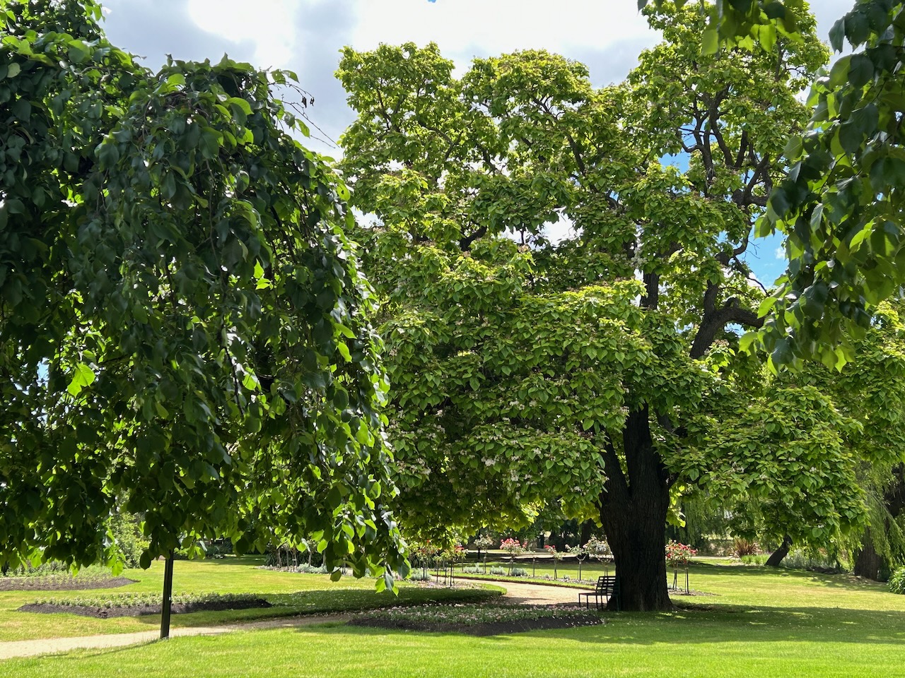
There are some magnificent views to be enjoyed from the top of the lookout tower. You can view Mount Alexander, Mount Macedon, Mount Franklin and the Grampians National Park.
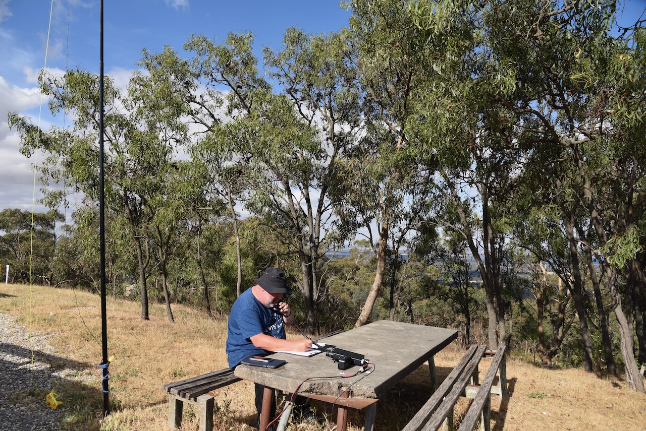
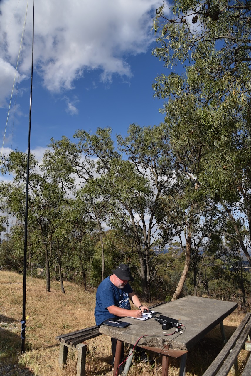
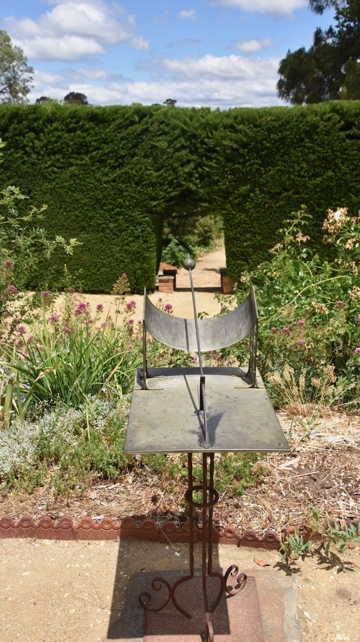
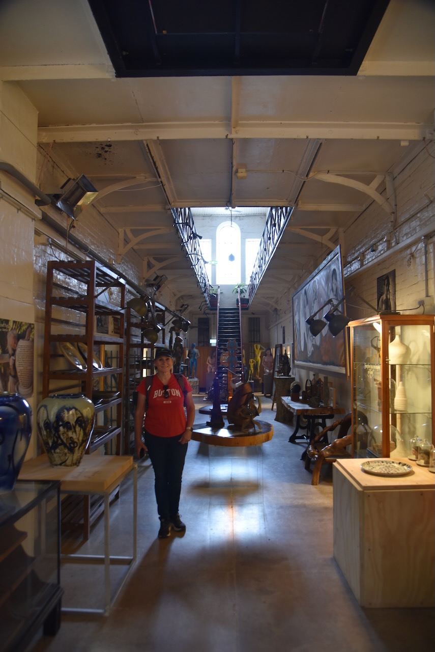
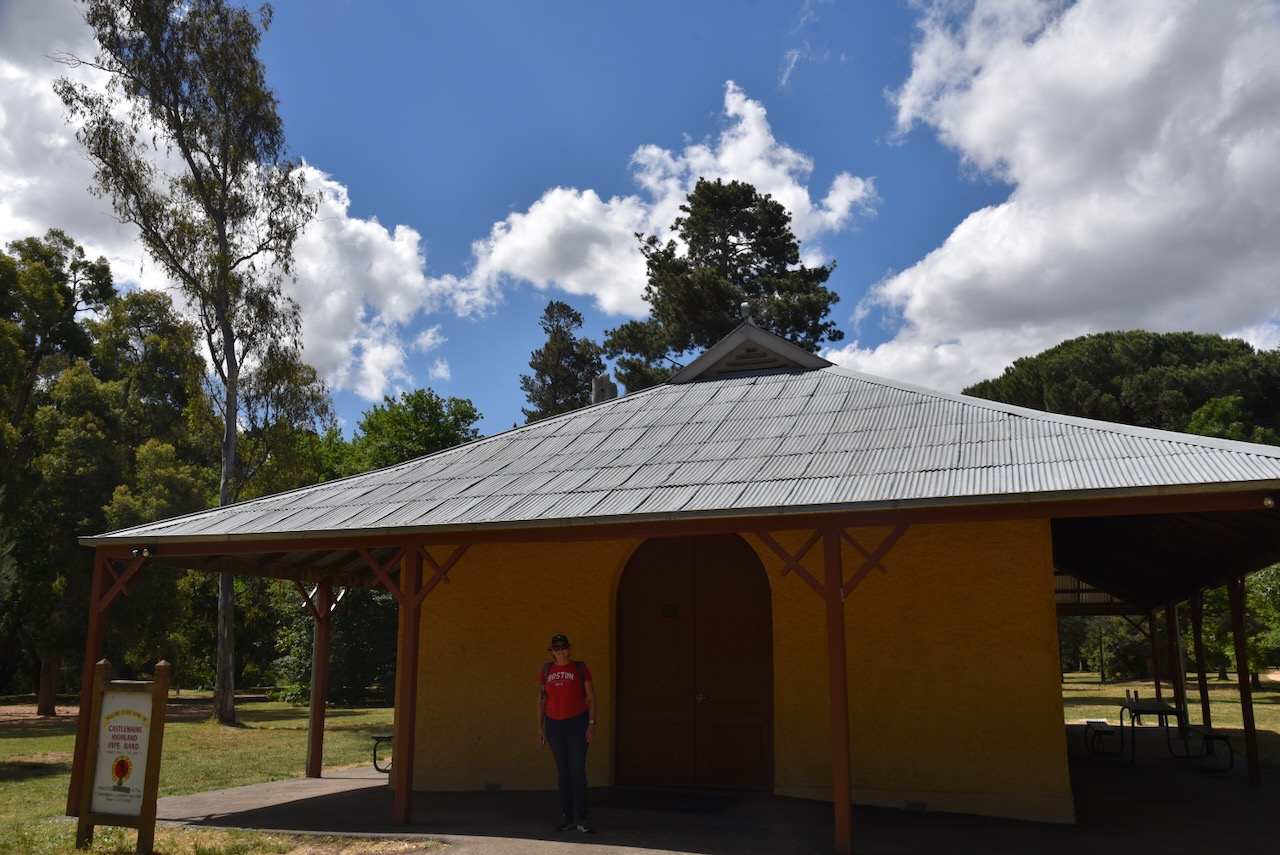
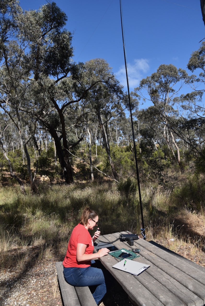
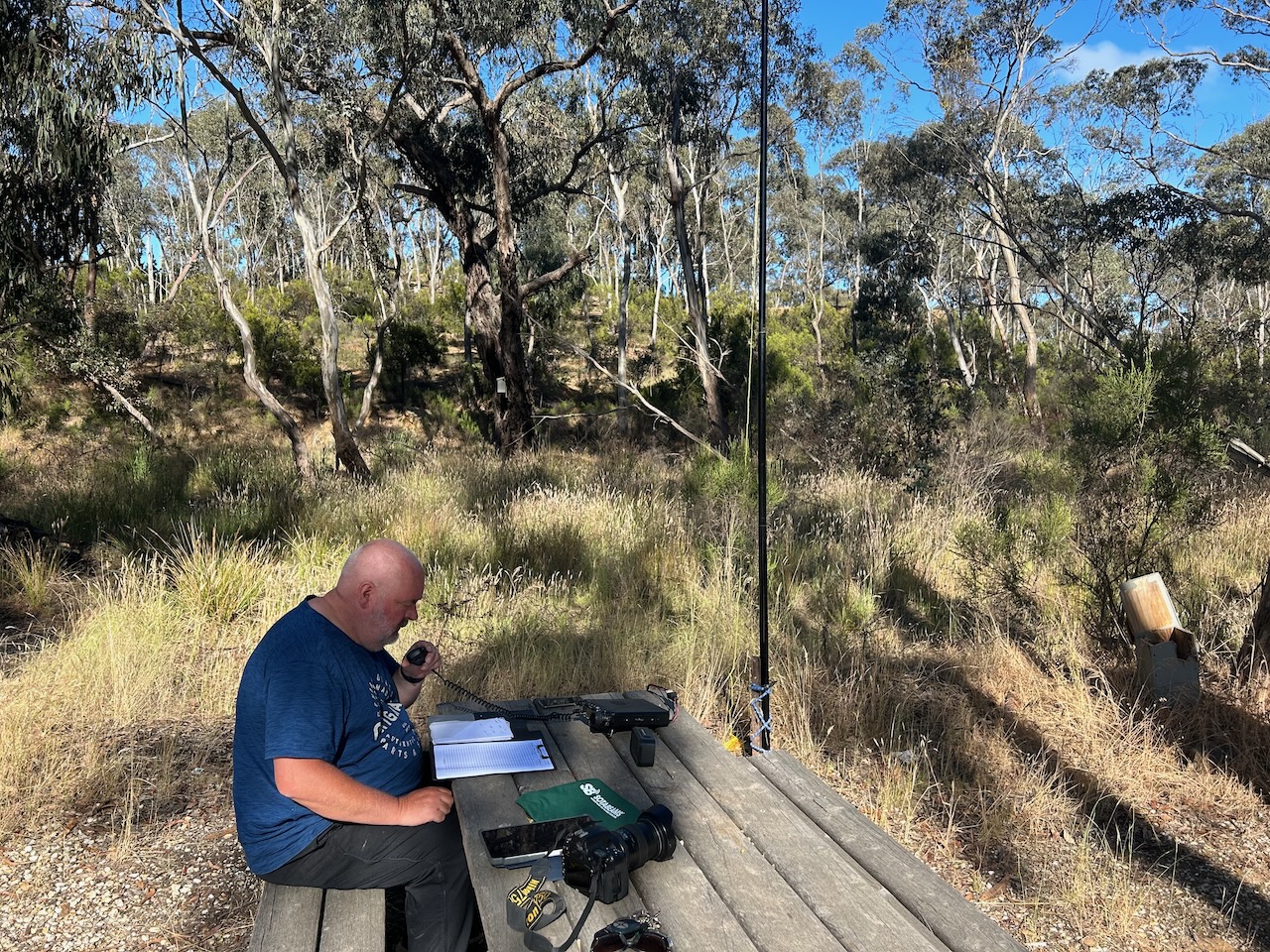
We operated from a wooden table and bench at the summit, running the Yaesu FT857, 40 watts, and the 20/40/80m linked dipole supported by a 7-metre heavy-duty squid pole.
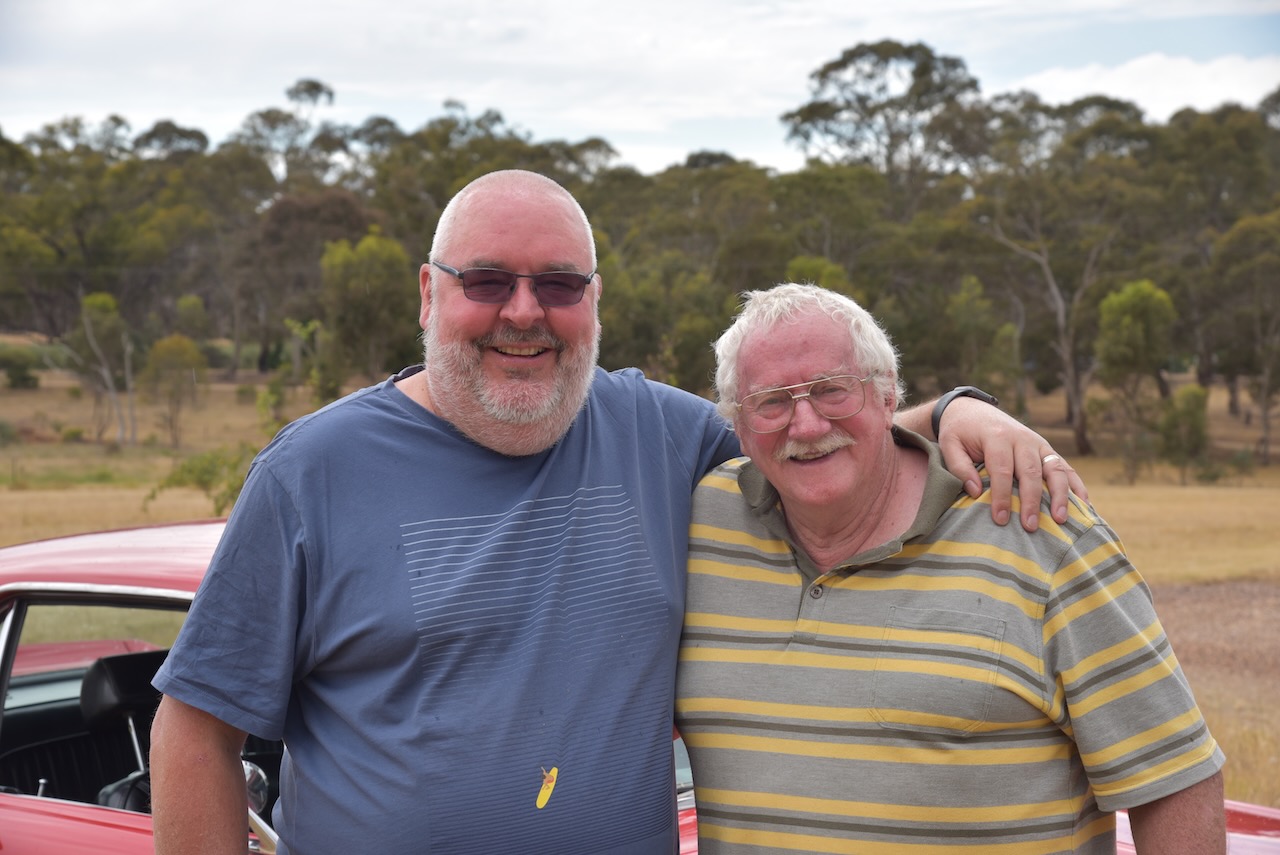
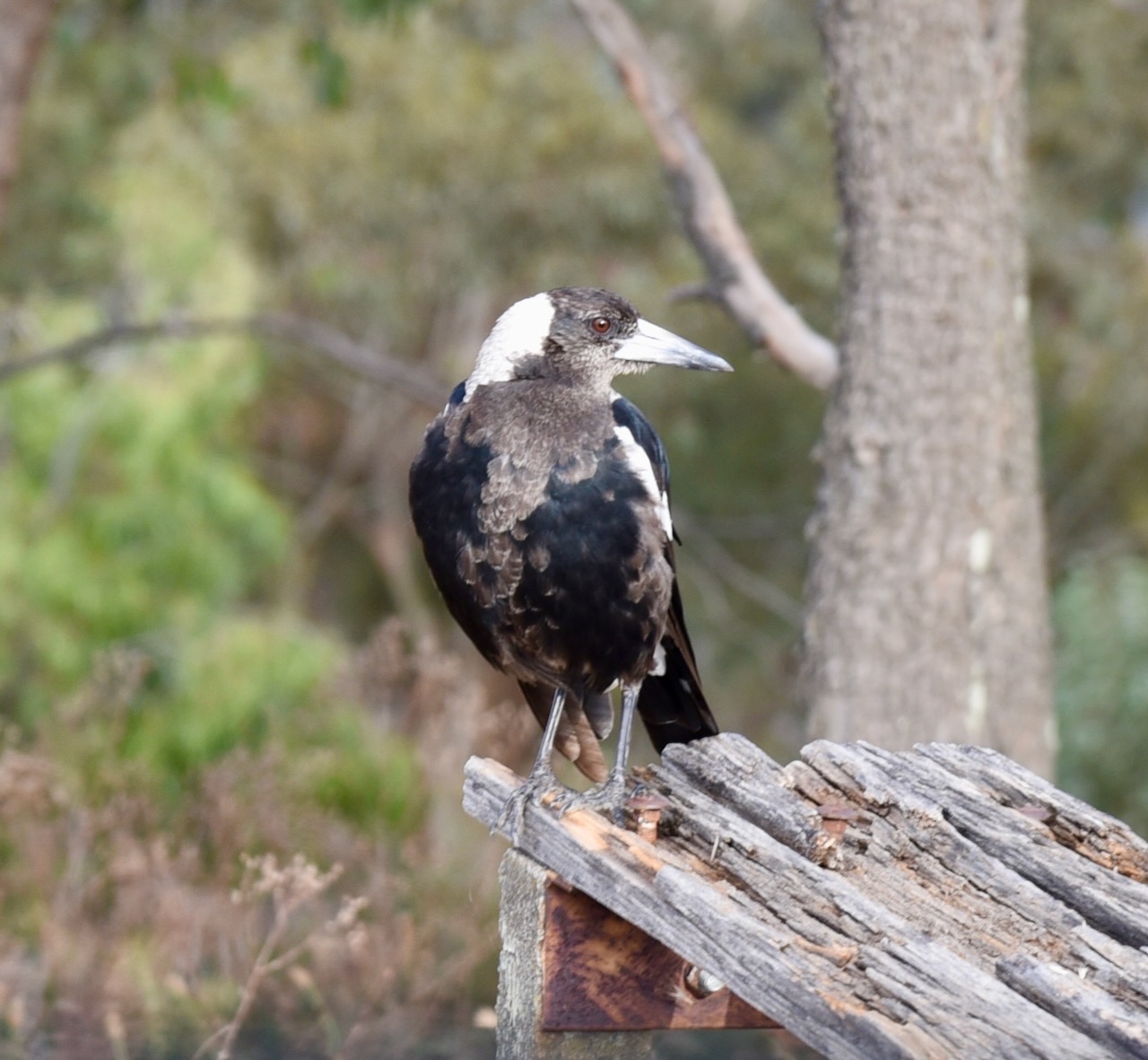
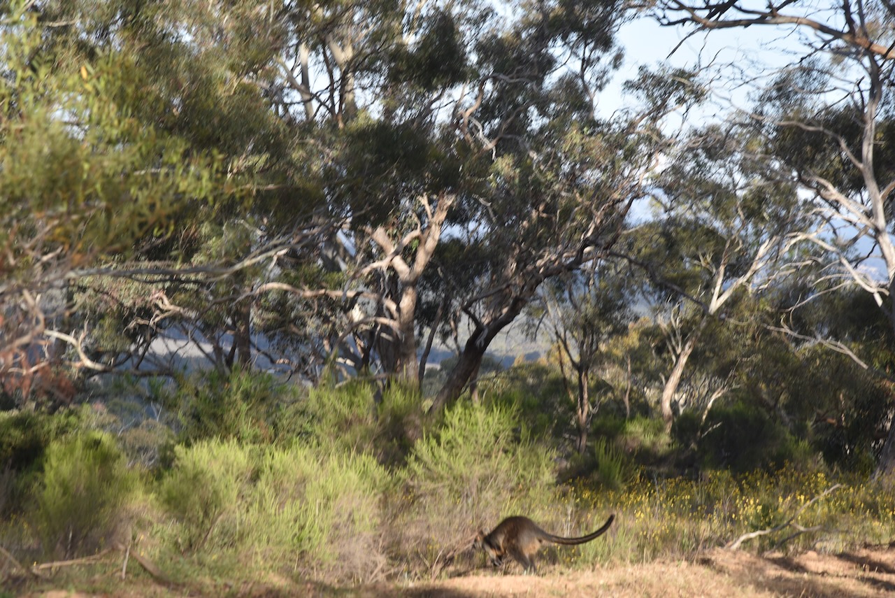
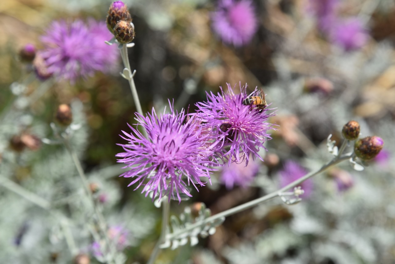
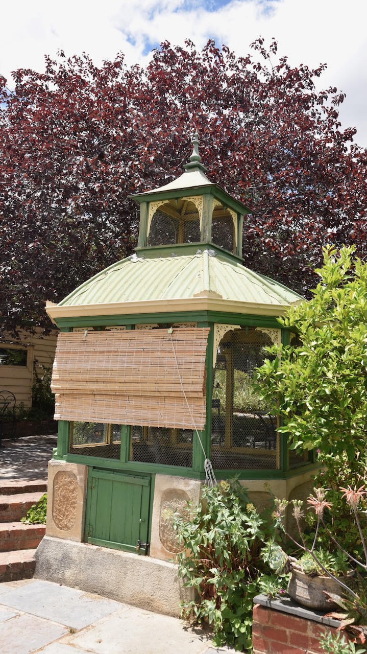
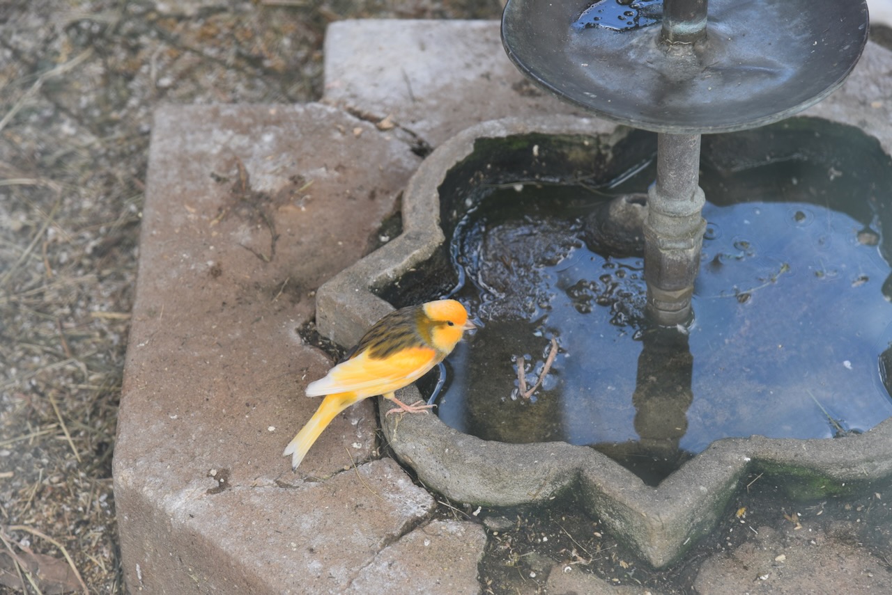
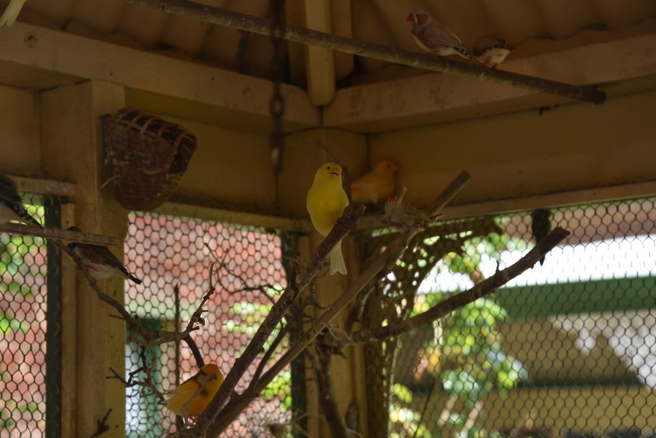
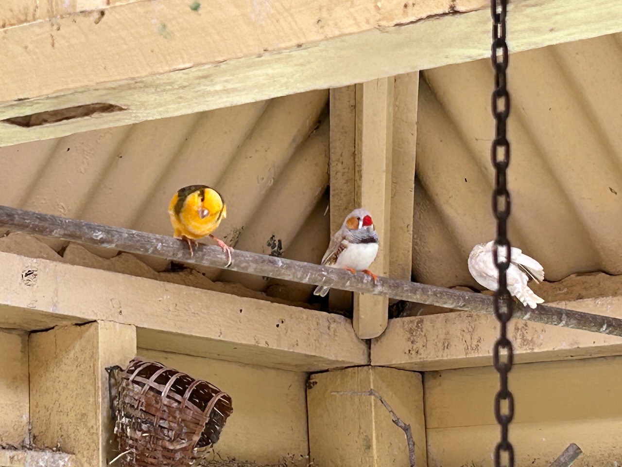
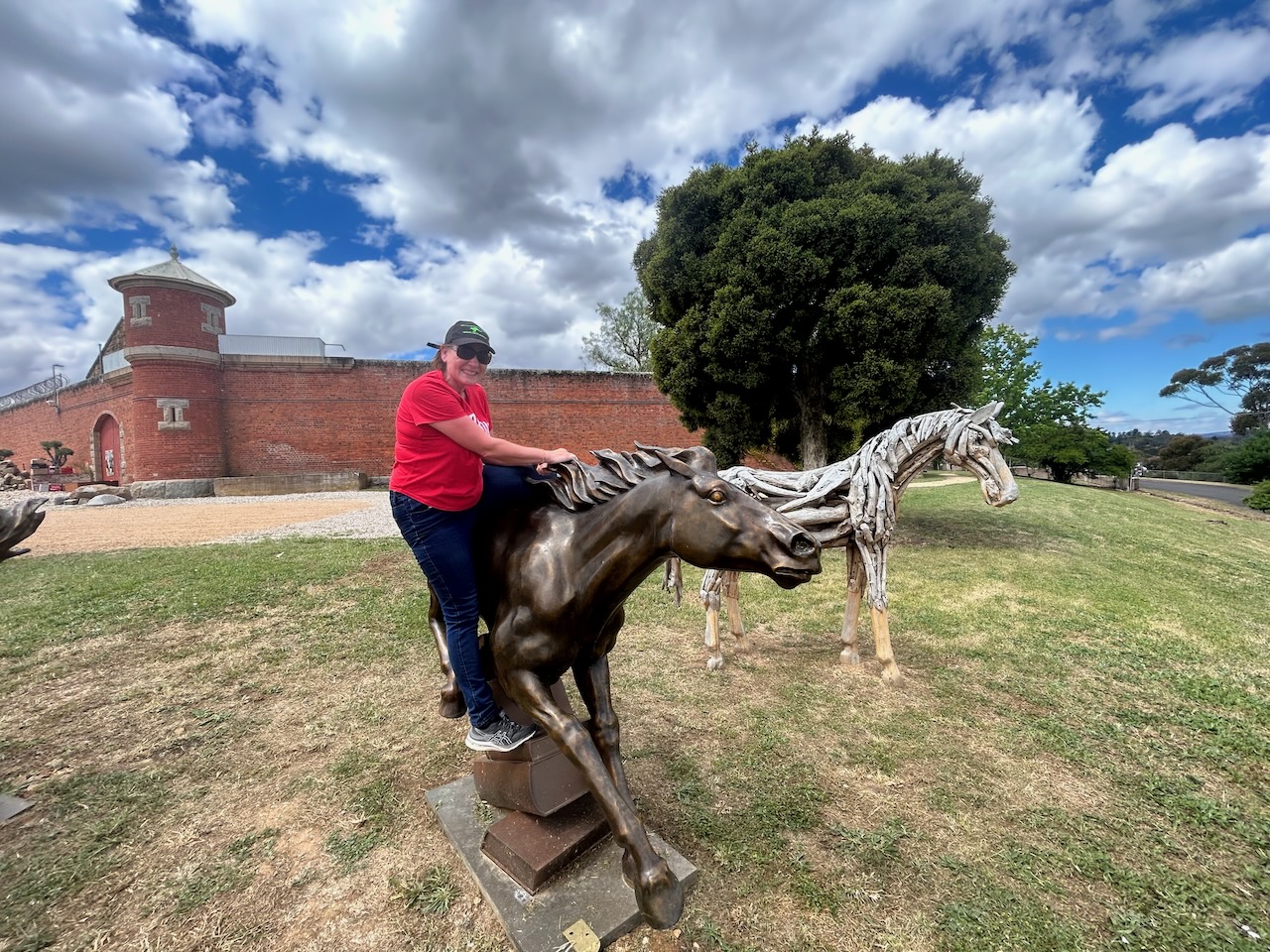
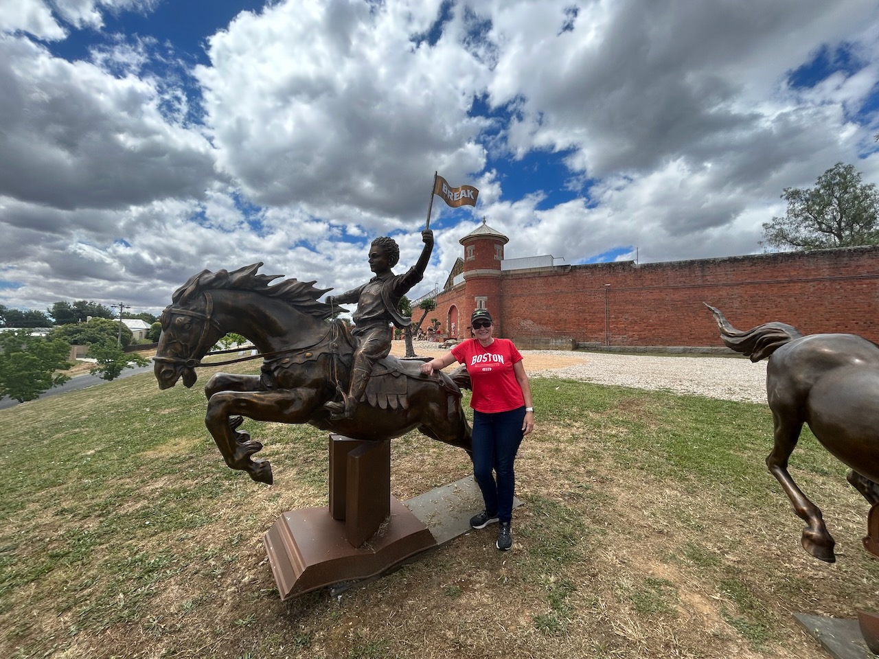
During our activation, we had some interested onlookers.
Marija worked the following stations on 40m SSB:-
- VK2IO
- VK3PF
- VK5LA
- VK5KAW
- VK3WMD
- VK1AO
- VK2MET
I worked the following stations on 40m SSB:-
- VK2IO
- VK3PF
- VK5LA
- VK5KAW
- VK3WMD
- VK1AO
- VK2MET
- VK3OAK
- VK5FANA
- VK2EXA
- VK3DEM
- ZL4NVW
- VK2ACK
- ZL3MR
- VK3PWG
- VK3PI
- VK5AAF
- VK2MVP
- VK3GJG
- VK5PE/m
- VK3VIN
- VK5MSA
- VK2PBC
- VK3MLT
- VK7AD
- VK5MRD
- VK3SPG
- VK7KT
- VK3FRV
- VK2RB
- VK5DW
- VK2GWB
- VK3QH
I worked the following stations on 20m SSB:-
- VK2HAK
- ZL1KB
- ZL1ALF
- F4WBN
References.
- A Great Pioneering Family. (1934). Argus. [online] 24 Mar. Available at: https://trove.nla.gov.au/newspaper/article/10921466 [Accessed 9 Apr. 2024].
- https. (n.d.). Maldon Pioneer Memorial. [online] Available at: https://www.goldfieldsguide.com.au/explore-location/706/maldon-pioneer-memorial/ [Accessed 8 Apr. 2024].
- https. (n.d.). Mt Tarrengower Lookout Tower. [online] Available at: https://www.goldfieldsguide.com.au/explore-location/121/mt-tarrengower-lookout-tower/ [Accessed 8 Apr. 2024].
- monumentaustralia.org.au. (n.d.). Gold Discovery Monument | Monument Australia. [online] Available at: https://monumentaustralia.org.au/themes/technology/industry/display/32067-gold-discovery-monument [Accessed 8 Apr. 2024].
- Story (2014). The Maldon Bakery. [online] The Maldon Bakery. Available at: https://www.maldonbakery.com.au/story [Accessed 9 Apr. 2024].
- THE TARRANGOWER DIGGINGS. (1854). Empire. [online] 7 Mar. Available at: https://trove.nla.gov.au/newspaper/article/60149900 [Accessed 9 Apr. 2024].
- vhd.heritagecouncil.vic.gov.au. (n.d.). VHD. [online] Available at: https://vhd.heritagecouncil.vic.gov.au/places/673 [Accessed 9 Apr. 2024].
- www.victorianplaces.com.au. (n.d.). Maldon and Maldon Shire | Victorian Places. [online] Available at: https://www.victorianplaces.com.au/maldon-and-maldon-shire [Accessed 8 Apr. 2024].