My latest WWFF Activator certificate………WWFF Activator 396, issued for activating 396 WWFF references and making 44 QSOs during each activation.
Thanks to all of the WWFF Hunters and thank you to the Awards Manager.


My latest WWFF Activator certificate………WWFF Activator 396, issued for activating 396 WWFF references and making 44 QSOs during each activation.
Thanks to all of the WWFF Hunters and thank you to the Awards Manager.
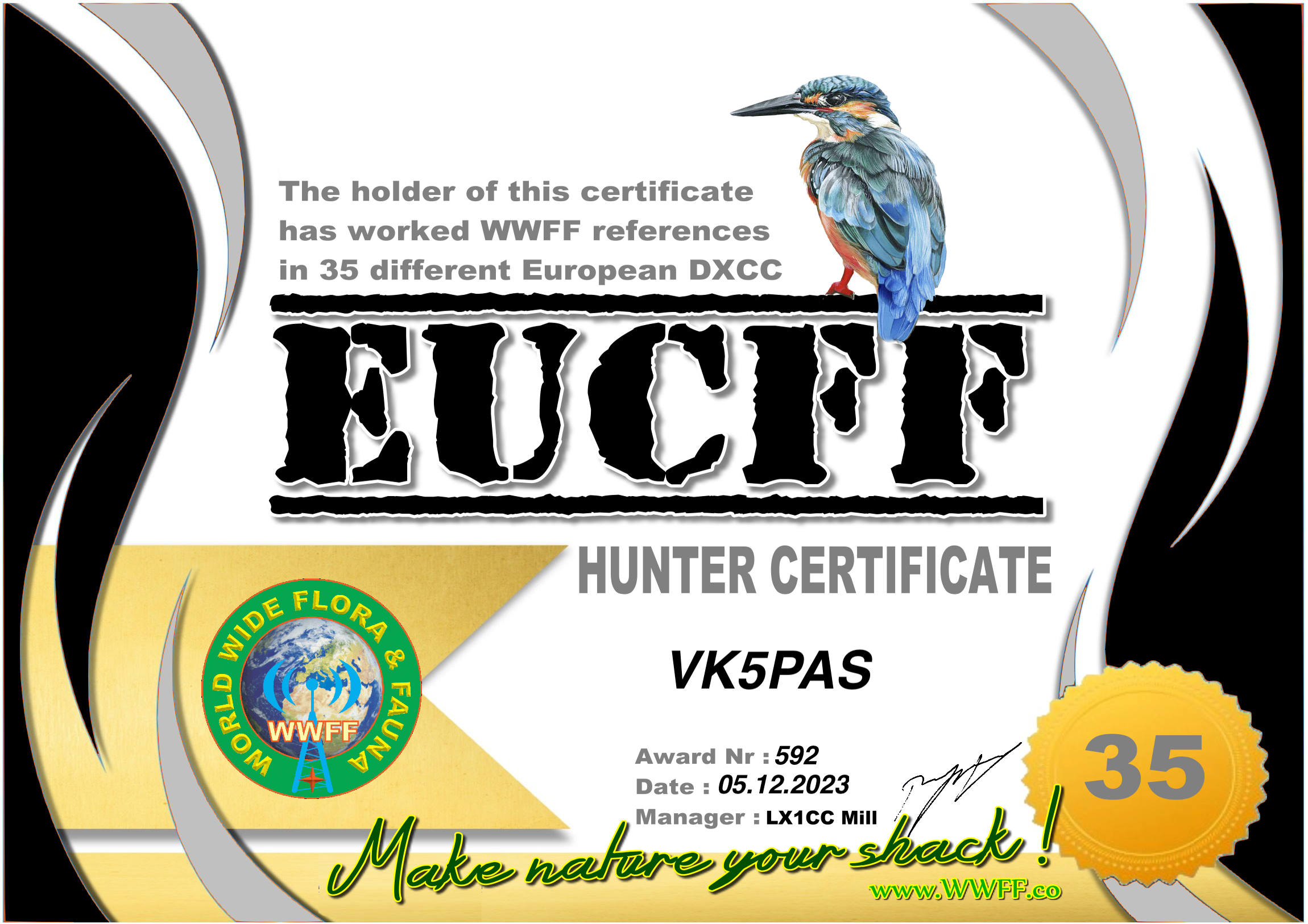
My latest EUCFF certificate, issued for working WWFF references in 35 different European DXCC.
Thanks to all of the WWFF activators and thank you to the Awards Manager.
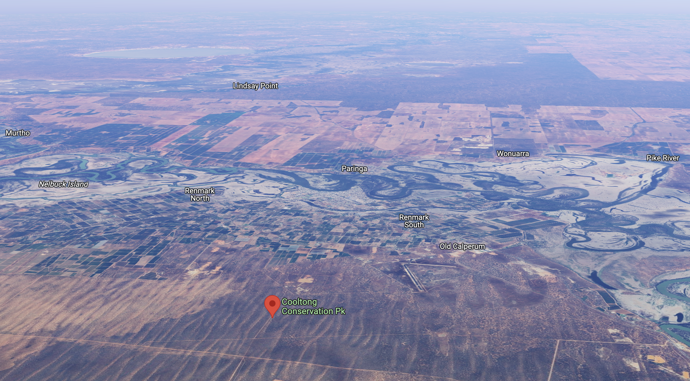
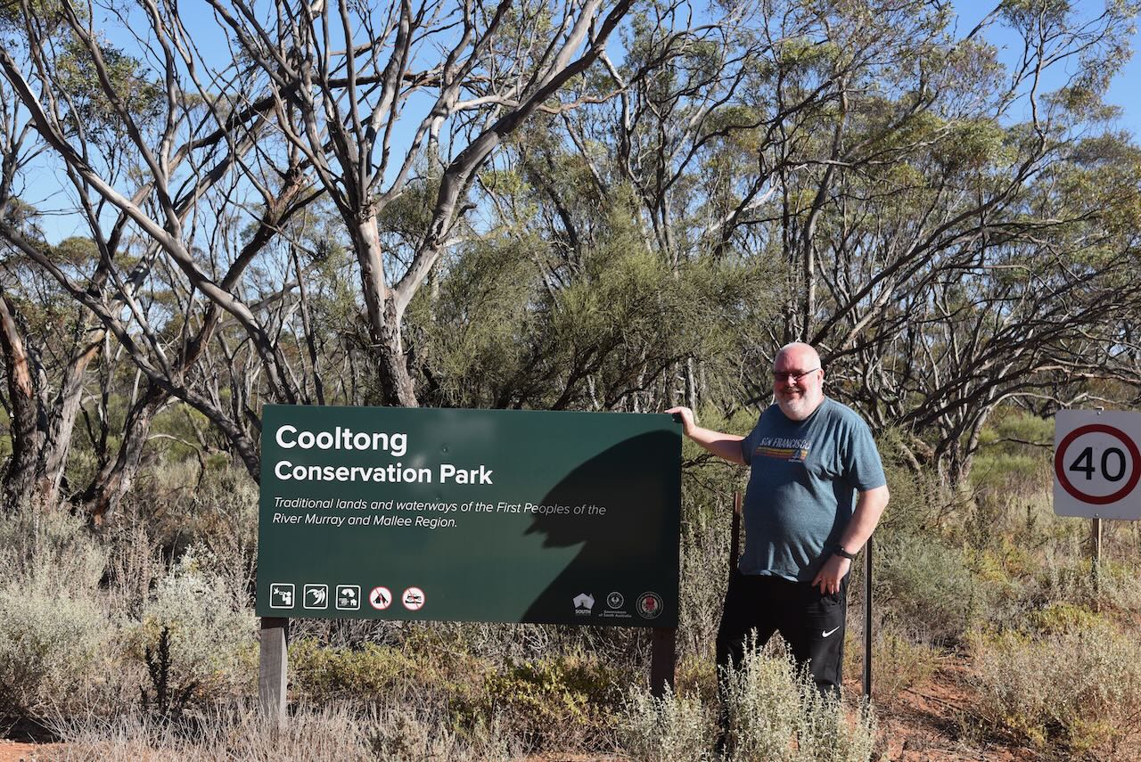
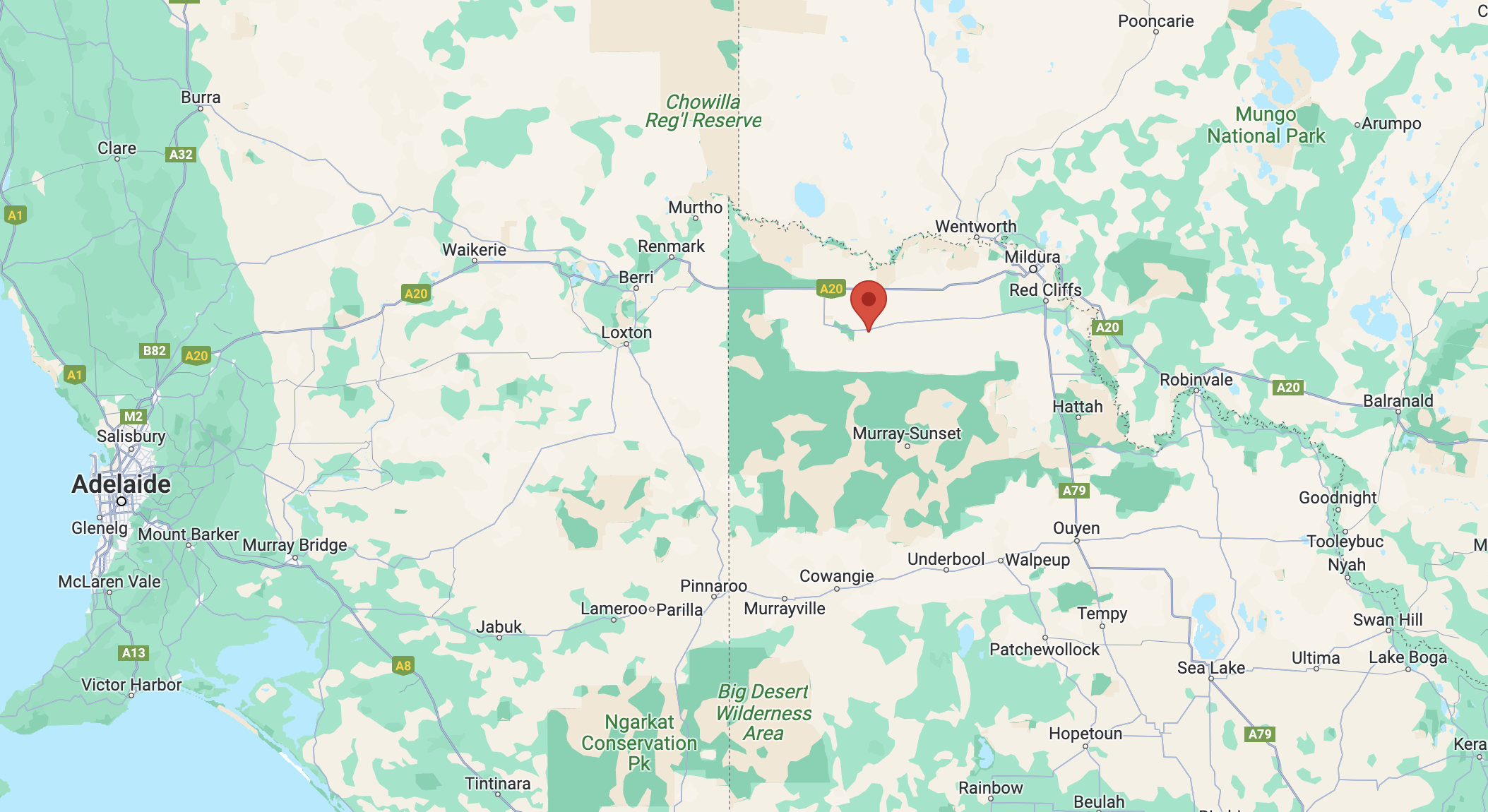
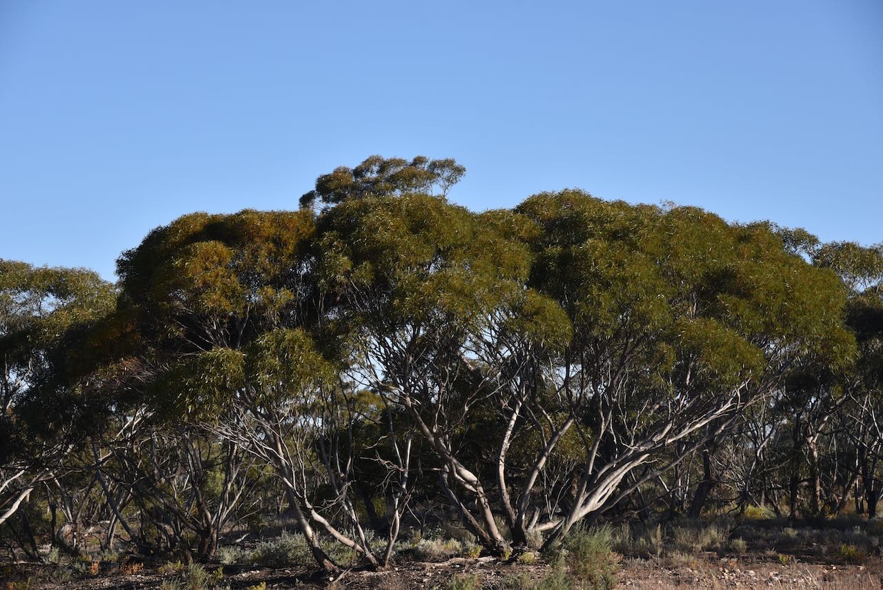
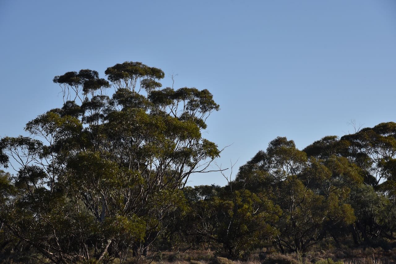
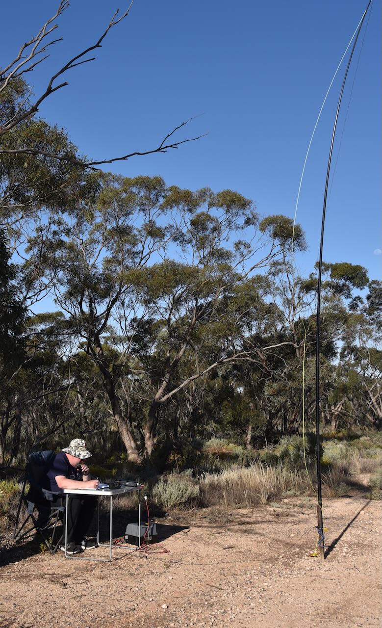
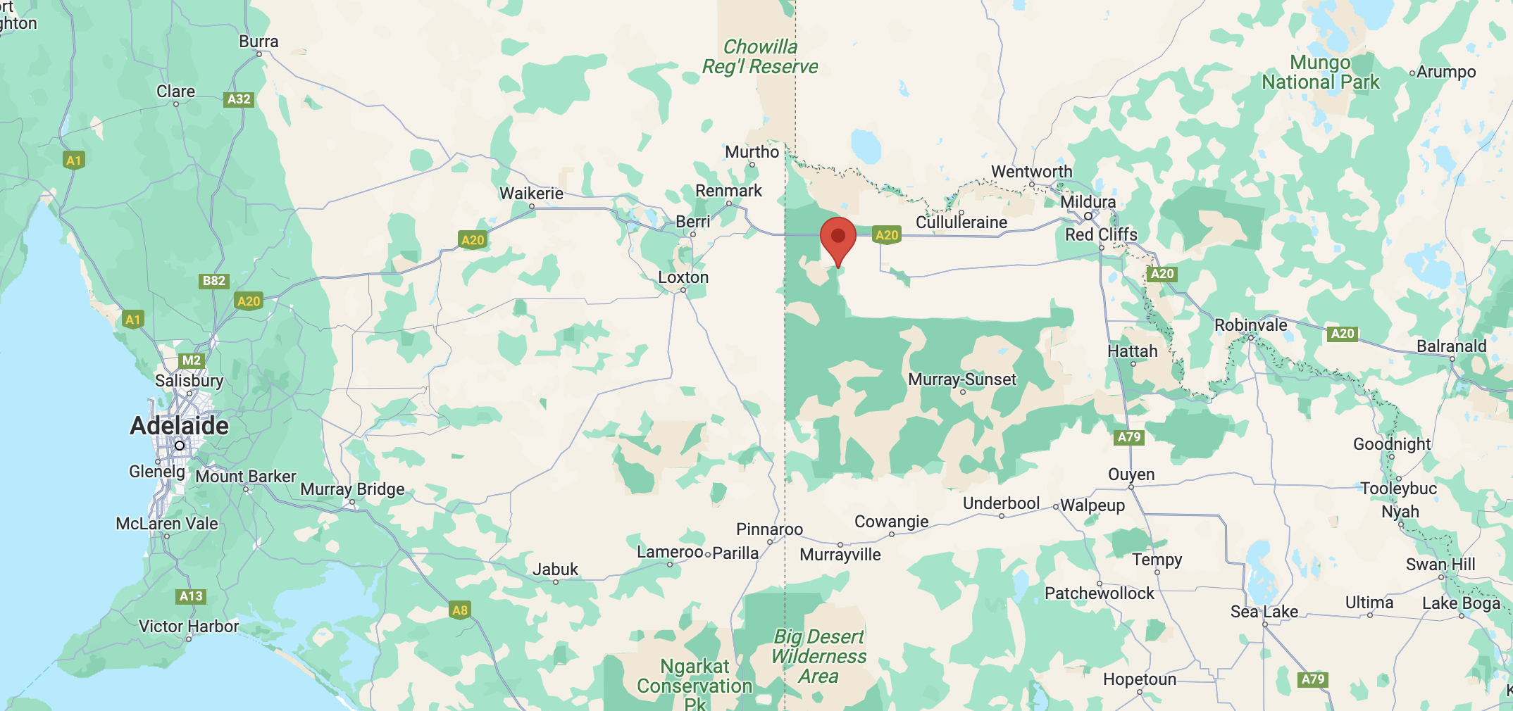
Our first park for Friday 27th October 2023, was the Cooltong Conservation Park VKFF-0823. Cooltong is located about 249 km northeast of the city of Adelaide in the Riverland region of South Australia.
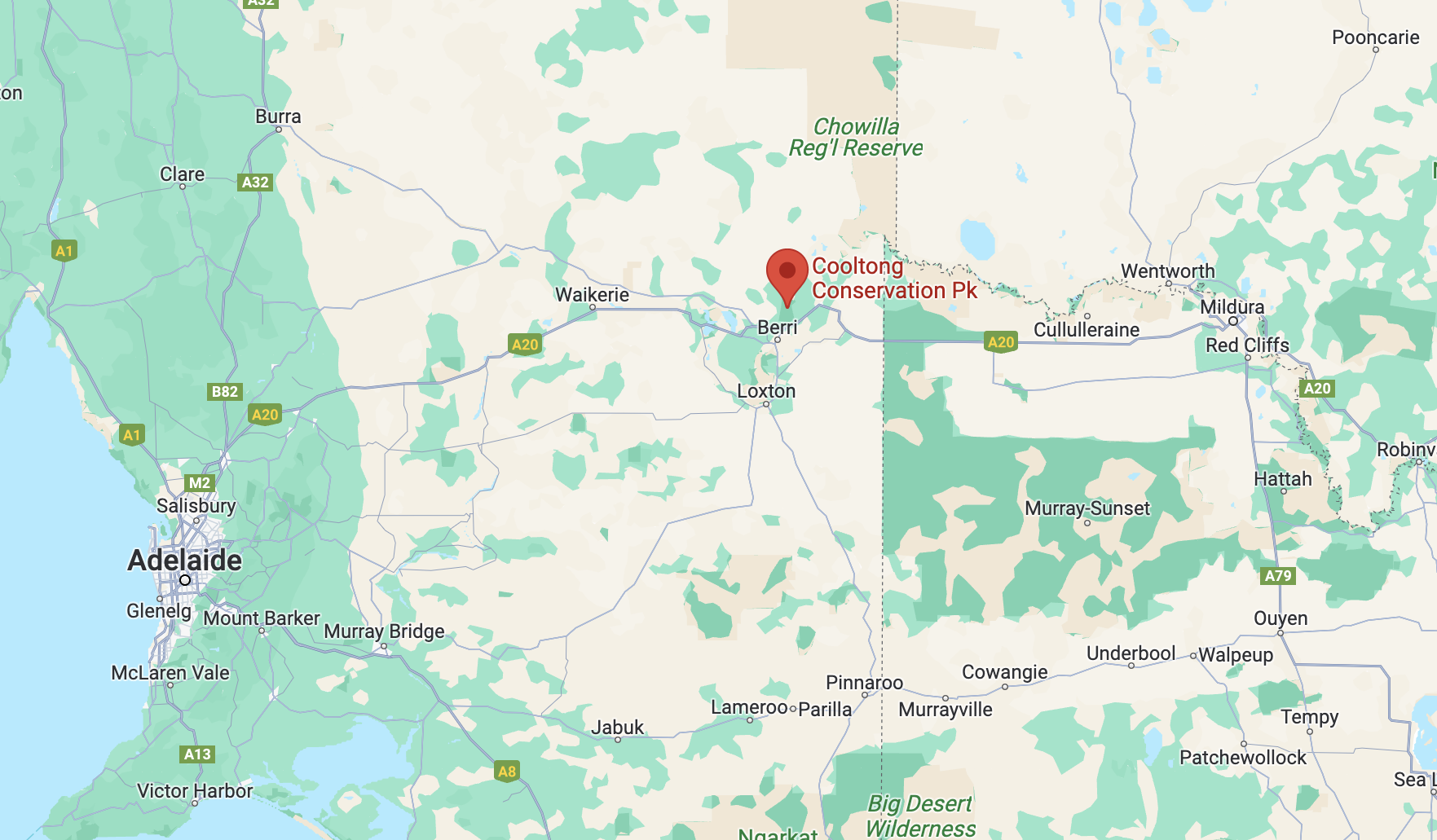
Above:- Map showing the location of the Cooltong Conservation Park. Map c/o Google Maps.
Cooltong is a town and locality about 13 km northwest of the town of Renmark. The name Cooltong is derived from a local aboriginal name meaning “lizard place”.
The first mention of the name Cooltong was in the Renmark Pioneer newspaper in September 1898, when reporting on a ‘phenomenal hailstorm and cyclone’ when mention was made of Cooltong Hills.
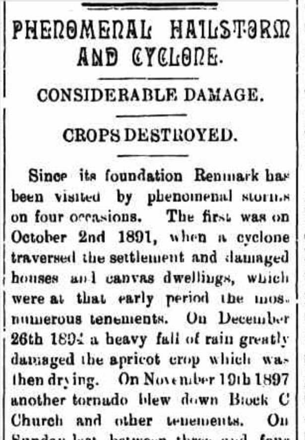
Above:- Part of an article from the Renmark Pioneer, Fri 9 Sep 1898. Image c/o Trove.
The town of Cooltong was surveyed in 1949. The majority of the land in the area had been granted as soldier settlement blocks following World War II, and was irrigated and planted with grapevines, citrus and other fruit trees.
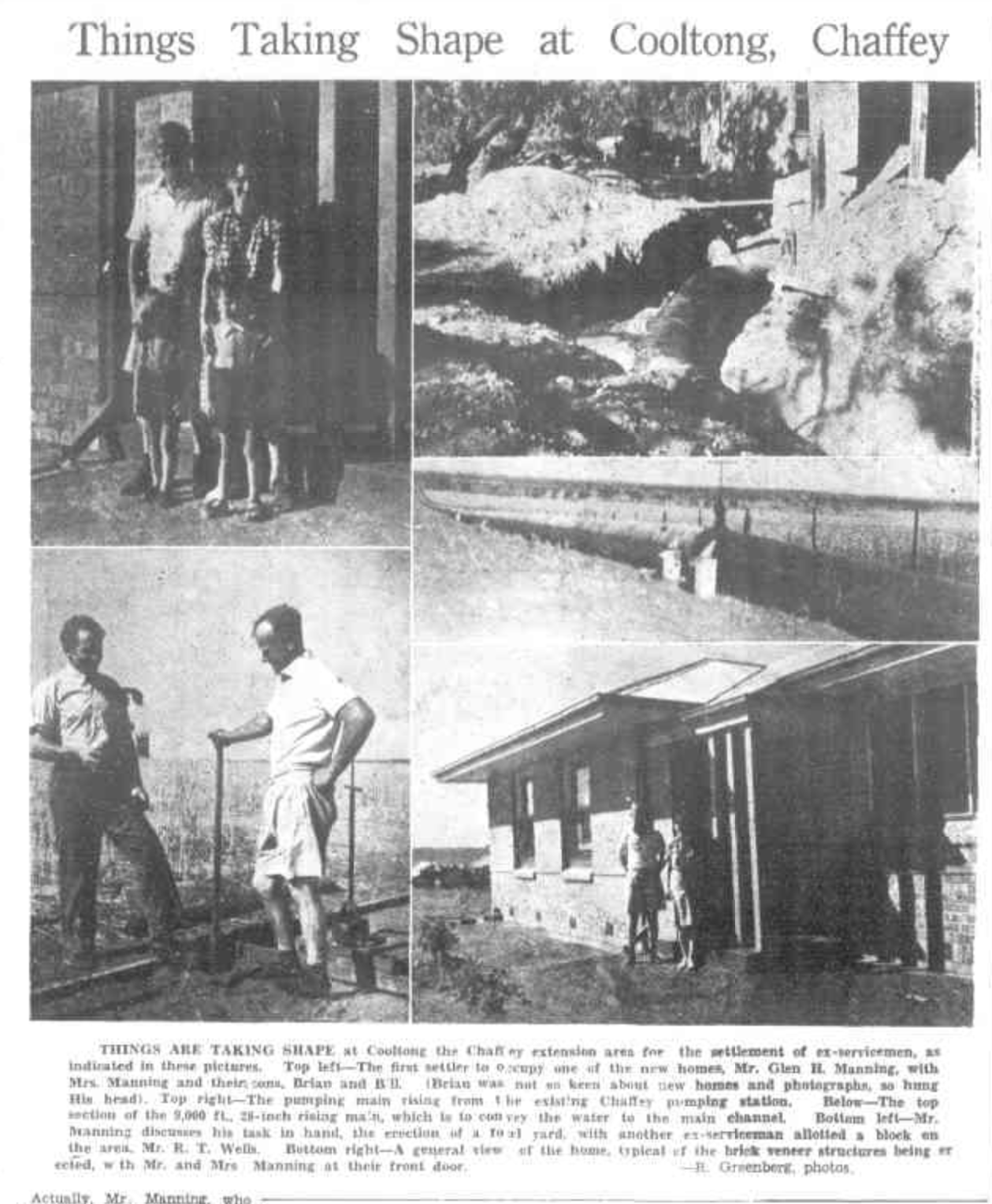
Above:- Part of an article from the Murray Pioneer, Thu 29 Dev 1949. Image c/o Trove.
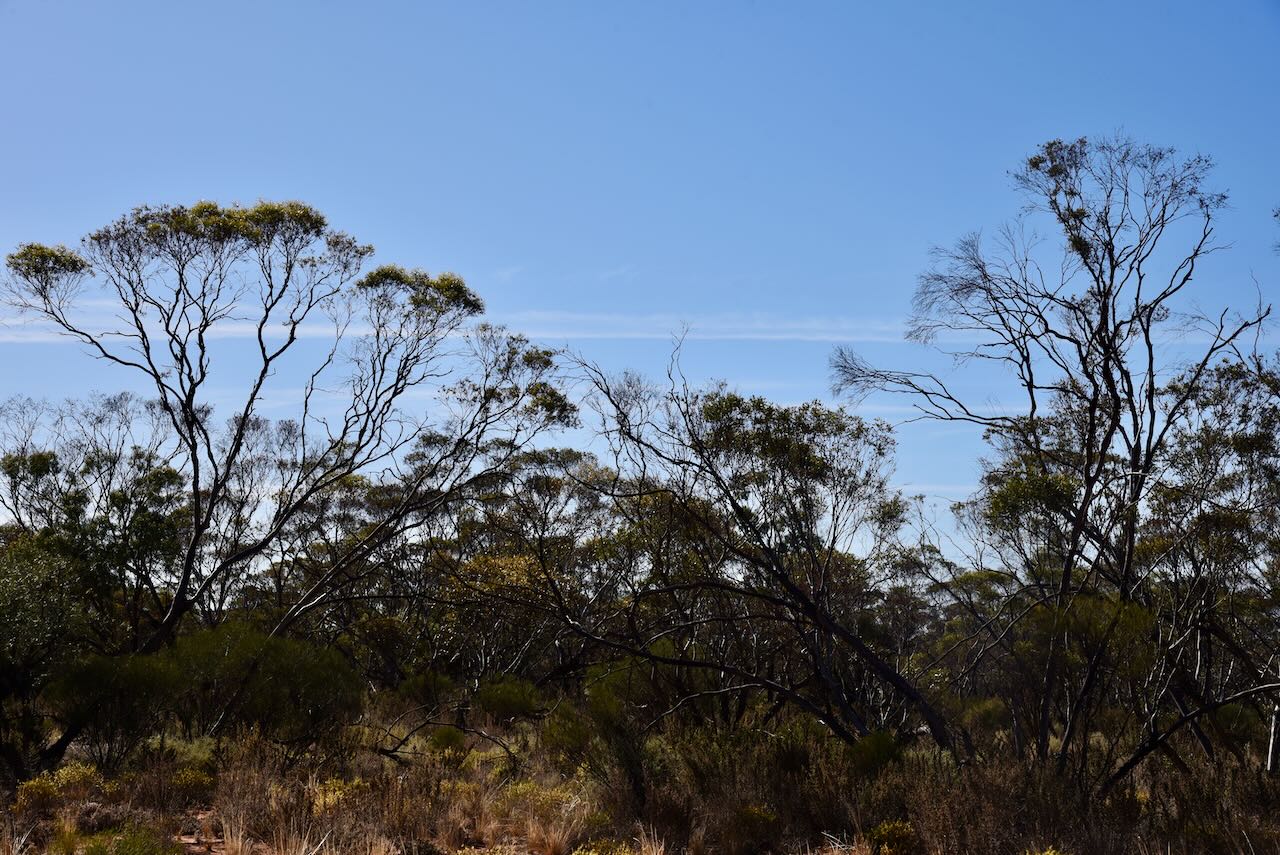
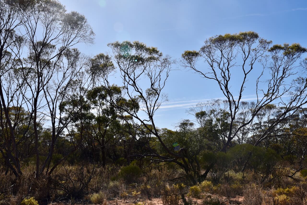
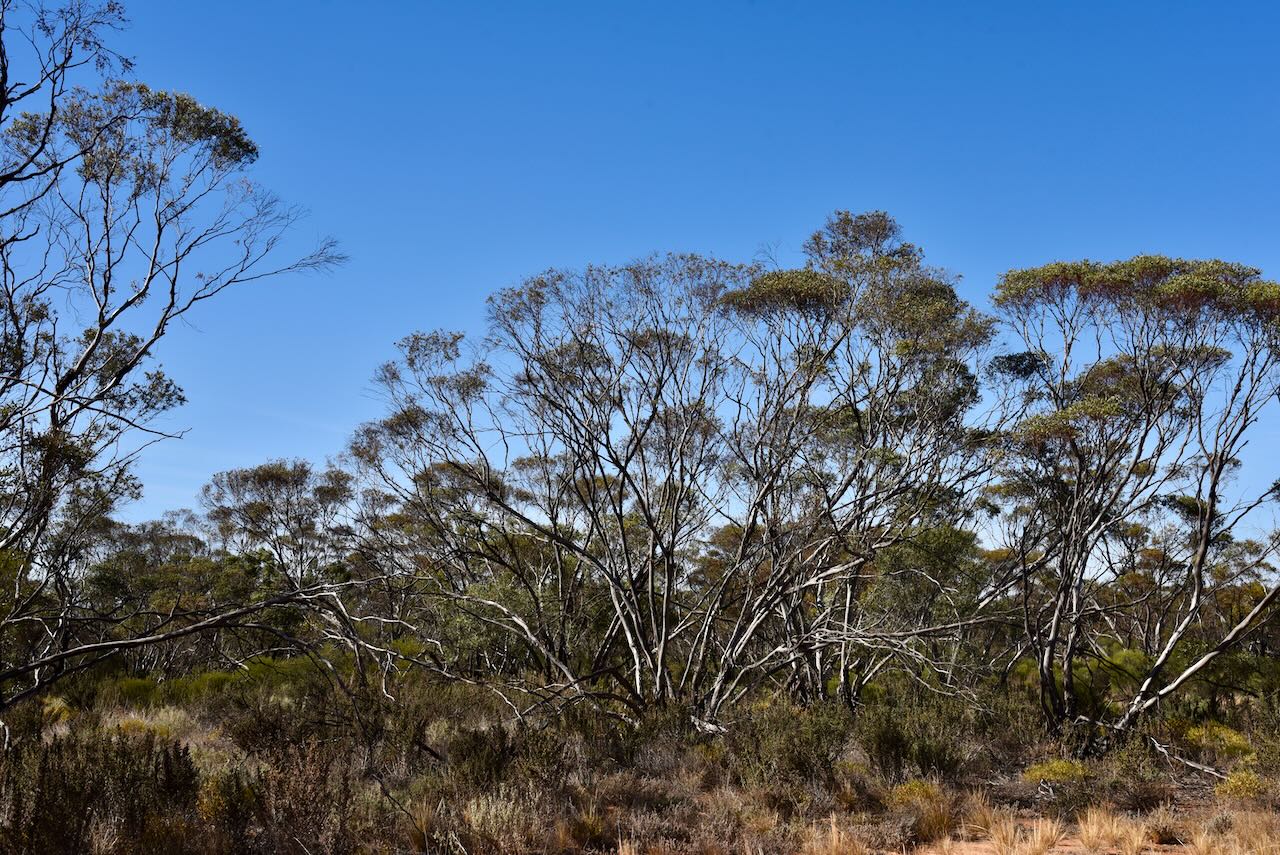
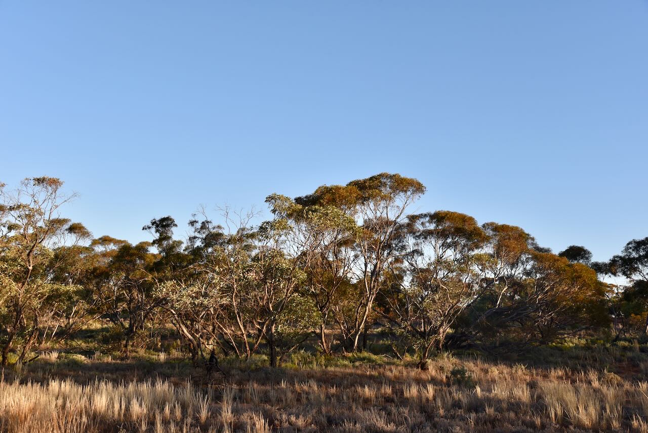
The Cooltong Conservation Park is southwest of the town. It is about 3,710 hectares in size and was proclaimed on the 8th day of April 1983. The park is dominated by mallee vegetation including Blue-leaf Mallee, White Mallee, Narrow-leaf Mallee and Red Malleee.
Above:- An aerial shot of the Cooltong CP. Image c/o Google Maps.
Birds SA have recorded about 109 species of native bird in the park including Malleefowl, Mulga parrot, Spiny-cheeked Honeyeater, and Puruple-backed Fairwren.
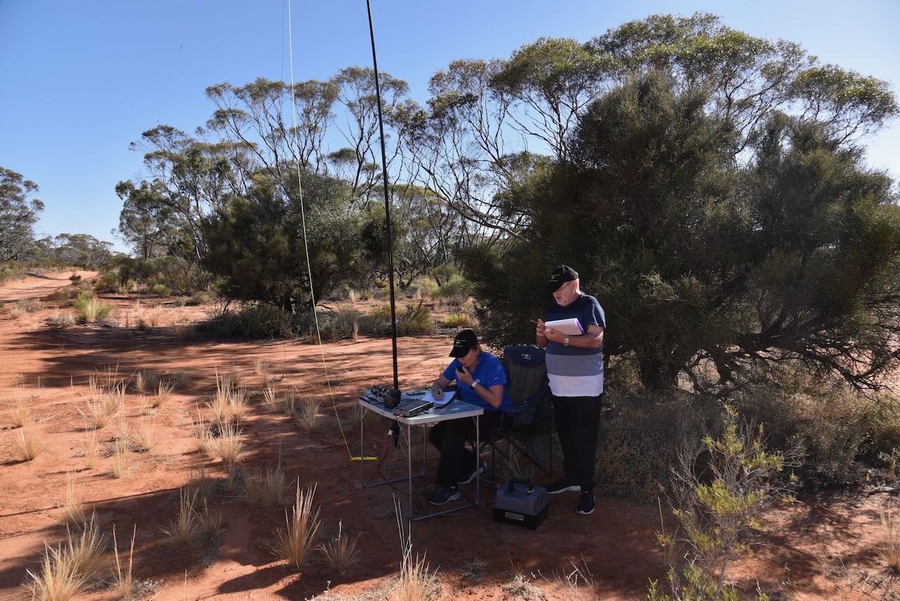
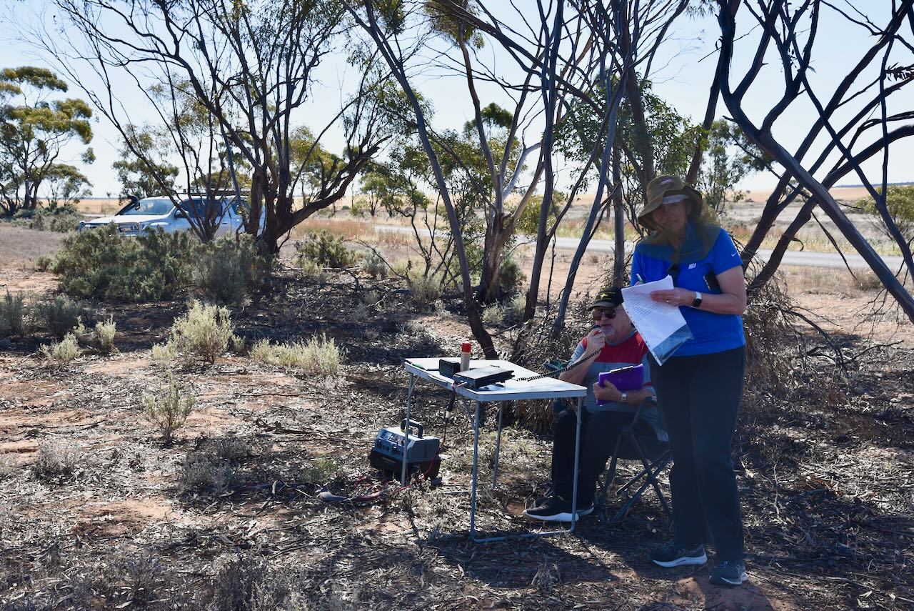
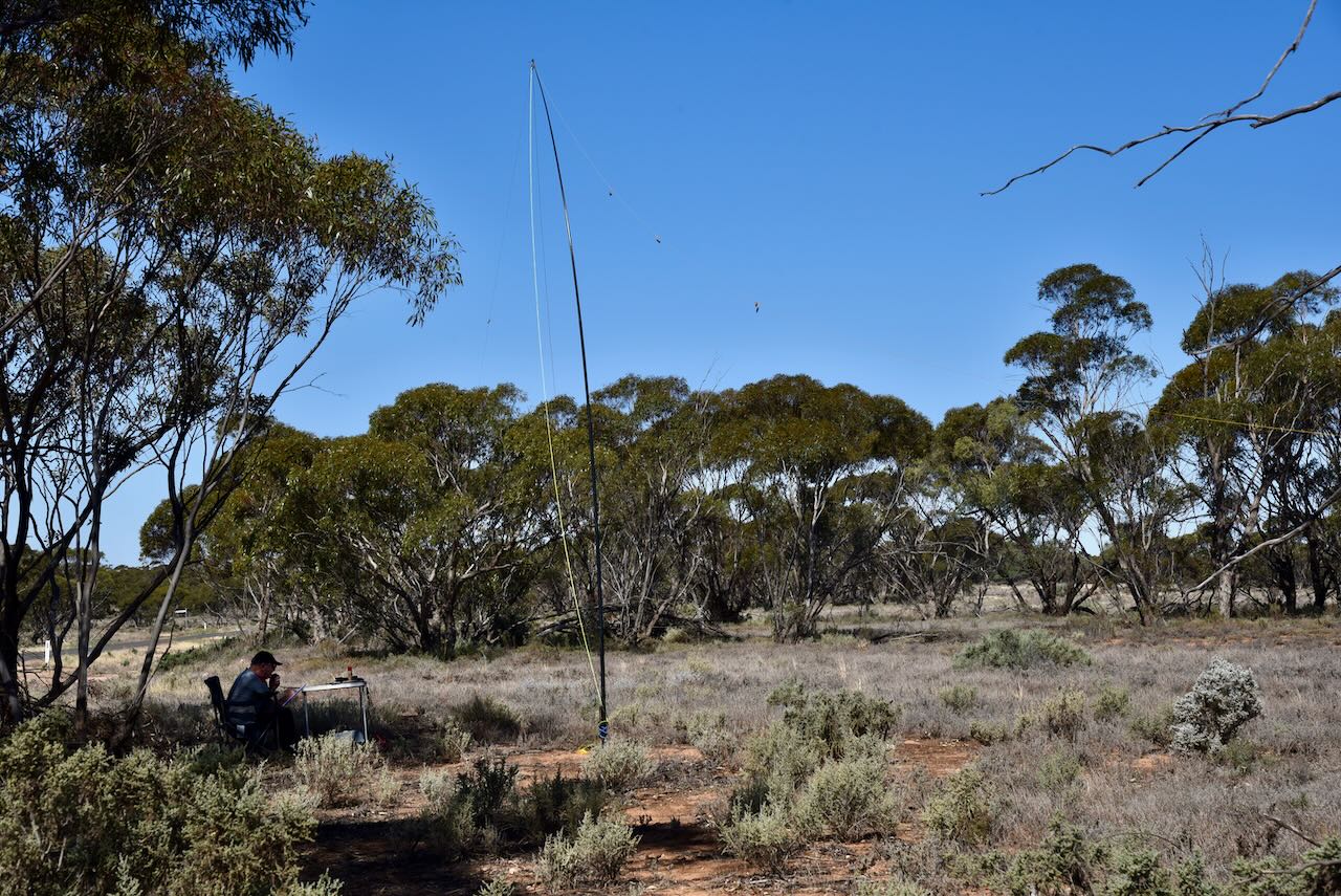
We accessed the park via Santos Road which runs off the Sturt Highway and leads directly into the park. We found a dirt track leading off Santos Road and set up our station consisting of the Yaesu FT857, 40 watts, and the 20/40/80m linked dipole (inverted vee configuration) supported by a 7-metre telescopic heavy-duty squid pole.
Marija worked the following stations on 40m SSB:-
I worked the following stations on 40m SSB:-
I worked the following stations on 20m SSB:-
References.
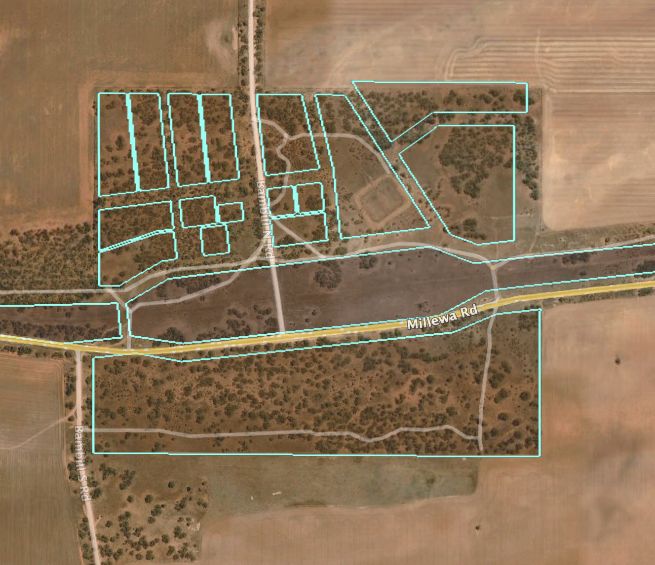
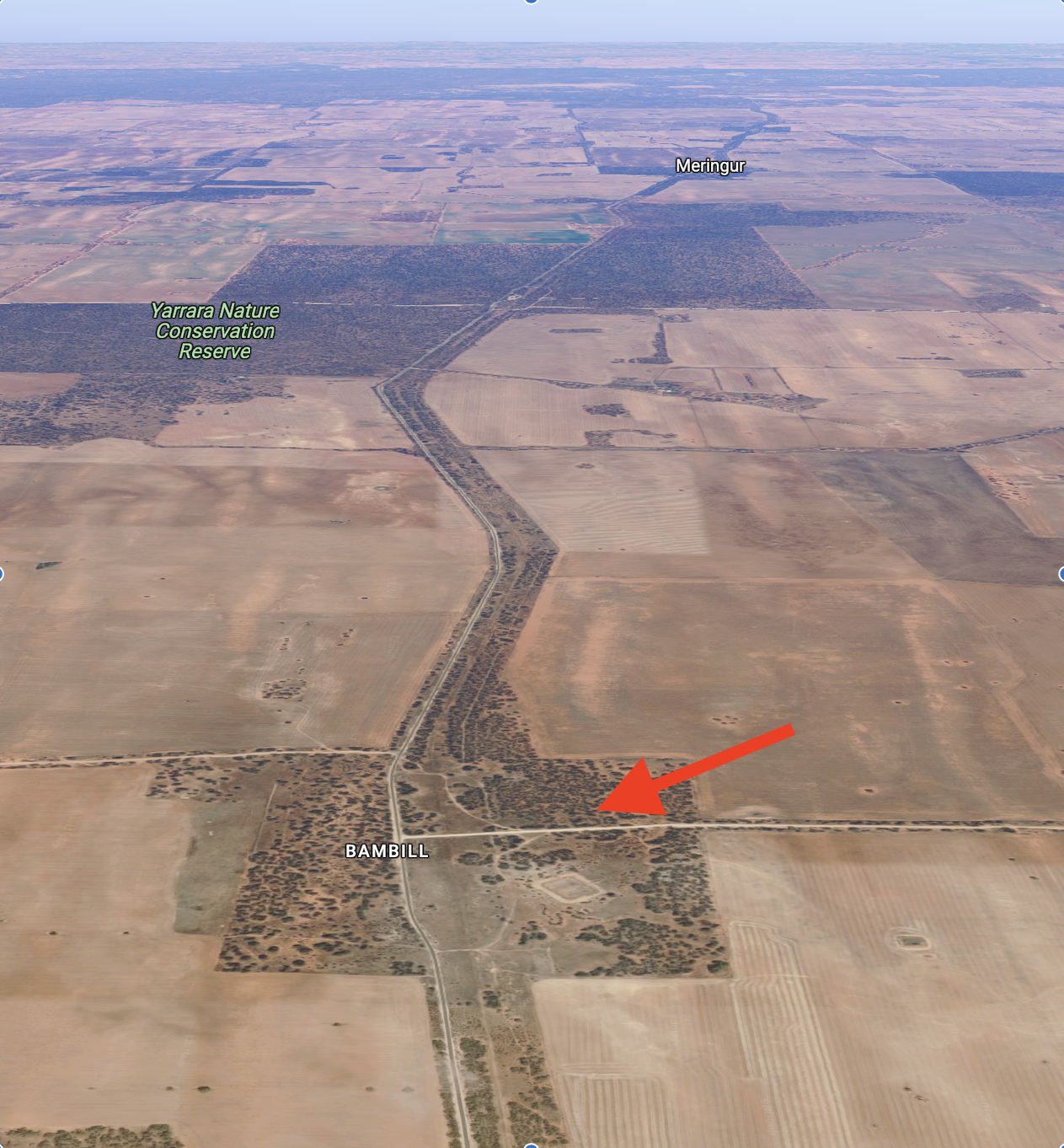
Our third park for Thursday 26th October 2023, was the Bambill Bushland Reserve VKFF-4121. The reserve is located about 89 km (by road) from Renmark.
Above:- Map showing the location of the Bambil Bushland Reserve. Map c/o Google Maps.
The Bambil Bushland Reserve is about 51 hectares in size and was declared on the 1st day of May 1979.
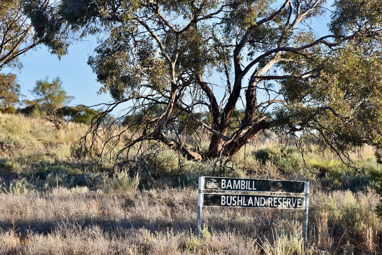
Above:- the Bambill Bushland Reserve. Image c/o Google Earth.
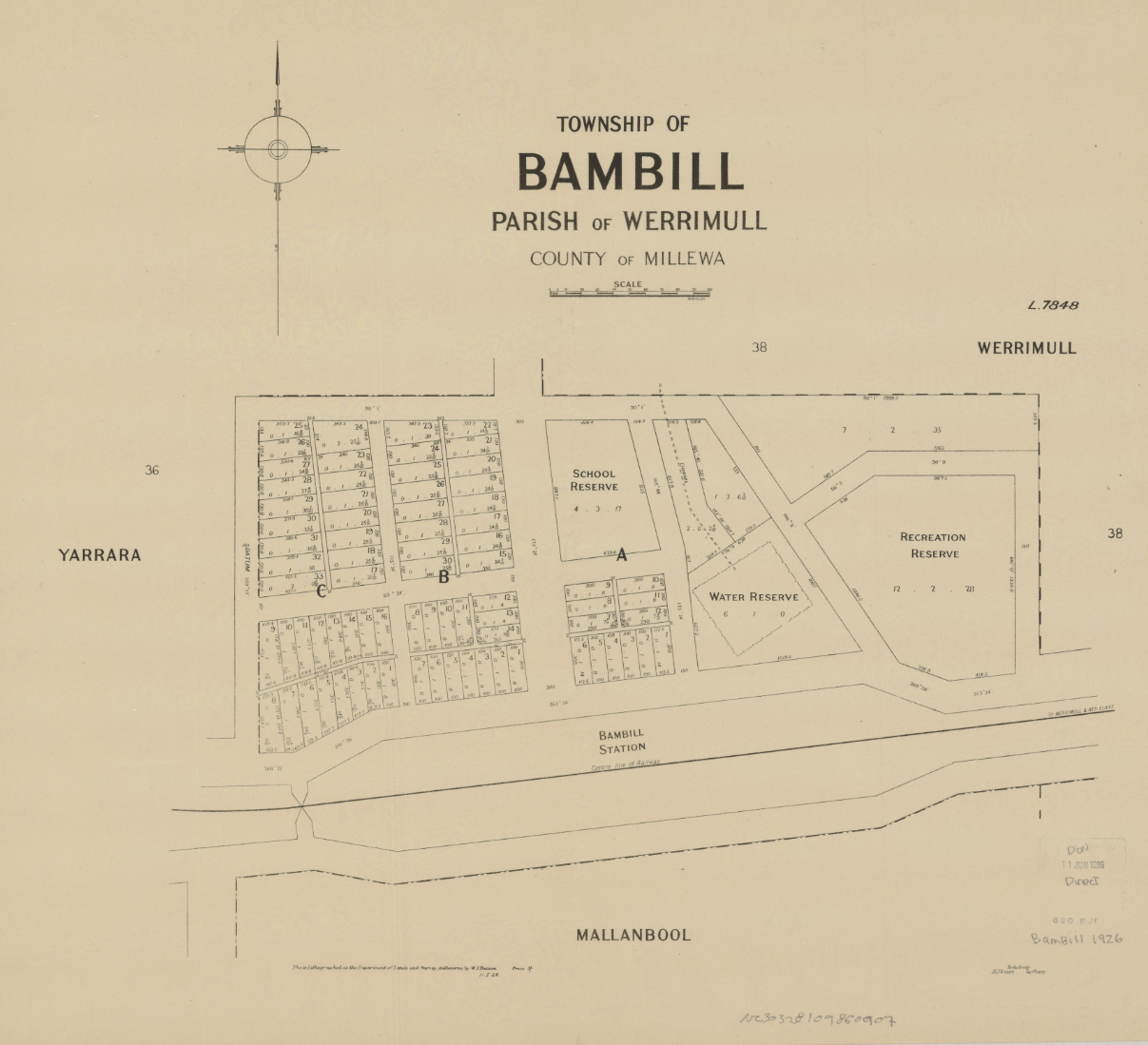
Parks Victoria has a page about this reserve but it contains no information other than a park boundary image.
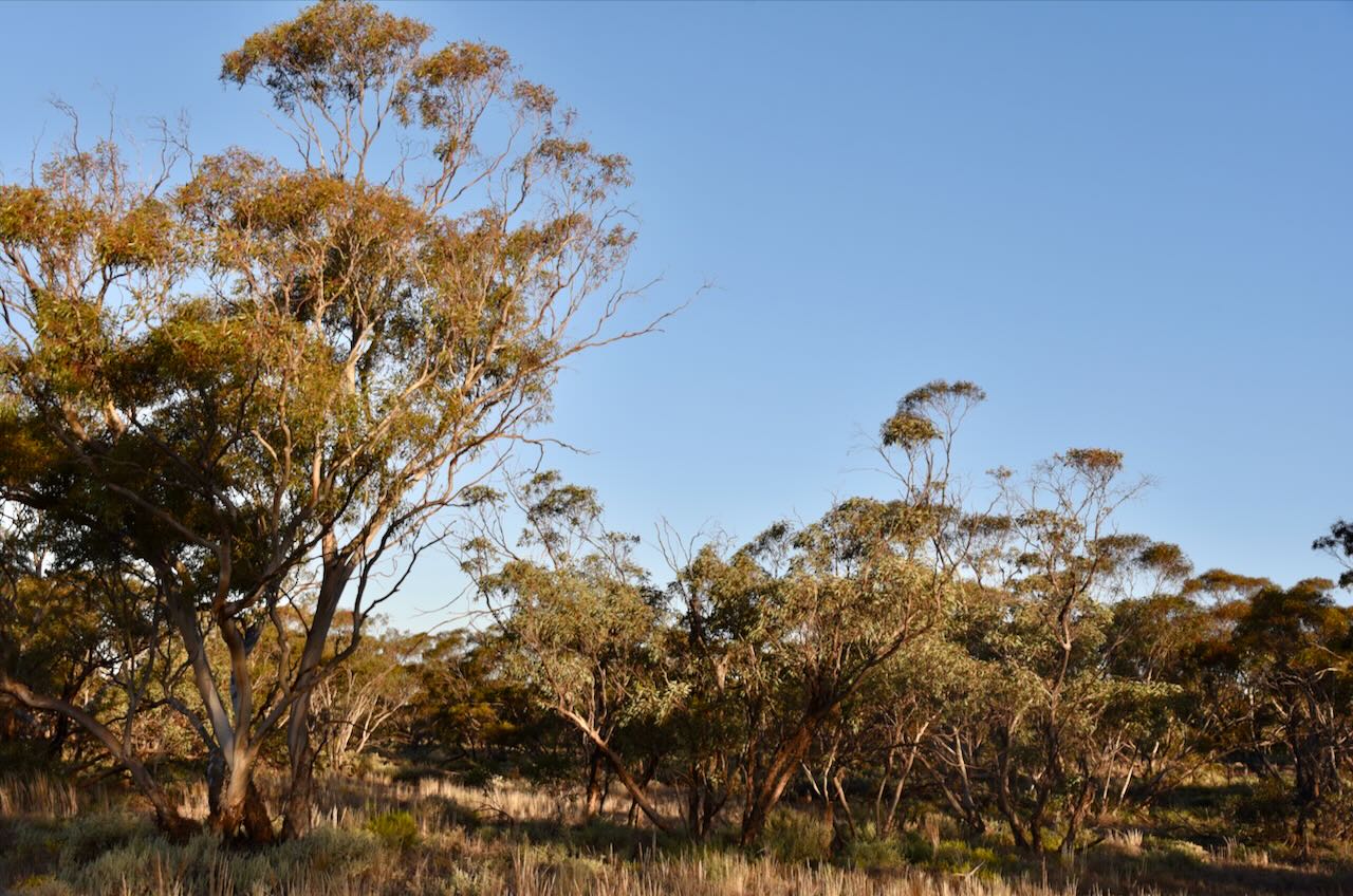
Above:- An aerial view of the Bambil Bushland Reserve. Image c/o Google Maps.
The Bambil area was first settled during the 1920s. On the 20th day of April 1926, the Post Office opened. It closed in 1959. The railway to the area opened in 1925 and closed in 1977.
Above:- The township of Bambill. Image c/o State Library Victoria
The reserve is located on both the northern and southern side of Millewa Road.
Marija worked the following stations on 40m SSB:-
I worked the following stations on 40m SSB:-
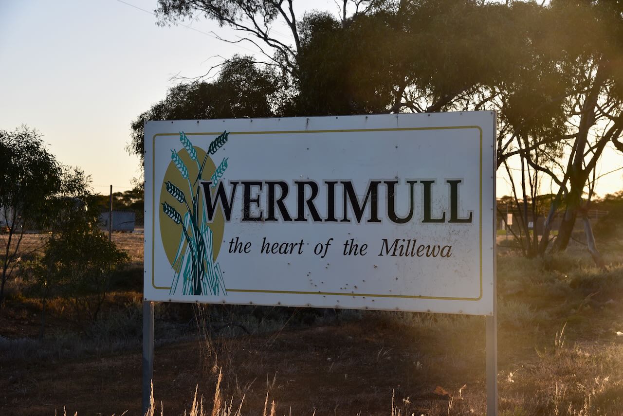
After packing up at the park we drove a short distance down the road to the little town of Werrimull. Werrimull is an aboriginal word believed to mean Eagle.
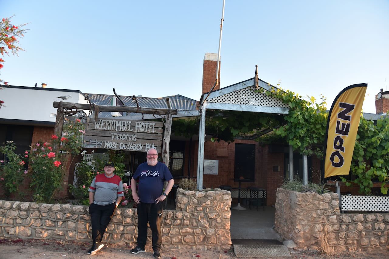
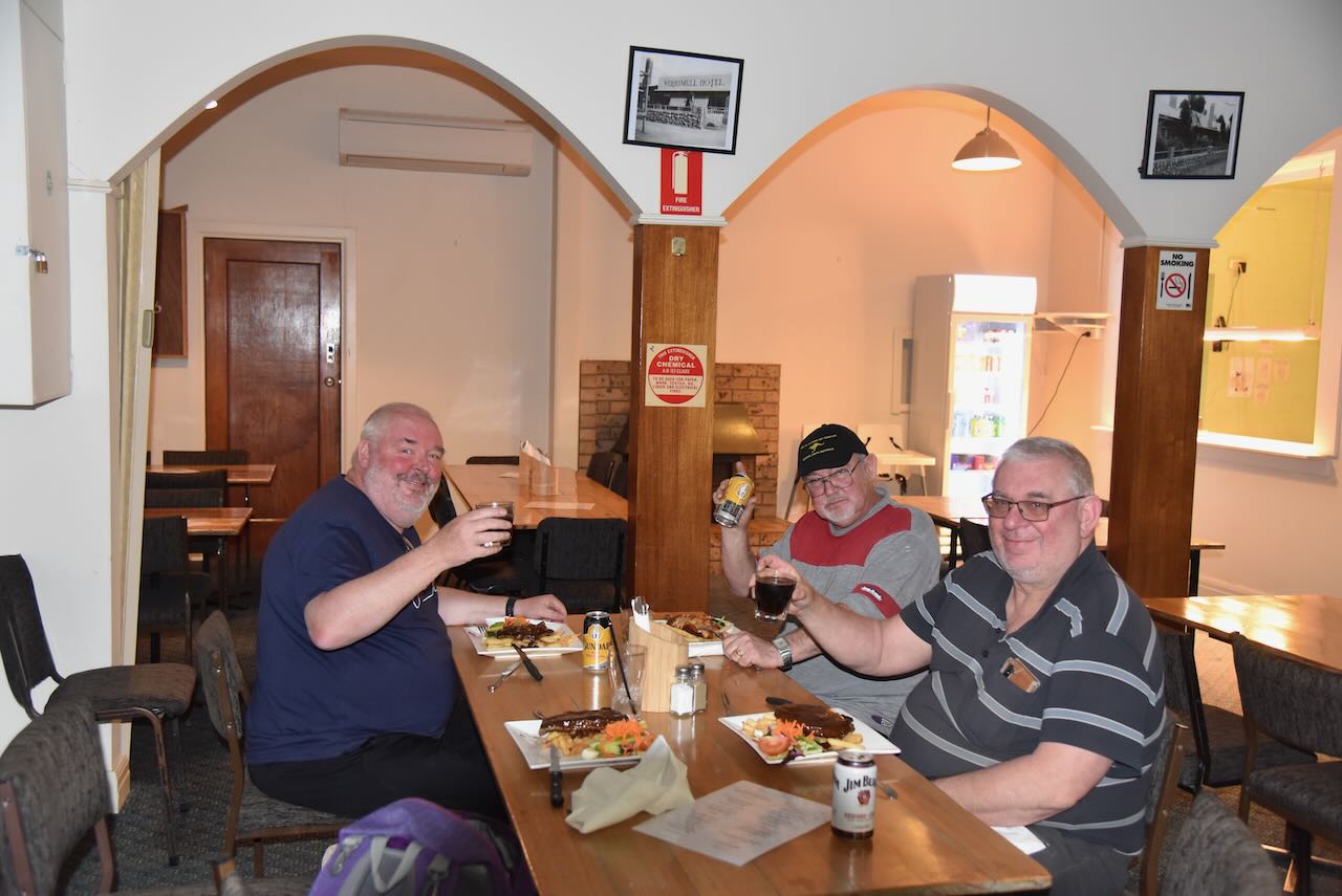
That evening we caught up with Peter VK3PF at the Werrimul Hotel for a meal and a few drinks before heading back to Renmark.
References.
Our second park for Thursday 26th October 2023, was the Karween Bushland Reserve VKFF-4120. The reserve is located about 53 km (by road) from Renmark.
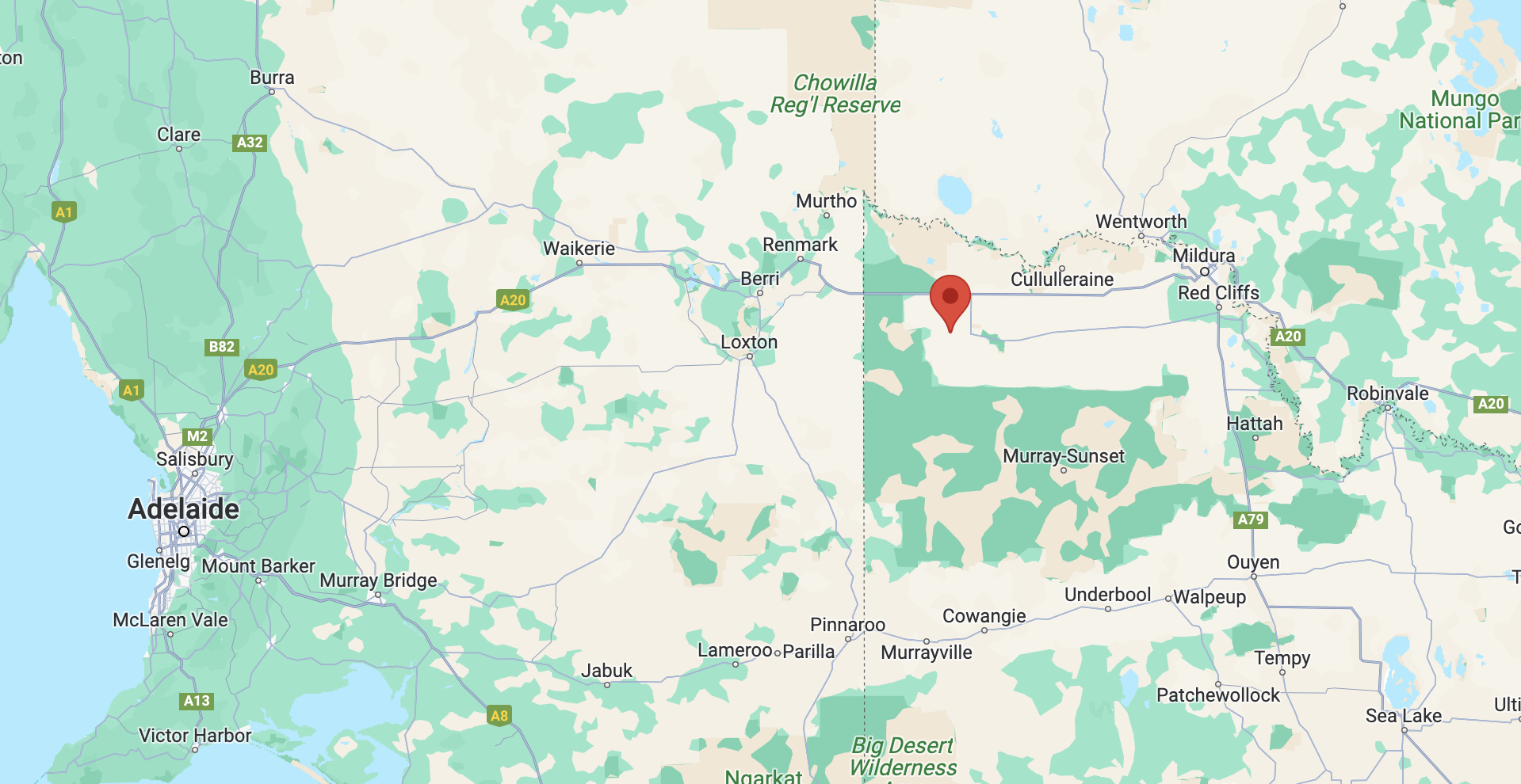
Above:- Map showing the location of the Karween Bushland Reserve. Map c/o Google Maps.
Karween is a locality situated on the Redcliffs-Merringur Road in northwestern Victoria. Following the arrival of the railway, the area was settled by returning servicemen following World War One. At its peak, Karween had a Country Women’s Association and a Progress Association.
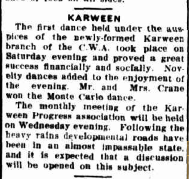
Above:- Article from the Sunraysia Daily, Tues 30 Jun 1931
The railway to Karween was closed in 1964.
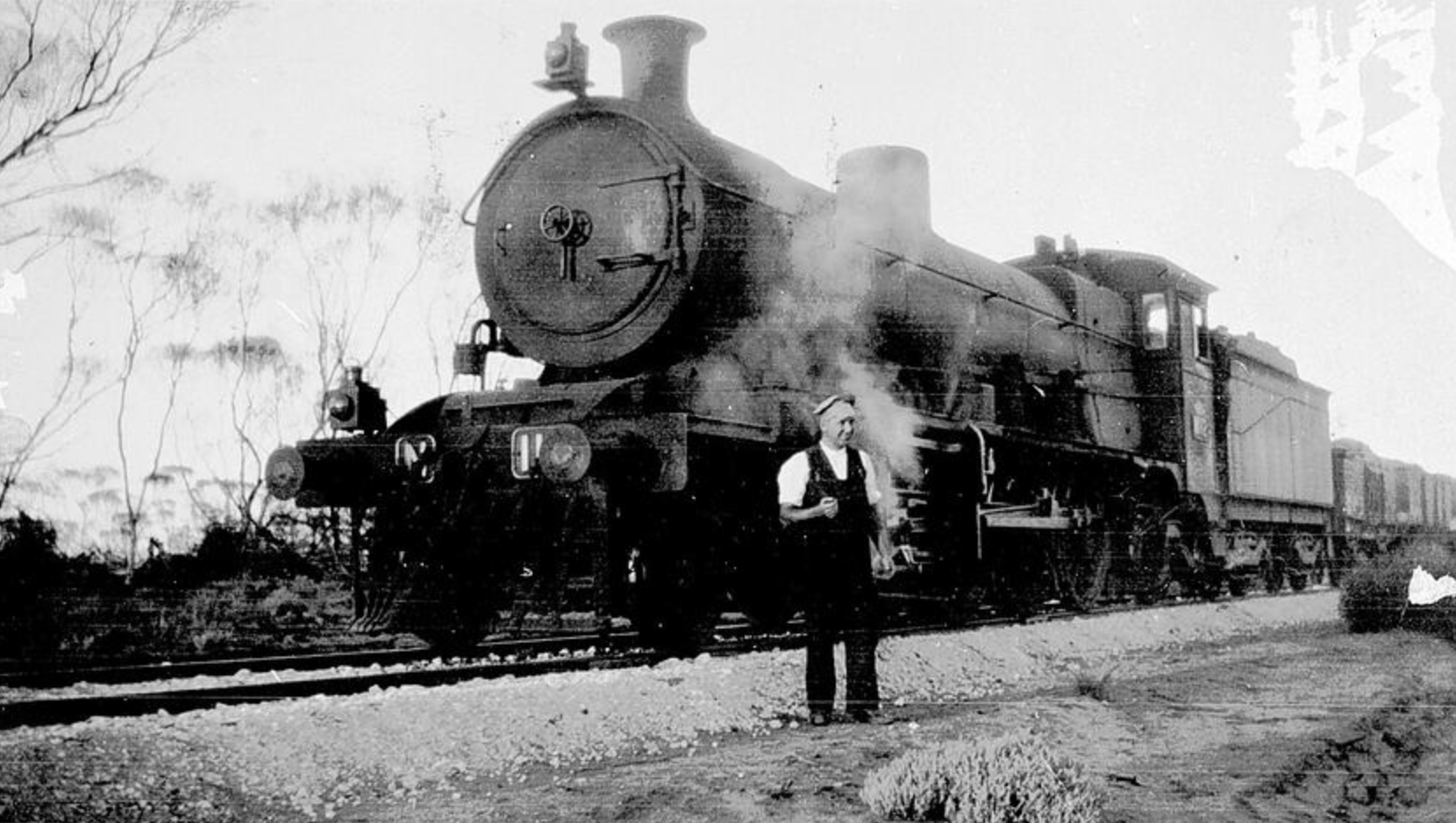
Above:- First wheat train along the new rail extension, Karween, 1931. Image c/o Museums Victoria
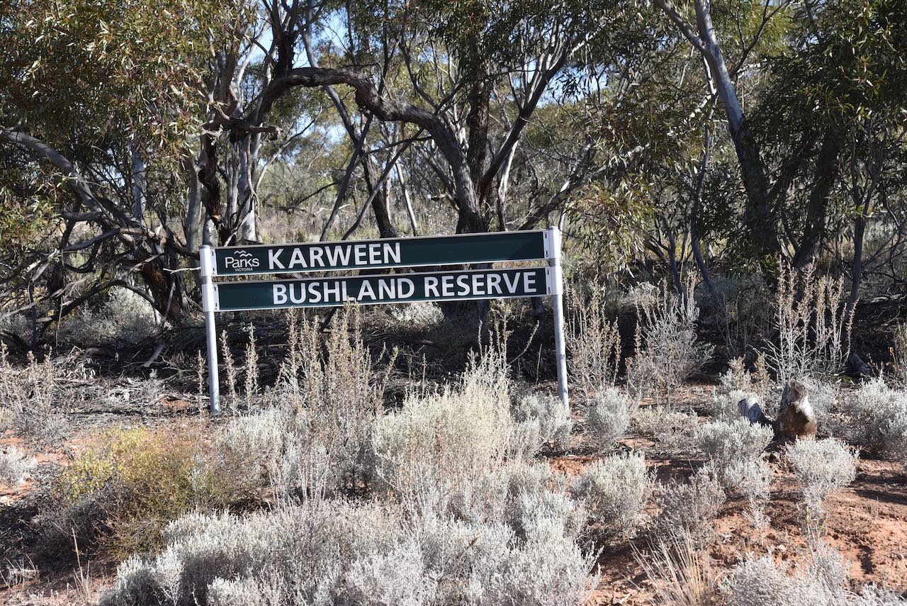
This was to be a first-time activation of this reserve.
The Parks Victoria website has a page for this reserve, but it contains no information other than a park shape file.
The Karween Bushland Reserve was declared on the 8th day of May 1990 and is about 78 hectares in size.
We found a clear spot amongst the scrub off Milewa Road. We ran the Yaesu FT857, 40 watts, and the 20/40/80m dipole supported by the 7-metre heavy-duty squid pole.
I used the special call of VI10VKFF for this activation to celebrate the 10-year anniversary of the VKFF program.
I enjoyed a very nice run of European/UK stations on 20m on the long path. Thirty-eight in total were logged from that part of the world. Not bad for 40 watts and a little bit of wire!
All three of us qualified the park for VKFF, while I went on to qualify the park for the global WWFF program.
Marija worked the following stations on 40m SSB:-
I worked the following stations on 40m SSB:-
I worked the following stations on 20m SSB:-
References.
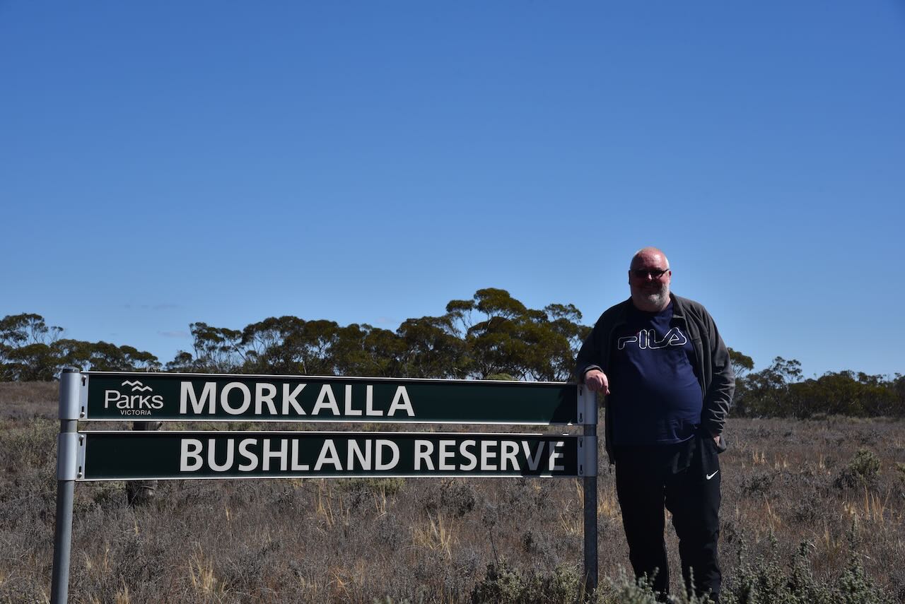
After booking into our motel at Renmark on Thursday 26th October 2023, Hans, Marija and I headed over the border from South Australia into Victoria to activate some new parks. I had added a number of Victorian parks to the World Wide Flora Fauna (WWFF) program, specifically for amateurs who were visiting the area for the VKFF National Get Together.
Our first park was the Morkala Bushland Reserve VKFF-4119 which is located about 57 km (by road) from Renmark. This was to be a first time activation of this park.
Above:- Map showing the location of the Morkala Bushland Reserv e. Map c/o Google Maps.
The Parks Victoria website has a page for the Morkala Bushland Reserve, but it contains no information other than a park boundary image.
The Morkala Bushland Reserve was declared on the 8th day of May 1990 and is 56 hectares in size. eBird Australia has recorded 16 species of native birds in the reserve including Black-shouldered Kite, Stubble Quail, Emu, Nankeen Kestrel, and Common Bronzewing.
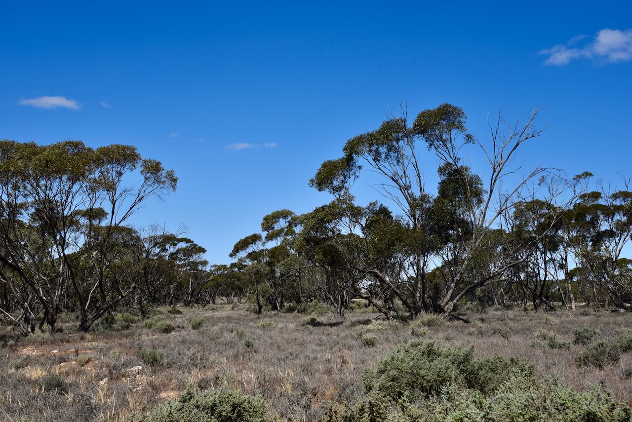
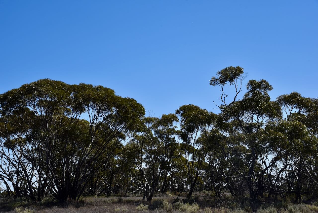
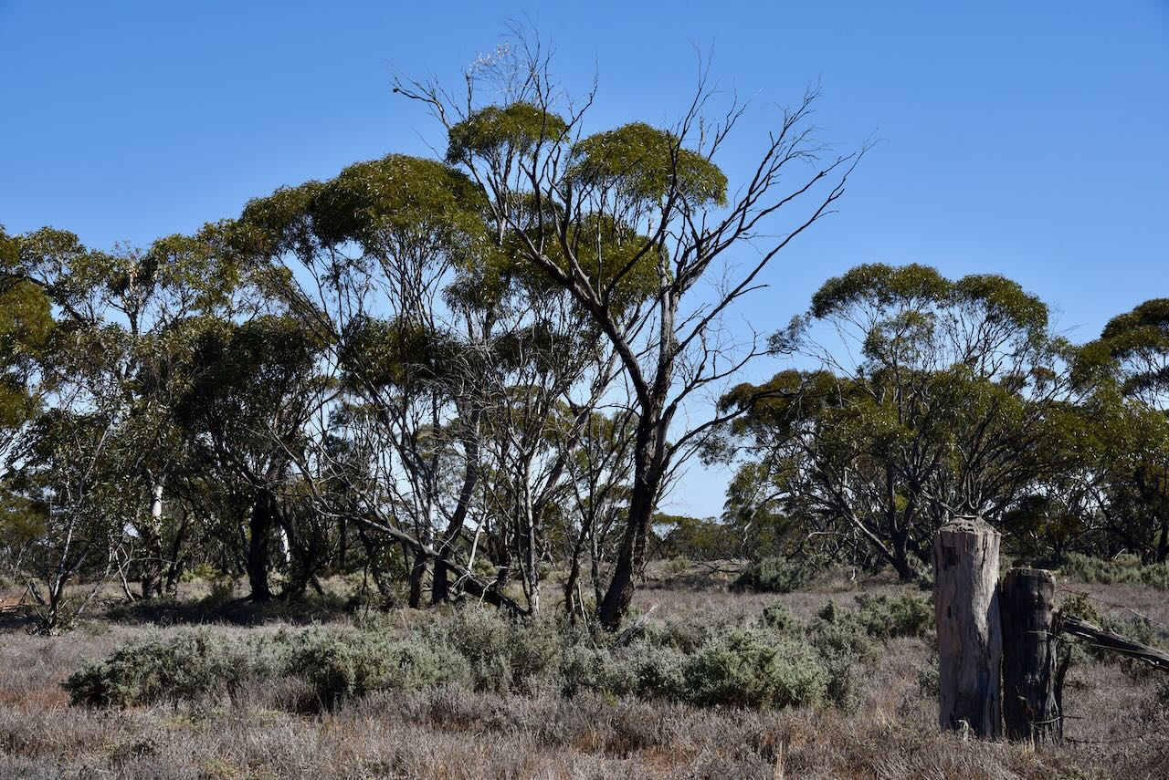
Morkala Bushland Reserve is located in the Millewa Mallee region of northwest Victoria. The Millewa region is a large strip of land that is located between sections of the vast Murray Sunset National Park. The reserve is located on the corner of Morkala South Road and Milewa Road at Meringur. It is located on either side of Millewa Road.
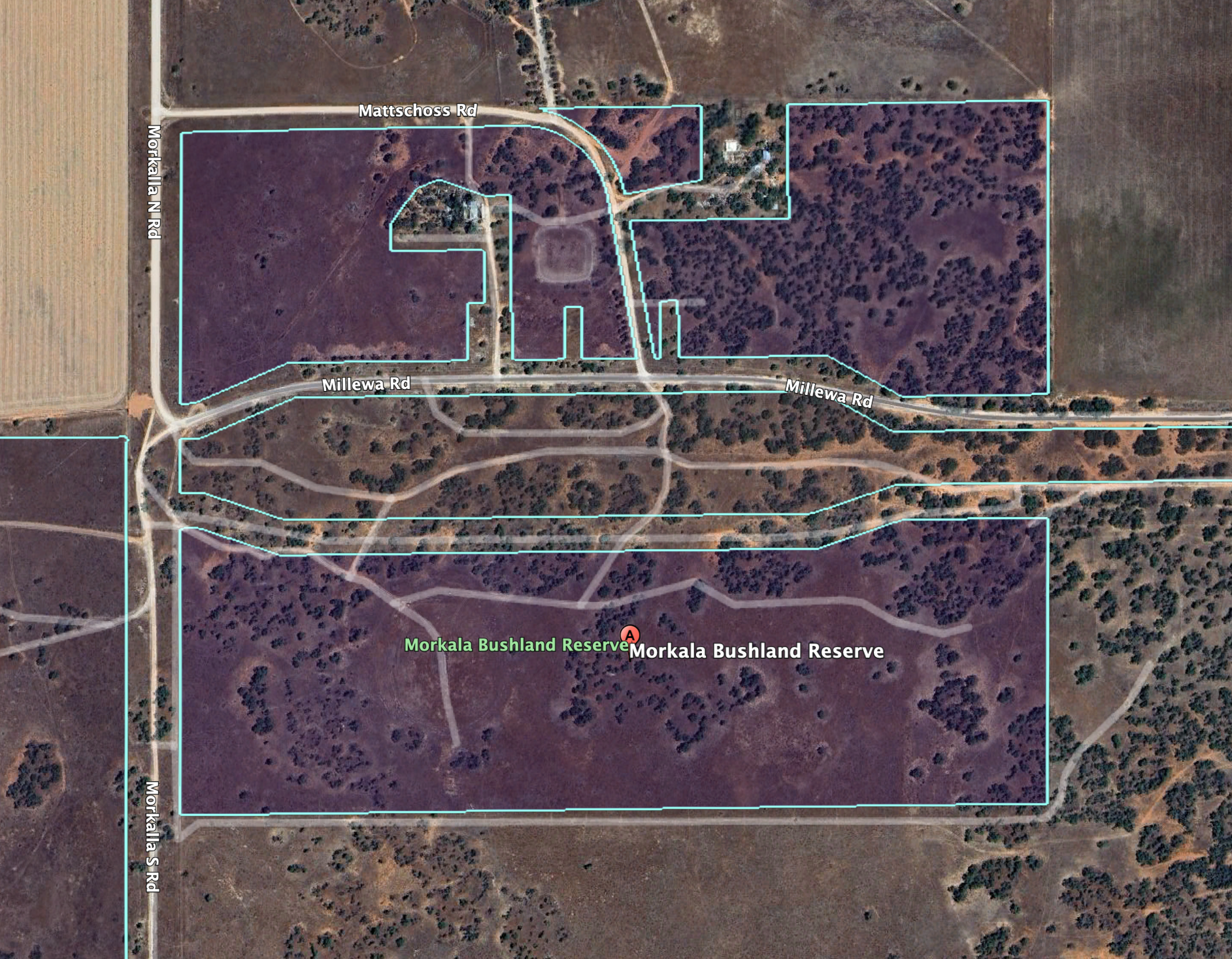
Above:- Aerial view of the Morkala Bushland Reserve. Image c/o Google Earth.
Meringur is an aboriginal word meaning ‘grey kangaroo. Prior to European settlement, the land was inhabited by the Latje Latje aboriginal people.
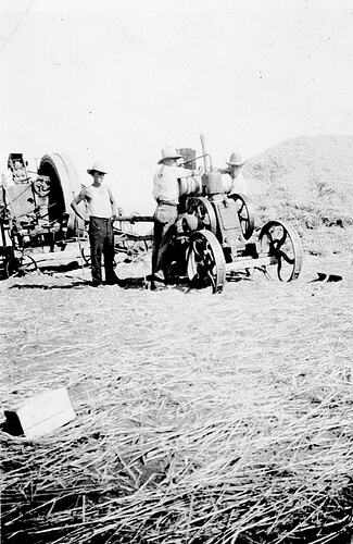
The Meringur area was opened up for European settlement in the 1920s. Prior to this, a number of large pastoral holdings existed in the area. A railway line was built from Red Cliffs to Meringur, and in 1925 the Meringur railway station opened. It had facilities to cater for passengers, sheep and grain. On the 2nd day of February 1926, the post office opened. In 1927 the school was opened. By 1928 about 600,000 acres of land in the area had been taken up by about 708 settlers.

Above:- a plan of the town of Meringur. Image c/o State Library Victoria.
The railway line to Morkala was extended in 1931 but closed in 1965. The entire railway line was closed by 1988.
In the mid- 1940s Werrimull, which is centrally located in the Millewa region, became the district centre. Merringur’s store and lands office closed in the 1970s. By 1988 the railway had closed, and in 1998 the Merringur school, with 16 pupils, also closed.
Above:- Meringur in days of old. Images c/o Museums Victoria.
We set up in the southern section of the park and chose some coverage under a tree as it was quite a hot afternoon.
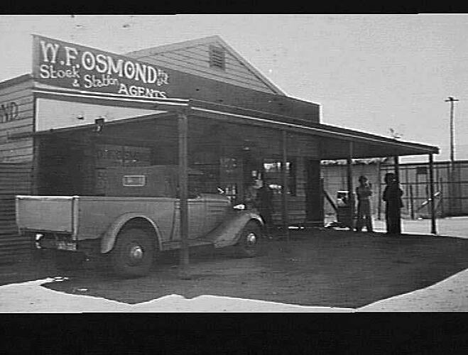
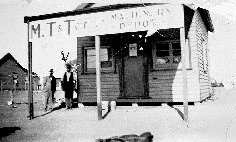
At its peak, Meringur had an open-air palais theatre, general store, post office, milk bar, tea rooms, bakehouse, dressmaker, mechanics shop, hardware store, guest house, hairdresser, saddlery store, greengrocer, tobacconist, timber yard, blacksmith, butchers, billard room, ice works, hall and a school.
Above:- part of an article from the Murray Pioneer newspaper, Fri 9 Jan 1931. Image c/o Trove.
We ran the Yaesu FT857, 40 watts, and the 20/40/80m linked dipole for this activation. The flies were out in force, so Marija wore her fly netting hat to keep them at bay.
I operated using the special callsign of VI10VKFF to celebrate 10 years of the VKFF program. I qualified the park with 56 QSOs.

Marija and Hans also qualified the park for the VKFF program.
Marija worked the following stations on 40m SSB:-
I worked the following stations on 40m SSB:-
I worked the following stations on 20m SSB:-
References.
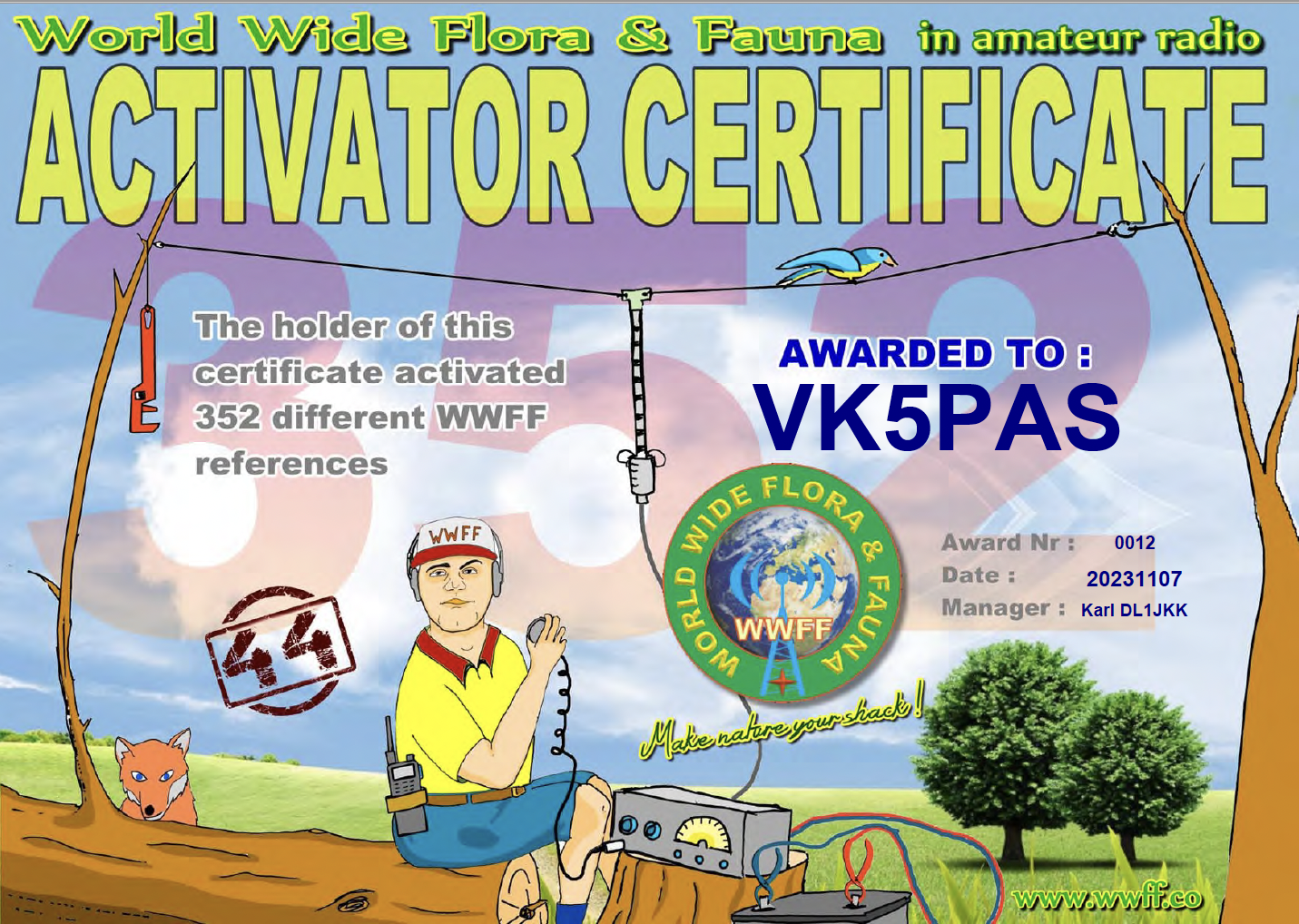
I received this certificate in my email inbox this morning.
It is the WWFF Activator certificate issued for having activated 352 WWFF references (with 44 QSOs in each reference).
Thank you to all of the WWFF Hunter and thank you to the Awards Manager Karl DL1JKK.
The results are in for the 2023 CQ World Wide WPX Contest.
I came 1st in Australia for Single Op Low Power 28 MHz, and 2nd in Oceania in that category.

In the Tribander/single element overlay section I came 1st in Australia and 4th in Oceania.

Thank you to everyone who called me, and thank you to the Contest organisers.
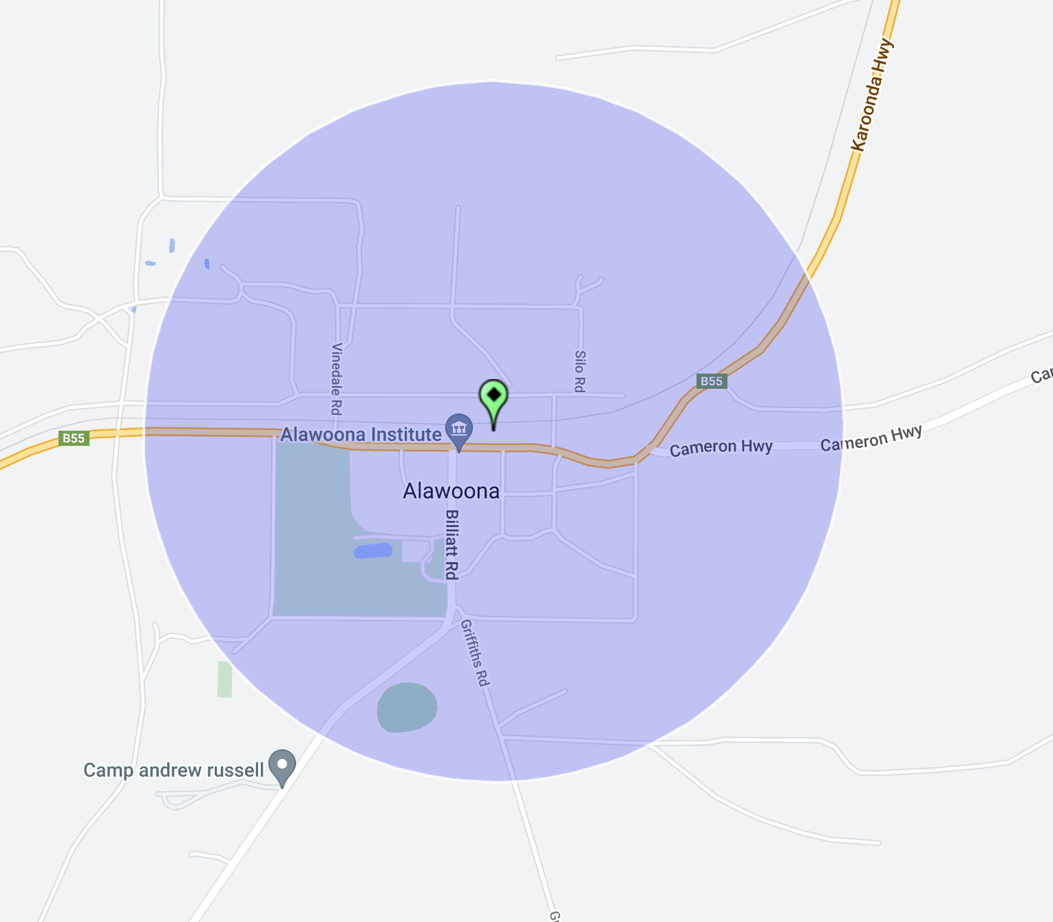
Our fourth silo for Thursday 26th October 2023, was the Alawoona silo VK-ALA5. Alawoona is located about 221 km northeast of the city of Adelaide.

Above:- Map showing the location of Alawoona. Map c/o Google Maps.
As we approached Alawoona, the three of us worked Peter VK3ZPF from the mobile. Peter was activating Bridgewater Streamside Reserve VKFF-3609 and silo VK-LCE3. We let Peter know that we would soon be set up at the Alawoona silo.
Alawoona is a corruption of the aboriginal word ngalawuna meaning ‘place of hot winds’. The town of Alawoona was proclaimed on the 9th day of July 1914.
Alawoona was established as one of the original sidings during the construction of the Barmera railway line. The Alawoona school operated from 1915 to 1967 when it was consolidated with the Browns Well Area School. During the 1930s Alawoona had three churches, a railway refreshment hall, a school, a police station, a bank, a bakery, a butcher shop, two general stores, football clubrooms and a 400-person Institute/hall which held balls and dances.
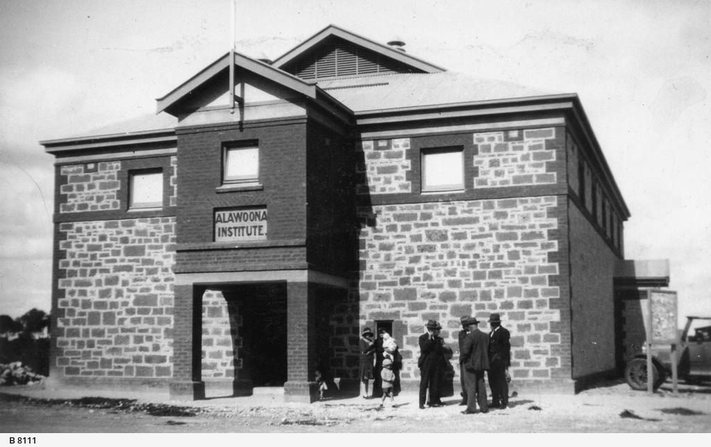

Above:- the Alawoona Institute 1932 (left) and loading mallee roots (right). Images c/o State Library SA.
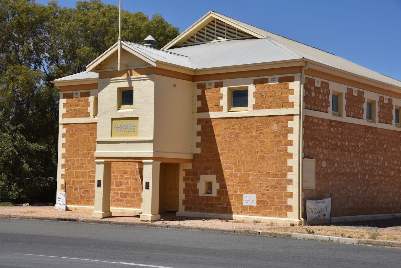
Today, many of the shops in Alawoona have closed. The beautiful stone Alawoona Institute remains and is in excellent condition.
The Alawoona silos are located on the northern side of the Karoonda Highway in the middle of town.
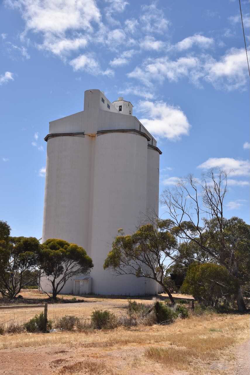
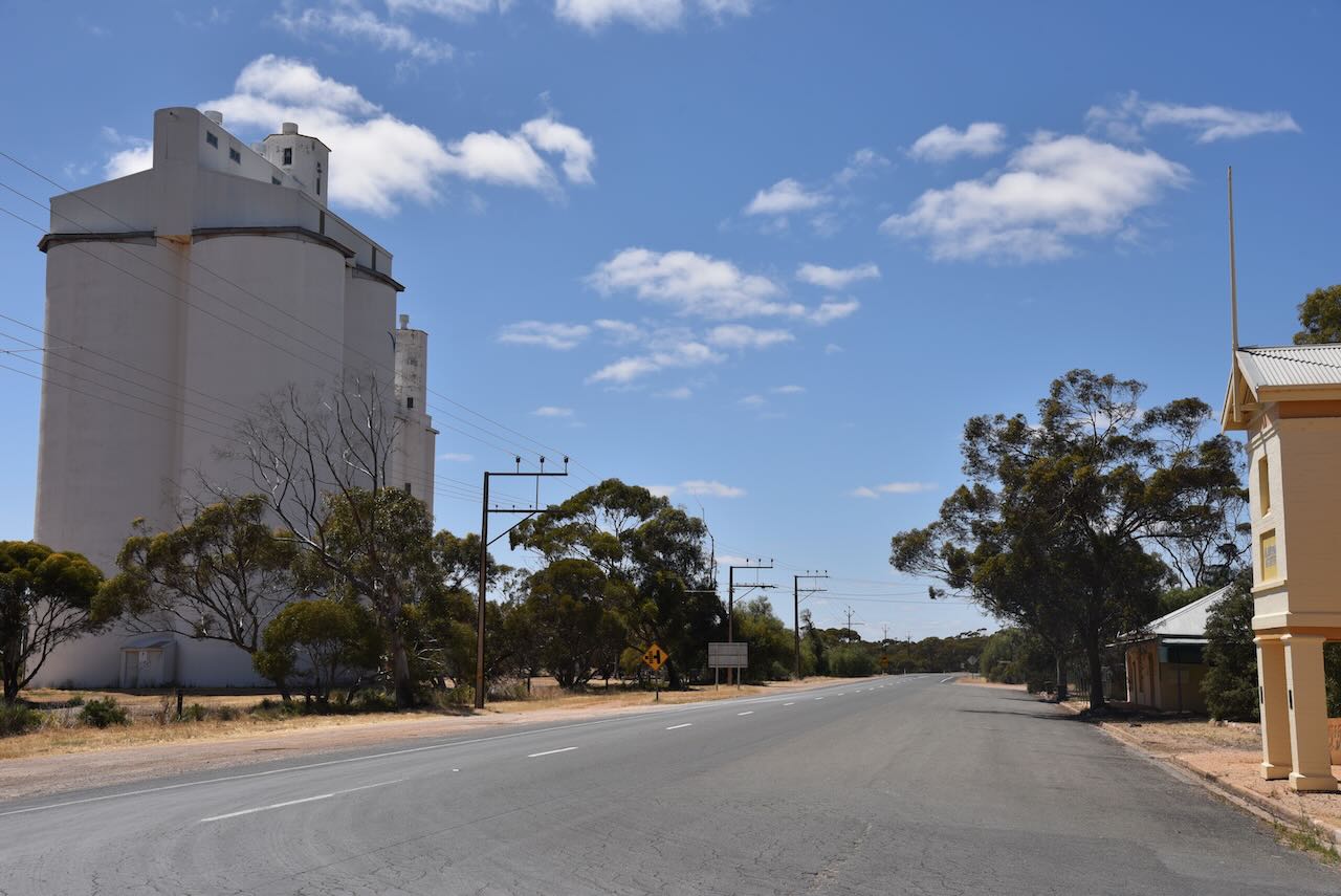
We parked on the Karoonda Highway, opposite the silos and operated from the 4WD for this activation. We ran the Icom IC-7000, 100 watts, and the Codan 9350 antenna.
Above:- the activation zone at the Alawoona silo. Image c/o SiOTA website.
Band conditions on 40m were awful, but all three of us managed to qualify the silo.
Marija worked the following stations on 40m SSB:-
I worked the following stations
References.
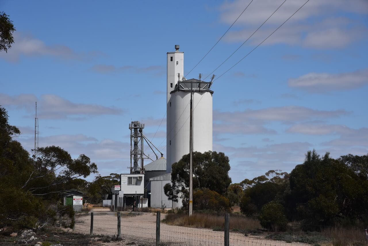
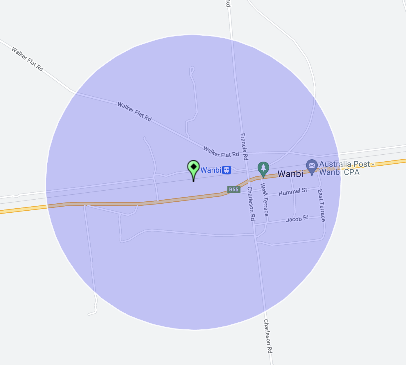
Our third silo for Thursday 26th October 2023, was the Wanbi silo VK-WNI5. Wanbi is a small town located about 202 km northeast of the city of Adelaide
Above:- Map showing the location of Wanbi. Map c/o Google Maps
Wanbi is an aboriginal word meaning ‘dingo’. The town of Wanbi was proclaimed on the 9th day of July 1914.
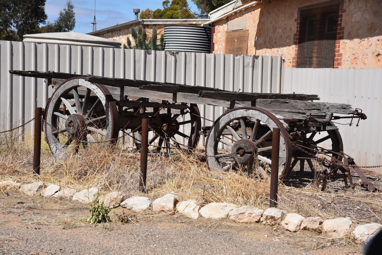
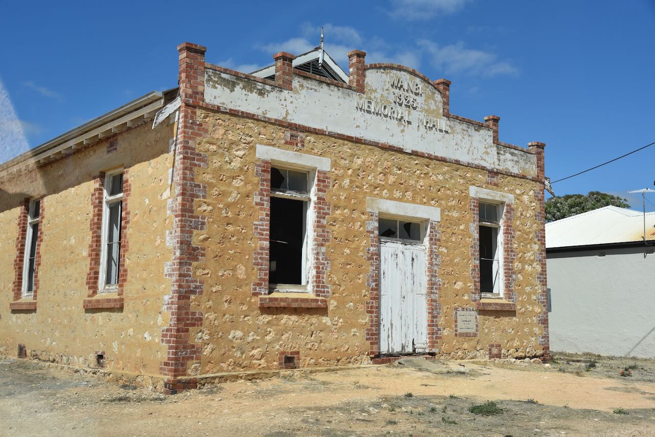
Sadly not much remains in Wanbi today. The old Wanbi Memorial Hall built in 1925 is in a state of disrepair, and the beautiful two-storey former hotel is closed.
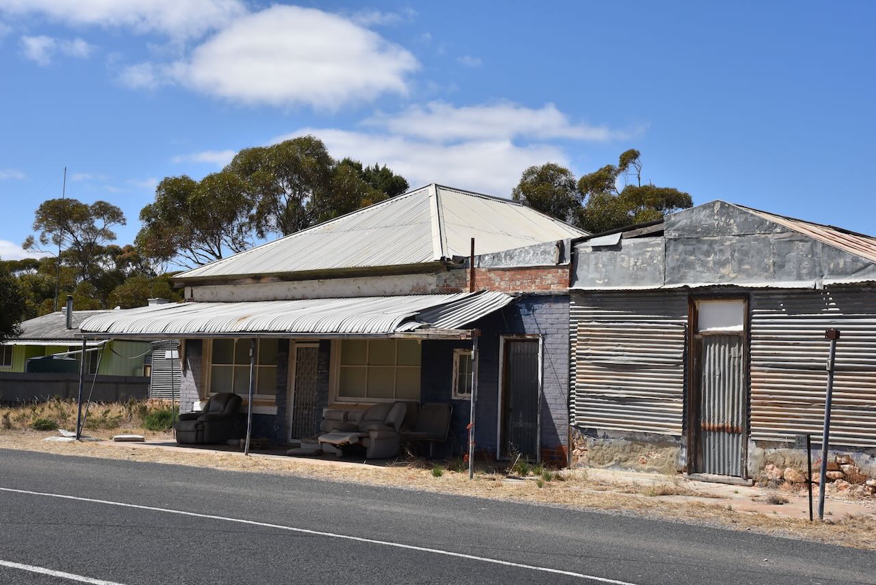
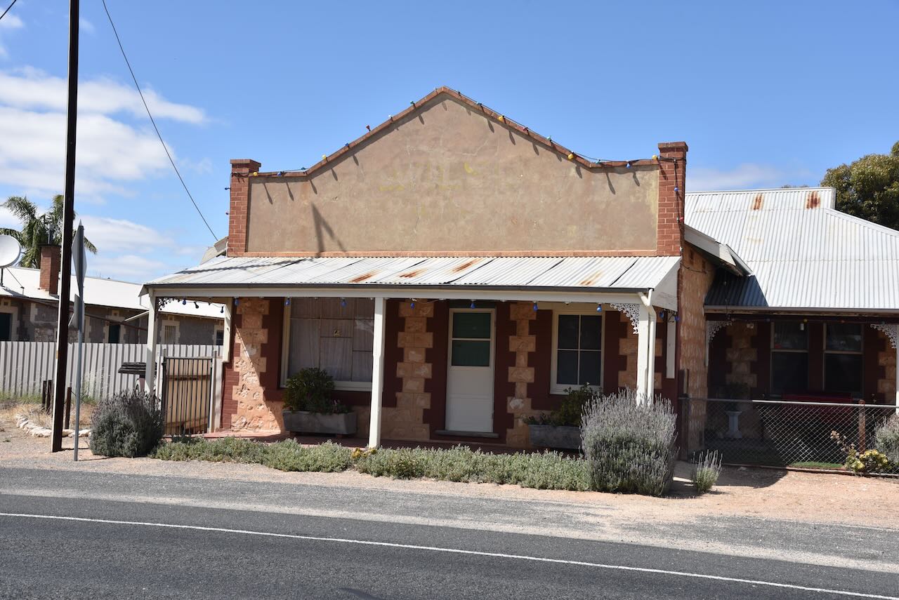
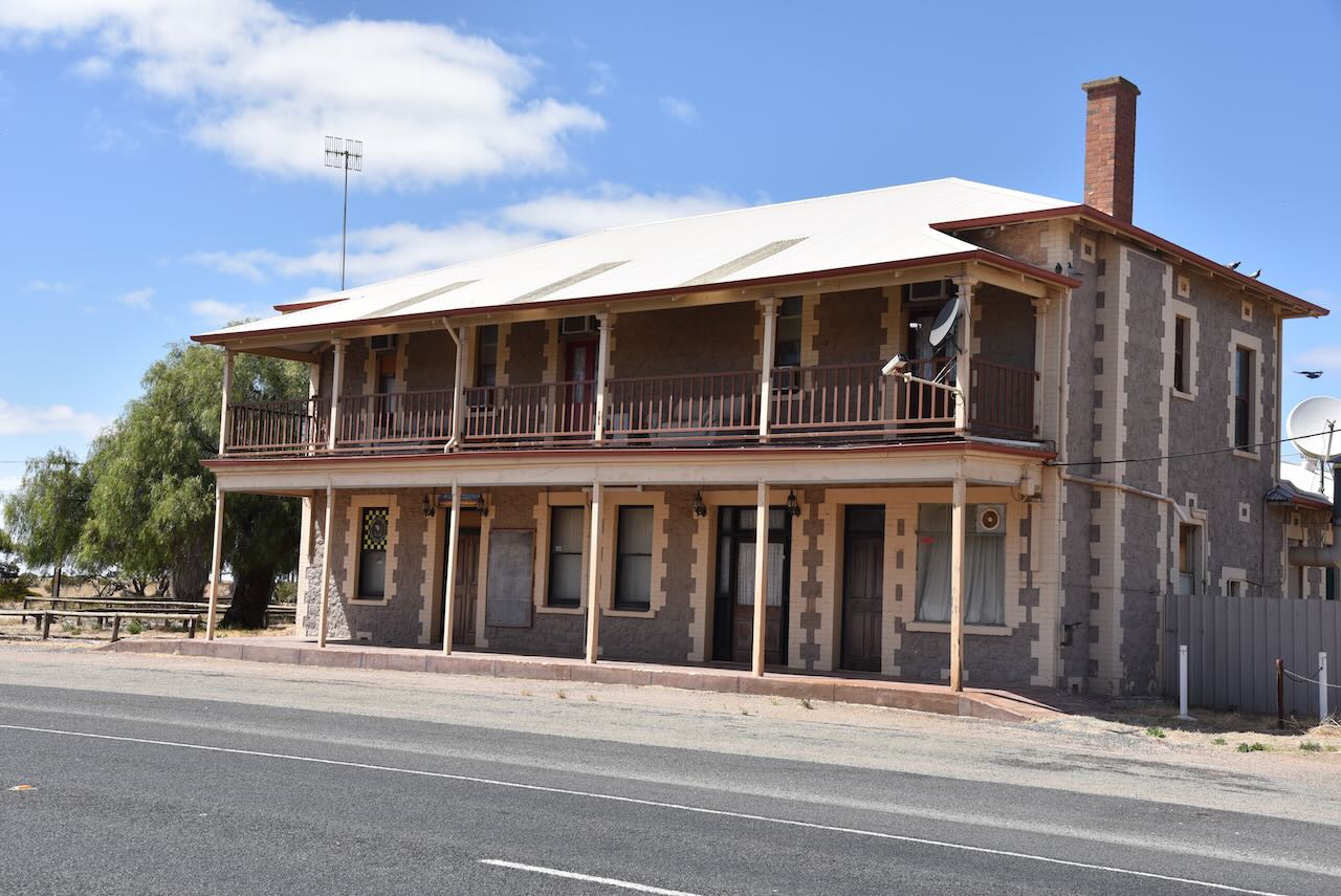
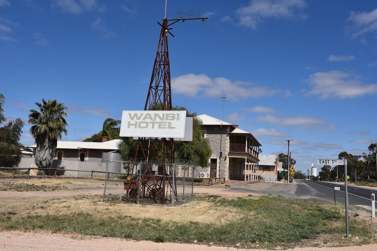
The Wanbi silos are located on Francis Road, just north of the Karoonda HIghway.
We parked alongside the old tennis courts (see below) that have ‘seen better days’.
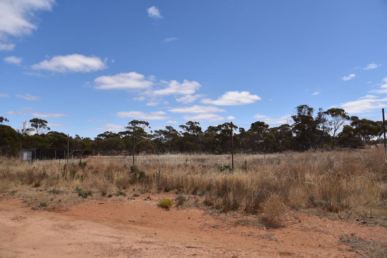
This was within the silo activation zone.
Above:- the activation zone at the Wanbi silo. Image c/o SiOTA website.
The band conditions on 40m were terrible. However, all three of us managed to activate and qualify the silo with more than 3 QSOs each. This was the third SiOTA activation for Hans VK6XN.
Marija worked the following stations on 40m SSB:-
I worked the following stations on 40m SSB:-
We then headed off to our next stop, the little town of Alawoona for another silo activation.
References.
Amateur Radio, Short Wave Listening, travel and history
Amateur radio experiences with VK1DA
Brisbane - Australia
german amateur radio station
Summits On The Air
SOTA on the peaks, wilderness QRP and some bushwalking
A fine WordPress.com site
Amateur Radio Adventures
Summits on the Ai
Amateur radio station from Belgium
Radio craft, homebrew, QRP/SOTA, AM
Ego loqui ad viros super montes
My adventures with Amateur Radio and Geocaching!
The rantings of VK2GAZ on his SOTA experiences in Australia
A survivor, with minor cuts and abrasions.
The Art and Craft of Blogging
The latest news on WordPress.com and the WordPress community.
Blog of Justin Giles-Clark VK7TW's SOTA and amateur radio adventures.
Occasional SOTA & Microwave operation
