Here are some certificates I have received for the Belgium Castles & Fortresses Award.
More info on the Award can be found at……


Here are some certificates I have received for the Belgium Castles & Fortresses Award.
More info on the Award can be found at……
After leaving the Linton Flora & Fauna Reserve, Marija and I headed to our final park activation on 28th February 2023, the Mount Erip Flora Reserve VKFF-2397.
We drove through the little town of Scarsdale, about 22 kilometres southwest of Ballarat. Gold was discovered in the area of Scarsdale in 1856. It is believed that the origin of the name Scarsdale is believed to be the name of a gold prospector in the Scarsdale district.
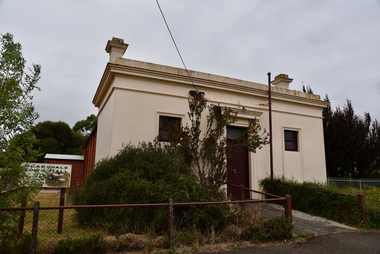
Above:- the old Scarsdale town Hall.
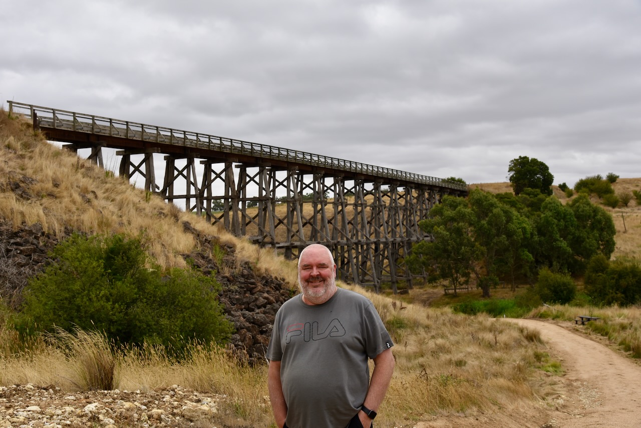
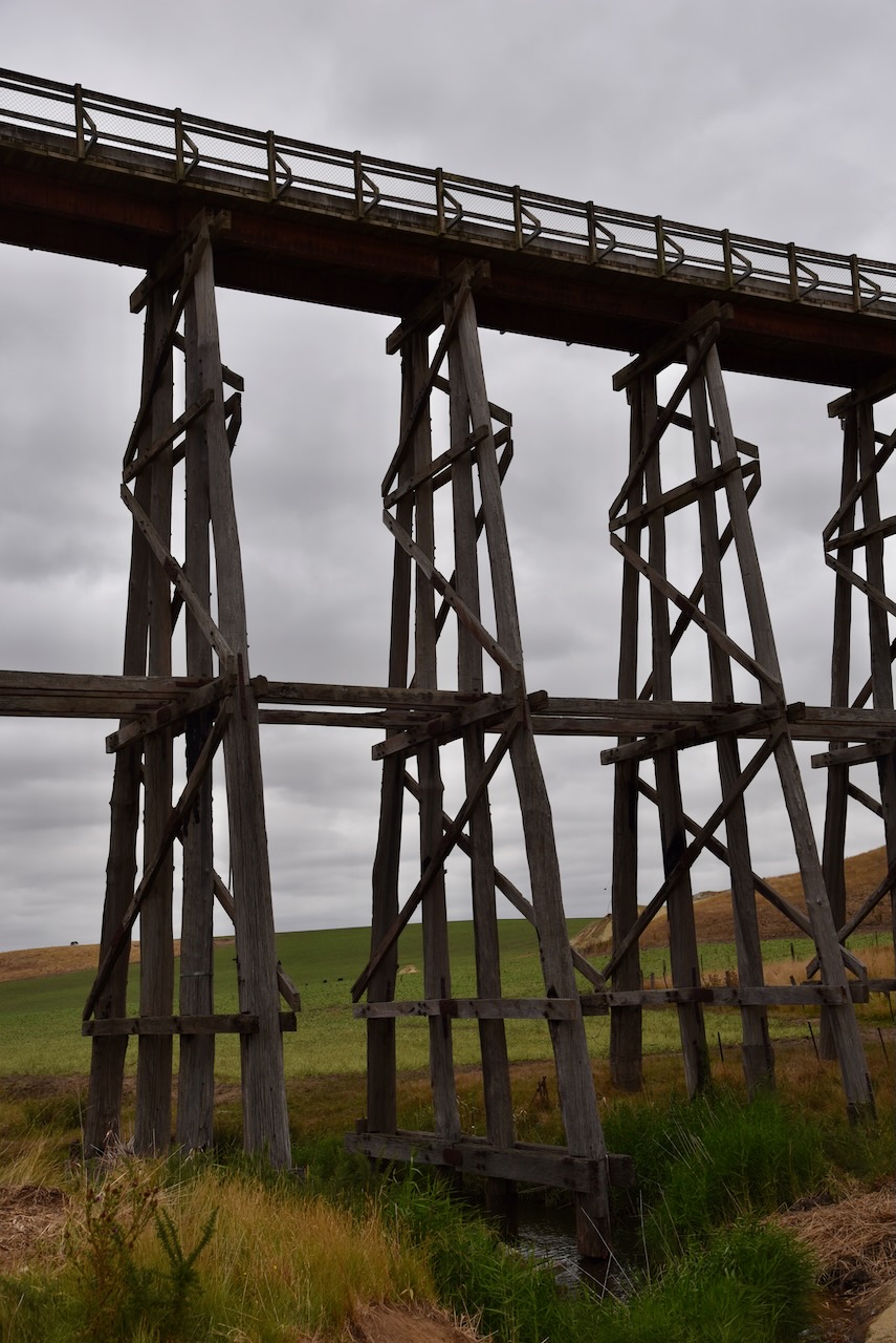
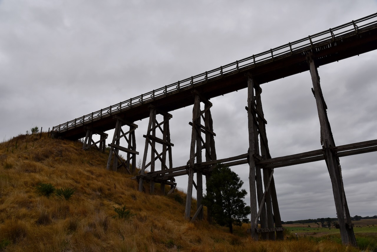
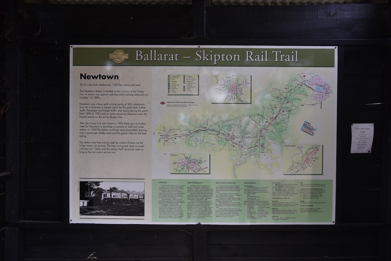
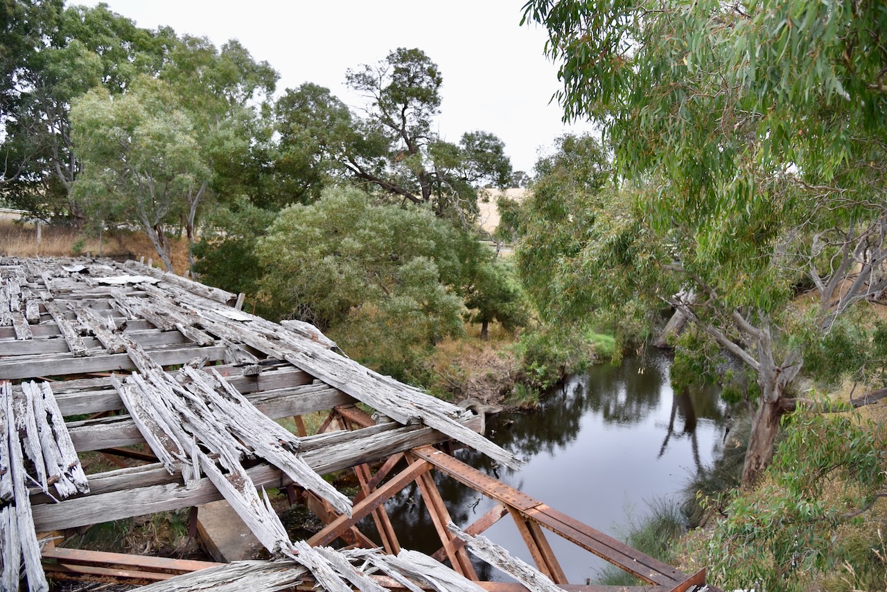
We then visited Nimmons Bridge at Newtown. The bridge was constructed in 1889 when the Ballarat to Scarsdale railway was extended to Linton. At the time it was Victoria’s fourth-tallest timber trestle bridge. Today it is the third-tallest surviving example of a timber trestle bridge. It has timber piers with rolled steel joist spans and a timber deck. It is one of the most iconic timber trestle rail bridges in Australia. It is part of the Ballarat-Skipton Rail Trail.


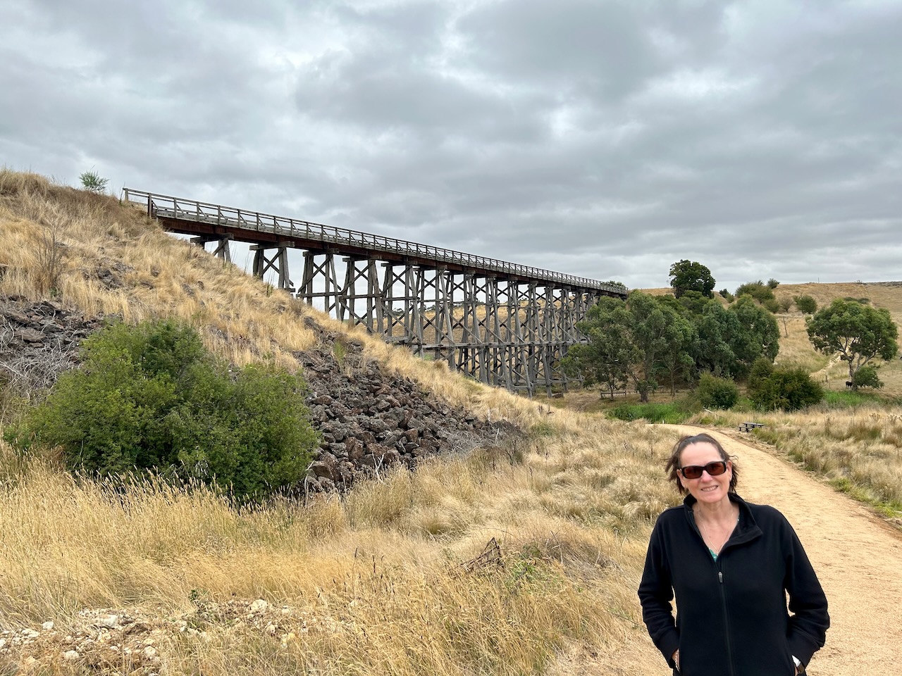

Below is an aerial video showing Nimmons Bridge.
The park is referred to on some maps as the Mount Erip Nature Conservation Reserve. It takes its name from Mount Erip, which is about 405 metres above sea level.
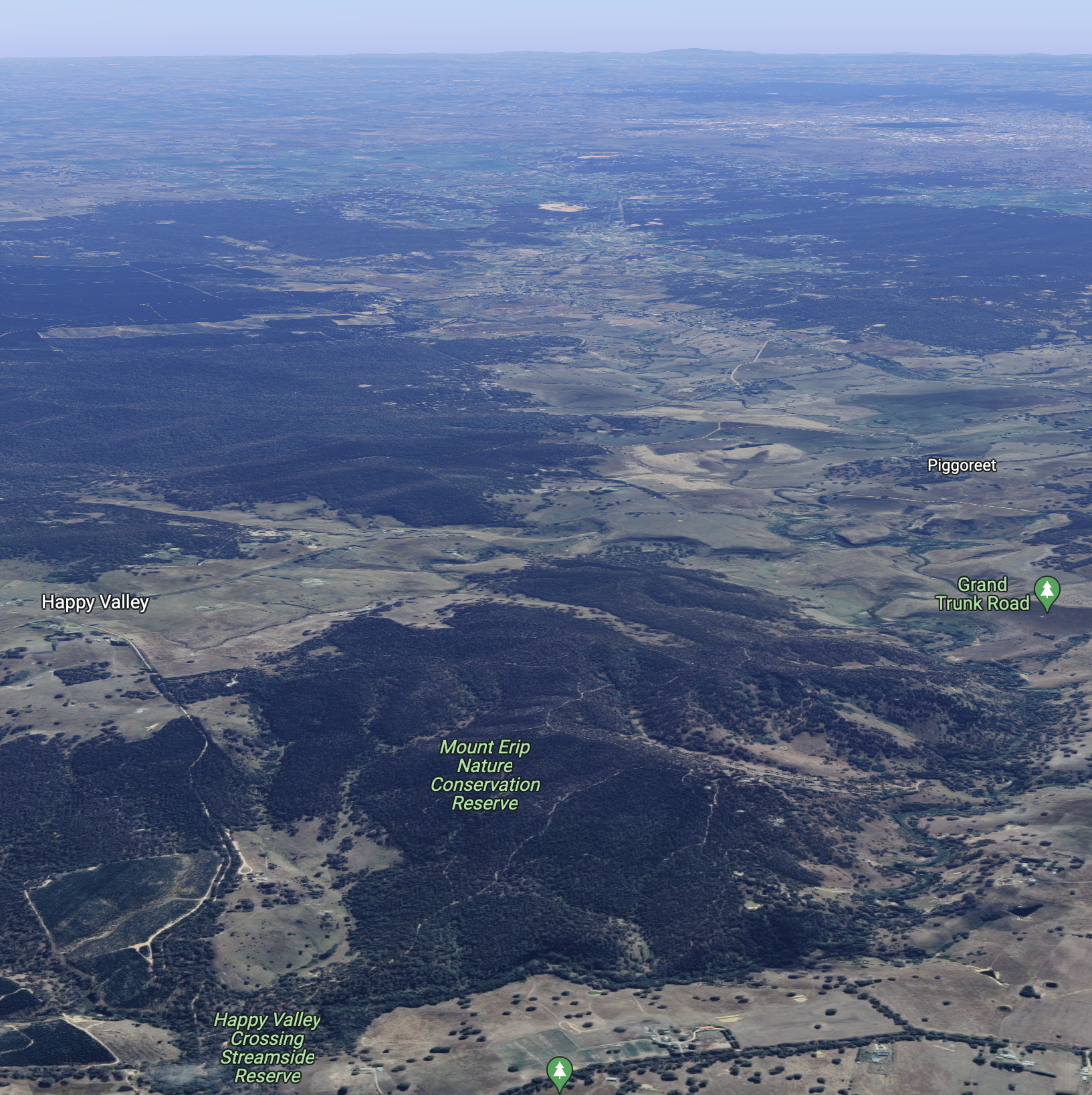
Above:- Aerial view of the Mount Erip Flora Reserve. Image c/o Google maps.
It is believed that Erip is a derivative of the aboriginal word Yirrip, meaning ironbark tree. The park is 253 acres in size and was established on the 22nd day of November 1983.
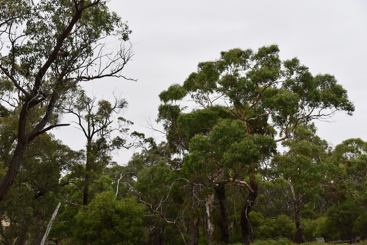

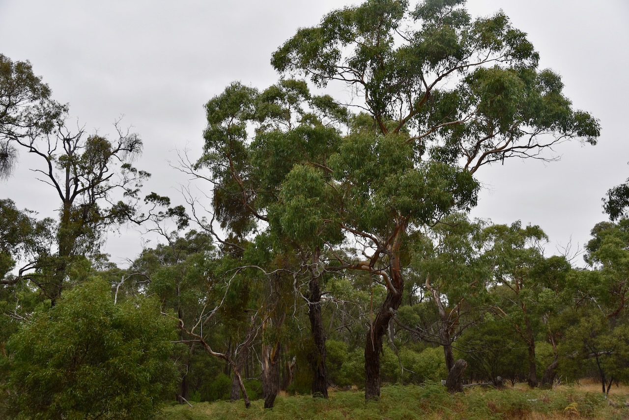

We drove into the park via the Happy Valley Crossing Streamside Reserve. We followed a 4WD track into the park and set up the 20/40/80m linked dipole. We ran the Yaesu FT857 and 40 watts output.
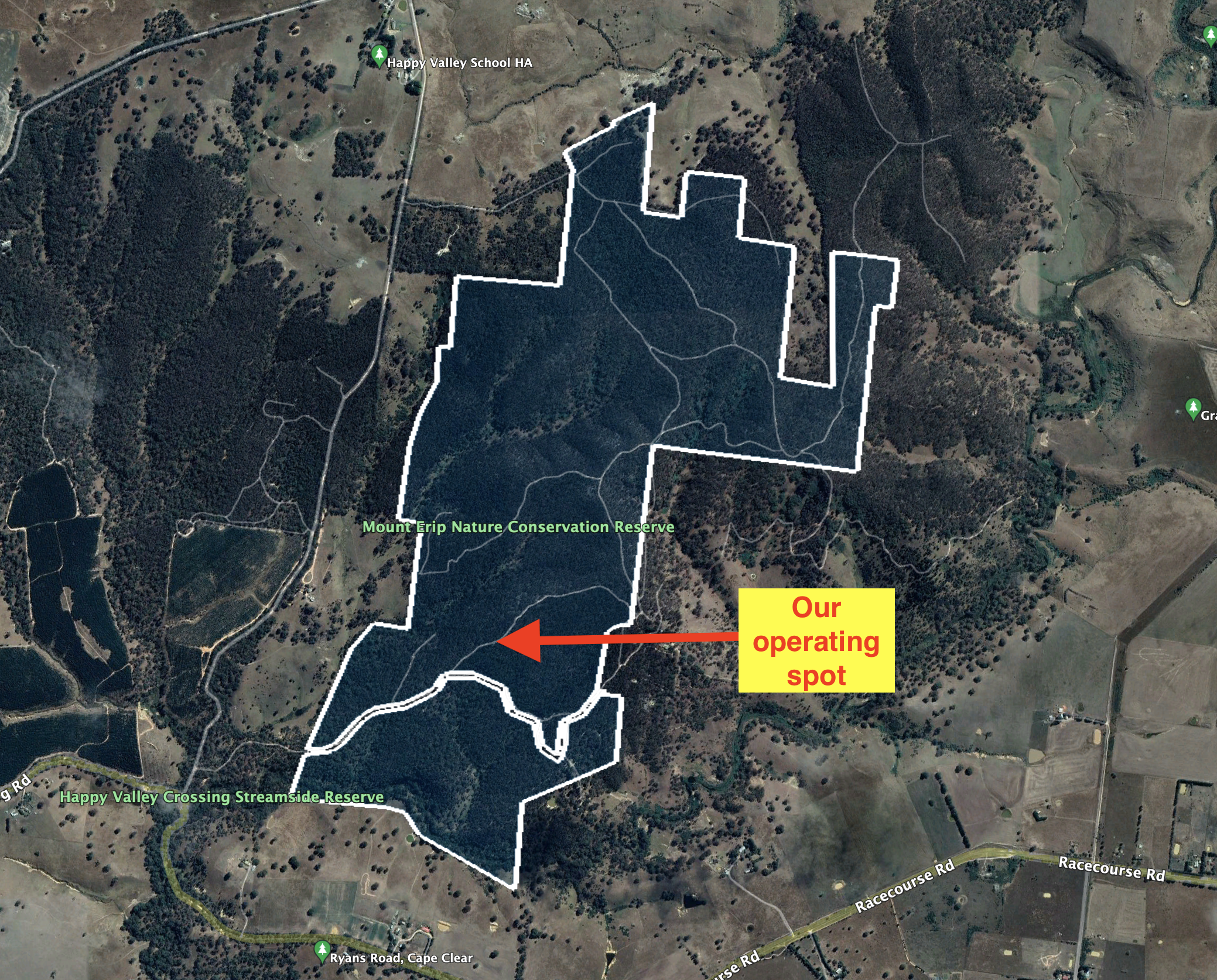
Above:- Aerial view of the park showing our operating spot. Image c/o Google Earth.
Marija made the following QSOs on 20m SSB:-
Marija made the following QSOs on 40m SSB:-
I made the following QSOs on 20m SSB:-
I made the following QSOs on 40m SSB:-
I made the following QSOs on 80m SSB:-
Unfortunately, I was not able to get to the 44 QSO threshold to qualify the park for the global WWFF program, but we had both qualified the park for VKFF with 10 QSOs each. It was getting late and we still had a bit of a drive to get to Geelong.
We drove south on the Pitfield-Scarsdale Road and stopped briefly at the town of Cape Clear which was named by Irish miners after Cape Clear in Ireland. Sadly the Cape Clear Hotel which was built in 1935 is now closed. Despite Cape Clear being 100 kilometres from the coastline, the town has a 13-metre-high model lighthouse.


We then stopped at the historic Pitfield bridge crossing the Woady Yaloak River. It is a riveted wrought iron Warren truss road bridge on bluestone abutments, that was originally built in the late 1850s. It is located on the pre-gold route known as the Upper Portland Road, one of the major connecting roads between the Western District of Victoria and the ports of Geelong and Melbourne.
The Woady Yaloak River is derived from an aboriginal word Wurdi-yaluk meaning “big creek”


We then drove southeast on the Rokewood-Skipton Road, and stopped briefly at Rokewood to have a look at some of the old churches in the town of Rokewood. This includes the beautiful bluestone St Andrews church which was built in 1866.


We then stopped at the Rokewood Soldiers Settlement memorial. The Soldiers Settlement scheme was created in 1917 to lease land to returned soldiers and nurses for farming following the First World War.

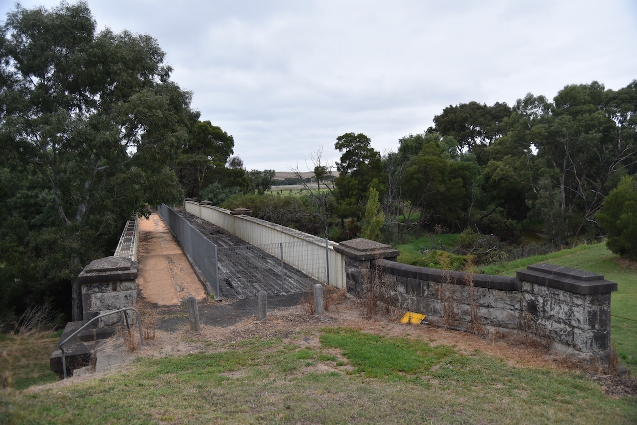
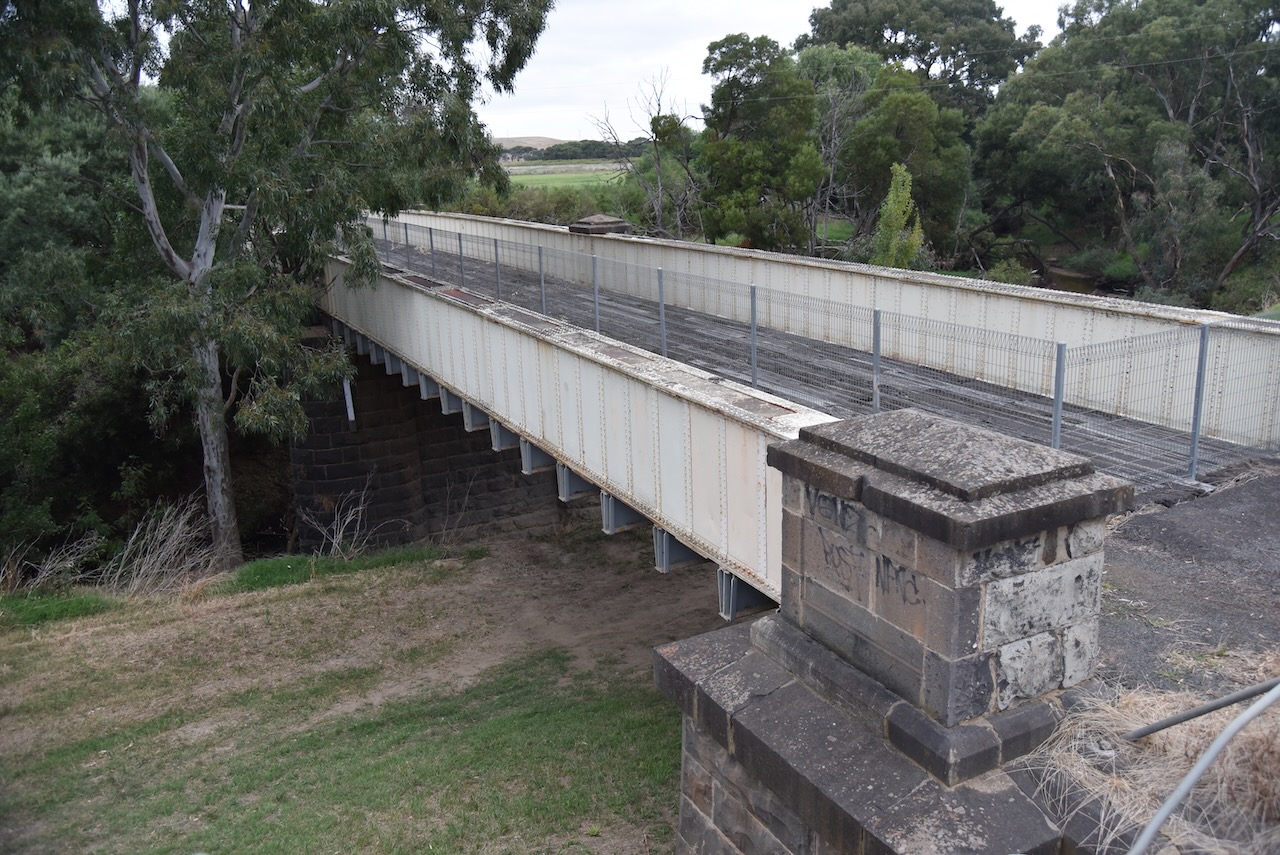
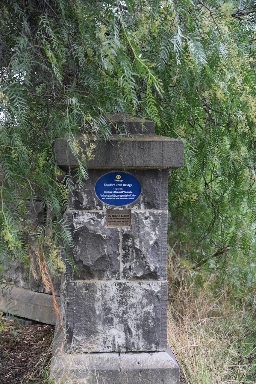
We continued southeast towards Geelong on the Rokewood-Shelford Road and entered the little town of Shelford. The old hotel and general store which was built in about 1855 is an impressive building in the town.

Also at Shelford is the old Shelford Iron bridge which was built in 1874. It is an early example of box girder construction in Victoria and is registered with the Heritage Council Victoria.
We then reached Geelong and our accommodation, the Geelong CBD apartments.


References.
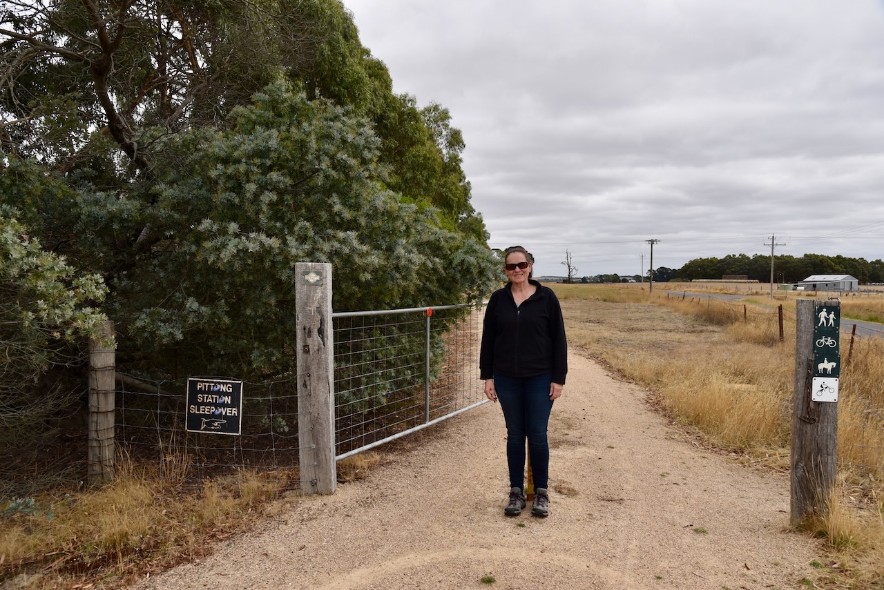
After leaving Skipton (28th February 2023), Marija and I drove to the Pittong historic railway site.
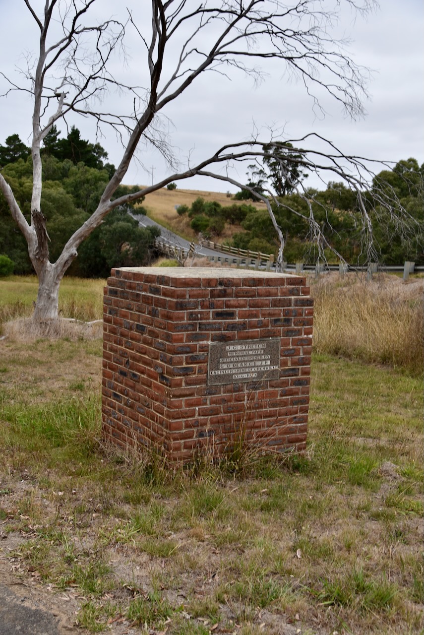
Work on the Ballarat to Skipton railway commenced in 883 with the opening of the line to Scarsdale. By 1891 the line had been extended to Linton. Work on the Linton to Skipton line was conducted between 1914-1916 at a cost of £65,000. The line officially opened in 1916.
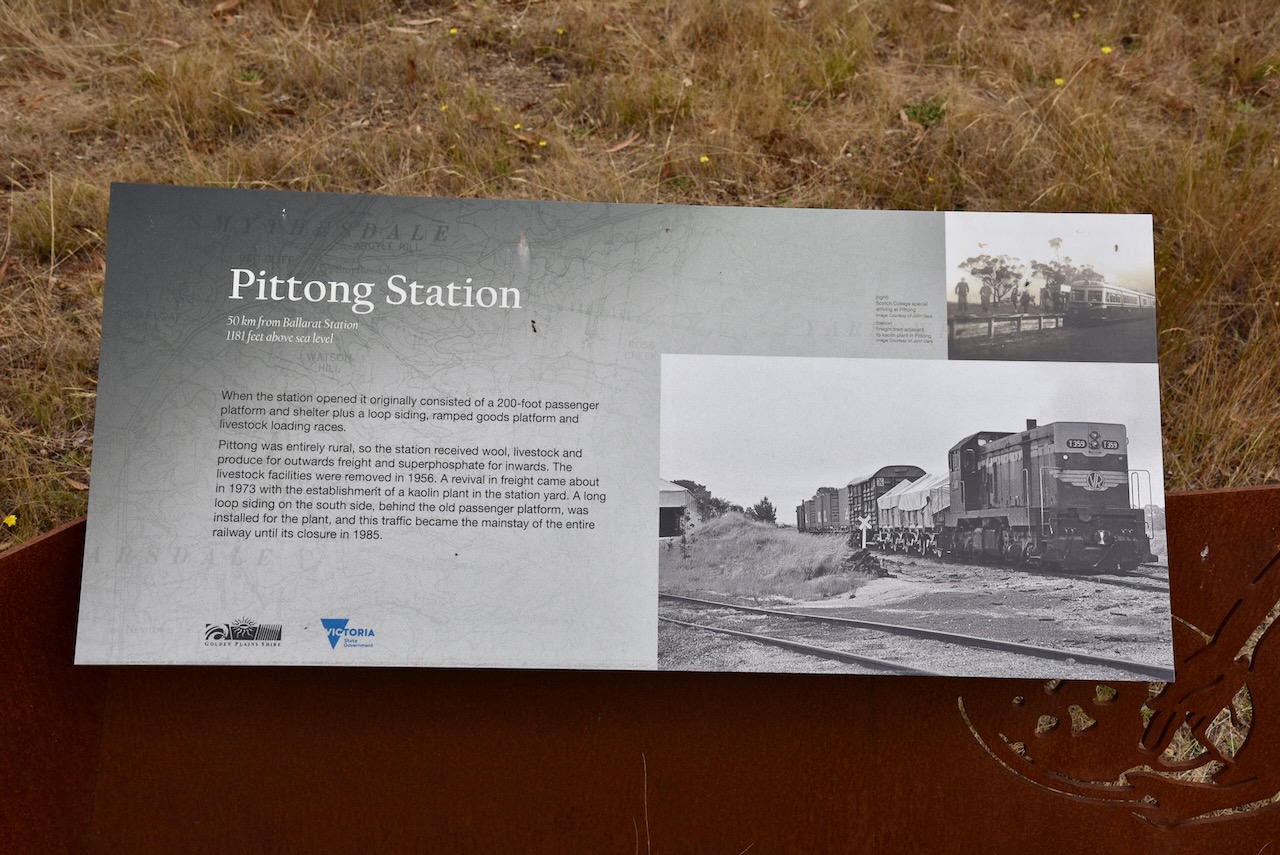
When the Pittong station opened it originally consisted of a 200-foot passenger platform and shelter plus a loop siding, ramped goods platform and livestock loading races. Due to Pittong being entirely rural, the station received wool, livestock and produce for outwards freight and superphosphate for inwards. By 1956 the livestock facilities had been removed. During the early 1970s a revival in freight occurred with the establishment of a kaolin plant in the Pittong station yard. A long loop siding on the south side, behind the old passenger platform was installed for the plant, and this traffic became the mainstay of the entire railway until its closure on the 27th day of September 1985.

Above:- Melbourne-Skipton excursion rail ticket 1978. Image c/o Wikipedia.
The line is now the Ballarat-Skipton Rail Trail, a walking and cycling path. There is an information board at the site of the old Pittong Station explaining the history of the station.
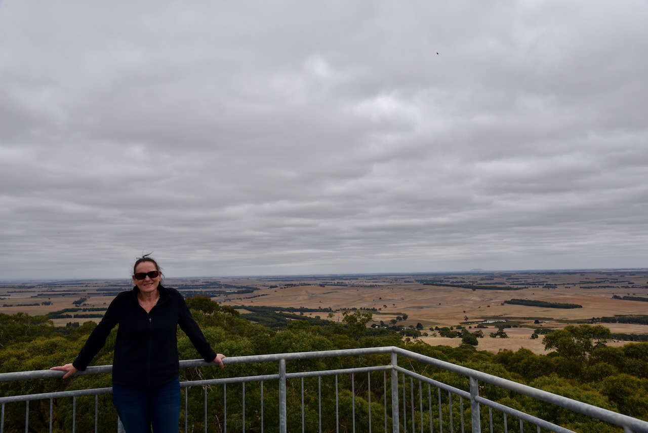
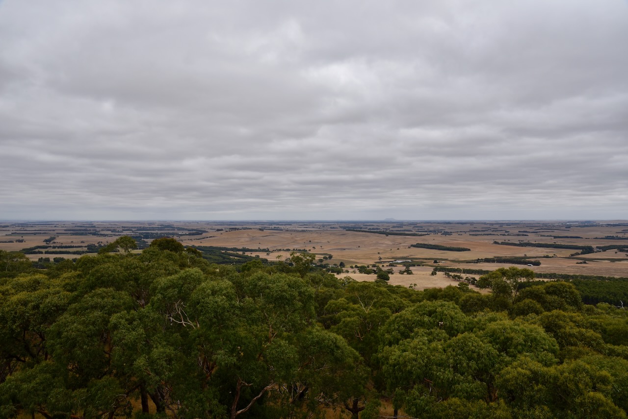
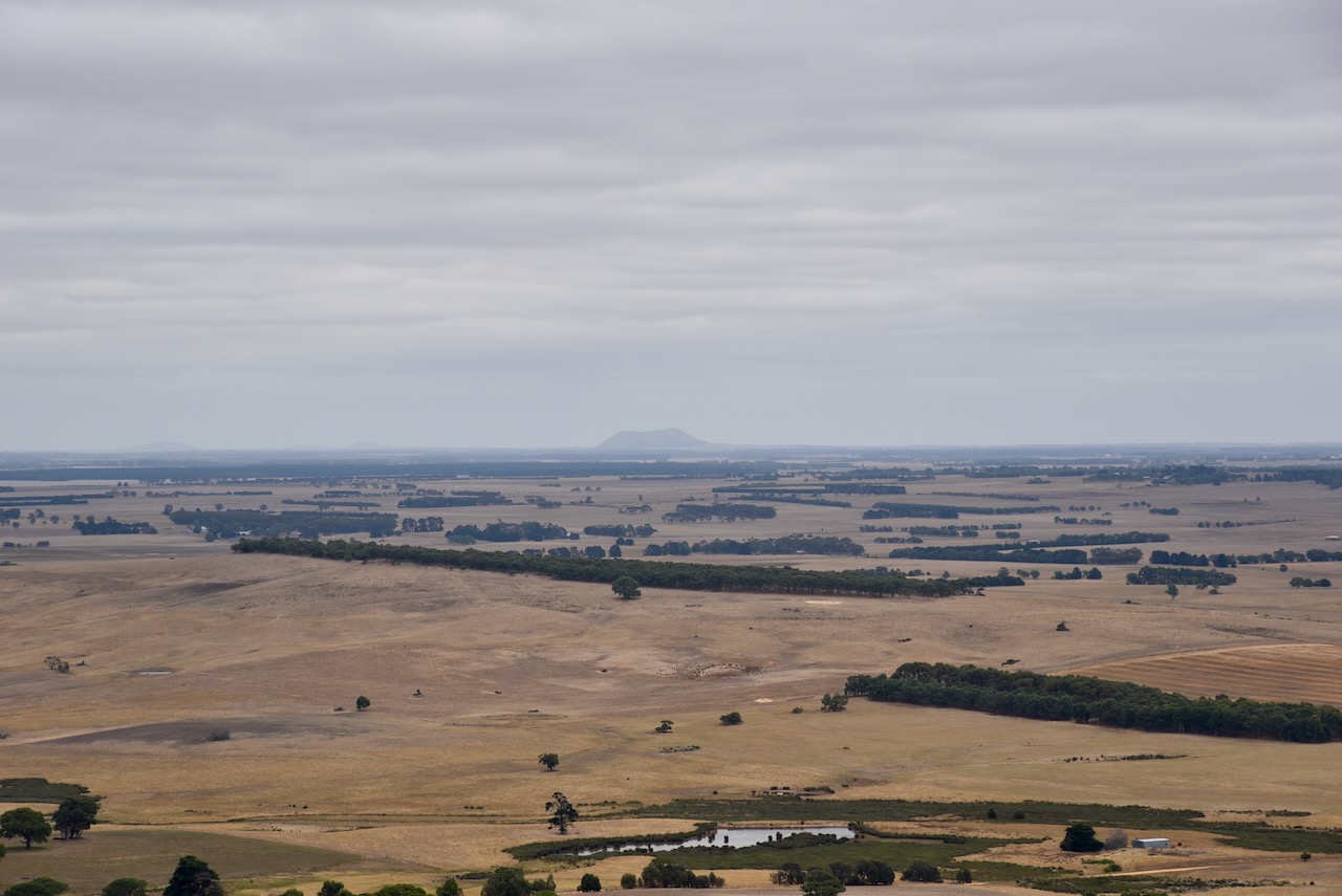
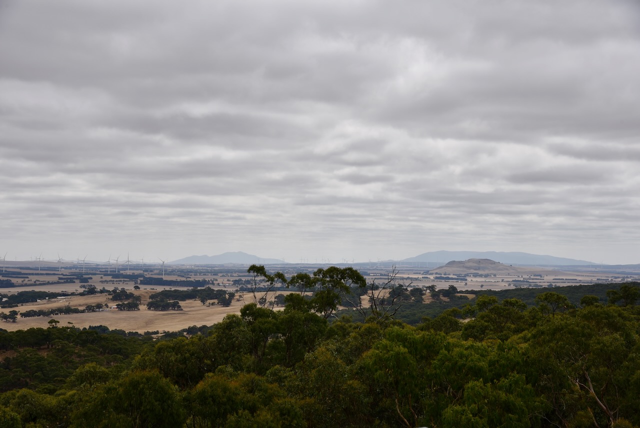
We then headed east on the Glenelg Highway and drove up to The Flagstaff Hill lookout on Flagstaff Road, Pittong. There is an observation tower at the top which offers spectacular views of the surrounding countryside. We were very surprised that this did not qualify for the Summits On The Air (SOTA) program, but clearly, it does have sufficient prominence to qualify.


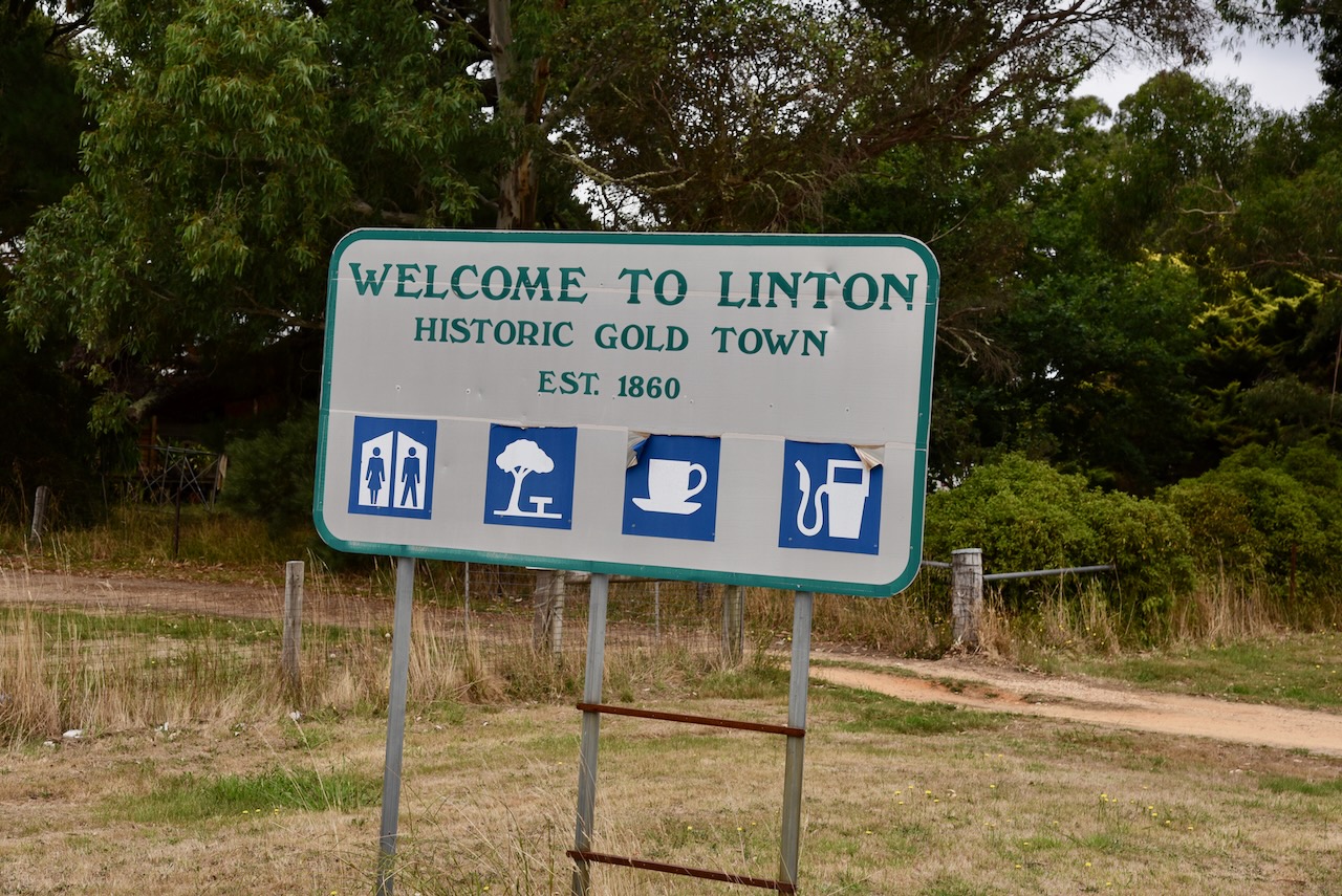
We then travelled into the historic gold town of Linton, about 34 kilometres southwest of Ballarat.
The Carninjebalug clan of the Wathawurrung aboriginal tribe inhabited the land around Linton prior to European settlement. In 1839 Joseph and Mary Linton and their three young daughters arrived in Geelong from Scotland. They travelled to the district which was then known as Wardy Yallock and established the Emu Hill pastoral run which was known by the local Aboriginal people as Kayjap. The Linton property was 15,000 acres in size and had about 8,000 sheep, and extended north and south of the present-day town of Linton.
In 1855 gold was discovered in the northern section of the Emu Hill pastoral run. Within months of gold being discovered, there were hundreds of men and women on the goldfields. They commenced clearing the eucalyptus forest and establishing the Linton’s Diggings. It subsequently became Old Lintons when a new township was built in 1860 on Surface Hill. This was the roots of the present-day town of LInton.
In 1861 the population of Linton was 1,969 people. The Shire of Glenville was proclaimed in February 1864. Numerous buildings were erected including a bank, courthouse, post office, churches, hotels, and shops.
By 1900 the population of Linton was 630 people and it was still the largest town in Grenville Shire. By the 1930s the depression took its toll on the town of Linton resulting in a loss of population. Numerous buildings in the town fell into a state of disrepair and many were demolished.
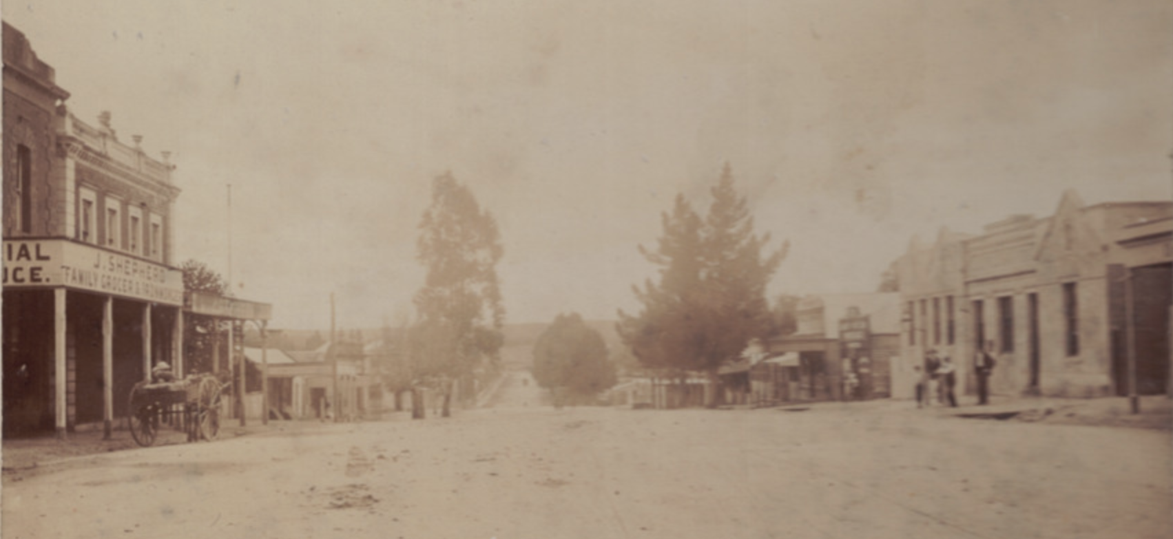
Above:- the main street of Linton, c. 1900. Image c/o victoriancollections.net.au
The 1903 Australian Handbook described Linton as follows:

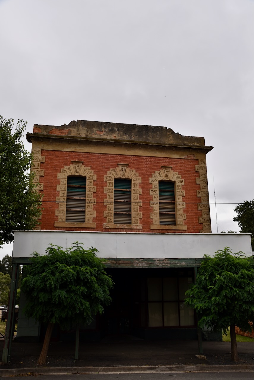
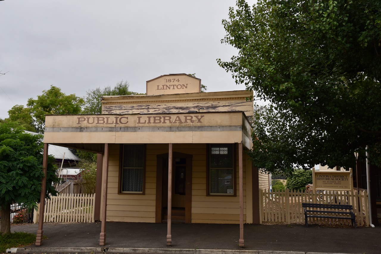
Fortunately, numerous historic buildings remain in Linton, and we enjoyed strolling down the main street admiring the town’s history.


After leaving the town of Linton we decided to have a look at Devils Kitchen, a geological reserve located southeast of Linton.

Above:- an old stone bridge passing over Woady Yaloak River.
Unfortunately, we reached a road leading down to the Devil’s Kitchen that was completely blocked off. There was also some police tape and although we could drive around the bollards, we decided to err on the side of caution. We were a little disappointed, as we had gone out of our way to have a look at Devil’s Kitchen, and there was no information on the Parks Victoria website to suggest that it was closed. We subsequently found on the Golden Plains Shire website that the bridge was closed due to recent flood damage.
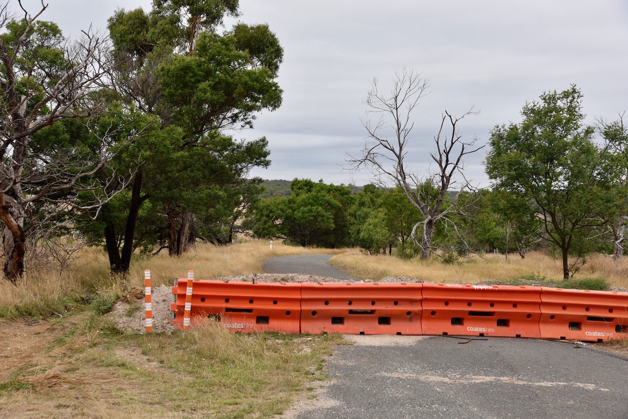
We then decided to head to the Linton Flora and Fauna Reserve VKFF-2370 for a park activation for the World Wide Flora Fauna (WWFF) program. We drove back along the Linton-Piggoreet Road and then drove along Graded Road and soon reached the park. Our first stop in the park was the old rail trestle bridge.

We passed a sign which read Clarkesdale Reserve, but we were not satisfied that we were in the park.

We drove east along Clarks Road and according to our GPS we were now definitely in the park.
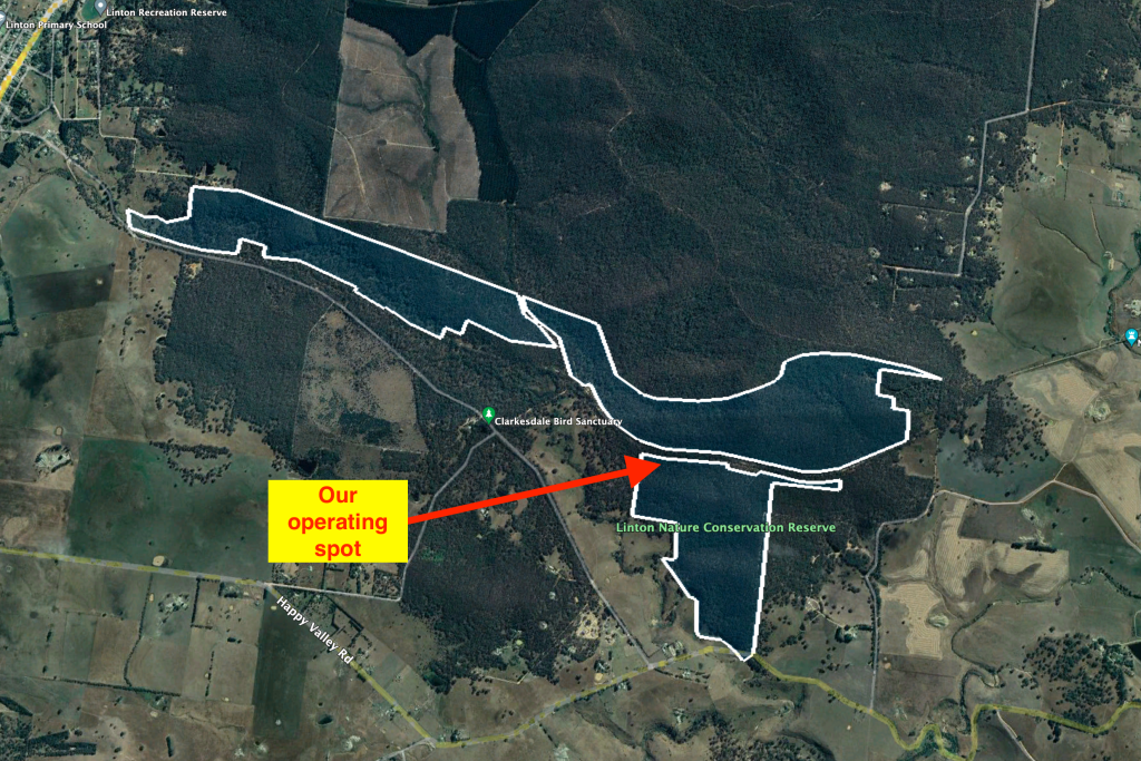
Above:- Aerial shot of the park showing our operating spot. Image c/o Google Earth.
The Linton Flora and Fauna Reserve is also referred to as the Linton Nature Conservation Reserve on some maps, including Google maps. It is split into two parts. The first being on the northern side of the Linton-Piggoreet Road and Clarks Road. The second part is on the southern side of Clarks Road.
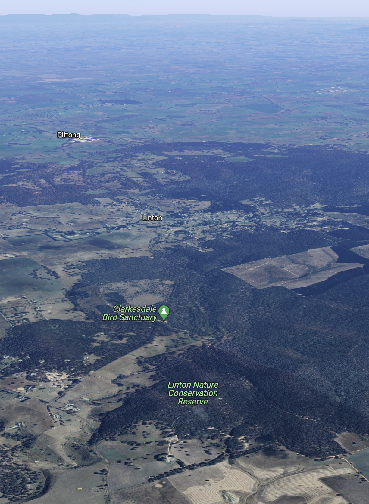
Above:- Aerial shot of the Linton Flora & Fauna Reserve. Image c/o Google maps
The park is 227 acres in size and was established on the 22nd day of November 1983.


We set up on the side of Clarks Road. We ran the Yaesu FT857, 40 watts, and the 20/40/80m linked dipole.
Marija worked the following stations on 40m SSB:-
I worked the following stations on 80m SSB:-
I worked the following stations on 20m SSB:-
I worked the following stations on 40m SSB:-
I worked the following stations on 80m SSB:-
I worked the following stations on 20m SSB:-
References.
Amateur Radio, Short Wave Listening, travel and history
Amateur radio experiences with VK1DA
Brisbane - Australia
german amateur radio station
Summits On The Air
SOTA on the peaks, wilderness QRP and some bushwalking
A fine WordPress.com site
Amateur Radio Adventures
Summits on the Ai
Amateur radio station from Belgium
Radio craft, homebrew, QRP/SOTA, AM
Ego loqui ad viros super montes
My adventures with Amateur Radio and Geocaching!
The rantings of VK2GAZ on his SOTA experiences in Australia
A survivor, with minor cuts and abrasions.
The Art and Craft of Blogging
The latest news on WordPress.com and the WordPress community.
Blog of Justin Giles-Clark VK7TW's SOTA and amateur radio adventures.
Occasional SOTA & Microwave operation
