
After leaving the Linton Flora & Fauna Reserve, Marija and I headed to our final park activation on 28th February 2023, the Mount Erip Flora Reserve VKFF-2397.
We drove through the little town of Scarsdale, about 22 kilometres southwest of Ballarat. Gold was discovered in the area of Scarsdale in 1856. It is believed that the origin of the name Scarsdale is believed to be the name of a gold prospector in the Scarsdale district.
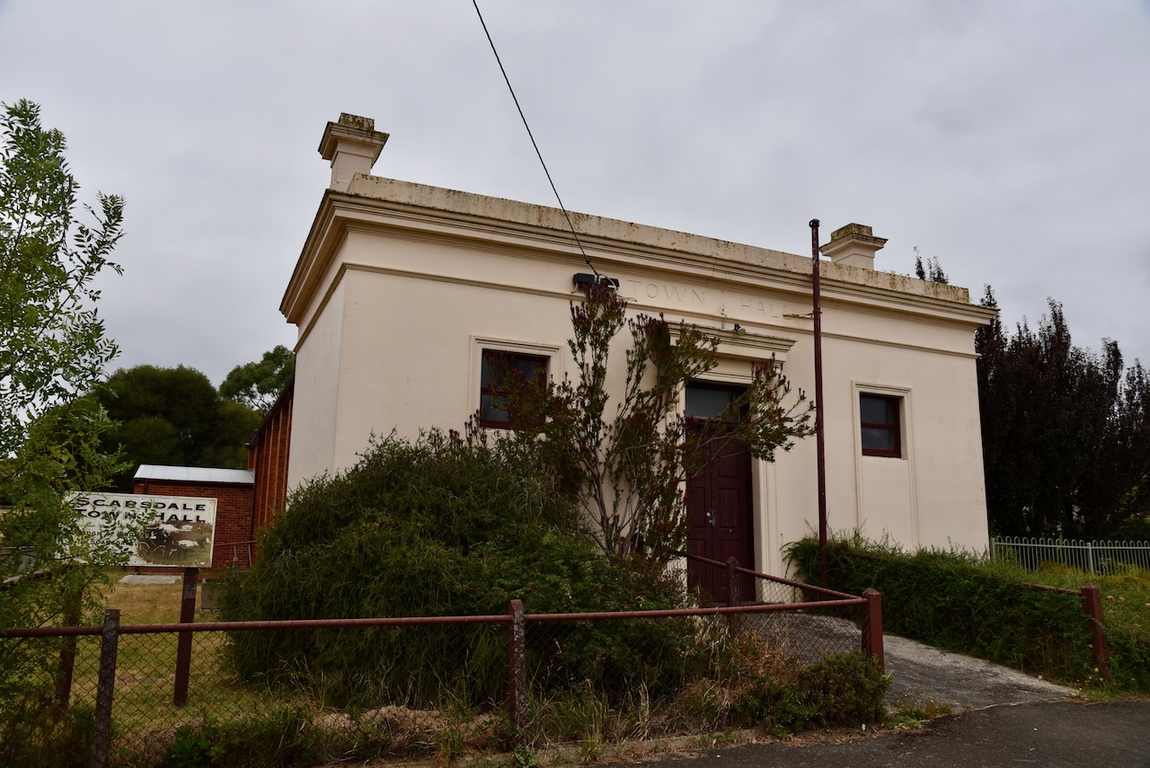
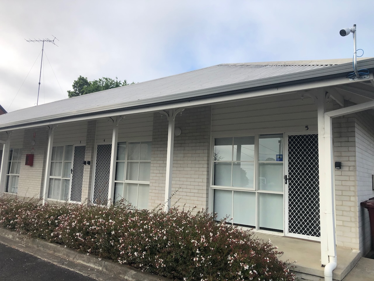
Above:- the old Scarsdale town Hall.
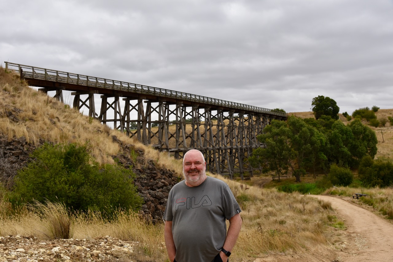
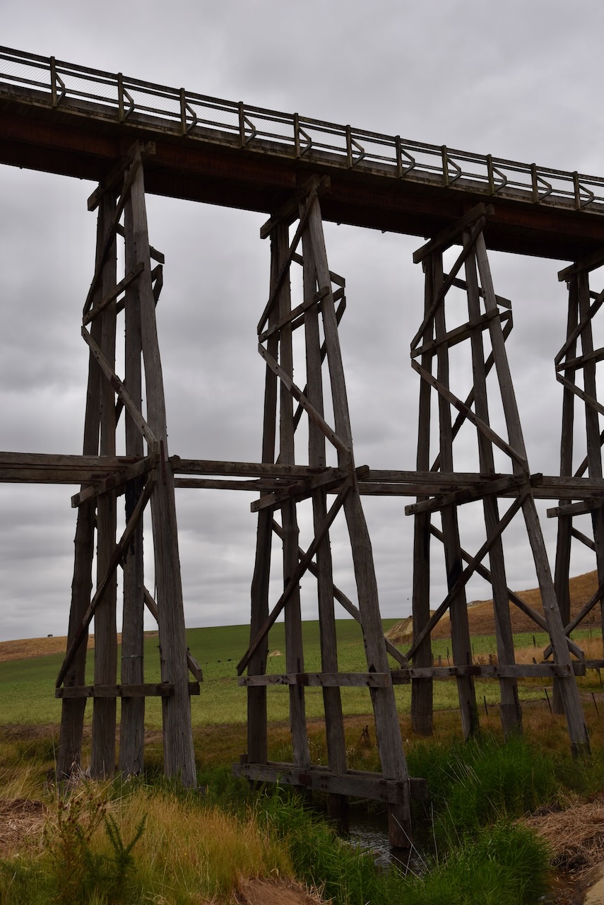
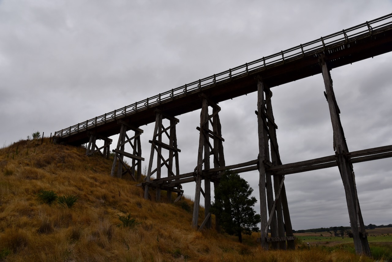
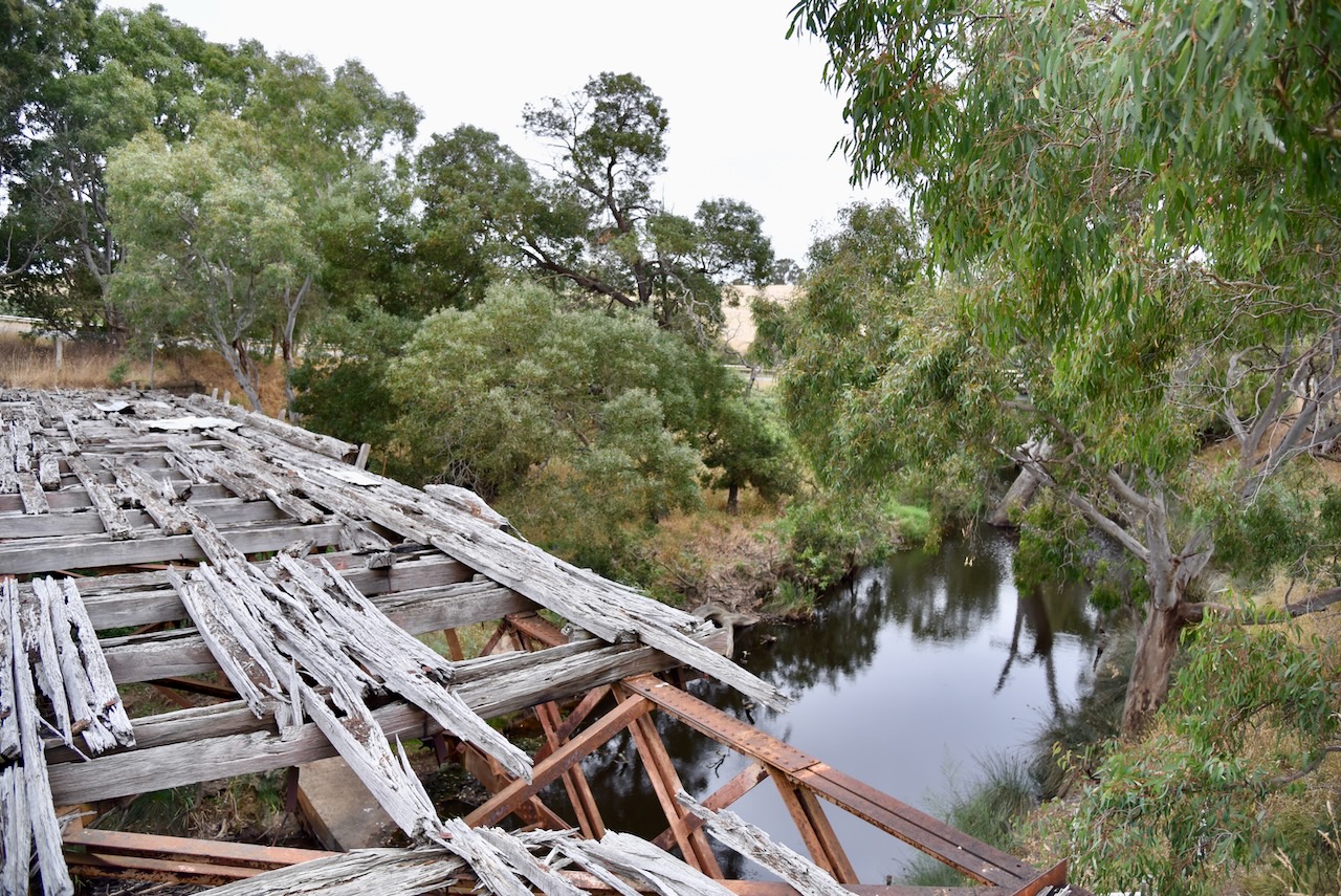
We then visited Nimmons Bridge at Newtown. The bridge was constructed in 1889 when the Ballarat to Scarsdale railway was extended to Linton. At the time it was Victoria’s fourth-tallest timber trestle bridge. Today it is the third-tallest surviving example of a timber trestle bridge. It has timber piers with rolled steel joist spans and a timber deck. It is one of the most iconic timber trestle rail bridges in Australia. It is part of the Ballarat-Skipton Rail Trail.


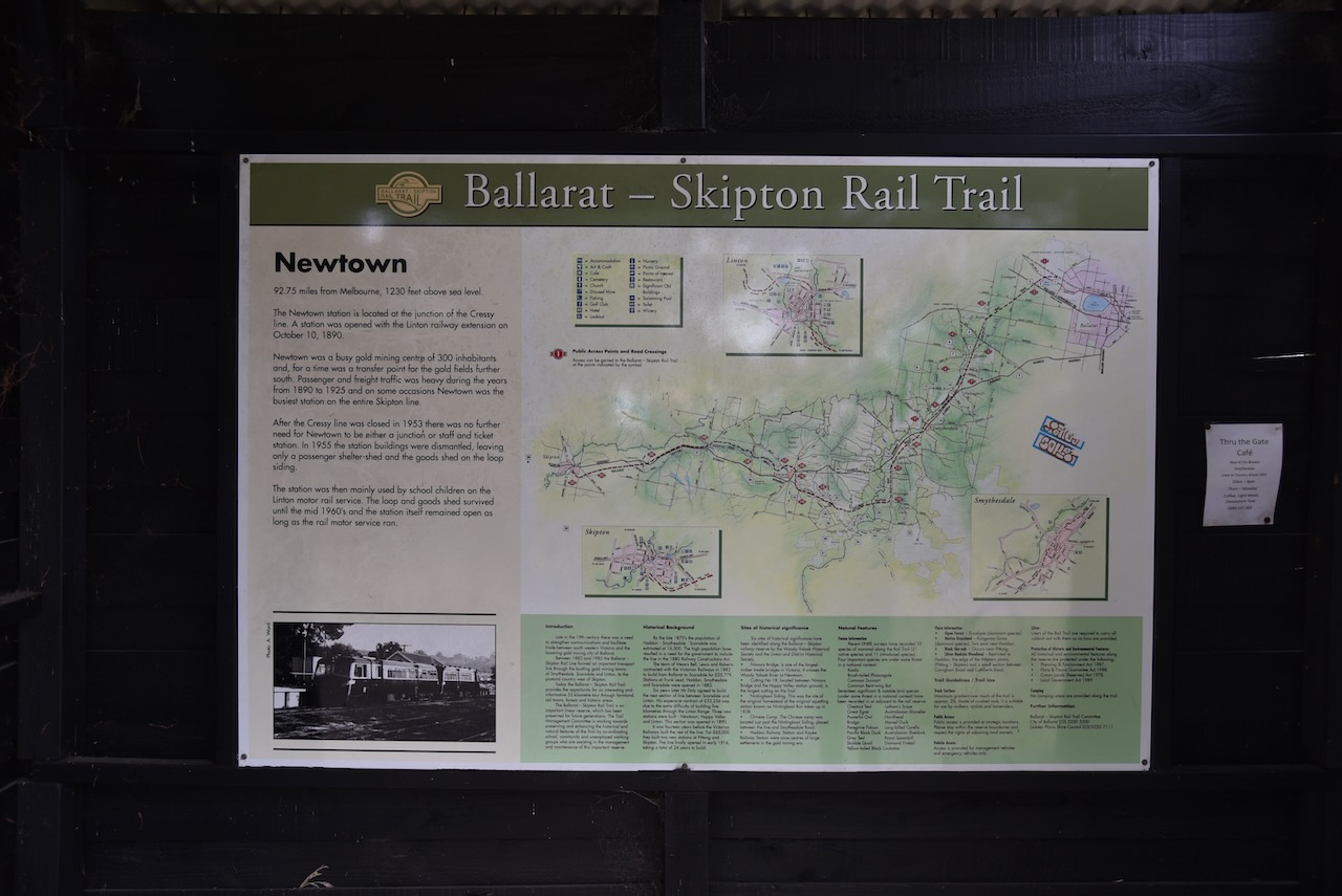
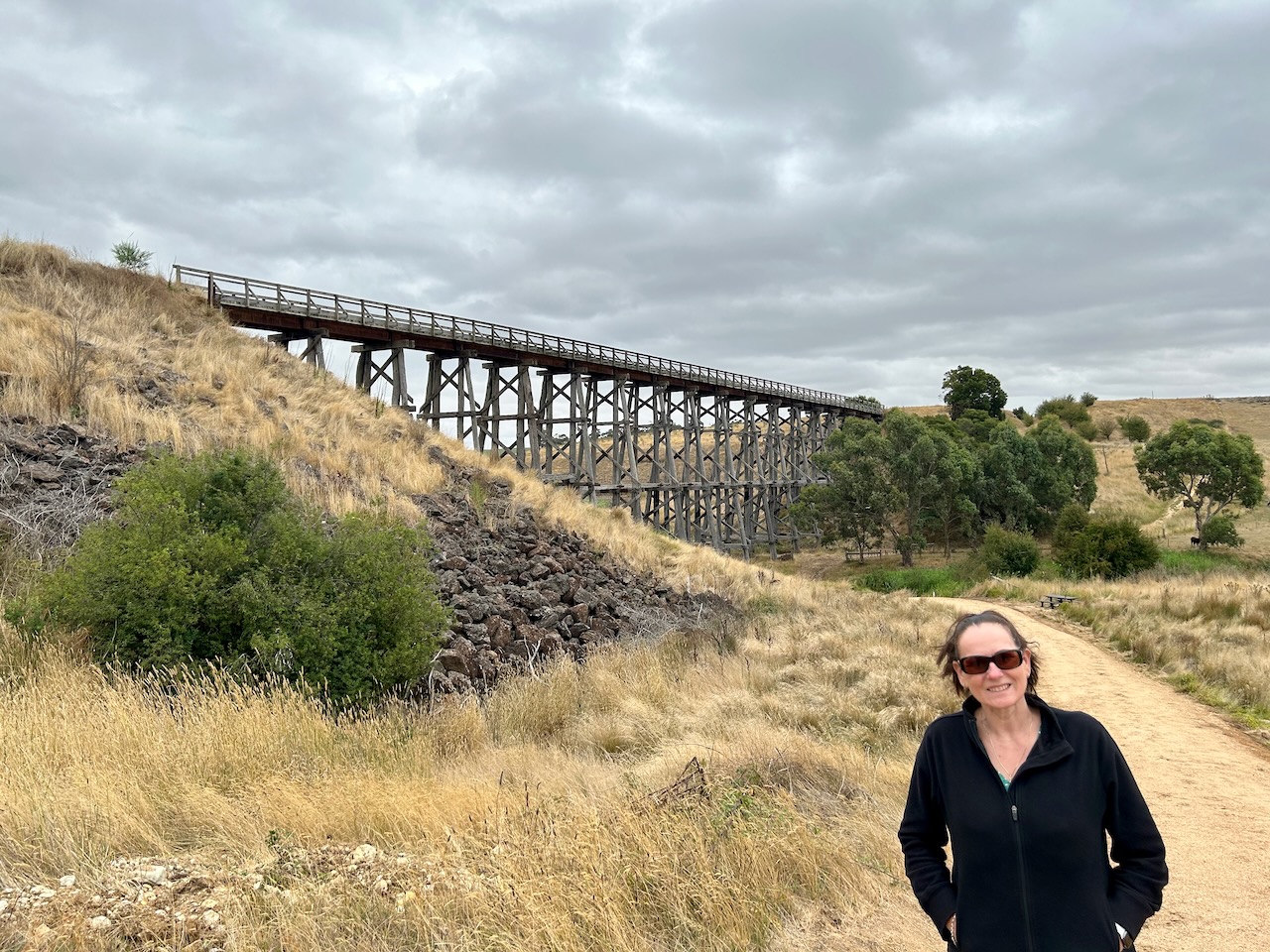

Below is an aerial video showing Nimmons Bridge.
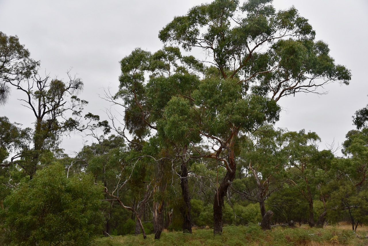
The park is referred to on some maps as the Mount Erip Nature Conservation Reserve. It takes its name from Mount Erip, which is about 405 metres above sea level.
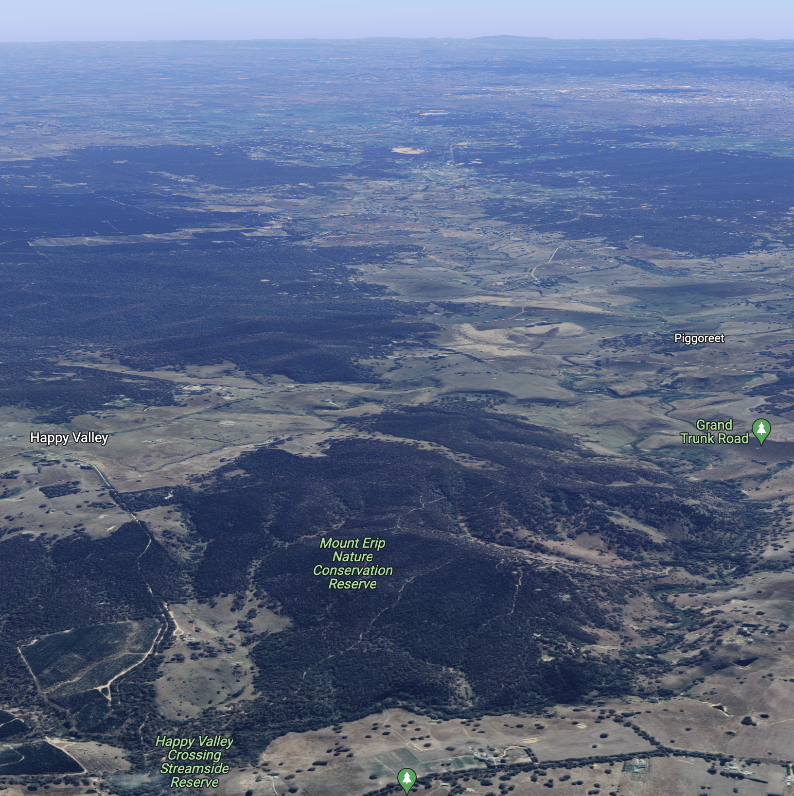
Above:- Aerial view of the Mount Erip Flora Reserve. Image c/o Google maps.
It is believed that Erip is a derivative of the aboriginal word Yirrip, meaning ironbark tree. The park is 253 acres in size and was established on the 22nd day of November 1983.
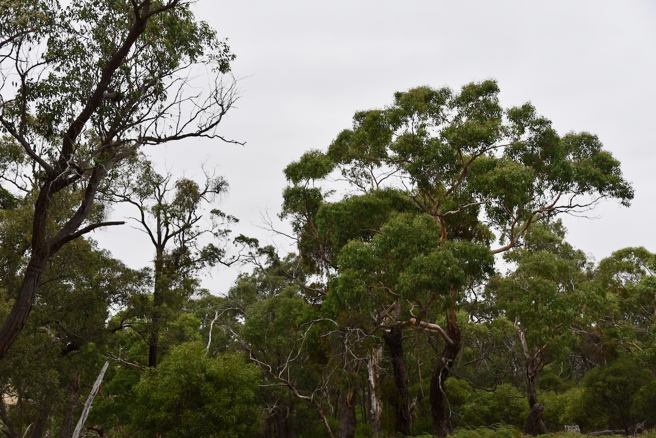


We drove into the park via the Happy Valley Crossing Streamside Reserve. We followed a 4WD track into the park and set up the 20/40/80m linked dipole. We ran the Yaesu FT857 and 40 watts output.
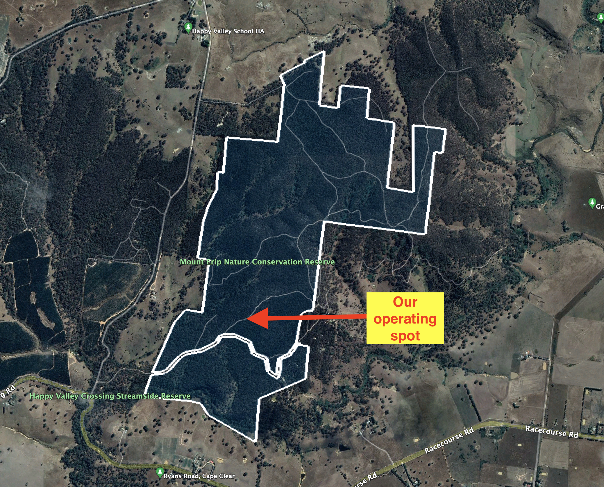
Above:- Aerial view of the park showing our operating spot. Image c/o Google Earth.
Marija made the following QSOs on 20m SSB:-
- VK4EMP
- VK4TI
- VK4TJ
- VK4SMA
Marija made the following QSOs on 40m SSB:-
- VK1AO
- VK2MET
- VK2IO
- VK4FW
- VK4NH
- VK4DXA
- VK2YAK
- VK4YAK
I made the following QSOs on 20m SSB:-
- VK4EMP
- VK4TI
- VK4TJ
- F1BLL
- VK4SMA
- KG5CIK
I made the following QSOs on 40m SSB:-
- VK4FW
- VK8MM
- VK1AO
- VK2MET
- VK2IO
- VK4NH
- VK4DXA
- VK2YAK
- VK4YAK
- KG5CIK
- VK5LA
- VK2FALL
- VK4SMA
- VK5FANA
I made the following QSOs on 80m SSB:-
- VK5FANA
- VK3PF
- VK5BJE
- VK3ANL
- VK2YK
- VK5GA
- VK5CZ
- VK5HS
- VK3UCD
Unfortunately, I was not able to get to the 44 QSO threshold to qualify the park for the global WWFF program, but we had both qualified the park for VKFF with 10 QSOs each. It was getting late and we still had a bit of a drive to get to Geelong.
We drove south on the Pitfield-Scarsdale Road and stopped briefly at the town of Cape Clear which was named by Irish miners after Cape Clear in Ireland. Sadly the Cape Clear Hotel which was built in 1935 is now closed. Despite Cape Clear being 100 kilometres from the coastline, the town has a 13-metre-high model lighthouse.


We then stopped at the historic Pitfield bridge crossing the Woady Yaloak River. It is a riveted wrought iron Warren truss road bridge on bluestone abutments, that was originally built in the late 1850s. It is located on the pre-gold route known as the Upper Portland Road, one of the major connecting roads between the Western District of Victoria and the ports of Geelong and Melbourne.
The Woady Yaloak River is derived from an aboriginal word Wurdi-yaluk meaning “big creek”


We then drove southeast on the Rokewood-Skipton Road, and stopped briefly at Rokewood to have a look at some of the old churches in the town of Rokewood. This includes the beautiful bluestone St Andrews church which was built in 1866.


We then stopped at the Rokewood Soldiers Settlement memorial. The Soldiers Settlement scheme was created in 1917 to lease land to returned soldiers and nurses for farming following the First World War.

We continued southeast towards Geelong on the Rokewood-Shelford Road and entered the little town of Shelford. The old hotel and general store which was built in about 1855 is an impressive building in the town.

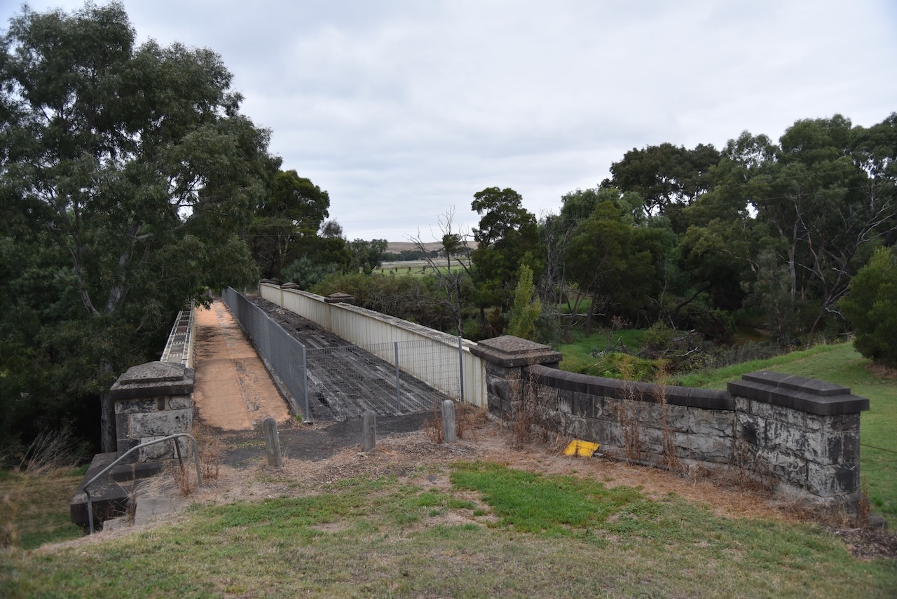
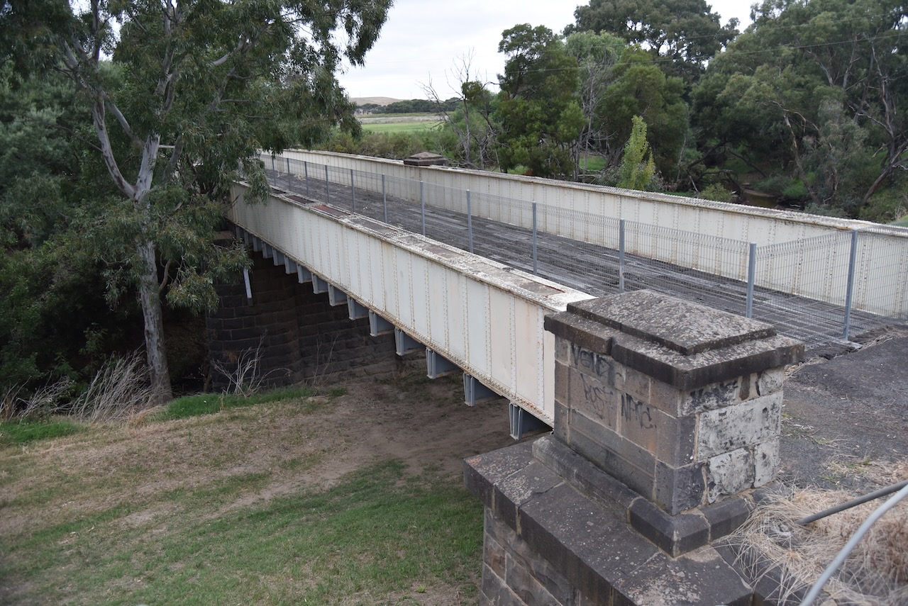
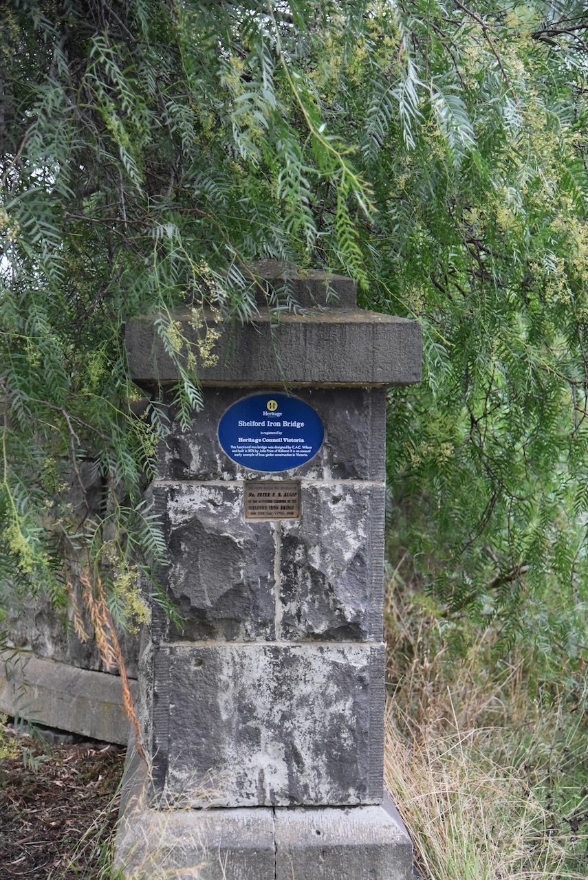
Also at Shelford is the old Shelford Iron bridge which was built in 1874. It is an early example of box girder construction in Victoria and is registered with the Heritage Council Victoria.
We then reached Geelong and our accommodation, the Geelong CBD apartments.


References.
- CAPAD 2020.
- flicker, 2023, <https://www.flickr.com/photos/7849945@N02/23332258361>, viewed 2nd April 2023.
- Mapcarta, 2023, <https://mapcarta.com/16680192>, viewed 2nd April 2023.
- Multiple Aboriginal Places Names in Western Victoria, Clark, I.D.
- Victorian Places, 2023, <https://www.victorianplaces.com.au/scarsdale>, viewed 2nd April 2023.
- Visit Golden Plains, 2023, <https://www.visitgoldenplains.com.au/blog/28>, viewed 2nd April 2023.
- Wikipedia, 2023, <https://en.wikipedia.org/wiki/Cape_Clear,_Victoria>, viewed 2nd April 2023.

Hi Paul, this post brought back some memories. We used to cross the Skipton line where it crossed the Western Highway just out of Ballarat. We lived at Langi Kal Kal and did our shopping in Ballarat. I never saw a train on that line but plenty on the Western line.
73
John D
Hi John,
If I was younger and fitter, I would love to ride along the Rail Trail. The countryside along the trail is pretty special.
I had always wanted to see Nimmons Bridge and I was not disappointed. It is a very impressive structure.
73,
Paul VK5PAS.