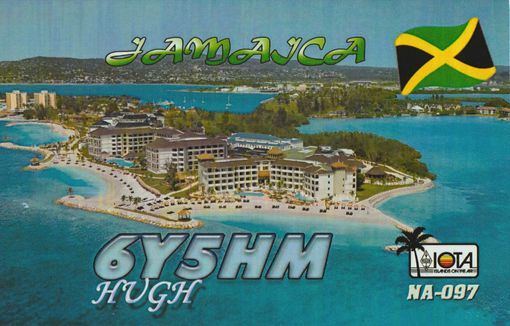
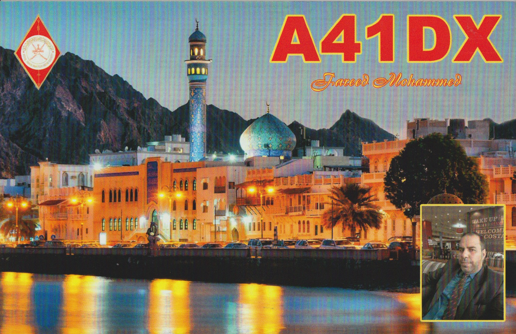
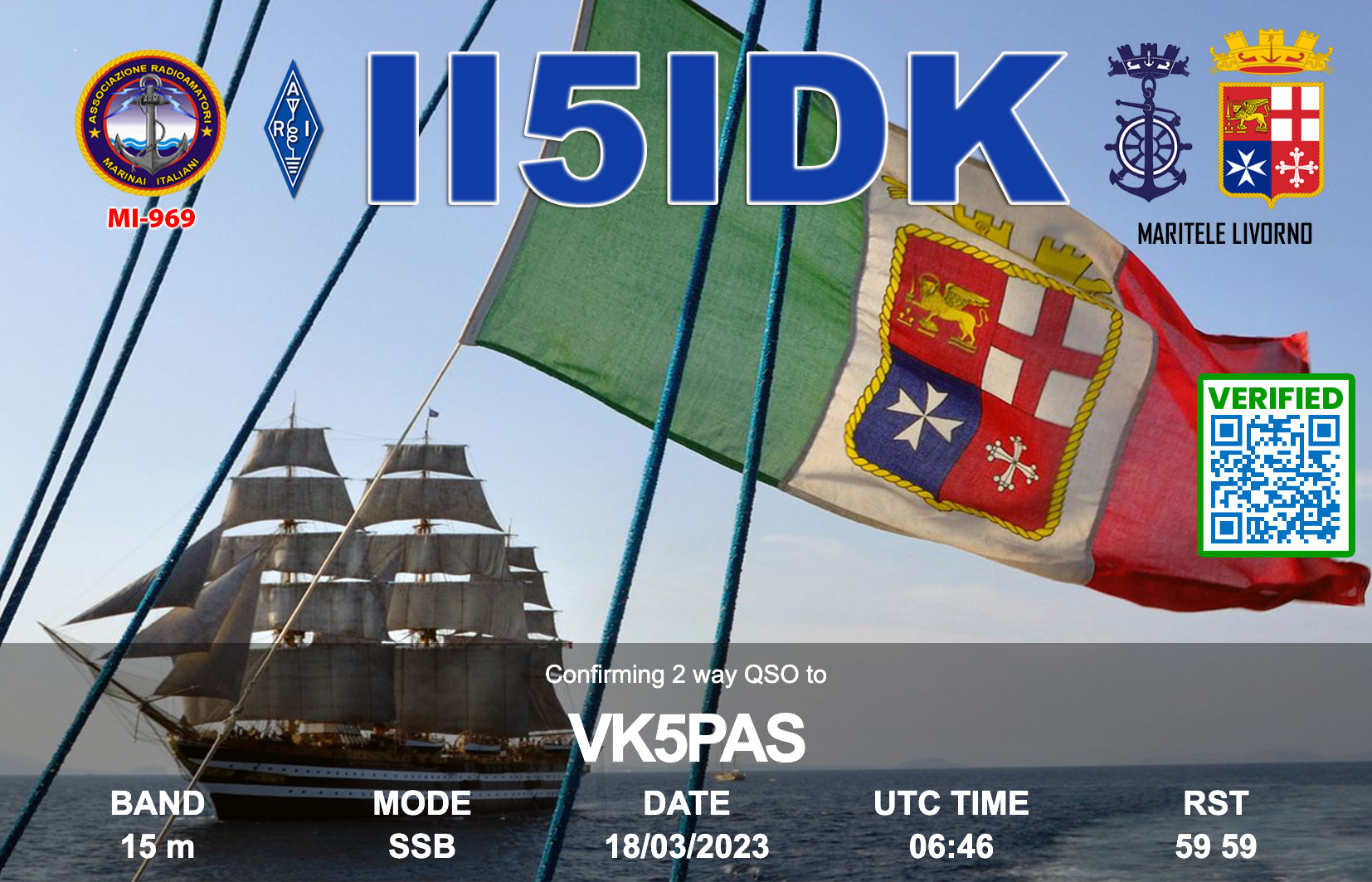
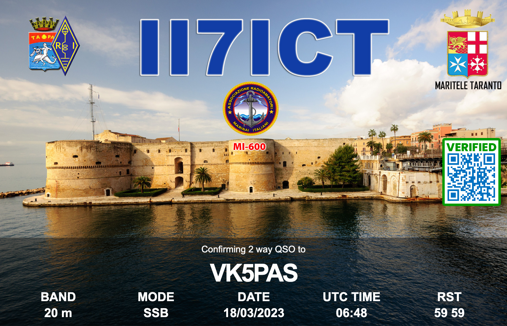
Here is a selection of QSL cards that have arrived in the mail over the past couple of weeks for VK5MAZ and VK5PAS.


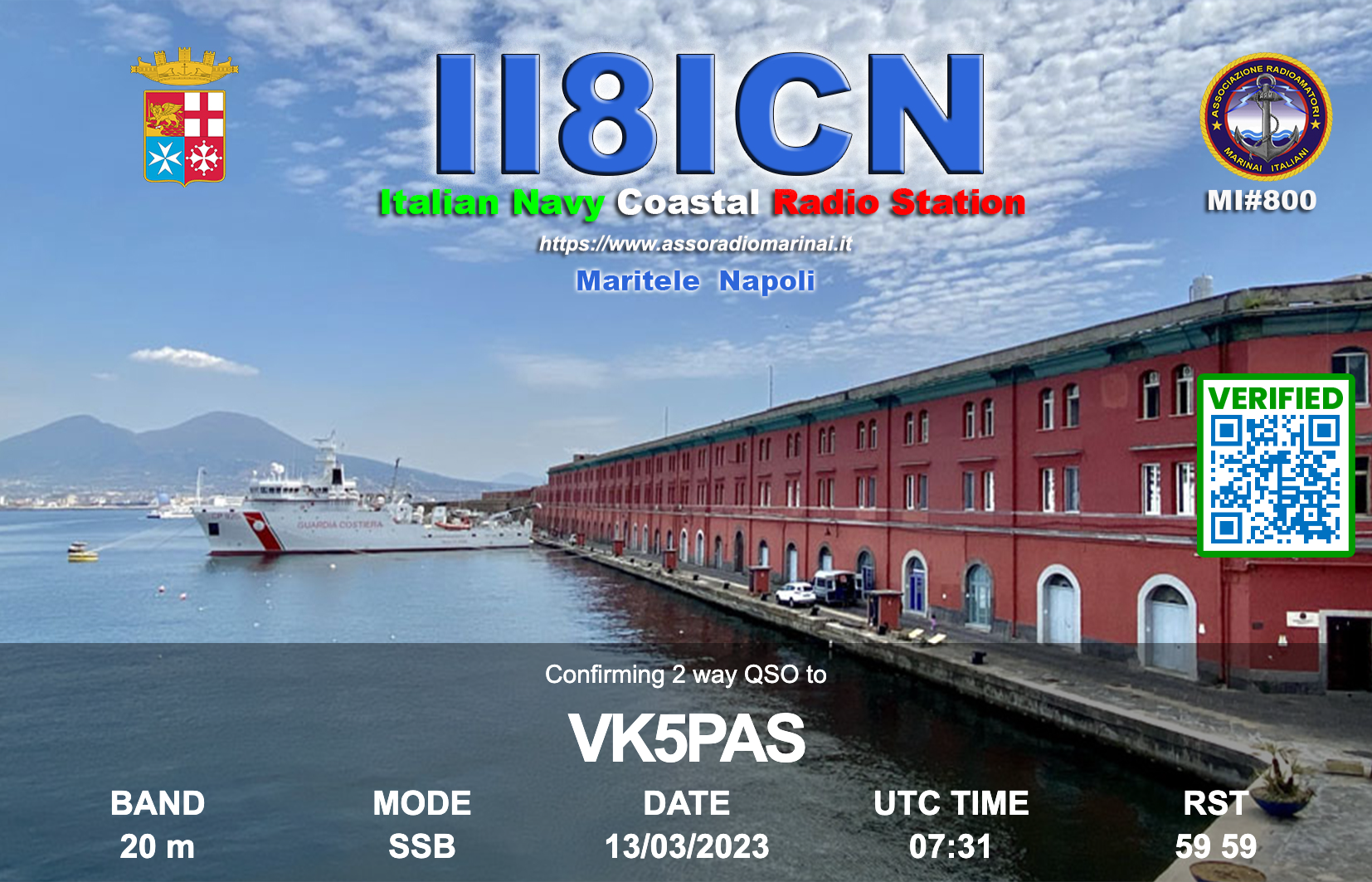
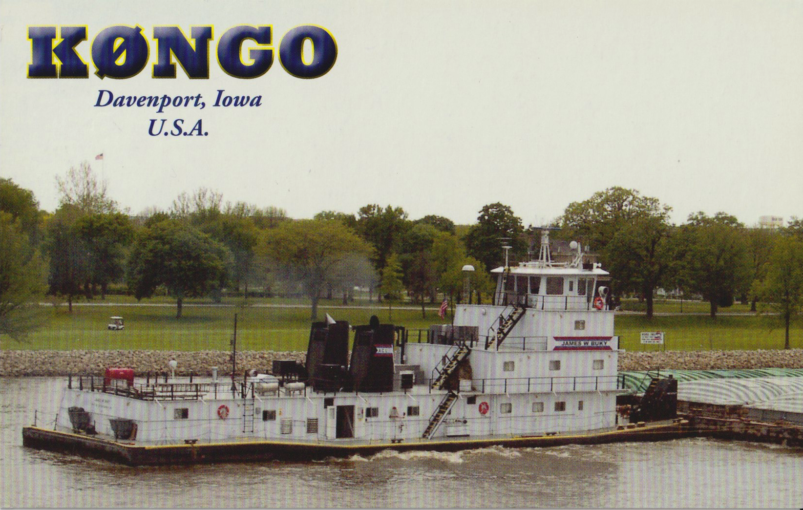


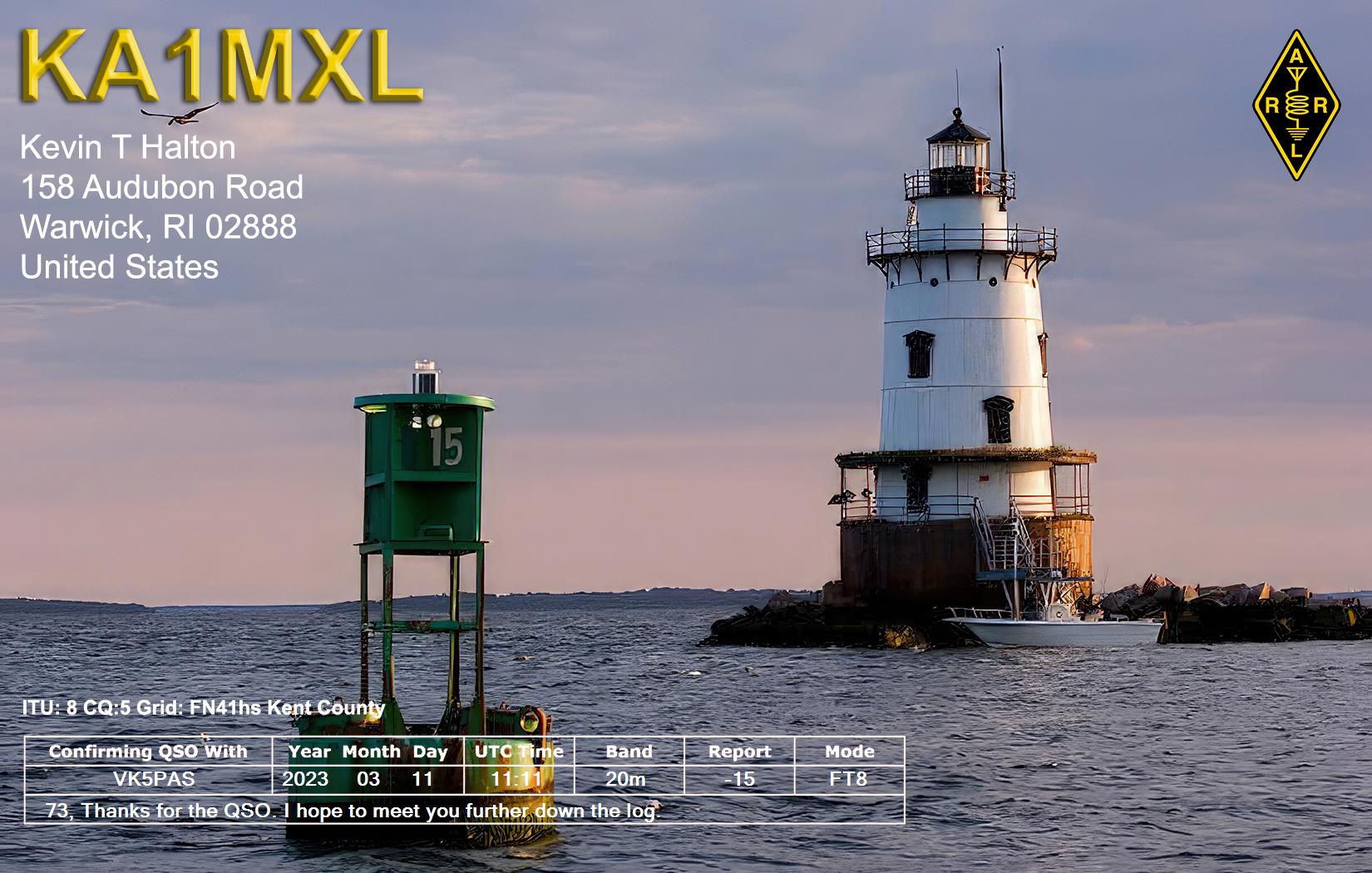


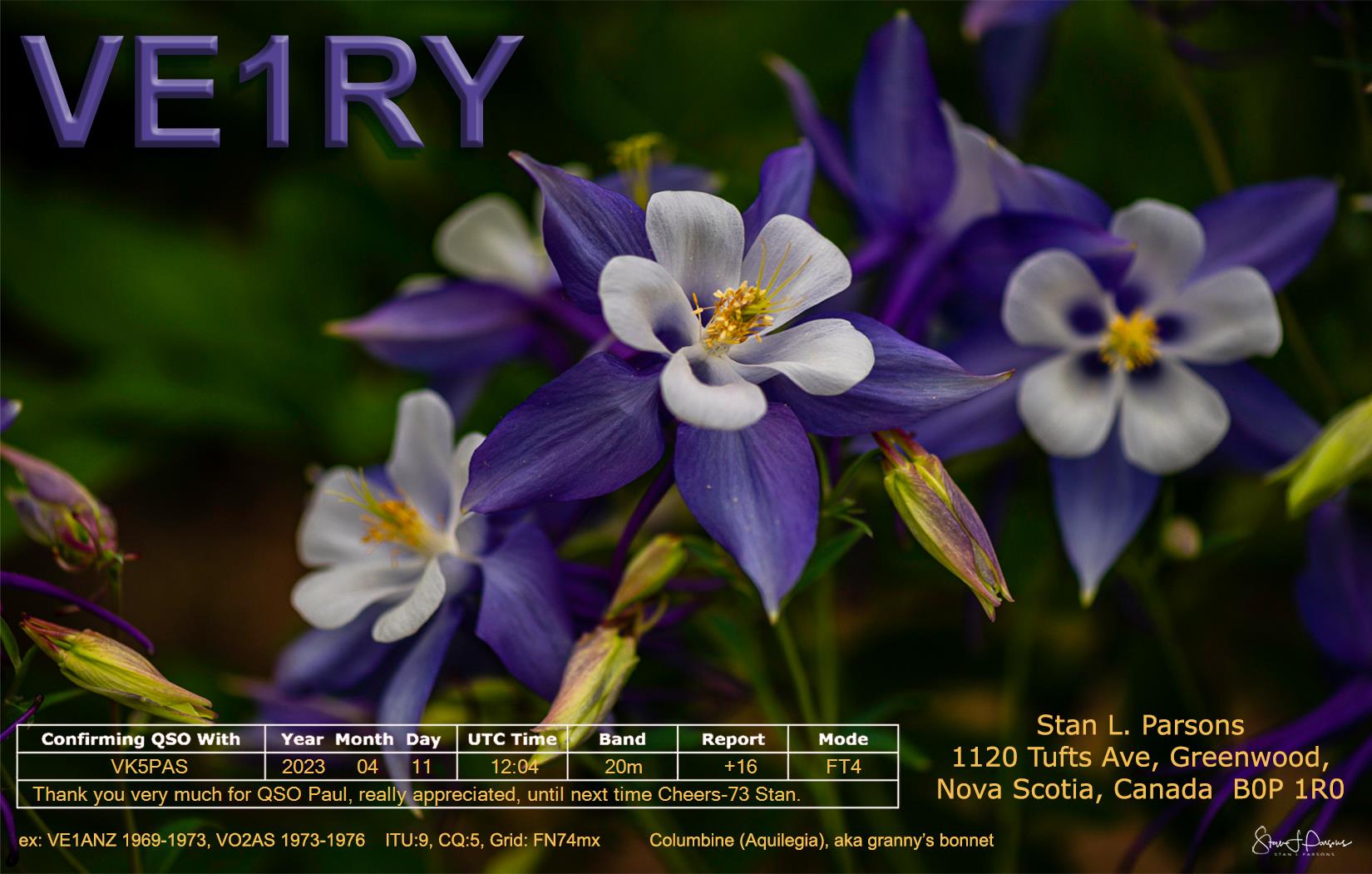


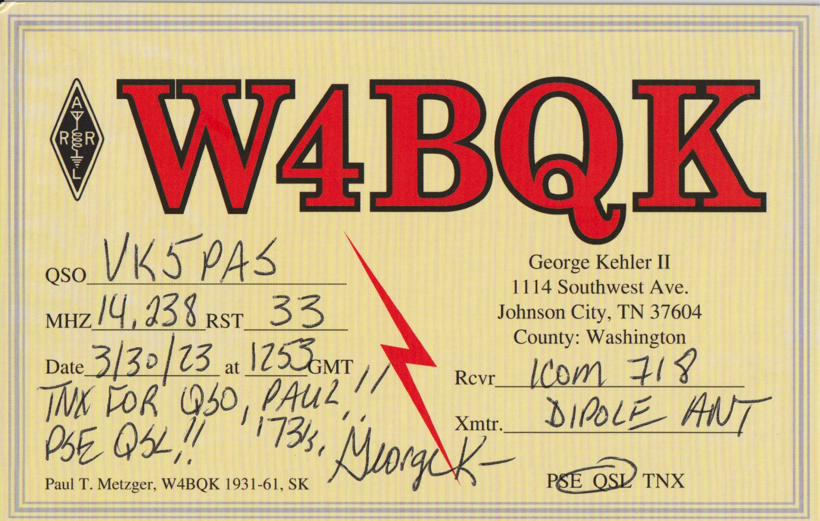
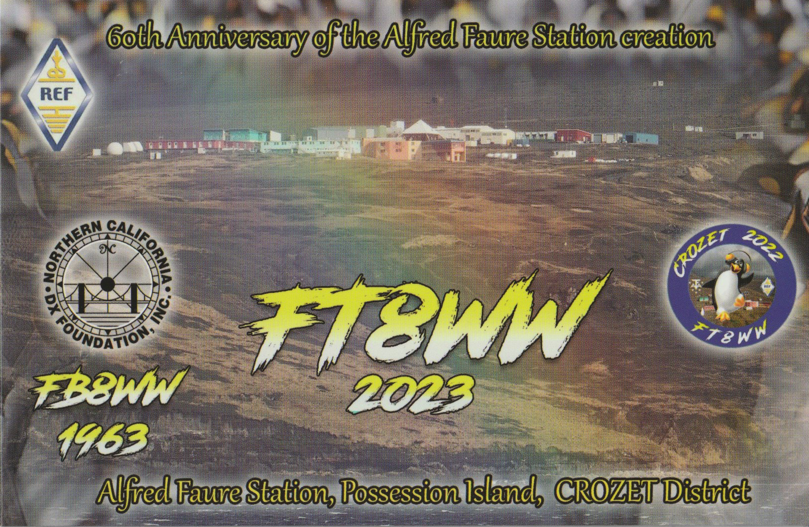

Here is a selection of QSL cards that have arrived in the mail over the past couple of weeks for VK5MAZ and VK5PAS.
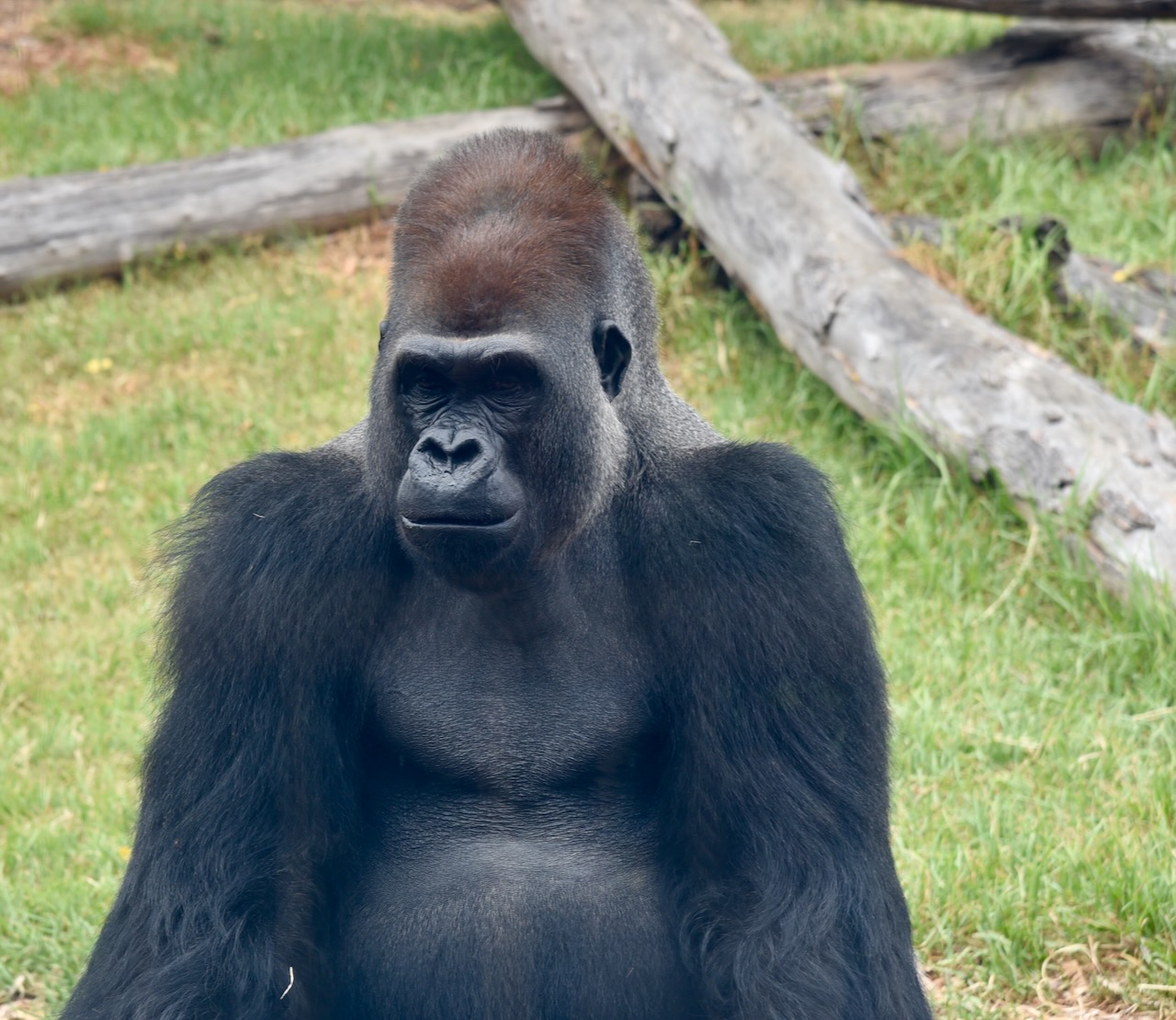
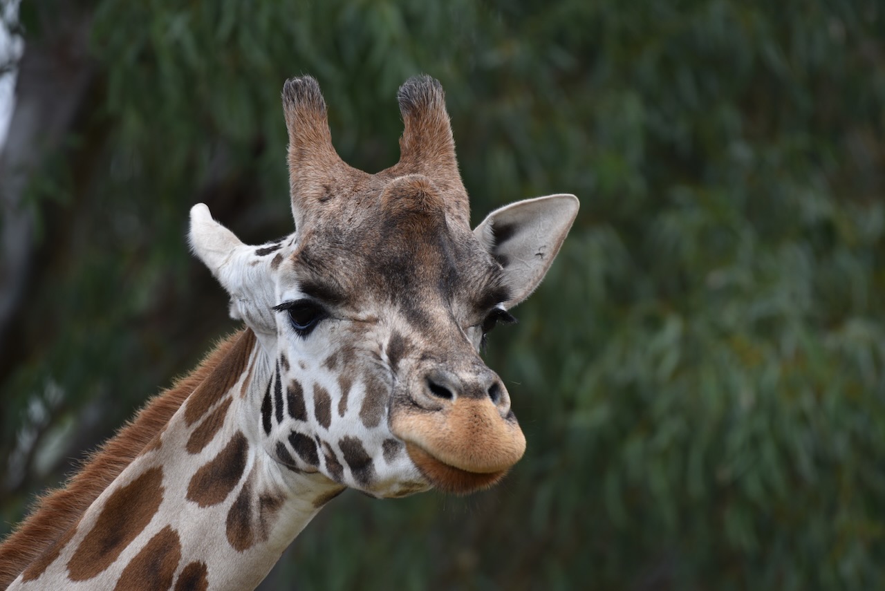
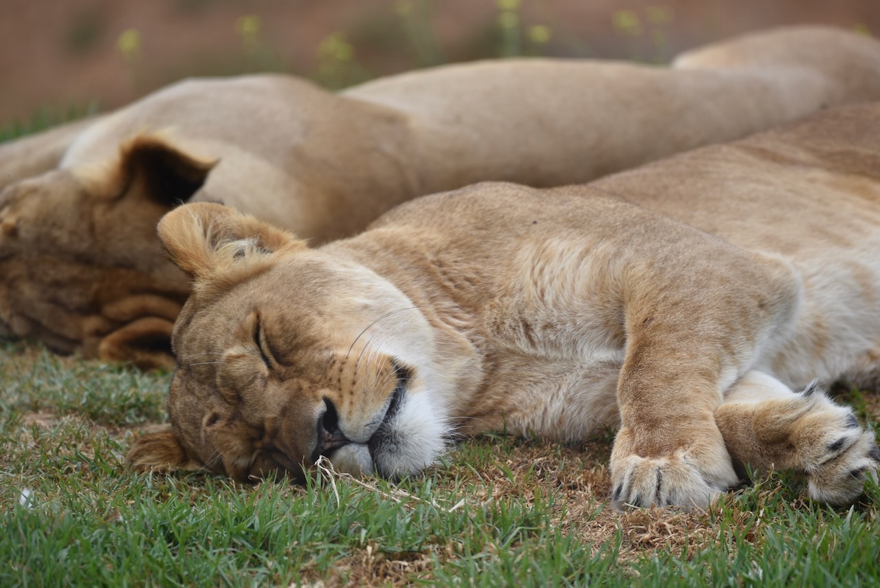
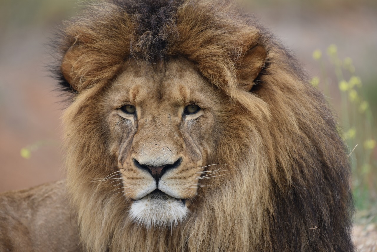
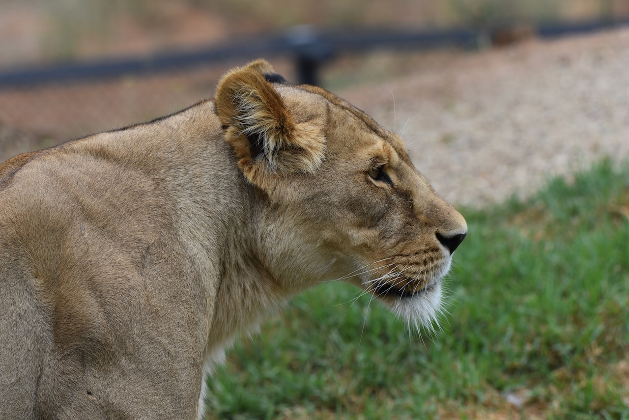
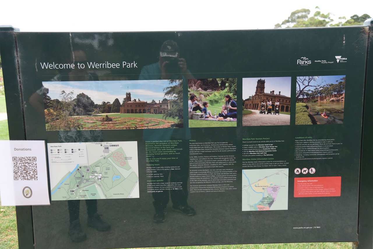
It was now Thursday 2nd March 2023, and we had another full day before attending the Avalon Air Show. After breakfast Marija and I drove out to the Werribee Open Range Zoo, located at Werribee, about 32 km southwest of Melbourne.


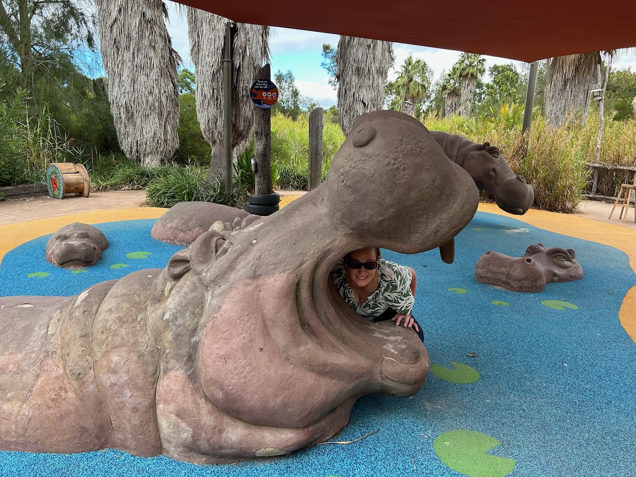
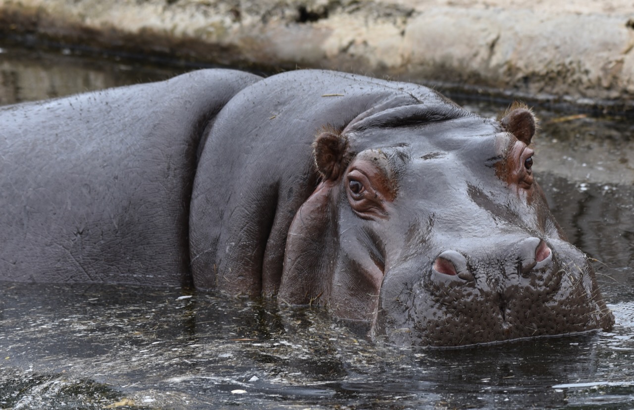
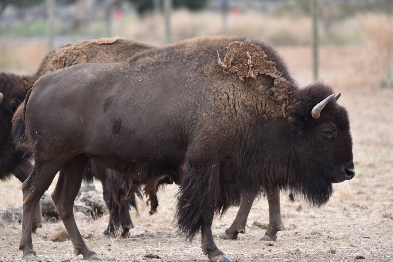
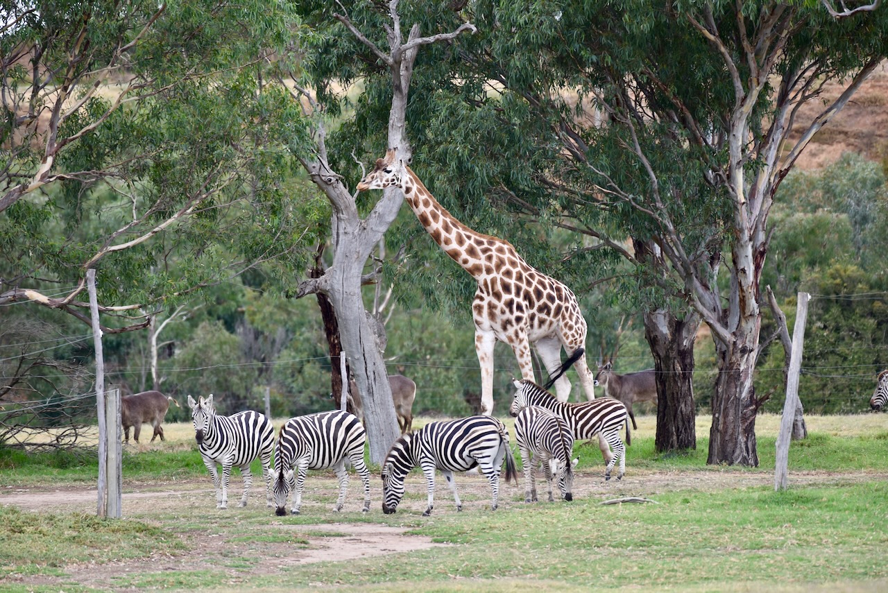
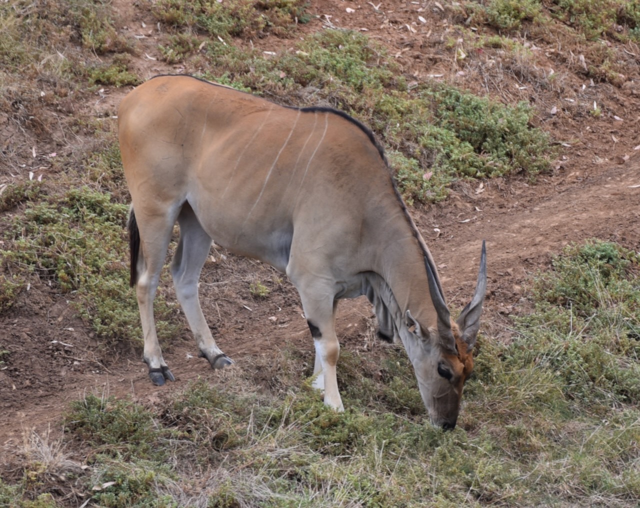
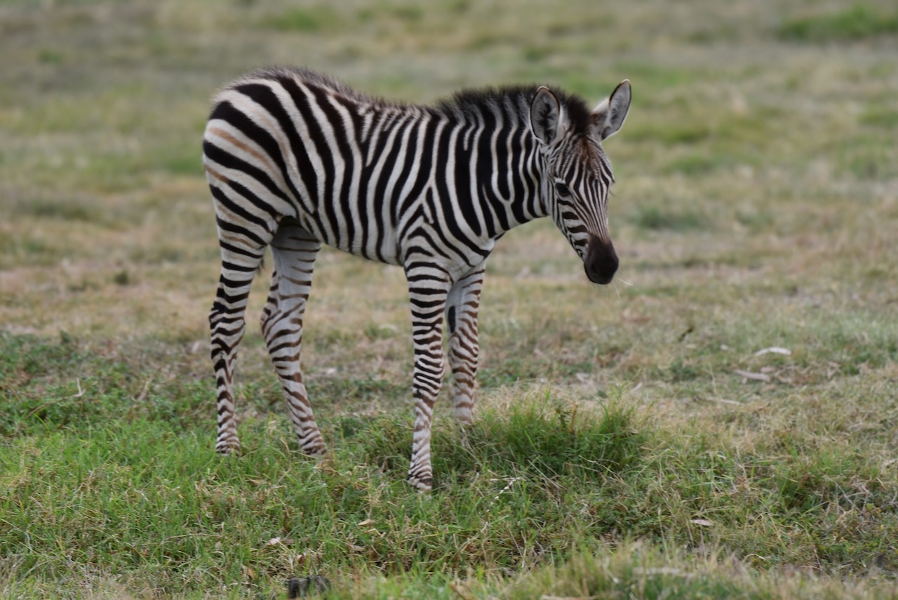
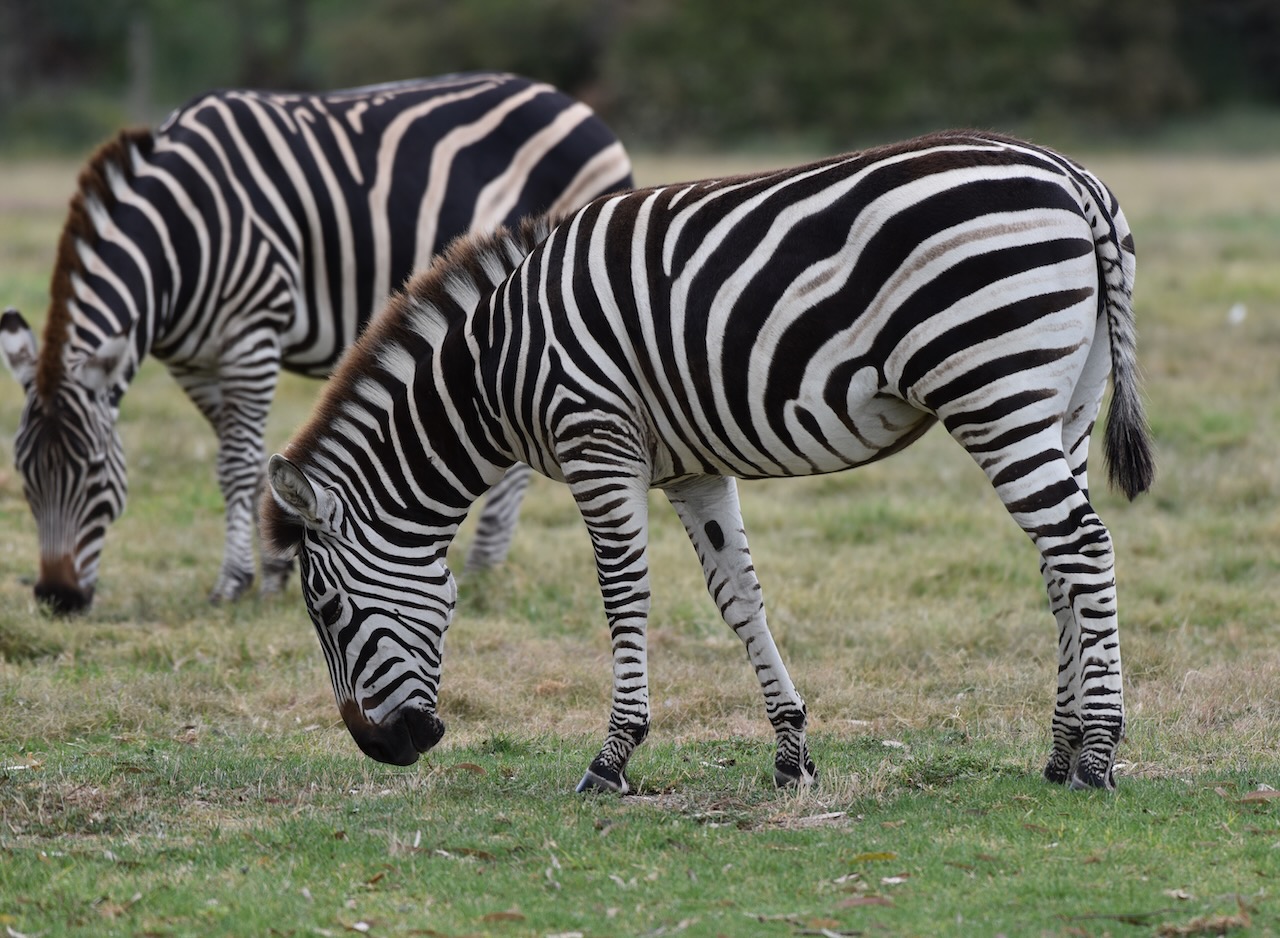
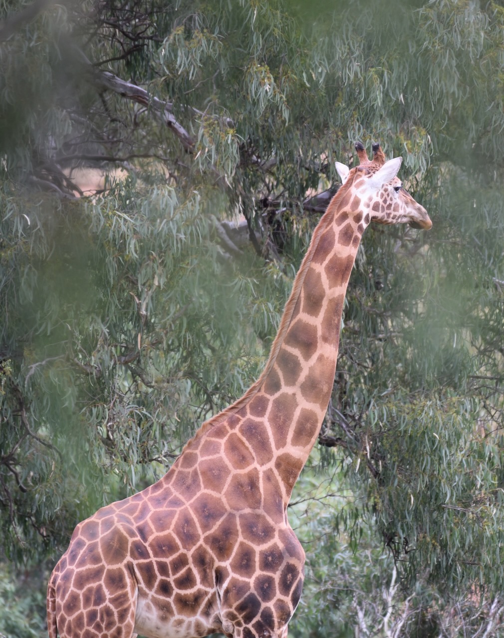
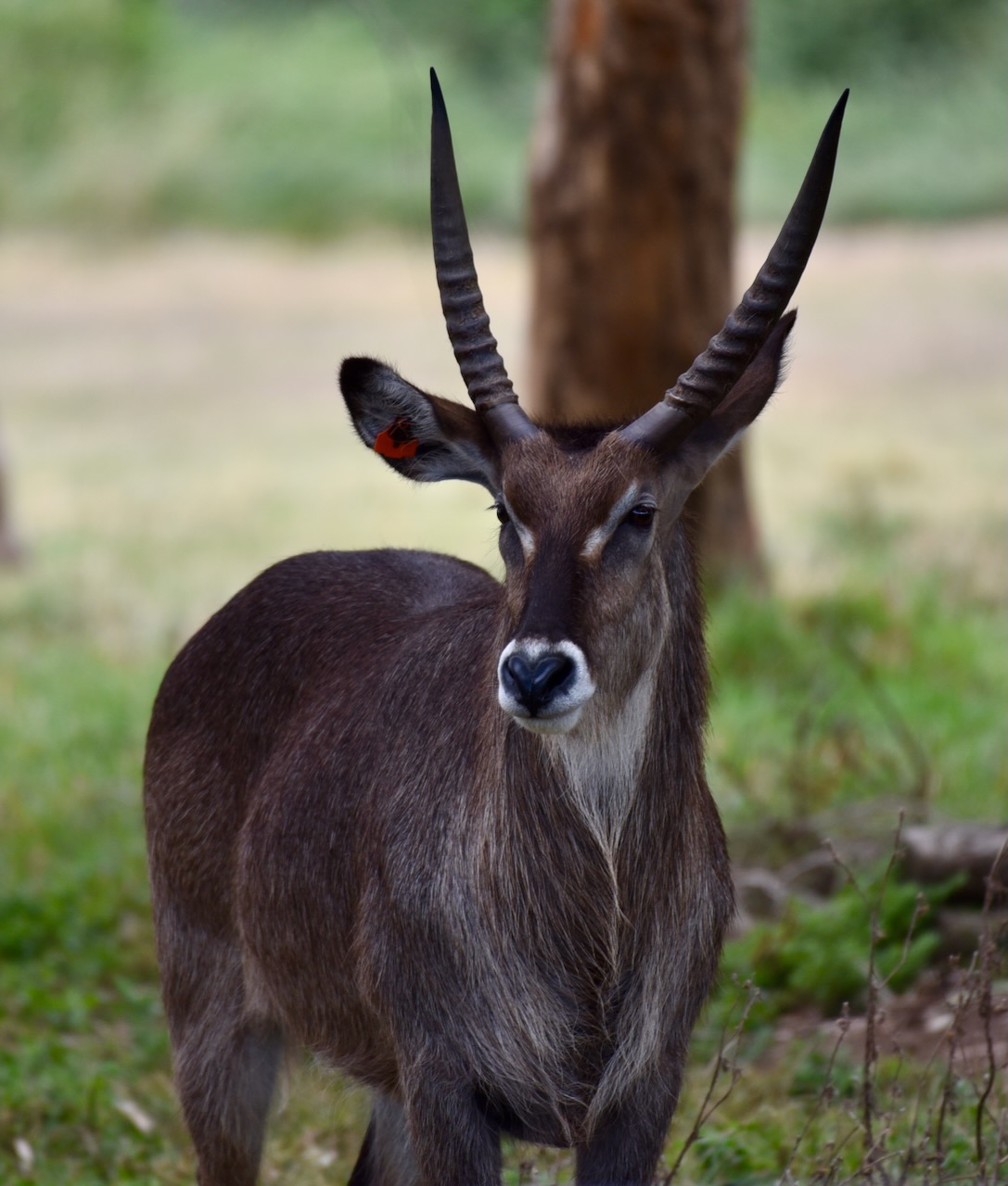
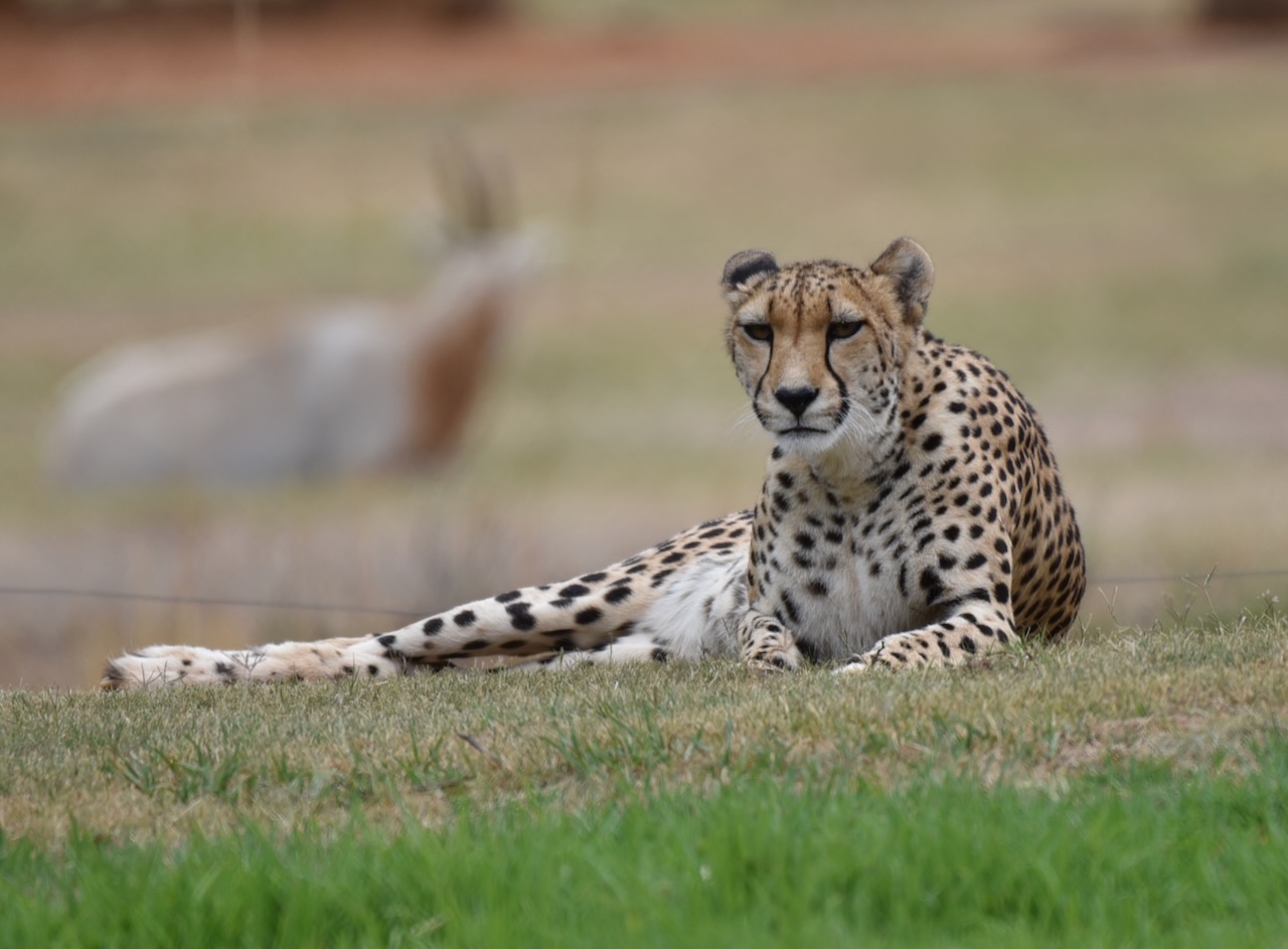
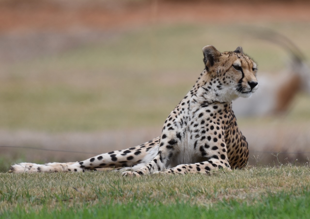
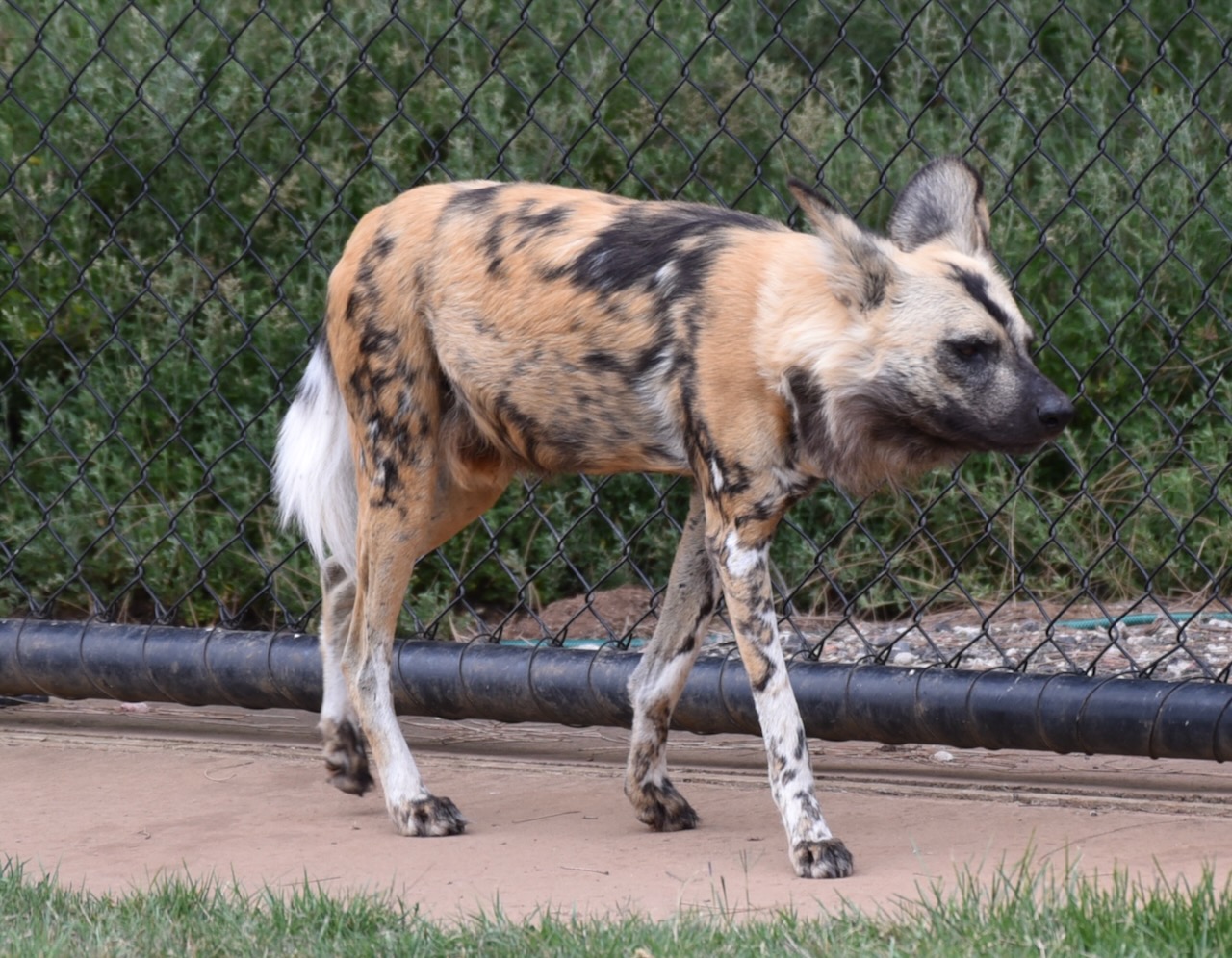
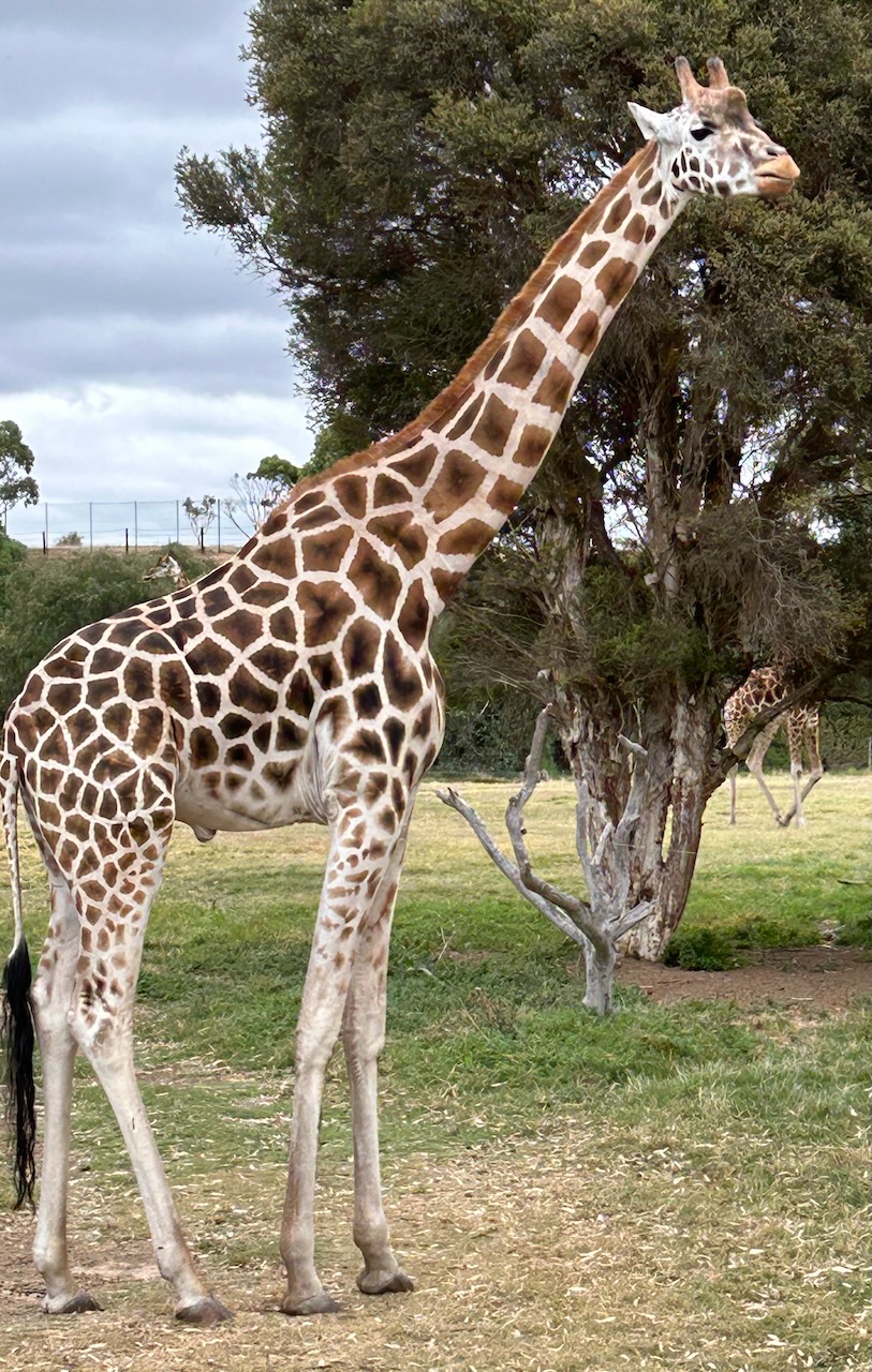
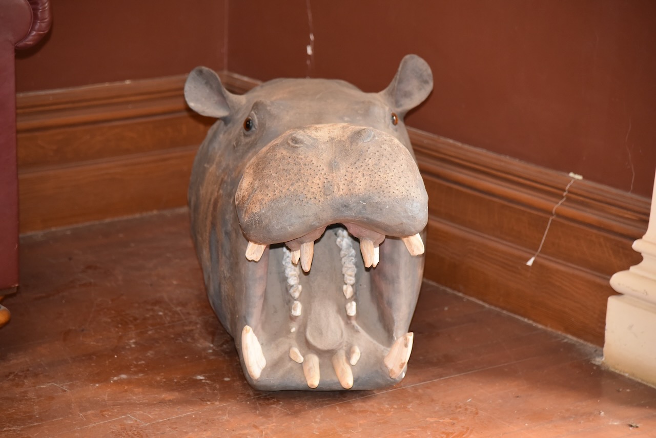
The zoo is home to a variety of animals including gorillas, Hippopotamus, Giraffe, American Bison, Przewalski Horse, Oryx, Blackbuck, Cheetah, and Lion.


The zoo also has a number of Southern White Rhinoceros, which we were able to get up close and personal with during a Safari tour.


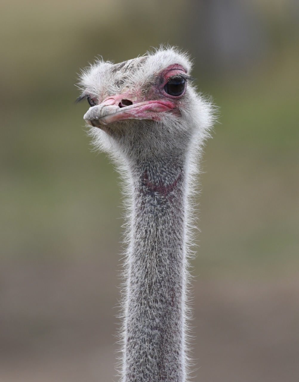
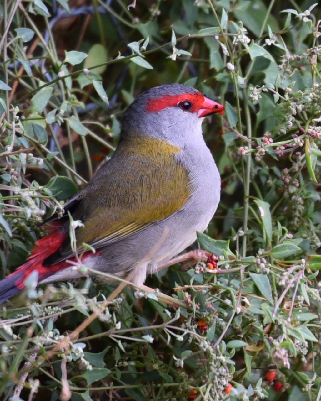
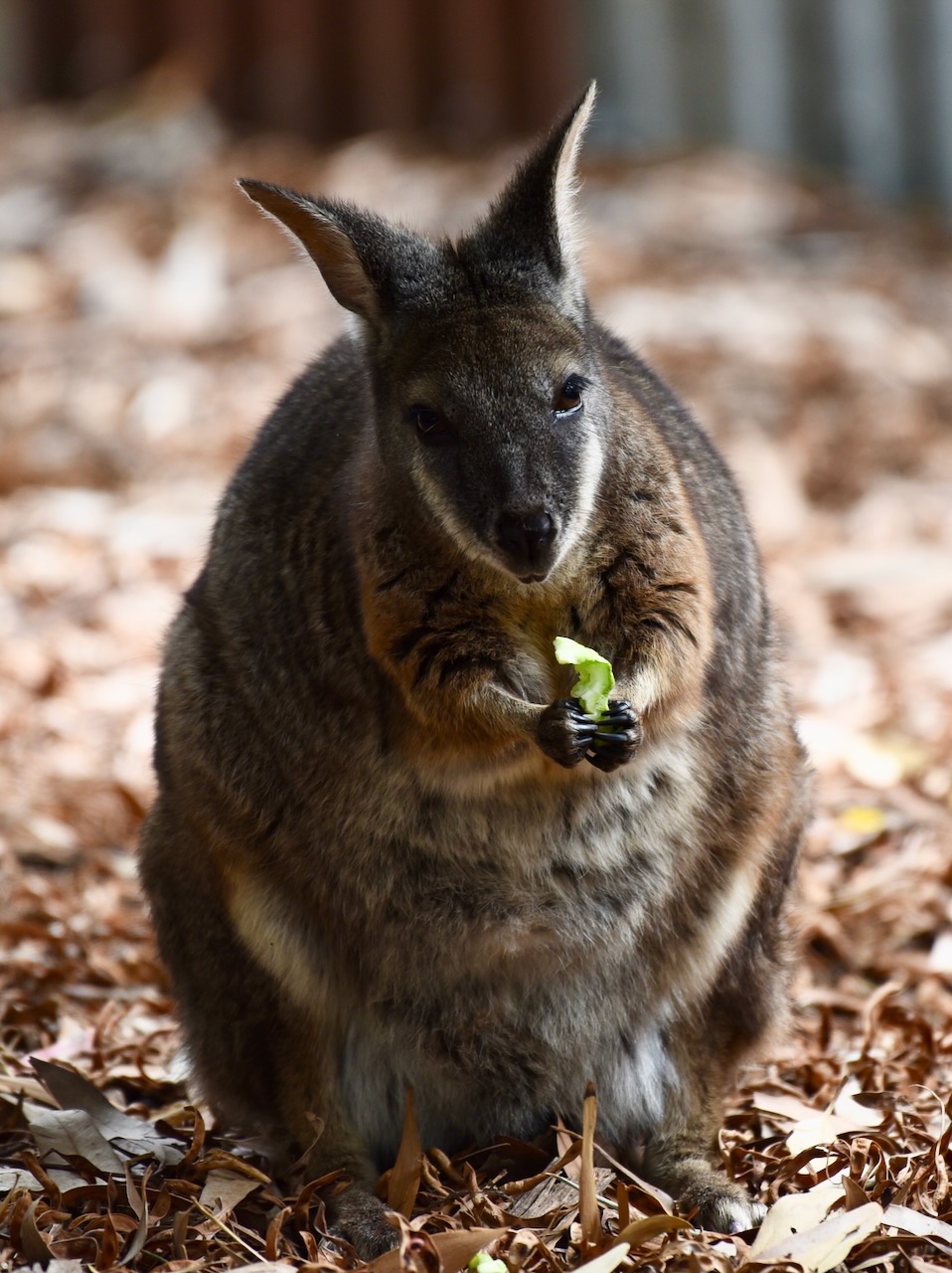
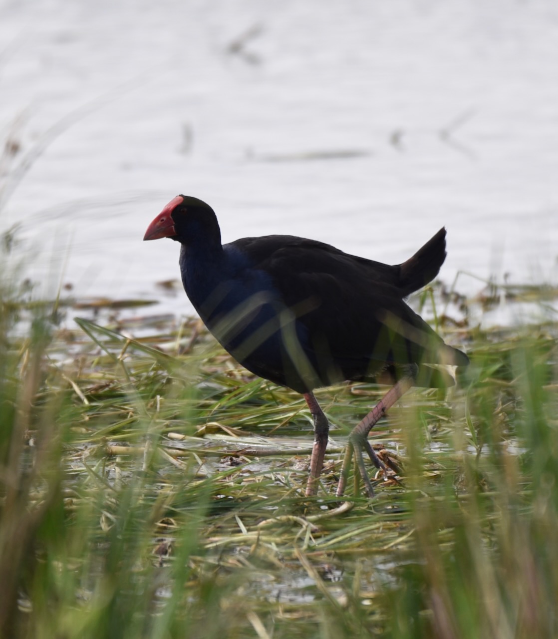
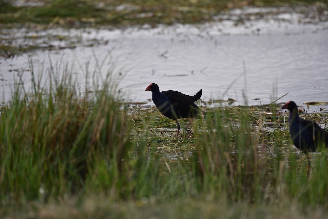
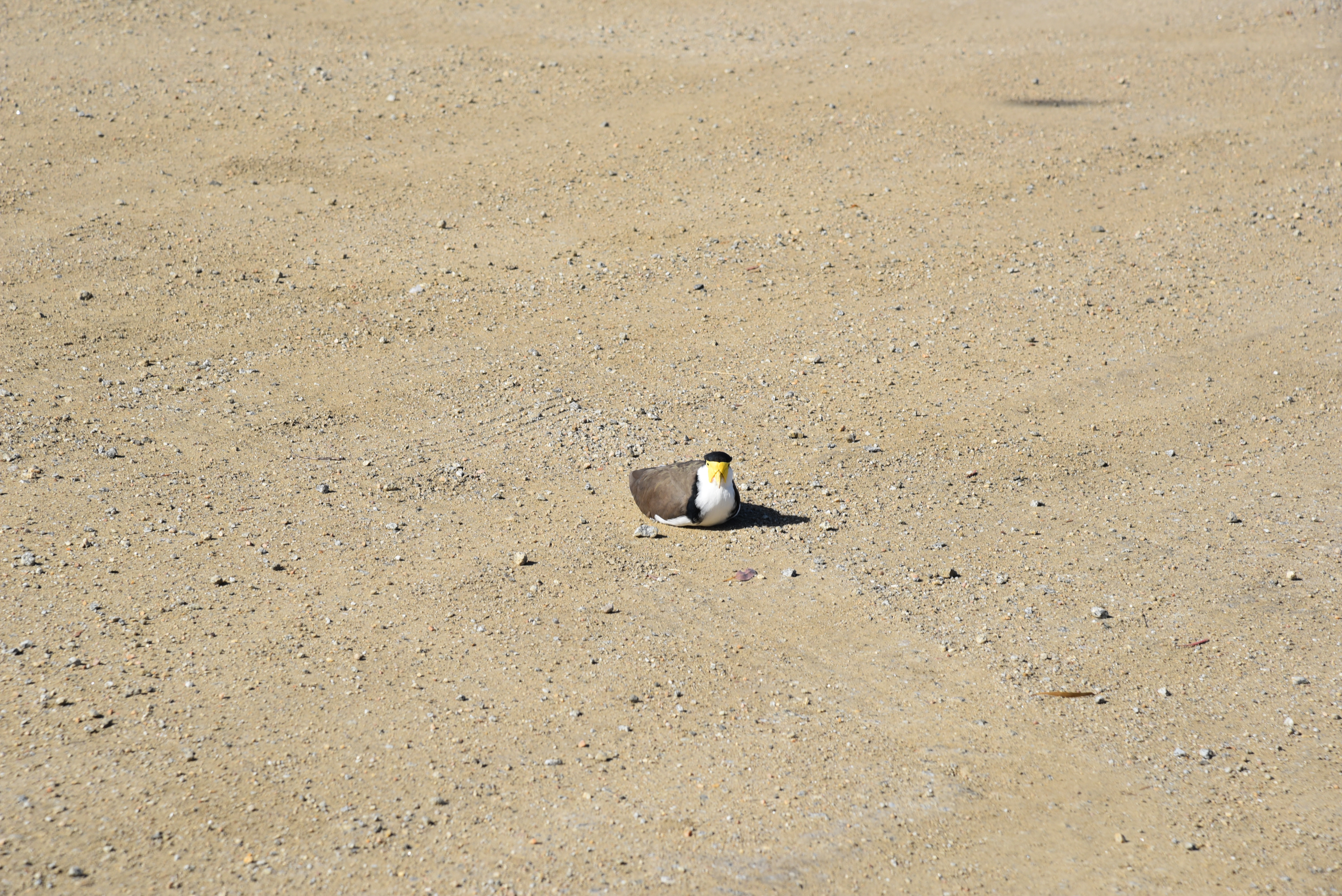
The park also has numerous native birds and animals.


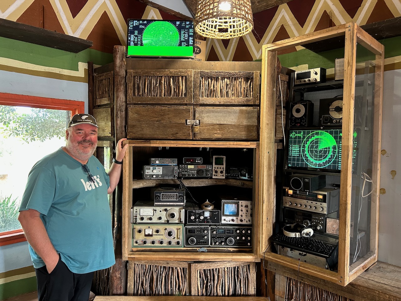
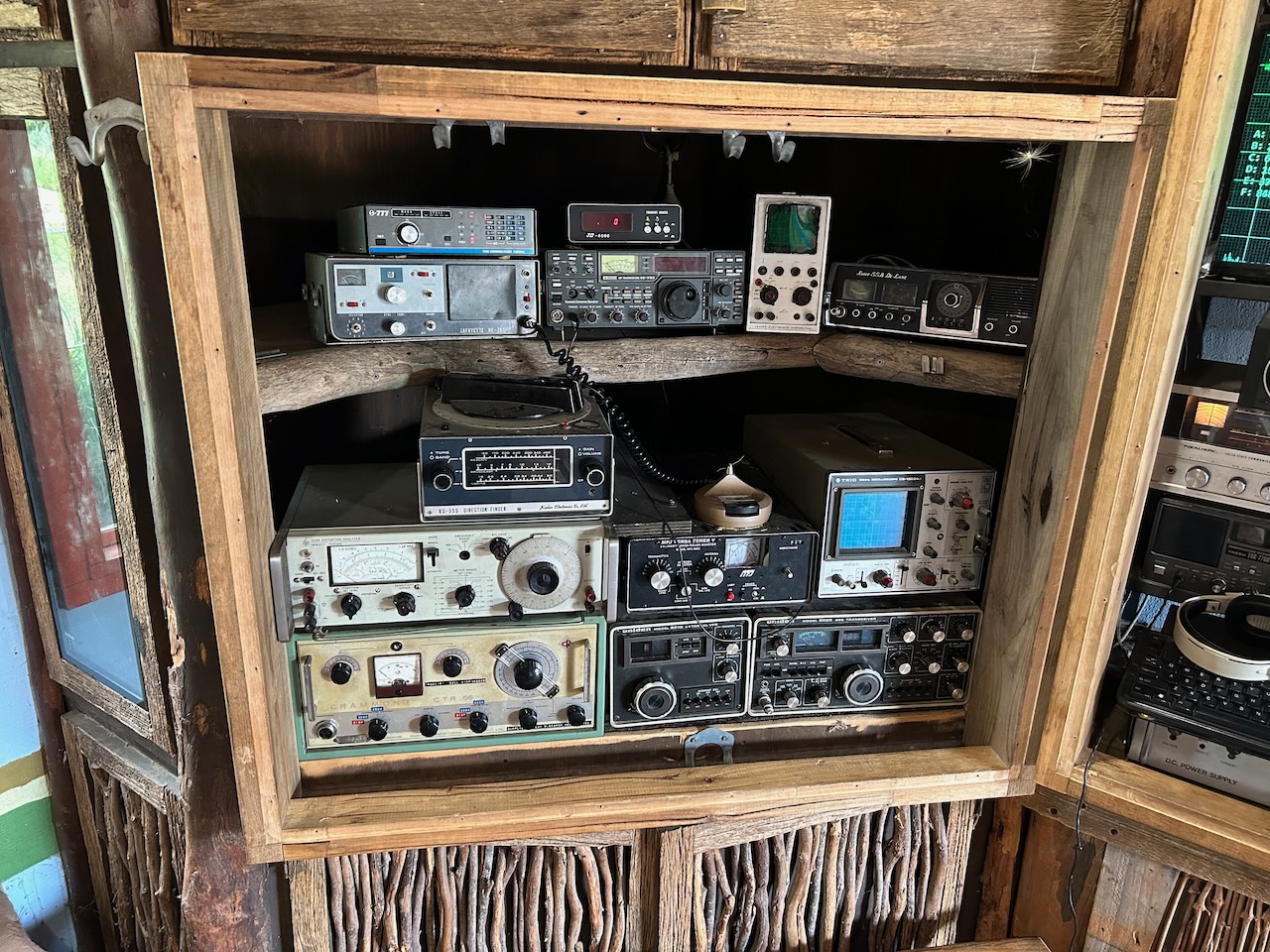
I even found a ‘radio room’ at the zoo which contained an Icon IC751, a Uniden 2020, and a Realistic receiver.

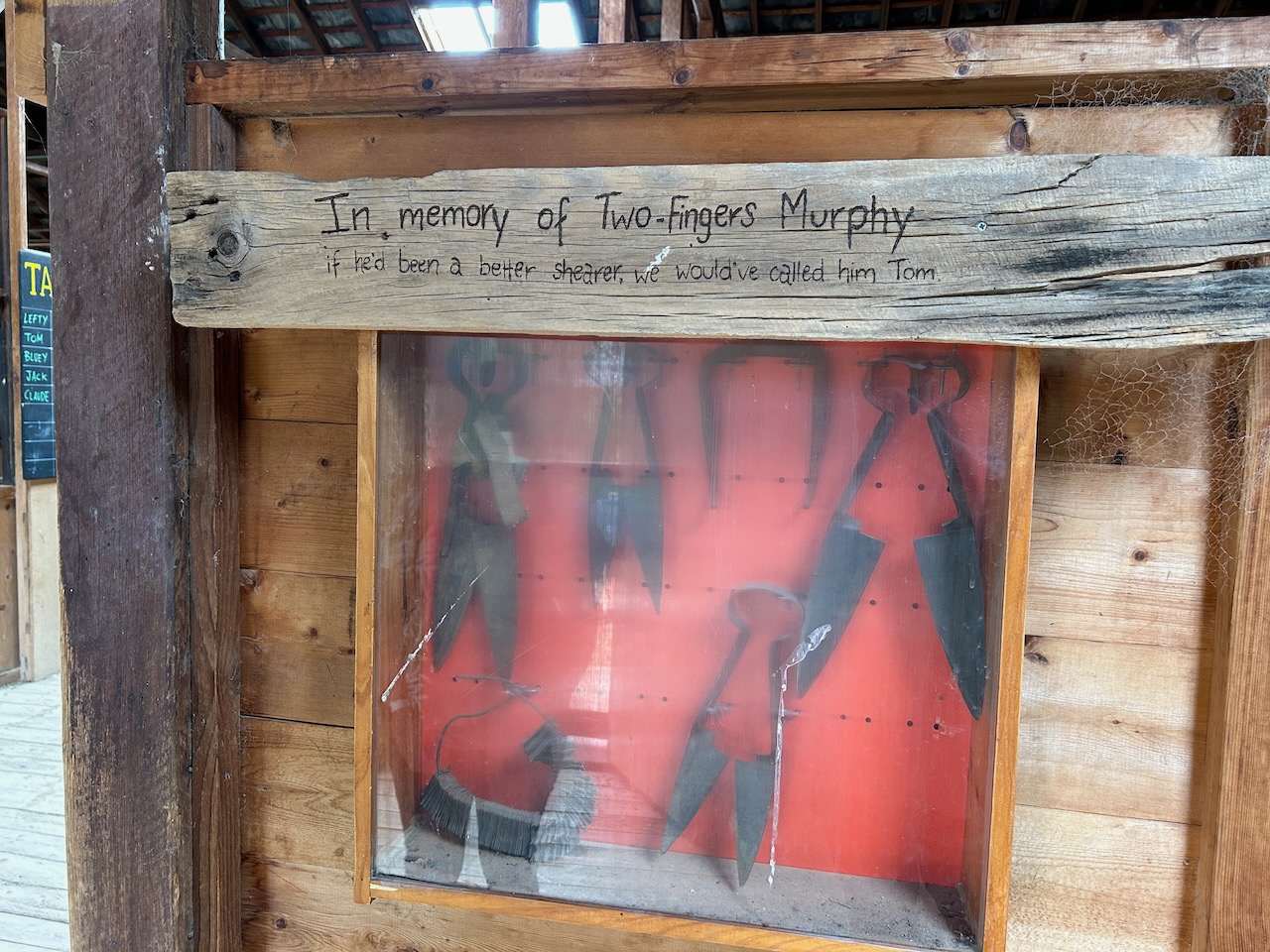
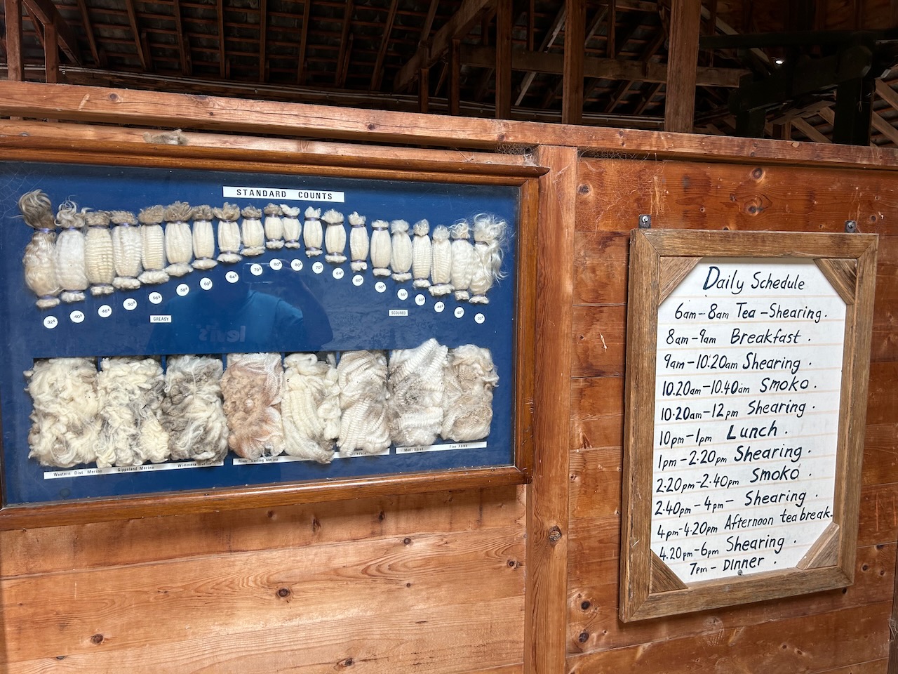
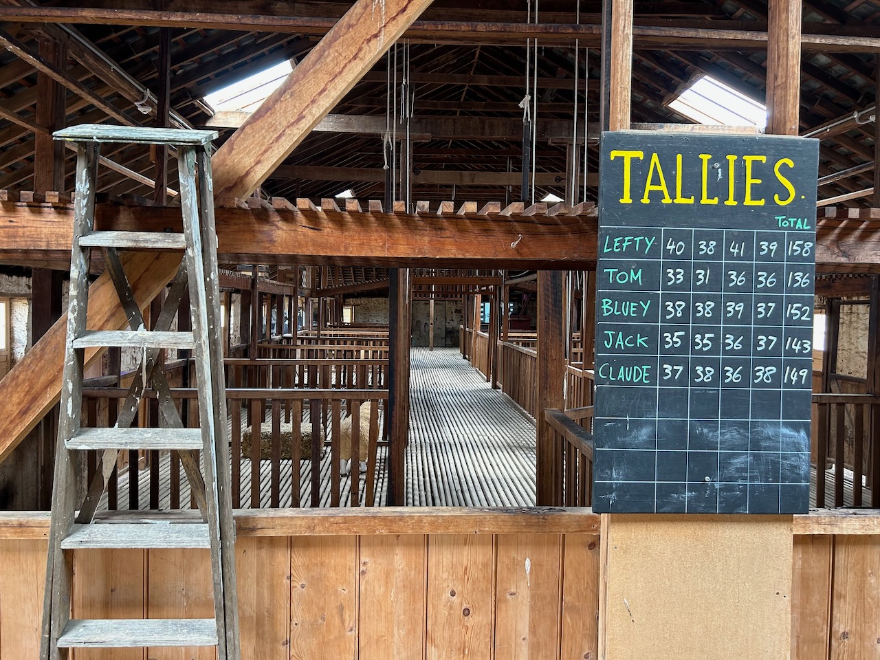
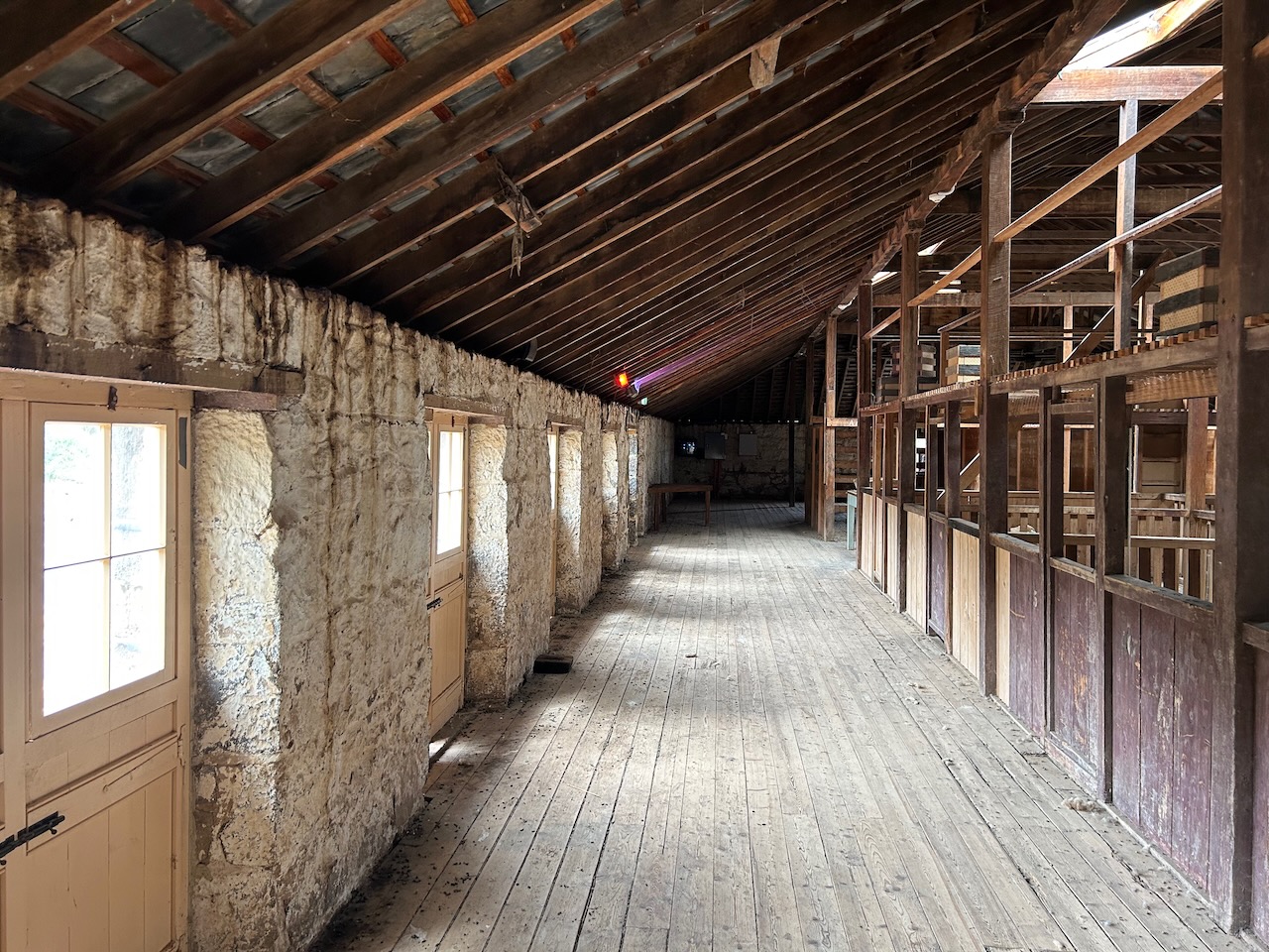
The zoo is also the home of the historic Chirnside Shearing Shed which was once part of the Chirnside pastoral property. The shearing shed was built in 1861.


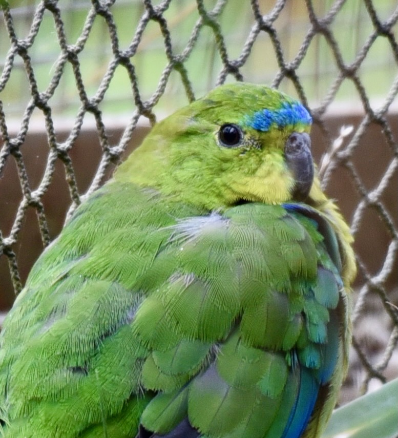
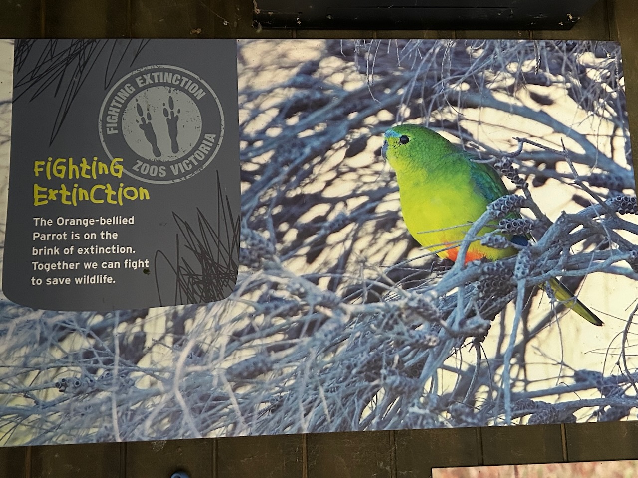
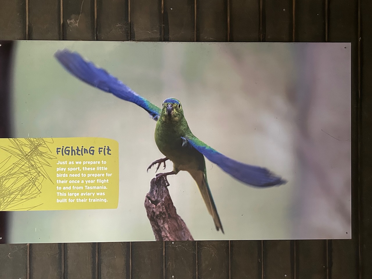
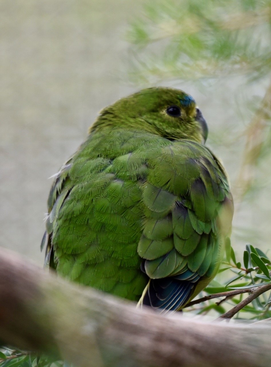
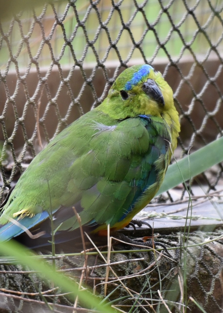
One of the highlights of the Werribee Zoo was observing the Orange-bellied parrots. There are fewer than 50 of these in the wild and they are listed as critically endangered.


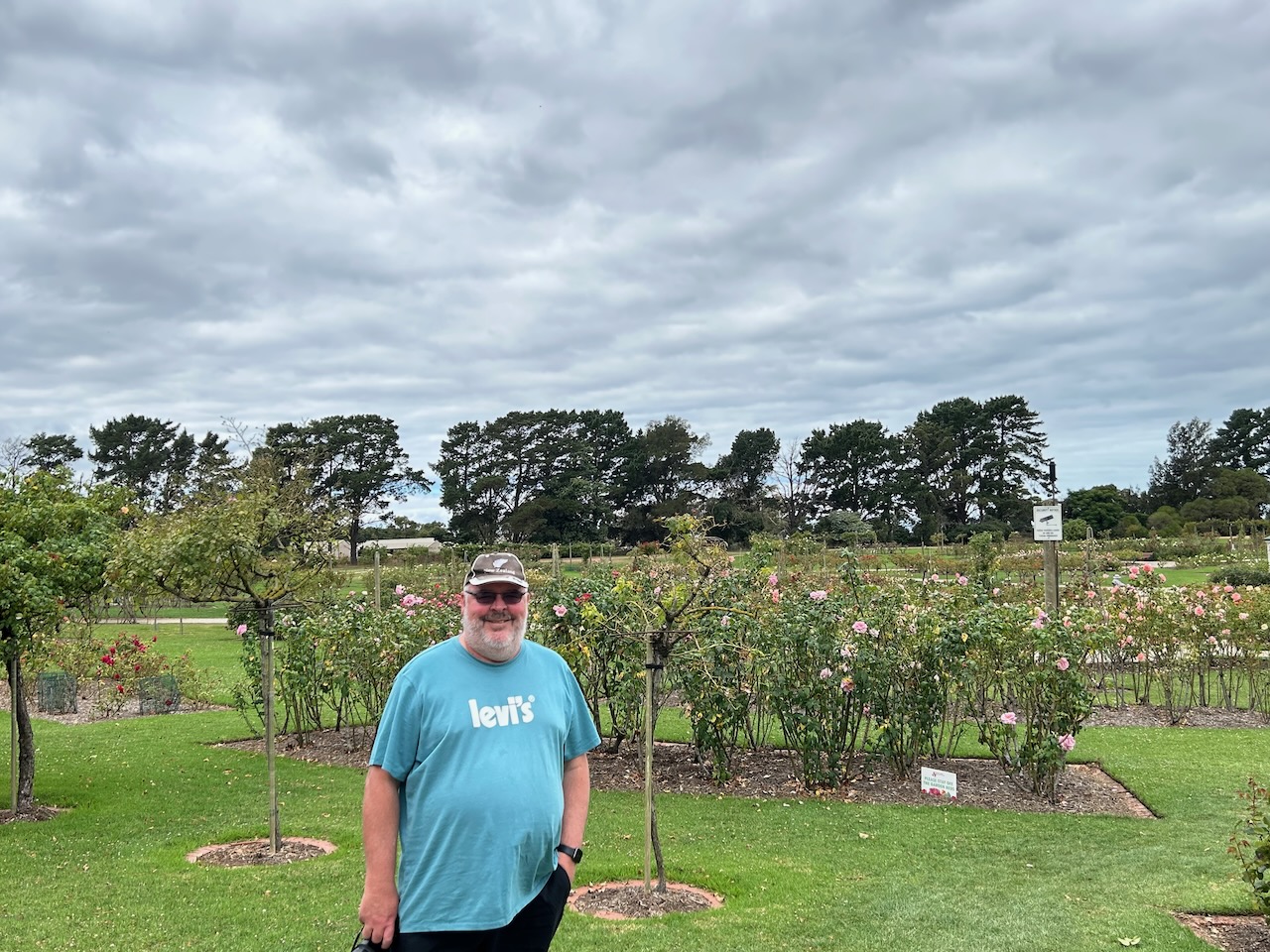
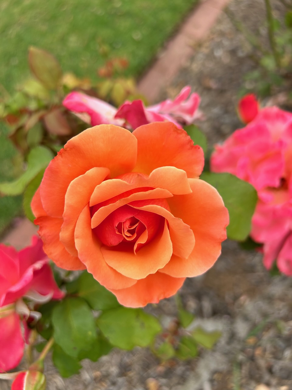
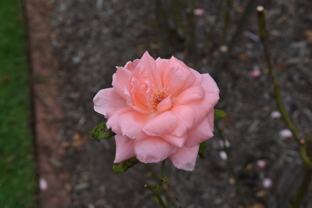
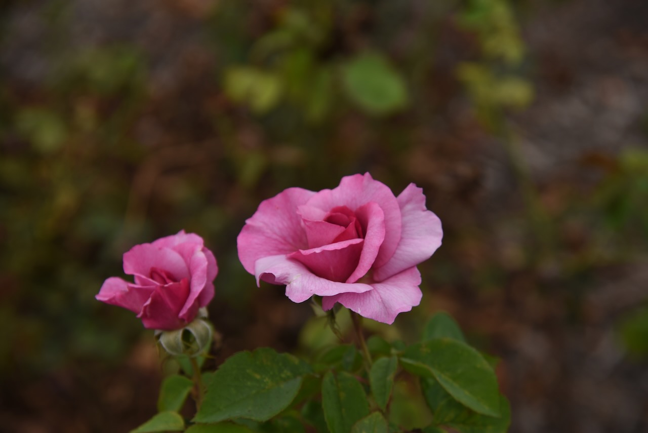
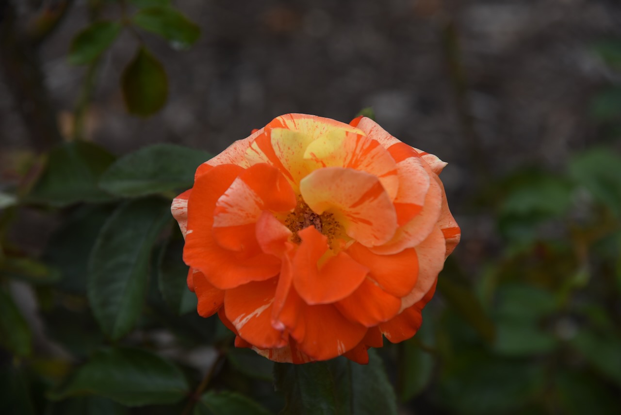
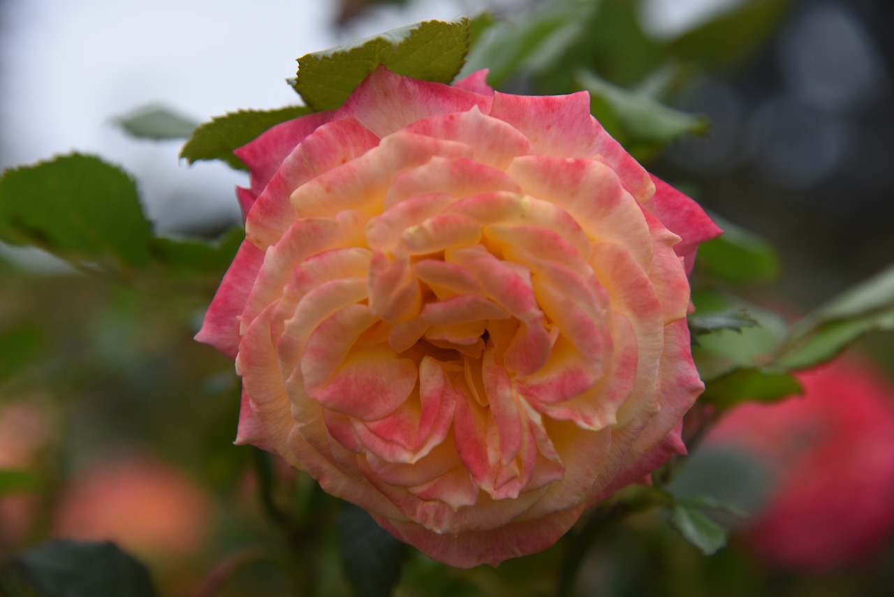
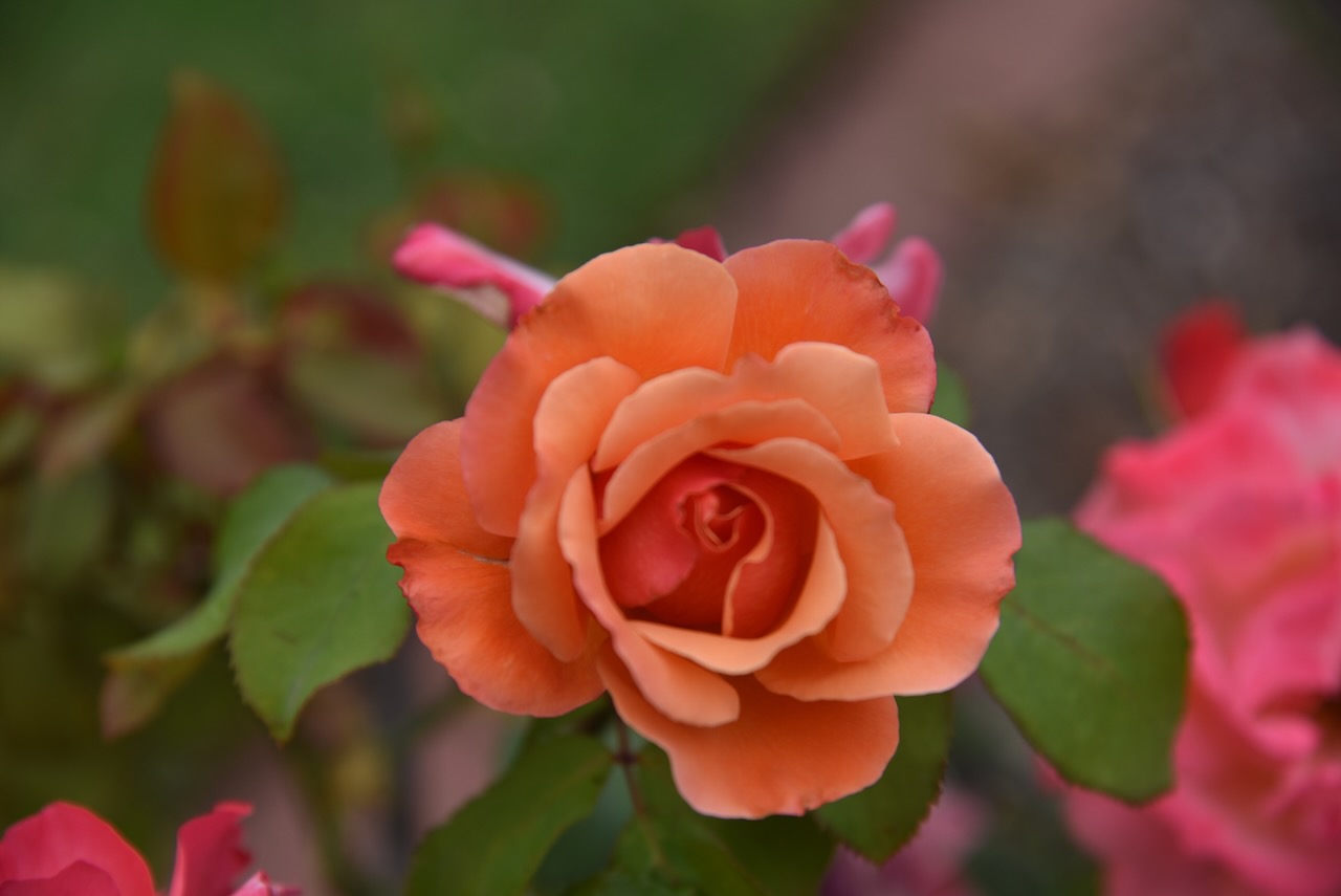
We then visited the Victoria State Rose Garden at Werribee. It contains over 5,000 roses, covering about 5 hectares. In 2003, the rose garden was awarded the International Garden of Excellence by the World Federation of Rose Societies. It was the first rose garden outside of Europe to receive this award.


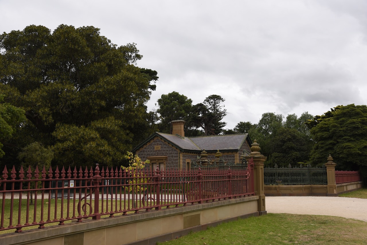
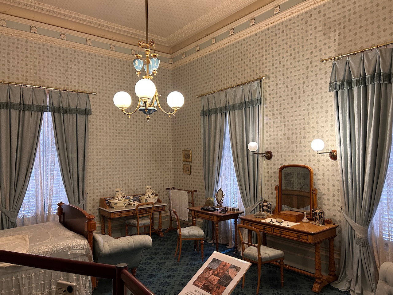
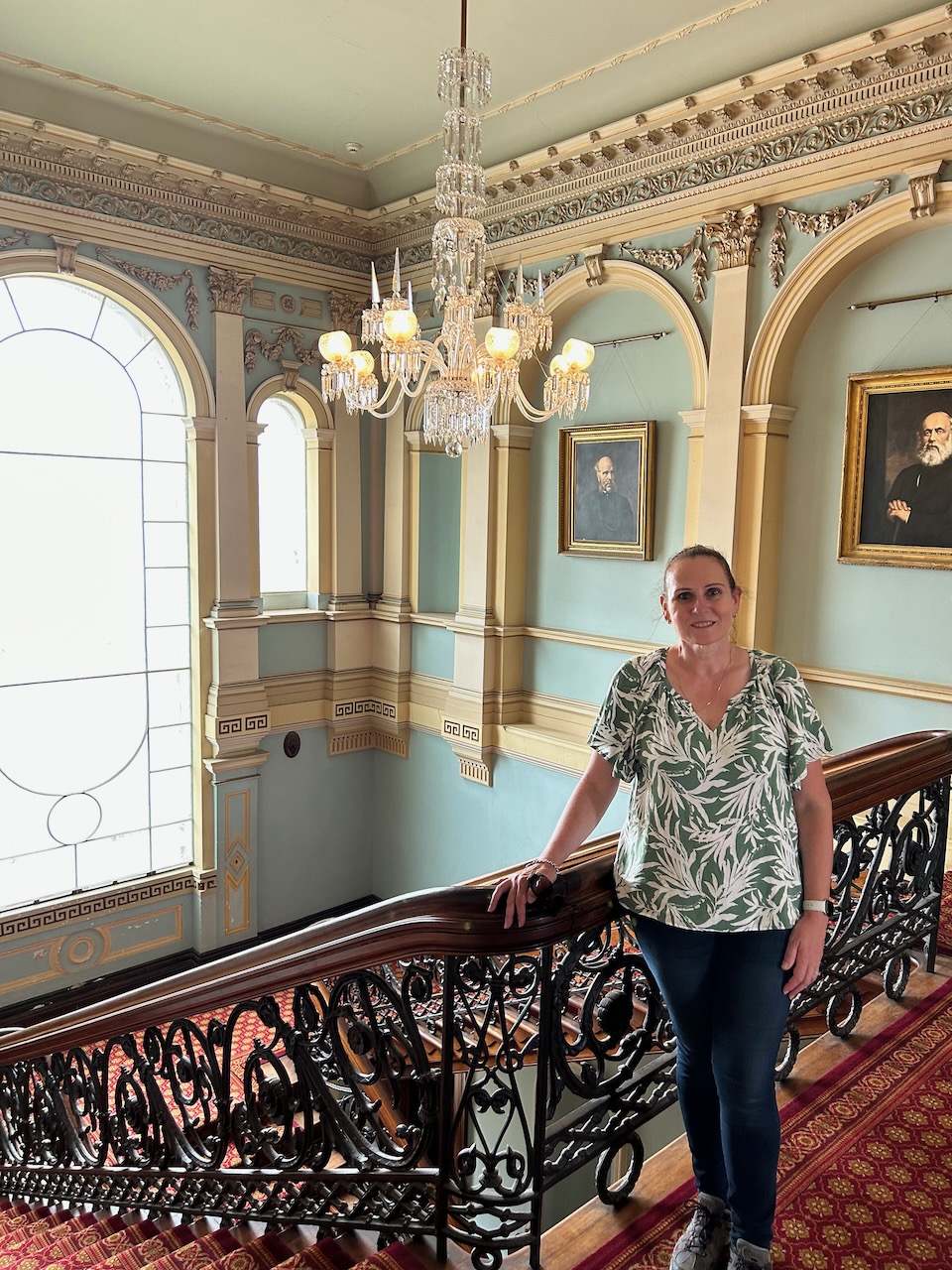
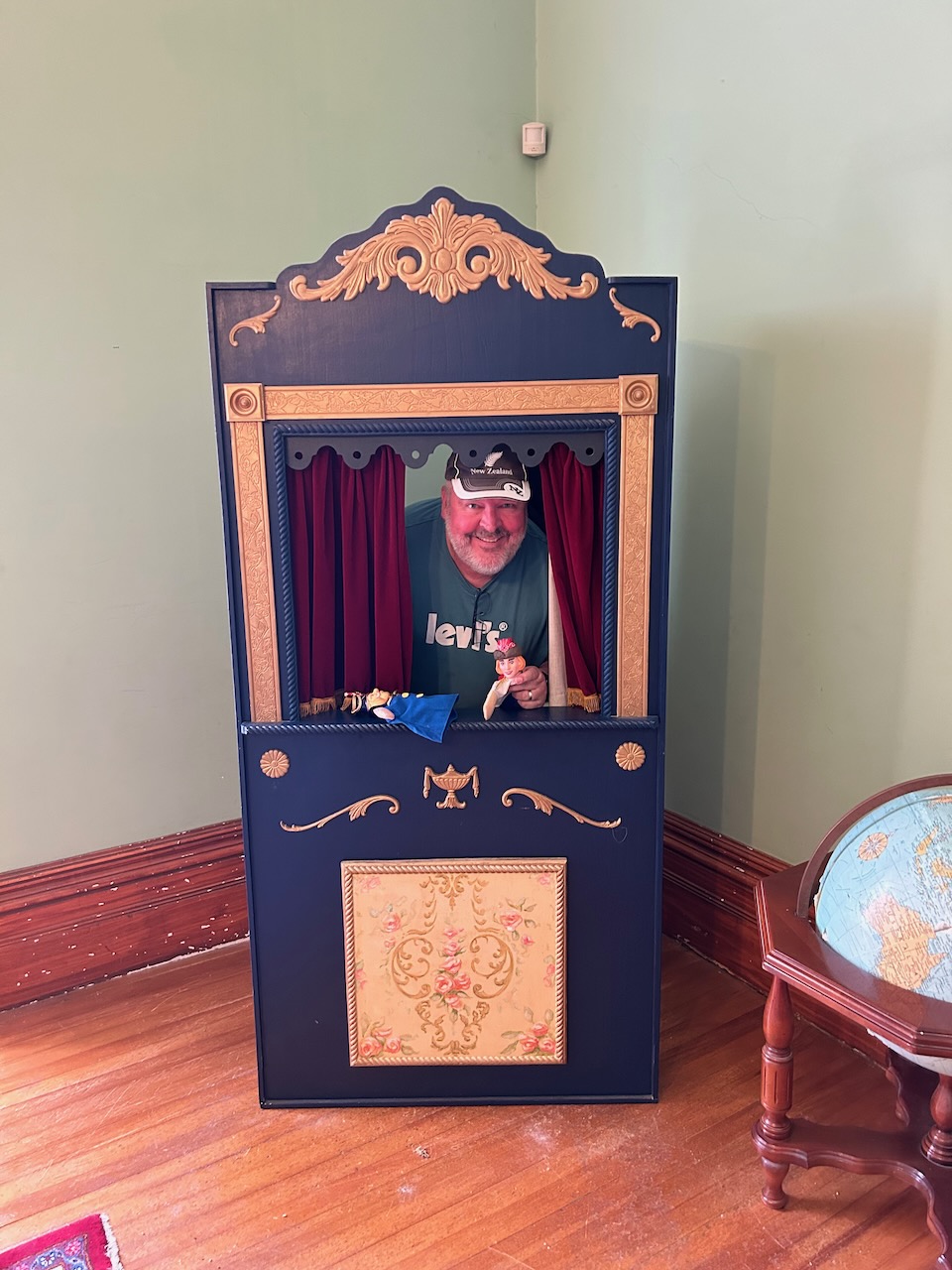
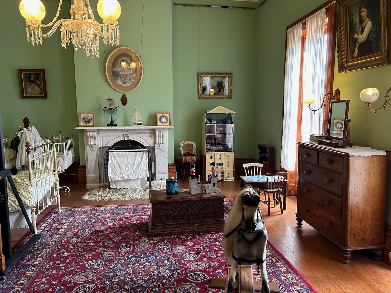
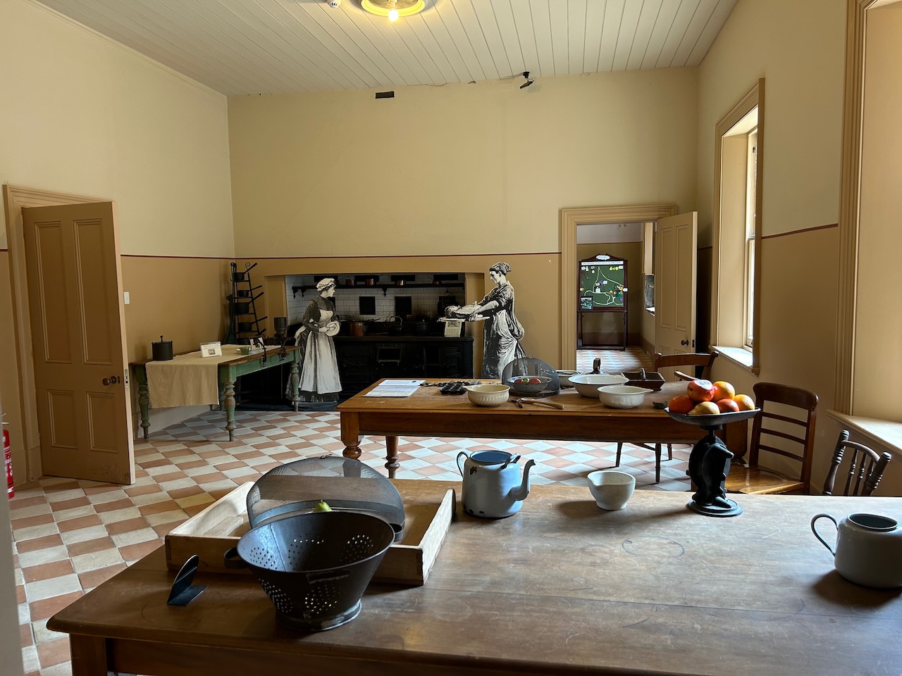
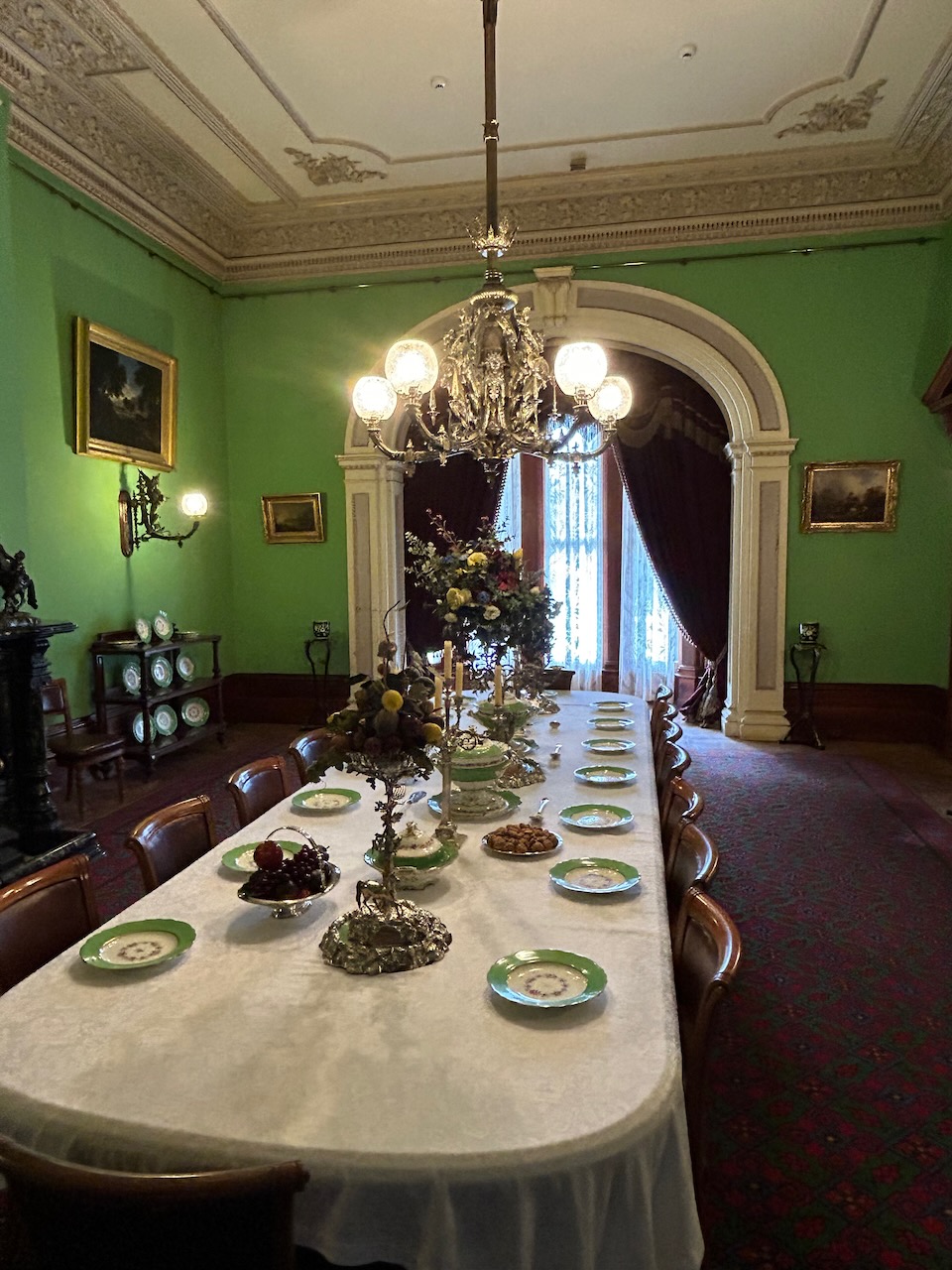
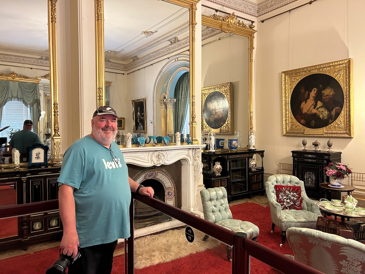
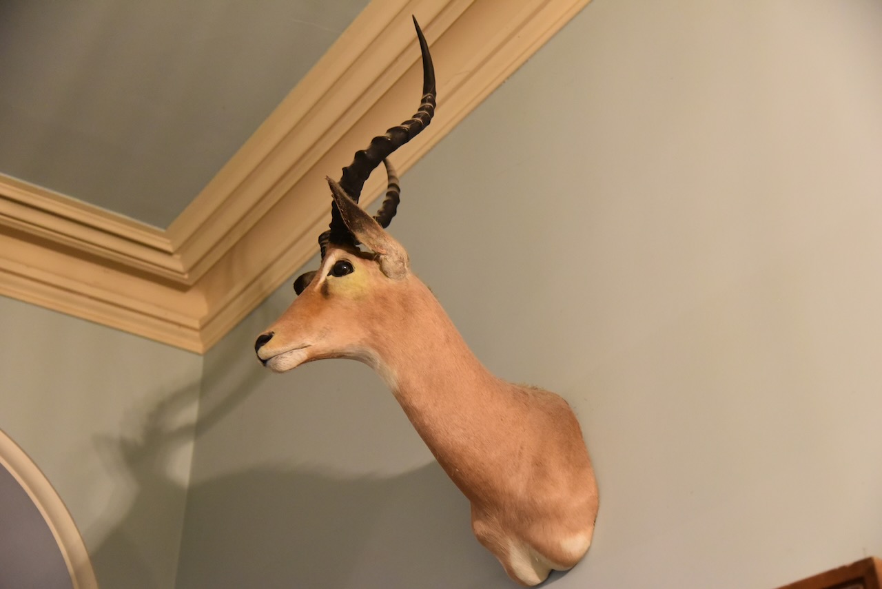
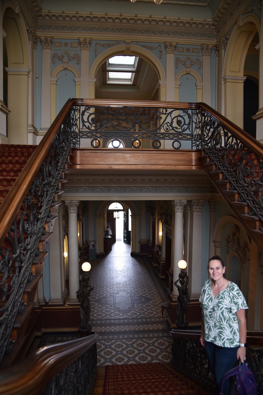
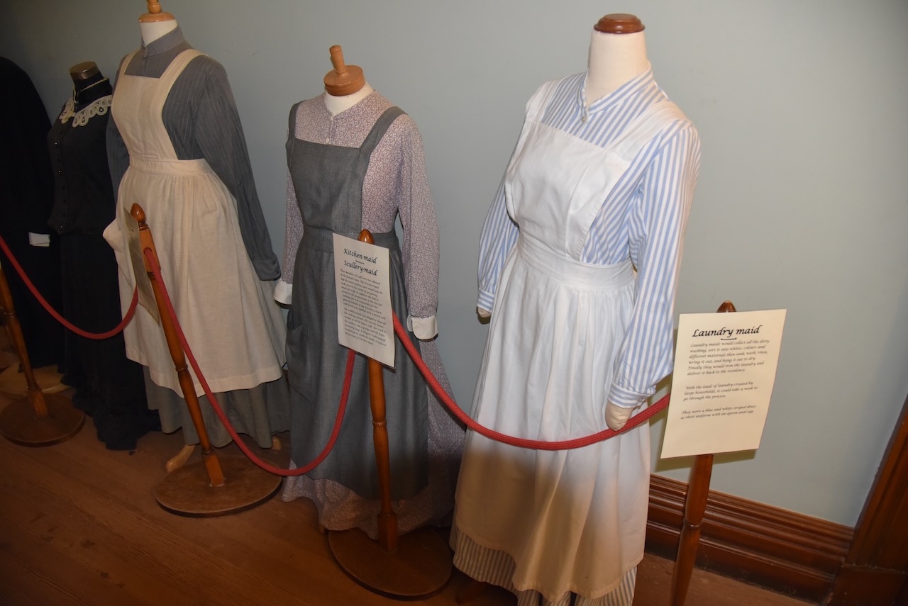
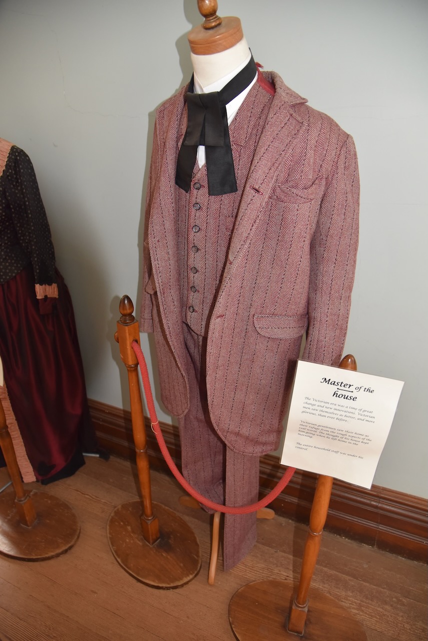
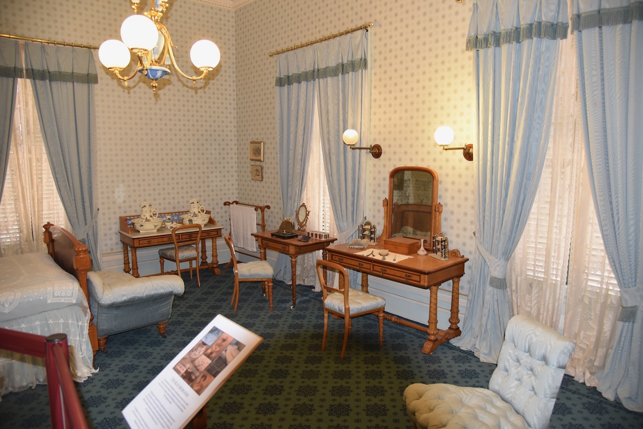
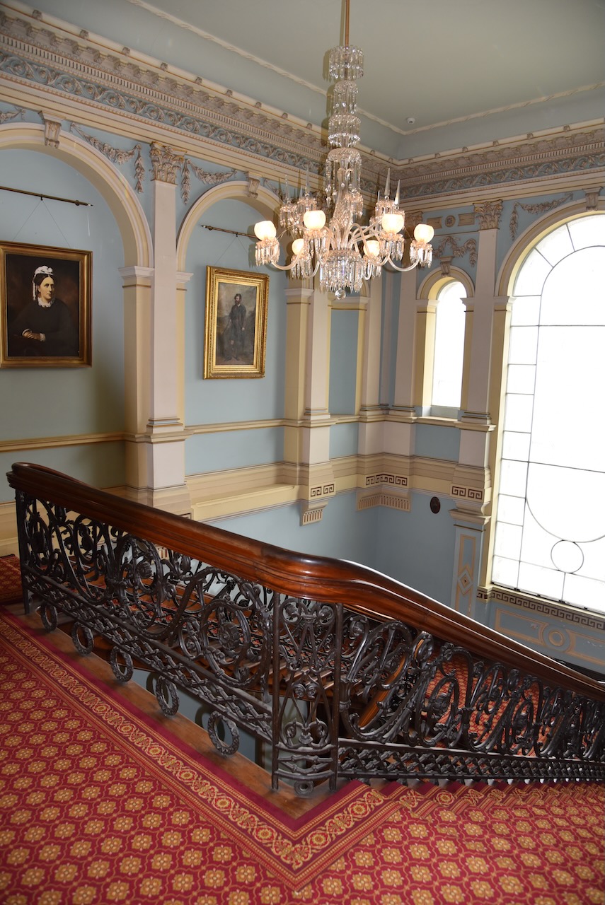
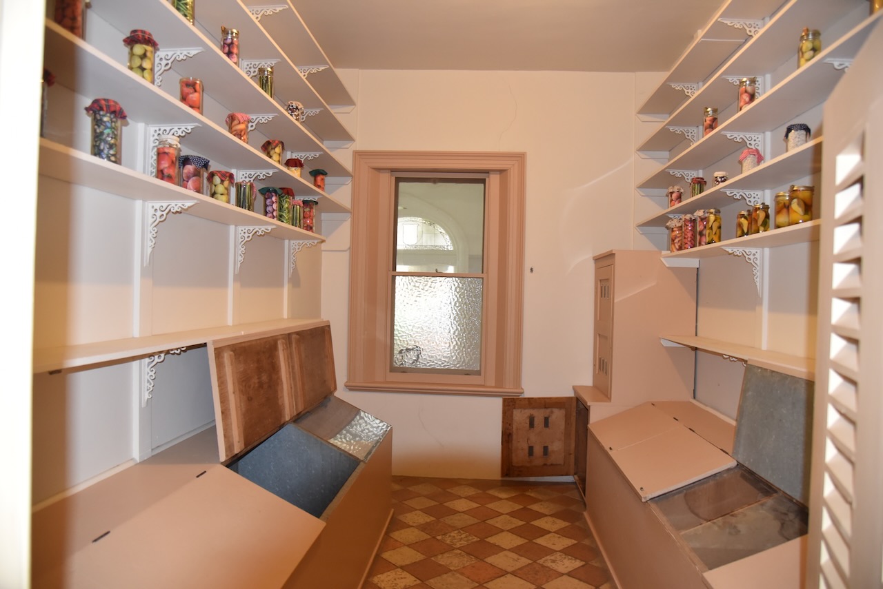
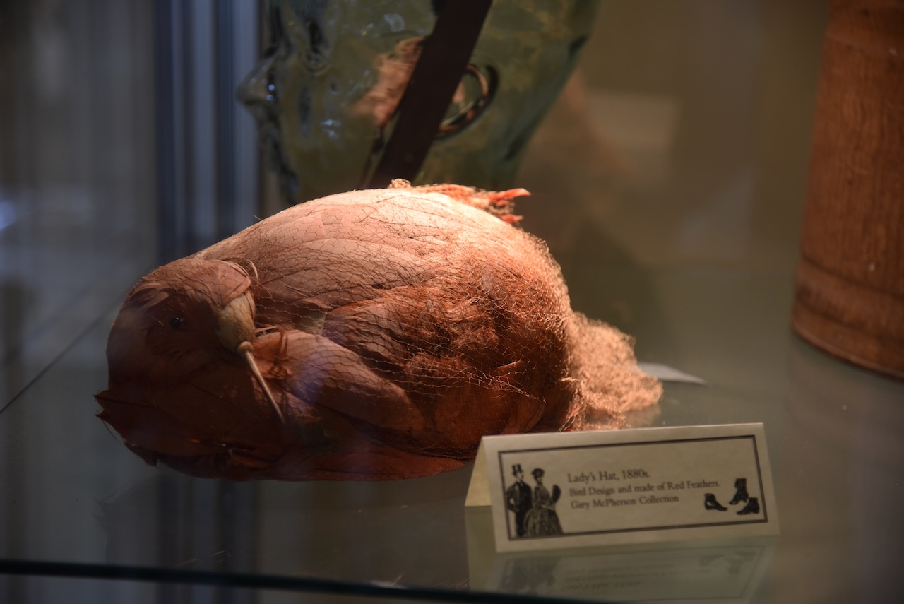
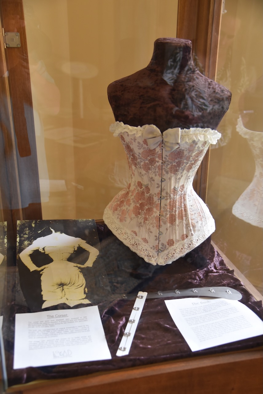
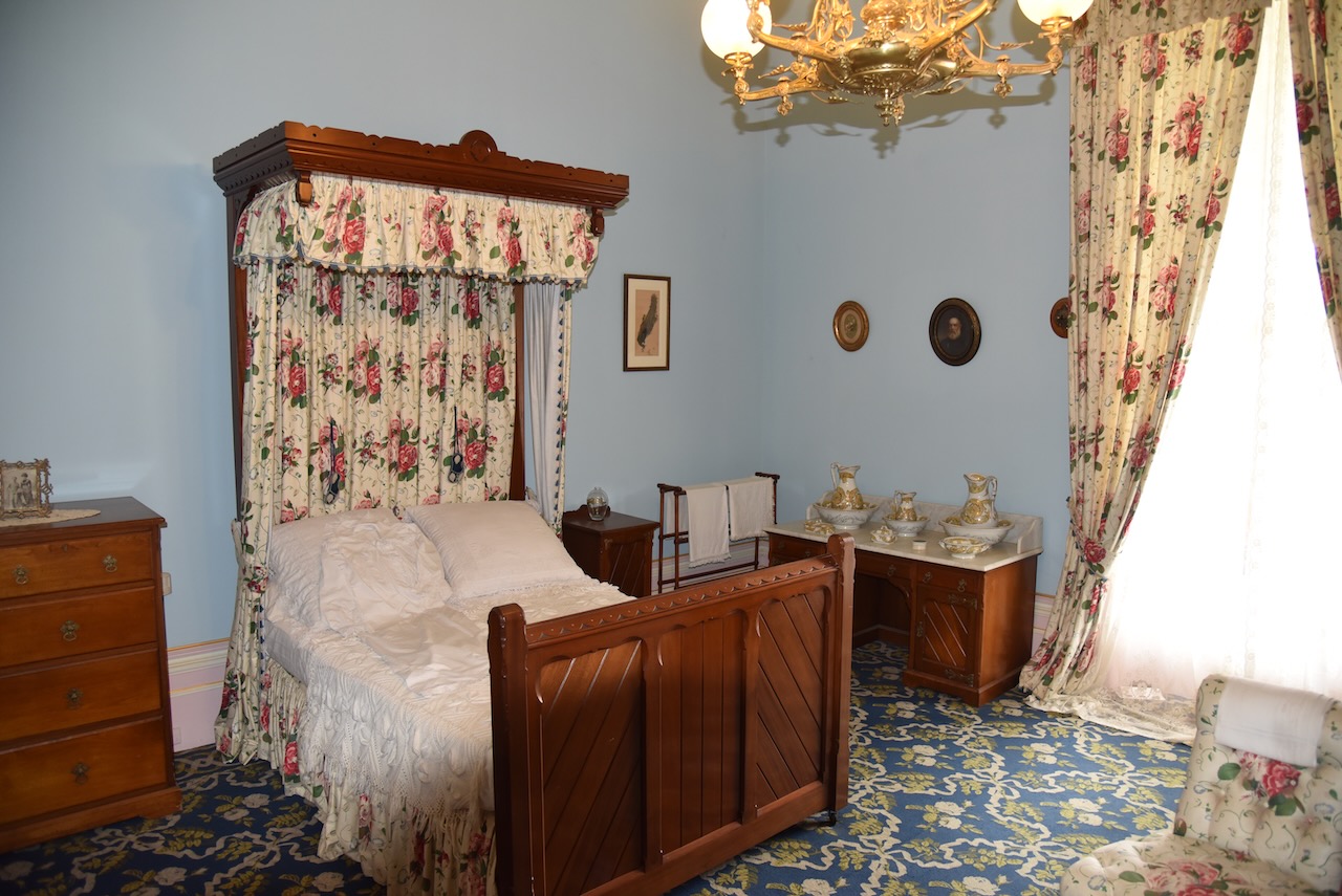
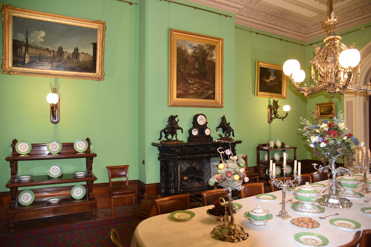
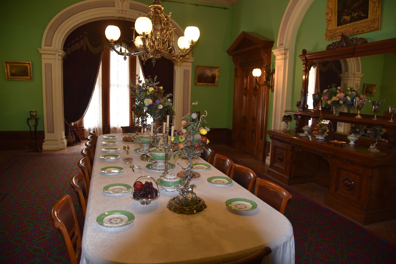
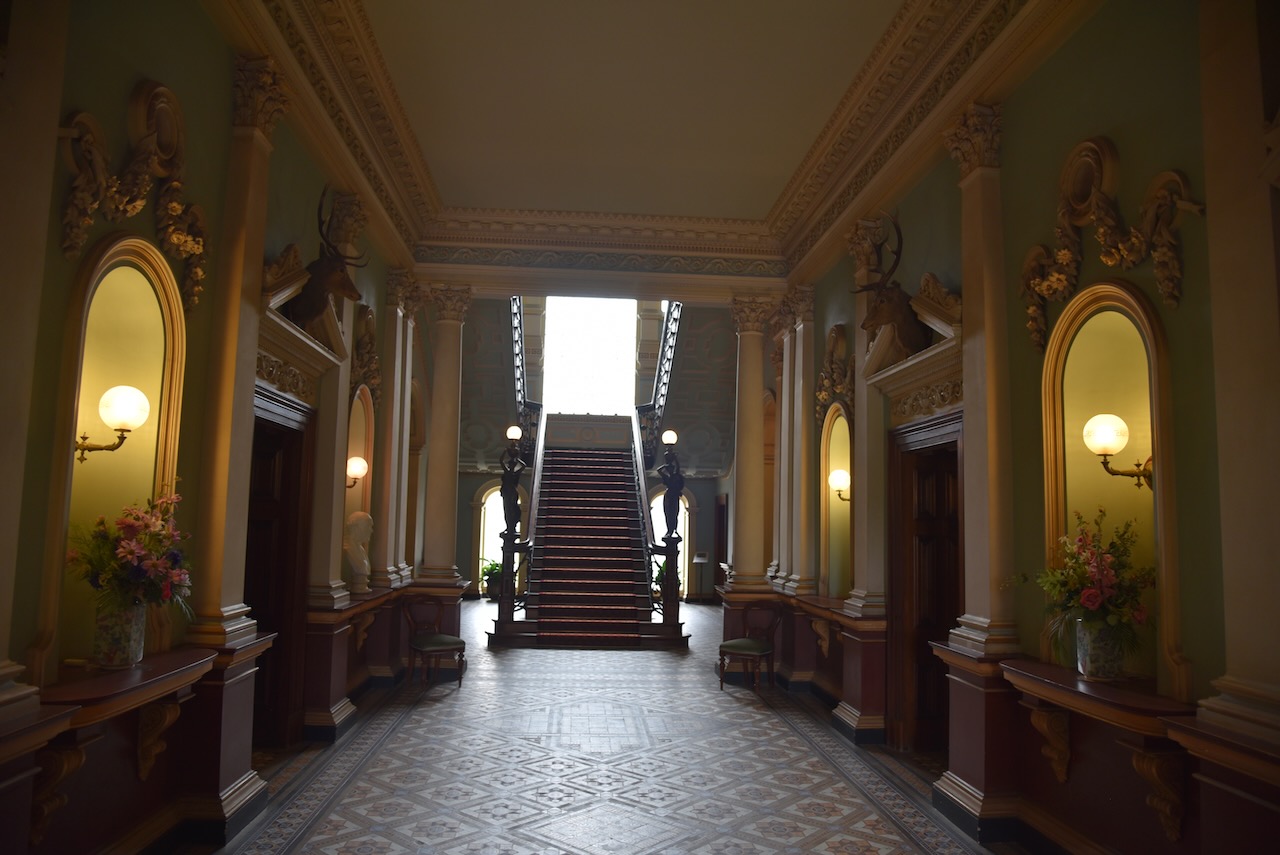
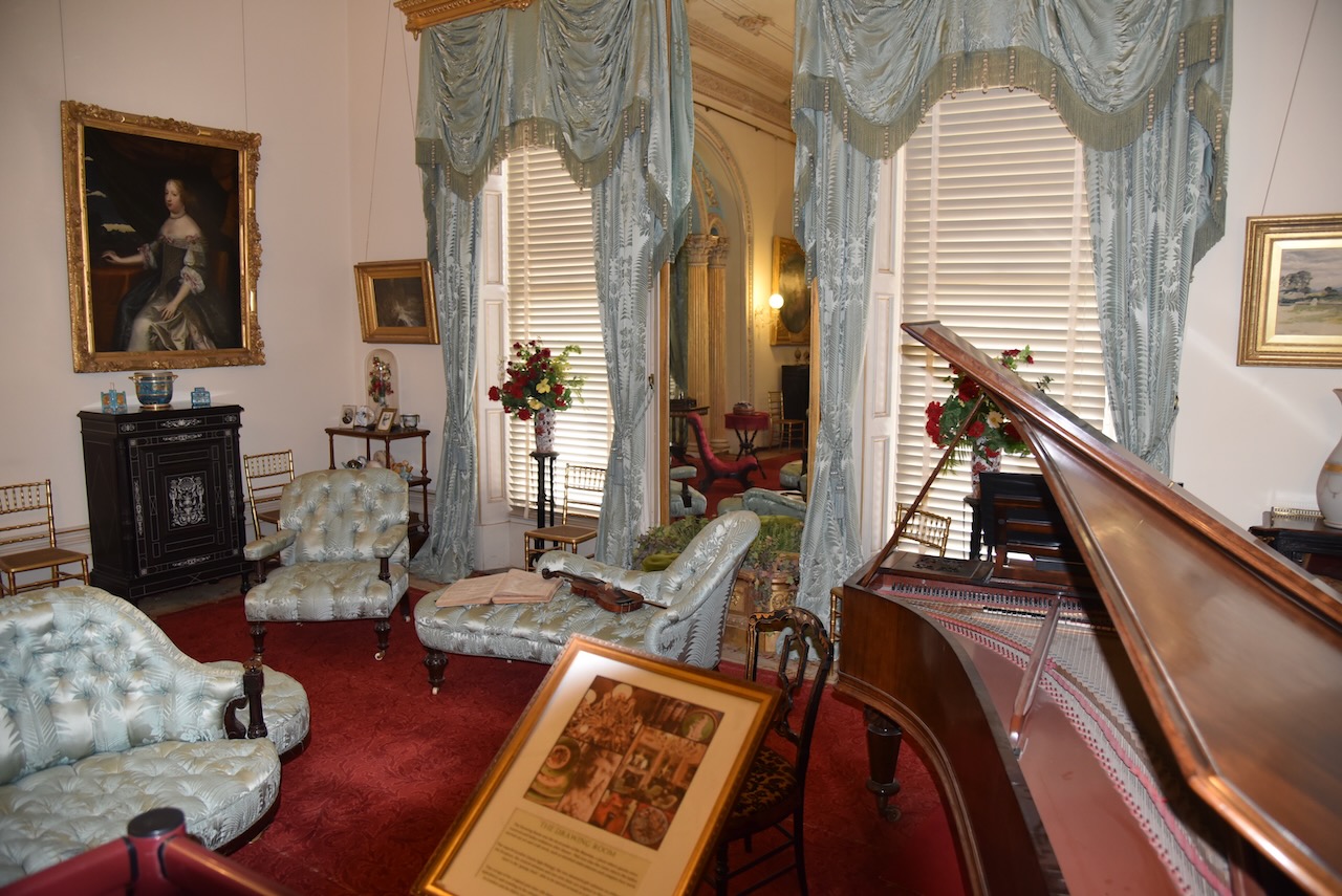
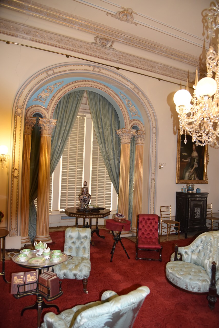
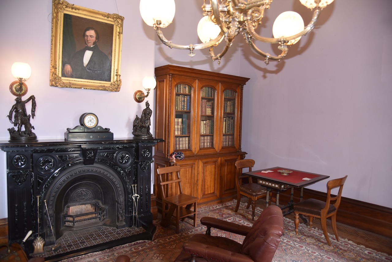
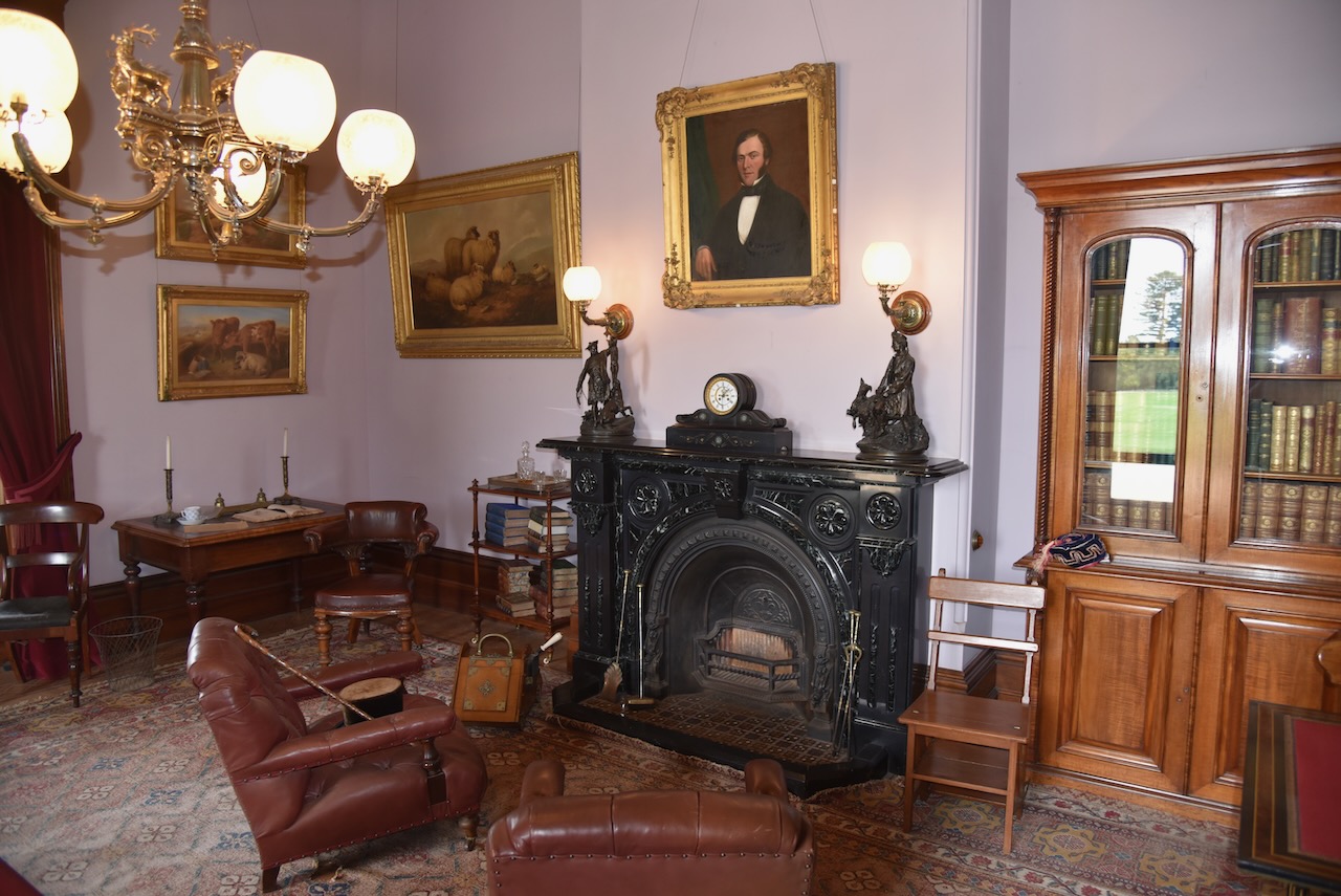
We then strolled over to the Werribee Park Mansion, a magnificent basalt and sandstone mansion which was completed in 1877 for the Chirnside family. They were originally from Scotland and made their fortune from would production across the Western District of Victoria.


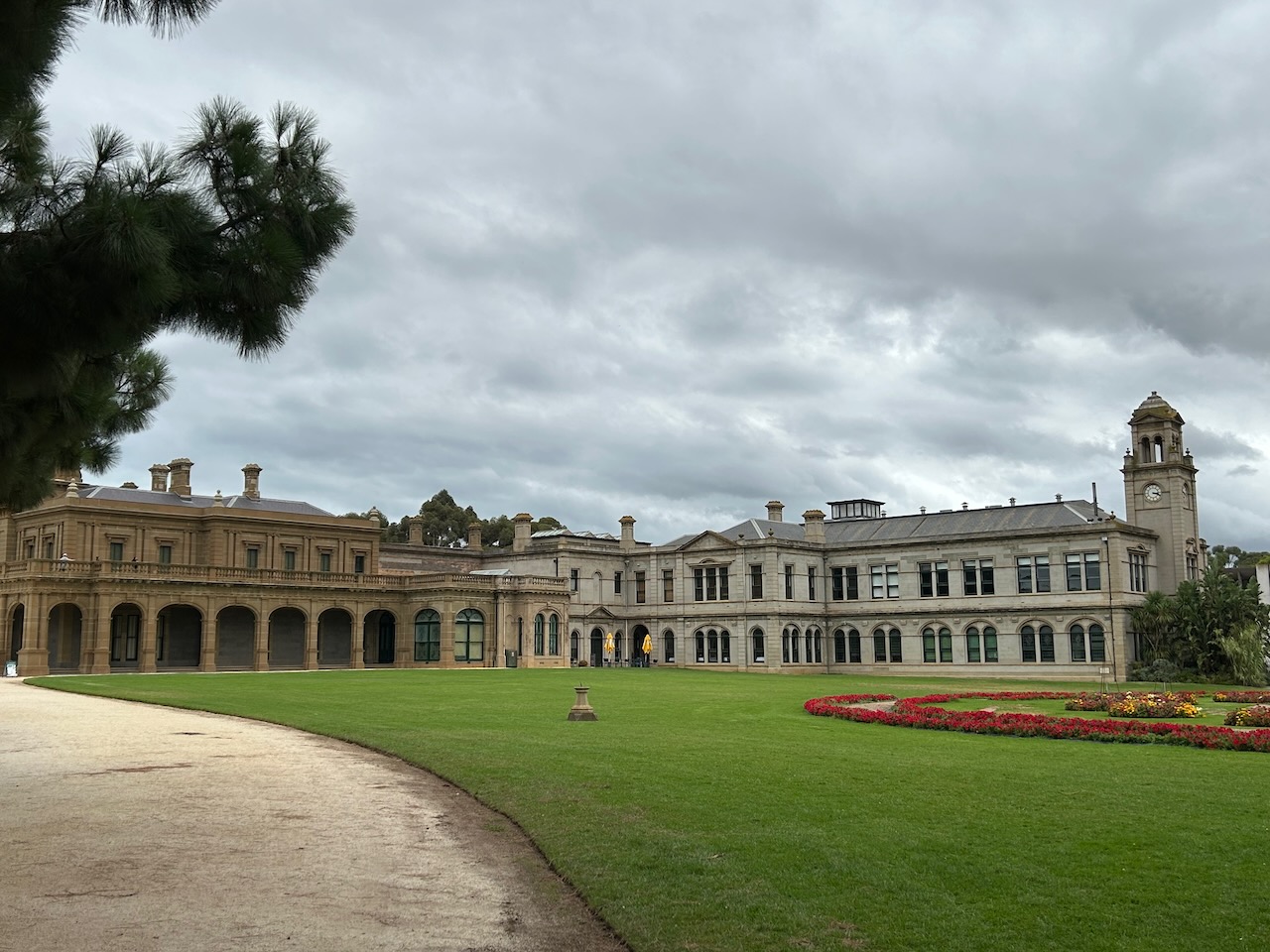


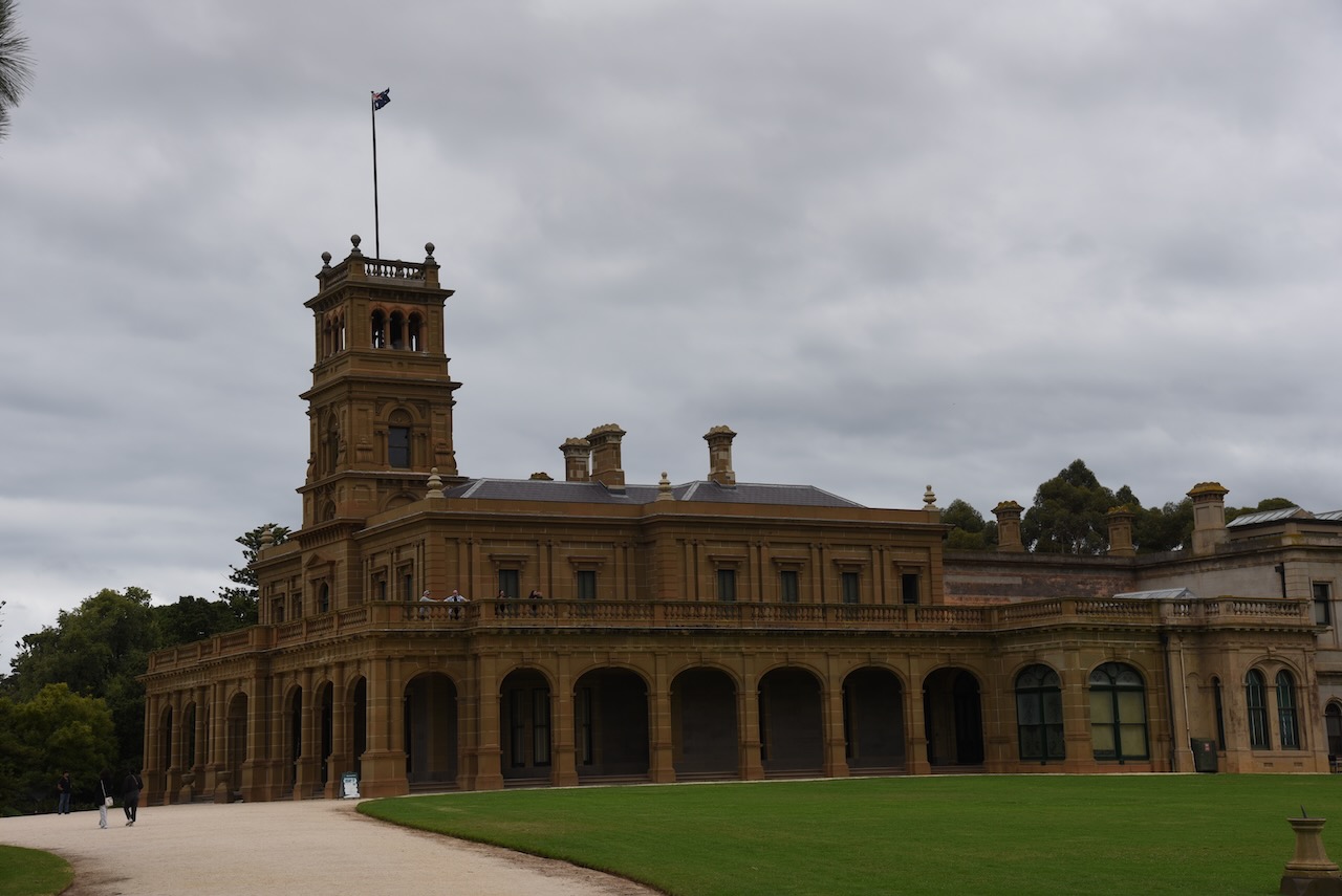

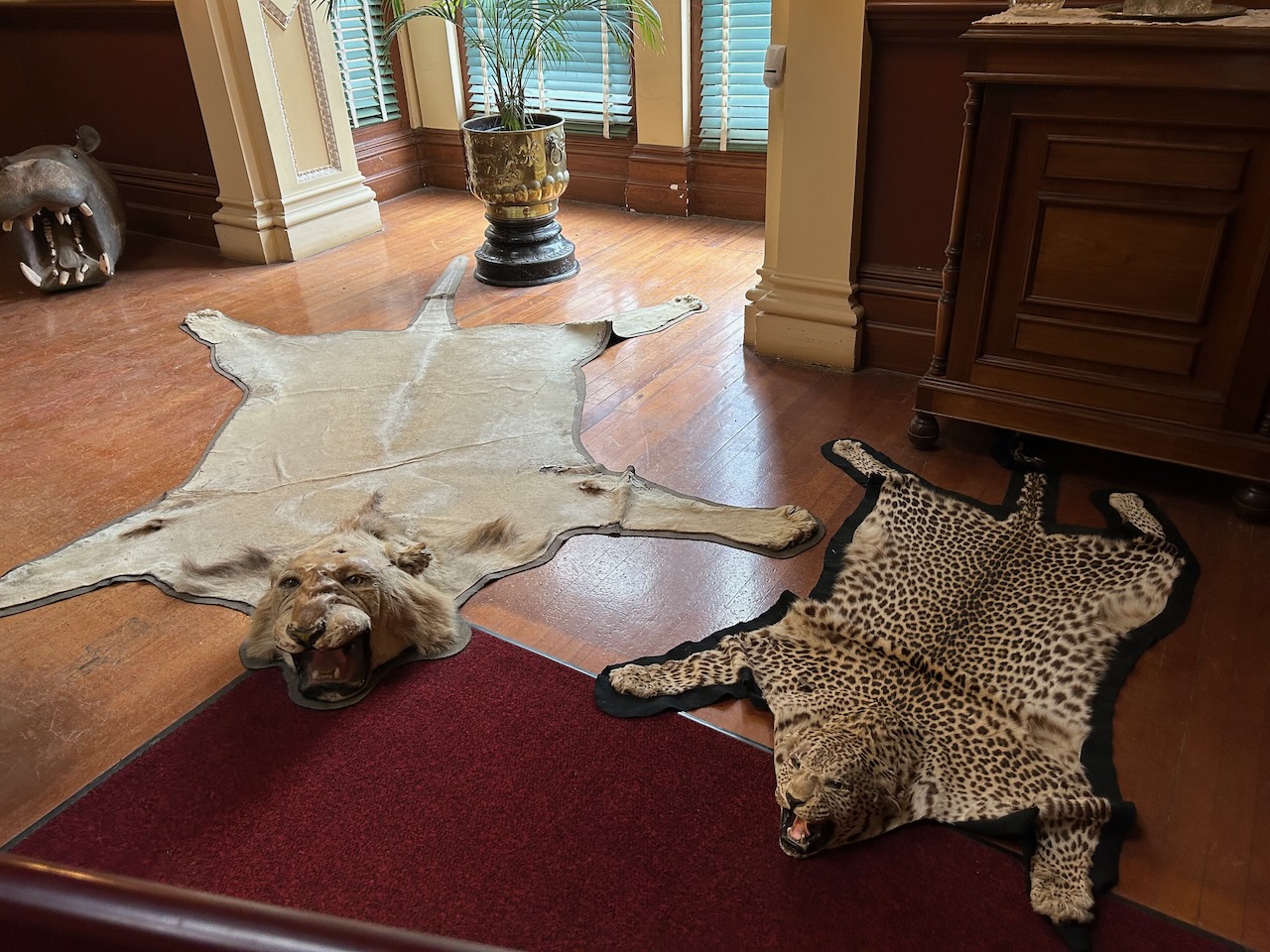
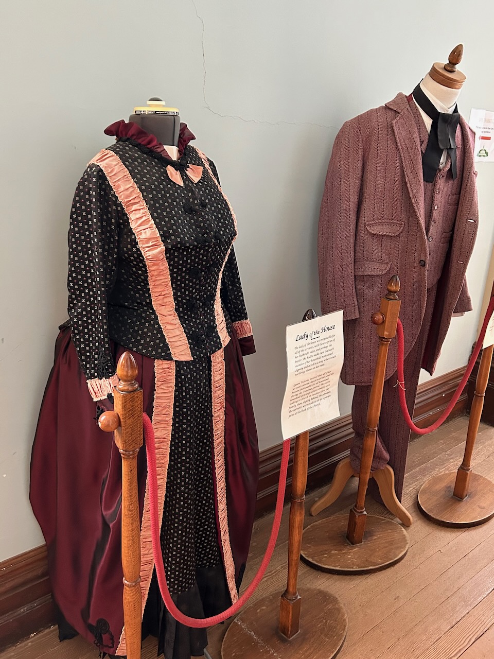
We spent quite some time at the mansion as there was a lot to see.


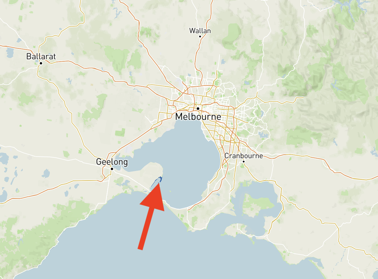
Marija and I then drove to The Spit Wildlife Reserve VKFF-2452, which is about 28 km northwest of Geelong, and about 53 km southwest of Melbourne.

Above:- Map showing the location of The Spit Wildlife Reserve. Map c/o Protected Planet.
The park is 300 hectares in size and is located on the northwestern shore of Port Phillip Bay.
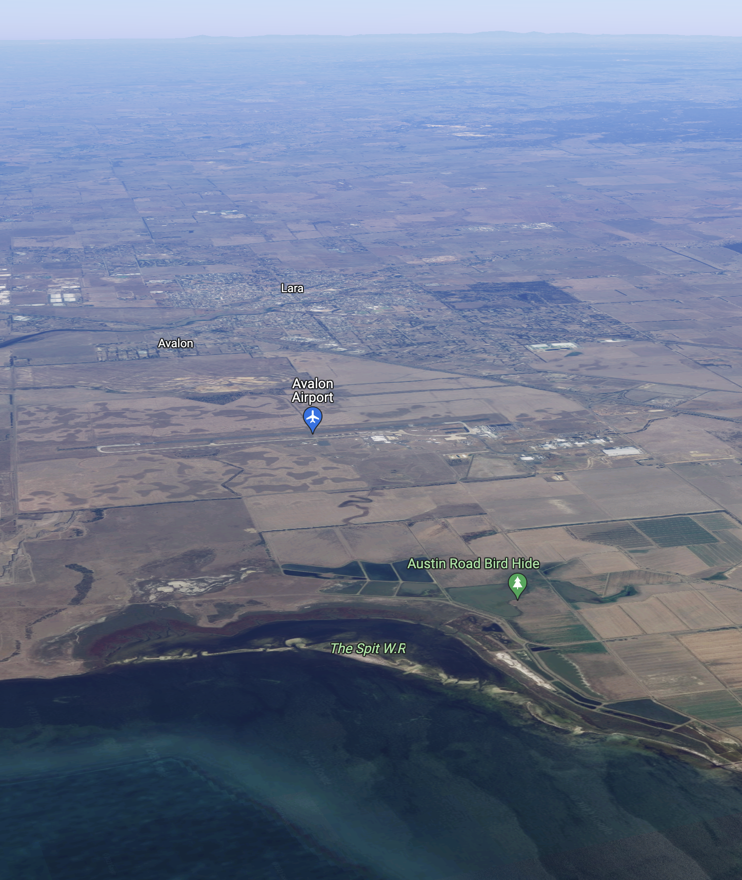
Above:- An aerial view of The Spit WR. Image c/o Google maps.
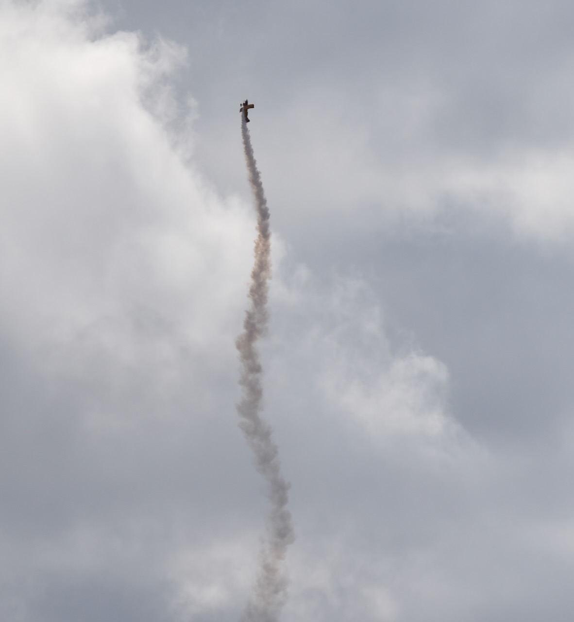
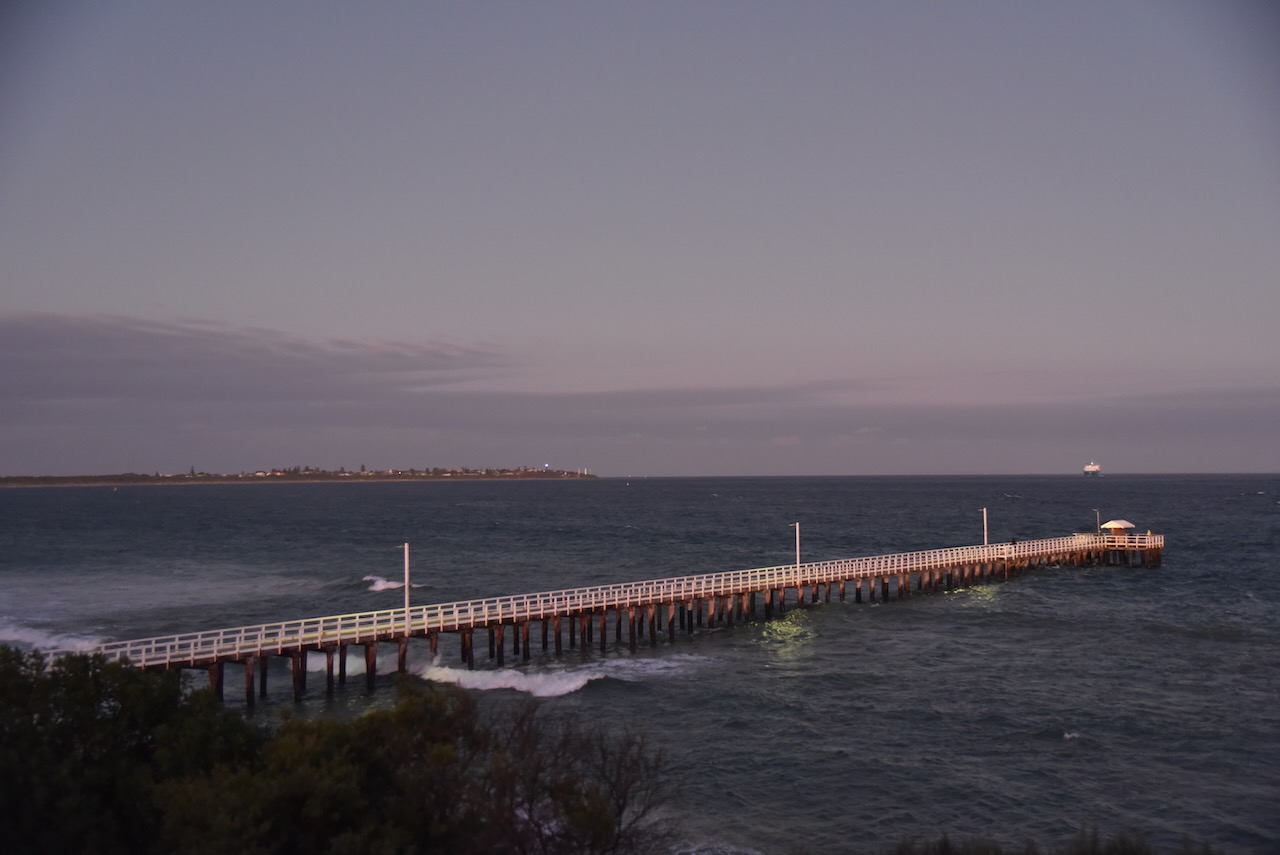
The Spit Wildlife Reserve is located in close proximity to the Avalon Airport, the venue for the Australian International Air Show. There was quite a variety of aircraft up in the air during our activation at the park.


What does Spit mean? A spit or sandspit is a deposition bar or beach landform off coasts or lake shores. It is a stretch of beach material that projects out to the sea. A spit thus has two ends. The end jutting out onto the water is called the distal end, and the one attached to land is called the proximal end.

Above:- A spit, contrasted with other landforms. Image c/o Wikipedia.
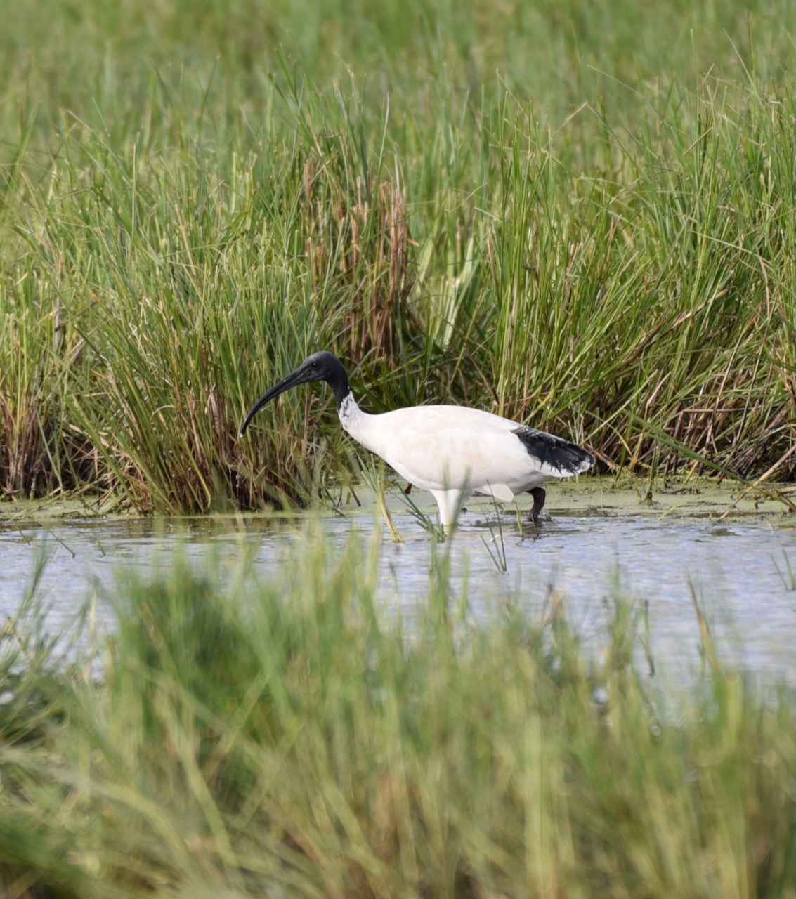
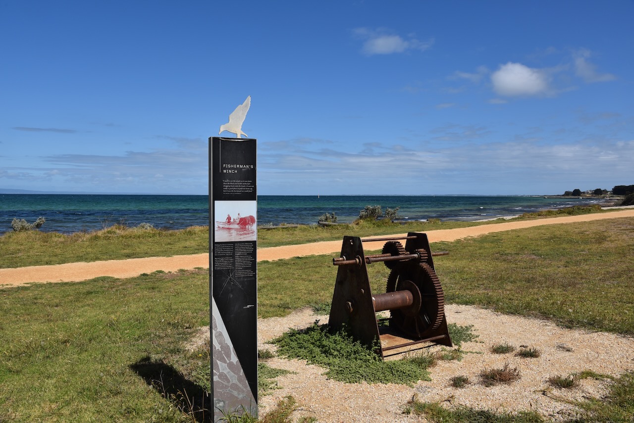
The Spit Wildlife Reserve contains sand spits, a lagoon, and an area of saltmarsh. The north and sout spits at the reserve are about 4 km in length and they vary in size and shape dependant upon the tide and onshore currents.
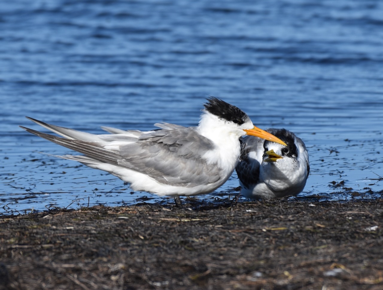
At high tide the lagoon’s depth reaches about one metre. At low tide a mudflat is exposed. This changing environment provides an important feeding ground for a variety of birds, particularly waders and waterbirds.


The critically endangered Orange-bellied parrot was once found in the park, but it is believed that due to a decline in the condition of the saltmarsh, numbers have declined and they are no longer observed.
Below is a video on this amazing bird which is bred at the Werribee zoo (see above – we actually saw these critically endangered birds. albeit in captivity).
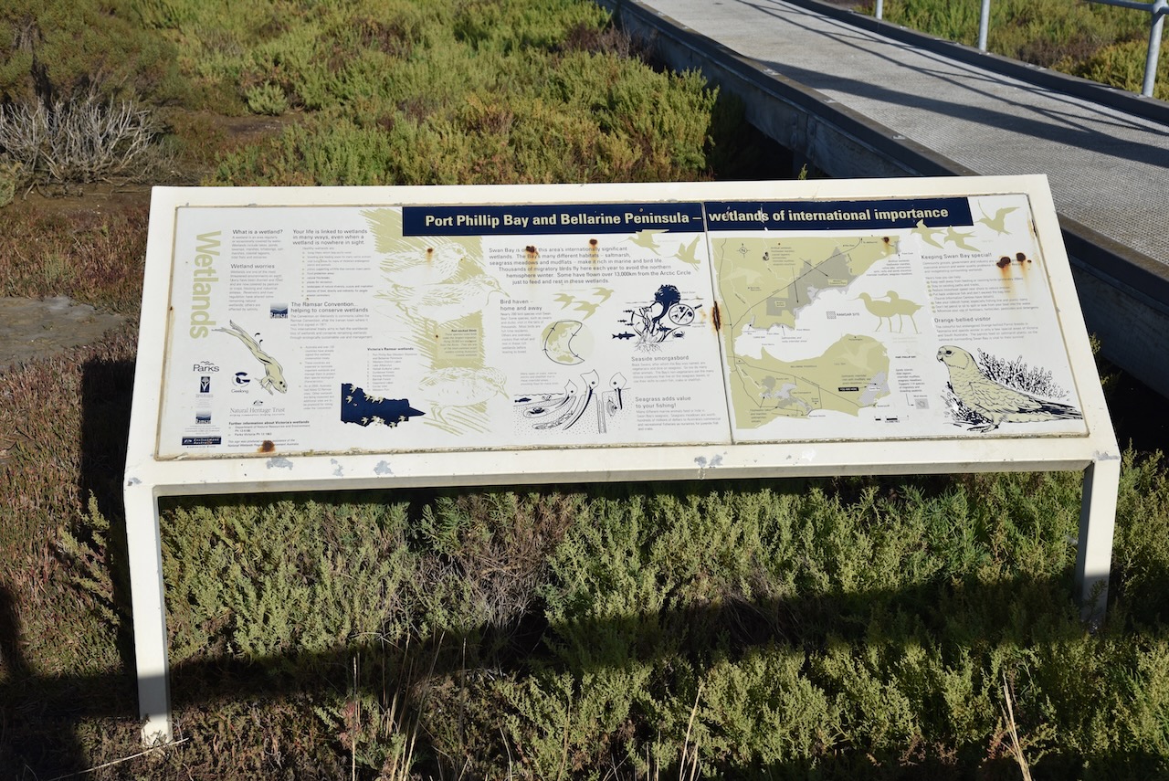
The reserve is listed as a wetland of international importance under the Ramsar Convention as part of the Port Phillip Bay (Western Shoreline) and Bellarine Peninsula Ramsar Site. It is also subject to the China–Australia Migratory Bird Agreement, the Japan–Australia Migratory Bird Agreement, and the Bonn Convention. The reserve is part of the Werribee and Avalon Important Bird Area, which was identified by BirdLife International due to its importance for wetland and waterbirds as well as for orange-bellied parrots.

Access to the majority of this park is restricted by permits for birdwatchers. But we did find a small area where we were able to pull off the road and set up. We ran the Yaesu FT857 and the 20/40/80m linked dipole, and the Icom IC7000 & Codan 9350 antenna for this activation,

Above:- An aerial view showing our operating spot. Image c/o Google Earth.
Marija made the following contacts on 40m SSB:-
Marija made the following contacts on 20m SSB:-
I made the following contacts on 40m SSB:-
I made the following contacts on 20m SSB:-
I made the following QSO on 15m SSB:-
References.
We left the Swan Bay-Edwards Point Wildlife Reserve and headed to our final park activation for Wednesday 1st March 2023, the Port Phillip Heads Marine National Park VKFF-0954.

Above:- Map showing the location of the Port Phillip Heads Marine Park. Map c/o Protected Planet.
Port Phillip Heads Marine National Park protects a diverse marine environment comprising Swan Bay, Mud
Islands, Popes Eye, Point Lonsdale, Point Nepean and Portsea Hole.
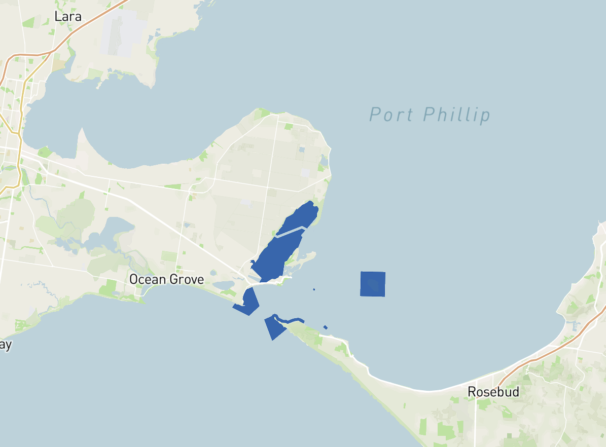
Above:- Map showing the Port Phillip Heads Marine Park. Map c/o Protected Planet.
The park is 3,580 hectares (8,800 acres) in size and consists of six separate marine areas at the southern end of Port Phillip Bay. The park stretches along 40km of coastline.
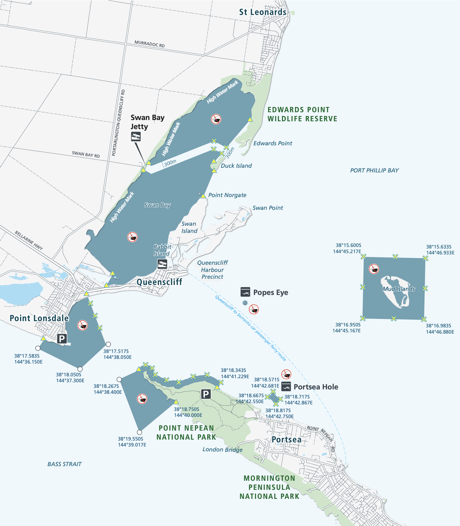
Above:- Map showing the six separate marine areas of the park. Map c/o Parks Victoria.
The Port Phillip Heads Marine National Park was created on the 16th day of November 2002. Part of the park includes Popes Eye, which was Victoria’s first marine protected area known as the Harold Holt Marine Reserve. It was named after former Australian Prime Minister Harold Edward Holt (b. 1908. d. 1967), who drowned near Port Nepean. His body was never located.

Above:- Harold Holt. Image c/o Wikipedia.
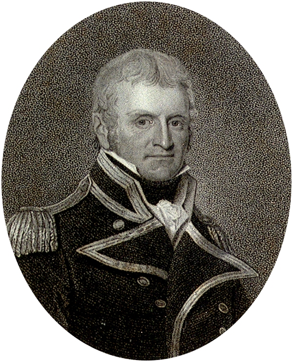
Port Phillip Bay was originally known as Narm -Narm by the Kulin aboriginal people. The first Europeans to discover and enter Port Phillip were the crew of the Lady Nelson under the command of John Murray (b. 1775. d. 1807), in February 1802. Murray named the Bay Port King, in honour of the Governor of New South Wales, Philip Gidley King.

Above:- John Murray. Image c/o Wikipedia.
On the 4th day of September 1805, King formally names the bay Port Phillip, in honour of his predecessor Arthur Phillip.

Above:- Arthur Phillip. Image c/o Wikipedia.
Marija and I drove down to the jetty at Swan Bay.


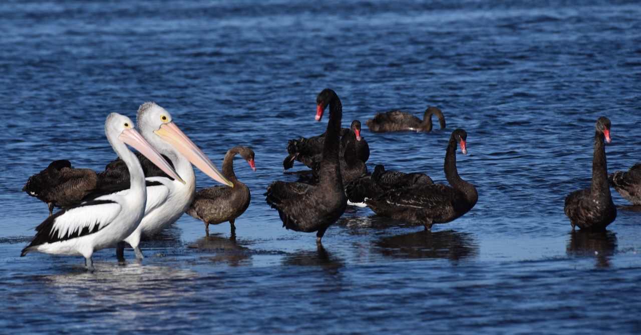
Thousands of migratory wading birds travel to Swan Bay each summer from breeding grounds in Central Asia, Siberia, and Alaska. At low tide, these birds hunt for food on exposed mudflats. At high tide, the waders roost along the shore. We were fortunate to observe an abundance of birdlife.


Marija worked the following stations on 40m SSB:-
I worked the following stations on 40m SSB:-
I worked the following stations on 20m SSB:-
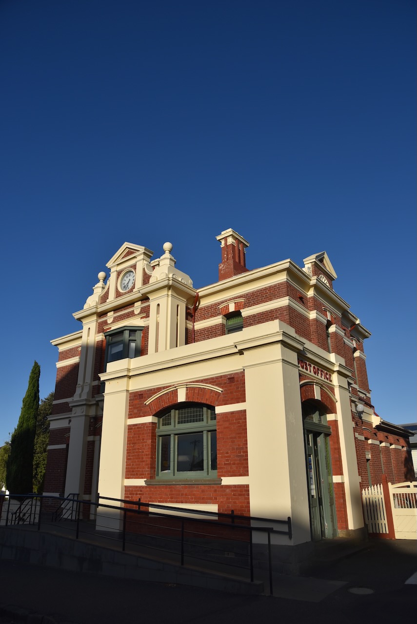
After packing up at the park, Marija and I drove to Queenscliffe, a beautiful little town on the Bellarine Peninsula. Prior to European settlement, the area was home to the Bengalat Bulag clan of the Wautharong tribe, members of the Kulin nation. In 1836 European squatters commenced arriving in the area which was named Shortland’s Bluff in honour of Lieutenant John Shortland (b. 1769. d. 1810), who assisted in the surveying of Port Phillip.
Above:- John Shortland. Image c/o Wikipedia.
In 1853, land sales commenced in the area, and in the same year, the name was changed by Lieutenant Charles La Trobe from Shortland’s Bluff to Queenscliff in honour of Queen Victoria.

Above:- Queen Victoria. Image c/o Wikipedia.
We drove around Queenscliffe admiring the magnificent architecture dating back to the 1800s.


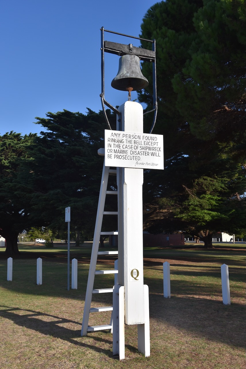
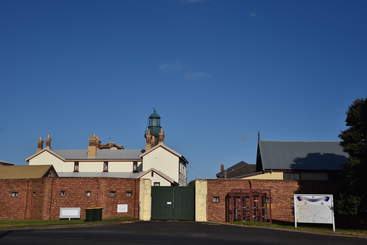
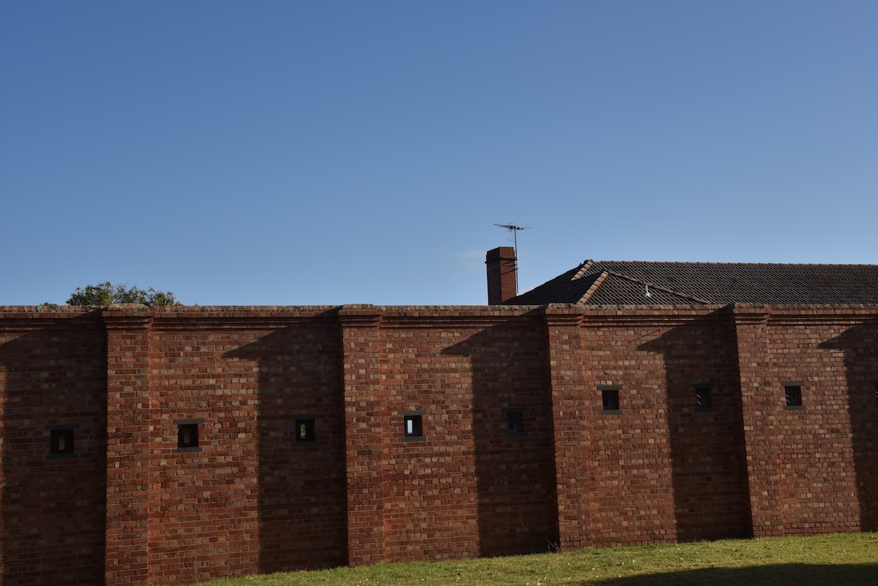
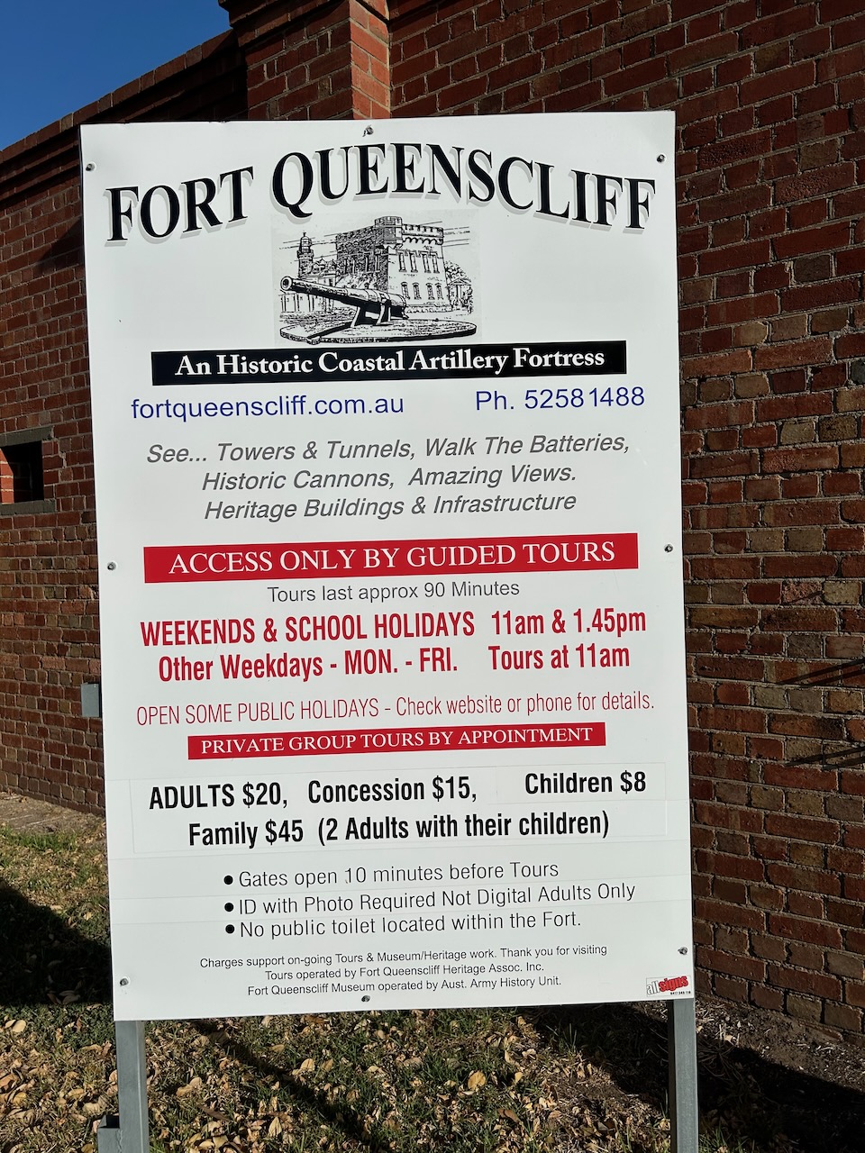
We also had a quick look, from the outside, of Fort Queenscliff, which dates from 1860 when an open battery was built at Shortland’s Bluff to defend the entrance to Port Phillip.


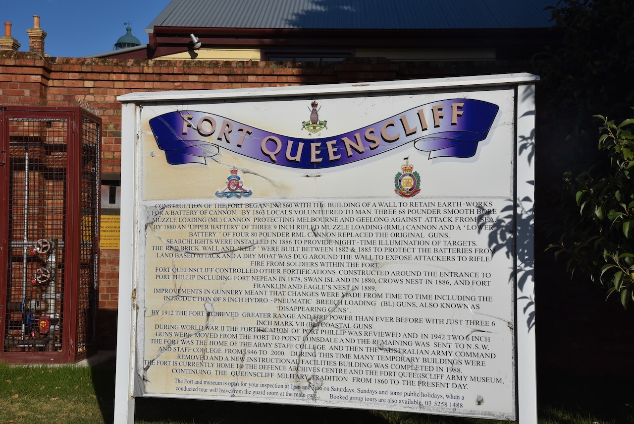


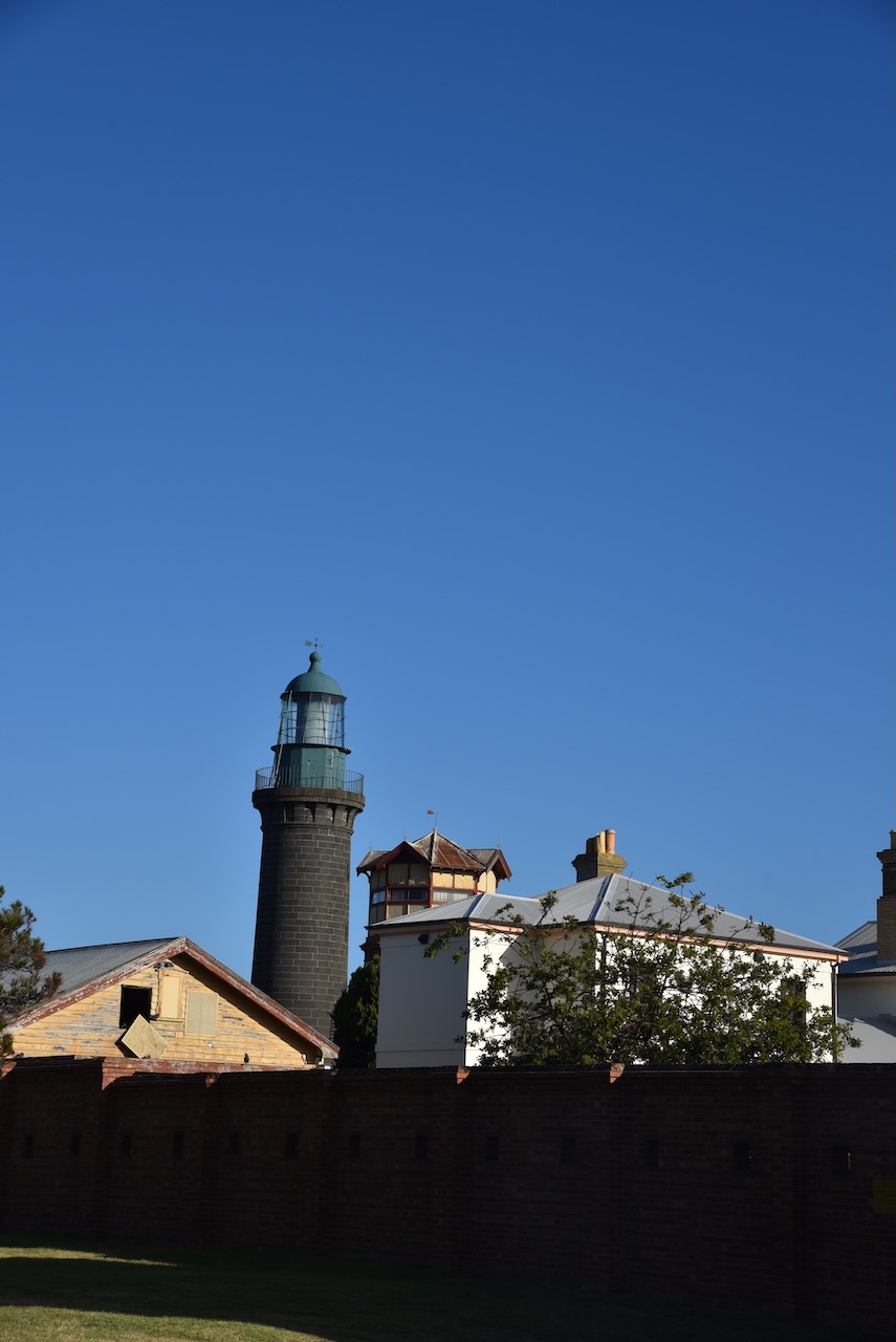
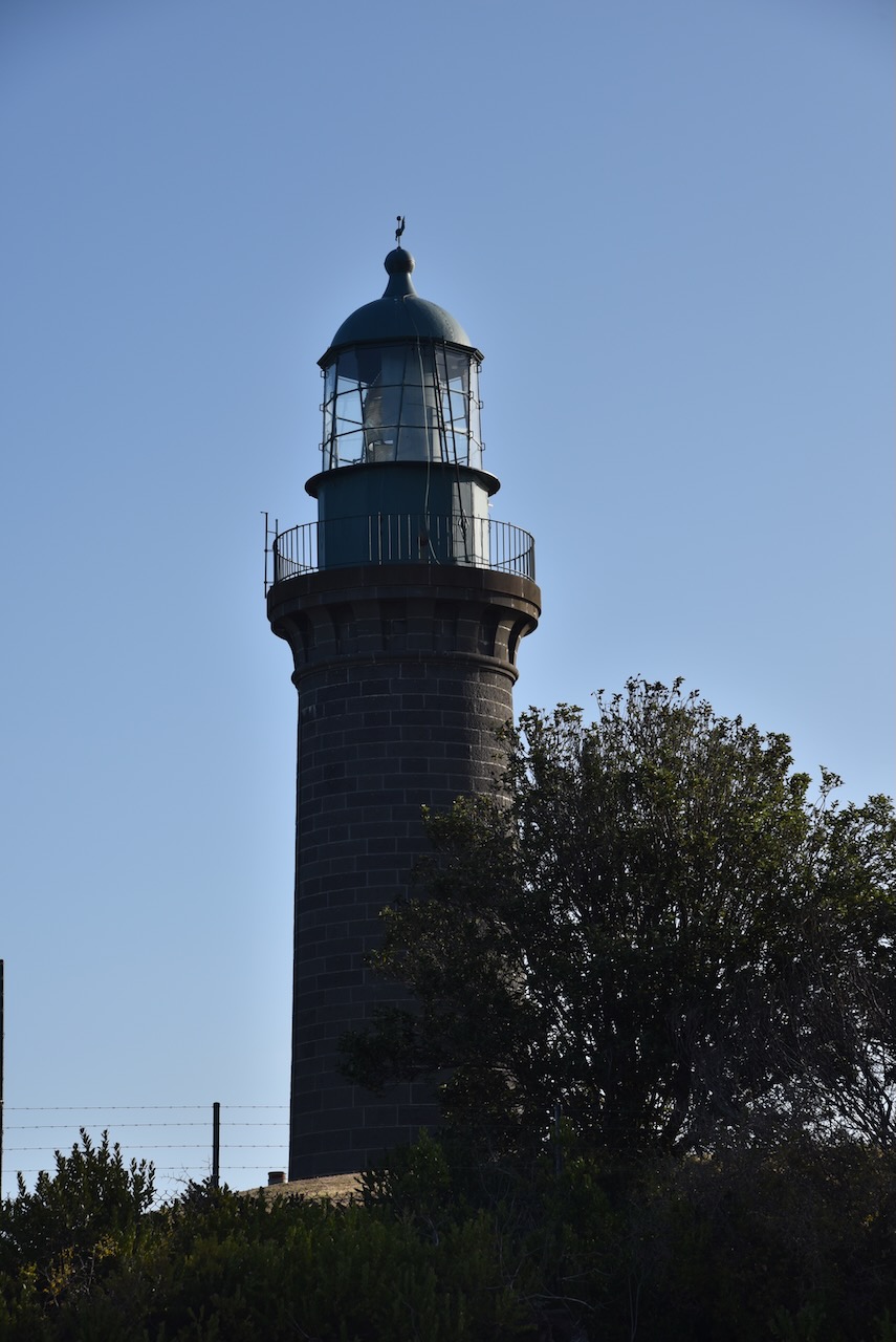
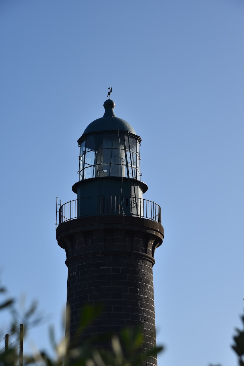
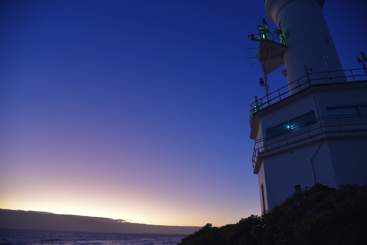
Queenscliffe is home to the famous Shortland Bluff ‘Queenscliff Black’ lighthouse which was built in 1862. It is also known as Queenscliff High Light.

It was a beautiful evening and we enjoyed some great views along the coastline, including across to the Point Nepean National Park.


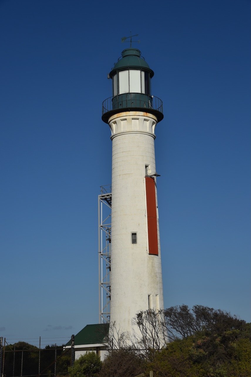
Queenscliff is home to two lighthouses: The Queenscliff High Light, and the Queenscliff Low Light, also known as the Queenscliff White Lighthouse. It was built in 1863 to replace the original prefabricated wooden lighthouse.


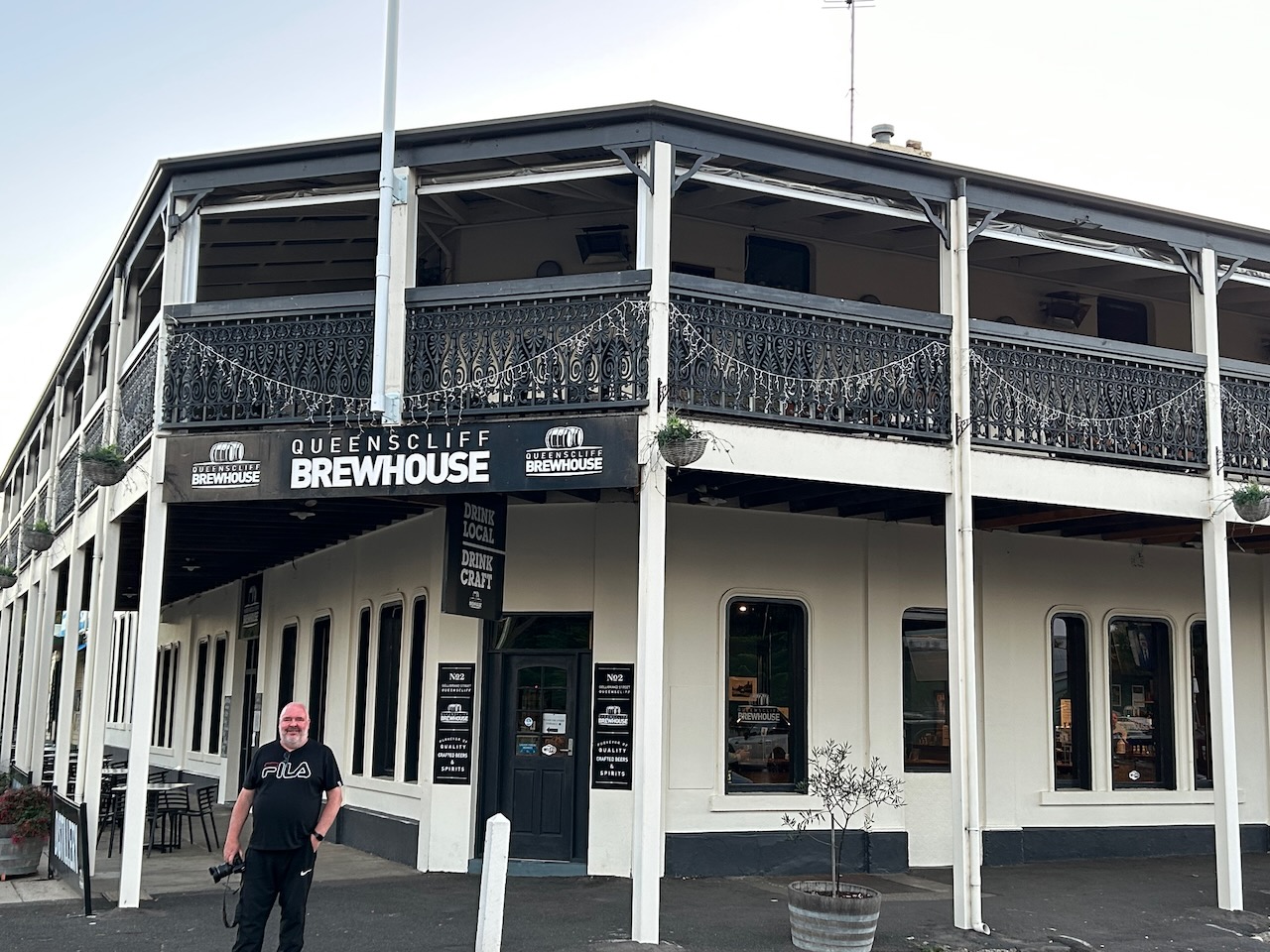
We were getting hungry, so we headed to the Queenscliff Brewhouse where we enjoyed a very nice meal.

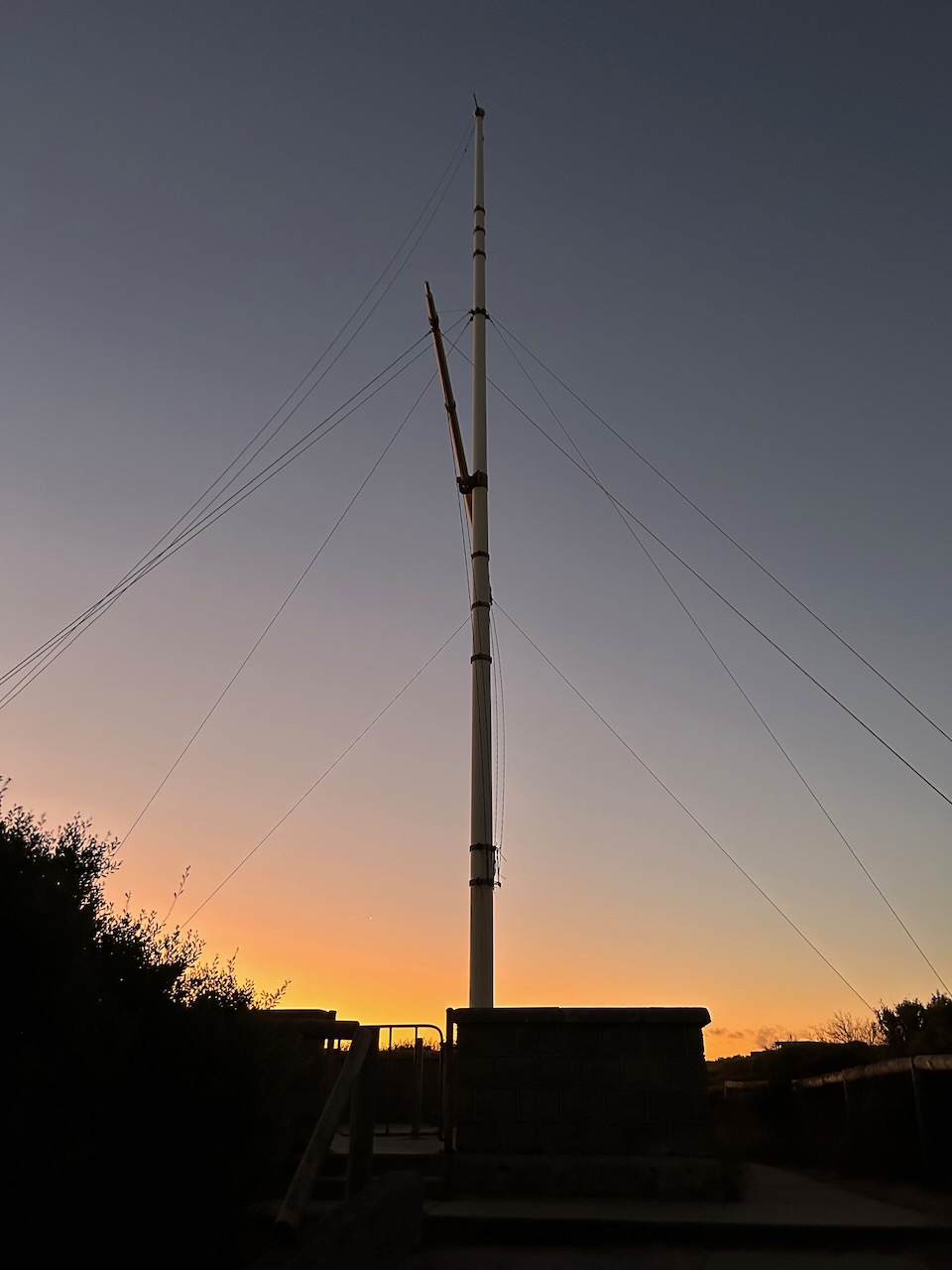
After dinner, we drove out to the Point Lonsdale lighthouse which was built in 1902 to replace the original wooden lighthouse which had been dismantled at Shortland Bluff and then re-erected at Point Lonsdale in 1863.


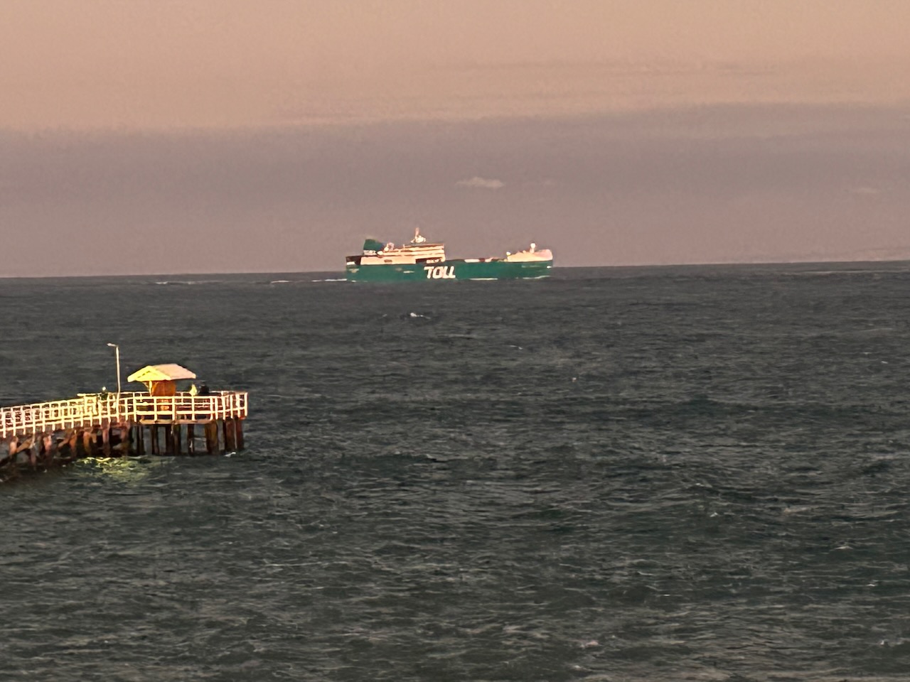
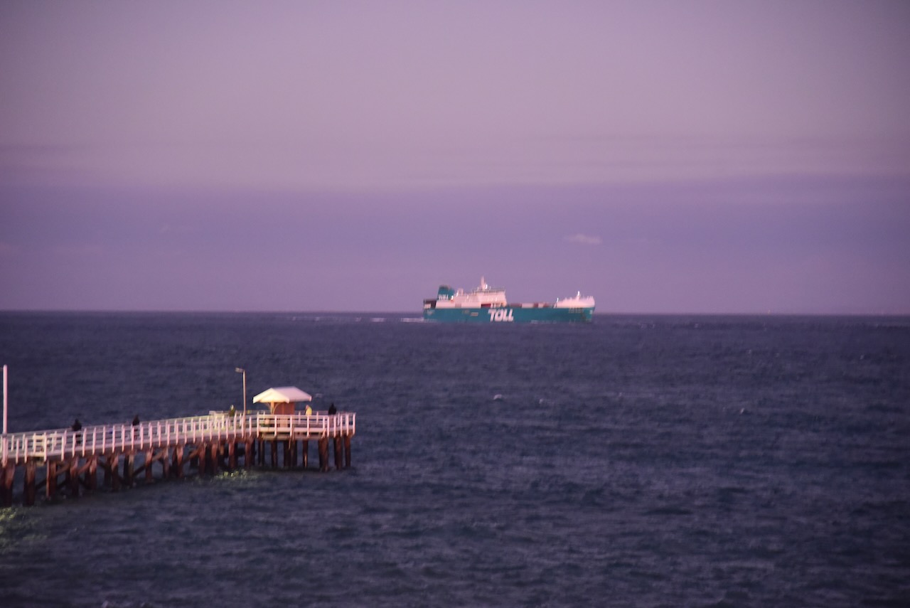
Although being windy, it was quite a balmy night, so we stayed for a while watching some of the ships entering and leaving Port Phillip Bay.
We then headed back to our accommodation in Geelong.


References.
After leaving Salt Lagoon St Leonards Wildlife Reserve (1st March 2023), Marija and I headed to our next park, the Swan Bay-Edwards Point Wildlife Reserve VKFF-2444.
We drove south along The Esplanade and stopped briefly at the William Buckley Memorial and John Batman encampment site. In my previous post about Salt Lagoon St Leonards WR, I spoke about Buckley and Batman.
The Buckley monument reads:
“Near this site William Buckley returned to European society after having lived for 32 years with the Wathaurong people. He and about 70 members of the Bengalat Clan of the Wathaurong tribe, whose land this was, spent several months in 1835 with John Batman’s men, before the latter moved their settlement to Melbourne. Buckley was a pioneer in cultural understanding. This place of contemplation is dedicated to his memory.”


The Swan Bay-Edwards Point Wildlife Reserve is 281 hectares in size and was established on the 20th day of March 1979. It is located on the Bellarine Peninsula, east of Geelong.
Above:- Map showing the location of the Swan Bay-Edwards Point WR. Map c/o Protected Planet.
The park is located south of Bluff Road at Leonards, and to the east of Queenscliffe Road. The park follows the coast south to Knights Road. The park appears on maps as Swan Bay-Edwards Point Wildlife Reserve, while the park sign just read Edwards Point Wildlife Reserve.

Above:- Map showing the Swan Bay-Edwards Point WR. Map c/o Protected Planet.
The park was previously known as the Edward Point State Faunal Reserve which was established in March 1971.
The park protects the last remaining stand of coastal woodland on the Bellarine Peninsula. The park contains a magnificent coastline with remote beaches, cool coastal woodlands, and extensive salt marshes. The park is home to numerous native plants and animals.
The park is part of the Swan Bay and Port Phillip Bay Islands Important Bird Area, which has been identified by BirdLife International. The critically endangered orange-bellied parrot can be found in the park. It also supports over 1% of the Australian population of four wader species: Grey Plover, Pacific Golden Plover, Double-banded Plover, and Eastern Curlew.


Below is a great video showing the park.
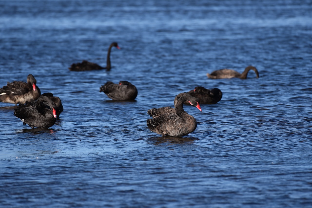
The park is adjacent to Swan Bay, a shallow 30 km2 marine embayment at the eastern end of the Bellarine Peninsula. The bay is partly separated from the much larger Port Phillip Bay, by Swan Island, Duck Island, and Edwards Point. Explorer Captain Matthew Flinders named the bay ‘Swan Ponds’ due to the abundance of black swans in the area. Up to 2,700 black swans can be found here during summer and early autumn.

Above:- Captain Matthew Flinders. Image c/o Wikipedia.
The park includes Edwards Point, which is a 4km long sand spit that extends to the south between Swan Bay and Port Phillip Bay. With Duck Island and Swan Island, it forms the part-barrier which separates Swan Bay from Port Phillip.
Marija and I set up in the Bluff Road carpark.

Above:- An aerial shot showing our operating spot. Image c/o Google Earth.
Marija worked the following stations on 40m SSB:-
I worked the following stations on 40m SSB:-
I worked the following stations on 20m SSB:-
I worked the following stations on 15m SSB:-
I worked the following stations on 80m SSB:-
References.
Amateur Radio, Short Wave Listening, travel and history
Amateur radio experiences with VK1DA
Brisbane - Australia
german amateur radio station
Summits On The Air
SOTA on the peaks, wilderness QRP and some bushwalking
A fine WordPress.com site
Amateur Radio Adventures
Summits on the Ai
Amateur radio station from Belgium
Radio craft, homebrew, QRP/SOTA, AM
Ego loqui ad viros super montes
My adventures with Amateur Radio and Geocaching!
The rantings of VK2GAZ on his SOTA experiences in Australia
A survivor, with minor cuts and abrasions.
The Art and Craft of Blogging
The latest news on WordPress.com and the WordPress community.
Blog of Justin Giles-Clark VK7TW's SOTA and amateur radio adventures.
Occasional SOTA & Microwave operation
