
We left the Swan Bay-Edwards Point Wildlife Reserve and headed to our final park activation for Wednesday 1st March 2023, the Port Phillip Heads Marine National Park VKFF-0954.

Above:- Map showing the location of the Port Phillip Heads Marine Park. Map c/o Protected Planet.
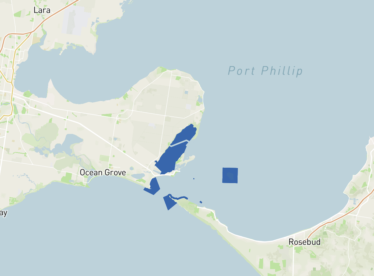
Port Phillip Heads Marine National Park protects a diverse marine environment comprising Swan Bay, Mud
Islands, Popes Eye, Point Lonsdale, Point Nepean and Portsea Hole.
Above:- Map showing the Port Phillip Heads Marine Park. Map c/o Protected Planet.
The park is 3,580 hectares (8,800 acres) in size and consists of six separate marine areas at the southern end of Port Phillip Bay. The park stretches along 40km of coastline.
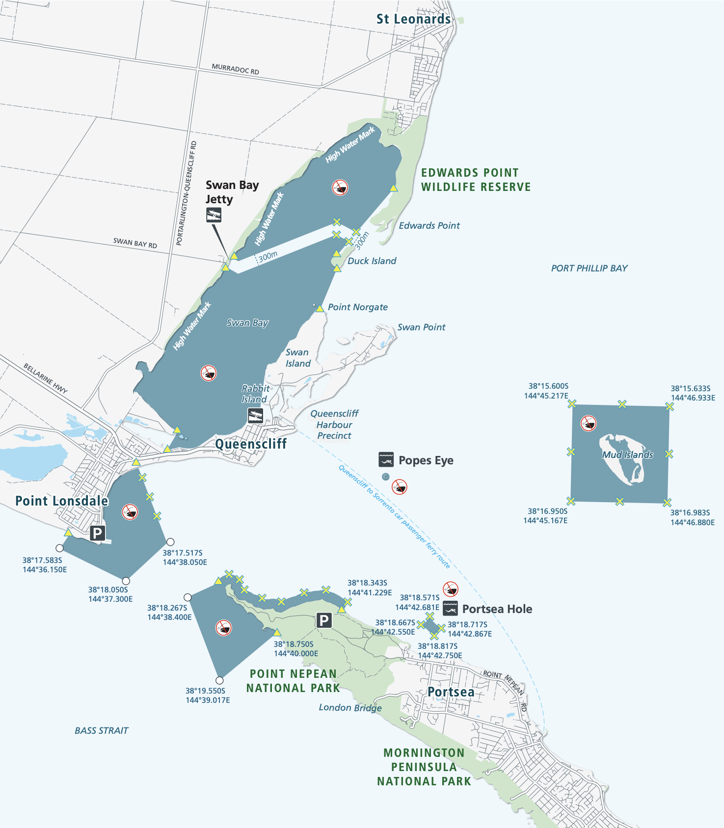
Above:- Map showing the six separate marine areas of the park. Map c/o Parks Victoria.
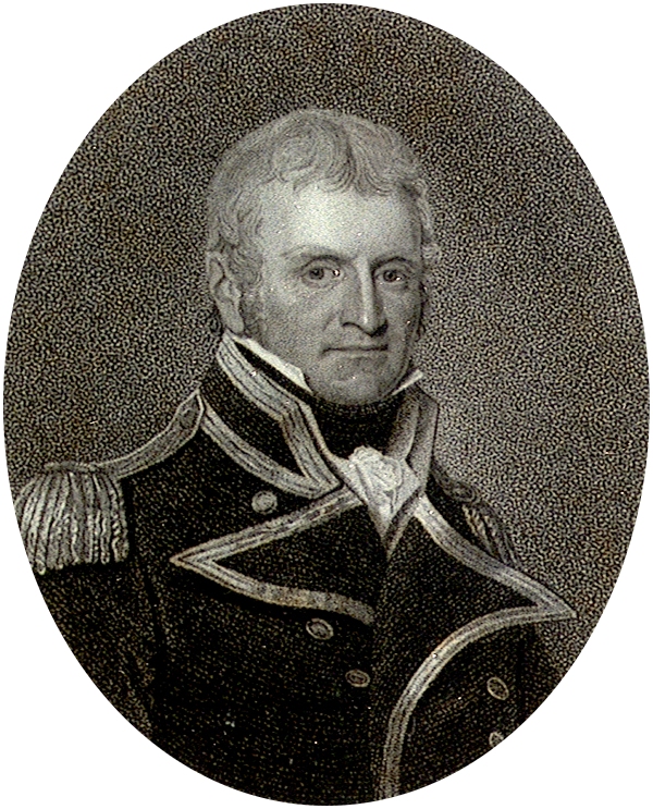
The Port Phillip Heads Marine National Park was created on the 16th day of November 2002. Part of the park includes Popes Eye, which was Victoria’s first marine protected area known as the Harold Holt Marine Reserve. It was named after former Australian Prime Minister Harold Edward Holt (b. 1908. d. 1967), who drowned near Port Nepean. His body was never located.

Above:- Harold Holt. Image c/o Wikipedia.
Port Phillip Bay was originally known as Narm -Narm by the Kulin aboriginal people. The first Europeans to discover and enter Port Phillip were the crew of the Lady Nelson under the command of John Murray (b. 1775. d. 1807), in February 1802. Murray named the Bay Port King, in honour of the Governor of New South Wales, Philip Gidley King.

Above:- John Murray. Image c/o Wikipedia.
On the 4th day of September 1805, King formally names the bay Port Phillip, in honour of his predecessor Arthur Phillip.

Above:- Arthur Phillip. Image c/o Wikipedia.
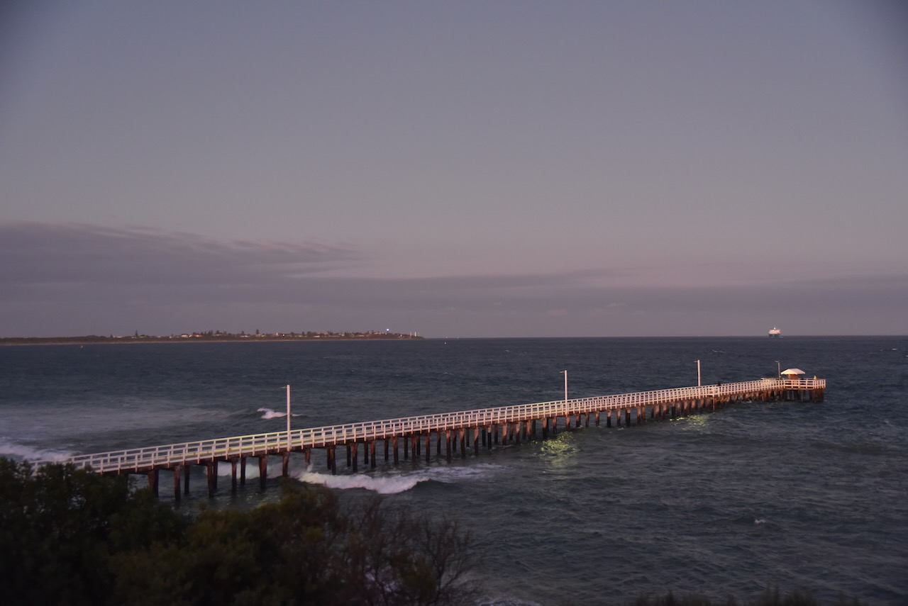
Marija and I drove down to the jetty at Swan Bay.


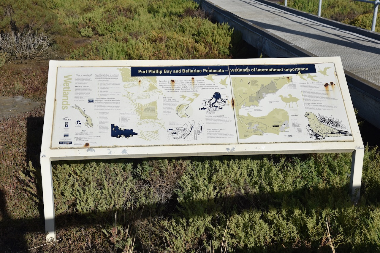


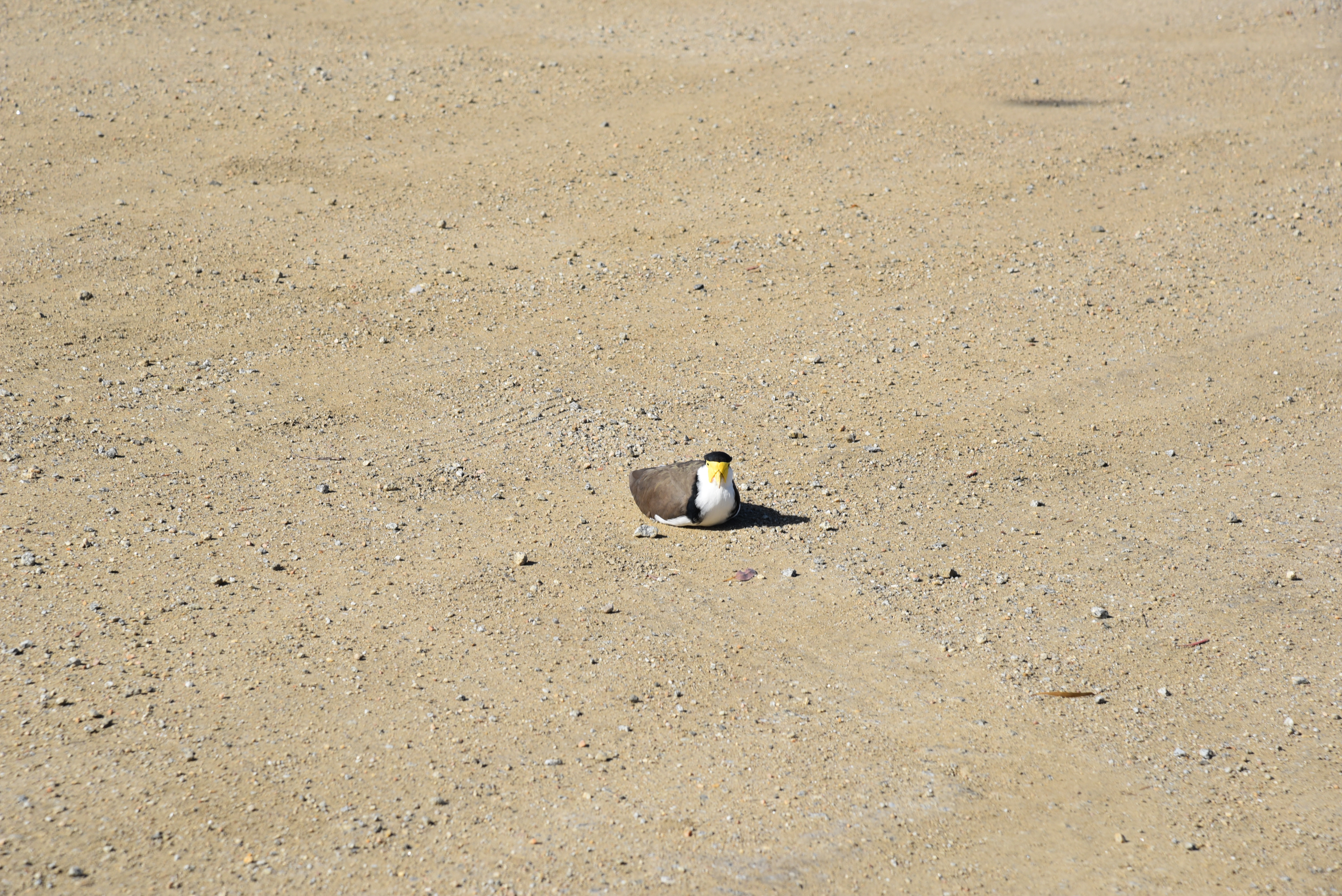
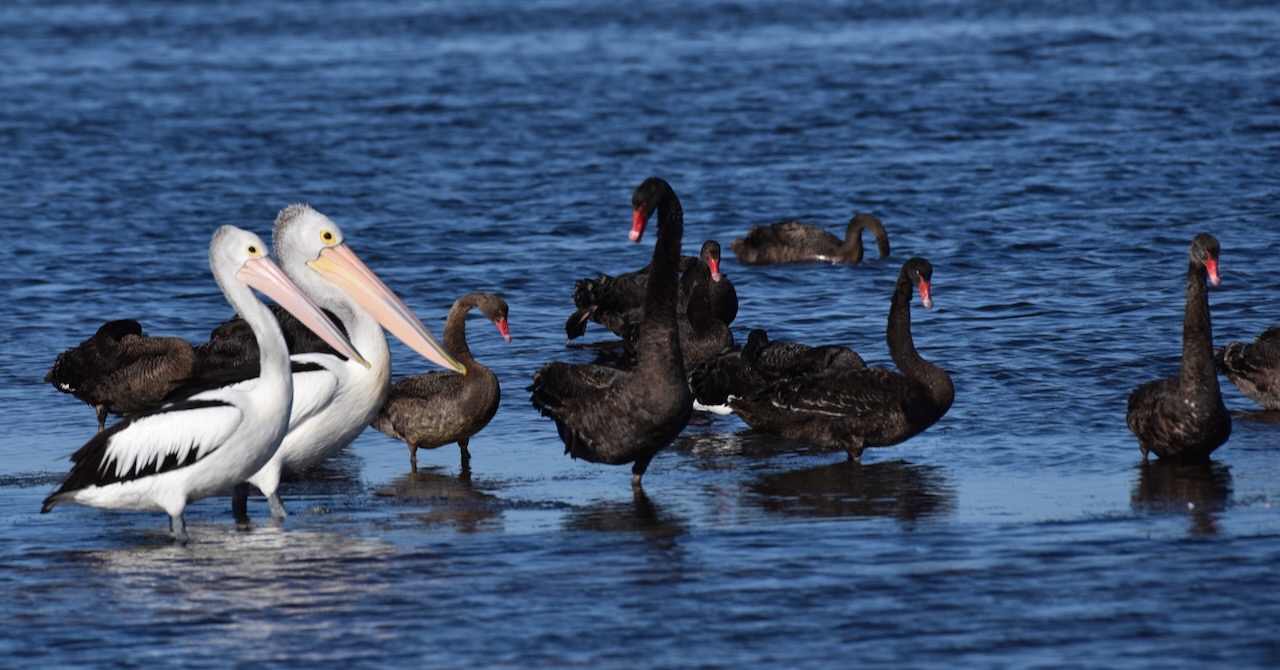
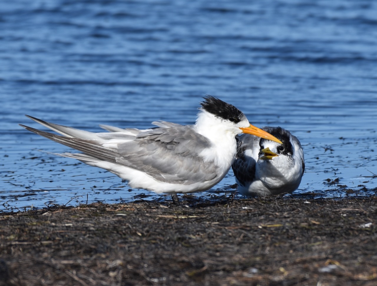
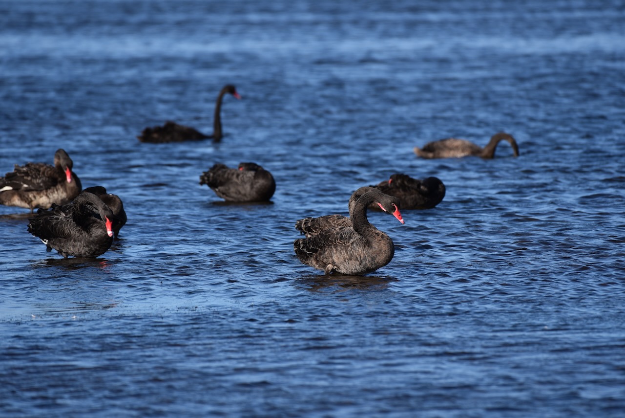
Thousands of migratory wading birds travel to Swan Bay each summer from breeding grounds in Central Asia, Siberia, and Alaska. At low tide, these birds hunt for food on exposed mudflats. At high tide, the waders roost along the shore. We were fortunate to observe an abundance of birdlife.


Marija worked the following stations on 40m SSB:-
- VK3SQ
- VK5HS
- VK3ANL
- VK3PF
- VK3DL
- VK2EXA
- VK3BBB
- VK2CCP
- VK3QH
- VK4FW
- VK8MM
I worked the following stations on 40m SSB:-
- VK3SQ
- VK5HS
- VK3ANL
- VK3PF
- VK3DL
- VK2EXA
- VK3BBB
- VK2CCP
- VK3QH
- VK4FW
- VK8MM
- VK3VIN
- VK2YAK
- VK4YAK
- VK3AMO
- VK2VH
- VK4AAC
- VK4NH
- VK4DXA
- VK7MAD
- VK7KW
- VK2XSE/m
- VK5AYL
- VK1AO
- Vk2MET
- VK5FANA
- VK4HNS
- VK2IO
- VK3MTT
- VK5BJE
- VK7AAE
- VK1DI
- VK3JDO
- VK5BMC
- VK4TJ
- VK2LEE
- VK5LA
- VK3ZPF
- VK7EE
- VK5HAA
- VK2SR/m
I worked the following stations on 20m SSB:-
- VK2LEE
- Vk4SMA
- VK4FW
- VK8MM
- VK2IO
- IW2NXI
- VK4NH
- VK4DXA
- IW2BNA
- VK4HR
- VK2HRX
- VK2PKT
- VK4TJ
- Vk4EMP
- VK4TI
- OH2CGU
- UT5PI
After packing up at the park, Marija and I drove to Queenscliffe, a beautiful little town on the Bellarine Peninsula. Prior to European settlement, the area was home to the Bengalat Bulag clan of the Wautharong tribe, members of the Kulin nation. In 1836 European squatters commenced arriving in the area which was named Shortland’s Bluff in honour of Lieutenant John Shortland (b. 1769. d. 1810), who assisted in the surveying of Port Phillip.
Above:- John Shortland. Image c/o Wikipedia.
In 1853, land sales commenced in the area, and in the same year, the name was changed by Lieutenant Charles La Trobe from Shortland’s Bluff to Queenscliff in honour of Queen Victoria.

Above:- Queen Victoria. Image c/o Wikipedia.
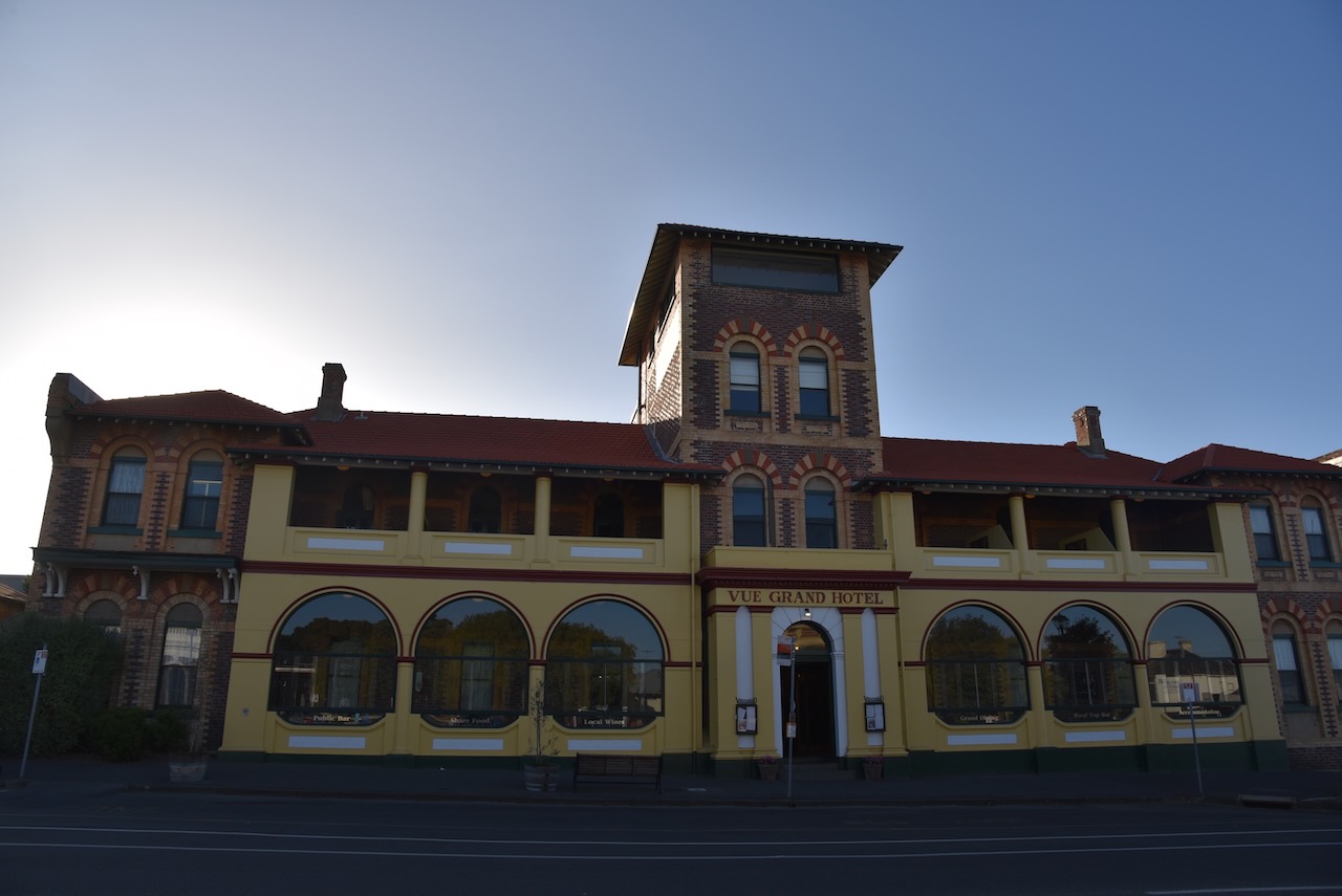
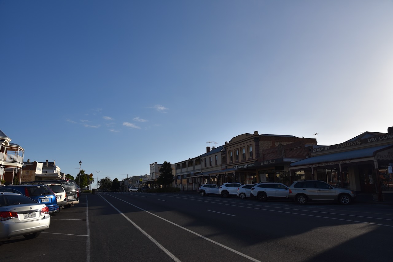
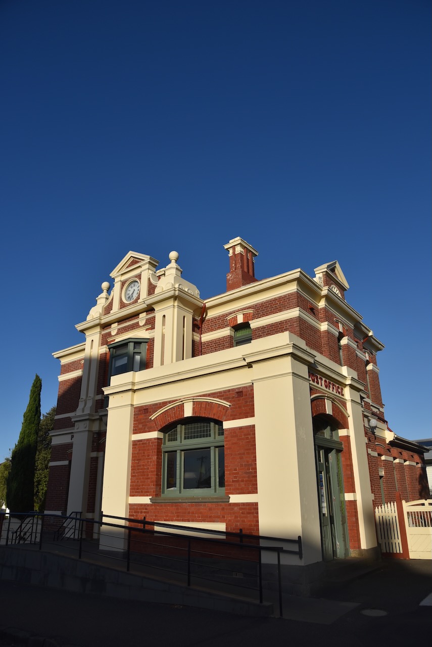
We drove around Queenscliffe admiring the magnificent architecture dating back to the 1800s.


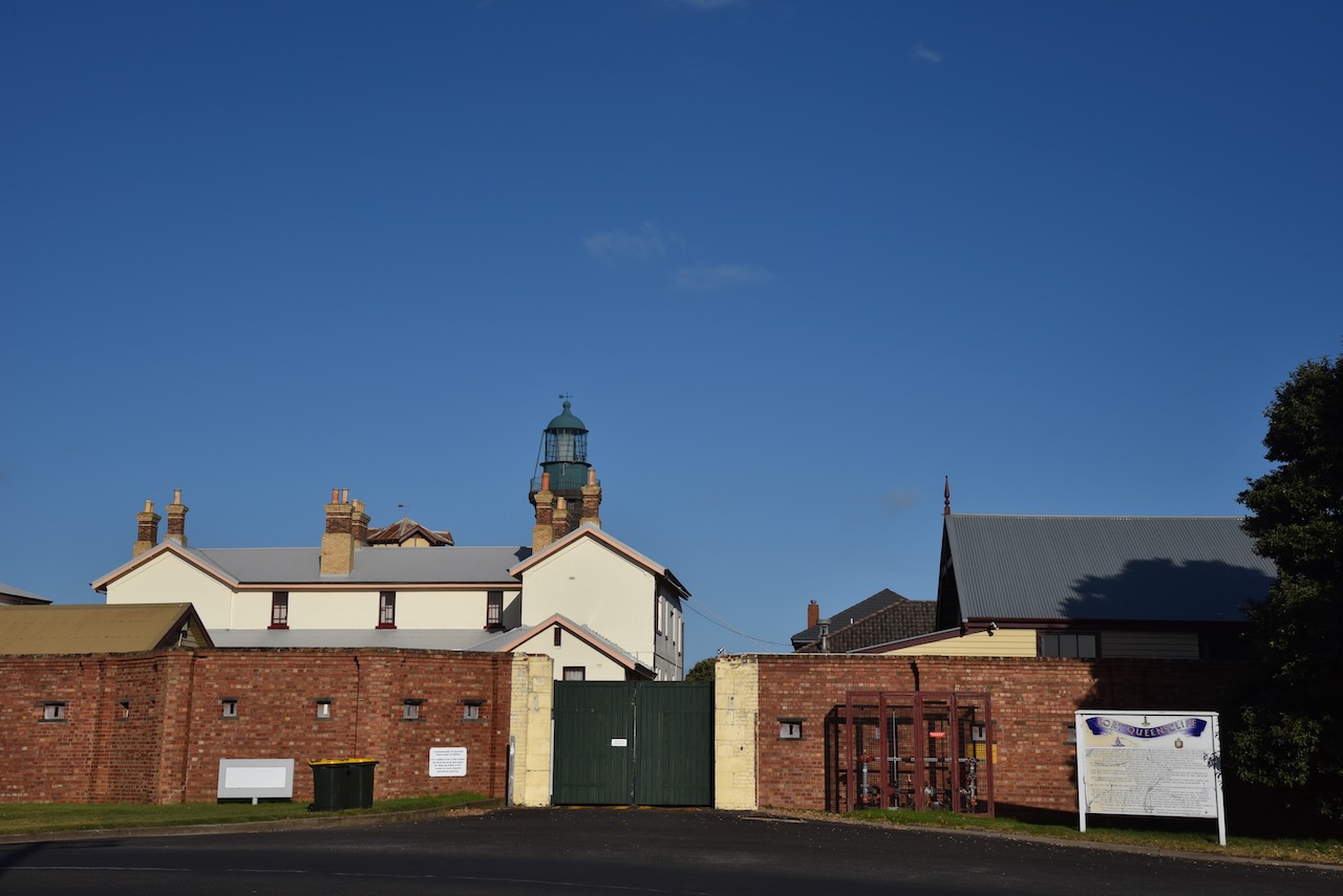
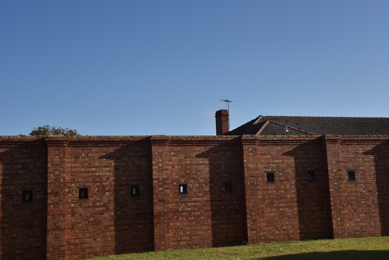
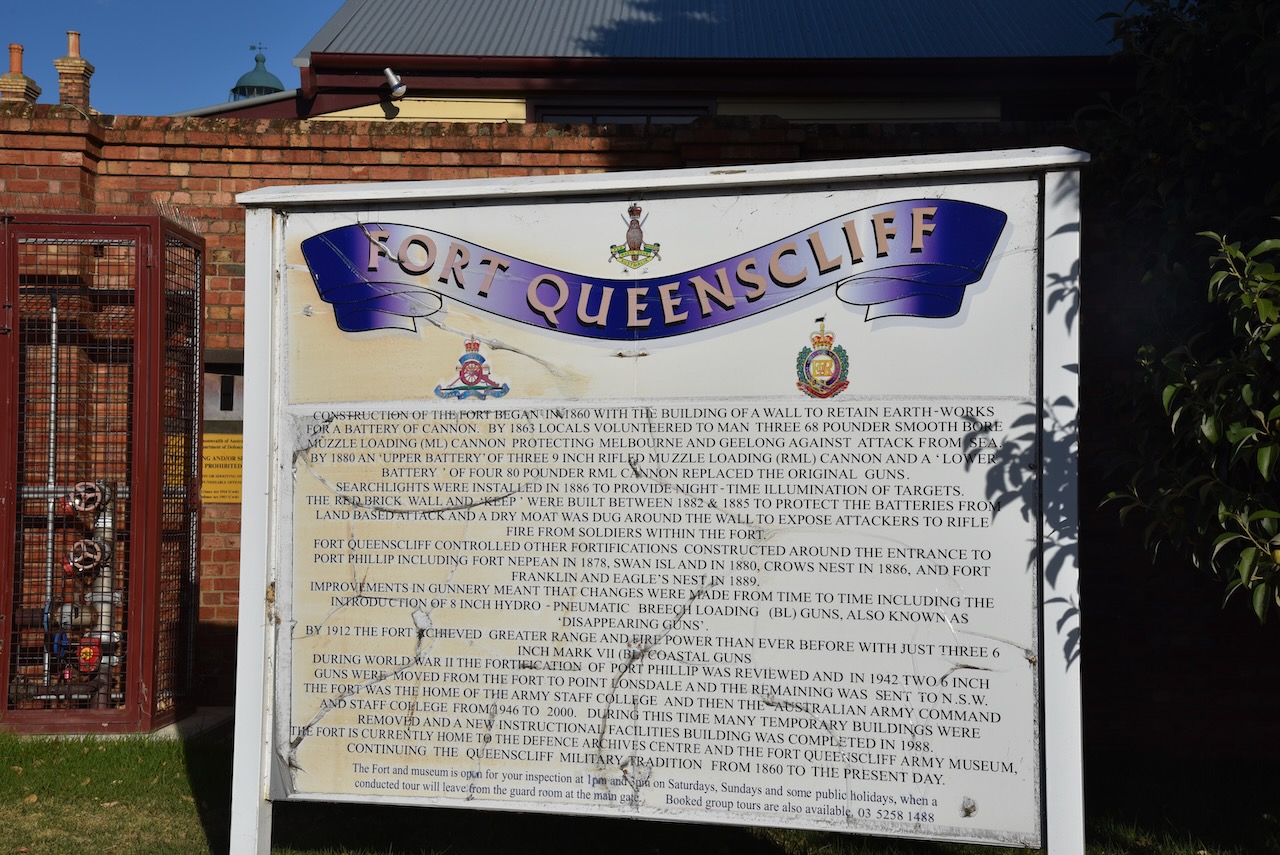
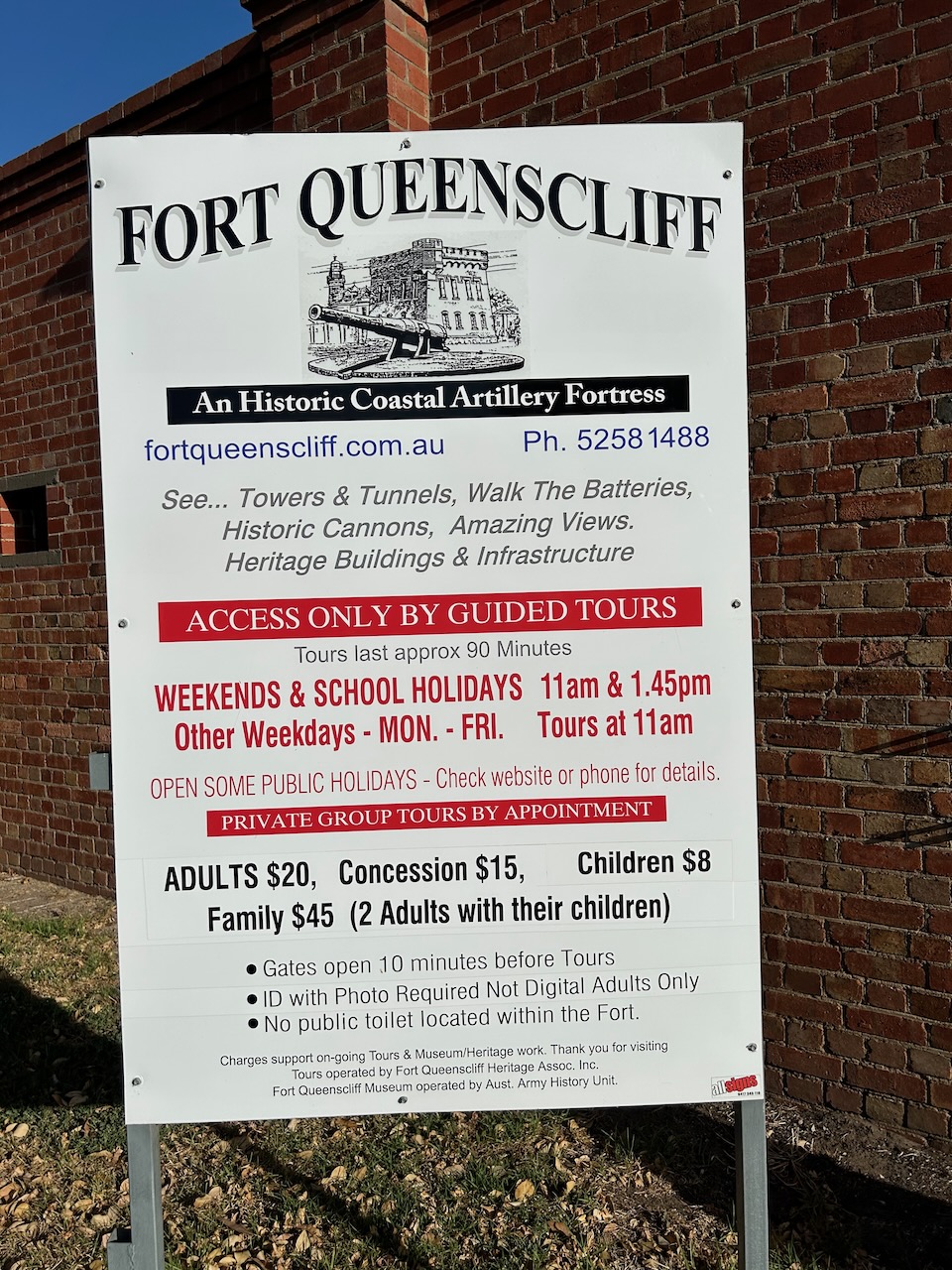
We also had a quick look, from the outside, of Fort Queenscliff, which dates from 1860 when an open battery was built at Shortland’s Bluff to defend the entrance to Port Phillip.


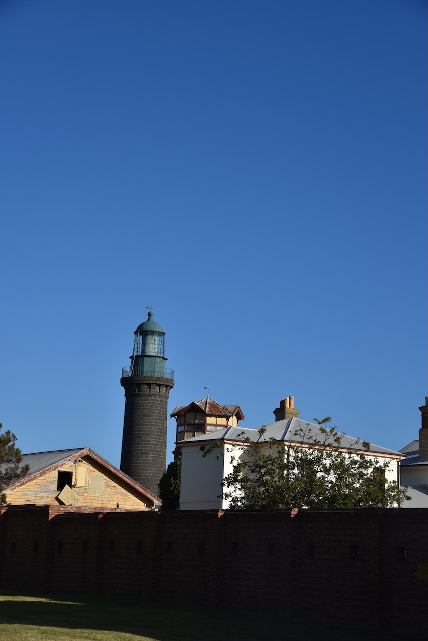
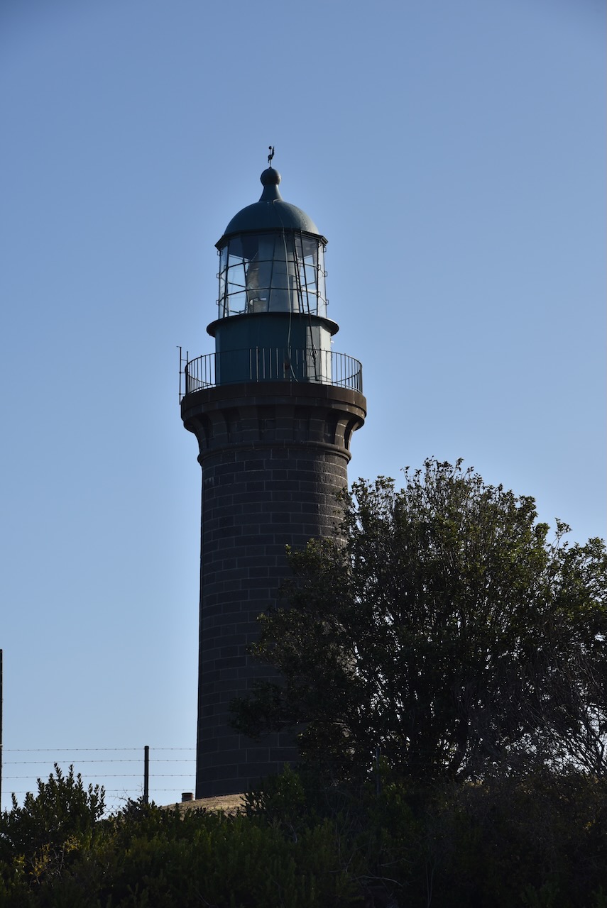
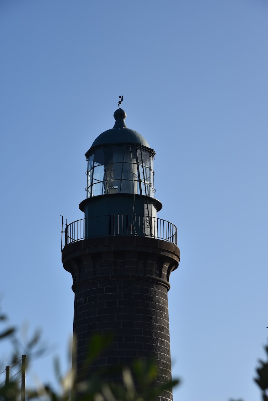
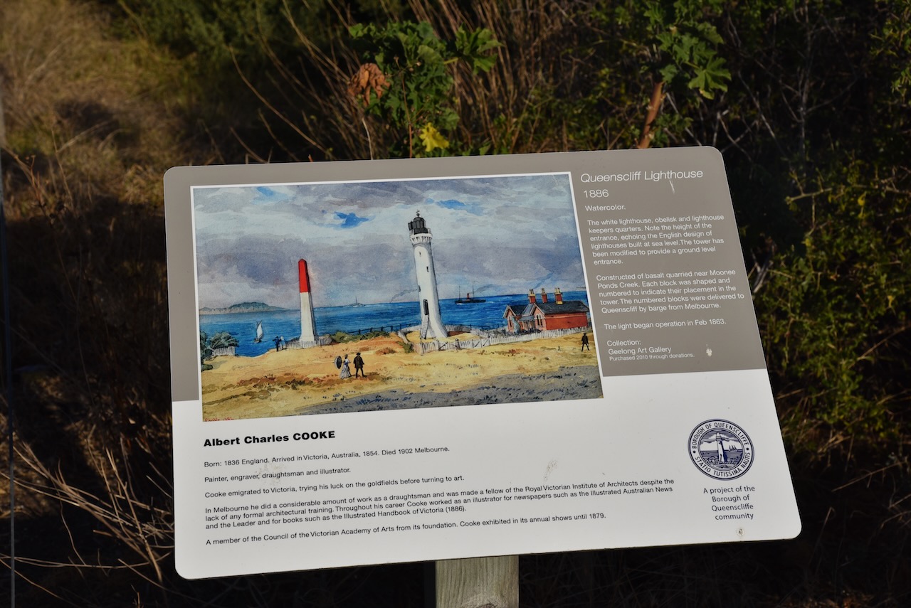
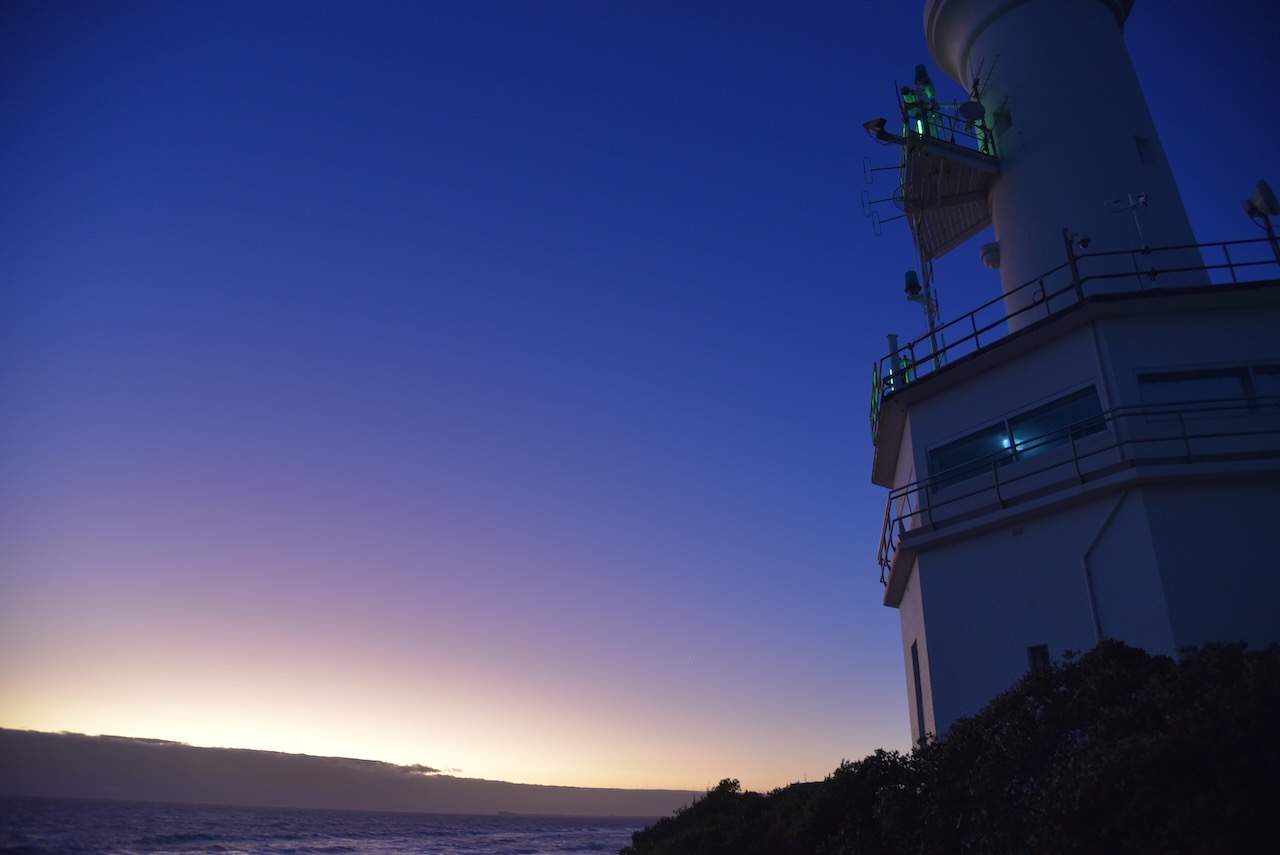
Queenscliffe is home to the famous Shortland Bluff ‘Queenscliff Black’ lighthouse which was built in 1862. It is also known as Queenscliff High Light.

It was a beautiful evening and we enjoyed some great views along the coastline, including across to the Point Nepean National Park.


Queenscliff is home to two lighthouses: The Queenscliff High Light, and the Queenscliff Low Light, also known as the Queenscliff White Lighthouse. It was built in 1863 to replace the original prefabricated wooden lighthouse.


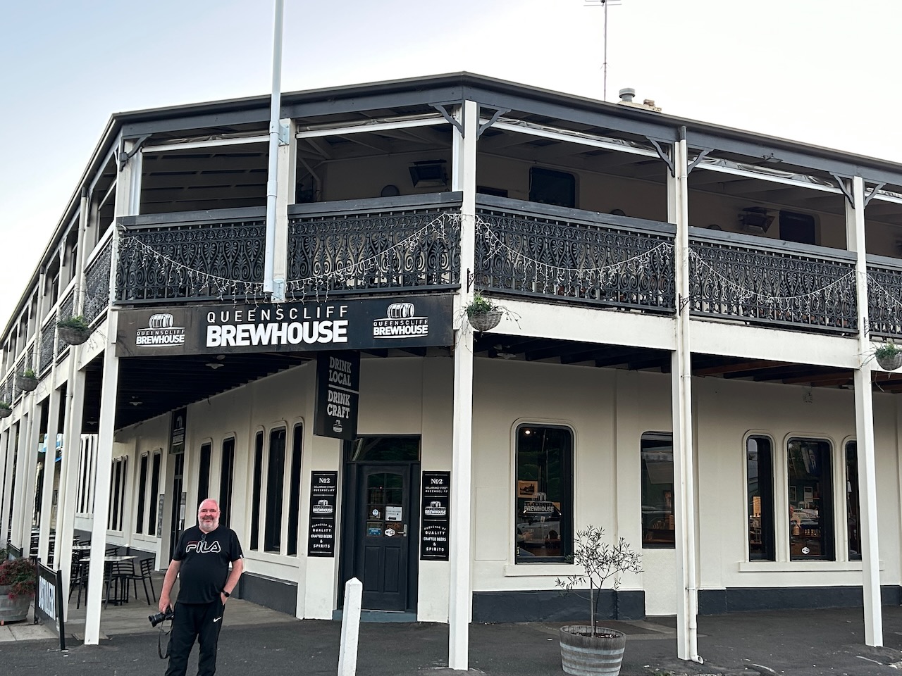
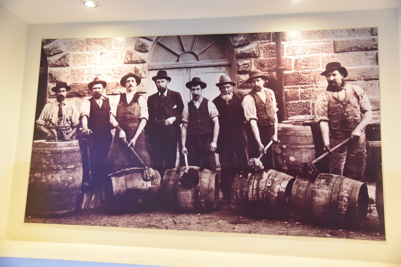
We were getting hungry, so we headed to the Queenscliff Brewhouse where we enjoyed a very nice meal.

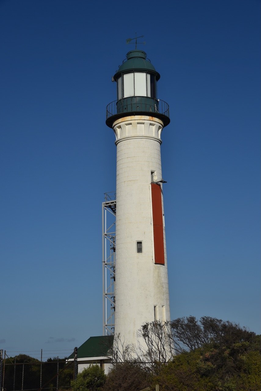
After dinner, we drove out to the Point Lonsdale lighthouse which was built in 1902 to replace the original wooden lighthouse which had been dismantled at Shortland Bluff and then re-erected at Point Lonsdale in 1863.


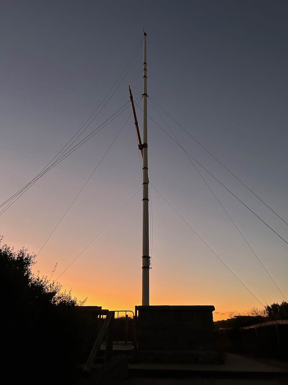
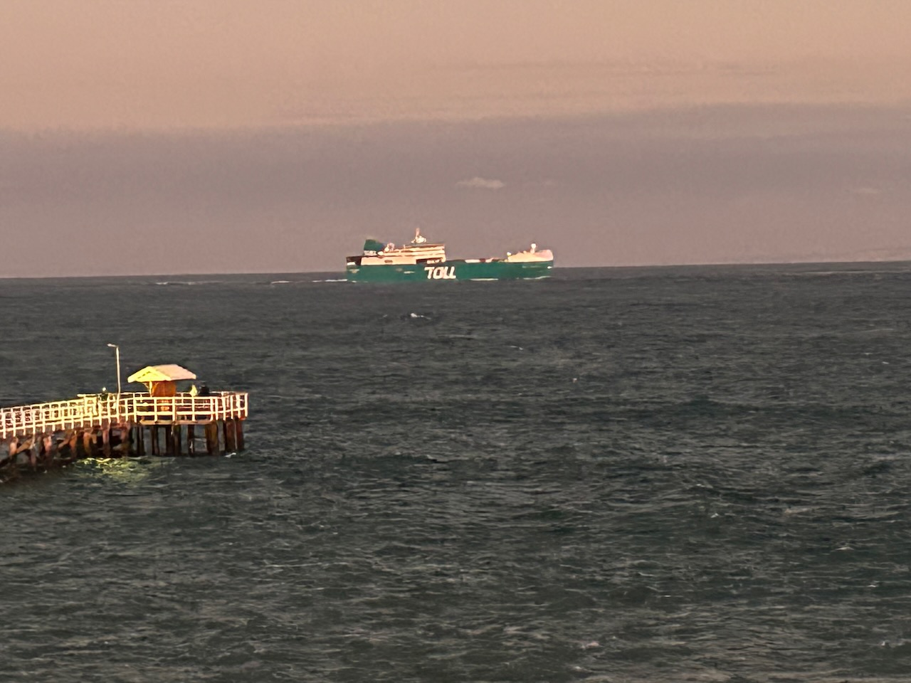
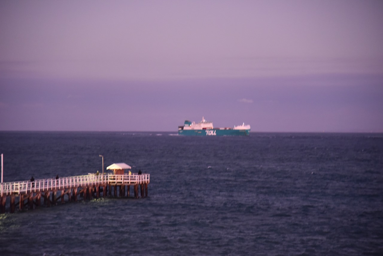
Although being windy, it was quite a balmy night, so we stayed for a while watching some of the ships entering and leaving Port Phillip Bay.
We then headed back to our accommodation in Geelong.


References.
- Dolphin Research Institute, 2023, <https://www.dolphinresearch.org.au/popes-eye-and-australasian-gannets/>, viewed 19th April 2023.
- Lighthouses of Australia Inc, 2023, <https://lighthouses.org.au/vic/shortland-bluff-lighthouse/>, viewed 19th April 2023.
- Lighthouses of Australia Inc, 2023, <https://lighthouses.org.au/vic/point-lonsdale-lighthouse/>, viewed 19th April 2023.
- Port Phillip Heads Marine National Park Visitor Guide.
- Wikipedia, 2023, <https://en.wikipedia.org/wiki/Port_Phillip_Heads_Marine_National_Park>, viewed 19th April 2023.
- Wikipedia, 2023, <https://en.wikipedia.org/wiki/Fort_Queenscliff>, viewed 19th April 2023.
- Wikipedia, 2023, <https://en.wikipedia.org/wiki/Queenscliff_Low_Light>, viewed 19th April 2023.
