
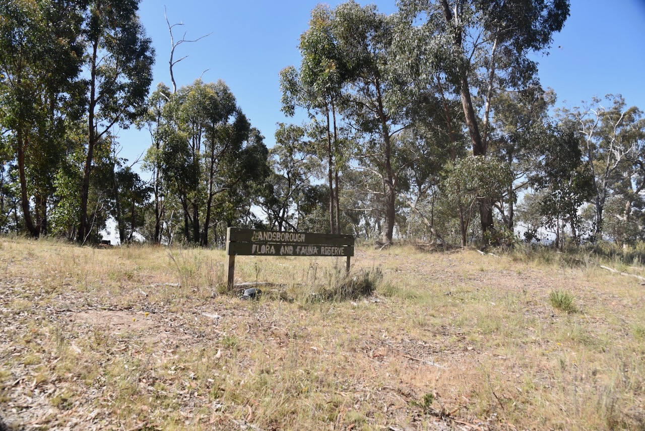
Our next activation for Tuesday 21st November 2023 was the Landsborough Nature Conservation Reserve VKFF-2129 and Blue Mountain VK3/ VS-015.
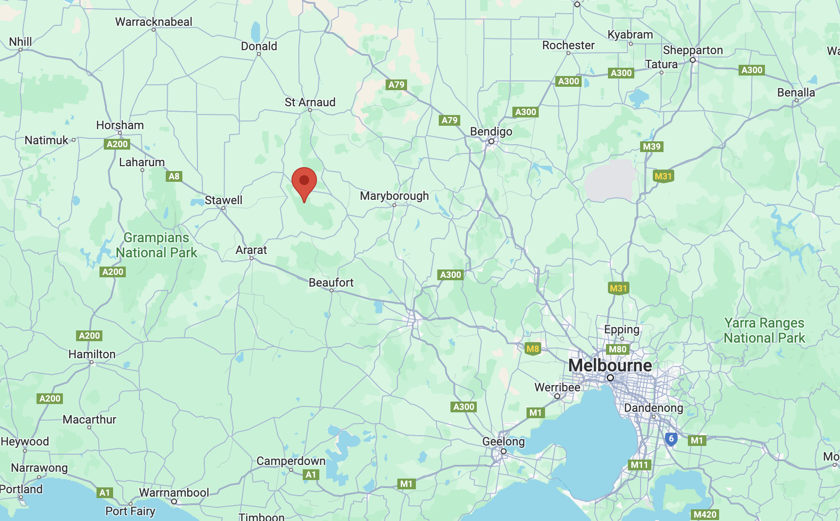
Above:- Map showing the location of the park and summit. Map c/o Google Maps.
Landsborough is a Parish in western Victoria.
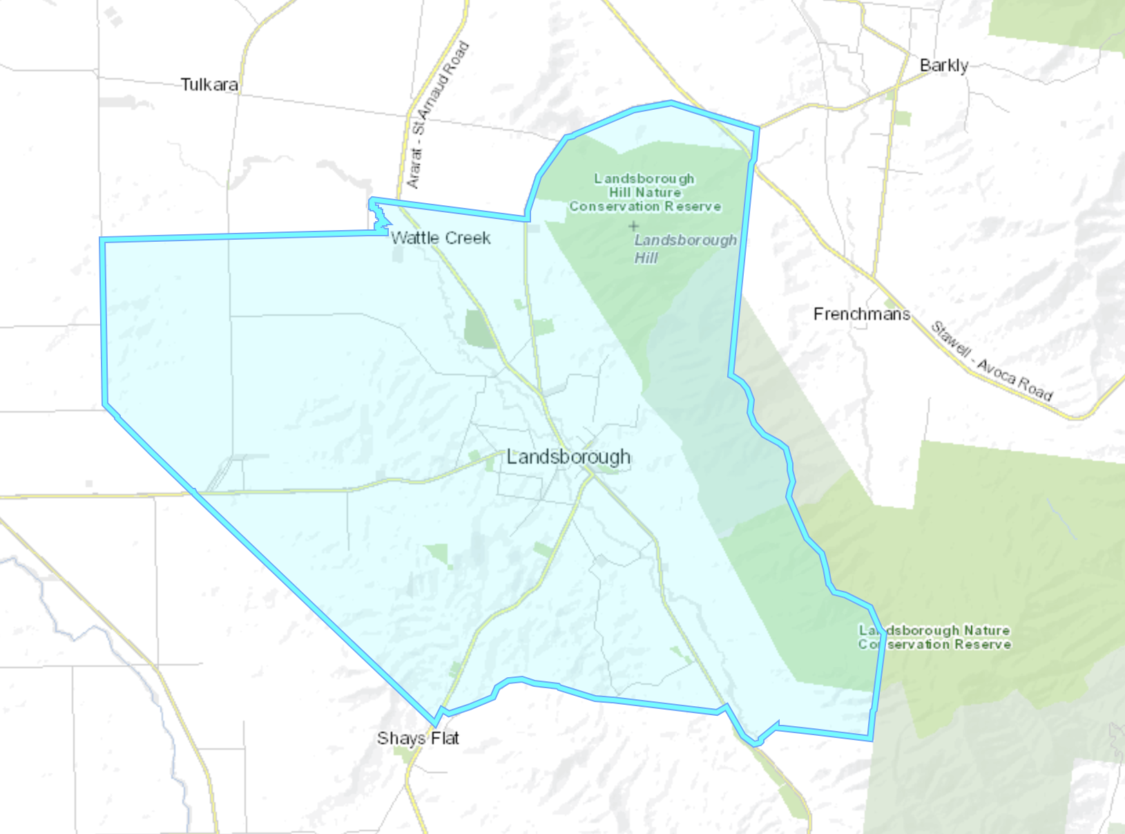
Above:- The Parish of Landsborough. Image c/o Mapshare Victoria.
Gold mining commenced in the Landsborough area between 1853 and 1855 with several small discoveries of gold. The first gold diggings were the Malakofff Lead, believed to have been named after the 1855 battle of Malakoff in Crimea. It was also known as Crowlands Diggings. Its first major rush was in 1856 by diggers from the nearby Fiery Creek gold diggings. In 1858 another rich lead was discovered and this was known as Glasgow Lead. A small village known as Edinburgh was formed. Other miners were actively working at Barkly Flat to the east of Landsborough. (Victorian Goldfields Project 1999)
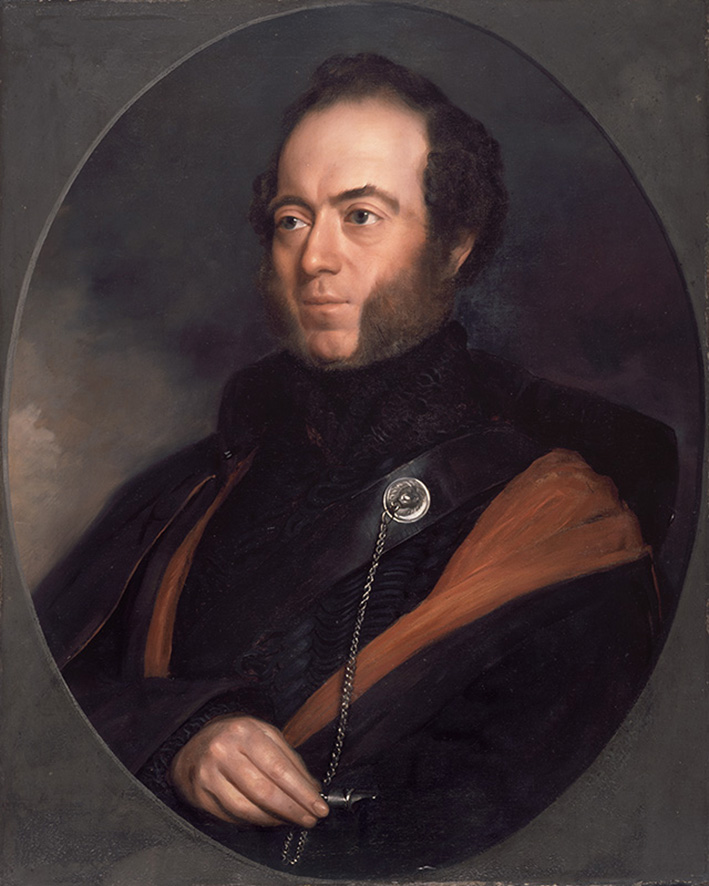
In September 1862 the Landsborough Rush commenced and this resulted in a significant increase in the population, including miners from surrounding goldfields. This particular discovery was significant enough for a town to be developed. It was named Landsborough after William Landsborough (c. 1825. d. 1886) who led an 1861 expedition to search for explorers Burke and Wills. (Victorian Goldfields Project 1999) (Victorian Places 2024) (Wikipedia 2024)

Above:- William Landsborough. Image c/o Wikipedia.
In 1862 the population of Landsborough was between 8,000 to 9,000 people. In 1864 a school was opened. In 1865 Bailliere’s Victorian gazetteer recorded Landsborough as having several hotels, a bank and an insurance office, a brewery and a quartz-crushing mill. (Victorian Places 2024)
By May 1863 the Landsborough Rush was over. The miners were drawn away from Landsborough to several other gold rushes culminating with the 1864 Great Western Rushes. (Victorian Goldfields Project 1999)
The park and summit are located in the Pyrenees Range. Explorer and surveyor Major Thomas Mitchell was the first European recorded to have travelled through the Pyrenees. This was in 1836 during his Australia Felix expedition. He named the mountains the Pyrenees after the Pyrenees in Europe. (Forest Notes 2004)
Above:- Major Thomas Mitchell. Image c/o Wikipedia.
The summit Blue Mountain which qualifies for the Summits On The Air (SOTA) program is located in the southern section of the Landsborough Nature Conservation Reserve.
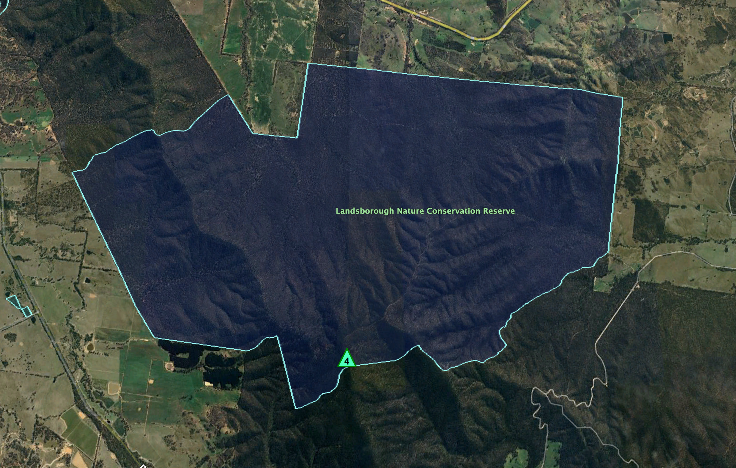
Above:- An aerial view of the park showing the location of the summit of Blue Mountain. Image c/o Google Earth.
The Landsborough Nature Conservation Reserve is about 3,374 hectares in size and was established on the 24th day of August 1982. (CAPAD 2022)
Blue Mountain is 772 metres above sea level and is worth 4 points in the SOTA program. It has been activated 21 times. I have previously activated this summit. (SOTA 2024)

Above:- An aerial shot showing Bluee Mountain. Image c/o Google Maps.
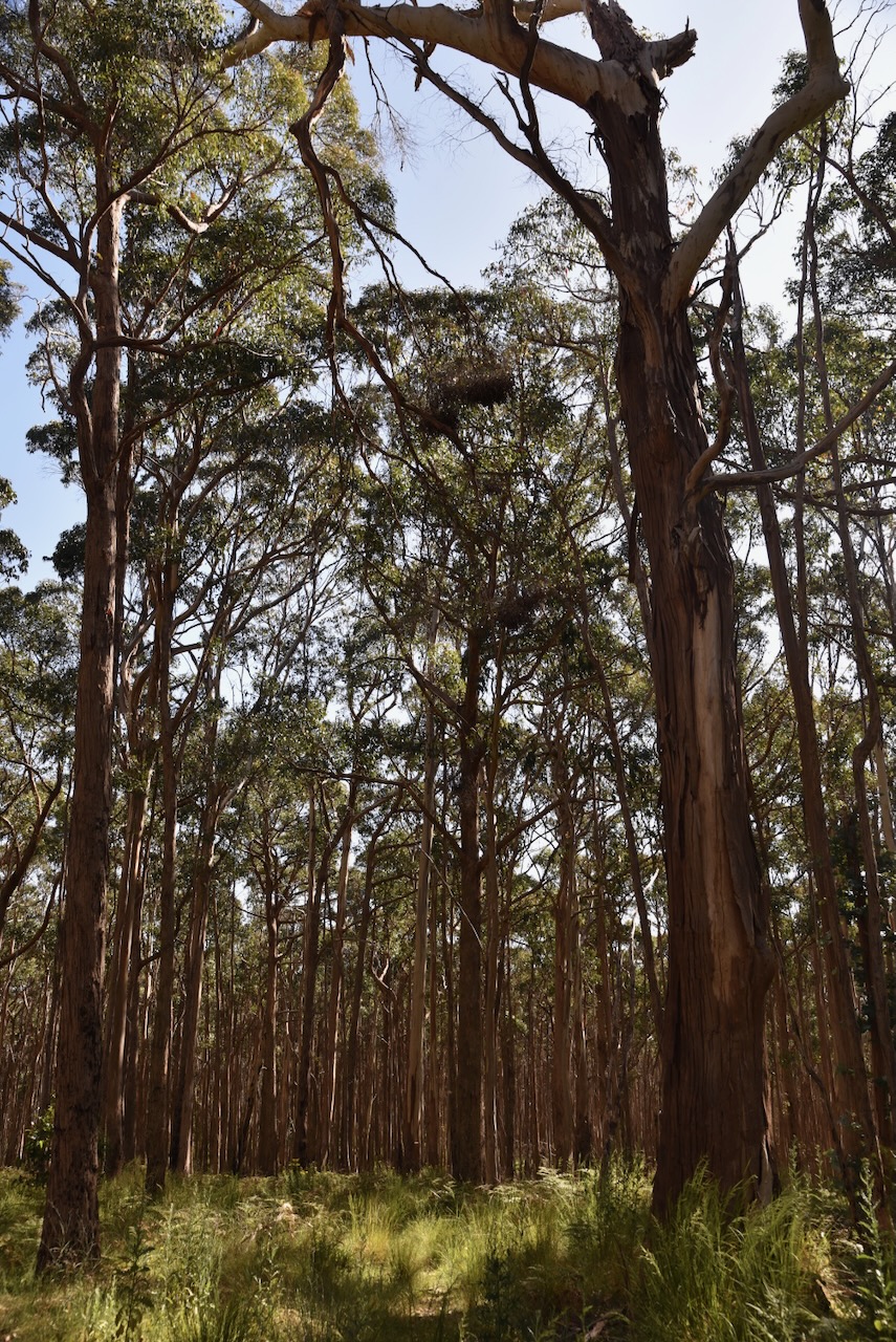
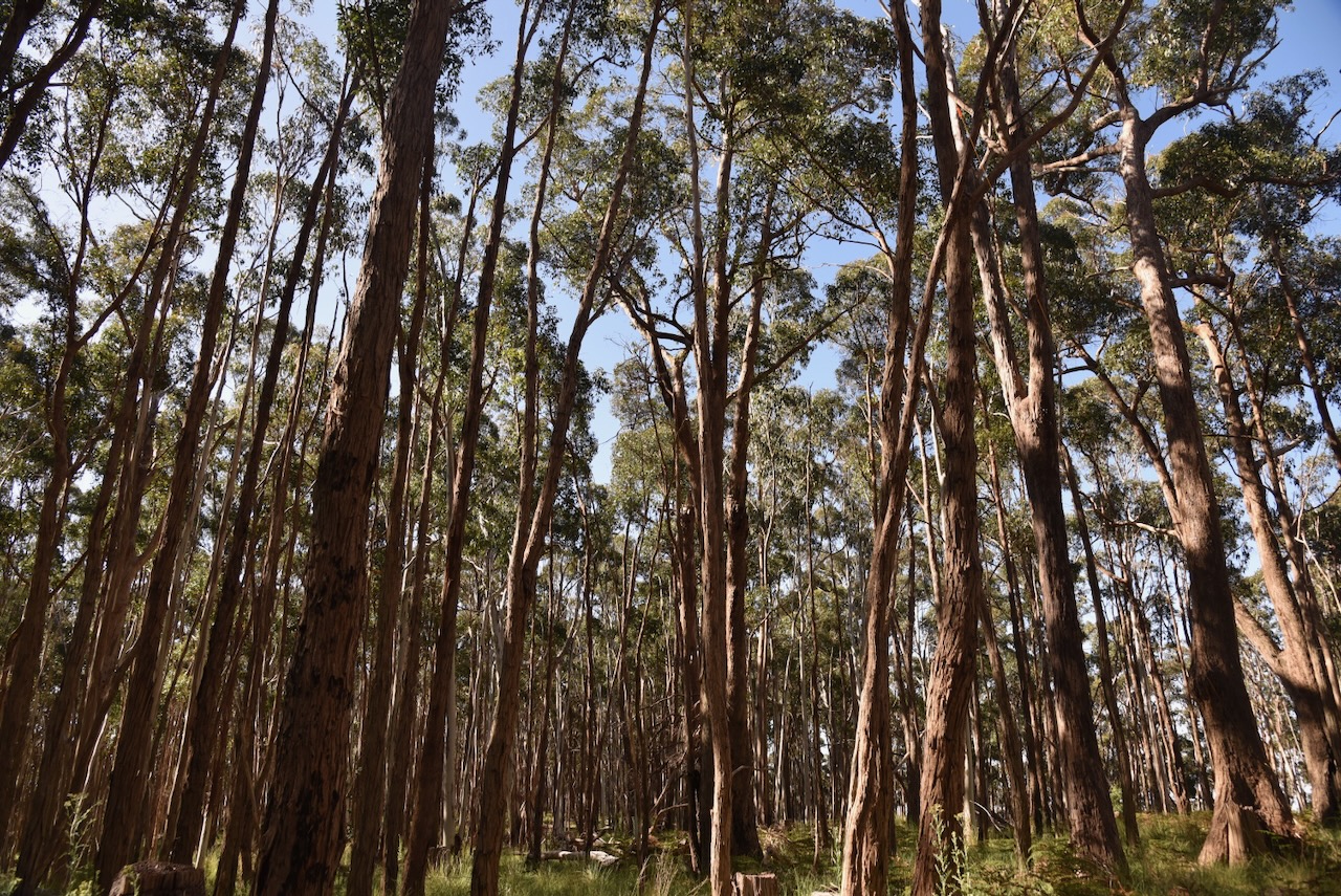
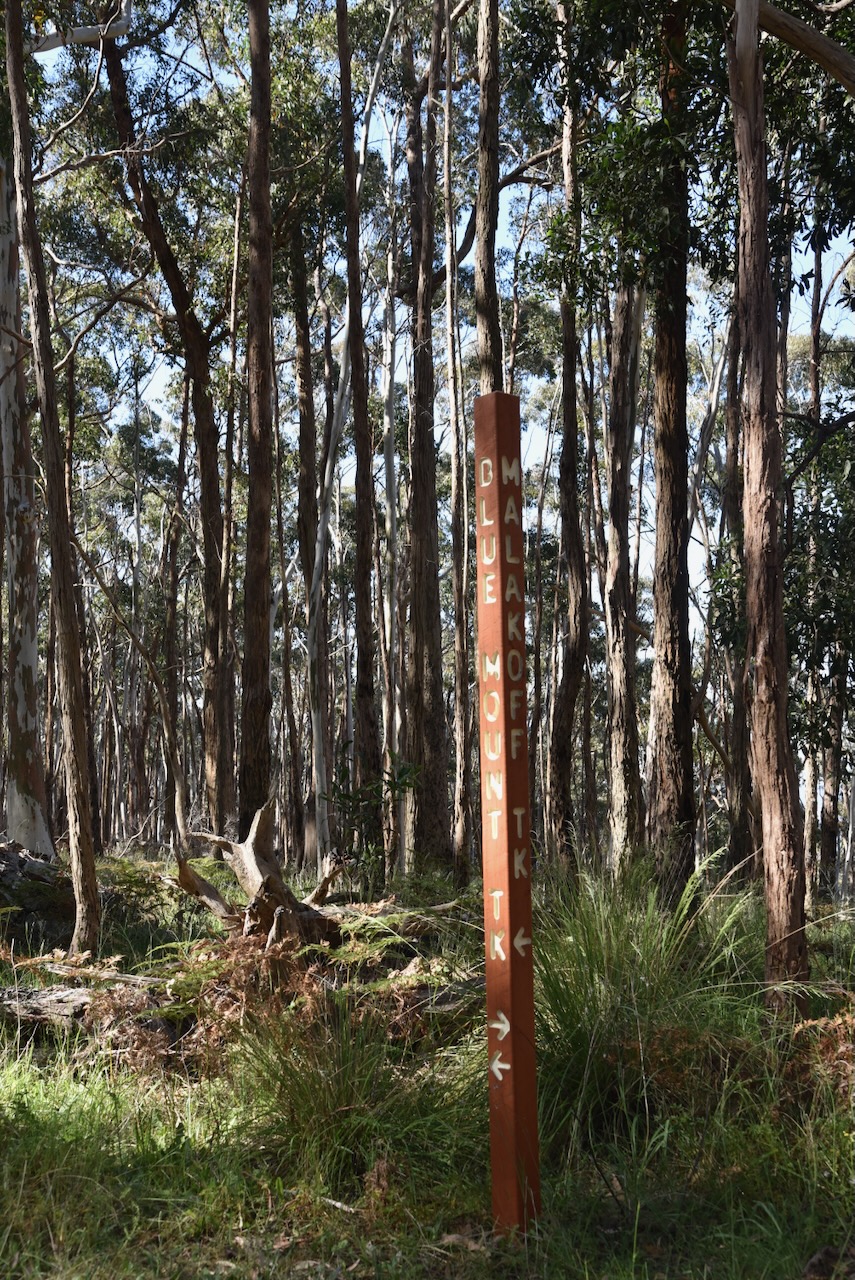
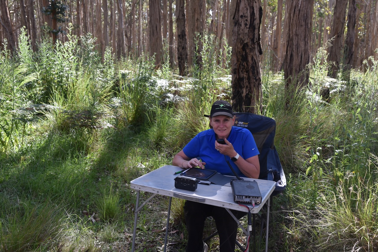
The summit is located near the junction of Landsborough Ridge Track and Blue Mountain Track. We set up in a clearing amongst the tall trees alongside Blue Mountain Track. We ran the Yaesu FT857, 40 watts, and the 20/40/80m linked dipole for this activation. I used the special event callsign of VI10VKFF.
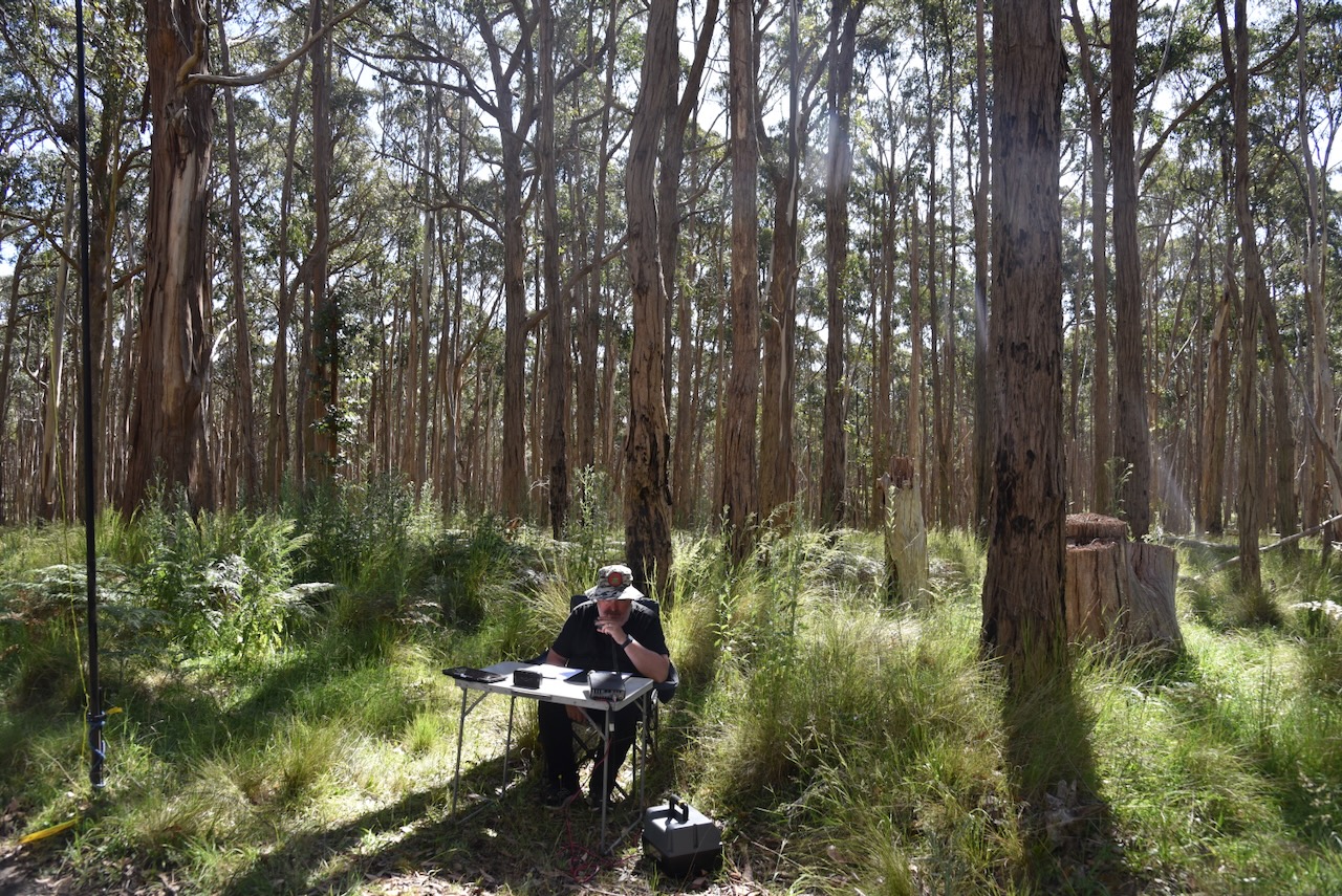
We found the 40m band to be extremely noisy with severe static crashes.
I would like to apologise to Graham VK3ZSC for not logging him during this activation. Unfortunately, Graham was struggling to hear us and an unknown station relayed the signal reports, which made the contact void. PLEASE, do not relay signal reports or callsigns. You may think you are helping, but you are not.
Marija worked the following stations on 40m SSB:-
- VK3PF
- VK3KAI
- VK3SQ
- VK2BD
- VK5HS
- VK5IS
- VK2DG
- VK3CA
- VK3DCQ
- VK2HHA
- VK3UAO/p (Wilsons Hill Nature Conservation Reserve VKFF-0539)
- VK2IO/p (SOTA VK1/ AC-039)
I worked the following stations on 40m SSB:-
- VK3PF
- VK3KAI
- VK3SQ
- VK2BD
- VK5HS
- VK5IS
- VK2DG
- VK3CA
- VK3DCQ
- VK2HHA
- VK5FB
- VK3MTT
- VK3DAC
- VK4FE/3
- VK2MOE
- VK3VIN
- VK5CZ
- VK2RK
- VK3EJ
- VK2EXA
- VK7XX
- VK7HBR
- VK7AN
- VK3APJ
- VK3CLD/p (Kosciuszko National Park VKFF-0269)
- VK3BEL
- VK3UAO/p (Wilsons Hill Nature Conservation Reserve VKFF-0539)
- VK5FANA
- VK1AO
- VK2MET
- VK2IO/p (SOTA VK1/ AC-039)
- VK3SG
- VK5YX
- VK3UCD
- VK4NH
- VK4DXA
- VK5AV
- VK5ZNP
- VK2HAK
- VK7AAE
- VK7ZA
- VK3TDX
I worked the following stations on 20m SSB:-
- VK4NH
- VK4DXA
- VK4EW
I worked the following station on 20m AM:-
- VK4EW
References.
- Dcceew.gov.au. (2023). Collaborative Australian Protected Areas Database (CAPAD) 2022 – DCCEEW. [online] Available at: https://www.dcceew.gov.au/environment/land/nrs/science/capad/2022 [Accessed 2 Mar. 2024].
- Department of Natural Resources & Environment, Aug 1999, Victorian Goldfields Project, Historic Gold Mining in the South West region of Victoria.
- State of Victoria, Department of Sustainability and Environment, Jan 2004, Forest Notes, Pyrenees State Forest.
- Wikipedia. (2024). William Landsborough. [online] Available at: https://en.wikipedia.org/wiki/William_Landsborough [Accessed 3 Mar. 2024].
- www.sotadata.org.uk. (n.d.). Sotadata3. [online] Available at: https://www.sotadata.org.uk/en/summit/VK3/VS-015 [Accessed 3 Mar. 2024].
- www.victorianplaces.com.au. (n.d.). Landsborough | Victorian Places. [online] Available at: https://www.victorianplaces.com.au/landsborough. [Access 3 Mar 2024]
