Marija and I left the Dunach Nature Conservation Reserve on Friday 24th November 2023, and we drove north to our next park activation, the Mount Greenock Geological Reserve VKFF-3789.
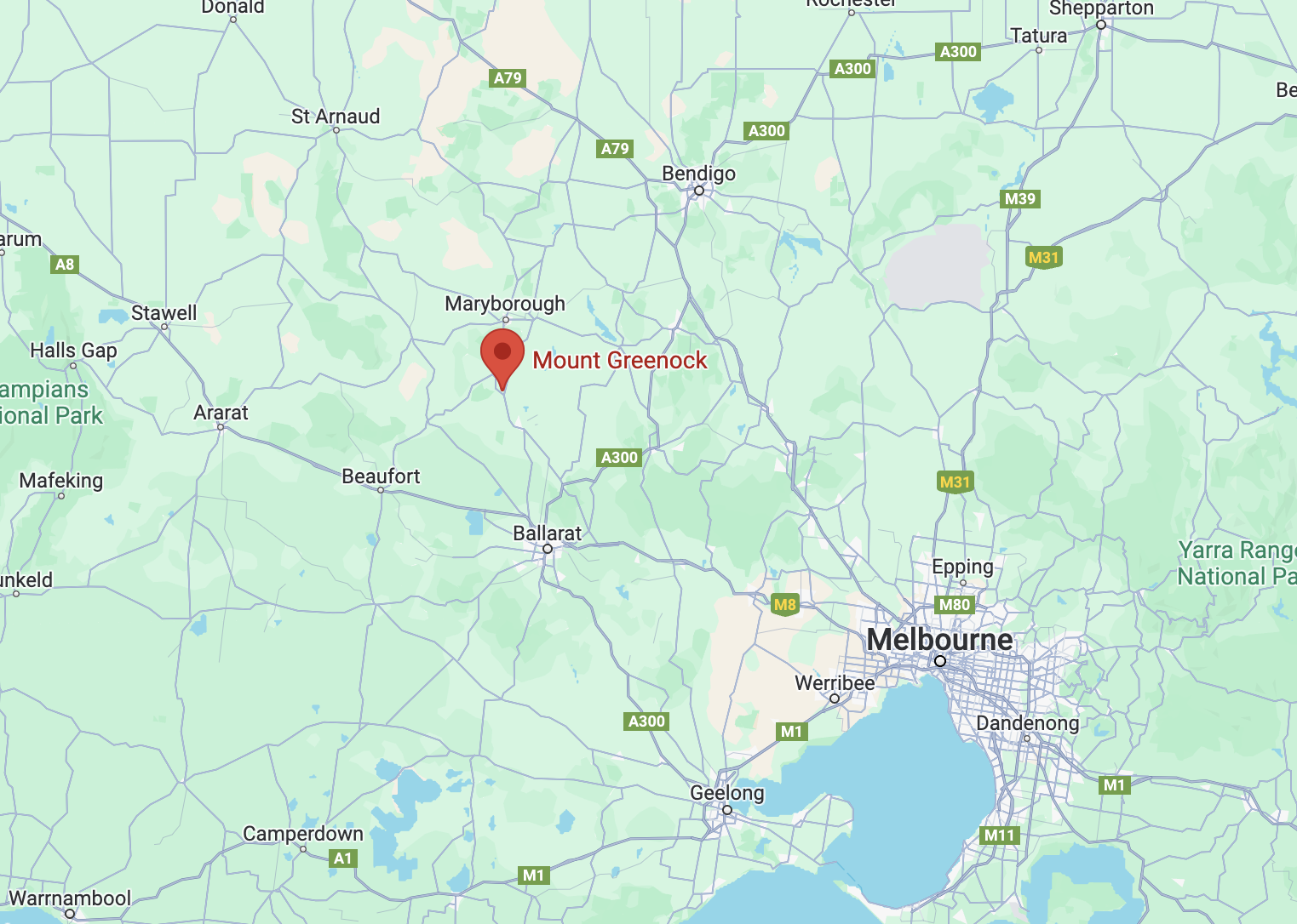
Above:- Map showing the location of the Mount Greenock Geological Reserve. Map c/o Google Maps.
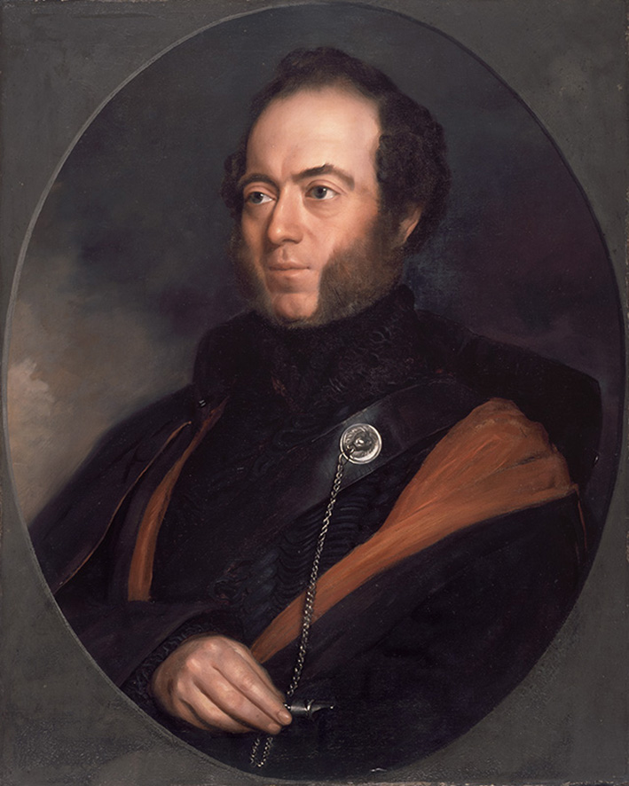
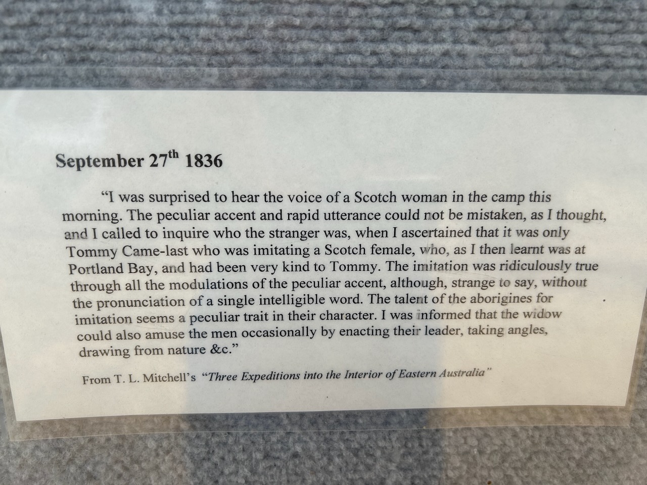
The explorer Sir Thomas Livingstone Mitchell was the first European to travel through this area. He climbed and named Mount Greenock on the 26th day of September 1836. The name came from a burgh on the Forth of Clyde. From this vantage point, Mitchell also named the bare surrounding volcanic cones as the “Mammeloid Hills”. (Monument Australia 2024)
Above:- Sir Thomas Livingstone Mitchell. Image c/o Wikipedia.
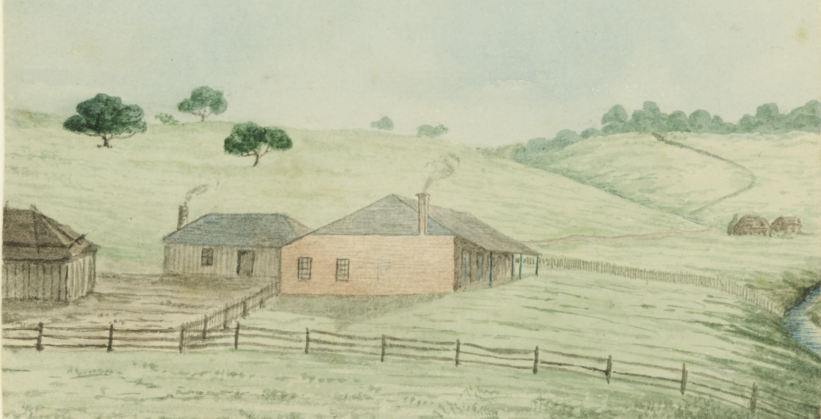
From 1841, Mount Greenock formed part of Alexander MacCallum’s Dunach Forest pastoral run, sometimes referred to as the Mount Greenock run. (Goldfields Guide 2024) (Victorian Goldfields Project 1998)
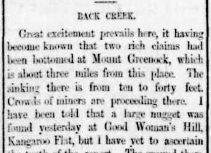
From 1855 to 1886 gold was mined at Mount Greenock. The first period of gold mining at Mount Greenock was in June 1855. (Victorian Goldfields Project 1998)
Above:- part of an article from the Geelong Advertiser, Tue 7 Jun 1859. Image c/o Trove.
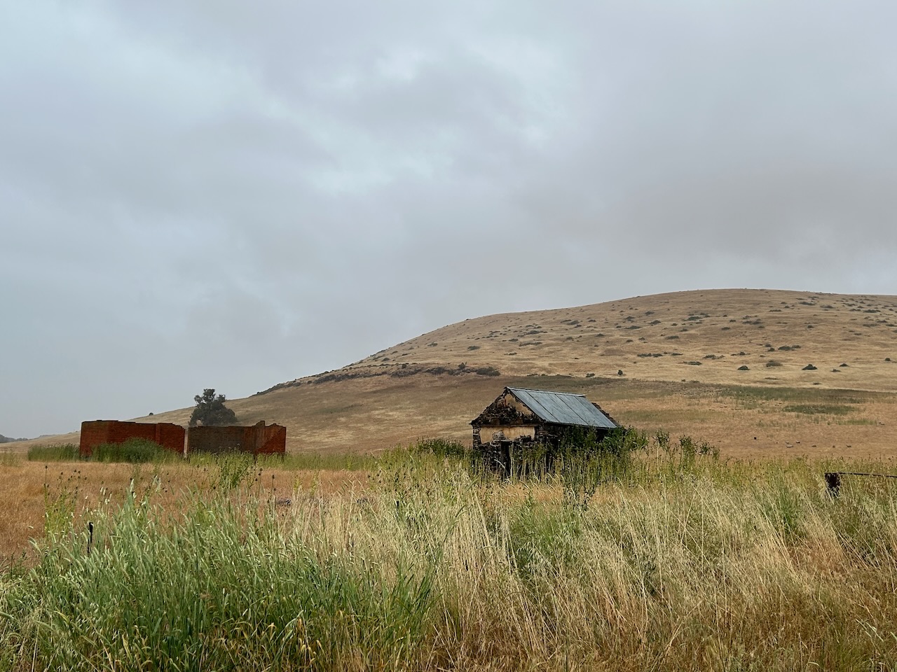
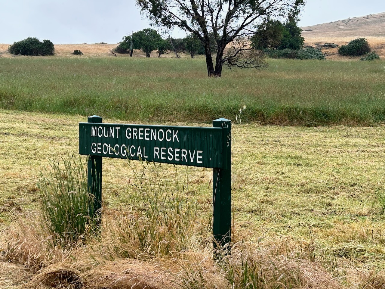
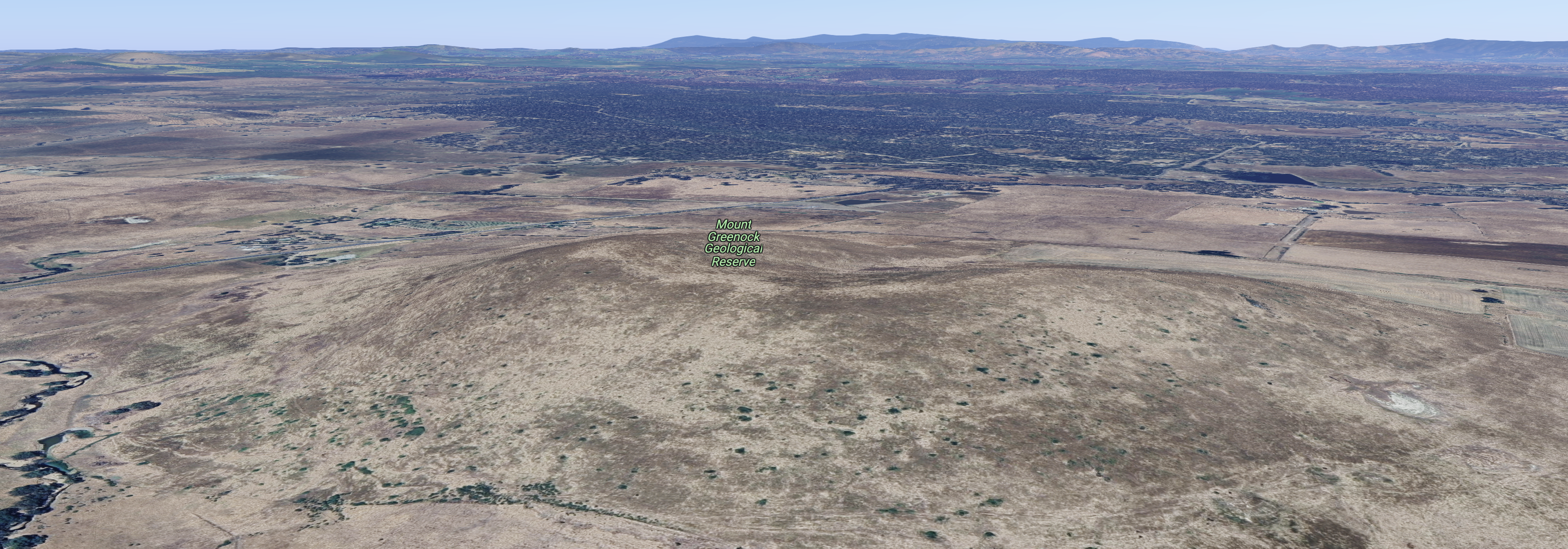
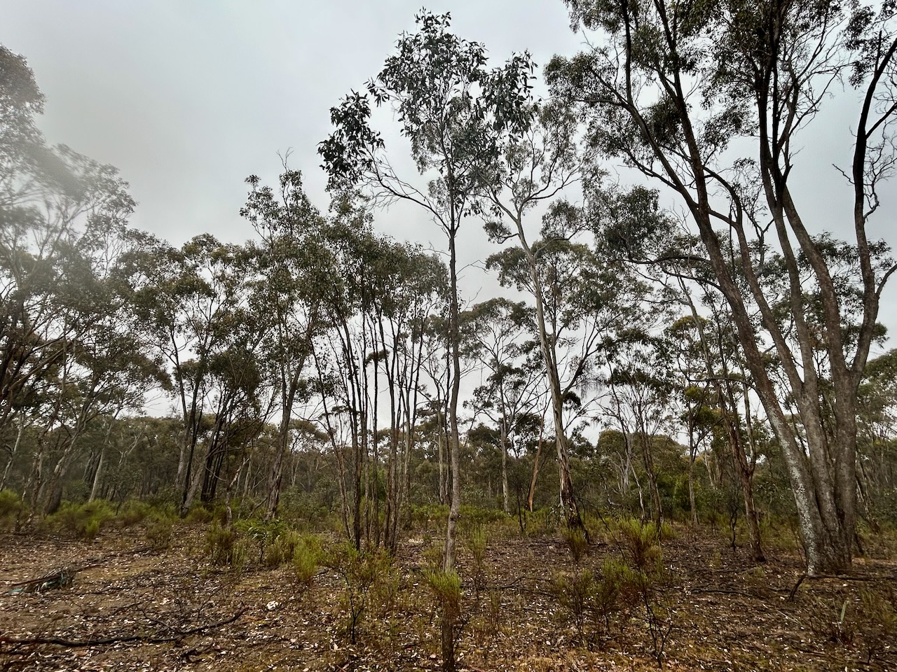
The reserve is about 142 hectares in size and was established on the 24th day of August 1982. (CAPAD 2022)
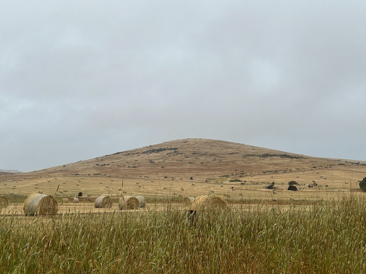
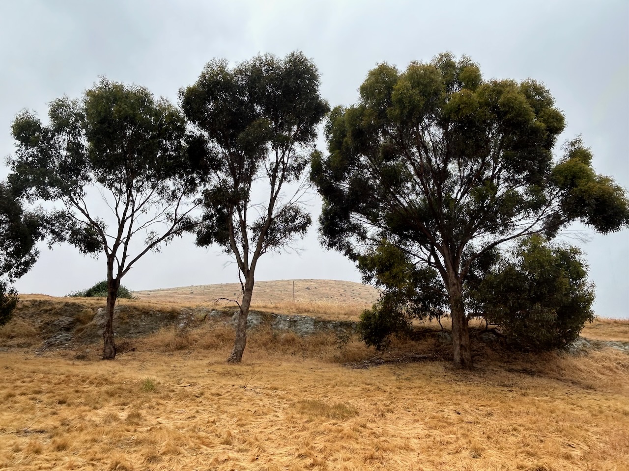
The reserve includes Mount Greenock, an extinct volcano. (Goldfields Guide 2024)
Above:- An aerial view of Mount Greenock. Image c/o Google Maps.
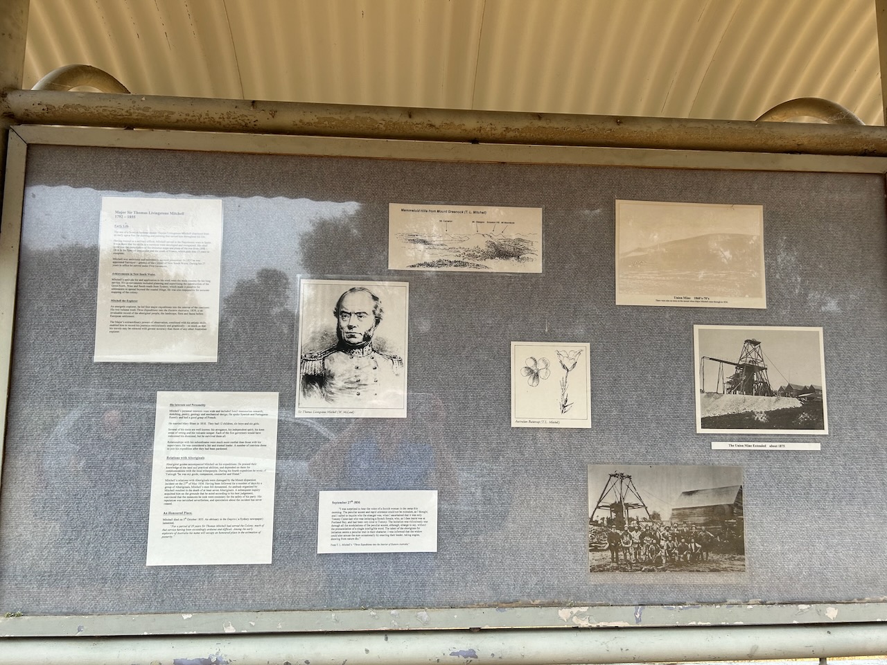
There is an excellent information board at the reserve that outlines the life and times of Major Mitchell.
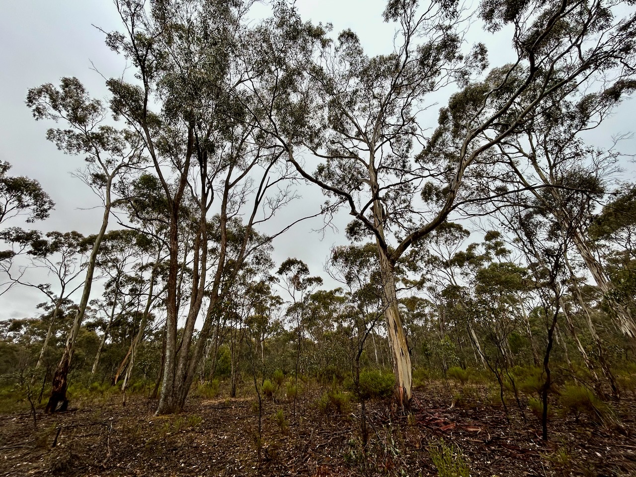
Unfortunately, we had constant drizzling rain during this activation so we operated from within the 4WD, running the Yaesu FT857, 40 watts, and the 20/40/80m linked dipole. I also used the COdan 930 antenna on 15m. There were severe static crashes on 40m, but despite that, we managed to qualify the park.
Marija worked the following stations on 40m SSB:-
VK3UAO
VK5HS
VK3PWG
VK2EXA
VK3VIN
VK3SQ
VK2BD
VK7DW
VK5VK
VK3PF
VK3KAI
VK3HJW
VK3XE/p (Baw Baw National Park VKFF-0020 & SOTA VK3/ VT-006)
VK3SG
VK2IO/p (Melrose Nature Reserve VKFF-3183)
I worked the following stations on 40m SSB:-
VK3UAO
VK5HS
VK3PWG
VK2EXA
VK3VIN
VK3SQ
VK2BD
VK7DW
VK5VK
VK3PF
VK3KAI
VK3HJW
VK3XE/p (Baw Baw National Park VKFF-0020 & SOTA VK3/ VT-006)
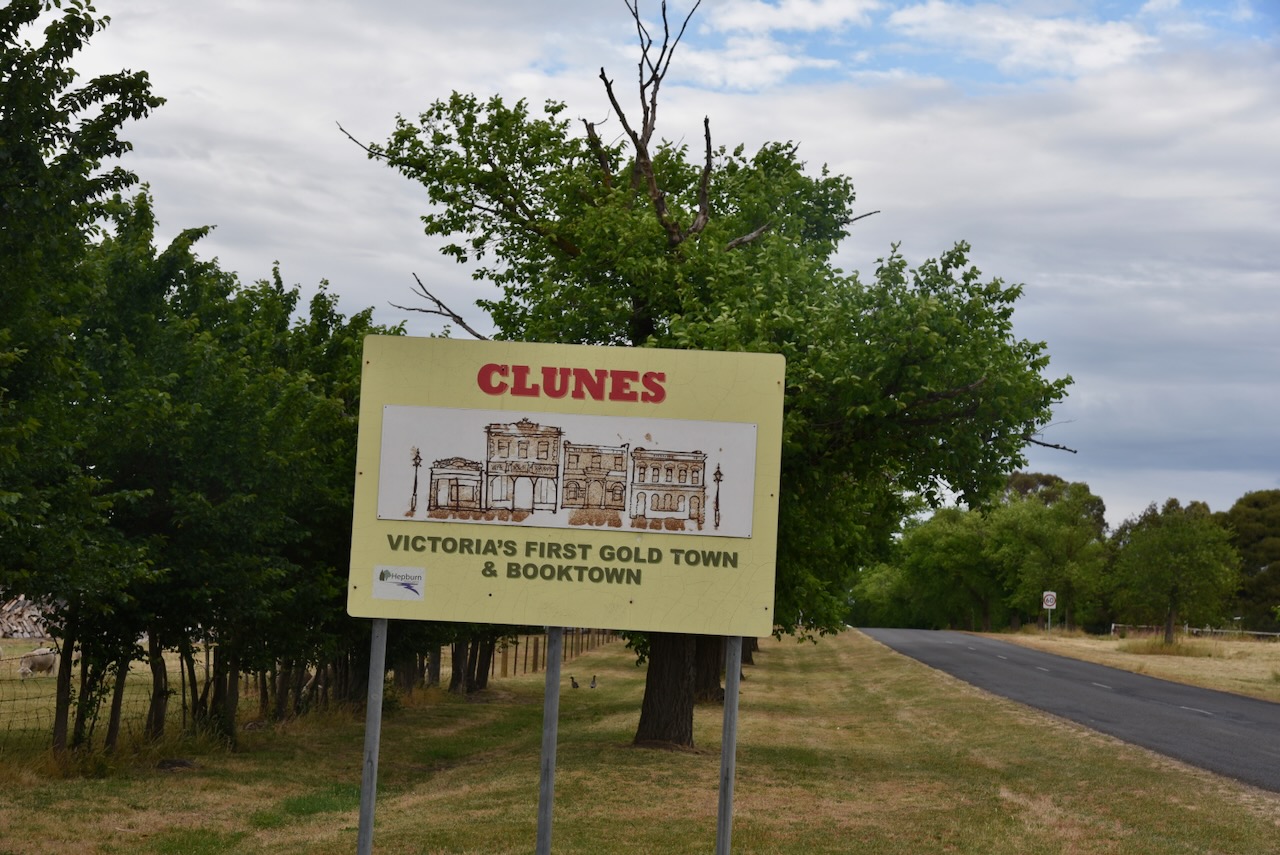
It was now Friday 24th November 2023, and our plans for the day were to visit the historic town of Clunes and undertake some park activations for the World Wide Flora Fauna (WWFF) program.
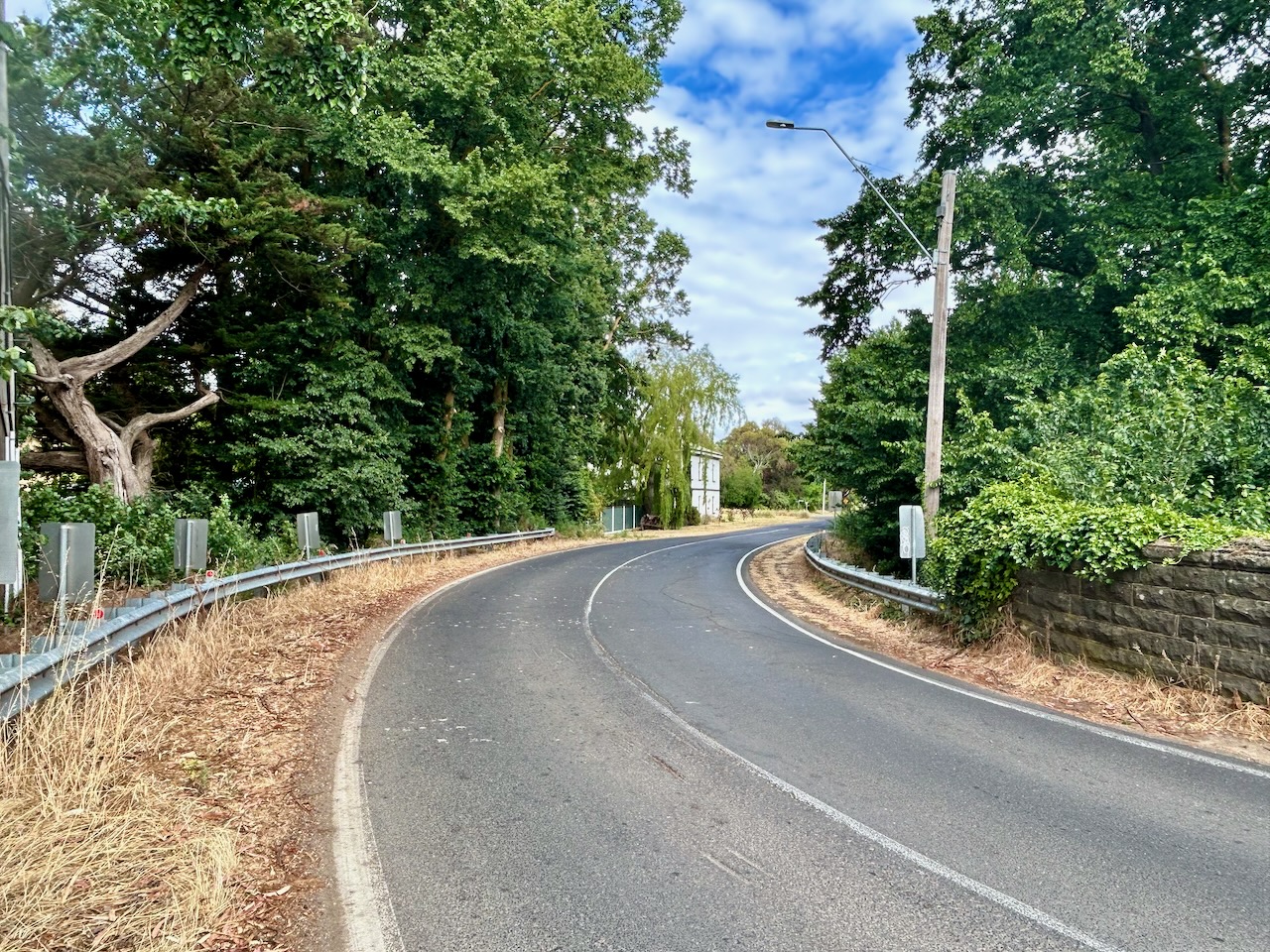
Marija and I hit the road quite early and travelled from our accommodation at Sandon to Clunes, a short distance of about 30 km.
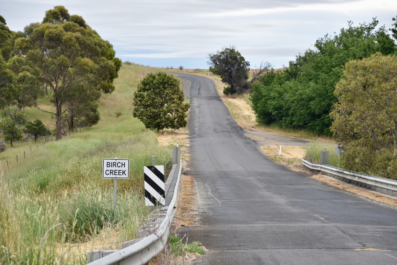
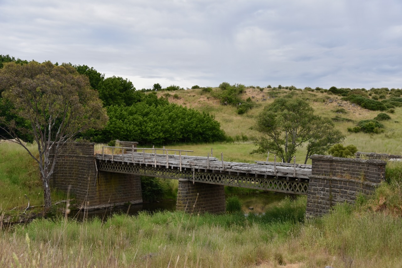
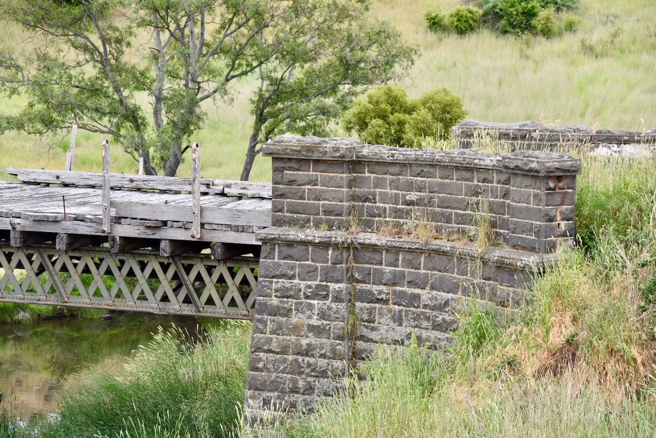
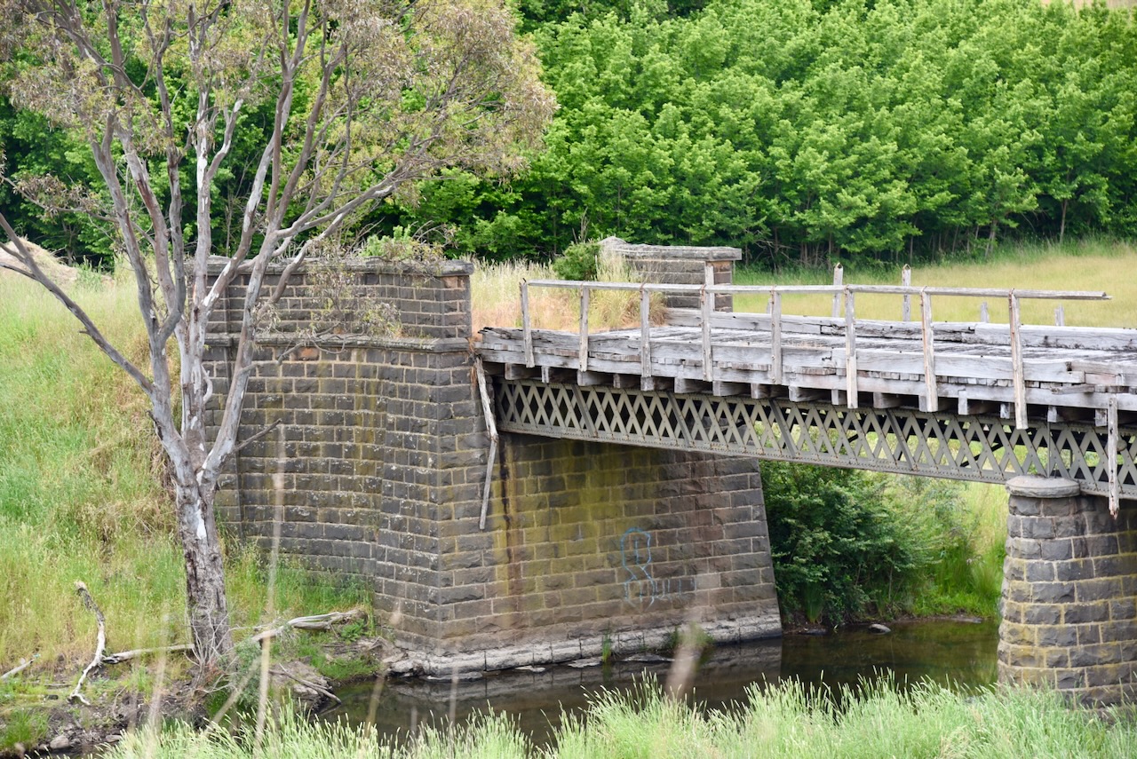
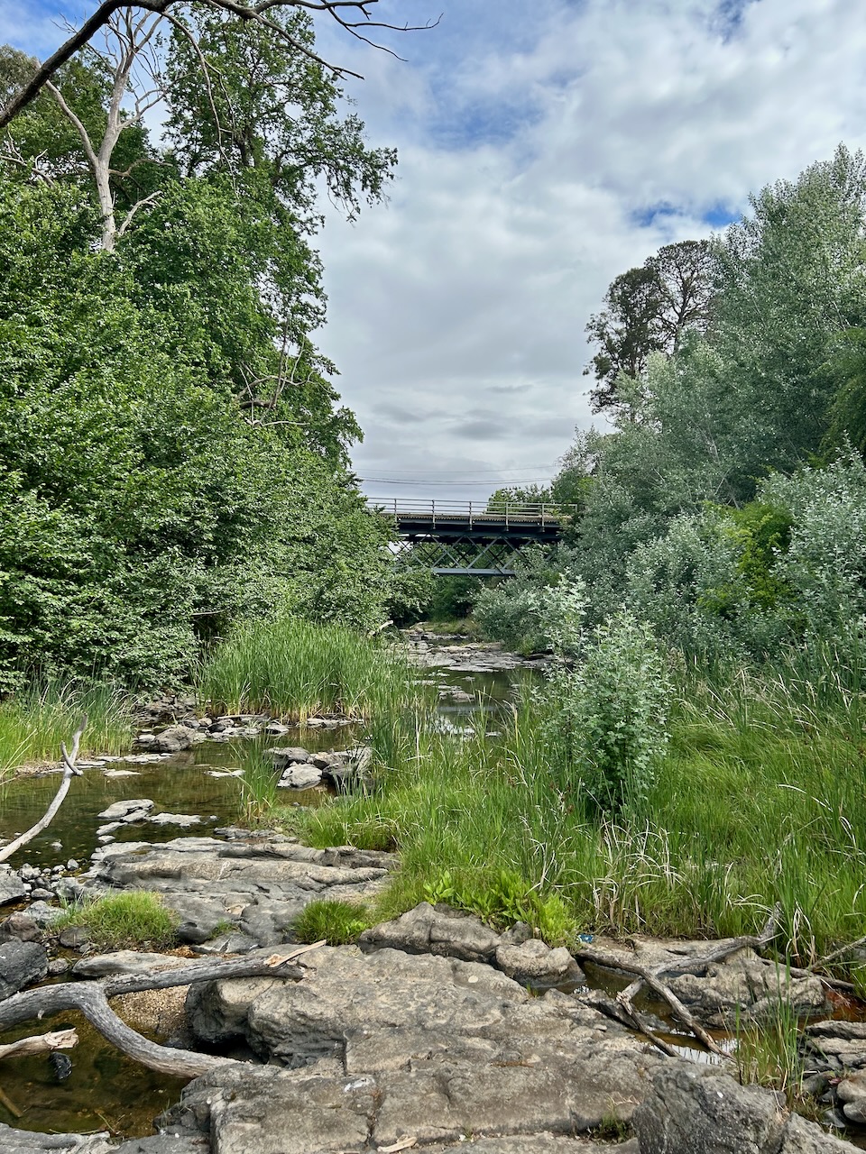
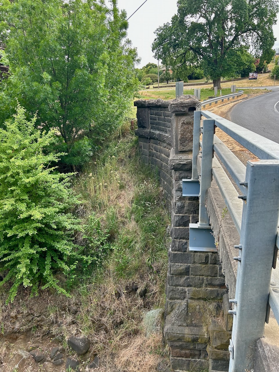
Our first stop of the day was the historic McLennan Bridge over Birch (Bullarook) Creek. The bridge was built in the 1870s, possibly by the Borough of Clunes. It is the third oldest existing Victorian metal truss bridge after the Glemona Bridge at Bung Bong and the nearby Jorgenson’s Bridge. The 14.2 metre span bridge has bluestone abutments and pier, and deck-type lattice trusses. It is one of a small number of riveted wrought iron lattice truss bridges that were built in Victoria to replace early timber bridges that were destroyed in the 1870 floods. (Victoria Heritage Database 2024) (Waymarking 2024)
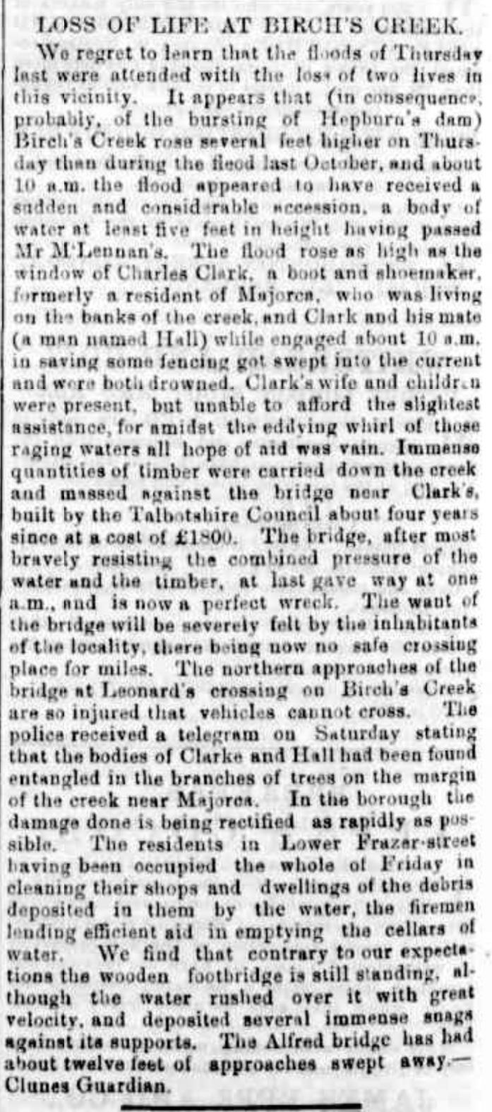
Sadly there was loss of life at Birch’s Creek during the record 1870 Victoria floods. The Illustrated Australian News, Mon 10 Oct 1870 stated “...the Murray, where extensive plains on either side of the river were suddenly converted into a vast lake.” (Floods in Victoria, Trove 2024)
The Mount Alexander Mail reported the loss of two lives at Birch’s Creek.
Above: article from the Mount Alexander Mail, Thu 15 Sep 1870. Image c/o Trove.
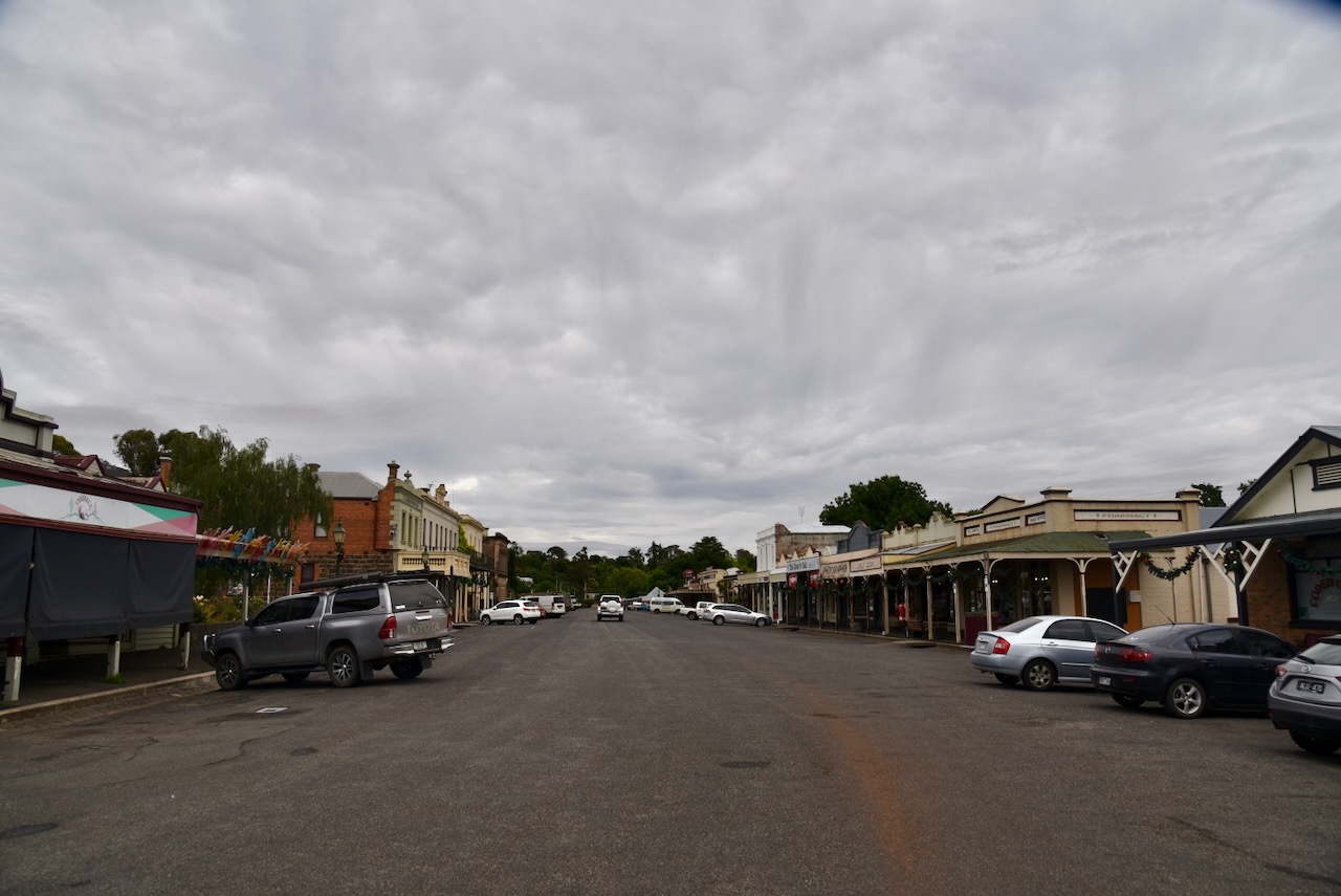
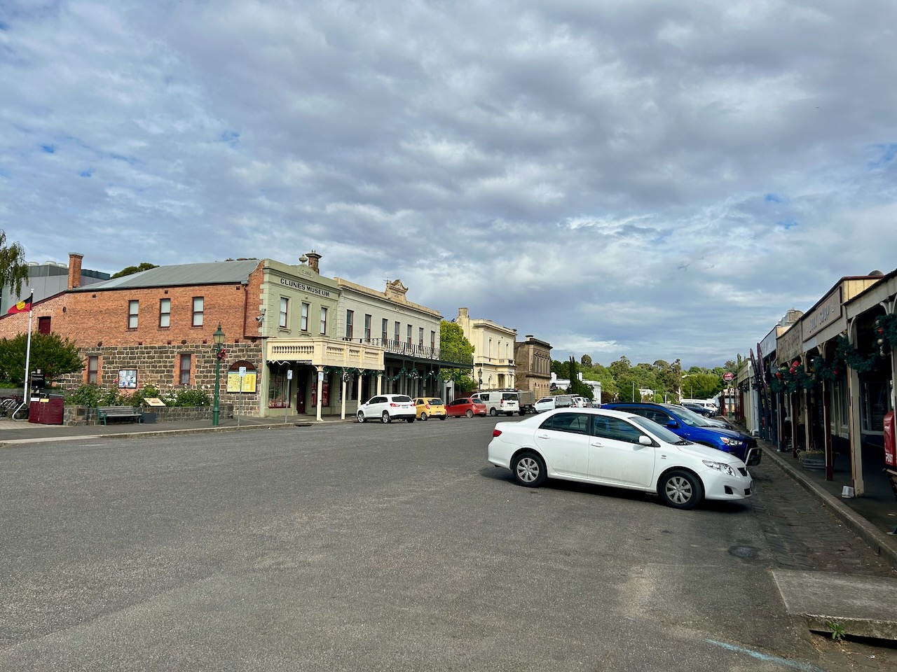
We soon reached the town of Clunes.
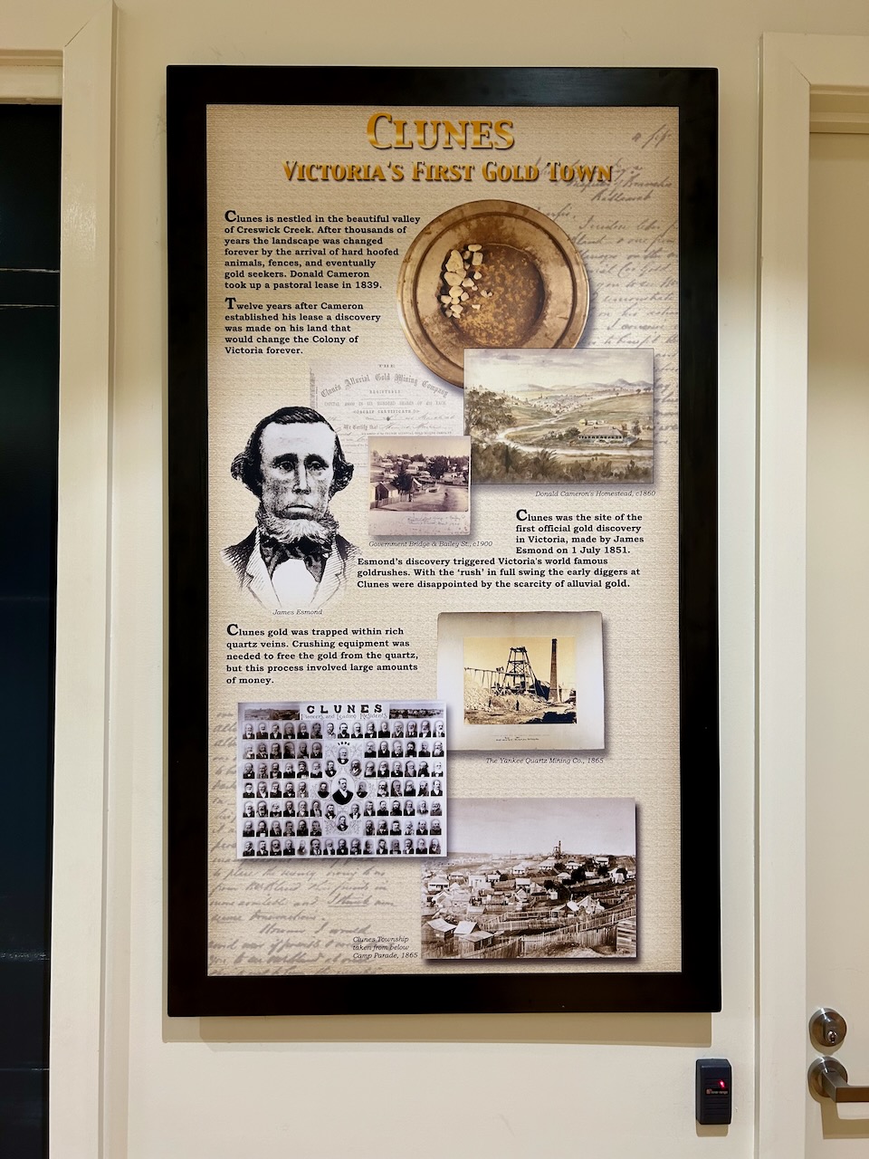
The first European settler in the area was Donald Cameron. He was born in Inverness, Scotland in 1818 and emigrated to Australia with his half-sister and her husband William Campbell. In 1839 he named his property Clunes after his home in Scotland. In Gaelic, Clunes means ‘a green place’. This area is now known as Cameron Reserve. Donald and William settled a few miles apart. A few years after settling in the area, Donald returned to Scotland where he was married. (Clunes and Glenelg 1931) (Monument Australia 2024) (State Library Victoria Clunes 2013) (Victorian Places 2024)
Above:- the station of Donald Cameron, c. 1840s. Image c/o State Library Victoria.
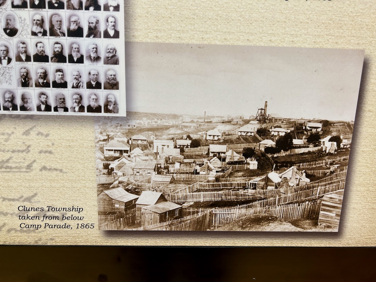
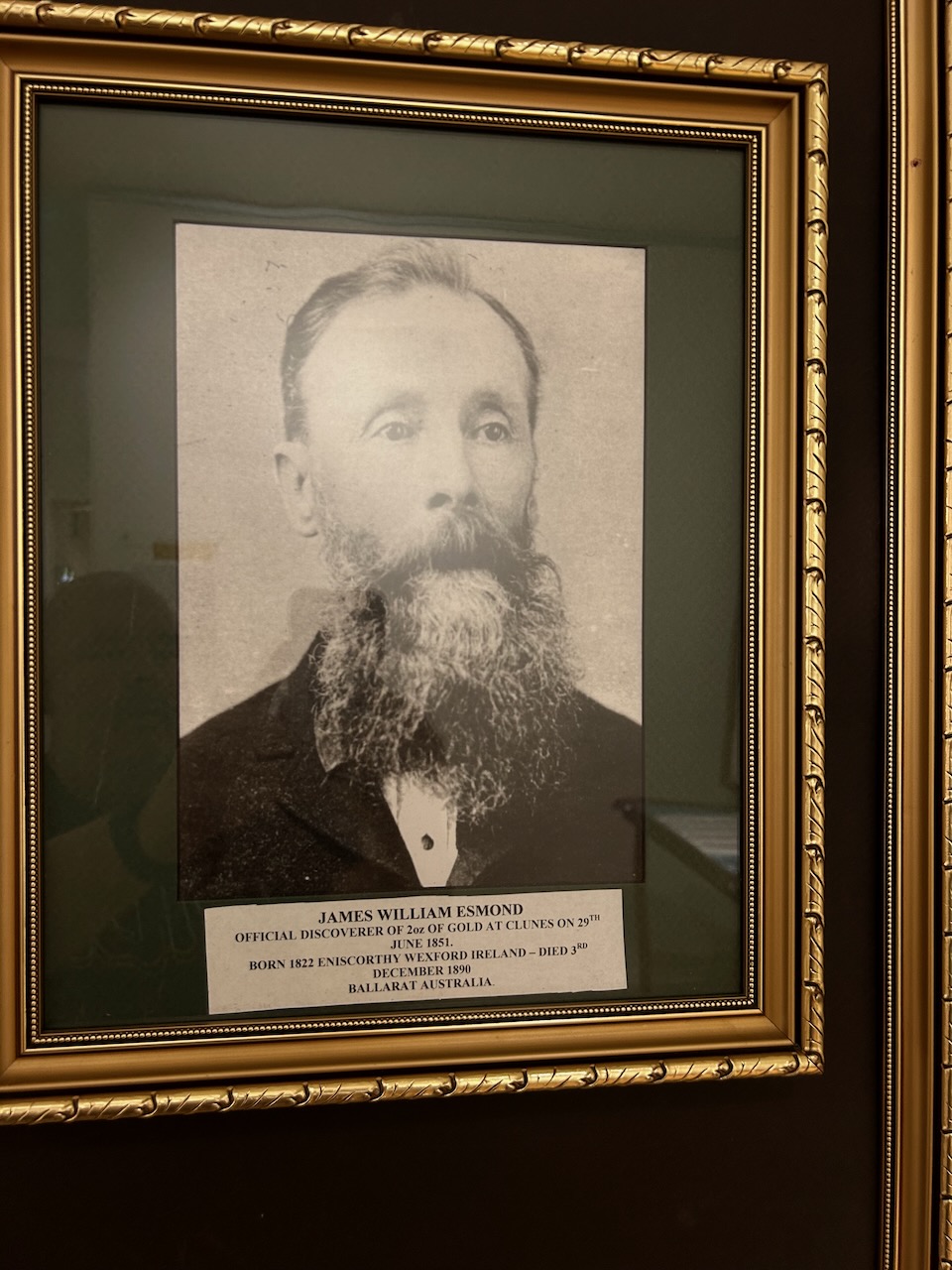
In 1851 one of Victoria’s first official gold discoveries occurred at Clunes and this resulted in a gold rush for alluvial gold along Creswick Creek. This was followed by a larger operation to extract gold from the quartz reefs mear Clunes. (Victorian Places 2024)
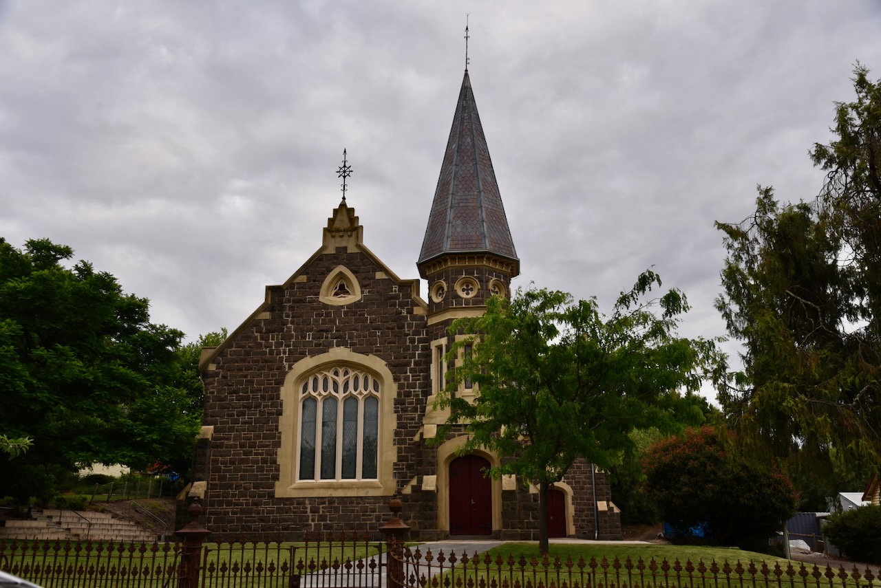
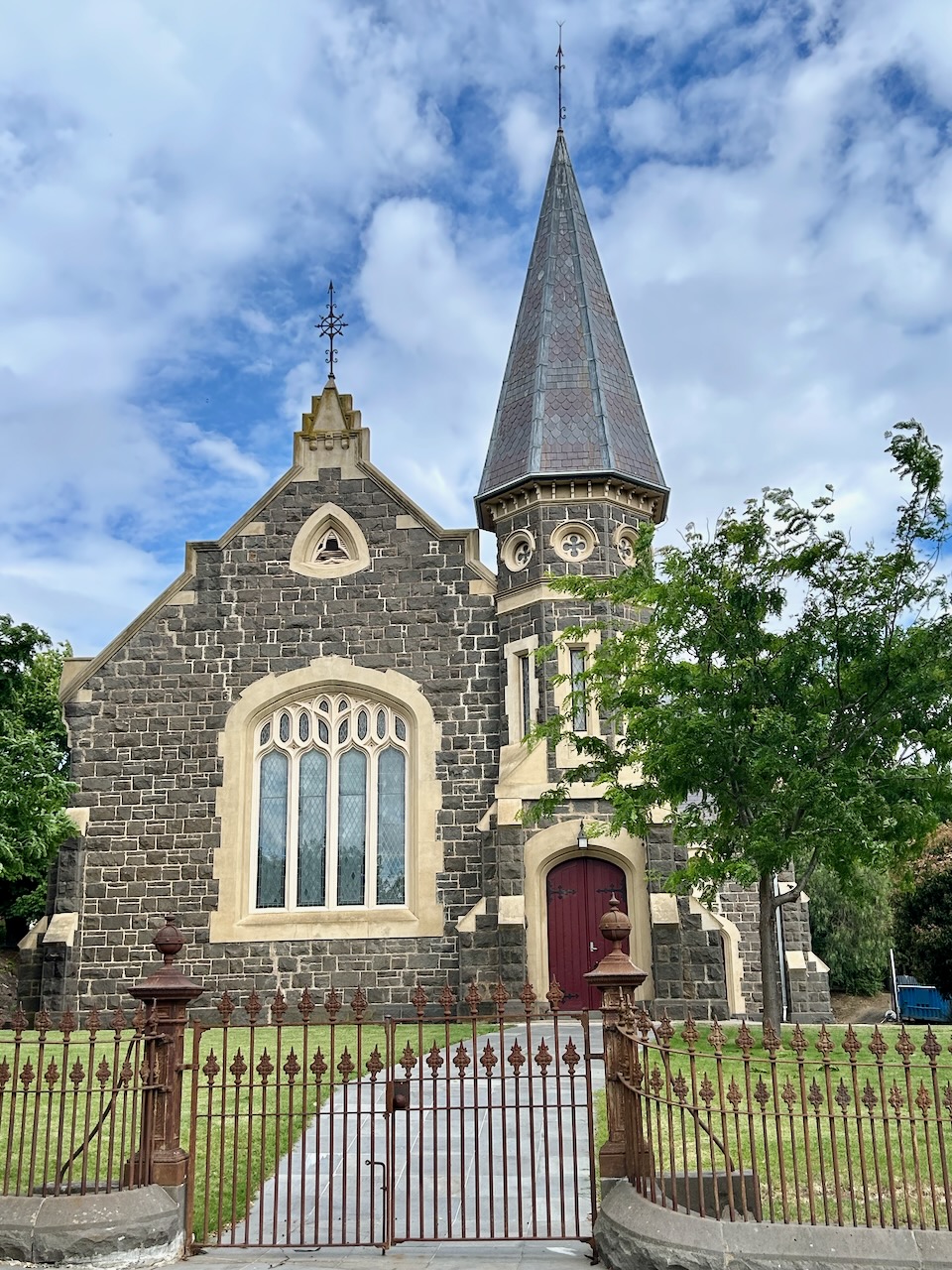
An Anglican Church was built in 1859. By 1860 the Clunes borough had a population of about 6,000 people. In 1862 a Presbyterian Church was built and this was followed by a Primitive Methodist church in 1868. The North Clunes School was opened in 1875. The South Clunes School opened in 1878. (Victorian Places 2024)
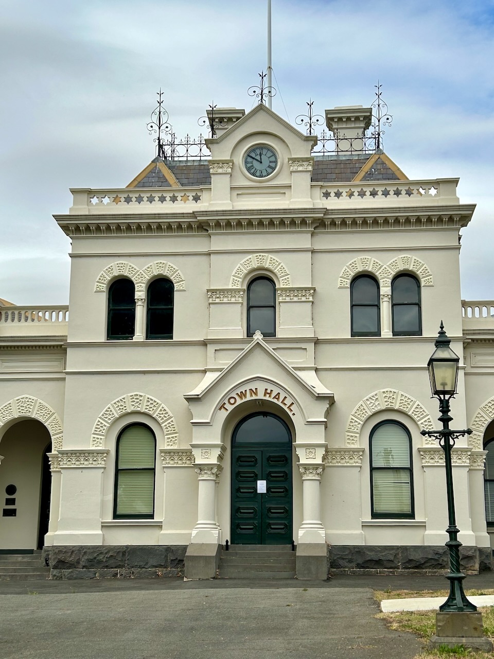
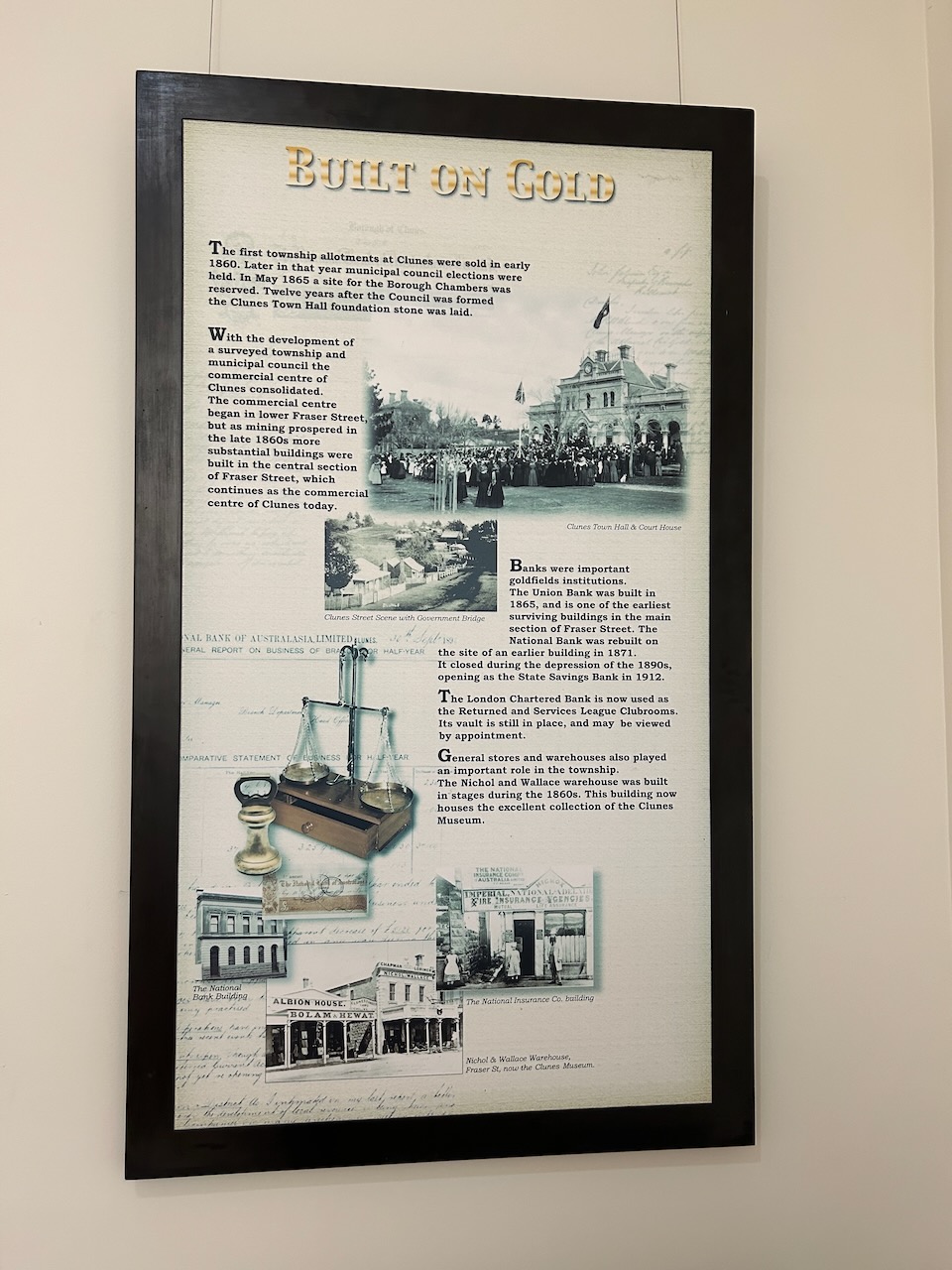
Several civic buildings were constructed in Clunes during the 1870s. This included a hospital in 1873, a Town Hall and Courthouse in 1873, and a Mechanics Institute in 1874. (Victorian Places 2024)
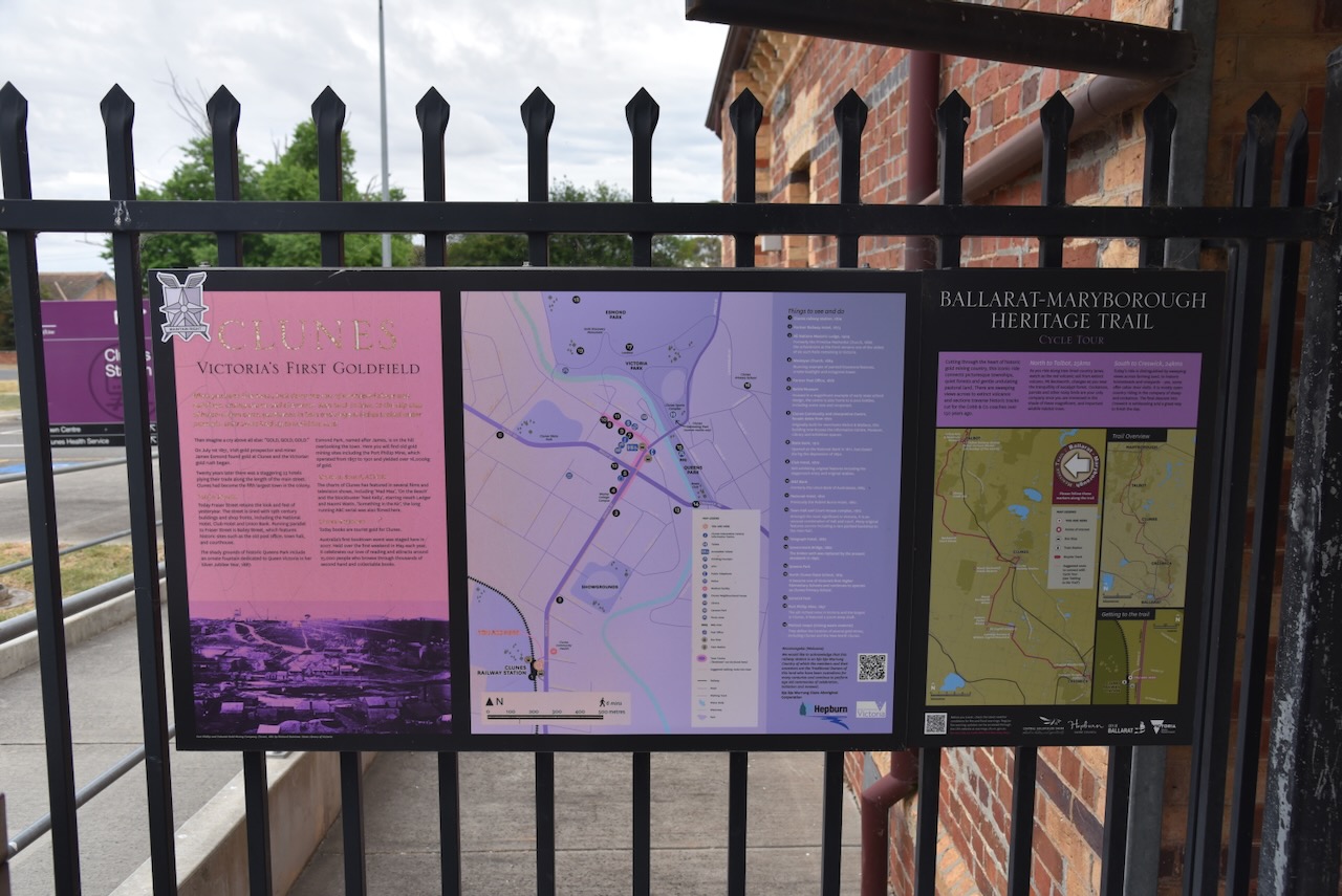
In 2010, Clunes was declared Australia’s first International Booktown by the International Organisation of Booktowns. Each year Clunes runs a two day festival which is full of author and artist talks, workshops, and live entertainment for the whole family. (Clunes Booktown 2024)
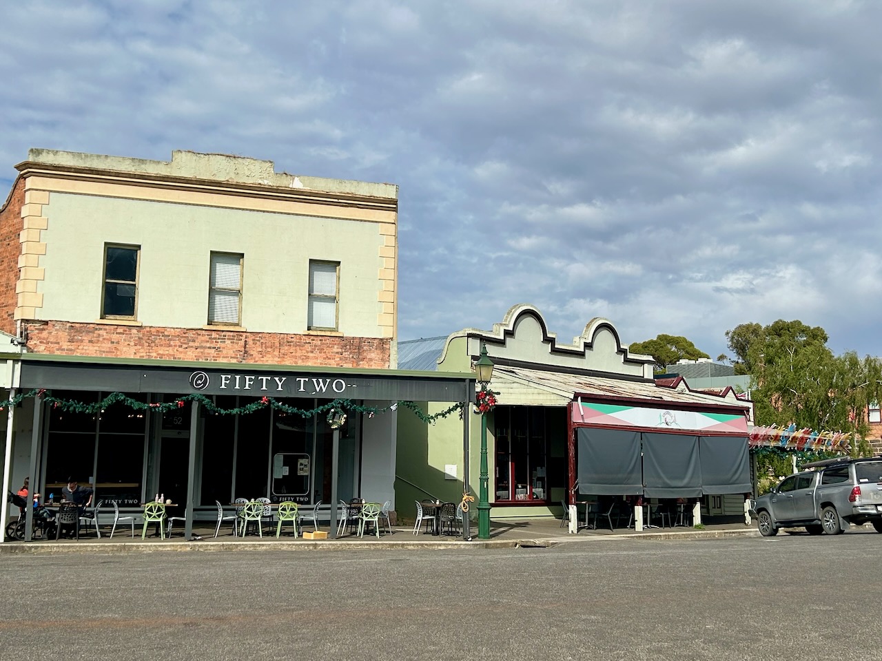
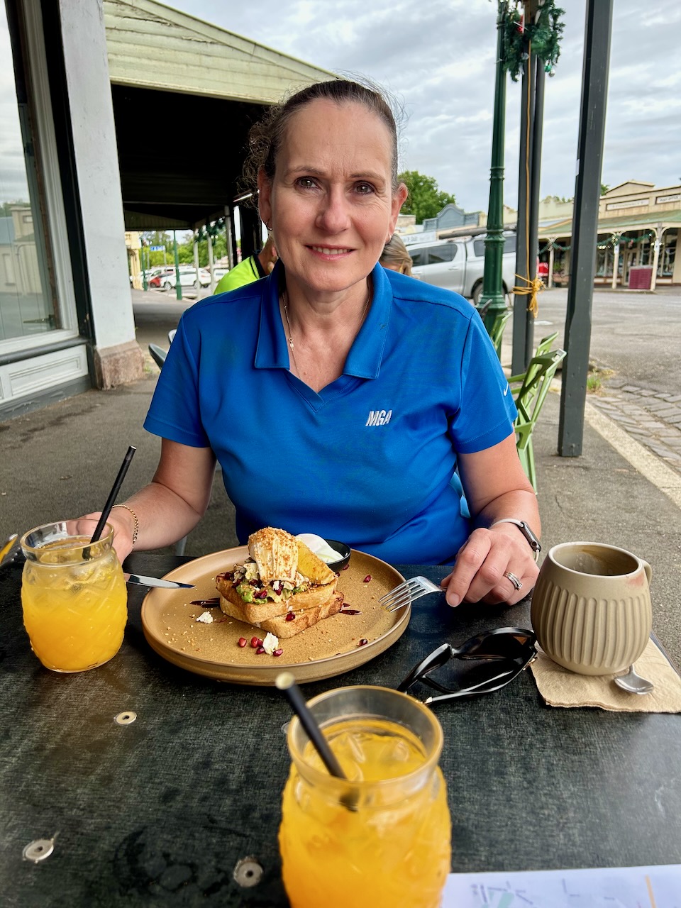
Before exploring this historic town, Marija and I enjoyed a magnificent cooked breakfast at one of the local cafes called ‘Fifty Two’.
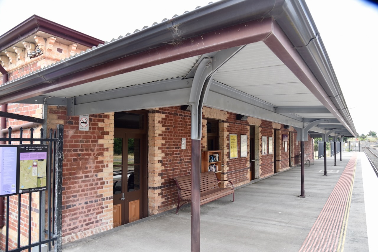
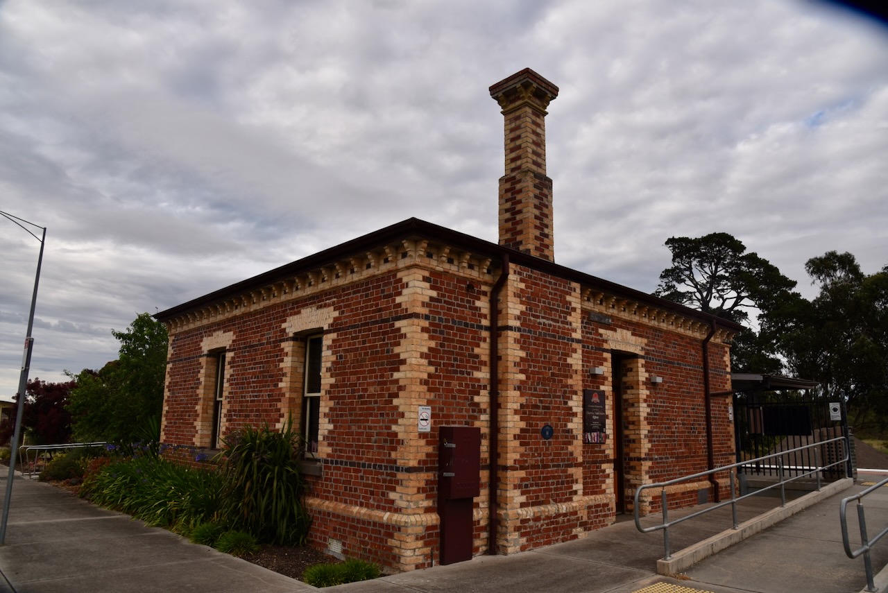
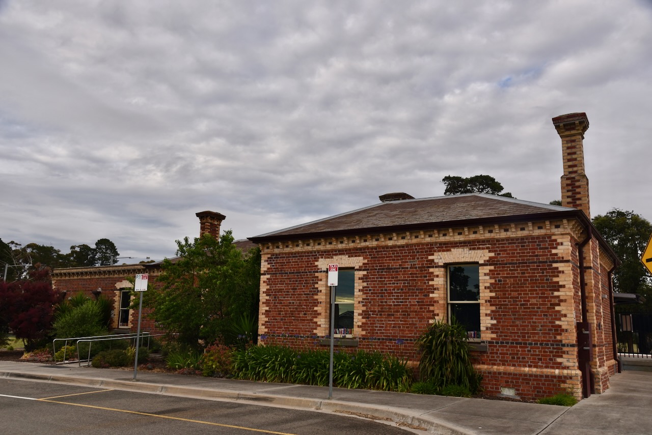
Our first stop after breakfast was the historic Clunes Railway Station which was built in 1874. The contract for the construction of the station was dated 25th September 1874. The building was completed by J. Short, with the cast iron verandah being supplied by Robinson Brothers. The water tower, crane and can goods shed were demolished in the 1980s. In 1993 the last passenger train passed through Clunes. In June 2010 it was announced that the Clunes Railway Station would reopen. (Waking up in Geelong)
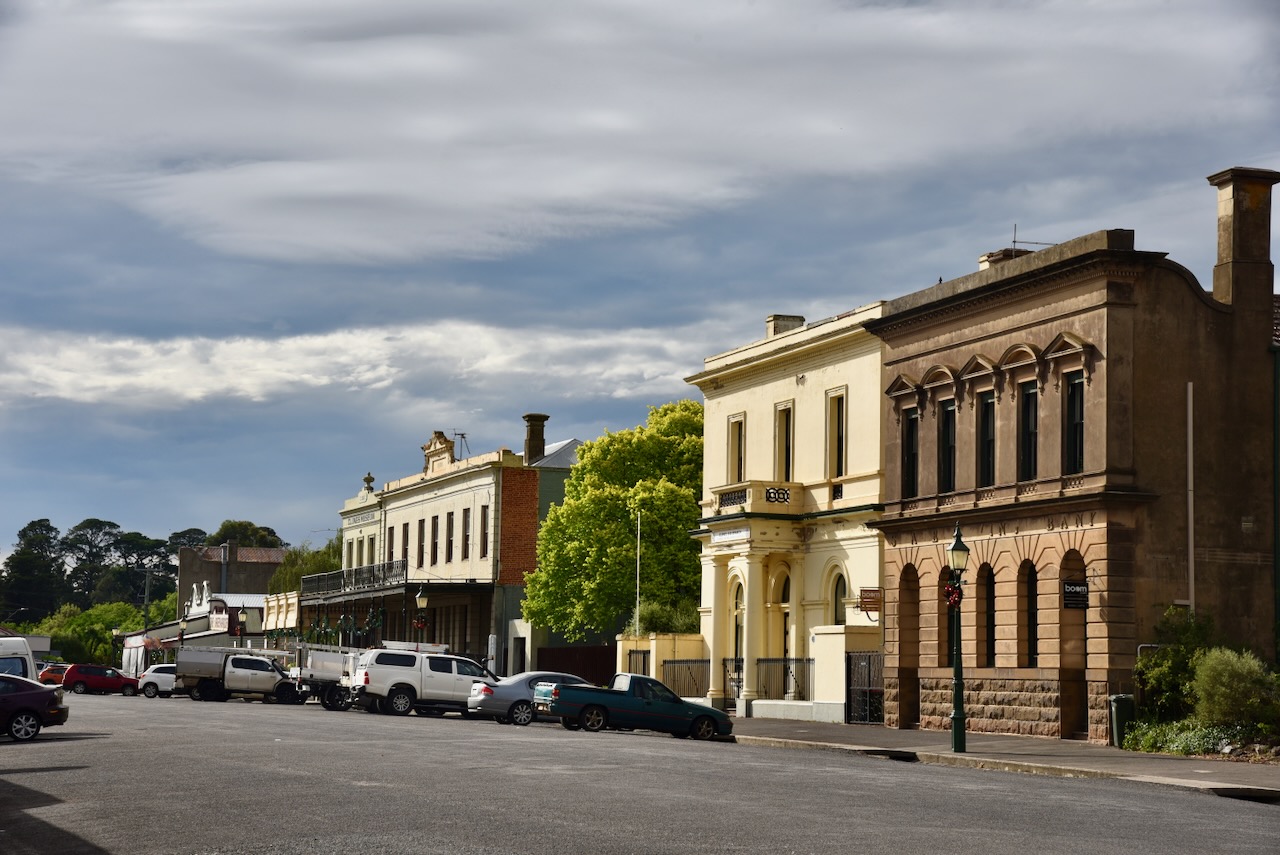
The former Telegraph Hotel, built in c. 1865 is located on the corner of Bailey and Fraser Street. The hotel closed on the 31st day of December 1916 and is now used as a Bed and Breakfast. In 1916, Licensing Court hearings conducted by the Licenses Reduction Board identified numerous hotels across Victoria where the licenseswere to undergo a review and recommendations made for some of those hotels being forced to close. The Telegraph Hotel was not included on the list of hotels to be closed, however the owners voluntarily surrendered their license and the owner was paid £410 in compensation. (Hotels of Ballarat 2024) (Walking Maps 2024)
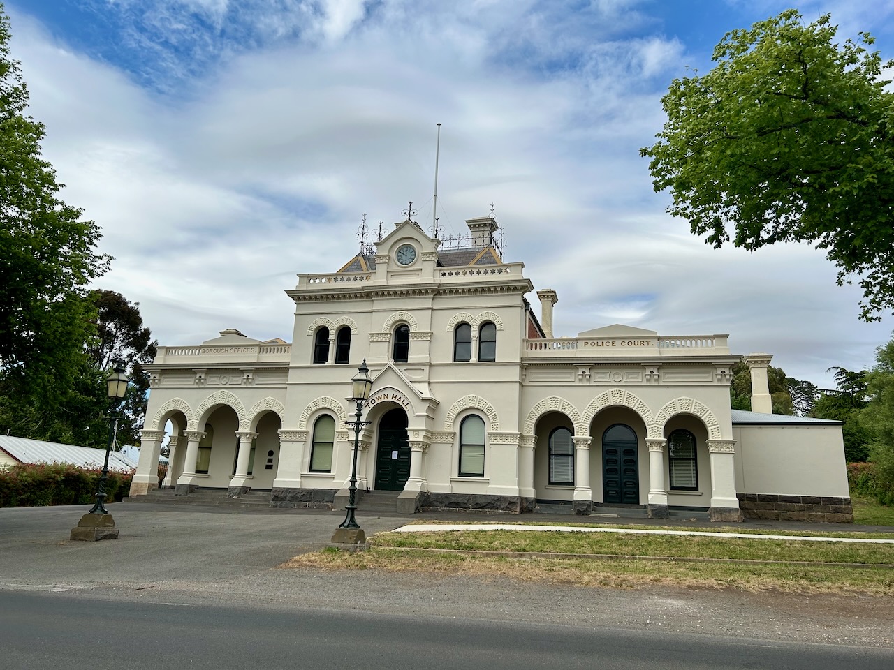
The foundation stone of the Clunes Town Hall was laid by the Chief Secretary of Victoria, Charles Gavan Duffy in April 1872. The building opened in May 1873. The building was designed by architect Percy Oakden, and built by William Cowland. Both these men were responsible for the construction of the Ballarat Town Hall. (Heritage Council Victoria 2024) (Walking Maps 2024)
The Clunes Post and Telegraph Office was constructed in 1879 by Messrs Lewis and Roberts at a cost of £4099. The kitchen outbuildings were constructed by Charles Morgan & Co for an additional £279. It replaced a smaller Post office building that was built in 1861. (Heritage Council Victoria 2024)
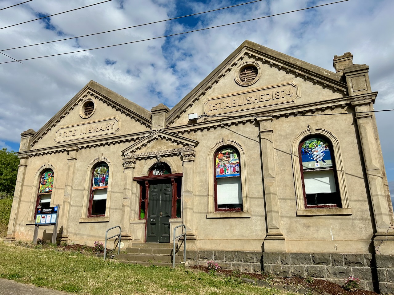
The Clunes Mechanic Institute was built in 1874. (Walking Maps 2024)
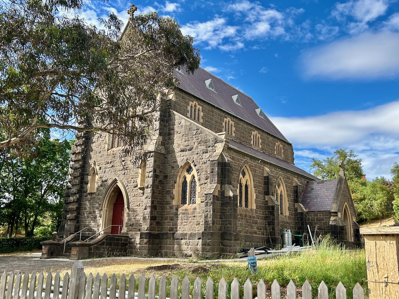
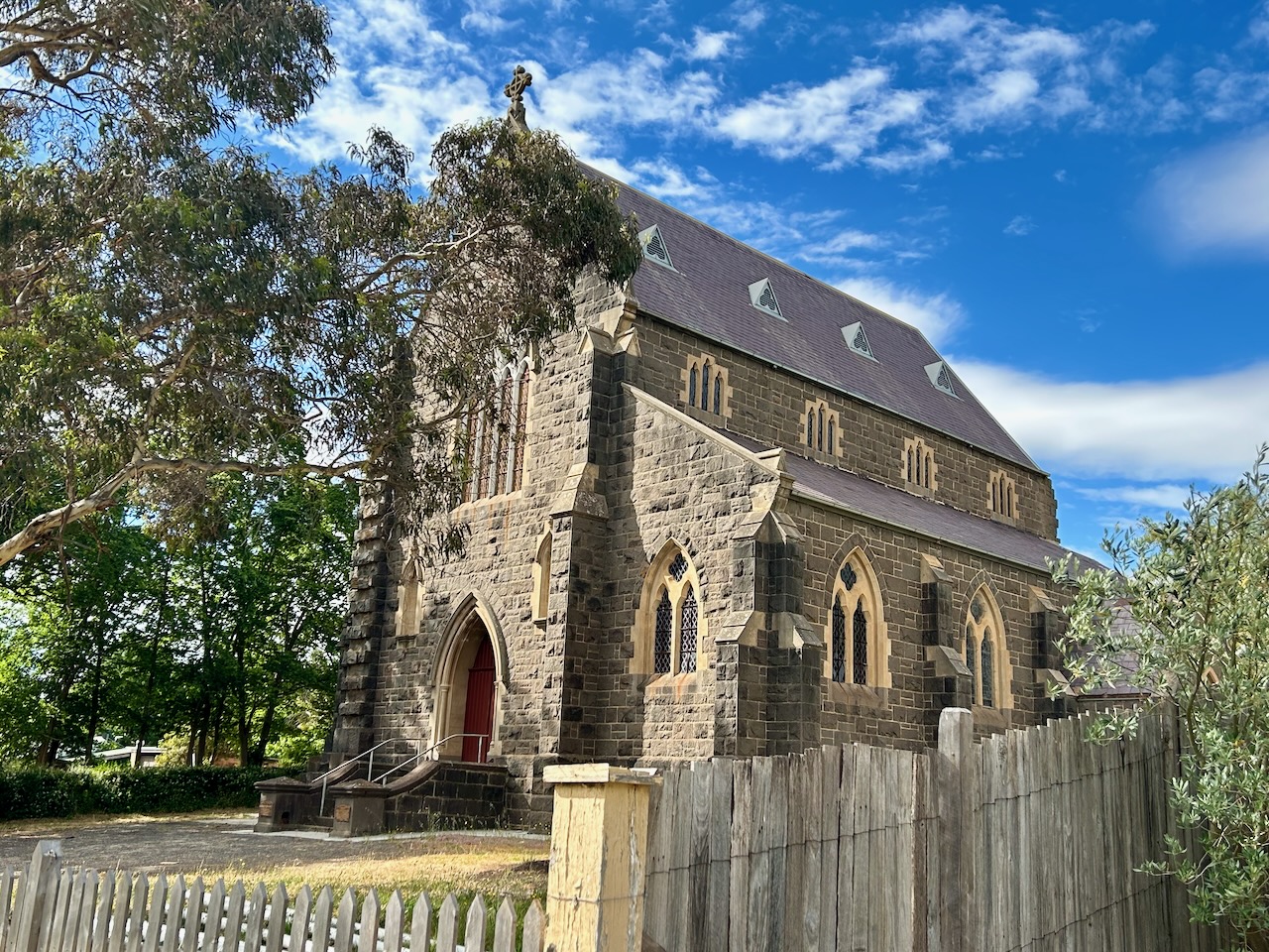
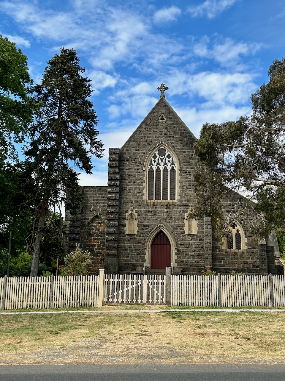
The foundation stone of St Thomas Aquinas Catholic Church was laid by Bishop Goold of Melbourne, on the 9th day of March 1878. The church closed on the 27th day of May 2018. (Churches Australia 2024) (Walking Maps 2024)
The former Wesleyan Methodist church was built in 1864.
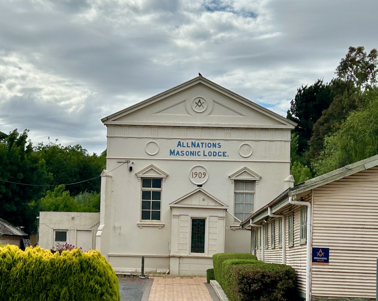
The All Nations Masonic Lodge was first built as the Primitive Methodist Church in 1868, closing in 1907. (Walking Maps 2024)
The former Railway Hotel was established in 1873 and closed in 1916. It was one of six hotels in the Clunes district closed by the License Reduction Board. The owner received £225 compensation.(Ballarat Hotels 2024)
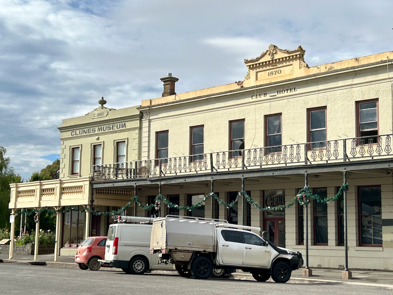
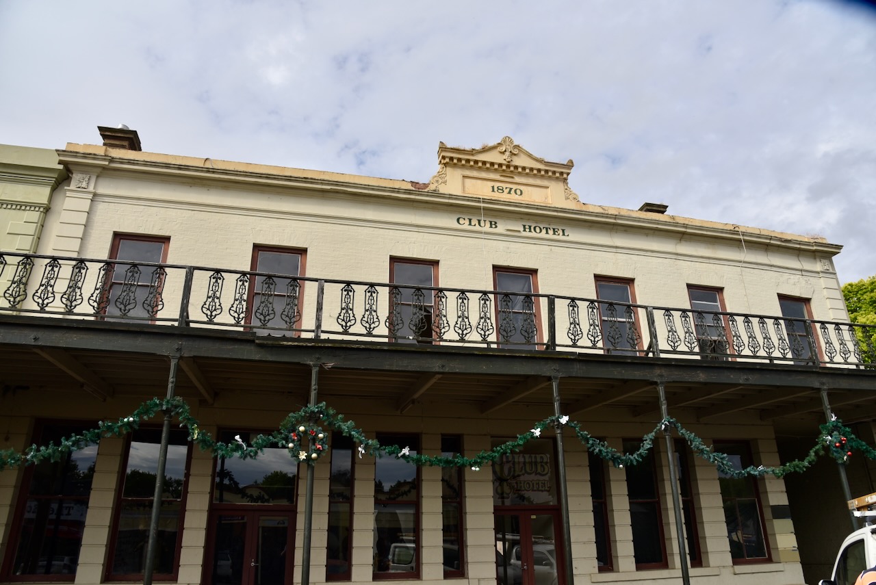
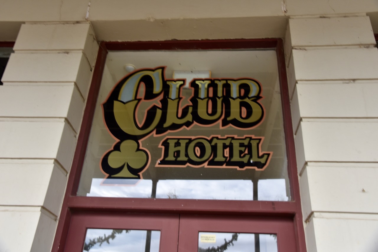
The Club Hotel was built in 1870. It was one of a number of hotels built in Fraser Street, Clunes during the late 1860s and early 1870s. The hotel was constructed by owner and occupier, Griffin Wiles. (Victoria Heritage Council 2024) (Walking Maps 2024)
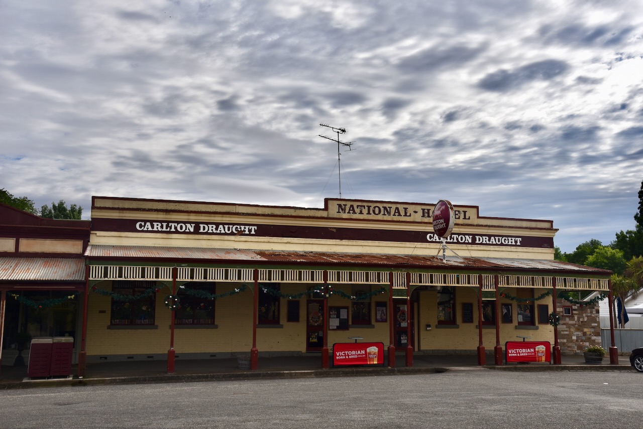
The National Hotel was built in 1860. (Walking Maps 2024)
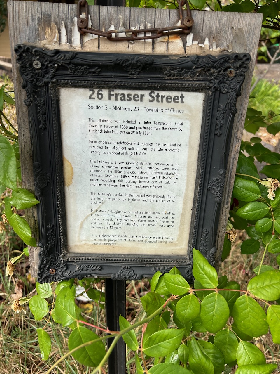
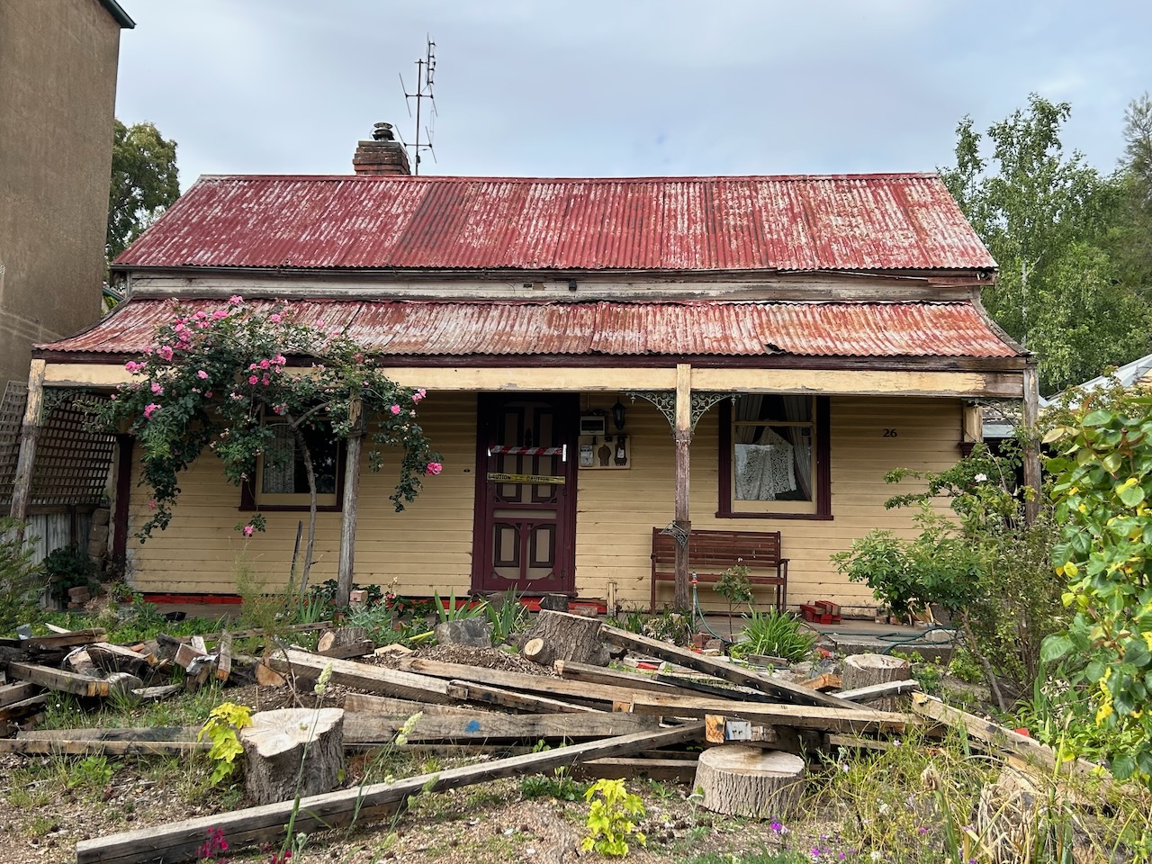
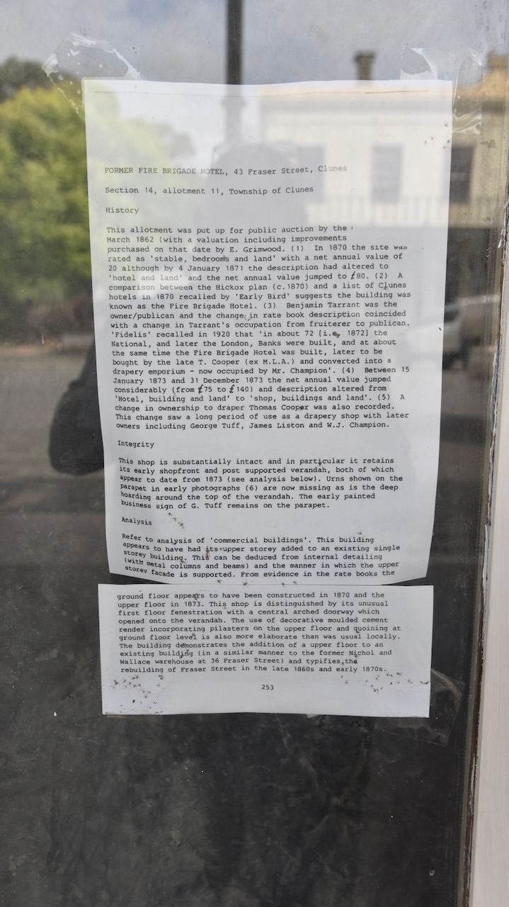
Section 3-Allotment 23-Township of CLunes (26 Fraser Street) was included in the initial Clunes township survey of 1858. The building served as an agent of the Cobb & Co until the late 1800s.
This store and cottage was built in 1853. (Walking Maps 2024)
The Union Bank was built in 1865. (Walking Maps 2024)
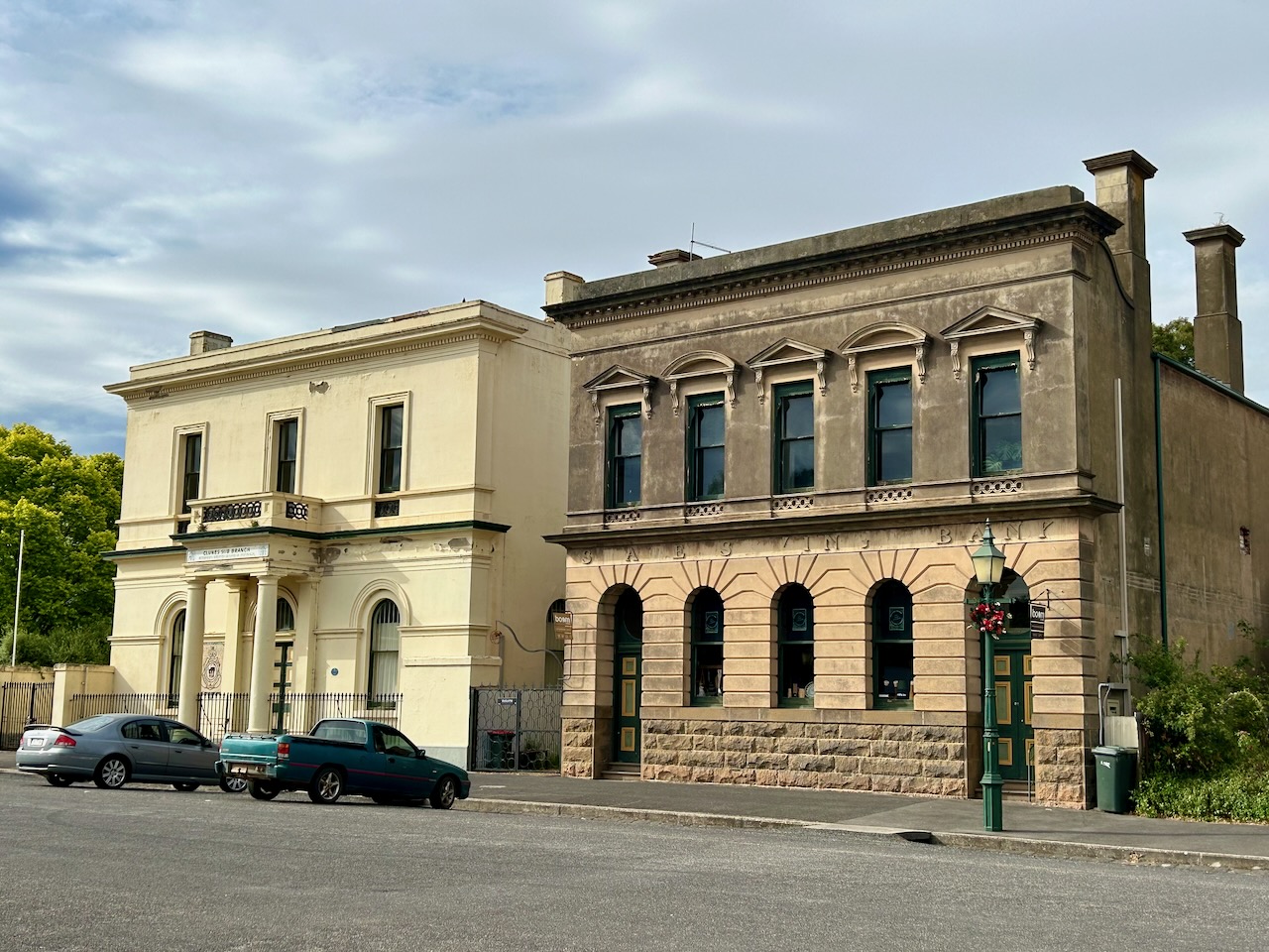
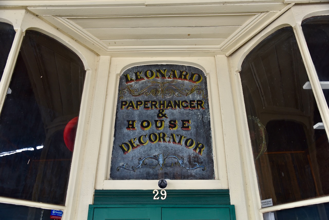
The English, Scotish and Australian Bank (ES & A) was built in 1871 and was designed by leading Melbourne architect Leonard Terry. He was responsible for the design of over 50 major bank branches in Victoria. Terry is regarded as one of the most important bank architects in Victoria at the time. (Heritage Council Victoria 2024) (Walking Maps 2024)
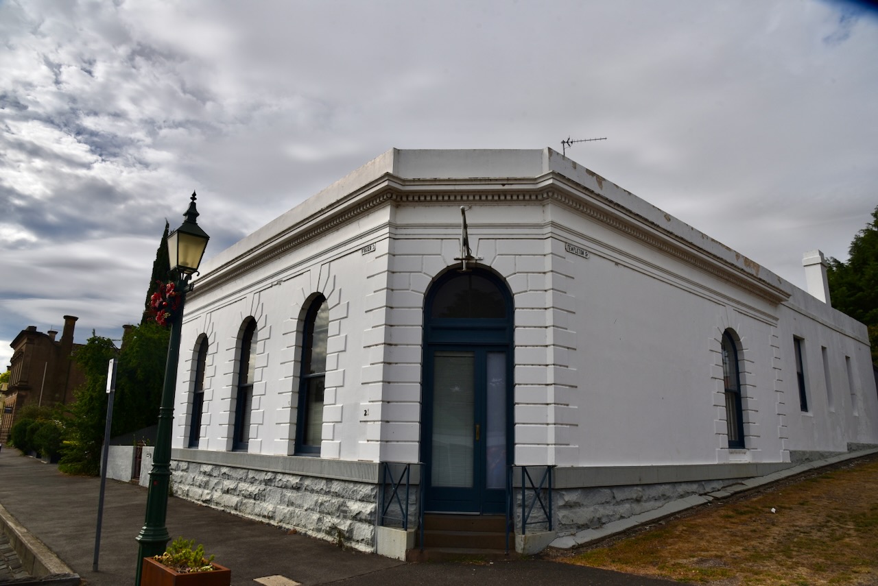
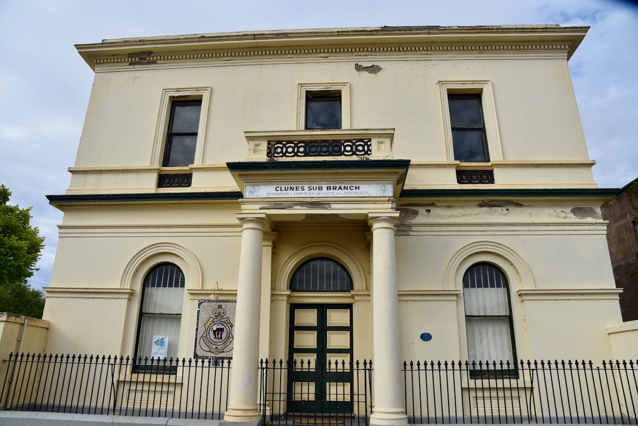
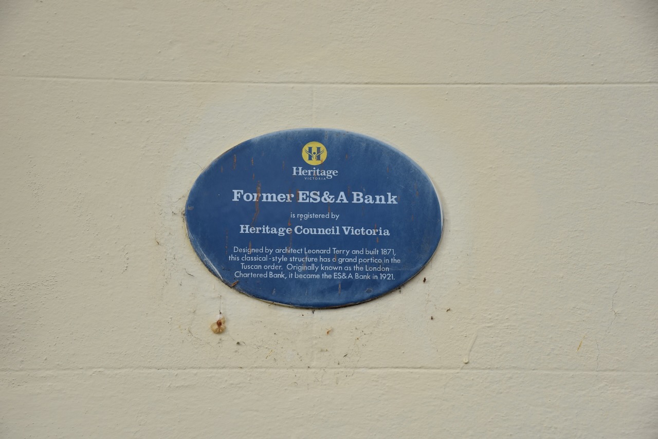
The London Chartered Bank was built in 1871 by architect Leonard Terry, and is now used by the RSL. (Heritage Council Victoria 2024)
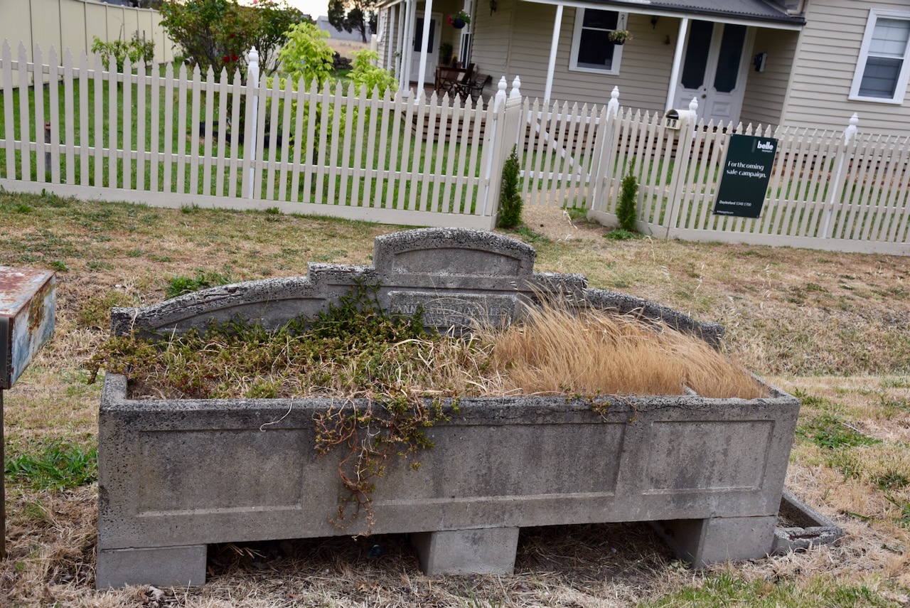
And of course, Clunes has a Bills horse trough.
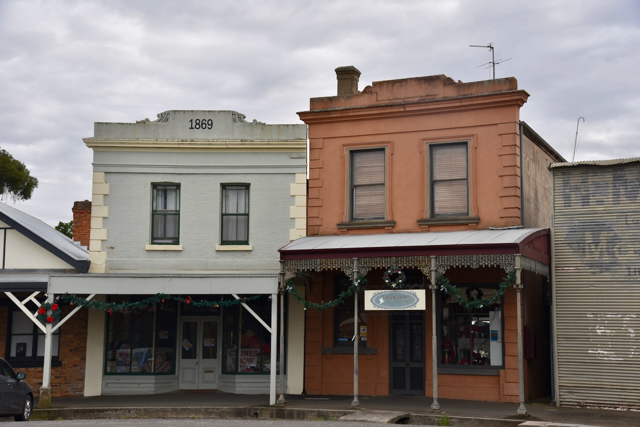
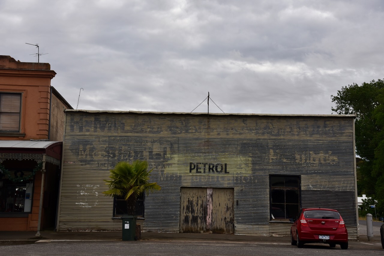
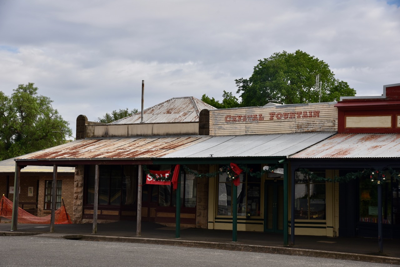
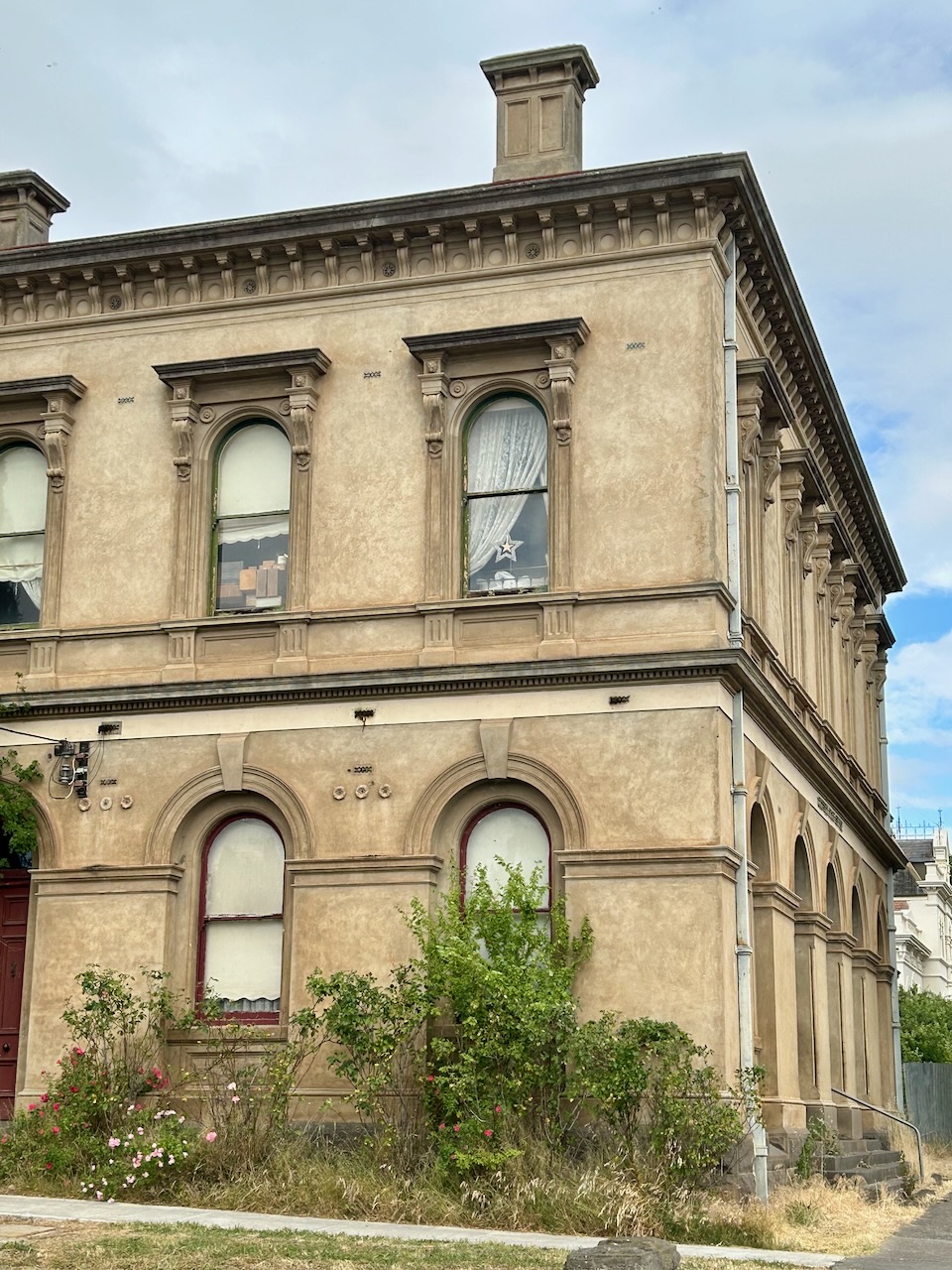
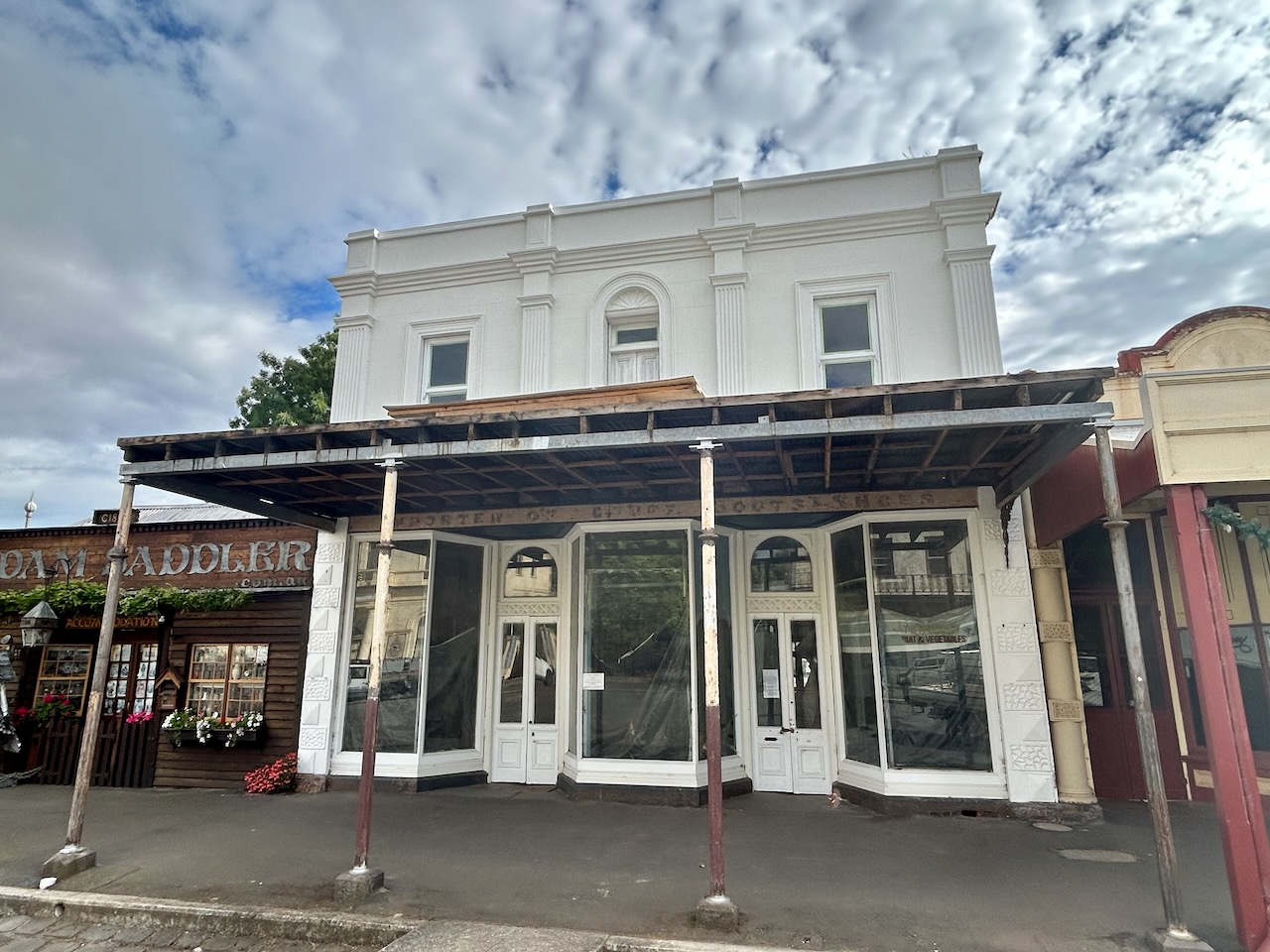
There is so much history in this town. Allow yourself at least half a day to have a good look around.
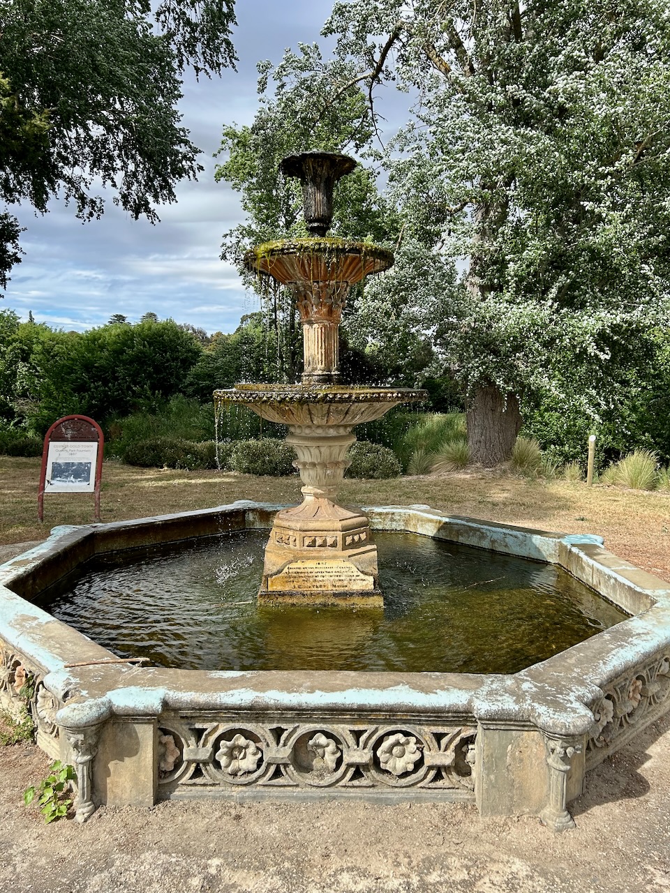
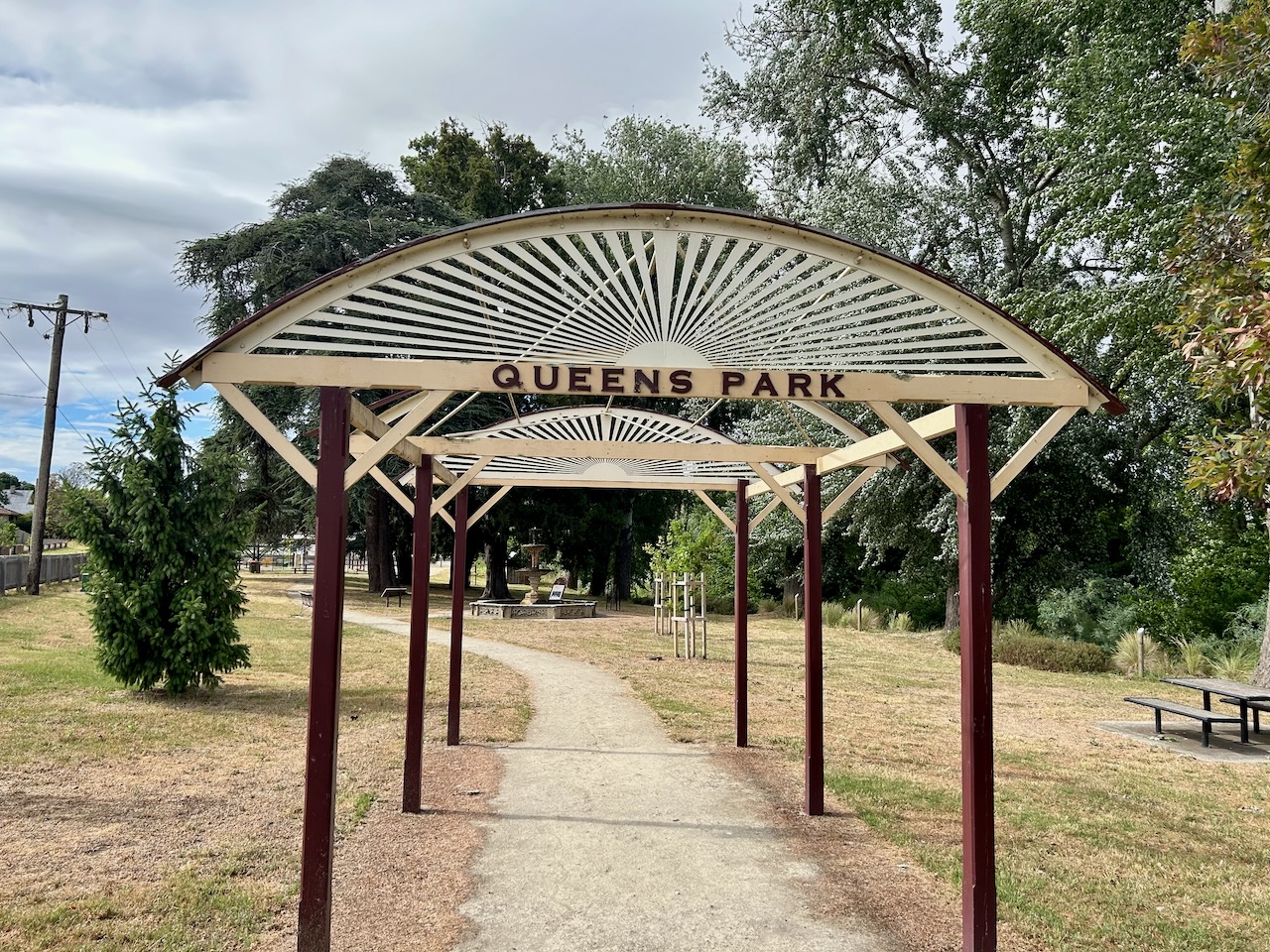
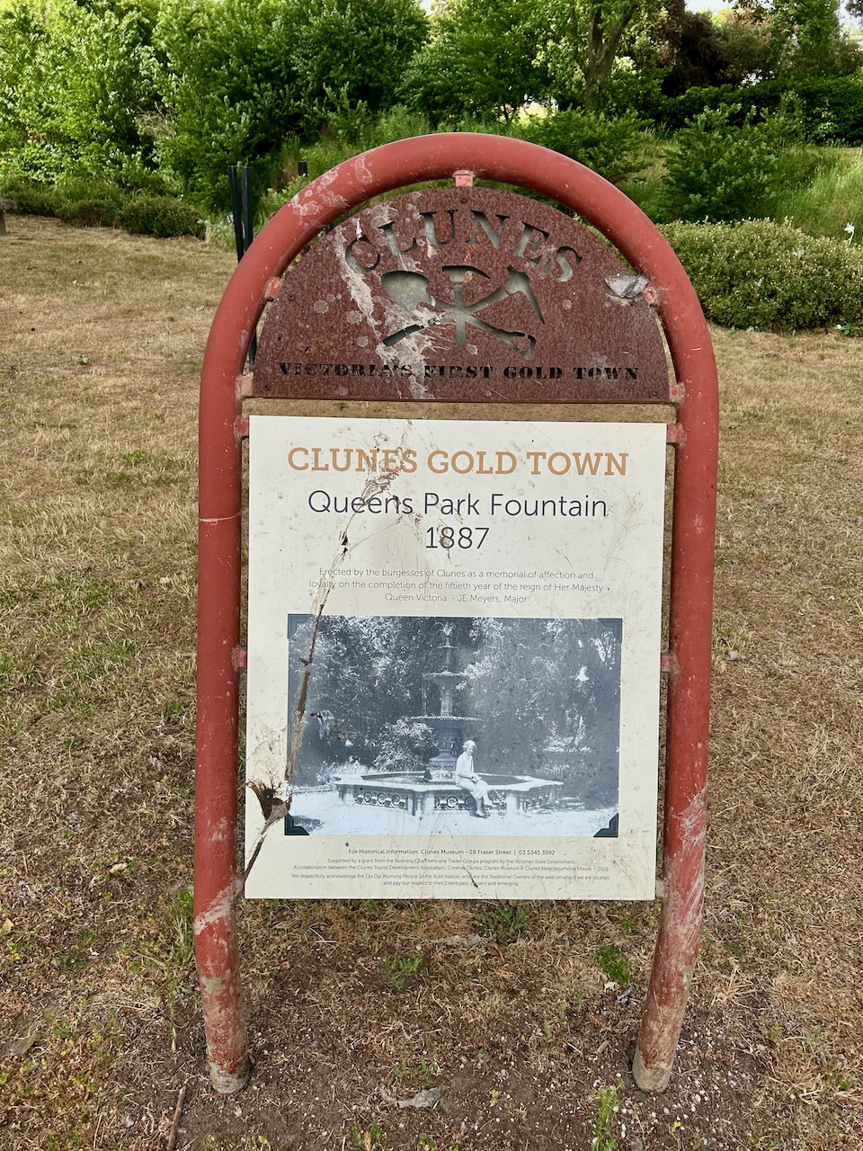
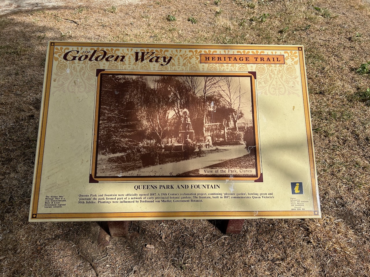
We then stopped in at Queens Park and the Queens Fountain which was erected by the Burgesses of Clunes as a memorial of affection and loyalty on the completion of the 15th year of the reign of Her Majesty Queen Victoria.
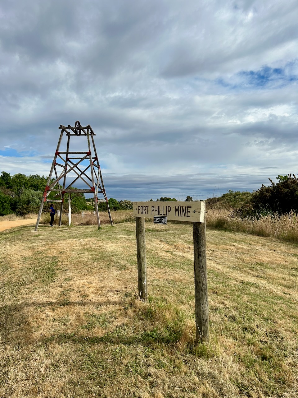
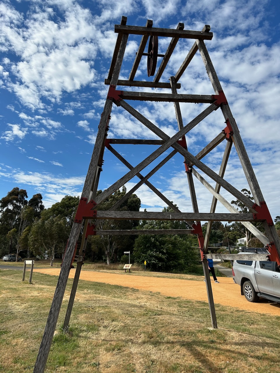
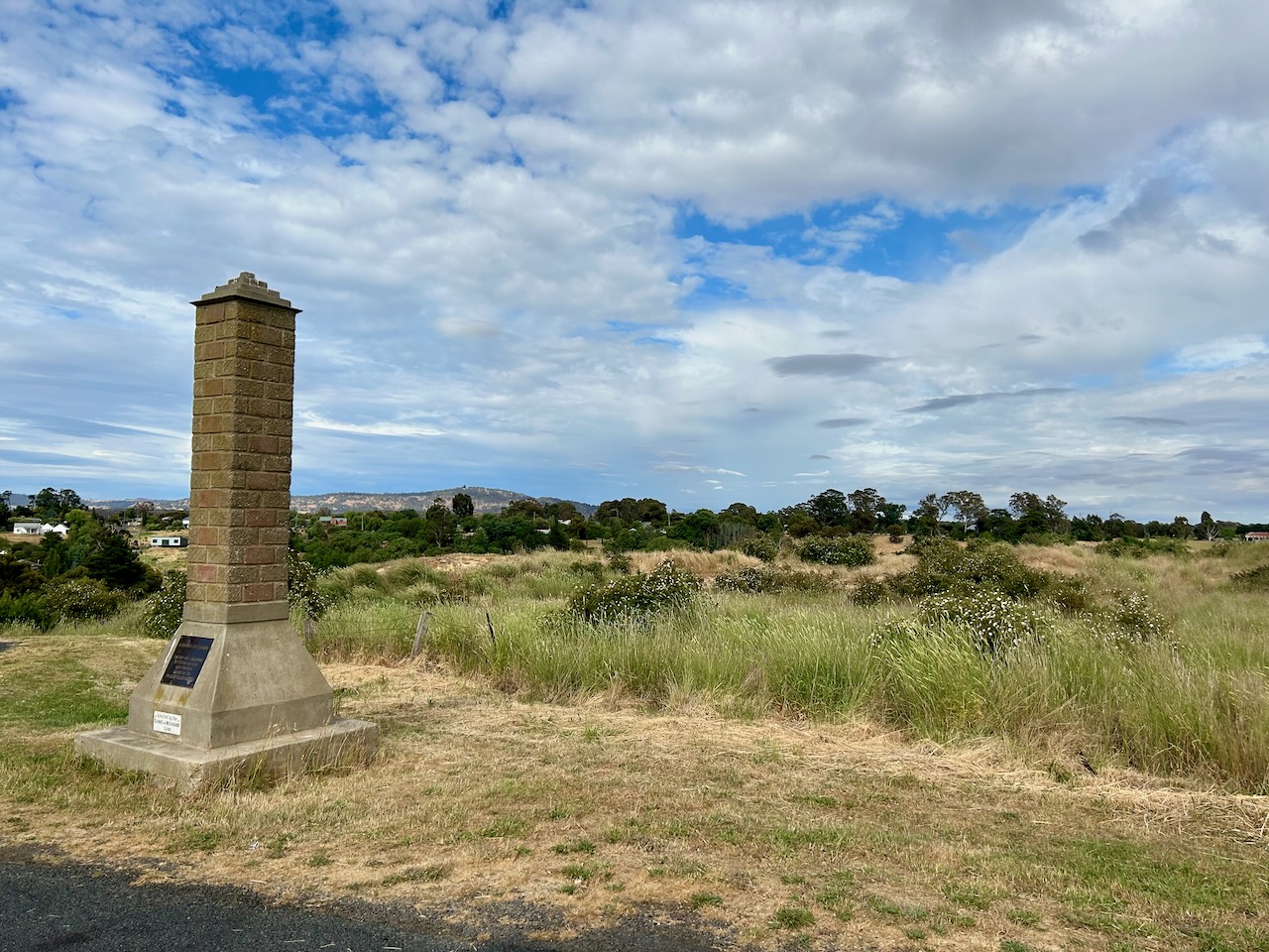
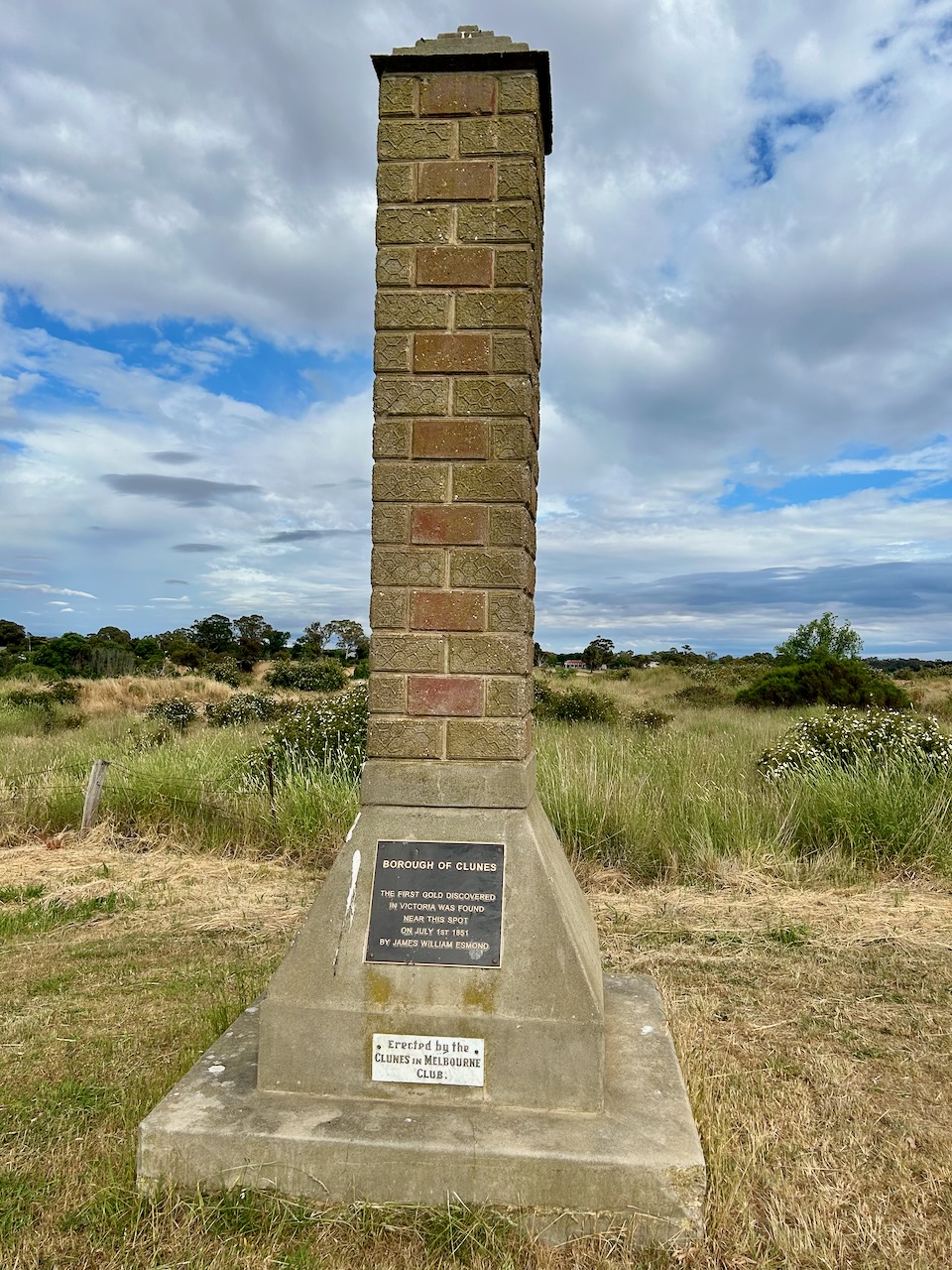
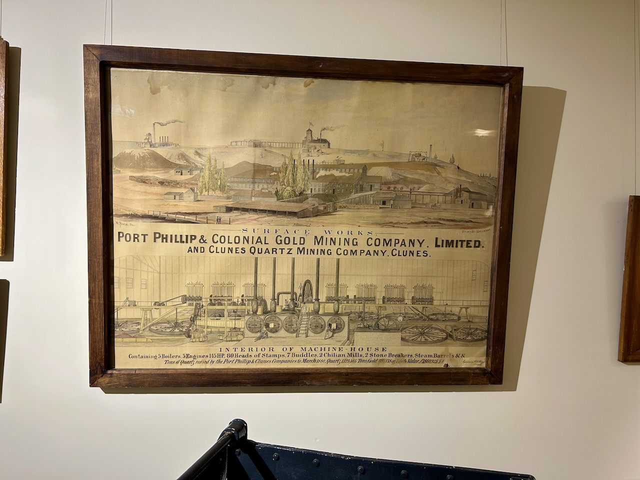
Marija and I then drove up to Esmond Park lookout at Clunes and the site of the Port Phillip Mine.
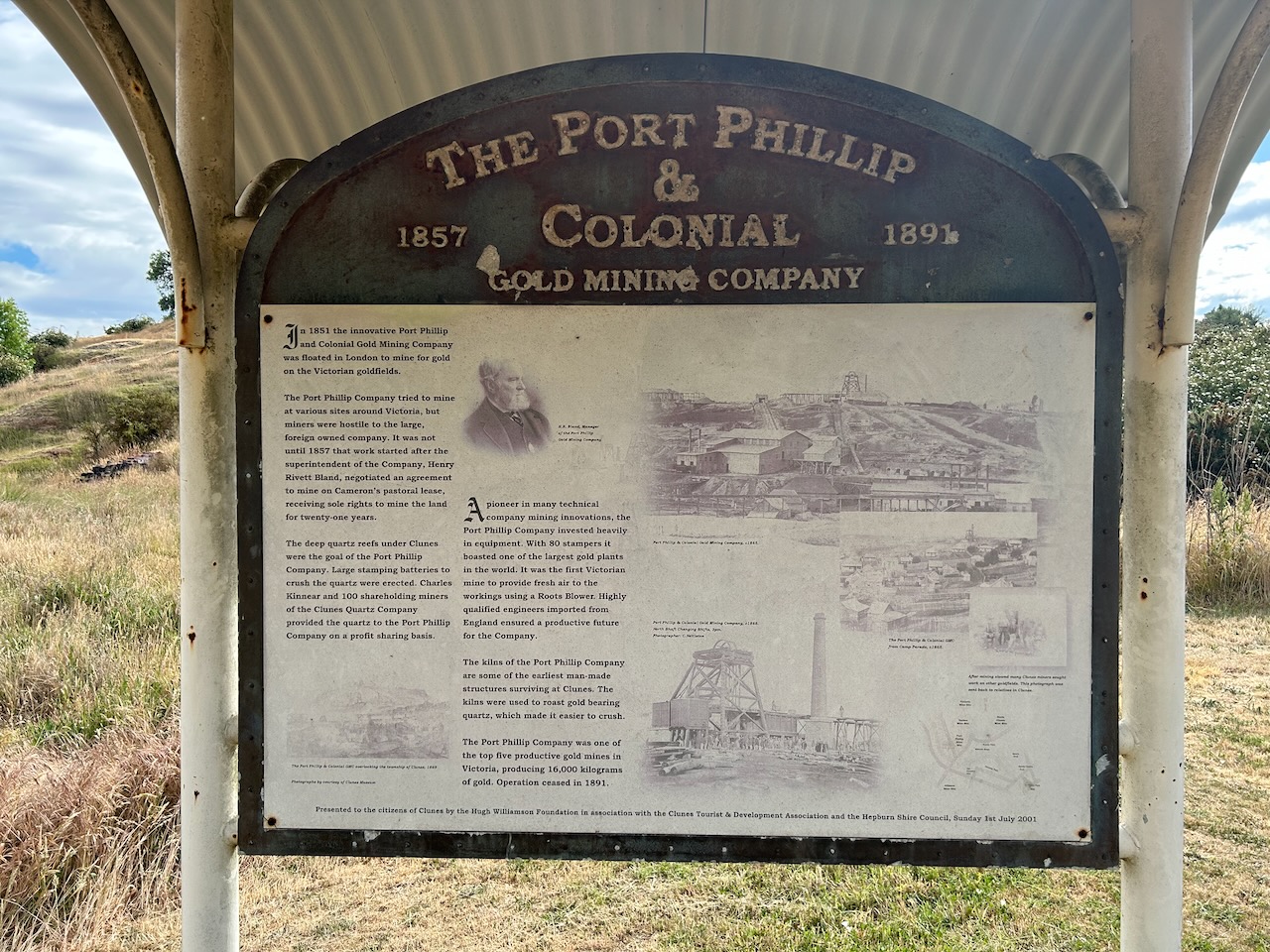
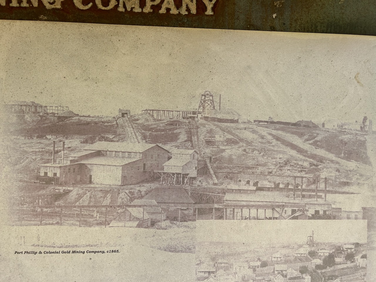
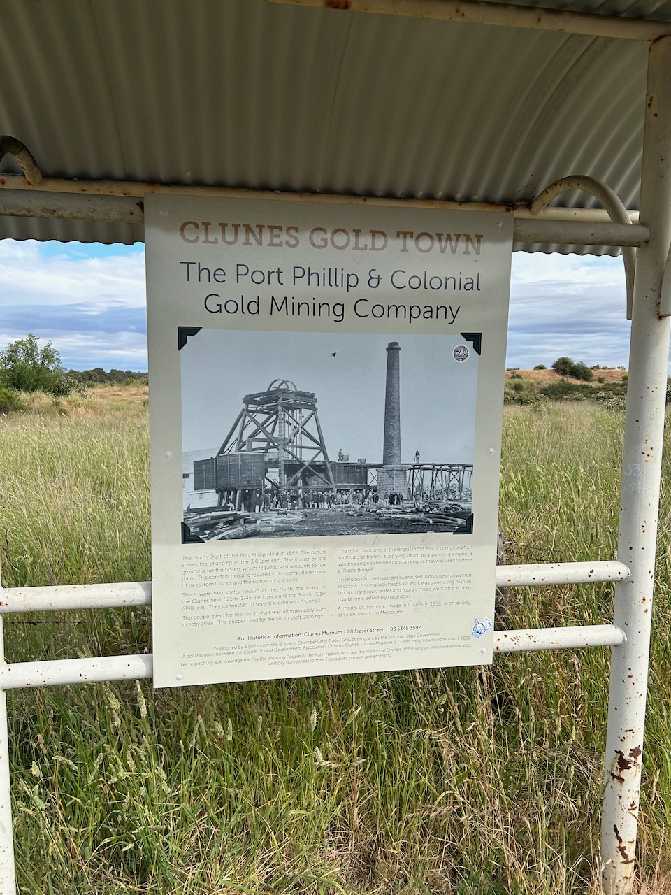
This is from the information board at the site:
“In 1851 the innovative Port Phillip and Colonial Gold Mining Company was floated in London to mine for gold on the Victorian goldfields.
The Port Phillip Company tried to mine at various sites around Victoria, but miners were hostile to the large, foreign owned company. It was not until 1857 that work started after the superintendent of the Company, Henry Rivett Bland, negotiated an agreement to mine on Cameron’s pastoral lease, receiving sole rights to mine the land for twenty-one years.
The deep quartz reefs under Clunes were the goal of the Port Phillip Company. Large stamping batteries to crush the quartz were erected. Charles Kinnear and 100 shareholding miners of the Clunes Quartz Company provided the quartz to Port Phillip Company on a profit sharing basis.
A pioneer in many technical company mining innovations, the Port Phillip Company invested heavily in equipment. With 80 stampers it boasted one of the largest gold plants in the world. It was the first Victorian mine to provide fresh air to the workings using a Roots Blower. Highly qualified engineers imported from England ensured a productive future for the Company.
The kilns of the Port Phillip Company are some of the earliest man-made structures surviving at Clunes. The kilns were used to roast gold bearing quartz, which made it easier to crush.
The Port Phillip Company was one of the top five productive gold mines in Victoria, producing 16,000 kilograms of gold. Operation ceased in 1891.”
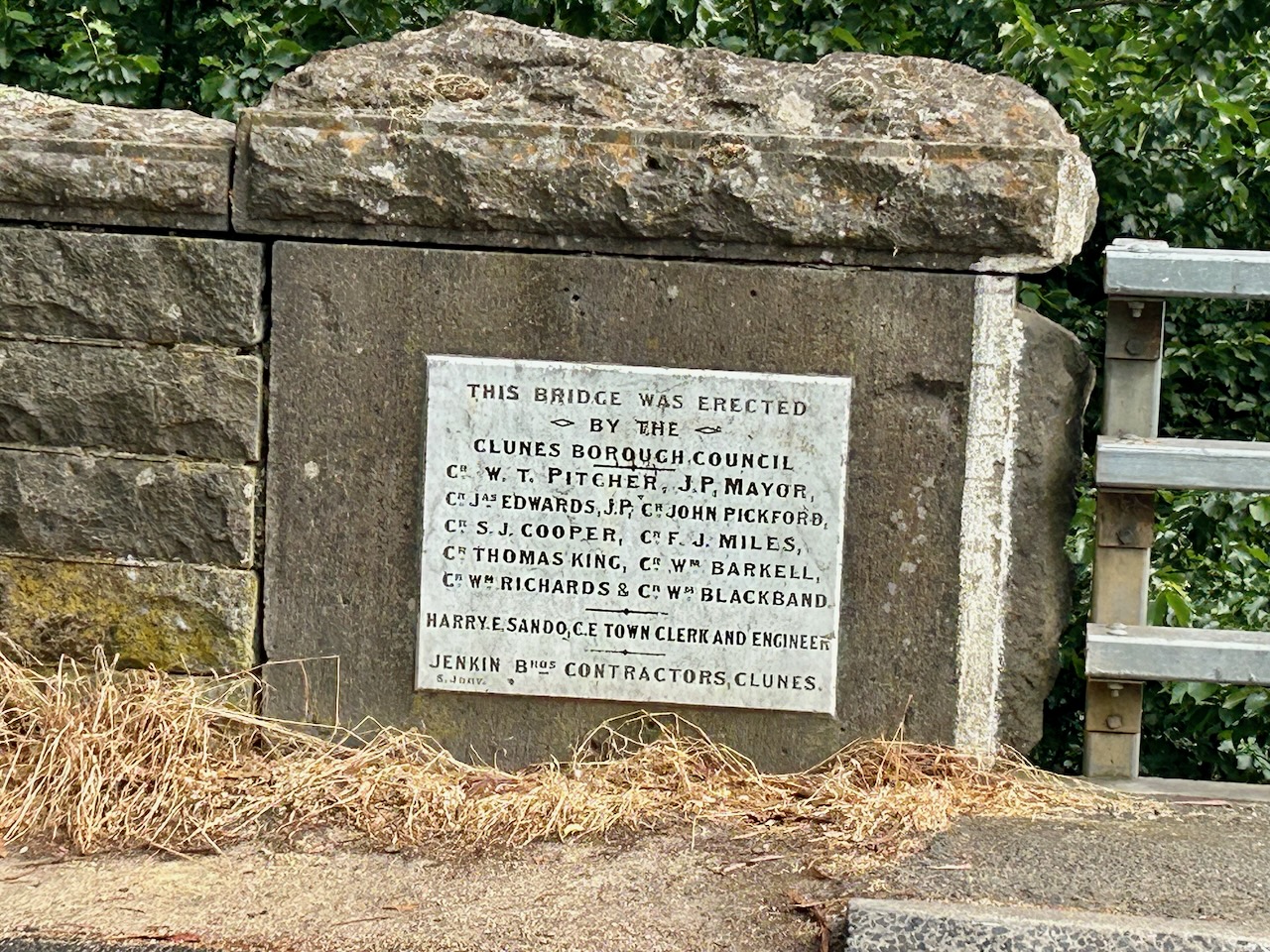
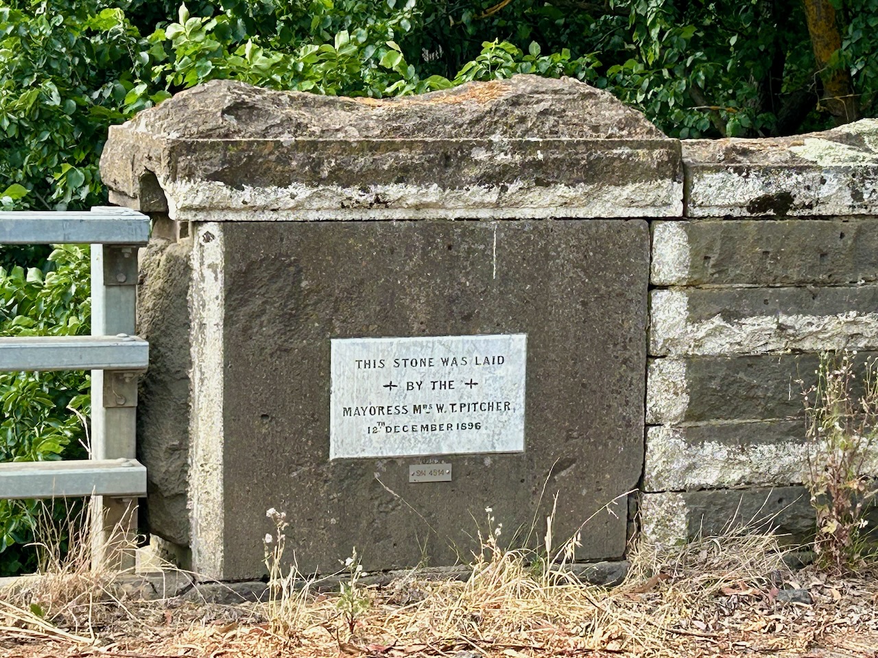
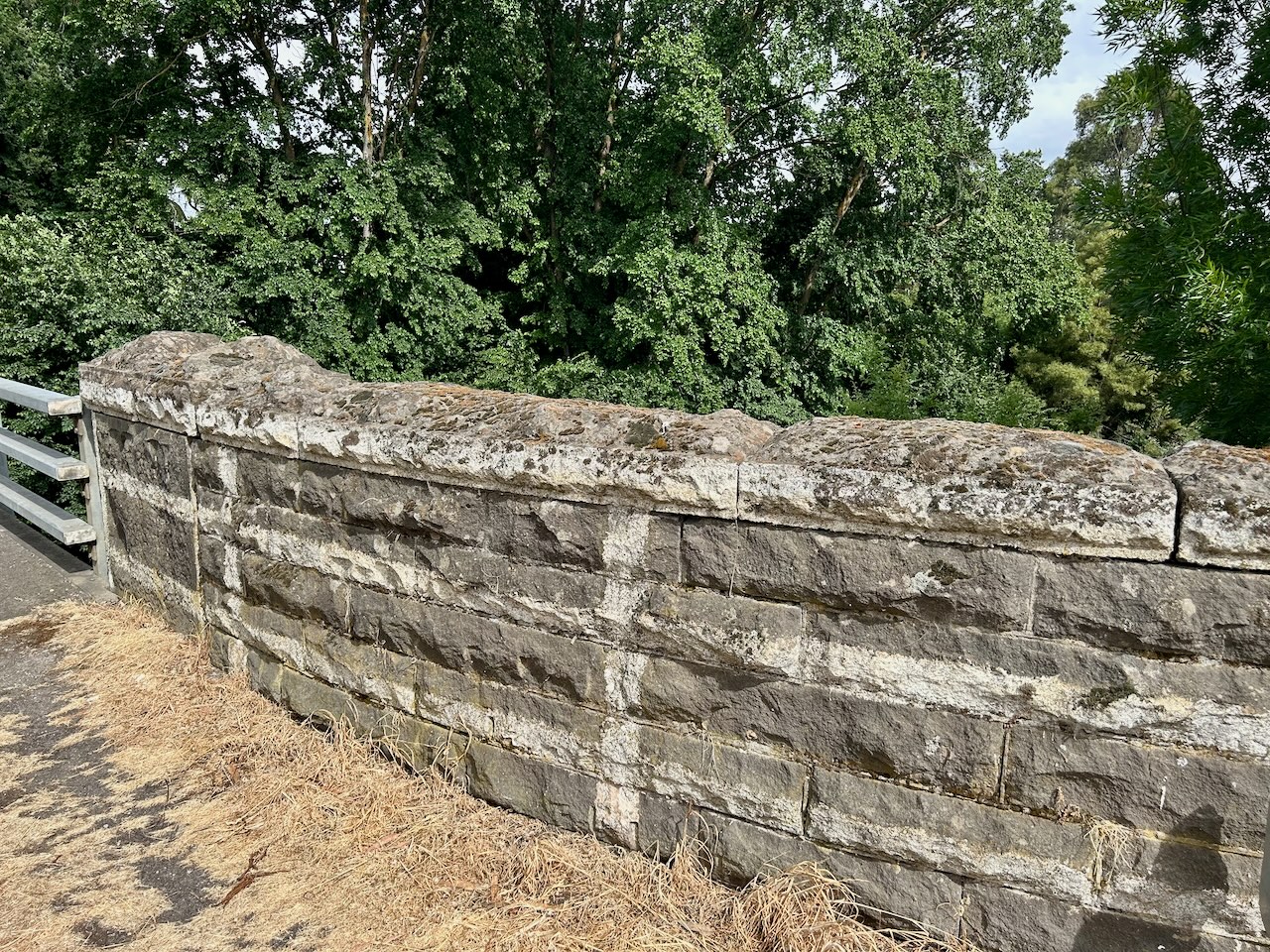
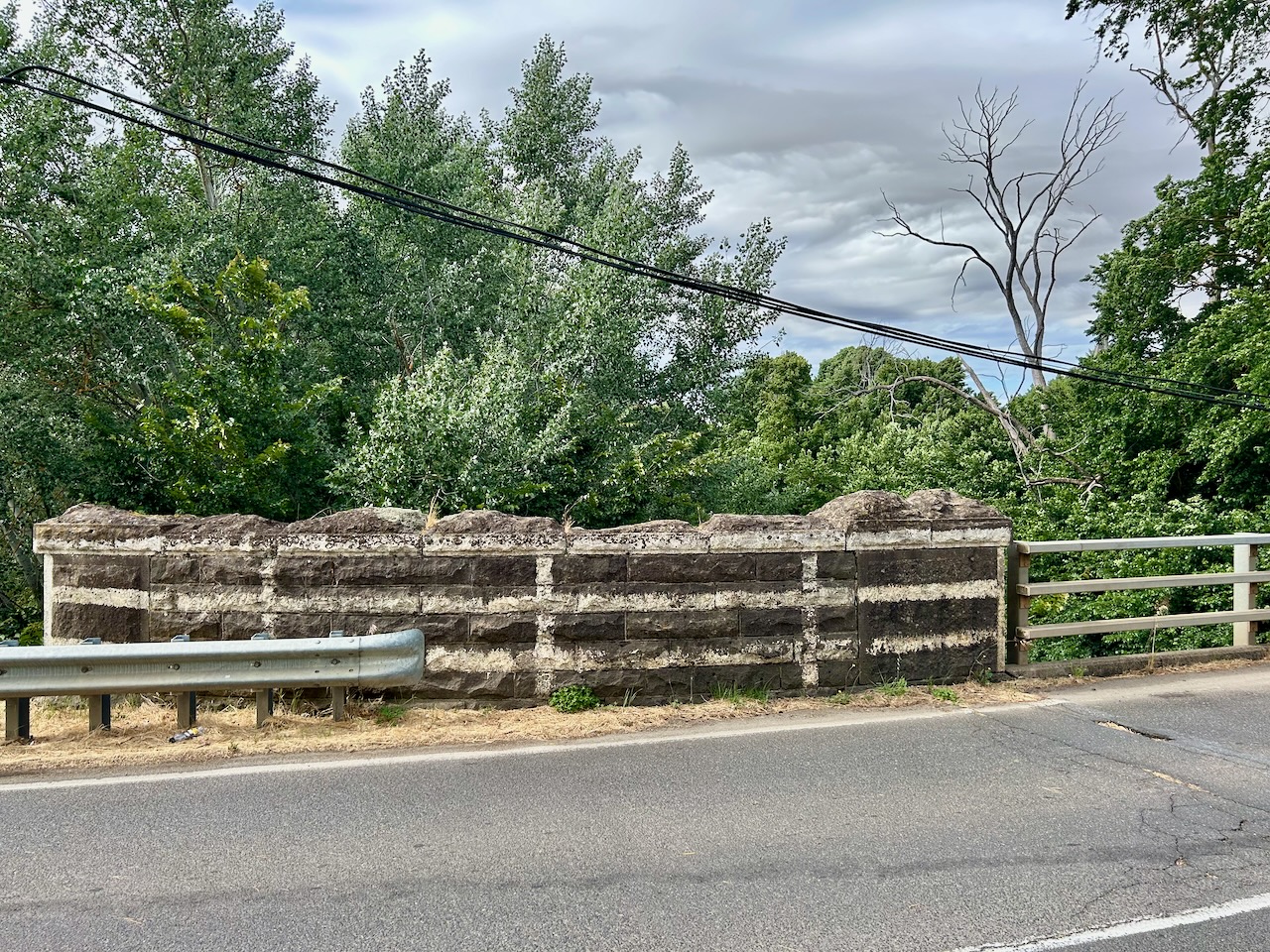
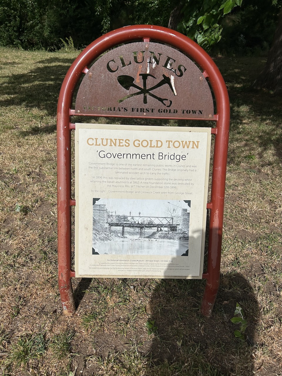
Government Bridge is one of the earliest remaining public workds in CLunes and was the first substantial link between north and south Clunes. The bridge originally had a laminated wooden arch to carry the traffic. In 1896 this was replaced by steel lattice girders supporting the decking whilst retaining th basalt abutments at 1862. A new foundation stone was dedicated by the Mayoress Mrs W.T. Pitcher on the 12th day of December 1896.
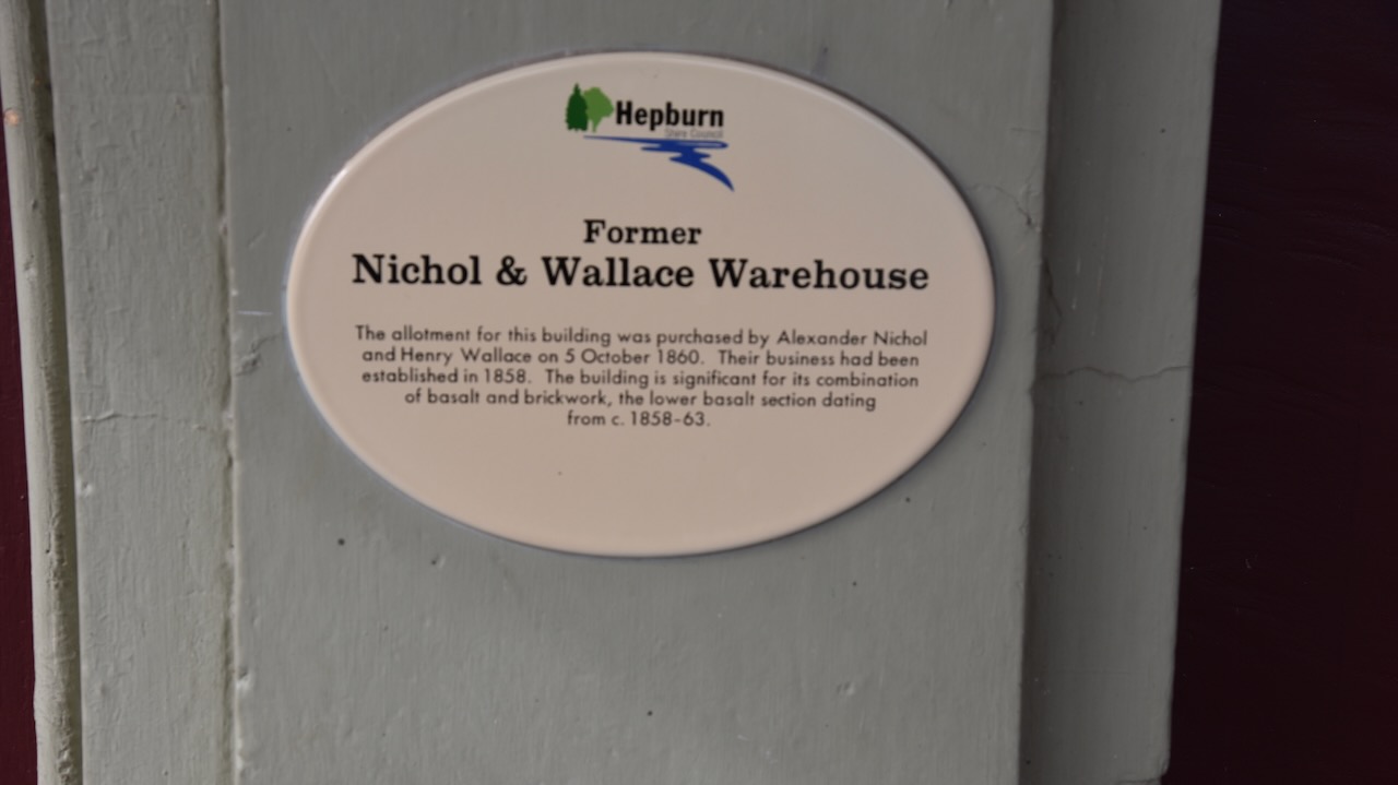
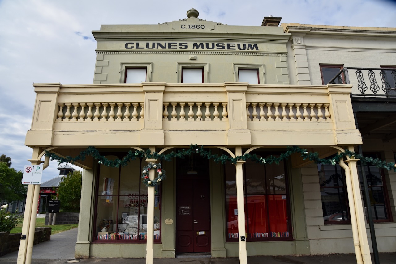
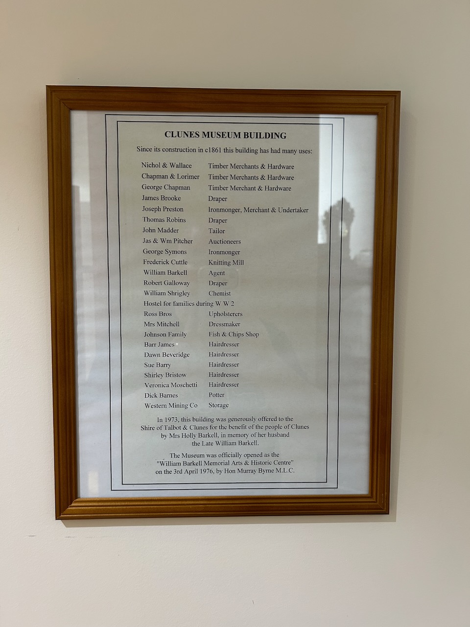
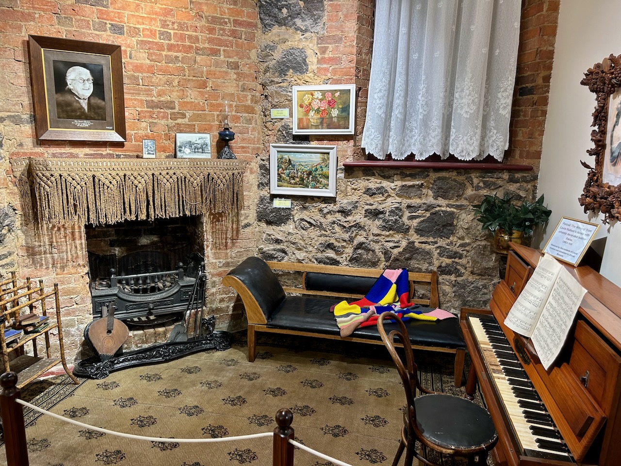
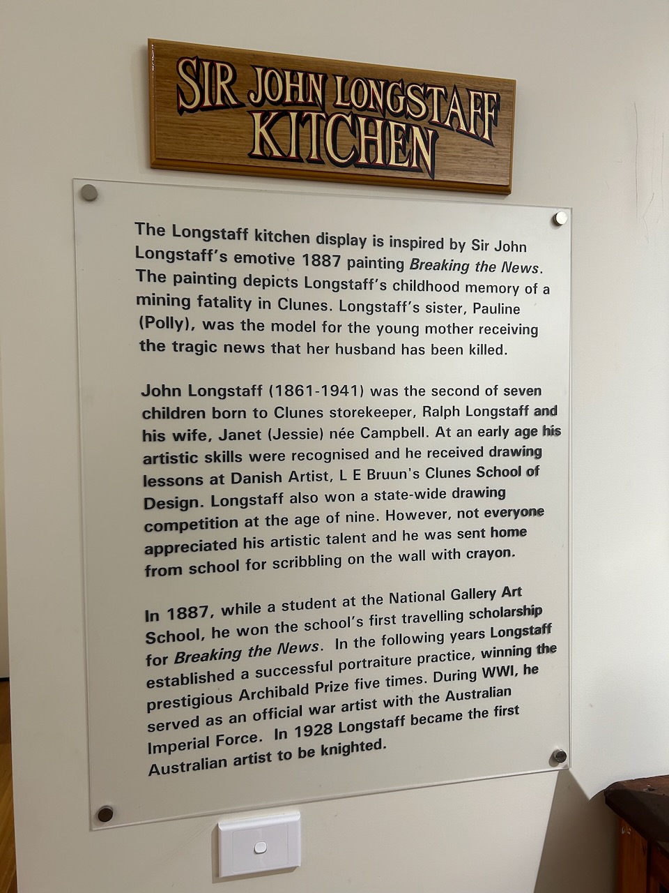
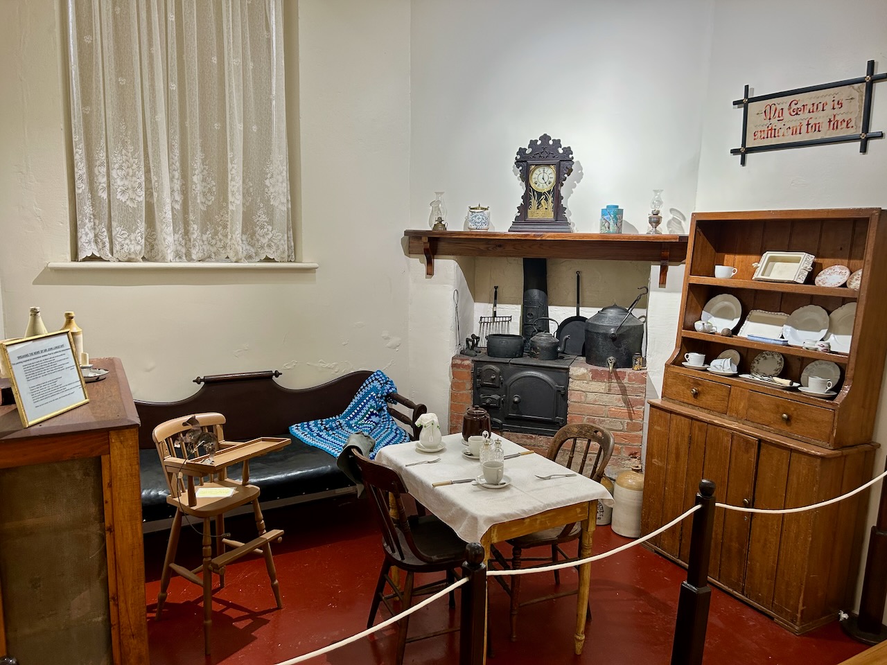
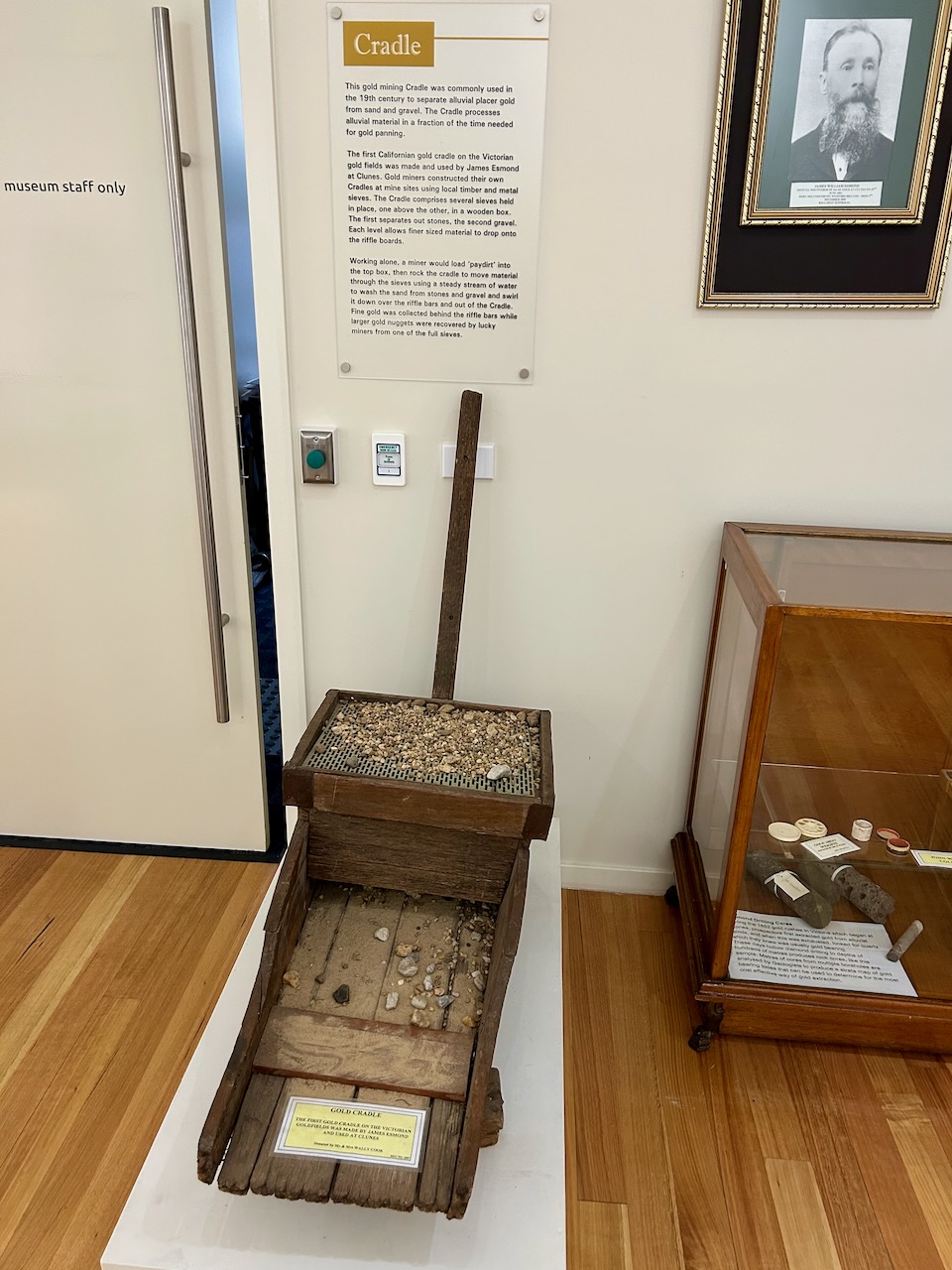
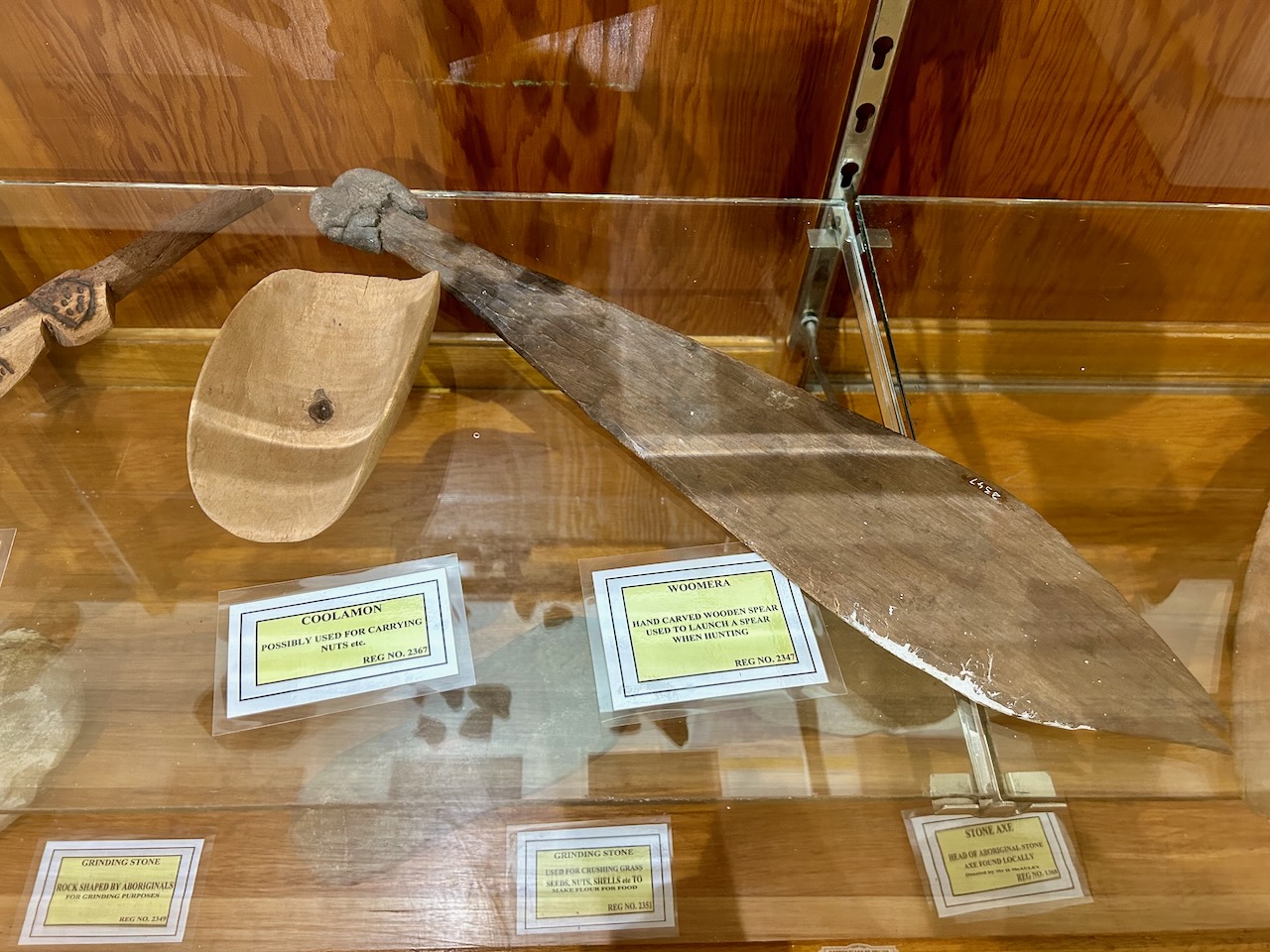
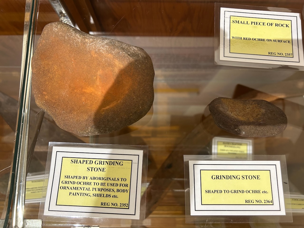
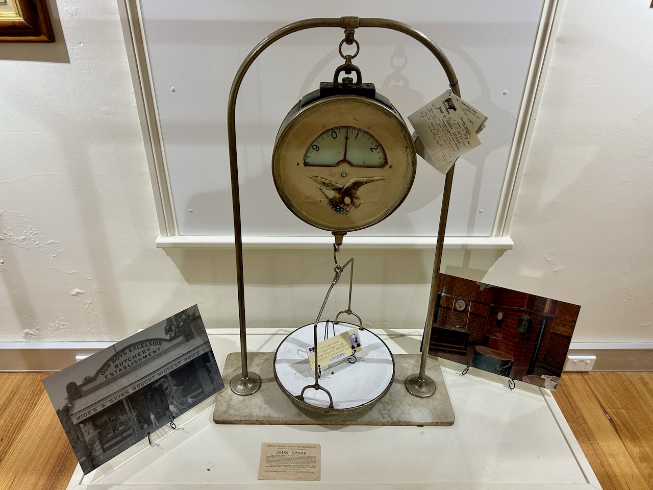
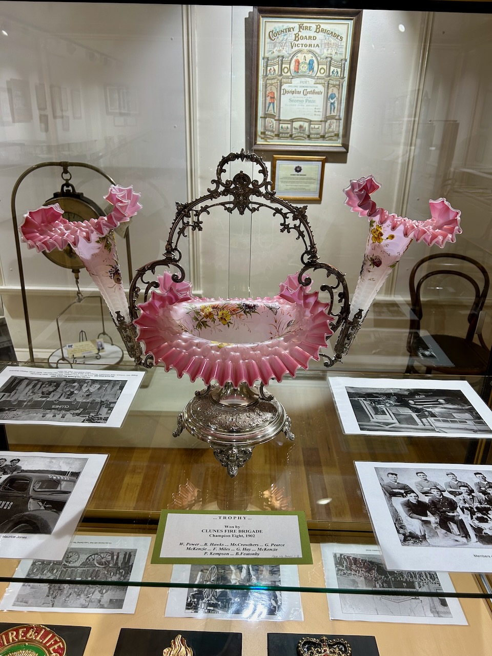
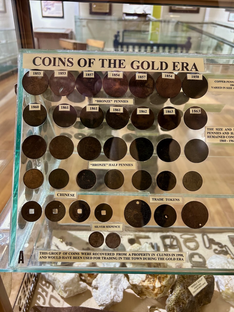
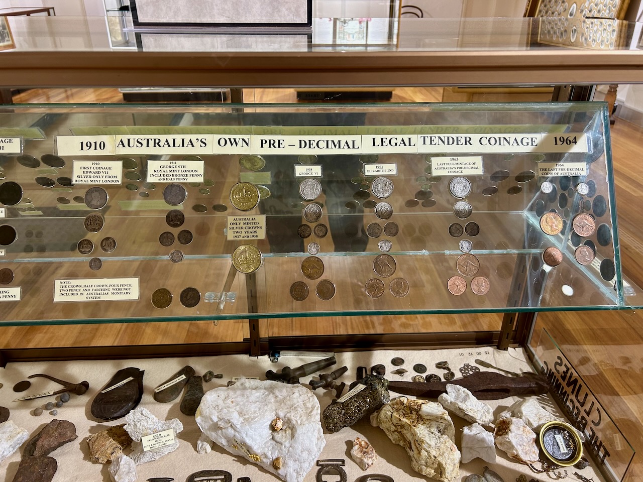
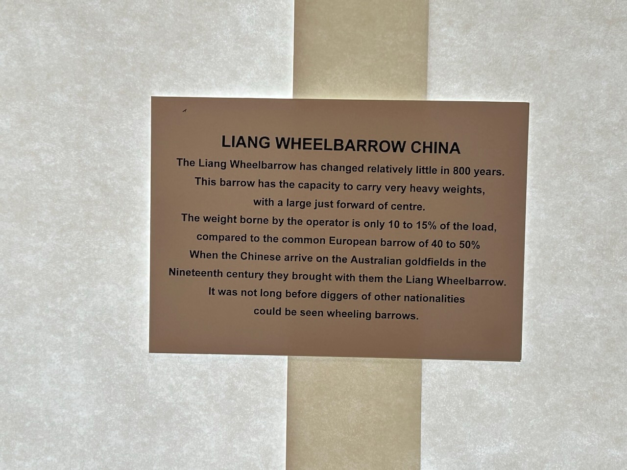
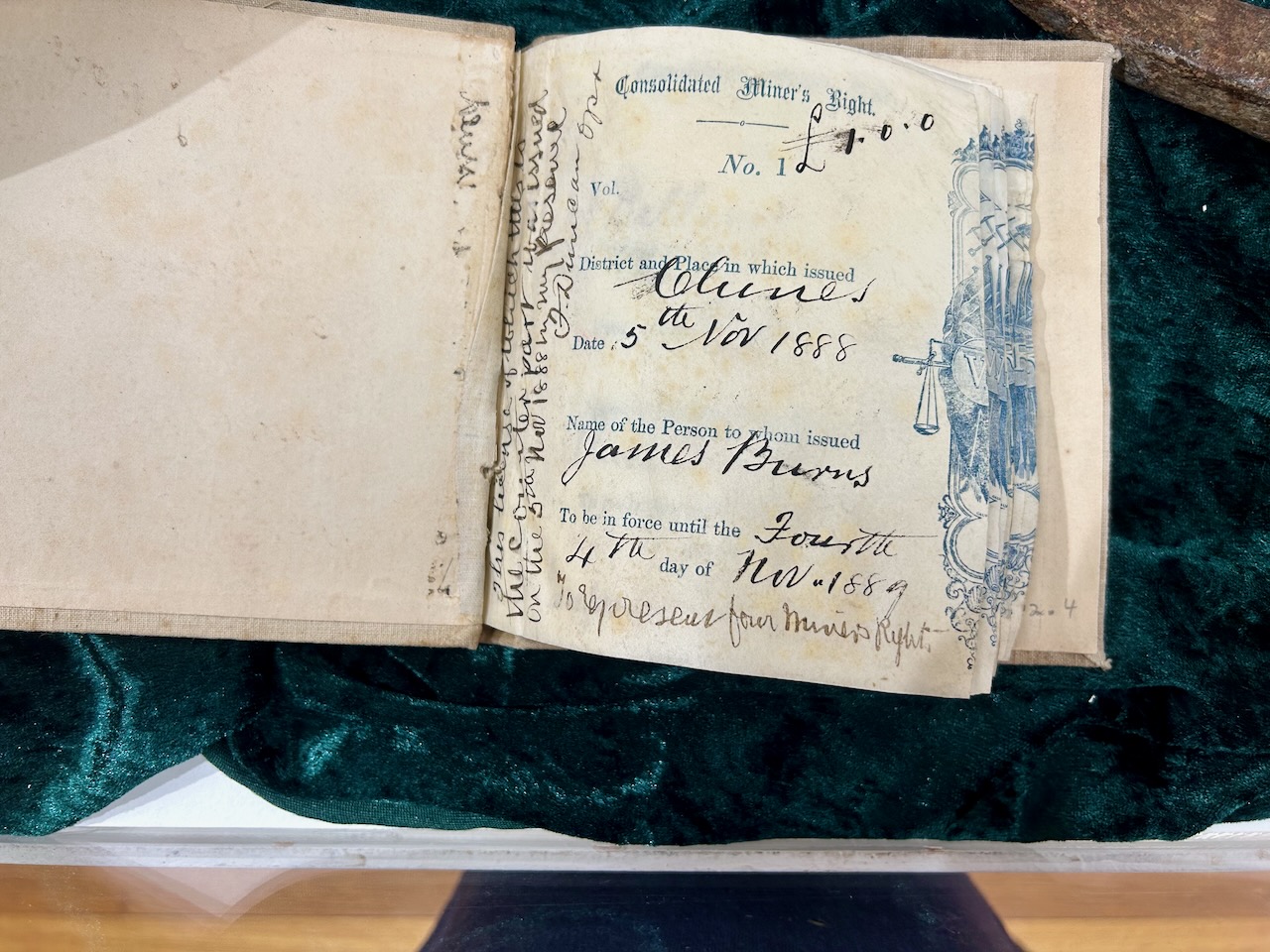
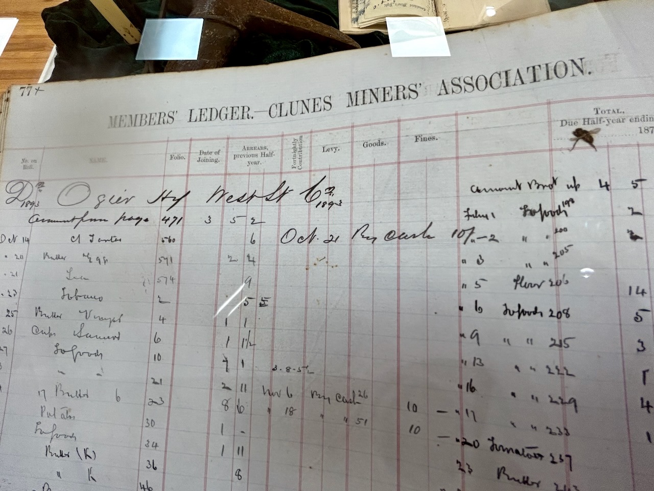
We then visited the Clunes Museum which is located in the former Nichol and Wallace Warehouse which was built in about 1858-1863.
This is an excellent museum and contains a large selection of historical material from the Clunes district.
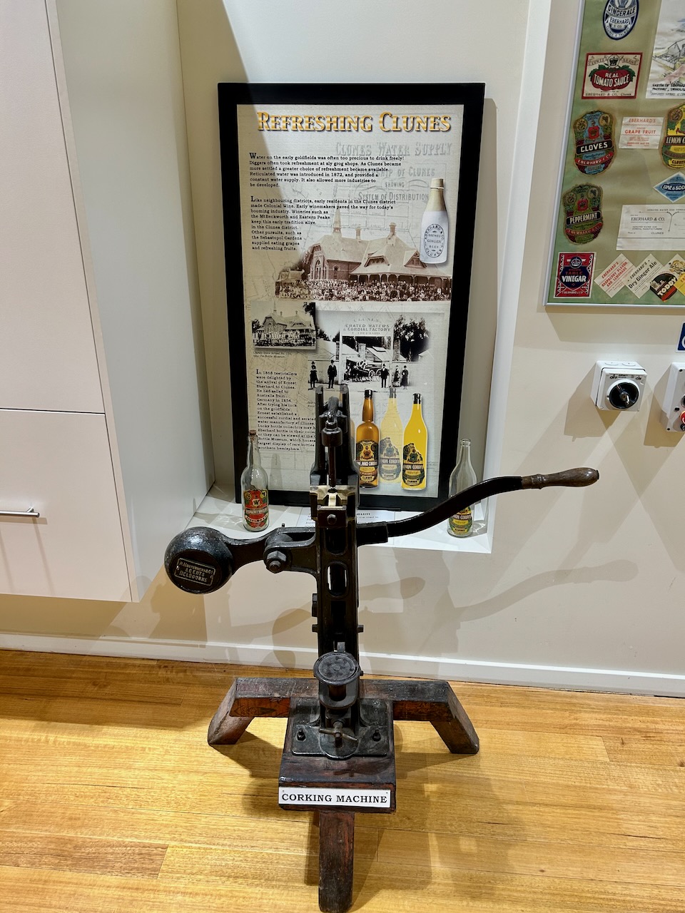
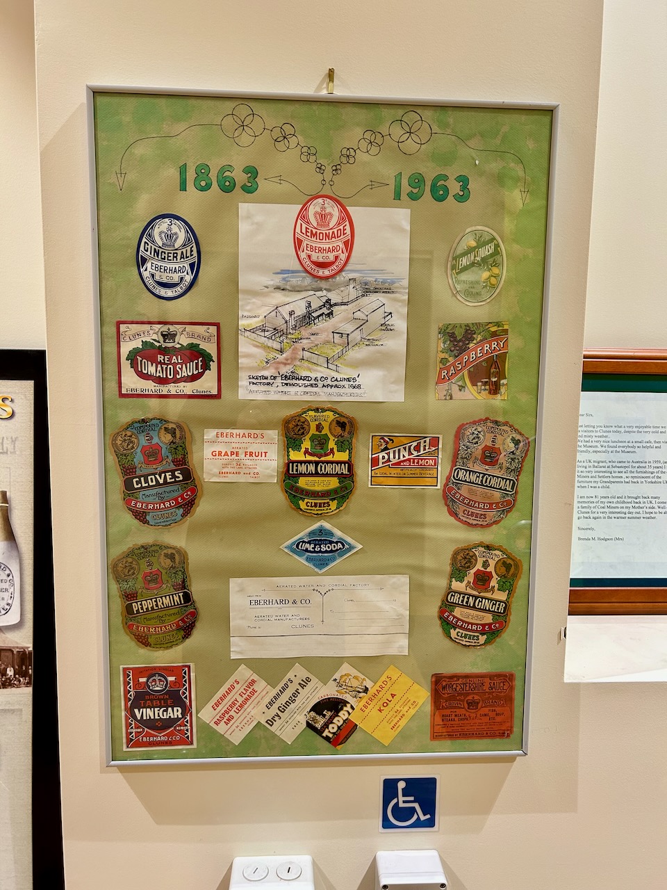
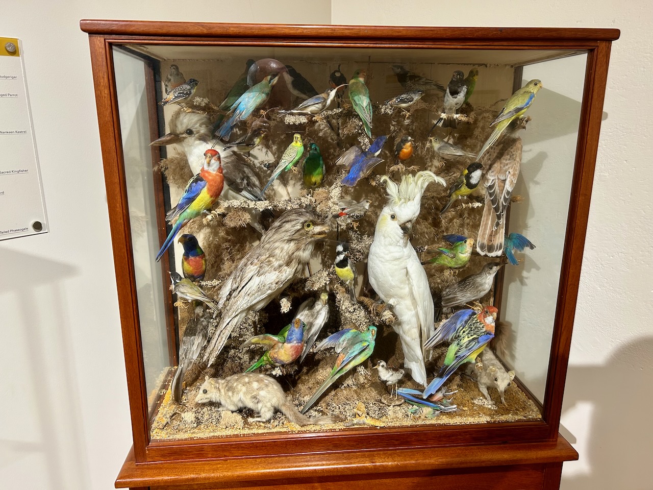
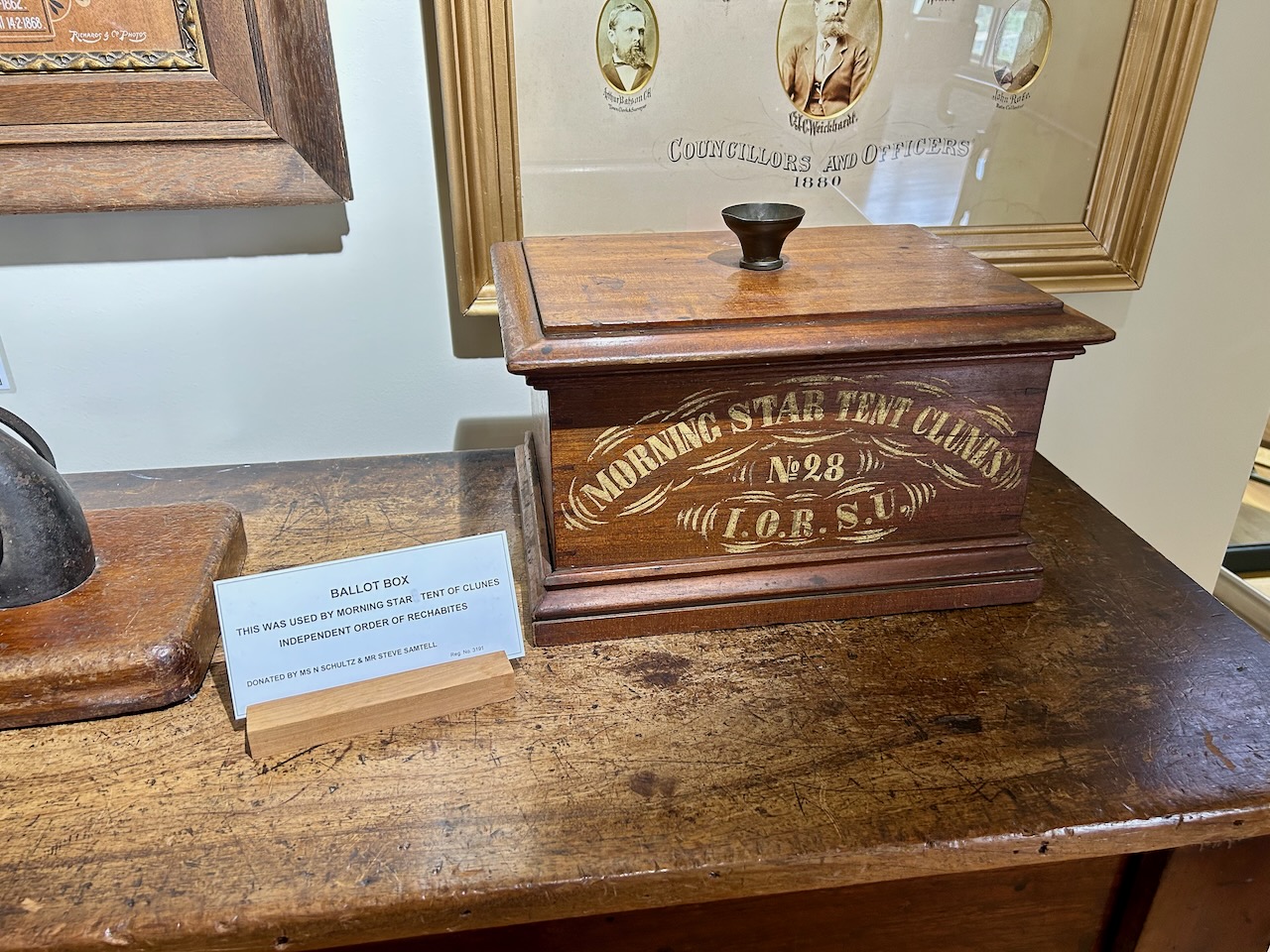
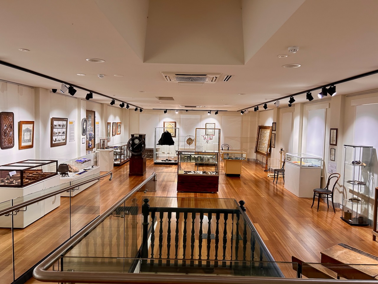
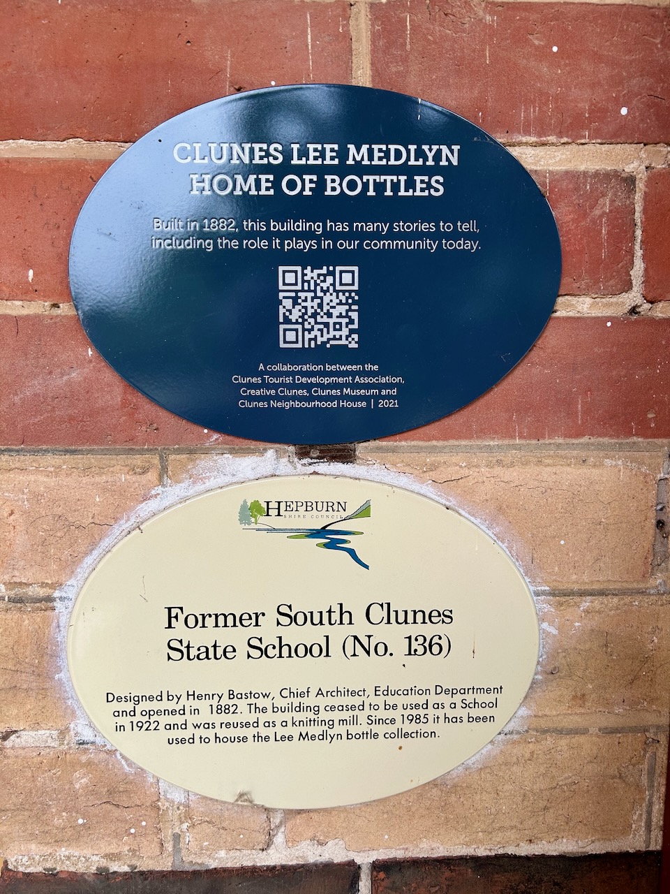
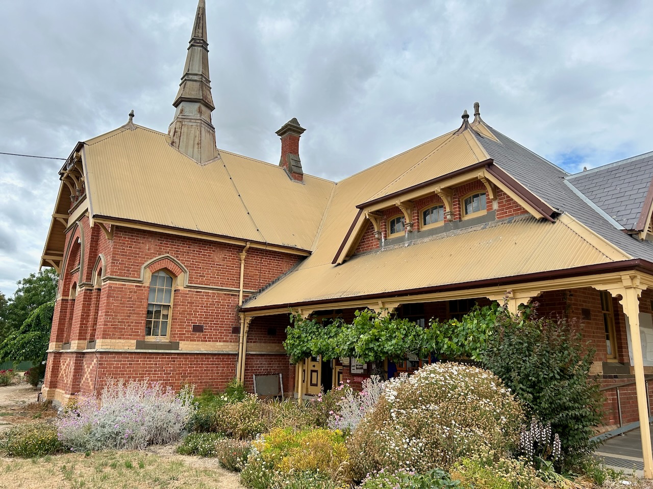
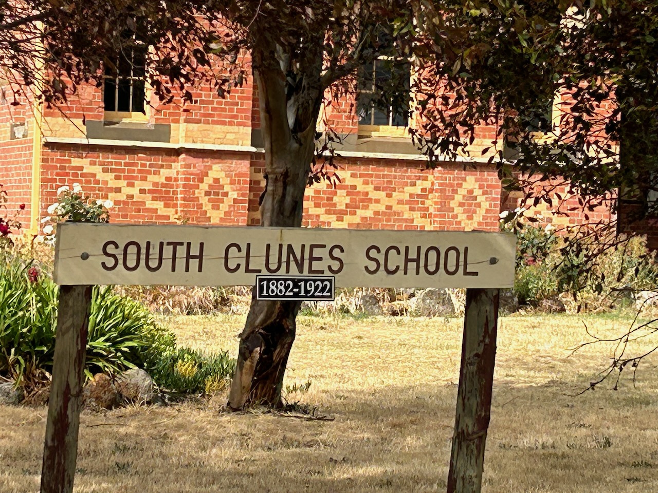
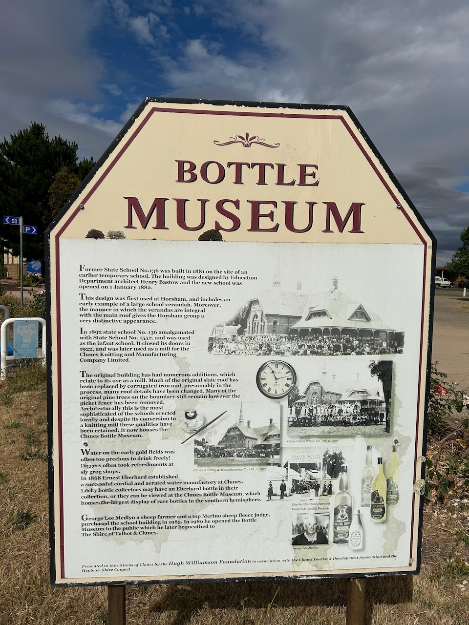
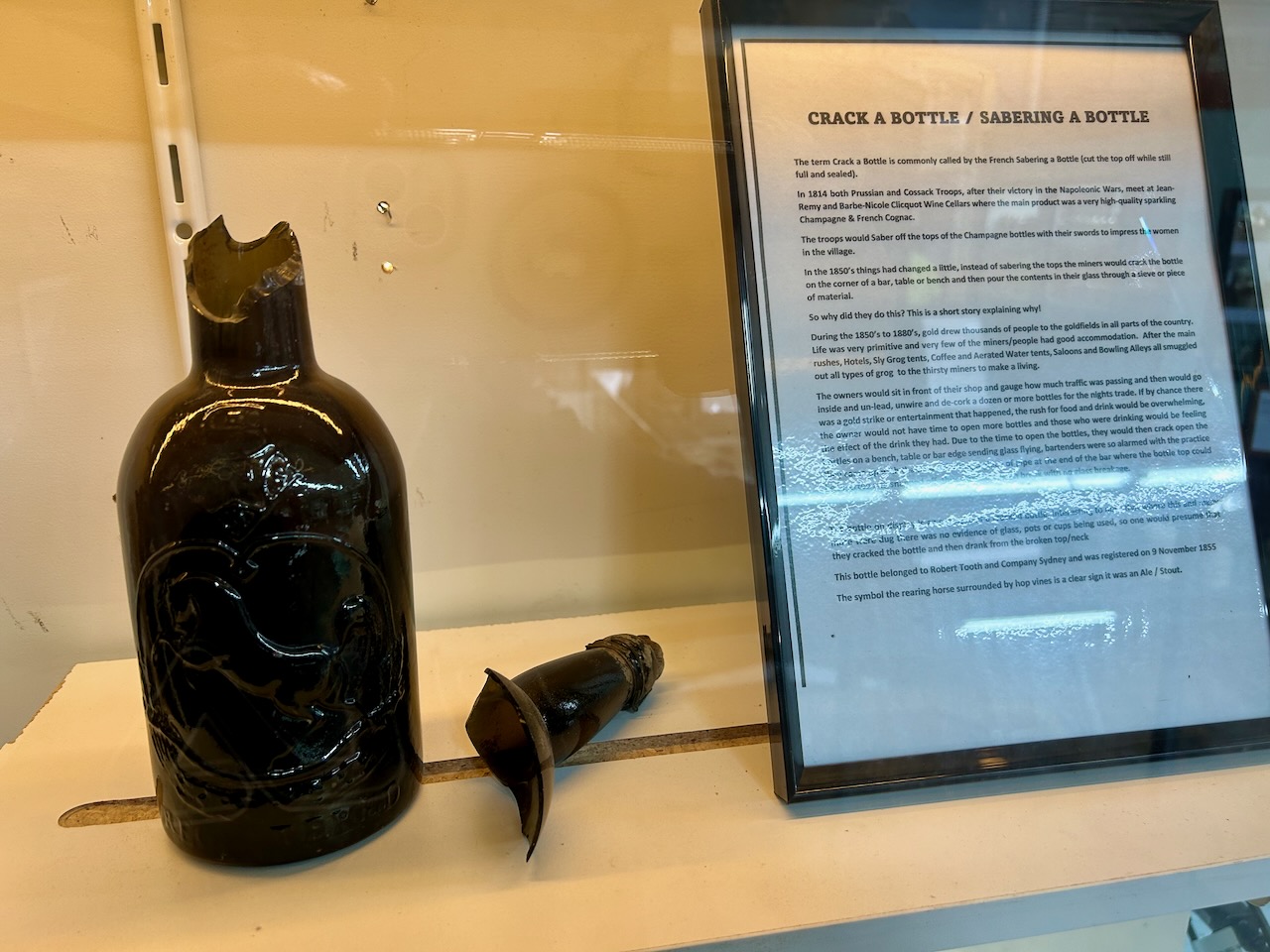
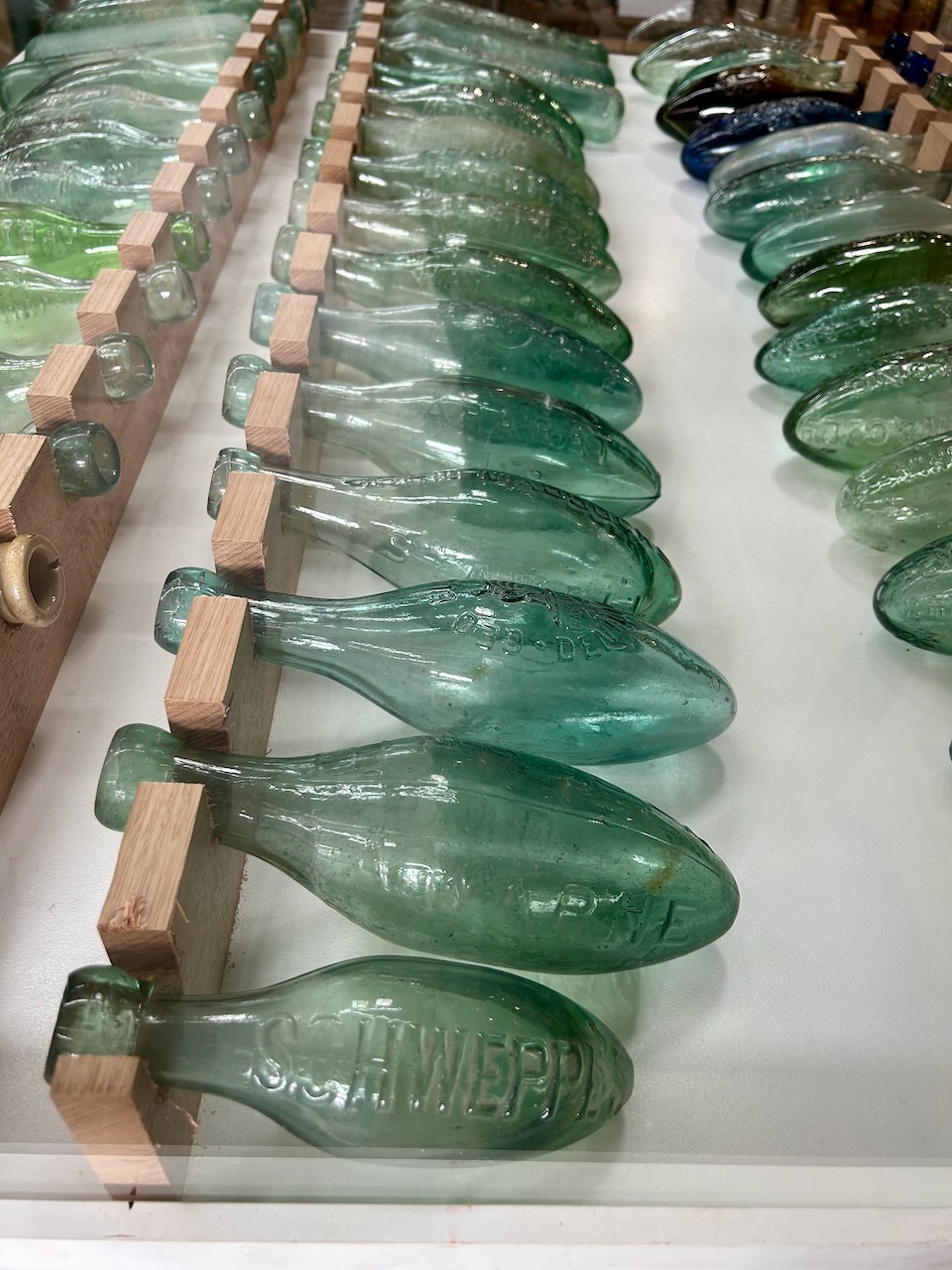
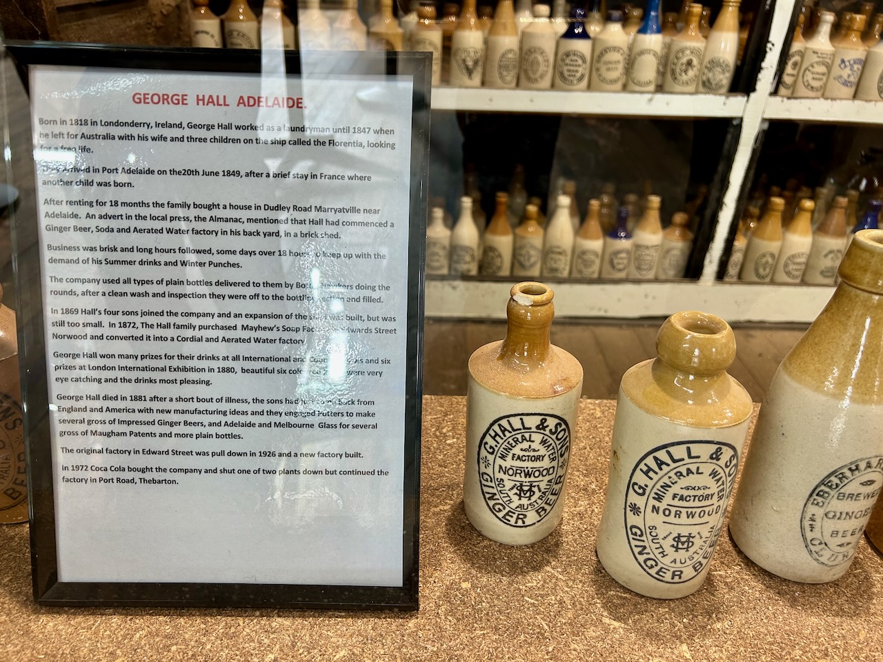
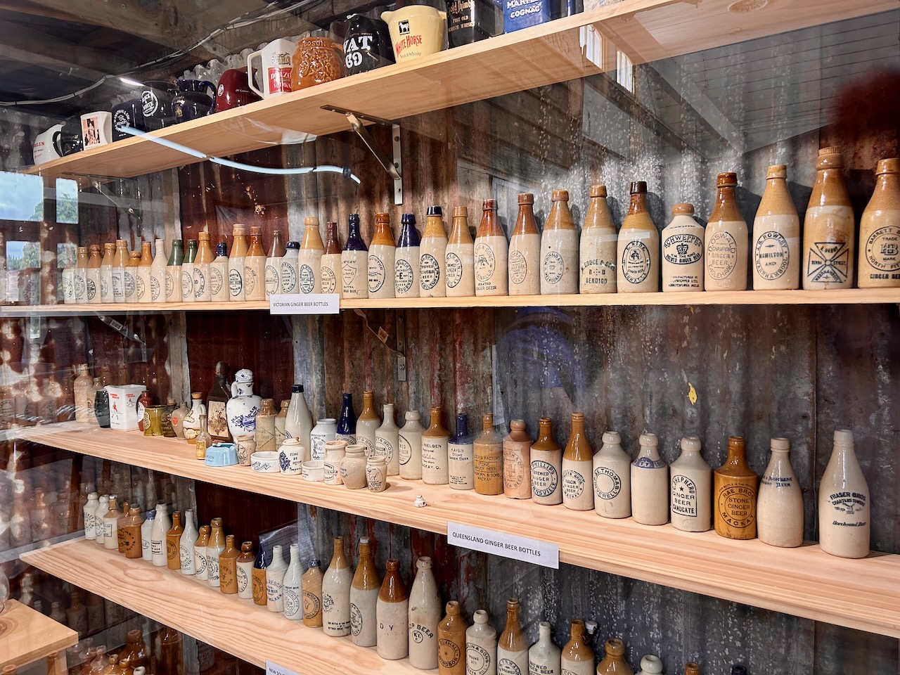
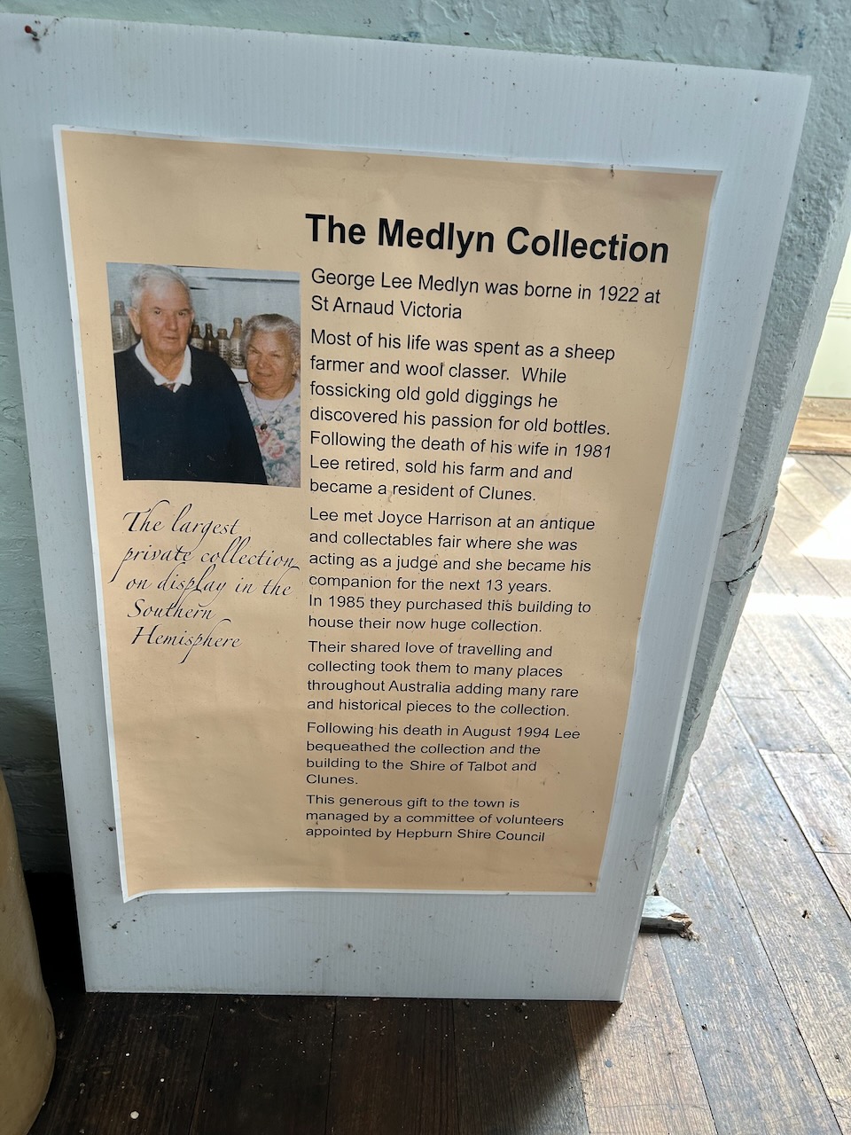
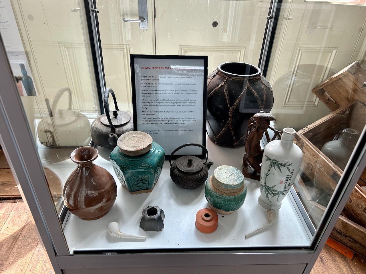
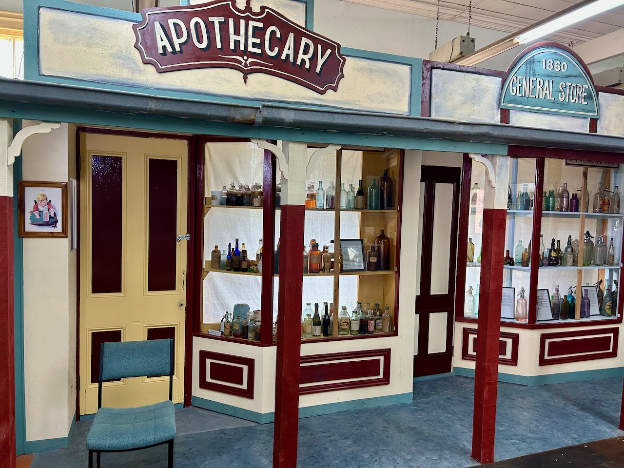
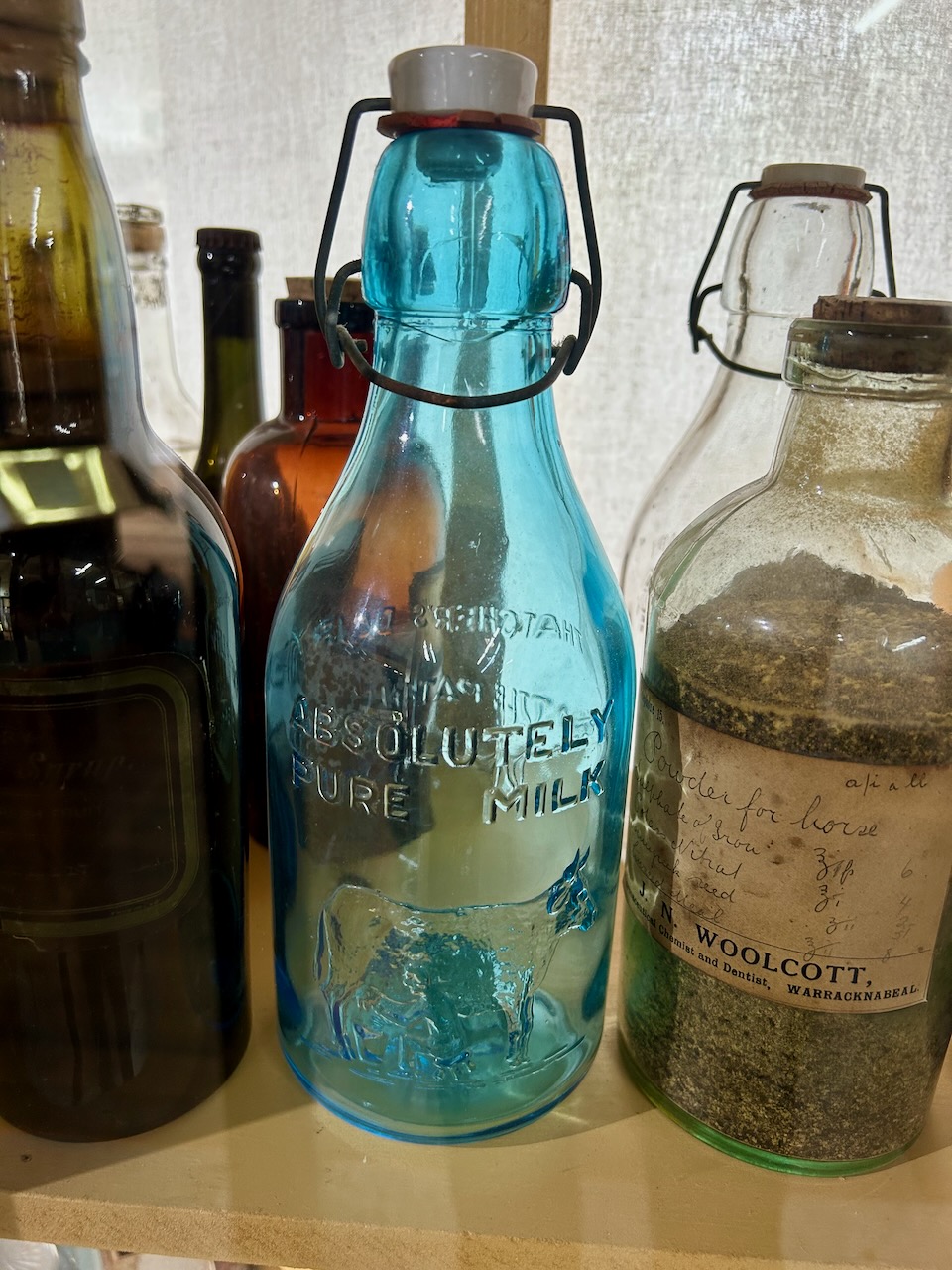
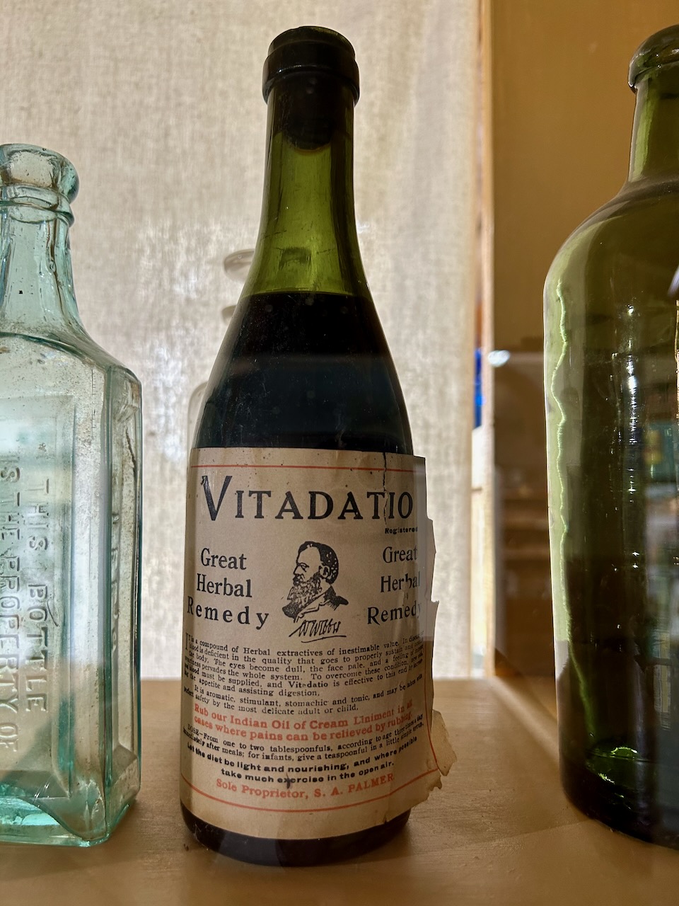
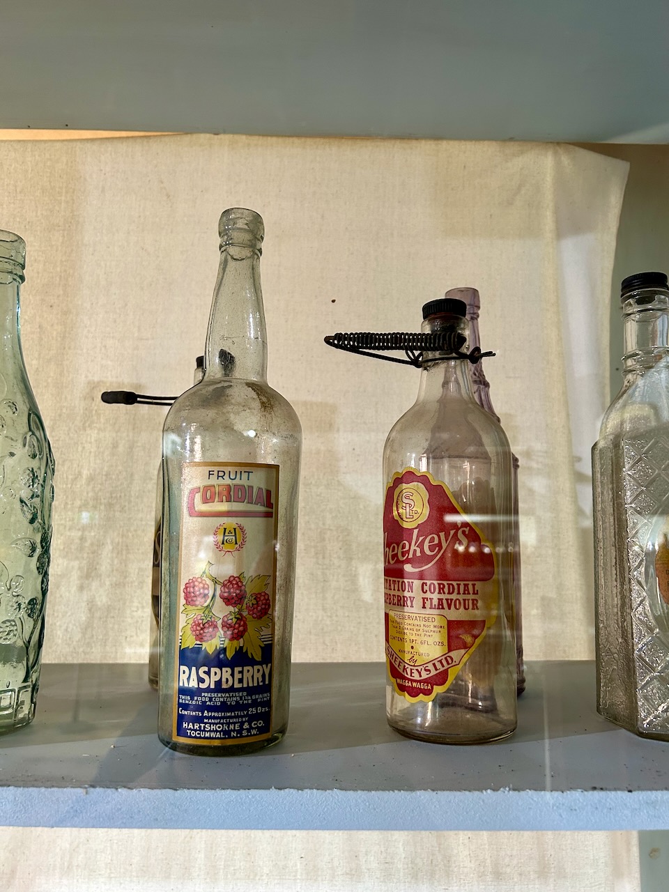
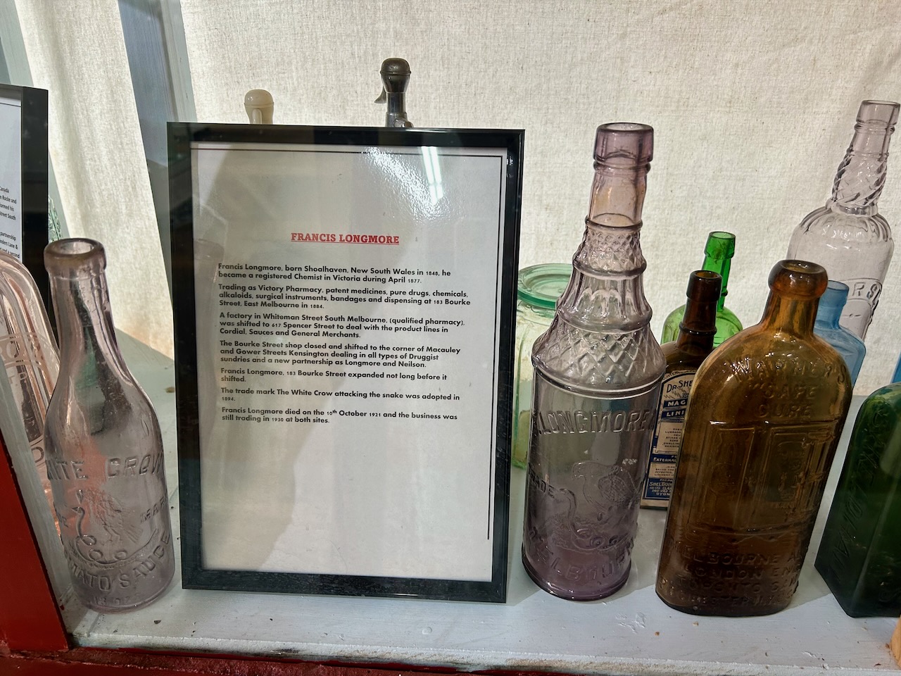
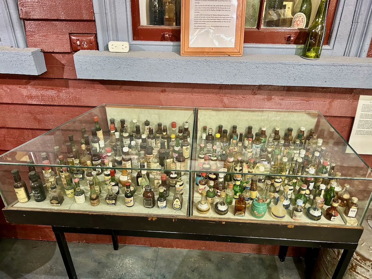
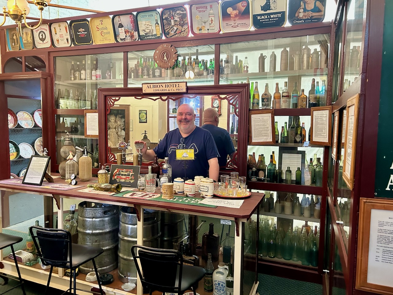
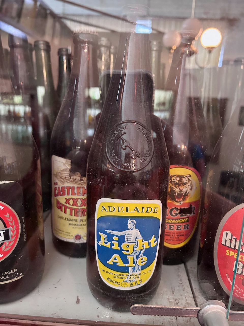
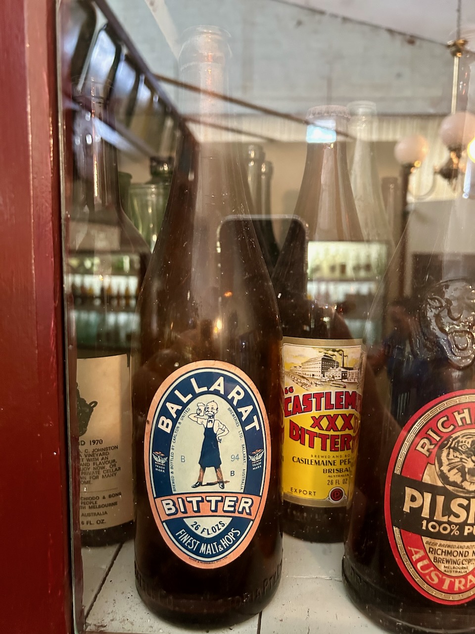
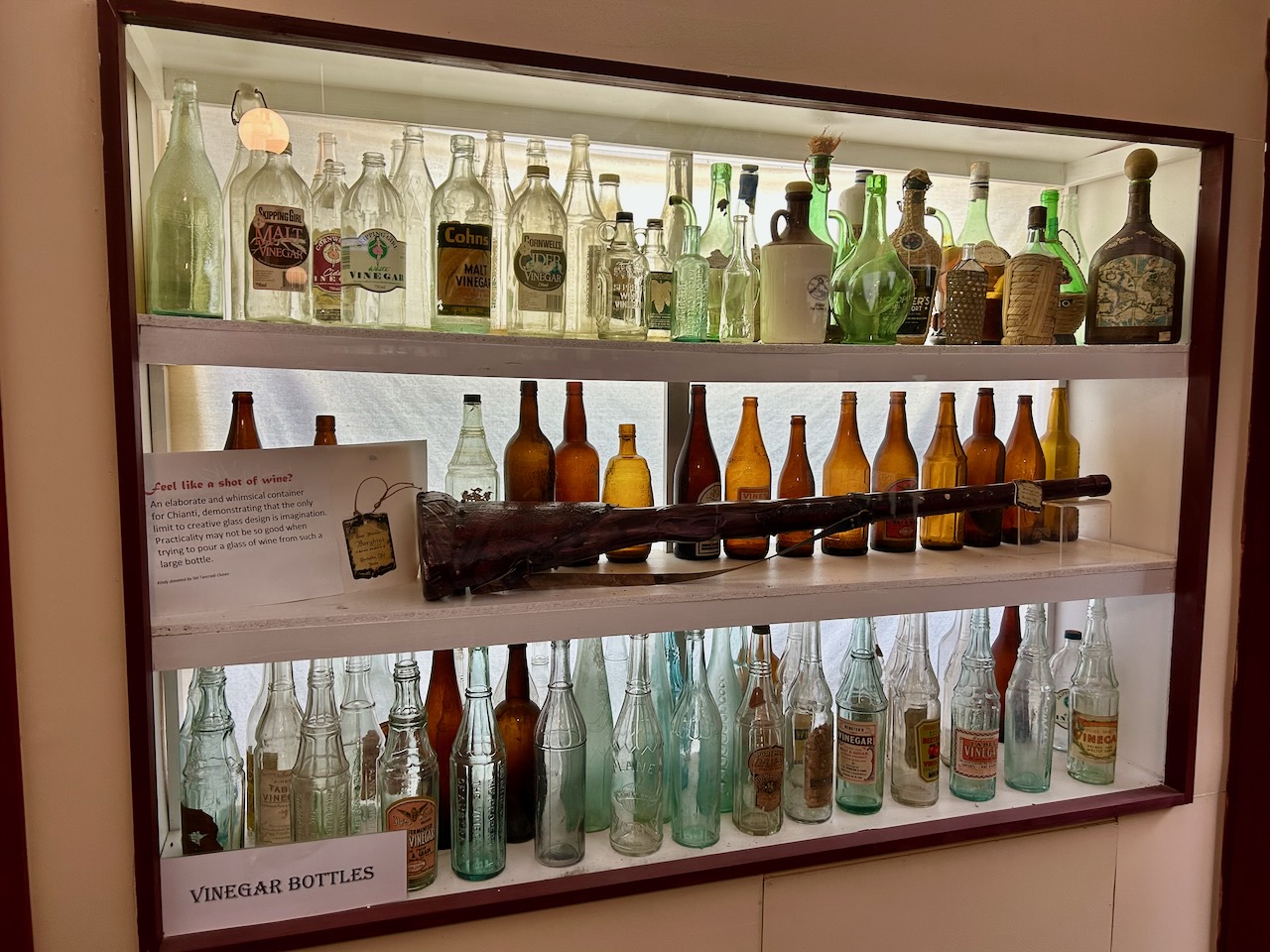
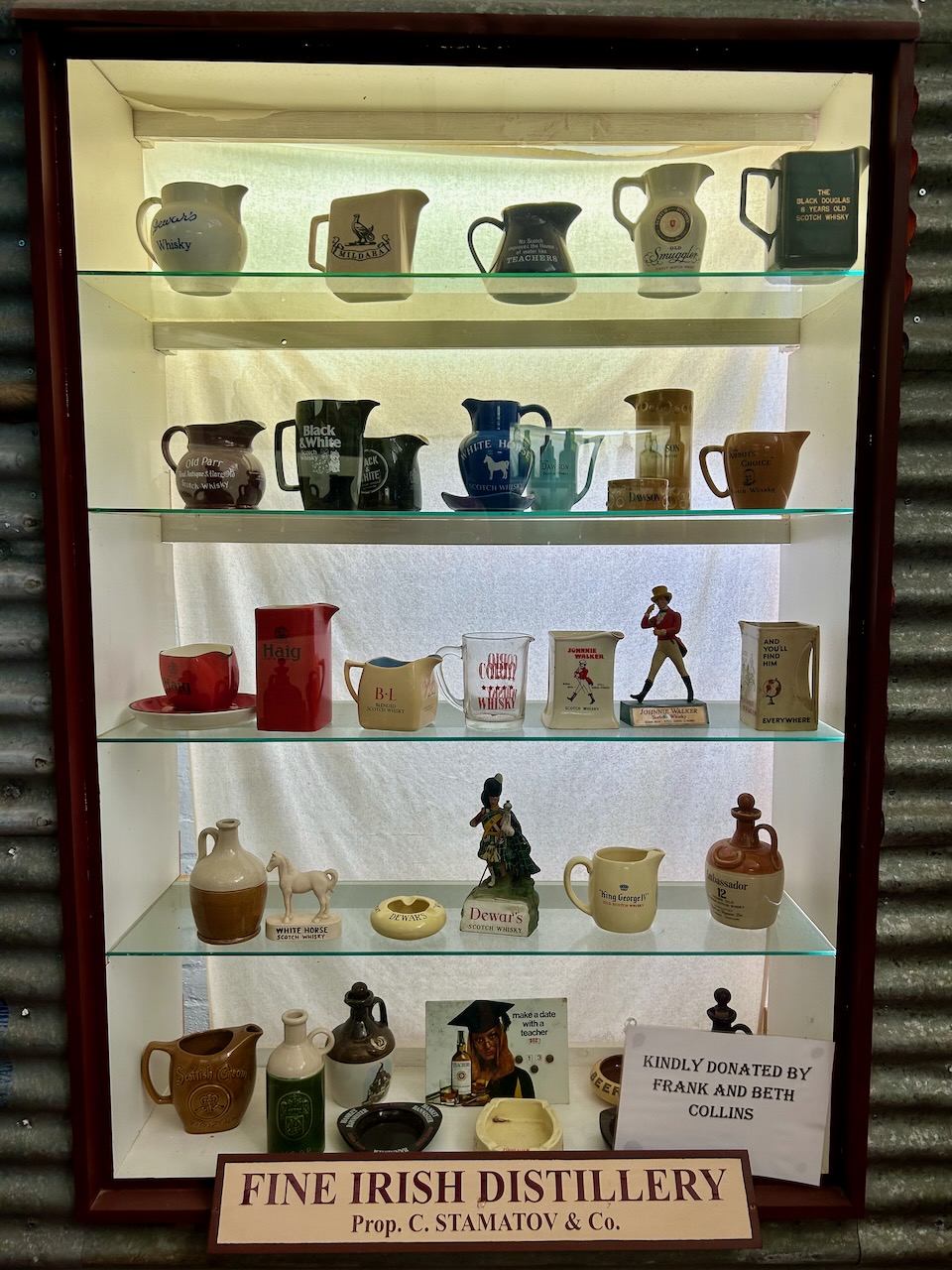
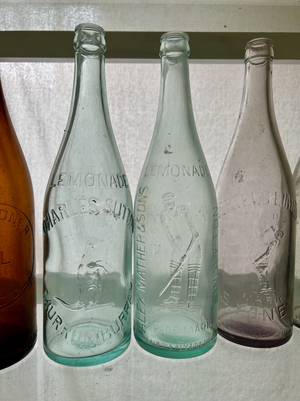
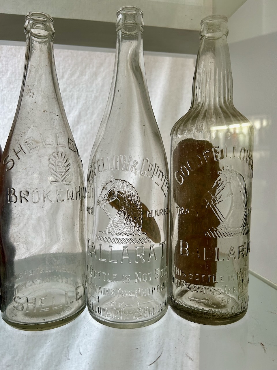
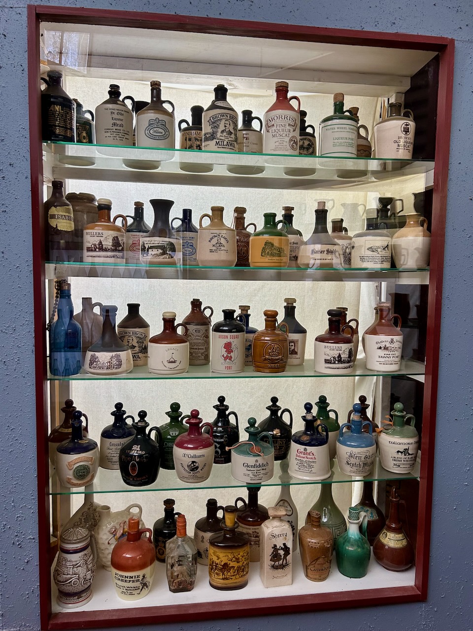
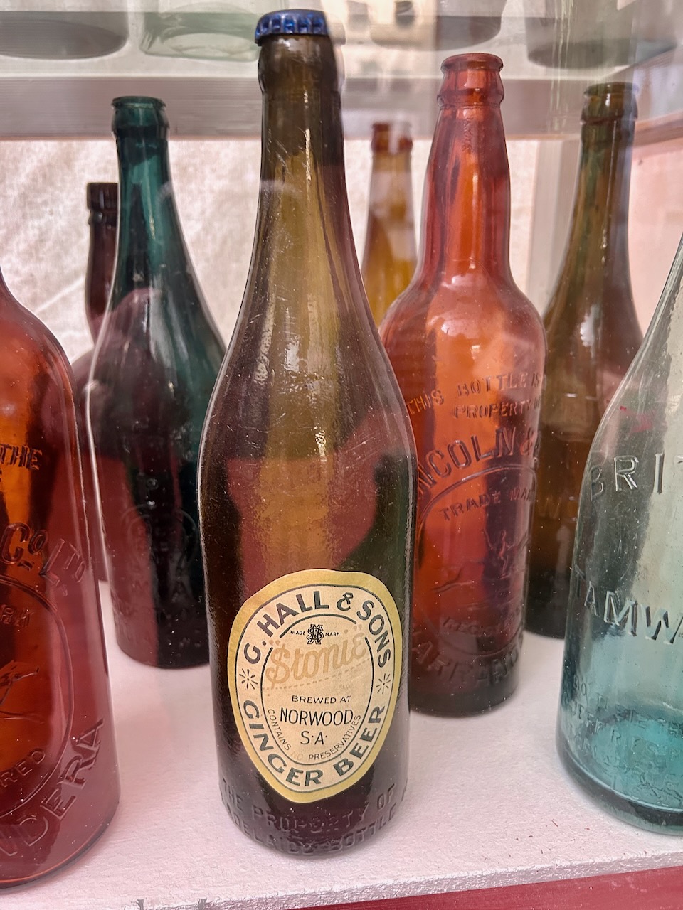
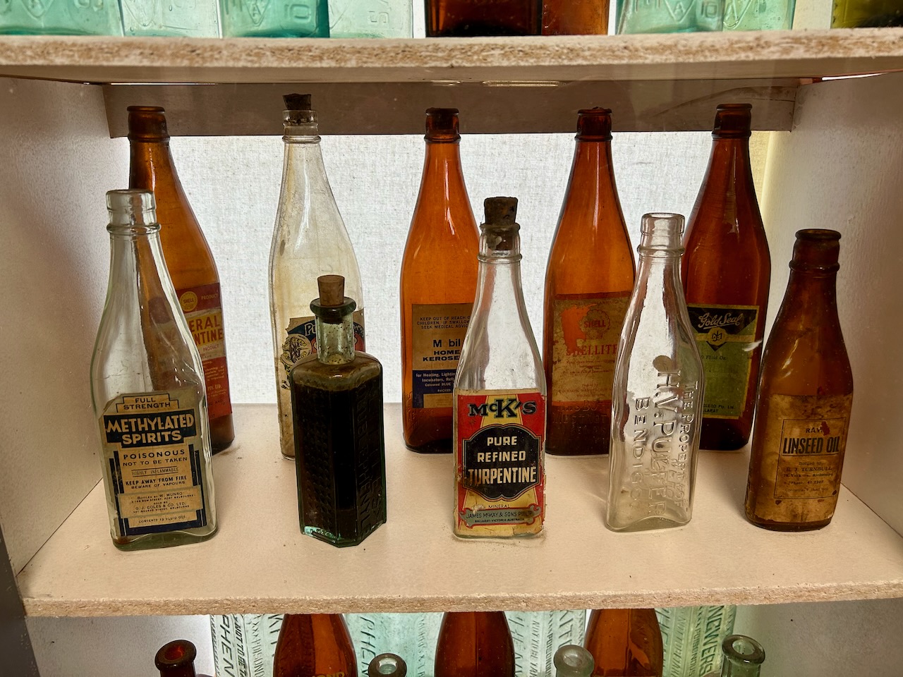
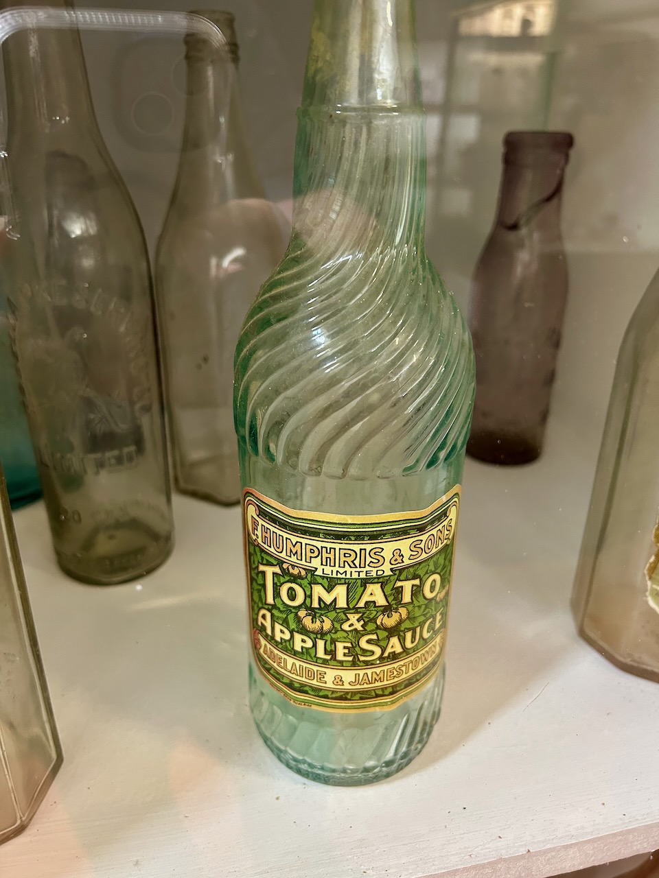
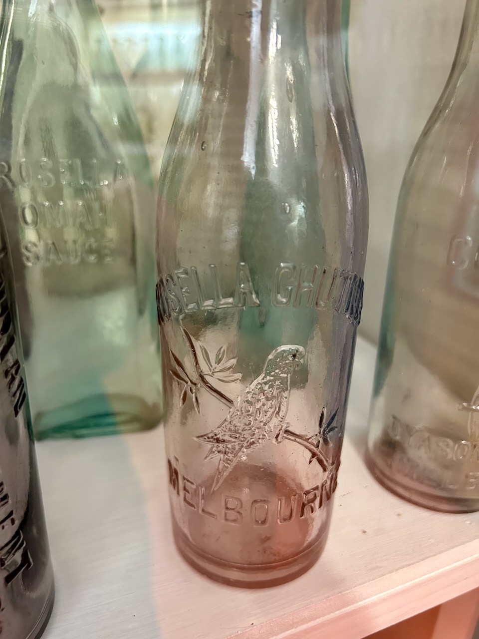
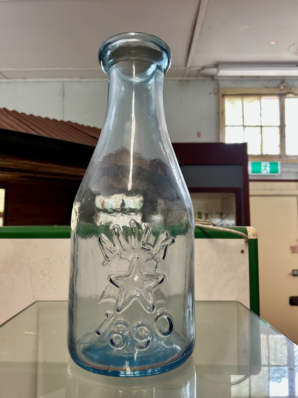
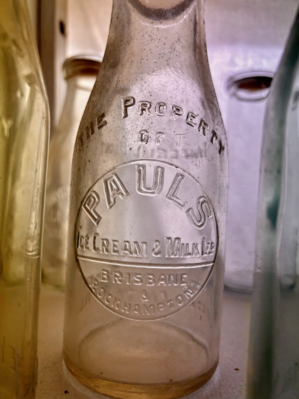
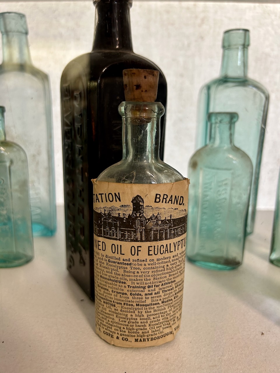
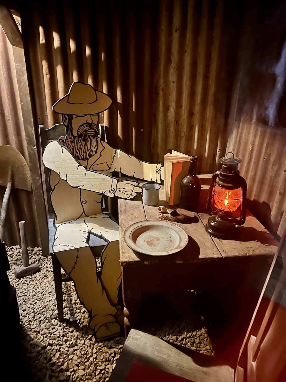
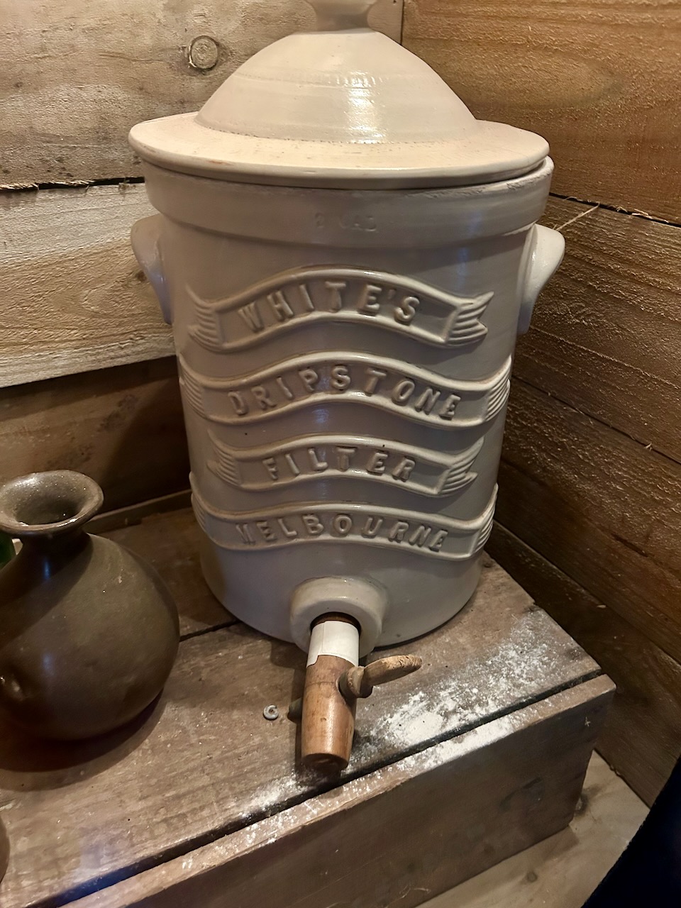
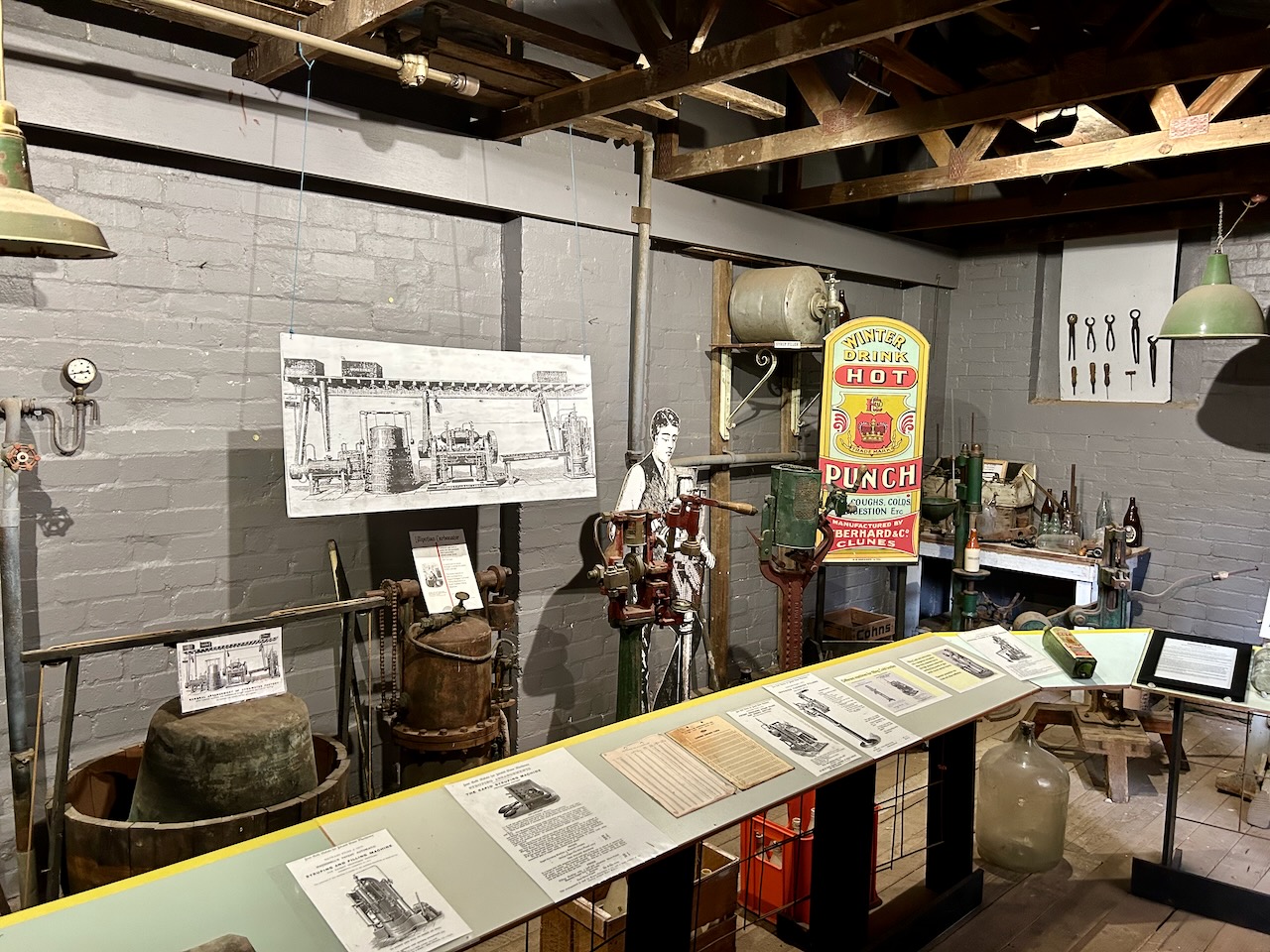
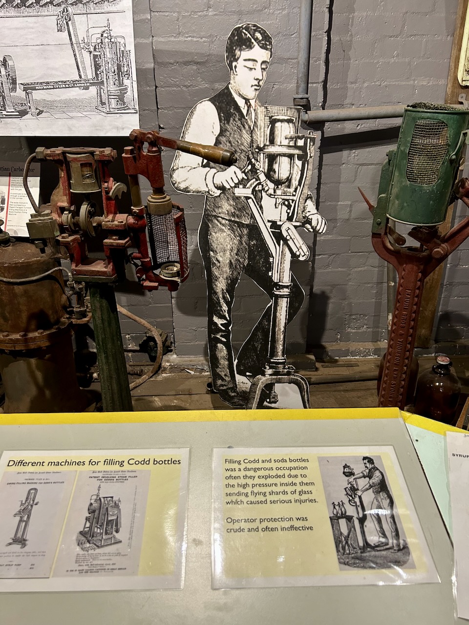
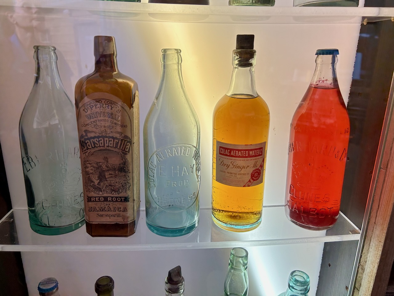
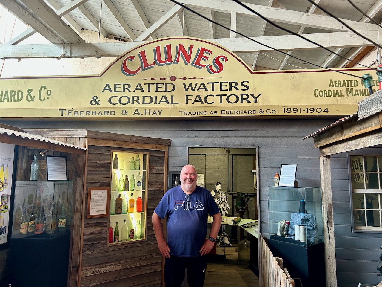
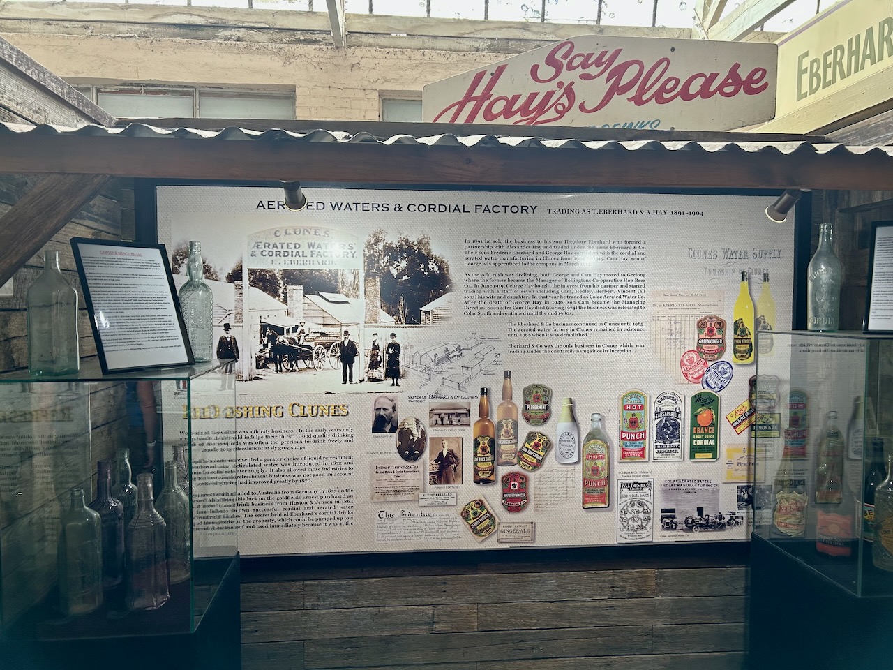
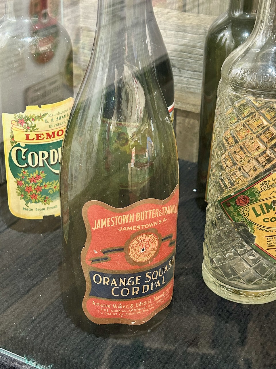
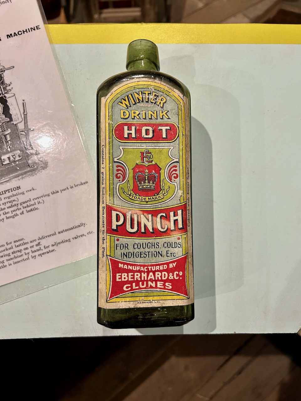
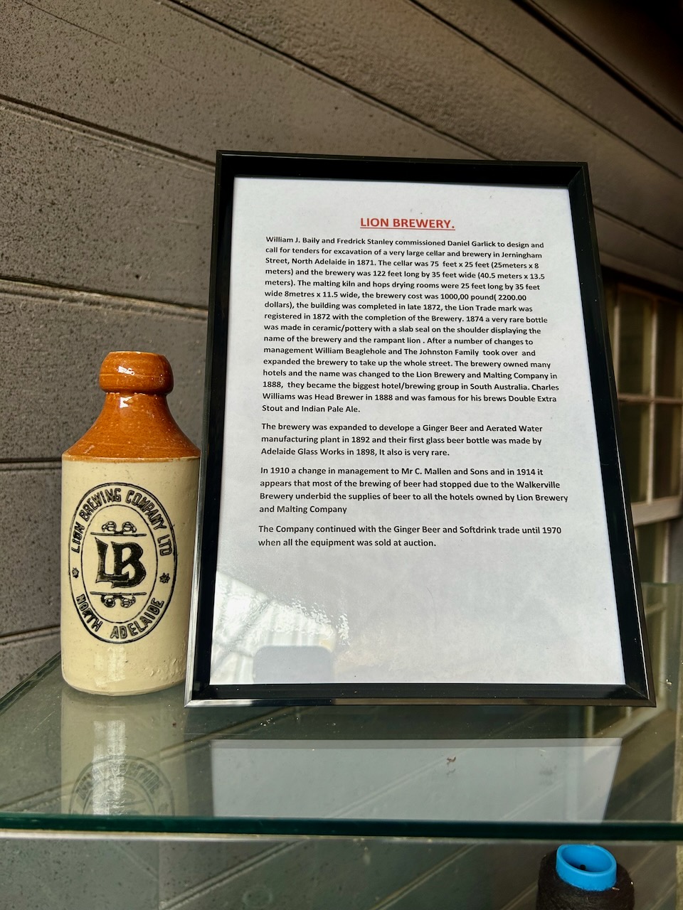
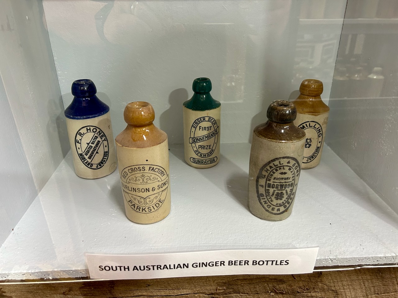
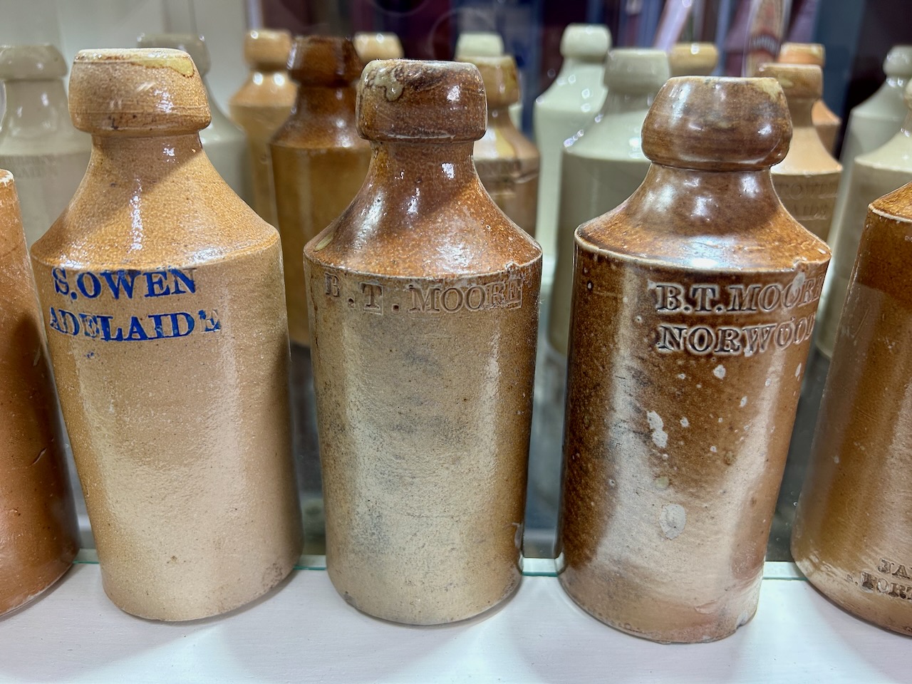
After leaving the Clunes Museum, we visited the Lee Medlyn Home of Bottles in Clunes. This amazing museum contains over 6,000 old and historical bottles that date from 1,500 AD to present times. The bottles include those used for beer, wine, spirit, aerated waters, preserves, condiments, ginger beer, chemist and drug companies. (Clunes Museum 2024)
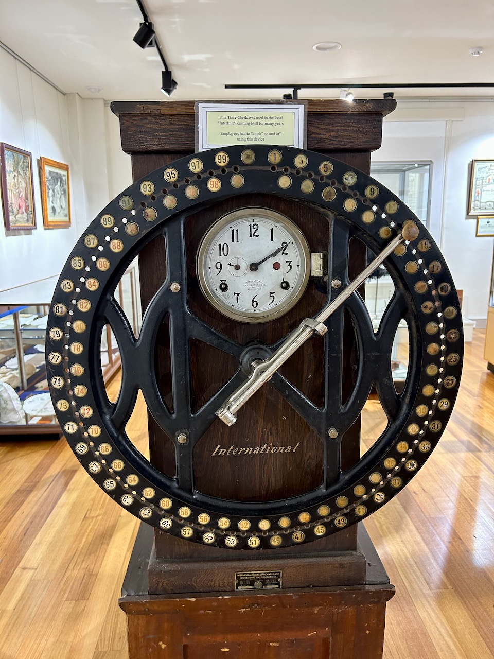
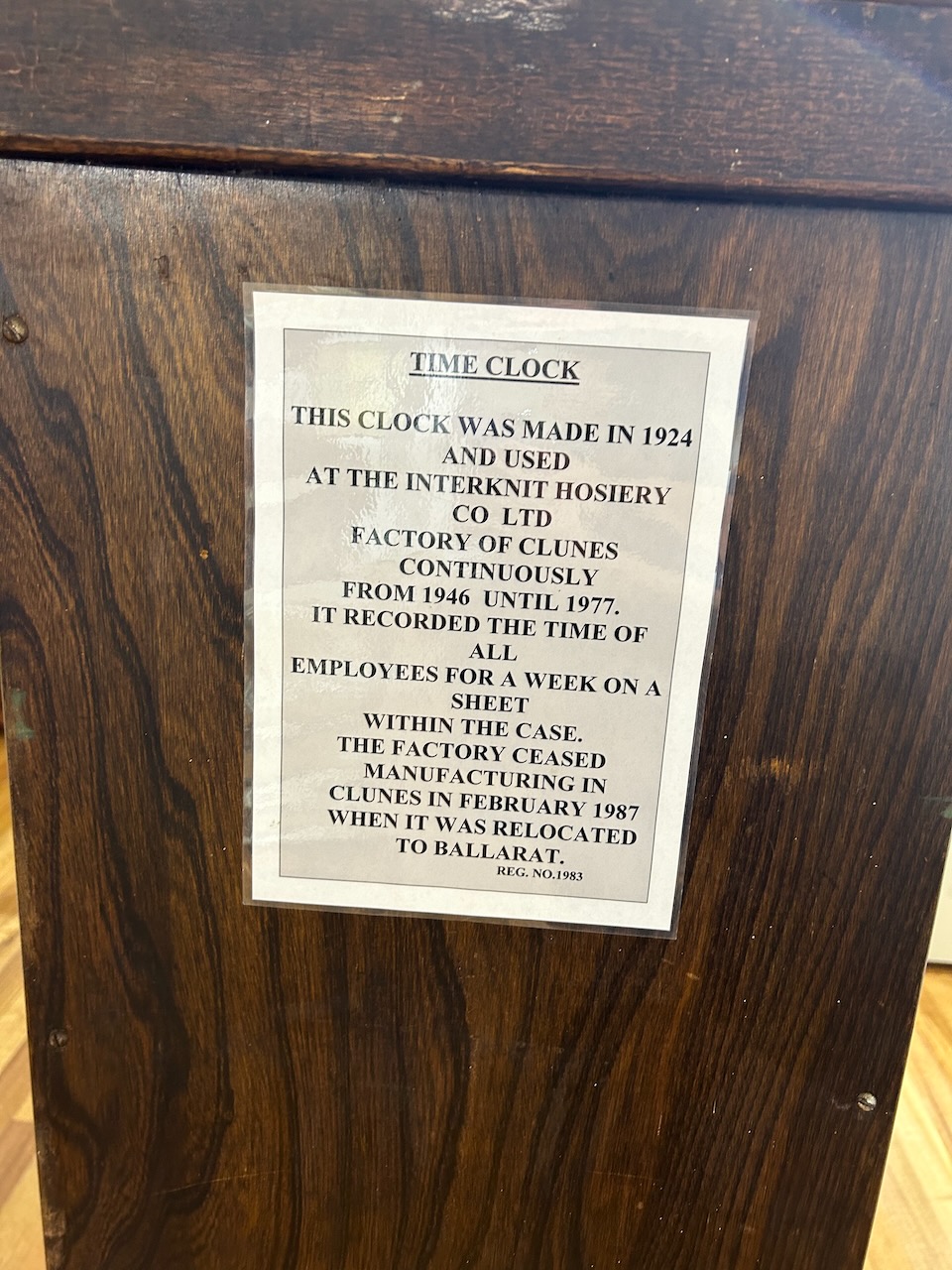
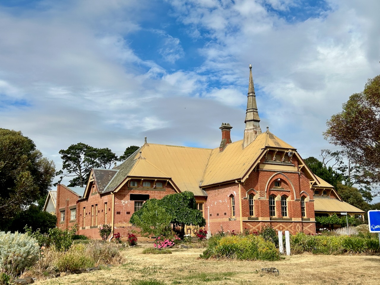
The museum is contained in th e decommissioned South Clunes State School which was designed b y Henry Bastow, the Chief Architect for the Eduction Department. It was opened in 1882. In 1922 it ceased being used as a school and was then used as a knitting mill. From 1985 it has been used to house the bottle museum.
We spent a couple of hours here. It is an absolutely amazing collection and brought back a lot of memories.
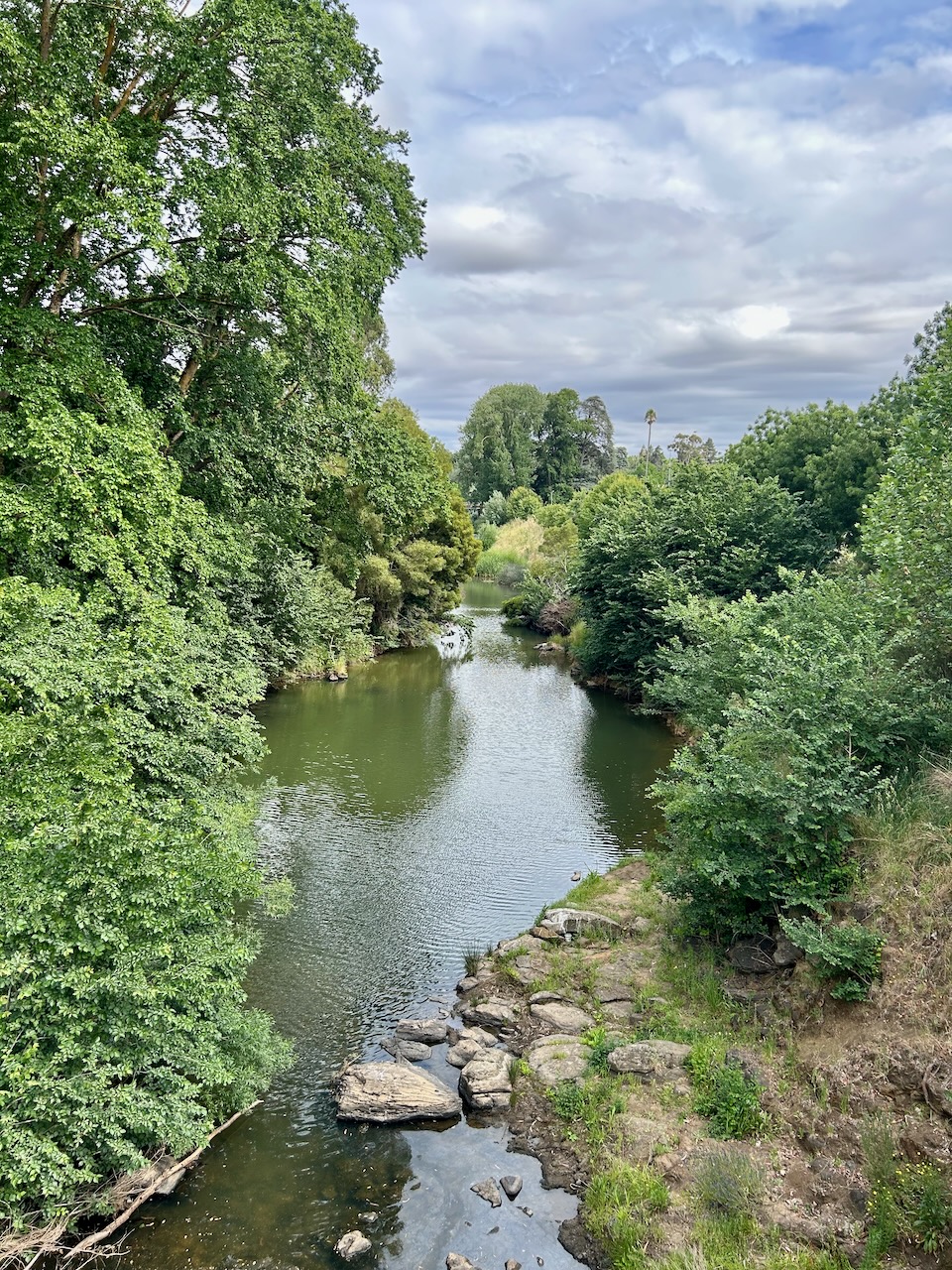
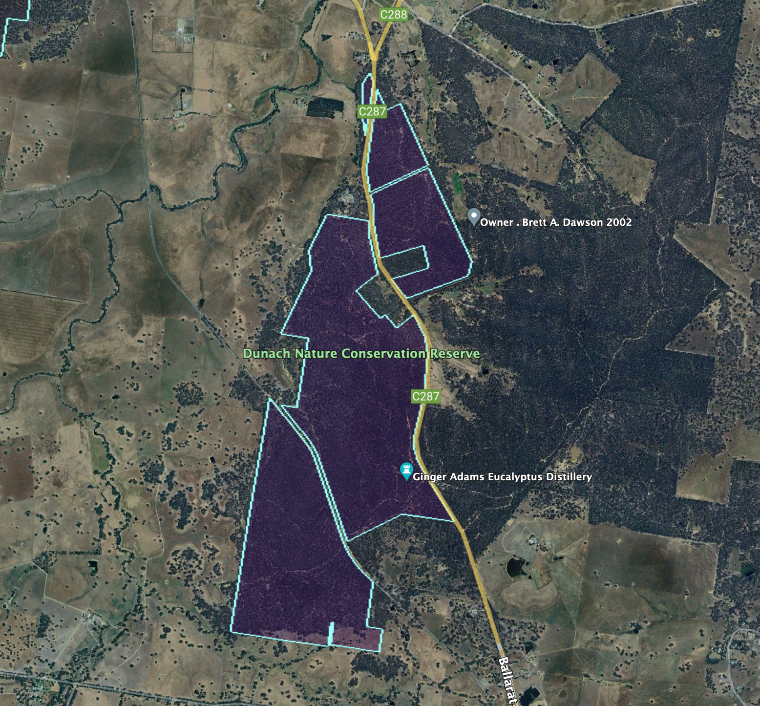
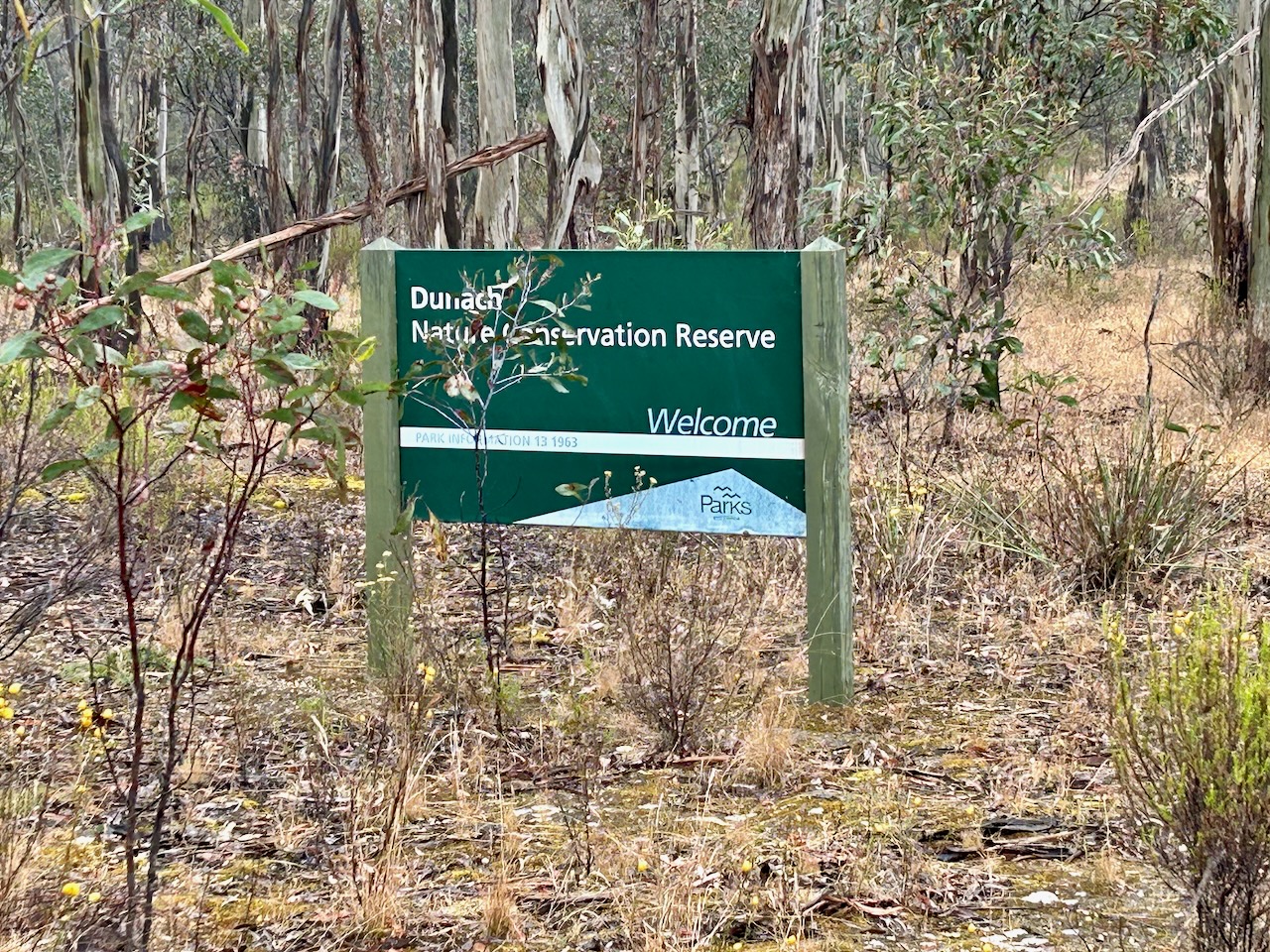
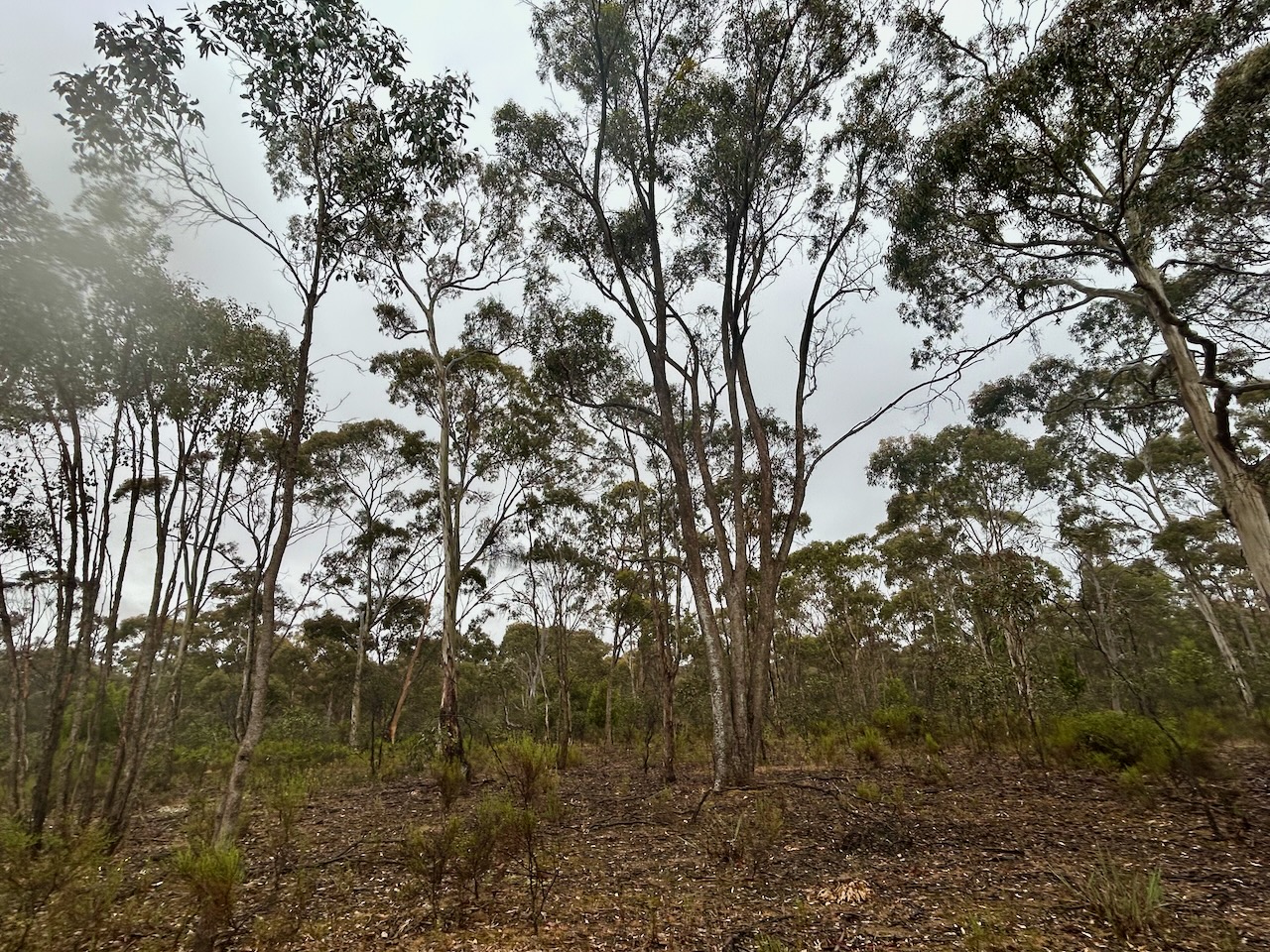
After leaving the bottle museum, Marija and I activated the Dunach Nature Conservation Reserve. The park is located on the southwestern side of Ballarat-Maryborough Road, about 10 km northwest of Clunes.
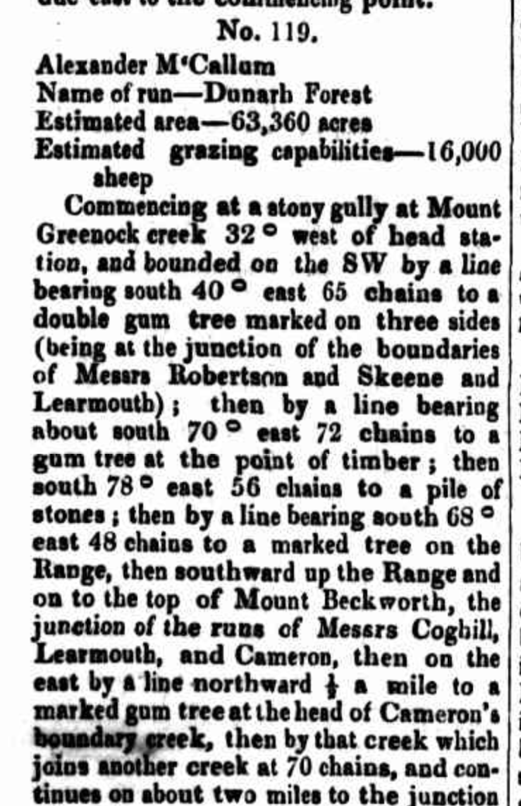
The first European in the Dunach area was Major Thomas Livingstone Mitchell whose exploration party reached the district in September 1836. Upon his return to Sydney, Mitchell reported favourably on the area for farming. By June 1841 Alexander McCallum arrived in the area. On the 1st day of April 1848, a grazing lease was granted to him for Dunach Forest, consisting of 63,640 acres (257.5 km²). The name was derived from Oban, Argyllshire, Scotland (Blake 1978) (Localista 2024)
Above:- part of an article in The Argus, Tue 3 Oct 1848. Image c/o Trove.
The reserve is about 479 hectares and was established on the 26th day of February 2002. (CAPAD 2022)
Unfortunately, we experienced constant drizzling rain during this activation, so we operated from the warmth of the 4WD. We ran the Yaesu FT857, 40 watts, and the 20/40/80m linked dipole. I used the special callsign of VI10VKFF.
Marija worked the following stations on 40m SSB:-
VK3PF
VK3KAI
VK3XE/p (Baw Baw National Park VKFF-0020 & SOTA VK3/ VT-006)
VK2IO/p (Melrose Nature Reserve VKFF-3183)
Marija worked the following stations on 40m AM:-
VK3PF
VK3KAI
VK3UH
VK5HS
VK3APJ
VK7JFD
VK3SQ
VK2BD
I worked the following stations on 40m SSB:-
VK3PF
VK3KAI
VK3APJ
VK3ANL
VK5HS
VK3DCQ
VK3SG
VK3VIN
VK3MDC/m
VK7XX
VK3ZSC
VK3UH
VK3BSF
VK3BBB
VK2CCP
VK3EJ
VK3SQ
VK2BD
VK4MHZ/7
VK3UP/m
VK3BWS
VK3XE/p (Baw Baw National Park VKFF-0020 & SOTA VK3/ VT-006)
VK3KRL
VK3VMM
VK3UAO
VK3MTT
VK3MCA
VK2IO/p (Melrose Nature Reserve VKFF-3183)
I worked the following stations on 40m AM:-
VK3PF
VK3KAI
VK3UH
VK5HS
VK3APJ
VK7JFD
VK3SQ
VK2BD
VK3VIN
VK5KBJ
VK5IS
VK3BSF
VK5EE
VK3ANL
VK3UAO
VK3DCQ
VK3MAP
VK3ZSC
I worked the following stations on 20m SSB:-
VK4QD
VK4AWB
ZL1TM
ZL3MR
VK1AO
VK2MET
VK4HAT
References.
Adventures, C. jojo’s (n.d.). Clunes Heritage Walk. [online] Walking Maps. Available at: https://walkingmaps.com.au/walk/4817 [Accessed 26 Mar. 2024].