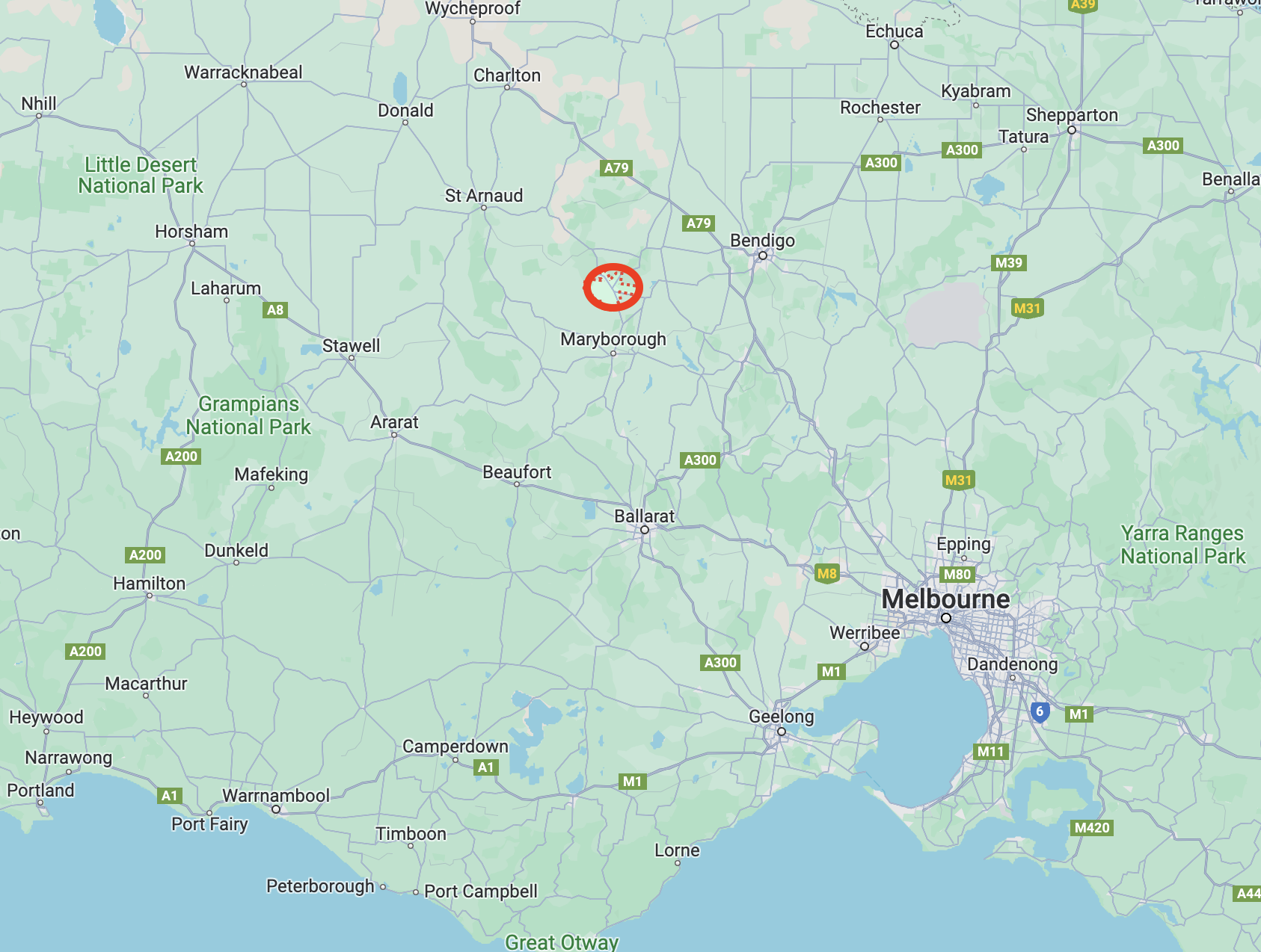
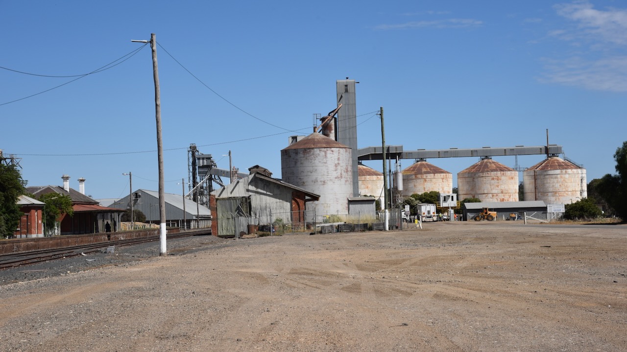
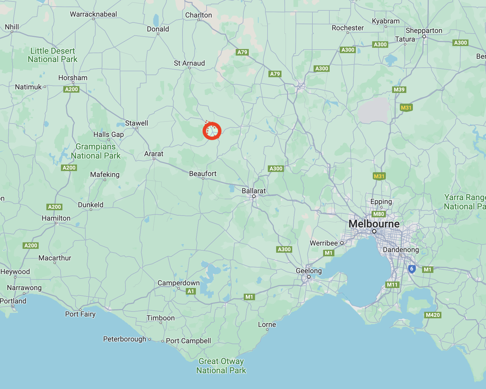
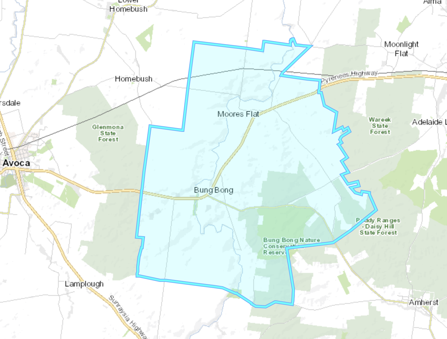
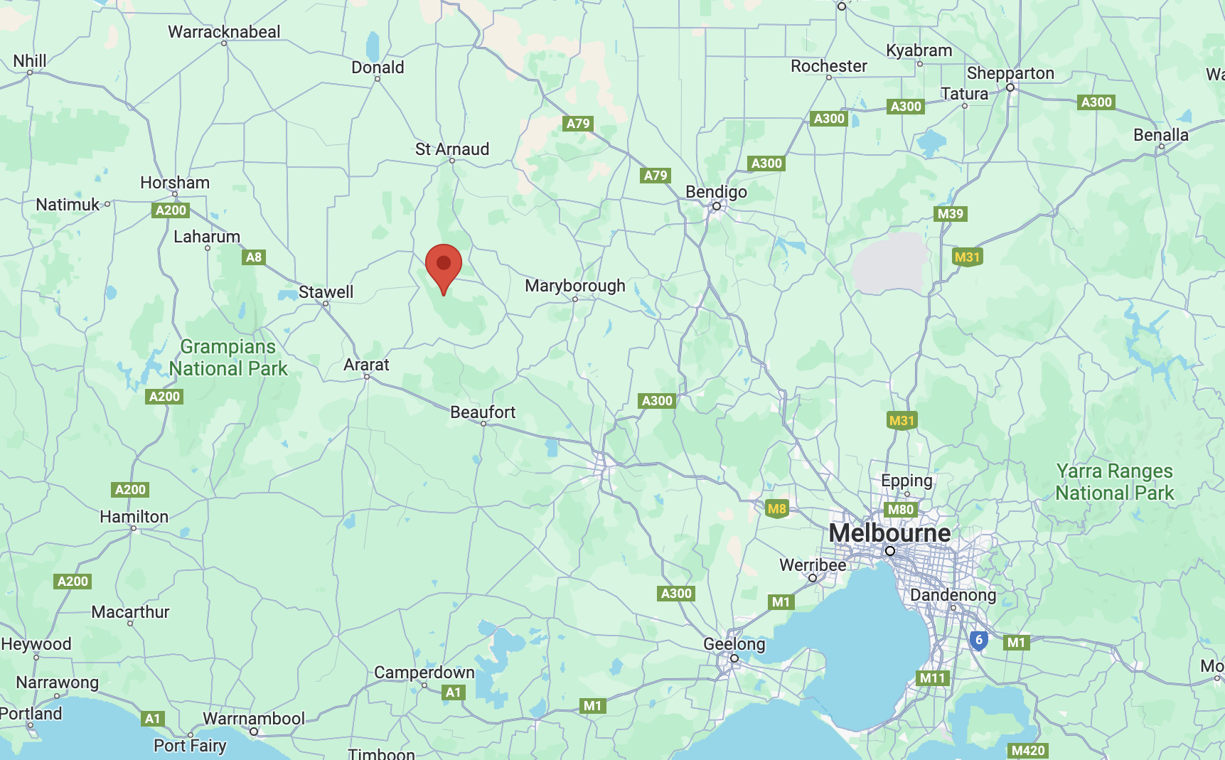
Our next activation for 22nd November 2023 was Mount Moliagul VK3/ VN-024 for the Summits On The Air (SOTA) program. Mount Moliagul is located about 21 km north of Dunolly and about 203 km northwest of Melbourne.

Above:- Map showing the location of Mount Moliagul. Map c/o Google Maps.
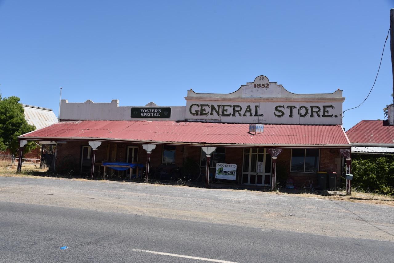
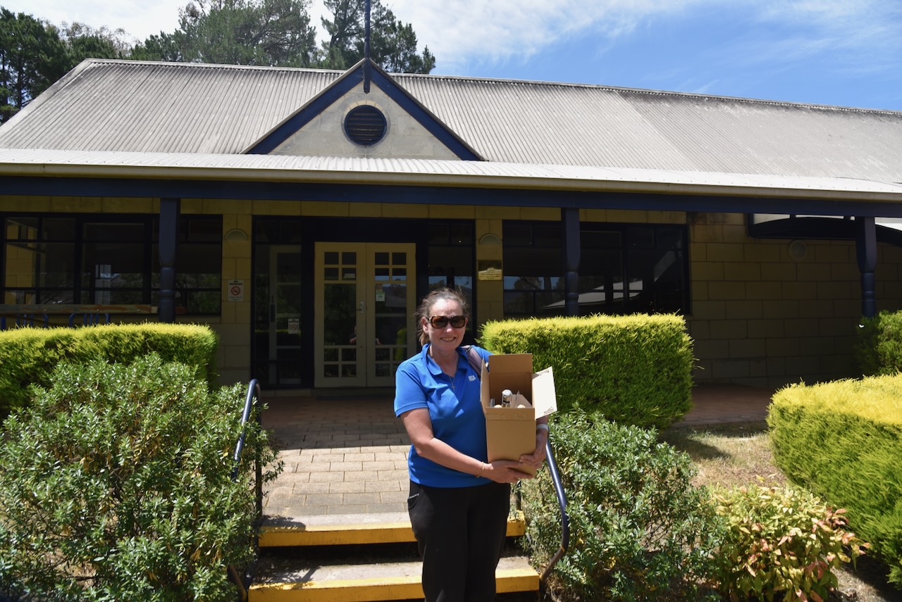
Although not many buildings remain, Moliagul is certainly one of the most interesting places I have been to in Australia due to its rich history. And I suspect most people do not know about Moliagul’s place in history.
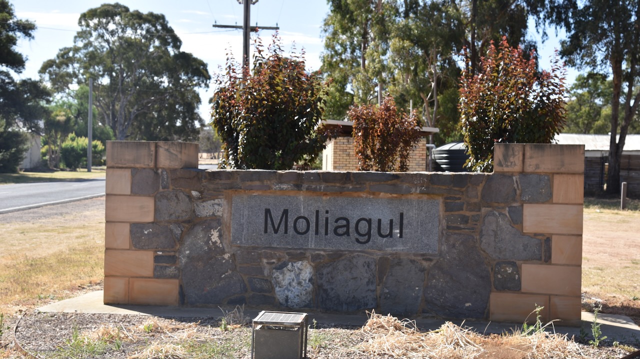
Before European settlement, the Moliagul area was the home of the Wemba Wemba aboriginal people. Moliagul is an aboriginal word meaning ‘wooded hill.’ (Aussie Towns 2024)
By the late 1840s pastoralists and settlers had commenced taking up land in the district (Aussie Towns 2024)
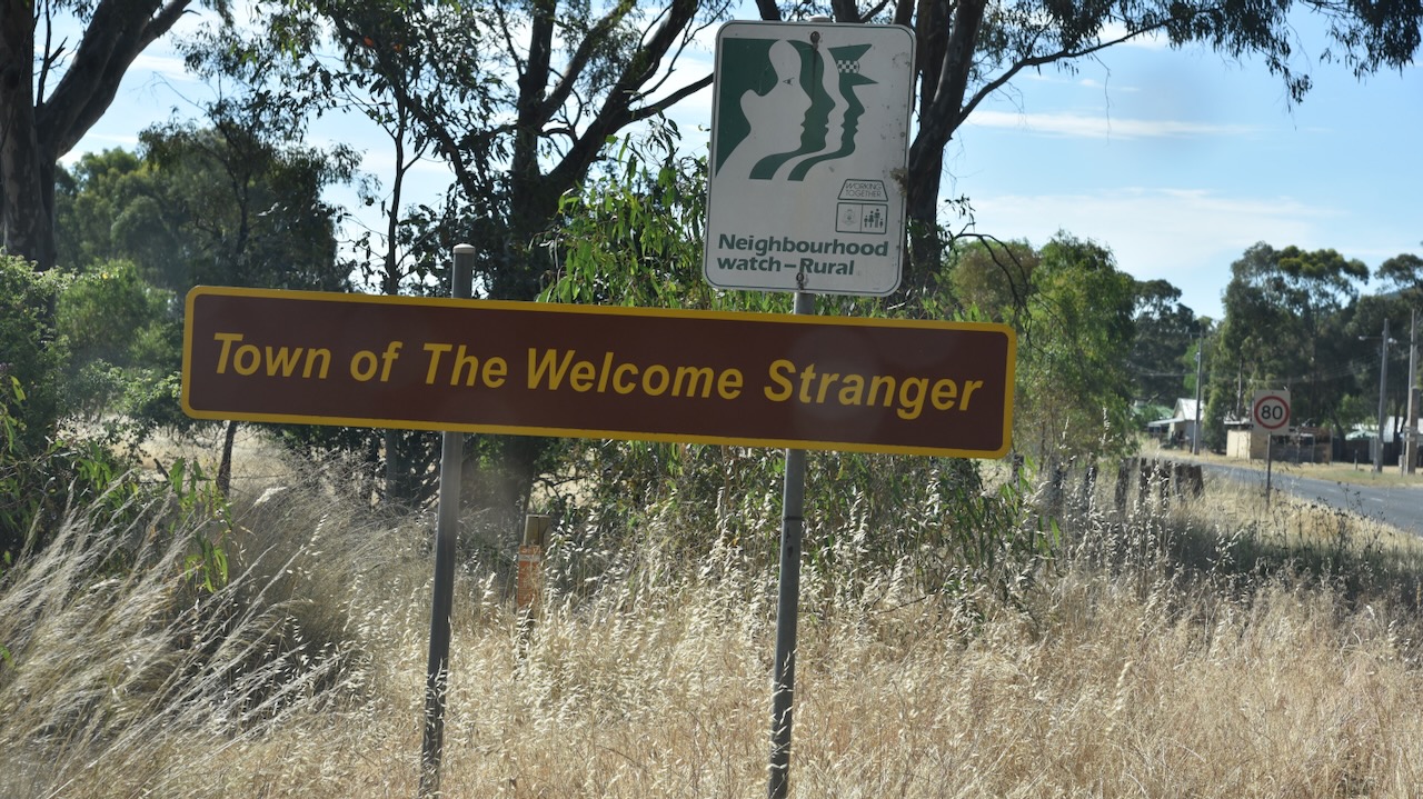
Gold was discovered at Queens Gully near Moliagul in late 1852 and was one of the earliest finds of gold in the Dunolly district. Several notable nuggets were located. The most famous was the Welcome Stranger in 1869 weighing in at a gross weight of 2,520 ounces (about 70 kilograms). More about the Welcome Stranger a little later in this post. (Aussie Towns 2024) (Victorian Places 2024)
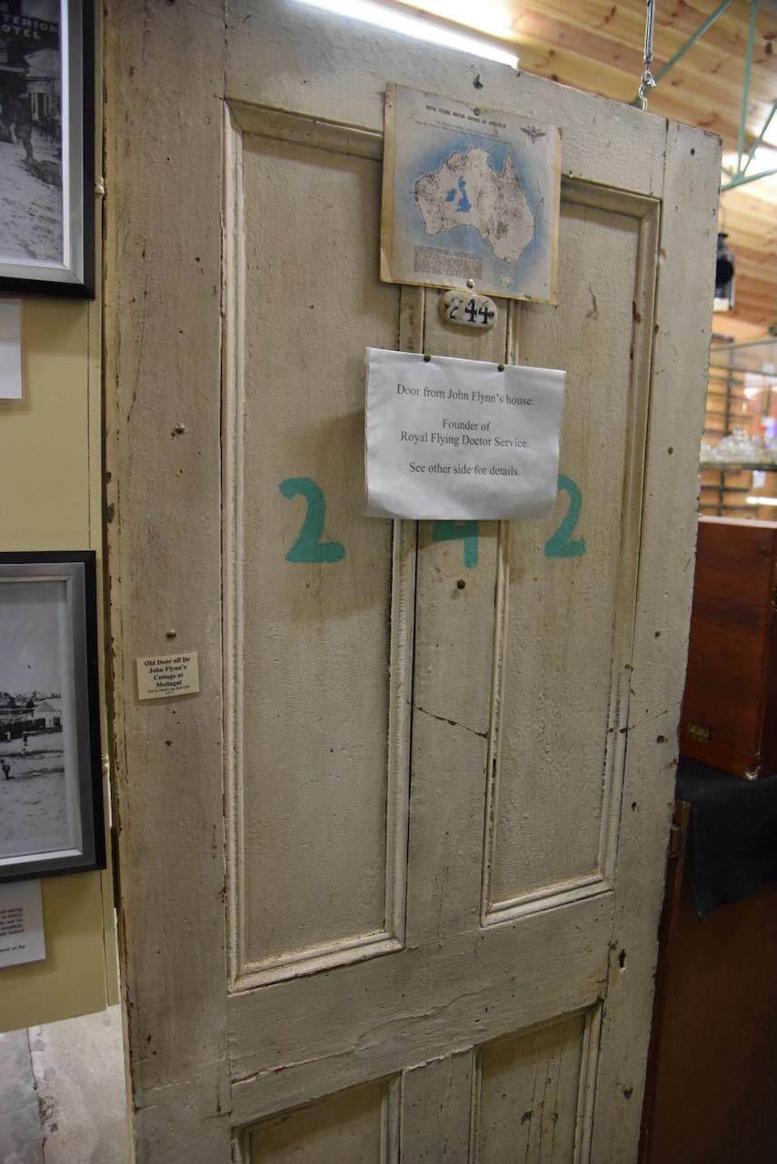
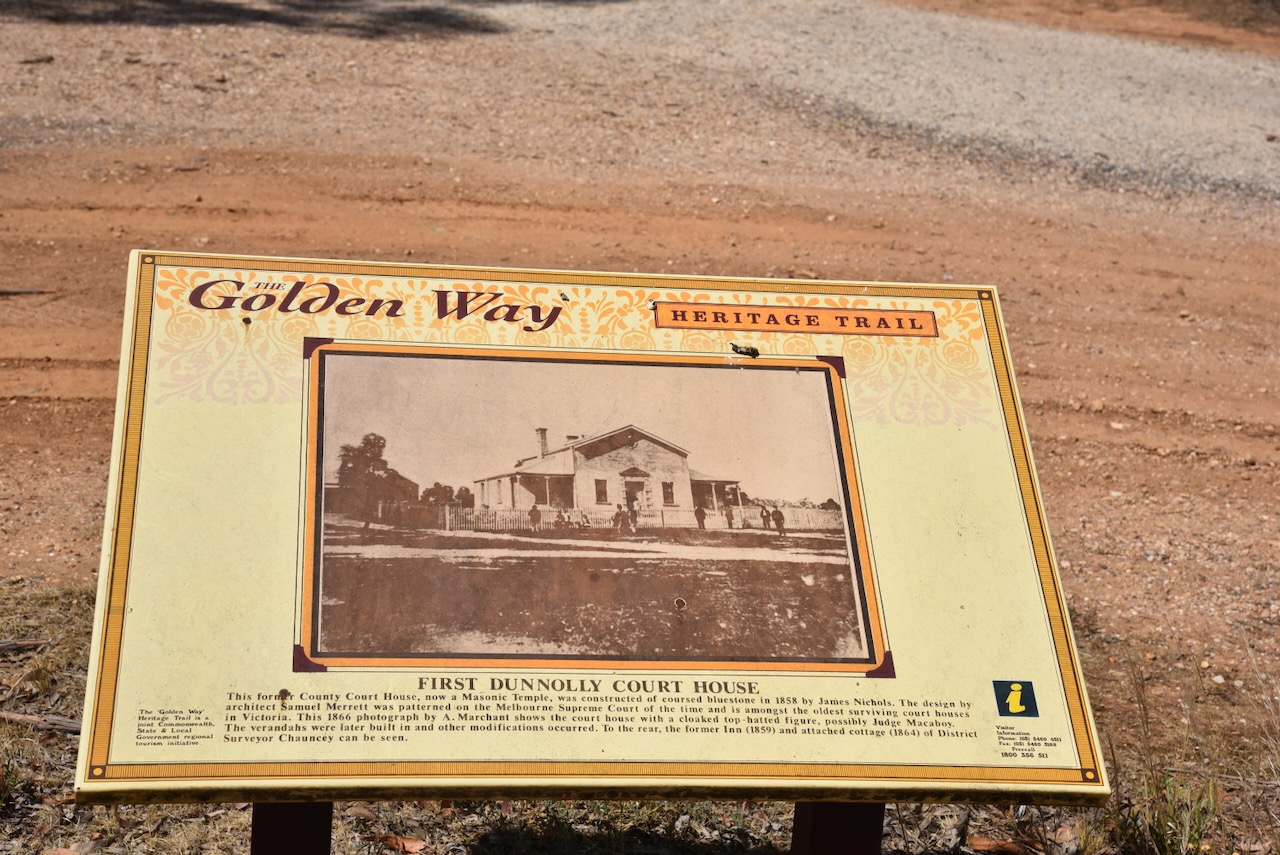
The first survey of the Moliagul township was conducted in 1859 by Henry Morris. The surveyed government site was on a hill to the east of the present main street. Settlers who had built premises on the flat near the creek, refused to purchase the sites on the hill when they came up for sale. In 1862 Dunolly Surveor Phillip Chauncey offered both sites for sale. The first sale of land at Moliagul took place on the 5th day of September 1862. In 1869 a school was opened and in 1863 this was moved to a Primitive Methodist chapel. It was rebuilt on a further site in 1872. The school’s head teacher was Thomas Flynn, the father of John Flynn, the founder of the Australian Inland Mission and Royal Flying Doctor Service. (Bannear 1980) (Victorian Places 2024)
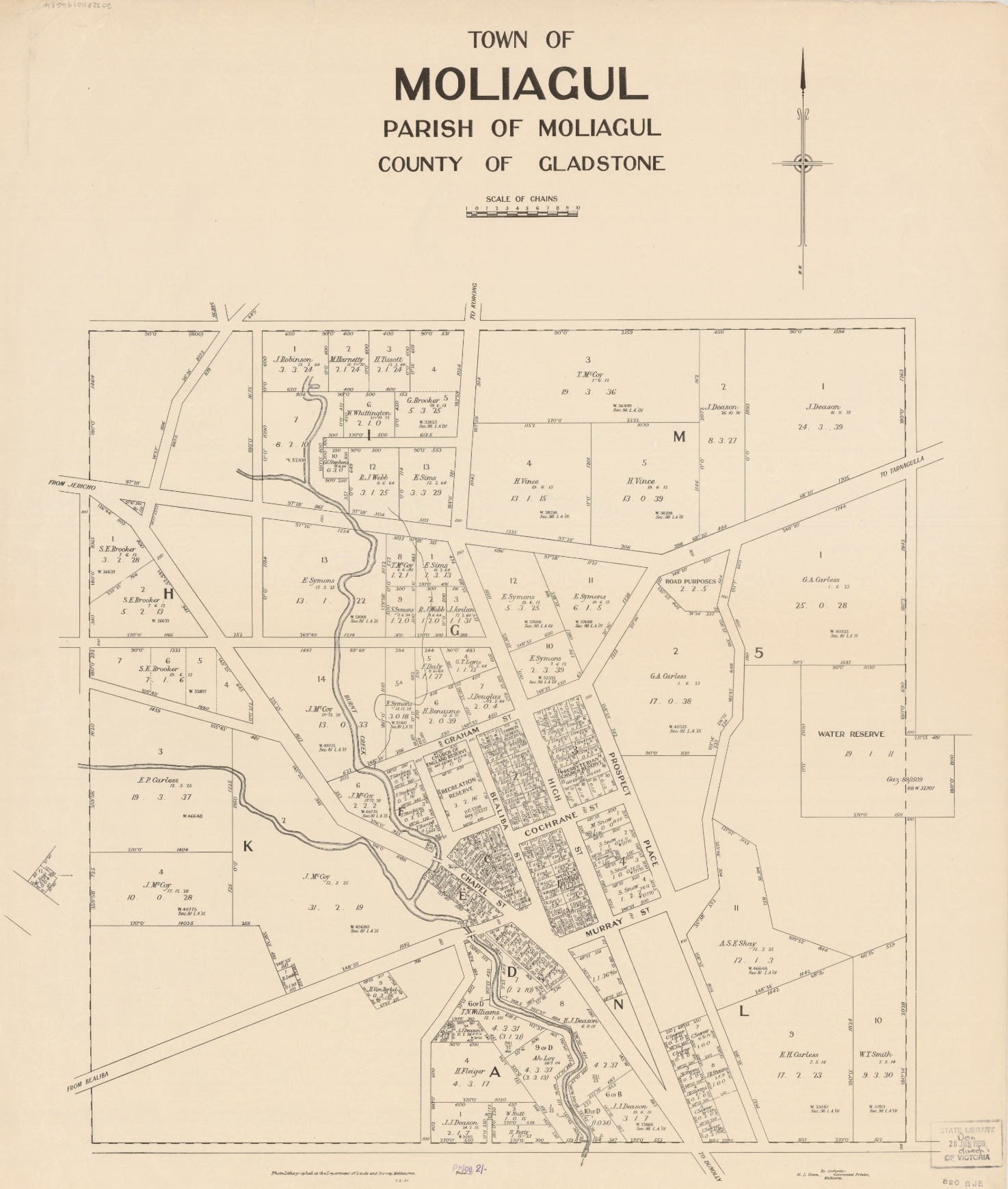
Above:- A map of the town of Moliagul. Image c/o State Library Victoria.
Thomas Eugene Flynn was born on the 1st day of September 1852 in England. He emigrated to Australia and in 1876 he married Rosetta Forsythe Lester. They had four children. Their third child John Flynn was born on the 25th day of November 1880 in Moliagul. Sadly his mother Rosetta died in 1883 when John was just 3 years old.
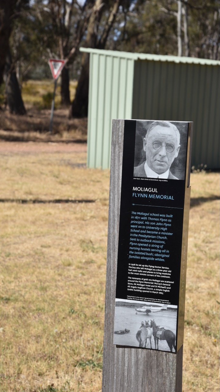
After graduating from secondary school, Flynn studied theology at college and in 1907 commenced a four-year course in divinity at Melbourne University. He graduated in 1910 and on the 24th day of January 1911, Flynn was ordained a Minister of the Presbyterian Church. He performed missionary work in rural and remote areas of Victoria and South Australia. In 1912 he was appointed the head of the Australian Inland Mission, an organisation formed to minister to the spiritual, social and medical needs of people living in outback Australia. (RFDS 2024)
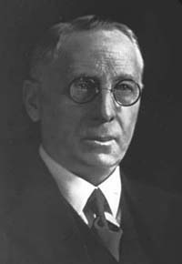
Above:- John Flynn. Image c/o Wikipedia.
From about 1917, Flynn campaigned for an aerial medical service. A long-time supporter of Flynn was Hugh Victor McKay, an Australian industrialist, famous for heading the company that developed the first commercially viable combine harvester, the Sunshine Harvester. He left a large bequest for ‘an aerial experiment’.

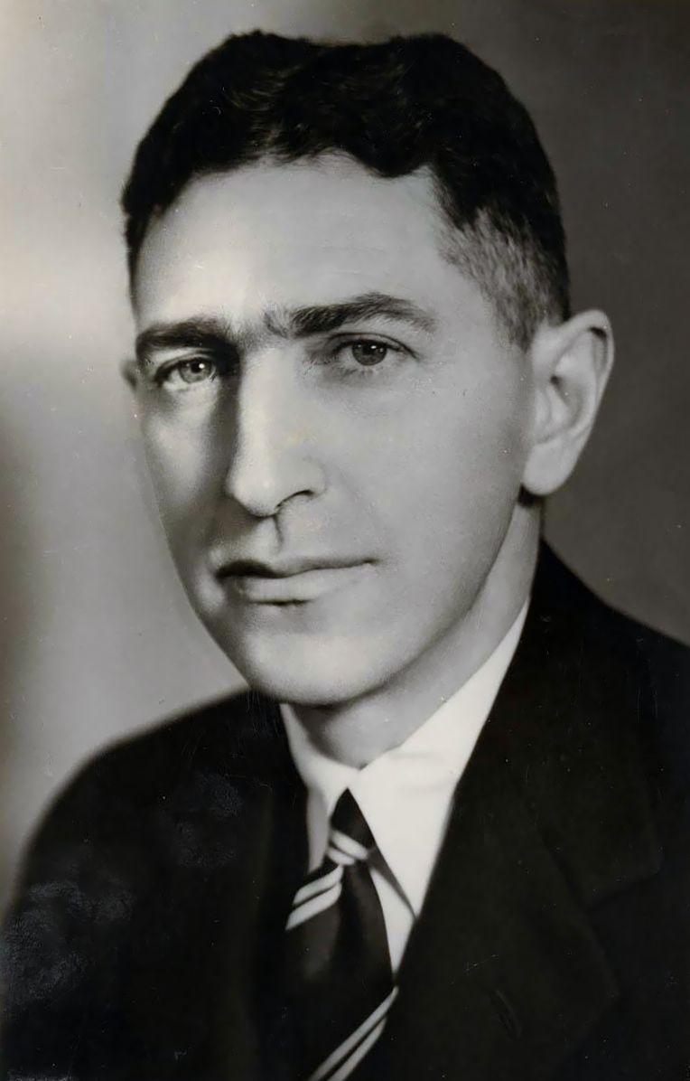
Above:- H.V. McKay. Image c/o Wikipedia
At about this time Flynn also met Hudson Fysh, a founder of QANTAS, and in 1927 QANTAS and the Aerial Medical Service signed an agreement for an aerial ambulance to fly from Cloncurry in Queensland. This was the birth of the Royal Flying Doctor Service, originally known as the Aerial Medical Service. (RFDS 2024) (Wikipedia 2024)
Above:- Hudson Fysh. Image c/o Wikipedia
The first aircraft to fly for Flynn was named ‘Victory’ in honour of H.V. McKay and took off from Cloncurry Queensland on the 17th day of May 1928. The pilot was Arthur Affleck and the doctor was Dr. Kenyon St Vincent Welch. (RFDS 2024)
Below is an excellent video on John Flynn and the history of the Royal Flying Doctor Service.
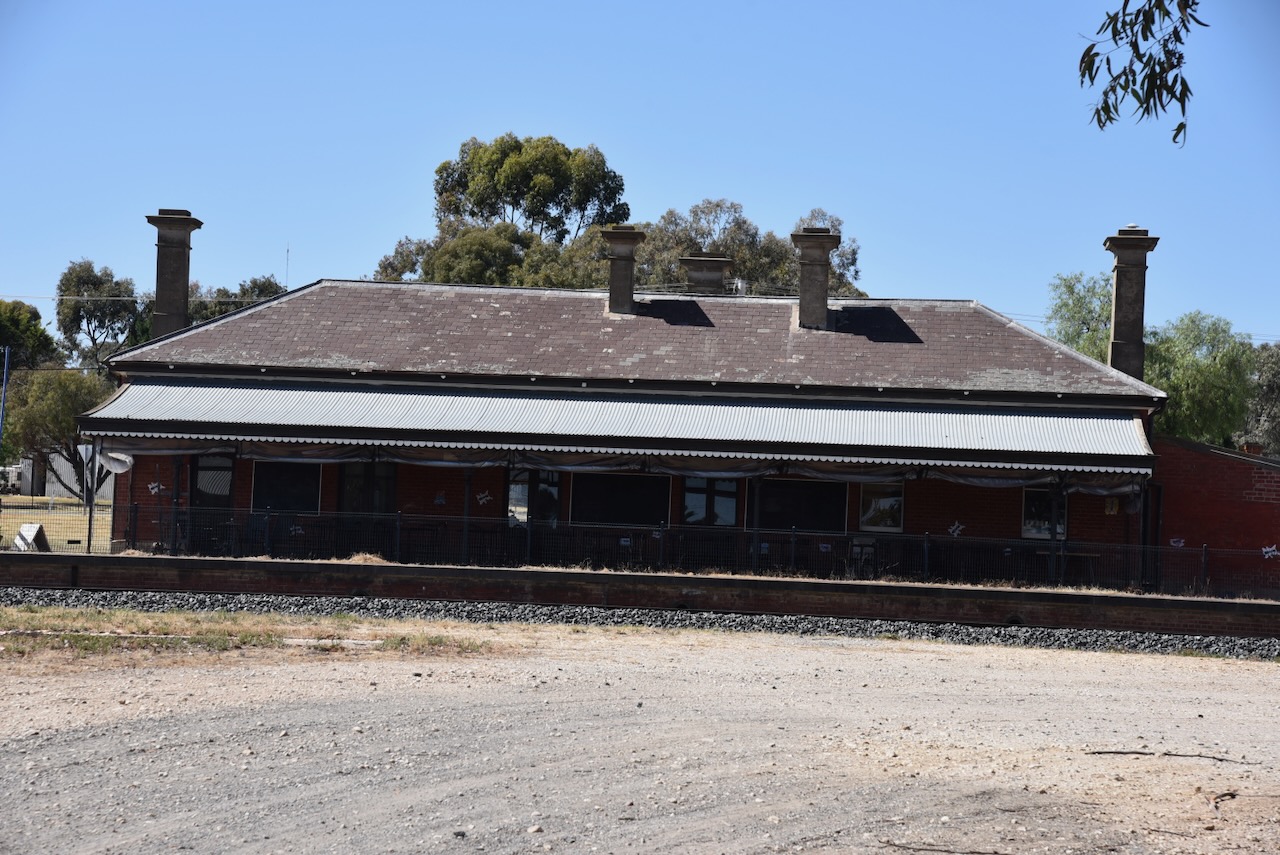
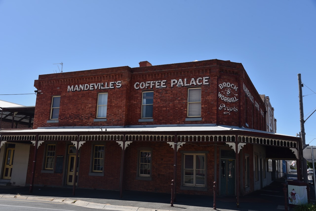
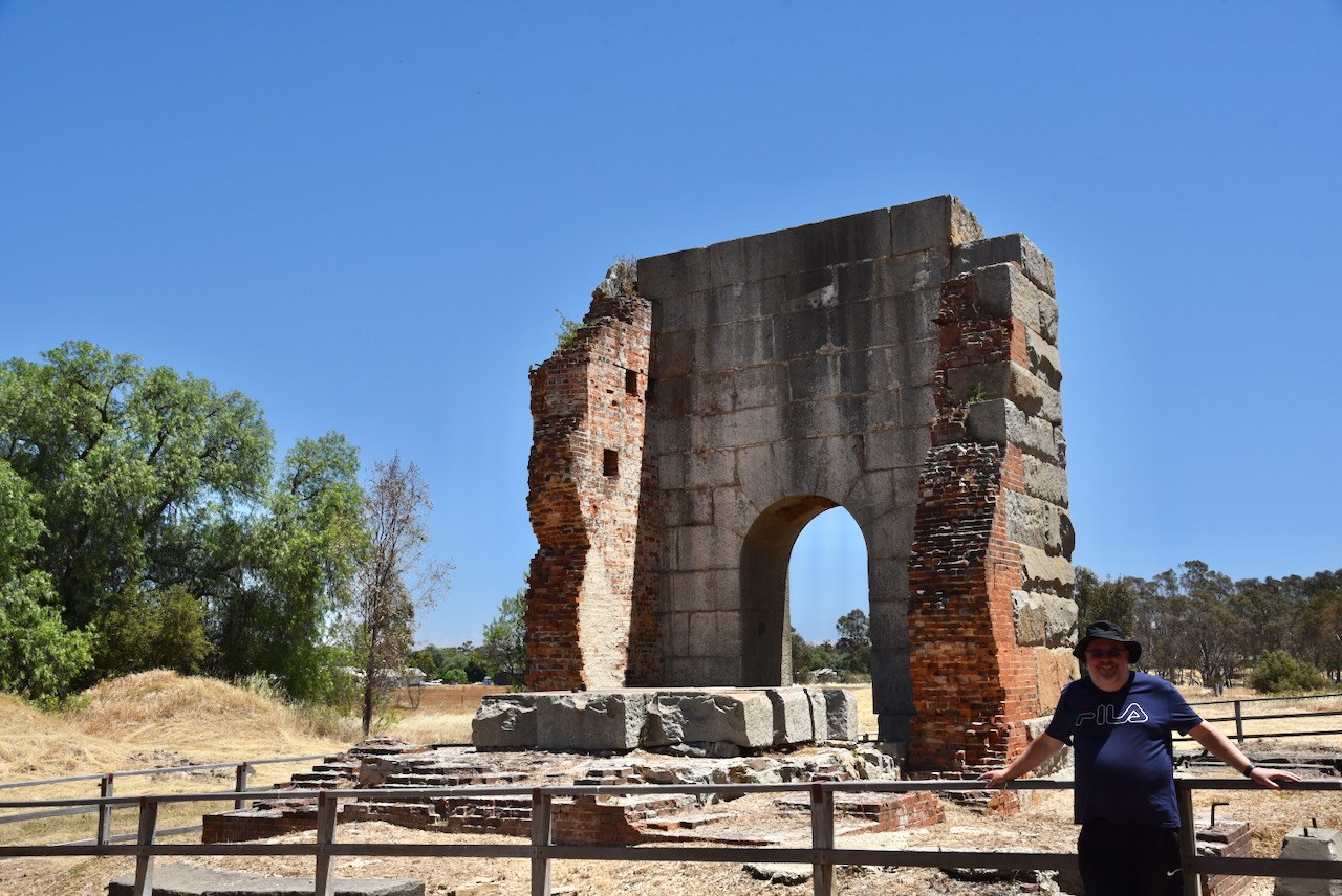
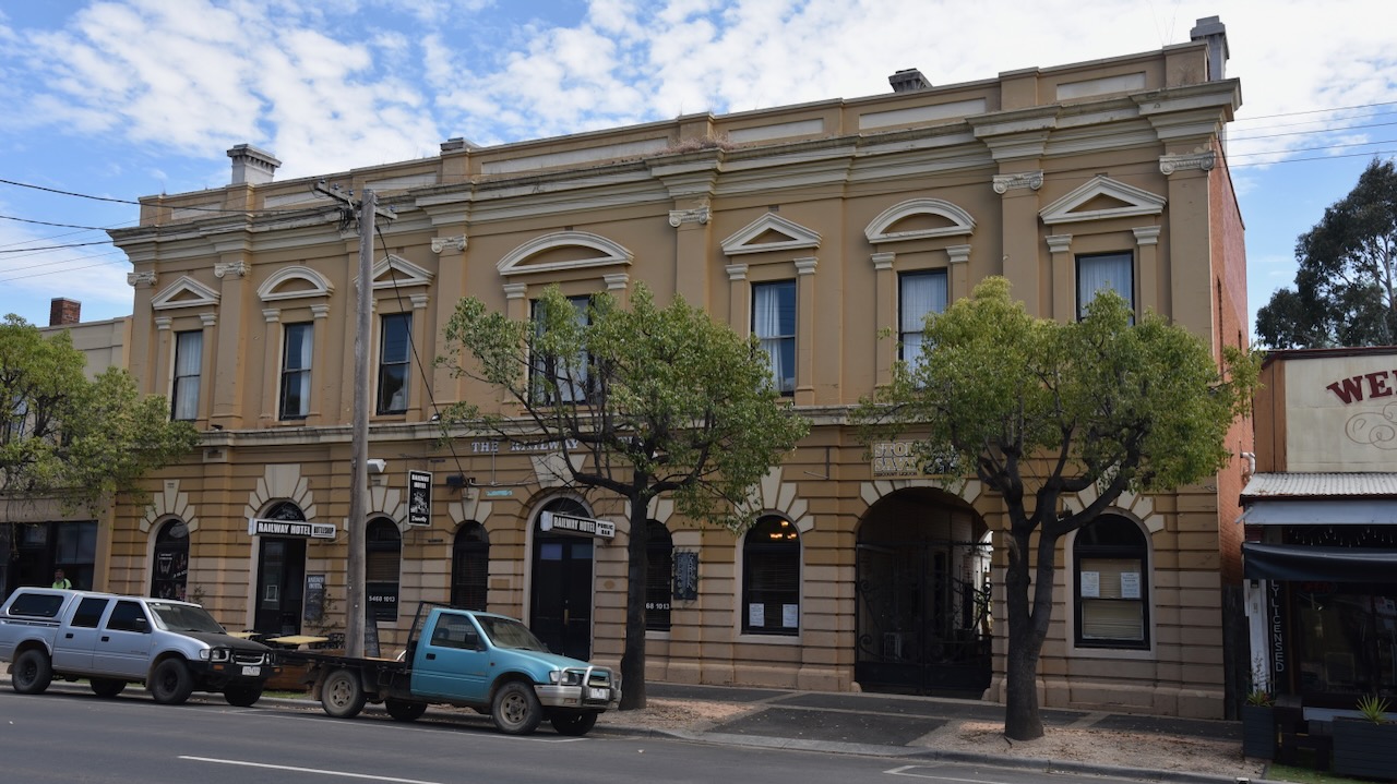
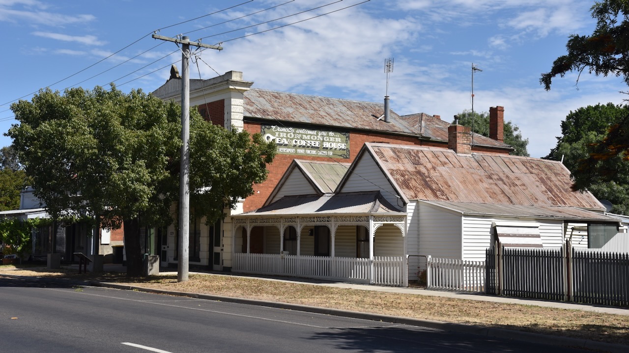
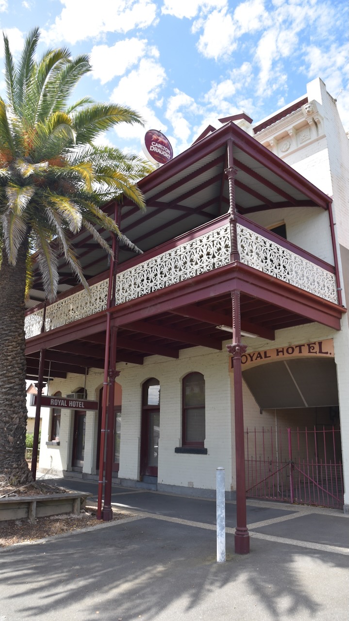
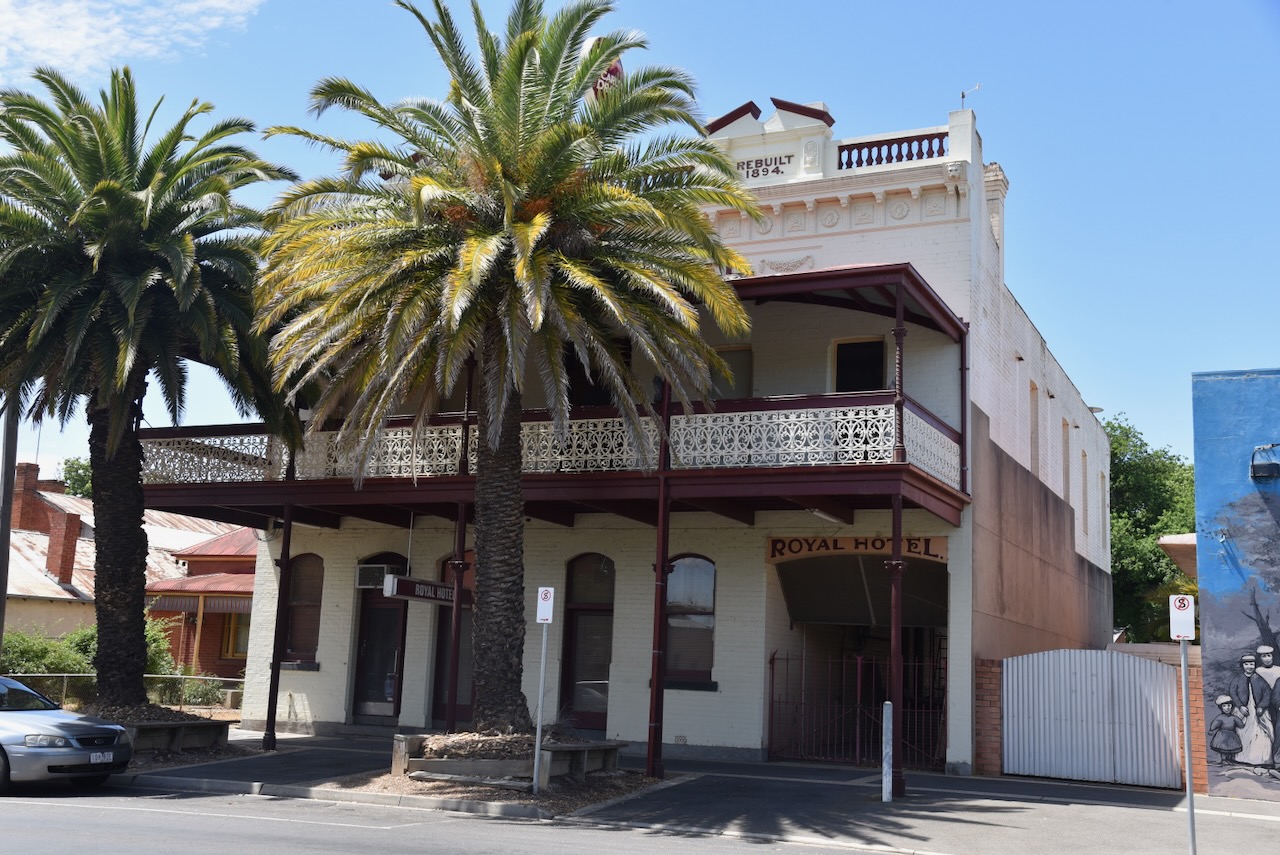
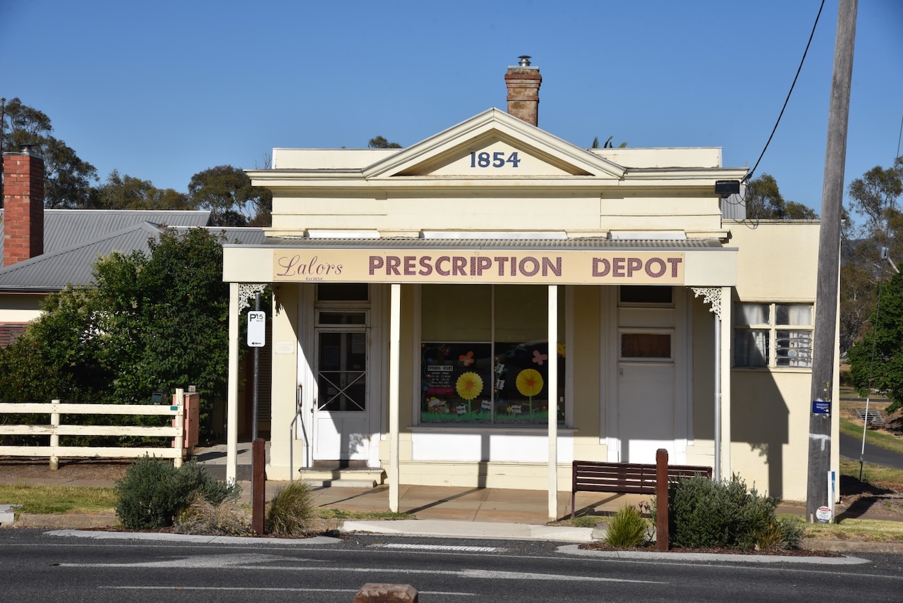
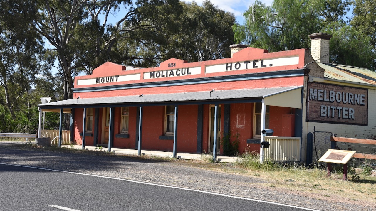
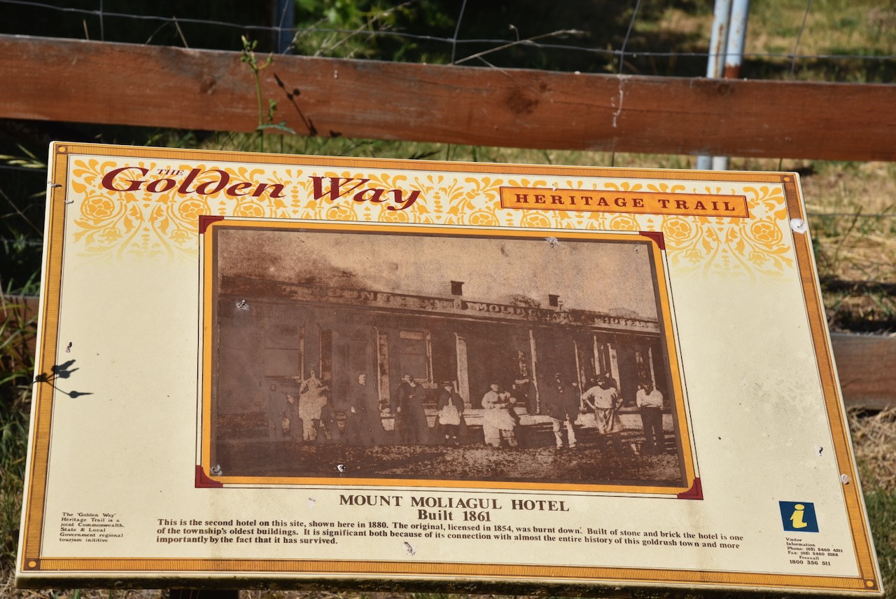
Not much remains at Moliagul which was once a thriving gold mining town. One of the surviving buildings in the town is the old Mount Moliagul Hotel built in 1861. The current building is the second hotel on this site. The original hotel was licenced in 1854 and was burnt down. (Aussie Towns 2024)
We then headed to the site where the famous Welcome Stranger nugget was found.
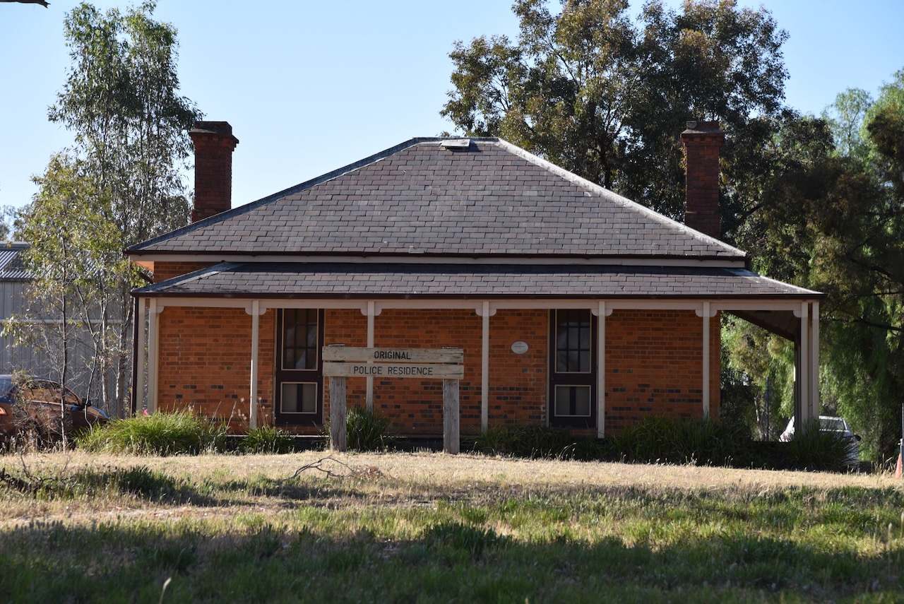
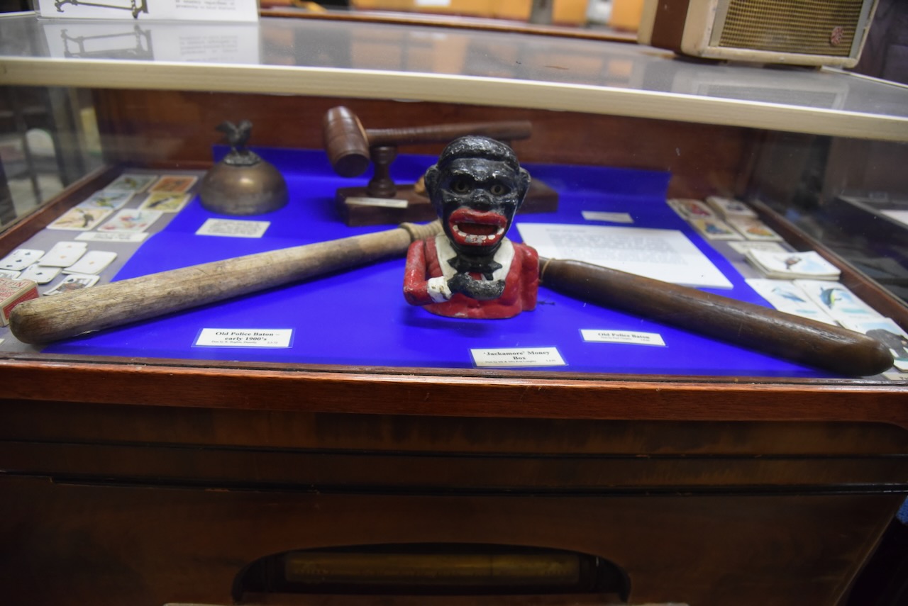
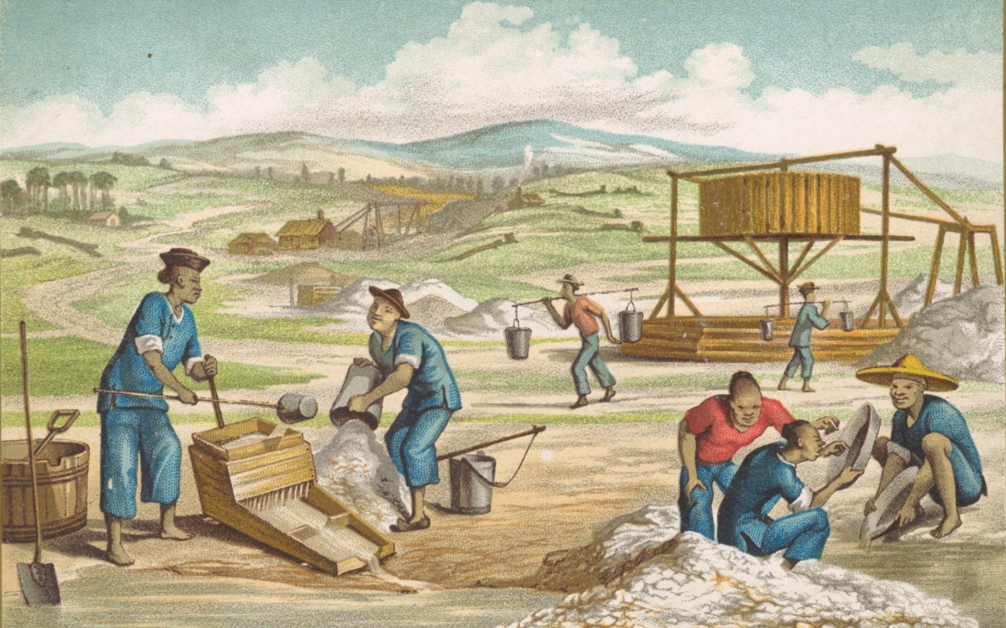
Gold was discovered at Queens Gully in the Moliagul area in late 1852, resulting in a gold rush in the district. In 1853 a police camp was established to keep law and order among the thousands of miners who were seeking their fortune. The police camp included a Sub Inspector, two Sergeants, a Corporal, six mounted and twelve-foot Constables, a Postmaster, a Clerk and a Tent Keeper. By January 1853 there was a store, a butcher’s shop and a blacksmith’s shop. The first Gold Commissioner’s camp in the district was set up, with Commissioner William Templeton issuing the gold licences. (Bannear 1980)
Another significant rush occurred in July 1855 when gold was found at Little Hill. By 1855, a total of 16,000 diggers were in the area. The main street of Moliagul was nearly one mile long and was jammed with saloons. Over the following years, gold became harder to find and many of the miners left the district for more popular goldfields. It would not be until 1869 that Moligaul would become world-famous with the discovery of the largest alluvial gold nugget ever discovered. (Aussie Towns 2024)
John Jenkins Deason was born in 1829 in Cornwall England. He emigrated to Australia in 1854 at age 24, arriving at Port Phillip Bay on the 14th day of December 1854. (Goulburn Herard, Trove 2024)

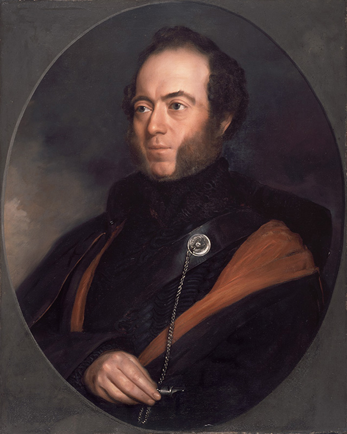
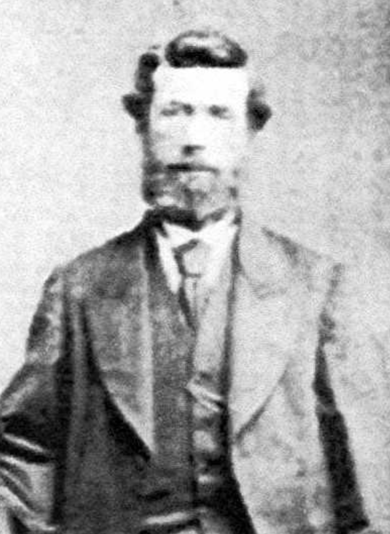
Above:- John Deason. Image c/o http://www.scillonian.com/
Richard Oates was born in 1829 in Cornwall England. He emigrated to Australia in the late 1860s.
Above:- Richard Oates. Image c/o Gee/Williams Family Tree, ancestry.com.au
It is believed that John and Richard had known each other from boyhood in Cornwall and had been choirboys together in Cornwall. They spent some time in Bendigo seeking gold but were unproductive and moved to Moliagul. (Rootsweb 2021)
In 1866, Deason and Oates discovered a 1.1 kg (36 ounces) gold nugget, inspiring them to continue seeking gold.
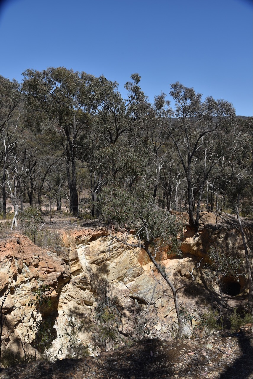
On Friday the 5th day of February 1869, between 9.00 a.m. and 10.00 a.m. Deason was prospecting near Black Reef, Bulldog Gully near Moliagul. He was just 80 ‘yards’ from his house. While searching around a tree’s roots, he discovered a gold nugget about 2.5 centimetres below the ground’s surface. He tried to lever out the nugget and broke the handle of his pick in the process. It is reputed that Deason said “damn it, I wish it was a nugget, and had broken the pick.’ (Aussie Towns 2024)(Goulburn Herard, Trove 2024) (Gold Net Australia 2000) (Scilonian 2024)
Oates was ploughing a nearby field and was called by Deason’s son to come to assist his father. They eventually extracted the gold nugget with a crowbar. Deason and Oates concealed their find until nightfall, dug out the gold nugget, and took it to Deason’s home in a dray. (Scilonian 2024)

Above:- A sketch of the Welcome Stranger. Image c/o State Library Victoria.
The gold nugget was stained a black colour by ironstone deposits and contained a large amount of quartz. The nugget was placed in a fire to render the quartz friable. The gold expanded making the quartz brittle and loose. A total of 26 kg of quartz was prised off the nugget once it had cooled. (Goulburn Herard, Trove 2024)
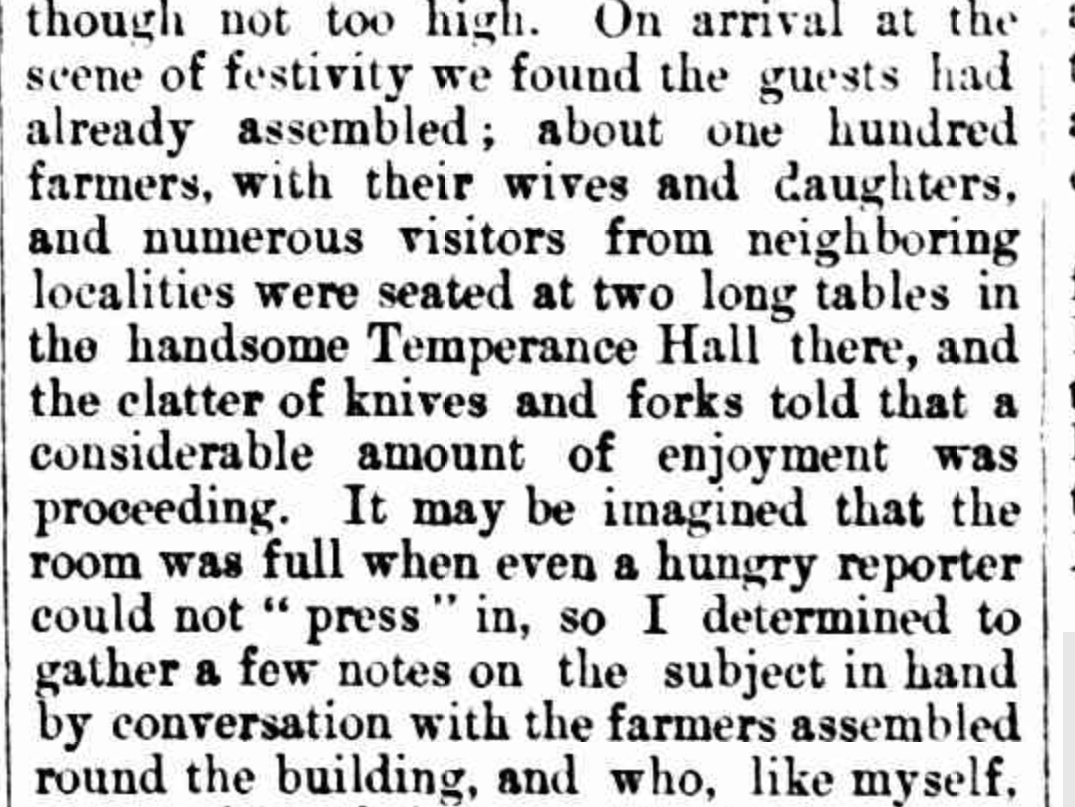
Deason and Oates then celebrated and held a party, revealing their find to the invited guests. Deason is reputed to have said ‘Don’t go home boys. That’s solid gold and I want you to stay the night and escort it to the bank at Dunolly tomorrow.‘ (Aussie Towns 2024)
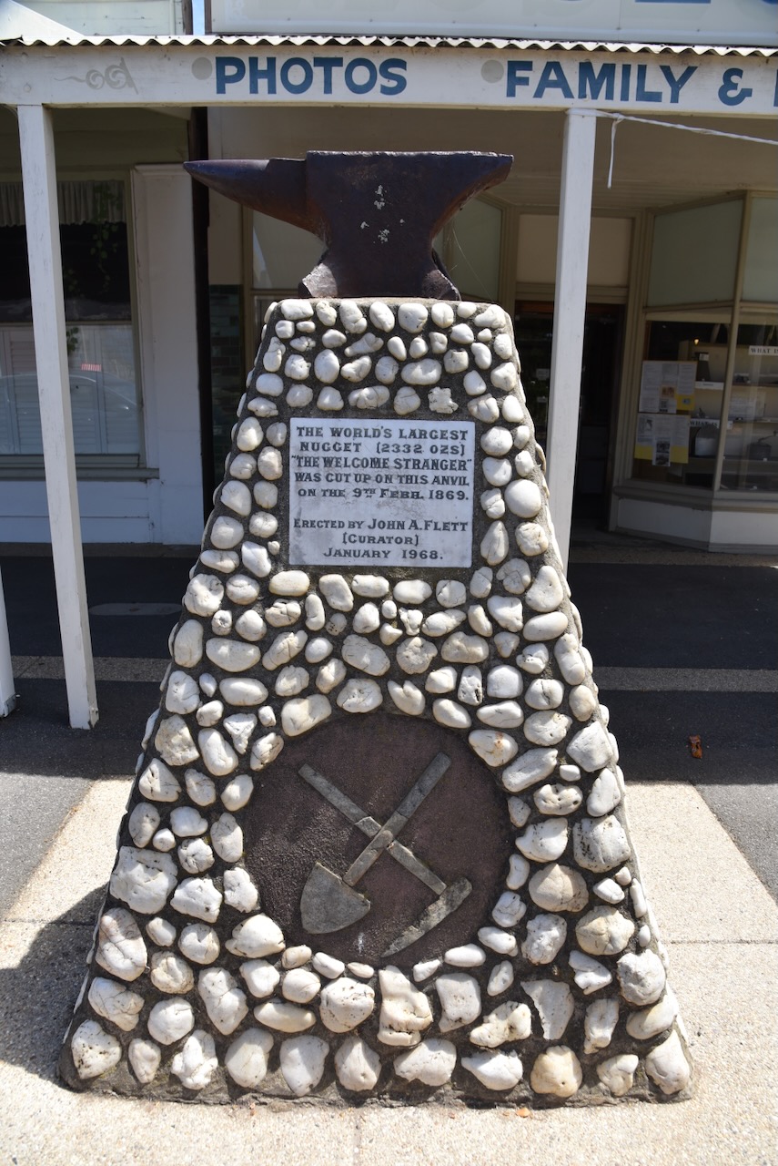
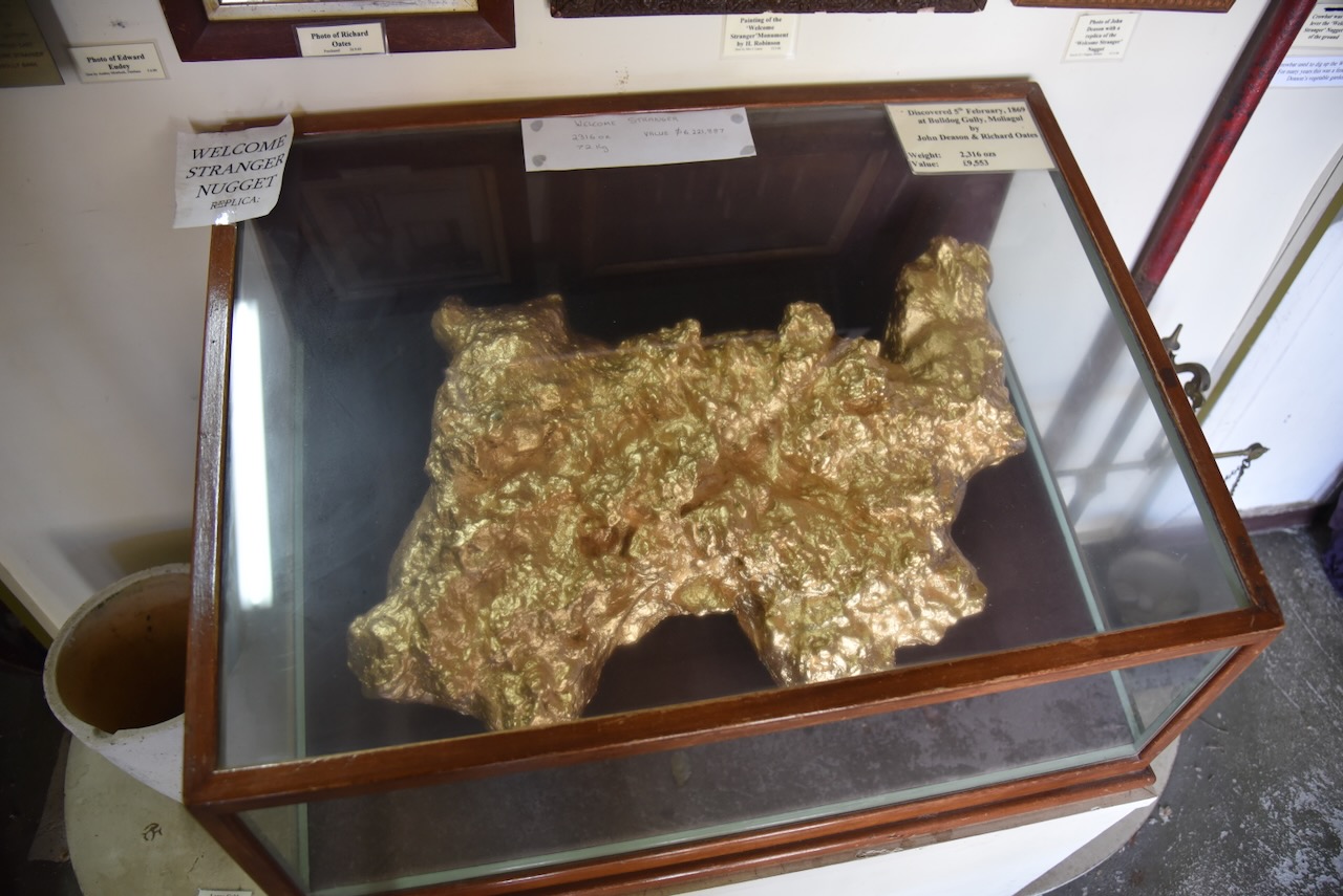
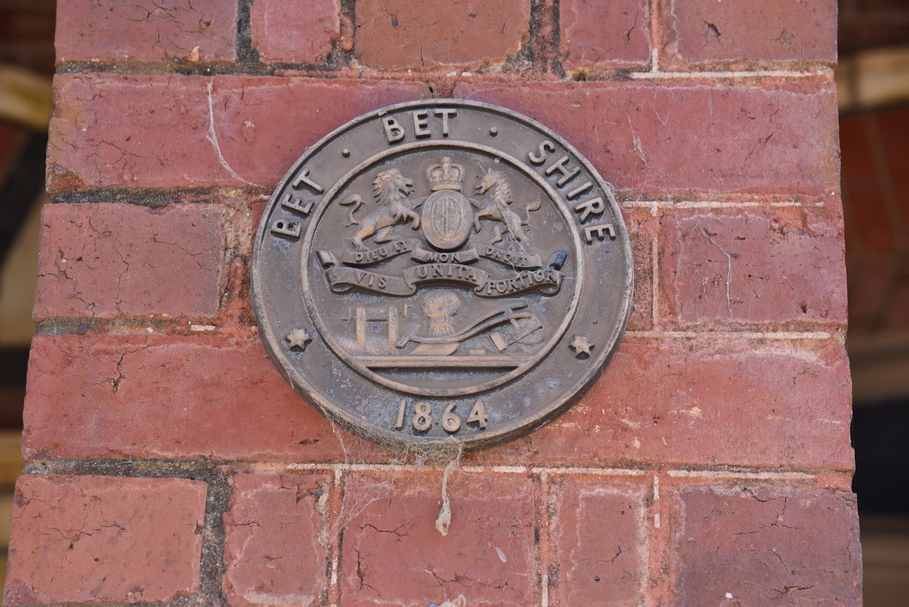
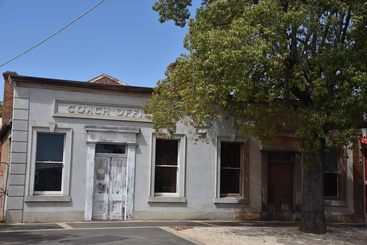
The 69 kg (2,316 ounces) Welcome Stranger nugget was the world’s largest known gold nugget. It was conveyed to Dunolly on a spring cart belonging to Edward Endey. A friend and neighbour of Deason and Oates, Walter Brown, was asked to go into the London Chartered Bank and ask the teller that they were paying for gold by the ‘hundred weight’. The nugget was then brought into the bank and presented to the Manager. The nugget was too, large to be weighed on the bank scales, so Archie Walls, the local blacksmith broke the nugget into pieces on an anvil. At the time, the Welcome Stranger was valued at £9,553. The equivalent today is about $10 million. (Aussie Towns 2024)
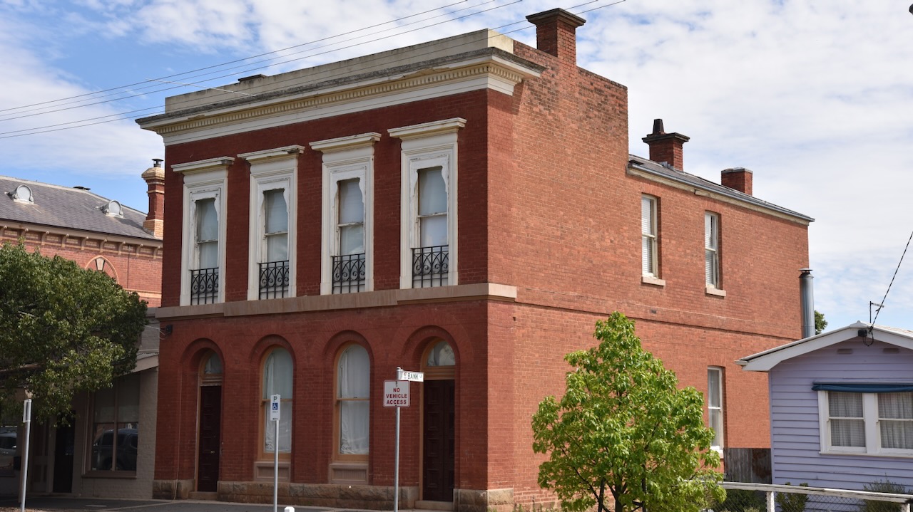
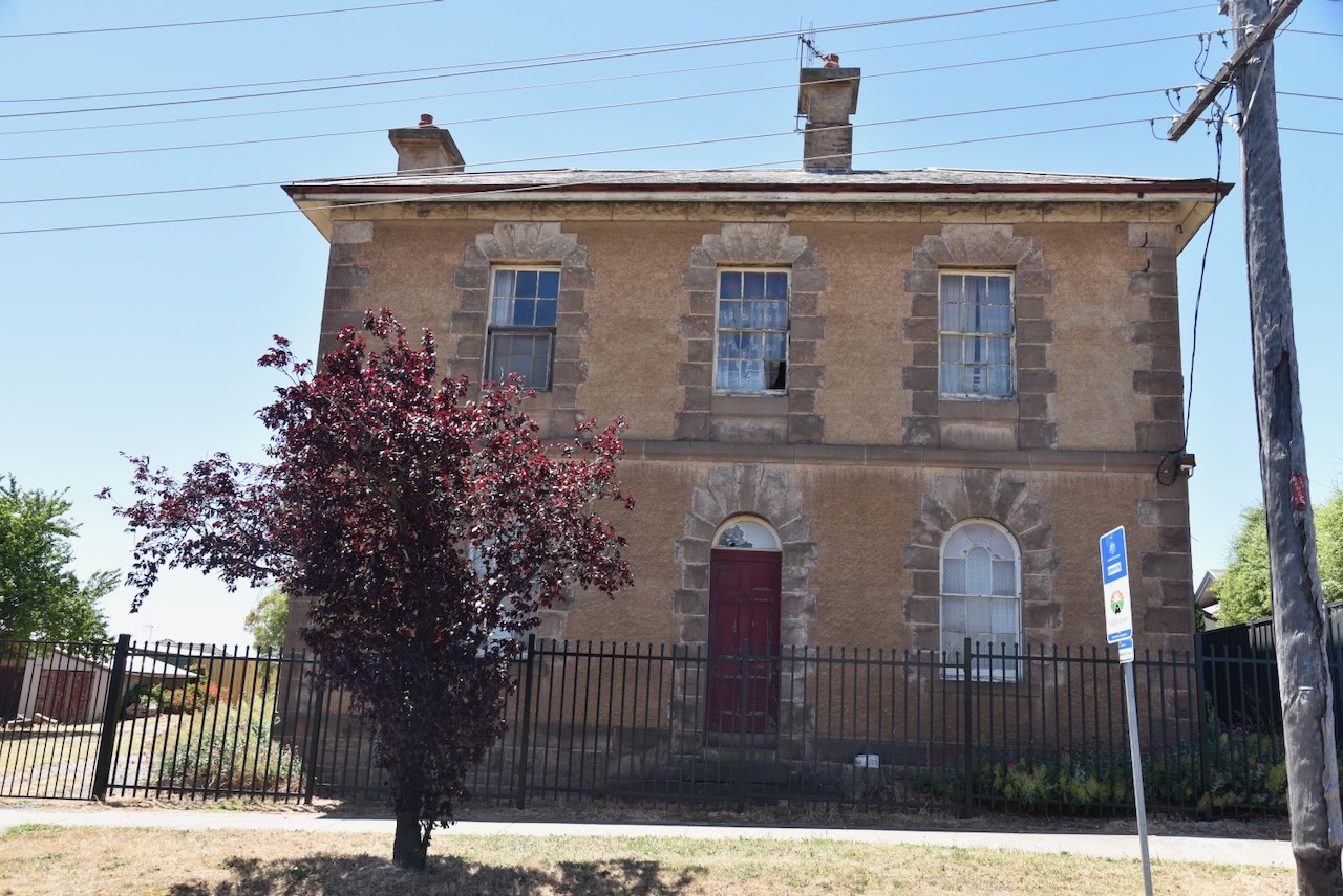
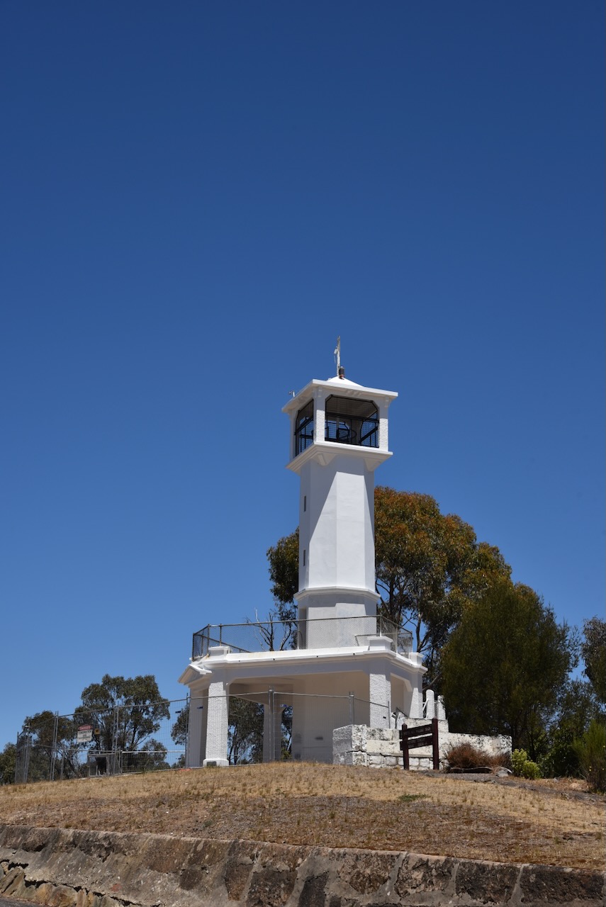
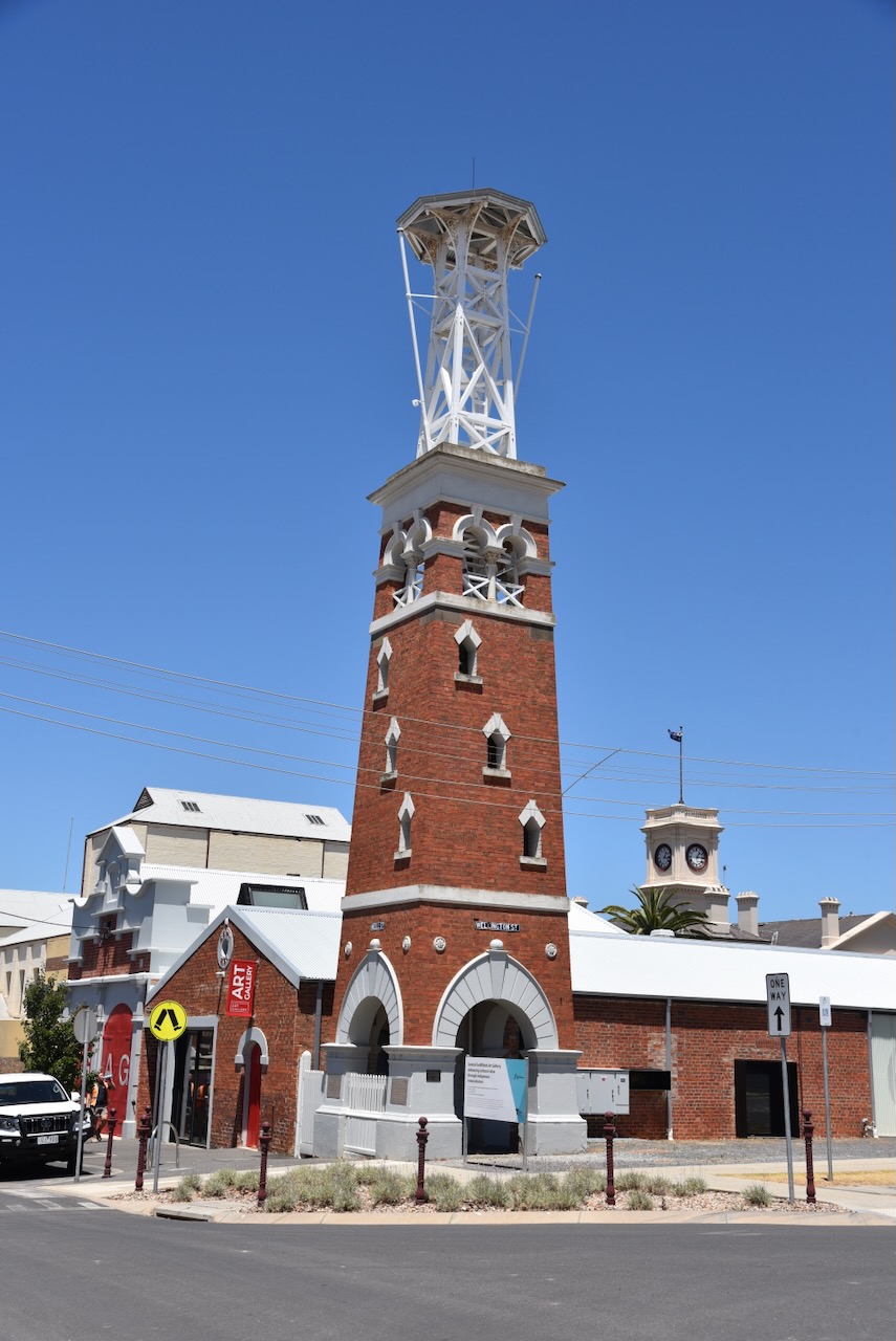
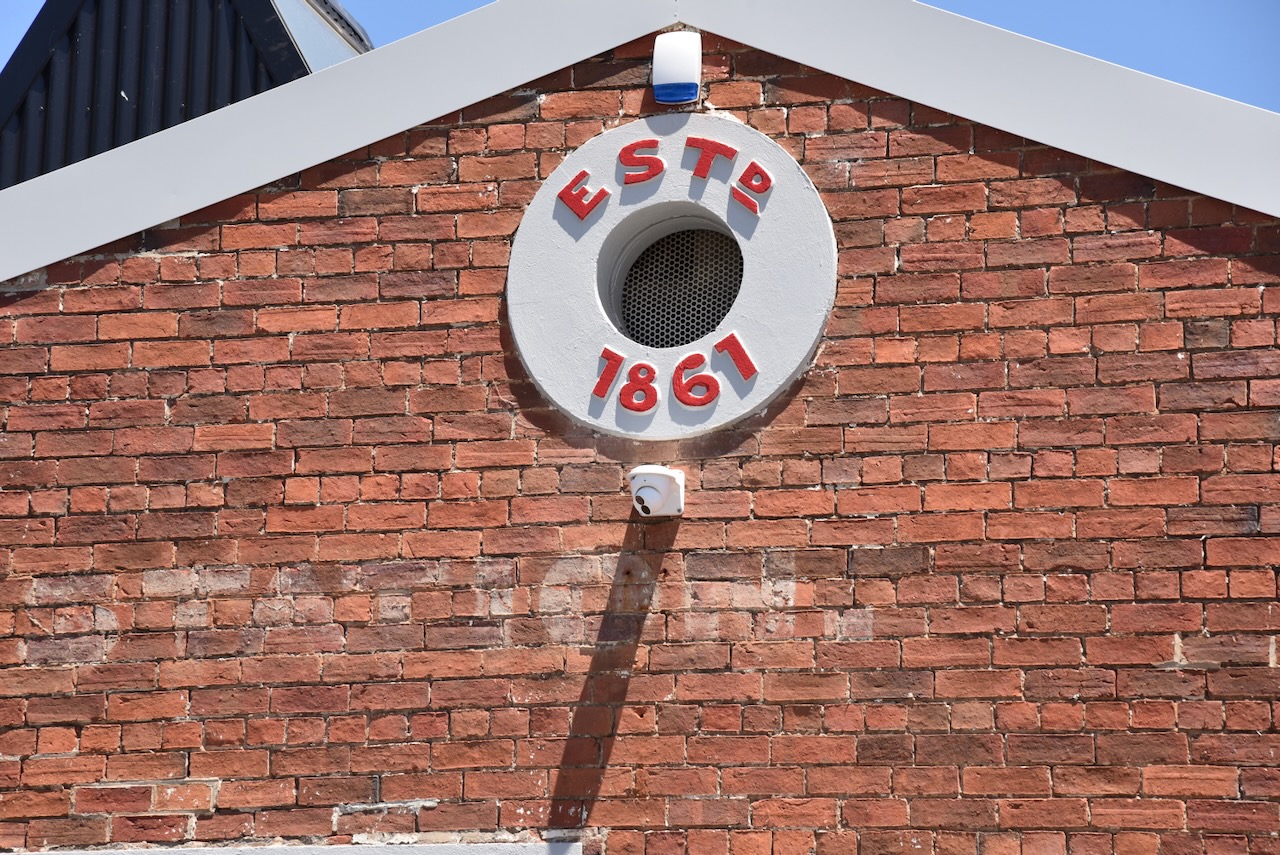
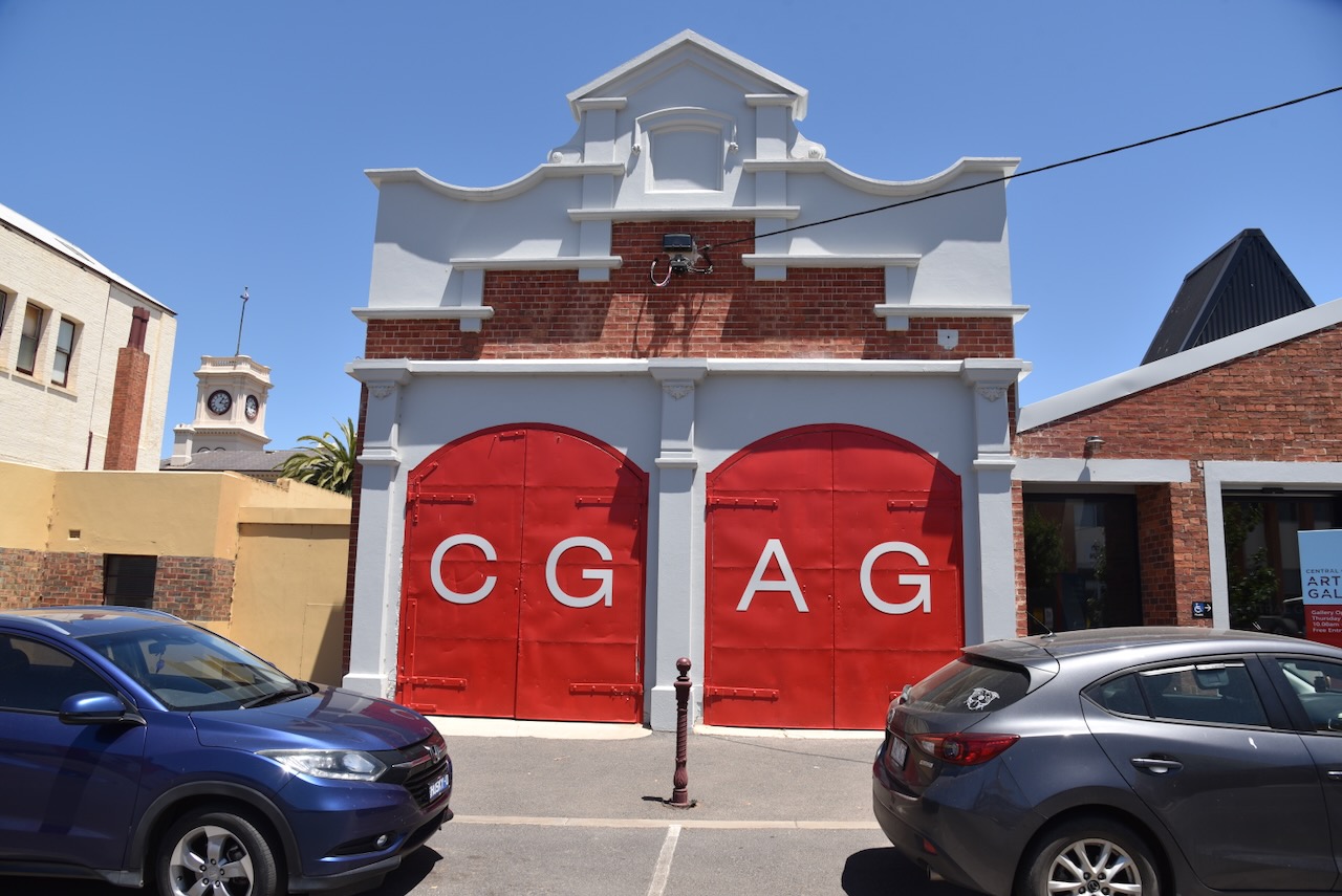
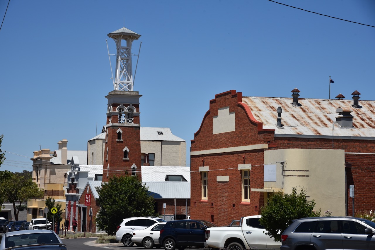
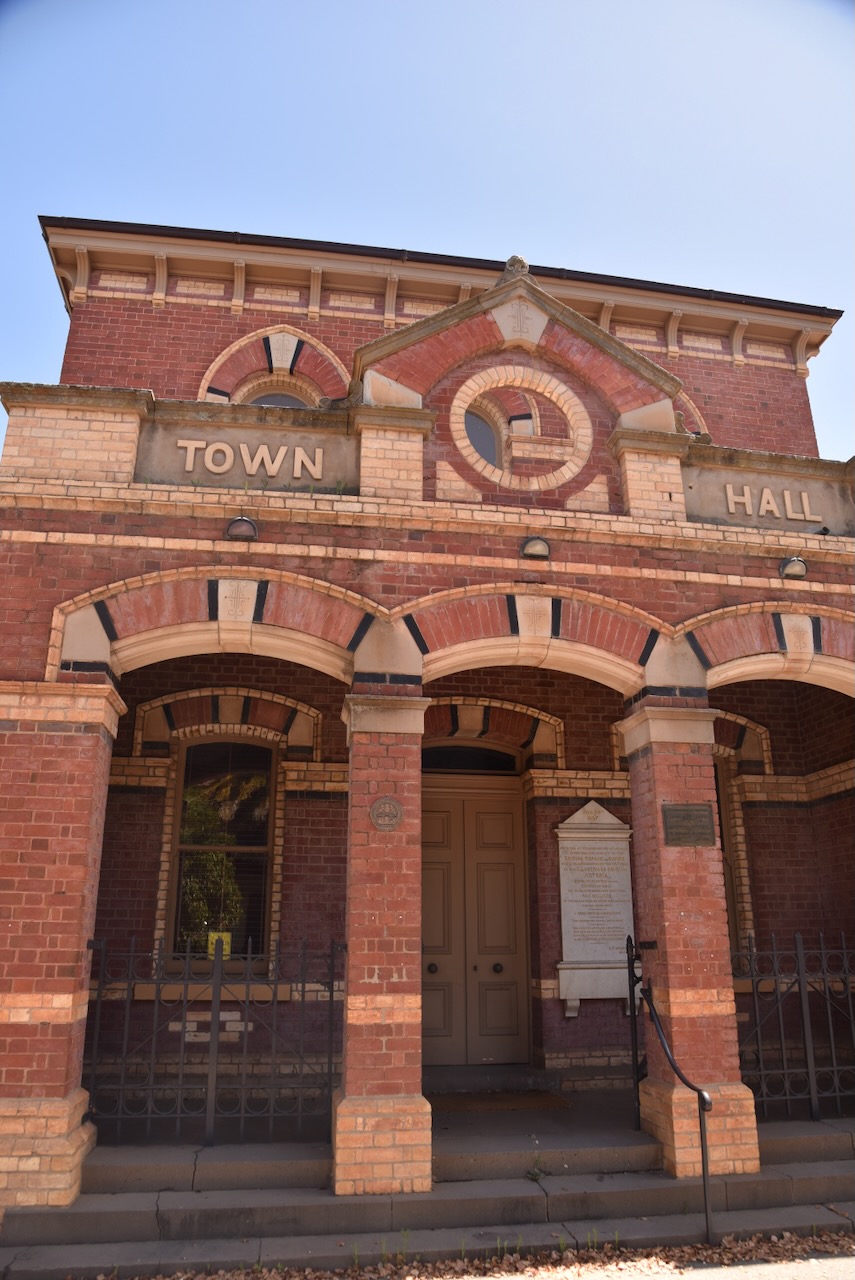
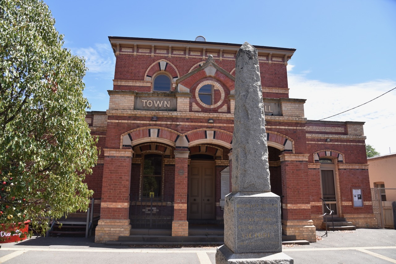
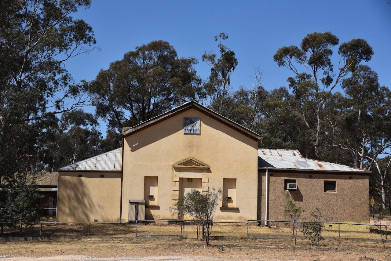
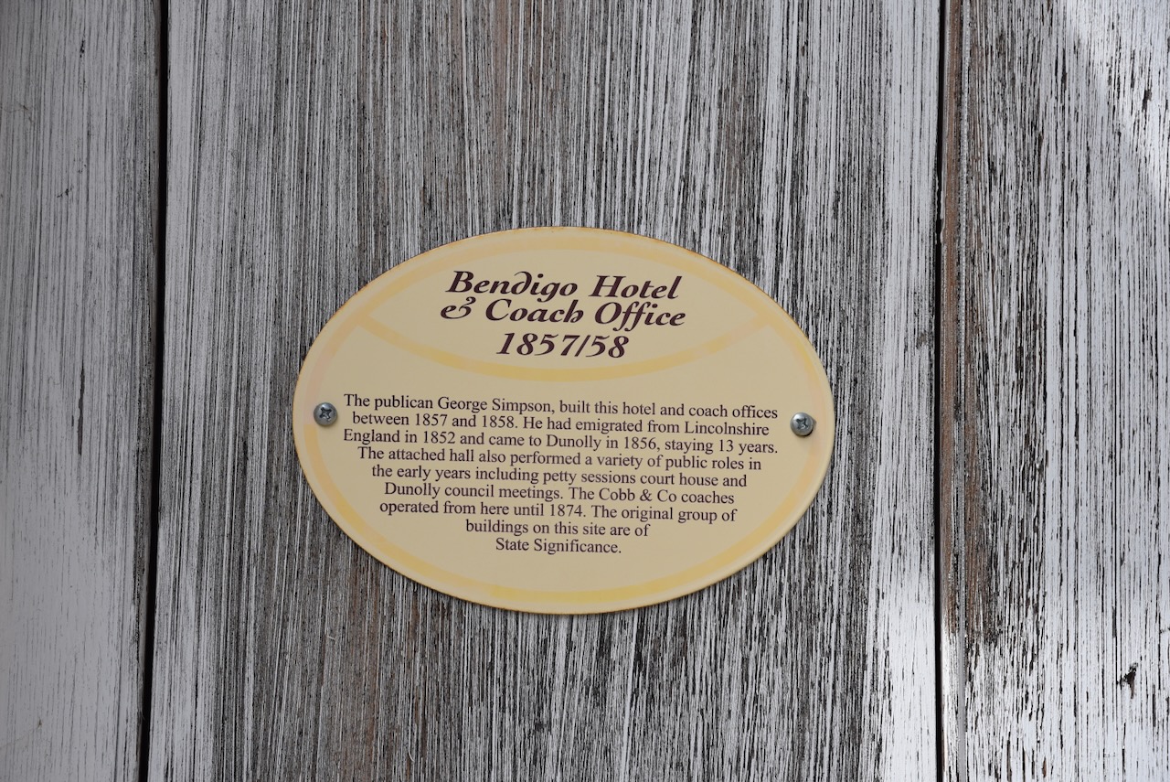
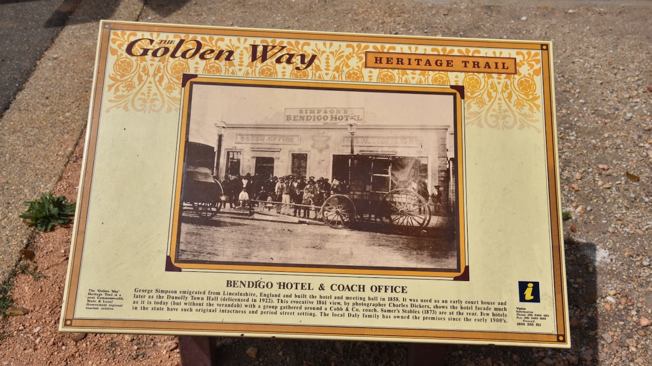
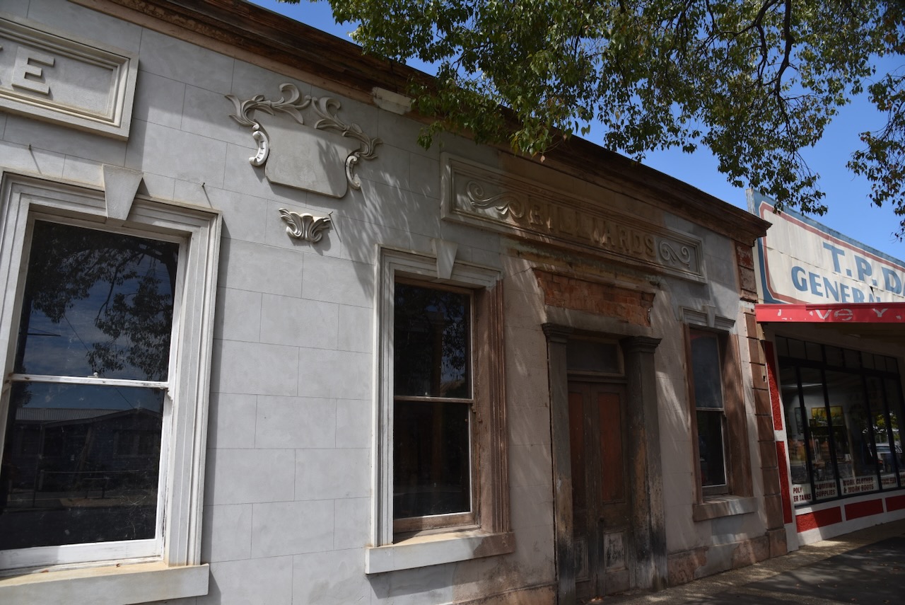
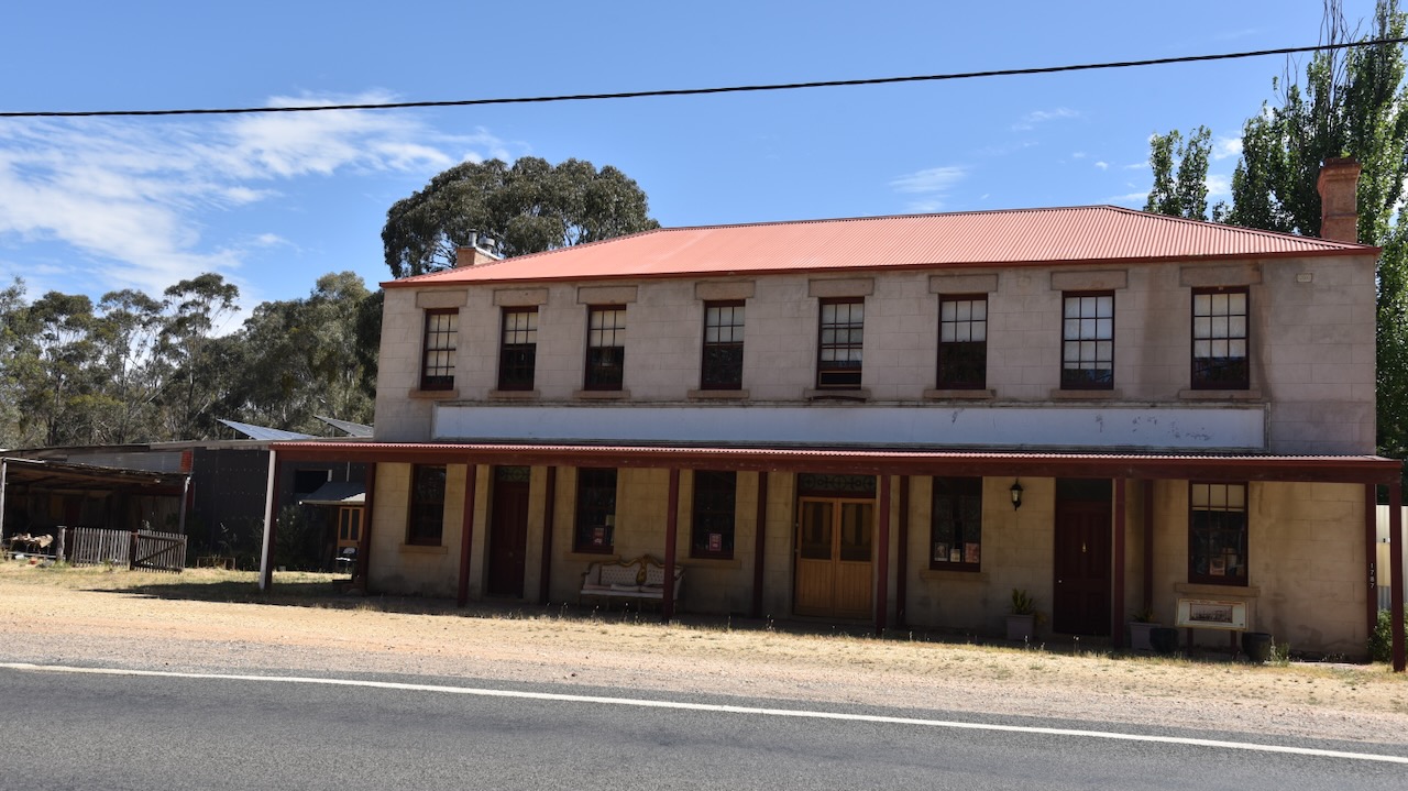
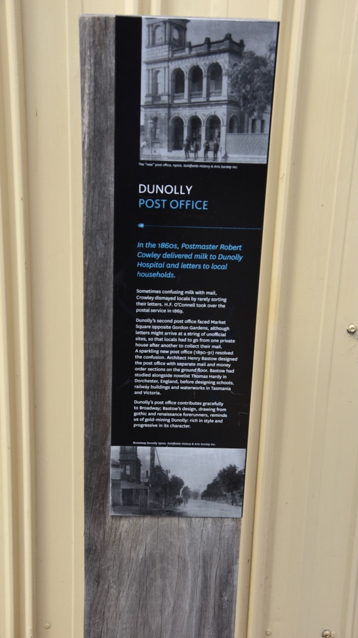
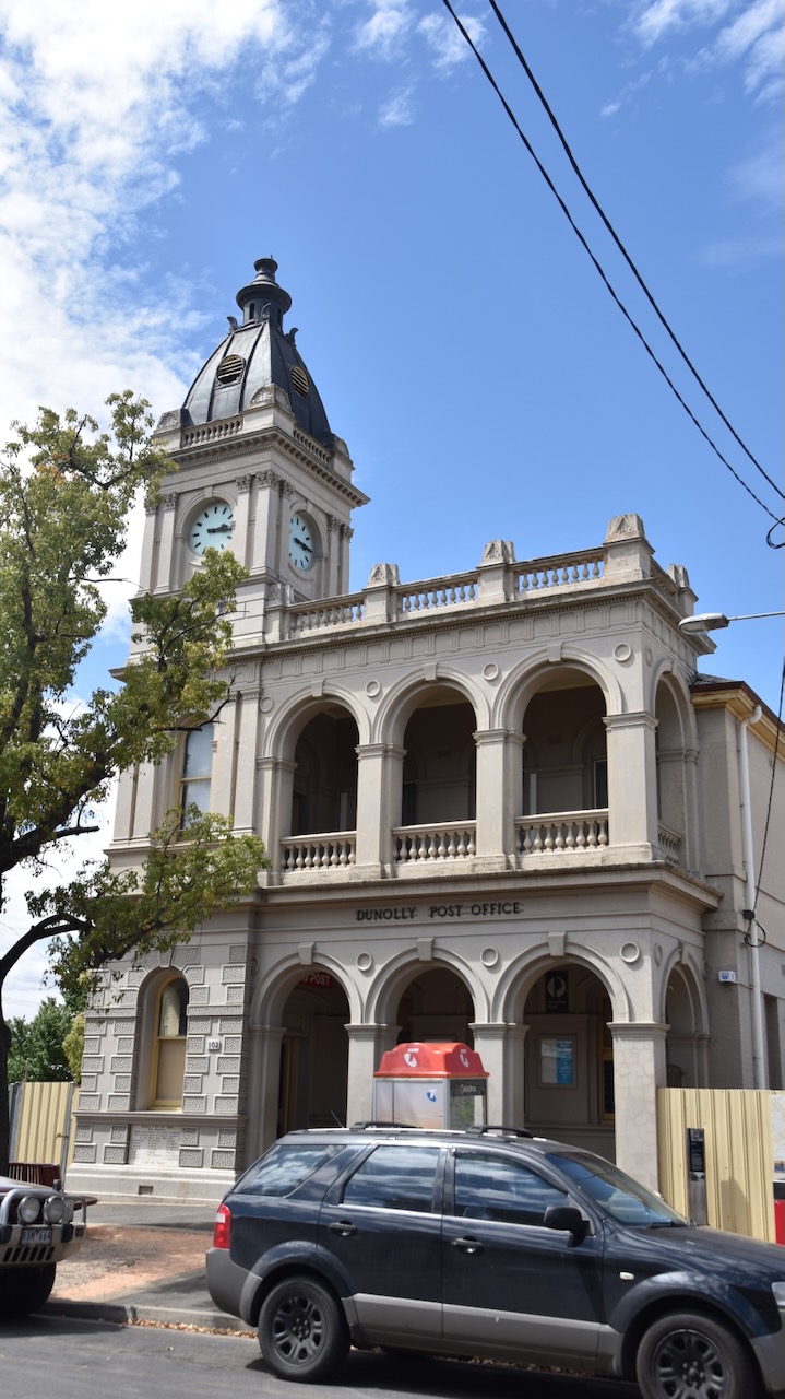
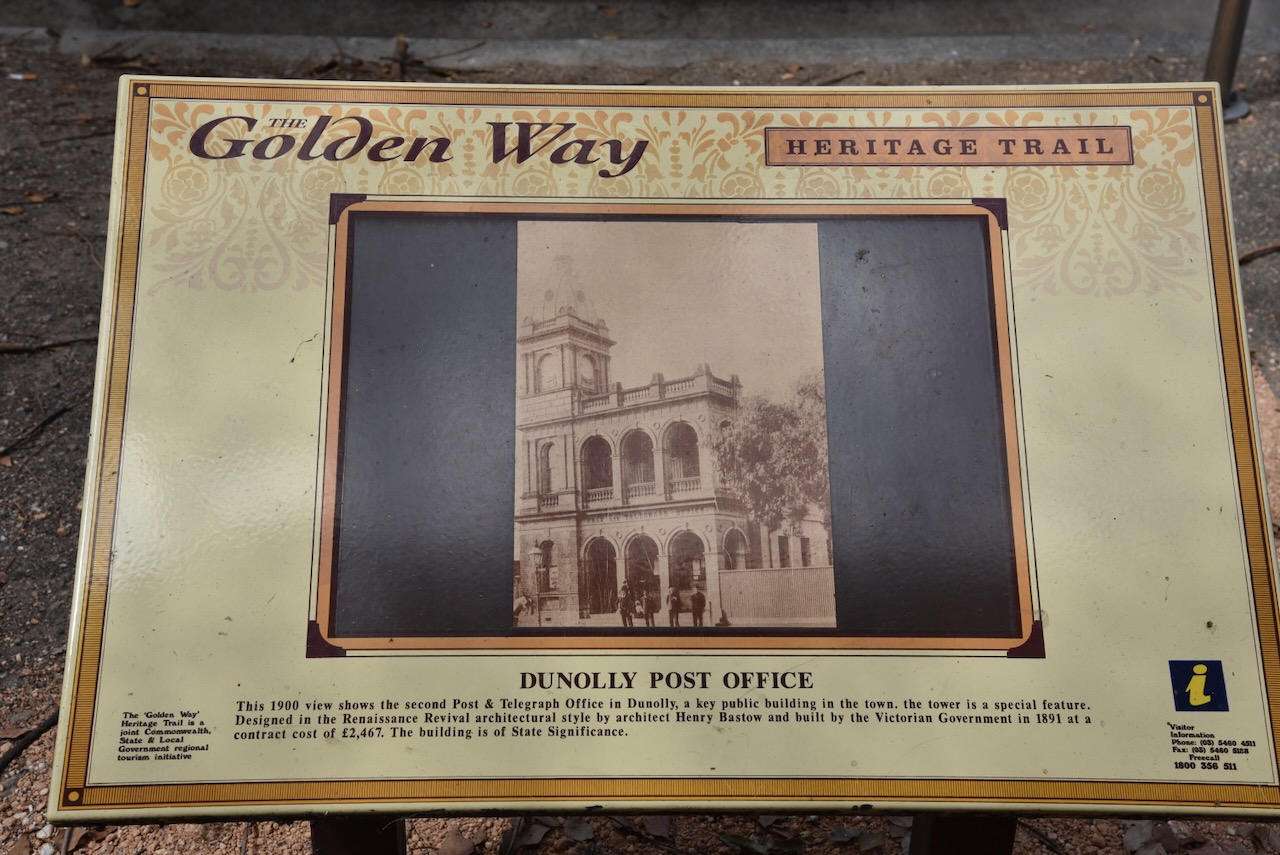
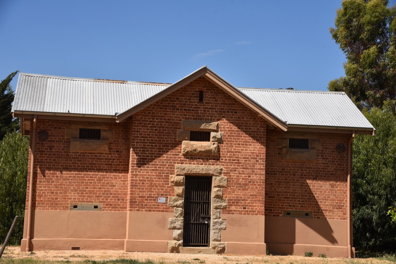
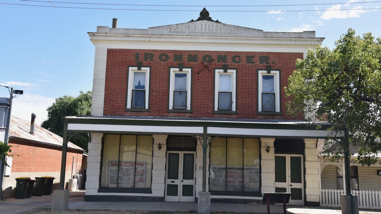
Above:- The London Chartered Bank building in Dunolly.
Within a few days of the discovery of the Welcome Stranger, the melted-down gold ingots were conveyed to Melbourne and on Sunday the 21st day of February 1869 they were shipped to the Bank of England aboard the steamship Reigate. (Gold Net Australia 2000)
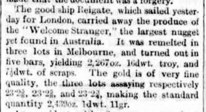
Above:- Article from The Argus, Melbourne, Mon 22 Feb 1869. Image c/o Trove.
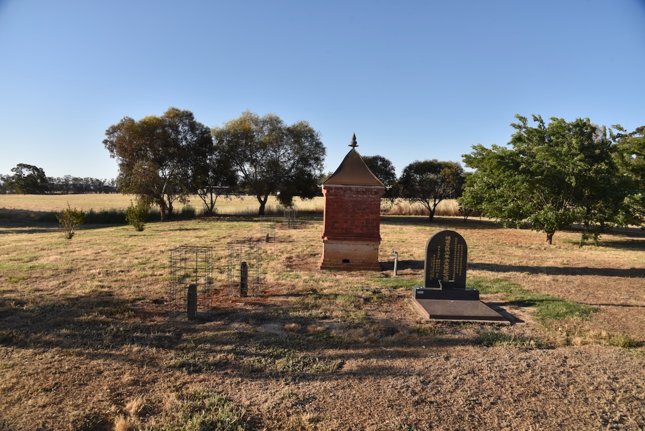
Following the find of the Welcome Stranger, Richard Oates returned to Cornwall and married Jane Blewett Penrose in November 1870. He returned shortly after to Moliagul and continued to work on the claim with Deason. By 1875 Oates had moved to Dunolly with his family. He later moved to Bealiba. Richard and Jane had four children. He died on the 31st day of October 1906 at age 79. He is buried in the Marong cemetery. There is a monument at the cemetery commemorating the life of Richard Oates. (ancestry.com.au 2024) (Monument Australia 2024)
John Deason continued with mining and invested in property including The Springs at Moliagul. He and his family moved there. John died in 1915 aged 85 and is buried in the Moliagul cemetery.
It was reported in the Dunolly Express in March 1859, ‘We are glad that the monster has fallen to the lot of such steady and industrious men.‘ (Goulburn Herard, Trove 2024)
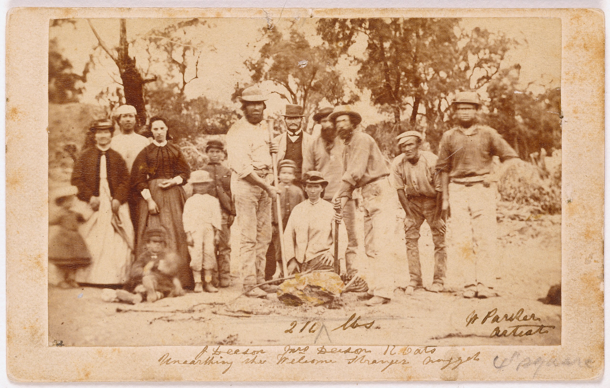
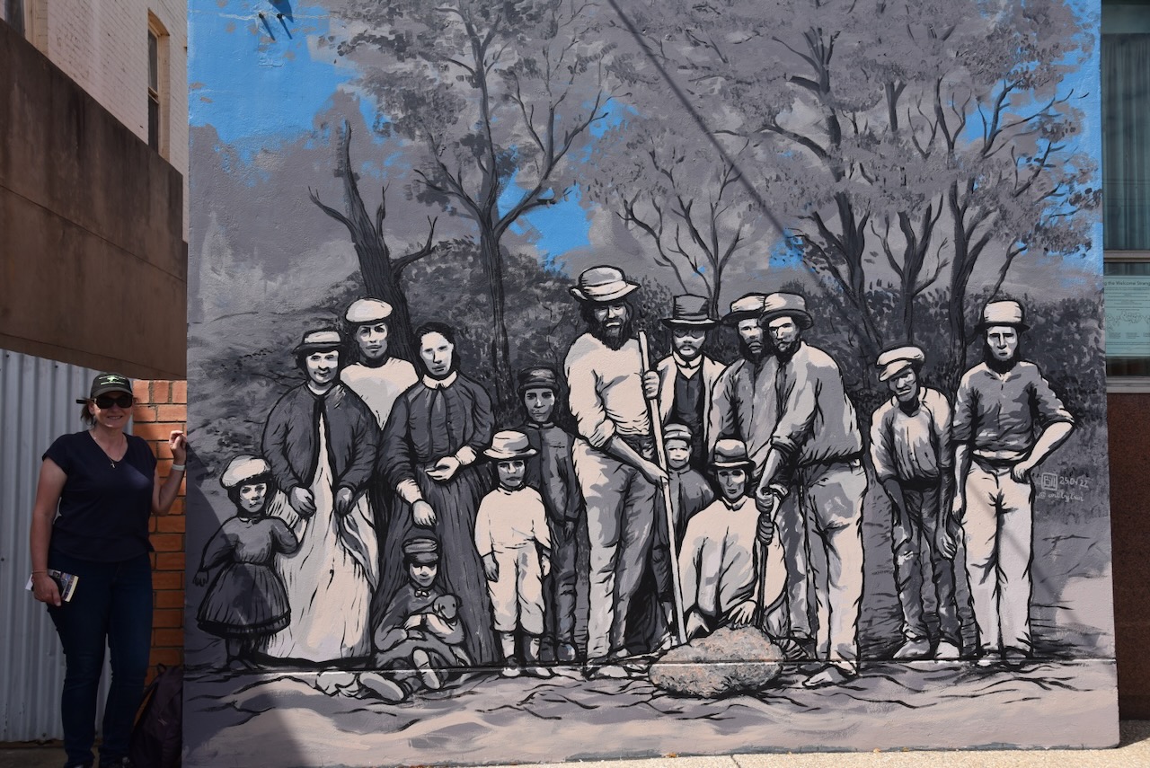
Above:- Miners and their wives posing with the finders of the nugget, Richard Oates, John Deason and his wife. Image c/o Wikipedia.
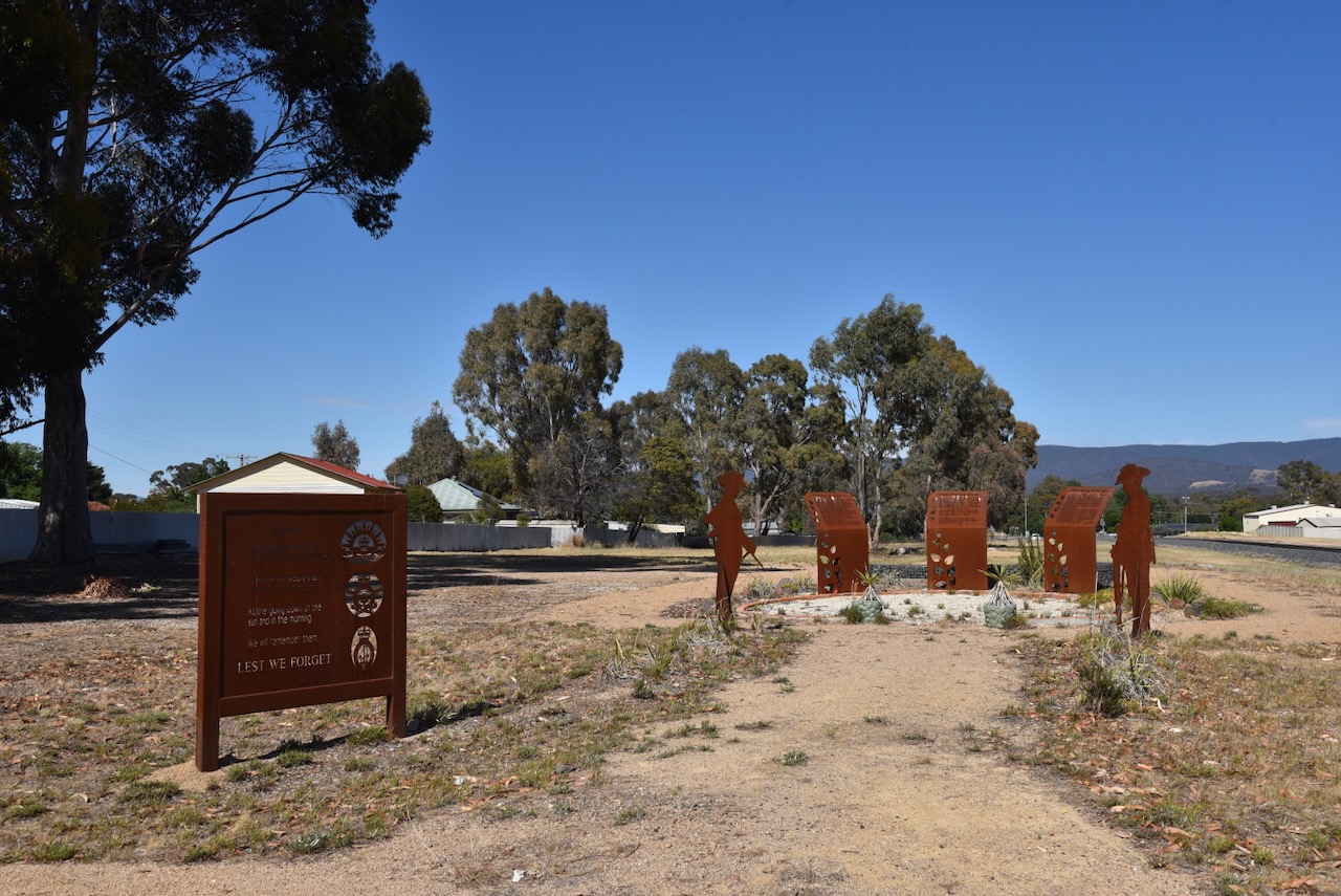
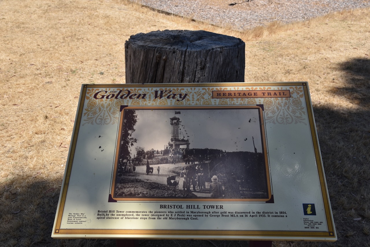
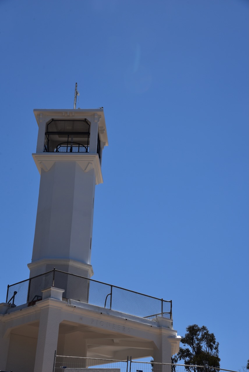
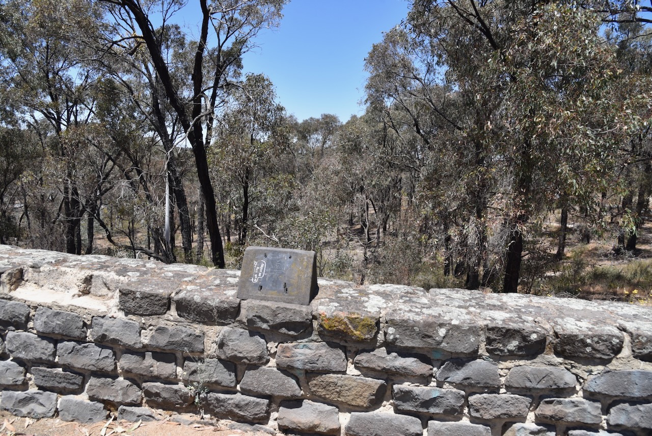
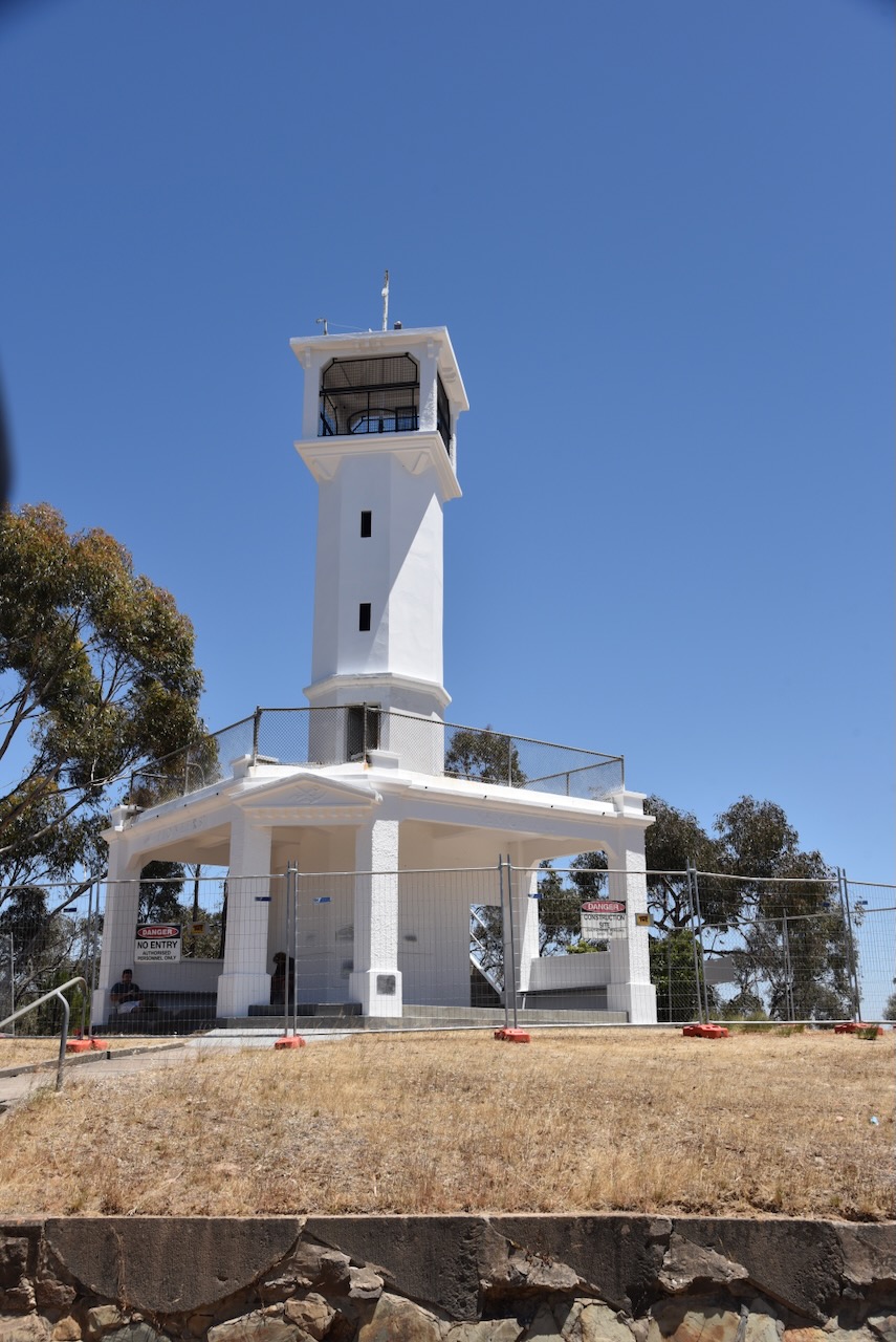
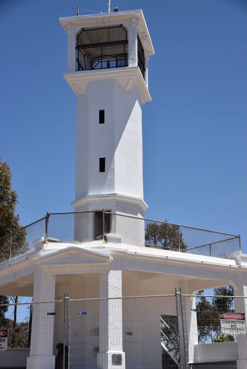
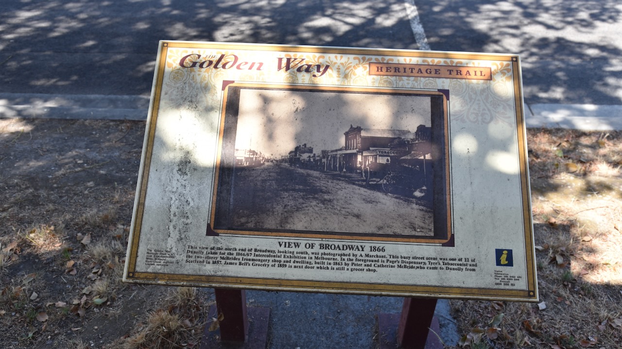
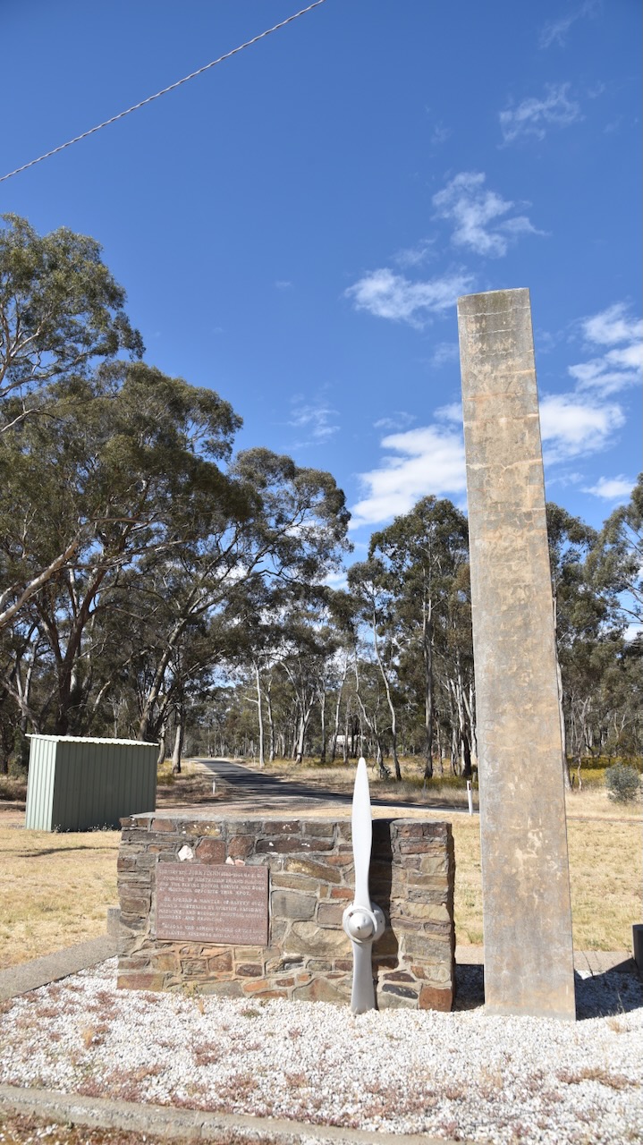
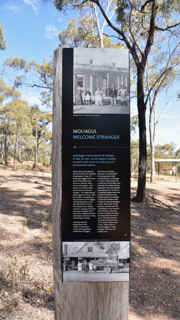
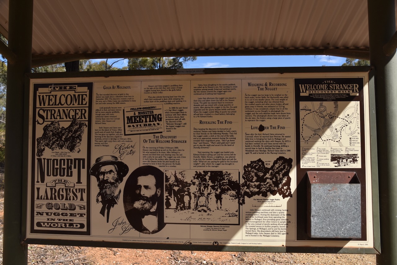
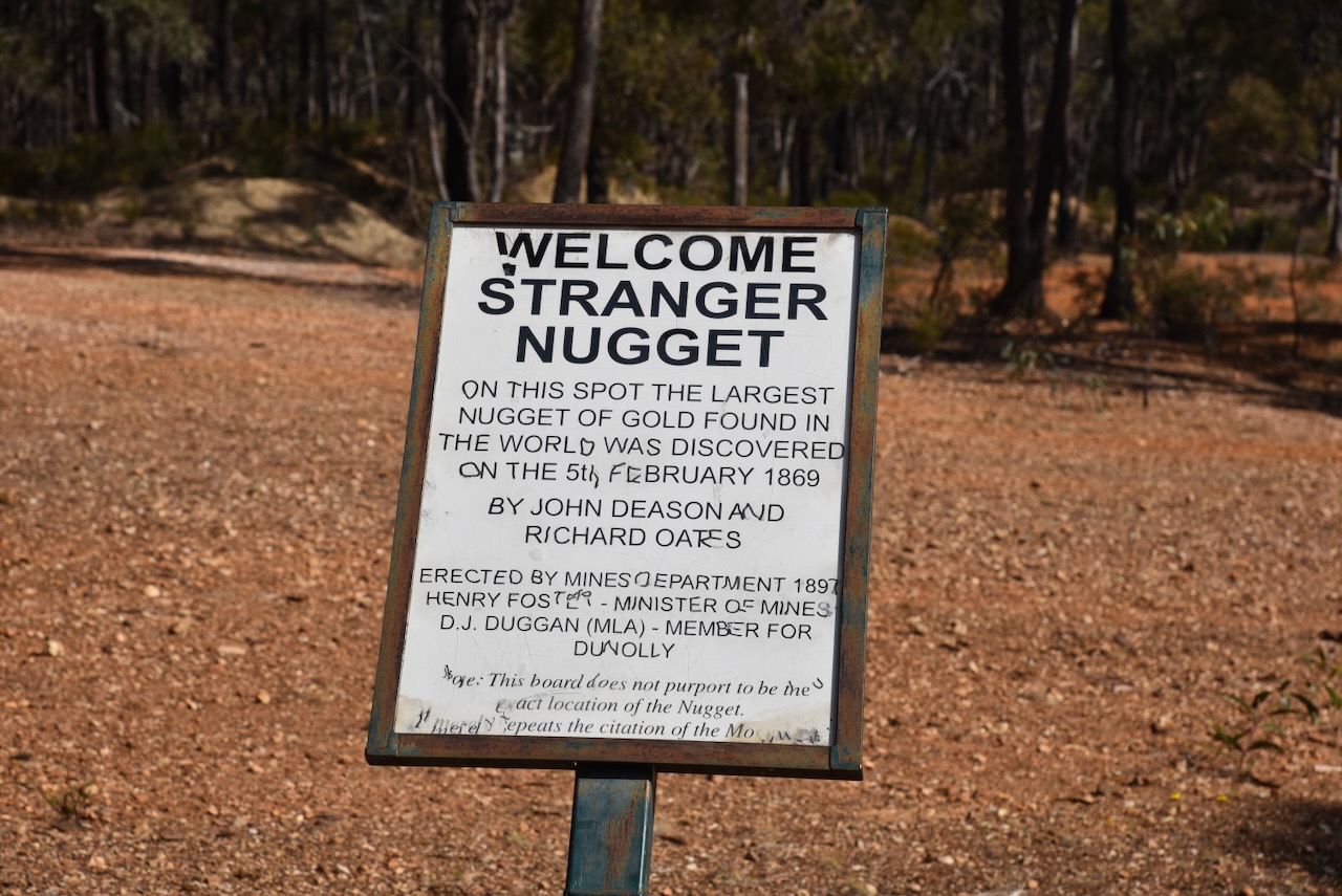
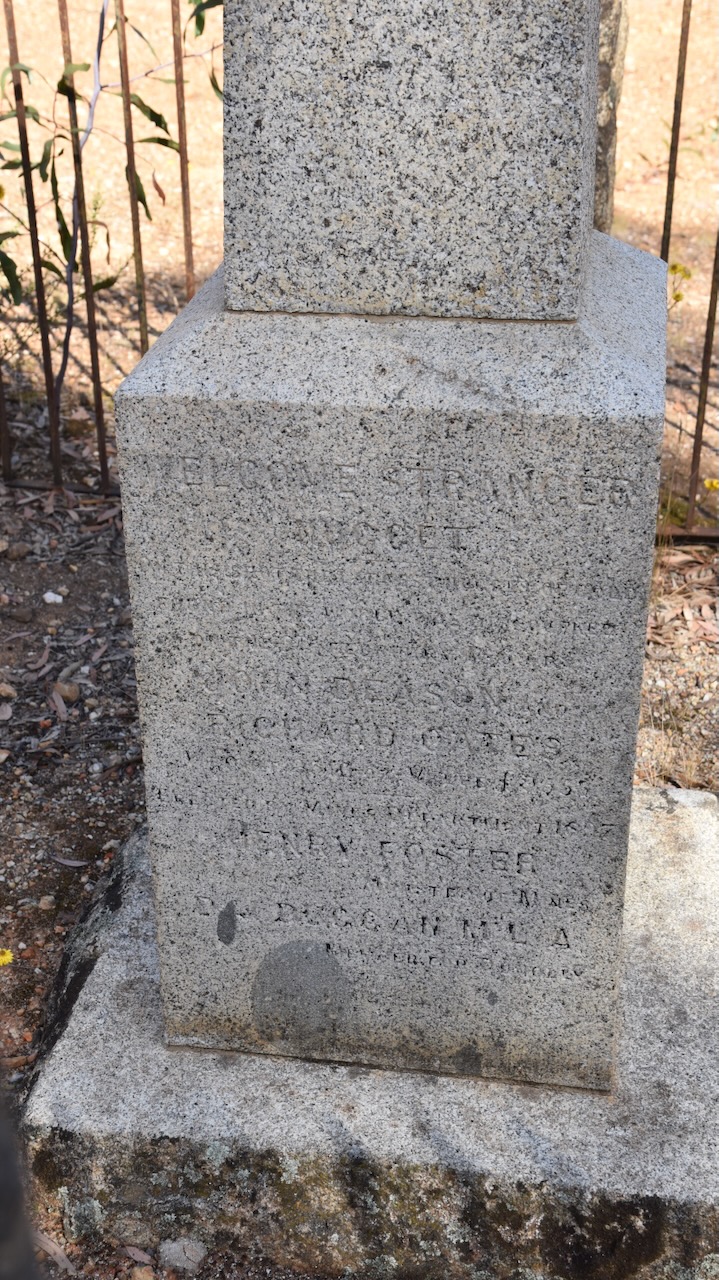
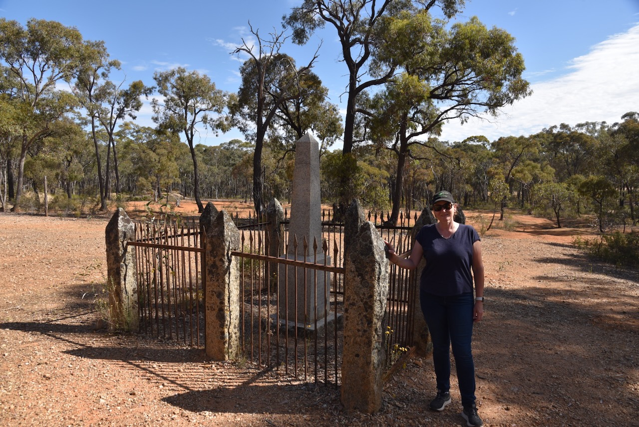
There is an excellent information board and a monument at the site where the Welcome Stranger was discovered.
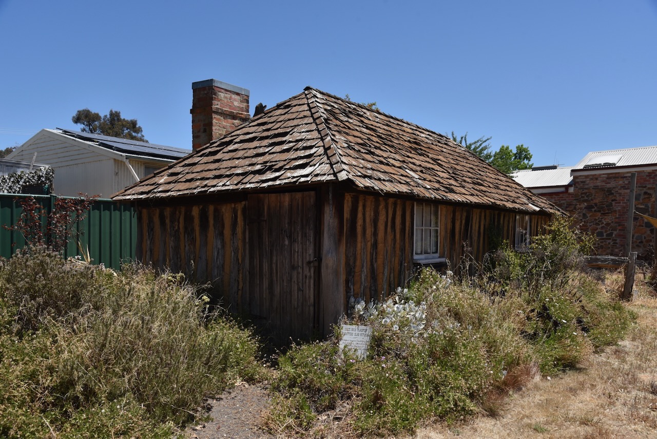
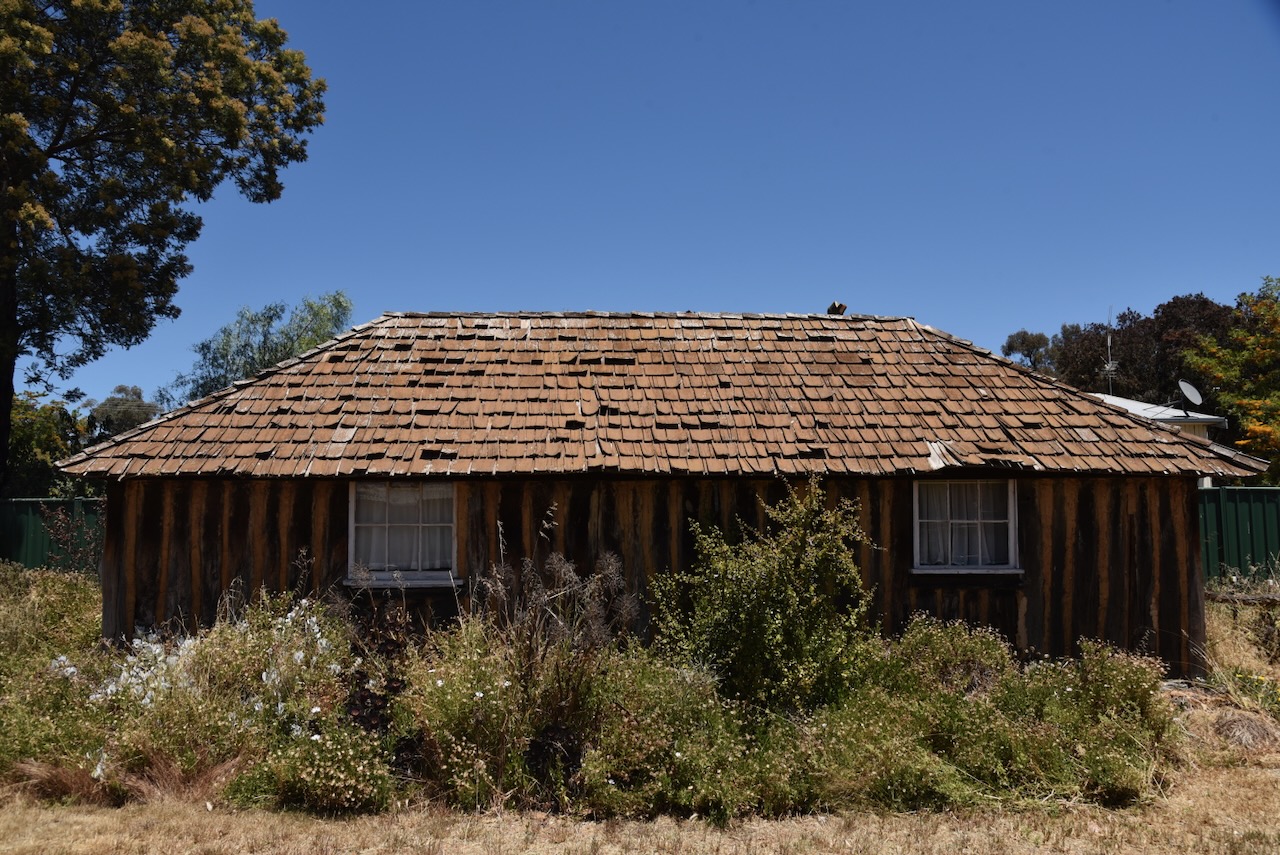
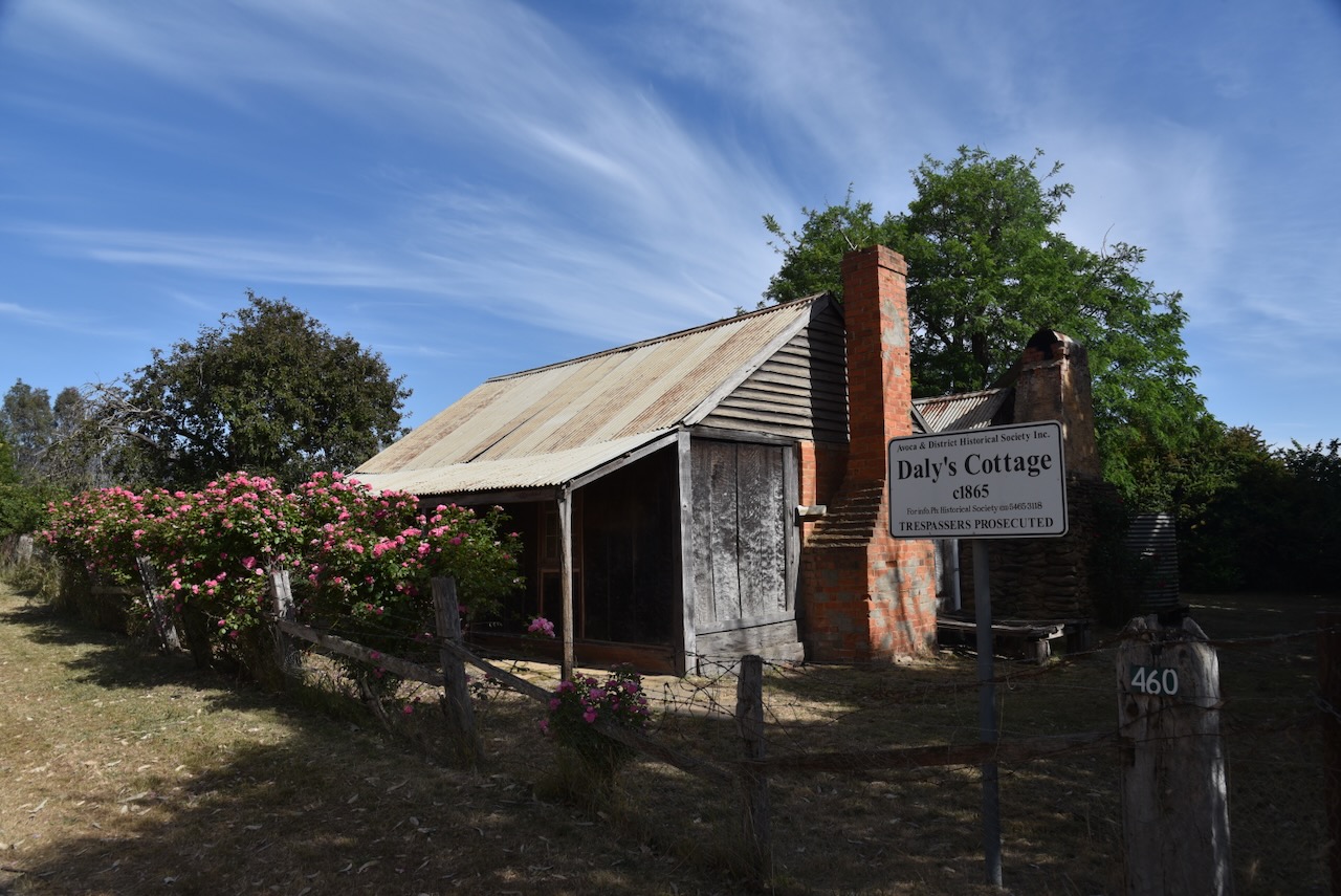
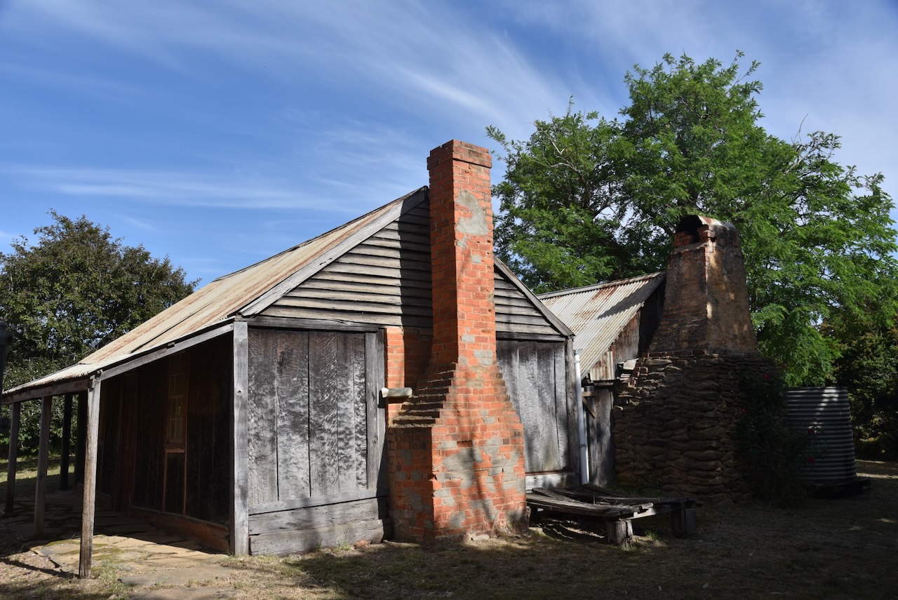
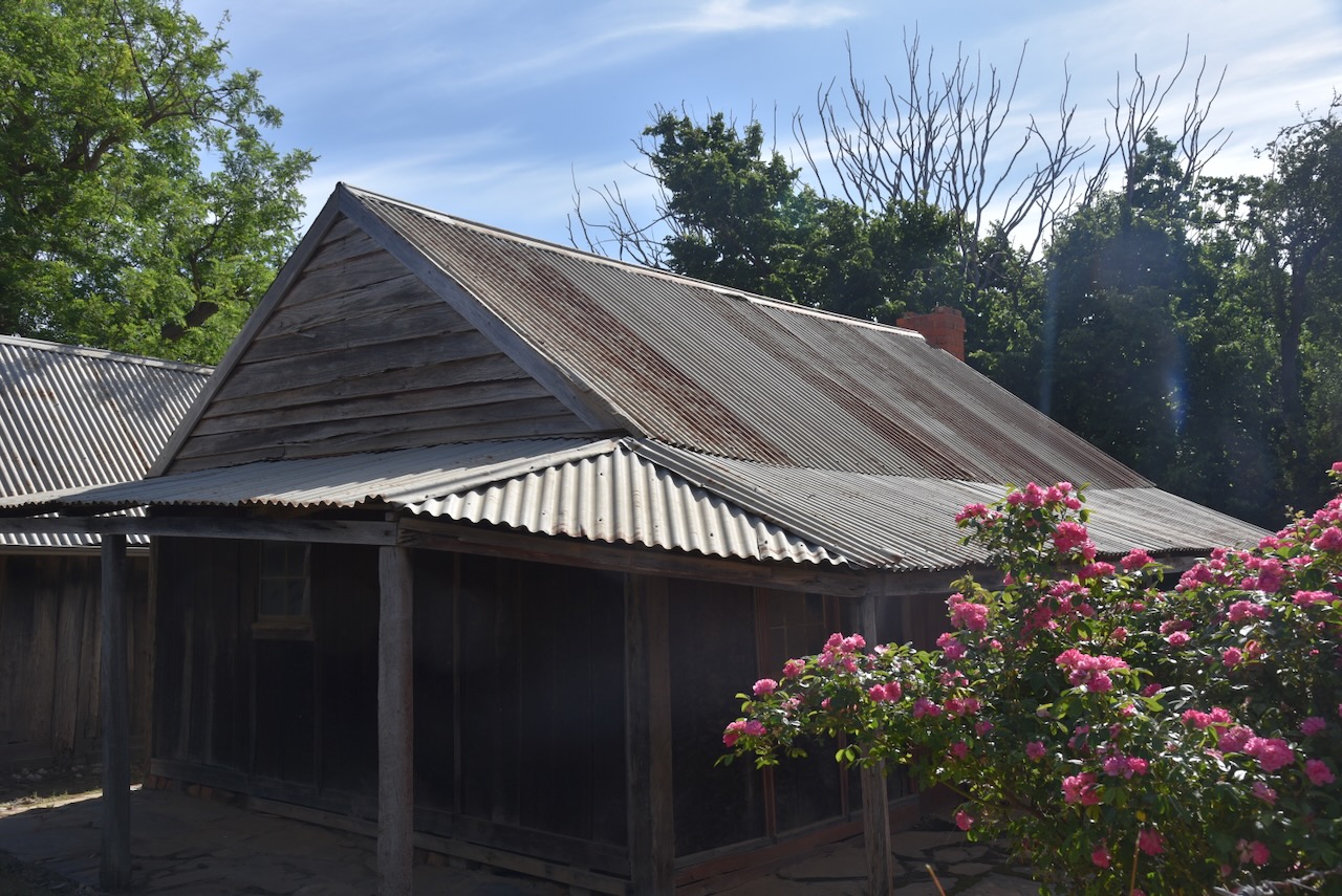
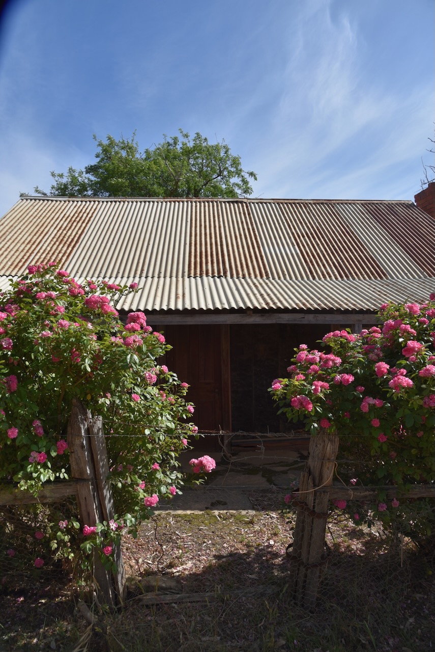
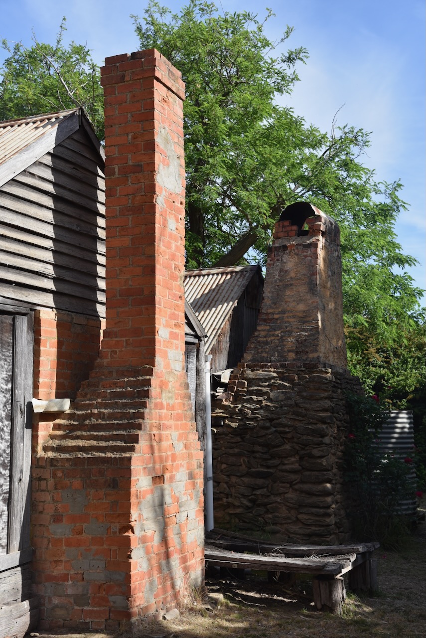
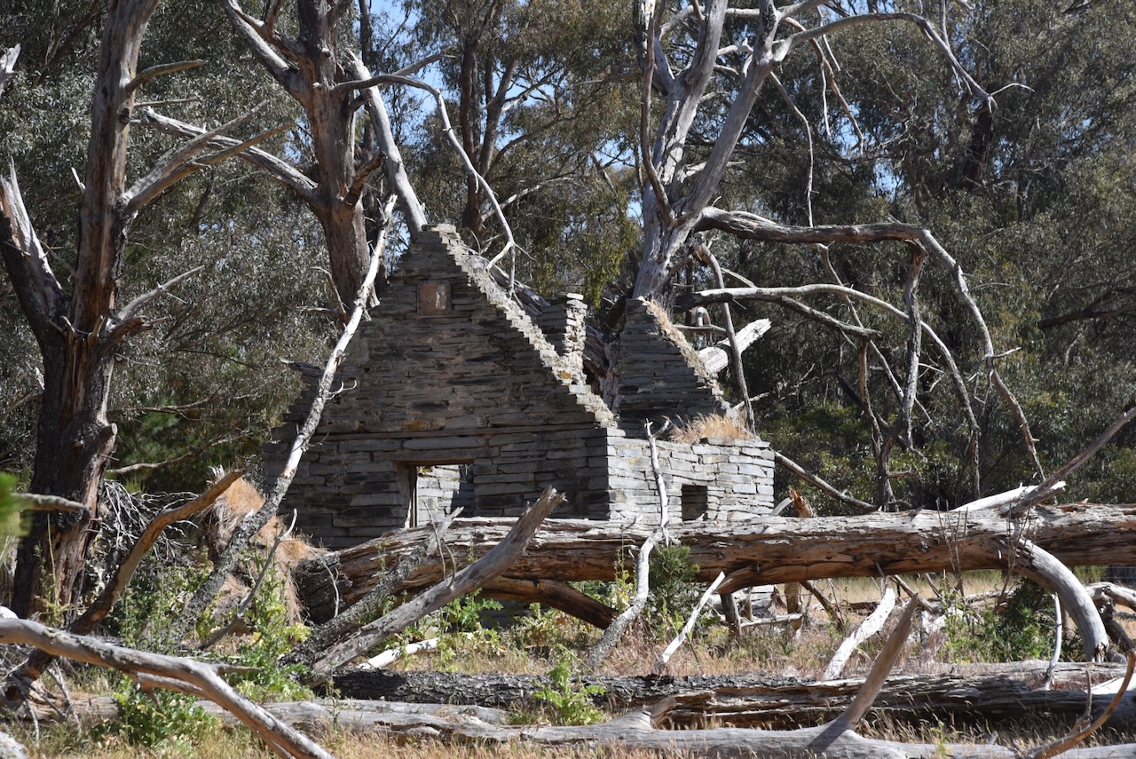
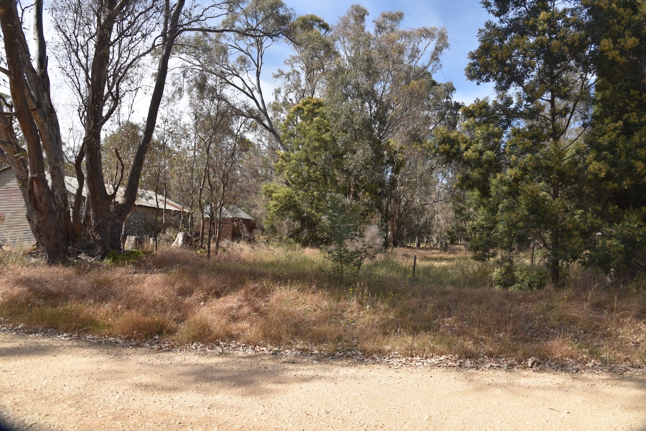
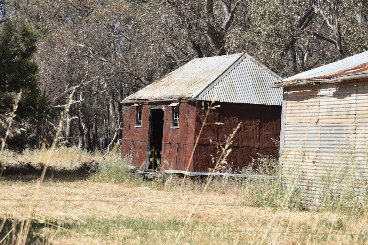
Below is an old farmhouse that is barely standing. It is one of the few surviving old buildings at Moliagul.

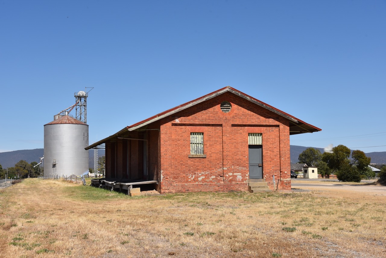
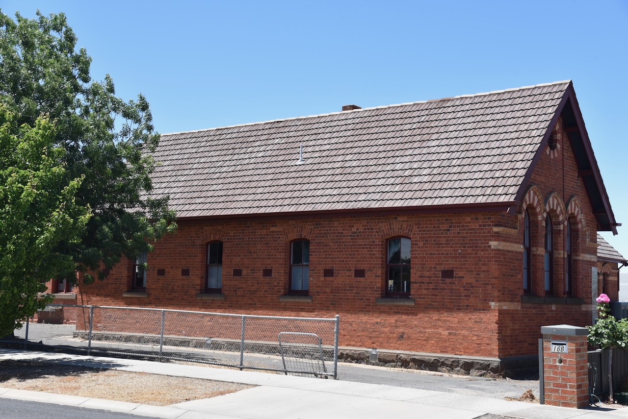
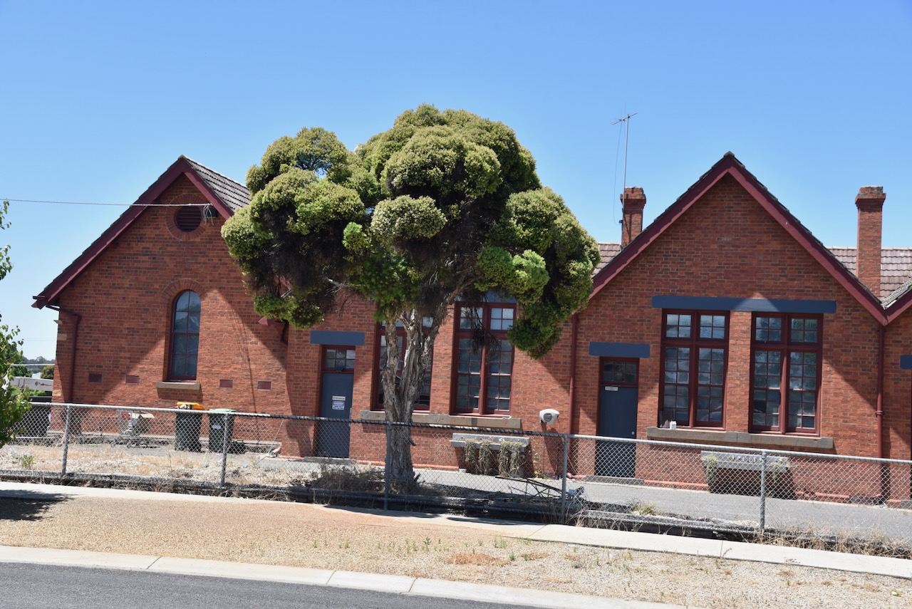
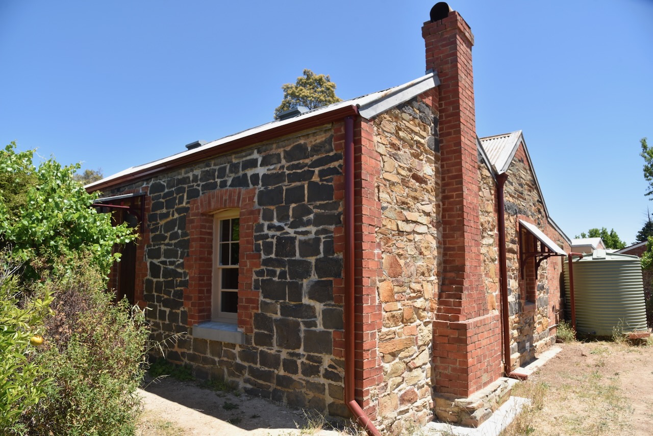
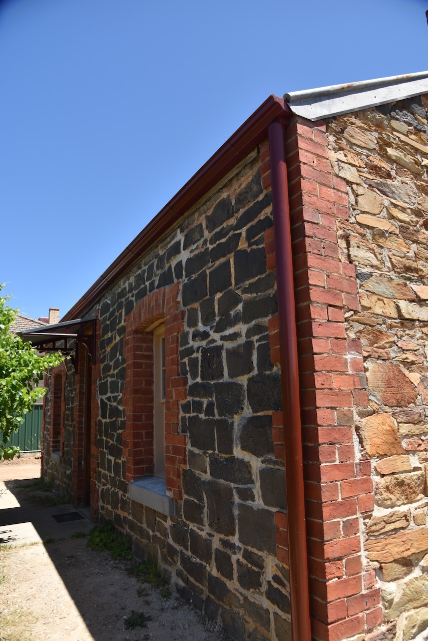
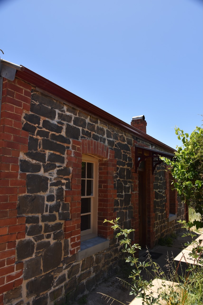
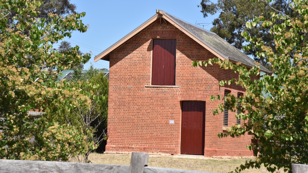
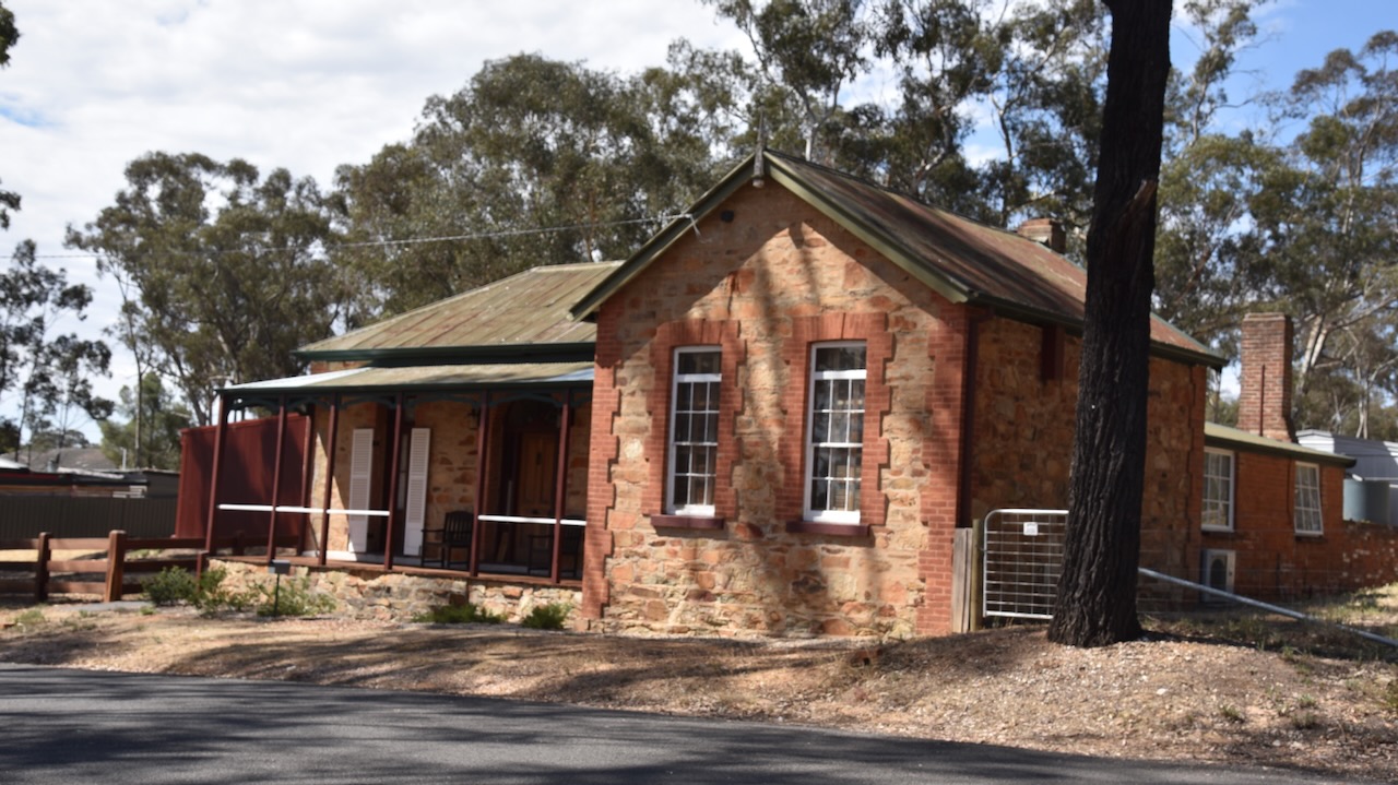
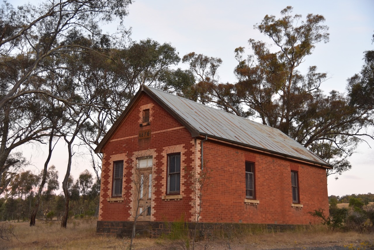
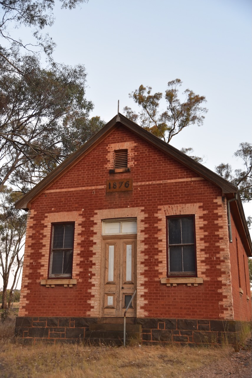
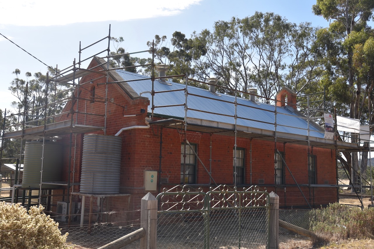
The Moliagul Common School was built in 1862 of locally made red brick. The first Head Teacher was Thomas Flynn. The school closed in 1970. It was under restoration during our visit.
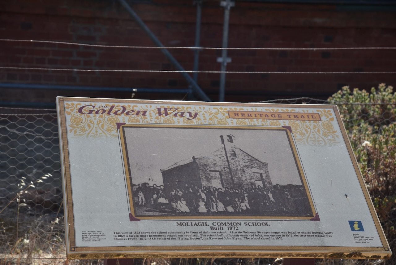

Above:- Students and teachers outside the Mount Moliagul Common School, 1872. Image c/o Museums Victoria.
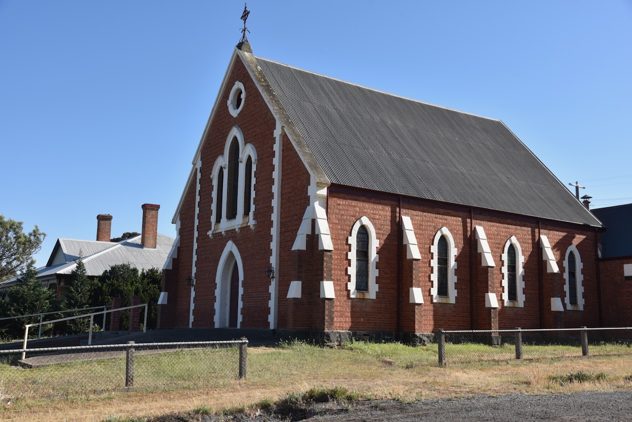
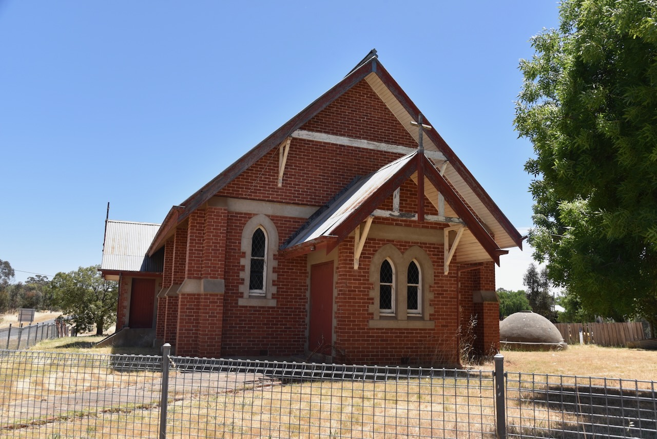
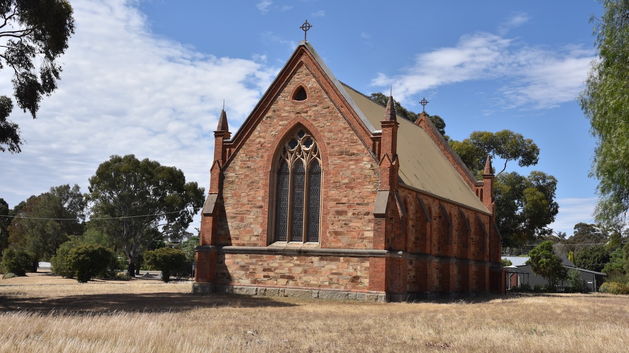
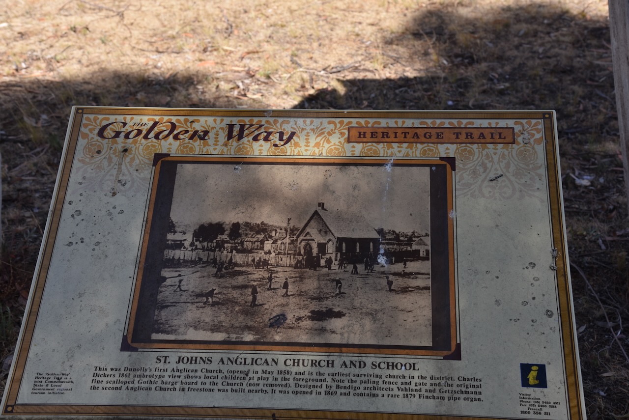
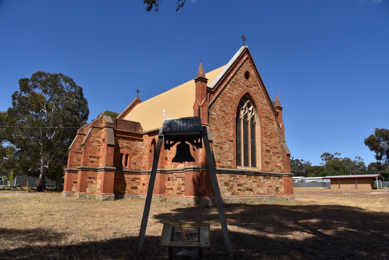
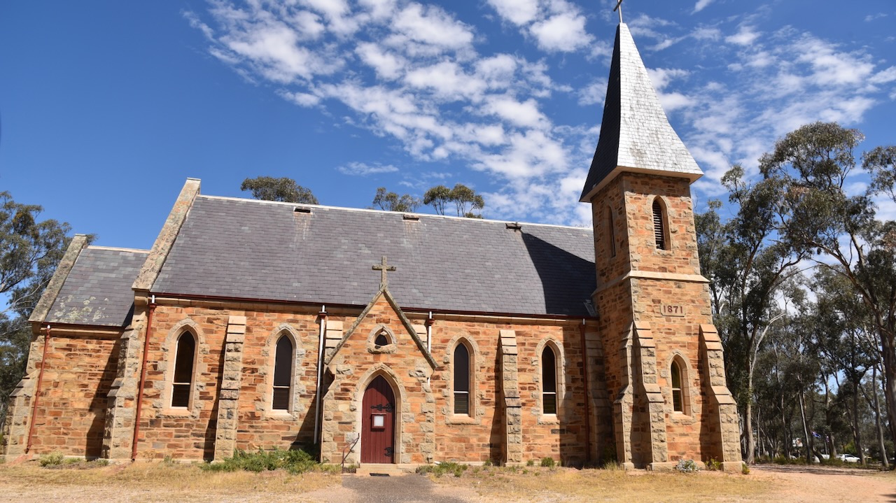
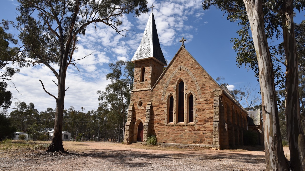
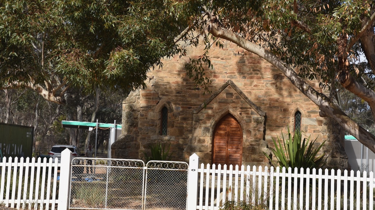
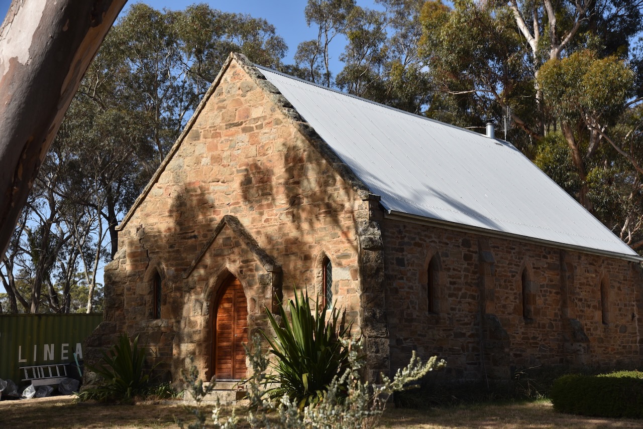
The Moliagul Anglican church was built between 1864 to 1865. (Aussie Towns 2024)
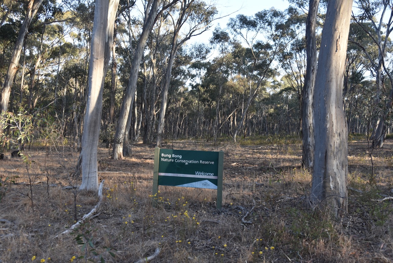
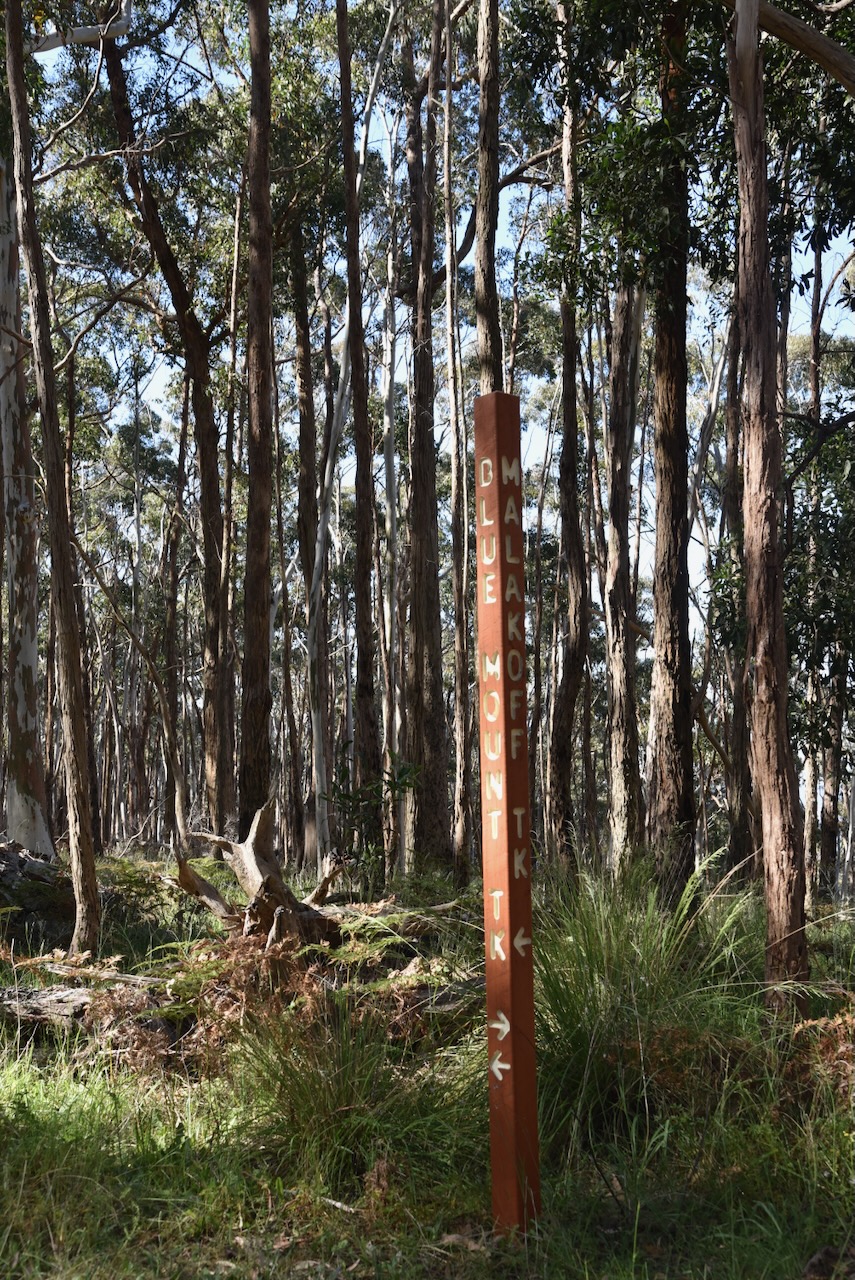
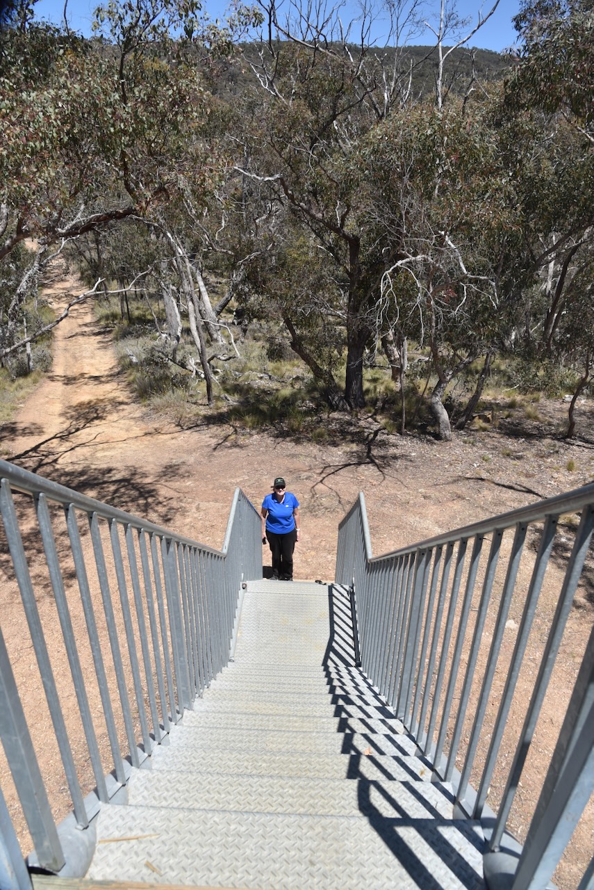
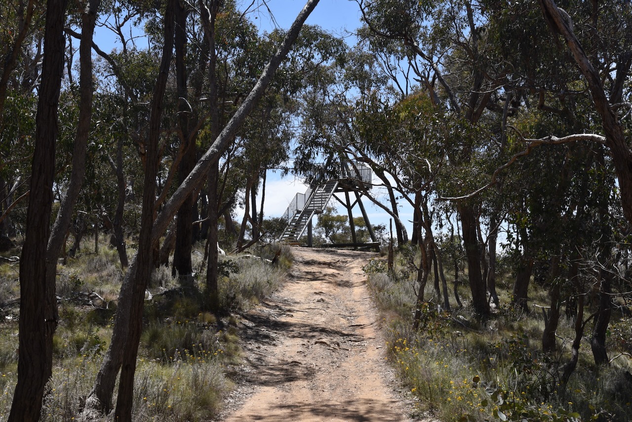
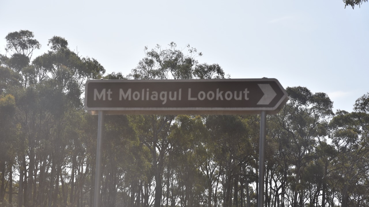
Marija and I then headed to Mount Moliagul. The summit is well-signposted on the Wimmera Highway. Mount Moliagul Road takes you right to the top of the summit.
Mount Moliagul is 525 metres and is worth 2 points for the Summits On the Air (SOTA program. It has been activated a total of 34 times, including by myself and Marija. (SOTA 2024)
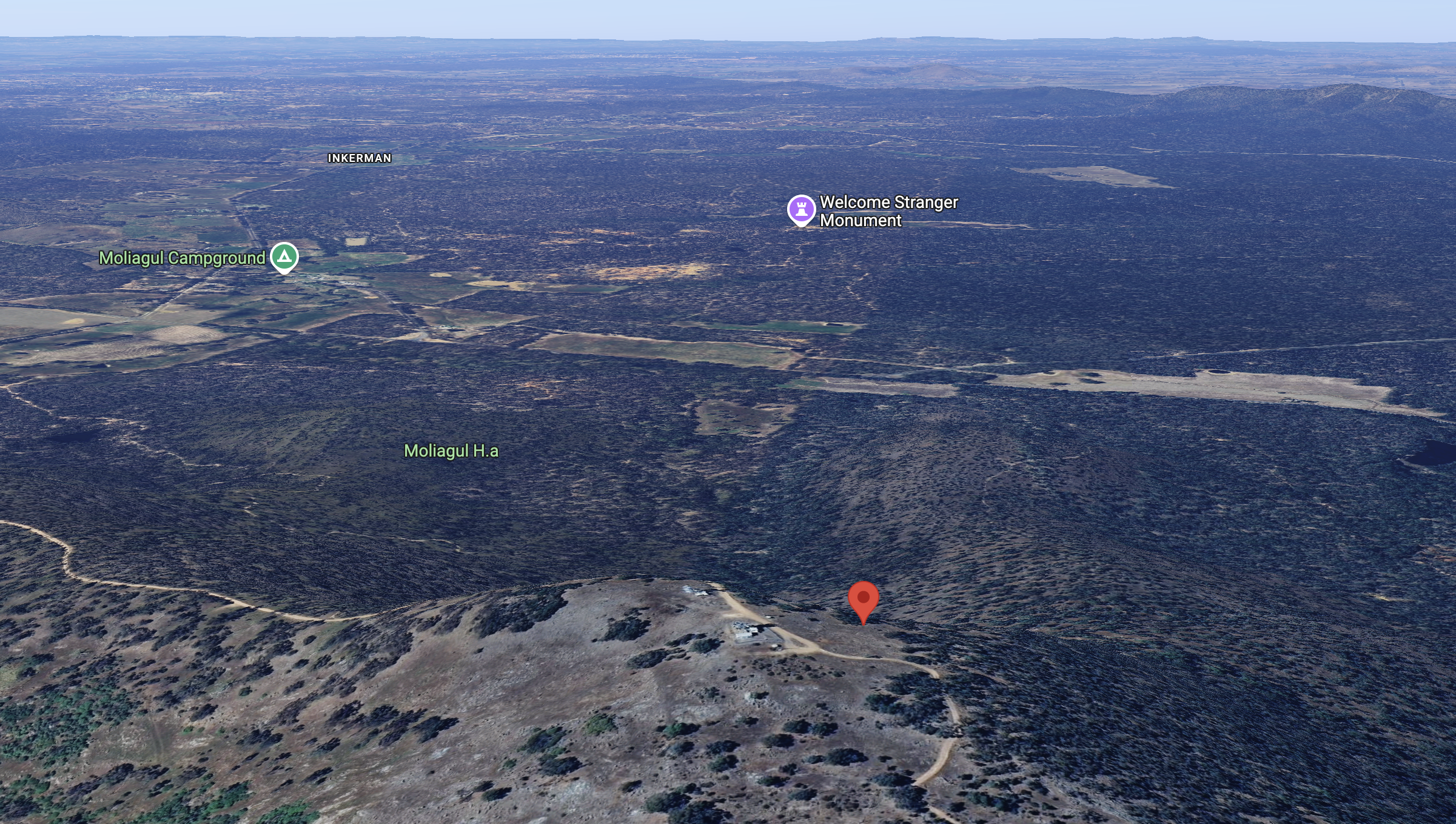
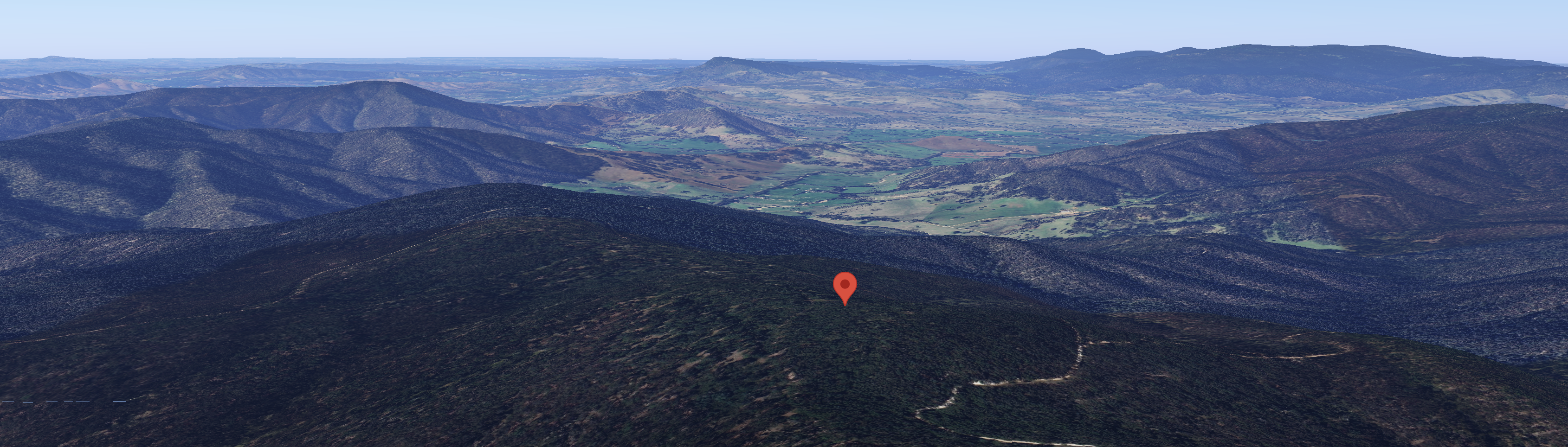
Above:- An aerial view of Mount Moliagul looking south. Image c/o Google Maps.
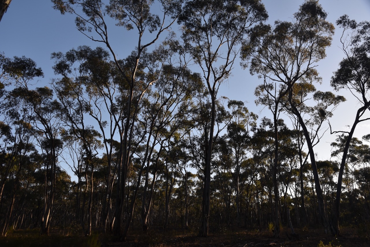
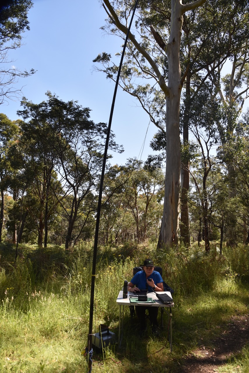
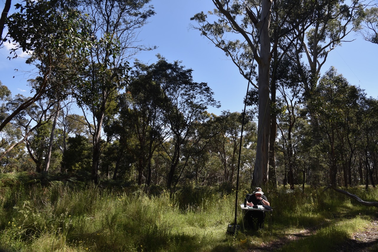
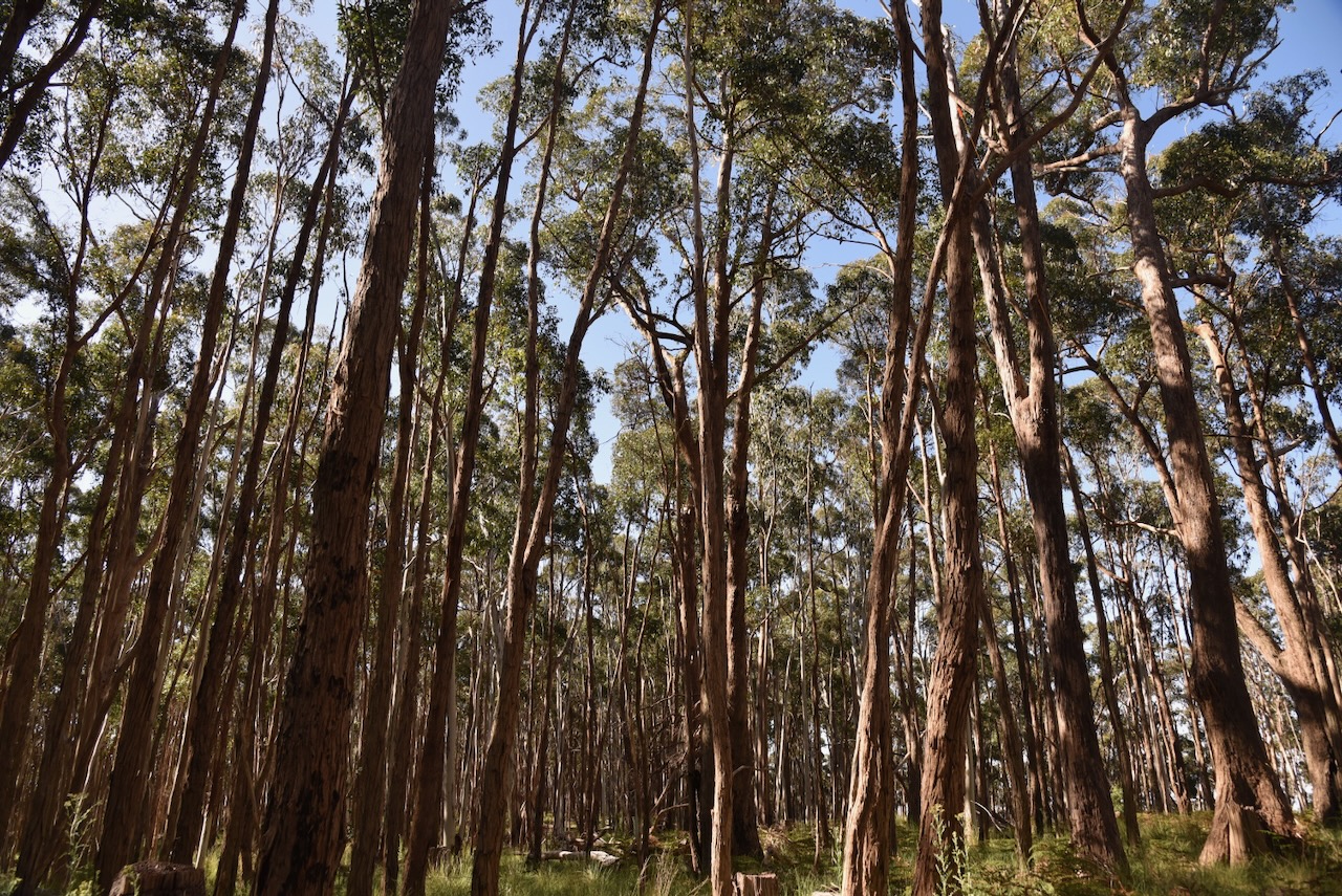
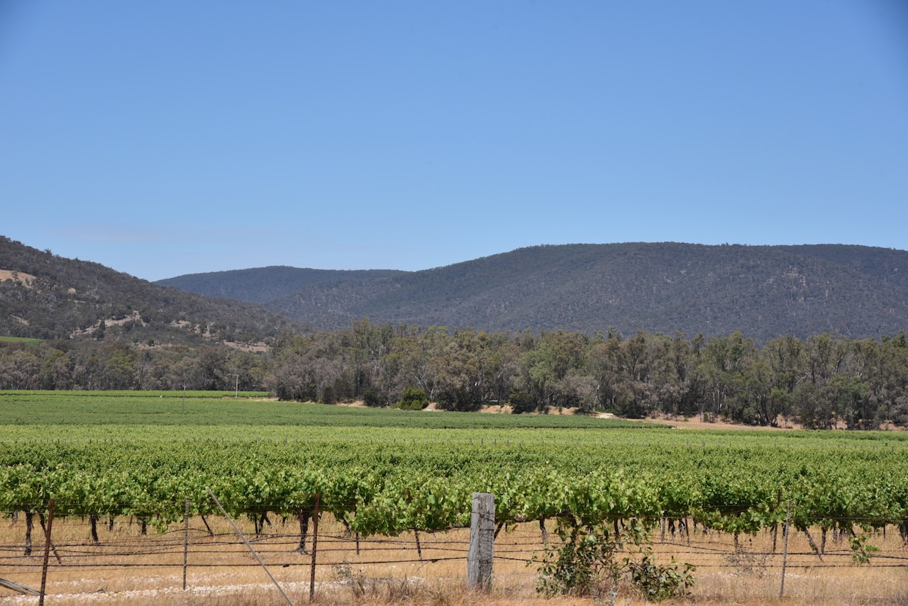
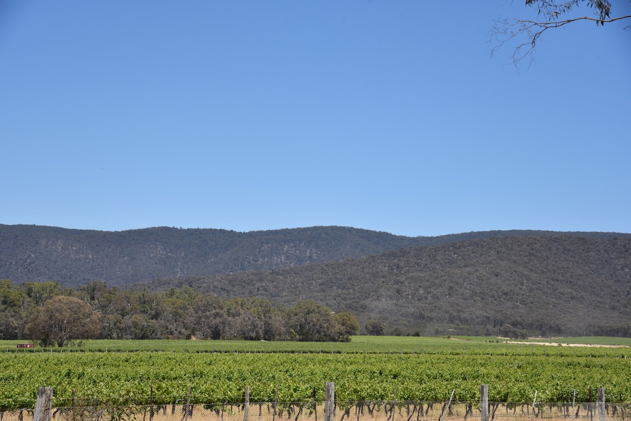
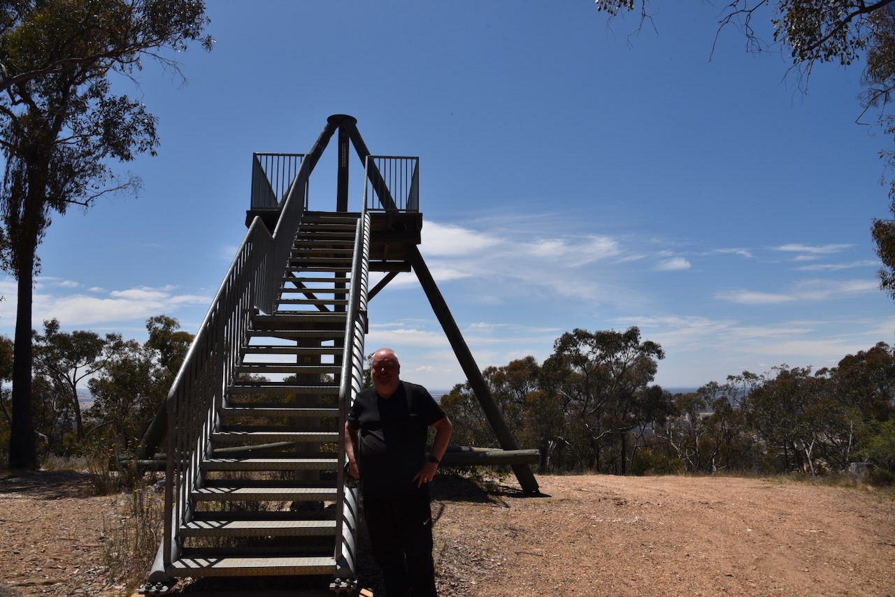
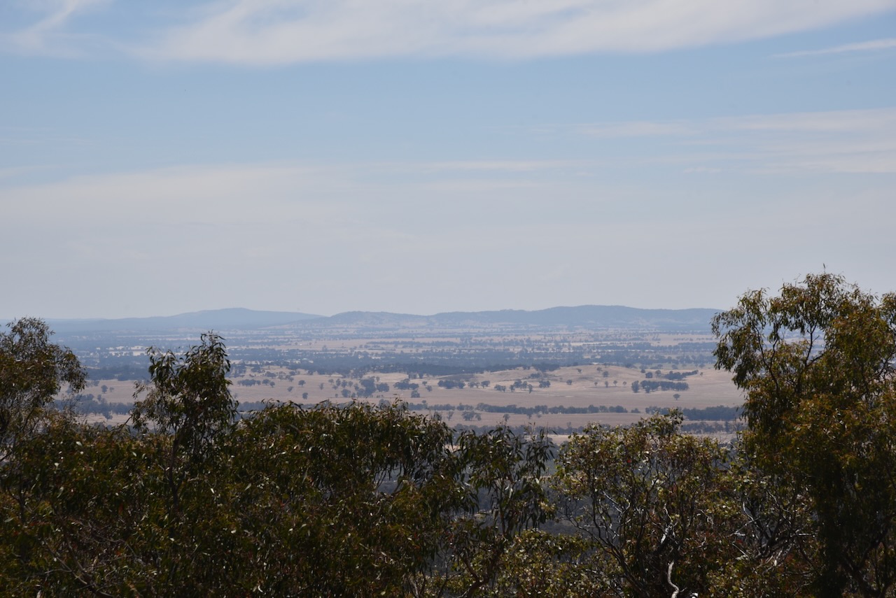
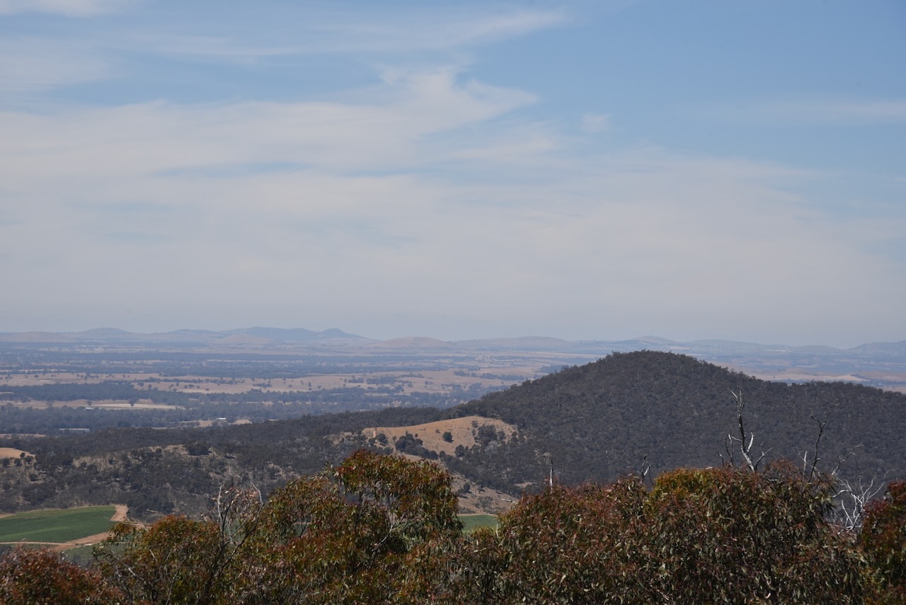
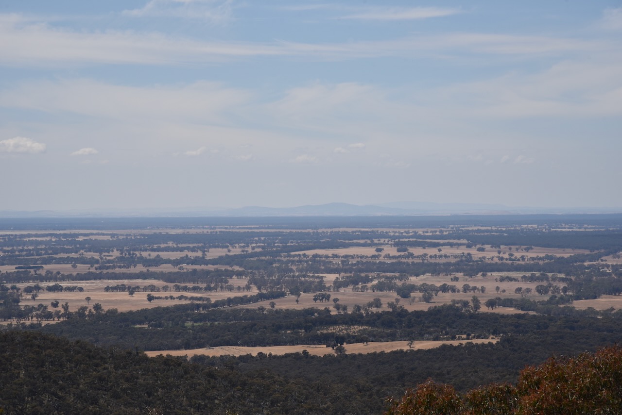
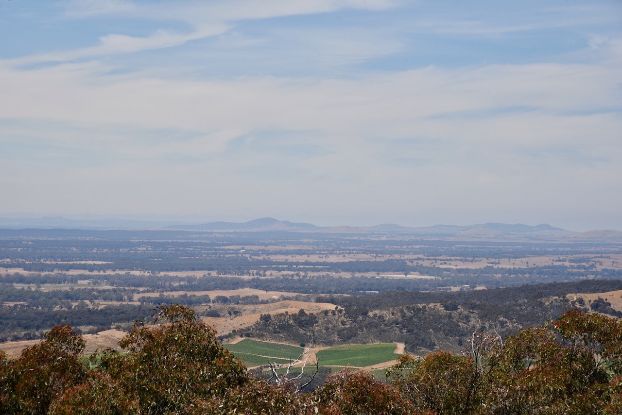
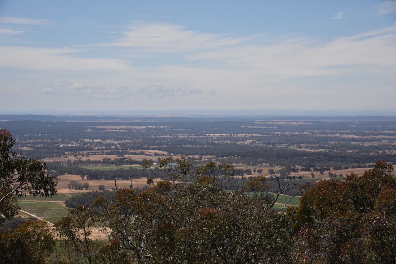
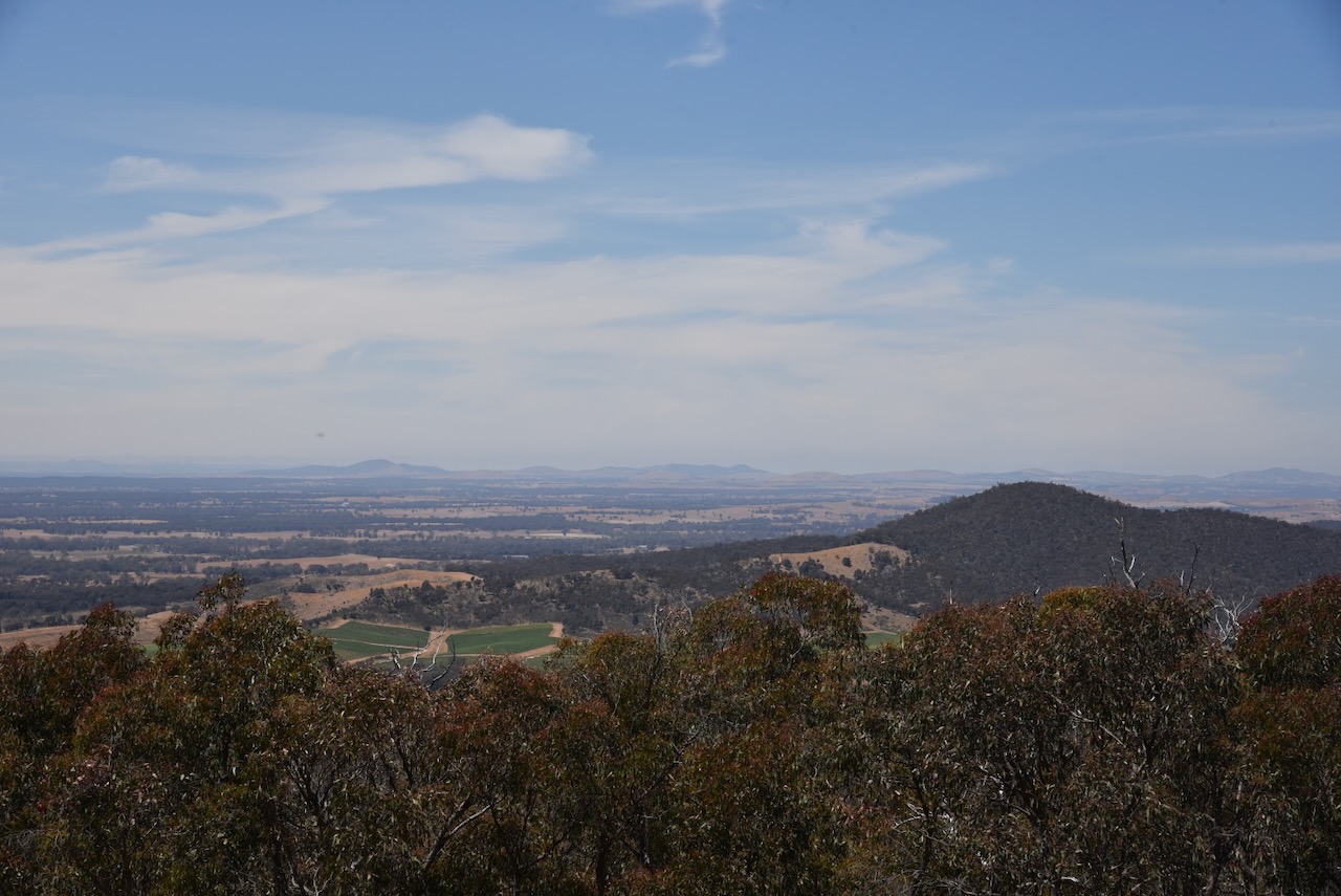
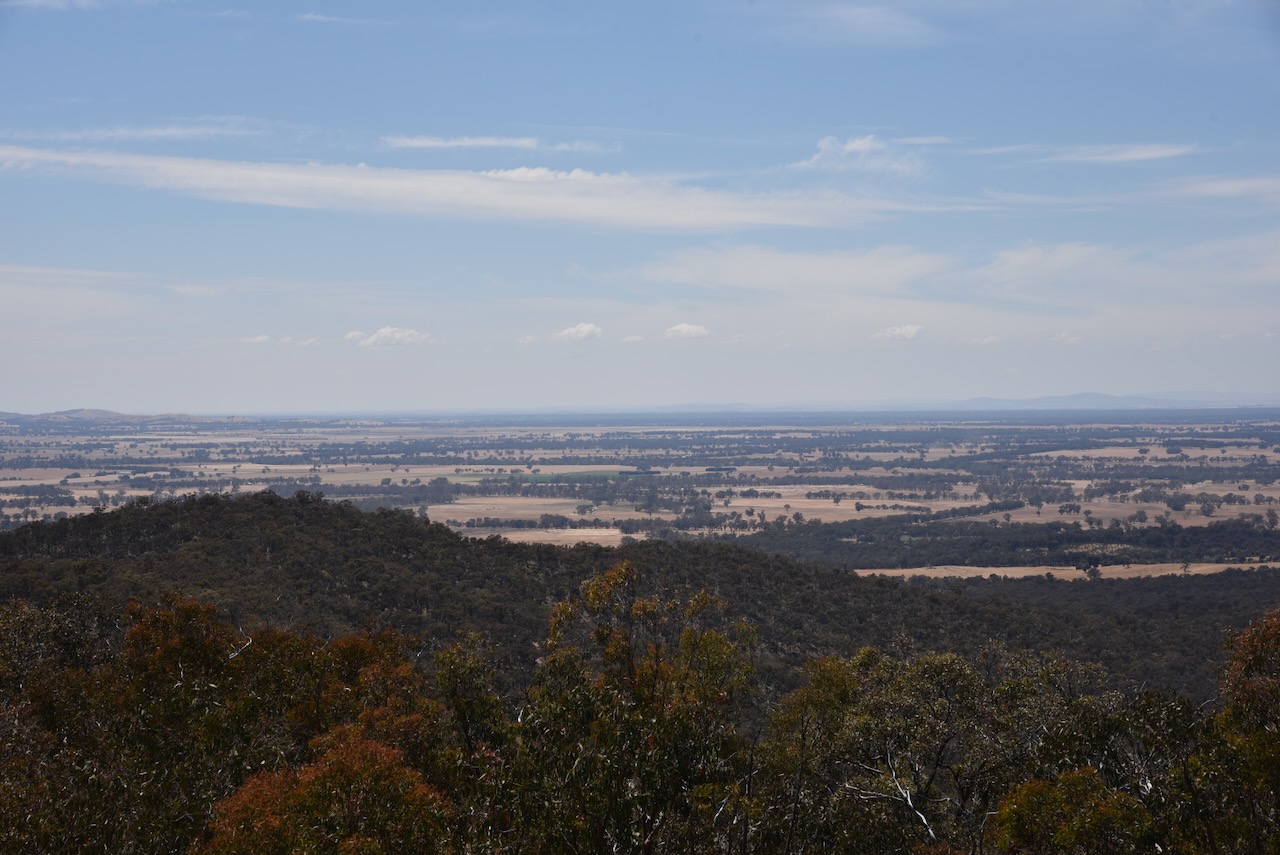
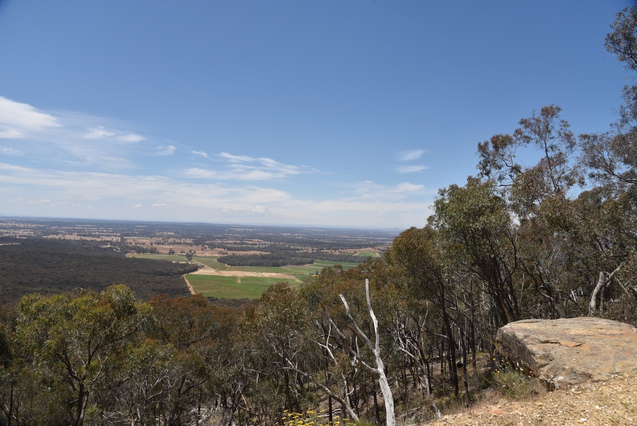
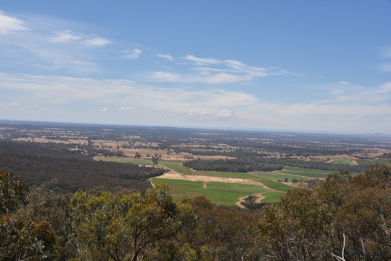
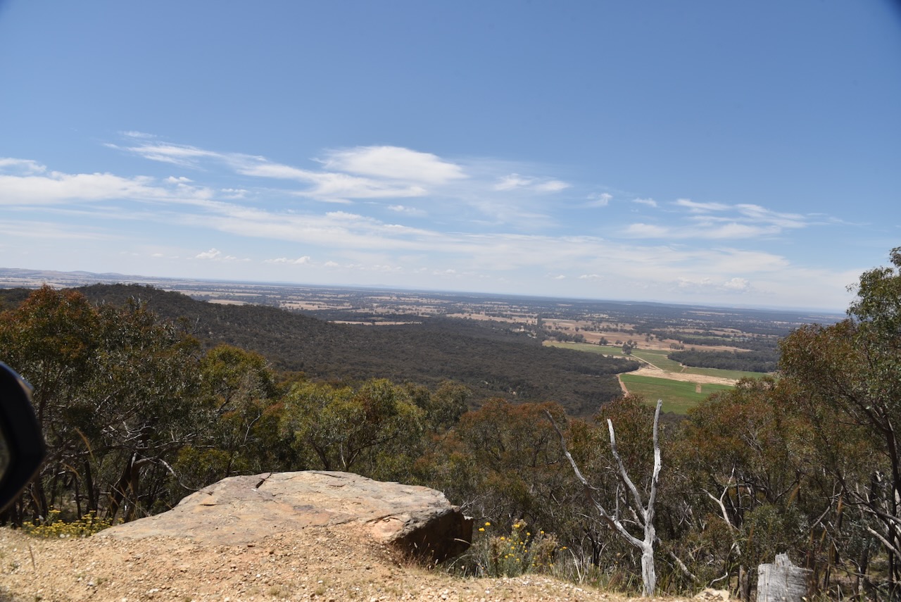
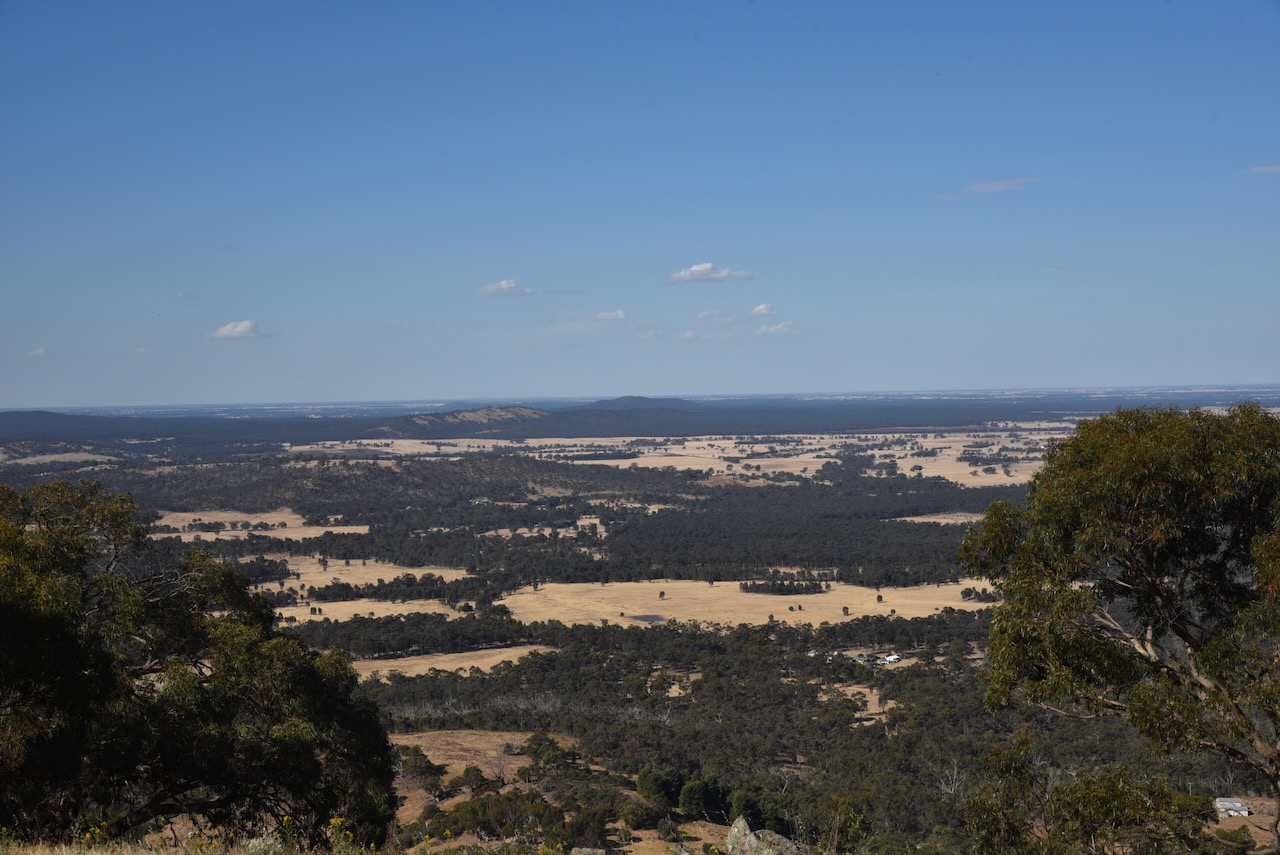
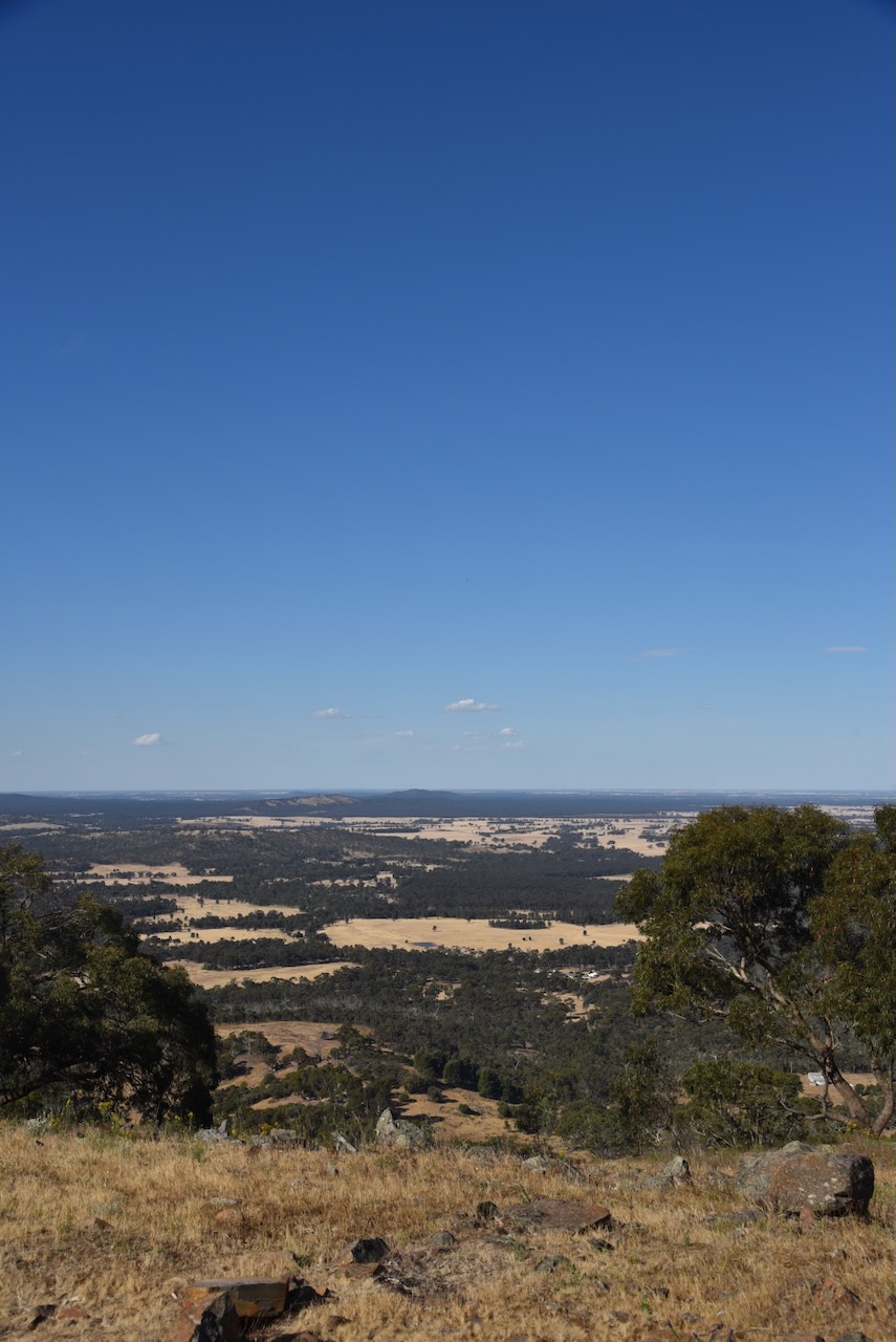
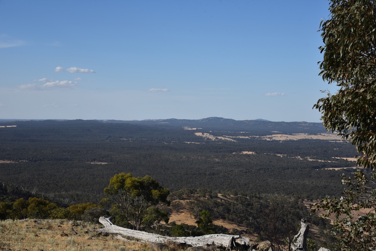
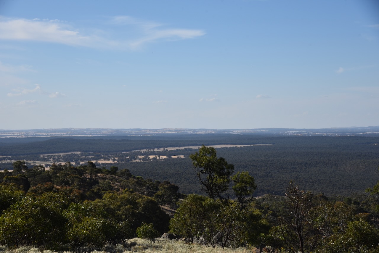
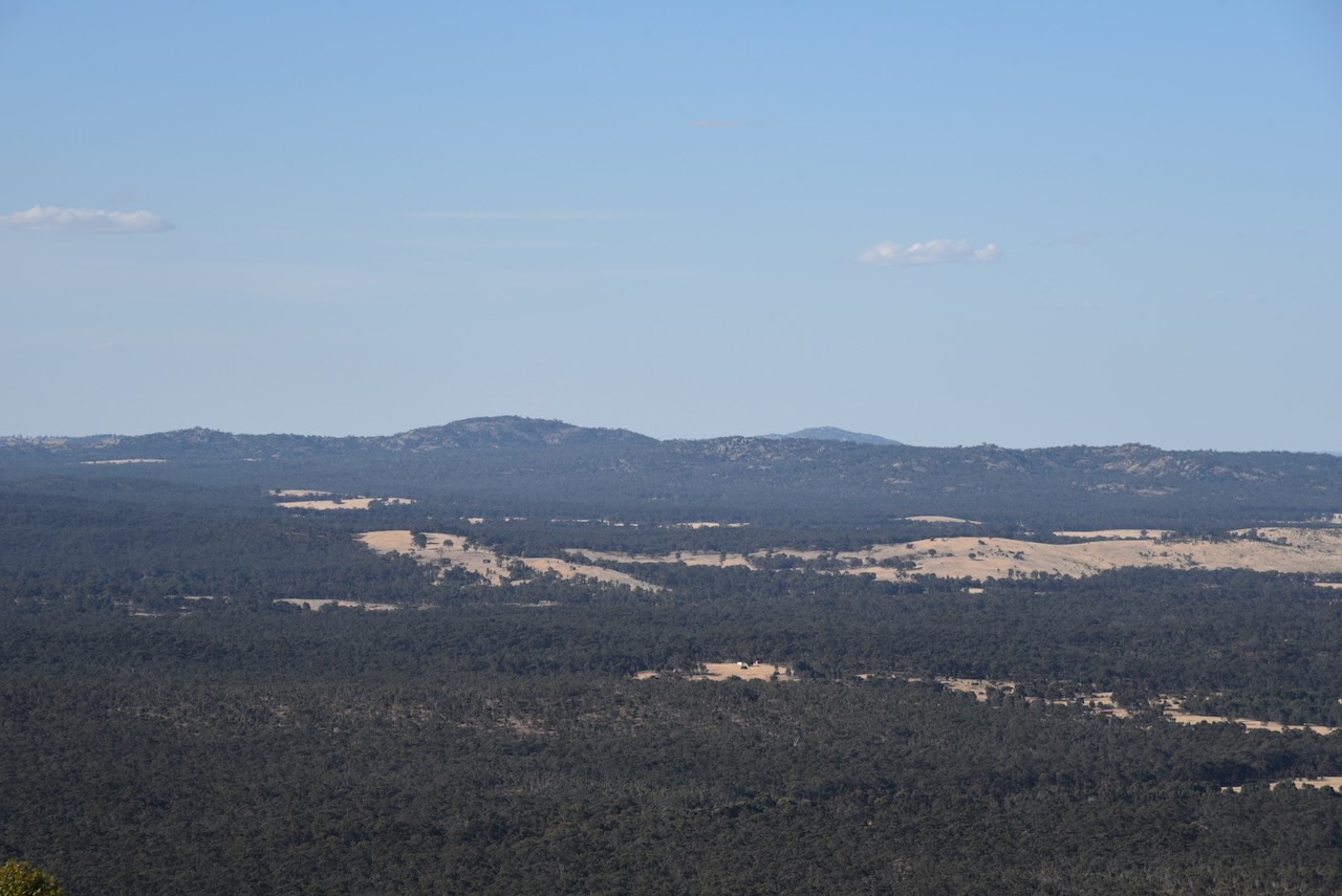
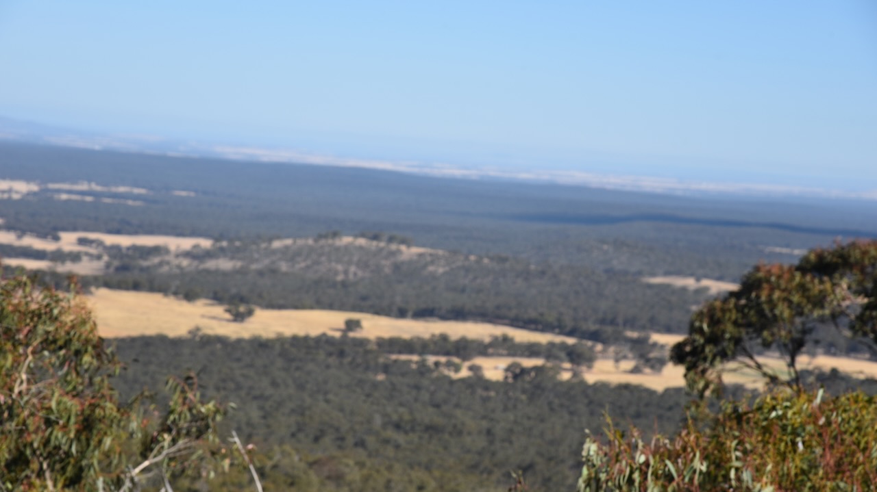
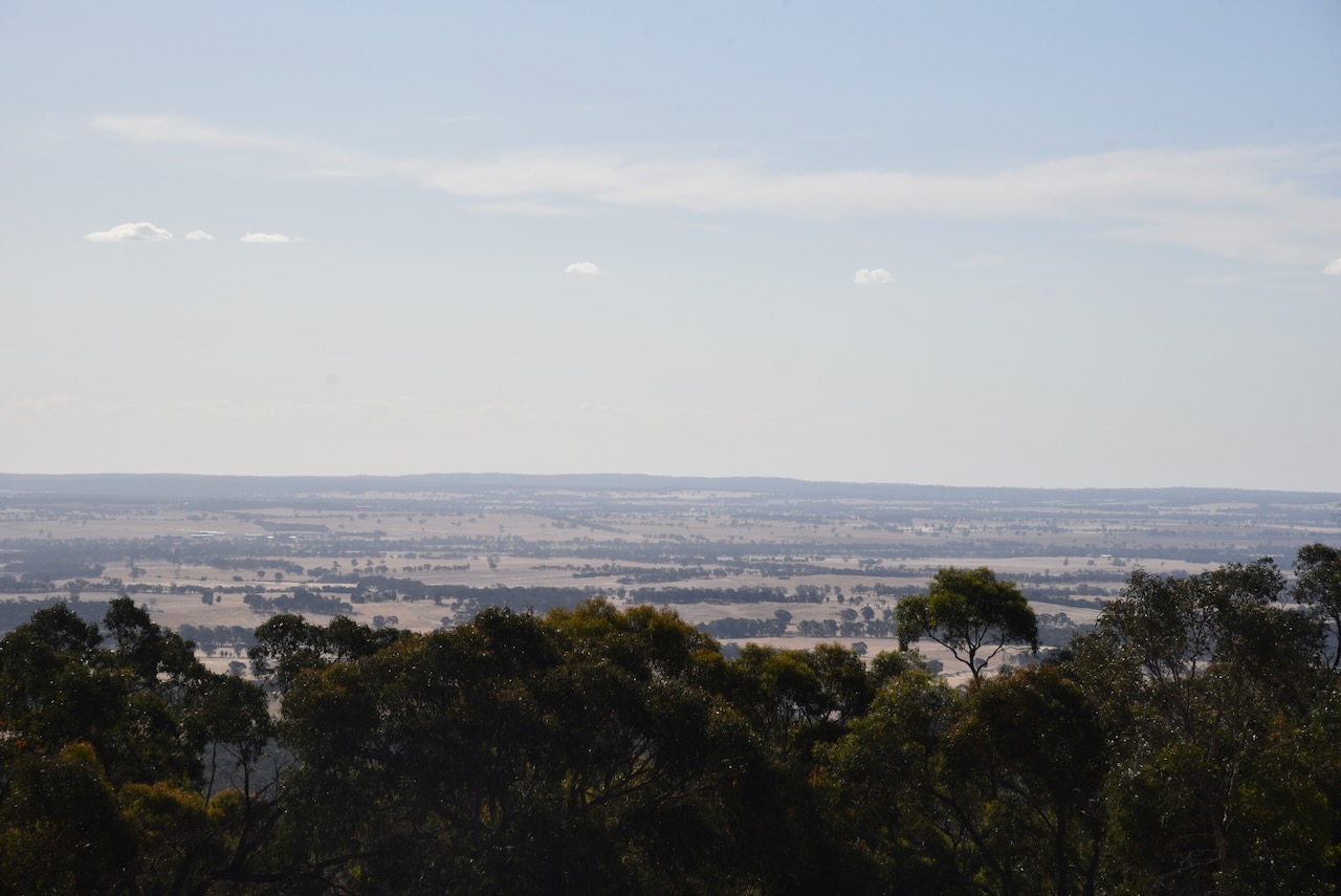
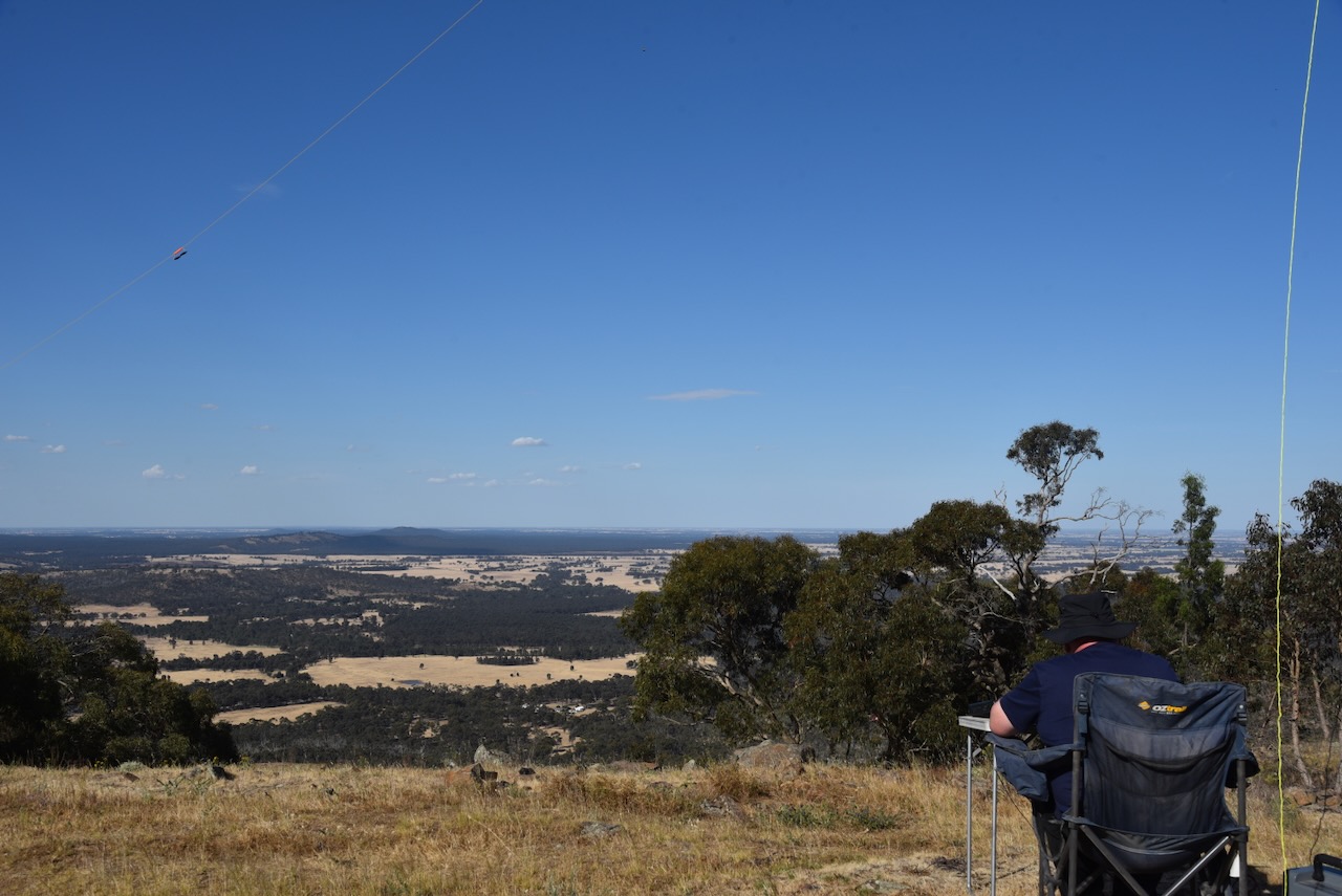
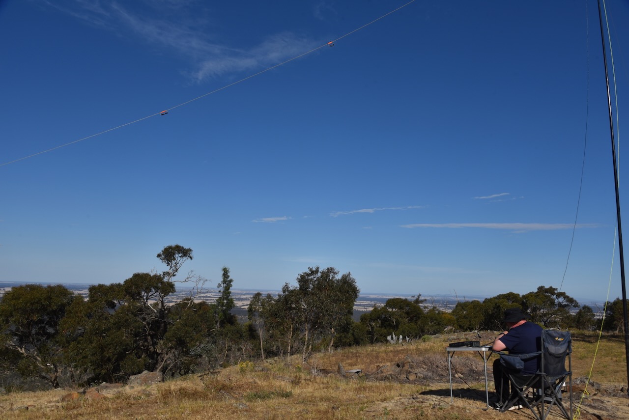
The summit is cleared of any significant vegetation and there are some magnificent views of the surrounding countryside.
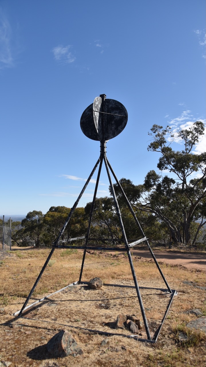
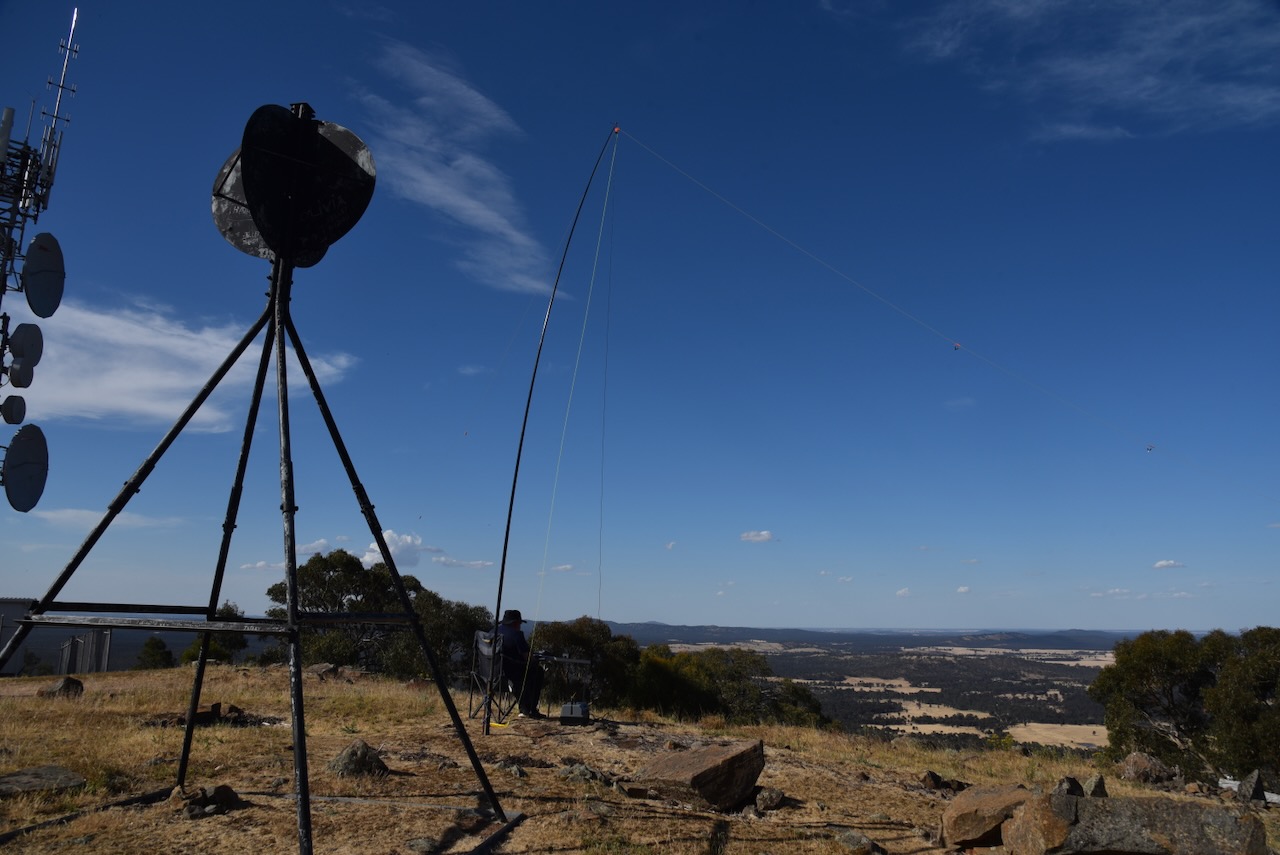
There is a surviving intact trig point at the summit.
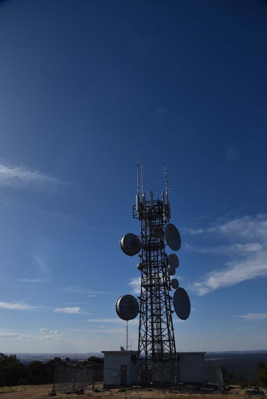
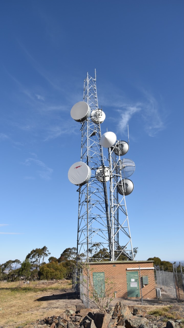
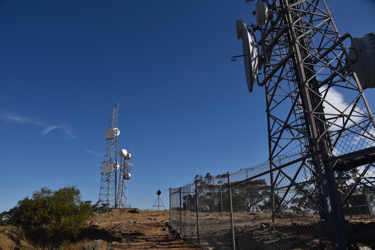
And there is a significant amount of communication equipment, but each time we have been to Mount Moliagul it has never caused interference on the amateur radio bands.
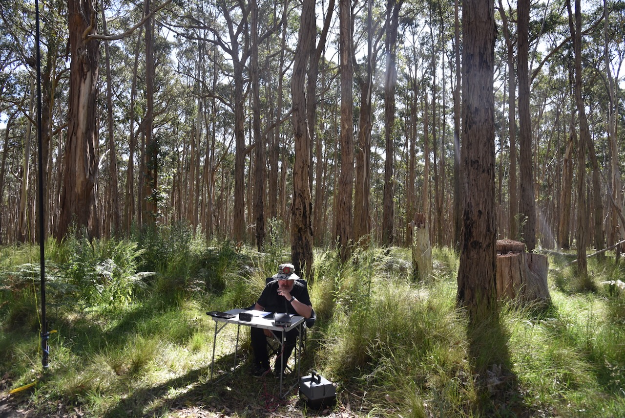
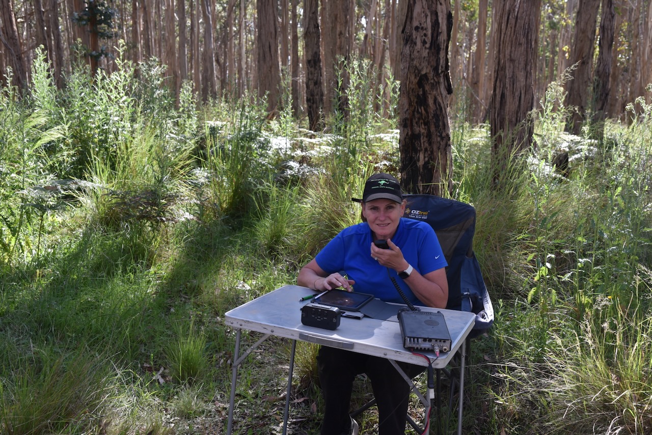
Marija and I set up a fold-up table and deck chair and looked out to the north. We ran the Yaesu FT857, 40 watts and the 20/4080m linked dipole.
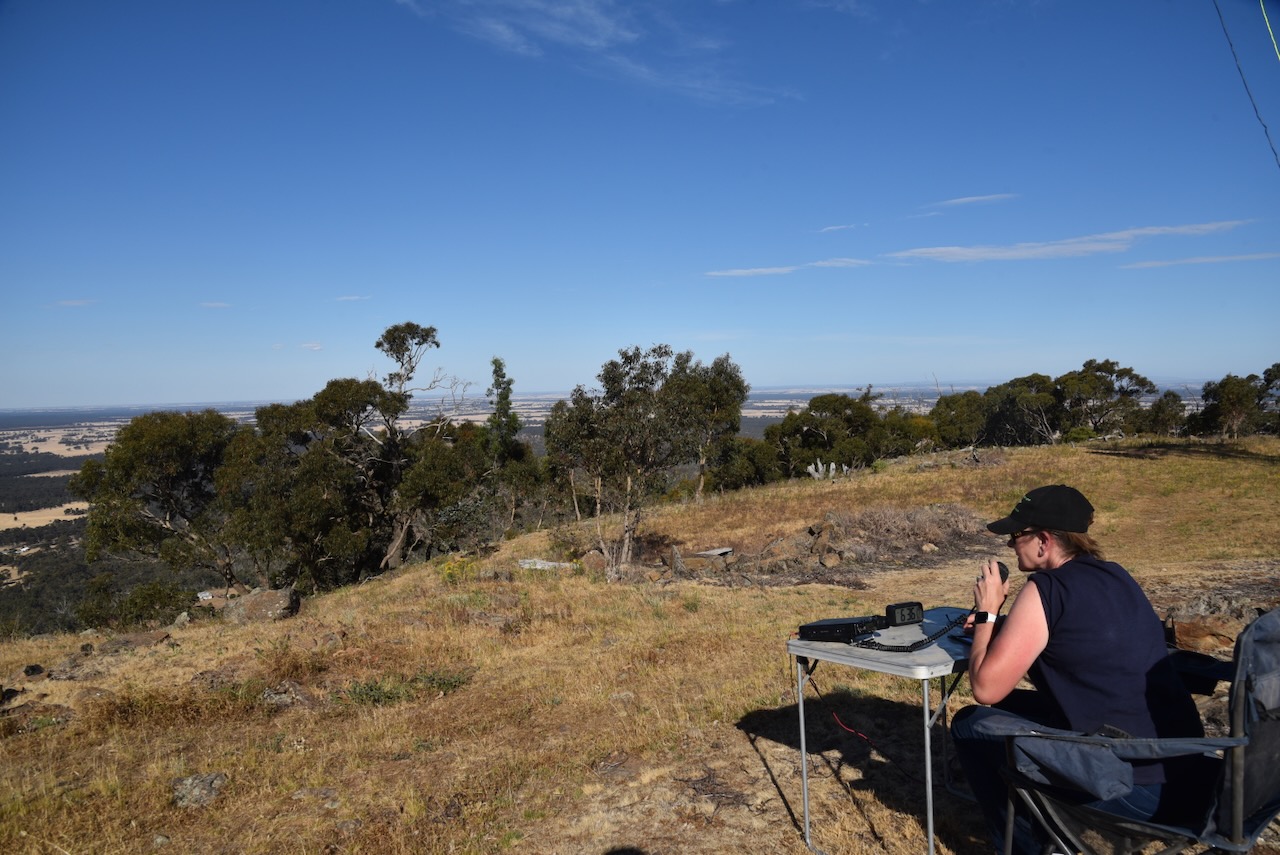
Marija worked the following stations on 40m SSB:-
- VK2TOT/p (Silo VK-CRW2)
- VK1MA
- VK4NH
- VK4DXA
- VK3GJG
- VK2IO/p (Mount Mugga Mugga Nature Reserve VKFF-0852)
I worked the following stations on 40m SSB:-
- VK2TOT/p (Silo VK-CRW2)
- VK1MA
- VK4NH
- VK4DXA
- VK3GJG
- VK3UCD
- Vk3APJ
- VK3PF
- VK2DWP
- VK2IO/p (Mount Mugga Mugga Nature Reserve VKFF-0852)
- VK2XDT/p (Silo VK-CRW2)
I worked the following stations on 20m SSB:-
- ZL1KB
- ZL2STR
- VK4NH
- VK4DXA
References.
- Ancestry.com.au. (2016). Ancestry® | Genealogy, Family Trees & Family History Records. [online] Available at: https://www.ancestry.com.au/ [Accessed 14 Mar. 2024]
- Aussie Towns. (n.d.). Moliagul, VIC. [online] Available at: https://www.aussietowns.com.au/town/moliagul-vic [Accessed 14 Mar. 2024].
- Bannear, D, 1980, North West Victoria Historic Mining Plots
- monumentaustralia.org.au. (n.d.). Richard Oates | Monument Australia. [online] Available at: https://monumentaustralia.org.au/themes/people/industry/display/105047-richard-oates- [Accessed 15 Mar. 2024].
- Royal Flying Doctor Service (2019). John Flynn biography | Royal Flying Doctor Service. [online] Flyingdoctor.org.au. Available at: https://www.flyingdoctor.org.au/about-the-rfds/history/john-flynn-bio/ [Accessed 14 Mar. 2024].
- sites.rootsweb.com. (n.d.). John (John Jenkins) DEASON. [online] Available at: https://sites.rootsweb.com/~ricksmith61/scilly/deason/ps06/ps06_023.html. [Accessed 14 Mar. 2024].
- Trove. (n.d.). The Goulburn Herald and Chronicle (NSW : 1864 – 1881) – 6 Mar 1869 – p8. [online] Available at: https://trove.nla.gov.au/newspaper/page/9514818?searchTerm=moliagul%20gold [Accessed 15 Mar. 2024].
- http://www.victorianplaces.com.au. (n.d.). Moliagul | Victorian Places. [online] Available at: https://www.victorianplaces.com.au/moliagul [Accessed 14 Mar. 2024].
- Wikipedia. (2022). Hugh Victor McKay. [online] Available at: https://en.wikipedia.org/wiki/Hugh_Victor_McKay [Accessed 14 Mar. 2024].
- http://www.gold-net.com.au. (n.d.). Gold-Net Australia Online – April 2000. [online] Available at: https://www.gold-net.com.au/archivemagazines/apr20/85439743.html#13 [Accessed 15 Mar. 2024].
- www.scillonian.com. (n.d.). LARGEST NUGGET IN THE WORLD. [online] Available at: http://www.scillonian.com/Welcomestrangermainpage.htm [Accessed 15 Mar. 2024].
- http://www.sotadata.org.uk. (n.d.). Sotadata3. [online] Available at: https://www.sotadata.org.uk/en/summit/VK3/VN-024 [Accessed 15 Mar. 2024].