
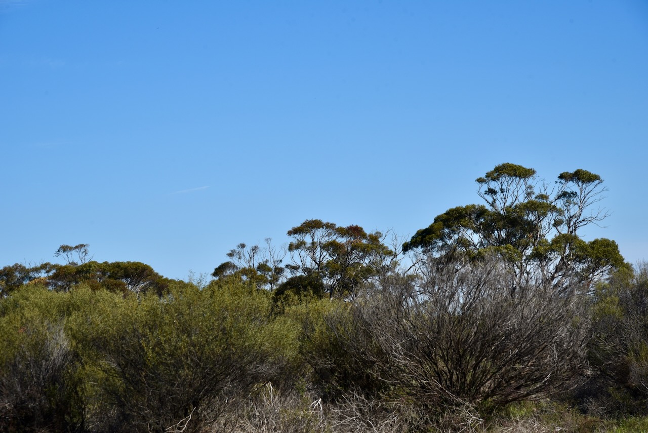
My first park activation for Monday 19th August 2024 was the Ginquam I5 Bushland Reserve VKFF-4129. This was to be the first time that I had activated the park for the World Wide Flora Fauna (WWFF) program, and only the second time the park had been activated for WWFF.
The reserve is located about 36 km (by road) south of Mildura in northwest Victoria.
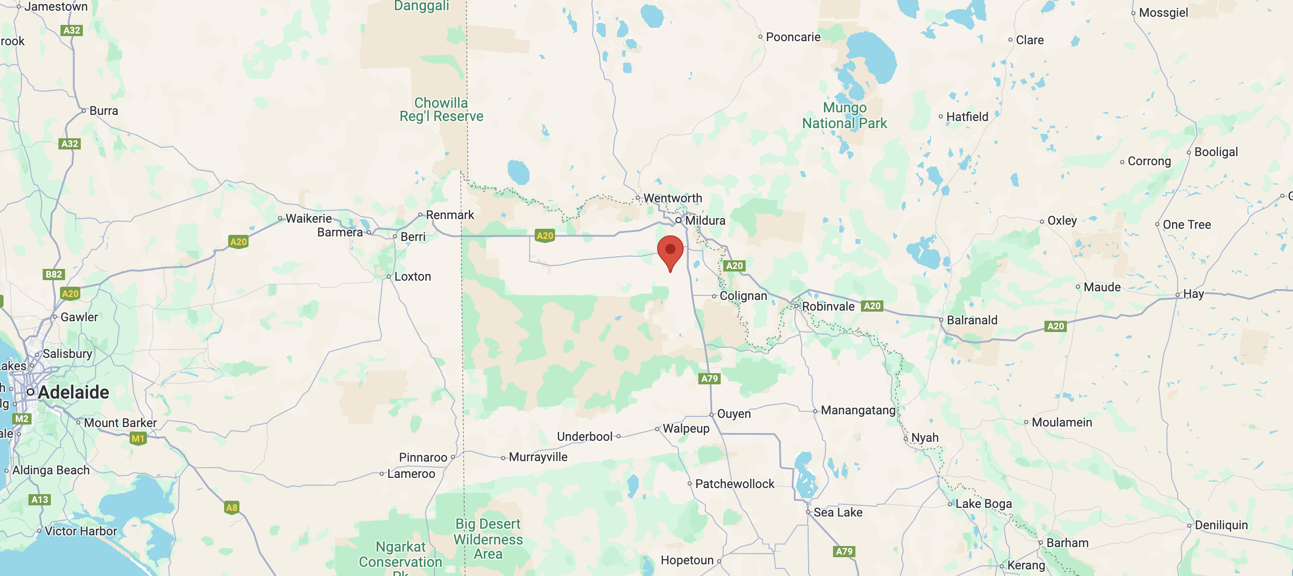
Above:- Map showing the location of the Ginquam I5 Bushland Reserve. Map c/o Google Maps.
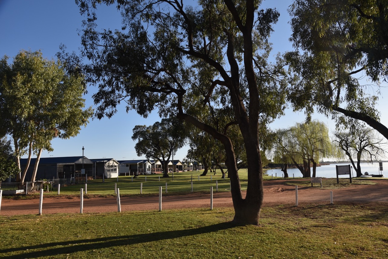
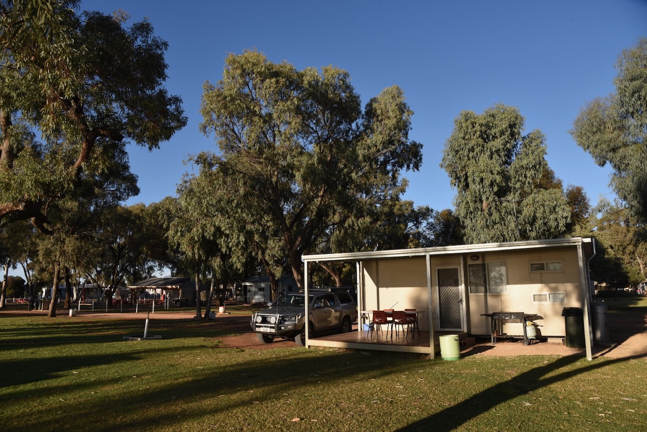
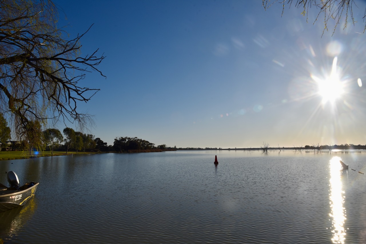
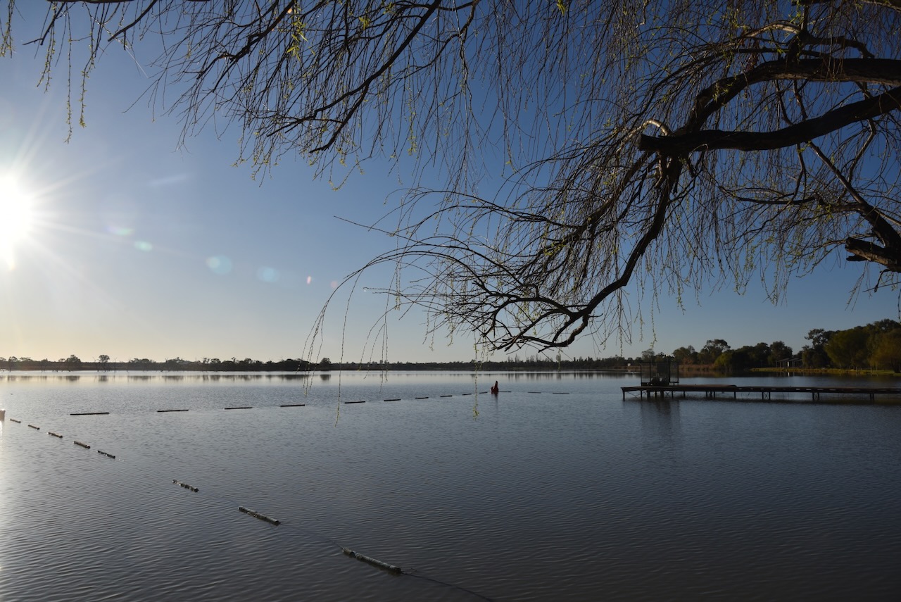
It was a beautiful morning and before leaving the caravan park I enjoyed a coffee overlooking Lake Cullulleraine. Lake Cullulleraine is a natural billabong of the River Murray. Cullulleraine is derived from the aboriginal word kallalla meaning neat. The lake is popular for swimming, canoeing, kayaking, sailing, water skiing and jet-skiing. (Victorian Fisheries) (Victorian Place Names)
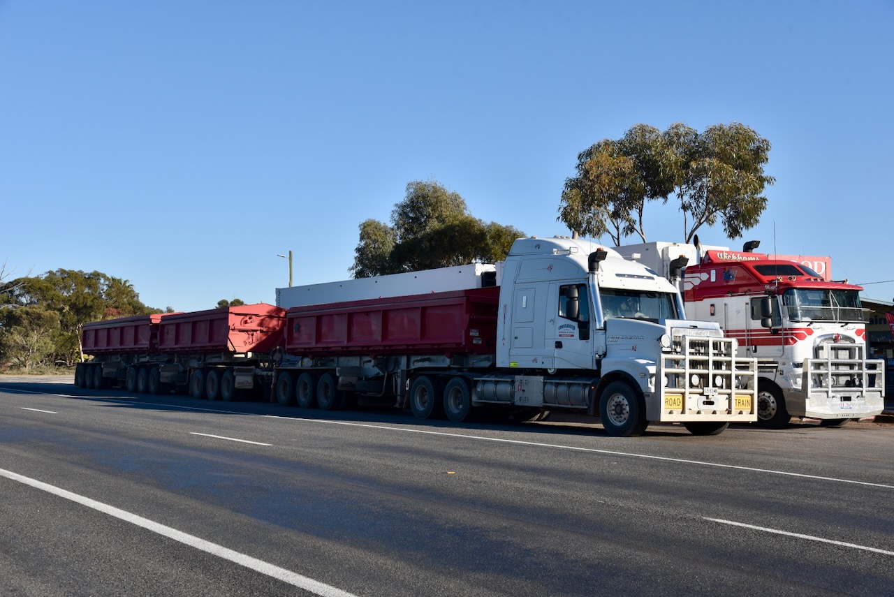
I then headed down to the roadhouse to fill up the 4WD with diesel and a bacon & egg roll for breakfast. I is always a sign of a good meal when you see trucks parked outside of a roaadhouse.
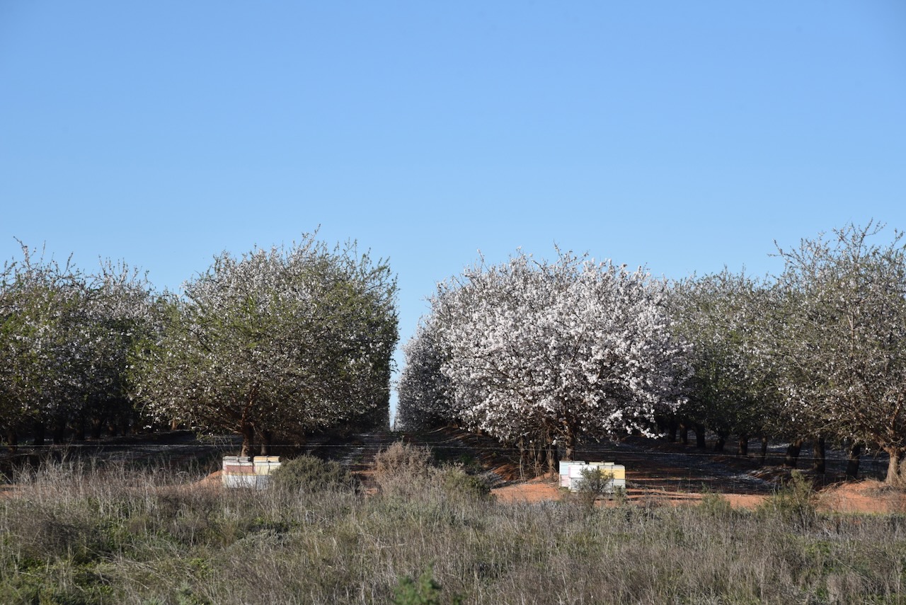
As I drove along the Sturt Highway I passed many commercial almond orchards.
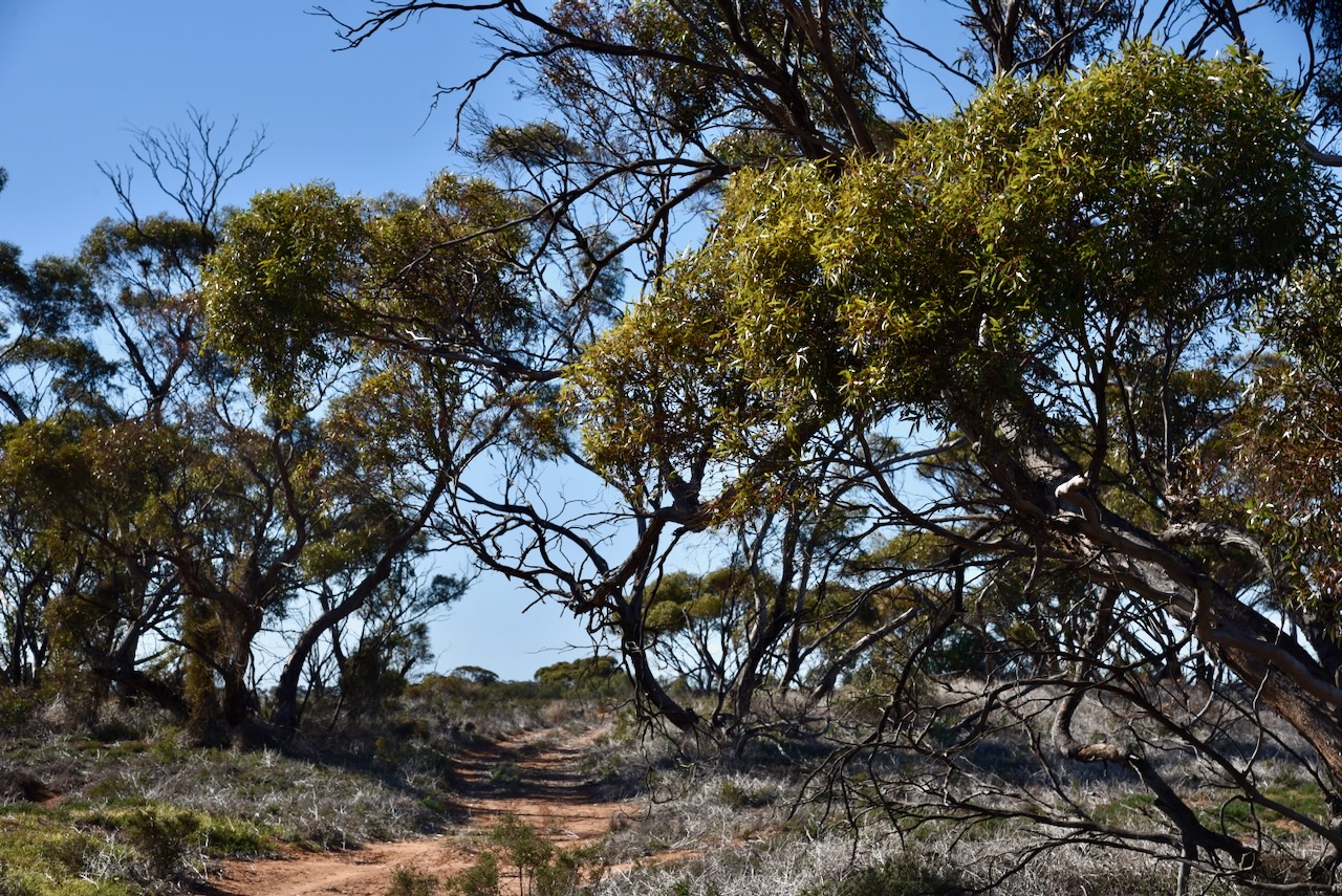
The reserve is located on the northern side of Ginquam W Road, just to the west of the junction with Scott Lane.
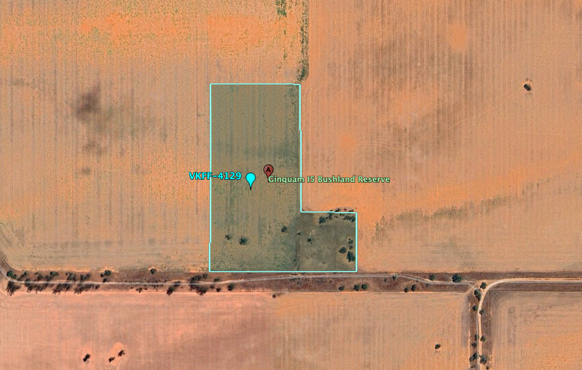
Above:- An aerial view of the Ginquam I5 Bushland Reserve. Image c/o Google Earth.
The reserve is about 9 hectares in size and was established on the 1st day of May 1979. Ginquam is derived from the aboriginal word gam gam meaning horse. (CAPAD 2022) (Victorian Places Names)
i ran the Yaesu FT857, 40 watts, and the 20/40/80m linked dipole for this activation.
I worked the following station on 40m SSB before the UTC rollover:-
- VK3PF (Pink Cliffs Geological Reserve VKFF-3833)
I worked the following stations on 40m SSB after the UTC rollover:-
- VK3PF/p (Pink Cliffs Geological Reserve VKFF-3833)
- VK3APJ
- VK3CA
- VK1AD
- VK1NAM
- VK2KYO
- VK3UAO
- VK2VW
- VK2HFI
- VK2AKA
- VK2BUG
- VK3VIN
- VK3HM
- VK5GY
- VK2IO
- VK2GEZ
- VK5IS
- VK3BCM
- VK3AMO
- VK3GJG
- VK5AAF
- VK5MOS
I worked the following stations on 40m AM:-
- VK3CA
- VK3HM
- VK5GY
- VK5IS
- VK3GJG
I worked the following station on 40m FM:-
- VK3GJG
I worked the following stations on 20m SSB:-
- VK7WN
- VK2VW
- VK2HFI
- VK2AKA
- VK2BUG
- VK2IO
- VK2GEZ
- VK5QA/4
- VK3CLD/4
- VK1AD
- VK1NAM
- VK3GJG
- VK2ISM
- VK4CXY
- VK2VOM
- VK4SMA
References.
- Dcceew.gov.au. (2023). Collaborative Australian Protected Areas Database (CAPAD) 2022 – DCCEEW. [online] Available at: https://www.dcceew.gov.au/environment/land/nrs/science/capad/2022 [Accessed 10 Oct. 2024].
- Leslie James Blake, 1978, Place Names of Victoria.
- VFA. (2019). Lake Cullulleraine. [online] Available at: https://vfa.vic.gov.au/recreational-fishing/victorias-top-fishing-destinations/sunset-country/where-to-fish-sunset-country/lake-cullulleraine [Accessed 10 Oct. 2024].
-
