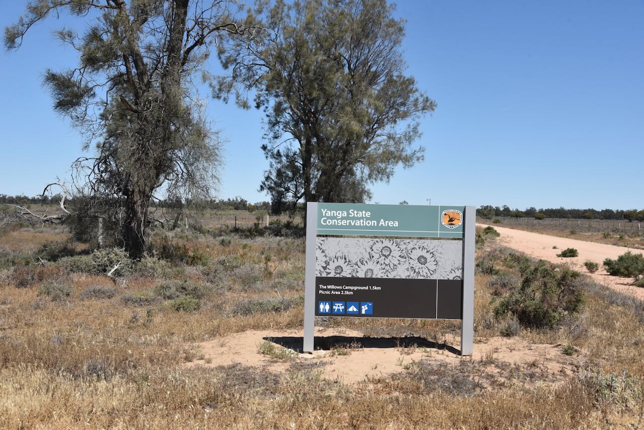
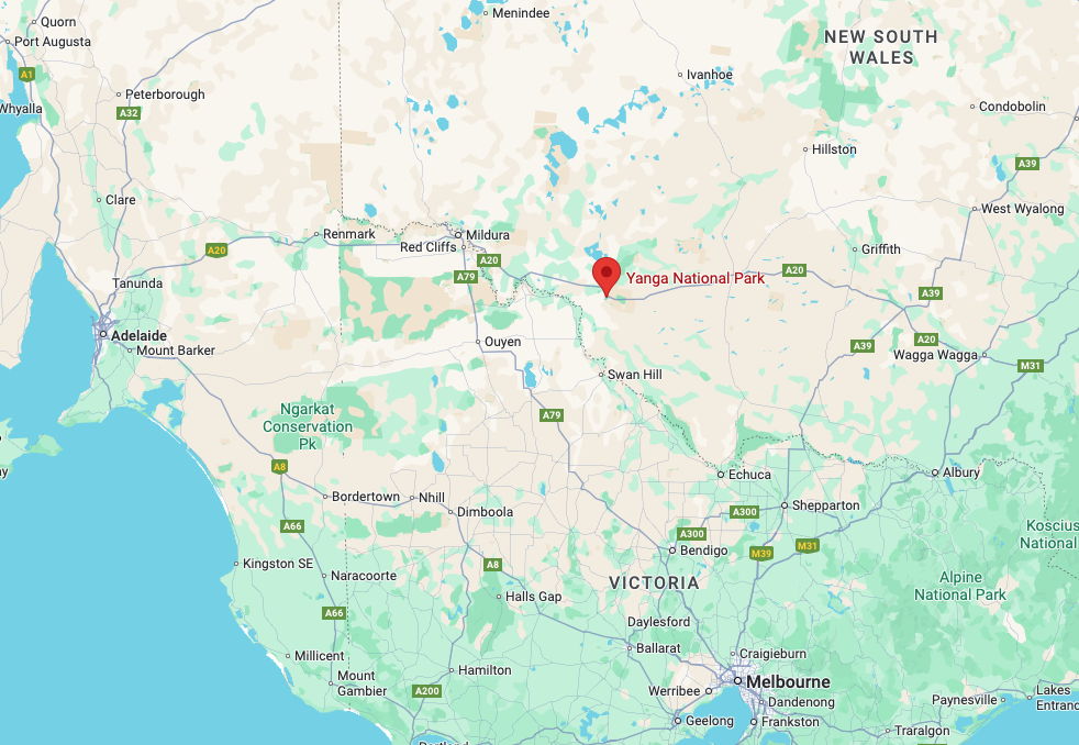
After leaving the Yanga National Park on Saturday, 18th October 2025, Marija and I headed to our next activation, the Yanga State Conservation Area VKFF-1773.
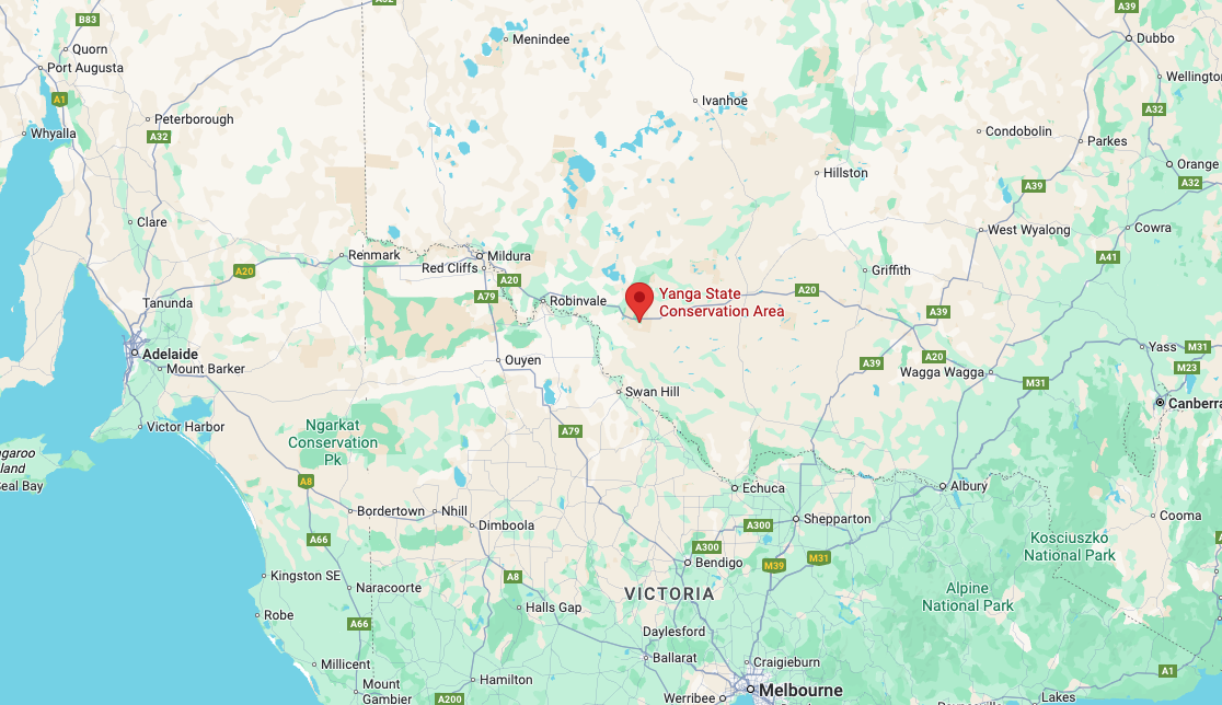
Above: Map showing the location of the Yanga Stagte Conservation Area. Map c/o Google Maps
The park is located on the southern and northern sides of the Sturt Highway.
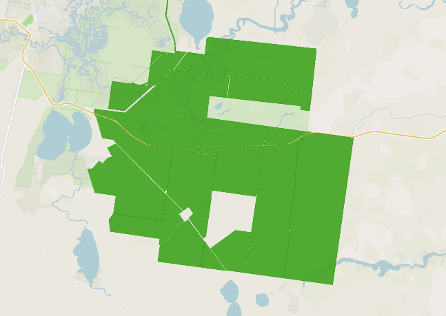
Above: the boundaries of the Yanga State Conservation Area. Image c/o Protected Planet
The park is about 34,557 hectares in size and was gazetted on the 28th day of February 2007. (CAPAD 2024) (NSW National Parks, 2025)
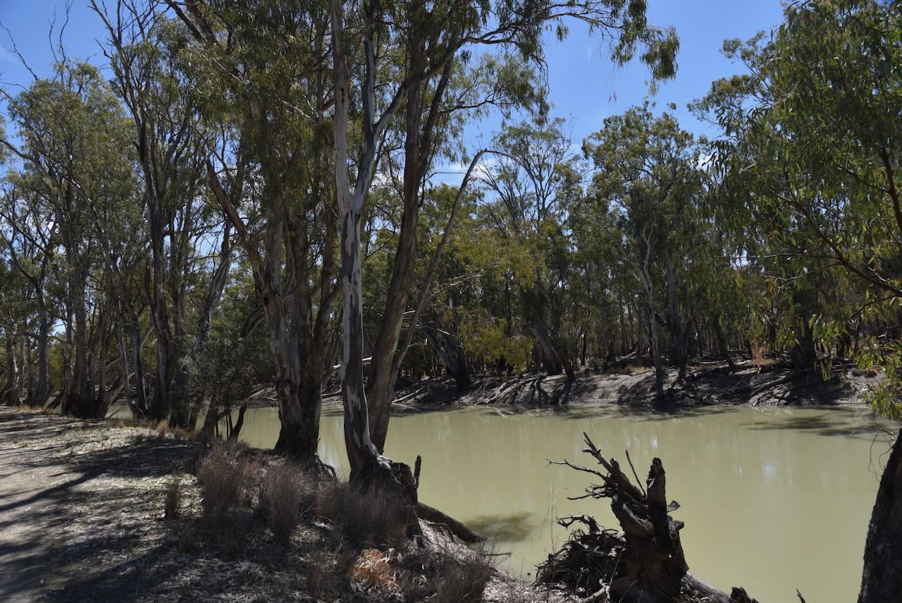
We had no internet coverage, so we appreciate those who took the time to spot us on parksnpeaks.
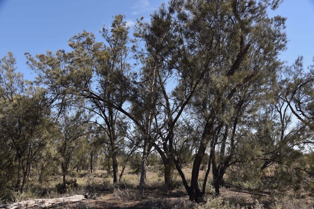
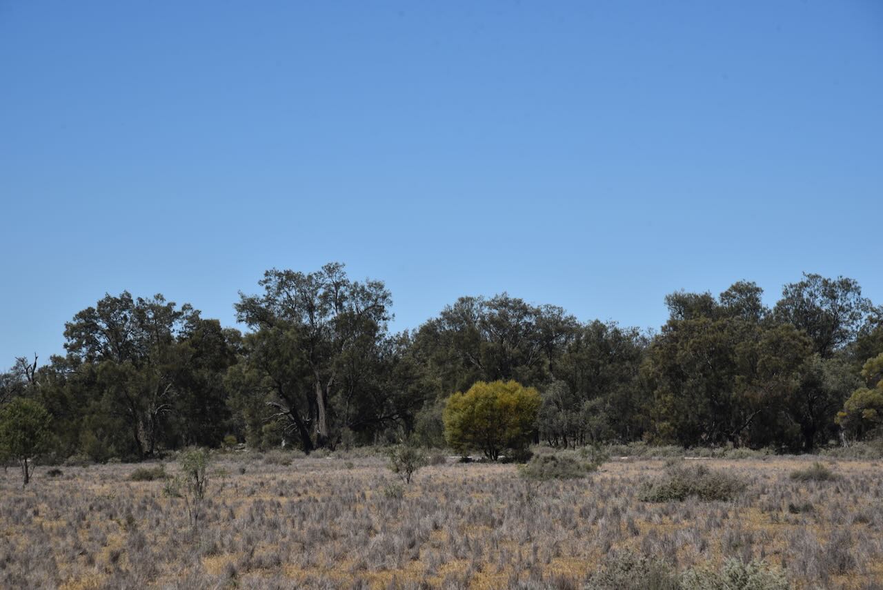
We operated from the Willows campground area and we ran the Yaesu FT847, 40 watts, and the 20/40/80m linked dipole for this activation.
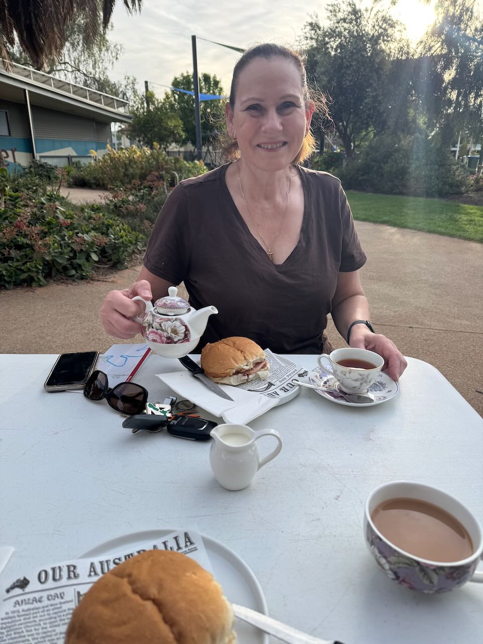
It was now day two of our Canberra trip, Saturday, 18th October 2025. To start the day, Marija and I headed down to the cafe at the Balranald Discovery Centre and enjoyed a very nice breakfast, consisting of bacon & egg rolls and a pot of tea.
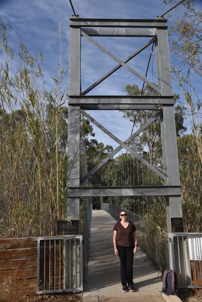
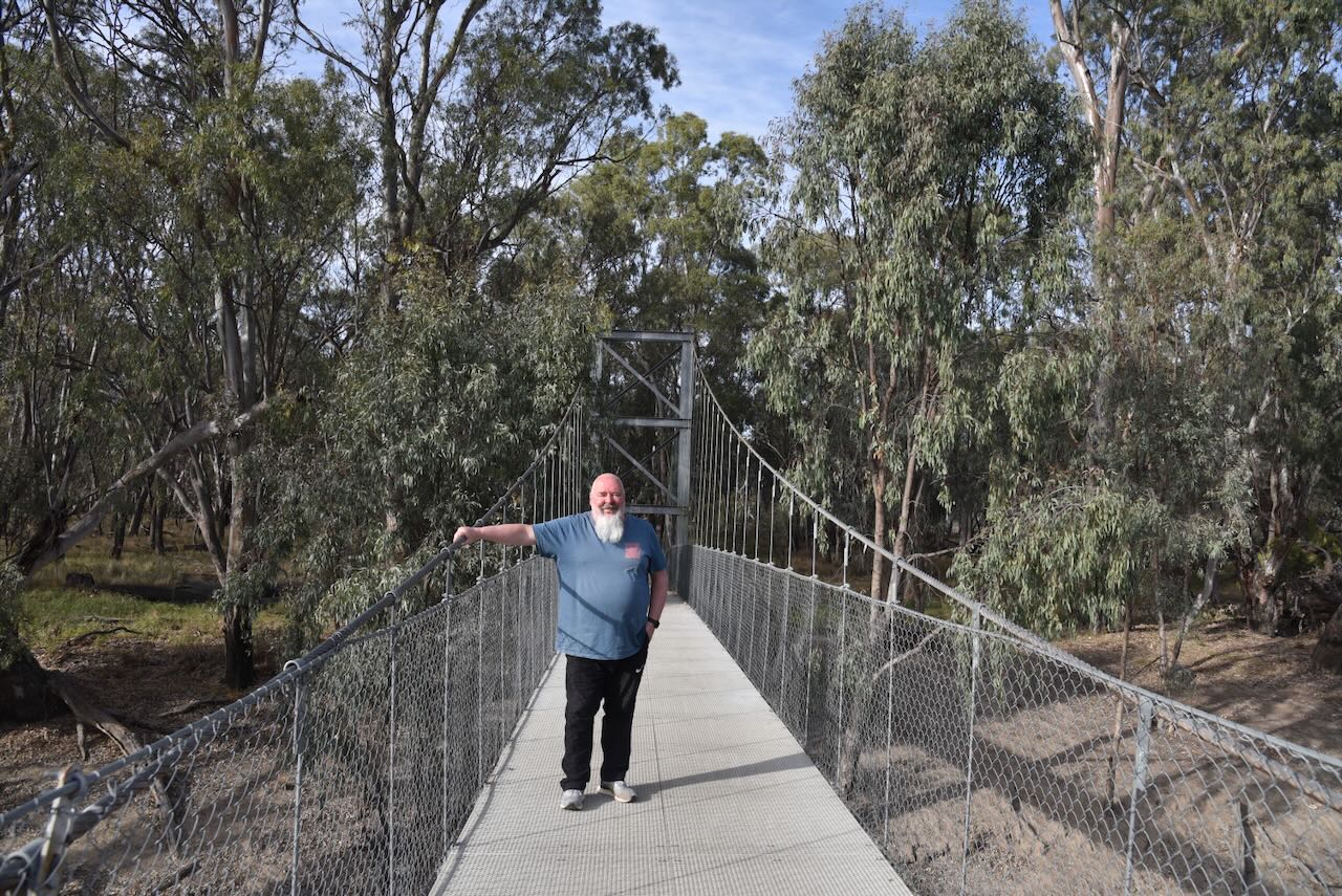
We then drove down to the Ben Scott Swing Bridge, which passes over the Murrumbidgee River. The bridge was completed in 2013. It forms part of the nature walk along the river. The bridge is named after Ben Scott, who was a respected local council member. (Bridgemeister.com 2022) (Destinations 2025)
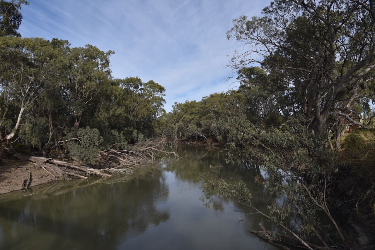
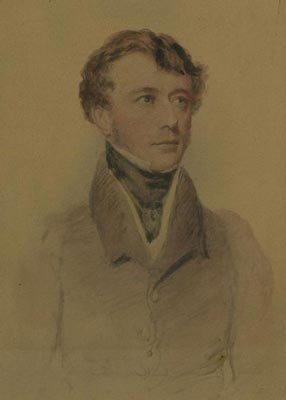
The Murrumbidgee River is the second-longest river in Australia. It flows over 1,485 km through New South Wales and the Australian Capital Territory. Murrumbidgee, in the local Wiradjuri Aboriginal language, means ‘big water’. In 1823, Vice Admiral Mark Currie and Brigade-Major John Ovens reached the upper Murrumbidgee whilst exploring south of Lake George. (Wikipedia 2020)
Above: Vice Admiral Mark Currie. Image c/o WIkipedia
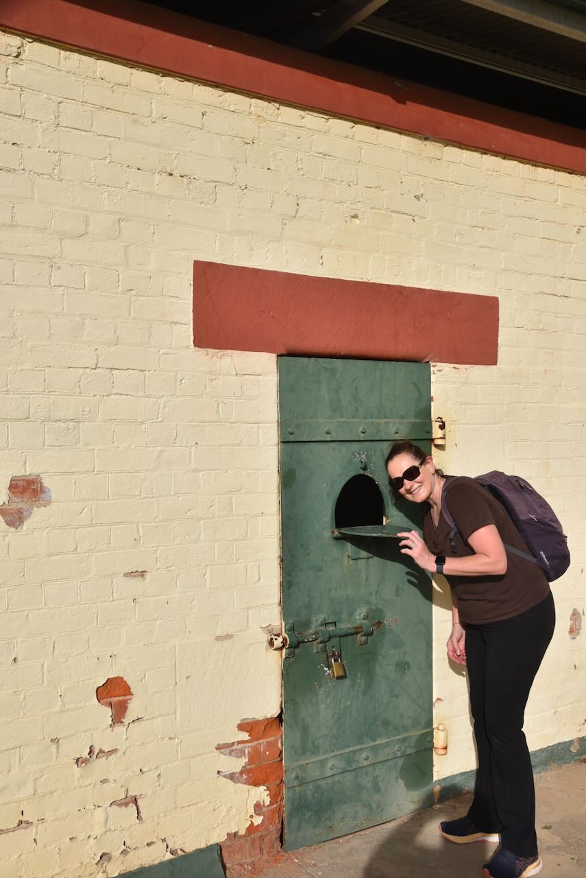
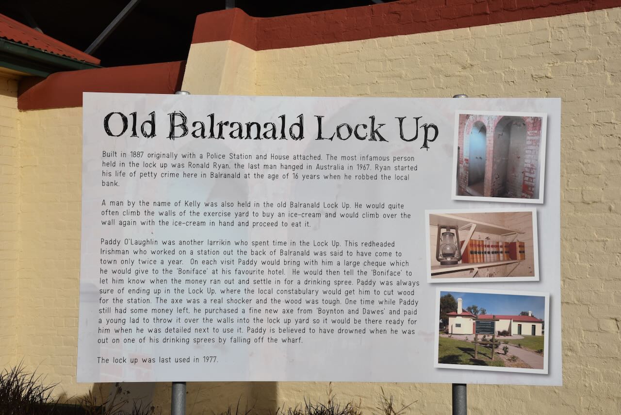
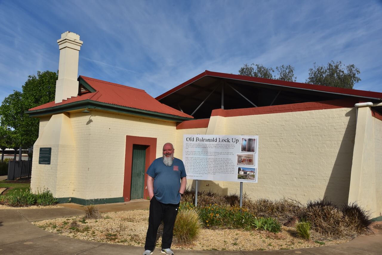
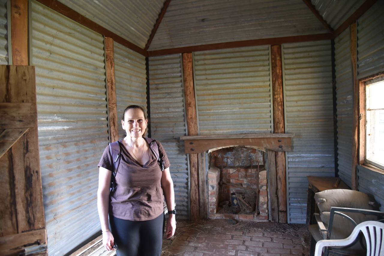
We then visited the Old Balranald Lock Up, but didn’t realise that we could get a key to have a look inside. We did, however, get the key the day after and explore the inside of the old lock-up.
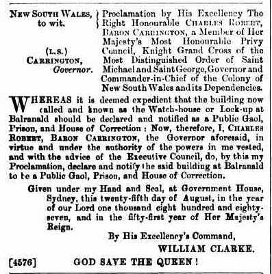
The Balranald Gaol was established by the Governor’s Proclamation in August 1887. The building was referred to as the ‘Watch-house’ or ‘Lock-up’. It was used as a police gaol for prisoners with sentences of 14 days or less. The Balranald Gaol ceased to be a prison on 1st August 1932. (Research Data Australia, 2025)
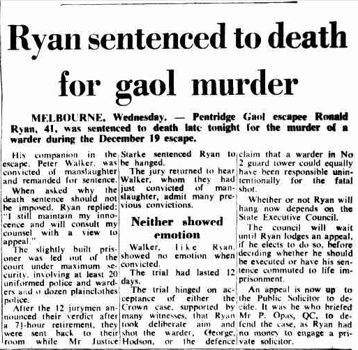
The most infamous person held in the Balrand lock-up was Ronald James Ryan, who was the last man hanged in Australia in 1967. (Discoverbalranald.com 2025)
Above: Article from The Canberra Times, Thu 31 Mar 1966. Image c/o Trove
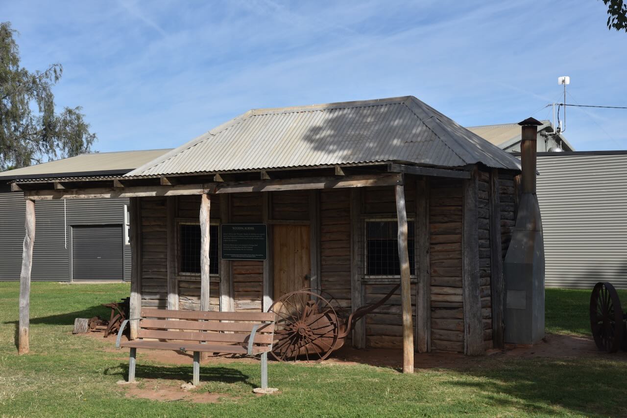
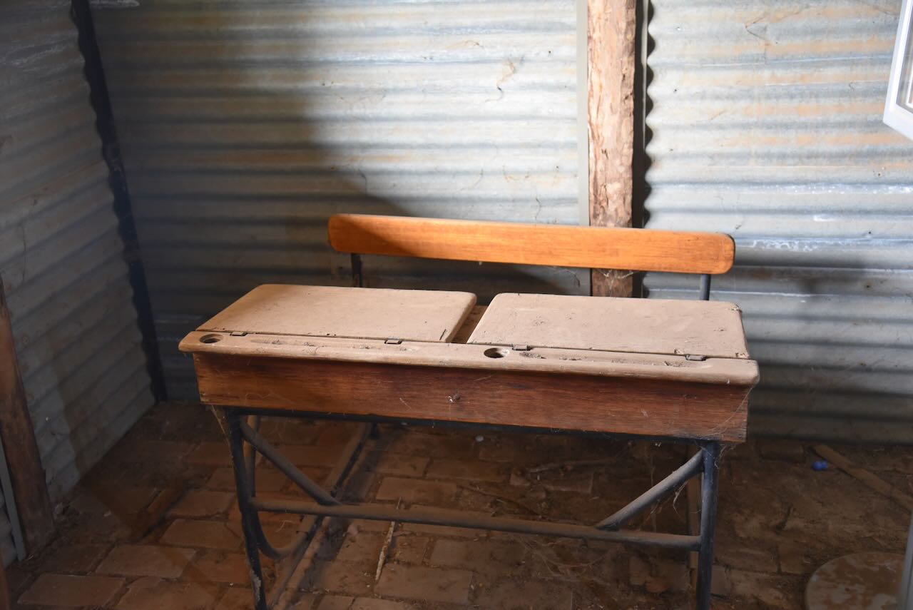
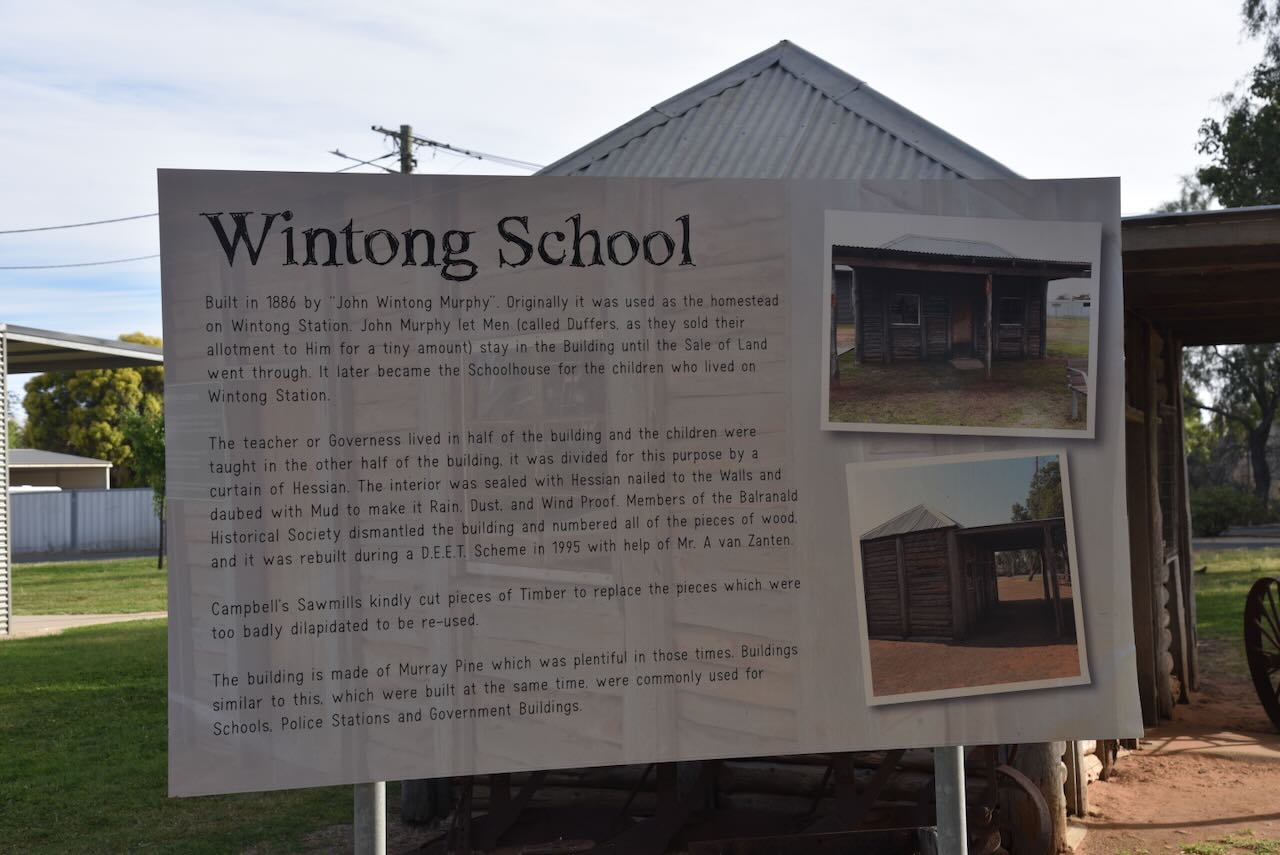
Alongside the Balranald Lock-up is the Wintong School, which was built in 1866 by John ‘Wintong’ Murphy. It was originally used as the homestead on Wintong Station and later became the schoolhouse. The Governess lived in one half of the building, and the children were taught in the other half. The school was built from Murray Pine and was relocated to Heritage Park, where it was rebuilt.
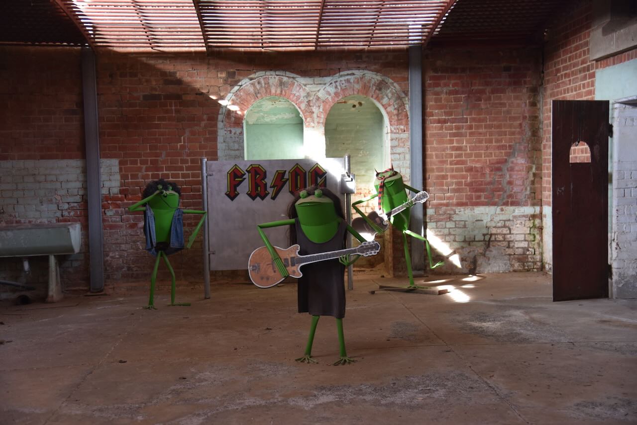
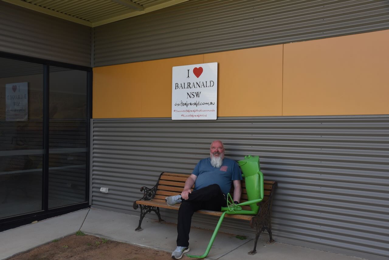
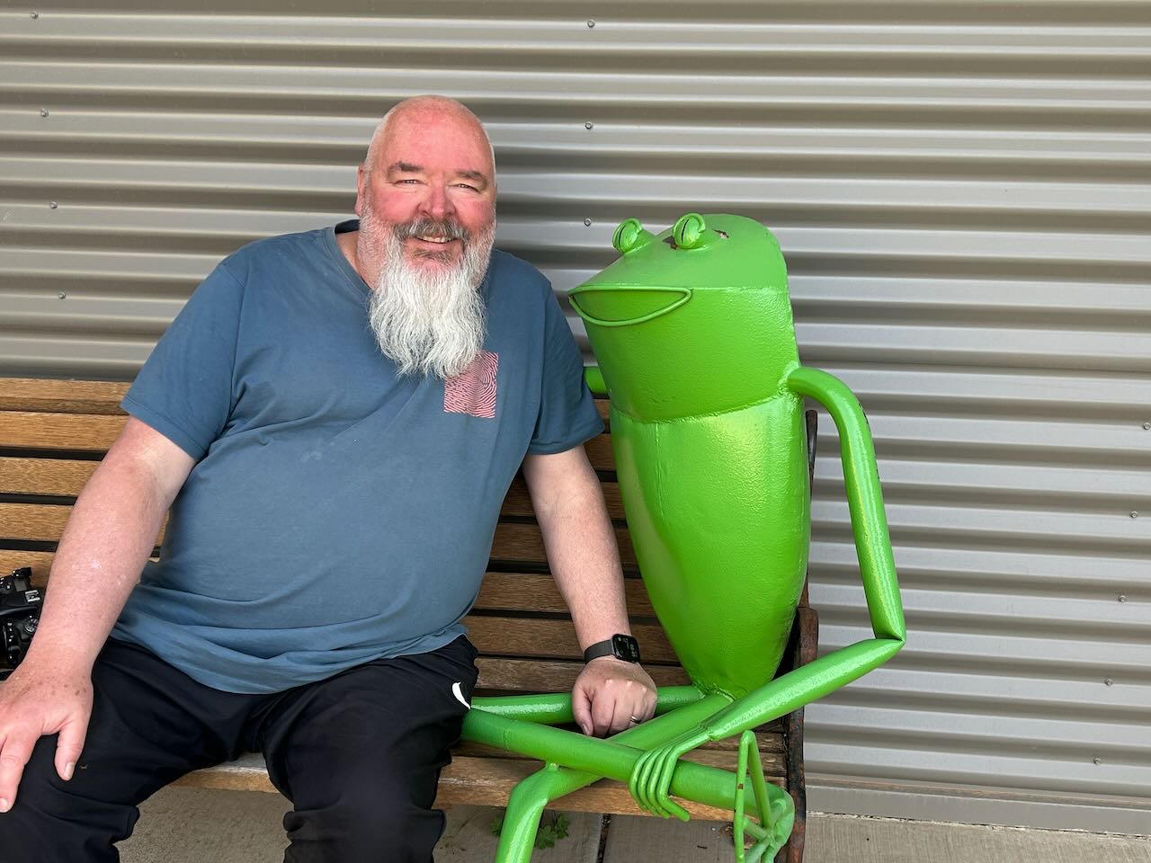
There are various other things to see at the Discovery Centre, including a frog which is part of the funky frog sculptures that are located around Balranald. Why frog sculptures in Balranald? It is due to the endangered Southern Bell Frog that lives in the wetlands around Balranald.
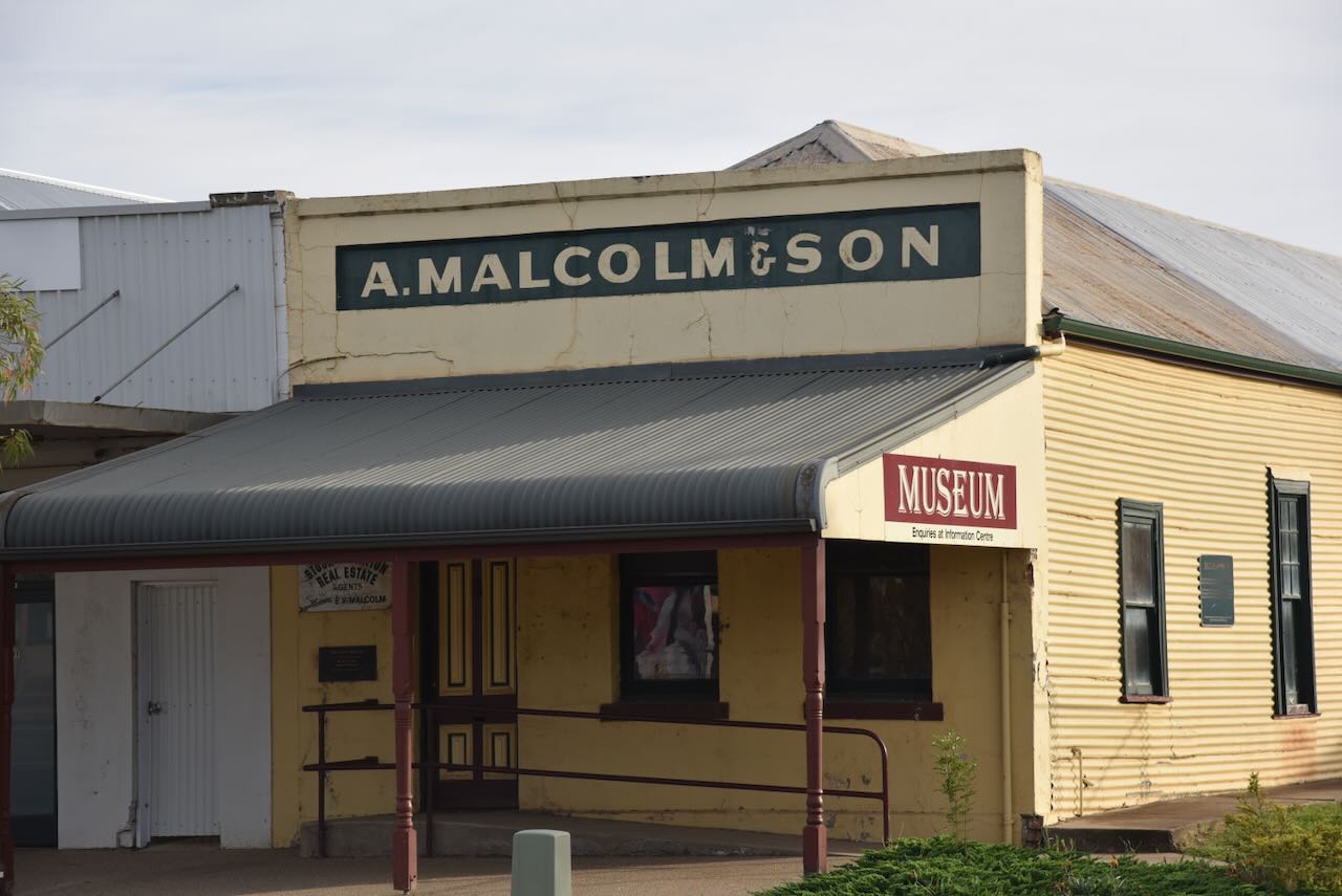
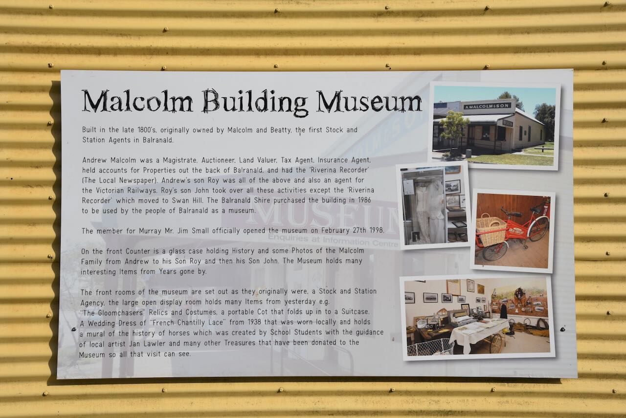
The Malcolm Building Museum also forms part of the Discovery Centre. Unfortunately, the museum was closed during our visit. The building was built in the late 1880s and was originally owned by Malcolm and Beatty, the first Stock and Station Agents in Balranald.
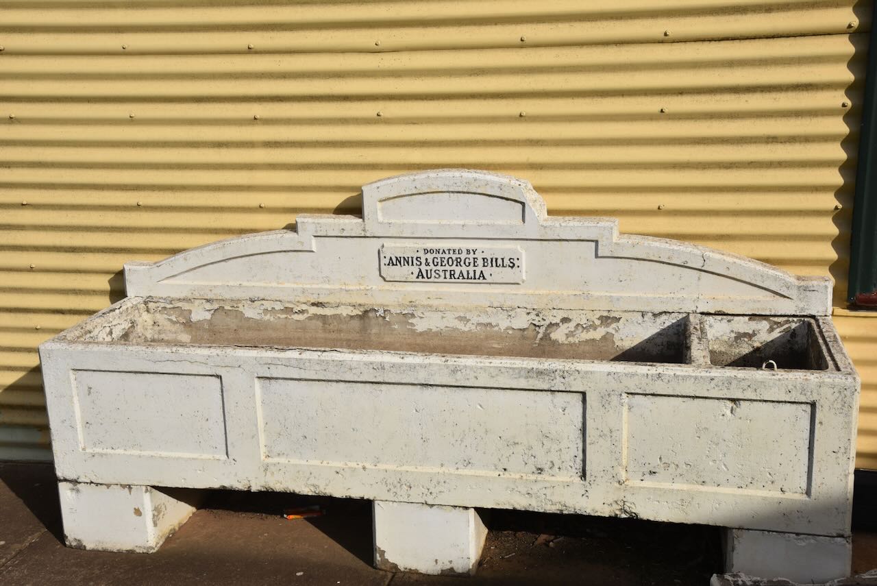
And of course, there is a Bills horse trough. I have previously written about the hsitory of Bills horse troughs. That post can be found at…..
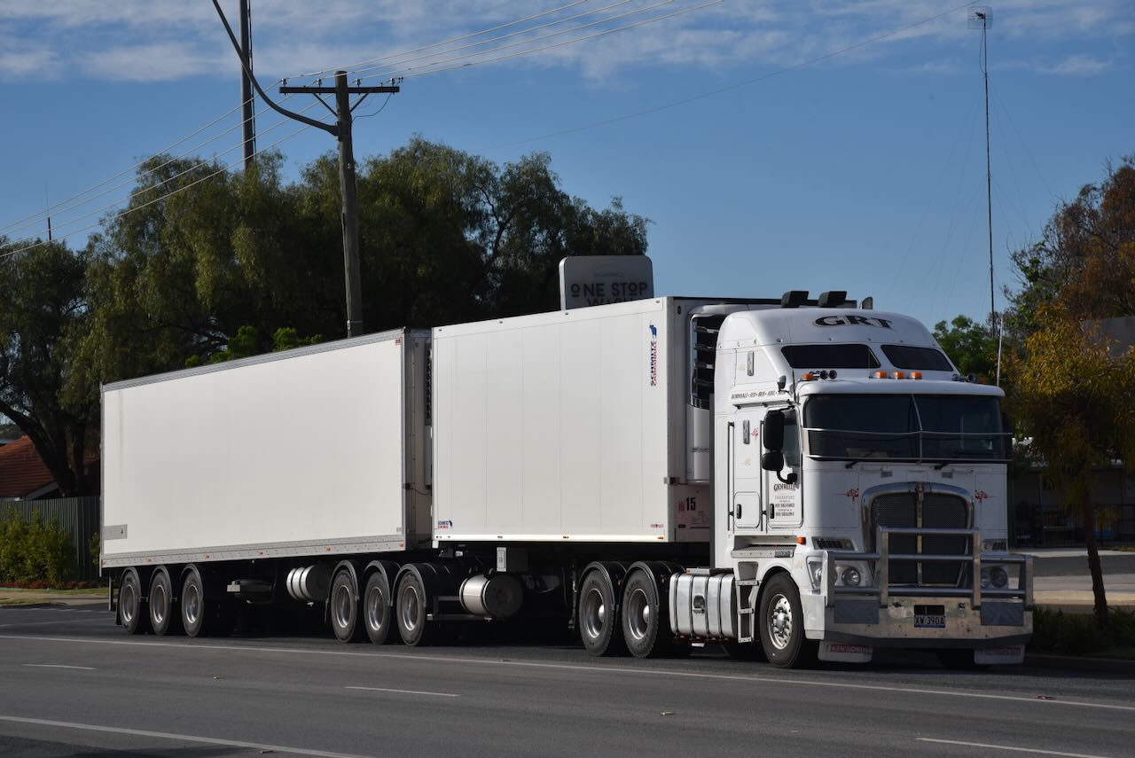
The busy Sturt Highway passes through Balranald, with a significant number of trucks travelling between Adelaide and Sydney. Our grandson Flynn would have had a blast watching all the trucks pass by.
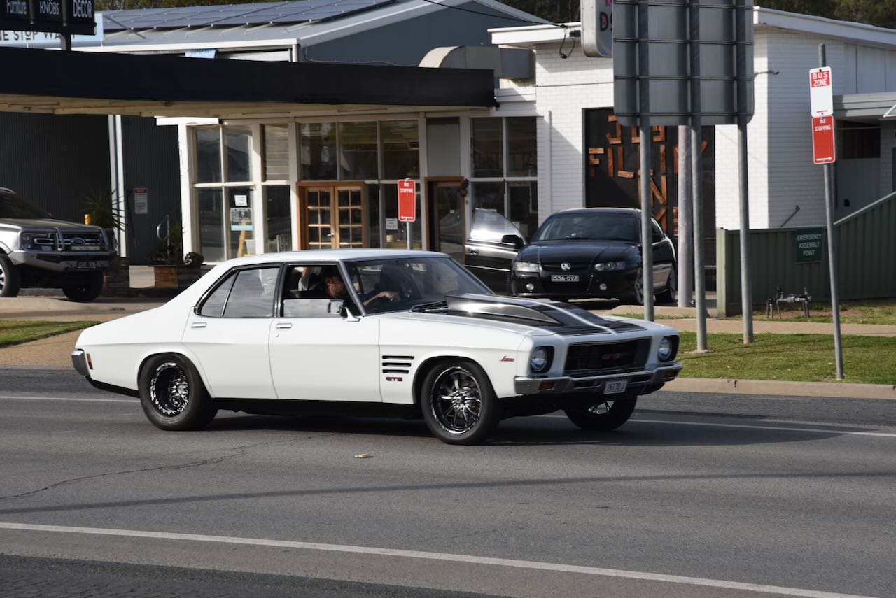
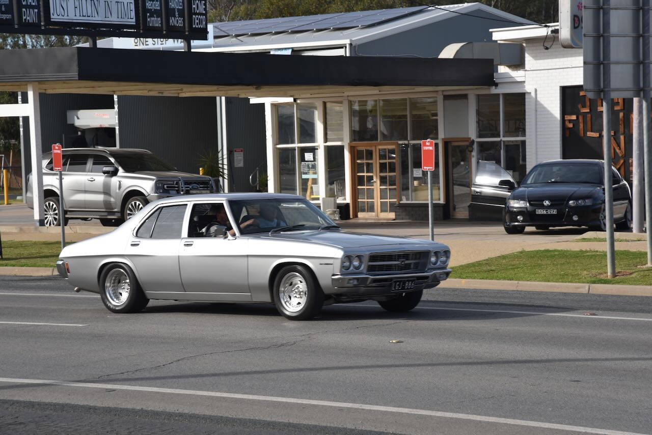
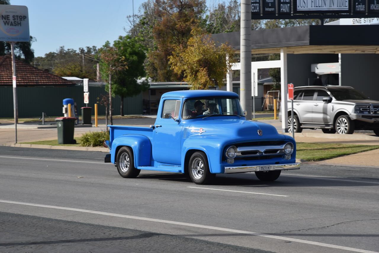
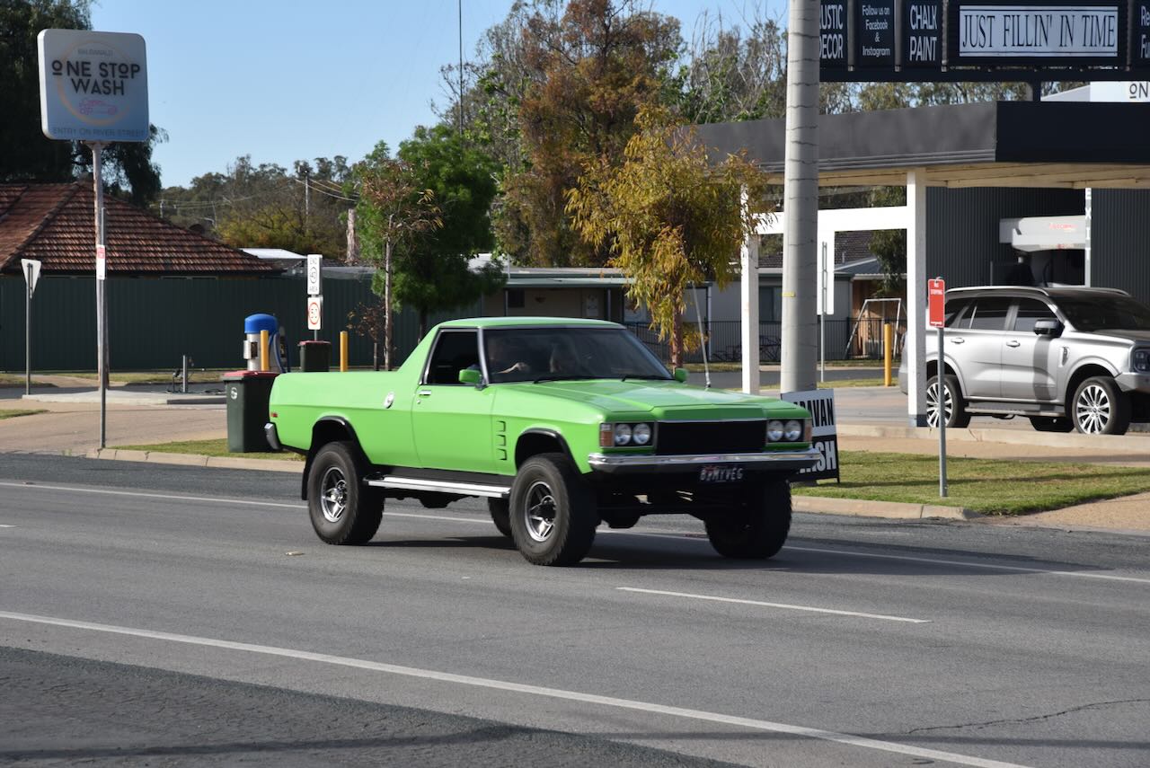
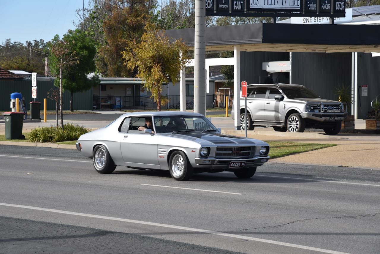
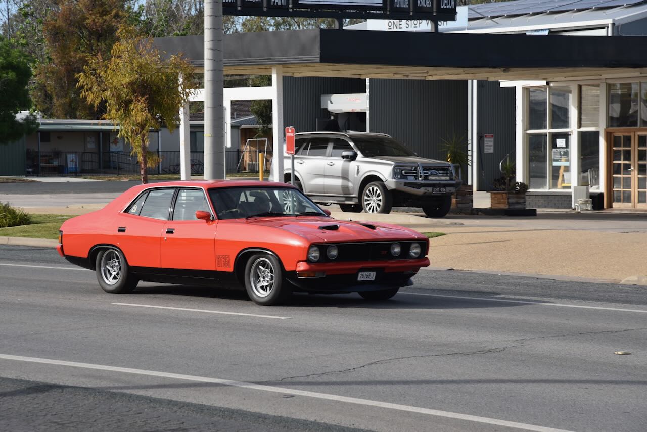
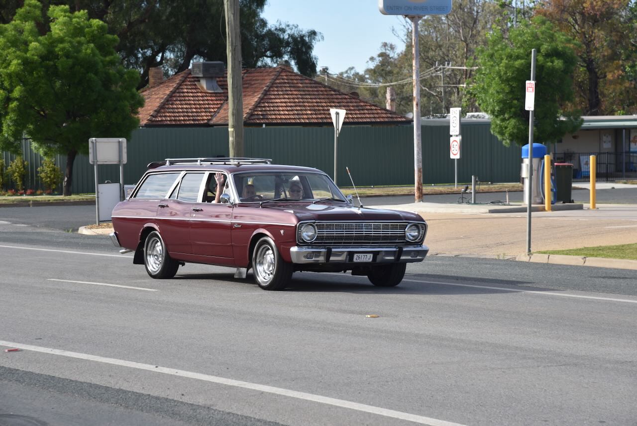
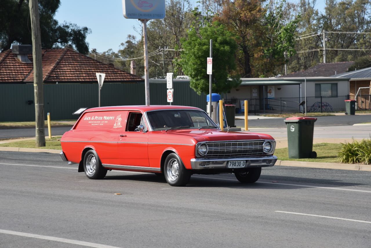
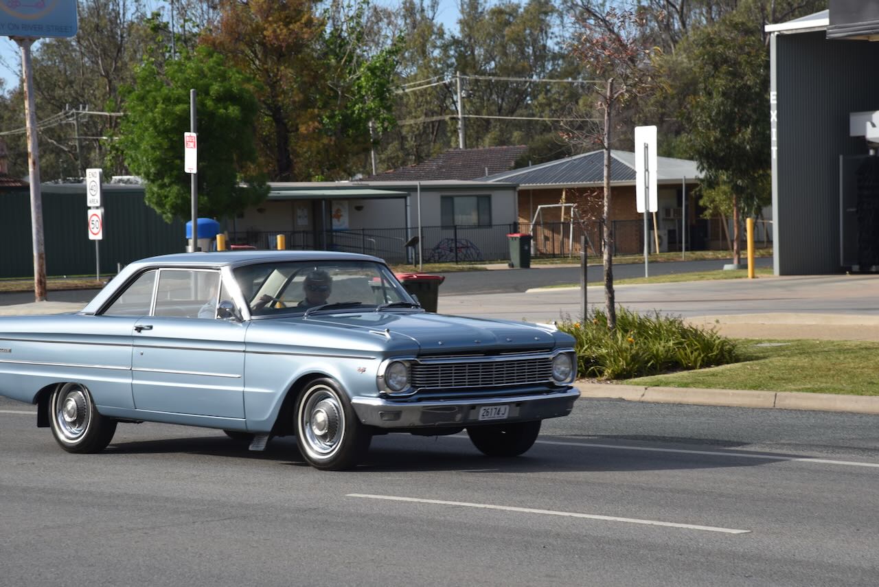
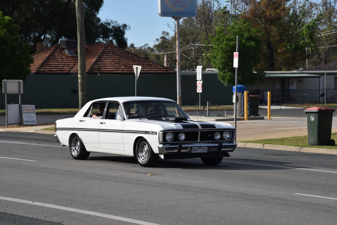
While we were walking down the main street of Balranald, we were fortunate to see a selection of classic cars taking part in a car run.
We then drove out to the Ben Scott Memorial Bird Trail at Balranald. I was hoping to get some good bird photographs, but I was sadly disappointed with very little bird activity.
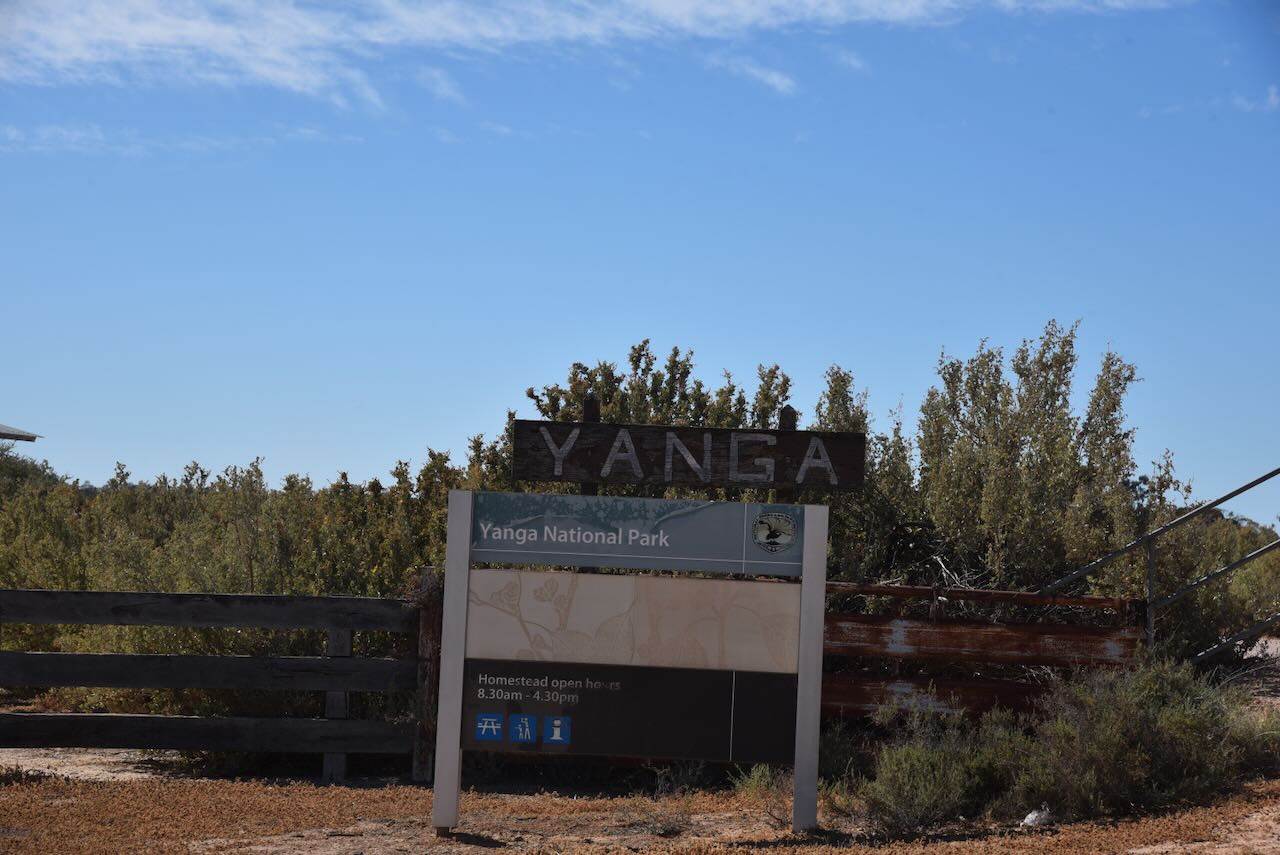
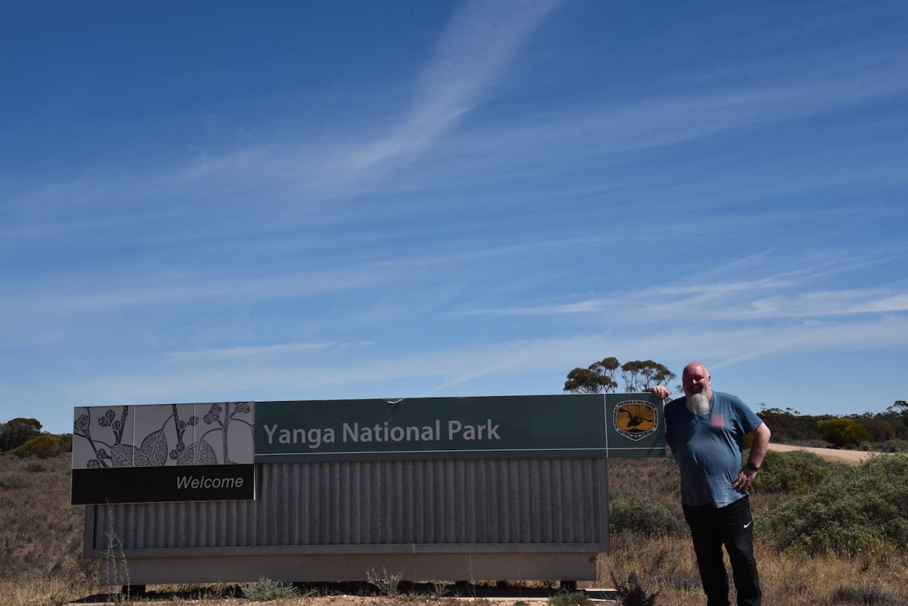
Marija and I then headed to our first activation of the day, the Yanga National Park VKFF-2249.
Above: Map showing the location of the Yanga National Park. Map c/o Google Maps.
The Yanga National Park is about 66,734 hectares (164,900 acres) in size, and has a frontage of about 160 km on the Murrumbidgee River. In July 2005, the New South Wales State Government announced that it had purchased Yanga Station for the creation of a new national park. Yanga National Park was gazetted on the 28th day of February 2007. In 2010, additions were made, including the former Kietta State Forest comprising 617 hectares, and about 140 hectares from neighbouring Kietta Station. (NSW Govt 2020) (Wikipedia 2021)
In July 2010, Yanga was renamed the Murrumbidgee Valley National Park. Yanga was reinstated in May 2016. (NSW Govt 2020) (Wikipedia 2021)
Above: the NSW Govt Gazette, Friday 6 May 2016.
The park has a section where the Yanga woolshed is located. There is also a much larger area that contains the Yanga Homestead.
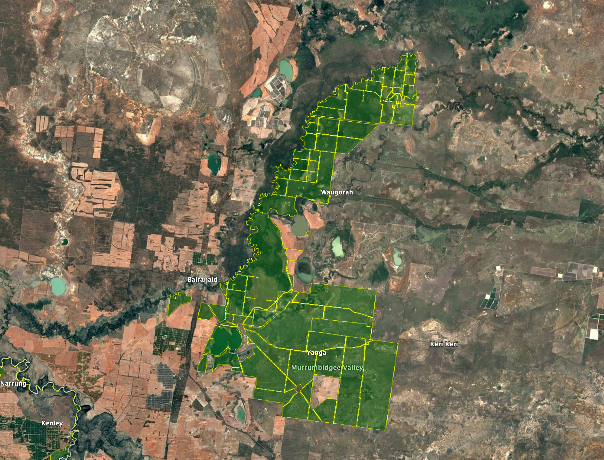
Above: the boundaries of the Yanga National Park. Image c/o Google Earth
The traditional people of the Yanga region are the Muthi Muthi Aboriginal people. Their lands span the Northern Riverina and Far West regions of New South Wales. Yanga National Park contains mounds, scarred trees, historic sites, burial sites and middens. (eHive 2025) (Wikipedia 2021)
The origin of the name Yanga is not clear. It is accepted, though, that it is of Aboriginal origin. One suggestion is that Yanga means ‘mother earth’. In 1846, George Augustus Robinson, who was the Protector of Aborigines in the Port Phillip District, referred to a group of Aboriginal people he met during a trip through the area as ‘Walgerre, Tala, Yanga and other blacks present.’ The current correct spelling is Yanga; however, historical records also use Yonga, Yong_a, and Yangar. (NSW Govt 2013) (NSW Govt 2020)
The first Europeans believed to have sighted Yanga Lake were Augustus Morris, Francis Augustus Gwynne, and Frederick Walker in 1842. They were ‘Run-hunters’ and explored the Edward-Wakool region for Benjamin Boyd of the Royal Bank. Morris also acted as an agent for William Wentworth. (eHive 2025) (NSW Govt 2013)
Above: L to R: Augustus Morris, Francis Gwynne, & Frederick Walker. Images c/o Wikipedia & State Library Victoria
In March 1845, George Hobbler established Nap Nap Station and then Paika in 1846. He had moved 9,000 sheep and lambs to the Lower Murrumbidgee. Holder had been authorised by Henry Bingham, the Commissioner for Crown Lands of the Murrumbidgee Squatting District at Tumut, to occupy 30 miles of river frontage on the lower Murrumbidgee. He initially called it ‘The Lake’ and later renamed the run ‘Nap Nap’, the Aboriginal word for ‘wetland.’ Hobler is credited with being the first squatter on the Lower Murrumbidgee. (eHive 2025) (NSW Govt 2013) (NSW Govt 2020)
Augustus Morris applied for the Tala Run in April 1845, on behalf of William Charles Wentworth. (NSW Govt 2013)
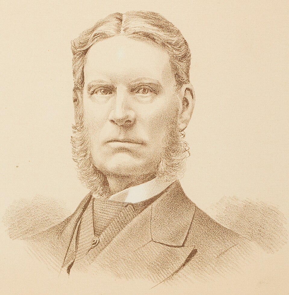
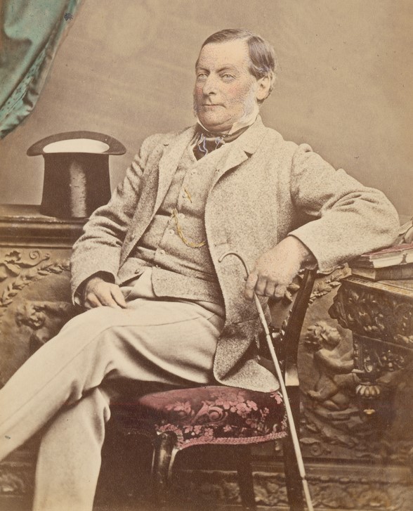
William Charles Wentworth (b. 1790. d. 1872) was an Australian statesman, author, lawyer, newspaper editor and pastoralist. He established Yanga Station, which was derived from the Nap Nap, Tala and Yanga runs. Wentworth would become one of the wealthiest and most powerful figures in New South Wales. Yanga Station was the largest privately owned station in the southern hemisphere, covering 210,000 acres (85,000 ha). (NSW Govt 2013) (NSW Govt 2020) (Wikipedia 2021)
Above: William Wentworth. Image c/o Wikipedia
In 1853, Wentworth sold his Tala, Nap Nap, and Paika leases. Over the following 70 years, the property had several different owners. (NSW Govt 2013)
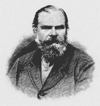
In 1860, the Burke and Wills expedition crossed Yanga en route from Swan Hill to Balranald. Ludwig Phillip Heinrich Becker was a German artist, explorer and naturalist. He became a member of the ill-fated Burke and Wills expedition. (NSW Govt 2013) (Wikipedia 2023)
Above: Ludwig Becker. Image c/o Wikipedia
Becker wrote:
“At 8¼ a.m. we marched away and soon found ourselves in a fine forest of tall Gumtrees….Ten and a quarter miles from our last camp and in a N.E. direction from it a freshwater lake was seen which turned out to be Lake Yanke. It is in the form of the number 8 and is 8 x 4 miles long. Between the lake and the Murrumbidgee, which is 4 miles from the Yanke lake, several indentations in the country are visible, and the Murrumbidgee, then bank high had filled the same, creating creeks and lakes, which we crossed with some difficulty, the water being on some places four feet deep.” (NSW Govt 2013)
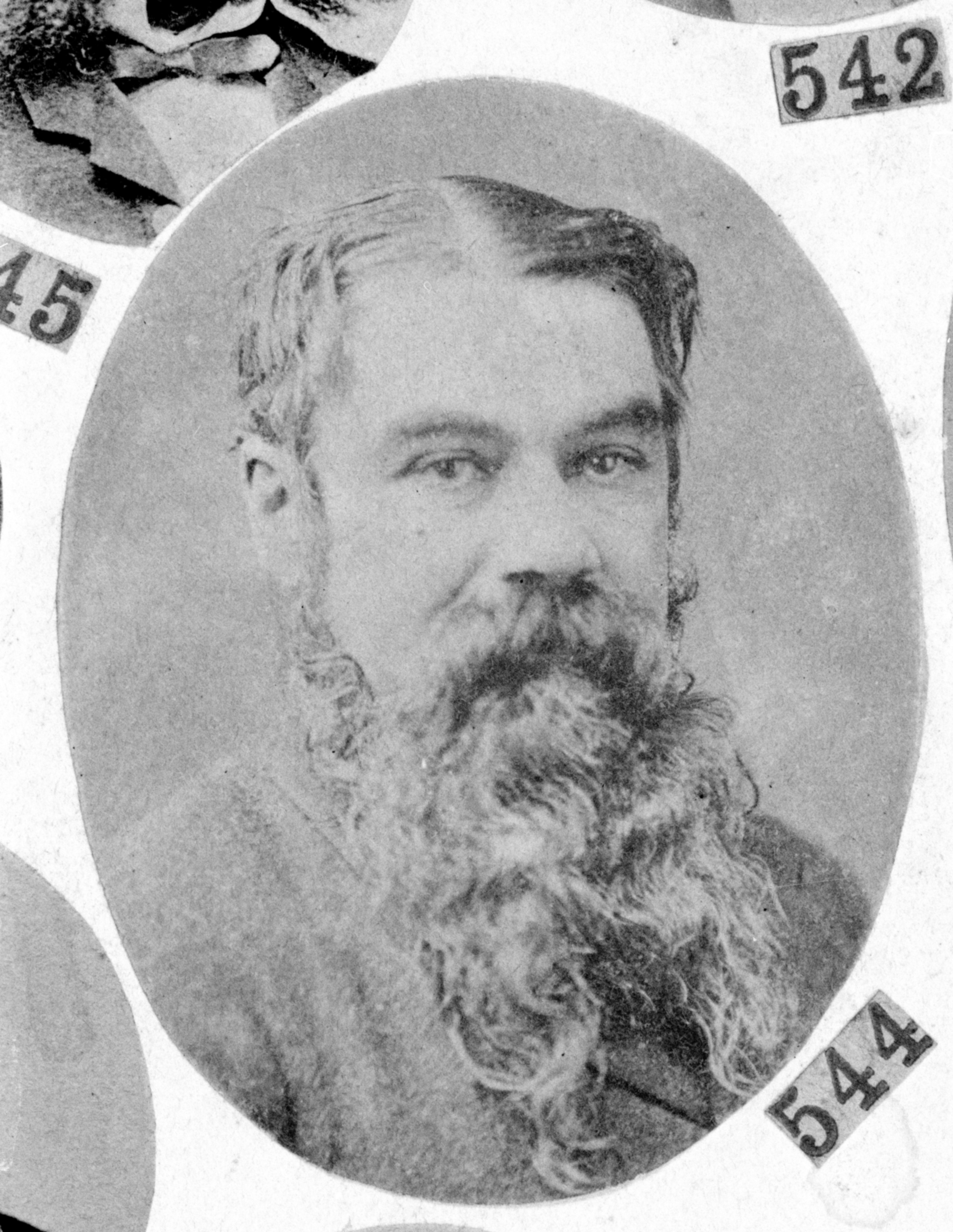
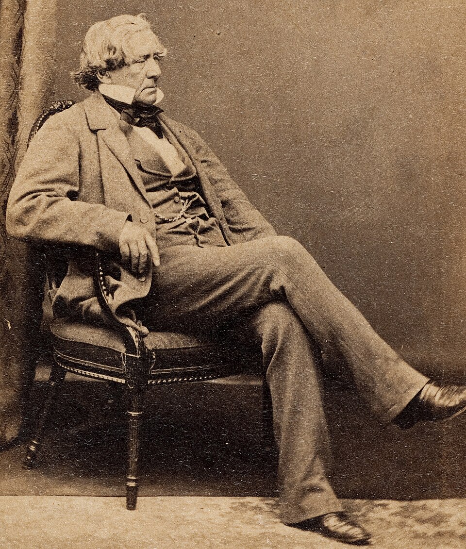
In 1875, Charles Brown Fisher (b. 1817. d. 1908) purchased Yanga Station. Fisher was an Australian pioneer pastoralist and livestock breeder. He became one of the biggest pastoralists in Australia. (Anu.edu.au 2019) (NSW Govt 2013) (Wikipedia 2025)
Above: Charles Brown Fisher. Image c/o Wikipedia.
At its peak, in 1887, Yanga Station occupied 416,000 hectares and carried 151,700 sheep and over 2,000 cattle. (NSW Govt 2020)
In 1919, Arthur Sims and Arthur Cooper purchased Yanga Station, and they formed Yanga Pty Ltd. This company continued until 2005 when purchased by the New South Wales State Government. In 2005, Yanga was running 12,000 sheep and 1,400 cattle. Yanga Pty Ltd was also involved in the harvesting of river red gum. (NSW Govt 2020)
Over 300 plant species have been recorded in the Yanga National Park. This includes River red gum forest. The creation of Yanga National Park was the first large-scale protection and conservation of river red gum in New South Wales. About 46% of New South Wales river red gum has been cleared. Two endangered and two vulnerable flora species have been recorded in Yanga National Park. (NSW Govt 2020) (Wikipedia 2021)
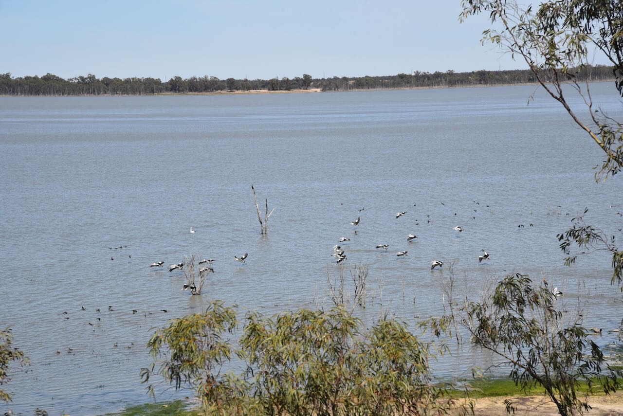
The majority of the park is located in the Lowbidgee Floodplain. The floodplain is considered to be of national environmental significance and is one of the most significant wetland habitats for waterbirds in eastern Australia. Over 60 waterbird species have been recorded in Yanga, including 12 that are listed as vulnerable species, including the Australian Bittern, Freckled duck, and Blue-billed duck. (Wikipedia 2021)
Yanga is also frequented by several migratory bird species, including the Caspian tern, Latham’s snipe, cattle egret, and the black-tailed godwit. Yanga is part of the Japan–Australia Migratory Bird Agreement (JAMBA), the China–Australia Migratory Bird Agreement (CAMBA) and the Republic of Korea–Australia Migratory Bird Agreement (ROKAMBA). (Wikipedia 2021)
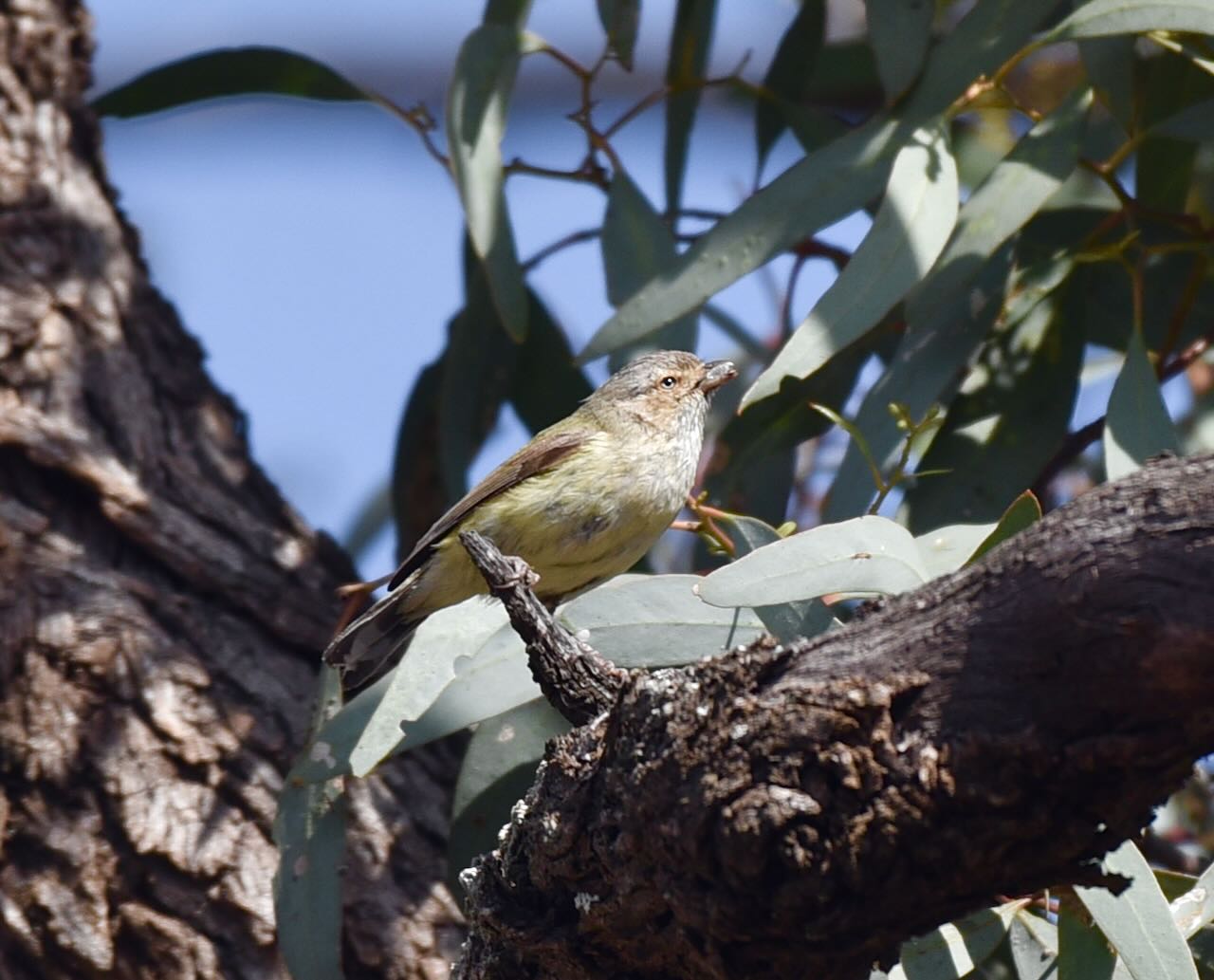
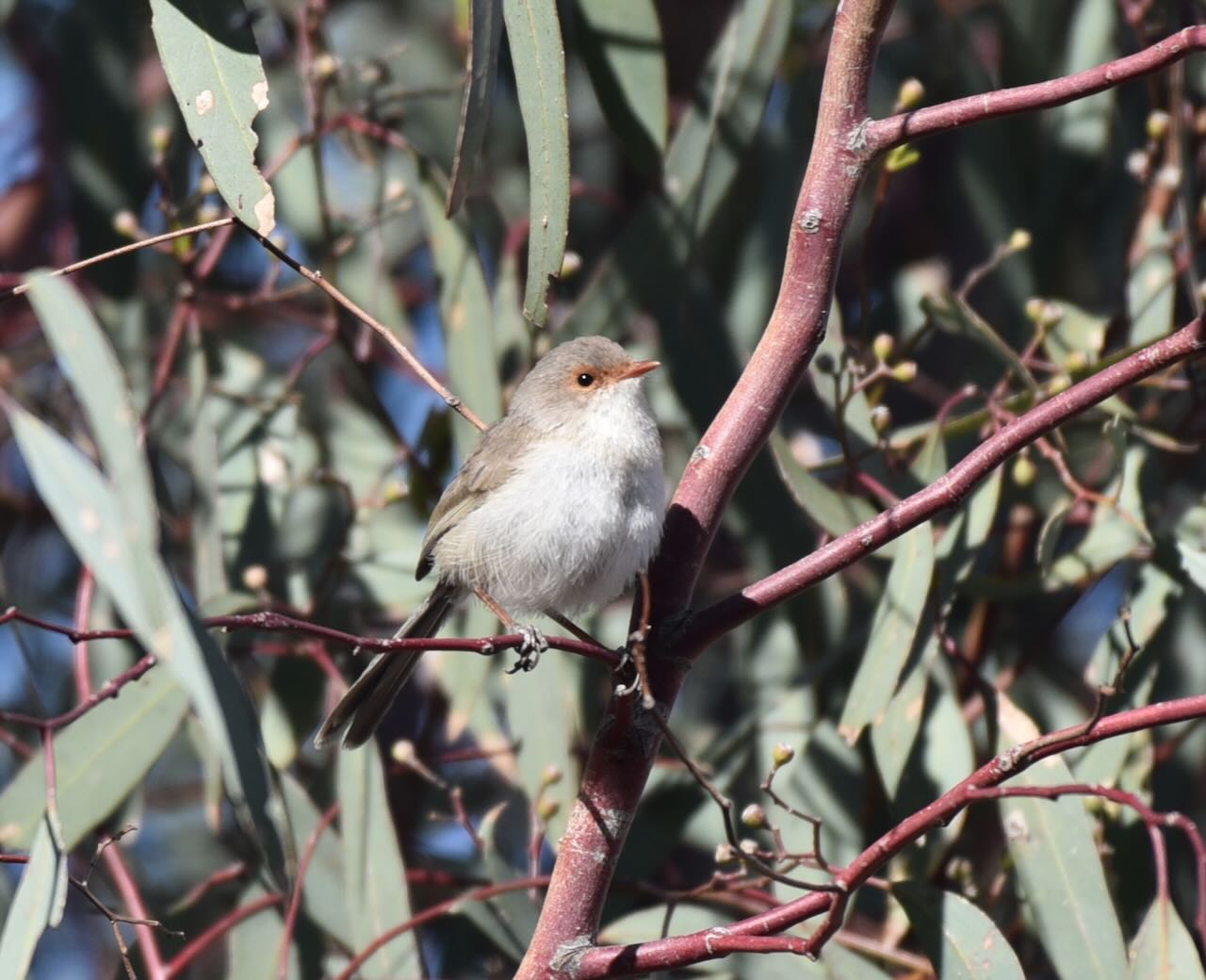
A total of 198 bird species have been recorded at Yanga. Other than the migratory and waterbirds, these include Barking Owl, Bush-stone curlew, Little eagle, Pink cockatoo, and Diamond firetail. (NSW Govt 2020)
A total of 12 amphibians have been recorded in Yanga, including the largest known populations in New South Wales of the endangered Southern bell frog. (NSW Govt 2020) (Wikipedia 2021)
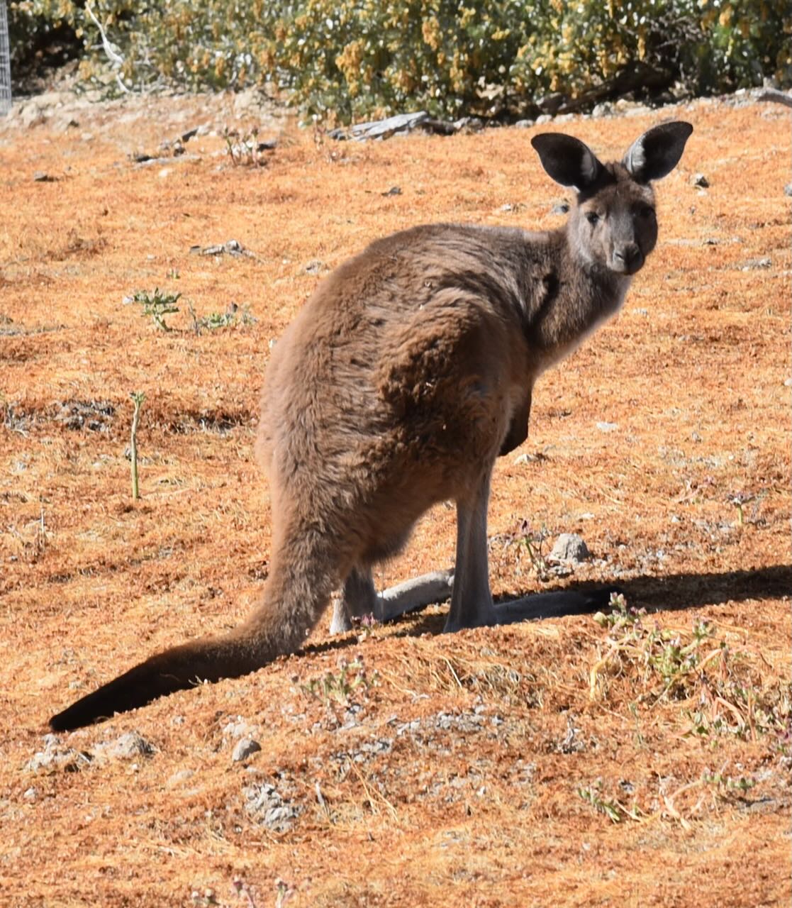
A total of 25 native mammal species have been recorded in Yanga. This includes echidna, fat-tailed dunnart, common brushtail possum, red kangaroo, eastern grey kangaroo, and western grey kangaroo. A total of 21 reptile species and 9 freshwater fish species have been recorded. (NSW Govt 2020)
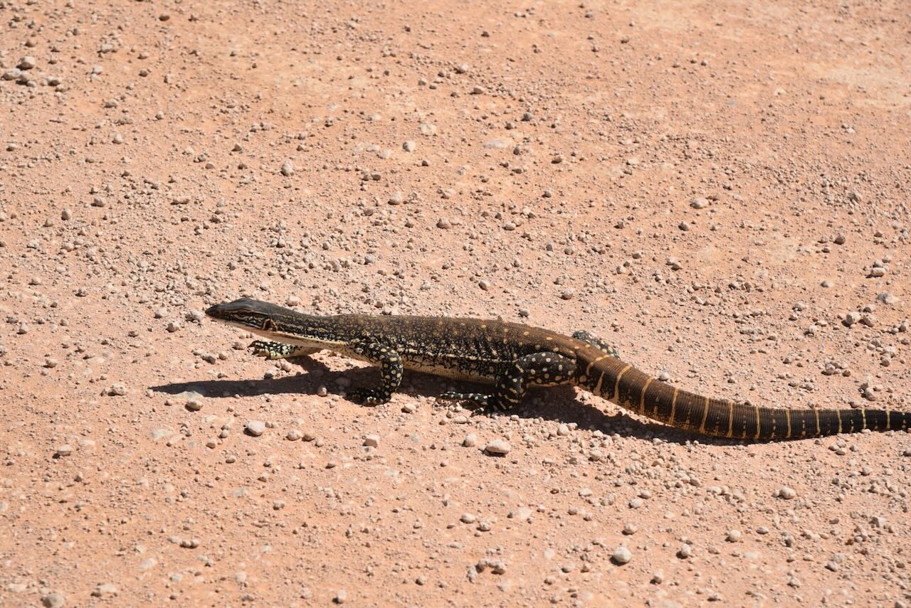
During our visit to the park, we encountered a very angry feral pig. And Marija almost stood on a brown snake.
A total of 21 endangered or vulnerable fauna have been recorded within Yanga National Park. The endangered species include three birds, one amphibian and one reptile. The vulnerable species include 14 birds and two mammals.
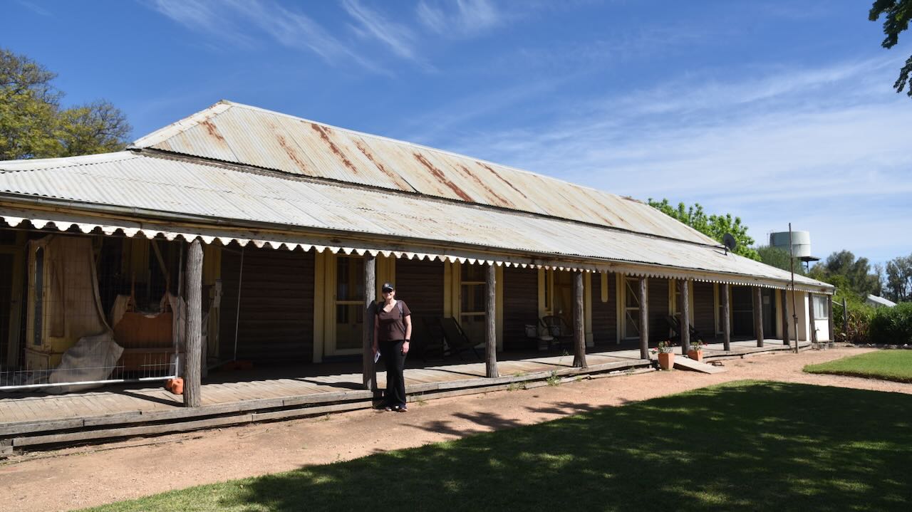
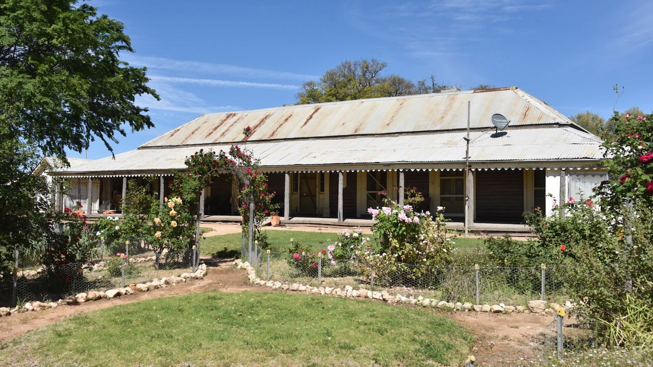
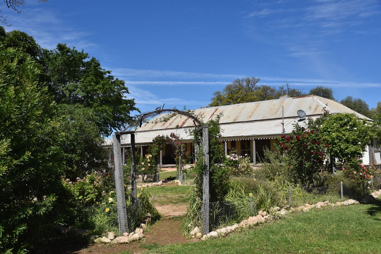
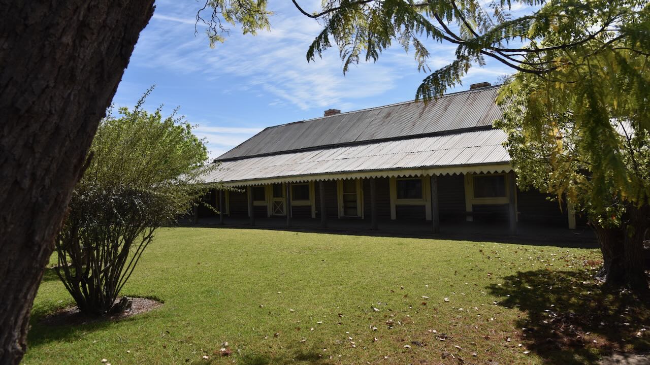
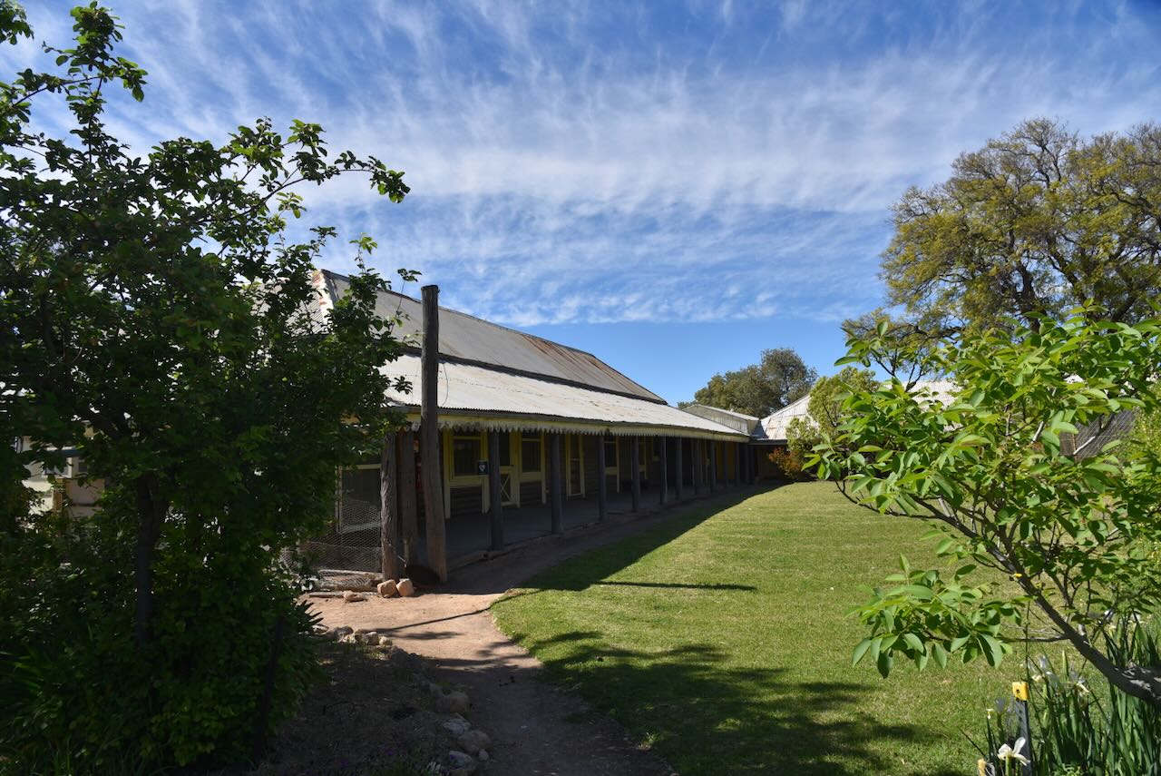
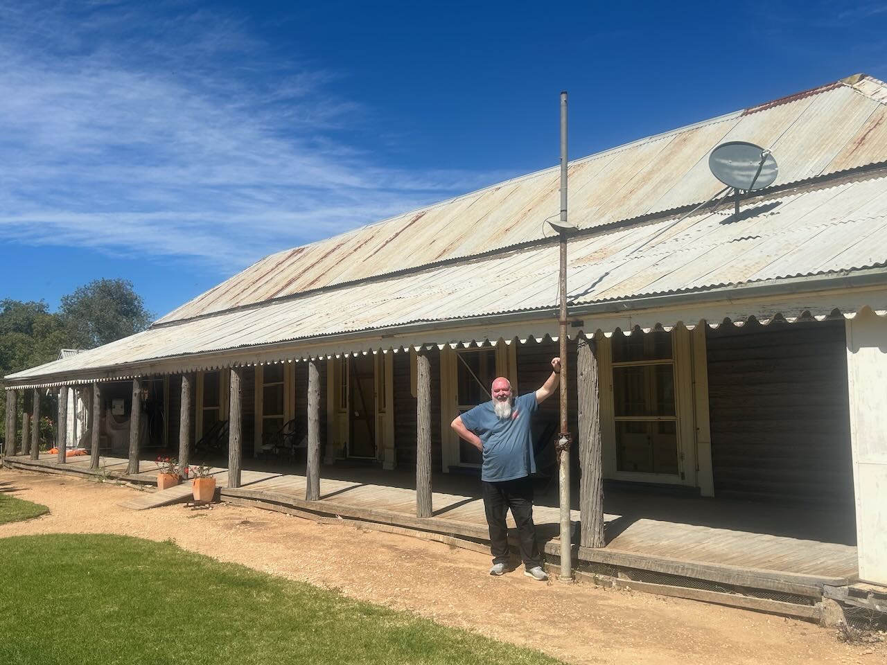
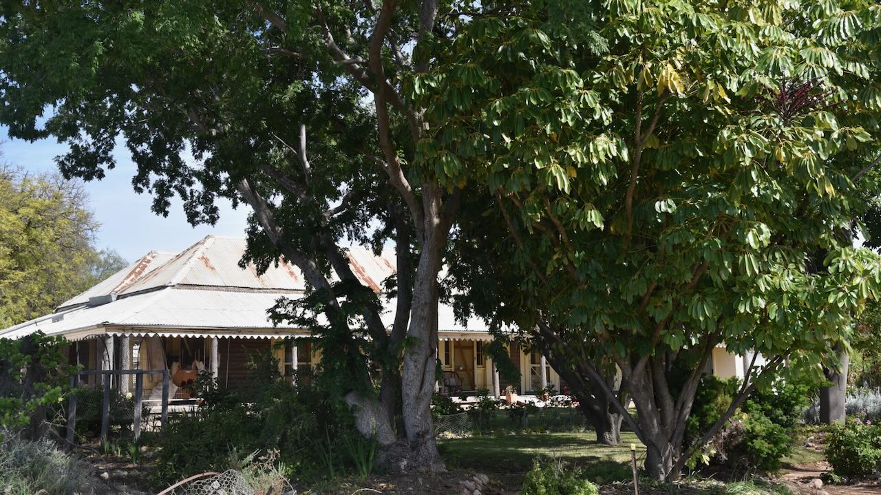
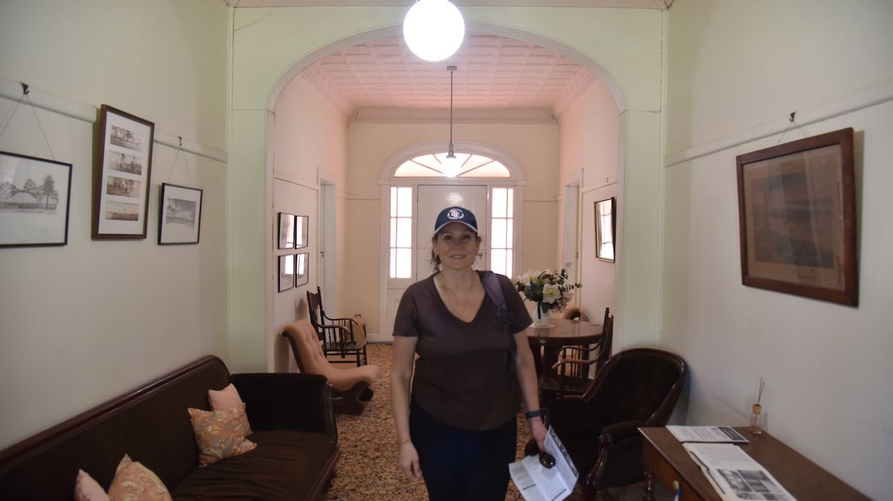
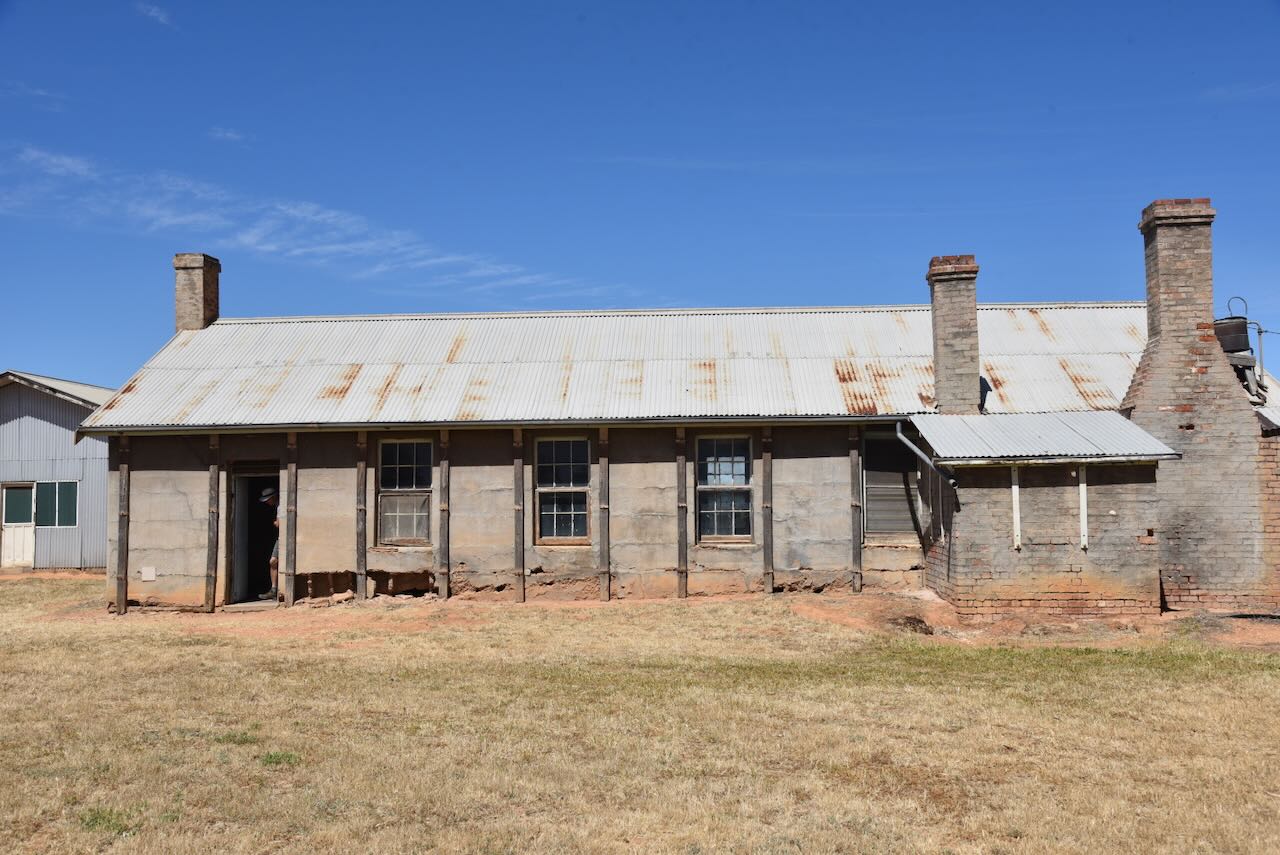
Before activating the park, Marija and I visited Yanga Homestead.
Yanga Homestead was built in 1863, followed by the surrounding station outbuildings, stables, gardeners’ shed and station store. The current homestead is the third known homestead for Yanga Station. The first was constructed at Kieeta in the 1850s, prior to being relocated to the junction of Yanga Creek and Yanka Lake in c. 1860. (NSW Govt 2020) (NSW National Parks 2025) (Wikipedia 2021)
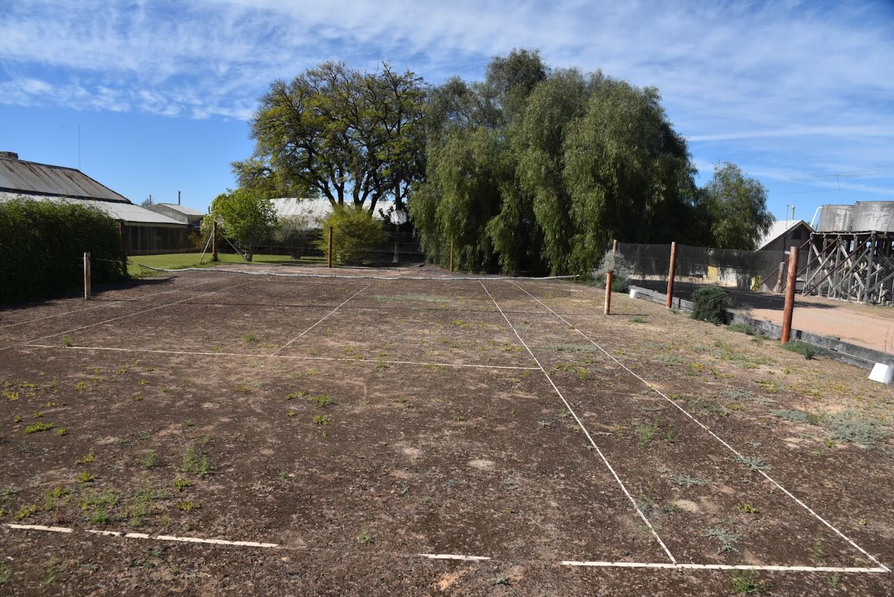
One of the first things you will see as you enter is the old tennis court opposite the cook’s cottage. It still has an old, frayed tennis net.
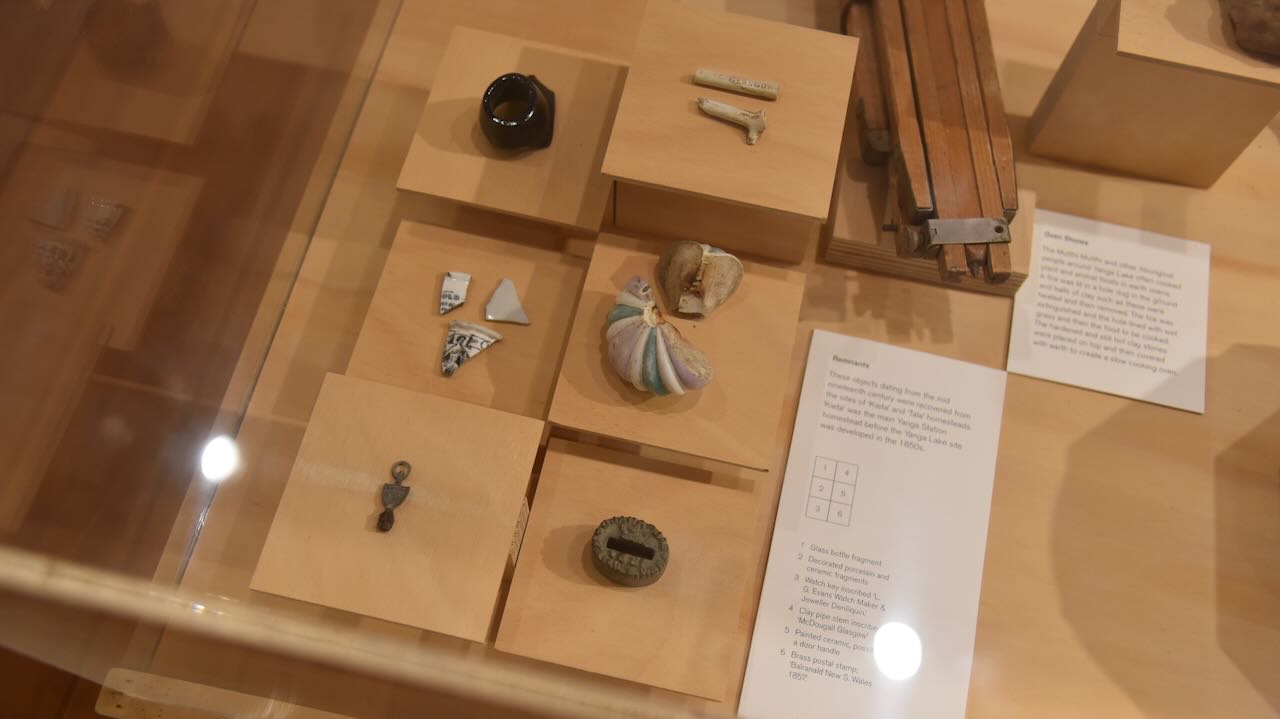
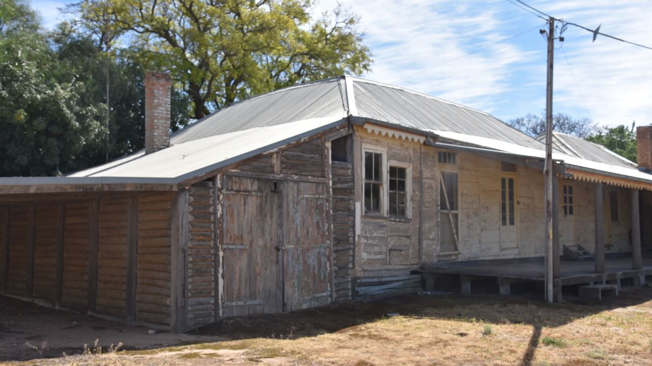
To start off, we visited the old cook’s cottage adjacent to the tennis courts. It contains an interesting array of memorabilia and photographs.
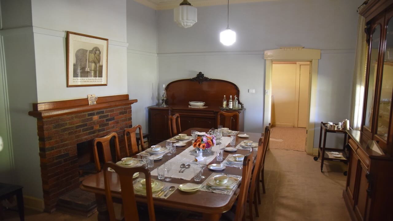
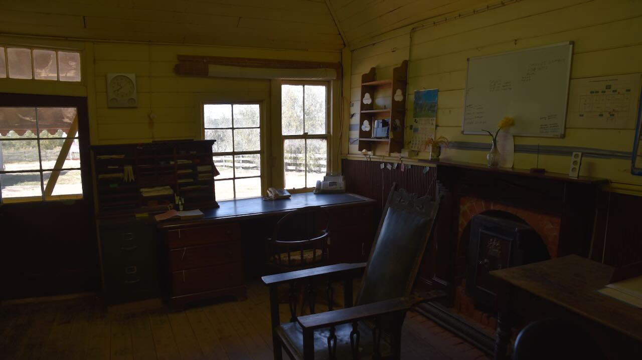
We then entered the homestead, which is made of Murray pine using ‘drop log’ construction. The pine was felled on the west side of Yanga Lake. The homestead comprises two sections, the ‘main block’ and the ‘kitchen block’. (NSW Govt 2020)
The homestead is built around an existing red gum slab hut that was built for the stockmen.
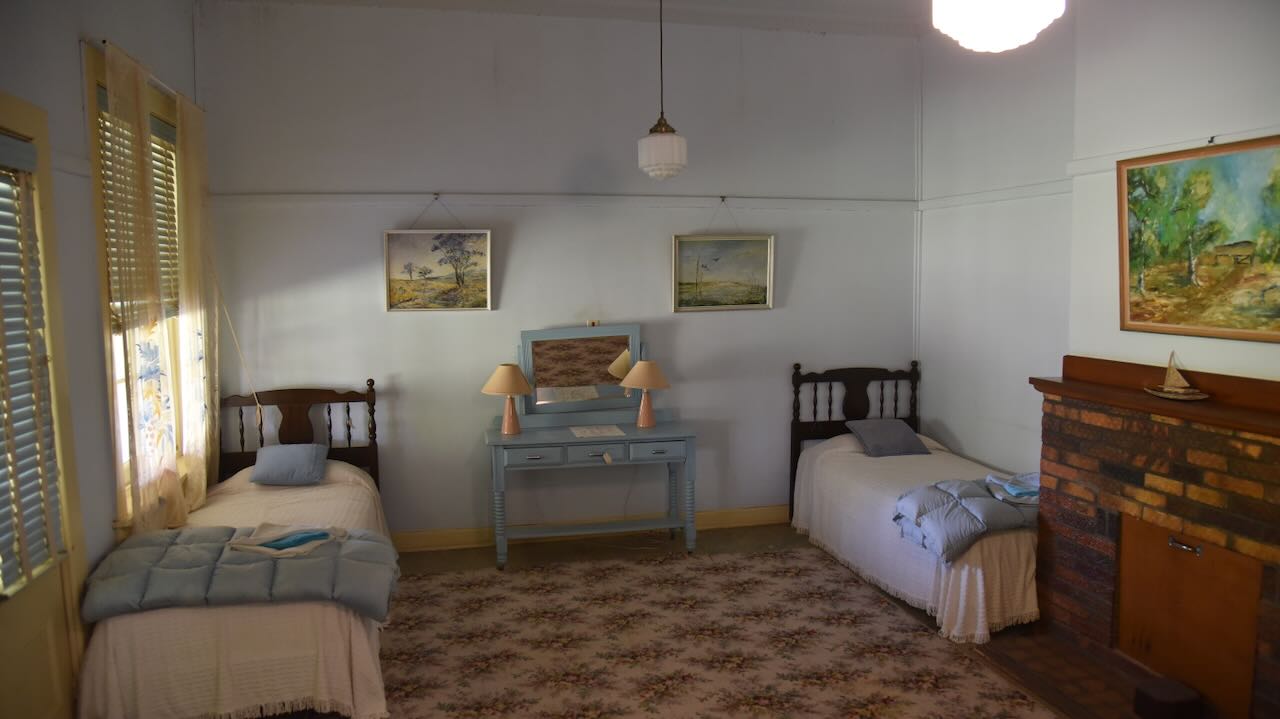
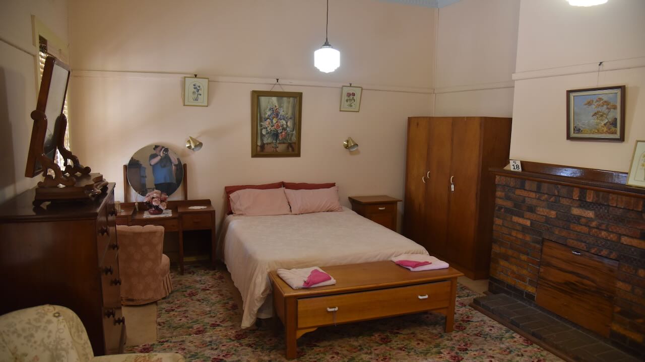
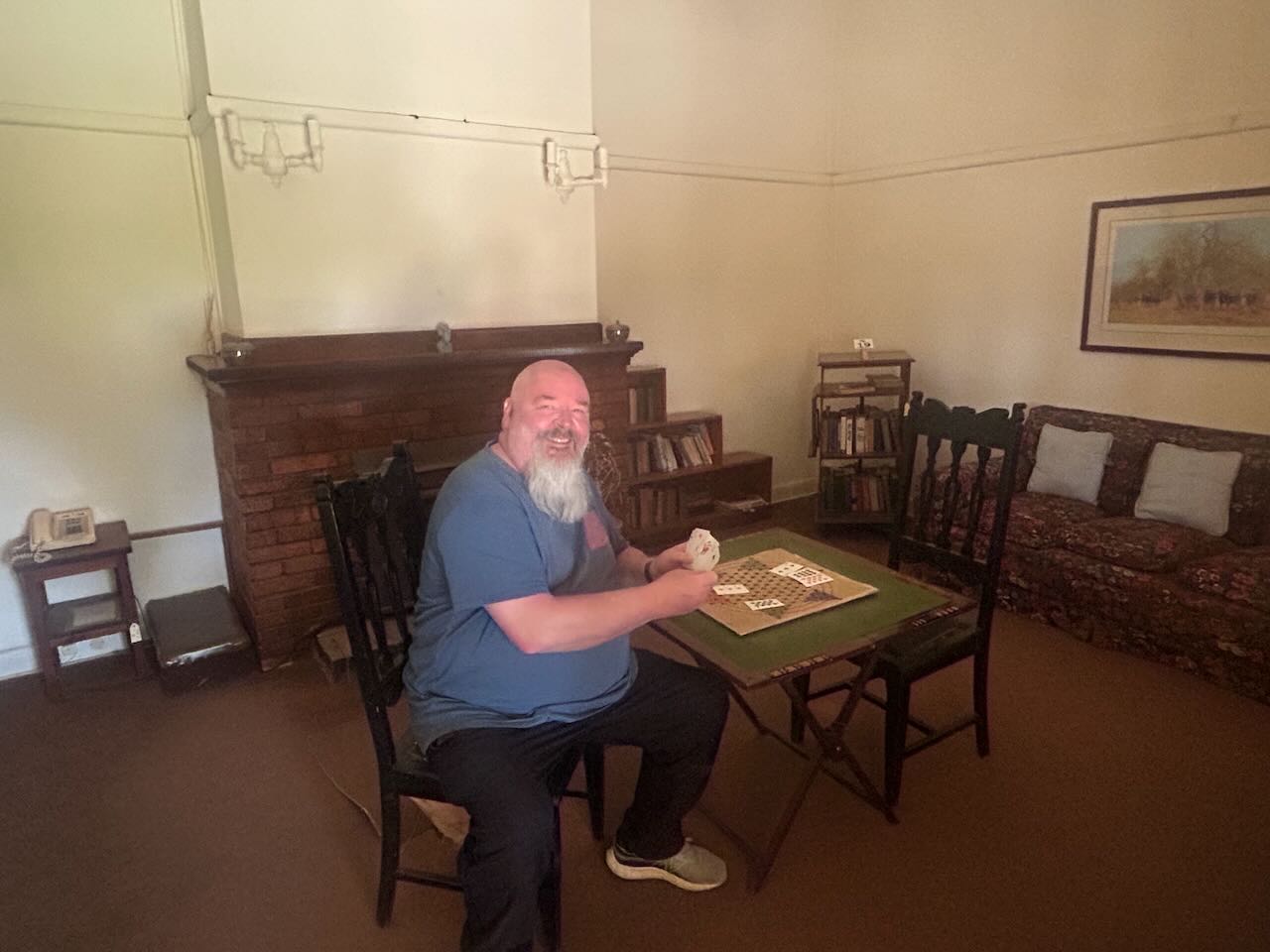
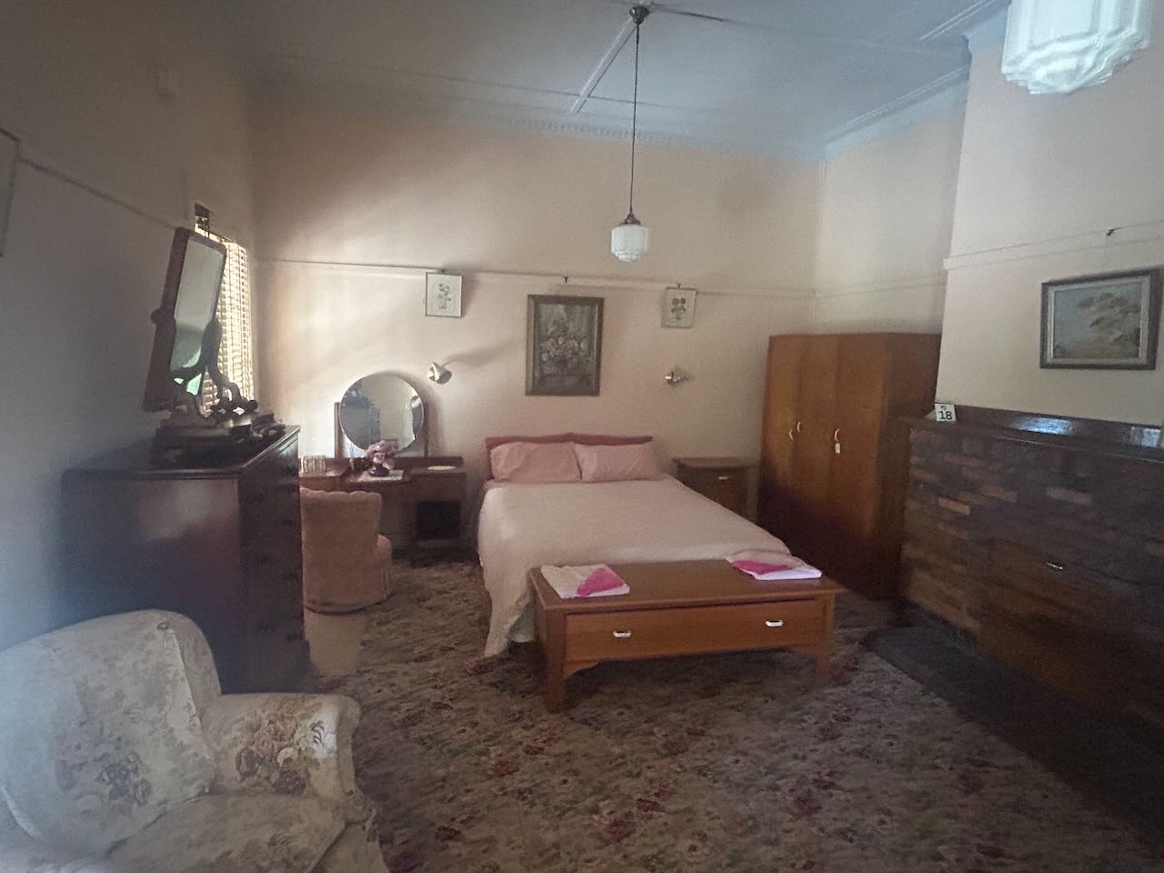
Inside the ‘main block’ of the homestead, you will find all of the rooms containing period furniture. The homestead features the ‘blue room’ and the master bedroom, which is known as the ‘pink room’.
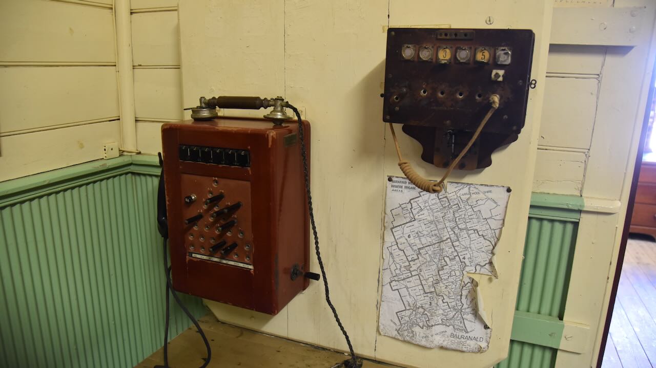
We then visited the ‘kitchen block’ and office area.
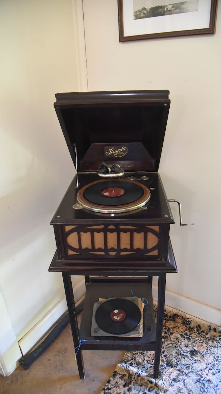
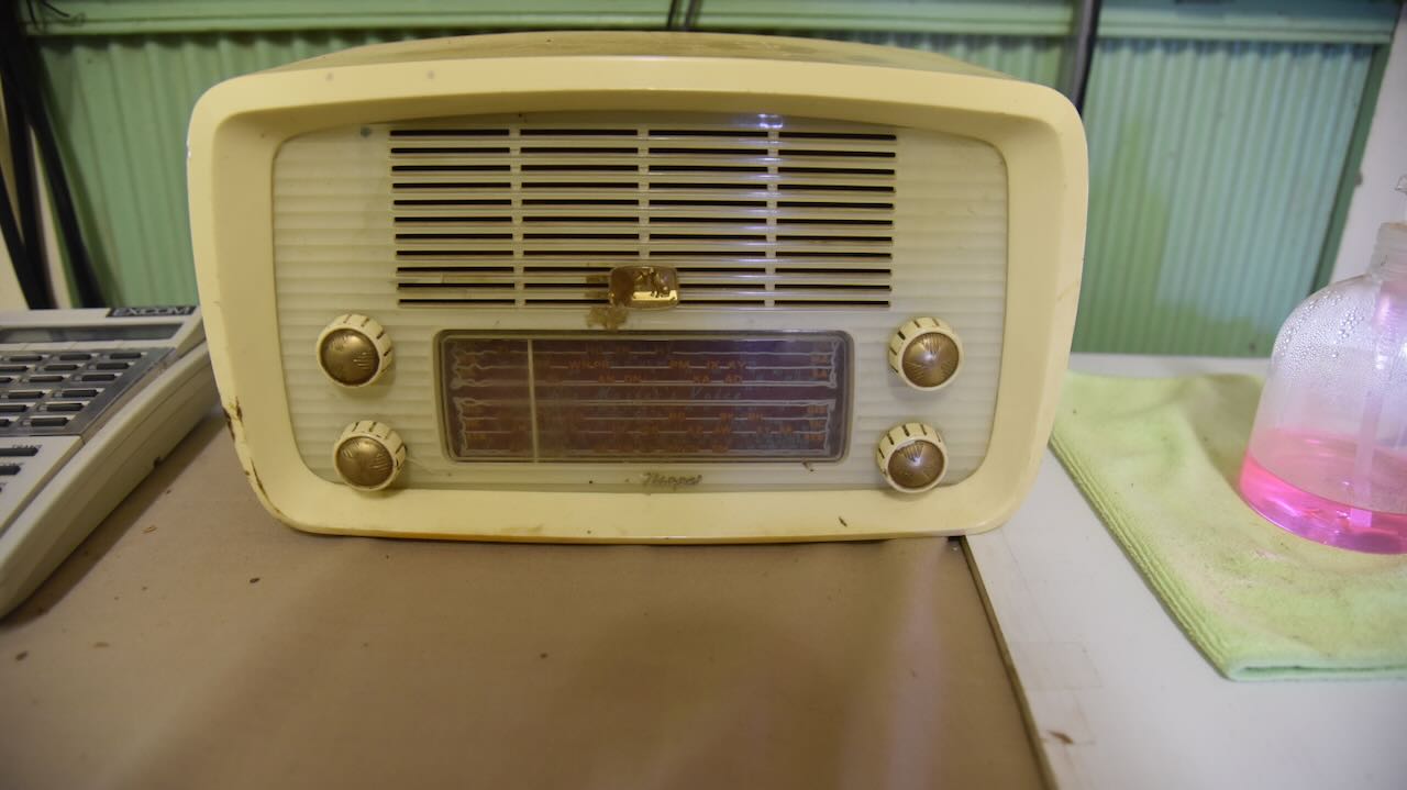
We found an old His Master’s Voice Little Nipper radio.
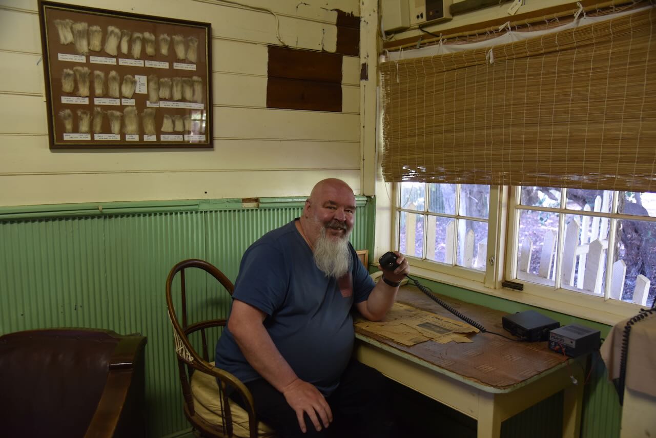
And I found the old station radio to contact the outside world.
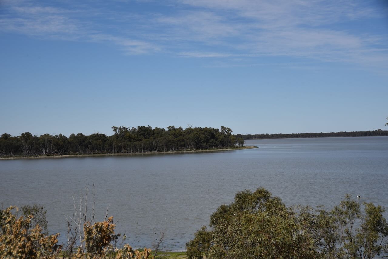
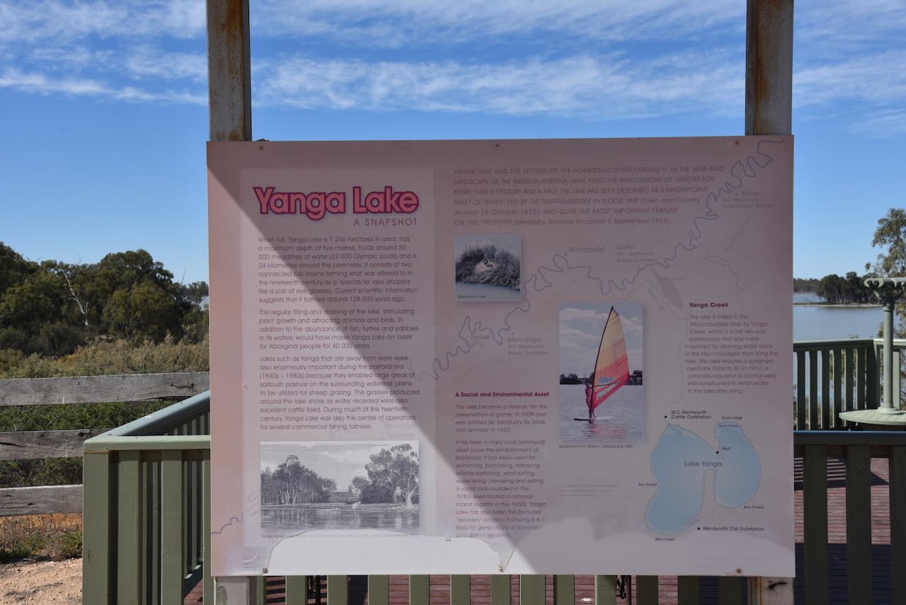
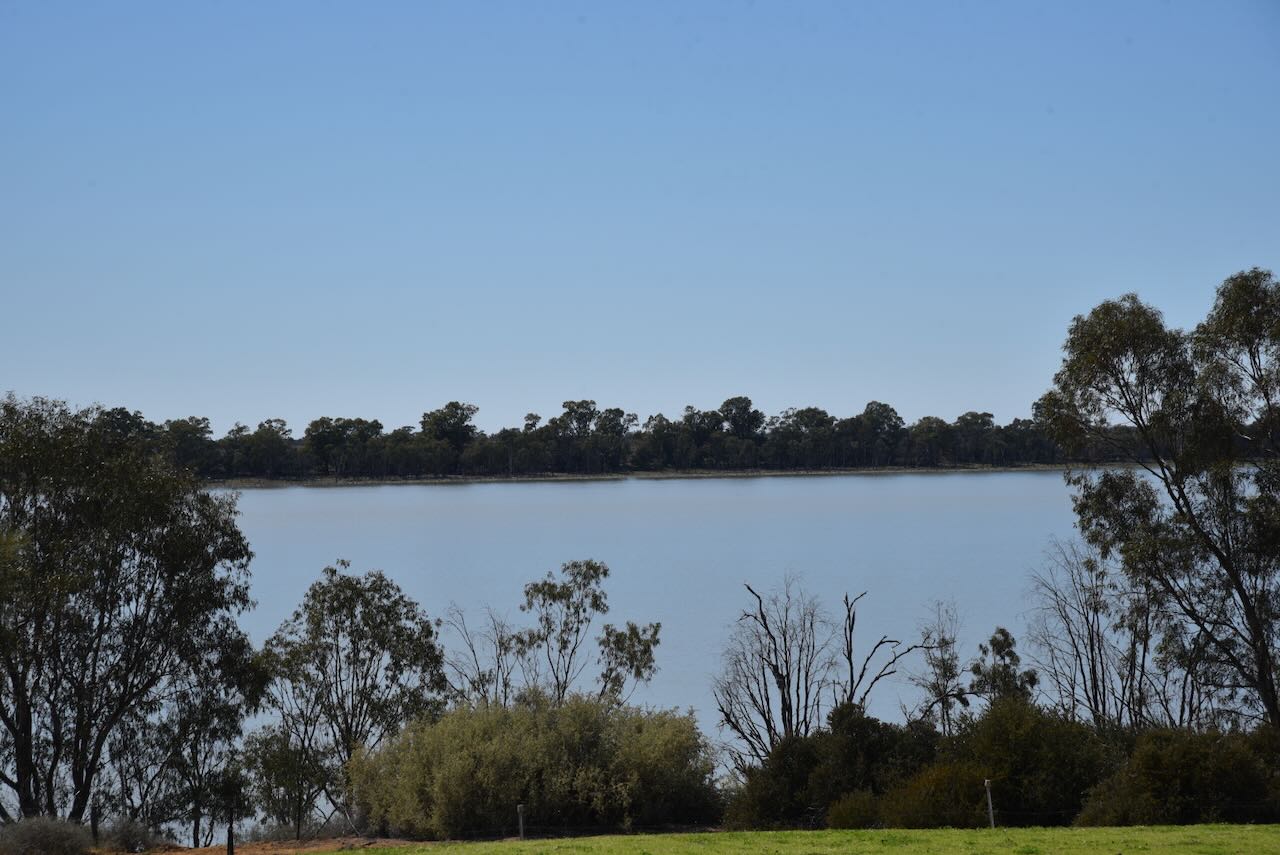
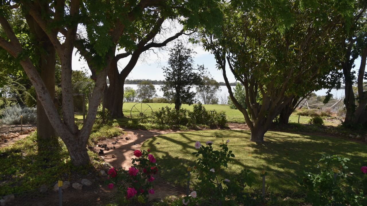
Yanga National Park includes four significant lakes: Yanga Lake, Lake Tala, Piggery Lake, and Irrigation Lake. The park also has hundreds of waterways, including canals and creeks, and an extensive river red gum forest along the Murrumbidgee River. The park is located in the Lowbidgee Floodplain, which is considered to be of national environmental significance. (Wikipedia 2021)
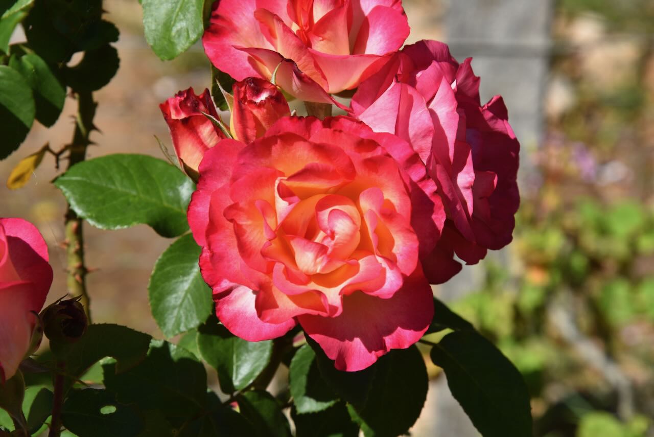
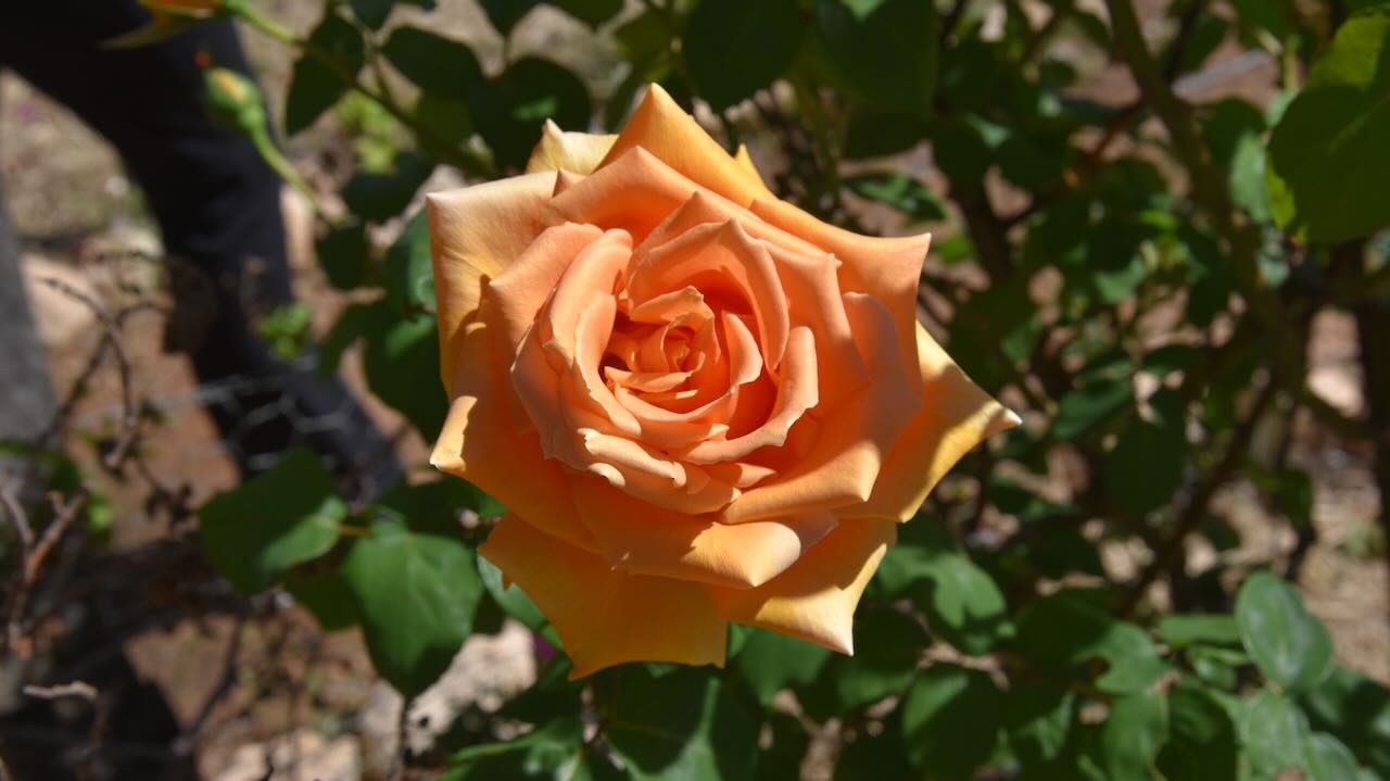
The homestead also features a beautiful garden.
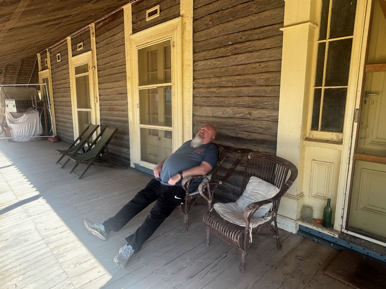
It was a warm day, and all the walking around tired me out, so I took a little siesta.
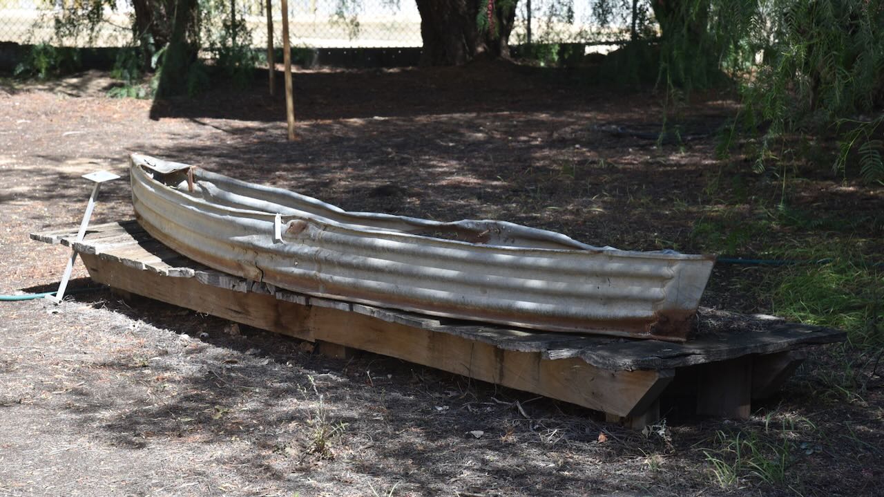
As we were leaving, we stopped to have a look at the corrugated iron canoe that was once used on Yanga Lake. These types of canoes were manufactured and used by fishermen up to the 1960s. Tin sheds were often recycled into home-made canoes and sealed with road bitumen. The particular construction of this canoe indicates that it was made in the 1930s.
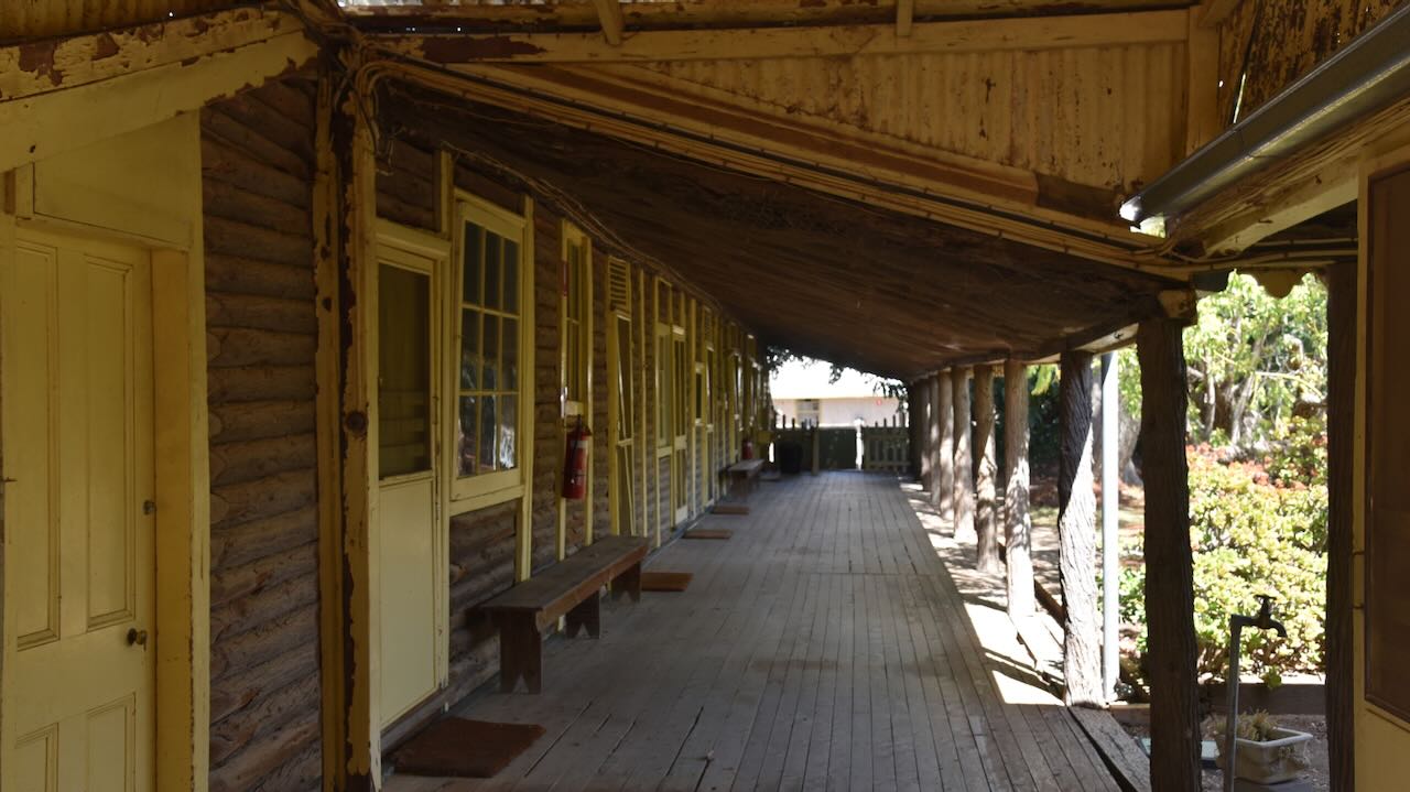
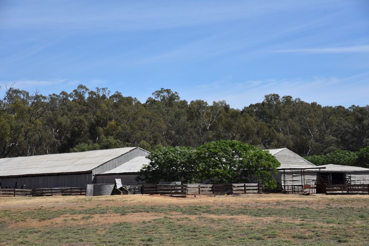
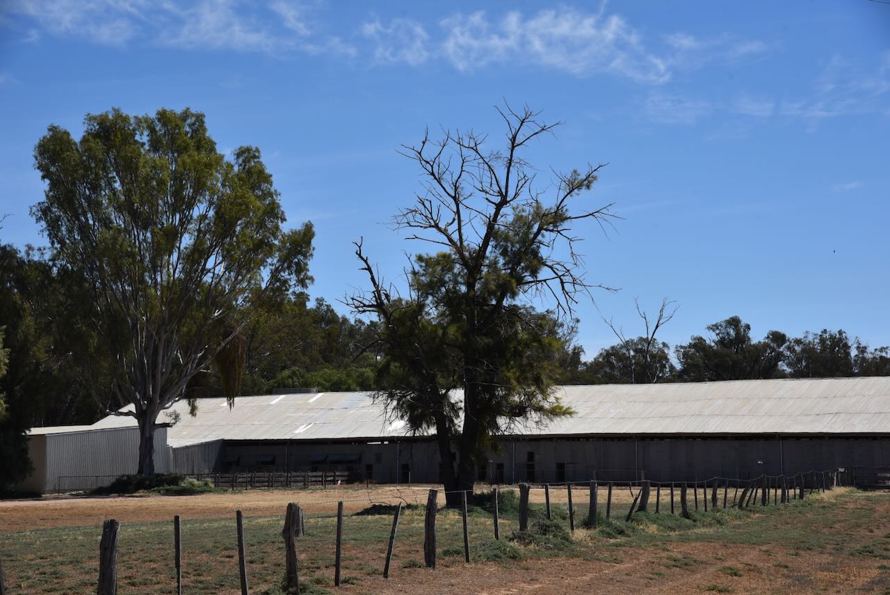
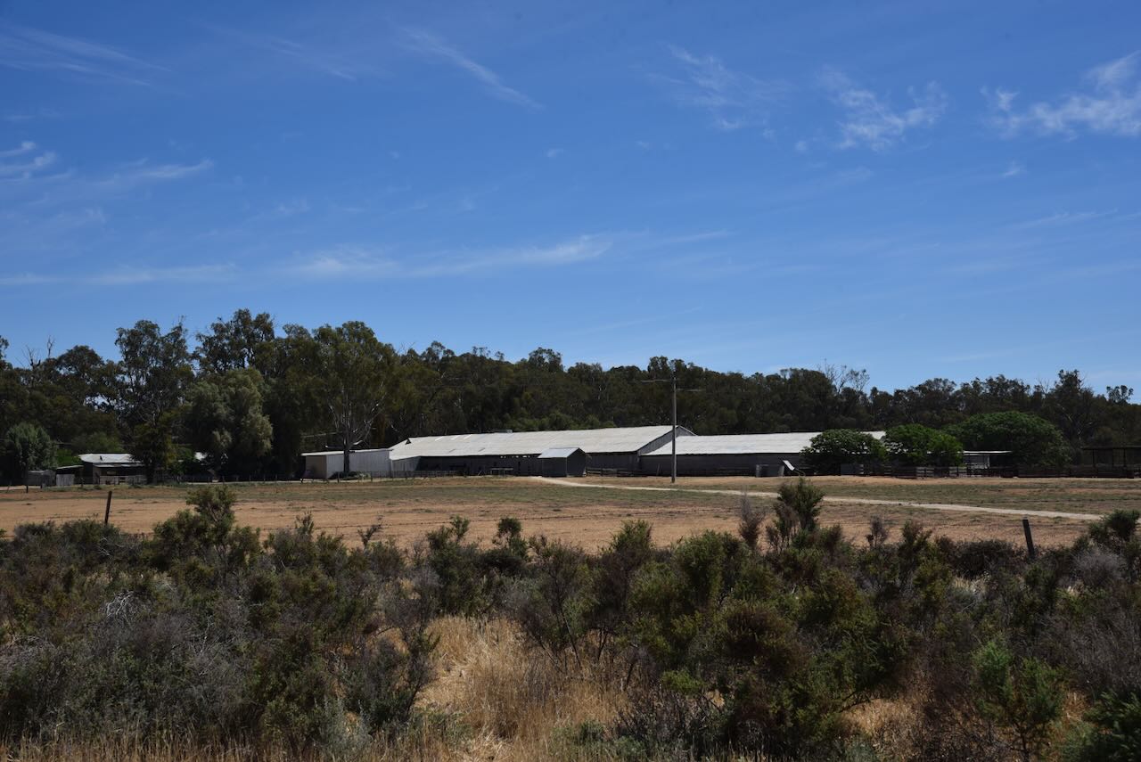
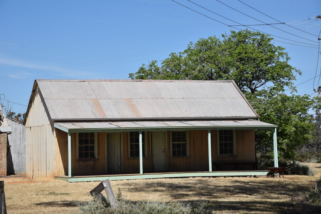
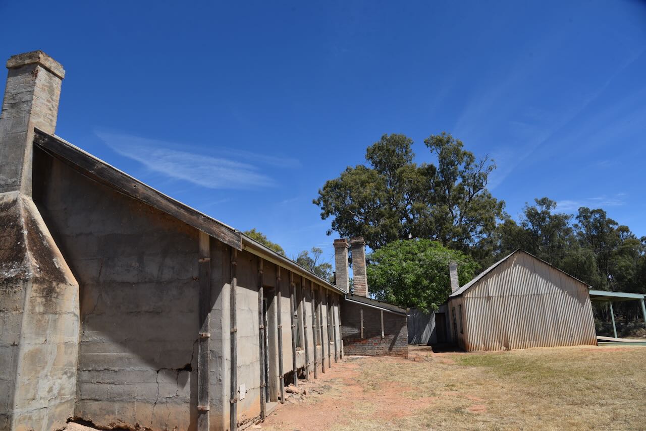
Marija and I then headed out to the Yanga Woolshed, which is located about 5 km west of Yanga Homestead.
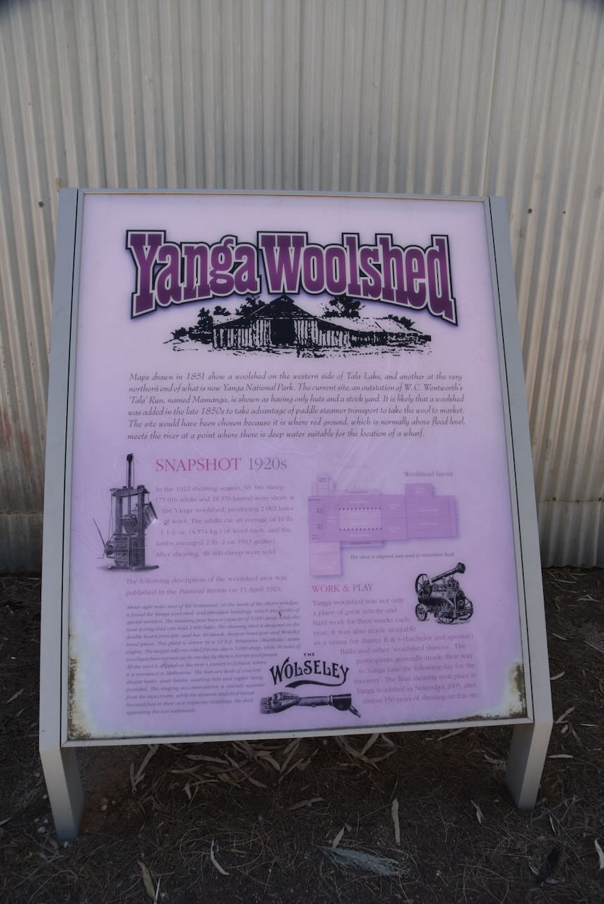
The Yanga woolshed is believed to have been built in the late 1850s. Maps that were drawn in 1851 show a woolshed on the western side of Tala Lake, which is northeast of the current woolshed. There was another at the very northern end of what is now Yanga National Park.
The current site was an outstation of W.C. Wentworth’s ‘Tala’ Run, named Mamanga. Maps from the early 1850s only show huts and a stock yard. It is believed that the woolshed was constructed in the late 1850s to take advantage of the paddle steamer transport along the Murrumbidgee River, which facilitated the transportation of wool to market.
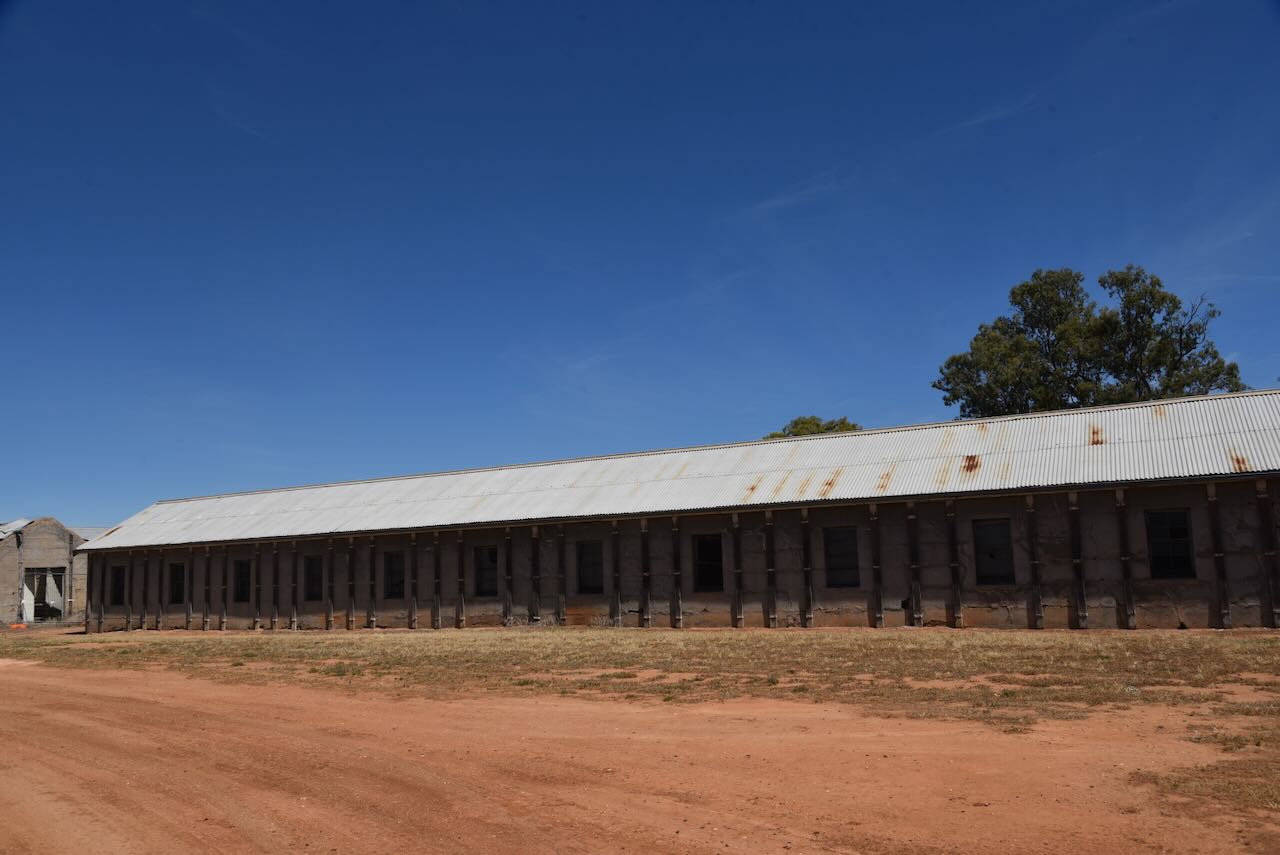
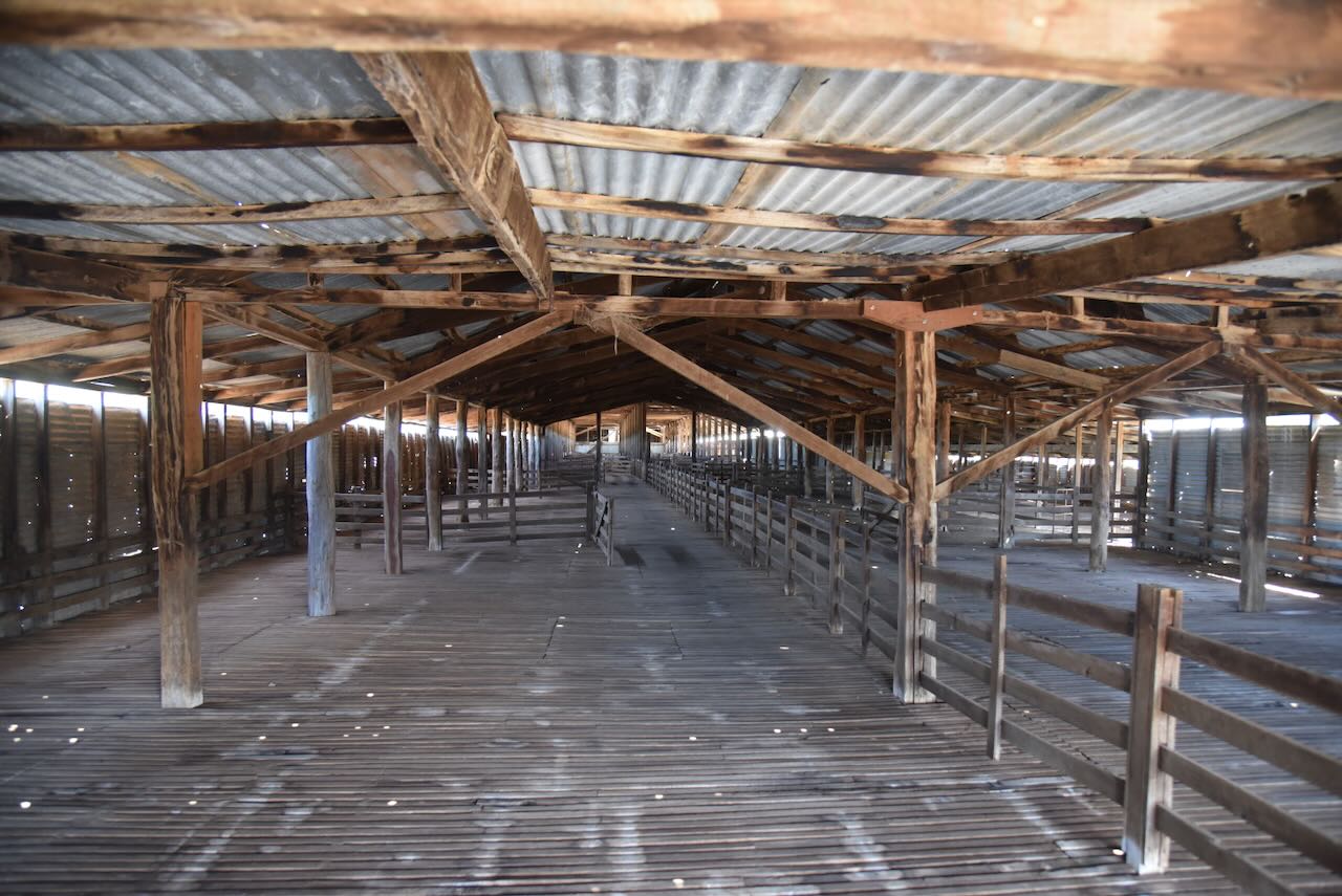
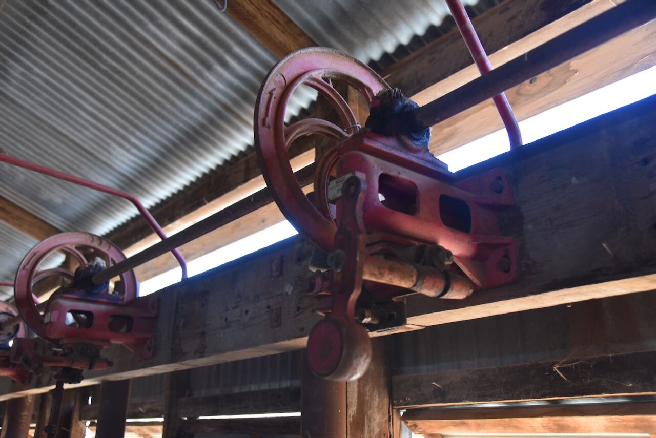
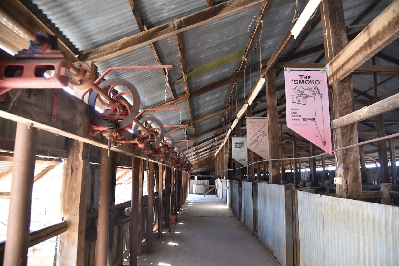
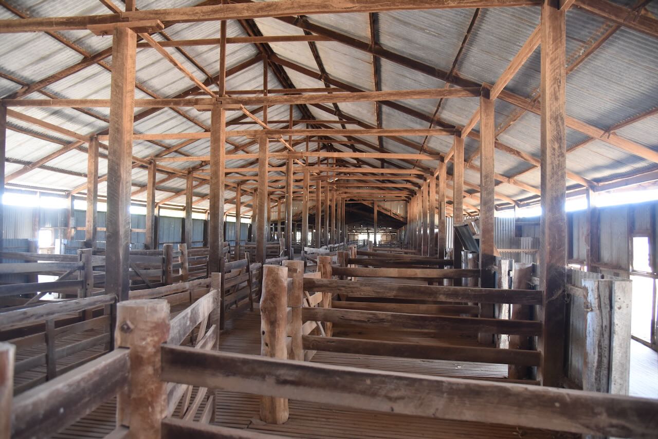
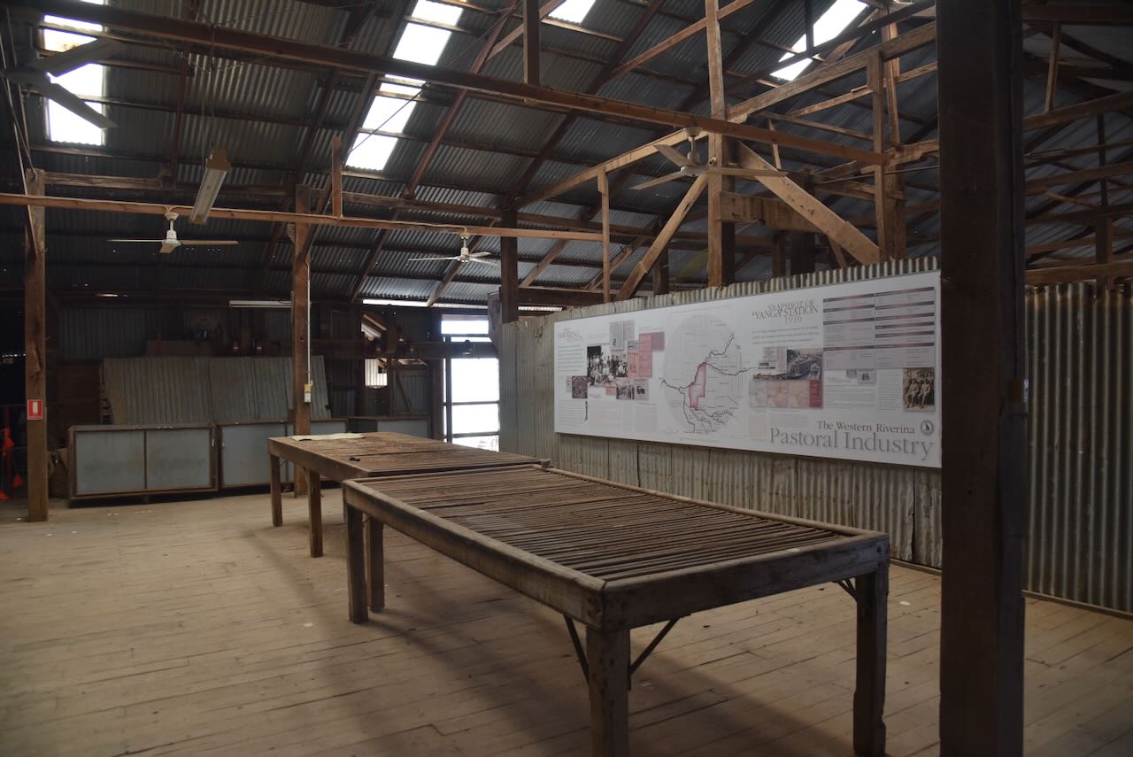
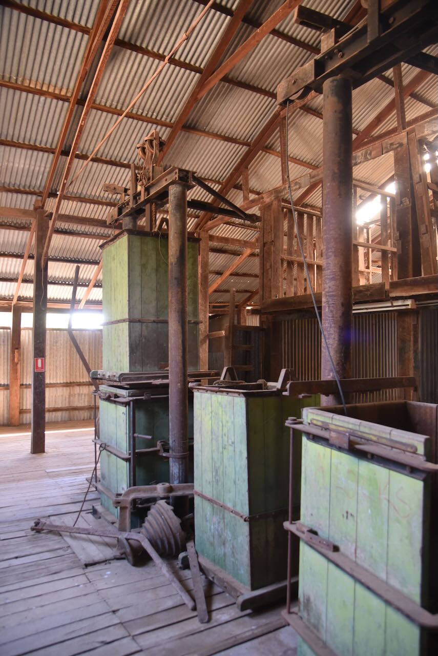
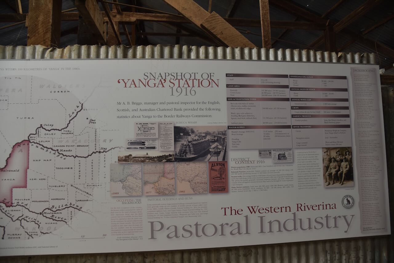
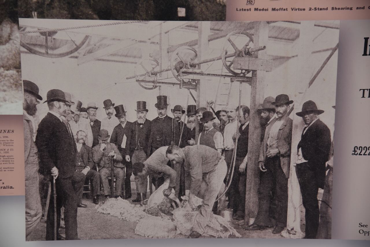
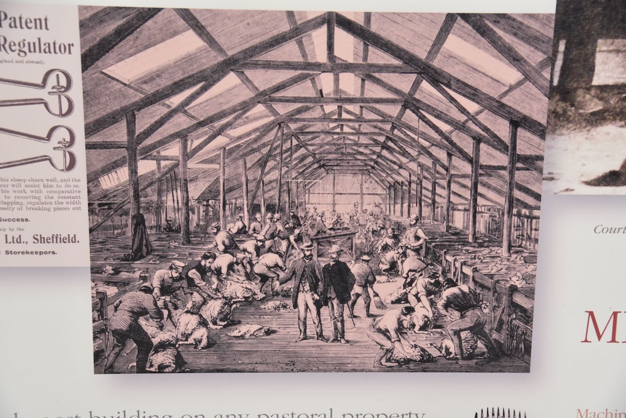
Marija and I always love wandering through old shearing sheds. The history that they contain is quite amazing. The woolsheed is an example of a linear woolshed, which is designed for sheep to enter from one direction and the wool to leave from the other direction. The woolshed is 112 metres long, 15 metres wide, and covers are area of about 1,700 square metres. The Yanga woolshed originally accommodated 40 blade shearing stands, with sweating pens, catching pens, and a wool room. (NSW Govt 2020)
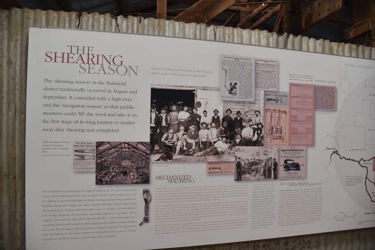
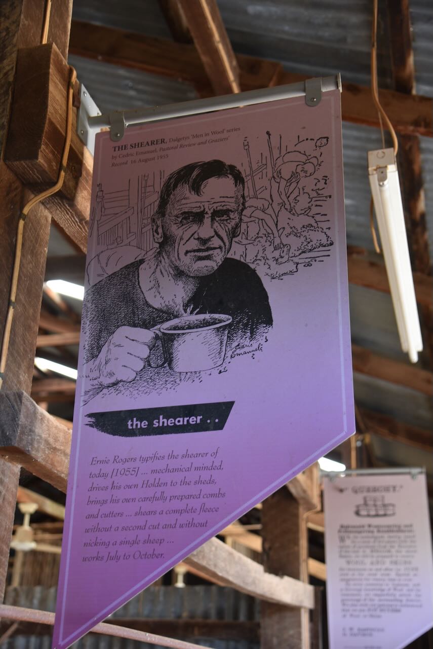
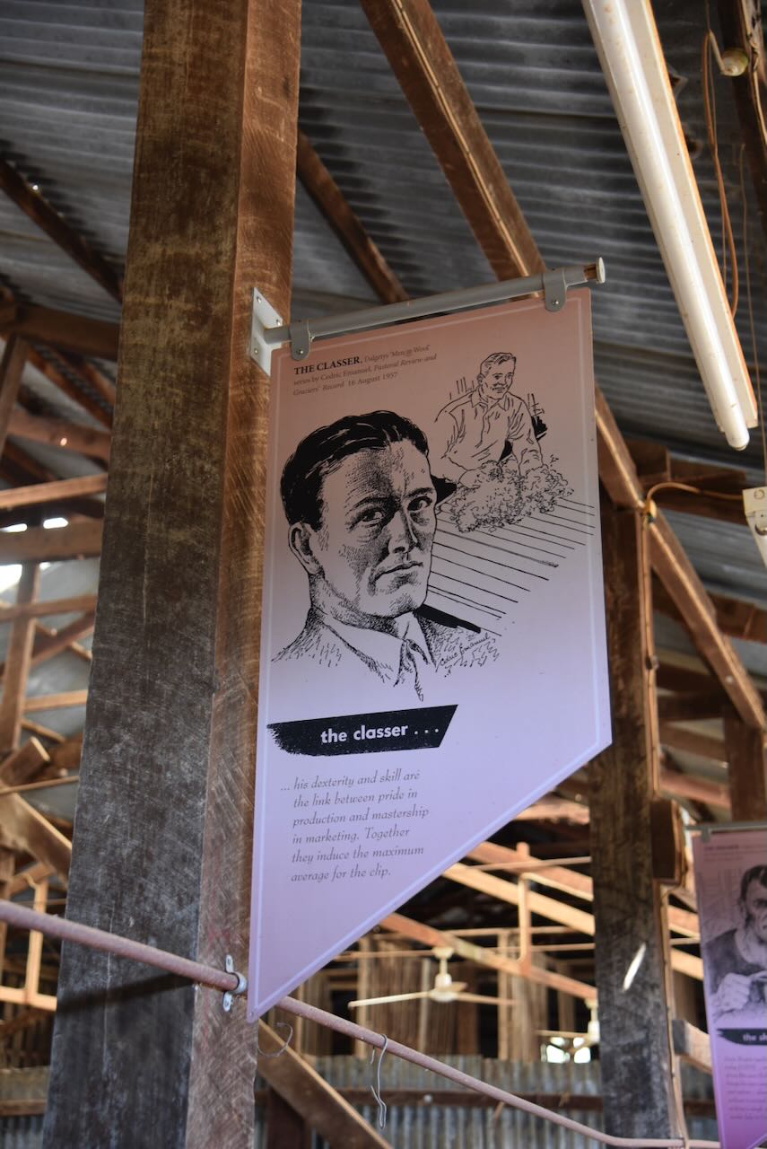
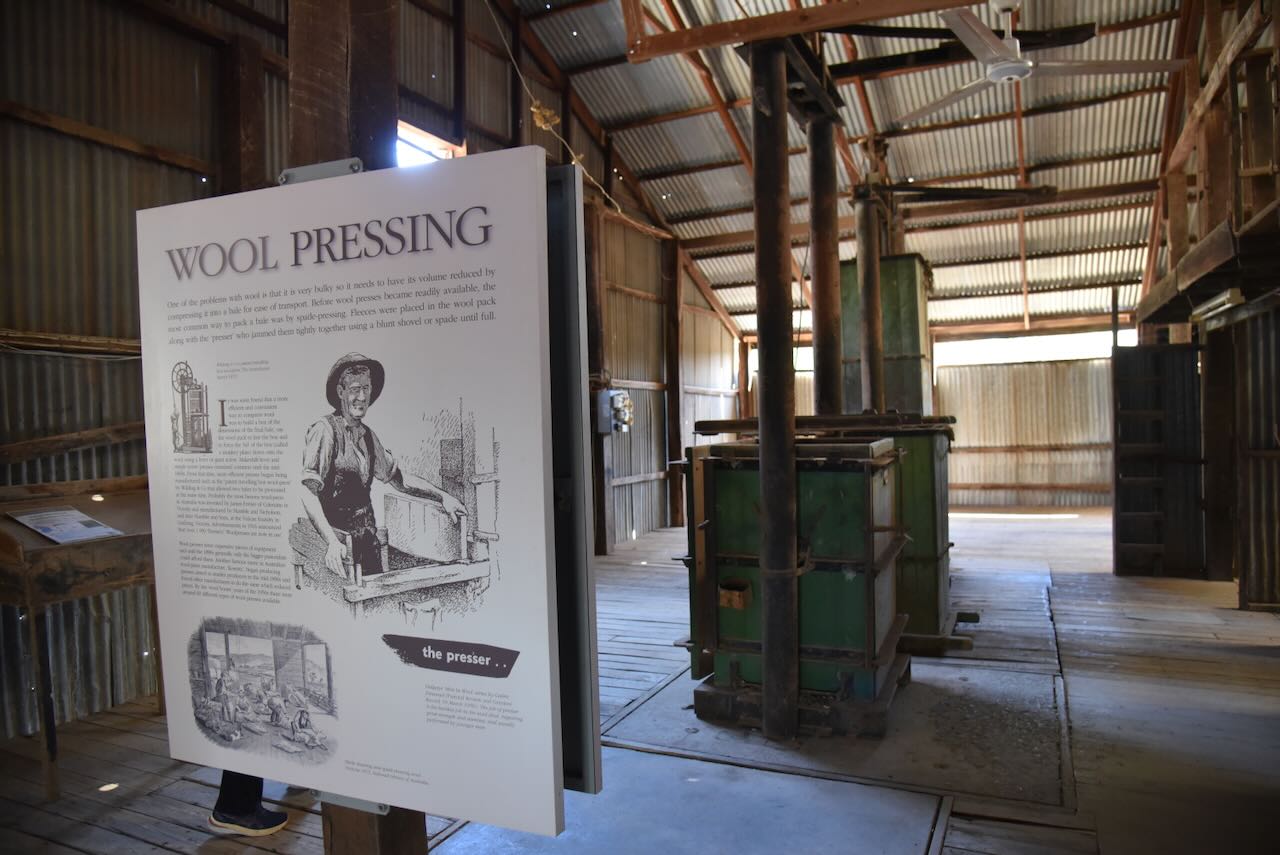
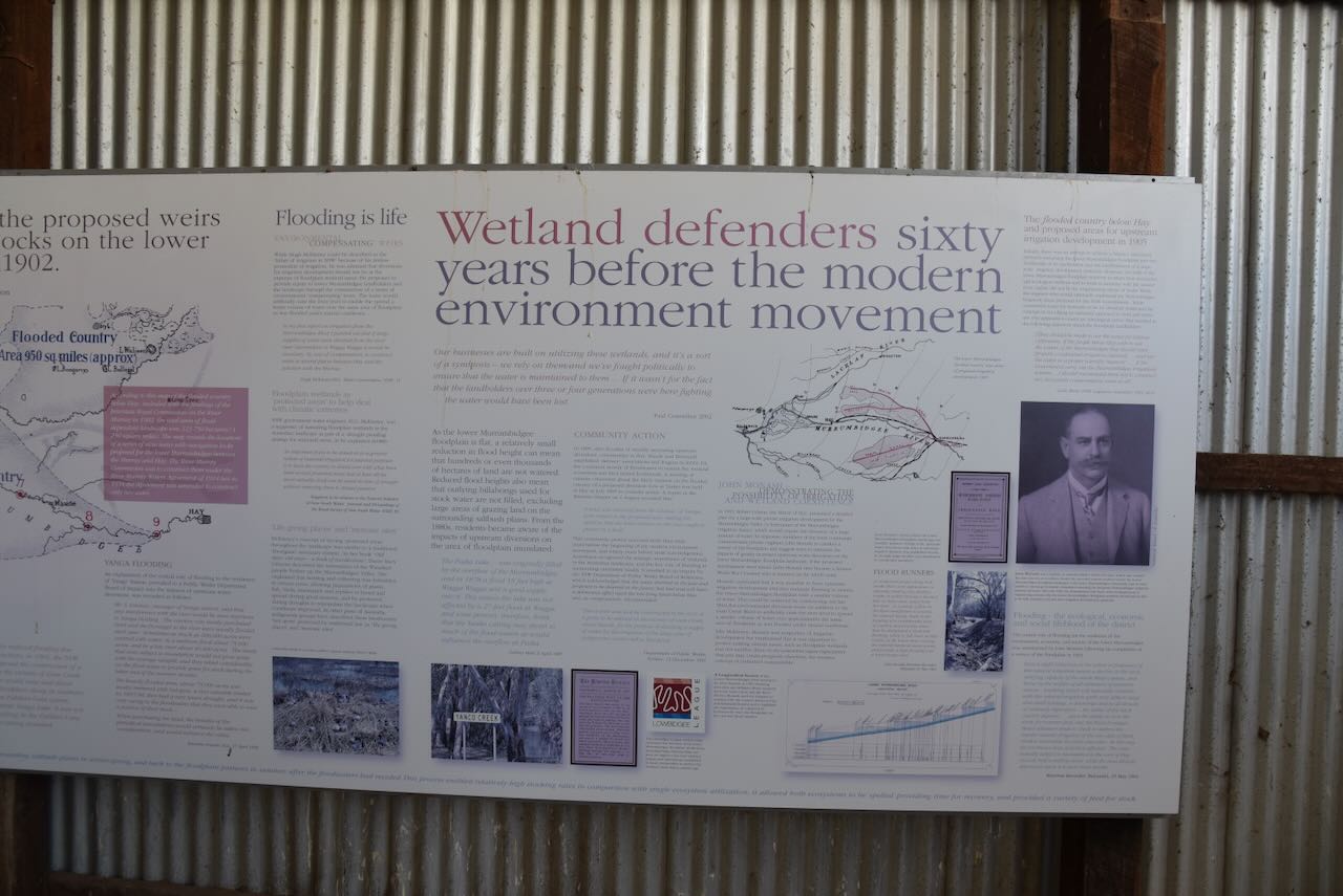
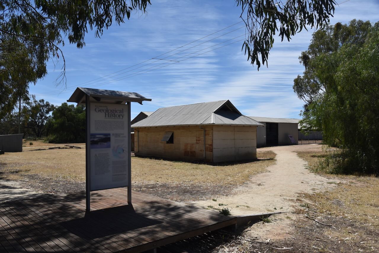
There are several interpretive signs in the Yanga shearing shed which detail the history of the shed.
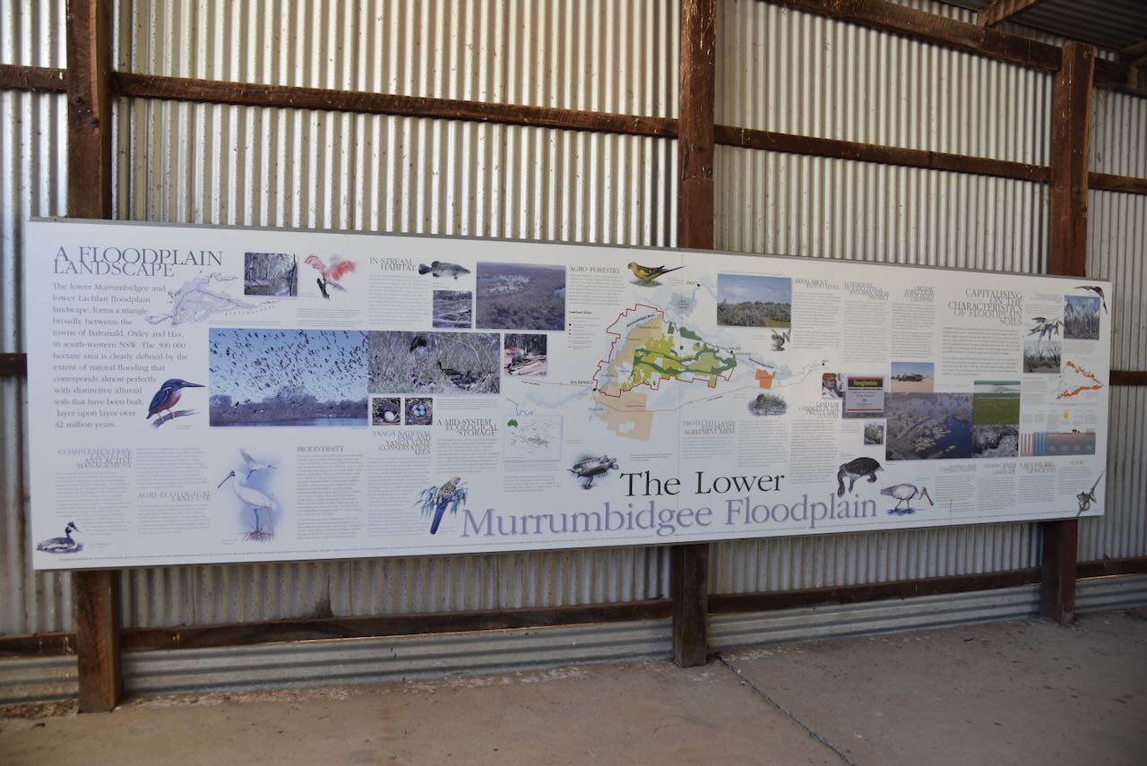
And there are some information boards detailing the Lower Murrumbidgee Floodplain.
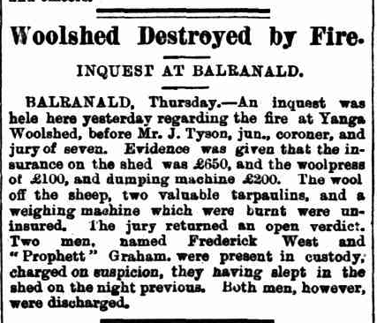
At about 9.00 a.m. on Monday, the 27th day of January 1896, a fire broke out at the Yanga woolshed, and as a result, the woolshed was totally destroyed. Local police arrested two men who were camped at the woolshed on the night before the fire. Frederick West and ‘Prophett’ Graham were remanded pending the results of a magisterial inquiry, which was held on the 30th day of January 1896. (Trove 2025)
The inquiry was conducted at Balranald before Mr. J. Tyson, Jun, Coroner, and a jury of seven. It concluded with no evidence to show how the fire originated. The jury returned an open verdict, and the two men who were arrested on suspicion were discharged. The fire occurred at a time when there were disputes between shearers and pastoralists. (eHive 2025) (Trove 2025)
Above: Article from the Evening News, Sydney, Thu 30 Jan 1896. Image c/o Trove.
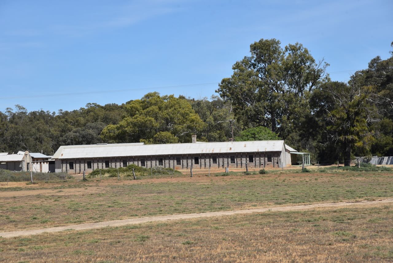
The current woolshed is one of the best preserved and largest examples of woolsheds in western New South Wales. (NSW Govt 2020)
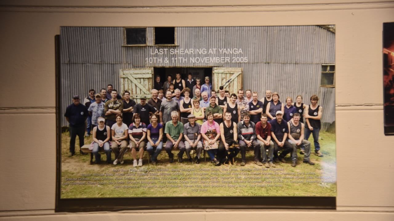
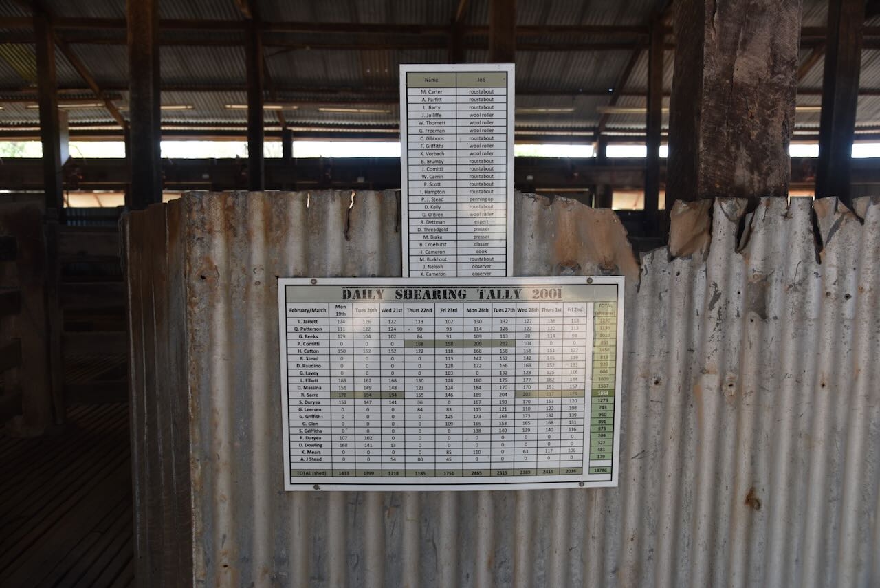
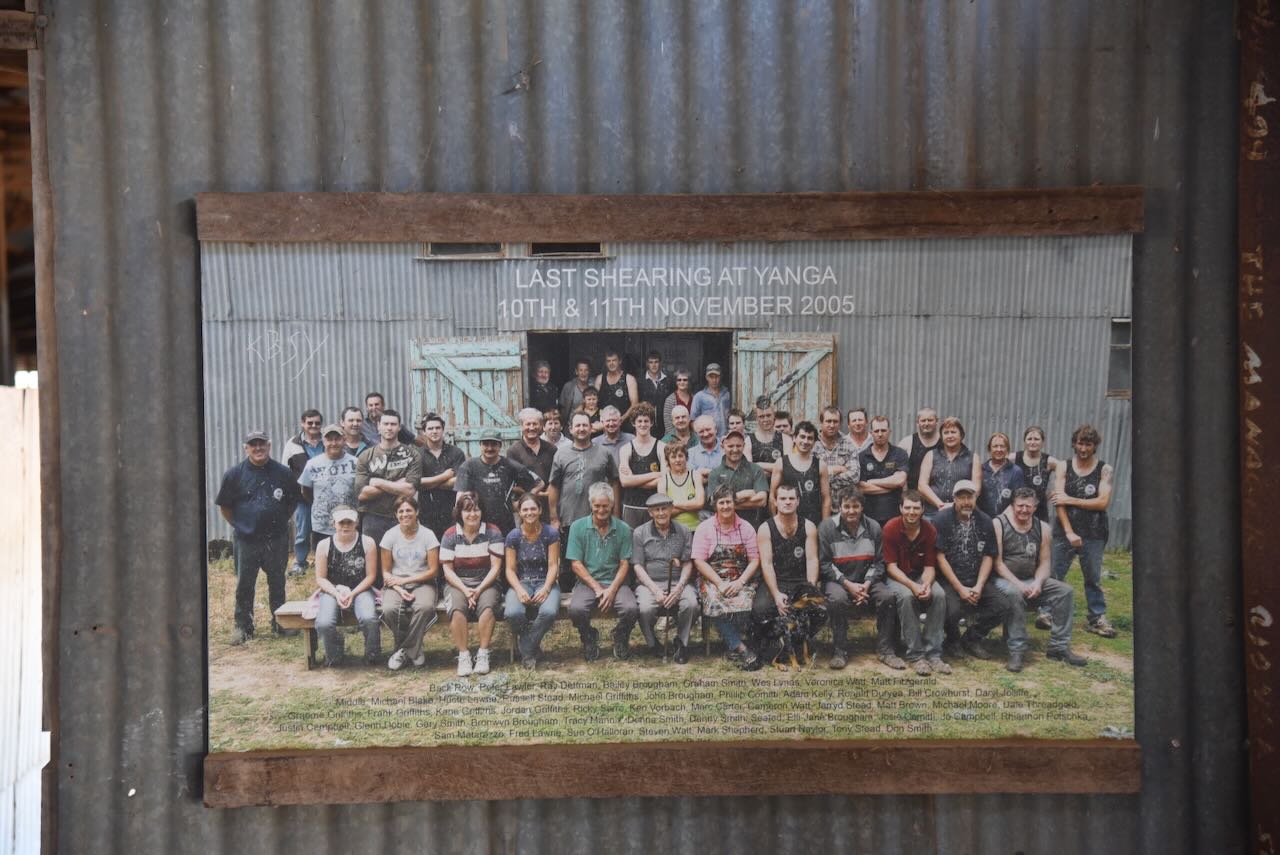
The last shearing at Yanga took place in 2005. In the shearing shed, you can view a group photograph of the last shearing.
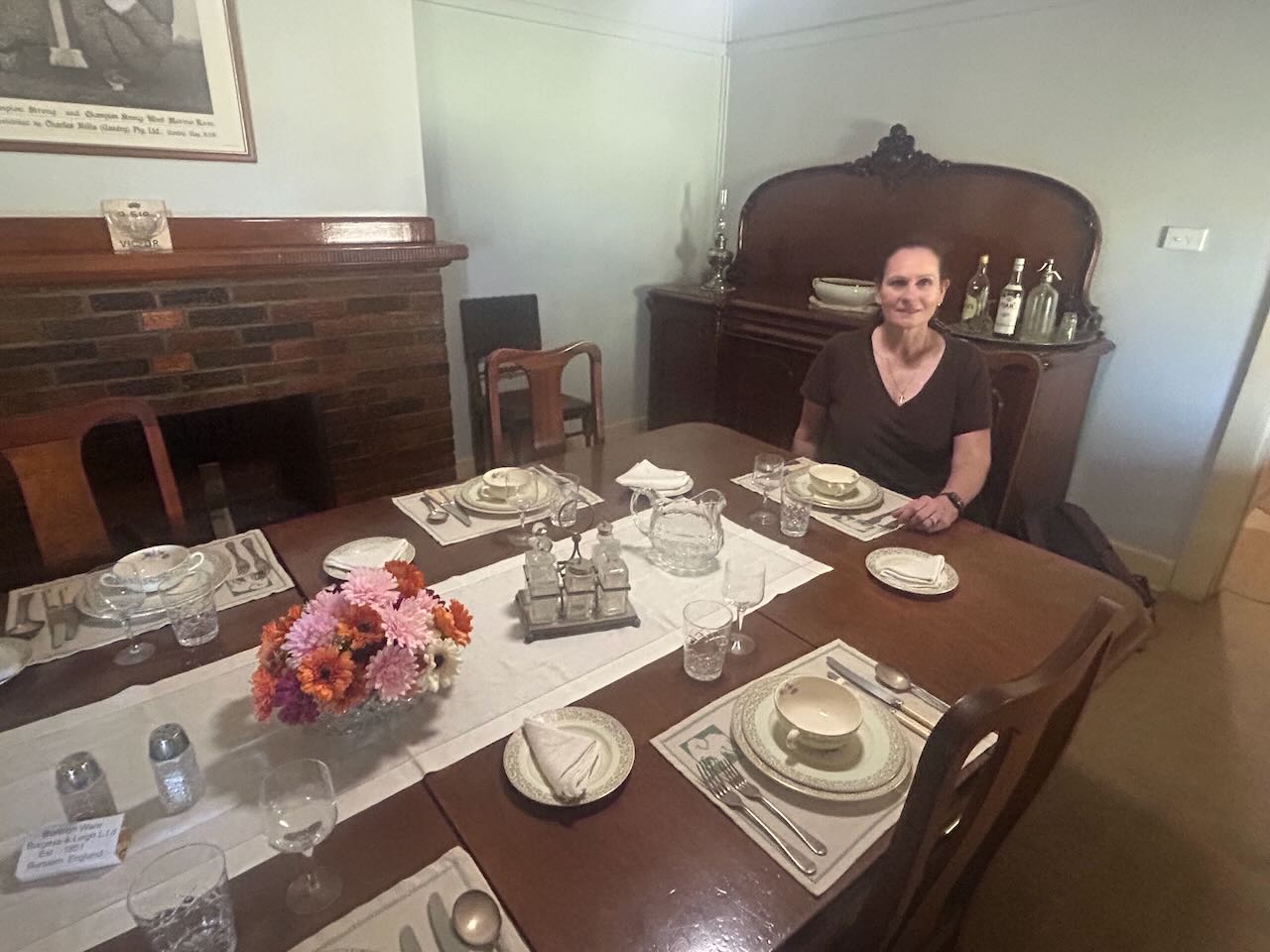
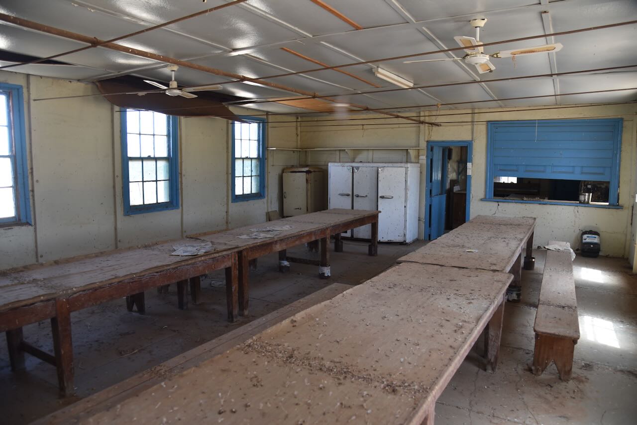
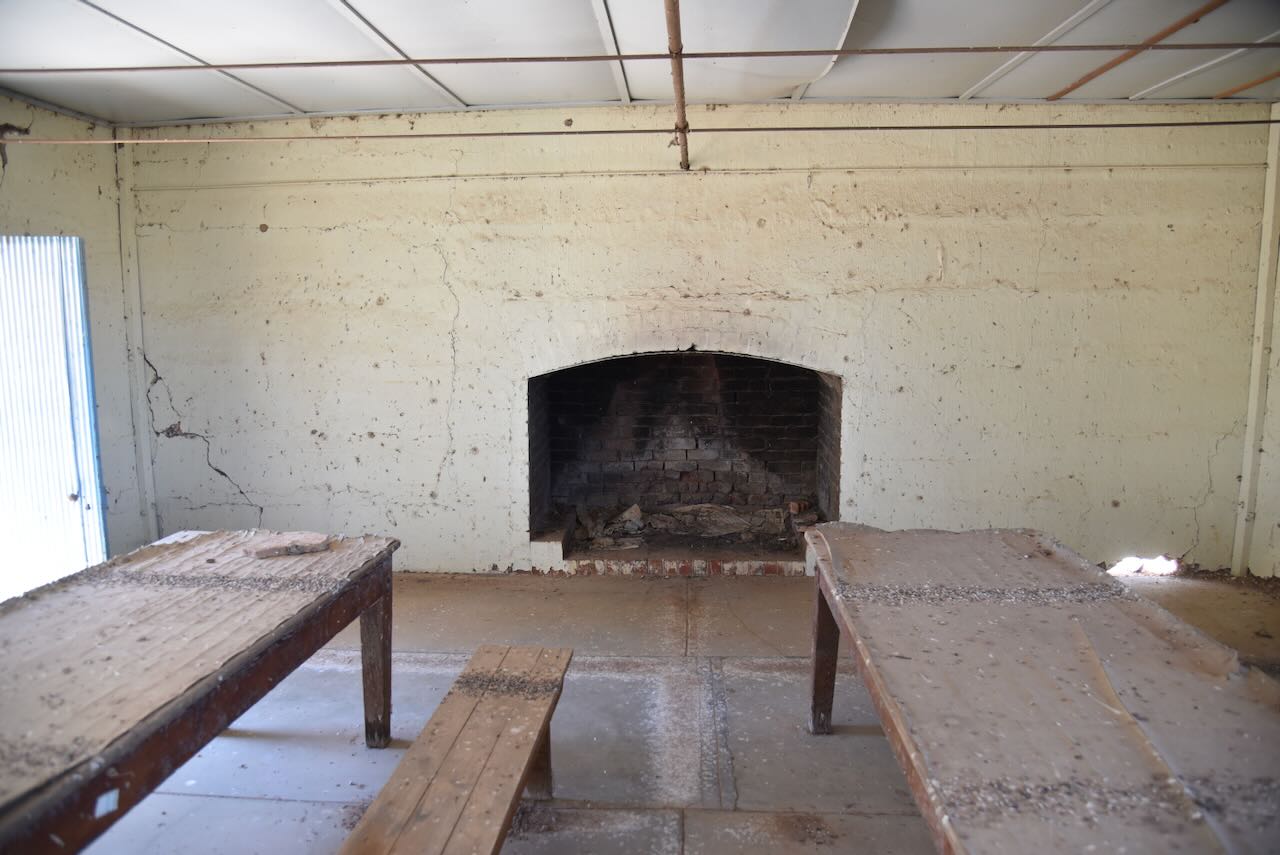
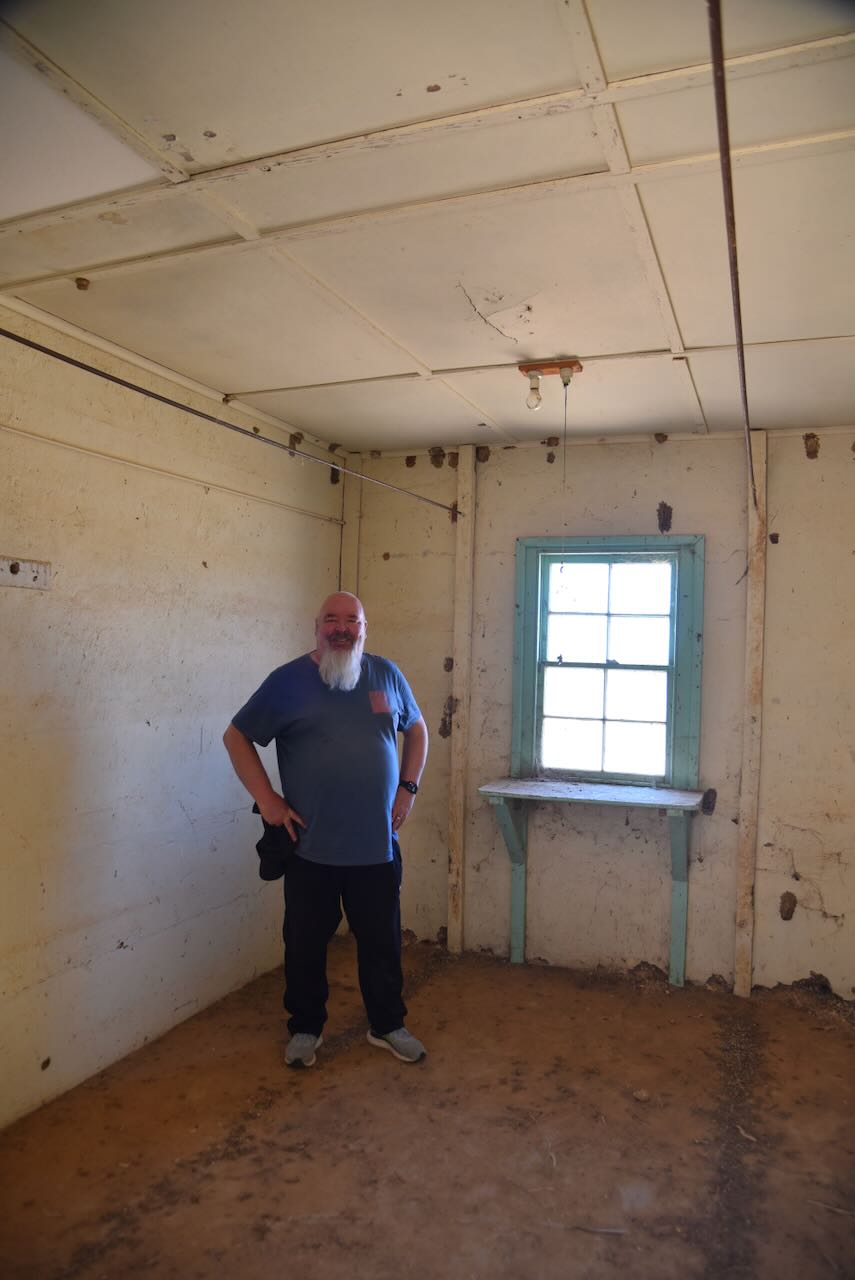
The kitchen and dining room are also open for inspection. The old wooden tables and benches are still present, as are some old fridges. This would have been a lively place when full of shearers.
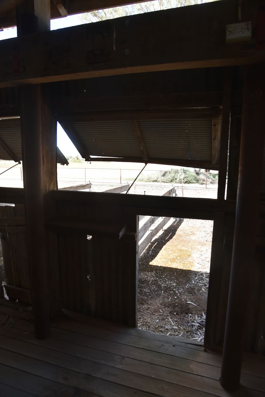
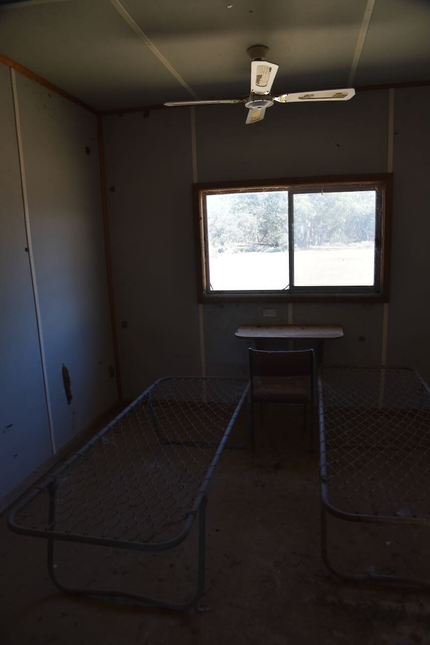
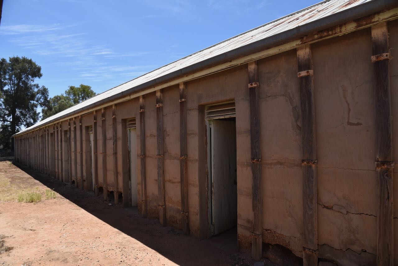
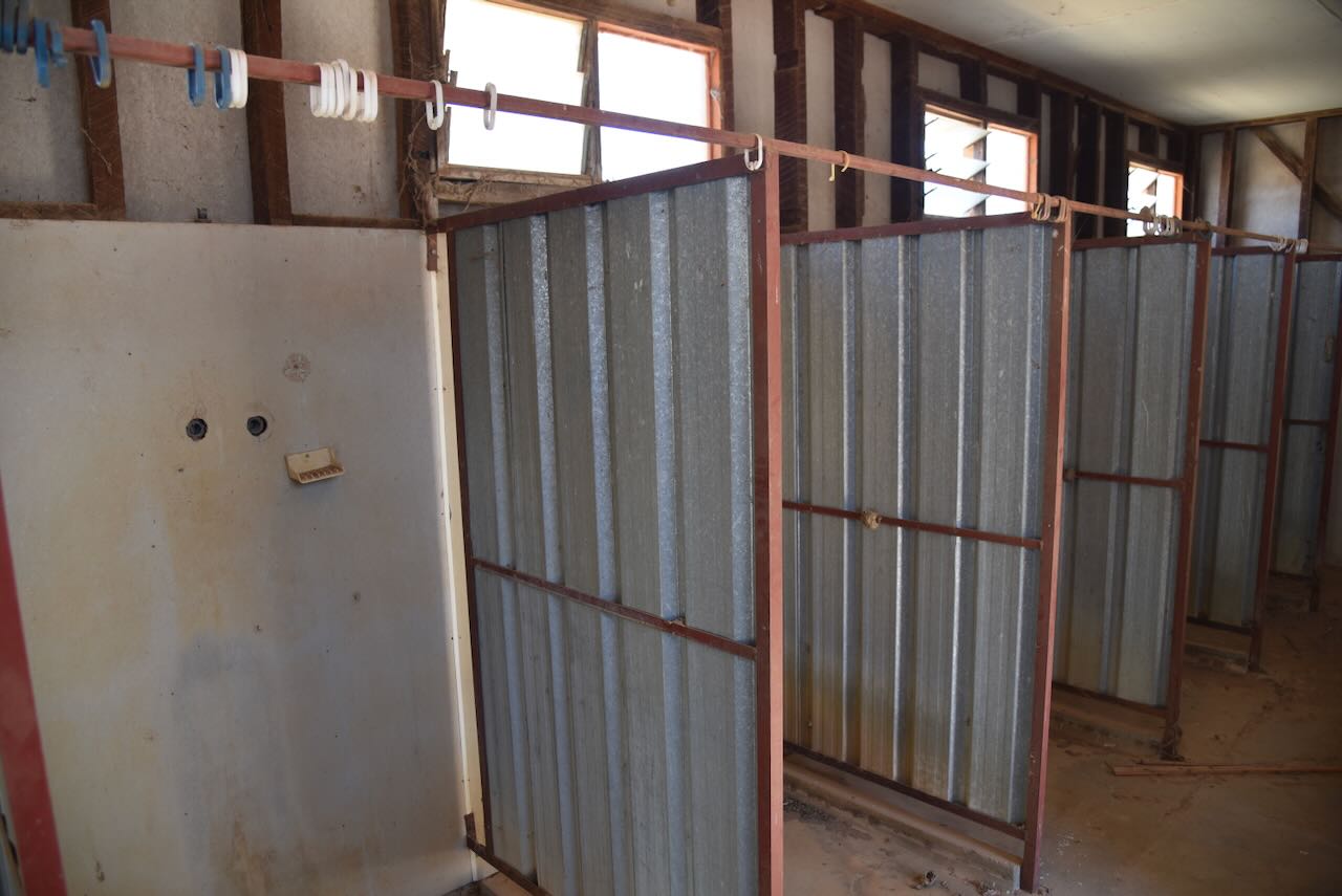
We then entered the old shearer’s quarters. These were completed in 1911. They are not exactly 5-star, but I guess they provided a roof over the heads of those working in the shearing shed. (NSW Govt 2020)
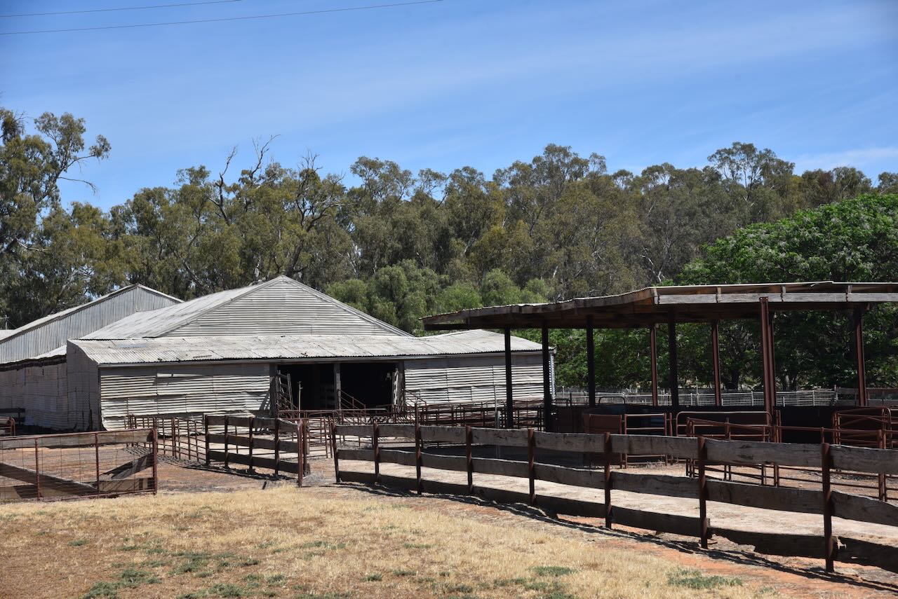
There are several other buildings on the site.
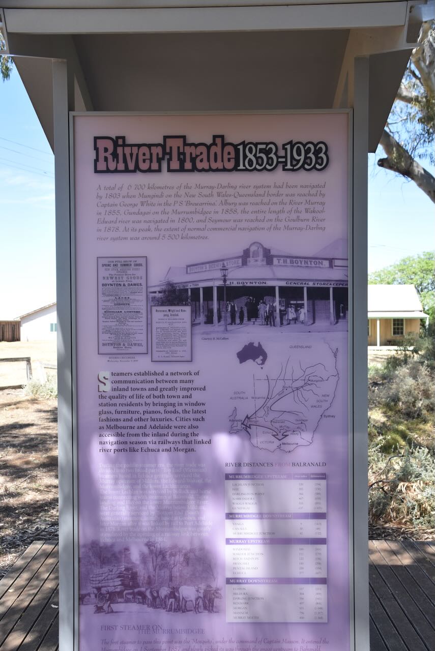
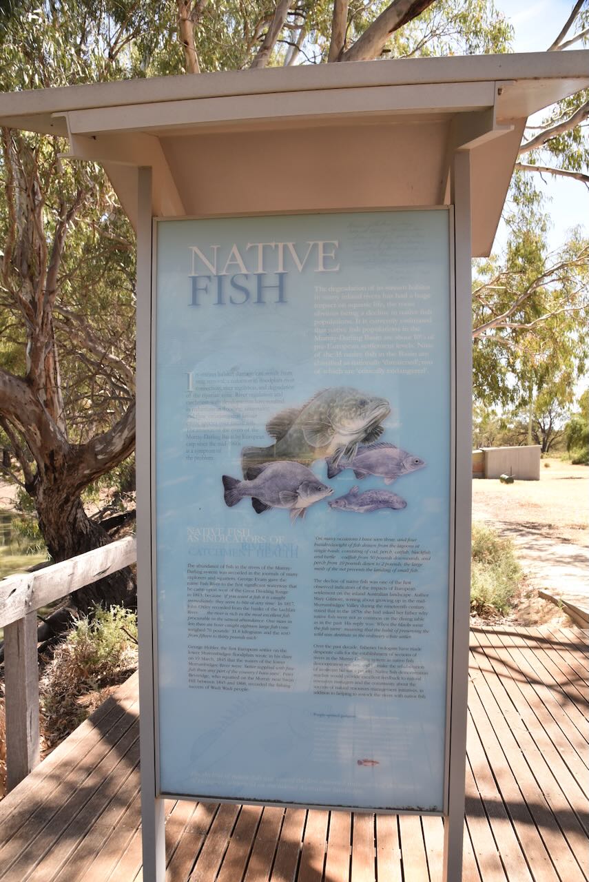
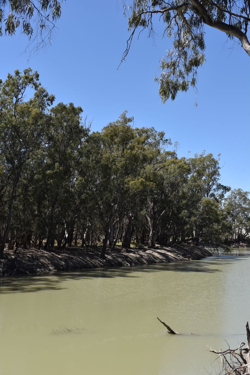
The shearing shed is located alongside the Murrumbidgee River. There is a nice decking area alongside the river where you can admire the beauty of the river and read some of the information boards about the river trade and the fish that can be found in the river.
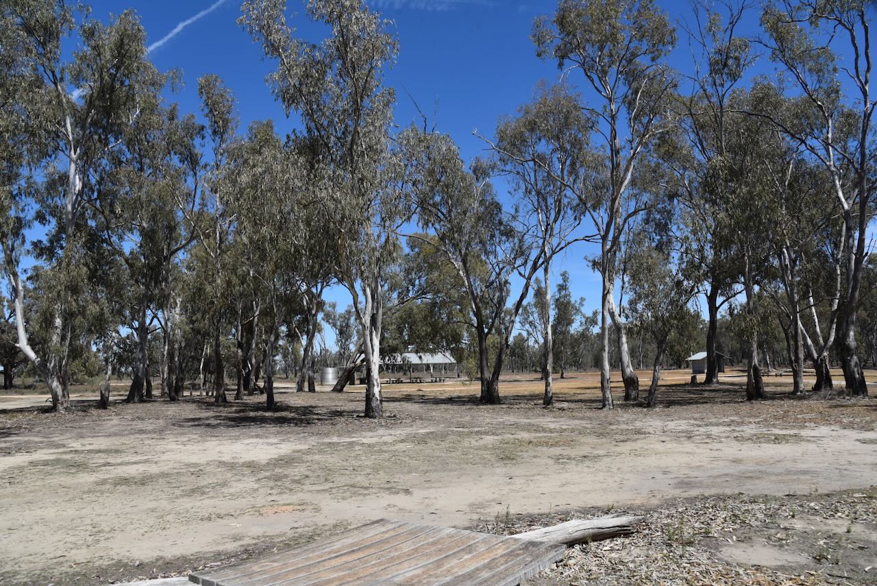
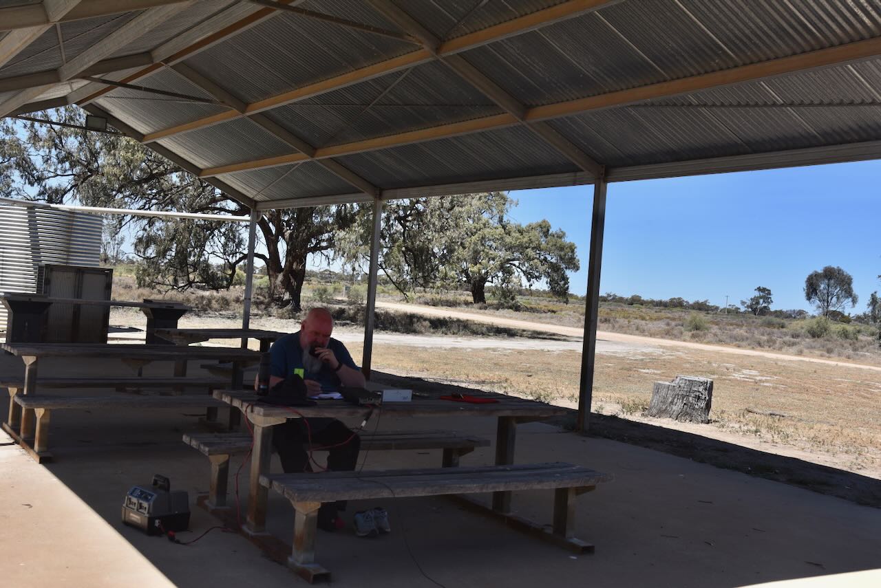
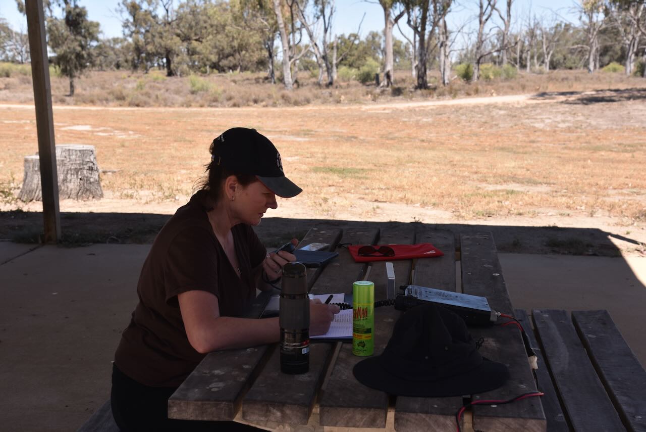
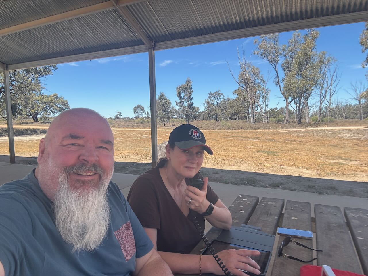
Marija and I then headed to the Mamanga campground, where we activated the park for the World Wide Flora Fauna (WWFF) program.
We ran the Yaesu FT857, 40 watts, and the 20/40/80m linked dipole supported on the 7 metre heavy-duty squid pole.
We were in close proximity to the river, and this was a very pleasant activation with a great outlook.
Marija worked the following stations on 40m SSB:-
VK2IO/p (VKFF-3257)
VK2GEZ/p (VKFF-3257)
VK1DI
VK2YK
VK5GA
VK1AO/p (VKFF-0044)
VK2MET/p (VKFF-0044)
VK3CLD
VK5QA
VK2DBF
VK3JV
VK2HBG/p (Silo VK-TLI2)
VK2GRB/p (Silo VK-TLI2)
VK2GDX/p (Silo VK-TLI2)
VK2ALY/p (Silo VK-TLI2)
VK2PET
VK2VAR
VK2GOM
VK3KLI/p
VK3ZSC/p (VKFF-5016)
VK3UCD
VK3GJG
VK7AAJ
VK3WSG
VK3APJ/p (VKFFp-0213)
VK3BWS
VK4DNO/p
VK3ZK
VK1VWL
VK3ETC
VK3UP/p
VK3CEO
VK3SQ
VK3JT
VK2BD
VK2SBD
VK3ACZ
VK3PF/M
VK3KAI/M
VK3SPG
VK5FANA
VK2VH
VK4AAC
VK3ADX/p
VK5WW
VK2IO/p (VKFF-0048)
Marija worked the following stations on 20m SSB:-
VK6LK/p
VK6XNP
VK6FA
I worked the following stations on 40m SSB:-
VK2IO/p (VKFF-3257)
VK2GEZ/p (VKFF-3257)
VK1DI
VK2YK
VK5GA
VK1AO/p (VKFF-0044)
VK2MET/p (VKFF-0044)
VK3CLD
VK5QA
VK2DBF
VK3JV
VK2HBG/p (Silo VK-TLI2)
VK2GRB/p (Silo VK-TLI2)
VK2GDX/p (Silo VK-TLI2)
VK2ALY/p (Silo VK-TLI2)
VK2PET
VK2VAR
VK2GOM
VK3KLI/p
VK3ZSC/p (VKFF-5016)
VK3UCD
VK3GJG
VK7AAJ
VK3WSG
VK3APJ/p (VKFFp-0213)
VK3BWS
VK4DNO/p
VK3ZK
VK1VWL
VK3ETC
VK3UP/p
VK3CEO
VK3SQ
VK3JT
VK2BD
VK2SBD
VK3ACZ
VK3PF/M
VK3KAI/M
VK3SPG
VK5FANA
VK2VH
VK4AAC
VK3ADX/p
VK5WW
VK2IO/p (VKFF-0048)
I worked the following stations on 20m SSB:-
VK6LK/p
VK6XNP
VK6FA
References.
Anu.edu.au. (2019). ADB Home – Australian Dictionary of Biography. [online] Available at: https://adb.anu.edu.au. [Accessed 9 Dec. 2025]
Bridgemeister.com. (2022). Bridgemeister – 2013 Ben Scott Swing (Swing) – Balranald, New South Wales, Australia. [online] Available at: https://www.bridgemeister.com/bridge.php?bid=7169 [Accessed 7 Dec. 2025].