
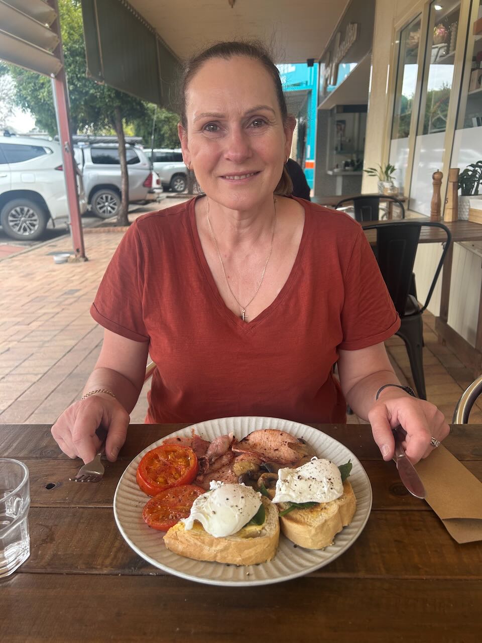
Day four of our Canberra trip, Tuesday, 21st October 2025. We started off the day with some breakfast at a cafe in Hay.
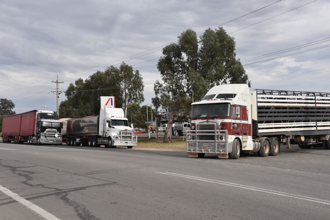
We then drove down to the local roadhouse to get some photographs of the trucks for our grandson, Flynn.

Marija and I then headed to Carrathool, where we intended to activate the silo.
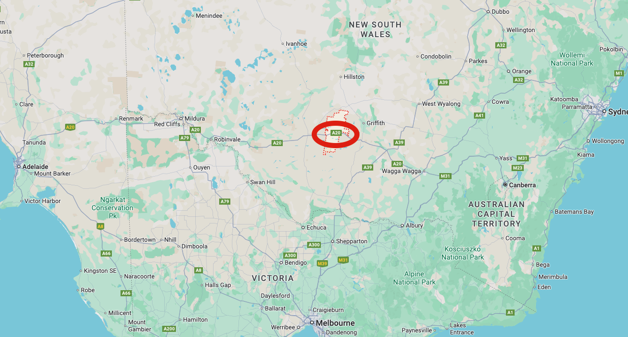
Above: Map showing the location of Carrathool, NSW. Map c/o Google Maps
We drove east along the Sturt Highway, which is a major link for vehicles and road freight between Sydney and Adelaide. The highway is 947 km in length. It commences near Gundagai in New South Wales, and completes at Gawler in South Australia. It is named in honour of the explorer, Captain Charles Sturt. (Wikipedia 2025)

About 35 km east of Hay, just off the Sturt Highway, you will find the grave of Charles Dunstan Thompson.
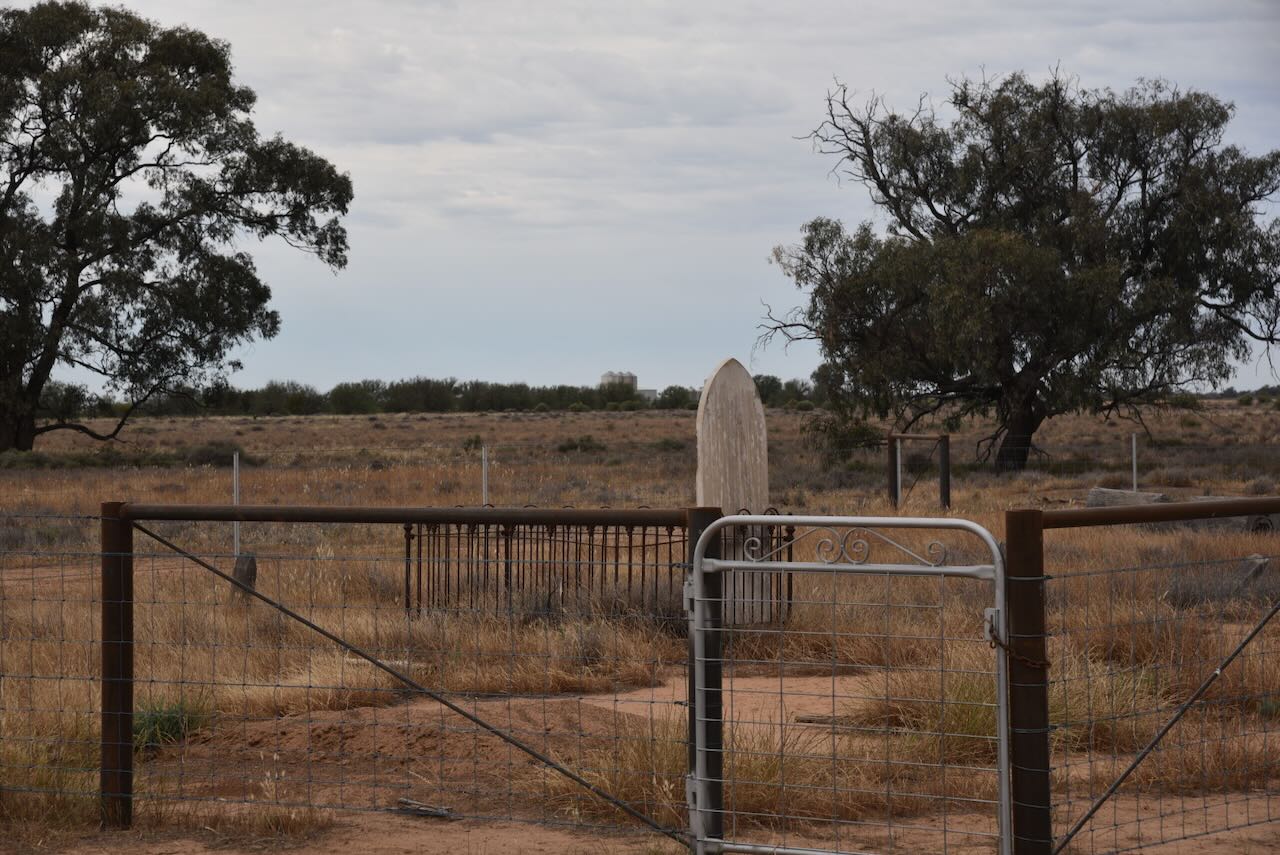
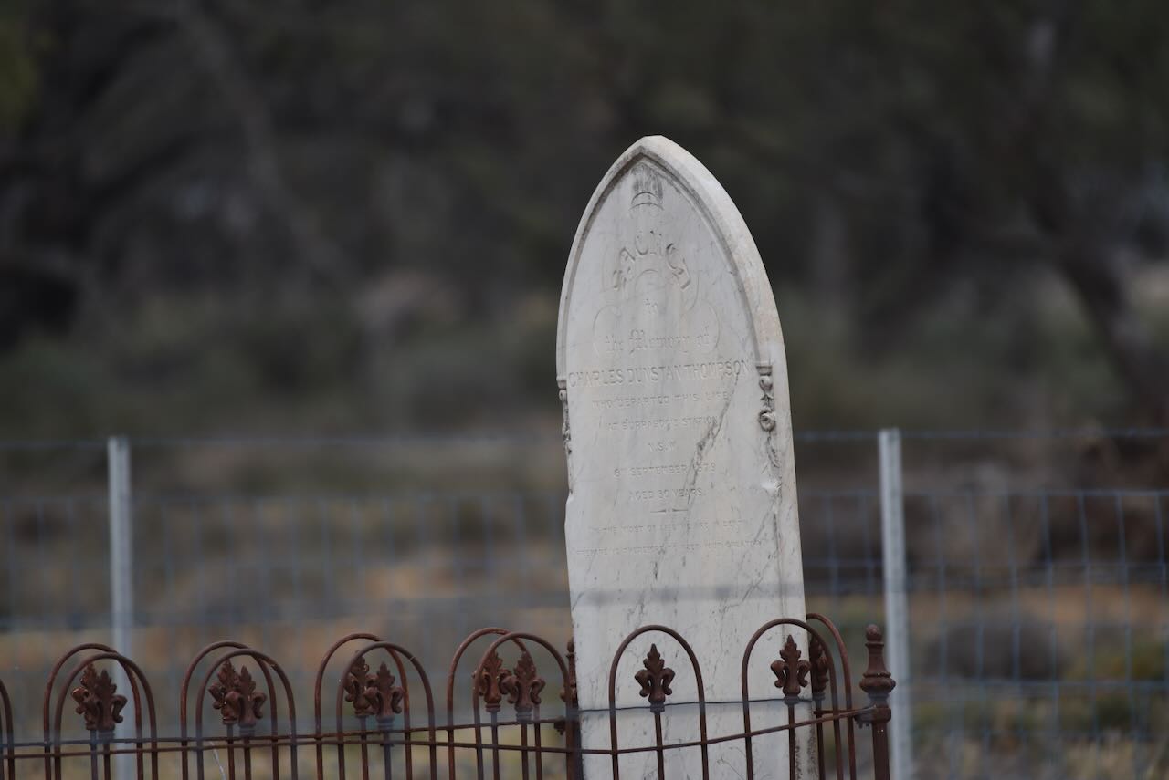
He was born in c. 1849. Charles was a storekeeper at Burrabogie Station. Charles died on the 8th day of September 1879 at Hay Hospital, aged 32 years. His cause of death was typhoid fever. (Newspapers.com 2019)
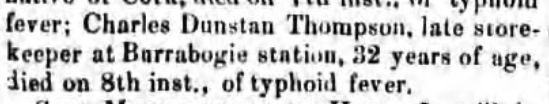
Above: article from The Riverina Grazier, Wed Sep 10, 1879. Image c/o newspapers.com
Burrabogie is derived from the Aboriginal words Burra, meaning quick and bogie, meaning swim. In 1875, Burrabogie was 500 square miles in size and had 140,000 sheep. The Burabogie homestead was recorded as one of the finest in the Riverina district. (Trove 2025)

Above: Burrabogie Station. Image c/o Trove
Burrabogie features in the Australian song ‘Flash Jack from Gundagai.’
Marija and I then travelled to the little town of Carrathool, about 64 km from Hay. I have found various versions of the origin of Carrathool. One source suggests it is derived from an Aboriginal word meaning ‘Native Companion’. Another suggests that it means ‘Brolga.’ (Wikipedia 2025)
The New South Wales Government Gazette in October 1852, recorded that a reserve of 4+1⁄2 square miles (12 km2) had been proclaimed (No. 13 in the Lachlan Pastoral District). It was situated at the location known as Currathool on the north bank of the Murrumbidgee River, “on a cattle run occupied by Mr. Rudd”. (Trove 2025)

Above: NSW Govt Gazette, Mon 25 Oct 1852. Image c/o Trove
Carathool was located on the banks of the Murrumbidgee River and played a key role as one of the early river ports in the paddle steamer trade. By 1882, the railway had arrived. A new village was established 3 km north of the Murrumbidgee River. The new Carathool was proclaimed on March 20, 1885. Several large merino sheep stations were located around Carathool, which were renowned for their premium wool. One of these was Uardry Station. A prized ram from Uardy was featured on Australia’s one-shilling coin. (Carrathool Shire Council, 2025)
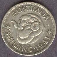
Above: 1941 Australian shilling coin featuring a champion ram from Uardry Stud. Image c/o WIkipedia
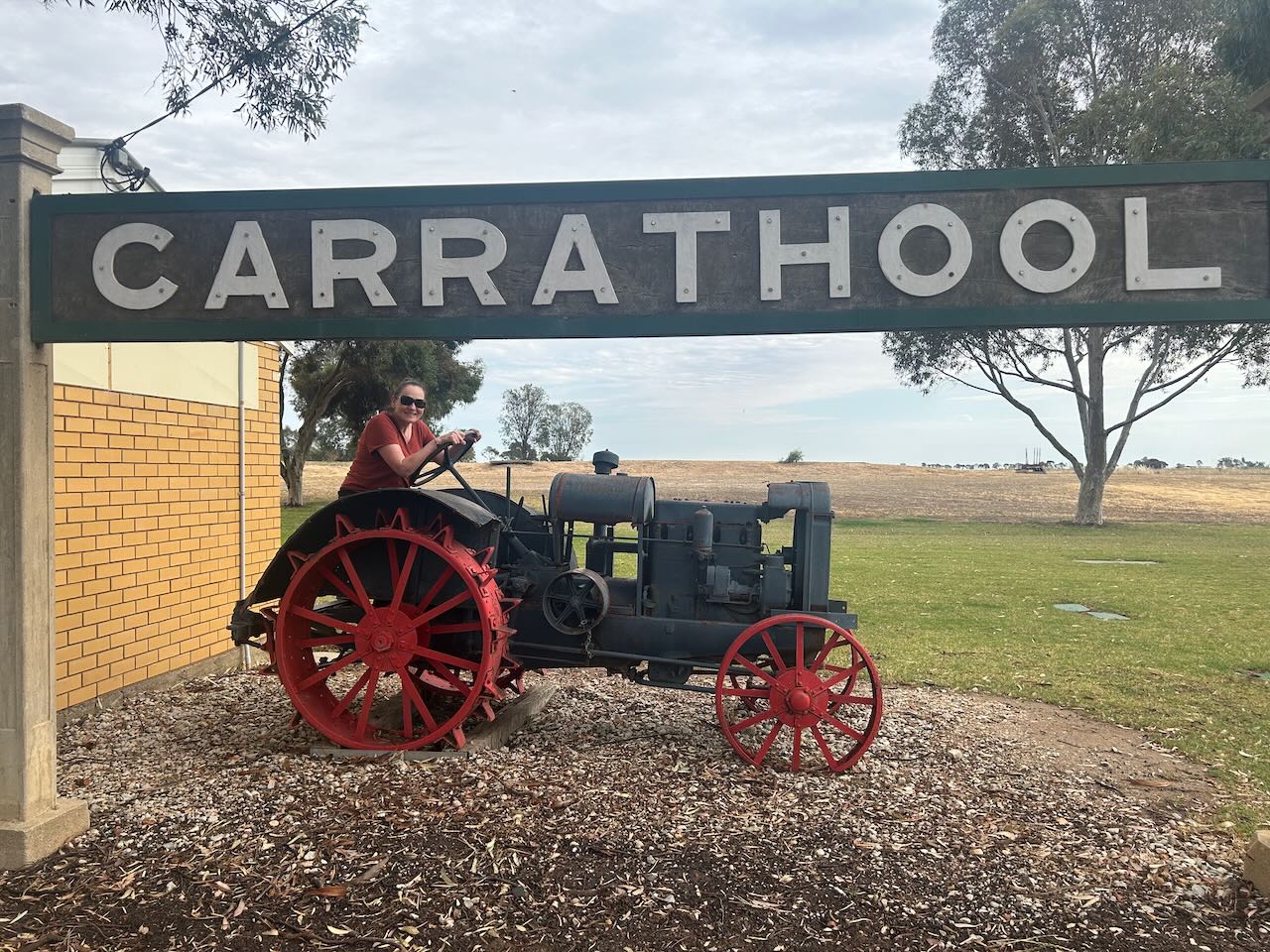
Not much remains today at Carathool.


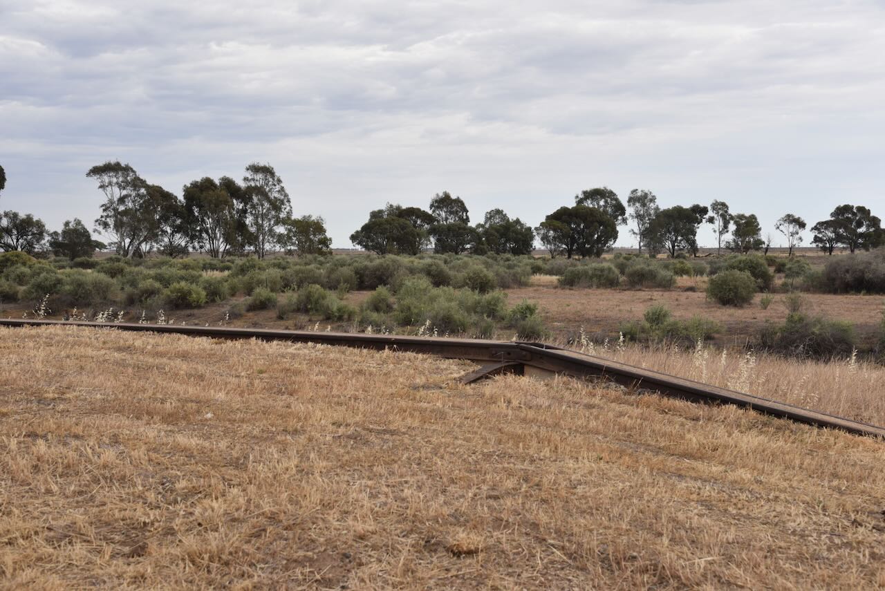
The Junee to Hay railway arrived at Carrathool in 1882. The line from Hay to Wilbriggie was closed in 1985. (Nswrail.net 2025)
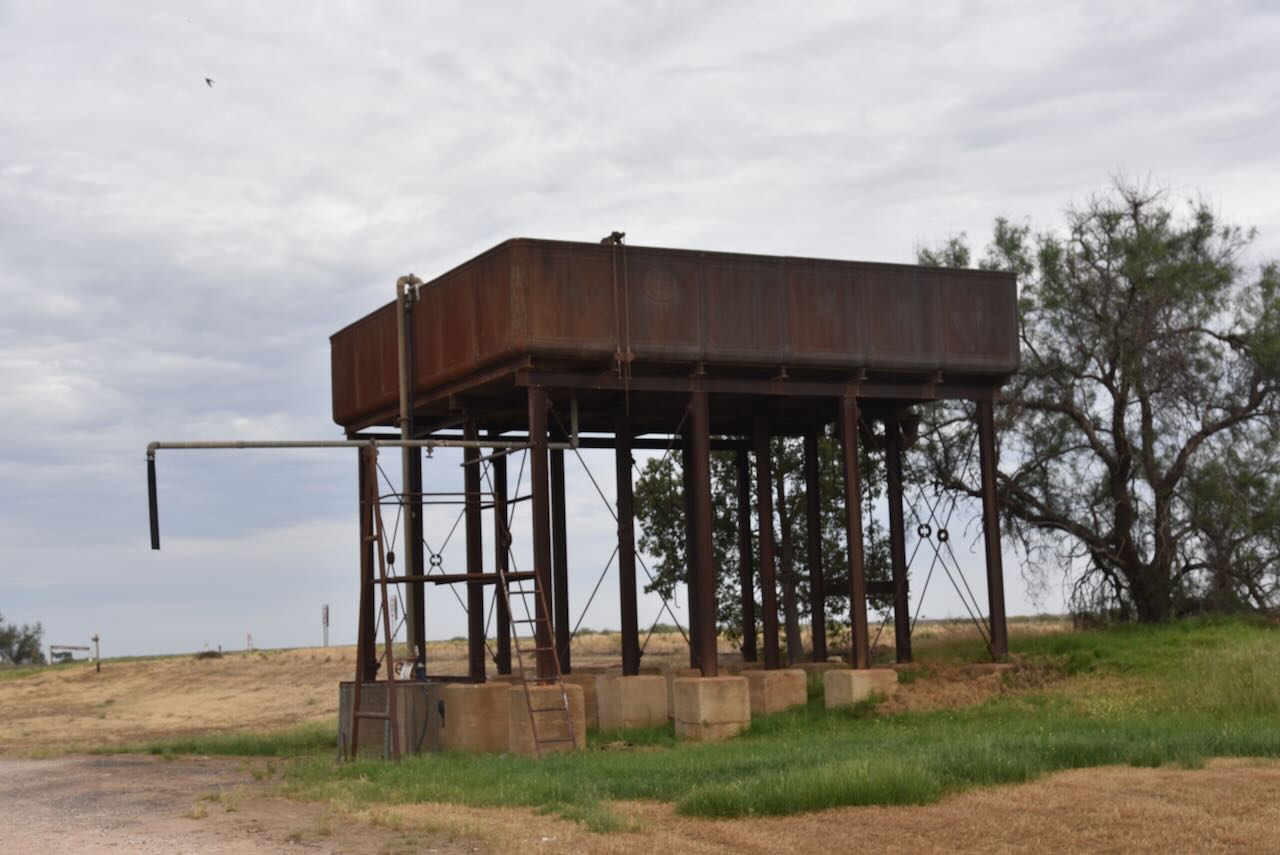


The old Carathool station sign and an old tractor can be located along the public toilet block.
The Carrathool Races are held annually and attract thousands of racegoers. They are organised by the Carathool Jockey Club, which was established in 1883. (Wikipedia 2025)

Above: article from the Wagga Wagga Advertiser, Thu 31 Dec 1891. Image c/o Trove
The Murrumbidgee River is located a short distance south of the township of Carrathool.

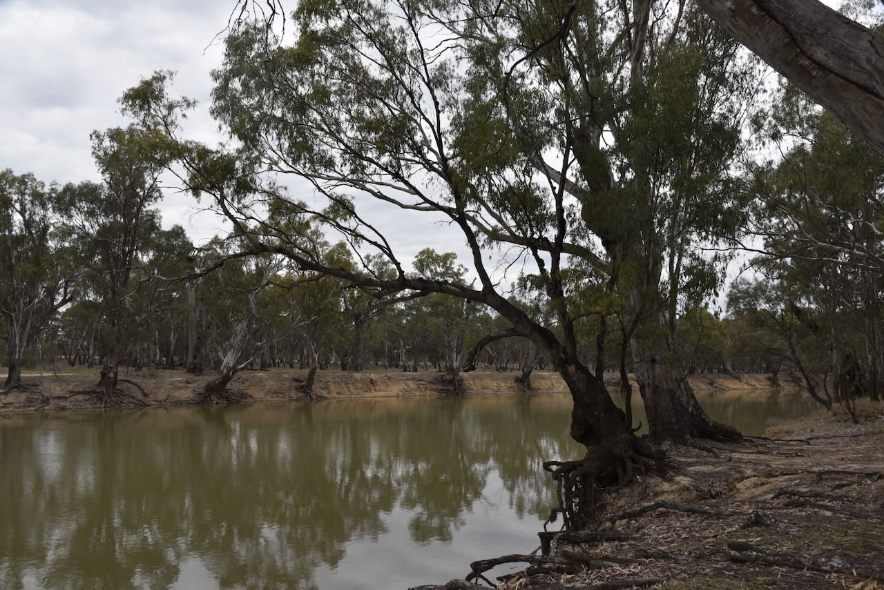
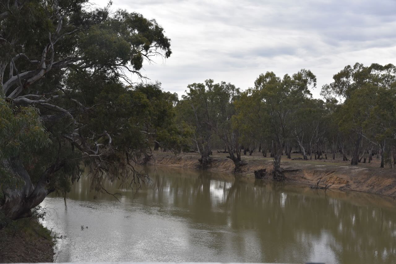
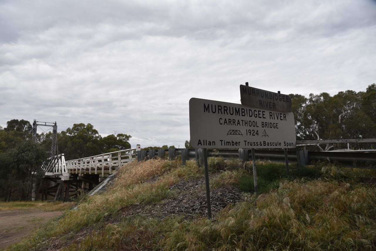
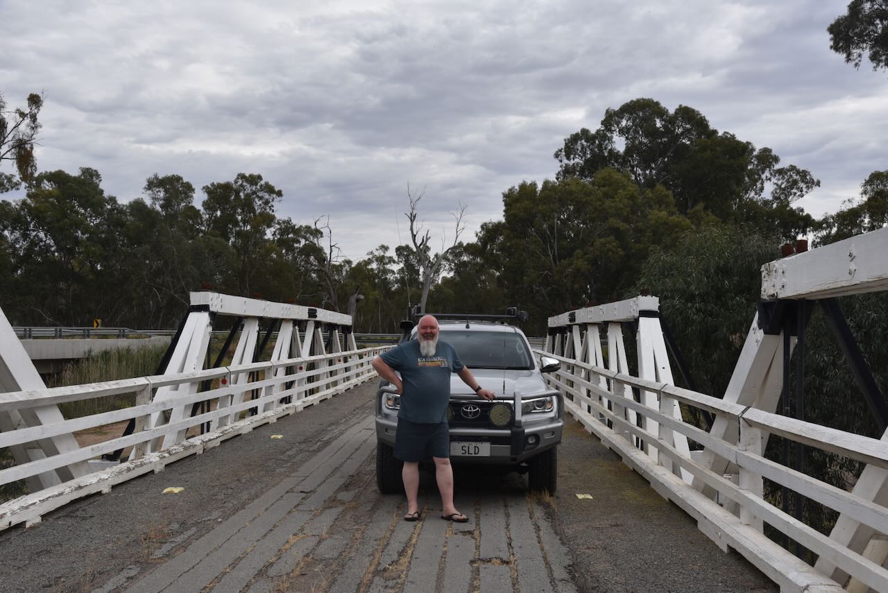
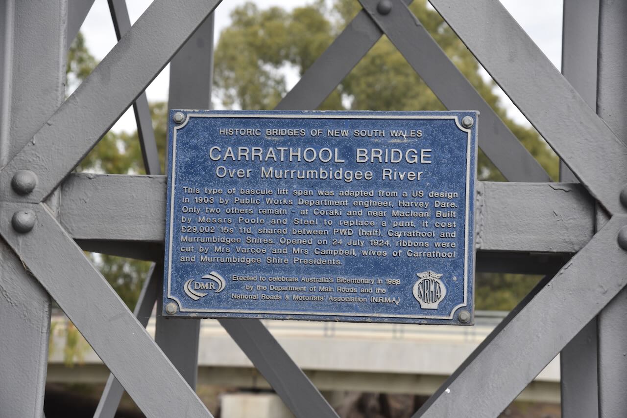
The historic Carrathool bridge, which was built in 1924, is a heritage-listed bascule lift span bridge. It is the last of its type in Australia. The bridge was constructed to replace the punt that operated on the river.

Above: article from The Sydney Morning Herald, Tue 29 Jul 1924. Image c/o Trove
The lift span of the bridge was designed to rise for passing paddle steamers and barges. It was last lifted in 1961. The bridge is also no longer used for vehicular traffic, having been replaced with a new bridge in 2019. (Carrathool Shire Council, 2025)


We then headed back to the corner of the Sturt Highway and Conargo Road to activate the Carathool silos for the Silos On The Air (SiOTA) program.

We operated from 4WD on the side of the Sturt Highway adjacent to the silos. We ran the Icom IC-7000, 100 watts, and the Codan 9350 antenna with the 1.5 metre stainless steel whip.

Above: the activation zone at the Carrathool silos. Image c/o SiOTA website
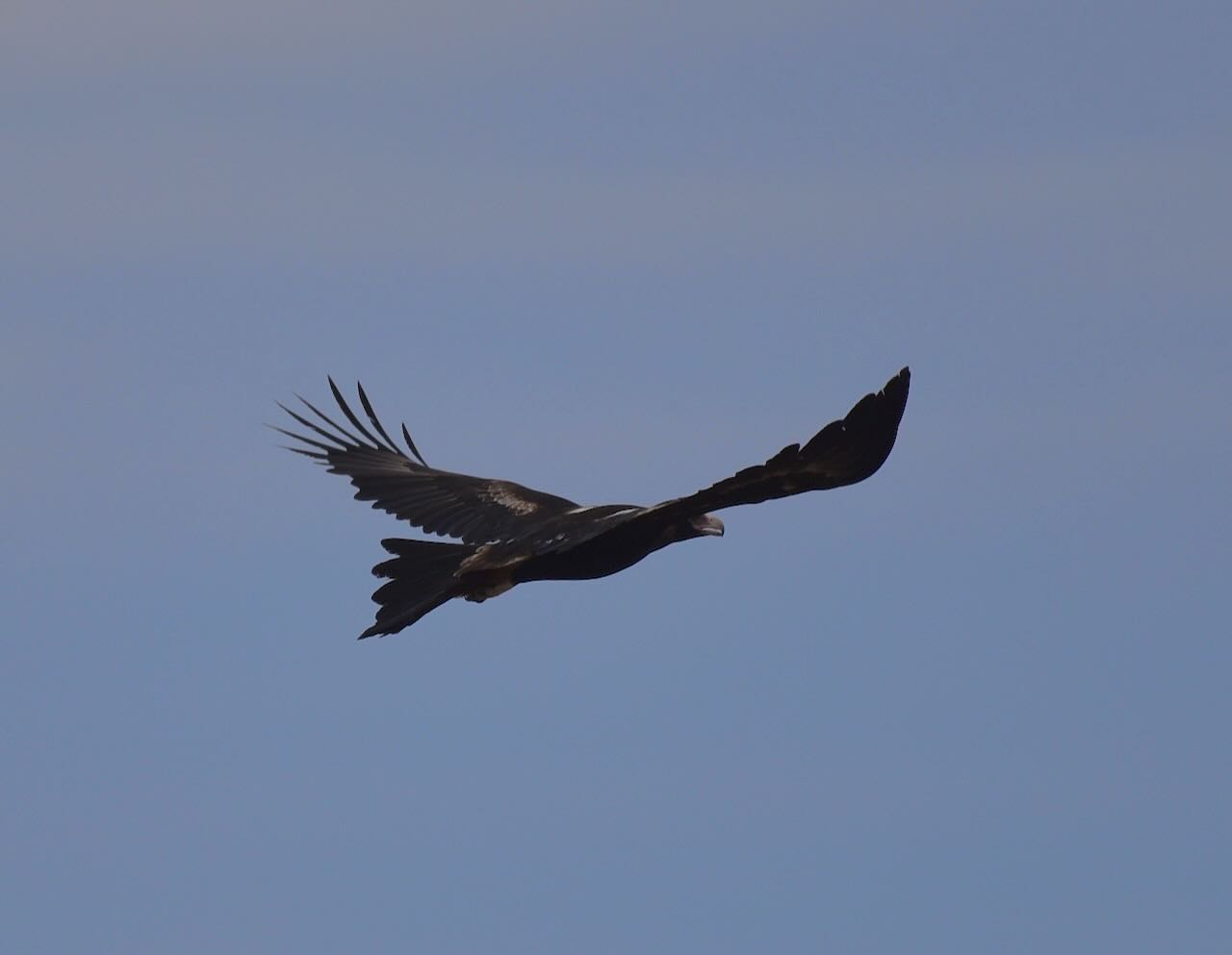
Whilst activating the silo, Marija and I were entertained by watching a pair of Wedge-tailed Eagles, which were being harassed by other birds.

Marija worked the following stations on 40m SSB:-
- VK3PF
- VK2IO
- VK2GEZ
- VK3VIN
- VK2VW
- VK2HFI
- VK2AKA
- VK2BUG
- VK3BWS
- VK3CLD
- VK5QA
- VK2DBF
- VK5FANA
- VK2XWB/p (VKFF-1921)
- VK3DAC
I worked the following stations on 40m SSB:-
- VK3PF
- VK2IO
- VK2GEZ
- VK3VIN
- VK2VW
- VK2HFI
- VK2AKA
- VK2BUG
- VK2XWB/p (VKFF-1921)
References.
- Carrathool Shire Council. (2025). Carrathool – Carrathool Shire Council. [online] Available at: https://carrathool.nsw.gov.au/visit/carrathool/ [Accessed 20 Dec. 2025].
- Trove. (2025). Burrabogie Station—Murrumbidgee River, N.S. W. – Australian Town and Country Journal (Sydney, NSW : 1870 – 1919) – 17 Apr 1875. [online] Available at: https://trove.nla.gov.au/newspaper/article/70490256 [Accessed 20 Dec. 2025].
- Trove. (2025). CROWN LANDS, WITHIN THE SETTLED DISTRICTS. – (RESERVES FROM LEASE.) – New South Wales Government Gazette (Sydney, NSW : 1832 – 1900) – 25 Oct 1852. [online] Available at: https://trove.nla.gov.au/newspaper/article/230053042/15678561 [Accessed 20 Dec. 2025].
- Wikipedia Contributors (2025). Carrathool. Wikipedia.
- Wikipedia Contributors (2025). Sturt Highway. Wikipedia.
