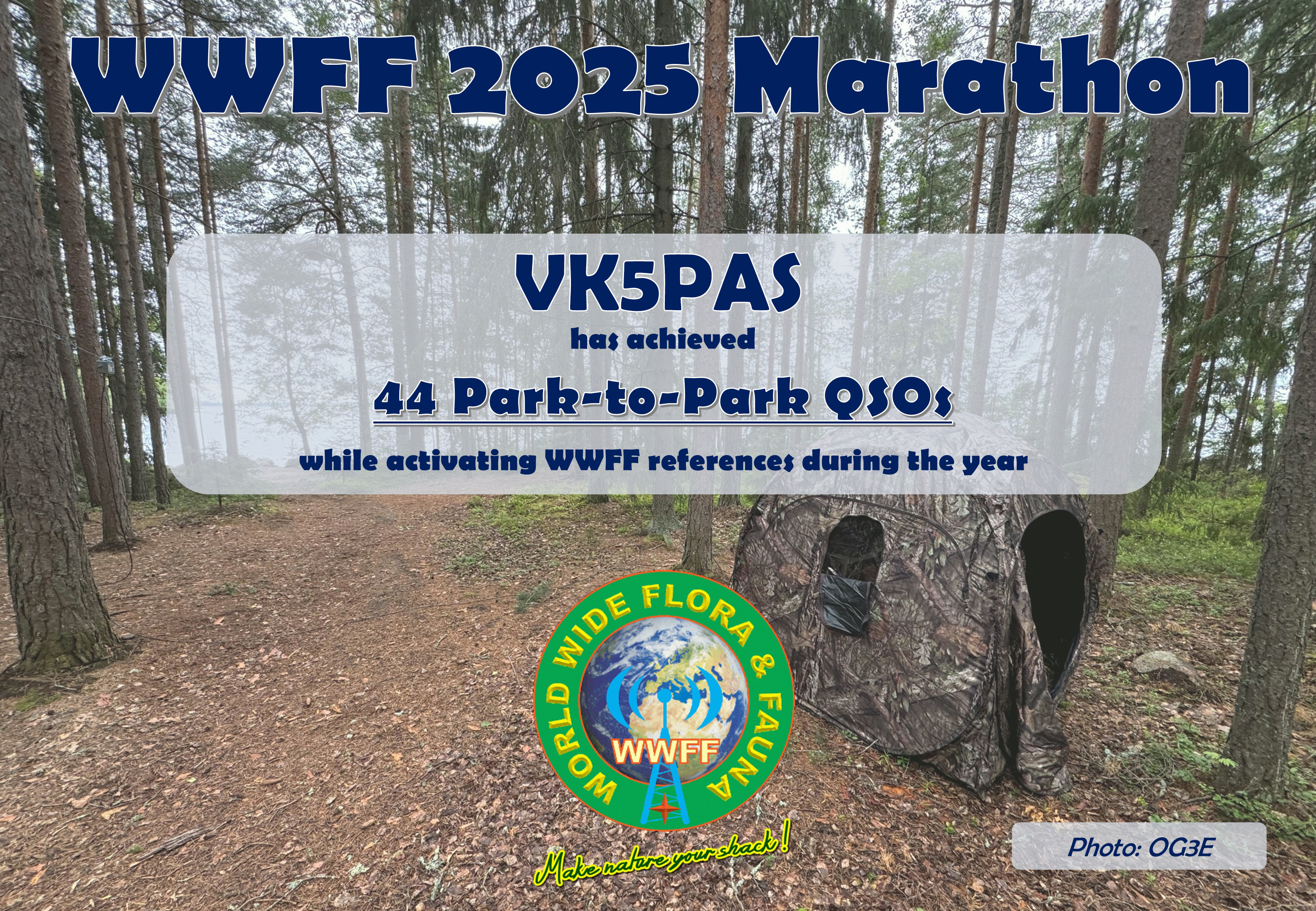
Below are my certificates for the WWFF 2025 Marathon.
The results were finalised in late January 2026, and unfortunately, I had not uploaded all of my activator logs by that time.


Below are my certificates for the WWFF 2025 Marathon.
The results were finalised in late January 2026, and unfortunately, I had not uploaded all of my activator logs by that time.
Our next activation for Saturday, 1st November 2025, was Helms Flora Reserve VKFF-3057.

Above: Map showing the location of Helms Flora Reserve. Map c/o Google Maps
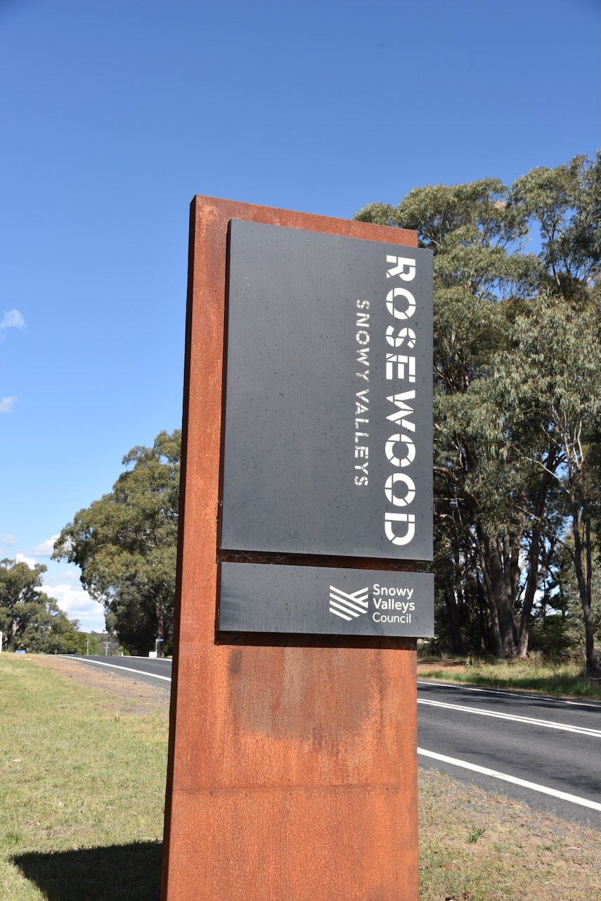
We drove south along Downfall Road and arrived in the small town of Rosewood.
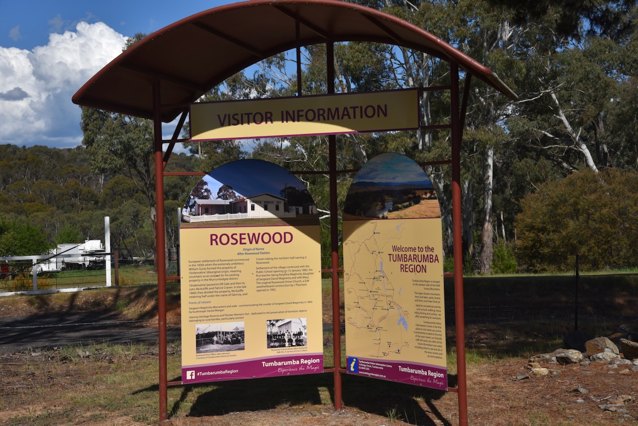

European settlement of the Rosewood area commenced in c. 1836 when William Guise established Ondemaline Run as a heifer run. Ondemaline is an Aboriginal word meaning uncertain. William Guise was born in May 1796 in Sydney. In 1816, he married Catherine Allen. They had 8 children. Guise died in March 1850 at Liverpool, N.S.W. (ancestry 2016) (Andrews 1920)
By 1848, the run had been acquired by David R Gale who renamed it Glen Roy. (Andrews 1920)
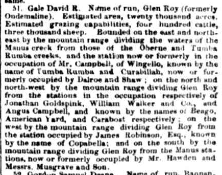
Above: article from The Sydney Morning Herald, Thu 12 Oct 1848. Image c/o Trove
The property was then owned by John McAuliffe and Patrick Craven. In 1866, the 20,000-acre property had 3,000 sheep. In the late 1860s McAuliffe and Craven’s partnership was dissolved. McAuliffe retained one-half of the property while Craven acquired the northern half, naming it Rosewood. (Andrews 1920)
John McAuliffe was born c. 1795 in County Cork, Ireland. In 1824, he was convicted of rebellion and was transported for life to Australia aboard the Ann and Amelia, arriving on the 2nd day of January 1825. In 1839 he married Mary Hough. They had 11 children. John died in November 1884, aged 89 years. (convictrecords.com.au 2026)
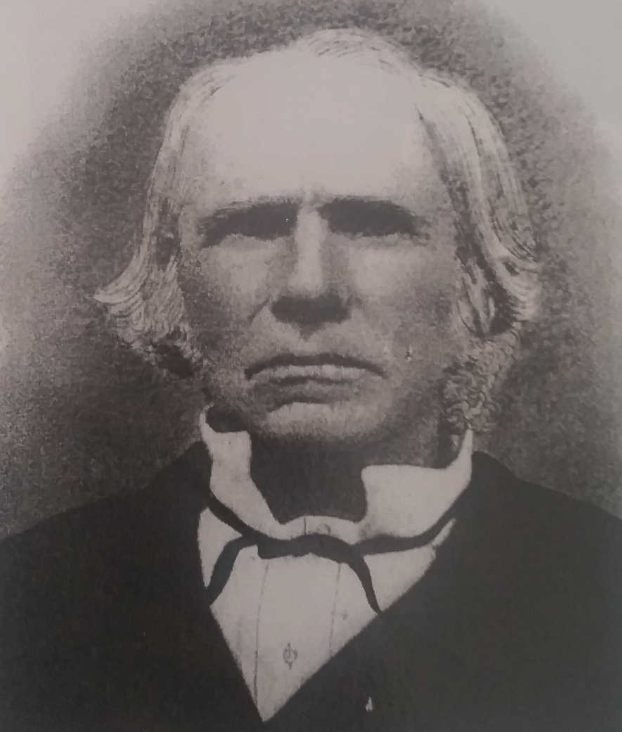
Above: John McAuliffe. Image c/o ancestry.com.au
Eventually, the property became known as Wolseley Park. (Andrews 1920)
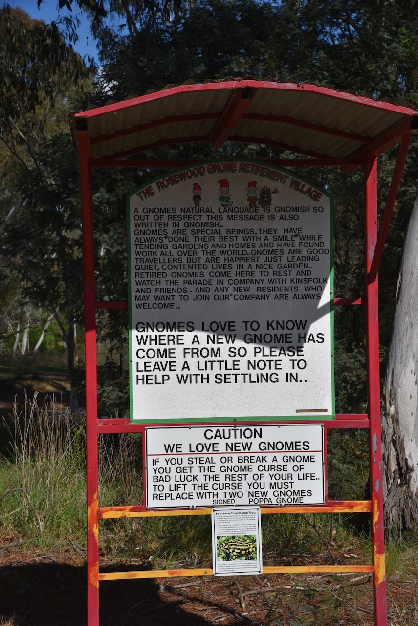
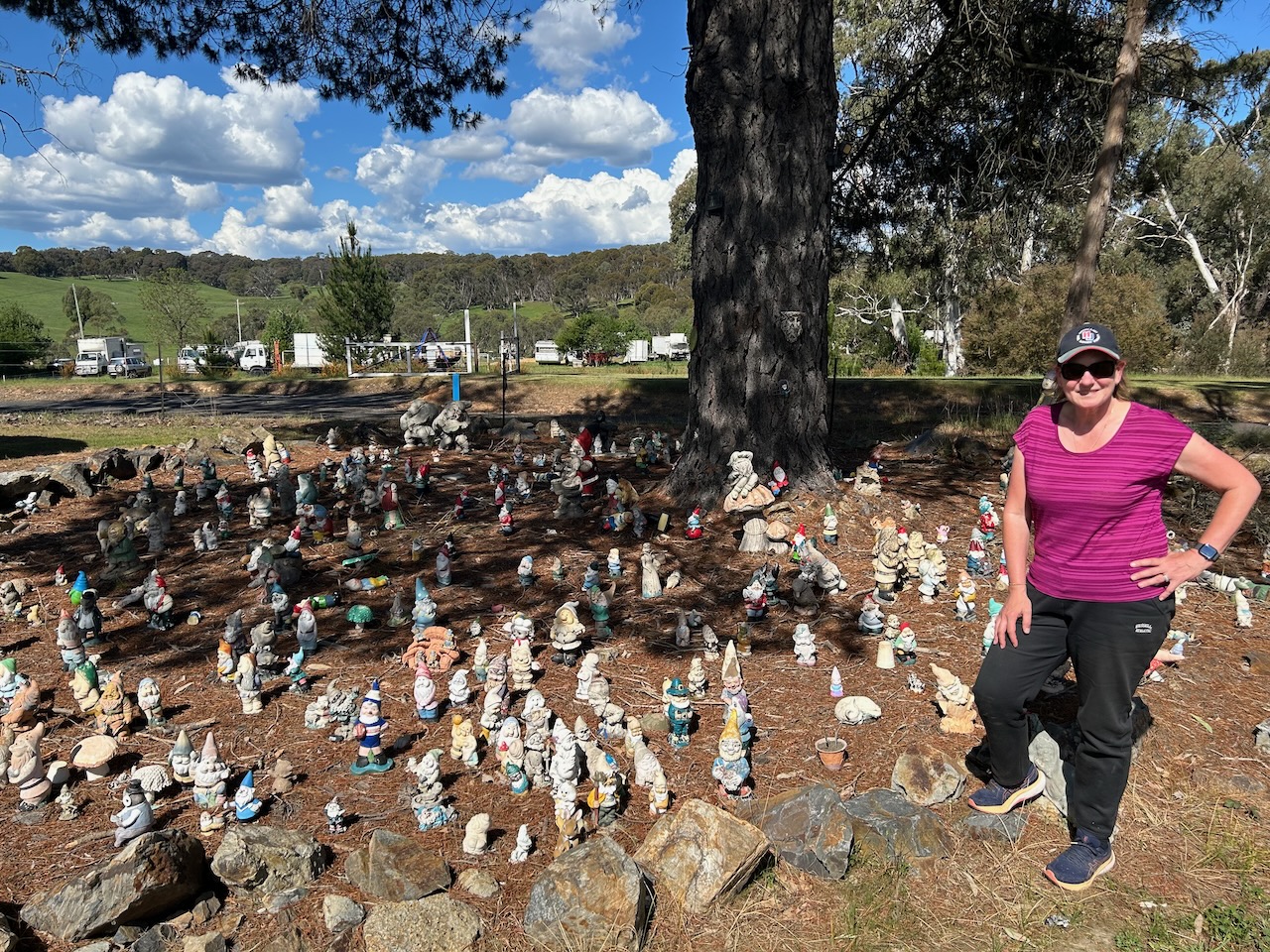
A very unique place in Rosewood is the Rosewood Gnome Retirement Village, featuring a large collection of garden gnomes. Apparently, new gnomes are welcome.

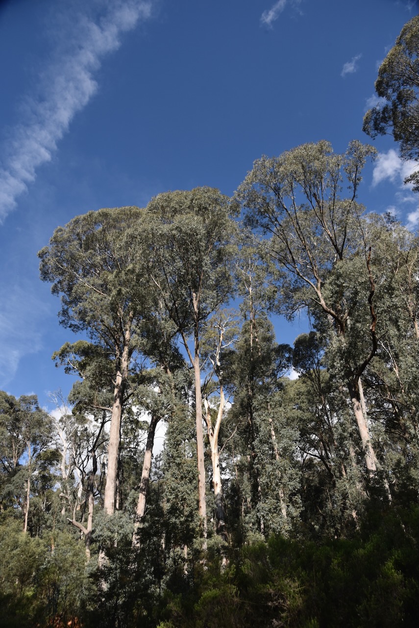
Marija and I continued on towards the park, travelling through beautiful countryside. We then reached the park which is located between Kunama and Laurel Hill on the western side of Batlow Road.
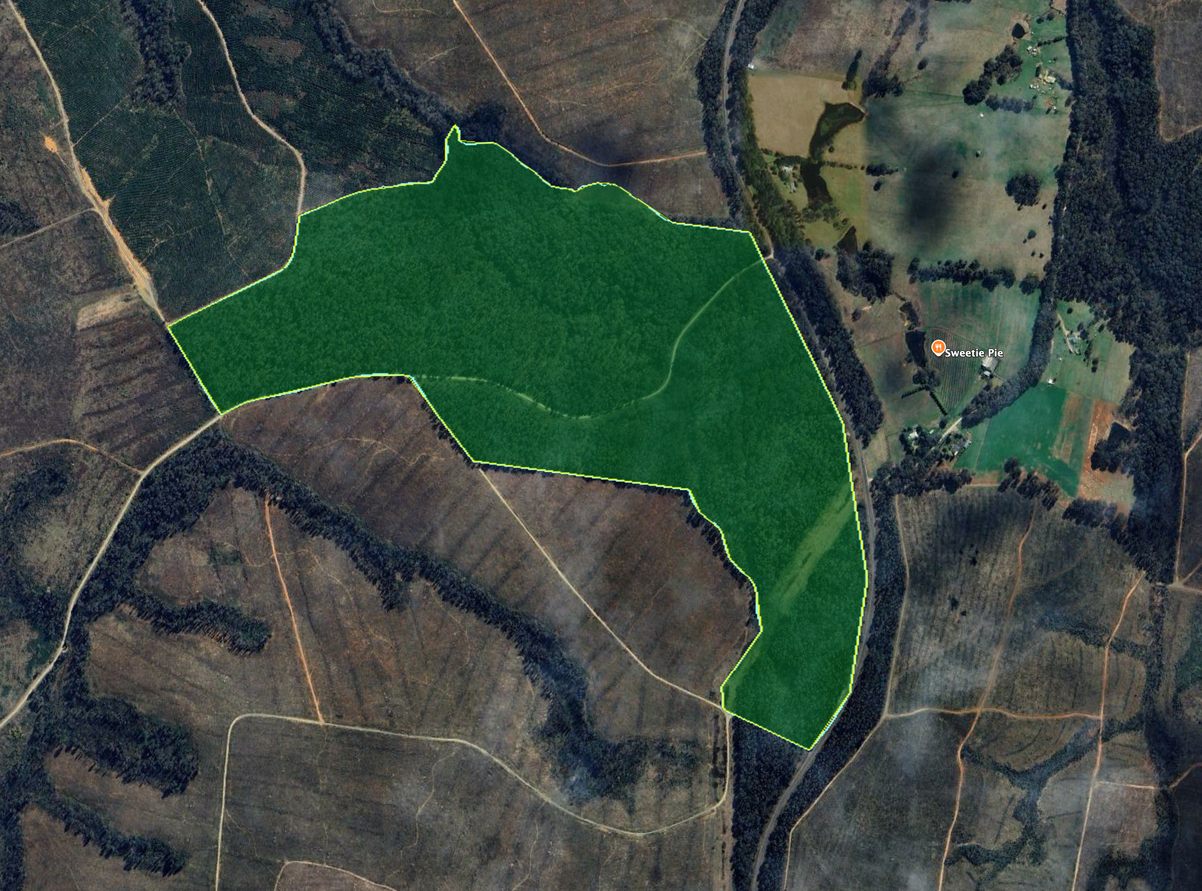
Above: the boundaries of Helms Flora Reserve. Image c/o Google Earth
The reserve is 110 hectares in size and was established on the 12th day of May 1989. (Dcceew.gov.au 2025)
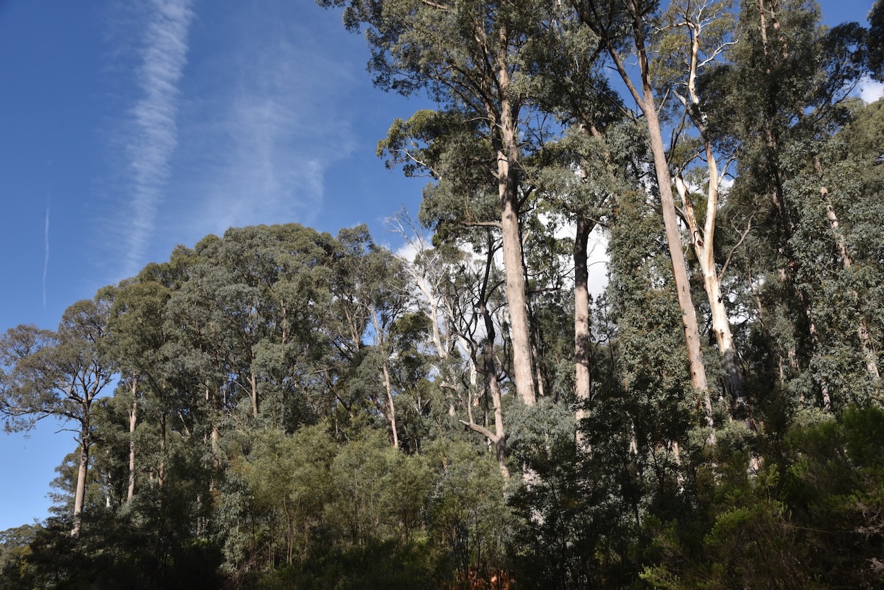


To access the park, we drove along Nursery Access Road. We ran the Yaesu FT857, 40 watts, and the 20/40/80m linked dipole. Unfortunately, we had strength 8 static crashes on the 40m band.
Marija worked the following stations on 40m SSB:-
I worked the following stations on 40m SSB:-
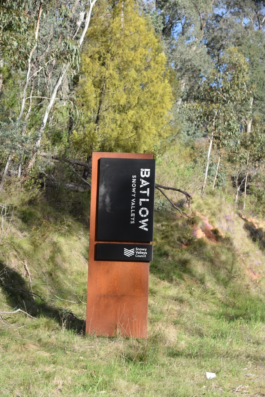
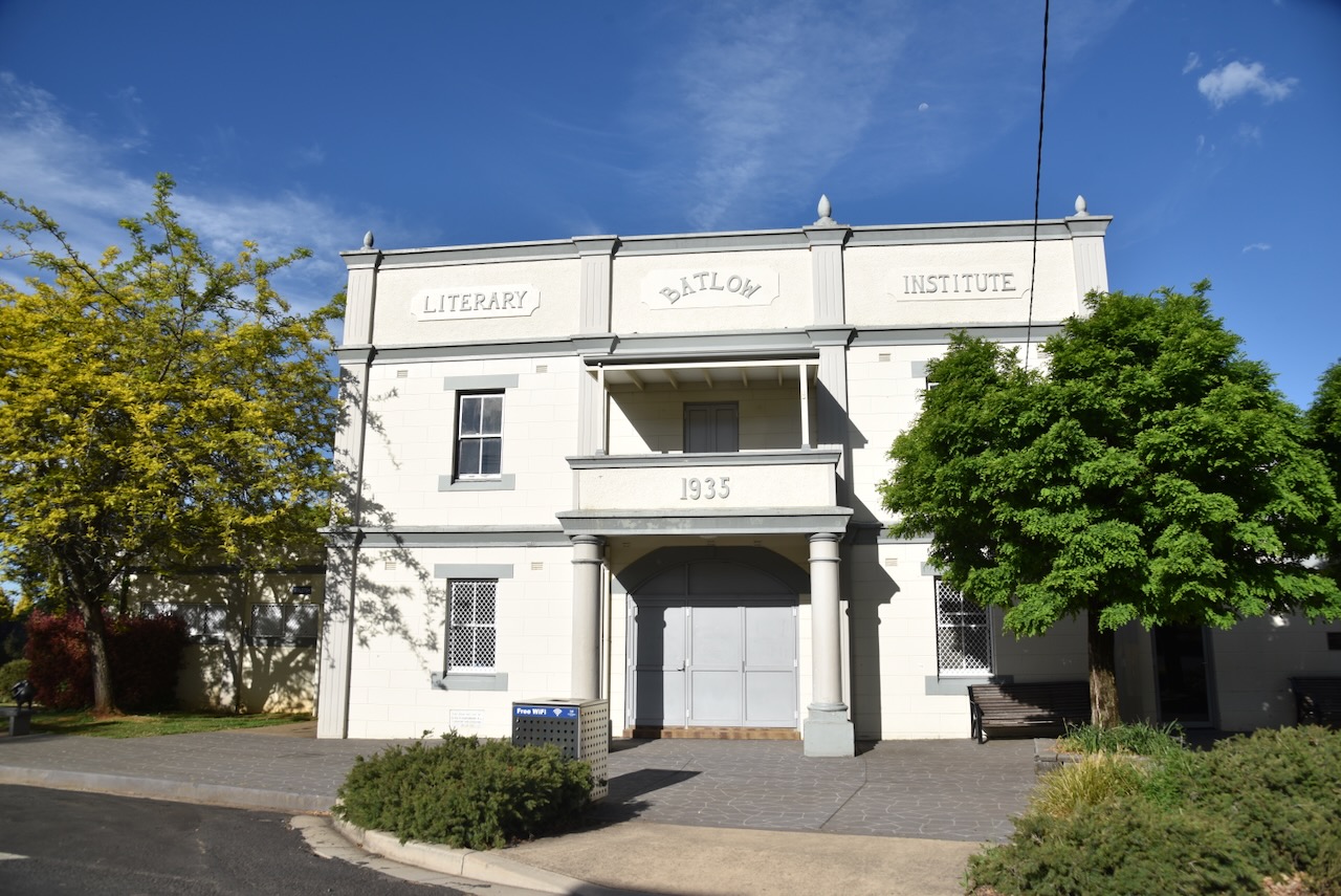
After a successful activation, Marija and I headed to the town of Batlow. Unfortunately, we did not have enough time to fully explore this beautiful little town.
In c. 1853, gold was discovered in the area, and a small settlement called Reedy Creek was established. The Reedy Creek Post Office opened on the 1st day of August 1873. The name was changed to Batlow in 1889 as a result of locals writing to the Postmaster General requesting a name change. This was due to their mail being sent by mistake to other localities with similar names, such as Reedy Flat. The name originates from the surveyor who laid out the town. (Wikipedia 2025)
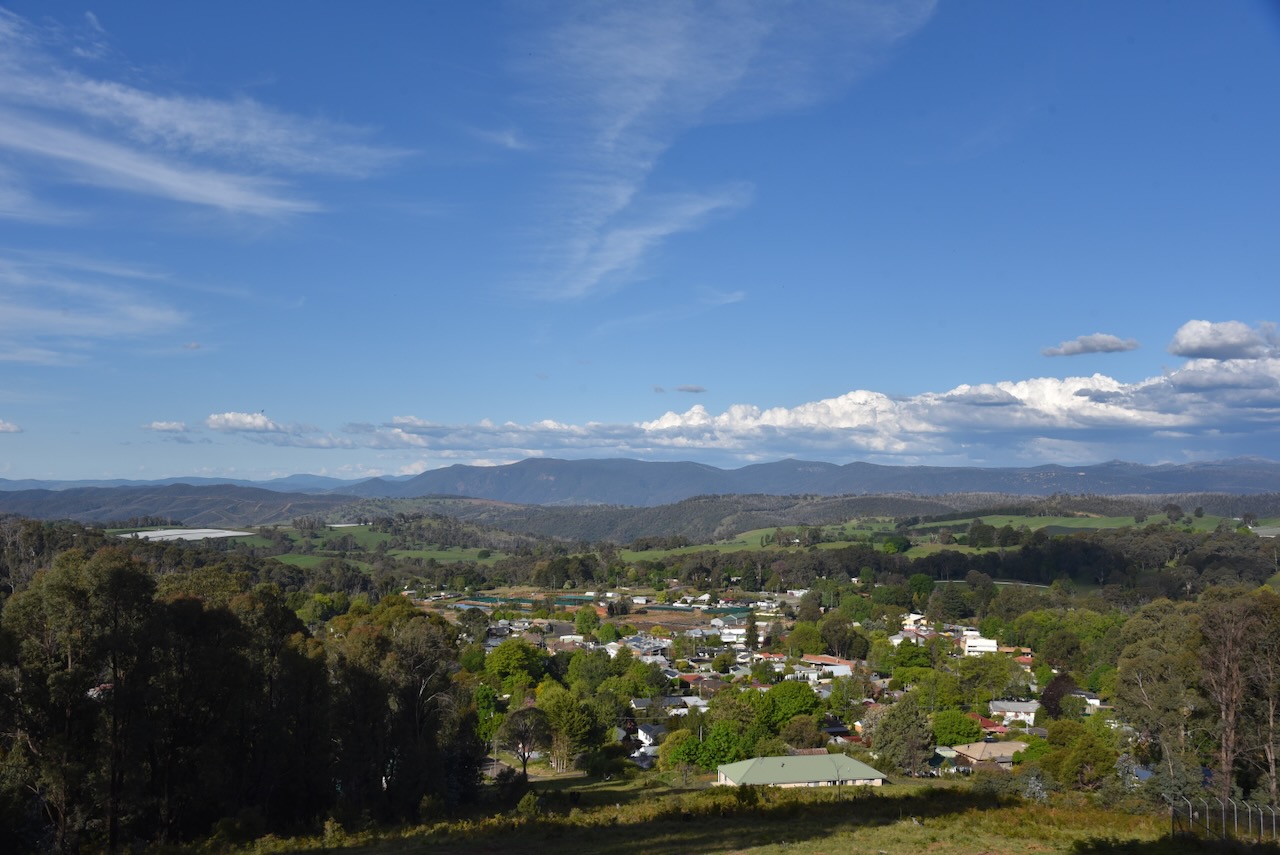
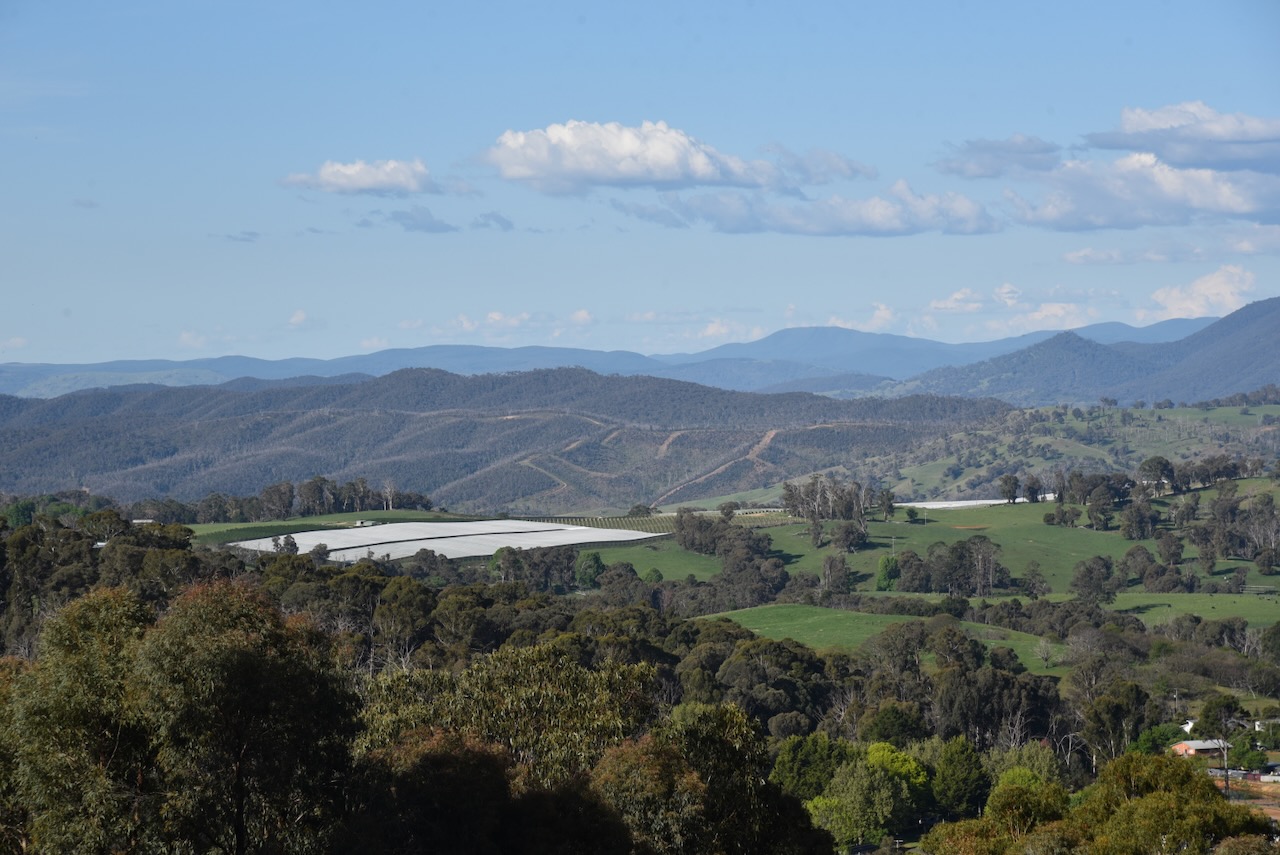
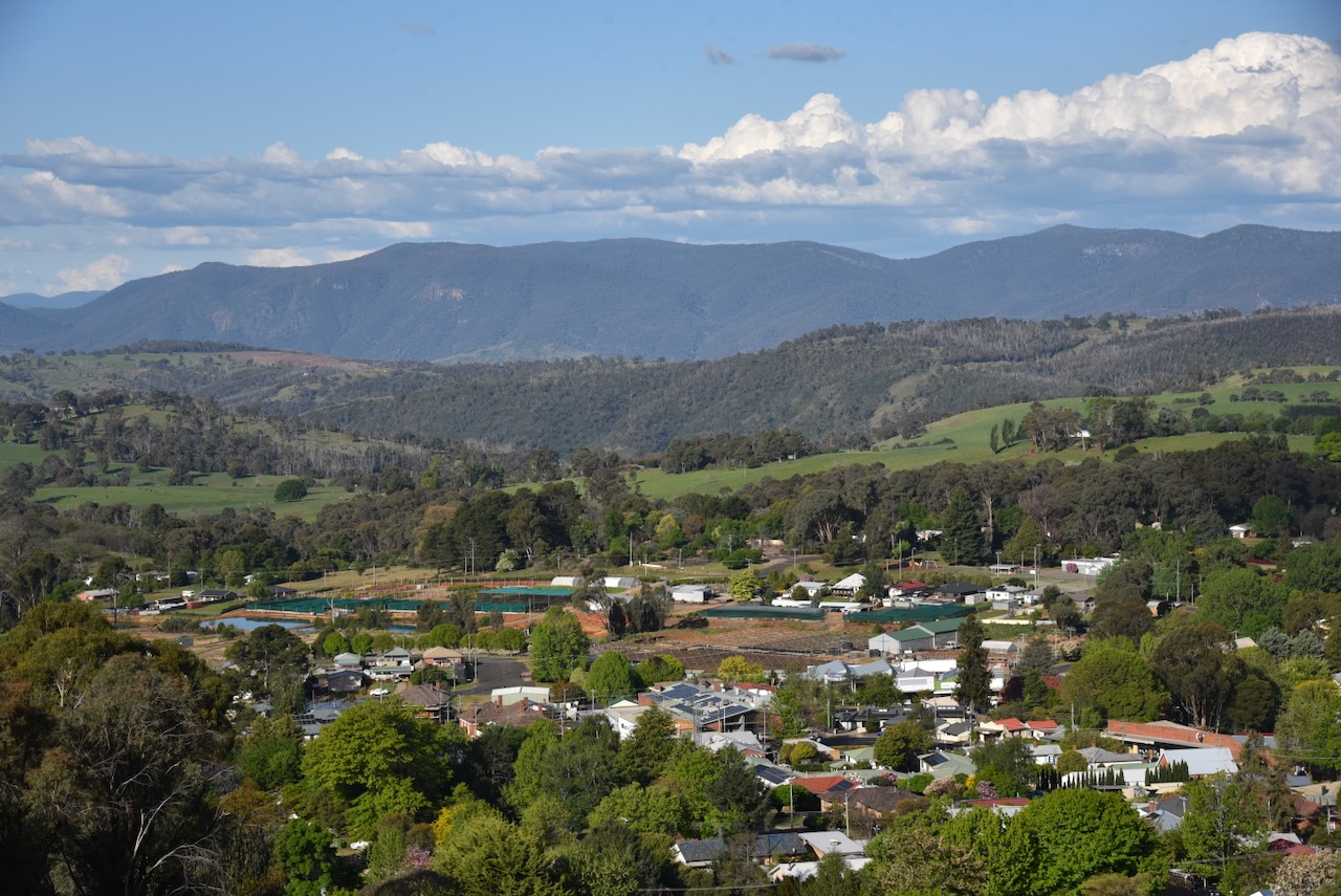
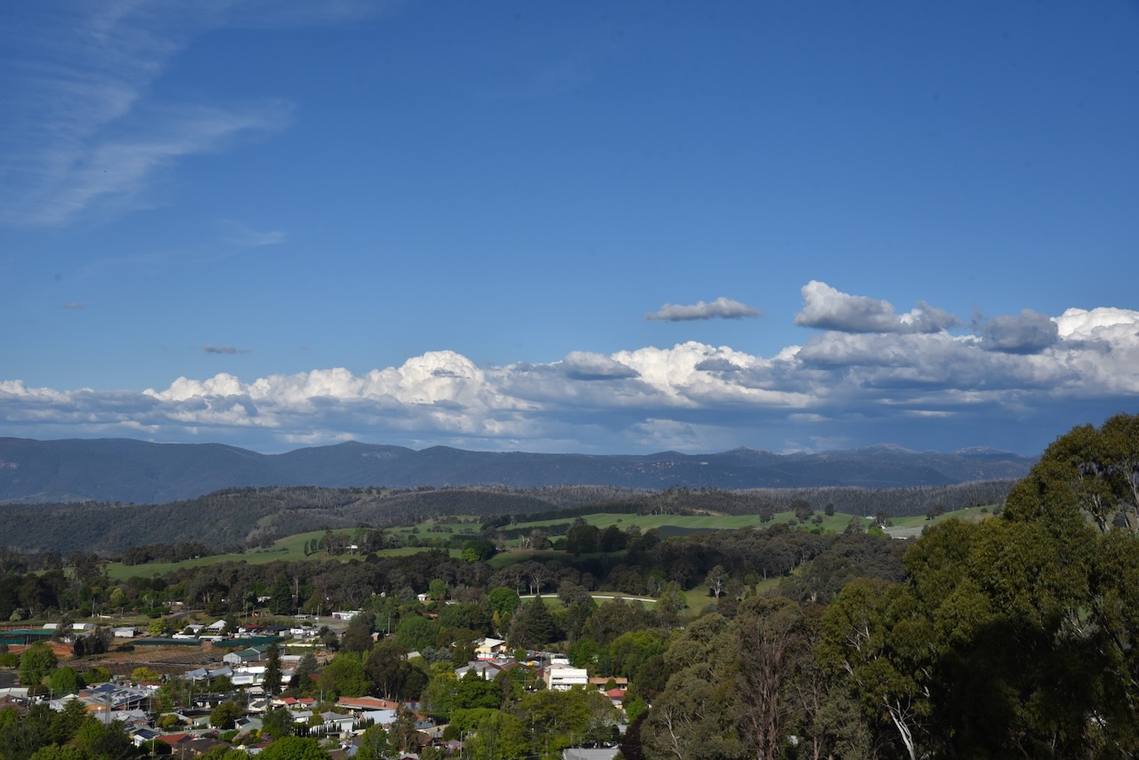
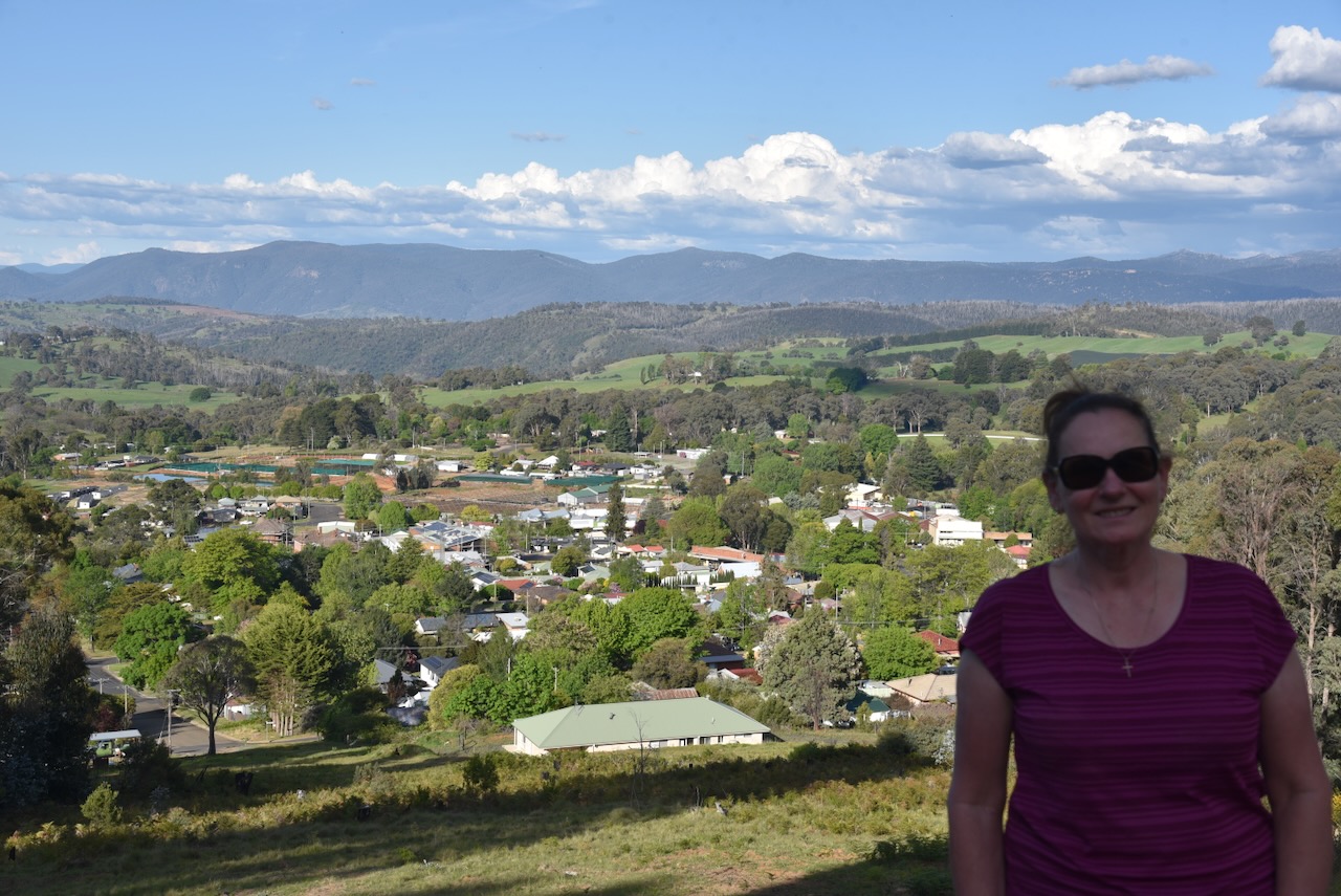
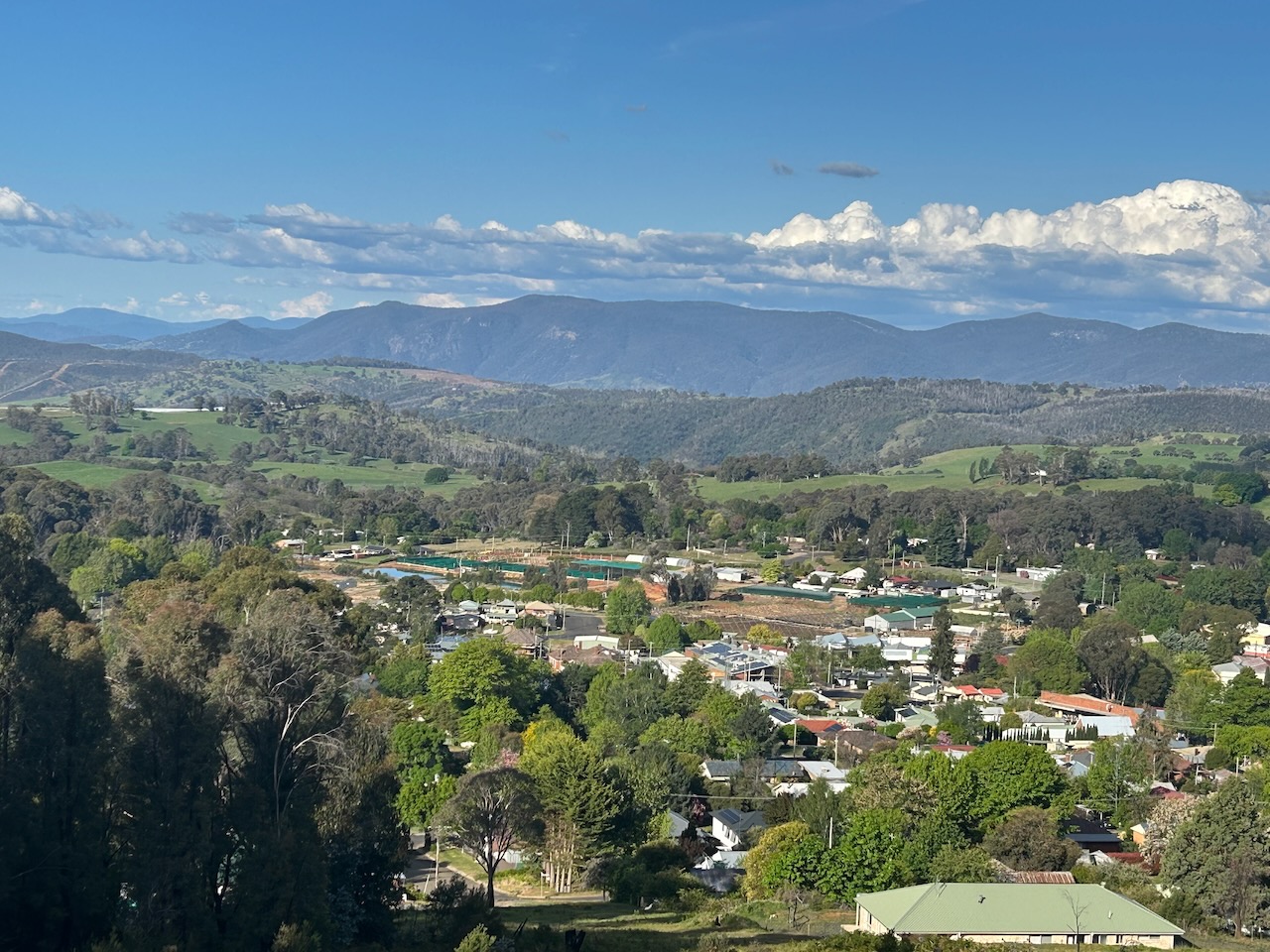
Marija and I drove up to Weemala Lookout, overlooking Batlow. What a brilliant view there is to be enjoyed from here. Weemala is an Aboriginal word meaning ‘big view’ or ‘distant view’.


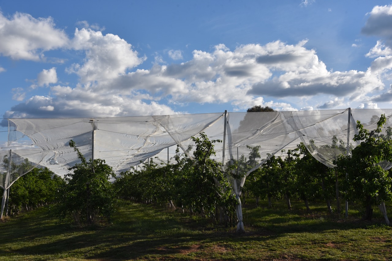
Batlow is well known for its apple production. There are about 50 apple growers in the Batlow district who supply 1.6 million cases of apples to the Australian market. This equates to 10% of Australia’s apple crop. (Wikipedia 2025)

The Batlow district also produces cherries and other stone fruit.
When gold mining in the district commenced to wind down, the miners turned their attention to farming. Supplies from Sydney took a long time to arrive in Batlow, and as a result, the settlers grew most of their own produce. From as early as the start of the 1900s, fruit from Batlow was known as far away as Gundagai and Cootamundra for its high quality. (Trove 2026)
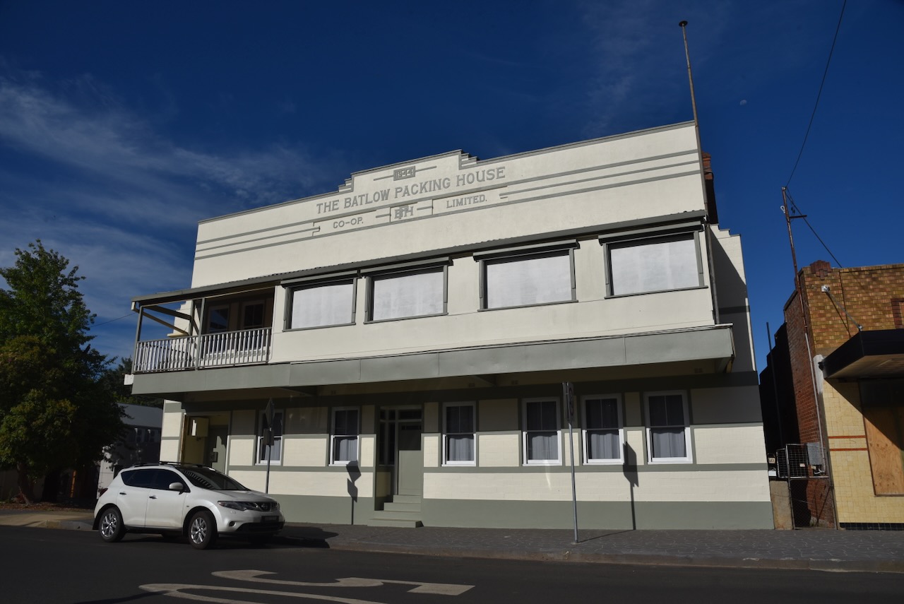
In 1907, there were about 5,000 orchard trees in the Batlow area. Just three years later, in 1910, there were about 18,900 orchard trees. And three years later, in 1913, that had increased to 112,000 orchard trees. In 1923, the Batlow Cool Stores were opened. (Trove 2026)

Above: part of an article from The Tymut Advocate, Tue 10 Apr 1923. Image c/o Trove
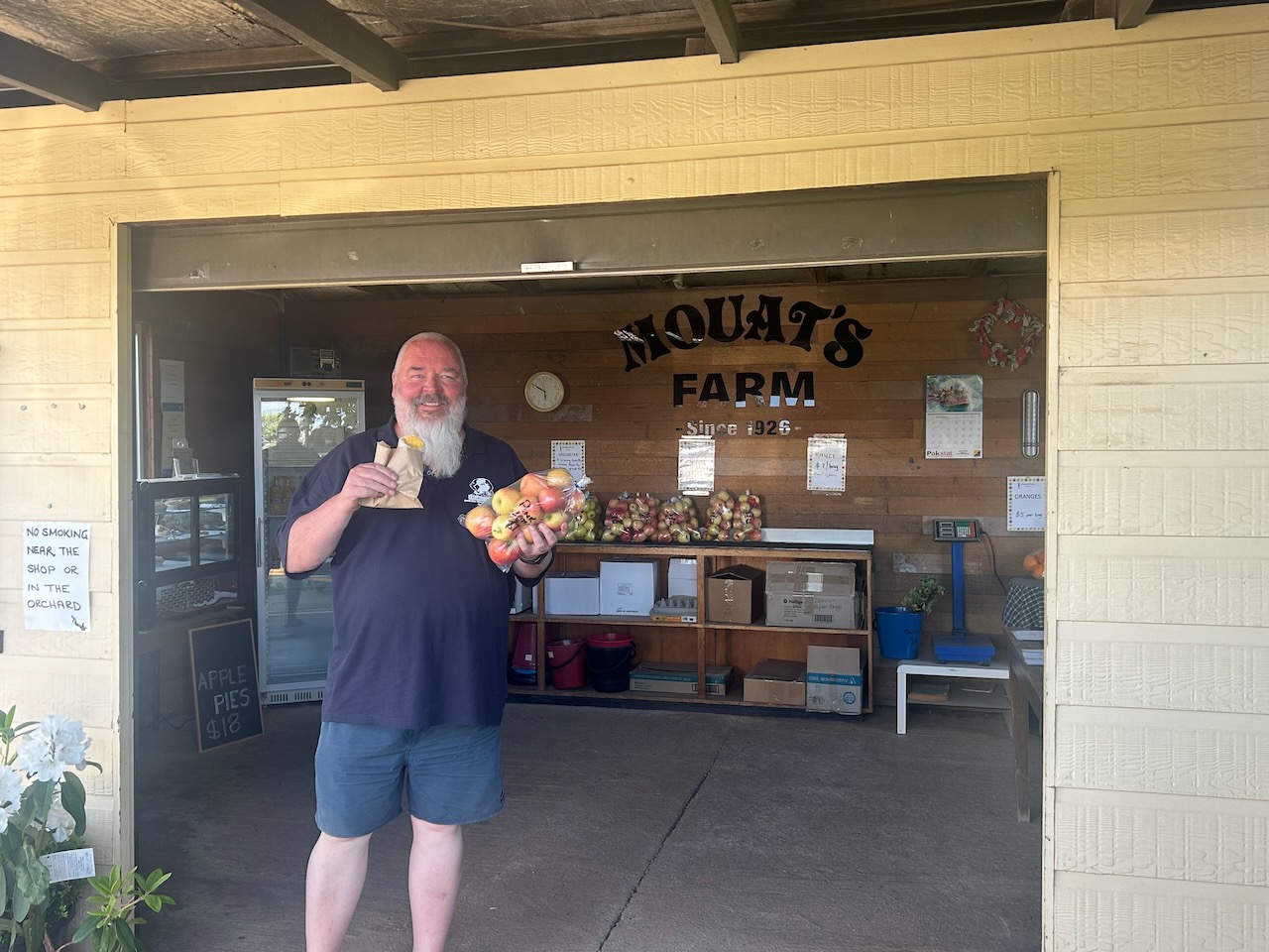
Marija and I stopped at one of the roadside stores and purchased some apples and an apple pie. They were absolutely delicious.
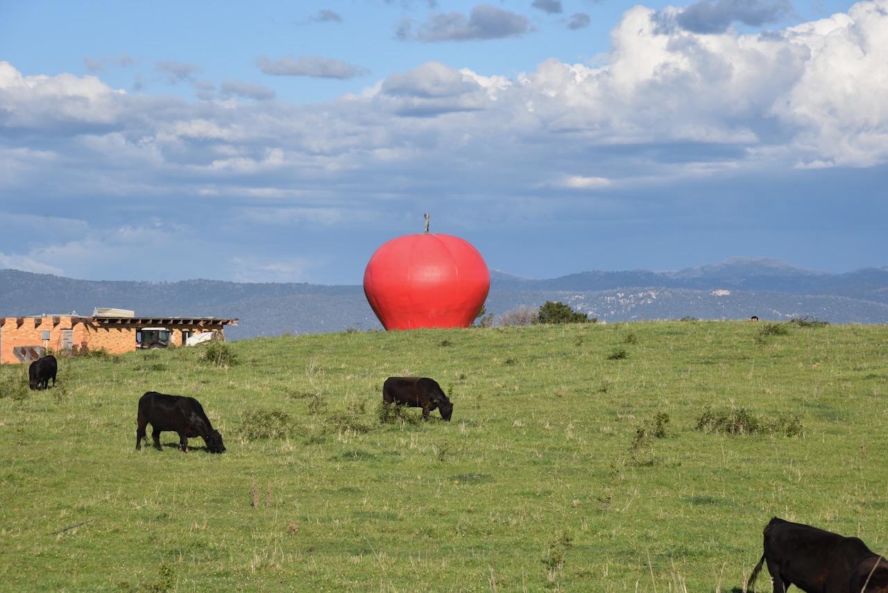
We left Batlow, passing the town’s ‘Big Apple’, which is located about 5 km north of the town. Australia has more than 150 ‘Big Things’. This includes the Big Banana in Coffs Harbour, the Big Merino in Goulburn, and the Big Galah in Kimba. And of course, the Big Apple in Batlow.

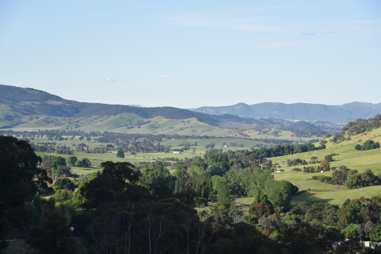
We continued north on Batlow Road towards Tumut, admiring the absolutely spectacular countryside on the way.
References.
Amateur Radio, Short Wave Listening, travel and history
Amateur radio experiences with VK1DA
Brisbane - Australia
german amateur radio station
Summits On The Air
SOTA on the peaks, wilderness QRP and some bushwalking
A fine WordPress.com site
Amateur Radio Adventures
Summits on the Ai
Amateur radio station from Belgium
Radio craft, homebrew, QRP/SOTA, AM
Ego loqui ad viros super montes
My adventures with Amateur Radio and Geocaching!
The rantings of VK2GAZ on his SOTA experiences in Australia
A survivor, with minor cuts and abrasions.
The Art and Craft of Blogging
The latest news on WordPress.com and the WordPress community.
Blog of Justin Giles-Clark VK7TW's SOTA and amateur radio adventures.
Occasional SOTA & Microwave operation
