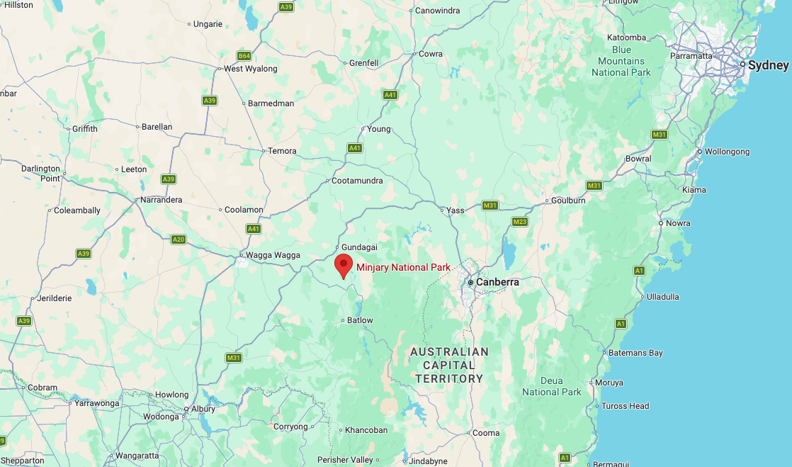
Our first activation for Sunday, 2nd November 2026, was the Minjary National Park VKFF-0319. The park is located about 30 km south of Gundagai in New South Wales.
Above: Map showing the location of Minjary National Park. Map c/o Google Maps
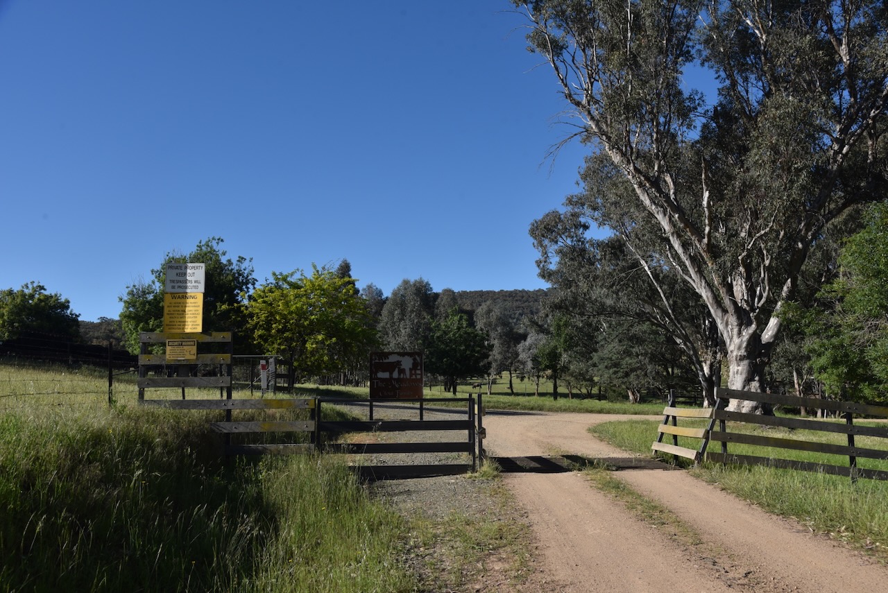
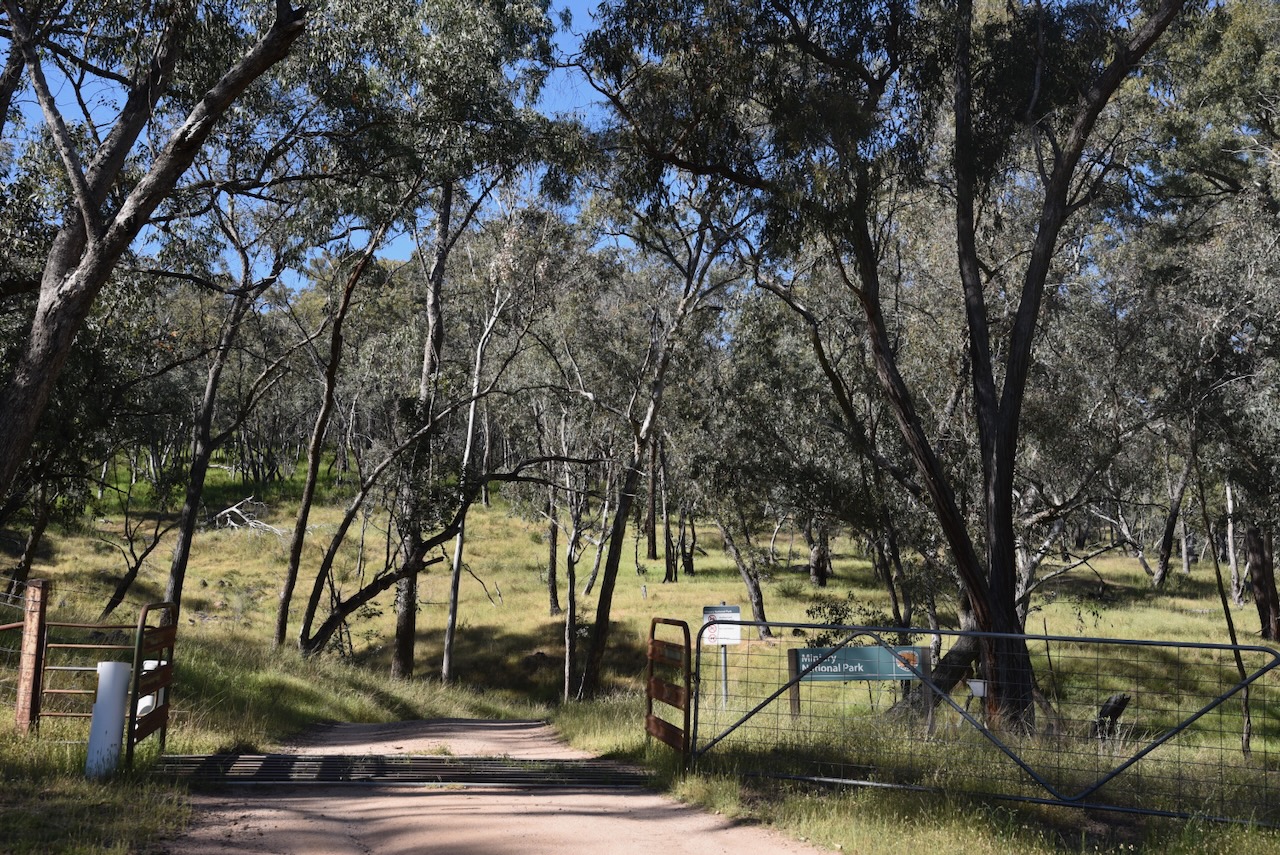
The park is not signposted from any major road, and the park is not widely promoted. We attempted to reach the park via Meadow Creek Road, which runs off Gocup Road, but we struck a ‘Private Property Keep Out’ sign, and we decided not to venture any further.
We got very close and could see the park, but we respected the sign and turned back.
We received some advice from a local that if we headed back along Gocup Road to McGrath Trail, we could access the park via that road.
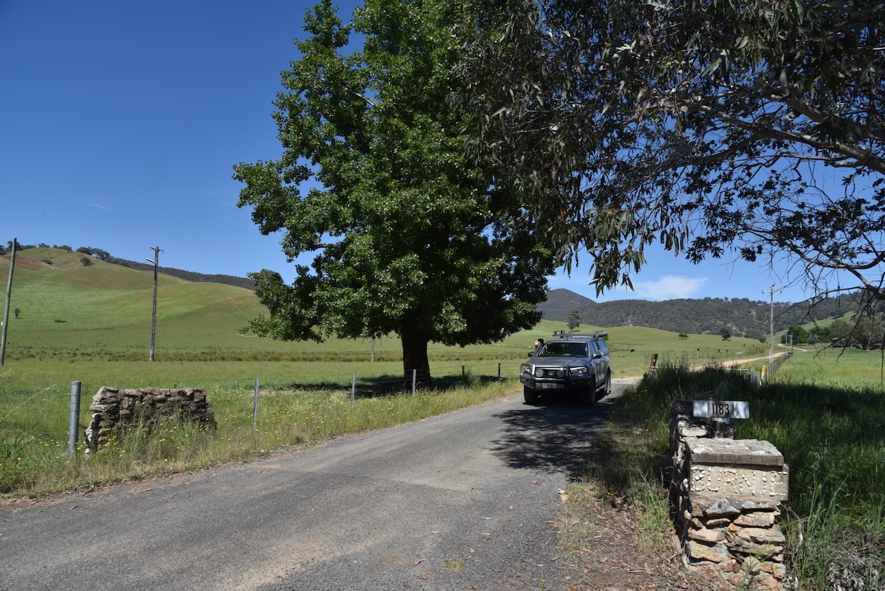
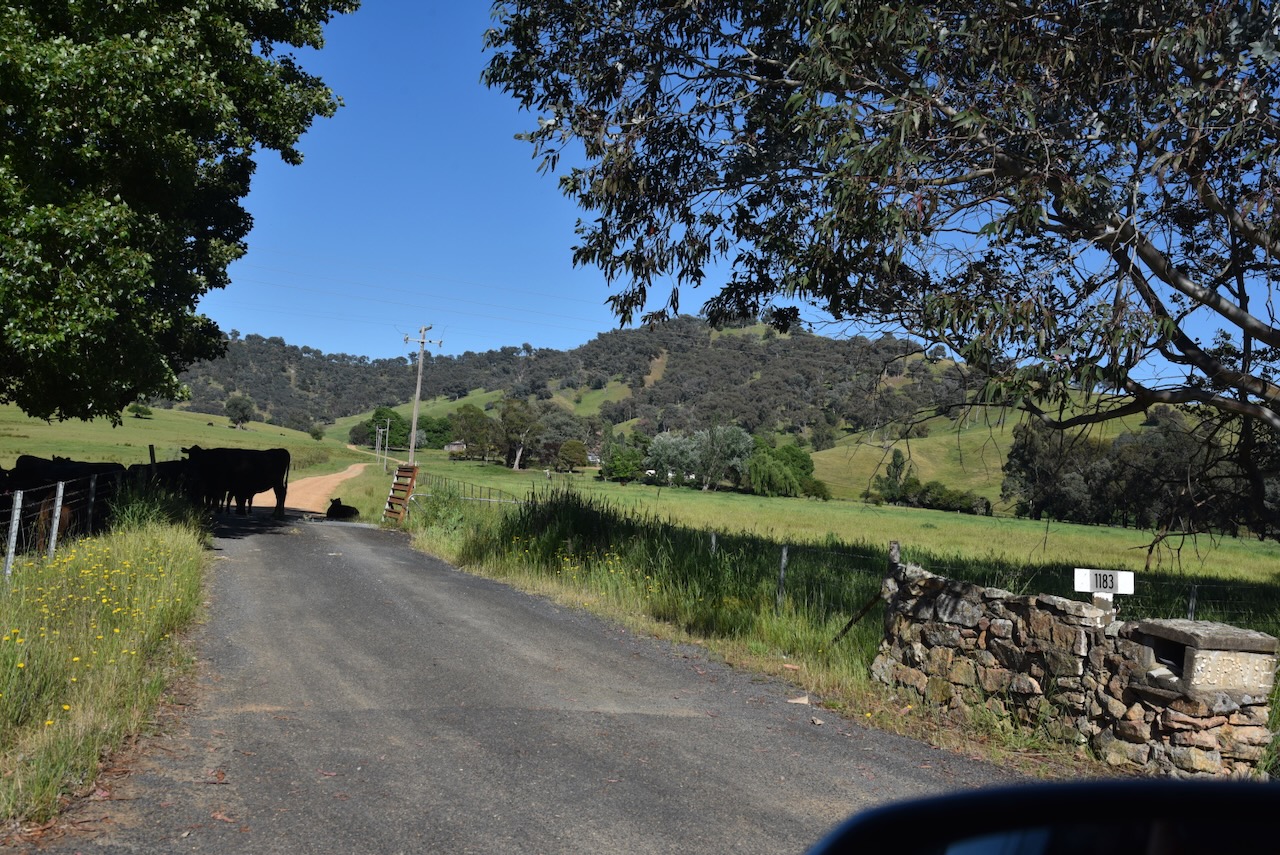
We did a few door knocks on the dirt road leading up to the park, and each time, the landowners kindly gave us permission to access the park via their property.
We passed through a few gates and grids on our way to the park.
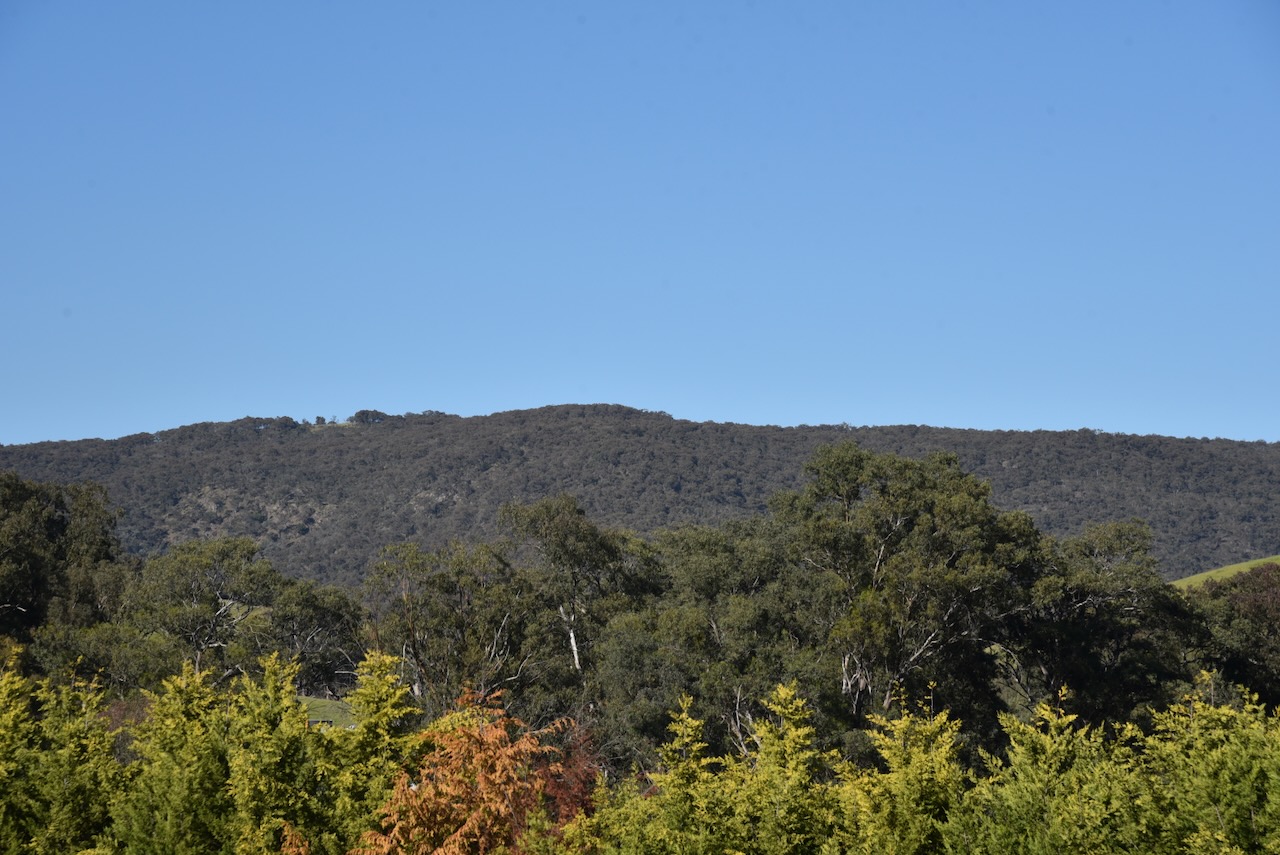
As we got further along Mcgrath Trail, the park came clearly into view.
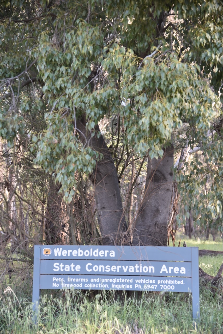
Until we finally reached an open gate and the park sign. It had been a bit of an adventure, but we had made it. It is so important in the WWFF program to obey all signs, specifically with regard to private property, and to ‘door knock’ and get permission from landowners. An incident of trespassing could place the WWFF program in jeopardy.
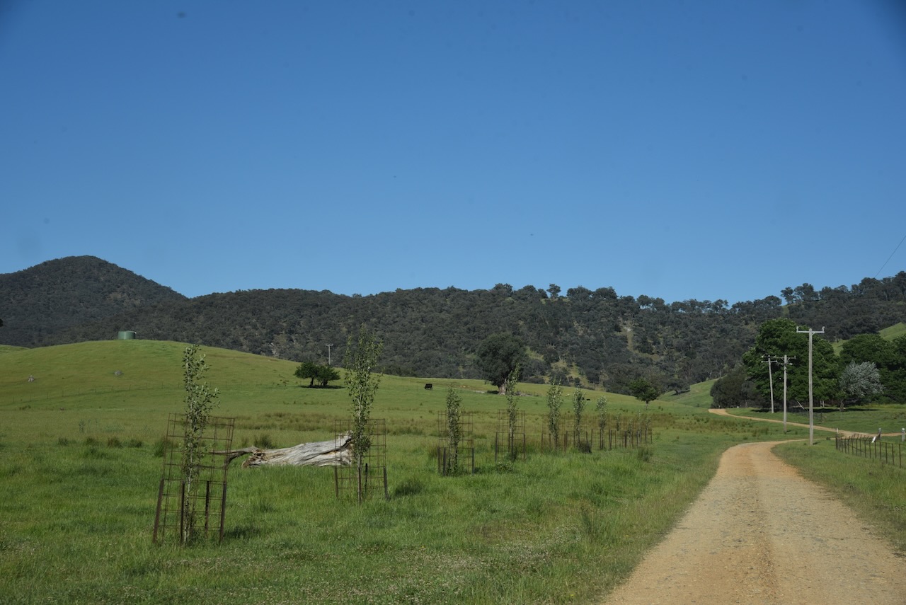
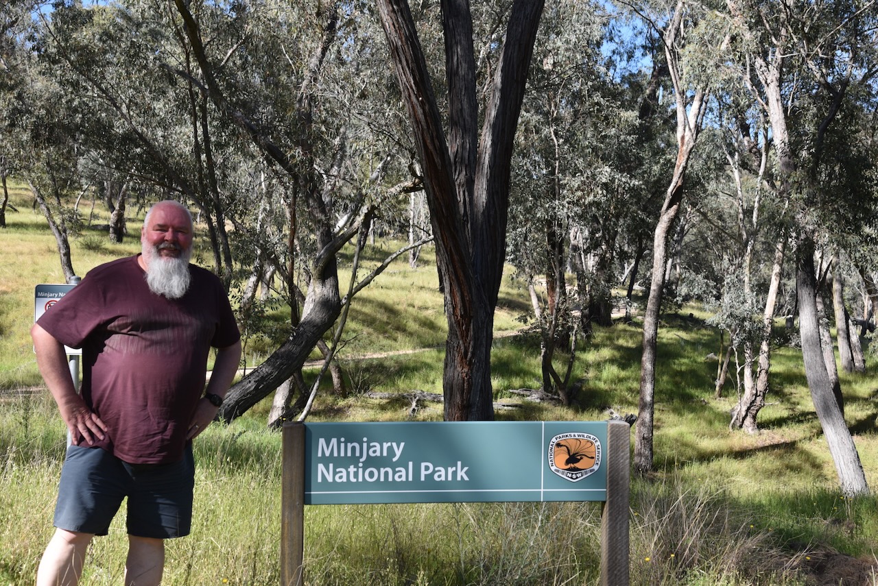
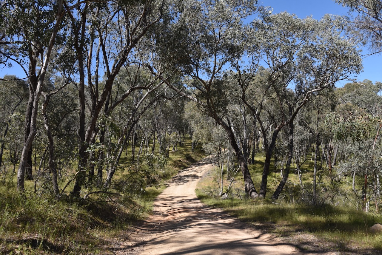
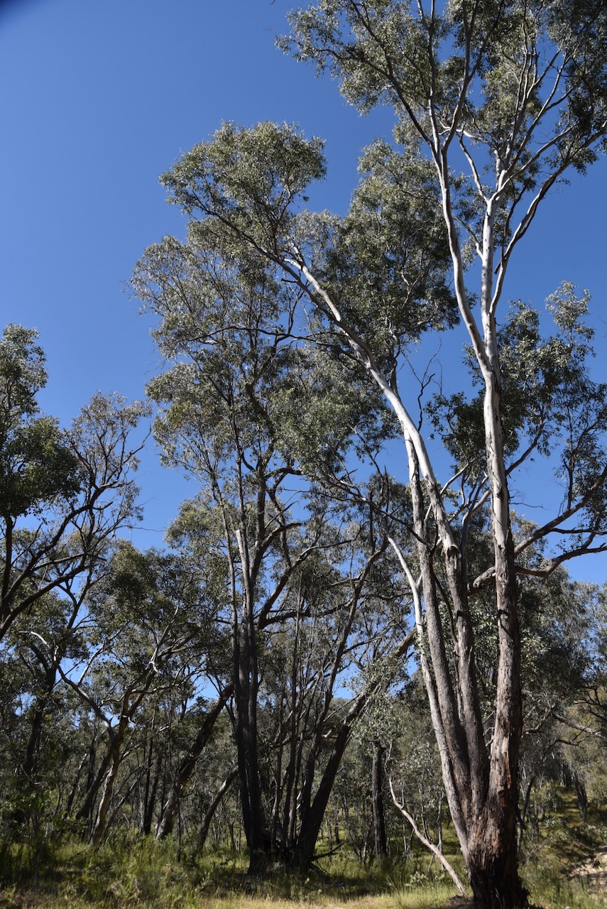
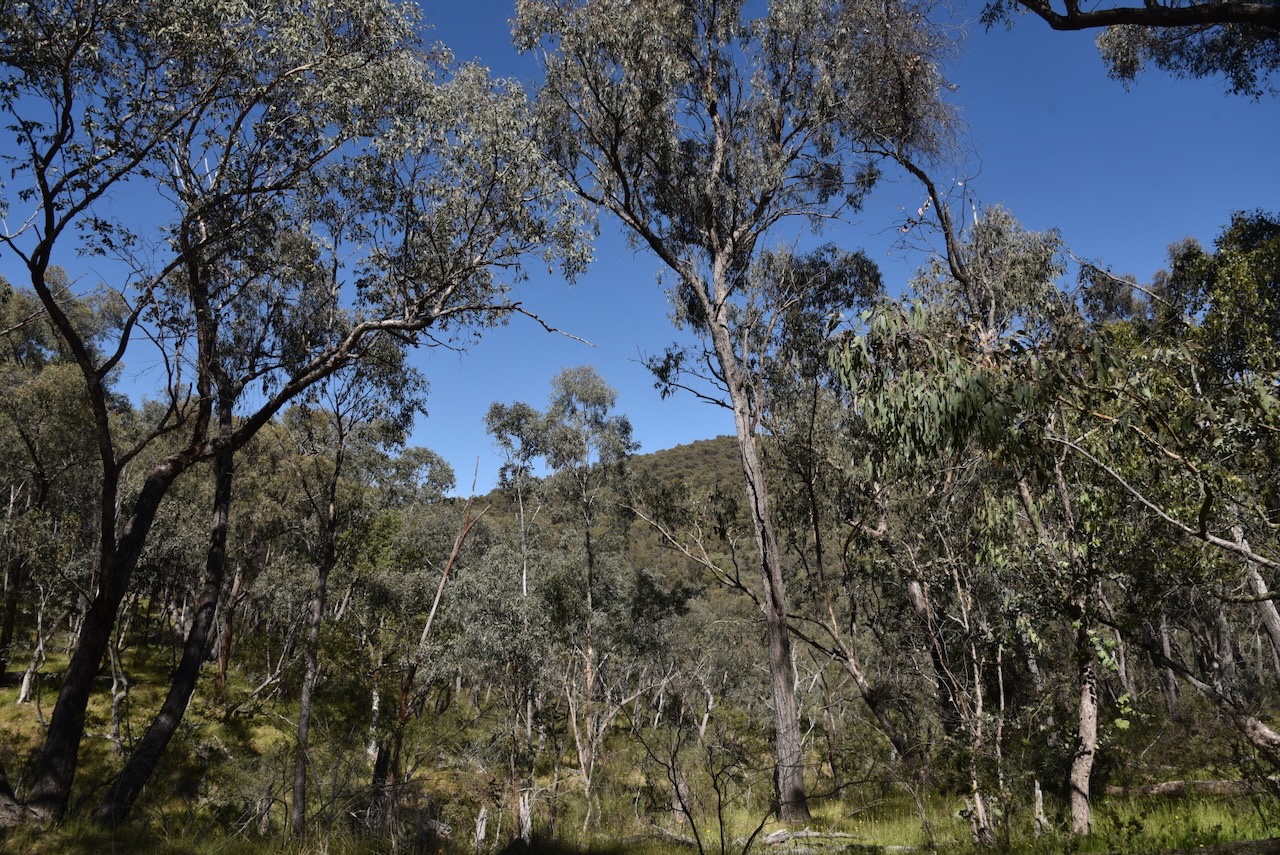
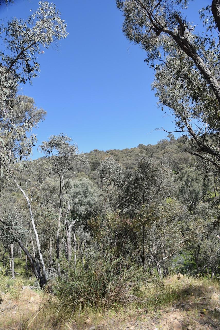
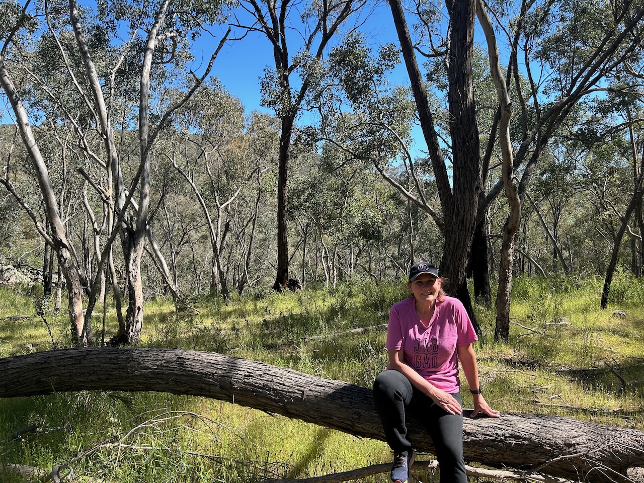
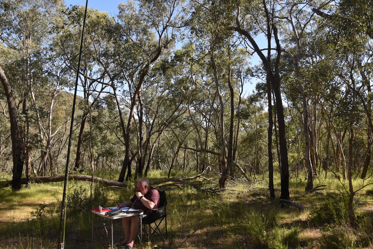
After passing through the gate, Marija and I followed the dirt track for about 1 km before we found a nice clearing in the scrub to set up.
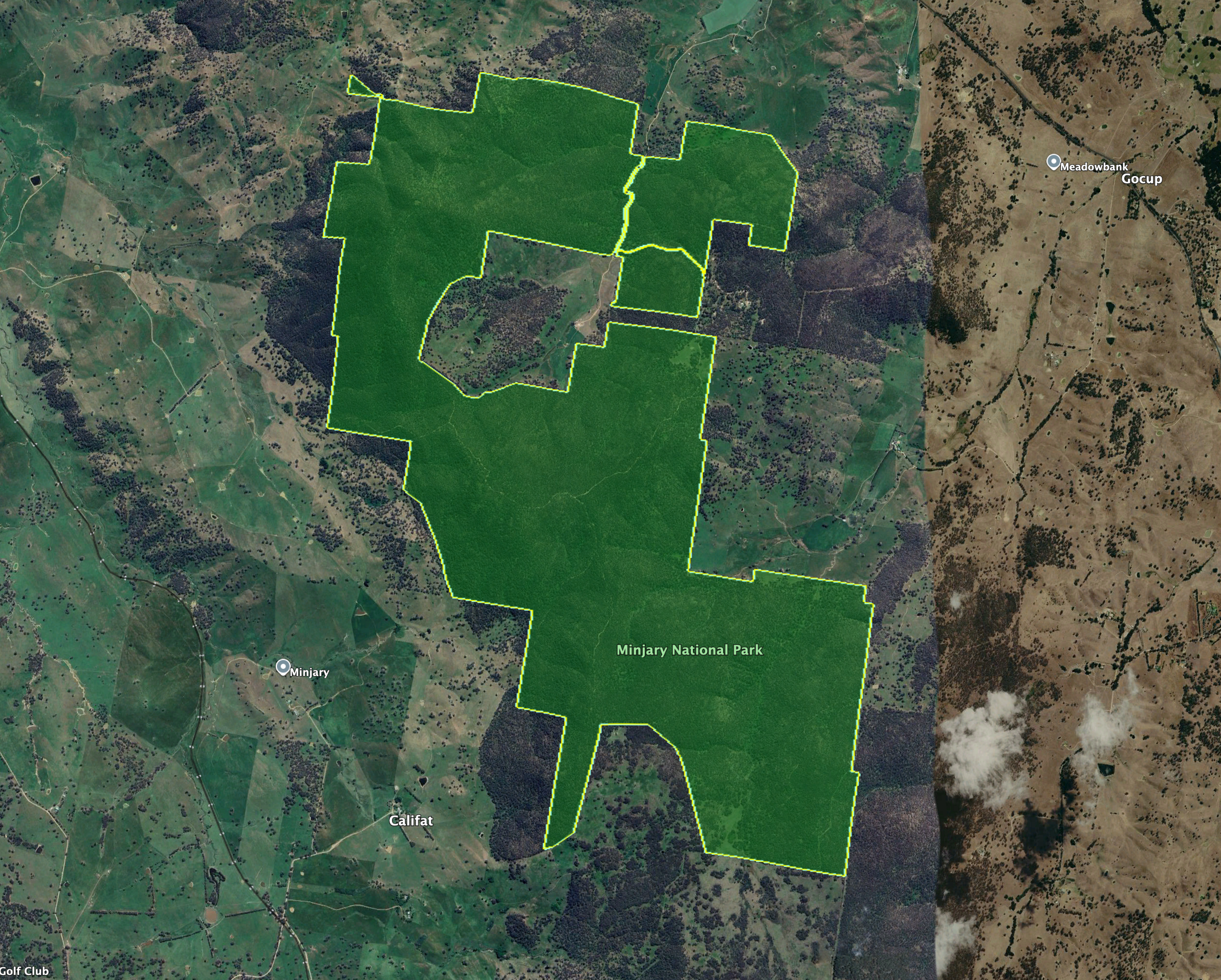
Minjary National Park is about 1,462 hectares in size and is located on the South West Slopes of New South Wales. It takes its name from Minjary mountain, the highest point in the park at 762 metres above sea level. (NSW NPWS 2004)
Above: the boundaries of Minjary National Park. Image c/o Google Earth
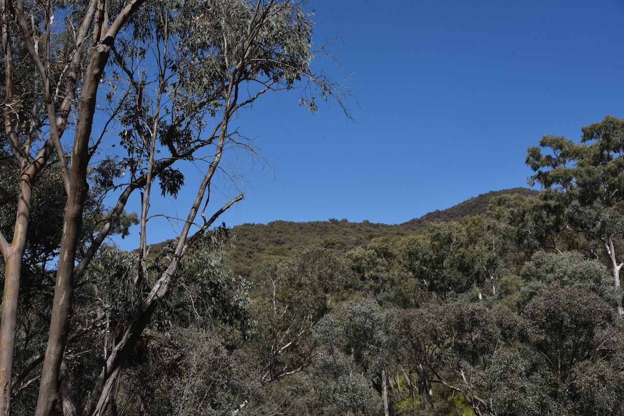
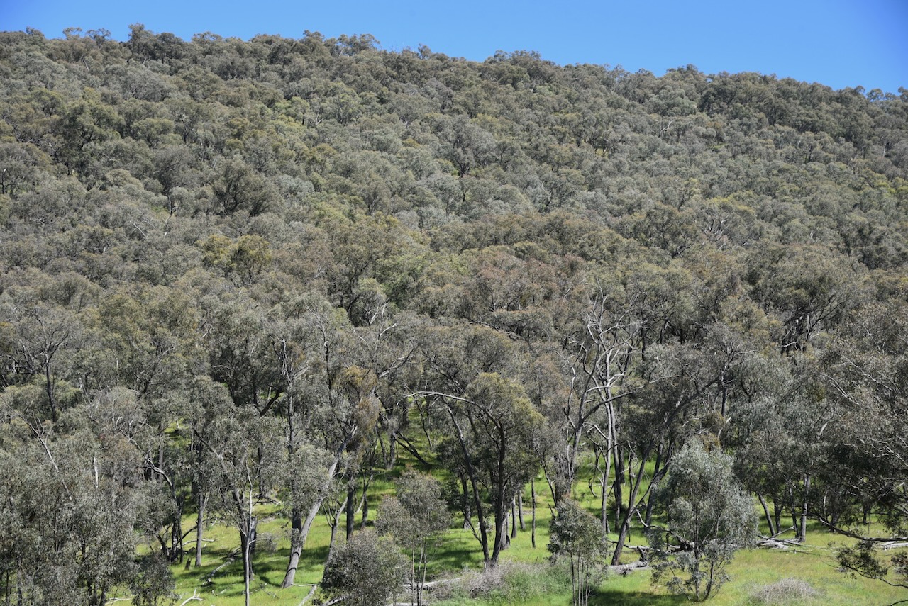
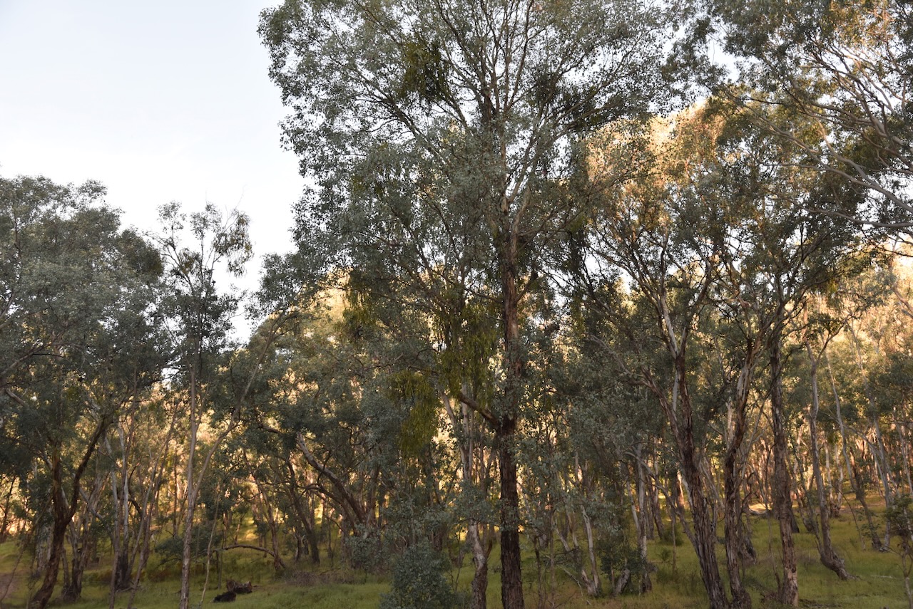
The park consists of undulating to steep, forested country, which is surrounded by cleared farming land. It contains significant intact remnants of South West Slopes forest and woodland, including White Box Grassy Woodland which has been identified as an endangered ecological community. (NSW NPWS 2004)
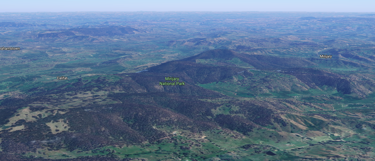
Above: an aerial view of Minjary National Park. Image c/o Google Maps
Minjary National Park was formerly administered and managed by State Forests of New South Wales as Minjary State Forest. Minjary National Park was gazetted on the 1st day of January 2001. (NSW NPWS 2004)
The park lies near the border of the Wiradjuri and Walgalu Aboriginal people. It is believed that the park was part of an Aboriginal travelling route between the Western Plains and the Kosciuszko area via the Tumut River. (NSW NPWS 2004)
During the late 1880s and early 1900s, there was extensive timber harvesting in the Minjary area. The timber was used to fuel steam boilers used in the gold mining industry in the Adelong area. The timber was felled with axes and ‘spare-chained’ down to wagons by horses. (NSW NPWS 2004)
A sulky route that was used between Adelong and Minjary existed on an east-west alignment through the park. It was constructed and used by the Hogan family and other locals as a shortcut between Adelong and Minjary. (NSW NPWS 2004)
A total of 8 mammal species, 31 bird species, 6 reptile species, and 2 amphibian species have been recorded in the park. This includes the threatened Turquoise Parrot and the Powerful Owl. (NSW NPWS 2004)
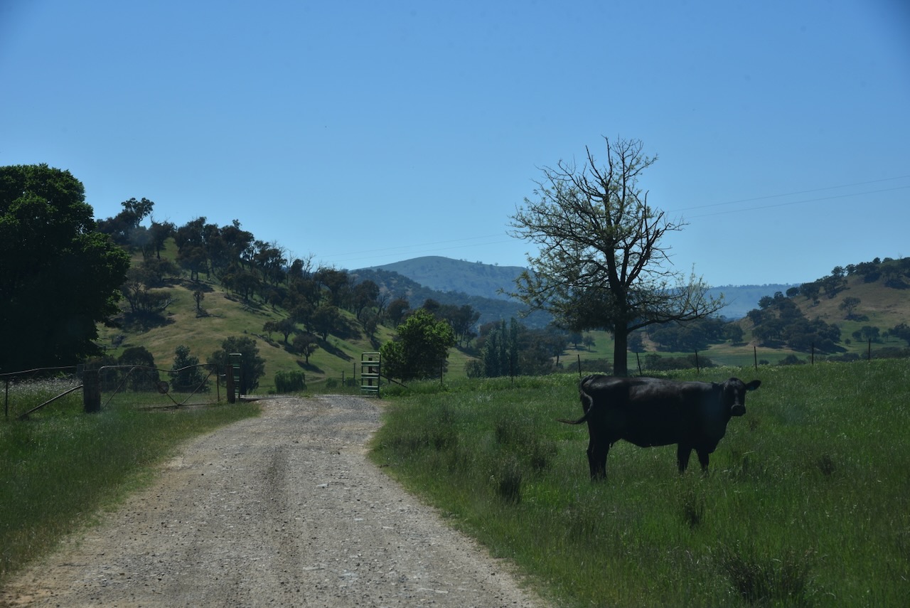
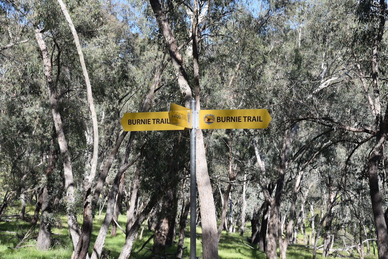
Marija and I operated from near Burnie Trail and O’Shea’s Trail.
We ran the Yaesu FT857, 40 watts, and the 20/40/80m linked dipole.
Marija worked the following stations on 40m SSB:-
VK2IO/P (VKFF-0851)
VK2GEZ/P (VKFF-0851)
VK3PF/M
VK3KAI/M
VK1AO
VK2MET
VK5LA
VK5KAW
VK5HS
VK2LEE
Marija worked the following stations on 20m SSB:-
VK5HS
VK4EMP
VK4TI
VK4GKO
VK2IO/P (VKFF-0851)
VK2GEZ/P (VKFF-0851)
VK4CK
VK4MGL
VK4HRE
I worked the following stations on 40m SSB:-
VK2IO/P (VKFF-0851)
VK2GEZ/P (VKFF-0851)
VK3PF/M
VK3KAI/M
VK1AO
VK2MET
VK5LA
VK5KAW
VK5HS
VK2LEE
VK3ALF
VK2VW
VK2HFI
VK2AKA
VK2BUG
VK2JV
VK1DI
VK1MA
VK3PWG/2
VK3TT/2
VK3CLD
VK2DBF
VK5QA
VK3CEO
VK3WSG
VK1CHW
VK2CHW
VK2NP
VK3HJW
VK3MCK
VK1JIM
VK2TER
VK2BM
VK2QRP
VK2JON
VK2GSV
VK7IAN
VK7PJM
VK3LK
VK3ZPF/P (VKFF-6164)
VK3PJT
VK2EGC/M
VK2HBR
VK3JOC
I made the following contacts on 20m SSB:-
VK5HS
VK4EMP
VK4TI
VK4GKO
VK2IO/P (VKFF-0851)
VK2GEZ/P (VKFF-0851)
References.
National Parks and Wildlife Service, 2004, Minjary National Park Plan of Management.
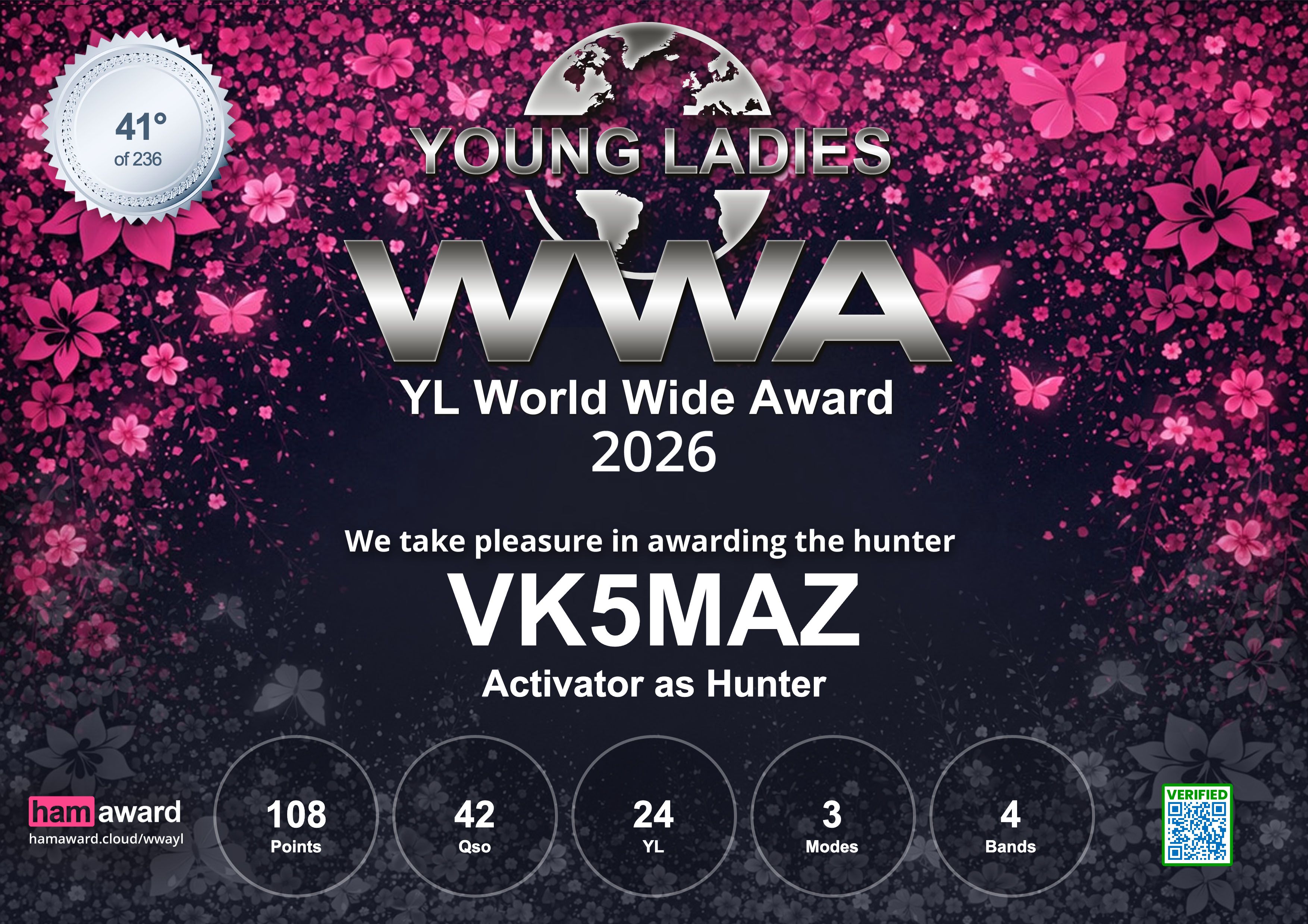
From the 9th March 2026 to the 15th March 2026, the Young Ladies World Wide Award (WWA) 2026 event was held. It was the first international radio project aimed at bringing together the largest number of Young Ladies (YL) worldwide in a single event.
Over the 7 day period a total of 234 YLs from around the world took part. A total of 300,509 QSOs were made with 203 countries taking part.
My wife Marija VK5MAZ took part as an Activator and did most of the operating from our shack during the event. I took part as a Hunter.
I made contacts with the YLs around the world on SSB, FT8, & FT4. The’Mixed’ Hunter award was issued at three levels: Bronze 100 points, Silver 250 points, and Gold 500 points. Each SSB contact was worth 5 points, while a digital contact was worth 2 points. I managed to get to the Bronze level with 130 points.
Marija made a total of 798 contacts. Marija received four different award certificates for the event. She came in 87th place in the Mixed category, 126th in the SSB category, and 53rd in the Digital category.
The first certificate for Marija was ‘Activator as Hunter’, with 108 points.
The other three certificates for Marija were:
Bronze SSB Activator – 200 QSOs
Gold Digi Activator – 598 QSOs
Mixed Activator – 798 QSOs
Sadly, there did not seem to be a lot of Australian YL’s taking part in the event. Dianne VK4DI was very active and made it into Marija’s log a few times on 40m & 20m SSB.
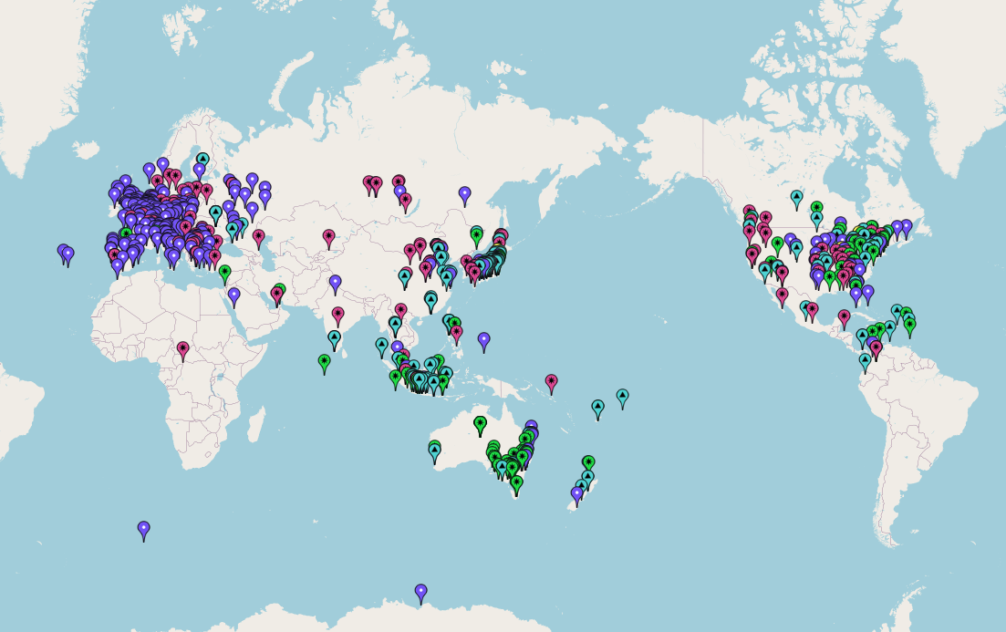
Marija worked 79 DXCC entities during the event. She worked 38 of the 50 USA States and 30 of the 40 zones.
On Saturday, 20m SSB, Marija had a very significant pileup on the long path to Europe and the UK. I came out into the shack in the middle of the madness, and I was very proud of how she was handling the pileup (with some poor behaviour at times on the other end).
Below is a map showing Marija’s QSOs during the event.
Thank you to the organisers. And of course, thank you to everyone who called us during the event. Both Marija and I had a lot of fun.
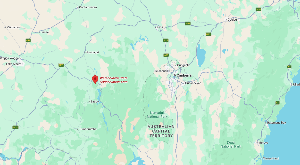
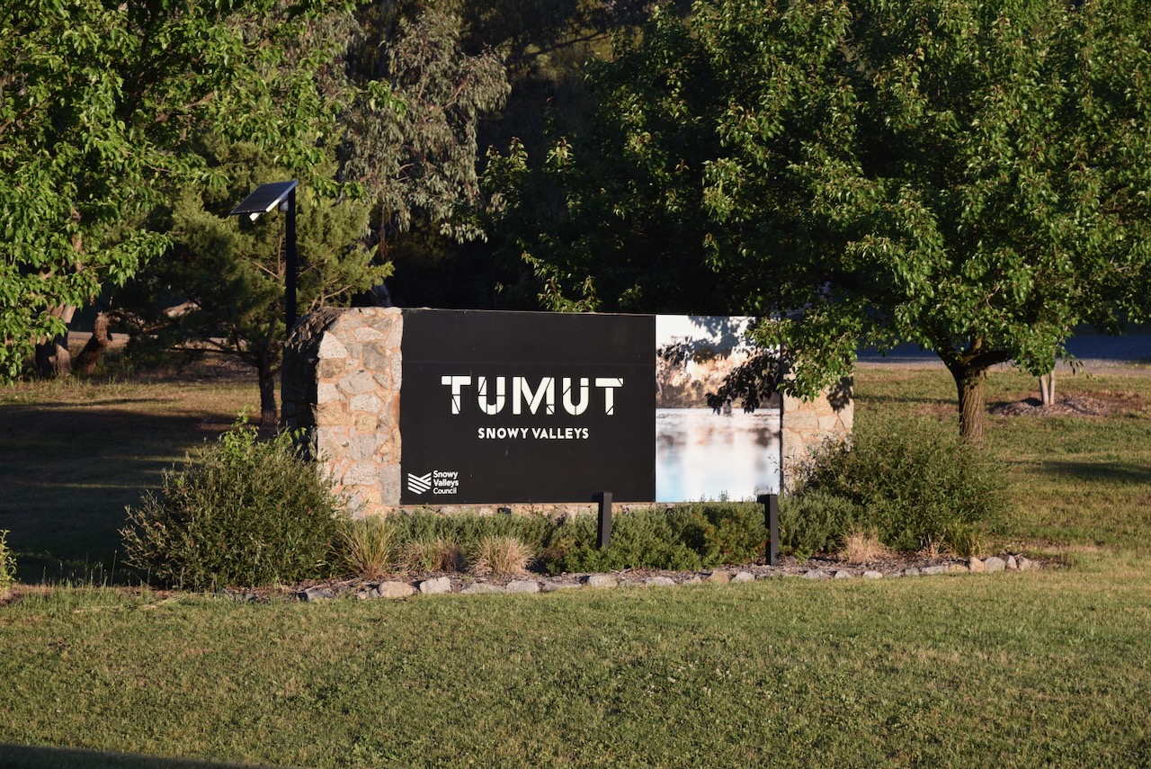
Our final activation for Saturday, 1st November 2025, was Wereboldera State Conservation Area (SCA) VKFF-1392. The reserve is located just to the south of Tumut in New South Wales.
Above: Map showing the location of Wereboldera State Conservation Area. Map c/o Google Maps
The town of Tumut is located just to the north of the reserve. Its eastern boundary is close to the Snowy Mountains Highway, while its western boundary is close to E Gilmore Road. The reserve extends south down to Wereboldera and the Blowering Reservoir. The Tumut State Forest can be located to the north and west of the reserve.
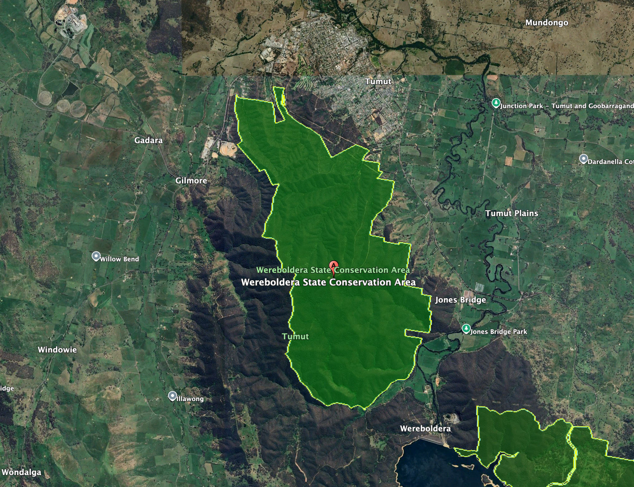
Above: the boundaries of Wereboldera SCA. Image c/o Google Earth
The Wereboldera State Conservation Area is about 2,550 hectares in size and was established in January 2003. It is located at the northern end of the Snubba Range. (NSW NPWS 2009) (NSW National Parks 2026)
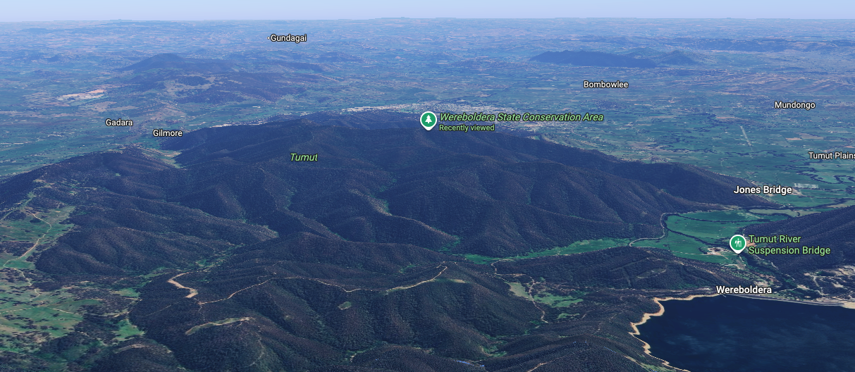
Above: an aerial view of Wereboldera SCA. Image c/o Google Maps
The majority of the reserve was previously managed by the then State Forests of New South Wales, as part of Tumut State Forest (No 798), which was gazetted in 1926. Other smaller sections of the reserve including Travelling Stock Reserves. (NSW NPWS 2009)
The reserve includes four distinct forest ecosystems: Narrow-leaved Peppermint moist forb forest; Apple Box-Norton’s Box moist grass forest; Brittle Gum-Broad-leaved Peppermint Pa grass forest; and Norton’s Box-Red Box open forest. (NSW NPWS 2009)
About 150 species of native birds have been recorded in the reserve. A total of 13 fauna species listed under the Threatened Species Conservation Act have also been recorded in the park. This includes Turquoise Parrot, Painted Honeyeater, Barking Owl, and Striped Legless Lizard. Native mammals that can be found in the reserve include Sugar Glider, Eastern Grey Kangaroo, Swamp Wallaby, Short-beaked Echidna, Large Forest Bat, and Chocolate Wattled Bat. (NSW NPWS 2009)
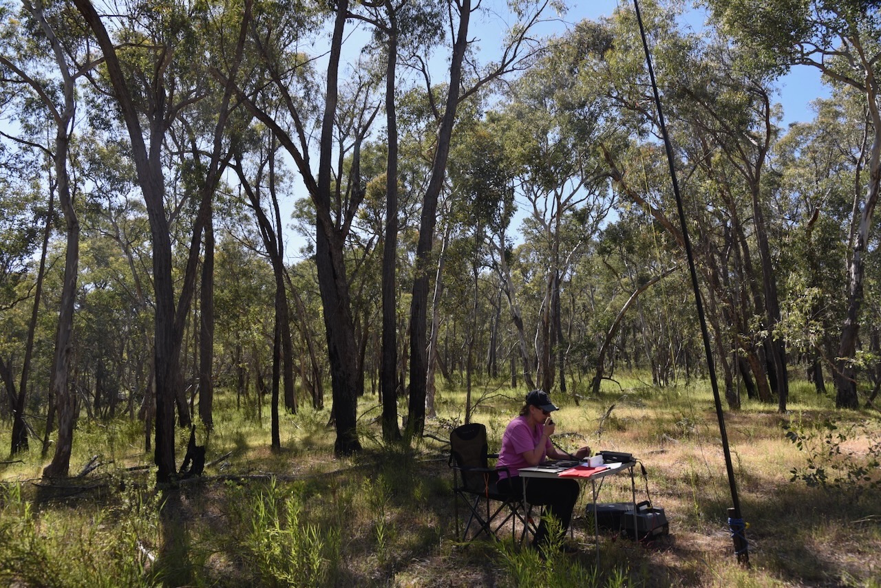
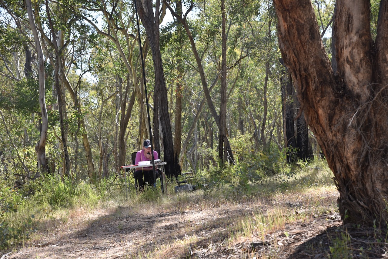
Marija and I ran the Yaesu FT857, 40 watts, and the 20/40/80m linked dipole for this activation. The band conditions were quite good, but we did experience strength 8 static crashes on the 40m band.
Marija worked the following stations on 40m SSB:-
VK5LA
VK5KAW
VK1DI
VK3ACZ
VK3KRL
VK3HJW
VK3BCM
VK2MG
VK1AO
VK2MET
VK5DW
VK2IO/P (VKFF-0858)
VK2GEZ/P (VKFF-0858)
I worked the following stations on 40m SSB:-
VK5LA
VK5KAW
VK1DI
VK3ACZ
VK3KRL
VK3HJW
VK3BCM
VK2MG
VK1AO
VK2MET
VK5DW
VK3BDW
VK4SMA
VK1OX
VK2OZI
VK1PW
VK2APW
VK2LDJ
VK3UH
VK3OAK
VK3TDX
VK3KLI
VK3GJG
VK2ZRD
VK2GWB
VK2SHA
VK1WB
VK3AIW
VK2NP
F5PYI
VK7PJM
VK5FANA
VK3ZPF
VK3JW
VK3PJF
VK3APJ
VK1CHW
VK2CHW
VK1TTY/5
VK3CLD
VK5QA
VK2DBF
VK3JV
VK6ASK/M
VK2ZR
VK1JIM
VK2TER
VK2BM
VK2QRP
VK2NDZ
VK3DJS
VK3ABI
VK2IO/P (VKFF-0858)
VK2GEZ/P (VKFF-0858)
VK5HS
VK3TDK
VK3NYC
VK1AD
VK1NAM
VK5KFC
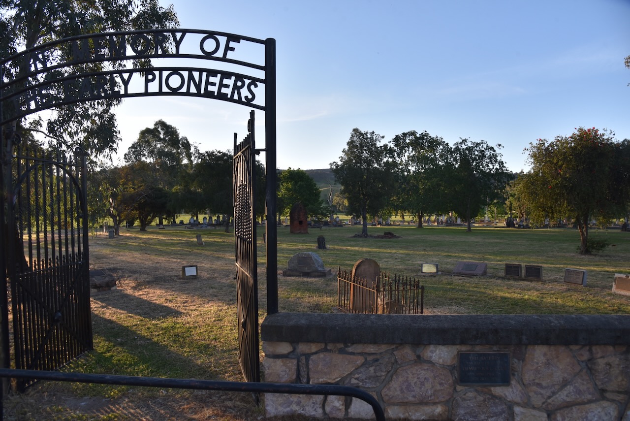
Marija and I then drove into the town of Tumut.
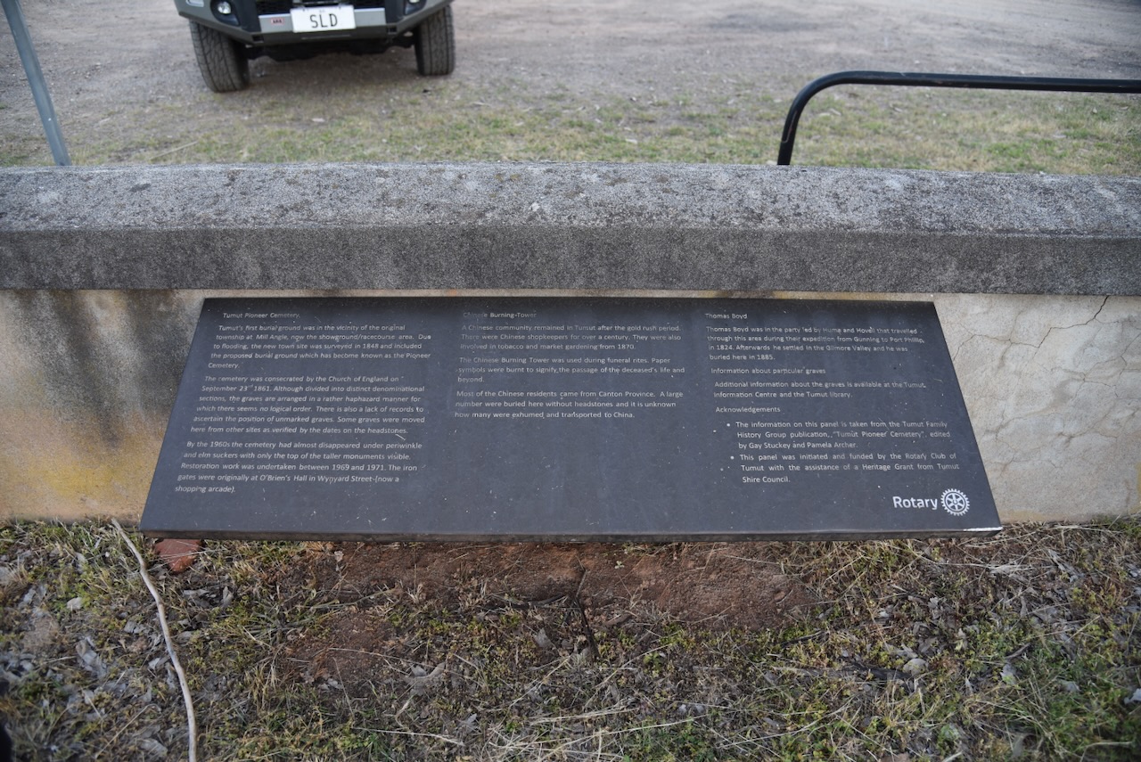
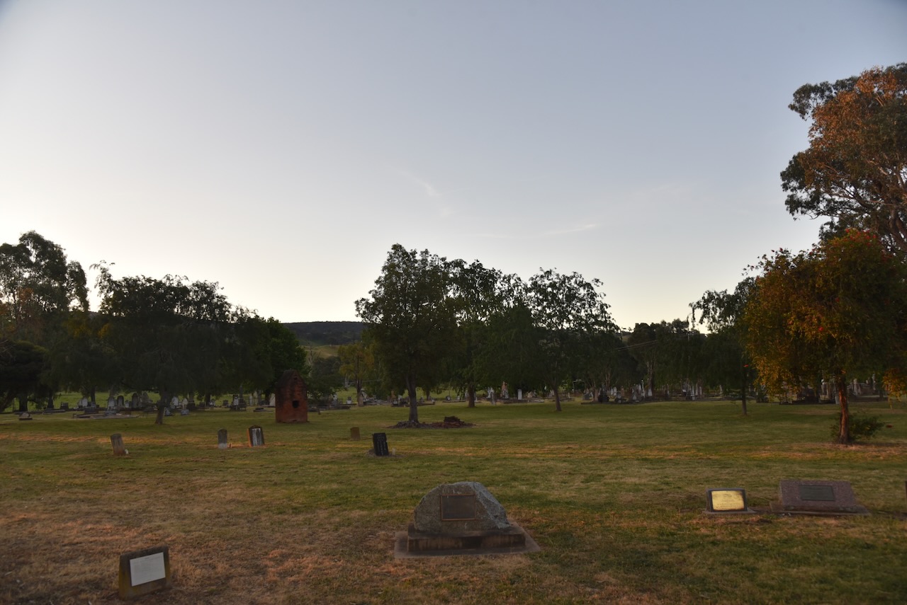
As we entered the town, we saw the Tumut Pioneer Cemetery, so we decided to have a bit of a wander. The Pioneer Cemetery was not the first cemetery in Tumut. The original cemetery was near the current showground/racecourse area, but this was subject to regular flooding, so the cemetery was relocated c. 1848. (Findagrave.com 2020)
During the 1890s, the Tumut Pioneer Cemetery became overcrowded, and as a result, burials commenced at the Tumut General Cemetery. By the 1960s, the Tumut Pioneer Cemetery had fallen into disrepair, with most of the headstones being consumed by perwinkle and elm suckers. A Restoration Committee was established, and the cemetery was restored. Well done to all those involved. (Findagrave.com 2020)
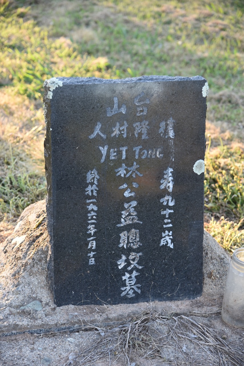
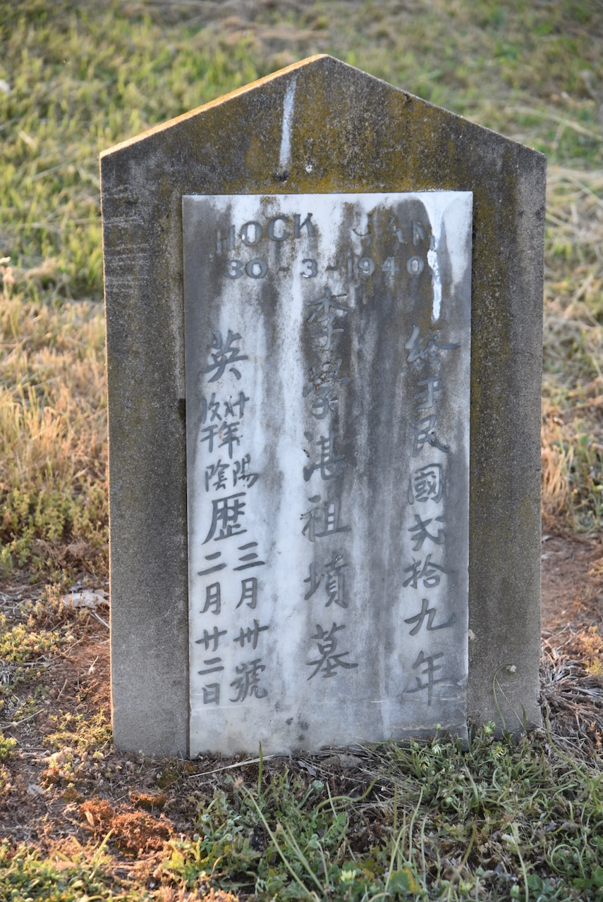
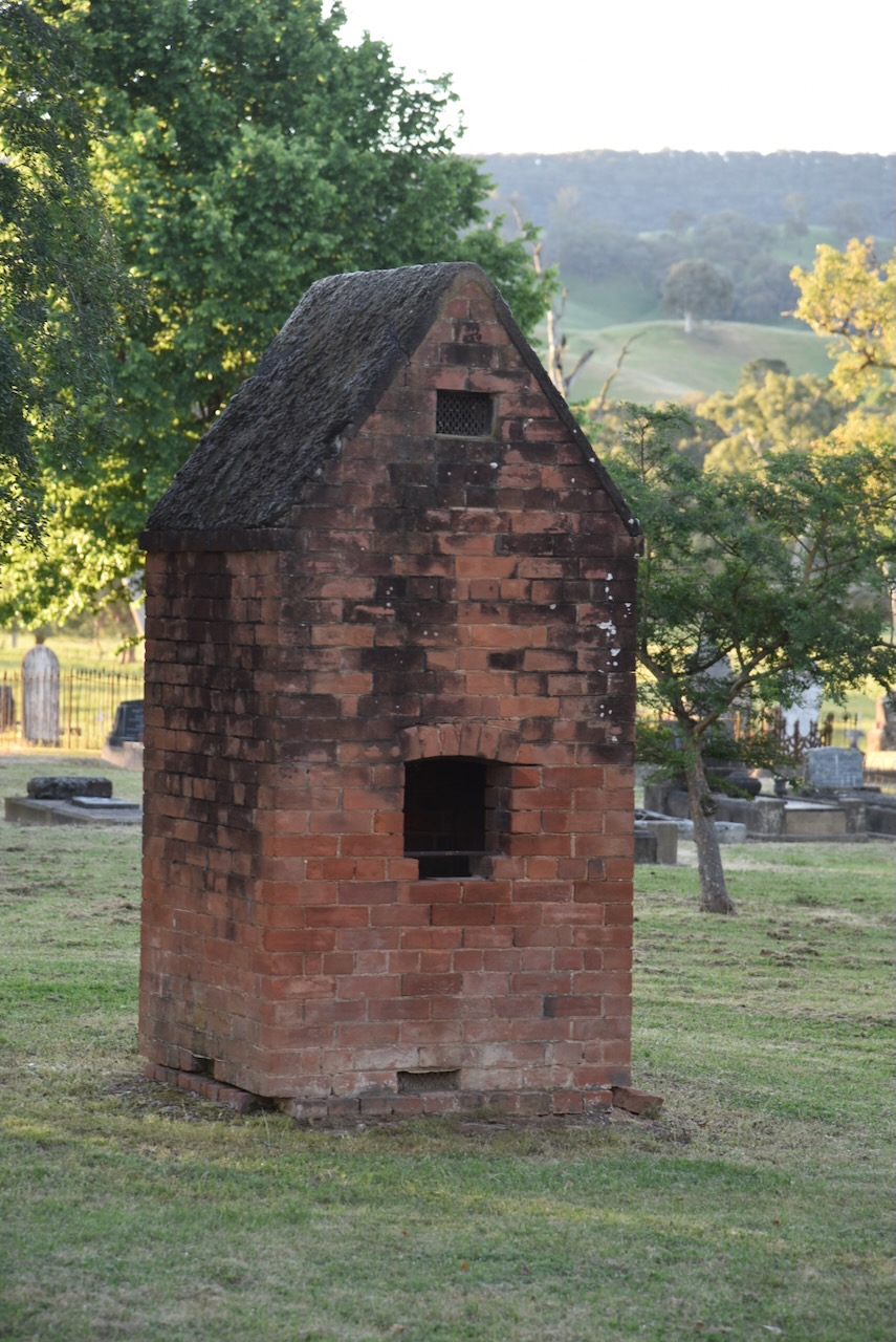
The Tumut district attracted a large Chinese population during the 1850s due to the discovery of gold. Following the gold rush, many Chinese people remained in the district. The Tumut Cemetery features several Chinese graves and a Chinese burning tower used for ritualised offerings.
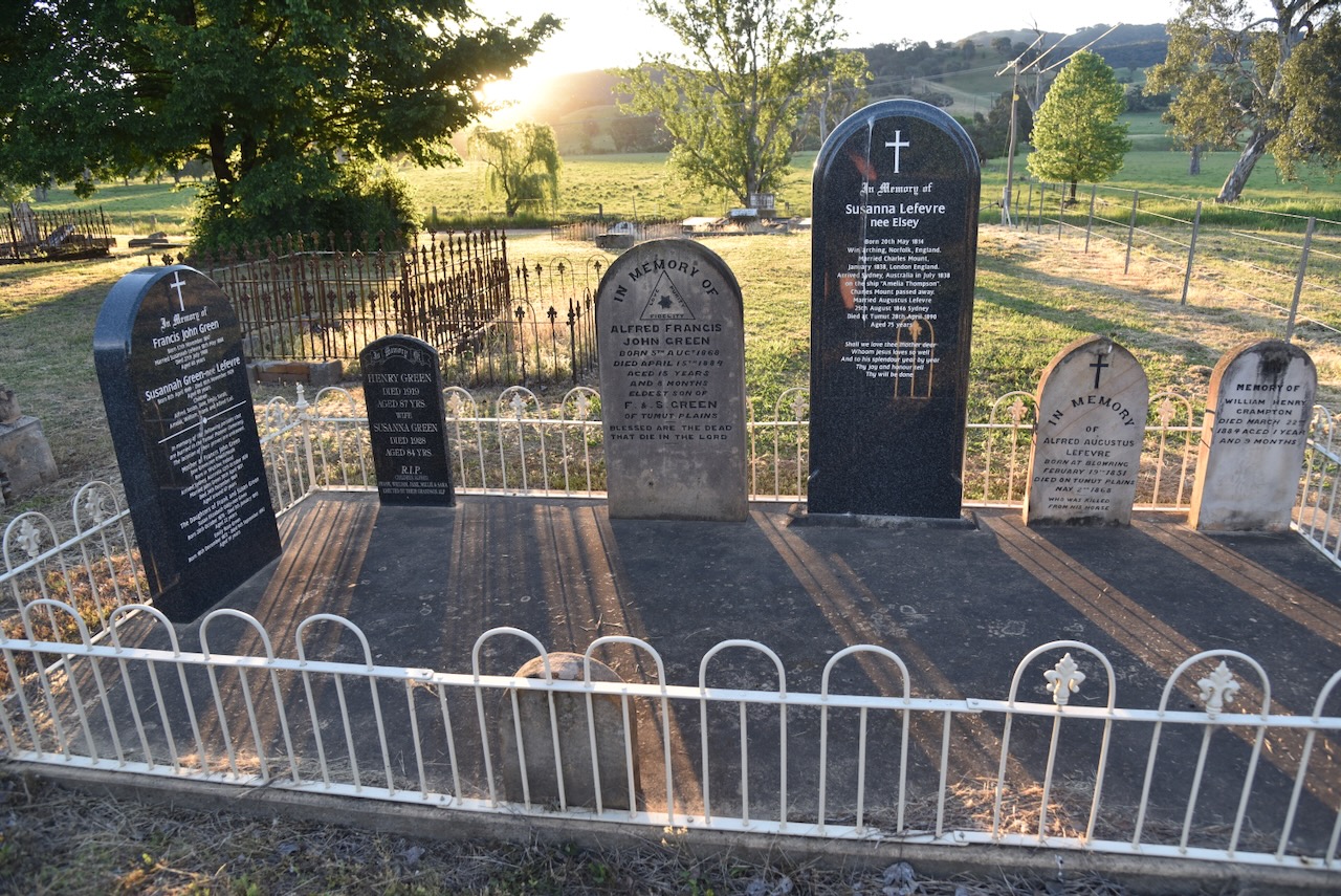
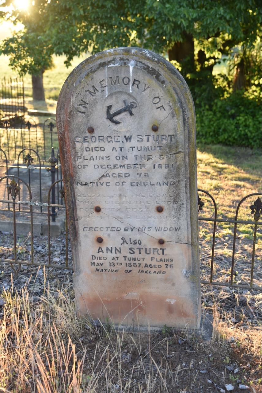
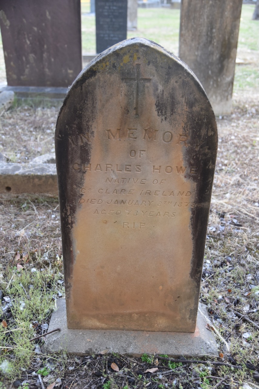
The cemetery has dozens of historic headstones which tell the story of the pioneers of Tumut and the surrounding district.
I have talked about the bushranger Captain Moonlight in my previous Mount Burra post, but I will touch a little bit here on his relationship to some people who are buried in the cemetery.
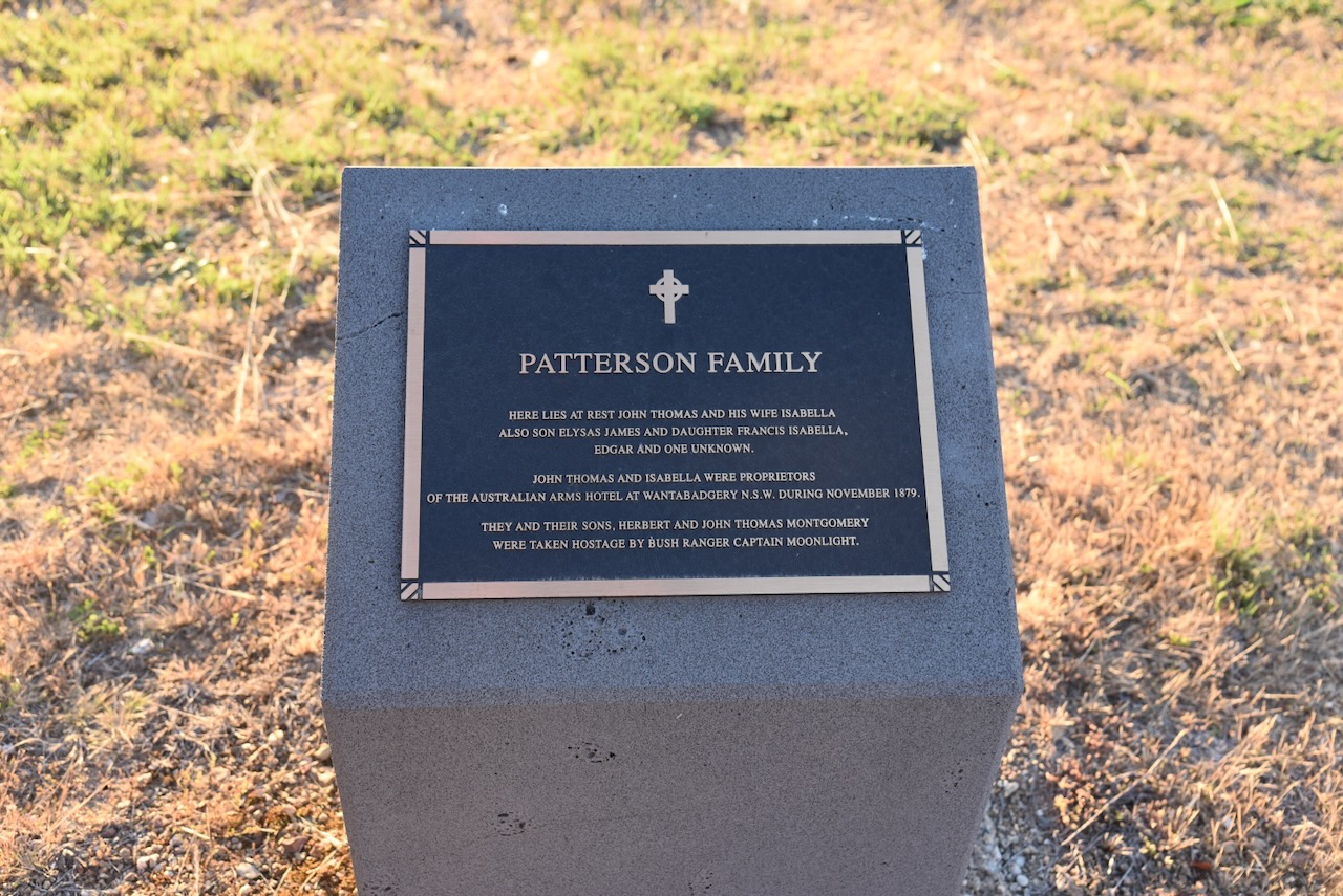
John and Isabella Thomas were proprietors of the Australian Arms Hotel at Wantabadgery, N.S.W., during November 1879. John and Isabella, and their sons Herbert and John, were taken hostage by Captain Moonlite.
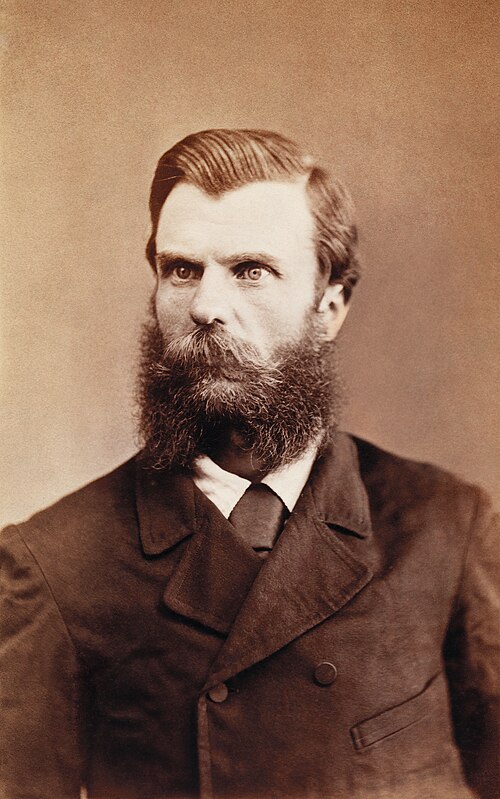
Andrew George Scott @ Captain Moonlite, was born on the 5th day of July 1842 in Rathfriland, Ireland. He commenced a life of bushranging from c. 1879. His gang included James Nesbitt, Thomas Rogan 21, Thomas Williams 19, Gus Werneckie 15, and Graham Bennet 18.
Above: Andrew Scott @ Captain Moonlite. Image c/o Wikipedia
On the afternoon of Saturday the 15th day of November 1879, Scott’s gang held up Wantabadgery Station, about ’24 miles’ east of Wagga Wagga, and ’27 miles’ from Gundagai. The produced revolvers and threatened the station staff and forced them to break open the storeroom. Other people arrived at the property and they were taken hostage. (Wikipedia 2024)
Scott then took Claude McDonald in a horse & buggy to the Australian Arms Hotel on the Gundagai Road. The public and his wife were not present. Scott stole their rifle, raided the till stole some alcohol and took their 2 children hostage, returning to Wantabadgery. (Wikipedia 2024)
The licencee of the Australian Arms, James Patterson and his wife returned to find their hotel had been ransacked and their children missing. The police were notified. A small party of four mounted police troopers arrived at Wantabadgery that evening, and a gunfight ensued between the police and the bushrangers. Scott’s gang managed to capture the trooper’s horses and they fled. (Wikipedia 2024)
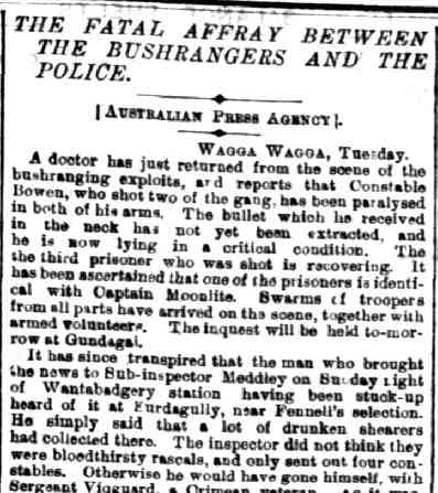
The gang then held up the property of Edmund McGlede. By this time, further police had been mobilised and they surrounded the property. One of Scott’s gang, Warneckie was shot as he ran to a fence to reach a better position. The police then entered the homestead and further shots were fired. As a result Constable Webb-Bowen was struck and fatally wounded. Nesbitt was shot and killed. (Wikipedia 2024)
Above: part of an article from The Ballarat Courier, Wed 19 Nov 1879. Image c/o Trove
Below is an excellent video on the legend of Captain Moonlite.
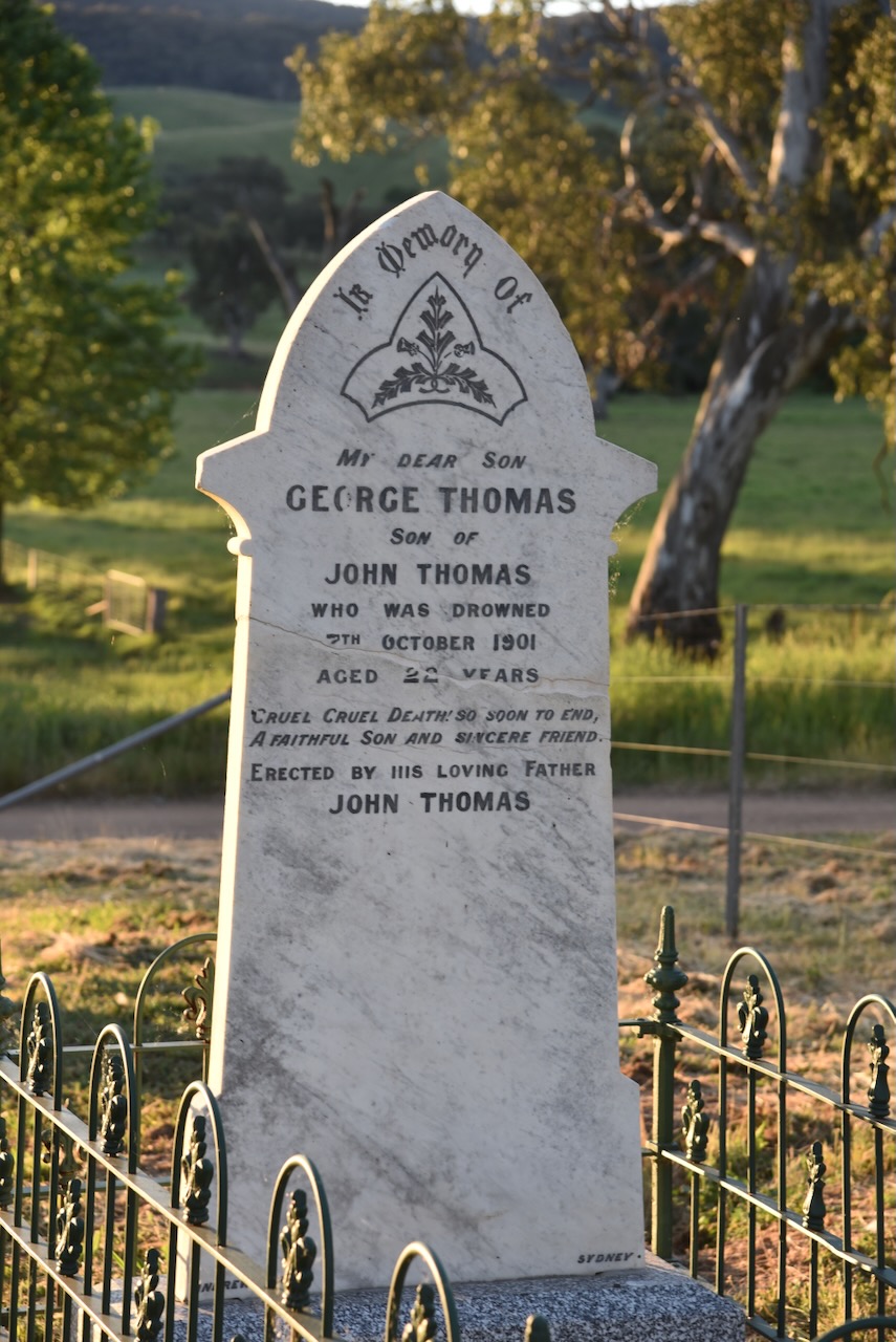
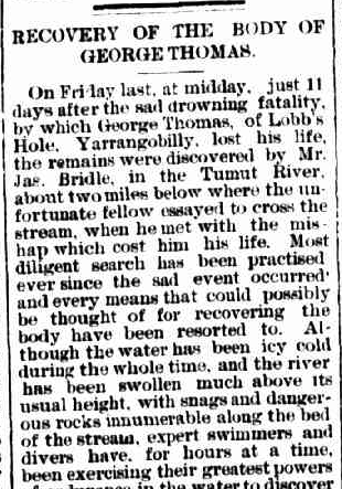
George Thomas was born in August 1879. He died on the 7th day of October 1901 at Blowering, New South Wales, aged 22 years. (ancestry 2016)
His body was recovered on Friday, 18th October 1901, about 2 miles down the Tumut River from where he attempted to cross the river on his horse. A significant search had been conducted. Newspaper articles make specific mention of the efforts of Constable Williams. (Trove 2026)
Above: part of an article from the Adelong Argus, Tue 22 Oct 1901. Image c/o Trove
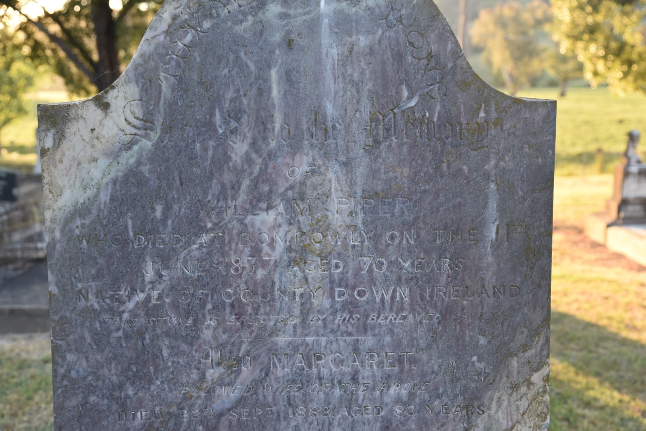
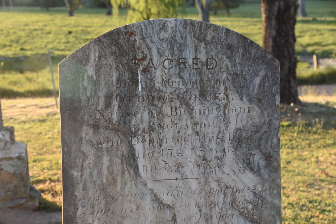
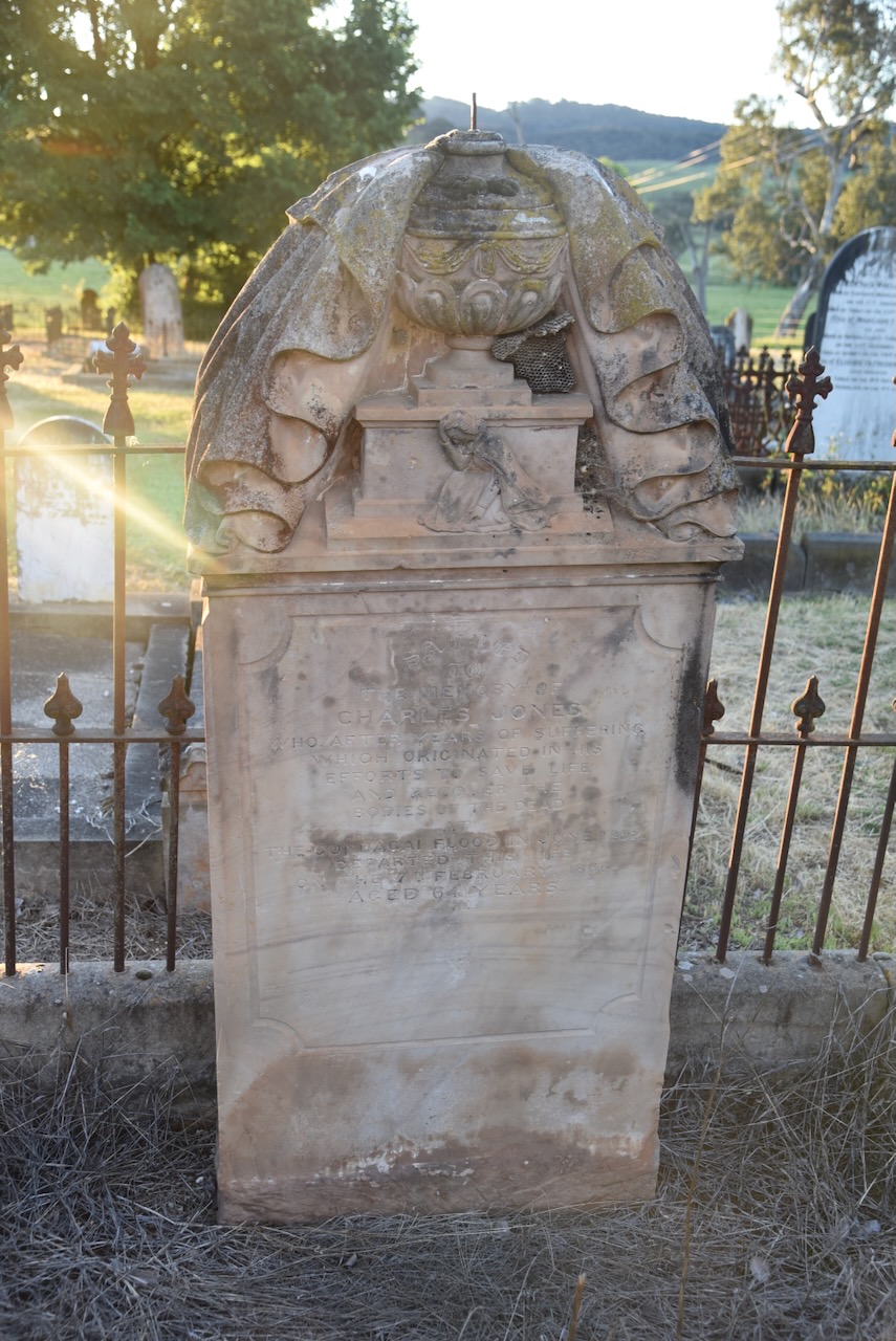
Charles Jones was born c. 1802. In 1849, he married Caroline Harriet Thatcher. He was responsible for the recovery of several of the dead from the Gundagai floods in 1852. Sadly, he took his life at the Rose Inn, Tumut, on the 7th day of February 1866, aged 64 years.
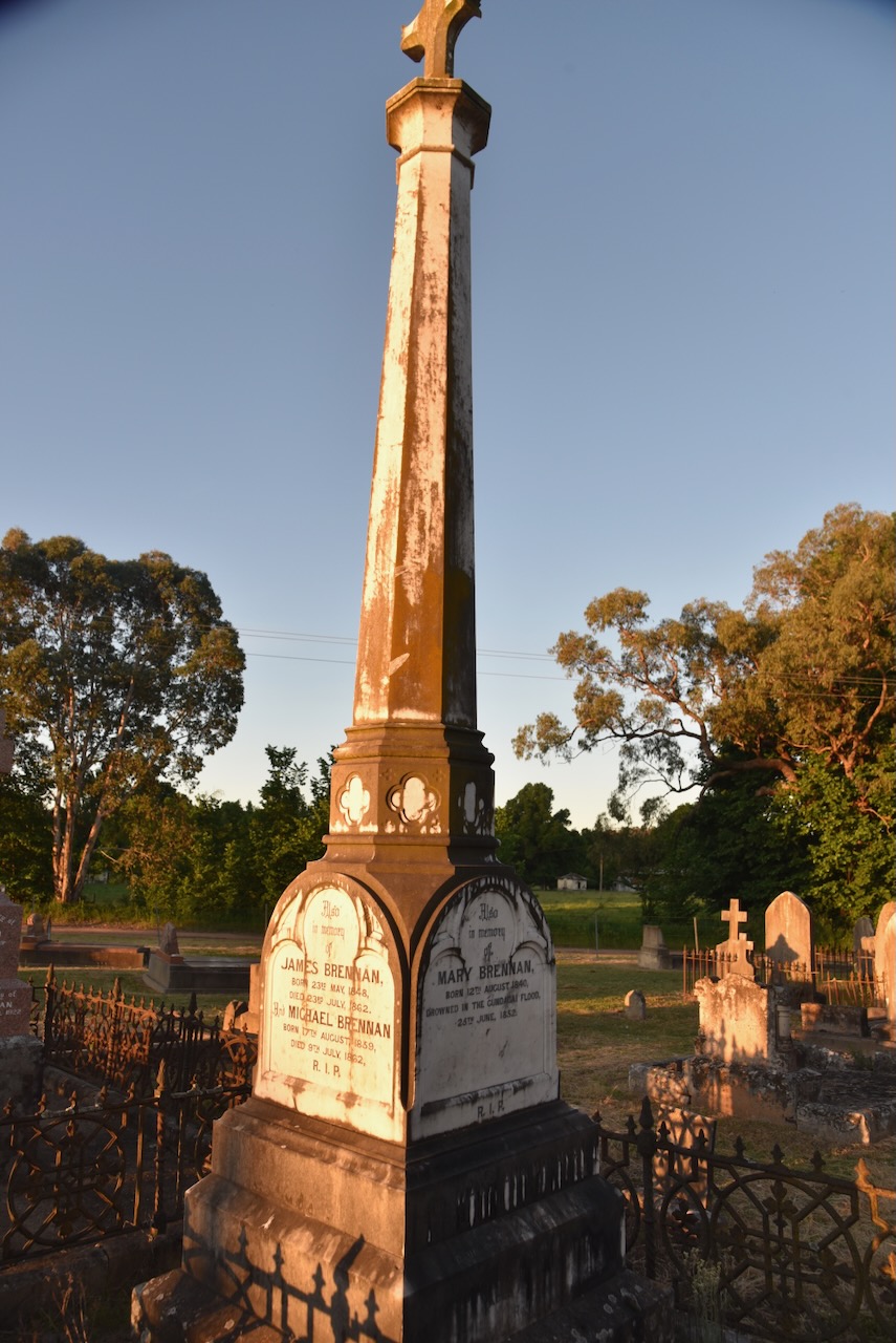
Mary Brennan was born in August 1840 in County Tipperary, Ireland. She drowned in the Gundagai flood in June 1852, aged 11 years. (ancestry 2016)
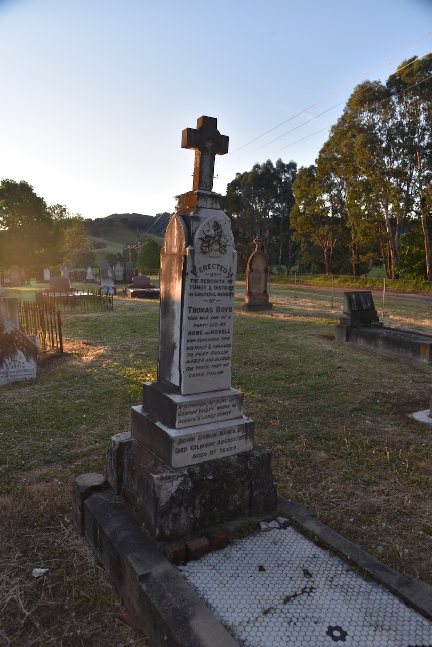
Thomas Boyd was born in 1798 in Dublin, Ireland. He was convicted of High Treason in Dublin City and was transported to Australia for life. He arrived in New South Wales in March 1822 aboard the Isabella. He took part in the Hume and Ovell expedition to Port Phillip Bay in 1824. He was described as one of the most valuable members of the expedition. It is widely accepted that he was the first European to swim across the Murray River onto Victorian soil. He swam across the river with a piece of rope between his teeth, which was then used to transport equipment across the river. He died in 1885, aged 86 years. (Convictrecords.com.au 2026) (UBC Web Design 2026)
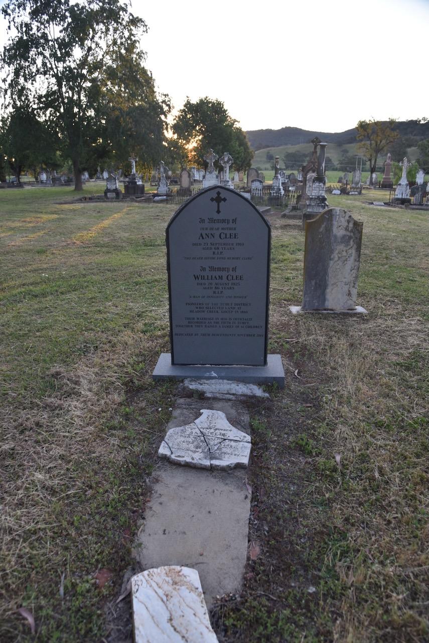
William Clee and his wife Ann were pioneers of the Tumut district who selected land at Meadow Creek, Gocup in 1860. Their marriage in 1856 is officially recorded as the fifth in Tumut. They raised a family of 14 children.
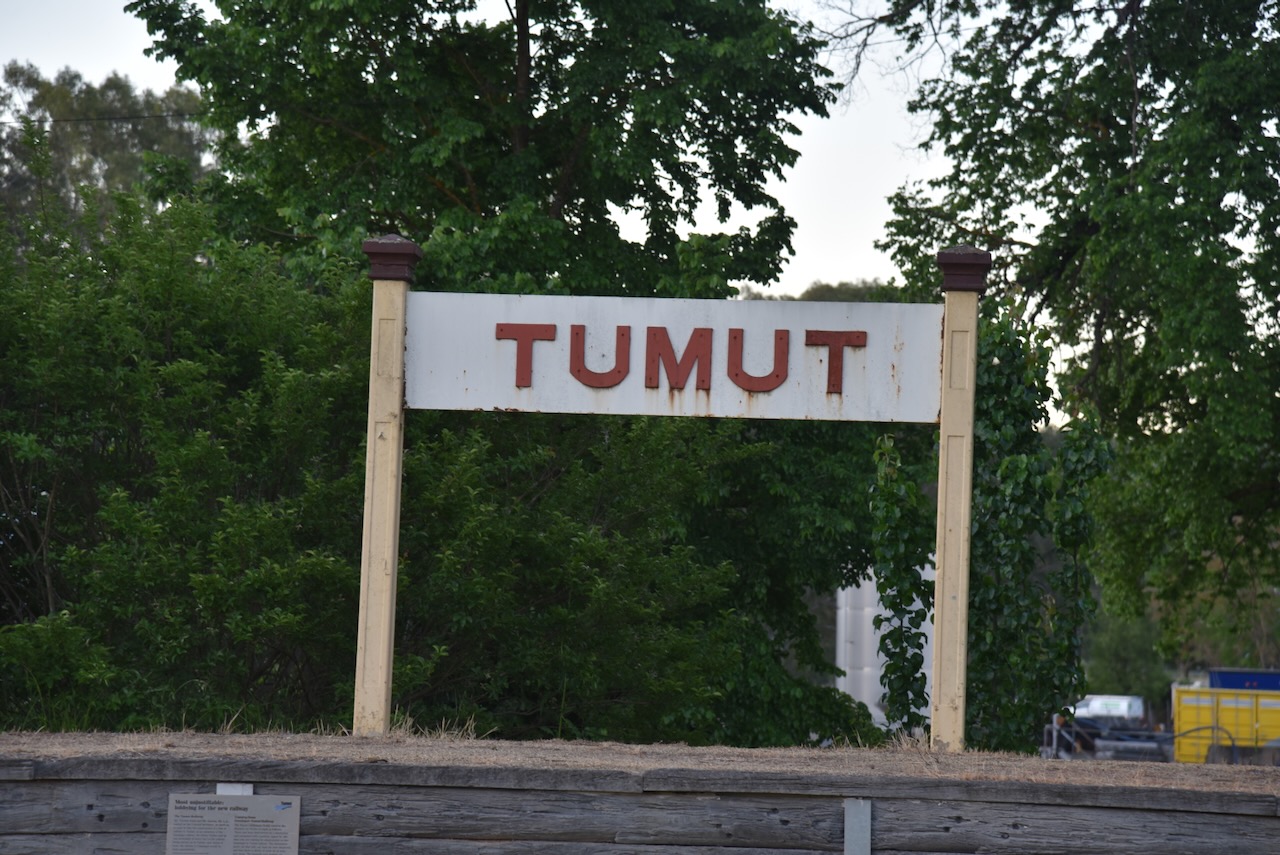
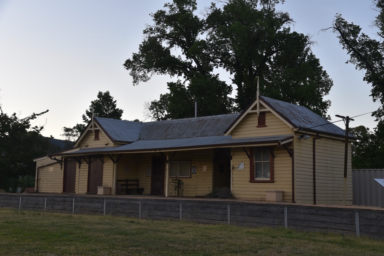
We left the cemetery and drove a few hundred metres along the Snowy Mountains Highway to the old Tumut Railway Station.
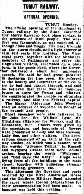
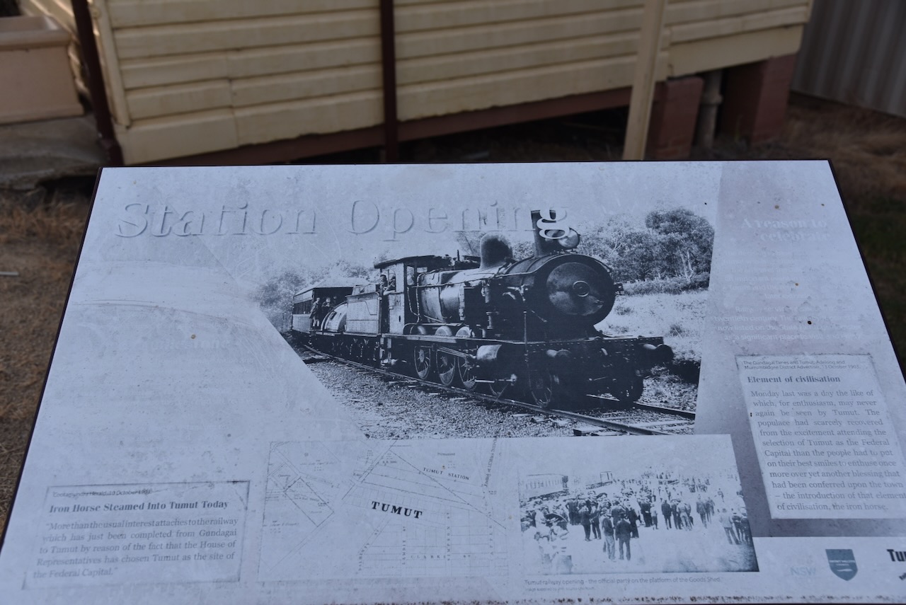
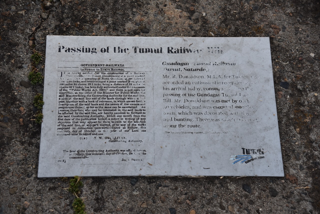
The Tumut railway had its official opening on Tuesday, the 13th day of October 1903. It was opened by the State Governor, Sir Harry Rawson and about 10,000 people were in attendance. (Trove 2026)
Above: article from the Newcastle Morning Herald, Tue 13 Oct 1903. Image c/o Trove
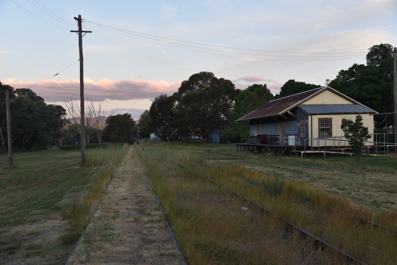
The railway station is listed on the New South Wales State Heritage Register. (Wikipedia 2025)
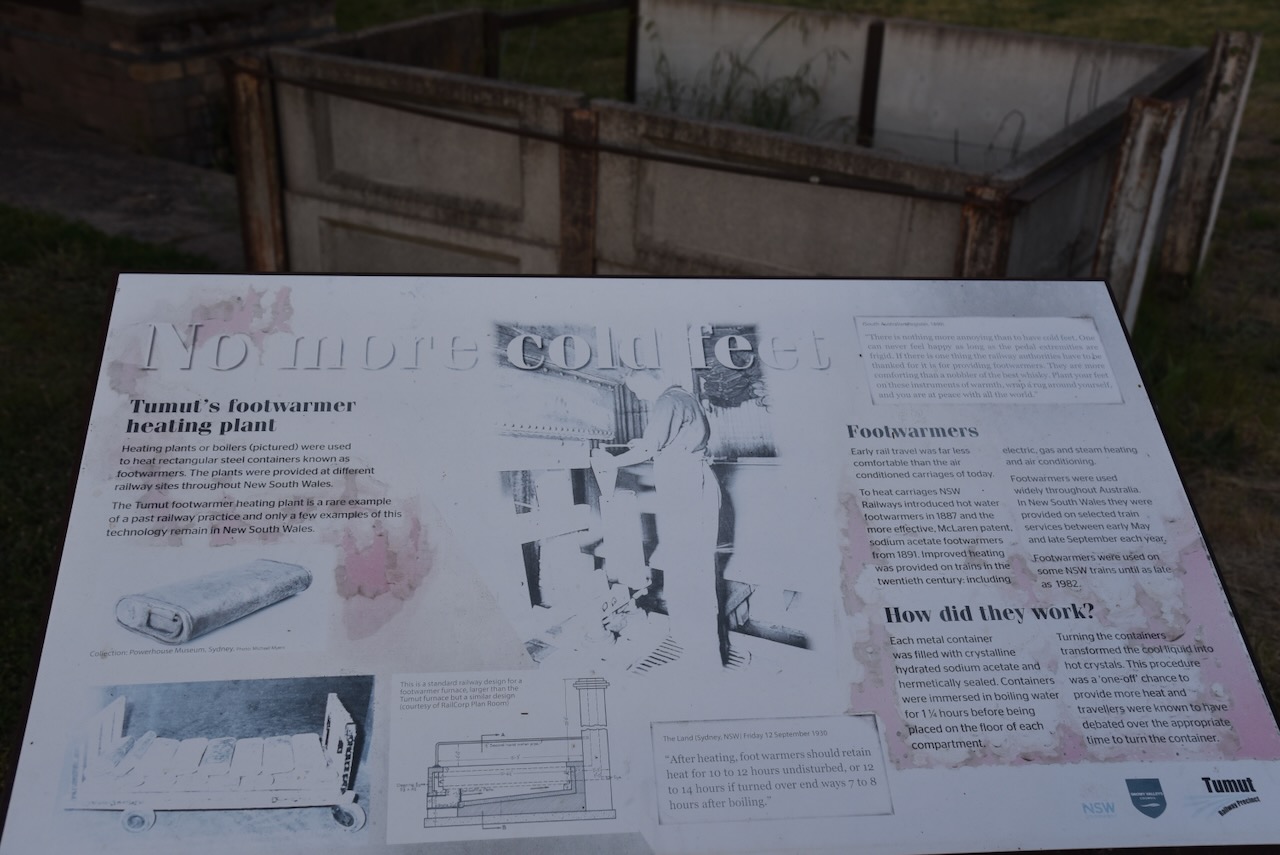
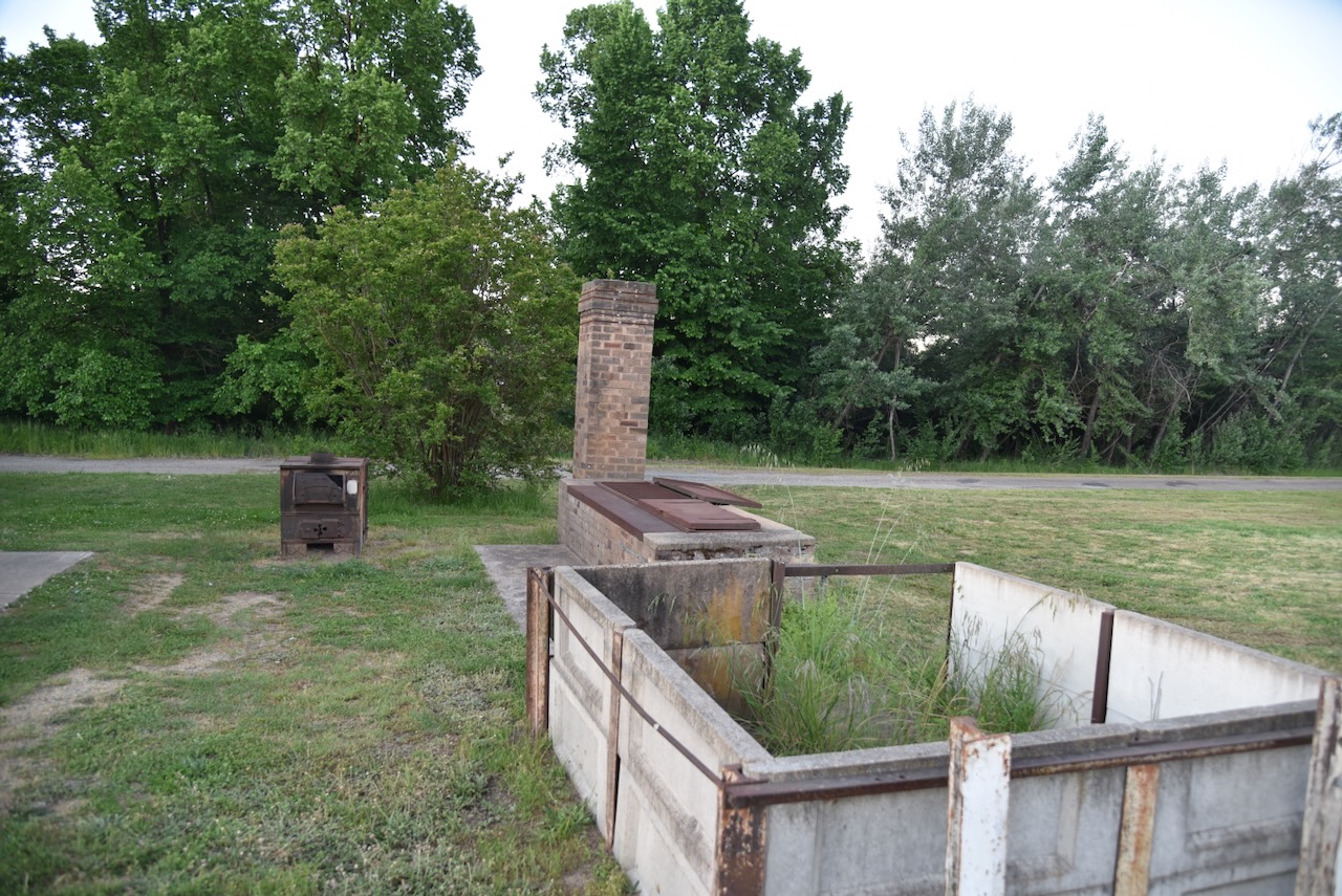
A piece of interesting history at the railway station is the footwarmer heating plant. It was used to heat rectangular steel containers known as footwarmers. Train travellers were given these to make their journey more comfortable.
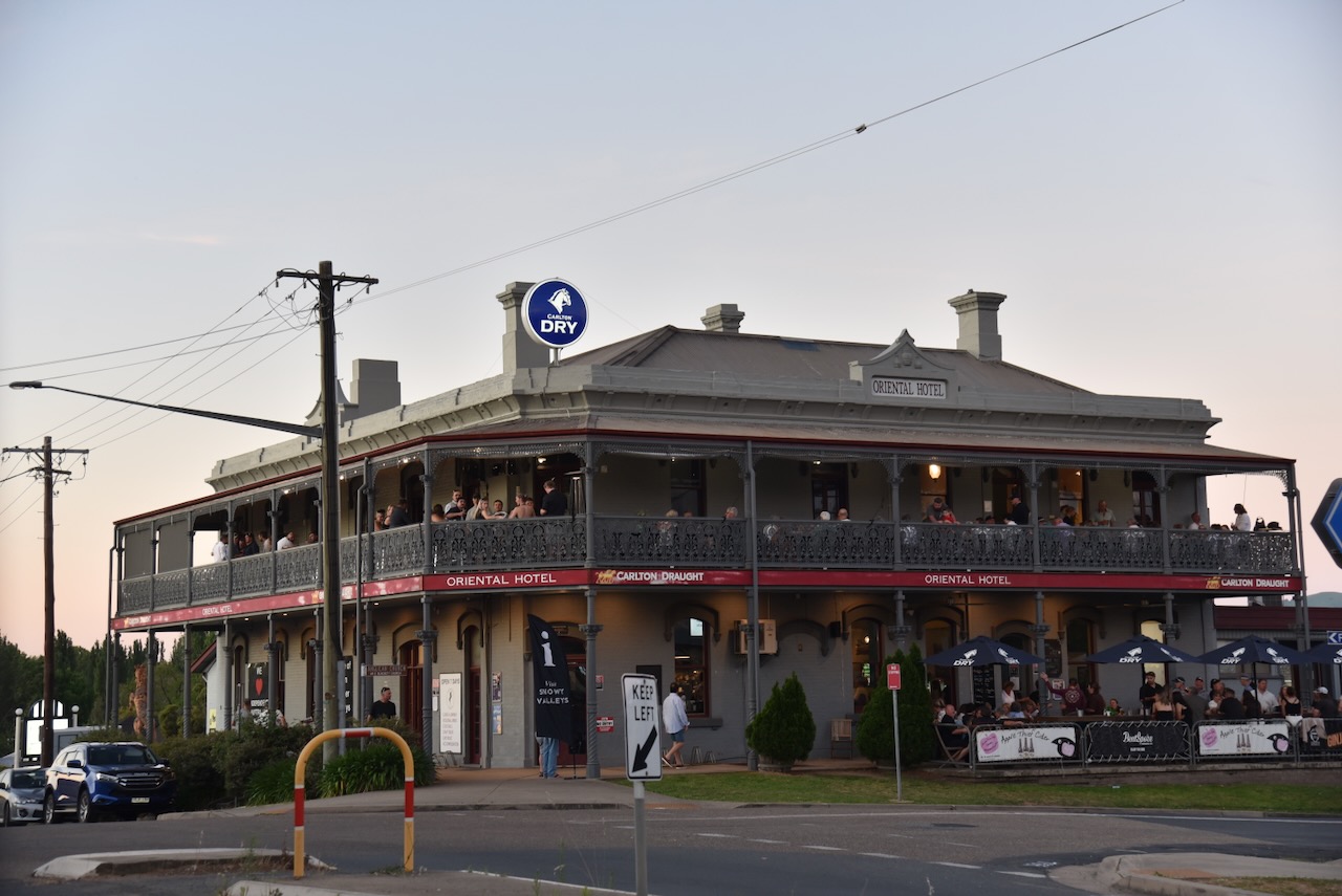
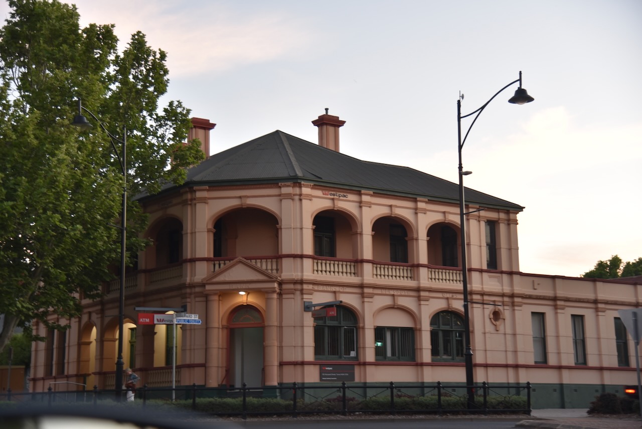
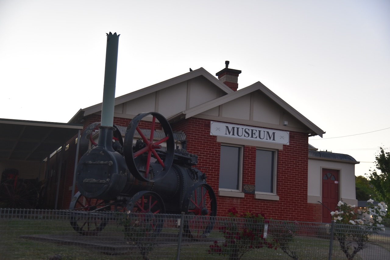
We had a quick drive around Tumut to admire some of the historic buildings. Sadly, we were really pressed for time, and Marija and I agreed that we would need to come back and stay in Tumut.
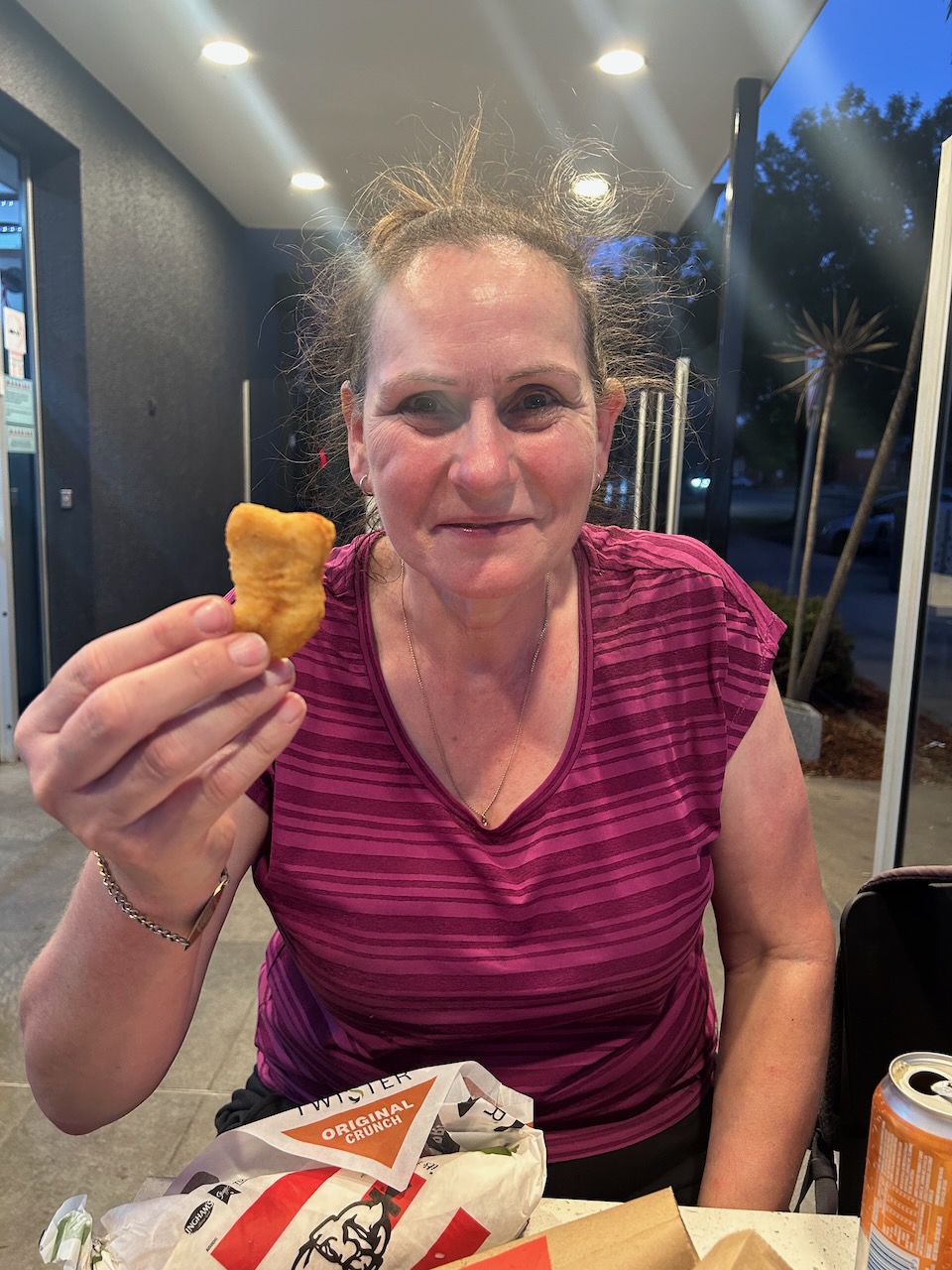
As we were keen to get back to Gundagai, we had a quick fast meal that evening at Kentucky Fried Chicken.
After dinner, we hit the road and travelled back to our motel in Gundagai.
References.
ancestry (2016). Ancestry® | Genealogy, Family Trees & Family History Records. [online] Ancestry.com.au. Available at: https://www.ancestry.com.au/. [Accessed 15 Mar. 2026]