My third park activation for Friday 23rd August 2024 was the Mamengoroock I18 Bushland Reserve VKFF-4234.
The reserve is located about 18 km north of Underbool in northwest Victoria.
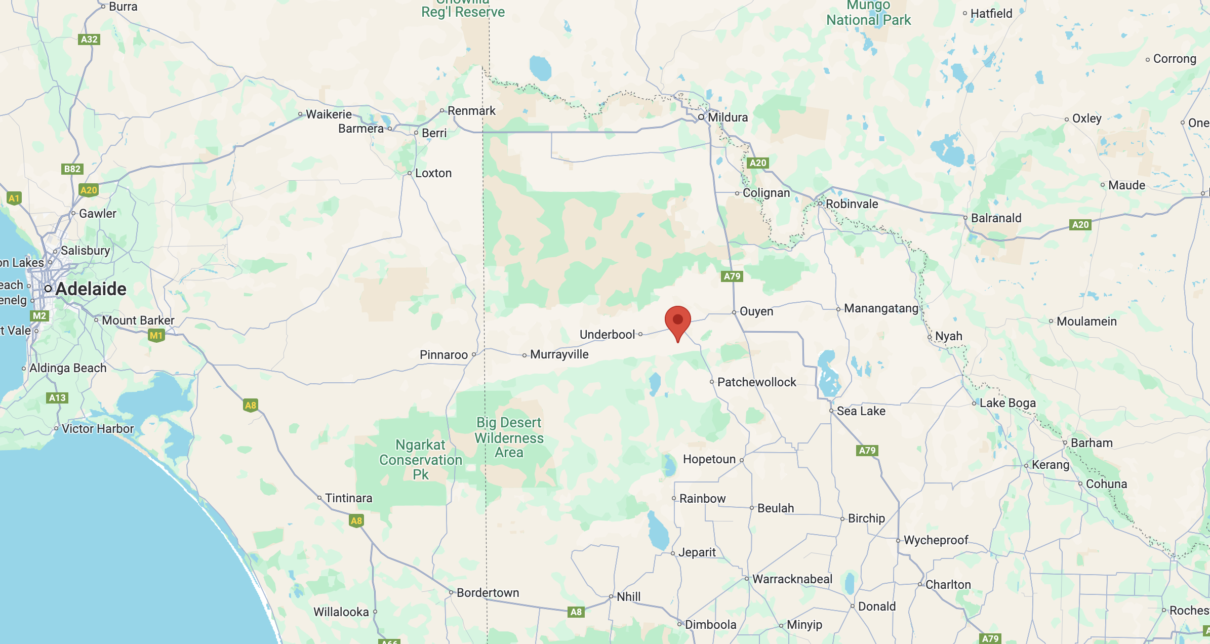
Above:- Map showing the location of the Mamengoroock I18 Bushland Reserve. Map c/o Google Maps.
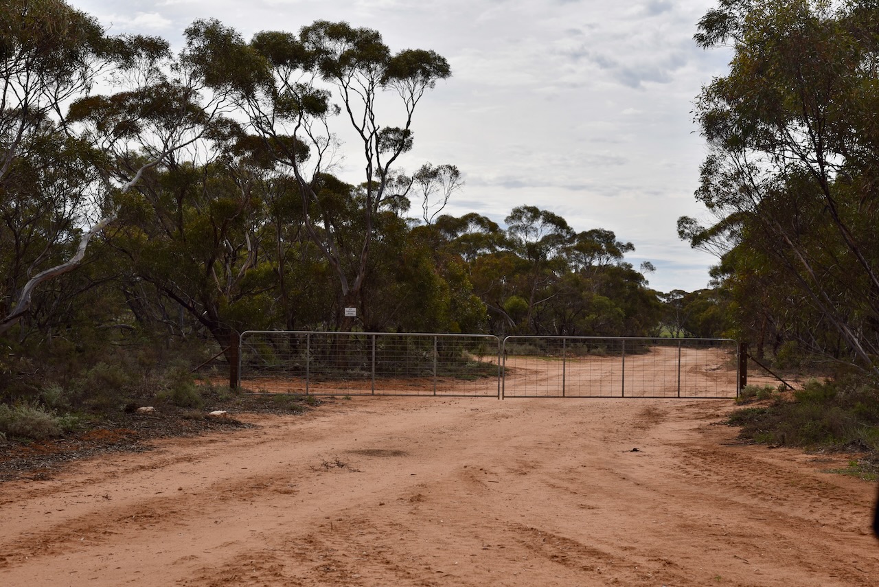
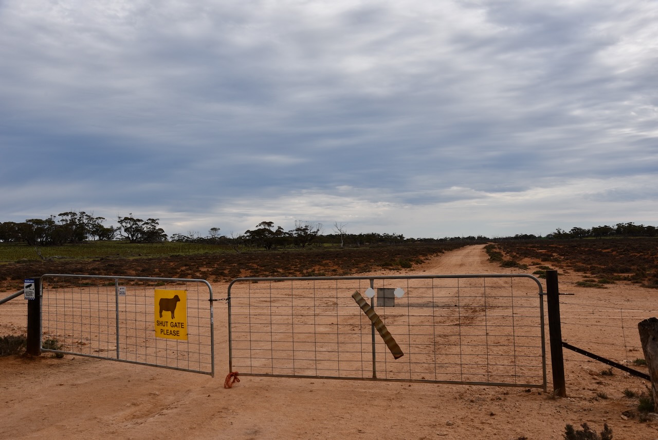
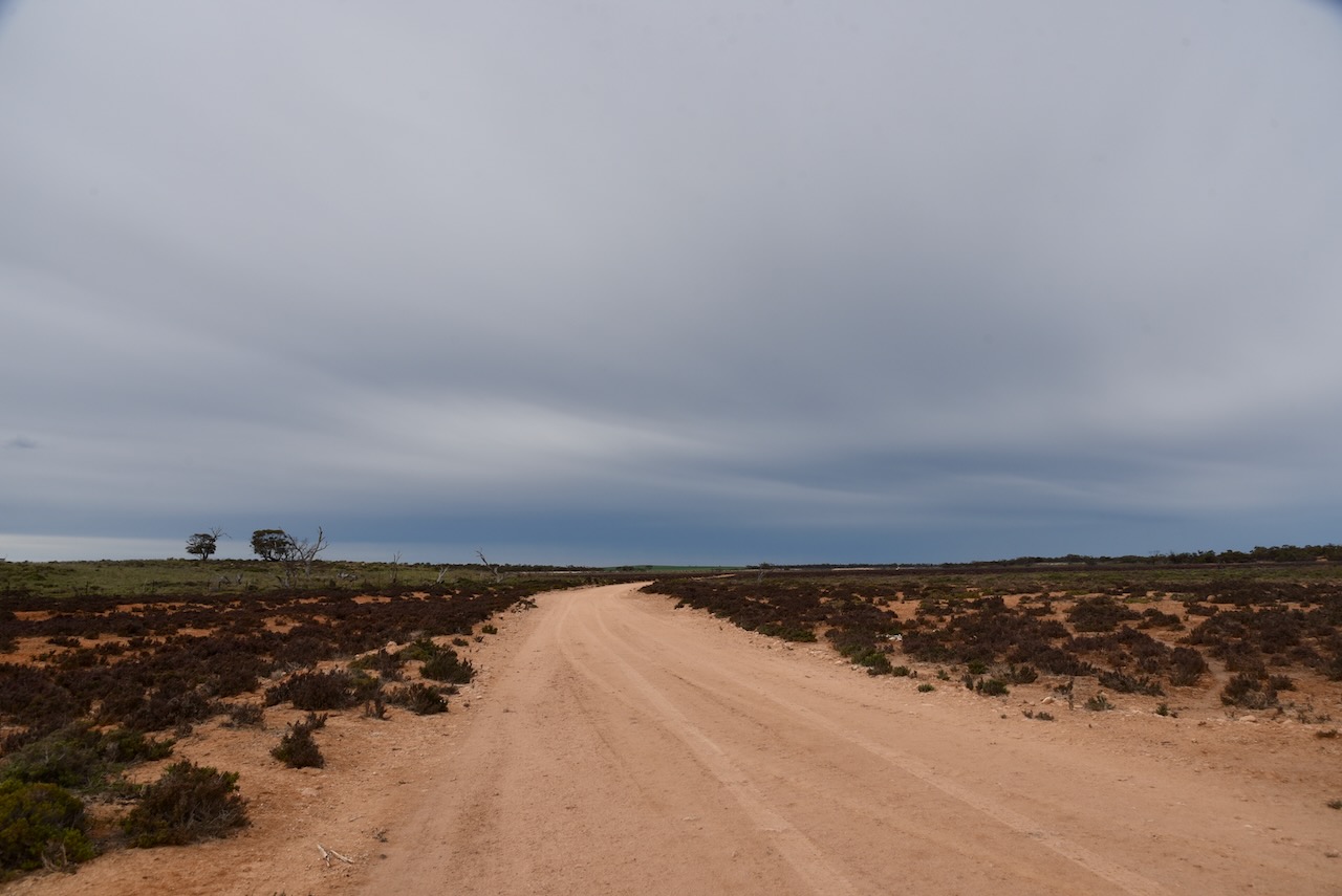
To access the park I took a dirt track that ran off Bertalli Road. It took me passed the ruins of an old farm with several old tractors rusting away.
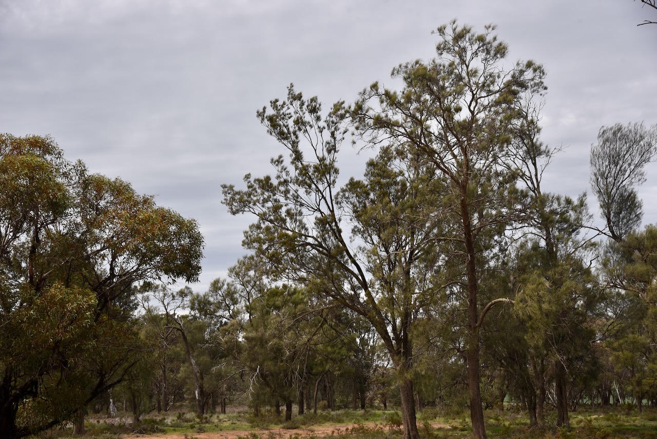
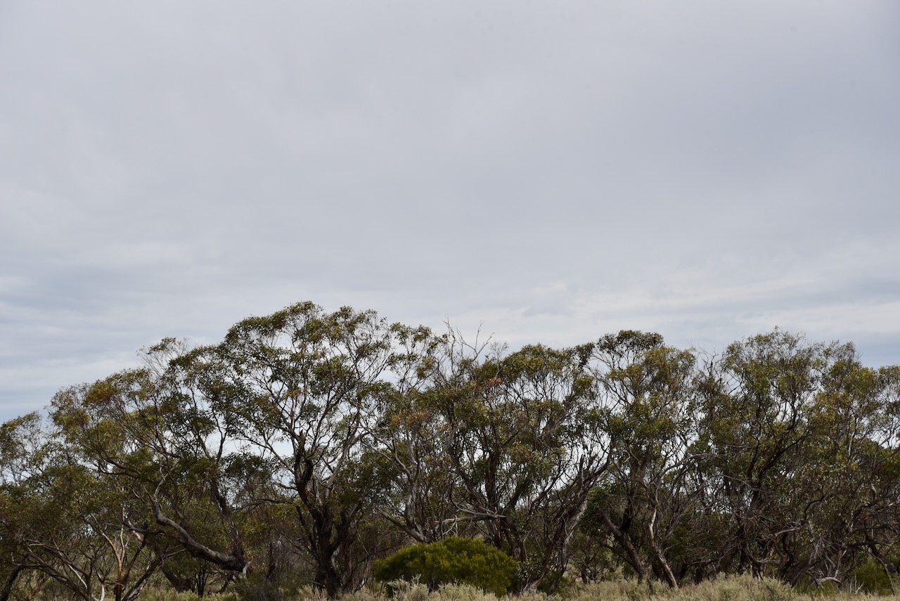
This was quite an isolated location. The reserve is located just to the south of the remote expanse of the Murray Sunset National Park.
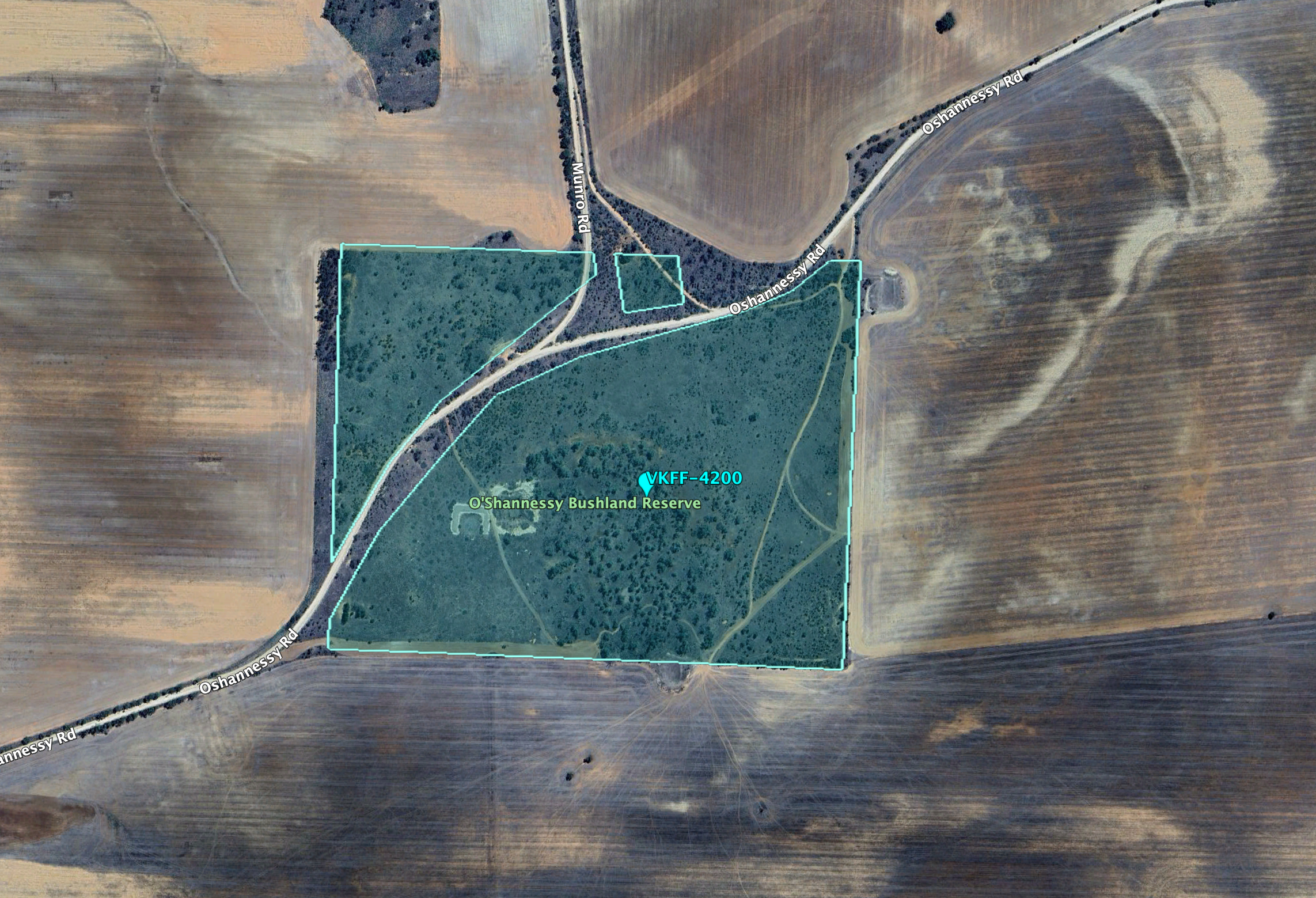
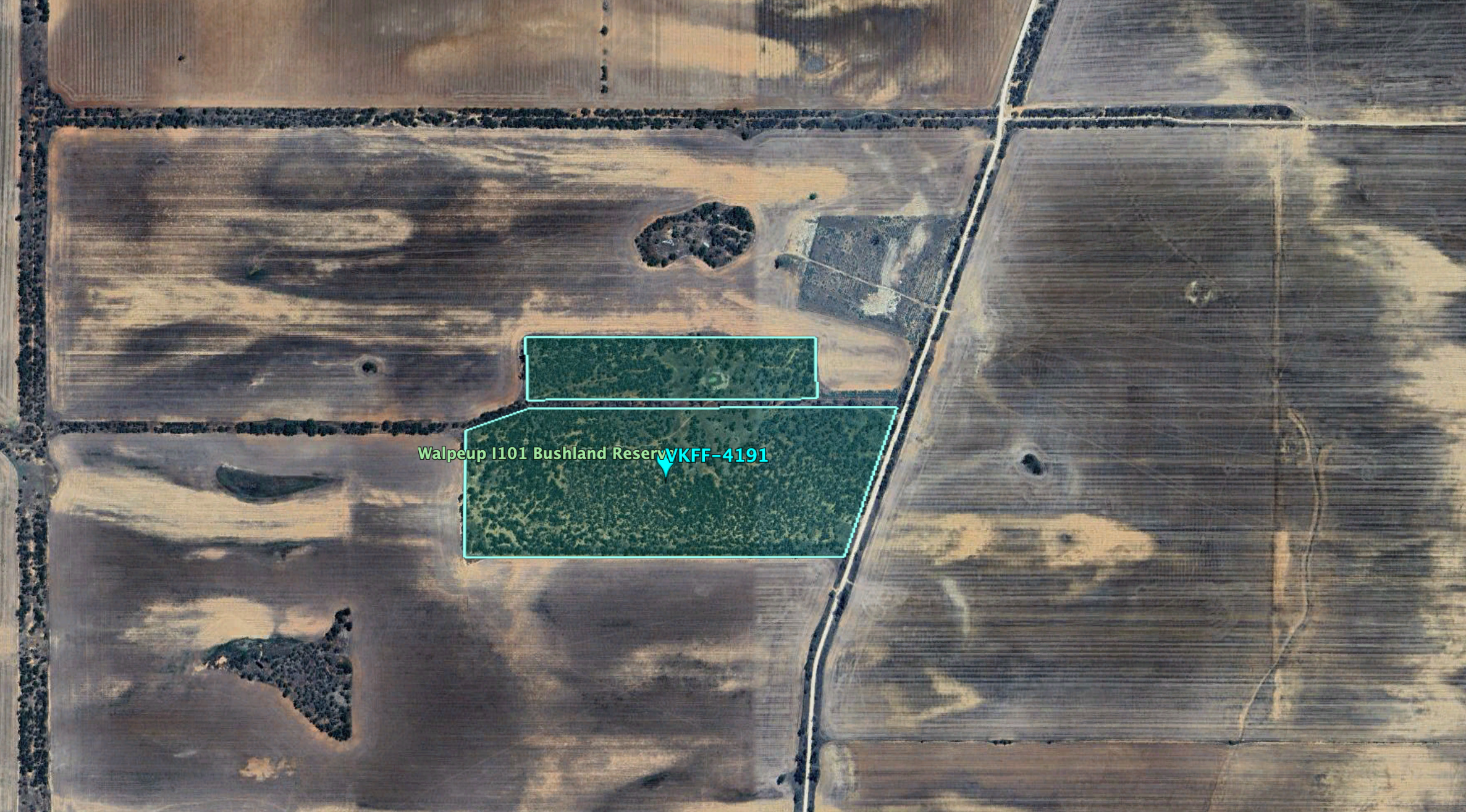
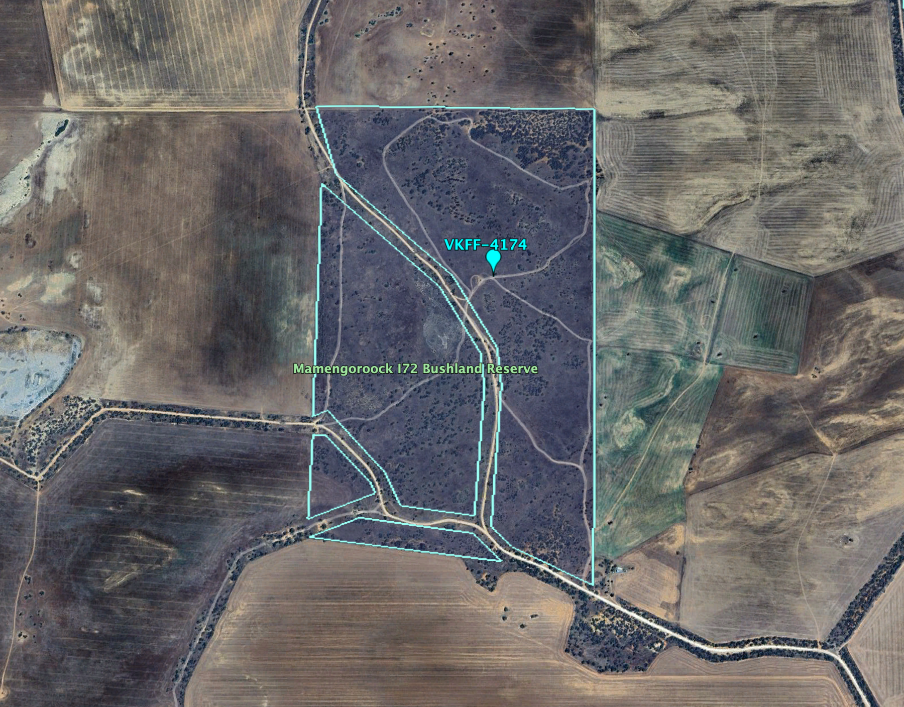
Above:- An aerial view of the Mamengoroock I18 Bushland Reserve. Image c/o Google Earth.
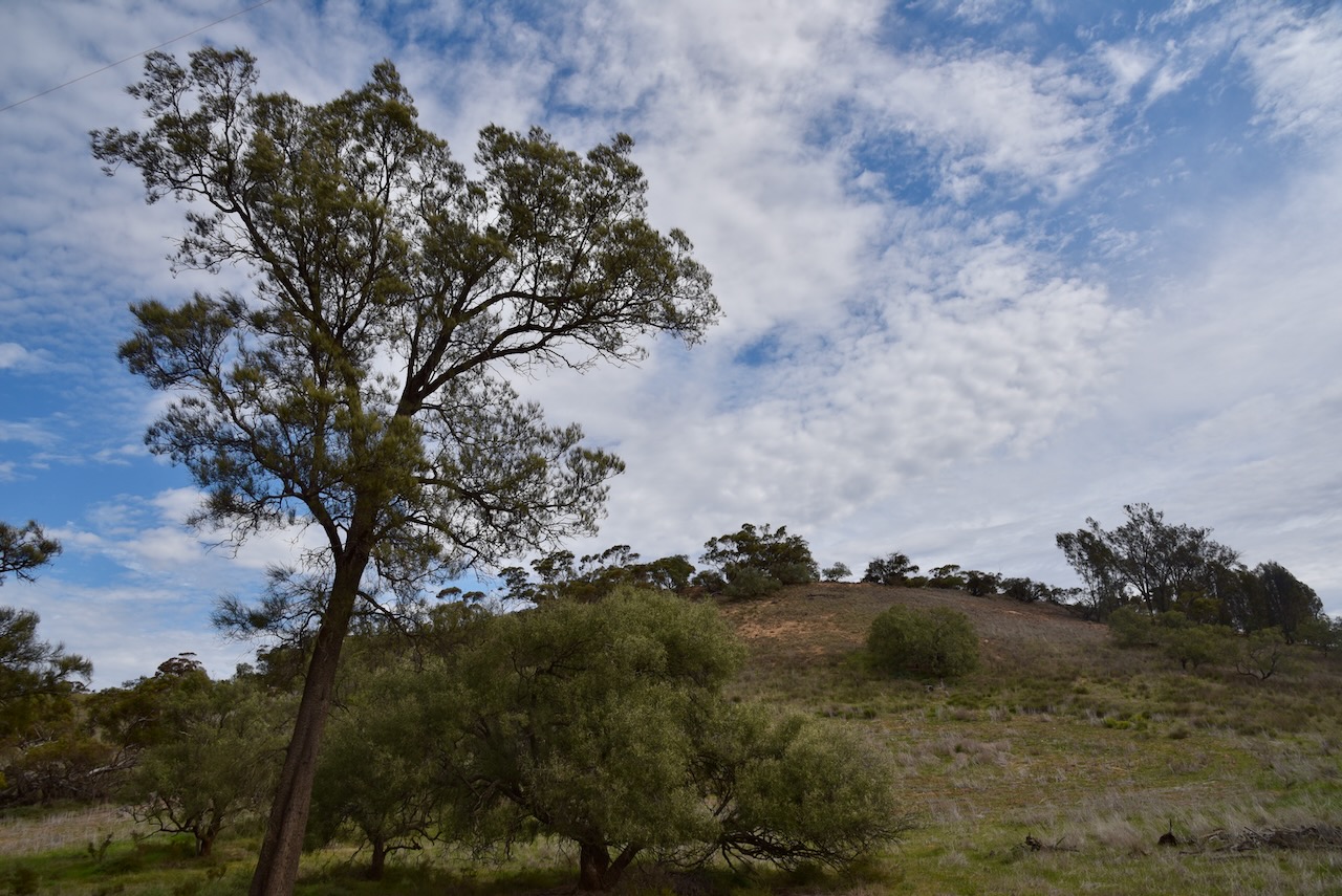
The reserve is about 16 hectares in size and was established on the 1st day of May 1979. Mount Gnarr is just to the south of the park. It is not really a mountain, more like a hill at just 99 metres above sea level. (CAPAD 2022) (Peak Advisor 2024)
I ran the Yaesu FT857, 40 watts, and the 20/40/80m linked dipole for this activation.
After leaving the Worooa Bushland Reserve on 23rd August 2024, I headed to my next planned park activation, the Purnya Bushland Reserve. However, this did not end well. The park showed up as bright green on the MapshareVic website, which indicates public access is allowed. However, it was not easy to access the park. I initially took Megaw Road which ran off the northern side of the Mallee Highway which turned into Kinnersley Road. But I soon started encountering gates. In the end, I decided not to continue.
It was off to option number two, the Mamengoroock I72 Bushland Reserve VKFF-4174.
The reserve is located about 14 km north of Underbool in northwest Victoria.
Above:- Map showing the location of the Mamengoroock I72 Bushland Reserve. Map c/o Google Maps.
The park is located at the corner of Mamengoroock Road and Bertalli Road, Underbool.
Above:- An aerial view of the Mamengoroock I72 Bushland Reserve. Image c/o Google Earth.
Mamengoroock is an aboriginal reference to great father, e.g. spirit god. (Blake 1978) It is interesting to note that there is a Mamengorook I236 Bushland Reserve. Note the spelling difference.
The Mamengoroock I71 Bushland Reserve is about 144 hectares in size and was established on the 1st day of May 1979. (CAPAD 2022)
To the north of the park is the great expanse of the Murray Sunset National Park.
Above:- An aerial view of the park looking north. Image c/o Google Maps.
I ran the Yaesu FT857, 40 watts, and the 20/40/80m linked dipole for this activation.
It was now Friday 23rd August and it was to be my last day of activating on the Werrimul Victoria trip. My plans for the day were to activate some parks and then head home to Ashbourne.
My first park for the day was the Worooa Bushland Reserve VKFF-4165.
The park is located about 41 km east of Murrayville in northwest Victoria.
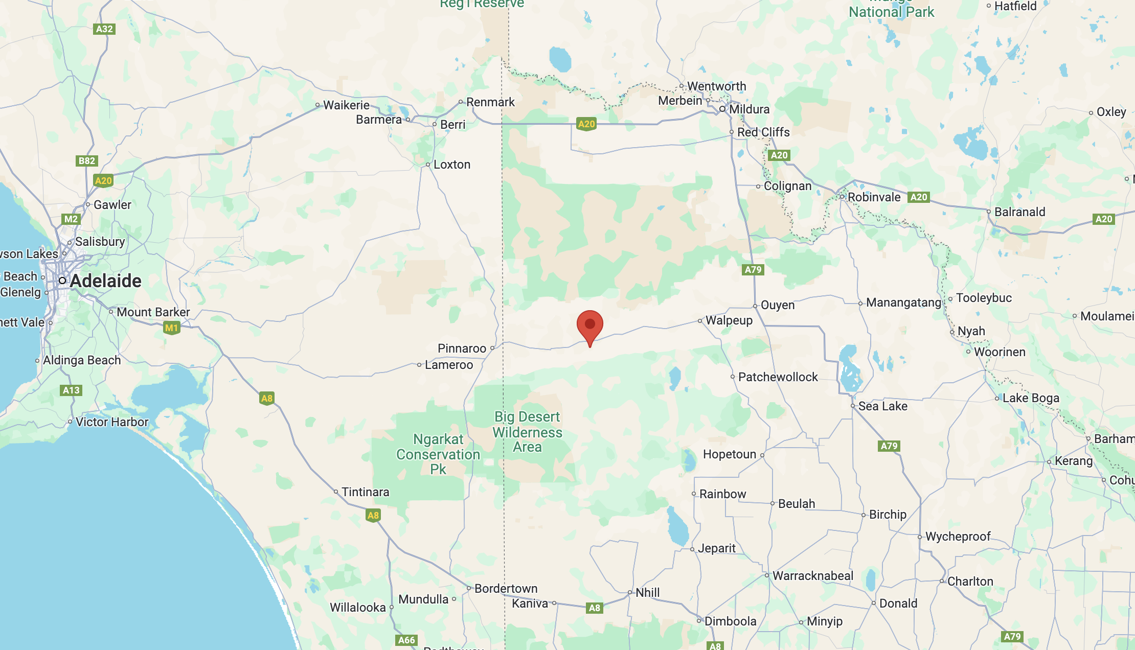
Above:- Map showing the location of the Worooa Bushland Reserve. Map c/o Google Maps.
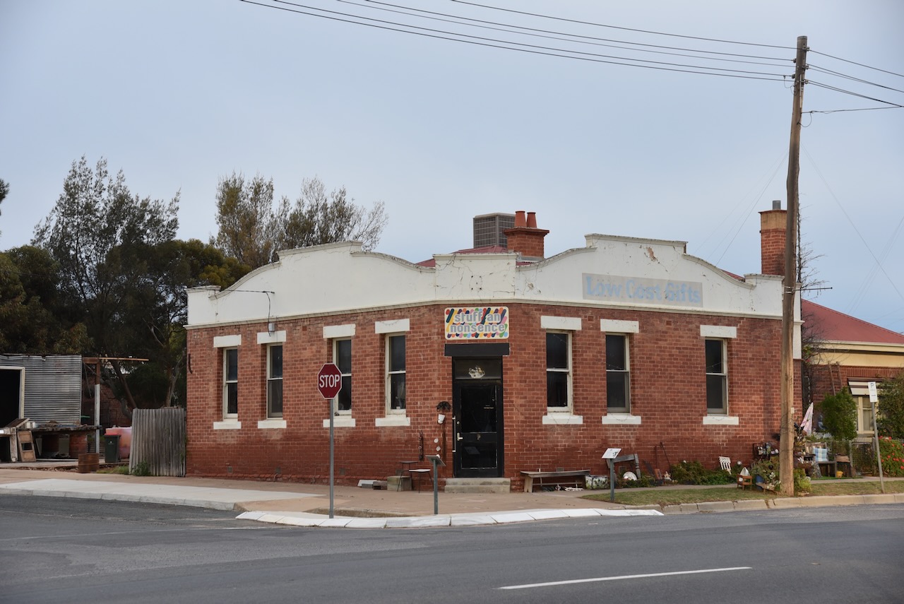
Before heading to the park, I drove around the town of Murrayville to take a few photographs. Marija and I have visited Murrayville several times and love this little town.
Before European settlement, the Murrayville area was home to the Wergaia or Werriga Aboriginal people who lived in the Wimmera and Mallee regions. (Aussie Towns 2024)
Above:- Map of aboriginal tribal territories in Victoria. Image c/o Tirin aka Takver, WIkipedia.
In 1849 Edward Riggs White was appointed to survey the border between South Australia and Victoria. He attempted to develop a road between the Murray Darling junction and the upper Wimmera in Victoria. Between 1852 and 1862, annual depasturing licences were being issued, however few were taken up. During the 1860s cattle was being driven from Kow Plains near Murrayville to Nhill Station. (Aussie Towns 2024)
The area around Murrayville was not settled until the early 1900s. Test bores were sunk by the State Rivers and Water Supply Commission to establish if there was reliable water. By 1909 selectors commenced to move into the district and began clearing scrub for farming. (Aussie Towns 2024)
The town of Murrayville was surveyed in 1910. In that same year, the Post Office opened. In 1911 a hotel was built. In 1912 a school and a mechanics institute were opened. Murrayville’s first agricultural show was held in 1917. In 1923 St Peters Lutheran church was built and in 1929 the Anglican church was consecrated (Aussie Towns 2024)
Above:- A plan of the township of Murrayville. Image c/o State Library Victoria.
Murayville is named in honour of John ‘Jack’ Murray (b. 1851 d. 1916) who was the Premier of Victoria from 1909-1912. (Aussie Towns 2024)
Above:- John Murray. Image c/o Wikipedia.
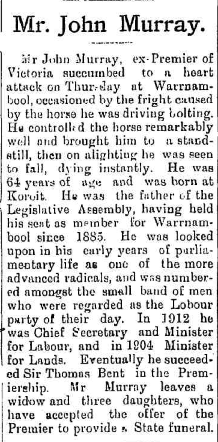
On the 4th day of May 1916, Murray was riding on his horse, along a street in Warrnambool. His horse was frightened and bolted. Murray eventually controlled the horse and upon his alighting, he collapsed and died. He was buried with a State funeral attended by nearly 2,000 people including First Nation’s people. His funeral procession was nearly 3.2 km long. (Aust. Dict. Biography 2024)
Above:- Article from the Dungog Chronicle, Tues 9 May 1916. Image c/o Trove.
The Murrayville Hotel is the town’s most impressive building. It was built in 1918.
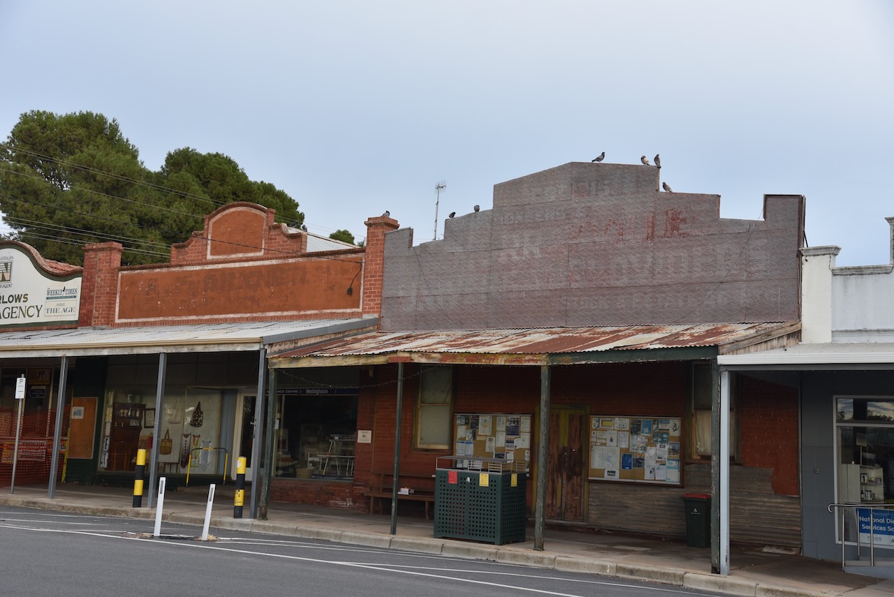
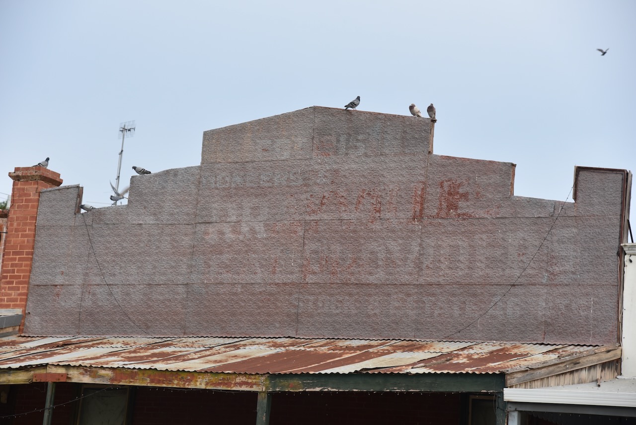
Murrayville’s main street is evidence of what was once a thriving town.
Murrayville is home to former Olympic basketball Rachael Sporn.
And of course, Murrayville has a Bill’s horse trough
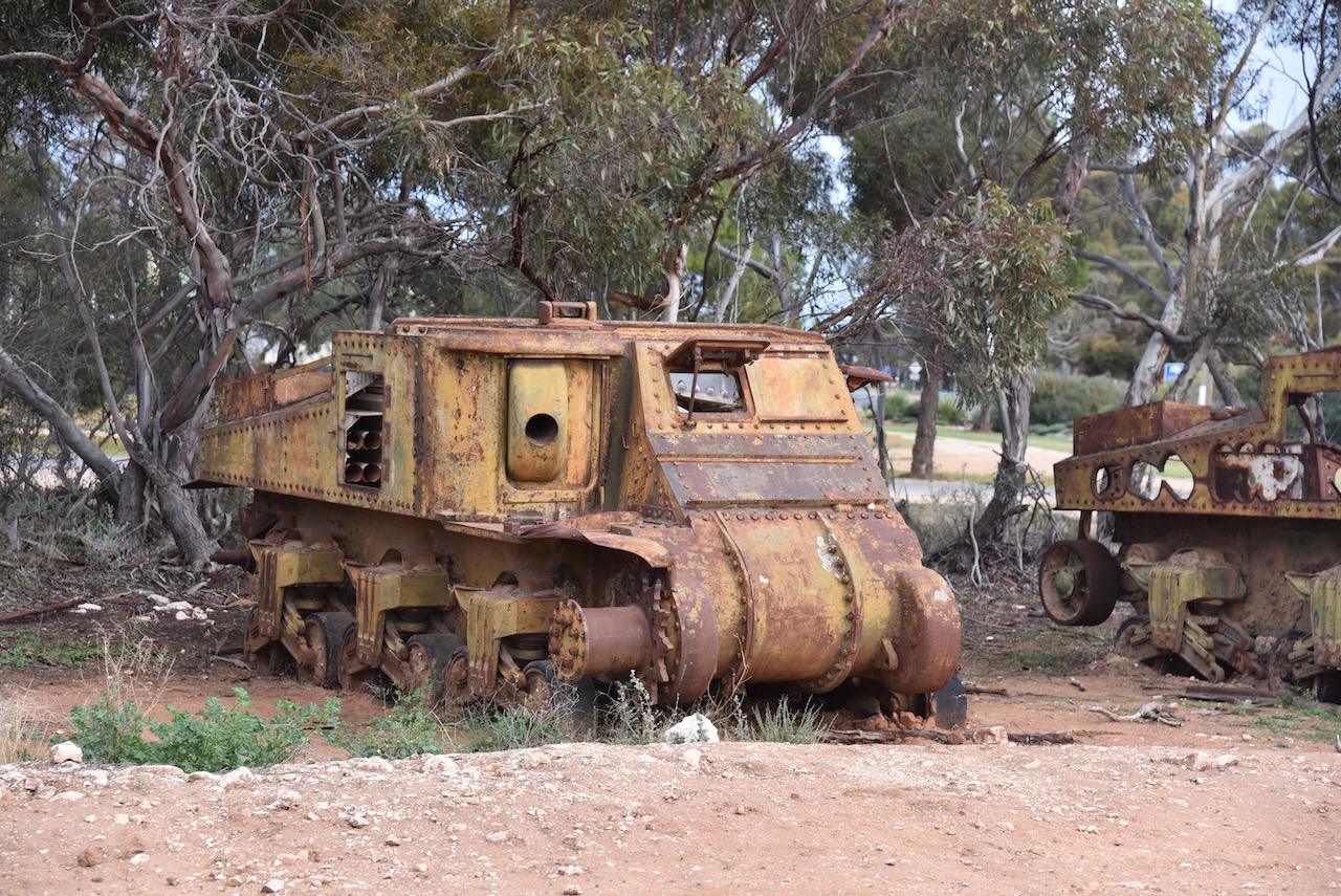
Murrayville also has a rather unusual collection of old army tanks. They are located next to the self-serve service station on the eastern side of town.
The story behind these tanks varies depending on what you read on the internet. I found some YouTube posts where it was reported that the tanks were purchased from an army disposal sale at Bandiana near Wodonga. It is reported that they were purchased for steel to be used in an engineering manufacturing business owned by Peter Peers. Two were used in his limestone surface quarry at Cowangie. Several others were sold to military collectors while another was donated to a military museum. Engines were used in other earthmoving machinery built by Peers. Armour plate from the tanks was also used to construct chain which was pulled to clear mallee scrub. (Murrayville Tank Graveyard 2017) (On Roads Less Travelled 2024)
Other sites report that the tanks were purchased in Darwin and were to be converted into tractors or bulldozers to be used by farmers for use in agricultural and earthmoving duties.
Below is an interesting video on the M3 Lee/Grant army tank.
The story about Mr. Peter Peers is very interesting. Peter Robert Nelson Peers was born in 1911 at Fairfield, Victoria. Peter was just 4 years old when he was lost in the bush. He rode a horse to school. He studied electrical and mechanical engineering and worked on the family farm at Duddo. In 1942 he married Lucy Stella Duffin who was a teacher. They had four children. Peter had an engineering workshop in Murrayville. He also ran a school bus service. In the early 1960s he established a surface limestone quarry and crushing plant. He retired at the grand old age of 93. Peter was a life member of the Ouyen Harness Racing Club and the Murrayville Lawn Tennis Club. He was a renowned storyteller and loved music from the 1920s to 1940s. He played piano, banjo and steel guitar. Peter died in 2010 at Pinaroo, South Australia, aged 99 years. His wife Lucy of 67 years, died 4 days later. (Ancestry.com.au) (The Age 2024)
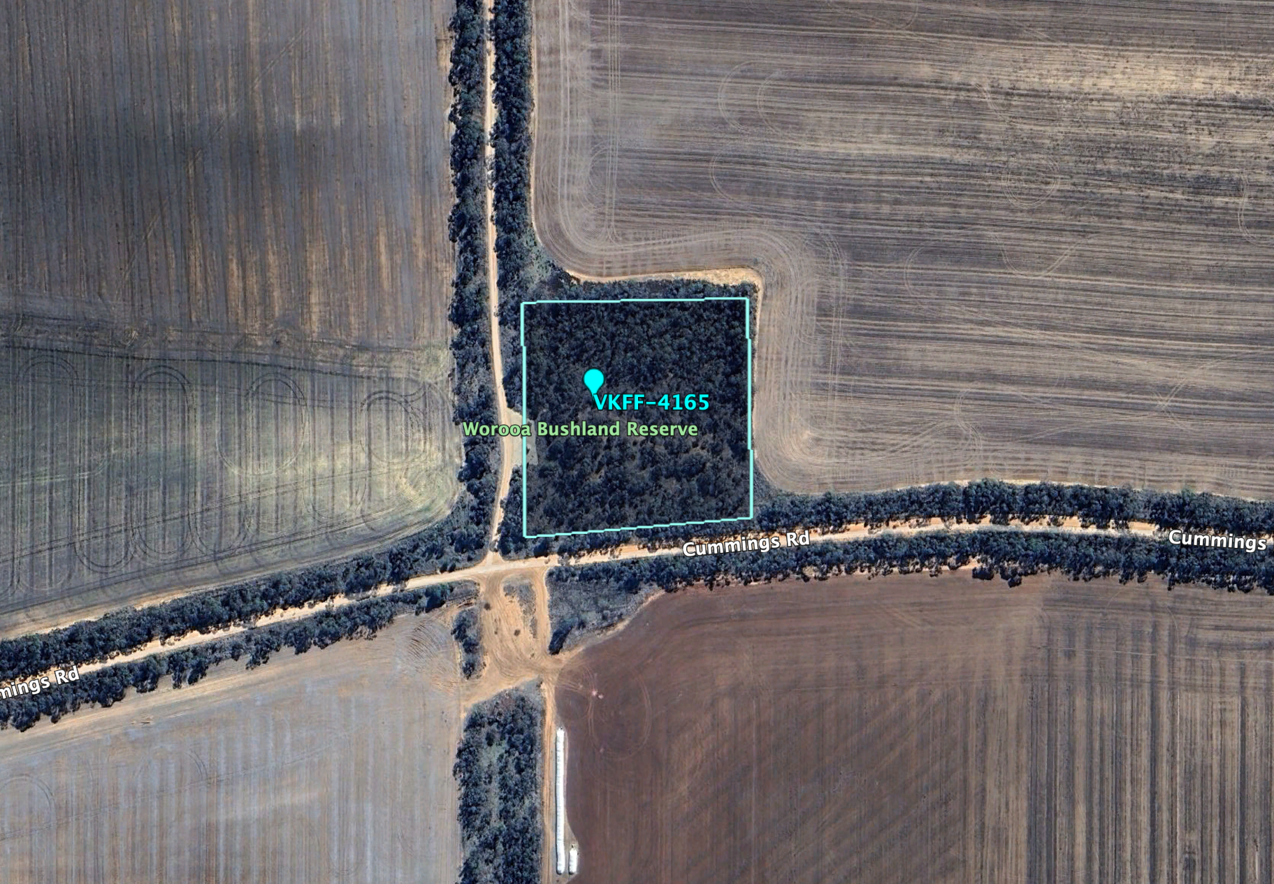
The Worooa Bushland Reserve is located on Cummings Road.
Above:- An aerial view of the Worooa Bushland Reserve. Image c/o Google Earth.
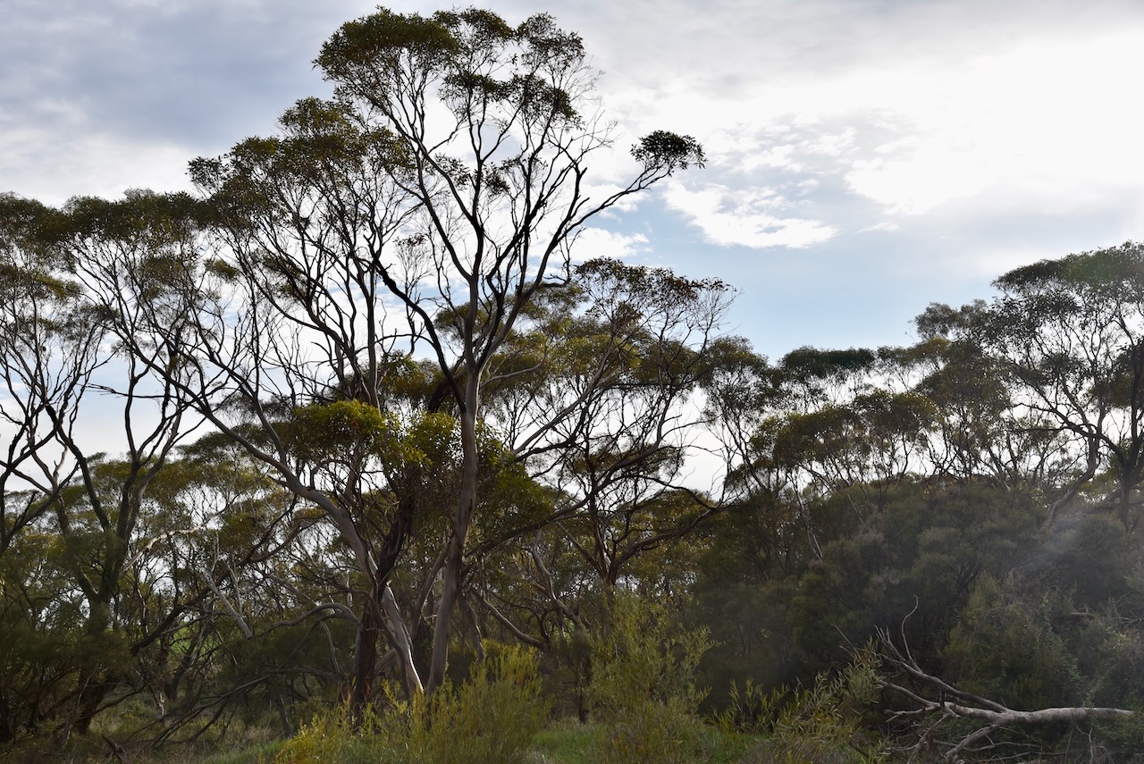
Worooa is an aboriginal word meaning ‘green’. The Reserve is about 2 hectares in size and was established on the 8th day of May 1990. (Blake 1978) (CAPAD 2022)
I worked the following stations on 40m SSB:-
VK3PF
VK2IO
VK2GEZ
VK3TV
VK1DI
VK3VIN
VK5GY
VK3CA
VK3HM
VK5MAZ
VK5CZ
VK2EXA
VK3MTT
VK4FDJL
VK4GOB
VK3APJ
VK3ZPF
VK3JW
VK2SLB
VK2BRN
VK2KBT
VK5TUX
VK3CEO
VK3HJW
VK3SO
VK3SFG
VK6XL
VK2VW
VK2HFI
VK2AKA
VK2BUG
VK1ARQ
VK3SQ
VK2BD
VK3MCK
VK4HNS
VK3AMO
I worked the following stations on 20m SSB:-
VK2SLB
VK2BRN
VK2KBT
VK5MAZ
VK4EMP
VK4TI
VK4GKO
VK2KET
VK5AYL
VK6LK
VK6LMK
VK2IO
VK2GEZ
VK2VW
VK2HFI
VK2AKA
VK2BUG
References.
ancestry (2016). Ancestry® | Genealogy, Family Trees & Family History Records. [online] Ancestry.com.au. Available at: https://www.ancestry.com.au/ [Accessed 12 Dec 2024]
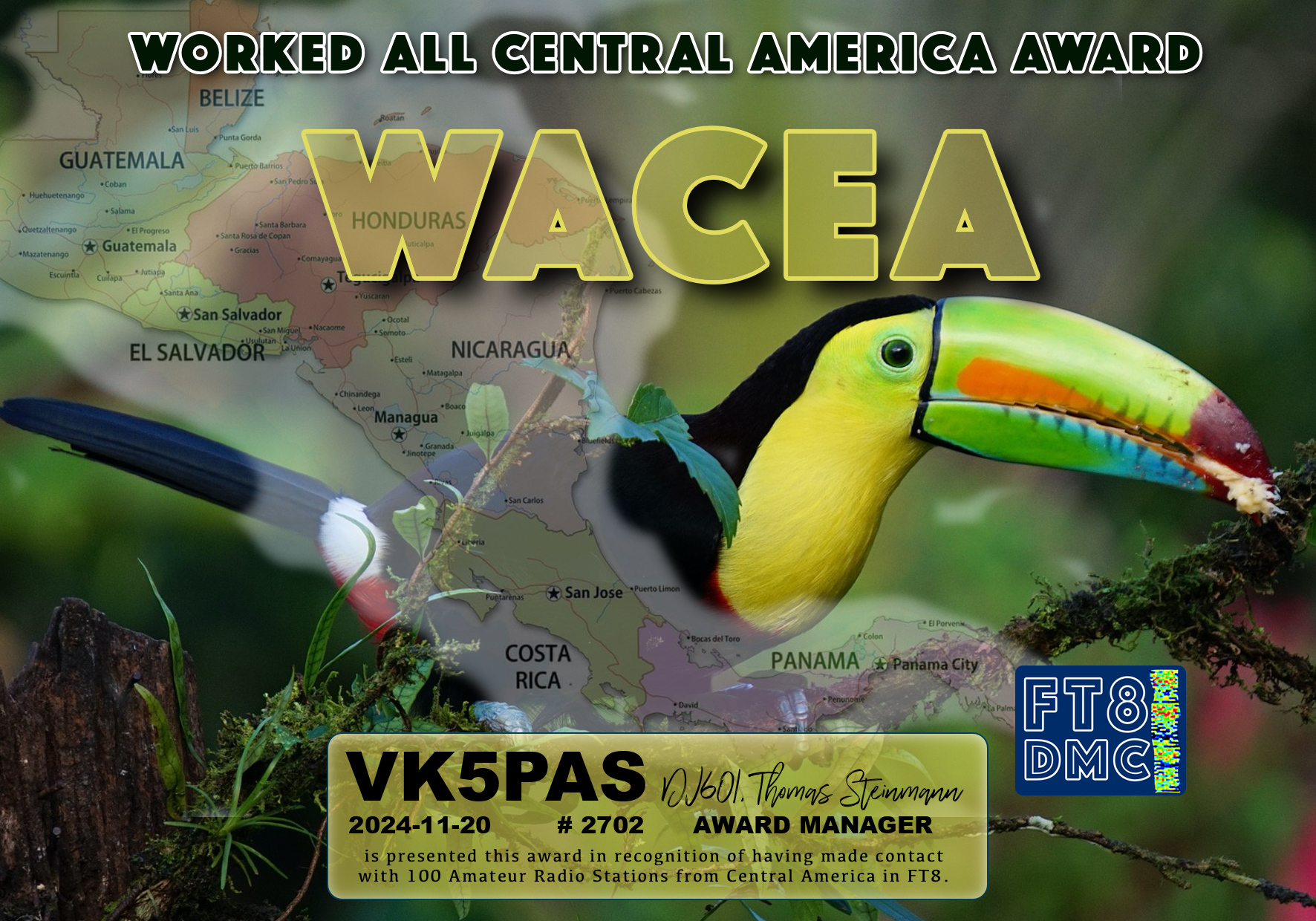
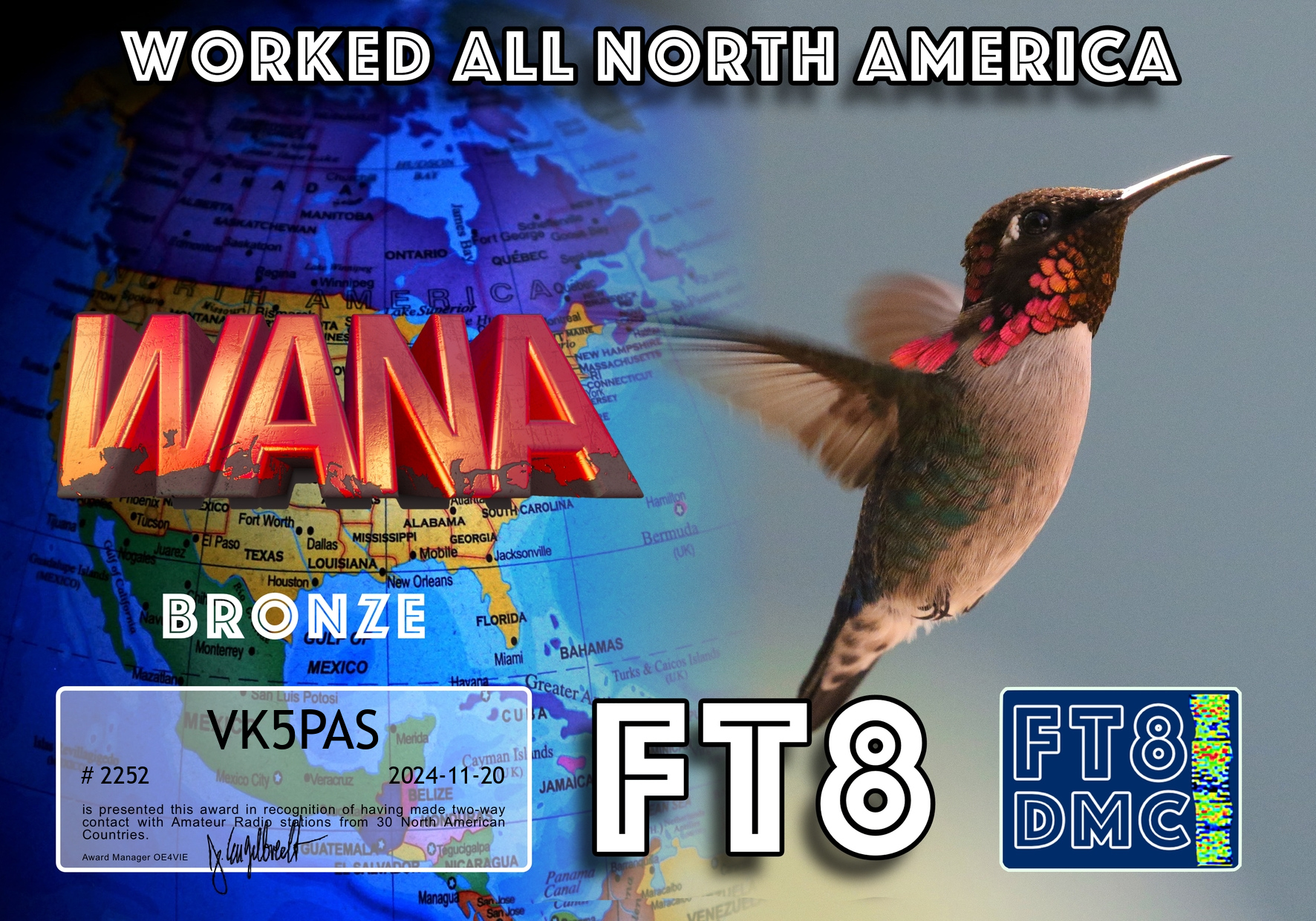
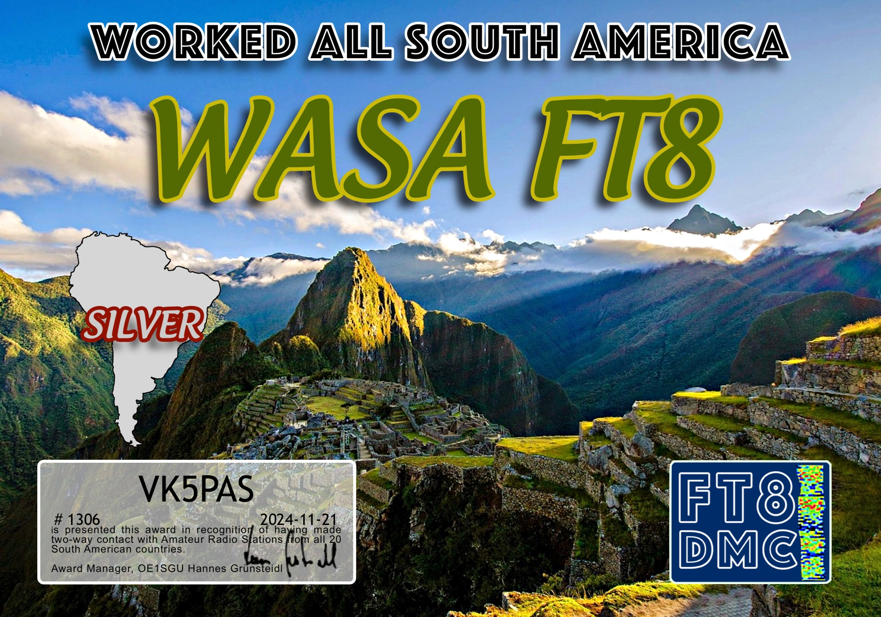
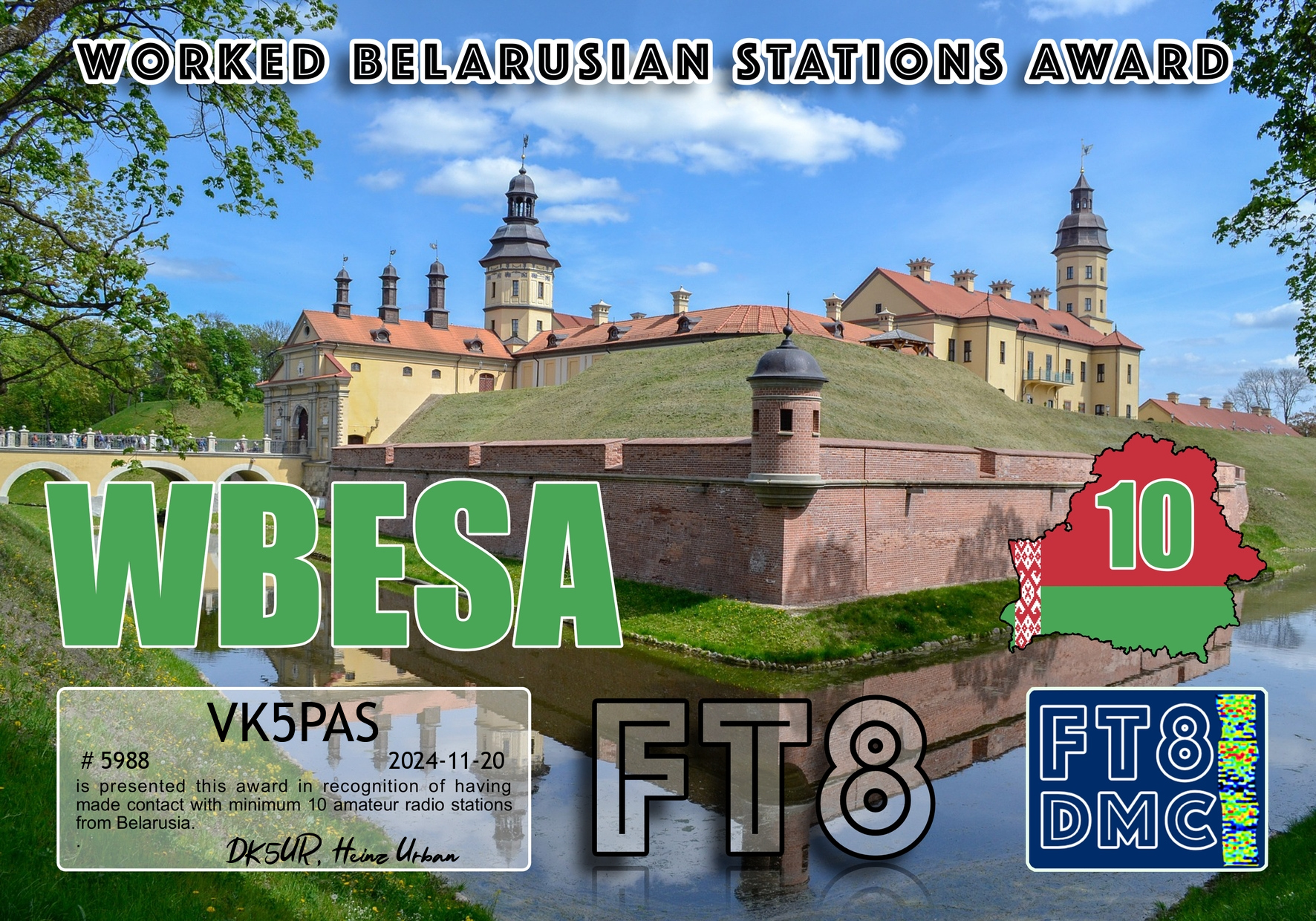
A very pleasant surprise this morning to find the certificate below in my email inbox.
The certificate was issued by Leszek SQ9MDF in recognition of me contacting him several times whilst he was activating summits for the Summits On The Air (SOTA) program.
My final activation for Thursday 22nd August 2024 was the Drendles Bushland Reserve VKFF-4161.
The reserve is located about 27 km east of Murrayville in northwest Victoria.
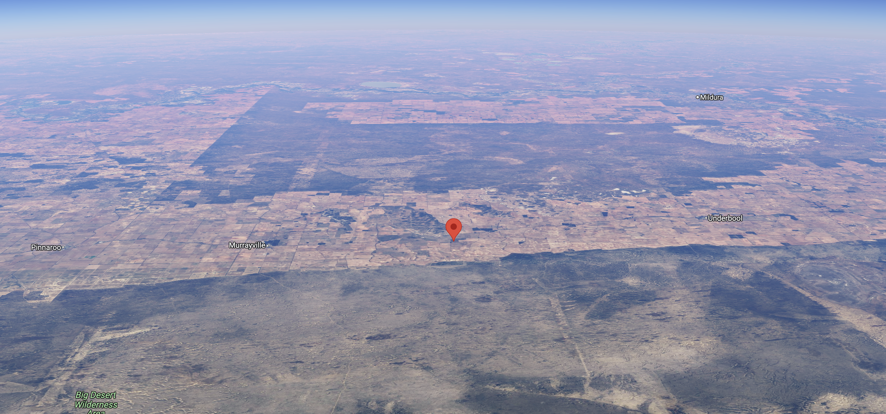
Above:- Map showing the location of Drendles Bushland Reserve. Map c/o Google Maps.
The park is at the end of a dirt track that runs off the Mallee Highway’s southern side.
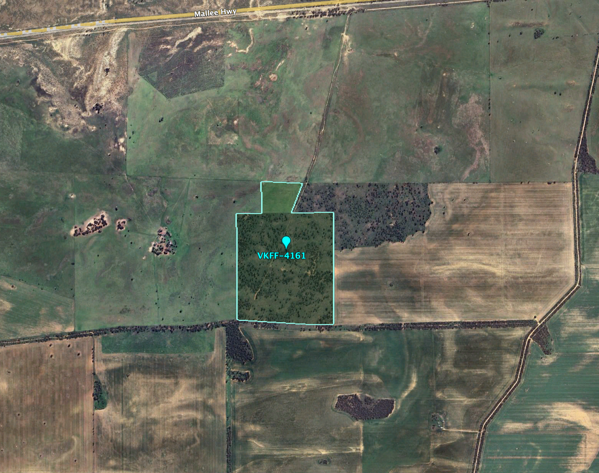
Above:- Aerial view of the Drendles Bushland Reserve. Image c/o Google Earth.
By the time I reached the park it was dark.
I ran out the 20/40/80m linked dipole in the dark with my head torch. I ran the Yaesu FT857 and 40 watts output.
It was a beautiful balmy evening and no mosquitoes. My location was quite remote, with the Big Desert Wilderness Area and North Wyperfeld Wilderness Area to my south. To my north was the vast Murray Sunset National Park.
Above:- An aerial view of the Drendles Bushland Reserve looking north. Image c/o Google Maps.
After leaving the Pidgeon Tank Bushland Reserve on Thursday 22nd August 2024, I drove a short distance to my next park activation, the Symes Bushland Reserve VKFF-4202.
The reserve is about 30 km southwest of Ouyen in northwest Victoria.
Above:- Map showing the location of the Symes Bushland Reserve. Map c/o Google Maps.
The reserve is located on the western side of Hopetoun-Walpeup Road at the junction of Munro Road.
Above:- An aerial view of the Symes Bushland Reserve. Image c/o Google Earth.
The reserve is about 30 hectares in size and was established on the 1st day of May 1979. (CAPAD 2022)
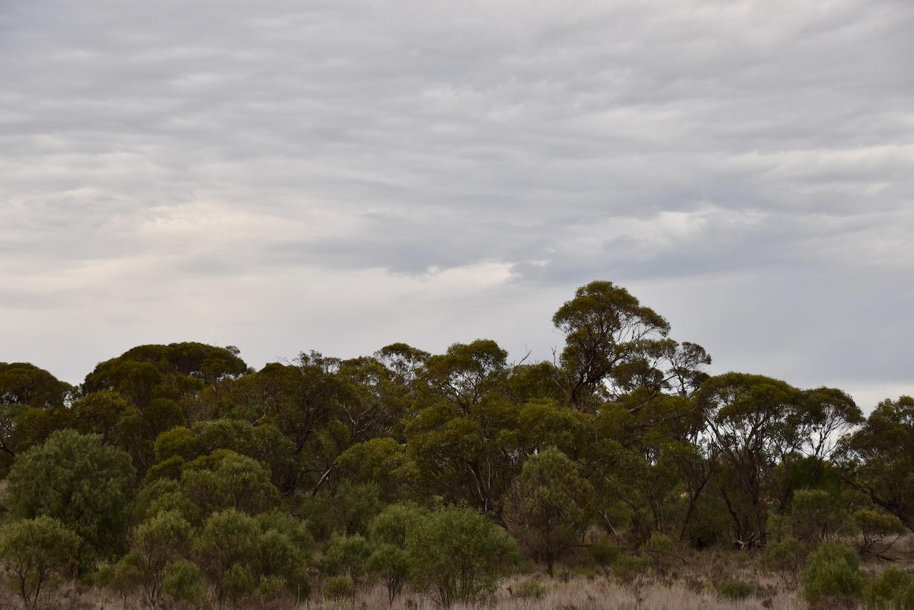
I ran the Yaesu FT857d, 40 watts, and the 20/40/80m linked dipole for this activation.
I worked the following stations on 20m SSB:-
VK4EMP
VK4TI
VK4GKO
VK5MAZ
VK5QA/4
VK3CLD/4
VK2DBF/4
F5PYI
M1TES/M
ON4BB
VK2IO
VK2GEZ
DL1EBR
VK2VW
VK2HFI
VK2AKA
VK2BUG
UT5PI
VK4SMA
F1BLL
VK4HNS
S58AL
SQ9CWO
OH6GAZ
DH4PSG
F5NZO
DK4RM
OP7M
IZ5JMZ
EA3MP
IK1GPG
KG5CIK
SP9RXP
S52KM
IW2NXI
VK4PDX
VK7HAM
OH1MM
ON4LO
ON7ZM
ZL4NVW/P (ZLFF-0006)
ZL3RIK
ON4VT
OK2TS
IK3HMB
VK6TTF
EA1GIB
OM5TX
VK6CB
VK2JJM
SP1JQJ
I worked the following stations on 40m SSB:-
VK3SQ
VK2BD
VK2YW
VK3HJW
VK3APJ
VK3EJ
VK4FDJL
VK3MIJ
VK3VIN
VK3PF
VK4DNO
VK2IO
VK2GEZ
VK2MOE
VK1MO
VK2YAK
VK4YAK
VK2EXA
VK3ANL
VK7HAM
VK5JK
VK1DI
VK5WY
VK3SKS
VK3KRL
VK7PJM
VK3SO
VK3SFG
VK3WSG
VK3TV
VK3ACZ
VK4EMP
VK4TI
VK4GOZ
VK3MCK
VK5MRS
With 87 QSOs in the log, I packed up and headed west towards Murrayville where I planned on staying for a few nights.
Along the way, I stopped briefly at Walpeup. I have been here dozens of times before, but I wanted to have another look at the silo art in the town.
There are various interpretations on the meaning of Walpeup. Some suggest it is derived from the aboriginal word wolpeep meaning a boil (body sore). Others state that Walpeup means stumpy-tailed lizard and others claim it is an aboriginal word for an indigenous acacia. (Blake 1978) (Victorian Places)
In 1861 German explorer and scientist George Neumayer named the Walpeup area Consolation Plains. Neumayer was a member of the Exploration Committee of the Royal Society of Victoria which organised the Burke and Wills Expedition. Neumayer joined the expedition at Swan Hill and remained with the expedition party until the Darling River at Bilbarka, before returning. (Wikipedia 2024)
Above:- George Neumayer in c. 1860. Image c/o Trove.
In 1903 the railway line was extended northwards from Woomelang via Ouyen, finally joining with Mildura. There was a settlement at nearby Pinnaroo in South Australia with good farming land. A study revealed that the land between Pinnaroo and Ouyen was of similar good quality. The availability of water was confirmed by the sinking of test bores. Between 1910 to 1911 the State Rivers and Water Supply Commission constructed catchment tanks. In 1912 the railway line from Ouyen to Murrayville was completed. In 1909 the first farm selections were offered along the railway route. The post office was opened on the 16th day of December 1912. (Wikipedia) (Victorian Places)
Above:- Homes in Walpeup. c. 1911. Image c/o Museums Victoria.
In 1909 a store was opened at Walpeup and this was followed by the Walpeup Primary School in 1912 which operated from the ‘Little White Hall.’ In 1911 the Shire of Walpeup was proclaimed, however, the administrative centre was at Ouyen. Council meetings alternated between Ouyen and Murrayville. The Walpeup South State School (No. 3939) also known as Hungry Hut, was opened in 1912 and closed in 1951. (Victorian Places) (Wikipedia)
Above:- The Walpeup School, c. 1911. Image c/o Museums Victoria.
By 1920 Walpeup had a population of about 400 people and had a general store, a blacksmith, a butcher, a bank branch and other businesses. The original public hall was replaced in 1923 with a brick memorial hall. (Victorian Places)
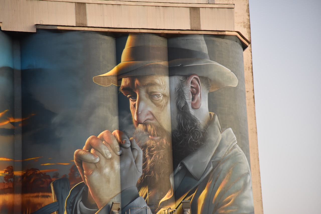
The Walpeup silo features World War One Light Horseman Harold Thomas Bell. The silo art is the work of artists Julian Clavijo and Camilo Delgardo. It was completed in 2023.
Below is a great video on the Walpeup silo.
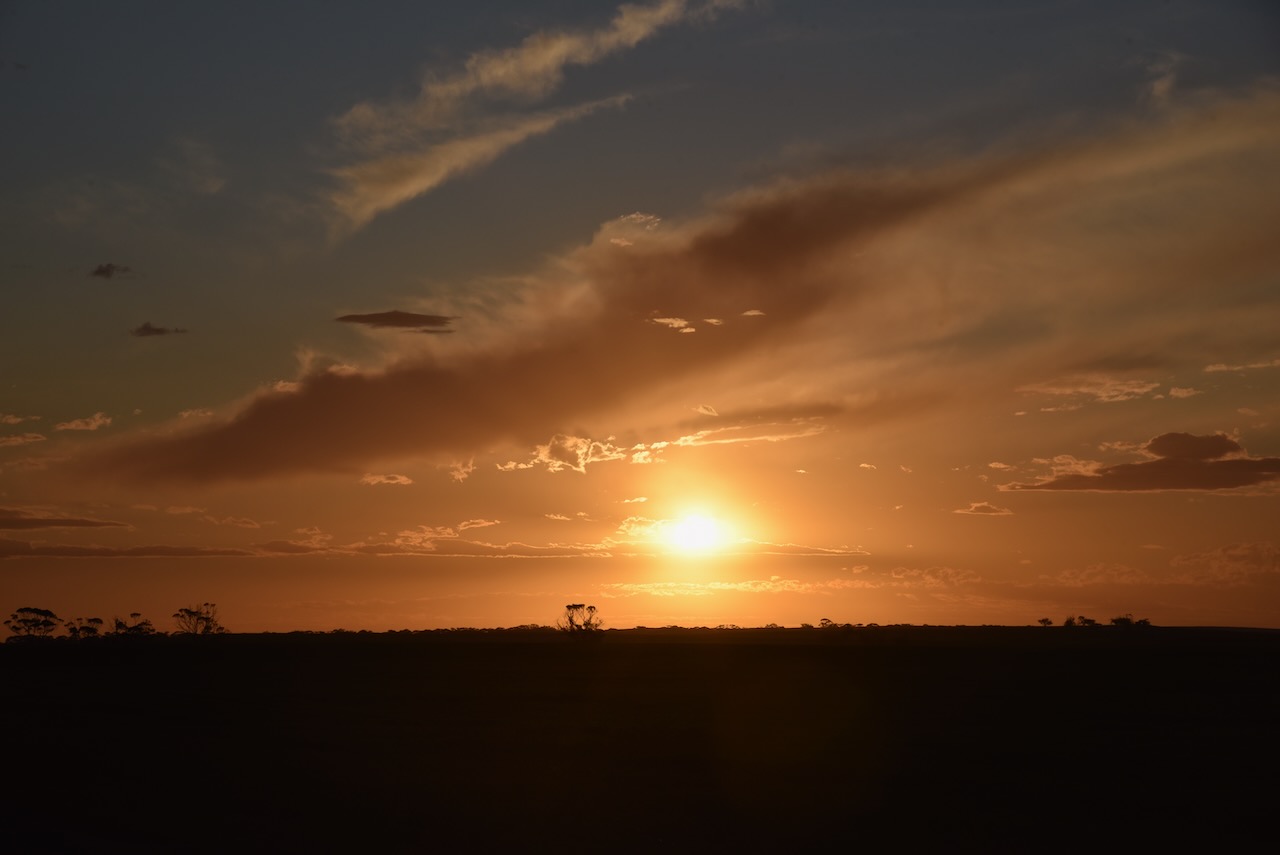
As I drove into Murrayville the sun was setting and I enjoyed a magnificent sunset.
I then booked into my accommodation at the Murrayville Hotel.
After heaving a bite to eat I decided to head out to activate a final park for the day.