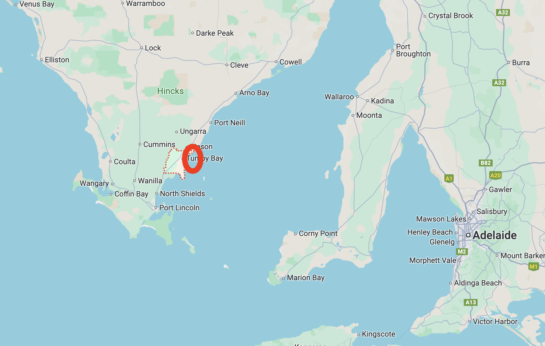
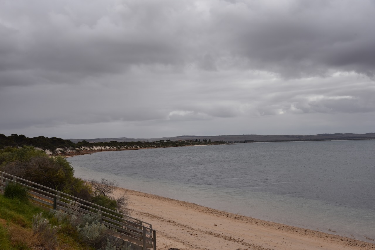
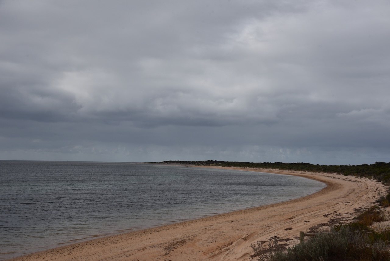
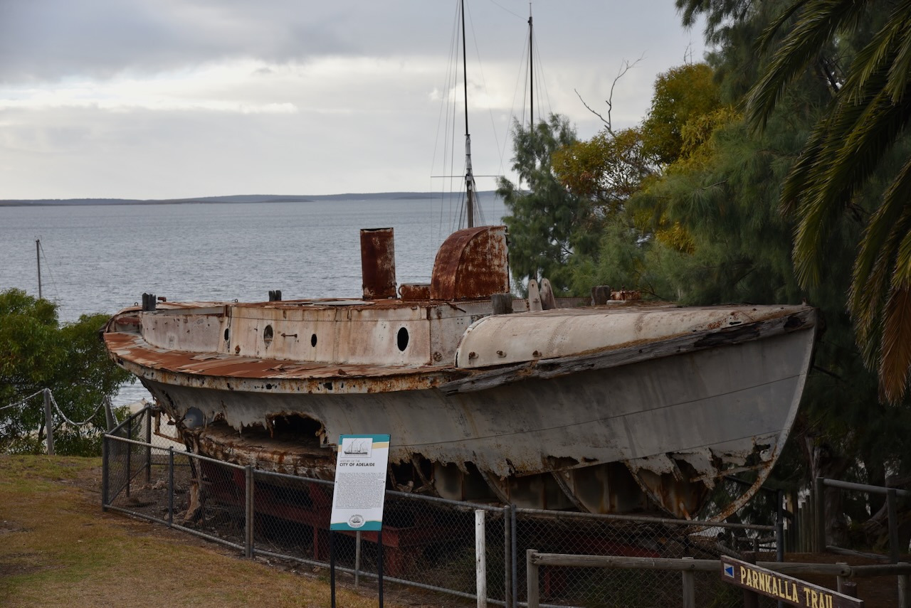
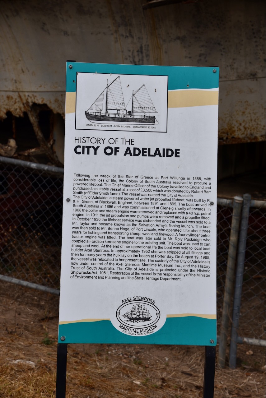
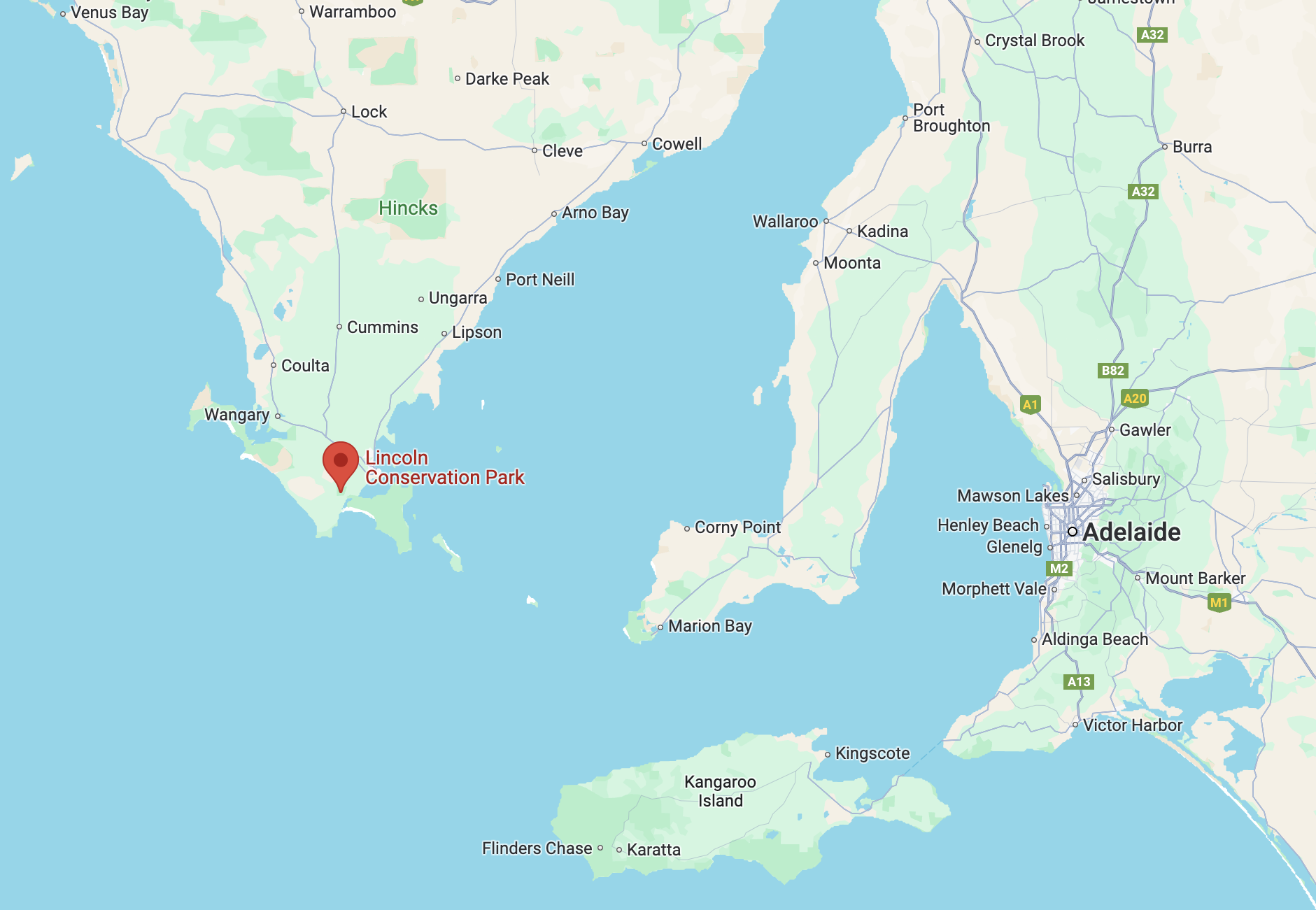
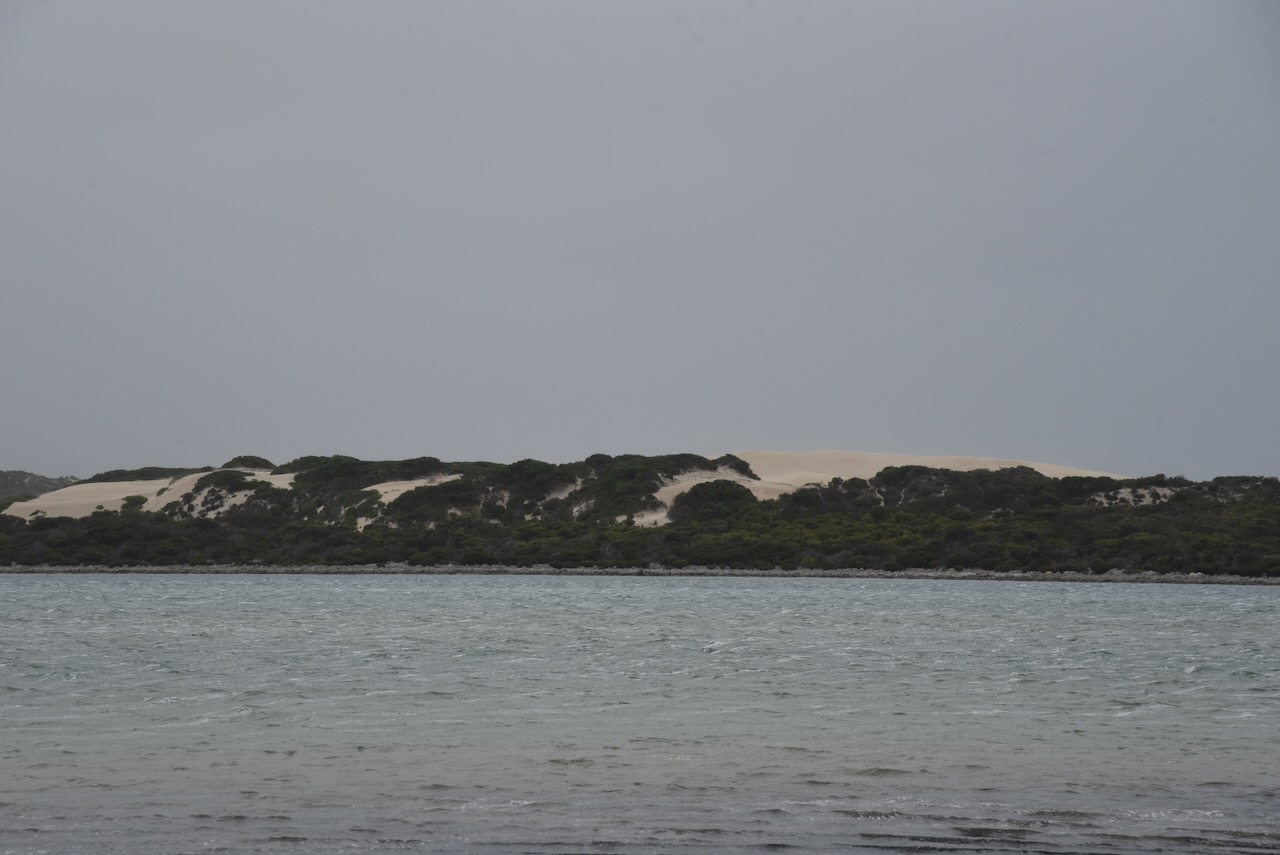
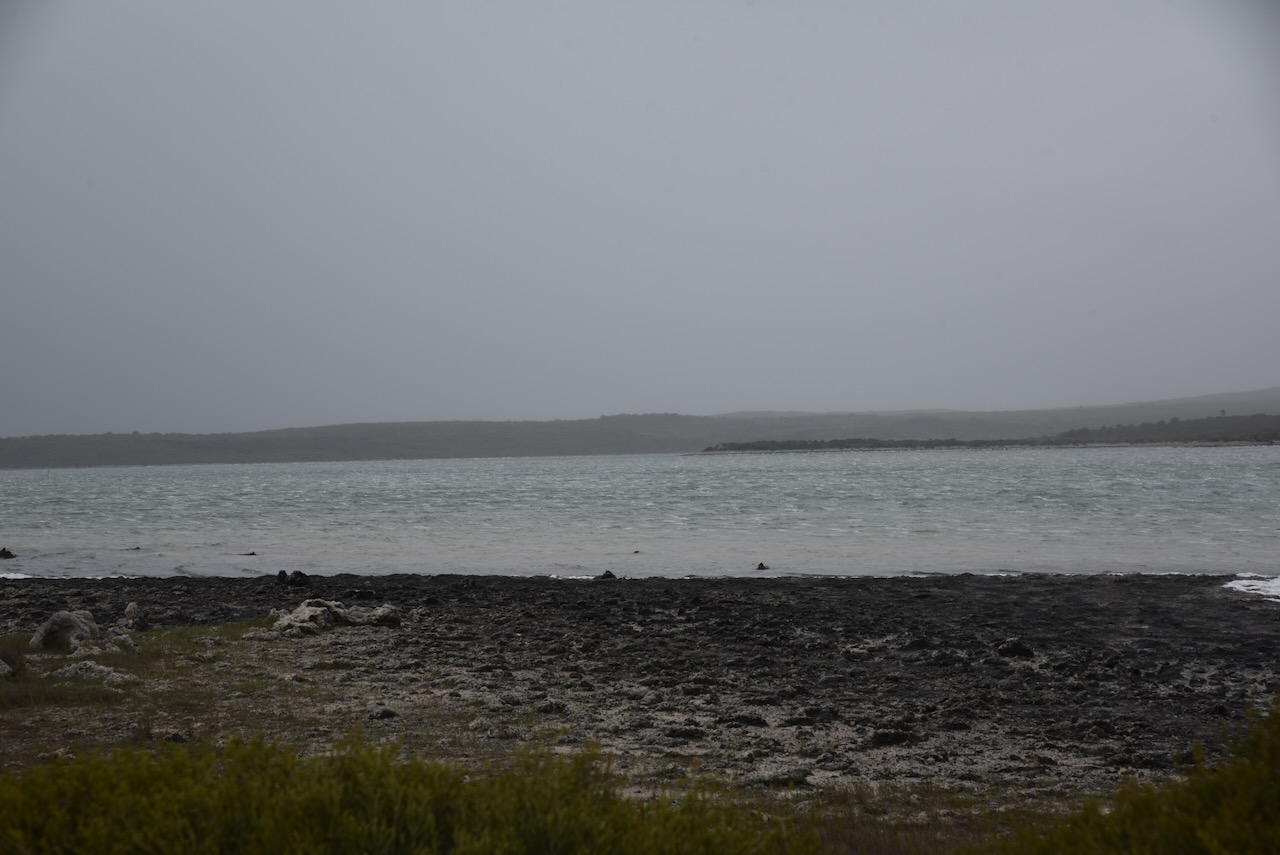
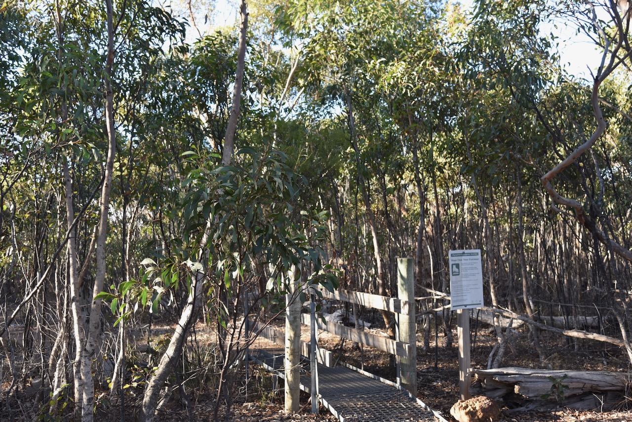
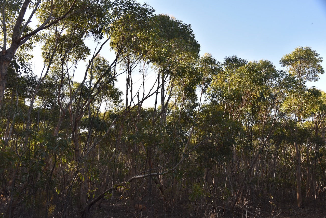
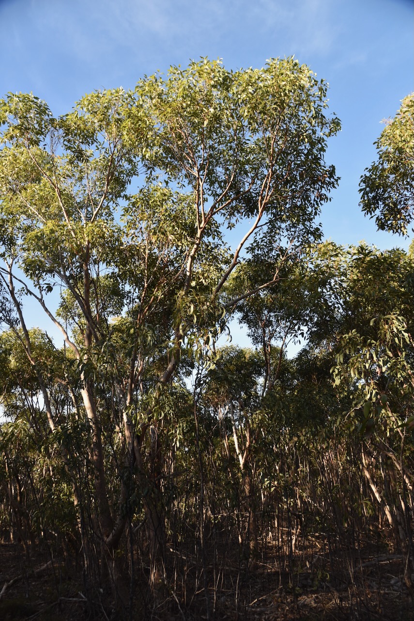
My next park for Tuesday 23rd April 2024 was the Lincoln Conservation Park VKFF-1050. The park is located at the bottom of the Eyre Peninsula and is about 672 km (by road) from the city of Adelaide.
Above:- Map showing the location of the Lincoln Conservation Park. Map c/o Google Maps.
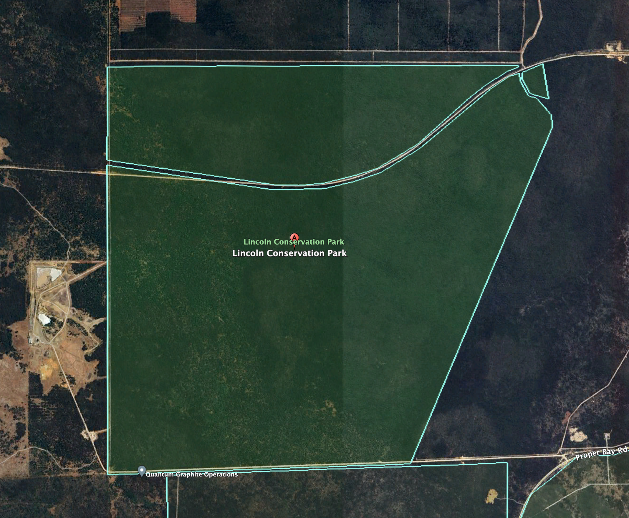
The Lincoln Conservation Park is about 255 acres in size. It is divided into three sections, with the park being split by Tramline Track. (Wikipedia 2024)
Above:- An aerial view of the park showing its boundaries. Image c/o Google Earth
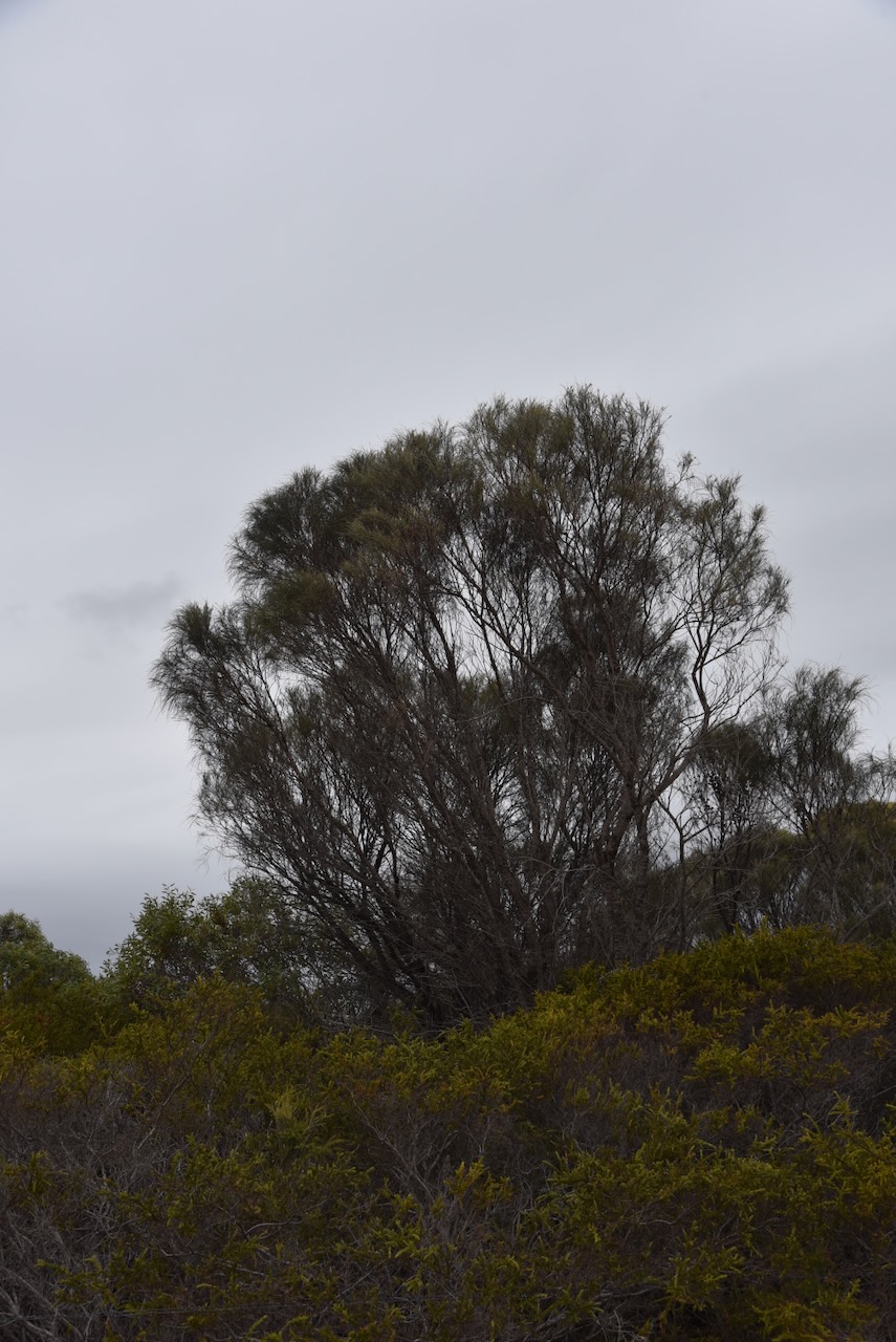
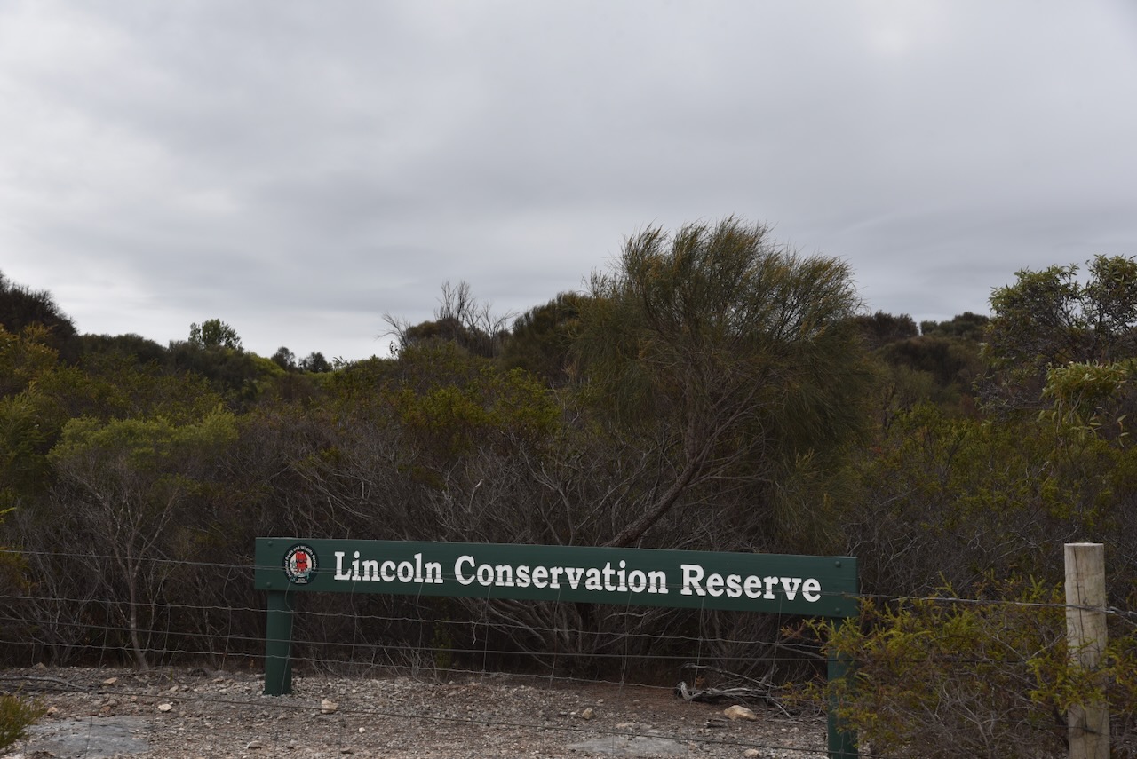
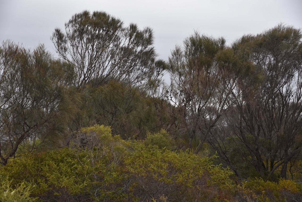
The park was formerly known as the Lincoln Conservation Reserve. It was proclaimed as the Lincoln Conservation Park on the 7th day of December 2006. The park consists of mallee vegetation, with Coastal White Mallee being the dominant species. The regionally rare Purple flowered Mallee can be found in the park. (Wikipedia 2024)
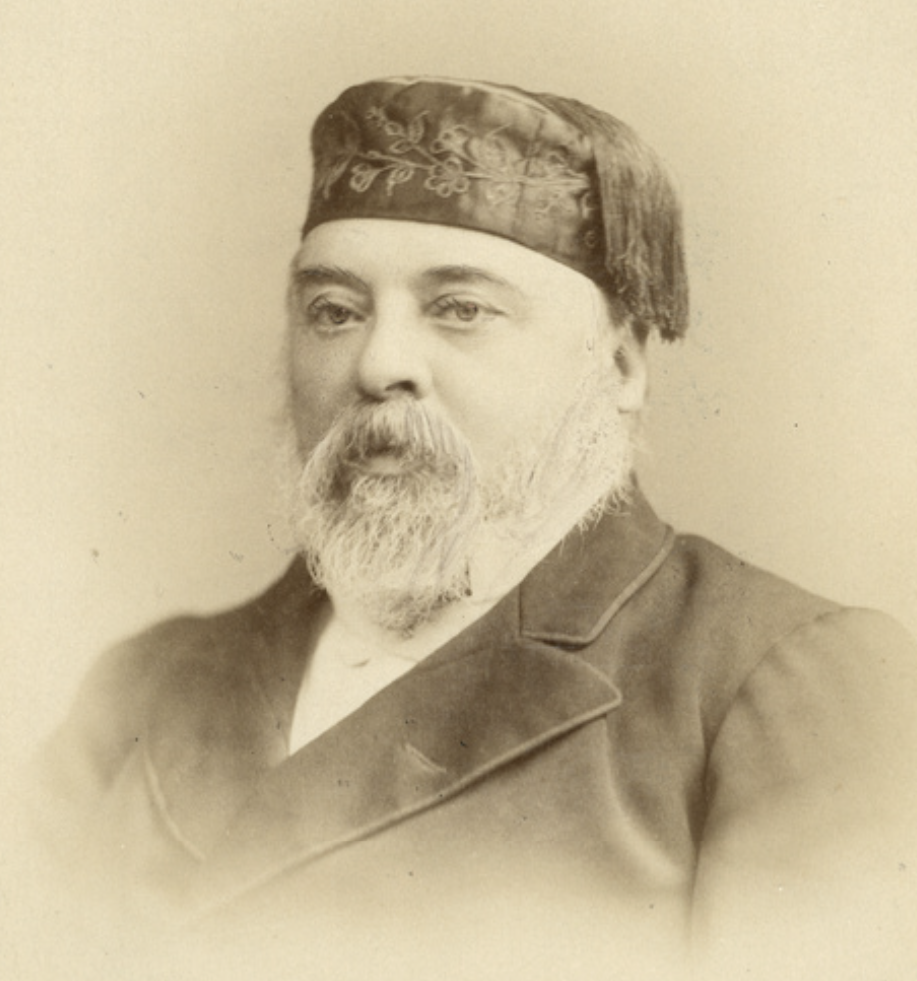
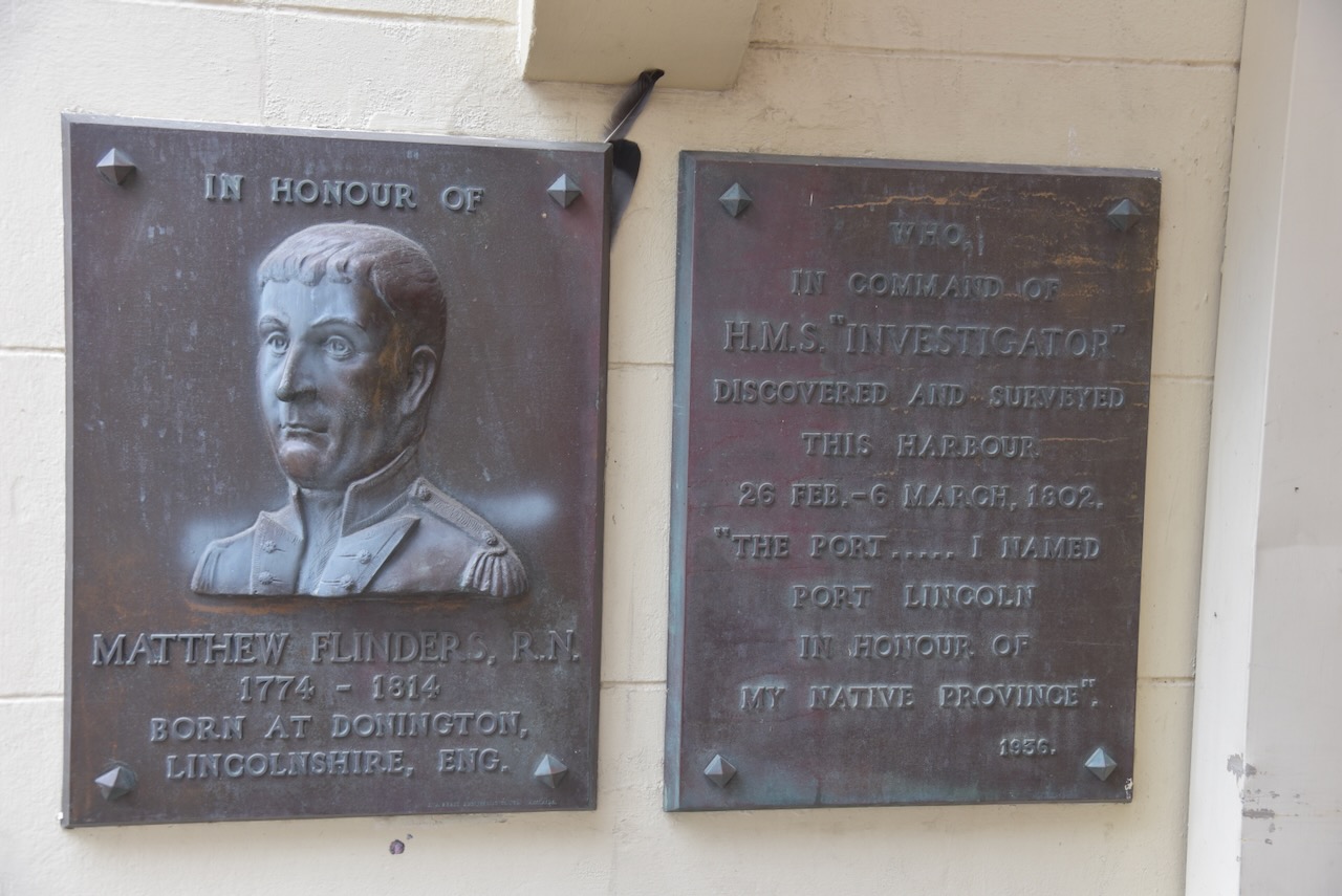
The park takes its name from the town of Port Lincoln. Explorer Captain Matthew Flinders sailed his vessel HMS Investigator into the harbour at Port Lincoln in February 1802, which he named after the city of Lincoln in Lincolnshire England. (WIkipedia 2024)
Above:- Captain Matthew Flinders. Image c/o Wikipedia.
I set up in a clearing in the scrub on Tramine Track. I ran the Yaesu FT857, 40 watts, and the 20/40/80m linked dipole.
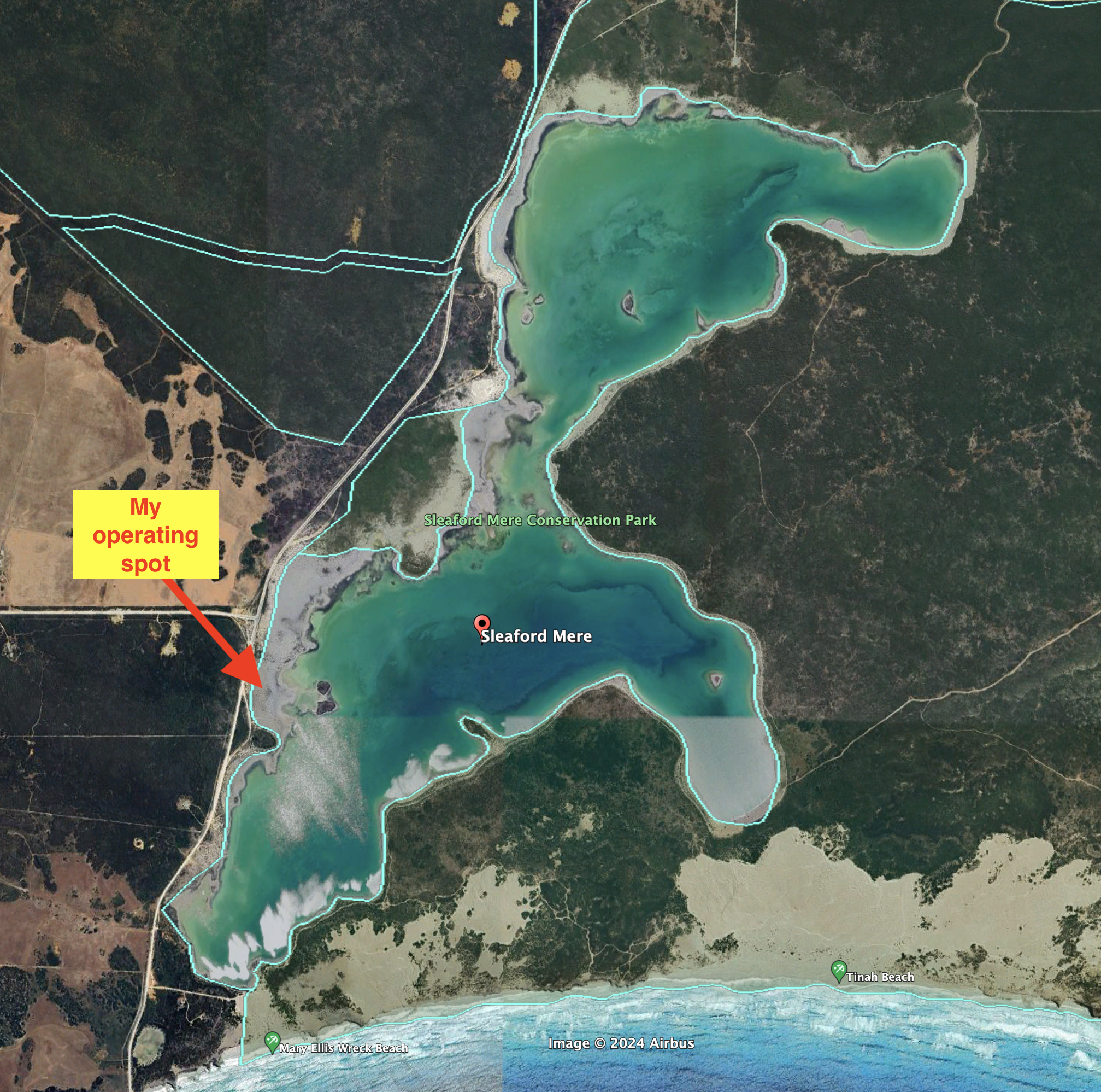
My second activation for Tuesday 23rd April 2024 as the Sleaford Mere Conservation Park VKFF-1102. The park is located on the Eyre Peninsula about 669 km (by road) from the city of Adelaide.
Above:- Map showing the location of the Sleaford Mere Conservation Park. Map c/o Google Maps.
The park is about 1,470 acres in size and was established on the 20th day of November 1969. The park was originally known as the Sleaford Mere National Park. The park comprises Sleaford Mere which is a permanent saline lake, and surrounding land. It shares a boundary with the Lincoln National Park. (Wikipedia 2024)
Captain Matthew Flinders named Sleaford Bay in 1802 after a town in Lincolnshire, meaning ‘ford over the River Slea’, while other sources claim the meaning is ‘mullet river’ or ‘slow river’. (Place Names 2012)
Above:- Captain Matthew Flinders. Image c/o Wikipedia.
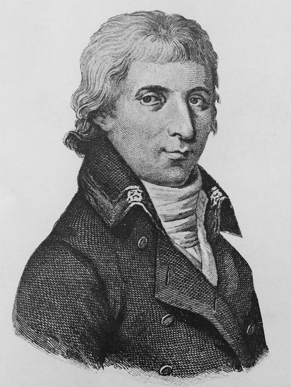
French explorer Nicholas Thomas Baudin called Sleaford Ance des Nerlans. (Wikipedia 2024)
Above:- Nicholas Baudin. Image c/o Wikipedia.
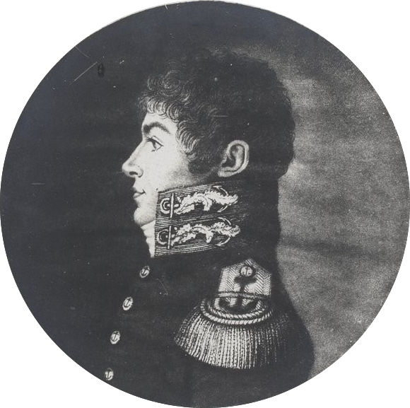
French naval officer and explorer Louis de Freycinet called it Baie Lavoisier. (Wikipedia 2024)
Above:- Louis de Freycinet. Image co Wikipedia.
In 1837 a whaling station was established in 1837. By 1839 it was maintained jointly by the South Australian Company and the firm of Hack & Co. In that year 1,500 gallons of oil and three tons of whale bone were obtained. The whaling station was abandoned in 1841 following the 1841 season being a great failure. It was reported that whales appeared less frequently in the bay. The Sleaford Bay shore party consisting of 30 men with three boats had to face the competition of a whaling ship from Sydney (Pt Lincoln Times 1934) (Wikipedia 2024)
Above:- part of an article from The COlonist, Sat 20 Jan 1838. Image c/o Trove.
The Hundred of Sleaford, County of Flinders, was proclaimed on the 10th day of August 1871. In 1919 the Sleaford School opened. It closed in 1920. (Wikipedia 2024)
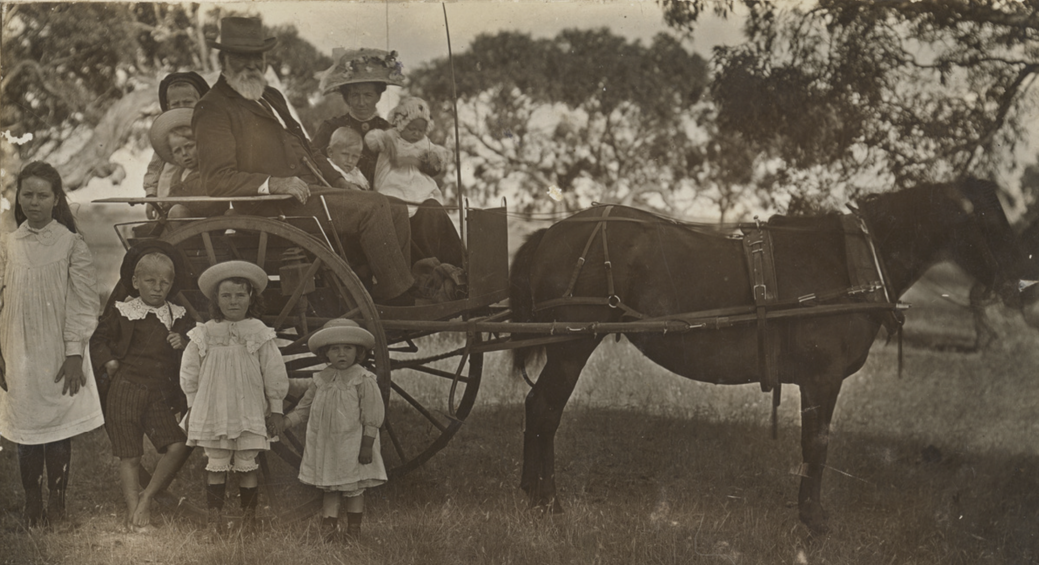
Above:- A picnic at Sleaford Bay, c. 1926. Image c/o State Library SA.
I did look at travelling down to Wreck Beach, but I could not be bothered lowering the tyre pressure for the sandy track that leads down to the beach.
I took a 4WD track off Proper Bay Road and set up my station. The weather had rolled in and it was extremely windy. I was very surprised during the activation that the squid pole did not snap. I ran the Yaesu FT857, 40 watts, and the 20/40/80m linked dipole.
Above:- An aerial view of the park showing its boundaries. Image c/o Google Earth.
Trove. (2014). EARLY WHALING OPERATIONS AT SLEAFORD BAY – Station Established there in 1837 Historical Review of Western Coastline – Port Lincoln Times (SA : 1927 – 1988; 1992 – 2002) – 15 Jun 1934. [online] Available at: https://trove.nla.gov.au/newspaper/article/96616607 [Accessed 11 Aug. 2024].
My first park for Tuesday 23rd April 2024 was the Thorny Passage Marine Park VKFF-1751 on the Eyre Peninsula. This was my first activation of this park for the World Wide Flora Fauna (WFF) program.
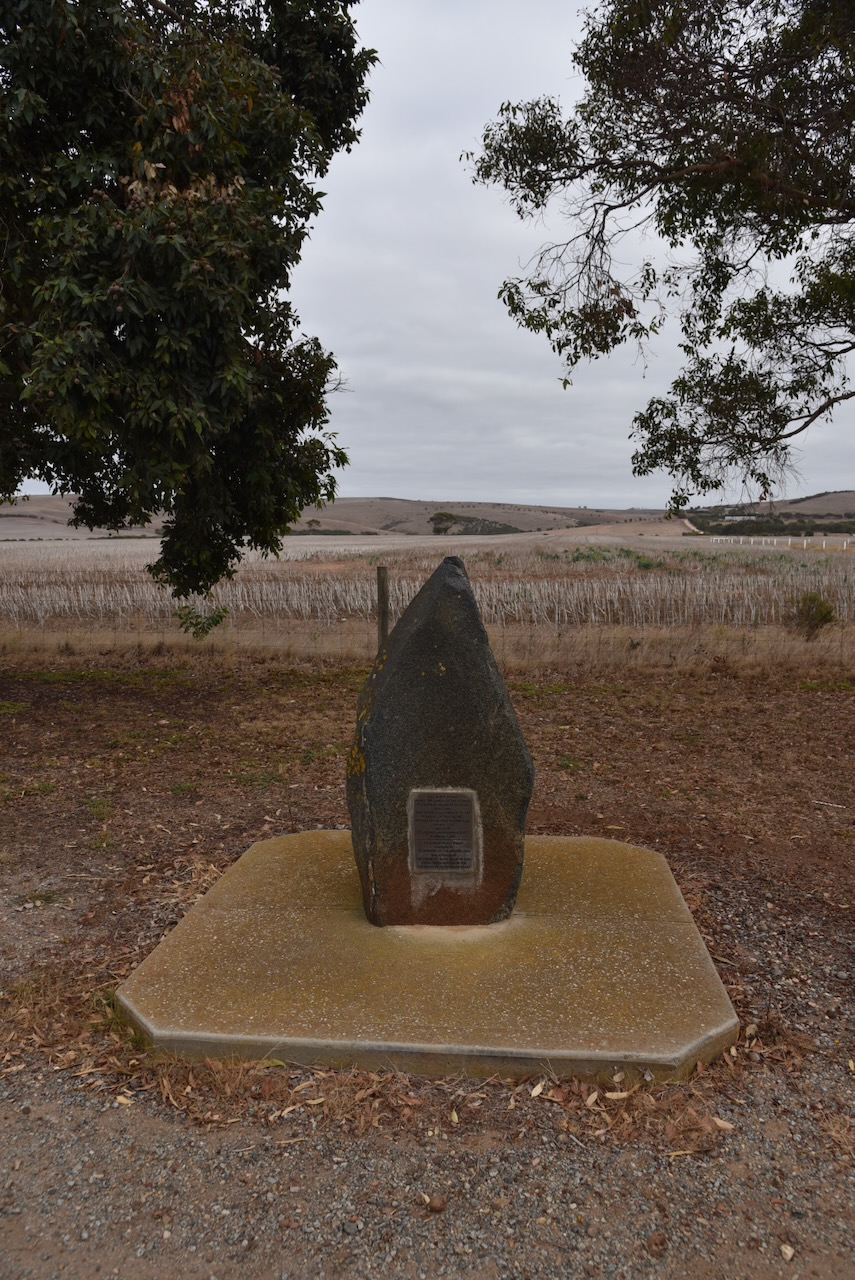
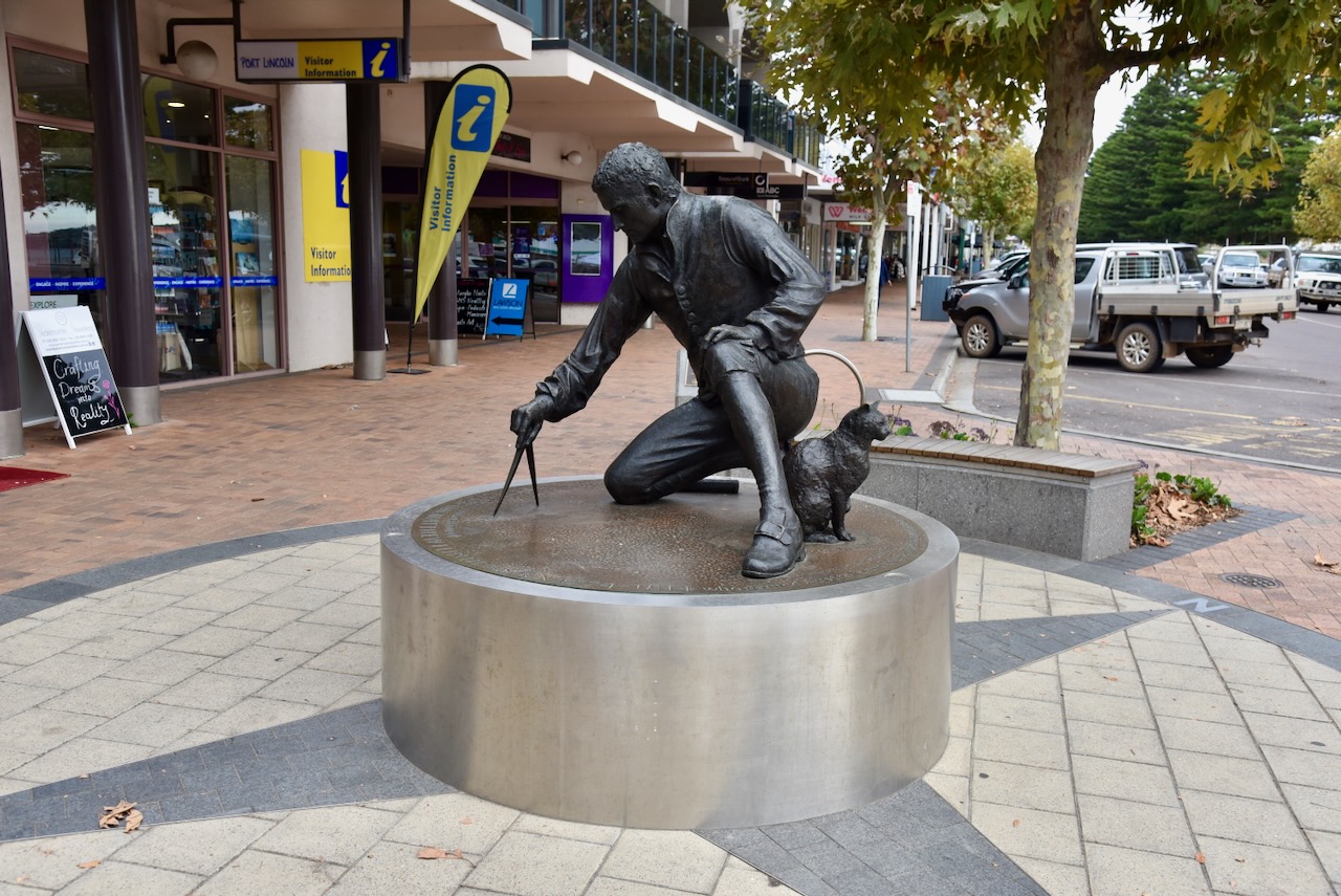
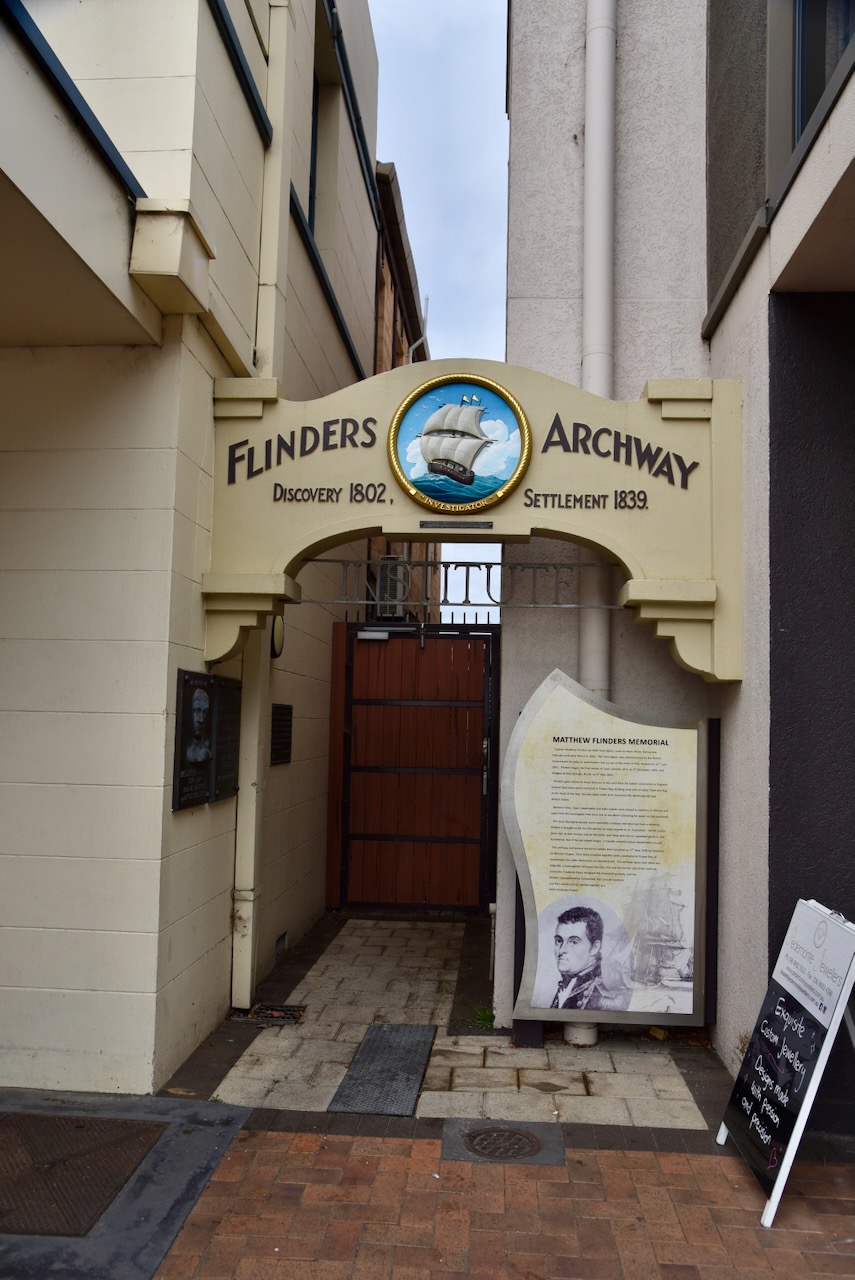
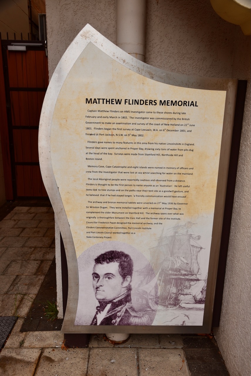
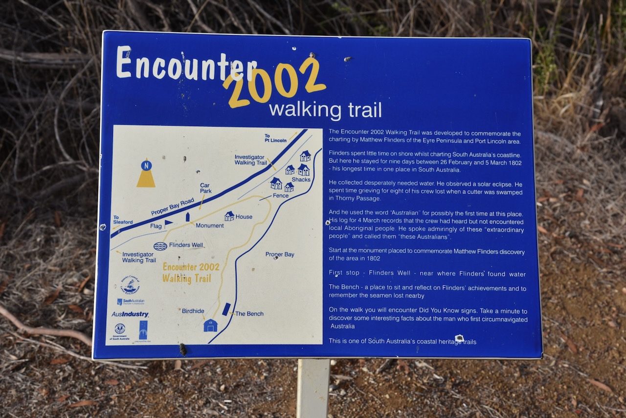
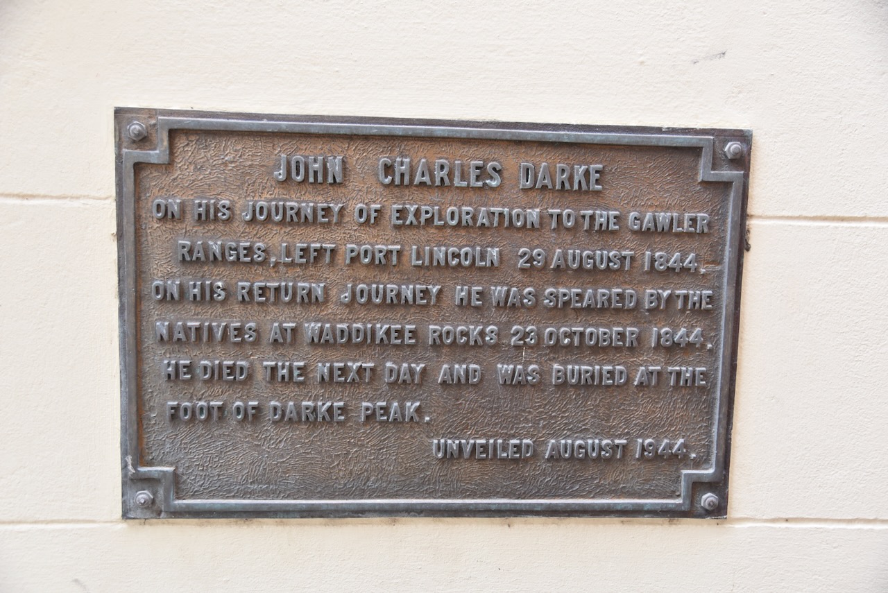
After breakfast, I headed out of Port Lincoln. My first stop was the monument for Captain Matthew Flinders on Proper Bay Road. The cairn commemorates Flinders and his ship’s company’s first visit for water in 1802. The cairn was unveiled in 1939 during the Port Lincoln Centenary.
This area is part of the Encounter 2002 Walking Trail. The trail was developed to commemorate the charting of the Eyre Peninsula and Port Lincoln area by Matthew Flinders.
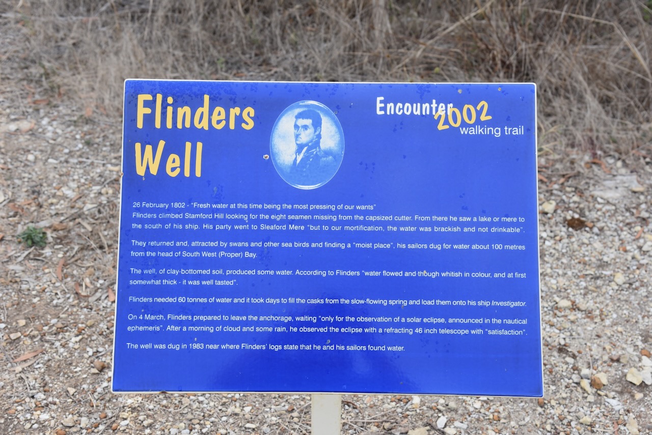
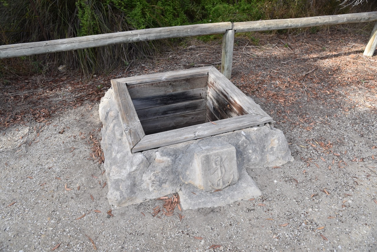
Flinders Well is located in close proximity. On the 26th day of February 1802, FLinders wrote “Fresh water at this time being the most pressing or our wants”. Flinders climbed Stamford Hill looking for the eight seamen missing from the capsized cutter. From there he saw a lake or mere to the south of his ship. His party went to Sleaford Mere ‘but to our mortification, the after was brackish and not drinkable’. They returned and, attracted by swans and other sea birds and finding a ‘moist place’, his sailors dug for water about 100 metres from the head of South West (Proper) Bay. The well, of clay-bottomed soil, produced some water.
According to Flinders ‘water flowed and though whitish in colour, and at first somewhat thick-it was well tasted.’ Flinders needed 60 tonnes of after and it took days to fill the casks from the slow-flowing spring and load them onto his ship Investigator. On the 4th day of March 1802, Flinders prepared to leave the anchorage, waiting ‘only for the observation of a solar eclipse, announced in the nautical ephemeris.’ After a morning of clouds and some rain, he observed the eclipse with a refracting 46-inch telescope with ‘satisfaction’.
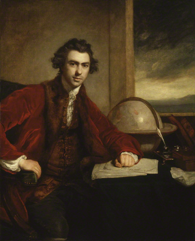
Above:- Captain Matthew Flinders. Image c/o Wikipedia.
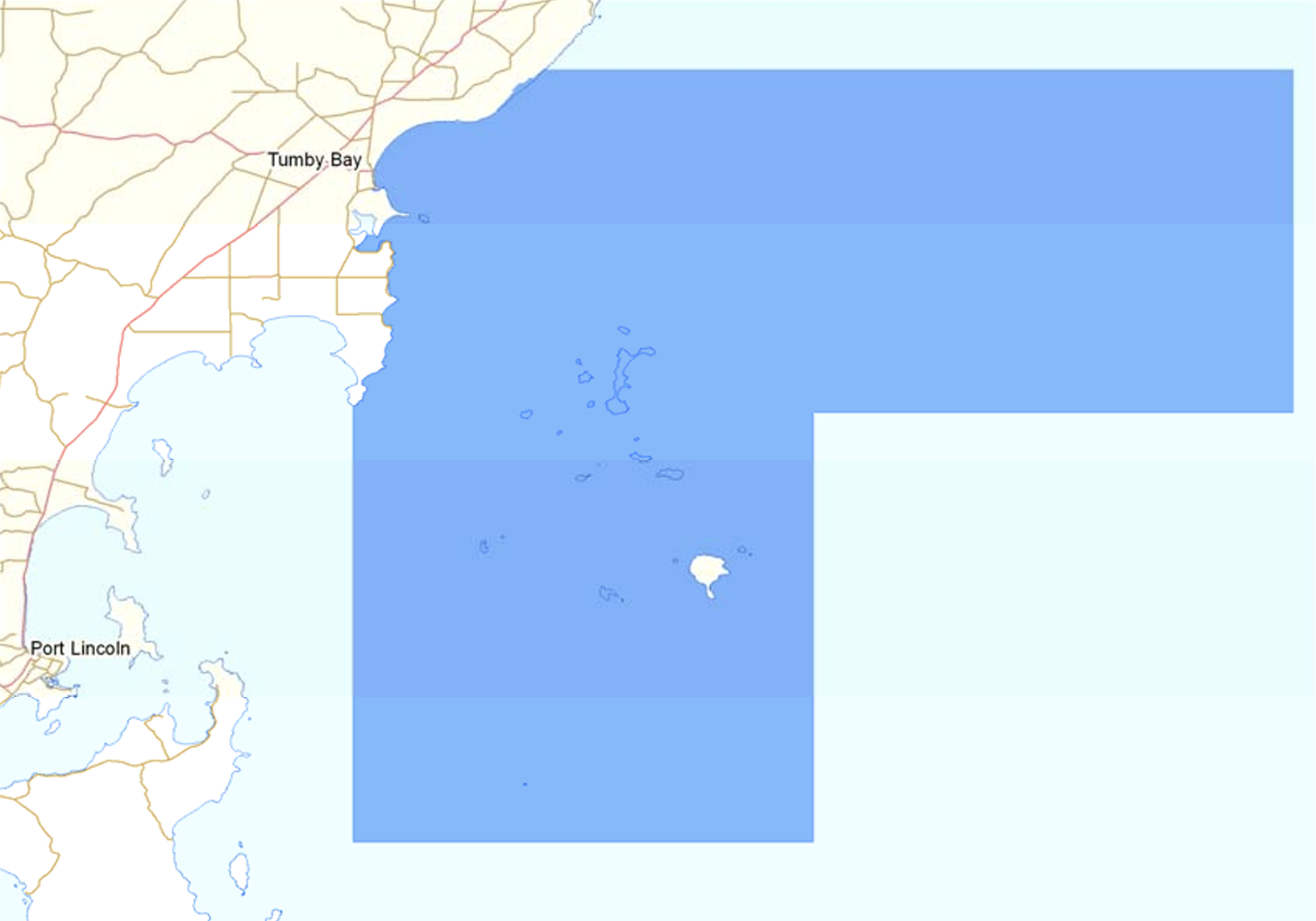
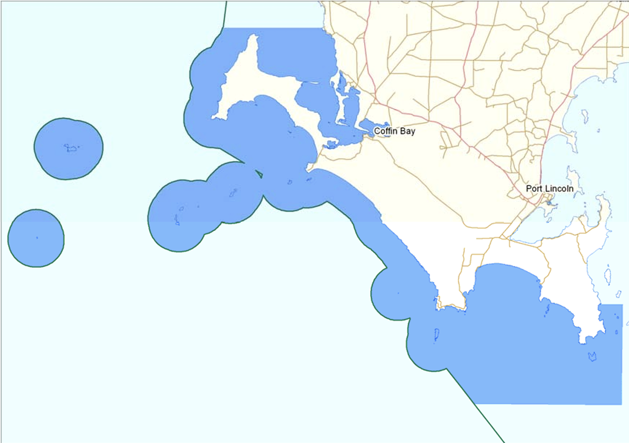
The Thorny Passage Marine Park covers 2,472 km2 and is located in the Eyre Bioregion. The park includes the waters off the lower Eyre Peninsula, extending from Frenchman Bluff to Memory Cove. It also includes both Rocky and Greenly Islands. (DEWNR 2012).
Above:- Map showing the boundaries of the Thorny Passage Marine Park. Map c/o Parks SA.
The park comprises various habitats including sheltered bays and inlets, reefs, seagrass meadows, tidal sandflats, rugged rocky coastlines, surf beaches, and offshore islands. Wildlife includes White Pointer sharks, Australian Sea Lions, Southern Bluefin tuna, 13 whale species, various reef fish including Western Blue Gropef, and several nationally and internationally protected shorebirds and seabirds. (DEWNR 2012).
Above:- An aerial view of the park. Image c/o Google Maps.
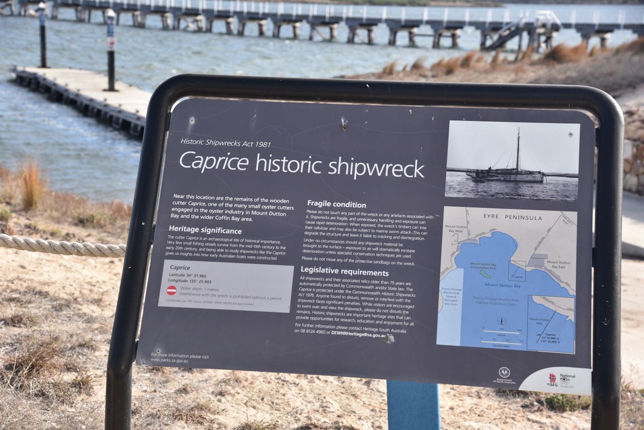
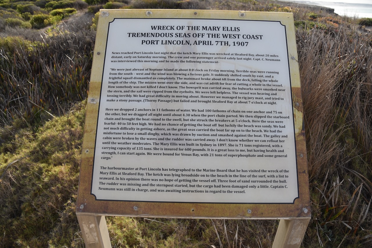
I stopped at the carpark at Lolo Beach where you can find an information board regarding the wreck of the Mary Ellis.
The Mary Ellis was a trading ketch that worked in South Australian waters from 1899 to 1907. It undertook voyages to the West Coast and regularly called into ports such as Venus Bay, Sceale Bay, Streaky Bay, Denial Bay, Fowlers Bay, Elliston and Point Sinclair. (Aust Govt 2024)
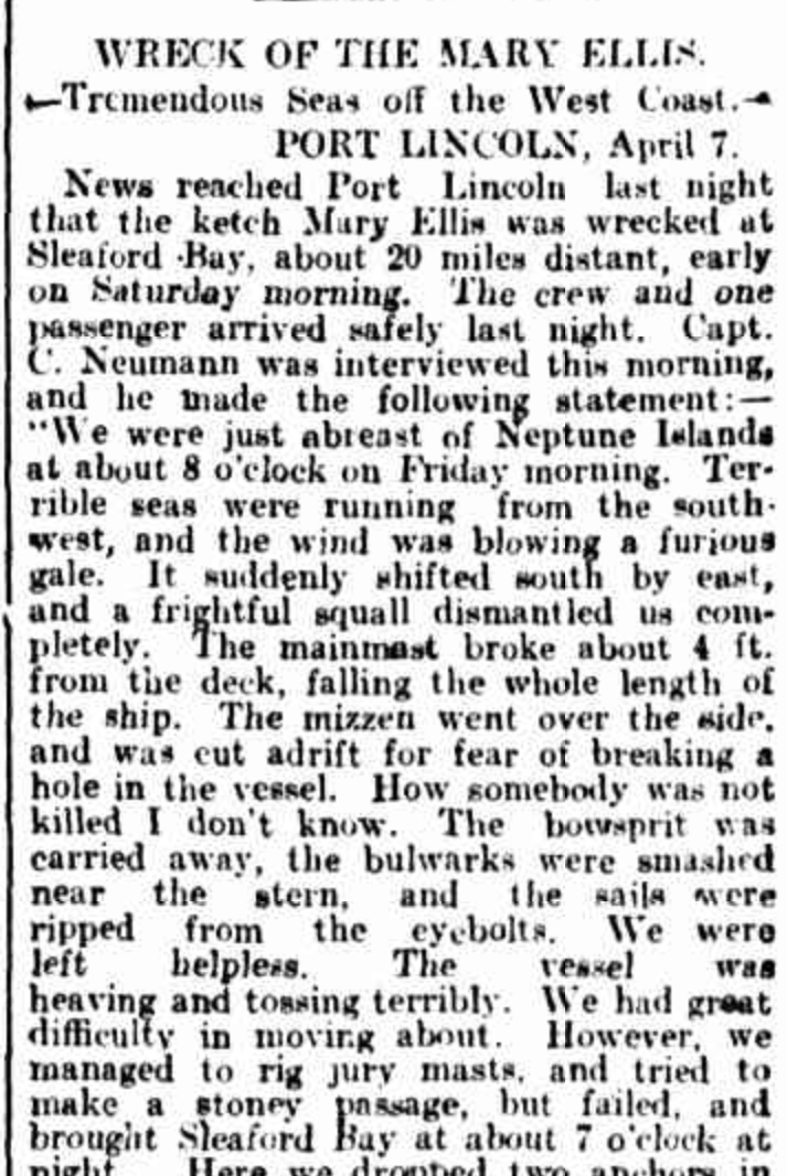
Above:- Part of an article from the Observer, Sat 13 Apr 1907. Image c/o Trove.
In April 1907 it was caught in a gale during its journey from Port Adelaide and Venus Bay.
Above:- The wreck of the Mary Ellis, c. 1911. Image c/o State Library SA.
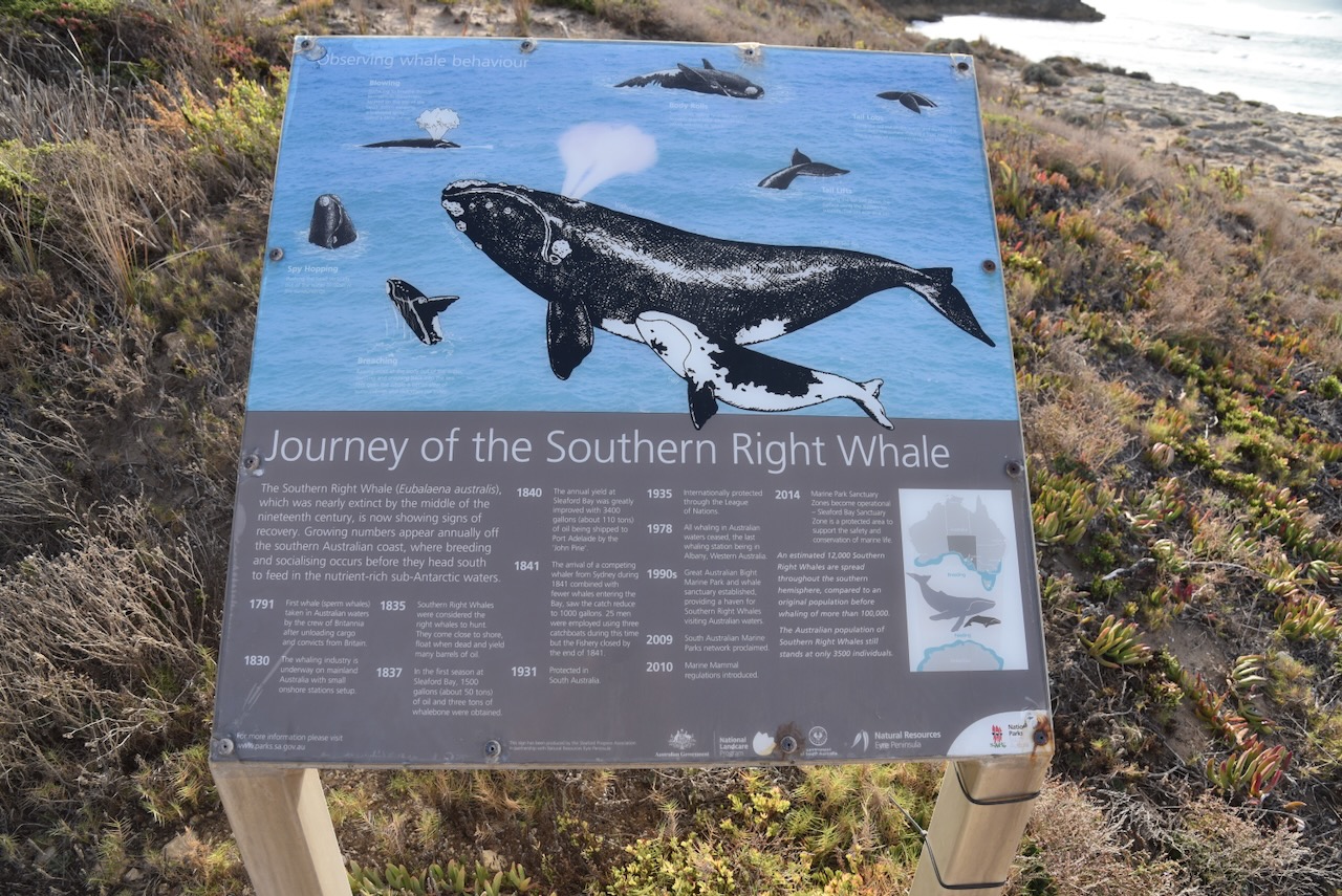
There is also a sign here detailing the journey of the Southern Right Whale.
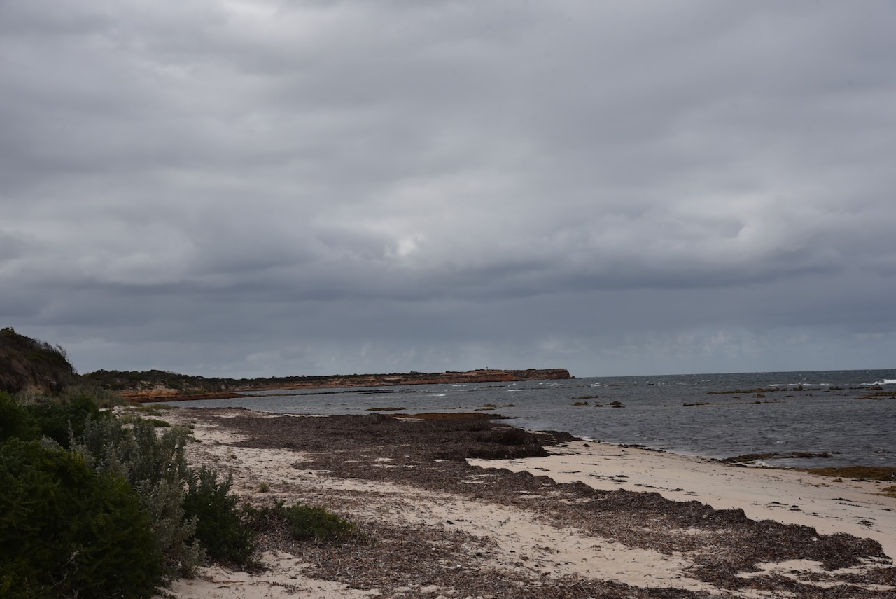
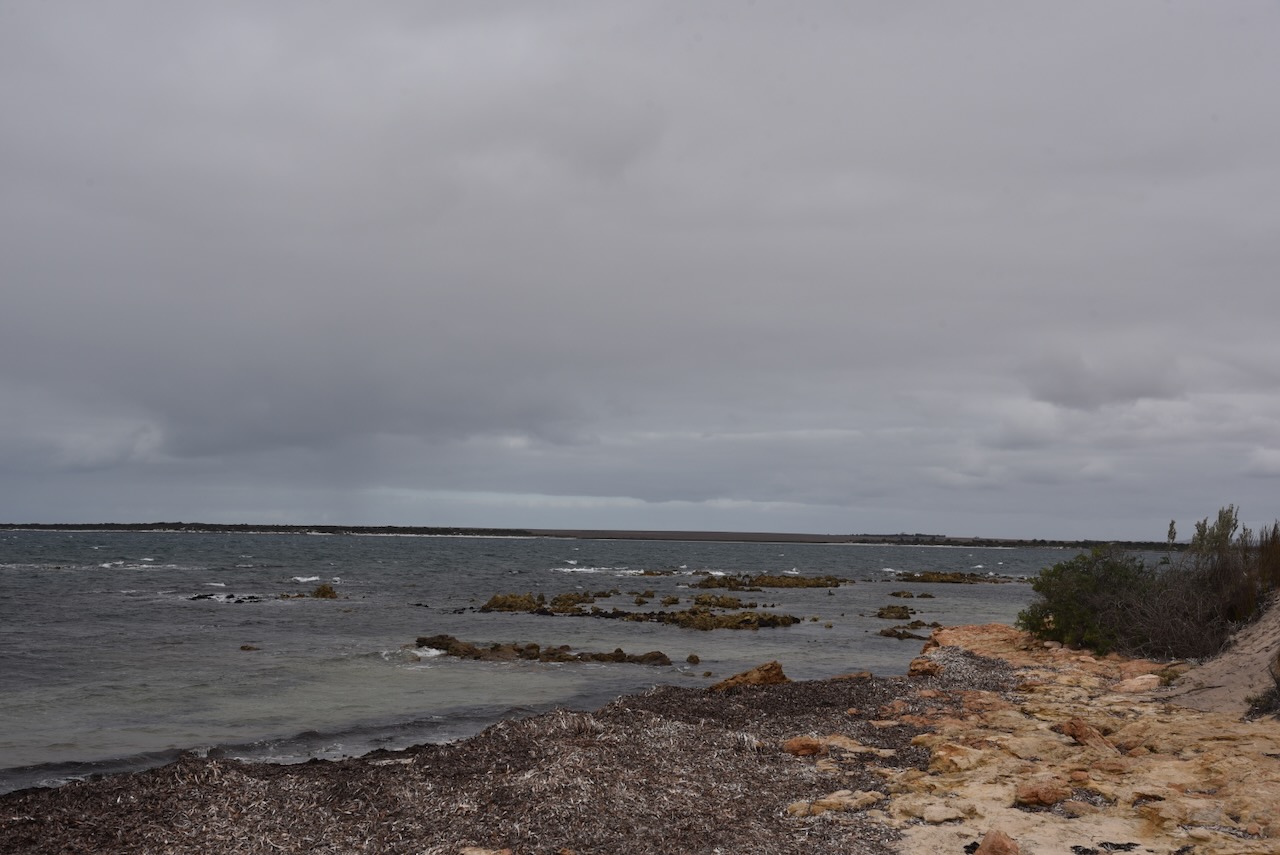
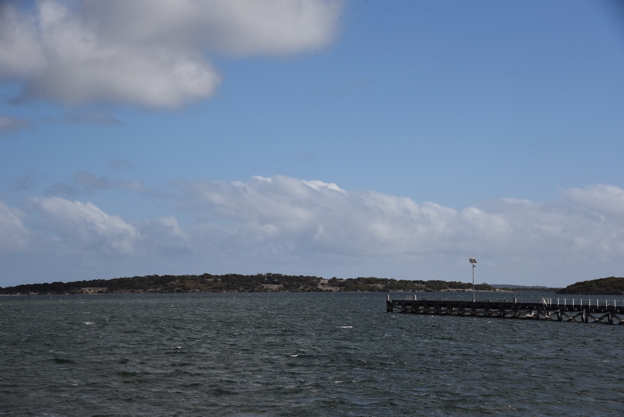
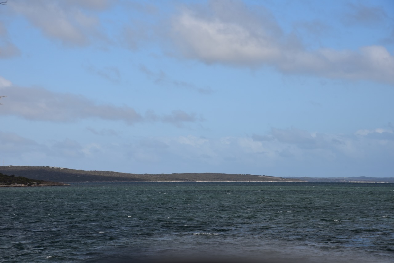
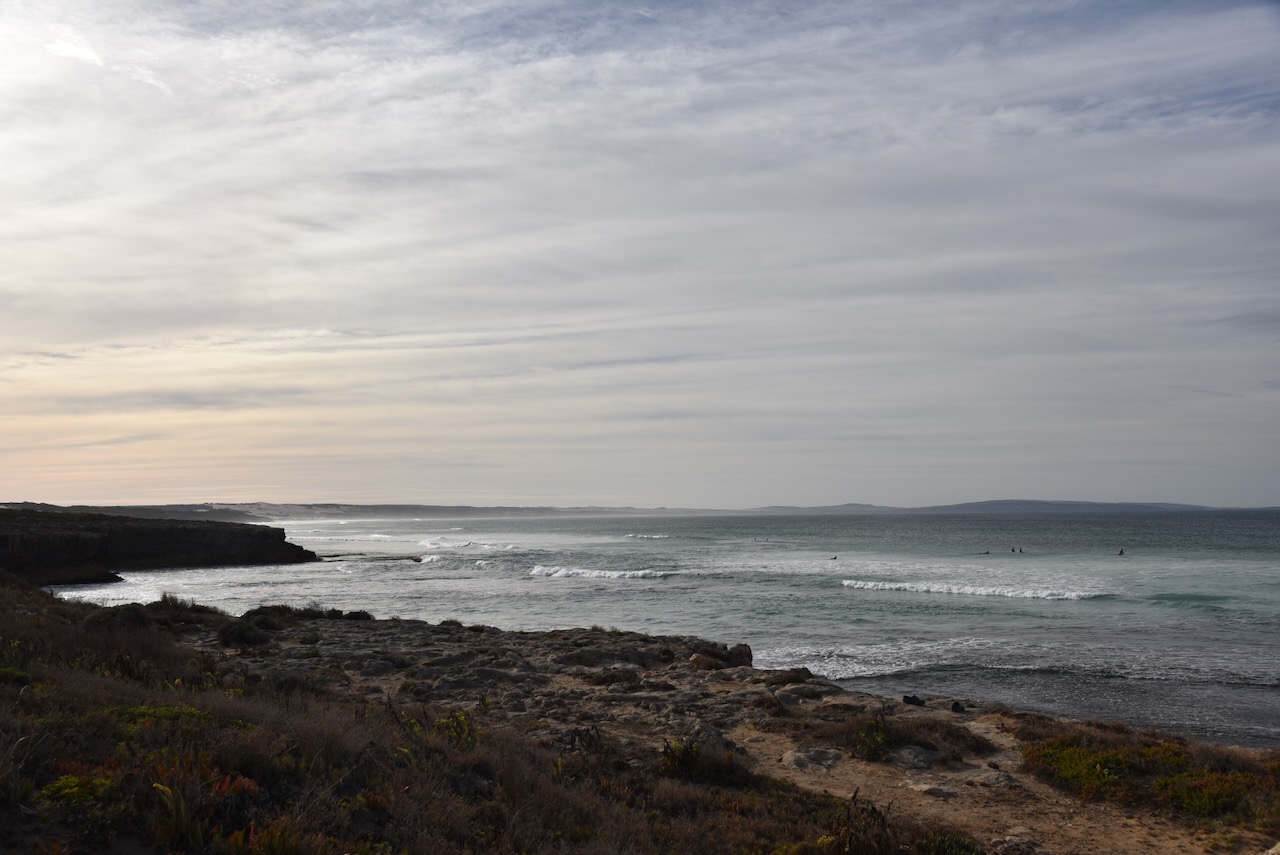
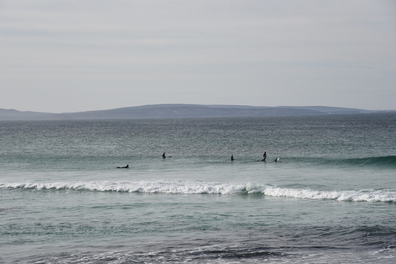
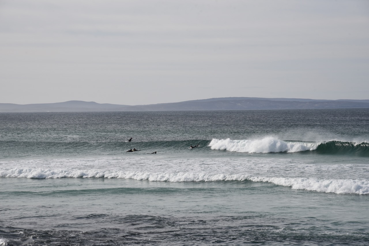
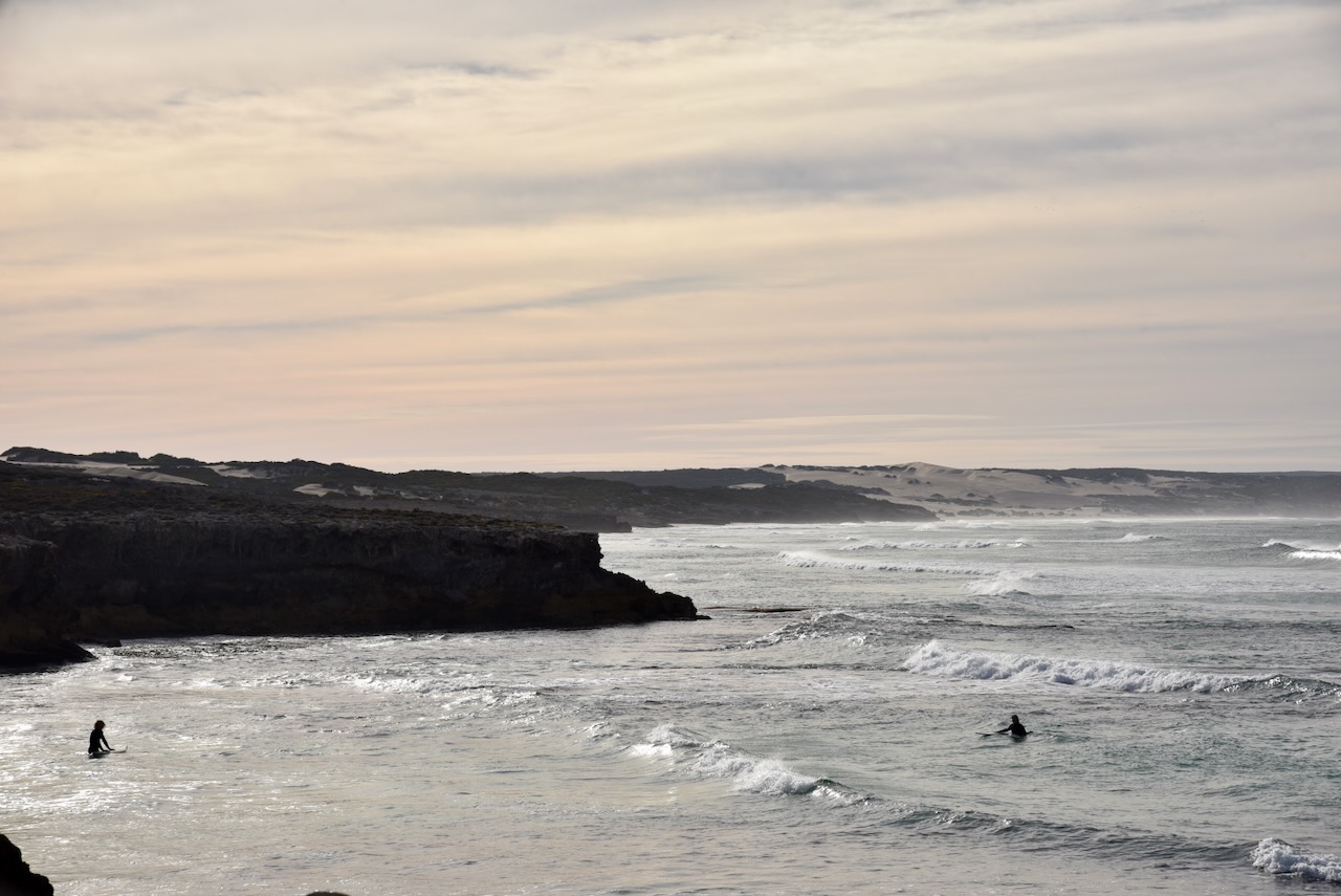
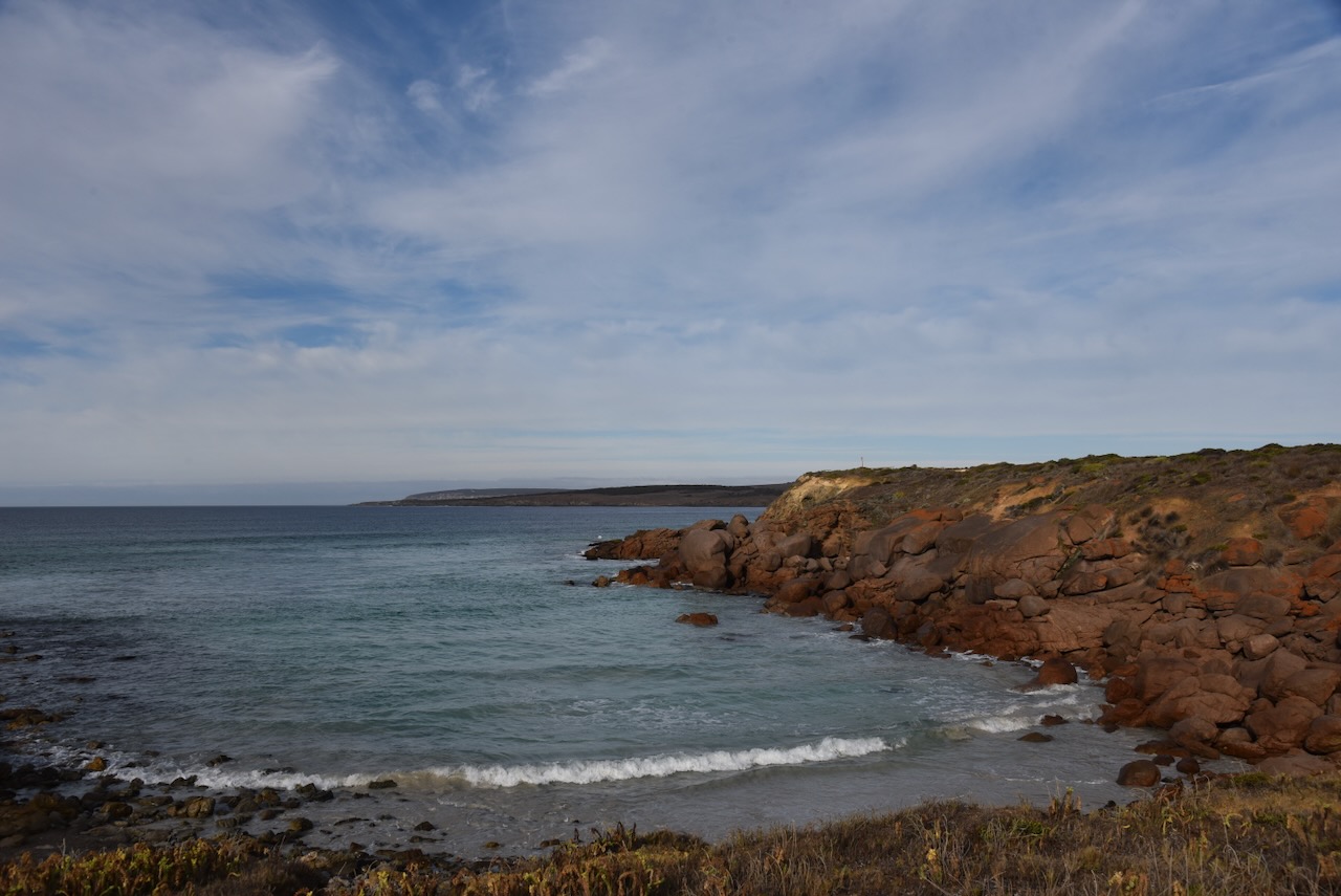
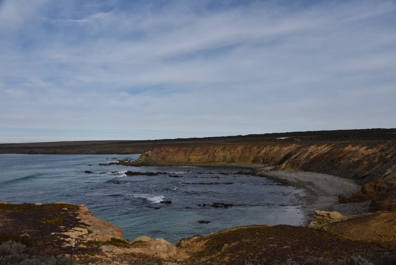
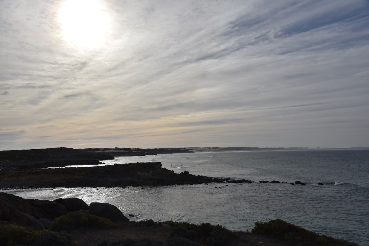
This is beautiful coastline. There were several surfers in the water.
I drove up to Lone Pine Lookout and set up my station comprising the Yaesu FT857, 40 watts, and the 20/40/80m linked dipole.
I worked the following stations on 40m SSB before the UTC rollover:-
VK5MAZ
VK5IS
VK5HS/m
VK3PF
VK3KAI
VK3MCK
VK2MOE
VK5LA
VK5KAW
VK3EJ
VK5AYL
VK3AWA
VK5FIVE
VK6DS
VK2YK
VK5GA
I worked the following stations on 40m SSB after the UTC rollover:-
VK2YK
VK5GA
VK5FIVE
VK5IS
VK5MAZ
VK3PF/m
VK3KAI/m
VK5LA
VK5KA
VK5HS/m
VK3FQSo
VK3SO
VK3SFG
VK3BEL
VK5GY
I worked the following stations on 20m SSB:-
VK3BEL
VK5LA
VK5KAW
VK5MAZ
VK1AO
VK2MET
VK3SO
VK3SFG
Vk4NH
VK4DXA
VK2IO
VK3CEO
VK2VW
VK2HFI
VK2AKA
VK2BUG
VK2ADF
Zl2STR
VK5QA/m
Vk3CLD/m
VK4HNS
VK3DCQ
VK5IS
VK7QP
KG8P
VK3ANL
VK4JG
KG5CIK
VK2YK
VK5GA
I worked the following stations on 20m FT8:-
VK3CEO
VK6DS
VK3SQ
VK3DWL
VK3APJ
VK7XX
I worked the following stations on 40m FT8:-
VK7XX
VK5MAZ
VK2IO
References.
Department of Environment Water and Natural Resources, 2012, Thorny Passage Marine Park Management Plan
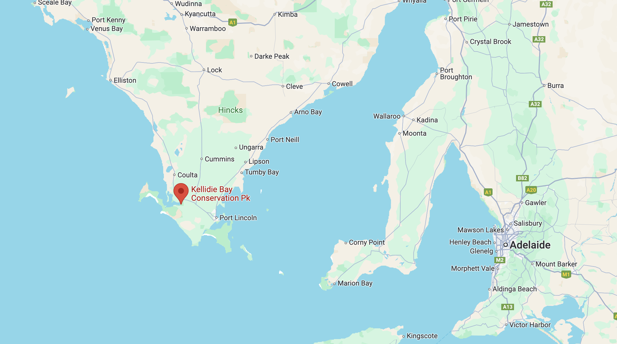
My final activation for Monday 22nd April 2024 was the Kellidie Bay Conservation Park VKFF-1042. The park is located at the bottom of the Eyre Peninsula, about 681 km (by road) from the city of Adelaide.
Above:- Map showing the location of the Kellidie Bay Conservation Park. Map c/o Google Maps.
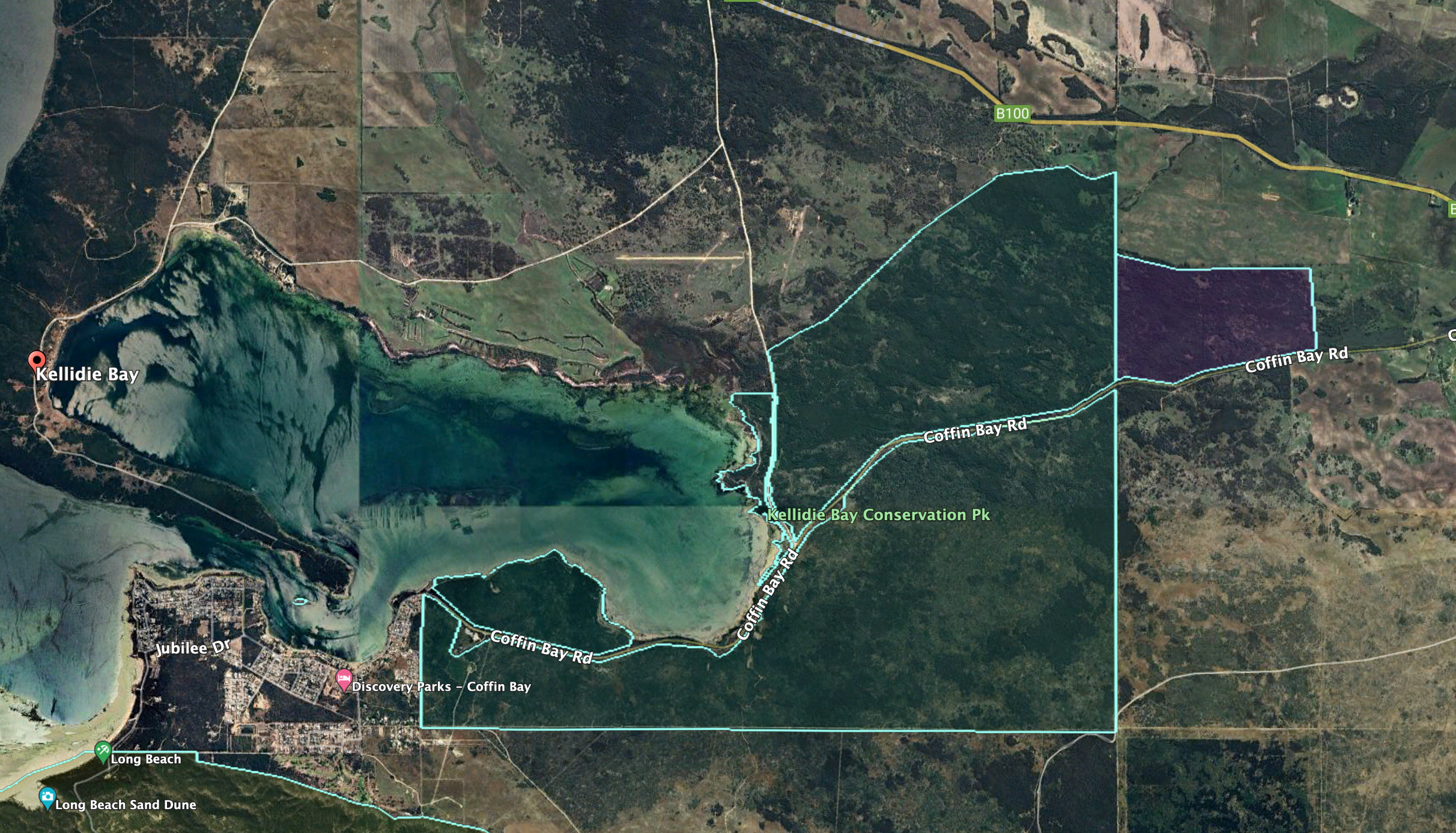
The Kellidie Bay Conservation Park is divided into three sections by Coffin Bay Road. Its western boundary is Kellidie Bay.
Above:- An aerial view of the Kellidie Bay CP showing its boundaries. Image c/o Google Earth.
The park is about in size and was proclaimed on the 30th day of September 1958. (Wikipedia 2024)
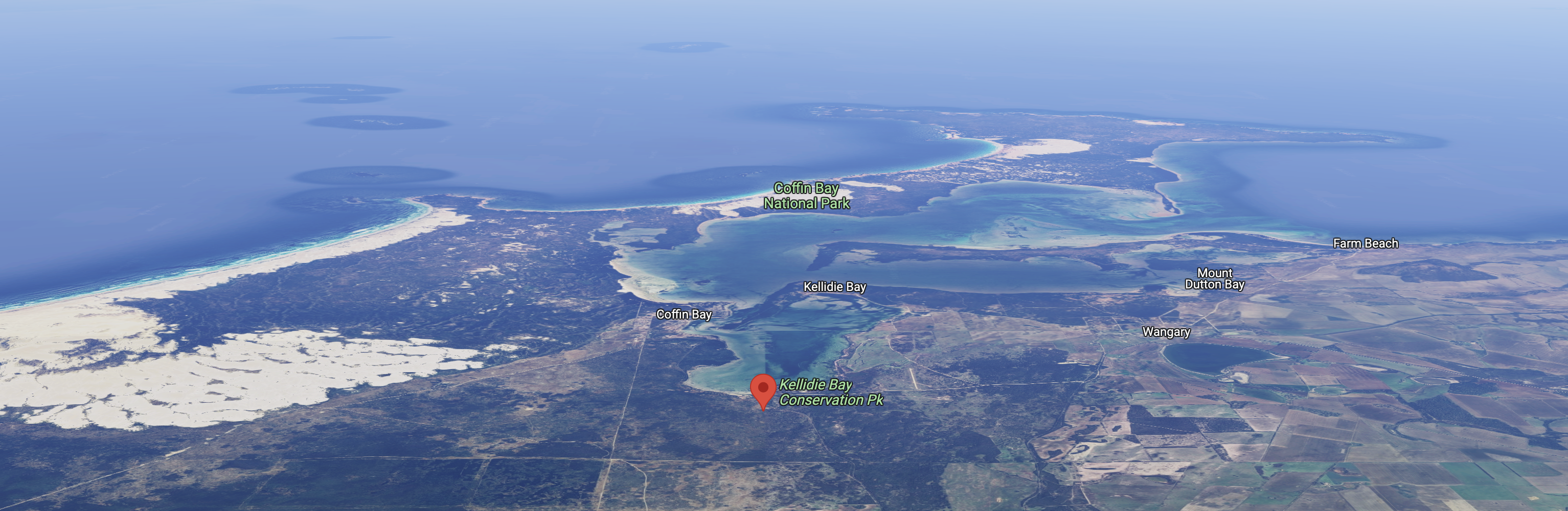
Above:- An aerial view of the park looking towards Coffin Bay. Image c/o Google Maps.
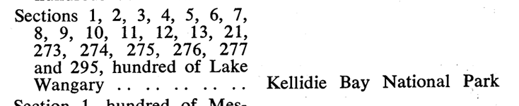
The park was originally proclaimed in 1954 in order ‘to conserve wildlife and the natural features of the land.’ On the 9th day of November 1967, the park was proclaimed under the National Parks Act 1966 as the Kellidie Bay National Park. On the 27th day of April 1972, it was reconstituted as Kellidie Bay Conservation Park.
Above:- Item from the SA Govt Gazette, Nov 9 1967.
Henry Hawson first explored the area in 1839. In 1847 he was issued a pastoral lease and named the area Kellidie, in some writings it was “Of The Keltie”. (Aussie Towns 2024)
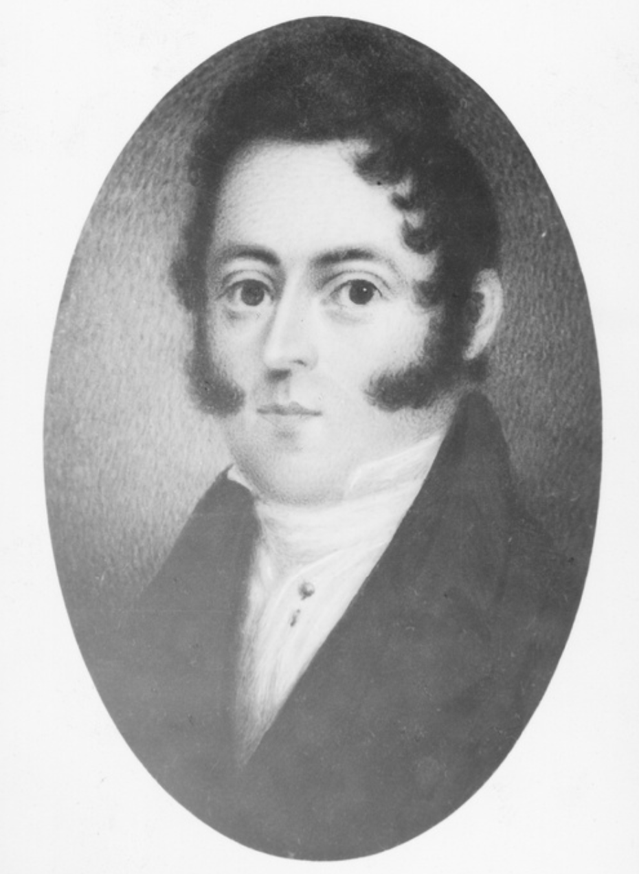
Hawson was baptised in November 1791 at Dartmouth England. In 1814 he married Elizabeth Cowell. He moved to Canada where he was a merchant banker. Hawson made the decision to emigrate to Australia. In 1836 he departed Newfoundland aboard the steamship ‘Abeona’. By 1839 he had moved to Port Lincoln on the Eyre Peninsula. (State Library 2024)
John Mortlock acquired and developed the Kellidie Bay station. In 1866 he built a house on its shore. (Aussie Towns 2024)
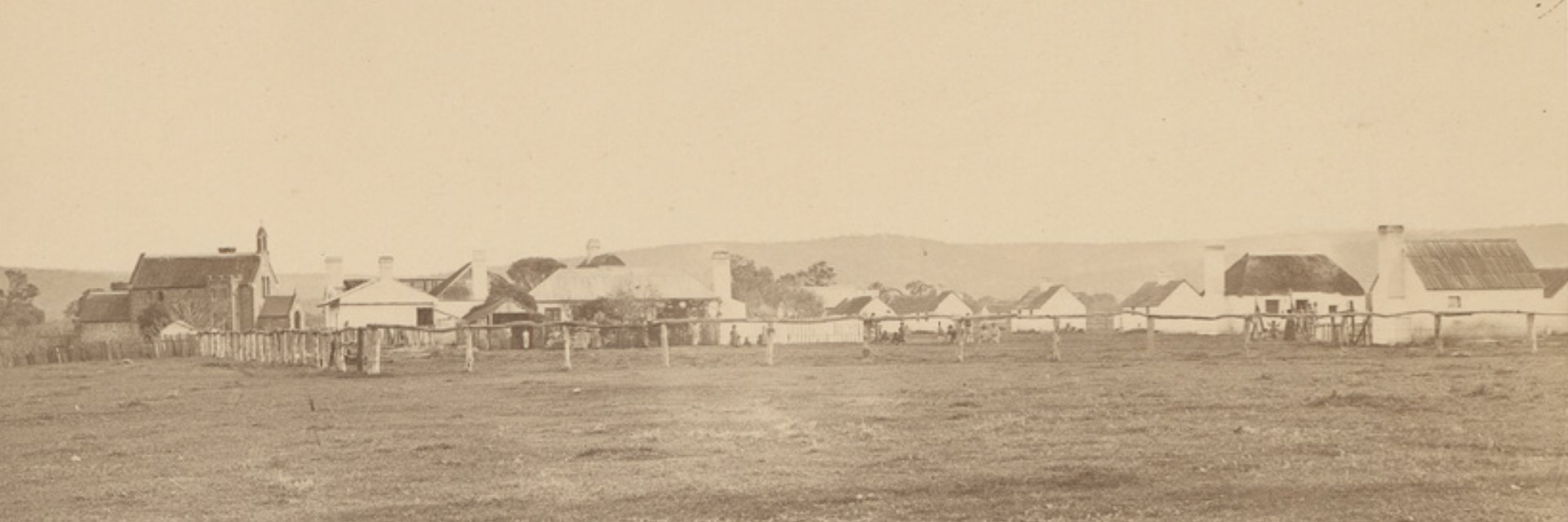
Above:- Henry Hawon. Image c/o State Library SA.
By the time I had reached the park it was totally dark, so I did not get to enjoy the views.
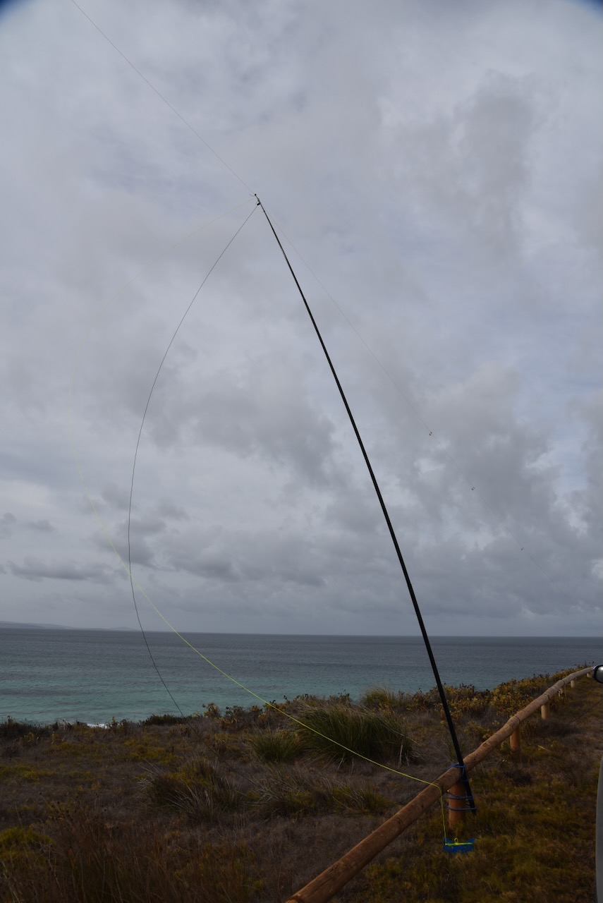
I found a 4Wd track on the northern side of Coffin Bay Road and set up. I ran the Yaesu FT857, 40 watts, and the 20/40/80m linked dipole for this activation.
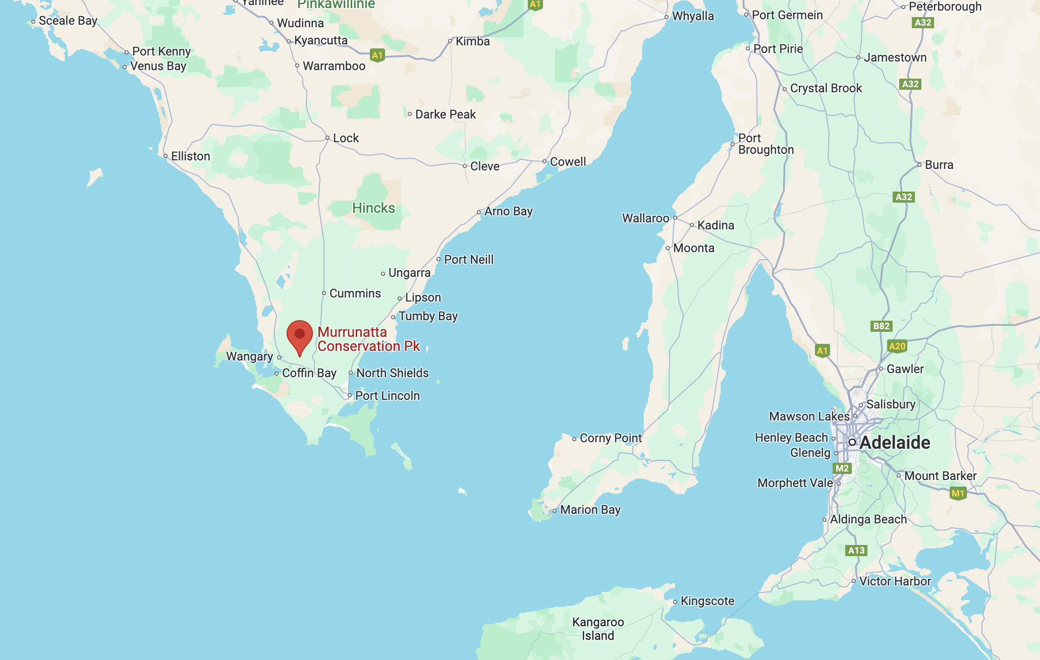
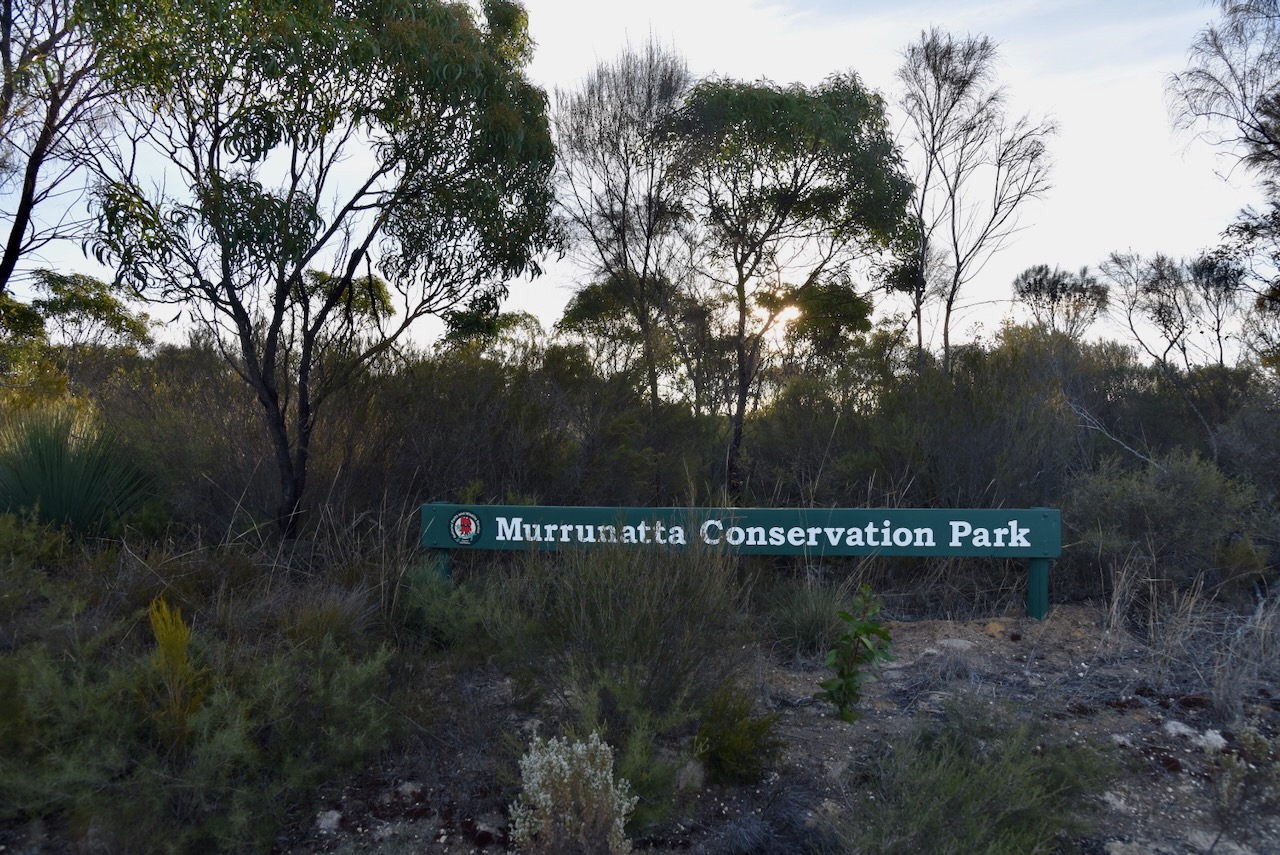
After leaving the Tucknott Scrub Conservation Park on 22nd April 2024, I headed to the Murrunatta Conservation Park VKFF-1066. The park is located on the bottom of the Eyre Peninsula, about 677 km (by road) from the city of Adelaide.
Above:- Map showing the location of the Murrunatta Conservation Park. Map c/o Google Maps.
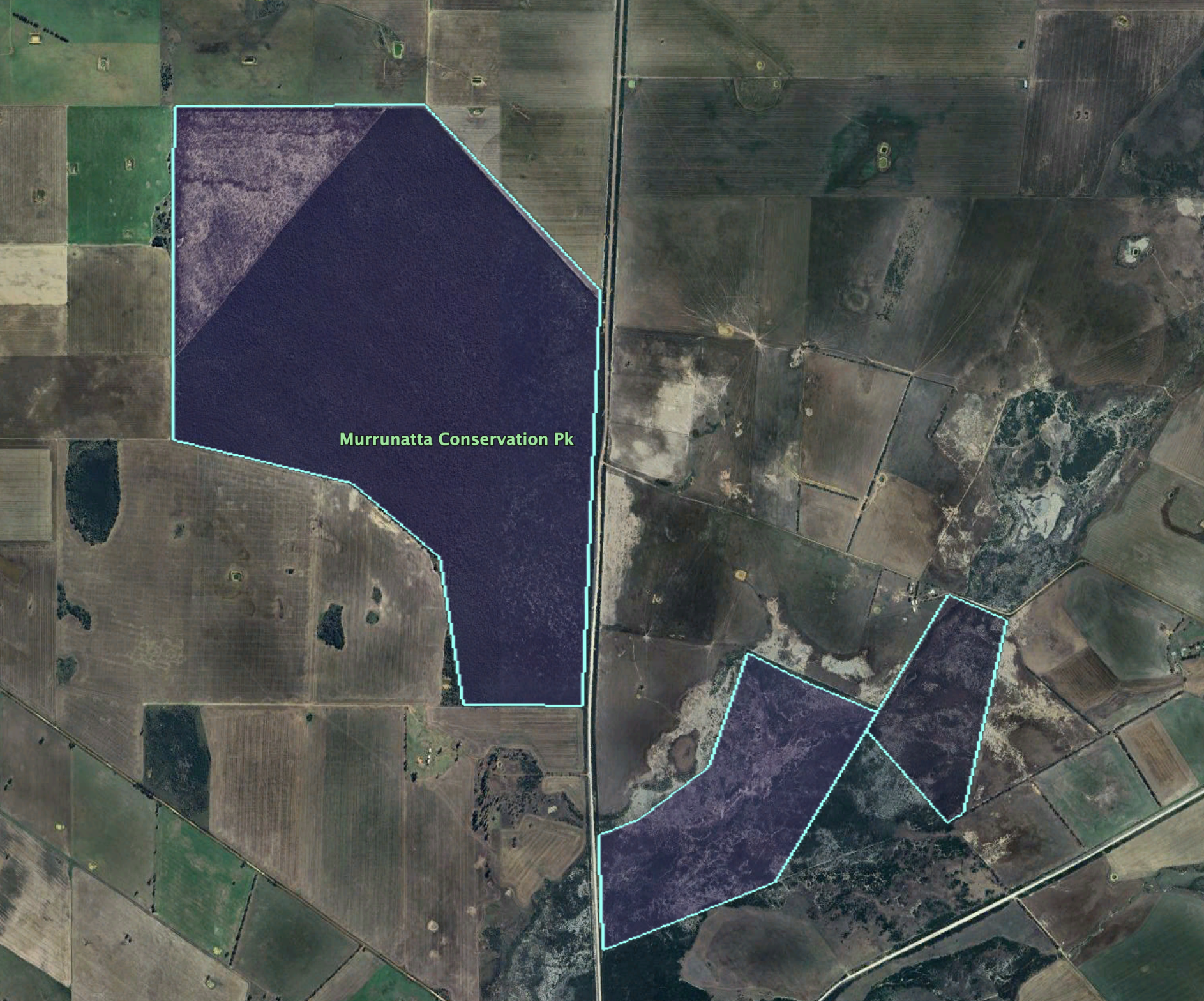
Murrunatta Conservation Park is about 516 hectares in size and was proclaimed on the 29th day of March 1984. The park consists of two parcels of land located on either side of Settlers Road. The northern section is about 424 hectares in size while the southern section is about 92 hectares in size. Murrunatta is derived from two aboriginal words – “’murra’ meaning sand and ‘natta’ meaning ridge.” (Cons Parks Lower Eyre Pen 2007) (Wikipedia 2024)
Above:- An aerial view of the Murrunatta CP showing the 2 sections. Image c/o Google Earth.
The northern section of land was proclaimed in March 1984 for the purpose of conserving “a small area of remnant mallee vegetation dominated by Coast Ridge-fruited Mallee. The southern section of land was originally Crown land proclaimed under the Crown Lands Act 1929 on the 11th day of November 1993 as a conservation reserve for the purpose of conserving “small area of mallee vegetation dominated by Swamp Paperbark. It was added by proclamation on the 7th day of December 2006 to the Murrunatta Conservation Park. (Wikipedia 2024)
The nationally vulnerable Eyre Peninsula Southern Emu Wren can be found in the park. (Cons Parks Lower Eyre Pen 2007)
I set up in a clearing in the scrub on the western side of Settlers Road. I ran the Yaesu FT857, 40 watts, and the 20/40/80m linked dipole.
I worked the following stations on 20m SSB:-
VK5MAZ
VK7AAE
VK1AO
VK2MET
IK4IDF
VK4NH
VK4DXA
OH5EP
VK4HNS
UT5PI
Dl1EBR
VK2IO
VK4EMP
VK4TI
SP7MW
DK4RM
OH1MM
OH5M
VK4SMA
IW2BNA
VK3APJ
VK3PF
VK3KAI
F4HZR
VK3BEL
VK5AYL
I worked the following stations on 20m FT8:-
F6FDY
CT3IQ
VK3PF
K3RH
VK3KAI
HB9RJD
VK6DS
VK3APJ
JM8MGU
JF7RJM
W4NEG
K9HOU
KD8LO
KT7G
K2OF
VK2HAK
F1HFP
NP3Y
JA9IFF
K4QAL
I worked the following stations on 40m SSB:-
VK5MAZ
VK5TUX
VK4SMA
VK3VIN
VK5ADPF
VK5HS
VK3SPG
VK5GY
VK2YK
VK5GA
VK3GJG
VK3APJ
VK4HNS
VK2IO
VK5LA
Vk5KAW
VK4HMI
VK4NH
VK4DXA
VK3PF
VK3KAI
VK3SQ
VK2BD
VK5FB
VK6DS
VK3ANL
VK2LWK
VK4EMP
VK4TI
VK5PL
VK1AO
VK2MET
VK3KRL
VK3HJW
VK3SX
VK2MG
VK3BSF
VK7PJM
VK6KHZ
VK5KVA
VK4LES
VK4WTZ
VK6JQ
VK3CEO
VK3EJ
References.
Department for Environment and Heritage, 2007, Conservation Parks of Lower Eyre Peninsula.
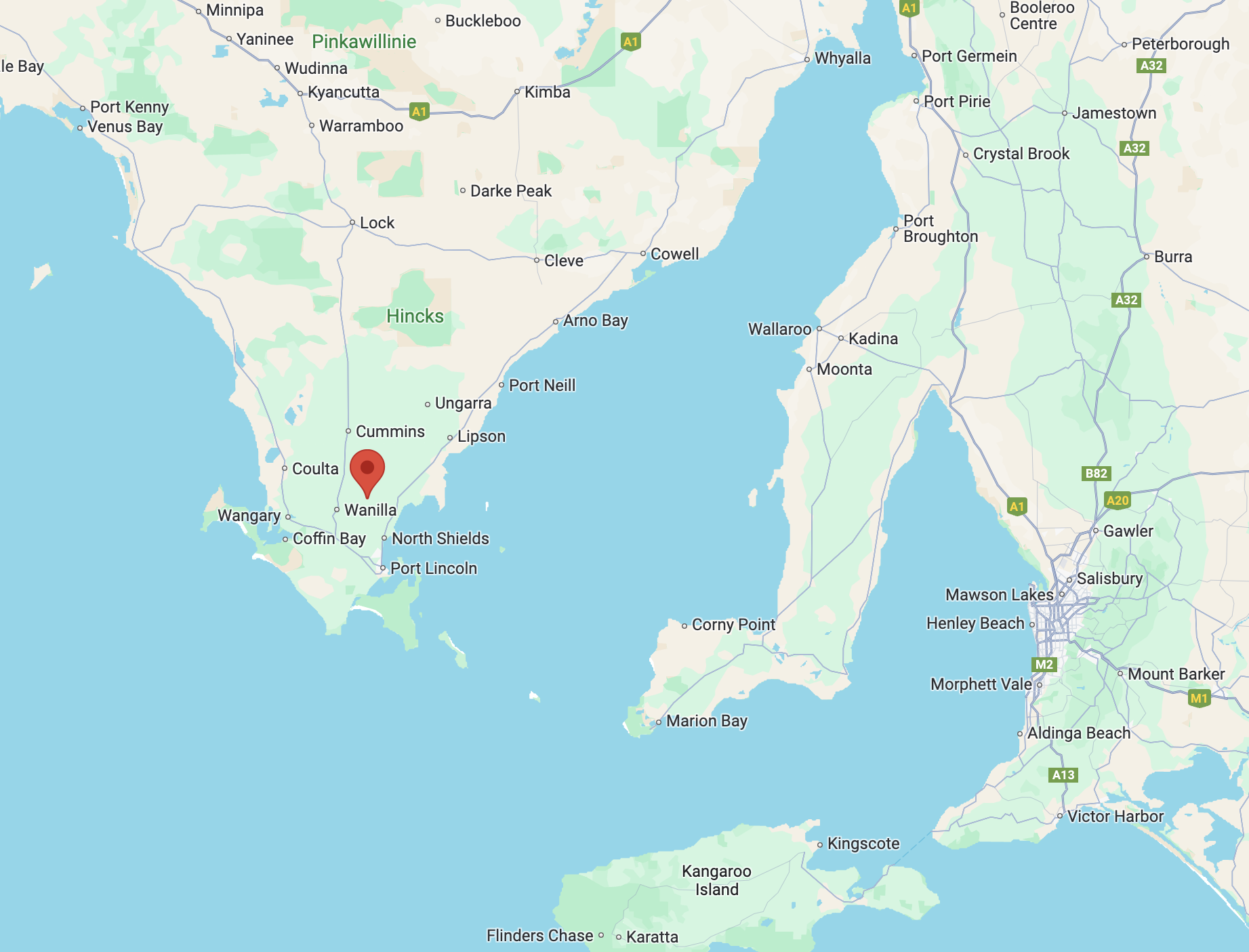
My Next activation for 22nd April 2024 was the Tucknott Scrub Conservation Park VKFF-1109. The park is located on the Eyre Peninsula, about 651 km (by road) from Adelaide.
Above:- Map showing the location of the Tucknott Scrub Conservation Park. Map c/o Google Maps.
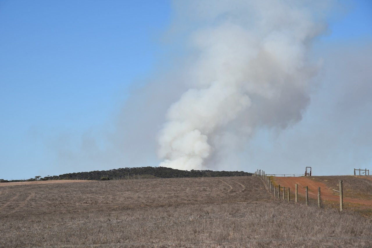
As I drove towards the park I saw a fairly large smoke plume that appeared to be coming from the vicinity of the park. Fortunately, it turned out to be a controlled burn in another area of scrub. The Tucknott Scrub Conservation Park was affected by fire during the devastating January 2005 Wangary bushfire. (Cons Parks Lower Eyre Pen 2007)
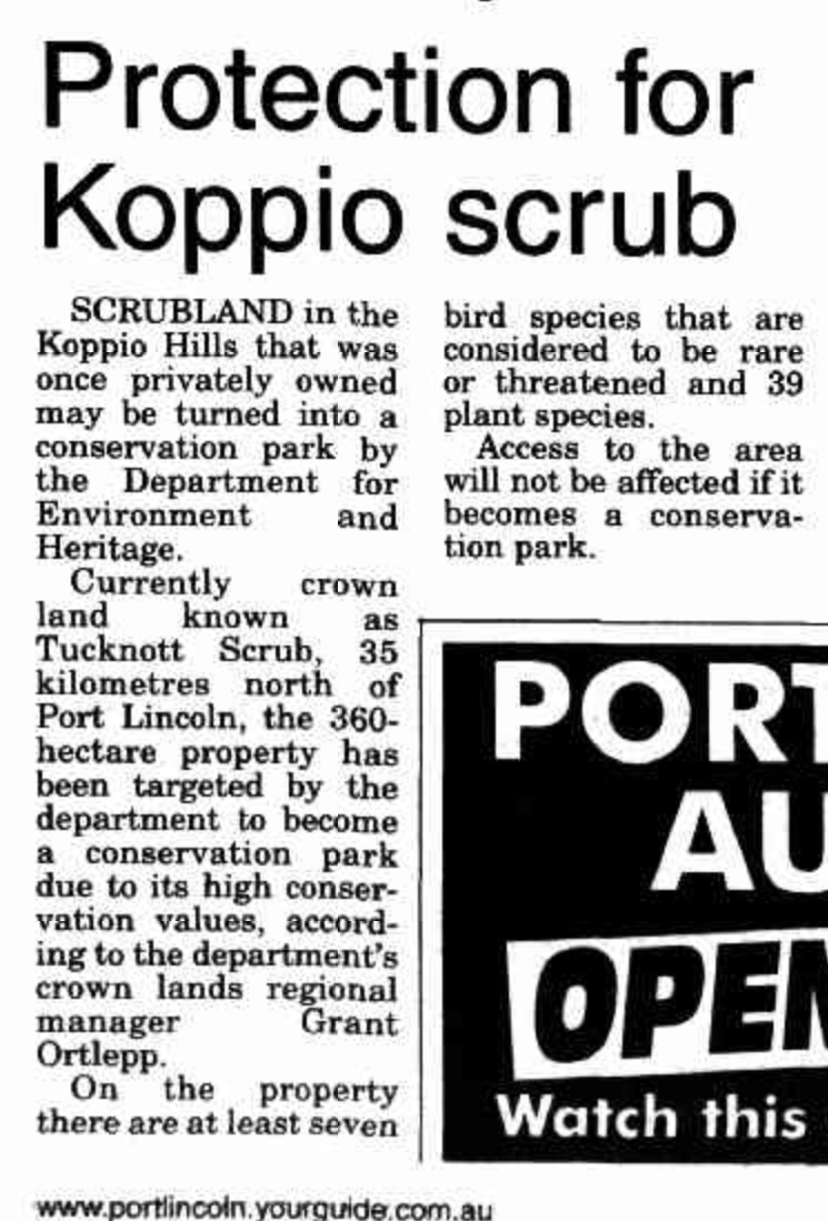
The Tucknott Scrub Conservation Park is about 360 hectares in size and was proclaimed on the 12th day of January 2006. The park takes its name from the Tucknott family who owned the land. (Birds SA 2024) (Wikipedia 2024)
Above:- Article from the Port Lincoln Times, Thu 10 Oct 2002. Image c/o Trove.
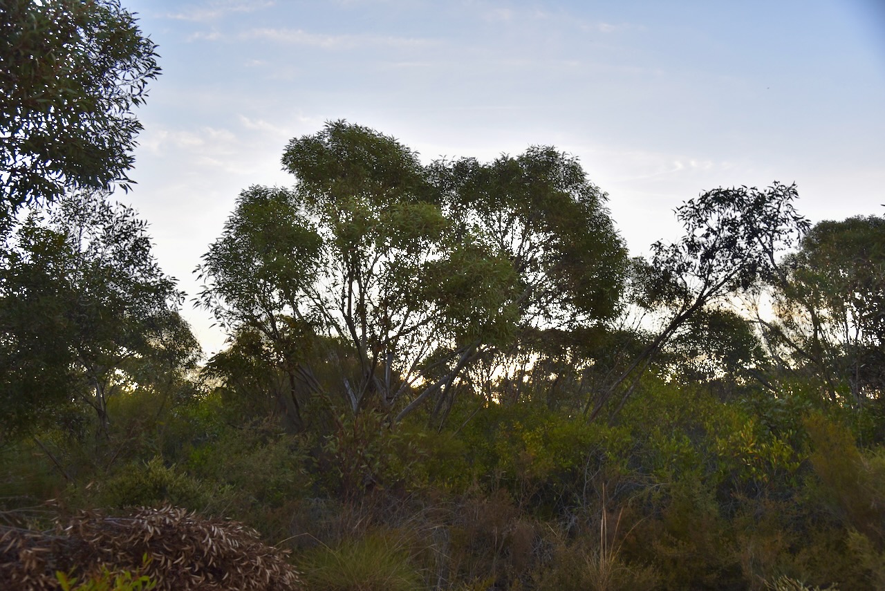
The park is the largest area of Sugar Gum woodland in the Koppio Hills region of the Eyre Peninsula. Birds SA have recorded a total of 23 native birds in the park including the Brown Currawong, Port Lincoln Parrot, Scarlet Robin, and White-throated Geryhone. (Birds SA 2024)
I set up in the southern section of the park and ran the Yaesu FT857, 40 watts, and the 20/40/80m linked dipole.
My next activation for Monday 22nd April 2024 was the Cummins silo VK-CMS5. Cummins is located on the Eyre Peninsula about 641 km from Adelaide.
Above:- Map showing the location of Cummins, South Australia.
Prior to European occupation, the Cummins district was the traditional home of the Nauo aboriginal people.
Above:- Map showing the traditional lands of the Nao people. Image c/o Wikipedia.
The town of Cummins is named in honour of William Patrick Cummins (b. 1855. d. 1907) who was an Australian politician. He represented the South Australian House of Assembly seat of Stanley from 1896 to 1906. From 1902 to 1906 he represented the Australasian National League. From 1906 to 1907 he represented the Liberal and Democratic Union. He was born at Virginia in 1855 and died at Redhill in 1907. Cummins was part of the parliamentary inspection team in the Cummins district prior to the 1901 survey. (Flickr 2024) (Place Names 2012) (Wikipedia 2024)
Above:- William P Cummins. Image c/o Wikipedia.
One of the earliest European settlers in the district was James Anderson who took up seven occupation licences from September 1846. Anderson arrived in South Australia in September 1838 aboard the ‘Winchester’. Anderson collected sheep from the Barossa Valley and drove them to the Eyre Peninsula via Port Augusta. He became the occupier of runs near current-day Wanilla with his land extending from White River to Yallunda. His sheep grazed over what is current-day Cummins. Anderson imported rams and ewes from the famous ‘Steiger’ breed in Germany. He achieved a reputation as a very reputable breeder. (Place Names 2012) (State Library 2024)
Above:- James Anderson. Image c/o State Library South Australia.
In 1903 pastoral leases around Cummins were purchased by the government and surveyed for farming settlement. The Hundred of Cummins was proclaimed in 1903 with the sale of land commencing in 1904. Grain farmers commenced purchasing sections of land in the district. By November 1907 the railway had reached Cummins. A local landowner, Mr. Durdin and his partner called Atkinson, subdivided some of his land to create a town at the junction of several roads beside the railway line. He subdivided 13 town blocks in 1907 and a further 28 blocks in 1911. In 1912 a farmer called Mr. Farr on the eastern side of the railway line, subdivided 27 blocks. In 1918 he subdivided a further 5 blocks. Two private towns were created and eventually they merged into one town. (Flickr 2024) (Place Names 2012)
Above:- the mains street of Cummins, c. 1928. Image c/o State Library South Australia.
Today the main industries in the Cummins district are sheep farming and cereal grain growing. (Wikipedia 2024)
The last train to run to Cummins was in 2019. Today not a lot remains of the railway. The old railway workers’ accommodation barracks can be viewed, along with an old crane and the water tank.
Cummins Milling is one of the oldest flour mills in Australia. It has been producing wheat for over 89 years. It was established in 1930 during the Depression by Aubrey Heidenreich. In 1933 the original mill burnt down and the mill was rebuilt in 1934. Cummins Milling 2024)
The foundation stone of the Cummins Uniting Church was laid on the 8th day of May 1912 by Mr. C.H. Potter.
The former Commercial Bank of Sydney building was built in 1932. (Flickr 2024)
In the town centre at Cummins Railway Park Triangle, you can find toilets and picnic facilities. There are also various monuments including one for the Eyre Peninsula Railways, a monument for the Barwell Scheme, a statue of the wheat lumper, and an old tabletop trolley.
The wheat lumper statue is for all of the Eyre Peninsula men who lugged bags of wheat into piles for transport to the ports via rail. The bronze statue was created by Sydney sculptors Gillie and Marc.
The Table Top Trolley was donated by L.K. Jerico. It was owned by Clark Ridgeway, S.G. Illman and F.J. Jerico. It was restored by secondary students of Cummins Area School and Joe Cooper.
The Barwell Scheme monument commemorates the 1922-1924 initiative by the South Australian Premier Sir Henry Barwell, that brought more than 1,400 British teenage boys to South Australia to be apprenticed to farmers. It helped solve a rural labour shortage following the First World War. They became known as the ‘Barwell Boys’.
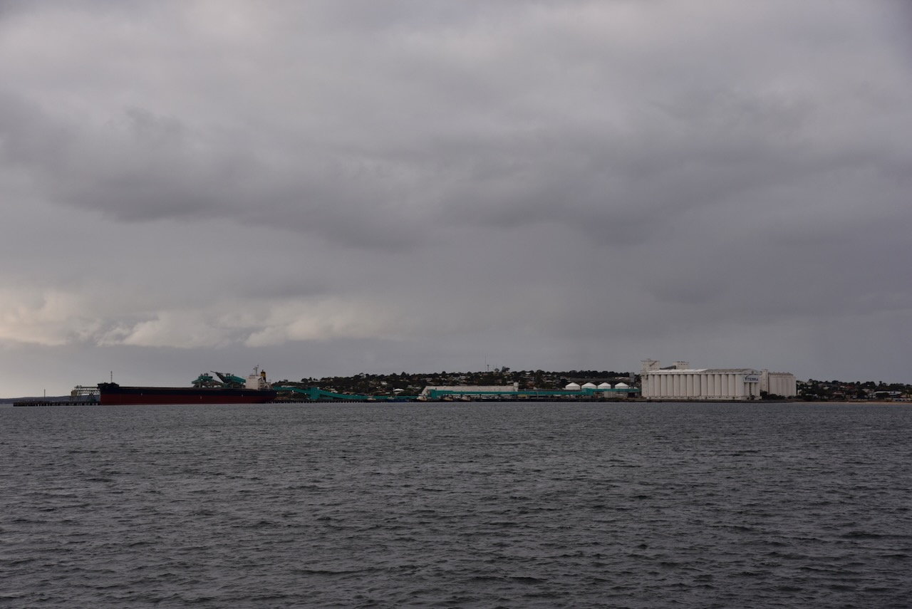
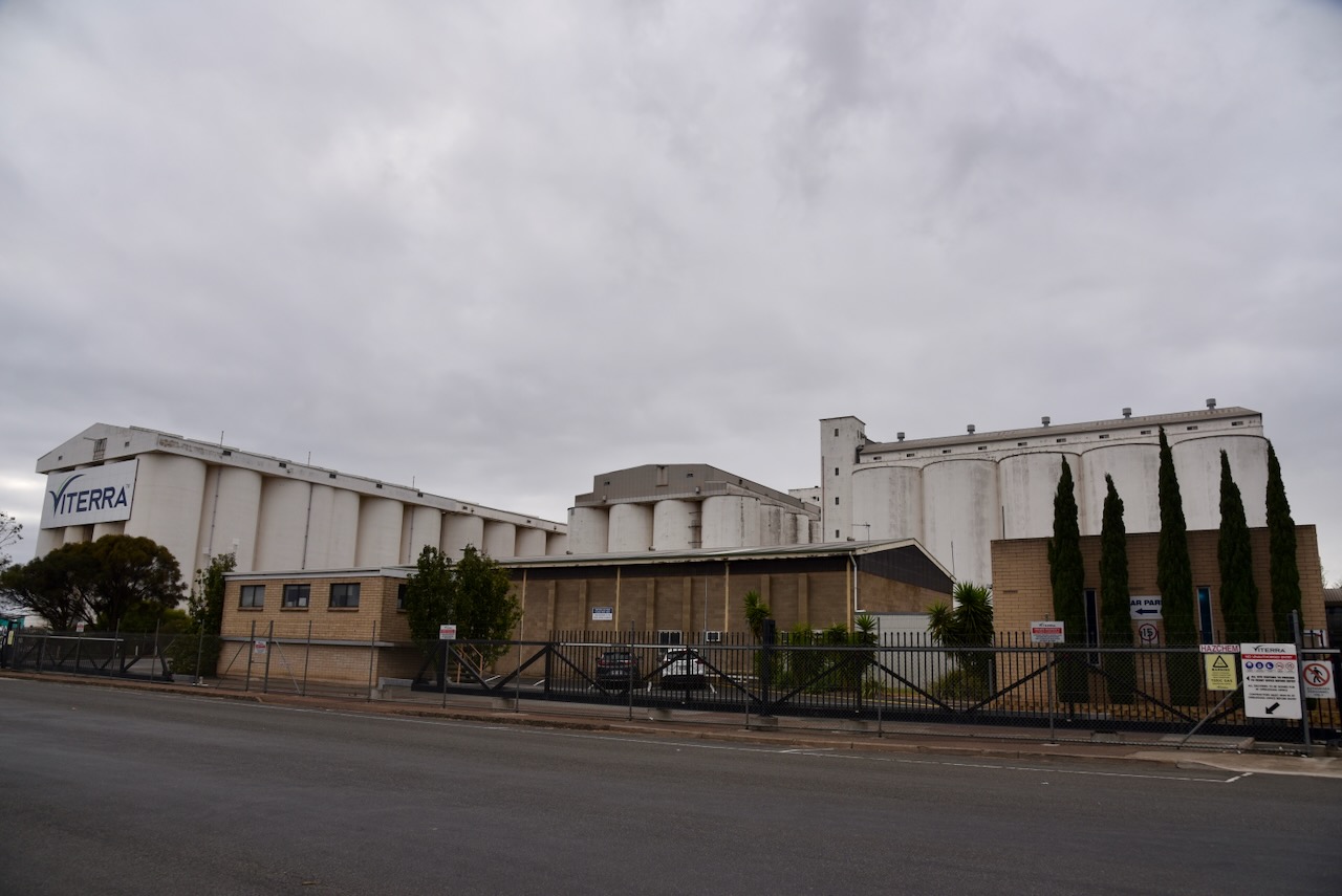
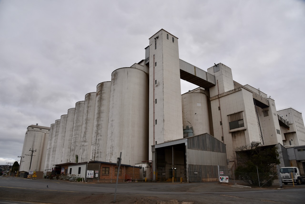
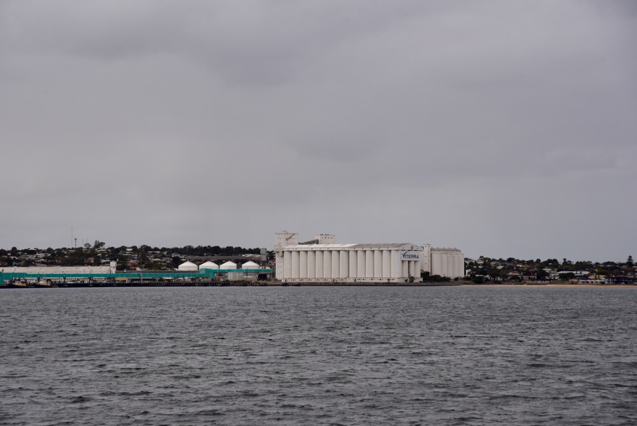
The Cummins silos are located on the eastern side of Tod Highway. They are operated by Viterra.
The Cummins silos were constructed in late 1961. This saw the commencement of bulk handling taking over from the labour-intensive process of grain being bagged and lumped into stacks. (Cummins 2024)
Above:- Article from the Port Lincoln Times, Thu 2 Nov 1961. Image c/o Trove.
I set up alongside the silos and I ran the Icom IC-7000, 100 watts, and the Codan 9350 antenna with the 1.5 metre stainless steel whip.
Above:- Map showing the activation zone of the Cummins silo. Map c/o SiOTA website.
I worked the following stations on 40m SSB:-
VK5MAZ
VK5TUX
VK5HS
VK3PF
VK5GY
VK3UCD
VK3AXH
VK5FIVE
VK5AAF
VK3NBL
I worked the following stations on 20m SSB:-
VK7XX
VK3PF
VK4HNS
VK4ALE
VK4NH
VK3NBL
VK2IO
VK3CEO
References.
Cummins Mill South Australia. (2019). Cummins Milling Flour in Cummins on the Eyre Peninsula South Australia. [online] Available at: https://cumminsmill.com.au/ [Accessed 8 Aug. 2024].
State Library of South Australia. (2024). [Early settlers, Port Lincoln and Western Districts – series 3] : James Anderson. [online] Available at: https://collections.slsa.sa.gov.au/resource/B+8505/2A [Accessed 8 Aug. 2024].
A few days ago I picked up the item below in an on-line auction.
But what is it?
It was advertised as a Morse key.
It is in fact a Telegraph sounder.
It was only with some help with John VK5BJE, Chris VK3QB, and Ian VK5CZ, and trusty Google, that I confirmed what this little device was.
A telegraph sounder is an antique electromechanical device used as a receiver on electrical telegraph lines during the 1800’s. The device was invented by American Alfred Lewis Vail (b. 1807. d. 1859) in c. 1850 to replace the previous receiving device known as the Morse register. (Wikipedia 2024)
The telegraph sounder converts electrical pulses into audible sounds and was used to receive Morse code messages. It was the first practical application of the electromagnet. When a telegraph message is received, the telegraph sounder receives an audible clicking sound representing the short and long keypresses “dots” and “dashes” that are used to represent text characters in Morse Code. A telegraph operator would interpret the sounds into characters representing the telegraph message. (Wikipedia 2024)
The telegraph sounder was used at the receiving end. It was used to make the Morse code message audible. The device consisted of an electromagnet attached to the telegraph line, with an iron armature near the magnet’s pole balanced on a pivot, held up by a counterweight. (Wikipedia 2024)
When current flowed through the electromagnet’s winding, it created a magnetic field that attracted the armature, pulling it down to the electromagnet, resulting in a “click” sound. When the current ended, the counterweight pulled the armature back up to its resting position, resulting in a “clack” sound. Thus, as the telegraph key at the sending end makes and breaks the contact, the sounder echoes the up-and-down state of the key. (Wikipedia 2024)
Below are some excellent videos explaining the telegraph sounder.
At this stage, I’m unsure who made this sounder or its history. I am still researching on the internet.
References.
Smithsonian Institution (2024). Telegraph Sounder | Smithsonian Institution. [online] Smithsonian Institution. Available at: https://www.si.edu/object/nmah_713674 [Accessed 7 Aug. 2024].