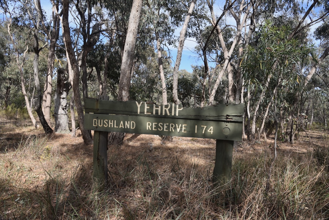
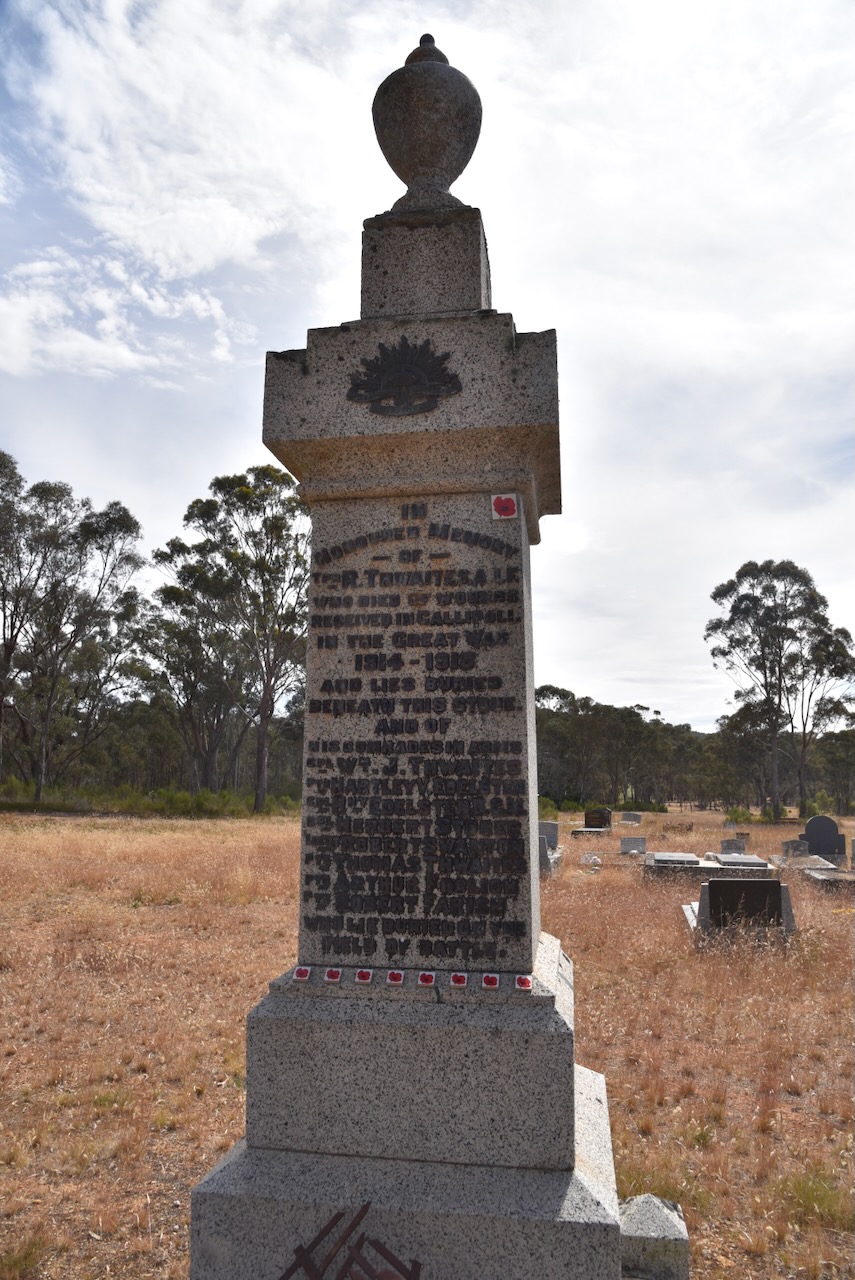
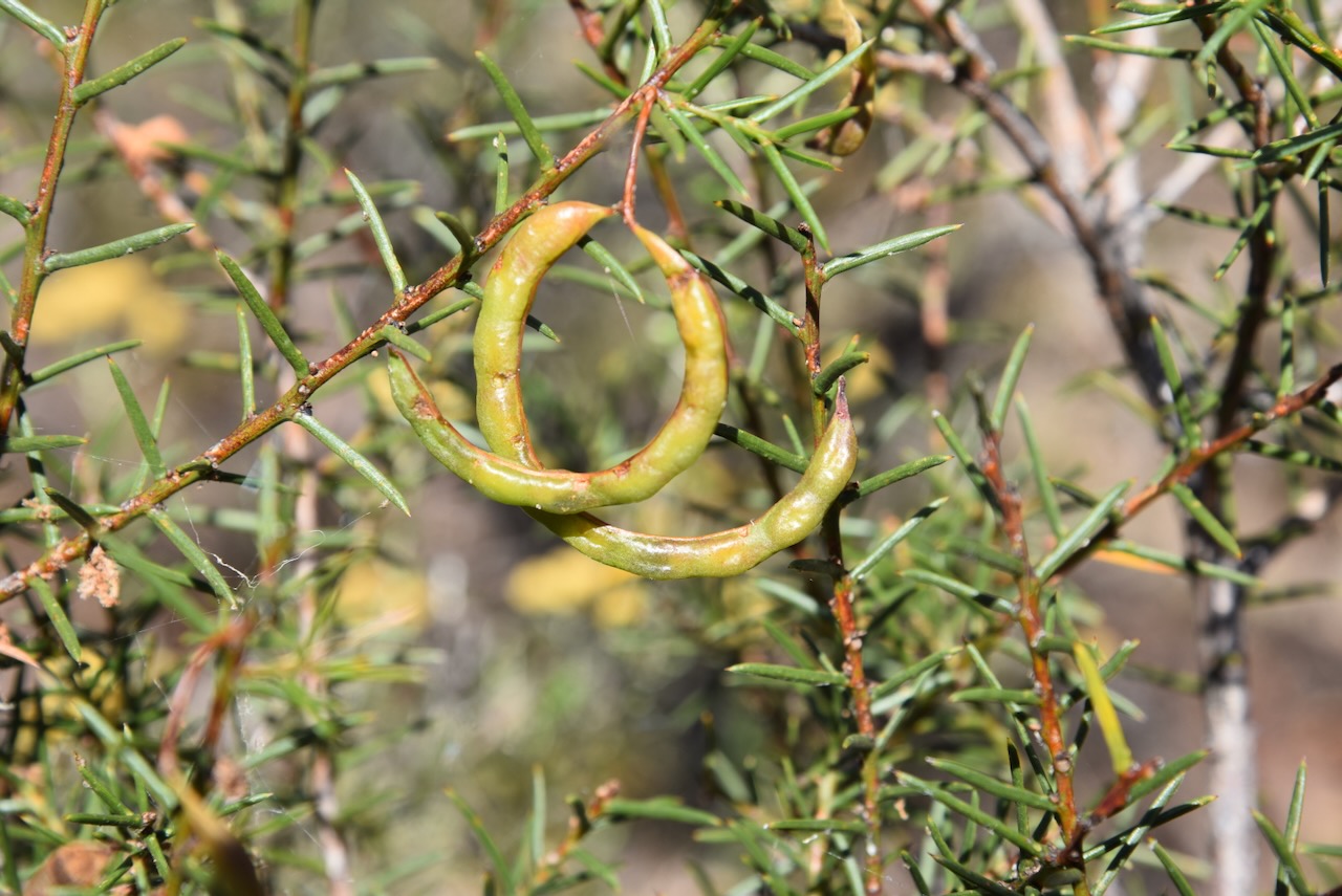
Our first activation for Tuesday 21st November 2023 was the Yehrip Bushland Reserve VKFF-4273. The park is just 7 km to the northwest of Avoca and about 188 km northwest of Melbourne.
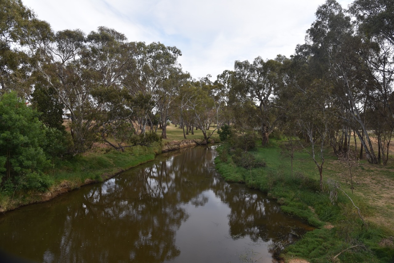
After leaving Avoca we headed north and crossed over the Avoca River.
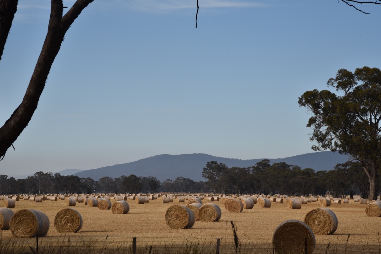
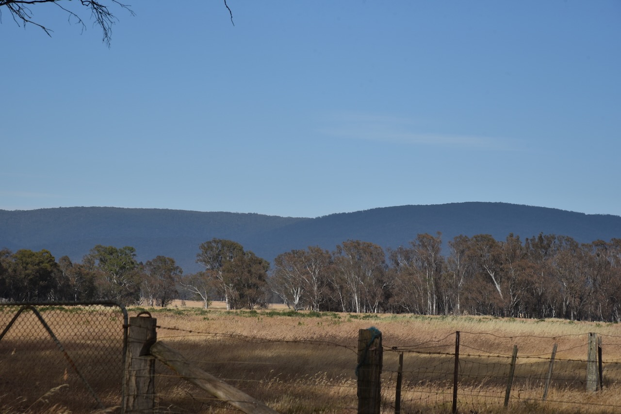
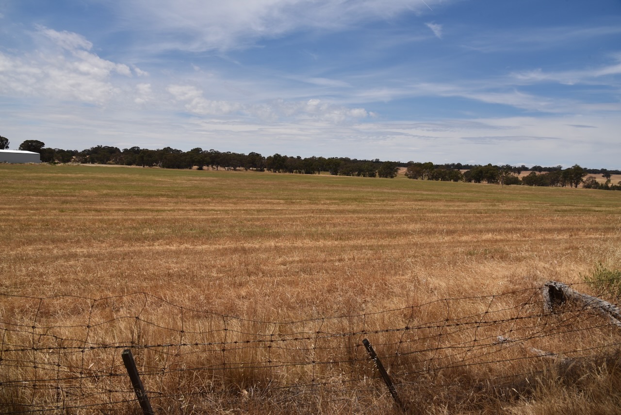
Our drive took us through beautiful farming country with views of the Pyrenees.
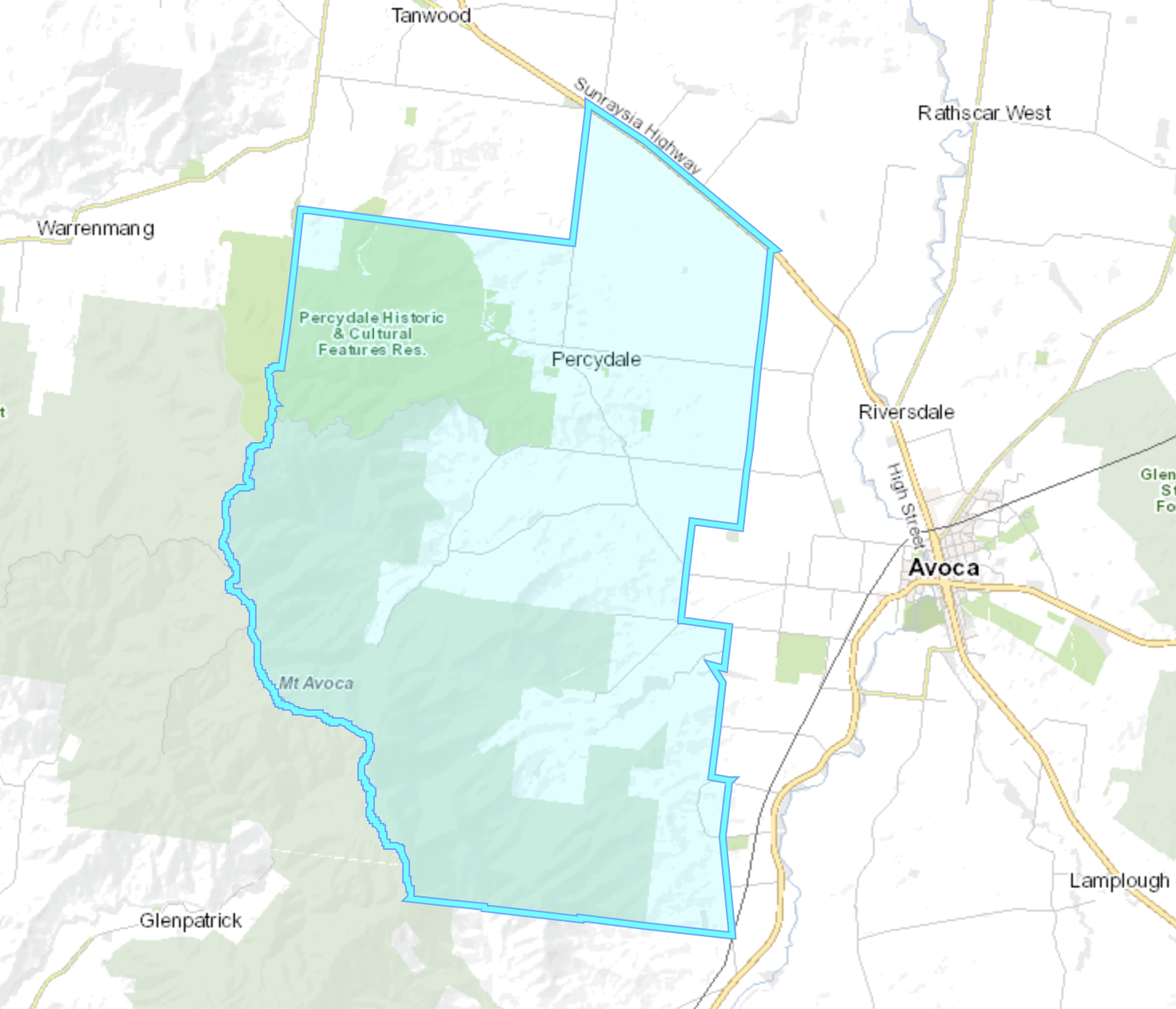
Yehrip is a Parish in Victoria. Yehrip is an aboriginal word for paperbark. (Blake 1978)
Above:- Map showing the Parish of Yehrip. Map c/o Mapshare Vic website.
Parks Victoria has a page on their website for this park but it contains no information about the park other than a park boundary image.
The park is about 7 hectares in size and was established on the 24th day of August 1982. (CAPAD 2022)
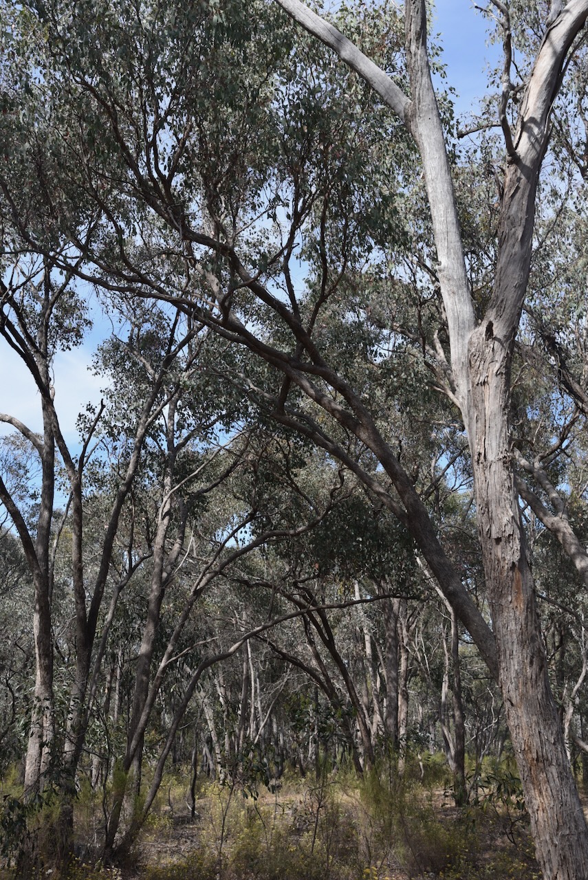
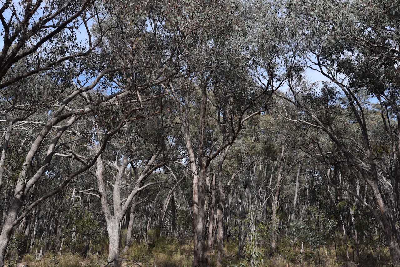
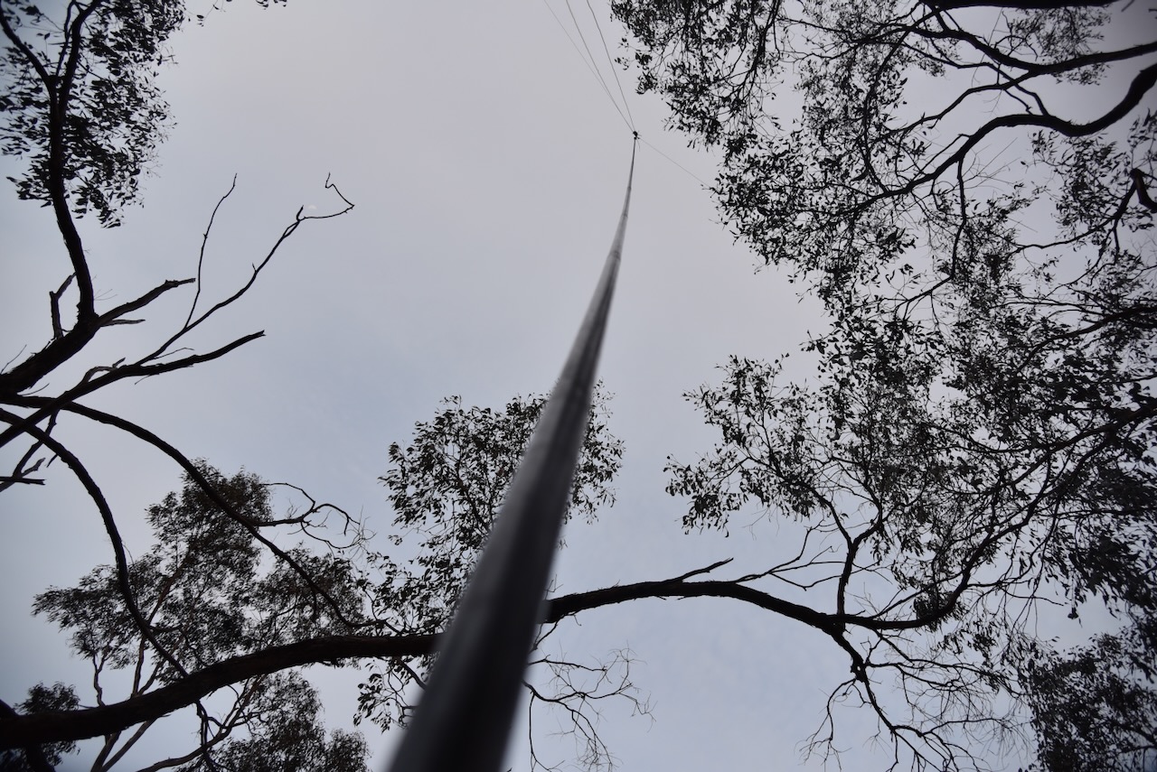
We set up in a clearing amongst the scrub off the Robinson-Percydale Road. We ran the Yaesu FT857, 40 watts, and the 20/40/80m linked dipole. I used the special event callsign of VI10VKFF.
Above:- An aerial view of the park showing our operating spot. Image c/o Google Earth.
Band conditions on 40m were absolutely terrible and we scraped up just 11 contacts each on that band. At least we qualified the park for the VKFF program (10 contacts), but this is a park we will need to return to at some stage to get the required 44 QSOs to qualify the park for the global WWFF program.
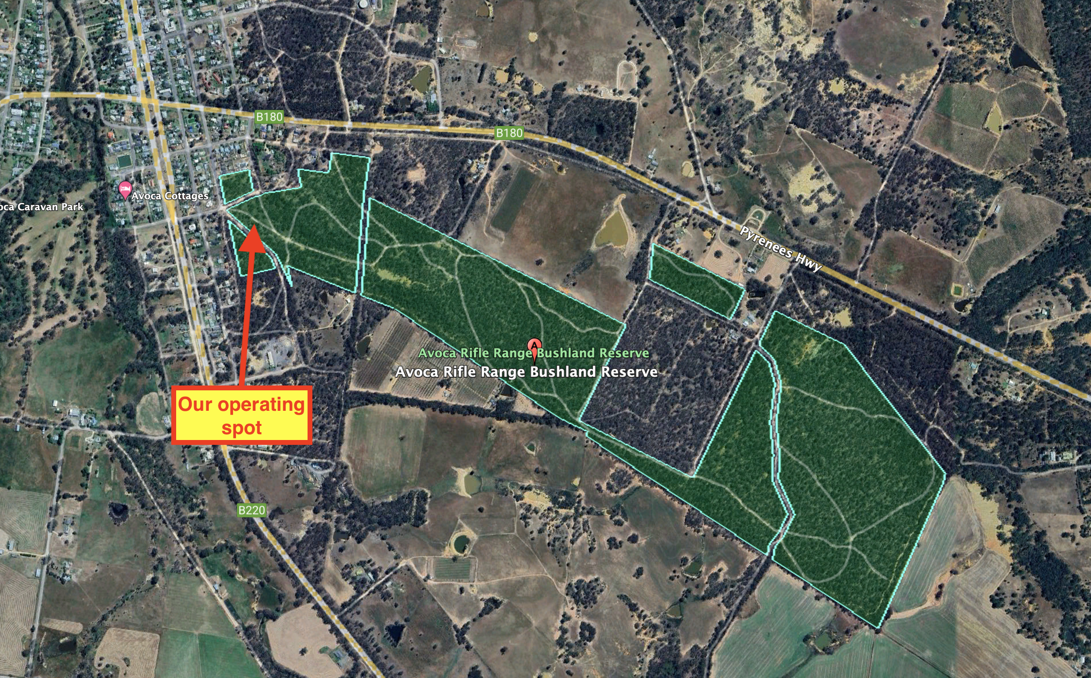
Our final activation for Monday 20th November 2023 was the Avoca Riflerange Bushland Reserve VKFF-4271. The park is just 2 km to the east of Avoca and about 184 km northwest of Melbourne.
The park is about 103 hectares in size and was established on the 25th day of November 1982. (CAPAD 2022)
Above:- An aerial view of the park with the town of Avoca in the background. Image c/o Google Maps.
We accessed the park via a 4WD track that ran off Barnett Street.
Above:- An aerial view of the reserve showing our operating spot. Image c/o Google Earth.
We ran the Yaesu FT857, 40 watts, and the 20/40/80m linked dipole for this activation. I used the special event call of VI10VKFF. It was late evening when we set up and by the time we were ready to pack up it was completely dark.
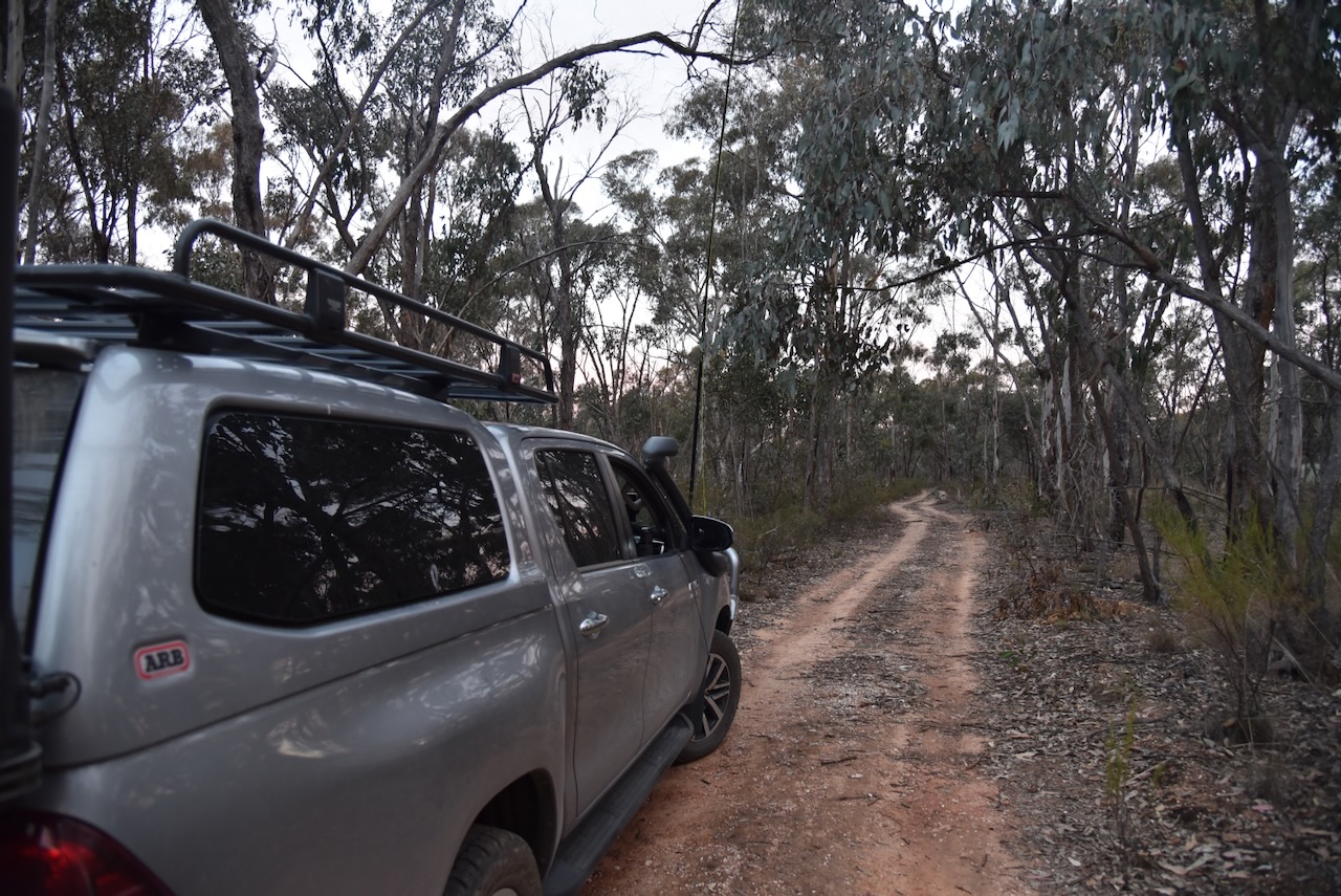
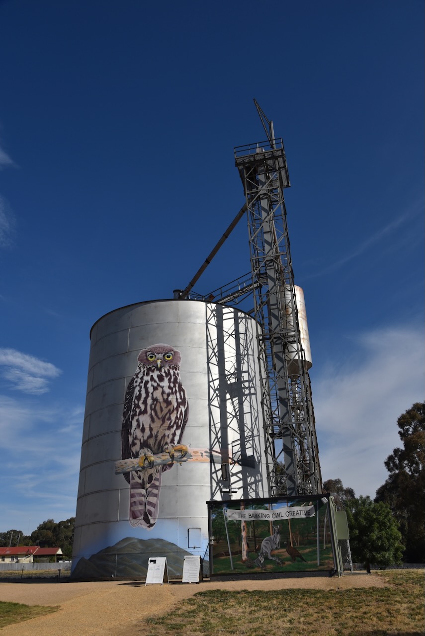
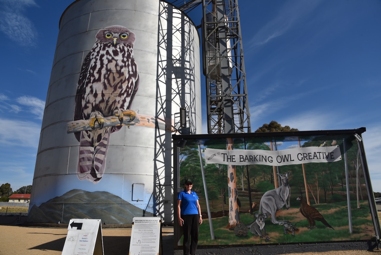
After booking into our accommodation at Avoca and dropping off most of our gear, we decided to activate the Avoca Bushland Reserve VKFF-4270 and the Avoca silo VK-AVA3.
Above:- Map showing the location of the Avoca Bushland Reserve. Map c/o Google Maps.
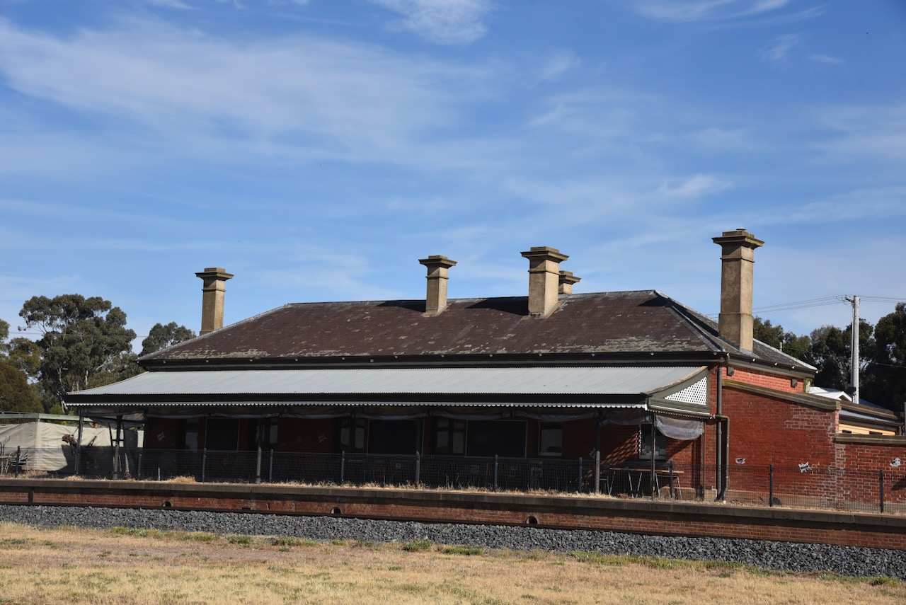
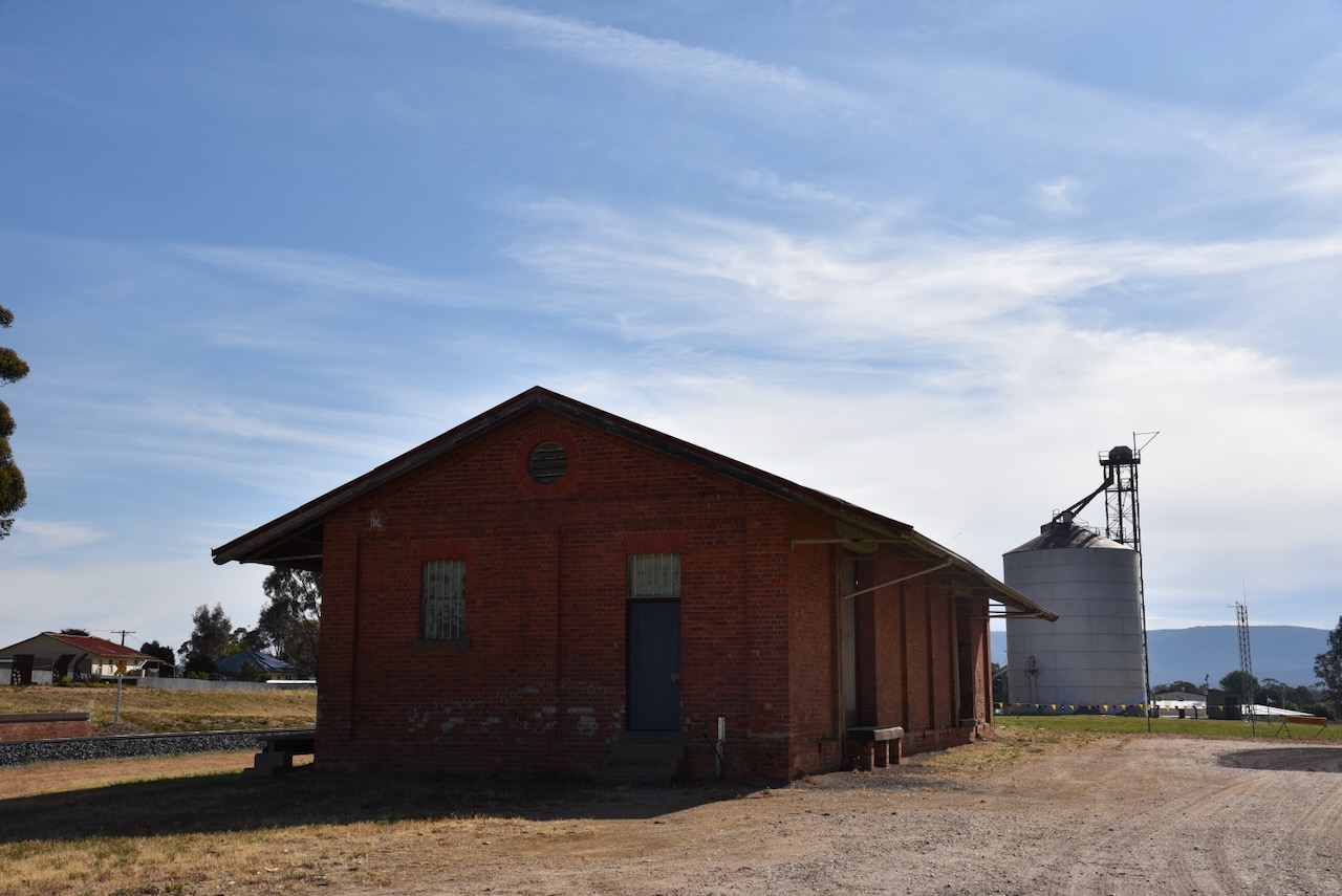
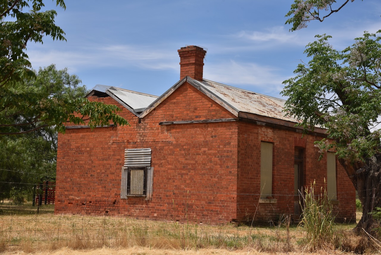
Close to the Avoca silo is the old Avoca railway station that was located on the old Avoca to Maryborough line operated by the Victorian Railways. The station was built in 1876 by J Summerland. The station consists of a hip-roofed red brick building. The goods shed is gable roofed and is constructed of brick with bluestone coping. It is listed on the Victorian Heritage Database. (Victorian Heritage Database 2024)
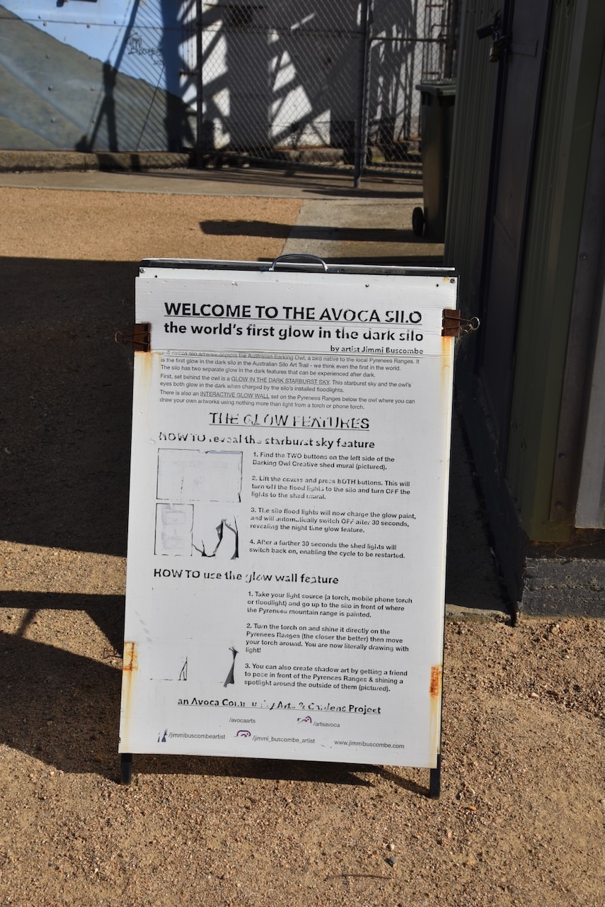
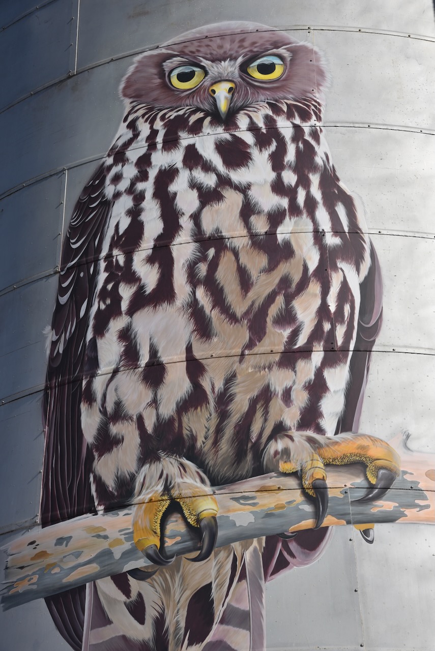
The Avoca silo is part of the Australian Silo Art Trail. It was Australia’s 47th silo to be included in the Trail. The artwork on the silo commenced in March 2021 and is the work of artist Jimmi Buscombe. The images on the silo include the endangered Barking Owl and the vulnerable Brush-tailed Phascogale. The silo features a night interactive element which I will talk about in a future post. (Australian Silo Art 2024)
The Avoca Bushland Reserve is about 25 hectares in size and consists of five separate sections. The reserve was established on the 26th day of February 2002. (CAPAD 2022)
The Parks Victoria website has a page re this reserve but it contains no information about the reserve other than a park boundary image.
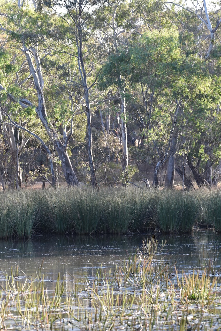
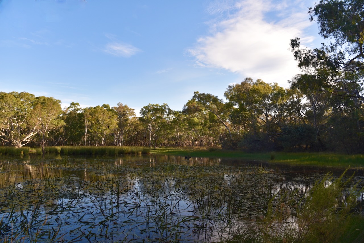
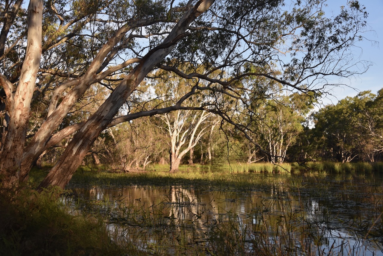
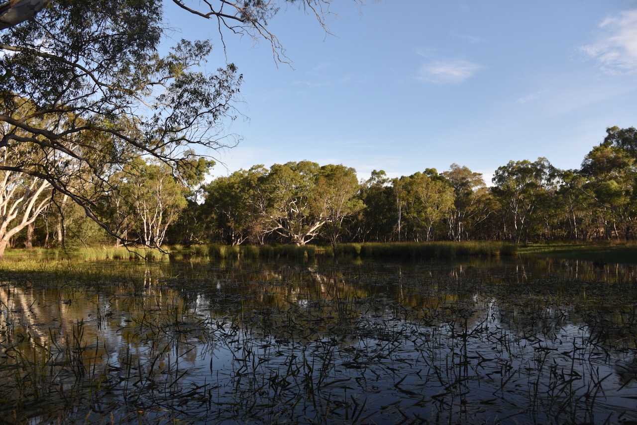
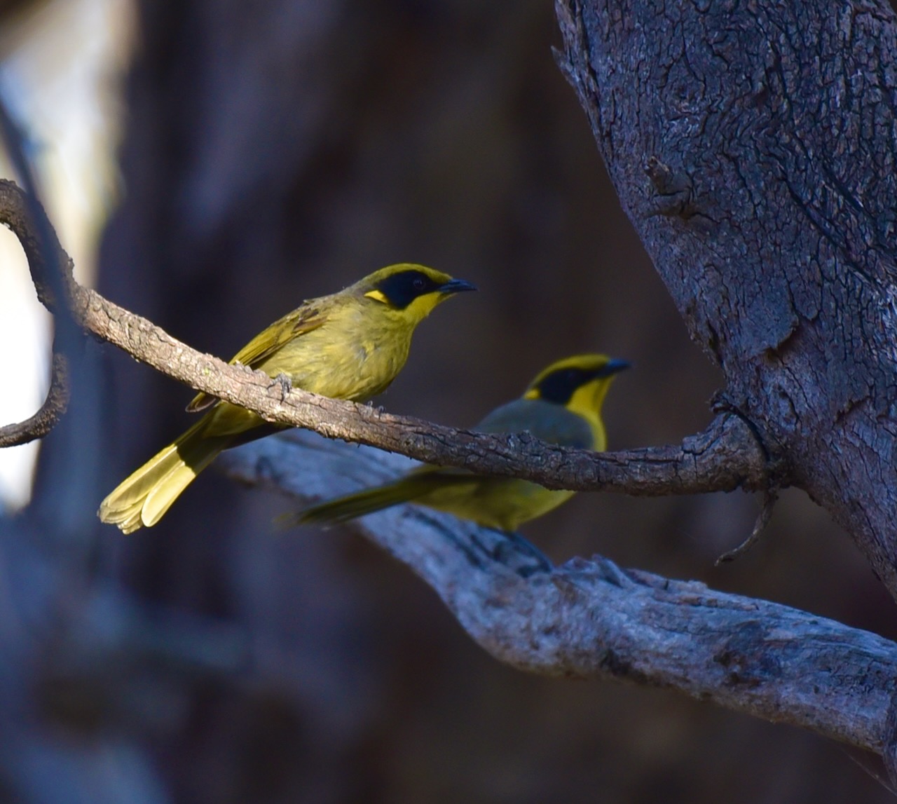
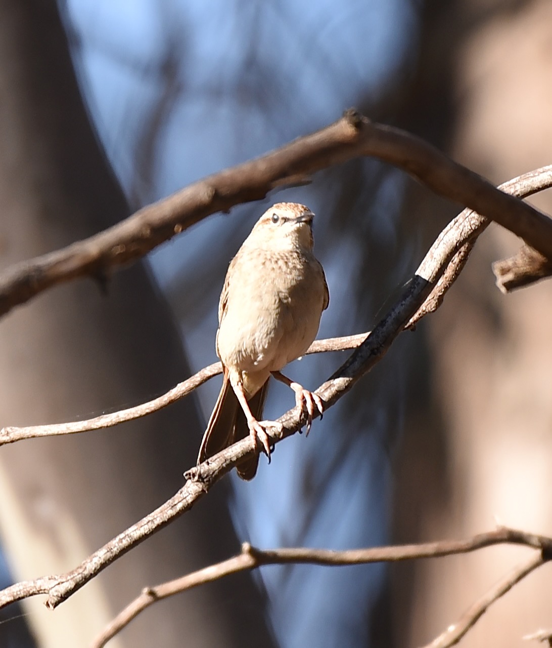
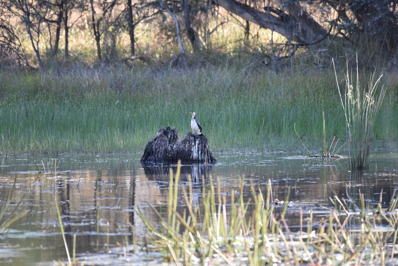
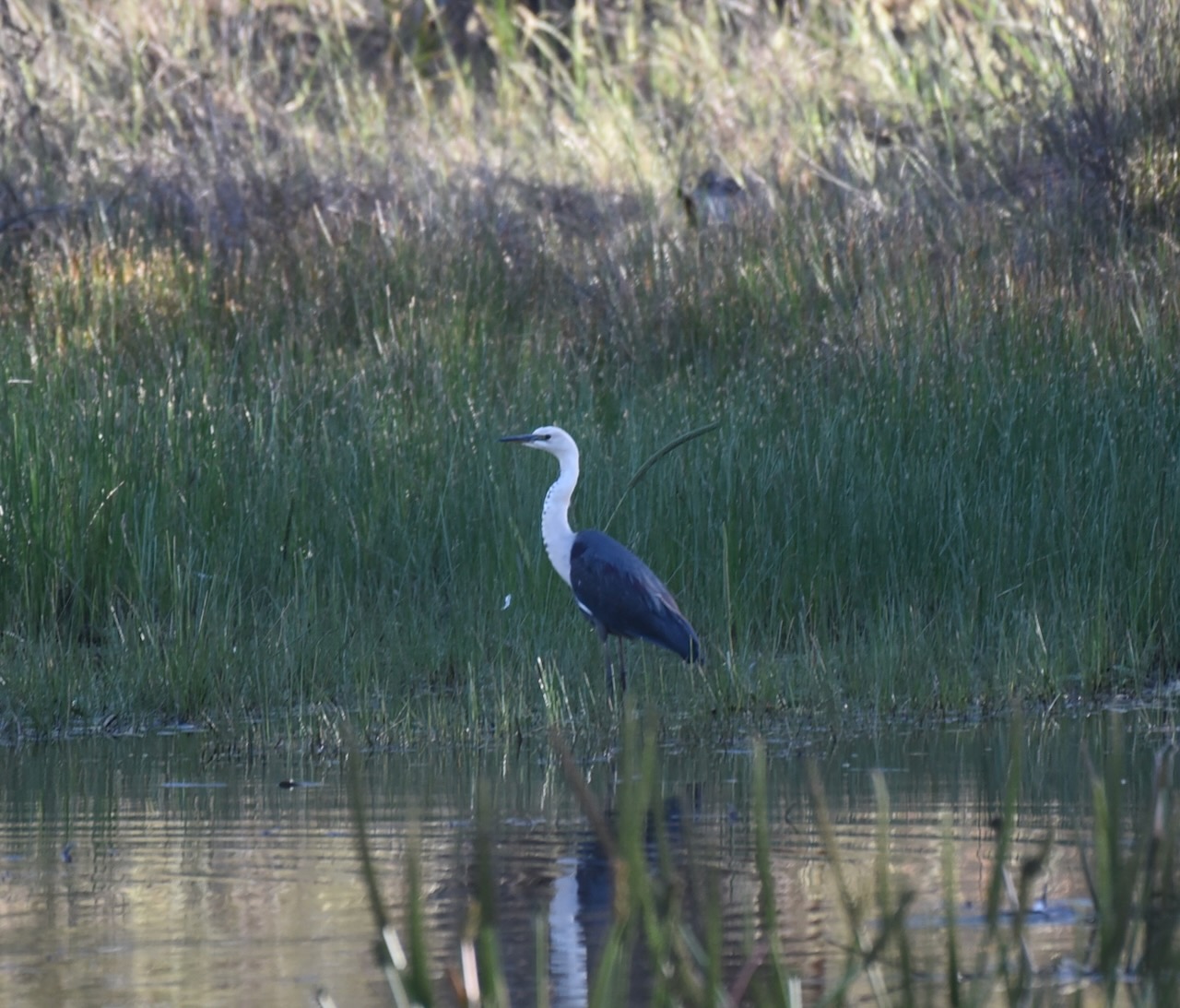
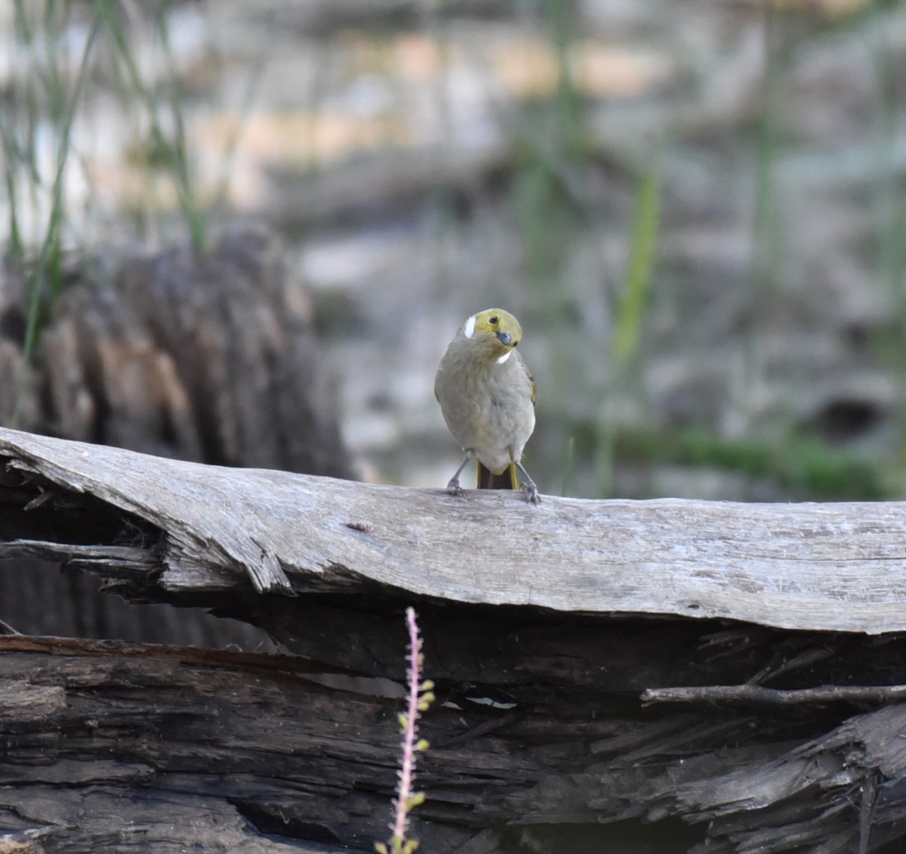
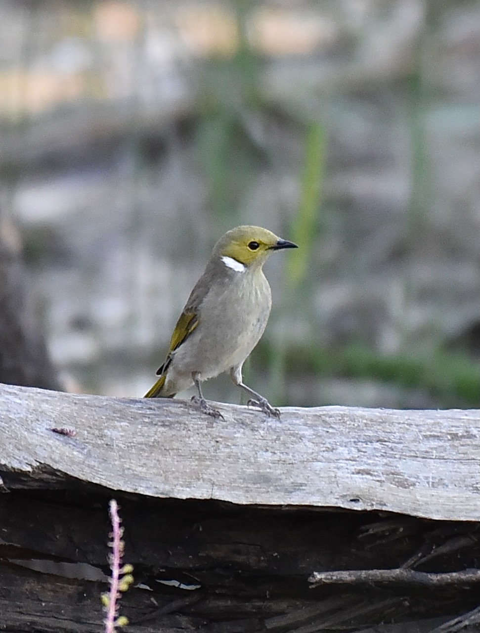
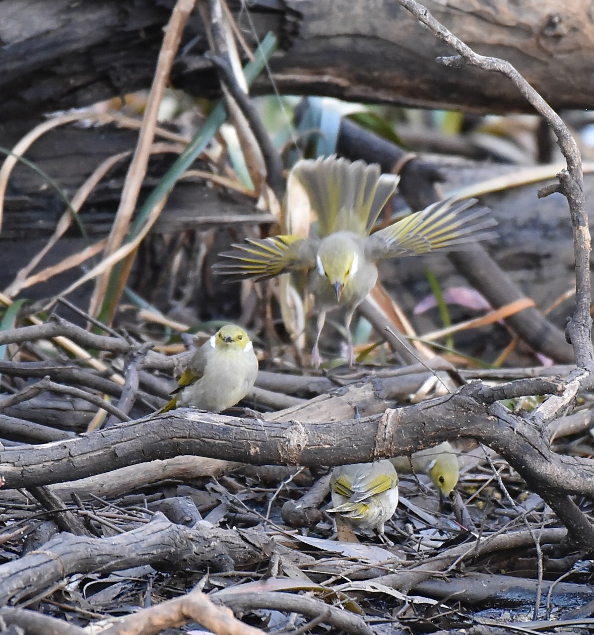
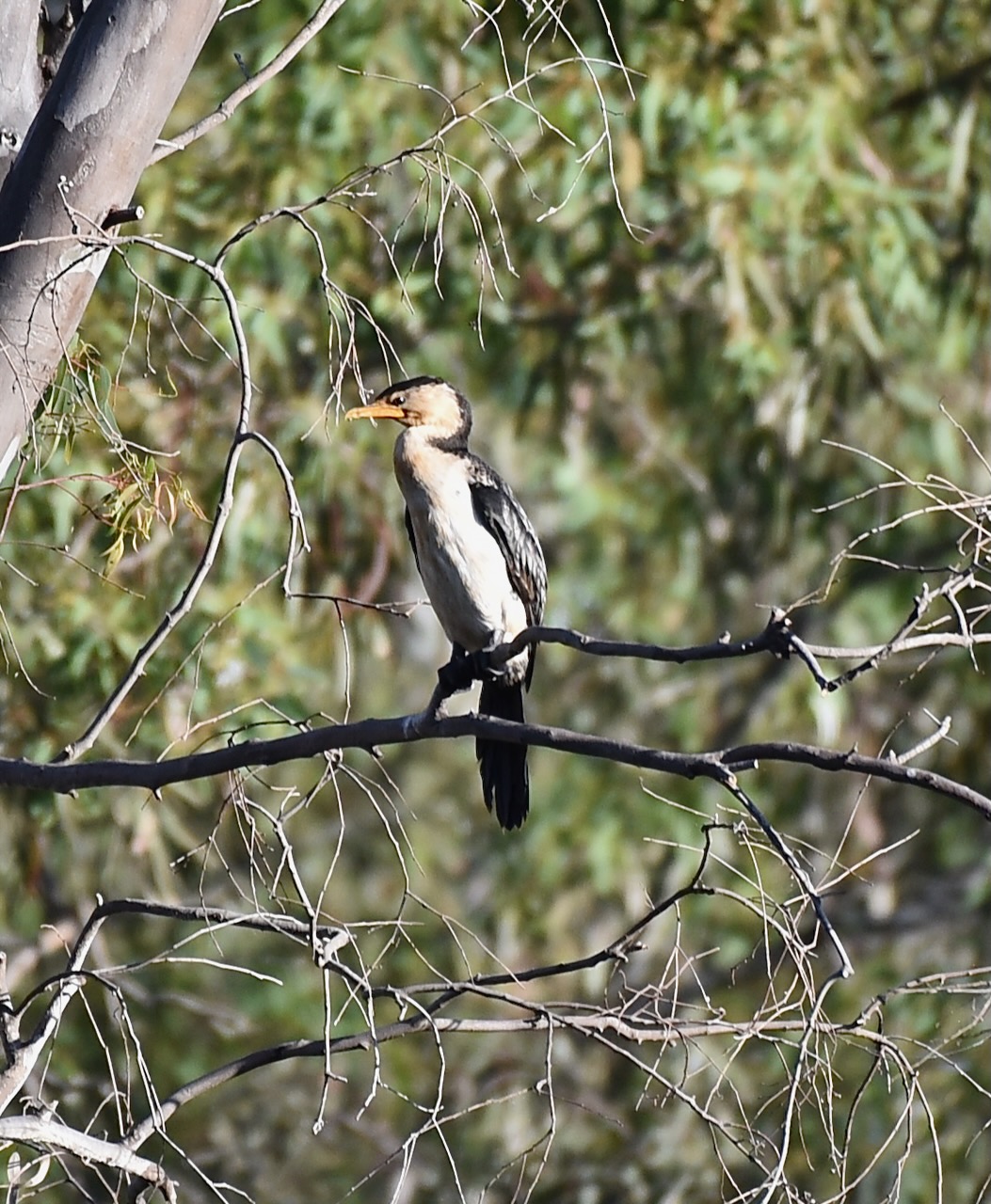
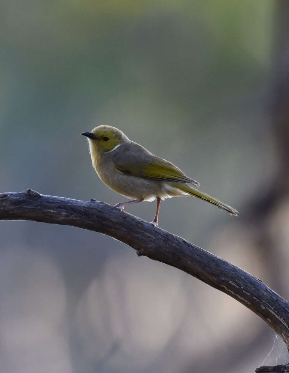
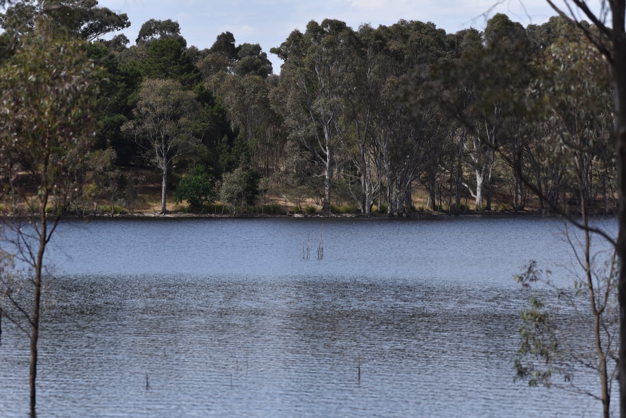
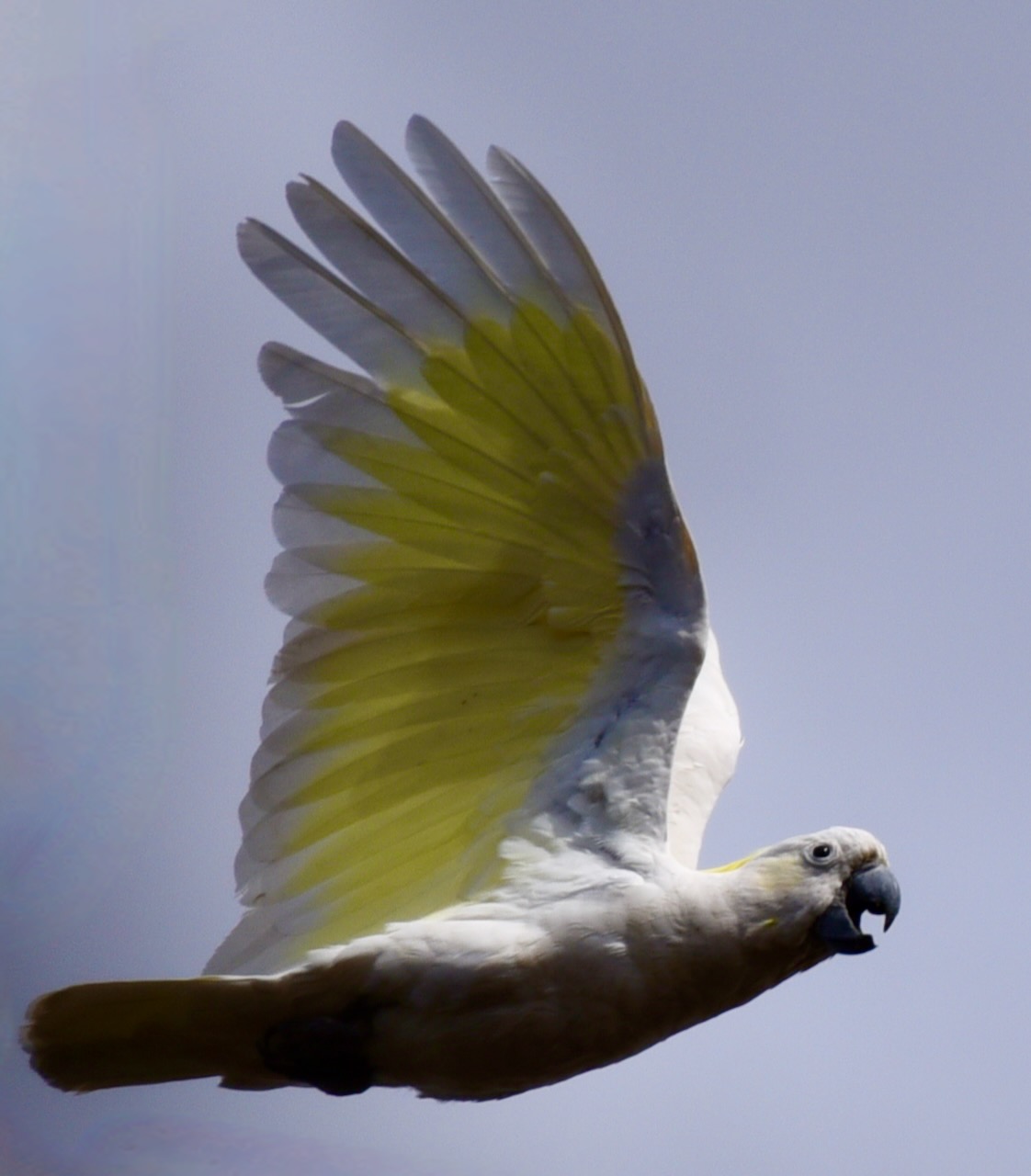
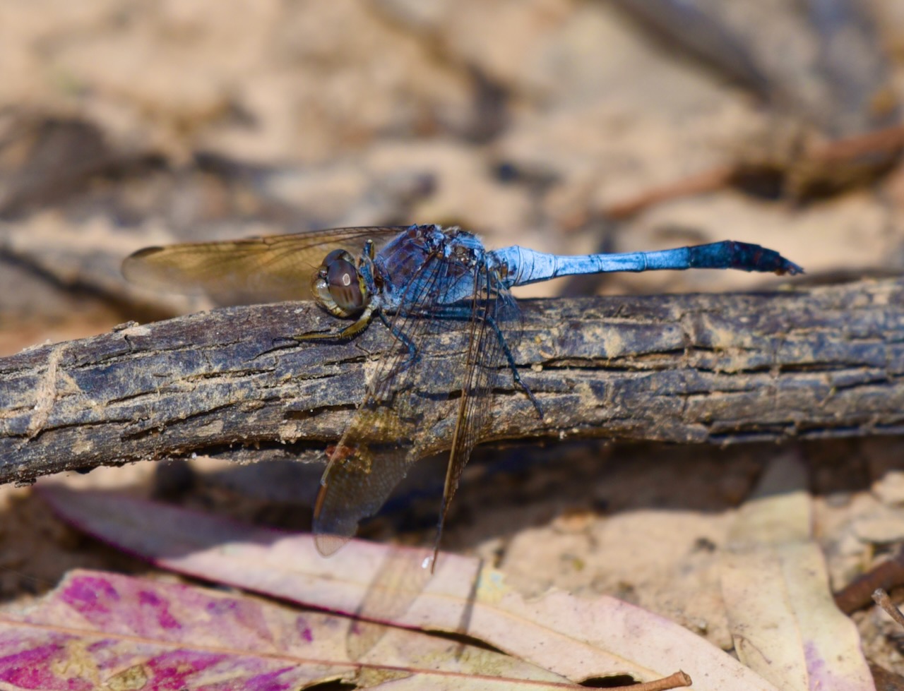
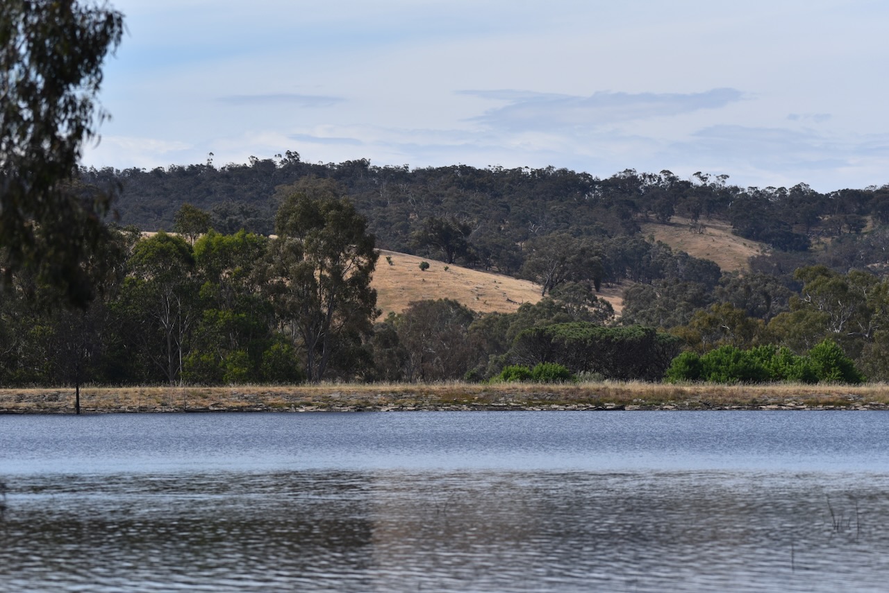
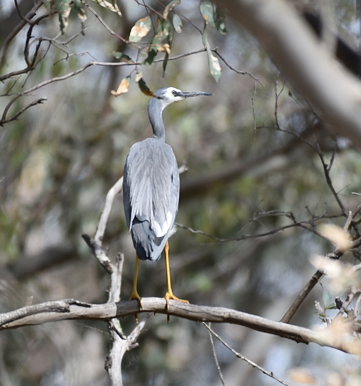
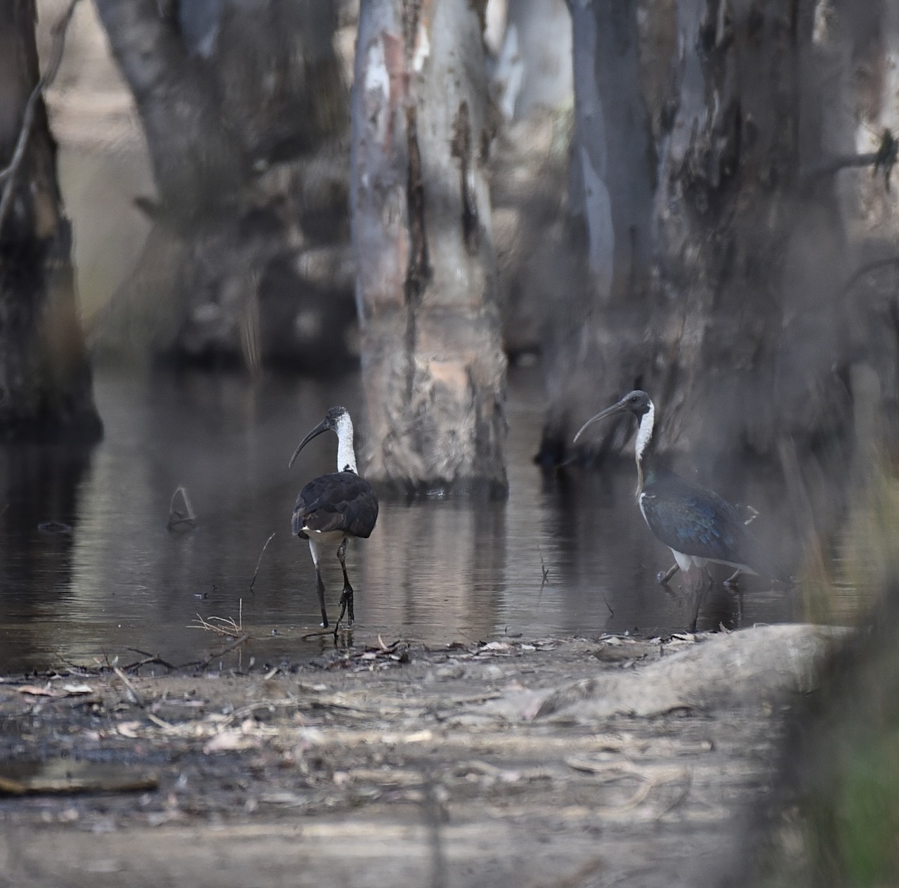
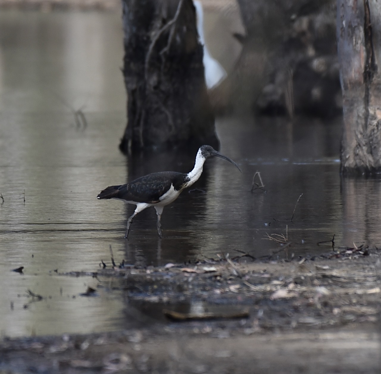
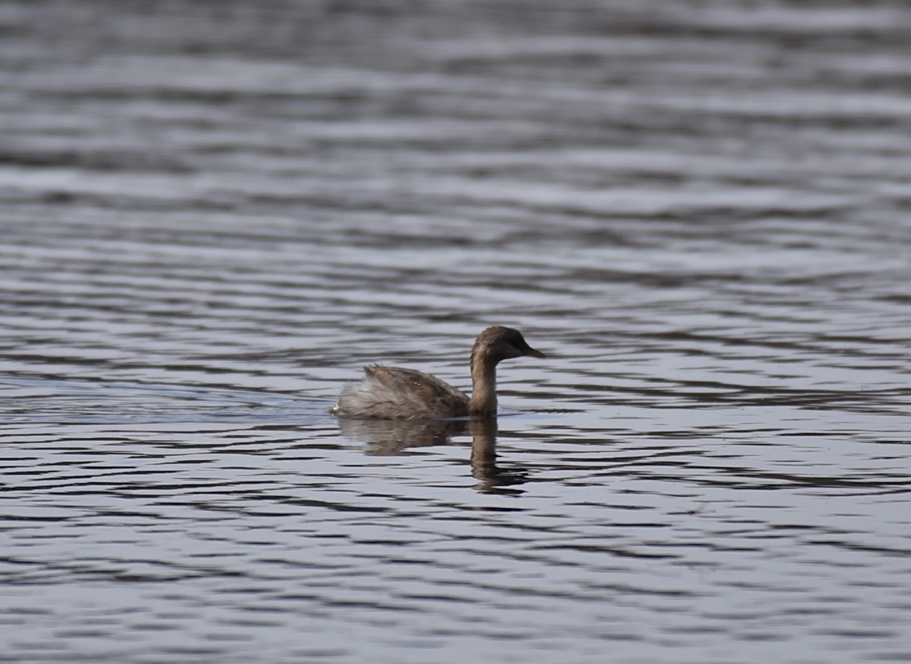
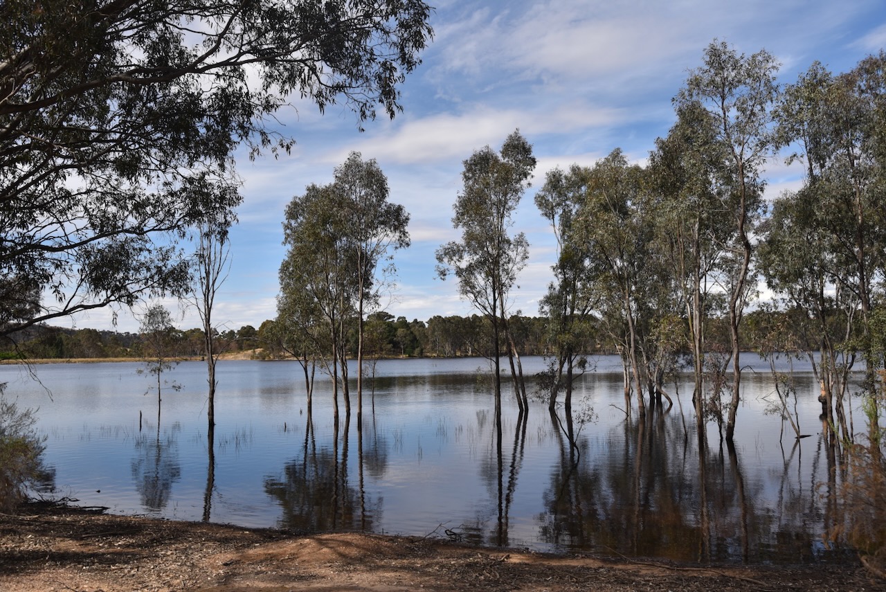
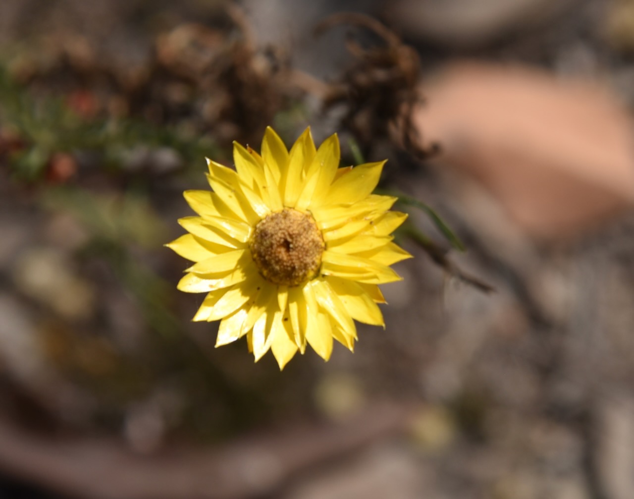
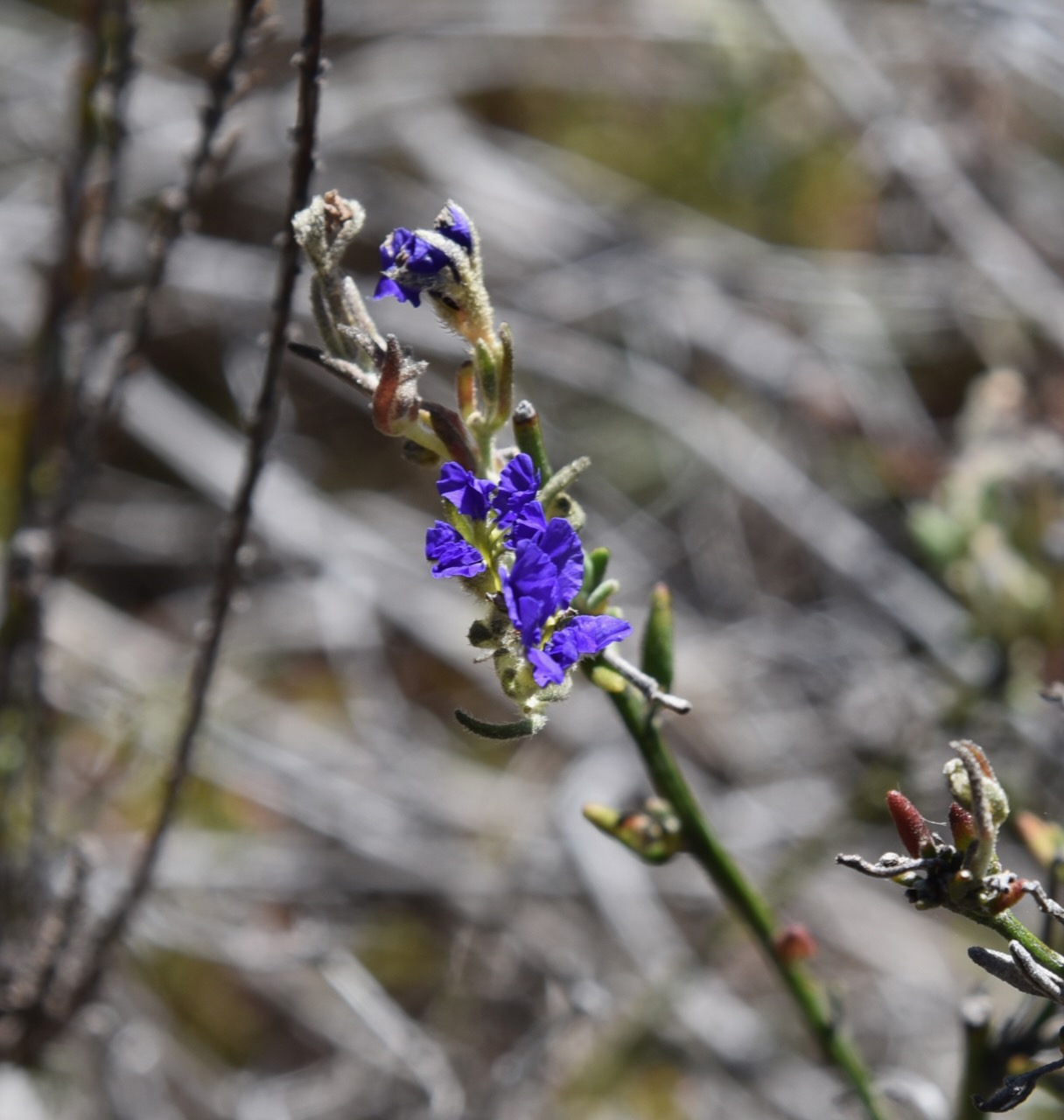
Where we set up in the park there was a lake and it was alive with birdlife. Some of my ‘average’ photographs can be seen below.
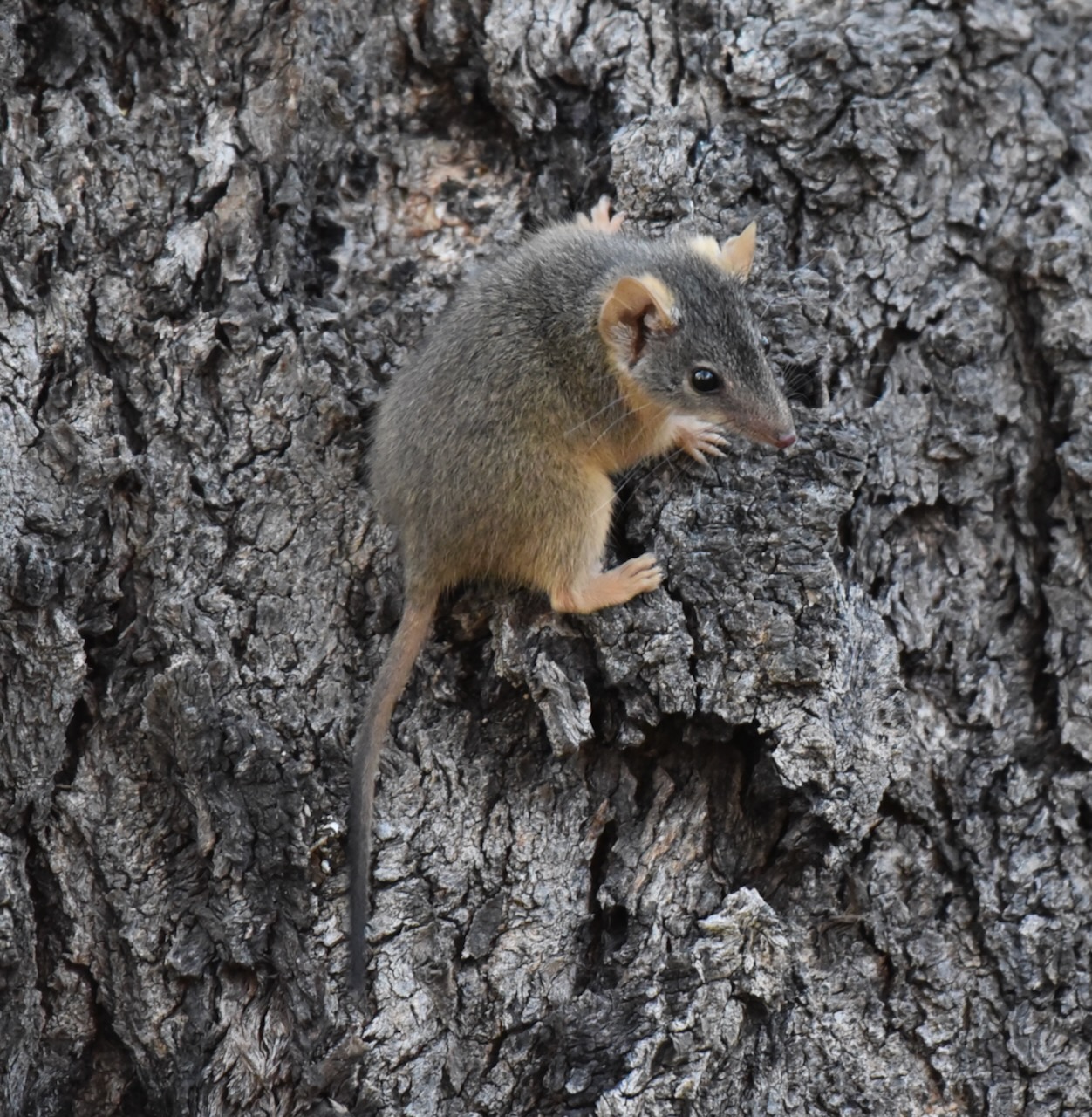
Whilst taking some bird photographs I saw my very first Antechinus in the wild. Antechinus is a small marsupial which is often mistaken for mice. I was very excited to see one and he/she was not camera shy.
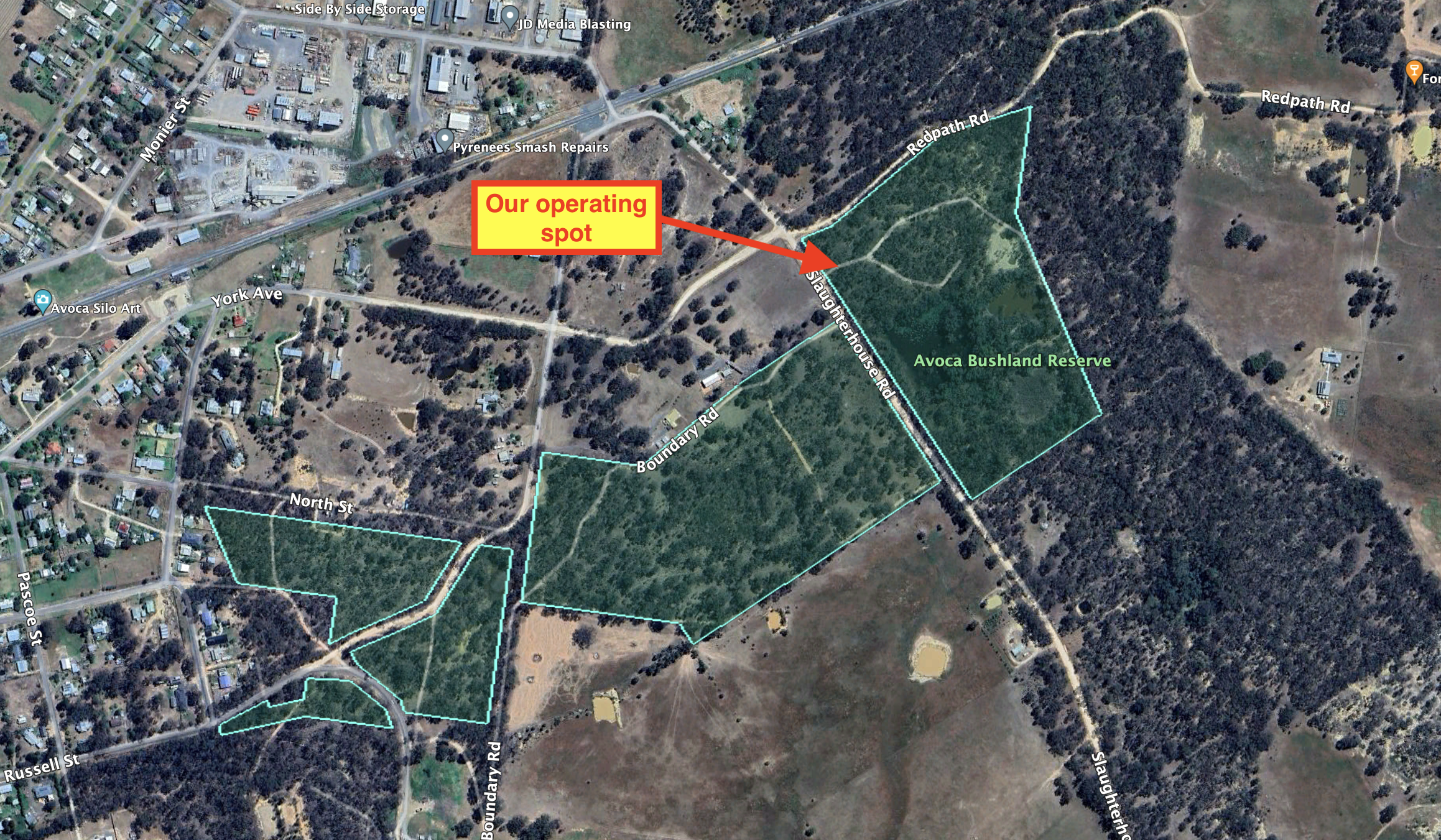
We set up in a clearing amongst the scrub on Slaughterhouse Road. We ran the Yaesu FT847, 40 watts, and the 20/40/80m linked dipole. I used the special event callsign of VI10VKFF.
Above:- An aerial view of the Avoca Bushland Reserve showing our operating spot. Image c/o Google Earth.
Marija worked the following stations on 40m SSB:-
VK3BEL/p (Tocumwal Regional Park VKFF-0978)
VK2IO/p (Brindabella National Park VKFF-0054)
VK3PI
VK3SG
VK3GB
VK4NH
VK4DXA
VK2HHA
VK1AO
VK2MET
VK3PF
VK3KAI
I worked the following stations on 40m SSB:-
VK3BEL/p (Tocumwal Regional Park VKFF-0978)
VK2IO/p (Brindabella National Park VKFF-0054)
VK3PI
VK3SG
VK3GB
VK4NH
VK4DXA
VK2HHA
VK1AO
VK2MET
VK3PF
VK3KAI
VK5WF
VK3DAC
VK4FE/3
VK3ALH
VK3GJG
VK2HRX
VK3YV
VK3TNL
VK2EXA
VK4EMP
VK4TI
VK3OAK
VK3TDX
VK7DW
ZL4NVW/p
VK3CLD
VK3MLU
VK3ACU
VK3WMF/m
I worked the following stations on 20m SSB:-
ZL4NVW/p
VK5HS
F1BLL
VK6LMK
VK4EMP
VK4TI
VK3OAK
VK4NH
VK4DXA
UT5PI
OH1MM
IK4IDF
IK1GPG
VK4EW
IW2BNA
IK3HMB
SQ9CW
IW2NXI
I worked the following station on 40m AM:-
VK4EW
With the park qualified we headed back to Avoca to have a quick walk around the main street to view some of the historic buildings and then get some dinner.
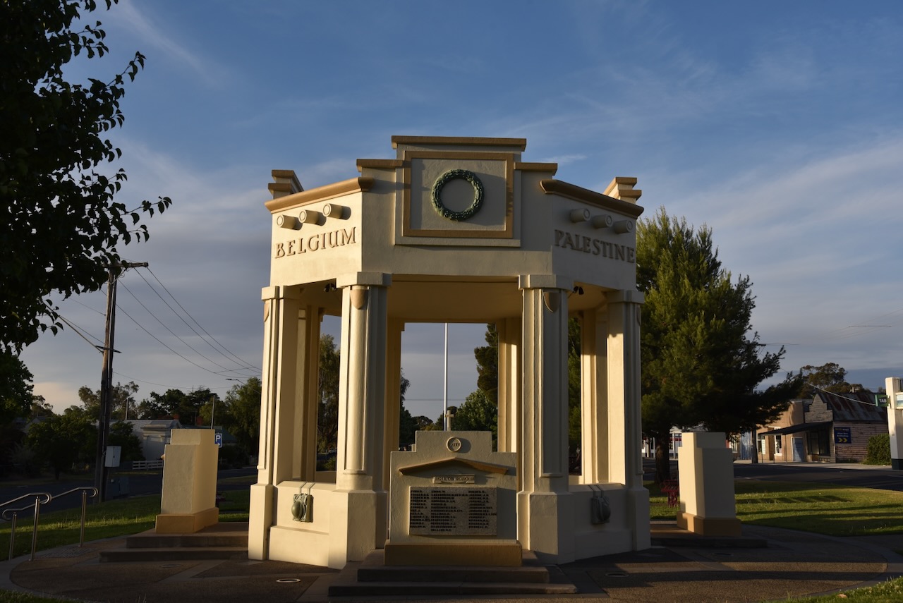
Avoca has one of the widest streets in Australia and has a large median strip that consists of a parkland and a war memorial. (Aussie Towns 2024)
The traditional owners of the land around Avoca are the Dja Dja Wurrung aboriginal people. (Avoca 2024)
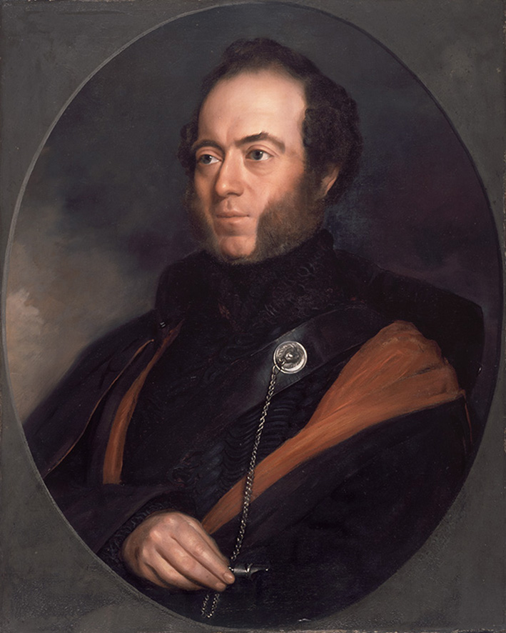
Explorer Major Thomas Livingstone Mitchell (b. 1792. d. 1855) embarked on his Australia Felix journey in 1836. Australia Felix is Latin for ‘fortunate Australia’ or ‘happy Australia.’ He discovered a branch of the Avon River and named it Avon after the Vale of Avoca in Wicklow Country, Ireland. (Victorian Places 2024)
Above:- Major Thomas Mitchell. Image c/o Wikipedia.
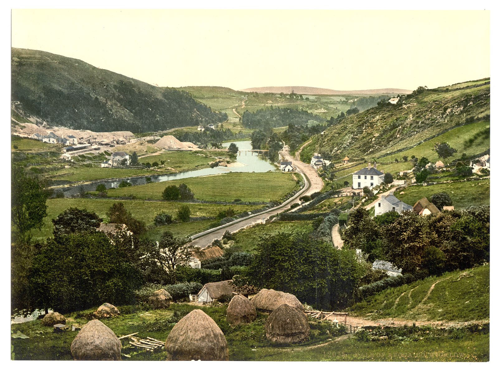
The Vale of Avoca is a river valley about 3 km from the village of Avoca (Irish: Abhóca). It is known as the “Meeting of the Waters” where the Avonmore and Avonbeg rivers join to form the Avoca River. (Frommers 2024)
Above:- The Vale of Avoca, Ireland, c. 1890. Image c/o Wikipedia.
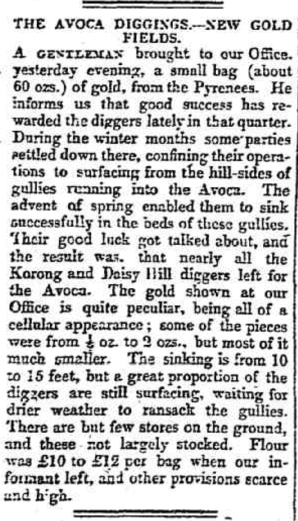
Gold was discovered at Four Mile Flat near Homebush Flat northeast of Avoca in October 1853. A few months later the main lead at Avoca had been discovered. By the end of 1853, there were about 2,200 miners in the district. This had increased to about 16,000 by the middle of 1854. A Wesleyan school was opened in 1855, followed by a National school in 1857. A sub-treasury building was built in 1859 and the District of Avoca was proclaimed on the 25th day of March 1859. In that same year, a courthouse was built followed by a town hall in 1861. By 1865 Avoca had six hotels, a bank, and the Avoca Mail newspaper. The Avoca Shire was proclaimed on the 28th day of December 1864. (Avoca 2024) (Victorian Places 2024)
Above:- Article from the Geelong Advertiser, Sat 29 Oct 1853. Image c/o Trove.
Below is a link to an excellent video on the history of Avoca.
Avoca is a beautiful little town that services the local region. The video below gives you a good feel of what the town looks like.
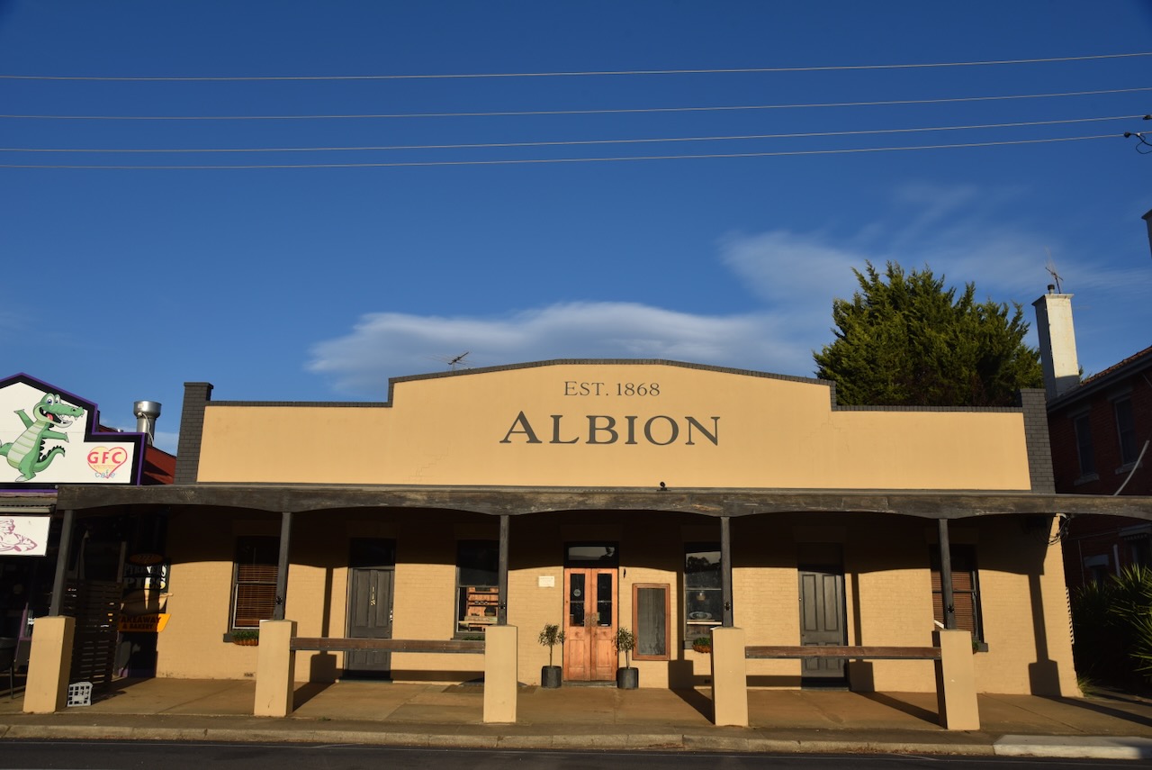
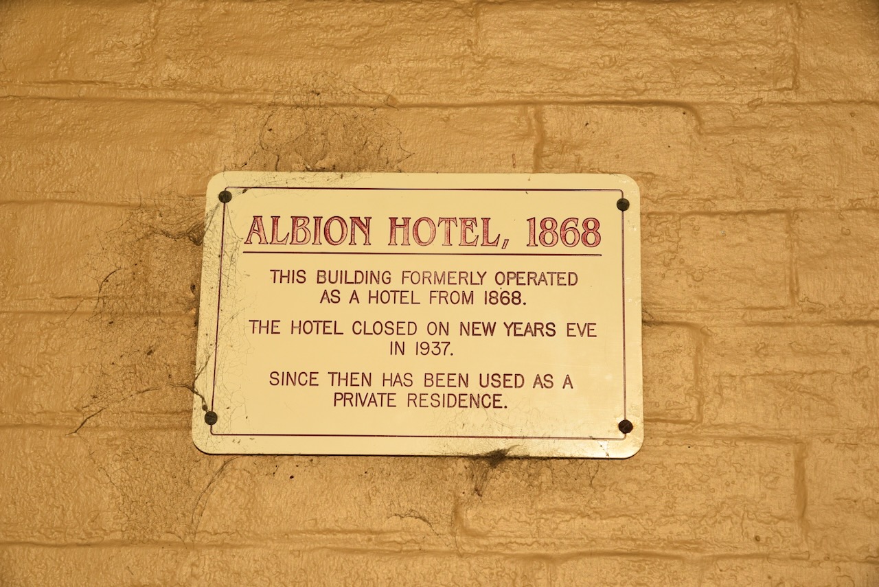
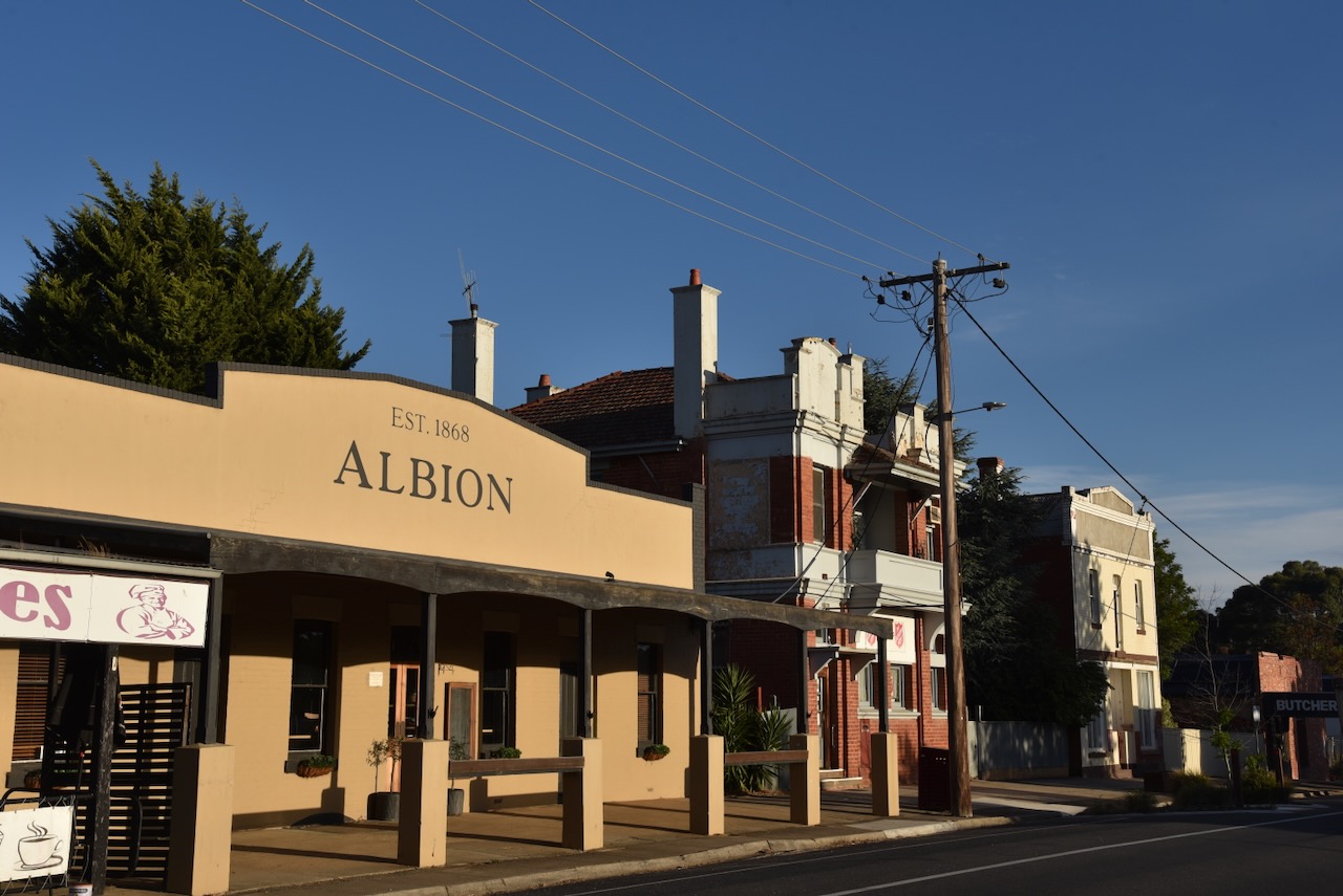
The Albion Hotel was built in 1868 and operated as a hotel until its closure on New Year’s Eve in 1937. It is now a private residence.
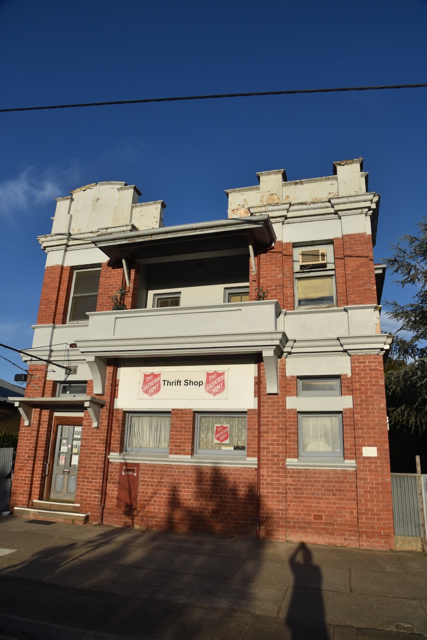
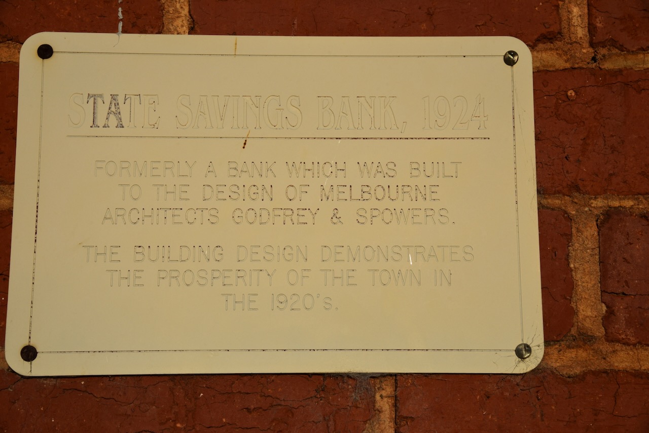
The State Savings Bank building was built in 1924. It was built to the design of Melbourne architects Godfrey and Spowers. It is now the Salvation Army thrift shop.
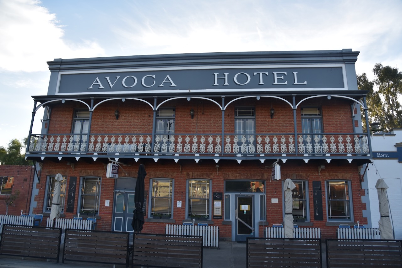
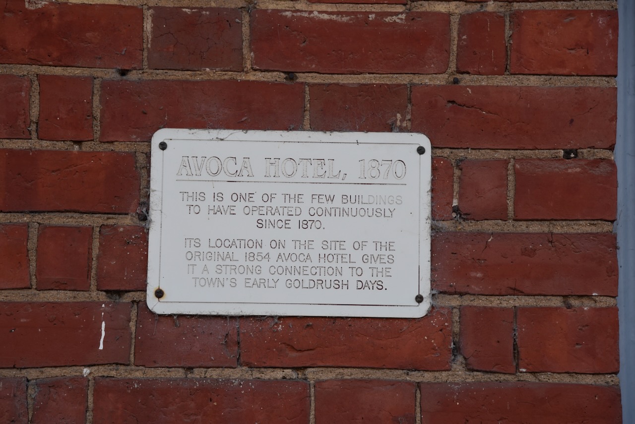
The Avoca Hotel was built in 1870. It is one of only a few buildings in Avoca to have operated continuously since 1870. The current building is built on the site of the original Avoca Hotel built in 1854.
The original Avoca Hotel was built by Mr Beazeley in 1855. It was the first public house in Avoca. In 1856 C.K. Pearson purchased the hotel. By 1866 James Smith was operating the Avoca Hotel and in 1870 he released plans on constructing a larger and more impressive hotel on the site. (Avoca Shire Heritage Study 1993)
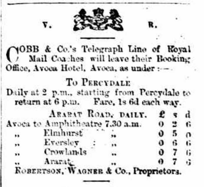
The prefabricated two-storey section of the old hotel was sold and the timber section was demolished. The architect for the new Avoca Hotel was William Atkinson and required 100,000 bricks to complete. During the 1800’s the hotel was the site of several inquests and special events including a performance by the Melbourne Opera Company in 1865. During the 1880’s the hotel had both a doctor and dentist consulting rooms. The Avoca Hotel was the local depot for Cobb & Co. coaches. (Avoca Shire Heritage Study 1993)
Above:- part of an advertisement in The Avoca Mail, Tue 17 Feb 1880. Image c/o Trove.
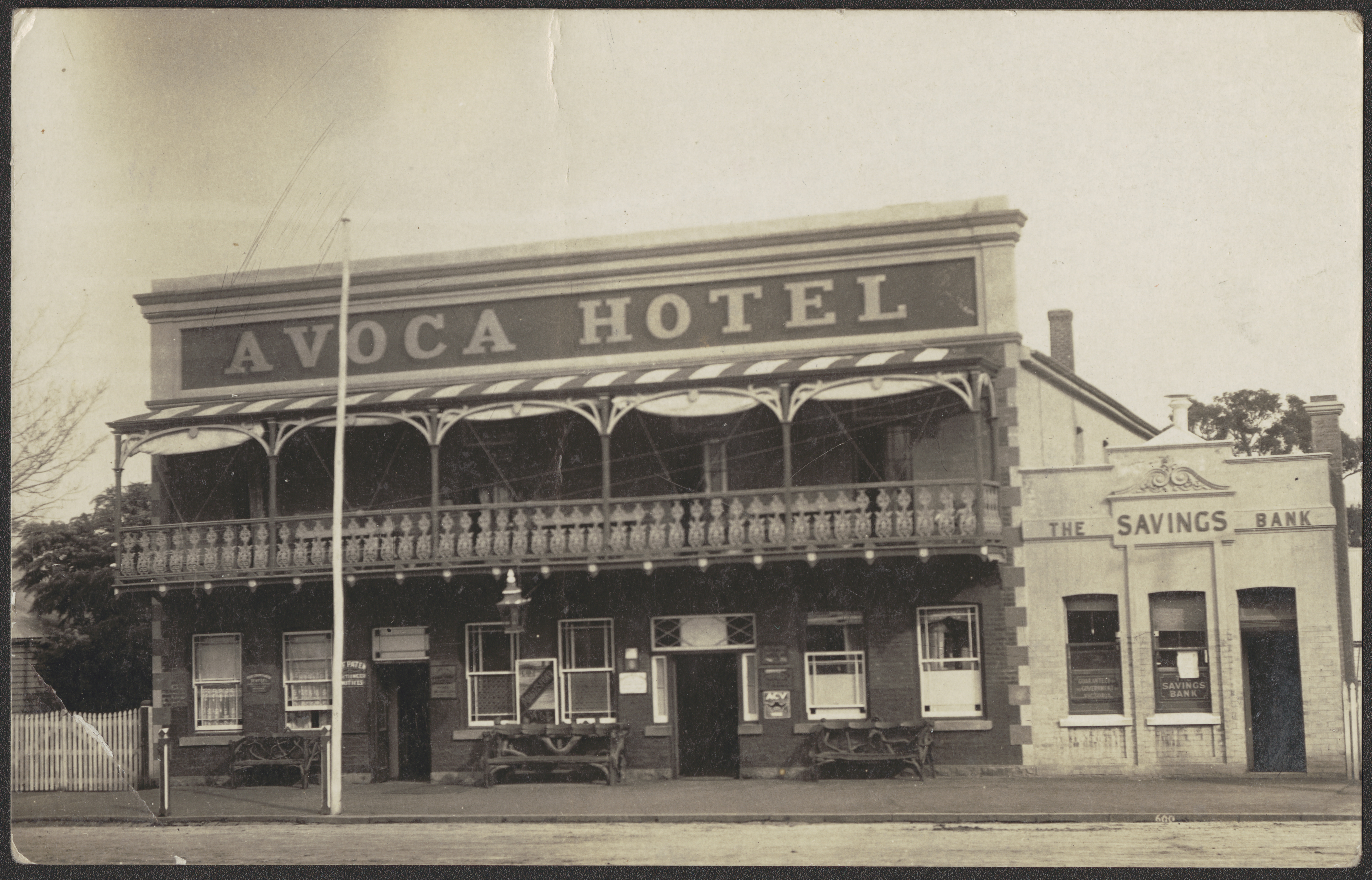
Below is a photograph of the Avoca Hotel, c. 1917.
Above:- The Avoca Hotel, c. 1917. Image c/o State Library Victoria.
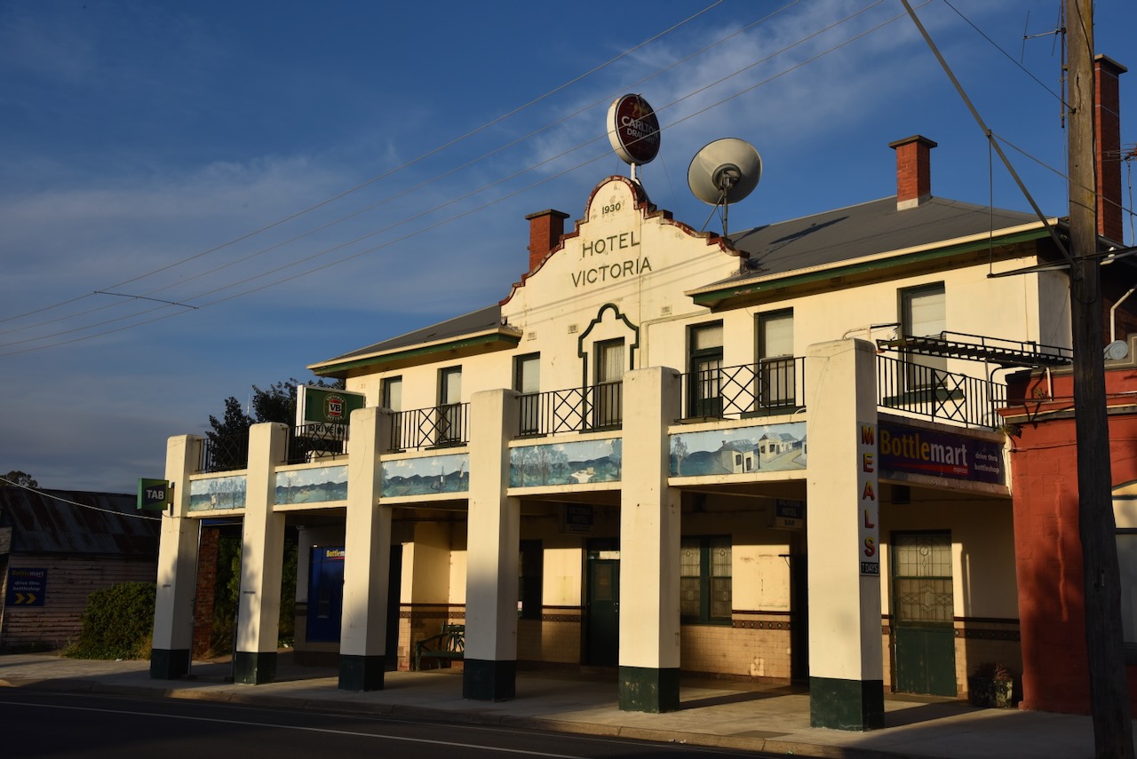
The Victoria Hotel was built during the late 1850s. The hotel’s stables were built in 1872. The hotel was partially rebuilt during the 1930s. (Avoca Shire Heritage Study 1993)
Above:- Advertisement from The Avoca Mail, Tues 17 Feb 1880. Image c/o Trove.
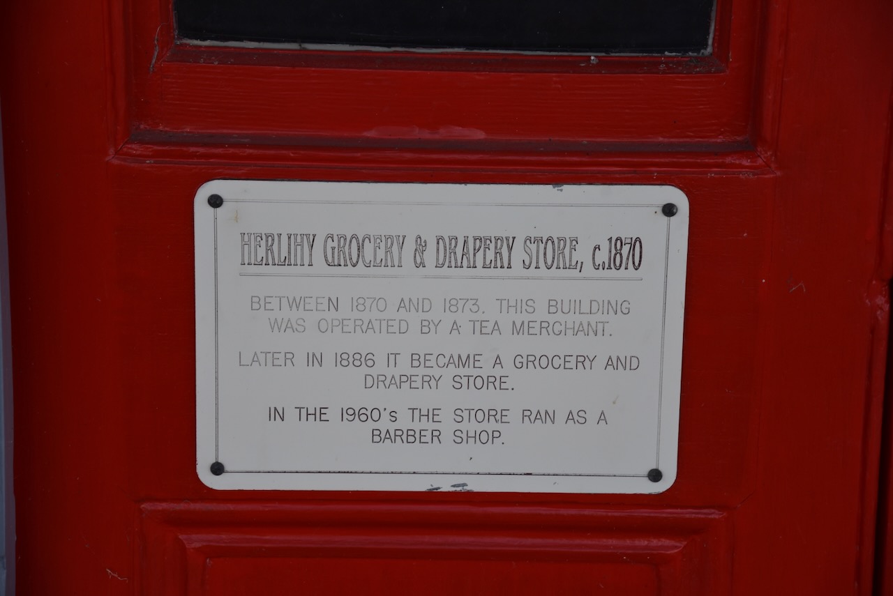
The Herlihy Grocery and Drapery store was built c. 1870. Between 1870 and 1873 the building was operated by a tea merchant, H. Brooks. Later in 1886, it became a grocery and drapery store operated by Mrs. Kate Herlihy until 1915. By the 1920s Mr Henderson ran a fruit and vegetable store from the building. During the 1960s Bill Burke operated a barber shop from the building. (Avoca Shire Heritage Study 1993)
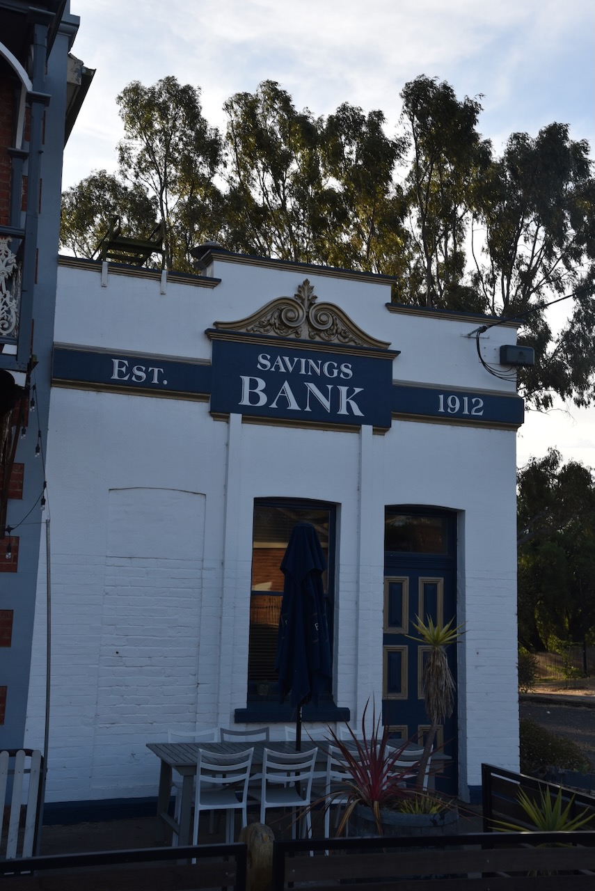
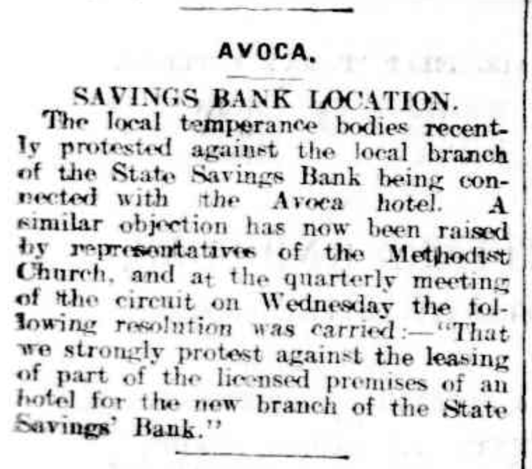
The small Savings Bank building stands right alongside the Avoca Hotel. It was built in c. 1912.
At the time of its construction, there was considerable discussion about it being located alongside the hotel. Despite this, construction went ahead. (Avoca Shire Heritage Study 1993)
Above:- Article from The Ballarat Star, Fri 5 Apr 1912. Image c/o Trove.
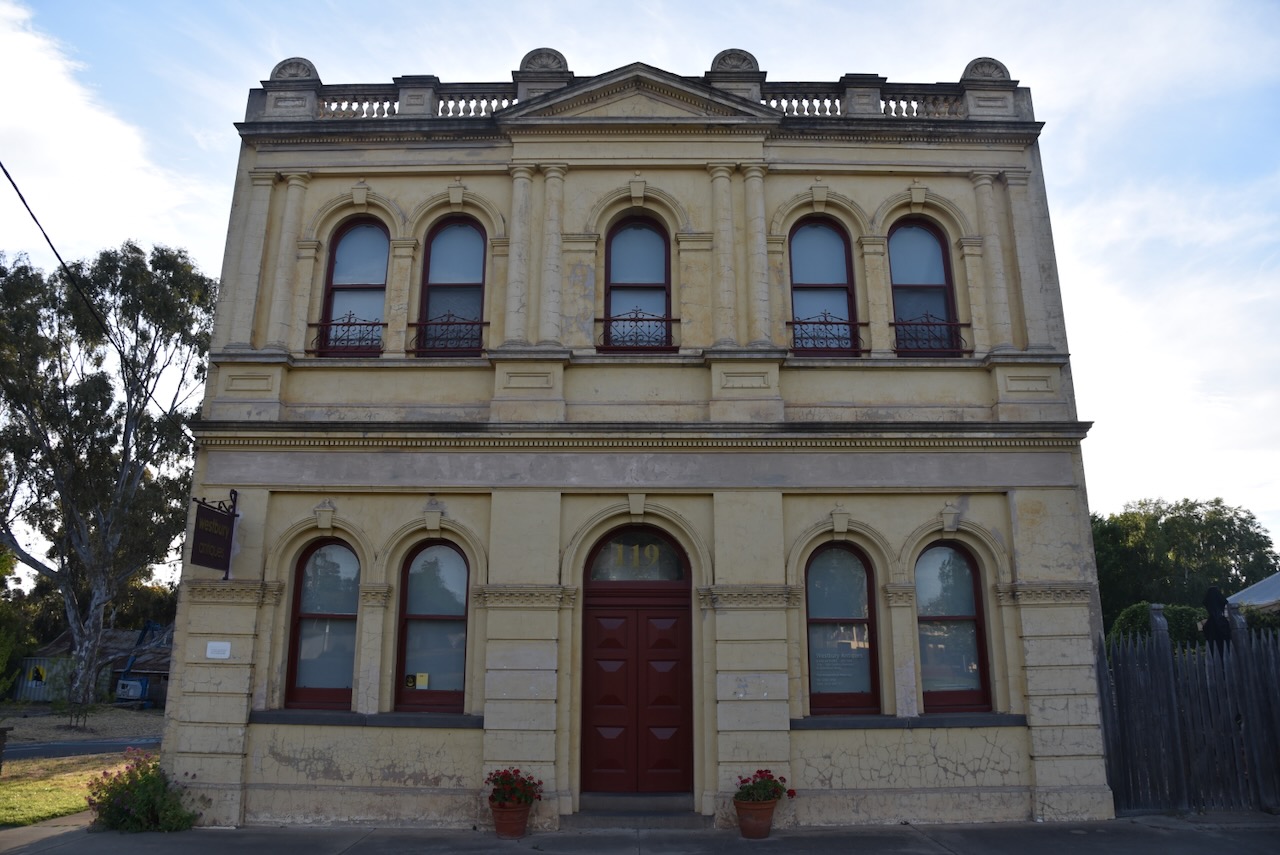
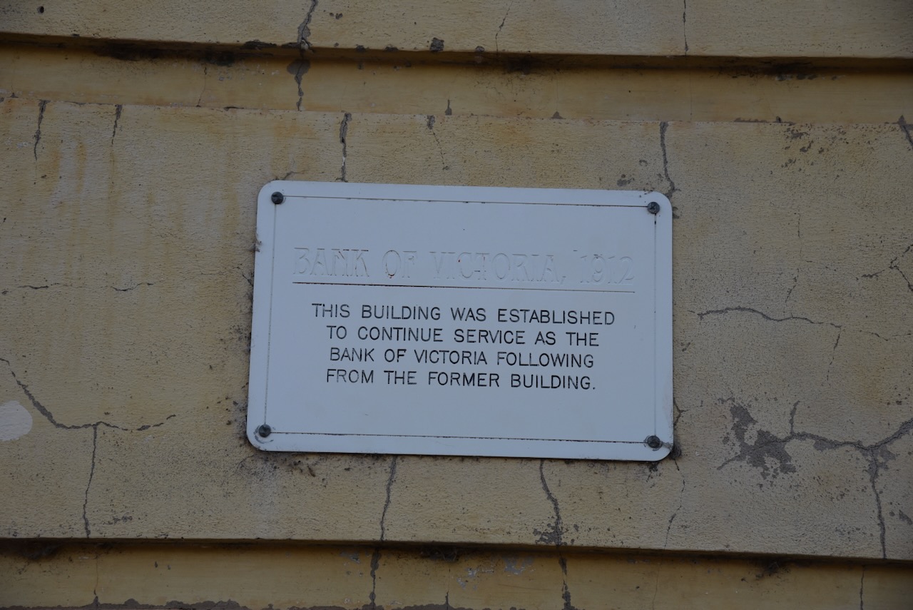
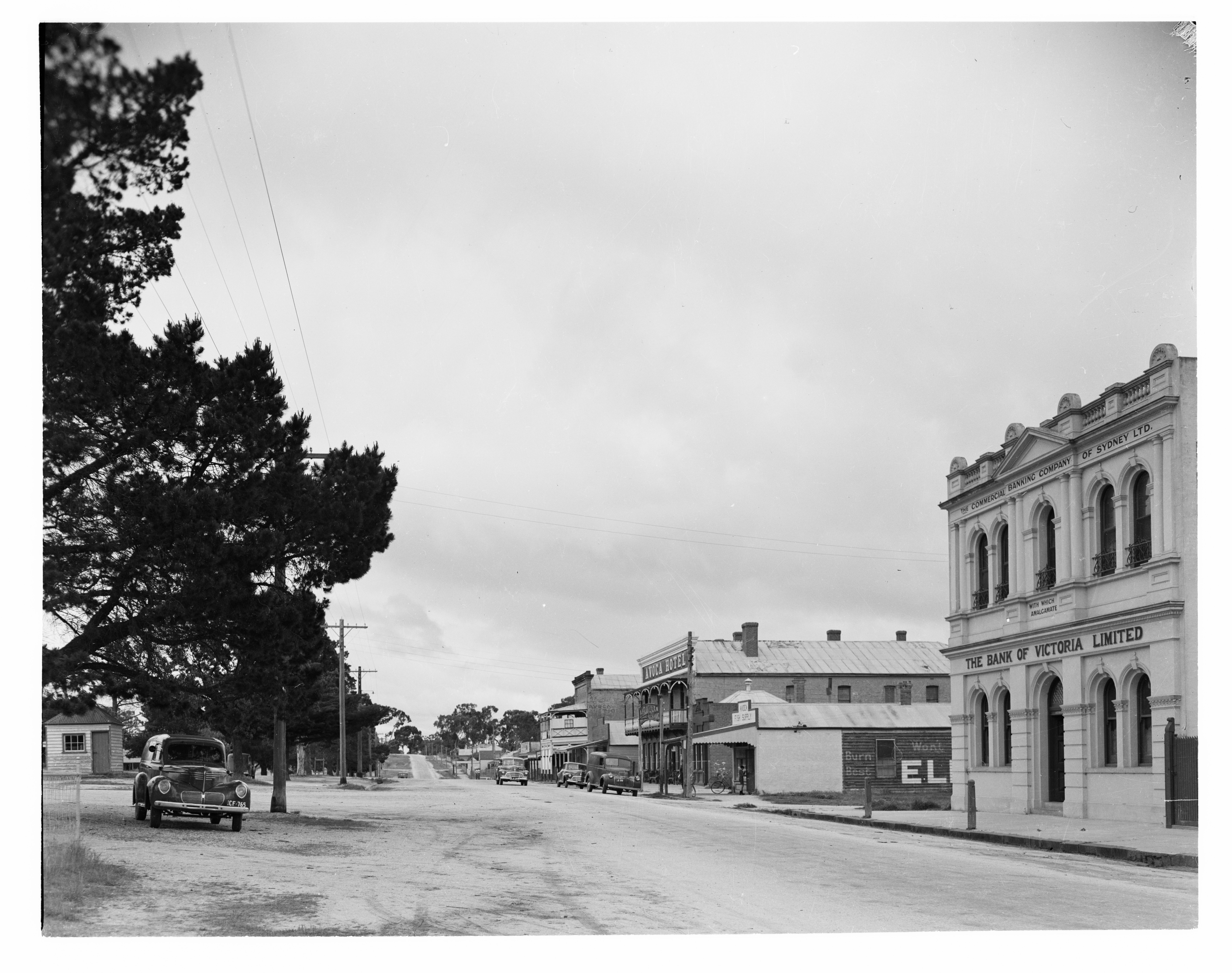
The Bank of Victoria building was built in 1912. It was built to continue service as the Bank of Victoria following from the former building.
Below is a view along High Street Avoca, c. 1948, showing the Bank of Victoria in the foreground.
Above:- High Street Avoca, c. 1948. Image c/o State Library Victoria.
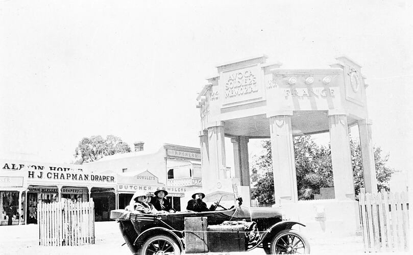
The Avoca War Memorial was built in 1921 to honour the men from Avoca who fought during the First World War. A total of 137 men from Avoca served during WWI and of those 29 were killed in action. The Memorial was designed as a band rotunda “with eight piers carrying a roof obscured by a parapet. It cost £1,100 to build. (Avoca Shire Heritage Study 1993) (Aussie Towns 2024)
Below is a great photo of a Model T Ford parked alongside the Avoca War Memorial, c. 1925.
Above:- A Model T Ford parked alongside the Avoca War Memorial. Image c/o Museums Victoria.
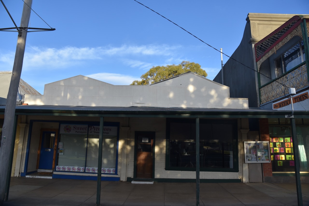
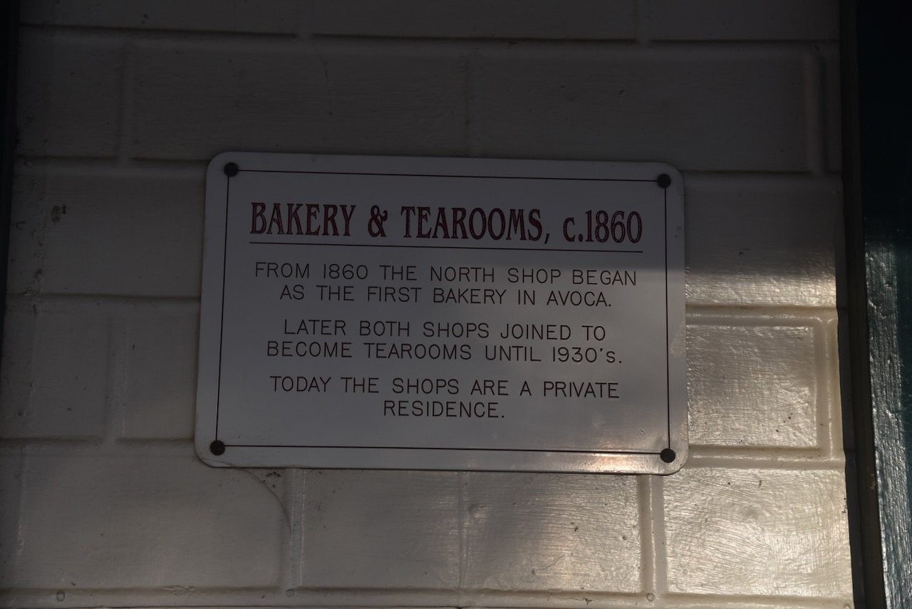
The Bakery and Tearooms were built c. 1860. From 1860 the north shop commenced as the first bakery in Avoca. Later both shops joined to become tearooms until the 1930s.
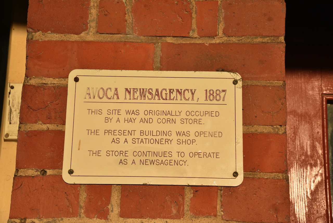
The Avoca Newsagency was built in 1887. The site was originally occupied by a hay and corn store. The present building was opened as a stationery shop. The store continues to operate as a newsagency.
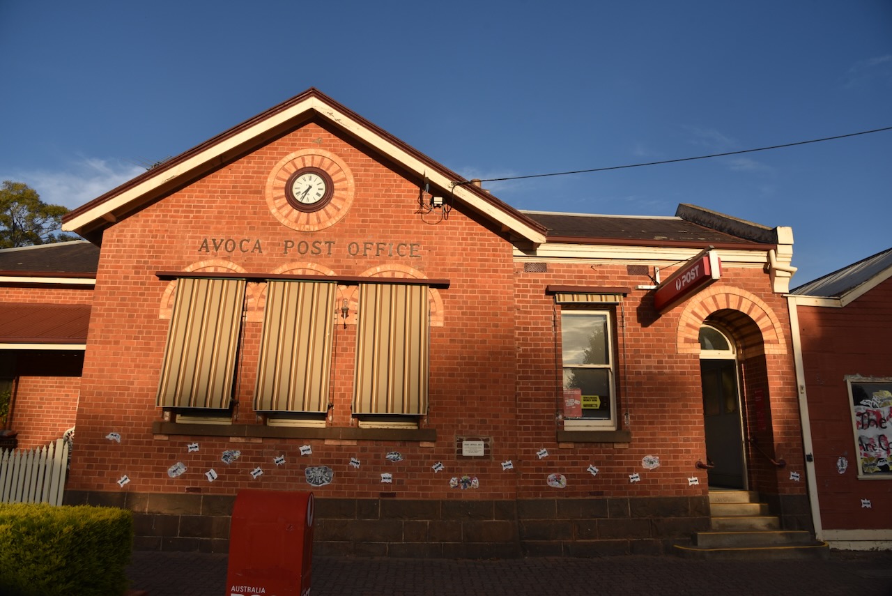
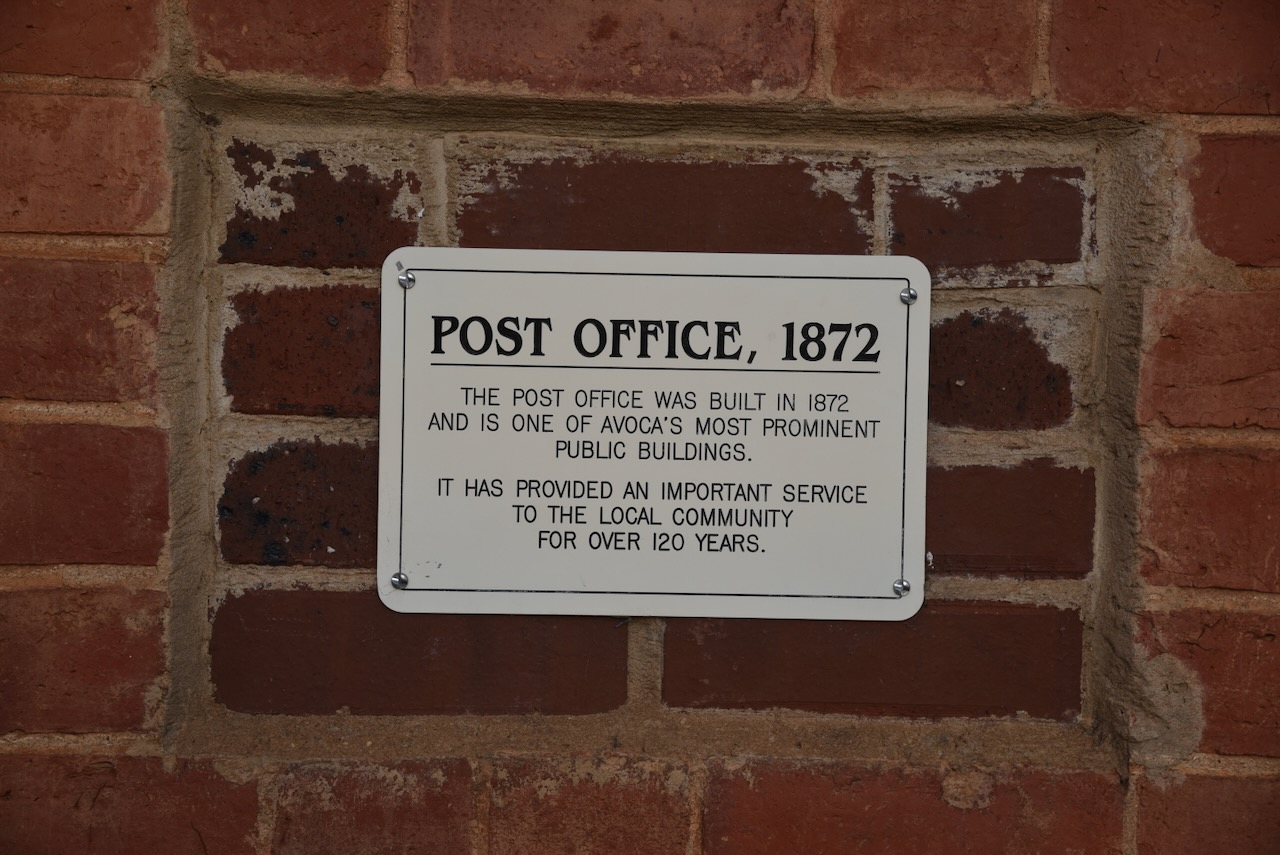
The Avoca Post Office was built in 1872. It is one of Avoca’s most prominent public buildings and has provided postal services for over 120 years.
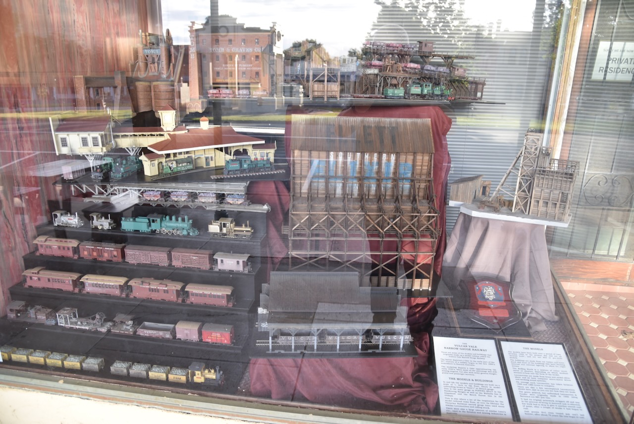
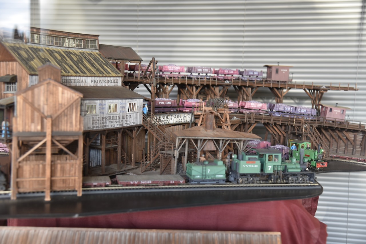
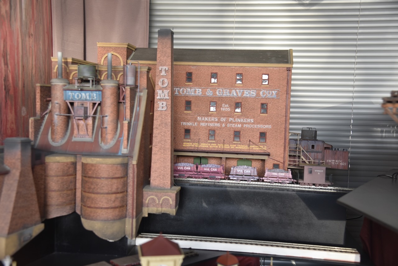
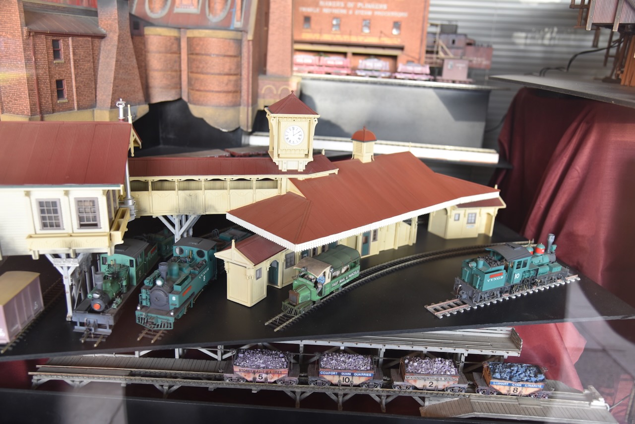
In a shop window, we found a magnificent model railway collection.
Unfortunately, the hotel was closed so it was off to the local takeaway for some dinner.
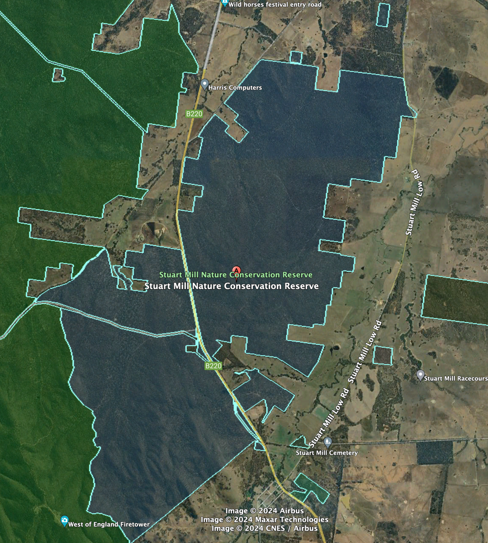
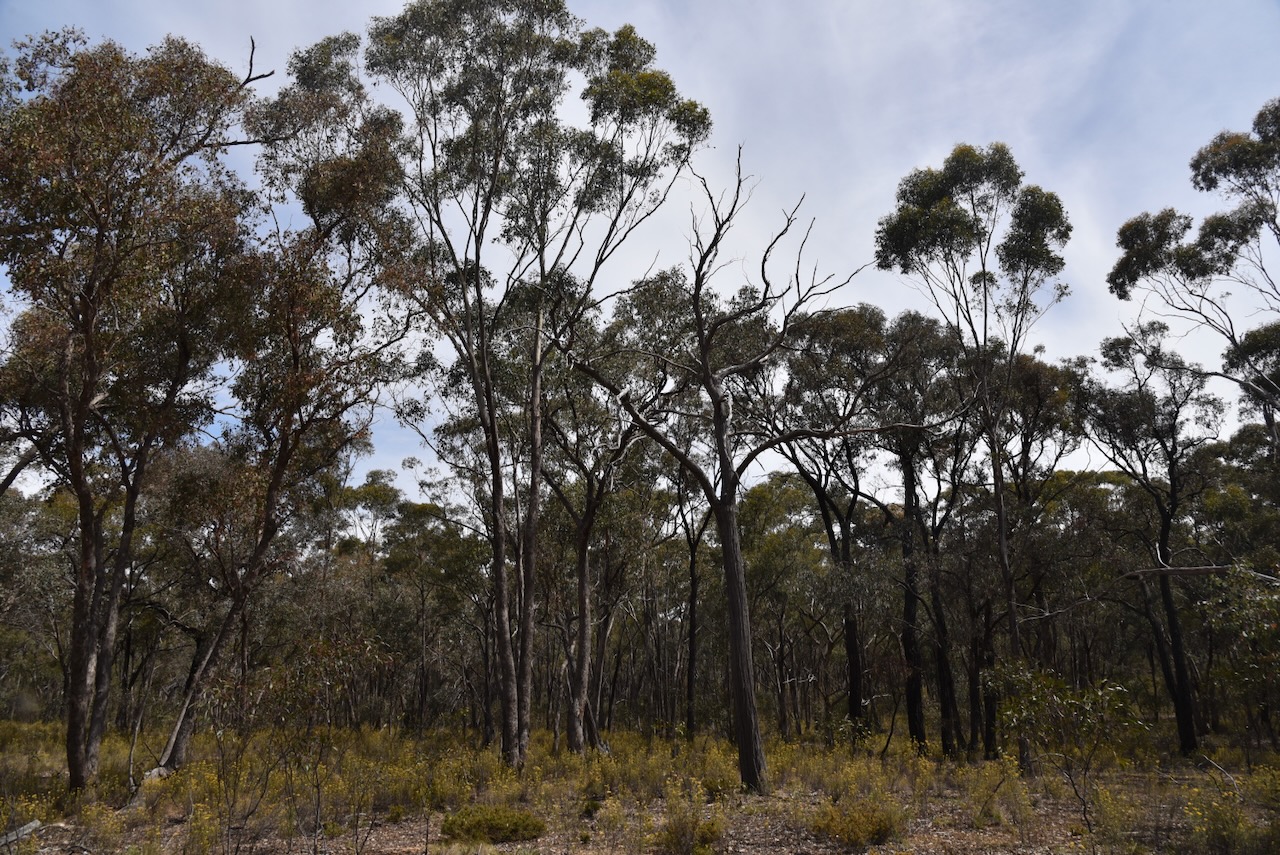
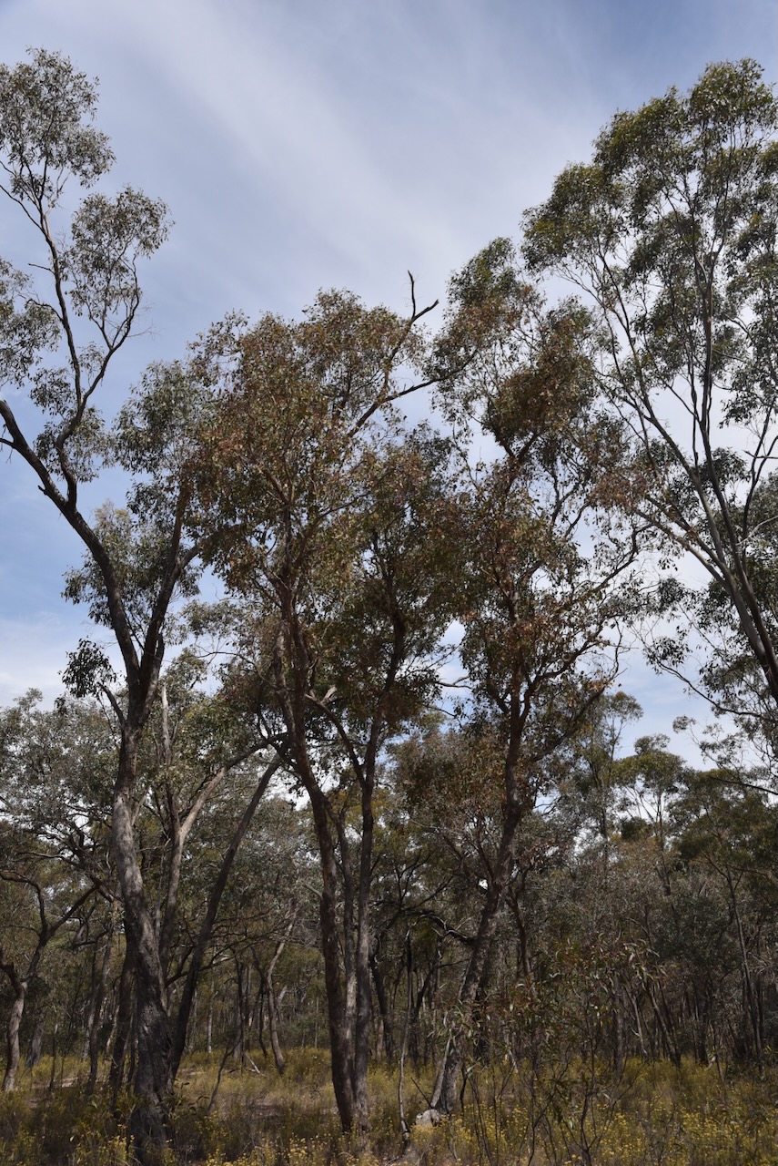
Our next activation for Monday 20th November 2023, was the Stuart Mill Nature Conservation Reserve VKFF-2198. The reserve is located about 20 km south of St Arnaud and about 225 km northwest of Melbourne.
Above:- Map showing the location of the Stuart Mill Nature Conservation Reserve. Map c/o Google Maps.
The Stuart Mill Nature Conservation Reserve is a large park and is about 2,589 hectares in size. It was established on the 26th day of February 2002. (CAPAD 2022)
Above:- An aerial view of the Stuart Mill NCR. Image c/o Google Earth.
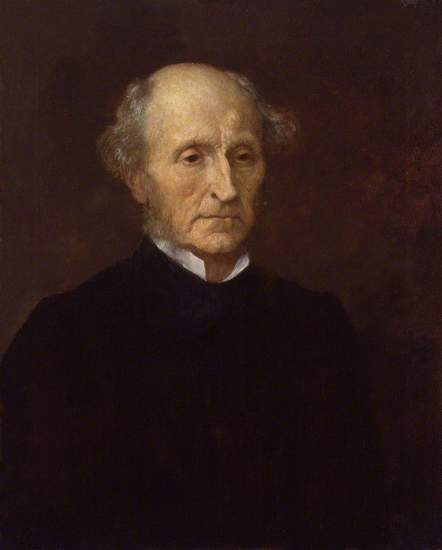
Stuart Mill is named in honour of John Stuart Mill (b. 1806. s. 1873), an English philosopher, political economist, politician and civil servant. (Wikipedia 2024) Other sources state that the name comes from Stuart Haggerty a flour mill manager. However, this is doubtful, as the town of Stuart Mill was gazetted in 1865 and the flour mill was established in 1872. (Victorian Places 2024)
Above:- John Stuart Mill. Image c/o Wikipedia.
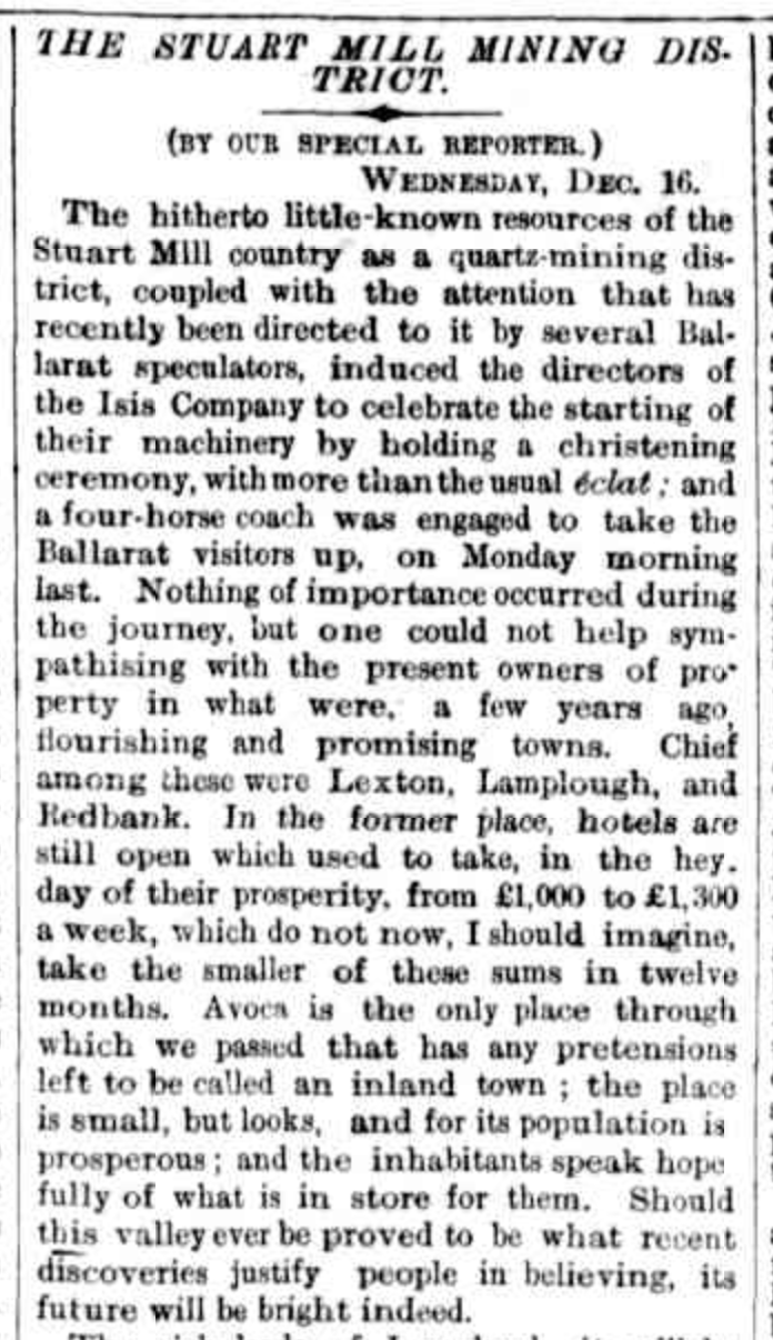
Alluvial gold was discovered at Stuart Mill in 1861. By 1869 Stuart Mill’s population had boomed. Various sources put the population at between 1,000 to 7,500 people. Stuart Mill had several shops, houses, a Wesleyan chapel and a school built in 1870. By 1872 mining activity at Stuart Mill had declined, and a quartz-crushing plant was converted to a flour mill. (Victorian Places 2024)
Above:- part of an article from The Argus, Melbourne, Sat 19 Dec 1868. Image c/o Trove.
Part of the Stuart Mill Nature Conservation Reserve’s western boundary abuts the Kara Kara National Park.
We accessed the park via Stuart Mill Low Road. We found a nice clearing amongst the scrub. We ran the Yaesu FT857, 40 watts, and the 20/40/80m linked dipole for this activation. I used the special event callsign of VI10VKFF.
Marija worked the following stations on 40m SSB:-
VK3PF
VK3KAI
VK2IO/p (Brindabella National Park VKFF-0054)
VK3SQ
VK2BD
VK3SG
VK3BEL/p (Tocumwal Regional Park VKFF-0978)
VK3CLD/p (Kosciuszko National Park VKFF-0269)
Marija worked the following stations on 40m AM:-
VK3PF
VK3KAI
VK3SQ
VK2BD
VK2EXA
VK5HS
VK3DCQ
I worked the following stations on 40m SSB:-
VK3PF
VK3KAI
VK2IO/p (Brindabella National Park VKFF-0054)
VK3SQ
VK2BD
VK3SG
VK2HHA
VK2EXA
VK3DJC
VK3DCQ
VK3VIN
VK3BEL/p (Tocumwal Regional Park VKFF-0978)
VK3CLD/p (Kosciuszko National Park VKFF-0269)
Vk5HS
VK3CEO
VK3TDX
VK3YV
VK3TNL
VK2CDB
VK4NH
VK4DXA
VK3ZMD
Vk3ACZ
VK3DAC
VK4FE/3
VK5FANA
VK3HBG
VK3RM
VK3SO
VK3TBS
VK3UCD
Vk3NRB
VK3FREB
VK3GB
VK5KKT
VK3UZI
I worked the following stations on 40m AM:-
VK3PF
VK3KAI
VK3SQ
VK2BD
VK2EXA
VK5HS
VK3DCQ
VK3YV
VK3TNL
VK5FANA
VK3DAC
VK4FE/3
I worked the following stations on 20m SSB:-
VK4NH
VK4DXA
VK1AO
VK2MET
KG5CIK
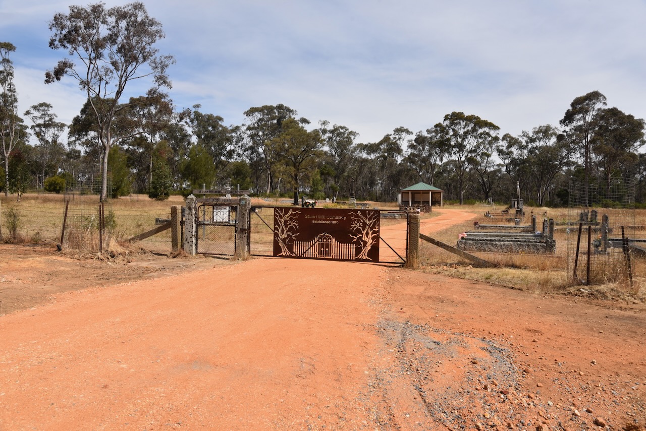
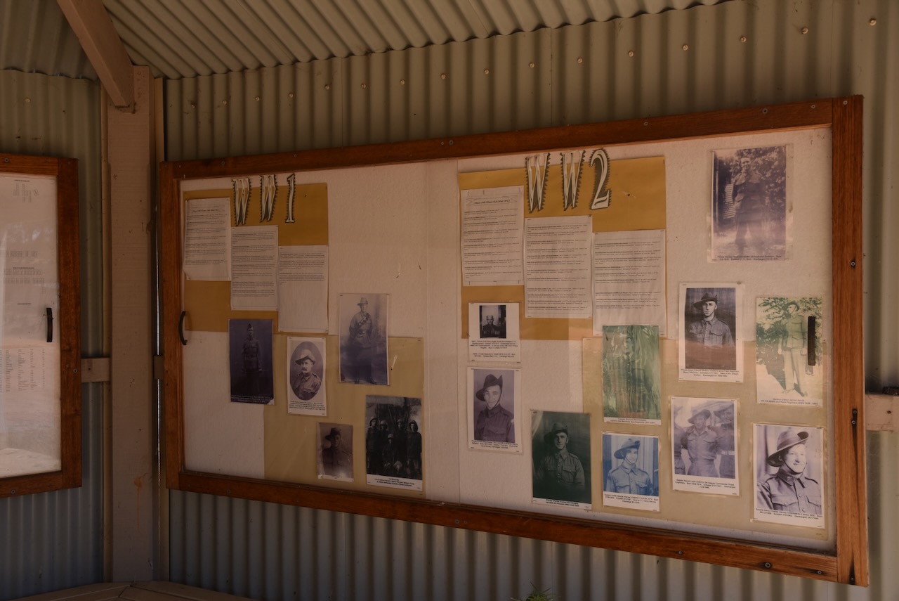
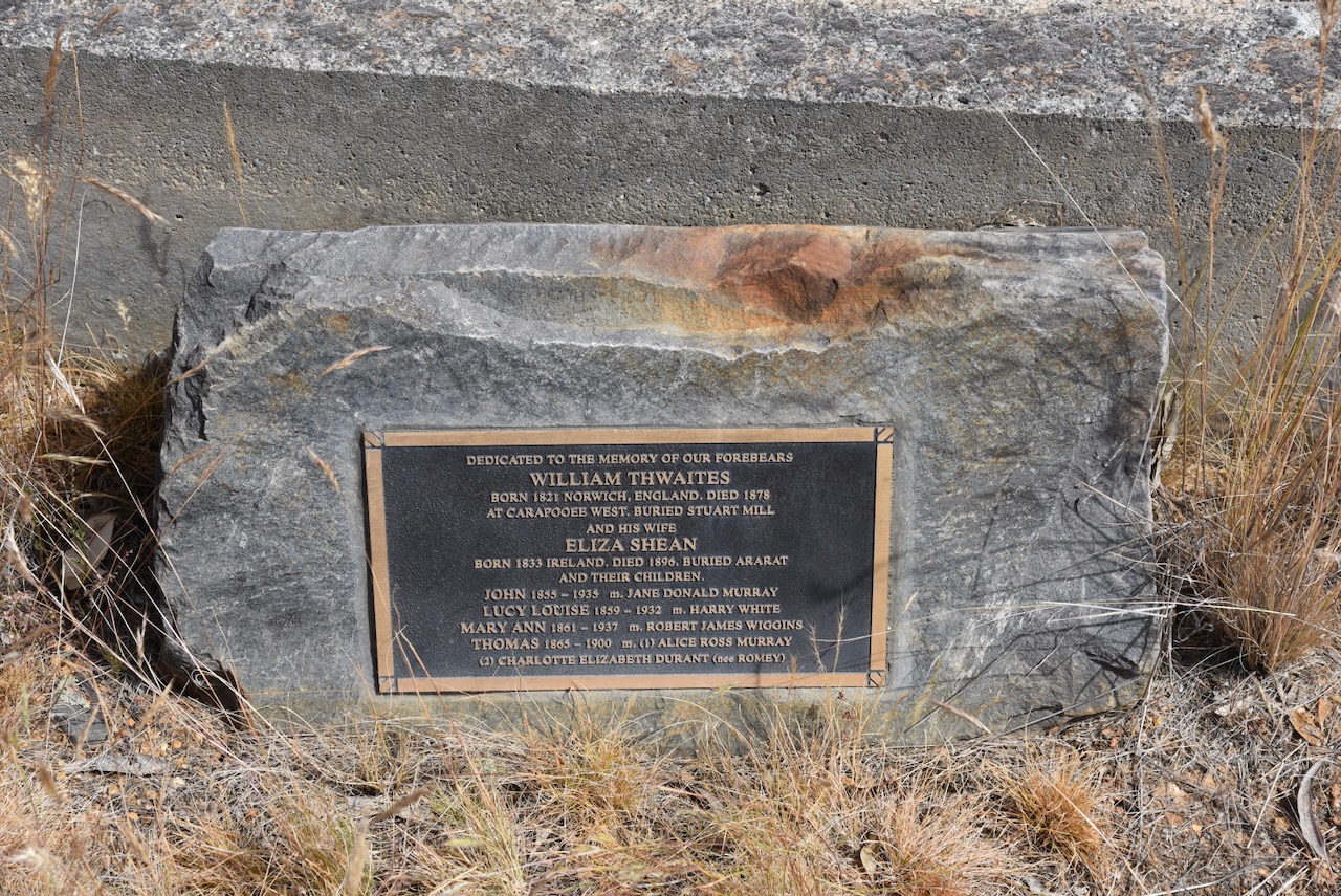
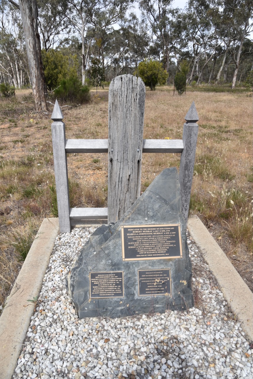
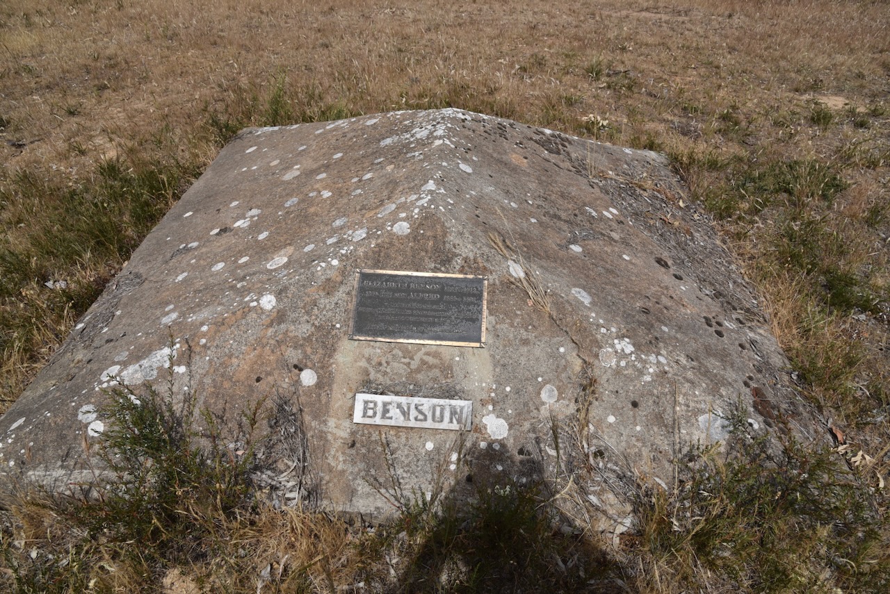
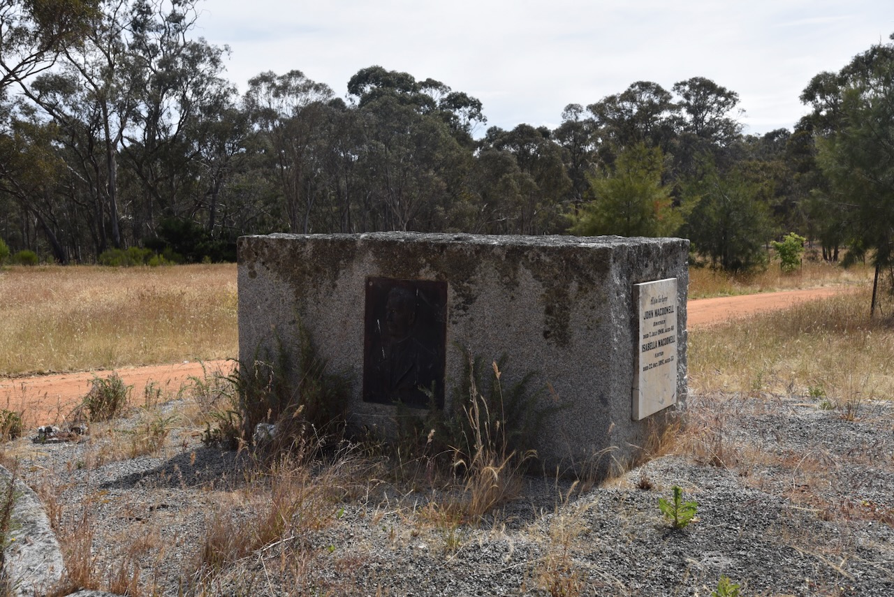
After our park activation, we visited the Stuart Mill cemetery which is listed on the List of the World’s best cemeteries. Yes, there is such a list. The cemetery was gazetted in 1865 and contains several wooden tablets as grave markers which are rare surviving examples of 1800s grave architecture. There are also Chinese digger graves, some impressive monuments, and a soldier’s memorial. (Goldfields Guide 2024)
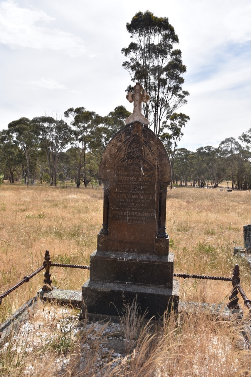
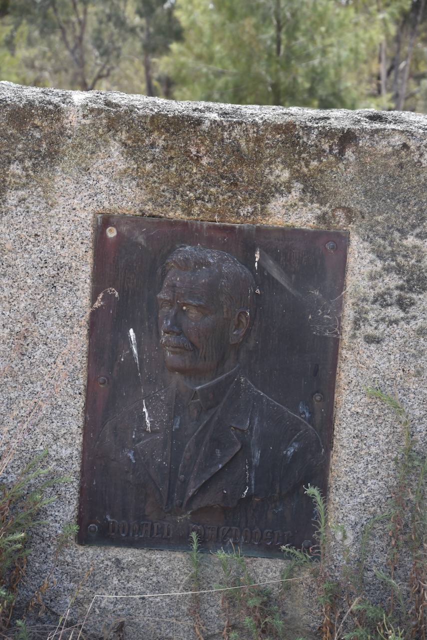
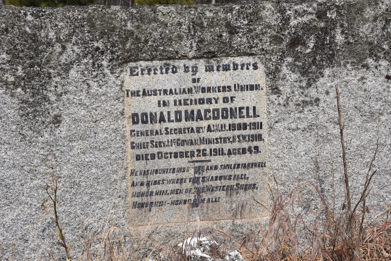
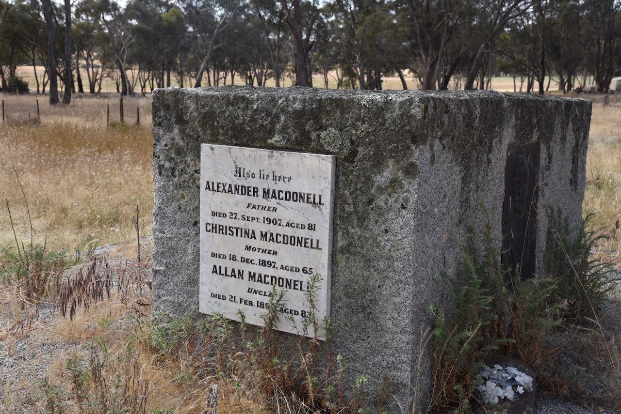
One of the impressive sites in the cemetery is the large granite block monument to the MacDonnell family.
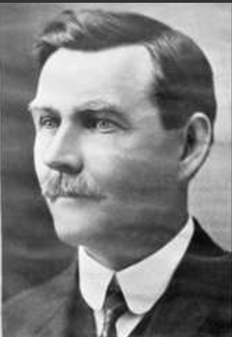
Donald Charles MacDonnell was born in January 1862 at Stuart Mill. His parents were Alexander MacDonnell (b. 1826. d. 1907) and Christina MacDonnell nee MacMaster (b. 1832. d. 1897). They were both from Inverness Shire, Scotland and had emigrated to Australia. He initially assisted on his parent’s farm and in 1886 moved to New South Wales. He was an early member of the Shearer’s Union and played a leading role in the 1891 strike. In 1894 he assisted in drafting the rule for the Australian Workers Union (AWU) and in that same year he became Secretary of the Shearers Union Bourke branch and also a member of the Australian Labor Pary. From 1900 to 1911 he was the General Secretary of the AWU. In 1902 MacDonnell was elected to the New South Wales Legislative Assembly as the Labor member for Cobar. He served in that position until 1911. MacDonnell was the Minister for Agriculture and Colonial Secretary from 1910 to 1911. He died in 1911 in Melbourn e, Victoria, and is buried at Stuart Mill. (Academic 2024)
Above:- Donald Charles MacDonnell. Image c/o MacKintosh MacDonald Family tree, http://www.ancestry.com.au
We then drove out to the Lower Teddington and Upper Teddington Reservoirs. The Upper Teddington Reservoir is over 130 years old and was originally created to provide water to the town of St Arnaud. (Parks Victoria 2024)
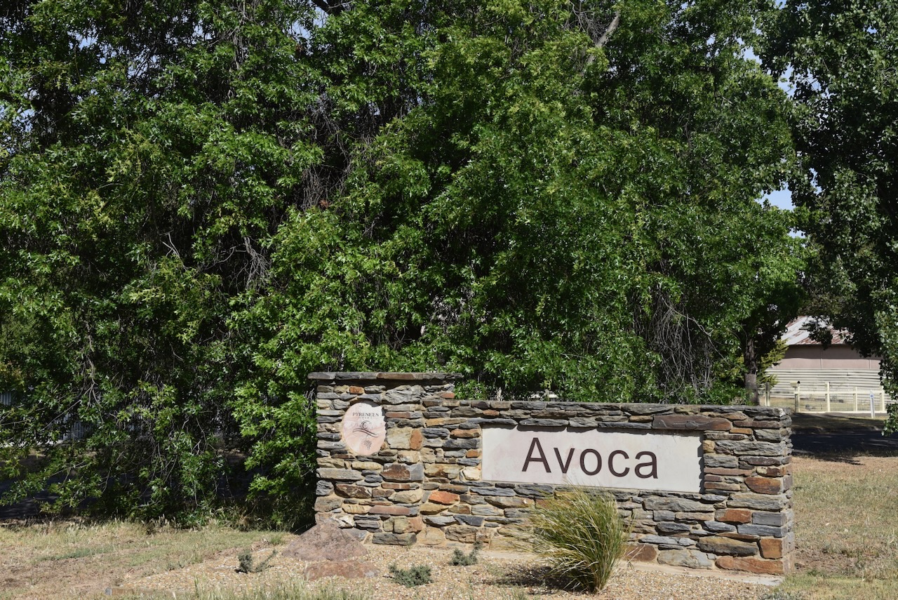
We then travelled south along the Sunraysia Highway to Avoca where we had planned to spend three nights. We booked into our accommodation at the Avoca Caravan Park.
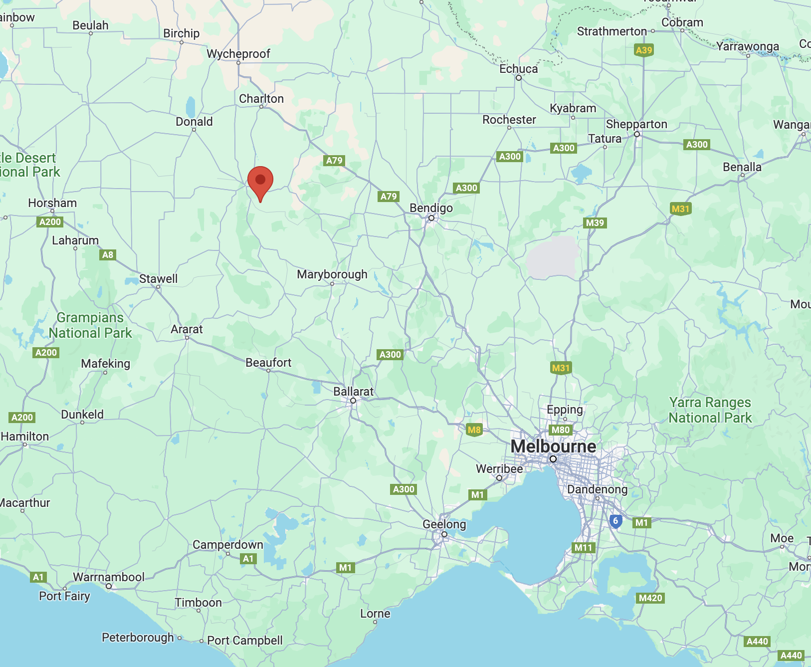
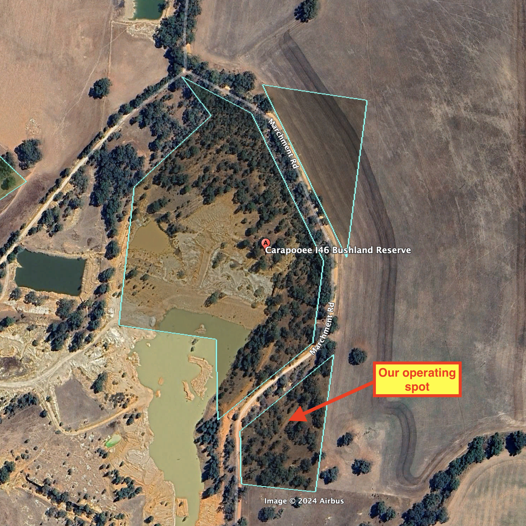
After leaving the Carapooee Creek Streamside Reserve, we drove a short distance to our next activation, the Carapooee I46 Bushland Reserve VKFF-4268. The park is about 11 km southeast of St Arnaud and about 236 km northwest of Melbourne.
Above:- Map showing the location of the Carapooee I46 Bushland Reserve. Map c/o Google Maps.
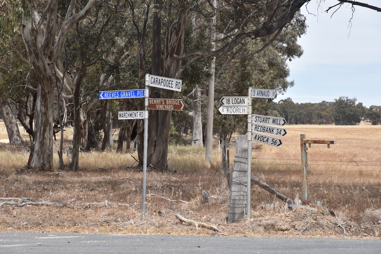
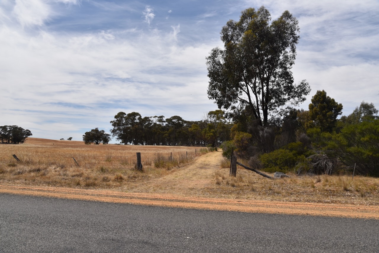
We drove south along Marchment Road and we soon reached the reserve.
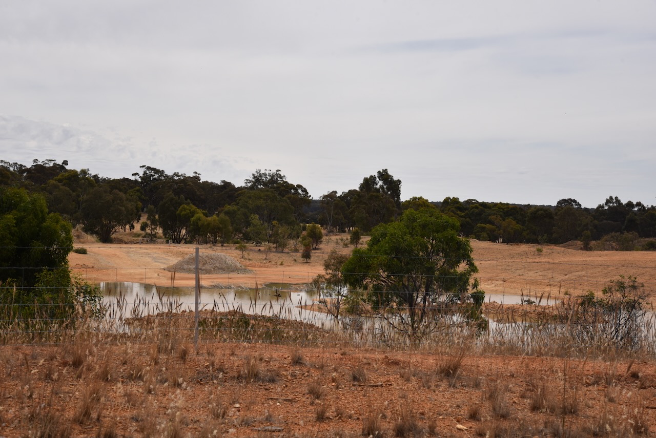
The Carapooee I46 Bushland Reserve is about 10 hectares in size and was established on the 24th day of August 1982. (CAPAD 2022)
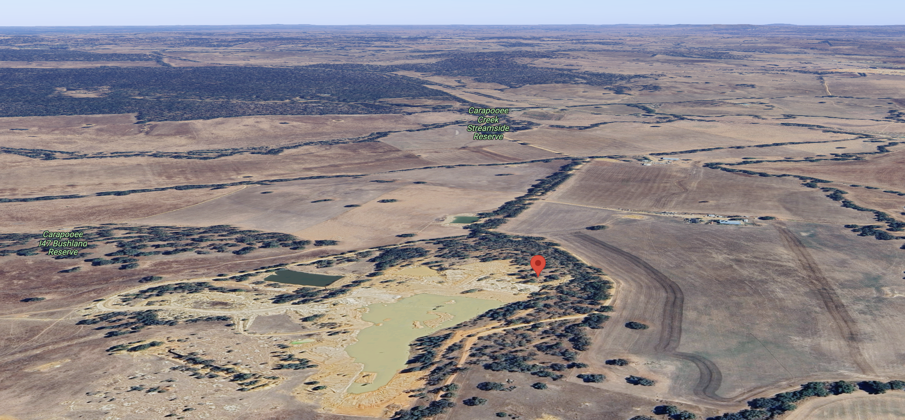
Above:- An aerial view of the reserve, also showing the Caropooee Creek Streamside Reserve and the Carapooe I47 Bushland Reserve. Image c/o Google Maps.
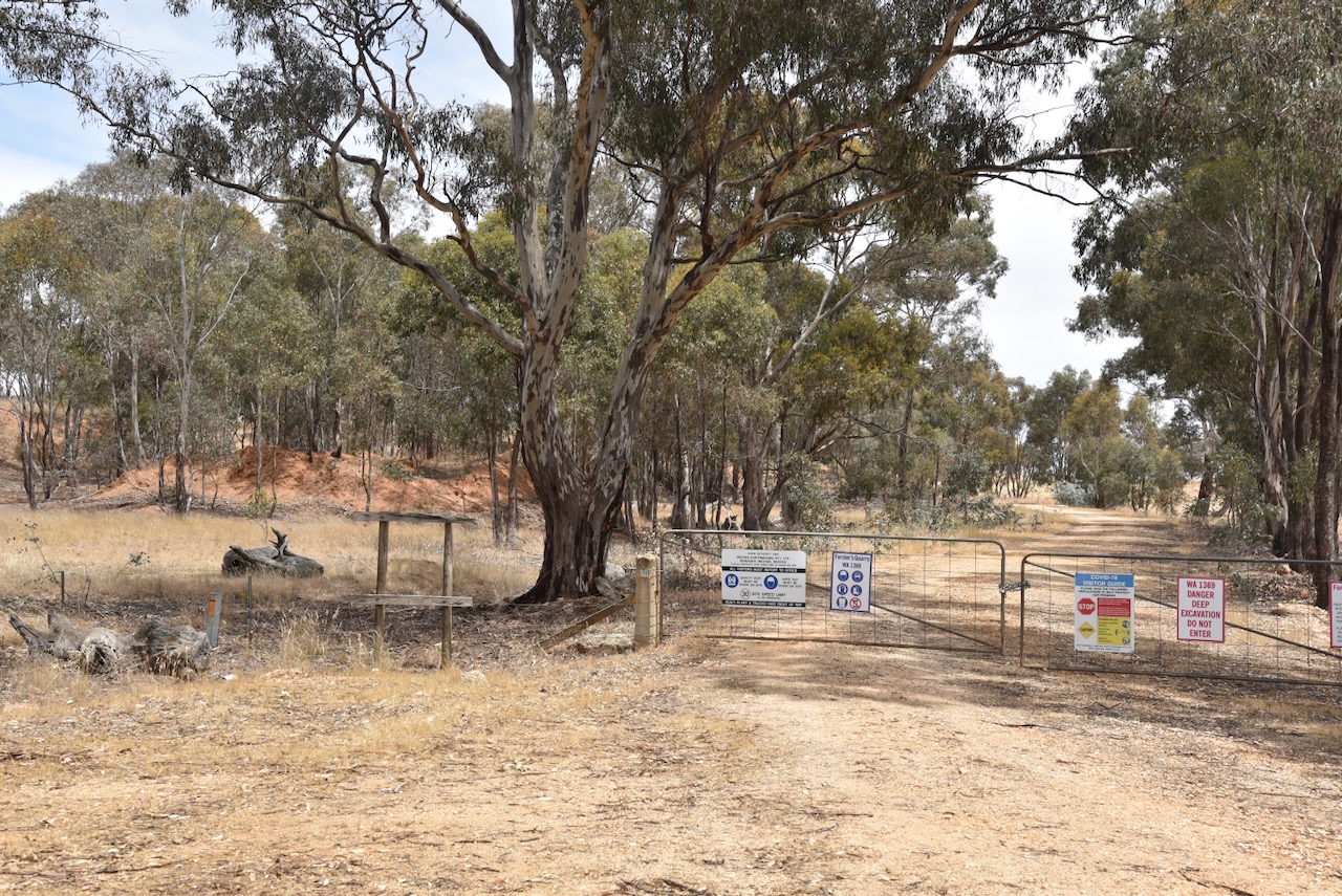
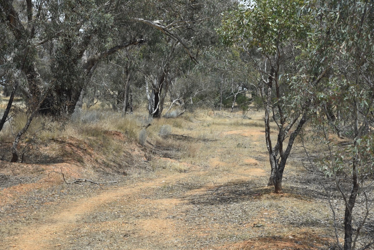
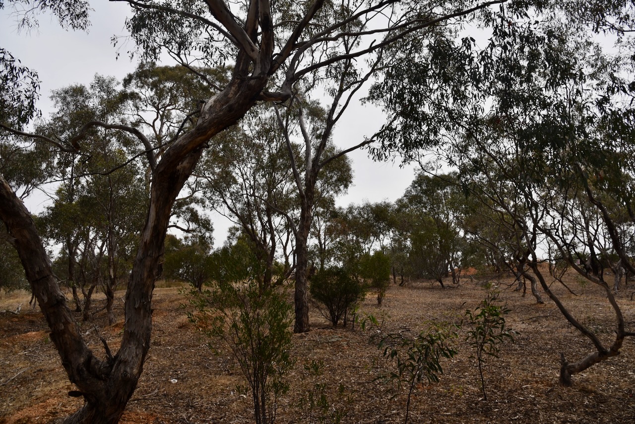
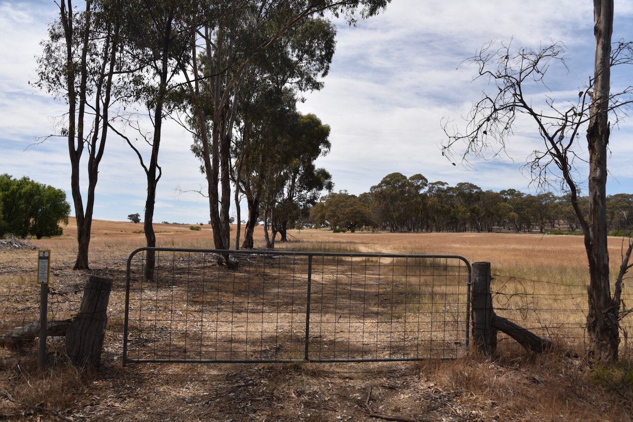
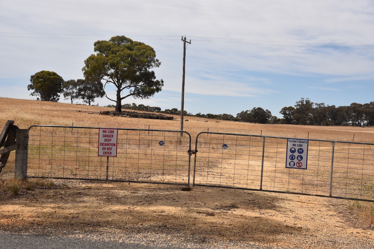
Initially, we thought that we may have some access issues into this park as we found a gate with a ‘Do not enter’ sign. This is a ‘strange’ park in that it contains Forster’s Quarry. Fortunately, we found a part of the park in the southern section, where we could drive in along a 4WD track.
We ran the Yaesu FT857, 40 watts, and the 20/40/80m linked dipole for this activation. I used the special event callsign of VI10VKFF.
Above:- An aerial view of the reserve showing our operating spot. Image c/o Google Earth.
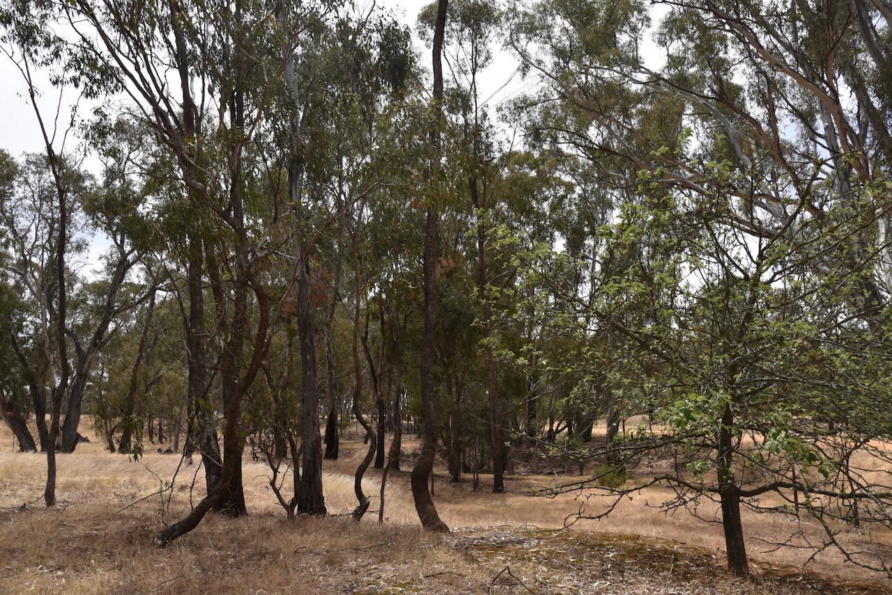
Our second Monday 20th November 2023 activation was the Carapooe Creek Streamside Reserve VKFF-3641. However, it was not our preferred option.
We had hoped to activate the Carapooee I48 Bushland Reserve. We found a dirt track leading to the reserve set off the road. However, we were unsure if this was private property so we decided not to venture down the track. A little further up Kooreh Road, we found an unlocked gate with a track that led to the park, but again we decided to err on the side of caution and not activate this park.
We drove a bit further north on Kooreh Road towards the Carapooee I47 Bushland Reserve which the maps showed was set off the road. Unfortunately, we found a locked gate with a ‘do not enter’ sign on it. Strike two. It was now time to review our options.
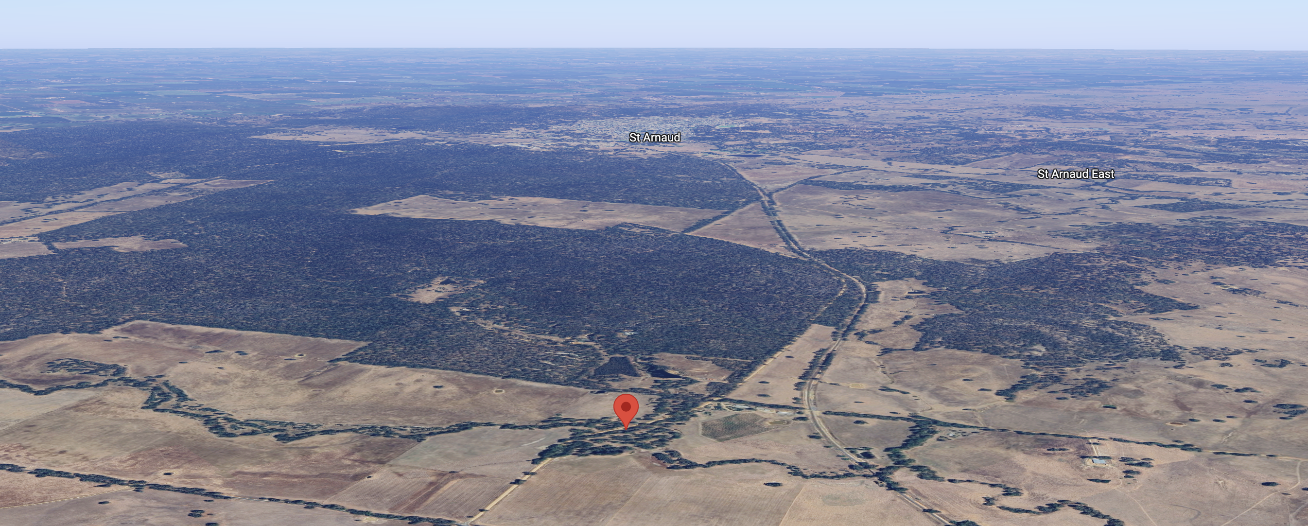
We decided to activate the Carapooe Creek Streamside Reserve. The park is located about 13 km southeast of St Arnaud and about 238 km northwest of Melbourne.
Above:- Map showing the location of the Carapooee Creak Streamside Reserve. Map c/o Google Maps.
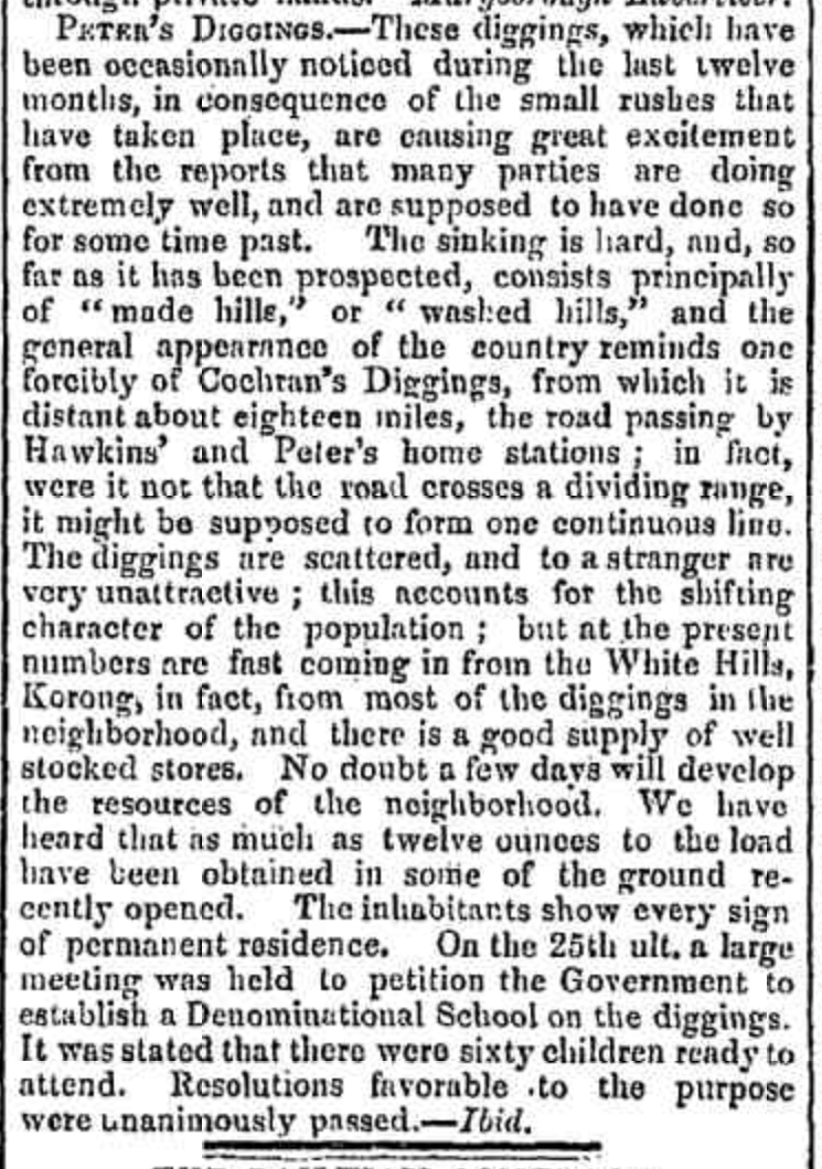
The first European settlers in the area occupied the Strathfilan pastoral run which was taken up in 1844. Strathfillan comprised 106,000 acres. In 1857 the run came into the hands of David Peters @ Peter (b. 1819. d. 1881). He was born in February 1819 in Forfar, Angus, Scotland and emigrated to Victoria in 1842, aged 22 years. In 1858 gold was discovered in the area and the settlement that sprung up as a result was known as Peter’s Diggings. Between 1859 to 1860 there were 1,300 miners as Peter’s Diggings. (Victorian Places 2024) (Wikitree 2024)
Peters sold Strathfilan Station in 1861 for £14,940. He had benefited substantially from gold finds and had accumulated a small fortune from the sale of his various properties. In 1864 he travelled to Europe for 14 months to seek a cure for his gout. He returned to Australia in 1865 but by 1870 he and his family returned to Europe, travelling extensively and spending about £10,000 on living and accommodation expenses. He died in Germany in 1881. Following his death, his wife and family returned to Australia. (Wikitree 2024)
Bailliere’s Victorian gazetteer of 1865 recorded that Peter’s Creek had two quartz-crushing mills, three hotels, and a brewery. (Victorian Places 2024)
Above:- Article from the Bendigo Advertiser, Wed 9 Jun 1858. Image c/o Trove.
By the 1870s the area became known as Carapooee, named after the Parish. Carapooee is derived from an aboriginal word carripooi meaning hill. Carapooee was originally known as Peter’s Diggings. Carapooe Creek is a tributary of the Avoca River and was originally called Campbell’s Creek. (Blake 1978) (Victorian Places 2024)
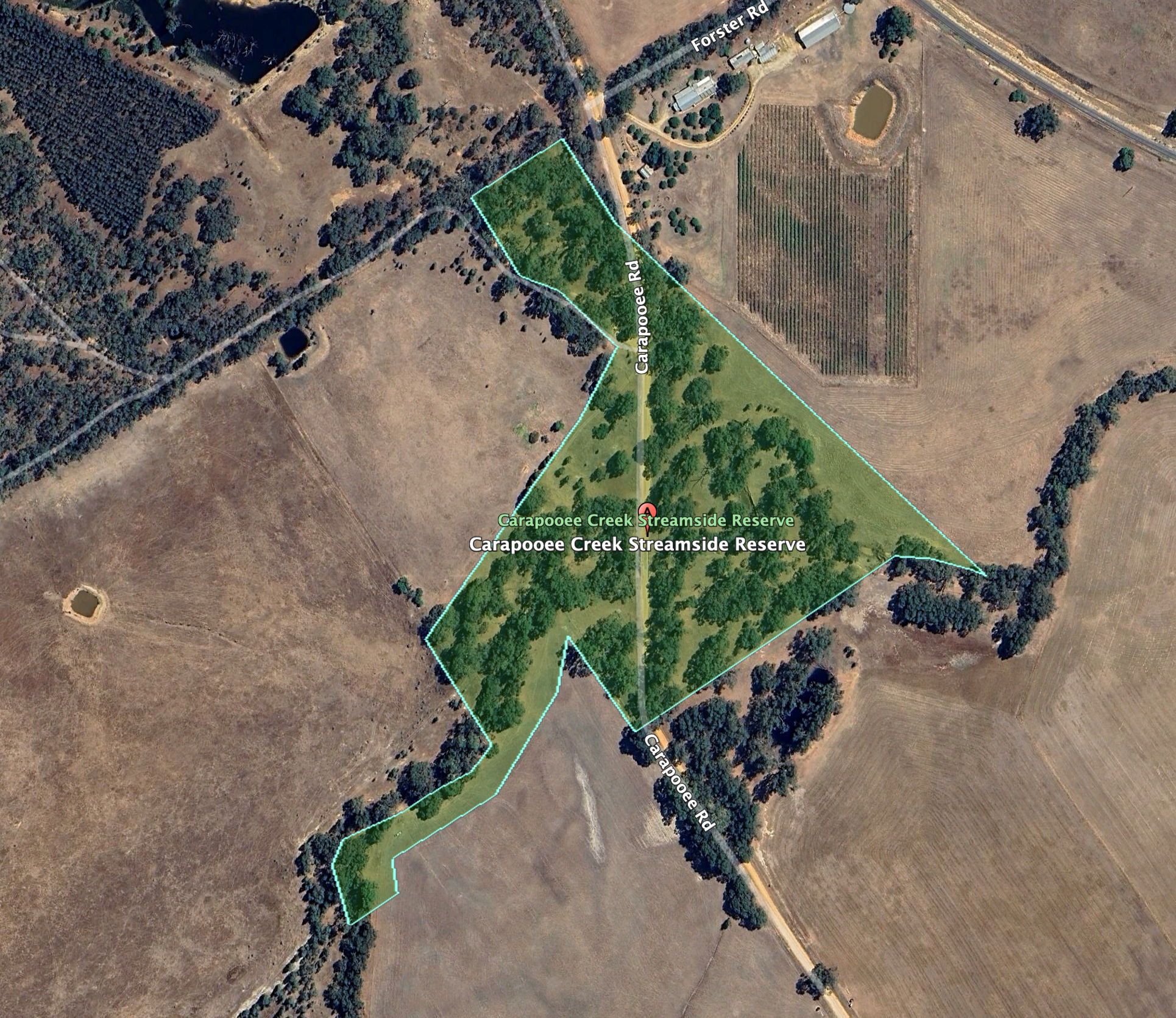
The Carapooee Streamside Reserve is about 9 hectares in size and was established on the 24th day of August 1982. (CAPAD 2022)
Above:- An aerial view of the reserve, looking towards St Arnaud. Image c/o Google Maps.
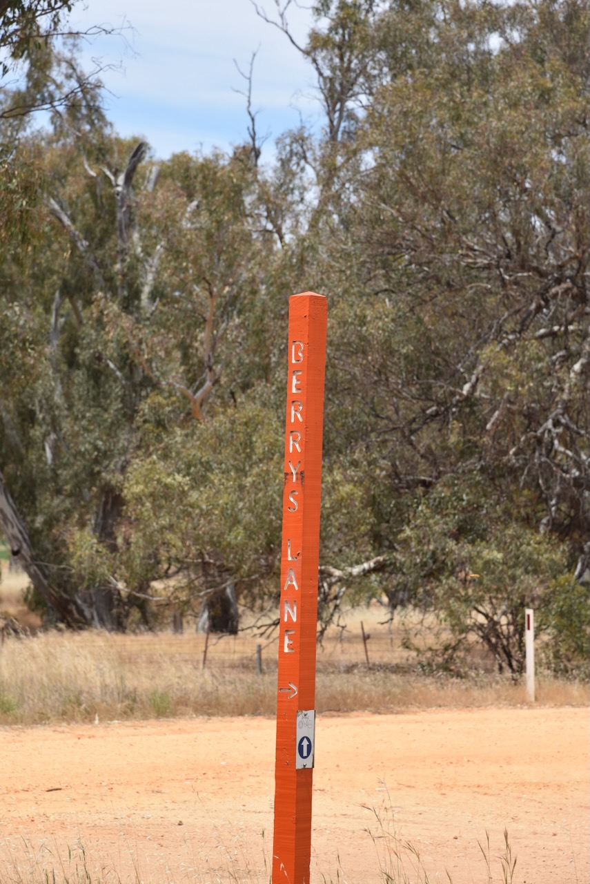
The reserve is located on either side of Carapooee Road.
Above:- An aerial view of the Carapooee Creek Streamside Reserve. Image c/o Google Earth.
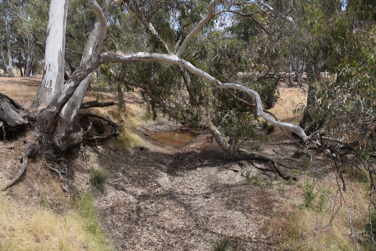
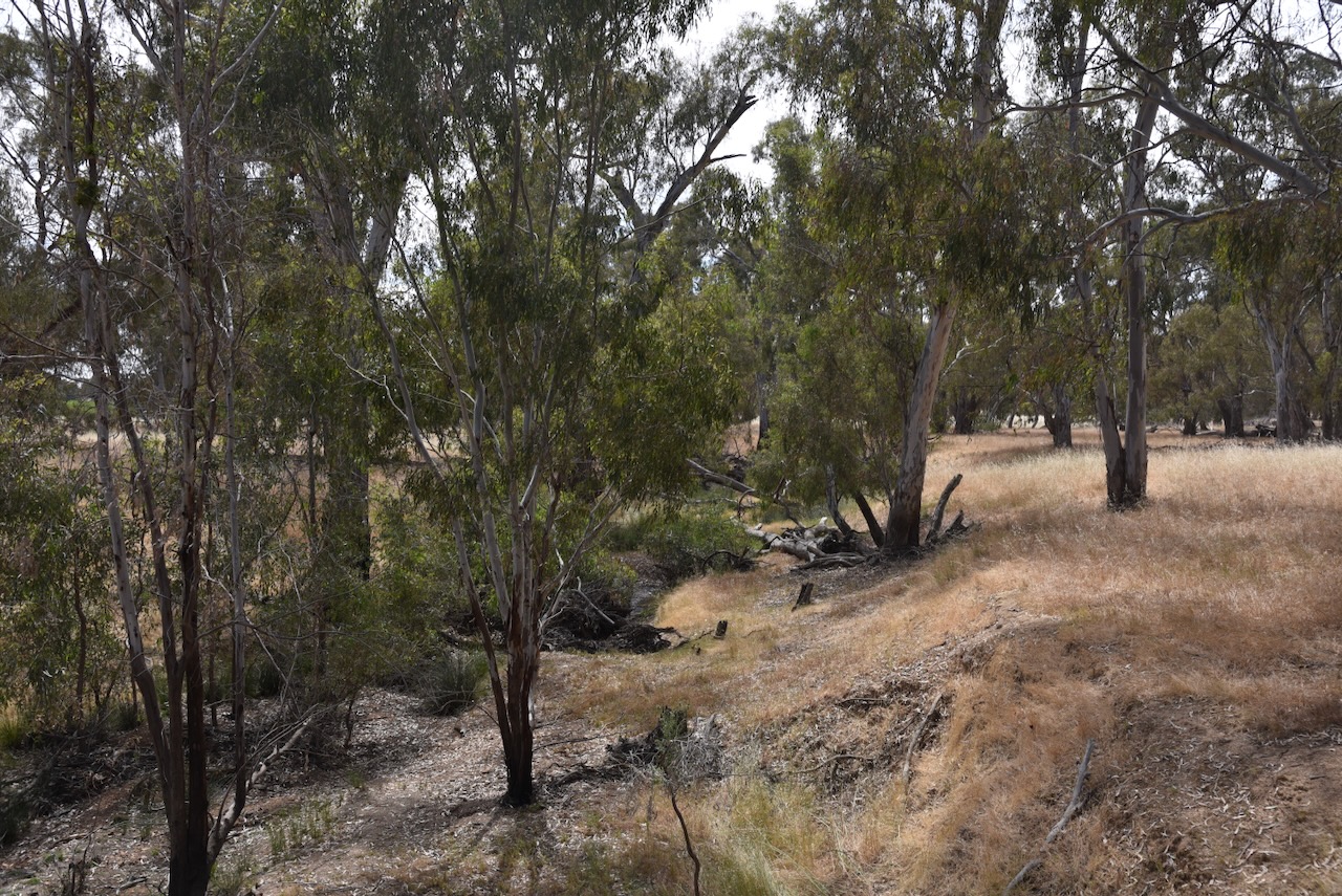
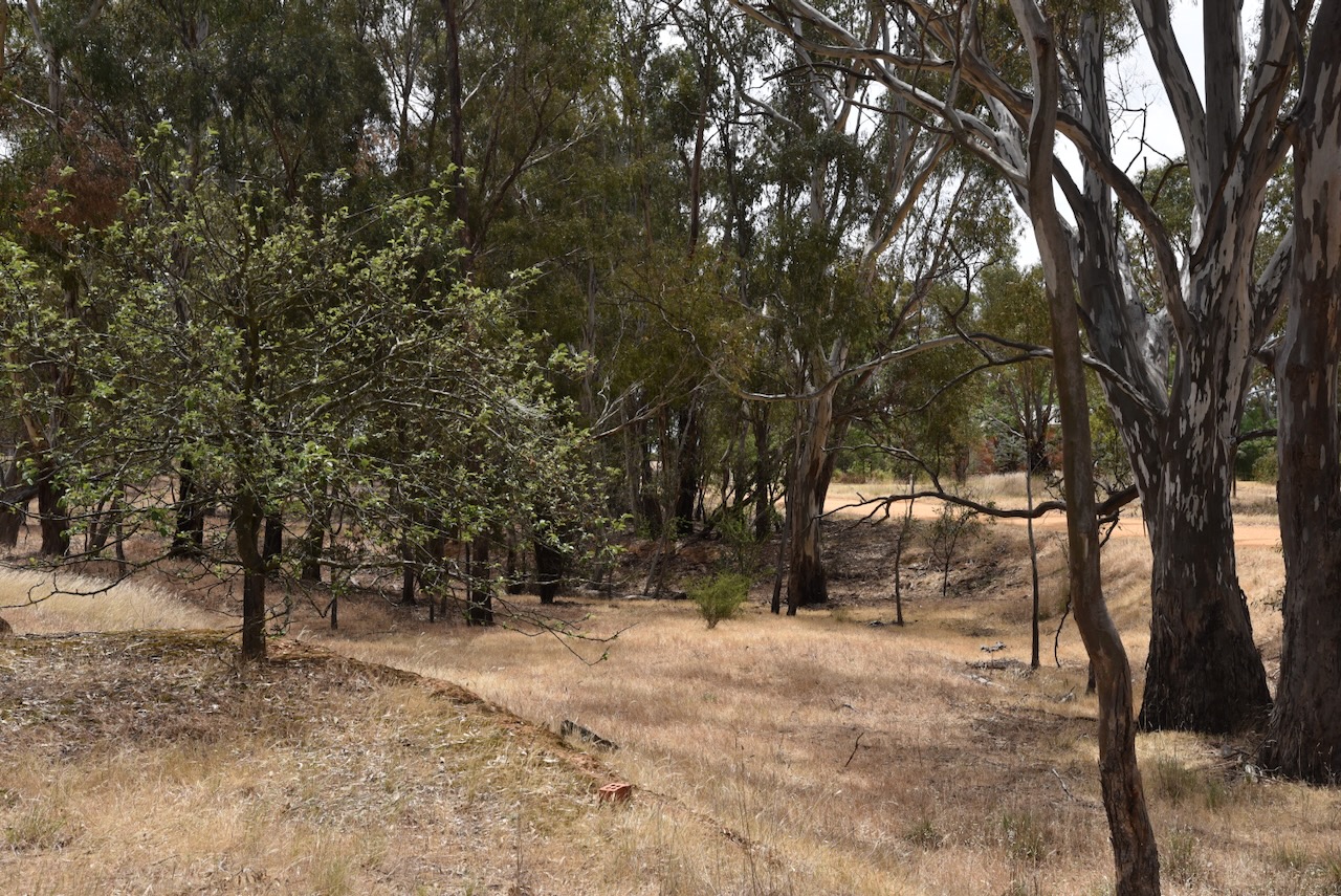
The Carapooe Creek passes through the reserve. During our visit, the creek was virtually dry.
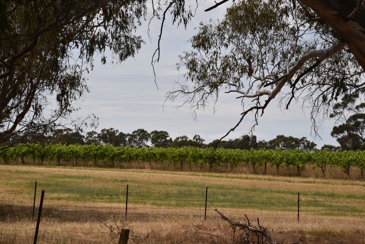
Opposite the reserve is a vineyard from the old Berrys Bridge winery and an old red brick 1860s miners’ cottage. (Commercial Real Estate 2024)
We ran the Yaesu FT857, 40 watts, and the 20/40/80m linked dipole for this activation. I used the special event callsign of VI10VKFF.
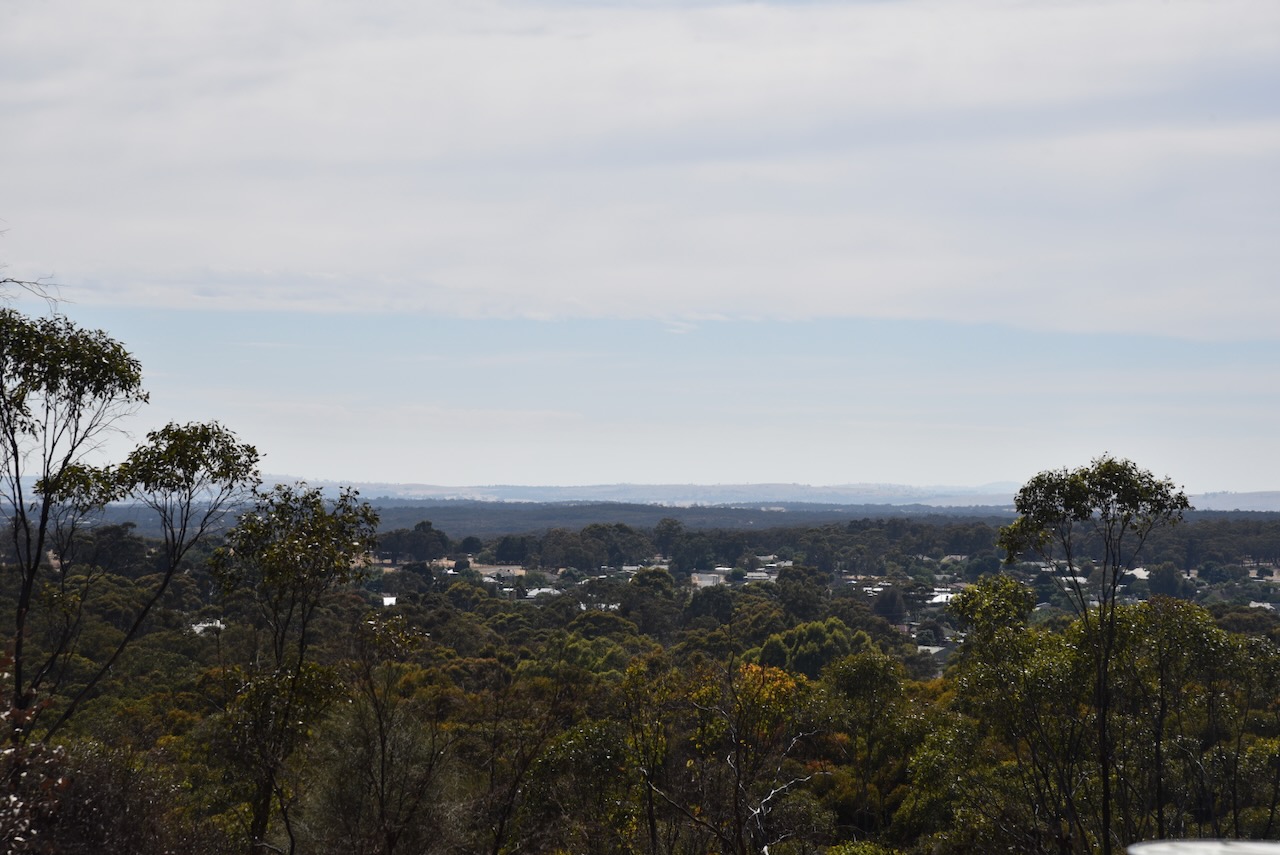
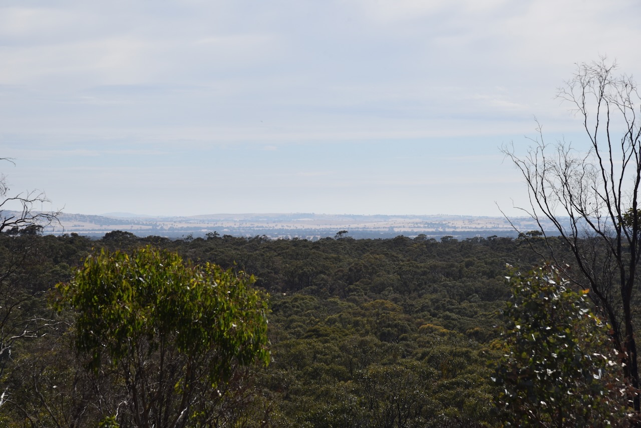
Our first activation for Monday 20th November 2023 was the St Arnaud Regional Park VKFF-0977. Marija and I activated this park on Sunday 19th November and we wanted to pick up a few more QSOs from this park to reach the 44 QSOs required to qualify the park for the World Wide Flora Fauna (WWFF) program.
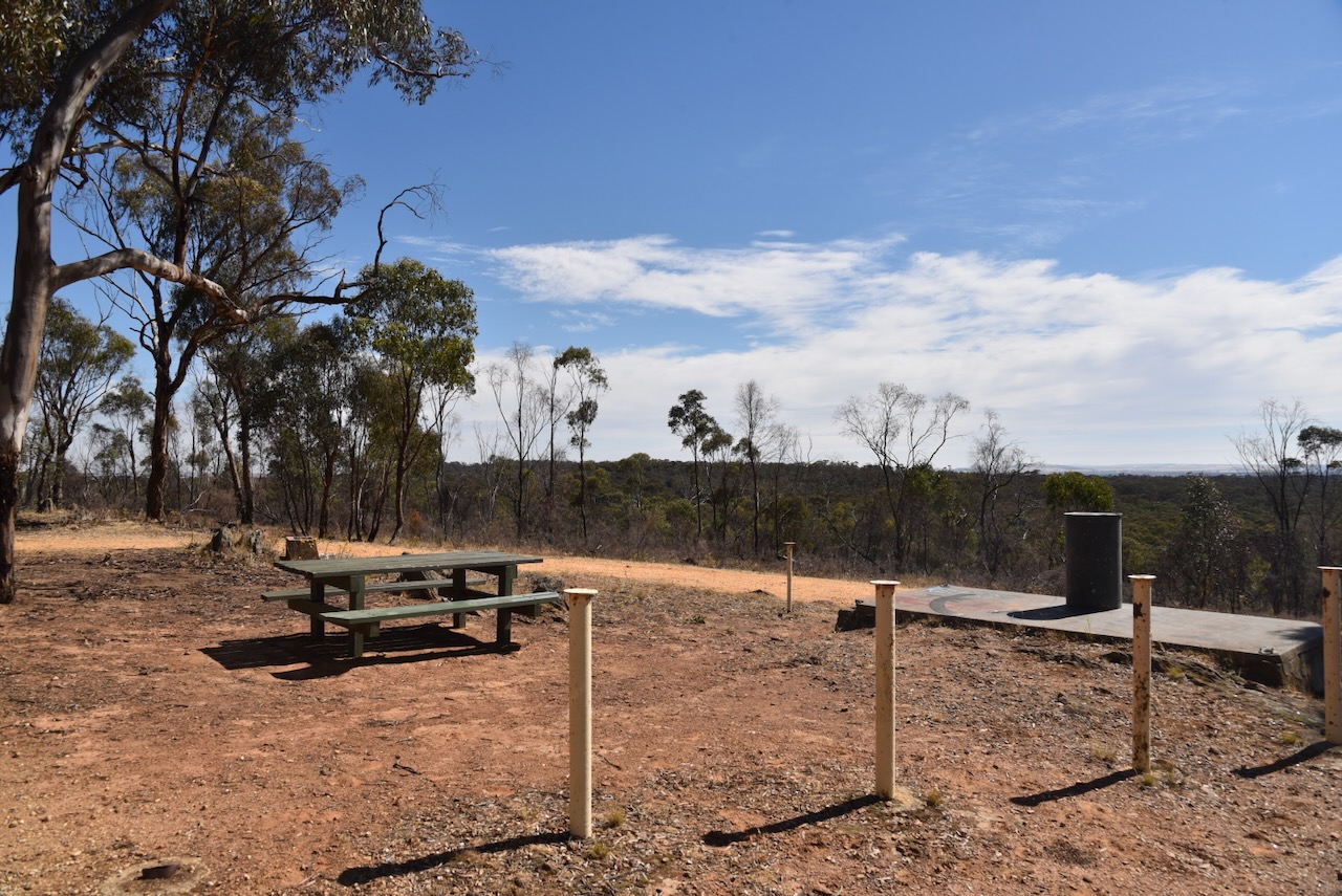
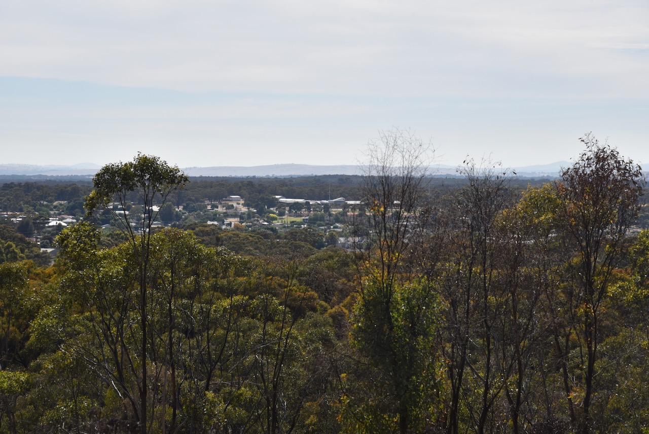
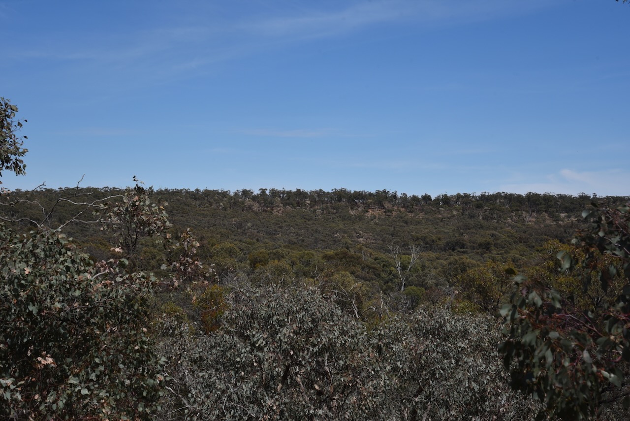
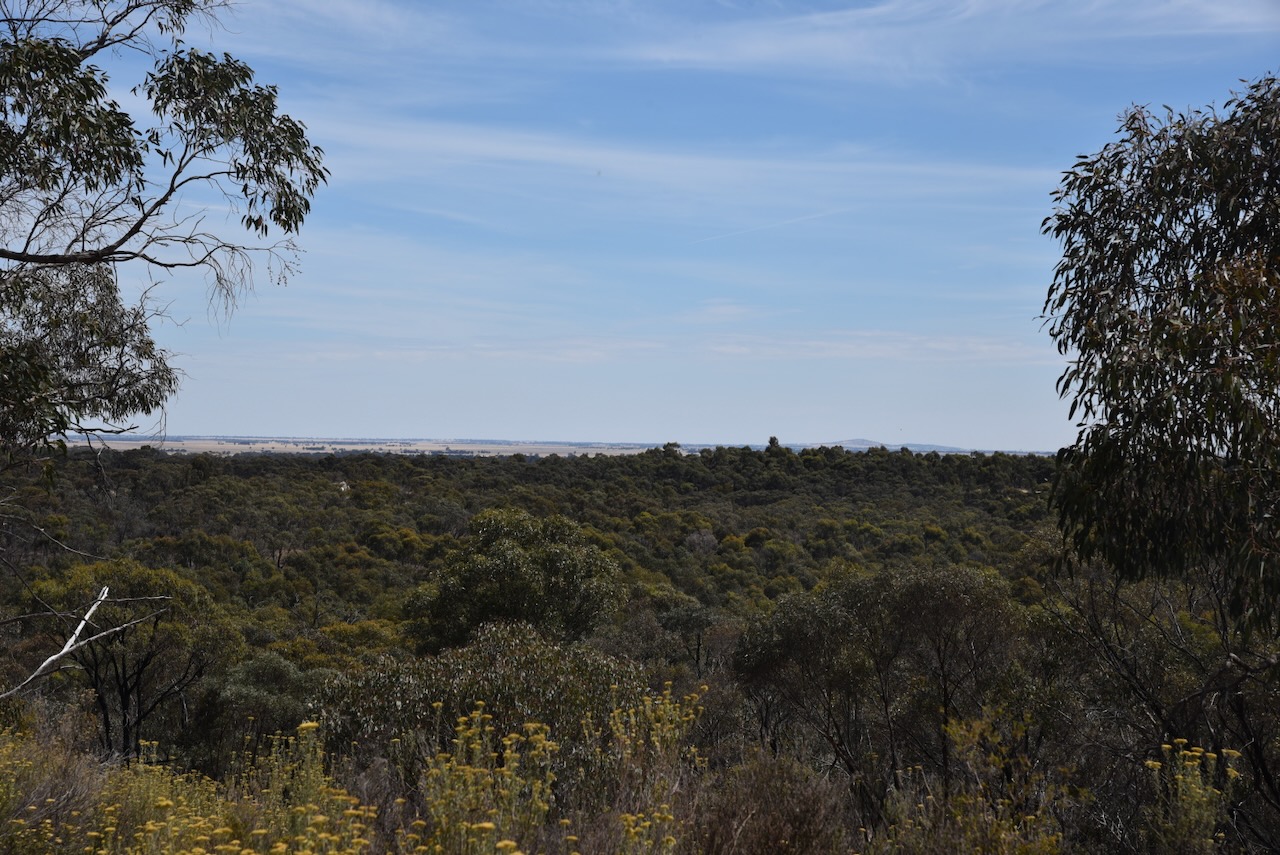
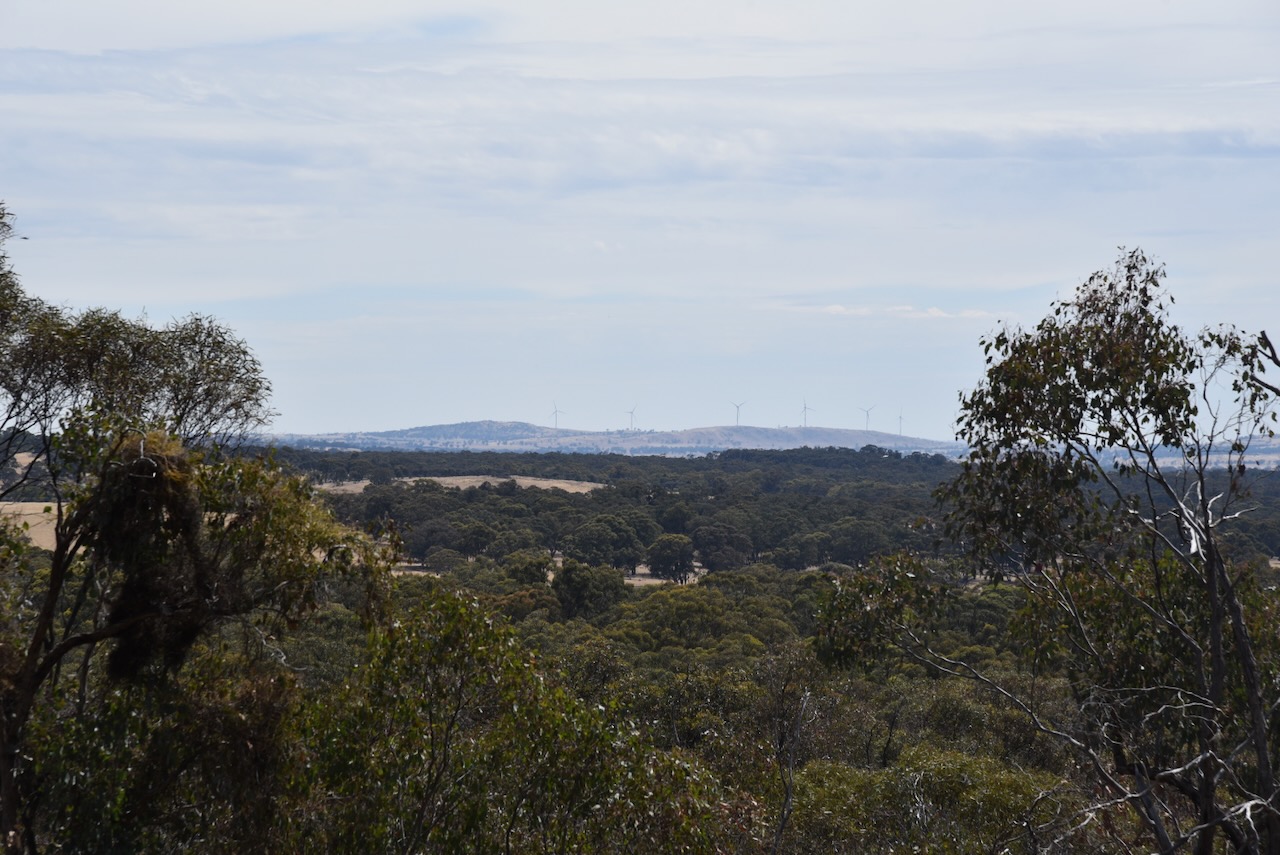
We had a cooked breakfast in St Arnaud and then headed out to the lookout at the park.
Marija worked the following stations on 40m SSB:-
VK2VAR/p (Triplarina Nature Reserve VKFF-2746)
VK3UAO/p (Snowy River National Park VKFF-0455)
VK5DG/p (Telford Scrub Conservation Park VKFF-0805)
I worked the following stations on 40m SSB:-
VK3SQ
Vk2BD
VK5HS
VK3PF
VK3KAI
VK3CA
VK5IS
VK3BBB
VK2CCP
VK2VAR/p (Triplarina Nature Reserve VKFF-2746)
VK3APJ
VK2DG
VK1DI
VK3CEO
VK3UAO/p (Snowy River National Park VKFF-0455)
VK3YV
VK3ZSC
VK3HM
VK5KVA
VK1AAF
VK3AHR
VK3CBP
VK5DG/p (Telford Scrub Conservation Park VKFF-0805)
VK3UAO/p
I worked the following stations on 20m SSB:-
VK4NH
VK4DXA
VK1AO
VK2MET
I worked the following stations on 15m SSB:-
VK4NH
VK4DXA
VK4ABK
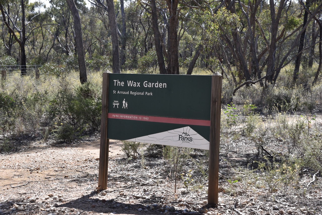
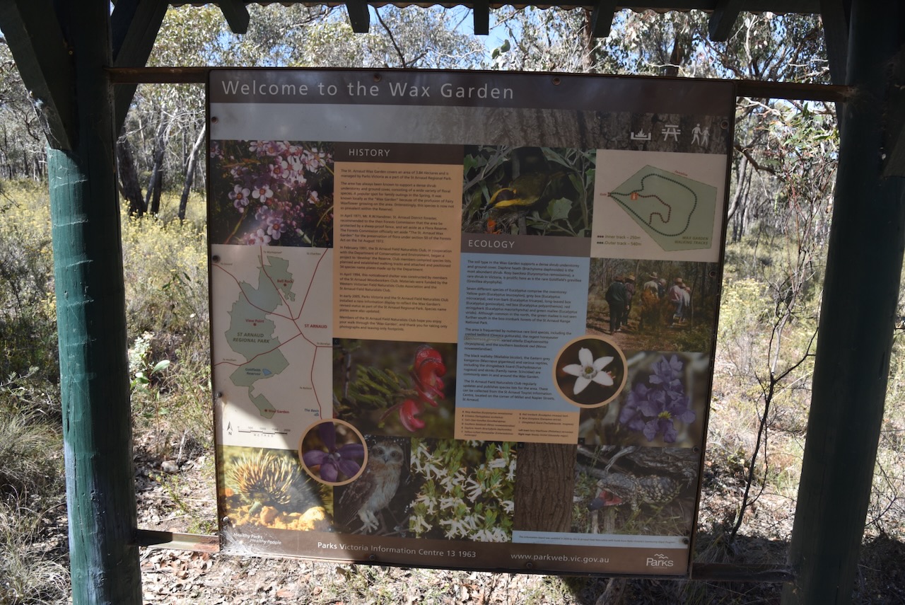
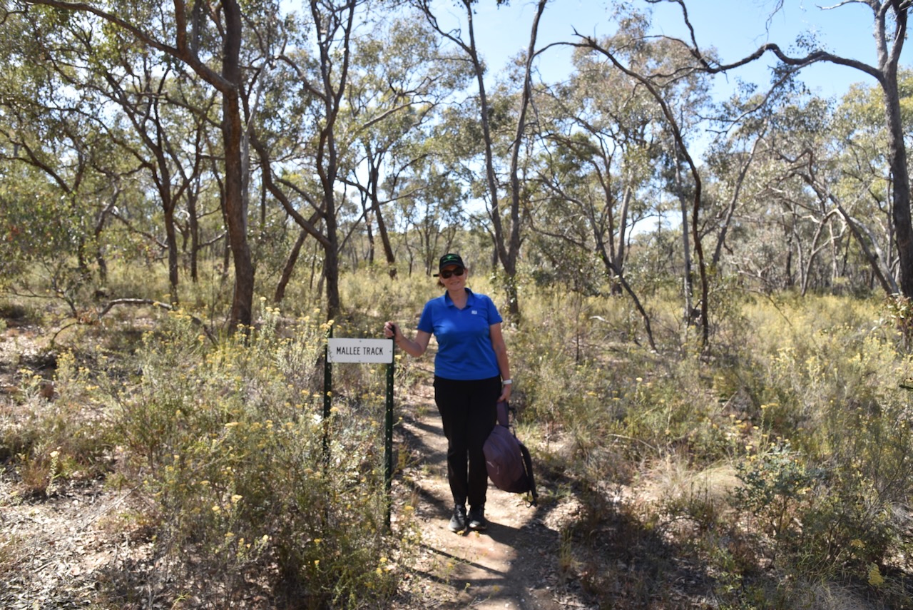
I managed to pick up enough stations to get me over the line with 44 QSOs. We then visited The Wax Garden at St Arnaud. Unfortunately, it was not the right time of the year to visit this 3.9-hectare park. During October there is a profusion of Fair Wax flowers. A total of 70 native flower species have been recorded in the Wax Gardens. Despite the lack of flowers, we enjoyed a nice walk around the park. (Aussie Towns 2024)
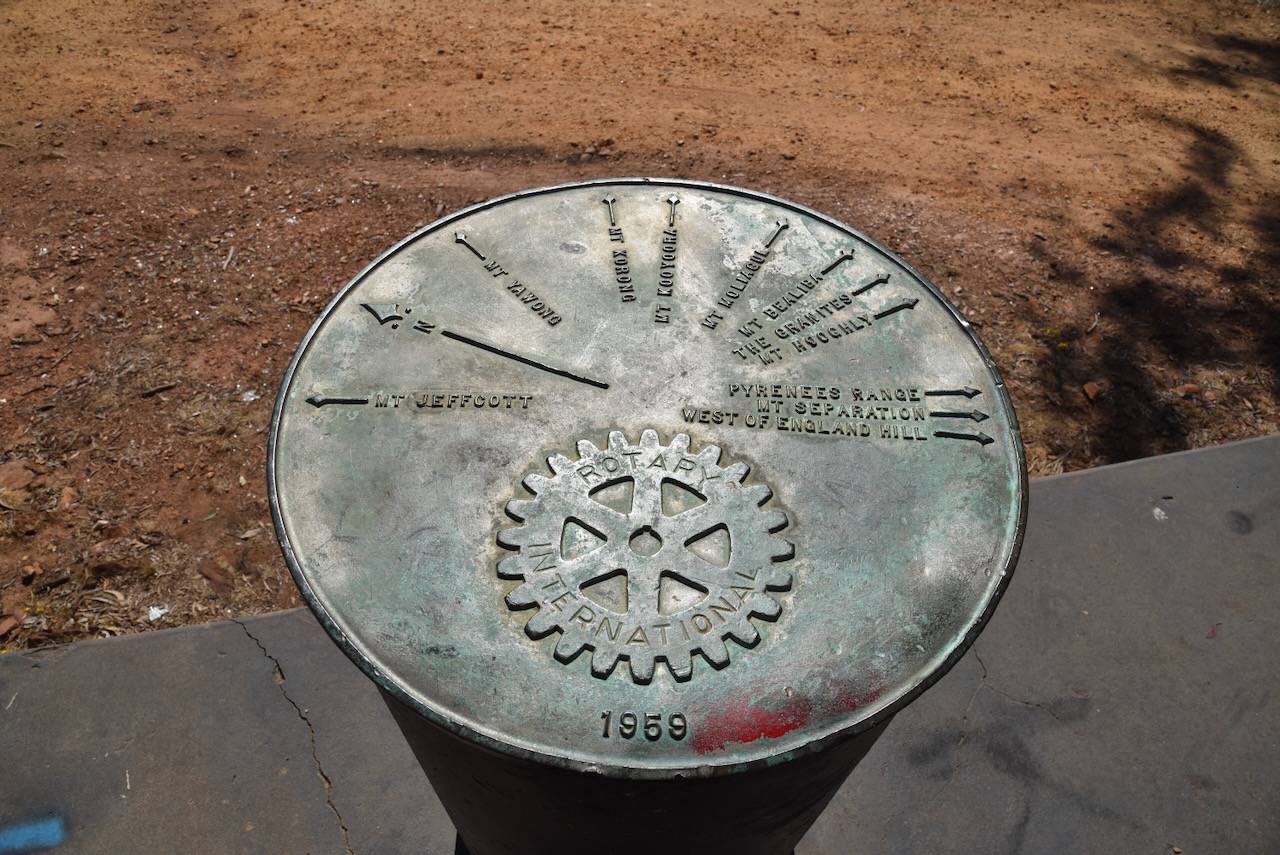
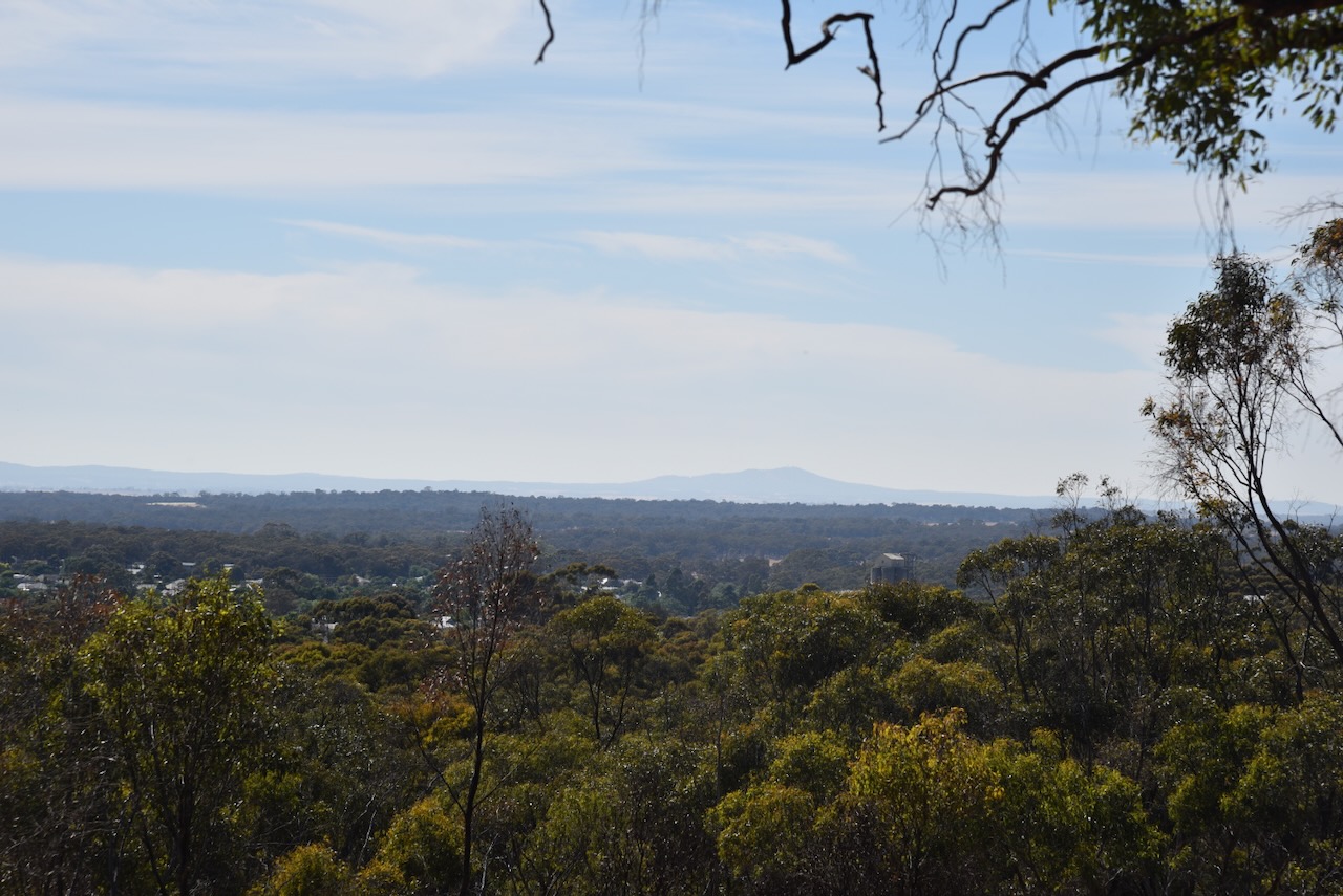
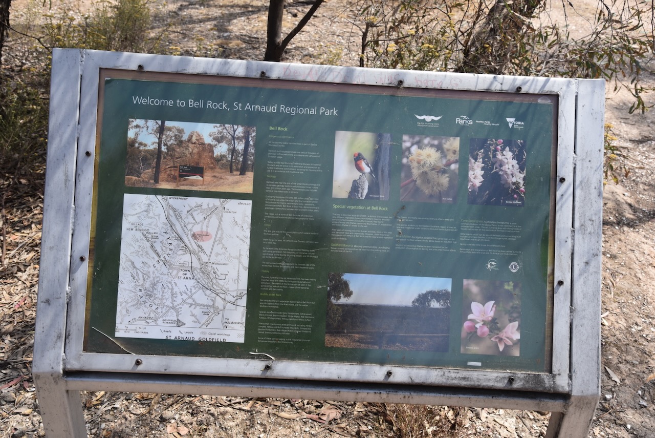
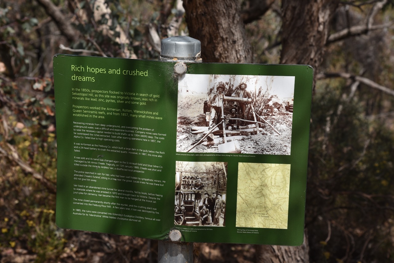
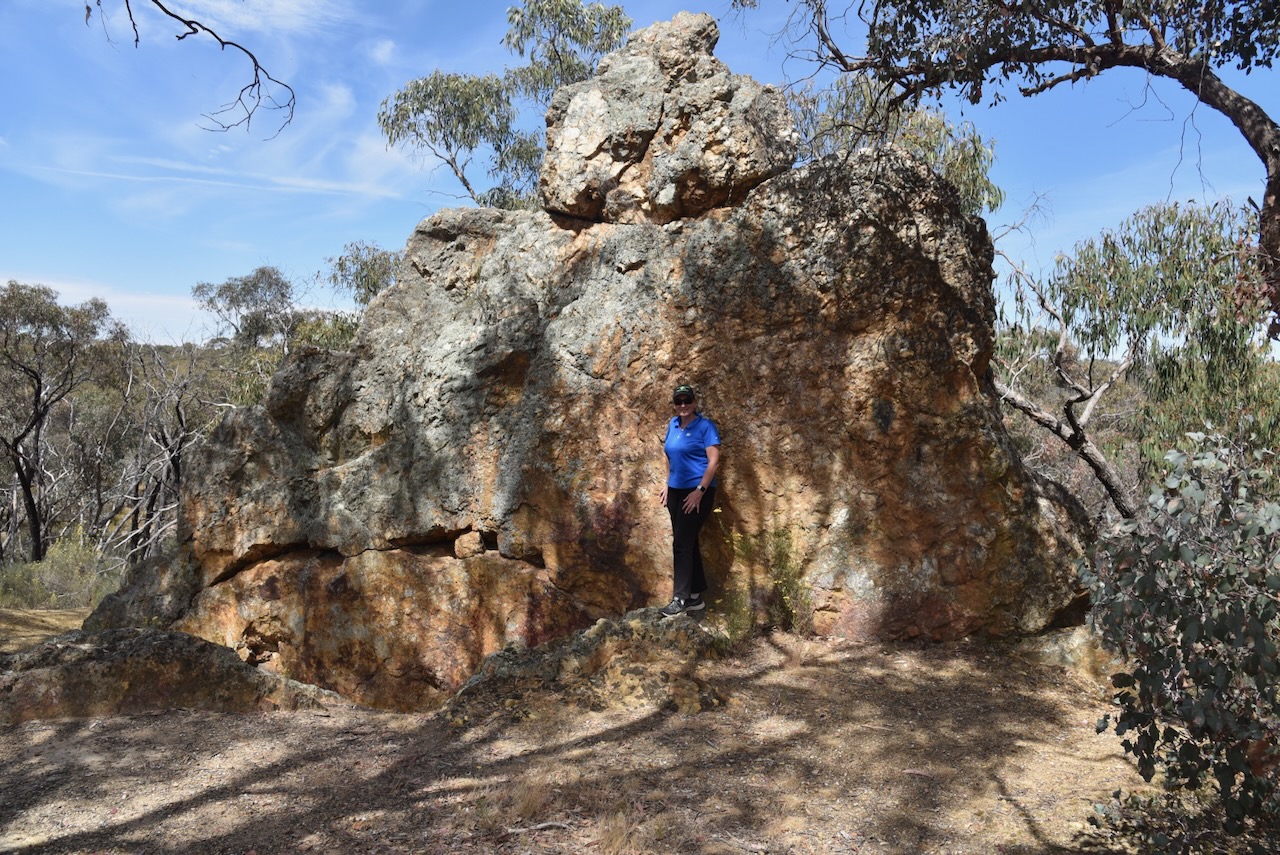
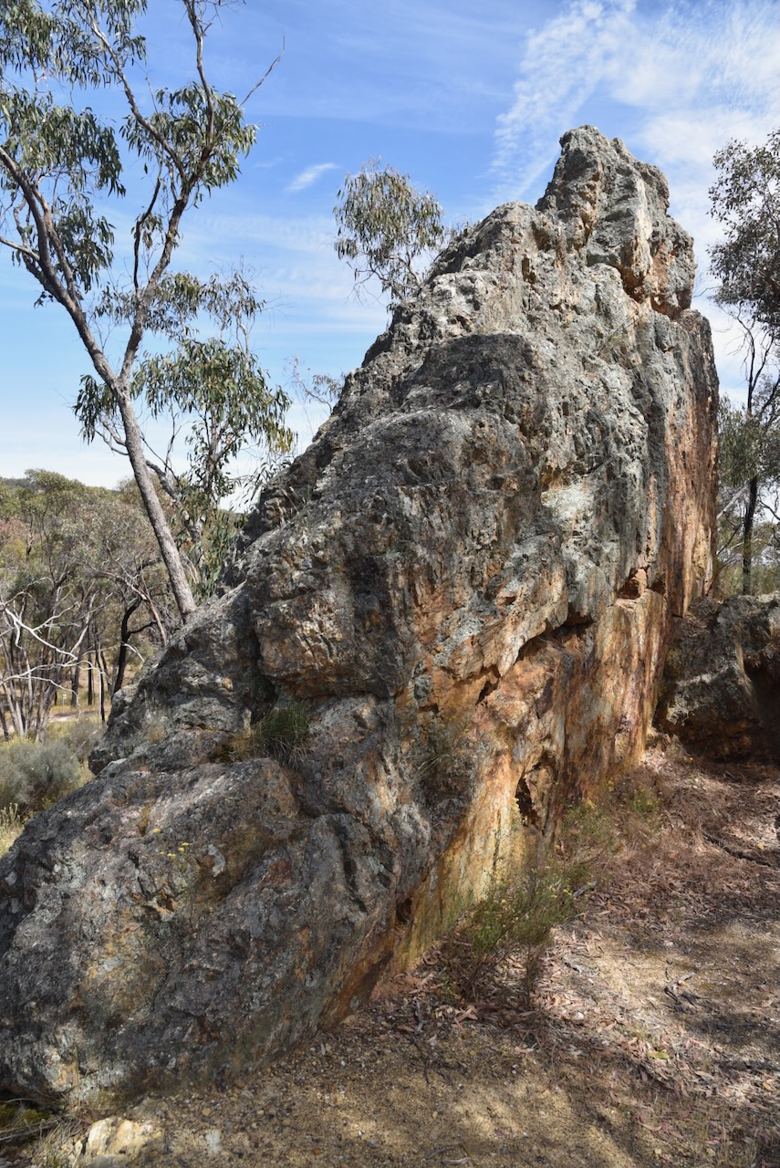
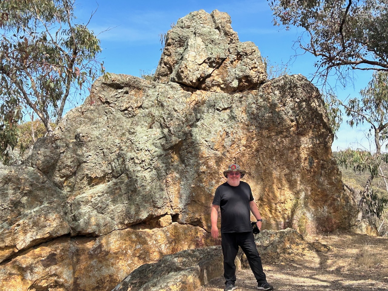
We then drove to Bell Rock which is within the St Arnaud Regional Park. The area was formerly known as Sebastopol Hill and since the 1850s the area has been mined for silver and gold and used for eucalyptus oil extraction. Bell Rock is named for its distinctive shape. This area was underwater about 540 million years ago. (Geocaching 2024)
Whilst at Bell Rock we logged a Park to Park contact with Stuart VK3UAO.
Marija worked the following station on 40m SSB after the UTC rollover:-
VK3UAO/p (Snowy River National Park VKFF-0455)
I worked the following station on 40m SSB after the UTC rollover:-
VK3UAO/p (Snowy River National Park VKFF-0455)
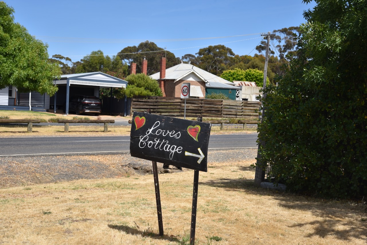
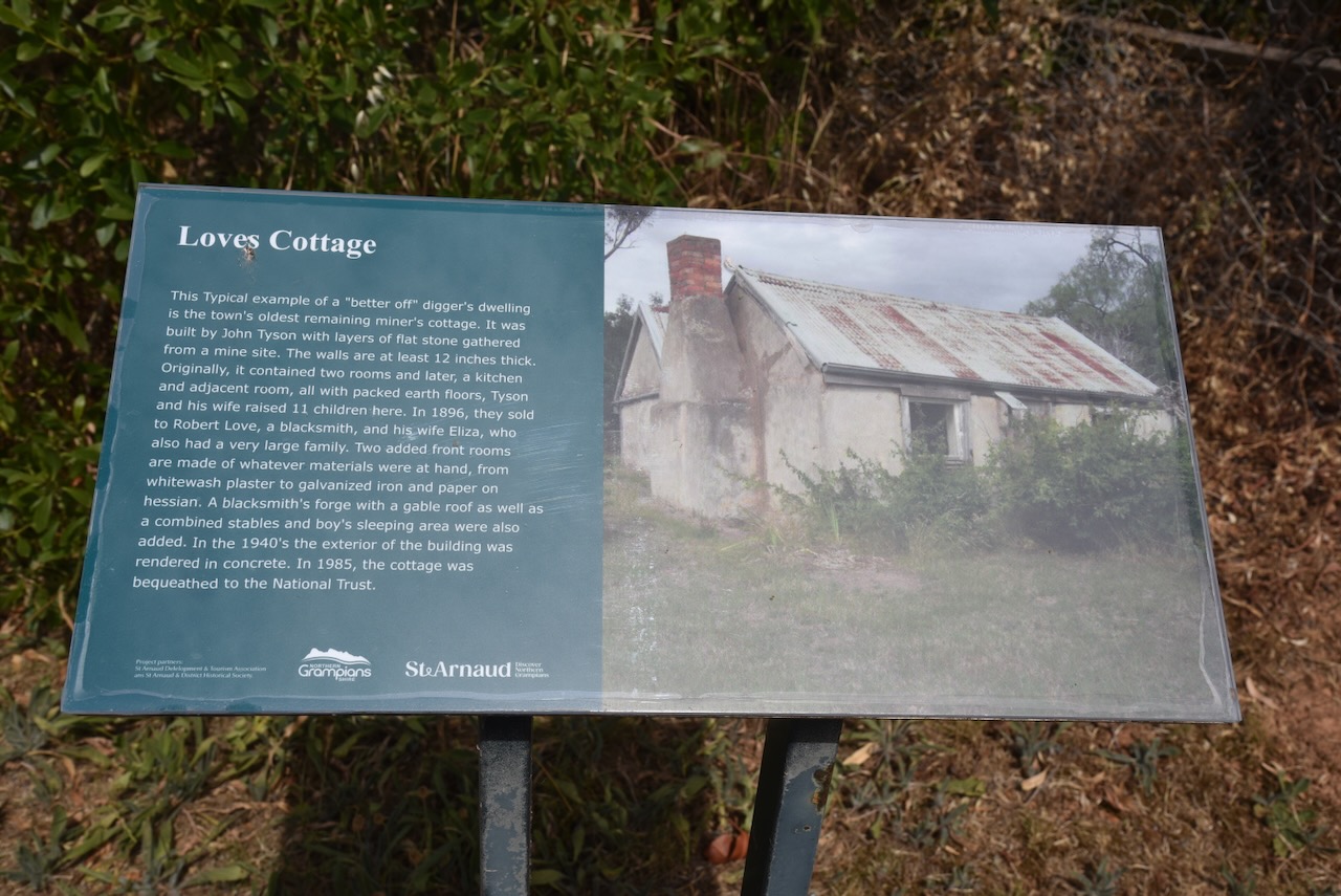
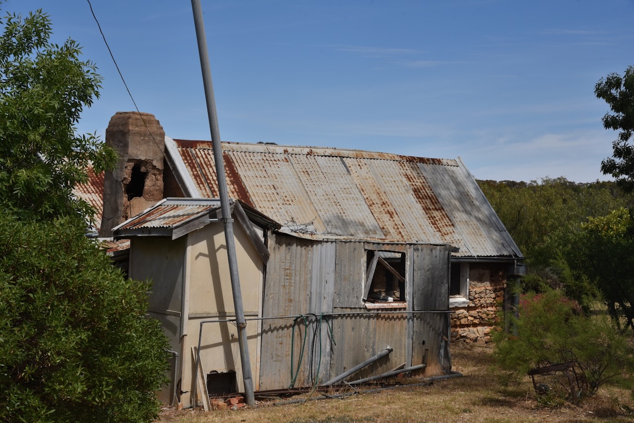
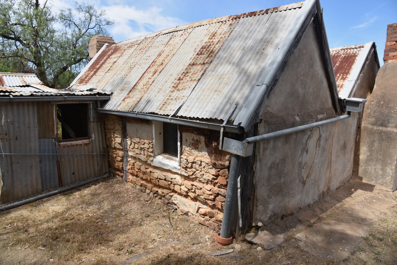
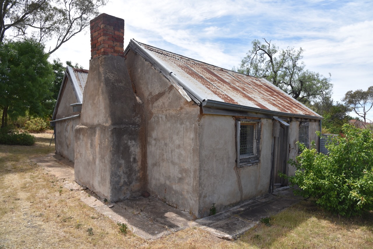
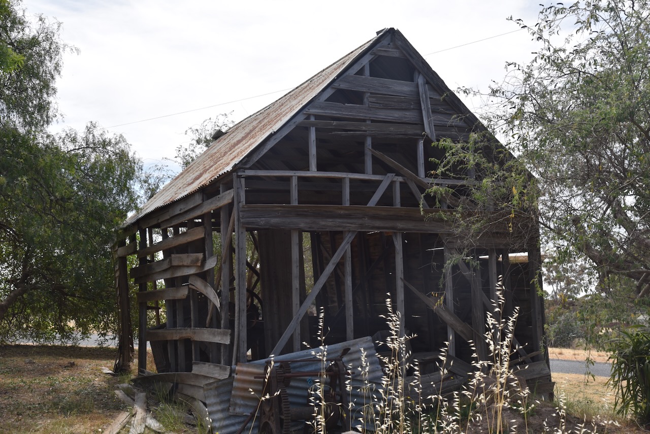
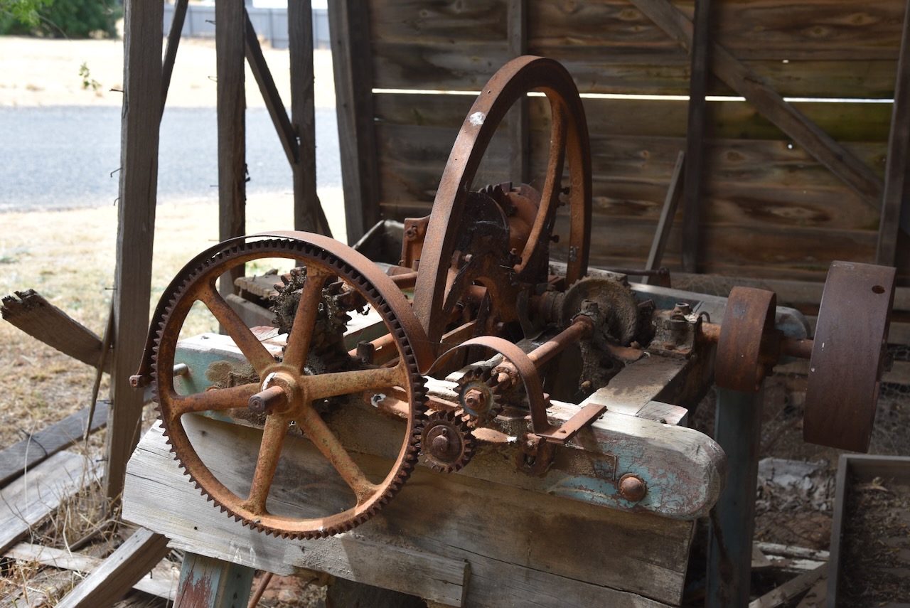
Our next stop was Loves Cottage in St Arnaud, one of the earliest miner’s properties in the town. It was originally built in 1868 with layers of flat stones from a nearby mine, constructed by John Tyson (b. 1843. d. 1901) with the assistance of William Thompson. The property was later owned by Robert Love (b. 1853. d. 1926) who built a blacksmith shop and stables on the property. In 1985 the property was bequeathed to the National Trust following the death of Robert Love’s daughter-in-law, Ethel Love. (Heritage Council 2024)
We then headed off to our next activation at the Carapooee Creek Streamside Reserve.