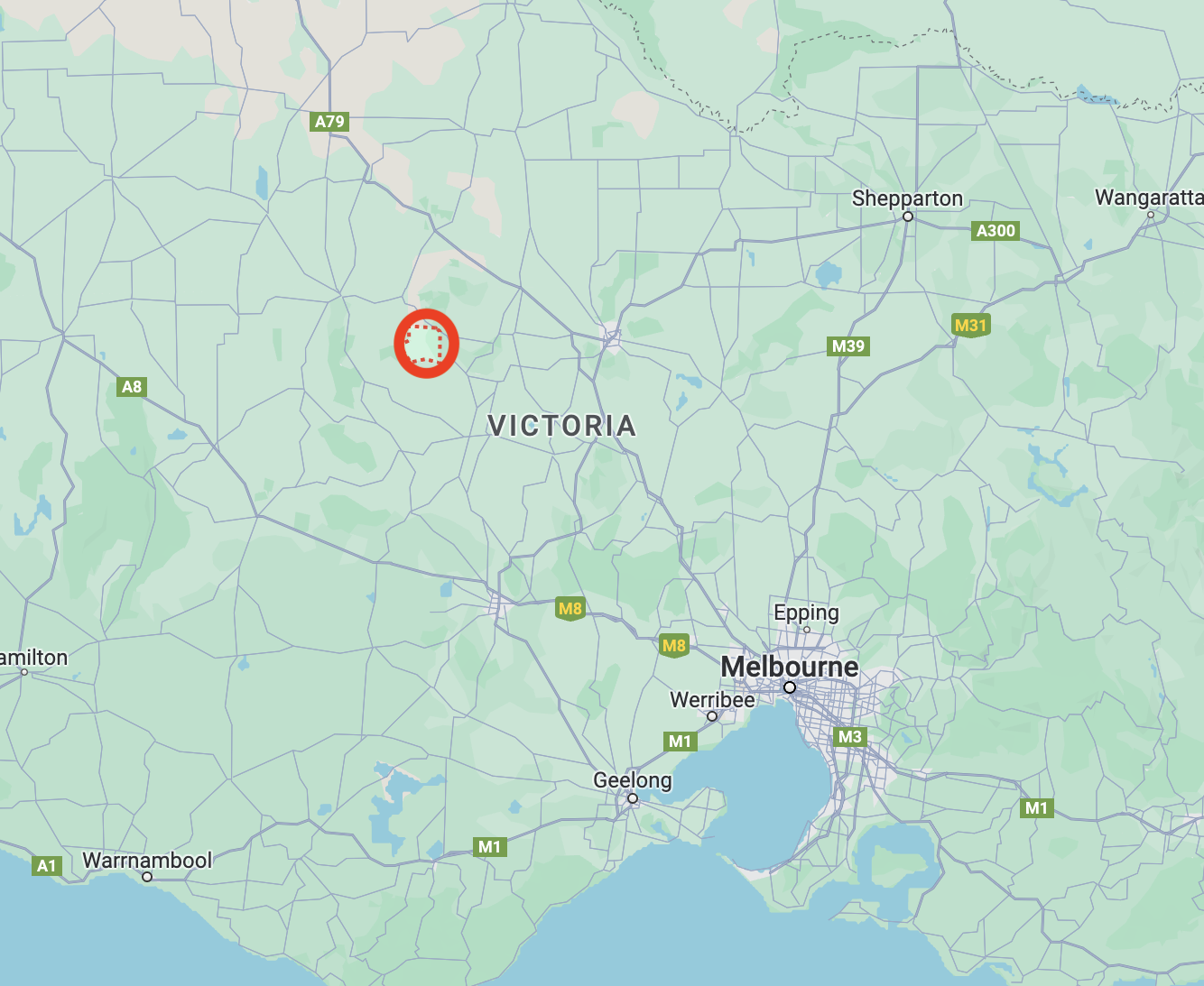
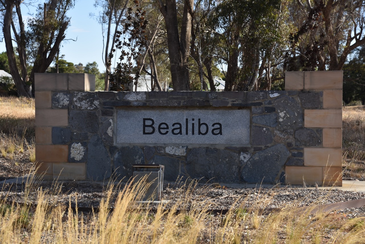
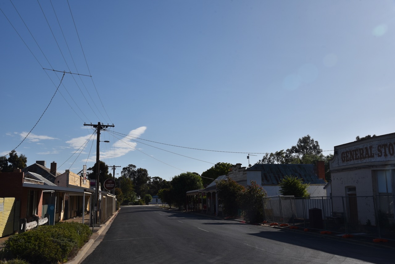
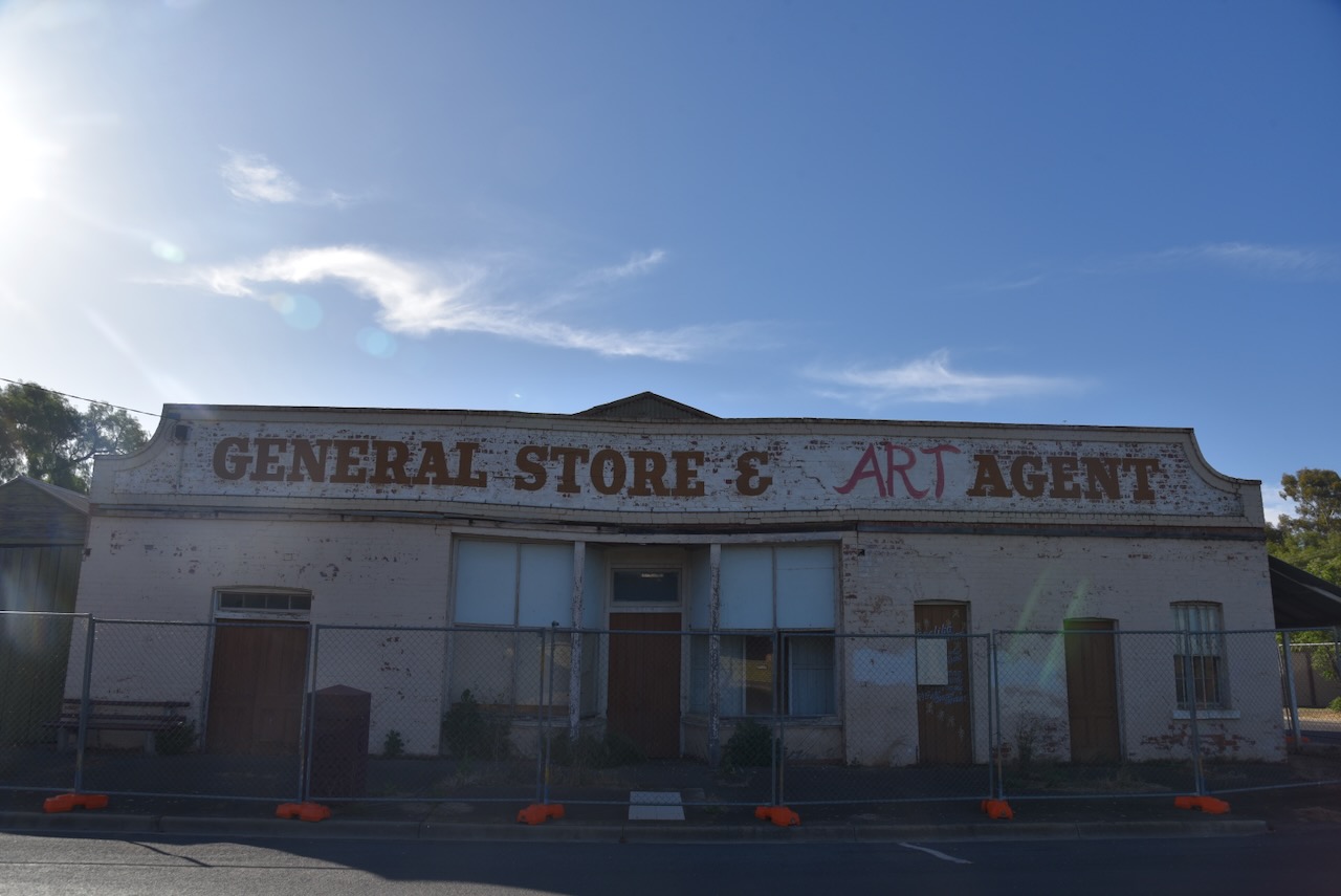
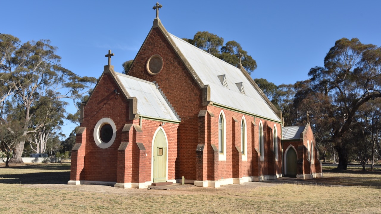
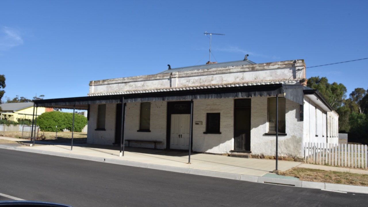
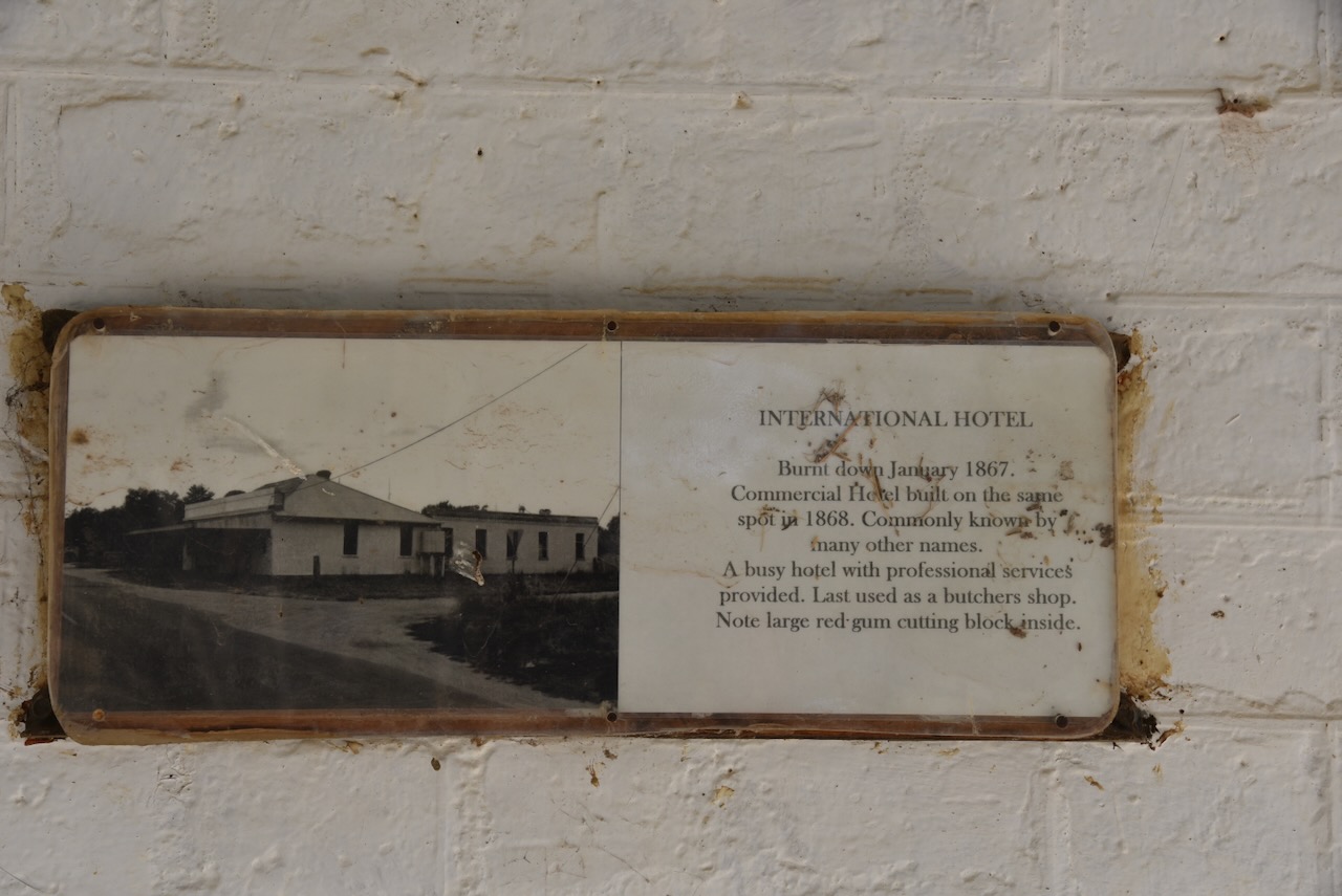
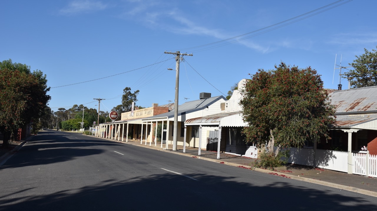
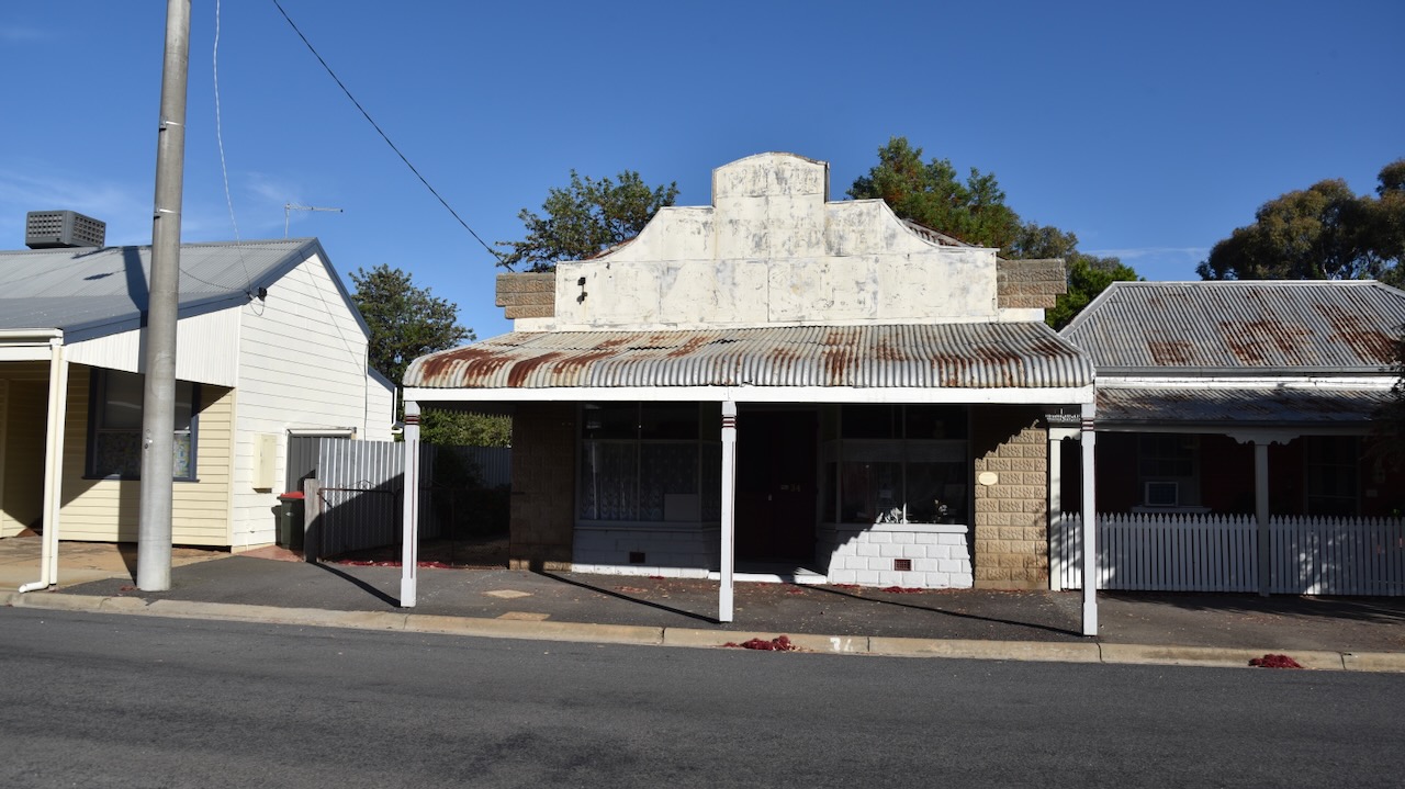
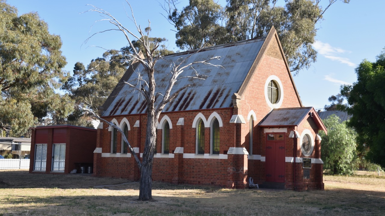
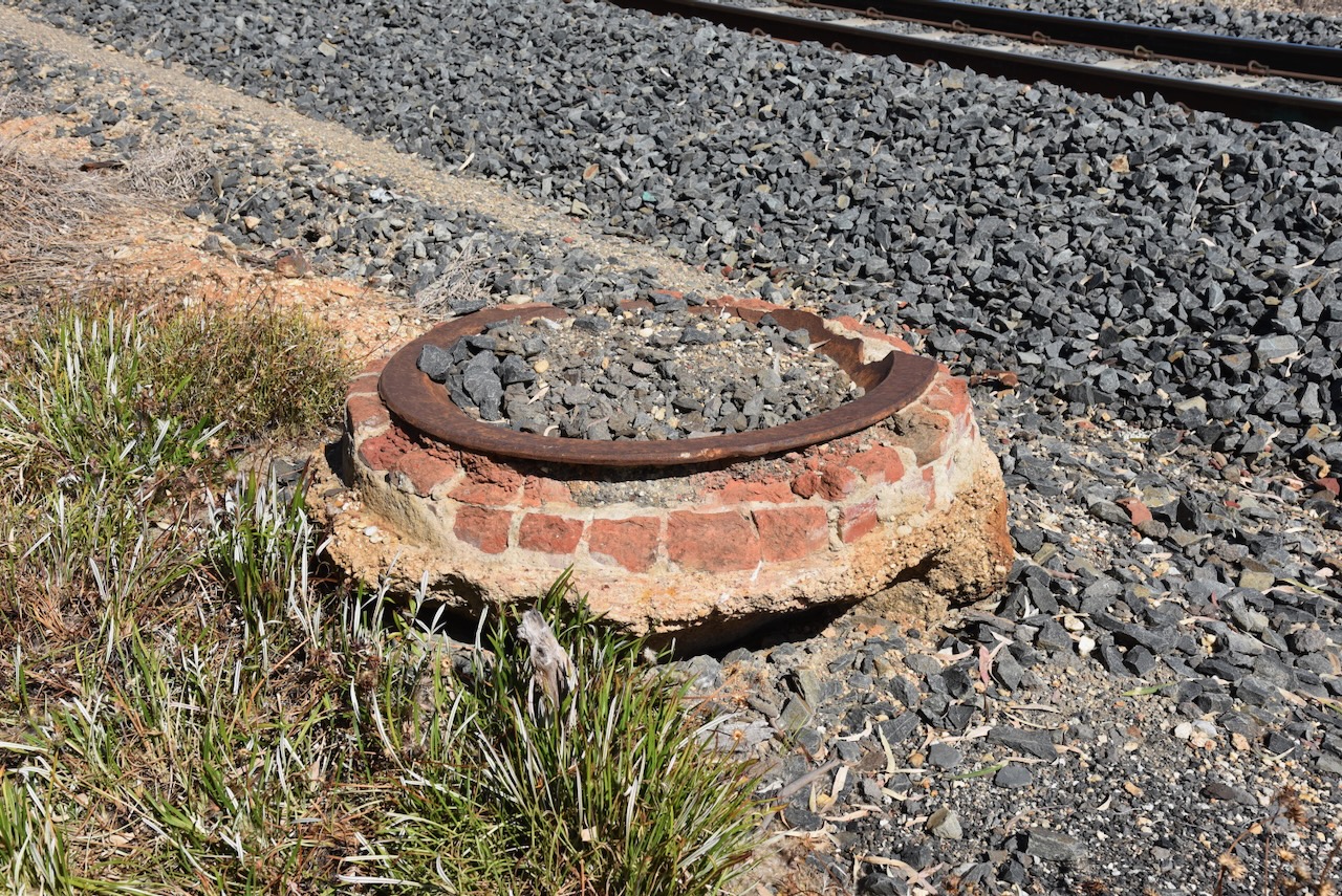
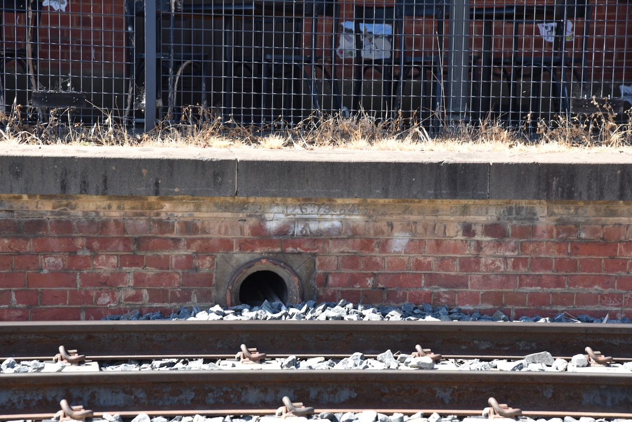
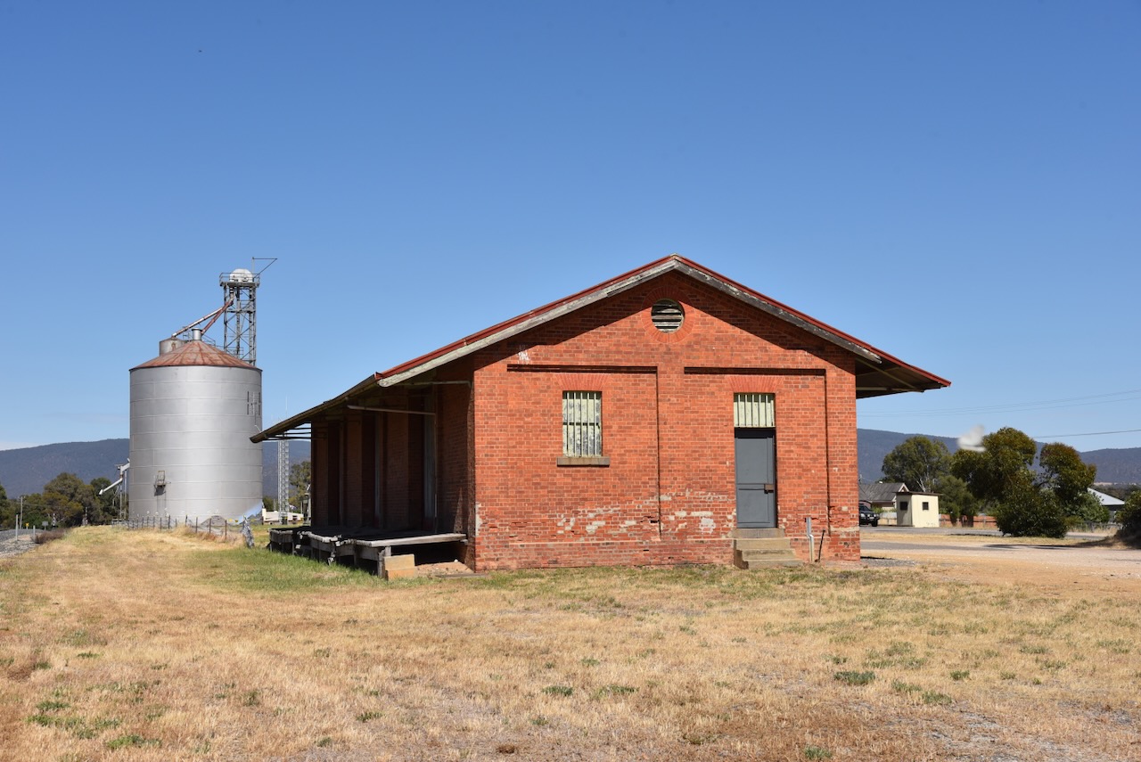
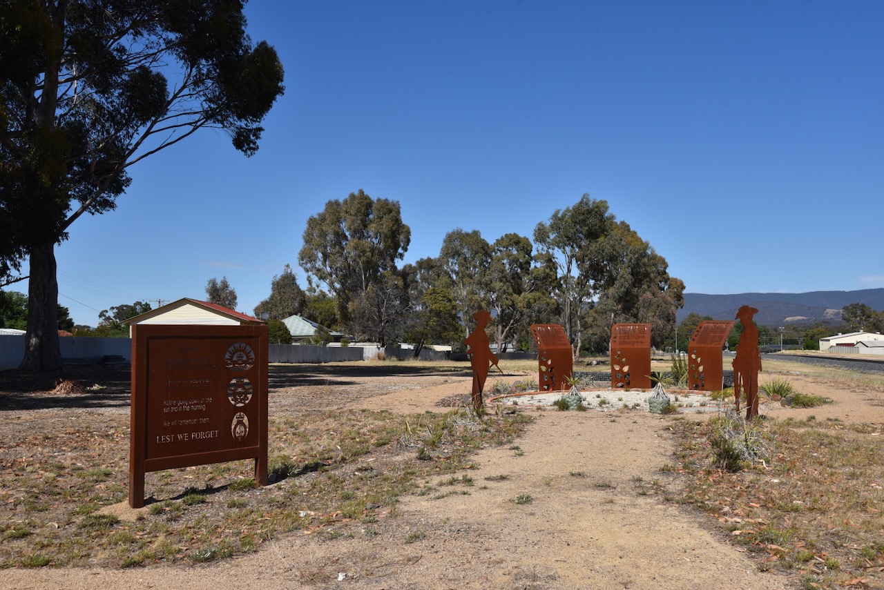
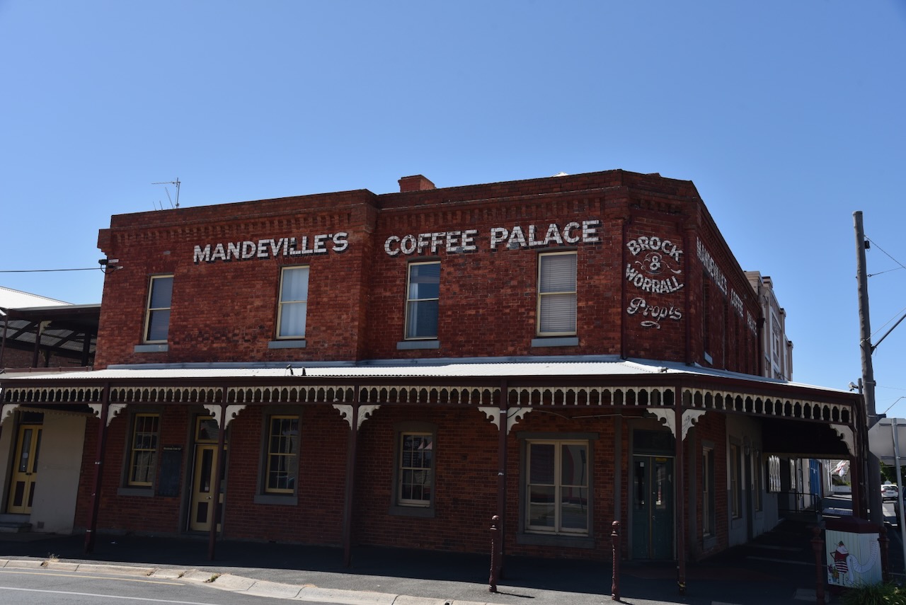
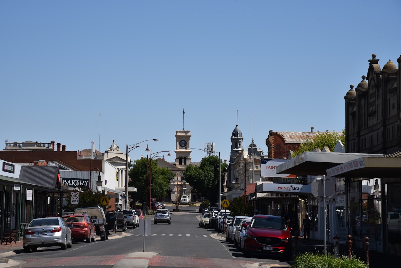
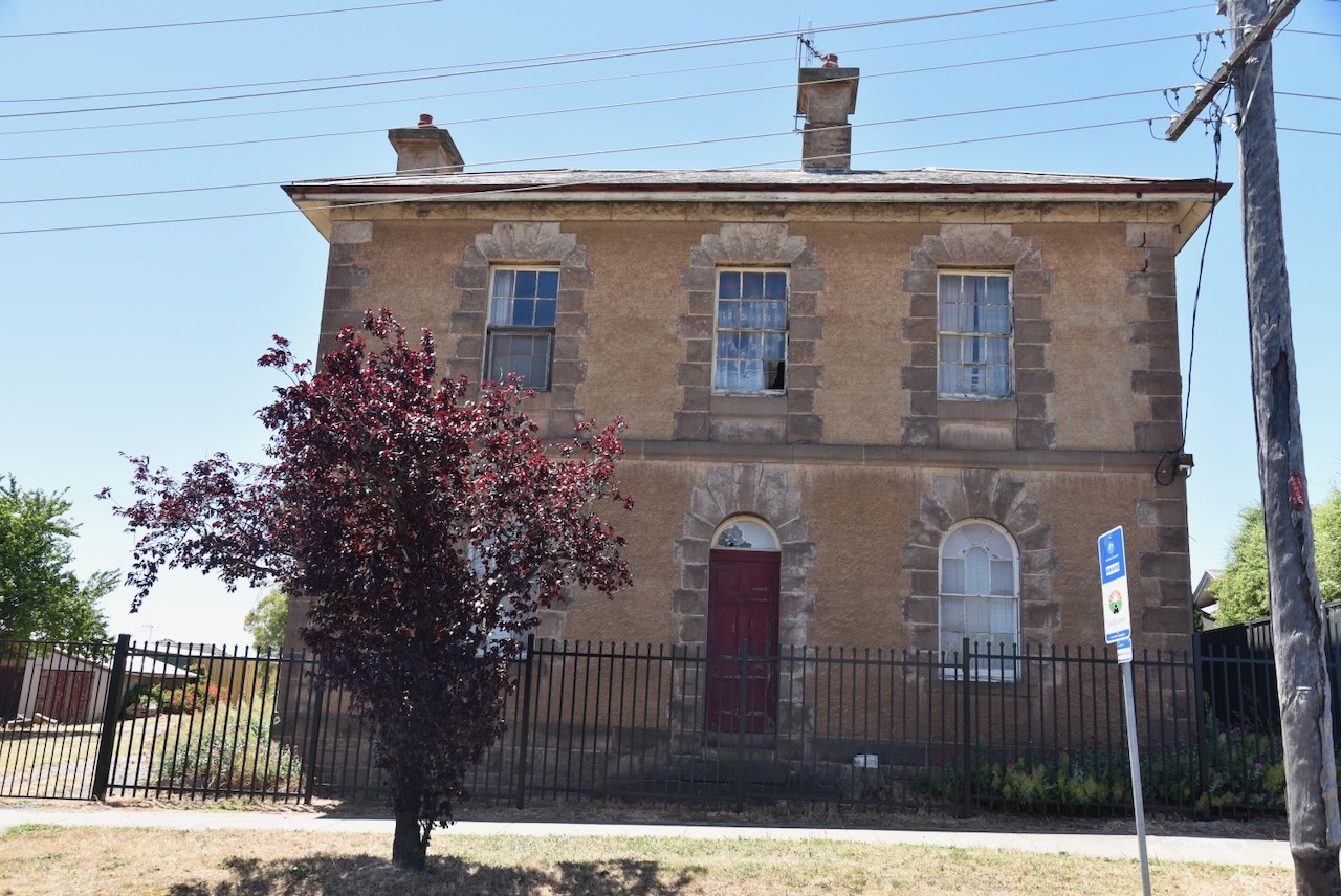
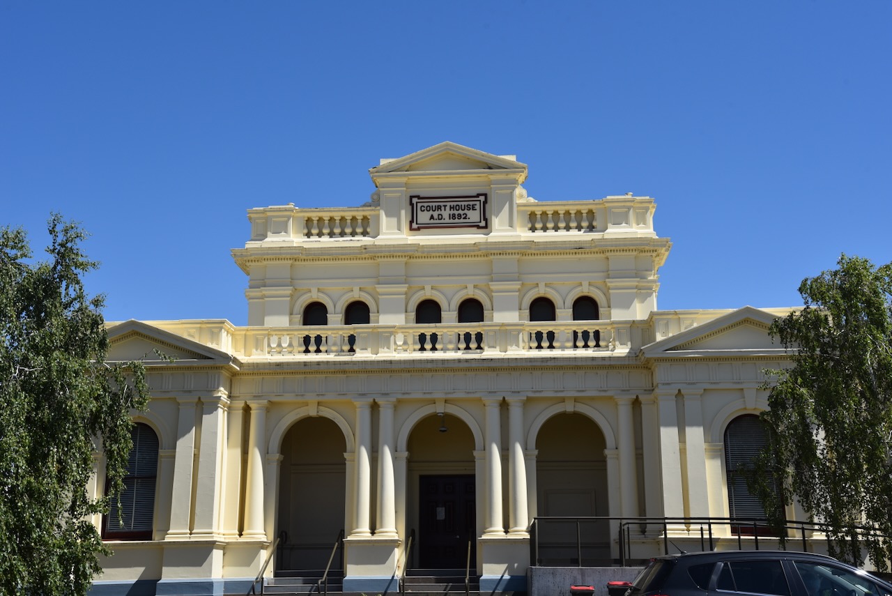
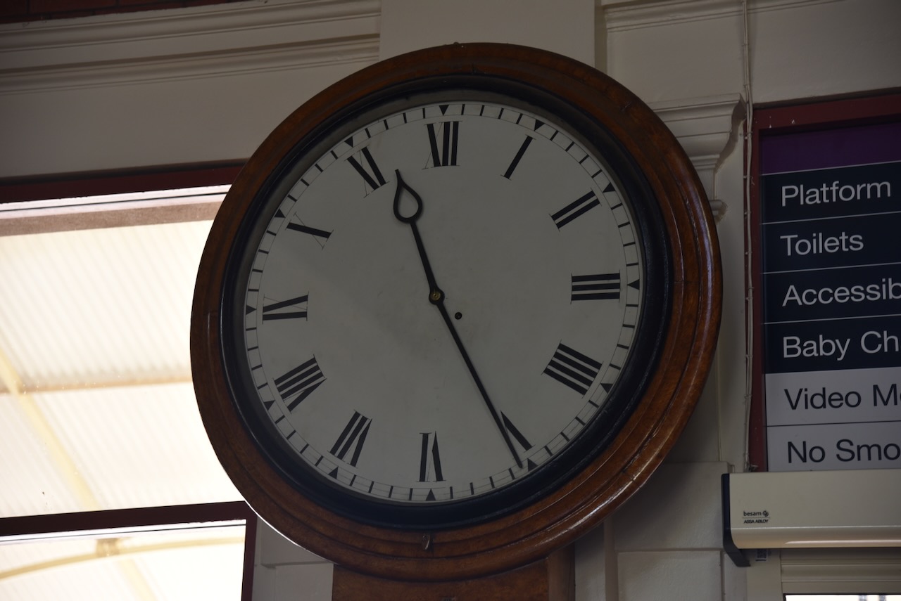
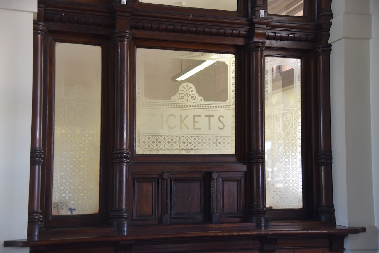
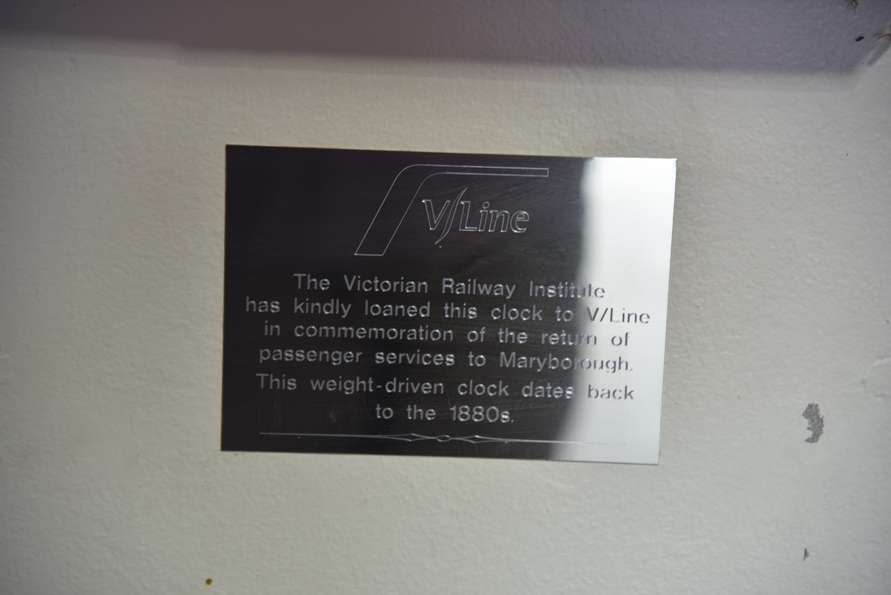
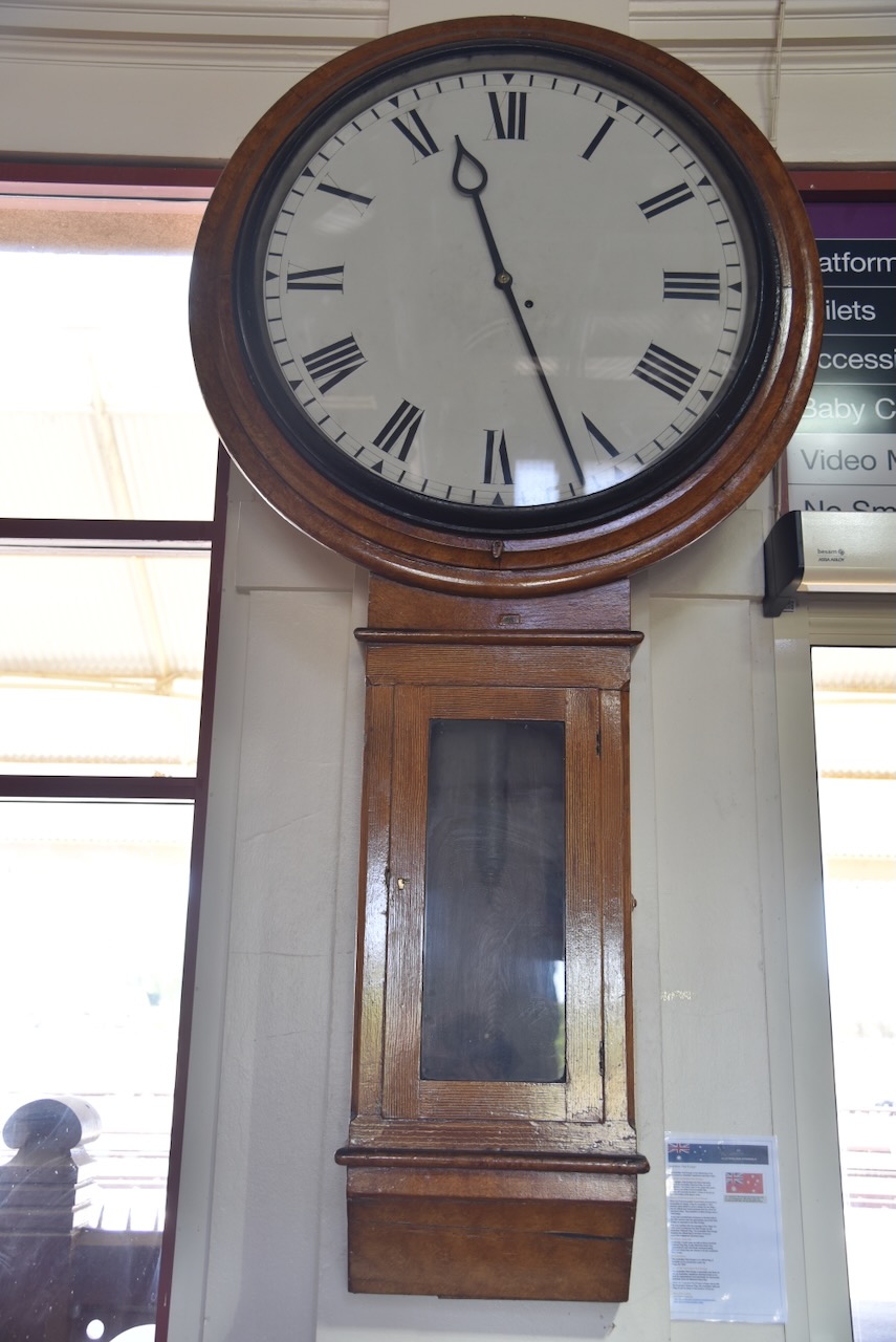
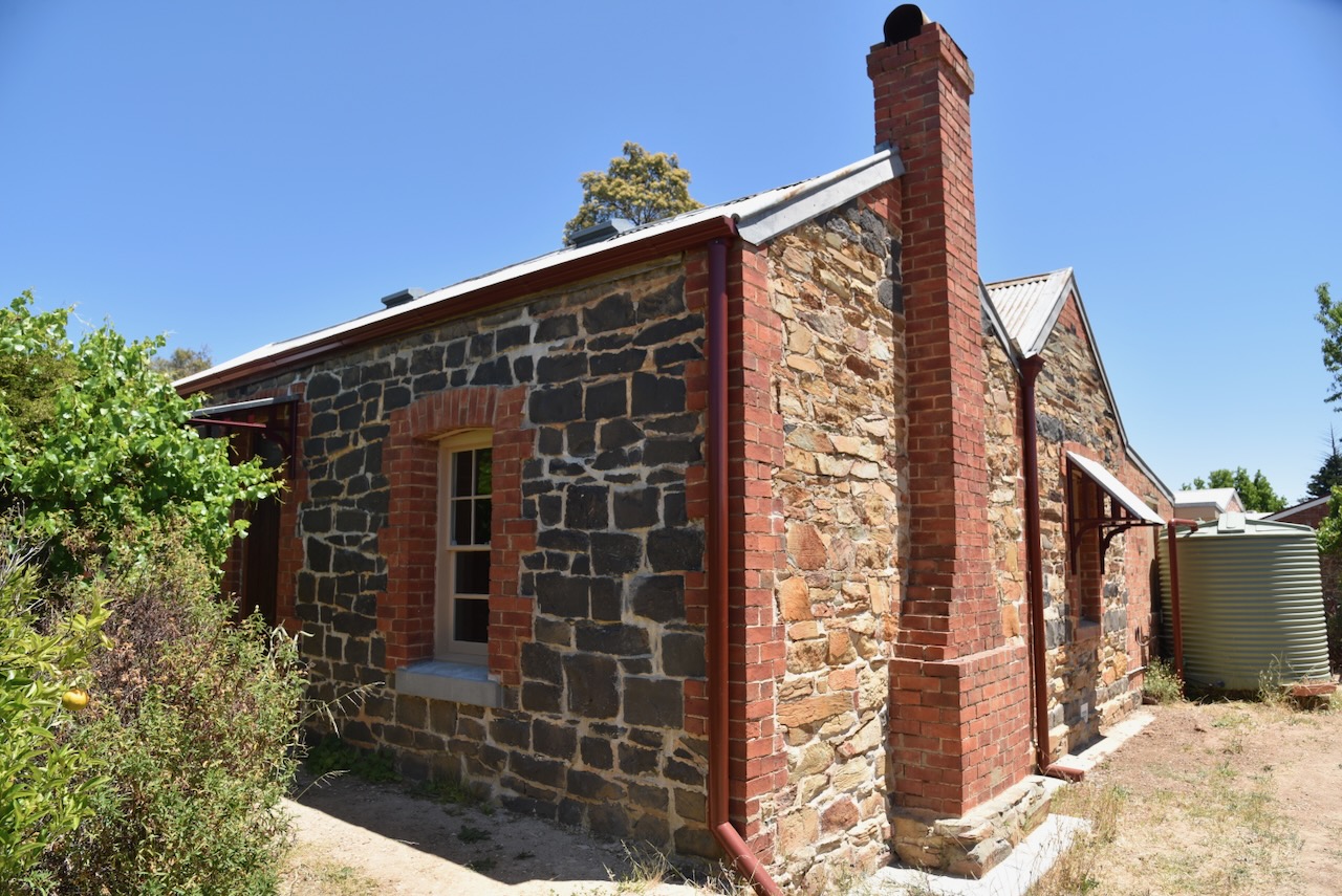
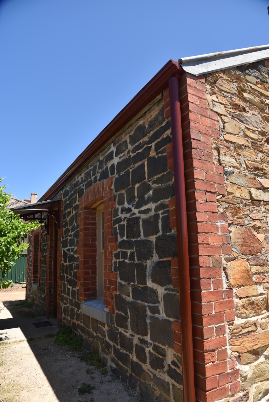
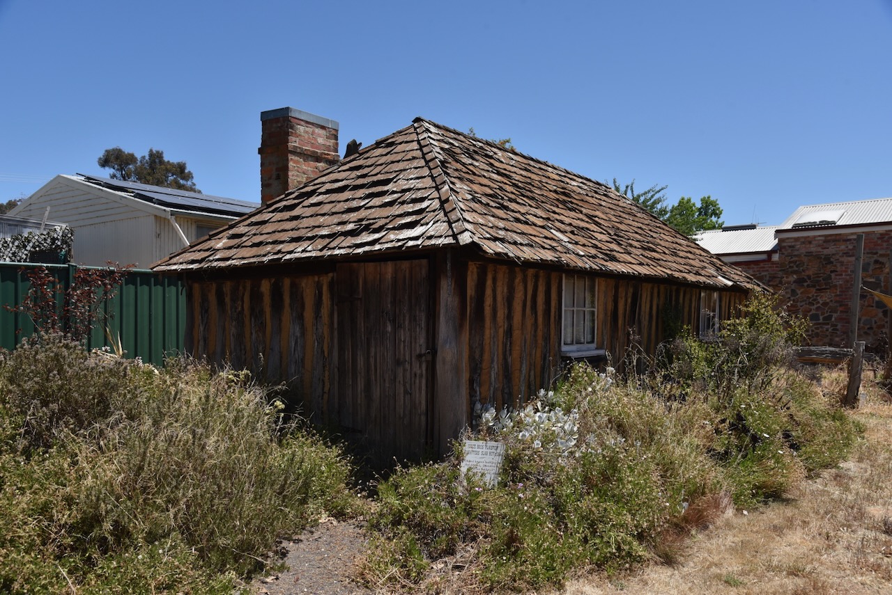
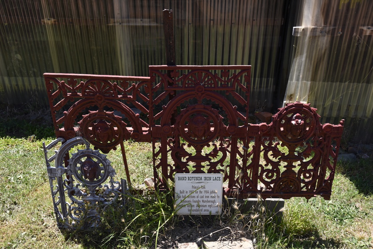
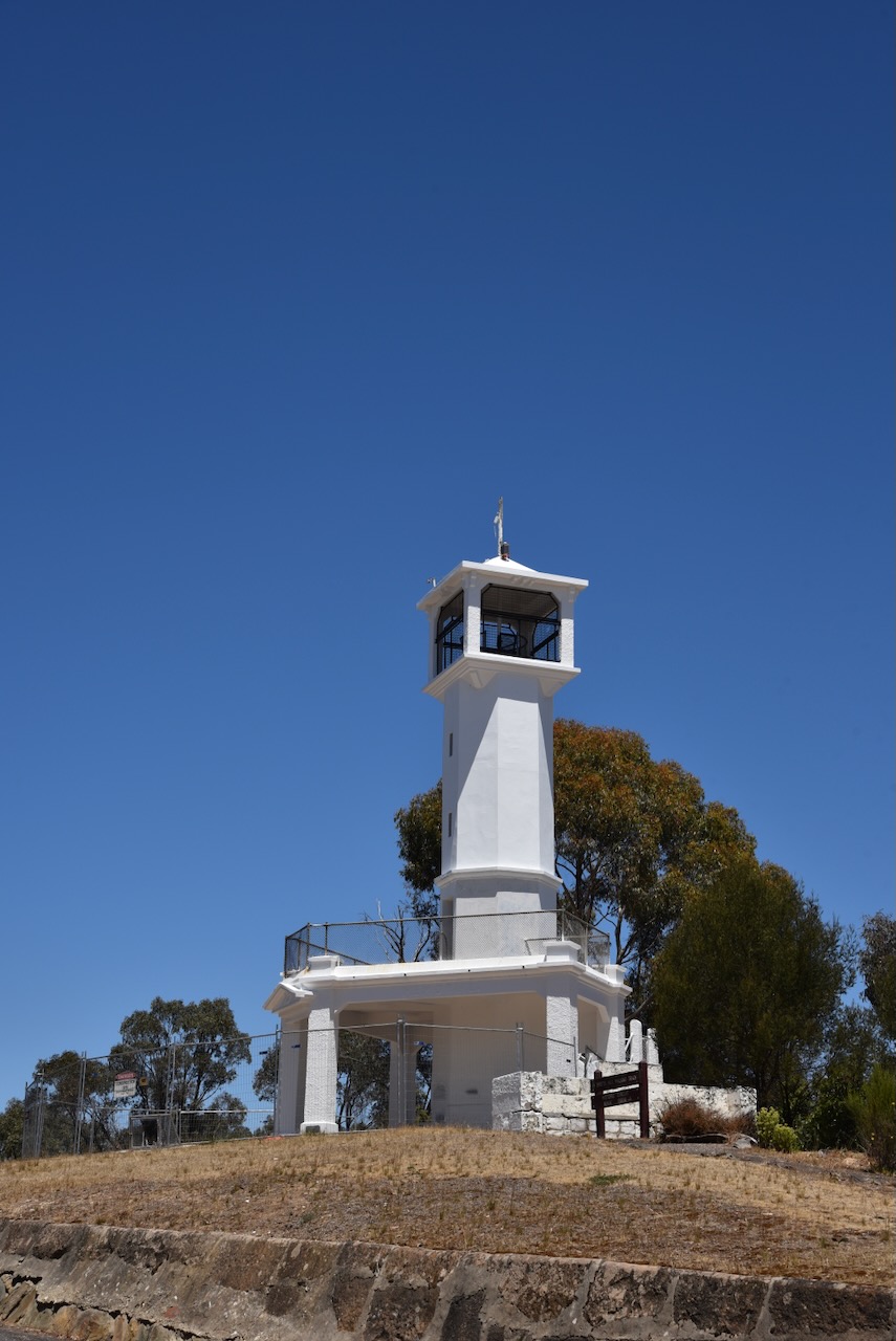
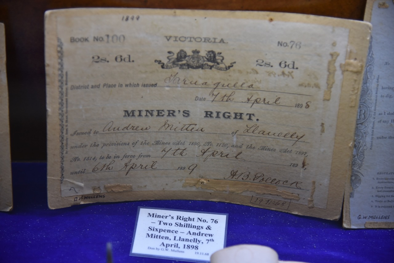
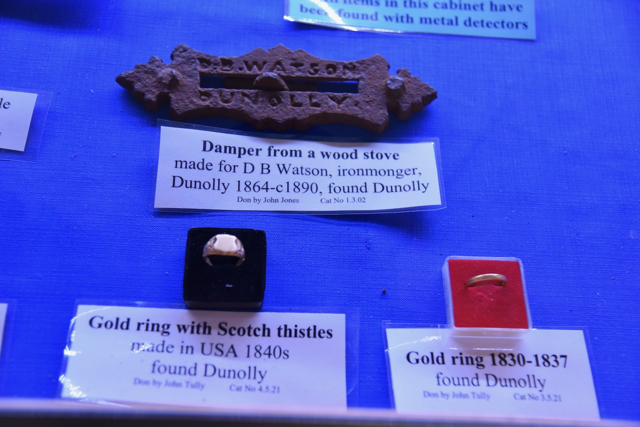
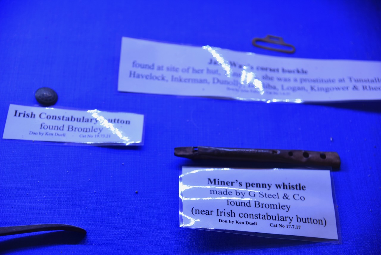
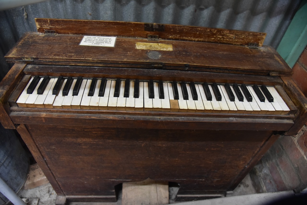
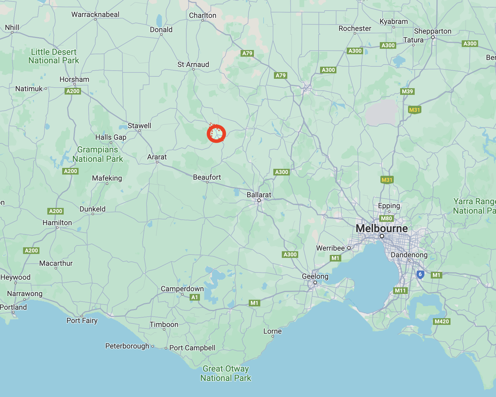
It was getting quite late in the afternoon (Wednesday 22nd November 2023) but I wanted to visit the historic town of Bealiba. Bealiba is about 40 km northwest of Maryborough and about 208 km northwest of Melbourne.
Above:- Map showing the location of Bealiba in Victoria. Map c/o Google Maps.
The first European to settle in the area was George Coutts in 1845. Coutts was born in January 1814 in Aberdeenshire Scotland and married Mary Peggie in 1834. They emigrated to Australia in 1841 and first settled at Moonee Ponds before moving to Bealiba. (Ancestry.com.au 2024) (Visit Maryborough 2005)
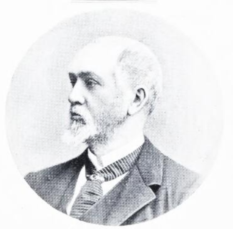
The Bealiba district was first known as Cochran’s after brothers John Cochran and James Cochran (b. 1827. d. 1906) who emigrated to Australia in the 1840s. In 1853 took up a pastoral run in the area. Gold was discovered in 1855 to 1856 and the area was known as Cochrane’s DIggings. When the town was surveyed and laid out it took on the name of Bealiiba after the Bealiba pastoral run. The name was later changed to Bealiba. It is believed that Bealiba comes from two aboriginal words, Bea meaning red gum and ba meaning creek. (Ancestry.com.au) (Visit Maryborough 2005)(Victorian Places 2024)
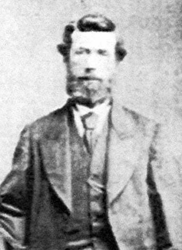
Above:- James Cochran. Image c/o Trove.
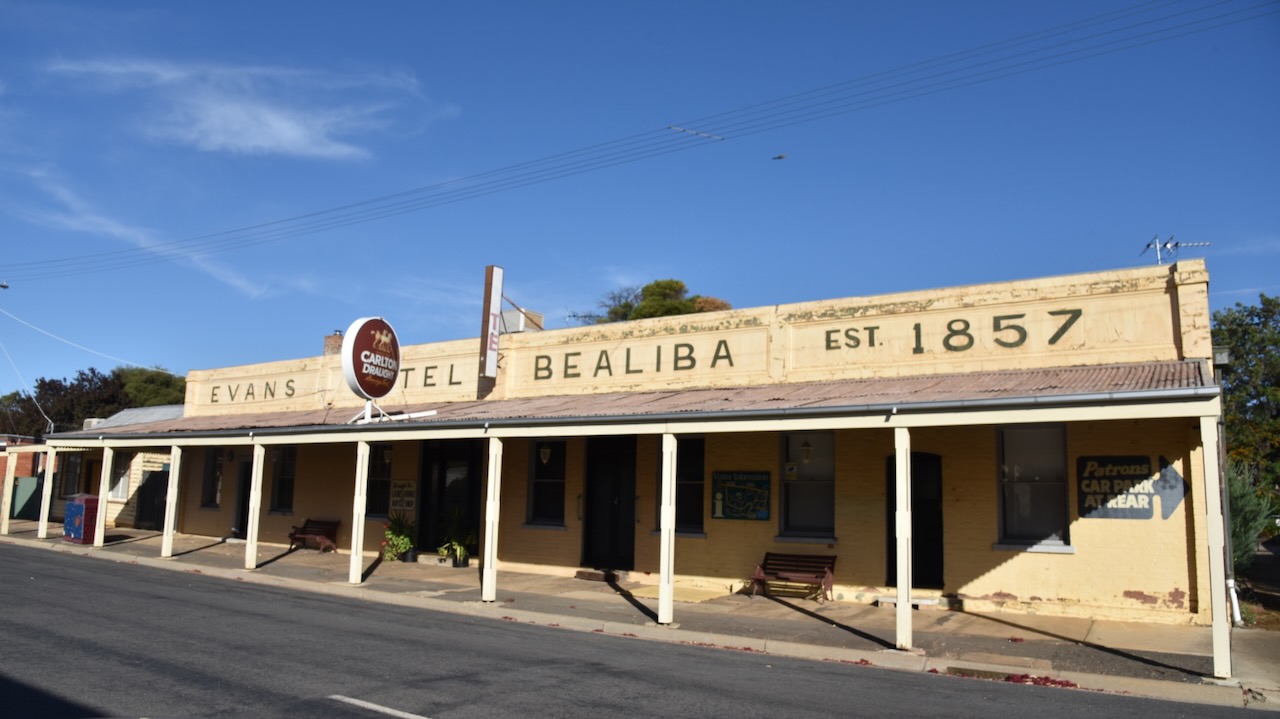
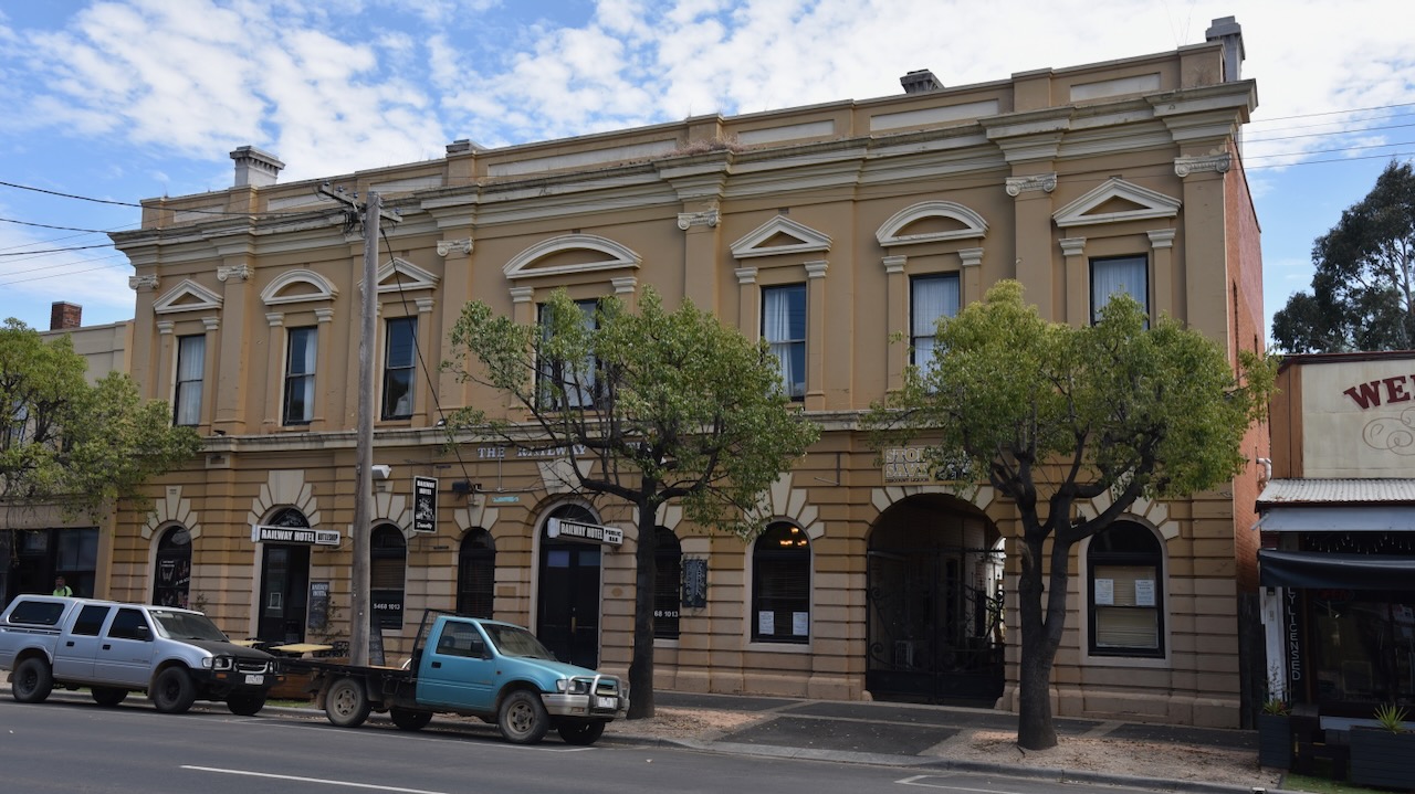
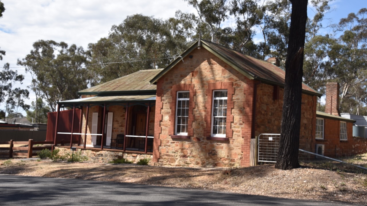
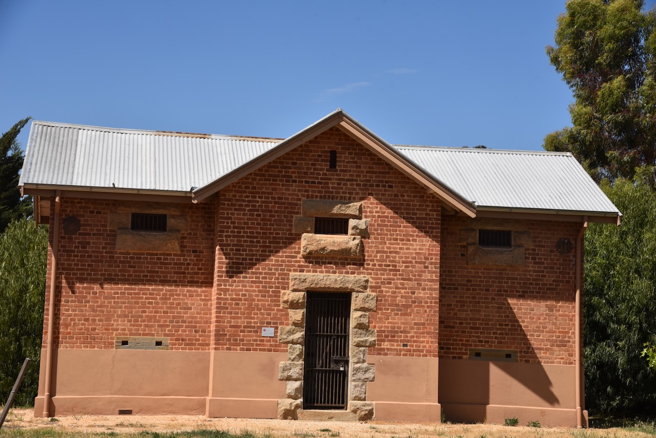
The town contains several historic buildings including the hotel built in 1857.
A school was opened in 1865. Bealiba also had a post office, a petty sessions court, three hotels and three quartz-crushing mills. In 1871 Bealiba’s population was 388 people. In 1878 the railway line from Dunolly to St Arnaud via Bealiba was opened. (Victorian Places 2024)
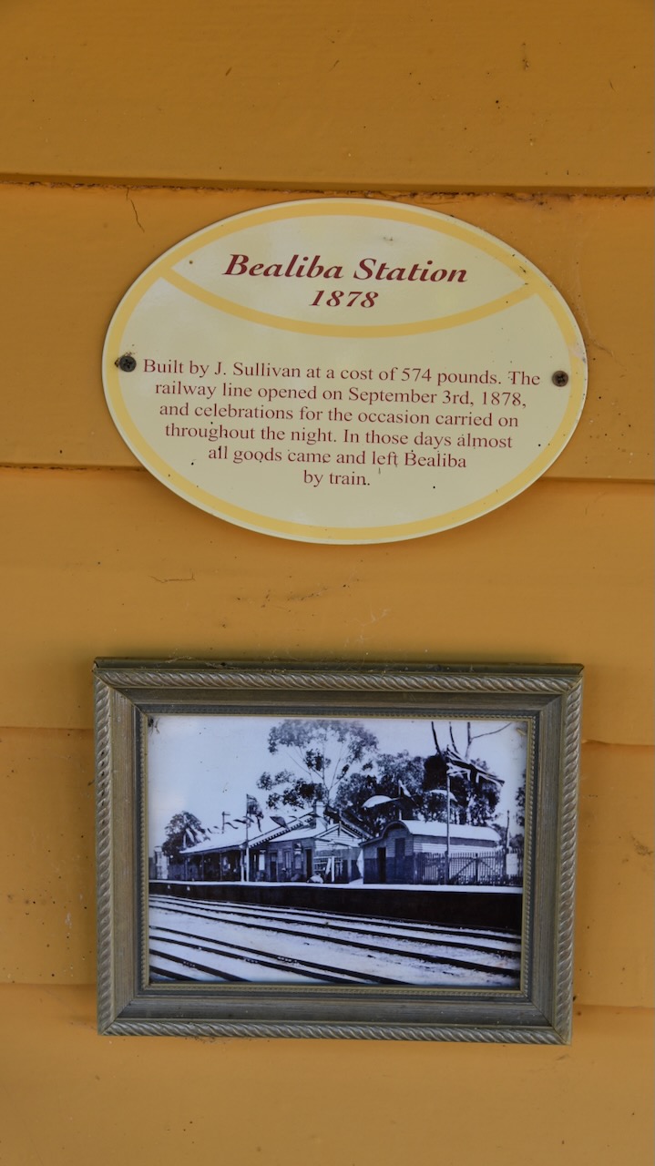
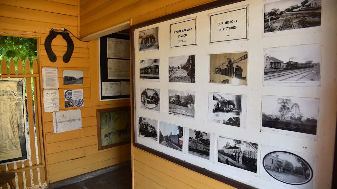
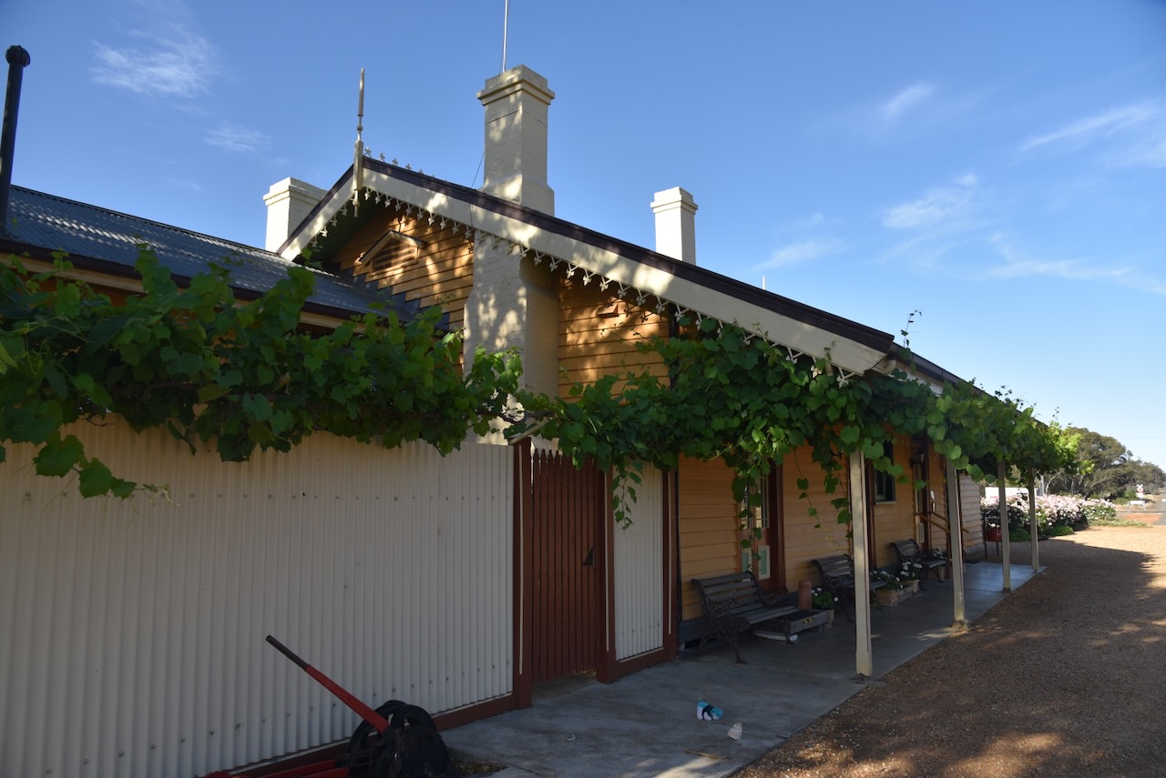
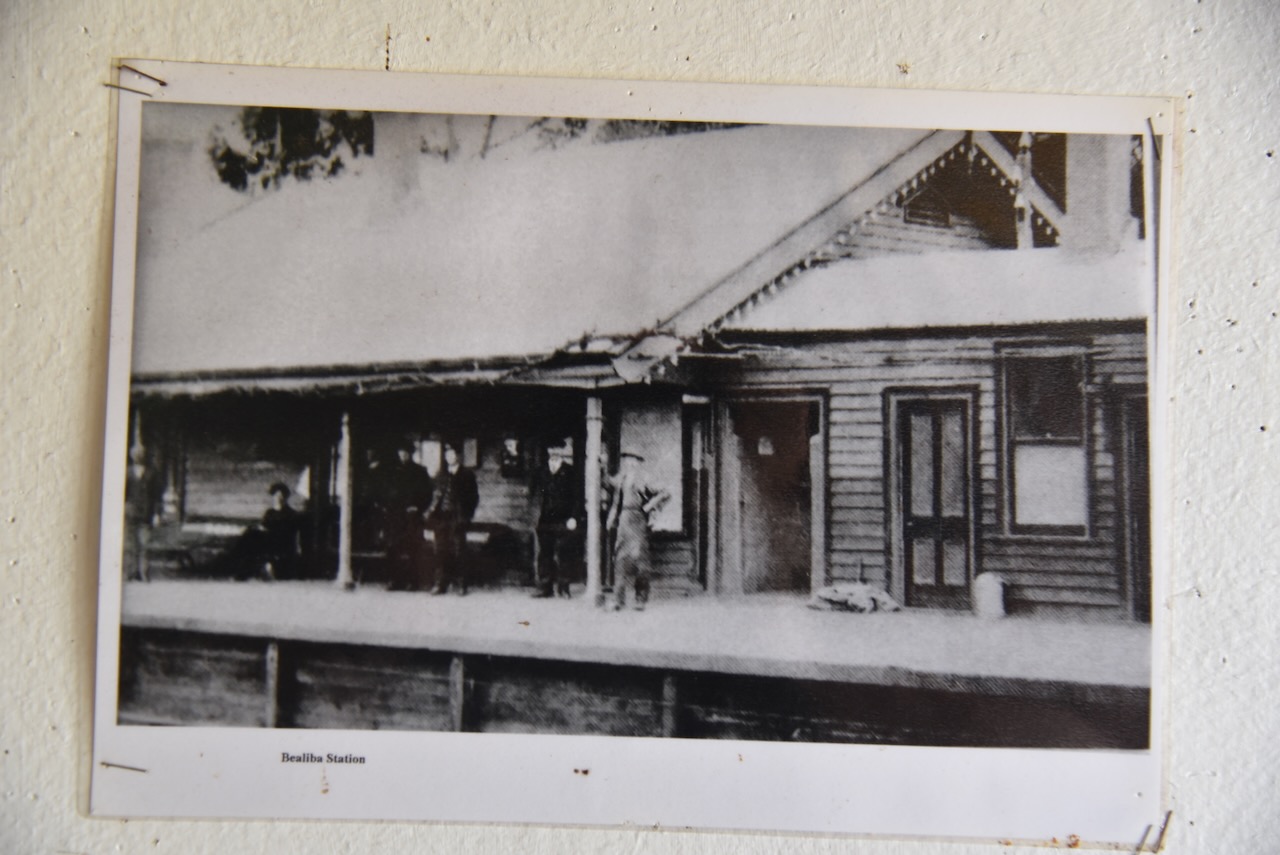
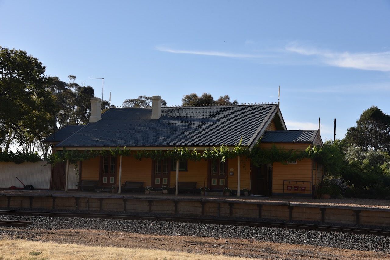
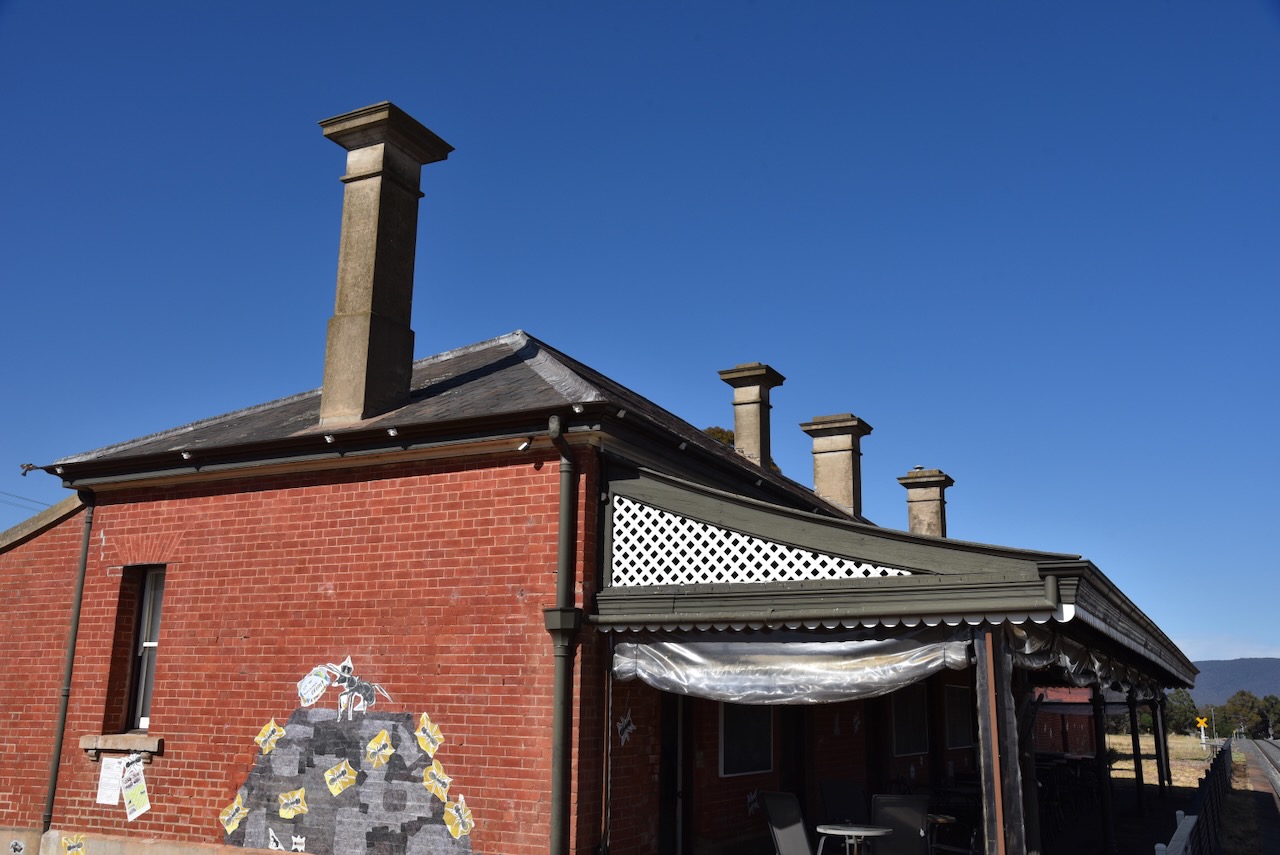
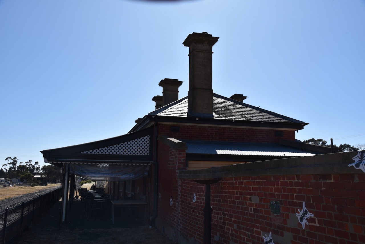
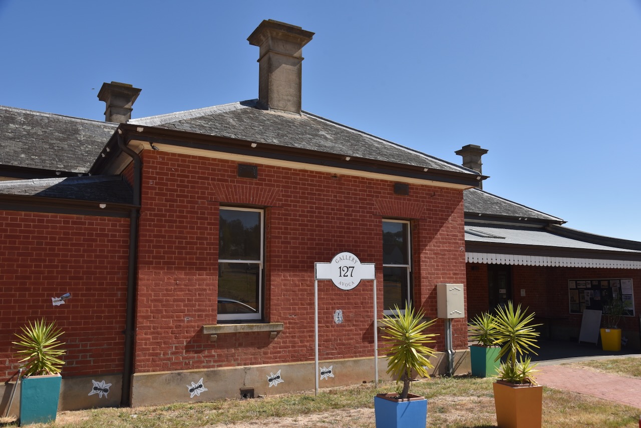
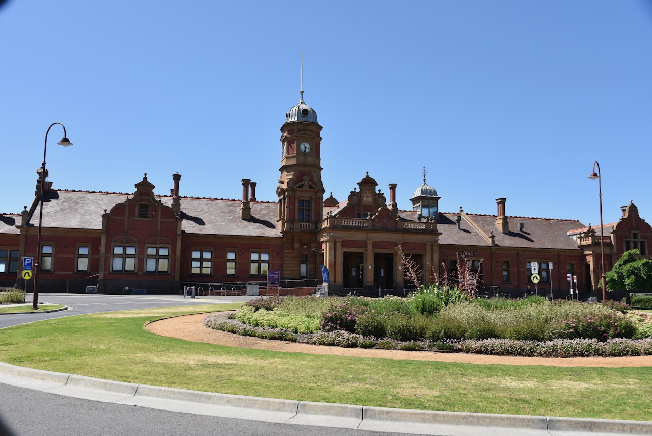
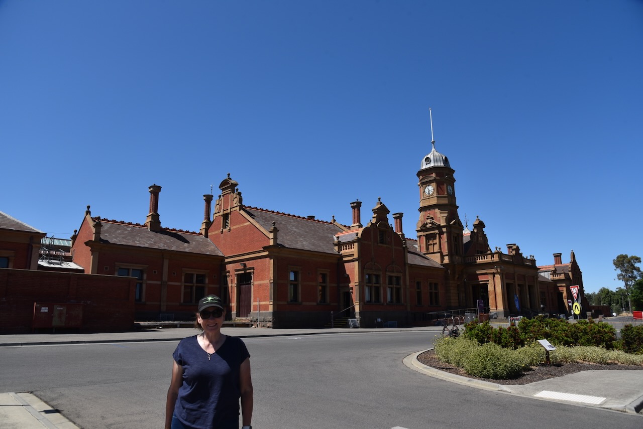
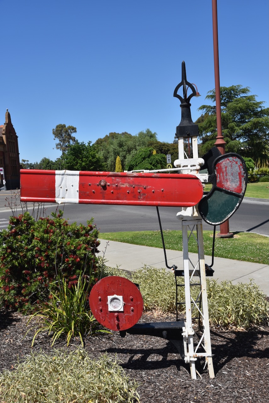
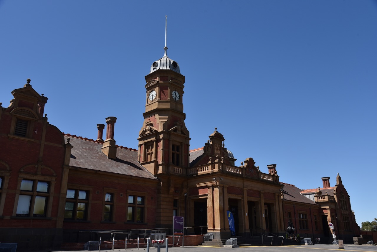
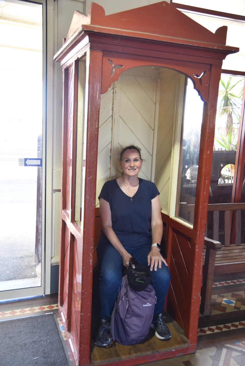
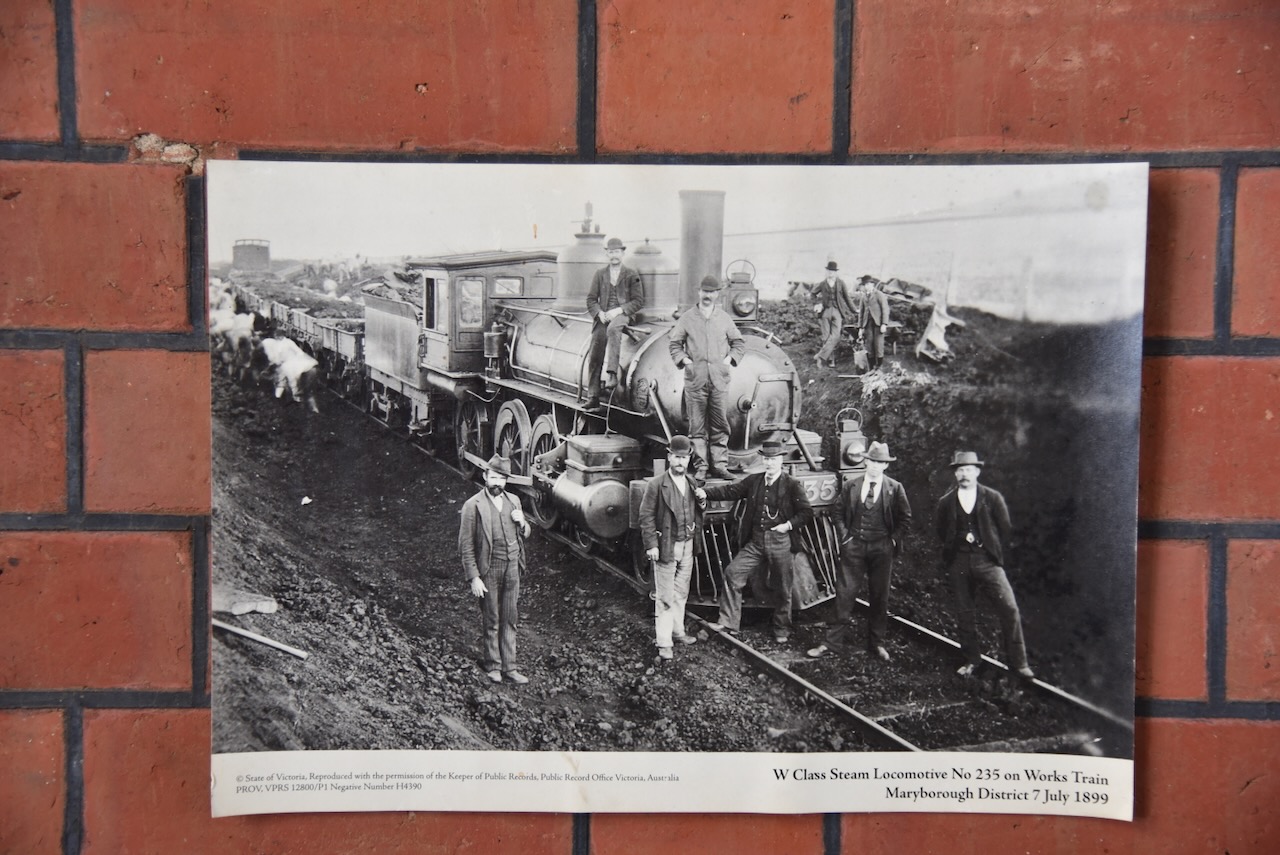
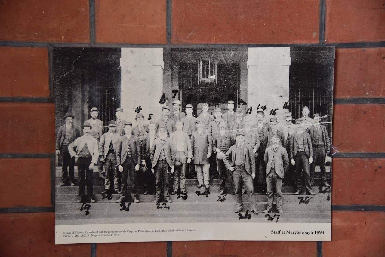
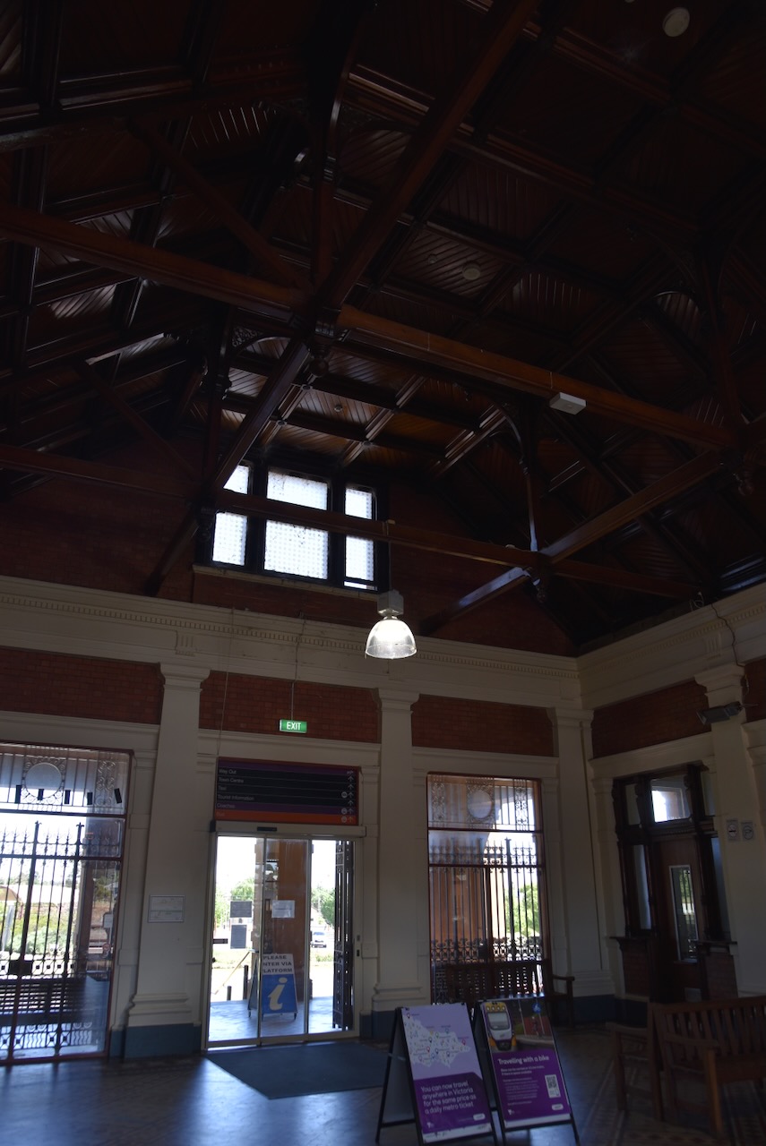
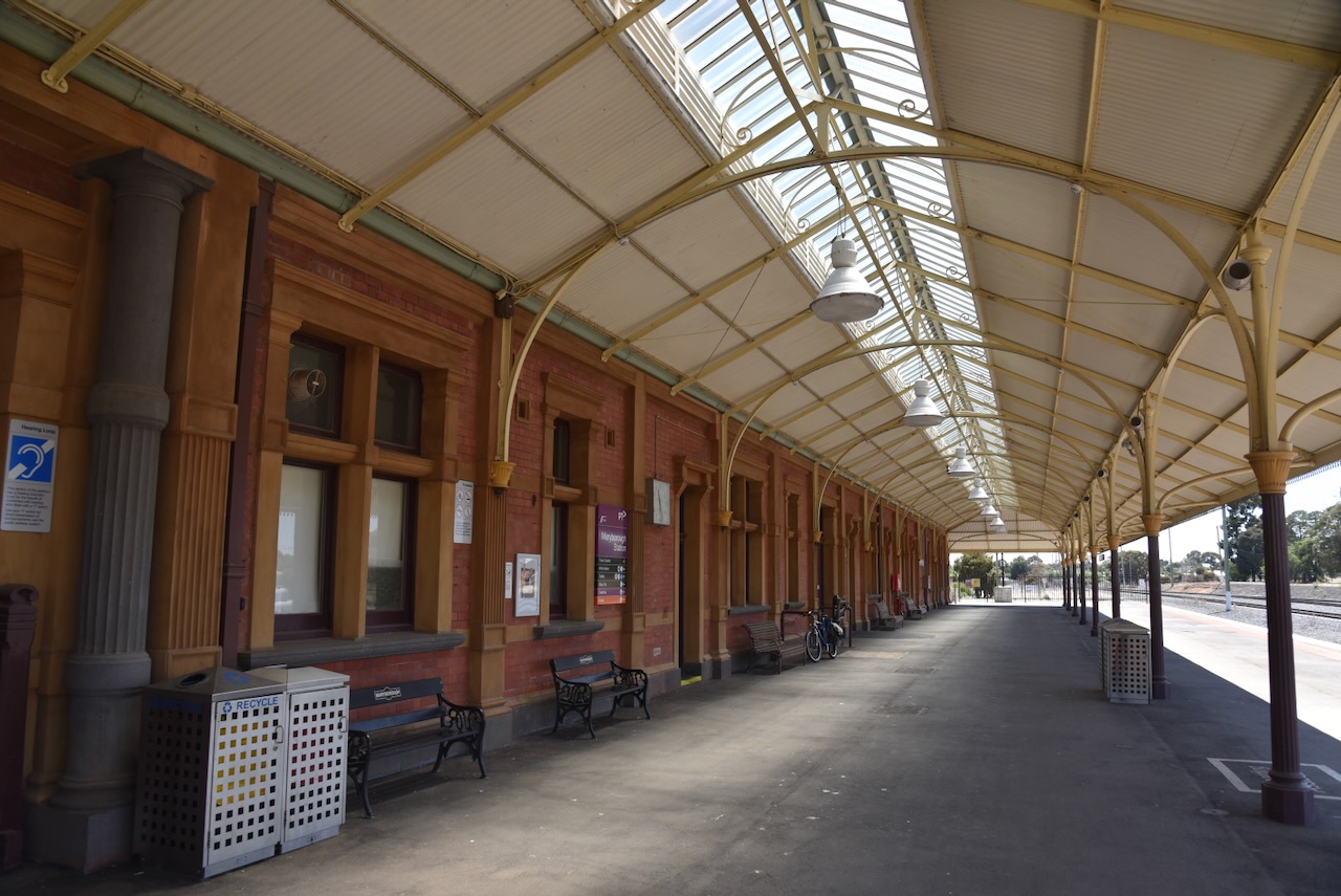
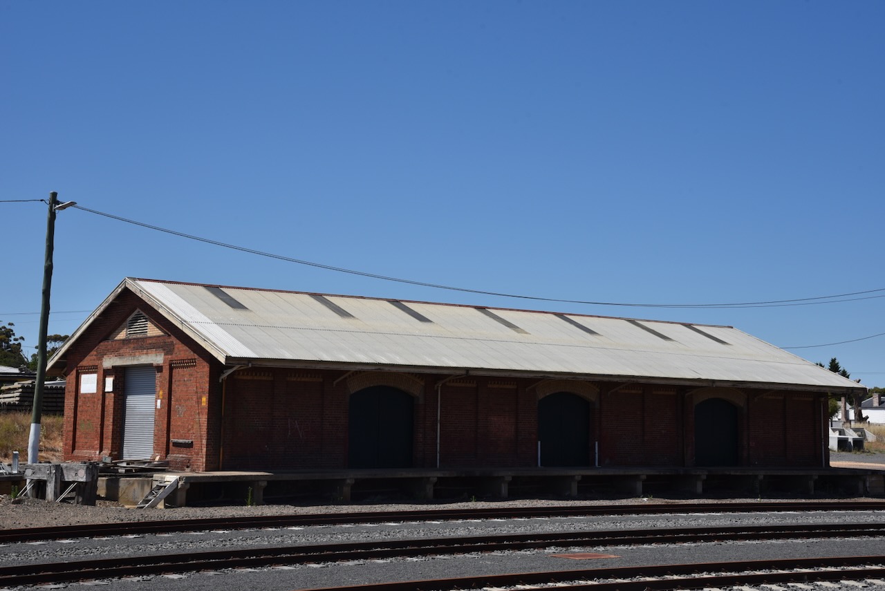
Following the extension of the railway line, a wooden railway station was built at Bealiba in 1878 by J. Sullivan at a cost of 574 pounds. The station includes offices and a residence for the Station Master. Other examples of these wooden stations included Cope Cope and Charlton which are now demolished. It was thought that the same fate may fall for the Bealiba railway station, but it was restored. (Stations Past 2024)
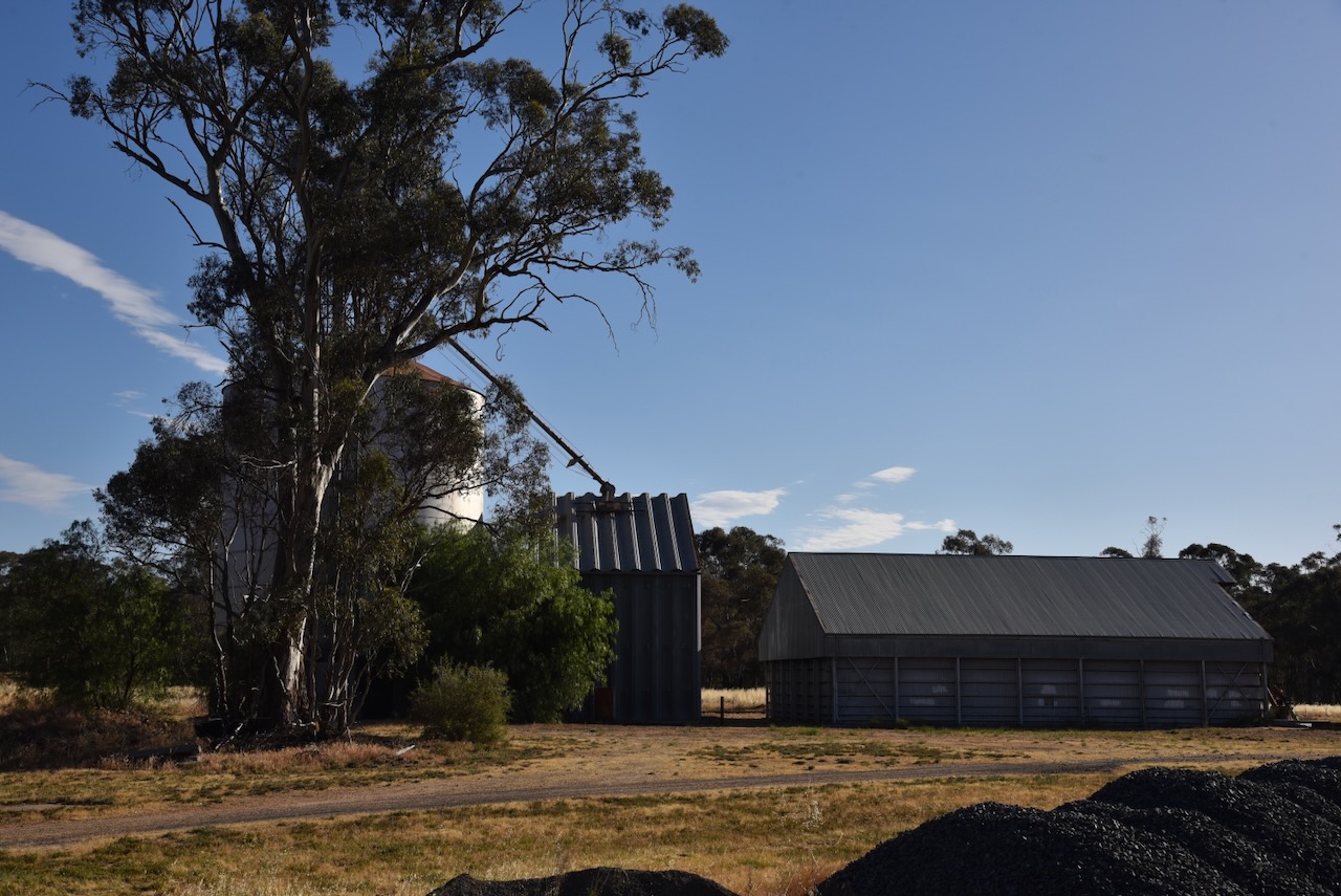
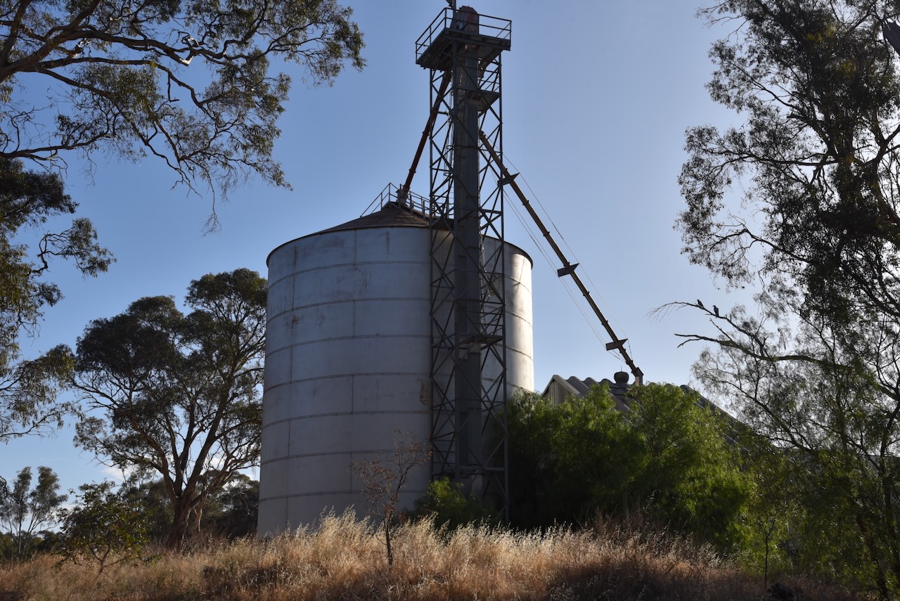
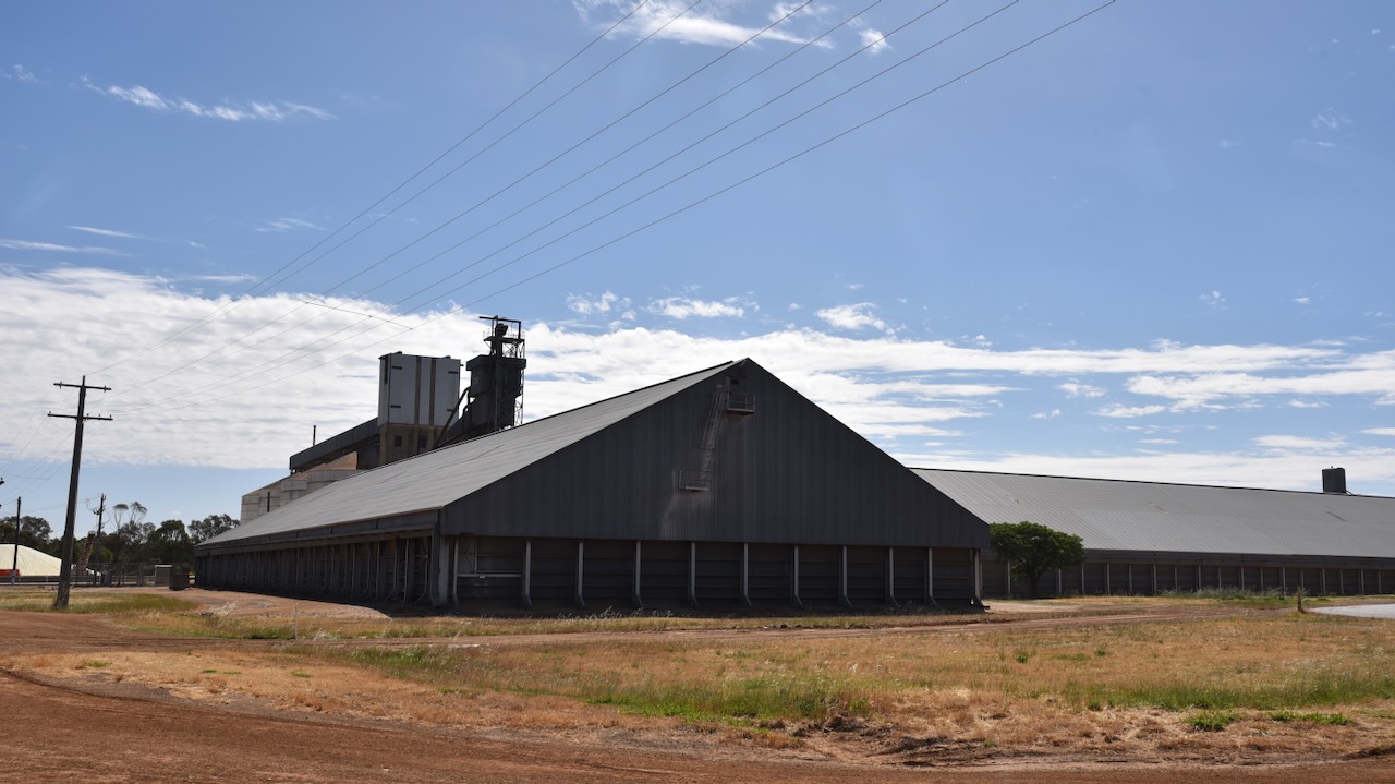
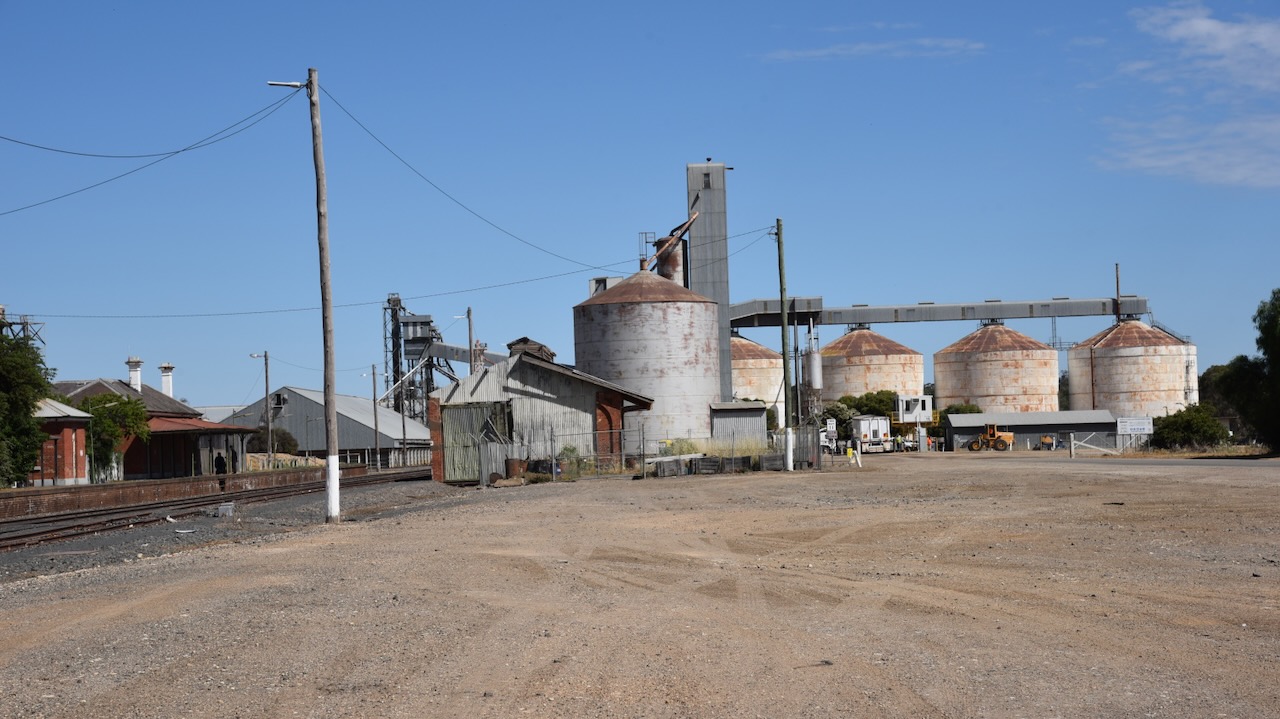
Marija and I decided to undertake a quick activation of the Bealiba silo for the Silos On The Air (SiOTA) program. The silo can be located on Park Lane.
We parked right alongside the silo and operated from the 4WD, running the Icom IC-7000, 100 watts, and the Codan 9350 antenna with the 1.5-metre stainless steel whip.
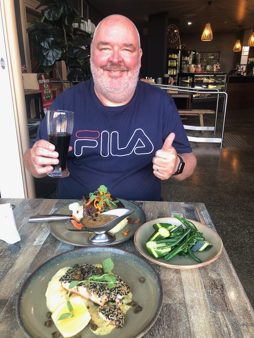
We then drove back to Maryborough where we enjoyed a very nice meal at the Bull and Mouth Hotel.
References.
Ancestry.com.au. (2016). Ancestry® | Genealogy, Family Trees & Family History Records. [online] Available at: https://www.ancestry.com.au/. [Accessed 15 Mar. 2024]
Our next activation for 22nd November 2023 was Mount Moliagul VK3/ VN-024 for the Summits On The Air (SOTA) program. Mount Moliagul is located about 21 km north of Dunolly and about 203 km northwest of Melbourne.
Above:- Map showing the location of Mount Moliagul. Map c/o Google Maps.
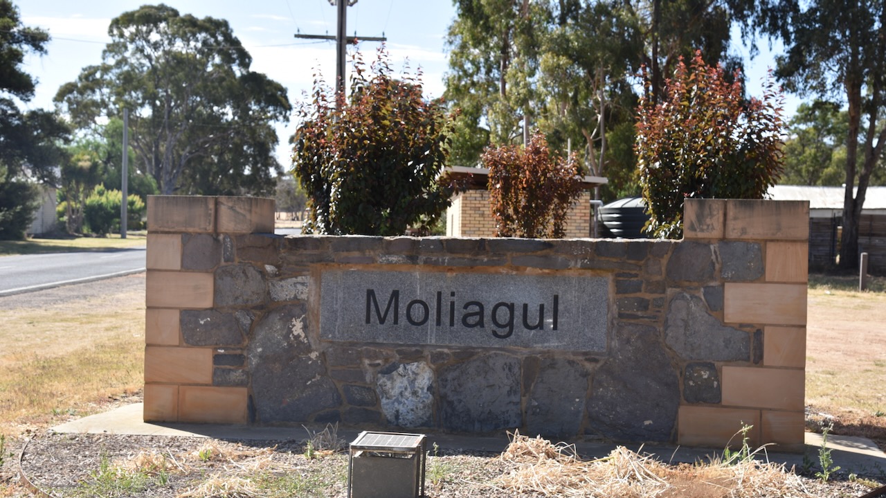
Although not many buildings remain, Moliagul is certainly one of the most interesting places I have been to in Australia due to its rich history. And I suspect most people do not know about Moliagul’s place in history.
Before European settlement, the Moliagul area was the home of the Wemba Wemba aboriginal people. Moliagul is an aboriginal word meaning ‘wooded hill.’ (Aussie Towns 2024)
By the late 1840s pastoralists and settlers had commenced taking up land in the district (Aussie Towns 2024)
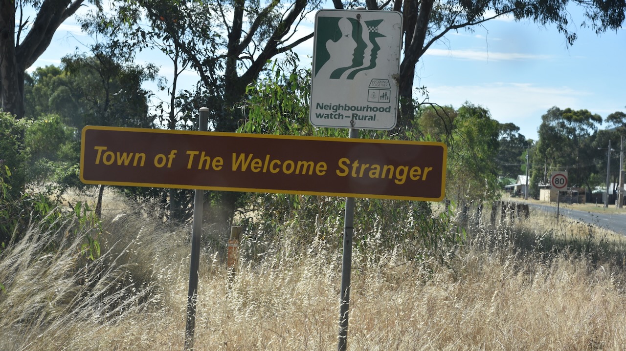
Gold was discovered at Queens Gully near Moliagul in late 1852 and was one of the earliest finds of gold in the Dunolly district. Several notable nuggets were located. The most famous was the Welcome Stranger in 1869 weighing in at a gross weight of 2,520 ounces (about 70 kilograms). More about the Welcome Stranger a little later in this post. (Aussie Towns 2024) (Victorian Places 2024)
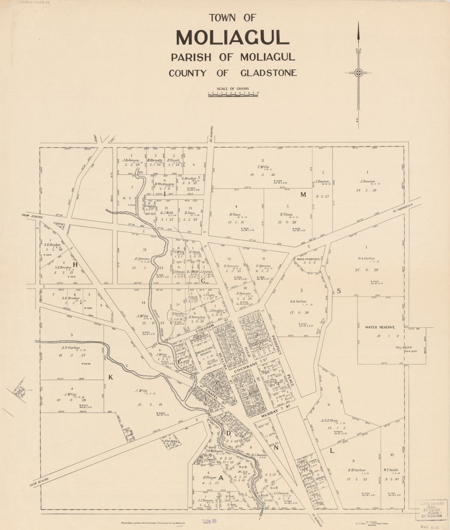
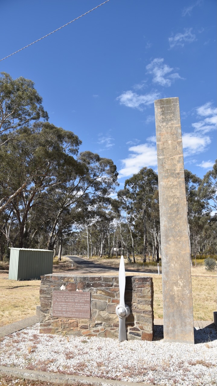
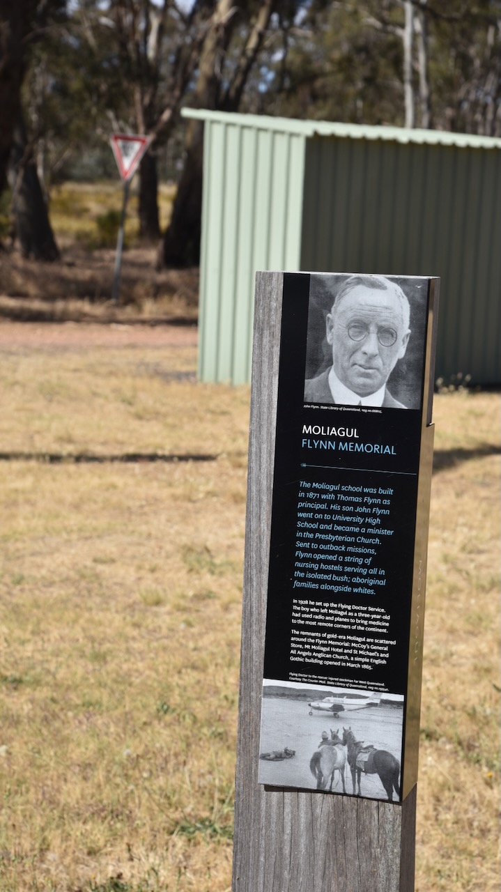
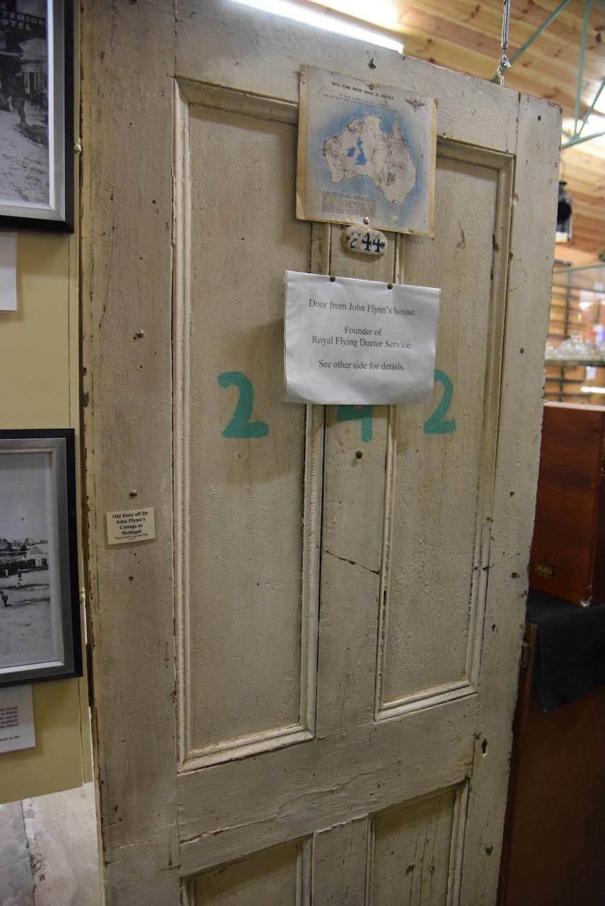
The first survey of the Moliagul township was conducted in 1859 by Henry Morris. The surveyed government site was on a hill to the east of the present main street. Settlers who had built premises on the flat near the creek, refused to purchase the sites on the hill when they came up for sale. In 1862 Dunolly Surveor Phillip Chauncey offered both sites for sale. The first sale of land at Moliagul took place on the 5th day of September 1862. In 1869 a school was opened and in 1863 this was moved to a Primitive Methodist chapel. It was rebuilt on a further site in 1872. The school’s head teacher was Thomas Flynn, the father of John Flynn, the founder of the Australian Inland Mission and Royal Flying Doctor Service. (Bannear 1980) (Victorian Places 2024)
Above:- A map of the town of Moliagul. Image c/o State Library Victoria.
Thomas Eugene Flynn was born on the 1st day of September 1852 in England. He emigrated to Australia and in 1876 he married Rosetta Forsythe Lester. They had four children. Their third child John Flynn was born on the 25th day of November 1880 in Moliagul. Sadly his mother Rosetta died in 1883 when John was just 3 years old.
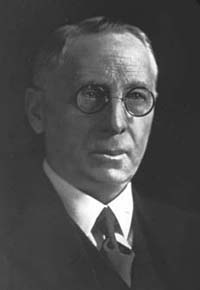
After graduating from secondary school, Flynn studied theology at college and in 1907 commenced a four-year course in divinity at Melbourne University. He graduated in 1910 and on the 24th day of January 1911, Flynn was ordained a Minister of the Presbyterian Church. He performed missionary work in rural and remote areas of Victoria and South Australia. In 1912 he was appointed the head of the Australian Inland Mission, an organisation formed to minister to the spiritual, social and medical needs of people living in outback Australia. (RFDS 2024)
Above:- John Flynn. Image c/o Wikipedia.
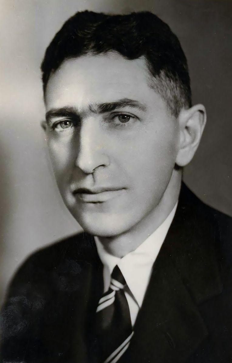
From about 1917, Flynn campaigned for an aerial medical service. A long-time supporter of Flynn was Hugh Victor McKay, an Australian industrialist, famous for heading the company that developed the first commercially viable combine harvester, the Sunshine Harvester. He left a large bequest for ‘an aerial experiment’.
Above:- H.V. McKay. Image c/o Wikipedia
At about this time Flynn also met Hudson Fysh, a founder of QANTAS, and in 1927 QANTAS and the Aerial Medical Service signed an agreement for an aerial ambulance to fly from Cloncurry in Queensland. This was the birth of the Royal Flying Doctor Service, originally known as the Aerial Medical Service. (RFDS 2024) (Wikipedia 2024)
Above:- Hudson Fysh. Image c/o Wikipedia
The first aircraft to fly for Flynn was named ‘Victory’ in honour of H.V. McKay and took off from Cloncurry Queensland on the 17th day of May 1928. The pilot was Arthur Affleck and the doctor was Dr. Kenyon St Vincent Welch. (RFDS 2024)
Below is an excellent video on John Flynn and the history of the Royal Flying Doctor Service.
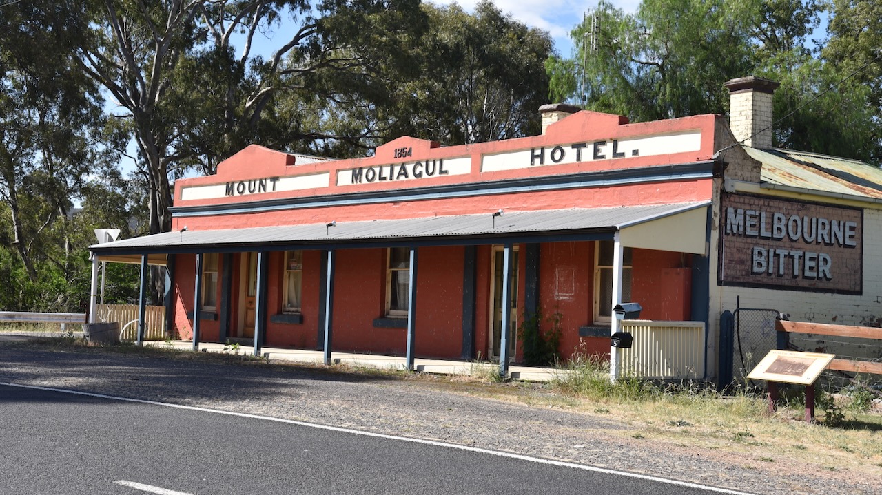
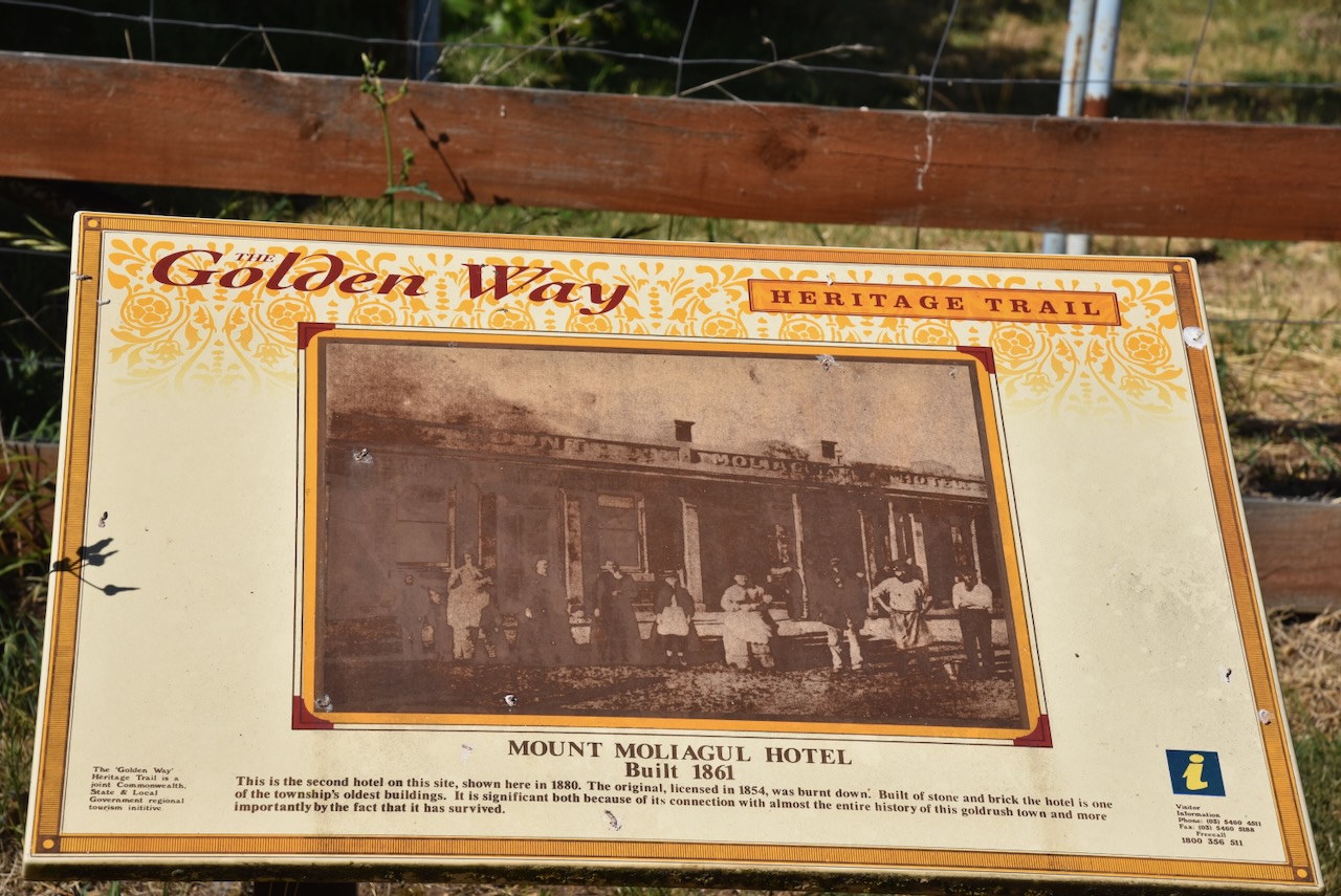
Not much remains at Moliagul which was once a thriving gold mining town. One of the surviving buildings in the town is the old Mount Moliagul Hotel built in 1861. The current building is the second hotel on this site. The original hotel was licenced in 1854 and was burnt down. (Aussie Towns 2024)
We then headed to the site where the famous Welcome Stranger nugget was found.
Gold was discovered at Queens Gully in the Moliagul area in late 1852, resulting in a gold rush in the district. In 1853 a police camp was established to keep law and order among the thousands of miners who were seeking their fortune. The police camp included a Sub Inspector, two Sergeants, a Corporal, six mounted and twelve-foot Constables, a Postmaster, a Clerk and a Tent Keeper. By January 1853 there was a store, a butcher’s shop and a blacksmith’s shop. The first Gold Commissioner’s camp in the district was set up, with Commissioner William Templeton issuing the gold licences. (Bannear 1980)
Another significant rush occurred in July 1855 when gold was found at Little Hill. By 1855, a total of 16,000 diggers were in the area. The main street of Moliagul was nearly one mile long and was jammed with saloons. Over the following years, gold became harder to find and many of the miners left the district for more popular goldfields. It would not be until 1869 that Moligaul would become world-famous with the discovery of the largest alluvial gold nugget ever discovered. (Aussie Towns 2024)
John Jenkins Deason was born in 1829 in Cornwall England. He emigrated to Australia in 1854 at age 24, arriving at Port Phillip Bay on the 14th day of December 1854. (Goulburn Herard, Trove 2024)
Richard Oates was born in 1829 in Cornwall England. He emigrated to Australia in the late 1860s.
Above:- Richard Oates. Image c/o Gee/Williams Family Tree, ancestry.com.au
It is believed that John and Richard had known each other from boyhood in Cornwall and had been choirboys together in Cornwall. They spent some time in Bendigo seeking gold but were unproductive and moved to Moliagul. (Rootsweb 2021)
In 1866, Deason and Oates discovered a 1.1 kg (36 ounces) gold nugget, inspiring them to continue seeking gold.
On Friday the 5th day of February 1869, between 9.00 a.m. and 10.00 a.m. Deason was prospecting near Black Reef, Bulldog Gully near Moliagul. He was just 80 ‘yards’ from his house. While searching around a tree’s roots, he discovered a gold nugget about 2.5 centimetres below the ground’s surface. He tried to lever out the nugget and broke the handle of his pick in the process. It is reputed that Deason said “damn it, I wish it was a nugget, and had broken the pick.’ (Aussie Towns 2024)(Goulburn Herard, Trove 2024) (Gold Net Australia 2000) (Scilonian 2024)
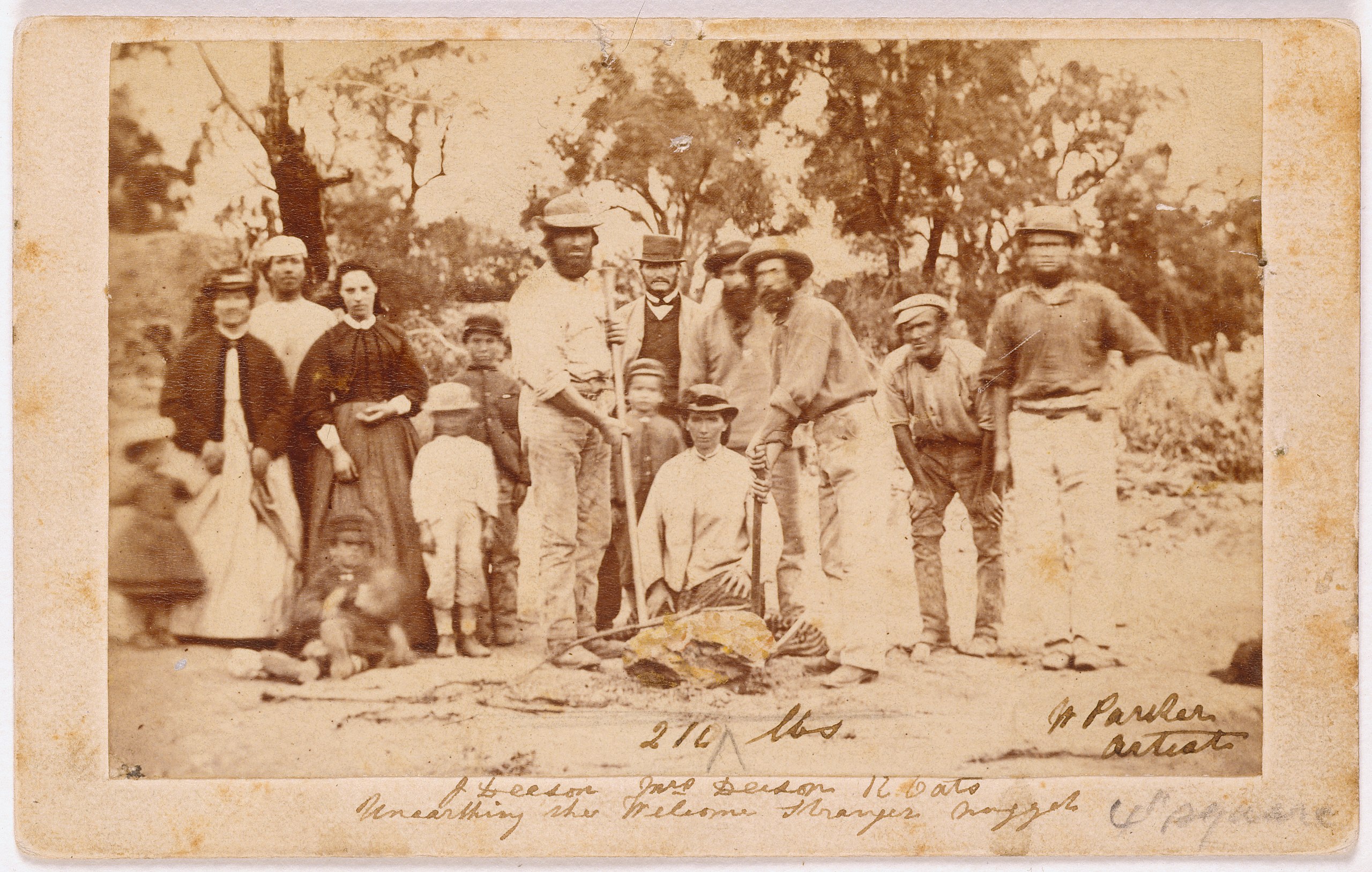
Oates was ploughing a nearby field and was called by Deason’s son to come to assist his father. They eventually extracted the gold nugget with a crowbar. Deason and Oates concealed their find until nightfall, dug out the gold nugget,and took it to Deason’s home in a dray. (Scilonian 2024)
Above:- A sketch of the Welcome Stranger. Image c/o State Library Victoria.
The gold nugget was stained a black colour by ironstone deposits and contained a large amount of quartz. The nugget was placed in a fire to render the quartz friable. The gold expanded making the quartz brittle and loose. A total of 26 kg of quartz was prised off the nugget once it had cooled. (Goulburn Herard, Trove 2024)
Deason and Oates then celebrated and held a party, revealing their find to the invited guests. Deason is reputed to have said ‘Don’t go home boys. That’s solid gold and I want you to stay the night and escort it to the bank at Dunolly tomorrow.‘ (Aussie Towns 2024)
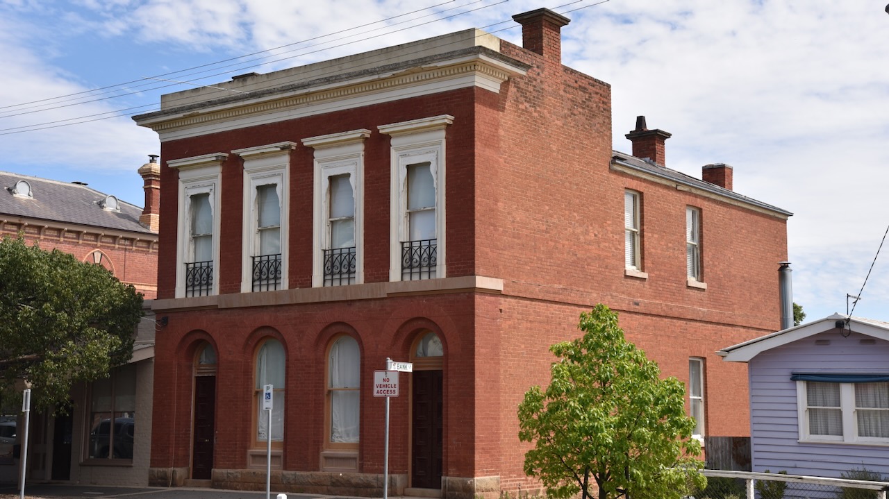
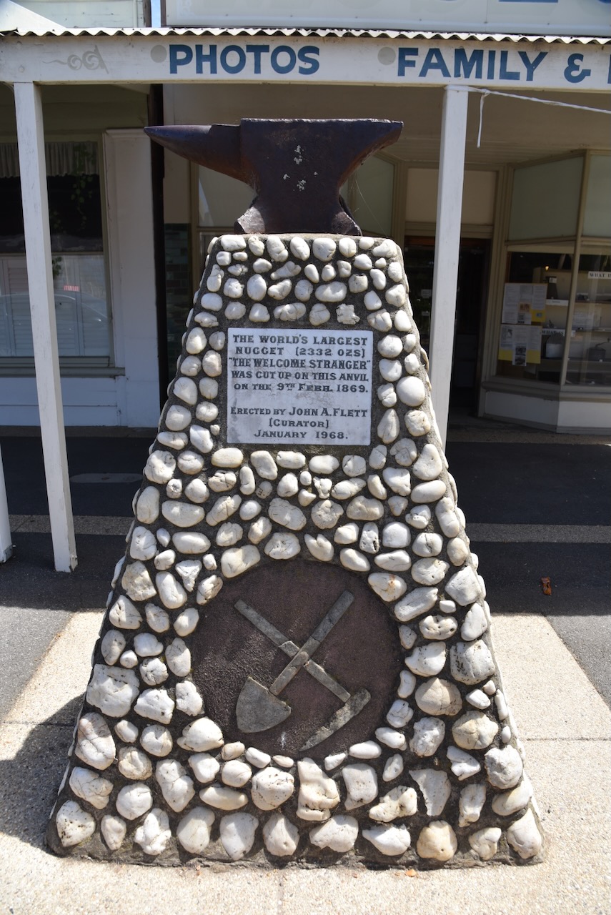
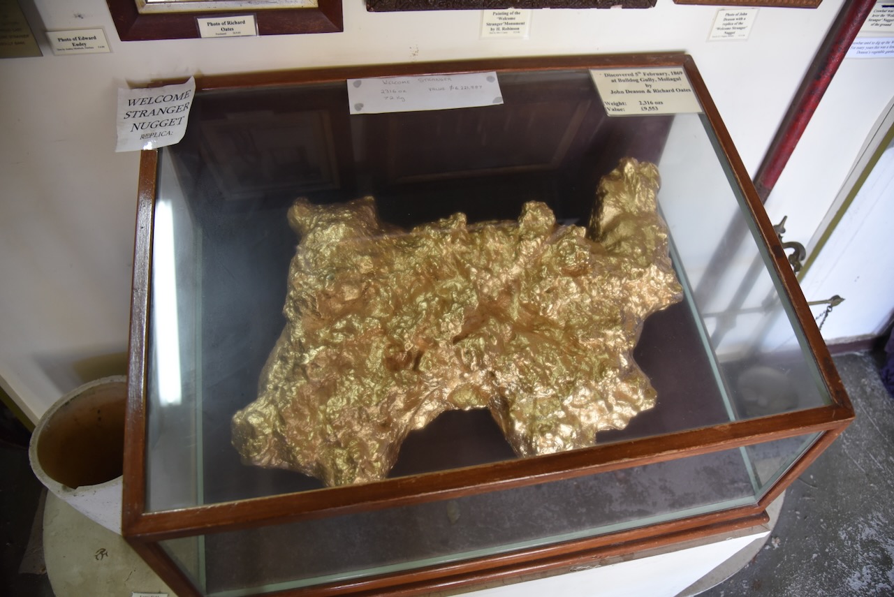
The 69 kg (2,316 ounces) Welcome Stranger nugget was the world’s largest known gold nugget. It was conveyed to Dunolly on a spring cart belonging to Edward Endey. A friend and neighbour of Deason and Oates, Walter Brown, was asked to go into the London Chartered Bank and ask the teller that they were paying for gold by the ‘hundred weight’. The nugget was then brought into the bank and presented to the Manager. The nugget was too, large to be weighed on the bank scales, so Archie Walls, the local blacksmith broke the nugget into pieces on an anvil. At the time, the Welcome Stranger was valued at £9,553. The equivalent today is about $10 million. (Aussie Towns 2024)
Above:- The London Chartered Bank building in Dunolly.
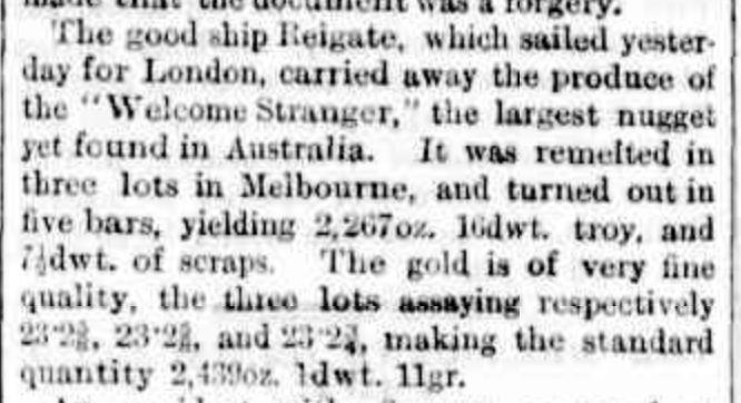
Within a few days of the discovery of the Welcome Stranger, the melted-down gold ingots were conveyed to Melbourne and on Sunday the 21st day of February 1869 they were shipped to the Bank of England aboard the steamship Reigate. (Gold Net Australia 2000)
Above:- Article from The Argus, Melbourne, Mon 22 Feb 1869. Image c/o Trove.
Following the find of the Welcome Stranger, Richard Oates returned to Cornwall and married Jane Blewett Penrose in November 1870. He returned shortly after to Moliagul and continued to work on the claim with Deason. By 1875 Oates had moved to Dunolly with his family. He later moved to Bealiba. Richard and Jane had four children. He died on the 31st day of October 1906 at age 79. He is buried in the Marong cemetery. There is a monument at the cemetery commemorating the life of Richard Oates. (ancestry.com.au 2024) (Monument Australia 2024)
John Deason continued with mining and invested in property including The Springs at Moliagul. He and his family moved there. John died in 1915 aged 85 and is buried in the Moliagul cemetery.
It was reported in the Dunolly Express in March 1859, ‘We are glad that the monster has fallen to the lot of such steady and industrious men.‘ (Goulburn Herard, Trove 2024)
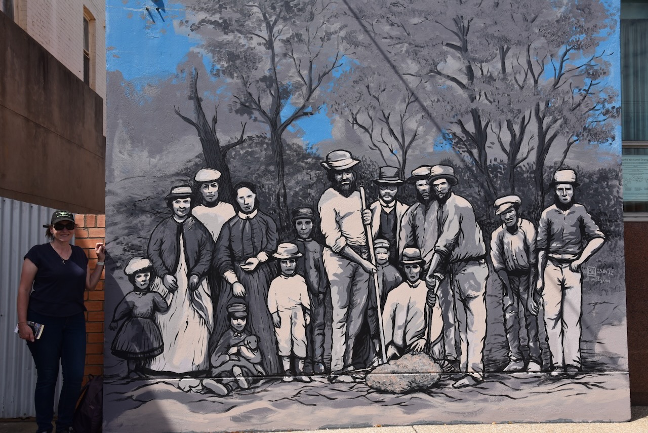
Above:- Miners and their wives posing with the finders of the nugget, Richard Oates, John Deason and his wife. Image c/o Wikipedia.
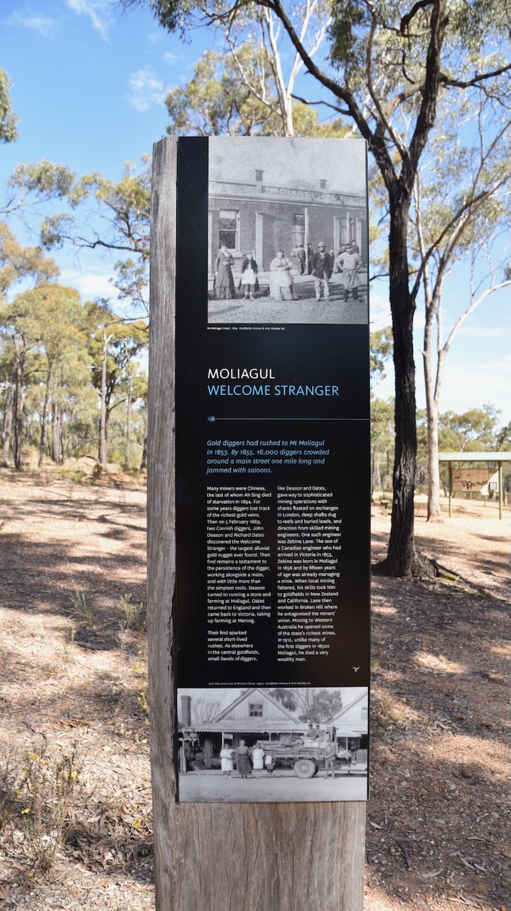
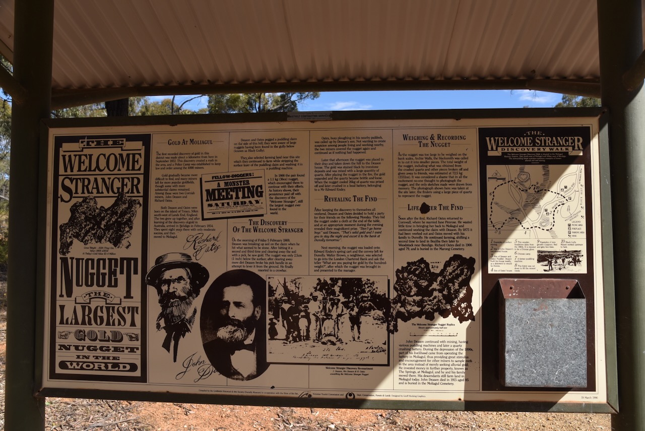
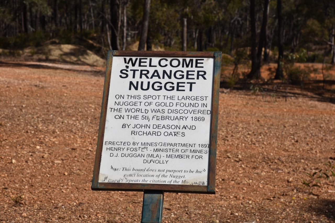
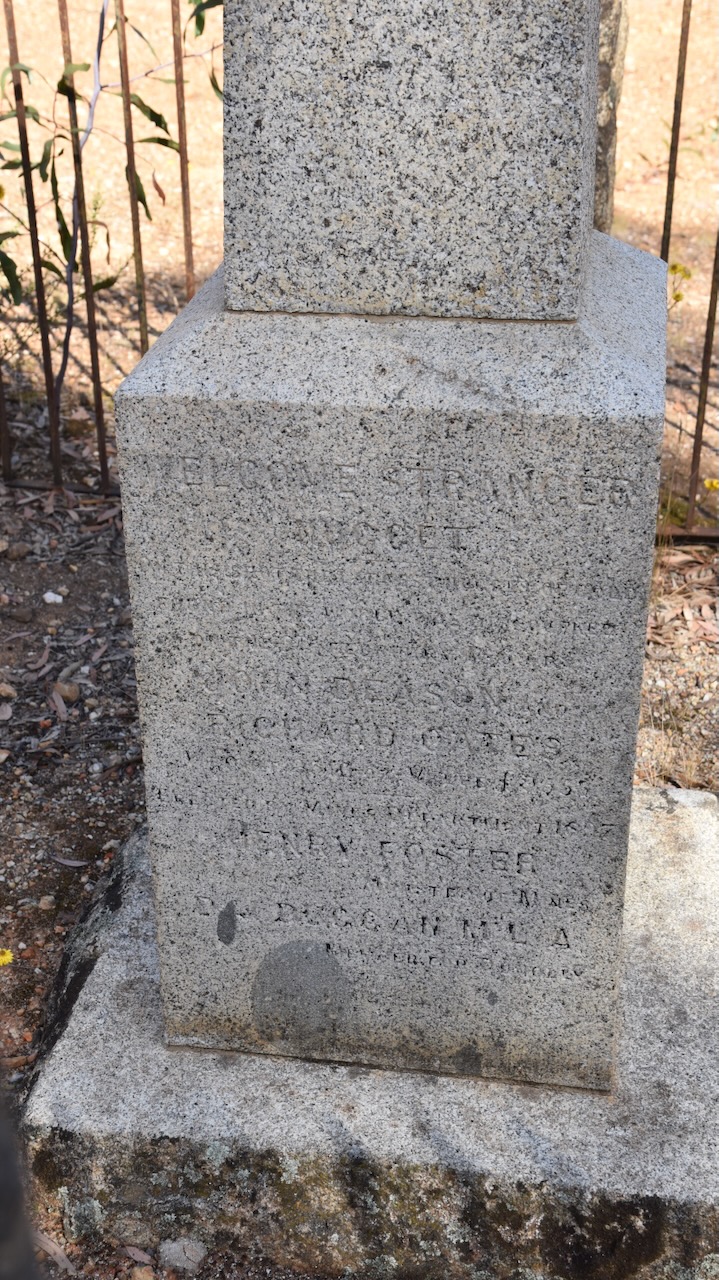
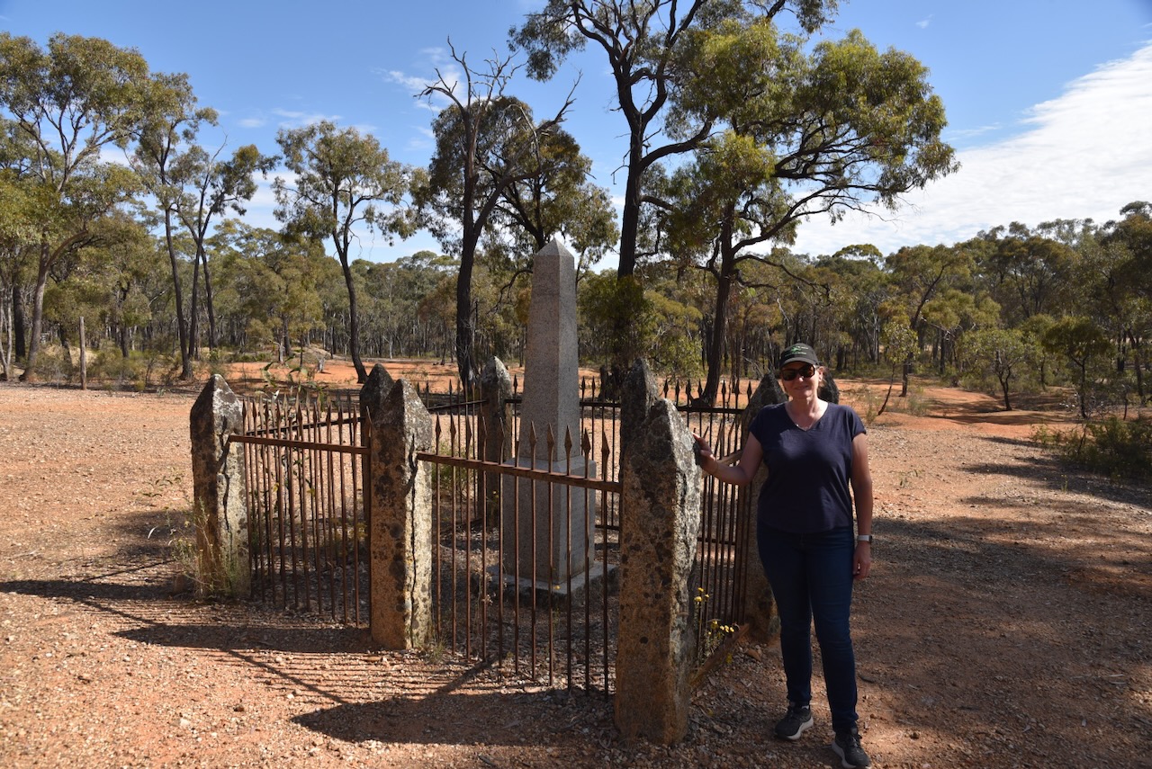
There is an excellent information board and a monument at the site where the Welcome Stranger was discovered.
Below is an old farmhouse that is barely standing. It is one of the few surviving old buildings at Moliagul.
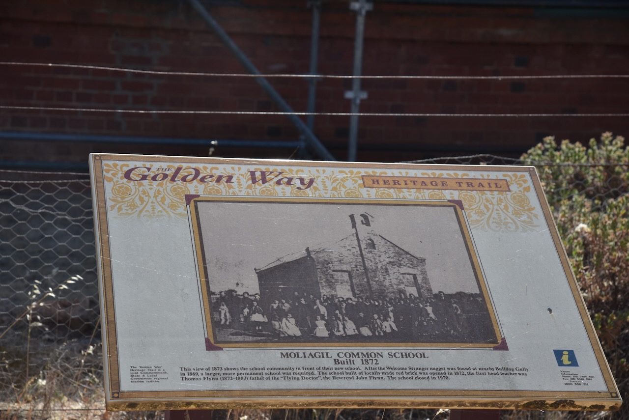
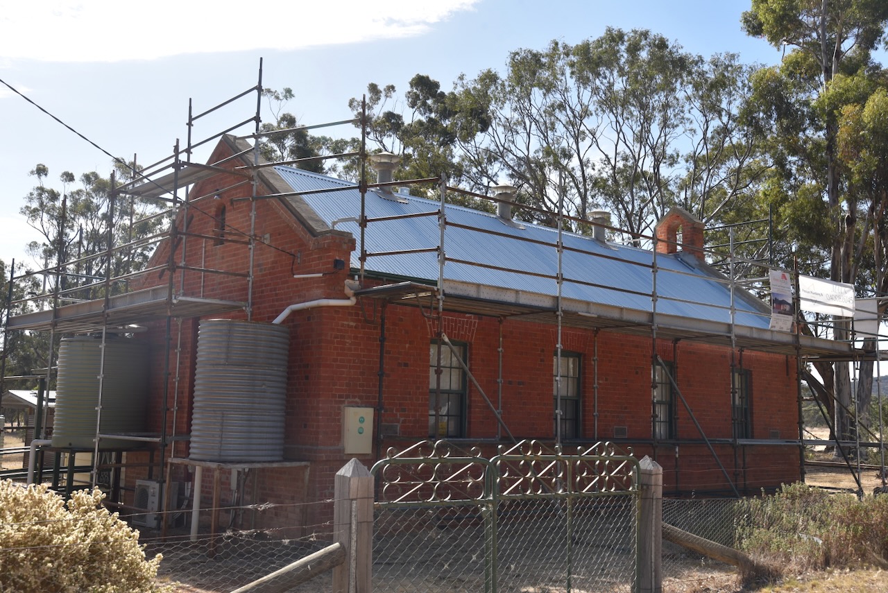
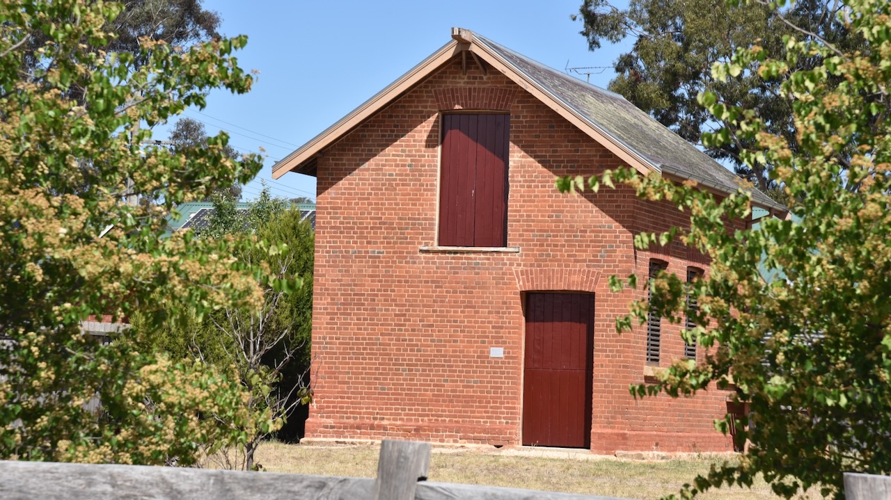
The Moliagul Common School was built in 1862 of locally made red brick. The first Head Teacher was Thomas Flynn. The school closed in 1970. It was under restoration during our visit.
Above:- Students and teachers outside the Mount Moliagul Common School, 1872. Image c/o Museums Victoria.
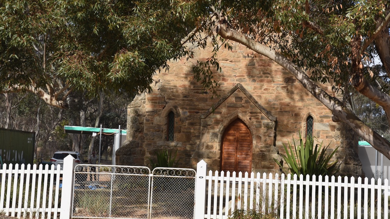
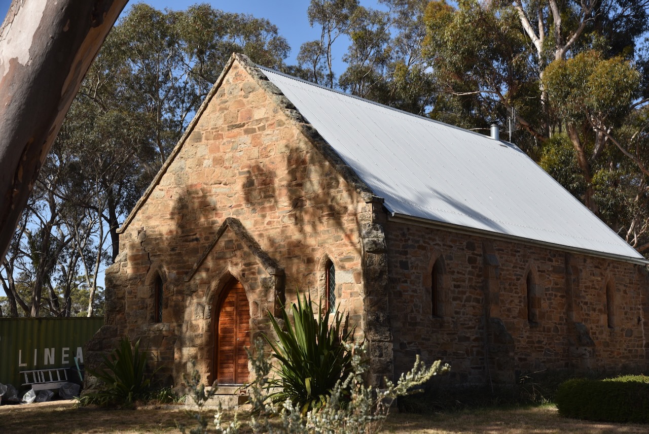
The Moliagul Anglican church was built between 1864 to 1865. (Aussie Towns 2024)
Marija and I then headed to Mount Moliagul. The summit is well-signposted on the Wimmera Highway. Mount Moliagul Road takes you right to the top of the summit.
Mount Moliagul is 525 metres and is worth 2 points for the Summits On the Air (SOTA program. It has been activated a total of 34 times, including by myself and Marija. (SOTA 2024)
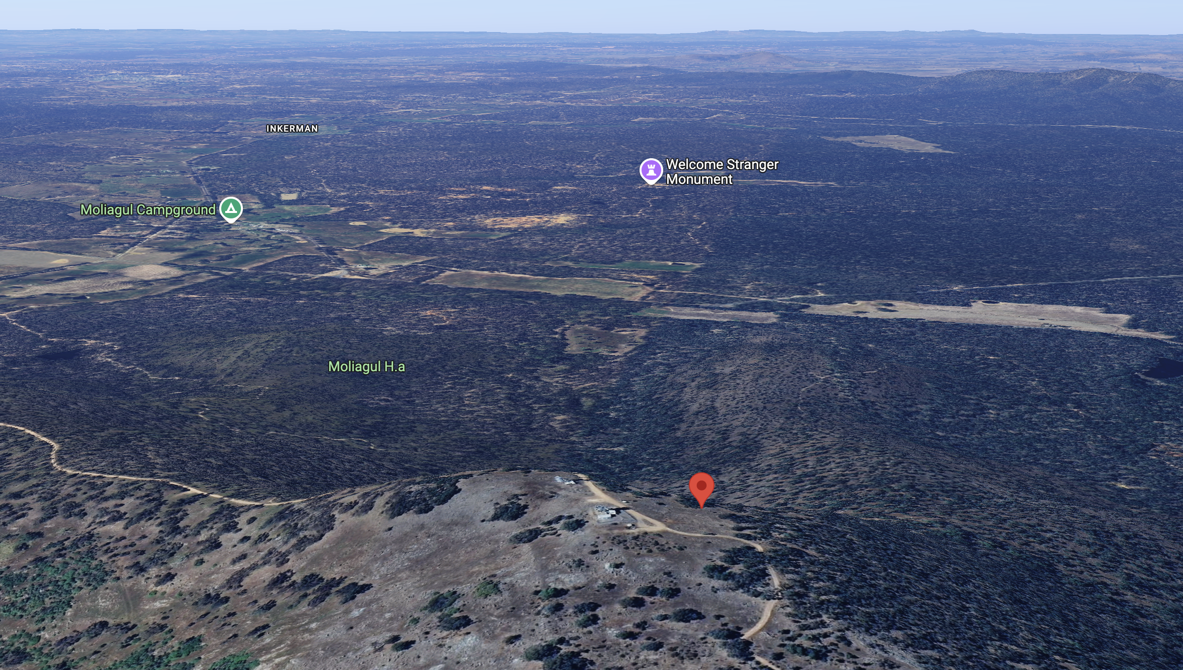
Above:- An aerial view of Mount Moliagul looking south. Image c/o Google Maps.
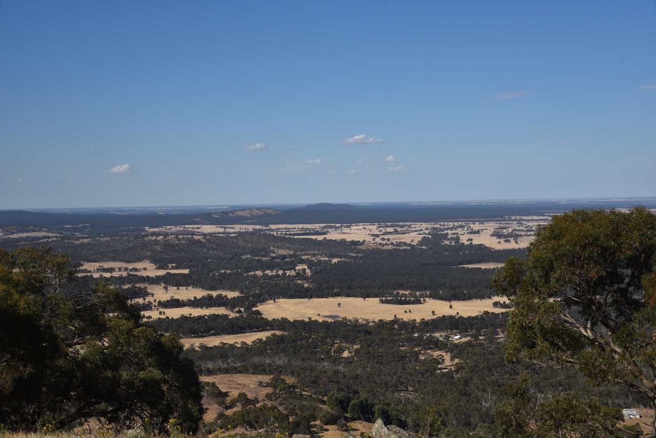
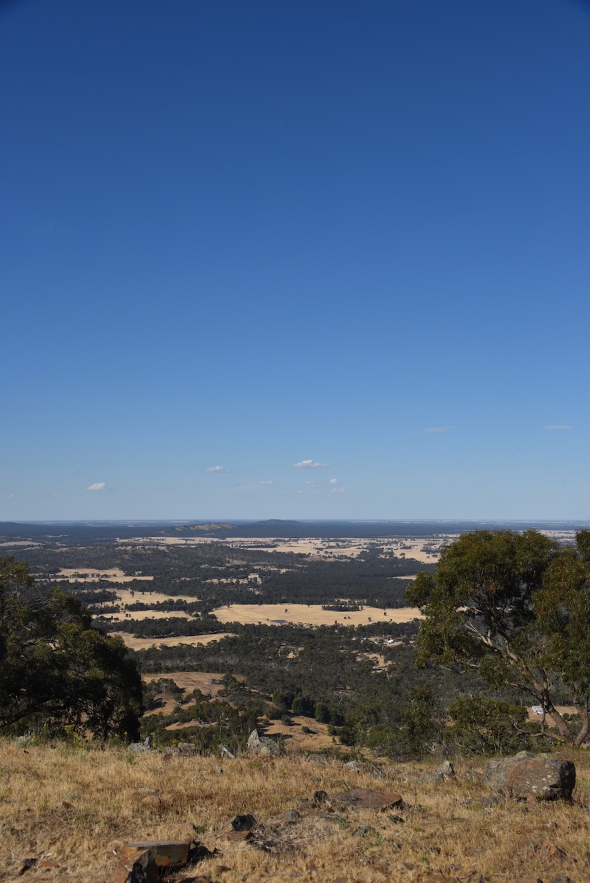
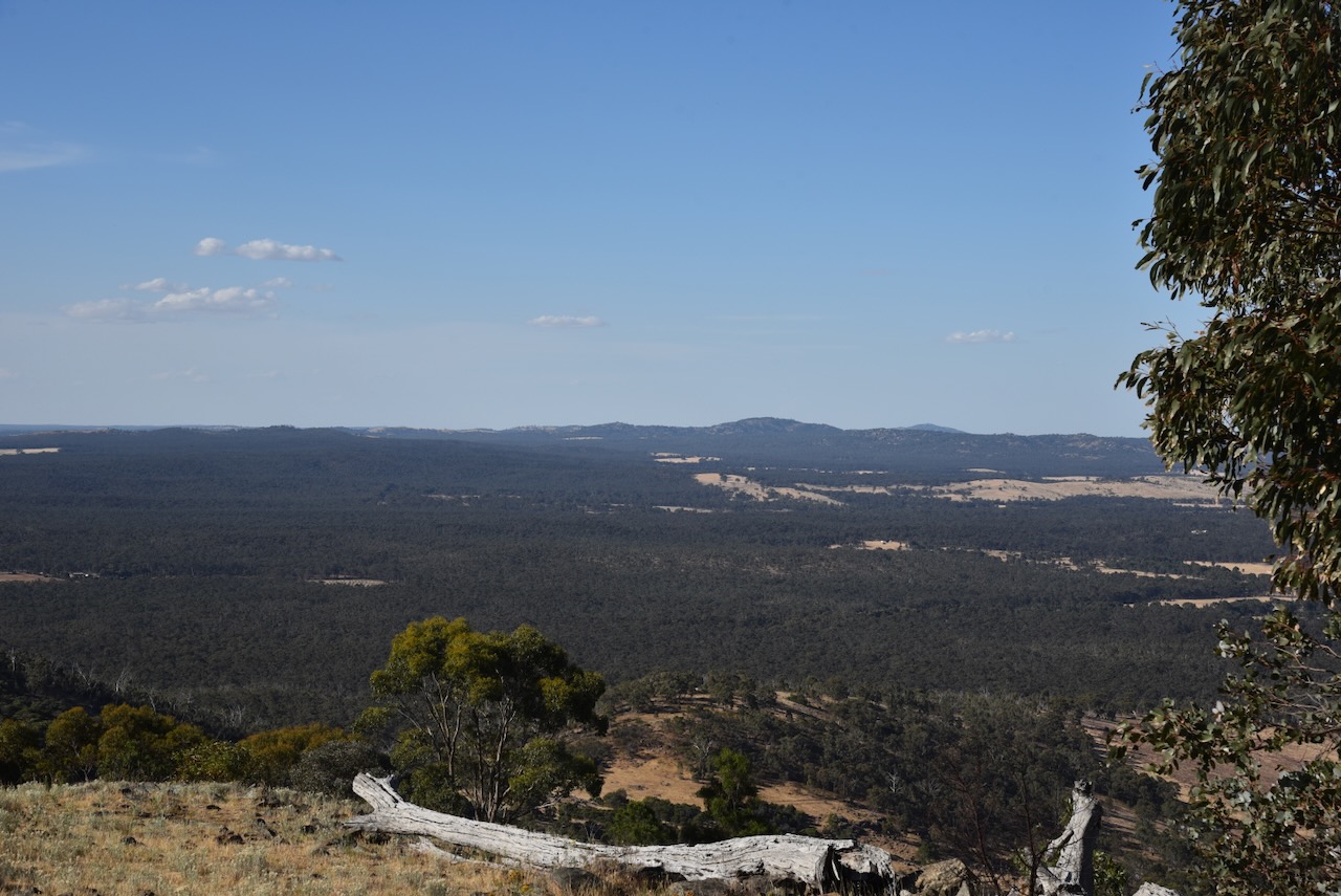
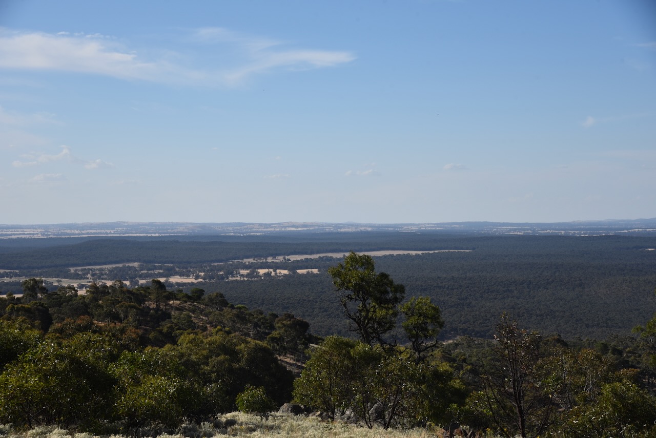
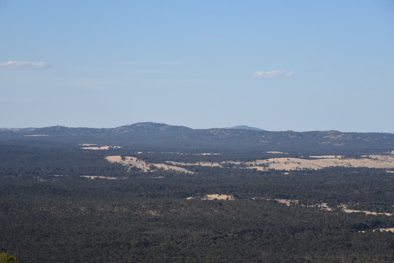
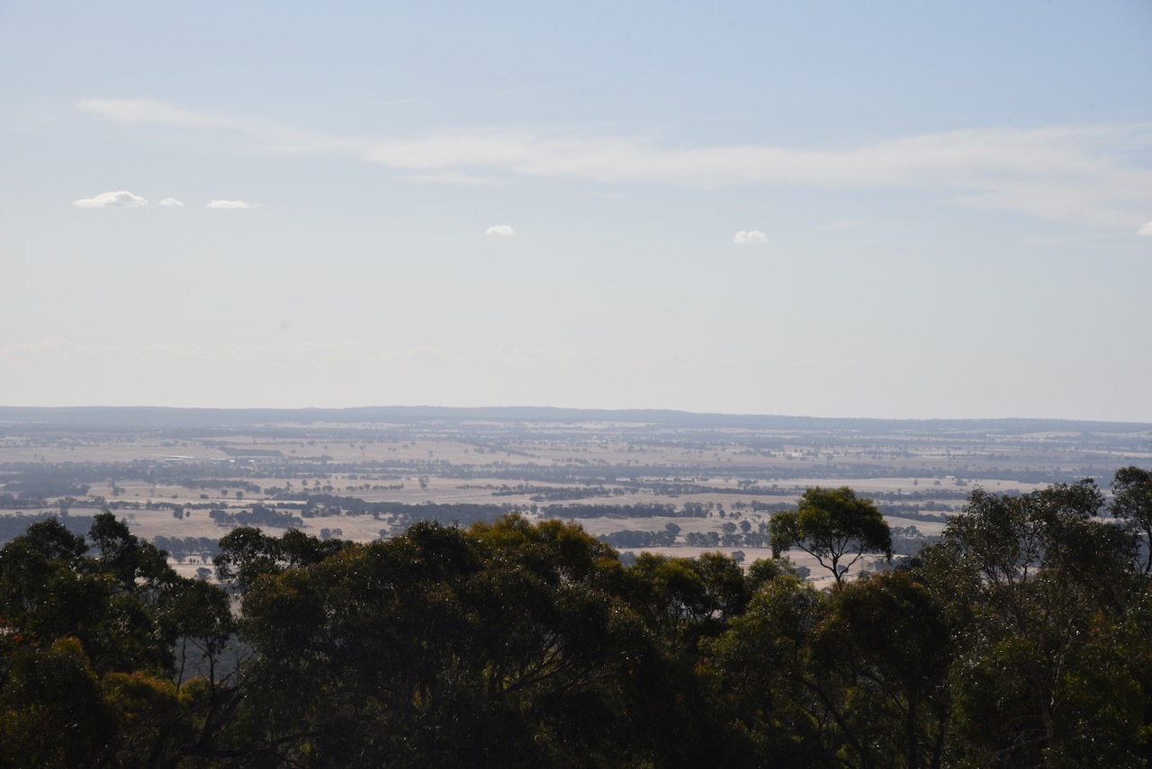
The summit is cleared of any significant vegetation and there are some magnificent views of the surrounding countryside.
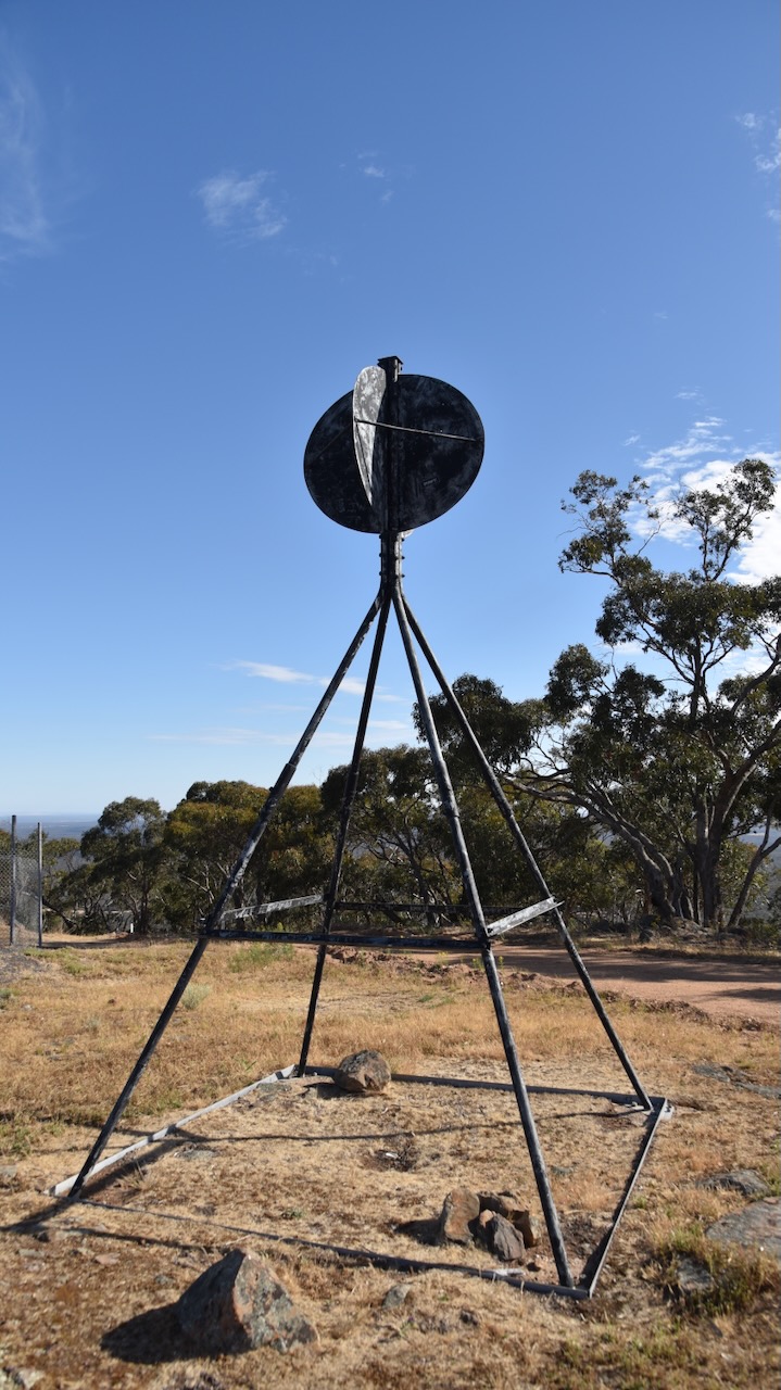
There is a surviving intact trig point at the summit.
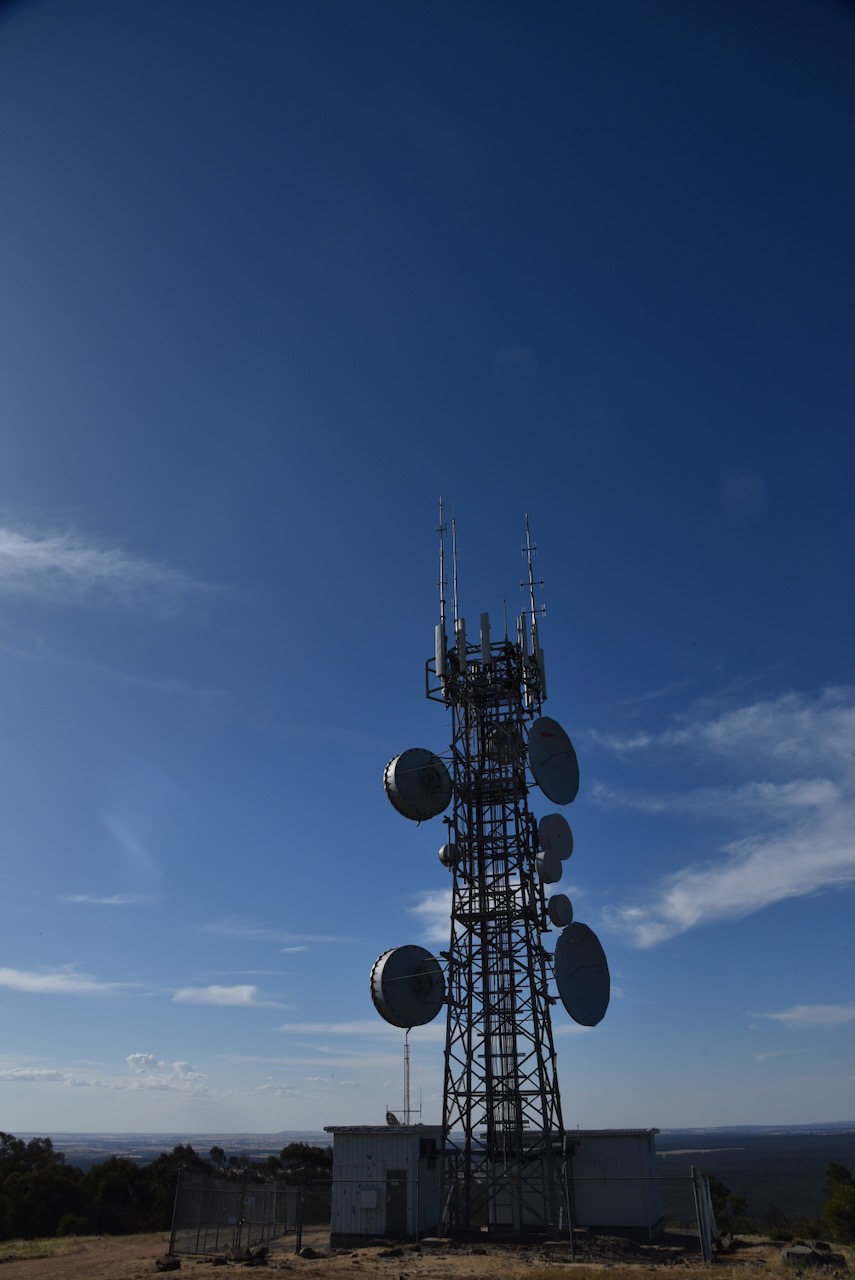
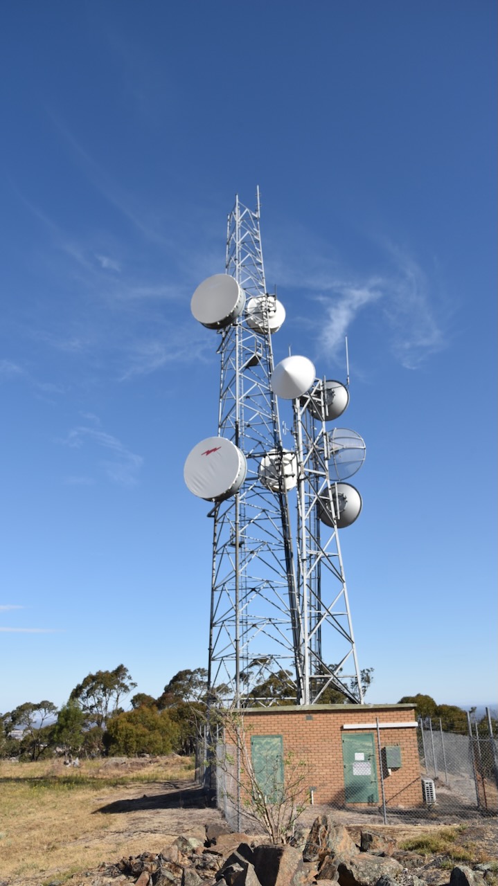
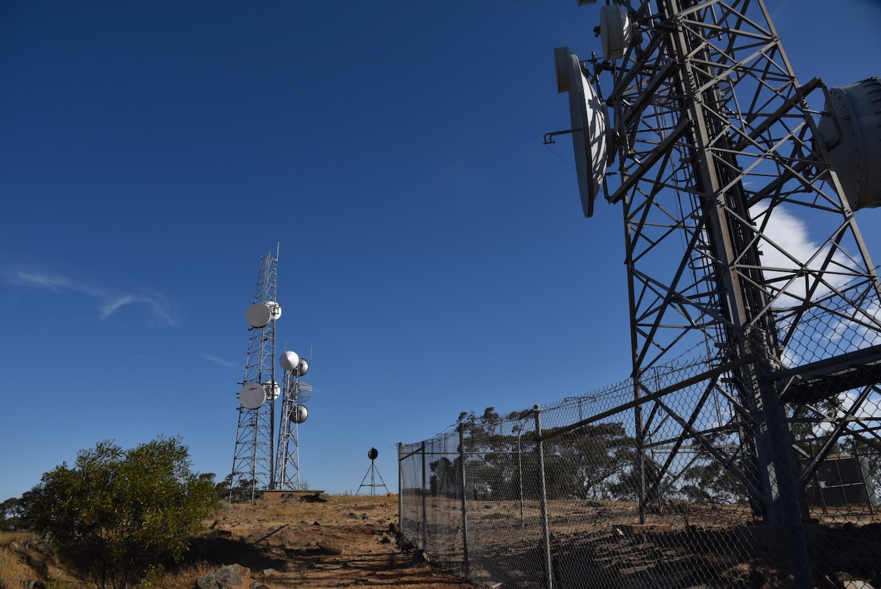
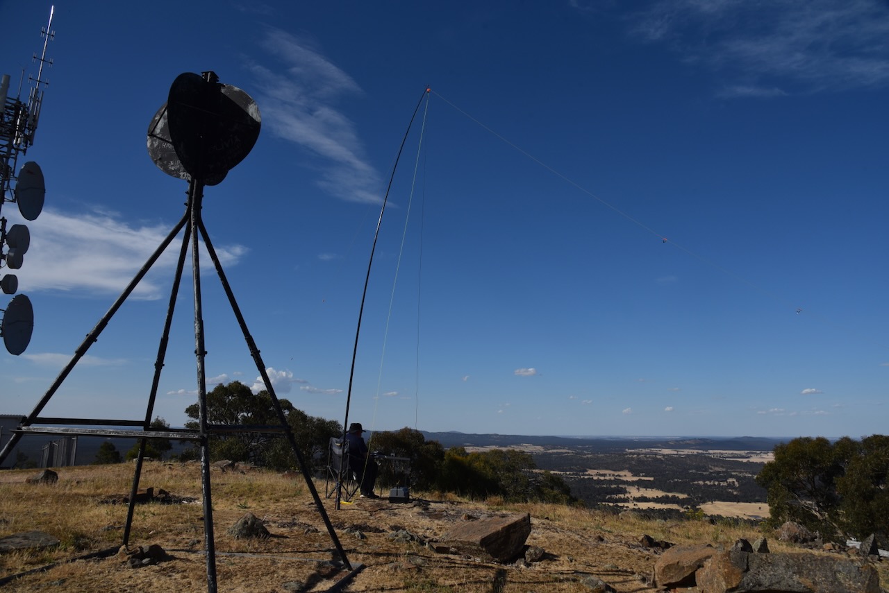
And there is a significant amount of communication equipment, but each time we have been to Mount Moliagul it has never caused interference on the amateur radio bands.
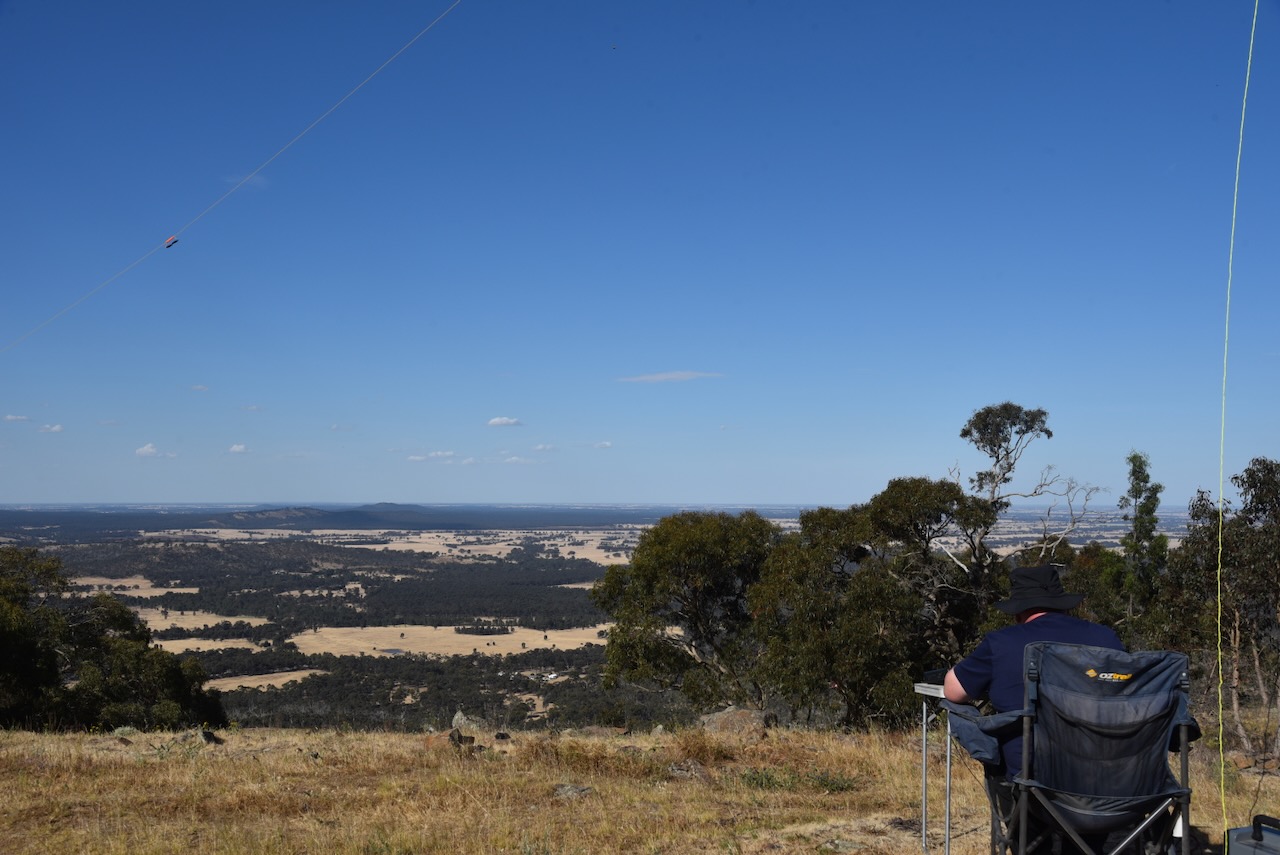
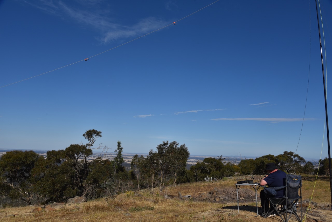
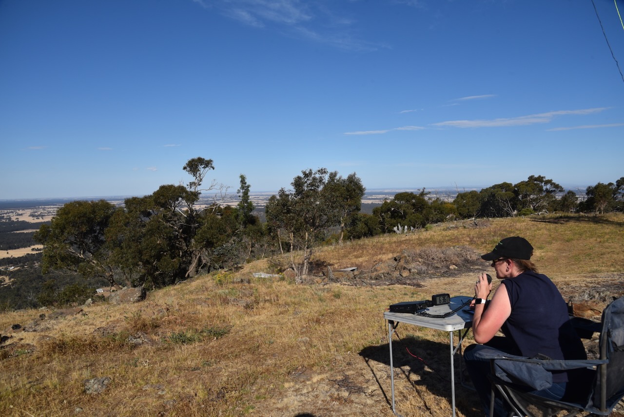
Marija and I set up a fold-up table and deck chair and looked out to the north. We ran the Yaesu FT857, 40 watts and the 20/4080m linked dipole.
Ancestry.com.au. (2016). Ancestry® | Genealogy, Family Trees & Family History Records. [online] Available at: https://www.ancestry.com.au/ [Accessed 14 Mar. 2024]
It was now day 6 of our Melbourne trip, Wednesday 22nd November 2023. After a good night’s sleep, Marija and I headed down the main street of Avoca and had some breakfast and coffee.
Following breakfast we had a further look around Avoca as there were several historic buildings that we had not yet seen.
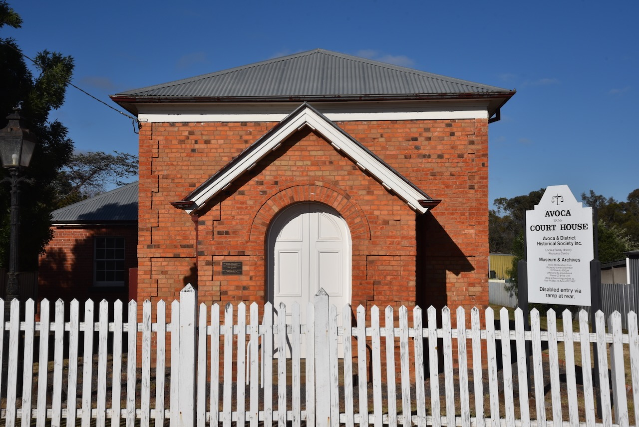
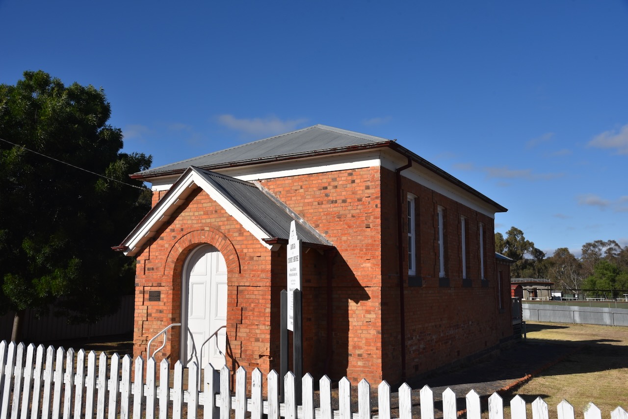
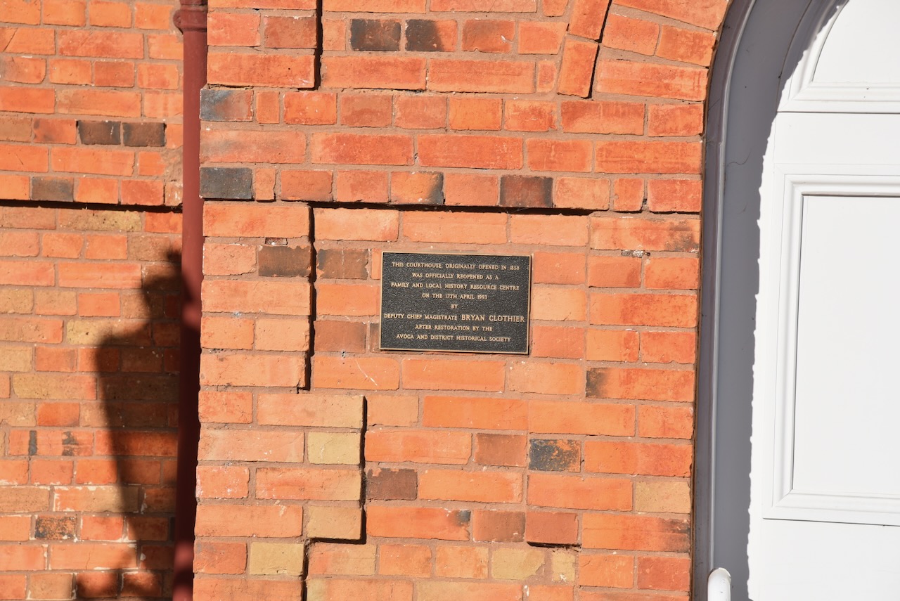
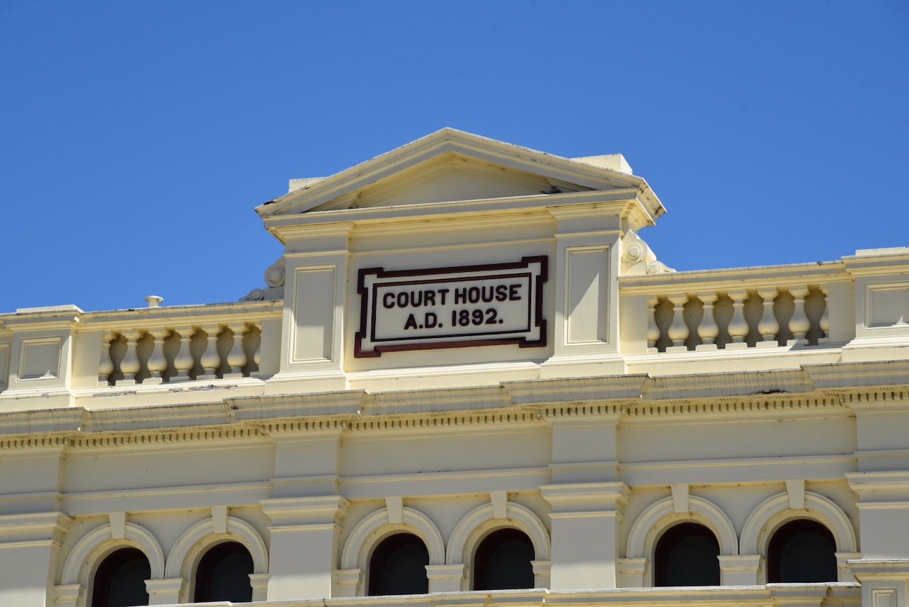
The Avoca Court House was built in 1858-1859 in Renaissance Revival style to a design by the Public Works Department. In September 1858 the contract was won by Smith and Scott. One month later a further contract to extend the building was let. The building was used as a courthouse until 1979 and is one of the earliest surviving courthouses in Victoria. The building is now used by the Avoca & District Historical Society. (Aussie Towns 2024) (Vict Heritage Database 2000)
The Avoca correspondent for The Age Melbourne newspaper, reported the following on Thursday 19th August 1858:
“I see tenders are invited for the erection of a Court house here. Well, it is not come before wanted. The necessity for such a building has for a long time been felt, and it is to be hoped so lucky rival will disappoint us this time.” (Avoca 1858)
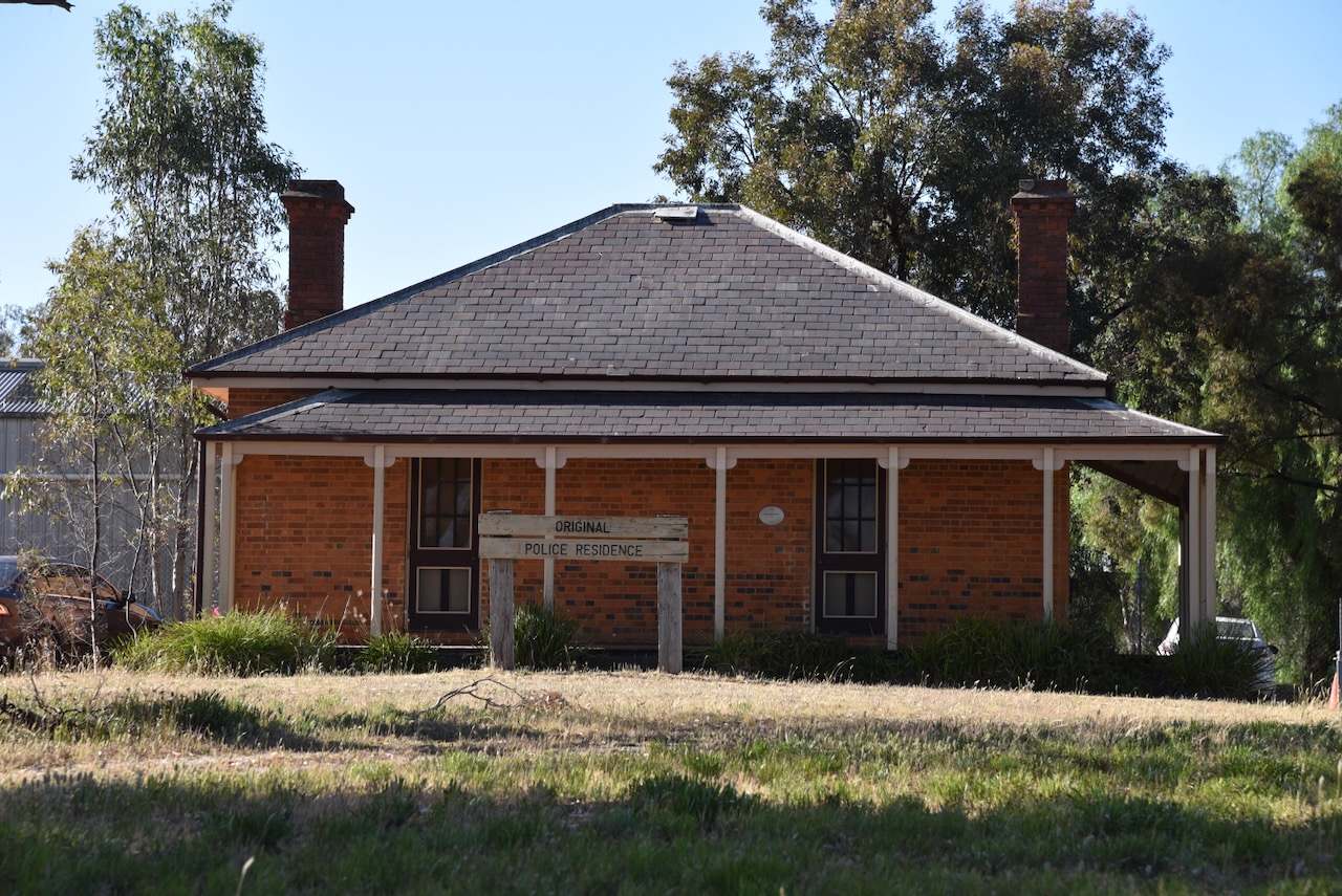
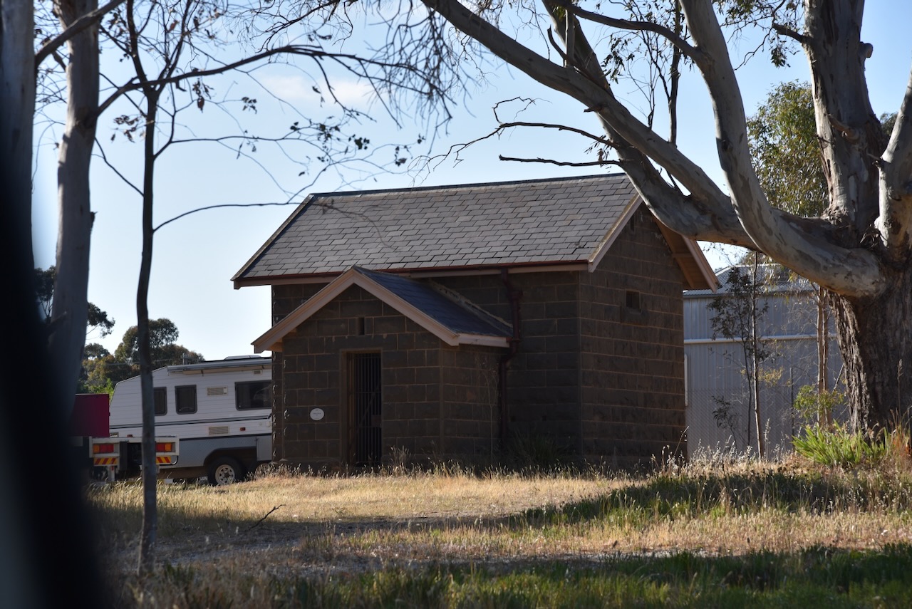
A police camp consisting of about 50 troopers was established at Avoca in 1853. There are a few buildings that remain in Avoca which are associated with the police camp. These include the bluestone lockup that was built in 1867. It replaced the original 1854 log lock-up. The police residence was built in 1859. (Aussie Towns 2024)
Watford House is one of only three timber prefabricated homes in Australia that were imported from Germany during the early 1850s. The house is known locally as The WissHouse. Watford House was brought out to Australia from Hamburg Germany in numbered planks. It arrived in Geelong and was brought to Avoca by bullock drays. It was originally assembled in Avoca’s main street as accommodation for the Avoca Hotel and was later moved to its current site. It was restored in 2004. (Aussie Towns 2024) (Avoca 2024)
The Avoca Primary School located on Barnett Road is an extremely impressive gothic structure that was built in 1876. The first school in Avoca was the National School opened in 1856. By 1857 a new school building had been constructed and it became a Common School by 1862. It became a State School between 1873 and 1878, at which time the current school building was built. About 250 students were enrolled at the school at this time. (Aussie Towns 2024) (Vic Govt 2024)
The Anglican church of St John the Divine is located at the corner of Russell and Barnett Streets. It was dedicated in December 1871. The current church replaced the original building on High Street. (Avoca Walking Tour)
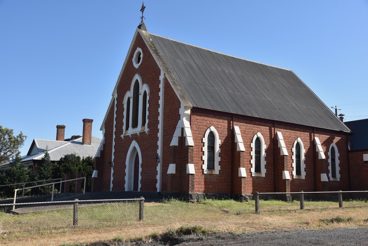
The Avoca Uniting church was originally the Wesleyan Methodist Church. The complex comprises a brick church constructed in 1867, a Sunday School built in 1870 and a Parsonage built in 1871. (Avoca Walking Tour)
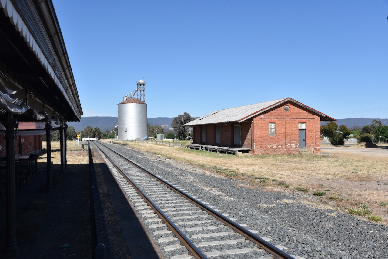
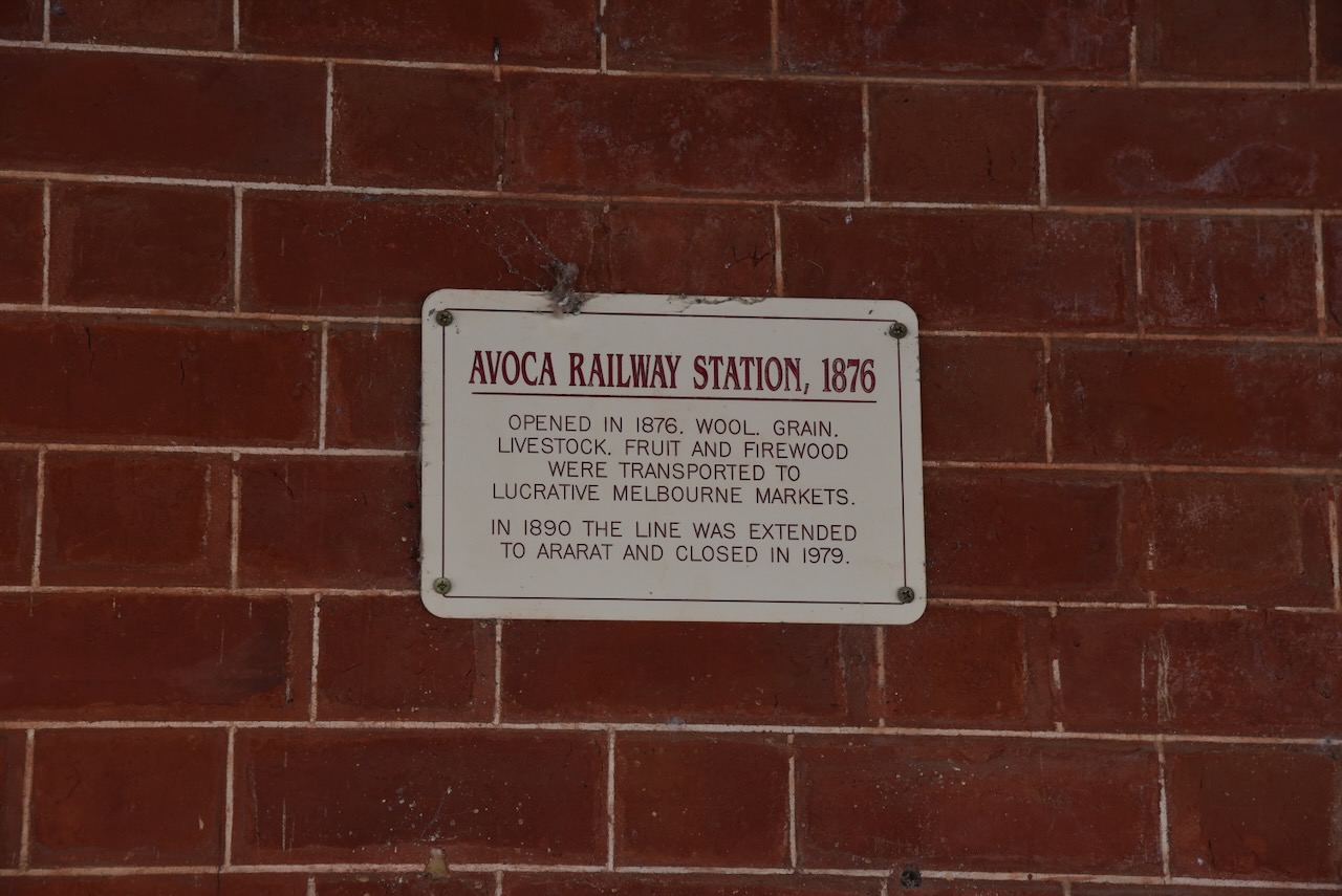
We then visited the old Avoca railway station that now functions as Avoca Arts and Gardens. The station was built in 1876 by J Summerland, on the Avoca-Maryborough line for the Victorian Railways. It is one of the most intact examples of the ‘Dunolly style’ which was a standard railway station style during that era. (Victorian Heritage Database Report)
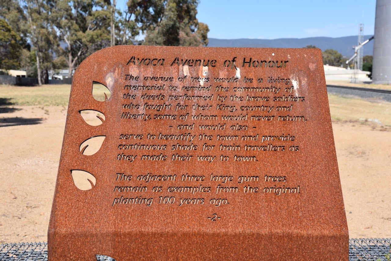
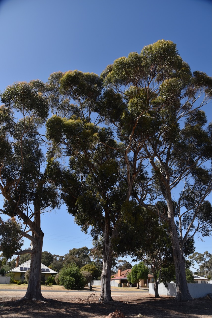
Close to the railway station is the Avoca Avenue of Honour which was established in 1918 to commemorate all those from Avoca who served during the First World War.
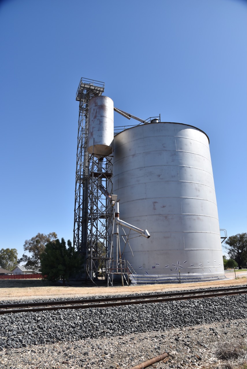
The Avoca silo is just a short distance from the railway station. For more information about the silo, please see my previous post.
We then drove from Avoca to Maryborough, a short distance of about 26km.
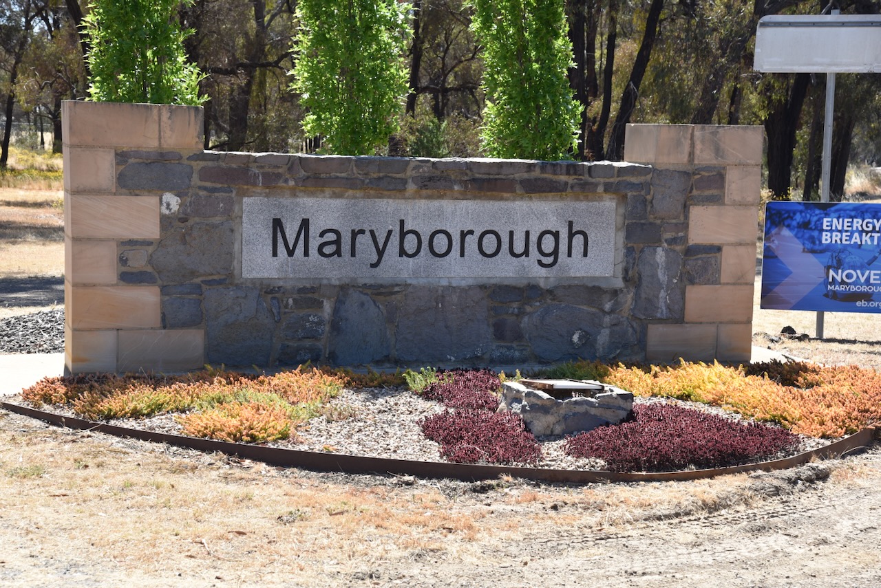
The Maryborough district was originally part of the Charlotte Plains pastoral run that was taken up in 1840 by the Simson brothers from Scotland. Hector Simson (b. 1843. d. 1922), Donald Simson (b. 1847. d. 1870) and John (b. 1848. d. 1857) were the sons of John Coghill Campbell Simson and Elizabeth Agnes Jane Simson nee Petrie. John and Elizabeth were from Scotland and emigrated to Australia. There is a cairn at Maryborough to commemorate the Simson brothers. It was constructed in 1939 of stone from their original bluestone homestead that stood on the banks of the Deep Creek at Carisbrook. (Monument Australia 2024) (Victorian Places 2024)
Above:- Article from The Age, Melbourne, Thu 16 Mar 1939. Image c/o Trove
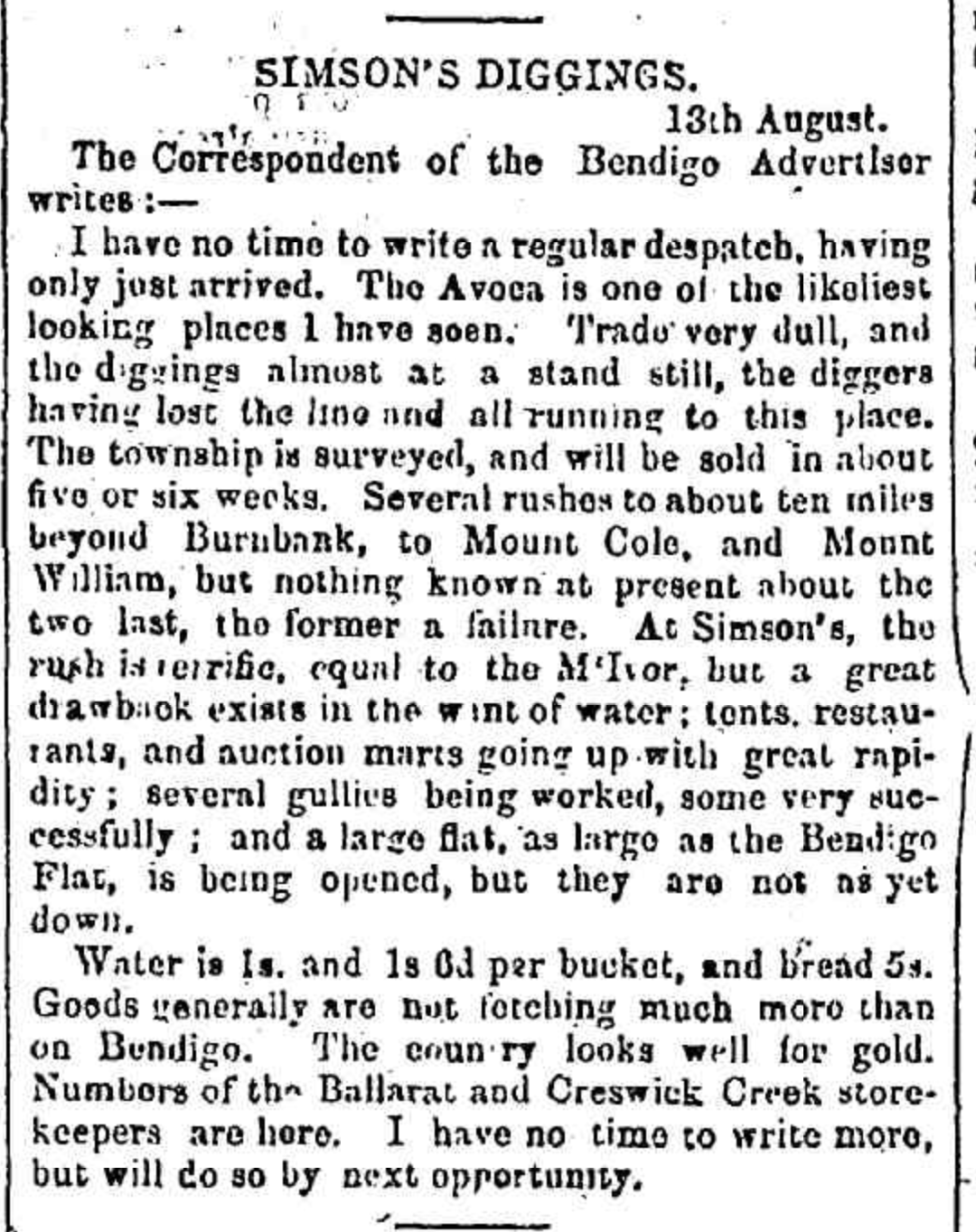
Gold was discovered in the Maryborough region in March 1853 and this resulted in a gold rush. In July 1853 a 40-pound gold nugget was discovered. The settlement was originally known as Simsons and also Daly’s Flat. In 1854 was renamed Maryborough by Assistant Gold Commissioner James Daly in honour of Marybourgh in Cork Ireland where he was born. In September 1854 Maryborough had a population of about 25,000 people. The town of Maryborough was served in 1855 and in October 1855 allotments were sold. (Victorian Places 2024)
Above:- An article from The Banner, Melbourne, Fri 25 Aug 1854. Image c/o Trove.
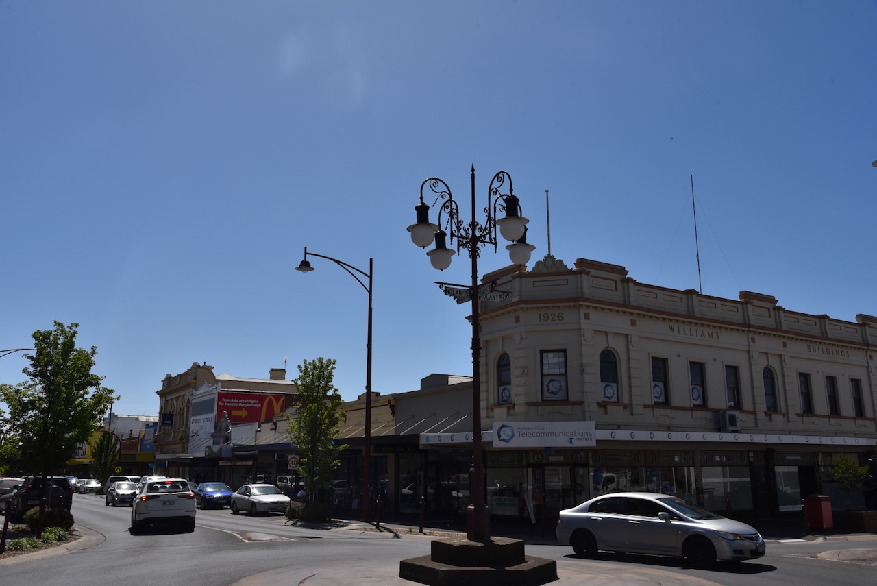
Maryborough is a large urban centre and contains numerous historic buildings.
The foundation stone for the Maryborough Church of England was laid on the 20th day of June 1860. The church is now known as the Christ the King Anglican church. (Facebook 2024)
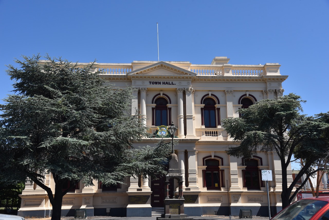
The present Maryborough courthouse building was built in 1892-1893 and was opened in April 1893. It was designed by architect Samuel Bindley in Federation Free Classical style. The first Maryborough court opened in 1858 as a Court of Mines. The present-day building is one of the largest courthouses in Victoria outside of Melbourne. (Aussie Towns 2024) (Vict Heritage Database).
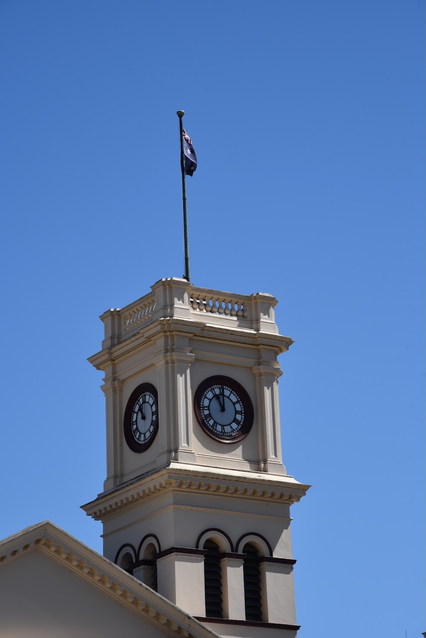
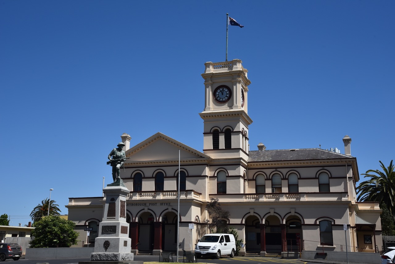
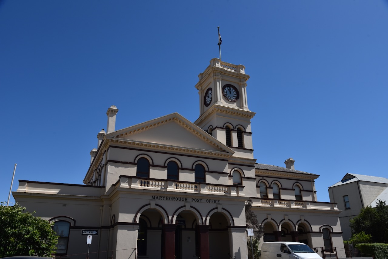
The Maryborough Post Office was built between 1876 and 1877. It was designed by J.H. Marsen, architect of the Victorian Public Works Department and was built by Peter Cunningham for a contract price of £8266 4s 3d. It was constructed from first-class stone mined from McCallum’s Creek. The clock tower was added in 1879. The clock was manufactured by Joseph Bros of Melbourne and the bell by IW Horwood of Castlemaine. (Aussie Towns 2024)
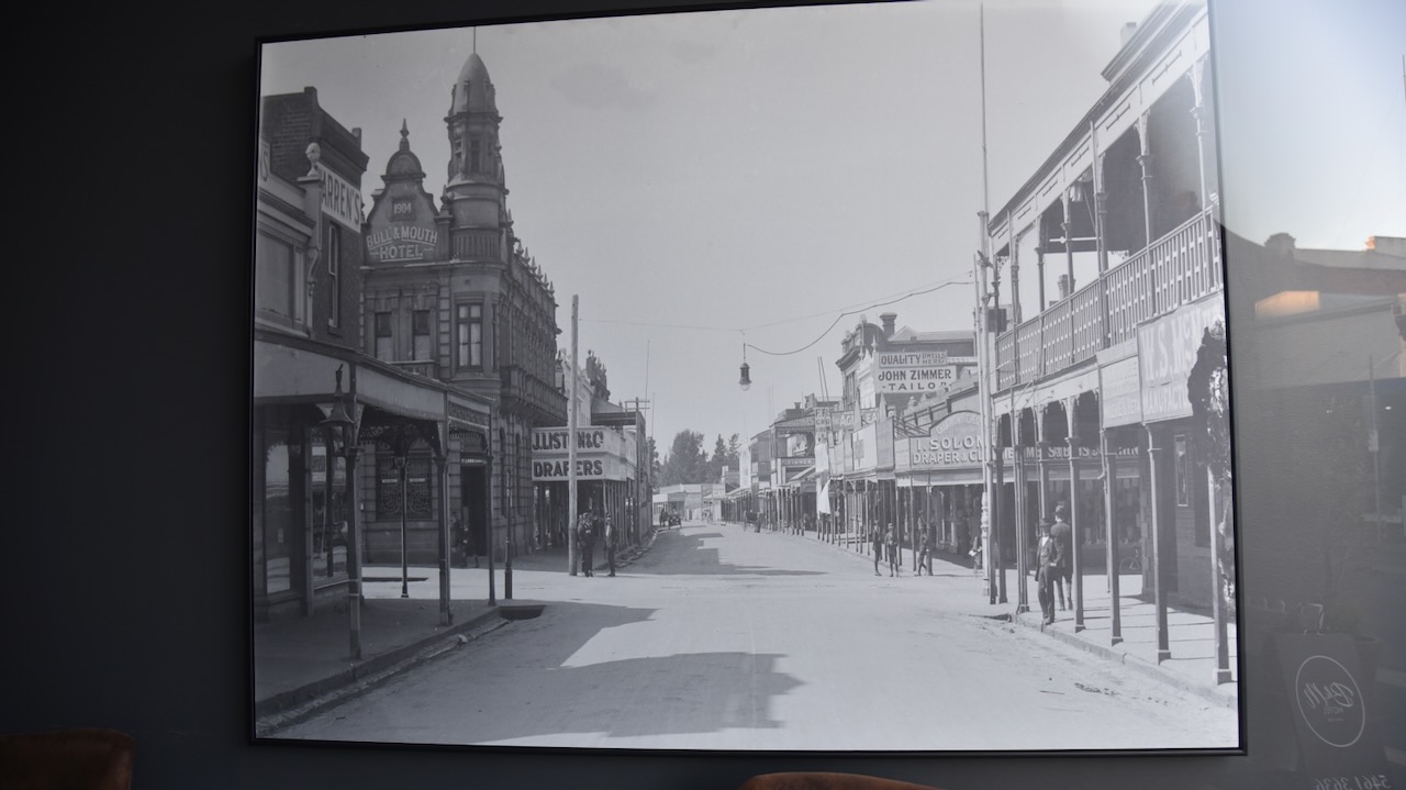
The Bull & Mouth Hotel was opened in c. 1855. The current and very impressive hotel was built in 1904 when former Maryborough resident Thomas Proctor of Ballarat, engaged Ballarat architect W E Gribble and local builder W J Dingle to build a new two-storey hotel. (Aussie Towns 2024)
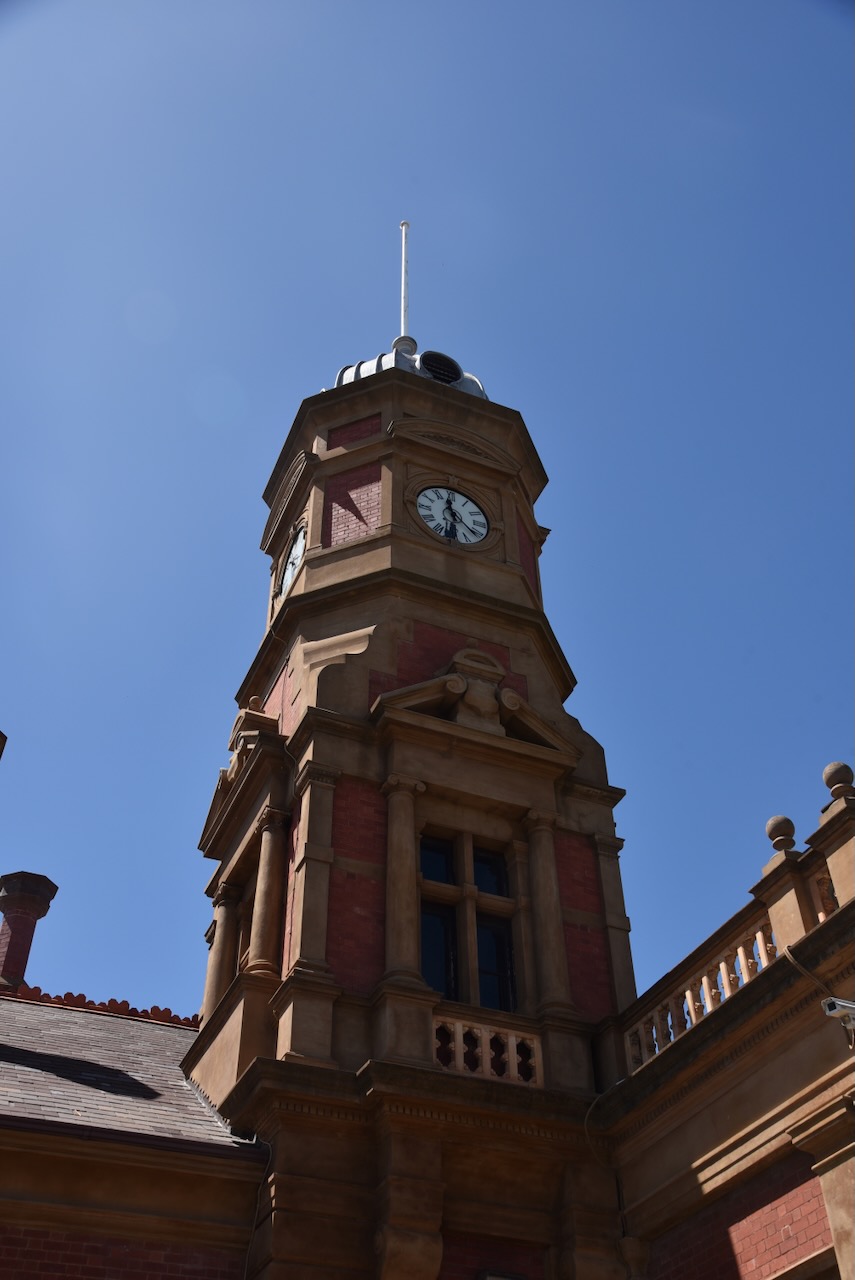
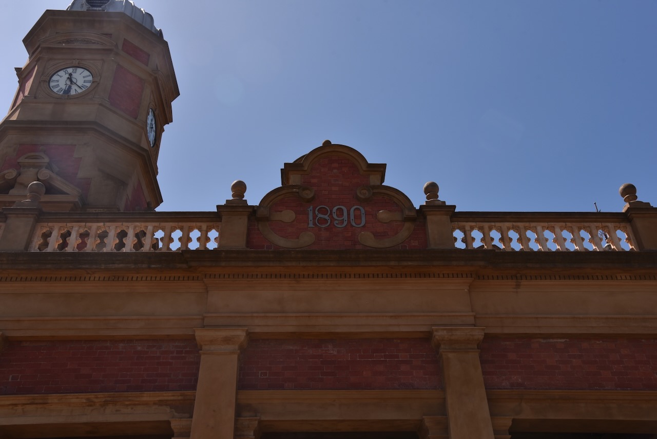
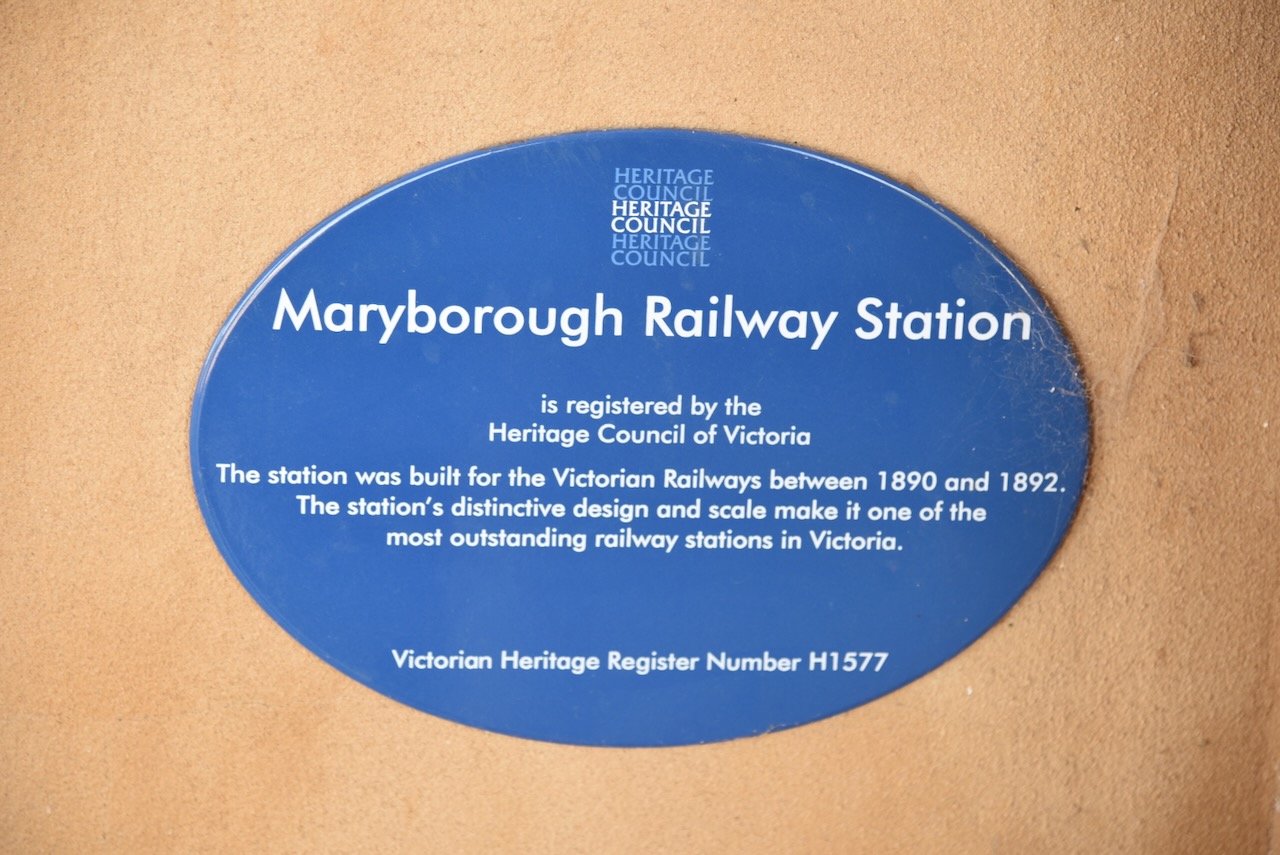
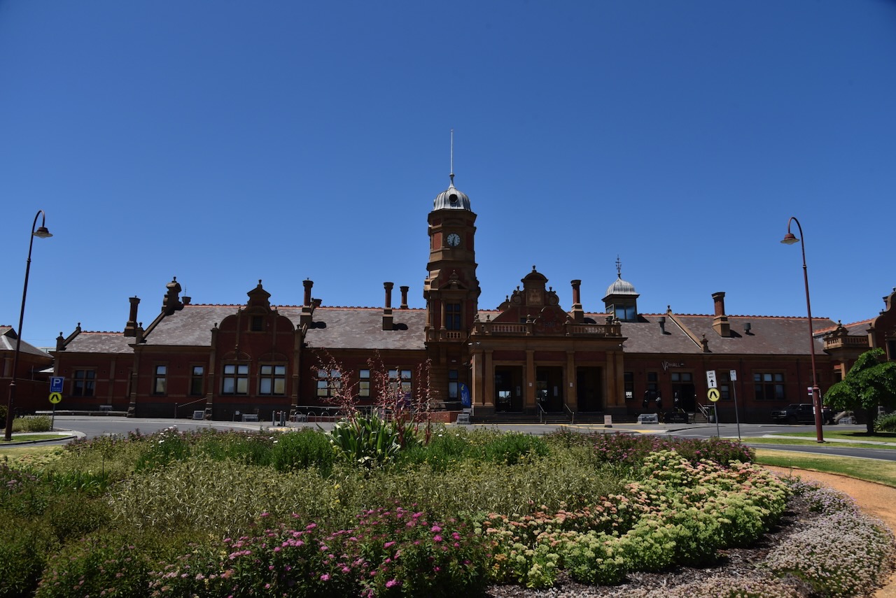
Our next stop was the extremely impressive Maryborough railway station.
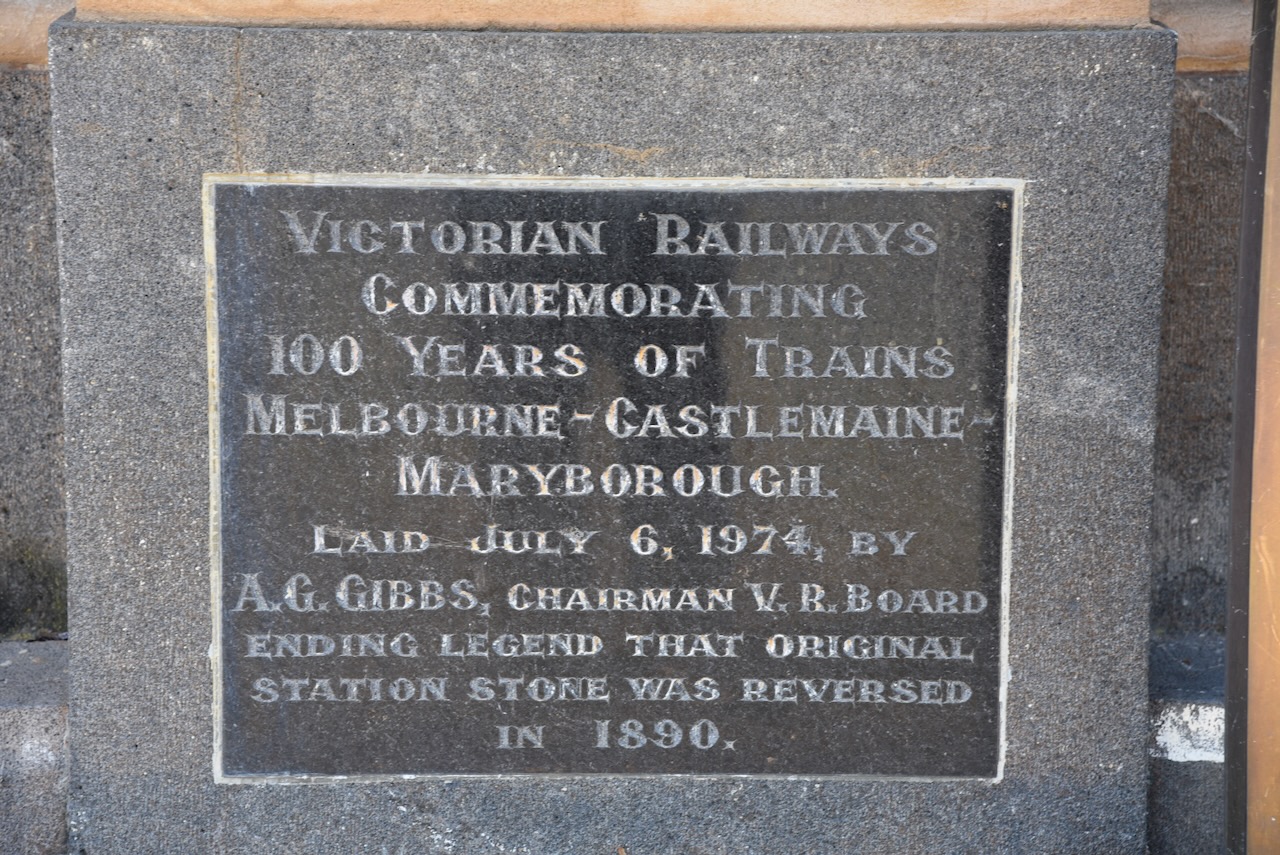
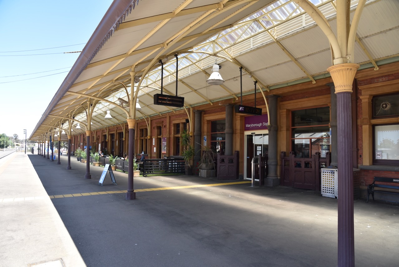
When the famous American writer Samuel Langhorne Clemens ‘Mark’ Twain visited Maryborough in 1895, he described Maryborough as “a railway station with a town attached”. The Queen Anne-style building with 25 rooms was completed in 1890. It includes an ornate clock tower and one of the lonest railway platforms in Australia. (Aussie Towns 2024)
We had a very nice lunch at the railway station.
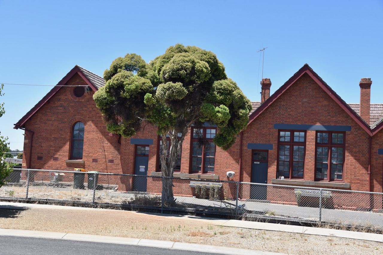
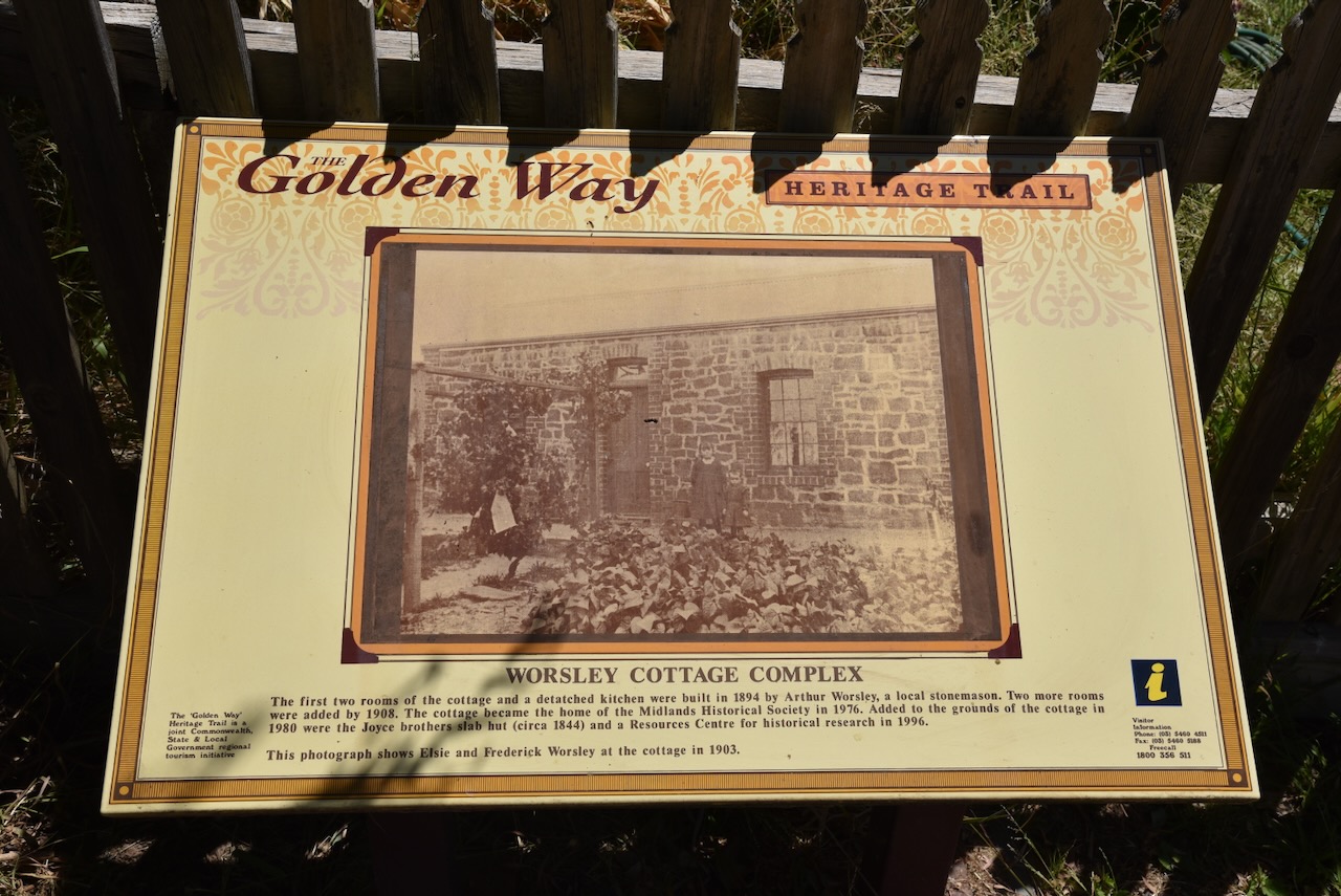
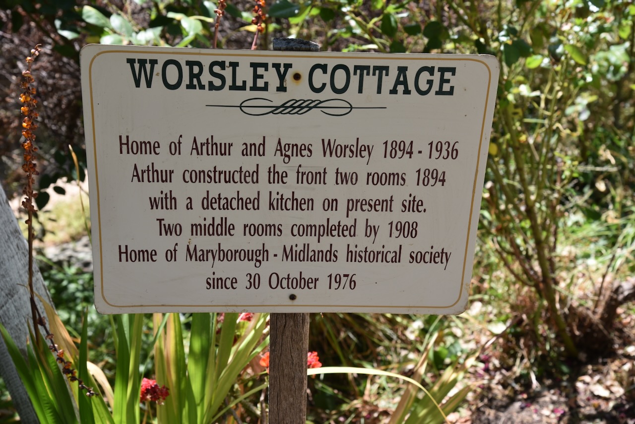
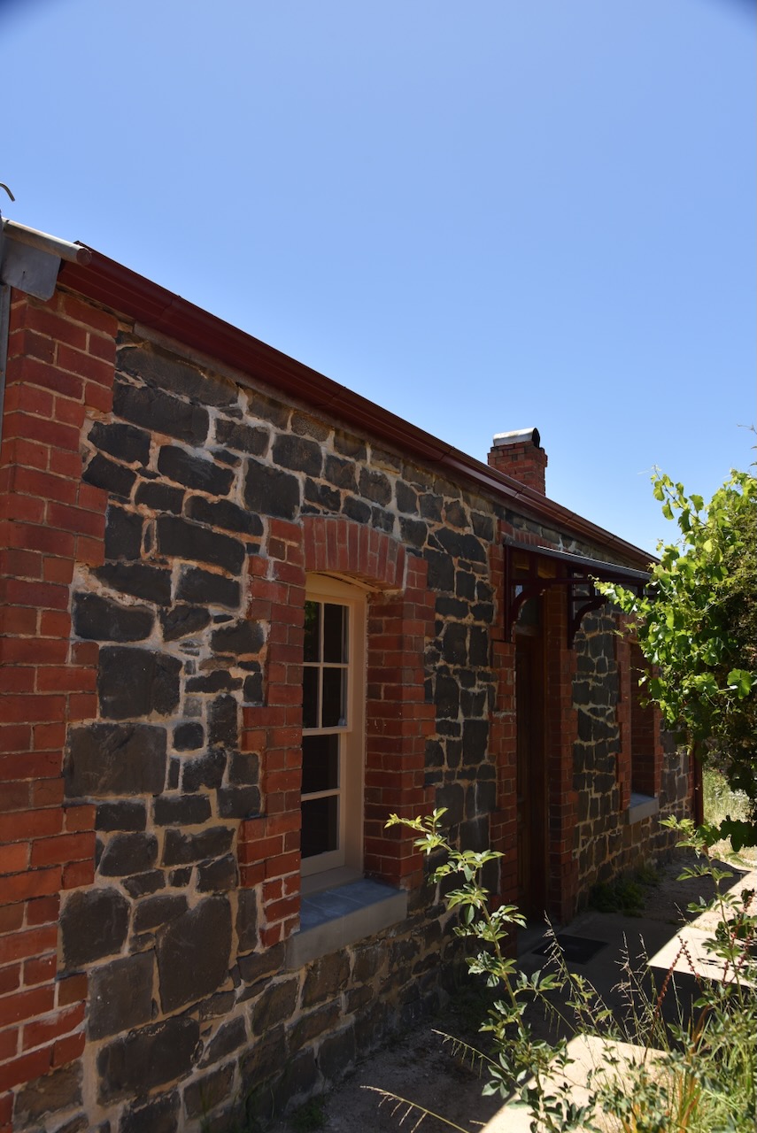
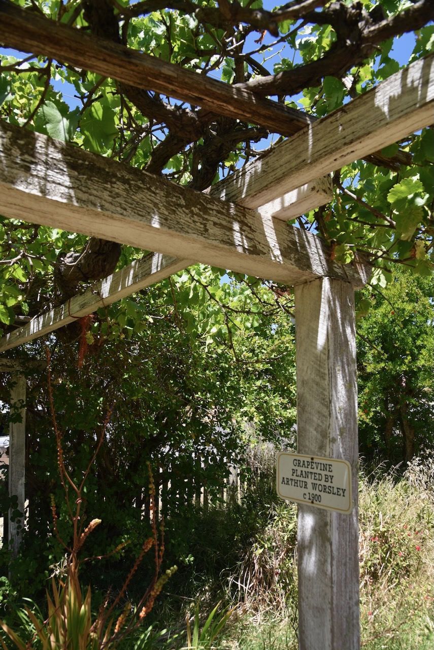
Following our pot of tea and a bite to eat at the Maryborough railway station, we visited Worsley Cottage in Maryborough. This beautiful little cottage was built in 1894 by Arthur Alfred Worsley (b. 1862. d. 1935), a contractor in stonework. The two front rooms were completed in 1894, while a further two rooms were added in 1908. (Victorian Collections 2024)
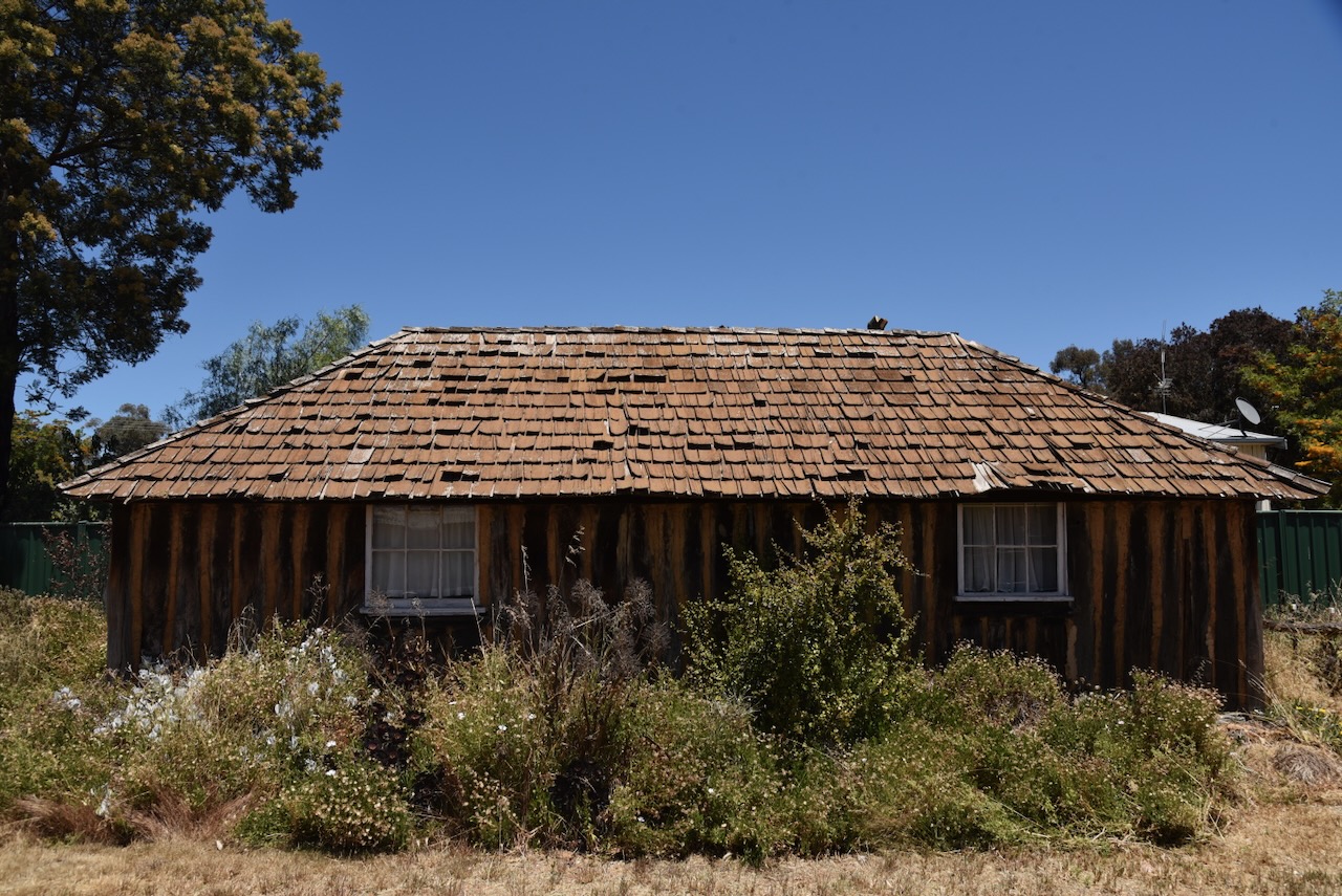
Also located on the site is an original slab squatter’s hut dating from c. 1844. The hut is the oldest known building in the district. It has a shingle roof and a rammed earth floor and is lined with hessian and calico. (Victorian Collections 2024)
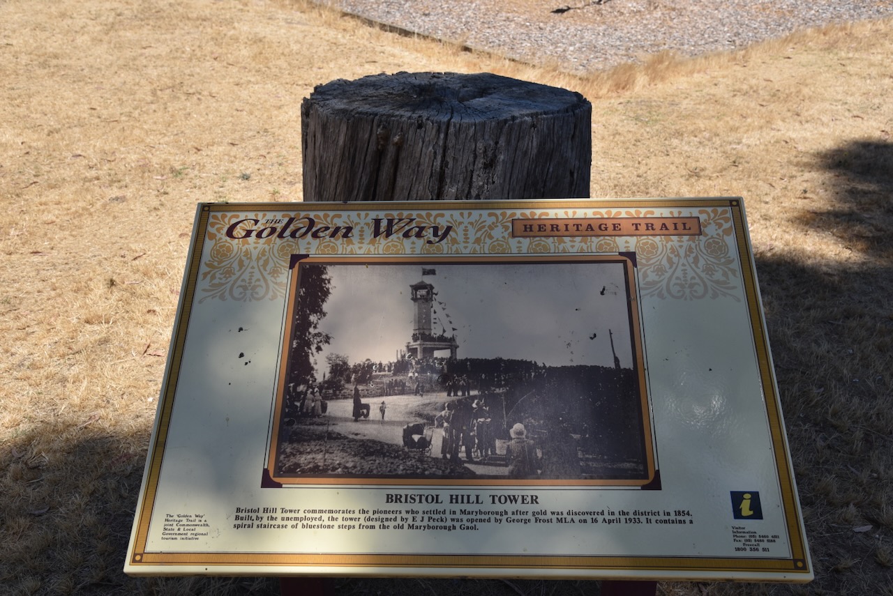
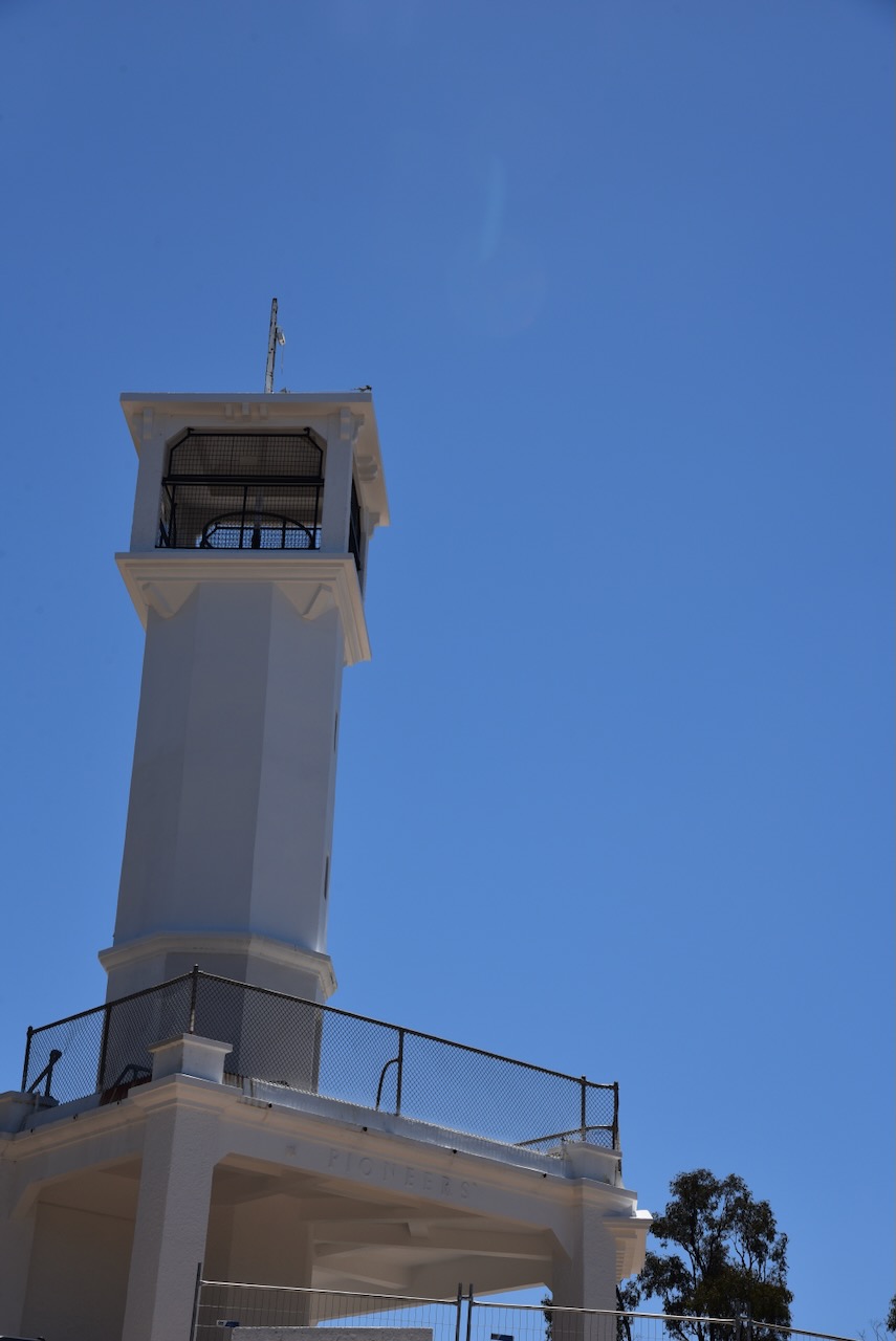
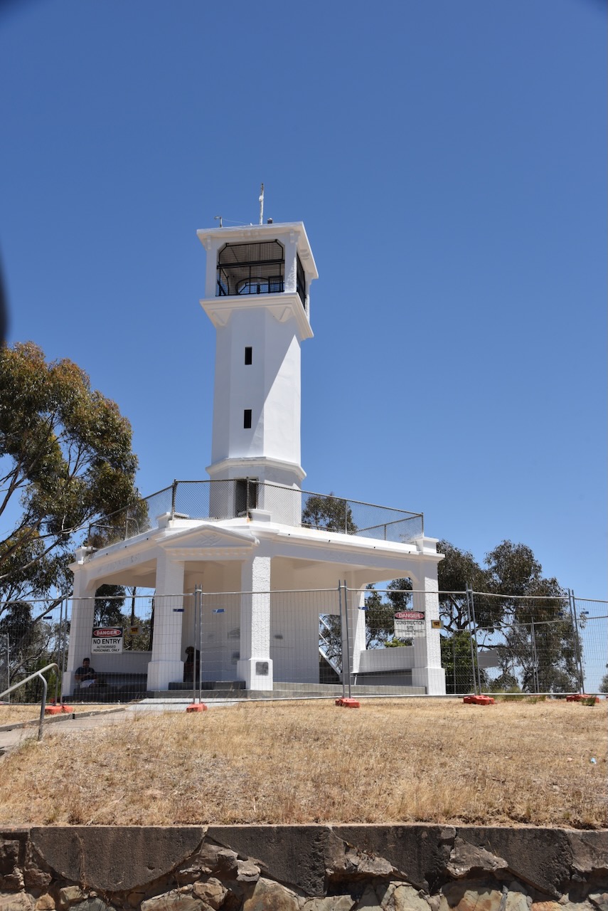
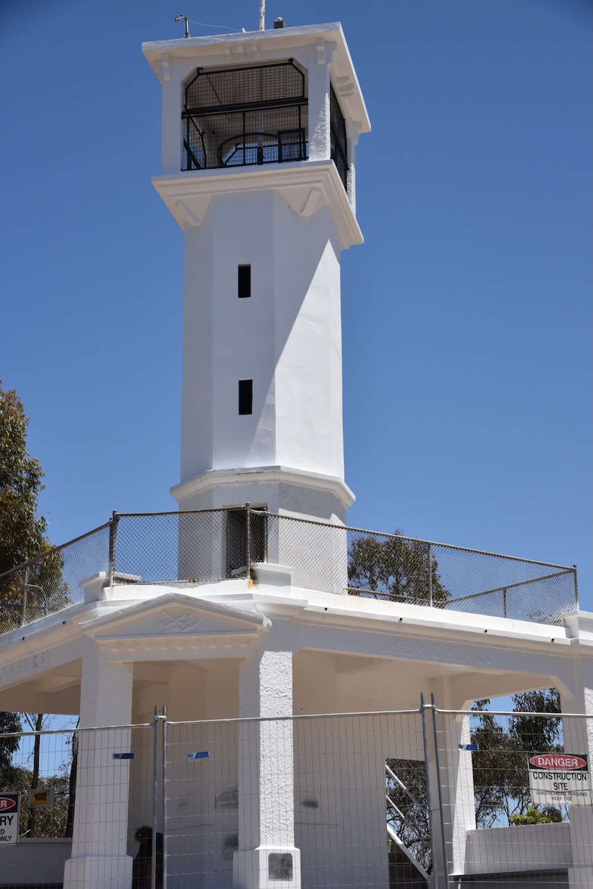
Our next stop was the Bristol Hill Tower commemorates the pioneers of the Maryborough district. It was built by the unemployed and was designed by E.J. Peck. The tower’s spiral staircase was built from bluestone from the old gaol buildings. (Aussie Towns 2024)
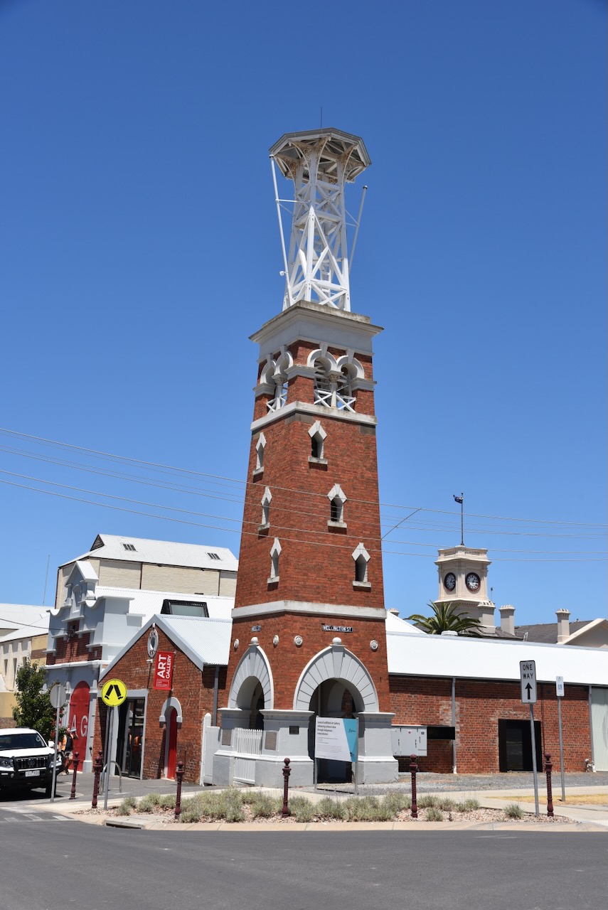
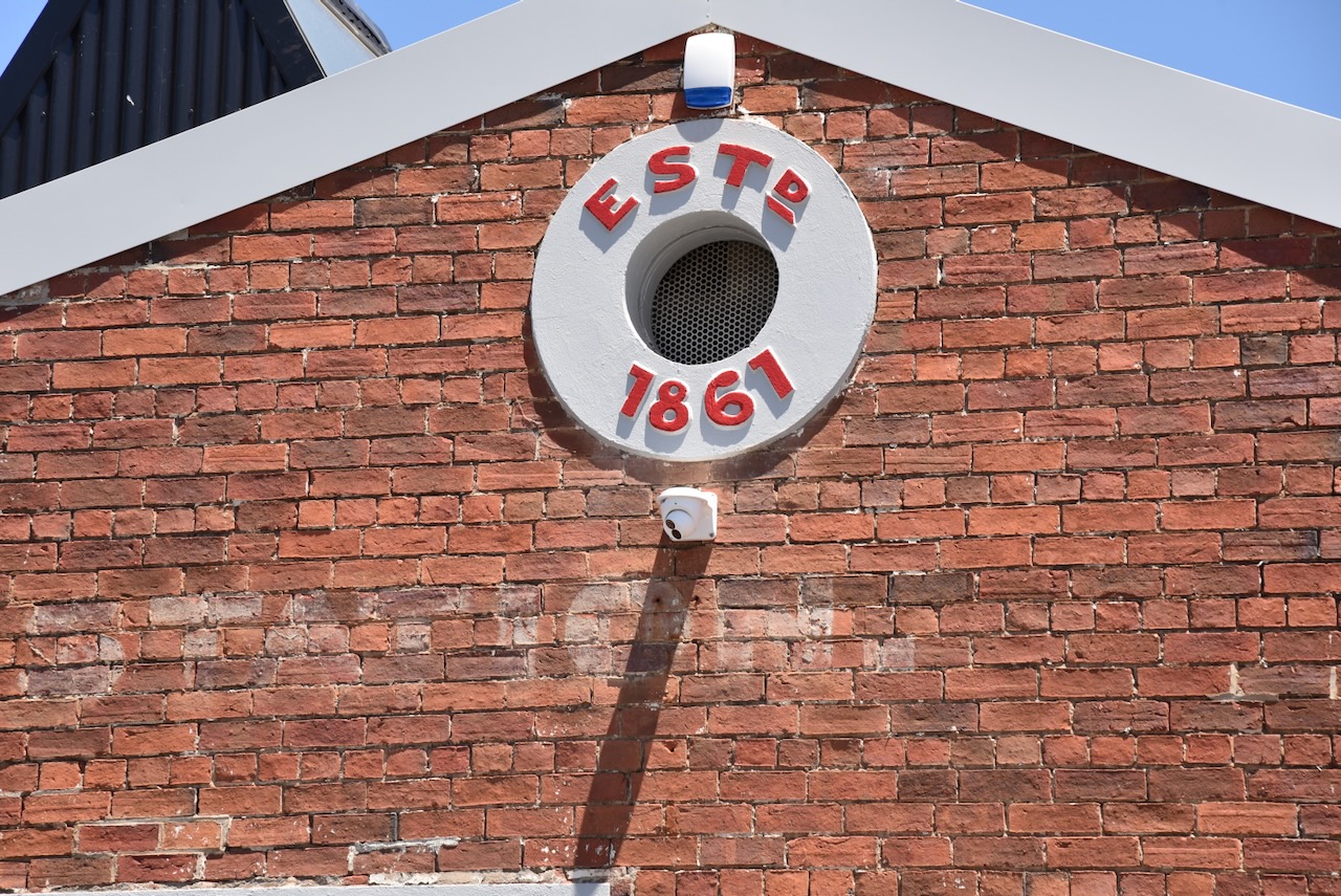
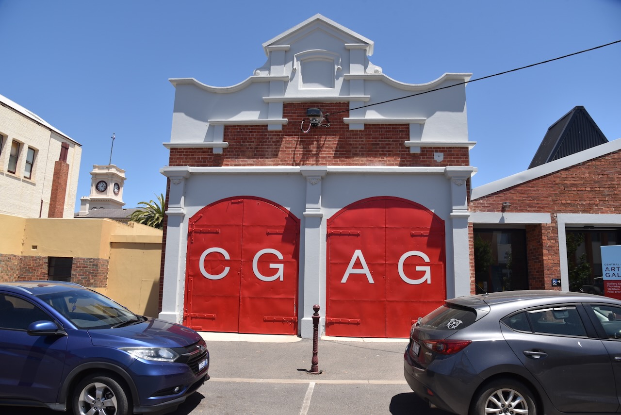
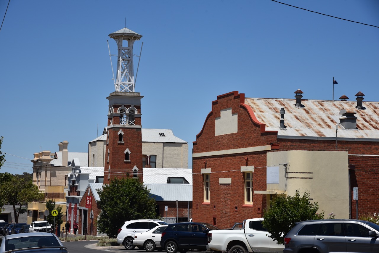
One of the buildings in Marybouough that really impressed Marija and me, was the old Maryborough Fire Station on Neill Street. It was built in 1861. The current-day tower was built in 1888 and is the third tower at the site. During the early 1900s, the engine sheds were added. The boom-style belltower contains a bell from the Simsons homestead. (Aussie Towns 2024)
We left Maryborough and headed north on Timor Road and soon reached the little area of Bowenvale.
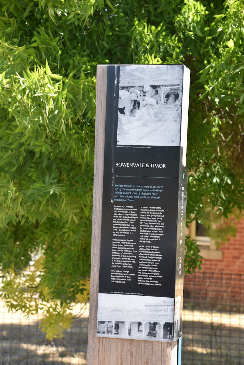
Bowenvale was originally known as Chinaman’s Flat. In the early 1860s, a Ballarat mining company successfully mined a deep lead in the area. The Chinaman’s Flat Post Office operated from 1861 to 1895. In 1864 the Chinaman’s Flat School was opened. During the 1870s Chinaman’s Flat was renamed Bowenvale in honour of Sir George Ferguson Bowen (. 1821. d. 1899), the Governor of Victoria from 1873-1879. (Victorian Places 2024)
Sir George Ferguson Bowen. Image c/o State Library Victoria.
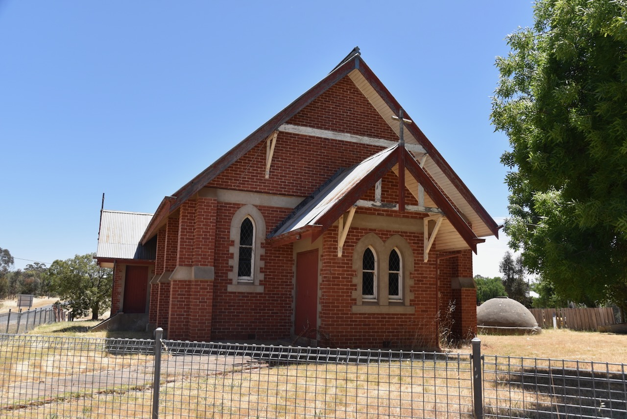
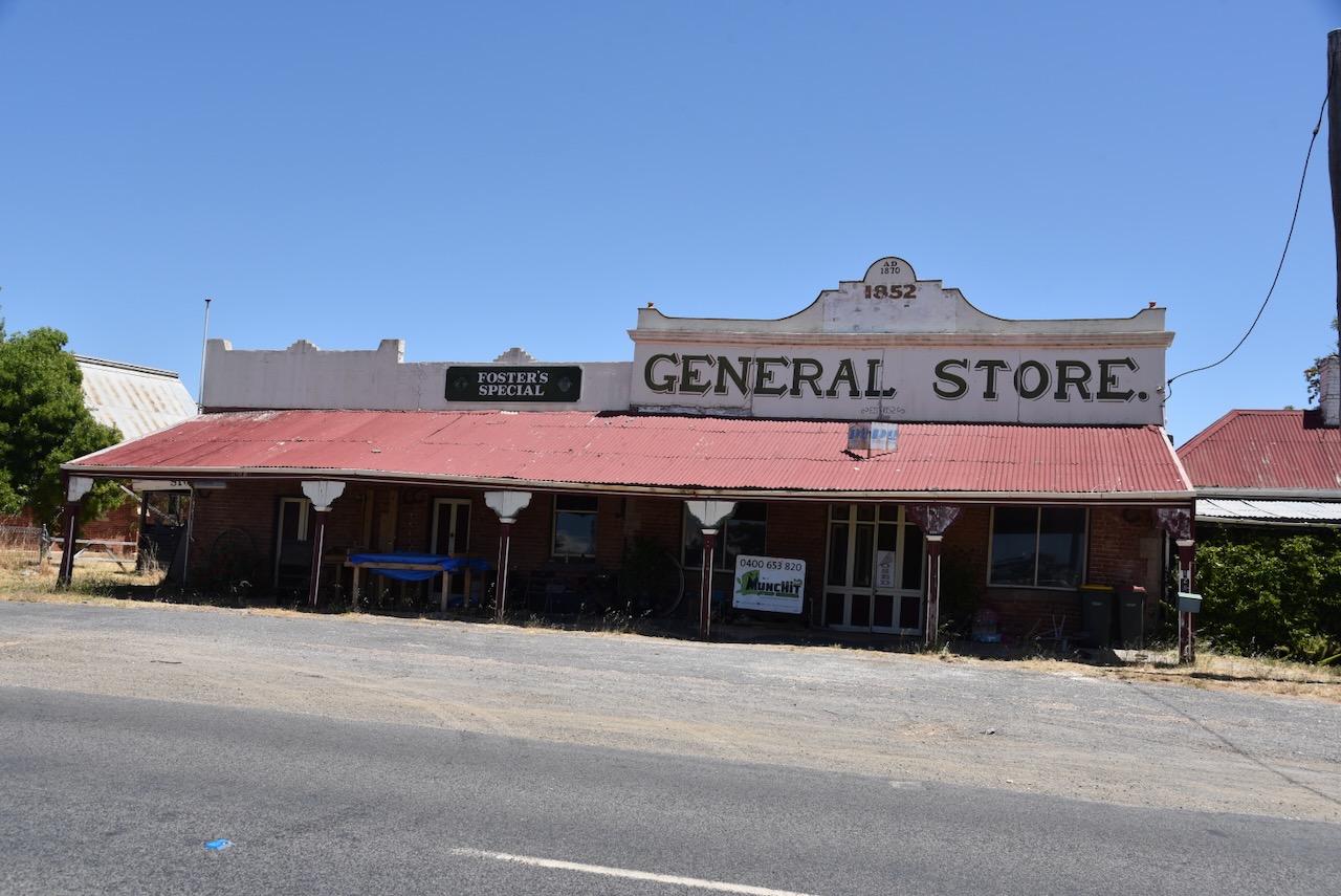
Not much remains at Bowenvale. The former St Marys Catholic Church was built in the late 1800s. The old General Store was built in 1852 and is one of the oldest shops in Victoria. (flickr 2024) (Australia’s Christian Heritage 2024)
We continued on to Timor, a little town that was originally known as Coxtown following the discovery of gold there in 1856. It earned its name from Cox, a butcher and hotel keeper. It was subsequently renamed Timor after nearby Timor Creek. The Timor Post Office opened in 1865. In 1873 a government school was opened at Timor and by 1879 had an enrollment of almost 500 children. (Victorian Places 2024)
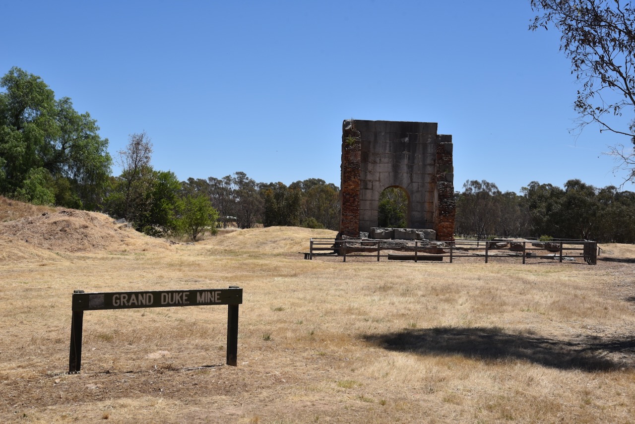
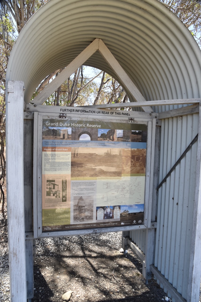
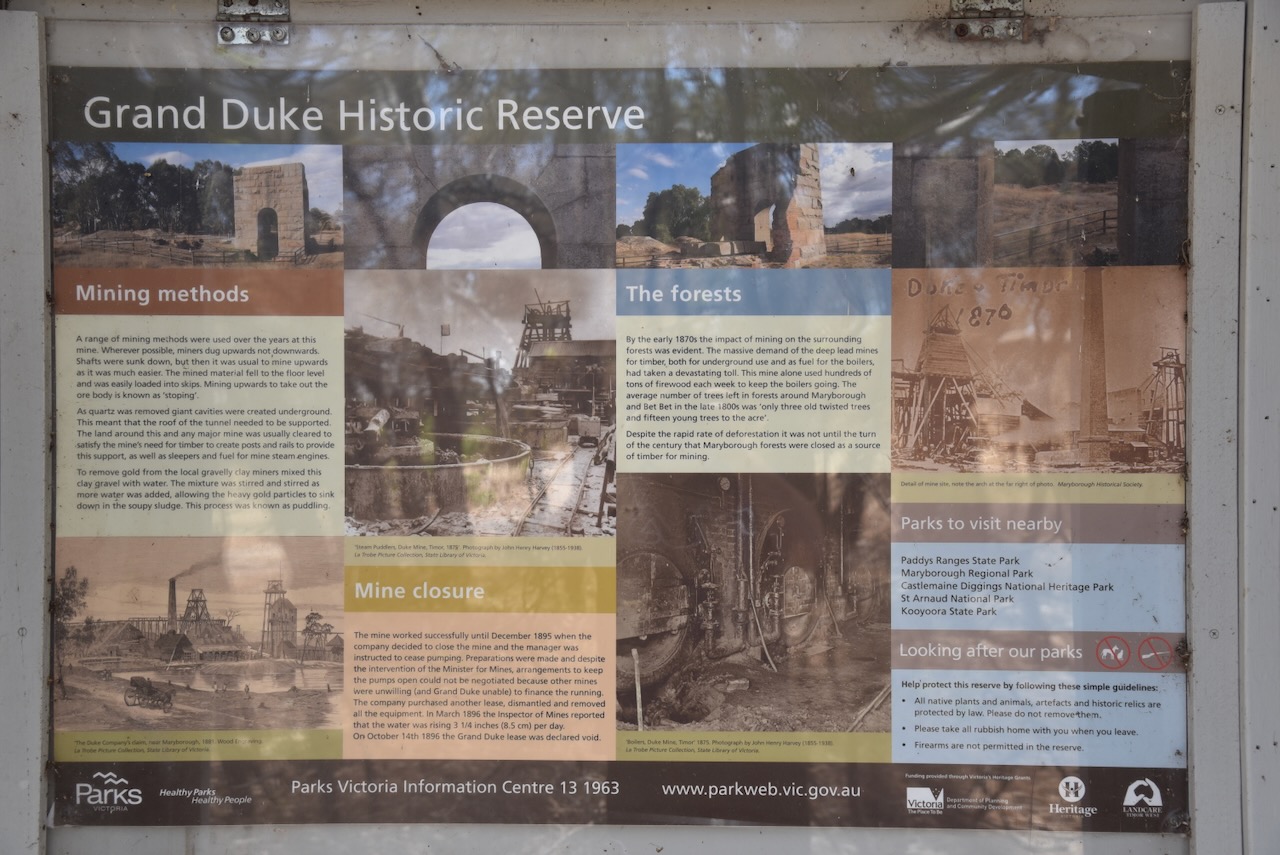
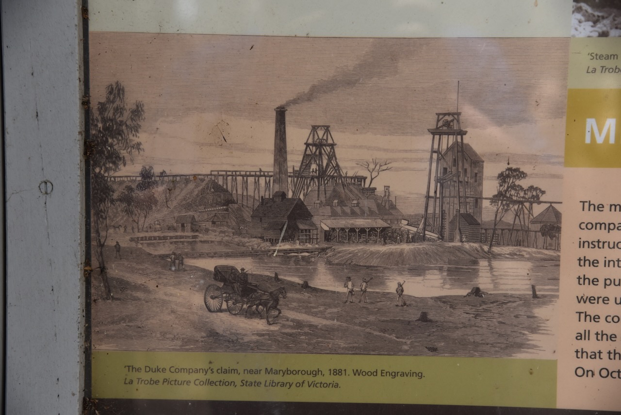
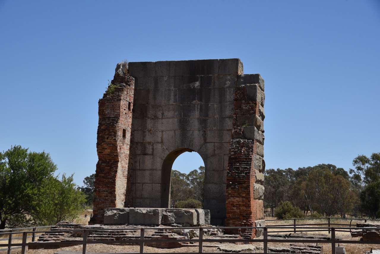
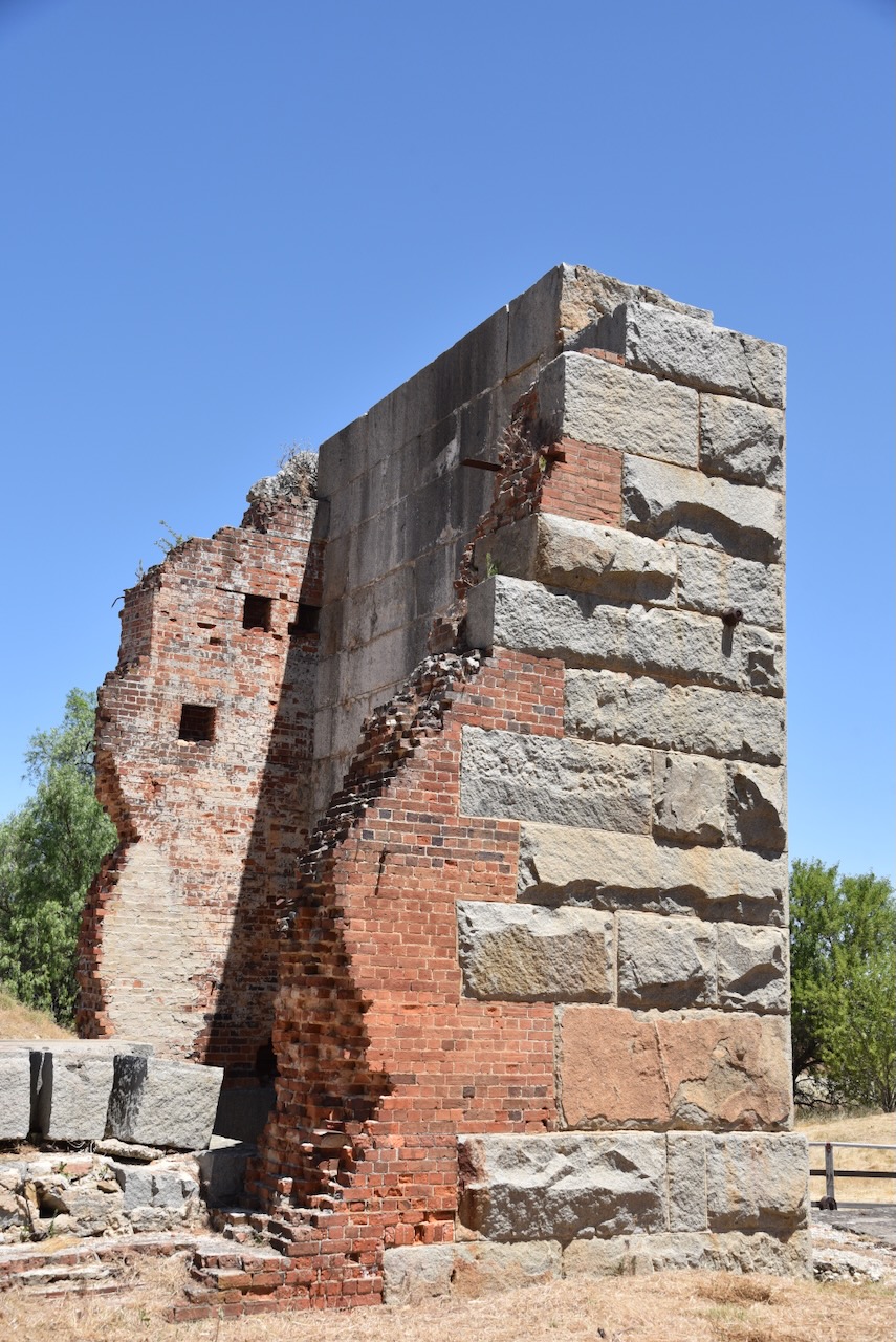
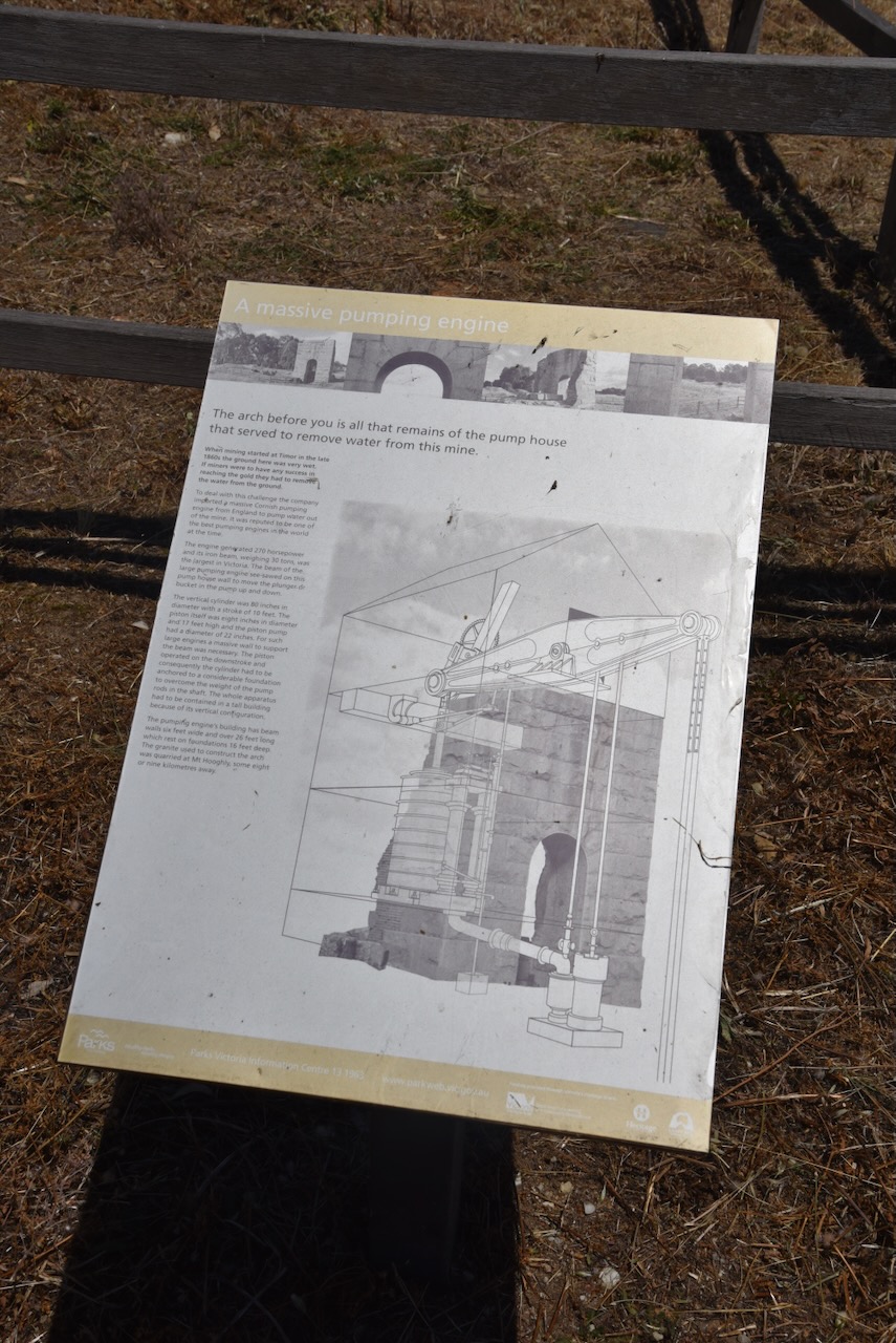
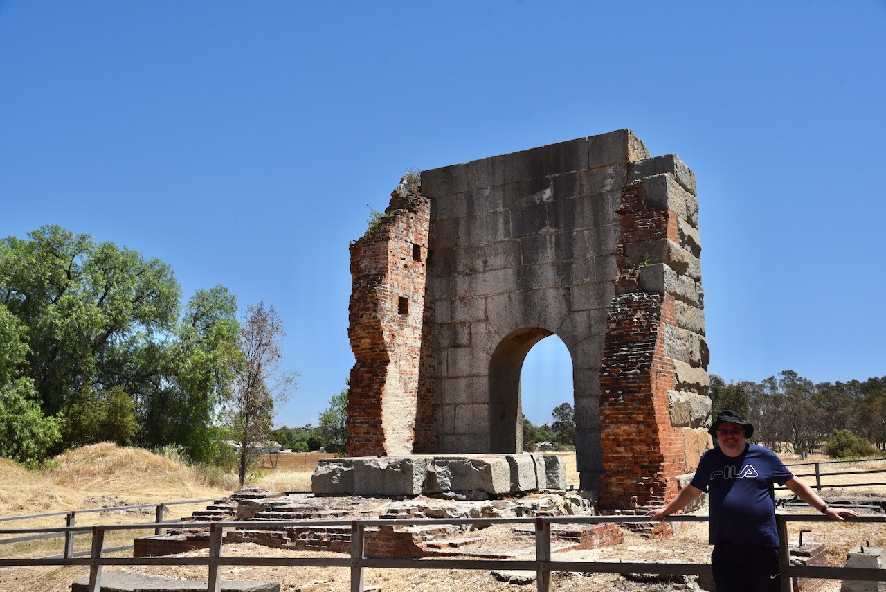
The most successful deep lead in the district was the Grand Duke. Remains of the Duke and Timor Gold Mining Company’s mine house can be found at Timor. It produced a 1/4 of the gold taken from the Maryborough district. (Victorian Places 2024)
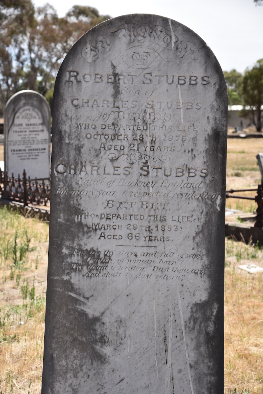
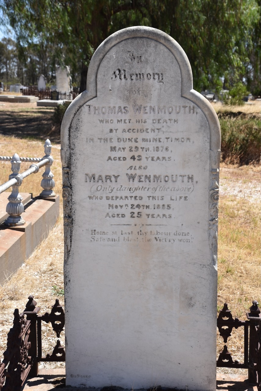
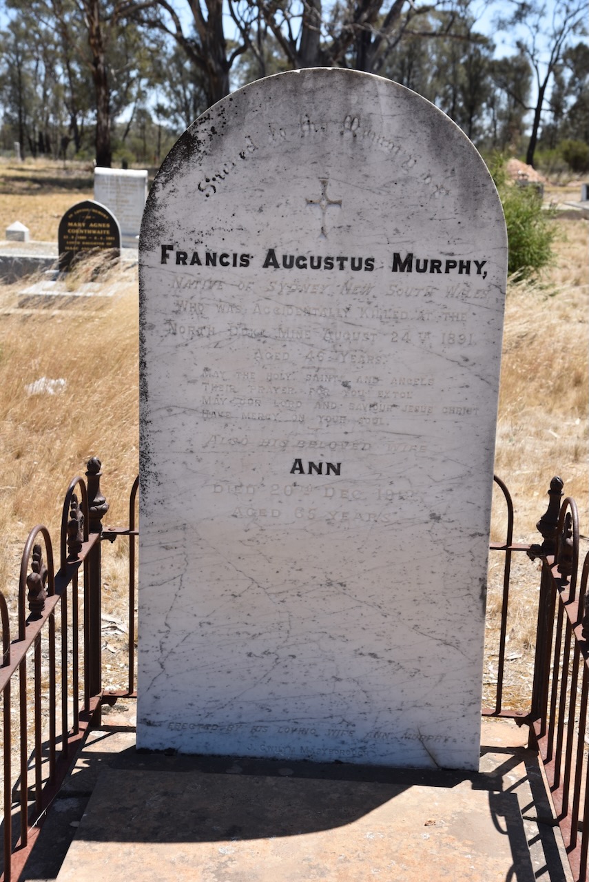
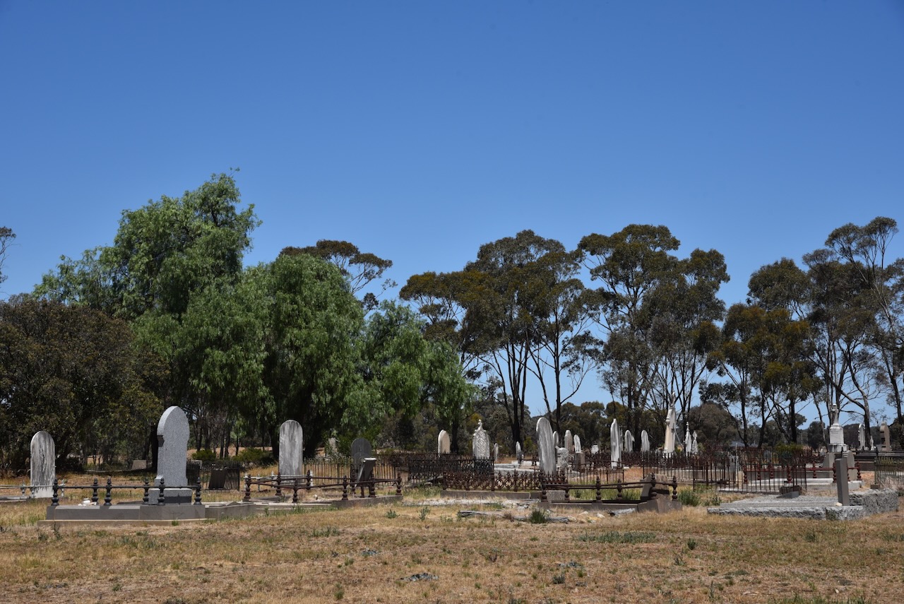
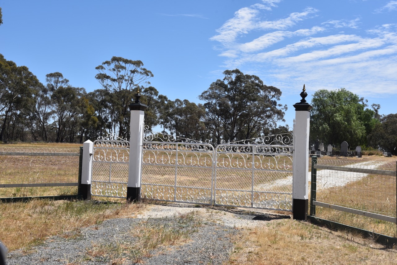
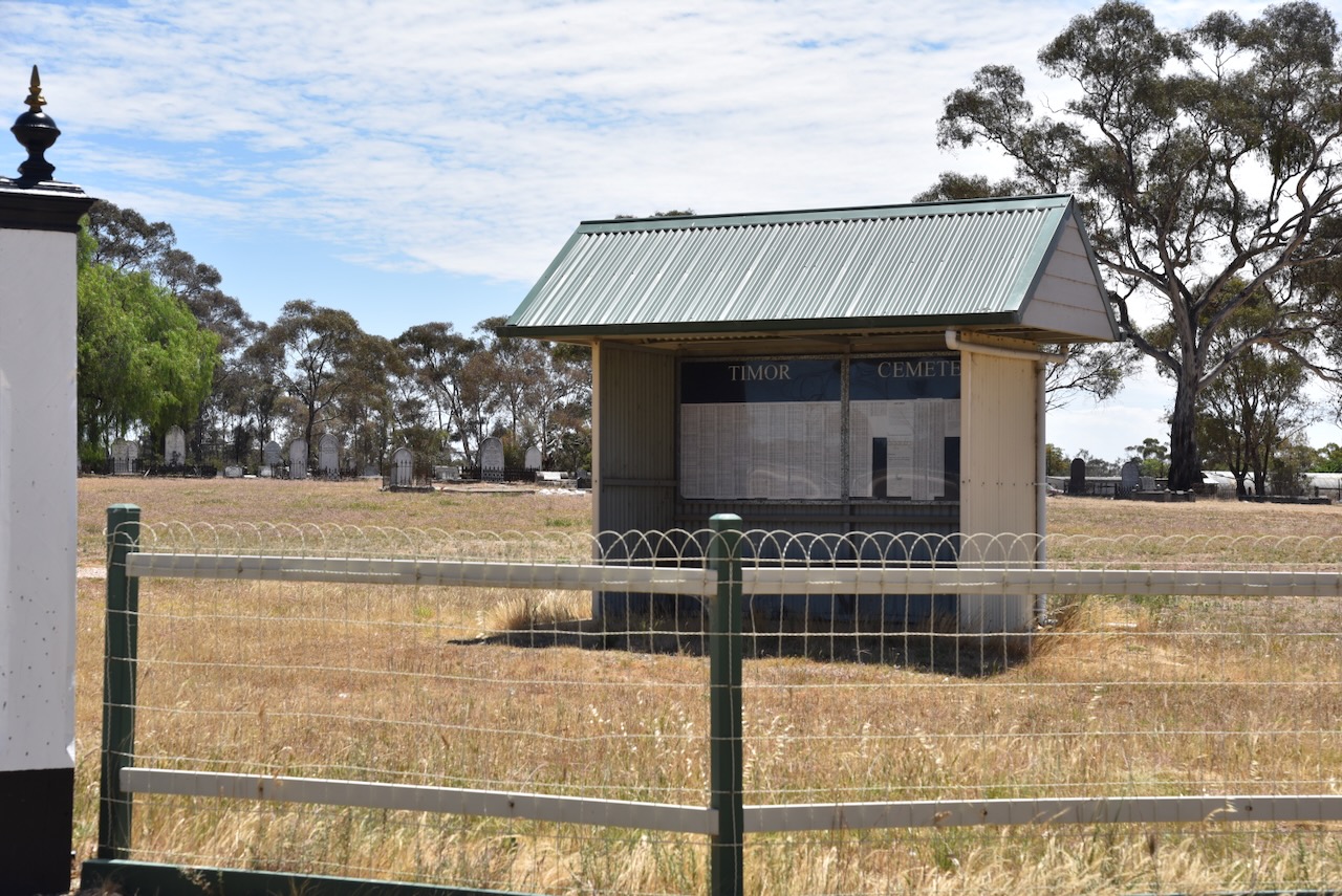
We then visited the historic Timor cemetery. One of this cemetery’s notable features is the rare surviving wooden grave architecture. (Goldfields Guide 2024)
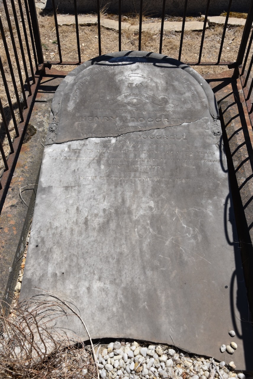
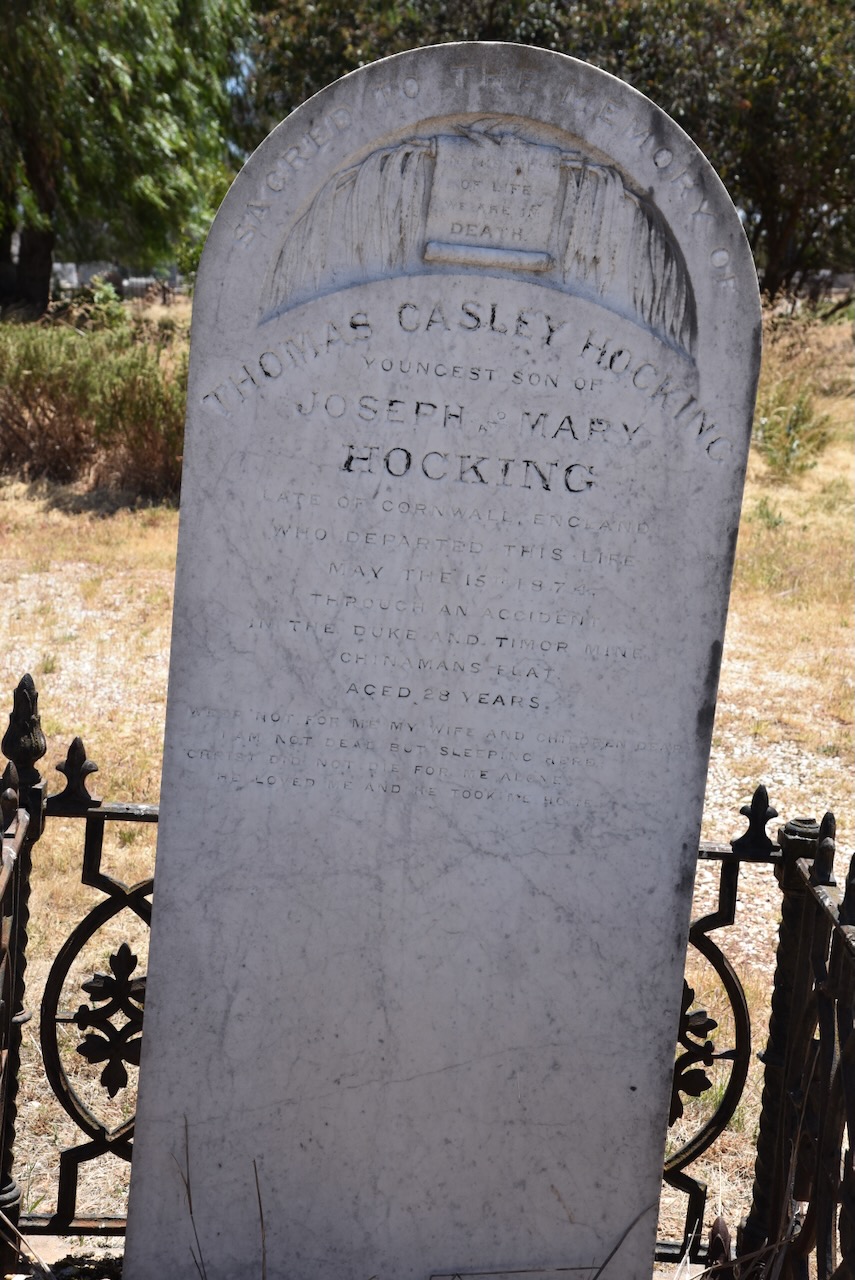
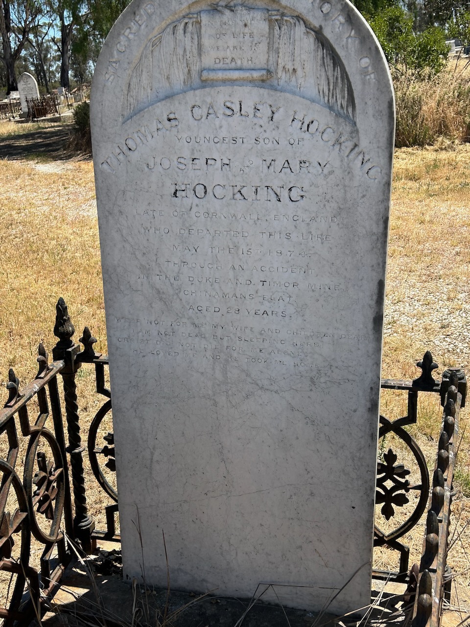
One of the interesting headstones in the cemetery is that of Joseph Nicholls. It is said that this is Timor’s Cursed Grave. Joseph Nicholls died in a mining accident on the 15th day of May 1874 at the Duke and Timor Mine. He was just 27 years old.
Above:- part of an article from The Age, Melbourne, Tue 19 May 1874. Image c/o Trove.
His headstone at the Timor cemetery reads:
Oh! Let my sudden doom
A warning be to all
E’en while thou bendest o’er my tomb
Thou may’st as quickly fall
(Goldfields Guide 2024)
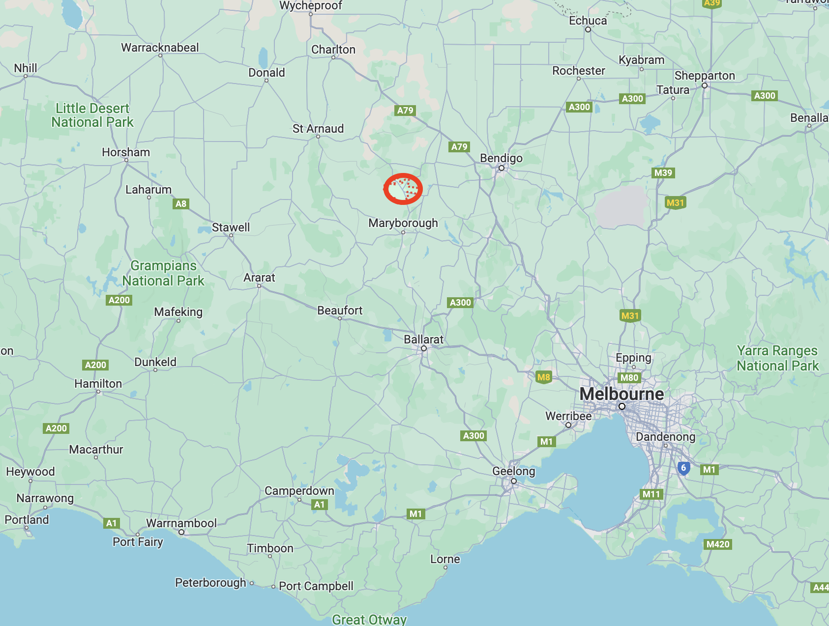
We left Timor and continued north heading to the historic town of Dunolly.
Above:- Map showing the location of Dunolly in Victoria. Map c/o Google Maps.
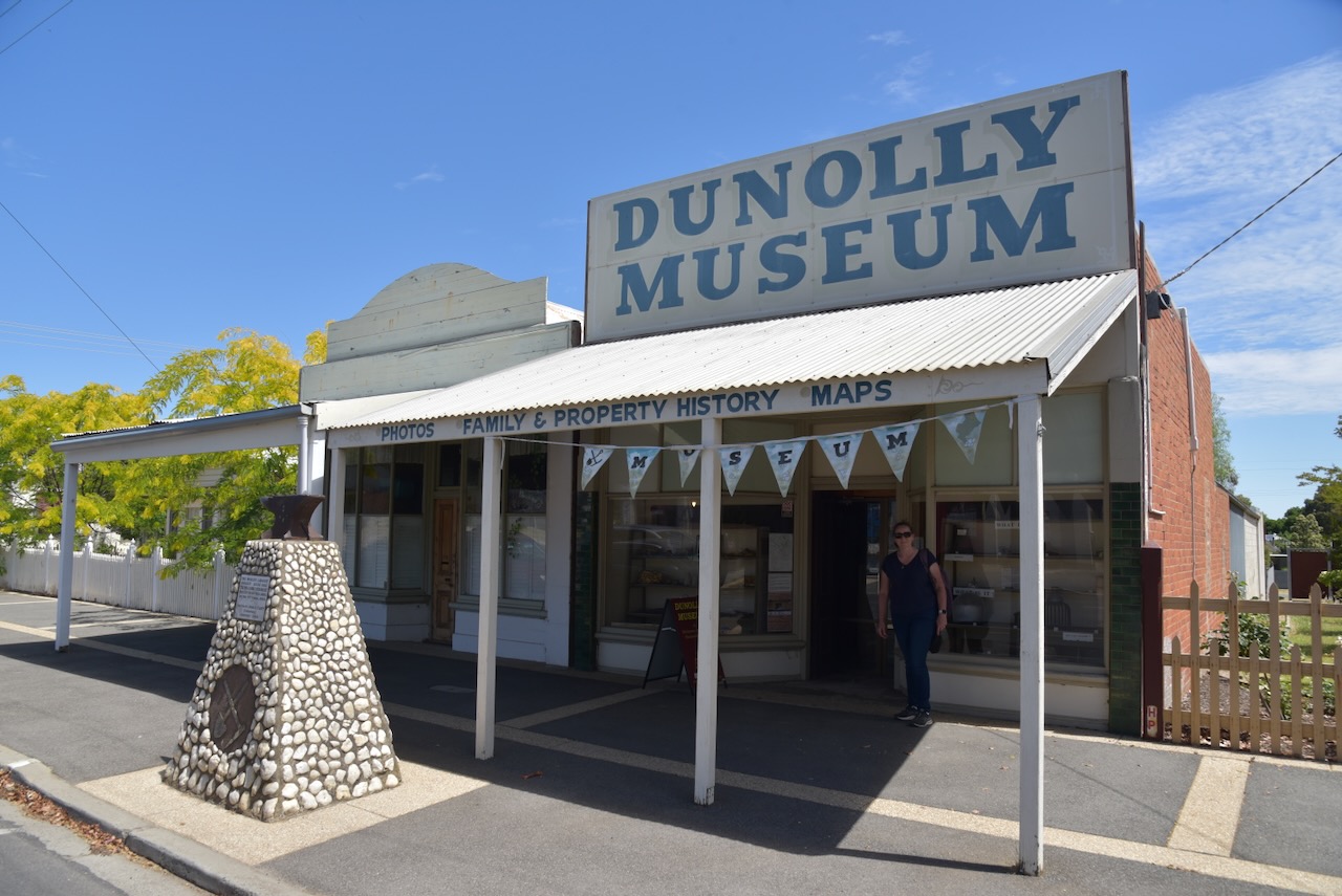
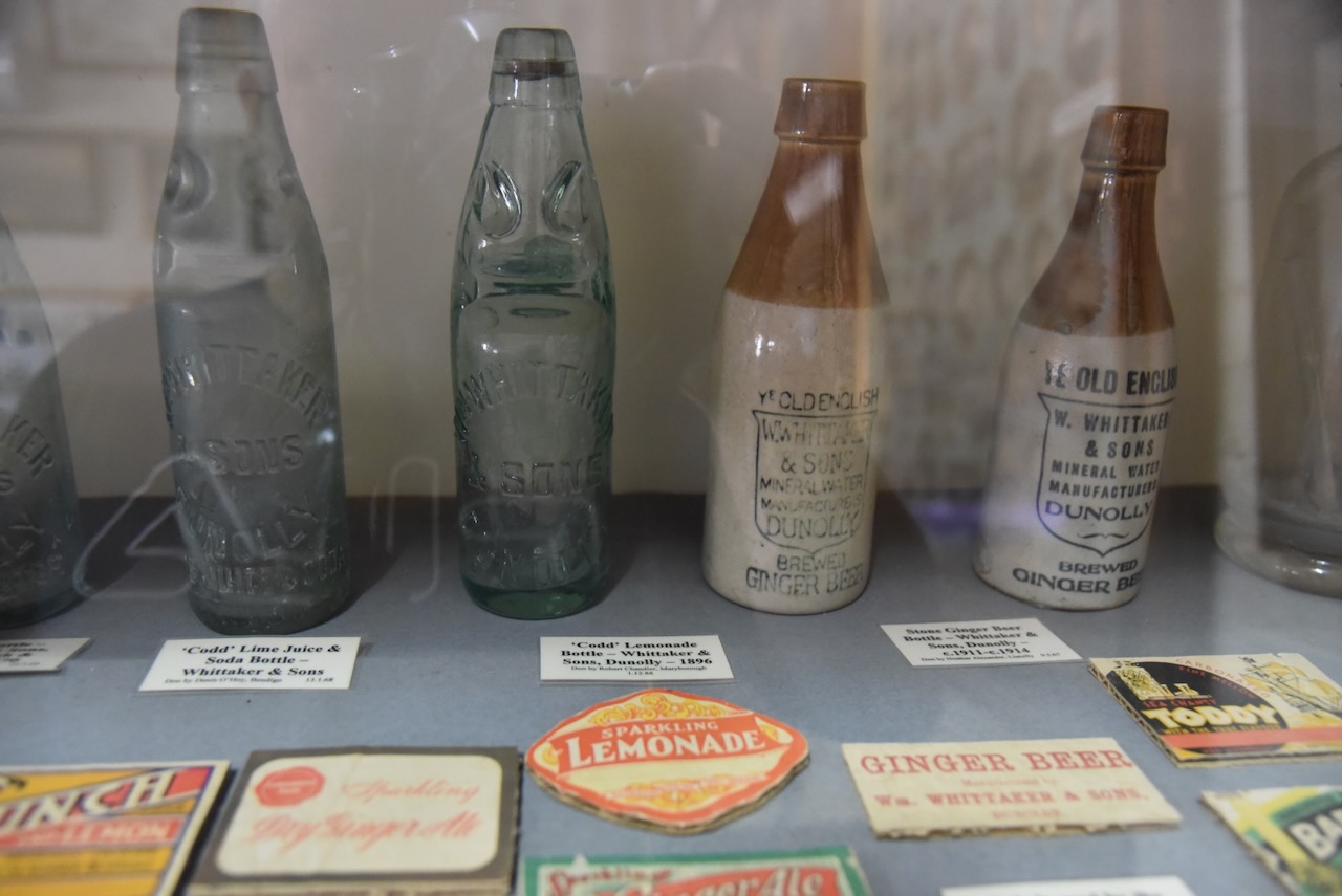
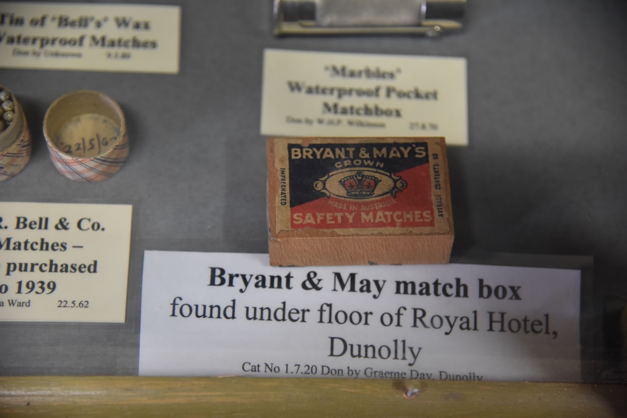
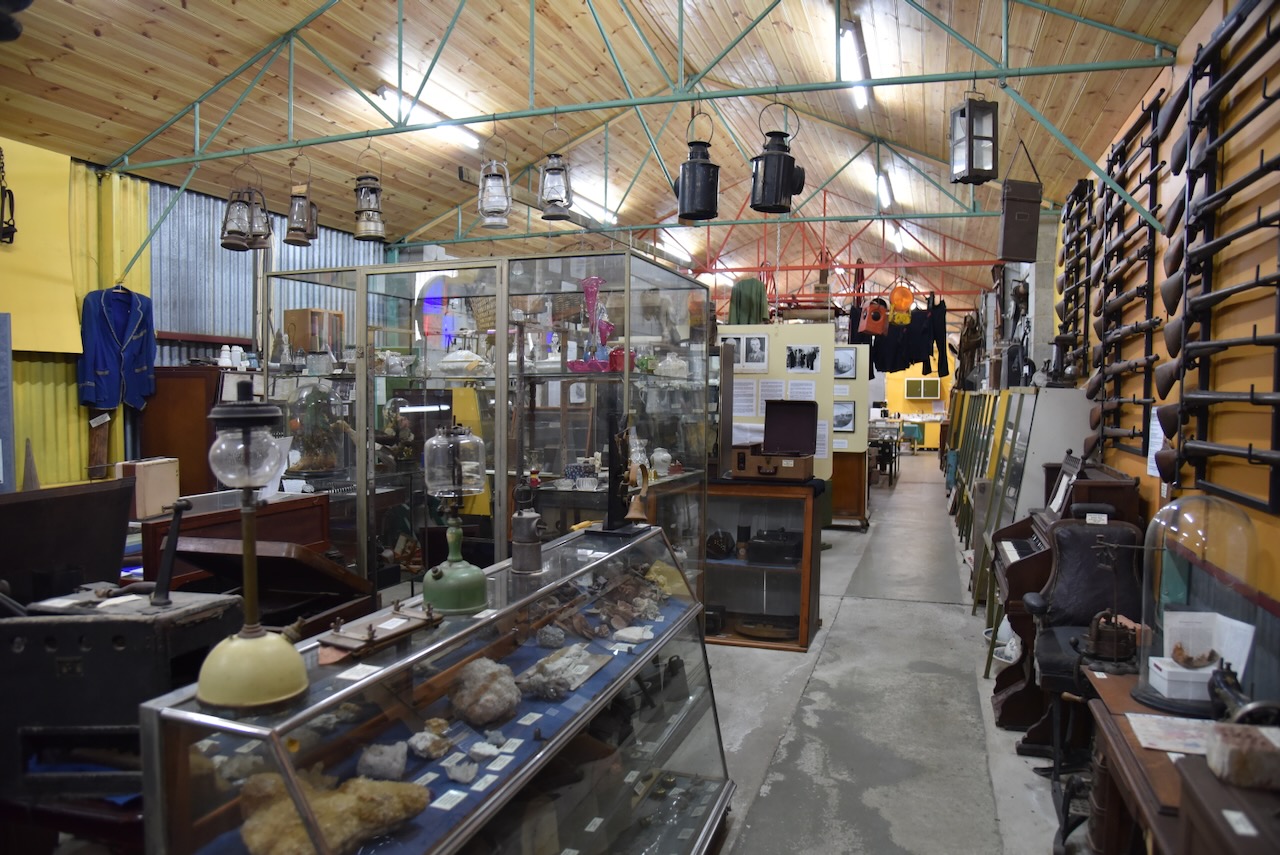
Upon arriving at Dunolly we visited the Dunolly Museum. What a magnificent little museum. It is operated by the Goldfields Historical & Arts Society and contains a magnificent collection of artefacts from the district. Marija and I spent about an hour wandering around inside looking at the various displays. (Dunolly Museum 2024)
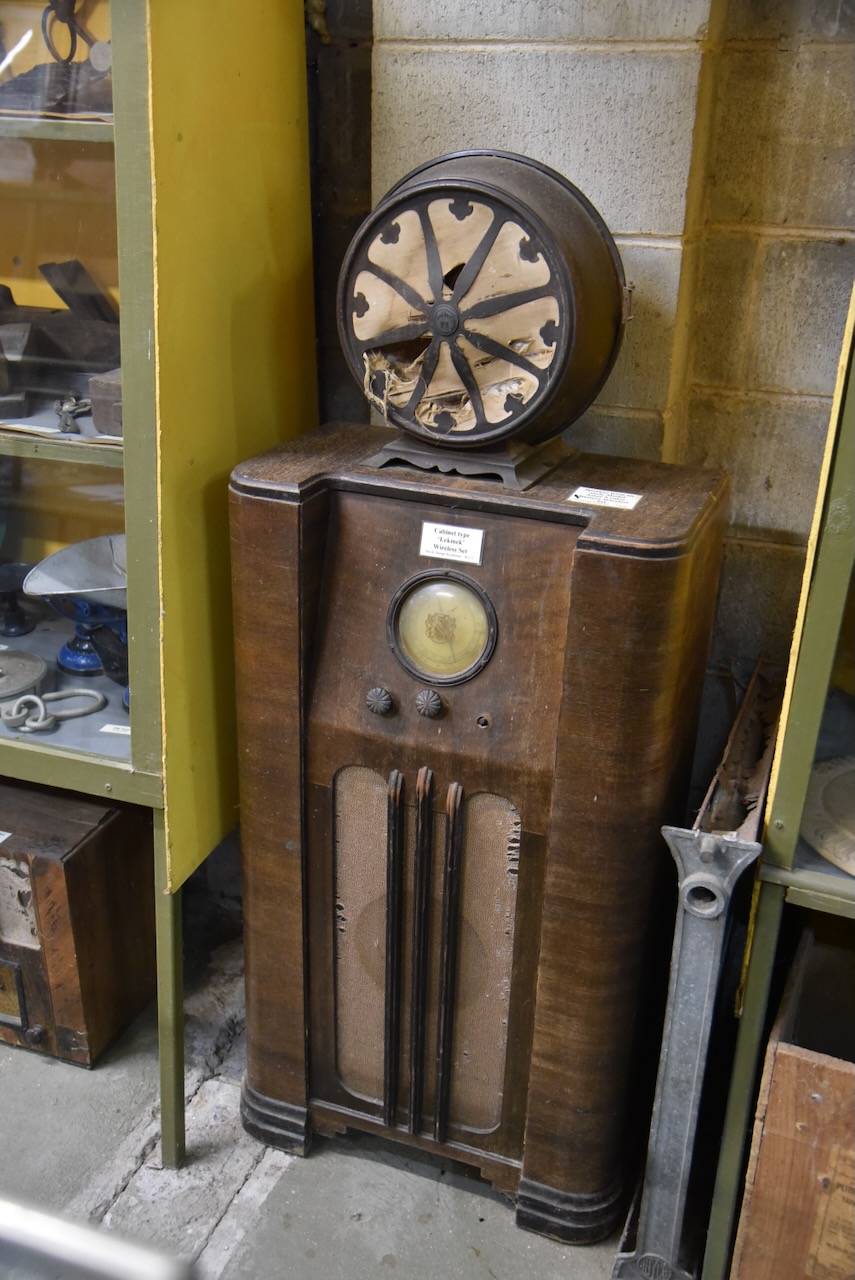
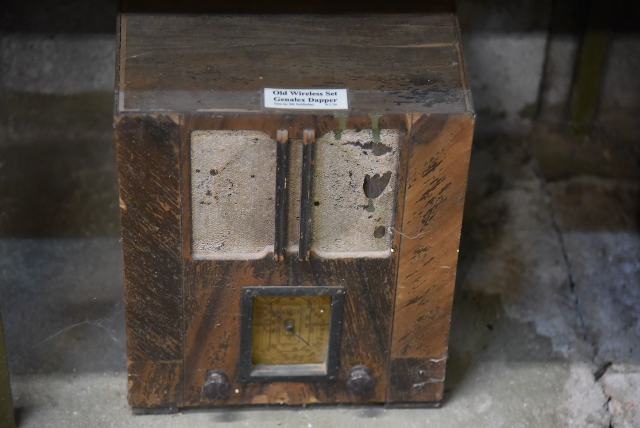
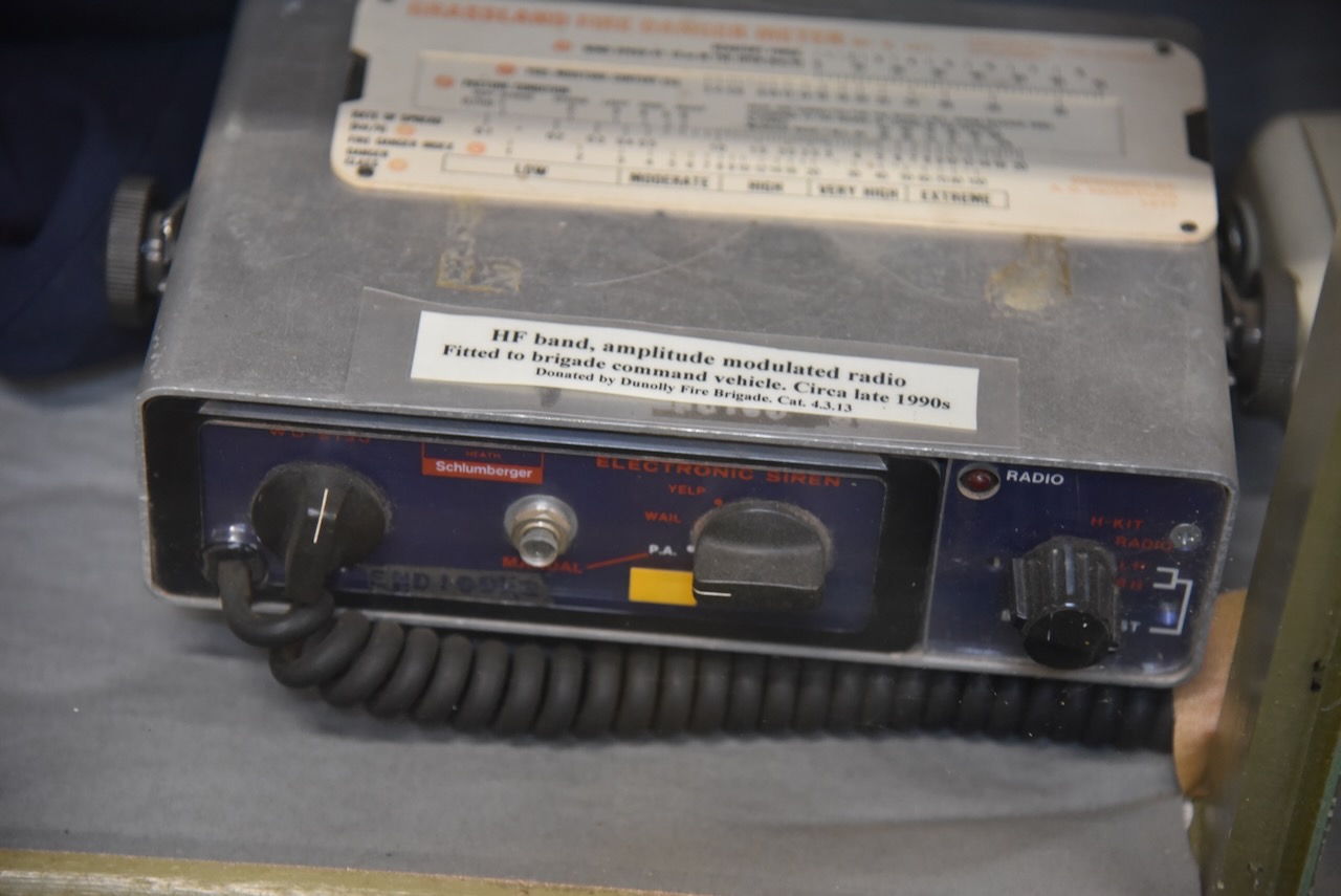
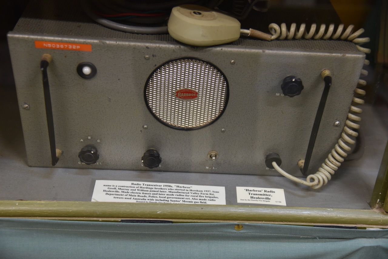
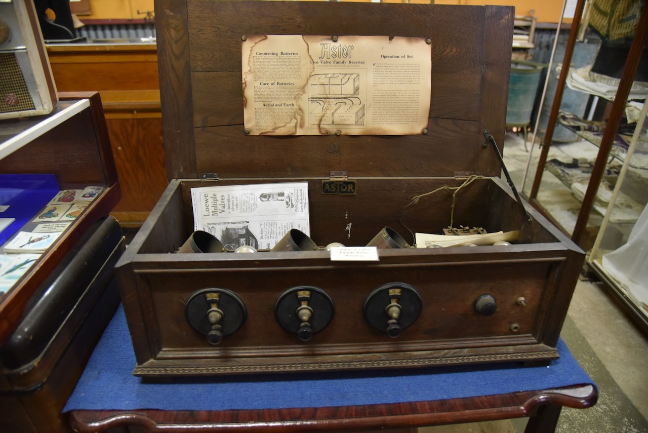
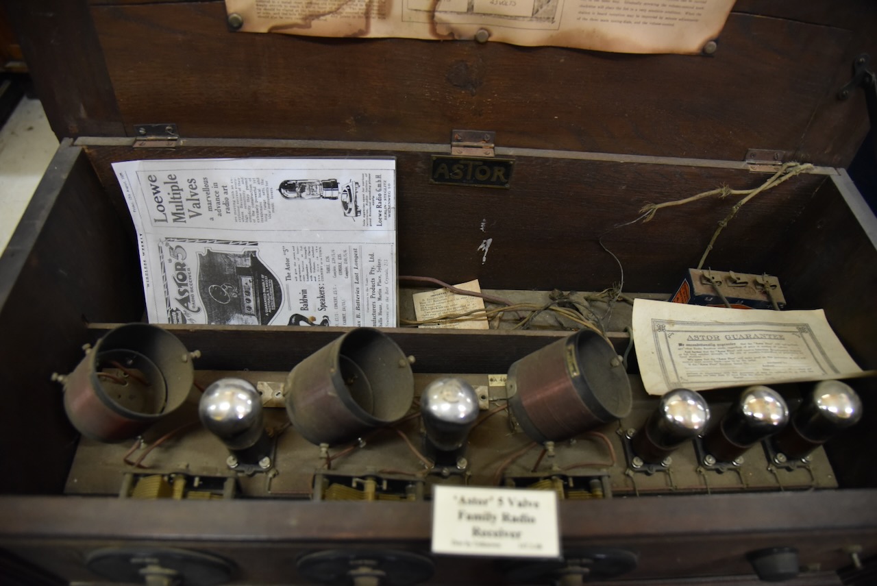
The museum contained a number of old radios.
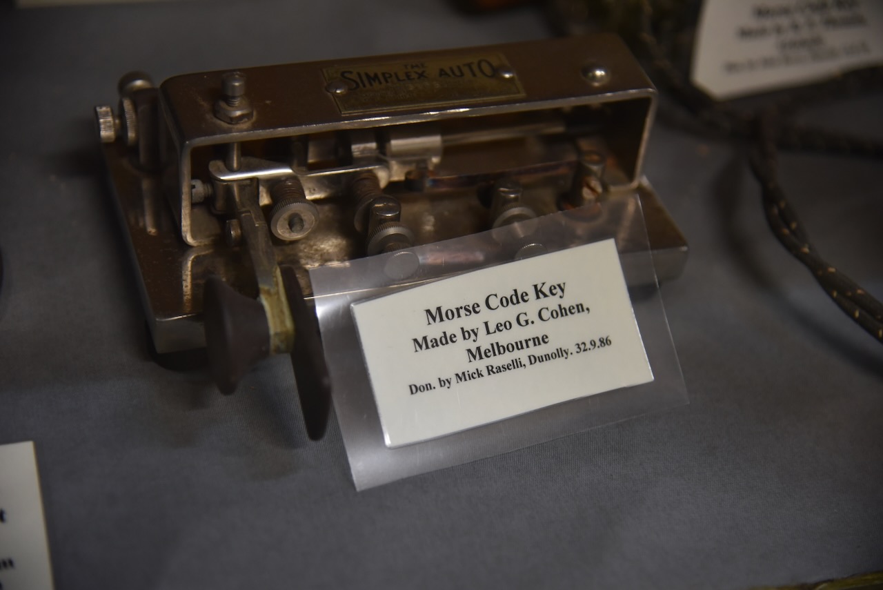
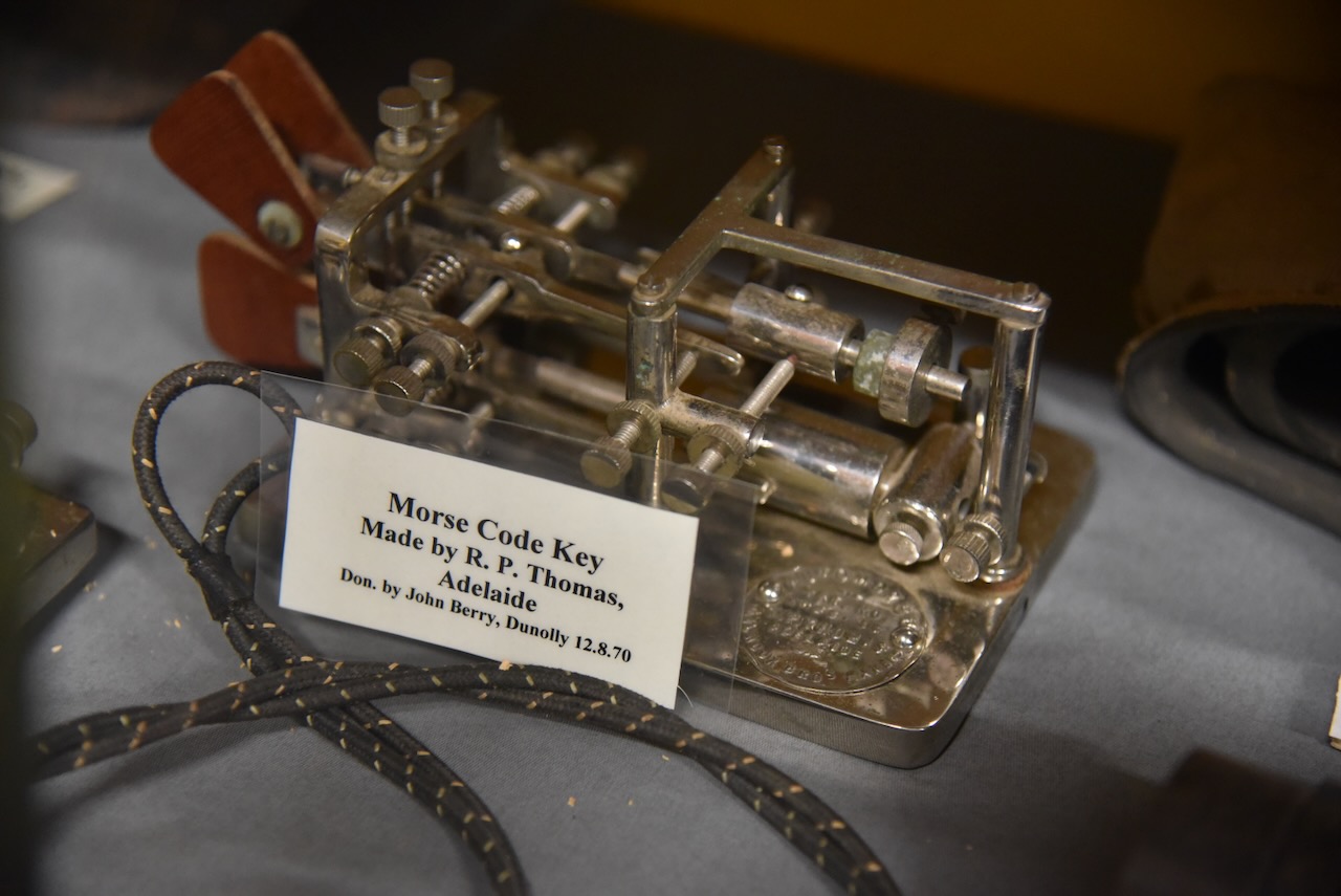
And even some old Morse Code keys.
Below is a great video about the Dunolly Museum.
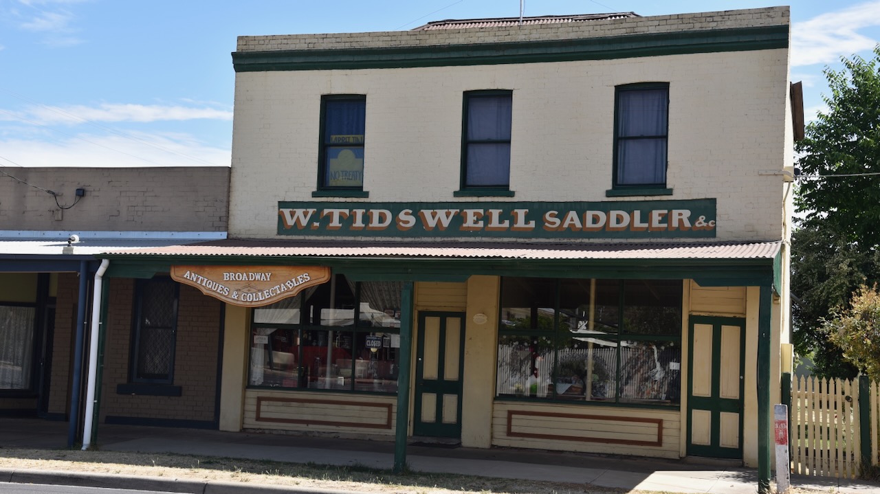
After leaving the museum we wandered around the main street of Dunolly admiring some of the magnificent 19th-century buildings.
In 1845 Archibald McDougall took up a pastoral run called Dunolly. He named it after Dunolly Castle in Oba, Scotland, which was the seat of the McDougall Clan. In 1852 gold was discovered at Moliagul, about 14 km north-west of Dunolly. McDougall’s property was situated about halfway between Moliagul and Dunolly. In 1854 McDougall sold the pastoral run to Henry Simson who subdivided the run for settlement. Unfortunately for Simson, those seeking dold moved through and beyond his subdivision. In 1856 gold was found in an area north of the current day Dunolly. This gold field was known as old Dunolly. (Victorian Places 2024)
Those in search of gold followed the valley of Burnt Creek which runs around the west and south side of present-day Dunolly. The Dunolly-Moliagul district became well known for large gold nuggets and in 1857 recorded the largest gold production per capita of any gold mining town in Victoria. (Victorian Places 2024)
Following the discovery of gold, a police camp was established at old Dunolly. The permanent township of Dunolly was surveyed further south and this quickly grew into a thriving town. In 1857 an Anglican school was opened, and the borough council was proclaimed on the 21st day of May 1858. In 1860 a hospital was built and this was followed by a courthouse in 1862. (Victorian Places 2024)
The Australian Handbook of 1875 described Dunolly as follows:-
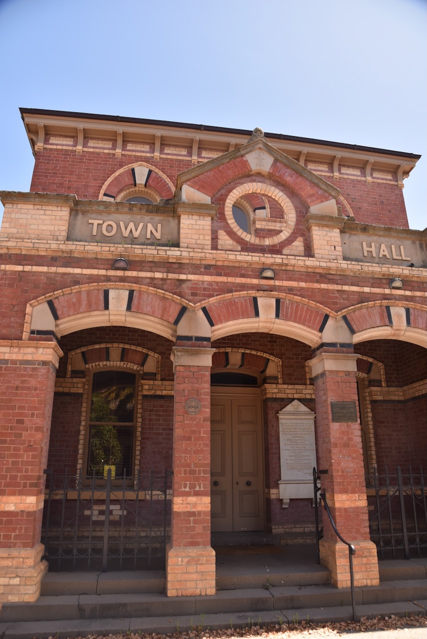
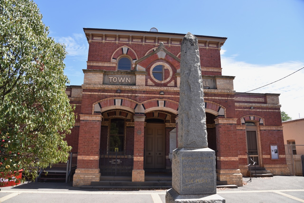
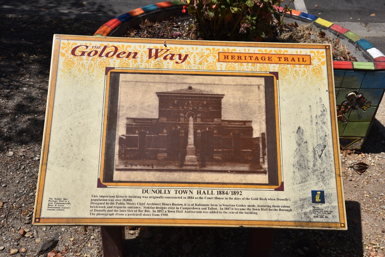
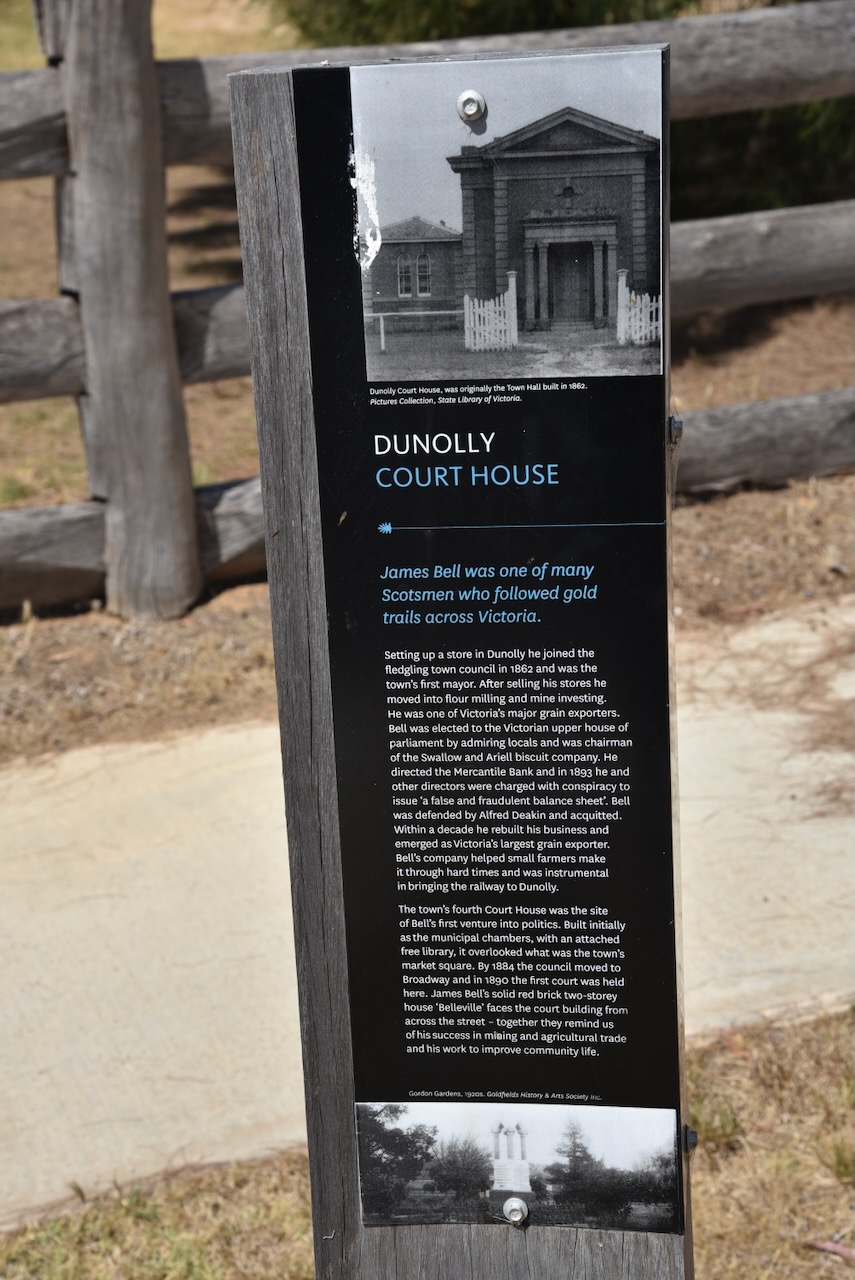
The Dunolly Town Hall was originally constructed as a courthouse in 1884. However, the Judge complained about the acoustics of the building. As a result, a swap was made. The court moved into the old town hall and the council moved into the court structure in 1890. The building was designed by John R Brown of the Public Works Department. (Aussie Towns 2024)
Dunolly is a very historic town and you can spend a long time here wandering around the town admiring the numerous historic buildings.
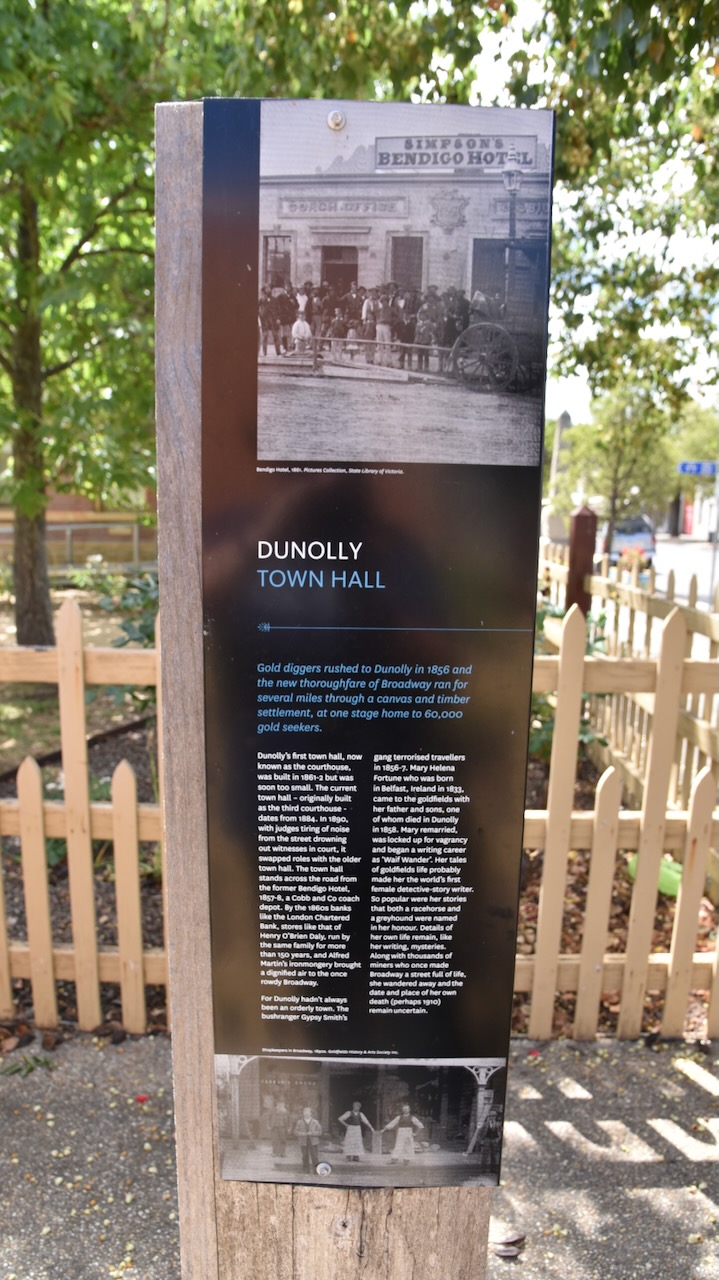
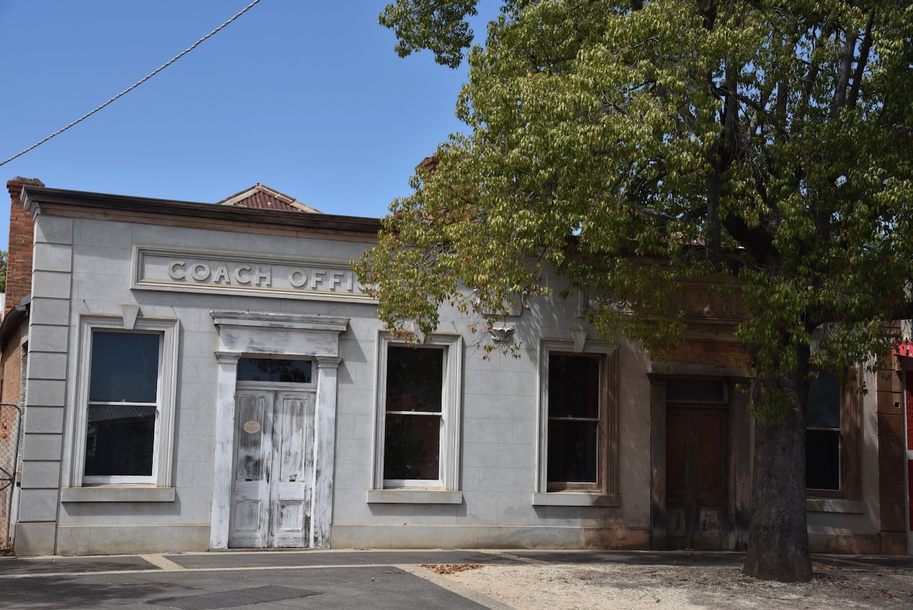
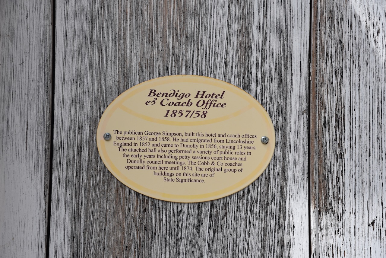
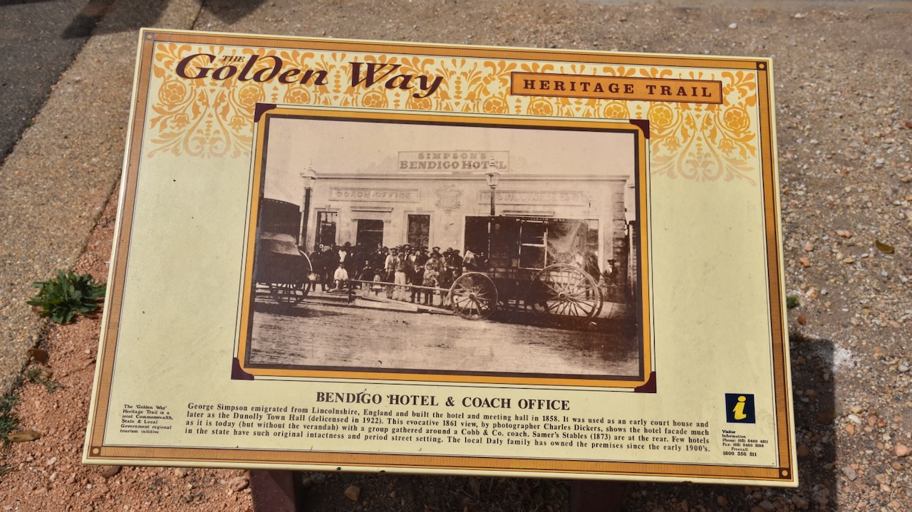
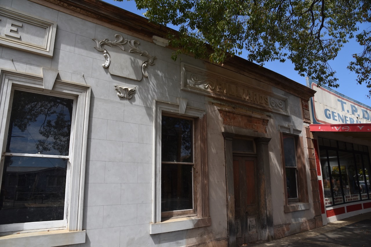
In 1852 George Simpson emigrated to Australia from Lincolnshire England and in 1856 he arrived in Dunolly. In 1858 he built the Bendigo Hotel, Meeting Hall and Coach offices. It was used as an early courthouse and later as the Dunolly Town Hall. Cobb and Co coaches operated from the premises until 1874.
Above:- The Bendigo Hotel, 1861. Image c/o State Library of Victoria
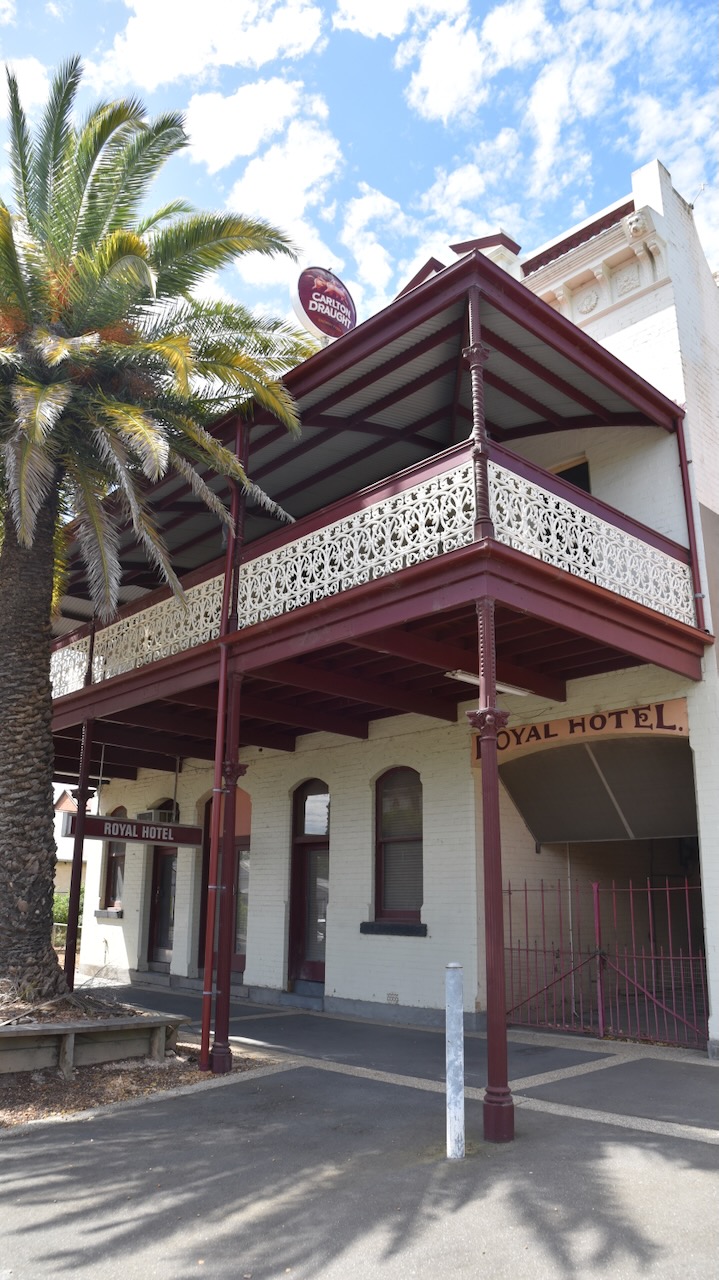
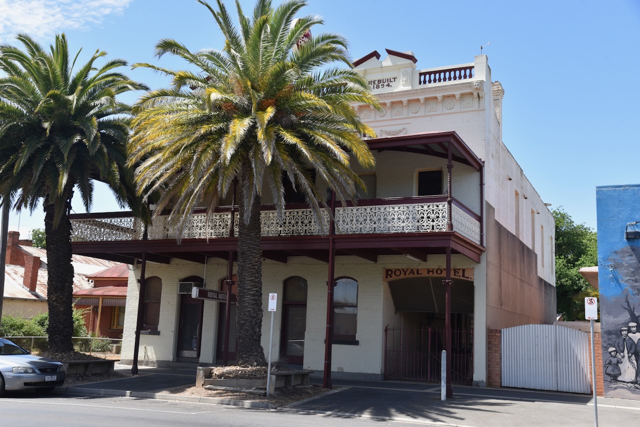
The current Royal Hotel was built in 1894. The first hotel on this site was Isaac Ray’s canvas Live and Let Live Hotel built in 1856 which burnt down in 1857. It was rebuilt as a weatherboard building and was renamed the Royal Hotel. (Dunolly Museum Facebook 2024)
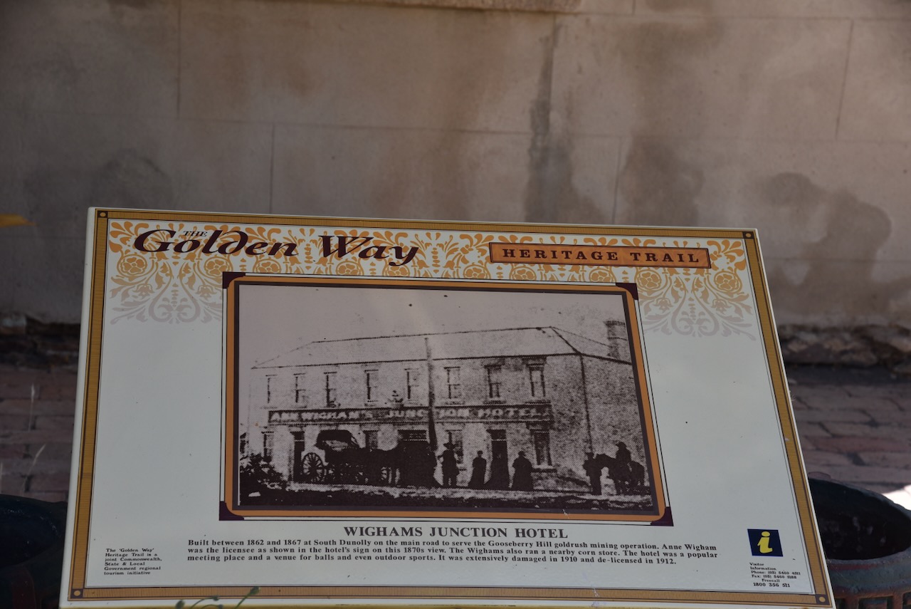
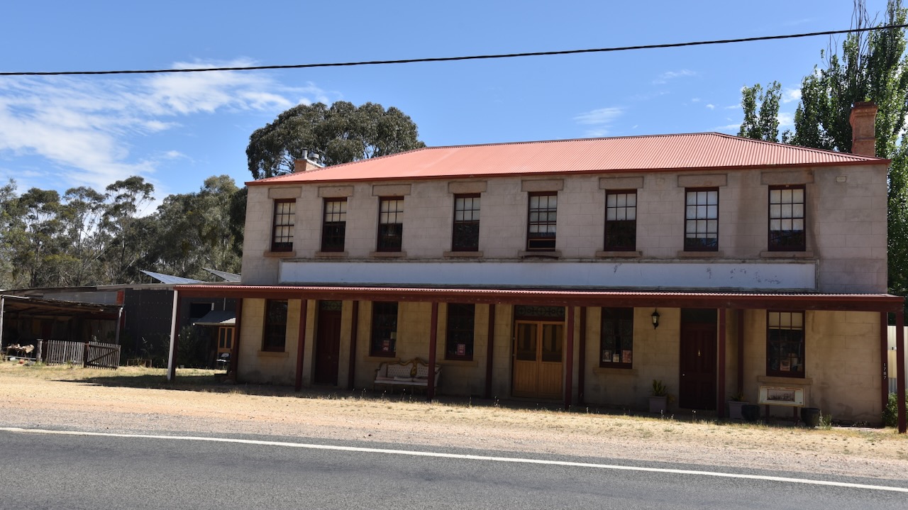
Wighams Junction Hotel was built between 1862 and 1867 at South Dunolly on the main road to serve the Gooseberry Hill gold rush mining operation. William and Anne Wigham were the hotel’s first licensees. The Wigham family also operated a nearby corn store. The hotel was a popular meeting place and a venue for balls. The hotel was severely damaged in 1910 and was de-licenced in 1912.
William Wigham was born in Glasgow Scotland in 1823. He was transported to Tasmania for ten years in October 1843 aboard the convict ship Lord Petre after being convicted for stealing a handkerchief, brandy, and a waistcoat. He married Ann Flanagan in Melbourne in 1854. By 1857 they had moved to Dunolly. (Ancestry 2024)
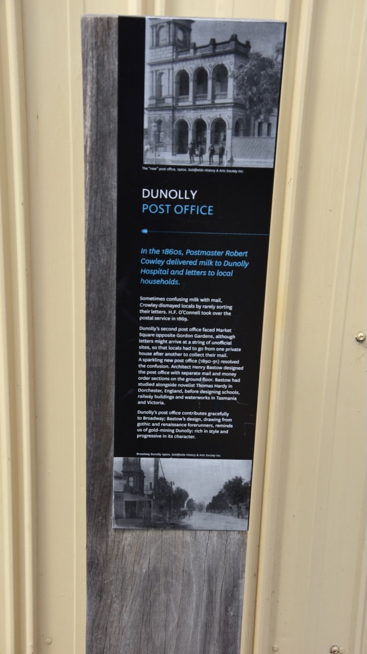
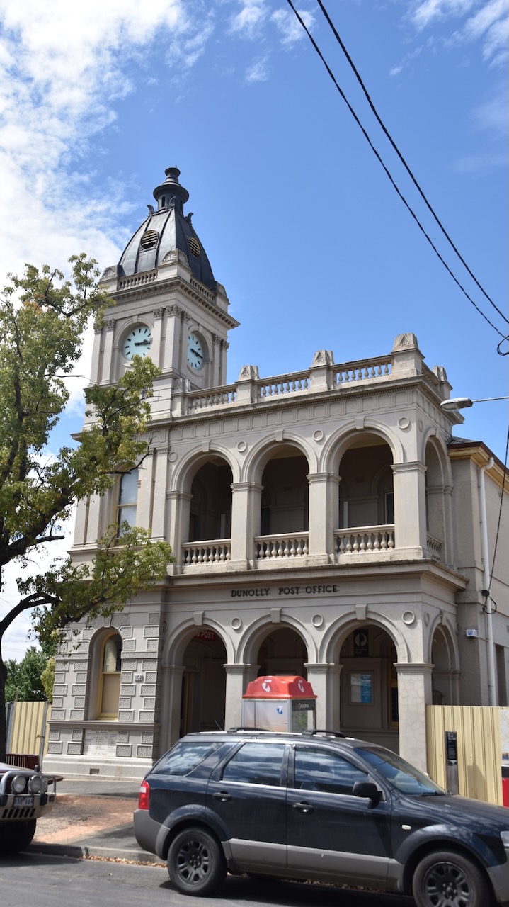
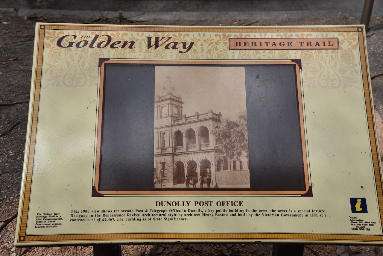
The Dunolly Post Office was designed by architect Henry Bastow and was built by the Victorian Government in 1891 at a contract cost of 2,467 pounds.
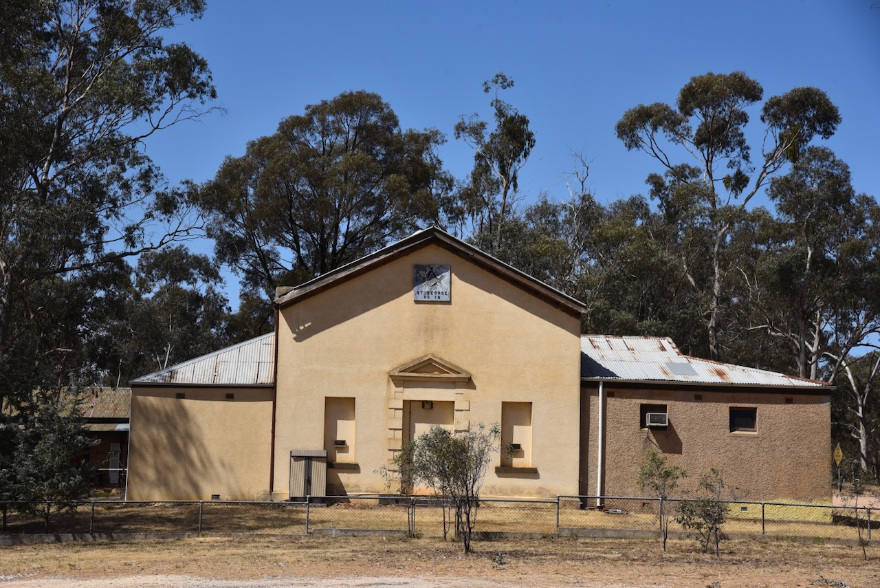
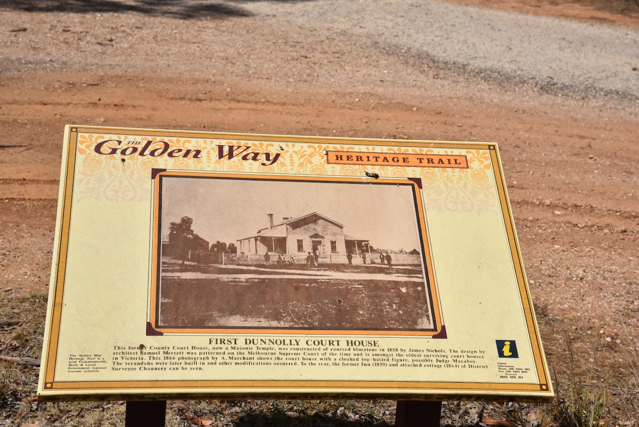
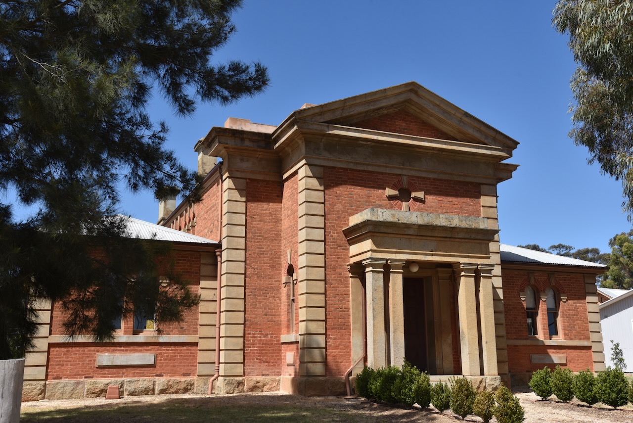
The former Dunolly County Courthouse now functions as a Masonic temple. It was constructed of coursed bluestone in 1858 by James Nichols.
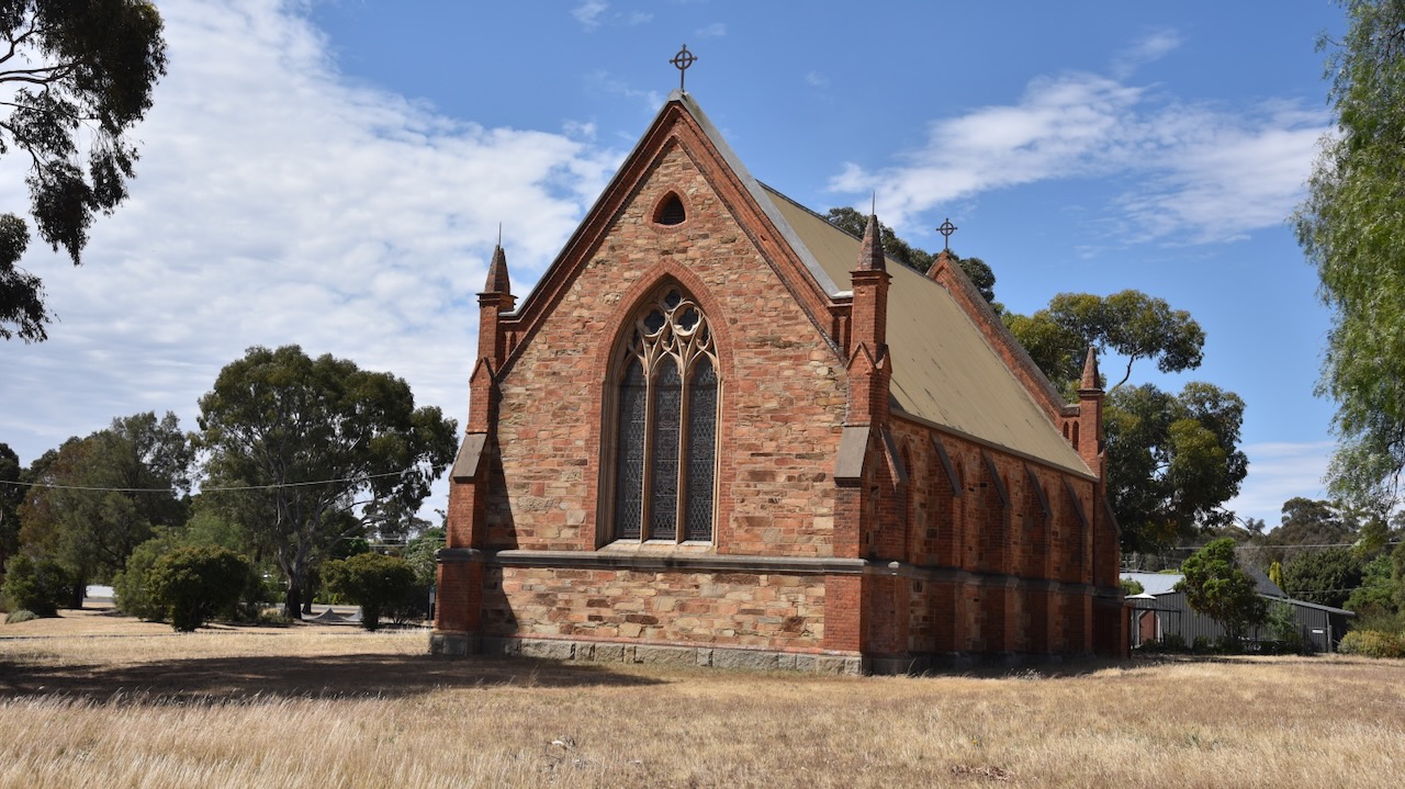
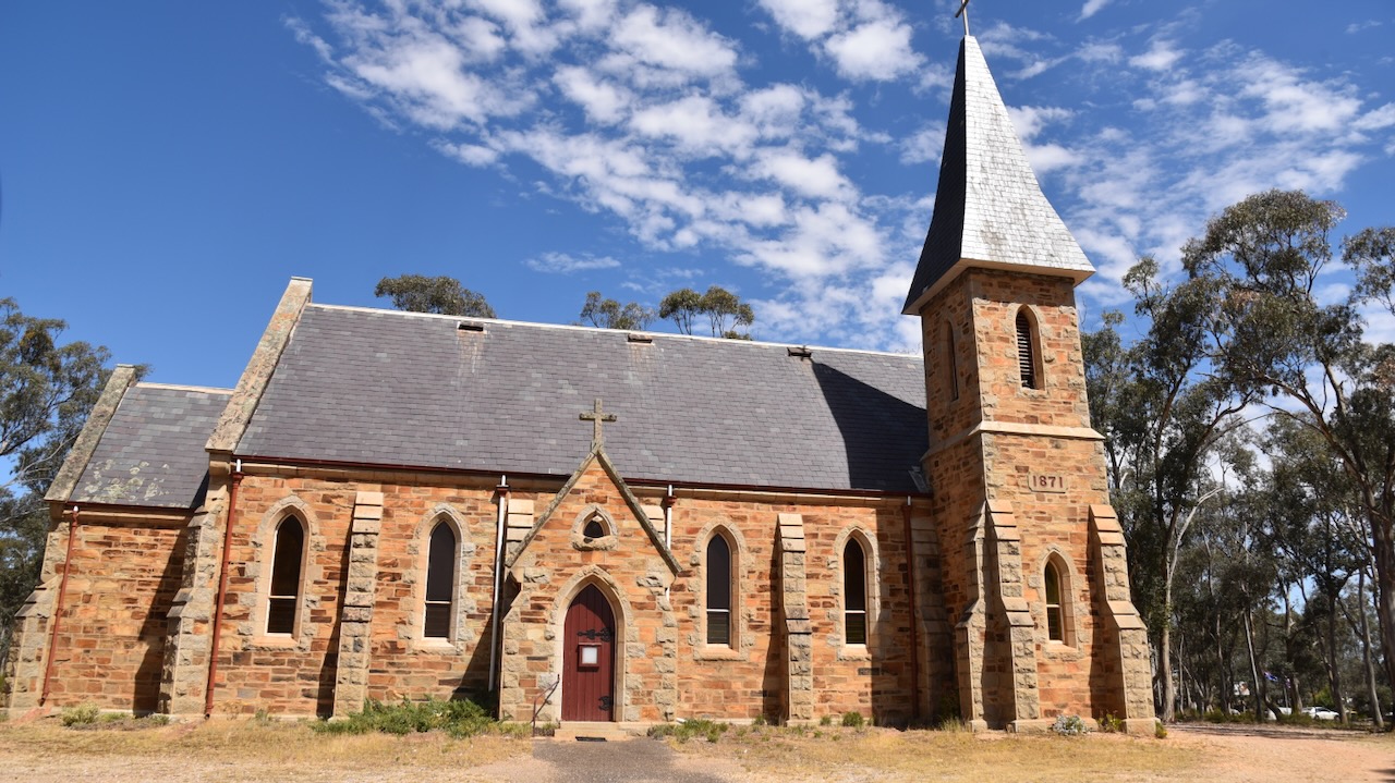
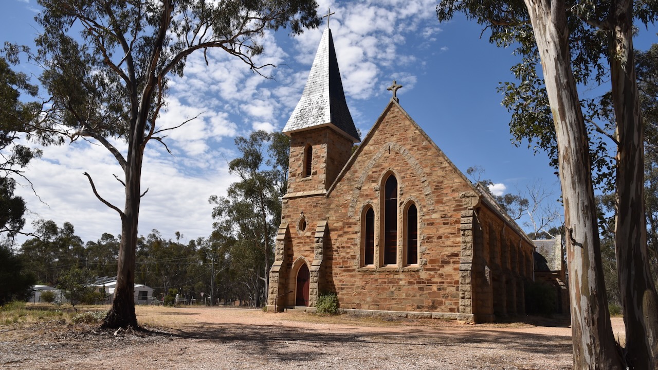
St Johns Anglican church was completed in 1869 with some of the funds being provided by John Deason and Richard Oates who had siscovered the world famous gold nuggest Welcome Stranger. (Goldfields Guide 2024)
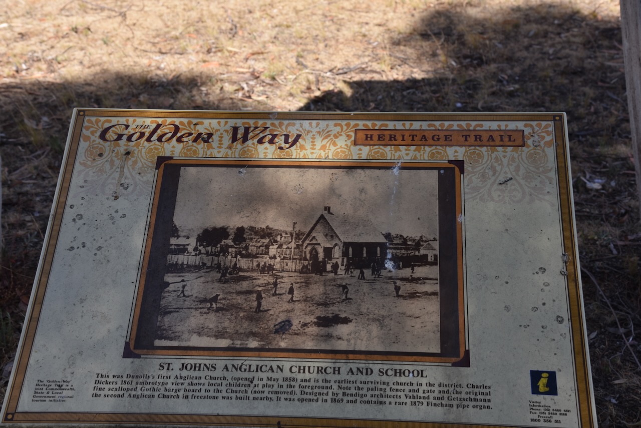
The Anglican school room was built in 1857 and functioned as the church until the new church was built.It is the earliest surviving church in the district. (Goldfields Guide 2024)
Above: The Anglican school roo, 1867. Imega c/o State Library of Victoria.
The Dunolly St Mary’s Catholic church was designed by architect R. Dowden. The foundation stole was laid on the 18th day of January 1869 and the church was opened on the 17th day of September 1871.
Above:- part of an article from the Advocate, Melbourne, Sat 23 Sep 1871. Image c/o Trove.
The former Dunolly Presbyterian Church was opened on the 25th day of October 1865. Former Premier of Victoria Sir Harry Lawson was born in the manse next door to the church, where his father was the minister. (Australia’s Christian Heritage 2024)
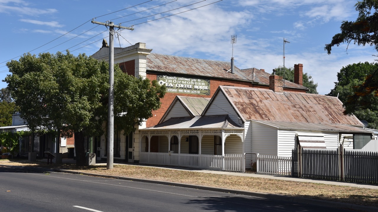
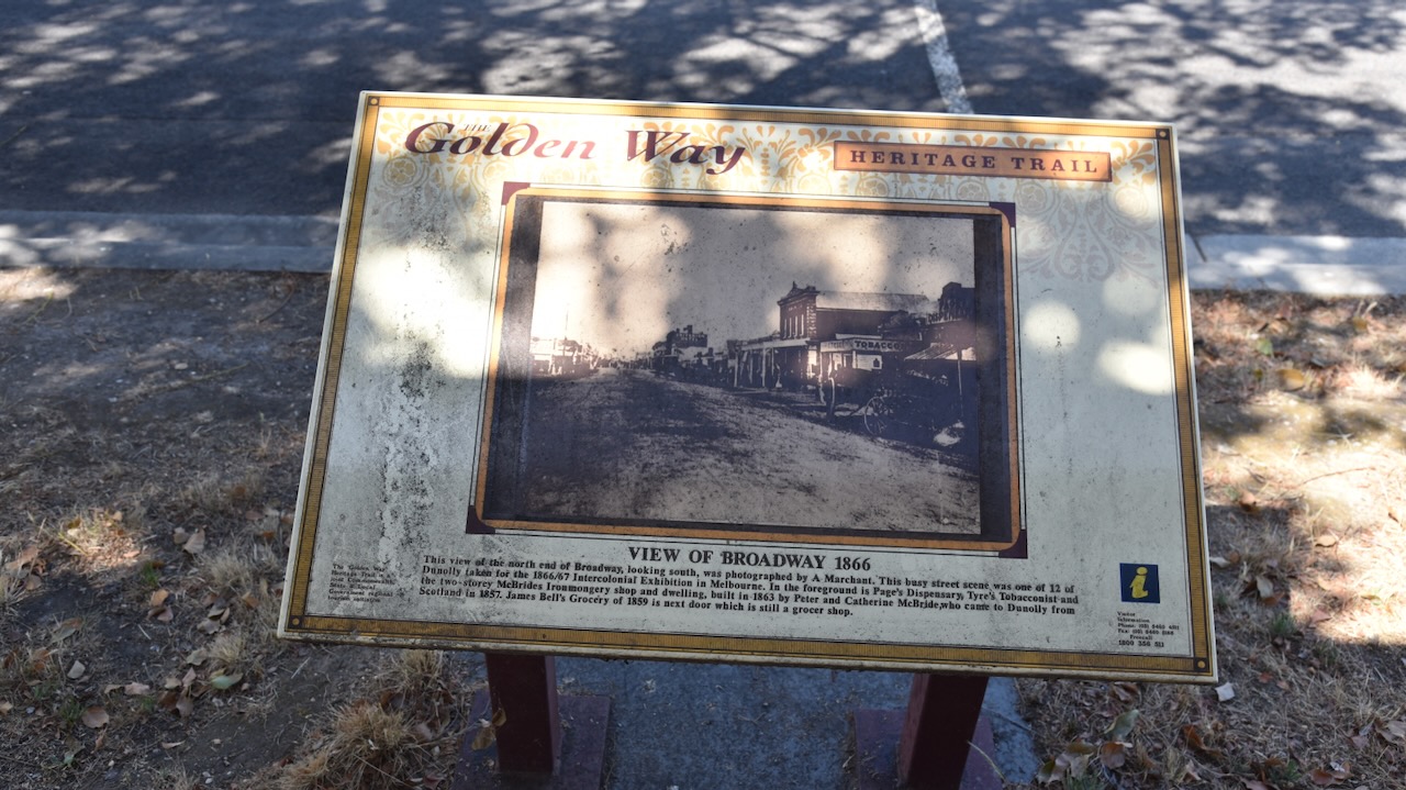
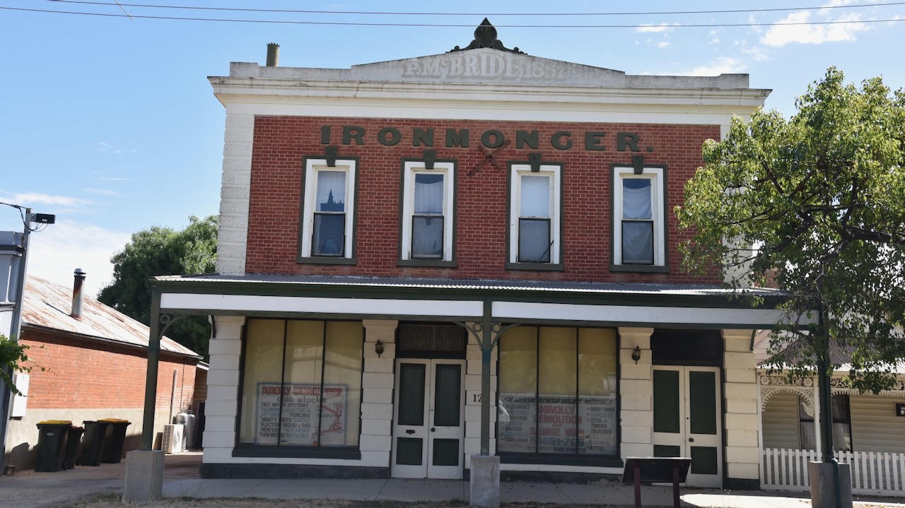
The Ironmonger shop located on the Broadway was built in 1863 by Peter and Catherine McBride, who arrived in Dunolly in 1857 from Scotland. (Walking Maps 2024)
Belleville was built in 1869 and was owned by politician James Bell. It was designed by a local store keeper, Thomas Tyrer. (Walking Maps 2024)
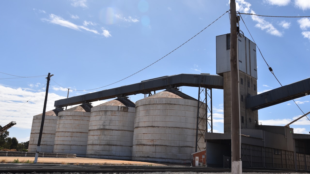
Following a very enjoyable look around Dunolly, Marija and I headed to our first activation of the day, the Dunnolly silo VK-DNY3.
Marija worked the following stations on 40m SSB:-
VK3PF
VK5FANA
VK3GJG
VK3BEL/p (VKFF-0630 & HEMA VK3/ HVN074)
I worked the following stations on 40m SSB:-
VK3PF
VK5FANA
VK3GJG
VK3BEL/p (VKFF-0630 & HEMA VK3/ HVN074)
VK2SKI
VK7CC
I worked the following stations on 20m SSB:-
VK4NH
VK4DXA
In close proximity to the silos is the old Terminus Hotel.
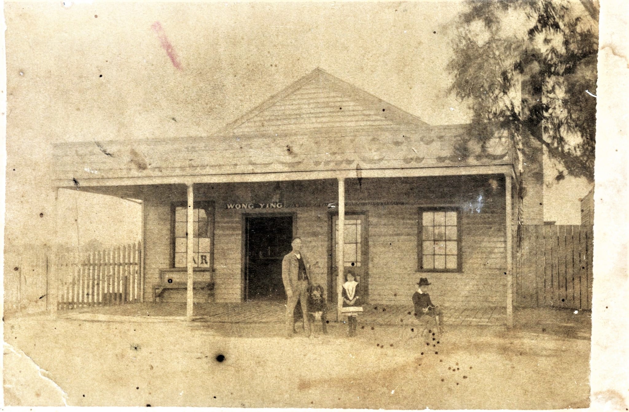
Wong ‘William’ Ying (b. 1844 d. 1919) emigrated to Australia in 1862 aboard The Bowen. He worked for his uncle in a grocery shop in Dunolly. Due to his diligent work ethic, Ying was able to purchase Sun Kum Goon, meaning “New Gold Source”. The Ying family operated the hotel until its closure in 1956. (Ancestry 2024) (flickr 2024)
Above:- Wong Ying. Image c/o Carmen’s Family Forest, ancestry.com.au
Above:- Wong Ying outside his hotel. Image c/o Golden Dragon Museum Facebook page.
After a great time in Dunolly, we headed to our next stop Moliagul.
References.
Ancestry.com.au. (2016). Ancestry® | Genealogy, Family Trees & Family History Records. [online] Available at: https://www.ancestry.com.au/. [Accessed 27 Feb. 2024]
Our final activation for Tuesday 21st November 2023 was the Porcupine Bushland Reserve VKFF-4272. The reserve is located about 6 km southwest of Avoca and about 188 km northwest of Melbourne.
Above:- Map showing the location of the Porcupine Bushland Reserve. Map c/o Google Maps.
The Porcupine Bushland Reserve is about 8 hectares in size and was established on the 24th day of August 1982. (CAPAD 2022)
Above:- an aerial view of the Porcupine Bushland Reserve. Image c/o Google Earth.
The park is located on the southern side of Porcupine Lane which runs off the western side of the Pyrenees Highway. The park is listed on maps and CAPAD as the Porcupine Bushland Reserve, but the dilapidated sign shows Porcupine Rd Bushland Reserve.
It was totally dark by the time we reached the park, so we operated from the 4WD running the Icom IC-7000, 100 watts, and the Codan 9350 with the 1.5 metre stainless steel whip. I used the special event callsign of VI10VKFF.
Marija worked the following stations on 40m SSB:-
VK2IO/p (Stony Creek Nature Reserve VKFF-0986)
VK3PF
VK3KAI
VK3APJ
VK1AO
VK2MET
VK5HS
VK3SG
VK4SMA
VK3YV
VK3TNL
I worked the following stations on 40m SSB:-
VK2IO/p (Stony Creek Nature Reserve VKFF-0986)
VK3PF
VK3KAI
VK3APJ
VK1AO
VK2MET
VK5HS
VK3SG
VK4SMA
VK3YV
VK3TNL
VK5GY
VK2WGW
VK1CHW
VK3PDB
VK4NH
VK4DXA
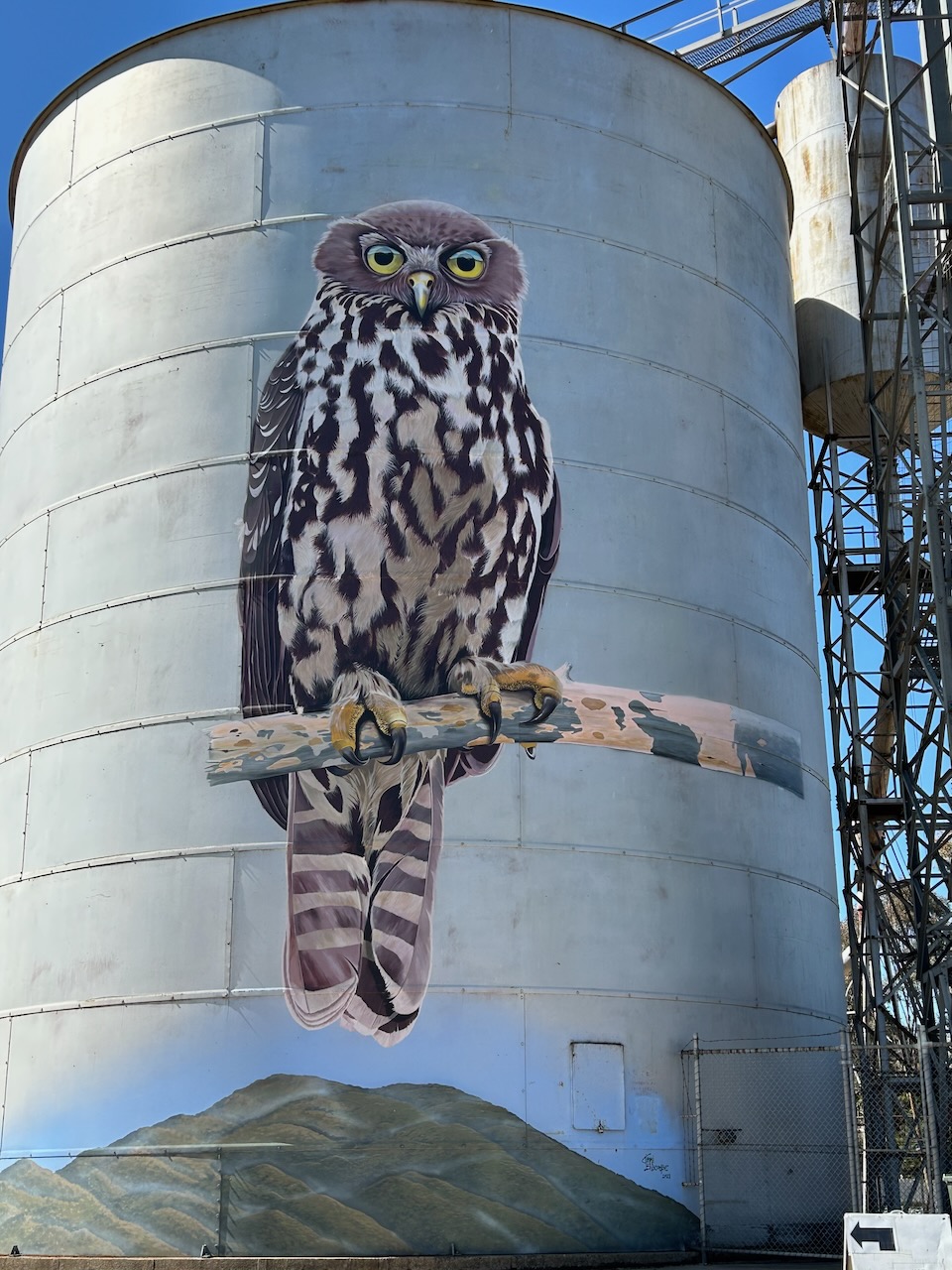
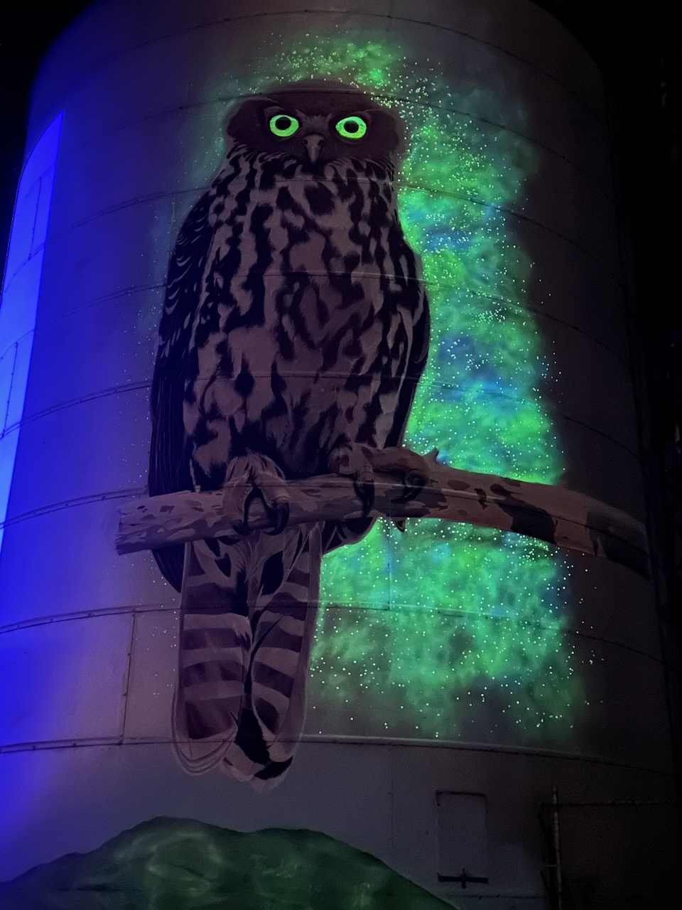
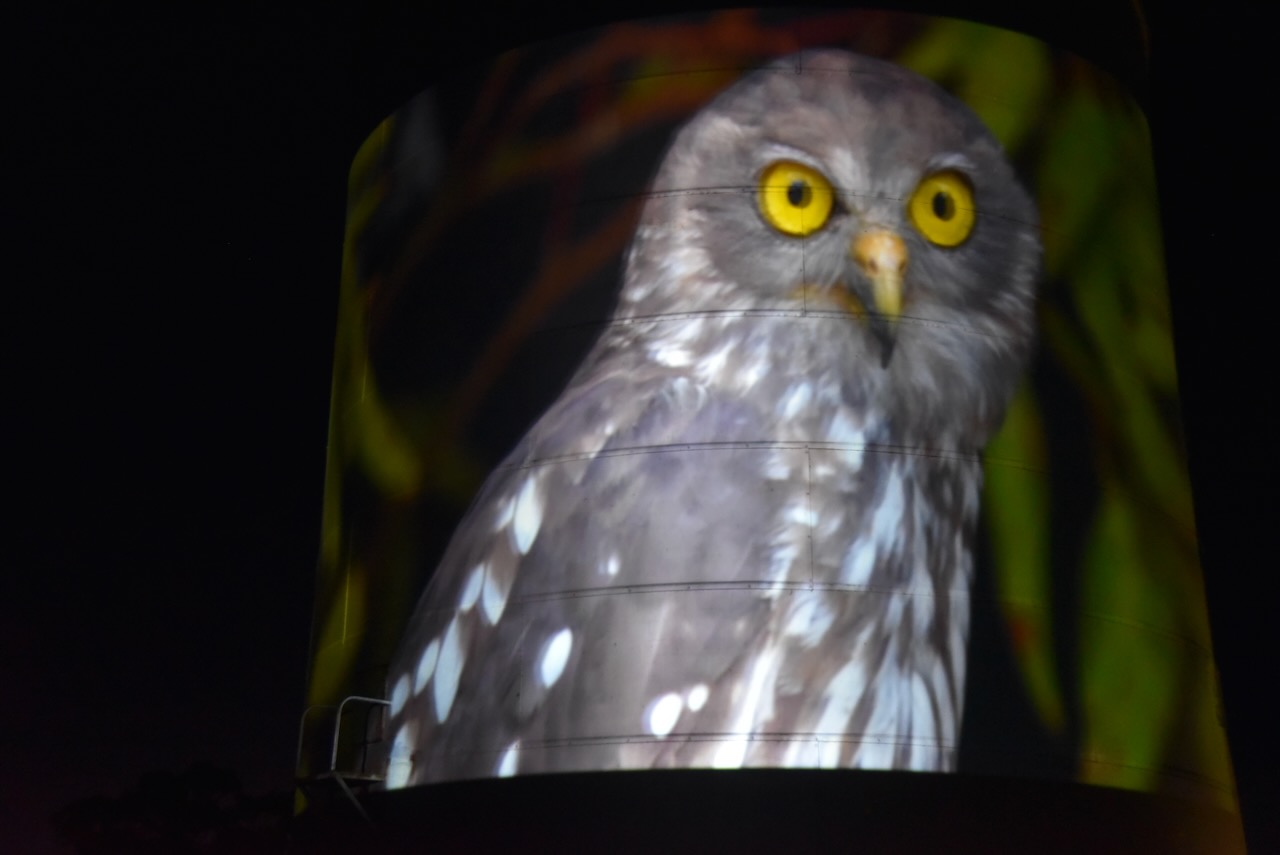
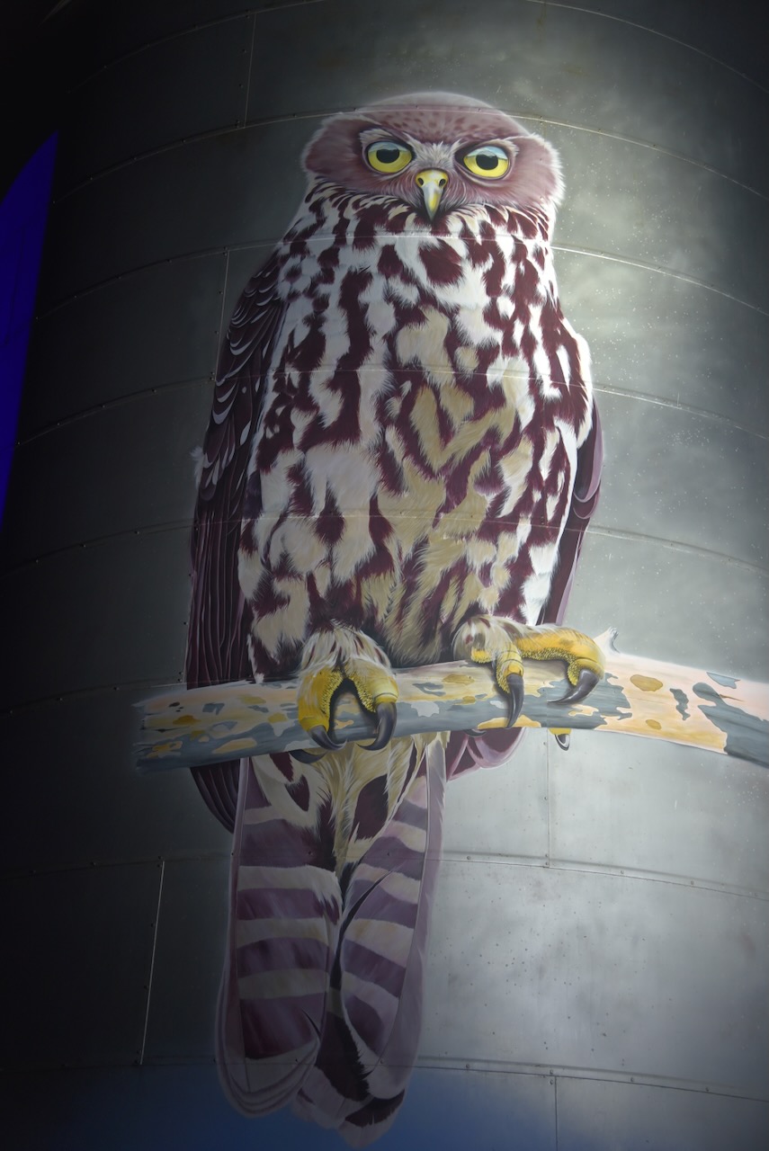
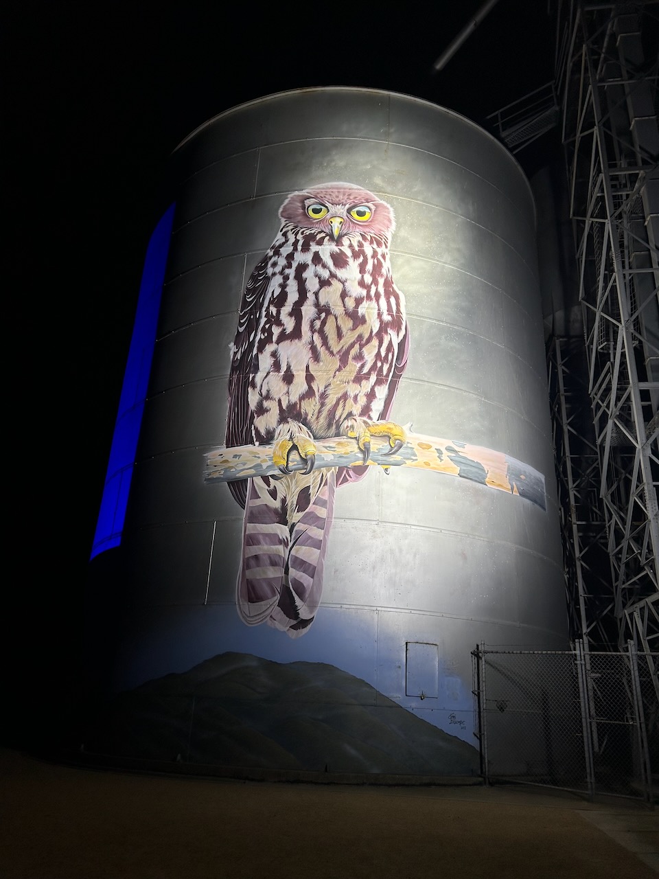
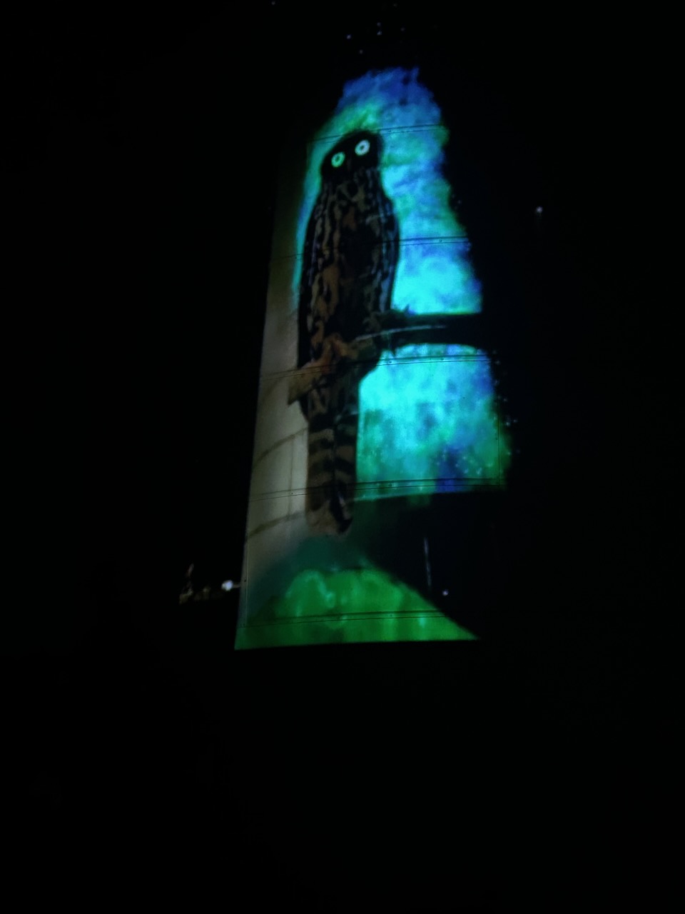
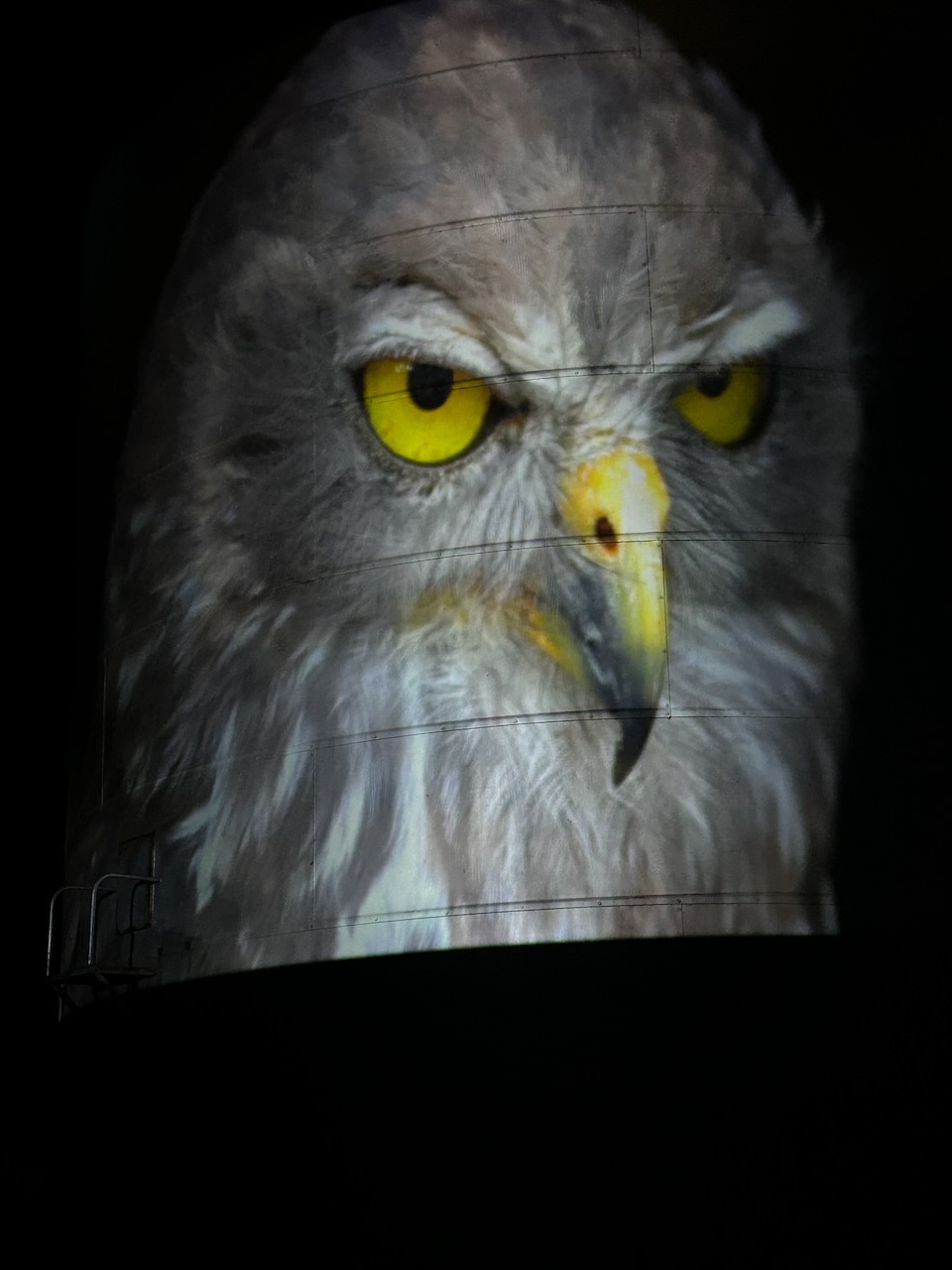
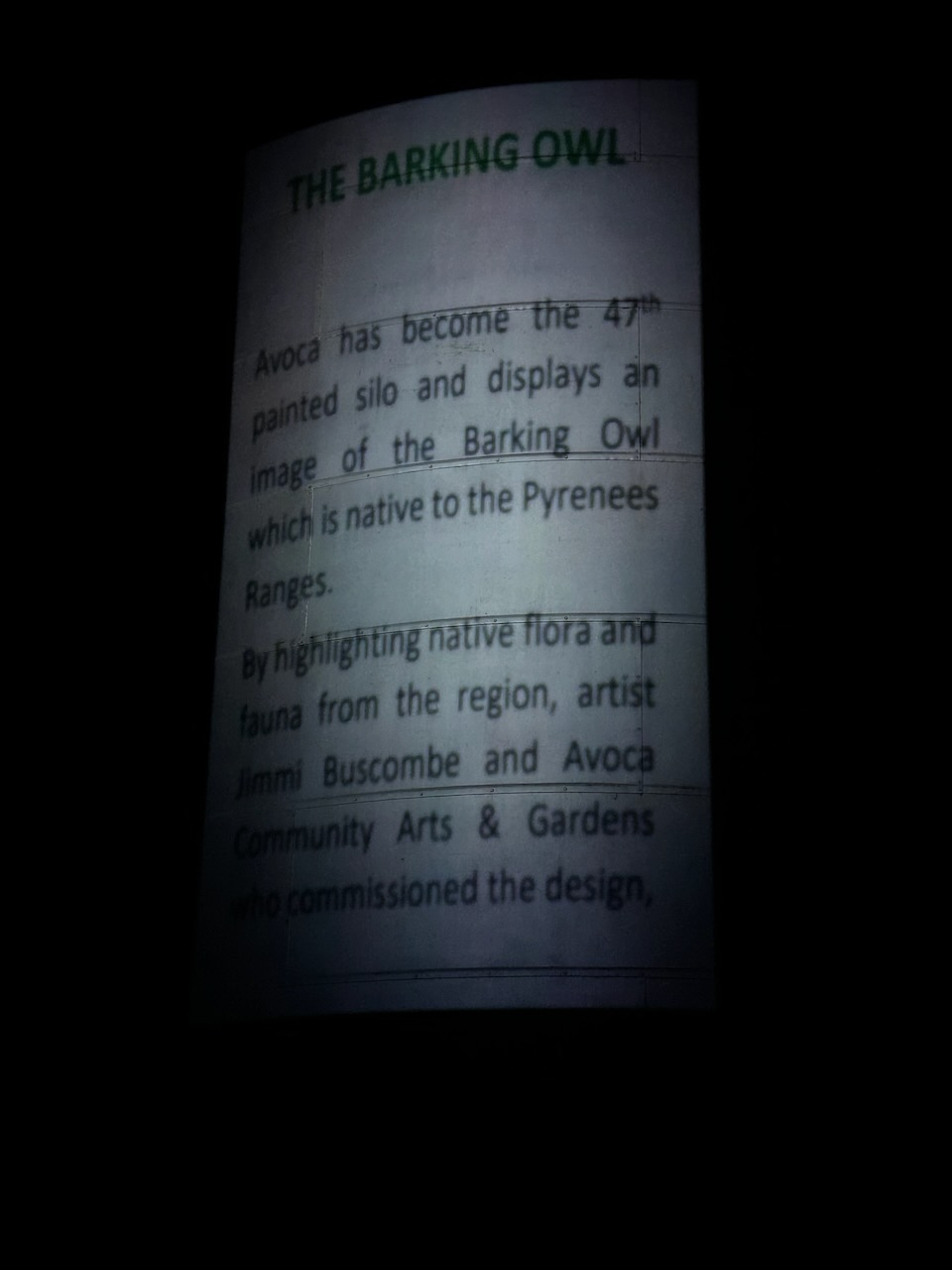
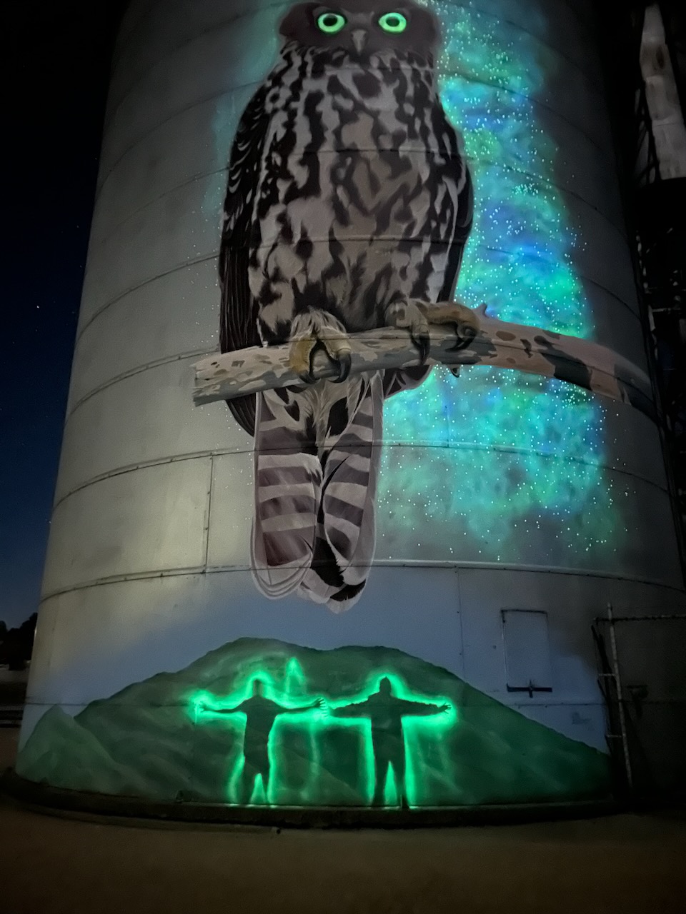
We then headed back into Avoca and attended the Avoca silo night display. By day there is an image of a Barking Owl. By night the silo is turned into a spectacular night-time interactive show that highlights the glow in the dark strontium paint that was used.
The Avoca silo art is the work of Jimmi Buscombe, with work commencing on the silo in March 2021. It is Australia’s 47th painted silo art location. (Australian Silo Art Trail 2024)
The video below displays the very distinctive double note ‘woof-woof’ call sound of the Barking Owl which is very similar to a dog’s bark.
The number of Barking Owls in Australia has declined rapidly. It is estimated that there are only 50 pairs left in Victoria. This has mainly been due to habitat loss and degradation. (Birds in Backyards 2024)
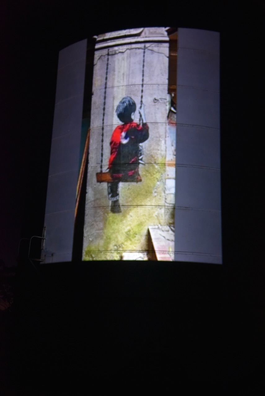
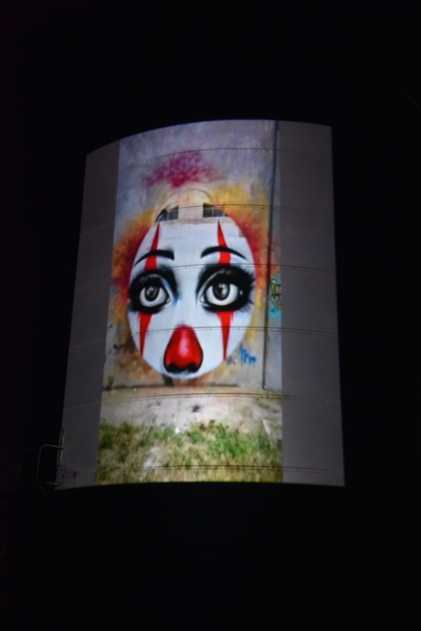
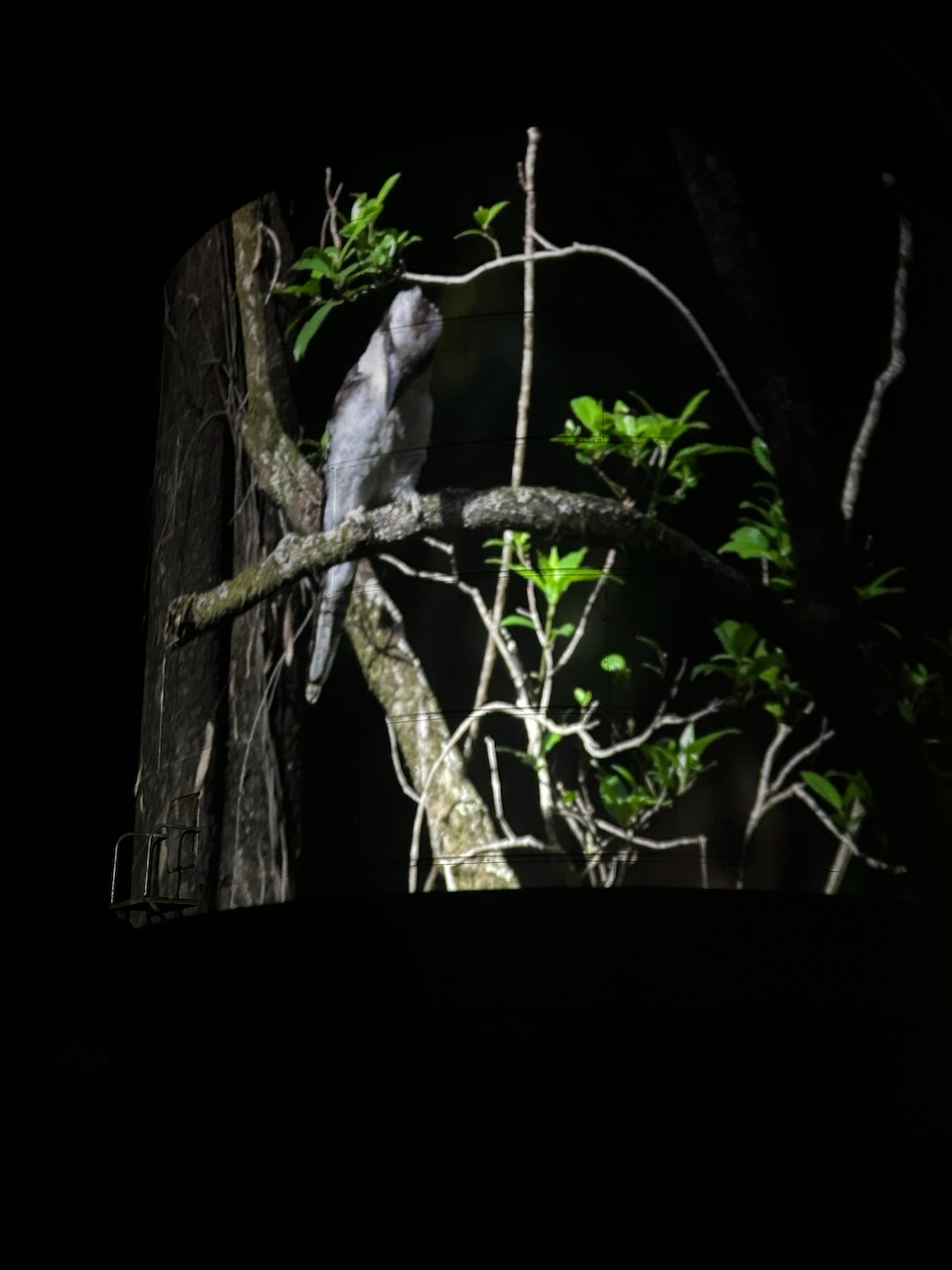
There is a nightly projection of images onto the side of the silo from a projector at the old railway station. The gentleman from the railway station(which is now an art gallery) who was conducting the display was extremely friendly and informative.
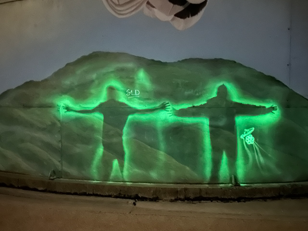
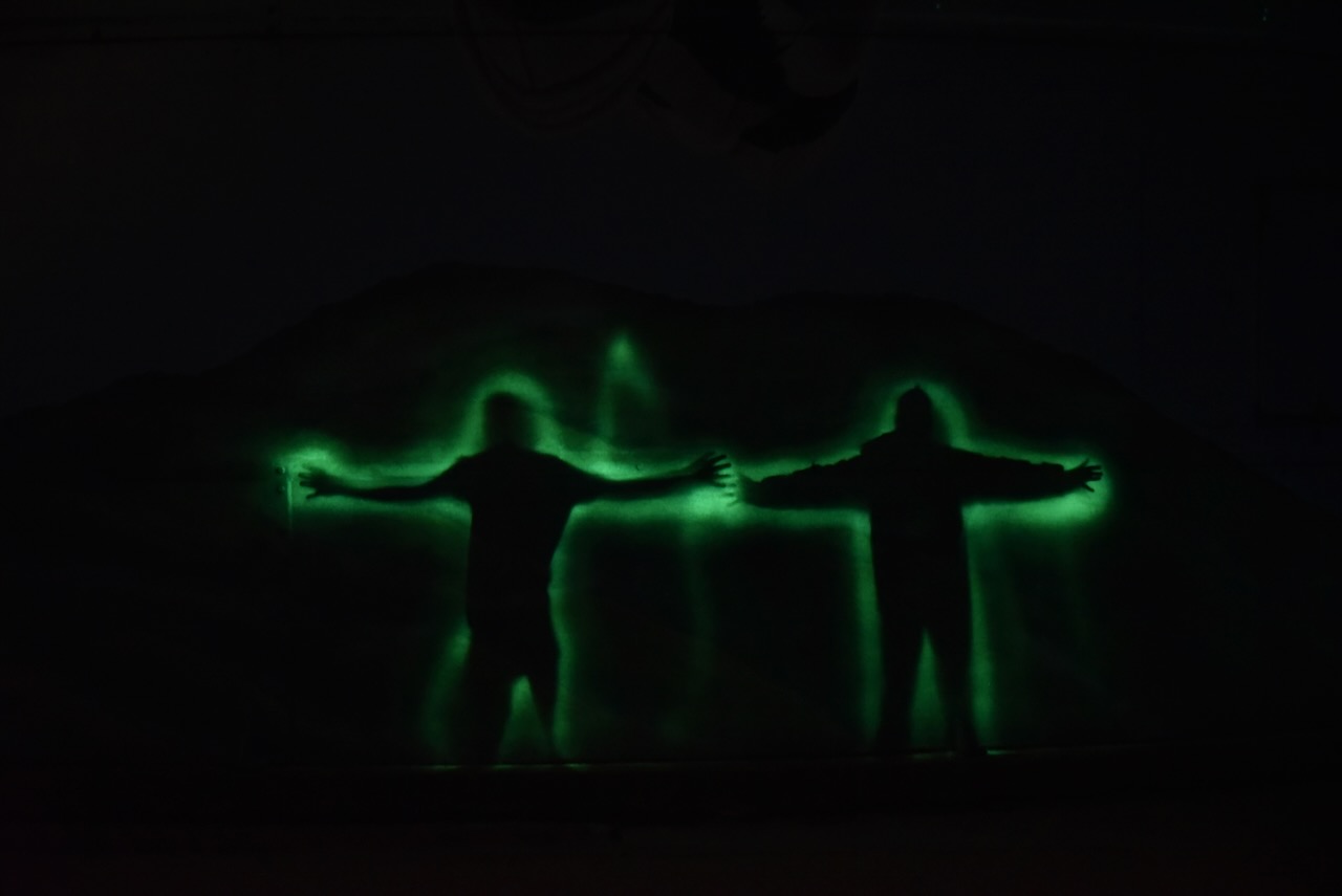
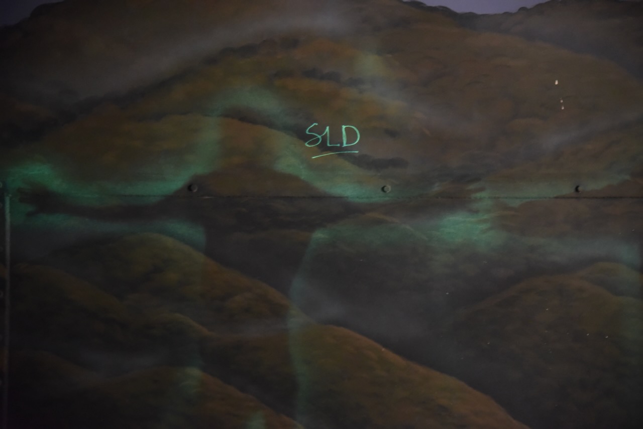
To add to the fun there is an interactive glow wall on the silo. We were lined up alongside the silo and asked to stretch out our arms. Not knowing what to expect, when we walked away from the silo wall we were amazed to see our images in ‘shadow art’. We even got to ‘sign’ on the silo wall with the UV torch.
After leaving our SOTA summit in the Pyrenees Range, Marija and I headed into Avoca to have a look at a few more of the tourist attractions.
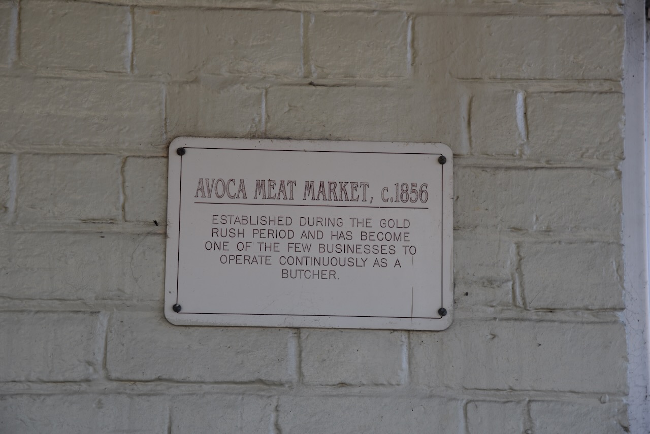
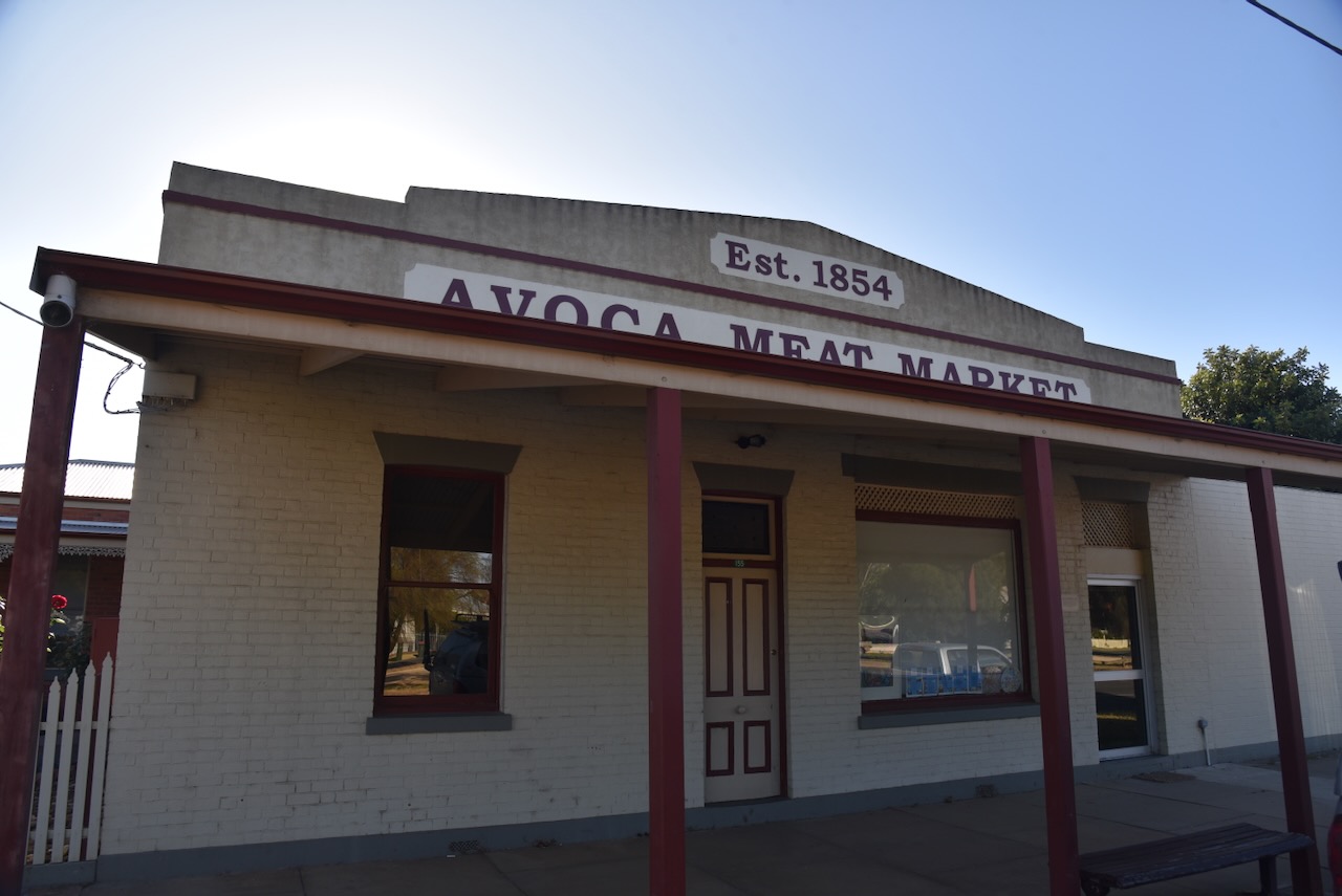
There are numerous historic buildings in Avoca. One of those is the Avoca Meat Market which was established in 1854 by William McO’boy Wise (b. 1815. d. 1873) during the gold rush period. It is one of the few businesses to operate continuously as a butcher. (Relatives Matter 2024)
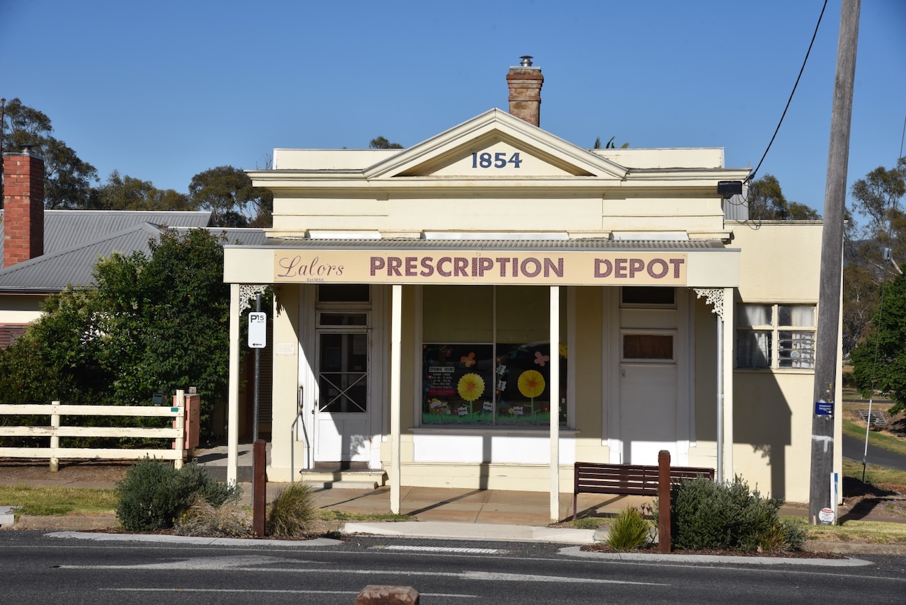
Another historic building is Lalors Prescription Depot, built in 1854. It is believed to be Victoria’s oldest continuously operating pharmacy. (Aussie Towns 2024)
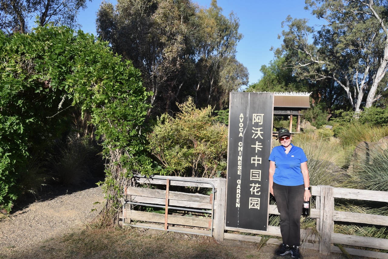
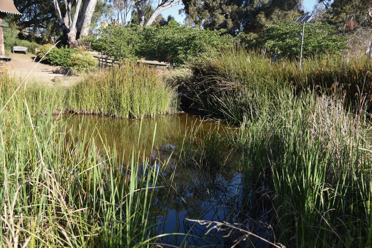
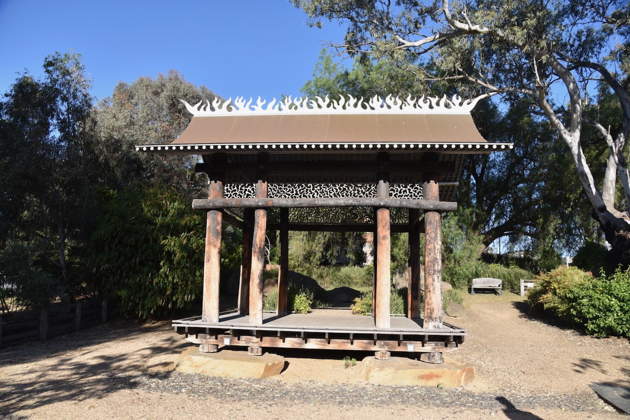
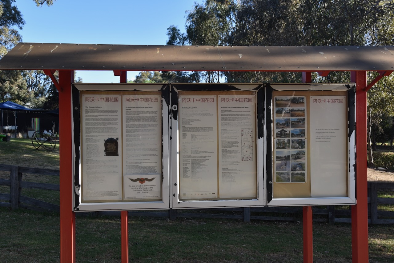
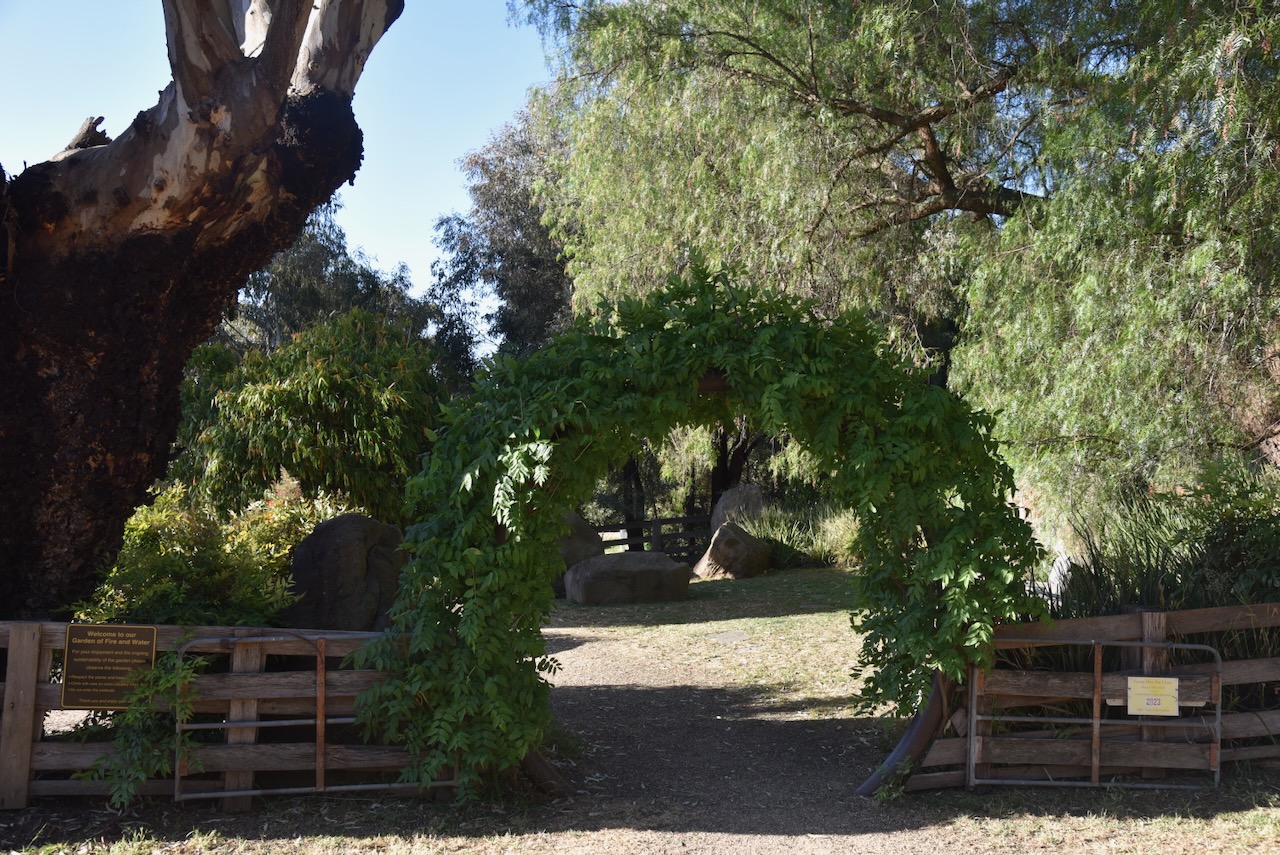
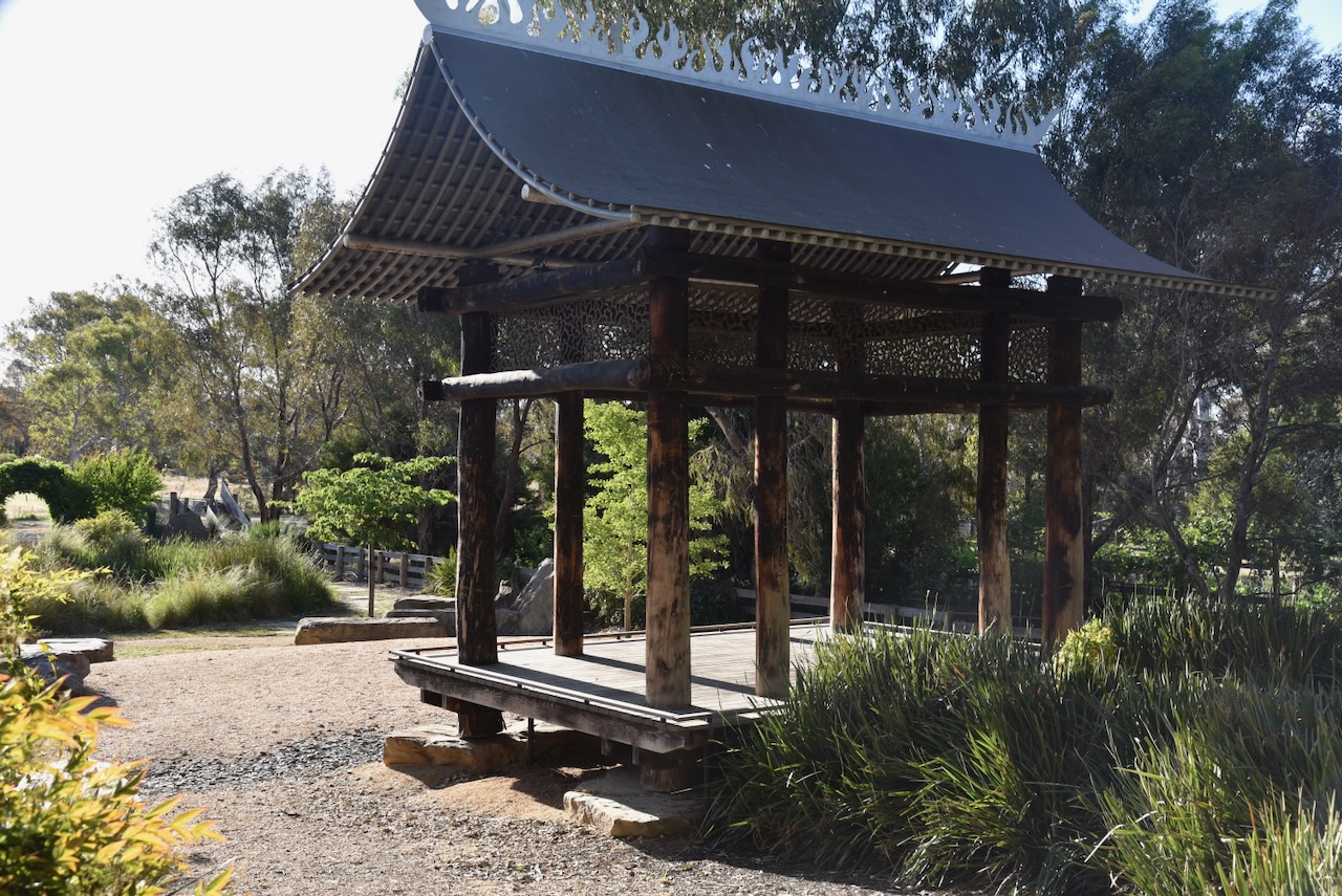
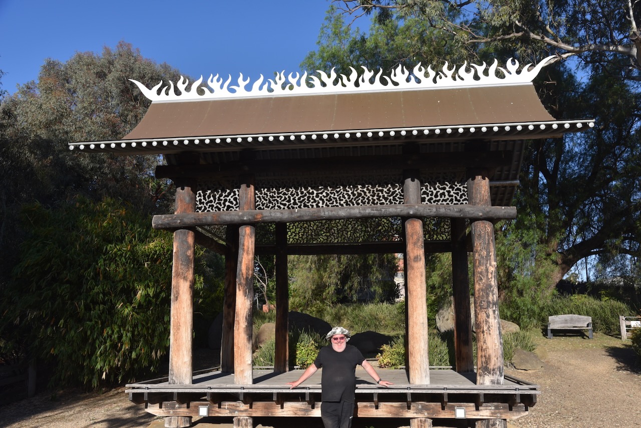
We then visited the Chinese Garden, also known as the “The Garden of Fire and Water”. It was established as a recognition of the role played by the thousands of Chinese miners during the 1850s gold rush in the district. (Aussie Towns 2024)
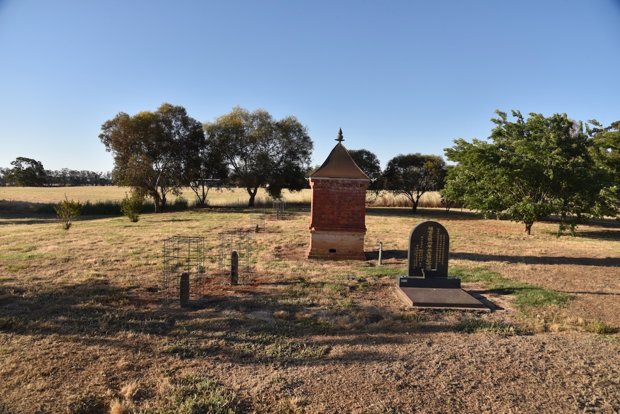
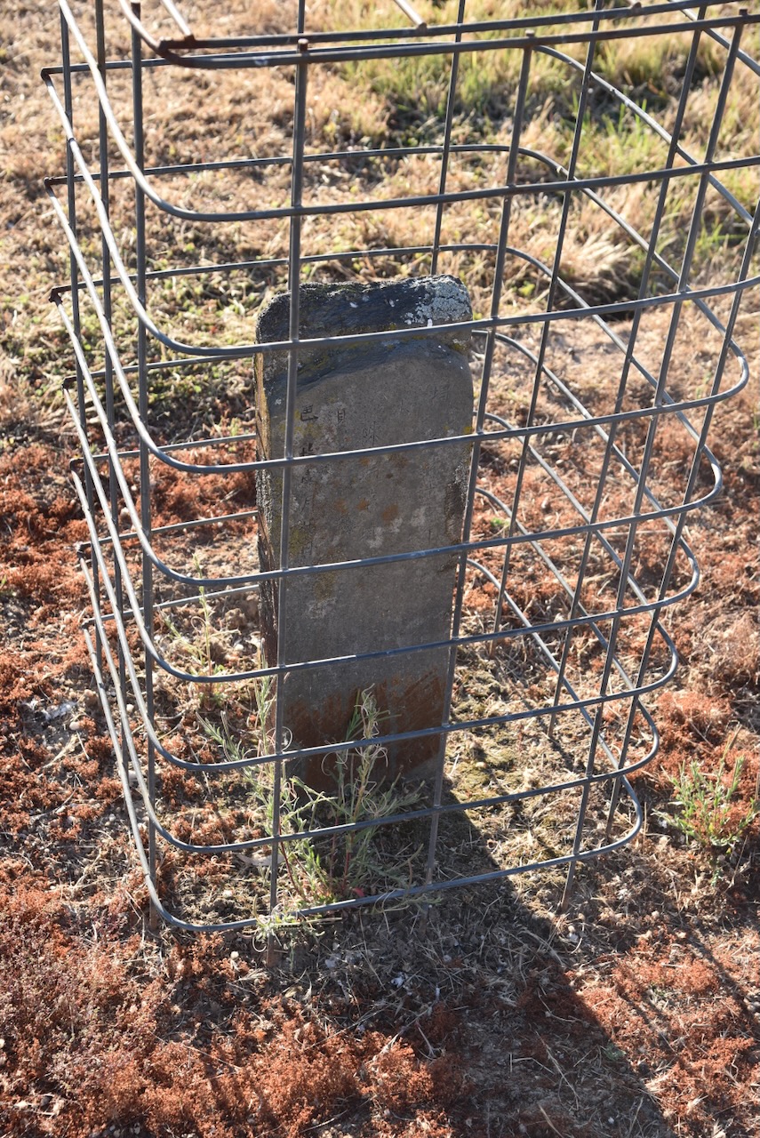
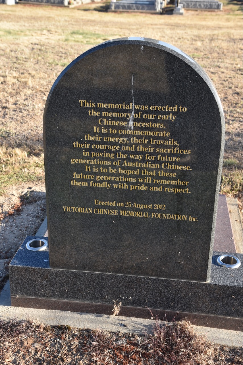
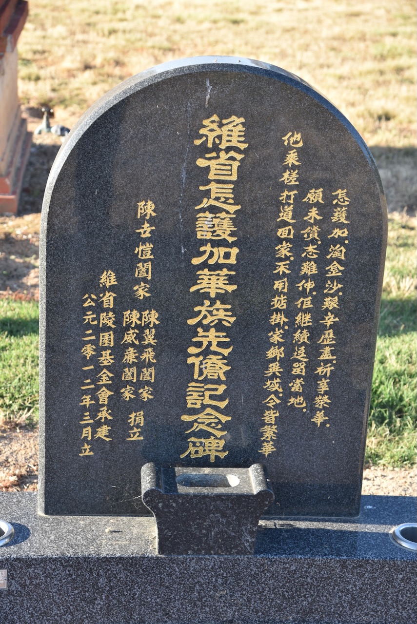
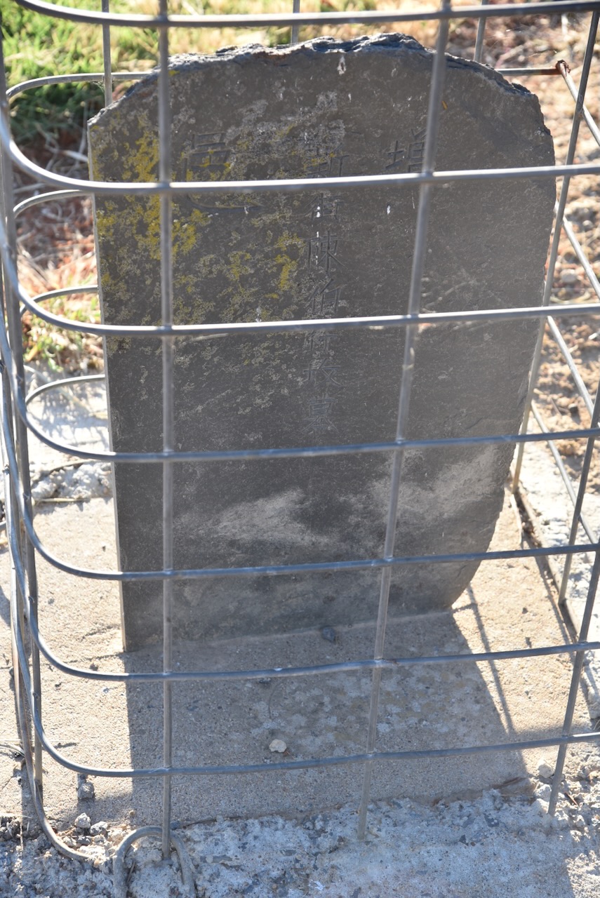
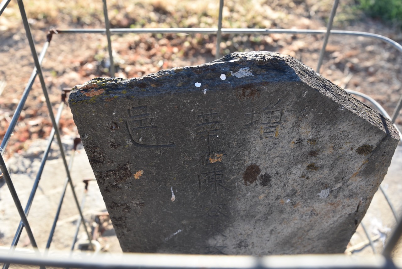
Our next stop was the Avoca cemetery on the Sunraysia Highway. The cemetery contains a Chinese burning tower and numerous Chinese headstones. There is also a memorial to commemorate the Chinese who occupied the area during the 1850 gold rush era.
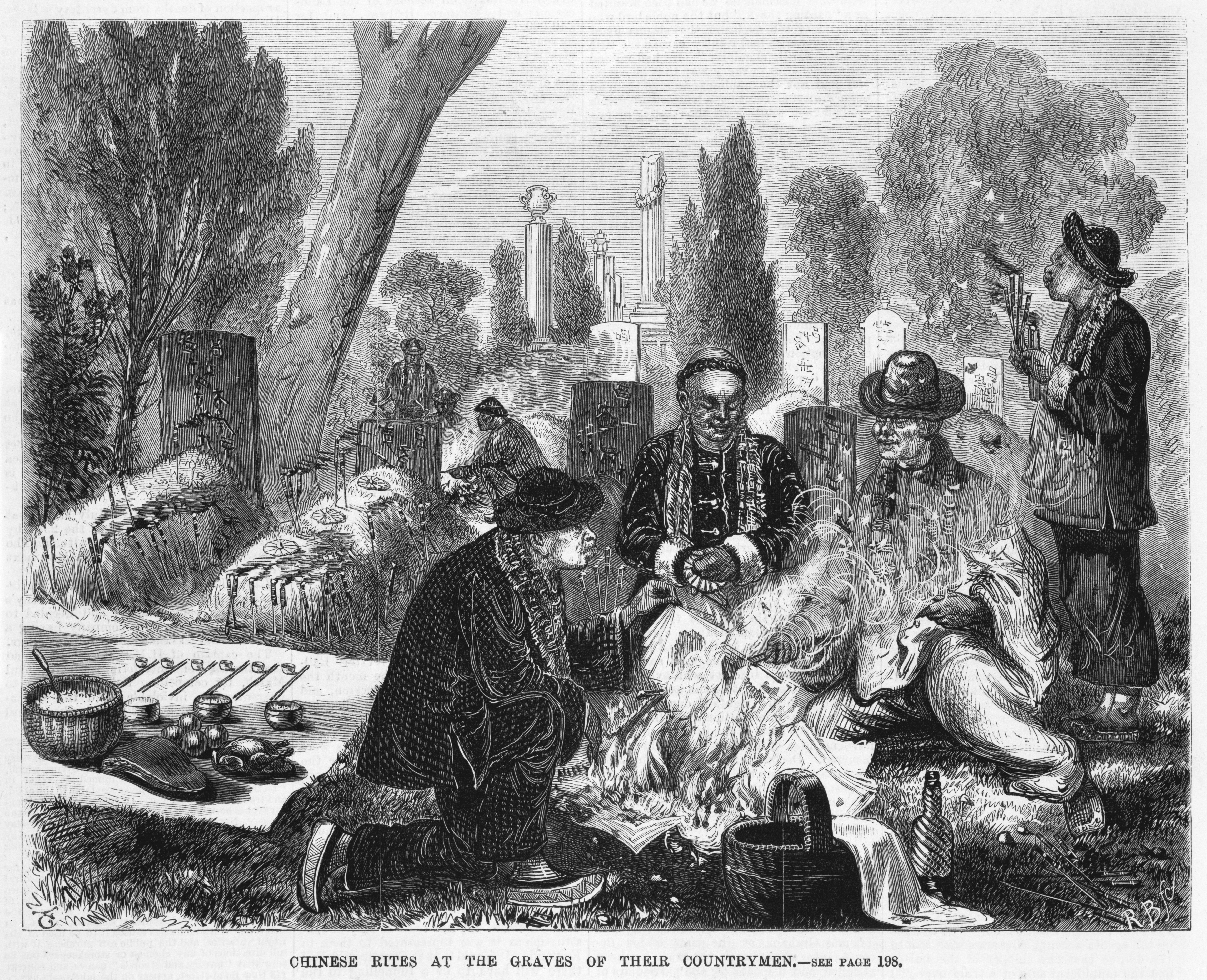
Chinese mourners would burn offerings of paper prayers, pork and other gifts for the afterlife. The burning towers were built to prevent bushfires and several still remain at Avoca, Beechworth, Ballarat, Rutherglen, and other goldfields towns. (Victorian Collections 2024)
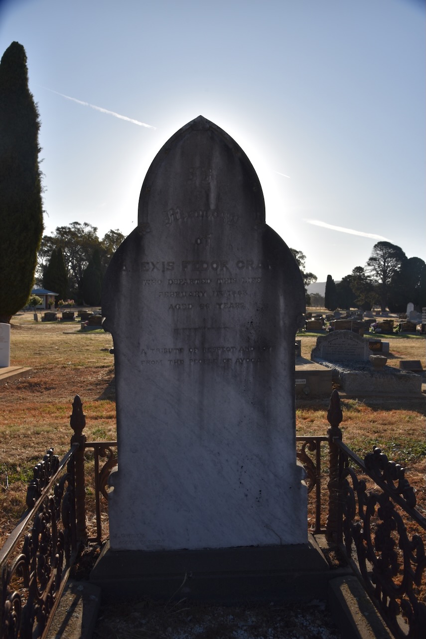
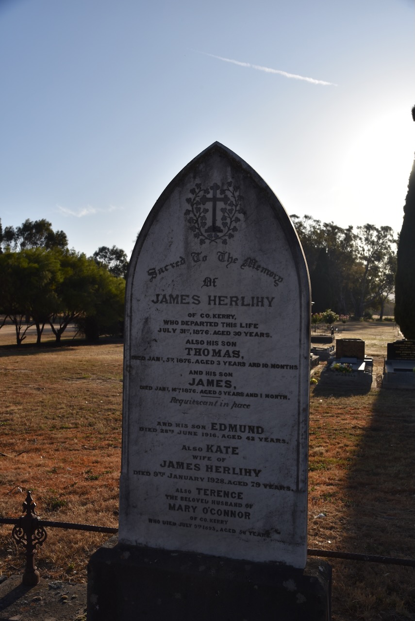
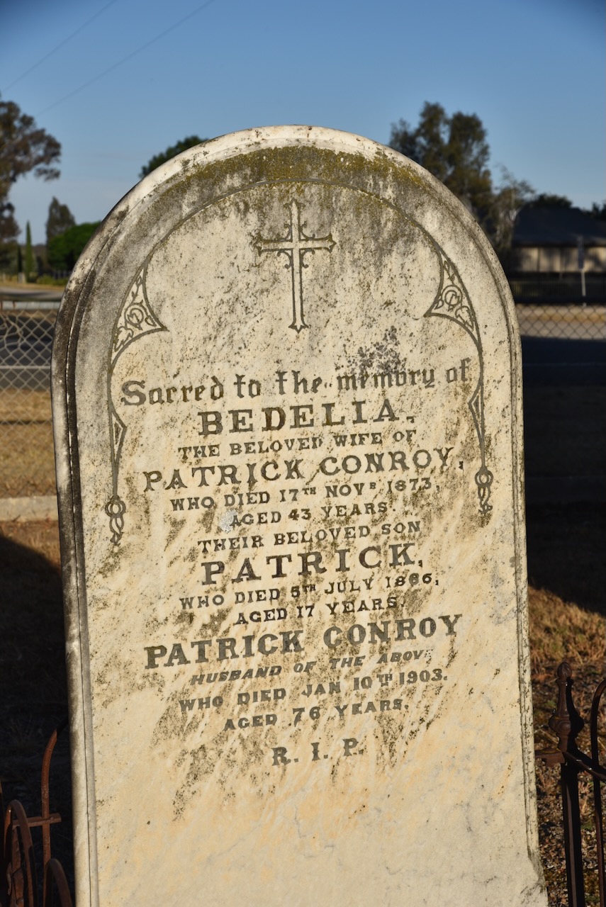
You could wander around this cemetery for hours. There are hundreds of interesting headstones telling the stories of the many who came to the Avoca region from around the world.
Marija and I then headed to the Bung Bong Streamside Reserve which we had hoped to activate. Unfortunately, access was not possible and with the phone assistance of Peter VK3PF, we decided to give this particular park a miss.
Above:- An aerial view of the Bung Bong Streamside Reserve. Image c/o Google Earth.
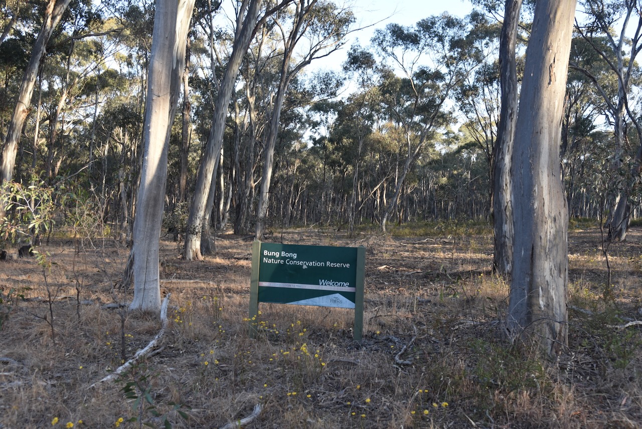
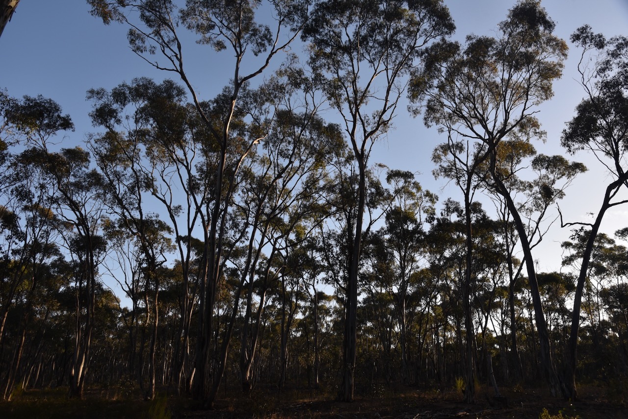
We headed a short distance down the road to the Bung Bong Nature Conservation Reserve VKFF-2056. Access was not an issue here.
Above:- An aerial view of the Bung Bong Nature Conservation Reserve. Image c/o Google Earth.
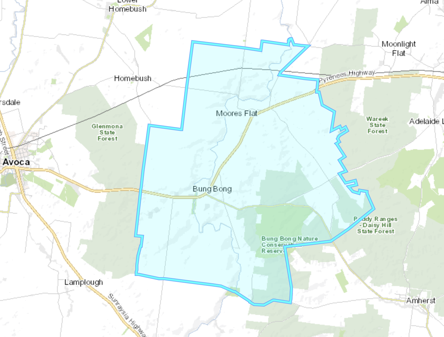
Bung Bong is a Parish in Victoria. Depending on what source you read, Bung Bong is an aboriginal word meaning creek, swamp, or swamp grass. (Blake 1978) (Healy 1997) (Map Share Vic 2024)
The Bung Bong Post Office opened on the 1st day of February 1864 and closed in 1961. (Post Office List 2005)
In July 1878 the Bung Bong Farmers’ Club held their first “ploughing match”. The Australasian date Saturday 13th July 1878 stated that there were 12 entries in the senior class and 6 entries in the junior class. The land was described as ”’virgin soil, of a rich chocolate colour.” (Trove 2024)
Above:- Article from The Australasian, Sat 13 Jul 1878. Image c/o Trove.
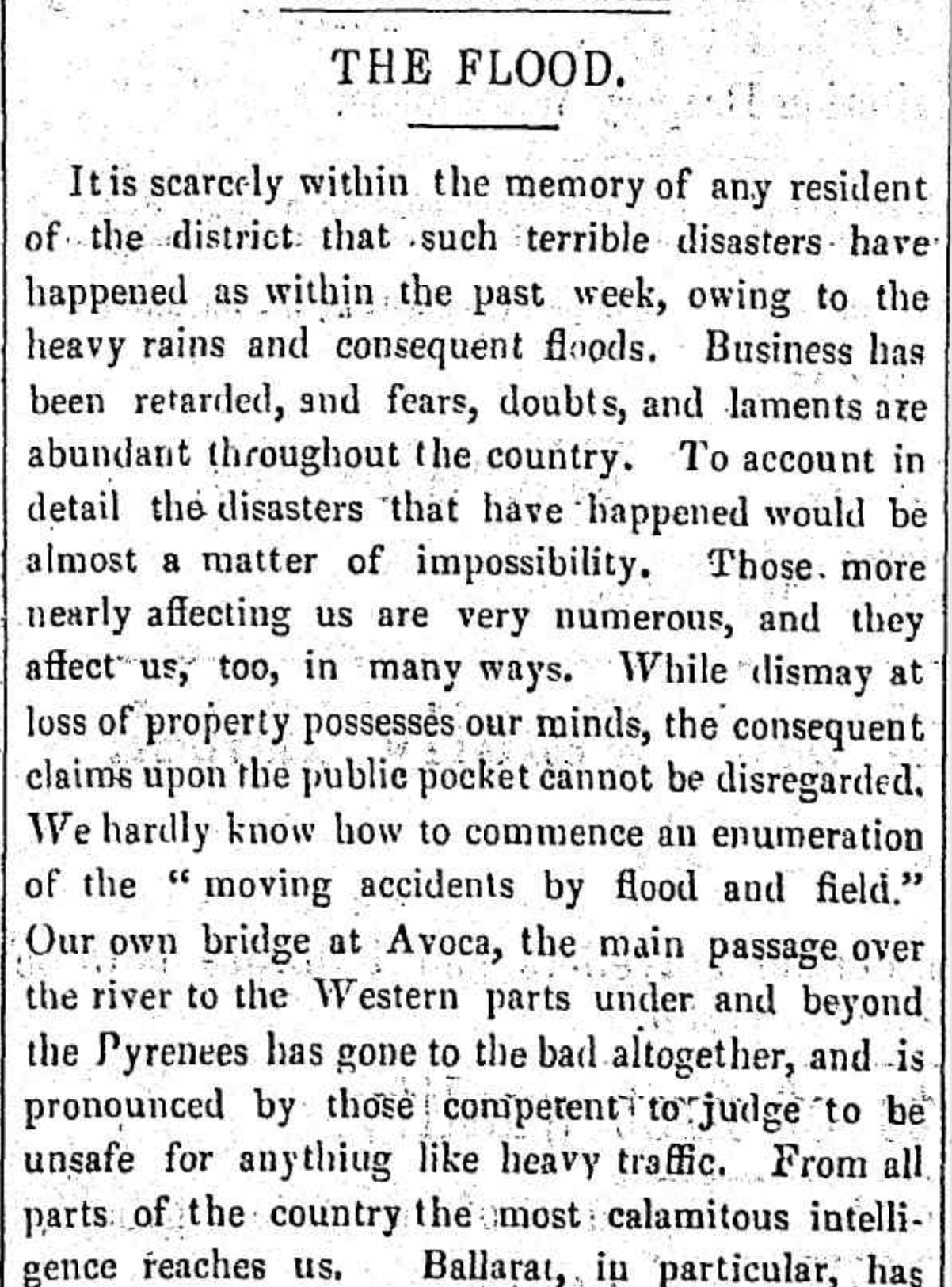
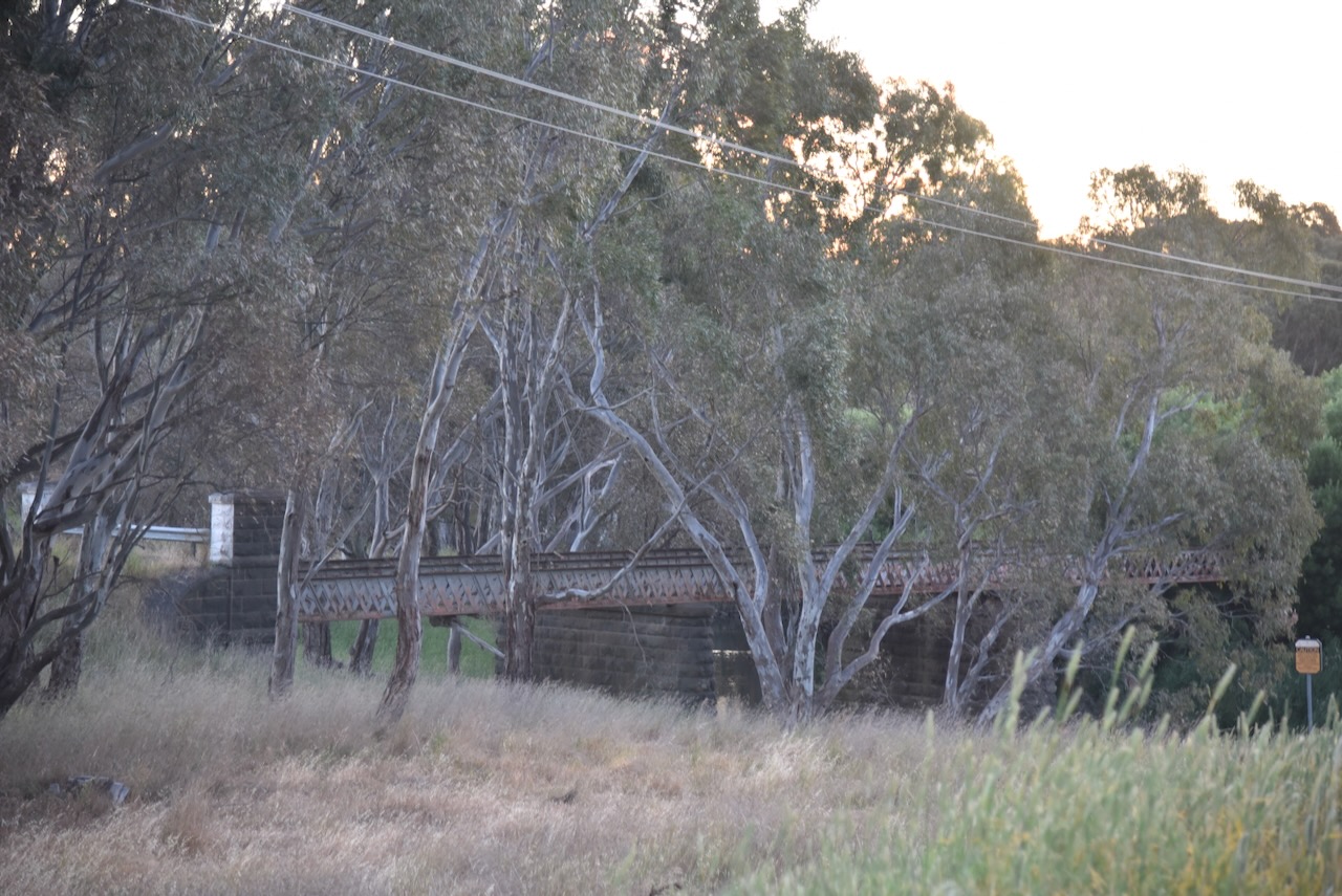
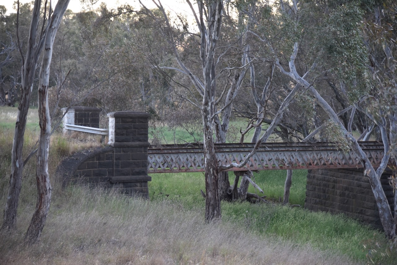
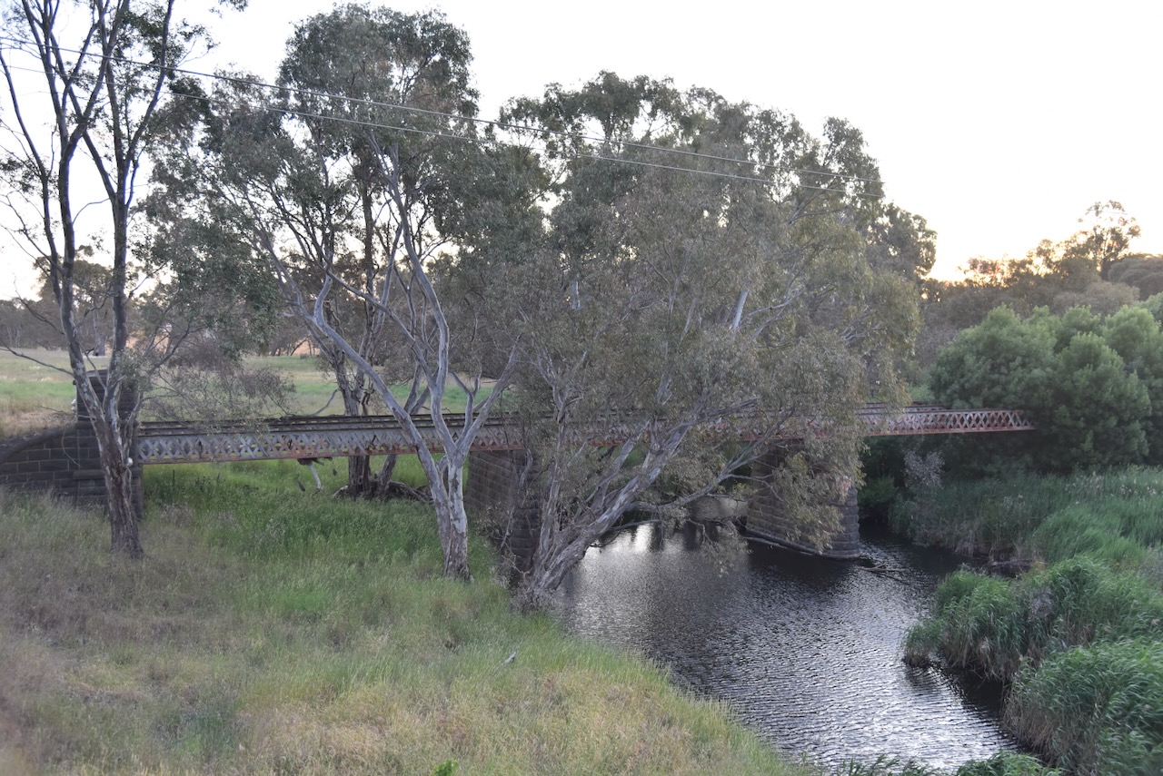
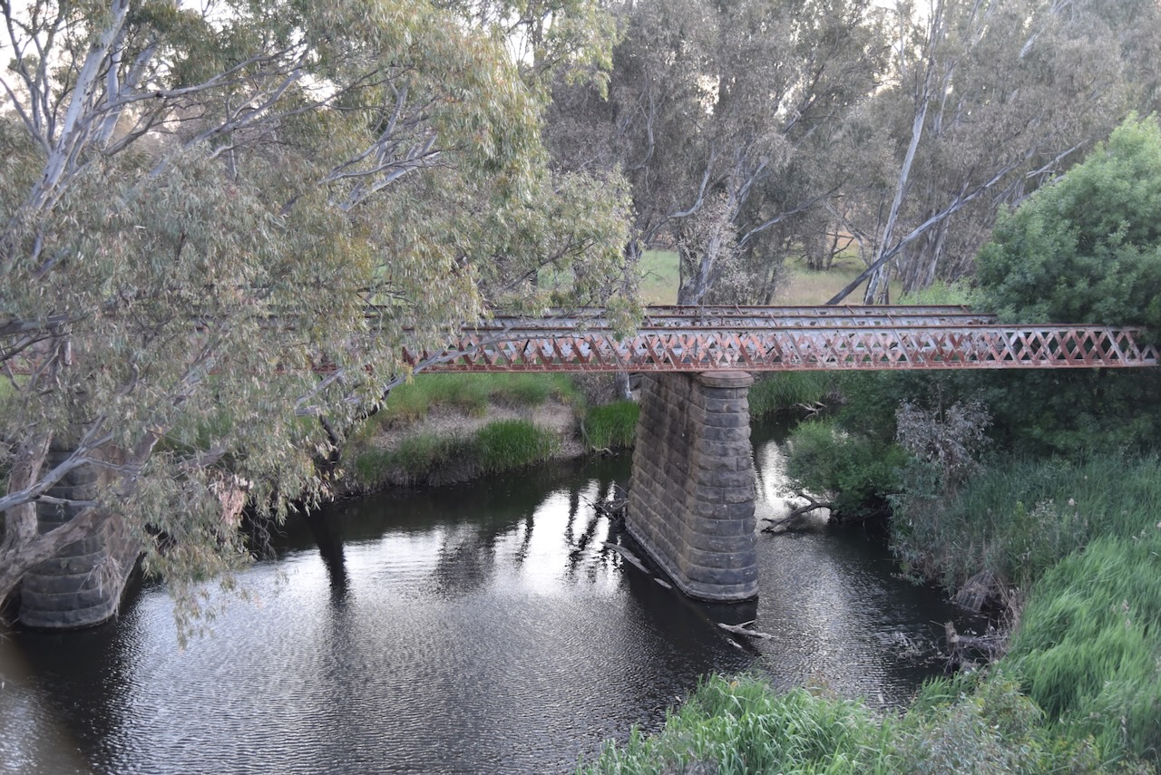
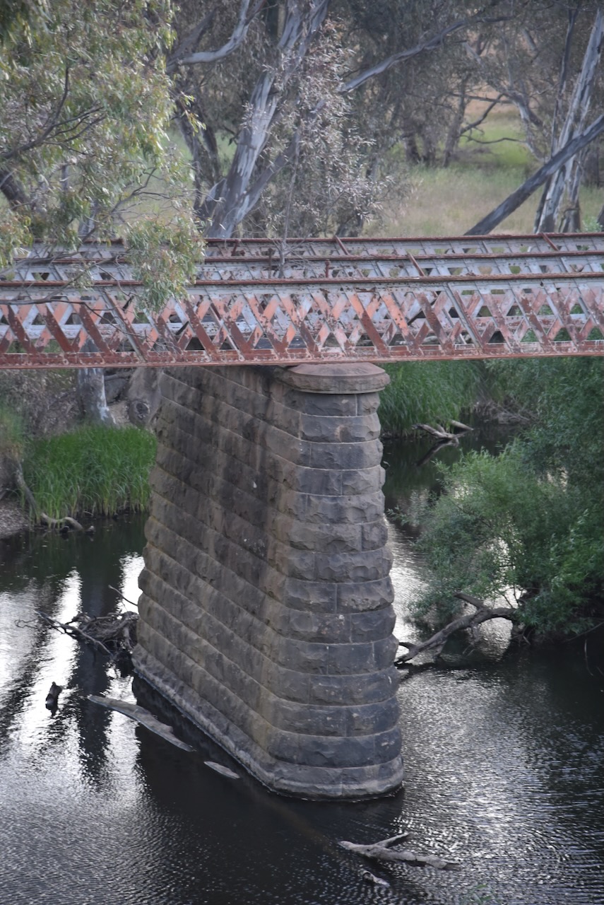
We stopped to view the old Glenmona Bridge that was built over the Bet Bet Creek in 1871. It was constructed to replace a wooden bridge that was destroyed by floods in 1870. (Aust Heritage Database 2024) (The Flood 1870)
Above:- portion of an article from The Avoca Mail, Sat 10 Sep 1870. Image c/o Trove.
The bridge is of metal truss construction with bluestone abutments and piers. It is the third oldest of its type in Victoria. In January 1985 a bushfire destroyed the timber deck and handrails. (Aust Heritage Database 2024)
The name Bet Bet is an aboriginal word meaning place of red ochre. The Bet Bet Creek is about 88 km in length. It starts below Ben Major near the town of Lexton, and flows into the Loddon River at the Laanecoorie Reservoir. (Victorian Places 2024)
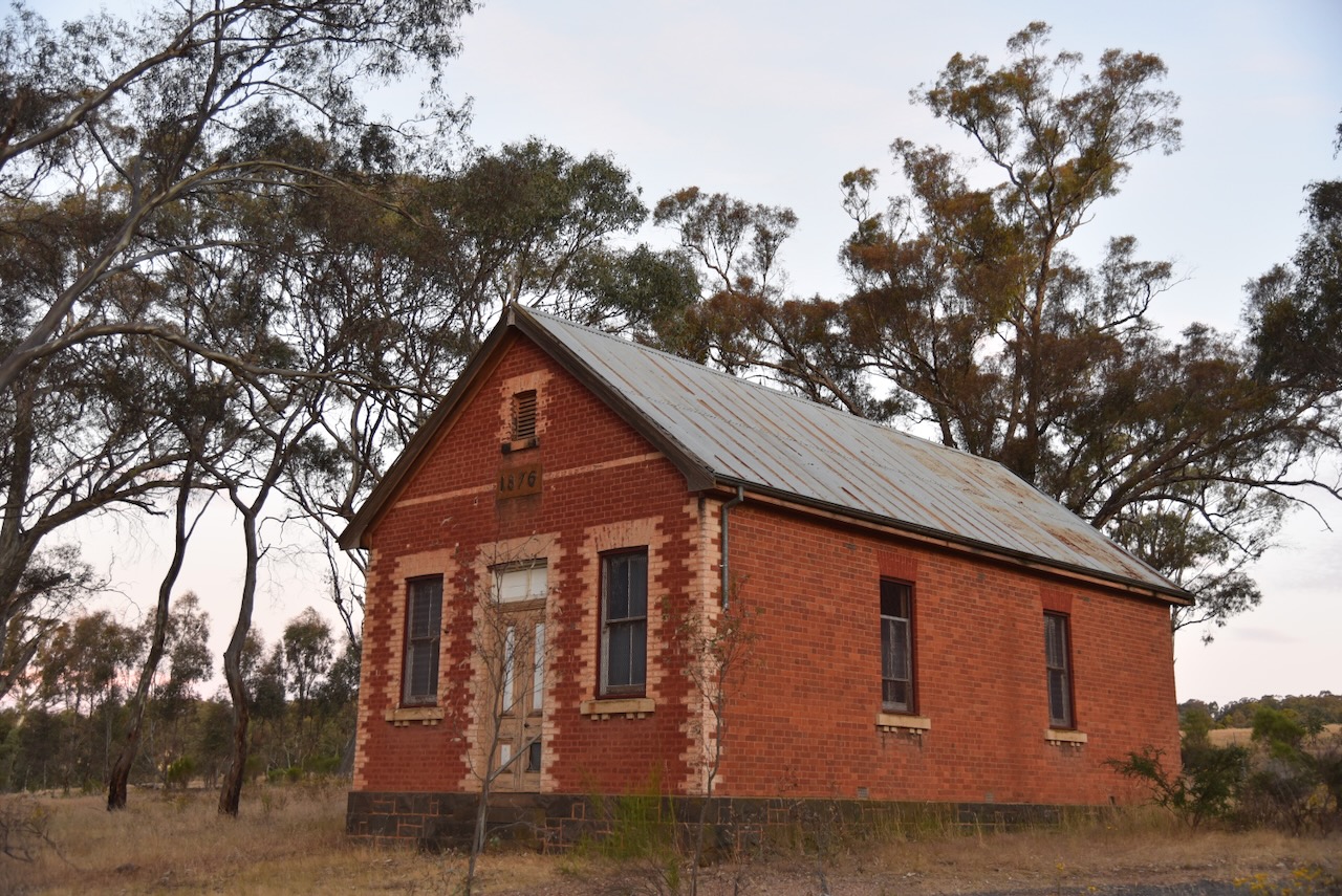
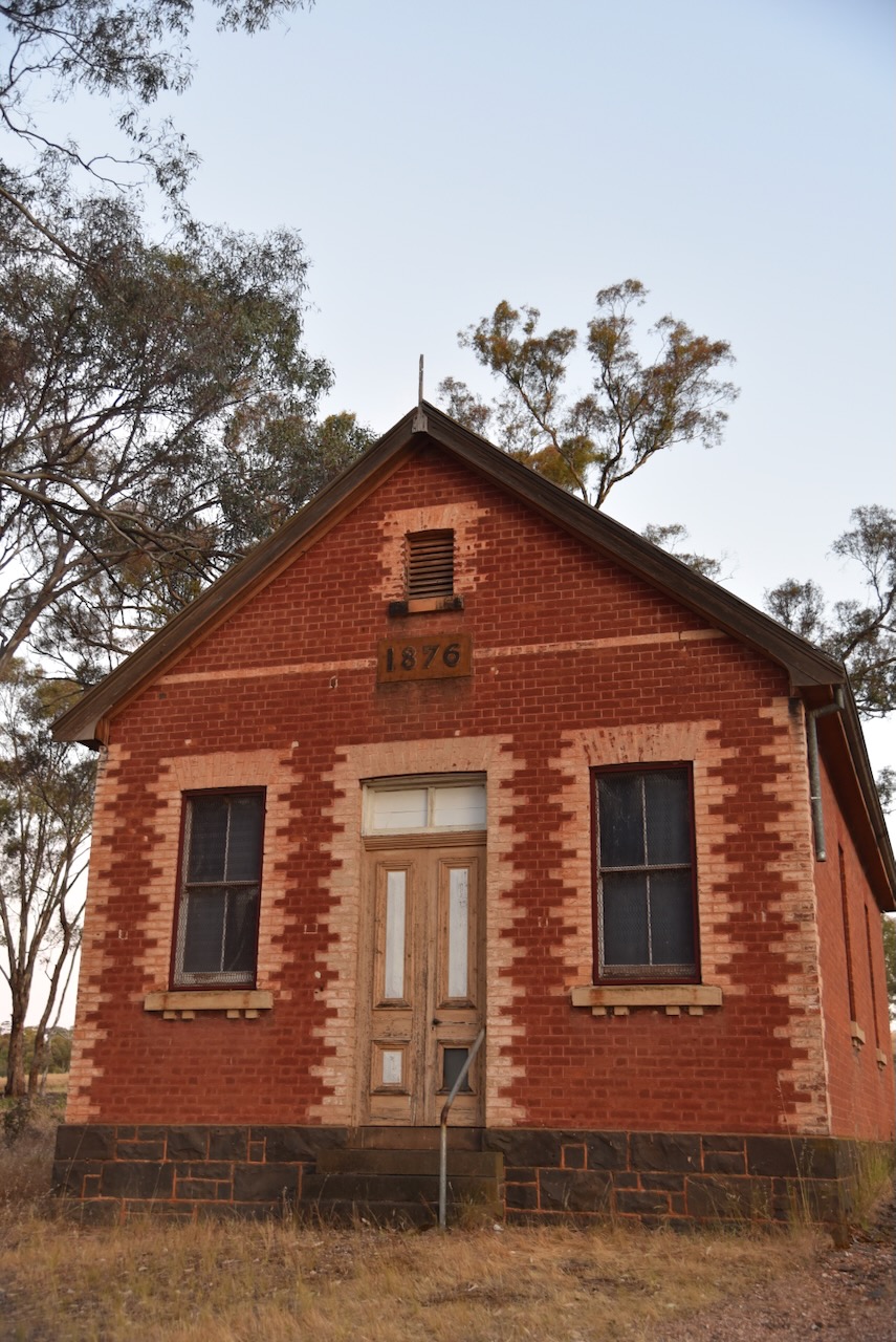
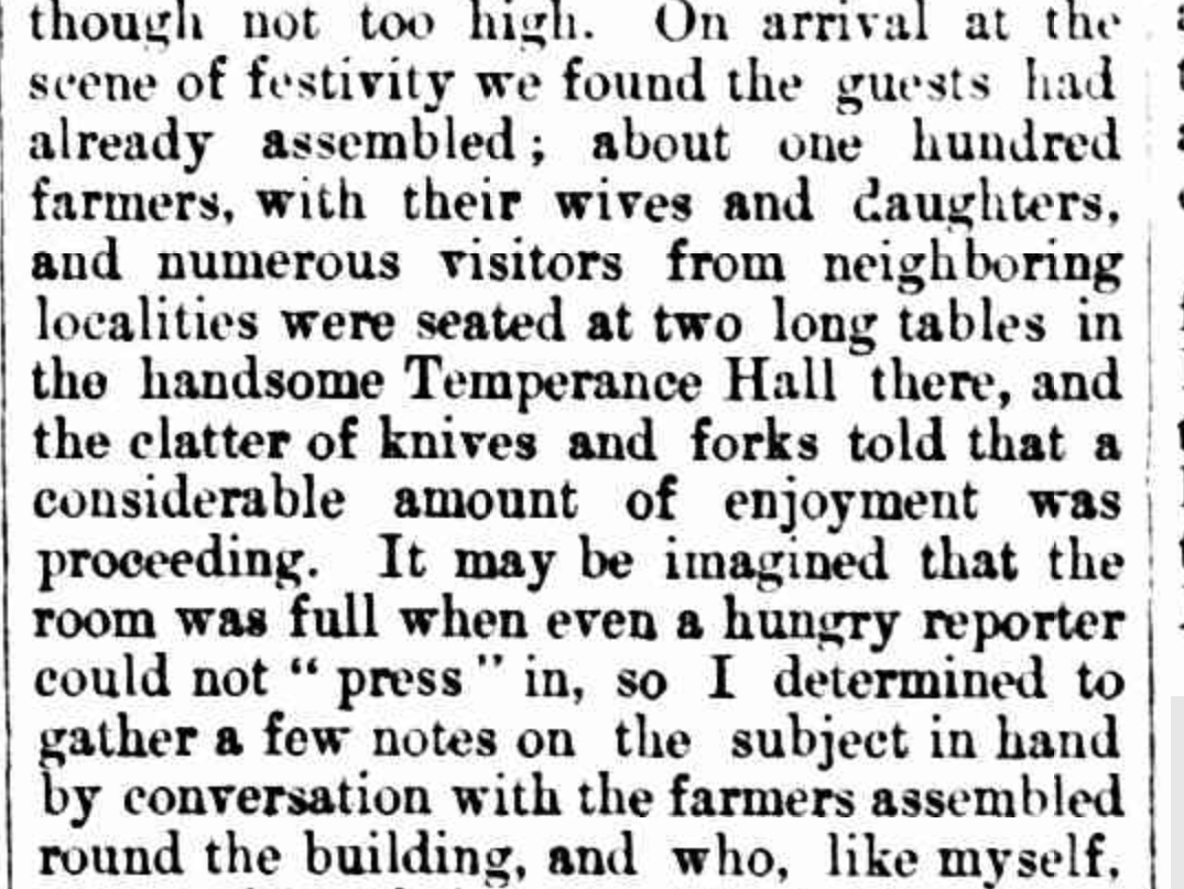
Also at Bung Bong is the Temperance Hall/Church of England which was built in 1876. It was established by the Independent Order of Rechabites on land donated by Mr. Miller and was used for community activities including meetings of the Bung Bong Farmers Club. The hall was later used as the Bung Bong Church of England. (Aust Christian Heritage 2021)
Below is part of an article from The Avoca Mail in August 1878 describing an event held at the ‘handsome Temperance Hall.’ (Bung Bong Farmers Club 1878)
Above: portion of an article from The Avoca Mail, Fri 16 Aug 1878. Image c/o Trove.
The Bung Bong district has suffered from significant bushfires over the years : 1880, 1881, 1985, and the Black Saturday bushfires in 2009.
Above:- portion of an article from The Argus, Melbourne, Thu 30 Dec 1880. Image c/o Trove.
One of those fires was in January 1985, when fire ravaged the area. The total area burnt was about 50,800 hectares. Sadly, three people were killed as a result of the fire. Over 180 houses, 500 farms and 46,000 livestock were destroyed. (The Avoca Fire 1985)
The well-known Bung Bong horse Richmond Lass died in the fire at Richmond Park. Richmond Lass won 31 races as a harness racer and also won the 1969 Inter Dominion Pacing Championship. (Wikipedia 2024)
Above:- Richmond Lass winning the 1969 Inter Dominion Pacing Championship. Image c/o NationalLitchfield, Wikipedia.
The Bung Bong Nature Conservation Reserve is about 420 hectares in size and was established on the 26th day of February 2002. (CAPAD 2022)
We accessed the park via a 4WD track running off Avoca Road. we ran the Yaesu FT857, 40 watts, and the 20/40/80m linked dipole for this activation. I used the special event callsign of VI10VKFF.
Marija worked the following stations on 40m SSB:-
VK2IO/p (Bullen Range Nature Reserve VKFF-0984)
VK3PF
VK3KAI
VK4SMA
VK3APJ
VK3VIN
Vk2EG
VK3YV
VK3TNL
VK3ZSC
VK2PBC
I worked the following stations on 40m SSB:-
VK2IO/p (Bullen Range Nature Reserve VKFF-0984)
VK3PF
VK3KAI
VK4SMA
VK3APJ
VK3VIN
Vk2EG
VK3YV
VK3TNL
VK3ZSC
VK2PBC
VK3ACL
VK7AAE
VK2MOE
VK2YK
VK5GA
VK4NH
VK4DXA
VK3CA
VK3EJ
VK5IS
VK5GY
VK5DW
VK3SX
I worked the following stations on 80m SSB:-
VK3PF
VK3KAI
VK2EXA
VK3CA
We packed up and headed off to our final activation for the day, the Porcupine Bushland Reserve.
Over the weekend I took part in the 2024 ARRL International DX Contest. The ARRL website describes the contest objective as:
“To encourage W/VE stations to expand knowledge of DX propagation on the HF and MF bands, improve operating skills, and improve station capability by creating a competition in which DX stations may only contact W/VE stations.”
I did not devote the entire weekend to the contest as I had other commitments, but whenever possible I slipped into the shack to work some of the USA and Canada stations.
I worked a total of 218 stations and have a claimed score of 46,434 points.
The majority of my contacts were on the 20m band. I had a nice run on 20m on Saturday evening, but this was not replicated on Sunday evening.
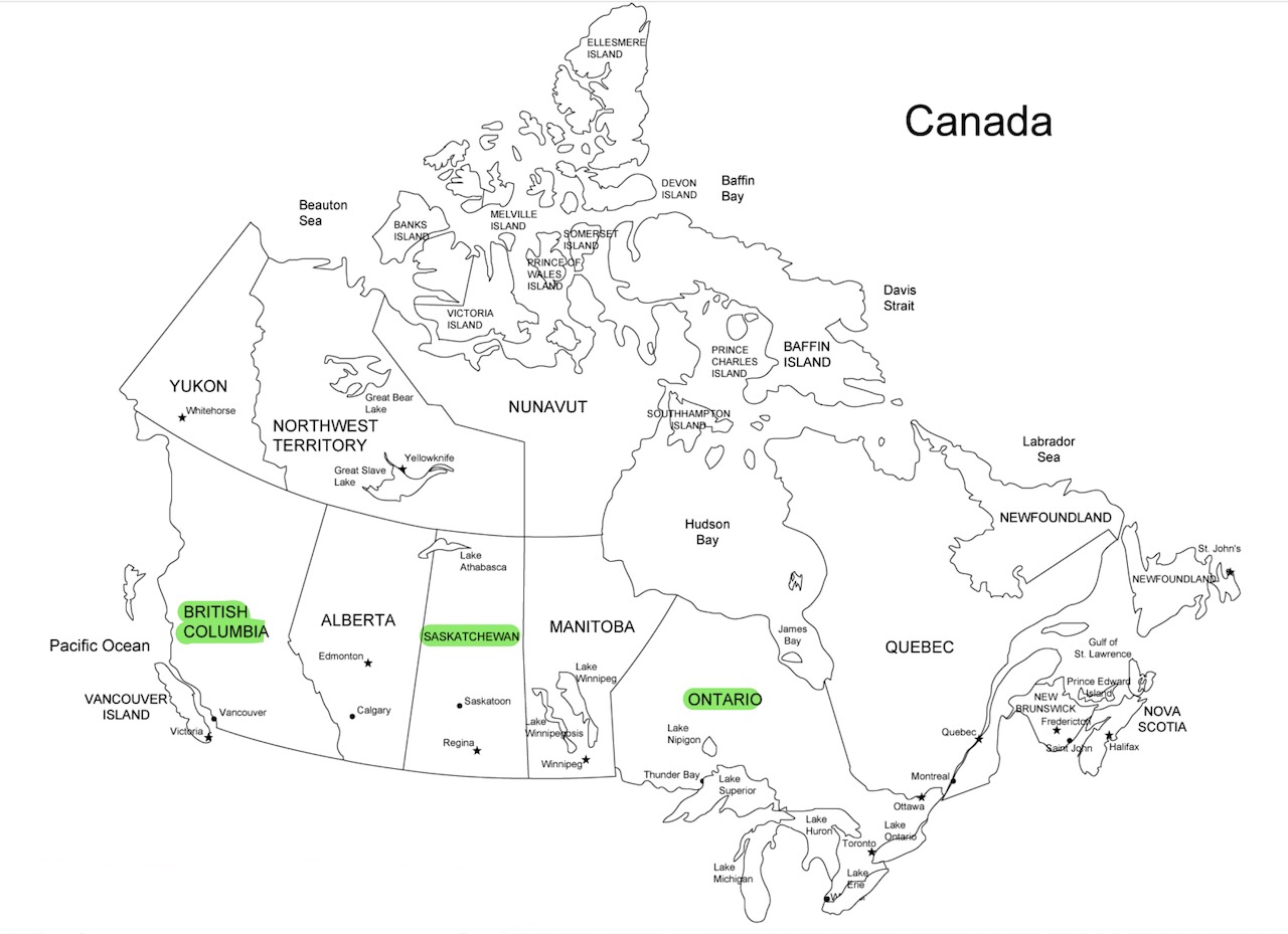
I ended up working 37 of the 48 mainland USA States. Hawaii and Alaska did not count as US States for this contest and participated as DX stations. The map below shows the States I worked marked in green. Those I didn’t get are in red.
Unfortunately, I didn’t work many Canadian stations.
After Blue Mountain, it was off to our next summit for Tuesday 21st November 2023, Point 756 Pyrenees VK3/ VS-018. The summit is about 29 km (by road) west of Avoca and about 211 km northwest of Melbourne.
Above:- Map showing the location of Point 756 Pyrenees. Image c/o Google Maps.
On our way to the summit, quite a few fallen trees were encountered, but fortunately, they proved no difficulty for the 4WD.
Point 756 Pyrenees is about 756 metres above sea level and is located in the Pyrenees Range.
Above:- An aerial view of Point 756 Pyrenees. Image c/o Google Maps.
It is worth 4 points for the Summits On The Air (SOTA) program. It has been activated a total of 16 times. (SOTA 2024)
We accessed the summit via Sanderson Track which runs off Main Break. We ran the Yaesu FT857, 40 watts, and the 20/40/80m linked dipole for this activation.
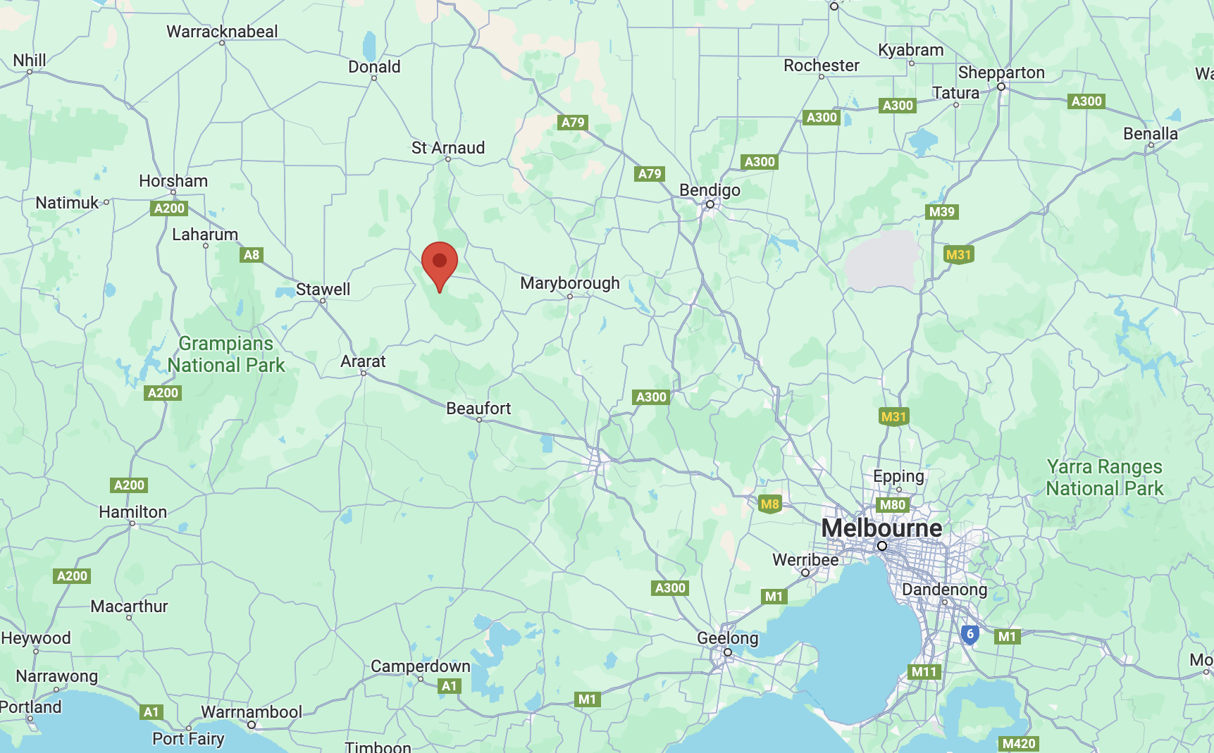
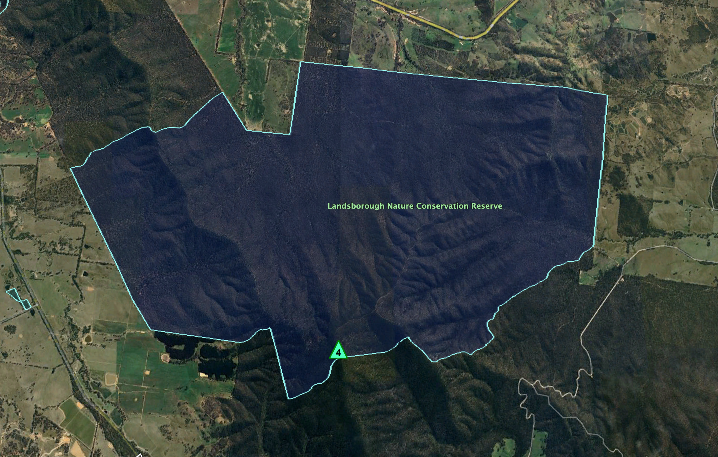
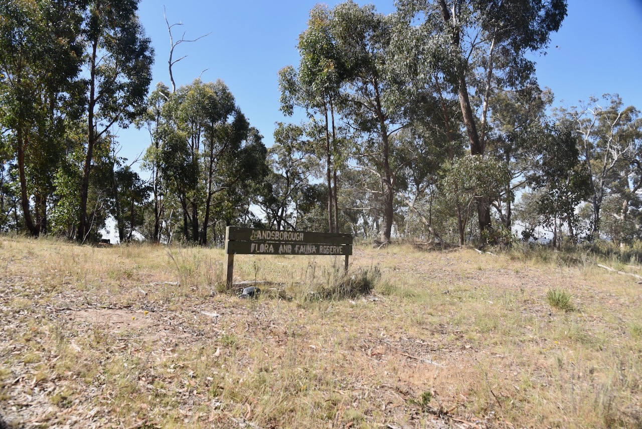
Our next activation for Tuesday 21st November 2023 was the Landsborough Nature Conservation Reserve VKFF-2129 and Blue Mountain VK3/ VS-015.
Above:- Map showing the location of the park and summit. Map c/o Google Maps.
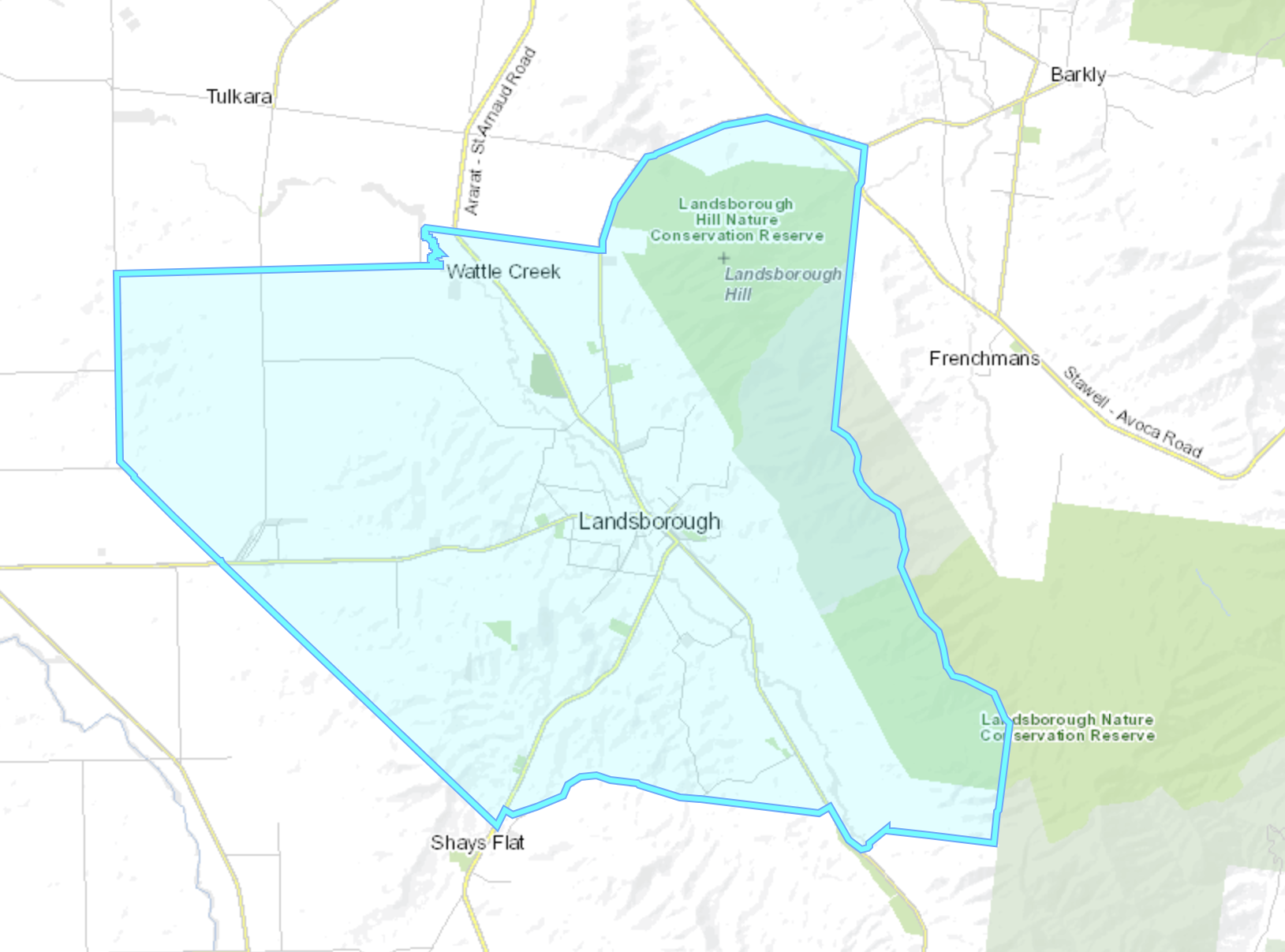
Landsborough is a Parish in western Victoria.
Above:- The Parish of Landsborough. Image c/o Mapshare Victoria.
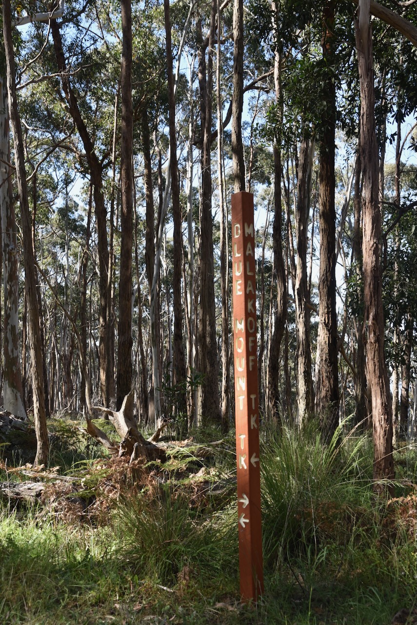
Gold mining commenced in the Landsborough area between 1853 and 1855 with several small discoveries of gold. The first gold diggings were the Malakofff Lead, believed to have been named after the 1855 battle of Malakoff in Crimea. It was also known as Crowlands Diggings. Its first major rush was in 1856 by diggers from the nearby Fiery Creek gold diggings. In 1858 another rich lead was discovered and this was known as Glasgow Lead. A small village known as Edinburgh was formed. Other miners were actively working at Barkly Flat to the east of Landsborough. (Victorian Goldfields Project 1999)
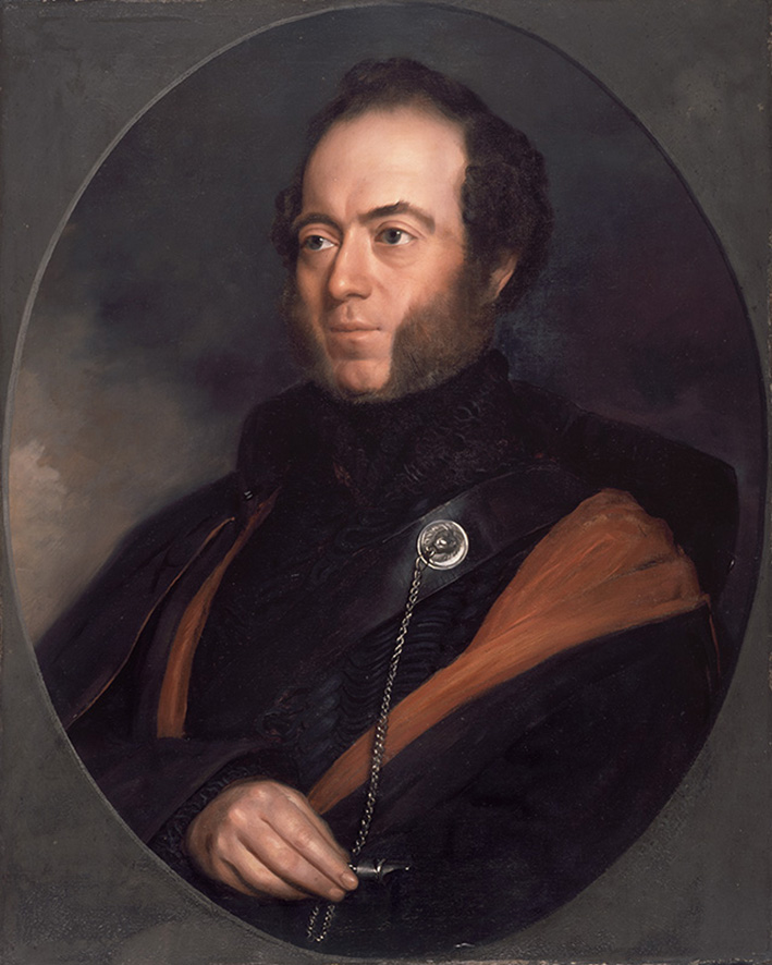
In September 1862 the Landsborough Rush commenced and this resulted in a significant increase in the population, including miners from surrounding goldfields. This particular discovery was significant enough for a town to be developed. It was named Landsborough after William Landsborough (c. 1825. d. 1886) who led an 1861 expedition to search for explorers Burke and Wills. (Victorian Goldfields Project 1999) (Victorian Places 2024) (Wikipedia 2024)
Above:- William Landsborough. Image c/o Wikipedia.
In 1862 the population of Landsborough was between 8,000 to 9,000 people. In 1864 a school was opened. In 1865 Bailliere’s Victorian gazetteer recorded Landsborough as having several hotels, a bank and an insurance office, a brewery and a quartz-crushing mill. (Victorian Places 2024)
By May 1863 the Landsborough Rush was over. The miners were drawn away from Landsborough to several other gold rushes culminating with the 1864 Great Western Rushes. (Victorian Goldfields Project 1999)
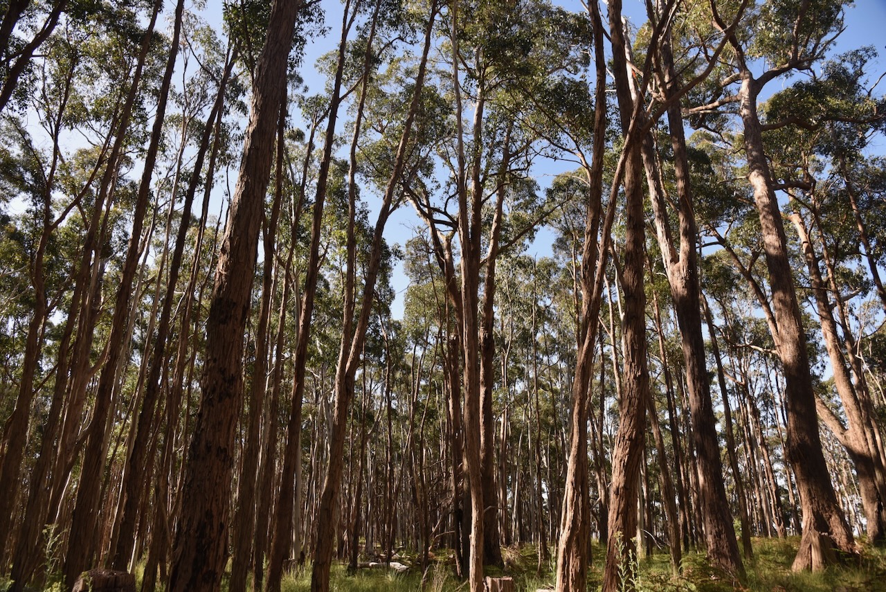
The park and summit are located in the Pyrenees Range. Explorer and surveyor Major Thomas Mitchell was the first European recorded to have travelled through the Pyrenees. This was in 1836 during his Australia Felix expedition. He named the mountains the Pyrenees after the Pyrenees in Europe. (Forest Notes 2004)
Above:- Major Thomas Mitchell. Image c/o Wikipedia.
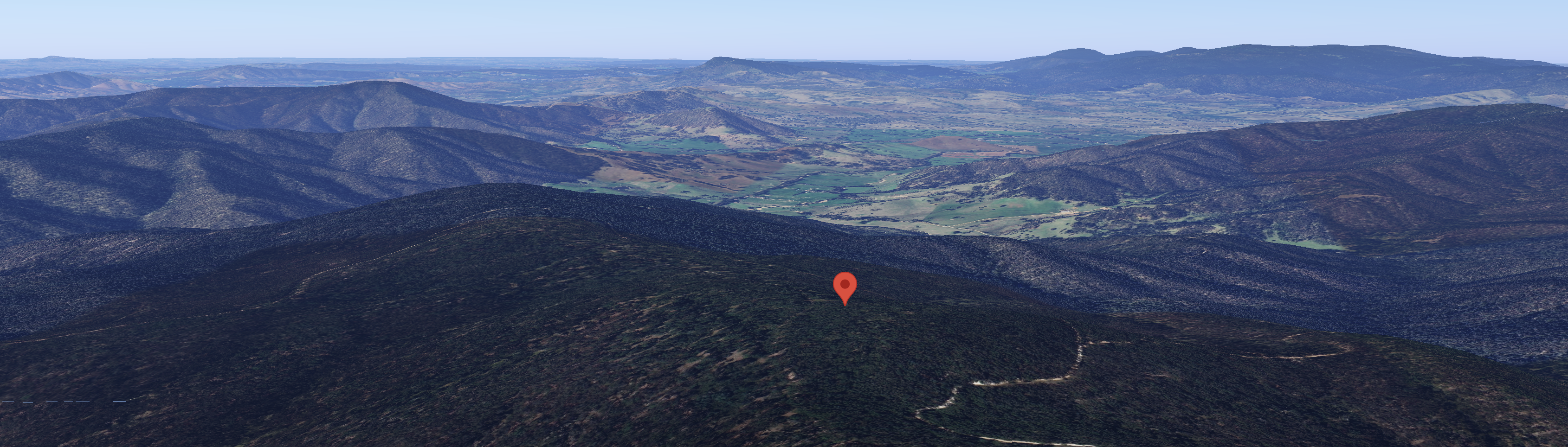
The summit Blue Mountain which qualifies for the Summits On The Air (SOTA) program is located in the southern section of the Landsborough Nature Conservation Reserve.
Above:- An aerial view of the park showing the location of the summit of Blue Mountain. Image c/o Google Earth.
The Landsborough Nature Conservation Reserve is about 3,374 hectares in size and was established on the 24th day of August 1982. (CAPAD 2022)
Blue Mountain is 772 metres above sea level and is worth 4 points in the SOTA program. It has been activated 21 times. I have previously activated this summit. (SOTA 2024)
Above:- An aerial shot showing Bluee Mountain. Image c/o Google Maps.
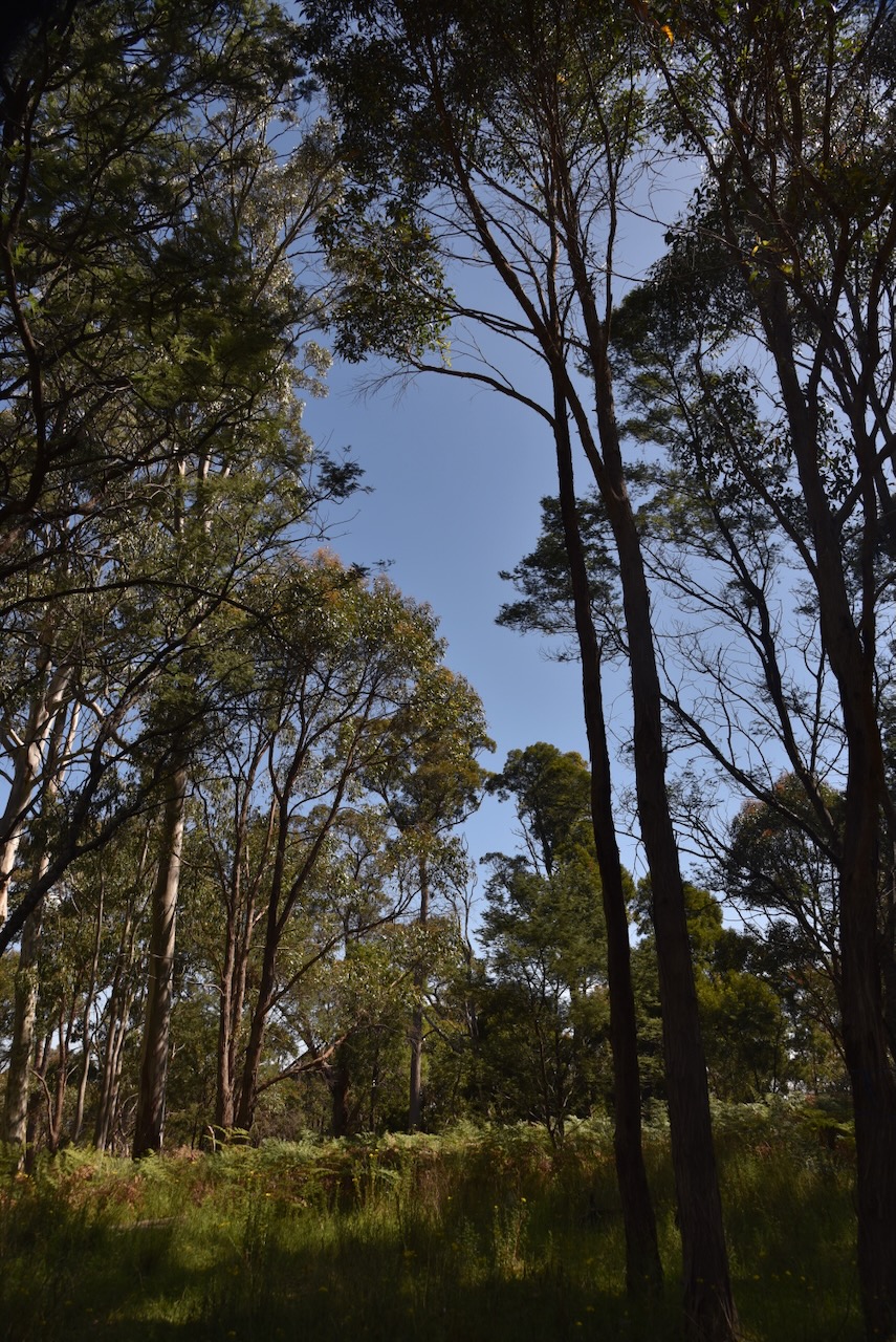
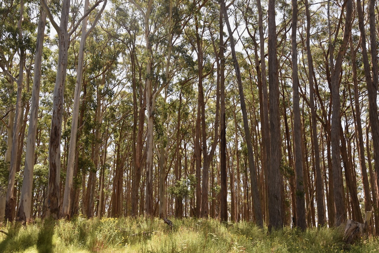
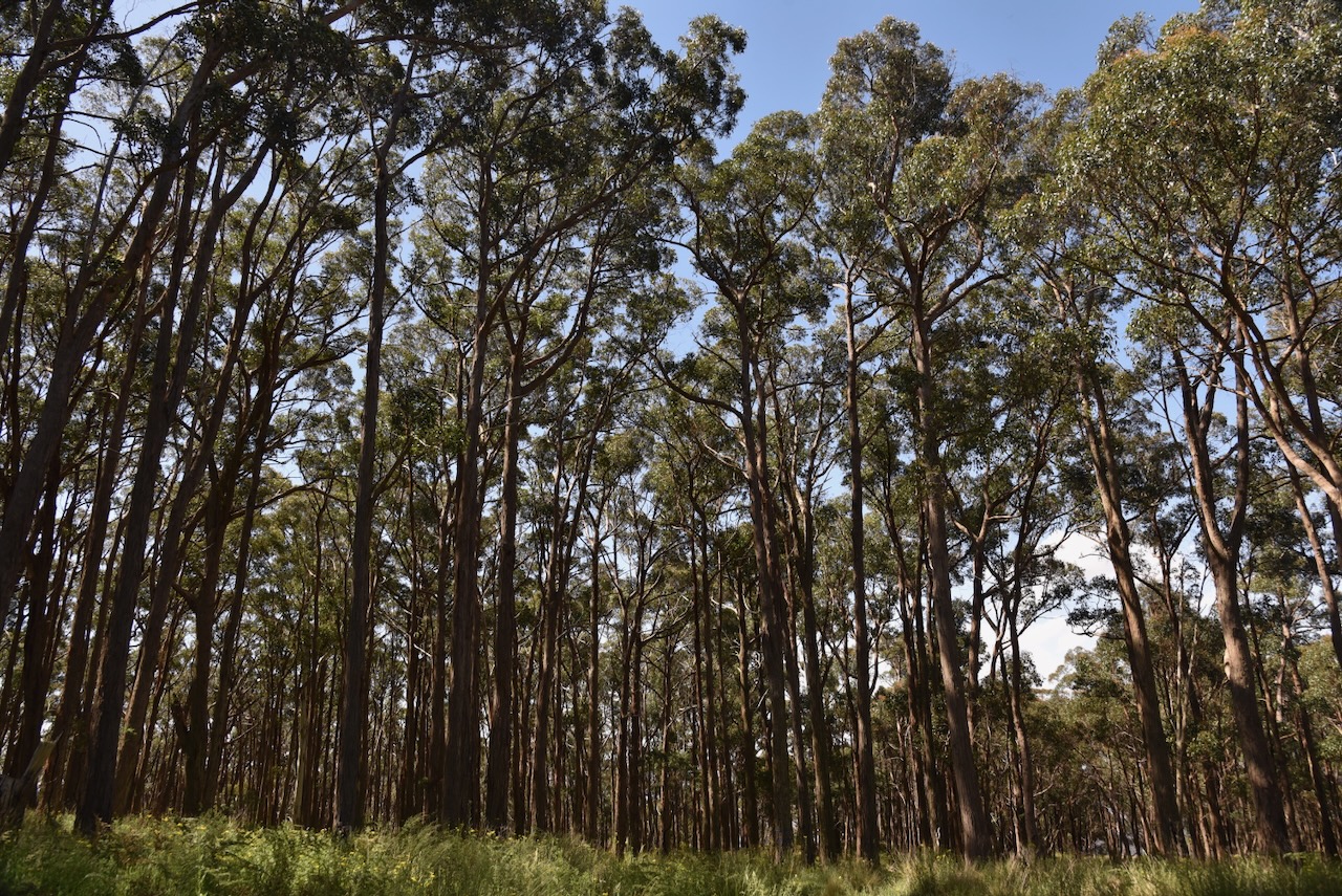
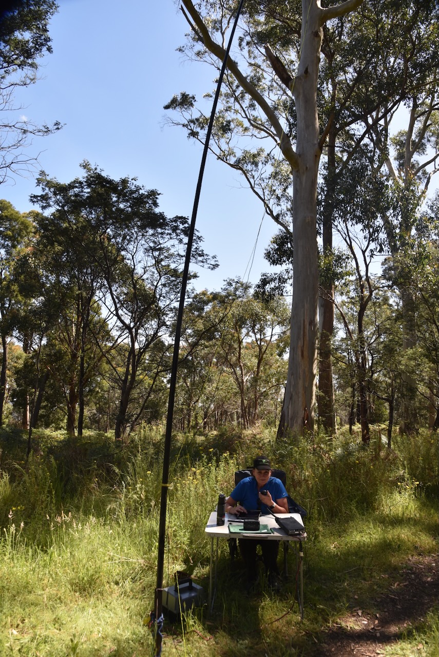
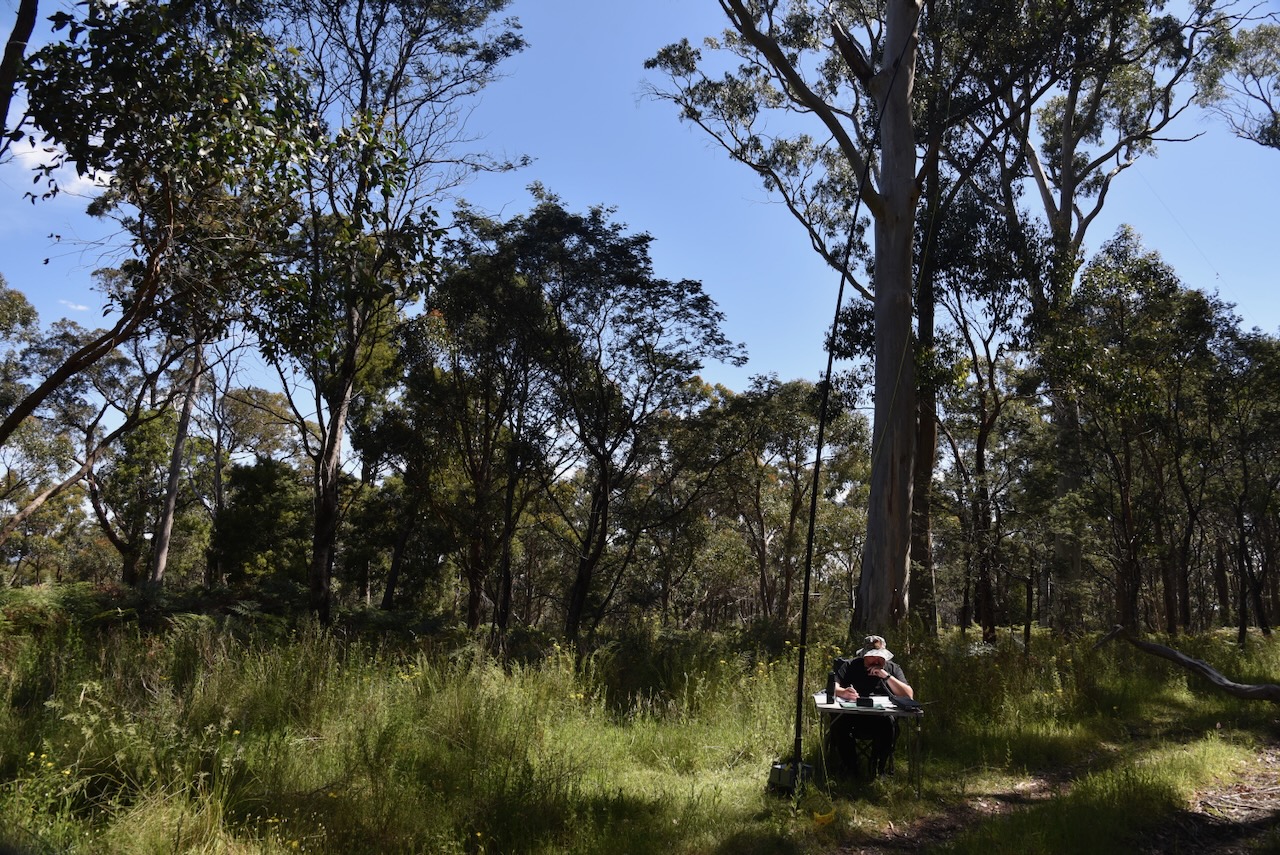
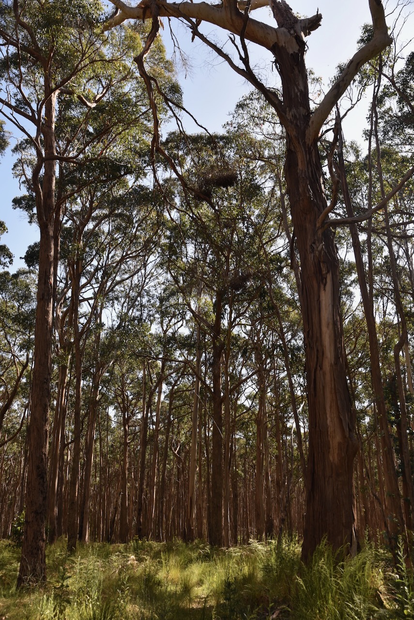
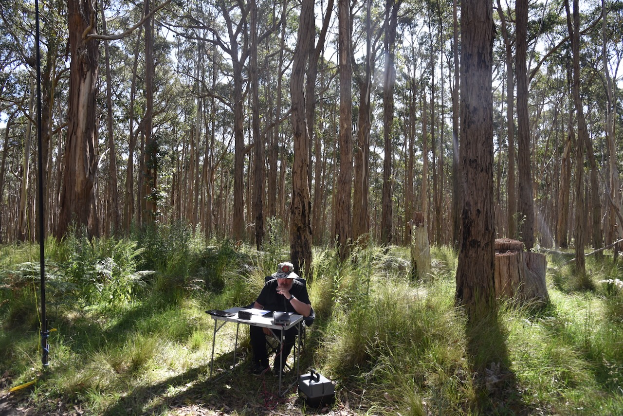
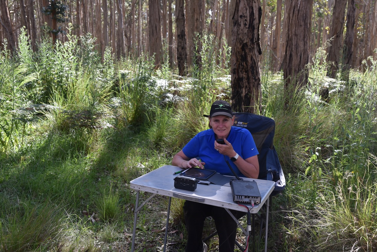
The summit is located near the junction of Landsborough Ridge Track and Blue Mountain Track. We set up in a clearing amongst the tall trees alongside Blue Mountain Track. We ran the Yaesu FT857, 40 watts, and the 20/40/80m linked dipole for this activation. I used the special event callsign of VI10VKFF.
We found the 40m band to be extremely noisy with severe static crashes.
I would like to apologise to Graham VK3ZSC for not logging him during this activation. Unfortunately, Graham was struggling to hear us and an unknown station relayed the signal reports, which made the contact void. PLEASE, do not relay signal reports or callsigns. You may think you are helping, but you are not.
Marija worked the following stations on 40m SSB:-
VK3PF
VK3KAI
VK3SQ
VK2BD
VK5HS
VK5IS
VK2DG
VK3CA
VK3DCQ
VK2HHA
VK3UAO/p (Wilsons Hill Nature Conservation Reserve VKFF-0539)
VK2IO/p (SOTA VK1/ AC-039)
I worked the following stations on 40m SSB:-
VK3PF
VK3KAI
VK3SQ
VK2BD
VK5HS
VK5IS
VK2DG
VK3CA
VK3DCQ
VK2HHA
VK5FB
VK3MTT
VK3DAC
VK4FE/3
VK2MOE
VK3VIN
VK5CZ
VK2RK
VK3EJ
VK2EXA
VK7XX
VK7HBR
VK7AN
VK3APJ
VK3CLD/p (Kosciuszko National Park VKFF-0269)
VK3BEL
VK3UAO/p (Wilsons Hill Nature Conservation Reserve VKFF-0539)