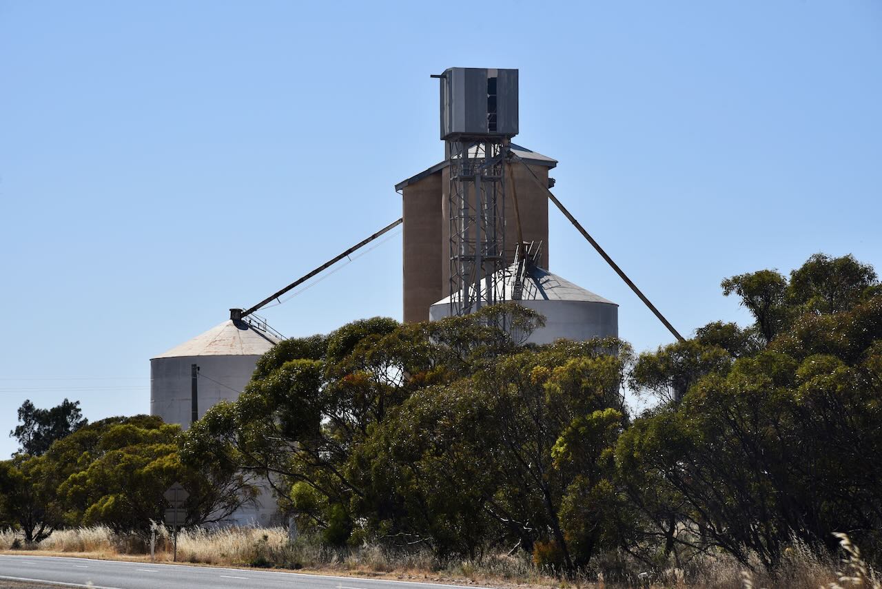
Peake silo VK-PKE5

We had only been home for a couple of days following our trip to Renmark for the 2023 VKFF National Get-Together, and it was time for Marija and I to hit the road once again. This time our destination was Murrayville in Victoria for 5 nights to coincide with the Keith Roget Memorial National Parks Award Weekend.

We left home (Thursday 9th November 2023) bright and early. Our first stop was the Strathalbyn bakery for a coffee and a bacon & egg roll.

We then headed southeast on the Dukes Highway and then east on the Mallee Highway. Our first stop was at the little town of Peake to stretch our legs. Whilst there we decided to do a quick silo activation of the Peake silo for the Silos On The Air (SiOTA) program.

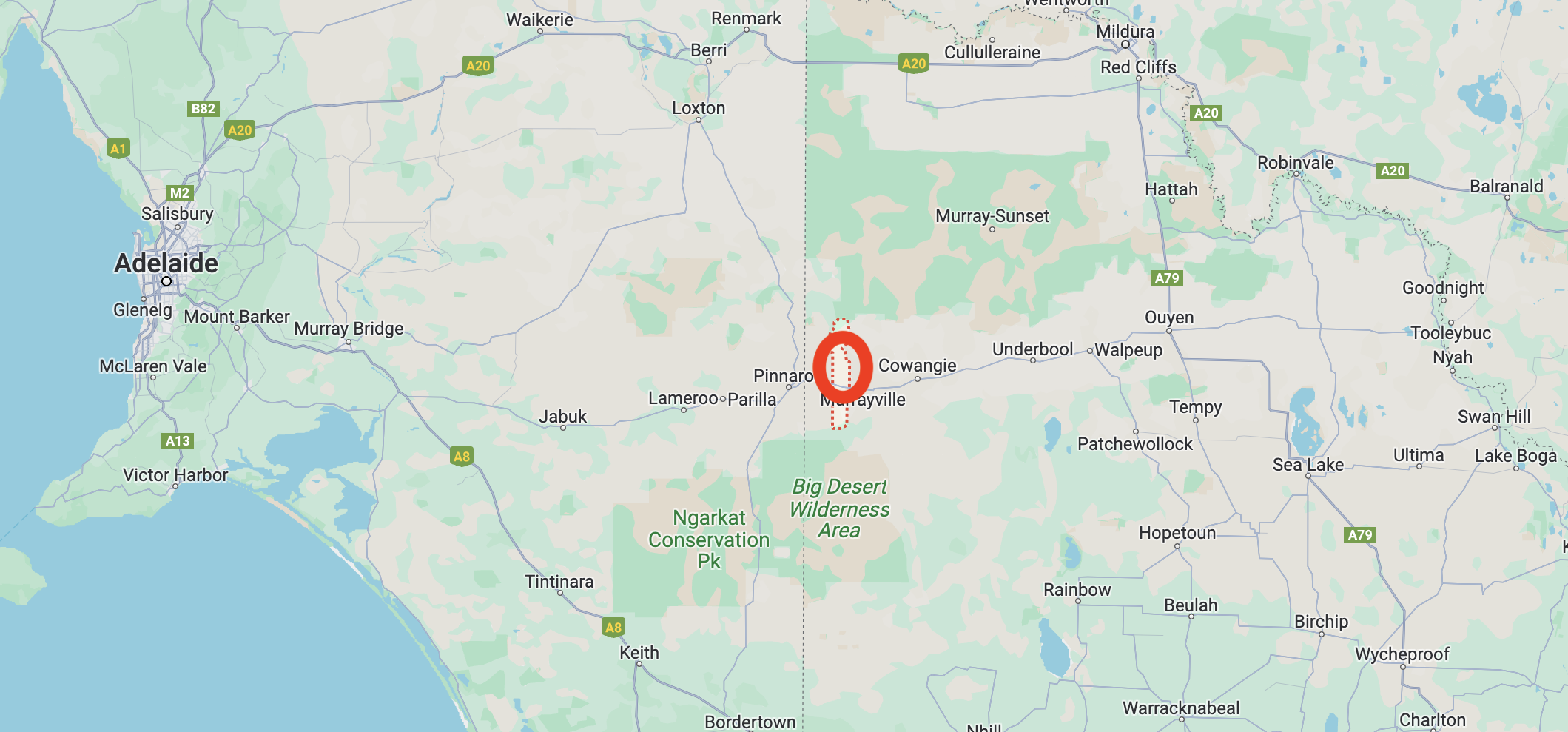
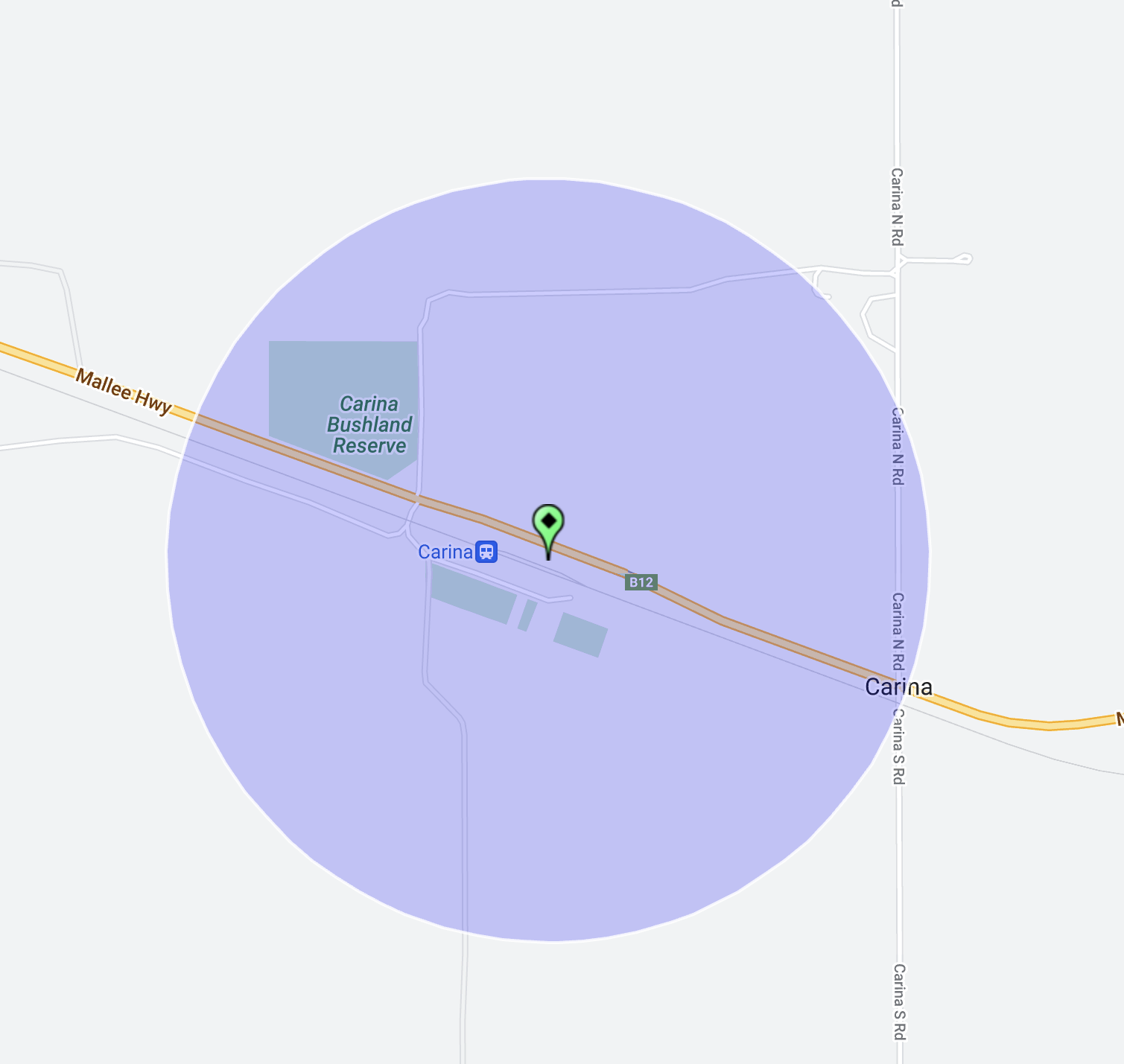
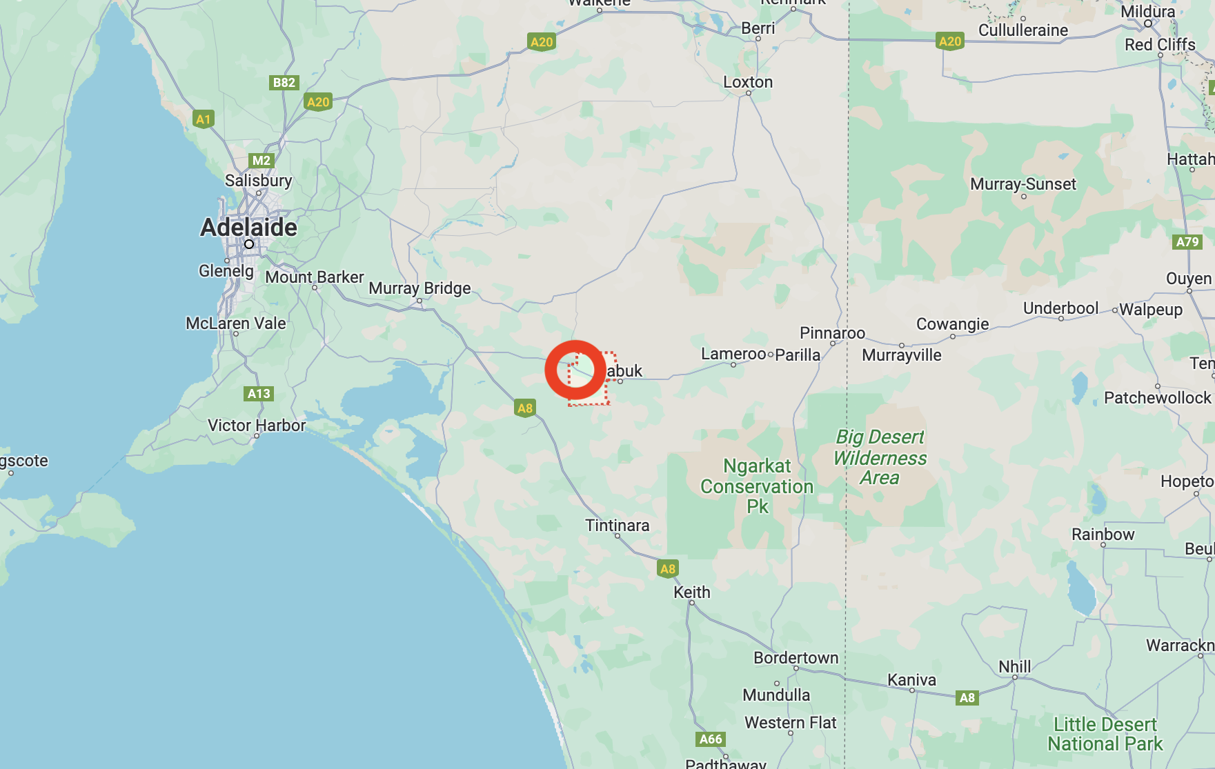
Peake is located about 146 km southeast of the city of Adelaide

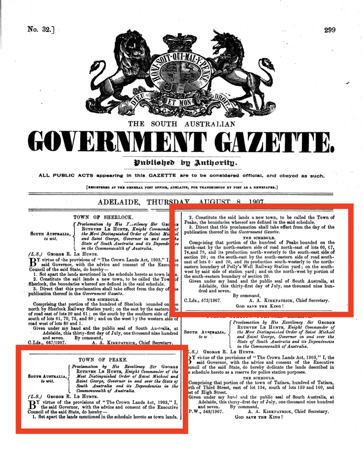
The town of Peake was surveyed in May 1907 and was proclaimed on the 8th day of August 1907. The District Council of Peake was proclaimed in 1911, and properties were assessed and rates levied from 1912.

Above:- The South Australian Government Gazette re the proclamation of the town of Peake. Image c/o Wikipedia.

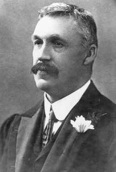
The town’s name was derived from the cadastral unit of the Hundred of Peake which in turn is named in honour of Archibald Henry Peake (b. 1859. d. 1920), an Australian politician who was the Premier of South Australia on three occasions (1909-1910; 1912-1915; and 1917-1920).

Above:- Archibald Peake. Image c/o Wikipedia.

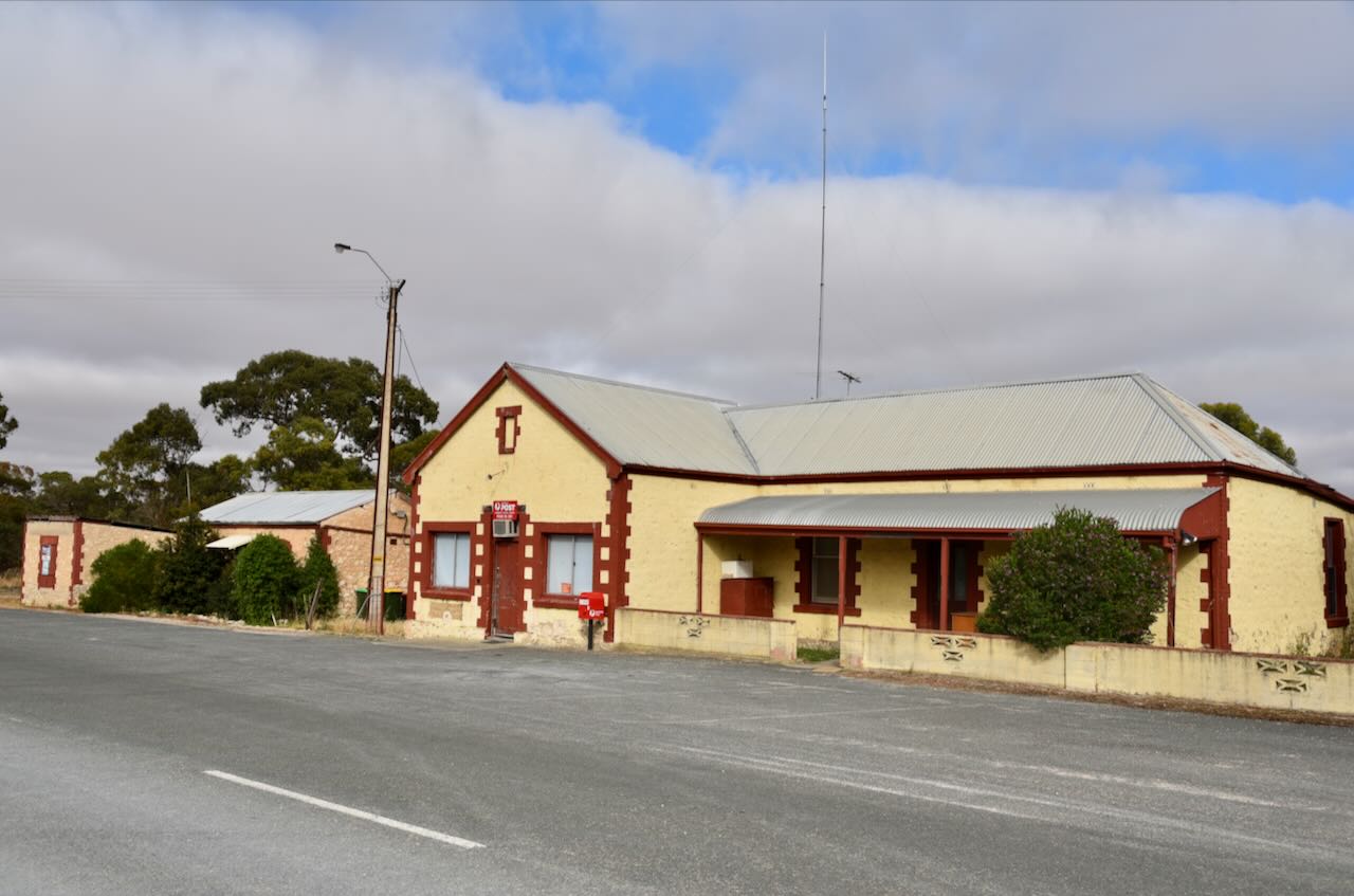
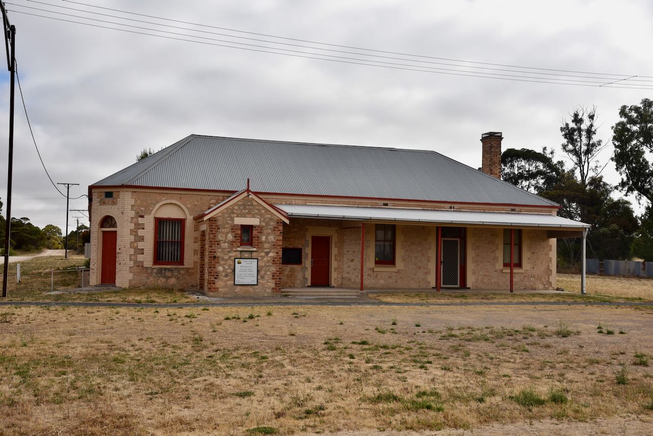
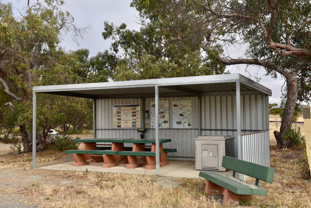
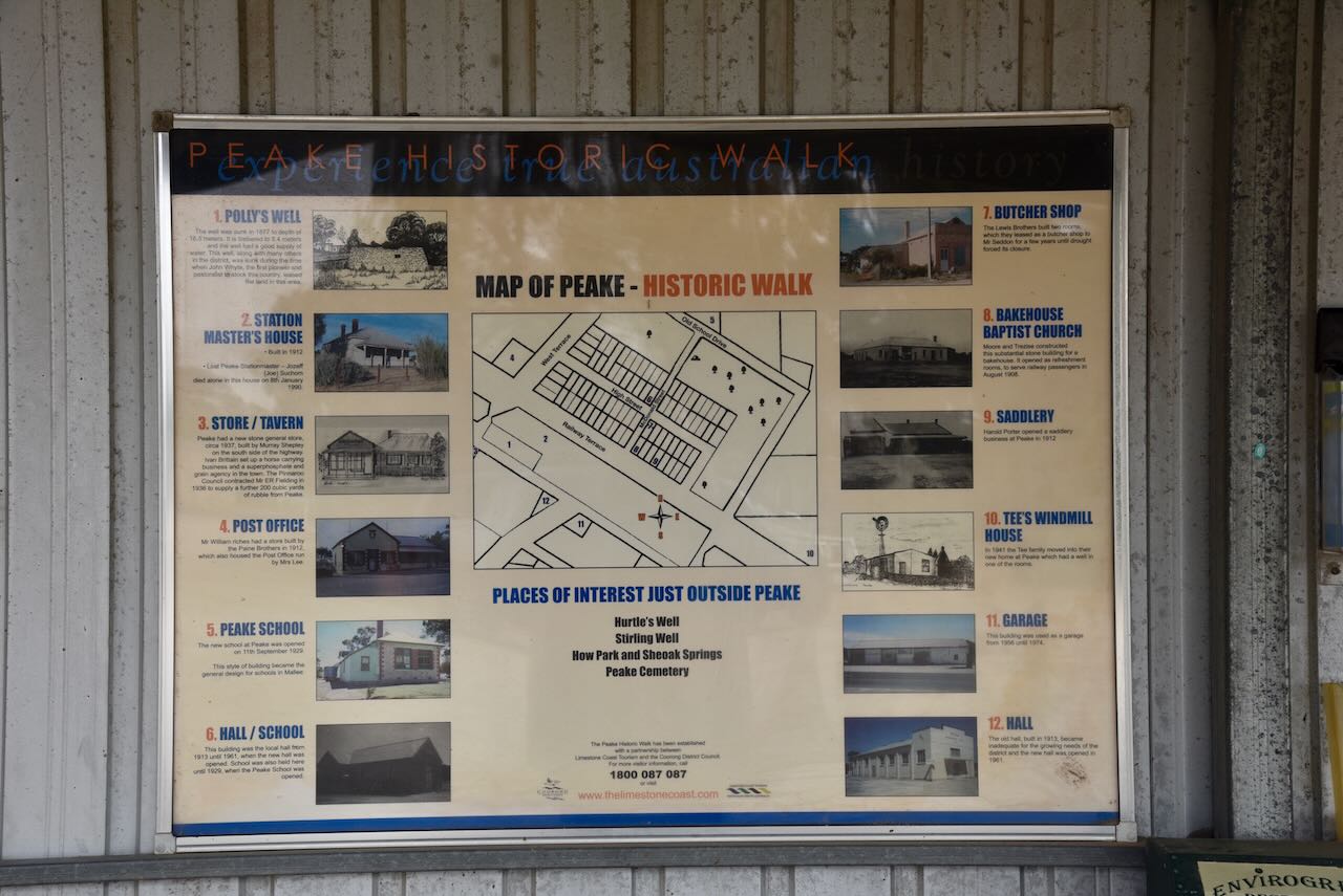
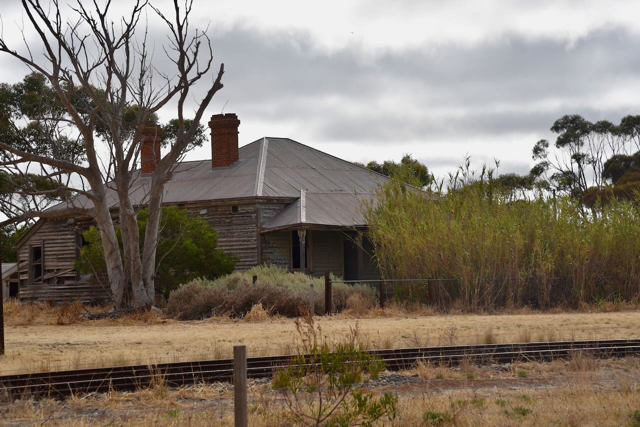
There are several historic buildings in the town and a historic walk can be undertaken. Details of the walk can be obtained from the information board at the visitor rest stop.

Some of the buildings to view are the old Station Masters built in 1912, the Peake store built in 1937, the Post Office built in 1912, the Bakehourse/church built in 1908, the Peake School built in 1929, the Butcher shop built in the early 1900s, the Saddlery built in 1912, and the old town Garage which was used from 1956 to 1974.

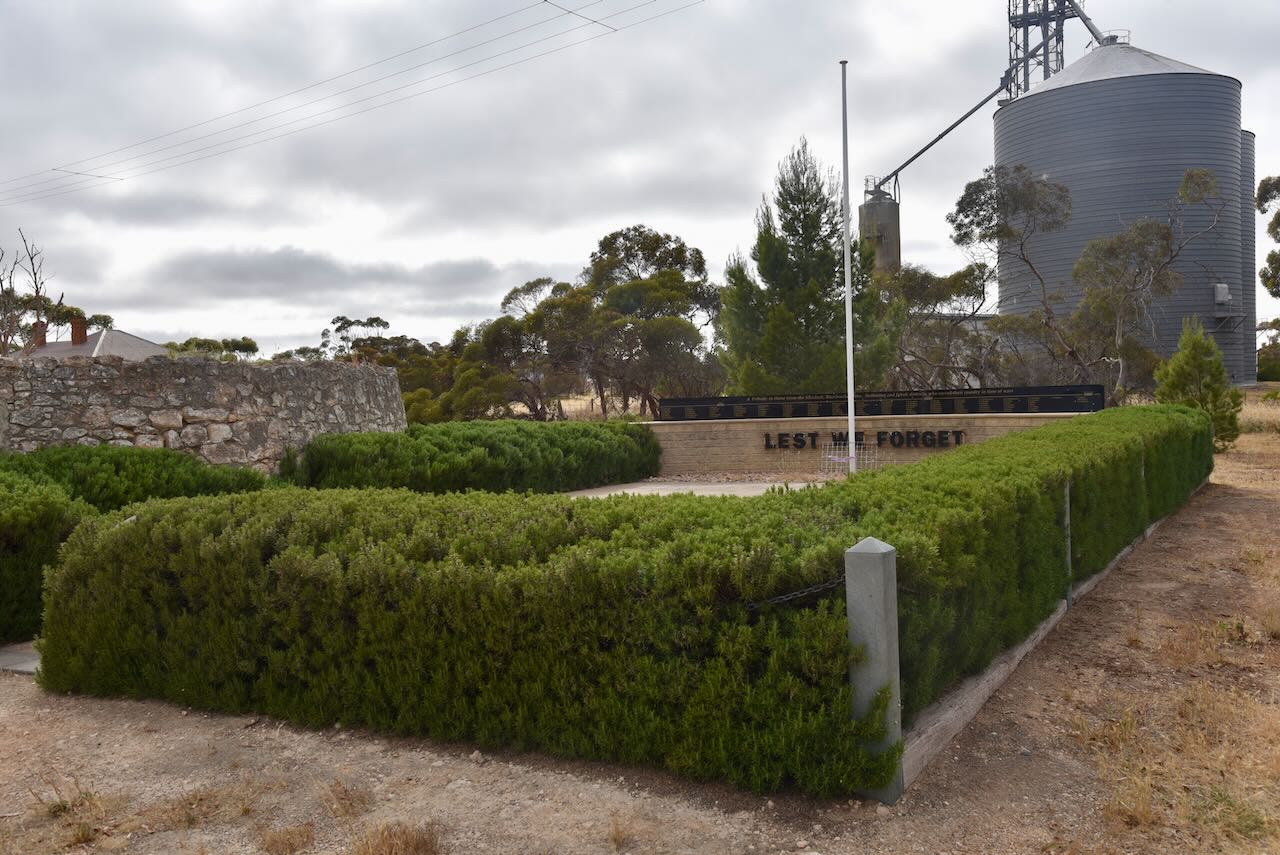
At the rest stop, there is the War Memorial and Lone Pine, remembering those from Peake who lost their lives serving their country. The pine was planted at Peake on the 25th day of April 2009 having been propagated from a pine tree at the War Memorial in Canberra. That particular tree can follow its origins back to Gallipoli, Turkey. The ridges at Gallipoli were once covered with Aleppo Pines. However, these were cut down to line over trenches. Just one solitary pine remained. Lance Corporal B.J. Smith of the 3rd Battalion sent several pine cones back to Australia. Thirteen years later, two seedlings were grown, one of which was planted at the Canberra War Memorial.

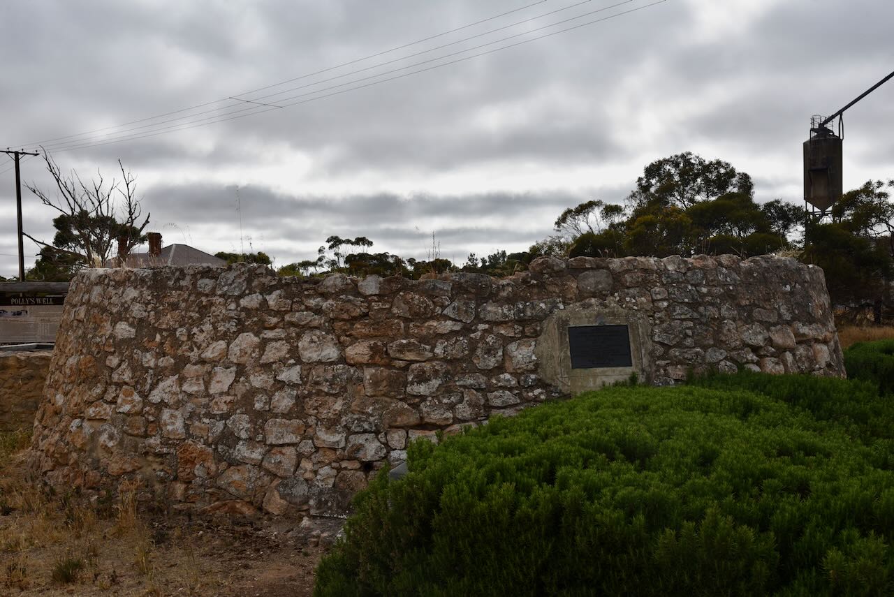
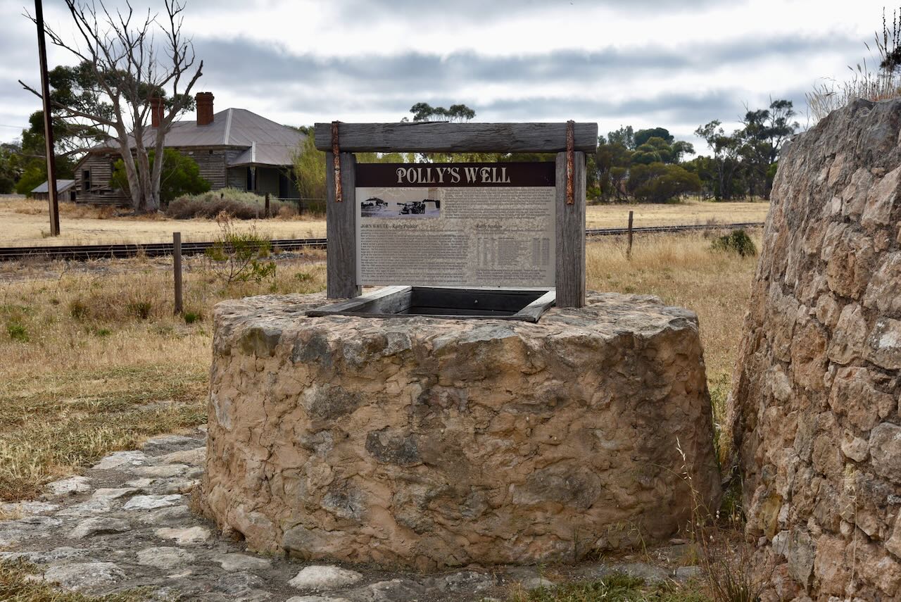
One of the stops on the historic walk is Polly’s Well. This is located at the visitor rest stop. 

It was sunk by John Whyte, the first pastoralist and pioneer to stock the surrounding countryside.

In 1877 the well was sunk to a depth of 16.5 metres. The well is timbered to 8.4 metres and in its day had a good supply of water. Water was drawn from the well with the assistance of a horse and buckets. Early settlers depended highly on the well as it would take eight days to travel by bullock wagon from Tailem Bend to Pinnaroo. Water was also taken on here for the steam trains when they commenced operation in the area.

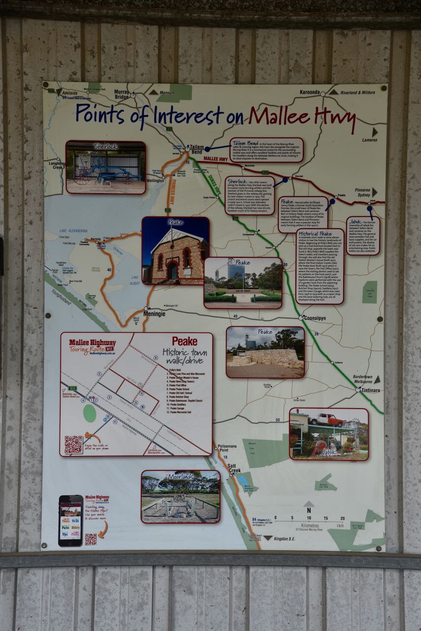
At the visitor rest stop there are a number of information boards detailing the Peake historic walk and points of interest along the Mallee Highway.

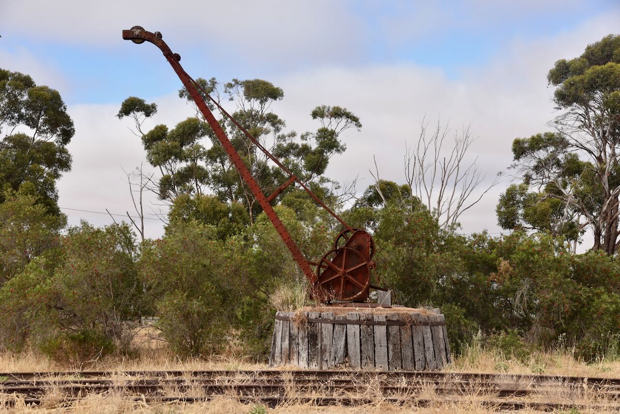
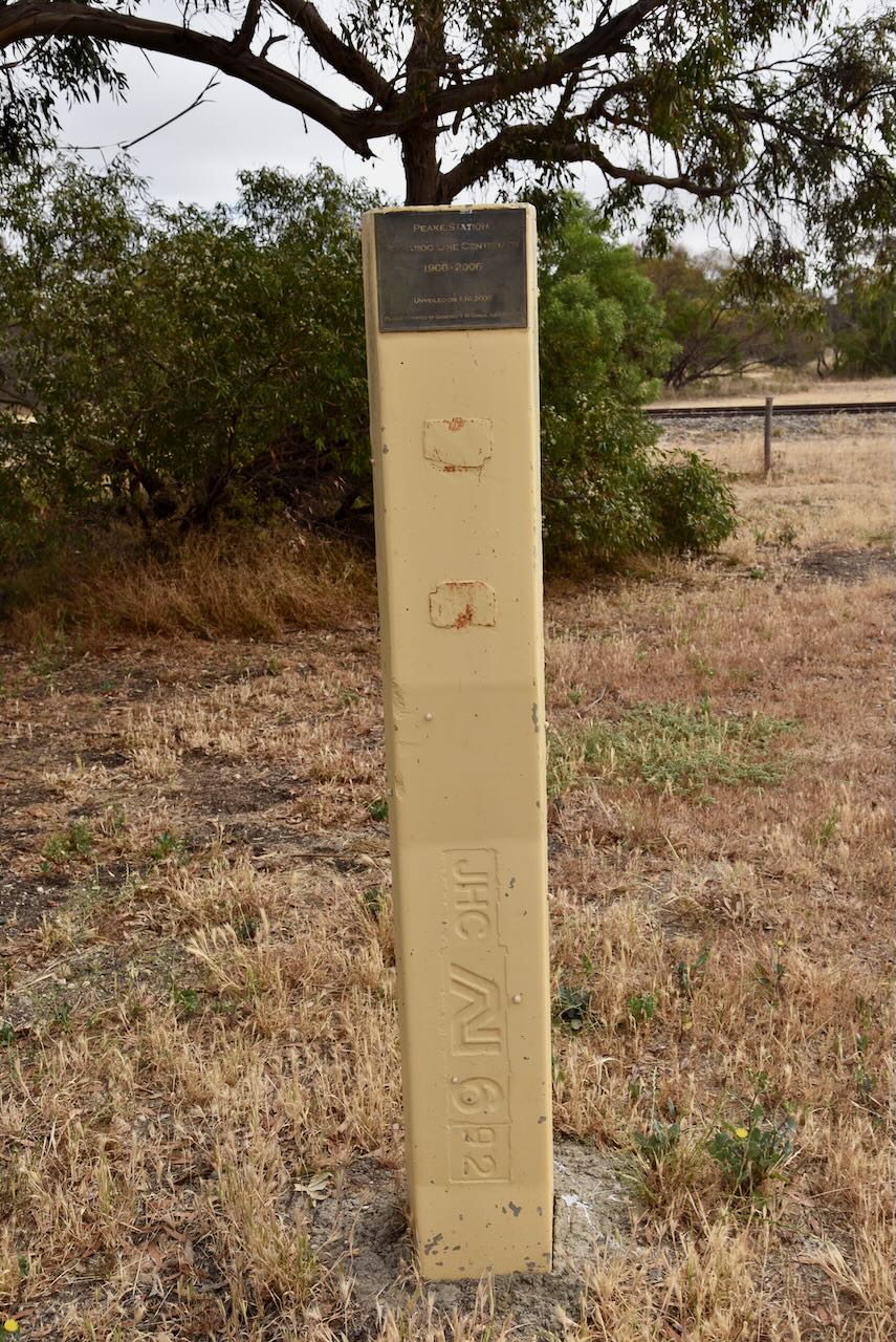
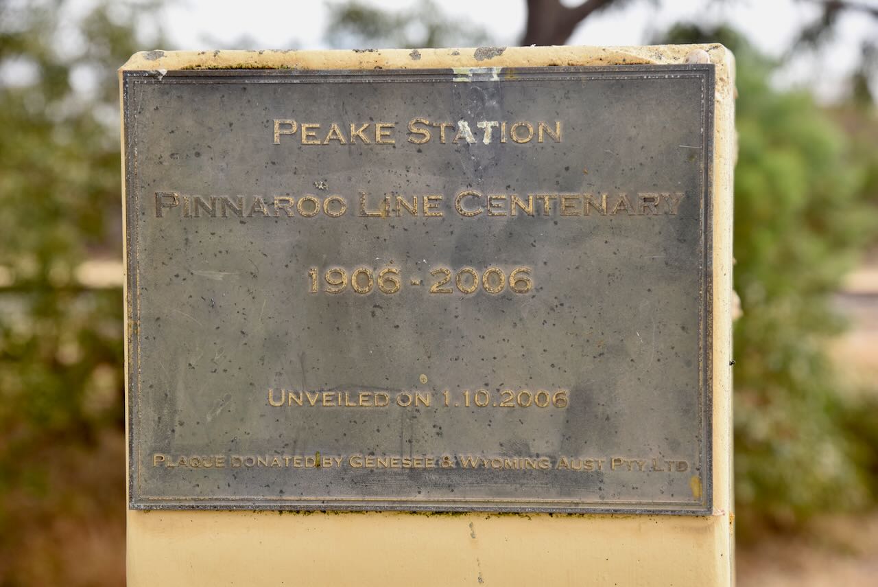
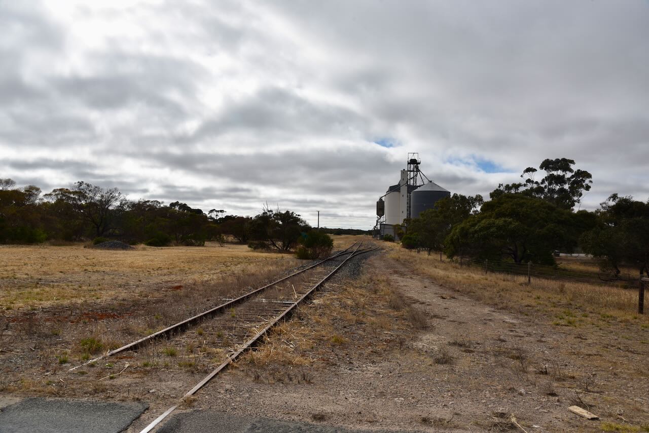
You can also find a monument for the Centenary of the Pinnaroo Line (1906-2006). The line opened from Tailem Bend to Pinnaroo on the 14th day of September 1906, and on the 29th July 1915 it extended over the border into Victoria. The line closed in July 2015. It was at this time that Viterra announced that no more grain would be carried by rail after 31st day of July 2015. The 2015 harvest would be entirely transported by road. As the South Australian line closed, the Victorian government was upgrading part of its end of the line for regional freight.

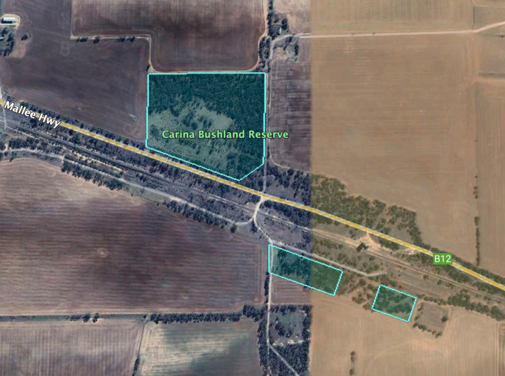
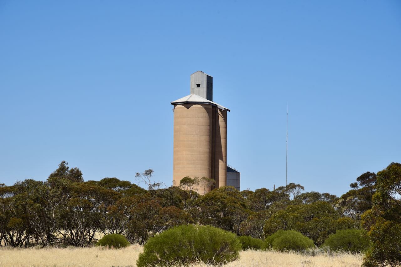
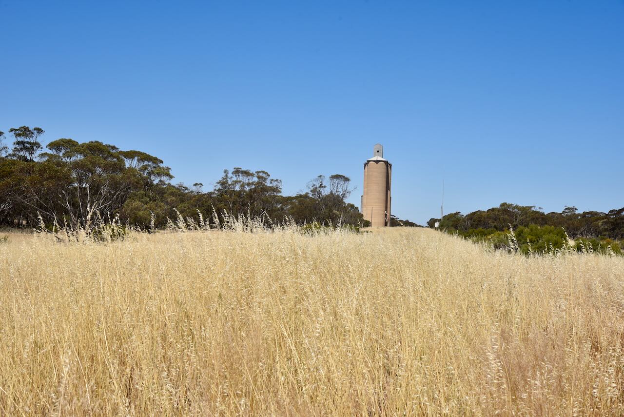
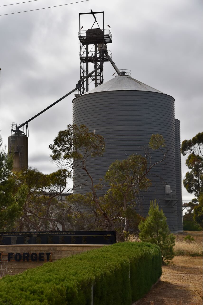
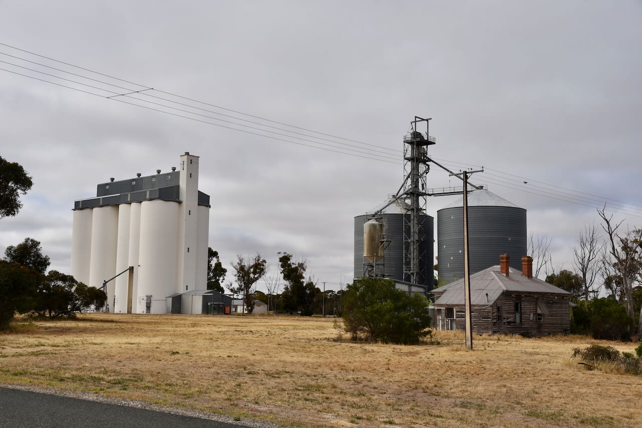
The silos at Peake are both concrete and iron and are operated by Viterra. They are located in between Mallee Highway and Railway Terrace.

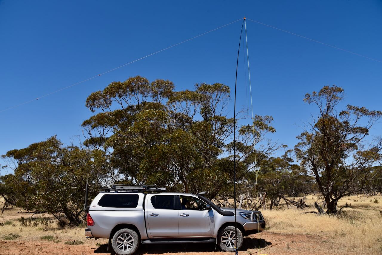
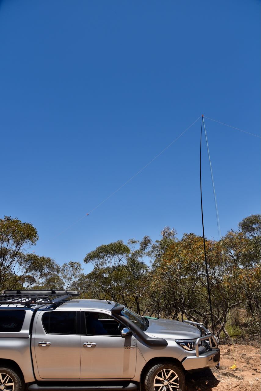
We parked in the visitor rest stop and operated from the vehicle for this activation. We ran the Icom IC7000, 100 watts, and the Codan 9350 antenna with the 1/5 metre stainless steel whip.

Marija worked the following stations on 40m SSB:-

  1. VK2IO/p (Ouyen I244 Bushland Reserve VKFF-4208 & Ouyen silo VK-OYN3)
  2. VK3PF
  3. VK3QH
  4. VK5IS
  5. VK5HAA
  6. VK3DAC

I worked the following stations on 40m SSB:-

  1. VK2IO/p (Ouyen I244 Bushland Reserve VKFF-4208 & Ouyen silo VK-OYN3)
  2. VK3PF
  3. VK3QH
  4. VK5IS
  5. VK5HAA
  6. VK3DAC

References.

  1. Discover Murray Mallee, 2023, <http://www.murrayriver.com.au/peake/>, viewed 21st December 2023.
  2. Wikipedia, 2023, <https://en.wikipedia.org/wiki/Peake,_South_Australia>, viewed 21st December 2023.
  3. Wikipedia, 2023, <https://en.wikipedia.org/wiki/Pinnaroo_railway_line,_South_Australia>, viewed 21st December 2023.

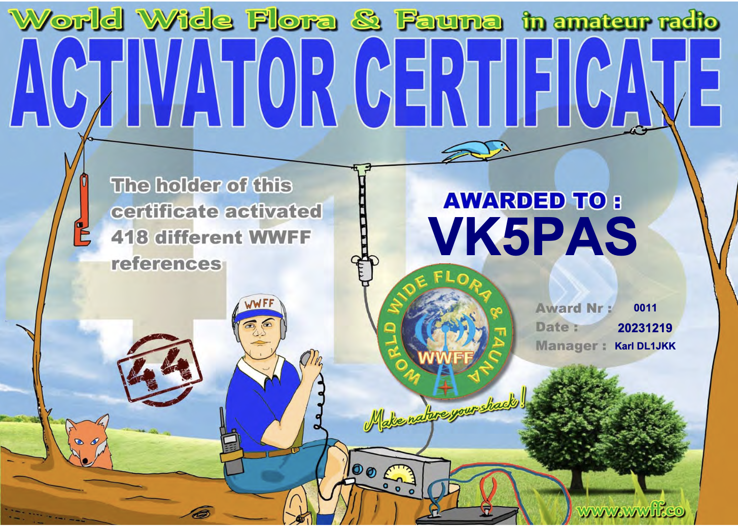
WWFF Activator 418

A few days ago I received my latest WWFF Activator certificate, issued for having activated a total of 418 different WWFF reference areas and obtaining at least 44 QSOs during each activation.

Thank you to all of the WWFF Hunters and thank you to Karl Dl1JKK the Awards Manager.

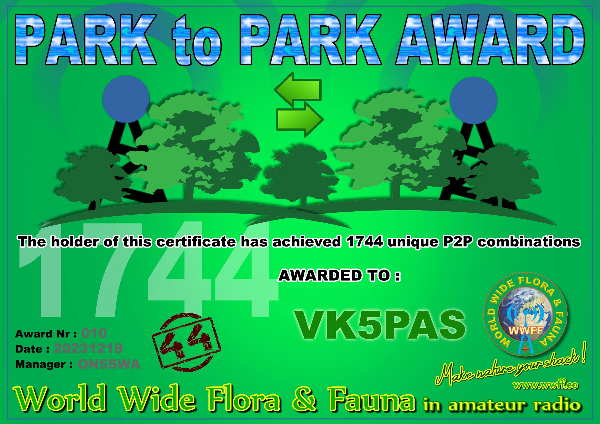
VKFF Hunter Honour Roll 1,975

In the past couple of days, I received my latest VKFF Hunter Honour Roll certificate, issued for having worked 1,975 different VKFF references.

Thank you to all of the VKFF activators and thank you to Adam VK2YK the VK5 VKFF State rep for the certificate.

The certificate features a photograph I took of the view of Adelaide from the Cleland National Park.

Adelaide Dolphin Sanctuary VKFF-1880 and Port Adelaide silo VK-PRD5

Our final activation for Tuesday 31st October 2023 was the Adelaide Dolphin Sanctuary VKFF-1880 and the Port Adelaide silo VK-PRD5. I used the special event call of VI10VKFF for this activation. 

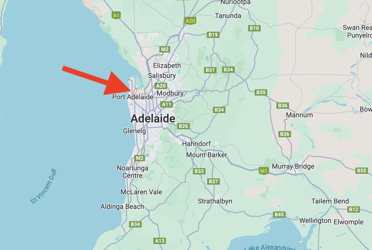
Above:- Map showing the location of Port Adelaide. Map c/o Google Maps.

Port Adelaide is a port-side region of Adelaide, located about 14 km northwest of the Adelaide Central Business District. Before the settlement of Port Adelaide by Europeans, the area was covered with mangrove swamps, tidal mud flats and a narrow creek. The Kaurna aboriginal people inhabited the land and called the area Yartapuulti.

The creek was first explored by Europeans in 1834, when Captain Henry Jones entered the creek which was subsequently named ‘the port creek.’ The first harbourmaster at Port Adelaide was Captain Thomas Lipson in 1837. At this time the area was known as The Port Creek Settlement.

By 1840 the area had acquired the name Port Misery due to the port being plagued by mosquitos, its long distance from Adelaide, and its few amenities.

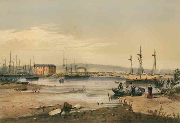
Above:- Port Adelaide, c. 1846. Image c/o Wikipedia.

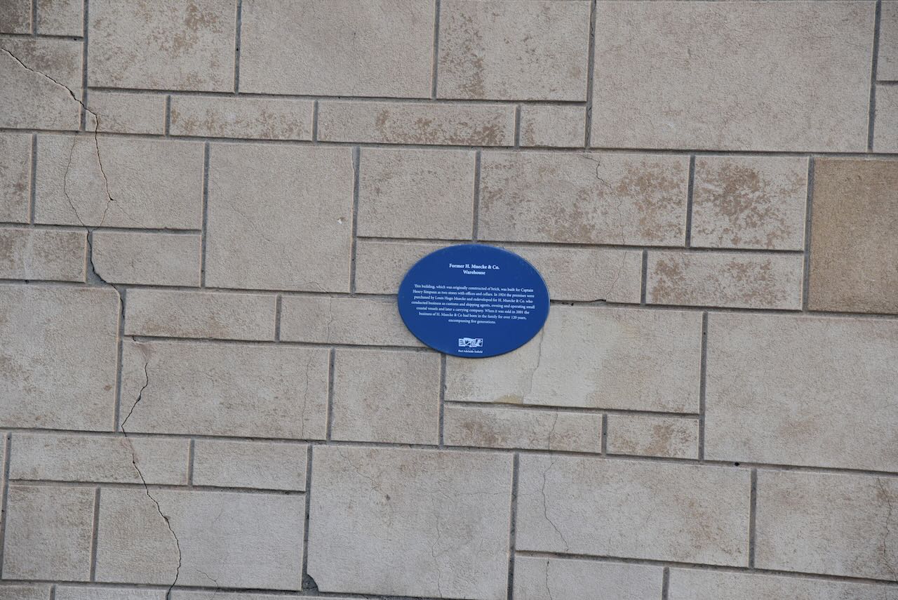
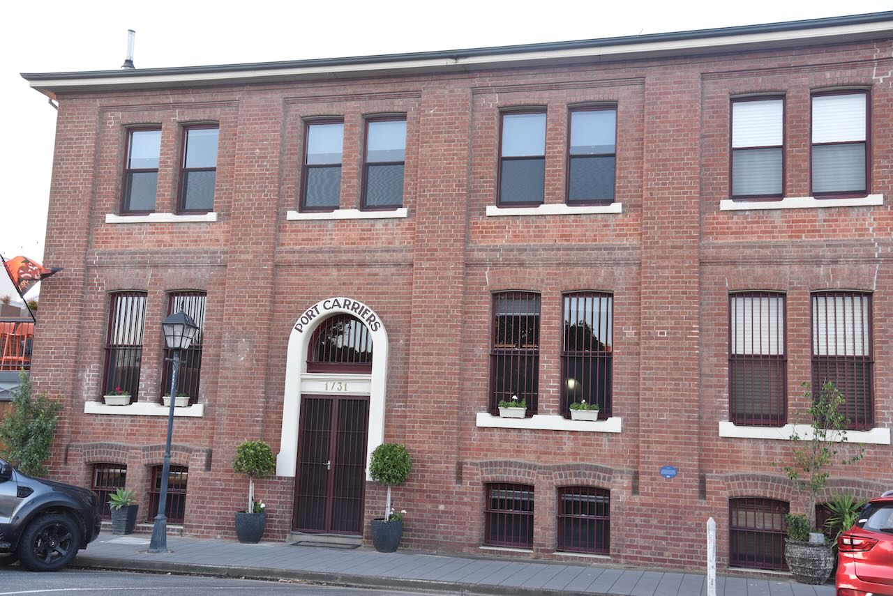
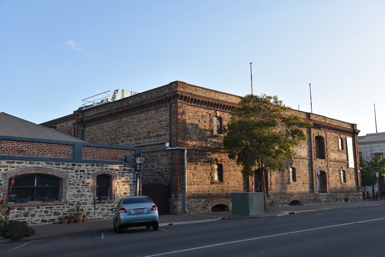
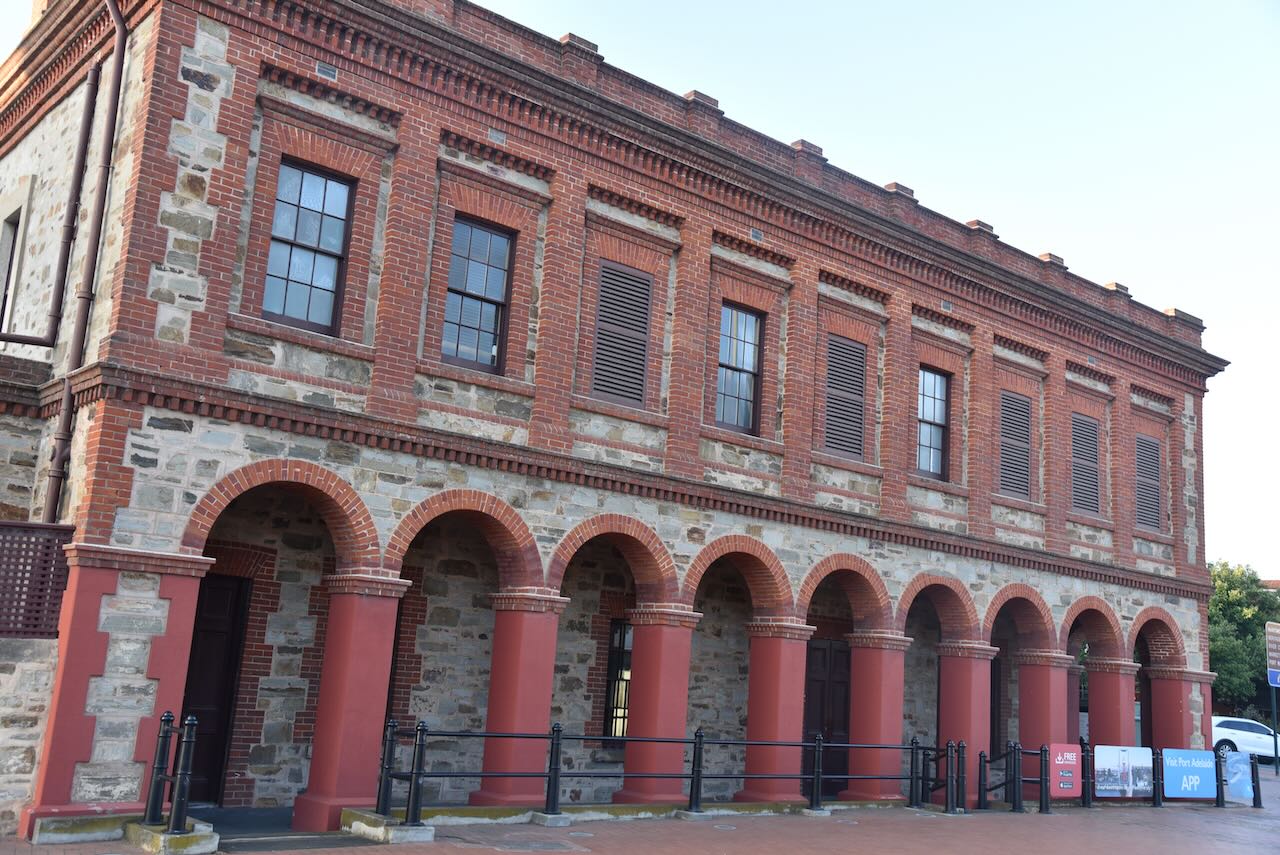
Due to its rich maritime history, Port Adelaide contains numerous historic buildings dating back to the 1800s.

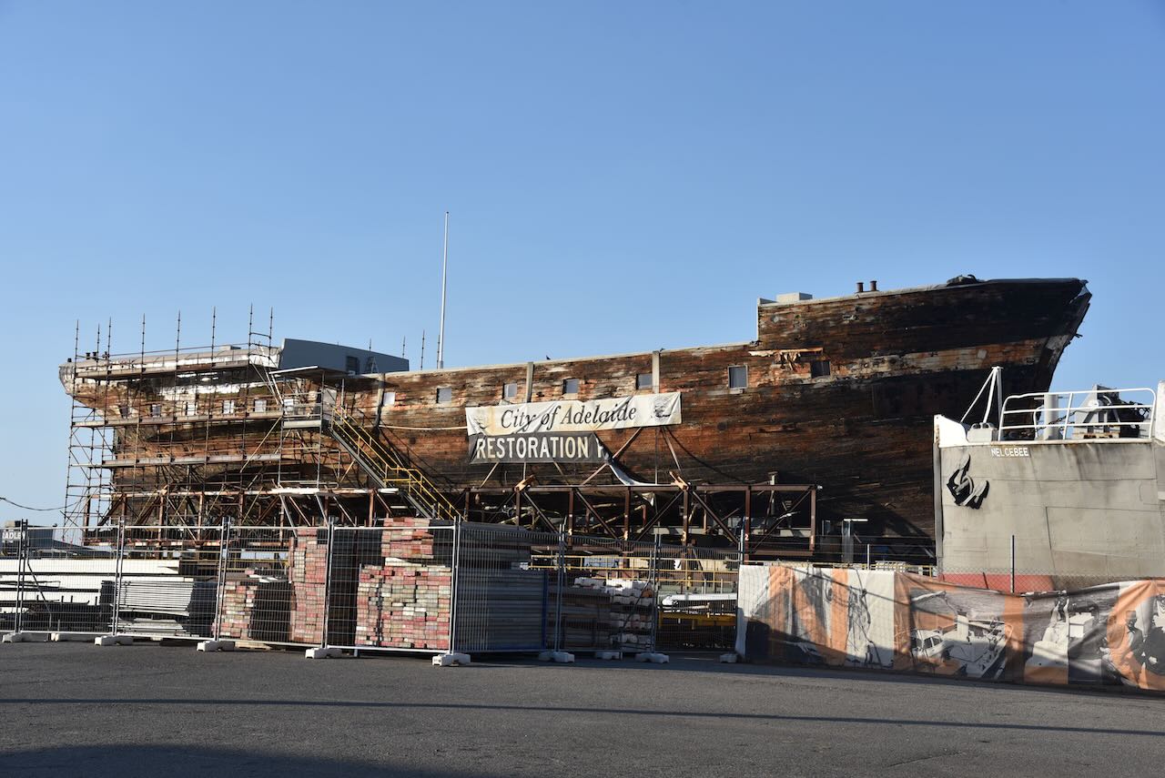
Port Adelaide is home to the Clipper Ship City of Adelaide. The City of Adelaide was built in 1864 to carry passengers from England to Adelaide, South Australia. A total of 23 return voyages were made. It is believed that about 250,000 Australians can trace their ancestry via the City of Adelaide. It is one of only 2 surviving composite clipper ships in the world.

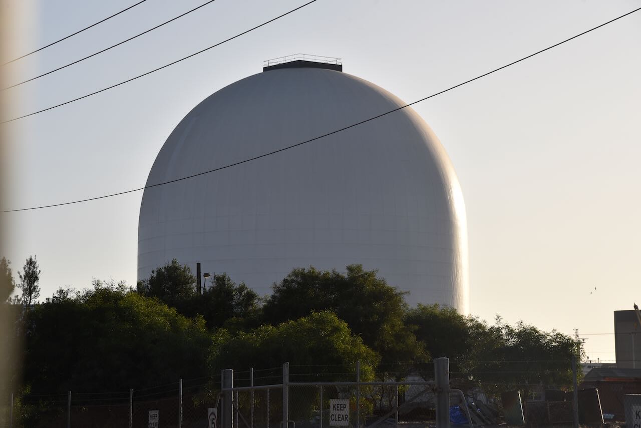
Port Adelaide is also home to an inflatable dome used to store cement.

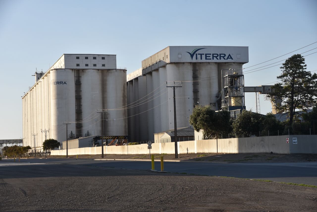
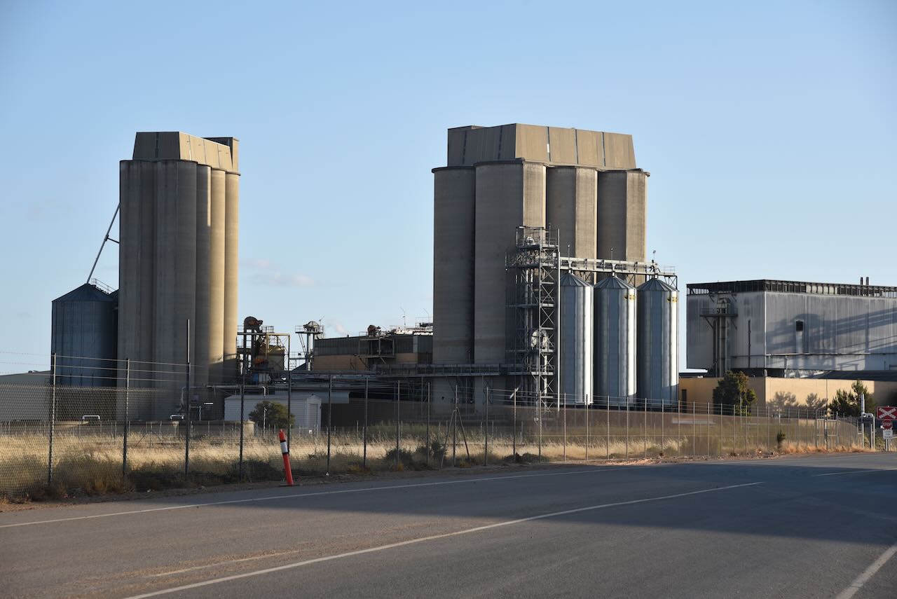
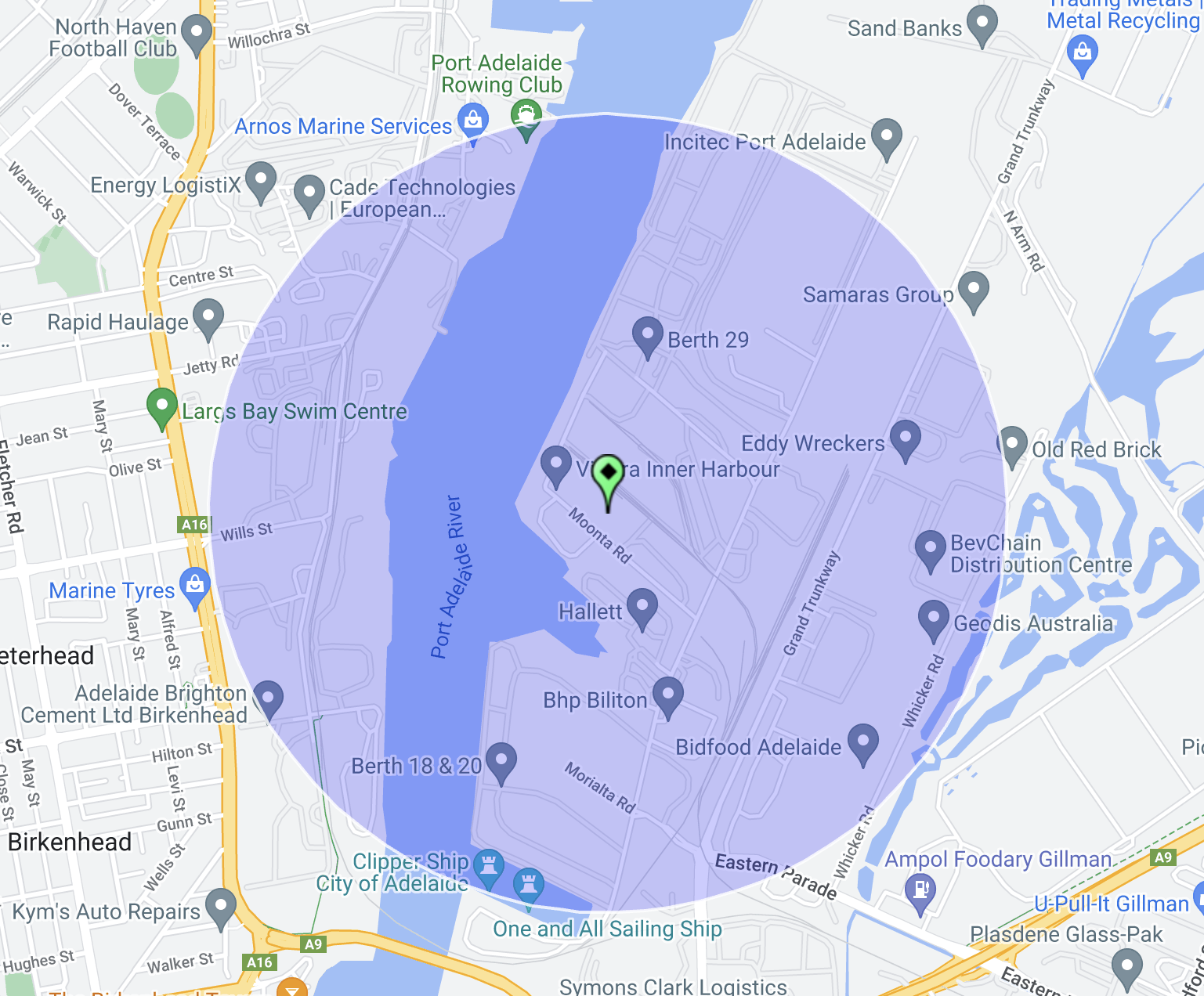
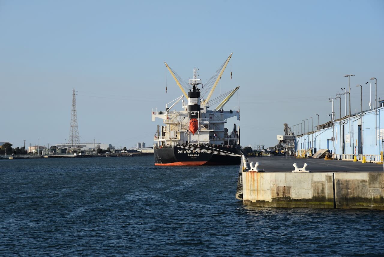
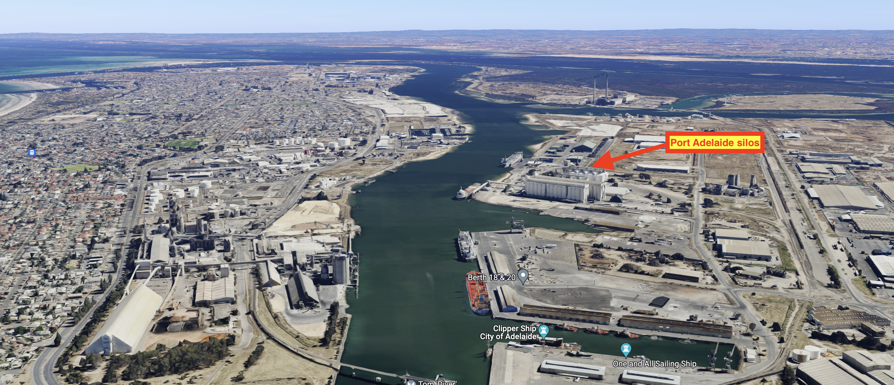
The Port Adelaide silos are located at Moonta in the Inner Harbour of Port Adelaide. They are run by Viterra. It is located 11km upstream of Outer Harbour. The silos have a loading rate of 800 tonnes per hour.

Above:- the activation zone of the Port Adelaide silo. Image c/o SiOTA website.

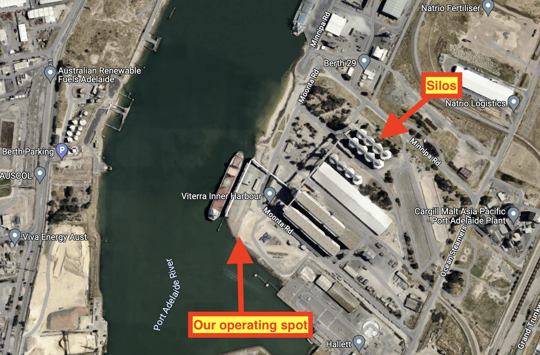
Above:- An aerial view showing our operating spot. Image c/o Google Maps.

It was quite noisy on the 40m band due to the industrial nature of the area that we were operating from.

Above:- An aerial view of Port Adelaide showing the location of the silos. Image c/o Google Maps.

I logged a total of 12 contacts, all on the 40m band. I was pleased to be the very first amateur radio contact for Andreas VK5AKB.

I worked the following stations on 40m SSB:-

  1. VK3PF
  2. VK2IO/m
  3. VK3MDC
  4. VK5HAA
  5. VK5JOS
  6. VK5AKB
  7. VK3APJ
  8. VK3AN
  9. VK3CNC
  10. VK3UAO
  11. VK3ZGA
  12. VK4KLA

References.

  1. City of Adelaide, 2023, <https://www.cityofadelaide.org.au/about>, viewed 19th December 2023.
  2. Vitera, 2023, <https://viterra.com.au/Storage-and-handling#Port%20terminals>, viewed 19th December 2023.
  3. Wikipedia, 2023, <https://en.wikipedia.org/wiki/Port_Adelaide>, viewed 19th December 2023.
Adelaide Dolphin Sanctuary VKFF-1880 and Osborne silo VK-OSE5

Our next activation for Tuesday 31st October 2023 was the Adelaide Dolphin Sanctuary VKFF-1800 and the Osborne silo VK-OSE5.

Osborne is a suburb on the LeFevre Peninsula in the west of Adelaide, about 21 km northwest of the Adelaide Central Business District.

 Above:- Map showing the location of Osborne. Map c/o Google Maps.

It appears that Osborne was initially known as Brooklyn. In 1878 it was named Brooklyn by Alfred Jones, a hay and corn merchant of Port Adelaide. Three years later in 1881, James Gartrell (b. 1846. d. 1925) and Captain Robert W. Osborne (b. 1834. d. 1920) created Brooklyn, in current day Osborne and Wingfield.

On the 10th day of May 1945, the name Osborne was formally submitted by the City of Port Adelaide at a council meeting and was formally adopted in 1951 by the Nomenclature Committee.

Above:- Captain R.W. Osborne. Image c/o https://www.flickr.com/photos/paelocalhistory/14768611130

In about 1922 the Osborneville Post office was opened. It was renamed Taperoo in February 1964 and then North Haven in 1989.

Osborne is the home of several industrial employers, including the Adelaide Submarine Corporation, a naval shipbuilder – Royal Australian Navy’s Collins class submarines and Hobart-class destroyers.

The Osborne silos are located on the southern side of Veitch Road, Osborne.

Marija and I drove down to the bottom of Vietch Road and parked in the carpark right alongside of the Port River.

Above:- An aerial view showing our operating spot. Image c/o Google Maps.

Above:- the activation zone at the Osborne silo showing our operating spot. Image c/o SiOTA website.

It was a lovely warm and sunny evening and we had a nice view up and down the Port River.

Above:- Aerial view showing our operating spot. Image c/o Google Maps.

Unfortunately, we had a strength 8-9 noise on 40m. This was not unexpected as this is a highly industrial location.

I worked the following stations on 40m SSB:-

  1. VK5BJE
  2. VK3APJ
  3. VK3PF
  4. VK2IO/p (Pooginook Conservation Park VKFF-0929)

I worked the following stations on 20m SSB:-

  1. VK7ZA
  2. VK4HAT
  3. F1BLL
  4. PA5WK
  5. F4WEC
  6. F5LML
  7. ZL4NVW
  8. F4DSK
  9. SP2GWH
  10. EA5JMN
  11. F6DZU
  12. EA3MP
  13. ON5RKN
  14. W1OW
  15. IZ2IHO
  16. IK4JPK

References.

  1. A Compendium of the Place Names of South Australia, 2023, <https://published.collections.slsa.sa.gov.au/placenamesofsouthaustralia/>, viewed 19th December 2023.
  2. Wikipedia, 2023, <https://en.wikipedia.org/wiki/Osborne,_South_Australia>, viewed 19th December 2023.
Adelaide Dolphin Sanctuary VKFF-1880

Our next activation for Tuesday 31st October 2023 was the Adelaide Dolphin Sanctuary VKFF-1880. I ran the special call of VI10VKFF for this activation.

The Sanctuary is located on the east coast of Gulf St Vincent. It adjoins the north-western part of Adelaide and includes the Port River estuary and north of St Kilda. 

Above:- Map showing the location of the Adelaide Dolphin Sanctuary. Image c/o National Parks SA.

The sanctuary is 118.75 km2 and was established on the 4th day of June 2005. It was established for the protection of the resident population of Indo-Pacific bottlenose dolphins.

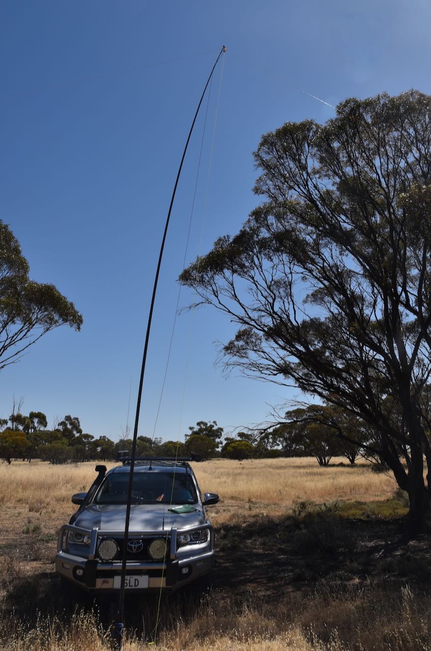
Marija and I parked in the Outer Harbour 4 carpark and operated from the vehicle for this activation. We ran the Icom IC7000, 100 watts, and the Codan 9350 with the 1.5 stainless steel whip mounted on the rear of the Toyota Hi-Lux.

Marija worked the following stations on 40m SSB:-

  1. VK5FANA
  2. VK3SG
  3. VK3PF
  4. VK5MK
  5. VK1TTY
  6. VK5FB
  7. VK5HS
  8. VK5GY
  9. VK2IO/p (Pooginook Conservation Park VKFF-0929)
  10. VK5ZNP

I worked the following stations on 40m SSB:-

  1. VK5FANA
  2. VK3SG
  3. VK3PF
  4. VK5MK
  5. VK1TTY
  6. VK5FB
  7. VK5HS
  8. VK5GY
  9. VK2IO/p (Pooginook Conservation Park VKFF-0929)
  10. VK5ZNP
  11. VK5FIVE
  12. VK3GJG
  13. VK3CWF

I worked the following stations on 20m SSB:-

  1. VK4EMP
  2. VK4TI
  3. IK4IDF
  4. IK1GPG
  5. VK6LMK
  6. VK5HAA
  7. I4RHP
  8. VK4NH
  9. VK4DXA
  10. KG5CIK
  11. ZL3MR
  12. UT5PI
  13. IW2BNA
  14. IW2NXI
  15. OH6GAZ
  16. VK5JDS
  17. OH1MM
  18. VK7AAE

References.

  1. Wikipedia, 2023, <https://en.wikipedia.org/wiki/Adelaide_Dolphin_Sanctuary>, viewed 18th December 2023.
Outer Harbour silo VK-OTR5

After leaving Fort Glanville, Marija and I headed to the Outer Harbour silo VK-OTR5 for an activation for the Silos On The Air (SiOTA) program.

Above:- Map showing the location of Outer Harbour. Map c/o Google Maps.

Marija and I drove along the picturesque Esplanade and Lady Gowrie Drive to get to the silo. This took us along the beautiful Adelaide coastline and magnificent beaches and passed the historic suburb of Semaphore.

We then stopped by the old Police Academy at Fort Largs, where I had spent 2 years (1982-1984). I had heard that most of the Academy had been bulldozed and that a housing estate was going in, but what I saw really surprised me. Only some of the historic buildings remain, including the Fort itself. I had mixed feelings. I know that everything cannot last forever and there is progress. But I had spent a significant time here and have lived in the dormitories, now bulldozed. It was a little sad to see.

We then made our way to the Outer Harbour silos. The silos are operated by Viterra and are located in close proximity to the mouth of the Port River. Outer Harbor is 11km downstream of the Inner Harbour grain berth. Outer Harbour was custom-built to allow larger vessels to load. A belt leads from the silos to the loading berth. It can handle 2,200 tonnes per hour.

Outer Harbour is located at the northern tip of the Lefevre Peninsula about 22 km northwest of the Adelaide city centre. Outer Harbour includes the headland of Pelican Point. It is bounded to the east by the suburb of Osborne, to the southwest by the suburb of North Haven, and in all other directions by the Port River.

Outer Harbour was established in the early 1900s due to the increasing size of ships visiting Port Adelaide, and the time it took to sail up the Port River to the inner harbour of Port Adelaide. The first ship to dock at Outer Harbour was the RMS Oruba in January 1908. 

Above:- Departure of South Australian Infantry from Outer Harbour, South Australia on S.S. Ascanius – 20 October 1914. Image c/o https://www.flickr.com/photos/70994841@N07/52661858542

The harbour can now accommodate Panamax-size ships with the harbour depth being 14.2 metres. Outer Harbour contains a major container berth and the Overseas Passenger Terminal.

We initially set up on Pelican Point Road and made two contacts before moving due to the noise floor. Our new location on Snapper Point Road wasn’t much better. This is a noisy RF location with Outer Harbour consisting of shipping and transport-related infrastructure. Unfortunately, we could not find a spot which was within the Adelaide Dolphin Sanctuary VKFF-1880.

Above:- The activation zone at the Outer Harbour silo. Image c/o SiOTA website.

Marija worked the following stations on 40m SSB:-

  1. VK5MK
  2. VK5FANA
  3. VK3PF
  4. VK2IO/p (Pooginook Conservation Park VKFF-0929)
  5. VK5ZNP

I worked the following stations on 40m SSB:-

  1. VK5MK
  2. VK5FANA
  3. VK3PF
  4. VK2IO/p (Pooginook Conservation Park VKFF-0929)
  5. VK5ZNP
  6. VK5FIVE

References.

  1. Viterra, 2023, <https://viterra.com.au/Storage-and-handling#Port%20terminals>, viewed 18th December 2023.
  2. Wikipedia, 2023, <https://en.wikipedia.org/wiki/Outer_Harbor,_South_Australia>, viewed 18th December 2023.