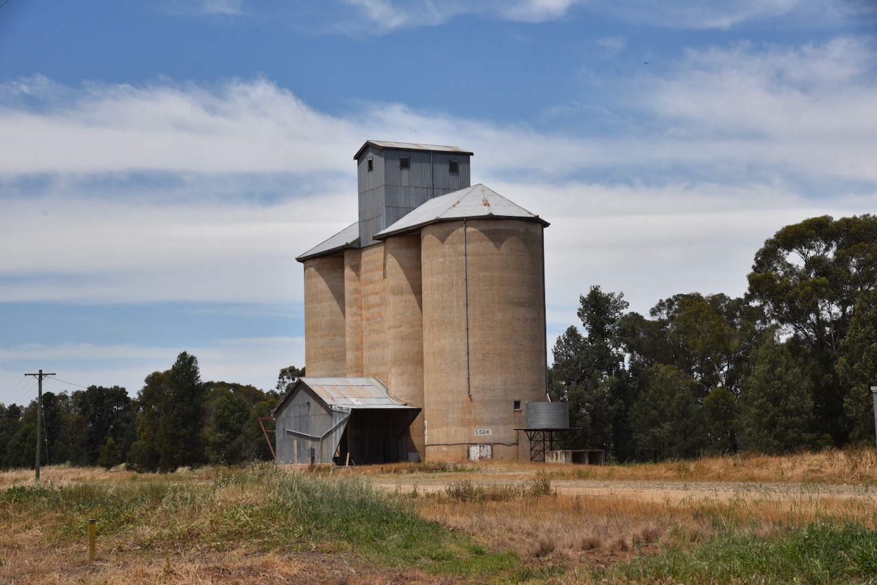
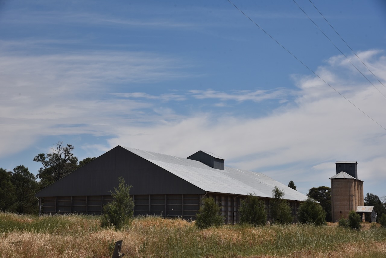
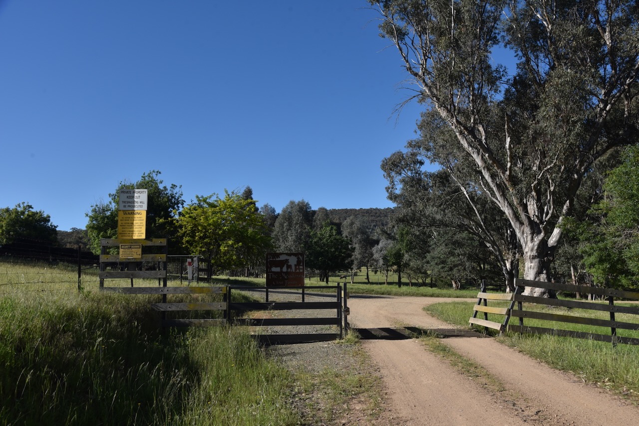
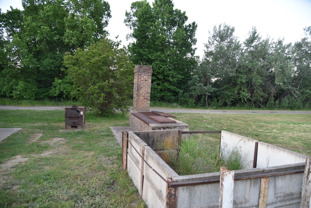
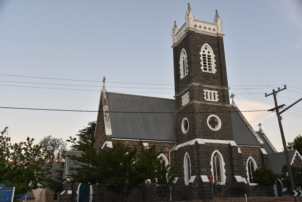
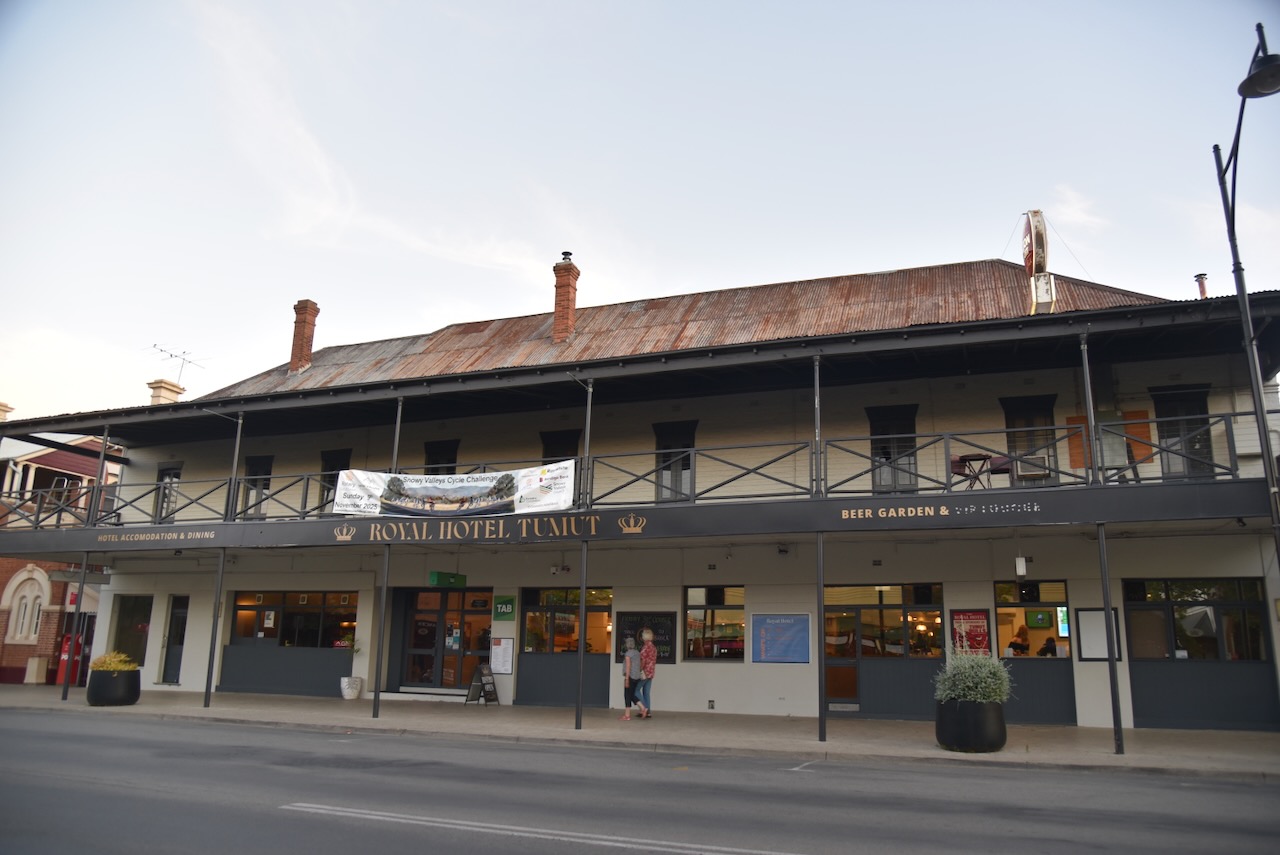
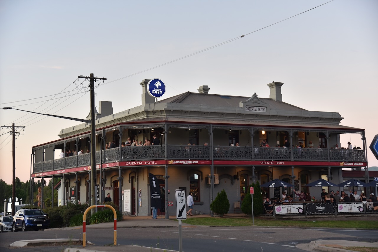
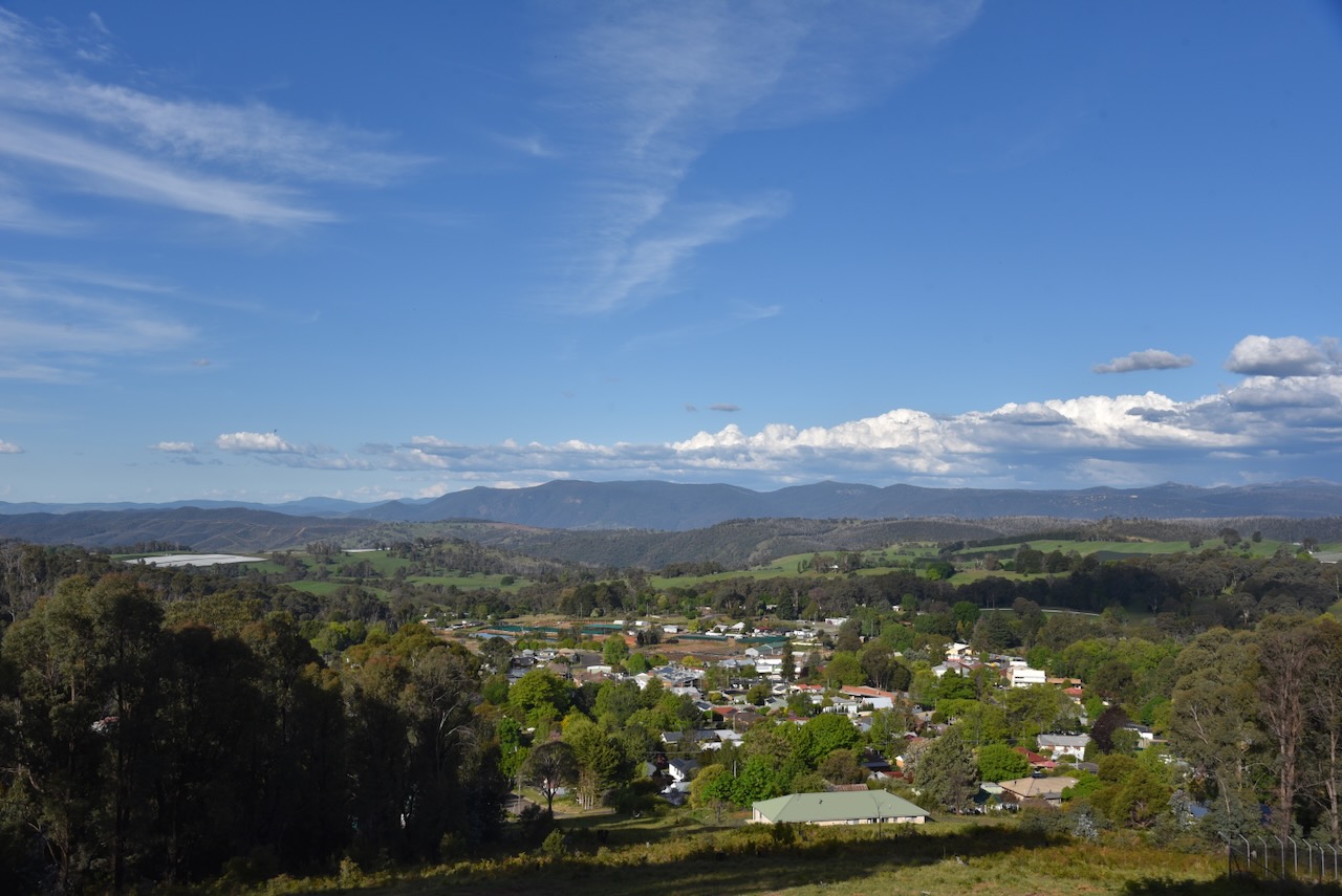
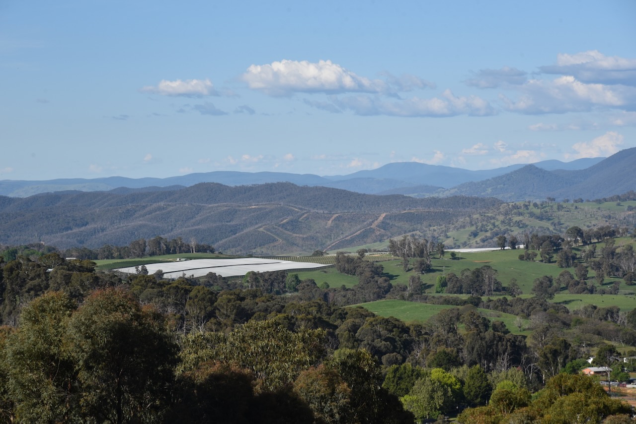
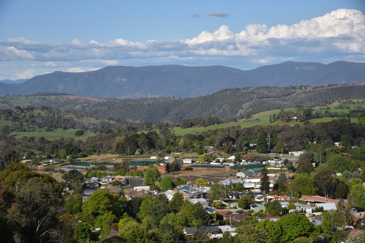
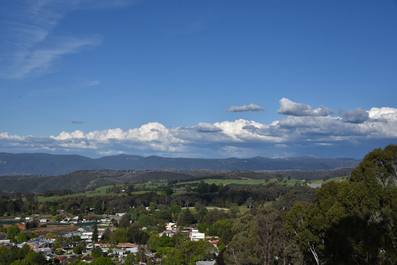
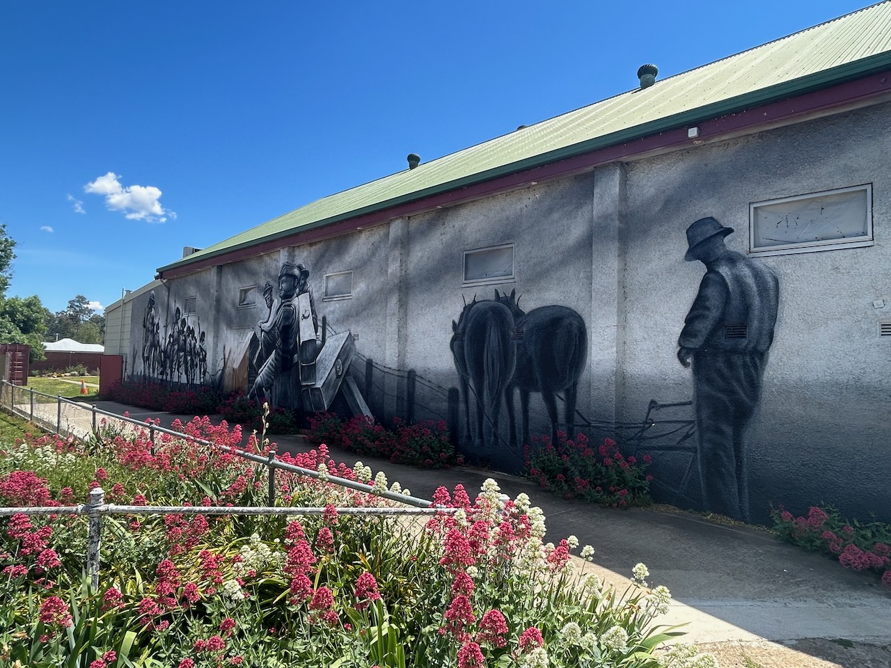
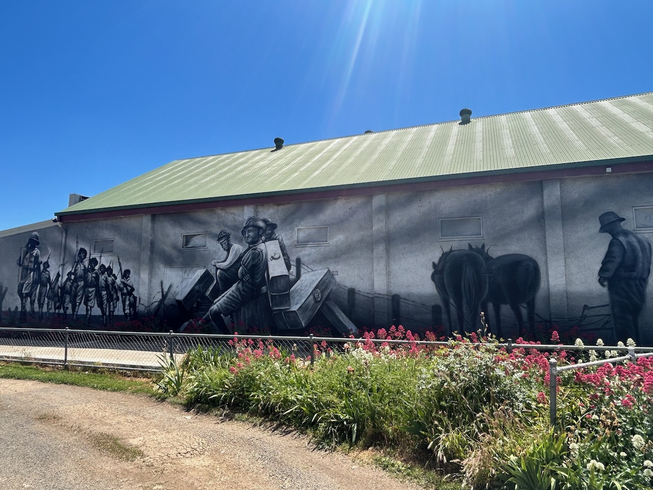
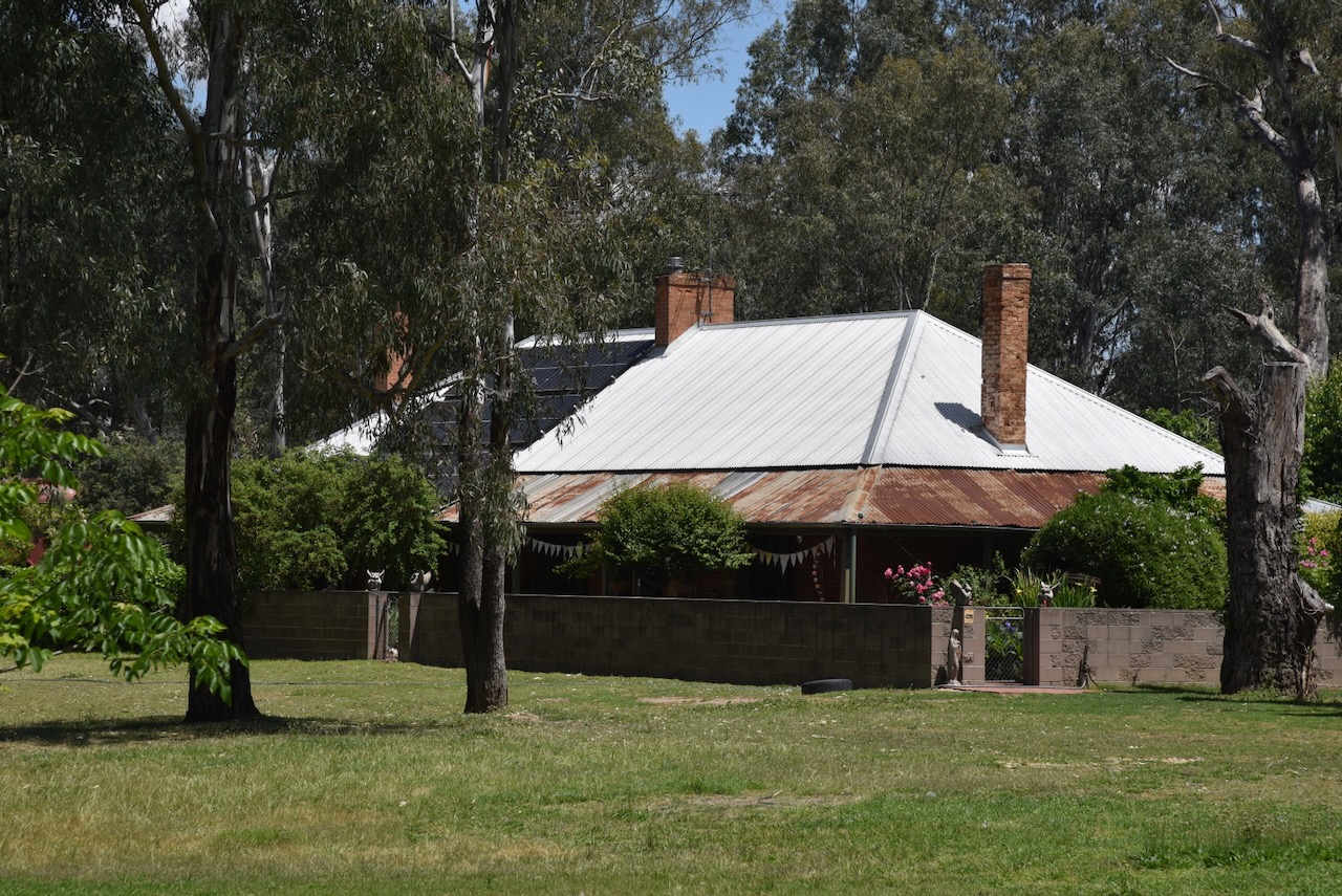
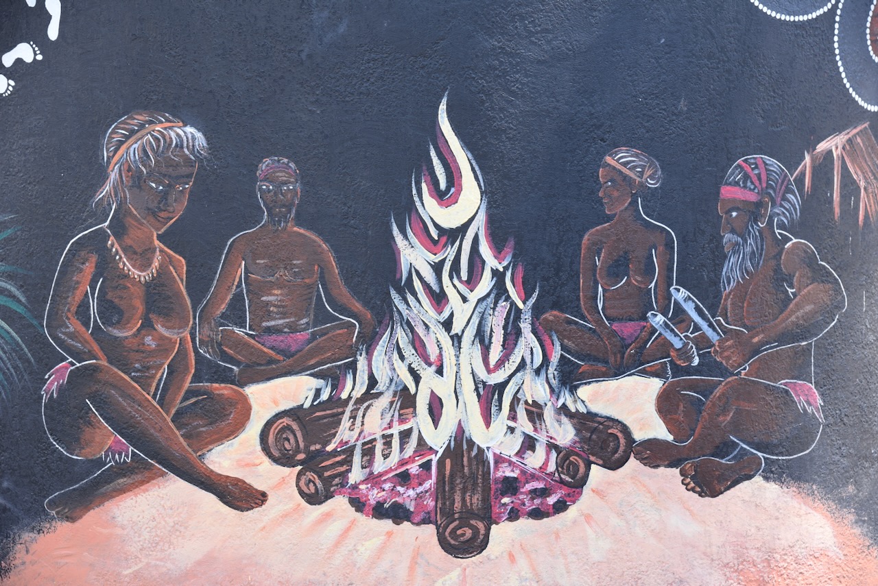
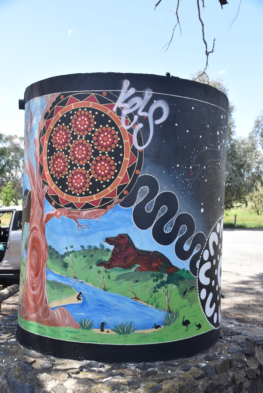
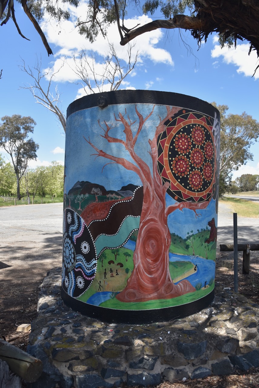
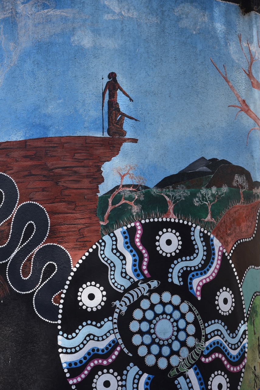
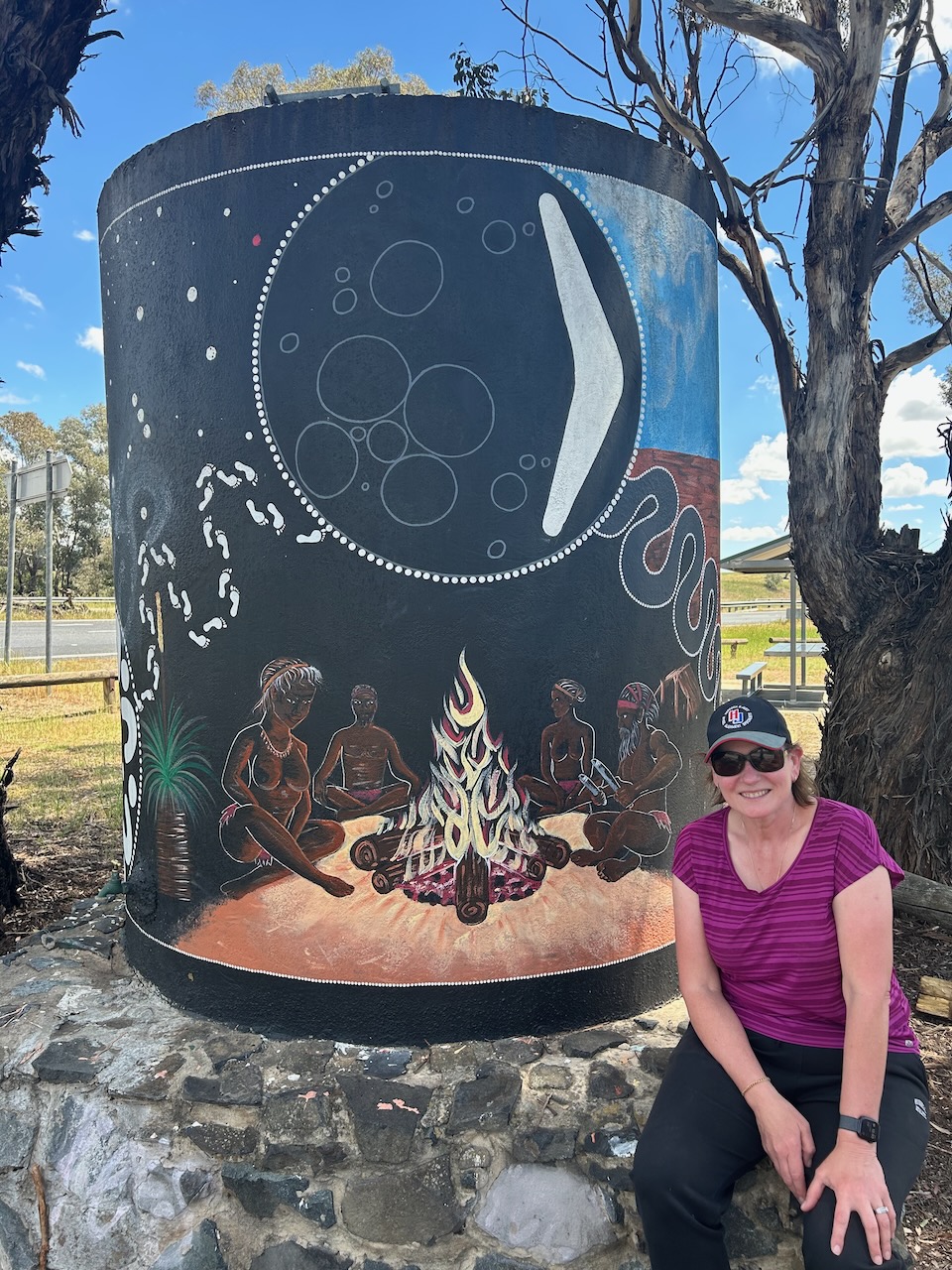
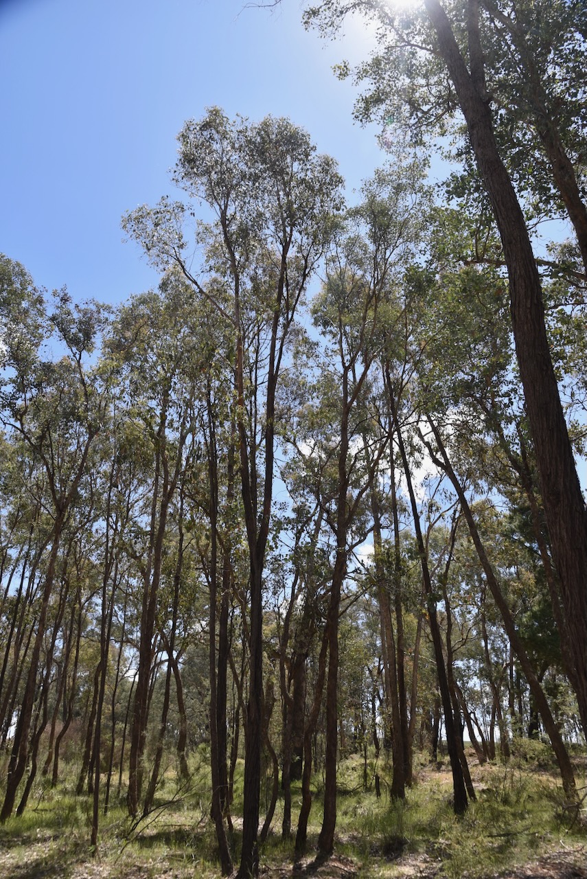
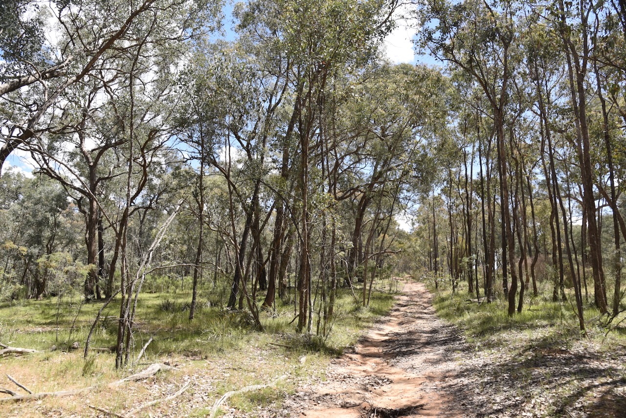
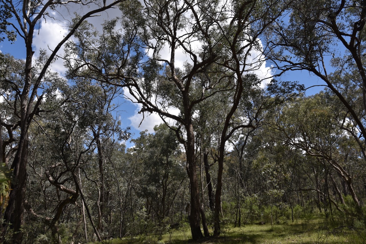
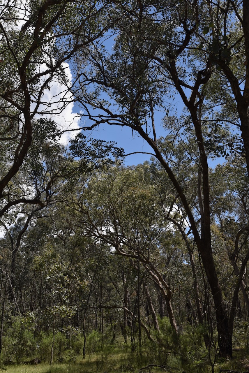
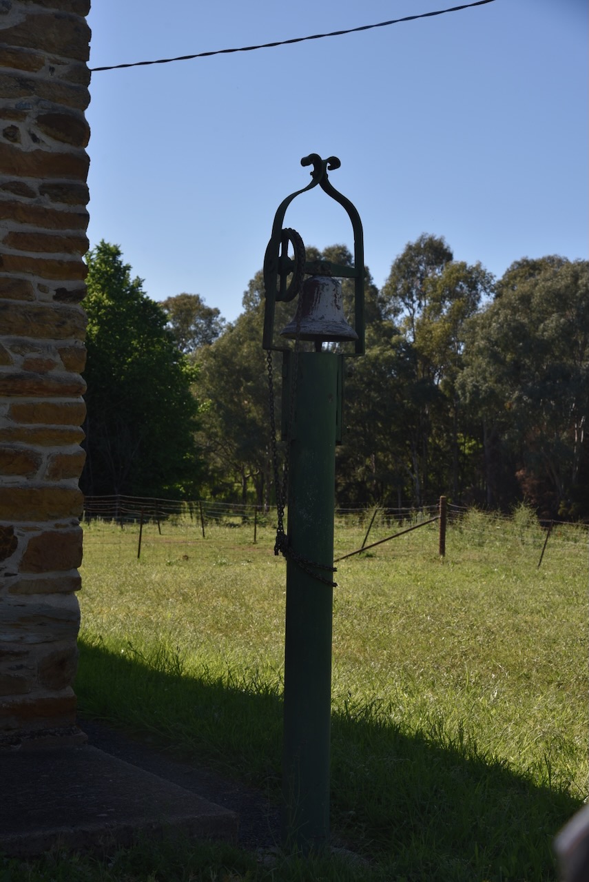
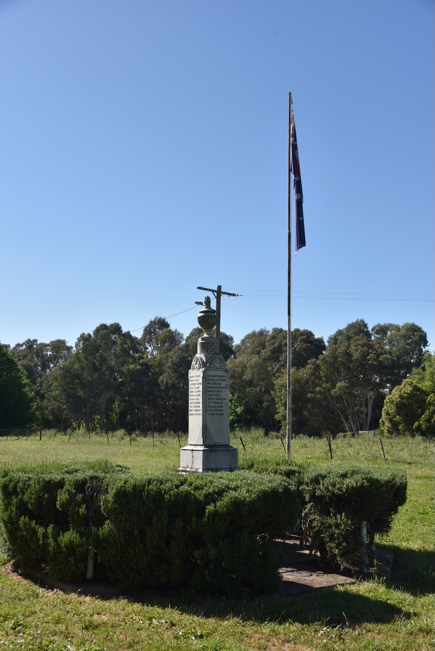
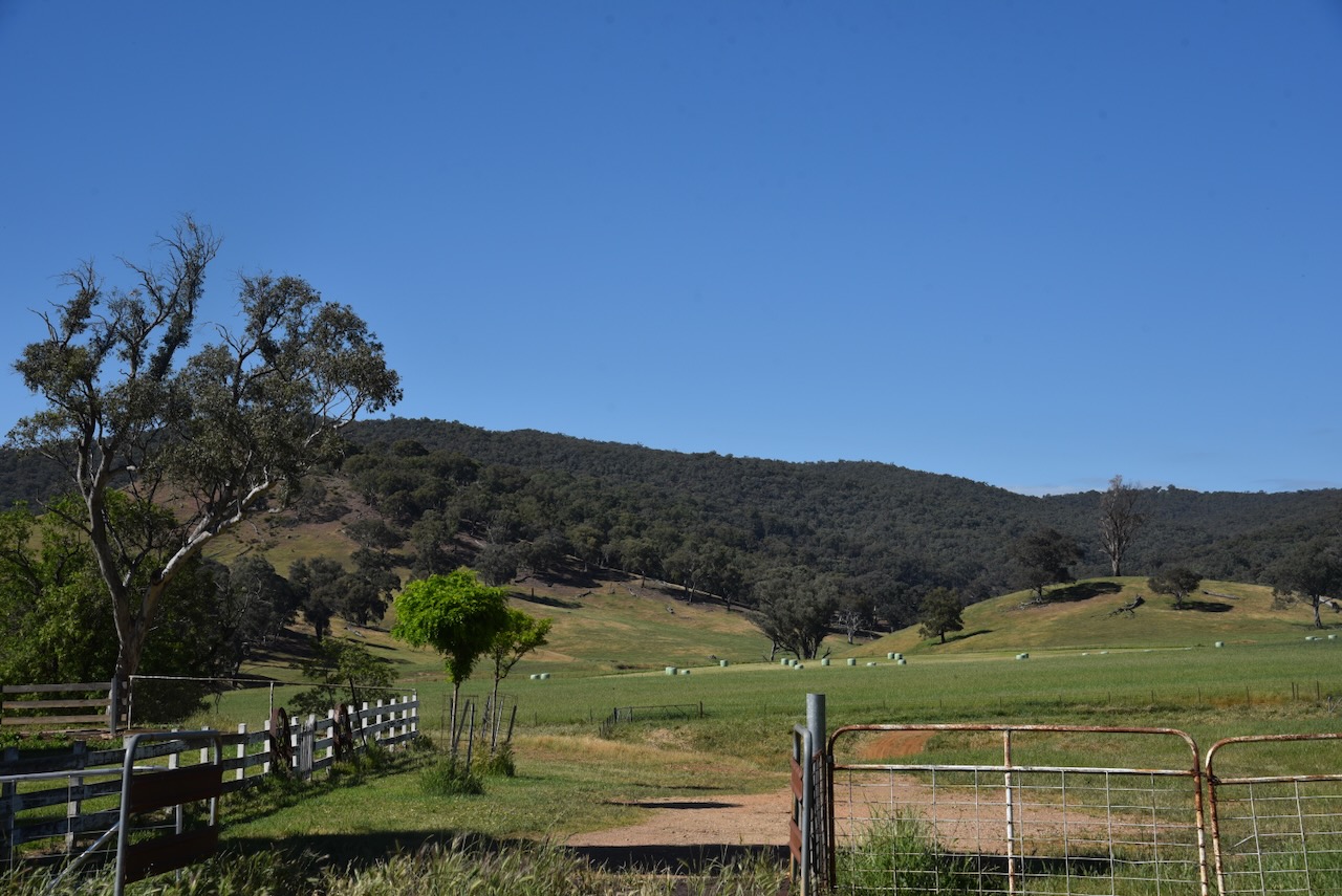
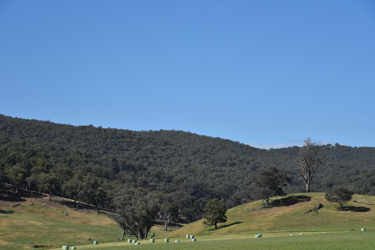
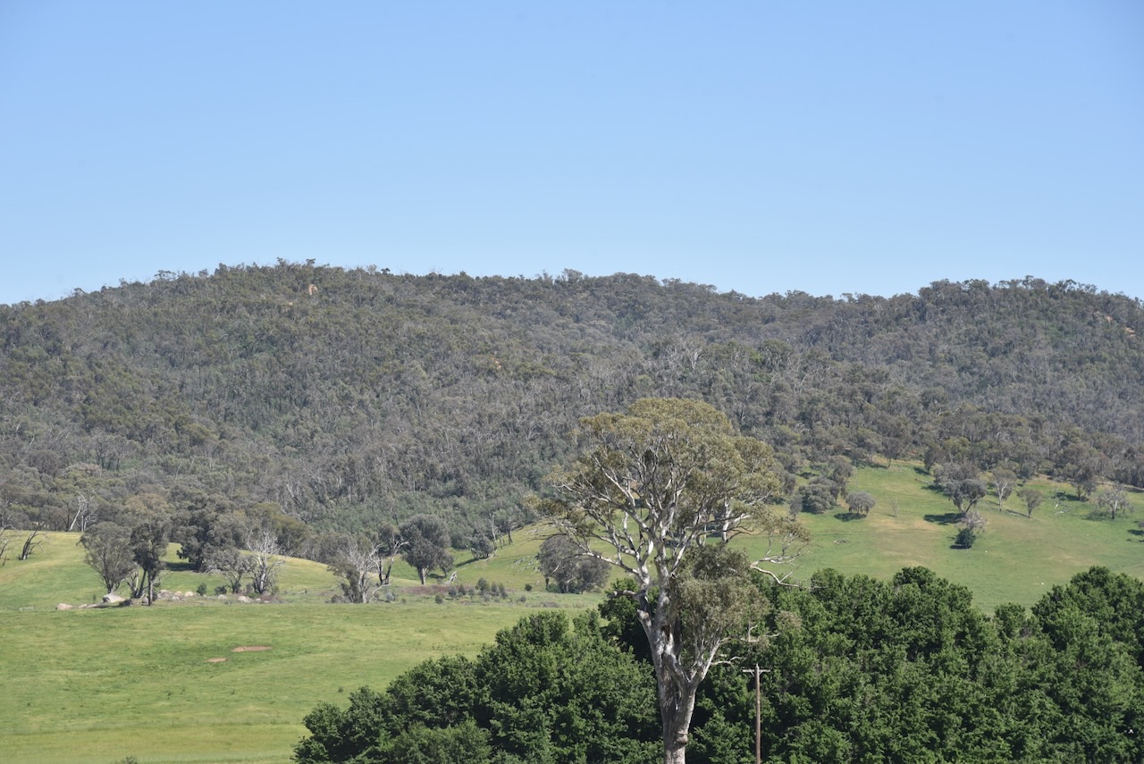
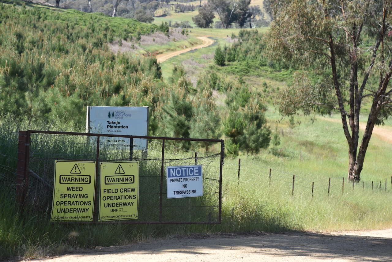
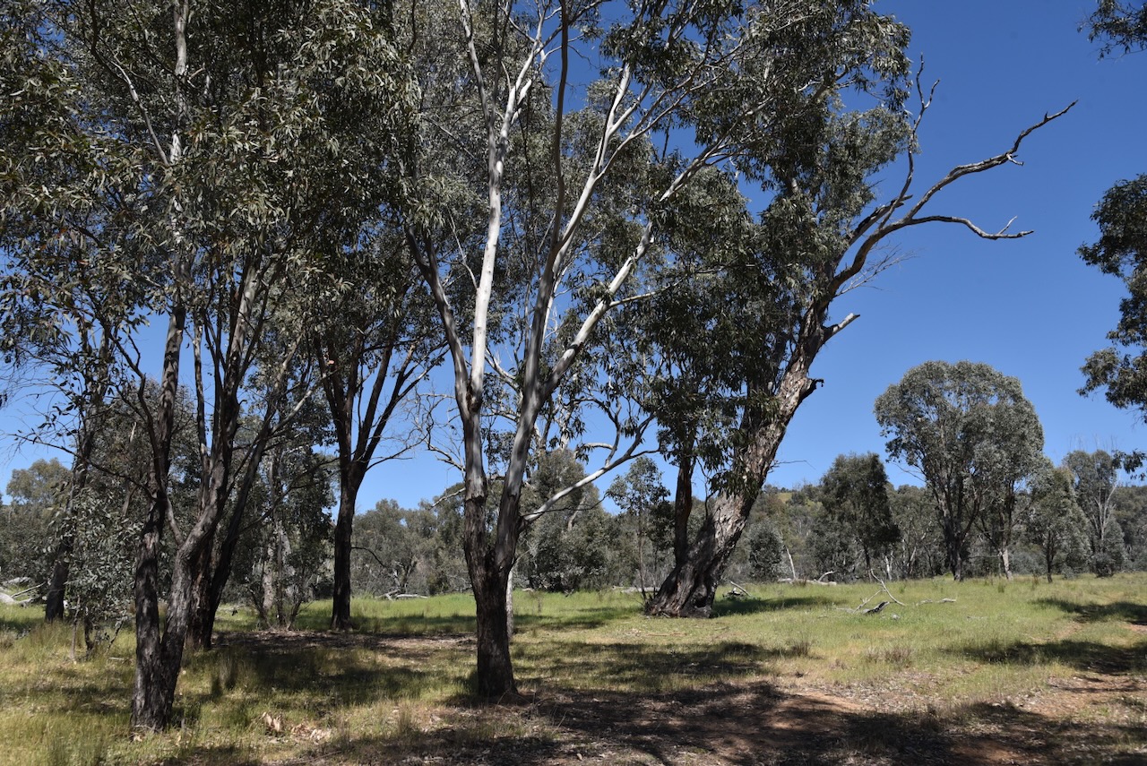
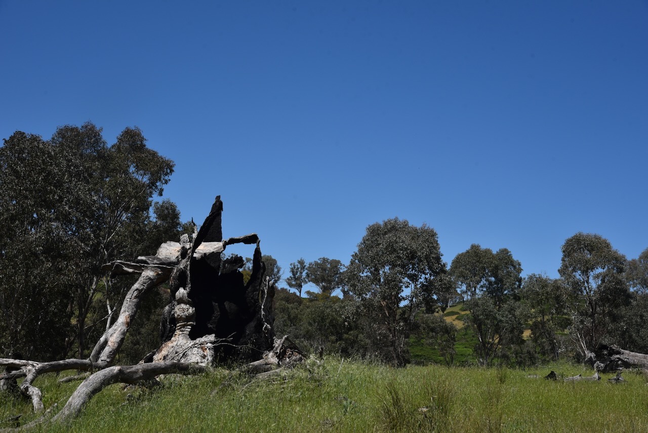
Belfrayden silo VK-BLN2

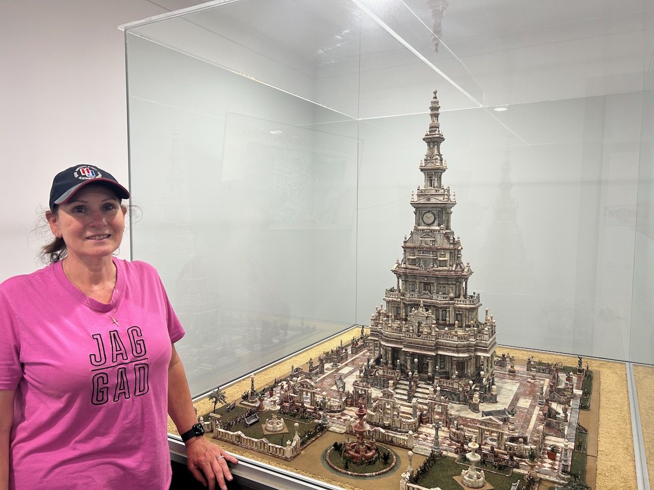
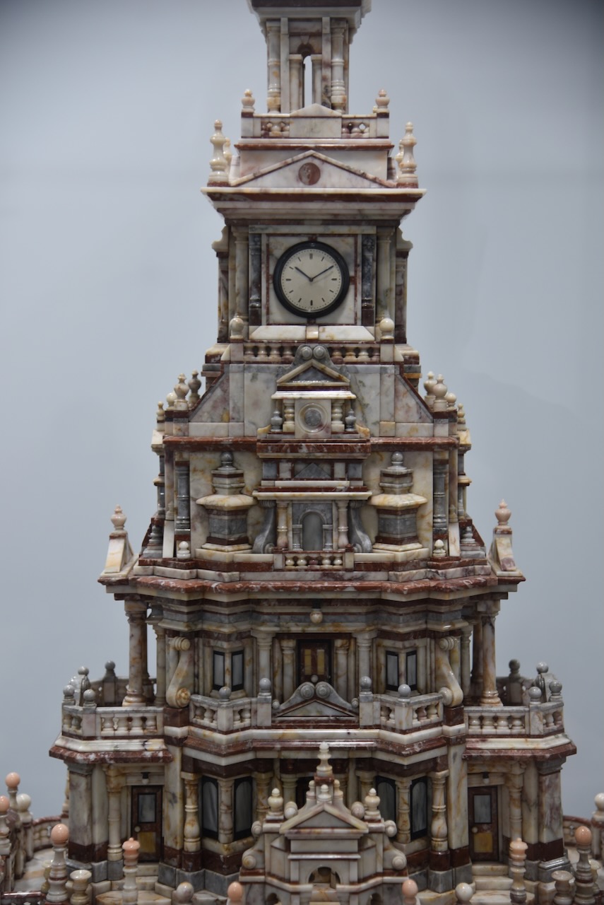
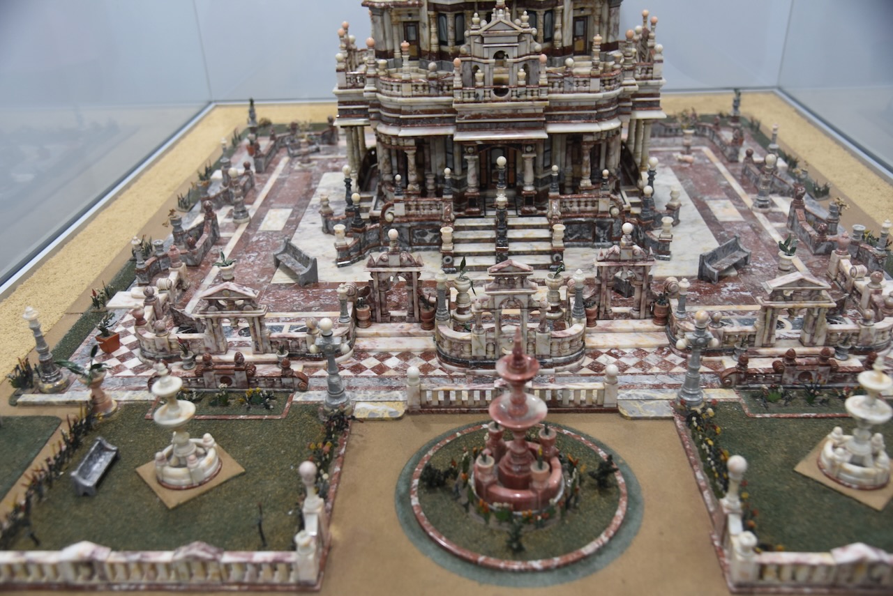
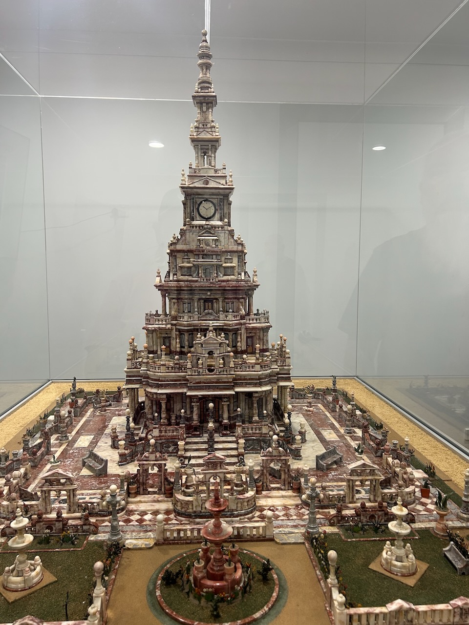
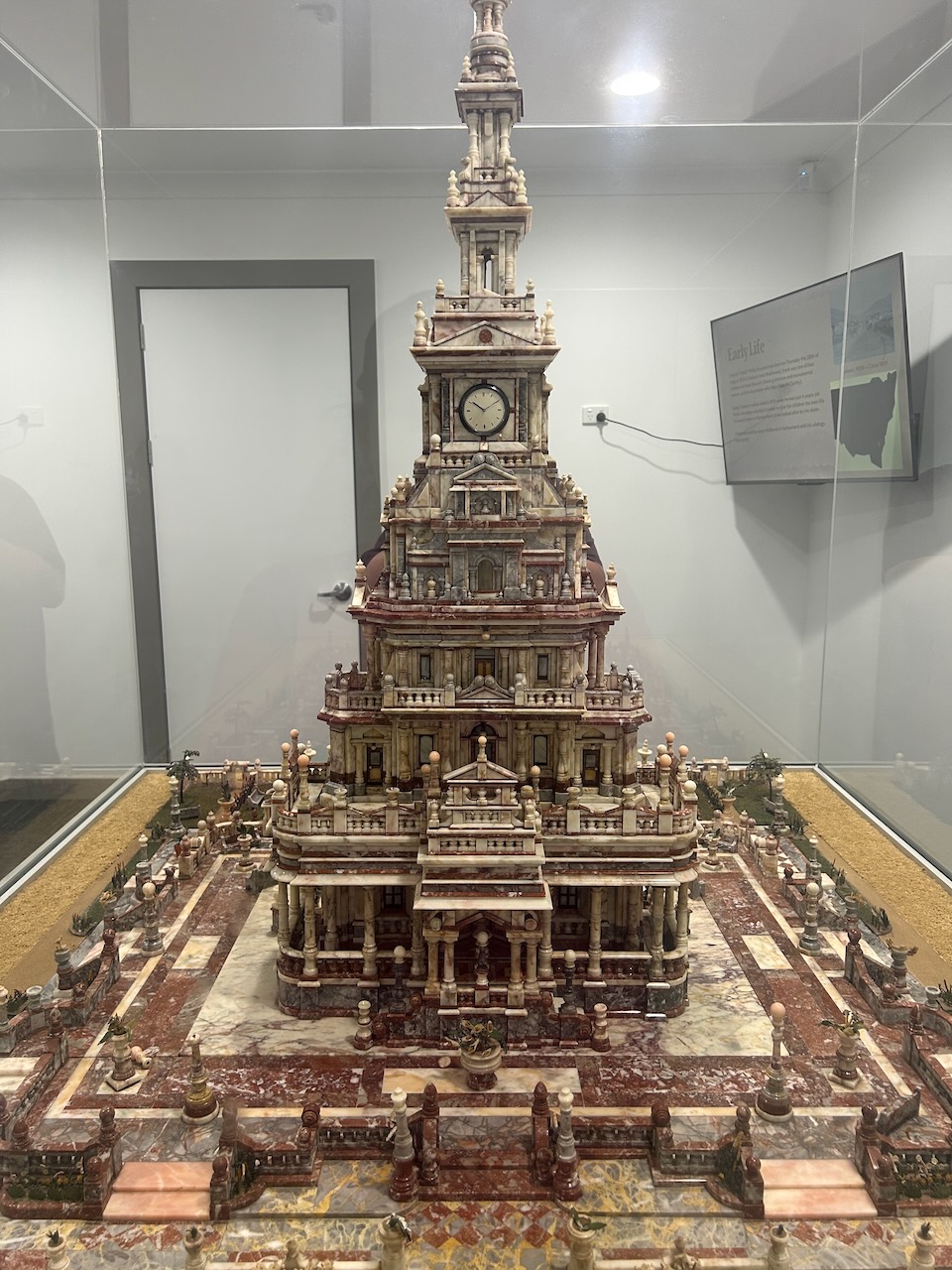
After packing up at Minjary National Park on Sunday, 2nd November 2026, Marija and I headed back to Gundagai and revisited the Gundagai Visitor Information Centre. We specifically wanted to have a look at Rusconi’s Marble Masterpiece.

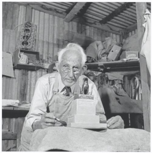
Frank Rusconi was the sculptor of the famous Dog on the Tuckerbox. He also created this absolutely magnificent masterpiece.

Francis Philip ‘Frank’ Rusconi was born on the 20th August 1874 at Bell’s Creek, which is located near Braidwood in New South Wales. His father, Pietro ‘Peter’ Rusconi, was born in 1842 in Switzerland. He was a stonemason and emigrated to Australia in 1865, and in 1869, he married Mary McCarthy. She was born in 1847 at Braidwood, N.S.W. (ancestry 2016) (Kerr 1988)

Frank was only 4 years old when his mother died in 1878, at Braidwood. His father took Frank and his siblings to live in Switzerland to be cared for by his sister. By the age of 15, Frank was an apprentice in the marble trade in Verquinto, Italy. He completed his apprenticeship in Neuchâtel, Switzerland. He then took on the role of ‘foreman interpreter’ with Renard, Fèvre & Co. of Paris and Conblanchien, travelling for work to France, Italy and England. (Kerr 1988)

By early 1901, Frank returned to Australia and established the Borenore marble quarries near Orange, N.S.W. His father and brother Joseph ‘Joe’ worked with him at the quarry, extracting marble which had become popular in the construction of buildings in Sydney. (Kerr 1988)

Four years later, in 1905, he settled in Gundagai, and he established a monumental masonry business. On the 15th day of June 1905, he married Florence Elizabeth Smith, in Bega, N.S.W. Rusconi’s business thrived and his headstones were known for their excellent quality. (ancestry 2016) (Kerr 1988)

In June 1910, Rusconi commenced collecting different marble from around New South Wales. He used these to create the Marble Masterpiece. (Kerr 1988) (Trove 2026)

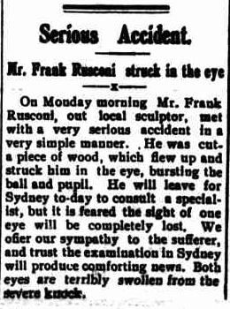
In June 1923, whilst cutting a piece of wood, Rusconi suffered a serious eye injury. A wood chip flew up and struck his right eye, which burst the eyeball and pupil. As a result of the accident, Rusconi lost sight in his right eye. (Kerr 1988)

Above: article from The Gundagai Times, Tue 19 Jun 1923. Image c/o Trove

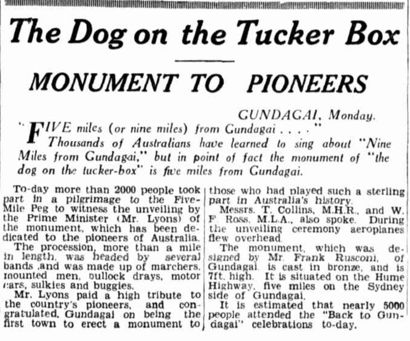
In 1932, Rusconi was contracted to create the bronze sculpture of the Dog on the Tuckerbox, which is his best-known work. (Kerr 1988)

Above: article from The Sun, Mon 28 Nov 1932. Image c/o Trove

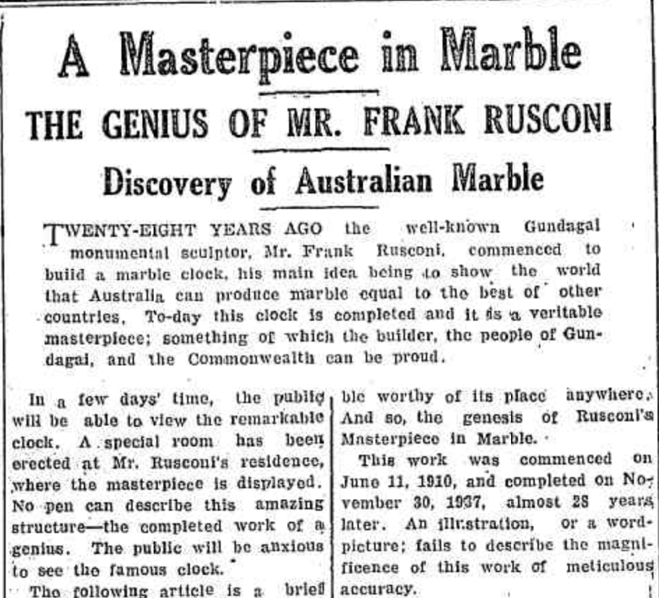
The Marble Masterpiece was completed in November 1937. The Tumut and Adelogn Times reported: “An illustration, or a word-picture fails to describe the magnificence of this work of meticulous accuracy.”(Trove 2026)

Above: article from The Tumut & Adelong Times, Tue 18 Oct 1938. Image c/o Trove

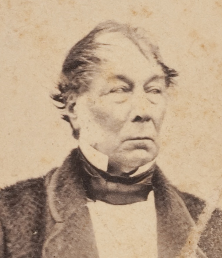
In his latter life, he experienced severe arthritis and was unable to carve marble. Instead, he made small plaster souvenirs for tourists visiting the Dog on the Tuckerbox. (Kerr 1988)

Above: Frank Rusconi. Image c/o National Library of Australia

Frank died on the 21st day of May 1964 at Cootamundra, aged 90 years. He is buried in the Catholic section of the Gundagai Cemetery. (ancestry 2016) (Kerr 1988)

The Marble Masterpiece is a 1.2 metre (4-foot) high model of an imaginary Baroque Italian palace. No plans were used. It consists of 20,948 pieces from 20 different varieties of marble, and after 28 years of work, was completed in 1938. (Kerr 1988) (Marble 2020)

Prior to the Masterpiece being placed on display at the Visitor Centre, it was on display in a room at the Royal Hotel in Gundagai. (Trove 2026)

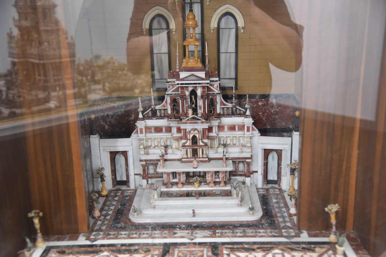
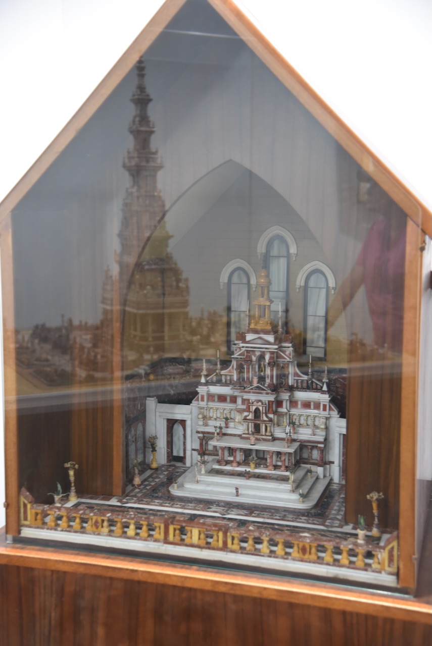
Also at the display is a detailed miniature marble model of the altar at St Marie’s Cathedral near Paris, France. No specialised equipment was used to create the miniature. Rusconi used basic marble worker’s tools and an old lathe, which was made from a discarded sewing machine. (Kerr 1988) (Marble 2020) (Trove 2026)

It was time for us to leave Gundagai and head to Jerilderie. We had spent 3 very enjoyable nights in Gundagi and can highly recommend a visit to this historic town. There are so many things to see and do.

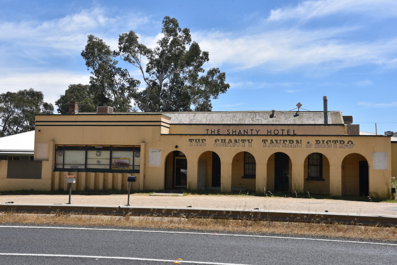
Along the way we stopped to have a look at the historic Shanty Hotel on the Sturt Highway at Alfredtown near Wagga Wagga.

Mary Ryan was born in 1822 in Queens County, Ireland. She emigrated to Australia in the late 1850s with her 4 sons and 3 daughters. She settled at Alfredtown and named their property ‘Glandore’. Her daughter, Ellen married Patrick Rogers in 1865. Patrick built the hotel in 1868. It was known as the Prince Alfred Hotel. On the 10th day of May 1955, the name of the hotel was changed to the Shanty Hotel as this was the hotel’s common nickname. Sadly, this is another closed hotel. Its last trading day was 26th April 2009. (Burch 2018) (Nsw.gov.au 2026)

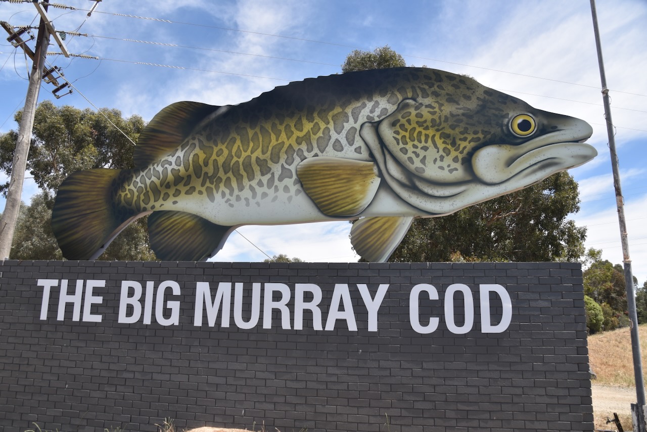
We then stopped briefly at the Big Murray Cod sign on the Sturt Highway on the eastern side of Wagga Wagga. It was initially located at the Murray Cod Hatcheries and Fauna Park in 1975. The park closed in 1995, at which time the Cod fell into disrepair. Following the purchase of the property, the Cod was restored to its current excellent condition. (About Regional n.d.)

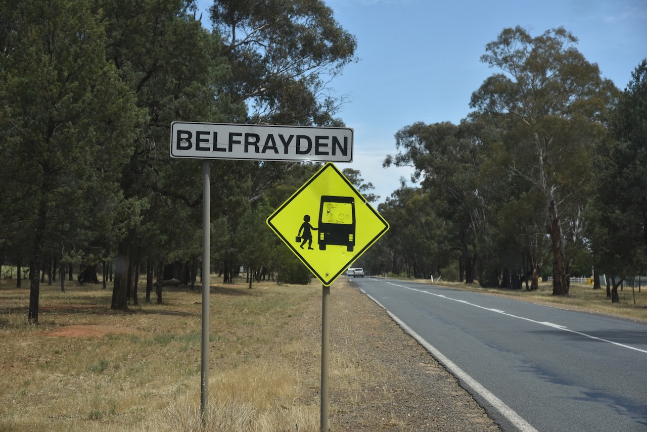
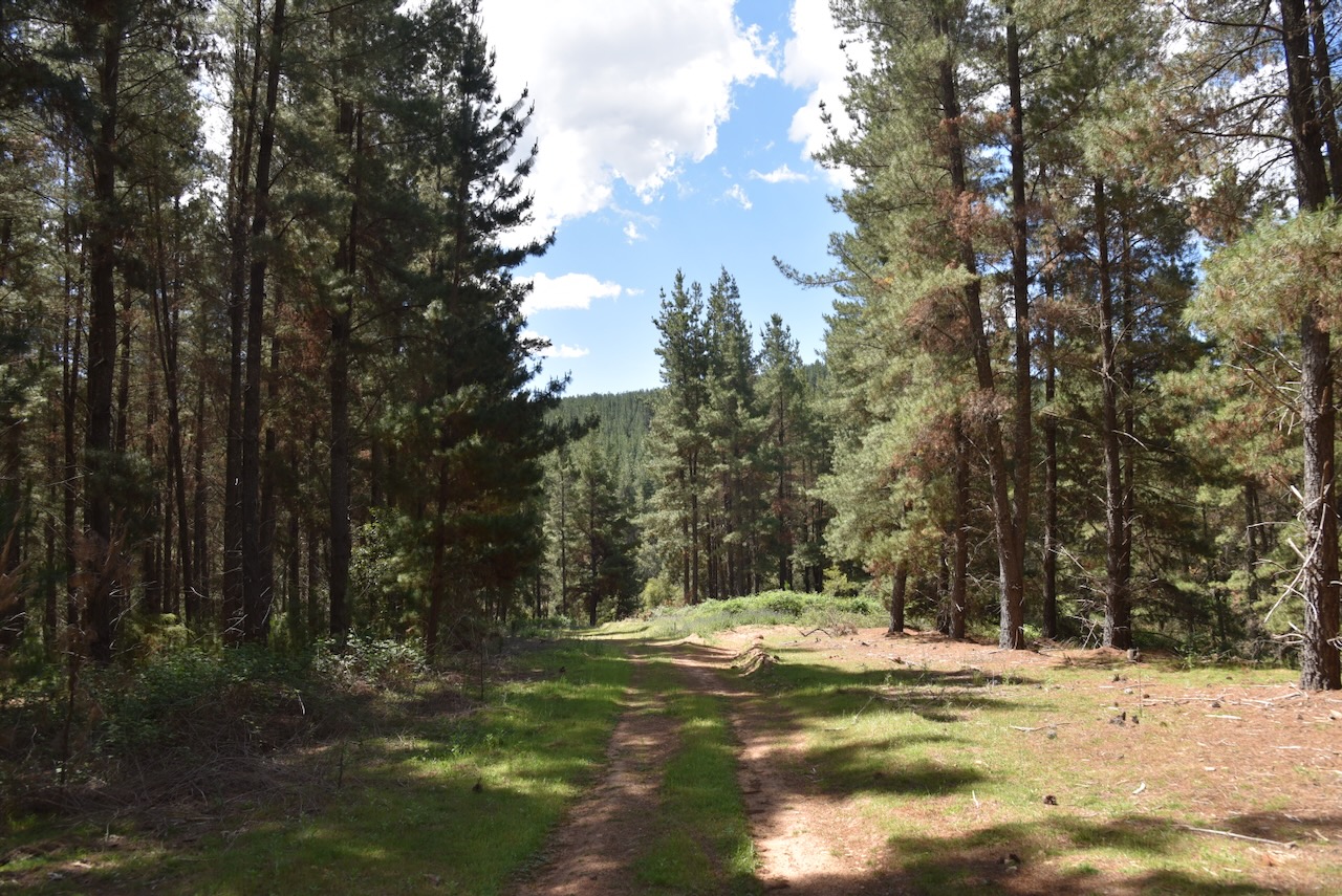
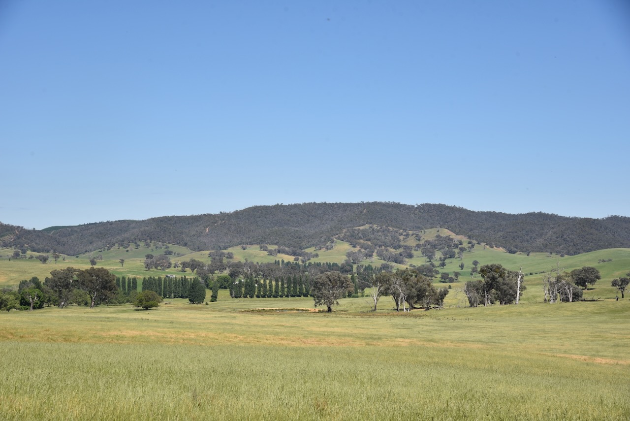
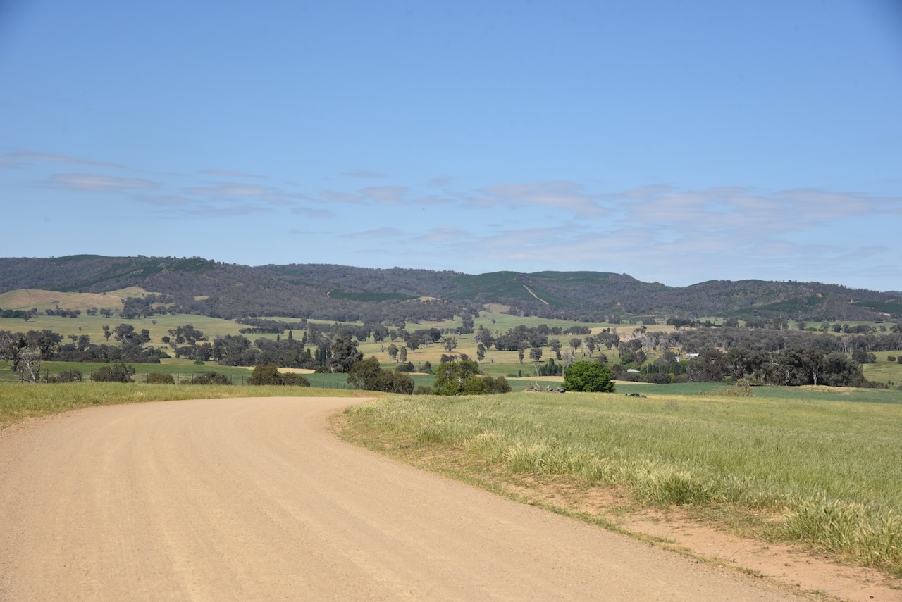
We continued on to the little town of Belfrayden, west of Wagga Wagga on Lockhart Road. It is a tiny town with just a handful of homes.

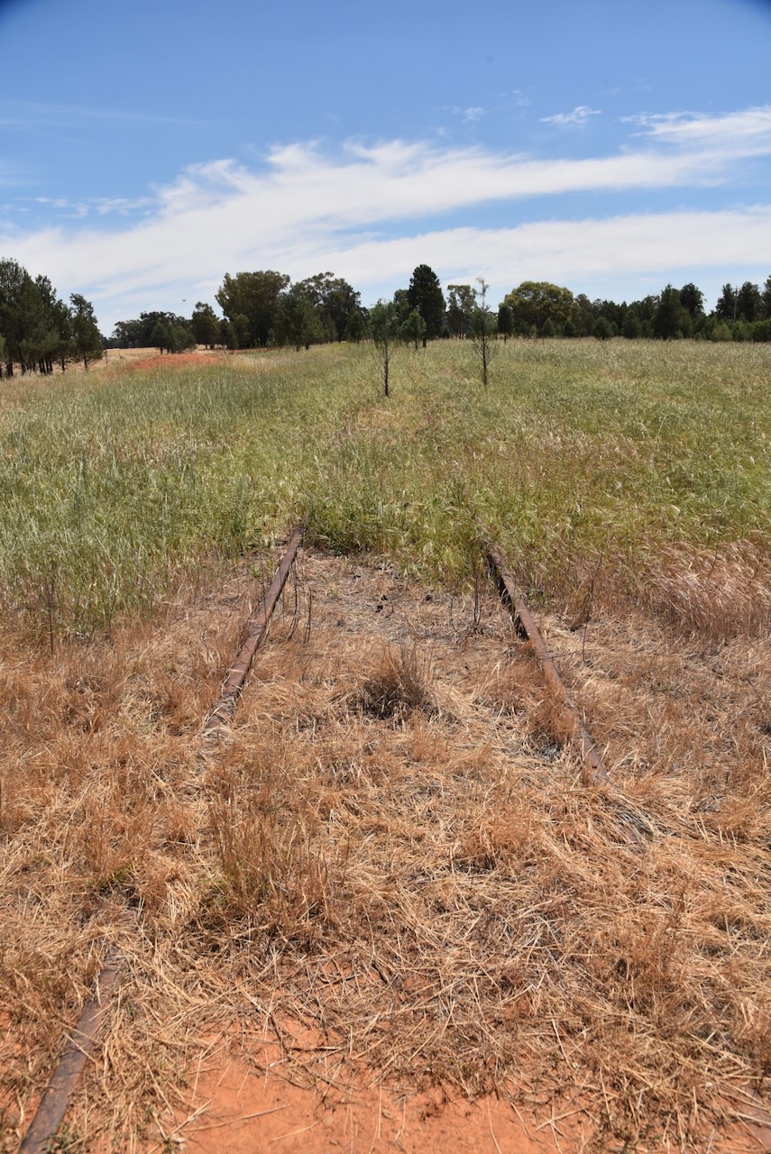
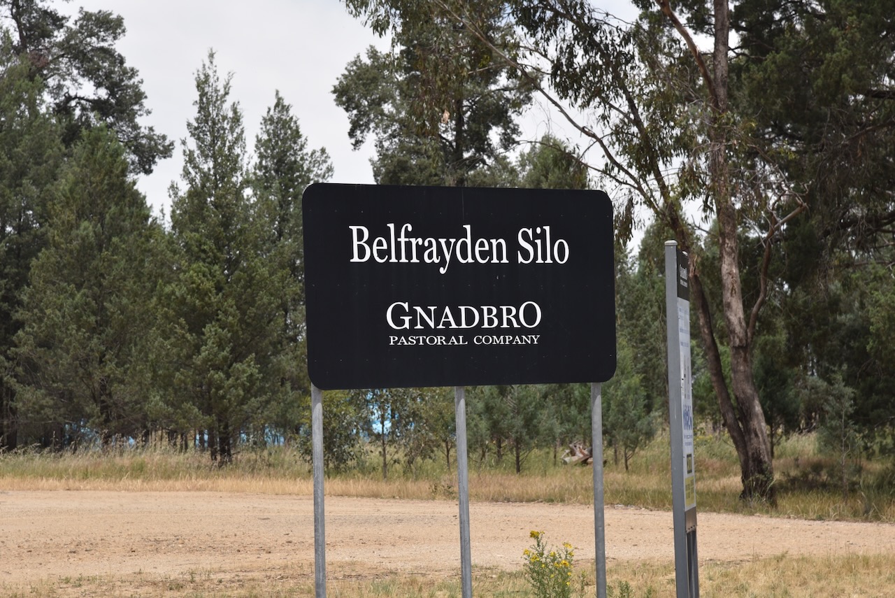
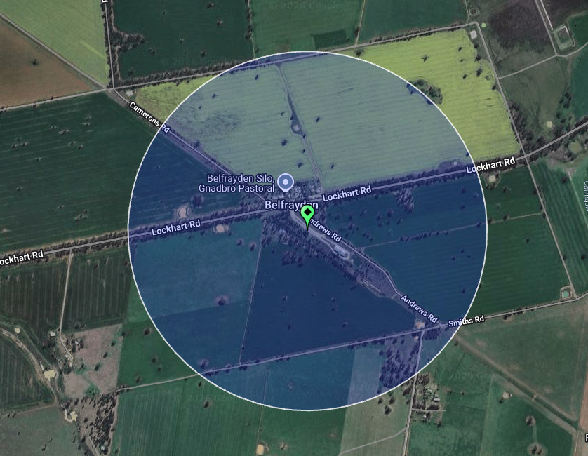
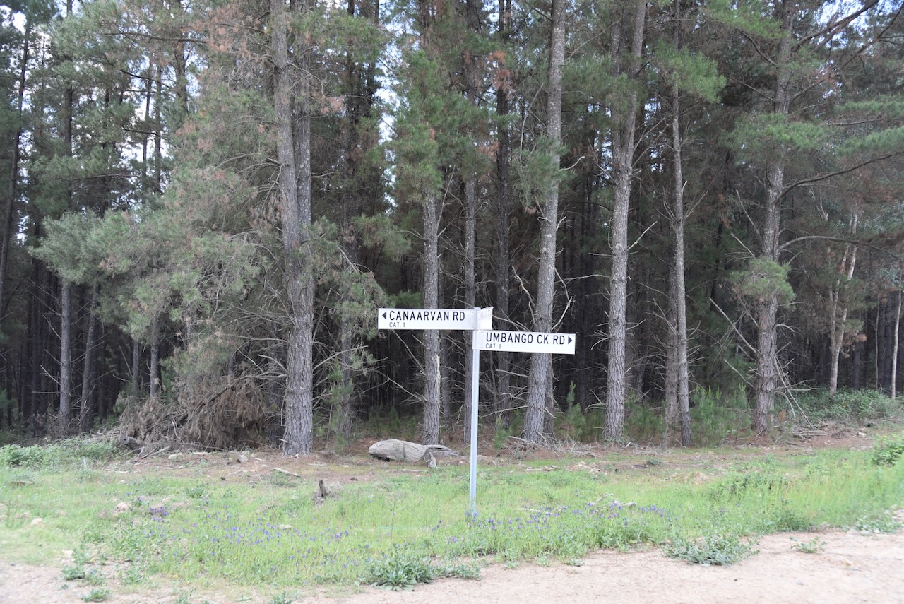
The Belfrayden silo is located on Andrews Road, alongside the old Kywong railway line. The Kywong branch line was built in 1928 to service the wheat crops in the southern parts of New South Wales. It extended from Uranquinty to Kywong. The line closed on 1988. The Belfrayden railway station closed in 1976. (Nswrail.net 2026)

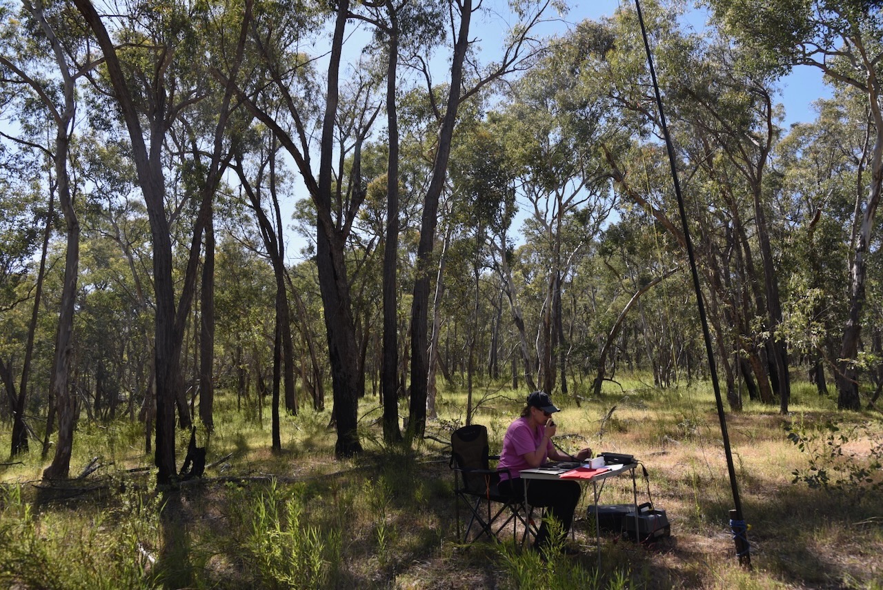
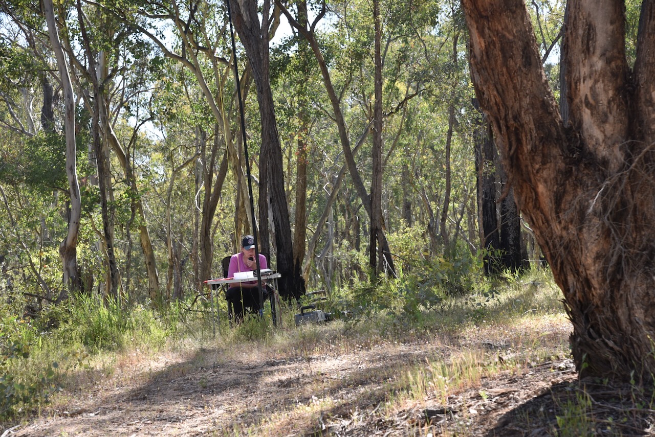
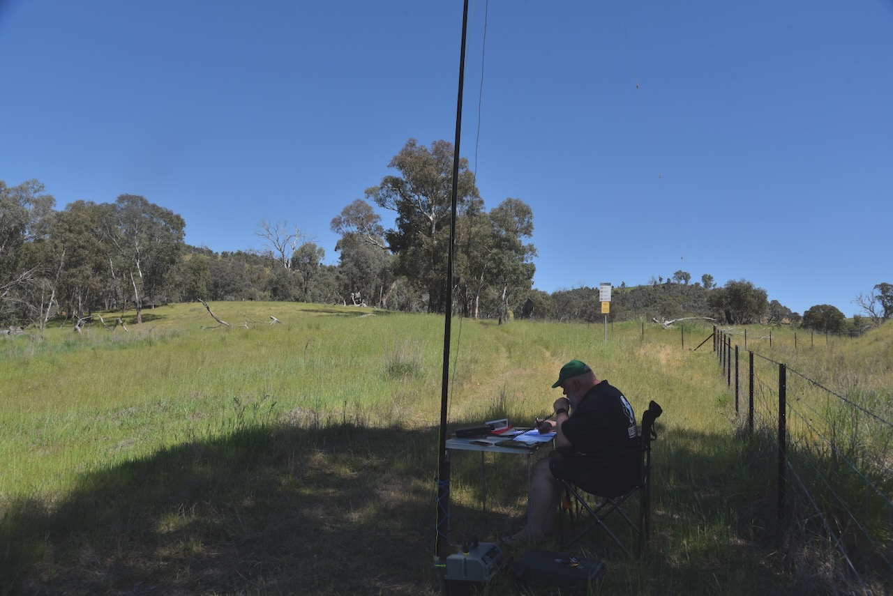
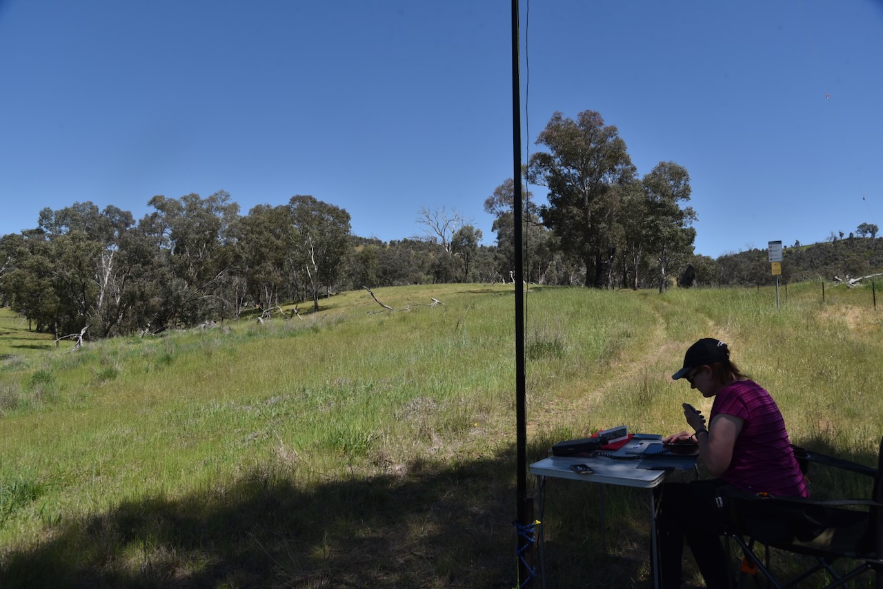
Marija and I set up alongside the silos and operated from the 4WD. We ran the Icom IC-7000, 100 watts, and the Codan 930 antenna with the 1.5 metre stainless steel whip.

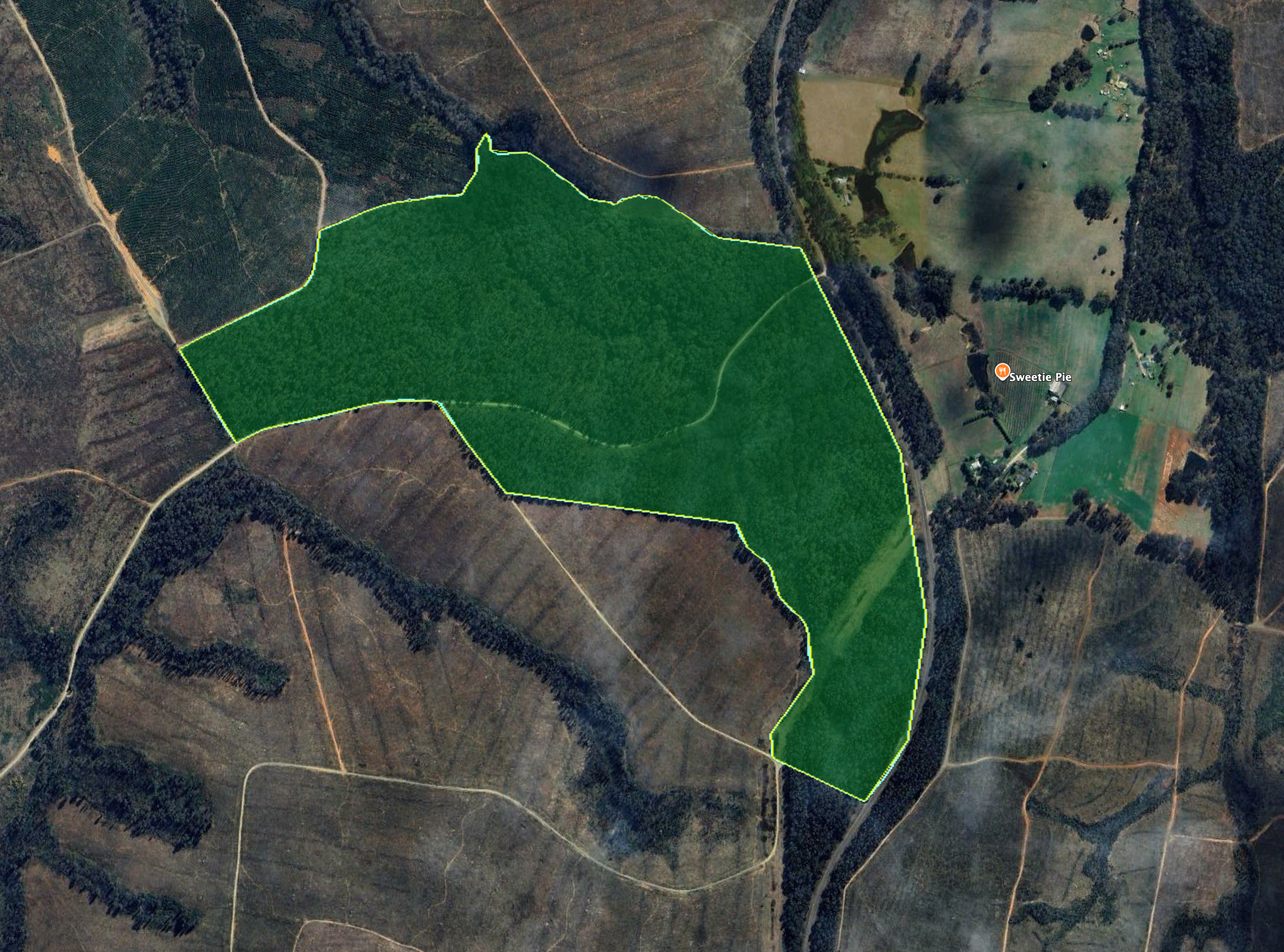
Above: the activation zone at Belfrayden silo. Image c/o SiOTA website

Marija worked the following stations on 40m SSB:-

  1. VK2ETI
  2. VK3PF (VKFF-4475)
  3. VK2IO/P (VKFF-3181)
  4. VK1AO
  5. VK2MET
  6. VK3WSG
  7. VK3ZPF/P (VKFF-5033)
  8. VK2XWB/P (VKFF-2784)

I worked the following stations on 40m SSB:-

  1. VK2ETI
  2. VK3PF (VKFF-4475)
  3. VK2IO/P (VKFF-3181)
  4. VK1AO
  5. VK2MET
  6. VK3ARD
  7. VK3WSG
  8. VK1CHW
  9. VK2CHW
  10. VK2NP
  11. VK3BCM
  12. VK3ZPF/P (VKFF-5033)
  13. VK5DW
  14. VK2XWB/P (VKFF-2784)
  15. VK2FALL
  16. VK3APJ
  17. VK3CLD
  18. VK5QA
  19. VK2DBF

References.

  1. About Regional. (n.d.). Homepage. [online] Available at: https://aboutregional.com.au. [Accessed 7 Mar. 2026]
  2. ‌ancestry (2016). Ancestry® | Genealogy, Family Trees & Family History Records. [online] Ancestry.com.au. Available at: https://www.ancestry.com.au/. [Accessed 16 Mar. 2026]
  3. ‌Burch, G, 2018, Some History of Hotels on the Kyamba Creek at Alfredtown, and at Forest Hill
  4. Kerr, J. (1988). Rusconi, Francis Philip (Frank) (1874–1964). [online] Anu.edu.au. Available at: https://adb.anu.edu.au/biography/rusconi-francis-philip-frank-8299 [Accessed 16 Mar. 2026].
  5. ‌Marble, R. (2020). Visit Gundagai. [online] Visit Gundagai. Available at: https://www.visitgundagai.com.au/discovergundagai/rusconis-marble-masterpiece [Accessed 16 Mar. 2026].
  6. ‌Nsw.gov.au. (2026). The Shanty | Heritage NSW. [online] Available at: https://apps.environment.nsw.gov.au/dpcheritageapp/ViewHeritageItemDetails.aspx?ID=2560058 [Accessed 16 Mar. 2026].
  7. ‌Nswrail.net. (2026). Kywong Branch. [online] Available at: https://www.nswrail.net/lines/show.php?name=NSW:kywong [Accessed 16 Mar. 2026].
  8. ‌Trove. (2026). ANOTHER RUSCONI MASTERPIECE – Now On Display At Gundagai – The Gundagai Independent (NSW : 1928 – 1954) – 4 Mar 1954. [online] Available at: https://trove.nla.gov.au/newspaper/article/265334311?searchTerm=frank%20rusconi [Accessed 16 Mar. 2026].
  9. ‌Trove. (2026). The Tumut and Adelong Times (NSW : 1864 – 1867; 1899 – 1950) – 18 Oct 1938 – p4. [online] Available at: https://trove.nla.gov.au/newspaper/page/15849902?searchTerm=frank%20rusconi%20%2B%20marble [Accessed 16 Mar. 2026].‌

Minjary National Park VKFF-0319

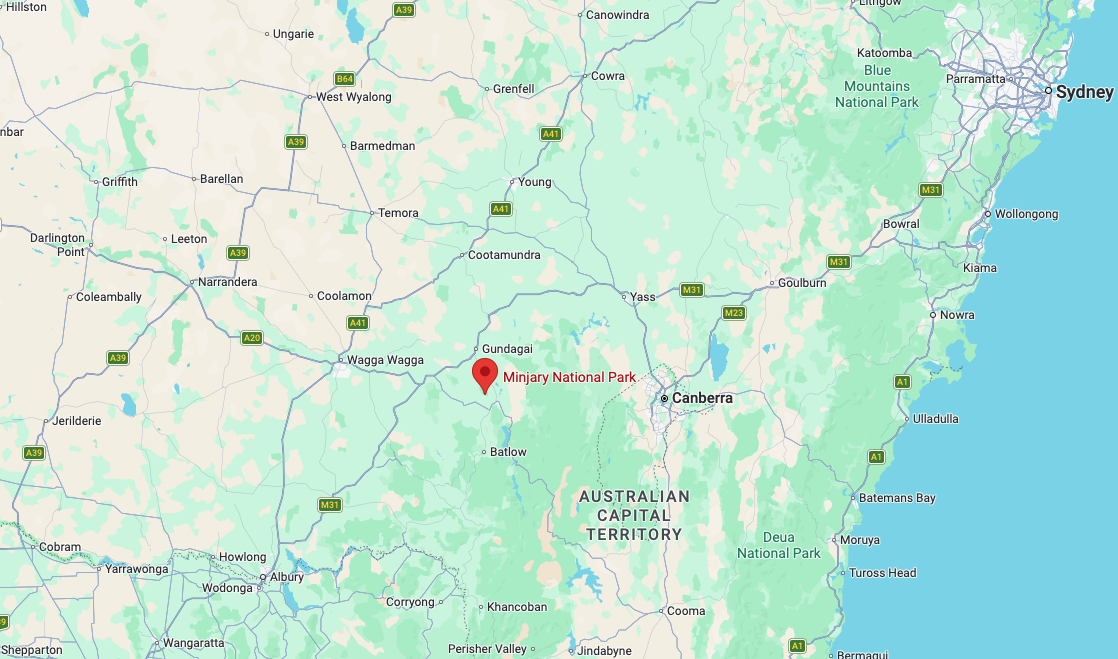
Our first activation for Sunday, 2nd November 2026, was the Minjary National Park VKFF-0319. The park is located about 30 km south of Gundagai in New South Wales.

Above: Map showing the location of Minjary National Park. Map c/o Google Maps

The park is not signposted from any major road, and the park is not widely promoted. We attempted to reach the park via Meadow Creek Road, which runs off Gocup Road, but we struck a ‘Private Property Keep Out’ sign, and we decided not to venture any further.

We got very close and could see the park, but we respected the sign and turned back.

We received some advice from a local that if we headed back along Gocup Road to McGrath Trail, we could access the park via that road.

We did a few door knocks on the dirt road leading up to the park, and each time, the landowners kindly gave us permission to access the park via their property.

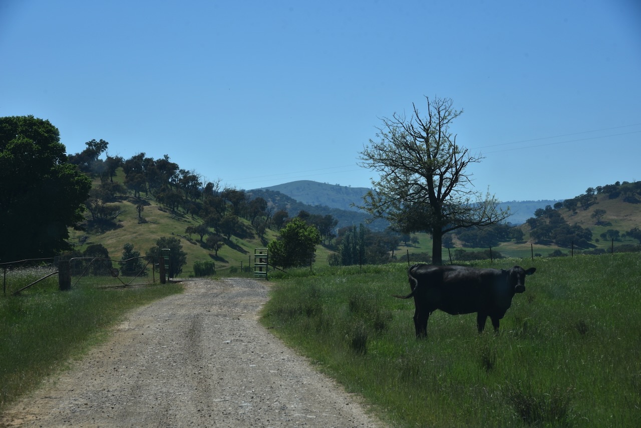
We passed through a few gates and grids on our way to the park.

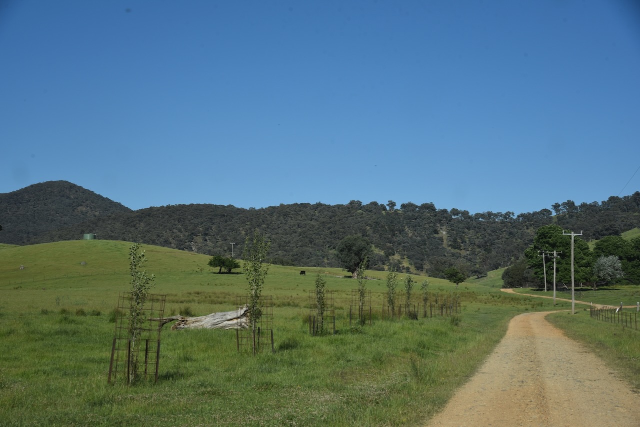
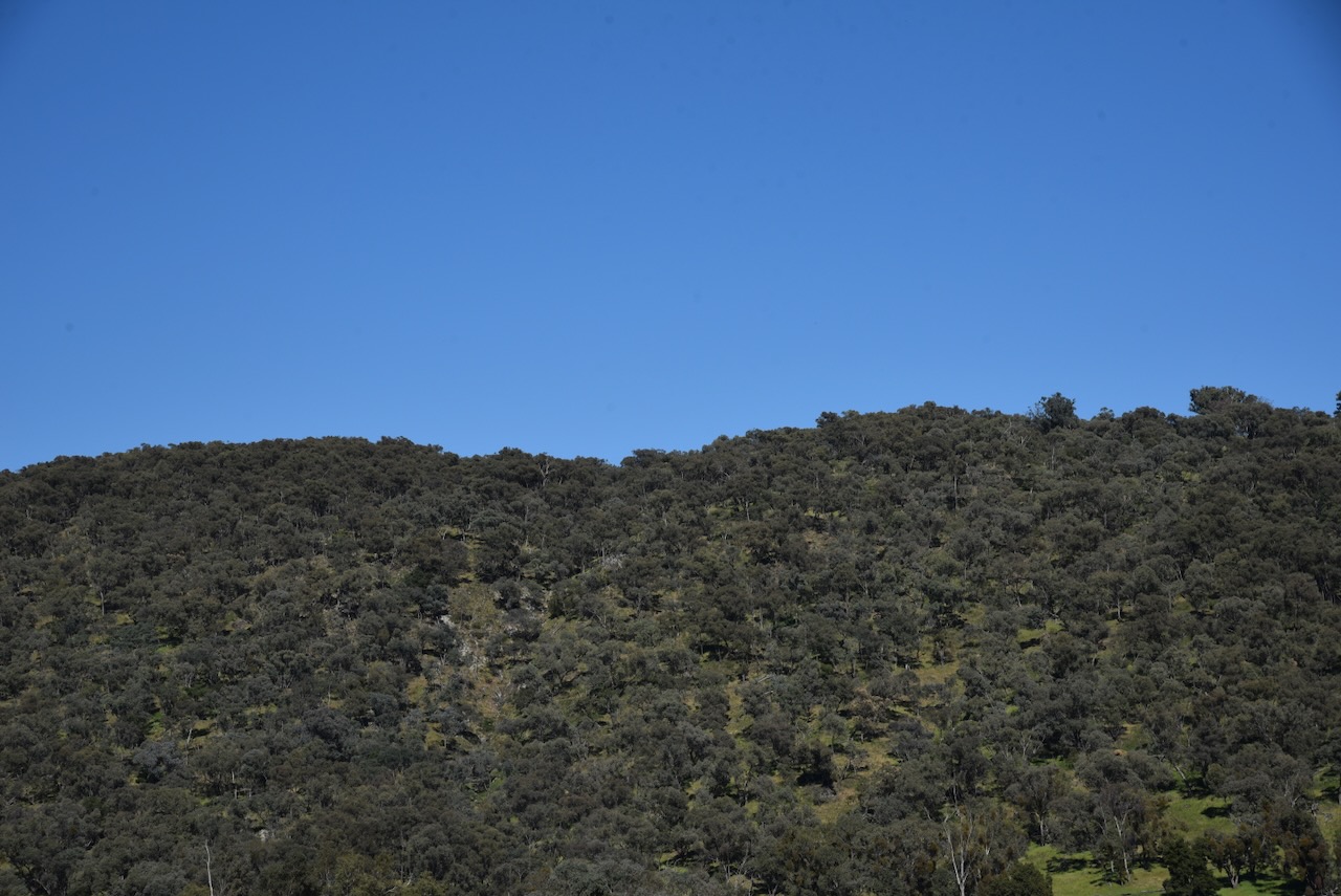
As we got further along Mcgrath Trail, the park came clearly into view.

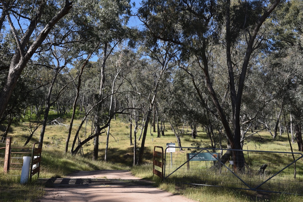
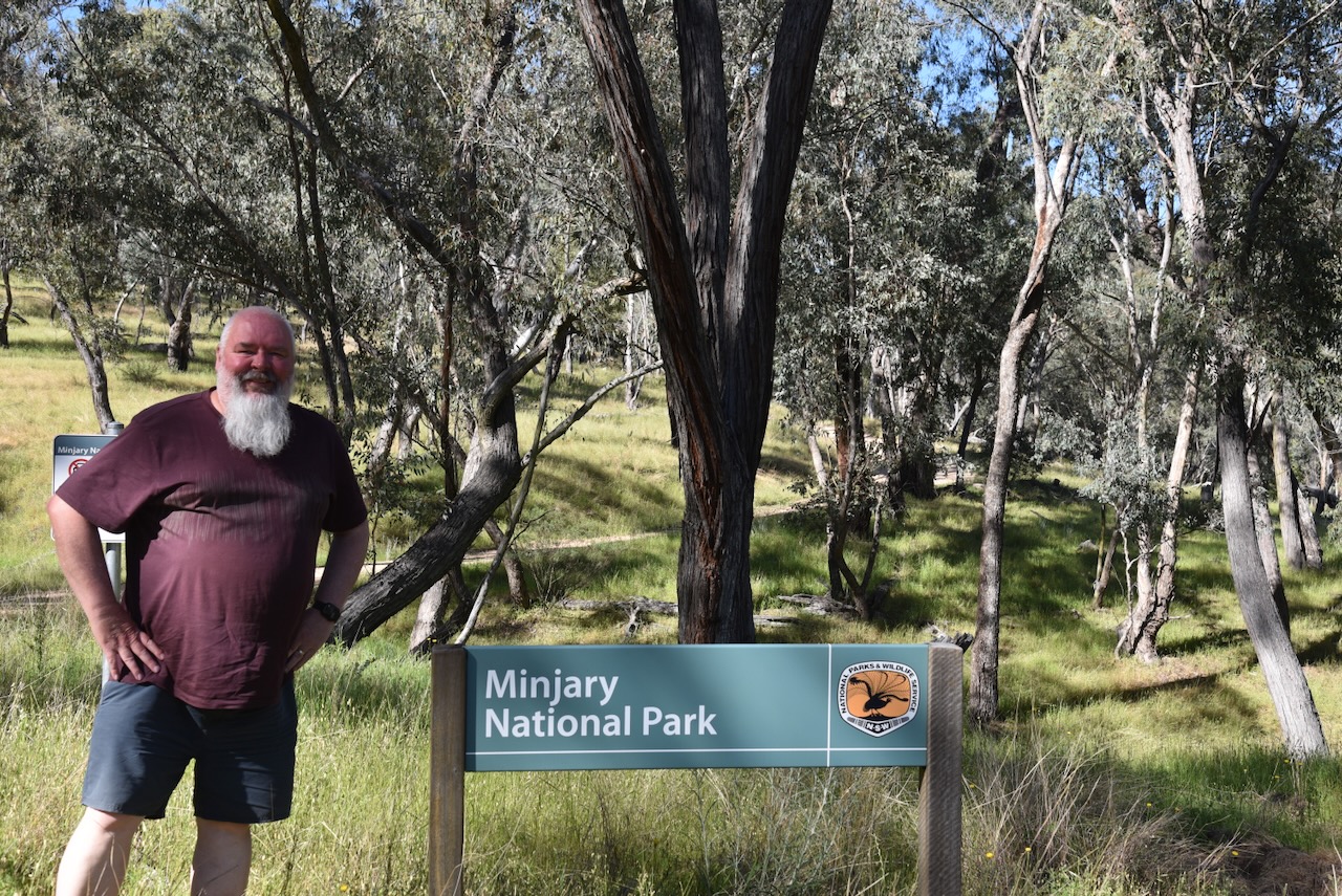
Until we finally reached an open gate and the park sign. It had been a bit of an adventure, but we had made it. It is so important in the WWFF program to obey all signs, specifically with regard to private property, and to ‘door knock’ and get permission from landowners. An incident of trespassing could place the WWFF program in jeopardy.

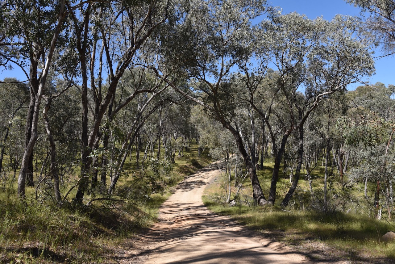
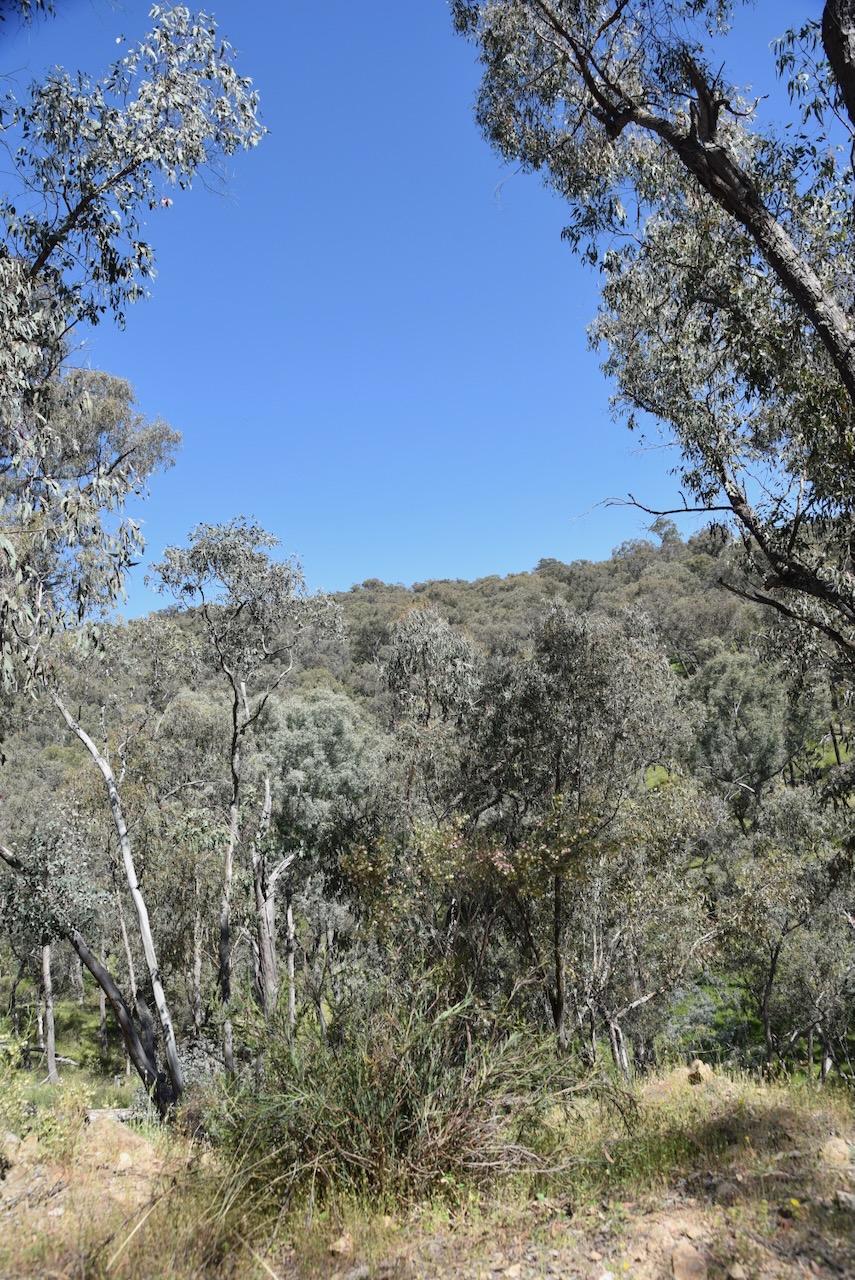
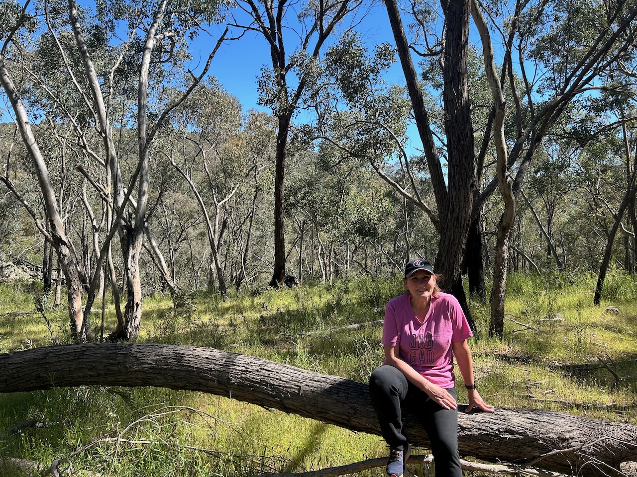
After passing through the gate, Marija and I followed the dirt track for about 1 km before we found a nice clearing in the scrub to set up.

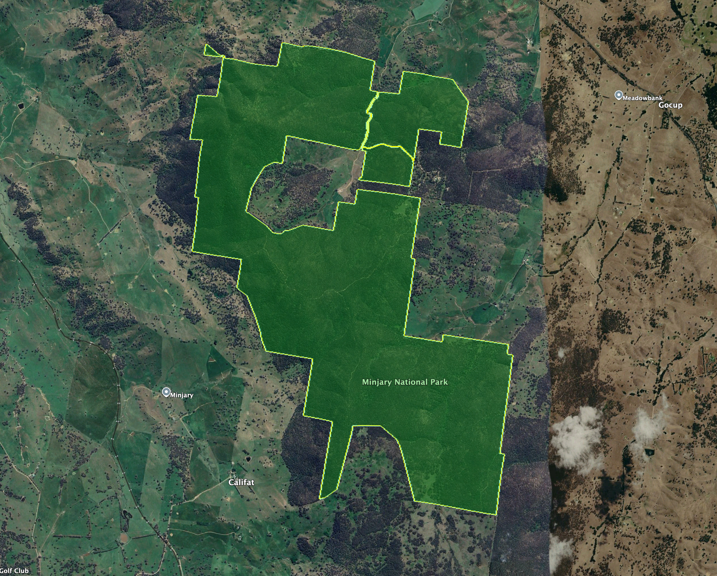
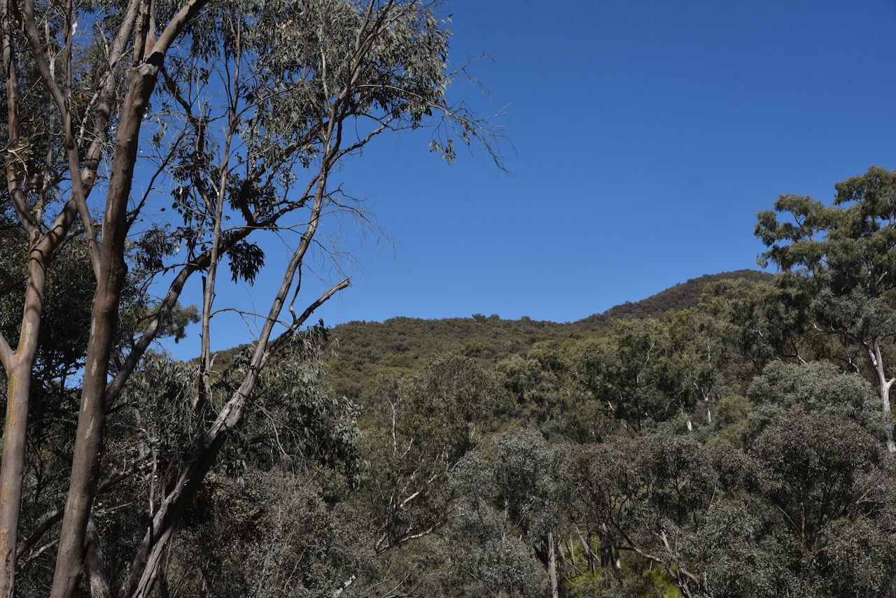
Minjary National Park is about 1,462 hectares in size and is located on the South West Slopes of New South Wales. It takes its name from Minjary mountain, the highest point in the park at 762 metres above sea level. (NSW NPWS 2004)

Above: the boundaries of Minjary National Park. Image c/o Google Earth

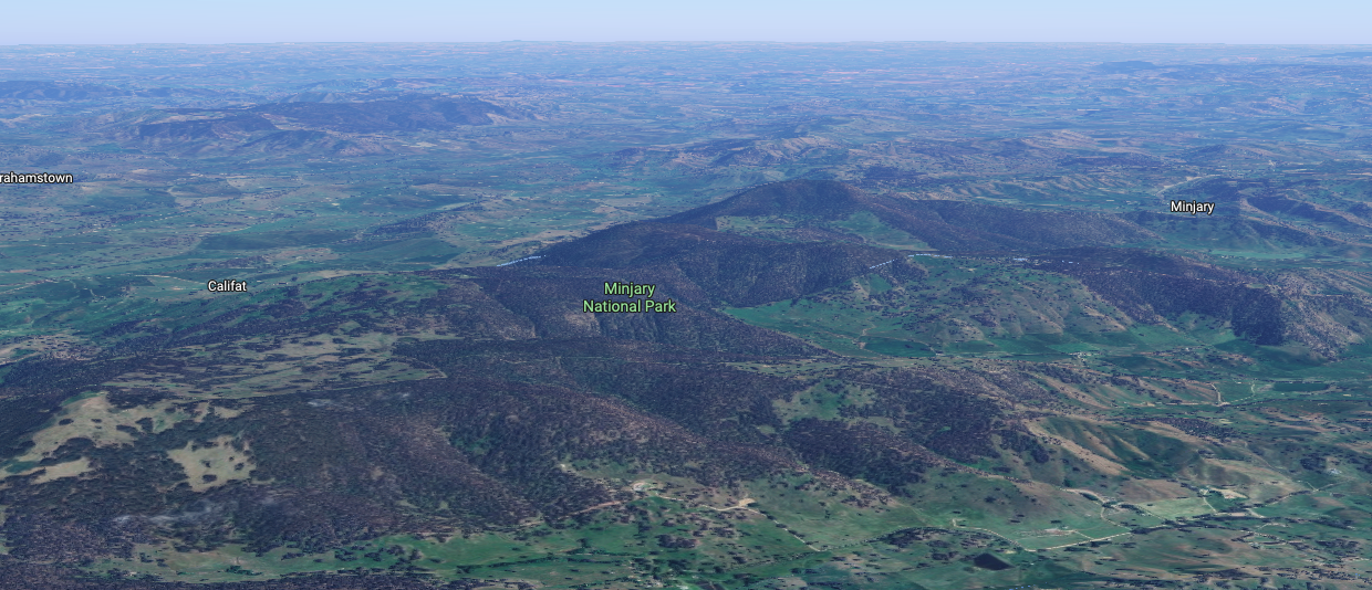
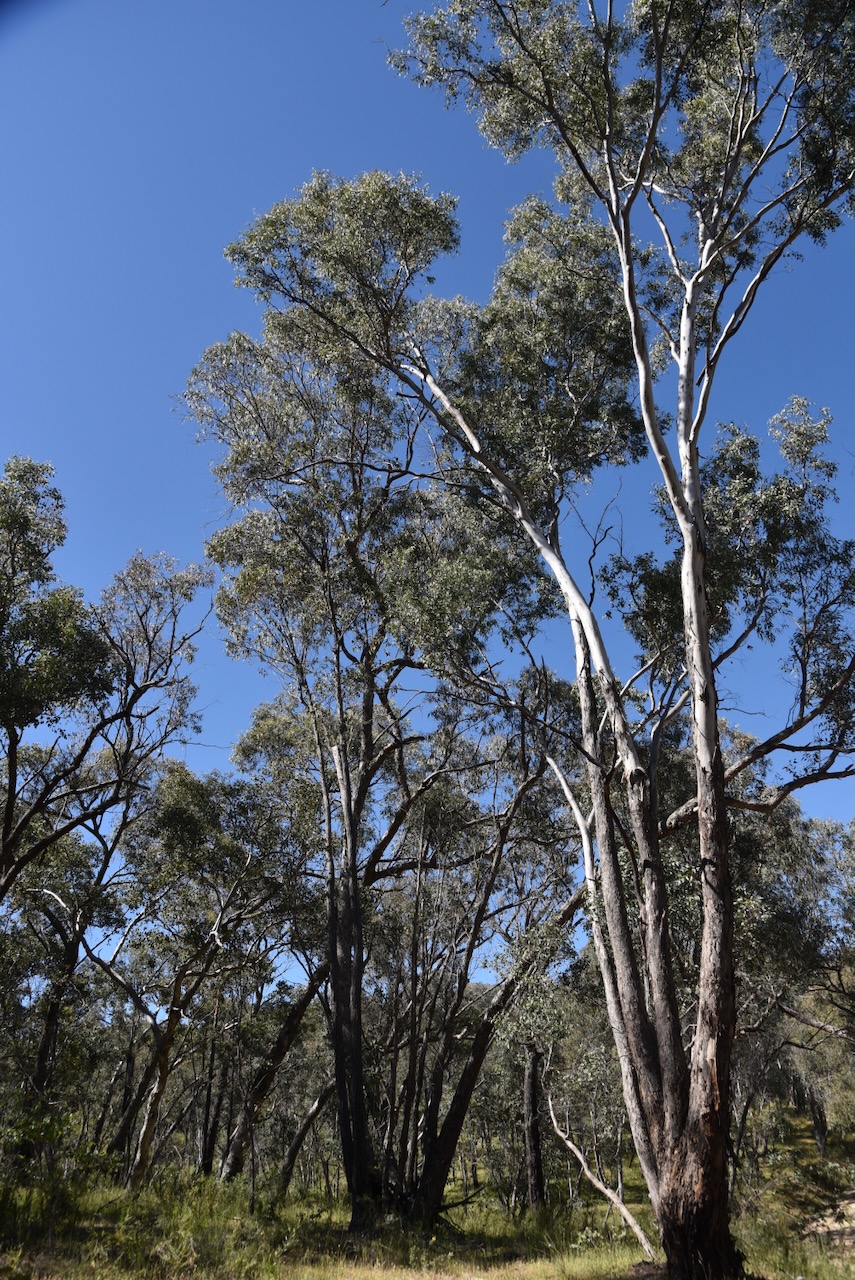
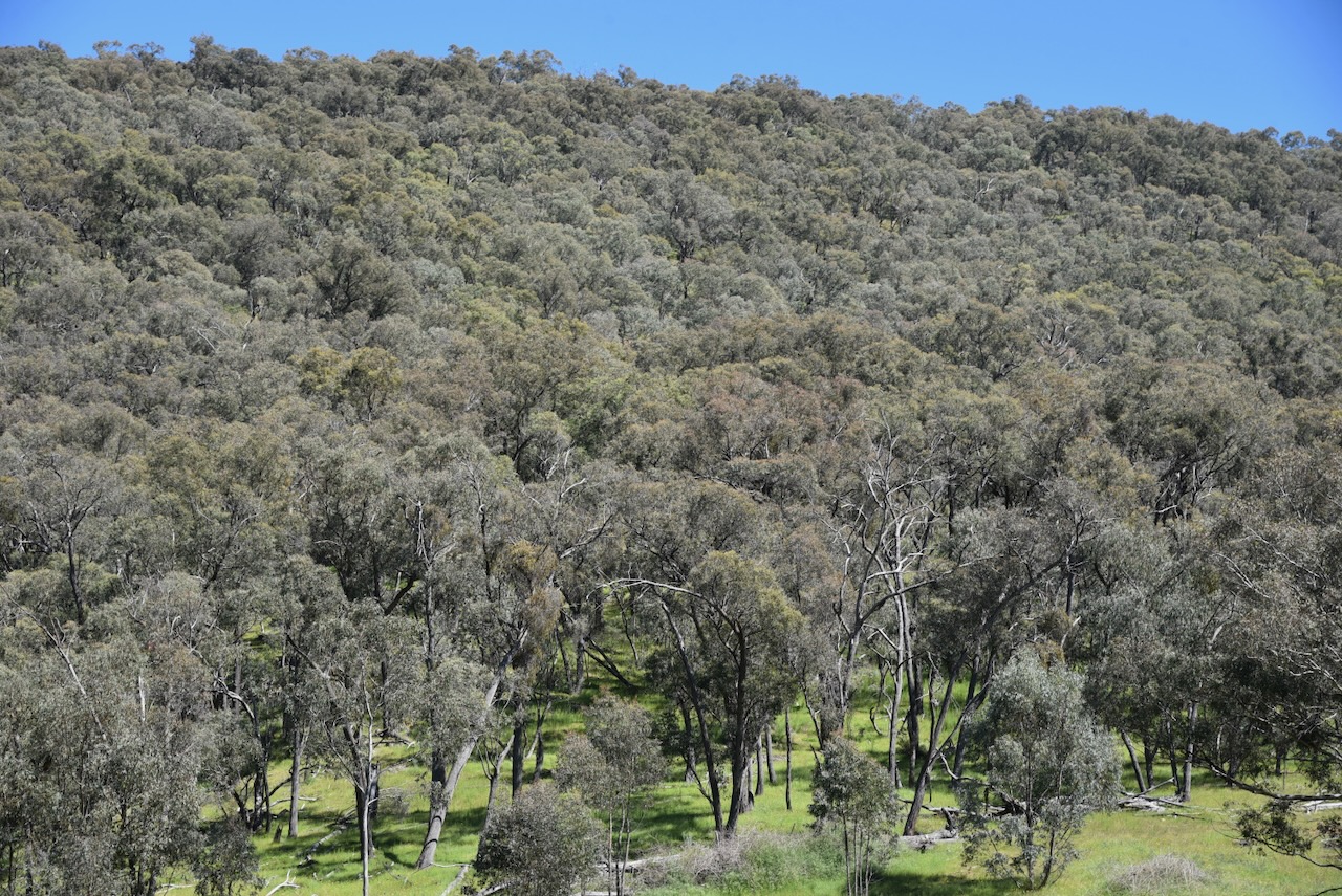
The park consists of undulating to steep, forested country, which is surrounded by cleared farming land. It contains significant intact remnants of South West Slopes forest and woodland, including White Box Grassy Woodland which has been identified as an endangered ecological community. (NSW NPWS 2004)

Above: an aerial view of Minjary National Park. Image c/o Google Maps

Minjary National Park was formerly administered and managed by State Forests of New South Wales as Minjary State Forest. Minjary National Park was gazetted on the 1st day of January 2001. (NSW NPWS 2004)

The park lies near the border of the Wiradjuri and Walgalu Aboriginal people. It is believed that the park was part of an Aboriginal travelling route between the Western Plains and the Kosciuszko area via the Tumut River. (NSW NPWS 2004)

During the late 1880s and early 1900s, there was extensive timber harvesting in the Minjary area. The timber was used to fuel steam boilers used in the gold mining industry in the Adelong area. The timber was felled with axes and ‘spare-chained’ down to wagons by horses. (NSW NPWS 2004)

A sulky route that was used between Adelong and Minjary existed on an east-west alignment through the park. It was constructed and used by the Hogan family and other locals as a shortcut between Adelong and Minjary. (NSW NPWS 2004)

A total of 8 mammal species, 31 bird species, 6 reptile species, and 2 amphibian species have been recorded in the park. This includes the threatened Turquoise Parrot and the Powerful Owl. (NSW NPWS 2004)

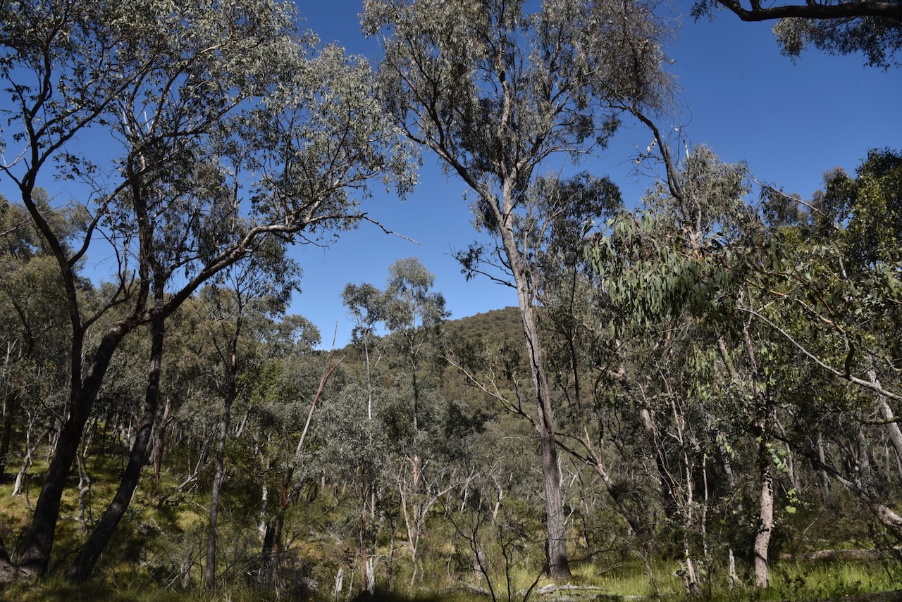
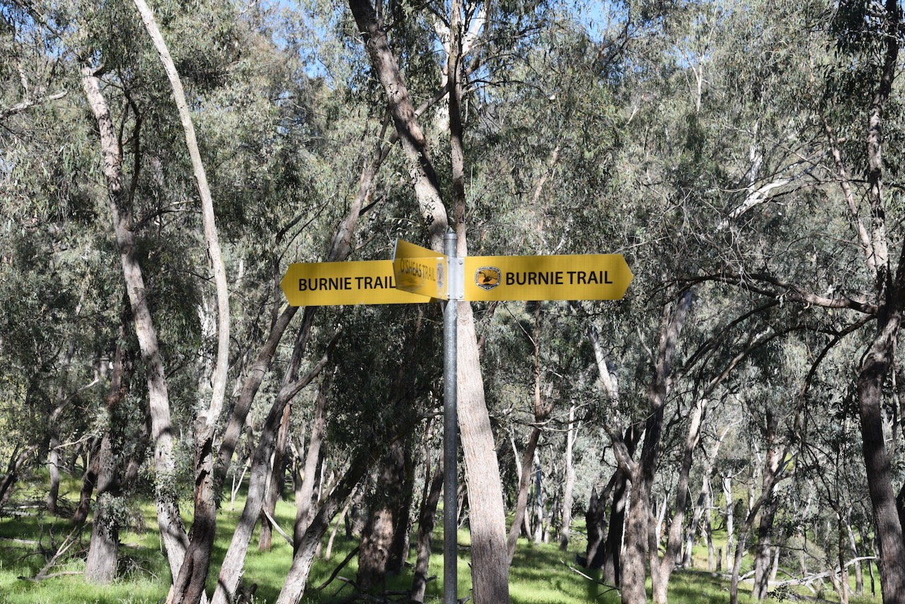
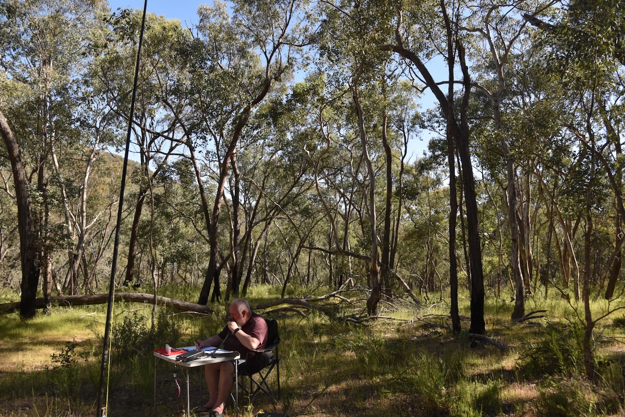
Marija and I operated from near Burnie Trail and O’Shea’s Trail.

We ran the Yaesu FT857, 40 watts, and the 20/40/80m linked dipole.

Marija worked the following stations on 40m SSB:-

  1. VK2IO/P (VKFF-0851)
  2. VK2GEZ/P (VKFF-0851)
  3. VK3PF/M
  4. VK3KAI/M
  5. VK1AO
  6. VK2MET
  7. VK5LA
  8. VK5KAW
  9. VK5HS
  10. VK2LEE

Marija worked the following stations on 20m SSB:-

  1. VK5HS
  2. VK4EMP
  3. VK4TI
  4. VK4GKO
  5. VK2IO/P (VKFF-0851)
  6. VK2GEZ/P (VKFF-0851)
  7. VK4CK
  8. VK4MGL
  9. VK4HRE

I worked the following stations on 40m SSB:-

  1. VK2IO/P (VKFF-0851)
  2. VK2GEZ/P (VKFF-0851)
  3. VK3PF/M
  4. VK3KAI/M
  5. VK1AO
  6. VK2MET
  7. VK5LA
  8. VK5KAW
  9. VK5HS
  10. VK2LEE
  11. VK3ALF
  12. VK2VW
  13. VK2HFI
  14. VK2AKA
  15. VK2BUG
  16. VK2JV
  17. VK1DI
  18. VK1MA
  19. VK3PWG/2
  20. VK3TT/2
  21. VK3CLD
  22. VK2DBF
  23. VK5QA
  24. VK3CEO
  25. VK3WSG
  26. VK1CHW
  27. VK2CHW
  28. VK2NP
  29. VK3HJW
  30. VK3MCK
  31. VK1JIM
  32. VK2TER
  33. VK2BM
  34. VK2QRP
  35. VK2JON
  36. VK2GSV
  37. VK7IAN
  38. VK7PJM
  39. VK3LK
  40. VK3ZPF/P (VKFF-6164)
  41. VK3PJT
  42. VK2EGC/M
  43. VK2HBR
  44. VK3JOC

I made the following contacts on 20m SSB:-

  1. VK5HS
  2. VK4EMP
  3. VK4TI
  4. VK4GKO
  5. VK2IO/P (VKFF-0851)
  6. VK2GEZ/P (VKFF-0851)

References.

  1. National Parks and Wildlife Service, 2004, Minjary National Park Plan of Management.

Young Ladies WWA 2026 certificates

From the 9th March 2026 to the 15th March 2026, the Young Ladies World Wide Award (WWA) 2026 event was held. It was the first international radio project aimed at bringing together the largest number of Young Ladies (YL) worldwide in a single event.

Over the 7 day period a total of 234 YLs from around the world took part. A total of 300,509 QSOs were made with 203 countries taking part.

My wife Marija VK5MAZ took part as an Activator and did most of the operating from our shack during the event. I took part as a Hunter.

I made contacts with the YLs around the world on SSB, FT8, & FT4. The’Mixed’ Hunter award was issued at three levels: Bronze 100 points, Silver 250 points, and Gold 500 points. Each SSB contact was worth 5 points, while a digital contact was worth 2 points. I managed to get to the Bronze level with 130 points.

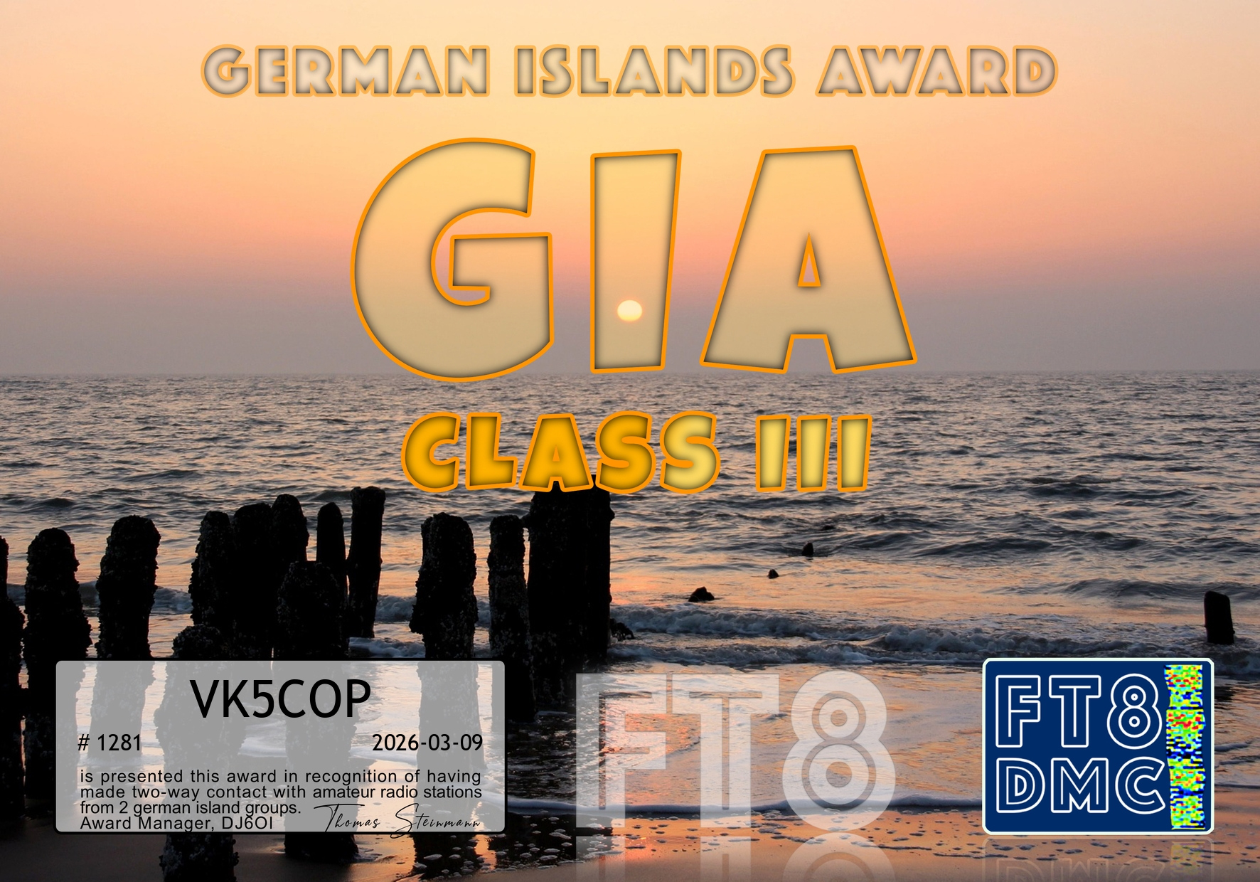
Marija made a total of 798 contacts. Marija received four different award certificates for the event. She came in 87th place in the Mixed category, 126th in the SSB category, and 53rd in the Digital category.

The first certificate for Marija was ‘Activator as Hunter’, with 108 points.

The other three certificates for Marija were:

  • Bronze SSB Activator – 200 QSOs
  • Gold Digi Activator – 598 QSOs
  • Mixed Activator – 798 QSOs

Sadly, there did not seem to be a lot of Australian YL’s taking part in the event. Dianne VK4DI was very active and made it into Marija’s log a few times on 40m & 20m SSB.

Marija worked 79 DXCC entities during the event. She worked 38 of the 50 USA States and 30 of the 40 zones.

On Saturday, 20m SSB, Marija had a very significant pileup on the long path to Europe and the UK. I came out into the shack in the middle of the madness, and I was very proud of how she was handling the pileup (with some poor behaviour at times on the other end).

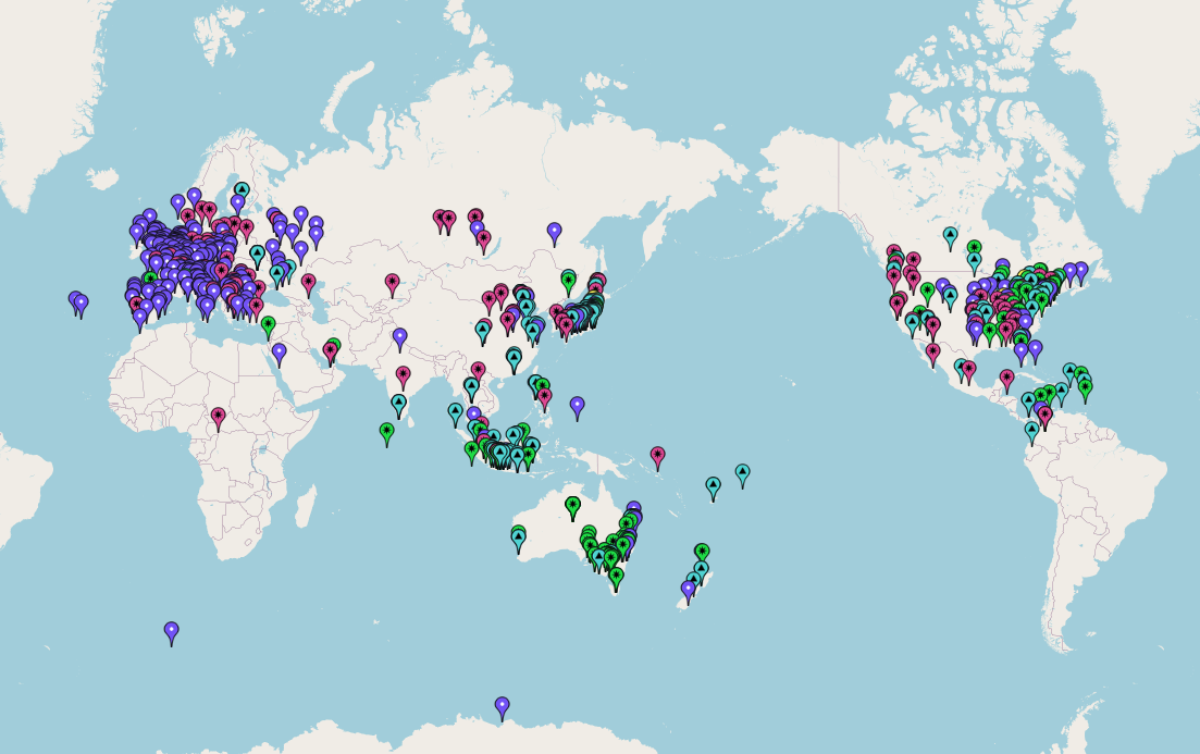
Below is a map showing Marija’s QSOs during the event.

Thank you to the organisers. And of course, thank you to everyone who called us during the event. Both Marija and I had a lot of fun.

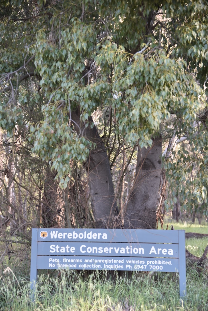
Wereboldera State Conservation Area VKFF-1392

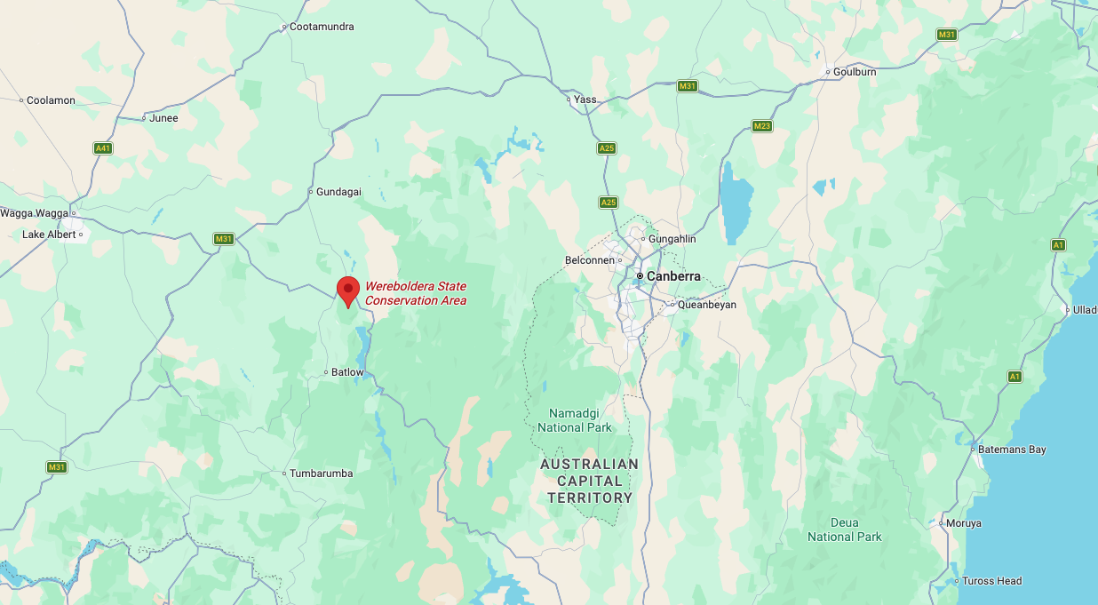
Our final activation for Saturday, 1st November 2025, was Wereboldera State Conservation Area (SCA) VKFF-1392. The reserve is located just to the south of Tumut in New South Wales.

Above: Map showing the location of Wereboldera State Conservation Area. Map c/o Google Maps

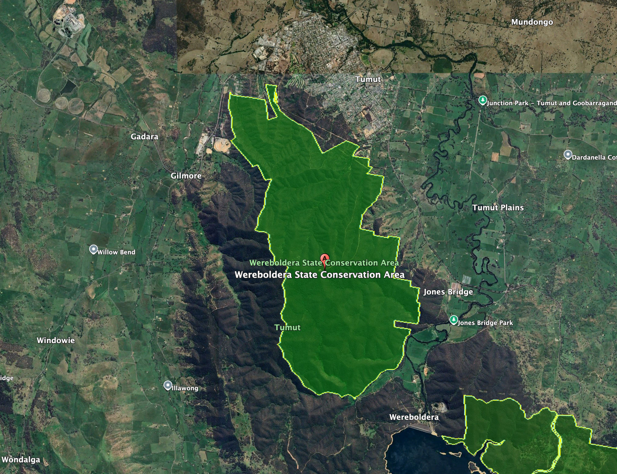
The town of Tumut is located just to the north of the reserve. Its eastern boundary is close to the Snowy Mountains Highway, while its western boundary is close to E Gilmore Road. The reserve extends south down to Wereboldera and the Blowering Reservoir. The Tumut State Forest can be located to the north and west of the reserve.

Above: the boundaries of Wereboldera SCA. Image c/o Google Earth

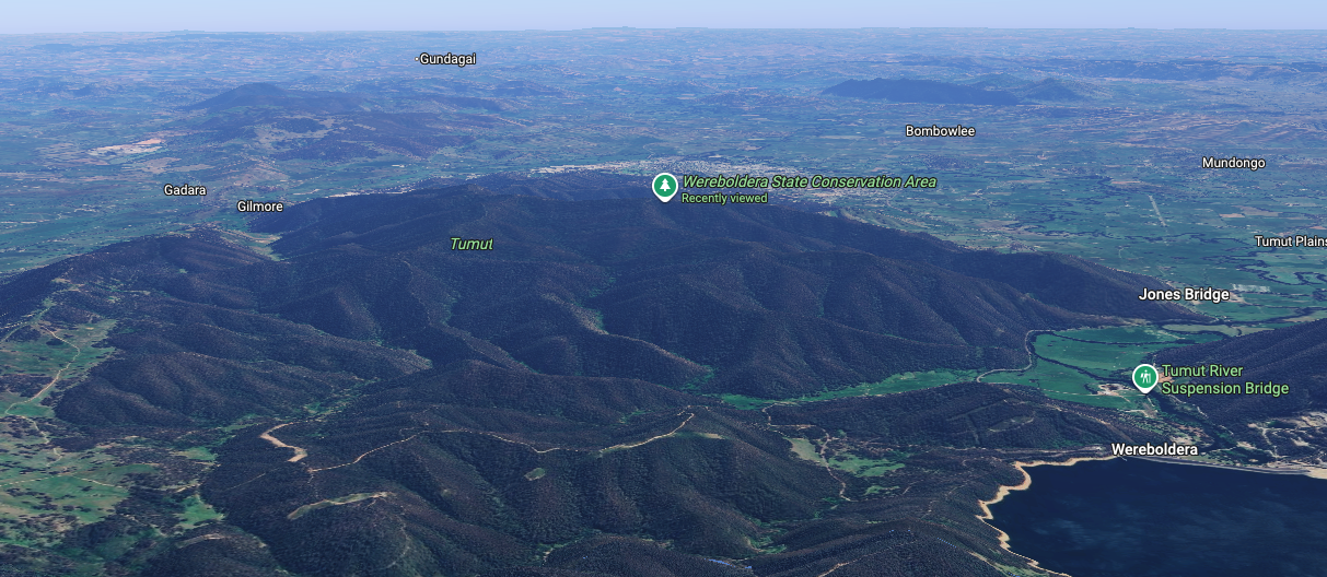
The Wereboldera State Conservation Area is about 2,550 hectares in size and was established in January 2003. It is located at the northern end of the Snubba Range. (NSW NPWS 2009) (NSW National Parks 2026)

Above: an aerial view of Wereboldera SCA. Image c/o Google Maps

The majority of the reserve was previously managed by the then State Forests of New South Wales, as part of Tumut State Forest (No 798), which was gazetted in 1926. Other smaller sections of the reserve including Travelling Stock Reserves. (NSW NPWS 2009)

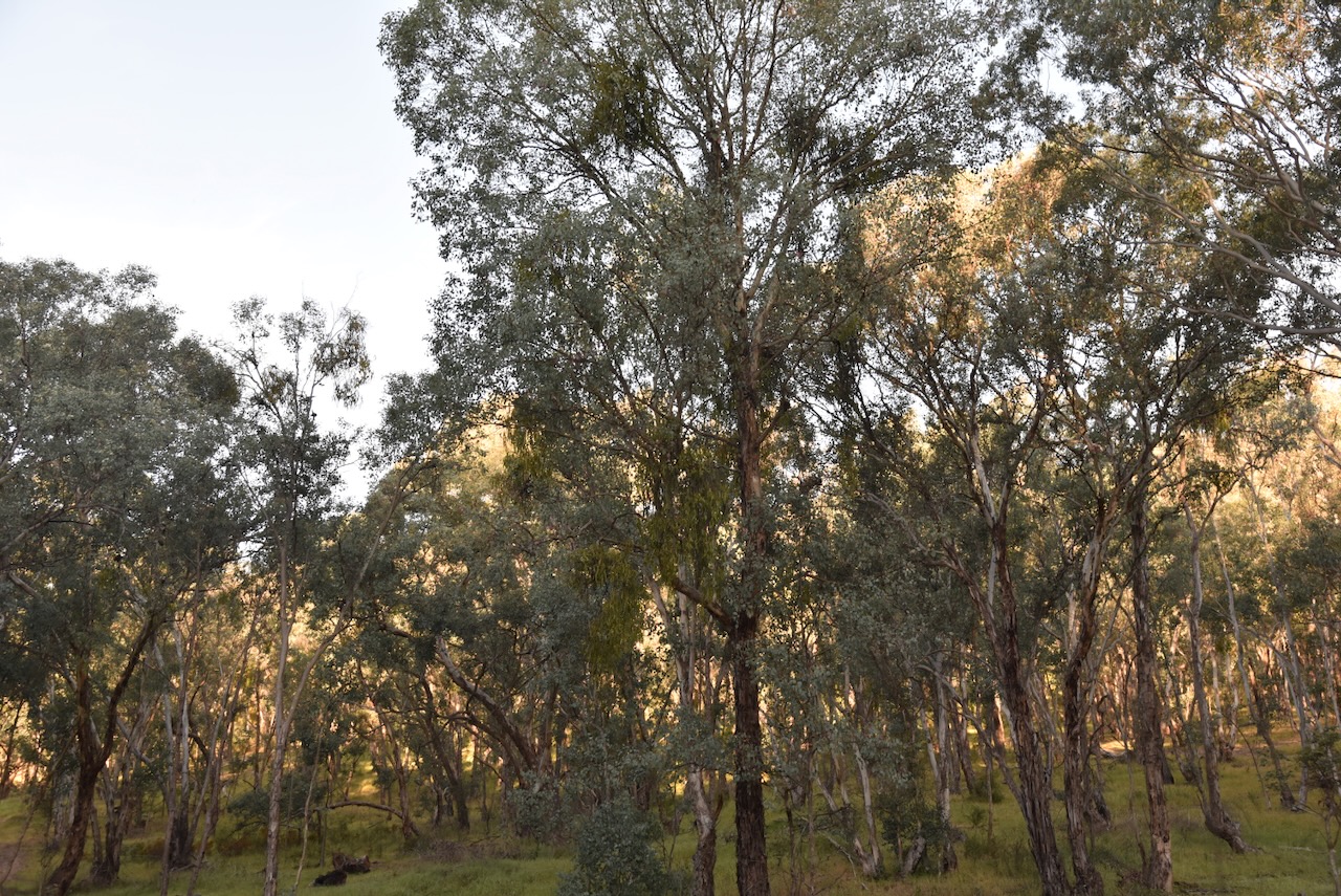
The reserve includes four distinct forest ecosystems: Narrow-leaved Peppermint moist forb forest; Apple Box-Norton’s Box moist grass forest; Brittle Gum-Broad-leaved Peppermint Pa grass forest; and Norton’s Box-Red Box open forest. (NSW NPWS 2009)

About 150 species of native birds have been recorded in the reserve. A total of 13 fauna species listed under the Threatened Species Conservation Act have also been recorded in the park. This includes Turquoise Parrot, Painted Honeyeater, Barking Owl, and Striped Legless Lizard. Native mammals that can be found in the reserve include Sugar Glider, Eastern Grey Kangaroo, Swamp Wallaby, Short-beaked Echidna, Large Forest Bat, and Chocolate Wattled Bat. (NSW NPWS 2009)

Marija and I ran the Yaesu FT857, 40 watts, and the 20/40/80m linked dipole for this activation. The band conditions were quite good, but we did experience strength 8 static crashes on the 40m band.

Marija worked the following stations on 40m SSB:-

  1. VK5LA
  2. VK5KAW
  3. VK1DI
  4. VK3ACZ
  5. VK3KRL
  6. VK3HJW
  7. VK3BCM
  8. VK2MG
  9. VK1AO
  10. VK2MET
  11. VK5DW
  12. VK2IO/P (VKFF-0858)
  13. VK2GEZ/P (VKFF-0858)

I worked the following stations on 40m SSB:-

  1. VK5LA
  2. VK5KAW
  3. VK1DI
  4. VK3ACZ
  5. VK3KRL
  6. VK3HJW
  7. VK3BCM
  8. VK2MG
  9. VK1AO
  10. VK2MET
  11. VK5DW
  12. VK3BDW
  13. VK4SMA
  14. VK1OX
  15. VK2OZI
  16. VK1PW
  17. VK2APW
  18. VK2LDJ
  19. VK3UH
  20. VK3OAK
  21. VK3TDX
  22. VK3KLI
  23. VK3GJG
  24. VK2ZRD
  25. VK2GWB
  26. VK2SHA
  27. VK1WB
  28. VK3AIW
  29. VK2NP
  30. F5PYI
  31. VK7PJM
  32. VK5FANA
  33. VK3ZPF
  34. VK3JW
  35. VK3PJF
  36. VK3APJ
  37. VK1CHW
  38. VK2CHW
  39. VK1TTY/5
  40. VK3CLD
  41. VK5QA
  42. VK2DBF
  43. VK3JV
  44. VK6ASK/M
  45. VK2ZR
  46. VK1JIM
  47. VK2TER
  48. VK2BM
  49. VK2QRP
  50. VK2NDZ
  51. VK3DJS
  52. VK3ABI
  53. VK2IO/P (VKFF-0858)
  54. VK2GEZ/P (VKFF-0858)
  55. VK5HS
  56. VK3TDK
  57. VK3NYC
  58. VK1AD
  59. VK1NAM
  60. VK5KFC

Marija and I then drove into the town of Tumut.

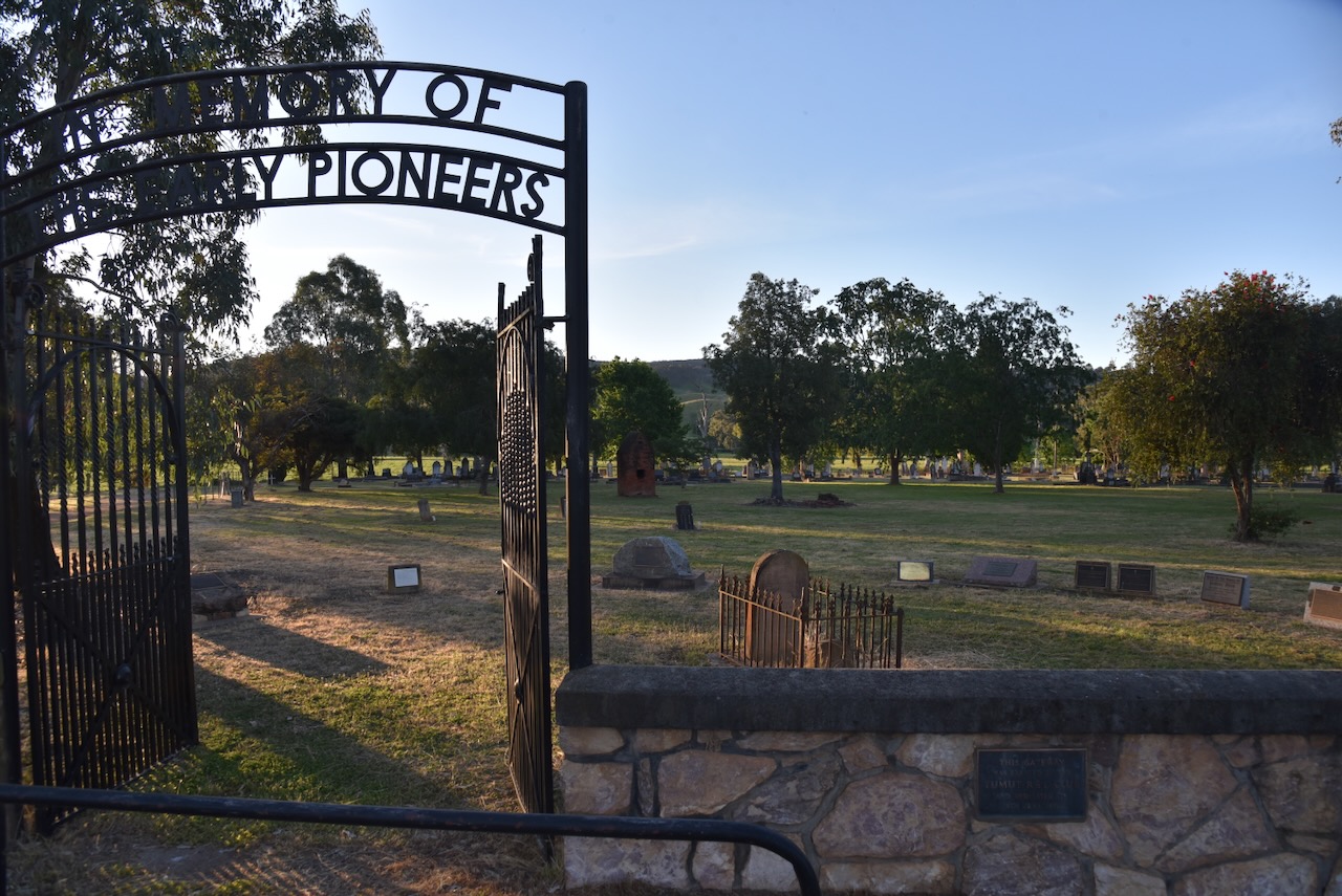
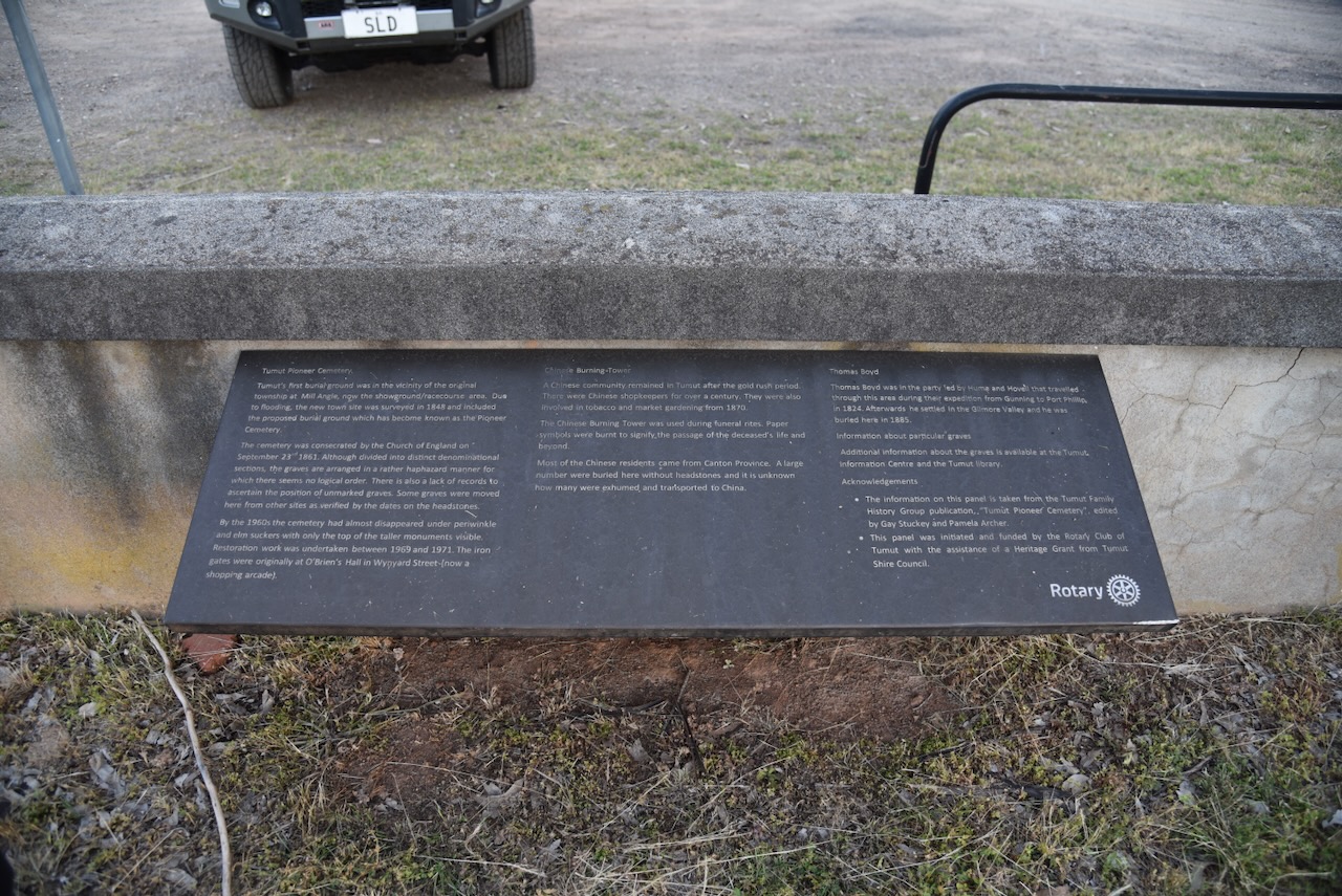
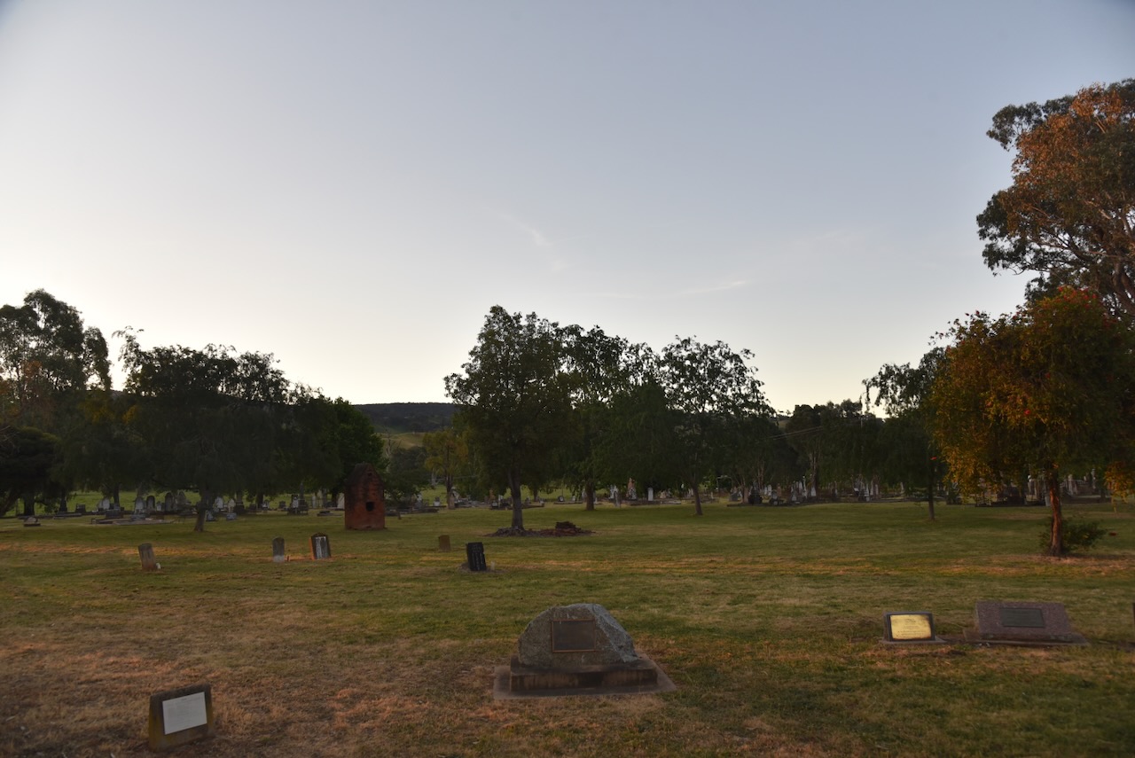
As we entered the town, we saw the Tumut Pioneer Cemetery, so we decided to have a bit of a wander. The Pioneer Cemetery was not the first cemetery in Tumut. The original cemetery was near the current showground/racecourse area, but this was subject to regular flooding, so the cemetery was relocated c. 1848. (Findagrave.com 2020)

During the 1890s, the Tumut Pioneer Cemetery became overcrowded, and as a result, burials commenced at the Tumut General Cemetery. By the 1960s, the Tumut Pioneer Cemetery had fallen into disrepair, with most of the headstones being consumed by perwinkle and elm suckers. A Restoration Committee was established, and the cemetery was restored. Well done to all those involved. (Findagrave.com 2020)

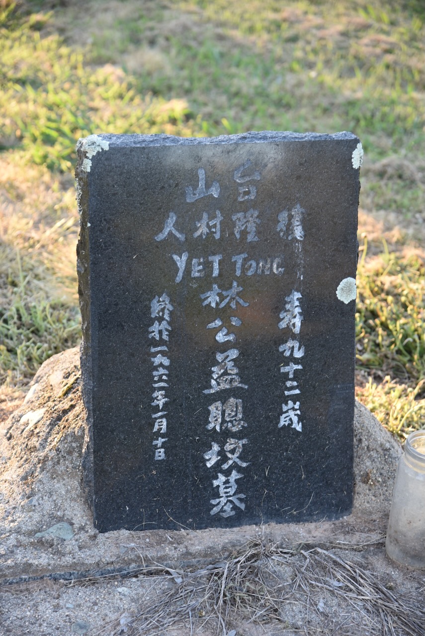
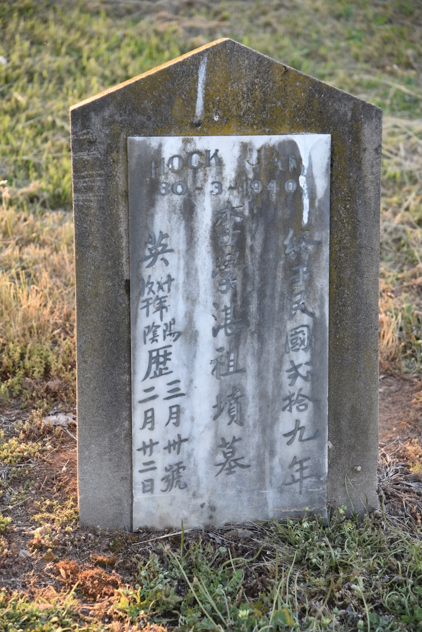
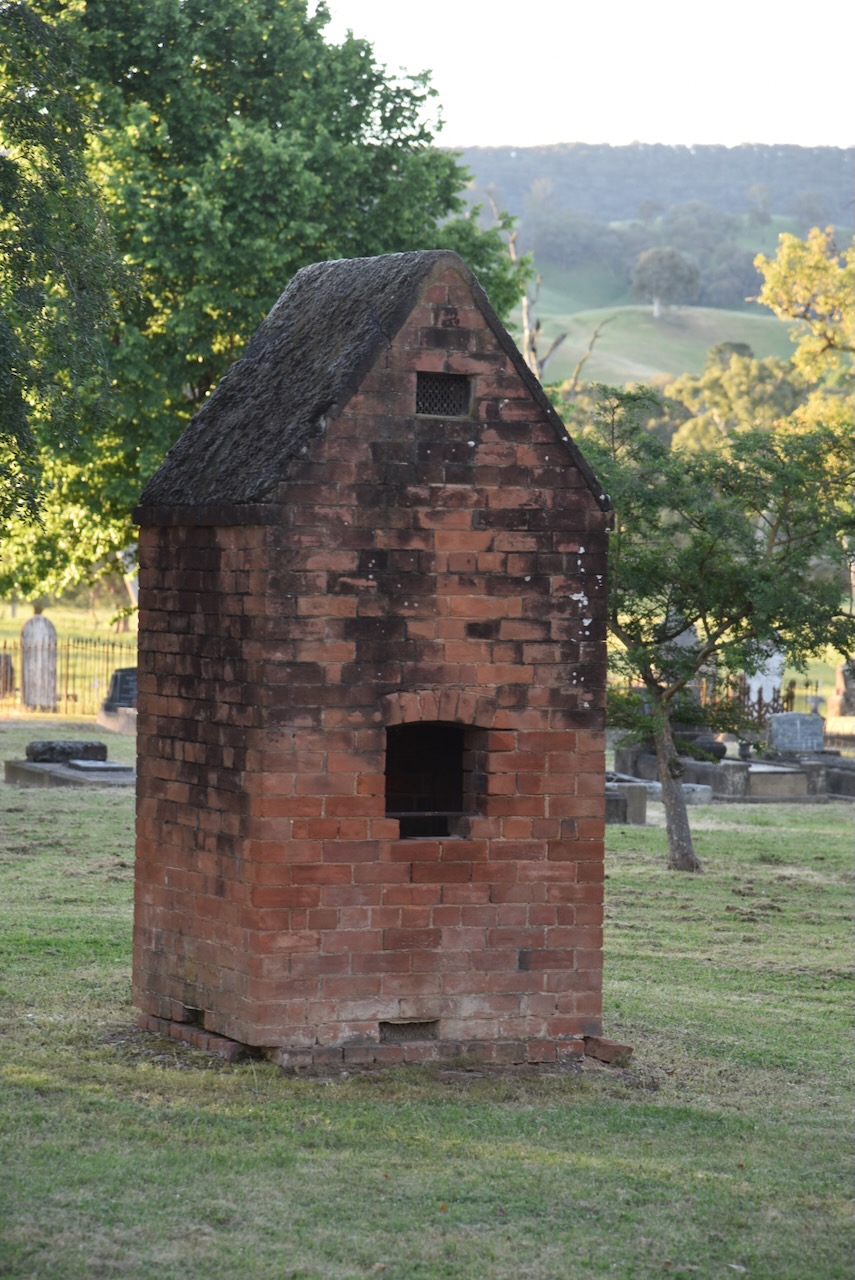
The Tumut district attracted a large Chinese population during the 1850s due to the discovery of gold. Following the gold rush, many Chinese people remained in the district. The Tumut Cemetery features several Chinese graves and a Chinese burning tower used for ritualised offerings.

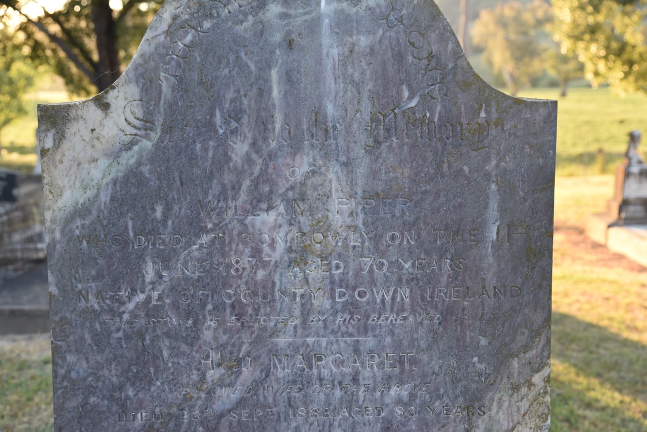
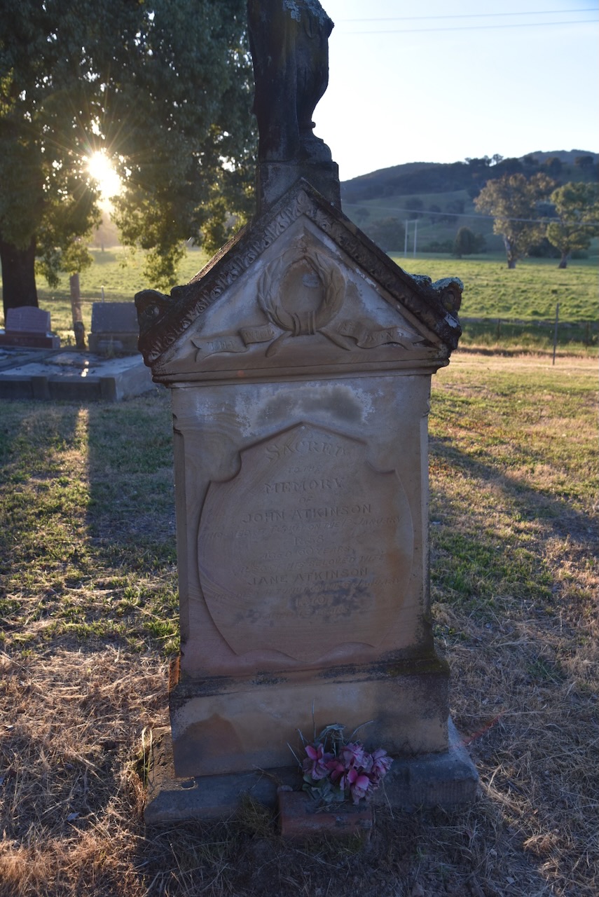
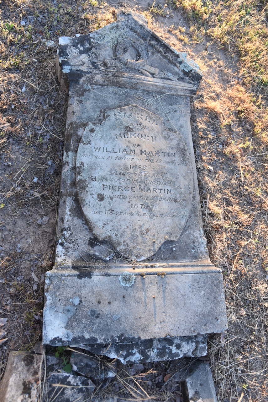
The cemetery has dozens of historic headstones which tell the story of the pioneers of Tumut and the surrounding district.

I have talked about the bushranger Captain Moonlight in my previous Mount Burra post, but I will touch a little bit here on his relationship to some people who are buried in the cemetery.

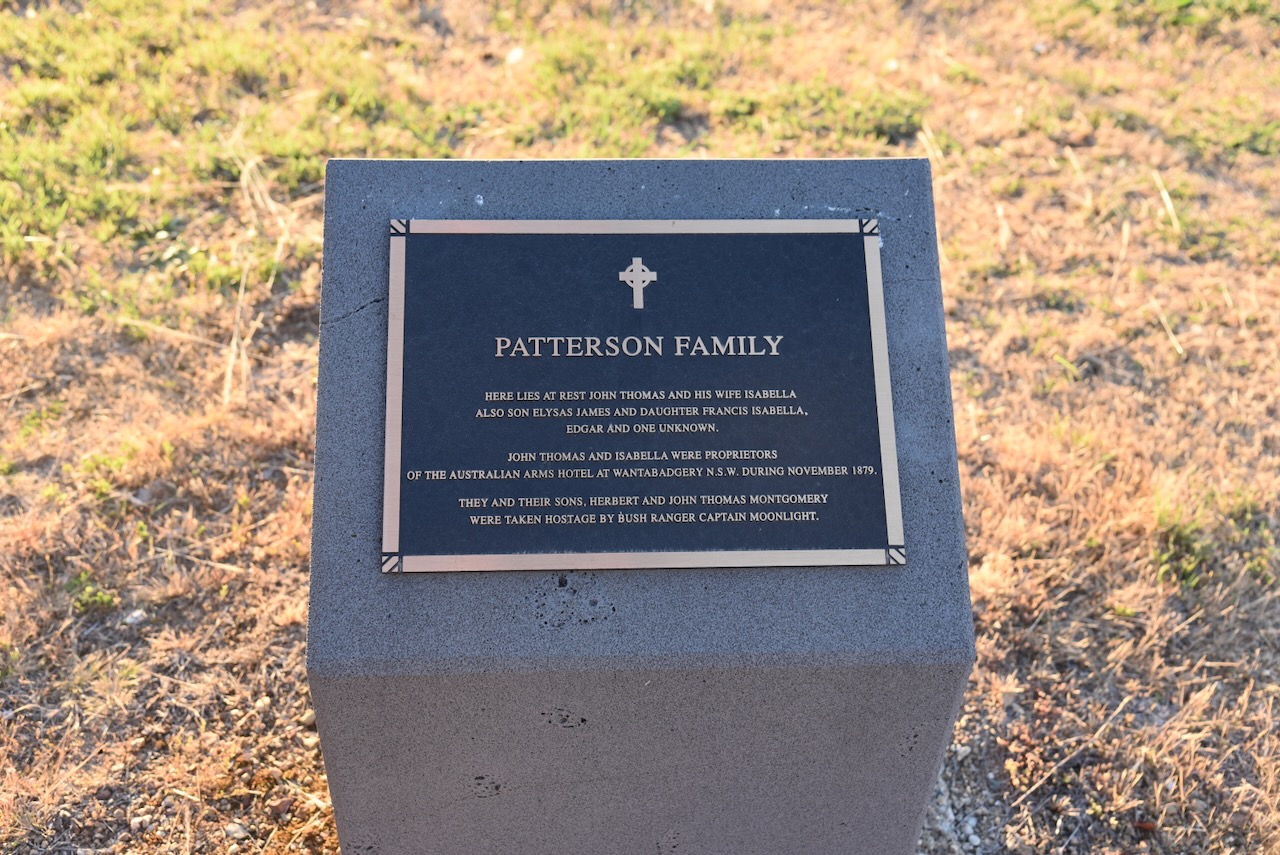
John and Isabella Thomas were proprietors of the Australian Arms Hotel at Wantabadgery, N.S.W., during November 1879. John and Isabella, and their sons Herbert and John, were taken hostage by Captain Moonlite.

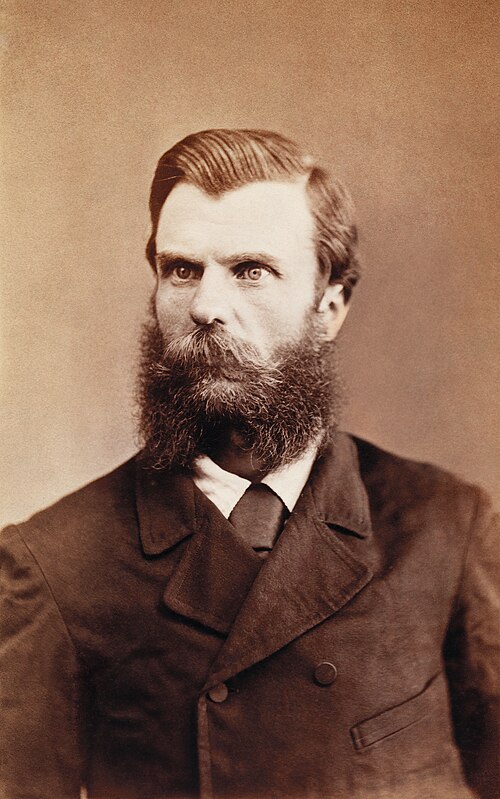
Andrew George Scott @ Captain Moonlite, was born on the 5th day of July 1842 in Rathfriland, Ireland. He commenced a life of bushranging from c. 1879. His gang included James Nesbitt, Thomas Rogan 21, Thomas Williams 19, Gus Werneckie 15, and Graham Bennet 18.

Above: Andrew Scott @ Captain Moonlite. Image c/o Wikipedia

On the afternoon of Saturday the 15th day of November 1879, Scott’s gang held up Wantabadgery Station, about ’24 miles’ east of Wagga Wagga, and ’27 miles’ from Gundagai. The produced revolvers and threatened the station staff and forced them to break open the storeroom. Other people arrived at the property and they were taken hostage. (Wikipedia 2024)

Scott then took Claude McDonald in a horse & buggy to the Australian Arms Hotel on the Gundagai Road. The public and his wife were not present. Scott stole their rifle, raided the till stole some alcohol and took their 2 children hostage, returning to Wantabadgery. (Wikipedia 2024)

The licencee of the Australian Arms, James Patterson and his wife returned to find their hotel had been ransacked and their children missing. The police were notified. A small party of four mounted police troopers arrived at Wantabadgery that evening, and a gunfight ensued between the police and the bushrangers. Scott’s gang managed to capture the trooper’s horses and they fled. (Wikipedia 2024)

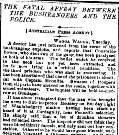
The gang then held up the property of Edmund McGlede. By this time, further police had been mobilised and they surrounded the property. One of Scott’s gang, Warneckie was shot as he ran to a fence to reach a better position. The police then entered the homestead and further shots were fired. As a result Constable Webb-Bowen was struck and fatally wounded. Nesbitt was shot and killed. (Wikipedia 2024)

Above: part of an article from The Ballarat Courier, Wed 19 Nov 1879. Image c/o Trove

Below is an excellent video on the legend of Captain Moonlite.

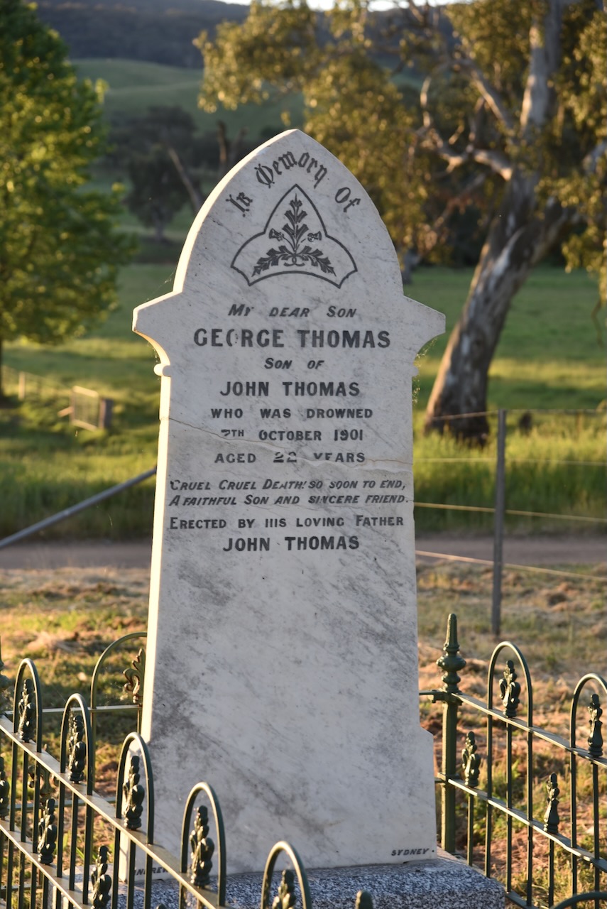
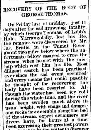
George Thomas was born in August 1879. He died on the 7th day of October 1901 at Blowering, New South Wales, aged 22 years. (ancestry 2016)

His body was recovered on Friday, 18th October 1901, about 2 miles down the Tumut River from where he attempted to cross the river on his horse. A significant search had been conducted. Newspaper articles make specific mention of the efforts of Constable Williams. (Trove 2026)

Above: part of an article from the Adelong Argus, Tue 22 Oct 1901. Image c/o Trove

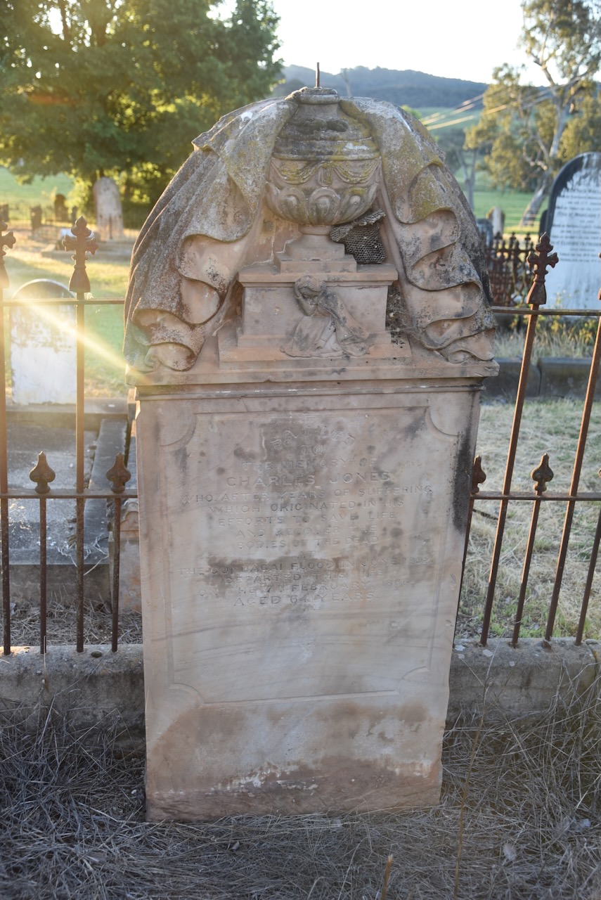
Charles Jones was born c. 1802. In 1849, he married Caroline Harriet Thatcher. He was responsible for the recovery of several of the dead from the Gundagai floods in 1852. Sadly, he took his life at the Rose Inn, Tumut, on the 7th day of February 1866, aged 64 years.

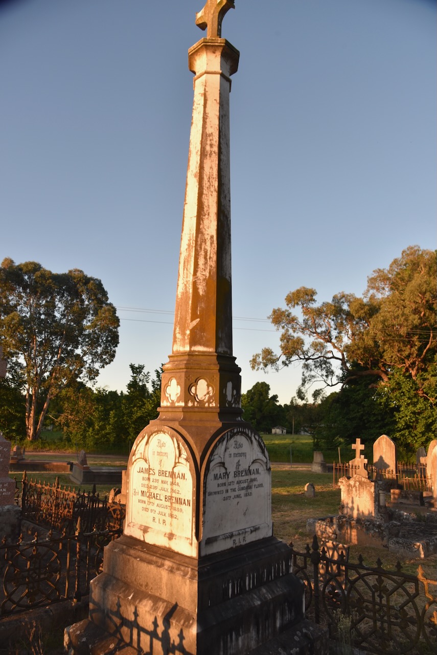
Mary Brennan was born in August 1840 in County Tipperary, Ireland. She drowned in the Gundagai flood in June 1852, aged 11 years. (ancestry 2016)

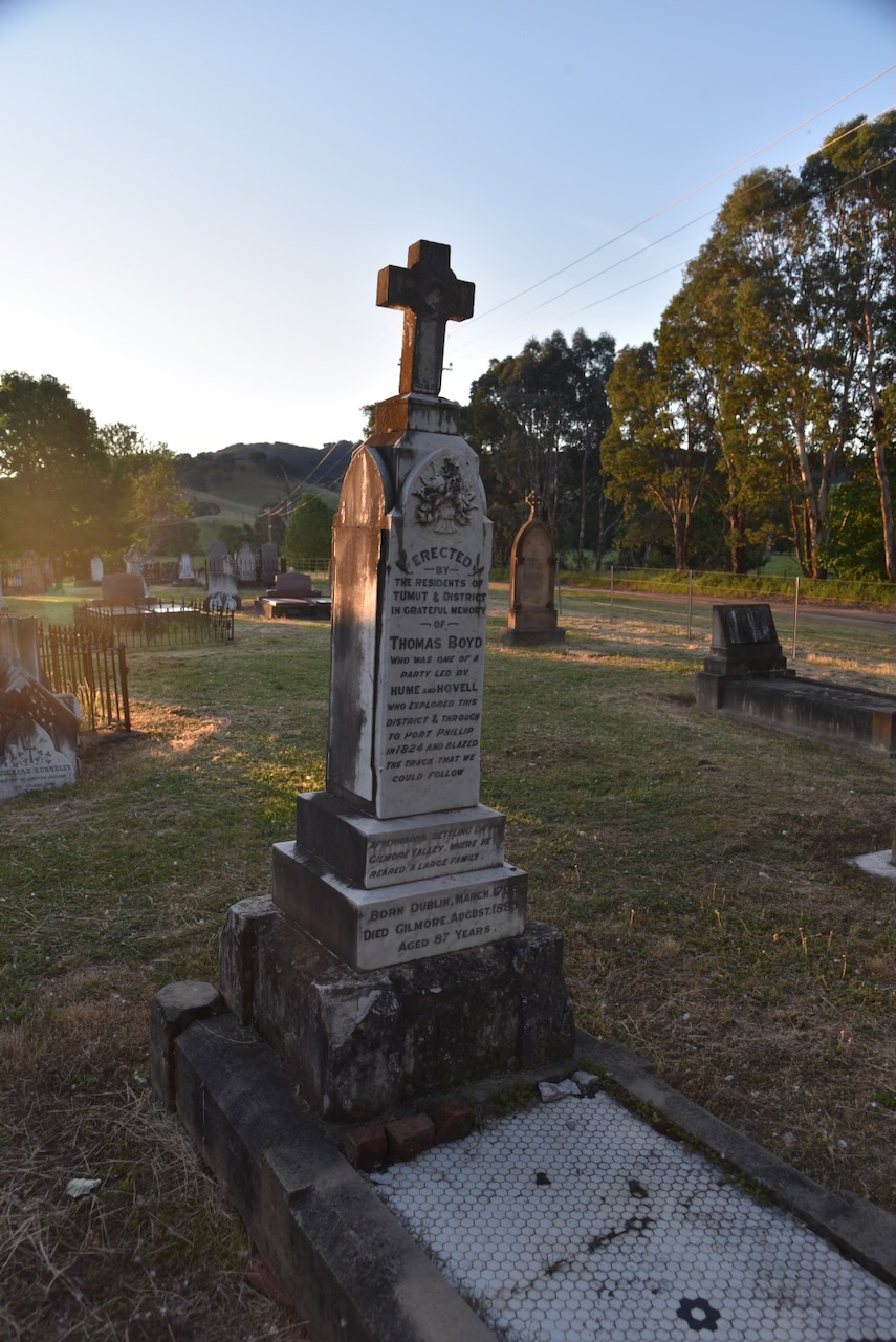
Thomas Boyd was born in 1798 in Dublin, Ireland. He was convicted of High Treason in Dublin City and was transported to Australia for life. He arrived in New South Wales in March 1822 aboard the Isabella. He took part in the Hume and Ovell expedition to Port Phillip Bay in 1824. He was described as one of the most valuable members of the expedition. It is widely accepted that he was the first European to swim across the Murray River onto Victorian soil. He swam across the river with a piece of rope between his teeth, which was then used to transport equipment across the river. He died in 1885, aged 86 years. (Convictrecords.com.au 2026) (UBC Web Design 2026)

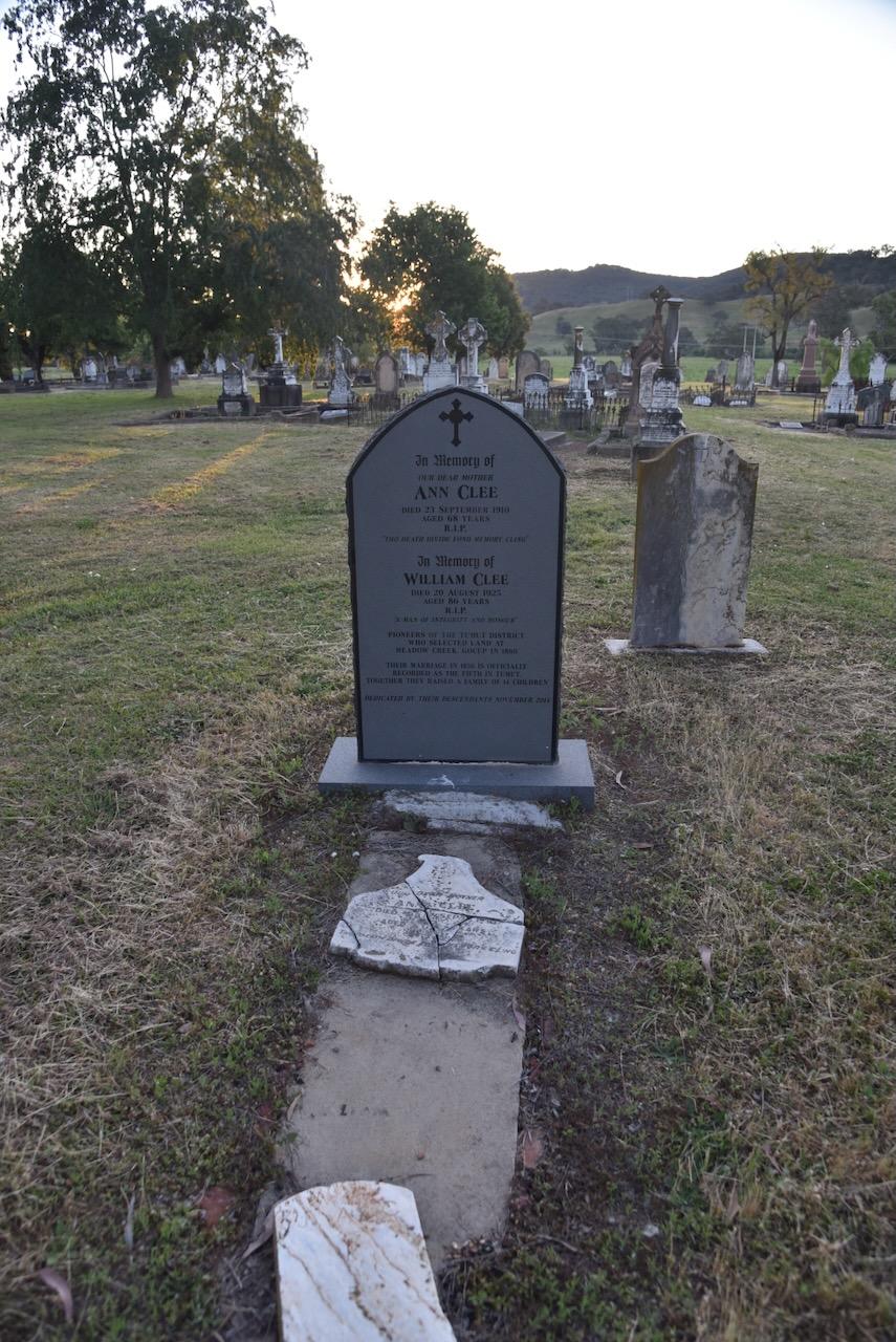
William Clee and his wife Ann were pioneers of the Tumut district who selected land at Meadow Creek, Gocup in 1860. Their marriage in 1856 is officially recorded as the fifth in Tumut. They raised a family of 14 children.

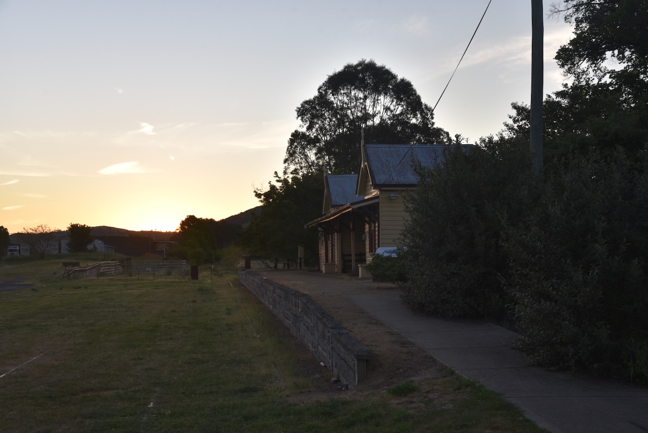
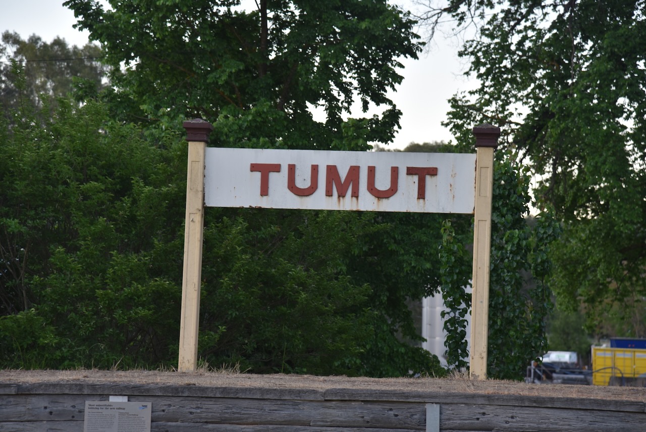
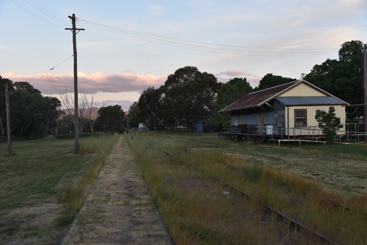
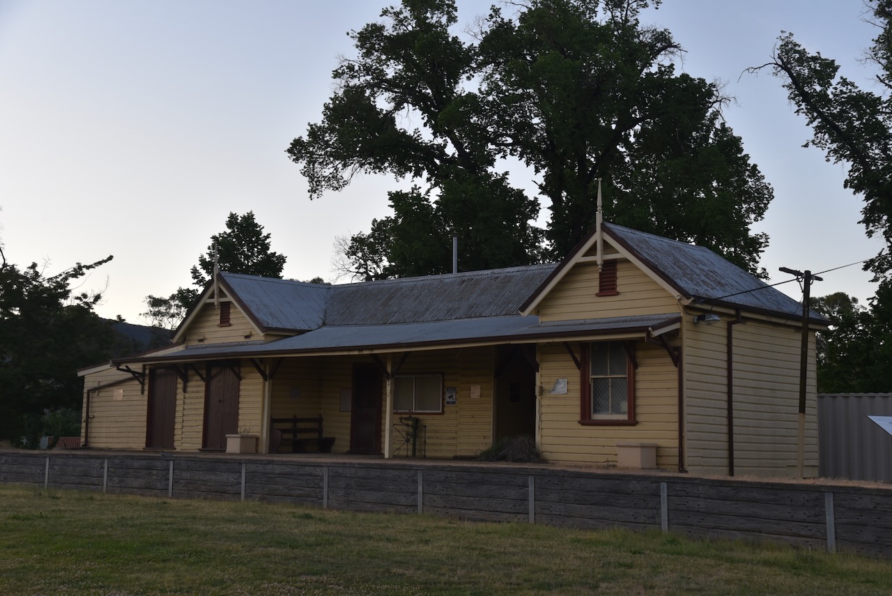
We left the cemetery and drove a few hundred metres along the Snowy Mountains Highway to the old Tumut Railway Station.

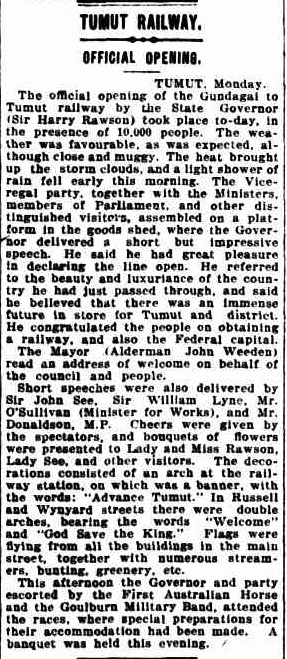
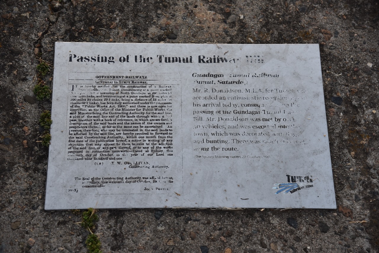
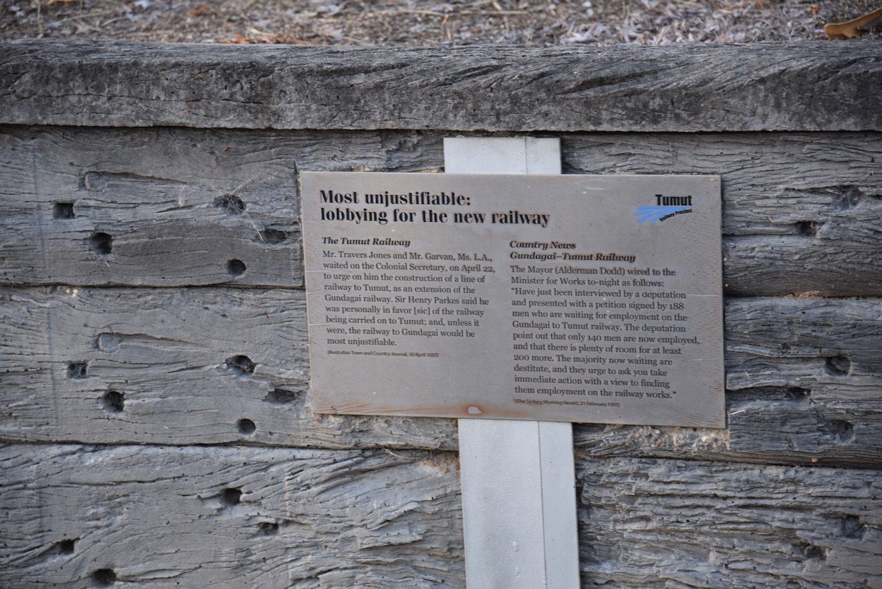
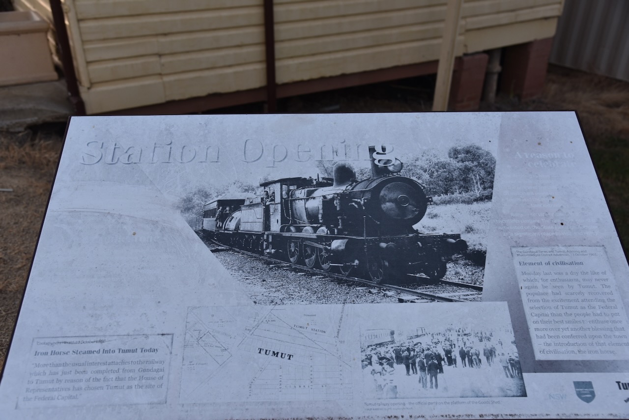
The Tumut railway had its official opening on Tuesday, the 13th day of October 1903. It was opened by the State Governor, Sir Harry Rawson and about 10,000 people were in attendance. (Trove 2026)

Above: article from the Newcastle Morning Herald, Tue 13 Oct 1903. Image c/o Trove

The railway station is listed on the New South Wales State Heritage Register. (Wikipedia 2025)

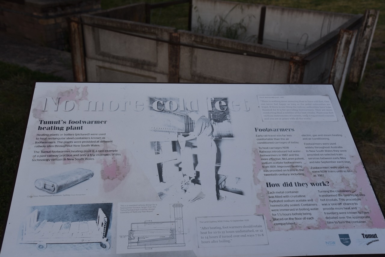
A piece of interesting history at the railway station is the footwarmer heating plant. It was used to heat rectangular steel containers known as footwarmers. Train travellers were given these to make their journey more comfortable.

We had a quick drive around Tumut to admire some of the historic buildings. Sadly, we were really pressed for time, and Marija and I agreed that we would need to come back and stay in Tumut.

As we were keen to get back to Gundagai, we had a quick fast meal that evening at Kentucky Fried Chicken.

After dinner, we hit the road and travelled back to our motel in Gundagai.

References.

  1. ancestry (2016). Ancestry® | Genealogy, Family Trees & Family History Records. [online] Ancestry.com.au. Available at: https://www.ancestry.com.au/. [Accessed 15 Mar. 2026]
  2. ‌Convictrecords.com.au. (2026). Available at: https://convictrecords.com.au/convicts/boyd/thomas/129032. [Accessed 15 Mar. 2026]
  3. ‌NSW National Parks. (2026). Wereboldera State Conservation Area. [online] Available at: https://www.nationalparks.nsw.gov.au/visit-a-park/parks/wereboldera-state-conservation-area [Accessed 16 Mar. 2026].
  4. ‌NSW National Parks and Wildlife Service, 2009, Wereboldera State Conservation Area Plan of Management
  5. Trove. (2026). Adelong Argus, Tumut and Gundagai Advertiser (NSW : 1899 – 1905; 1925) – 22 Oct 1901 – p2. [online] Available at: https://trove.nla.gov.au/newspaper/page/31858888?searchTerm=george%20thomas%20%2B%20drowned [Accessed 15 Mar. 2026].
  6. ‌Trove. (2026). Newcastle Morning Herald and Miners’ Advocate (NSW : 1876 – 1954) – 13 Oct 1903 – p5. [online] Available at: https://trove.nla.gov.au/newspaper/page/15132928?searchTerm=tumut%20railway%20station%20open [Accessed 16 Mar. 2026].
  7. ‌UBC Web Design (2026). Thomas Boyd | Monument Australia. [online] Monumentaustralia.org. Available at: https://www.monumentaustralia.org/themes/people/exploration/display/23530-thomas-boyd [Accessed 15 Mar. 2026].
  8. ‌Wikipedia. (2024). Captain Moonlite. [online] Available at: https://en.wikipedia.org/wiki/Captain_Moonlite. [Accessed 15 Mar. 2026]‌
  9. Wikipedia Contributors (2025). Tumut railway station. Wikipedia.‌

Helms Flora Reserve VKFF-3057

Our next activation for Saturday, 1st November 2025, was Helms Flora Reserve VKFF-3057.

Above: Map showing the location of Helms Flora Reserve. Map c/o Google Maps

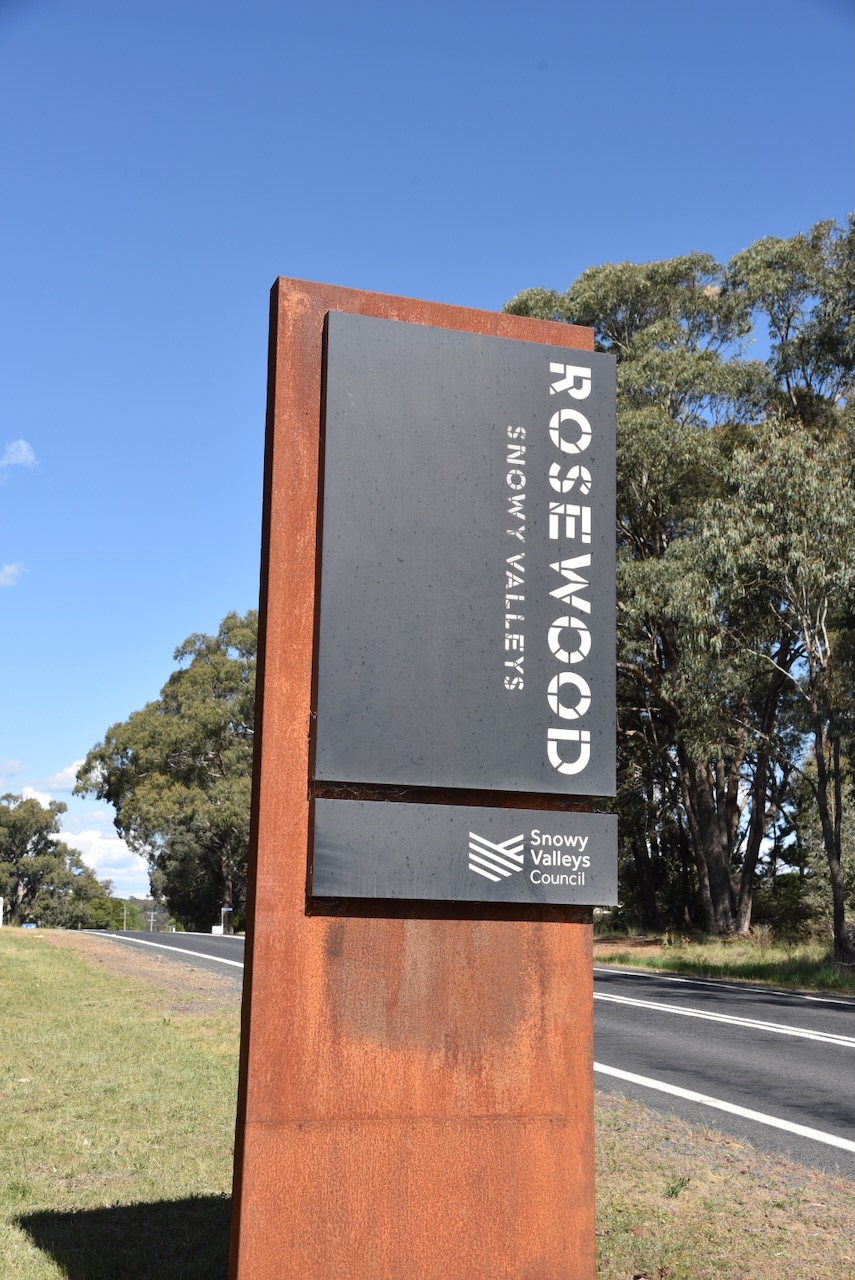
We drove south along Downfall Road and arrived in the small town of Rosewood.

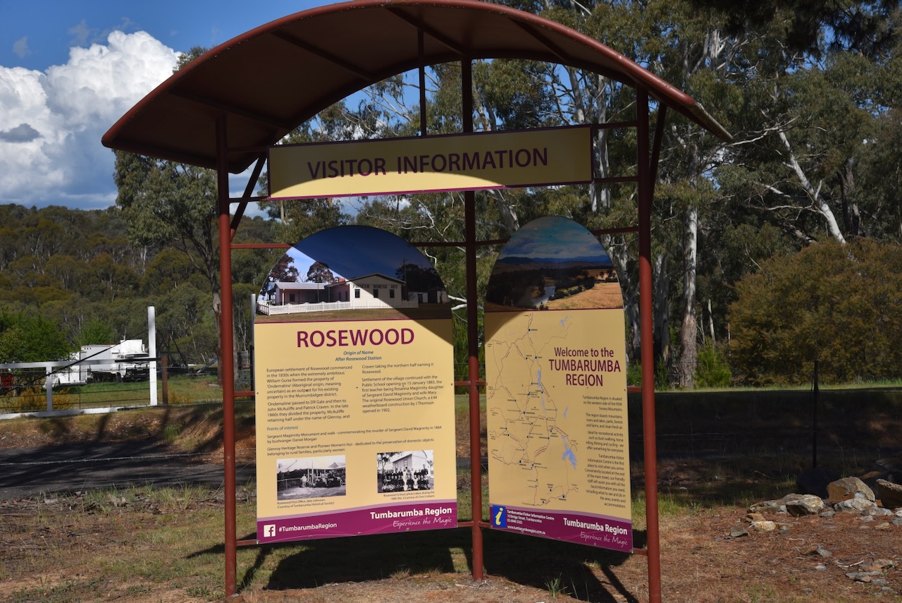
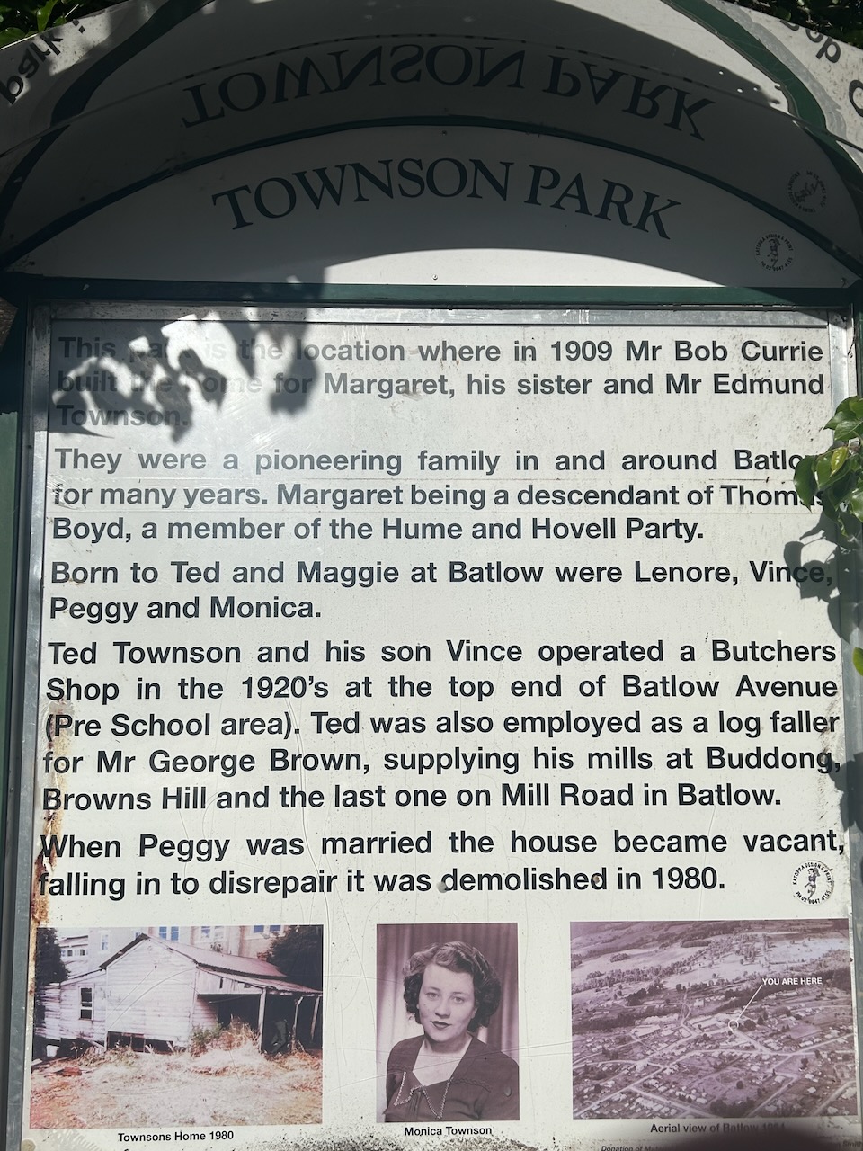
European settlement of the Rosewood area commenced in c. 1836 when William Guise established Ondemaline Run as a heifer run. Ondemaline is an Aboriginal word meaning uncertain. William Guise was born in May 1796 in Sydney. In 1816, he married Catherine Allen. They had 8 children. Guise died in March 1850 at Liverpool, N.S.W. (ancestry 2016) (Andrews 1920)

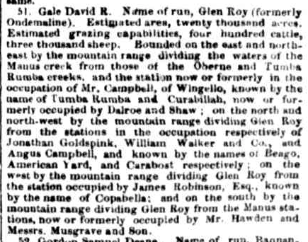
By 1848, the run had been acquired by David R Gale who renamed it Glen Roy. (Andrews 1920)

Above: article from The Sydney Morning Herald, Thu 12 Oct 1848. Image c/o Trove

The property was then owned by John McAuliffe and Patrick Craven. In 1866, the 20,000-acre property had 3,000 sheep. In the late 1860s McAuliffe and Craven’s partnership was dissolved. McAuliffe retained one-half of the property while Craven acquired the northern half, naming it Rosewood. (Andrews 1920)

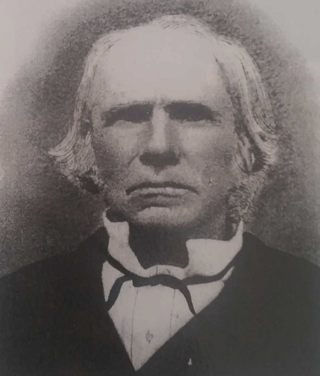
John McAuliffe was born c. 1795 in County Cork, Ireland. In 1824, he was convicted of rebellion and was transported for life to Australia aboard the Ann and Amelia, arriving on the 2nd day of January 1825. In 1839 he married Mary Hough. They had 11 children. John died in November 1884, aged 89 years. (convictrecords.com.au 2026)

Above: John McAuliffe. Image c/o ancestry.com.au

Eventually, the property became known as Wolseley Park. (Andrews 1920)

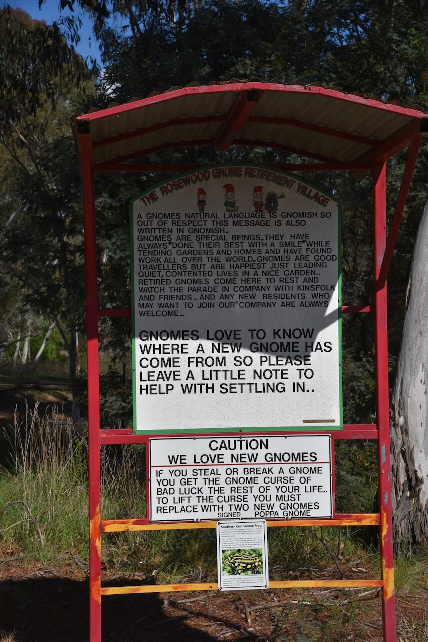
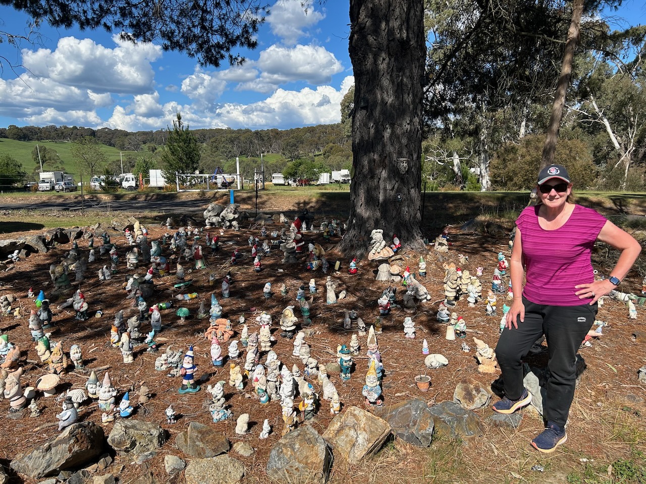
A very unique place in Rosewood is the Rosewood Gnome Retirement Village, featuring a large collection of garden gnomes. Apparently, new gnomes are welcome.

Marija and I continued on towards the park, travelling through beautiful countryside. We then reached the park which is located between Kunama and Laurel Hill on the western side of Batlow Road.

Above: the boundaries of Helms Flora Reserve. Image c/o Google Earth

The reserve is 110 hectares in size and was established on the 12th day of May 1989. (Dcceew.gov.au 2025)

To access the park, we drove along Nursery Access Road. We ran the Yaesu FT857, 40 watts, and the 20/40/80m linked dipole. Unfortunately, we had strength 8 static crashes on the 40m band.

Marija worked the following stations on 40m SSB:-

  1. VK5TRM
  2. VK3WSG
  3. VK5HS
  4. VK5DW
  5. VK3DAC
  6. VK4FE/P
  7. VK2DA
  8. VK1DA
  9. VK3EPL
  10. VK2OKR
  11. VK2BXB
  12. VK2AUS
  13. VK2AUR
  14. VK2AUT
  15. VK3TDK/P (VKFF-0621
  16. VK3NYC/P (VKFF-0621)
  17. VK2ETI

I worked the following stations on 40m SSB:-

  1. VK5TRM
  2. VK3WSG
  3. VK5HS
  4. VK5DW
  5. VK3DAC
  6. VK4FE/P
  7. VK2DA
  8. VK1DA
  9. VK3EPL
  10. VK2OKR
  11. VK2BXB
  12. VK2AUS
  13. VK2AUR
  14. VK2AUT
  15. VK1DI
  16. VK5TOY
  17. VK1AO
  18. VK2MET
  19. VK2NP
  20. VK3ZPF
  21. VK3JW
  22. VK3PJF
  23. VK3JV
  24. VK2ZR
  25. VK3TDK/P (VKFF-0621)
  26. VK3NYC/P (VKFF-0621)
  27. VK3HJW
  28. VK3KRL
  29. VK2VW
  30. VK2HFI
  31. VK2AKA
  32. VK2BUG
  33. VK3MCK
  34. VK2YL
  35. VK2MG
  36. VK2VH
  37. VK4AAC
  38. VK2LBL
  39. VK2SVN
  40. VK3TDX
  41. VK3CA
  42. VK2HAK
  43. VK2ZRD
  44. VK3PWG/2
  45. VK3TTK/2
  46. VK7IAN
  47. VK3ZOL
  48. VK3ABI
  49. VK2CGR
  50. VK2ETI
  51. VK7PJM

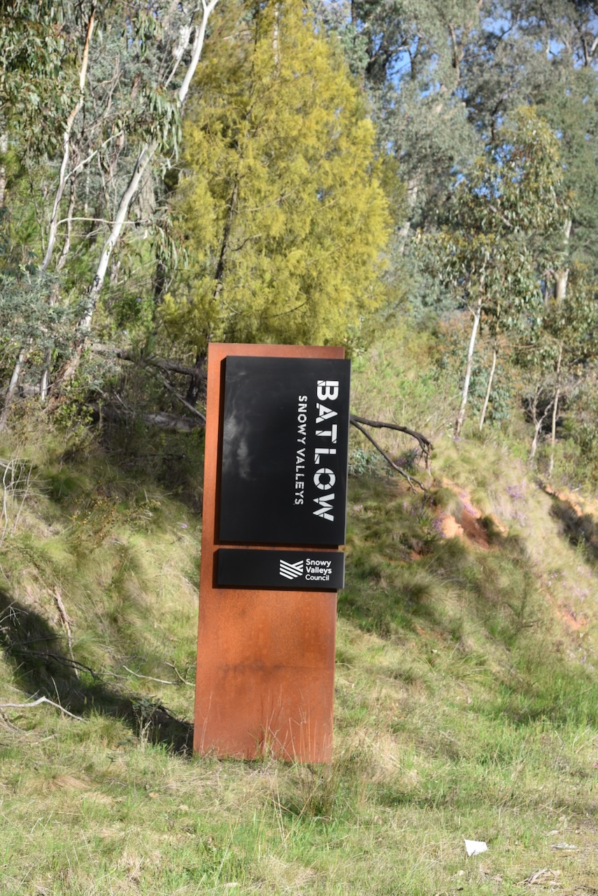
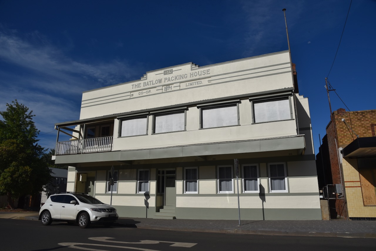
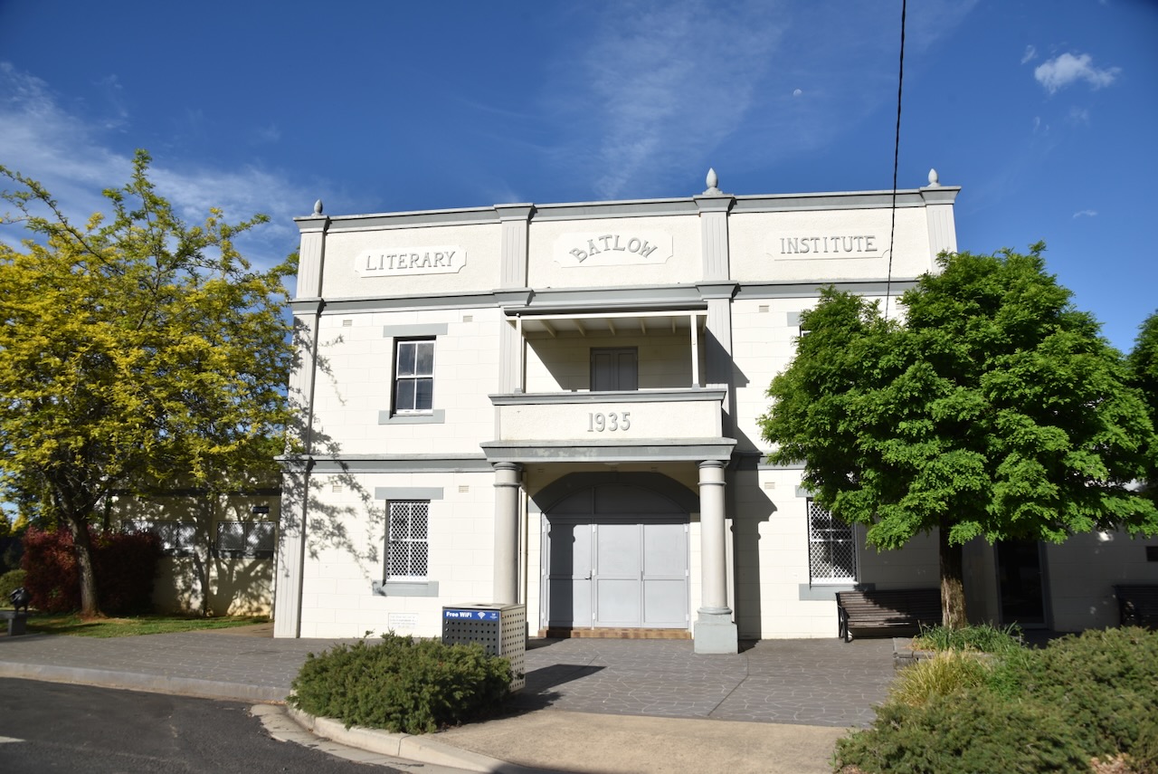
After a successful activation, Marija and I headed to the town of Batlow. Unfortunately, we did not have enough time to fully explore this beautiful little town.

In c. 1853, gold was discovered in the area, and a small settlement called Reedy Creek was established. The Reedy Creek Post Office opened on the 1st day of August 1873. The name was changed to Batlow in 1889 as a result of locals writing to the Postmaster General requesting a name change. This was due to their mail being sent by mistake to other localities with similar names, such as Reedy Flat. The name originates from the surveyor who laid out the town. (Wikipedia 2025)

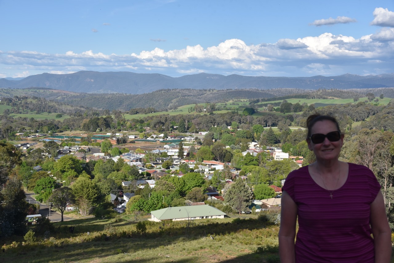
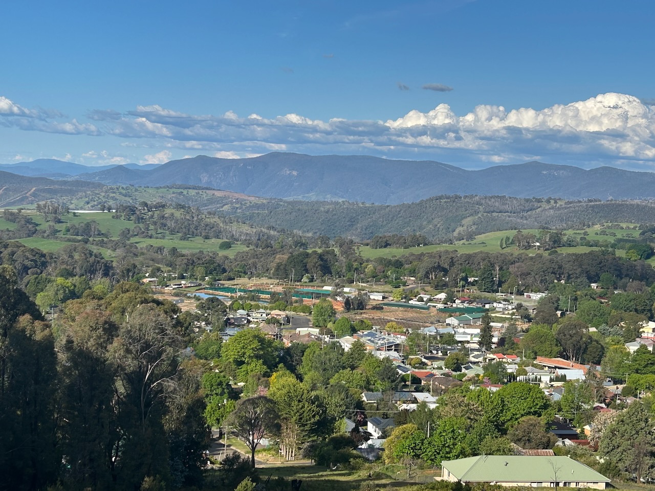
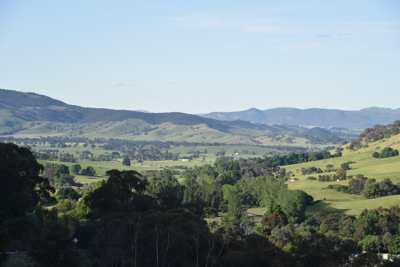
Marija and I drove up to Weemala Lookout, overlooking Batlow. What a brilliant view there is to be enjoyed from here. Weemala is an Aboriginal word meaning ‘big view’ or ‘distant view’.

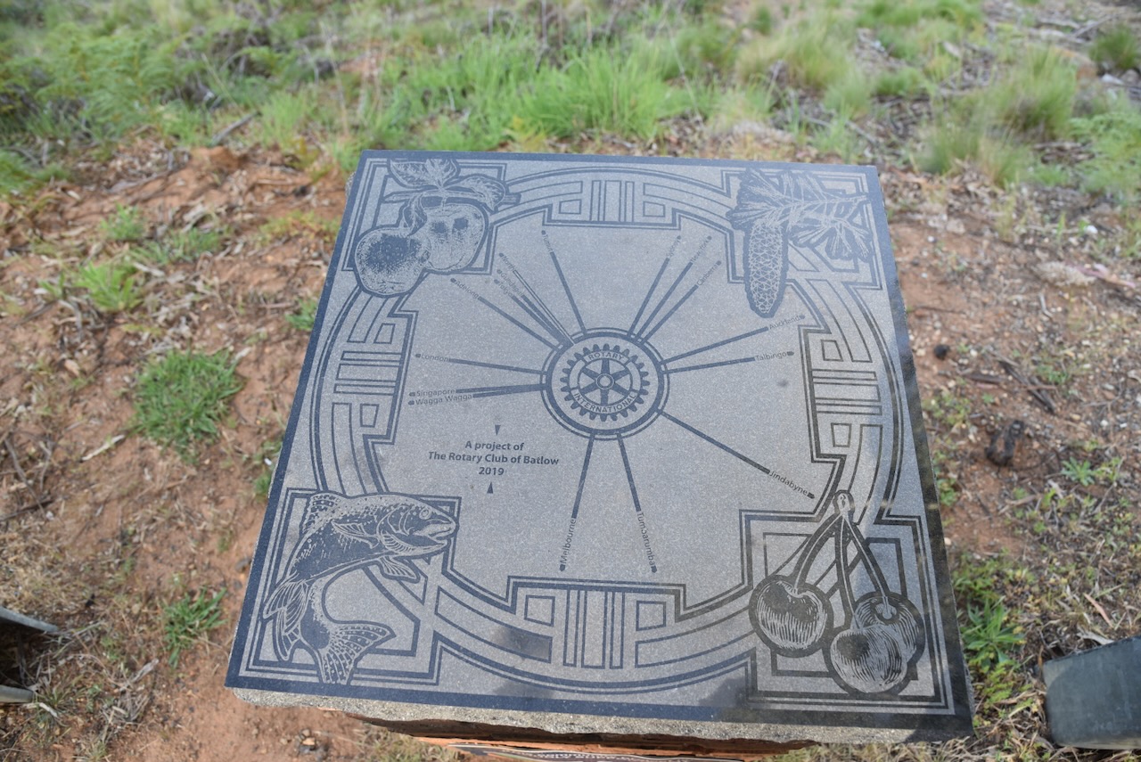
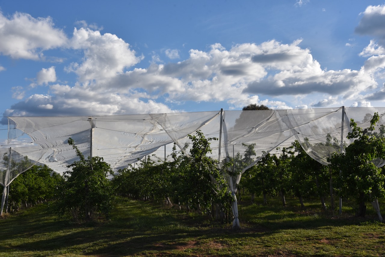
Batlow is well known for its apple production. There are about 50 apple growers in the Batlow district who supply 1.6 million cases of apples to the Australian market. This equates to 10% of Australia’s apple crop. (Wikipedia 2025)

The Batlow district also produces cherries and other stone fruit.

When gold mining in the district commenced to wind down, the miners turned their attention to farming. Supplies from Sydney took a long time to arrive in Batlow, and as a result, the settlers grew most of their own produce. From as early as the start of the 1900s, fruit from Batlow was known as far away as Gundagai and Cootamundra for its high quality. (Trove 2026)

In 1907, there were about 5,000 orchard trees in the Batlow area. Just three years later, in 1910, there were about 18,900 orchard trees. And three years later, in 1913, that had increased to 112,000 orchard trees. In 1923, the Batlow Cool Stores were opened. (Trove 2026)

Above: part of an article from The Tymut Advocate, Tue 10 Apr 1923. Image c/o Trove

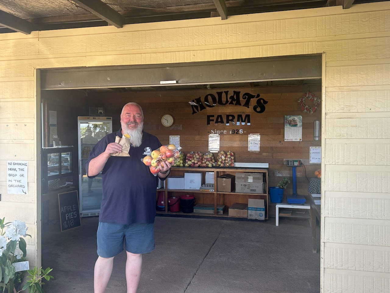
Marija and I stopped at one of the roadside stores and purchased some apples and an apple pie. They were absolutely delicious.

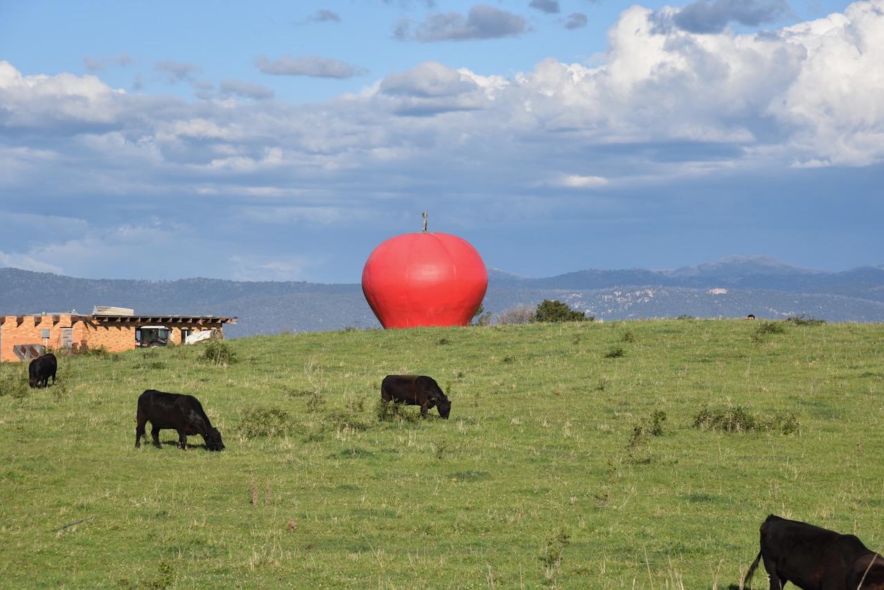
We left Batlow, passing the town’s ‘Big Apple’, which is located about 5 km north of the town. Australia has more than 150 ‘Big Things’. This includes the Big Banana in Coffs Harbour, the Big Merino in Goulburn, and the Big Galah in Kimba. And of course, the Big Apple in Batlow.

We continued north on Batlow Road towards Tumut, admiring the absolutely spectacular countryside on the way.

References.

  1. ancestry (2016). Ancestry® | Genealogy, Family Trees & Family History Records. [online] Ancestry.com.au. Available at: https://www.ancestry.com.au/. [Accessed 15 Mar. 2026]
  2. ‌Andrews; A, 1920, The First Settlement of the Upper Murray
  3. Convictrecords.com.au. (2026). Available at: https://convictrecords.com.au/convicts/mcauliffe/john/141577 [Accessed 14 Mar. 2026].‌
  4. Dcceew.gov.au. (2025). Collaborative Australian Protected Areas Database 2024 – DCCEEW. [online] Available at: https://www.dcceew.gov.au/environment/land/nrs/science/capad/2024.‌ [Accessed 15 Mar. 2026]
  5. Trove. (2026). BATLOW GREW OUT OF GOLD MINING – Miners Planted the First fruit Trees – The Tumut and Adelong Times (NSW : 1864 – 1867; 1899 – 1950) – 21 Oct 1947. [online] Available at: https://trove.nla.gov.au/newspaper/article/139315536 [Accessed 15 Mar. 2026].‌

Downfall Nature Reserve VKFF-2589

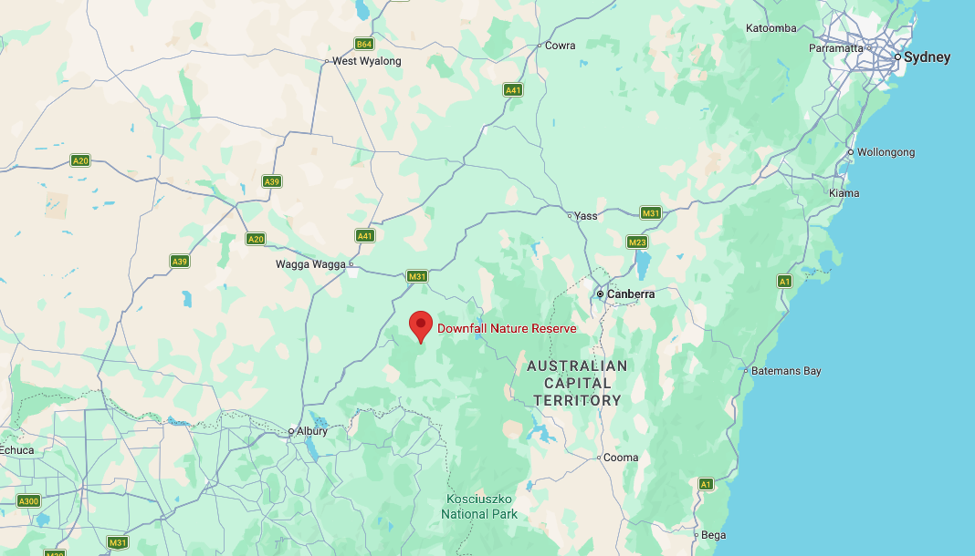
Our next park activation for Saturday, 1st November 2025, was the Downfall Nature Reserve VKFF-2589. The reserve is located about 26 km west of the town of Batlow and 9km north of the small town of Rosewood.

Above: Map showing the location of Downfall Nature Reserve. Map c/o Google Maps.

After leaving Murraguldrie, Marija and I drove to the town of Humula. It was once named American Yards or American Fields during the 1850s gold rush. By 1888, the name Humula had been officially adopted by the local Post Office. (Wikipedia 2026)

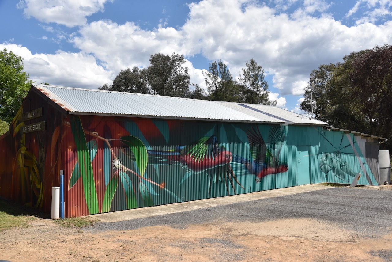
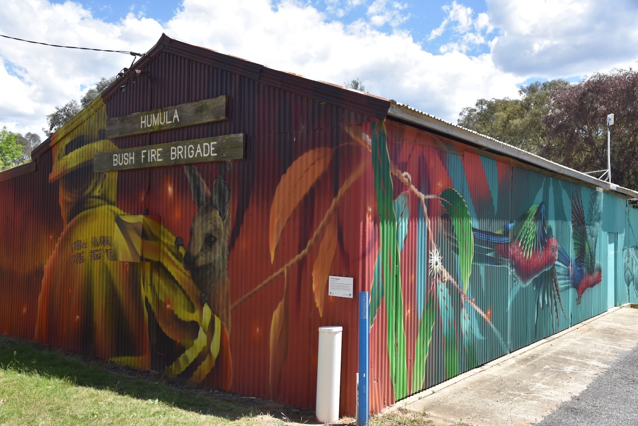
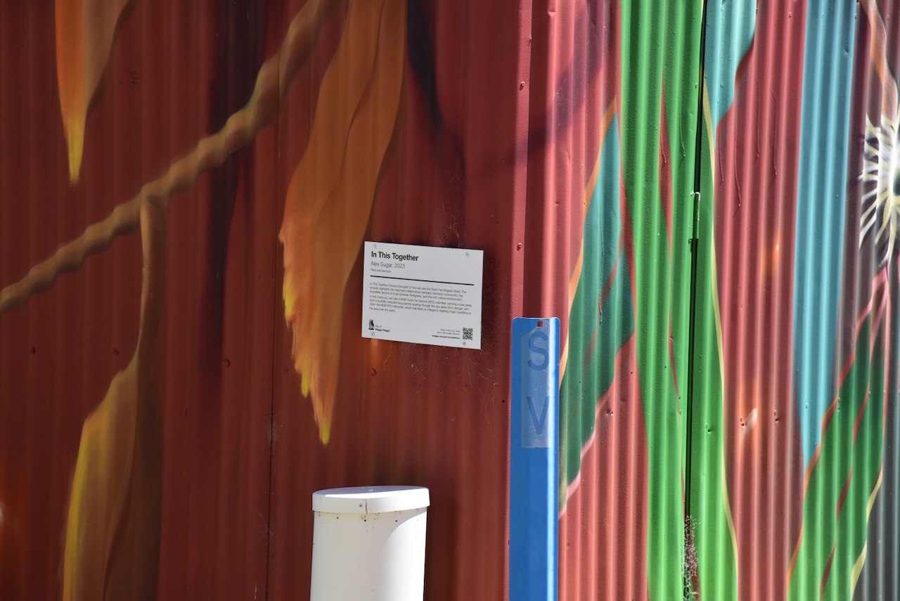
The Humula Bush Fore Brigade features a magnificent mural. It features an NSW Rural Fire Service (RFS) volunteer carrying a kangaroo joey away from a fire. It also features native flora and fauna, and ‘Elvis’, the NSW RFS helicopter. The mural was completed in March 2023 and is the work of Melbourne-based artist Alex Sugar. (City 2023)

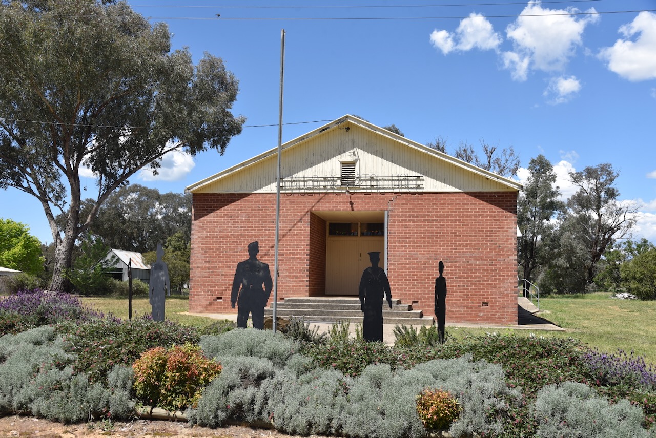
The original Humula Hall was built in 1890. In 1955, the building was auctioned and demolished, and the current brick hall was built. Outside the front of the hall are the silhouettes of local returned service personnel. (Festival of Small Halls 2026)

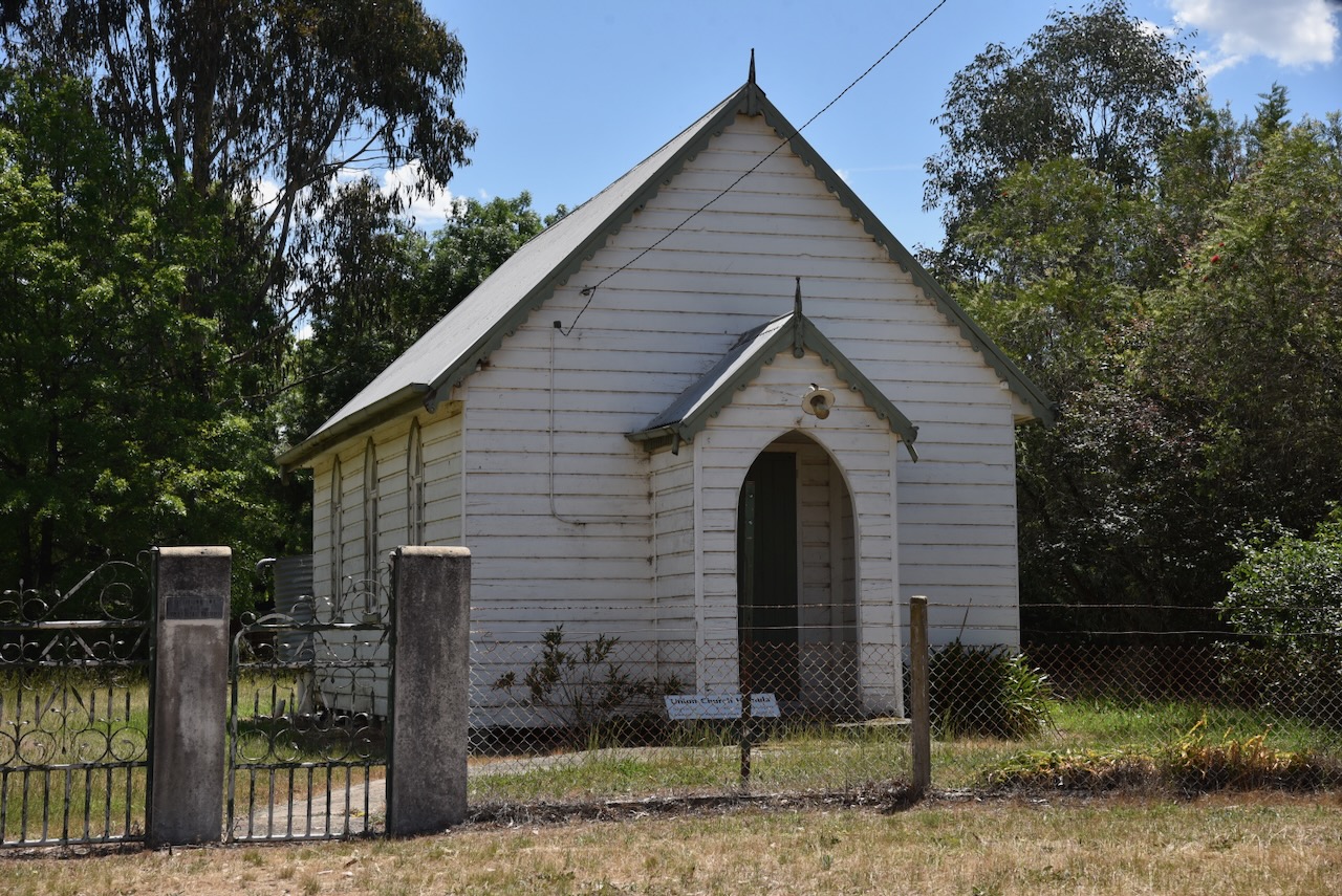
The former Union Church at Humula is now a private property.

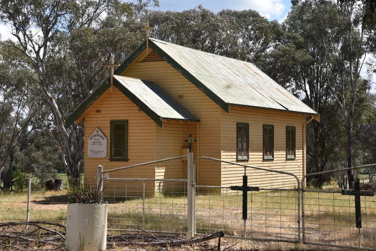
St Therese Catholic Church was built in c. 1937. Prior to the erection of the church, Mass was celebrated in the local School of Arts. (UBC Web Design 2022)

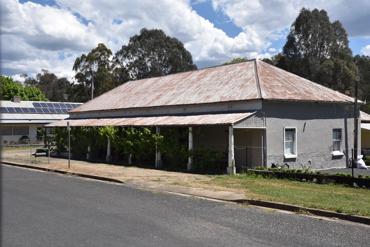
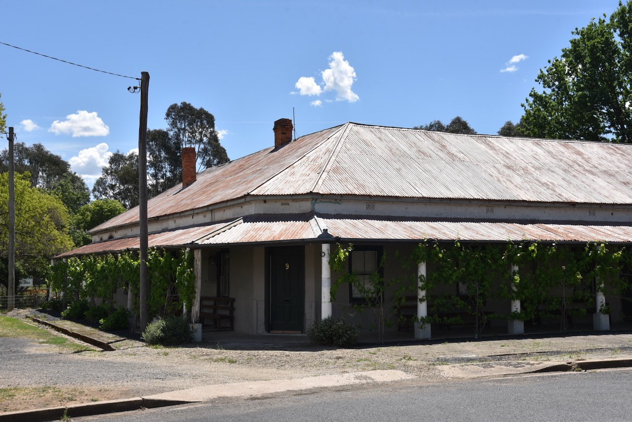
In 1874, the Washington Hotel was built at the Ravine Lobbs Hole near Kiandra in the Snowy Mountains. It was built to service the gold miners and later the copper mines in the area. In 1910, the entire building was pulled apart and moved piece by piece to the American Yards by bullock and cart. It ceased being a licensed premises and became the Humula village general store, haberdashery, baker, grocer, and service station. During the 1960s, it was registered as the Humula Post Office. After 50 years ot closed and falling into disrepair. (Familclub.com.au 2021)

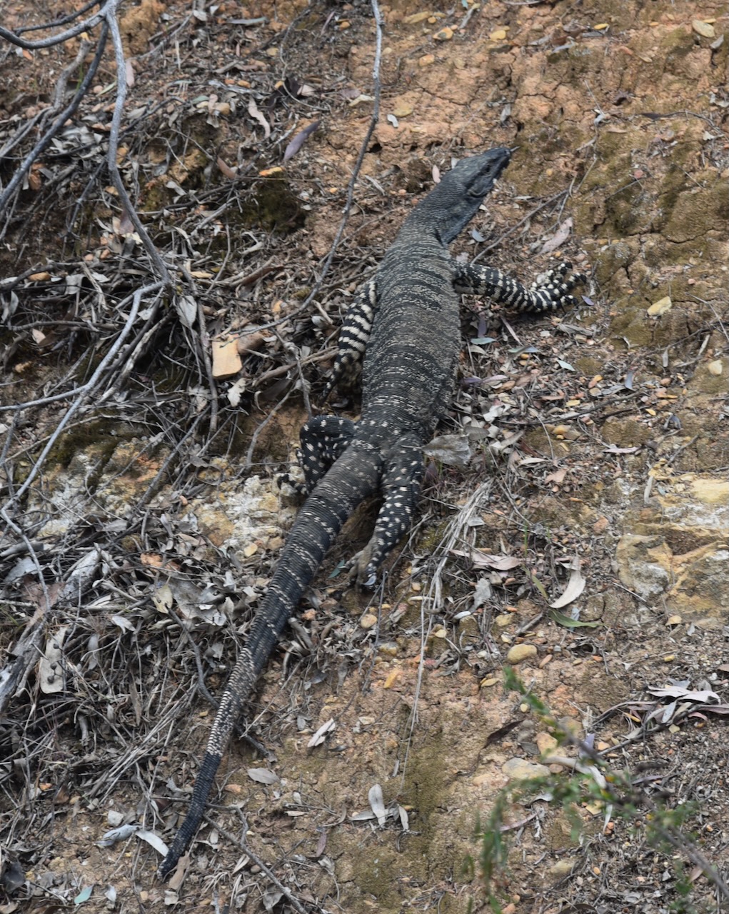
Marija and I then drove south on Downfall Road. It was quite a warm day with plenty of snakes and lizards on the road.

Downfall Nature Reserve takes its name from the locality of Downfall, which in turn was named from a steep slope in the Rosewood Hills where those constructing the railway had to negotiate a very steep slope. (NSW NPWS 2006)

The first Europeans to visit the area were the explorers Hume and Hovell, who passed through the area in 1824. In c. 1836, settlement commenced in the Tumbarumba area. From about 1850, the reserve was part of the American Yards pastoral run. Prior to 1885, the land became part of the Humula Run. In 1906, the reserve became Crown Land. (NSW NPWS 2006)

The Carabost State Forest is located to the south and southwest of the reserve. The forest is primarily pine plantation; however, it also contains native forest. To the southwest of the reserve is a Travelling Stock Route (TSR)

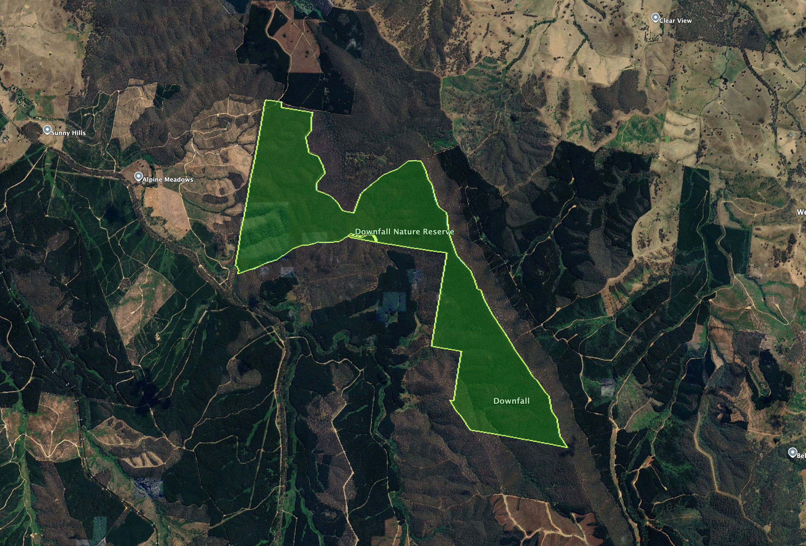
Above: the boundaries of Downfall Nature Reserve. Image c/o Google Earth

Downfall Nature Reserve is about 496 hectares in size and was gazetted in 2001 as part of the Southern Regional Forest Agreement. The reserve is dominated by moderately steep slopes with an elevation range between 400 metres and 690 metres. The reserve is a piece of remnant vegetation in an area where there has been a significant history of clearing of the land. (NSW NPWS 2006)

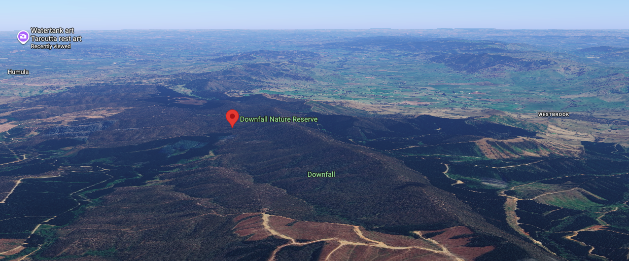
Above: An aerial view of Downfall Nature Reserve. Image c/o Google Maps

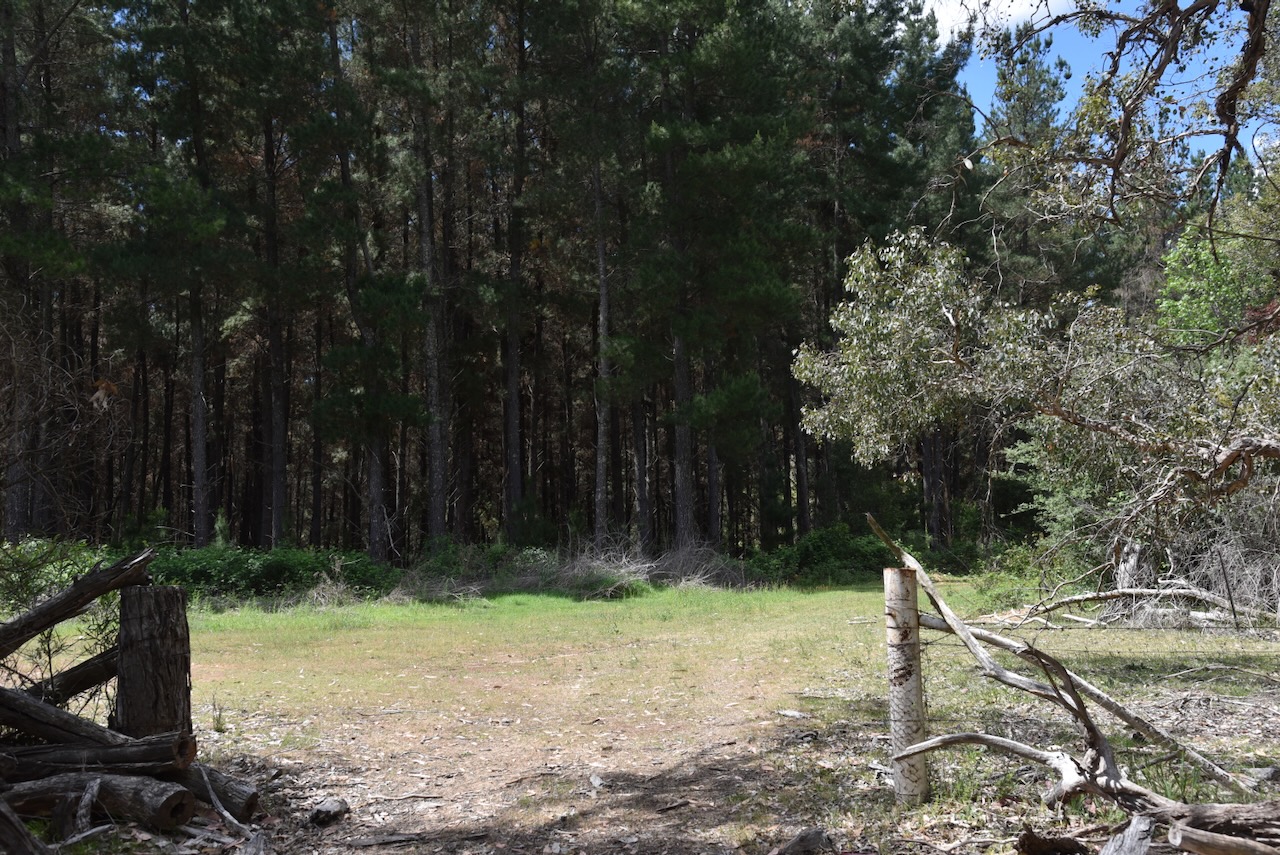
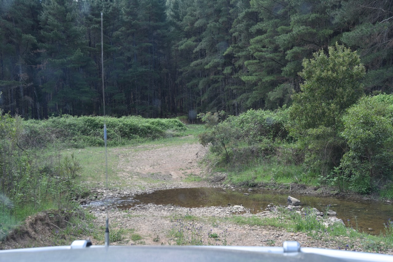
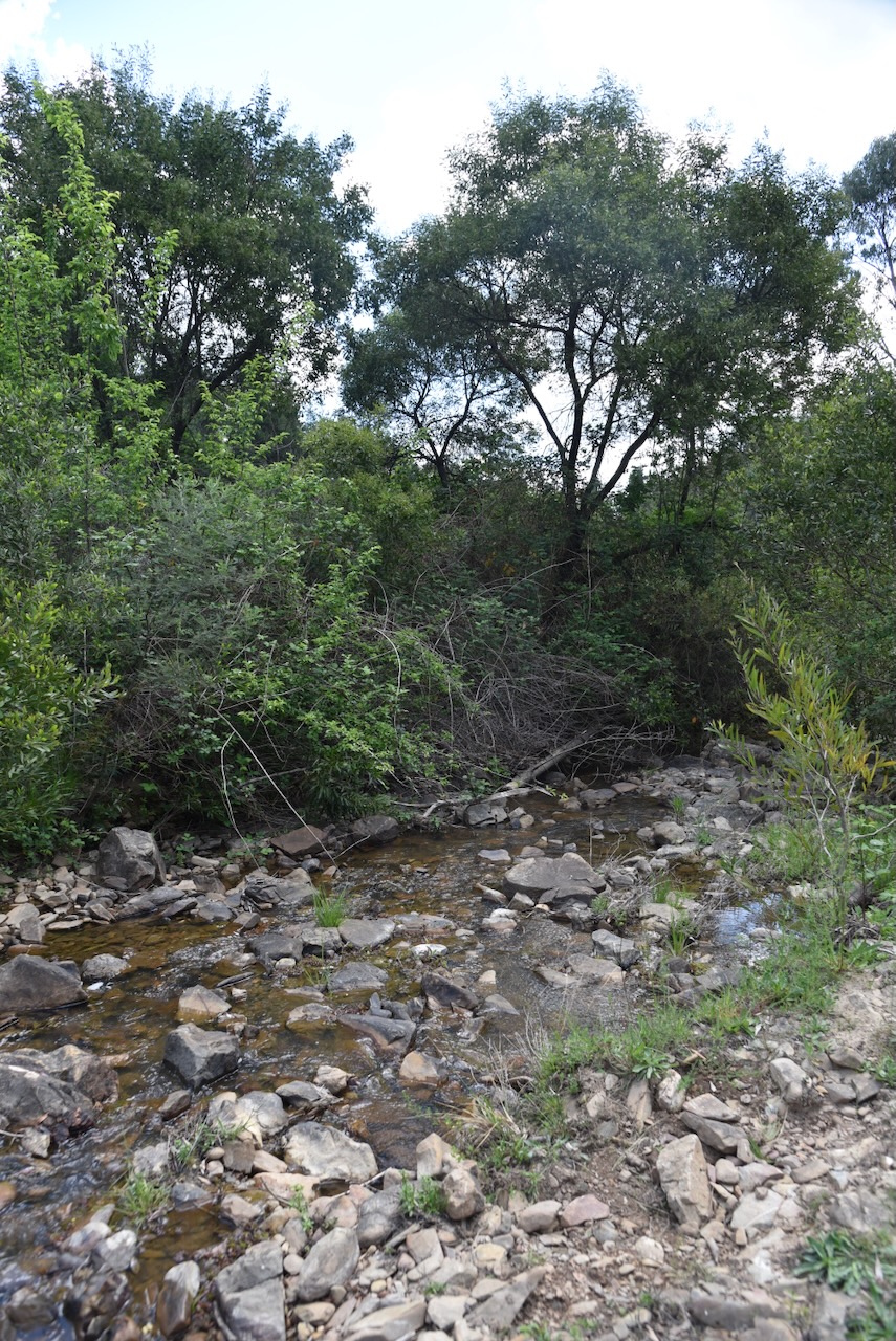
This was not an entirely easy reserve to access. There are no signs. Access is via 4WD tracks. We also had to do some creek crossings.

The reserve contains six distinct forest types, including Apple box forest, Peppermint moust forest, Red Stringybark-Scribbly Gum-Rough barked Red Box-Tussock grass open forest, Peppermint-mixed box grassy forest, Norton’s Box-Peppermint grassy open forest, and Secondary wattle shrubland. (NSW NPWS 2006)

A total of 16 native mammals can be found in the park. A total of 72 species of birds have been recorded in Downfall. The reserve has several species listed under the Threatened Species Conservation Act 1995, including the Barking Owl, Turquoise Parrot, Black-chinned honeyeater, Diamond Firetail, and Squirrel Glider. (NSW NPWS 2006)

Marija worked the following stations on 40m SSB:-

  1. VK3KLI/p (VKFF-4283)
  2. VK3EPL
  3. VK3JV
  4. VK3WSG
  5. VK2IO/P (VKFF-0865)
  6. VK2GEZ/P (VKFF-0865)
  7. VK3DAC
  8. VK5DW
  9. VK1AO
  10. VK2MET
  11. VK3CEO
  12. VK3PF (VKFF-4549)
  13. VK3KAI (VKFF-4549)
  14. VK1CHW/P (VKFF-1775)
  15. VK2CHW/P (VKFF-1775)
  16. VK1AD/P (VKFF-0864)

I worked the following stations on 40m SSB:-

  1. VK3KLI/p (VKFF-4283)
  2. VK3EPL
  3. VK3JV
  4. VK3WSG
  5. VK2IO/P (VKFF-0865)
  6. VK2GEZ/P (VKFF-0865)
  7. VK3DAC
  8. VK5DW
  9. VK1AO
  10. VK2MET
  11. VK3CEO
  12. VK5LA
  13. VK5KAW
  14. VK2KHA
  15. VK2JSW
  16. VK3PF (VKFF-4549)
  17. VK3KAI (VKFF-4549)
  18. VK3HJW
  19. VK3TKK
  20. VK1CHW/P (VKFF-1775)
  21. VK2CHW/P (VKFF-1775)
  22. VK3ACZ
  23. VK3AMO
  24. VK2MG
  25. VK2VW
  26. VK2HFI
  27. VK2AKA
  28. VK2BUG
  29. VK3APJ
  30. VK3BAP
  31. VK2NP
  32. VK2VH
  33. VK4AAC
  34. VK2BPL
  35. VK2AWA/P
  36. VK3KRL
  37. VK2JEF
  38. VK2NGD
  39. VK5AYL
  40. VK3CJN
  41. VK3QHU
  42. VK1AD/P (VKFF-0864)
  43. VK3STV
  44. VK2ADF
  45. VK3OAK
  46. VK3TDX
  47. VK2PKT
  48. VK2KFT
  49. VK3ZS

References.

  1. City, W. (2023). Humula Bush Fire Brigade Shed brought to life with mural. [online] Council News. Available at: https://news.wagga.nsw.gov.au/news-articles/2023/september-2023/humula-bush-fire-brigade-shed-brought-to-life-with-mural [Accessed 14 Mar. 2026].
  2. ‌Familclub.com.au. (2021). Humula Heritage Hotel – STEP BACK IN TIME – Renovation Project – Familclub – Business Invitations, Events, Product Launches, Familiarisations & Networking. [online] Available at: https://familclub.com.au/familclub-venues-by-location/familclub-venues-in-act/familclub-country-nsw-listings/829-humula-stepbackintime [Accessed 14 Mar. 2026].
  3. ‌Festival of Small Halls. (2026). Home – Festival of Small Halls. [online] Available at: https://festivalofsmallhalls.com [Accessed 14 Mar. 2026].
  4. ‌NSW National Parks and Wildlife Service, 2006, Downfall Nature Reserve Plan of Management
  5. UBC Web Design (2022). St Therese’s Catholic Church | Churches Australia. [online] Churchesaustralia.org. Available at: https://www.churchesaustralia.org/list-of-churches/locations/new-south-wales/f-k-towns/directory/9021-st-thereseand%2339%3Bs-catholic-church [Accessed 14 Mar. 2026].
  6. ‌Wikipedia Contributors (2026). Humula. Wikipedia.‌
Murragulderie Flora Reserve VKFF-3076

After leaving Ellerslie Nature Reserve on Saturday, 1st November 2026, Marija and I drove south along Hume Highway until we reached the town of Tarcutta.
The explorers Hume and Hovell were the first known Europeans in the Tarcutta district as they passed through the area on their way from Sydney to Port Phillip. (Wikipedia 2025)

In c. 1835, a slab house called ‘Hambledon’ was erected at Tarcutta and became the first inn and post office to be built between Gundagai and Albury. The town of Tarcutta was proclaimed on the 28th day of October 1890. (Wikipedia 2025)

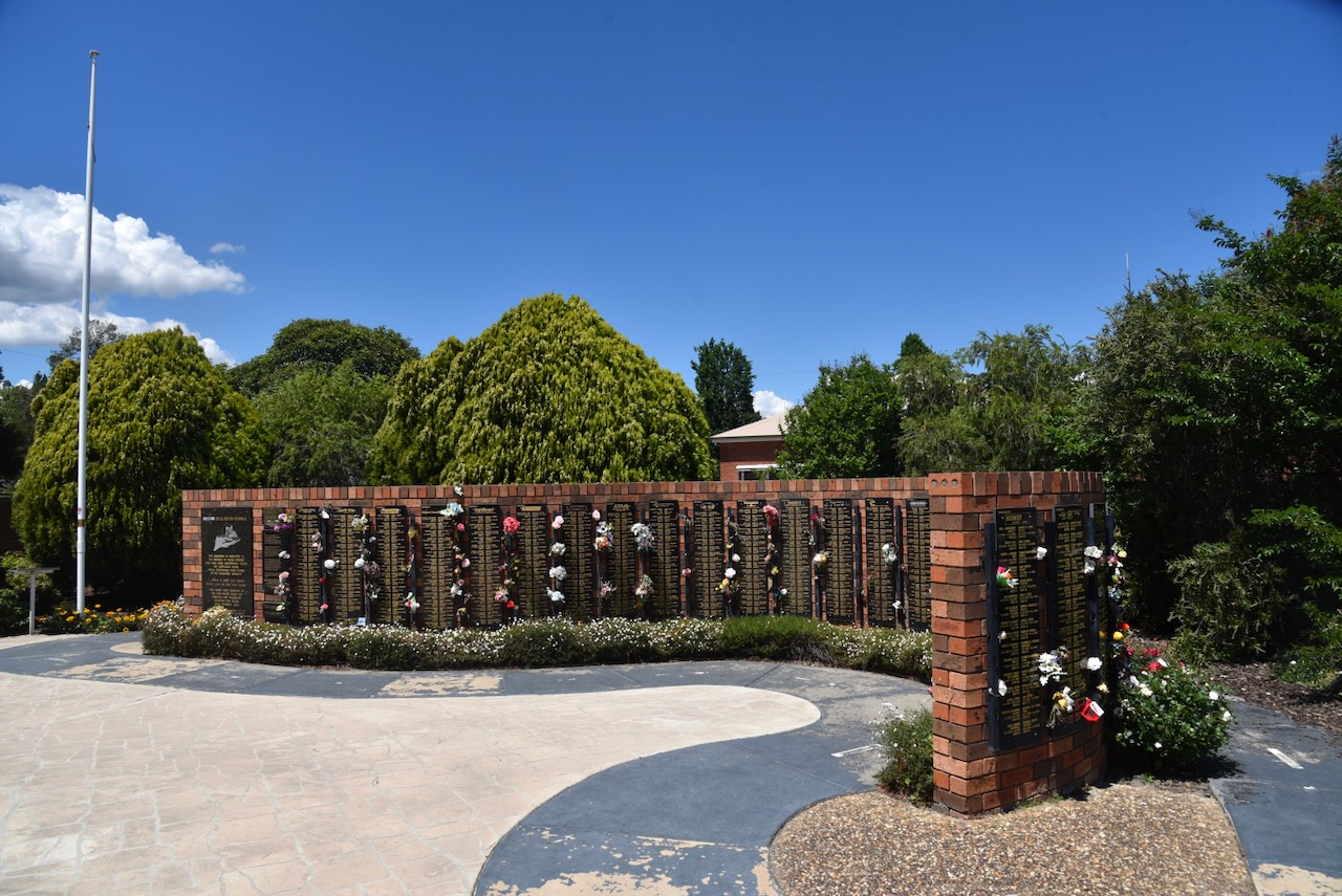
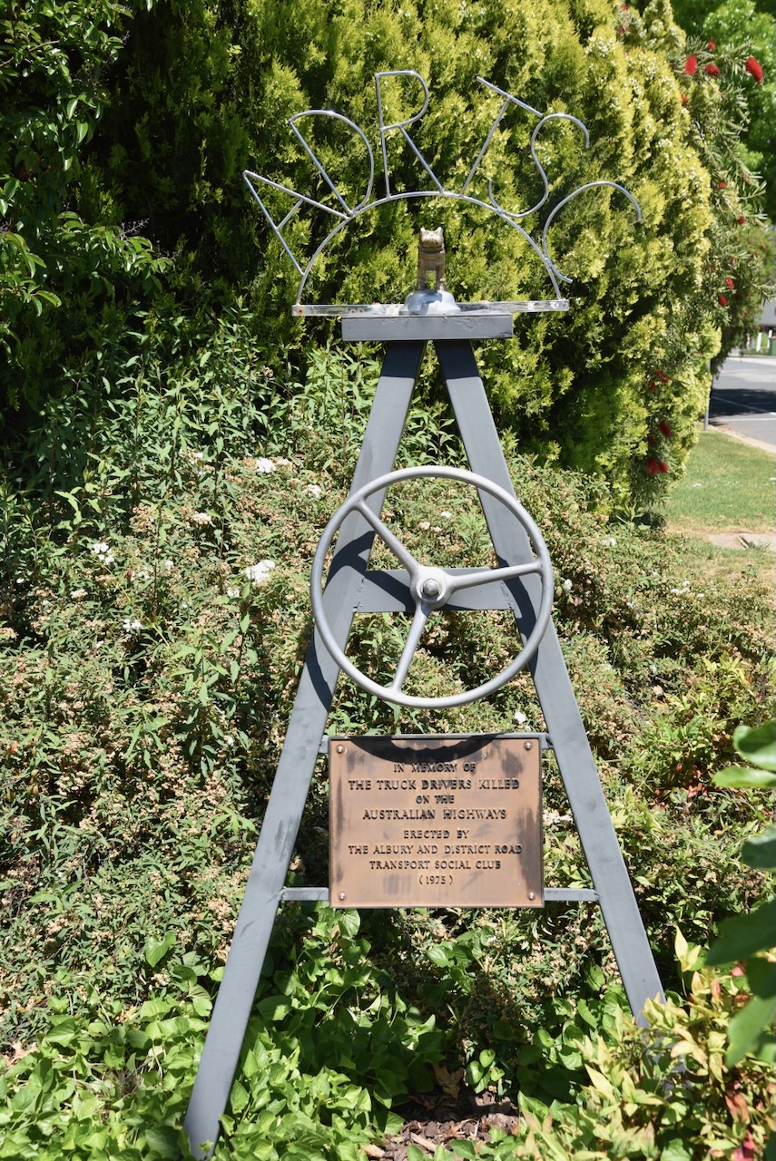
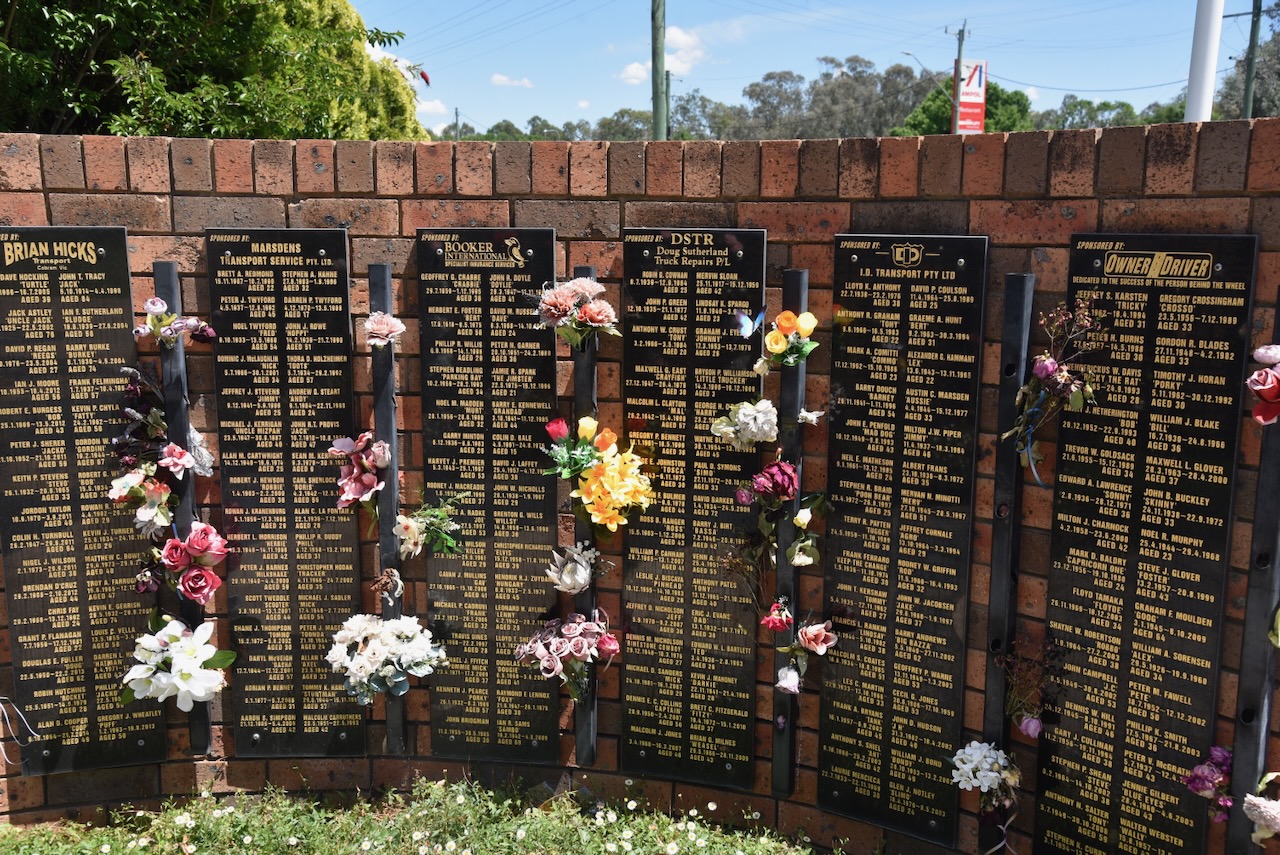
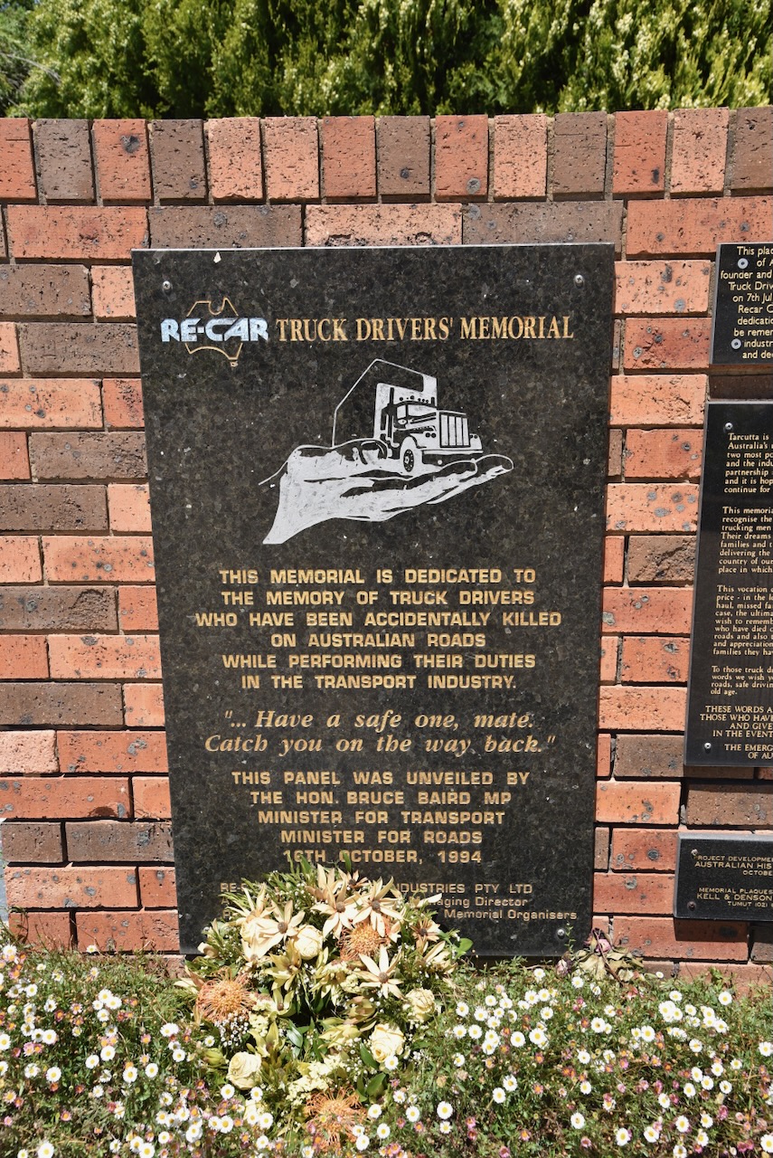
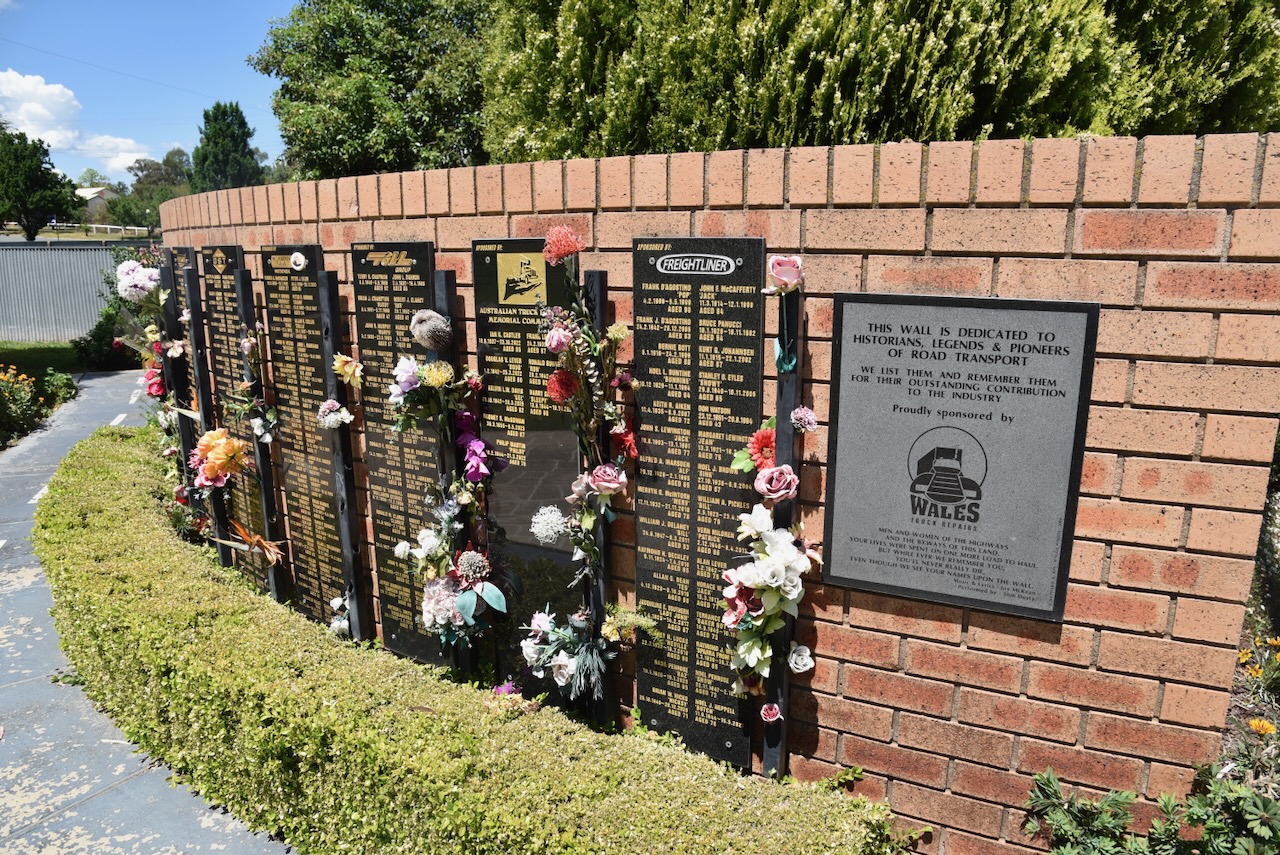
Tarcutta is the home of the Australian Truck Drivers Memorial. The memorial features a memorial brick wall, which features memorial plaques of truck drivers who have been killed whilst at work. The memorial was founded in 1994 by Ronny Pullen. The site for the memorial was chosen as the town of Tarcutta has a long association with the transport industry. The memorial was located on the side of the busy Hume Highway, until the Tarcutta Bypass was established in 2011. (UBC Web Design 2026)

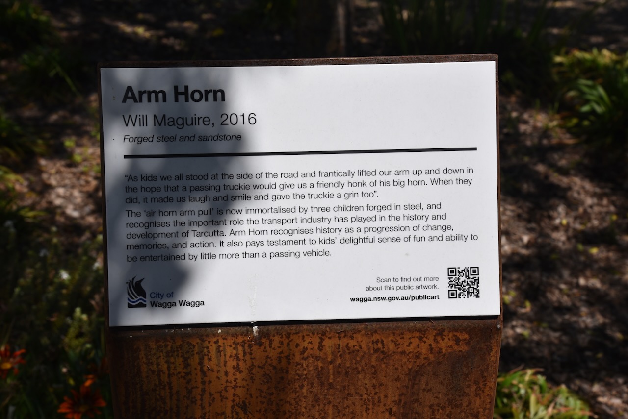
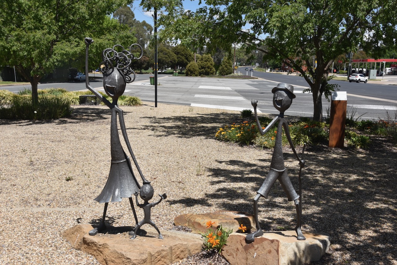
Across the road is the ‘Arm Horn’ sculptures. I am sure most people in Australia can remember as children, standing on the side of a road, gesturing to truckies to honk their horns by lifting their arm up and down.

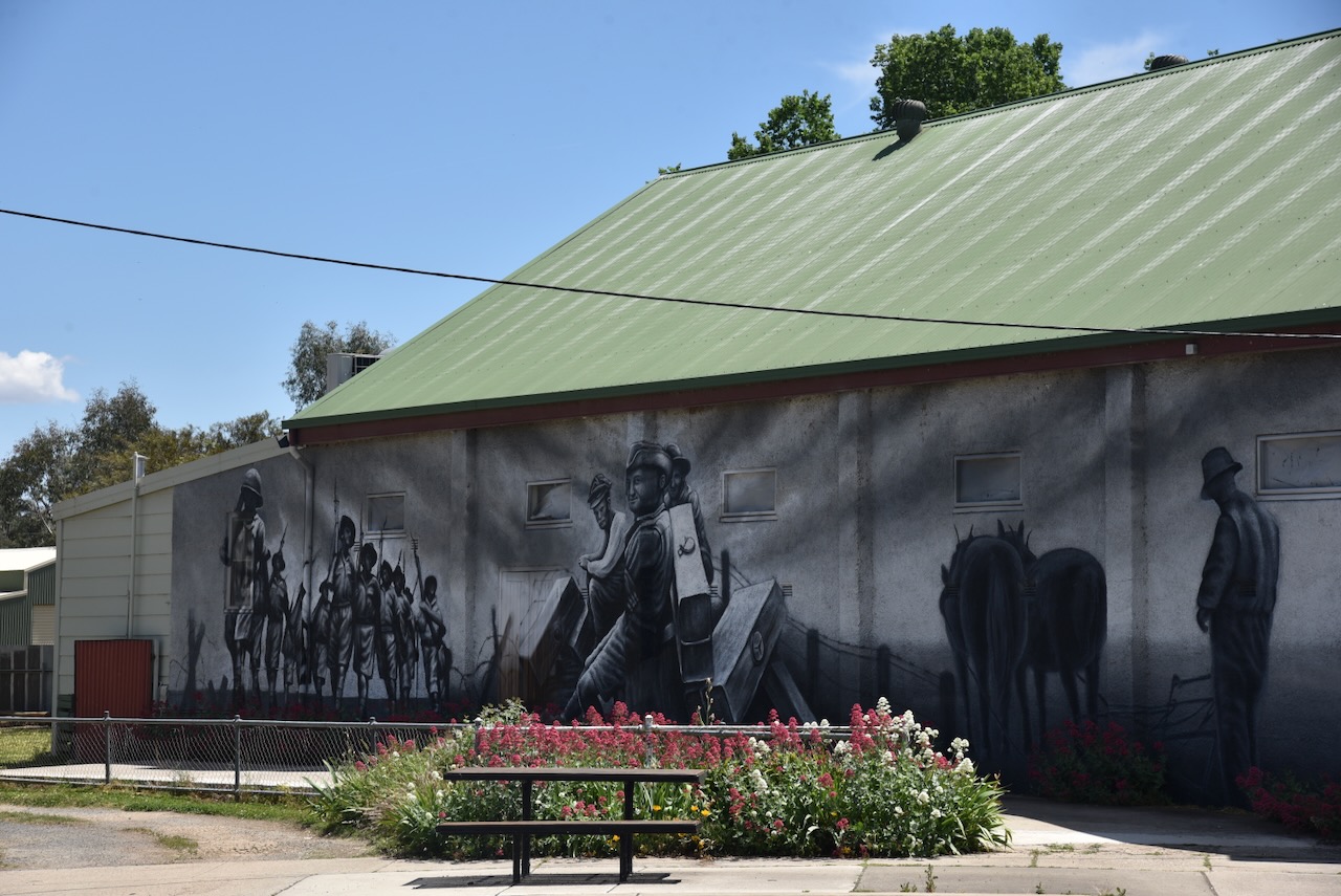
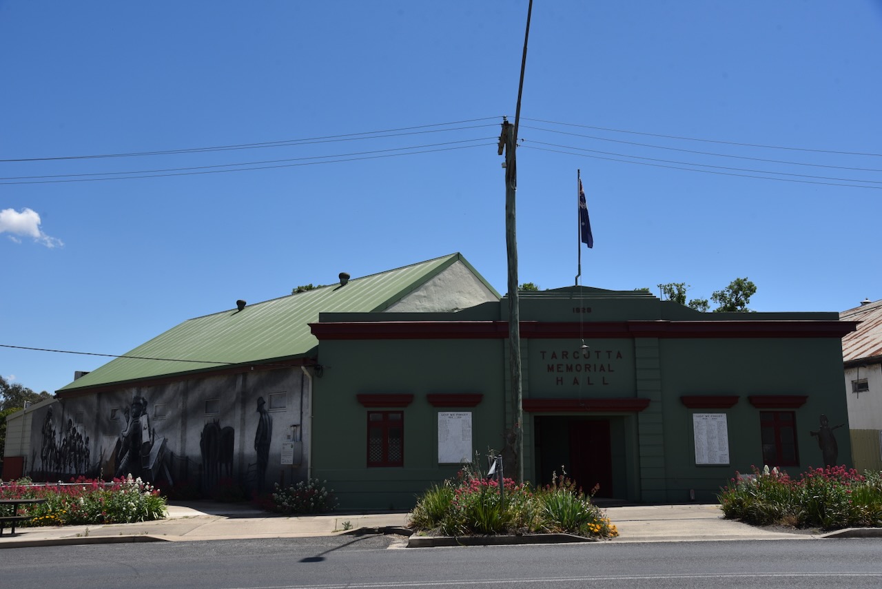
The Tarcutta Memorial Hall features a mural of the district’s military and soldier history. It is the work of Adelaide-based artist Sam Brooks. It was officially opened on ANZAC Day in 2021. (Nsw.gov.au 2021)

A remaining historic building in Tarcutta is the former Tarcutta Inn, which was built in c. 1836. It was used as a Cobb & Co coach change station. (Chirp Internet 2026)

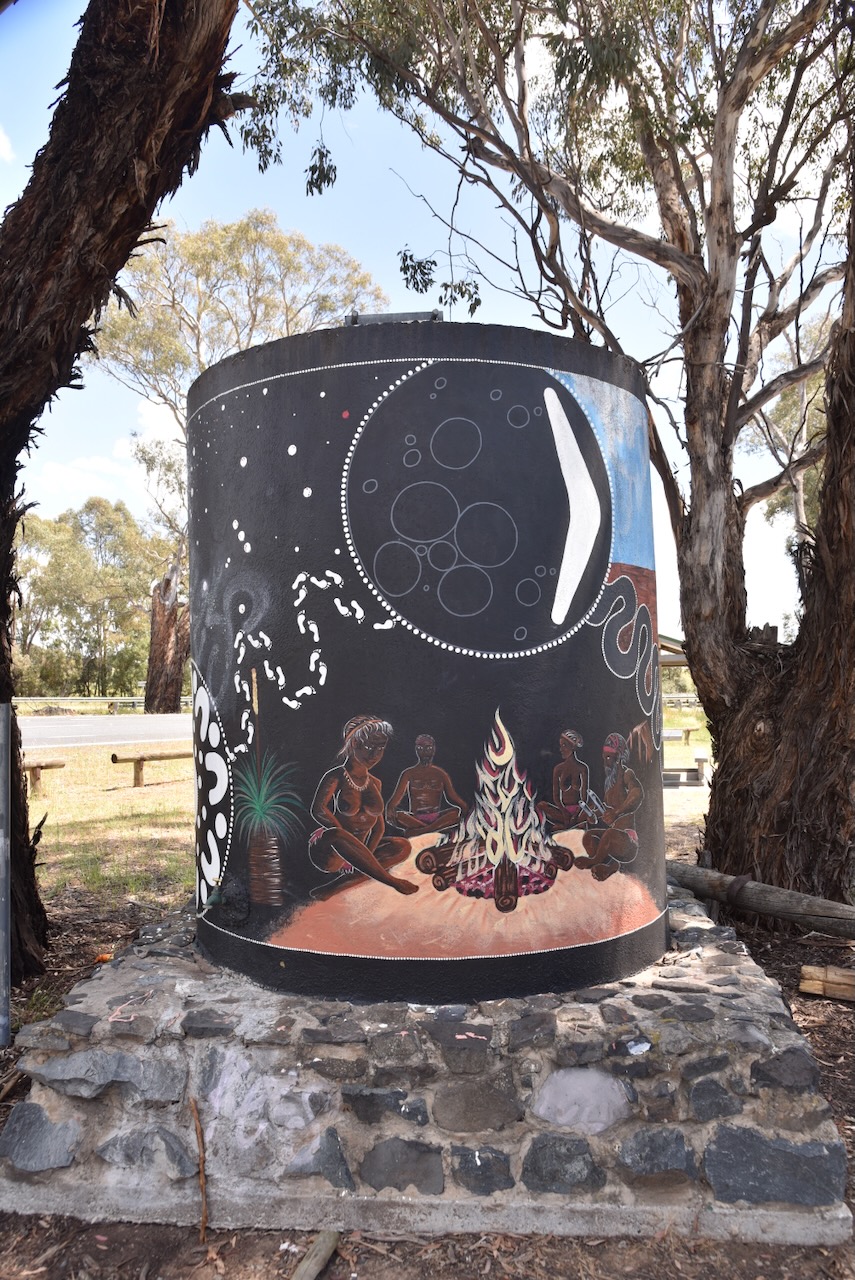
Marija and I then left Tarcutta and headed along the Hume Highway. Our next stop was the Tarcutta Water Tank art at the Kilgowlah Rest Area. It was painted in 2020 by Peter and Samara Ingram. The murals on the water tank feature various Aboriginal scenes. (Australiansiloarttrail.com 2026)

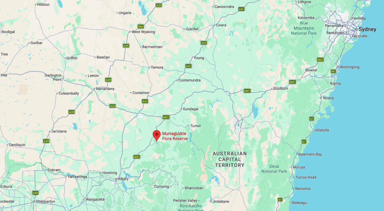
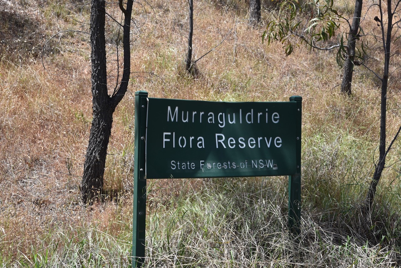
We continued south on the Hume Highway and then took Tumbarumba Road and soon reached the Murraguldrie Flora Reserve VKFF-3076.

Above: Map showing the location of the Murraguldrie Flora Reserve. Map c/o Google maps

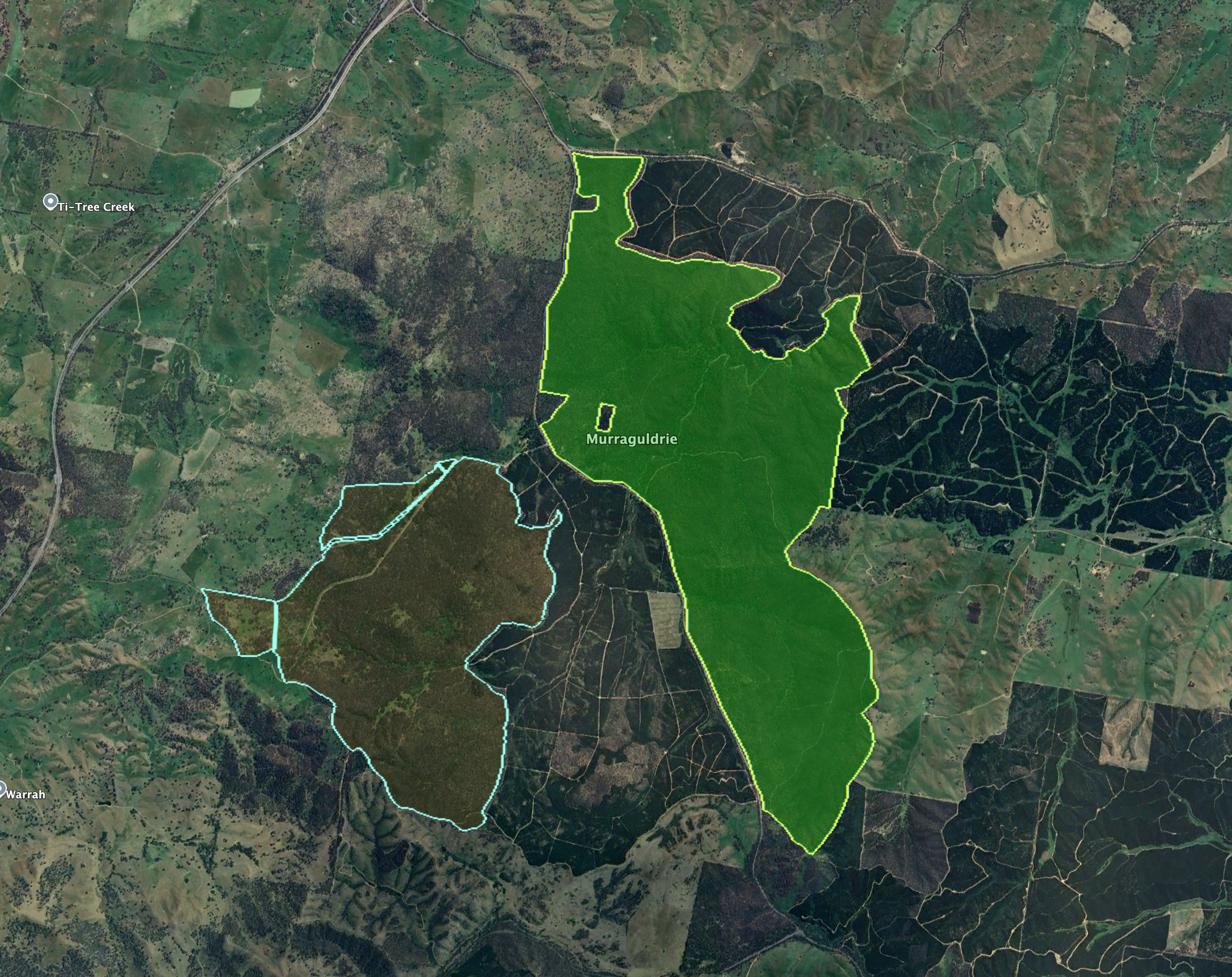
The reserve is located on the eastern side of Tumbarumba Road. A portion of the reserve’s northern boundary is located on Humula Eight Mile Road. It is located in the district of Kyeamba, which is a Wiradjuri Aboriginal word for ‘forehead band.’ The reserve’s eastern boundary adjoins the district of Humula. (Wagga Wagga 2000) (Wikipedia 2024)

Above: An aerial view of the reserve showing its boundaries. Image c/o Google Earth

Humula was originally known as American Yards, part of the Humula run, which was taken up in the 1850s by William Walker & Co. of Sydney. Gold was discovered in the Humula district in November 1851 by a shepherd. As a result, large numbers of people flocked to the area, including a large number of Chinese. It was called American Yards due to the gold prospectors who came to the district from the California gold fields and building horse yards in the American Corral style. In 1878, a provisional school was established at American Yards. In March 1885, Humula was proclaimed as a town. (Wagga Wagga 2000)

The reserve is about 1,520 hectares in size and was established on the 1st day of January 2001. The reserve includes the endangered White Box Yellow Box Blakely’s Red Gum Woodland. Vulnerable bird species found in the park include Turquoise Parrot, Speckled Warbler, and Brown Treecreeper. Squirrel Gliders, which are listed as endangered, can be found in the reserve. (CAPAD 2024) (Forests NSW n.d.)

Marija worked the following stations on 40m SSB:-

  1. VK3WSG
  2. VK3UH
  3. VK3APJ
  4. VK2NP
  5. VK1JV
  6. VK1MA
  7. VK2IO/P (VKFF-0865)
  8. VK2GEZ/P (VKFF-0865)
  9. VK1AD/P (VKFF-0840)
  10. VK1NAM/P (VKFF-0840)
  11. VK3CLD
  12. VK5QA
  13. VK2DBF
  14. VK3PF (VKFF-4549)
  15. VK3KAI (VKFF-4549)
  16. VK1CHW/P (VKFF-1775)
  17. VK2CHW/P (VKFF-1775)

I worked the following stations on 40m SSB:-

  1. VK3WSG
  2. VK3UH
  3. VK3APJ
  4. VK2NP
  5. VK1JV
  6. VK1MA
  7. VK2IO/P (VKFF-0865)
  8. VK2GEZ/P (VKFF-0865)
  9. VK1AD/P (VKFF-0840)
  10. VK1NAM/P (VKFF-0840)
  11. VK3CLD
  12. VK5QA
  13. VK2DBF
  14. VK3GJG
  15. VK3PF (VKFF-4549)
  16. VK3KAI (VKFF-4549)
  17. VK1AO
  18. VK2MET
  19. VK5LA
  20. VK5KAW
  21. VK1JIM
  22. VK2TER
  23. VK2BM
  24. VK2QRP
  25. VK1RT
  26. VK1MCW
  27. VK1QRP
  28. VK3KLI
  29. VK7AN
  30. VK3YSA
  31. VK3BWS
  32. VK3ZSC
  33. VK3BDW
  34. VK2DA
  35. VK1DA
  36. VK1CHW/P (VKFF-1775)
  37. VK2CHW/P (VKFF-1775)
  38. VK3ACZ
  39. VK3ZPF
  40. VK3JW
  41. VK3PJF
  42. VK5HS
  43. VK2PKT
  44. VK2KFT
  45. VK2VH
  46. VK4AAC
  47. VK2VW
  48. VK2HFI
  49. VK2AKA
  50. VK2BUG

References.

  1. Chirp Internet (2026). Former Old Tarcutta Inn in Tarcutta < New South Wales | Gday Pubs – Enjoy our Great Australian Pubs. [online] Gdaypubs.com.au. Available at: https://www.gdaypubs.com.au/NSW/tarcutta/50179/former-old-tarcutta-inn.html#google_vignette [Accessed 13 Mar. 2026].
  2. ‌Forests NSW, n.d. Murraguldrie Flora Reserve Bo. 179 Working Plan
  3. Nsw.gov.au. (2021). Tarcutta Memorial Hall Mural | NSW War Memorials Register. [online] Available at: https://www.warmemorialsregister.nsw.gov.au/memorials/tarcutta-memorial-hall-mural [Accessed 13 Mar. 2026].
  4. ‌UBC Web Design (2026). Australian Truck Drivers Memorial | Monument Australia. [online] Monumentaustralia.org. Available at: https://www.monumentaustralia.org/themes/disaster/land_transport/display/23389-australian-truck-drivers-memorial [Accessed 13 Mar. 2026].
  5. ‌Wagga Wagga City Council, 2000, Rural Heritage Study Volume 1: The Study
  6. Wikipedia Contributors (2025). Tarcutta. Wikipedia.‌
  7. Wikipedia Contributors (2024). Kyeamba, New South Wales. Wikipedia.‌
Ellerslie Nature Reserve VKFF-2594

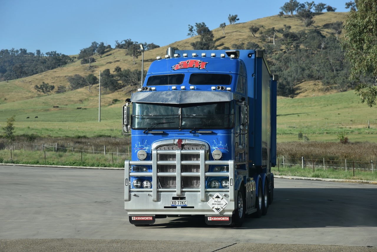
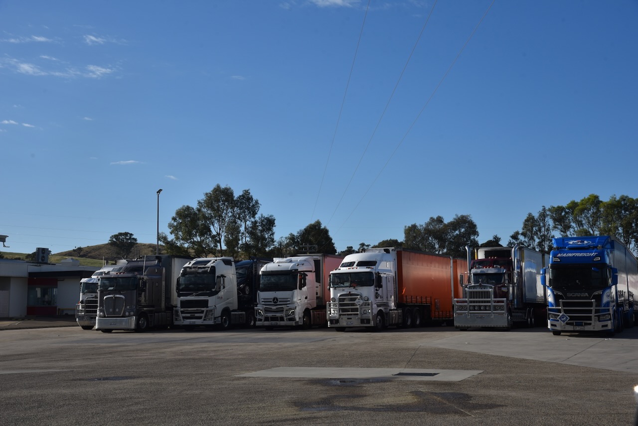
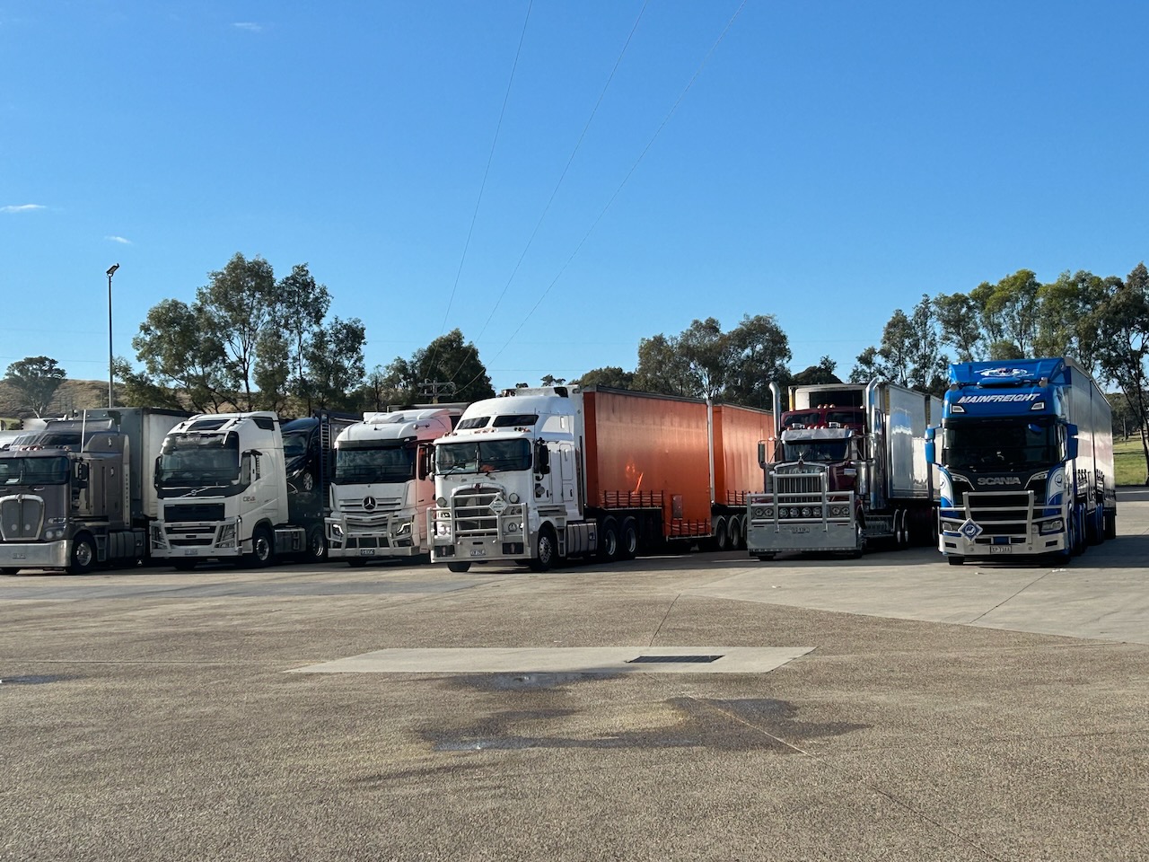
On Saturday, 1st November 2025, Marija and I headed down to the petrol station/truck stop north of Gundagai for some breakfast. As you would expect, with plenty of truckies frequenting the servo, the food was very good. While there, I took a few more photos of the trucks for our little grandson, Flynn, who is truck mad.

After breakfast, we headed southwest out of Gundagai along the busy Hume Highway. Marija and I were hoping to activate the Tumblong State Conservation Area.

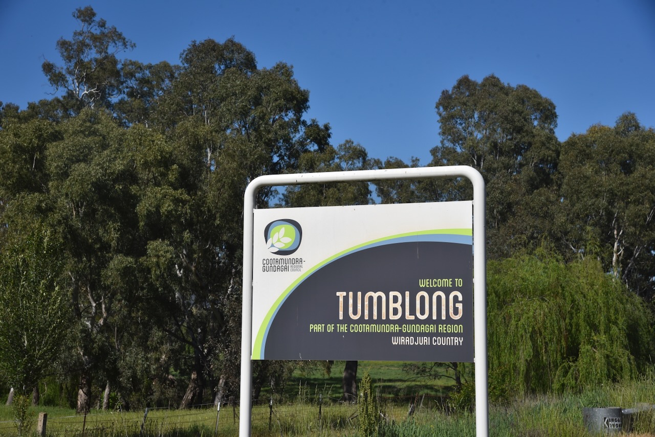
We soon reached the small town of Tumblong, about 15 km southwest of Gundagai. Until 1913, Tumblong was called Adelong Crossing Place, after the nearby Adelong Creek. Although it is called a creek, it is technically a river. It flows for 46 km from the Australian Alps, with its mouth being the Murrumbidgee River. It is believed that Adelong is an Aboriginal word meaning ‘along the way’ or river on a plain’. (Elder 2023) (Wikipedia 2025)

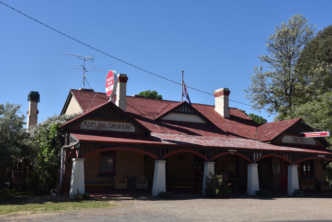
Today, little remains at Tumblong of what was a thriving town. The most impressive surviving building is the hotel. (Wikipedia 2025)

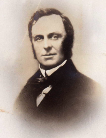
The first European settler in the area was Robert Pitt Jenkins, who had a 25,000-acre property called Bangus Station. He was born in January 1814 in Richmond, N.S.W., and was the son of a wealthy colonial family. Jenkins also owned other land, including Bramballa in the Marulan area. Jenkins built a substantial 10-room home on the Bangus property, and in 1848, he moved his family into the home. (Wikipedia 2025)

Above: Robert Pitt Jenkins. Image c/o ancestry.com.au

Jenkins was the Magistrate at Gundagai until 1853 when he left the district. He was unable to sell Bangus Station and 3,000 sheep. As a result he let out the residence and it became known as the Bangus Inn, a public house. (Wikipedia 2025)

By 1856, he successfully sold the Bangus Inn and an acre of land for £1,000. In that same year, he was appointed as a member of the New South Wales Legislative Council. (Wikipedia 2025)

The new owner of the Bangus Inn renamed it the Home Hotel. During the 1870s it was purchased by William Williams of Adelong who built a new hotel called the Coach and Horses in 1873. This lasted intil 1905 when it was replaced with the Adelong Crossing Hotel, and now the Tumblong Tavern. (Wikipedia 2025)

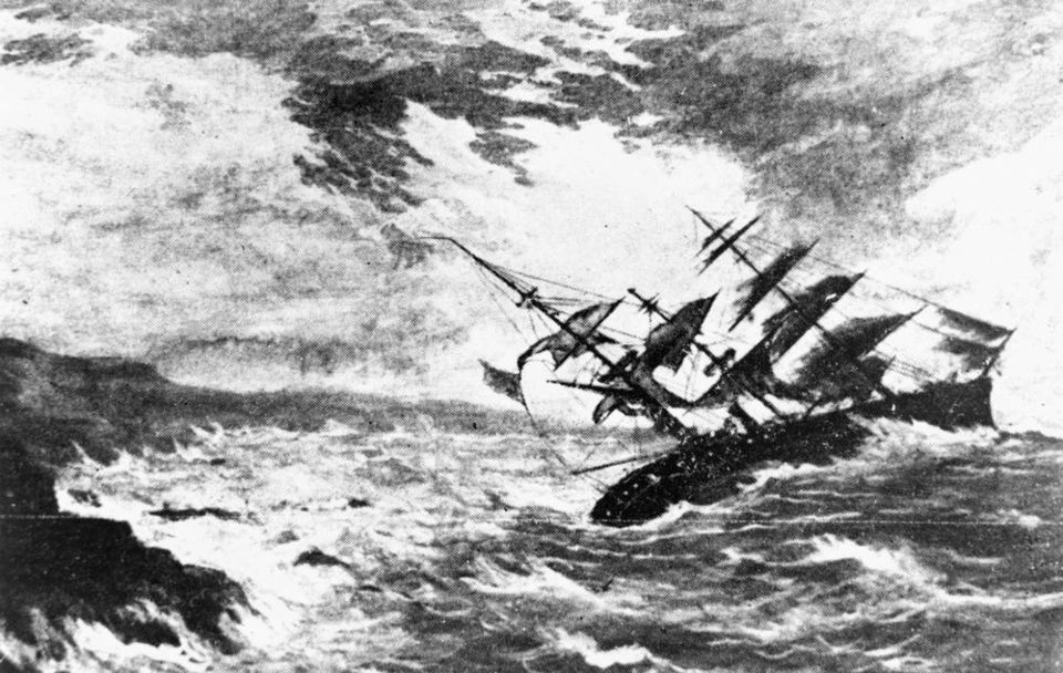
Sadly, in 1859, whilst en route to visit their daughter Alice who was at school in Paris, Robert Pitt Jenkins, his wife, and four sons lost their lives in the sinking of the Royal Charter off the English Coast. Following their deaths, Alice inherited the Bangus property which was later sold off by her husband, Hubert de Castella, to finance vineyards which he owned in Victoria. (Wikipedia 2025)

Above: the wreck of the Royal Charter. Image c/o Wikipedia

Author Charles Dickens wrote about the Royal Charter disaster in an article called The Uncommercial Traveller in his journal entitled All Year Round. Dickens spoke with the Reverend Stephen Roose Hughes who had located many of the bodies from the wreck. (Wikipedia 2025)

Dickens wrote:

“So tremendous had the force of the sea been when it broke the ship, that it had beaten one great ingot of gold, deep into a strong and heavy piece of her solid iron-work: in which also several loose sovereigns that the ingot had swept in before it, had been found, as firmly embedded as though the iron had been liquid when they were forced there.” (Wikipedia 2025)

The wreck of the Royal Charter brought about changes in meteorogical warnings.

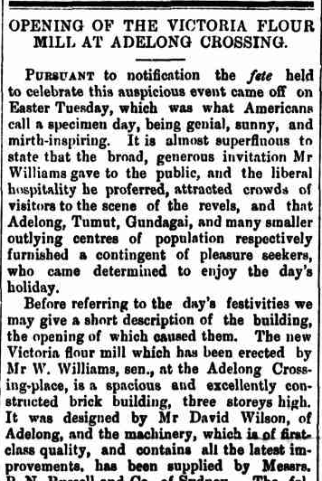
By 1874, William Williams had opened the Victoria Flour Mill at Adelong Crossing Place, and continued to operate until about 1880. (Wikipedia 2025)

Above: part of an article from The Gundagai Times, Sat 11 Apr 1874. Image c/o Trove

In 1913, Adelong Crossing Place was renamed Tumblong to avoid confusion with the town of Adelong. The name Tumblong came from a property owned by Henry Stuckey that was across Adelong Creek. (Wikipedia 2025)

In 1903 the Adelong Crossing railway station was opened. It was renamed Tumblong in 1913 and closed in 1975. The station had a 40 metre long platform and a siding serving stockyards and a loading bank. The railway line closed in 1984. (Wikipedia 2025)

The Adelong Crossing Place Post Office opened on the 1st day of August 1864. In April 1913, it was renamed Tumblong. It closed in November 1973. (Wikipedia 2025)

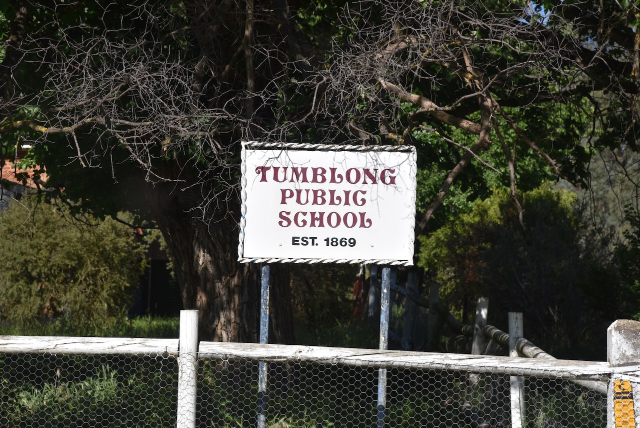
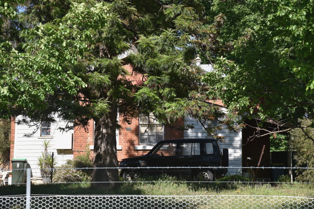
In 1869, the Adelong Crossing School opened as a provisional school. By 1870, it became a public school, and in 1913 was renamed Tumblong. It closed in 1990 and is today a private premises. (Wikipedia 2025)

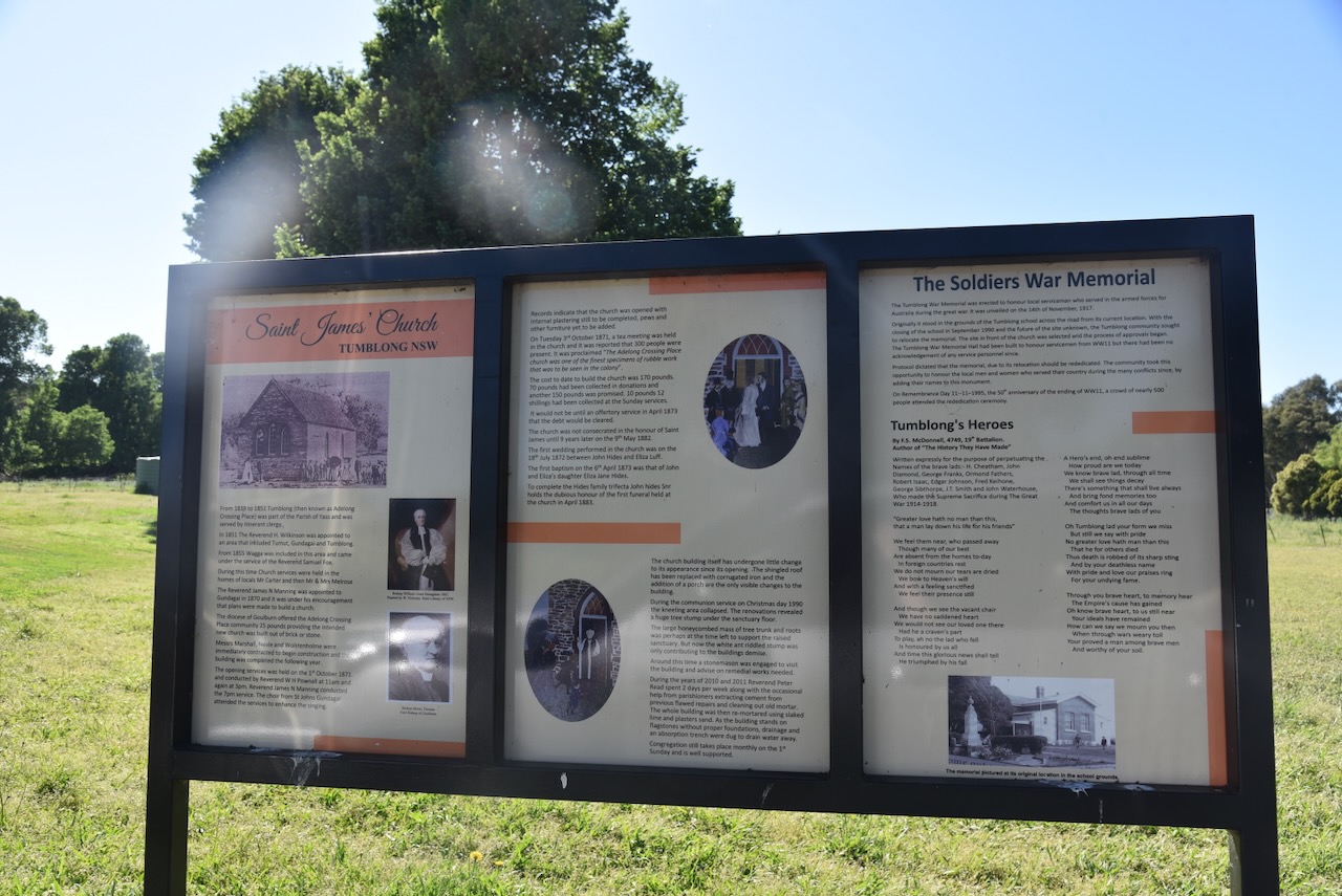
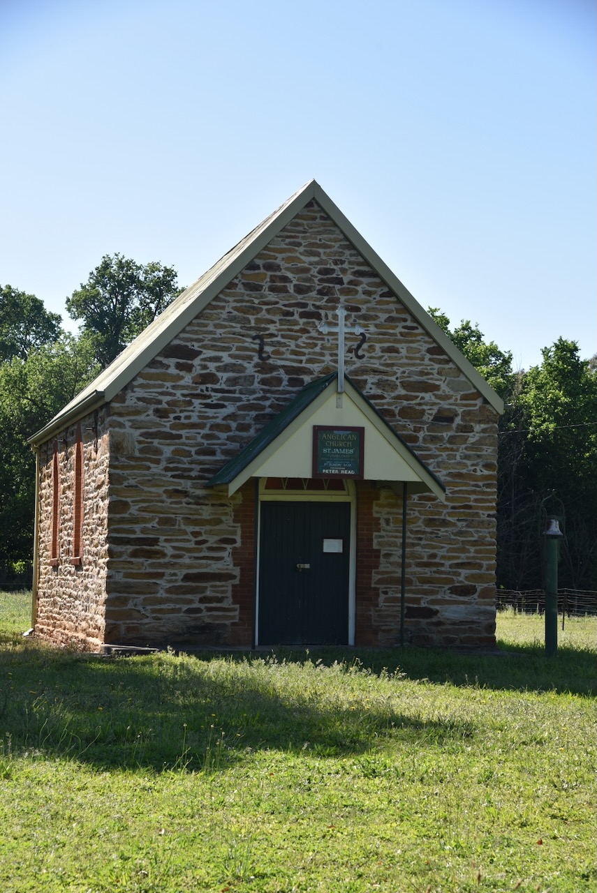
Opposite the old school is Saint James Church and the Soldiers’ War Memorial. There is an excellent information board at this location, detailing information about both the church and the War Memorial.

Between 1839 and 1851, Tumblong (Adelong Crossing Place) was served by itinerant clergy from the Parish of Yass. In 1851, the Reverend H Wilkinson was appointed to the area that included Tumut, Gundagai and Tumblong. Four years later in 1855, Wagga was included in this area and was serviced by the Reverend Samuel Fox. It was during this time that church services were held in the homes of local people including Mr Carter and Mr & Mrs Melrose.

In 1870, the Reverend James H Manning was appointed to Gundagai. Under his encouragement, plans commenced to build a church. A total of £25 was offered to the Adelong Crossing Place community by the Diocese of Goulburn. This was provided that the new church would be constructed from brick or stone.

In 1870, Messrs Marshall, Neale and Wolstenholme were contracted to commence construction of the church, which was completed in 1871. The opening services were held on the 1st day of October 1871 at 11 am and 3pm and were conducted by Reverend William Henry Pownall. An additional service was held at 7pm and was conducted by Reverend James Manning. The choir from St Johns at Gundagai attended the services. (Thorn 1974)

Records indicate that at the time of opening, the church was not quite complete, with the internal plastering still to be completed, and pews and other furniture yet to be added. It cost £170 to construct the church. A total of £70 was collected in donations with another £150 promised. The debt was cleared at an offertory service in April 1873.

On Tuesday, the 3rd day of October 1871, a tea meeting was held in the church, which was attended by 300 people. The church was described as ‘one of the finest specimens of rubble work that was to be seen in the colony.’

The church was consecrated in the honour of St James on the 9th day of May 1882.

On the 18th day of July 1872, the first wedding was performed in the church between John Hides and Eliza Luff. The first baptism took place on the 6th day of April 1873. This was John and Eliza Hide’s daughter, Eliza Jane Hides. In April 1883, the first funeral service was held for John Hides Snr.

The Soldier’s War Memorial was erected to honour the local servicemen who served in the armed forces for Australia during the First World War. It was unveiled on the 14th day of November 1917. The memorial was initially located in the grounds of the school, but following the school’s closure, the memorial was moved across the road to its current location.

Marija and I undertook our very best efforts to get into the Tumblong State Conservation Area. Sadly, we could not get in there. Each road we drove along took us to private property with no landowners at home.

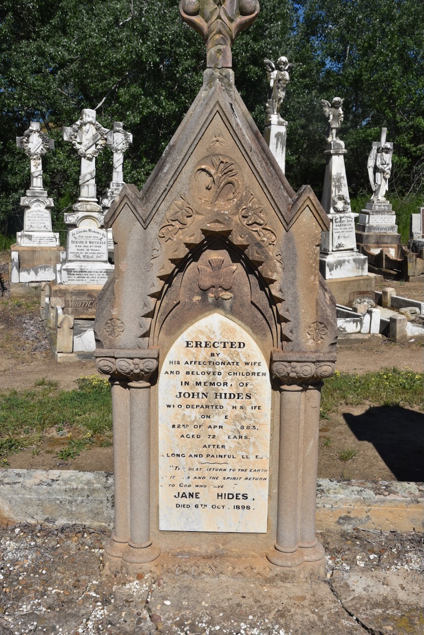
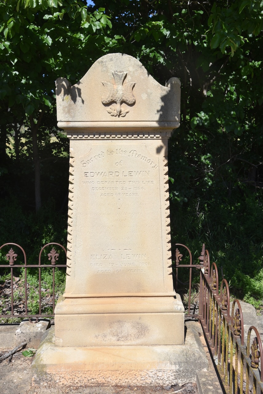
Feeling a little disappointed as we were unable to get into the park, we headed back to Adelong Road and paid a brief visit to the Adelong Cemetery. We found the headstone of John and Jane Hides, whom I mentioned above.

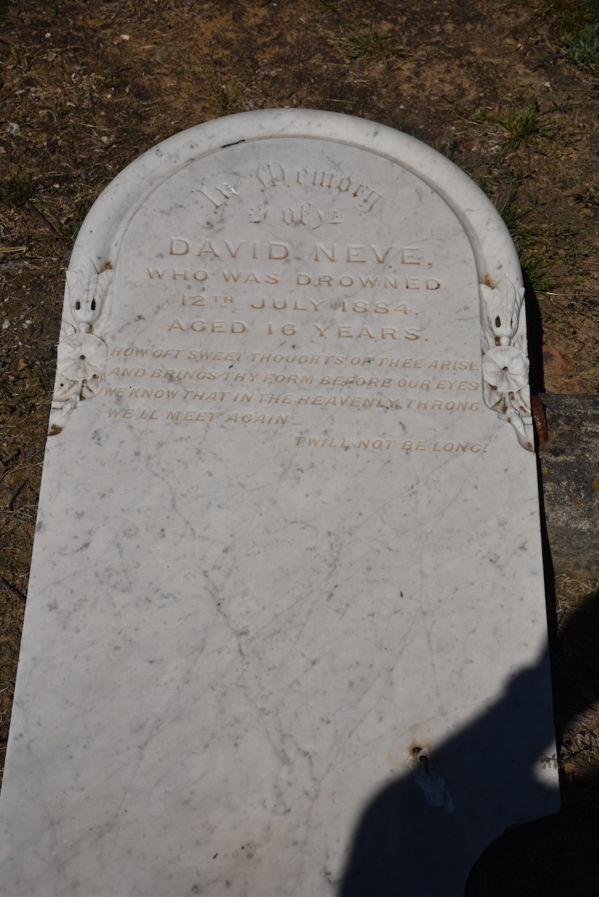
Another interesting headstone in the cemetery is that of David Neve, who drowned in 1884, aged 16 years.

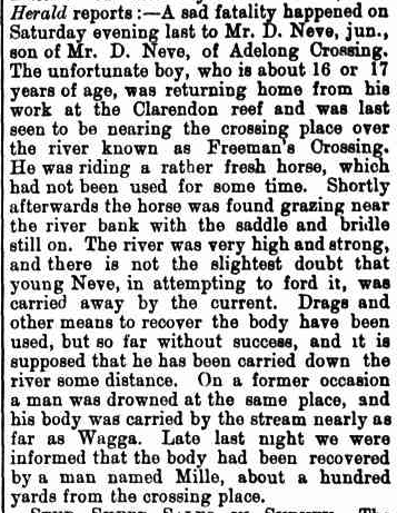
Young David was returning home from work at the Clarendon reef and was last seen near Freeman’s Crossing. His horse was found grazing near the riverbank with the saddle and bridle still on. His body was located about 100 yards downstream from the crossing place. (Trove 2026)

Above: article from the Cootamundra Herald, Sat 19 Jul 1884. Image c/o Trove

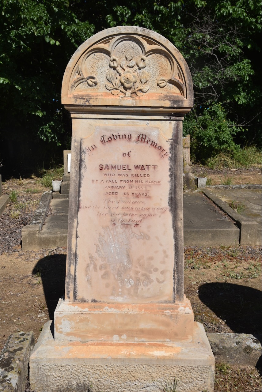
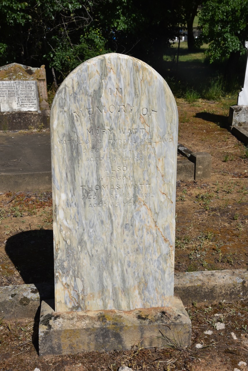
Samuel Watt was killed following a fall from his horse in 1884. He was 48 years old. Samuel was born c. 1842 in Ireland. In 1882, he married Lina Charlotte Devlin. (ancestry 2016)

There are several other historic headstones in the cemetery.

Marija and I then consulted our maps, and we decided to head to the Ellerslie Nature Reserve for a WWFF activation. Our drive took us through beautiful countryside towards the park.

However, once again, we encountered difficulties and could not reach the park.

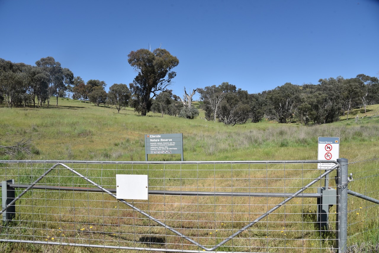
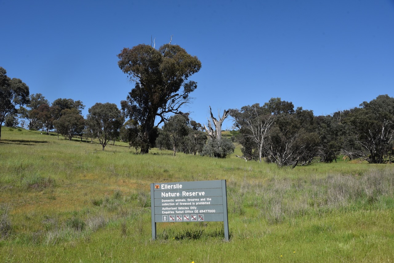
We doubled back and found a small section of the reserve that was accessible off the Snowy Mountains Highway.

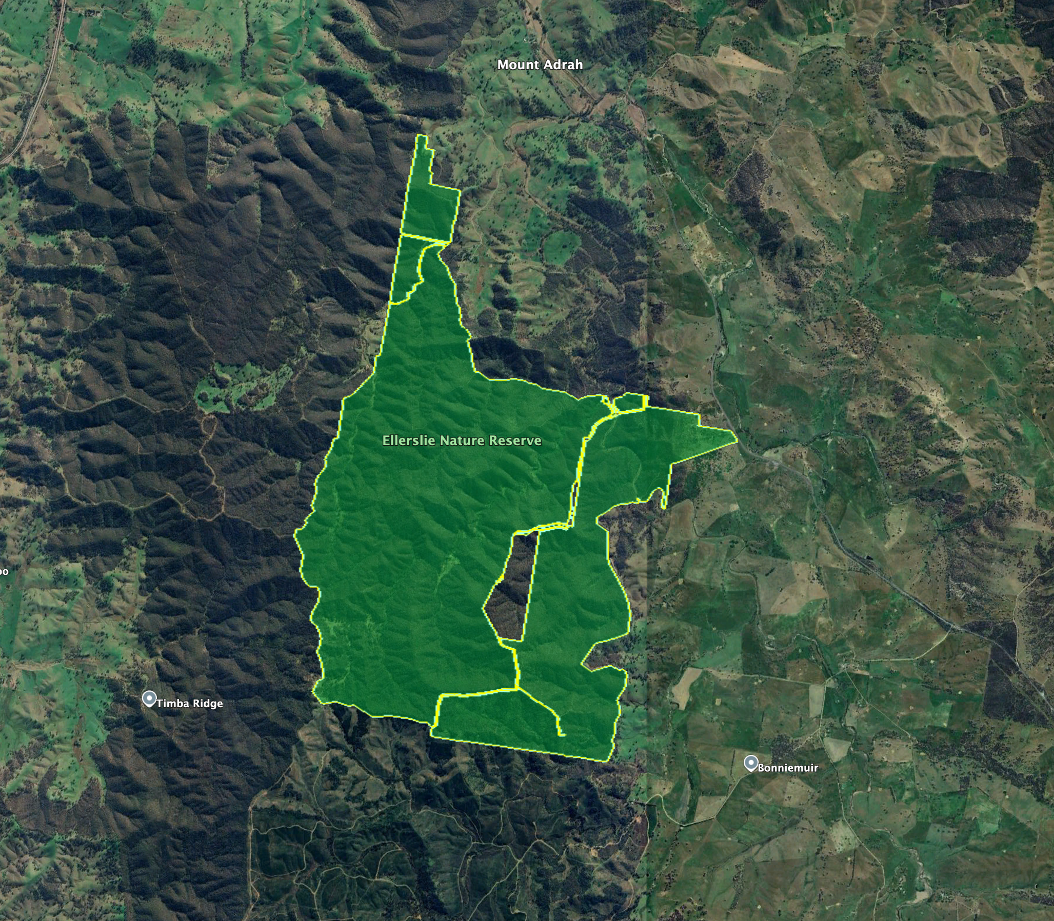
The Ellerslie Nature Reserve is located in the Mount Adrah district, about 17km northwest of the town of Adelong. The reserve is named after the former Ellerslie pastoral property. (NSW Govt 2010)

Ellerslie Nature Reserve is located in the traditional lands of the Wiradjuri Aboriginal people. The first known Europeans in the area were the explorers Hamilton Hume and William Hovell, who passed through the area in 1825 and 1825 during their journey of exploration. (NSW Govt 2010)

Above: Hamilton Hume (left) and William Hovell (right). Images c/o Wikipedia

Several pastoral runs existed in the area during the 1840s. This included Ellerslie, Mount Adra, and Yab Tree.

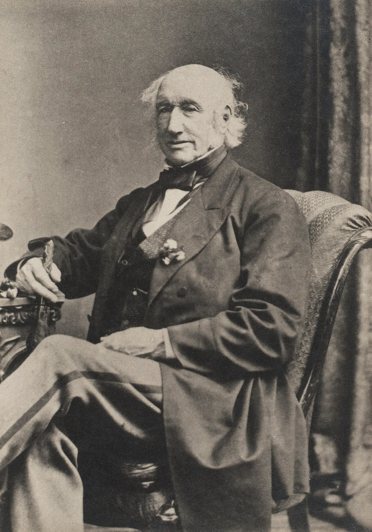
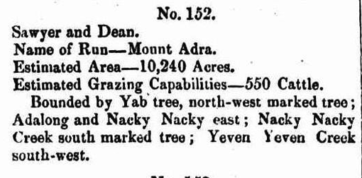
In 1841, William Sawyer held a pasturage license in the Murrumbidgee district. He was born in Dorset, England, in 1798. By 1825, he had emigrated to Australia, and in that year, he married Ann Kneebone in Hobart, Tasmania. Sawyer was a veteran of the Battle of Waterloo. By 1845, Sawyer held a run called Mount Adrah with John Dean. Mount Adrah run was 10,240 acres in size and had an estimated 500 cattle. In 1869, Sawyer moved to Bethungra, and the property passed to his sons. (ancestry 2016) (Wikipedia 2026)

Sawyer died in 1873, and following his death, the property was passed to Job Dunn. Job Dunn was born in March 1835 in Somerset, England. In 1855, he married Sarah Uncles. They emigrated to Australia in 1862. (ancestry 2016) (Wikipedia 2026)

Above: from the Wagga Wagga Advertiser, Wed 17 Nov 1875. Image c/o Trove

In 1866, Irish immigrants Thomas and Matilda Crain, selected land near Spring Creek at Mount Adrah. Thomas was born in August 1822 in County Tyrone, Ireland. He married Matilda Lindsay in 1840. They built a slab hut and commenced farming in the district, purchasing further land over several decades. Thomas died in September 1883 at Adelong. Matilda died in 1907 at Adelong. (ancestry 2016) (Wikipedia 2026)

By the 1860s, Mount Adrah had become a regular stopping point for travellers to and from Tumut. A licence for the Mount Adra Inn was granted to Job Dunn. It subsequently became The Vineyard Hotel, run by James Nicholls. In 1881, Irvine Crain, the son of Thomas and Maitilda, obtained the license for the inn, which was renamed the Mount Adrah Hotel. It continued to operate until 1914, following the retirement of Irvine Crain and the family’s move to Sydney (Wikipedia 2026)

In the central eastern section of the park is an old boundary tree that contains an inscribed plaque. The plaque was originally placed to commemorate the centenary of the occupation of Yab Tree station by the Horsley family. In 1959, the tree containing the plaque was destroyed in a fire. The plaque was later cemented into the tree stump. (NSW Govt 2010)

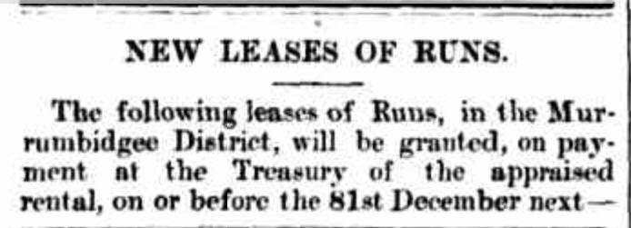
In the 30th September 1848 issue of the New South Wales Government Gazette, when describing Mount Adra Run, Commissioner Binningham talks about a north-west marked tree and it being bounded by Yab tree. It is believed that the tree he refers to is the tree that contains the plaque. (NSW Govt 2010)

Above: NSW Govt Gazette, 30 Sept 1848. Image c/o Trove

Prior to the Horsley family, the Yab Tree property appears to have been owned by John Hillas. Yab Tree obtained its name from the Kurrajoing trees that grew on the ridges near the homestead. The Aboriginal people called them ‘yabs’, hence the name Yab Tree. (Trove 2026)

The Horsley family owned Yab Tree Station from about 1859. Richard Frederick Horsley. Richard died in 1891. At this time, his son Richard Frederick Lachlan Horsley inherited the property. Yabtree was well known for its fine-wooled stud sheep. Richard Jr died in 1925 and Yabtree passed to his three sons, Frederick Lachlan Horsley, Wallace Horsley, and Richard Neville Horsley. (WWDHS 2019)

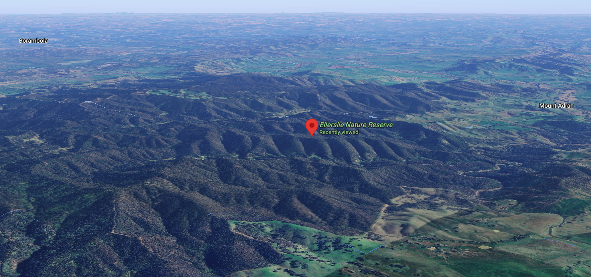
The eastern boundary of the reserve licks the Snowy Mountains Highway. Mount Pleasant Creek flows near the southern boundary, while there are a series of trails to the west and north of the reserve.

The reserve is about 1,877 hectares in size and was established in January 2001. It encompasses part of the Ellerslie Range (NSW Govt 2010) (NSW National Parks 2026)

Above: an aerial view of the Ellerslie Nature Reserve. Image c/o Google Maps

On the 24th day of December 1954, part of the current day reserve was declared as a Bird and Animal Sanctuary. On the 19th day of August 1955, the majority of the reserve was declared as Ellerslie State Forest. (NSW Govt 2010)

The reserve was first established on the 1st day of January 2001 as part of the Southern Regional Forest Agreement. At the time, the reserve’s size was 1,278 hectares. Prior to this, the majority of the reserve was managed as the Ellerslie State Forest by the then State Forests of New South Wales. After originally being gazetted, further land has been added to the reserve following the purchase of private land. (NSW Govt 2010)

A total of 15 native mammal species, 85 bird species, and 10 reptiles have been recorded in the reserve. Several threatened bird species can be found in the park, including Gang-gang cockatoo, Diamond Firetail, and Turquoise Parrot. The threatened Squirrel glider can also be found in the reserve. (NSW Govt 2010)

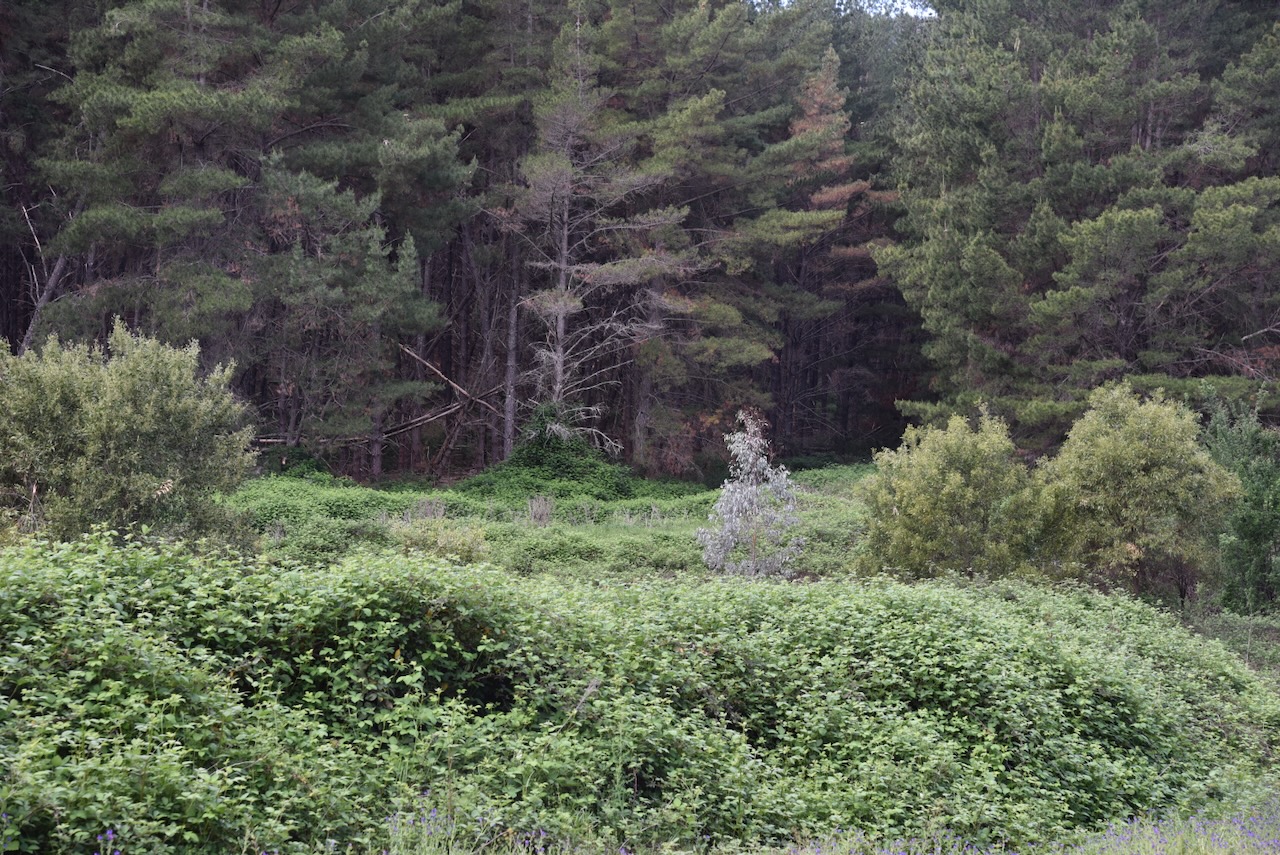
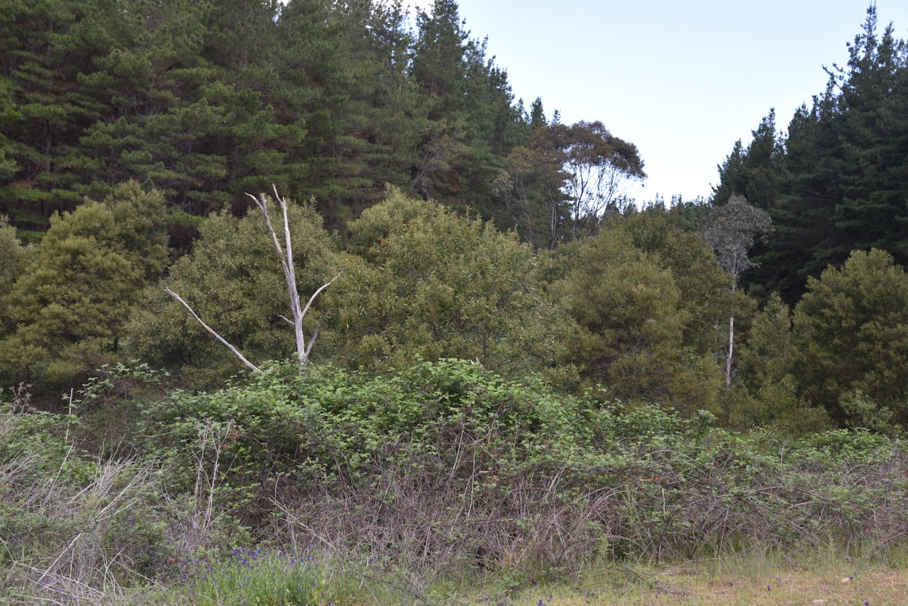
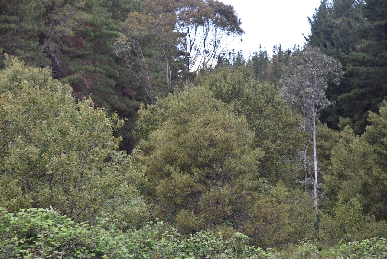
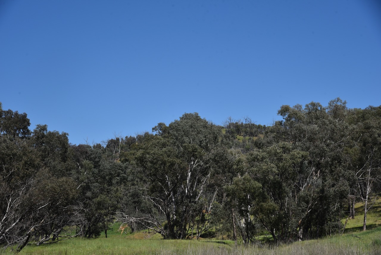
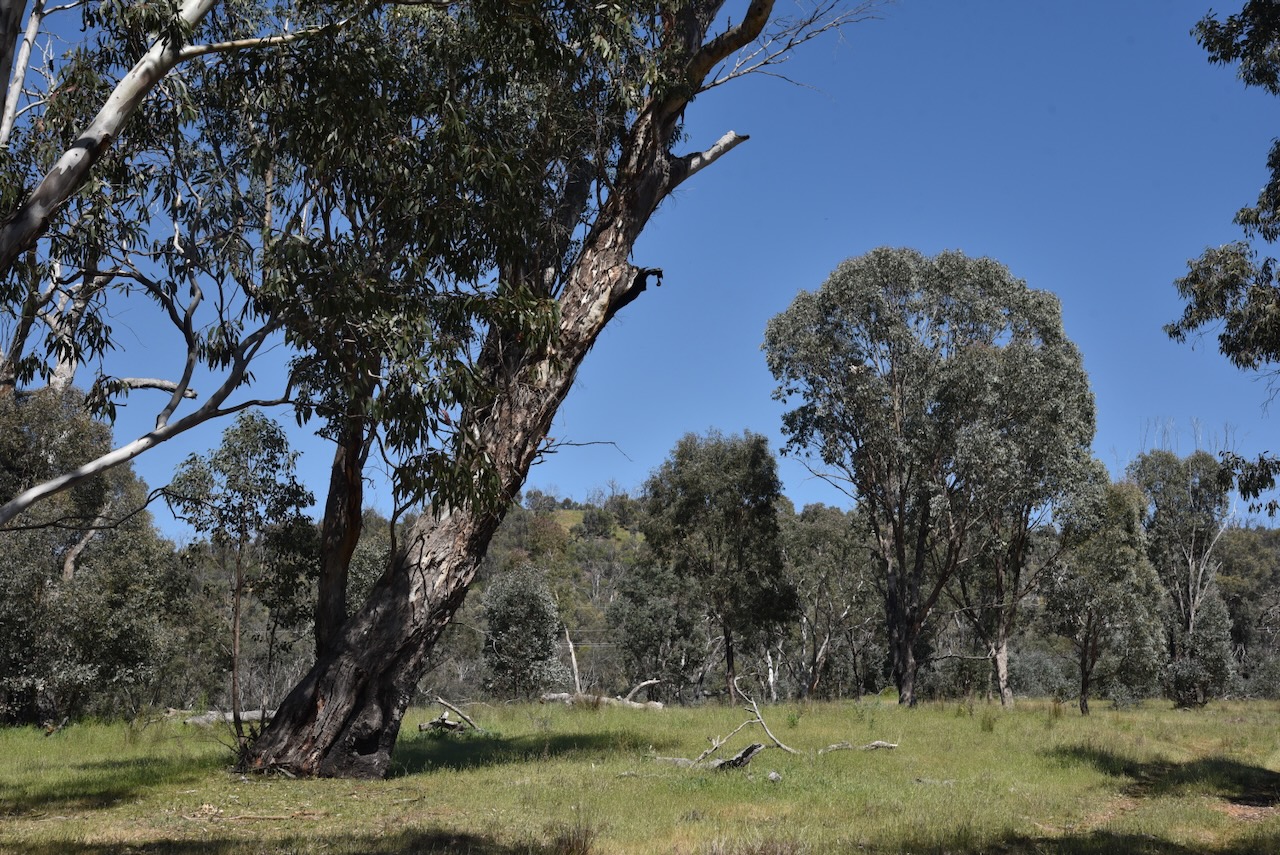
Marija and I parked the 4WD at the park gate and walked a short distance along the fenceline. We set up under some shade as it was quite a warm day. We were careful where we walked, ever vigilant of snakes.

We ran the Yaesu FT857, 40 watts, and the 20/40/80m linked dipole.

Marija worked the following stations on 40m SSB before the UTC rollover:-

  1. VK2BAI
  2. VK3GCD
  3. VK1AO
  4. VK2MET
  5. VK2DA
  6. VK1DA
  7. VK1ACE
  8. VK2IO/P (VKFF-0845 & SOTA VK1/ AC-041)
  9. VK2GEZ/P (VKFF-0845 & SOTA VK1/ AC-041)
  10. VK3SMW
  11. VK1AD/P (VKFF-0865)
  12. VK1CHW/P (VKFF-0852)
  13. VK2CHW/P (VKFF-0852)

Marija worked the following stations on 40m SSB after the UTC rollover:-

  1. VK2IO/P (VKFF-0845 & SOTA VK1/ AC-041)
  2. VK2GEZ/P (VKFF-0845 & SOTA VK1/ AC-041)
  3. VK5HS/P (VKFF-0372)

I worked the following stations on 40m SSB before the UTC rollover:-

  1. VK2BAI
  2. VK3GCD
  3. VK1AO
  4. VK2MET
  5. VK2DA
  6. VK1DA
  7. VK1ACE
  8. VK2IO/P (VKFF-0845 & SOTA VK1/ AC-041)
  9. VK2GEZ/P (VKFF-0845 & SOTA VK1/ AC-041)
  10. VK3SMW
  11. VK1AD/P (VKFF-0865)
  12. VK3CLD
  13. VK5QA
  14. VK2DBF
  15. VK5LA
  16. VK5KAW
  17. VK1CHW/P (VKFF-0852)
  18. VK2CHW/P (VKFF-0852)
  19. VK2LDJ
  20. VK2NP

I worked the following stations on 40m SSB after the UTC rollover:-

  1. VK2VW
  2. VK2HFI
  3. VK2AKA
  4. VK2BUG
  5. VK3KLI
  6. VK2HRX
  7. VK2MG
  8. VK1MA
  9. VK2HAK
  10. VK1CHW/P (VKFF-0852)
  11. VK2CHW/P (VKFF-0852)
  12. VK3CEO
  13. VK3MCK
  14. VK3TDK
  15. VK2NYC
  16. VK3ZSC
  17. VK3UH
  18. VK2DA
  19. VK1DA
  20. VK2IO/P (VKFF-0845 & SOTA VK1/ AC-041)
  21. VK2GEZ/P (VKFF-0845 & SOTA VK1/ AC-041)
  22. VK3WSG
  23. VK1AO
  24. VK2MET
  25. VK2USH
  26. VK1SIG/M
  27. VK1BUB
  28. VK2LWK
  29. VK3OAK
  30. VK5HS/P (VKFF-0372)
  31. VK3MDC/M
  32. VK3MIJ
  33. VK3HJW
  34. VK1RT
  35. VK1MCW
  36. VK1QRP
  37. VK1GH
  38. VK5LA
  39. VK5KAW
  40. VK2FI
  41. VK3HBG
  42. VK3JR
  43. VK2YAK
  44. VK4YAK
  45. VK7VZ
  46. VK2TKU
  47. VK2YL
  48. VK1ACE

I worked the following stations on 20m SSB:-

  1. VK6XL
  2. ZL3ASN

References.

  1. ancestry (2016). Ancestry® | Genealogy, Family Trees & Family History Records. [online] Ancestry.com.au. Available at: https://www.ancestry.com.au/. [Accessed 12 Mar. 2026]
  2. Elder, B. (2023). A complete guide to Adelong, NSW. [online] Australian Geographic. Available at: https://www.australiangeographic.com.au/travel/2023/01/a-complete-guide-to-adelong-nsw/ [Accessed 13 Mar. 2026].
  3. ‌‌Thorn, B. (1974). Pownall, William Henry (1834–1903). [online] Anu.edu.au. Available at: https://adb.anu.edu.au/biography/pownall-william-henry-4413 [Accessed 11 Mar. 2026].
  4. N‌SW Govt, 2010, Ellerslie Nature Reserve Plan of Management
  5. NSW National Parks. (2026). Ellerslie Nature Reserve. [online] Available at: https://www.nationalparks.nsw.gov.au/visit-a-park/parks/ellerslie-nature-reserve [Accessed 12 Mar. 2026].
  6. ‌Trove. (2026). Yabtree. – Wagga Wagga Advertiser (NSW : 1875 – 1910) – 15 Apr 1893. [online] Available at: https://trove.nla.gov.au/newspaper/article/101831344 [Accessed 12 Mar. 2026].
  7. ‌Trove. (2026). [?]NG. – Cootamundra Herald (NSW : 1877 – 1954) – 19 Jul 1884. [online] Available at: https://trove.nla.gov.au/newspaper/article/143765361?searchTerm=neve%20%2B%20drown%20%2B%20adelong%20crossing [Accessed 13 Mar. 2026].
  8. ‌Wikipedia Contributors (2025). Tumblong, New South Wales. Wikipedia.‌
  9. Wikipedia Contributors (2025). Royal Charter (ship). Wikipedia.‌
  10. Wikipedia Contributors (2026). Mount Adrah. Wikipedia.‌
  11. Wikipedia Contributors (2025). Adelong Creek. Wikipedia.‌