My eighth and final park whilst away was the Franklin Harbour Conservation Park VKFF-0807 and 5CP-071.
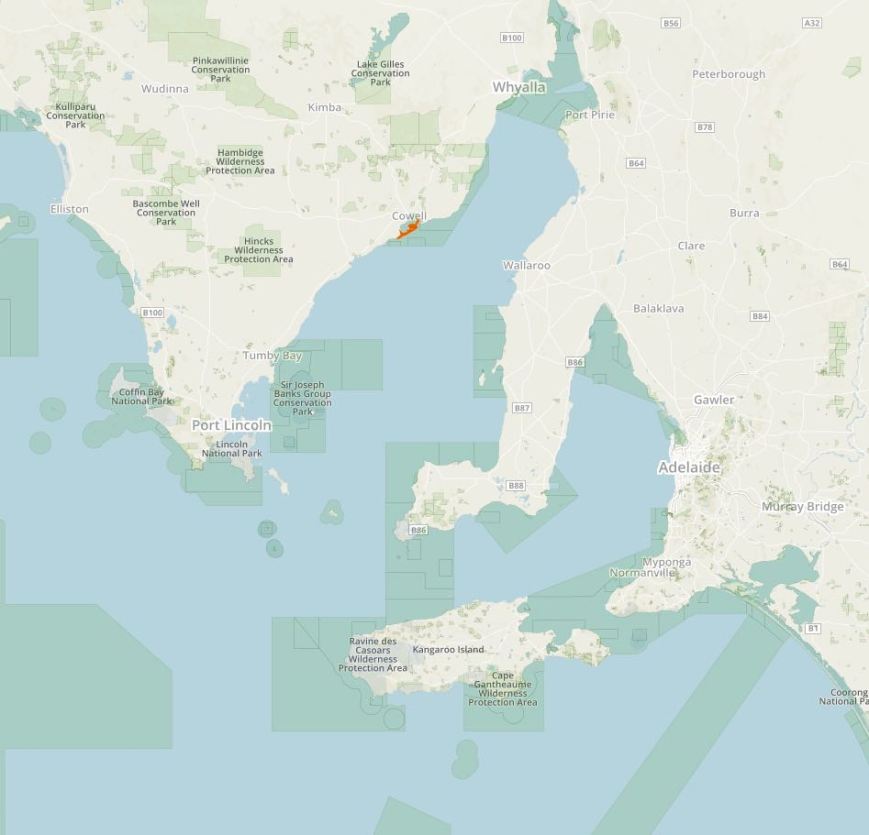
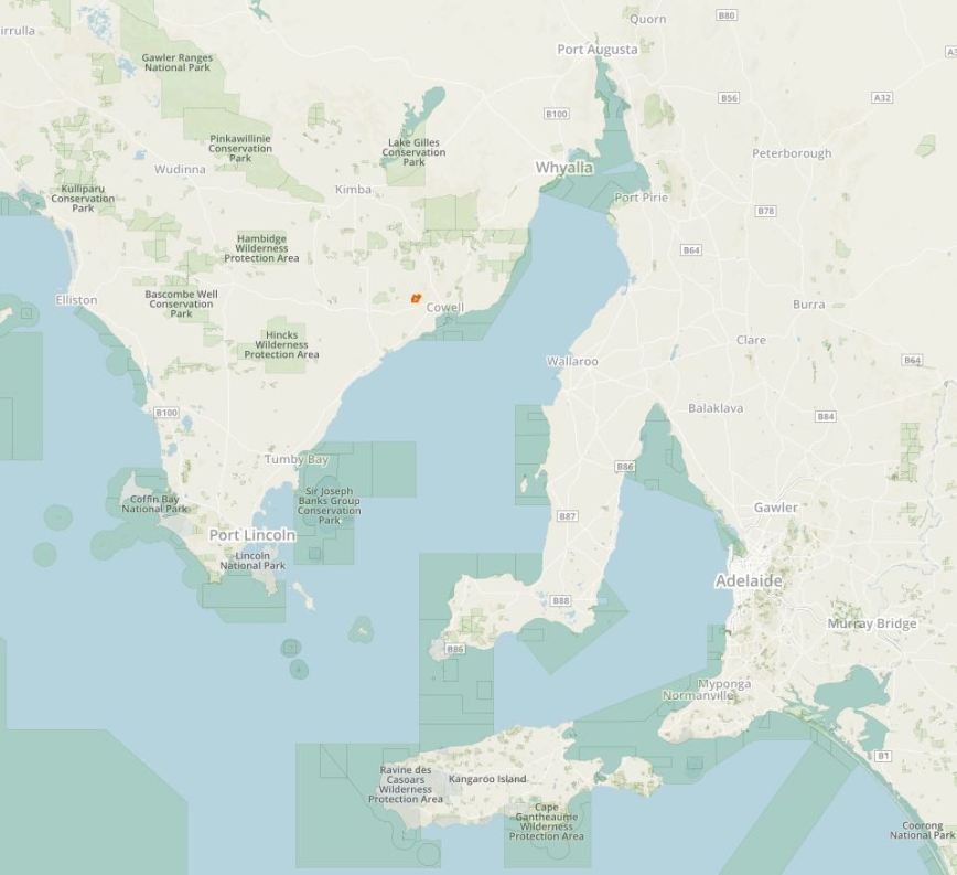
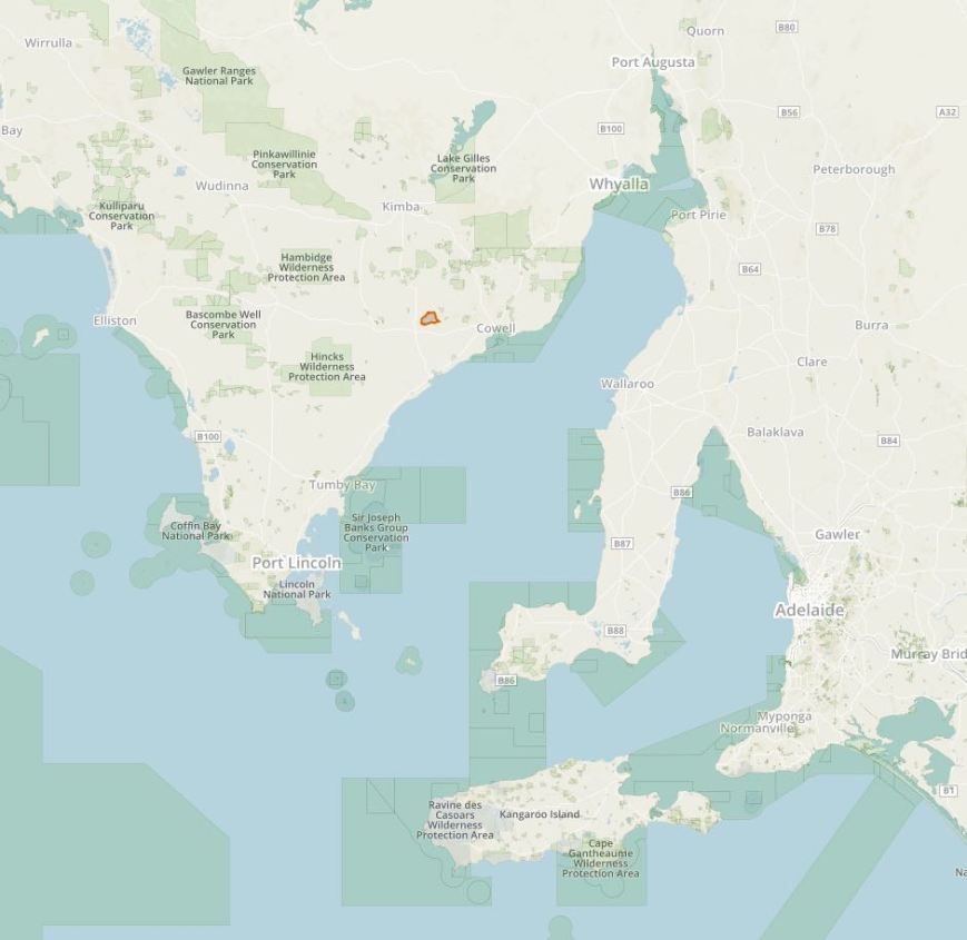
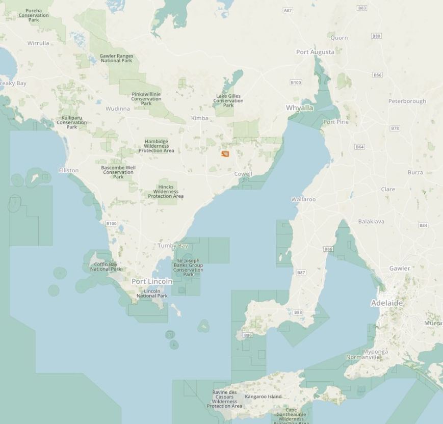
Above:- Map showing the location of the Franklin Harbour Conservation Park. Map courtesy of Protected Planet.
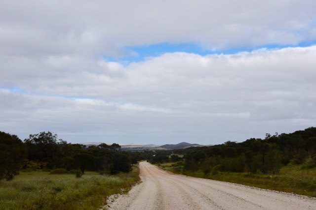
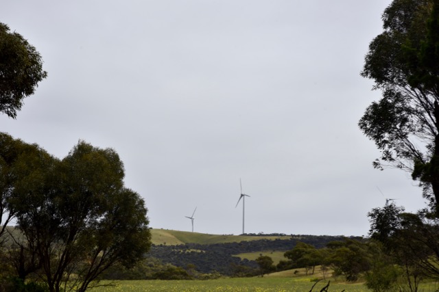
After leaving Middlecamp Hills, I travelled south along the Kimba-Cowell Road, and enjoyed some nice views down towards Cowell. I was very cognisant of the time, as it has taken me longer to get my 44 QSOs at Middlecamp Hills than expected. And I had to be back at Whyalla, about 100 km away, for lunch, and then a 5 hour drive back home to the Adelaide Hills.
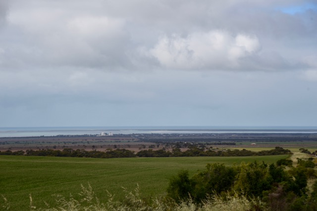
Above:- View towards Cowell.
I had activated Franklin Harbour CP previously, but this was to be another unique VKFF park for me. My last activation of the park was back in June 2013, and was as part of the VK5 National and Conservation Parks Award. It is amazing how the parks programs have progressed in Australia since that time. For that activation I made a total of 7 contacts. To read and see more have a look at my previous post at……
https://vk5pas.org/2013/06/13/franklin-harbour-conservation-park/
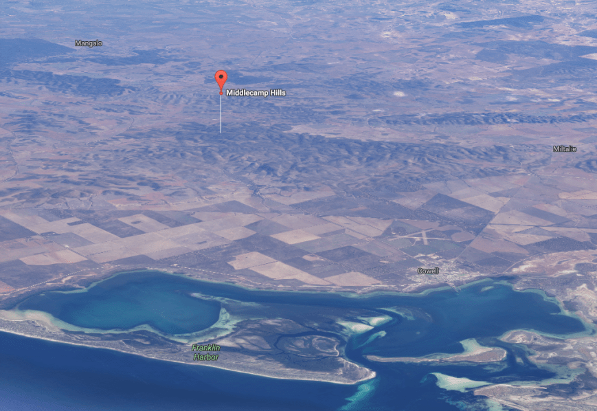
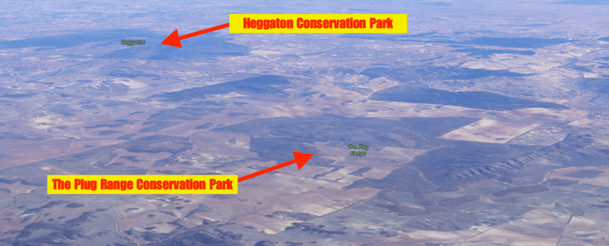
Franklin Harbour CP was established on 22nd January 1976, and is 1,356 hectares (3,350 acres) in size. It is located about 5 km south of the town of Cowell. The conservation park consists of land on a peninsula that encloses the south east side of Franklin Harbor and four islands including Entrance Island. The park is important in that it preserves an area of mangrove and samphire flats. This type of vegetation is dramatically depleted in South Australia.
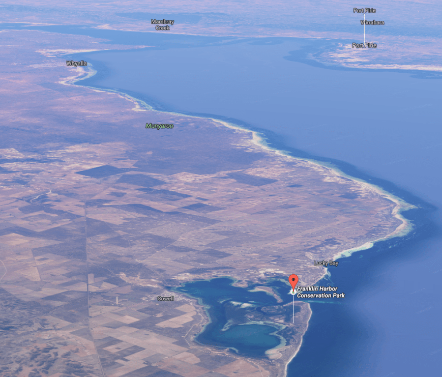
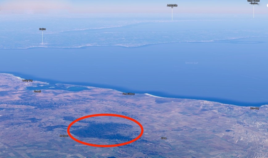
Above:- Aerial shot showing the location of the Franklin Harbour Conservation Park. Image courtesy of Google Maps.
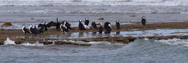
The Entrance Islands contain a population of Death Adders, which is one of the most venomous land snakes in Australia and the world. Death Adders possess the longest fangs of any Australian snake and can deliver the fastest strike among all venomous snakes recorded in Australia. Death can result within 6 hours of the bite. Thankfully I was not going there. I am no fan of snakes! The islands also provide a safe roosting and feeding site for sea birds.
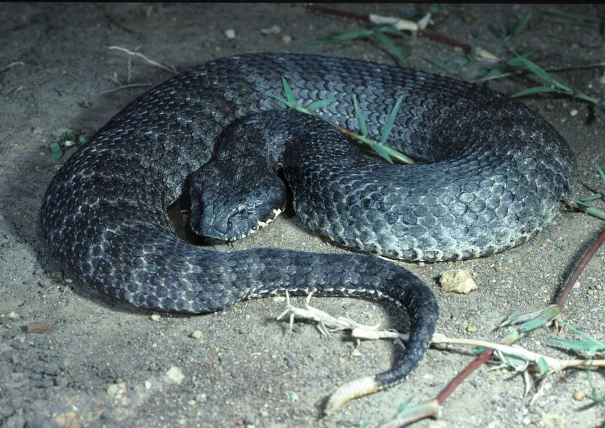
Above:- A Death Adder. Image courtesy of Wikipedia.
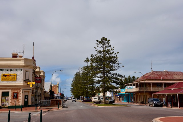
Cowell itself is a beautiful little town, with a population of around 1,070 people. It is the centre of the surrounding agricultural district. The town also supports the local fishing and oyster farming industry.
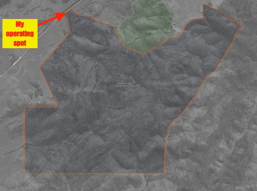
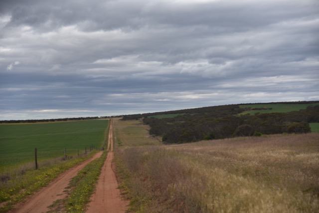
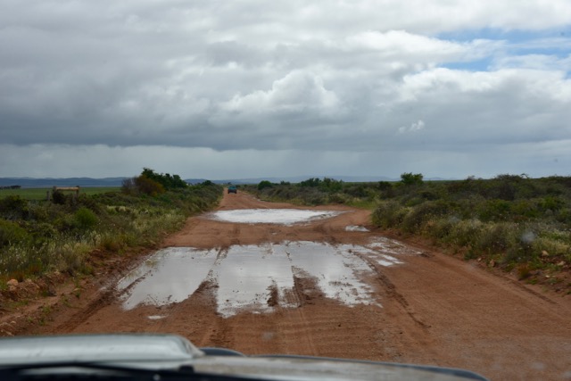
I drove out of Cowell along Beach Road which was quite wet and boggy in parts. Beach Road takes you out to The Knob and the south western tip of the Conservation Park.
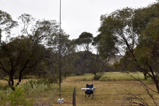
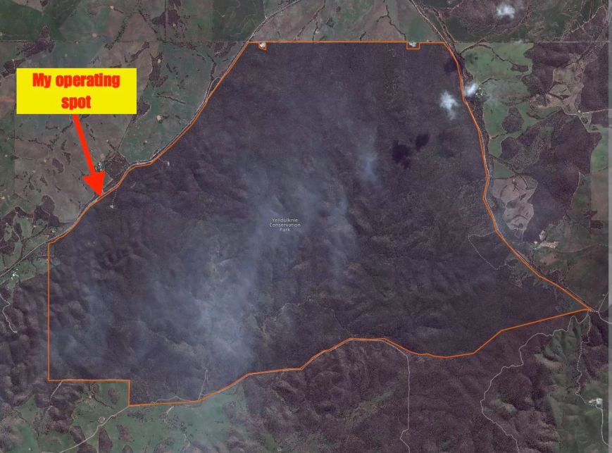
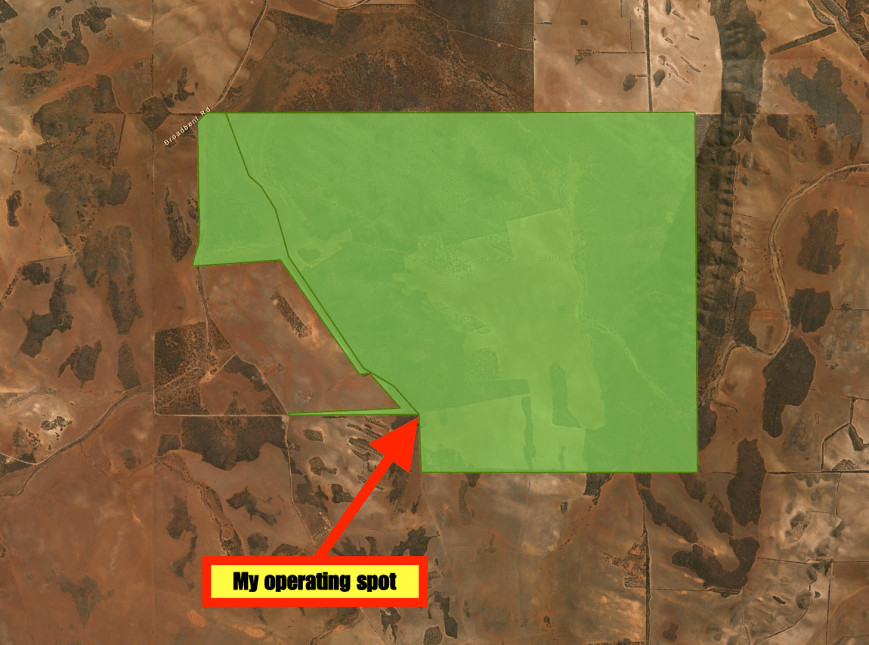
I found a dirt track off Beach Road and drove a short distance down that track and set up my station quickly, as I wanted to get back to Whyalla for lunch.

Above:- Map showing my operating spot within the park. Map courtesty of Protected Planet.
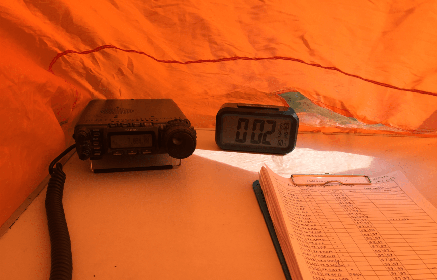
There were some stations on 7.146 so I decided not to operate on 7.144 as I did not want to cause any interference to them. So I headed down to 7.142 and commenced calling CQ. My first responder was Geoff VK3SQ in Beechworth with a nice 5/9 signal, followed by Col VK5HCF, and then Greg VK5GJ, running QRP 40 milliwatts again. This time Greg was a good 5/5 with his QRP set up.
It was an extremely nice outlook from ‘my shack’ out across Spencer Gulf, and to top it off I had a lot of callers. I had secured the elusive 44 contacts within 40 minutes, and that was with Peter VK3ZPF. I worked a further 3 stations before going QRT.
I’m sorry if there was anyone else waiting there, but I did not want to push my luck with my wife Marija. I had a total of 47 contacts in the log and another successful VKFF activation.
The following stations were worked on 40m SSB:-
- VK3SQ
- VK5HCF
- VK5GJ
- VK4RF
- VK4HA
- VK3PF
- VK2HHA
- VK5EE
- VK3GGG
- VK3PMG
- VK1AT/3
- VK5FANA
- VK3SFG
- VK3MRH
- VK2YW
- VK3UH
- VK3ZMD
- VK5NFT/m
- VK2PKT
- VK3FRAB
- VK3FLCS
- VK5AFZ
- VK3ELH
- VK5FMID
- VK3BBB
- VK5MRT
- VK5VRB
- VK2IO
- VK5FR
- VK3VBI
- VK4HNS/p
- VK5HS
- VK2KYO
- VK5FLEX
- VK3FSPG
- VK5AYD
- VK3GP
- VK3FQSO
- VK5PL
- VK3KRH
- VK5KLV/m
- VK3PAT
- VK3TJS
- VK3ZPF
- VK6JON/7
- VK1DI
- VK7FOLK/m
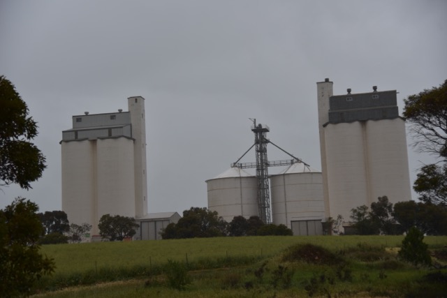
At the conclusion of the activation I stopped off very quickly at the agricultural museum at Cowell, which contains a wide range of agricultural machinery. It was then a 1 hour drive back to Whyalla.
And while on Whyalla, I’d be remiss not to mention something about the town. I always joke that the best view of Whyalla is ‘in the rear vision mirror’. It is not the most pleasing town on the eye. But it is the birth place of my beloved, and we have family and many good friends there.
Whyalla, previously known as Hummock Hill, is the third most populous town/city in South Australia. Only behind Adelaide and Mount Gambier. It is known as the “Steel City’ due to its steelworks and shipbuilding heritage. Whyalla has been exporting iron ore since 1903 and was founded by the Broken Hill Proprietary Company (BHP). A shipyard was constructed at Whyalla to provide ships to the Royal Australian Navy during the Second World War. The first ship that rolled off the shipyard, was in 1941, and the corvette was appropriately named HMAS Whyalla. This is now a landlocked tourist attraction.
References.
Wikipedia, 2016, <https://en.wikipedia.org/wiki/Franklin_Harbor_Conservation_Park>, viewed 22nd September 2016
Wikipedia, 2016, <https://en.wikipedia.org/wiki/Common_death_adder>, viewed 22nd August 2016
Wikipedia, 2016, <https://en.wikipedia.org/wiki/Cowell,_South_Australia>. viewed 22nd September 2016
Wikipedia, 2016, <https://en.wikipedia.org/wiki/Whyalla>, viewed 22nd September 2016