At about 0515 UTC on Saturday, the 5th day of July 2025, I tuned in to All India Radio broadcasting on 15280 kHz in the Persian language. The Arabic language broadcast commenced at 0530 UTC.
The signal was coming from the 500 kW transmitter in Bengaluru. The target audience was West Asia. (Short Wave Info 2024) (WRTH 2025)
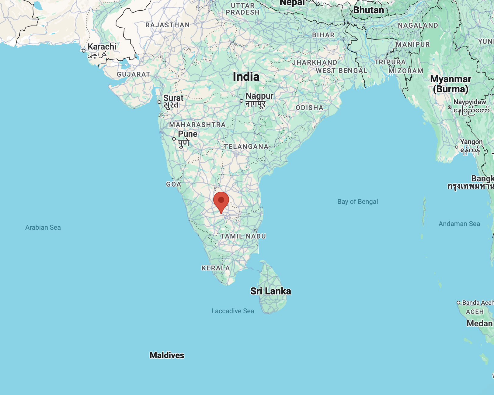
Above:- Map showing the location of Bengaluru, India. Image c/o Wikipedia.
The overall reception of All India Radio was good. There was an echo on the signal
| S | I | N | P | O |
| 4 | 5 | 4 | 4 | 4 |
My equipment:-
- Yaesu FTdx101MP
- dipole antenna
Below is a short video showing my reception of All India Radio.
References.
- Shortwaveschedule.com. (2024). ShortwaveSchedule.com. [online] Available at: https://shortwaveschedule.com/ [Accessed 5 Jul. 2025].
- Short-wave.info. (2023). Short-Wave Radio Frequency Schedule. [online] Available at: http://www.short-wave.info/index.php [Accessed 5 Jul. 2025].
- World Radio TV Handbook 2025