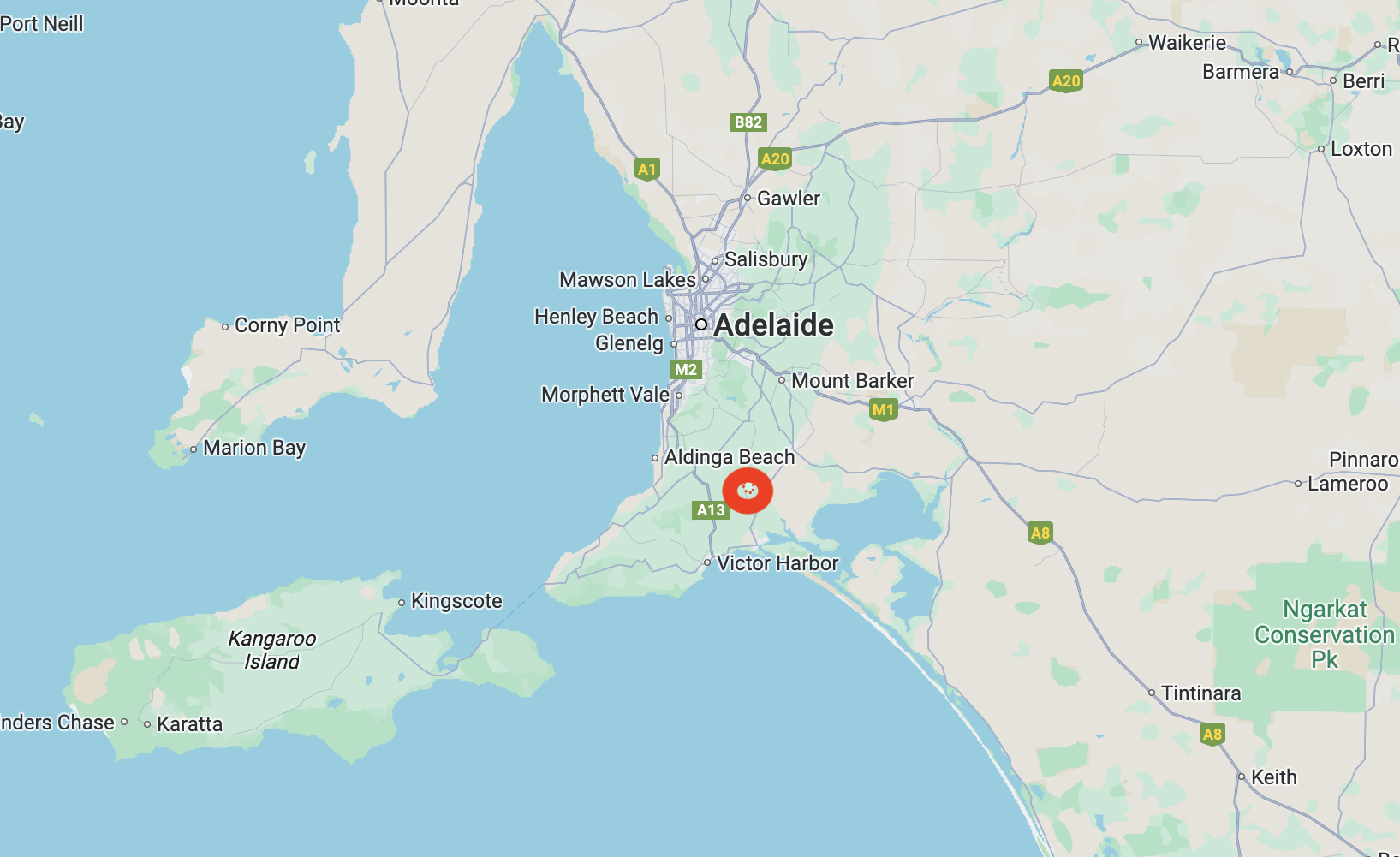
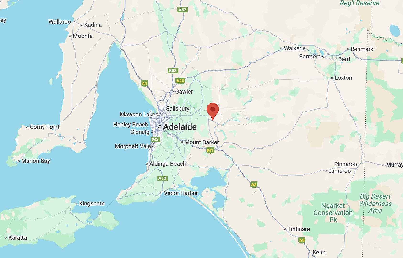
Our fourth park for Monday 21st April 2025, was the Altona Landcare Reserve VKFF-4028. The reserve is located about 3 km northwest of Lyndoch in the world-famous wine growing region of the Barossa Valley.
Above:- Map showing the location of the Altona Landcare Reserve. Map c/o Google Maps.
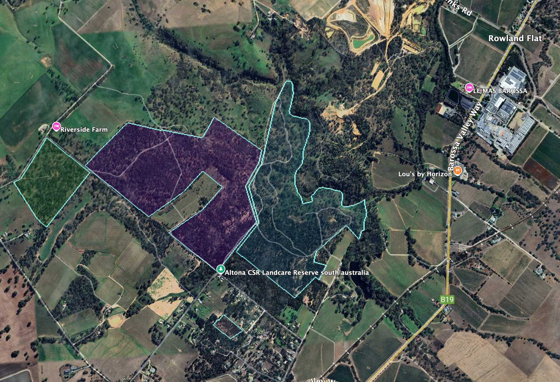
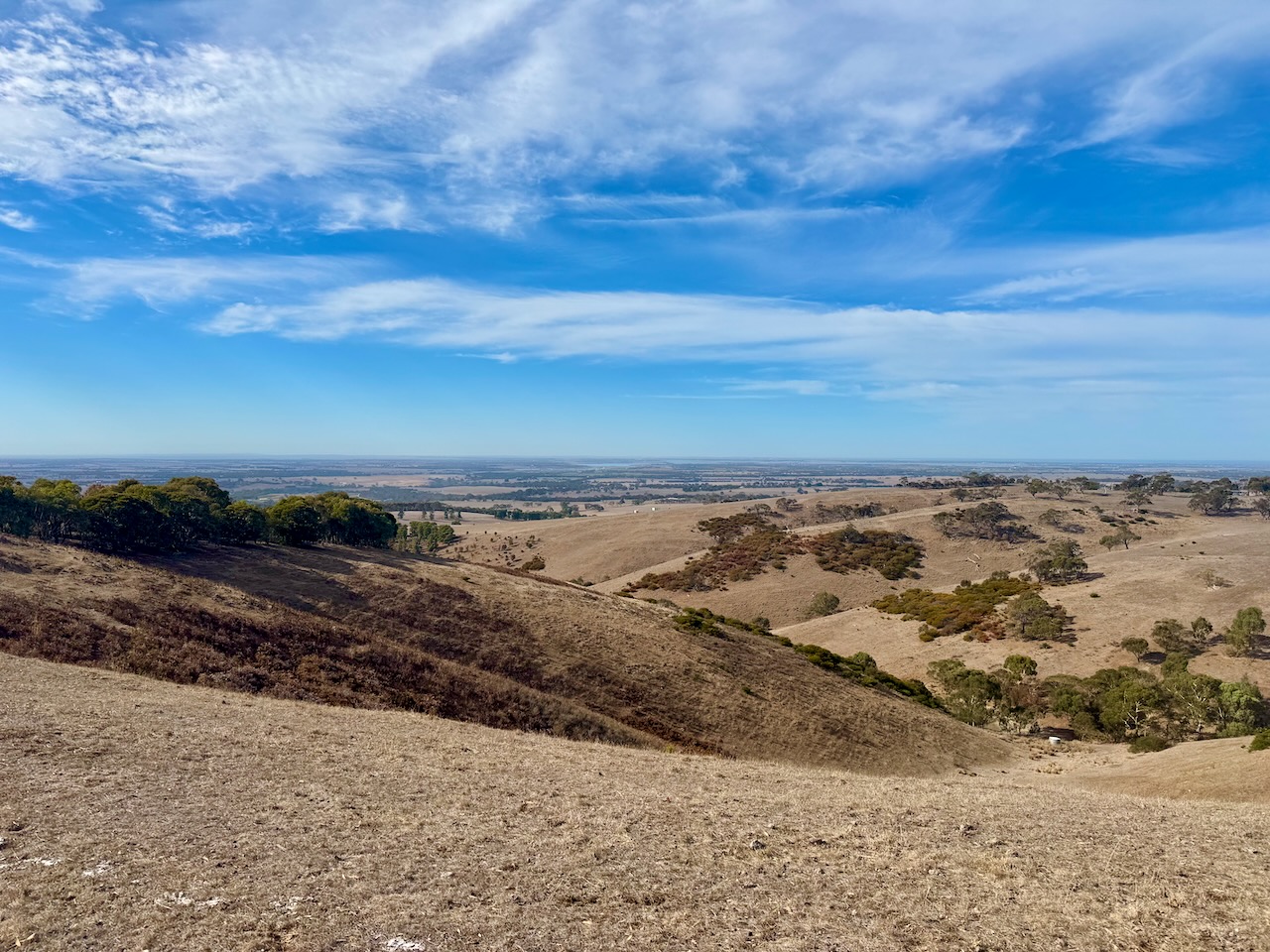
The park is located on Altona Road. A heritage agreement adjoins the western side of the reserve.
Above:- An aerial view of the reserve. Image c/o Google Earth.
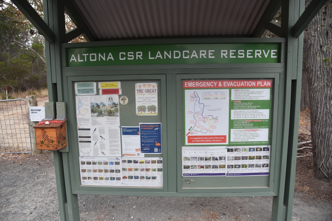
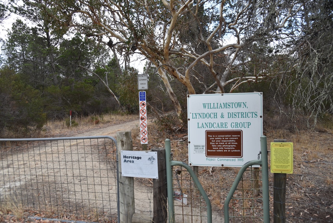
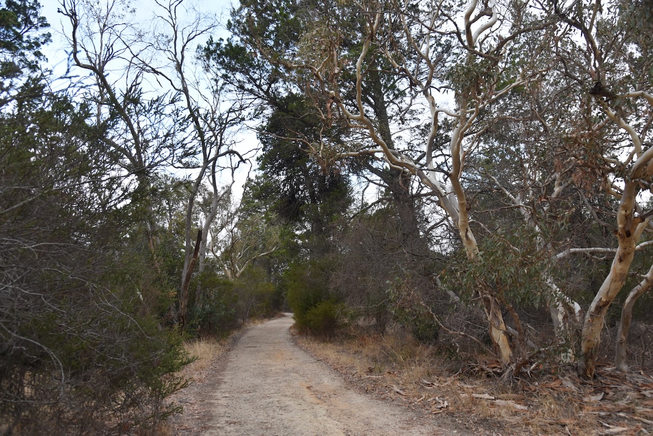
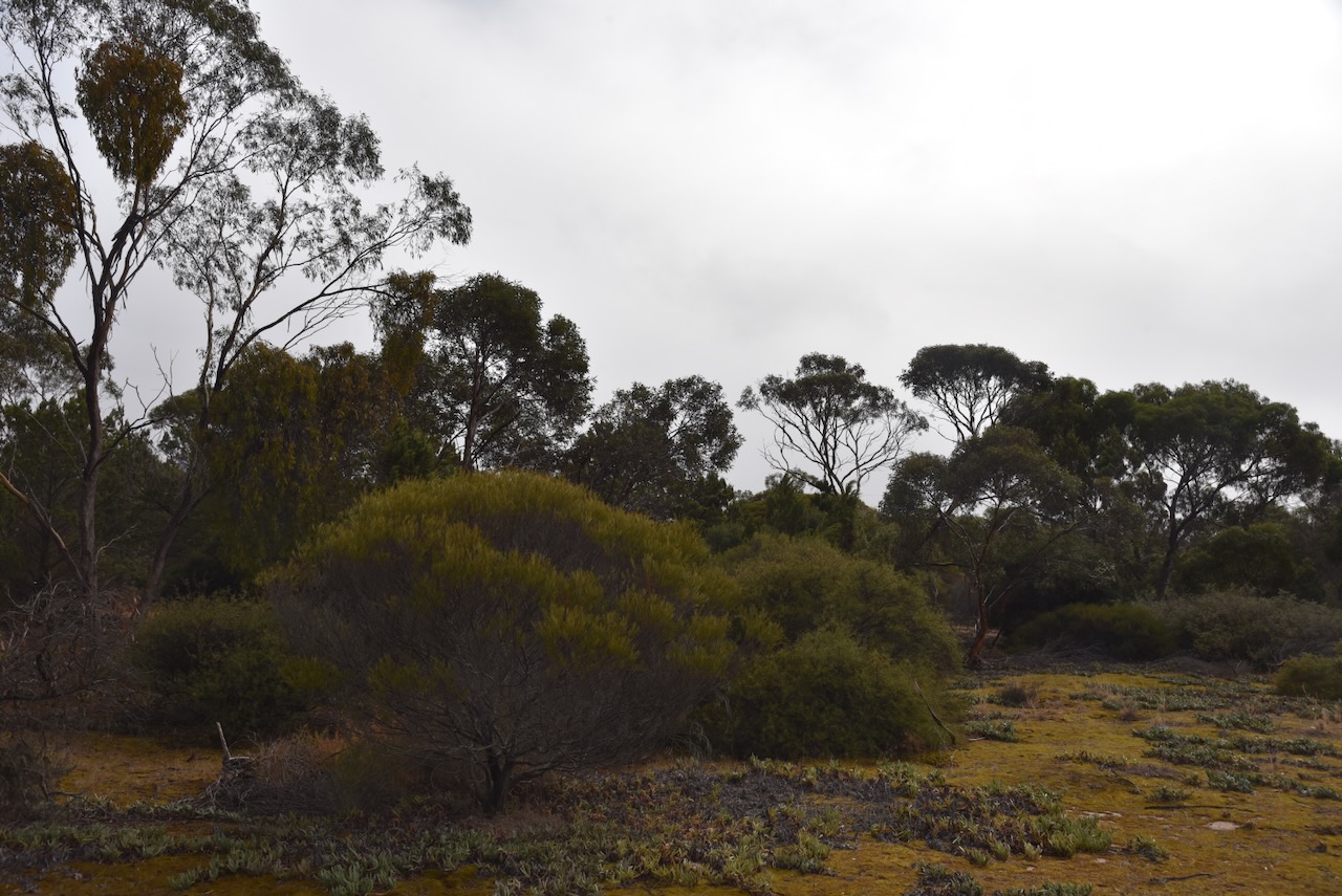
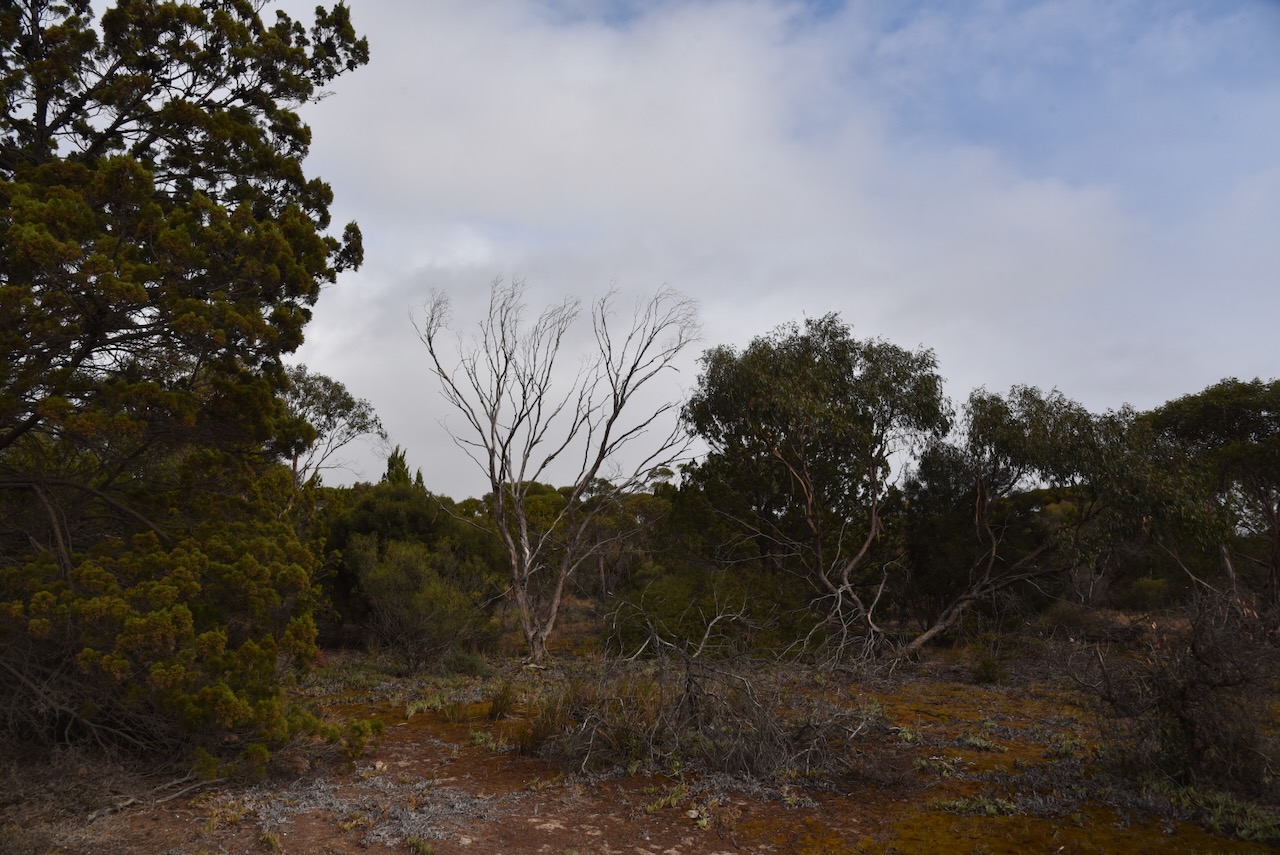
The reserve is a Heritage Agreement that is owned by the Williamstown, Lyndoch & Districts Landcare Group. It consists of 70 hectares of native scrub and is one of the last remaining areas of scrub in the district. The reserve is home to over 213 species of native plants. About 63 of those have national, state, or regional conservation status. A total of 96 species of native birds have been recorded, with 10 having national, state, or regional conservation ratings. (The Barossa Council, 2025)
Below is an excellent video on the reserve.
We ran the Yaesu FT857, 40 watts, and the 20/40/80m linked dipole for this activation.
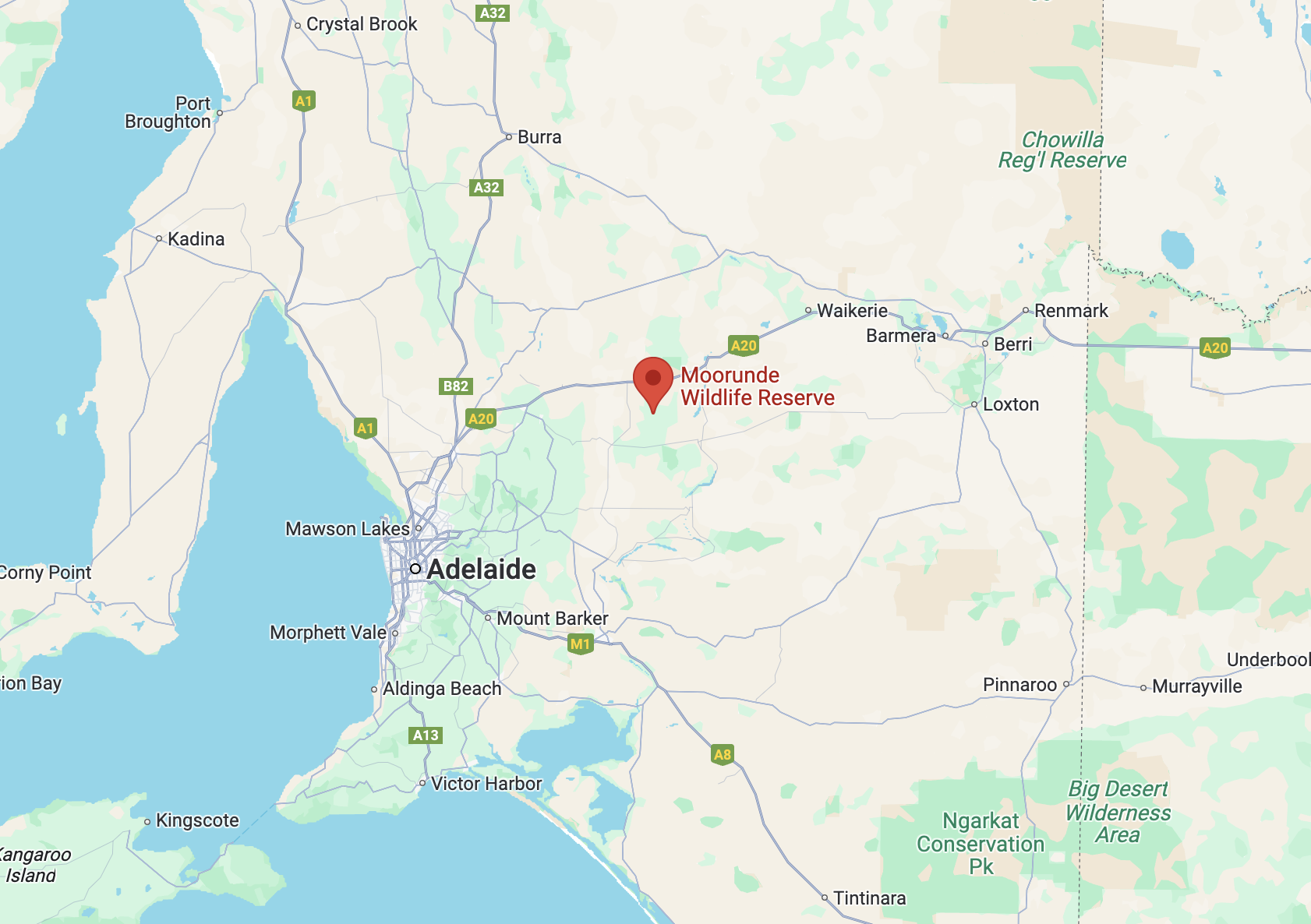
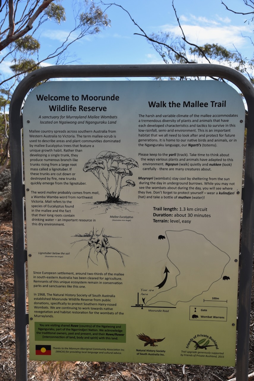
Our third park for Monday 21st April 2025, was the Moorunde Wildlife Reserve VKFF-4045. The reserve is located about 100 km northeast of Adelaide, between Blanchetown and Swan Reach.
Above:- Map showing the location of the Moorunda Wildlife Reserve. Map c/o Google Maps.
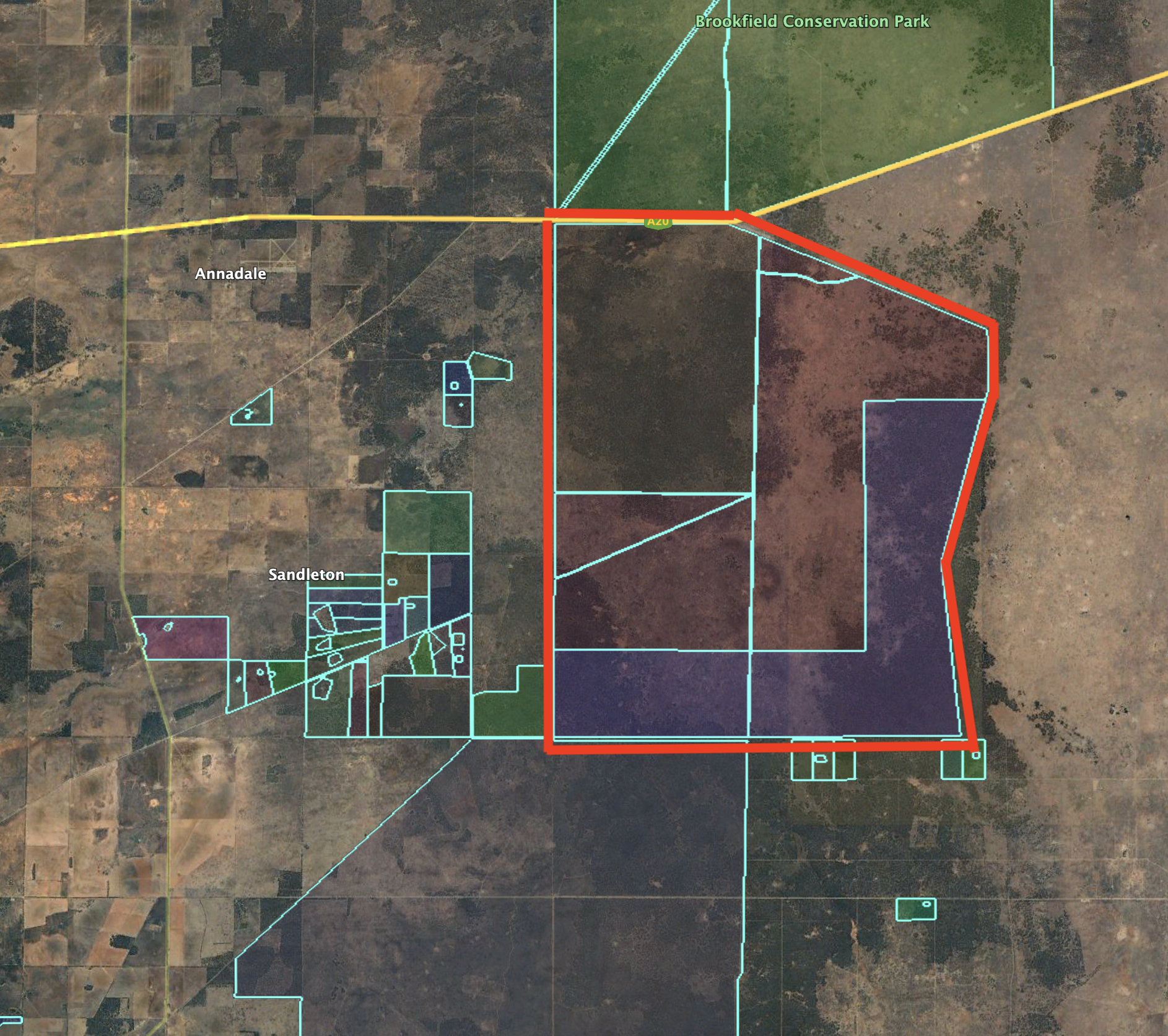
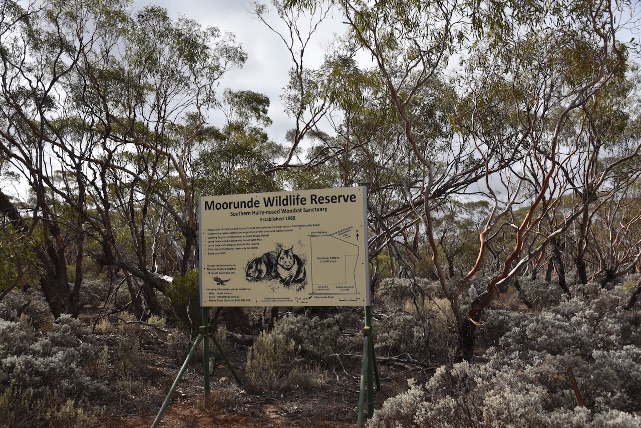
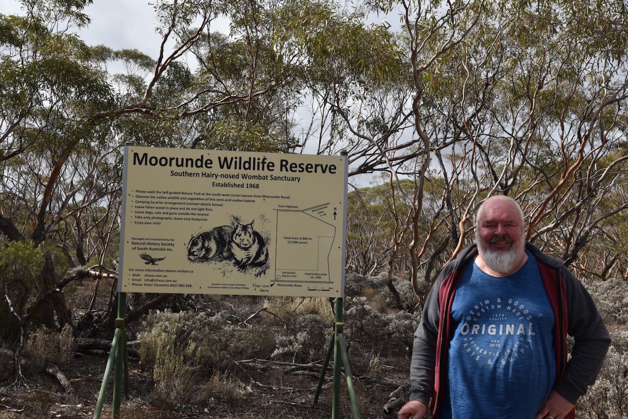
The Moorunde Wildlife Reserve is 6,900 hectares (17,000 acres) in size and comprises several Heritage Agreements of mallee country. The northern boundary of the reserve is Stury Highway. The southern boundary is Moorundie Road. To the north of the reserve is Brookfield Conservation Park, which was purchased by the Chicago Zoological Society in 1971 for the conservation of the Southern hairy-nosed wombat. (Nat Hist Soc SA 2014) (Wikipedia 2025)
Above:- An aerial view of the Moorundde Wildlife Reserve. Image c/o Google Earth.
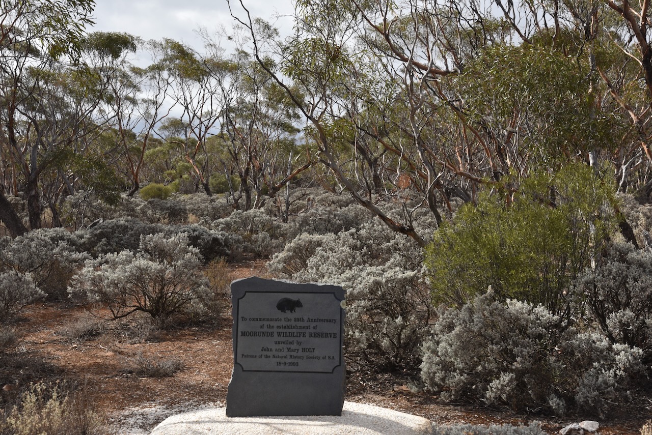
The Moorunde Wildlife Reserve was the first sanctuary established specifically to preserve the habitat of the Southern Hairy-nosed Wombat. It is one of the largest wombat sanctuaries in the world and is owned by the Natural History Society of South Australia. (Nat Hist Soc SA 2014)
Before the land was established as a Wildlife Sanctuary, it had been cleared for sheep grazing, wood fuel and charcoal production. (Wombats SA, 2020)
During the mid-1960s, the Natural History Society of South Australia lobbied the South Australian State Government to create a wombat sanctuary on the Nullabor Plains on the West Coast of South Australia. Sadly, this did not eventuate. In 1967, Jack and Peg Conquest approached the Natural History Society of South Australia. They were eager to establish a sanctuary for the Southern Hairy-nosed Wombat. (Nat Hist Soc SA 2014)
In 1968, the Society launched a public appeal to raise money to purchase land in the Murraylands. A total of $12,000 was required to purchase the property, and a further $6,000 for infrastructure. This appeal was very successful with the publicity and support of the Sunday Mail newspaper and the Adelaide Bank. The appeal also received donations from schools, community groups, private businesses and individuals. In the first week, a total of $4,000 had been raised. As a result of the appeal, the Society purchased 2,000 hectares of land near Blanchetown that was formerly part of Portee Station owned by Louis Power. (Adelaide AZ, 2025) (Nat Hist Soc SA 2014)
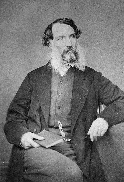
The name of the reserve was chosen as Moorunde to acknowledge the traditional owners of the land and the explorer Edward John Eyre (b. 1815. d. 1901). In 1841, he was appointed the ‘Protector of the Aborigines’. Near present-day Blanchetown, he established a station which he named Moorunde. Moorundi is an Aboriginal name for the Murray River. (Nat Hist Soc SA 2014)
Above:- Edward John Eyre. Image c/o Wikipedia.
In 1973, the Chicago Zoological Society purchased land north of the reserve and established the Brookfield Conservation Park as a wombat sanctuary. (Nat Hist Soc SA 2014)
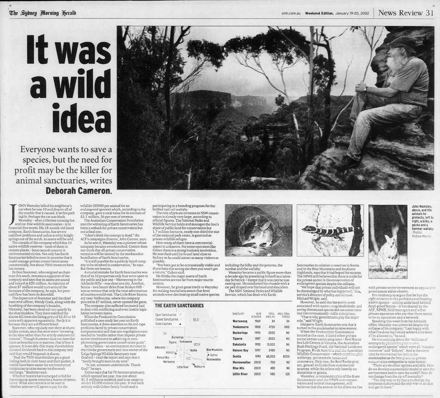
During the 1990s, Earth Sanctuaries established Yookamurra Sanctuary to the south of the Moorunde Reserve. (Nat Hist Soc SA 2014)
Above:- Article from The Sydney Morning Herald, 19 Jan 2002, re Earth Sanctuaries. Image c/o newspapers.com
In 2007, the Society purchased a further 4,900 hectares of adjacent land on Portee Station known as the Twelve Mile Plain. This brought the total area of the reserve to 6,900 hectares. This was made possible with some bequests in the bank and donations from the Society’s patrons, John and Mary Holt, other members and organisations. (Nat Hist Soc SA 2014) (Wombats SA, 2020)
The Southern Hairy-nosed Wombat is one of three species of wombat. It lives in semi-arid regions of South Australia. This particular species of wombat was adopted by the South Australian State Government in 1970 as the faunal emblem of South Australia. (Nat Hist Soc SA 2014)
It is estimated by Wombats SA that in 1968, there were 150 wombats on the reserve. Today, it is believed that about 2,000 southern hairy-nosed wombats call the reserve home. (Adelaide AZ, 2025) (Wombats SA, 2020)
Below is a video detailing the history of the Moorunde Wildlife Reserve.
We ran the Yaesu FT857, 40 watts, and the 20/40/80m linked dipole for this activation.
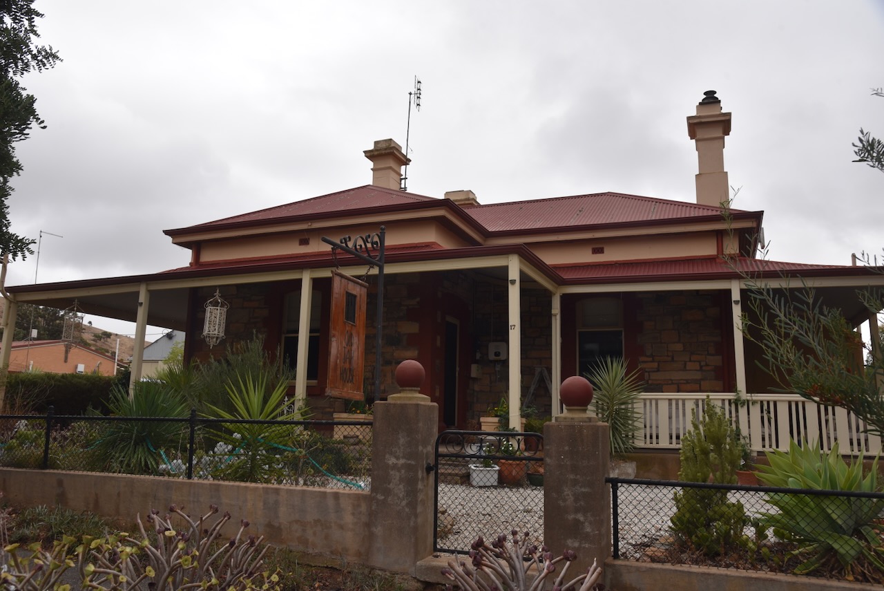
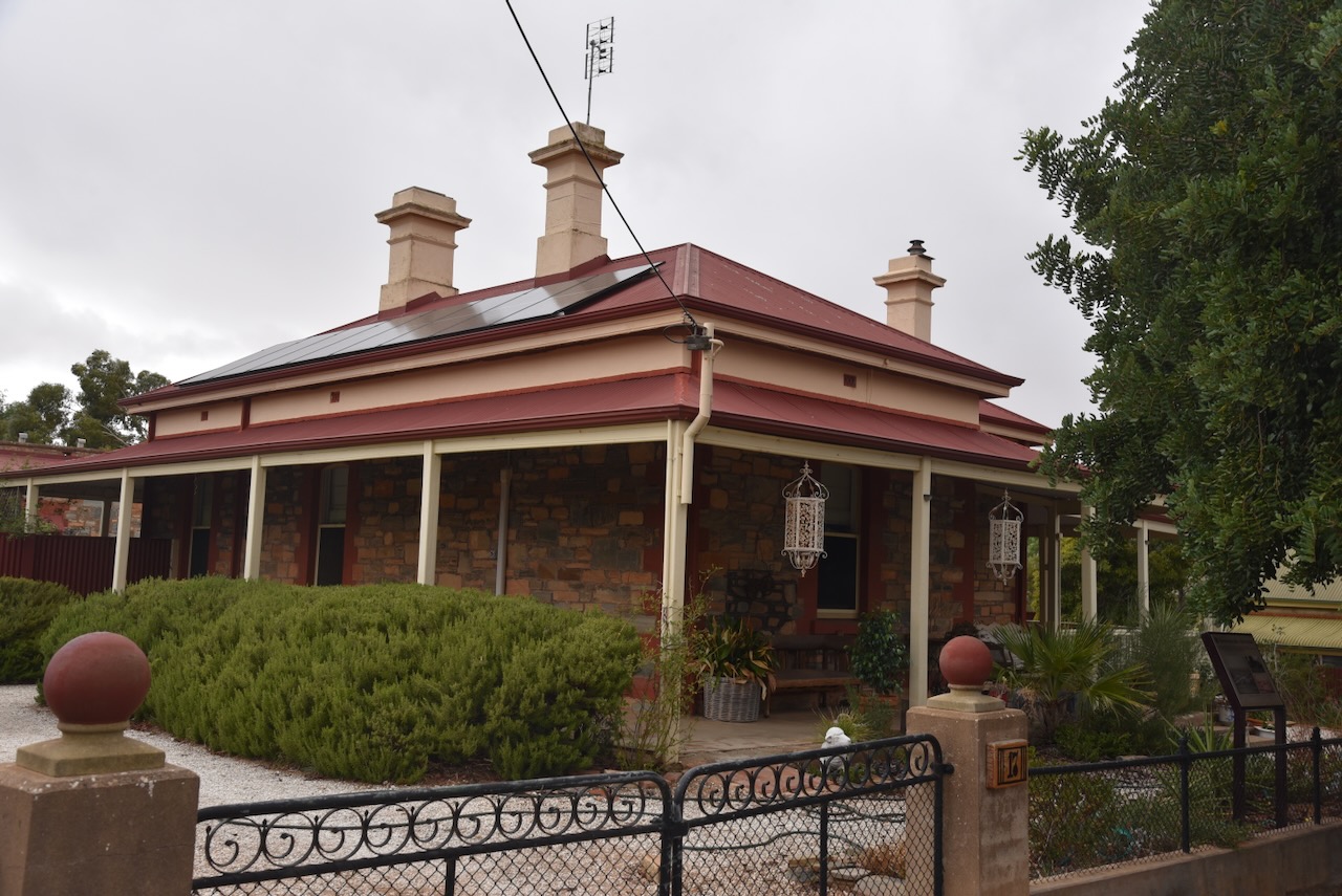
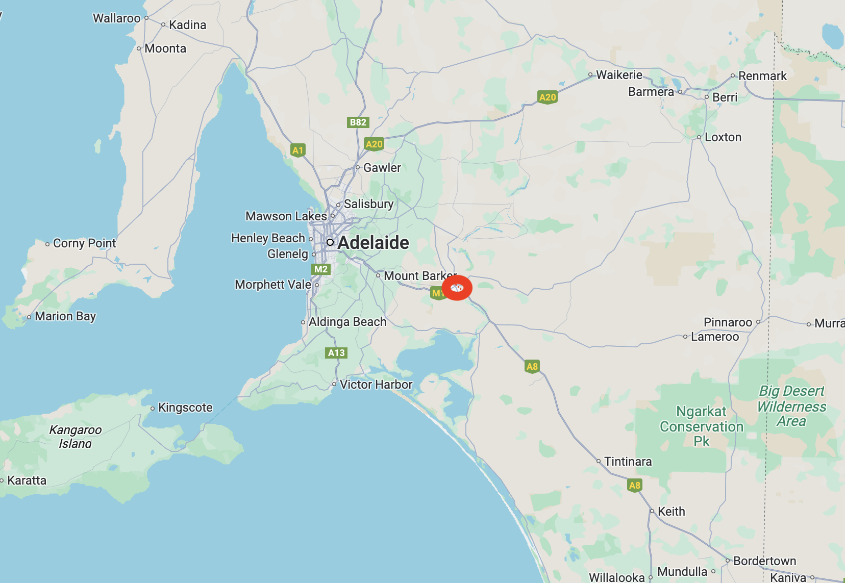
Our next activation for 21st April 2025 was Heritage Agreement (No.HA1446)VKFF-4057, at Palmer. The park is located about 4 km north of the town of Palmer, and about 75 km east of the city of Adelaide.
Above:- Map showing the location of the park. Map c/o Google Maps.
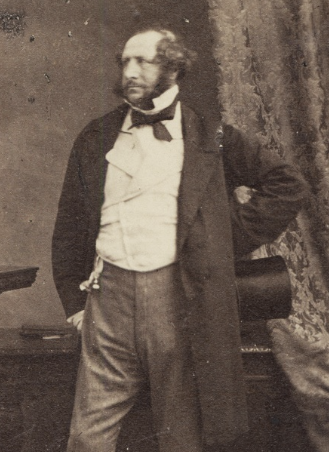
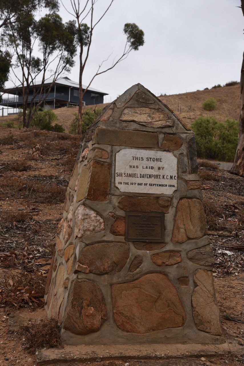
Prior to European settlement, Palmer was located on the western edge of the Ngaralta Aboriginal people. The first European exploration in the area was in 1838 by Dr. George Imlay and John Hill. In September 1846, the Reedy Creek special survey was granted to Enthoven, Capper and Masterman with Samuel Davenport as the agent. In August 1873, the township of Palmer was laid out, named in honour of Lt Colonel George Palmer, a South Australian Colonisation Commissioner. (Wikipedia 2019)
Above:- Lt Col. George Palmer. Image c/o Wikipedia.
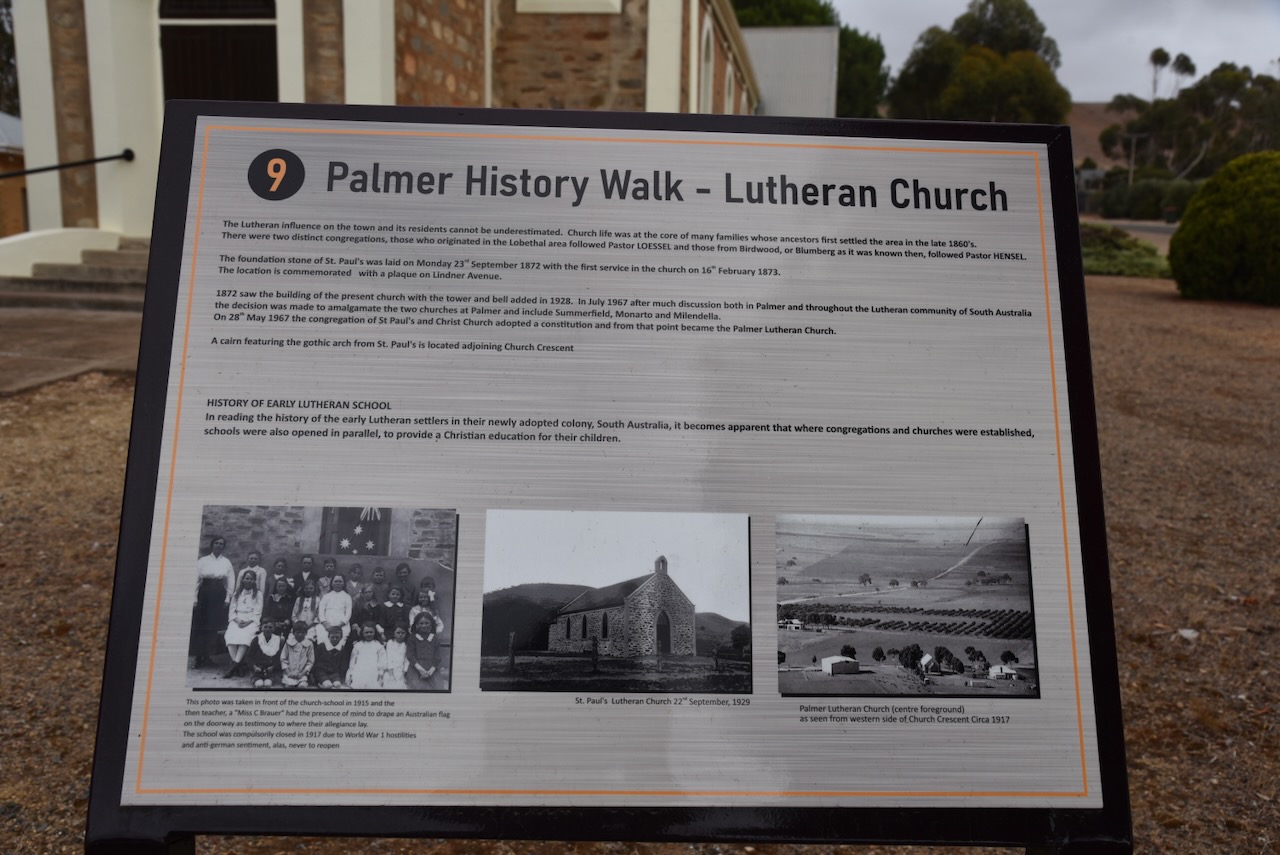
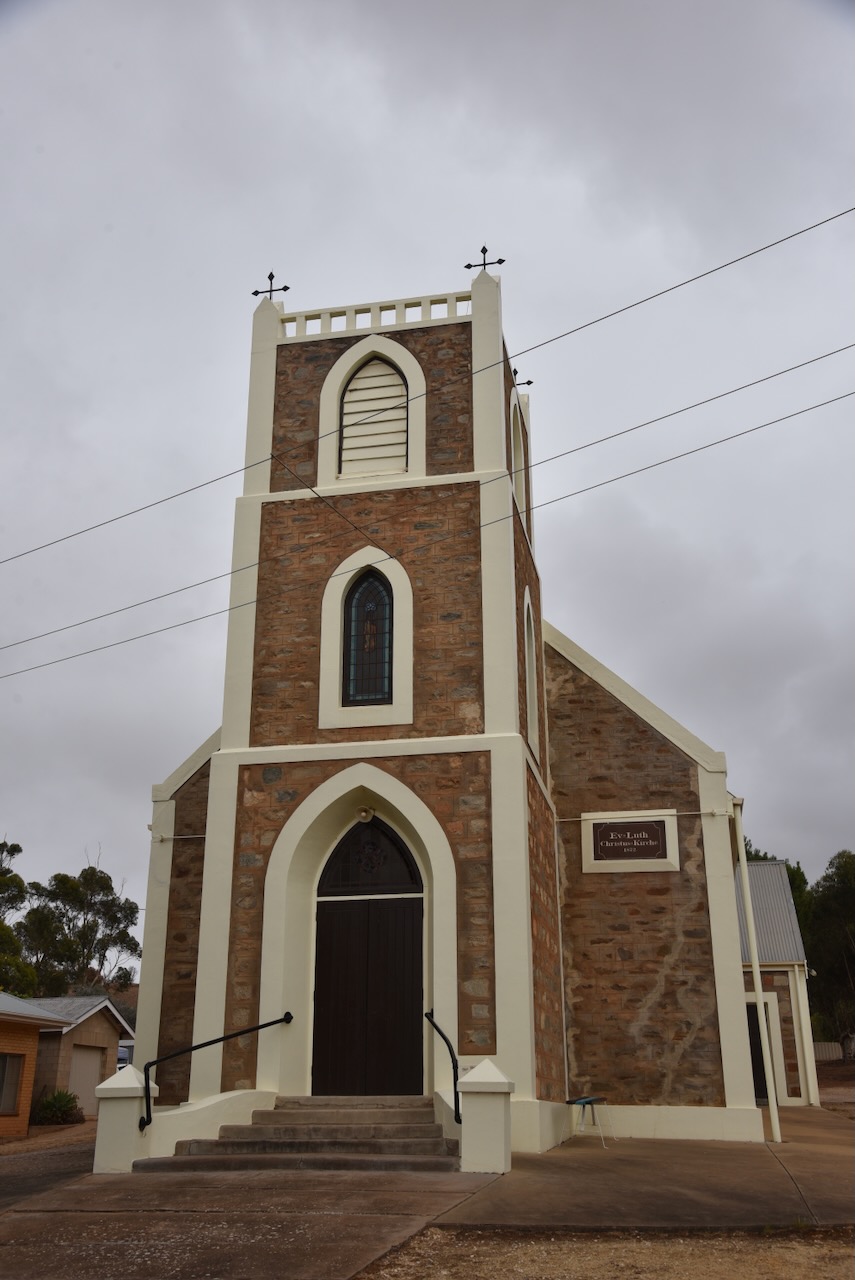
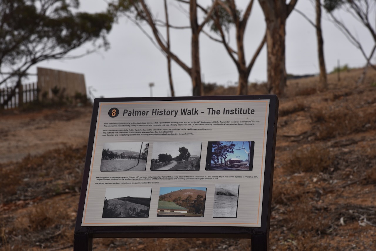
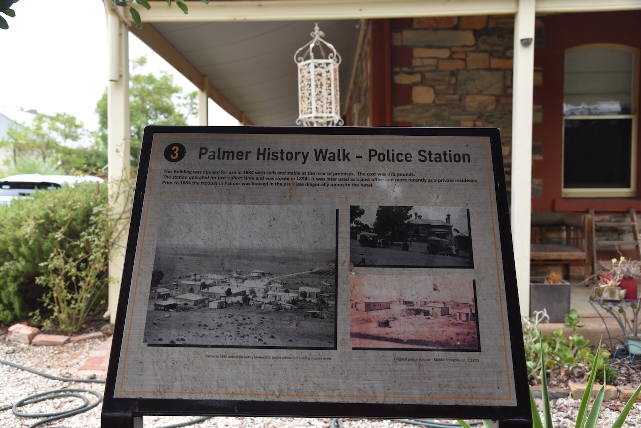
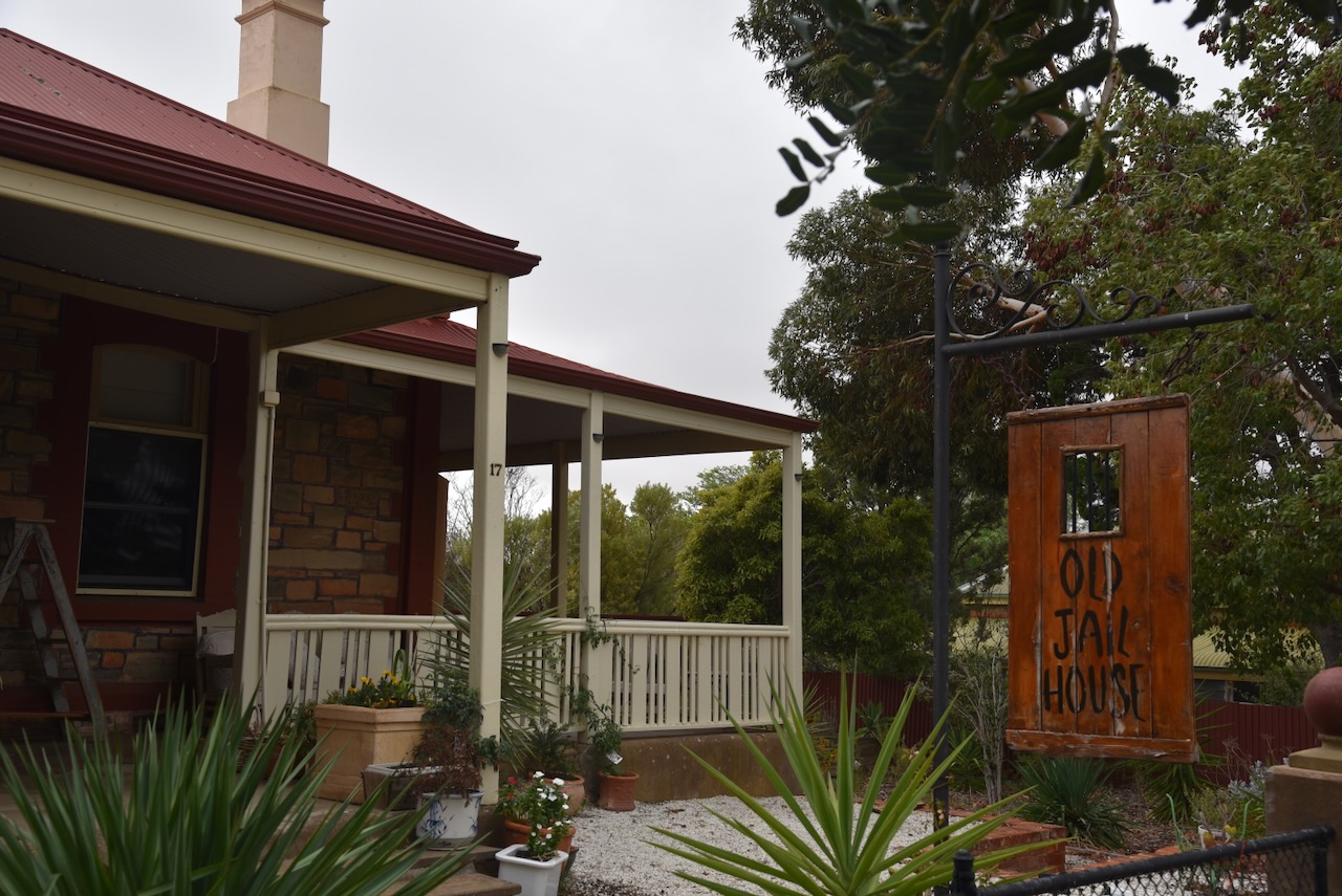
You can undertake a History Walk in Palmer, with many of the historic buildings having information boards detailing their history.
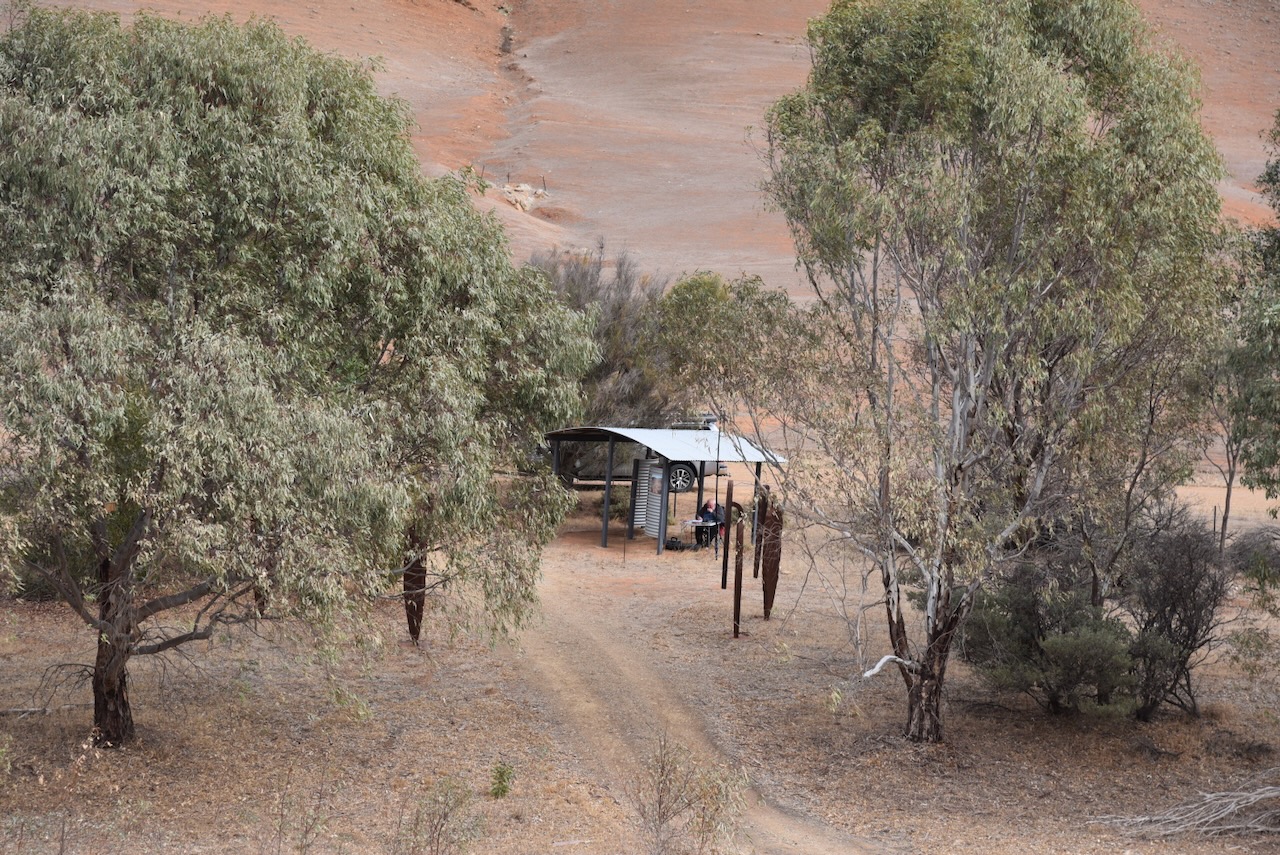
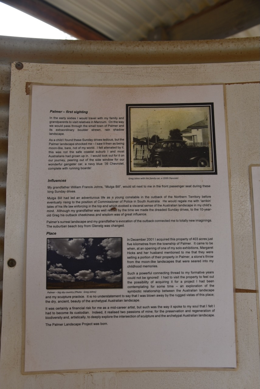
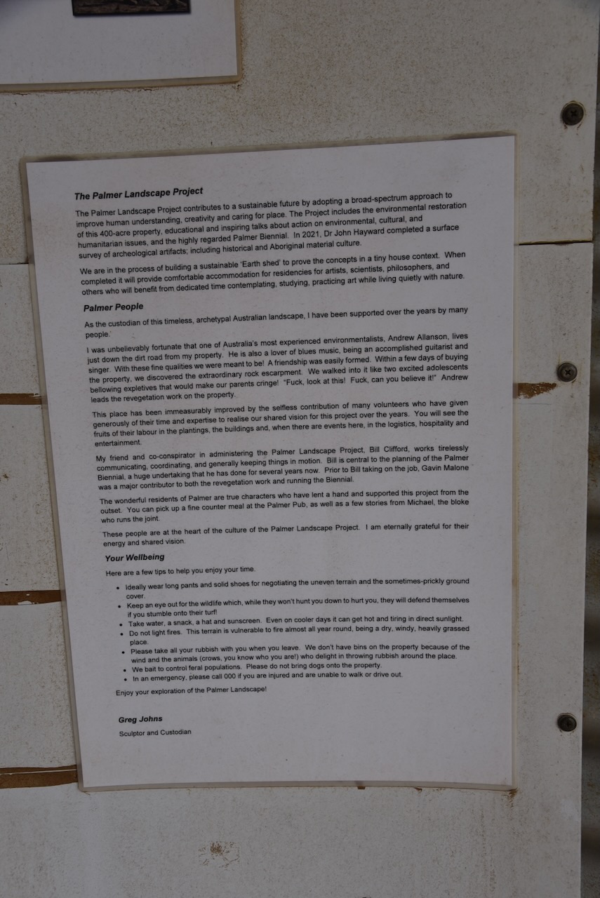
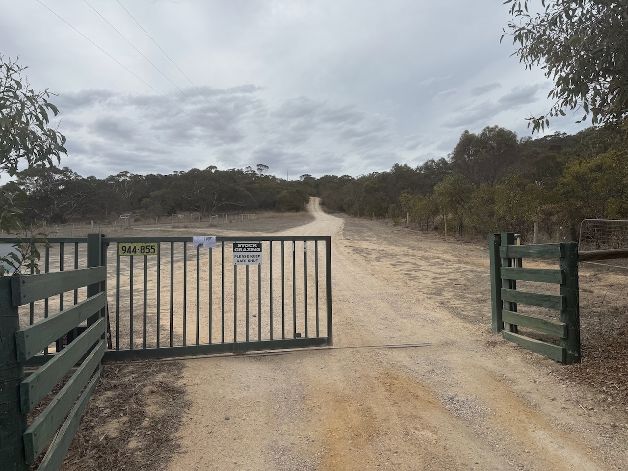
We then headed out to the park, which on Google Maps indicated a road leading into it. However, what was found was a locked gate with ‘No entry’ signs. Marija and I managed to find a mobile telephone number as a contact point for the park, which we called. We spoke with the landowner, Greg Johns, who very kindly allowed us access to the park.
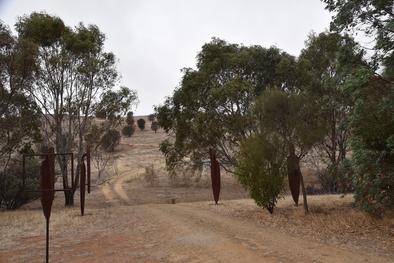
The park is located on the eastern side of Davenport Road.
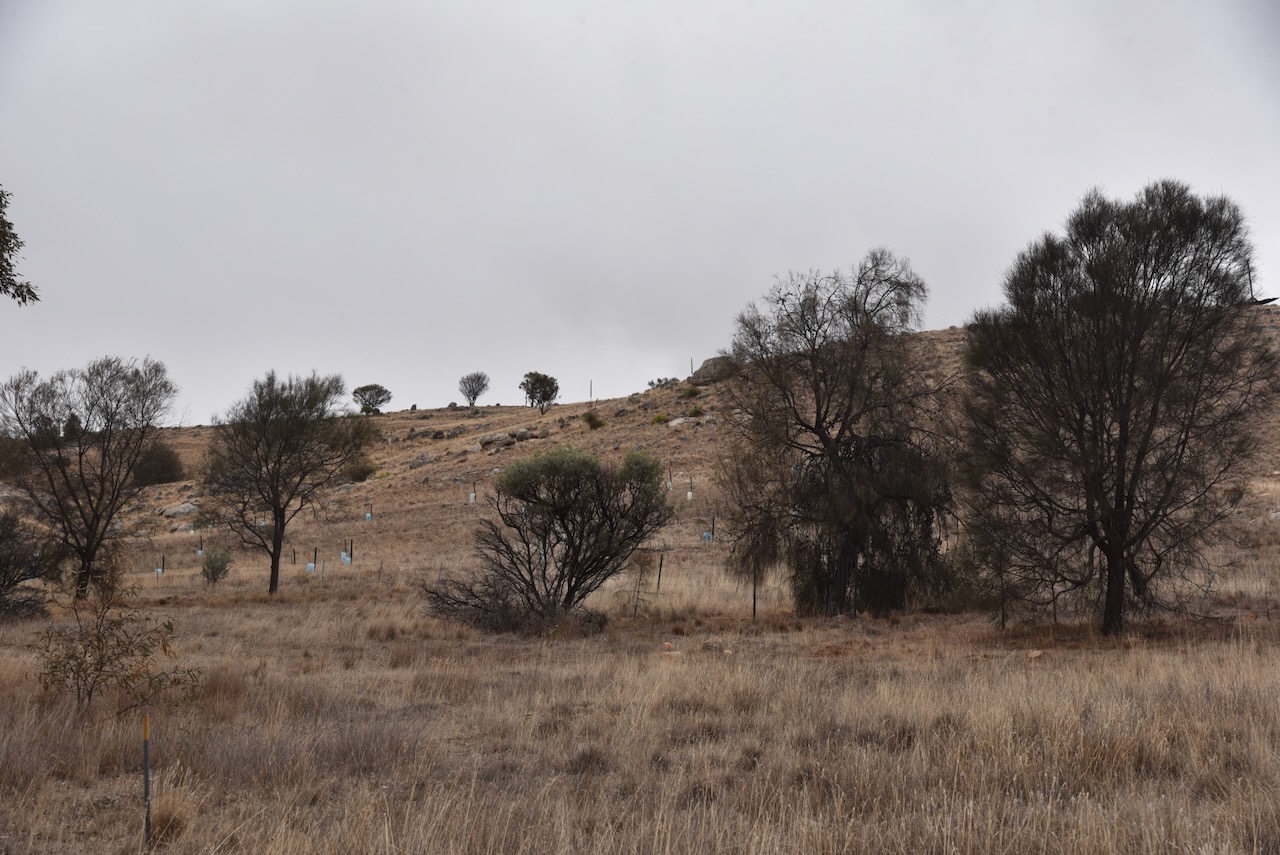
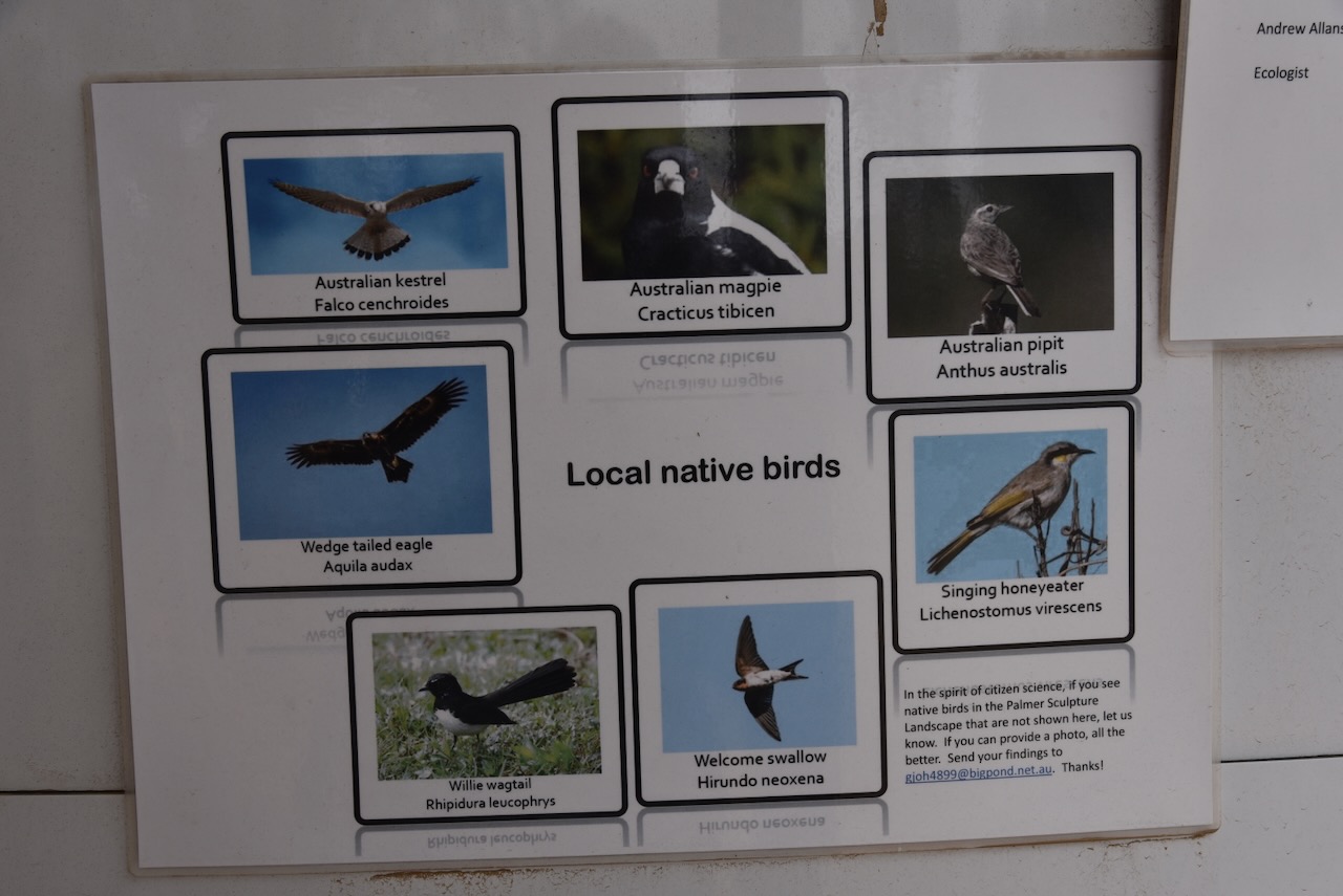
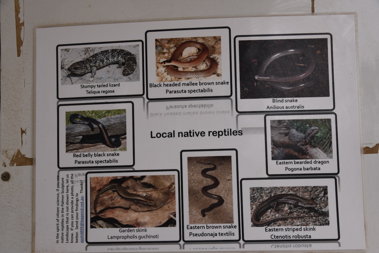
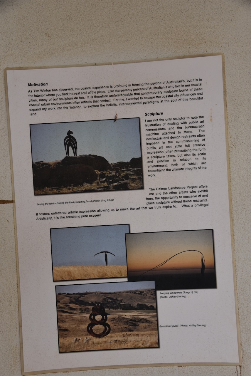
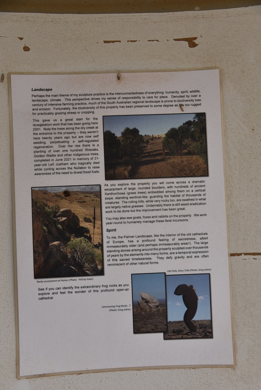
Just inside the gate is an information board with a great amount of detail about the heritage agreement.
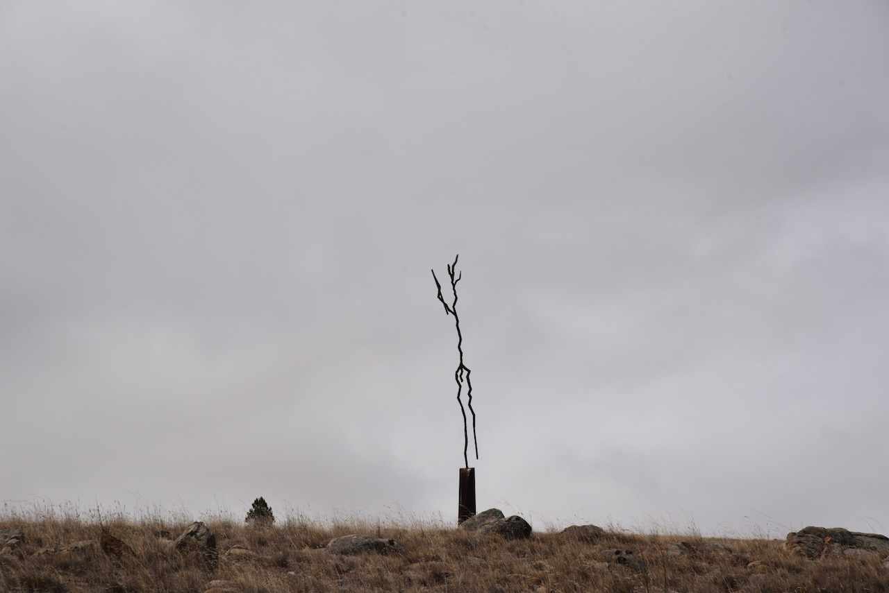
On the property is Leif’s Valley. It is named in honour of 21-year-old Leif Indigo Justham. On the 22nd day of March 2021, Leif set off from Adelaide on an adventure to cycle solo around Highway 1 in Australia, to promote the need to divest from polluting industries. On the 6th day of April 201, he was struck by a truck on the Nullabor in Western Australia and was killed. The truck driver was charged with Dangerous driving occasioning death and was sentenced in December 2022. (Leifjustham.com, 2021)
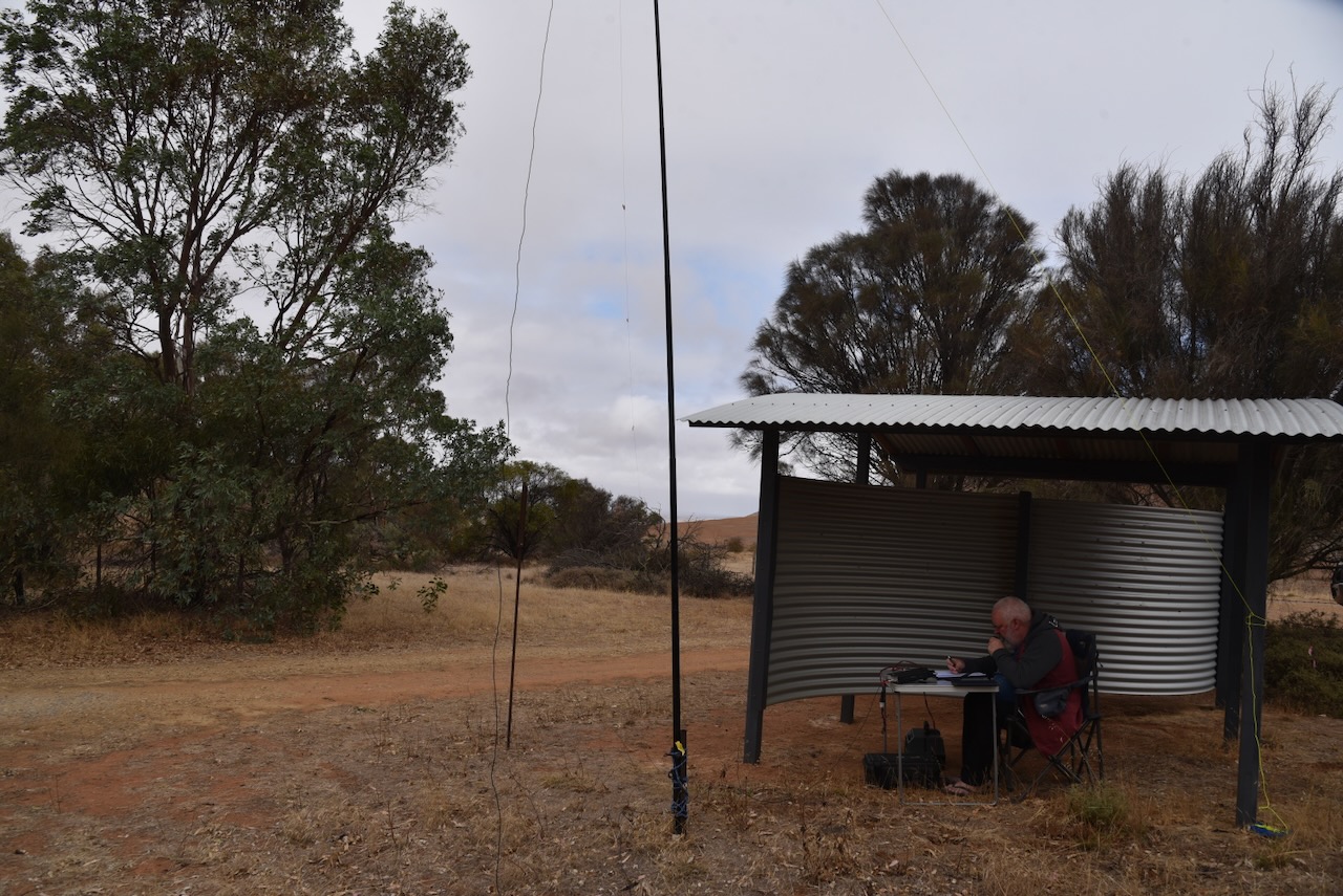
As it was a little wet and windy, Marija and I set up underneath the sheltered information area. We ran the Yaesu FT857, 40 watts, and the 20/40/80m linked dipole.
On Easter Monday, 21st April 2025, Marija and I decided to head out into the field to activate some parks. I intended to use the special event call of VI100IARU.
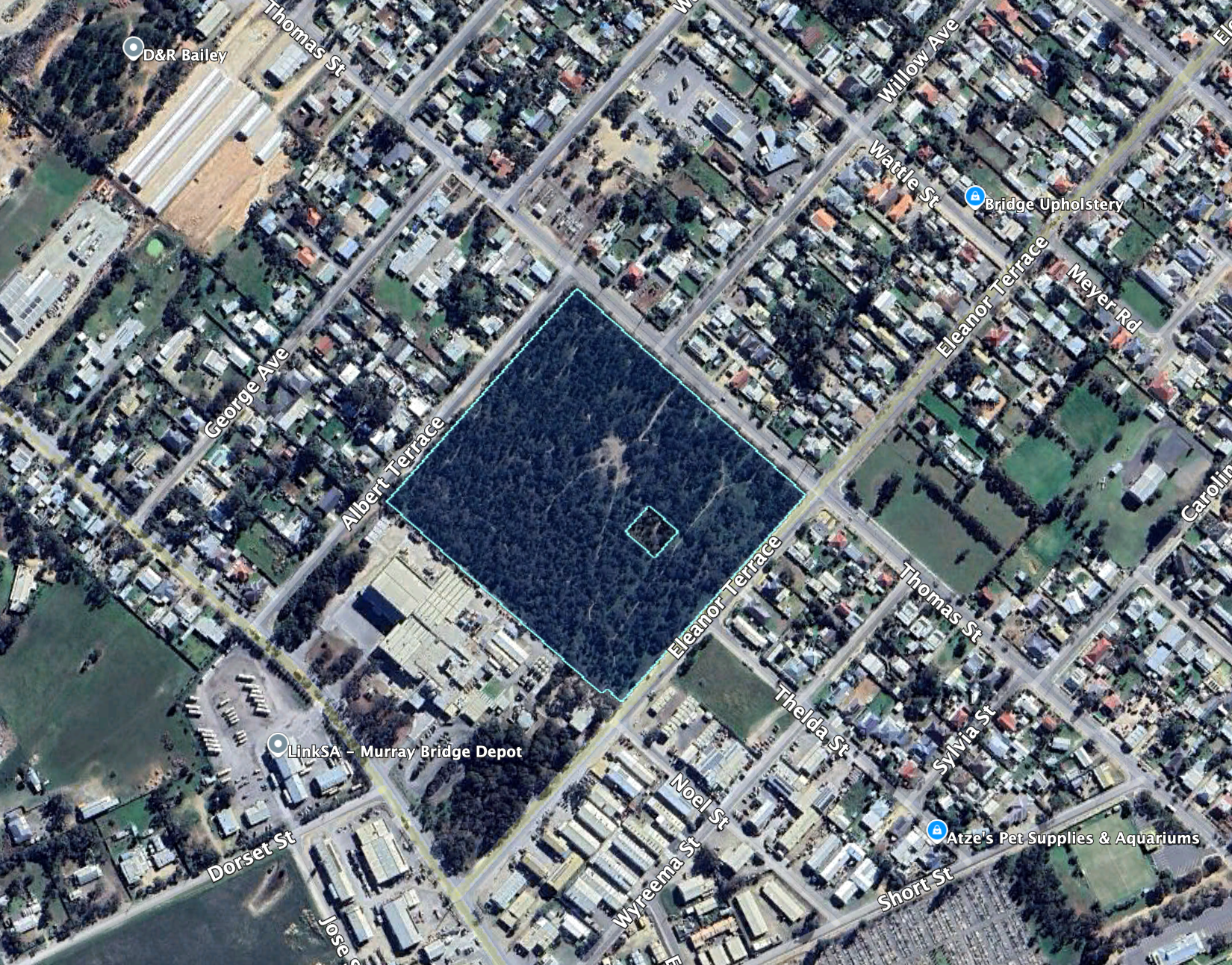
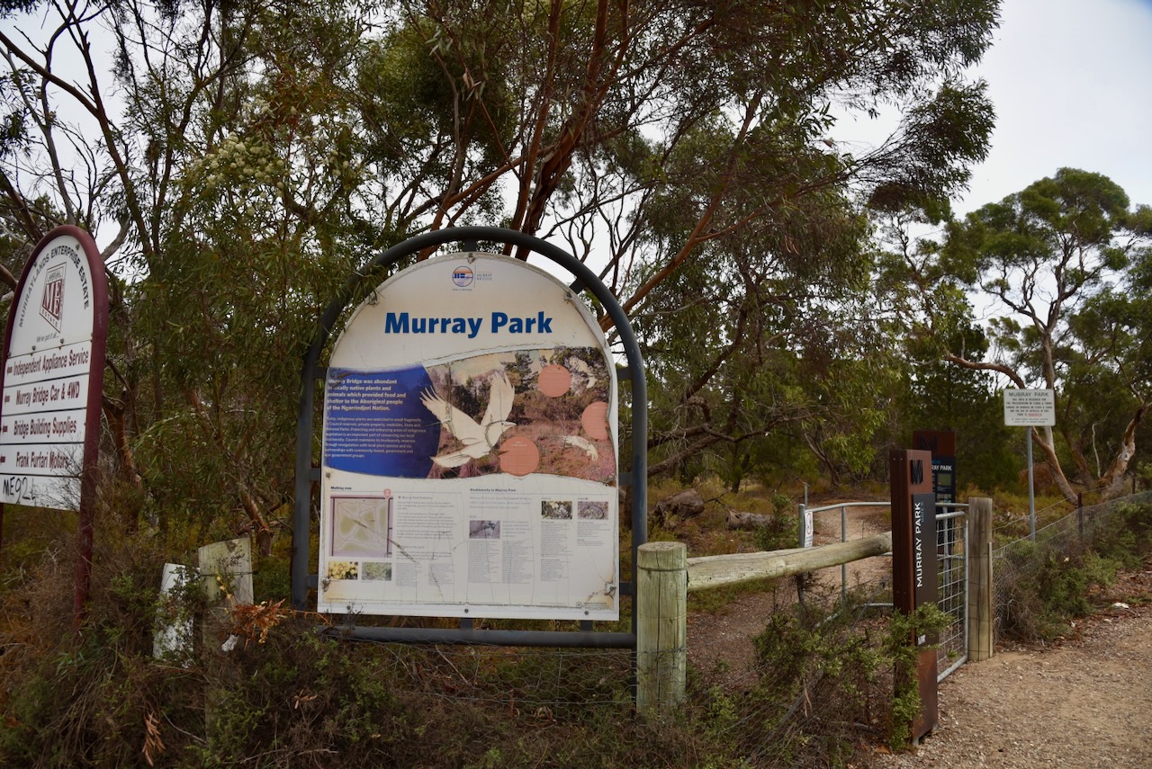
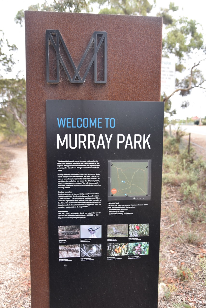
Our first park for the day was Murray Park Reserve VKFF-4048, at Murray Bridge, about 75 km east of Adelaide.
Above:- Map showing the location of Murray Park Reserve. Map c/o Google Maps.
Murray Park Reserve is bordered by Eleanor Terrace, Thomas Street, and Albert Terrace.
Above:- An aerial view of Murray Park Reserve. Image c/o Google Earth.
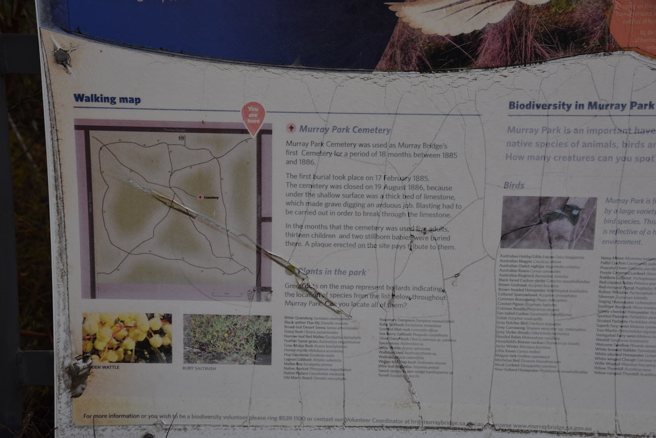
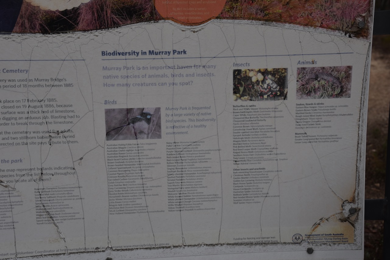
Murray Park Reserve is a small piece (6 hectares) of remnant scrub located in the residential/industrial area of Murray Bridge.
A small area in the park is excluded from the park. It is the old Murray Park cemetery that was used as the first cemetery in Murray Bridge from 1885 to 1886.
We ran the Yaesu FT857, 40 watts, and the 20/40/80m linked dipole for this activation.
Marija worked the following stations on 40m SSB:-
VK5IS
VK2YK
VK5GA
VK3ZPF
VK3JW
VK3SO
VK3CEO
VK3SQ
VK2BD
VK3ALF
VK3MCK
I worked the following stations on 40m SSB before the UTC rollover:-
VK5IS
VK2YK
VK5GA
VK3ZPF
VK3JW
VK3SO
VK3CEO
VK3SQ
VK2BD
VK3ALF
VK3MCK
VK3ZSC
I worked the following stations on 40m SSB after the UTC rollover:-
VK3CEO
VK3APJ
VK2EXA
VK3VIN
VK2YK
VK5GA
VK3ZSC
VK6XL/7
VK1MA
VK5PL
VK3PAH
I worked the following stations on 20m SSB before the UTC rollover:-
VK4/ZL3MR
ZL2BB
VK2IO
VK2GEZ
I worked the following stations on 20m SSB after the UTC rollover:-
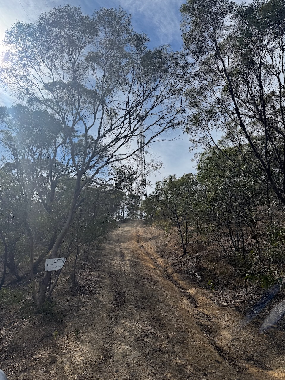
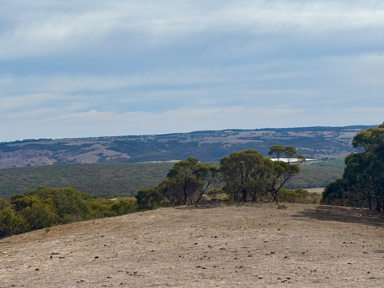
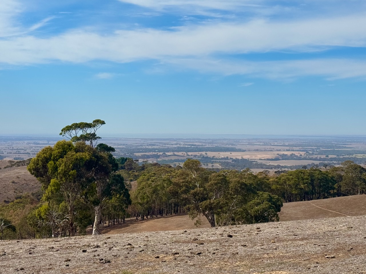
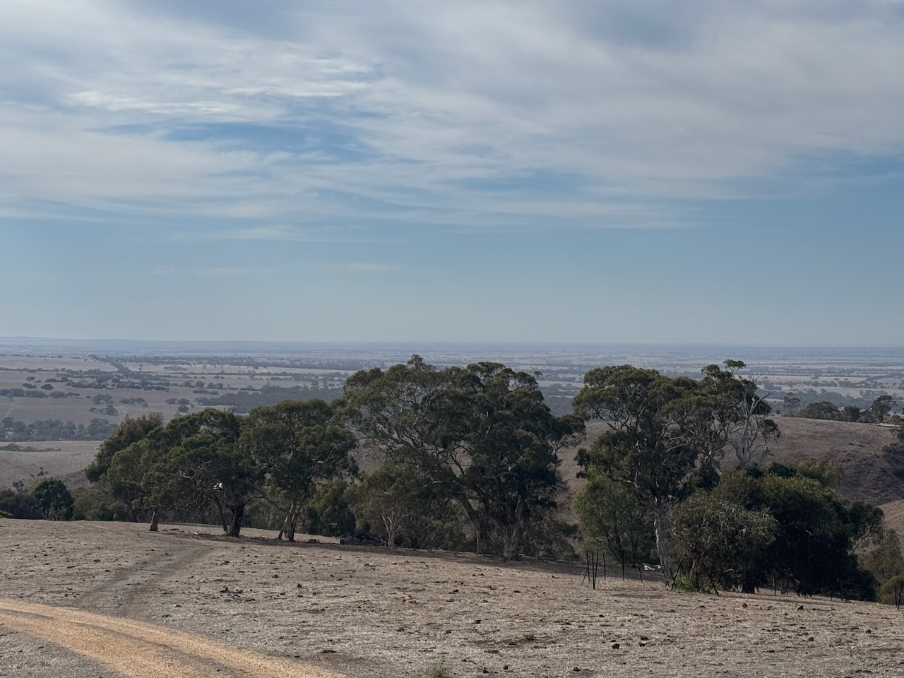
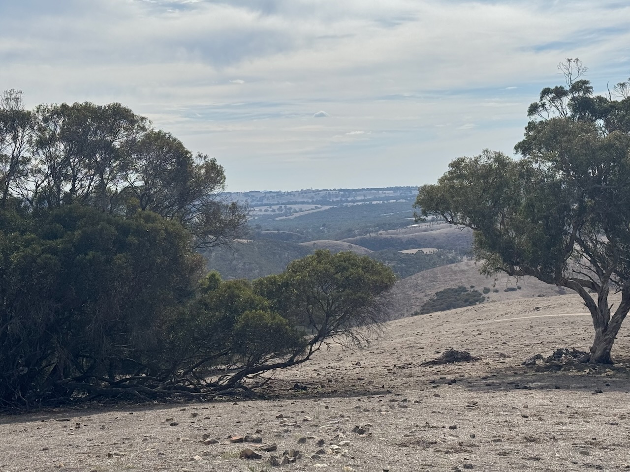
On Tuesday 15th April 2025, I activated Mount Observation VK5/ HSE-027 for the HEMA program. The summit is located about 11 km south of Ashbourne and about 81 km south of the city of Adelaide.
Above:- Map showing the location of Mount Observation. Map c/o Google Maps.
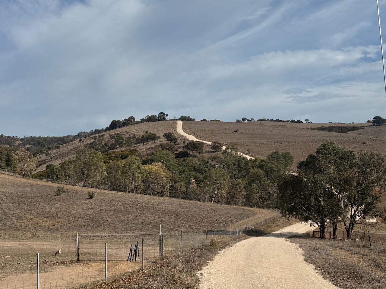
I first tried to activate the summit via Signal Flat Road, which involved some door knocking. I got permission from one land owner, but this resulted in me falling short of the activation zone of the summit.
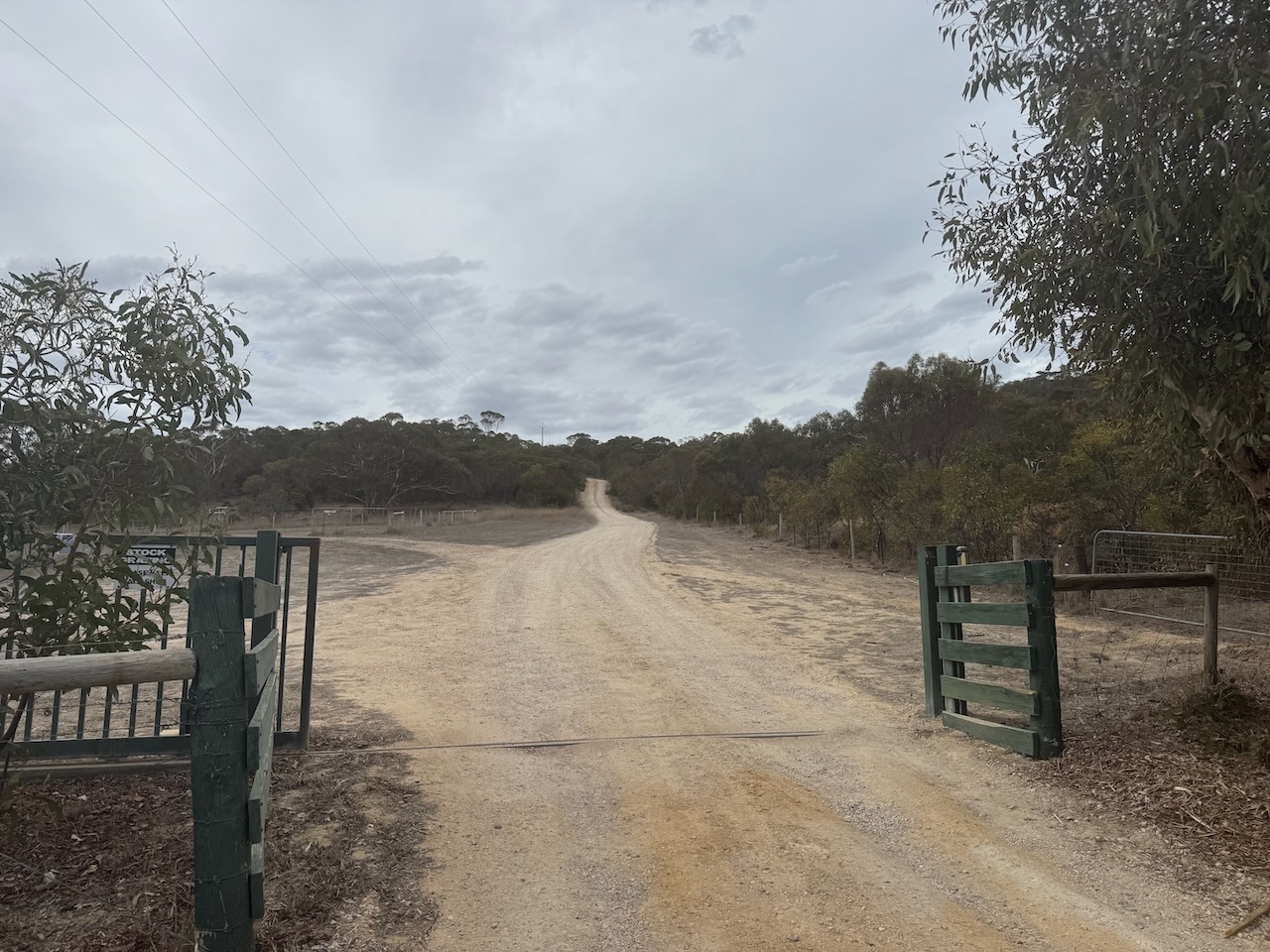
So I headed around to the western side of the summit and tried access via Bull Creek Road. I was lucky to find the electronic gate open at the commencement of the track leading to the summit. I knocked on a few doors of farms on the track and was very kindly granted permission to activate the summit.
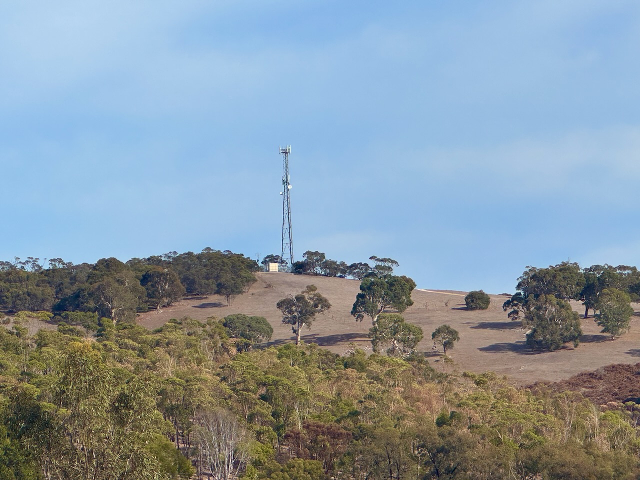
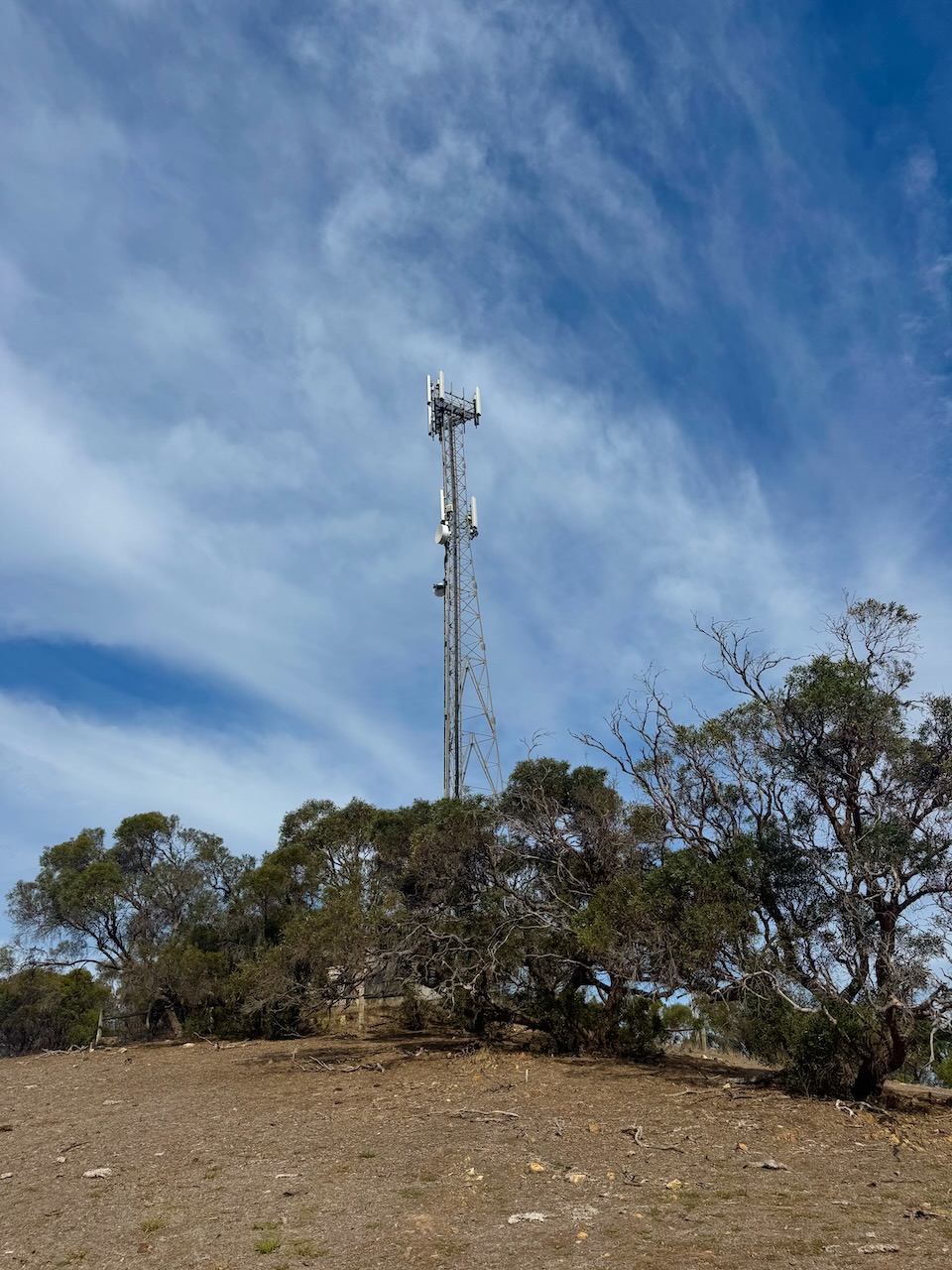
The summit has a tower with radio communication equipment on it.
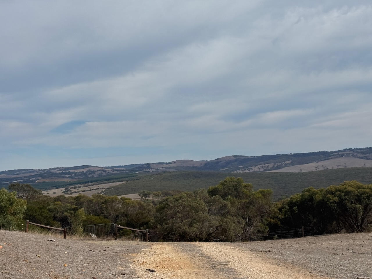
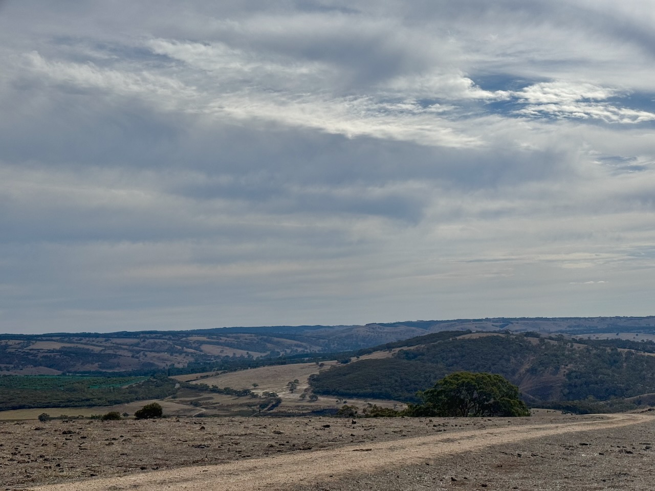
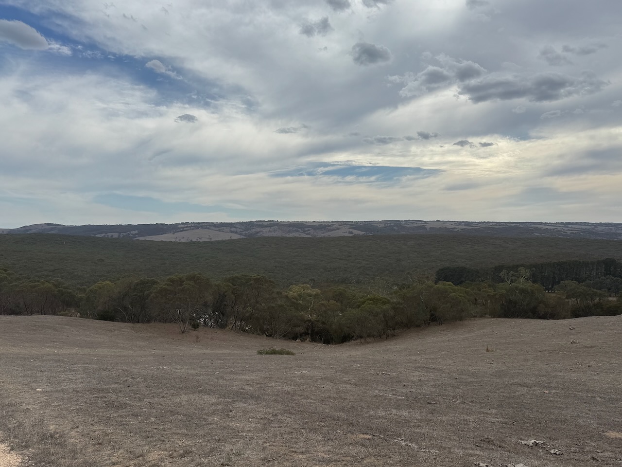
There are some nice views to be enjoyed of the surrounding countryside from the summit, which is about 262 metres above sea level and has a prominence of 101 metres. (HEMA 2021)
I ran the Yaesu FT857, 40 watts, and the 20/40/80m linked dipole for this activation.
I tried my best to get the laptop up and going with FT8 during this activation, but I was unsuccessful with accurate timing.
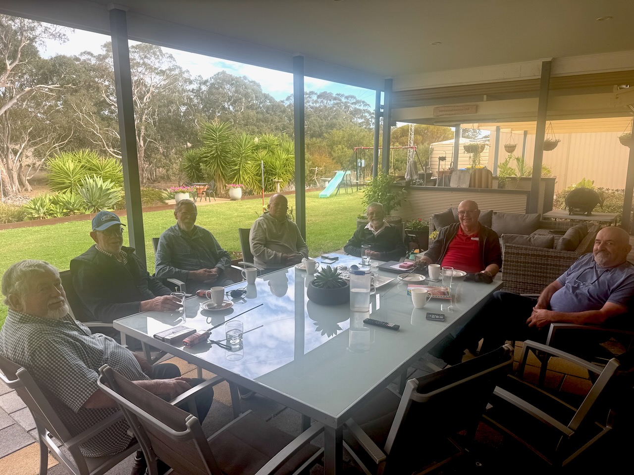
In April 2025, the Strathalbyn Amateur Radio Group met at my home. I delivered a short presentation on Short Wave Listening and also showed the gents my Bambu Labs 3D printer.
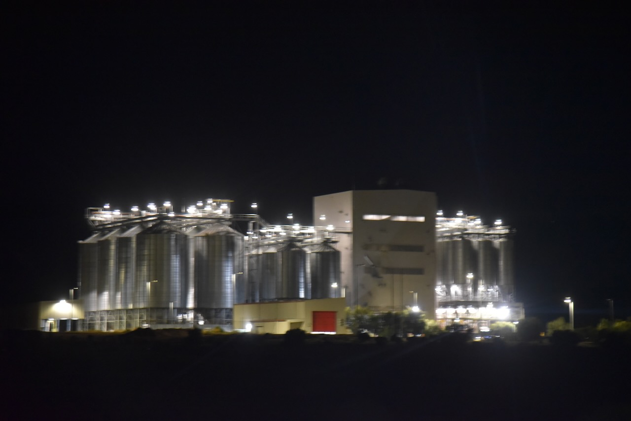
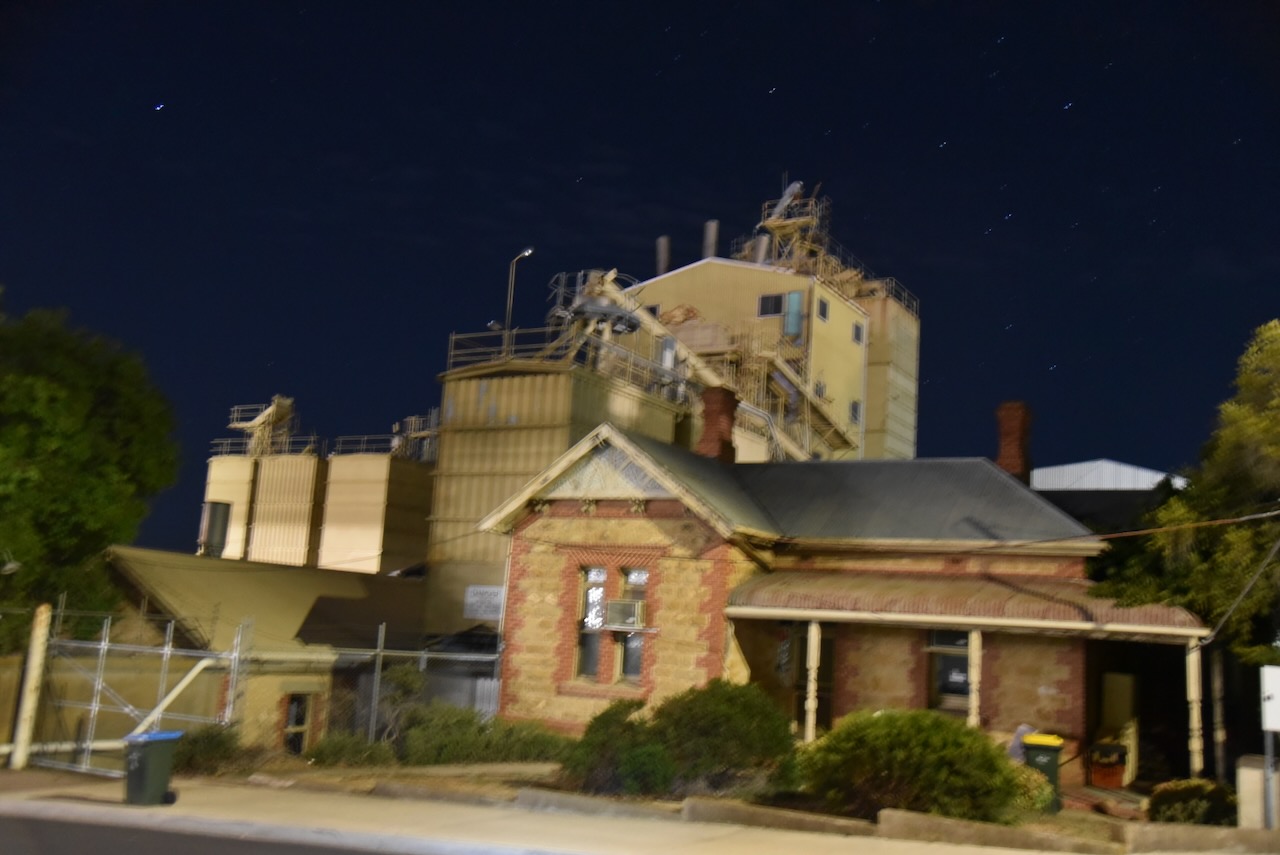
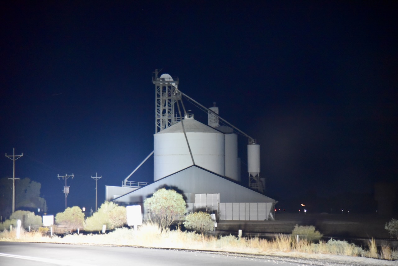
My final activation for 8th April 2025, was the White Sands silo VK-WHS5. White Sands is located about 9 km south of Murray Bridge and about 81 km southeast of Adelaide.
The White Sands silo is located on Flagstaff Road and is operated by Inghams.
The locality was named after the White Sands Ski Resort, a water skiing and wakeboarding facility, in March 2000. (Wikipedia 2024)
I parked on Flagstaff Road and operated from the 4WD, running the Icom IC-7000, 100 watts, and the Codan 9350 antenna with the 1.5 metre stainless steel whip.
Above:- the activation zone at the WHite Sands silo. Image c/o SiOTA website.
I worked the following stations on 80m SSB:-
VK5MRE
VK2EXA
VK3VEF
VK3TCT
VK3CWM
VK7ALH
VK5LDM
I worked the following stations on 40m SSB:-
VK1AO
VK2MET
VK5MAZ
VK3PF
VK3ASU
VK3ZPF
VK7PJM
VK3ACZ
VK1CHW
VK3LOL
ZL1XS
VK1NC
VK2LEE
References.
Wikipedia Contributors (2024). White Sands. Wikipedia.
After leaving Apamurra, I headed into Murray Bridge, where I got an evening meal.
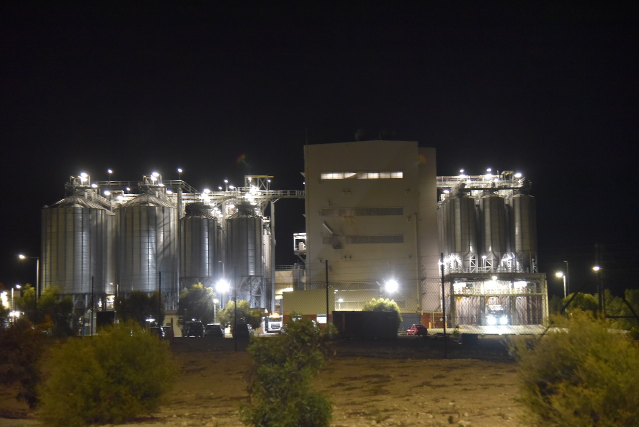
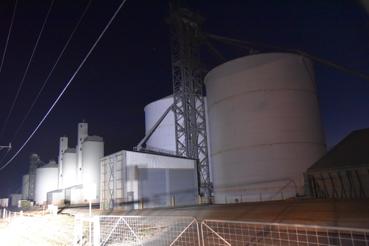
I then activated the Murray Bridge East silo VK-MRT5 and the Murray Bridge silo VK-MRE5. Again, I used the special event call of VI100IARU.
Above:- Map showing the location of Murray Bridge, east of Adelaide. Map c/o Google Maps.
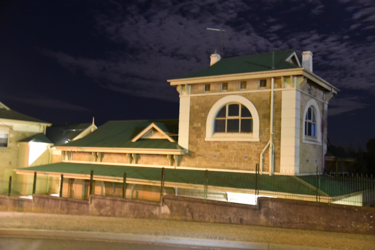
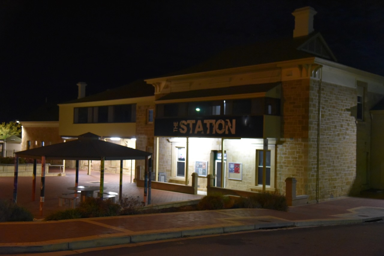
On my way to the activation zone for both silos, I passed the old Murray Bridge Railway Station on Railway Terrace. The station was opened in the 1880s as part of the Adelaide-Wolseley railway line. (Wikipedia 2025)
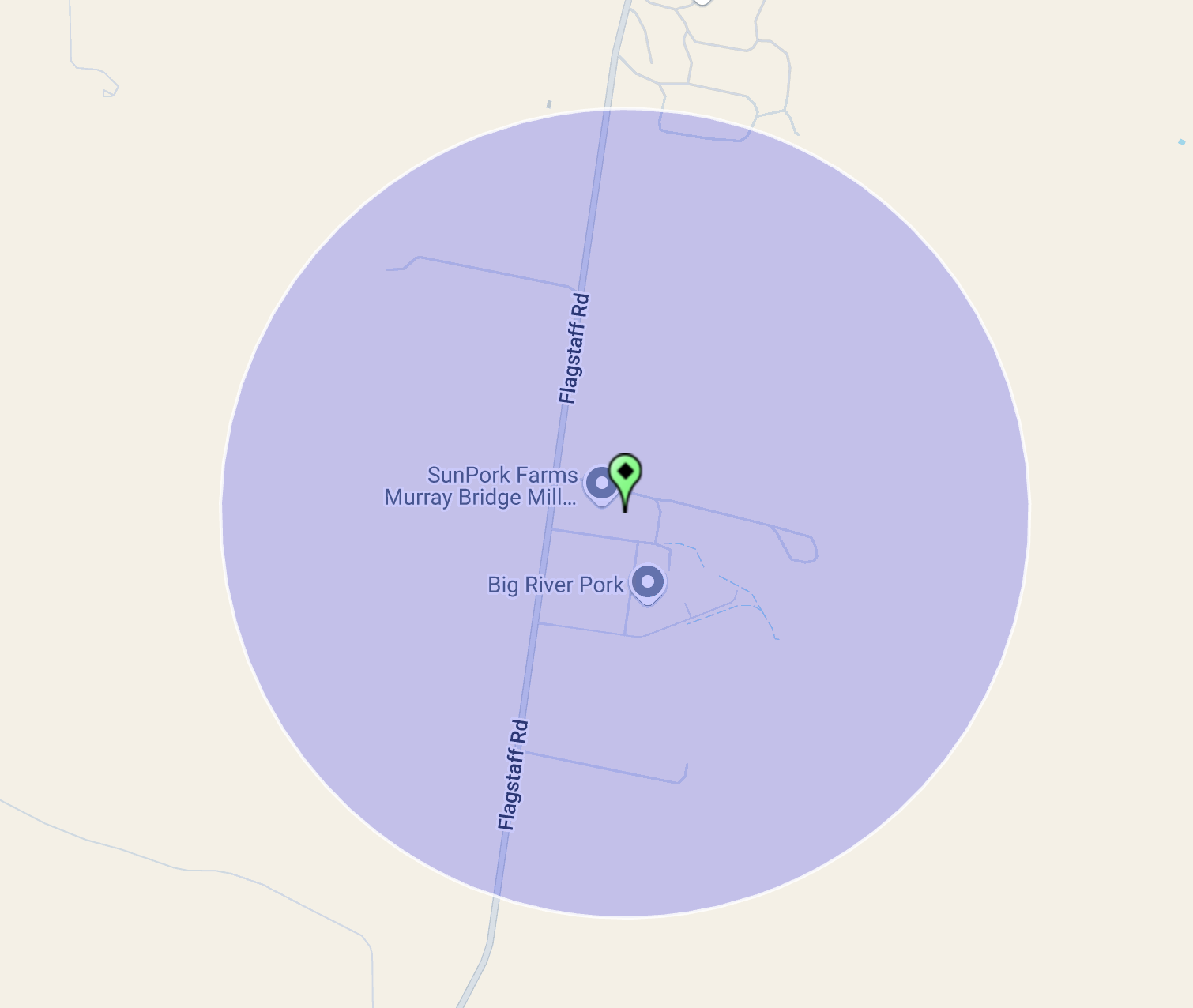
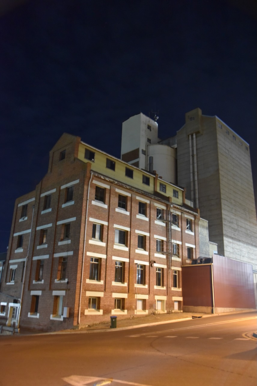
The Murray Bridge silo VK-MRE5 is located on Hume Reserve Road. The Murray Bridge East silo VK-MRT5 is located on Mary Terrace.
In 2023 it was planned that the Murray Bridge silos would become part of the Australian silo art trail. Sadly, this was cancelled.
I parked on Railway Terrace within the activation zone of the two silos and operated from the 4WD. I ran the Icom IC-7000, 100 watts, and the Codan 9350 antenna with the 1.5 metre stainless steel whip.
Above:- Map showing the activation zone at the two silos. Image c/o SiOTA website.
I worked the following stations on 40m SSB:-
VK5MAZ
VK3PF
VK1AO
VK2MET
VK7IAN
VK2EXA
VK2LEE
VK2IO
VK2EG
VK7PJM
VK2USH
VK7LTD
VK5DMO
VK3BLG
References.
Wikipedia Contributors (2025). Murray Bridge railway station. Wikipedia.
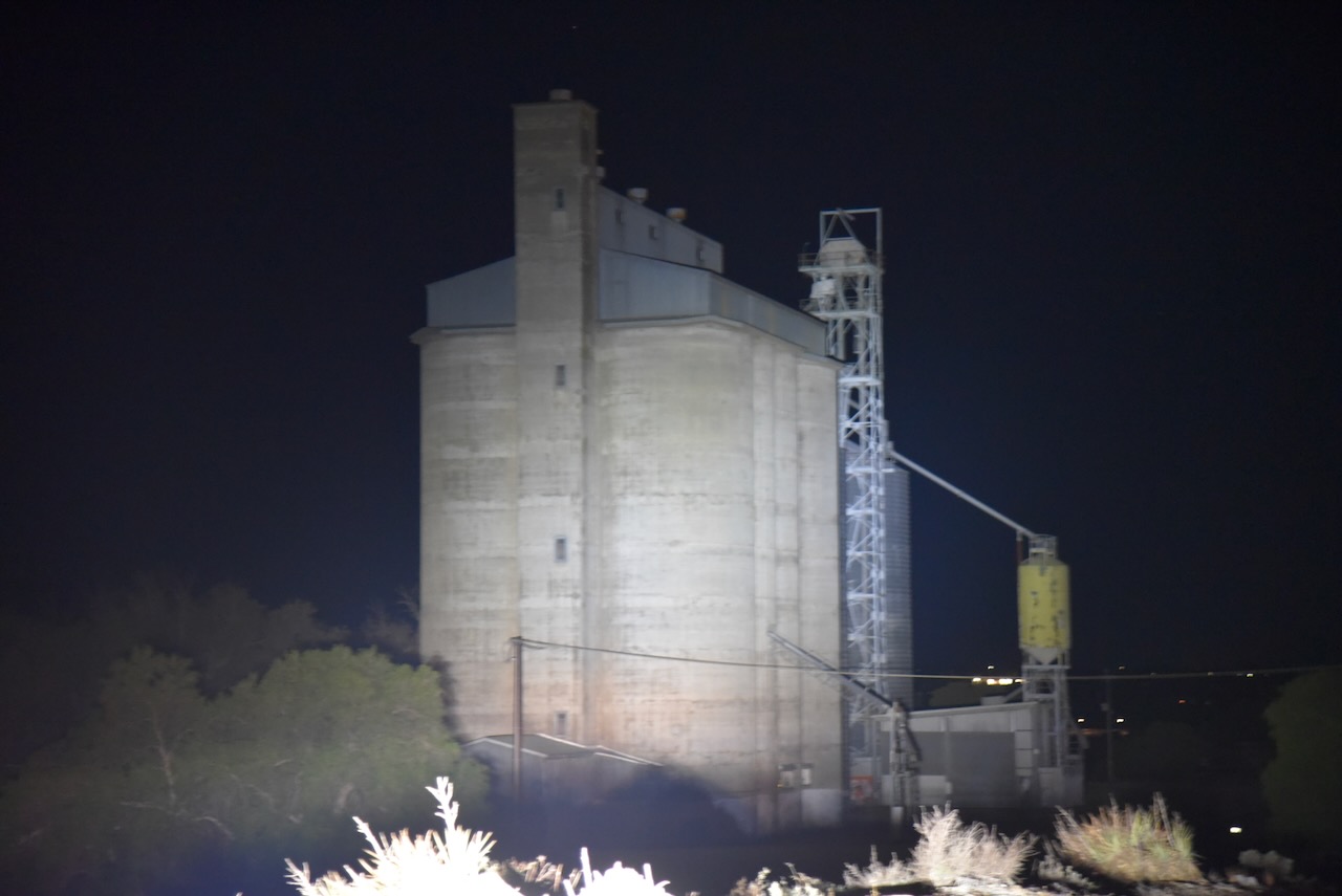
After leaving Cambrai on 8th April 2025, I headed to the Apamurra silo VK-APA5. Apamurra is located about 12 km northwest of Mannum and about 77 km northeast of Adelaide.
I have activated the Apamurra silo several times previously.
Apamurra is a railway siding on the former Monarto-Sedan railway. Apamurra is an Aboriginal word meaning ‘fresh water’. The township of Apamurra was laid out in 1921 on part sections 30-31, Hundred of Finniss, by Johann Gottfried Hartmann. It comprised 19 allotments contiguous to the railway station. On the 17th day of February 1922, the Apamurra Post Office opened. It closed on the 31st day of July 1971. (Place Names 2023)
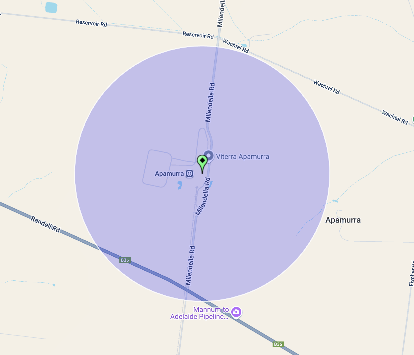
The Apamurra silos are located on Milendella Road.
I parked on Milendella Road outside of the silos and operated from the 4WD, running the Icom IC-7000, 100 watts, and the Codan 9350 antenna with the 1.5 metre stainless steel whip.
Above:- the activation zone at the Apamurra silo. Image c/o SiOTA website.