Here are my latest FT8 certificates for VK5COP.
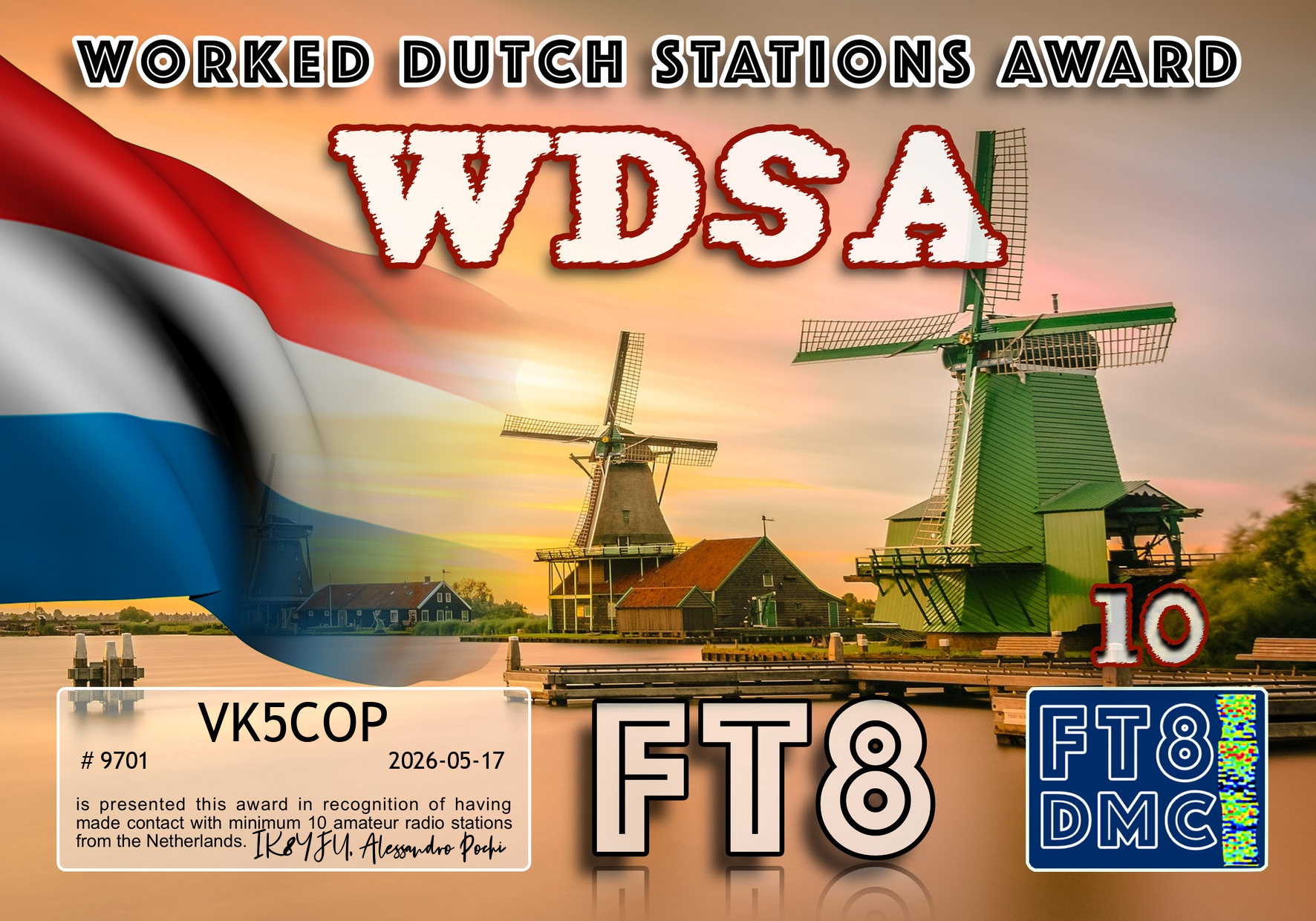

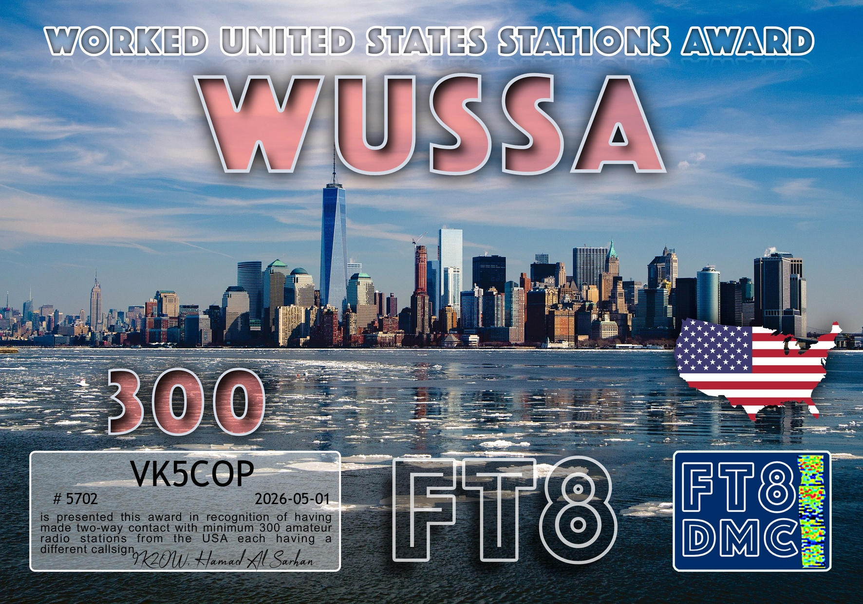

Here are my latest FT8 certificates for VK5COP.
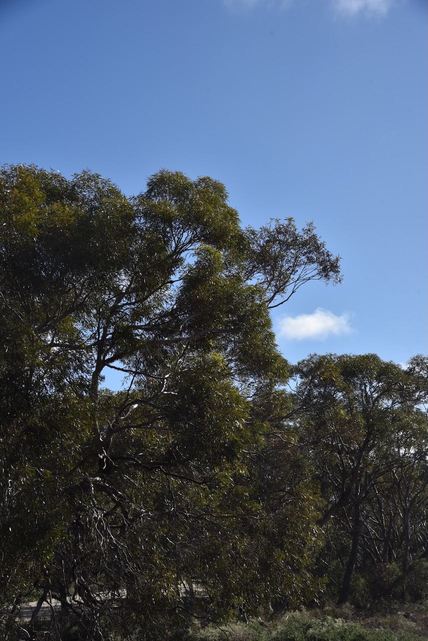
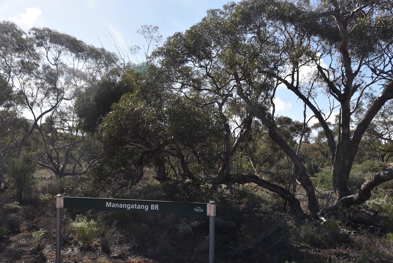
Our final activation for Tuesday, the 5th day of May 2026, was the Manangatang Bushland Reserve VKFF-5428 and the Manangatang silo VK-MNG3.
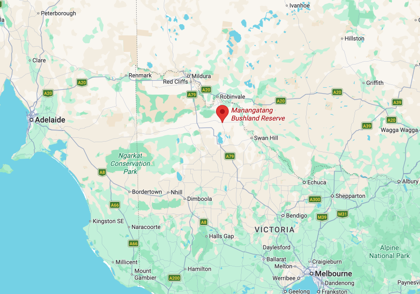
Above: the location of the Manangatang Bushland Reserve. Image c/o Google Earth
We stopped briefly at Manangatang for breakfast and ventured over the road to the park while we enjoyed our coffee and a bacon & egg roll. Manangatang is derived from an Aboriginal term “manang” meaning land and “kaaiti” meaning water. (Wikipedia 2025)
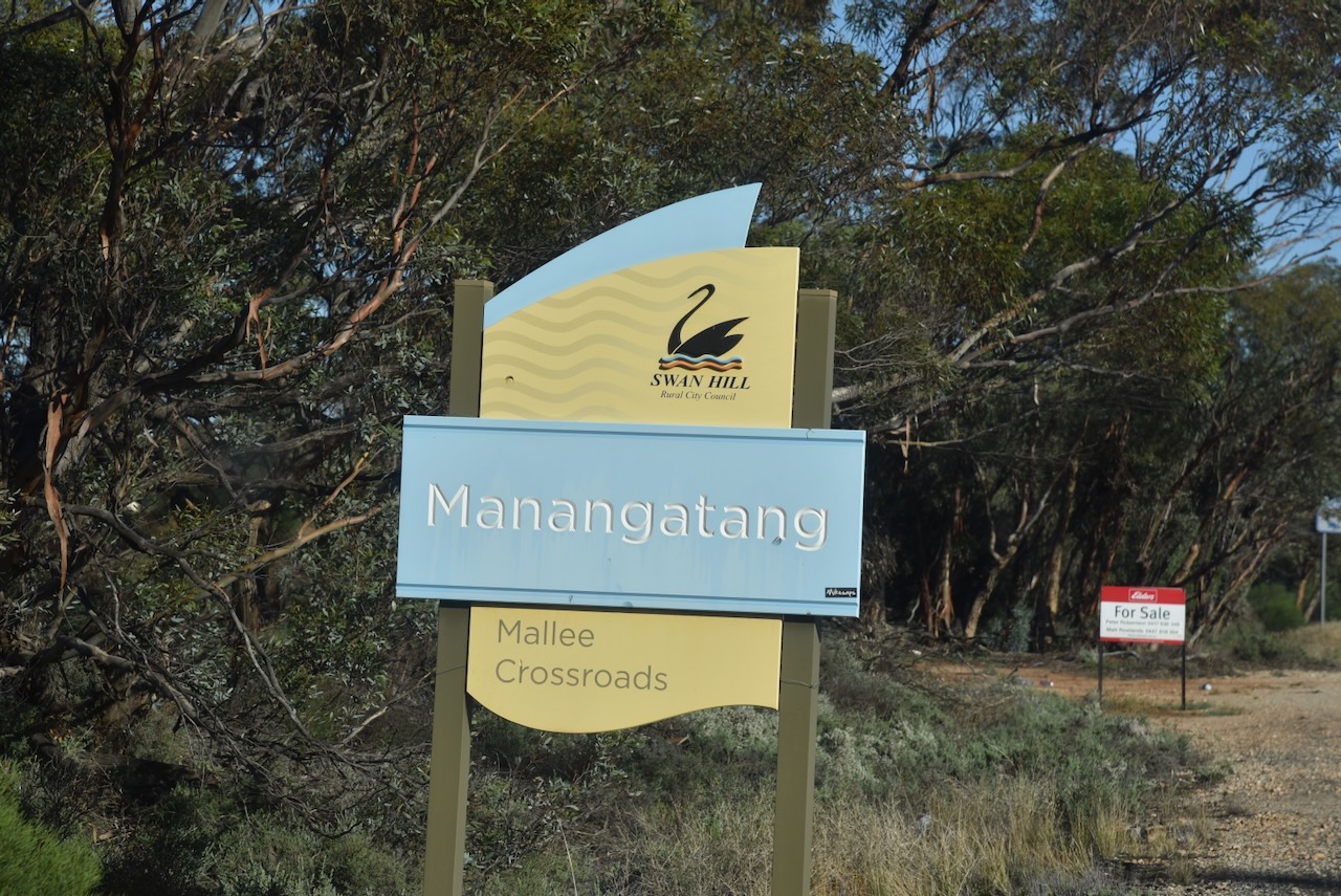
The reserve comprises four separate sections of remnant mallee scrub, located on the eastern and northern side of the town.
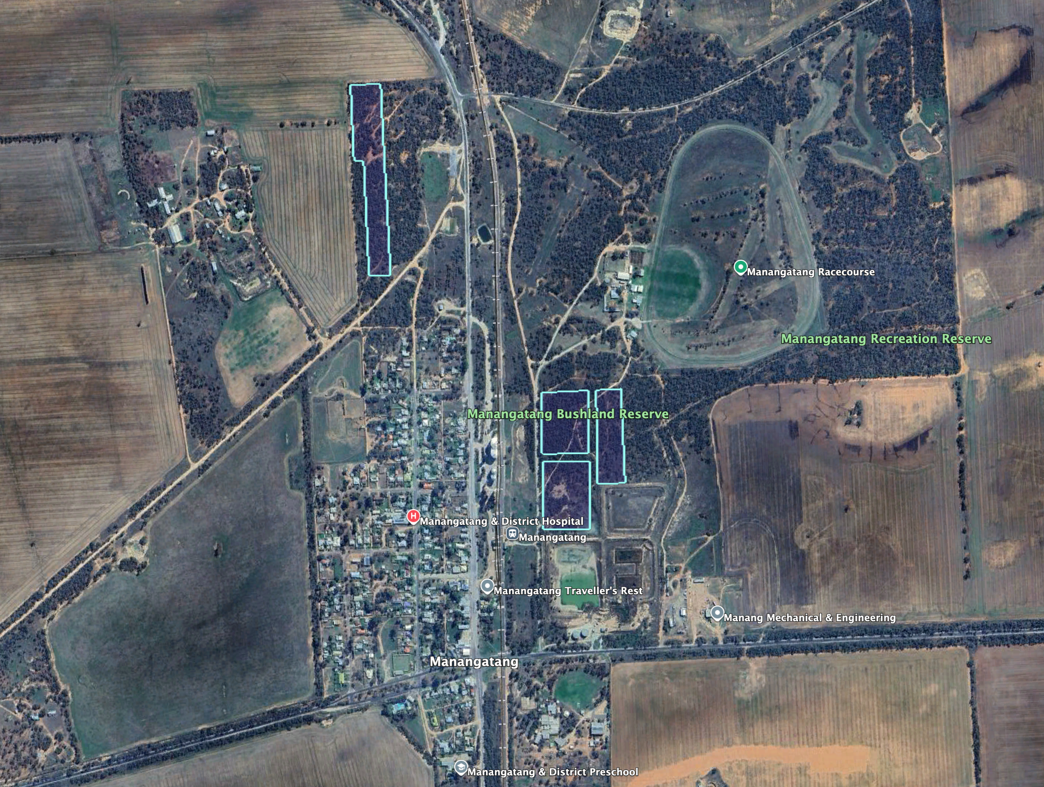
Above: the boundaries of the Manangatang Bushland Reserve. Image c/o Google Earth
The reserve is about 9.4 hectares in size and was established on the 8th day of May 1990. (Dcceew.gov.au 2023)
The Manangatang silos are located alongside the Robinvale railway line, between Sport Street and Wattle Street.
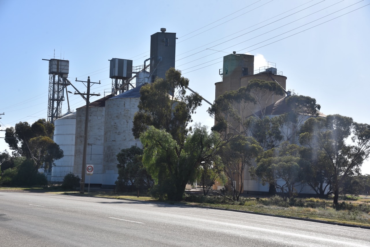
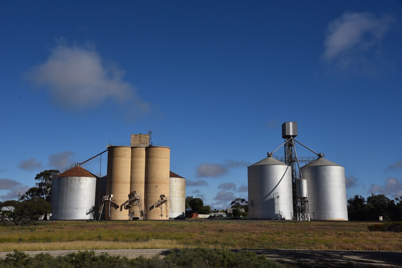
Chris and I accessed the park via Sport Street and set up within the activation zone of the silos.
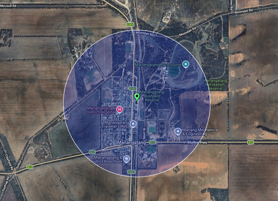
Above: the activation zone at the Manangatang silos. Image c/o SiOTA website
I worked the following stations on 40m SSB:-
We then continued west towards home, and we crossed over the Victorian & South Australian State border. We stopped at the fruit fly roadblock at Pinnaroo and continued along the Mallee Highway to Tailem Bend. Rather than continuing along the Princes Highway to Murray Bridge, we headed down to Wellington and crossed over the ferry on the Murray River.
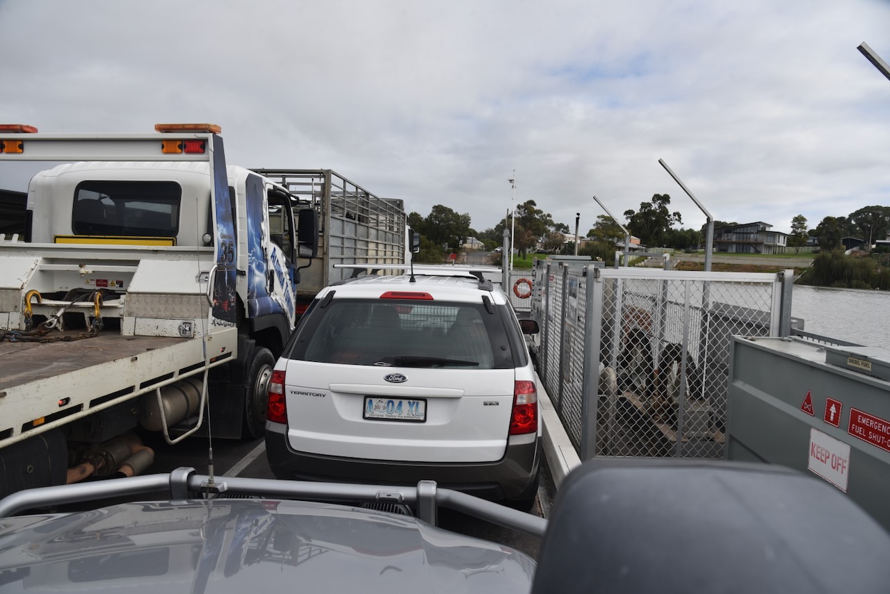
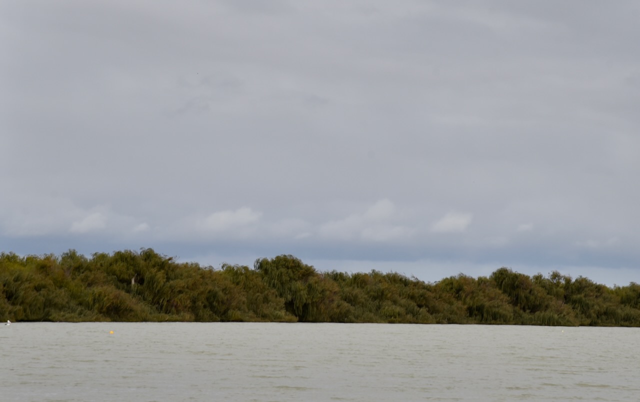
The Wellington ferry is a free 24/7 cable ferry that crosses the Murray River.
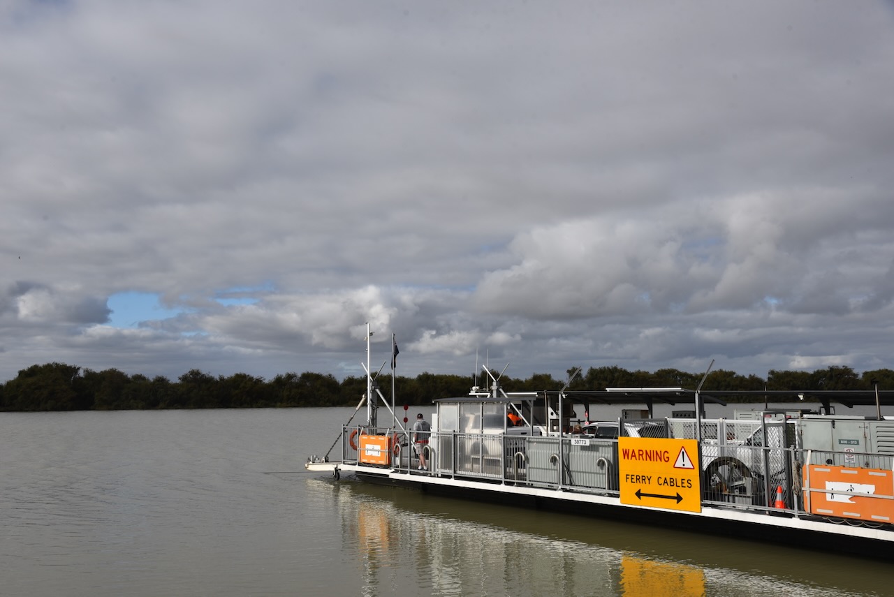
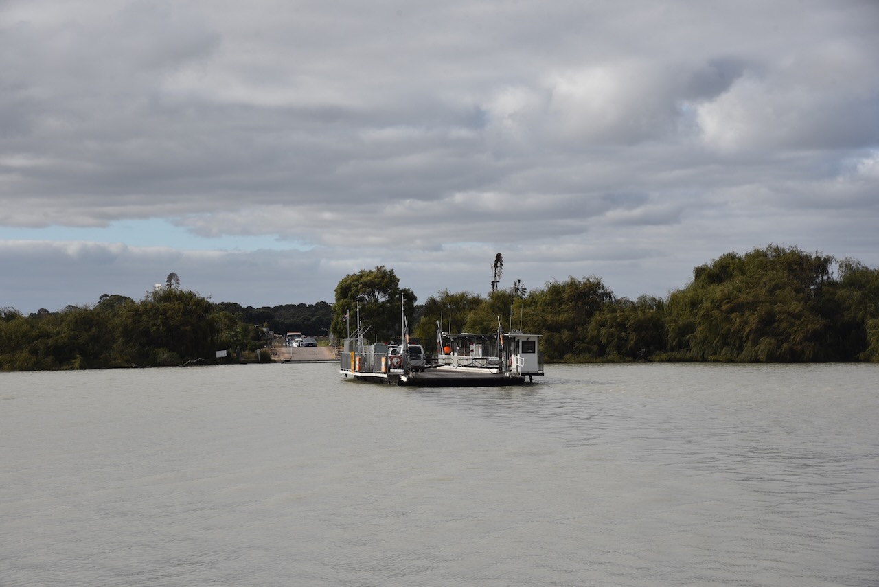
Wellington is located just upstream of where the Murray River empties into Lake Alexandrina. The European colonists who settled in the Wellington area compared the development opportunities of Wellington to those of New Orleans due to its geographical similarities. (Wikipedia 2021)
By 1839, the town of Wellington had become one of the most important settlements on the Murray River in the colony of South Australia. Following the establishment of a ferry, it was the only point where traffic could cross over the Murray River. (Bridge 2023)
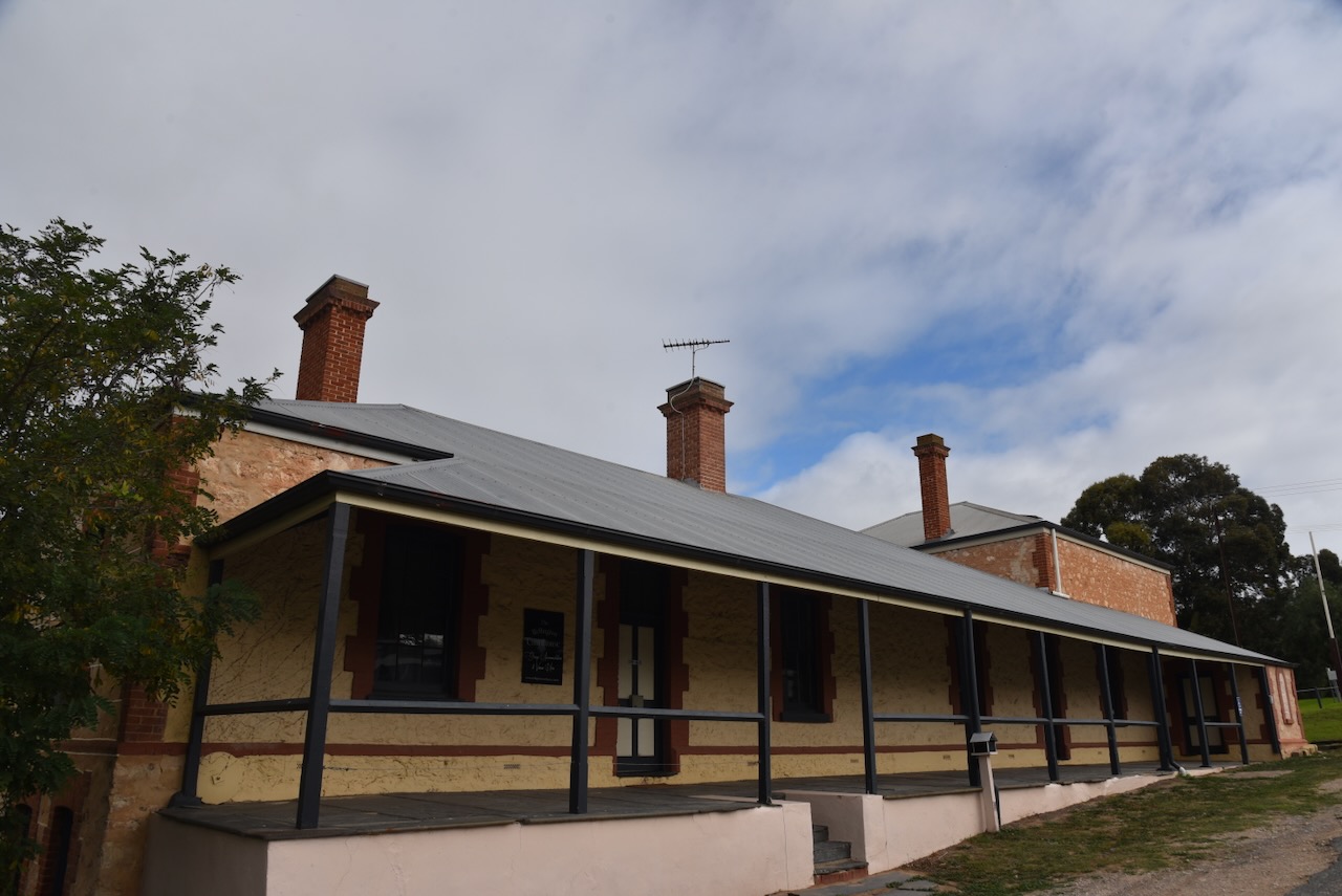
The former Wellington police station and courthouse was built in 1864. It was formerly a museum, and now serves as accommodation and venue hire.
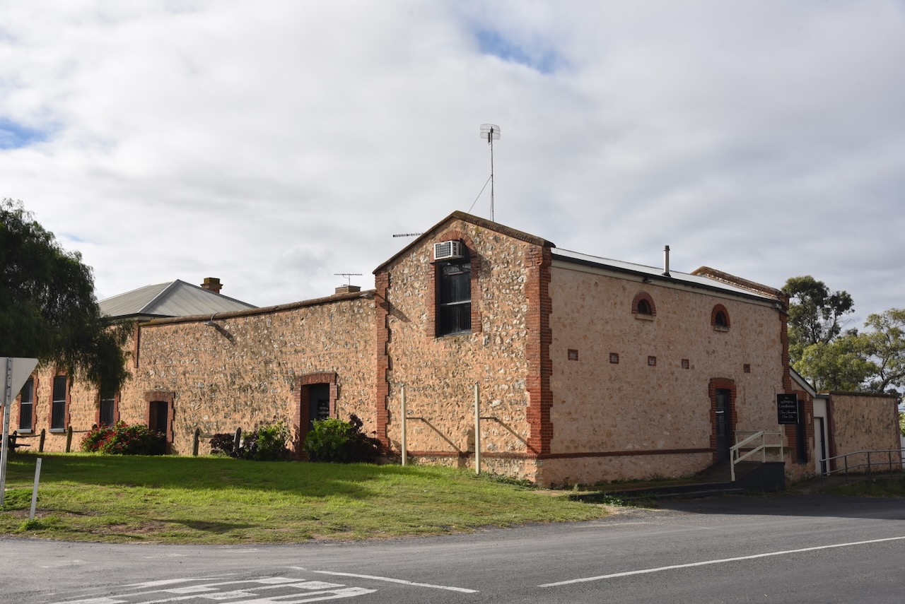
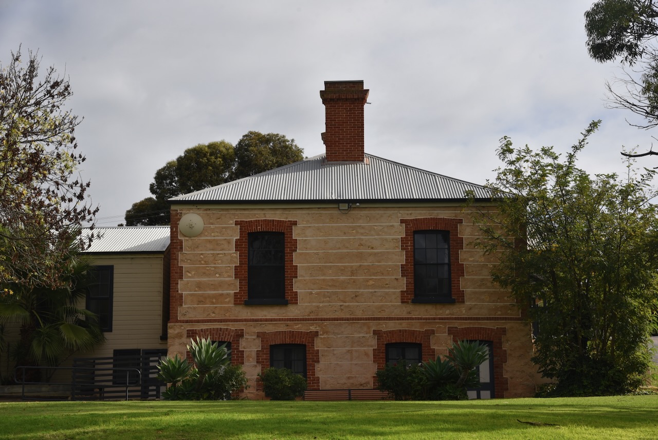
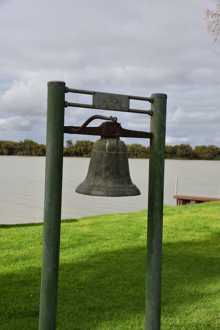
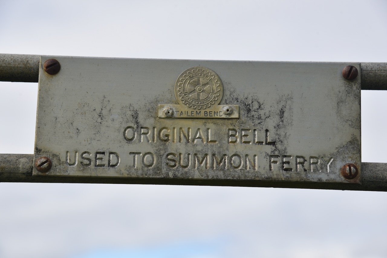
In the park alongside the old courthouse, you can view the original bell that was used to summon the ferry.
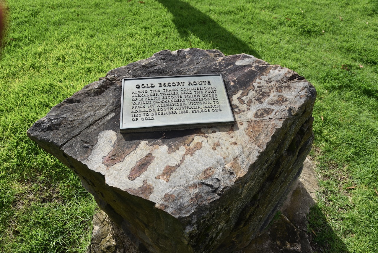
Wellington was located on the Gold Escort route, where gold from the Victorian goldfields was escorted by South Australian Police. You can find a monument here to commemorate the Gold Escort route.
There is also a monument co commemorate the explorer Captain Charles Sturt who passed here in February 1830.
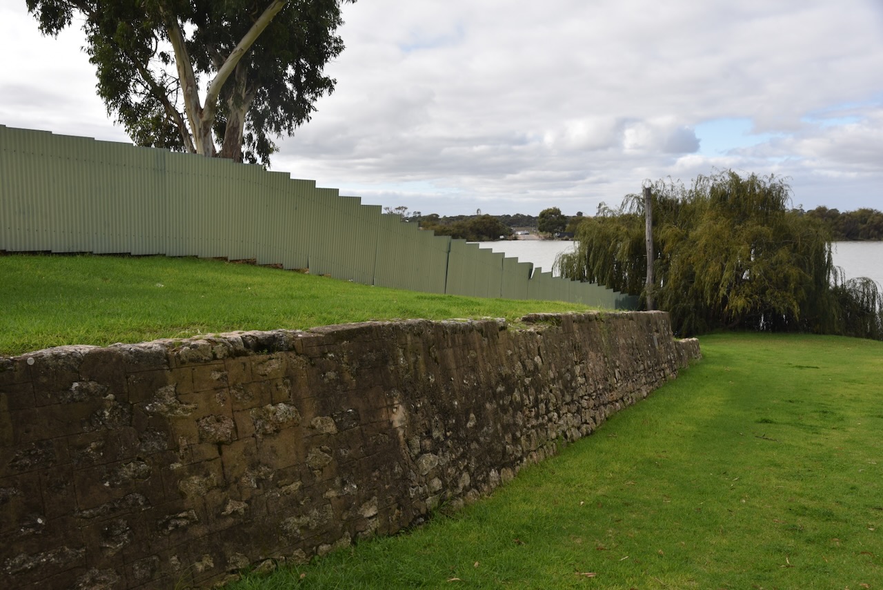
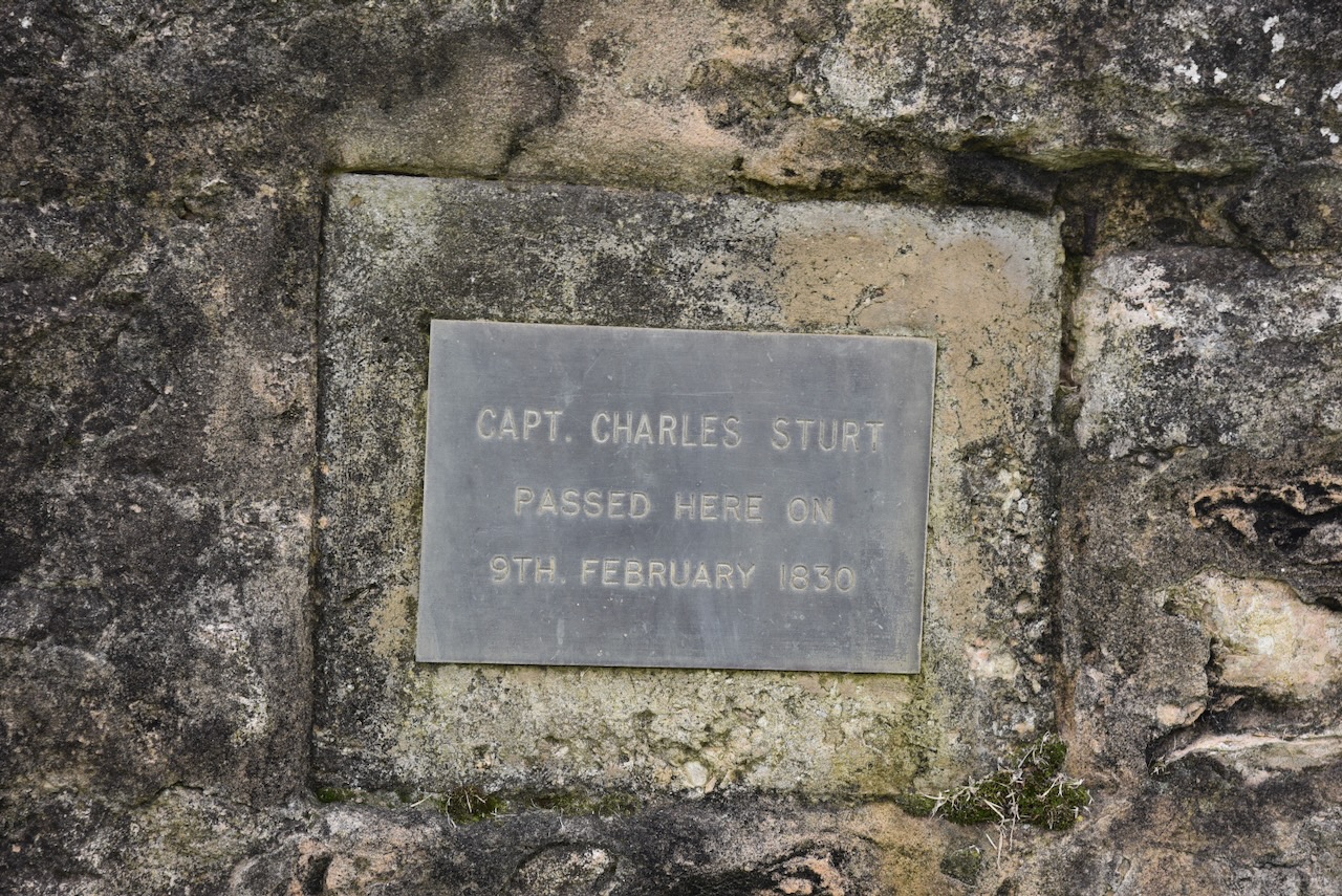
We continued on to home. It had been a great week away with Chris. I thoroughly enjoyed myself.
References.
Our next quick activation for Tuesday, the 5th day of May 2026, was solely for the purpose of obtaining a Park-to-Park contact with Peter, VK3PF. Chris and I pulled into the Piangil West Bushland Reserve VKFF-5714, which we had activated on our way over to Albury.
Chris and I made contact with Peter VK3PF, who was activating VKFF-4736, and then made a Park to Park contact with Gerard VK2IO, who was activating VKFF-3599.
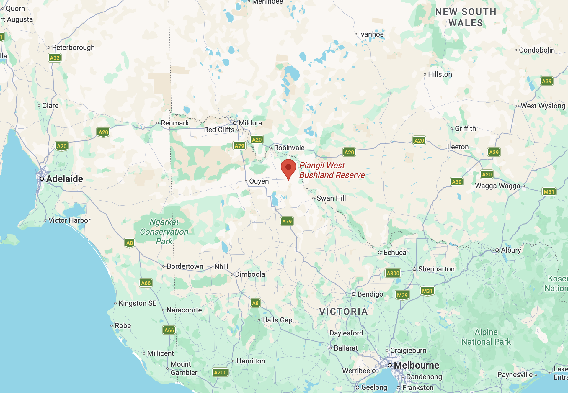
Above: Map showing the location of the Piangil West Bushland Reserve. Map c/o Google Maps
I made the following QSOs:-
We then continued on towards Managatang.
References.
It was now Tuesday, the 5th day of May 2026, and time for Chris and me to head home after our Albury trip. I can highly recommend the accommodation at the Tooleybuc Motel, and the meal next door at the Country Cub Hotel was excellent.
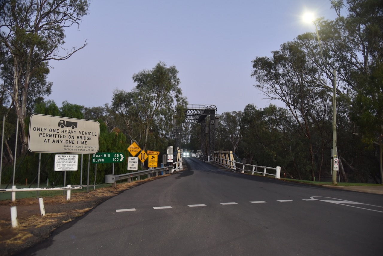
The historic timber truss bridge at Tooleybuc over the Murray River was constructed in 1924. It was designed to allow paddle steamers to pass through and has a vertical lift span. It was the last bridge designed by Percy Allan and is one of only two surving Allan truss spans bridges over the Murray River. (Service 2023)
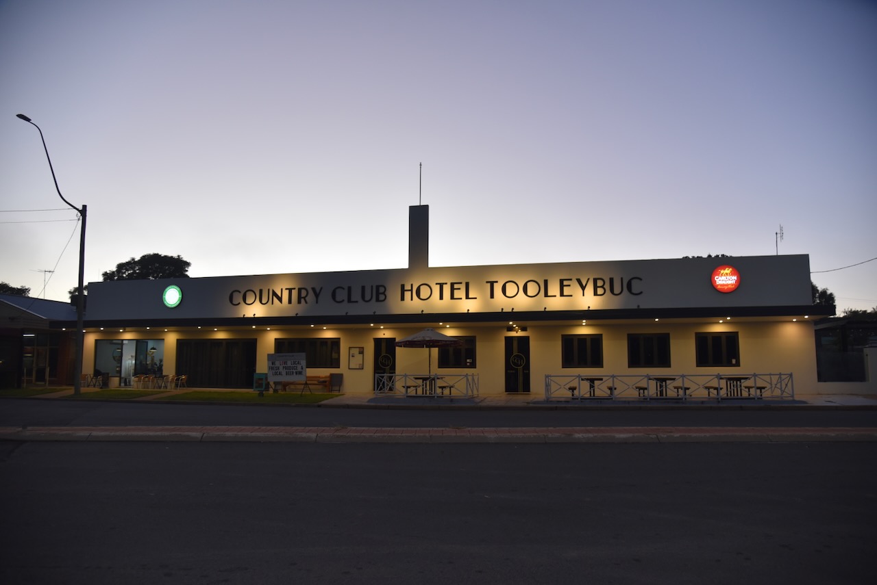
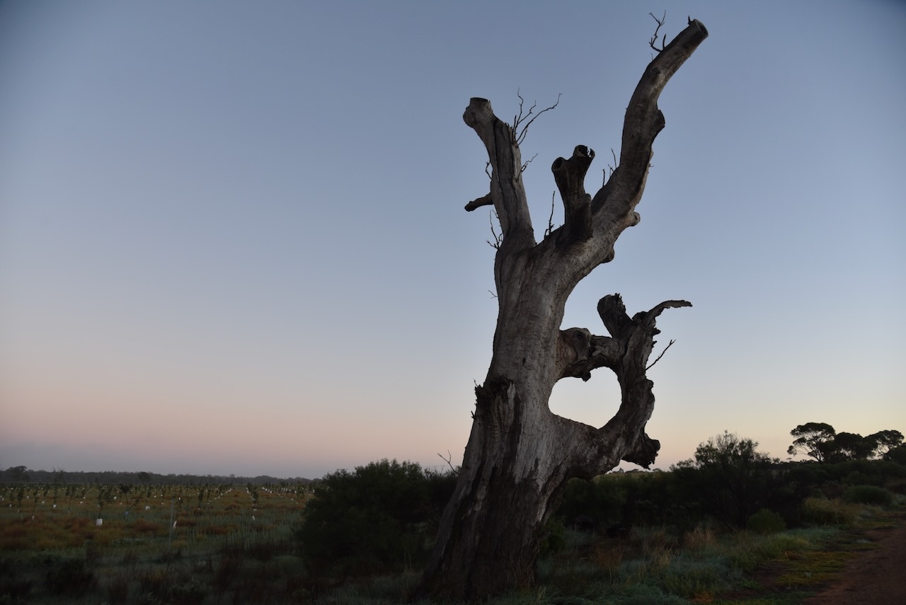
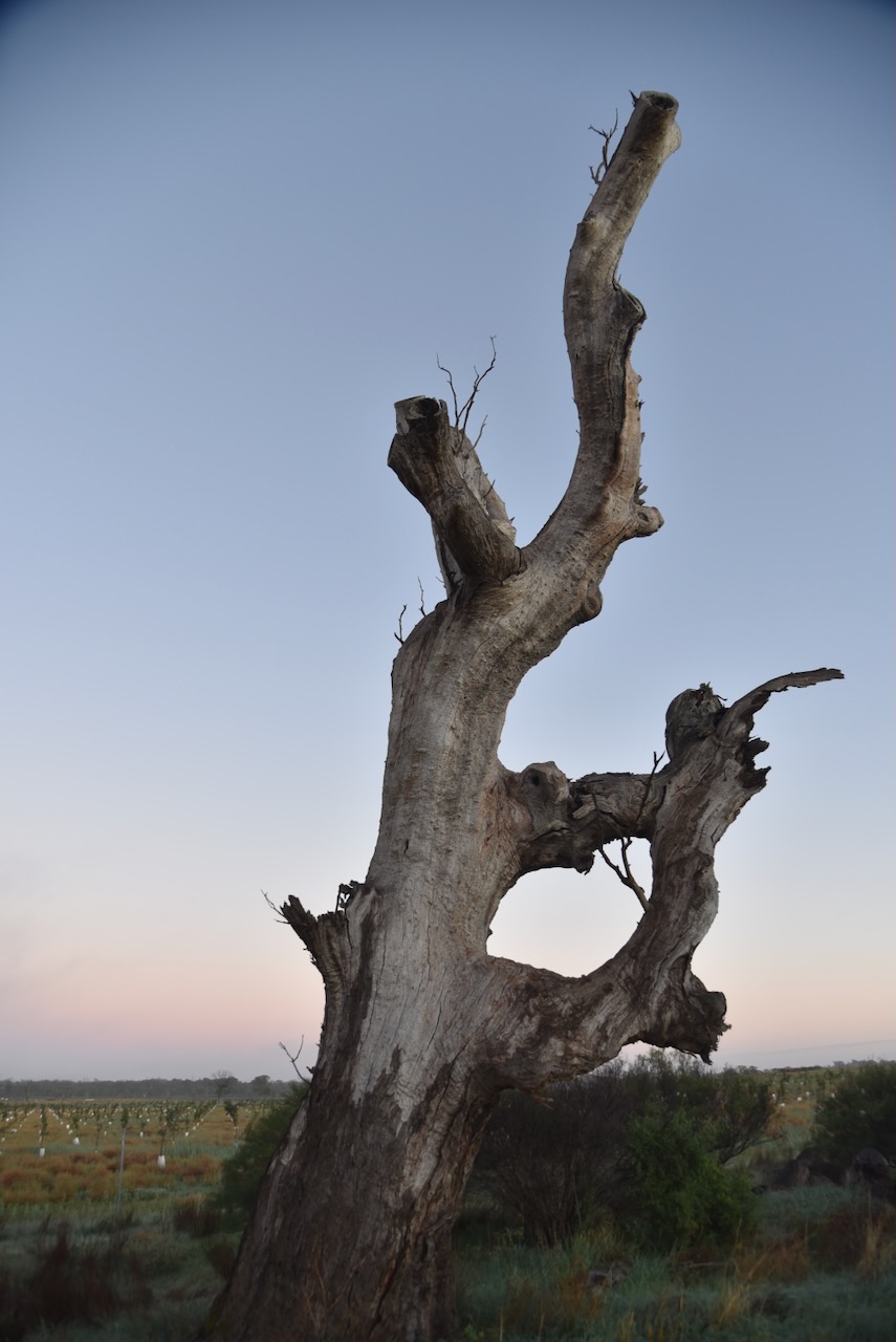
Chris and I drove out to the Ring Tree on the Koraleigh Road. It is a very rare surviving example of an old Aboriginal boundary or river crossing marker. This particular Ring Tree is believed to be for navigation, possibly guiding travellers to a safe river crossing. To form the ring, the branches have been tied together so they grow into the unusual circular shape.
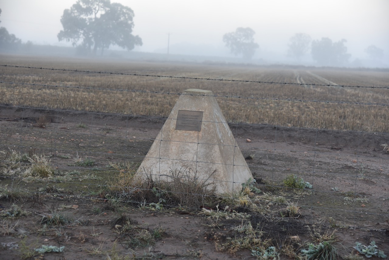
We then headed back to the Murray Valley Highway and stopped briefly to view the monument for the Piangil North State School, which opened on the 1st day of July 1908 and closed in December 1930.
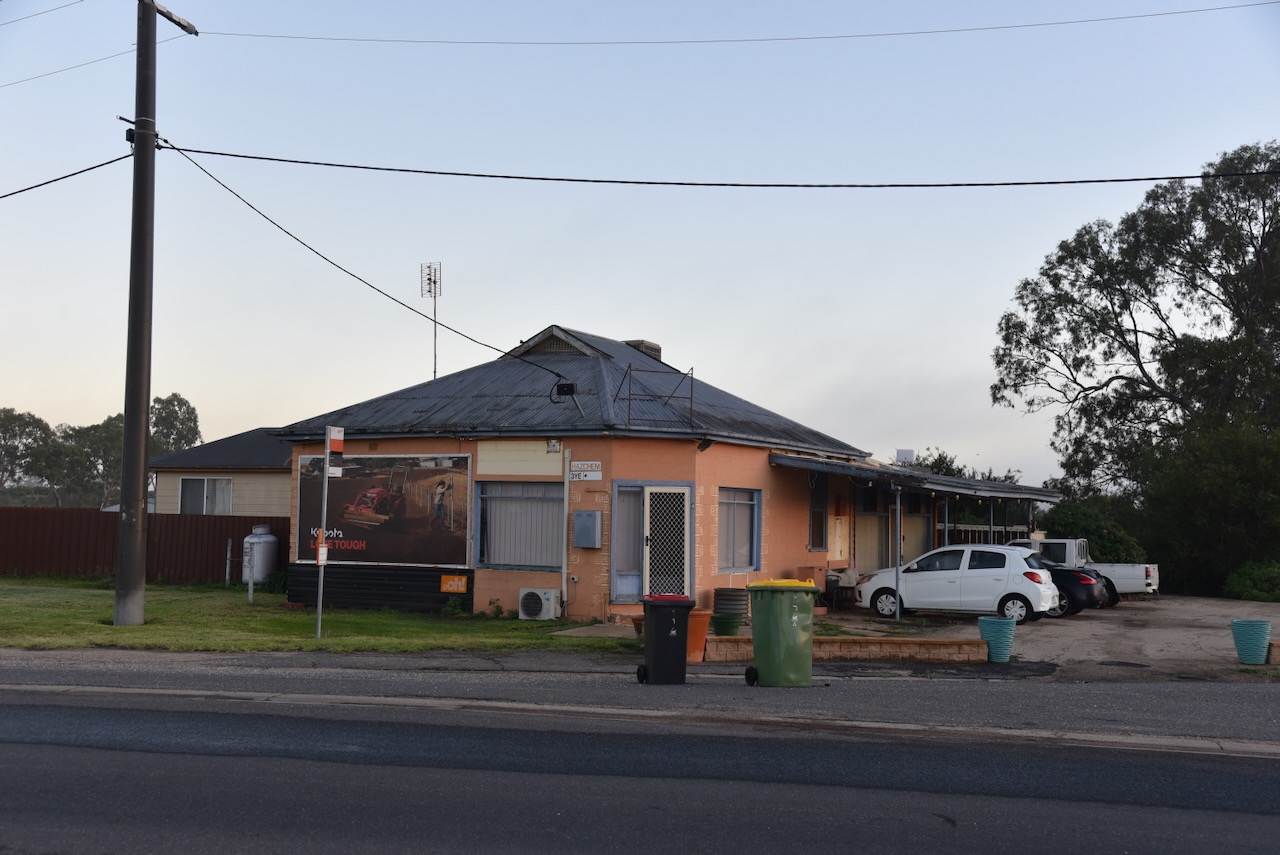
Located on the corner of Murray Valley Highway and Mallee Highway at Piangil is what appears to be an old hotel.
Chris and I then headed to the nearby Miralie Bushland Reserve VKFF-5490 and the Miralie silo VK-MRI3 for a park activation for the World Wide Flora & Fauna (WWFF) program and the SIlos On The Air (SiOTA) program.
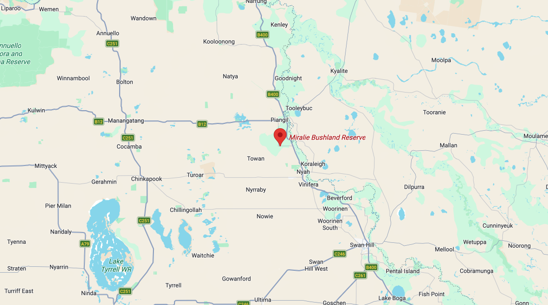
Above: Map showing the location of the Miralie Bushland Reserve. Map c/o Google Maps
The reserve is located on the northern side of Miralie-Cocamta Road, close to the Piangil railway line.
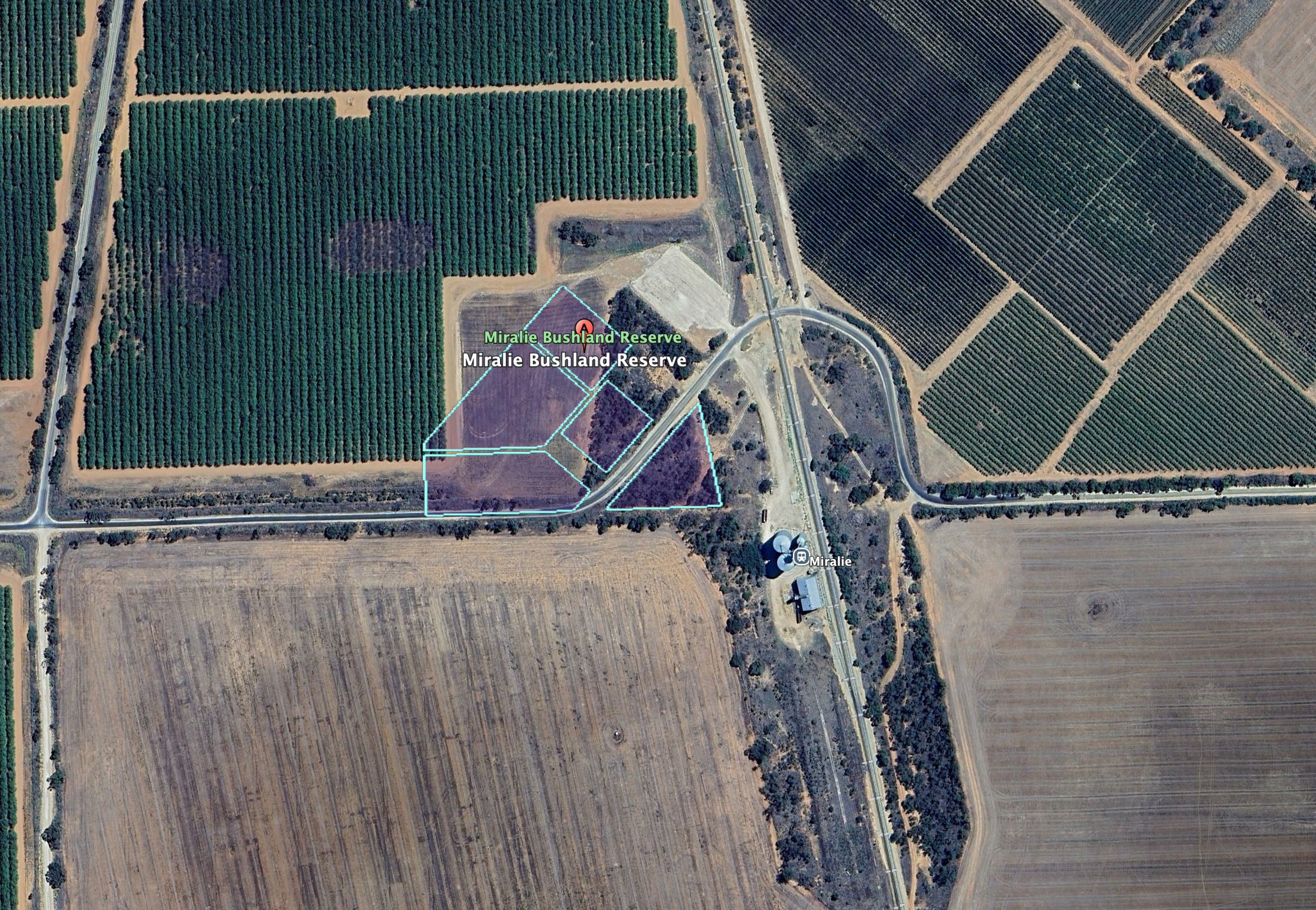
Above: the boundaries of the Miralie Bushland Reserve. Image c/o Google Earth
Miralie is an Aboriginal word for ‘black duck’. The Miralie Post Office opened on the 11th day of March 1925 and closed in July 1925. (Blake 1978) (Wikipedia 2025)
The reserve is only a small park, comprising 2.4 hectares of native scrub, and surrounded by cleared land for cropping and orchards. (Dcceew.gov.au 2023)
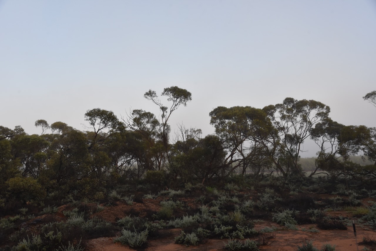
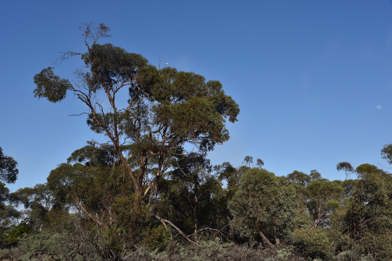
During our visit, the reserve was alive with birdlife.
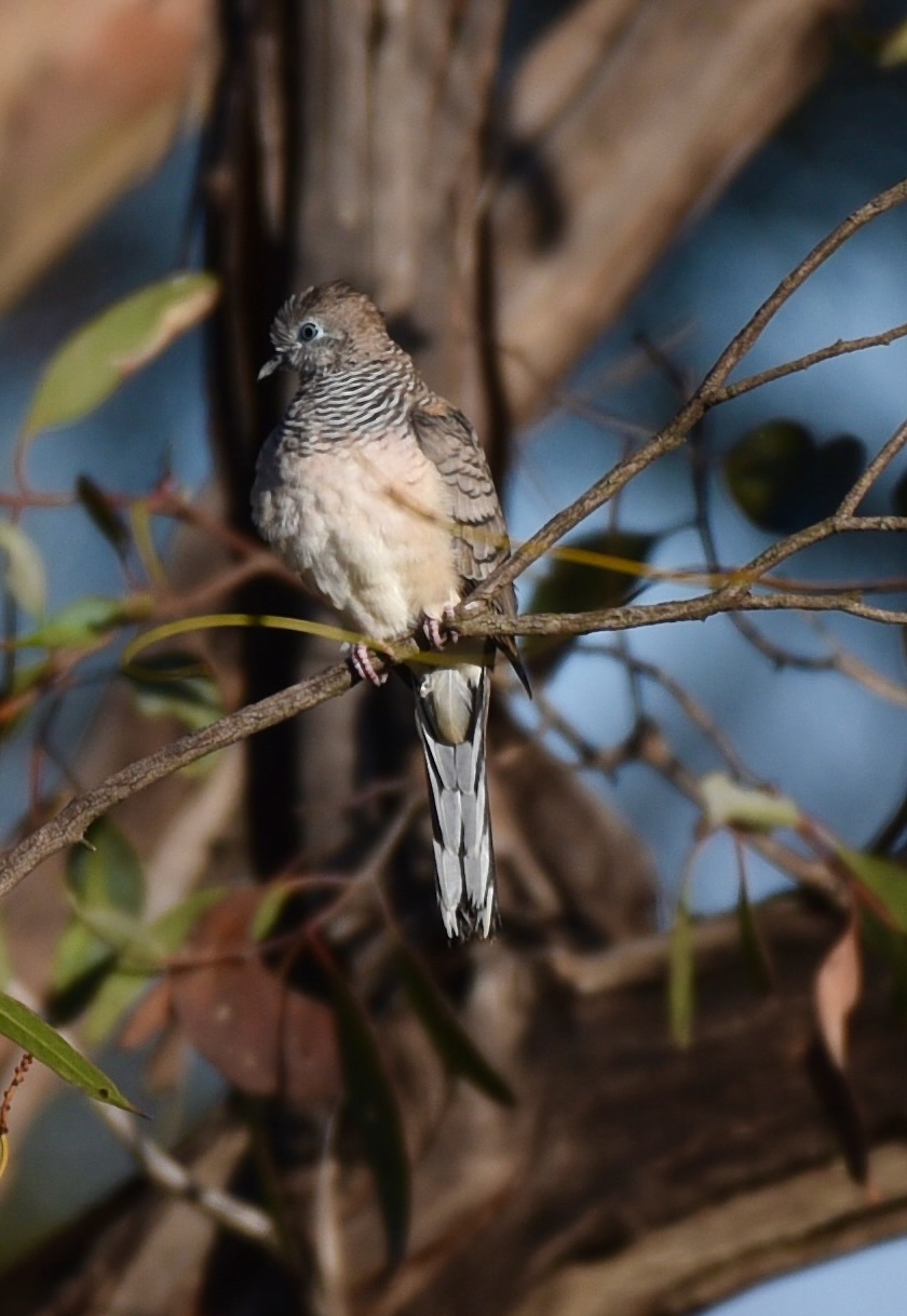
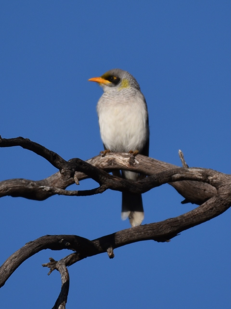
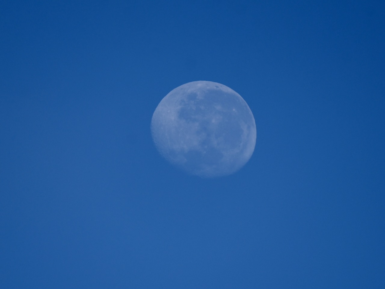
We even got to enjoy a view of the moon.
The reserve is within the activation zone of the Miralie silo, which was covered in fog when we arrived.
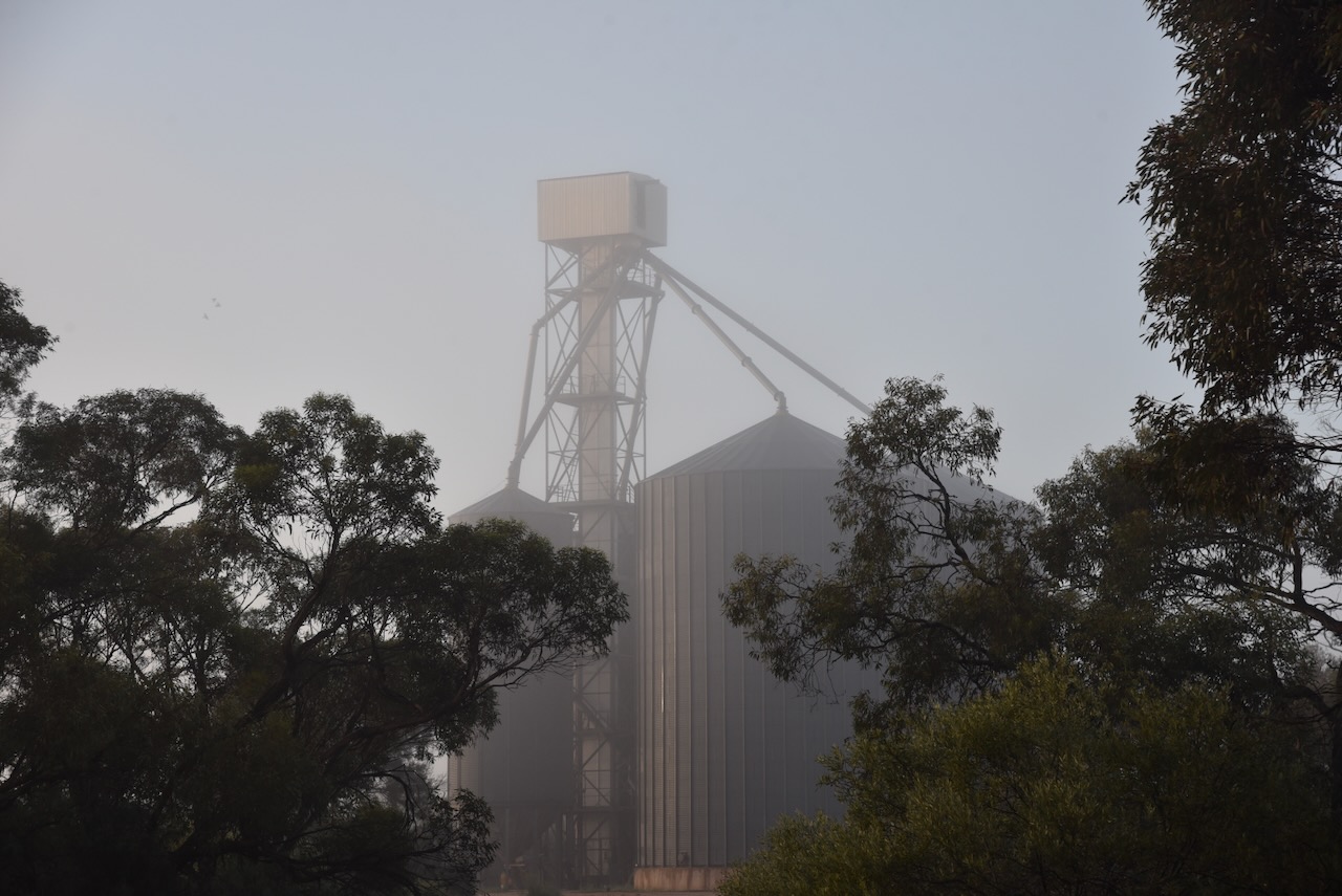
The Miralie silos are located just to the southeast of the reserve, alongside the railway line.
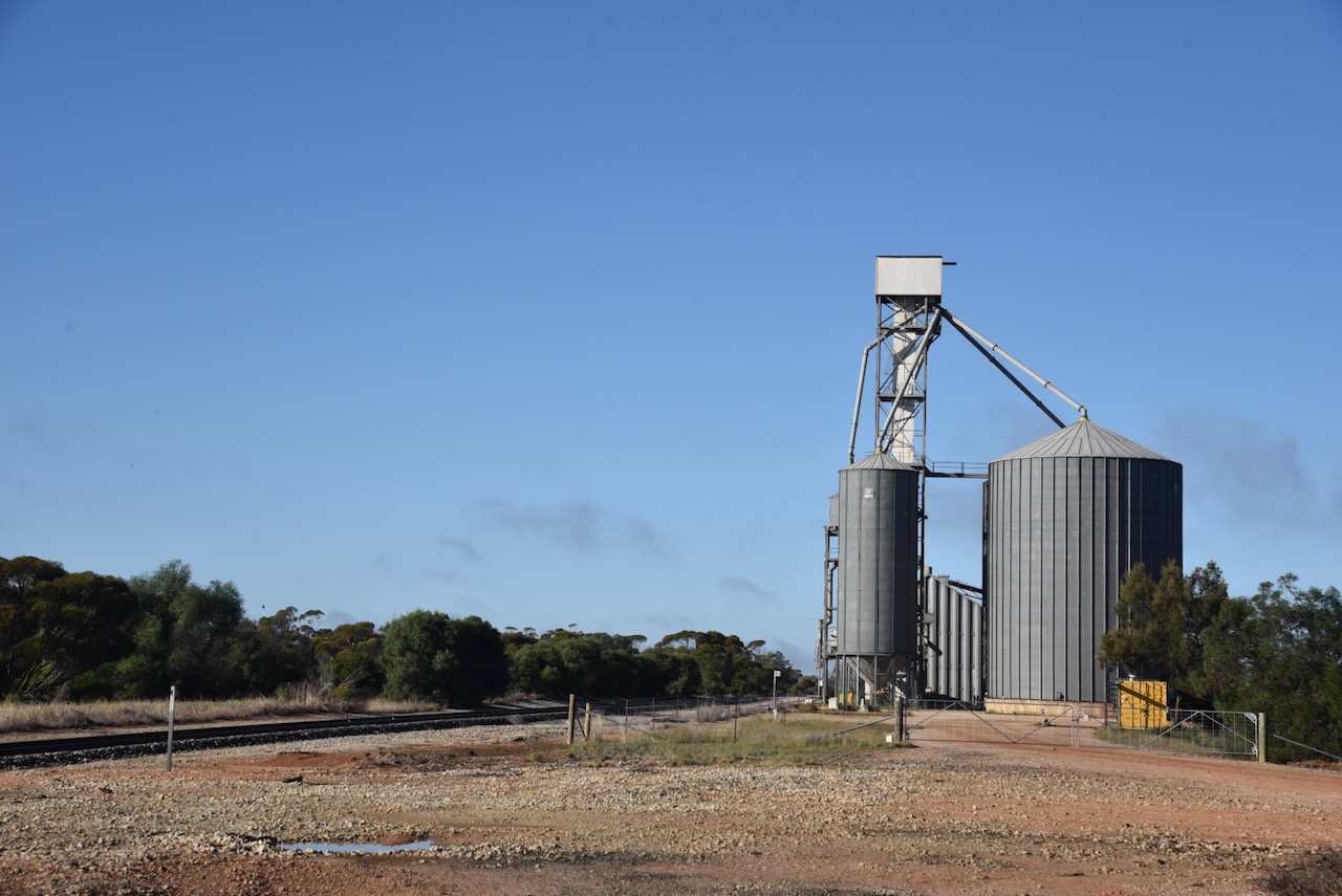
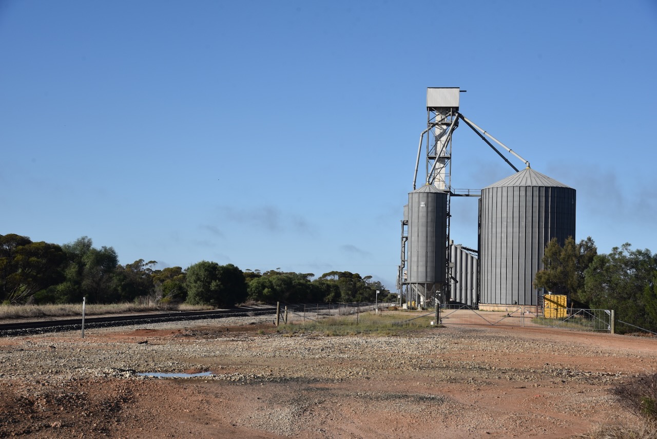
Chris and I pulled into the park in the 4WD and used the Yaesu FT857, 40 watts, and the 20/40/80m linked dipole for this activation.
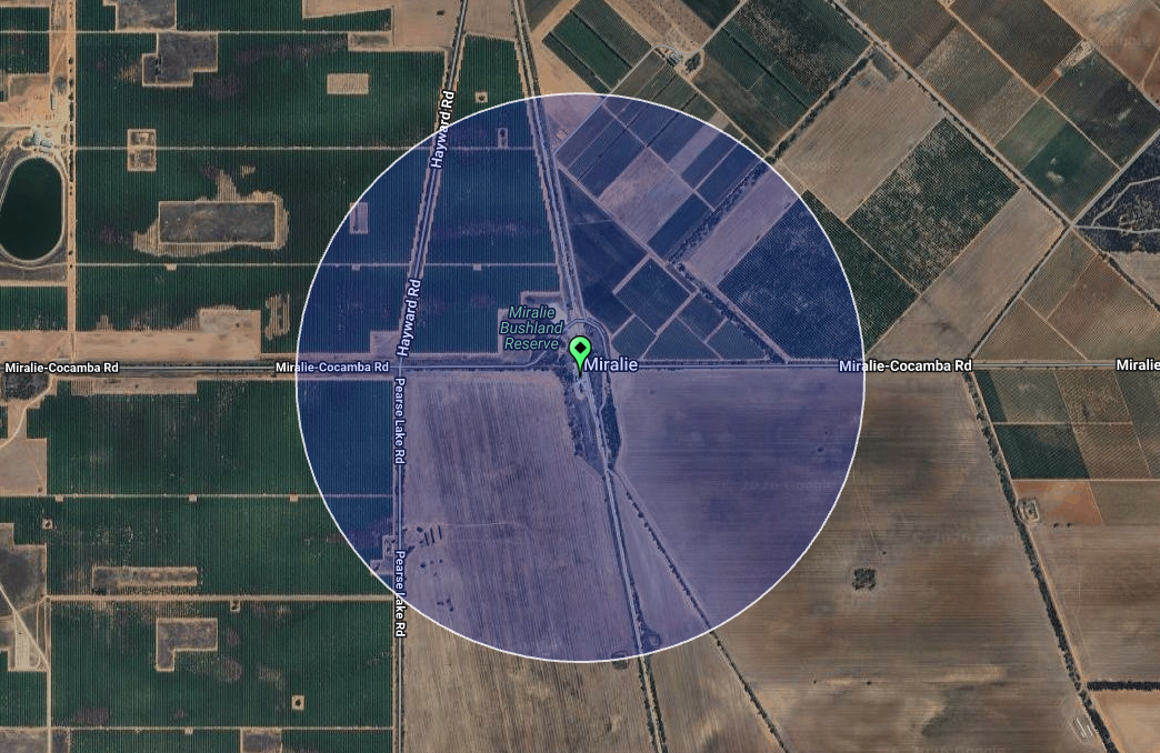
The activation zone at the Miralie silo. Image c/o SiOTA website
I worked the following stations on 40m SSB:-
I worked the following stations on 40m AM:-
I worked the following stations on 20m SSB:-
I worked the following stations on 20m AM:-
References.
Our final VKFF park activation for Monday, the 4th day of May 2026, was River Murray Reserve VKFF-4147.
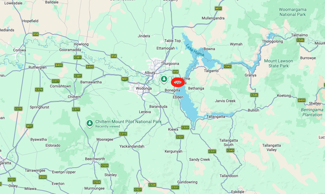
Above: Map showing the location of River Murray Reserve. Map c/o Google Maps
The section of the reserve we activated was near the Hume Lake Dam.
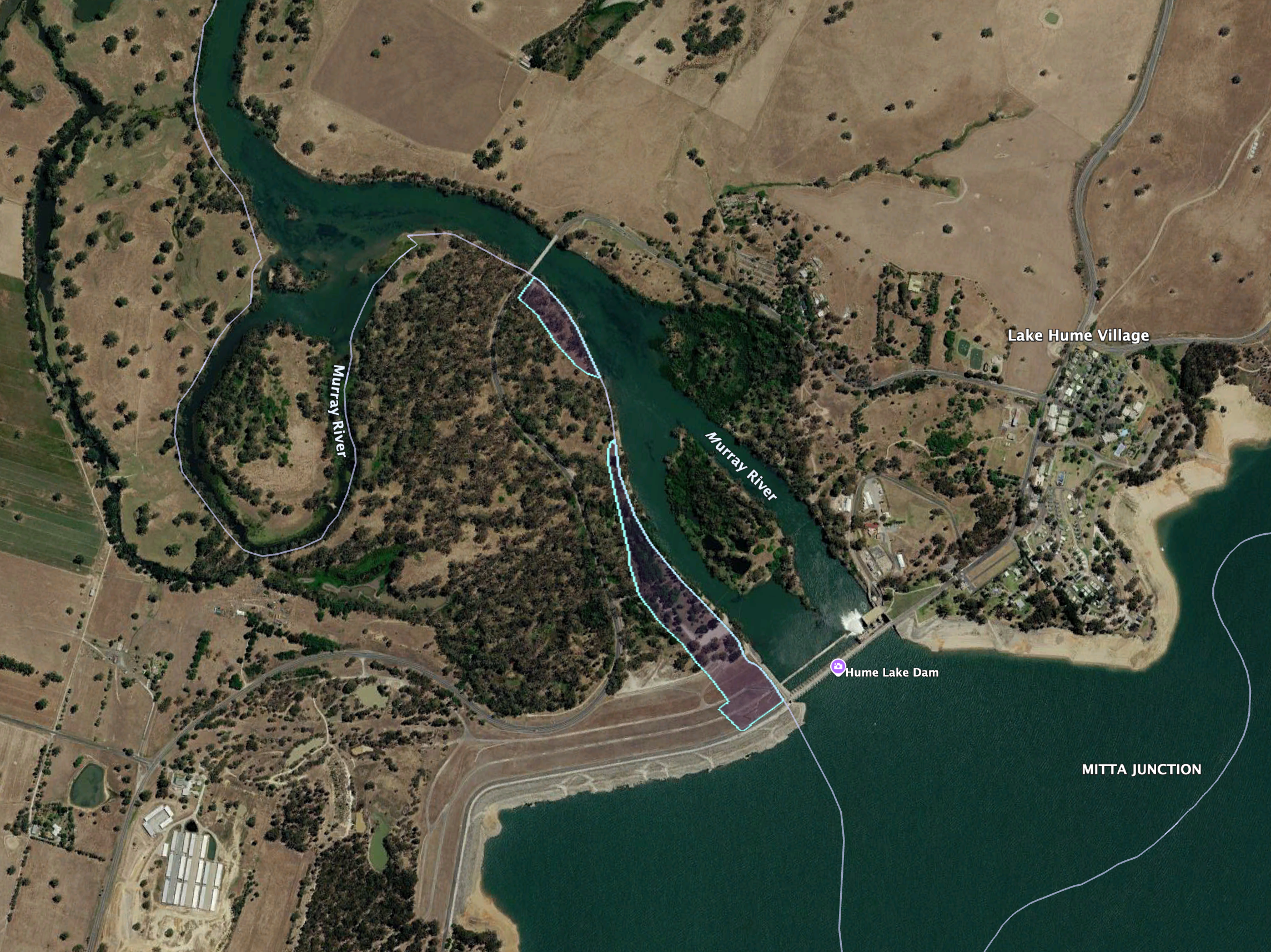
Above: the boundaries at River Murray Reserve. Image c/o Google Earth
The reserve is about 1,5041 hectares and consists of numerous sections of land along the Murray River. It stretches from near Mildura along the Murray to east of Albury.
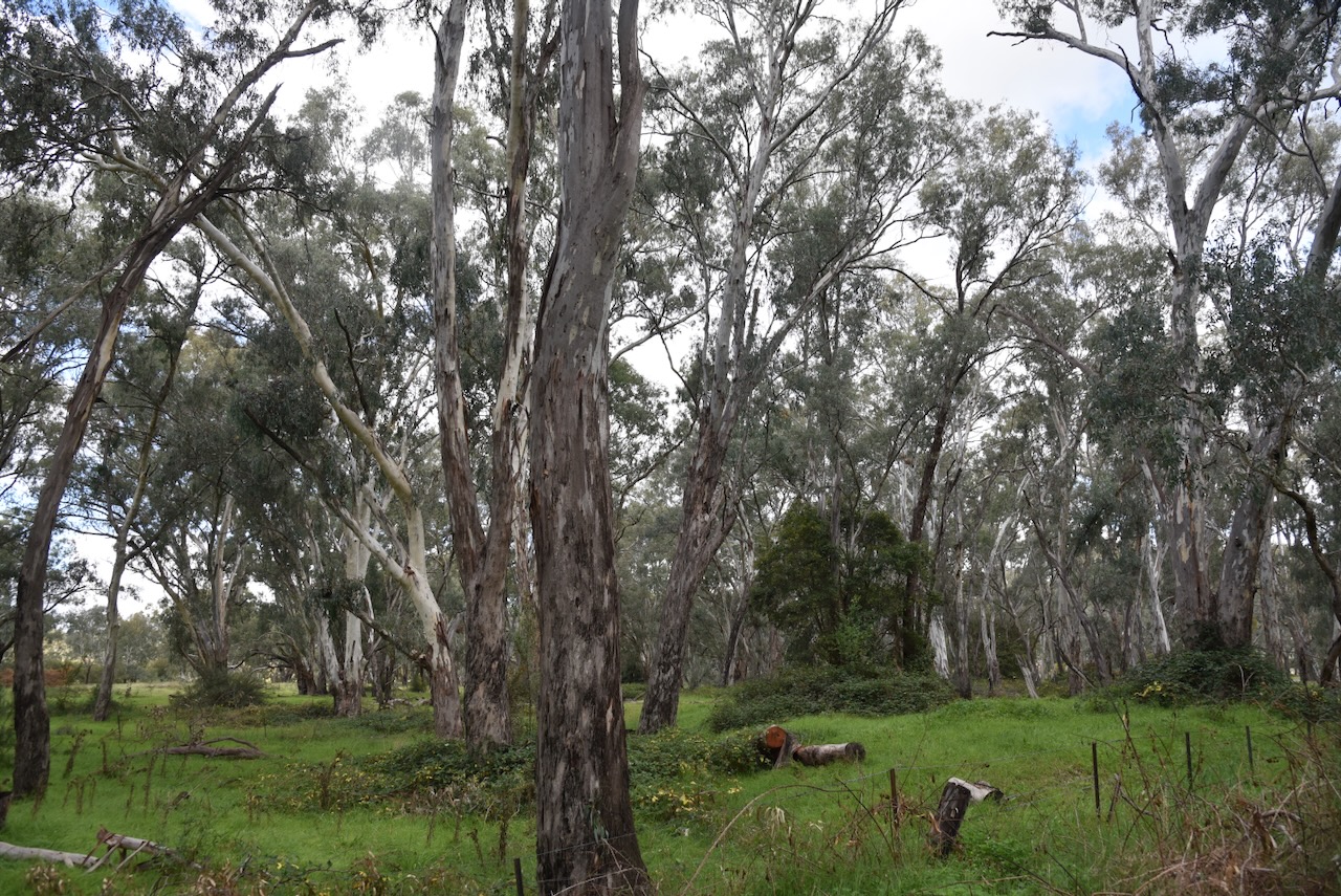
Chris and I accessed the park via Bonegilla Road. We ran the Yaesu FT857, 40 watts, and the 20/40/80m linked dipole.
I worked the following stations on 40m SSB:-
I worked the following stations on 20m SSB:-
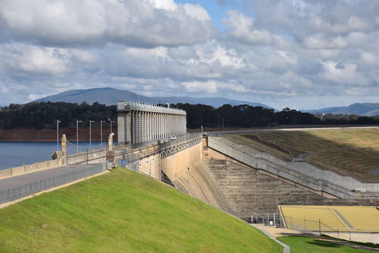
After successfully activating the park, we headed over the Murray River over the Heywood Bridge, from Victoria into New South Wales. We drove into the little town of Lake Hume Village to view Lake Hume.
The Hume Dam was constructed over 17 years, between 1919 and 1936. The dam wall height is 51 metres (167 feet) and it is 1,615 metres (5,299 feet) in length. Lake Hume’s total capacity is 3,036,500 ML. (Wikipedia 2021)
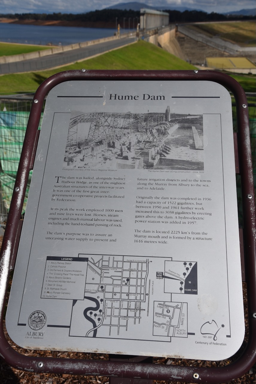
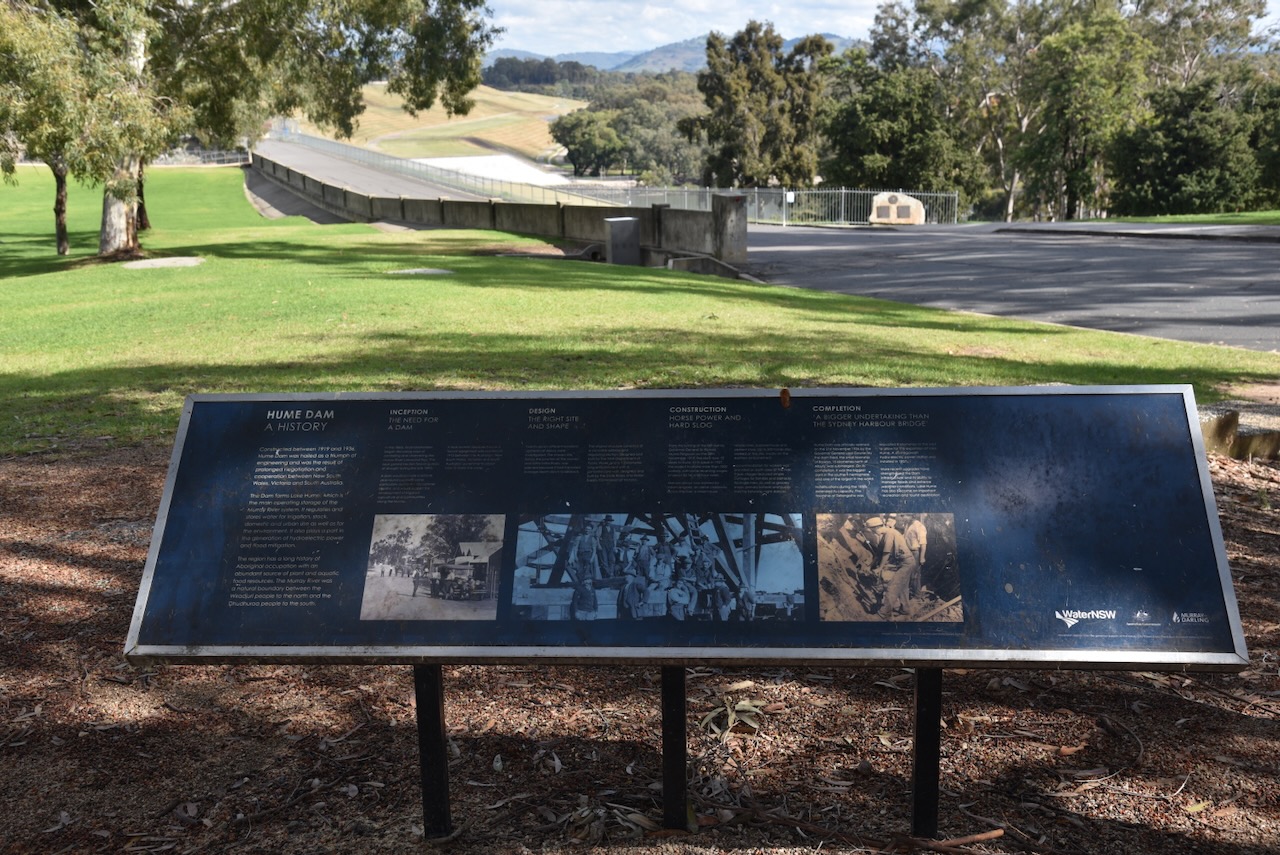
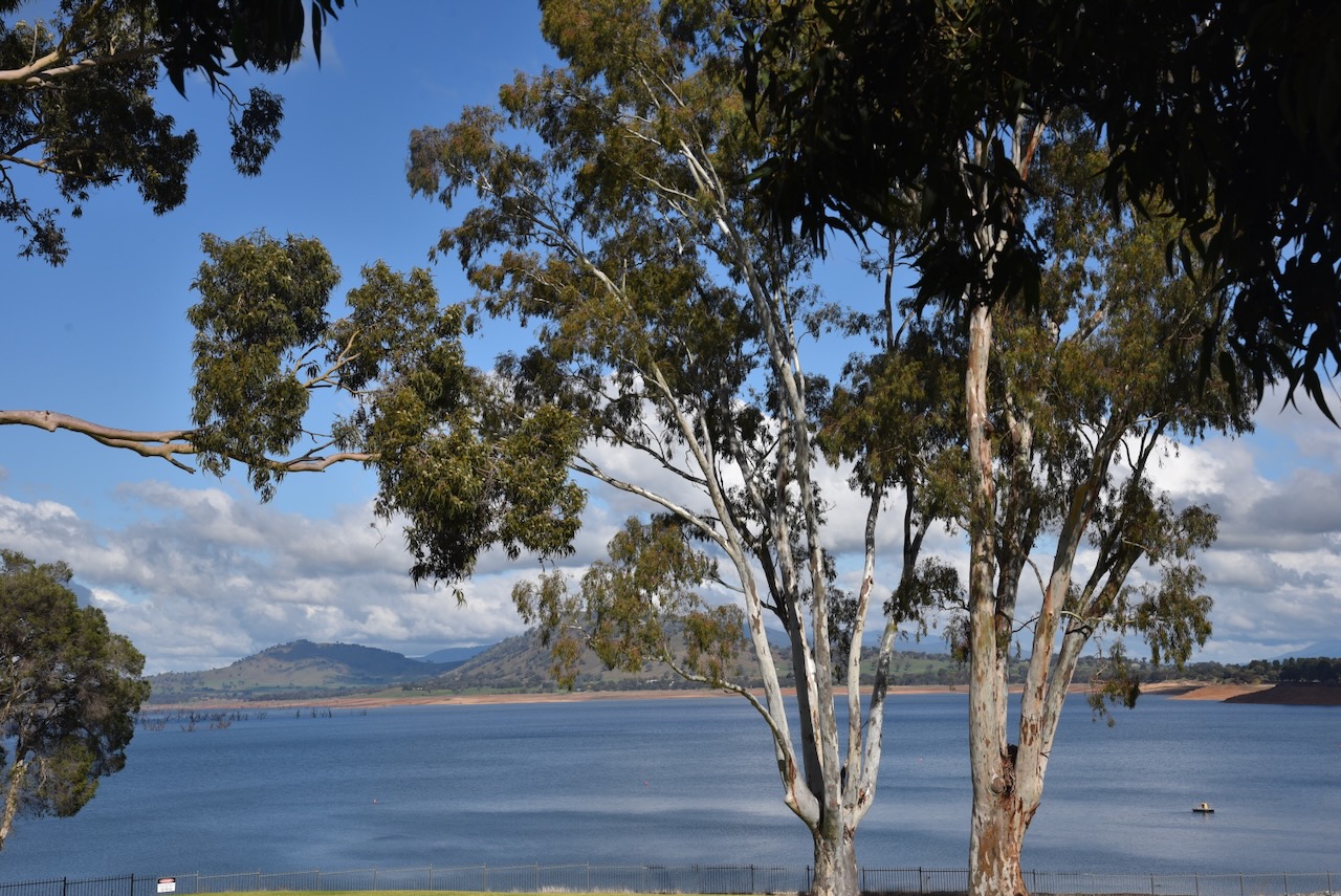
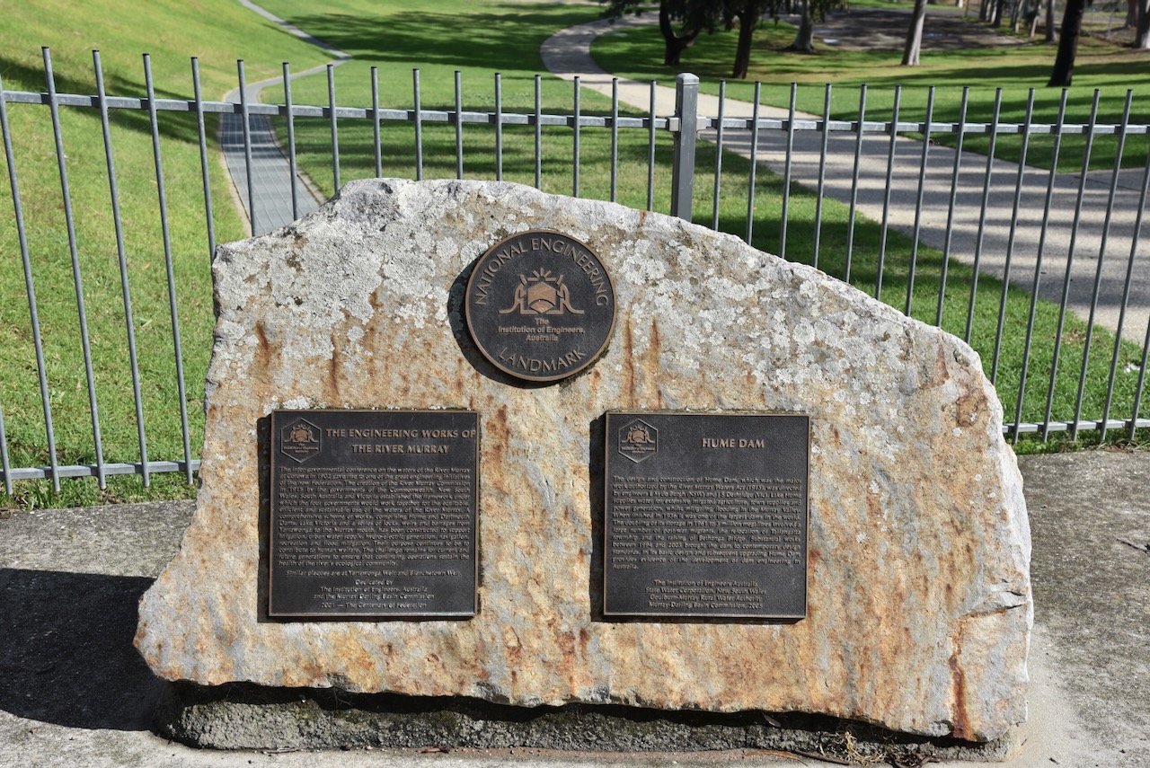
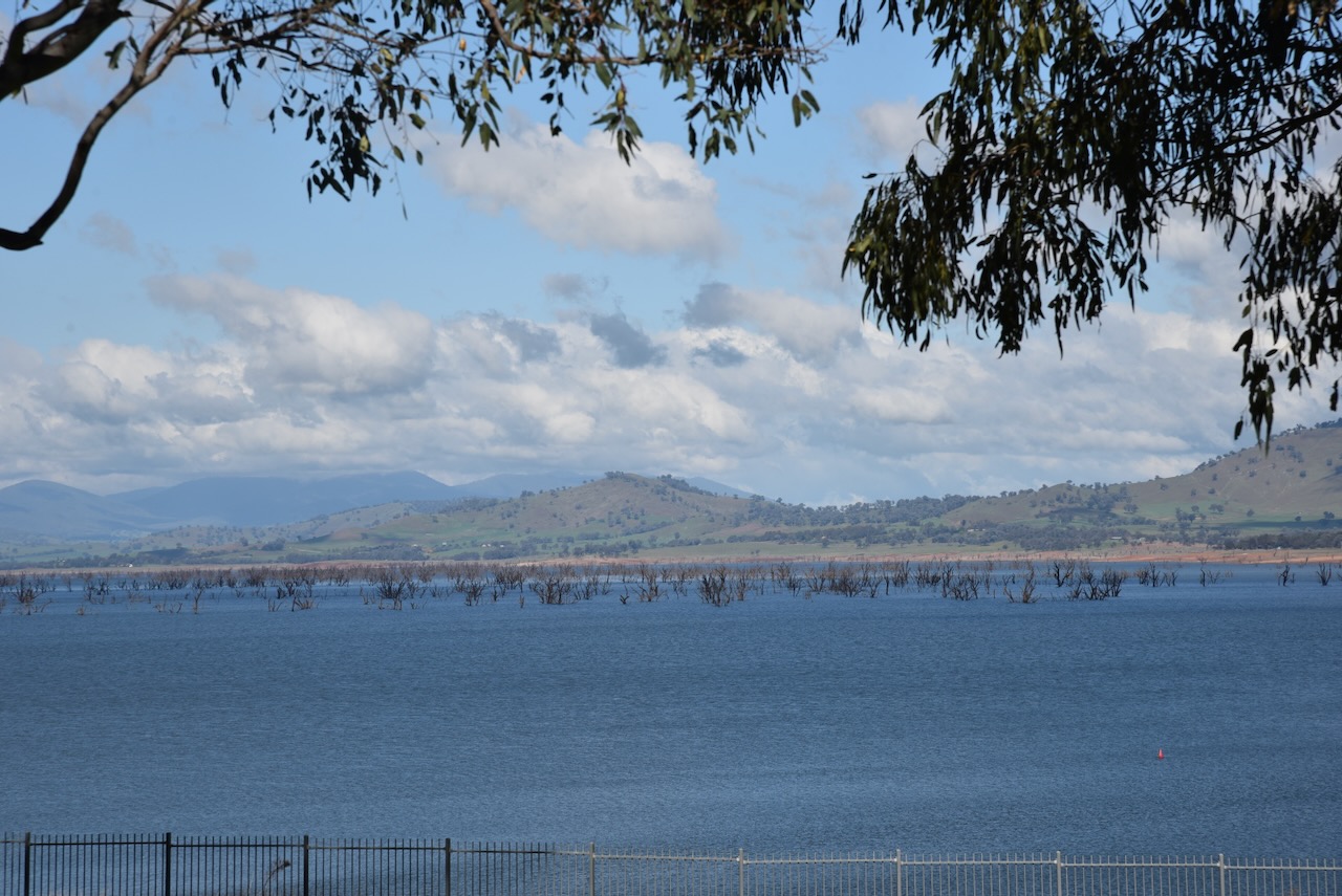
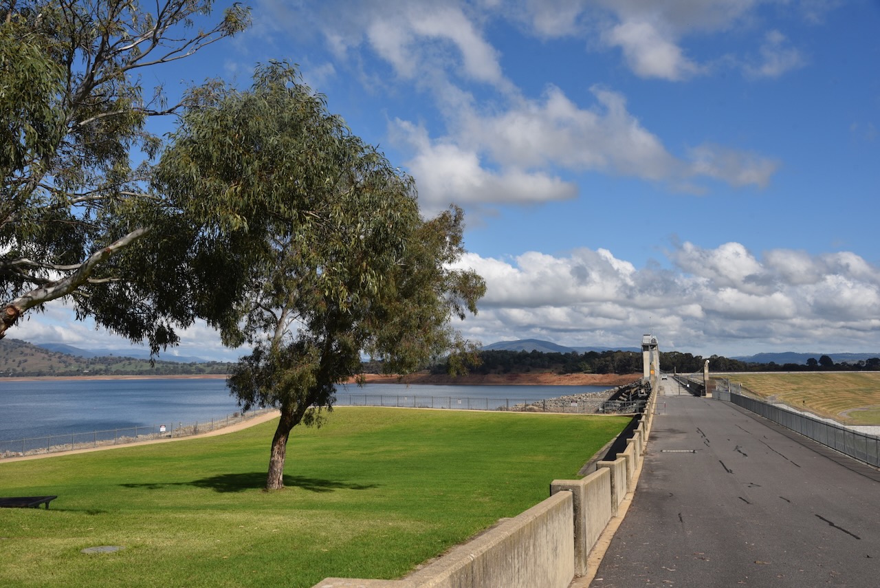
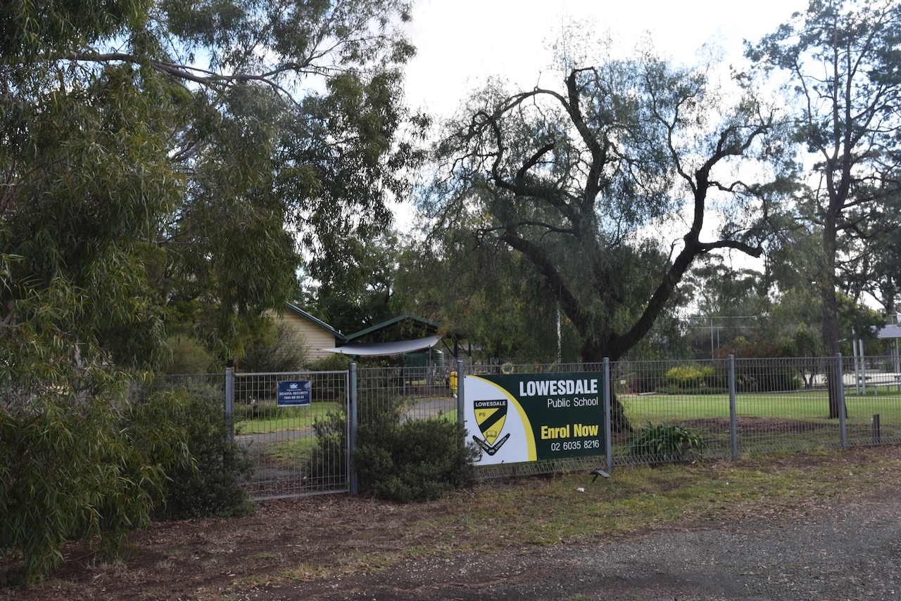
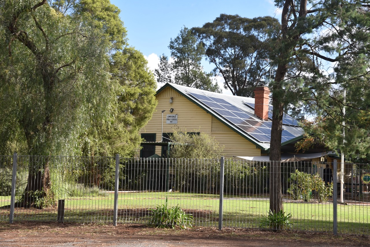
Chris and I then headed towards Tooleybuc, where we had booked in to stay for one night. We travelled west on the Riverina Highway. We stopped briefly for me to take a photograph of the Lowesdale School. Some of my family members attended here back in the early 1900s.
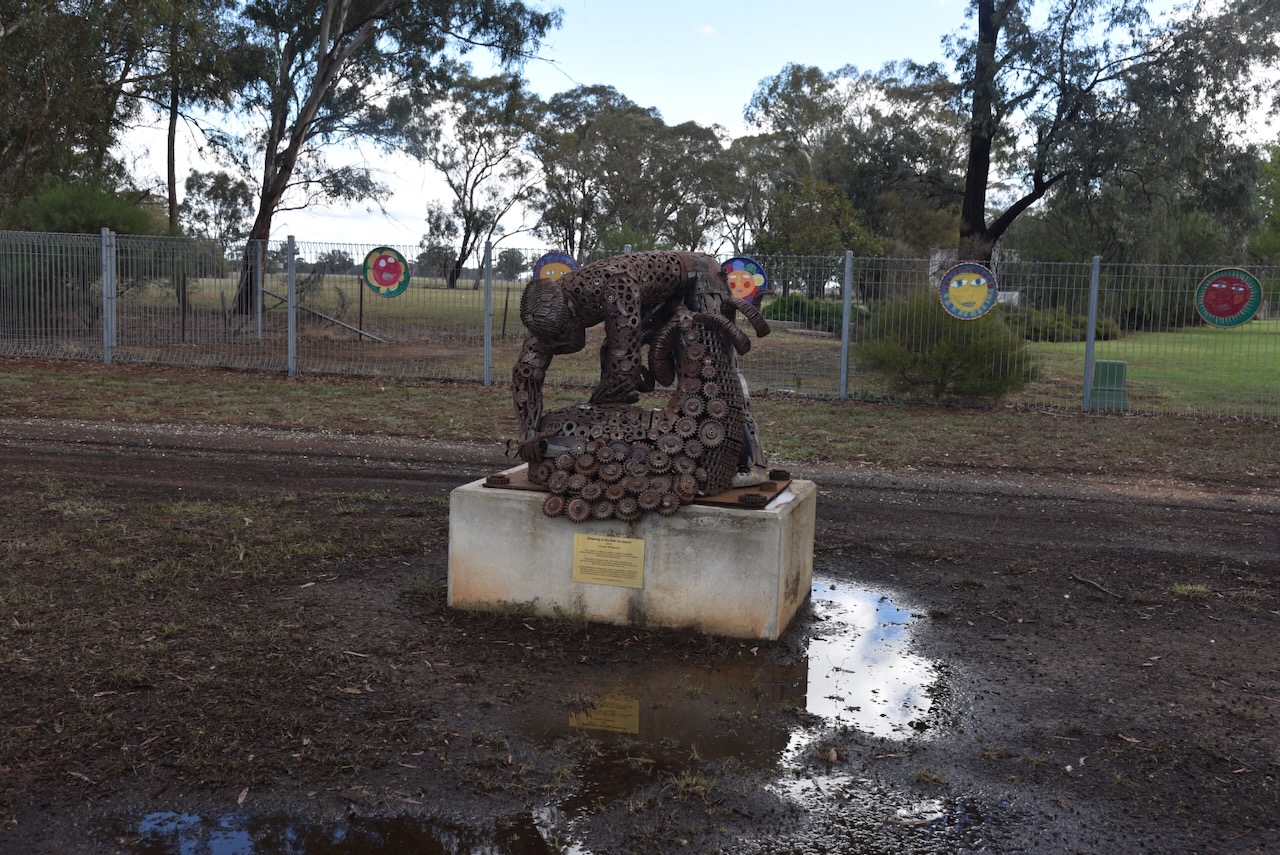
A little further up the road is the old Burraja Hotel. Burraja is an Aboriginal name meaning ‘a swamp with young trees growing.’
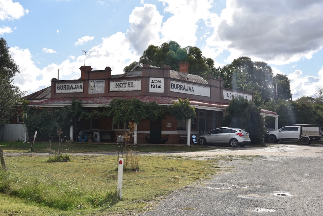
The current building was built in 1911/1912 on behalf of the licensee, Mr. S.R.E. Loveridge. The hotel was opened in 1912 and was delicensed in 1999. (WIkipedia 2026)
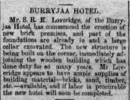
Above: article from The Corowa Free Press, Tue 26 Sept 1911. Image c/o Trove
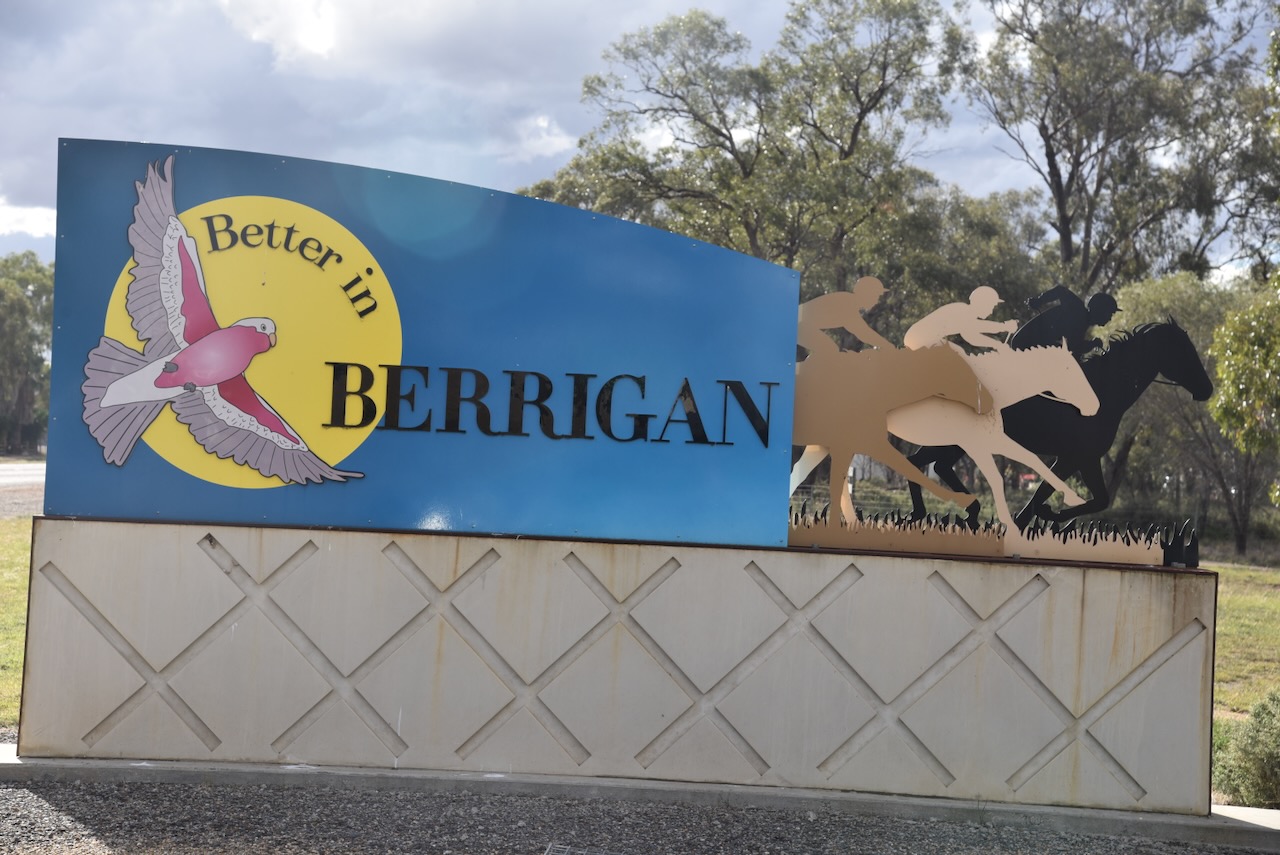
We continued on to the town of Berrigan ,which was proclaimed on the 31st day of May 1890. (Wikipedia 2024)
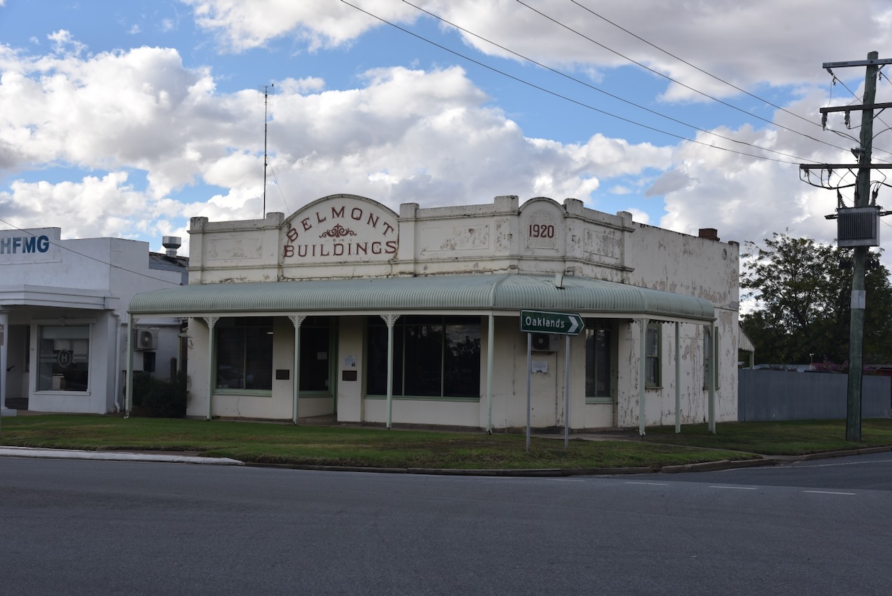
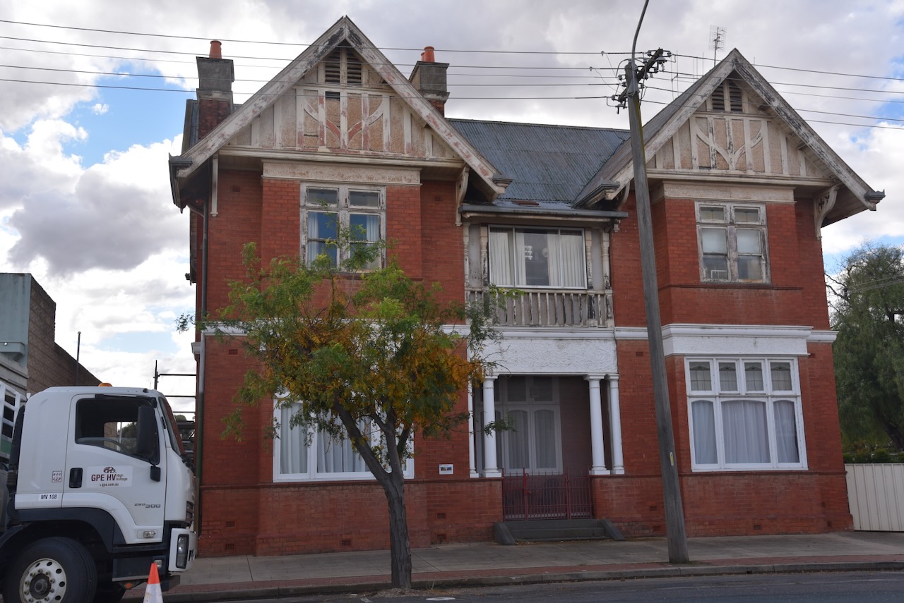
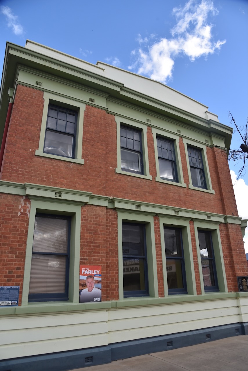
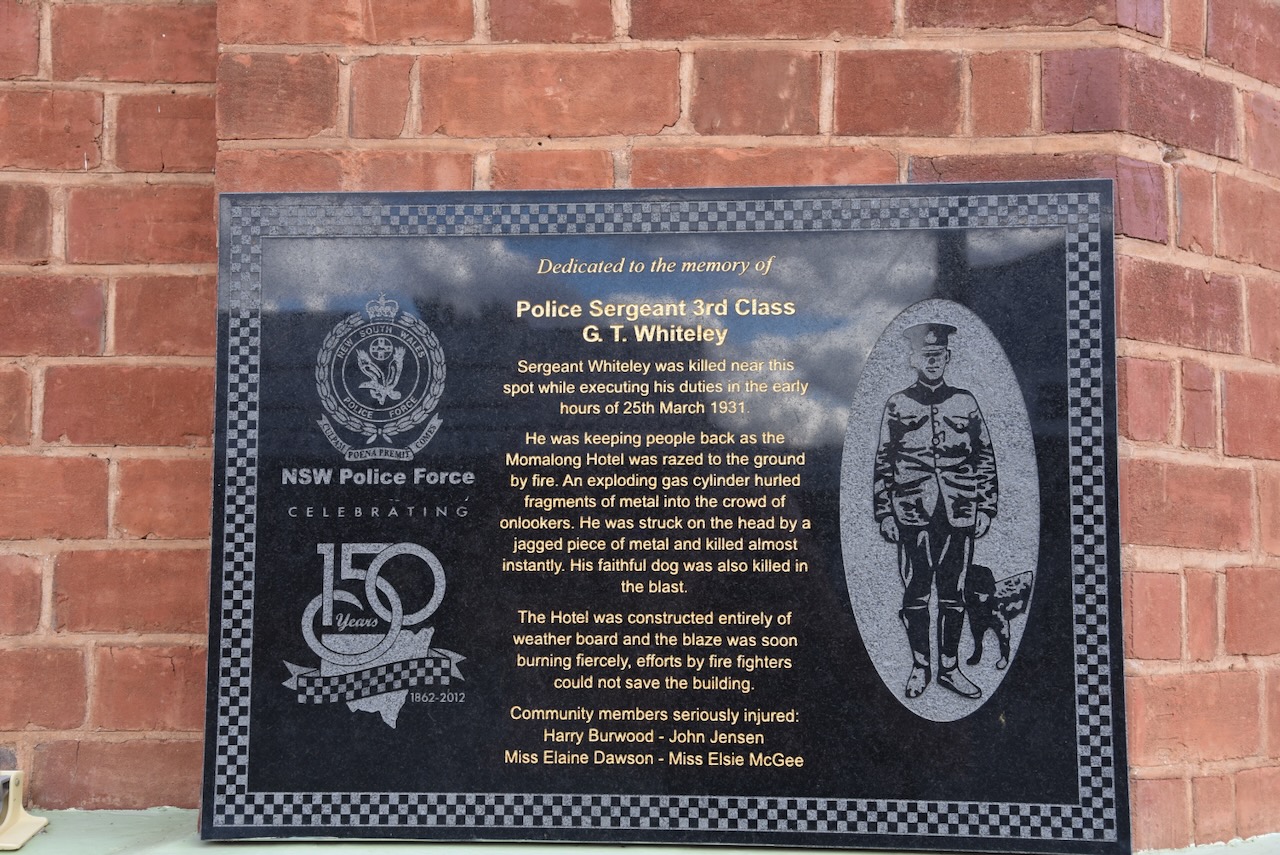
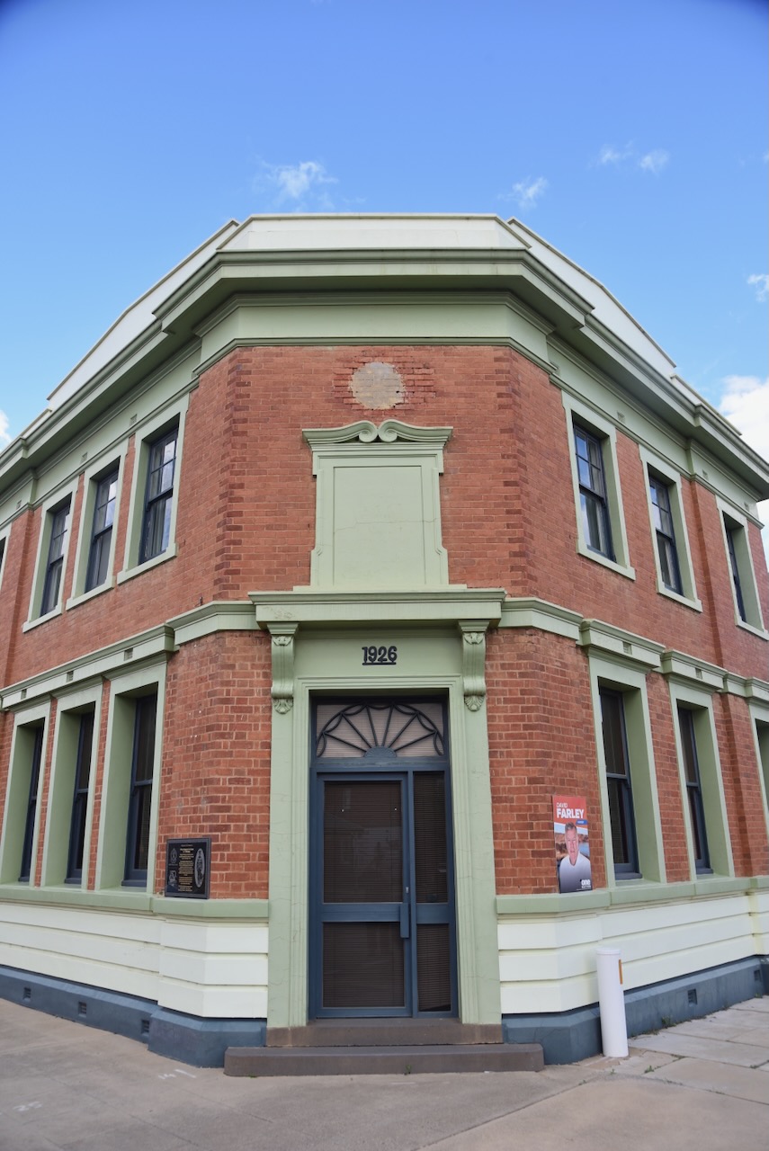
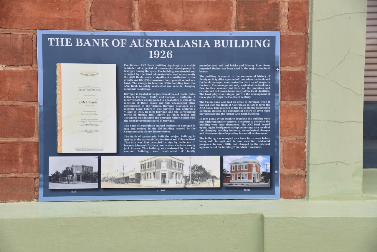
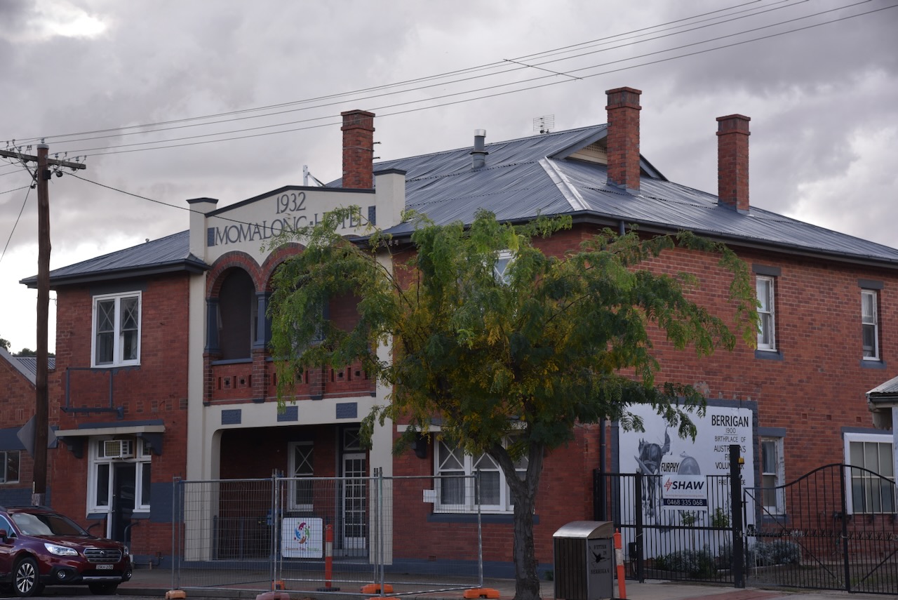
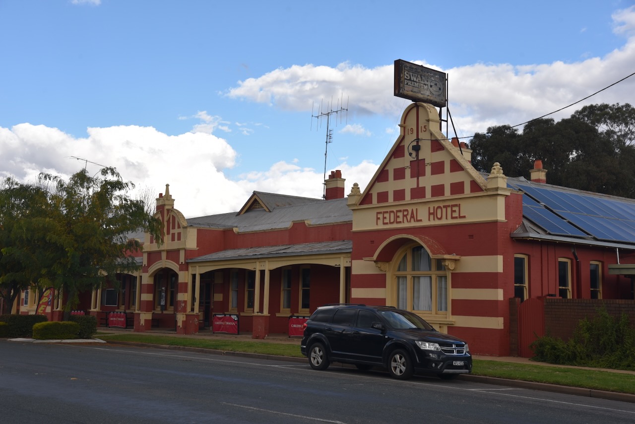
One of the historic buildings in Berrigan is the Federal Hotel, which was built in 1915. It replaced a previous hotel that was destroyed by fire in September 1914. (Facebook 2026)
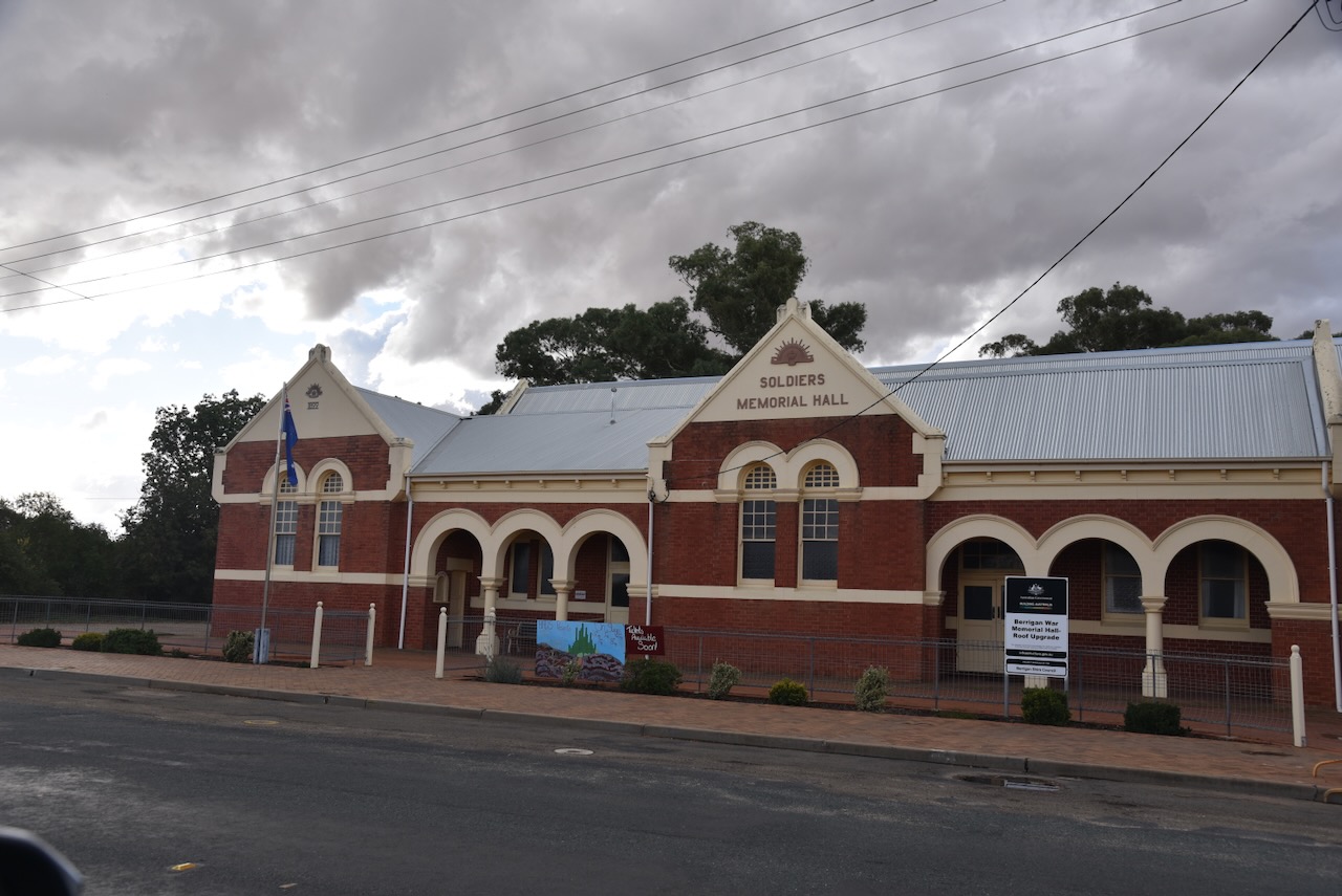
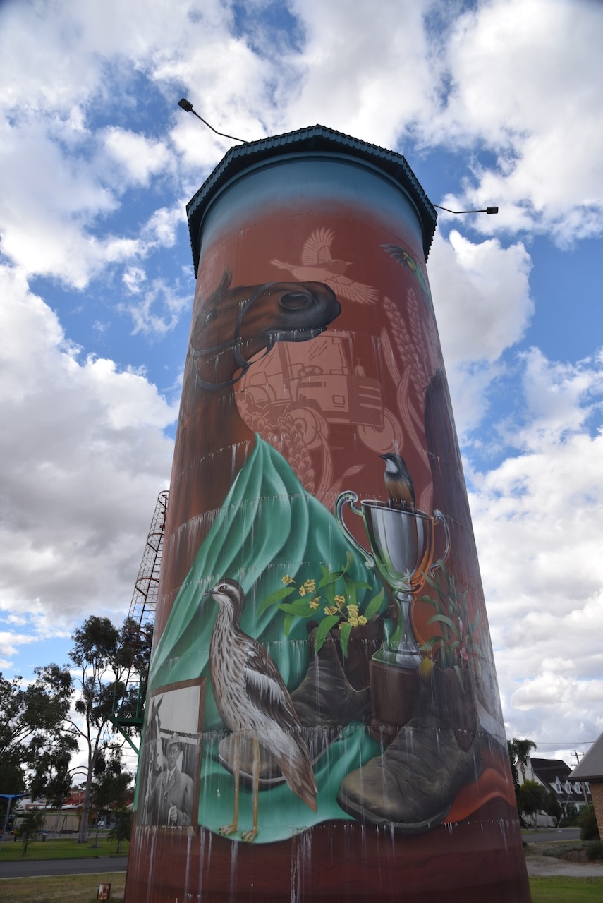
The town’s 80-year-old water tower underwent a transformation in 2025, with magnificent artwork being painted on the water tower by artist Alex Sugar.
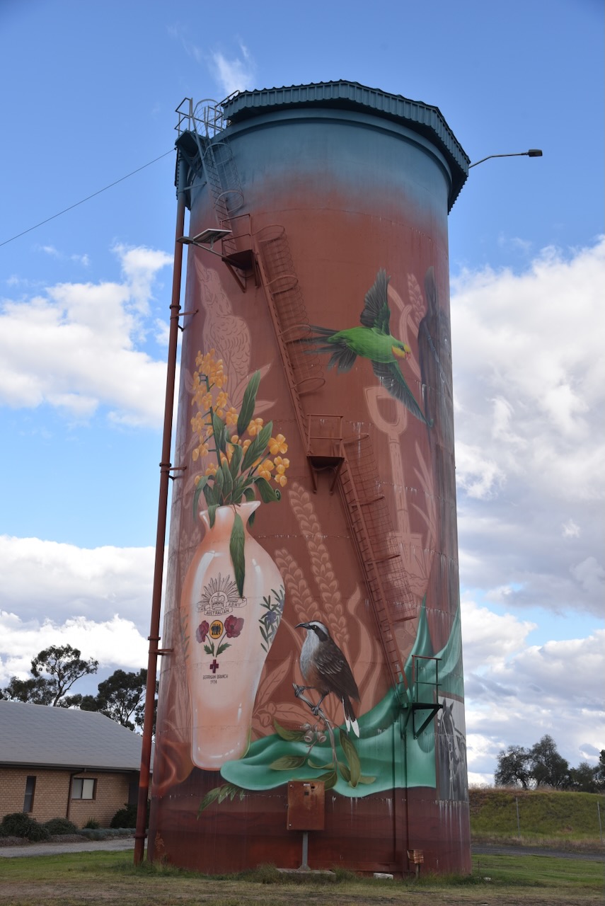
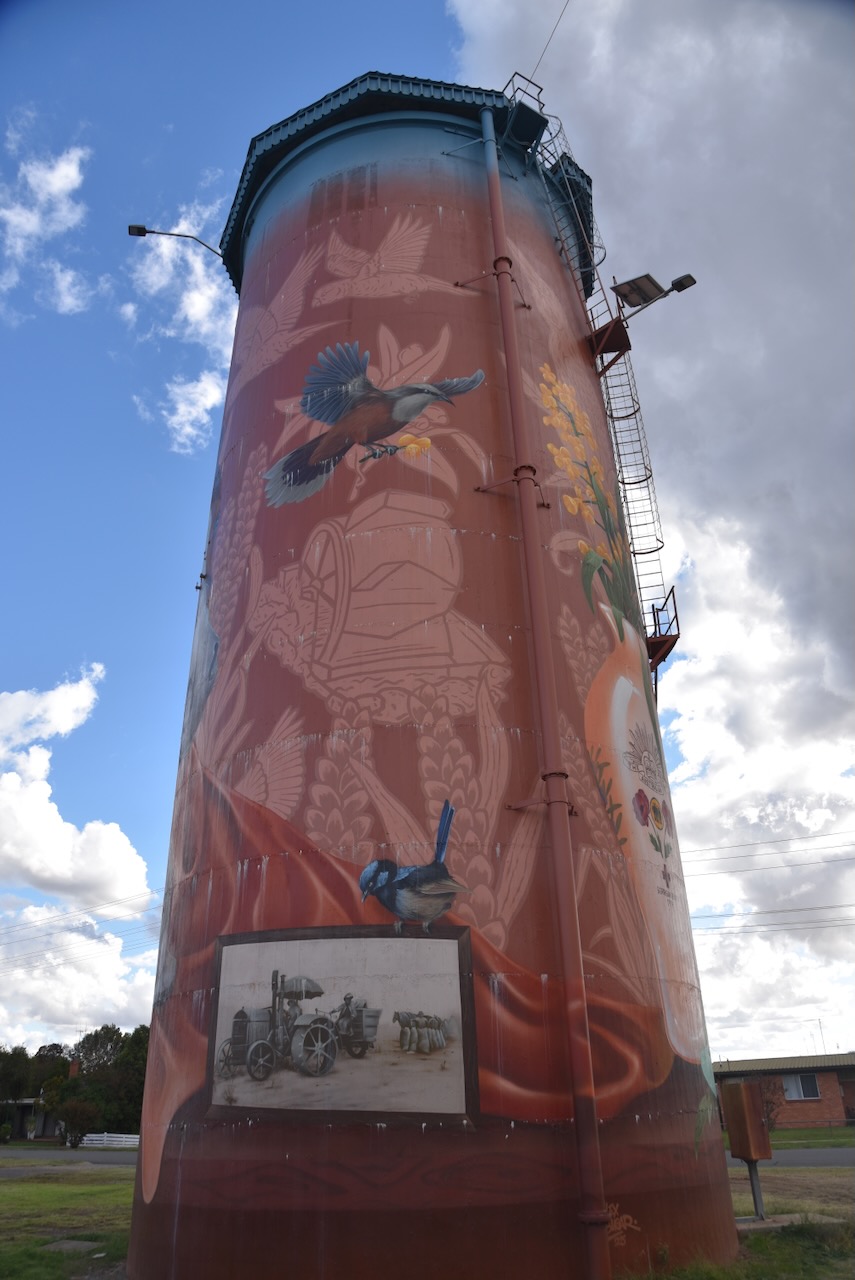
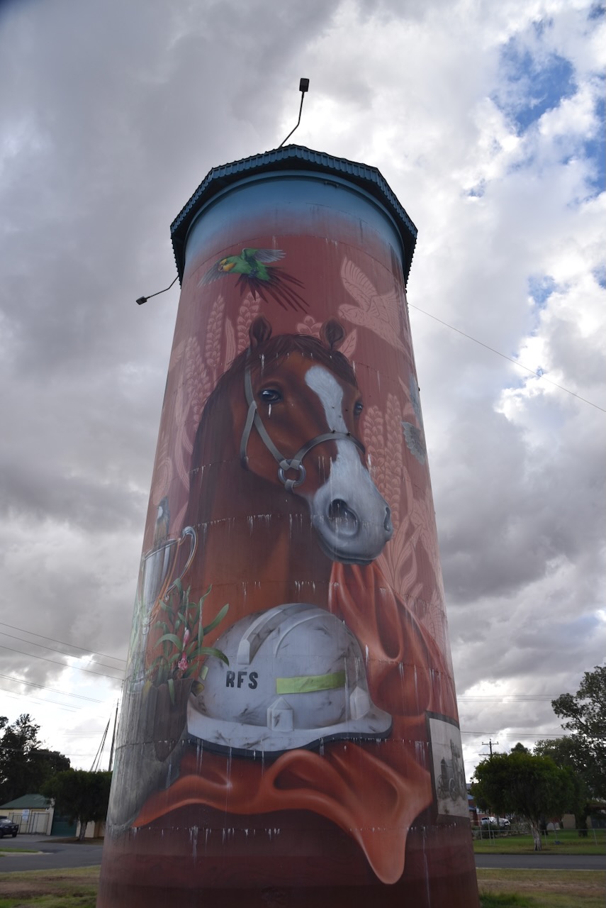
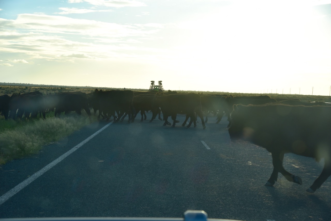
We continued on our journey towards Tooleybuc, encountering wildlife and cattle on the road along the way.
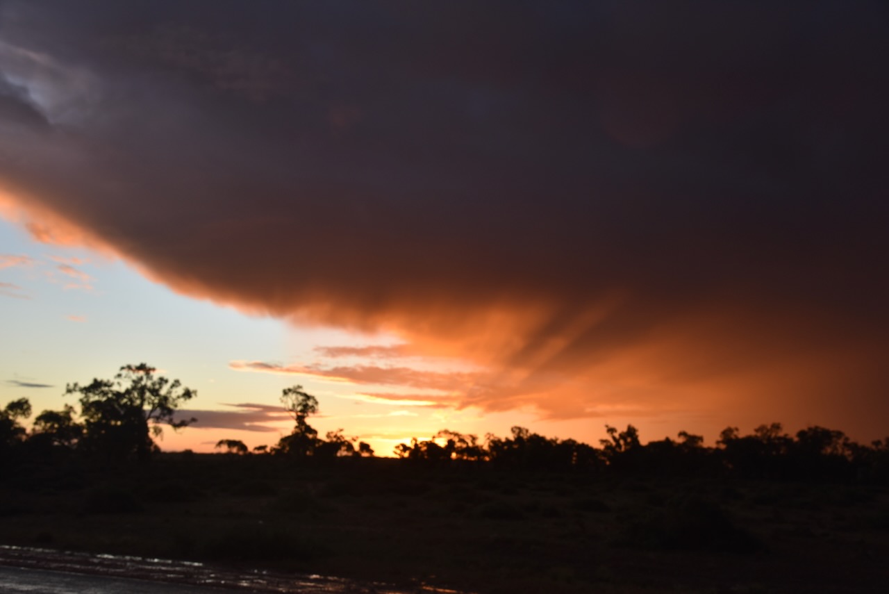
We also drove into a storm and torrential rain, which eventually moved off to the northeast.
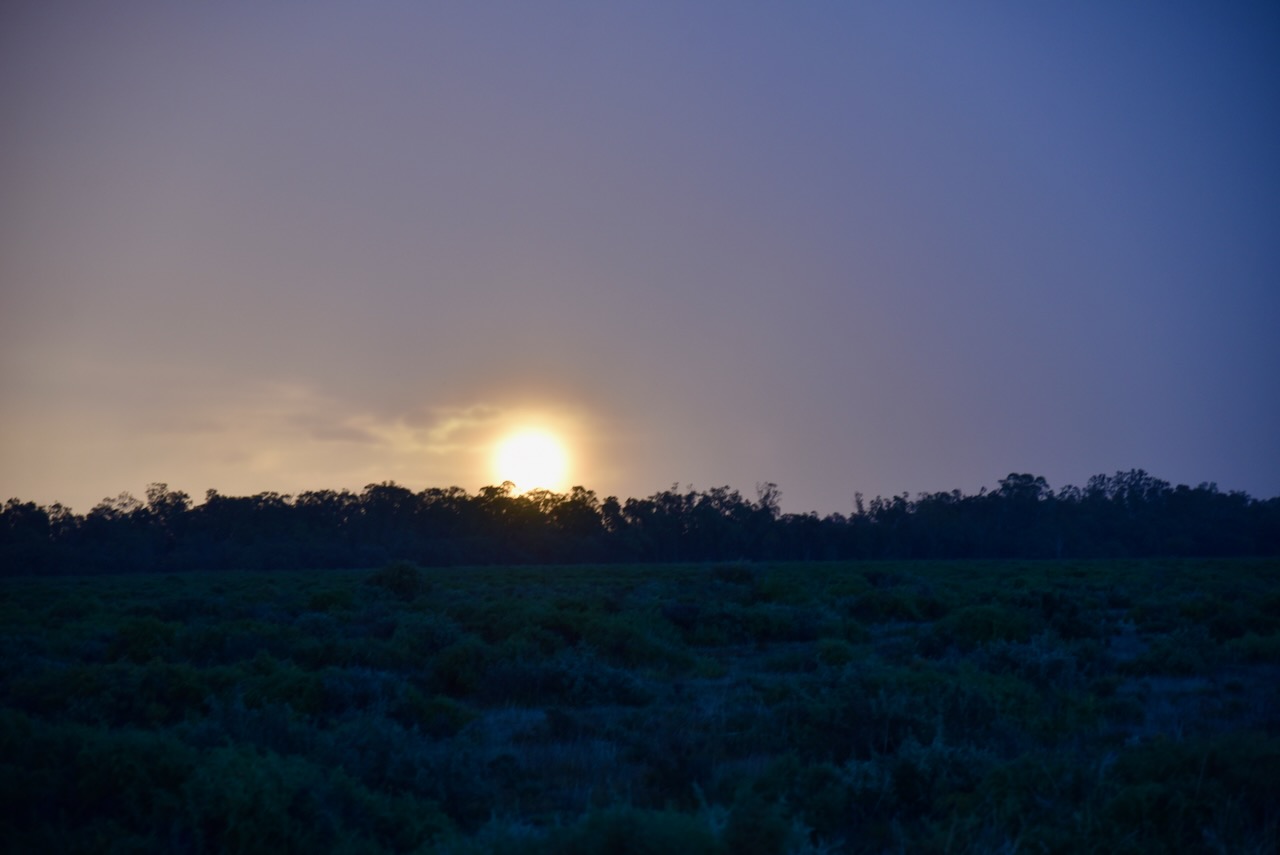
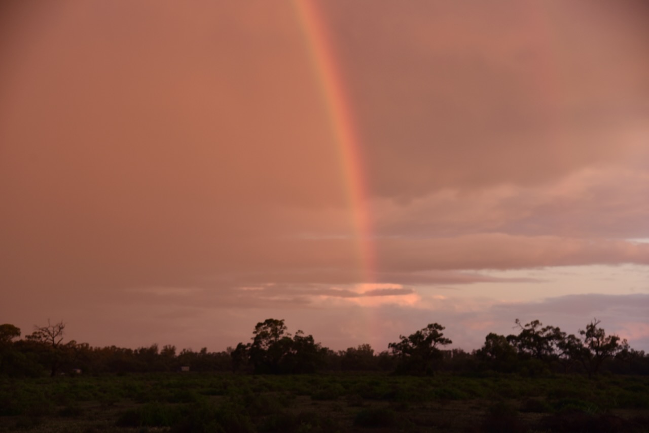
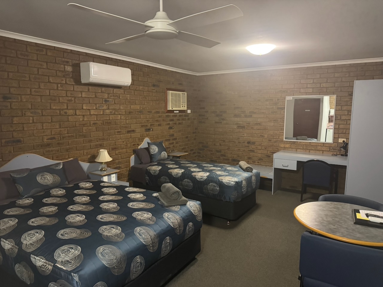
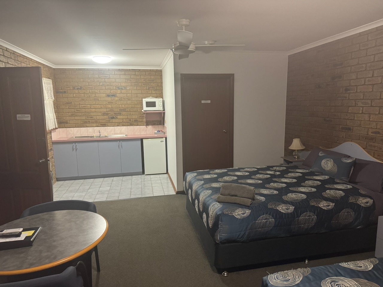
We eventually reached Tooleybuc and booked into our accommodation at the Tooleybuc Motel. Wow, what a room. There was certainly no shortage of room.
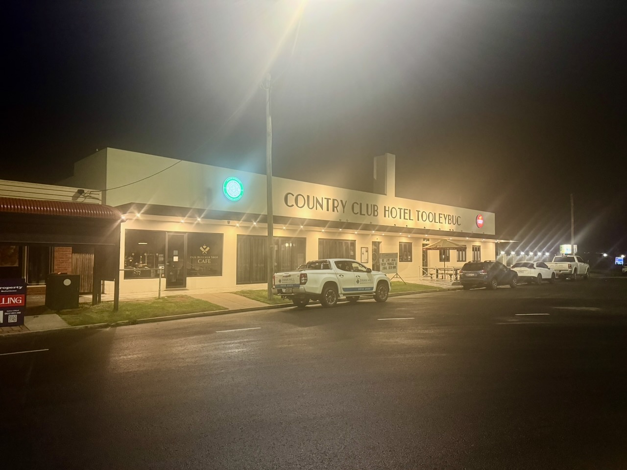
Chris and I then walked next door to the Country Club Hotel and enjoyed a magnificent meal and some cleansing ales.
After dinner, Chris and I walked a short distance down to the park alongside the Murray River to view the ‘Gathering the Bounty’ sculpture, which is the work of Stuart Green. The sculpture is about 11 metres tall and features a giant human figure, representing the Murray River, harvesting the fruits of the region’s natural gifts and human industry. (Dairy News Australia 2024)
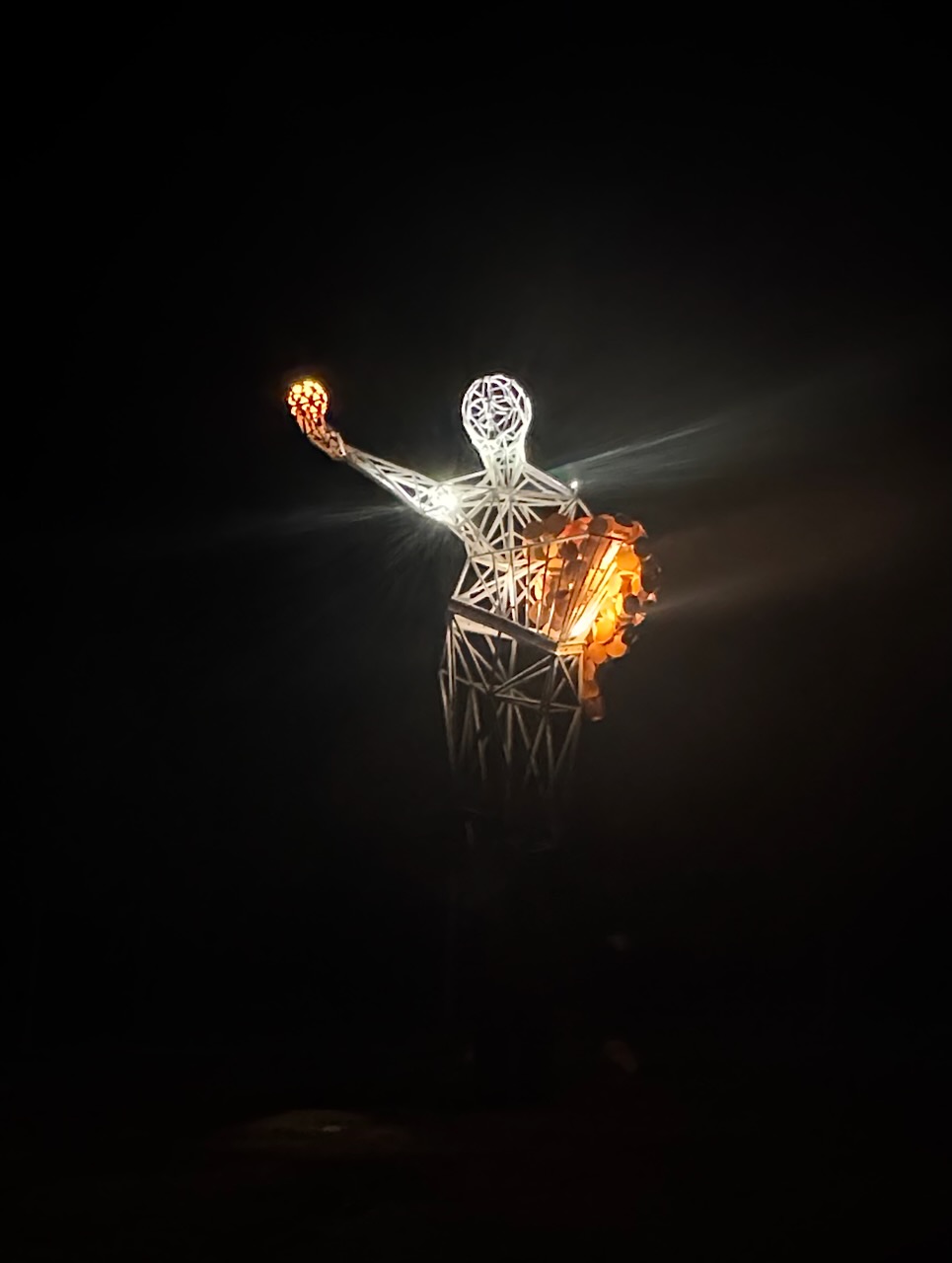
It was time to retire for the evening and get a good night’s sleep with a big trip back home the following day.
References.
Our second park for Monday, the 4th day of May 2026, was Ryans Lagoon Nature Conservation Reserve VKFF-2186. The reserve is located about 14 km (by road) east of Wodonga in northeast Victoria.
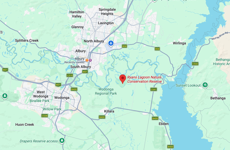
Above: Map showing the location of Ryans Lagoon Nature Conservation Reserve. Map c/o Google Maps
The reserve is located at the junction of Ryans Road and Trabants Road, Bonegilla.
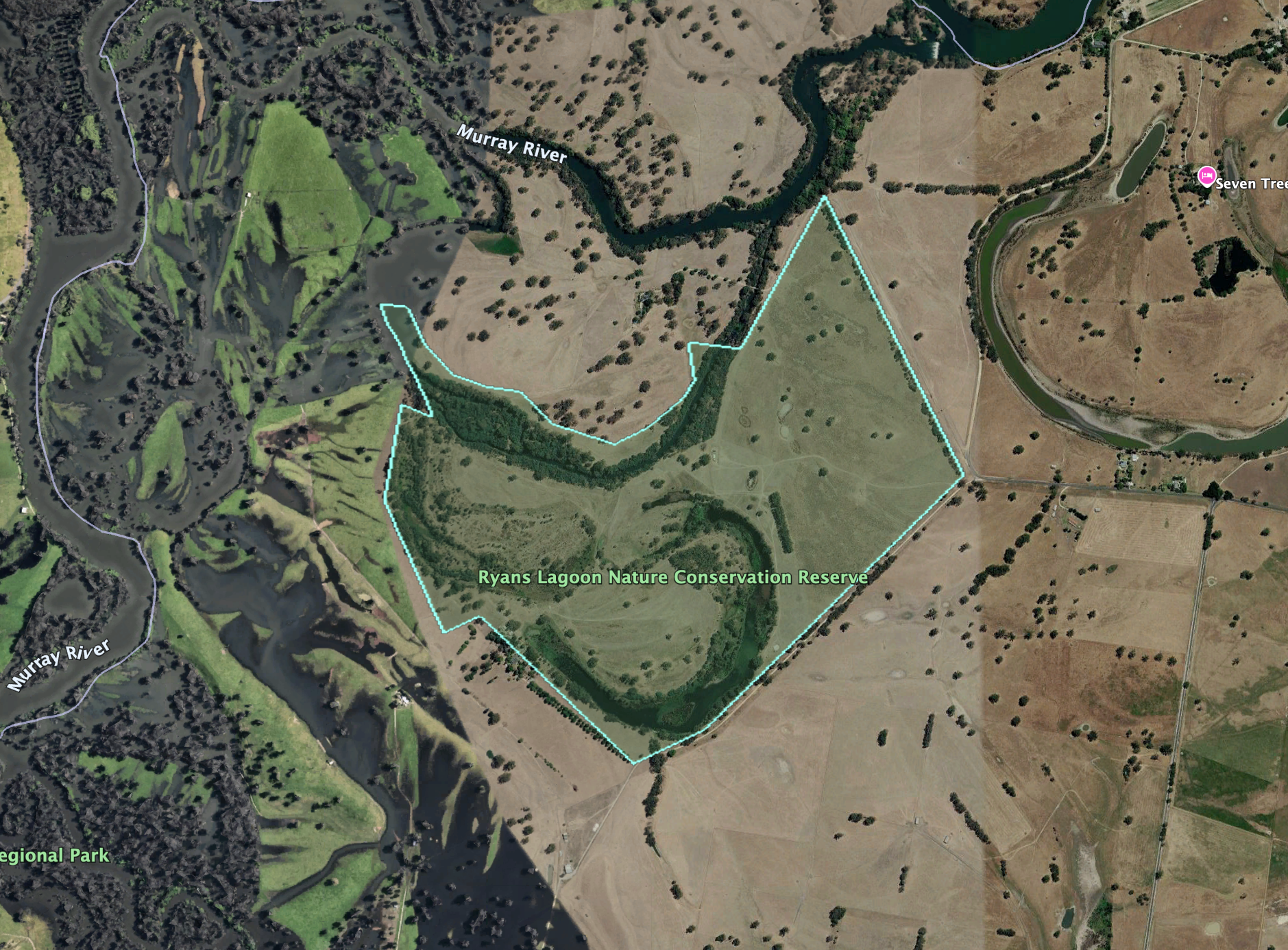
Above: the boundaries at Ryans Lagoon NCR. Image c/o Google Earth
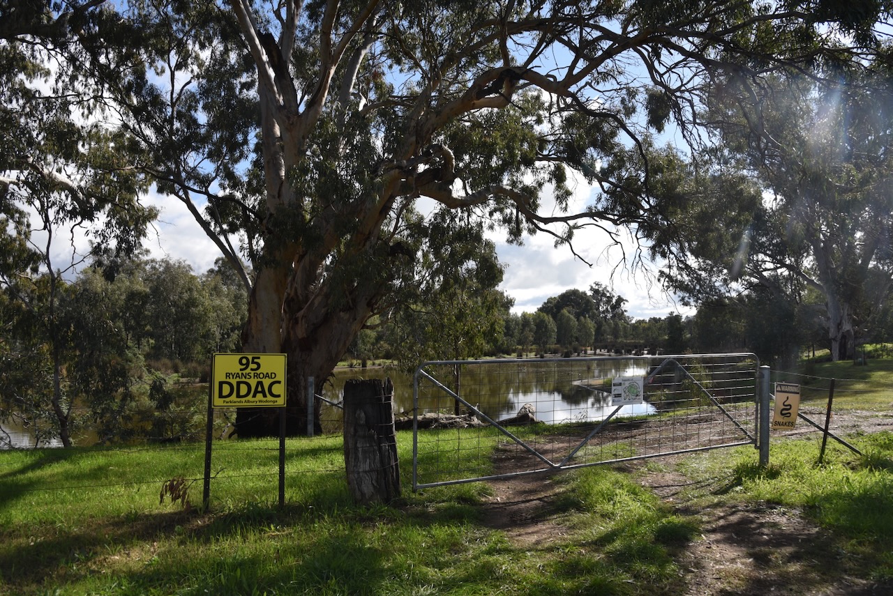
There is a gate that takes you into the reserve, which has a yellow sign alongside which reads ’95 Ryans Road DDAC’. DDAC stands for the Duduroa Dhargal Aboriginal Corporation, which manages the reserve. The reserve was previously managed by Parklands Albury Wodonga. (Foyster and Foyster, 2024)
Ryans Lagoon is about 15 hectares in size and was once used for grazing. The reserve is included in the Directory of Important Wetlands in Australia due to its high biodiversity and ecological value. It is an excellent example of riverline billabongs in the upper sections of the Murray River. The reserve is home to at least 29 species of waterbirds. Sloane’s Froglet, which is listed as endangered, can be found in the reserve. (DAWE 2024) (Facebook 2016) (Parklands Albury Wodonga 2025)
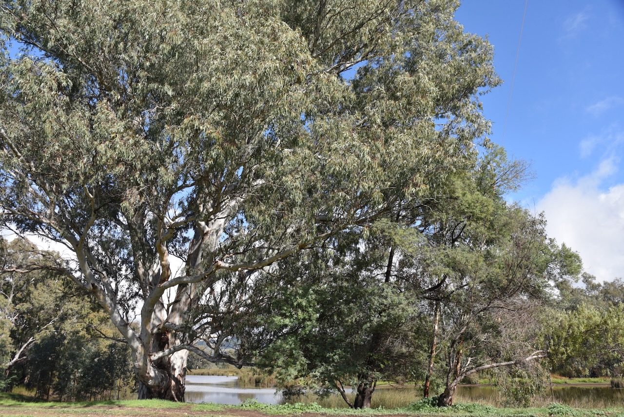
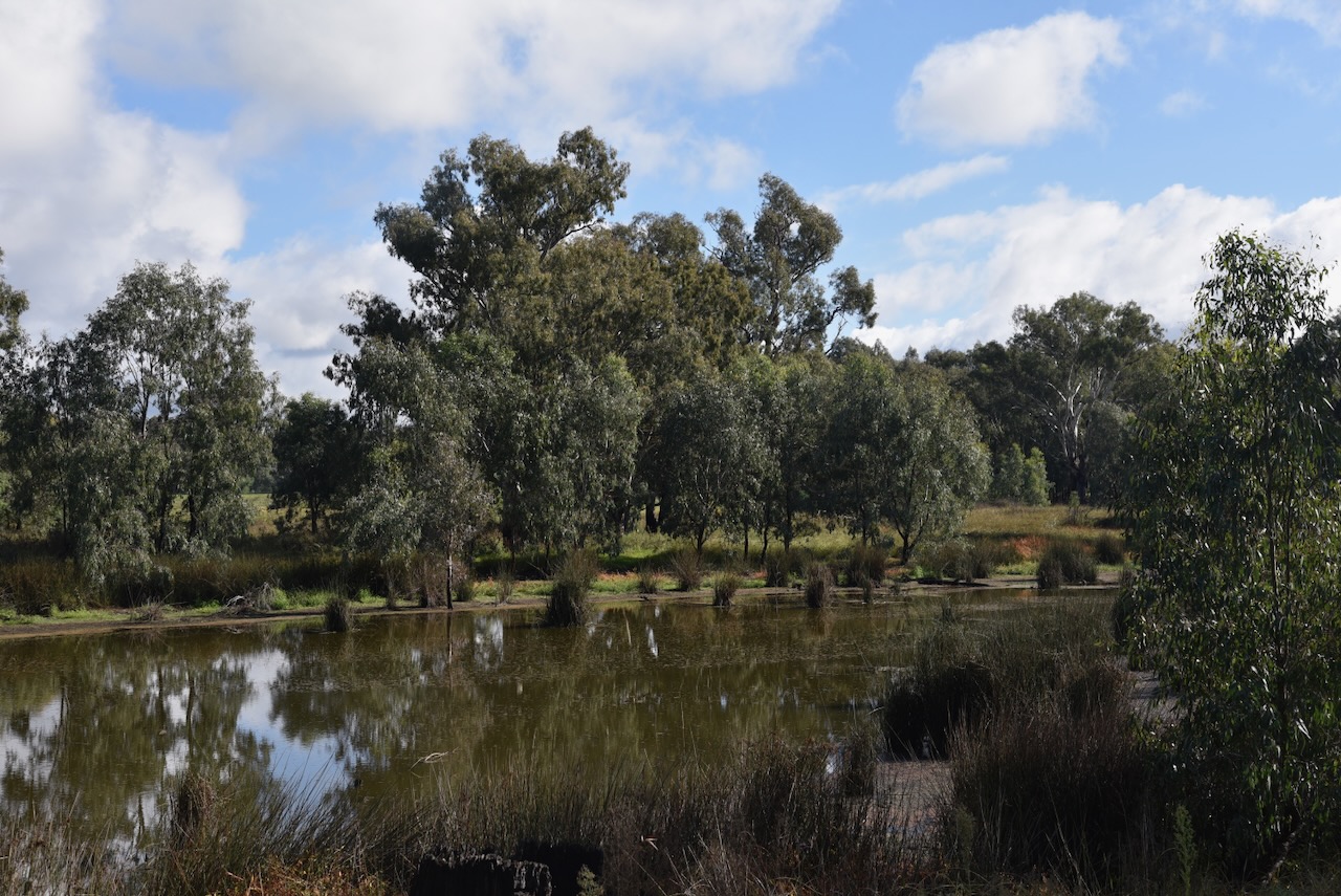
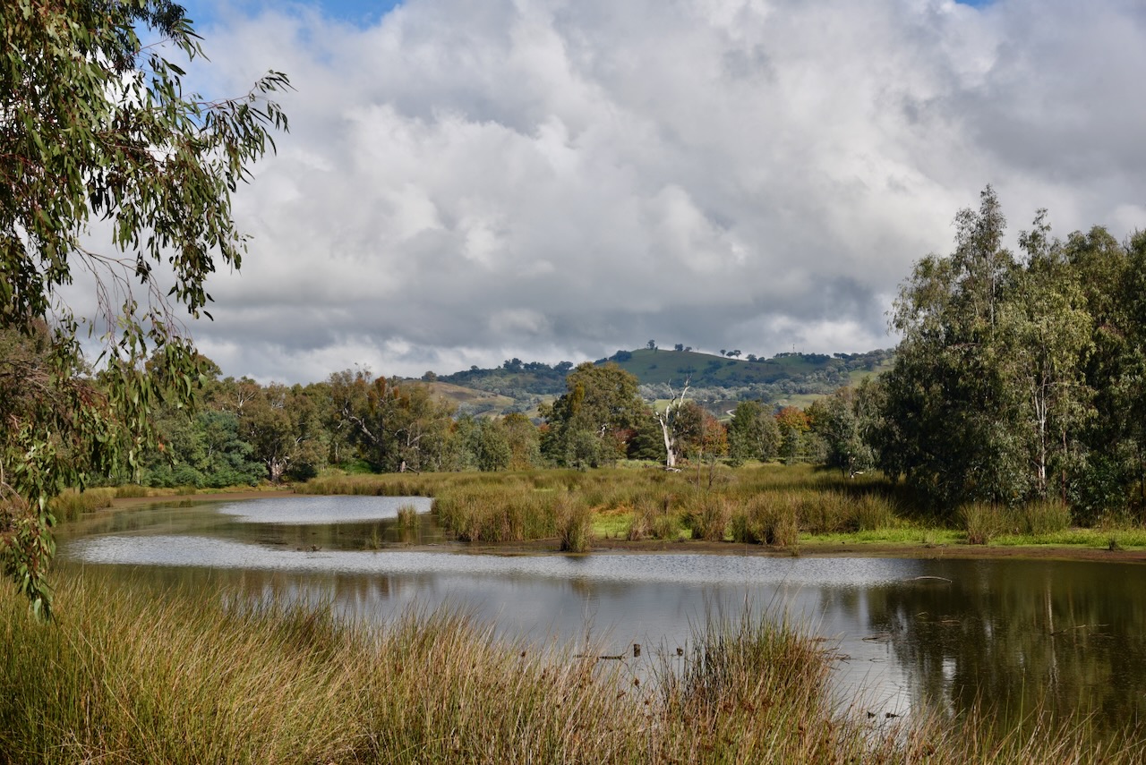
Chris and I set up underneath the shelter just inside the gate. We ran the Yaesu FT857, 40 watts, and the 20/40/80m linked dipole.
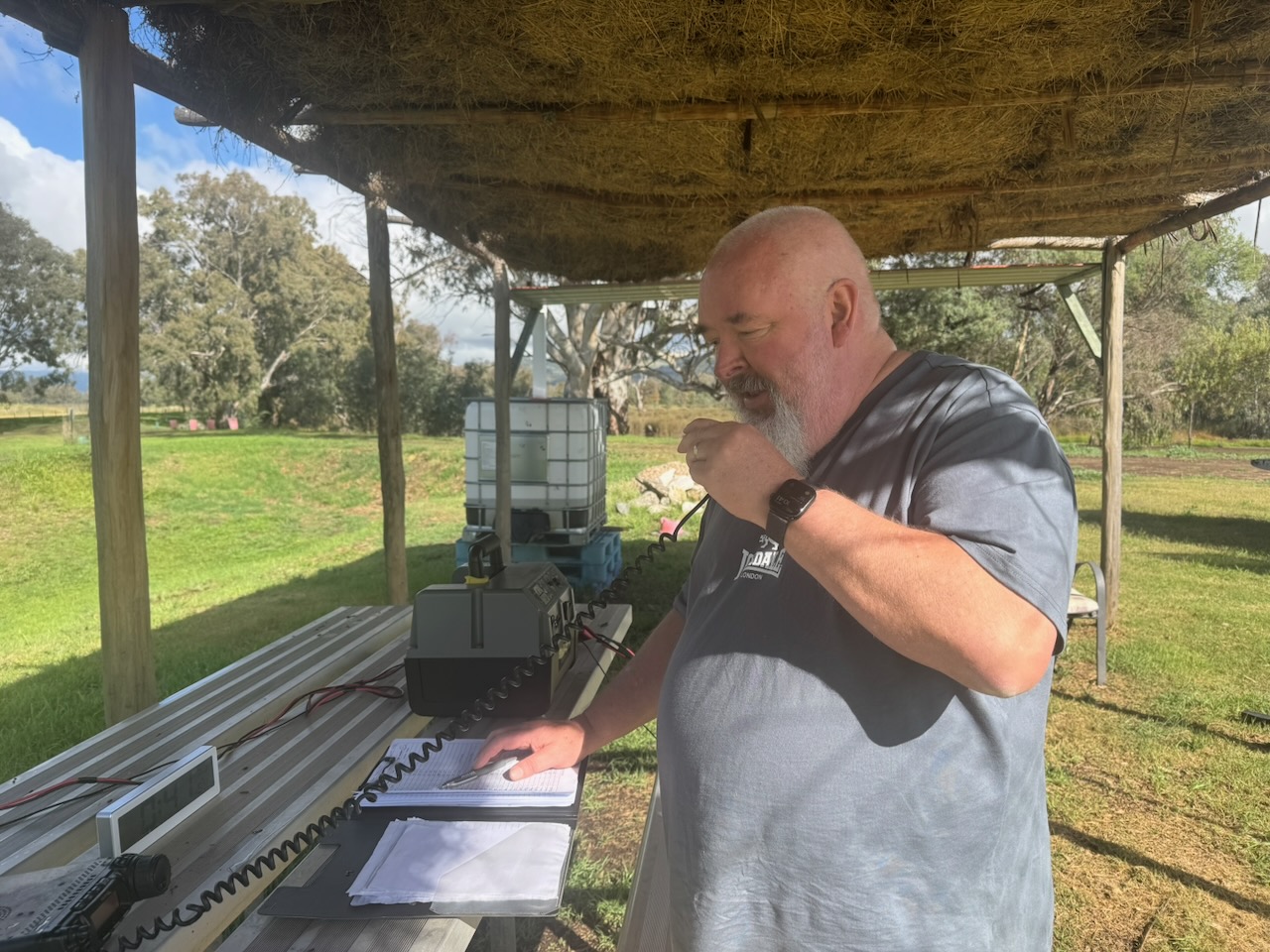
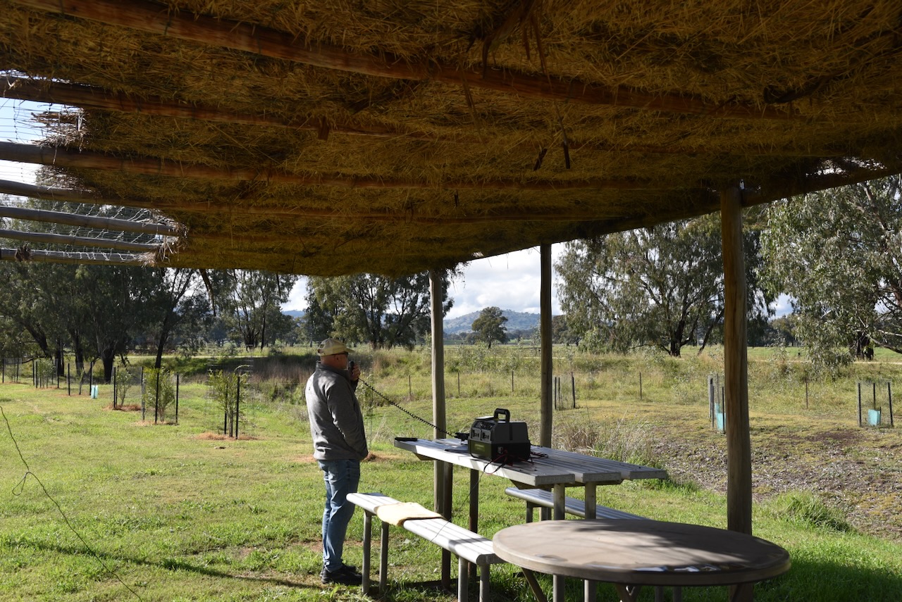
I worked the following stations on 40m SSB before the UTC rollover:-
I worked the following stations on 40m SSB after the UTC rollover:-
I worked the following stations on 20m SBB:-
References.
Our first VKFF park activation for Monday, the 4th day of May 2026, was the Black Dog Natural Features Reserve VKFF-3599. The reserve is located southeast of Chiltern.
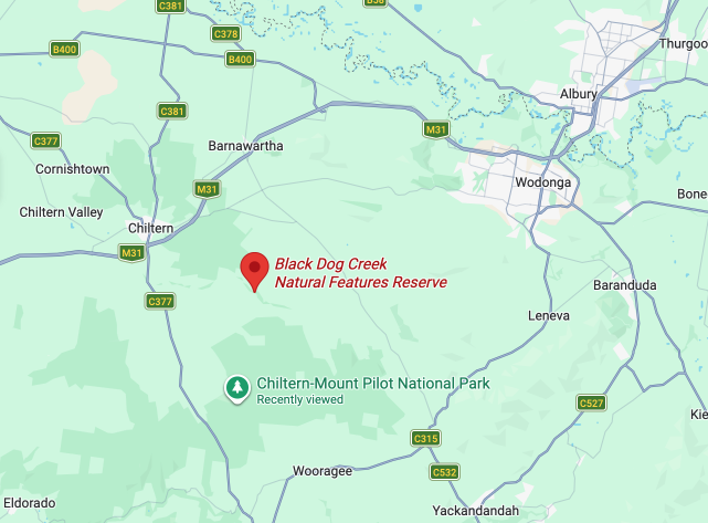
Above: Map showing the location of Black Dog Natural Features Reserve. Map c/o Google Maps
The reserve stretches from near the junction of Beechworth-Chiltern Road and Black Dog Creek Road in the west, to near the junction of Black Dog Creek Road and Jessies Lane to the east.
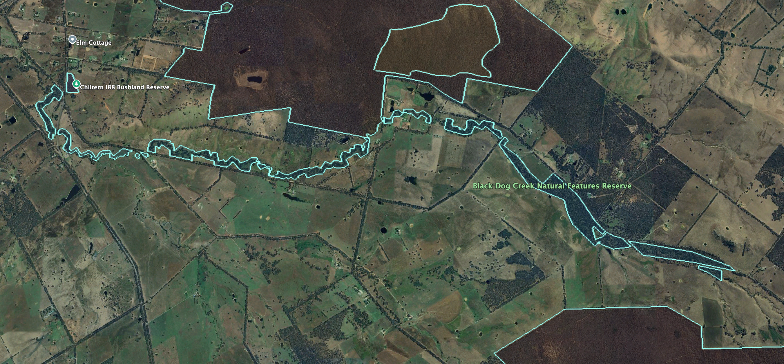
Above: the boundaries of Black Dog NFR. Image c/o Google Earth
The nearby town of Chiltern, situated on the Black Dog Creek, was originally known as the Black Dog township. The Black Dog Inn was opened in 1845, where the creek crossed the Melbourne-Sydney Road. The township was surveyed in 1851-1852 along the creek. Only a few years later, the name was changed to Chiltern (Victorianplaces.com.au 2026)
We operated off Black Dog Creek Road near Jessies Land. We ran the Yaesu FT857, 40 watts, and the 20/40/80m linked dipole.
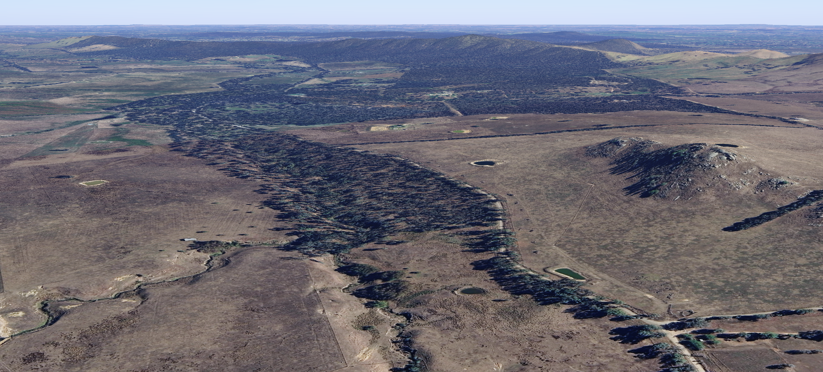
Above: An aerial view of the park. Image c/o Google Maps
I worked the following stations on 40m SSB:-
I worked the following stations on 40m AM:-
I worked the following stations on 20m SSB:-
I worked the following stations on 20m AM:-
References.
My final park for Sunday, the 3rd day of May 2026, was the Chiltern-Mount Pilot National Park VKFF-0620. The park is located southwest of Albury, and south of Chiltern in northeast Victoria.
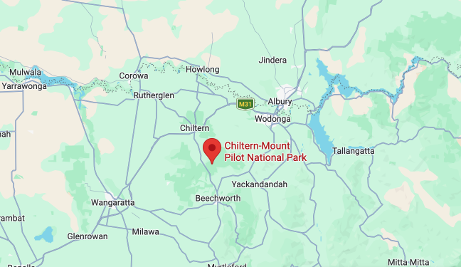
Above: Map showing the location of Chiltern-Mount Pilot National Park. Map c/o Google Maps
The Chiltern-Mt Pilot National Park is about 21,650-hectares (53,500-acres) in size and extends west from Beechworth across the busy Hume Freeway to the west of Chiltern. (Wikipedia 2026)
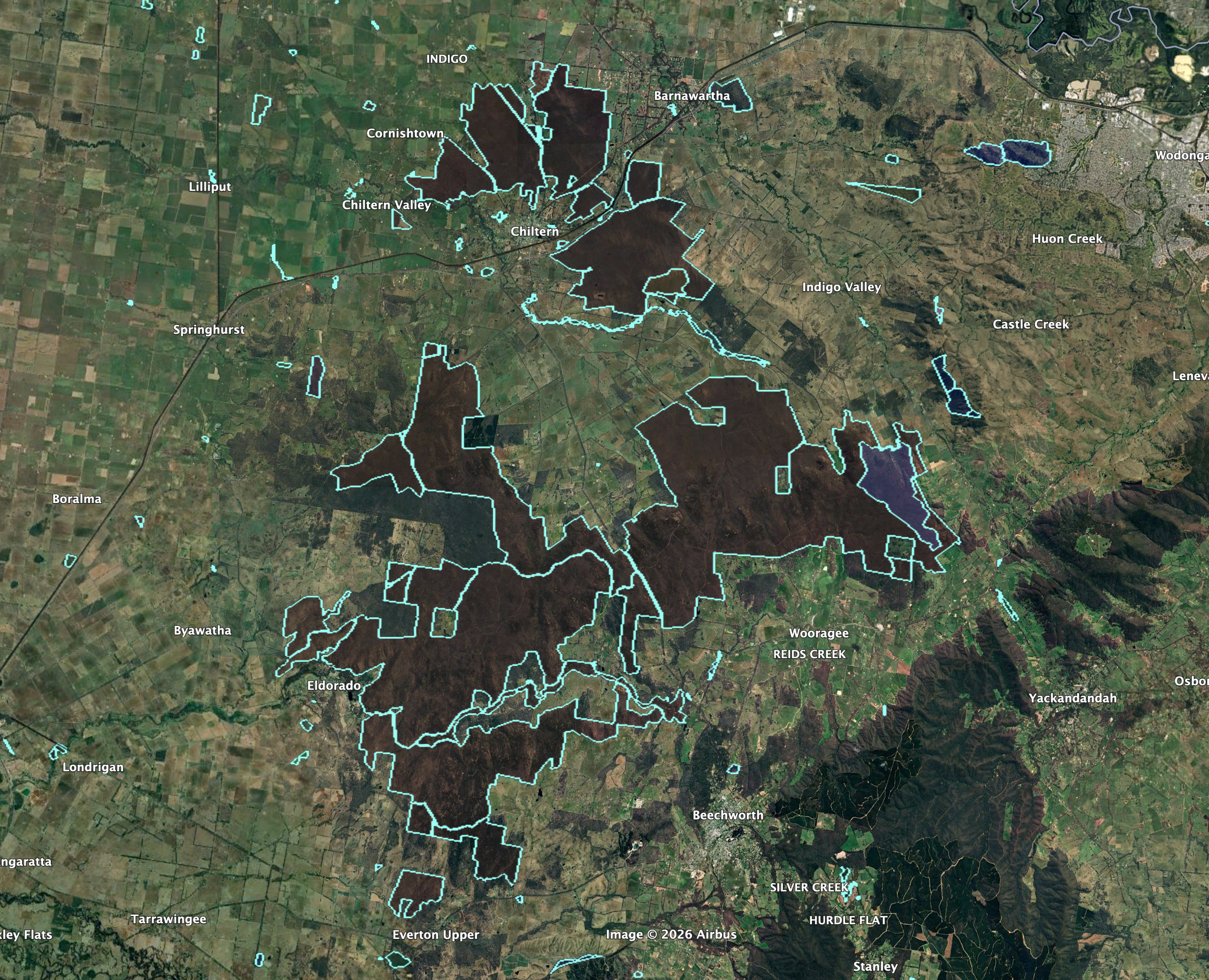
Above: the various boundaries of the Chiltern-Mount Pilot National Park. Image c/o Google Earth
When the Europeans settled in Australia, box-ironbark forests covered about 7.4 million hectares or 13% of Victoria. Nearly 80% of these forests were cleared by European settlers, while the remaining 20% was severely degraded due to grazing. Chiltern-Mount Pilot National Park was declared to protect the remaining box-ironbark forest. (Wikipedia 2026)
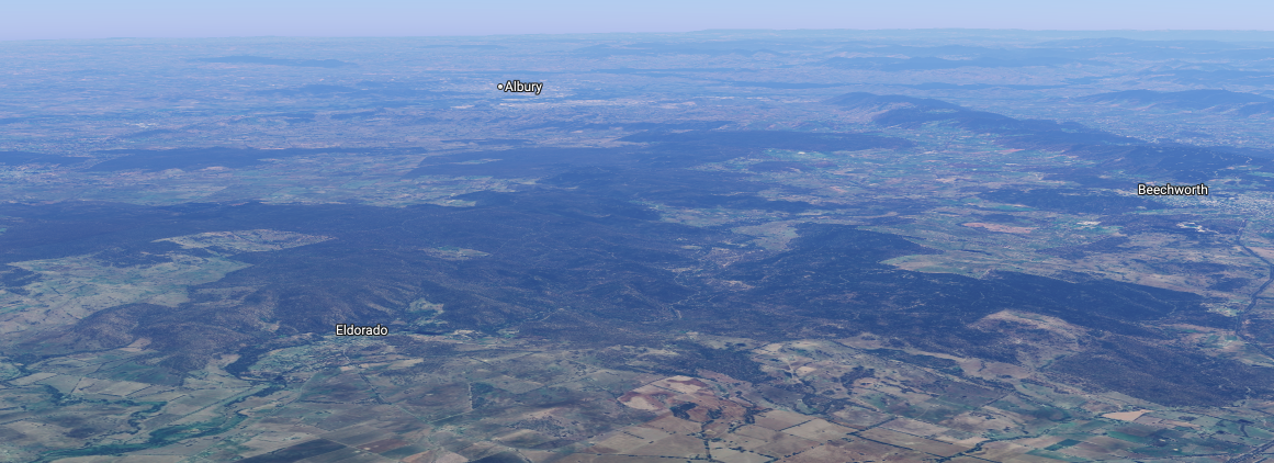
Above: an aerial view of the Chiltern-Mount Pilot National Park. Image c/o Google Maps
The Chiltern Regional Park, first known as the Chiltern State Park, was a 4,520-hectare (10,500-acre) box-ironbark forest that was gazetted in 1980. The Mount Pilot Multipurpose Park was also established. In 1997, the park became the Chiltern Box-ironbark National Park. In 2002, the Chiltern Box-ironbark National Park and the Mt Pilot Multipurpose Park, in addition to other sections of land, were incorporated to form the Chiltern-Mt Pilot National Park. (Wikipedia 2026)
The park is home to more than 600 native species of flora, including 42 threatened species. This includes the crimson spider orchid, yellow hyacinth orchid, Warby swamp gum, and mountain swainson pea. (Wikipedia 2026)
A total of 276 different native mammals, birds, and reptiles have been recorded in the park. This includes 43 fauna species that are recorded as threatened. This includes the squirrel glider, Brush-tailed phascogale, Barking Owl, and Regent honeyeater. (Wikipedia 2026)
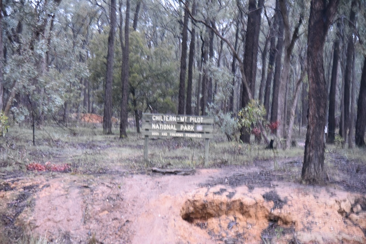
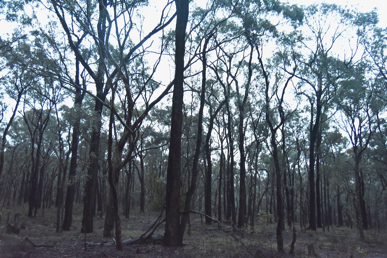
I did not intend to activate this park, and was on my way to another park, when I noticed the park sign after passing underneath the Hume Freeway on McHugh Road. The photo above featuring the park sign is blurred because it was taken in heavy rain.
The rain was so heavy that I could not string out the dipole. I had to operate from the vehicle for this activation, running the Icom IC-7000, 100 watts, and the Codan 9350 antenna with the 1.5 metre stainless steel whip.
The rain was so heavy at times that I could not hear the stations that were calling. In the end, the lightning rolled in and decided to call it a day. I headed back into Albury and went out for dinner with Heath VK3TWO, Chris VK5FR, Gerard VK2IO, Peter VK3PF, and his brother.
I worked the following stations on 40m SSB:-
References.
My second activation for Sunday, the 3rd day of May 2026, was the Fryingpan Creek Streamside Reserve VKFF-3692.
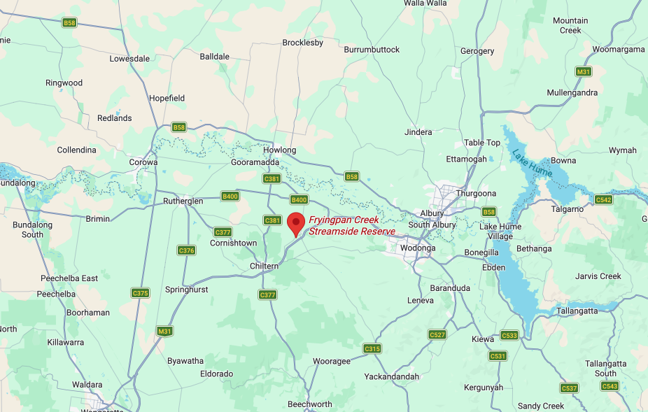
Above: Map showing the location of Fryingpan Creek SSR. Map c/o Google Maps
The reserve is located on the southeast corner of High Street and Cemetery Road at Barnawartha.
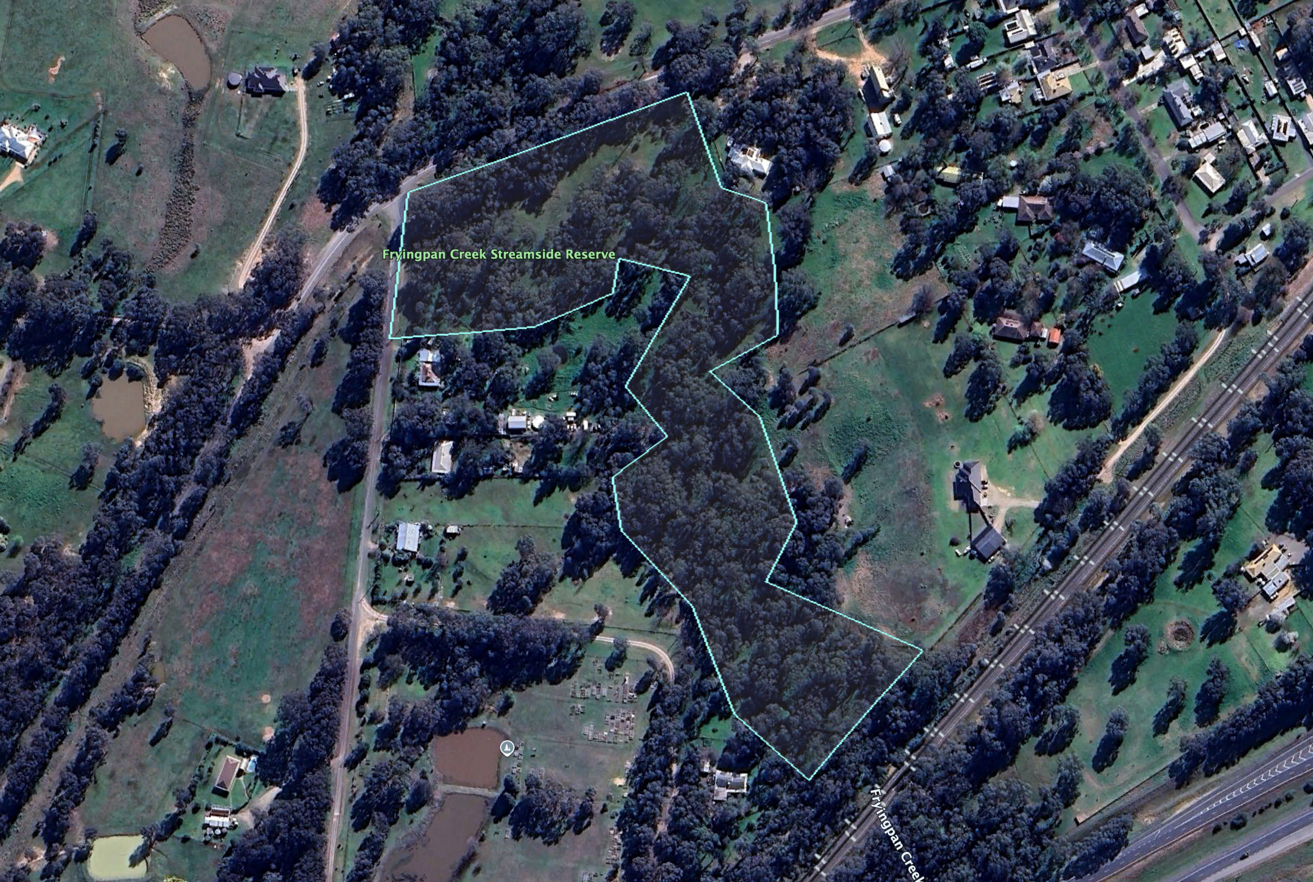
Above: the boundaries at the reserve. Image c/o Google Earth
The reserve is about 5.5 hectares in size and was established on the 1st day of May 1979. As the name implies, Fryingpan Creek passes through the reserve. The creek commences near the Chiltern Mount Pilot National Park and flows into Indigo Creek to the north. (Dcceew.gov.au, 2023)
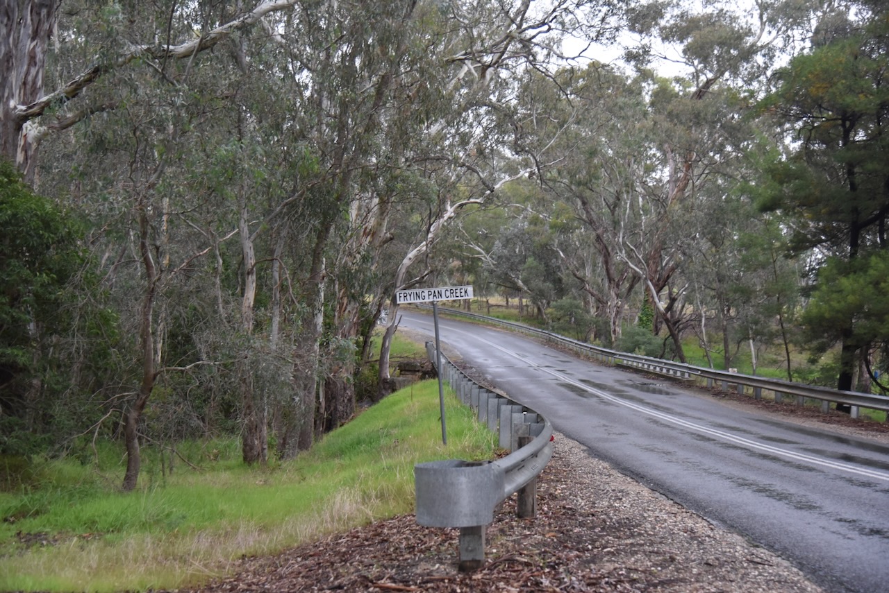
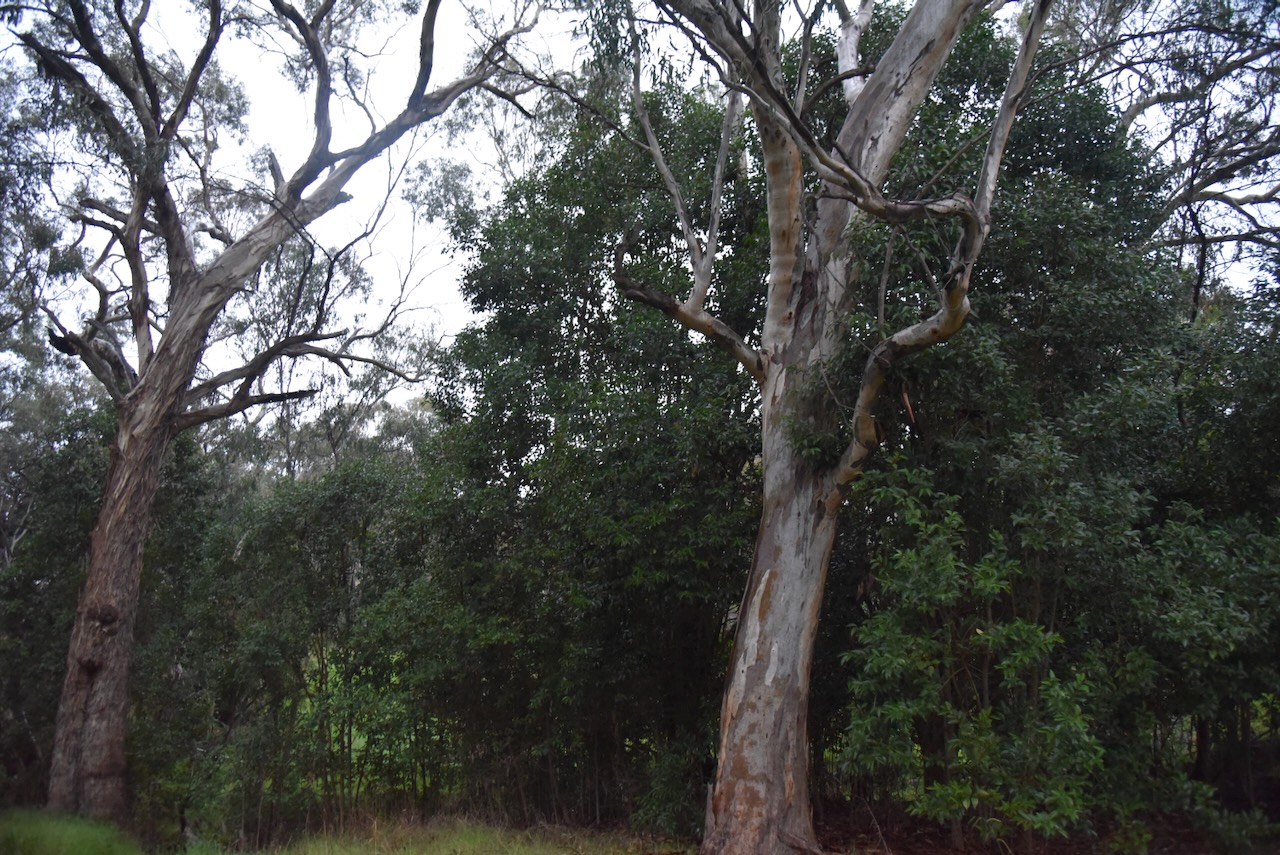
I ran the Yaesu FT857, 40 watts, and the 20/40/80m linked dipole for this activation.
I worked the following stations on 40m SSB:-
References.
On Sunday afternoon, the 3rd day of May 2026, at the conclusion of the VK Summit event, I headed out to activate some parks. My first park was the Barnawartha Scenic Reserve VKFF-3588.
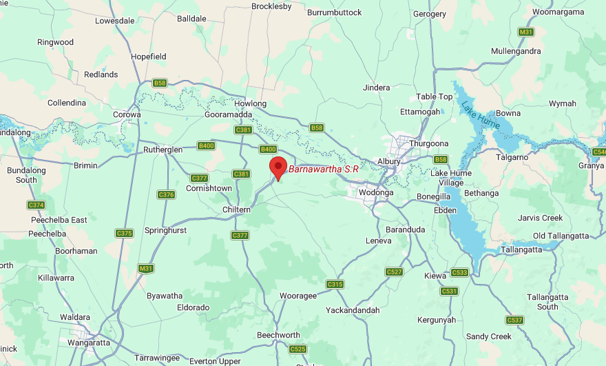
Above: Map showing the location of the Barnawartha Scenic Reserve. Map c/o Google Maps
The reserve is located on the eastern side of the Hume Freeway, between Plunketts Road and Oates Gap Road.
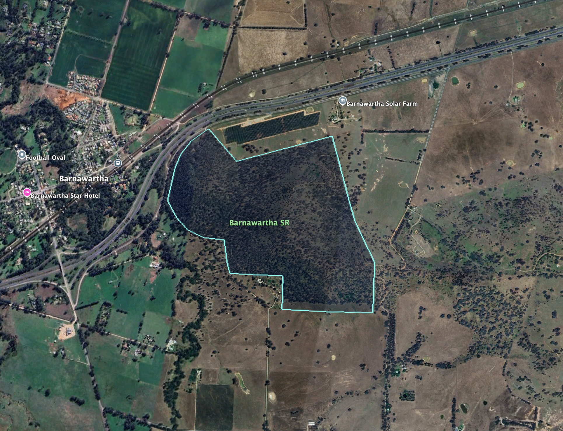
Above: the boundaries at the Barnawartha Scenic Reserve. Image c/o Google Earth
The reserve is about 131 hectares in size and was established on the 1st day of May 1979. (Dcceew.gov.au, 2023)
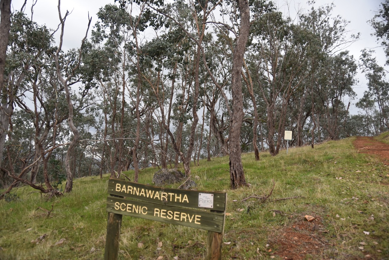
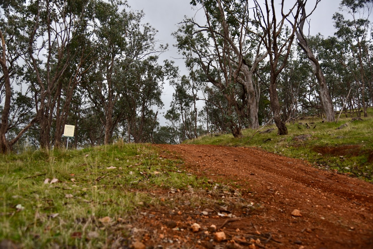
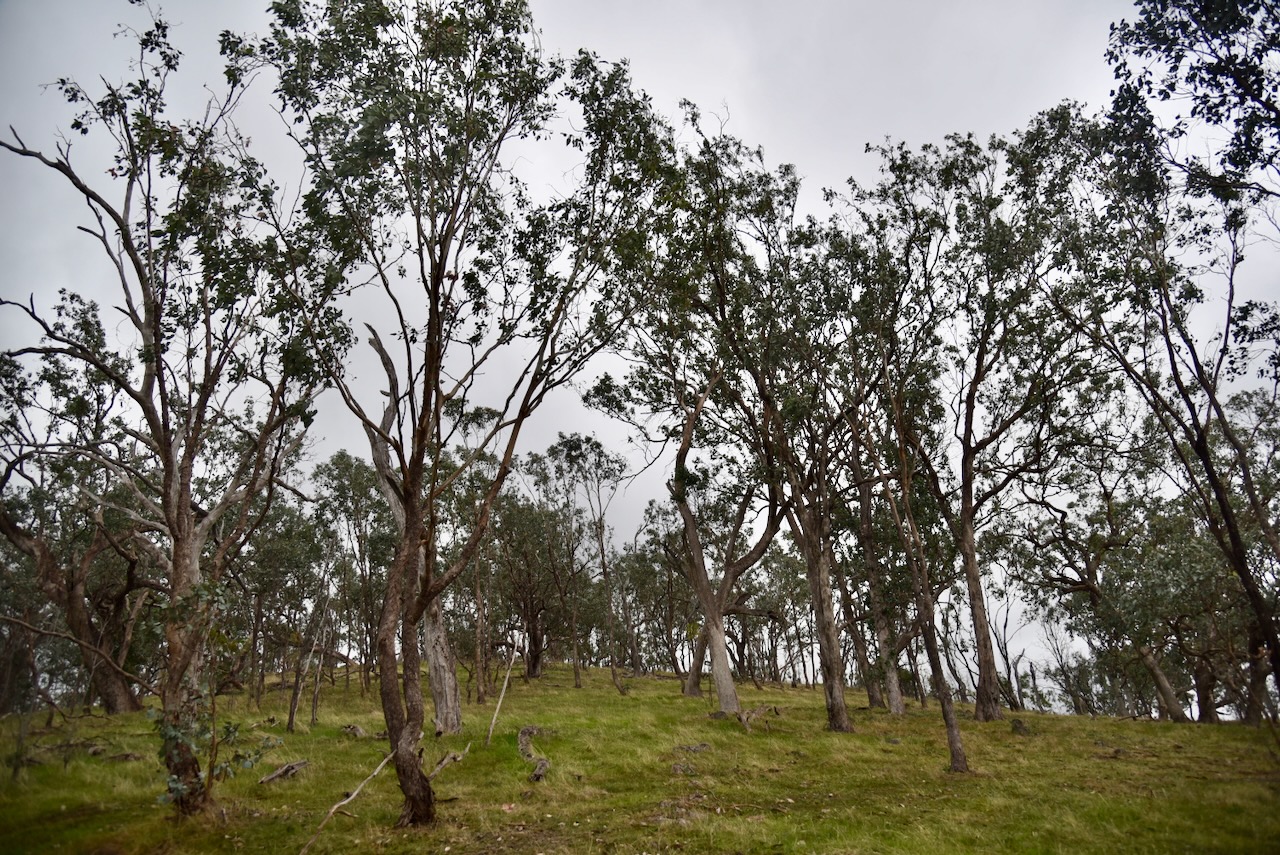
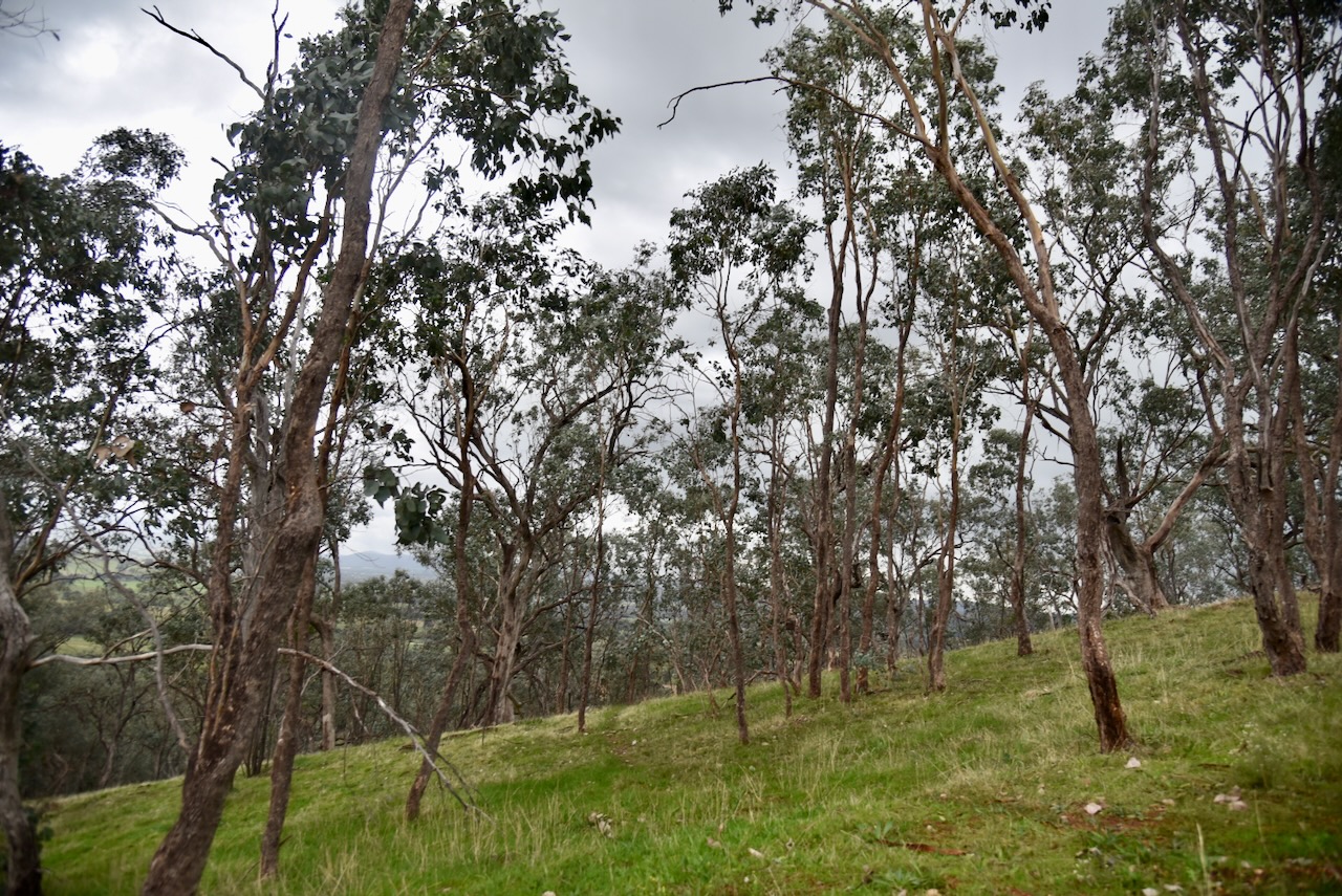
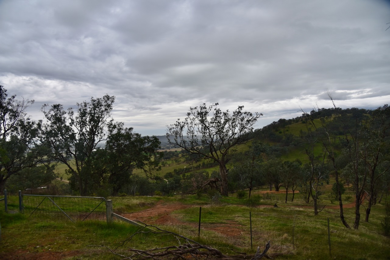
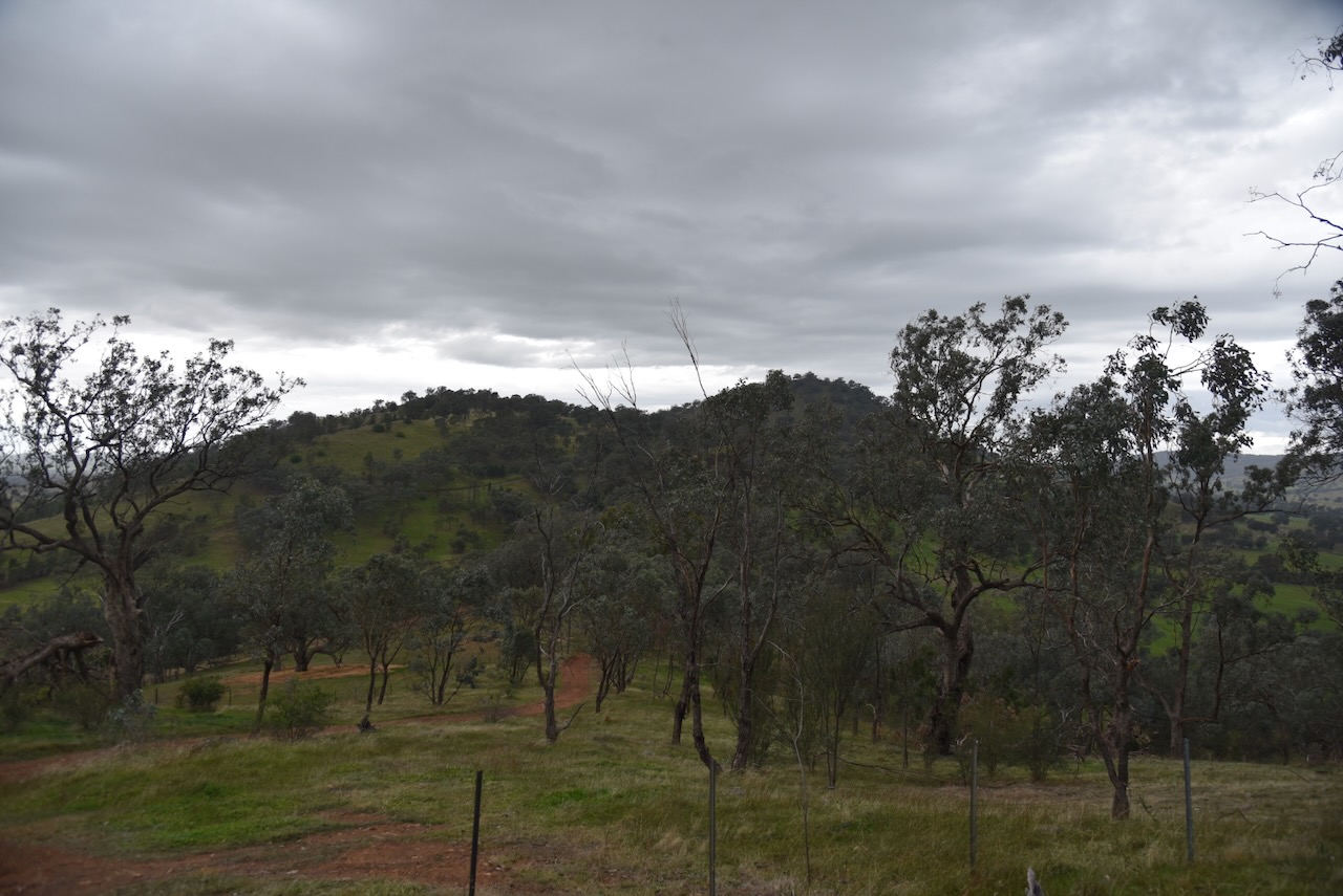
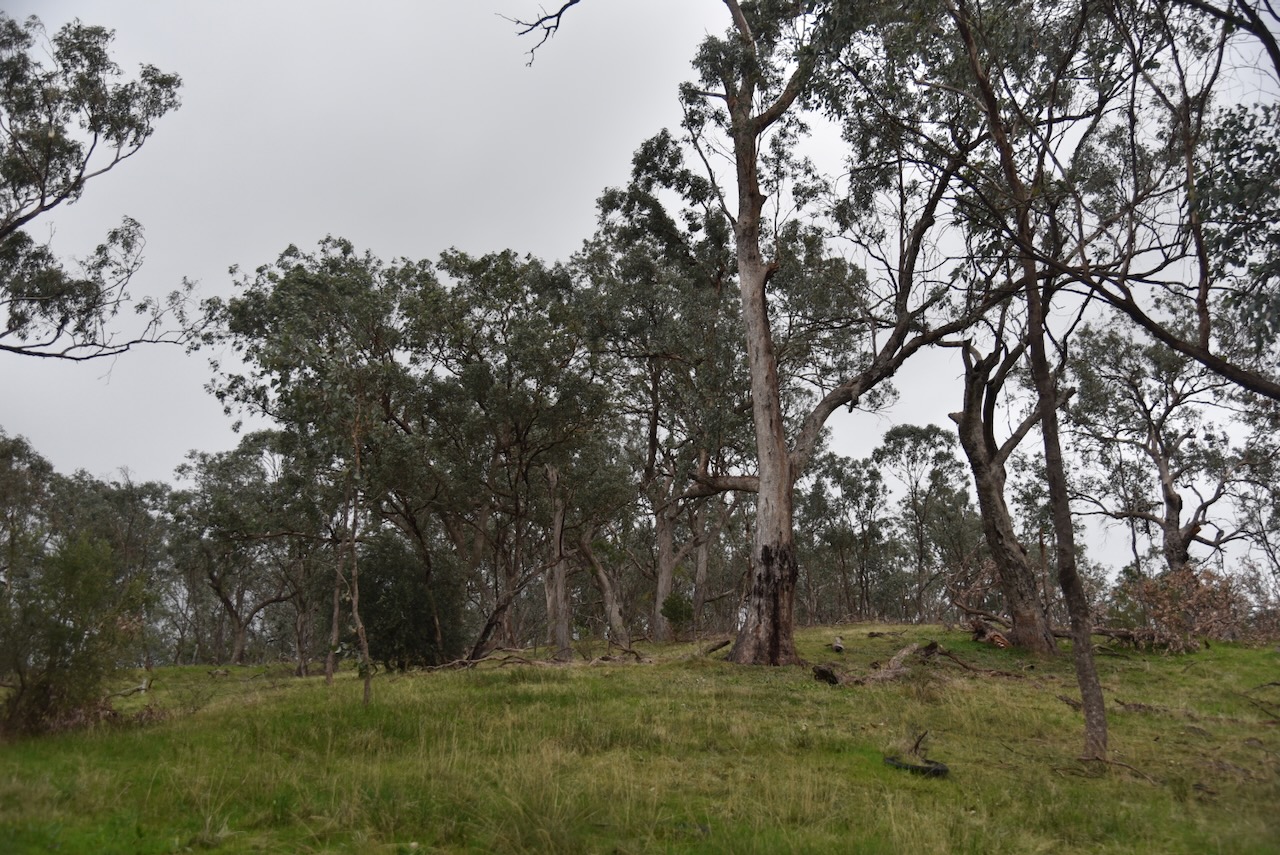
I accessed the park via Oates Gap Road and then a 4WD track that led into the park. It was quite a wet afternoon and the track was steep and slippery and only accessible via 4WD.
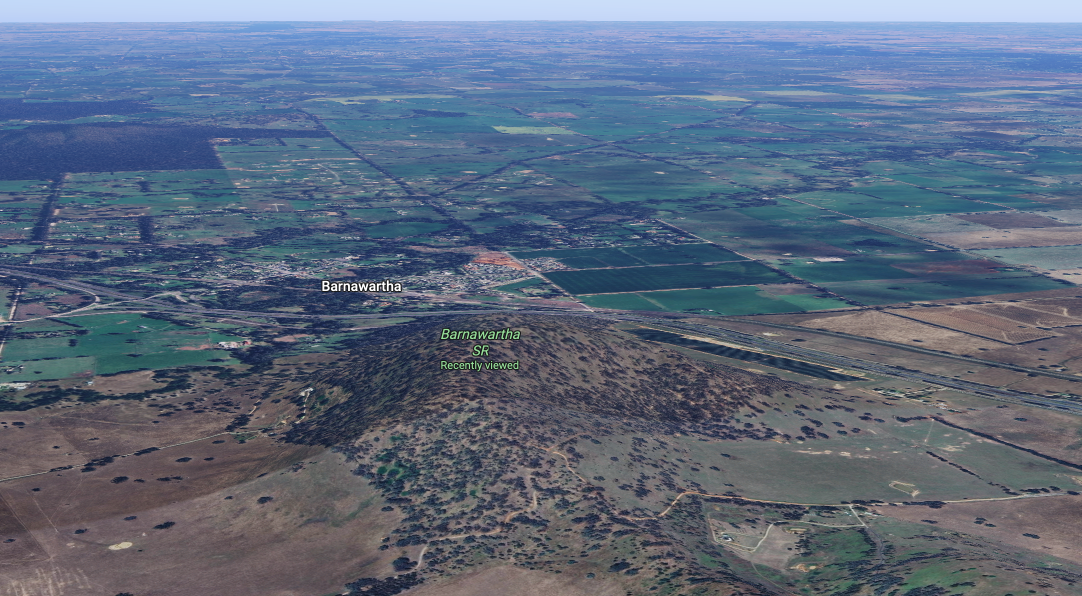
Above: an aerial view of the Barnawartha Scenic Reserve. Image c/o Google Maps
I ran the Yaesu FT857, 40 watts, and the 20/40/80m linked dipole for this activation.
Unfortunately, 10 minutes into the activation, I had LZ5R come onto my frequency, calling CQ contest. Fortunately those that were calling me were much stronger so I remained on the frequency.
There was a very nice opening on the long path 20m into Europe. I logged a total of 130 stations for this activation.
I worked the following stations on 40m SSB:-
I worked the following stations on 20m SSB:-
References.
Amateur Radio, Short Wave Listening, travel and history
Amateur radio experiences with VK1DA
Brisbane - Australia
german amateur radio station
Summits On The Air
SOTA on the peaks, wilderness QRP and some bushwalking
A fine WordPress.com site
Amateur Radio Adventures
Summits on the Ai
Radio craft, homebrew, QRP/SOTA, AM
Ego loqui ad viros super montes
My adventures with Amateur Radio and Geocaching!
The rantings of VK2GAZ on his SOTA experiences in Australia
A survivor, with minor cuts and abrasions.
The Art and Craft of Blogging
News, Tips & Website Tutorials
Blog of Justin Giles-Clark VK7TW's SOTA and amateur radio adventures.
Occasional SOTA & Microwave operation
Some accounts of SOTA and other radio outings

