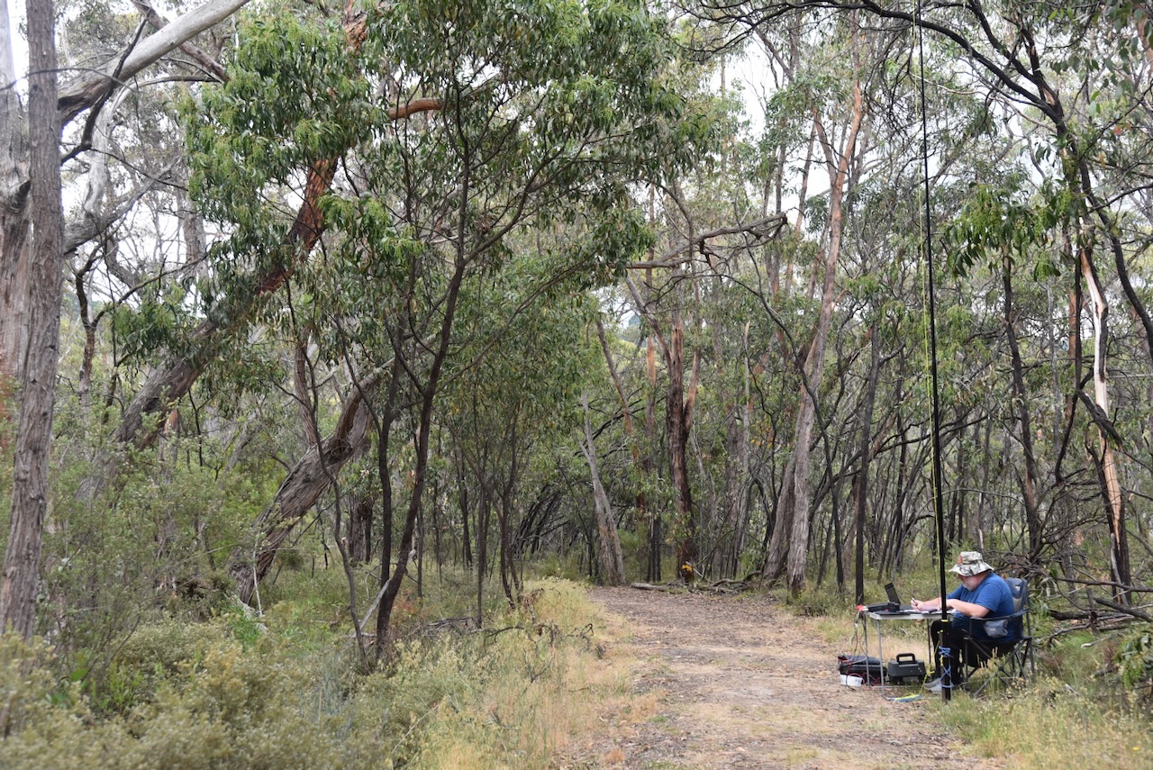
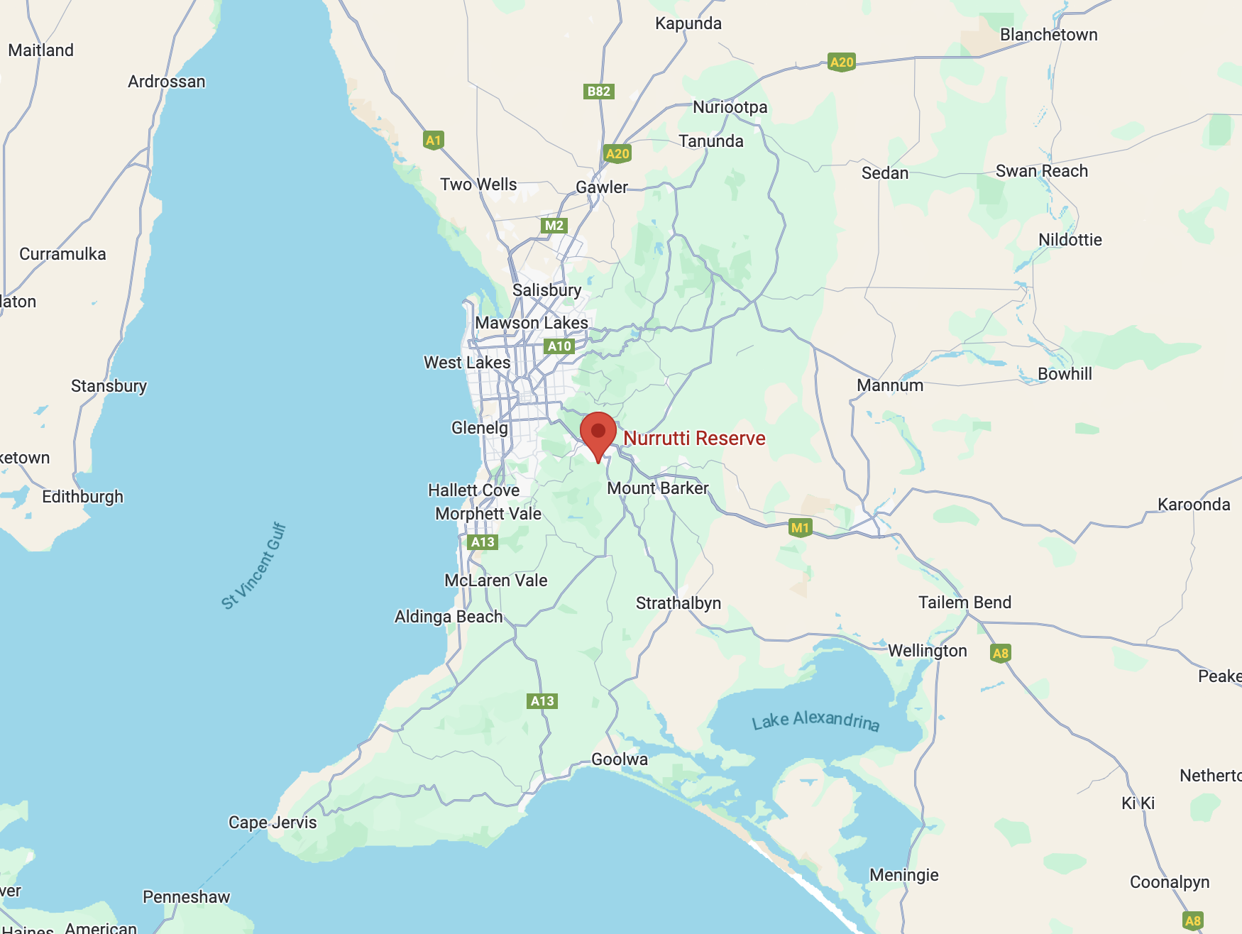
My third activation for Monday 7th April 2025, as VI100IARU, was the Hindmarsh Valley National Park VKFF-3190. The park is located about 79 km south of the city of Adelaide. This was the first time the park had been activated for the World Wide Flora Fauna (WWFF) program.

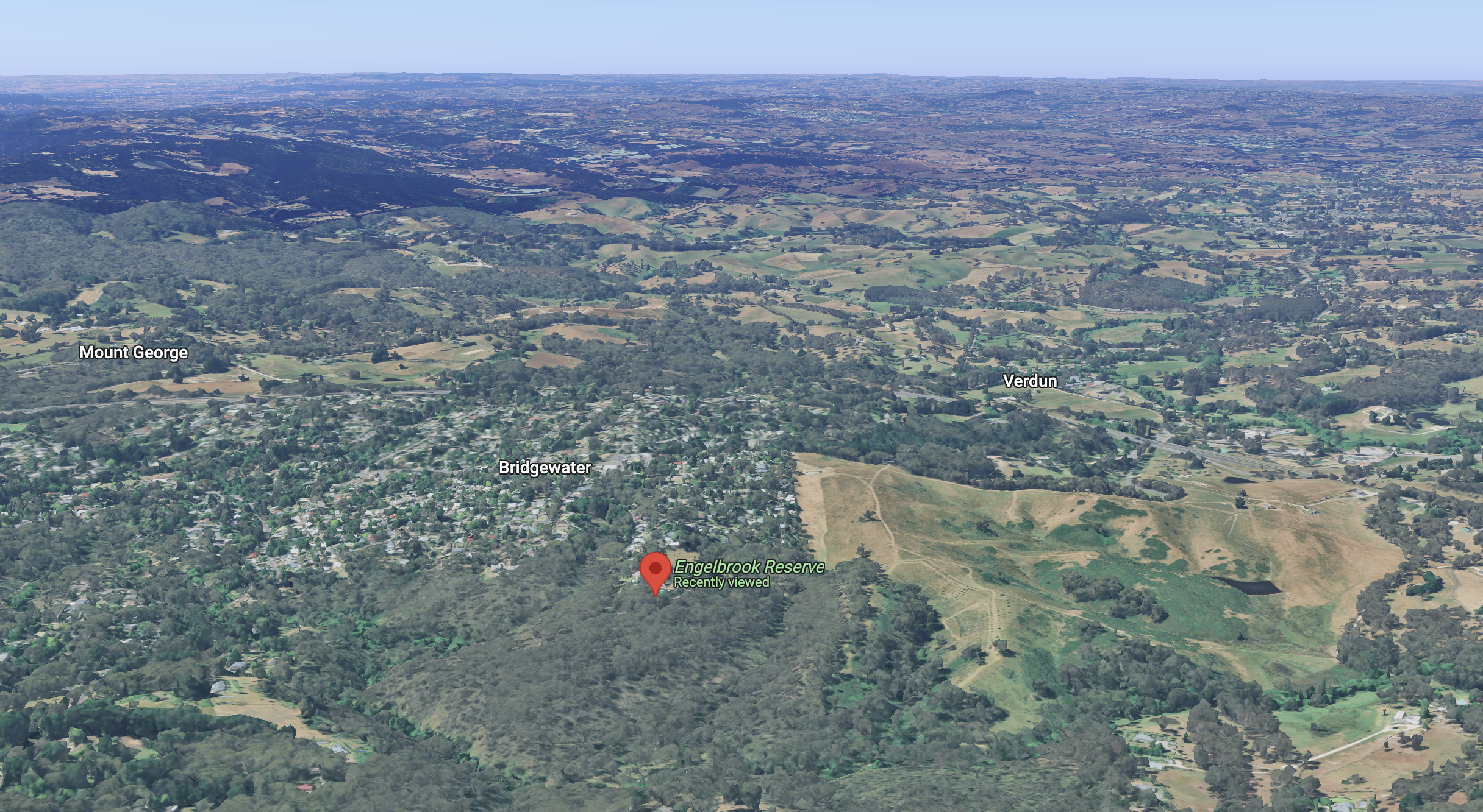
Above:- Map showing the location of the Hindmarsh Valley National Park. Map c/o Google Maps.
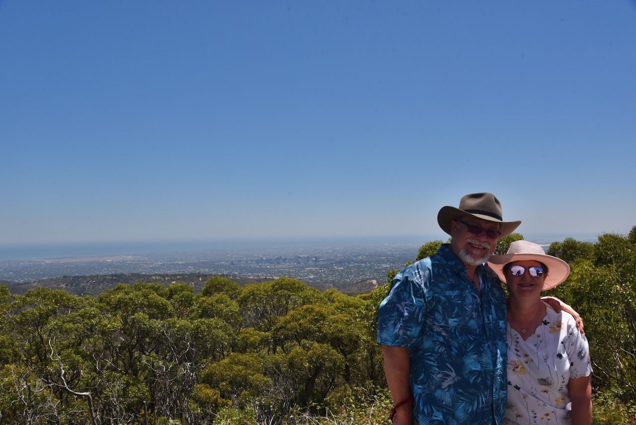
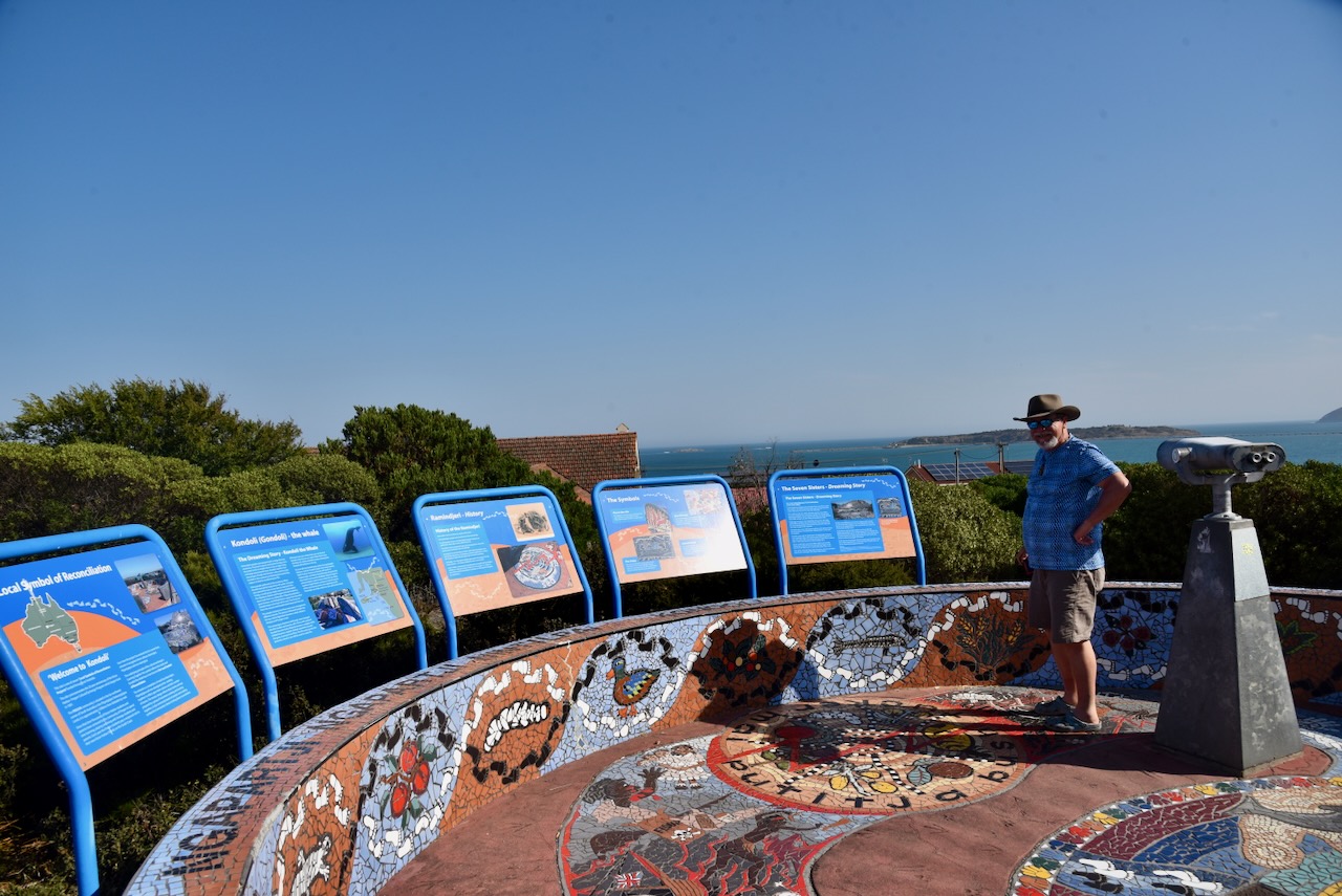
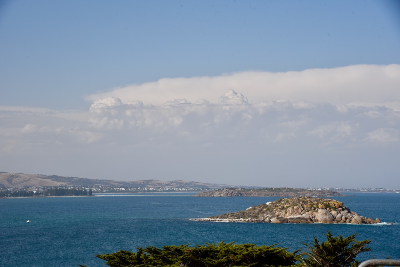
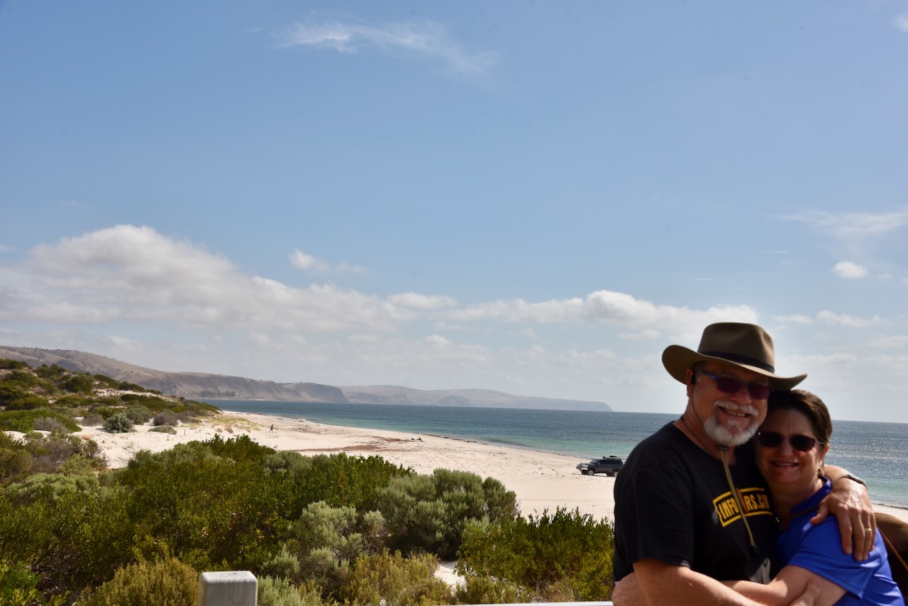
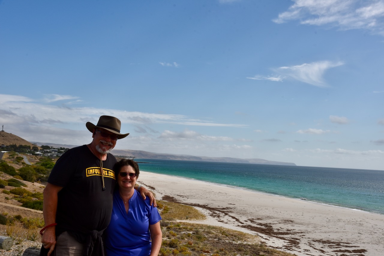
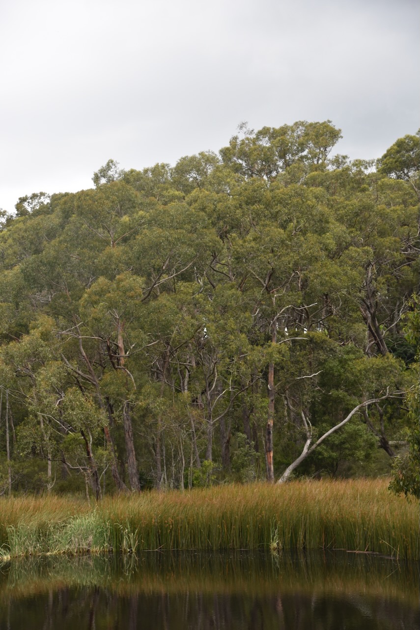
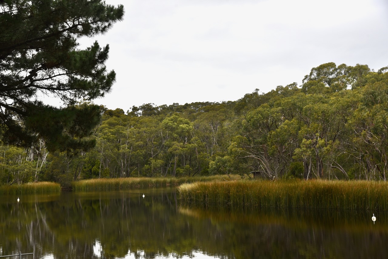
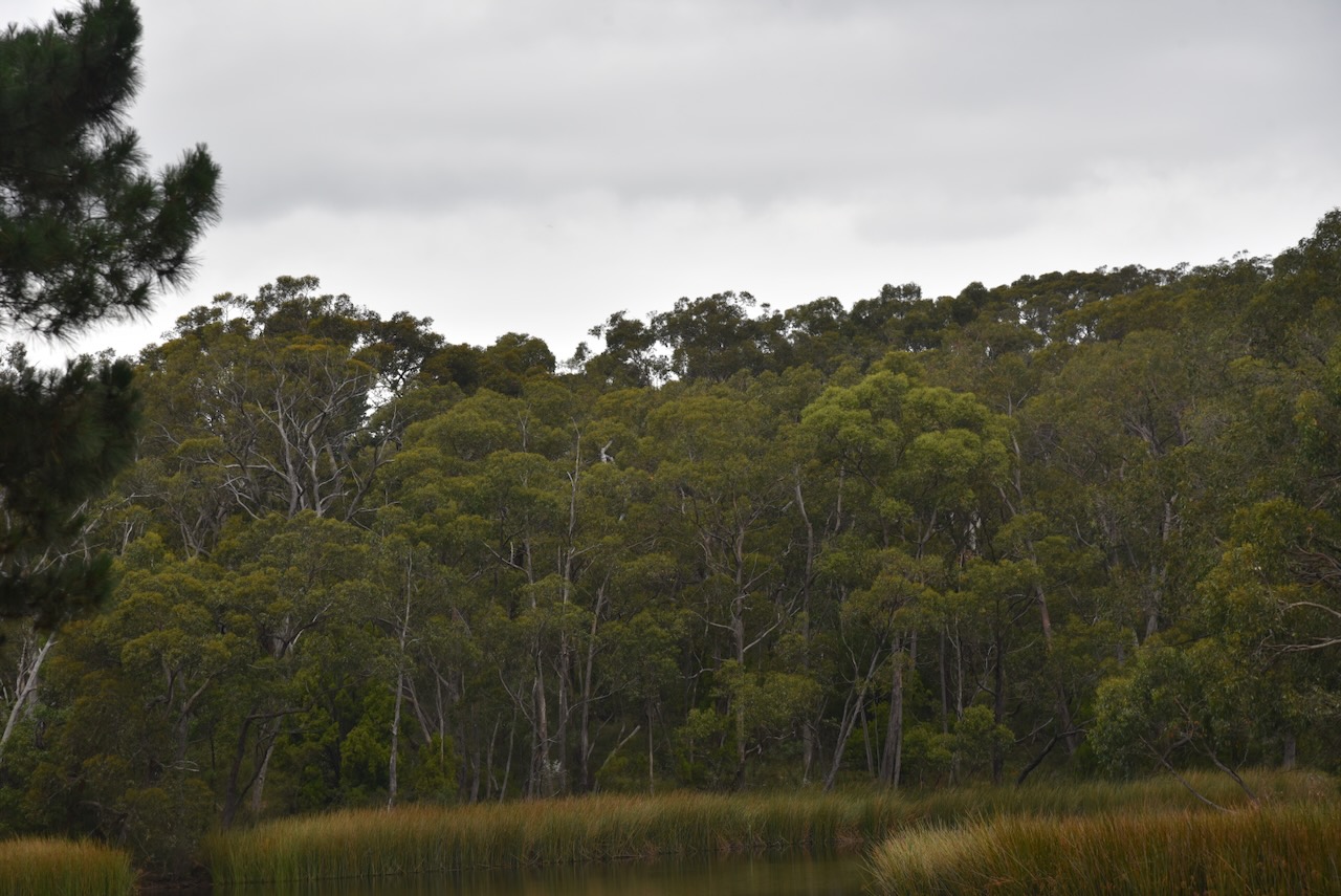
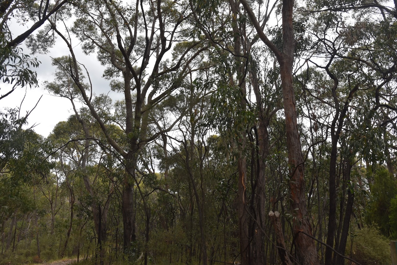
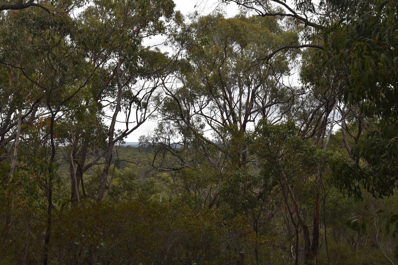
As I drove to the park from the Spring Mount Conservation Park, I was rewarded with some magnificent views of the Fleurieu Peninsula.


The Fleurieu Peninsula was named in honour of the French explorer and hydrographer Charles Pierre Claret de Fleurieu by the French explorer Nicolas Baudin during his 1802 exploration of the south coast of Australia. (Wikipedia 2023)


Above:- Nicolas Baudin (left) and Charles Pierre Claret de Fleurieu (right). Images c/o Wikipedia
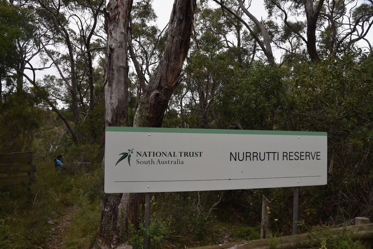
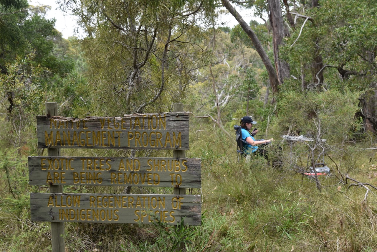
Despite this being a new park with plenty of hype from the South Australian State Government, it was not easy to find. Access to this park is via a narrow strip of land on Nettle Hill Road. There is a gate at this location; however, there are no signs.

The National Parks brochure shows that there is a car park and picnic area here, but I could not find them. The aerial view also indicates that the park extends all the way to Hindmarsh Tiers Road, but this is not the case according to Location SA Map viewer and CAPAD data.

Above:- Map of the park. Image c/o NPWS SA.
The Hindmarsh Valley National Park is in close proximity to the Mount Billy Conservation Park, and has a handful of Heritage Agreements that surround the park.

Above:- An aerial view of the Hindmarsh Valley National Park. Image c/o Google Earth.
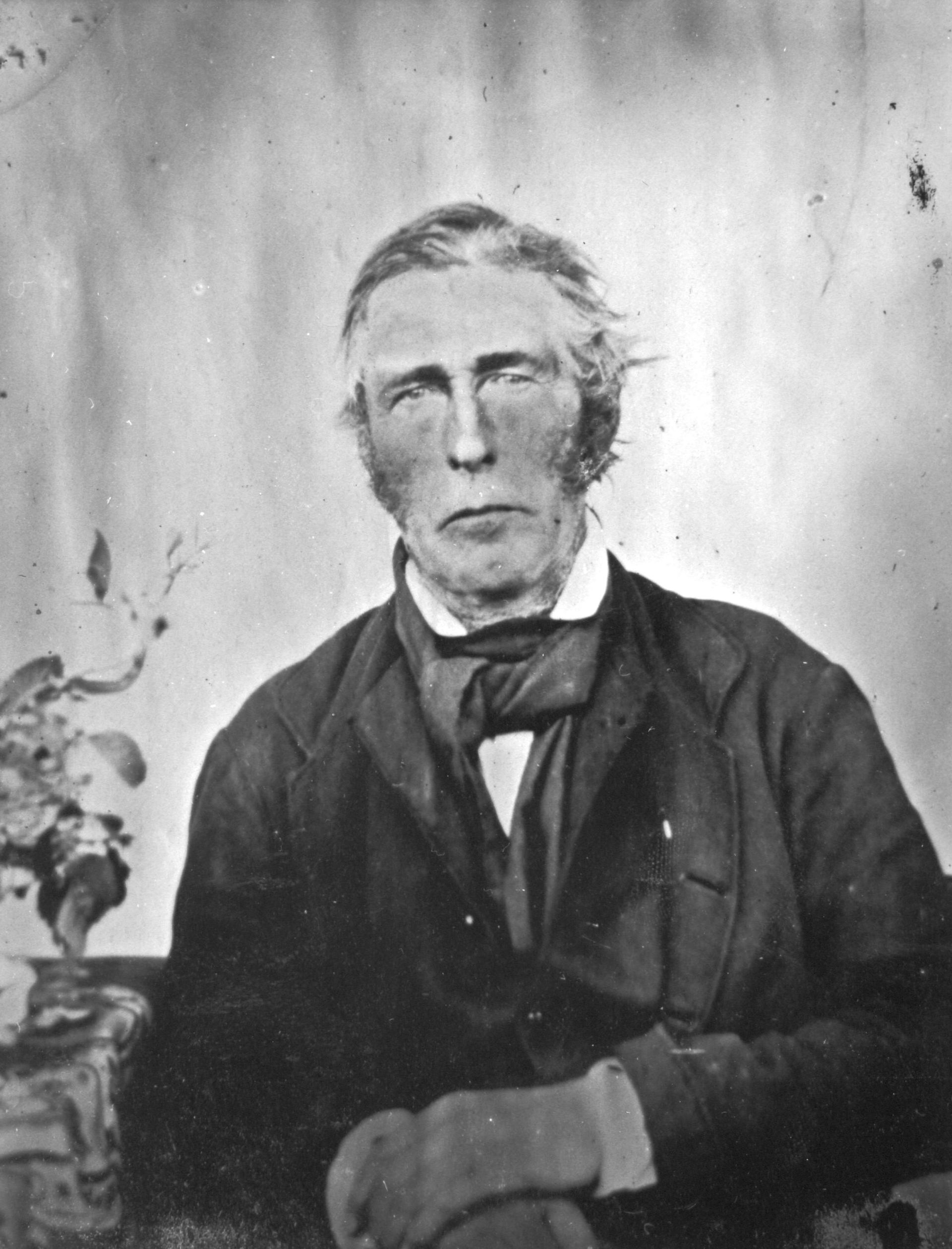
Hindmarsh Valley is named in honour of Rear Admiral Sir John Hindmarsh (b. 1785. d. 1860), the first Governor of South Australia. (Wikipedia 2022)

Above:- Sir John Hindmarsh. Image c/o Wikipedia.
The Hindmarsh Valley National Park is 423 hectares in size and was established in December 2021. The land was previously owned by SA Water and was transferred to the Department for Environment and Water in mid-2021. (National Parks and Wildlife Service South Australia,2025)


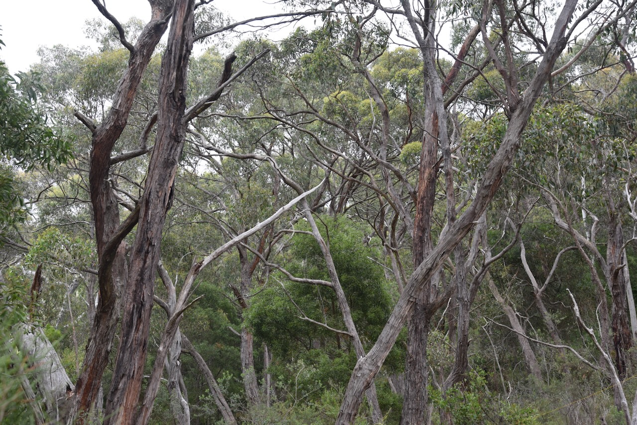
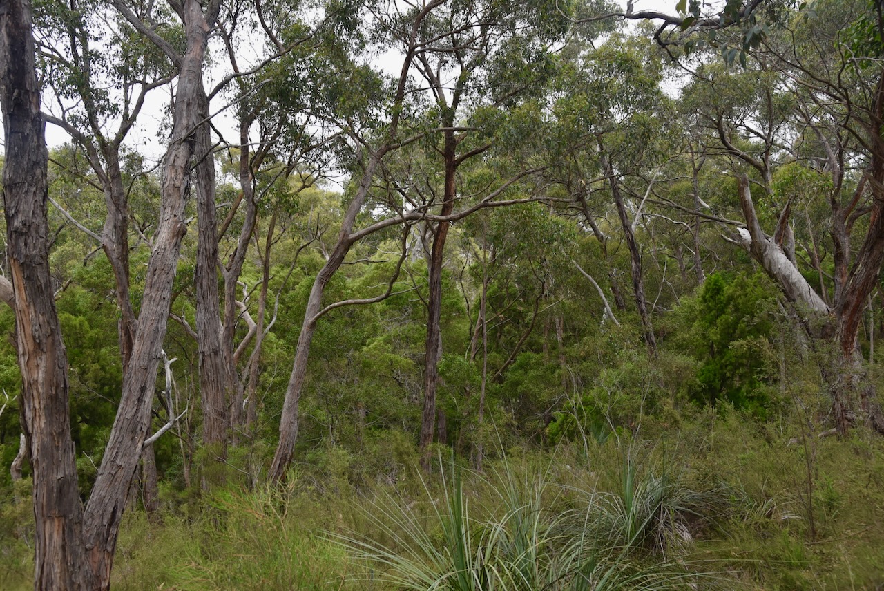
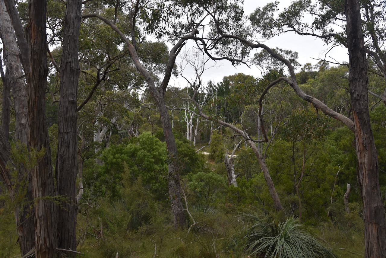
The park is home to the nationally endangered Southern Brown Bandicoot, the Chestnut Rumped Heath-wren, the nationally-vulnerable Bassian thrush and locally critically endangered western pygmy Possum. (National Parks and Wildlife Service South Australia,2025)
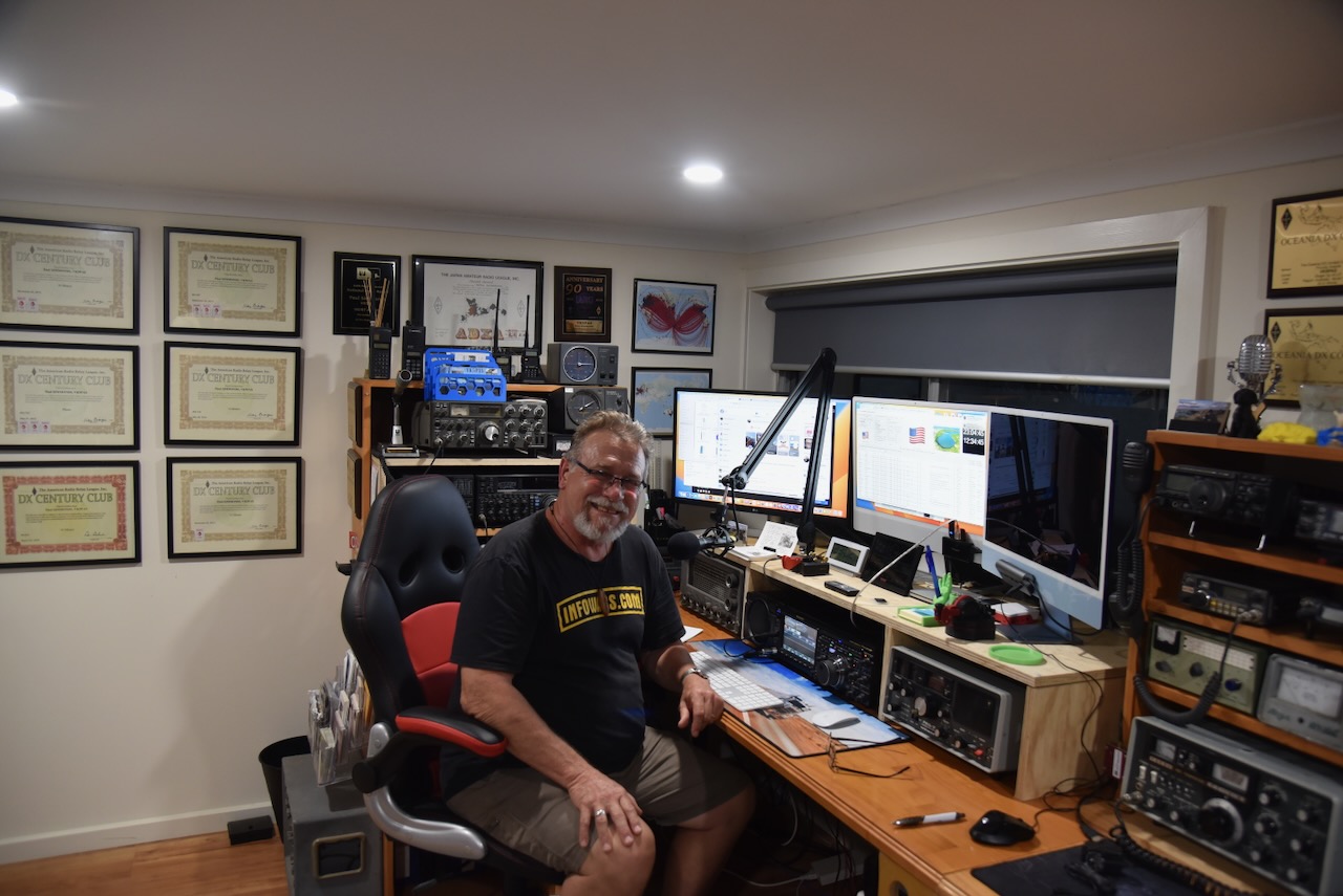
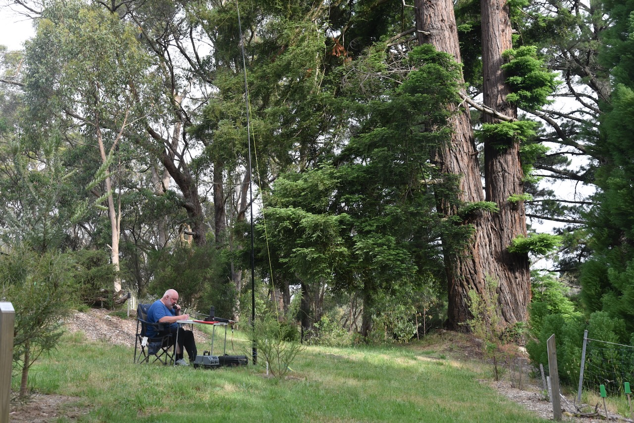
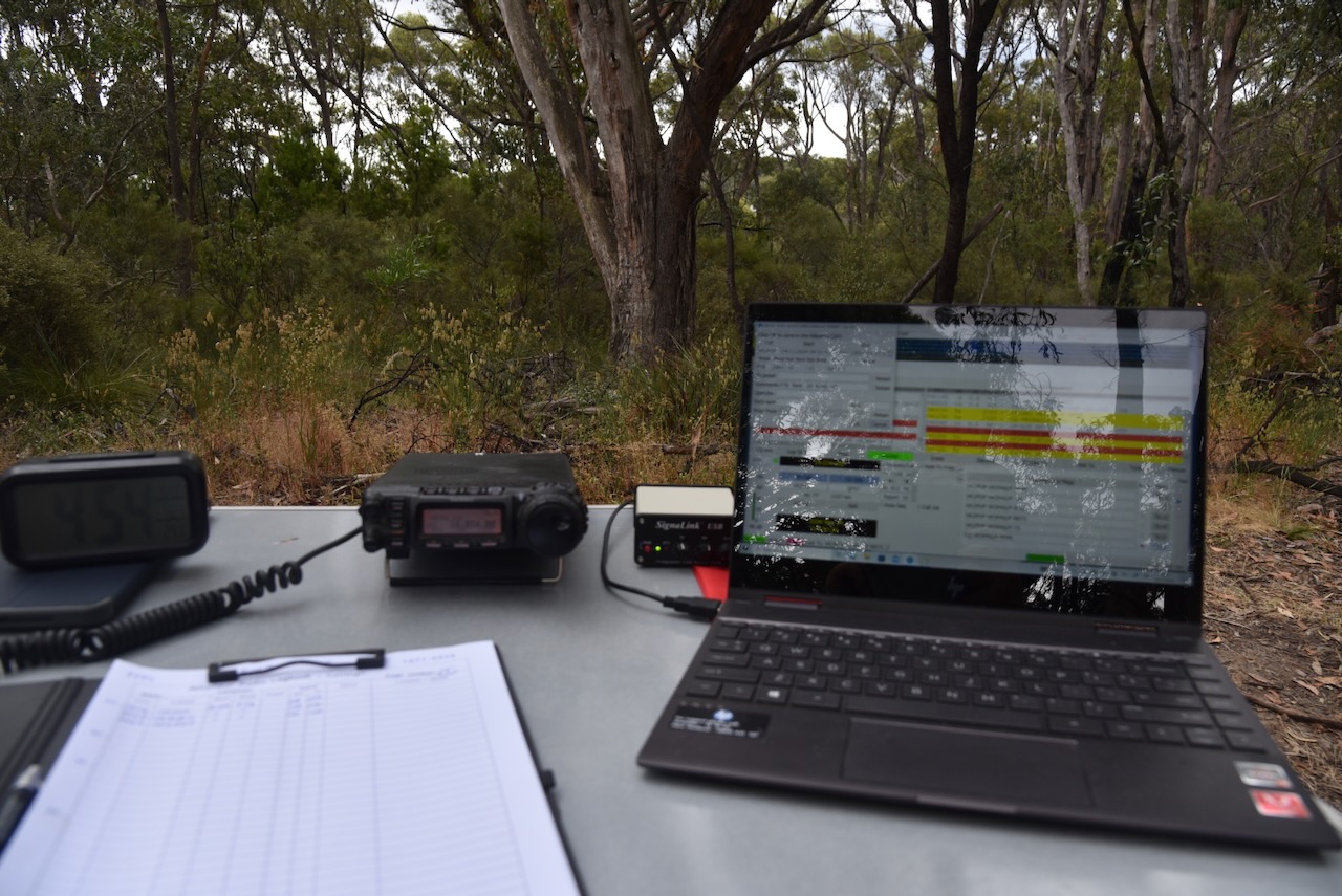
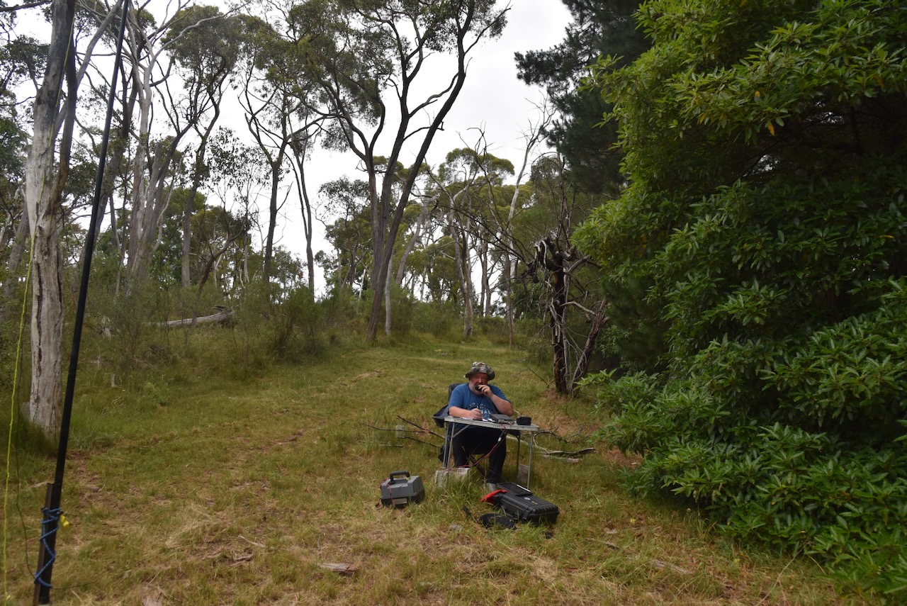
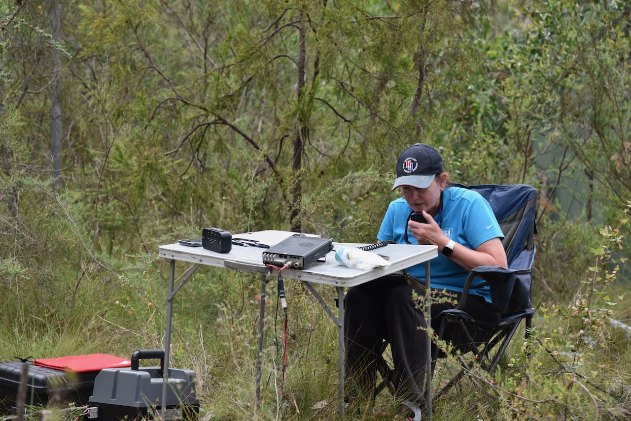
I ran the Yaesu FT857, 40 watts, and the 20/40/80m linked dipole for this activation.
I worked the following stations on 20m SSB:-
- VK5MAZ
- VK2TM
- KG55CIK
- VK3PF
- VK3KAI
- VK4NH
- VK4DXA
- VK7AAE
- VK2GJC
- VK1AO
- VK2MET
- VK1DI
- VK2LEE
- VK4XCS
- VK7XX
- VK4JT
- ZL2BAQ
- VK2MW
- VK2HDT
- VK4GRZ
- VK5VR
- ZL2GLG
- VK2IO/M
- VK3UH
- WA6SZE
- DL8NDG
- VI100SIG
- VK2COS
- IW2BNA
- F5PYI
- VK6JK
- UT5PI
I worked the following stations on 20m FT8:-
- SP9W
- IZ7HNO
- VK3APJ
- VK3PF
- NJ3T
- YU7NW
- I3QDK
- RU3GC
- IS0ANW
- PA0ABM
- F4EIK
- VK2EG
- IK5UIS
- OK2QA
- F5RRS
I worked the following stations on 40m SSB:-
- VK2HAK
- VK5MAZ
- VK7PJM
- VK5CZ
- VK5XE
- VK3PF
- VK3KAI
- VK2VW
- VK2HFI
- VK2AKA
- VK2BUG
- VK1AD
- VK1NAM
- VK3UH
- VK5LA
- VK5KAW
- VK3YV
- VK3VIN
- VK4NH
- VK4DXA
- VK2LEE
- VK3ANL
- VK2MOE
- VK1MO
- VK3HJV
- VK2EXA
- VK4HMI
- VK2FALL
- VK3OHM
- VK3CEO
- VK3ARD
- VK7AN
- VK5HS
- VK3AEI
At the conclusion of the activation, I visited the Hindmarsh Falls, which are fed by the Hindmarsh River catchment area between Mt Cone and Spring Mount. (Victor Harbor 2022)


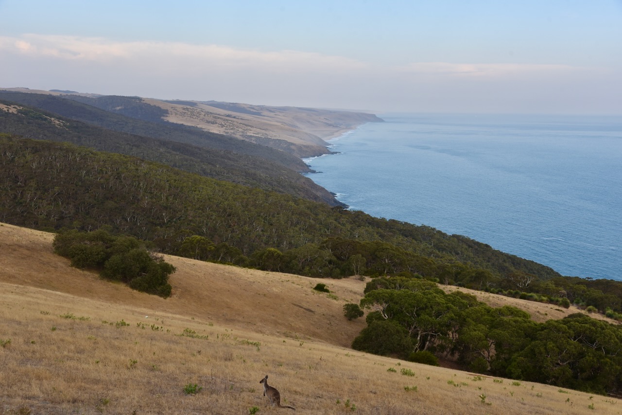
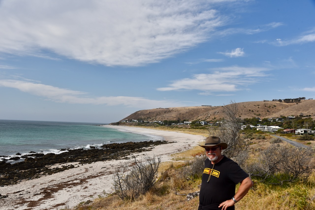
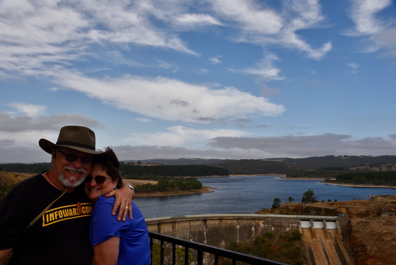
I left Hindmarsh Valley and headed towards home. I intended to activate on more park and a silo before reaching home. Despite it being a rather bleak day, I was still rewarded with some nice views of the Fleurieu as I made my way towards my next park.


References.
- National Parks and Wildlife Service South Australia. (n.d.). Creating Hindmarsh Valley National Park. [online] Available at: https://www.parks.sa.gov.au/park-management/new-in-sa-national-parks/hindmarsh-valley. [Accessed 15 Jun 2025]
- Victor Harbor. (2022). Hindmarsh Falls | Visit Victor Harbor. [online] Available at: https://visitvictorharbor.com/things-to-do/tours-and-attractions/hindmarsh-falls/ [Accessed 15 Jun. 2025].
- Wikipedia. (2023). Fleurieu Peninsula. [online] Available at: https://en.wikipedia.org/wiki/Fleurieu_Peninsula.[Accessed 15 Jun 2025]
- Wikipedia Contributors (2022). Hindmarsh River. Wikipedia.