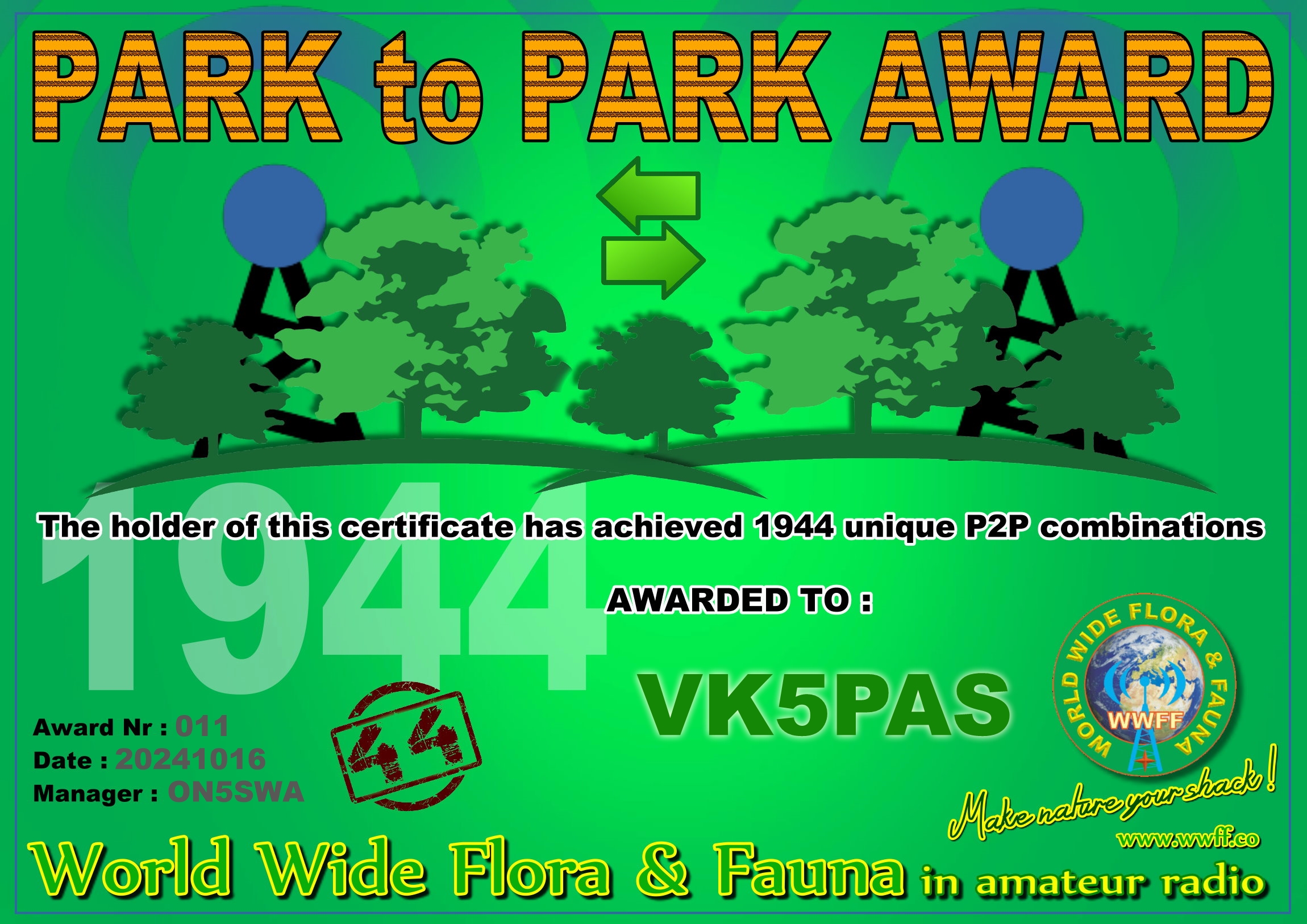
Whilst I was away interstate I received another WWFF certificate…..Park to Park 1,944.
Thank you to all of the WWFF activators and thank you to Swa ON5SWA the Awards Manager.

Whilst I was away interstate I received another WWFF certificate…..Park to Park 1,944.
Thank you to all of the WWFF activators and thank you to Swa ON5SWA the Awards Manager.
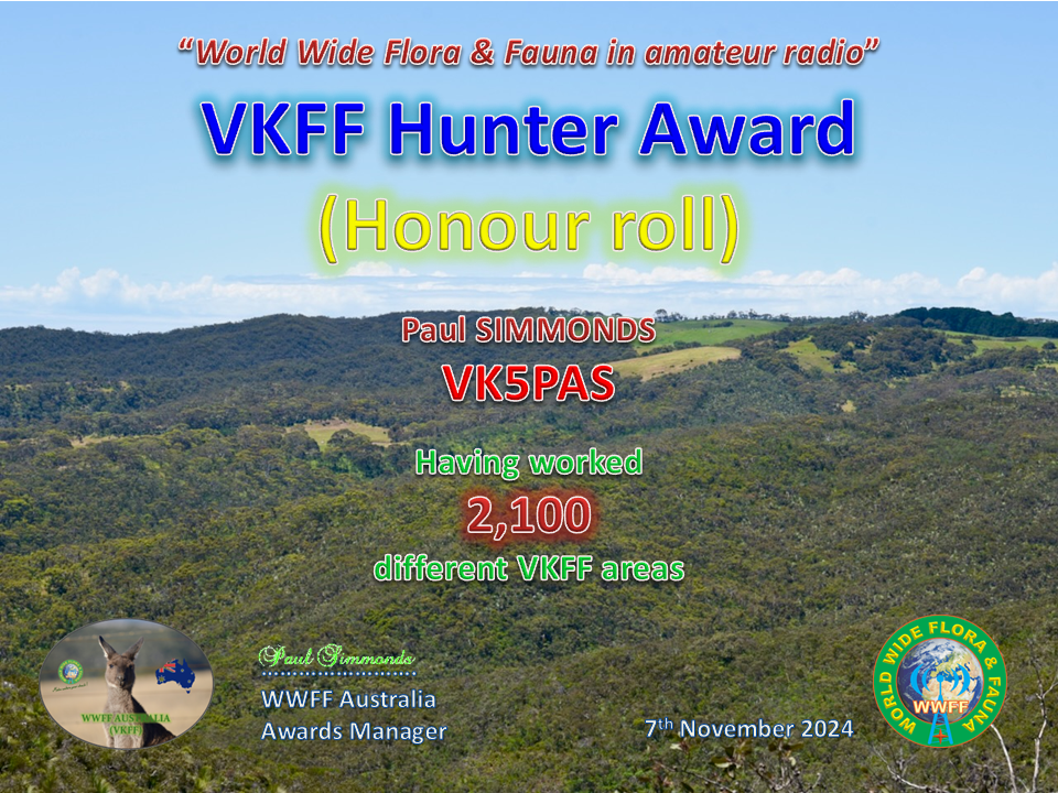
Received yesterday……VKFF Hunter Honour Roll 2,100.
Thank you to all of the WWFF Activators and thank you to Adam VK2YK the VK5 VKFF State Rep for the certificate.
I received this certificate in my email Inbox today.
North American NACFF award certificate – issued for having worked WWFF activators in 7 different USA States or Canadian Provinces.
Thank you to all of the North American activators and thank you to Linda VE9GLF the Awards Manager.

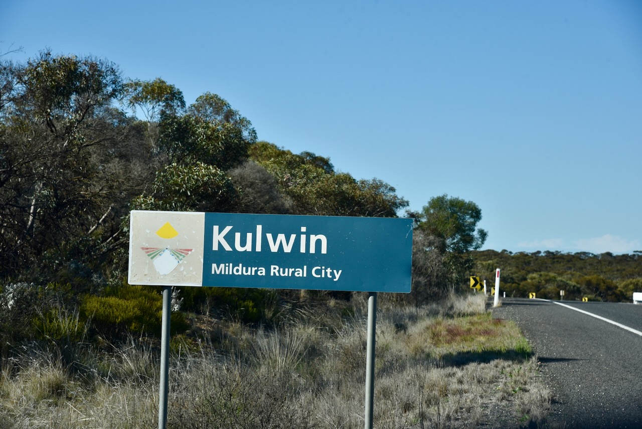
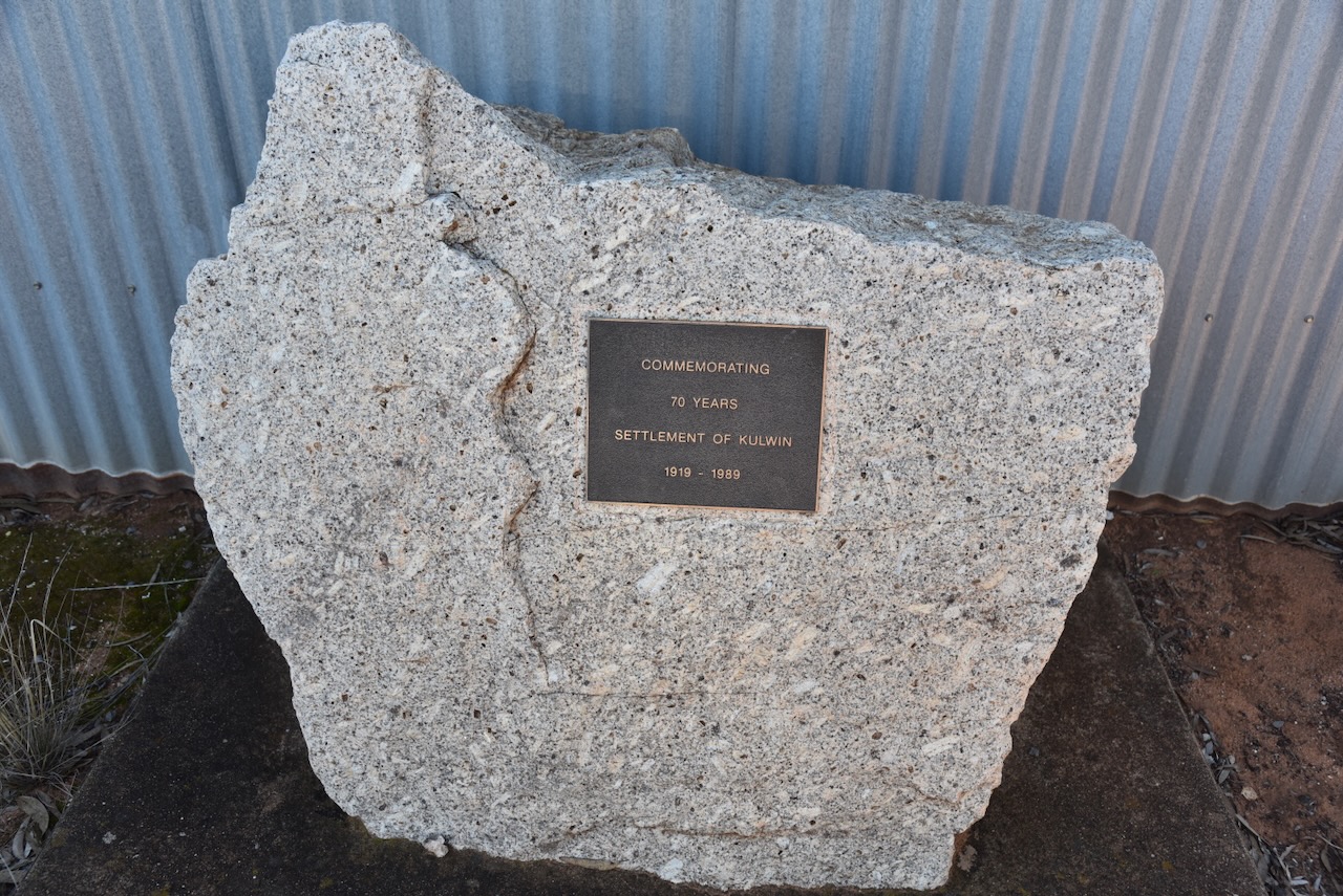
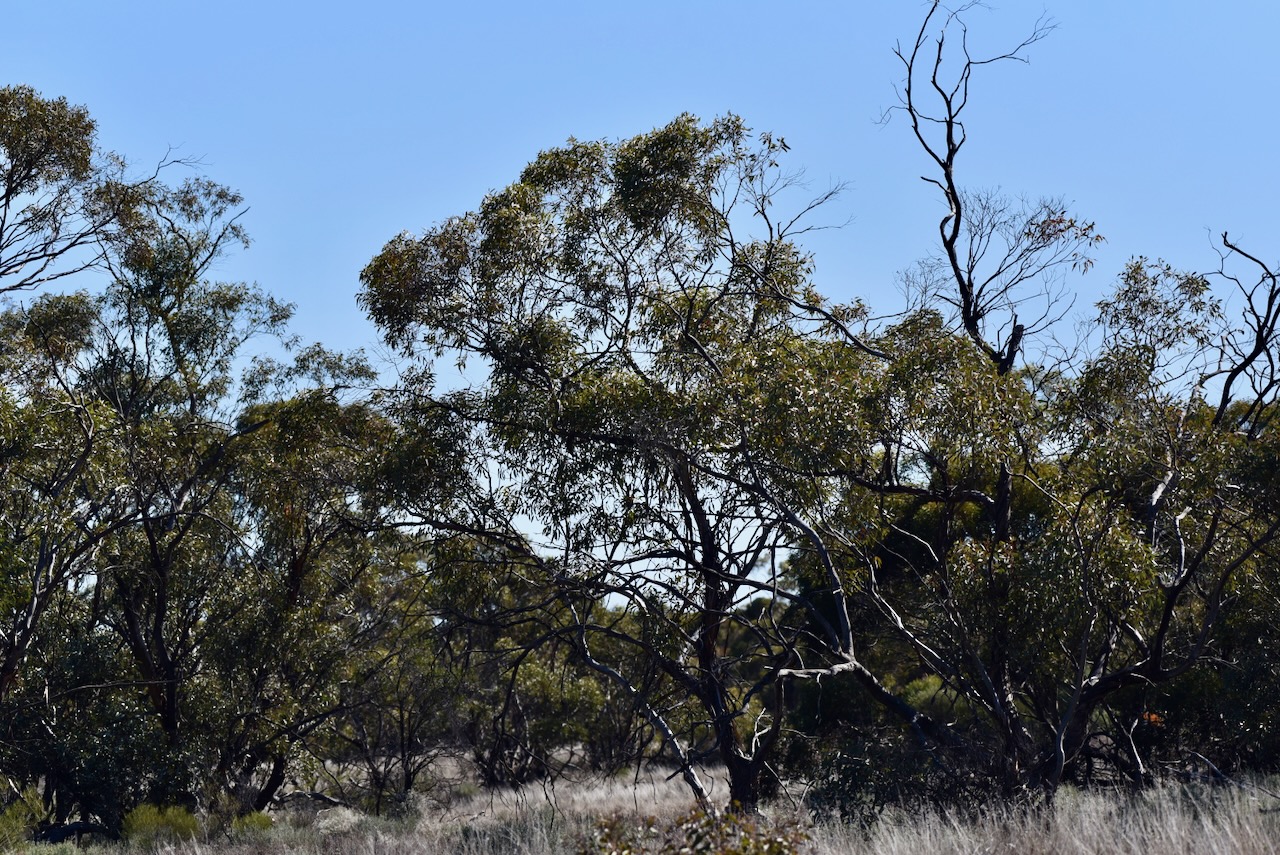
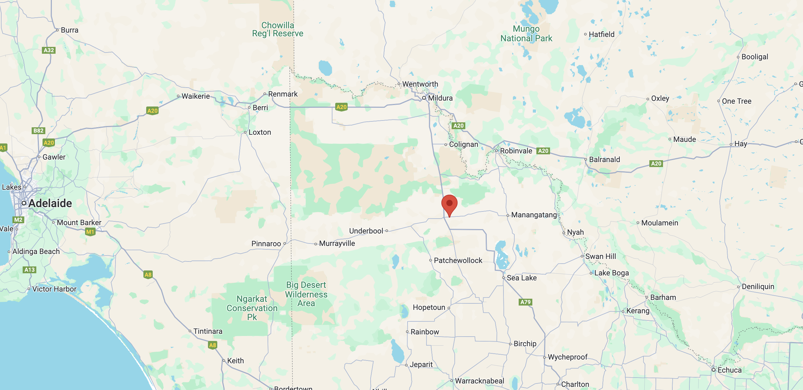
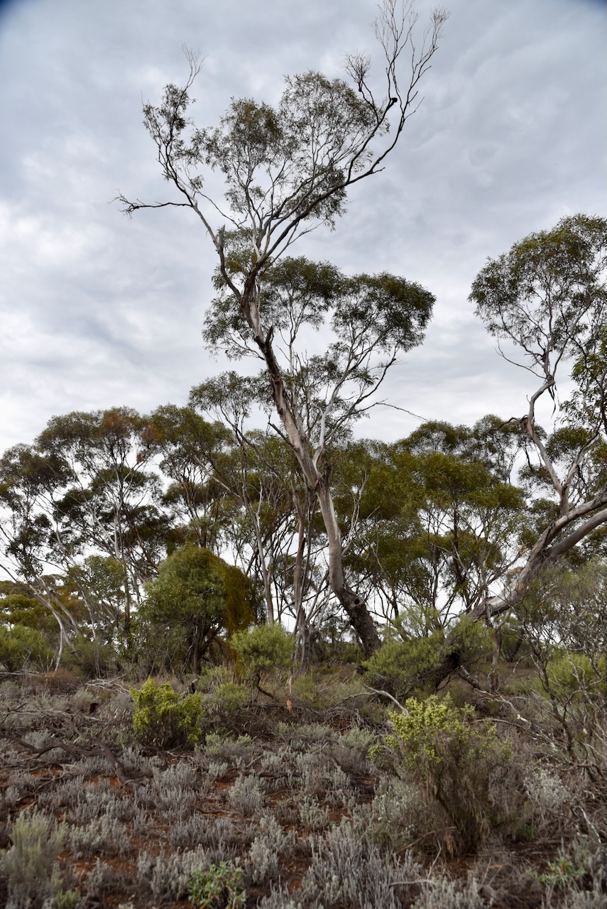
My next activation for Tuesday 20th August 2024 was the Kulwin Flora & Fauna Reserve VKFF-2353. The reserve is located about 30 km east of Ouyen in northwest Victoria.

Above:- Map showing the location of the Kulwin Flora & Fauna Reserve. Map c/o Google Maps.
This park is not to be confused with the Kulwin Flora Reserve VKFF-2353 which is located on Boland Road.
I travelled east along the Mallee Highway and soon reached the area of Kulwin. Kulwin is an aboriginal word meaning throwing stick. (Black 1978)
The Kulwin Post Office opened on the 16th day of August 1920 following the arrival of the railway. The Post office closed in 1974. The Kulwin State School (No. 4375) opened in the Kulwin Soldiers’ Hall on the 8th day of January 1929. In April 1933 a standalone building, formerly at Nowingi State School, was re-erected and occupied. In 1934 an additional workroom was erected by parents in 1934. The school closed in 1950, with the building being removed to the Robinvale Consolidated School. (Wikipedia 2024)

Above:- Plan of the town of Kulwin. Image c/o State Library Victoria.
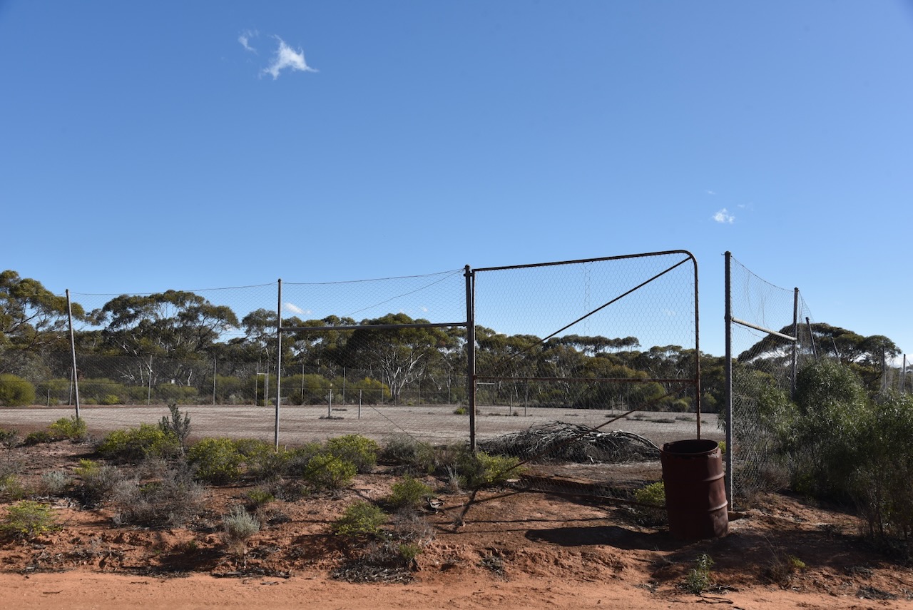
Kulwin once had a hall that held dances and other functions. Kulwin also had its own cricket team and football team.
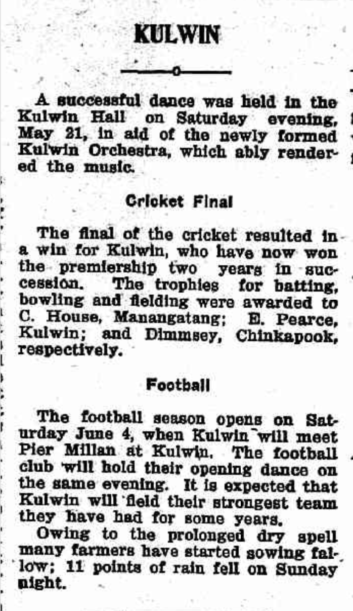
Above:- An article from the Ouyen Mail, Wed 25 May 1927. Image c/o Trove.
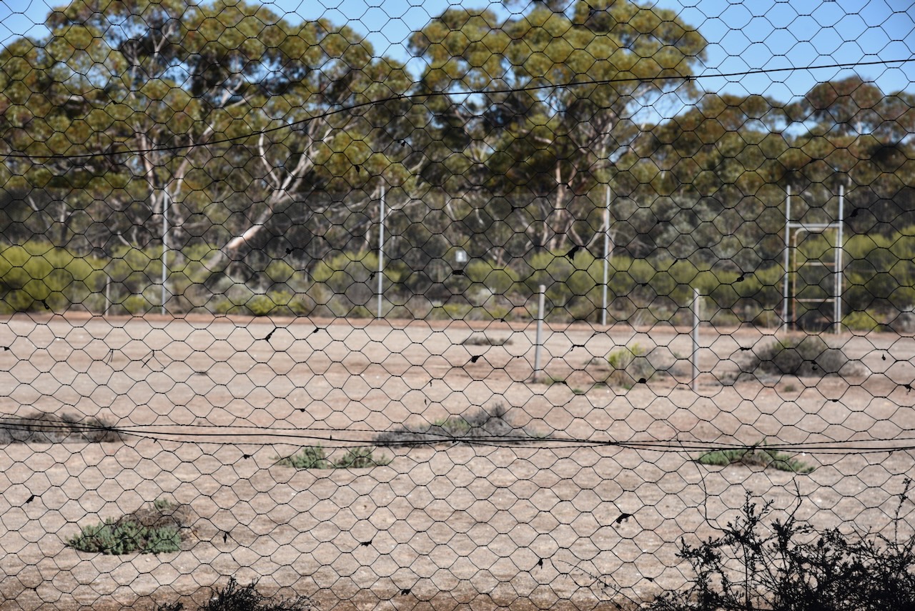
Today little remains at Kulwin. I visited the site of the old tennis courts which today are in a state of disrepair and covered with weeds.
The Kulwin Flora & Fauna Reserve is located on the northern and southern sides of the Mallee Highway.

Above:- An aerial view of the Kulwin Flora & Fauna Reserve. Image c/o Google Earth.
The reserve is about 170 hectares in size and was established on the 1st day of May 1979. (CAPAD 2022)
I ran the Yaesu FT857, 40 watts, and the 20/40/80m linked dipole for this activation.
I worked the following stations on 20m SSB:-
I worked the following stations on 40m SSB:-
References.
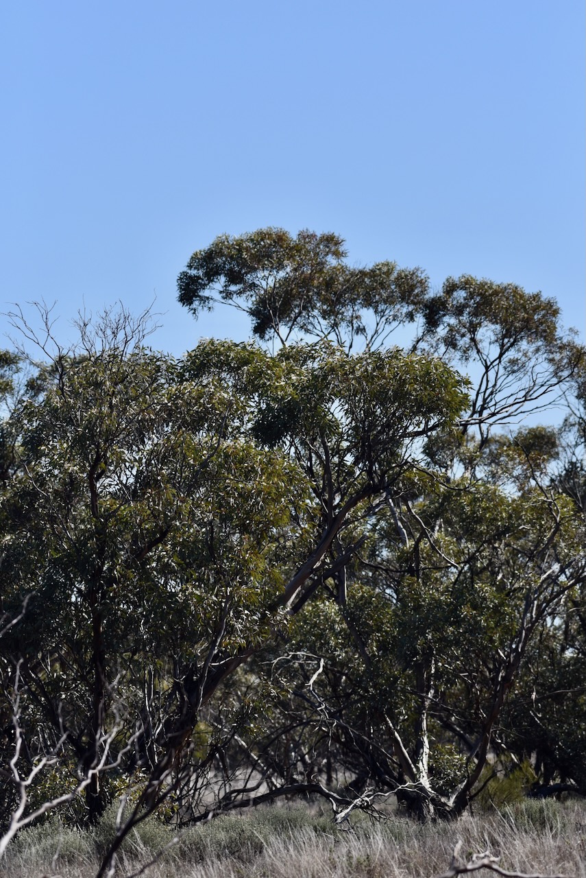
My next activation for Tuesday 20th August 2024 is the Wagant Bushland Reserve VKFF-4249. The park is located about 25 km northeast of Ouyen in northwest Victoria.

Above:- Map showing the location of the Wagant Bushland Reserve. Map c/o Google Maps.
The reserve is located on the northern and southern side of Edwards Road.
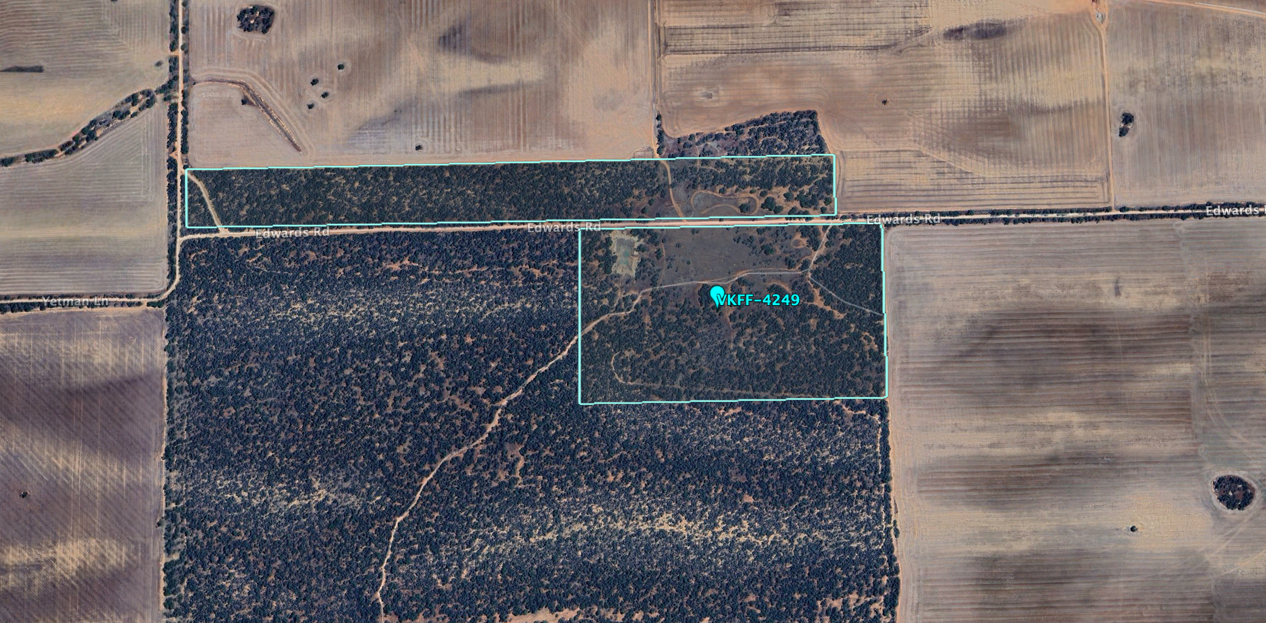
Above:- An aerial view of the Wagant Bushland Reserve. Image c/o Google Earth.
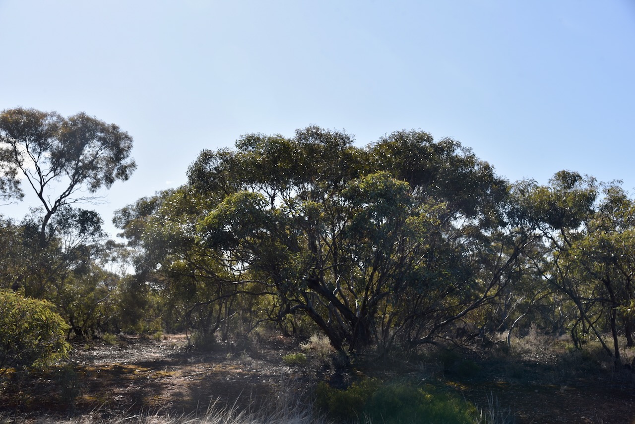
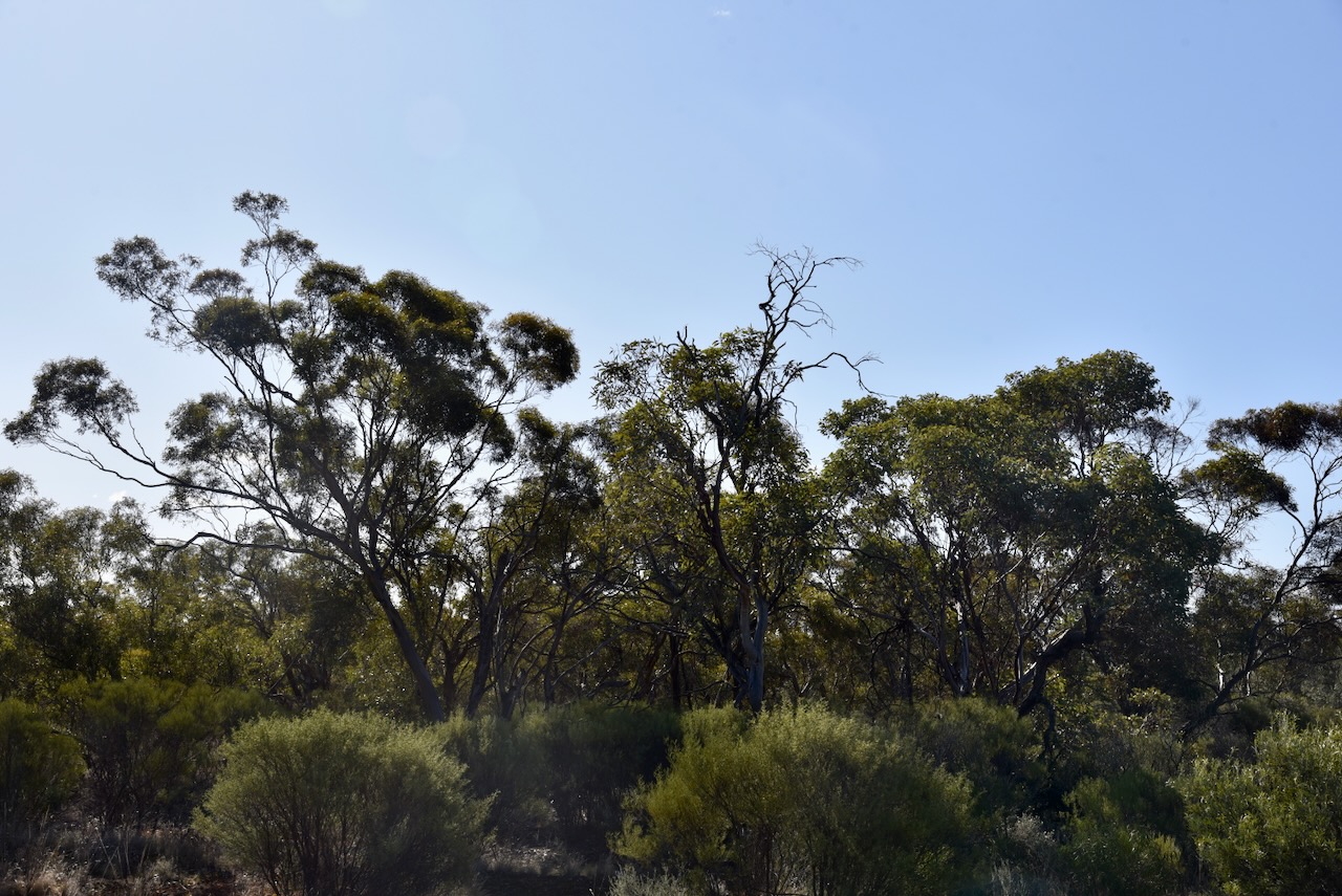
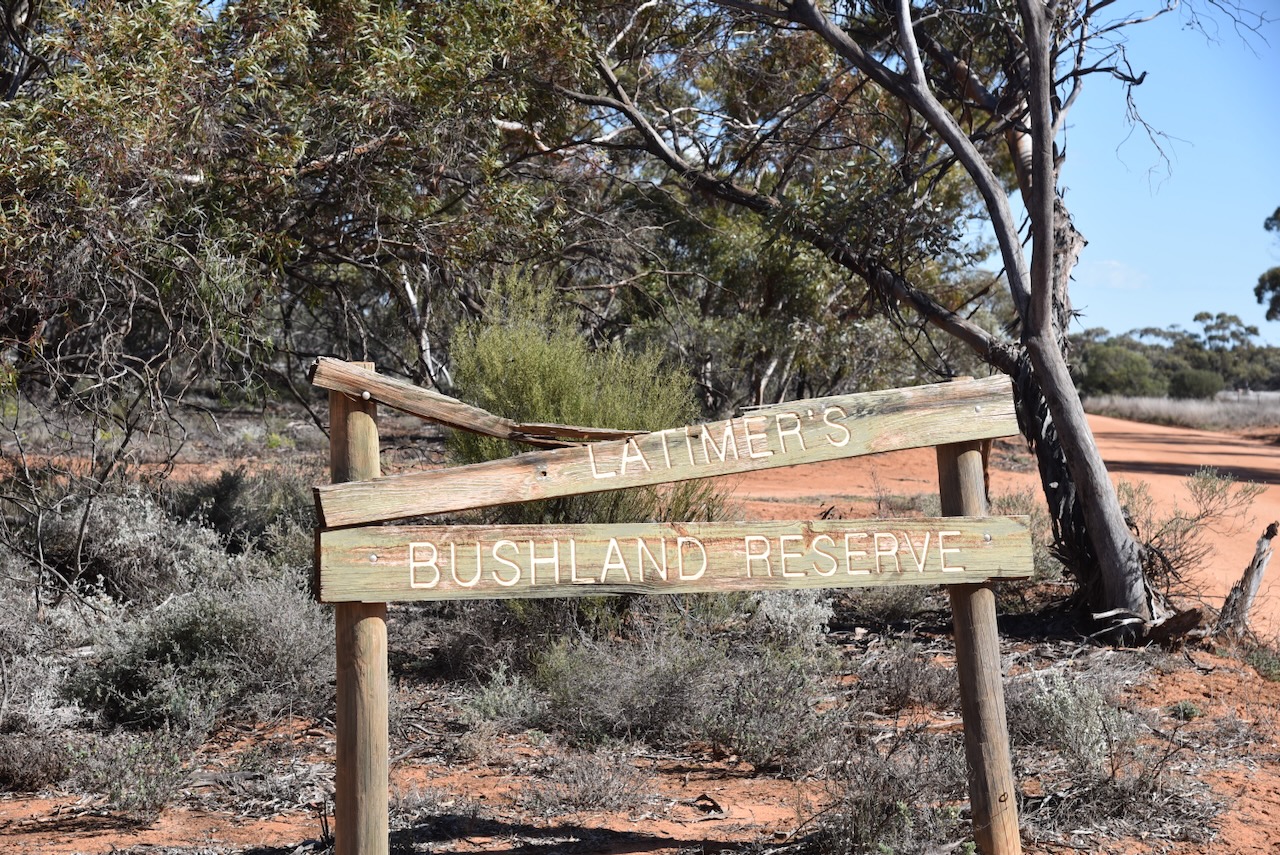
The park is about 48 hectares in size and was established on the 1st day of May 1979. The park was also signposted as Latimer’s Bushland Reserve. The sign was broken and it was clear that authorities had not been to the park for years. I am not sure when the name of the park was changed. Wagant is an aboriginal word meaning ‘hail’. (Blake 1978) (CAPAD 2022)
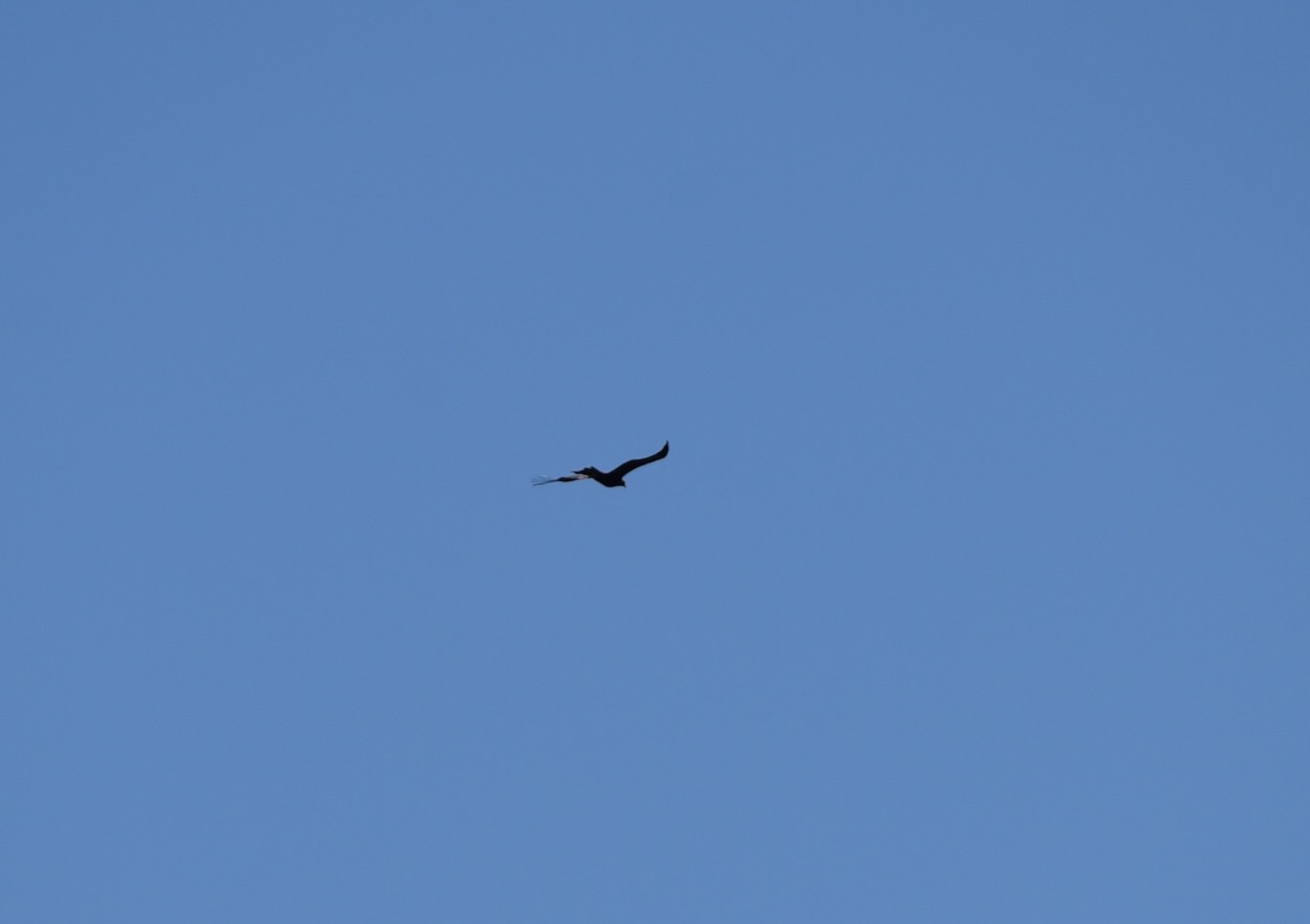
As I arrived at the park there was a Wedge Tailed eagle soaring way above me in the thermals. Unfortunately, he/she was too high up for a good photograph.
I drove into the park and set up in a clearing amongst the mallee scrub. I ran the Yaesu FT857, 40 watts, and the 20/40/80m linked dipole.
I worked the following stations on 40m SSB:-
I worked the following stations on 40m AM:-
I worked the following stations on 40m FM:-
I worked the following stations on 20m SSB:-
References.
After leaving the Ouyen I83 Bushland Reserve on 20th August 2024, I headed to the Wild Dog Tank Bushland Reserve VKFF-4252. The park is located about 7 km east of Ouyen in northwest Victoria.
Above:- Map showing the location of the Wild Dog Tank Bushland Reserve. Map c/o Google Maps.
The reserve is located on the southern side of the Mallee Highway.
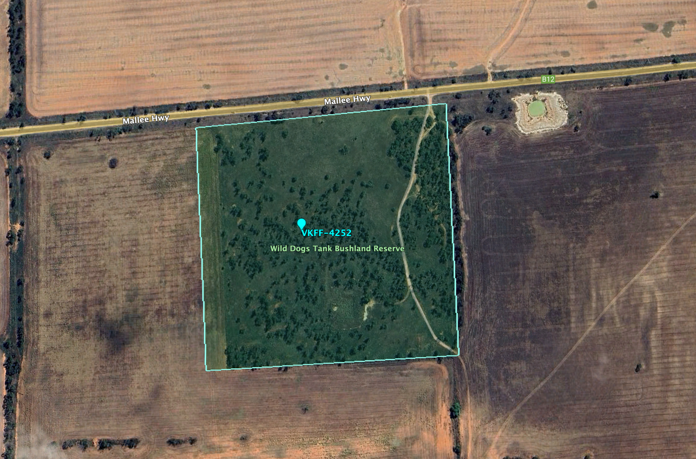
Above:- An aerial view of the Wild Dog Tank Bushland Reserve. Image c/o Google Earth.
The reserve is about 16 hectares in size and was established on the 1st day of May 1979. (CAPAD 2022)
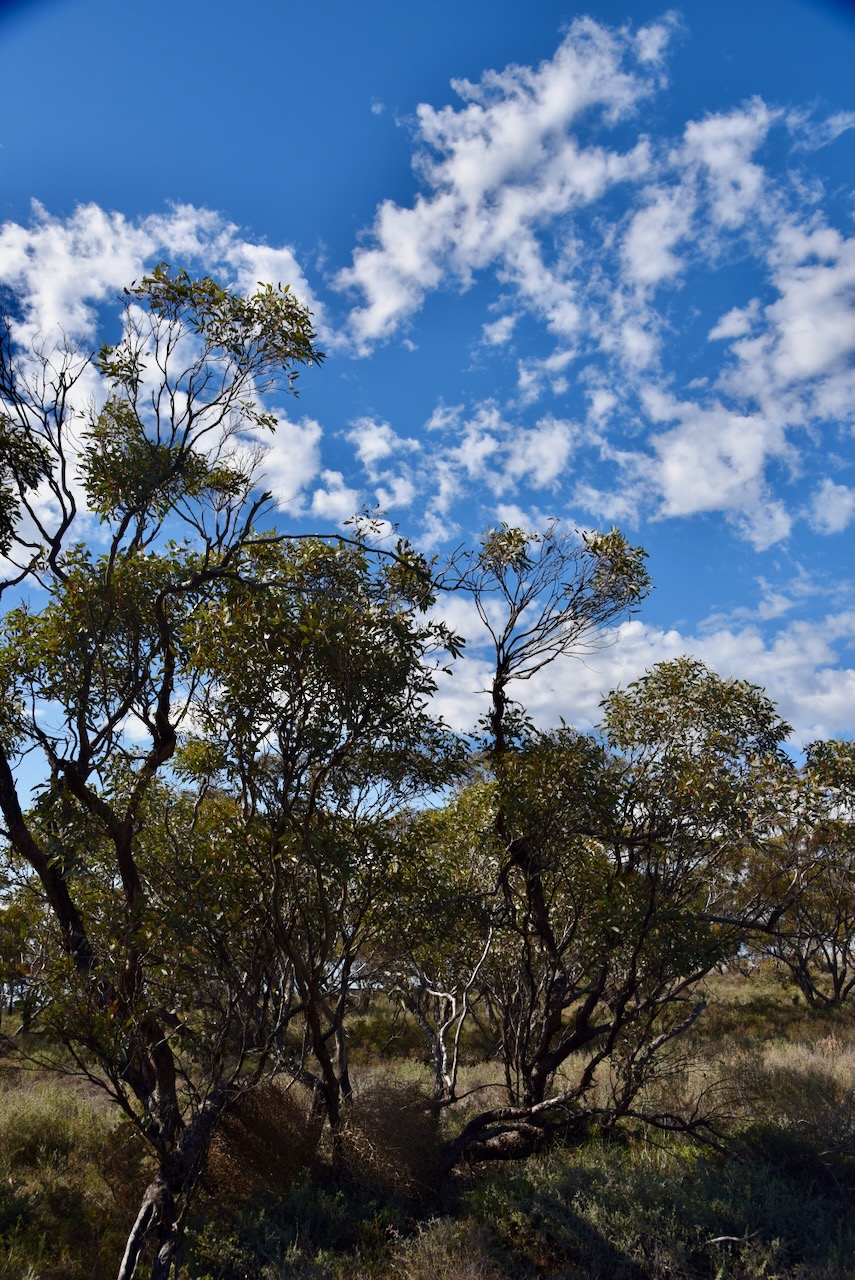

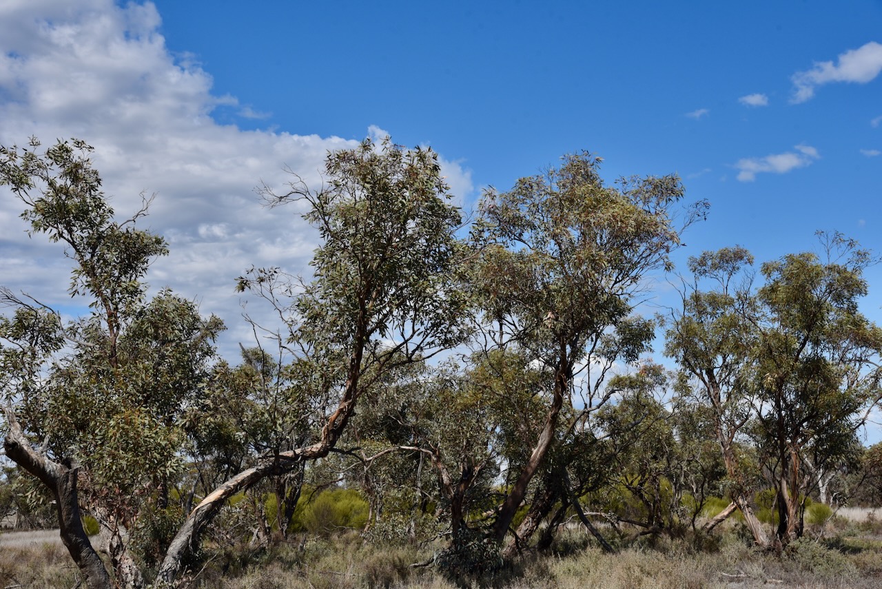
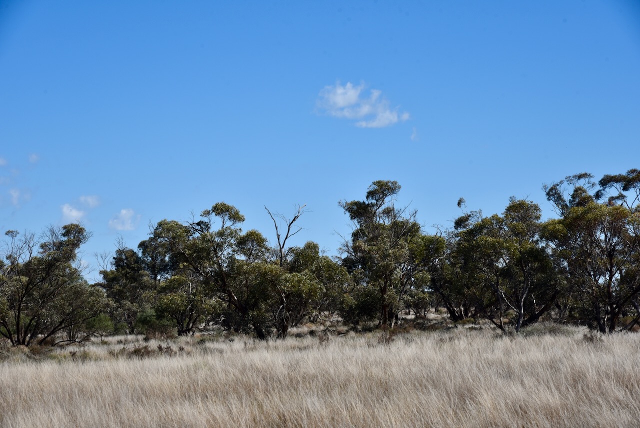
This is another park that was easy to access. I drove in along a 4WD track. I ran the Yaesu FT857, 40 watts, and the 20/40/80m linked dipole.
I worked the following stations on 20m SSB:-
I worked the following stations on 40m SSB:-
I worked the following stations on 40m AM:-
I worked the following stations on 40m FM:-
References.
My next activation for Tuesday 20th August 2024 was the Ouyen I83 Bushland Reserve VKFF-4211. The park is located about 4.5 km east of Ouyen in northwest Victoria.
Above:- Map showing the location of the Ouyen I83 Bushland Reserve. Map c/o Google Maps.
The Ouyen I83 Bushland Reserve is located on the northern side of the Mallee Highway.
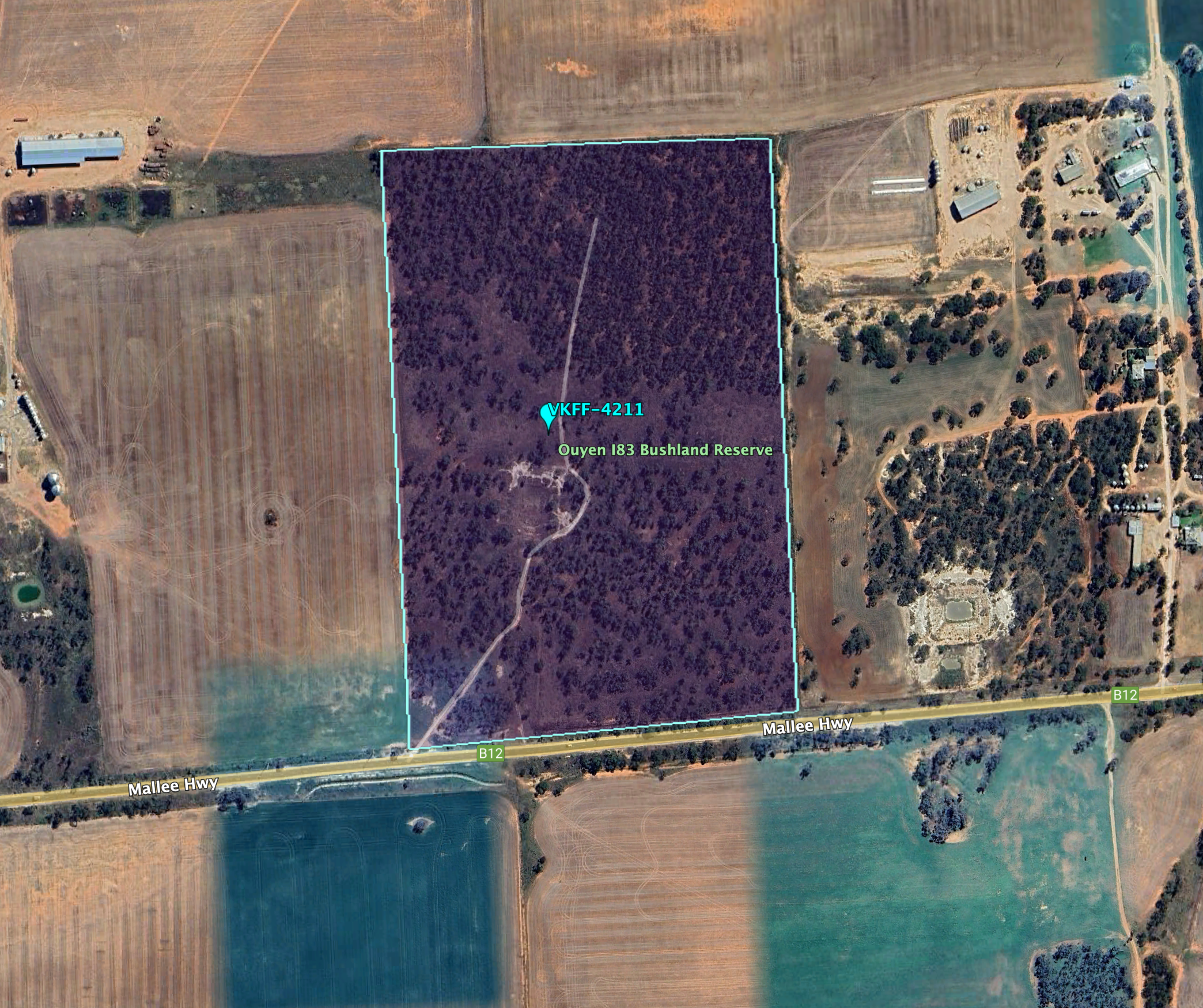
Above:- An aerial view of the Ouyen I83 Bushland Reserve. Image c/o Google Earth.
The reserve is about 24 hectares in size and was established on the 1st day of May 1979. (CAPAD 2022)


This was an easy park to access. I was able to drive in along a 4WD track. I ran the Yaesu FT857, 40 watts, and the 20/40/80m linked dipole for this activation.
I worked the following stations on 40m SSB:-
I worked the following station on 40m AM:-
I worked the following stations on 20m SSB:-
References.
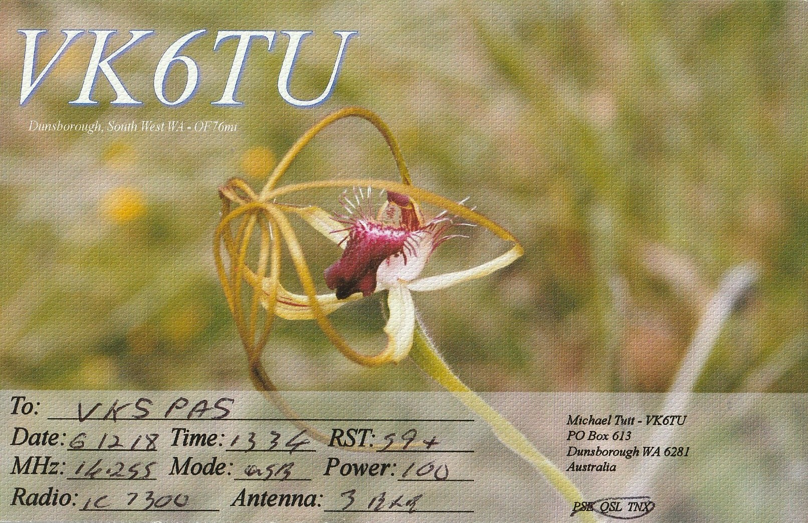
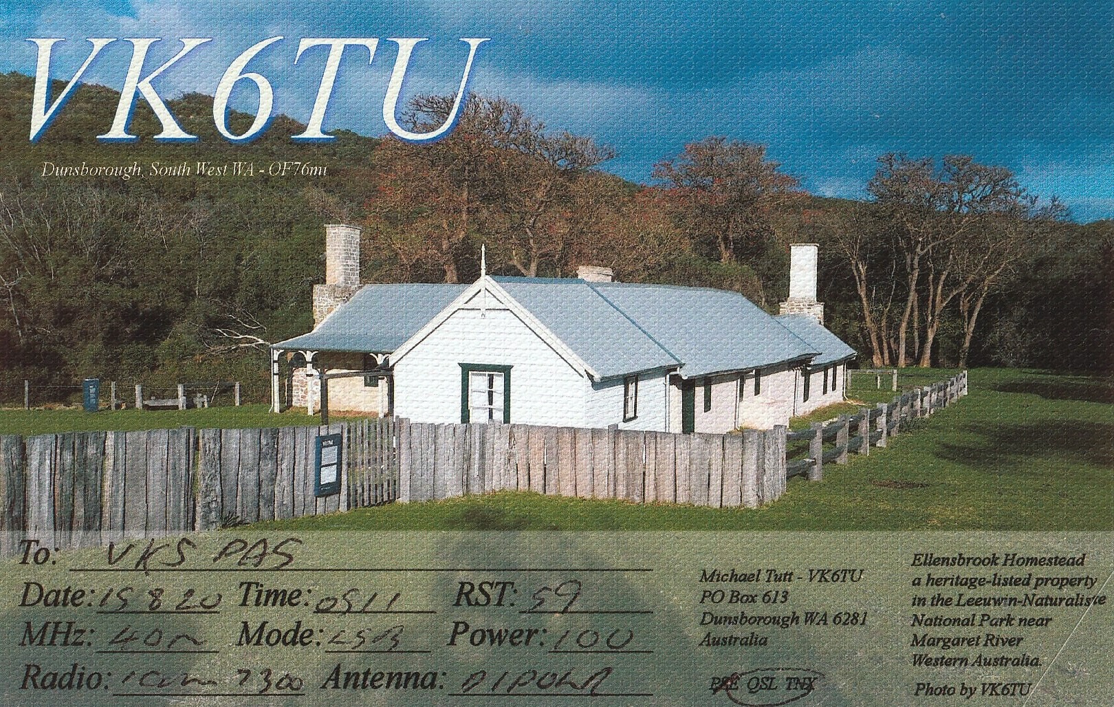
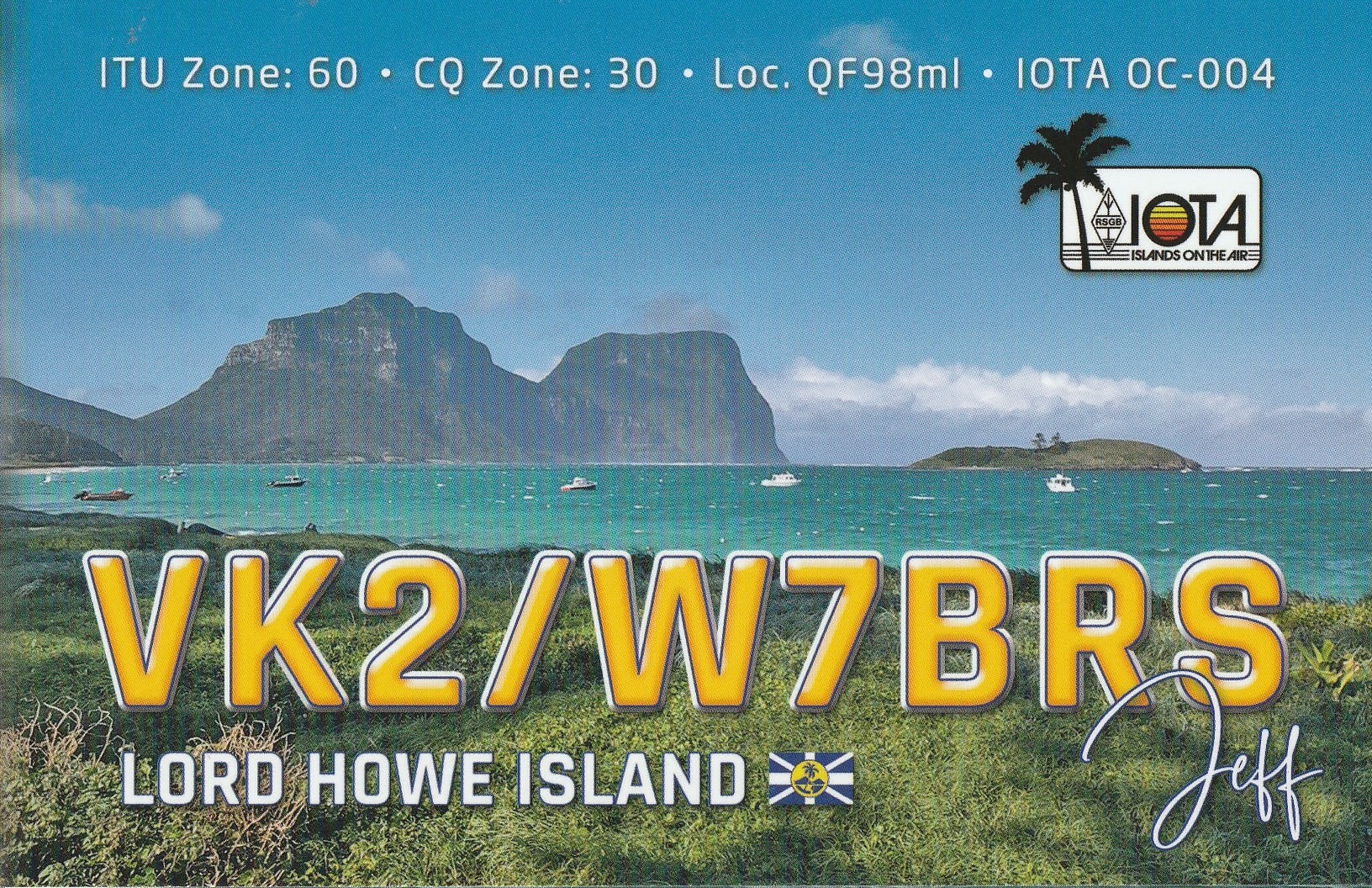
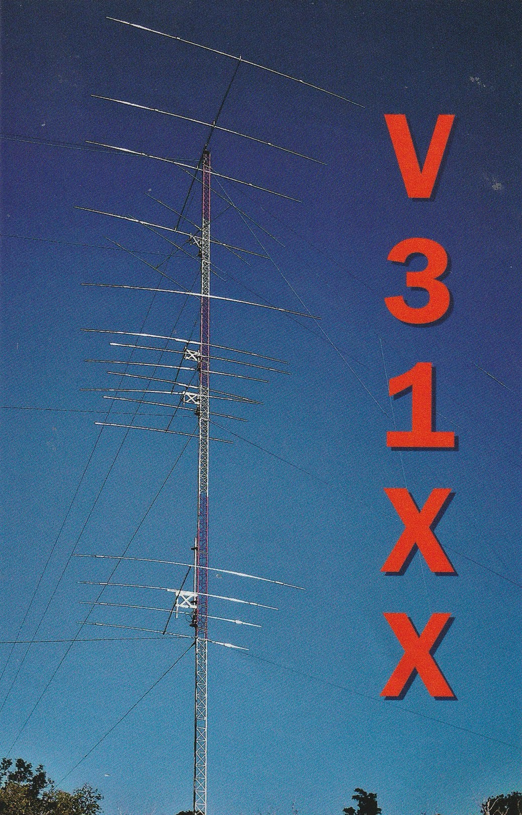
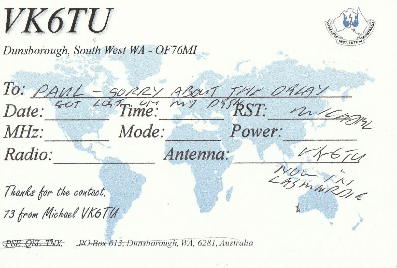
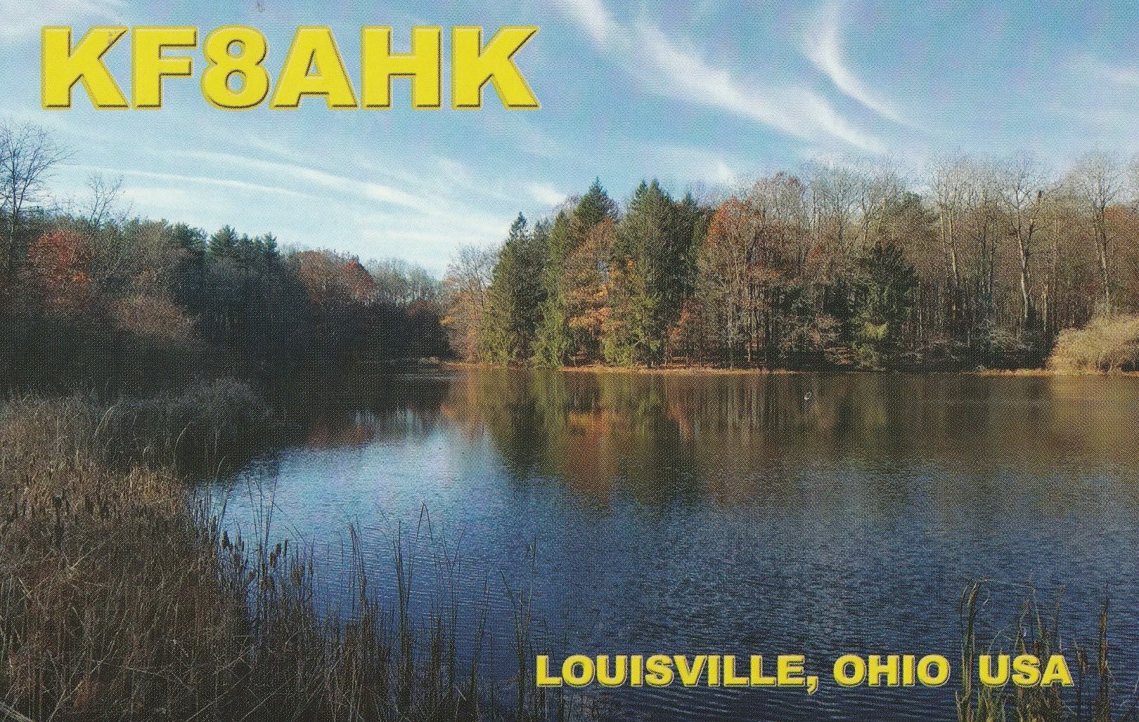
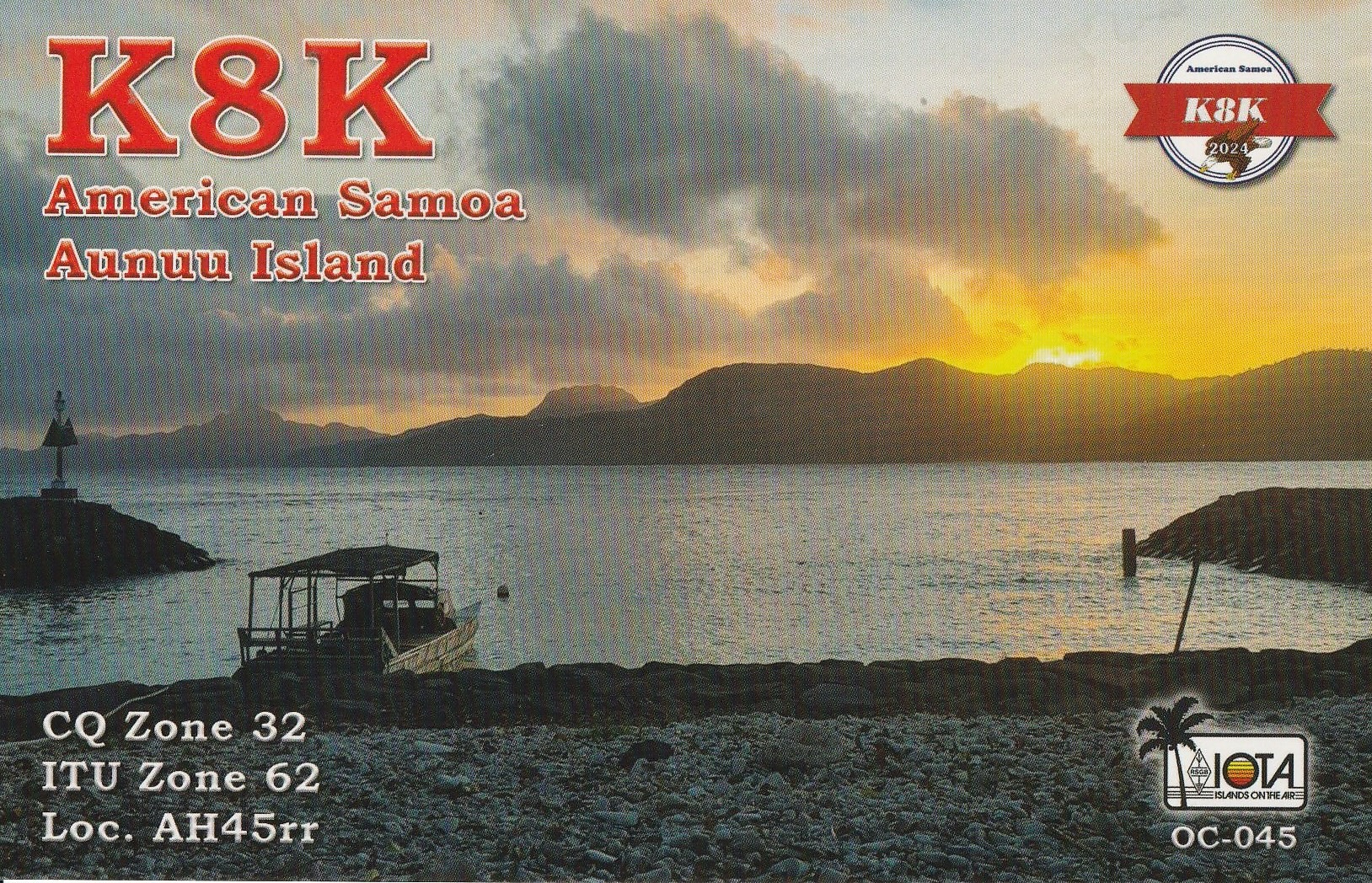
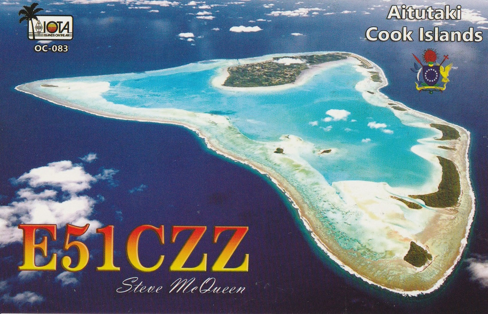
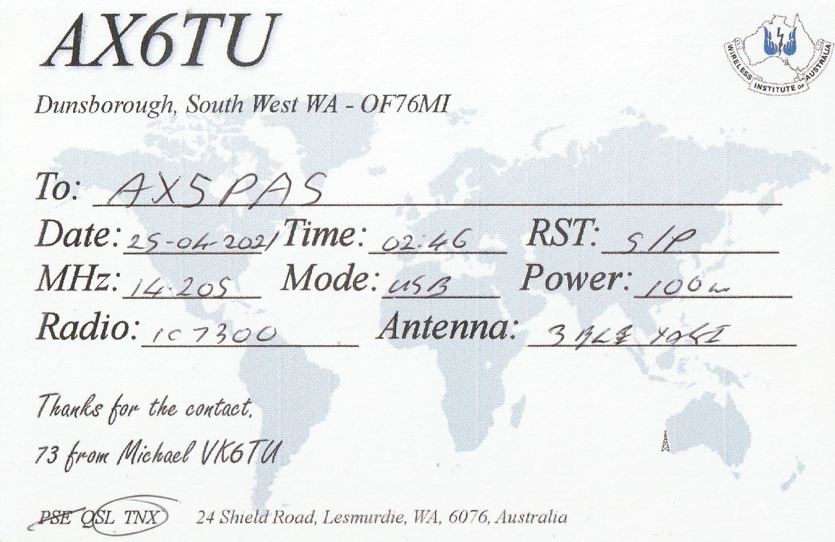
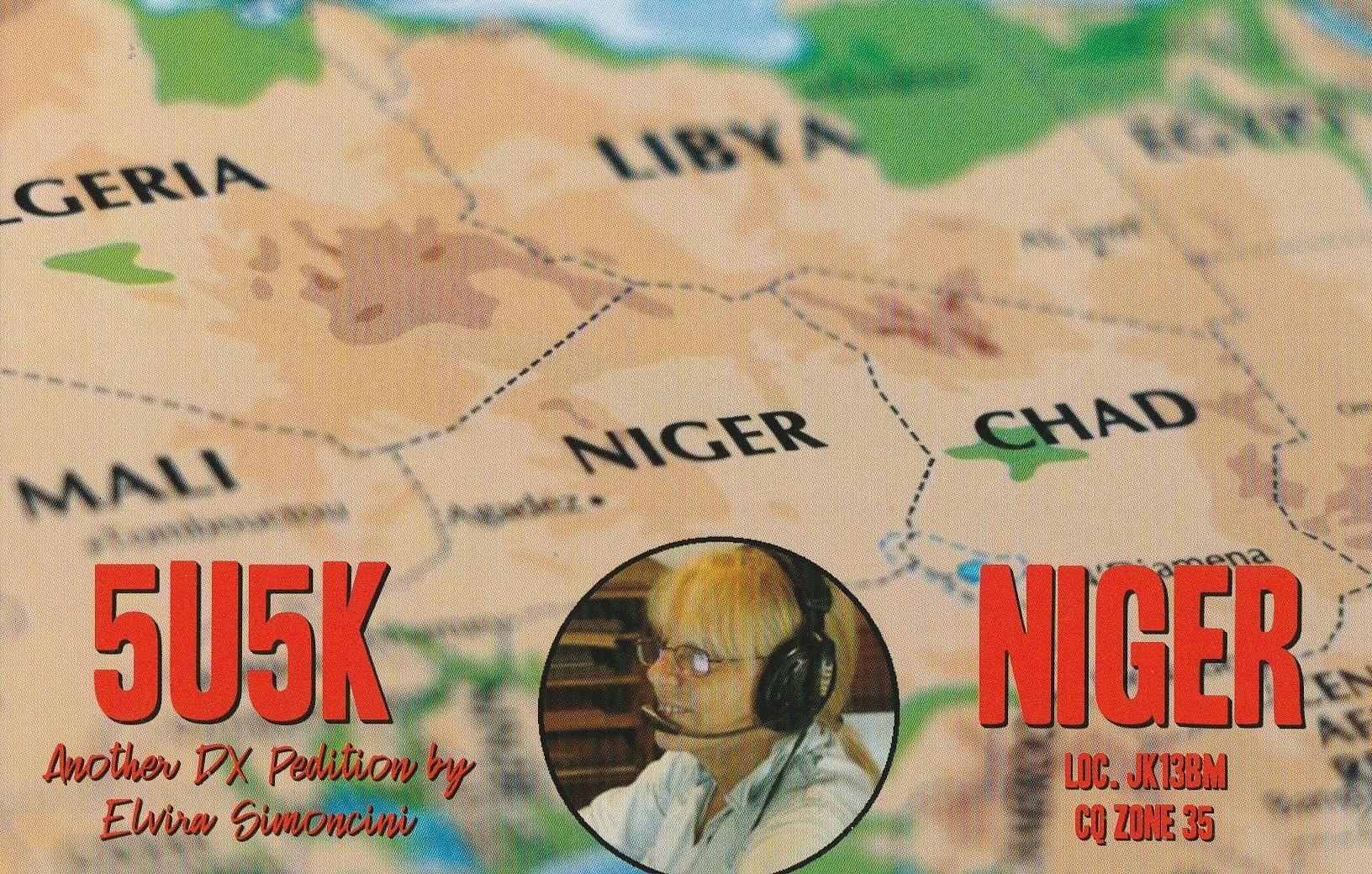
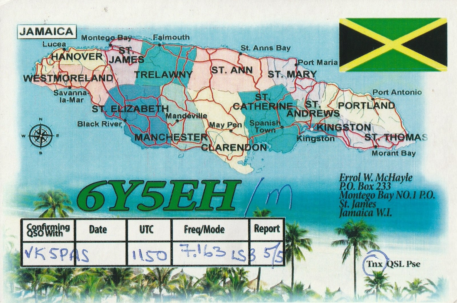
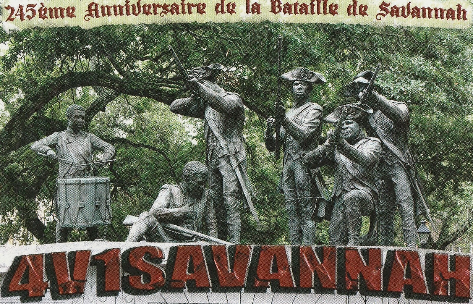
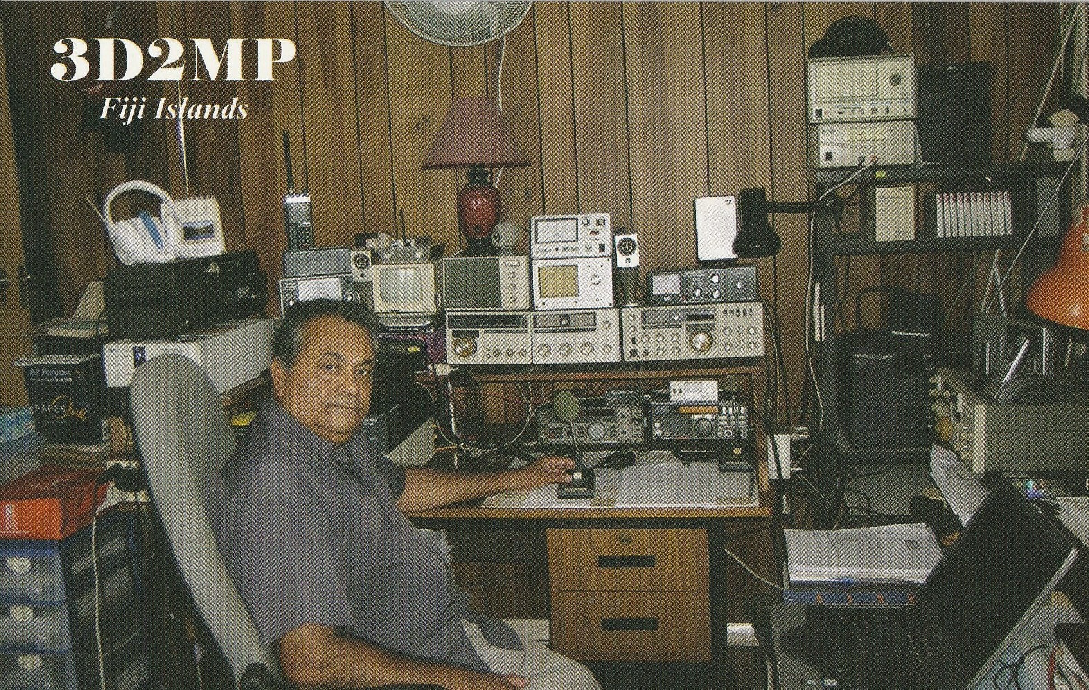
Here are some QSL cards that have been received in the past couple of weeks for VK5MAZ and VK5PAS.


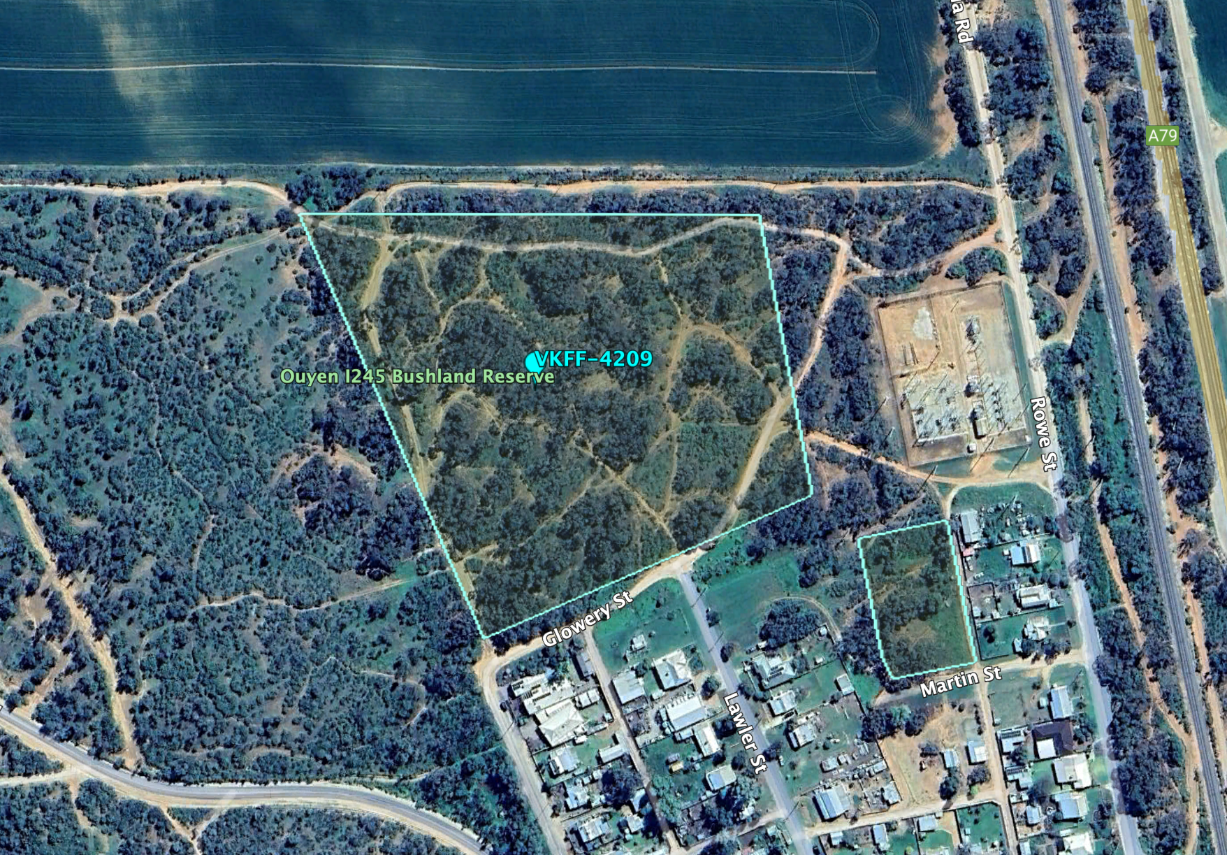
My first park for Tuesday 20th August 2024 was the Ouyen I245 Bushland Reserve VKFF-4209 and the Ouyen silo VK-OYN3.
The reserve is just on the north edge of the town of Ouyen in northwest Victoria.
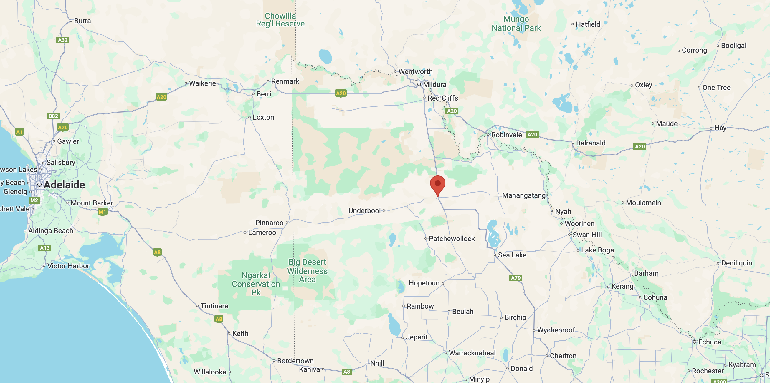
Above:- Map showing the location of the Ouyen I245 Bushland Reserve. Map c/o Google Maps.
The Ouyen area was first inhabited by the Wegaia aboriginal people. Ouyen, which is pronounced ‘Oh-Yen’, is believed to be derived from the Wegaia word ‘wuya wuya’ which is believed to mean ‘pink-eared duck’. Others claim that is means ‘ghost waterhole’. (Aussie Towns 2024) (Victorian Places 2024) (Wikipedia 2024)
In 1903 the railway line was extended from Woomelang (80km south of Ouyen) to Mildura. The town of Ouyen was established around the Ouyen railway station that was constructed in 1906 on the Midura railway line. The Ouyen Post Office opened on the 22nd day of October 1907. In 1909 the township was formally proclaimed. By 1911 Ouyen had become a transport and service centre for the surrounding land that was occupied by agricultural and pastoral properties. Ouyen’s population was 766 people. (Aussie Towns 2024) (Victorian Places 2024) (Wikipedia 2024)

Above:- An early view of Oke Street Ouyen. Image c/o Walking Ouyen Facebook page.
Today Ouyen is the commercial centre for the surrounding grain farming region. (Wikipedia 2024)
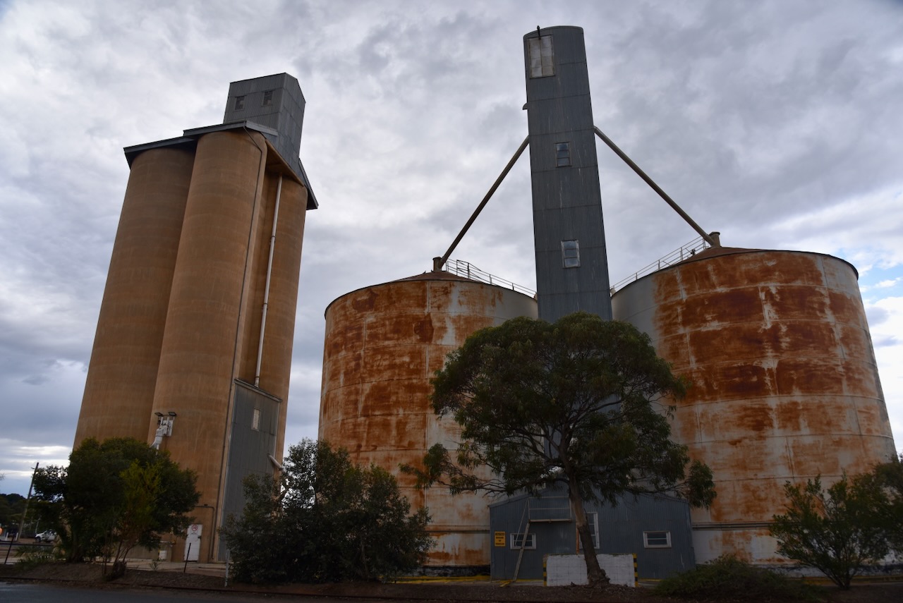
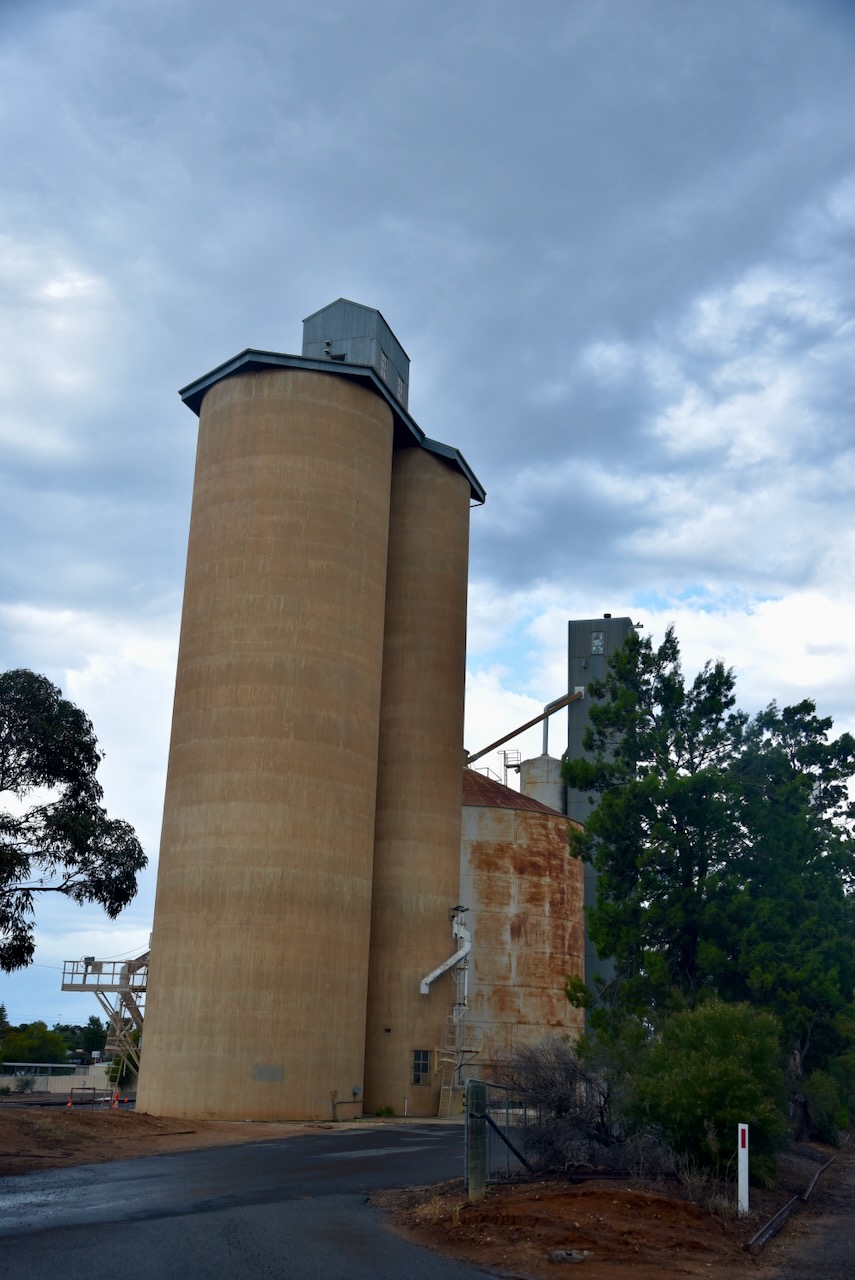
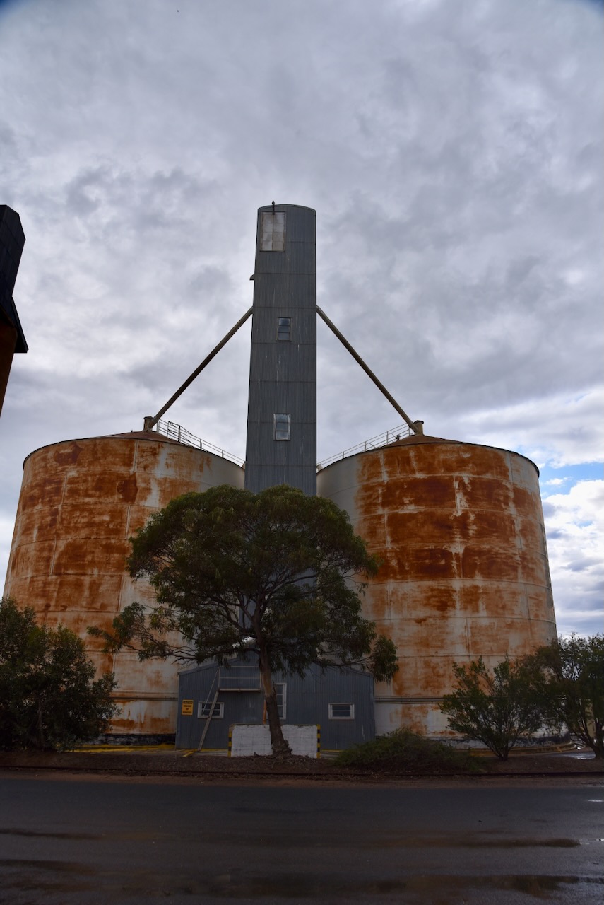
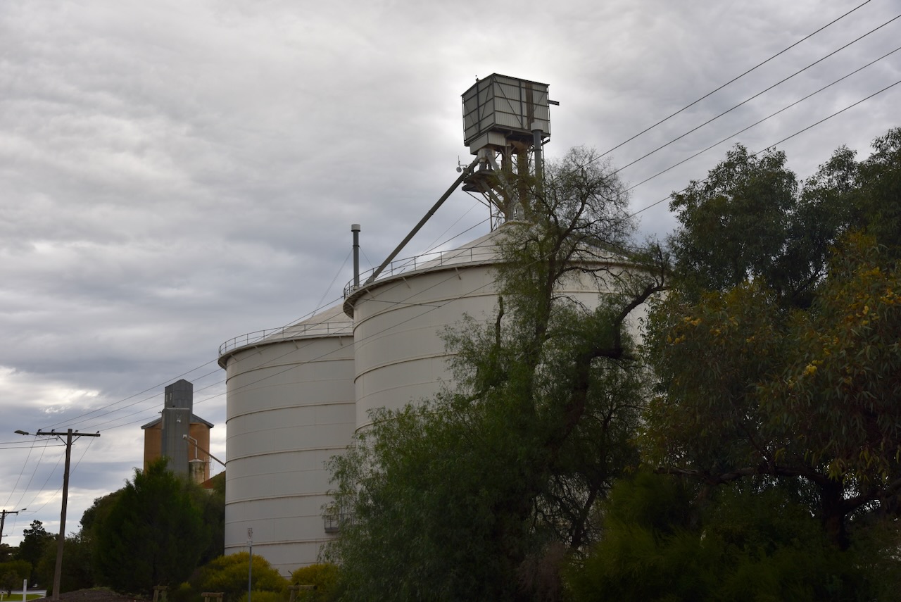
The Ouyen silos are located on Rowe Street. There are two steel silos a few hundred metres apart from the concrete silos and the older steel silos.

Above:- An aerial view of Ouyen showing the location of the Ouyen silos. Image c/o Google Maps.
The concrete silos at Ouyen were constructed in 1939. (The Argus)
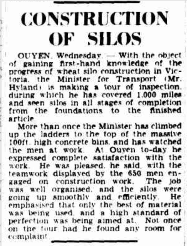
Above:- Article from The Argus, Thu 25 May 1939. Image c/o Trove.
The two steel Jumbo silos were constructed in 1986. Five railway departmental residences were demolished to make way for their construction. Work commenced in July 1986 and they were completed by November 1986. (Mildura Railway History 2024)
The Ouyen I245 Bushland Reserve is located on the northern side of Glowery Street, Ouyen.
Above:- An aerial view of the Ouyen I245 Bushland Reserve. Image c/o Google Earth.
The reserve is only small, about 5 hectares in size, and was established on the 8th day of May 1990. (CAPAD 2022)
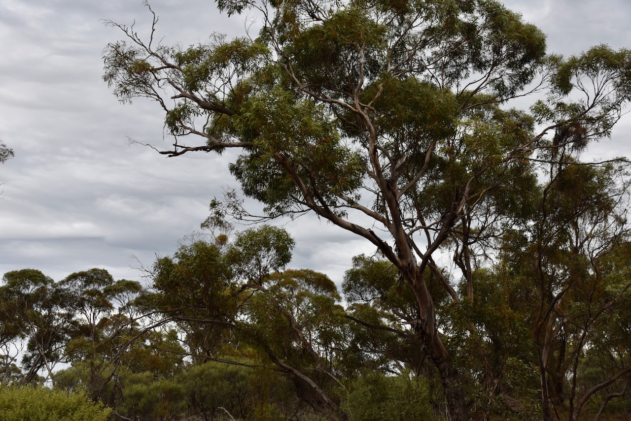
The reserve was easily accessible and I set up in a clearing amongst the mallee scrub. ran the Yaesu FT857, 40 watts, and the 20/40/80m linked dipole. I was set up within the activation zone of the Ouyen silo.

Above:- Map showing the activation zone of the Ouyen silo. Image c/o SiOTA website.
I worked the following stations on 40m SSB:-
I worked the following stations on 40m AM:-
I worked the following stations on 40m FM:-
I worked the following stations on 20m SSB:-
References.
Amateur Radio, Short Wave Listening, travel and history
Amateur radio experiences with VK1DA
Brisbane - Australia
german amateur radio station
Summits On The Air
SOTA on the peaks, wilderness QRP and some bushwalking
A fine WordPress.com site
Amateur Radio Adventures
Summits on the Ai
Radio craft, homebrew, QRP/SOTA, AM
Ego loqui ad viros super montes
My adventures with Amateur Radio and Geocaching!
The rantings of VK2GAZ on his SOTA experiences in Australia
A survivor, with minor cuts and abrasions.
The Art and Craft of Blogging
The latest news on WordPress.com and the WordPress community.
Blog of Justin Giles-Clark VK7TW's SOTA and amateur radio adventures.
Occasional SOTA & Microwave operation
Some accounts of SOTA and other radio outings

