On Friday morning 17th November 2023, Marija and I returned to Victoria for another road trip. This was to coincide with the 2023 VKFF Activation Weekend.
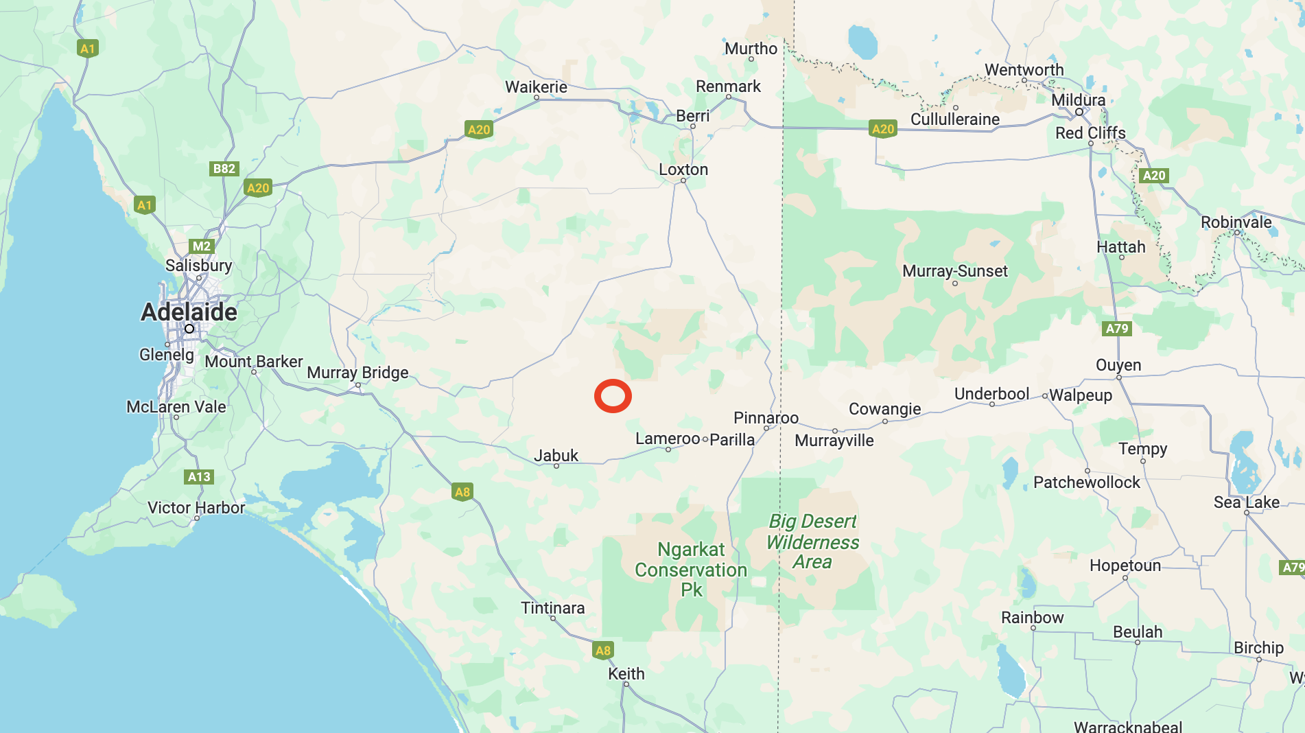
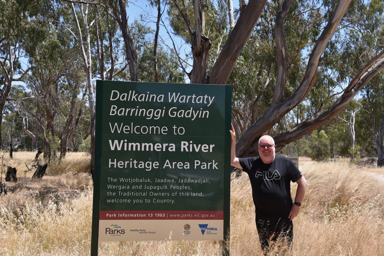
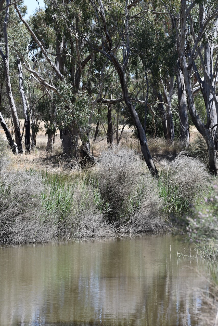
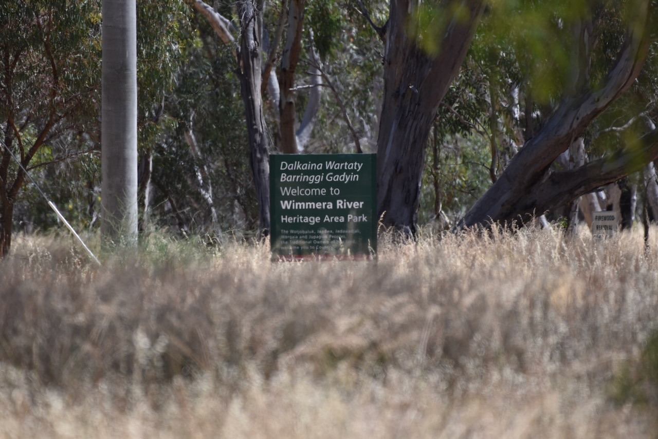
After stopping off at the local Strathalbyn bakery for a bacon & egg roll and hot coffee, we travelled along the Dukes Highway before entering Victoria. We continued east along the Western Highway, with our first activation of the day being the Wimmera River Heritage Area Park VKFF-4258.
This was the first activation of the park for the World Wide Flora Fauna (WWFF) program.
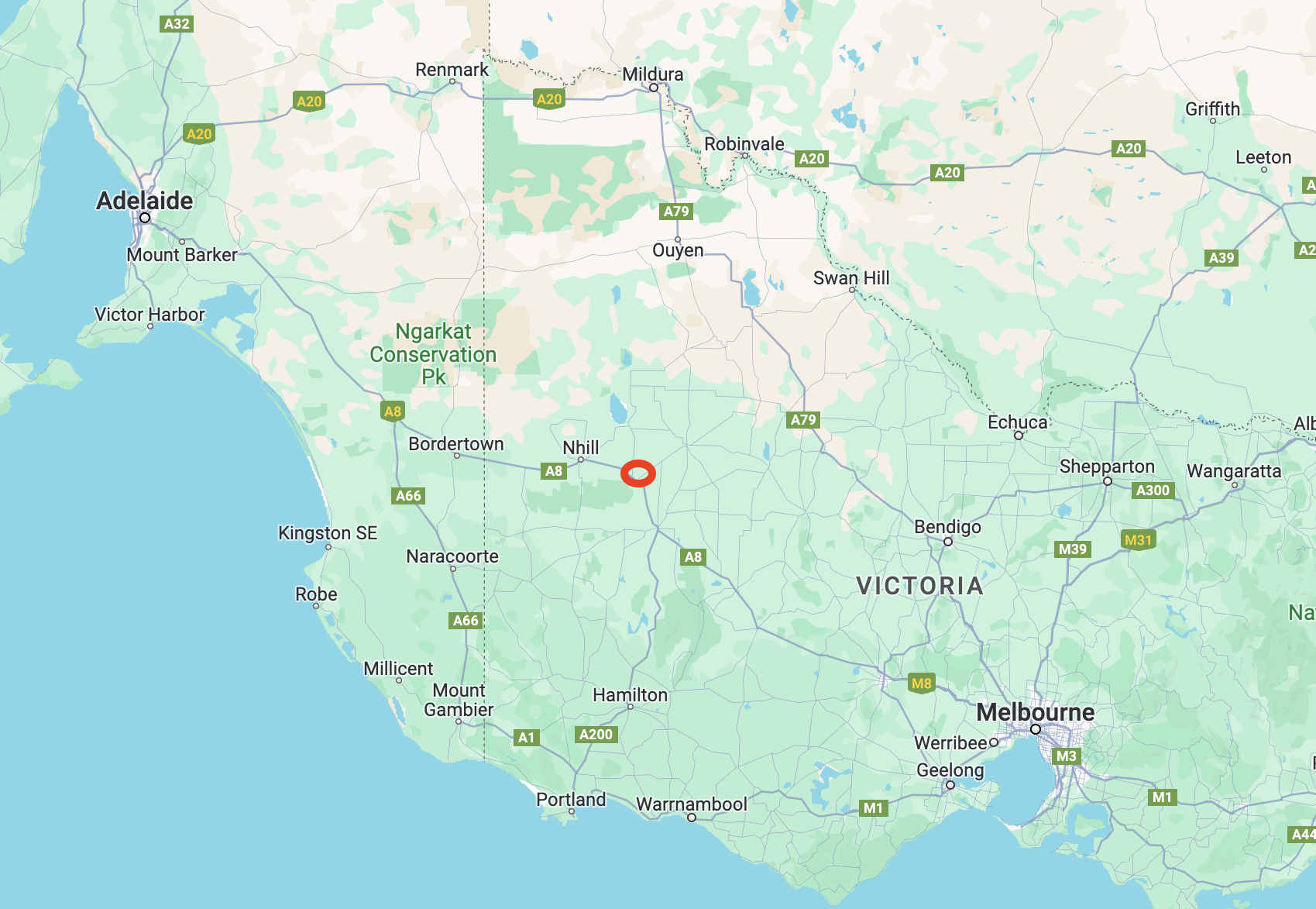
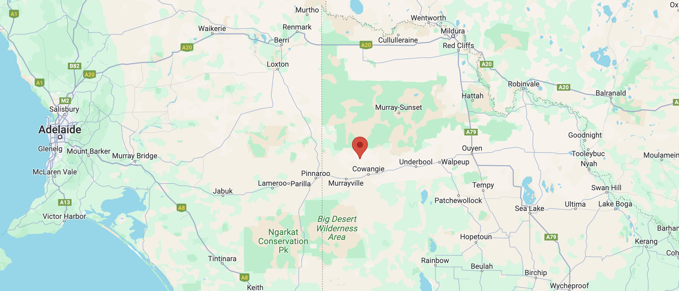
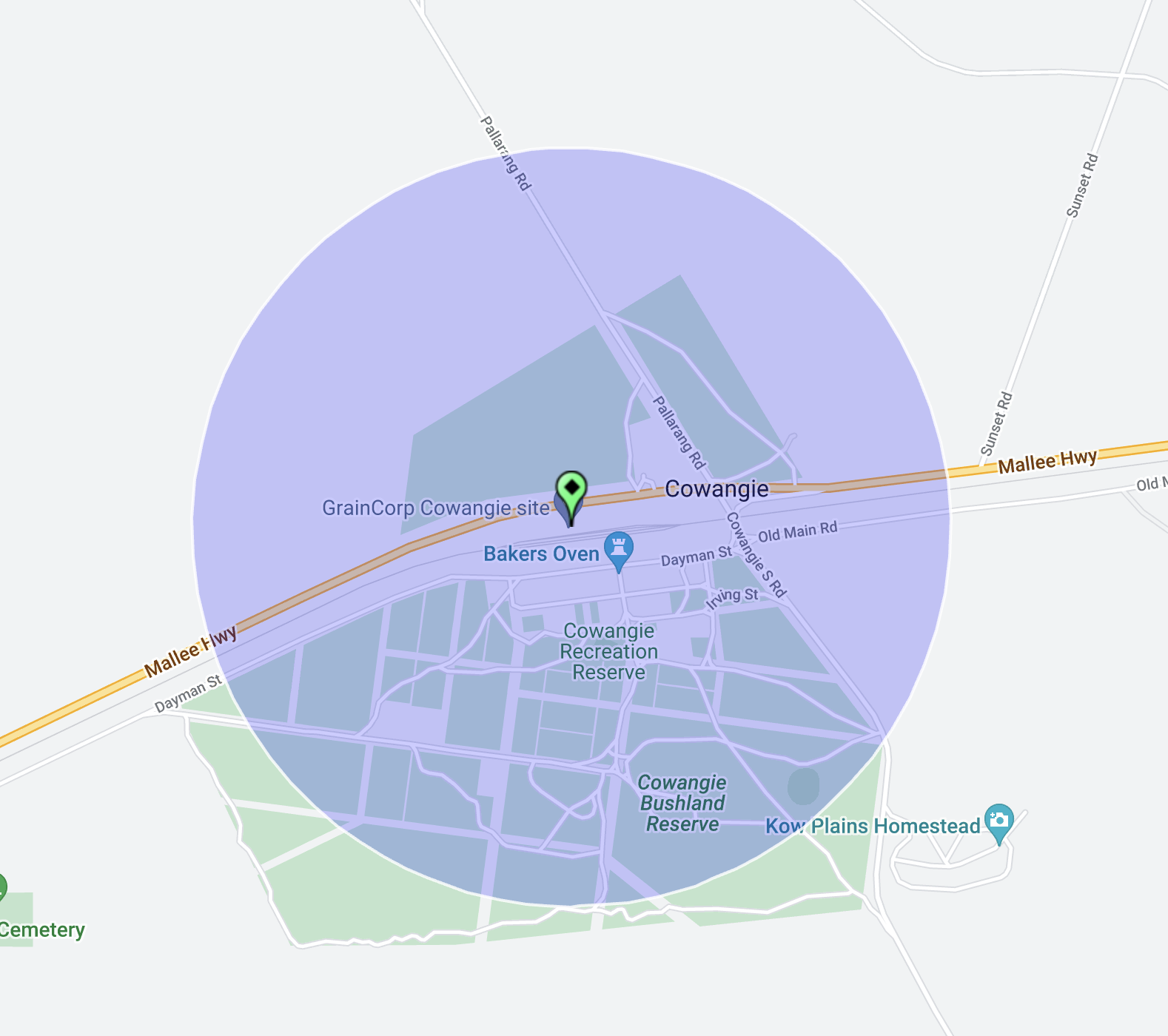
Above:- Map showing the location of our activation in western Victoria. Map c/o Google Maps.
The Wimmera River Heritage Area Park is 26,736 hectares in size and was created on the 10th day of September 1992. (CAPAD 2022) It stretches from Lake Albacutya in the north to below the Little Desert National Park in the south.

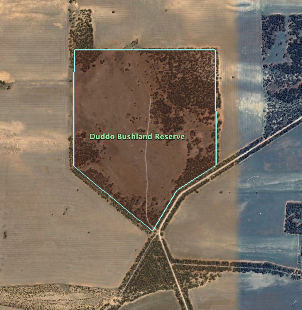
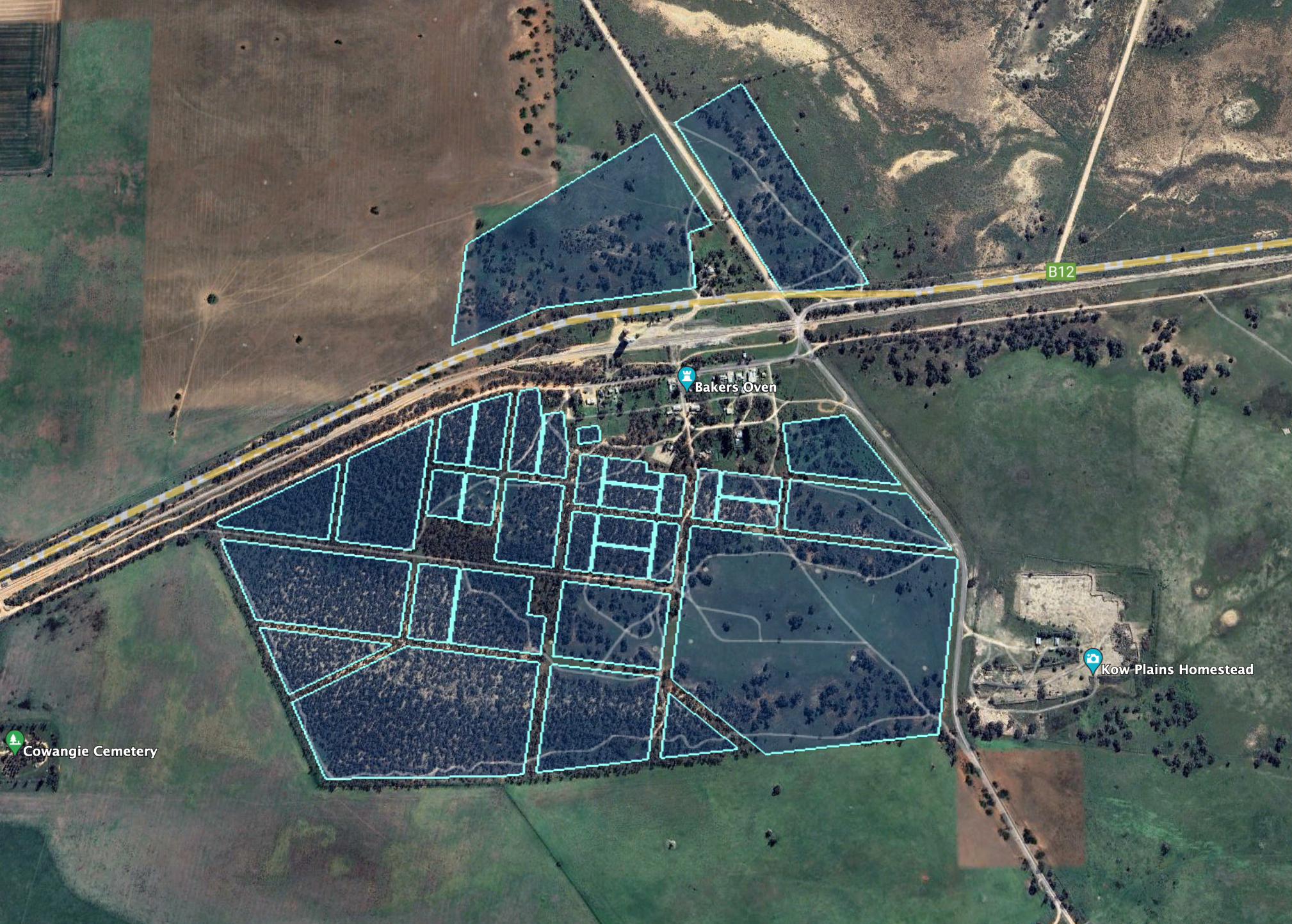
Above:- The Wimmera River Heritage Area Park. Image c/o Google Earth.
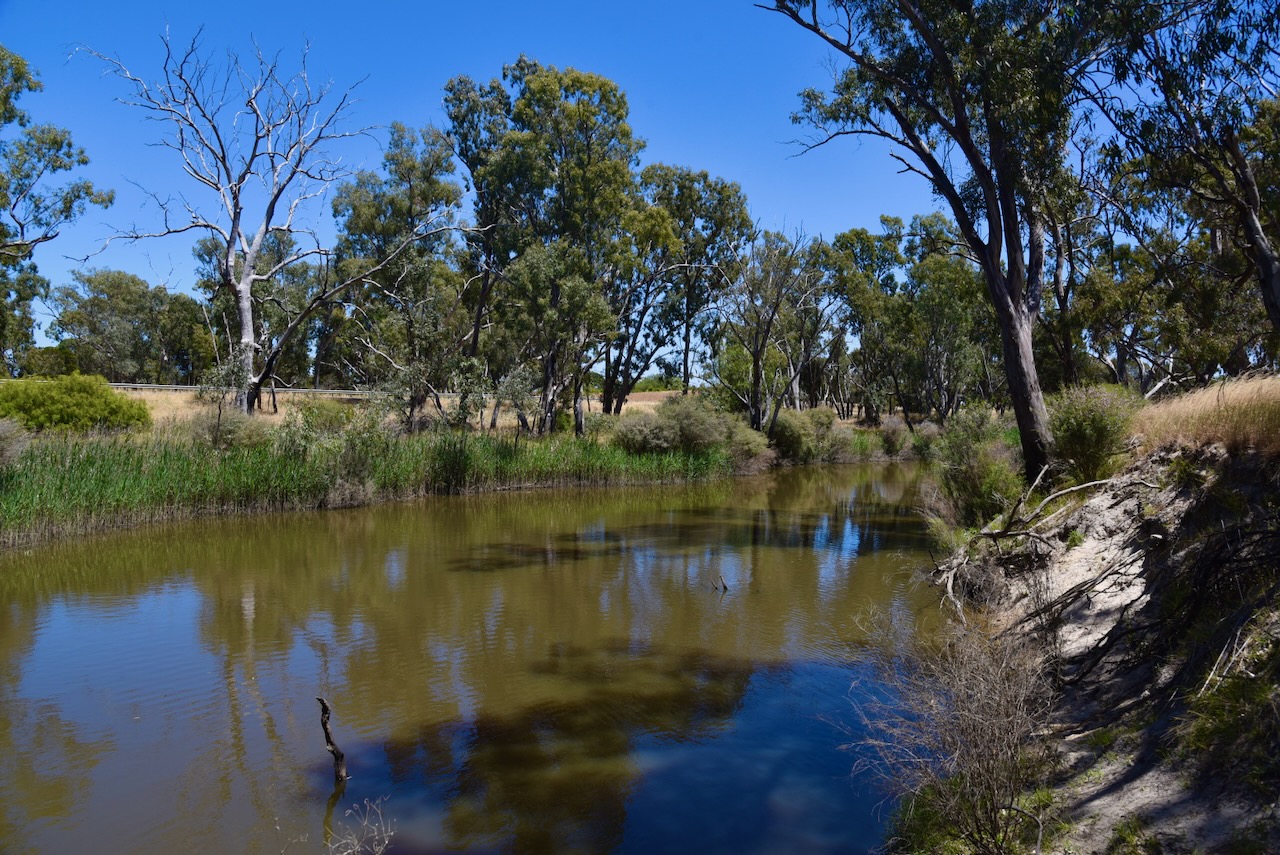
The Wimmera River rises in the Great Dividing Range near Elmhurst, before reaching its mouth at Lake Hindmarsh. The river is joined by fourteen tributaries. The Wimmera River’s total length is 278 km. It takes its name from the aboriginal word woomera, meaning throwing stick. (Blake 1977)

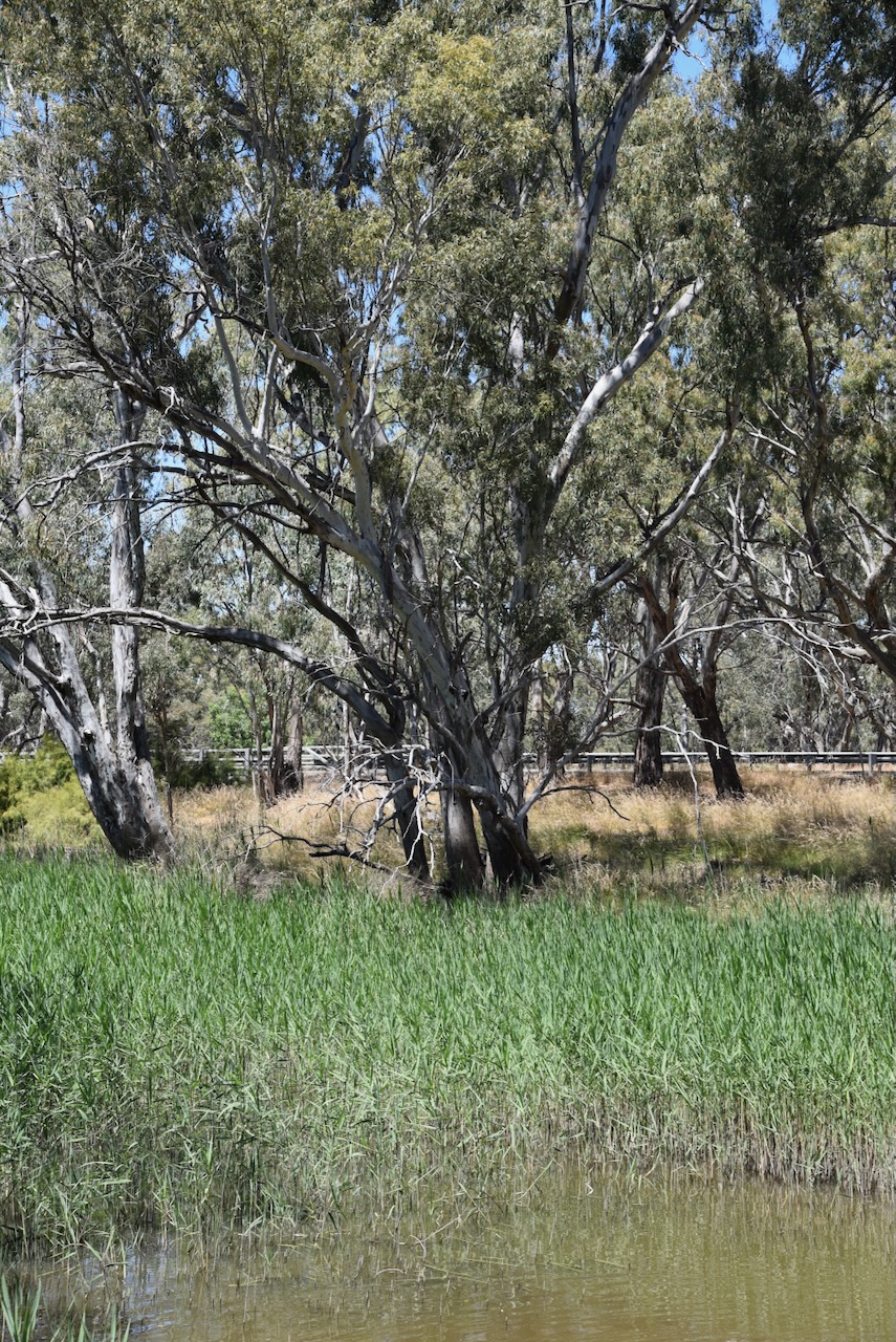
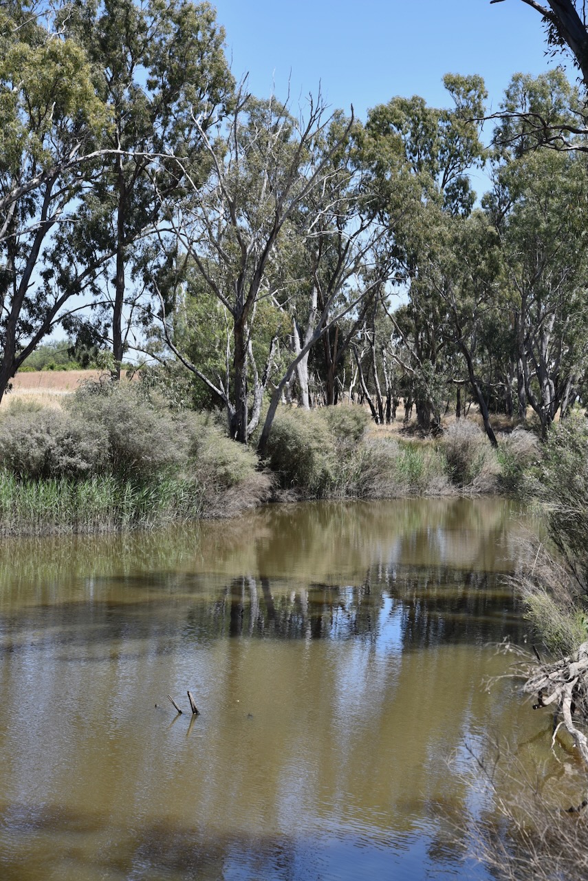
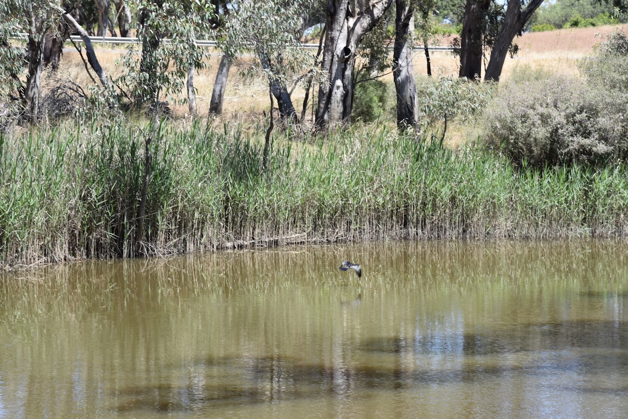
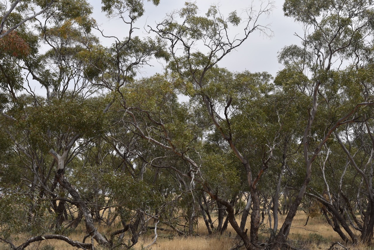
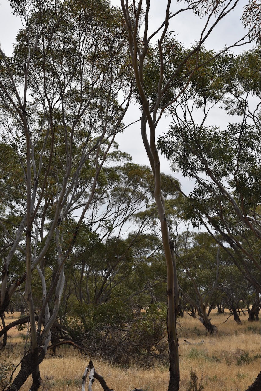
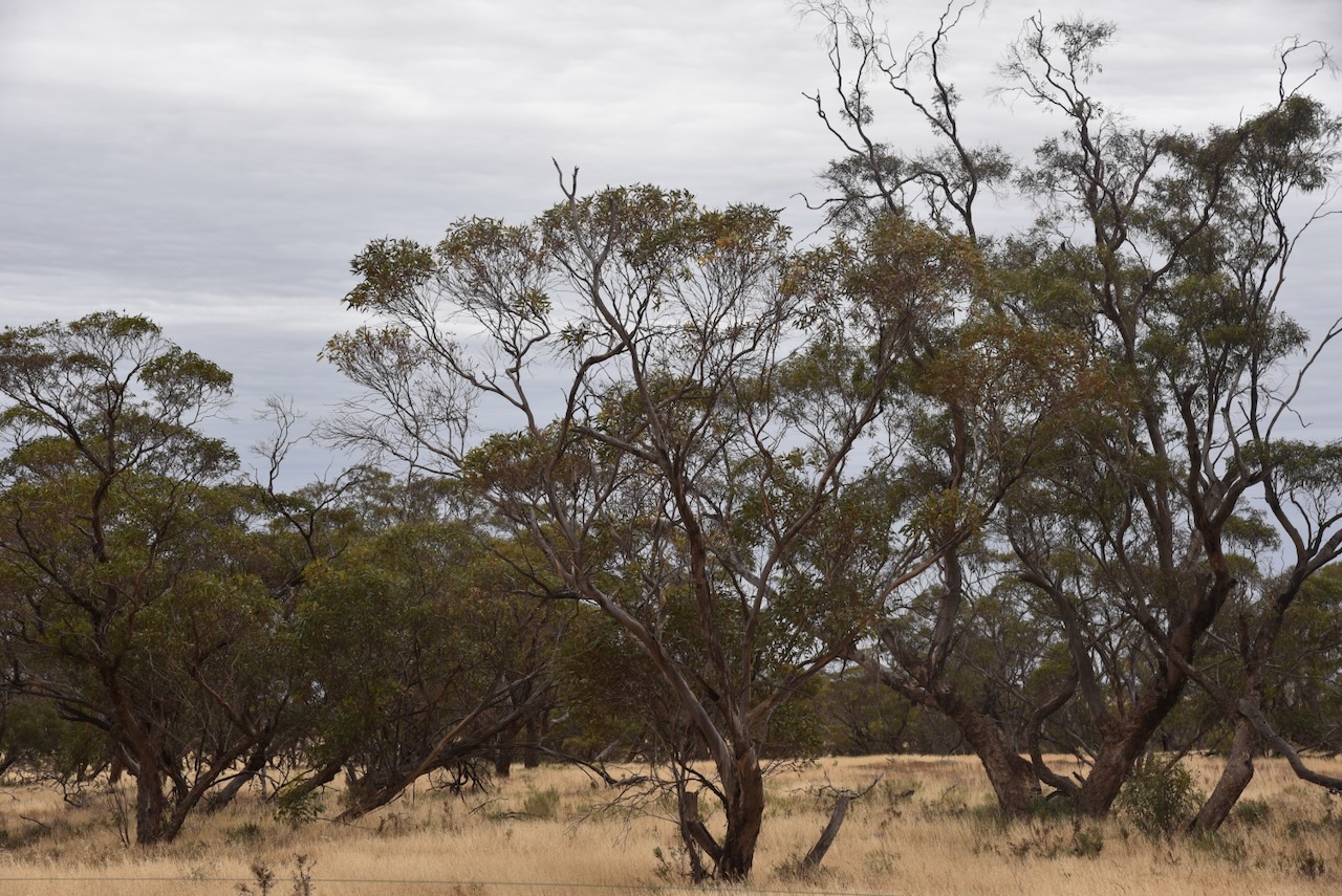
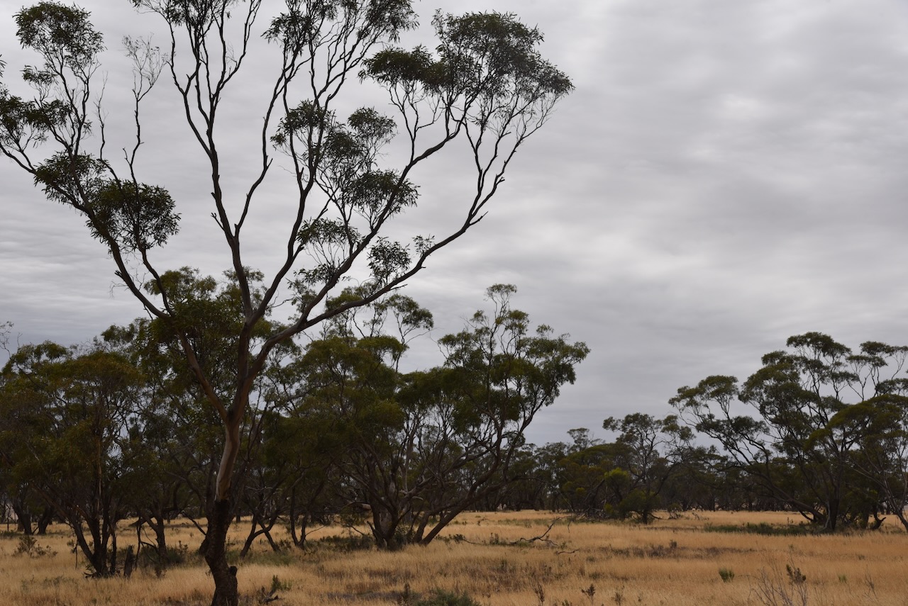
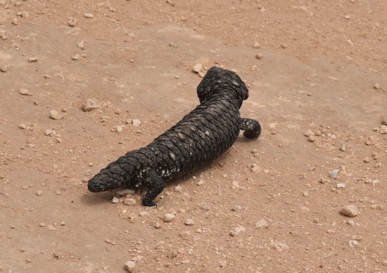
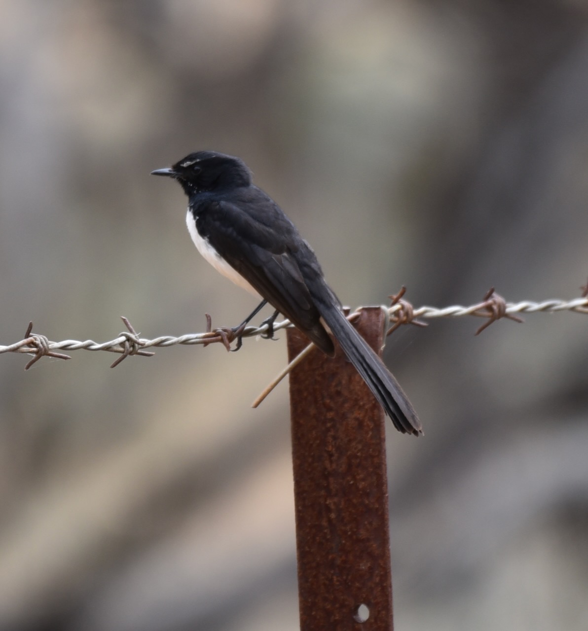
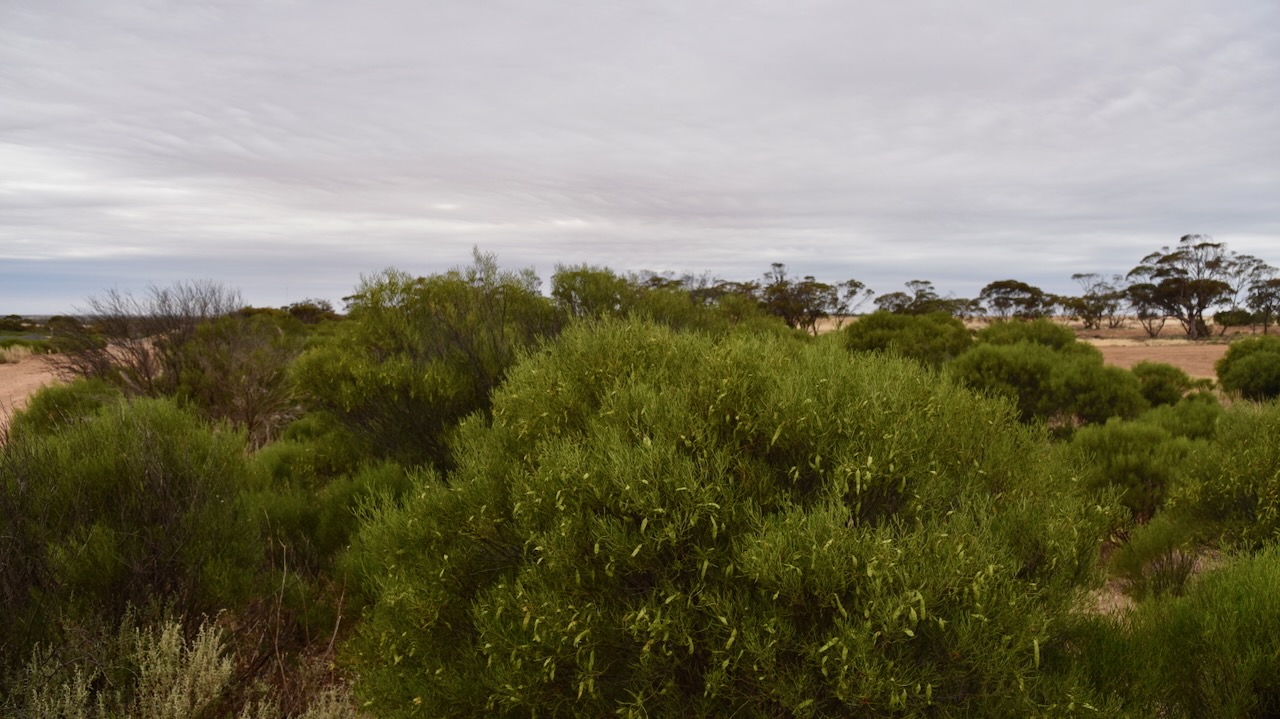
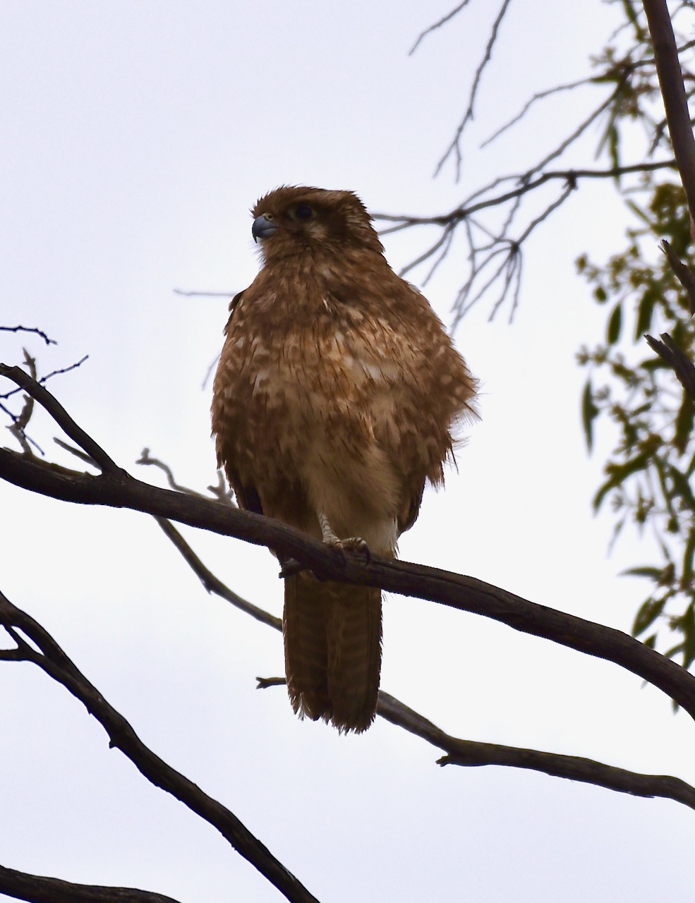
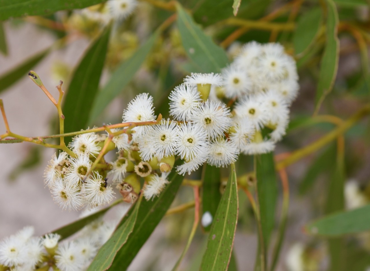
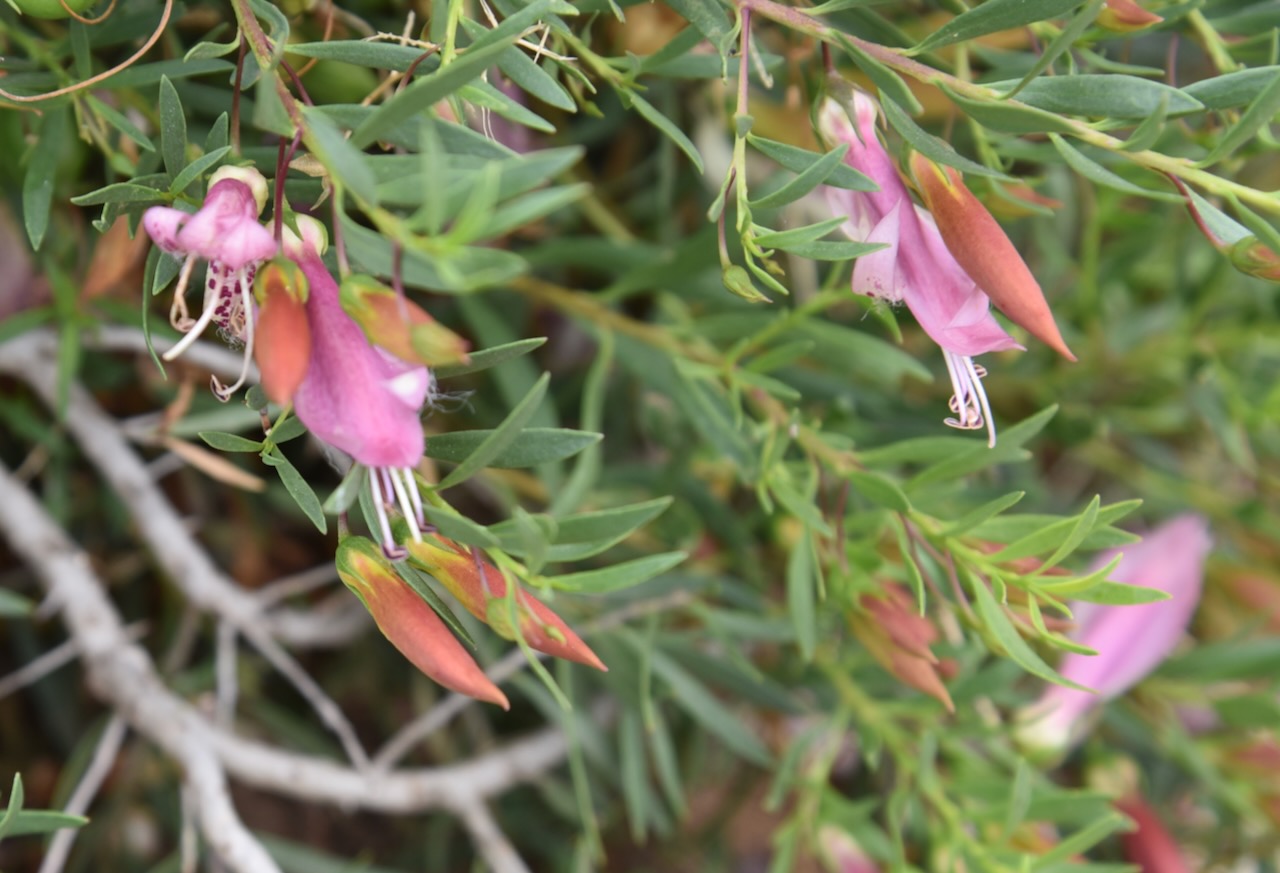
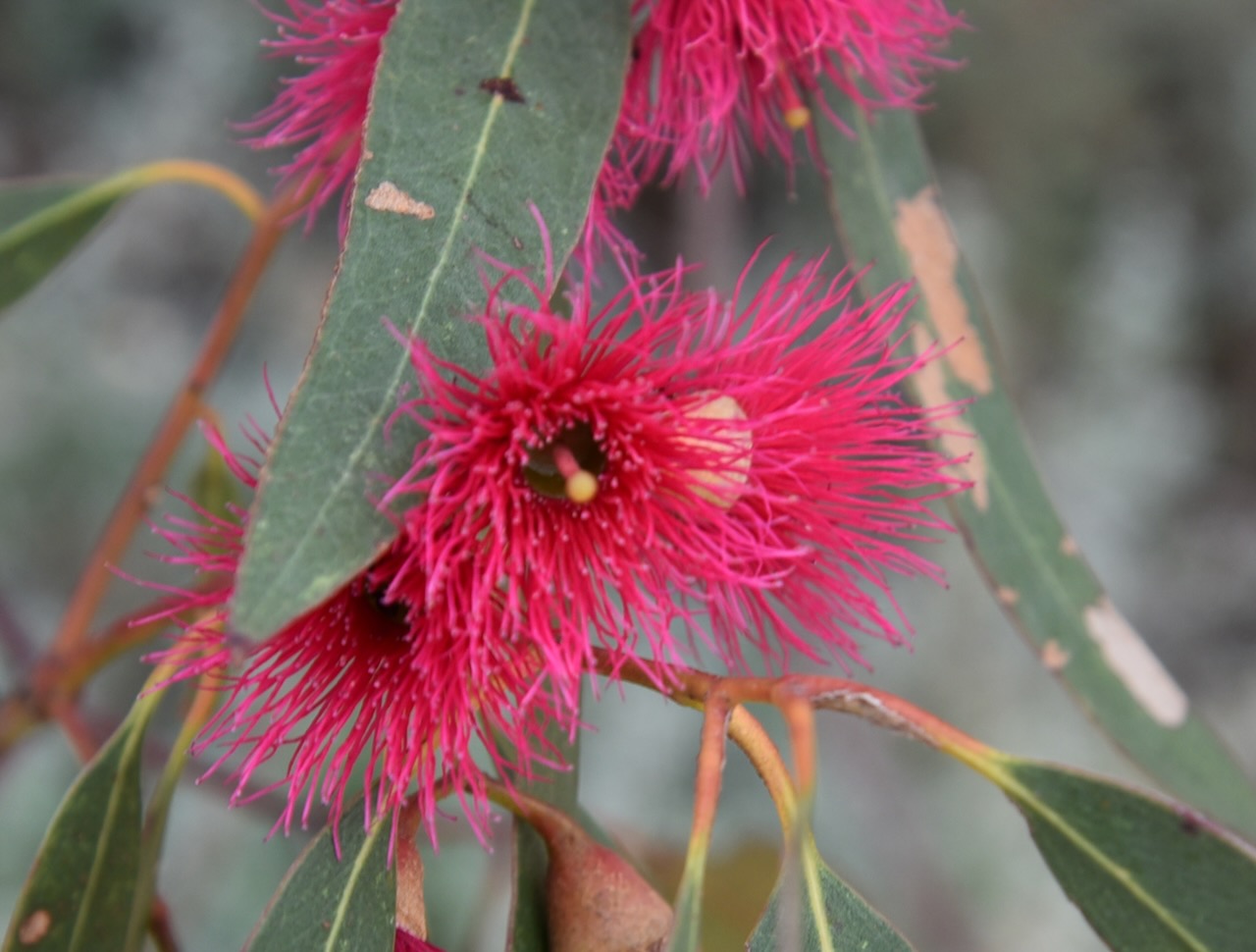
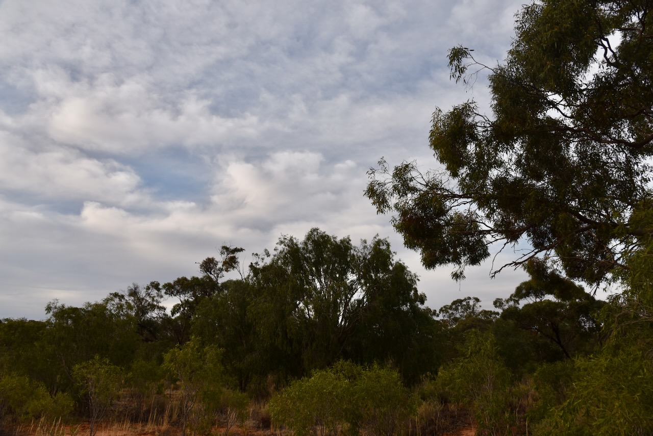
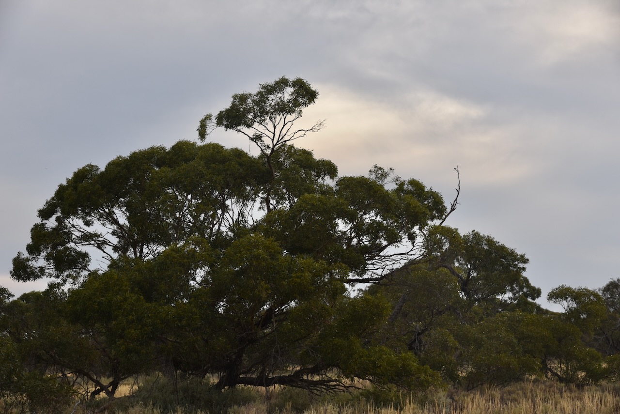
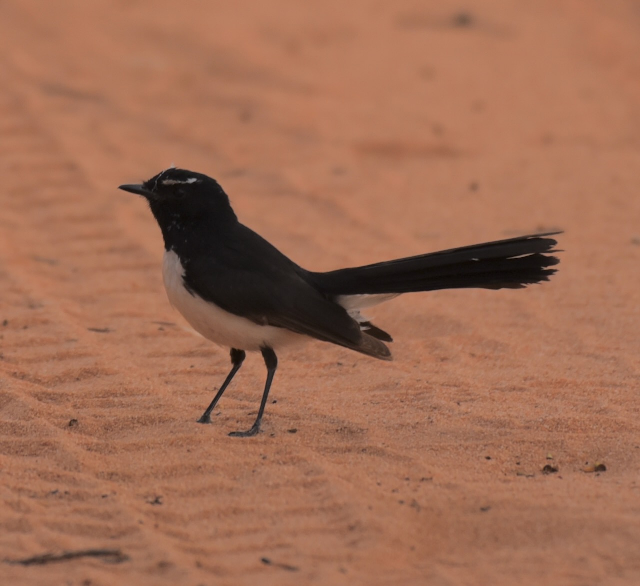
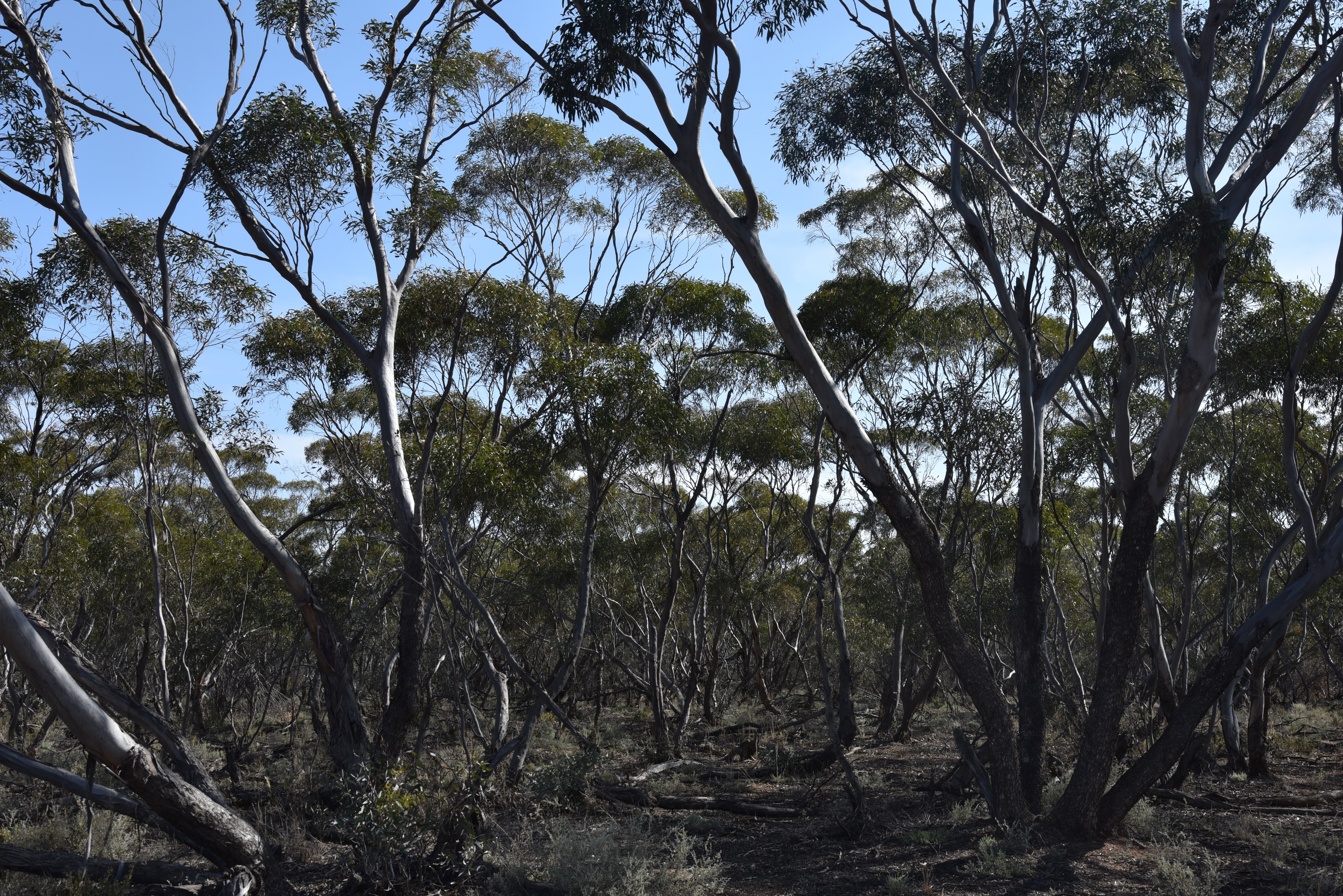
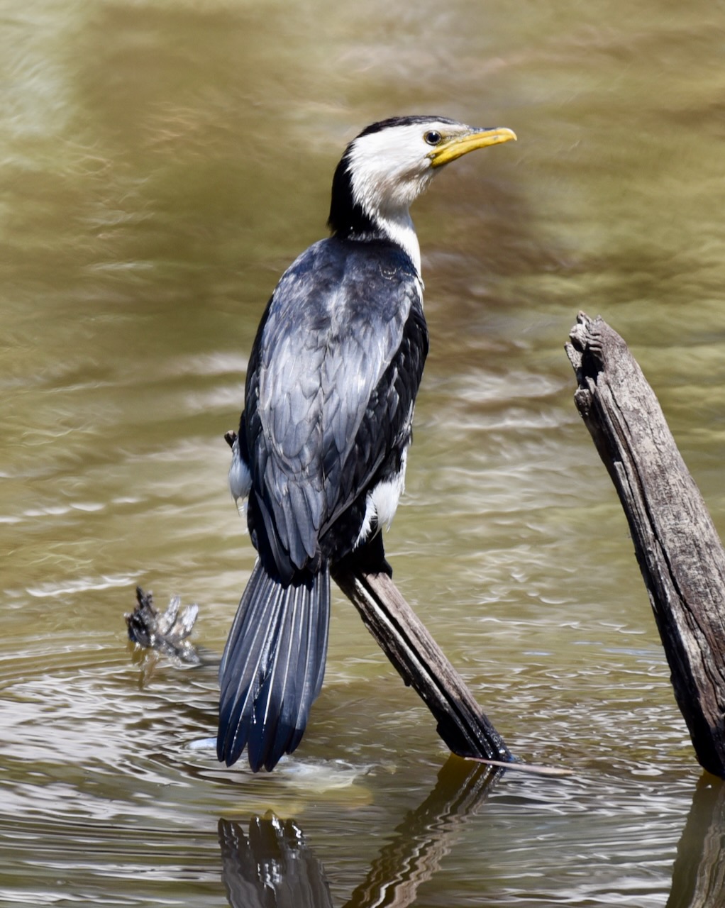
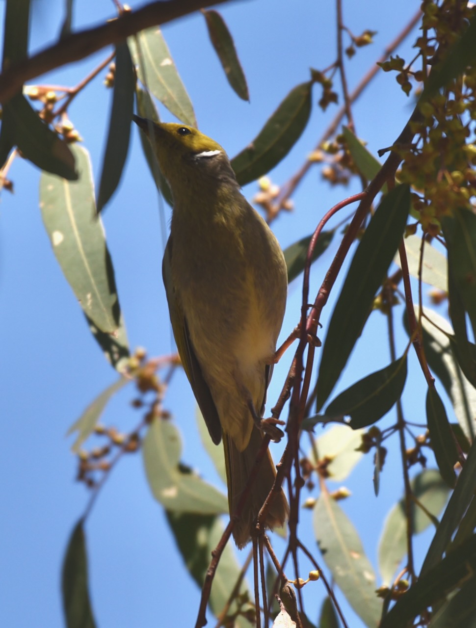
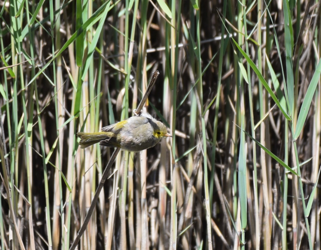
During our visit to the park we observed quite a bit of birdlife.
The Wimmera region includes the traditional lands of the Wotjobaluk, Jaadwa, Jadawadjali, Wergaia and Jupagulk People. (Wimmera CMA 2024)
The area was first surveyed by Europeans in 1836, when explorer Major Thomas Mitchell passed through the area. He did however make an inaccurate deduction regarding the Wimmera River. Mitchell stated:
“Upon the whole, I think that the estuary of the Wimmera will most probably be found either between Cape Bernouilli and Cape Jaffa, or at some of the sandy inlets laid down by Captain Flinders…At all events I here abandoned the pursuit of that river, and determined to turn towards the south-west that we might ascertain what streams fell in that direction from the Grampians and also the nature of the country between these mountains and the shores of the Southern Ocean.” (Project Gutenberg 2007)
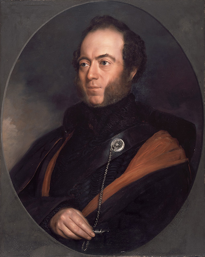
Above:- Major Mitchell. Image c/o Wikipedia.
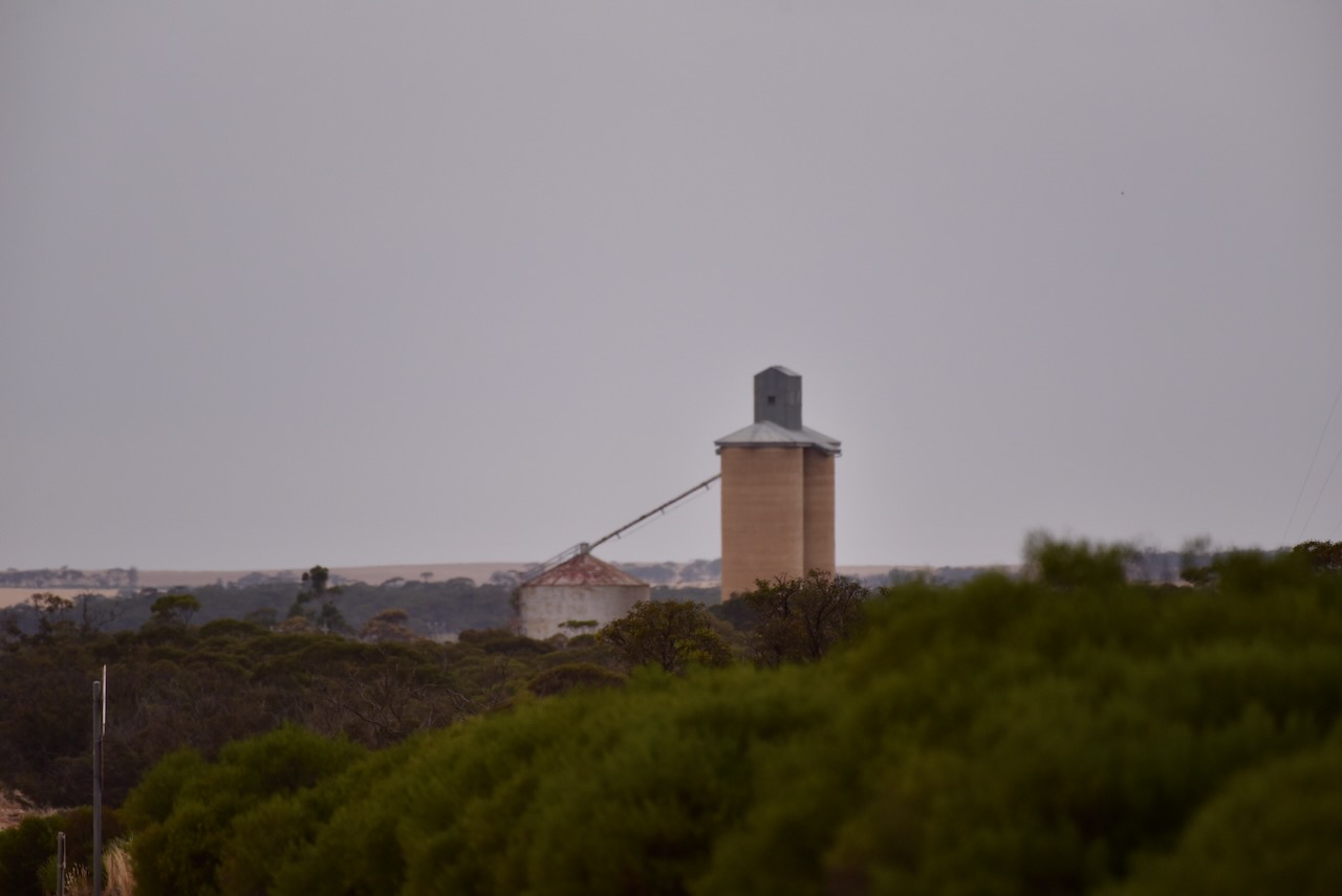
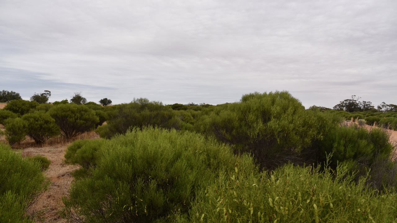
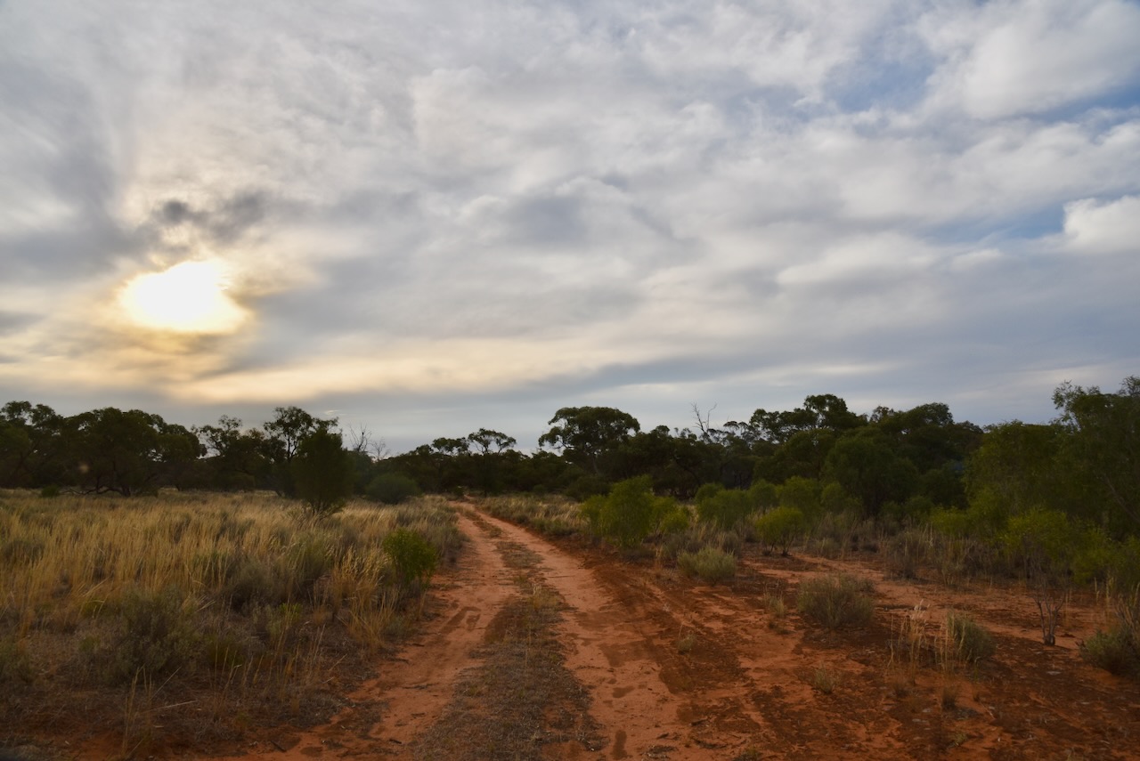
We operated from the rest area on the Western Highway where the Wimmera River crosses the Highway northwest of the town of Dimboola.
We ran the Yaesu FT857, 40 watts, and the 20/40/80m linked dipole supported on the 7-metre heavy-duty squid pole. I used the special call of VI10VKFF to celebrate the 10-year anniversary of the VKFF program.
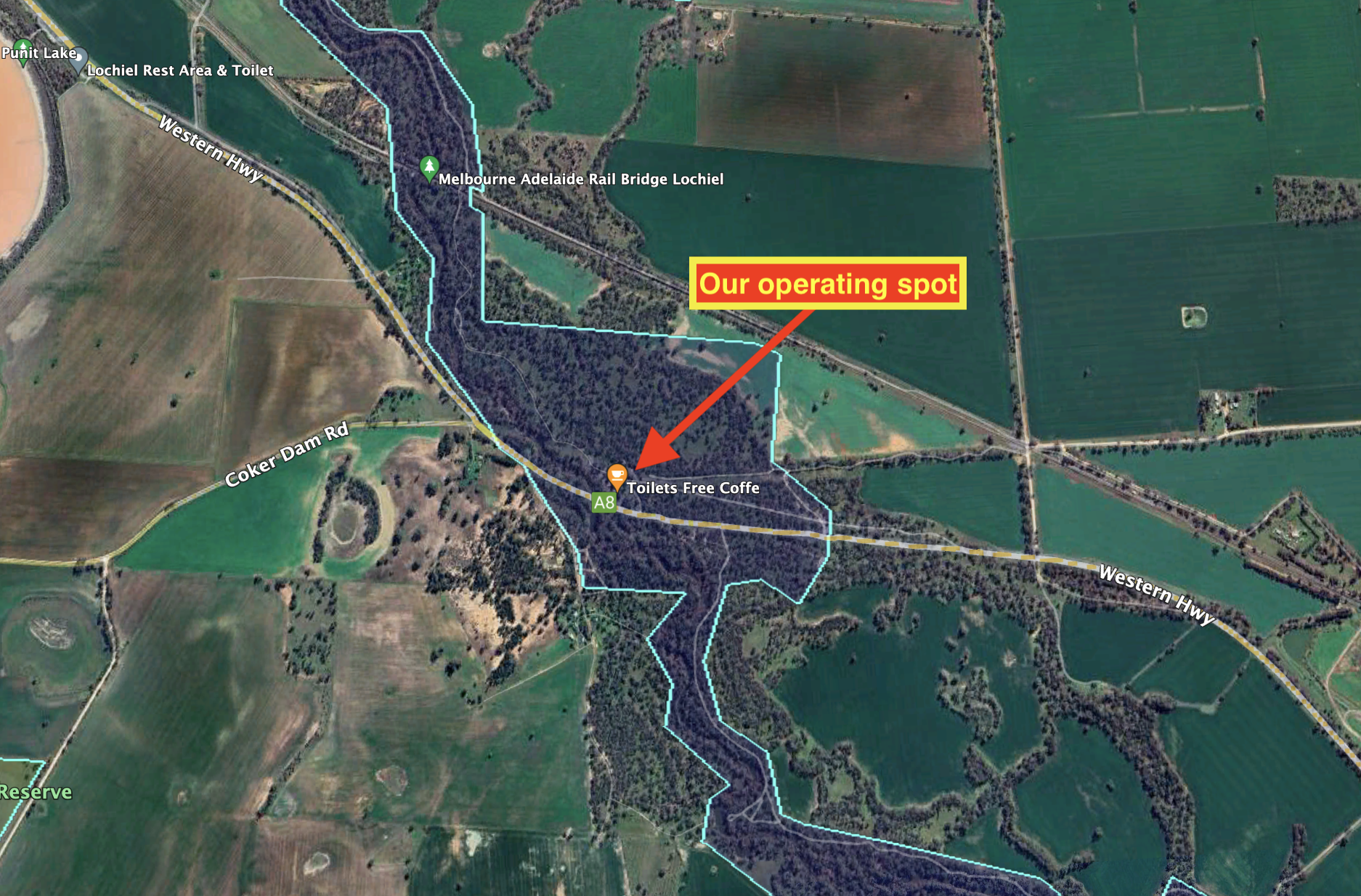
Above:- An aerial view showing our operating spot. Image c/o Google Earth.
Marija worked the following stations on 40m SSB:-
- VK3SQ
- VK2BD
- Vk3CEO
- VK3PF
- VK3KAI
- VK3SMW
- VK3APT
- VK3BBB
- VK2CCP
- VK3VIN
- VK2IO/p (Eurabbie Flora Reserve VKFF-3053)
- VK7FADZ/p (SOTA VK1/ AC-008 & Bimberi Nature Reserve VKFF-1890)
- VK3BEL/p (Castlemaine H85 Bushland Reserve VKFF-4296)
Marija worked the following station on 40m AM:-
- VK2IO/p (Eurabbie Flora Reserve VKFF-3053)
I worked the following stations on 40m SSB:-
- VK3SQ
- VK2BD
- VK3CEO
- VK3PF
- VK3KAI
- VK3SMW
- VK3APT
- VK3BBB
- VK2CCP
- VK3VIN
- VK3APJ
- VK3MTT
- VK3MCK
- VK5LG
- VK5FANA
- VK2IO/p (Eurabbie Flora Reserve VKFF-3053)
- VK1AO
- VK2MET
- VK5PL
- VK3YV
- VK3PI
- VK1DI
- VK5HS
- VK7EV/m
- VK7FADZ/p (SOTA VK1/ AC-008 & Bimberi Nature Reserve VKFF-1890)
- VK3OF
- VK2HHA
- VK3DJC
- VK2KYO
- VK2EXA
- VK5AV
- VK5HAA
- VK3UAO
- VK3BEL/p (Castlemaine H85 Bushland Reserve VKFF-4296)
I worked the following stations on 40m AM:-
- VK3SQ
- VK2BD
- VK2IO/p (Eurabbie Flora Reserve VKFF-3053)
- VK2EXA
I worked the following stations on 20m SSB:-
- VK1AO
- VK2MET
- VK7XX
- VK1DI
- VK7HBR
- VK7XN
- VK7QP
References.
- Australian Government, 2024, Collaborative Australian Protected Areas Database, viewed 6th February 2024.
- Blake; L, 1977, Place Names of Victoria, Rigby Limited, Melbourne.
- Project Gutenberg Australia, 2007, Thomas Mitchell, viewed 6th February 2024.
- Wimmera River Catchment Management Authority, 2024, First Nations Introduction, viewed 6th February 2024.