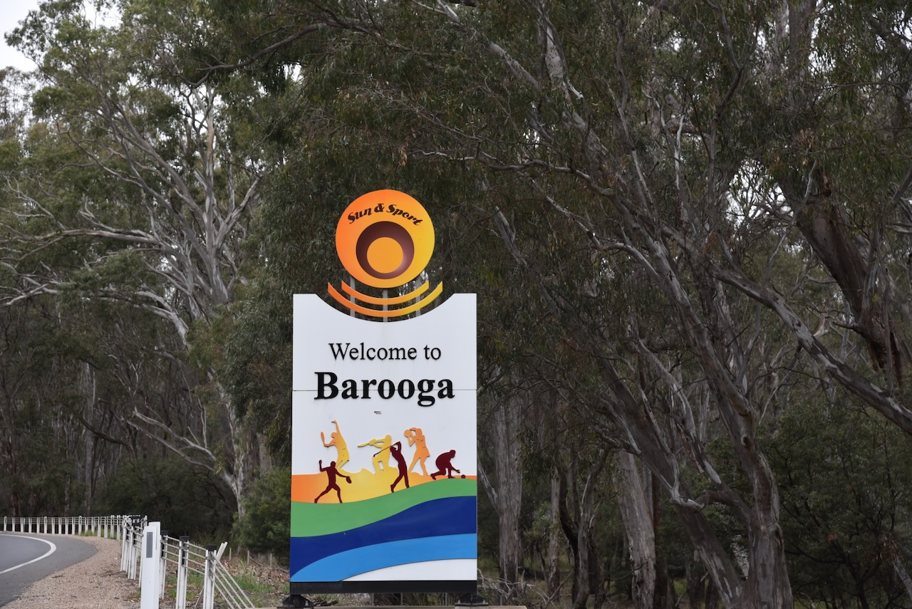
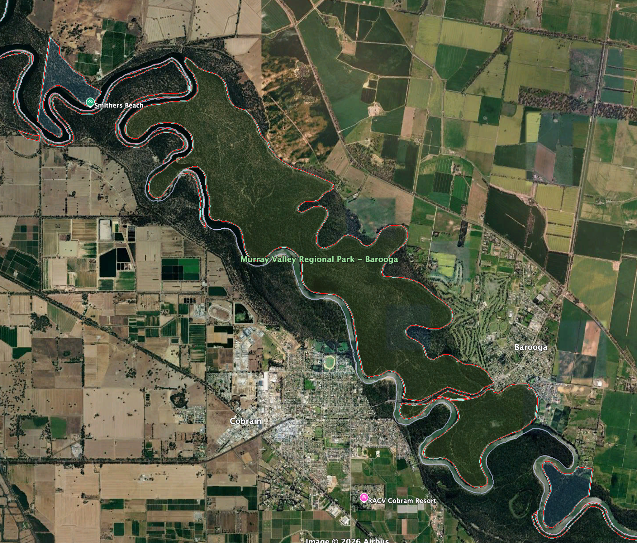
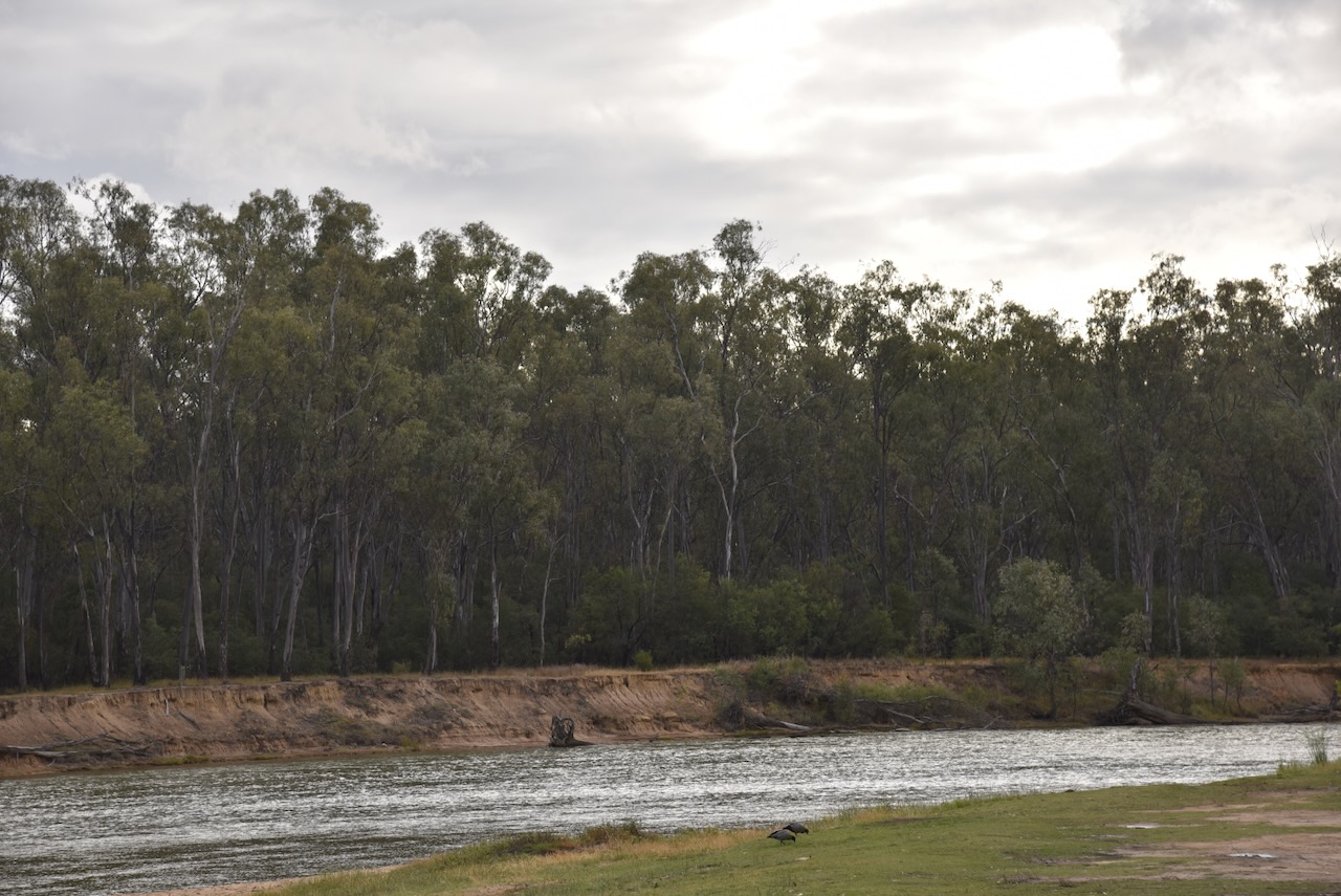
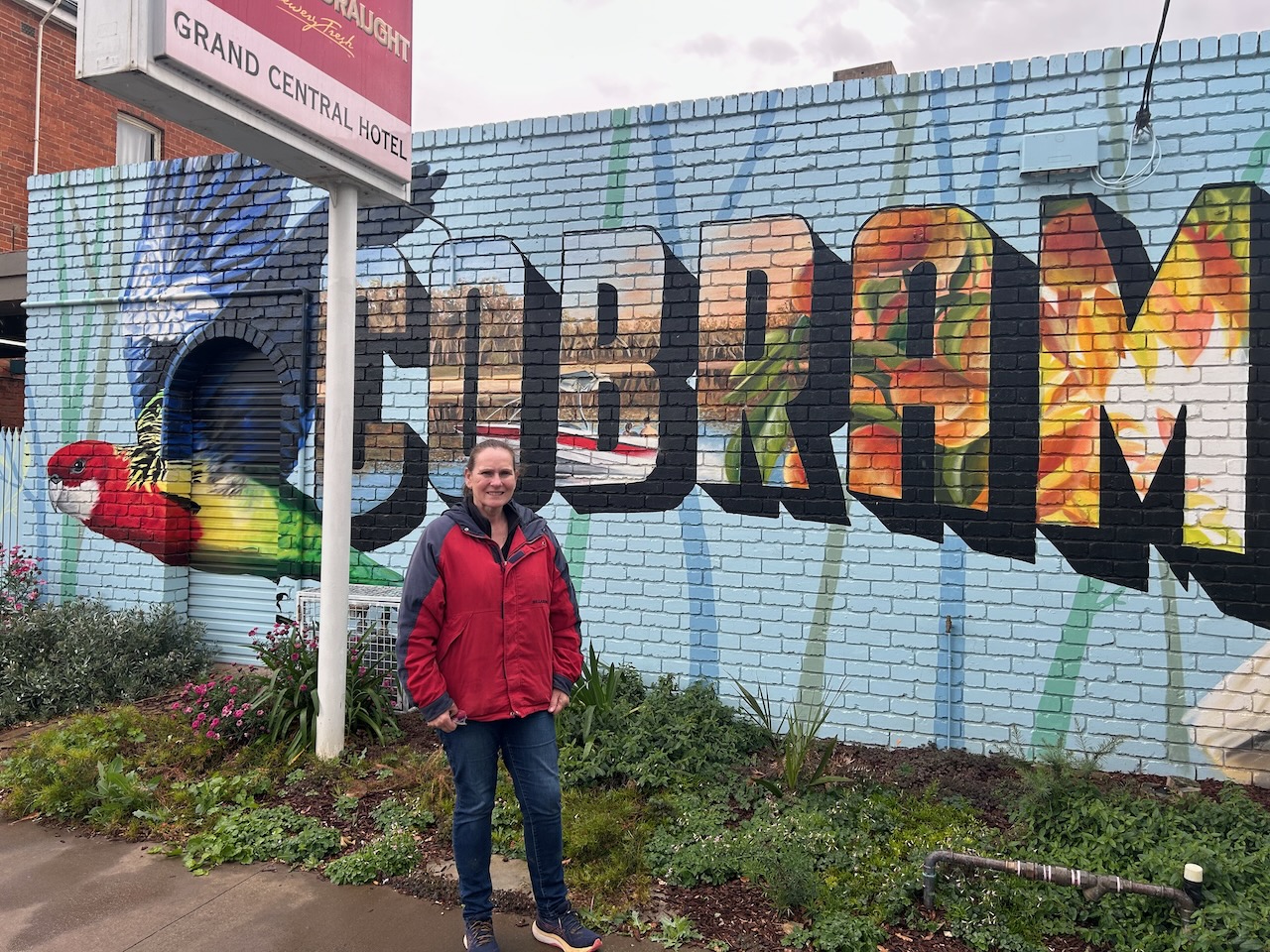
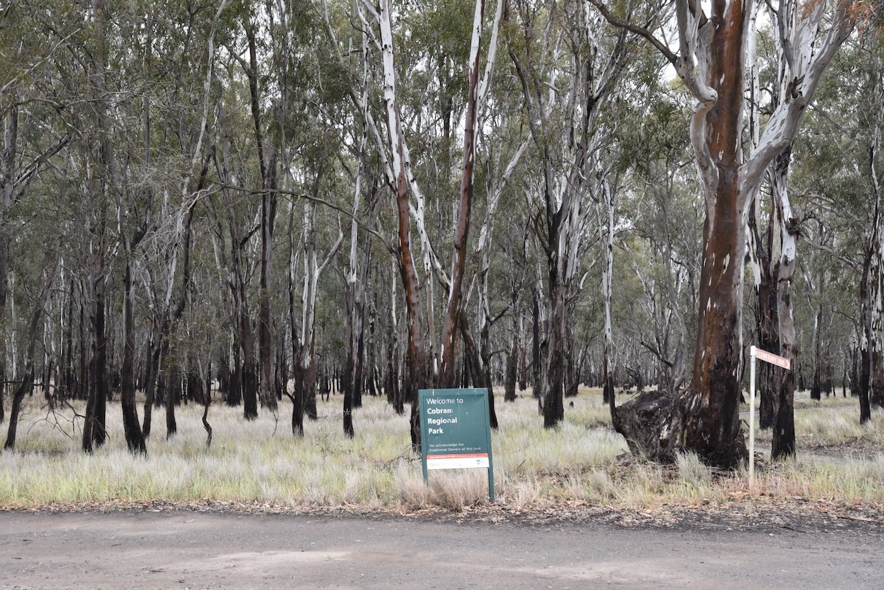
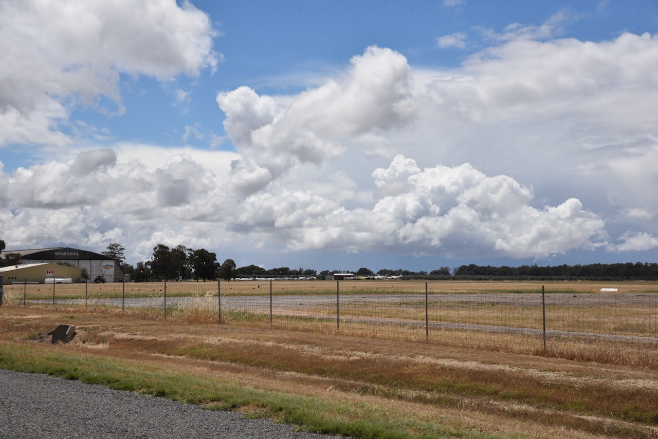
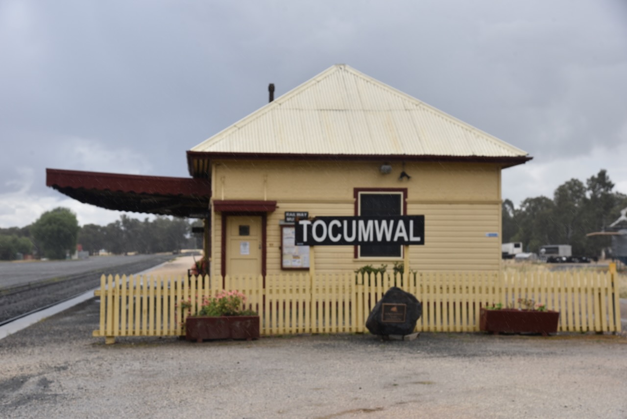
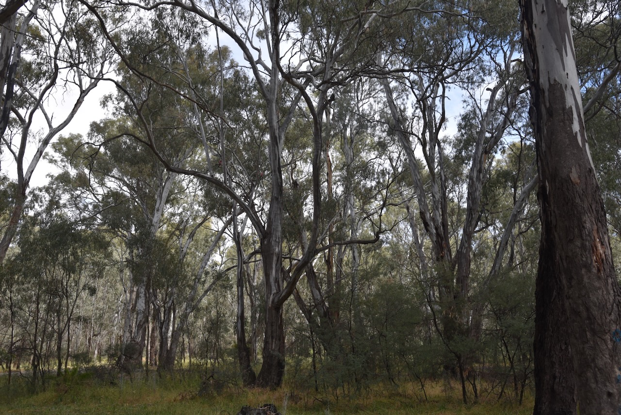
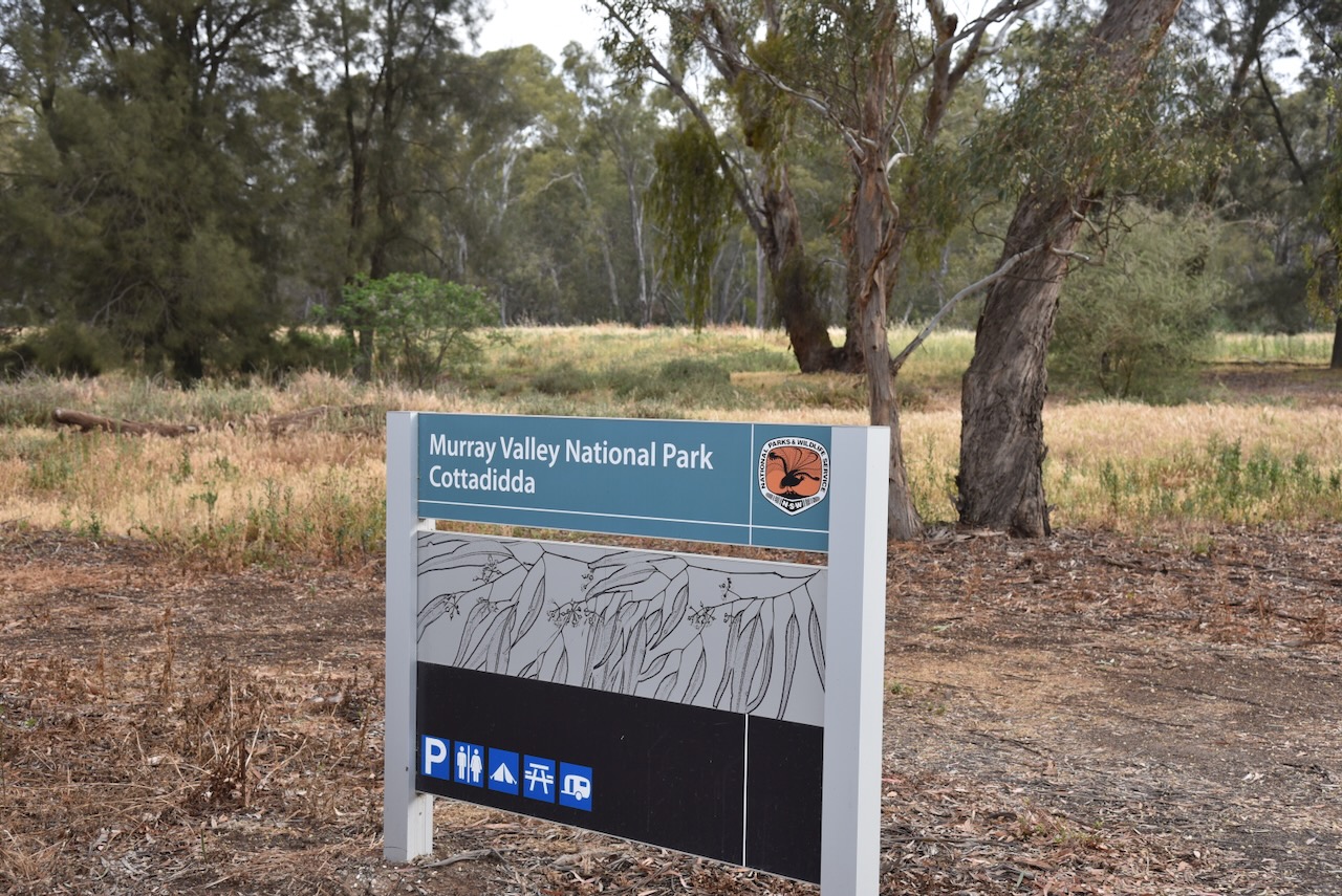
Our final activation for Tuesday, 4th November 2025, was the Murray Valley National Park VKFF-1178. We had not intended to activate this park, but as we drove into the town of Barooga, we saw a sign for ‘Quicks Beach National Park.’ This intrigued us, as Marija and I had never heard of such a park.
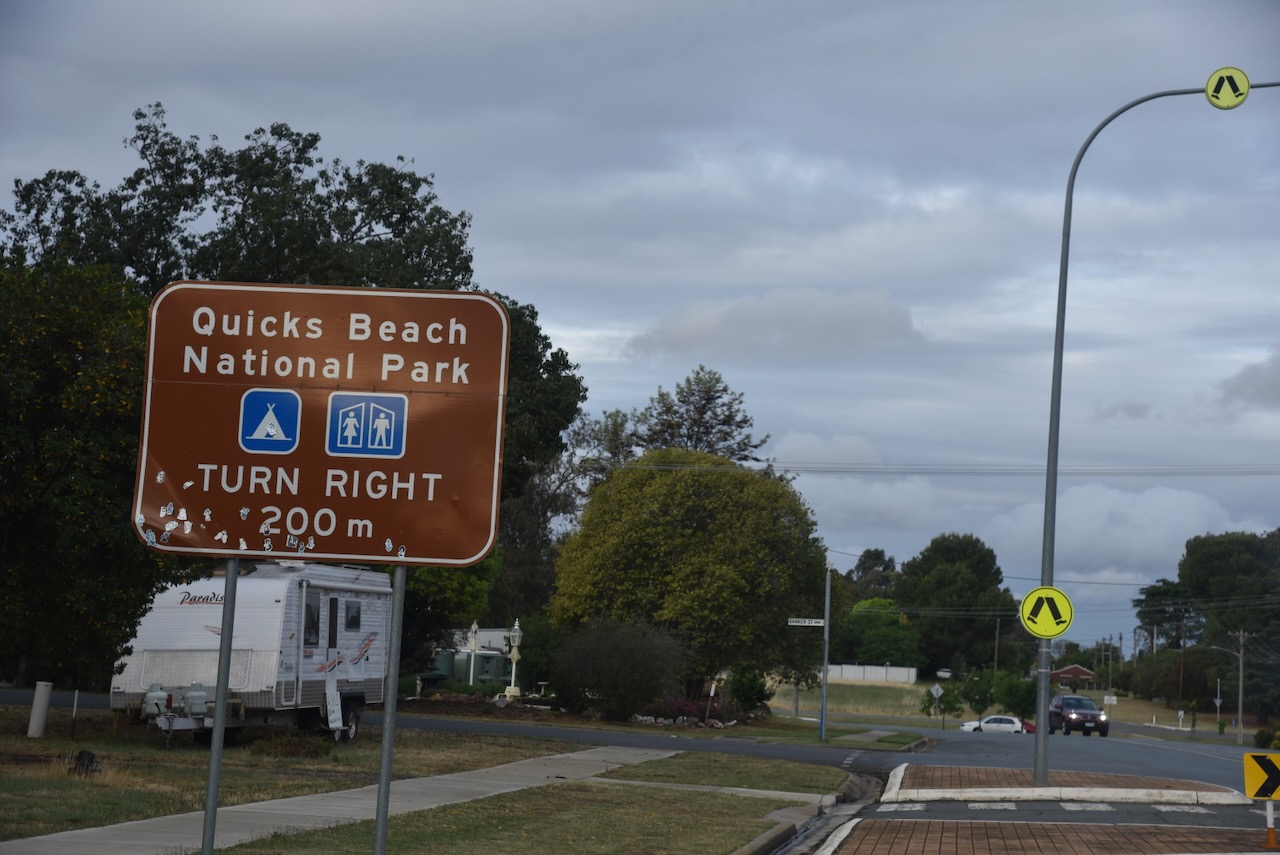
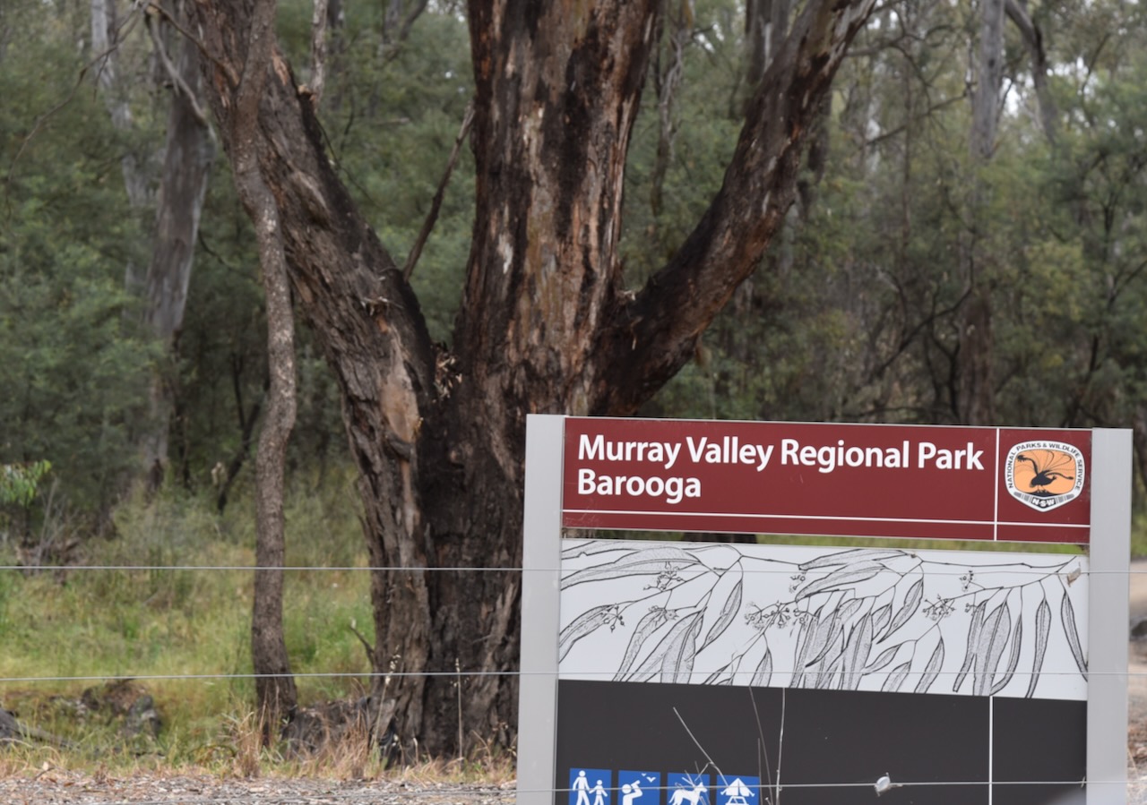
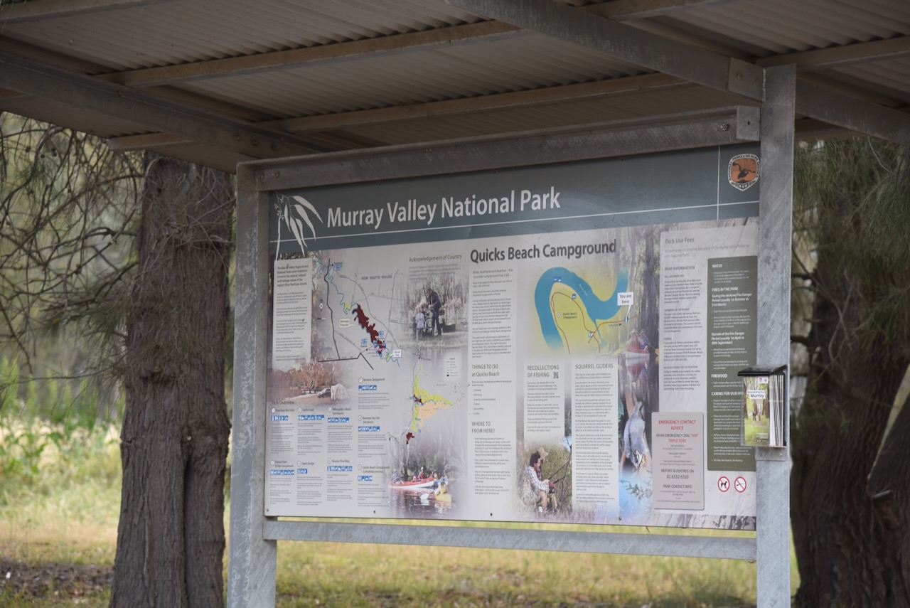
We followed Quicks Road and soon reached the sign for the Murray Valley National Park, Cottadidda section. This includes the Quicks Beach campground. So the sign on the Barooga-Cobram Road is a little misleading. It was getting late and we were getting hungry, but we decided to very quickly activate the park.
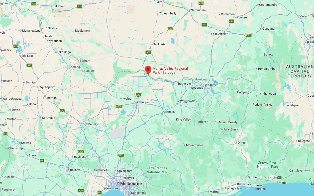
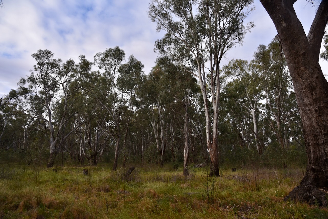
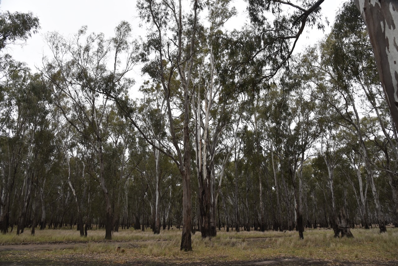
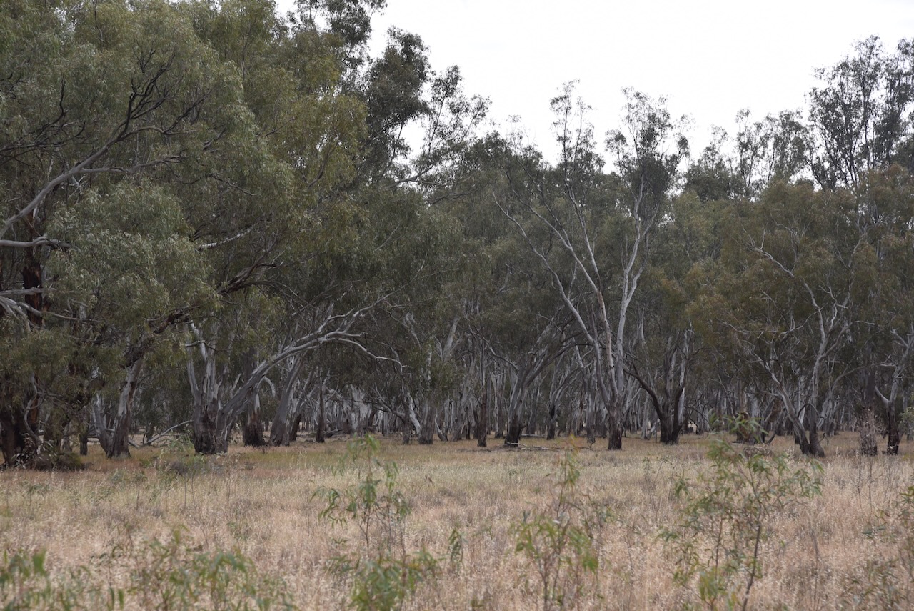
The Murray Valley National Park is about 41,601 hectares (102,800 acres) in size and consists of several former State Forests. It comprises the largest stand of River Red gum forest in Australia. (Wikipedia 2026)
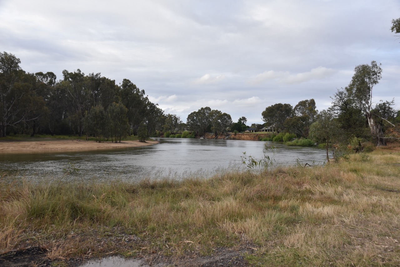
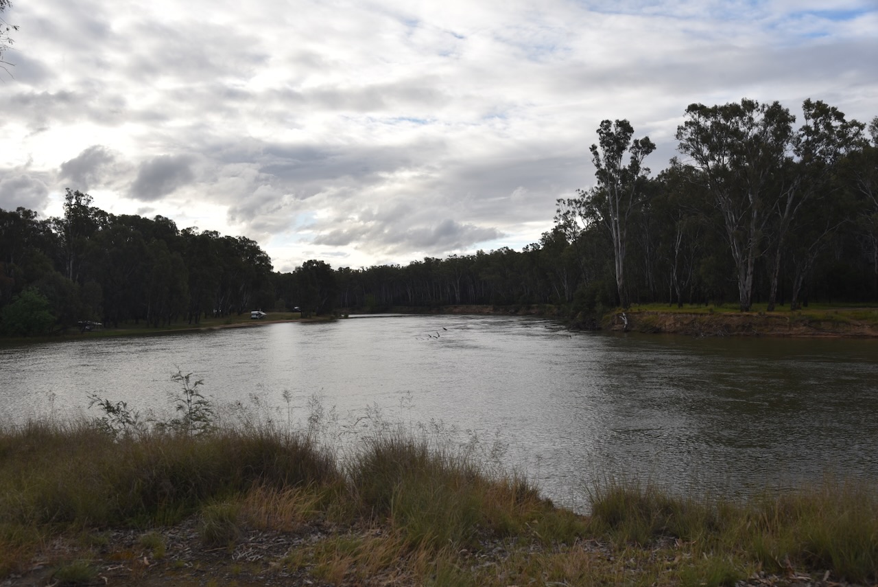
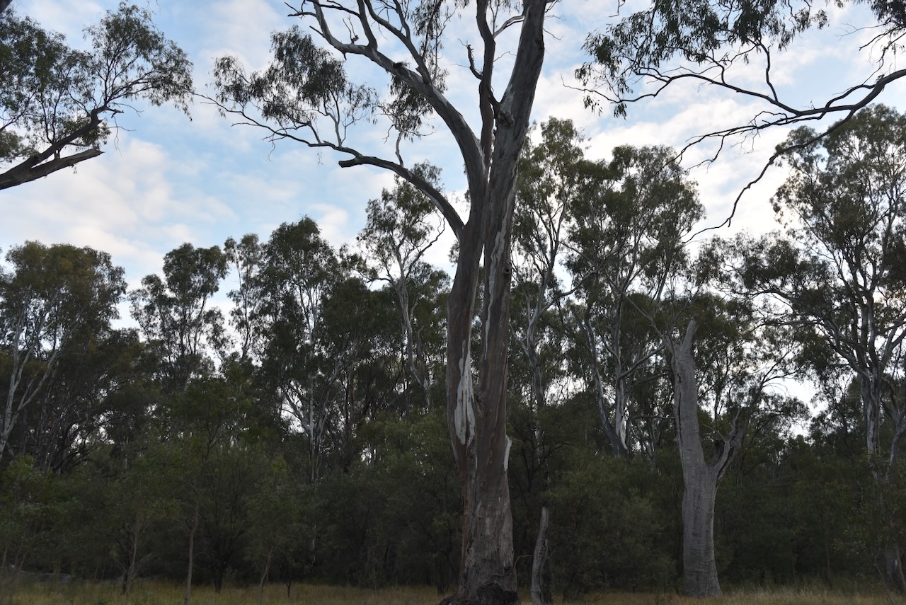
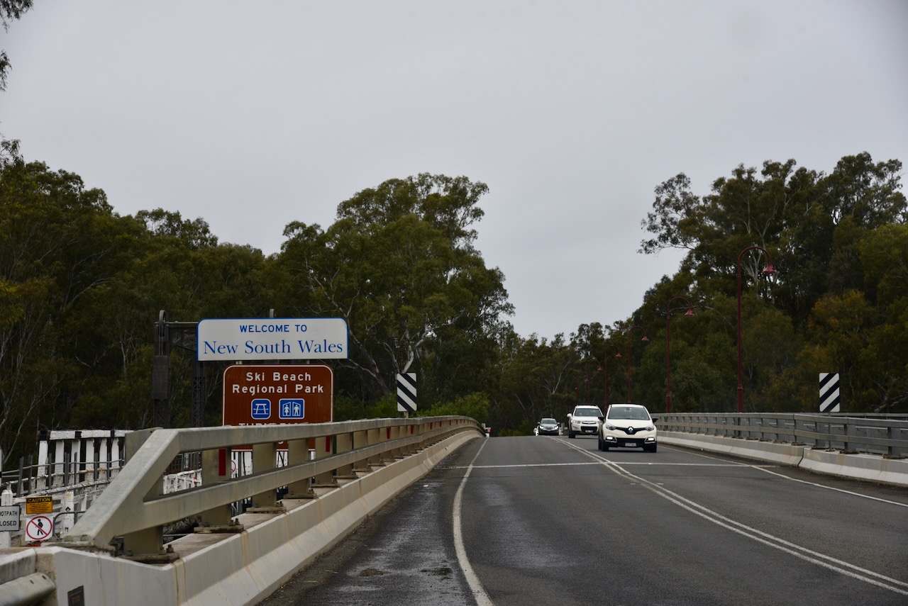
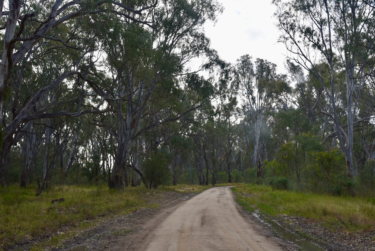
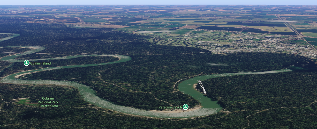
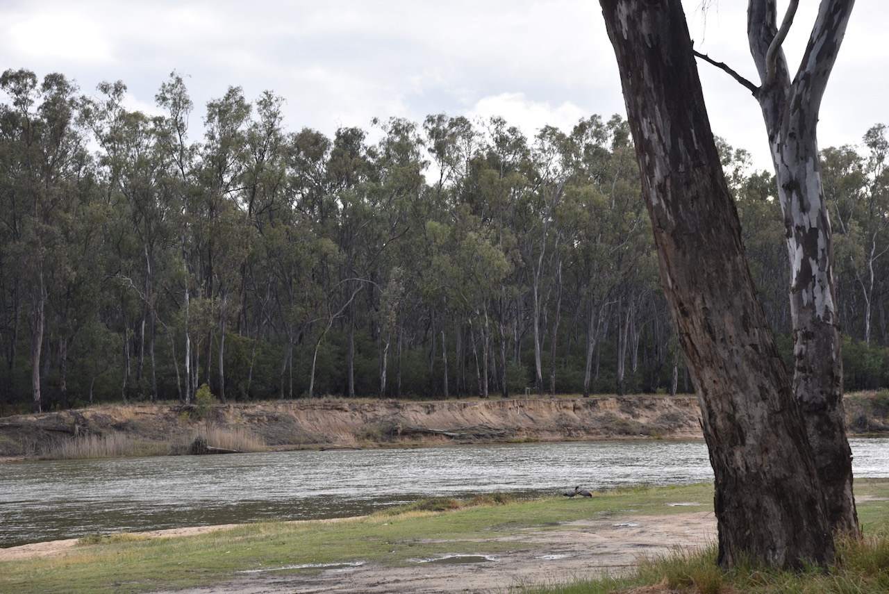
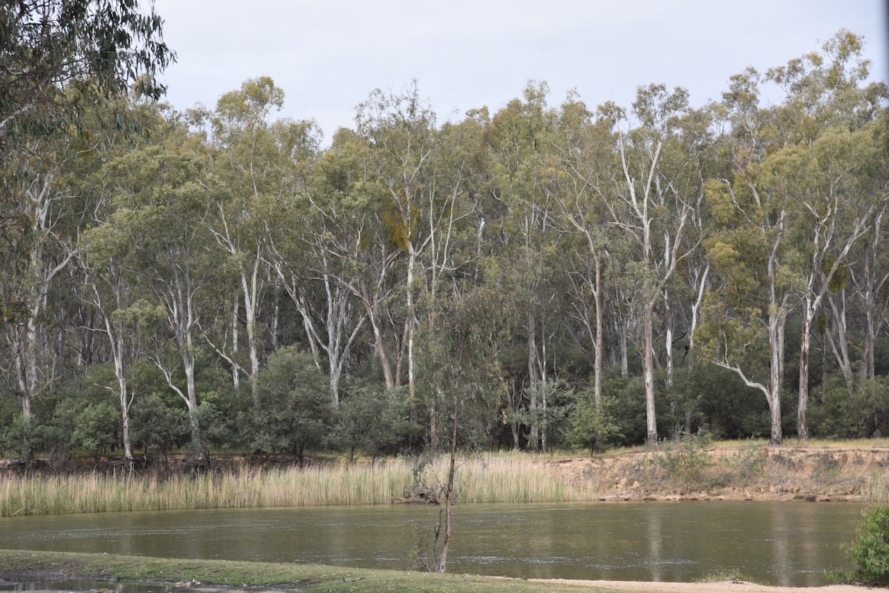
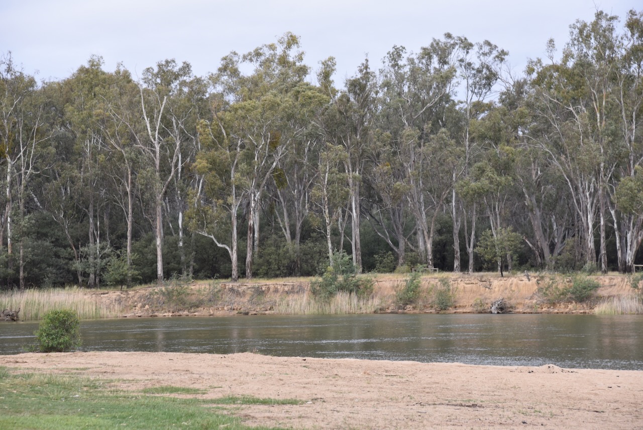
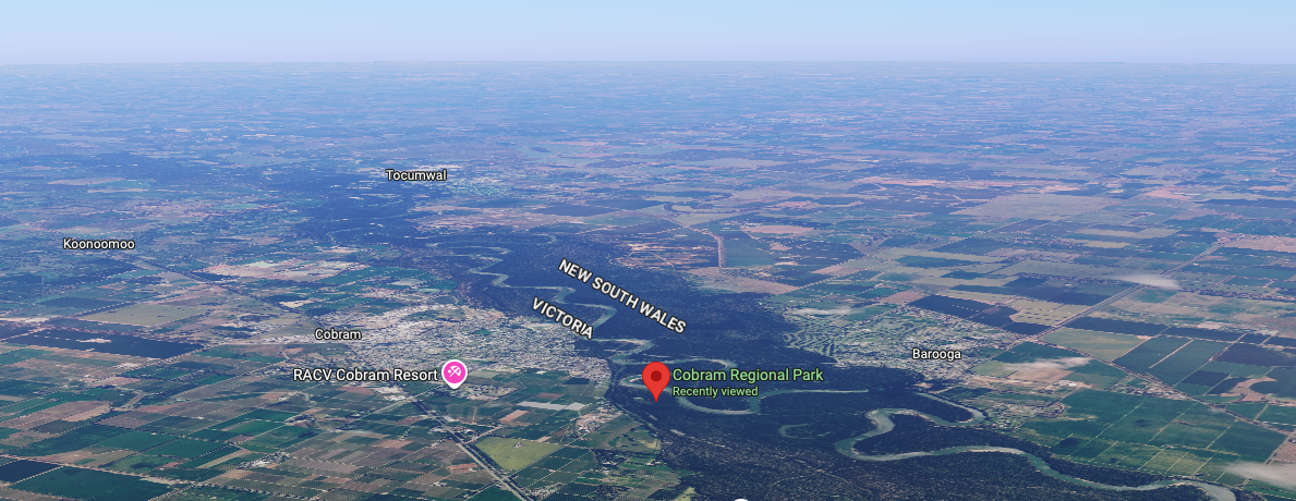
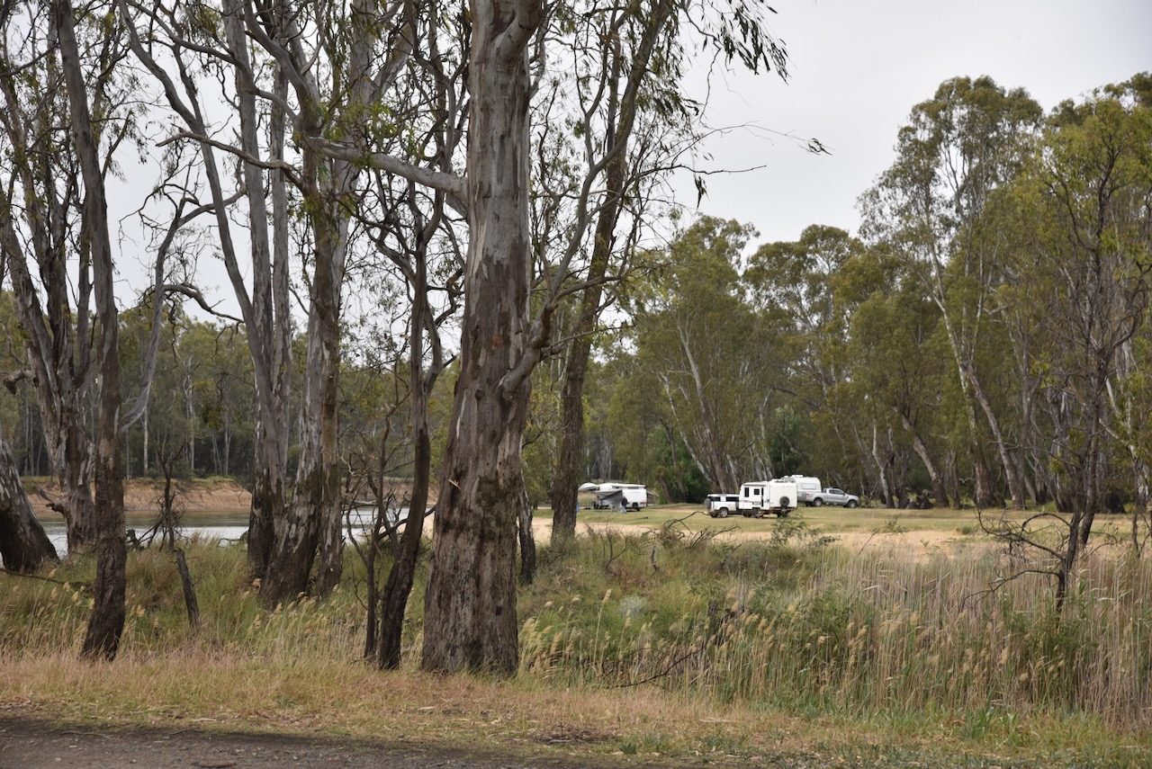
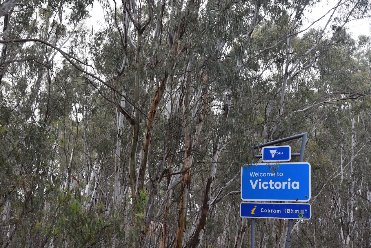
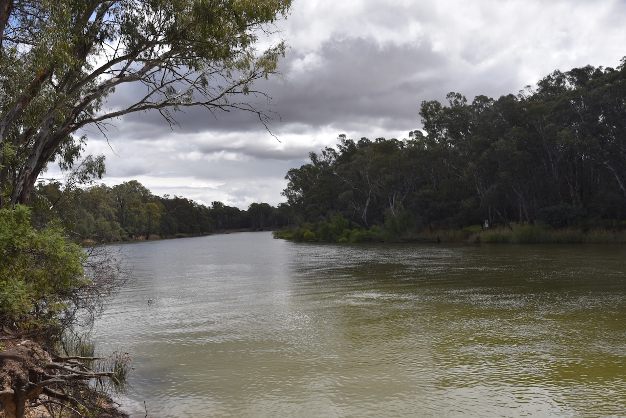
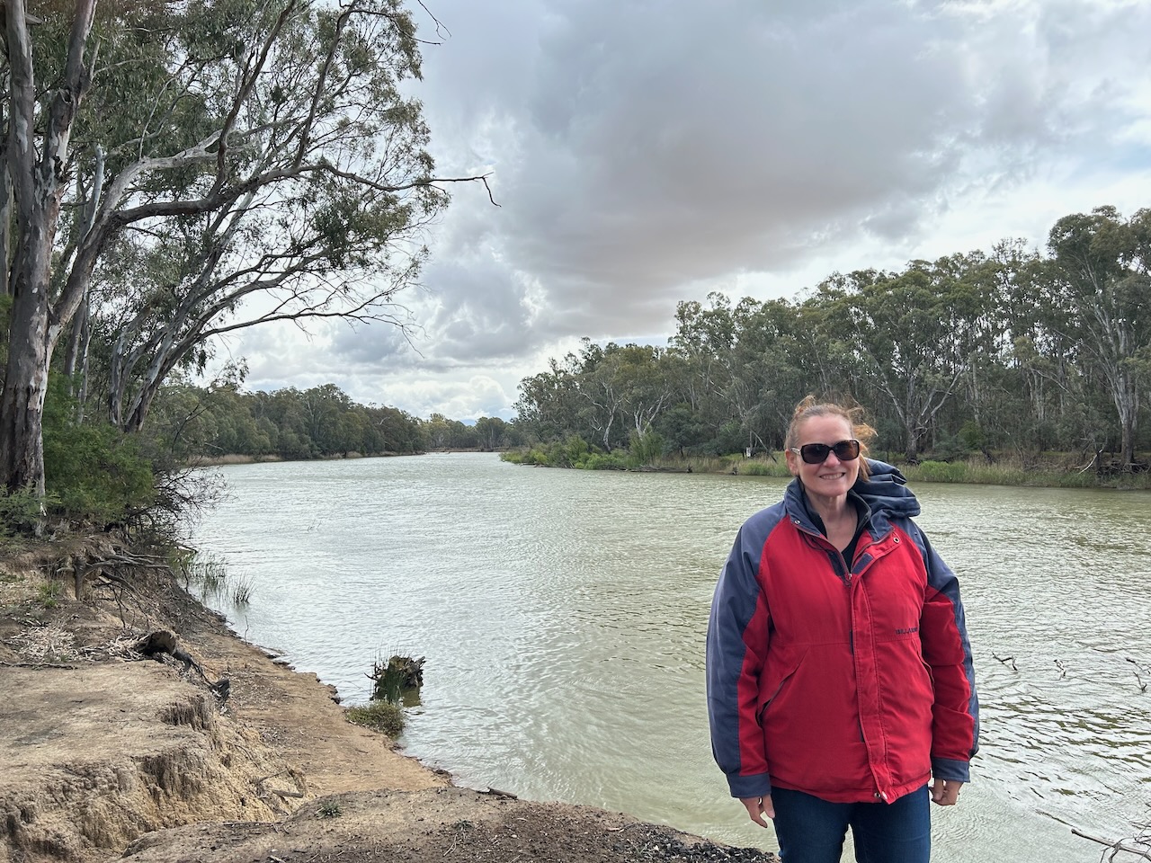
This was a beautiful spot on a picturesque bend of the Murray River with Victoria on one side of the river and New South Wales on the other.
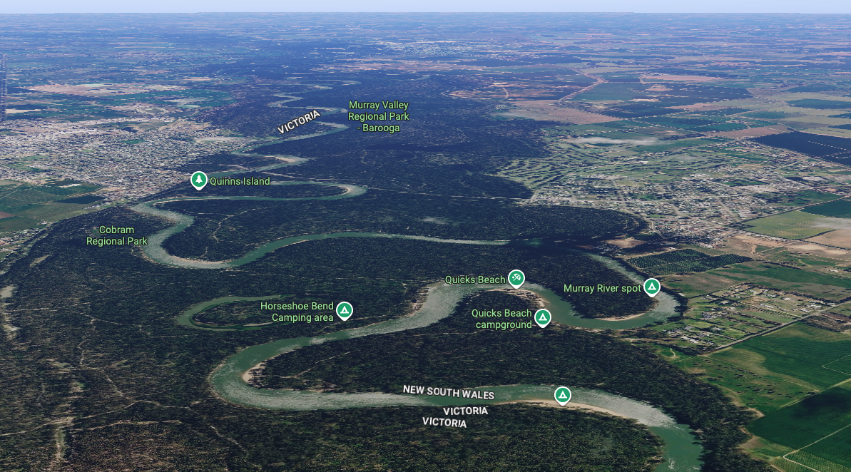
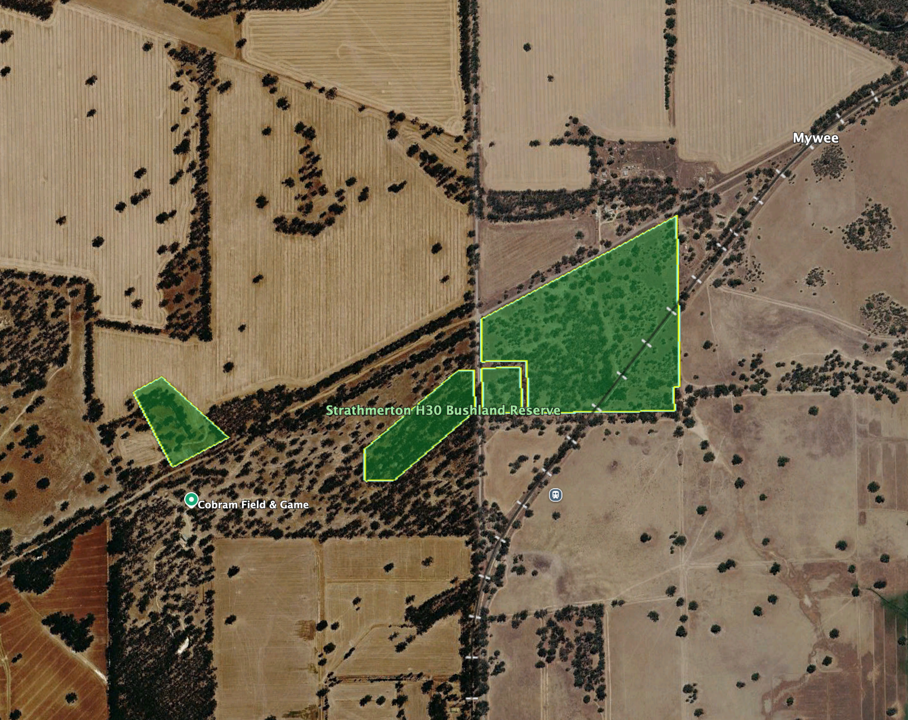
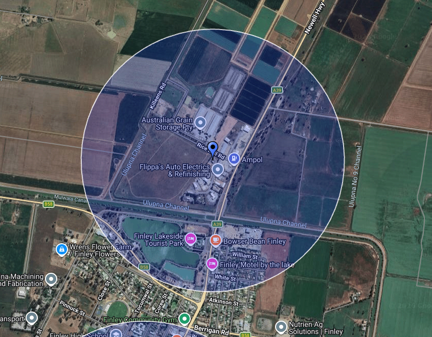
Above: An aerial view of the park. Image c/o Google Maps
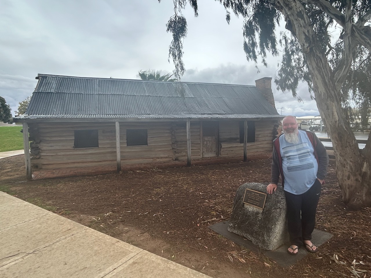
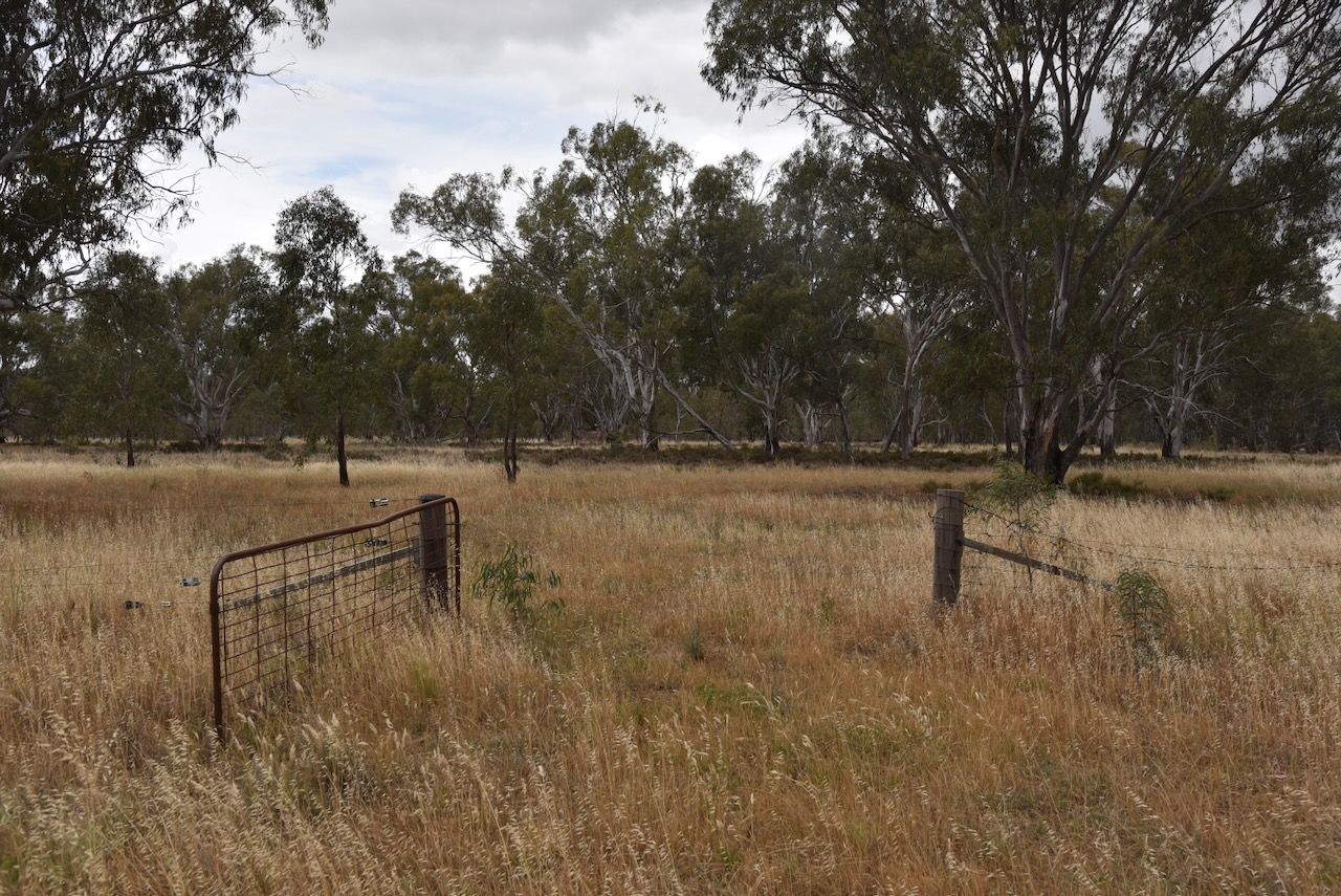
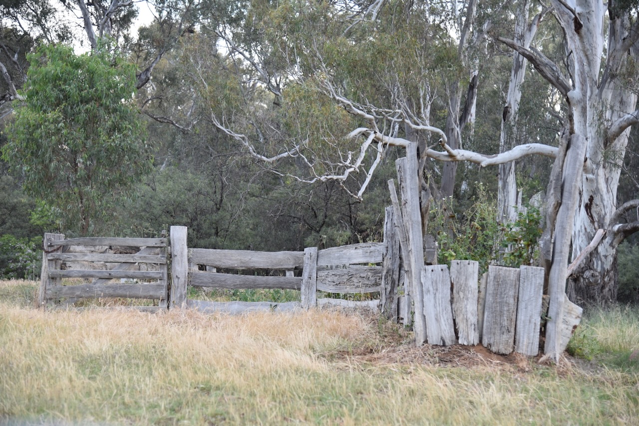
At this location in the park, you can also view O’Dwyer’s historic cattle yards.
Our operating equipment was our normal set up, comprising the Yaesu FT857, 40 watts, and the 20/40/80m linked dipole.
Marija worked the following stations on 40m SSB:-
- VK7EV
- VK5LA
- VK5KAW
- VK3MCA
- VK2LTP
- VK3APJ
- VK3ARD/P
- VK3PF
- VK3KAI
- VK3SMW
- VK2IO/P (VKFF-1906)
- VK2GEZ/P (VKFF-1906)
I worked the following stations on 40m SSB:-
- VK7EV
- VK5LA
- VK5KAW
- VK3MCA
- VK2LTP
- VK3APJ
- VK3ARD/P
- VK3PF
- VK3KAI
- VK3SMW
- VK3SQ
- VK3JT
- VK2BD
- VK2IO/P (VKFF-1906)
- VK2GEZ/P (VKFF-1906)
- KG5CIK
- VK2NP
- ZL1GA
- VK4SMA
- VK5NJ
- VK1CHW
- VK2CHW
- VK2EG
- VK2AAJ
- VK3WSG
- VK5BRU/P
- VK5HS
- VK3KLI
- VK2HRX
- VK5WE
- VK5IS
- F5PYI
- VK4EW
- VK3XEM
- VK3ACZ
- VK2YAK
- VK4YAK
- VK5MK
- VK5EBA
- VK4EMP
- VK4TI
- VK4GKO
- VK2LEE
- VK2MOE
- VK1MO
- VK4HMI
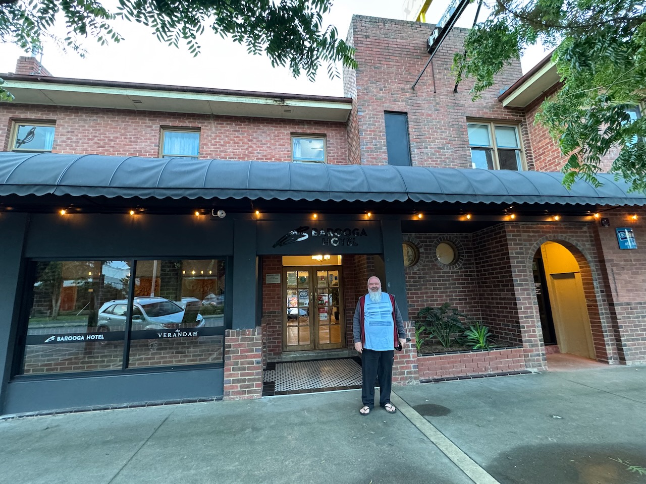
We packed up and headed to the Barooga Hotel for an evening meal.
After a very nice meal, Marija and I then drove north towards Jerilderie. We travelled along the Berrigan Road and soon reached the locality of Lalalty. It was dark, so we really did not get a chance for a good look at the surrounding countryside.
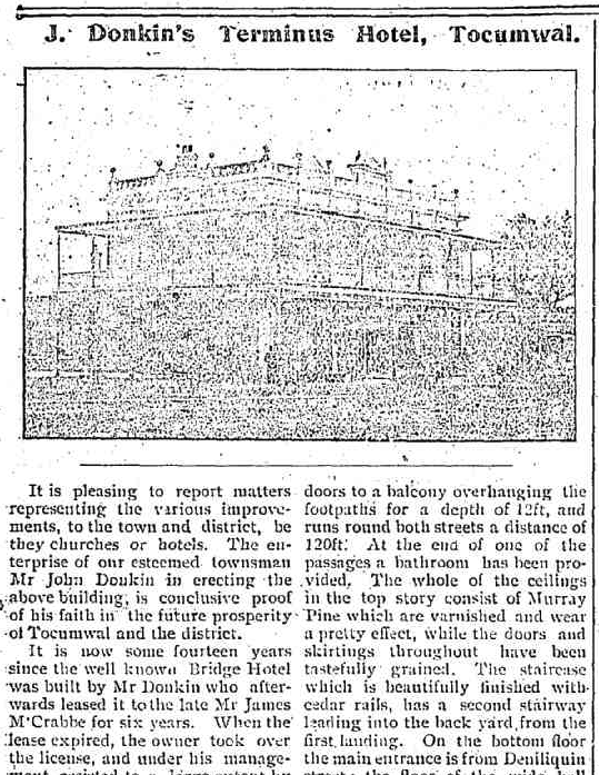
During the 1890s, a coach service was established between Cobram in Victoria and Berrigan in New South Wales. It was at this time, in 1896, that Gleeson’s Nangunia Hotel was built for Mr Patrick Gleeson. It took its name from Nangunia Station, a pastoral lease that was established in 1865. The hotel was constructed from timber and was built by Mr. Geoffrey Jeans, a carpenter from Berrigan. In April 1897, The Berrigan Advocate newspaper described the hotel as having a bar, bar parlour, commercial room, dining room, six bedrooms, servant’s room, kitchen and pantry. It stated that ‘the shelves of the bar and the cellar contain liquors of the choicest brands…….Behind the counter, we found the bulky landlord serving out drinks to the thirsty travellers and his genial smile and hearty hand-shake makes you feel at home at once.” (Berrigan 2025) (Facebook 2020)
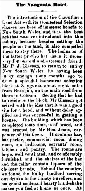
Above: part of an article from The Berrigan Advocate, Thu 15 Apr 1897. Image c/o Trove
Patrick James Gleeson was born c. 1861 in Portland, Victoria. In 1888, he married Margaret Parnell. Patrick died on the 20th day of June 1924 at Essendon, Victoria. (ancestry 2016)
A general store was also established, from which the Naranghi Receiving Office operated. In September 1899, the Receiving Office was converted to a Post Office. In June 1900, the name of the Post Office was changed from Naranghi to Lalalty. (Facebook 2020)
I found the newspaper article below from The Berrigan Advocate in May 1902. The coach was travelling from Cobram to Berrigan and stopped at Gleeson’s Hotel. The driver was assisting a female passenger to alight when the leader horse was startled, and the coach overturned. Another lady in the coach was thrown from the coach, which fell on top of her, and was then dragged along the road by the horses. The coach continued to Berrigan, with medical aid being provided to the lady. Upon arrival in Berrigan, it was established that she had sustained a fractured arm and leg. She was taken to the Jerilderie Hospital, but sadly died from her injuries. (Trove 2026)
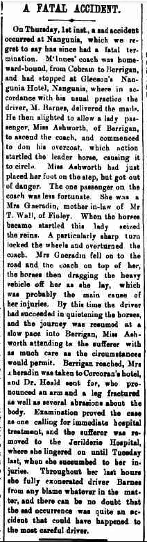
Above: article from The Berrigan Advocate, Fri 9 May 1902. Image c/o Trove
In January 1903, a fire destroyed the hotel and the Post Office.
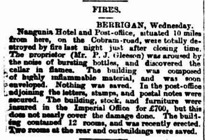
Above: article from The Sydney Morning Herald, Thu 15 Jan 1903. Image c/o Trove
Following the fire, a house was built on the side and was owned by Mr Castello. In 1914, he opened the Lalalty Receiving Office. It was destroyed by fire in 1939. (Facebook 2020)
We then continued on to Berrigan. The first European settlement in the area was in 1849 when the 22,500 acre Momalong Station was established by Robert Rand. The Berrigan Post Office opened on the 11th day of May 1884. Six years later, on the 31st day of May 1890, Berrigan was officially proclaimed as a town. (Wikipedia 2024)
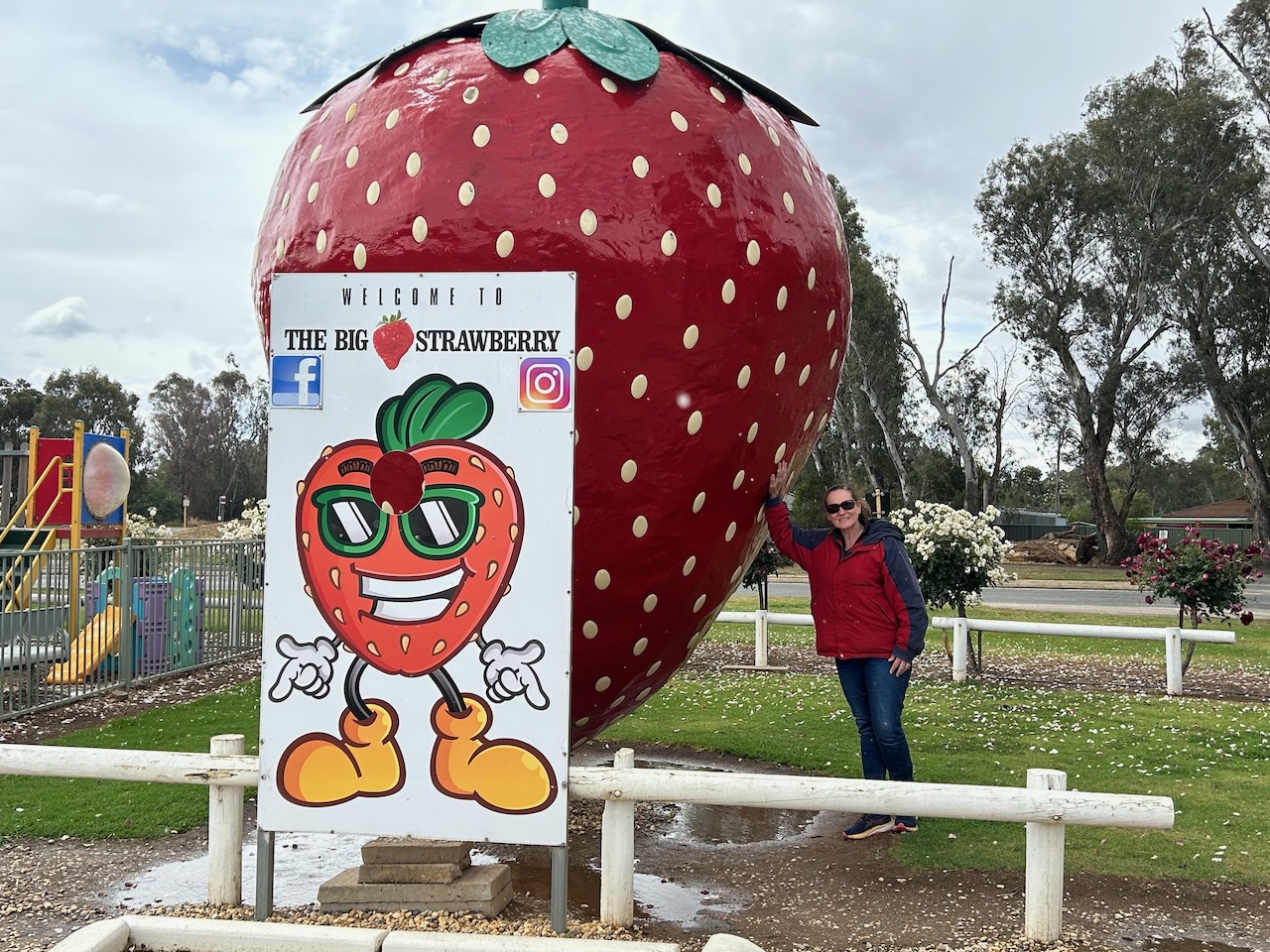
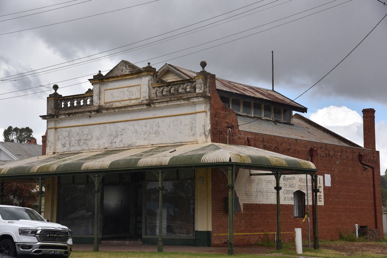
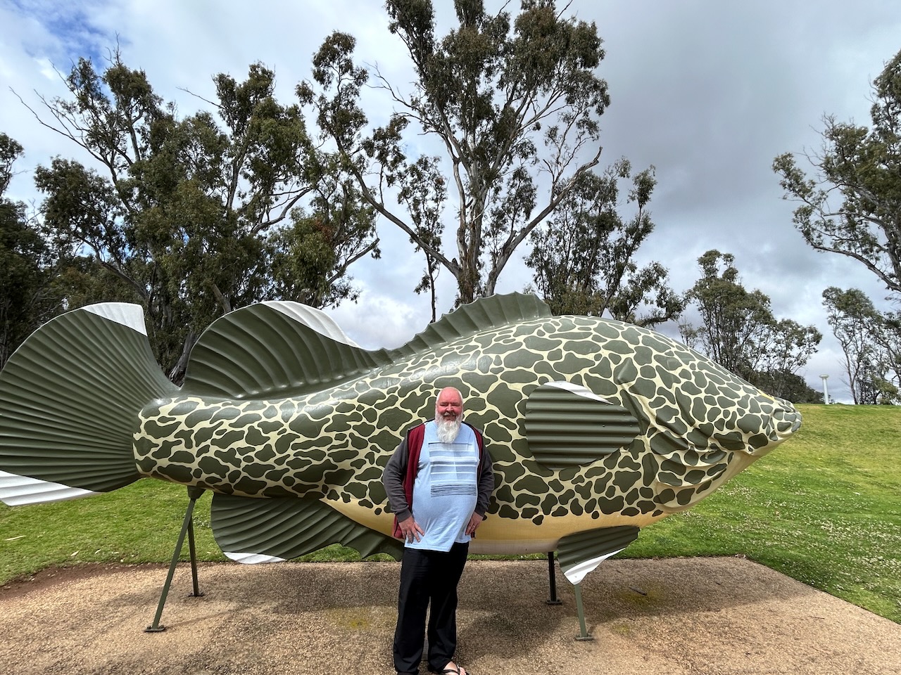
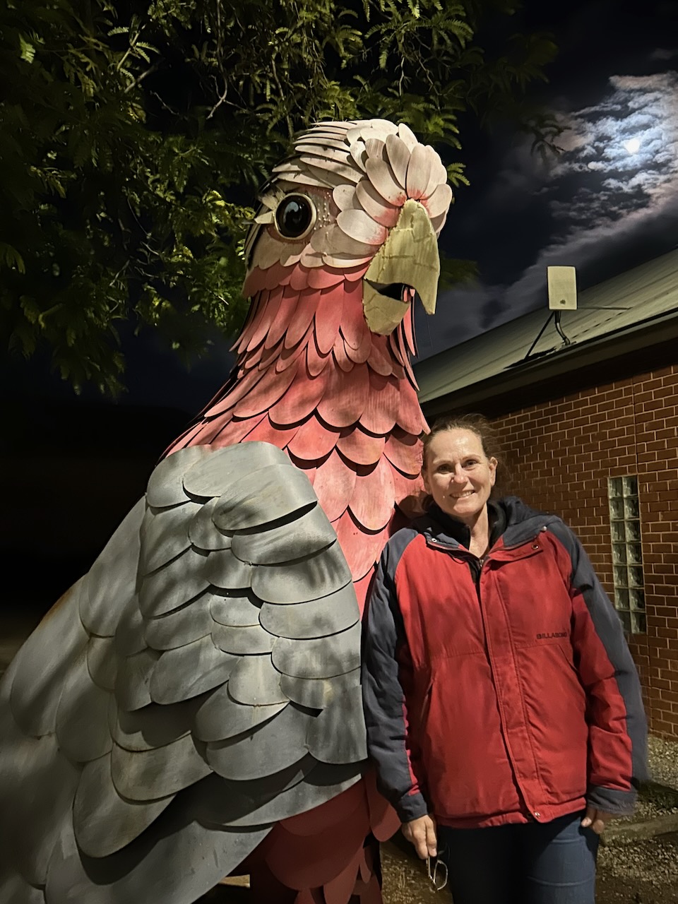
In the main street, you can find The Big Galah.
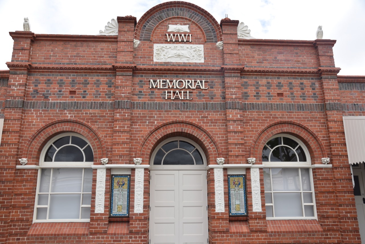
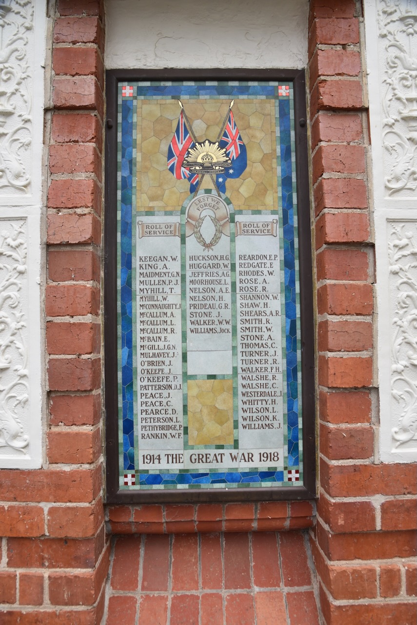
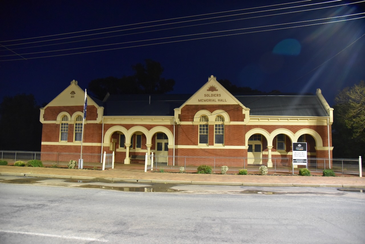
The former Berigan School of Arts and Soldiers Memorial Hall was built in 1915. (Berrigan 2025)
The first Federal Hotel on the site of the current hotel in Chanter Street was built in 1890. It was constructed of timber. This was the same year that Berrigan was proclaimed a village. It was only the 2nd hotel officially opened in the township. (Berrigan 2025)
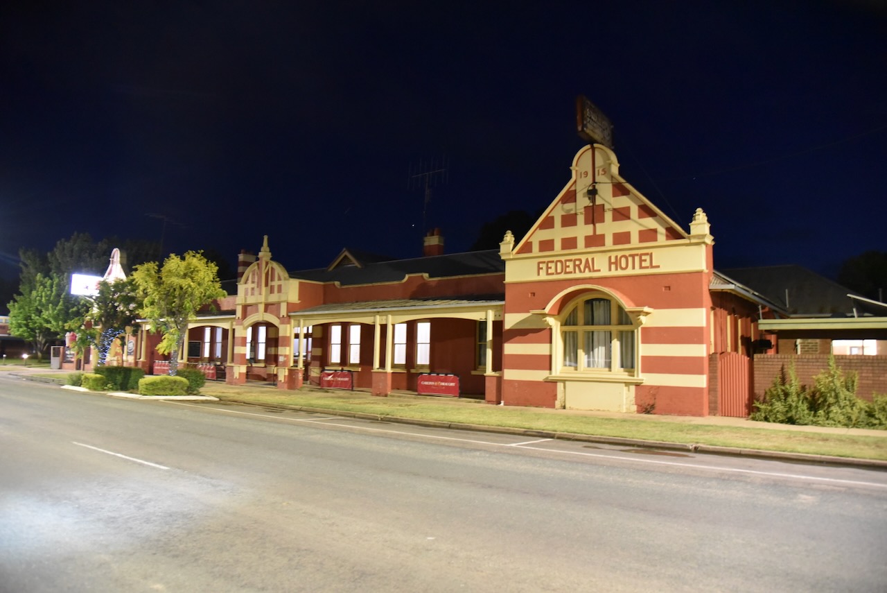
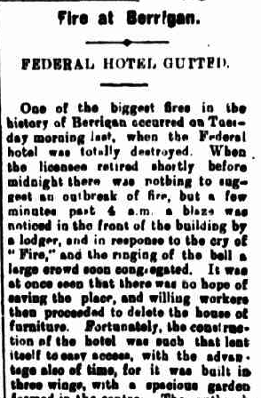
In September 1914, the Federal Hotel was destroyed by fire. Following the fire, the owner, Mr T Whelan of Melbourne’s Cathedral Hotel, engaged the distinguished architectural practice Bates, Pebble & Smart to design the new brick hotel. Construction of the hotel was completed in 1915. At its opening, the Berrigan Advocate newspaper described the hotel as ‘almost without compare in the Riverina.‘ (Berrigan 2025)
Above: part of an article from The Berrigan Advocate, Fri 18 Sept 1914. Image c/o Trove
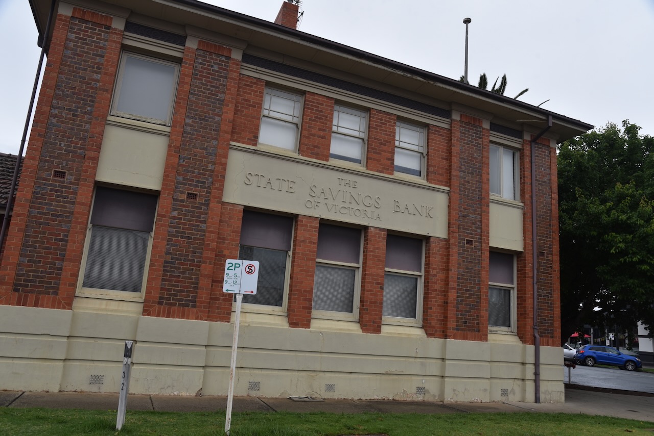
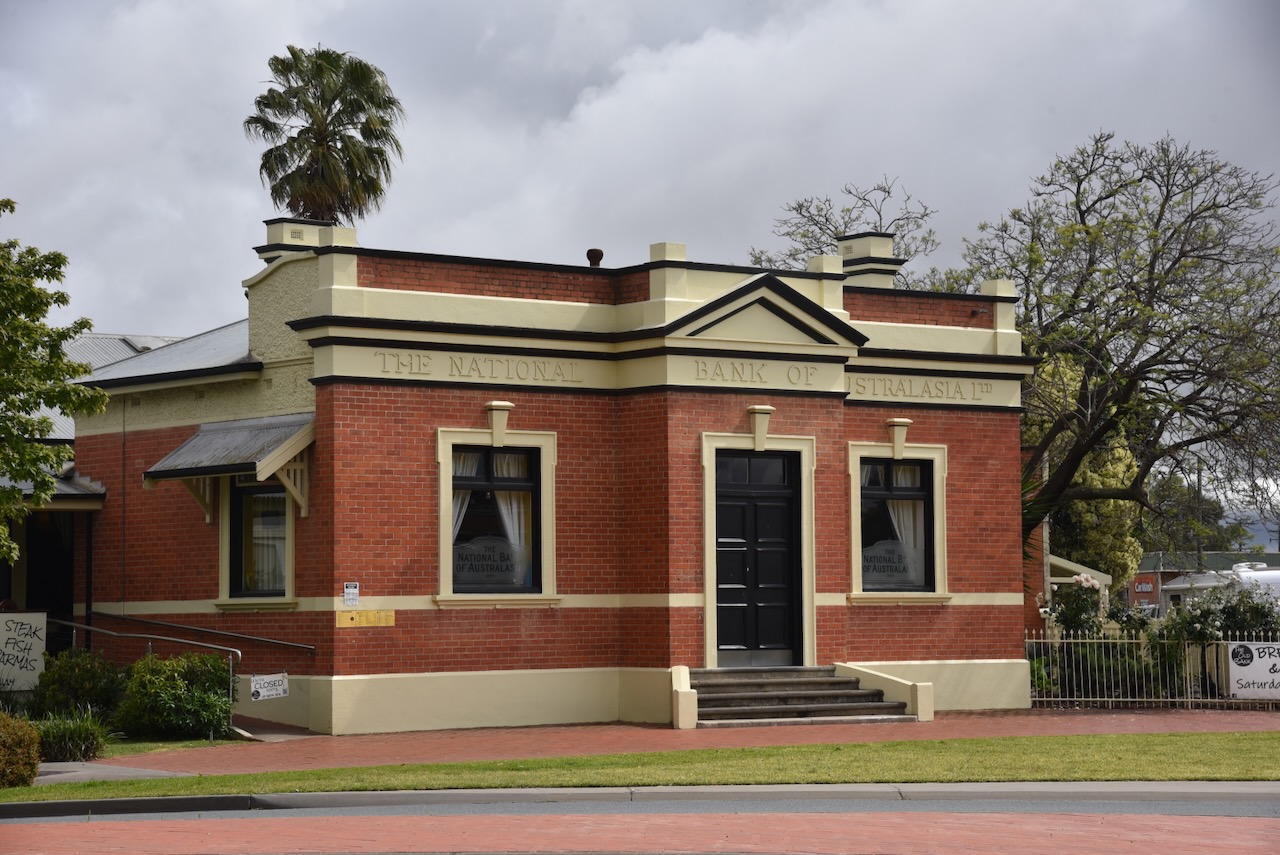
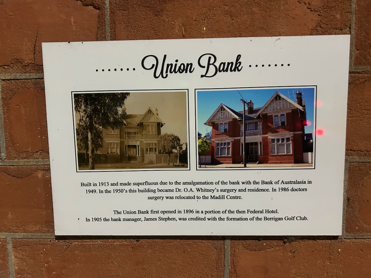
The old Union Bank was built in 1913. It was made superfluous due to the amalgamation of the bank with the Bank of Australasia in 1949. During the 1950s, the building was used as a doctor’s surgery and residence by Dr O.A. Whitney.
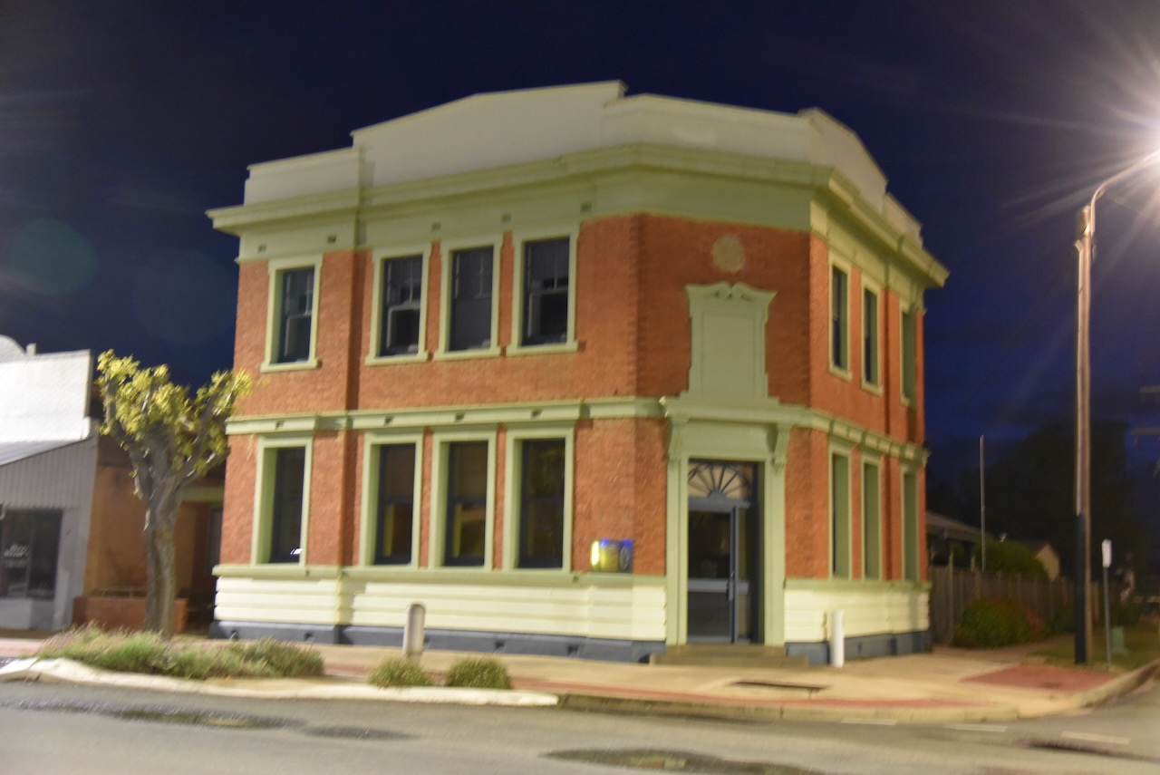
We found a memorial on the front of the former Bank of Australasia for a New South Wales police officer killed in 1931.
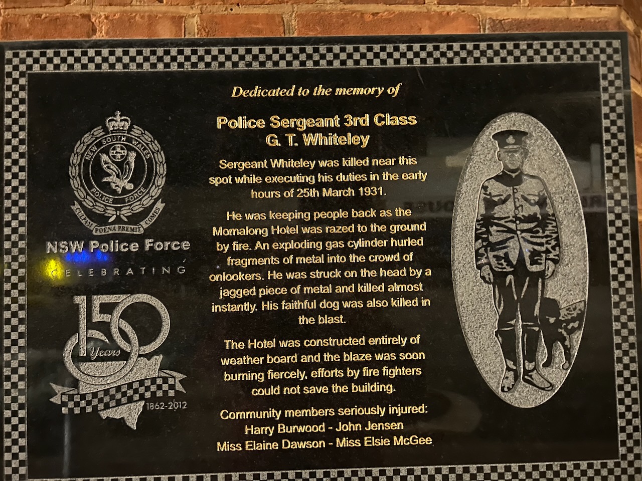
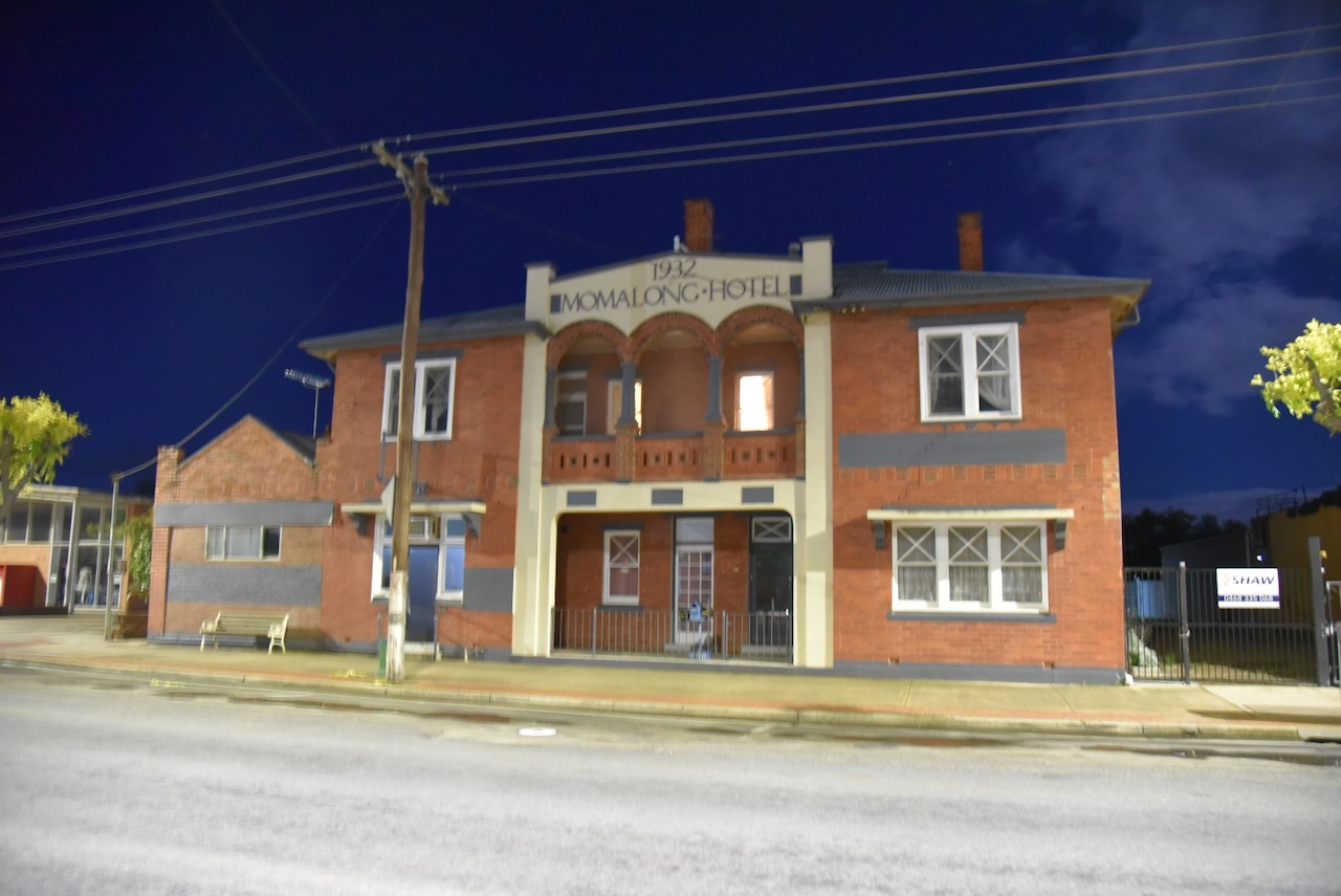
On the 25th day of March 1931, a major fire broke out at the Momalong Hotel. Sergeant First Class G.T. Whitely was keeping people back as the hotel was razed to the ground by fire. As he did so, an exploding gas cylinder hurled fragments of metal into the crowd of onlookers. Sadly, Sergeant Whiteley was struck on the head by a piece of jagged metal and was killed instantly. His faithful dog was also killed in the blast. Sergeant Whiteley was 43 years old. (Findagrave.com 2021) (Trove 2026)
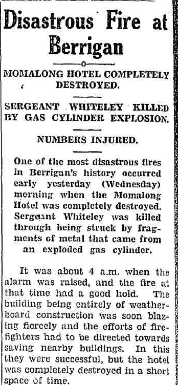
Above: part of an article from the Jerilderie Herald, Thu 26 Mar 1931. Image c/o Trove
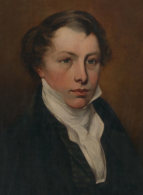
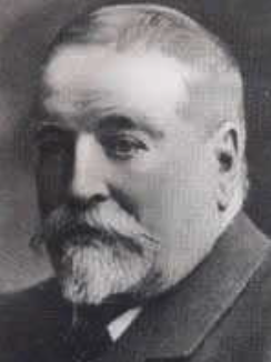
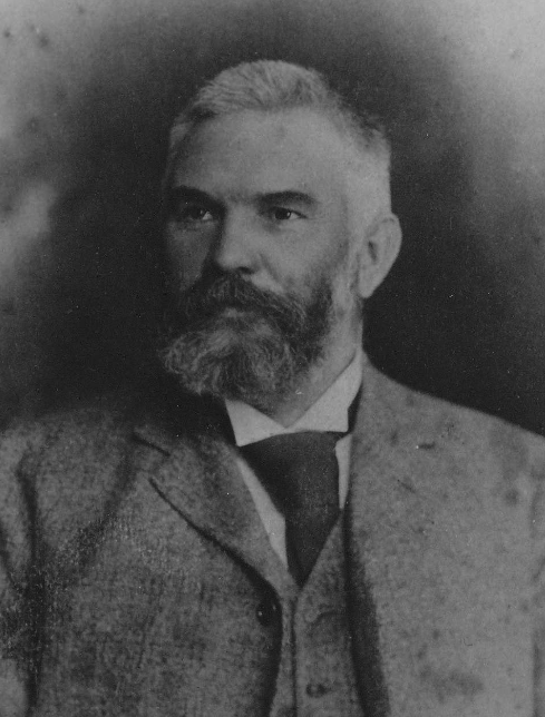
George Thomas ‘Tom’ Whiteley was born on the 20th day of October 1888, at Bega, New South Wales. He was the third of nine children to George Edward Whiteley and Mary Eilen Whiteley, nee Mellen. He joined the New South Wales Police Force on the 15th day of March 1910. Whiteley served with the Australian Imperial Force and was injured by shrapnel, sustaining gunshot wounds to the left leg, left foot and the right side of his head. In 1918, he married Kathleen Harper. They had five children. He was stationed at Hill Ned, Forbes, Tullamore, and Cudal. In 1929, he commenced work as the Officer in Charge of the Berrigan Police Station, where he was described as being ‘widely esteemed and respected.’ He was a member of the local Berrigan Bowling Club. (ancestry 2016) (Australian Police 2026) (Findagrave.com 2021)
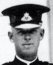
Above: Sergeant Whiteley. Image c/o Australianpolice.com
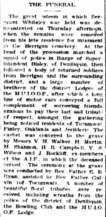
Sergeant Whiteley’s funeral took place on Thursday, the 26th day of March 1931. A squad of police marched at the head of the procession in charge of Superintendent Bisley of Deniliquin. This was followed by a body of returned soldiers from Berrigan and the surrounding district. They were followed by a large number of brethren from district Lodges, followed by a long line of motor vehicles containing family and friends. (Trove 2026)
Above: part of an article from The Berrigan Advocate, Wed 1 Apr 1931. Image c/o Trove
The current Momalong Hotel was built in 1932 following the devastating fire that destroyed the original hotel. The original Momalong Hotel was established in 1893 by Drummond Brothers. It took its name from the nearby Momalong pastoral run.(Berrigan 2025)
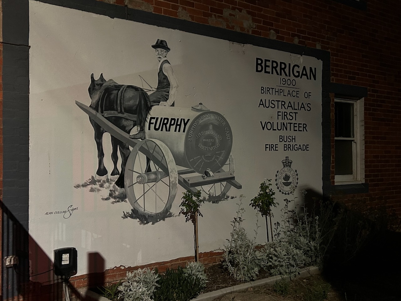
Berrigan saw several destructive building fires in the late 1890s and early 1900s. This included the Federal Hotel in 1897, several shops in 1897, the Australian Hall in 1899, the Roman Catholic Presbytery in 1901, the Federal Hotel in 1915, and the Momalong Hotel in 1931. Ironically, it was the birthplace of Australia’s first volunteer Bush Fire Brigade.
Marija and I agreed that we must come back here and spend an afternoon wandering around Berrigan. We continued on to Jerilderie, travelling quite slowly as there were a lot of kangaroos on the road.
References.
- ancestry (2016). Ancestry® | Genealogy, Family Trees & Family History Records. [online] Ancestry.com.au. Available at: https://www.ancestry.com.au/. [Accessed 4 Apr. 2026]
- Australian Fallen Police, 2026, https://australianpolice.com.au/ [Accessed 4 Apr. 2026]
- Berigan Shire, 2025, Berrigan Shire Heritage Study
- https://www.facebook.com/susanescott13 (2020). Lalalty Township – Berrigan NSW. [online] Berrigan NSW. Available at: https://berrigannsw.com.au/lalalty-township/ [Accessed 4 Apr. 2026].
- Trove. (2026). The Nangunia Hotel. – The Berrigan Advocate (Cobram, NSW. : 1891 – 1970) – 15 Apr 1897. [online] Available at: https://trove.nla.gov.au/newspaper/article/266452242?searchTerm=nangunia%20hotel [Accessed 4 Apr. 2026].
- Trove. (2026). A BIG BLAZE. – NANGUNIA HOTEL AND POST OFFICE DESTROYED BY FIRE. – The Berrigan Advocate (Cobram, NSW. : 1891 – 1970) – 16 Jan 1903. [online] Available at: https://trove.nla.gov.au/newspaper/article/266521467?searchTerm=nangunia%20hotel [Accessed 4 Apr. 2026].
- Trove. (2026). The Berrigan Advocate (Cobram, NSW. : 1891 – 1970) – 1 Apr 1931 – p2. [online] Available at: https://trove.nla.gov.au/newspaper/page/29865250?searchTerm=berrigan%20%2B%20sergeant%20whiteley%20%2B%20funeral [Accessed 4 Apr. 2026].
- Wikipedia Contributors (2026). Murray Valley National Park. Wikipedia.