Yesterday (Monday 30th April 2018) I started 2 days off from work, having just finished 7 straight shifts. We have been enjoying amazing weather for this time of the year, and today was no exception, with the temperature being about 22 deg C and bright sunshine, with not a cloud in the sky. So I decided to head out for a mid afternoon park activation.
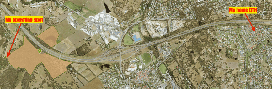
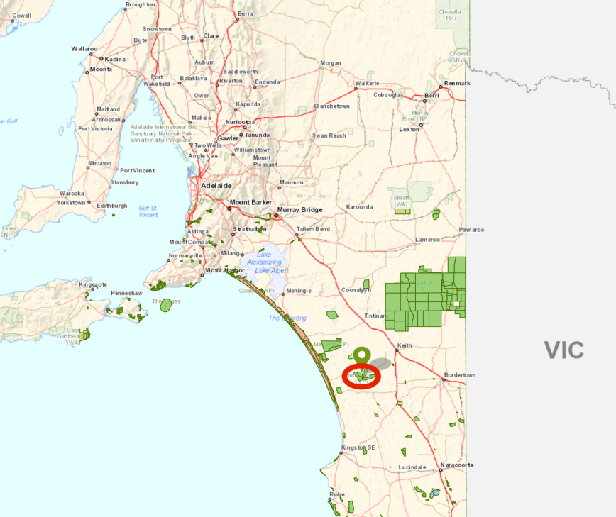
I chose the Montacute Conservation Park 5CP-139 & VKFF-0910, which is located about 21 km east of the city of Adelaide, and about 42 km (by road) from my home. I have been to Montacute previously, and qualified the park for the VK5 Parks Award and WWFF, so today was a bit of fun, and another activation to go towards the VKFF Boomerang Award.
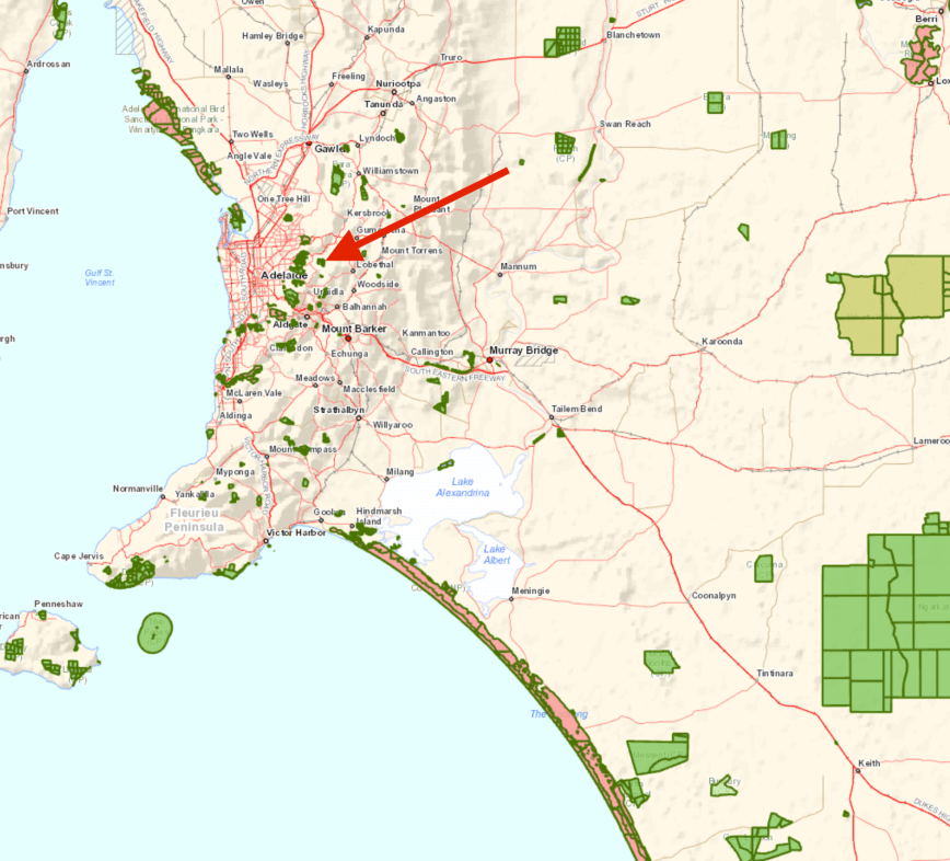
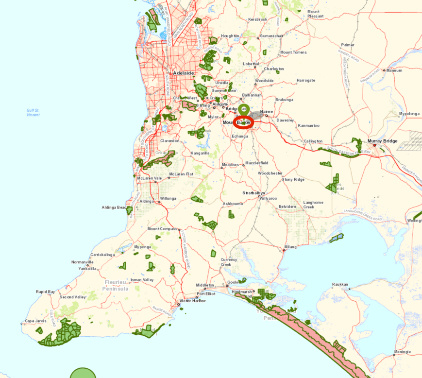
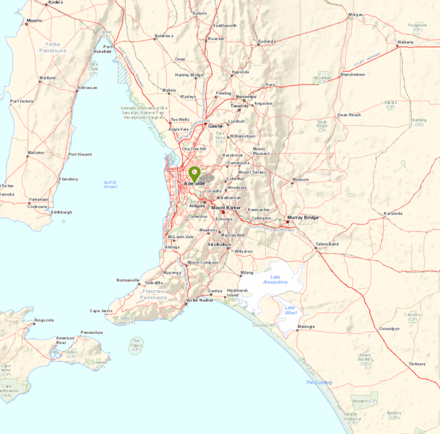
Above:- Map showing the location of the Montacute Conservation Park in the Adelaide Hills. Map courtesy of Location SA Map Viewer.
I chose the ‘scenic’ route (and longer route) to get to the park. It was a beautiful drive through Lenswood and on to Cudlee Creek. Lenswood is located in a narrow river valley in one of the tributaries to the Onkaparinga River. It takes its name from a battle near the town of Lens in northwestern France during WW1. The area is well known for its production of apples, pears, cherries and wine grapes. In excess of 20,000 tonnes of apples are produced annually. Apple varieties include Pink Lady, Fuji, Sundowner, Royal Gala, Golden Delicious and Granny Smith. And at this time of the year, many of those varieties are in peak availability. There were lots of pickers out in the orchards as I travelled through the Lenswood area.
I then travelled west along Gorge Road and stopped at the lookout for the Kangaroo Creek Reservoir. Construction of the Kangaroo Creek dam began in 1966 and was completed in 1969. The reservoir has a capacity of 19,160 megalitres and covers an area of about 103 hectares.
A major upgrade is underway at the reservoir, and as a result of the reservoir being drained, the old Batchelor’s Bridge which was built in the 1920’s is now visible. The reservoir has only been drained twice in its 50 year history. Batchelor’s Bridge, part of the old Gorge Rd, was built in the 1920s and became submerged when the dam was filled in the late 1960s.
I continued along Gorge Road and into the area of the Mount Lofty Ranges ‘Adelaide Hills’ known as Montacute. There really is no town of Montacute anymore, but rather a locality. The area has a rich history.
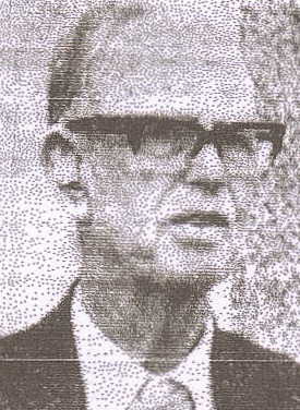
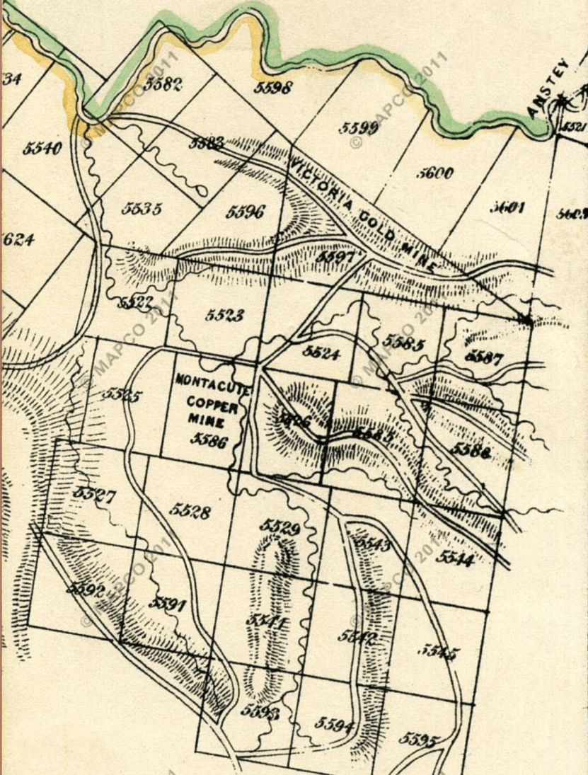
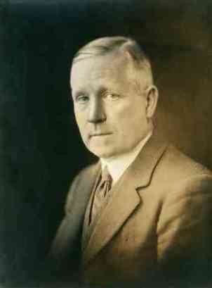
In around 1843, Mr. Charles Drury Edward Fortnum (1820-1899), a chemist and mineralogist, settled in this district which was then known as Sixth Creek. Fortnum reared bullocks in the area along Sixth Creek to meet the Colony of South Australia’s ever-growing demand for beef. However it wasn’t long before the Montacute area was to be put on the map with the discovery of copper.

Above:- Mr. Charles Fortnum. Image courtesy of wikipedia.
In late 1843, Fortnum’s overseer, Mr Andrew Henderson, set out to look for a steer that had strayed overnight. During his search for the steer he located the first piece of copper ore in the district. Henderson was climbing a steep spur when he noted the peculiar green colour of a perpendicular face of rock. When he reached the summit, he discovered a curious mass of brown and green material. Henderson broke off a piece and returned with it to Fortnum, who immediately recognised the rock as copper ore.
The copper ore had been discovered by Henderson on a government block, so Fortnum proceeded to purchase the land. But the secret was already out. The discoverers of the copper ore had already shared the information of their find to others, who in turn had notified the Survey Office.
Deputy Surveyor-General Thomas Burr then ordered another survey and outcrops of copper were discovered. The land, comprising around 80 acres was out up for public auction in February 1844. A syndicate was formed known as the Montacute Mining Company.
One of the mine’s financiers, Sir John Baker (1813-1872), named the area after Montacute in Somerset, in the UK, which was near his birthplace. Baker had a homestead called ‘Morialta’ near Norton Summit. We nowadays of course have the nearby Morialta Conservation Park.

Above:- Sir John Baker. Image courtesy of wikipedia
The first official finding of gold in Australia occurred at Montacute in 1846, at the North Montacute Mine, which was subsequently renamed the Victoria Mine. The South Australian newspaper in April 1846 stated:
“‘the grand, the crowning triumph has been accomplished… South Australia seems destined to become the real Eldorado”.
Sadly this did not eventuate, with only a small amount of gold being located. Mining in the area continued throughout the 1800’s, however the Montacute district lost many miners to the Victorian goldfields in the 1850’s. Today numerous mine shafts still exist in the area, together with a number of miners cottages, both ruined and restored.
In 1849 it was reported that the village of Montacute ” having a tolerable large and decent population, and abounding in the most singularly diversified and romantic scenery, with a never failing and abundant supply of good water, the place can neither boast of an inn for the traveller, nor a draper’s, butcher’s, green’s or, in fact, any kind of store or shop. Of the latter there is nothing nearer than Adelaide; the nearest public house is at Payneham, a distance of ten miles… “
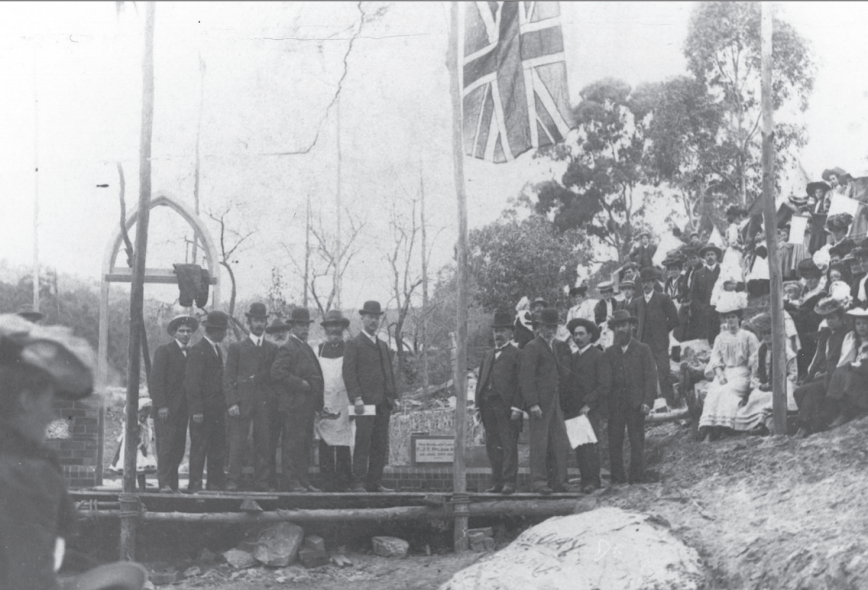
In 1864 the Montacute School was opened, and the Montacute Post Office opened in 1887. In 1902 George Ross commenced a wholesale nursery at Montacute. Today, Ross Roses is one of South Australia’s oldest rose nurseries. In 1907 the foundation stone of the Montacute Institute was laid.
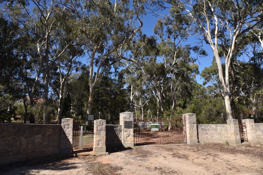
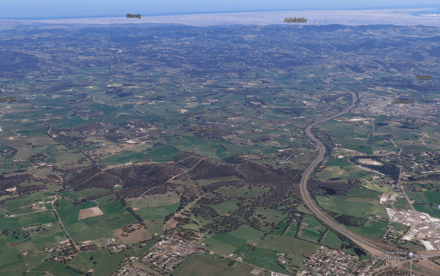
I then turned left onto Corkscrew Road and then left into Valley Road. I soon entered the Montacute Conservation Park. The park is about 194 hectares in size and is set in very rugged and hilly country. It was established in 1971.
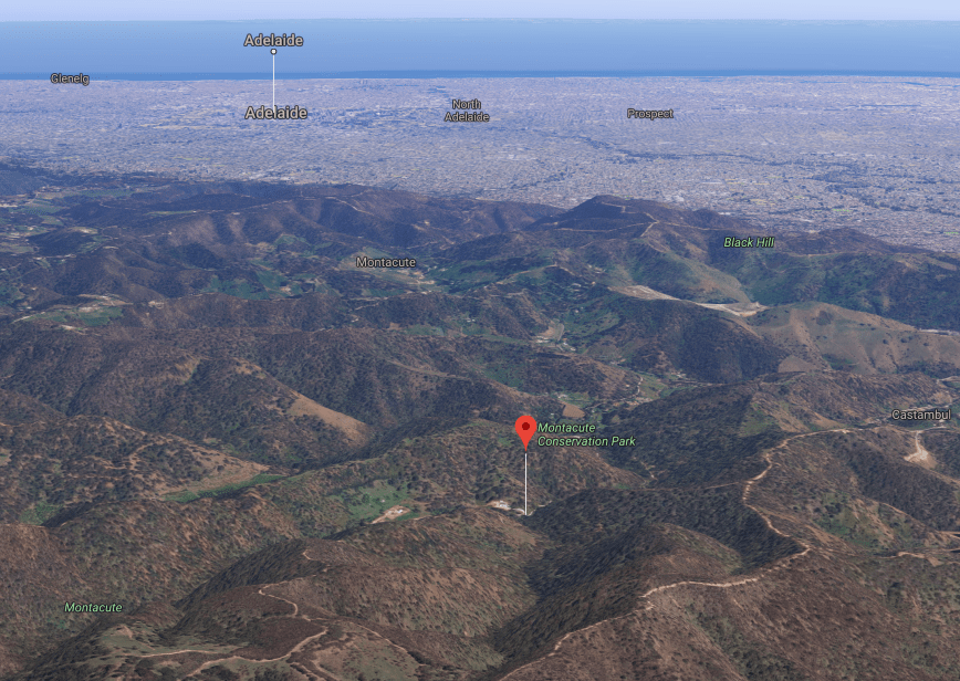
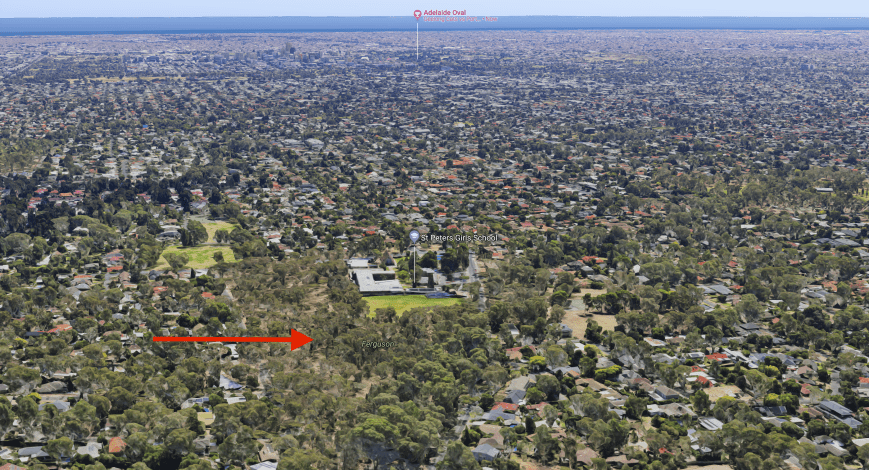
Above:- Aerial shot of the Montacute Conservation Park, looking west back towards Adelaide. Image courtesy of google maps.
The park is remnant bushland and contains river red gums, stringybark, and messmate stringybark. The Heysen Trail passes through the park. Some sections of the trail and quite steep and challenging.
Birds SA have recorded over 57 species of native bird in the park including Adelaide Rosella, Superb Fairywren, New Holland Honeyeater, Yellow-faced Honeyeater, Black-winged Currawong, Grey Fantail, Rufous Whistler, Common Bronzewing, Eastern Spinebill, Restless Flycatcher, Eastern Shriketit.
Various native animals call the park home including Western Grey kangaroos, echidnas, and koalas.
During my visit to the park I observed dozens of Superb Fairy Wrens. But all females. I didn’t spot a single male who has the very bright blue plumage. They were dancing around in front of me during the entire activation. I also had a koala in a tree close to where I was set up. He/she didn’t appear at all phased about me being there and disturbing their afternoon siesta.
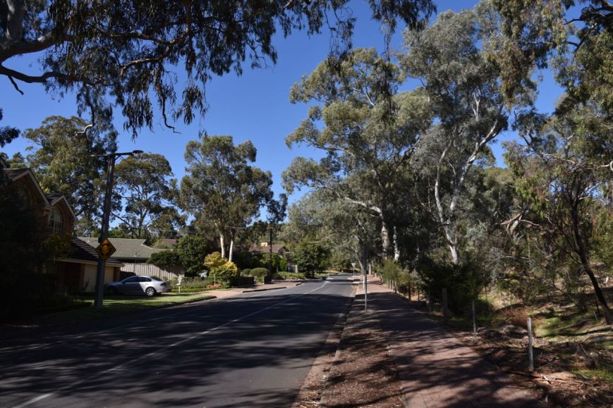
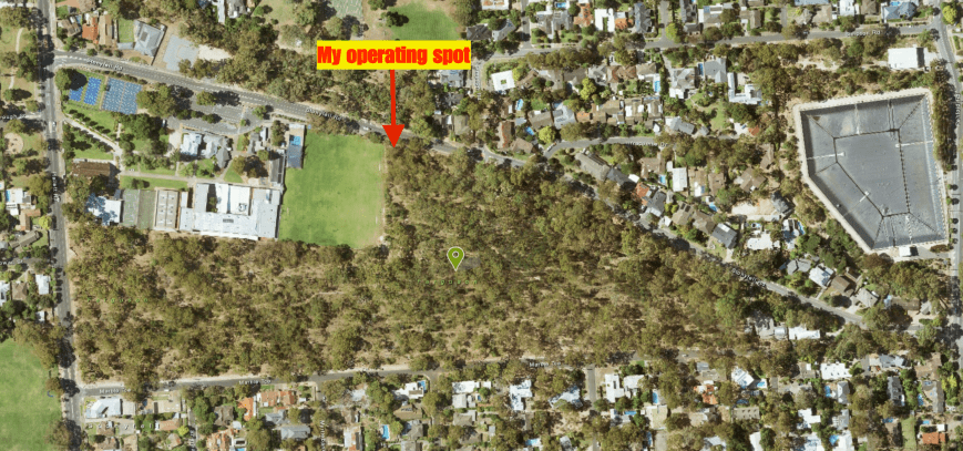
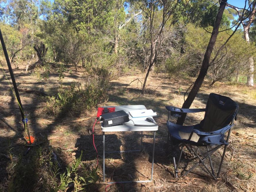
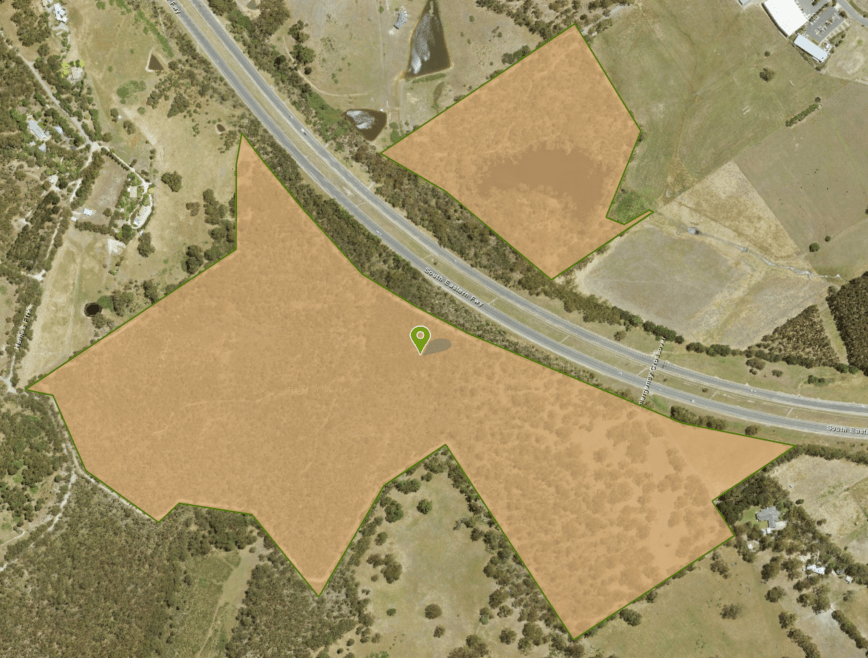
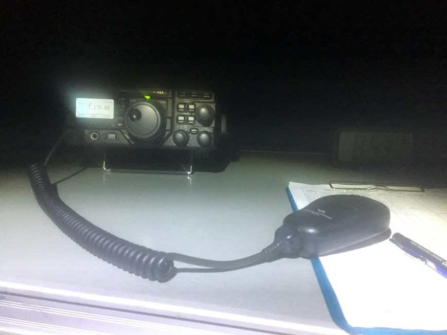
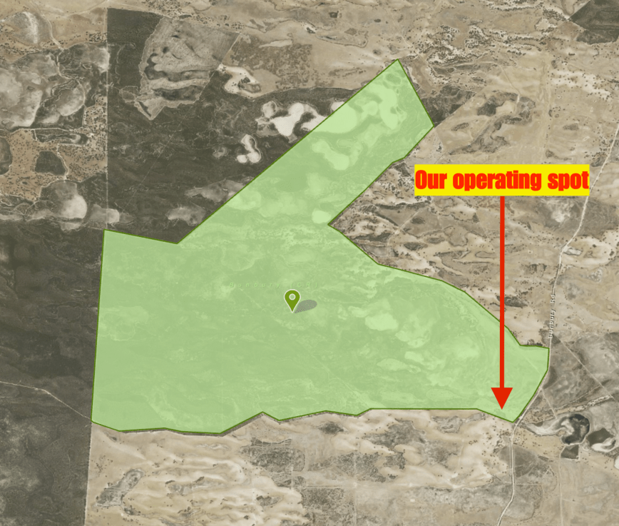
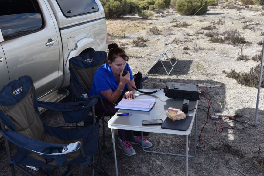
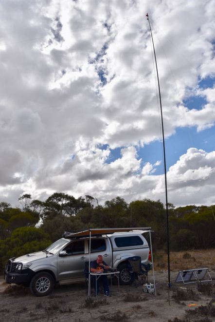
I drove along Valley Road and set up in the spot where I had activated from previously, a small dirt track leading off Valley Road. There was plenty of room here to stretch out the 20/40/80m linked dipole, and plenty of shade.
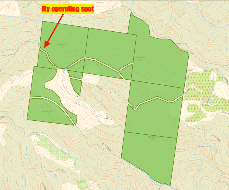
Above:- the Montacute Conservation Park, showing my operating location. Map courtesy of Location SA Map Viewer.
The transceiver was already set on 7.144 when I turned it on. I found that there were some stations chatting on 7.145, so I tuned down the band and found Colin VK3NCC/2 in the Warrumbungle National Park, VKFF-0520 calling CQ on 7.140. I logged Colin Park to Park, and then moved up to 7.155 where I started calling CQ. I had no internet coverage in the park, so I was unable to self spot on parksnpeaks. First taker to my CQ calls was Peter VK3PF, followed by Deryck VK4FDJL, Gerard VK2IO, and then John VK4TJ. Gerard VK2IO kindly spotted me on parksnpeaks.
Sadly the number of callers on 40m was way down compared to usual, and it was very slow going. And I soon started to experience QRM, with G4PEL coming up on frequency, calling CQ North America. Sadly he was unable to hear me. So with just 12 QSOs in the log I QSY’d up the band to 7.165 and called CQ. This was answered by Glenn VK4FARR, followed by Cliff VK2NP, and then Fred VK3DAC who was portable in the Bael Bael Grassland Nature Conservation Reserve VKFF-2040.
But again, callers dried up very quickly. I now had 20 contacts in the log. Fortunately reaching 44 today was not a priority, as I had previously activated and qualified the park. I lowered the squid pole and removed the links and headed off to 14.310 on the 20m band. Unfortunately 5 minutes of CQ calls went unanswered and I was unable to spot on parkspeaks. I also had to endure the Over the Horizon Radar. So I tuned across the band and found the final few minutes of the ANZA DX Net. When the net closed I gave my mate Ted VK6NTE a call. Ted was 5/9 but was suffering a bit from noise at his end. I logged a total of 6 stations on 20m from VK2, VK4, and VK6.
I moved back to 40m and called CQ on 7.160. Ray VK4NH had kindly spotted me and followed me up from 20m. I logged Ray with his 3 different calls and then Peter VK3TKK mobile. But that was it. No more takers. So it was off to the 80m band. I found Fred VK3DAC/p again, this time calling CQ on 3.610. Fred had a strong signal. I then moved down to 3.605 where I logged a total of 5 stations from VK3 and VK5. But despite conditions on 80m being quite good, I had no further callers.
So it was back to 40m again where I again called CQ on 7.160. This was answered by Ted VK6NTE, followed by Allen VK3ARH, and then Keith VK3FMKE. I logged a further 5 stations from VK3, VK4, VK5 and VK6. This included Lee VK6TY who was running QRP, with just 5 watts. Lee was a good 5/3 signal and as there was no man made noise on the band in the park, he was ‘armchair’ copy.
Bill VK4FW came up to let me know that Marc VK3OHM/p was down on 7.155 in a park, so I headed there, and after some persistence I made contact with Marc who was activating the Wyperfeld National Park VKFF-0549. I was hearing Marc better than he was hearing me, but we made it, with 5/1 sent and 3/1 received.
I then moved back to 80m hoping to get Bill VK4FW in the log on 80m. He had advised that he had tried me earlier whilst I was on 80m, but I was unable to hear him. Bill was in fact first in the log, responding to my CQ call. This was followed by Charlie VK5VC who was extremely strong, and then Brett VK2FSAV. I logged a further 6 stations including Adrian VK5FANA on the Yorke Peninsula who was 5/9 ++ (Adrian gave me a 5/9 plus 40 signal report), and also my lovely wife Marija VK5FMAZ who had just got home from work.
To complete the activation I put out a few final CQ calls on 7.160 on 40m. And I’m pleased I didm as I logged 4 further stations including John ZL3MR in New Zealand, and Owen ZL4CY in New Zealand. John was unaware of the WWFF program, so I took the time to explain to him what WWFF was all about and provided him with the addresses for the various websites.
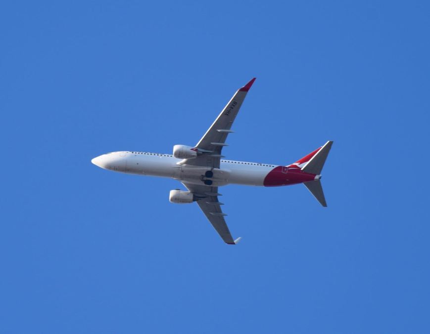
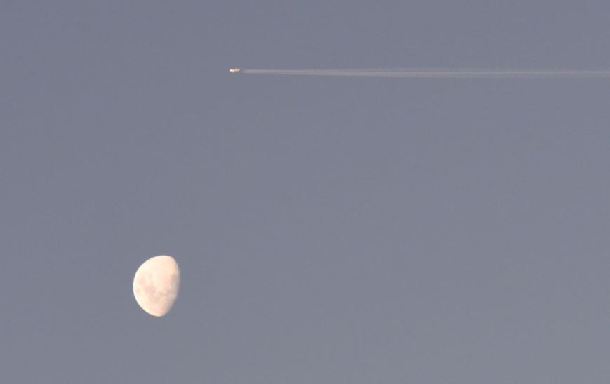
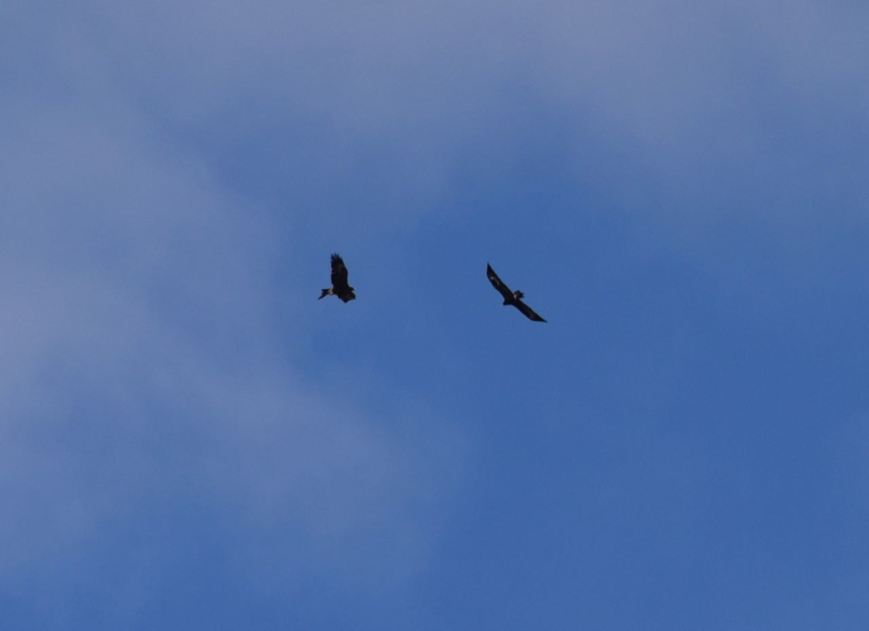
Above:- I was below the flight path for a number of the aircraft flying in to Adelaide.
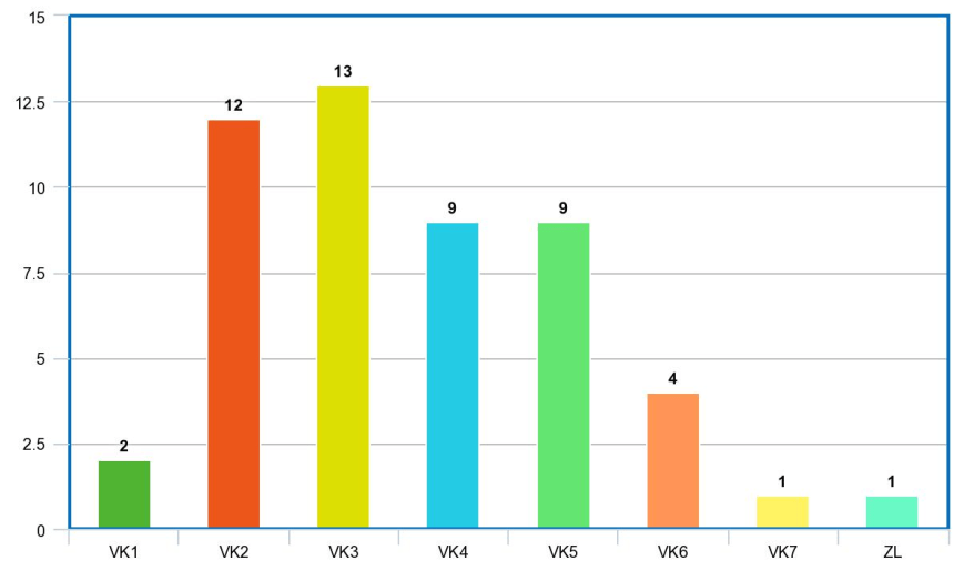
So after quite a slow start I ended up with a total of 59 contacts in the log, including 4 Park to Park contacts.
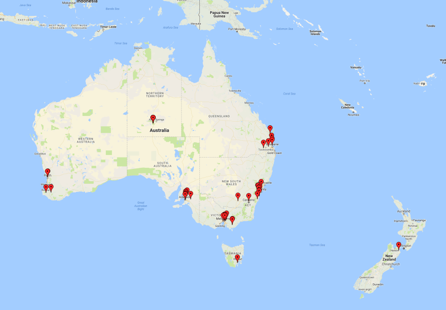
I worked the following stations on 40m SSB:-
- VK3NCC/2 (Warrumbungle National Park, VKFF-0520)
- VK3PF
- VK4FDJL
- VK2IO
- VK4TJ
- VK4/AC8WN
- VK4/VE6XT
- VK2MOR
- VK3UH
- VK3VKT
- VK4FFAB
- VK2USH
- VK4FARR
- VK2NP
- VK3DAC/p (Bael Bael Grassland Nature Conservation Reserve VKFF-2040)
- VK2JLS
- VK4FW
- VK3GGG
- VK3PMG
- VK4VXX/3
- VK4NH
- VK4DXA
- ZL4TY/VK4
- VK3TKK/m
- VK6NTE
- VK3ARH
- VK3FMKE
- VK5VC
- VK4HNS
- VK6TY
- VK3ANL
- VK6FRAB
- VK3OHM/p (Wyperfeld National Park VKFF-0549)
- ZL3MR
- VK7JON
- ZL4CY
- VK7DIK
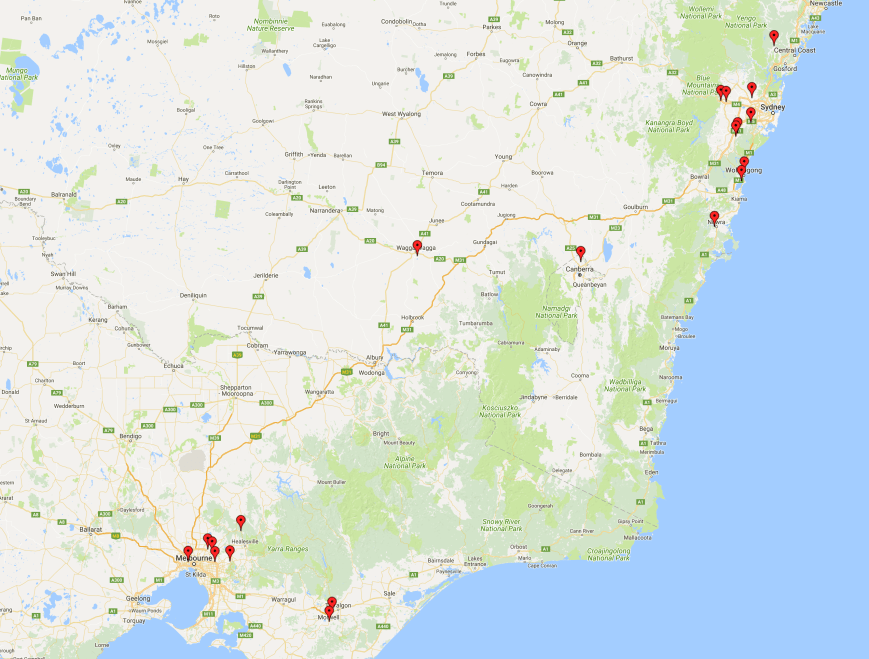
I worked the following stations on 20m SSB:-
- VK6NTE
- VK2RI
- VK2HOT
- VK4VAZ
- VK4NH
- VK4DXA
- ZL4TY/VK4
I worked the following stations on 80m SSB:-
- VK3DAC/p (Bael Bael Grassland Nature Conservation Reserve VKFF-2040)
- VK3GGG
- VK3PMG
- VK5RM
- VK3VBI
- VK3FMKE
- VK4FW
- VK5VC
- VK2FSAV
- VK3PF
- VK5KDK
- VK2YW
- VK1DI
- VK5FANA
- VK5FMAZ
References.
Adelaide Now, 2018, <http://www.adelaidenow.com.au/news/south-australia/kangaroo-creek-reservoir-draining-reveals-batchelors-bridge-built-in-1920s-and-underwater-most-of-the-past-century/news-story/4199813d508e2579e38a89a9f160fe5f>, viewed 30th April 2018
Birds SA, 2018, <https://birdssa.asn.au/location/montacute-conservation-park/>, viewed 30th April 2018
Lenwsood Apples, 2018, <http://lenswoodcoop.com.au/about/our-fruit/>, viewed 30th April 2018
National Parks South Australia, 2018, <https://www.environment.sa.gov.au/parks/find-a-park/Browse_by_region/Adelaide_Hills/montacute-conservation-park>, viewed 30th April 2018
SA Water, 2018, <https://www.sawater.com.au/community-and-environment/our-water-and-sewerage-systems/water-sources/reservoir-data/kangaroo-creek-reservoir>, viewed 30th April 2018
Smith, P, Piddock, S, & Pate, D, 2005, ‘Historic sites and landscapes Stonyfell to Tea Tree Gully’.
State Library South Australia, 2018, <http://www.slsa.sa.gov.au/digitalpubs/placenamesofsouthaustralia/M.pdf>, viewed 30th April 2018
Wikipedia, 2018, <https://en.wikipedia.org/wiki/Lenswood,_South_Australia>, viewed 30th April 2018
Wikipedia, 2018, <https://en.wikipedia.org/wiki/Montacute,_South_Australia>, viewed 1st May 2018


")


")