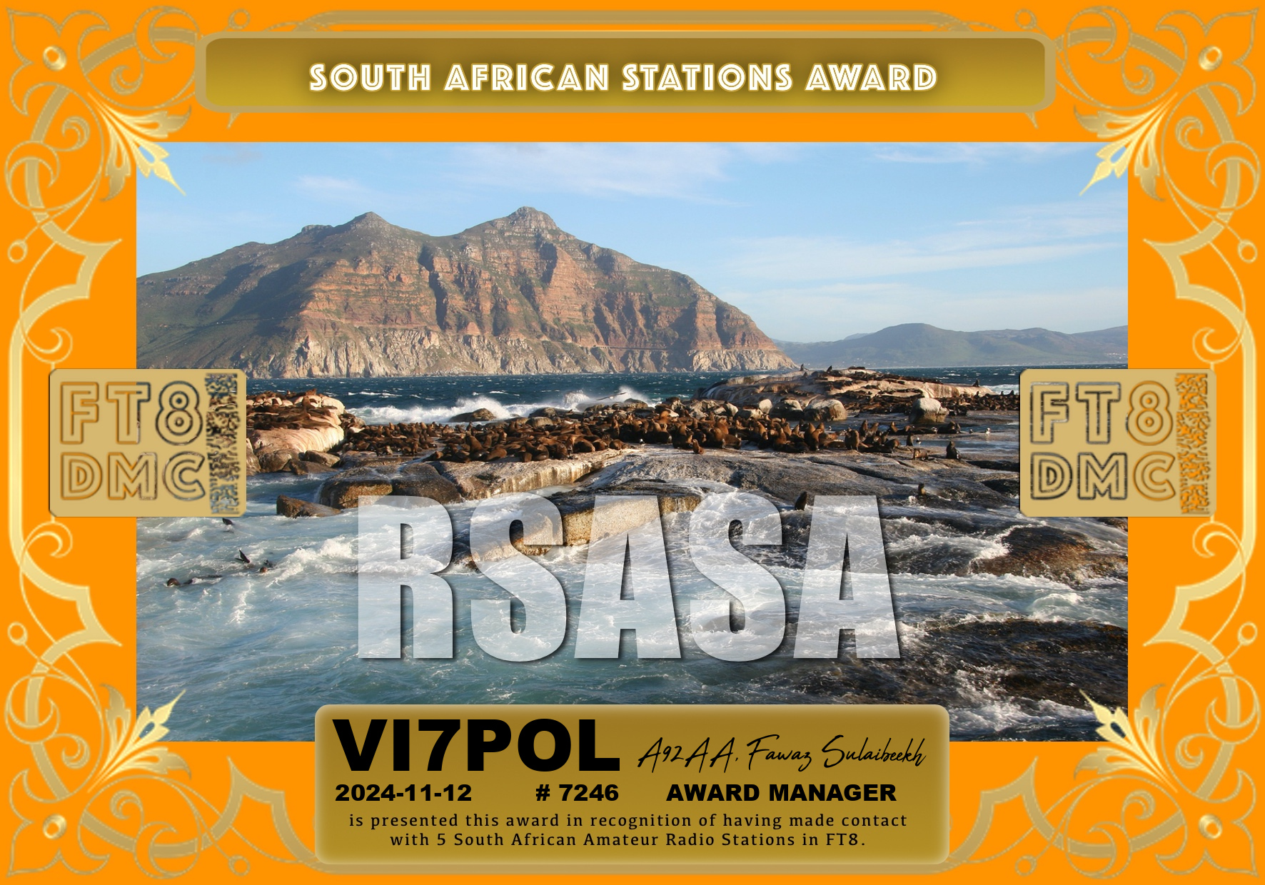
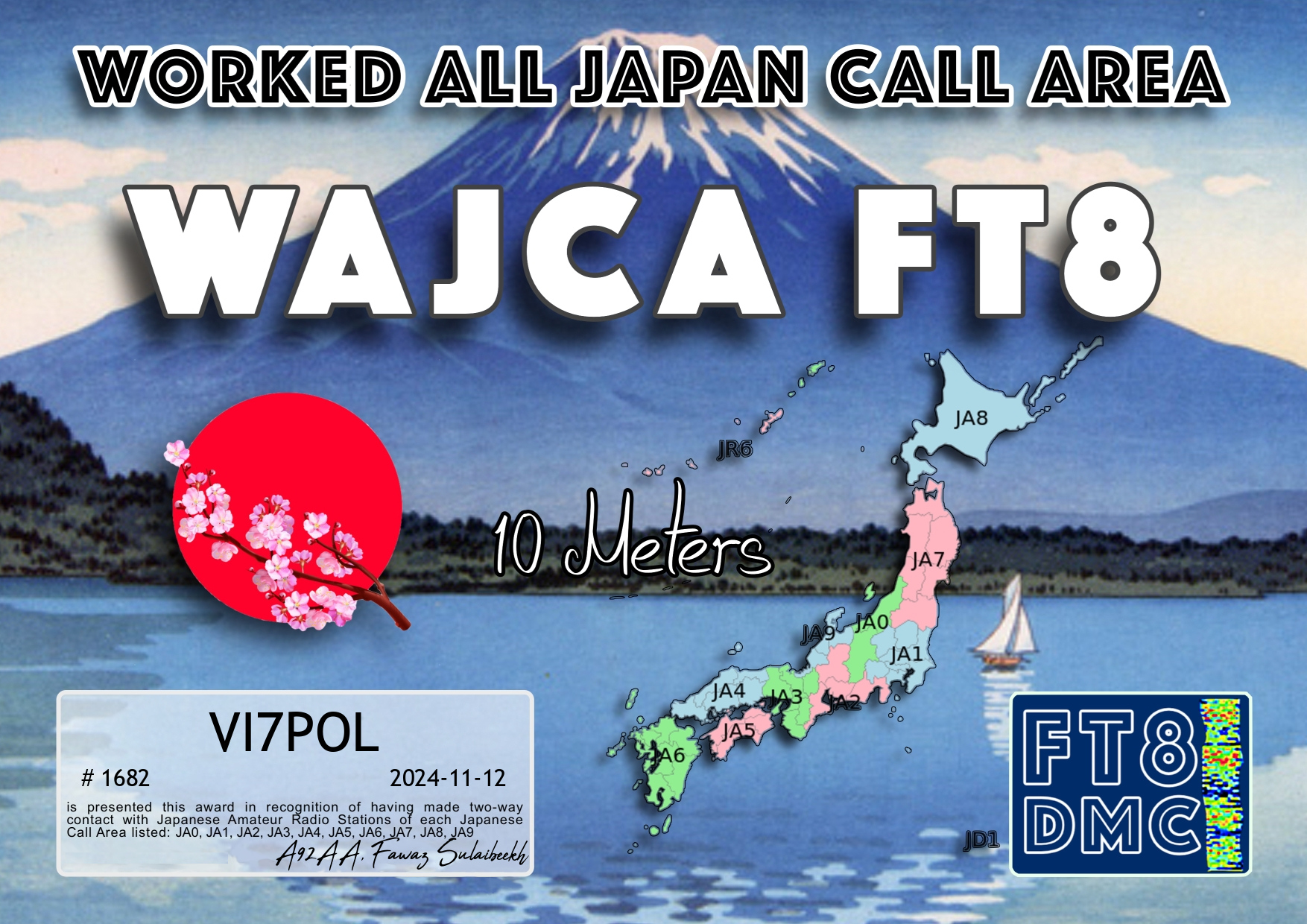
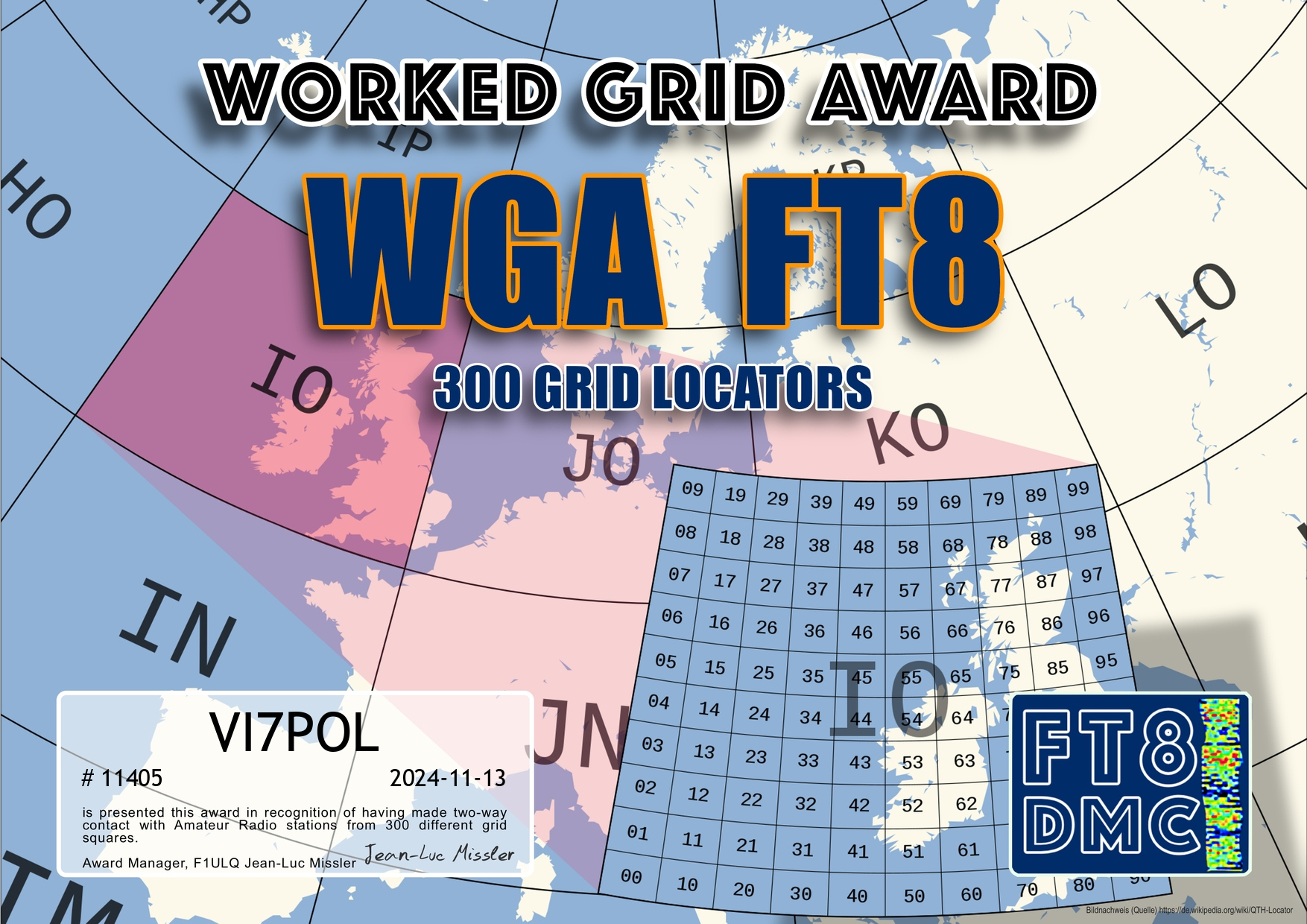
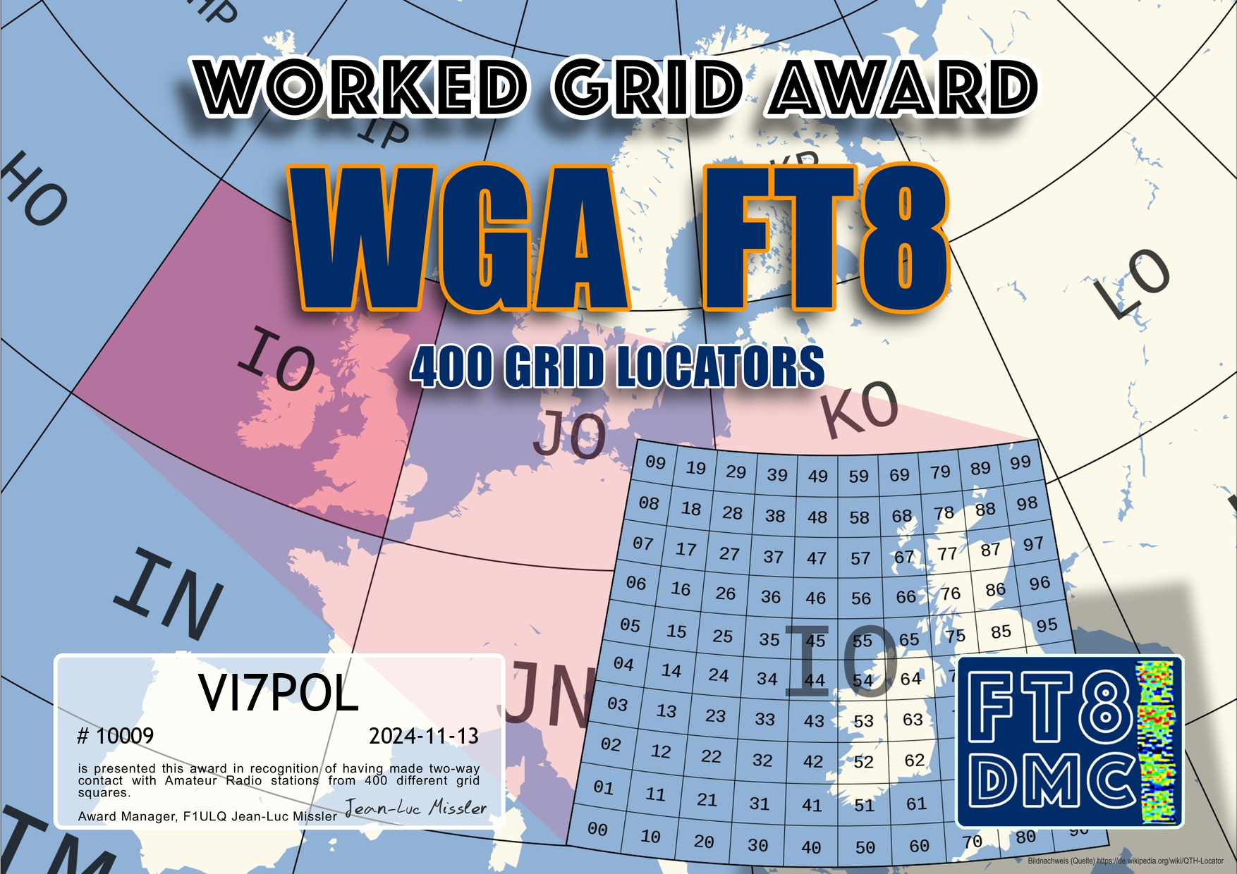
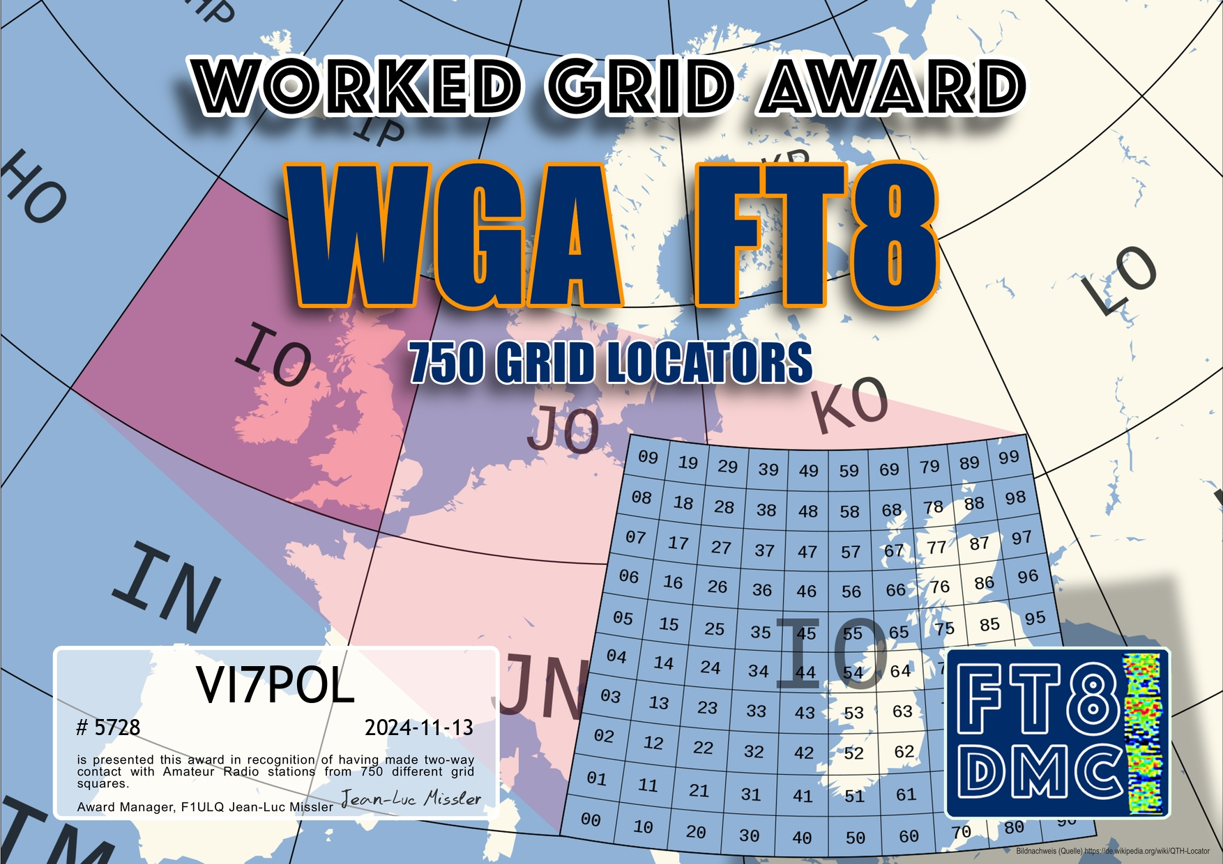
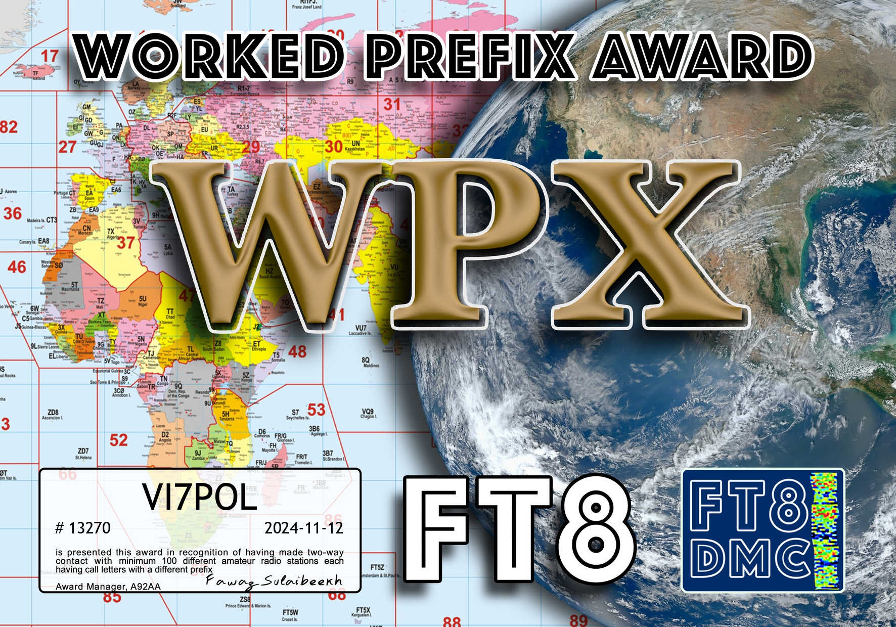
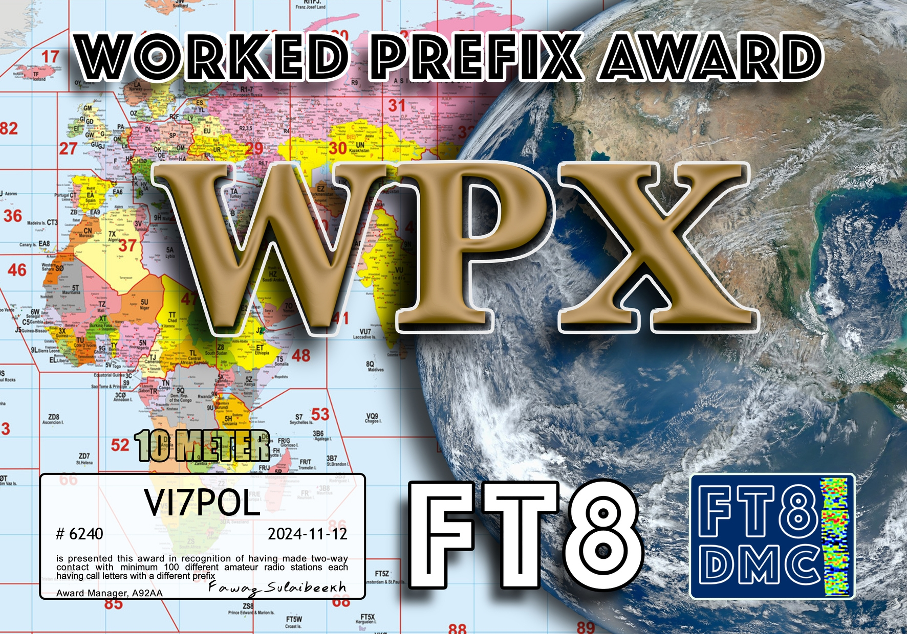
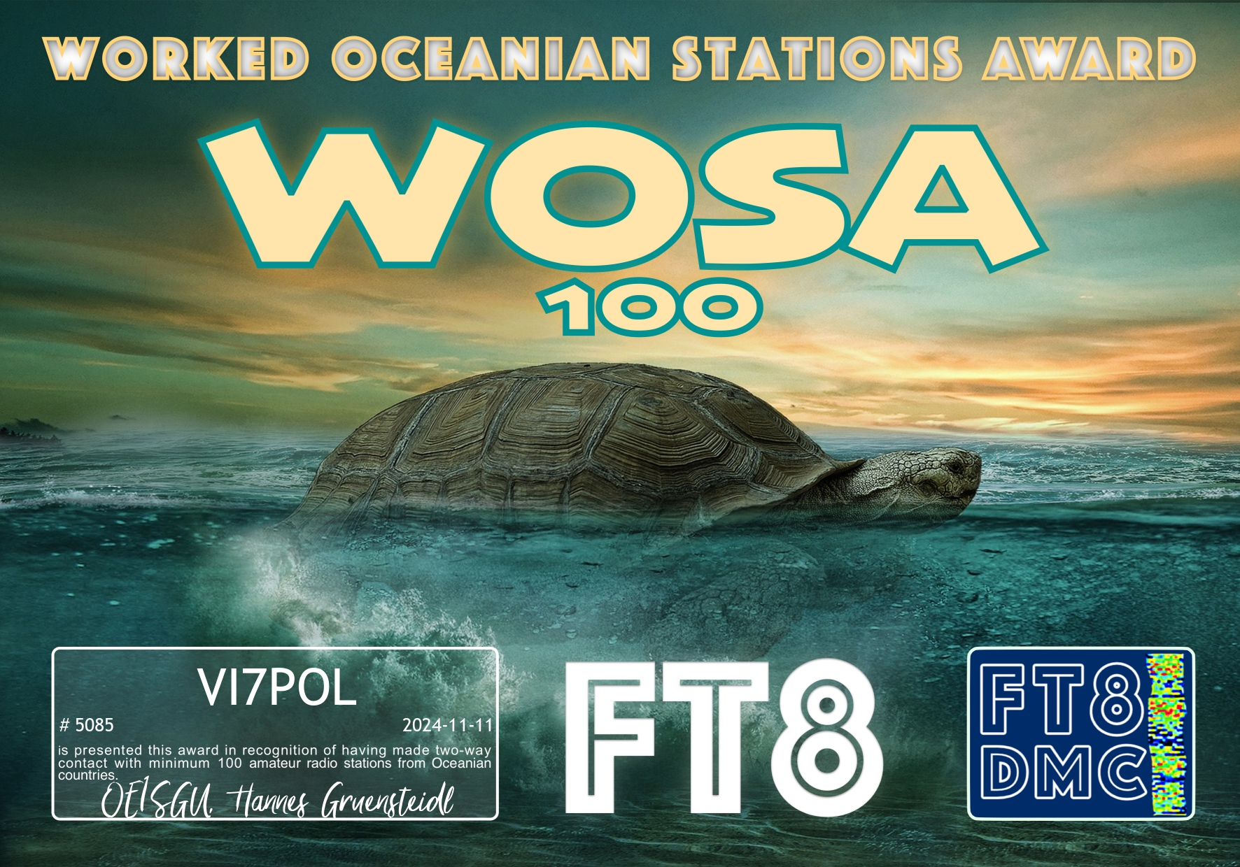
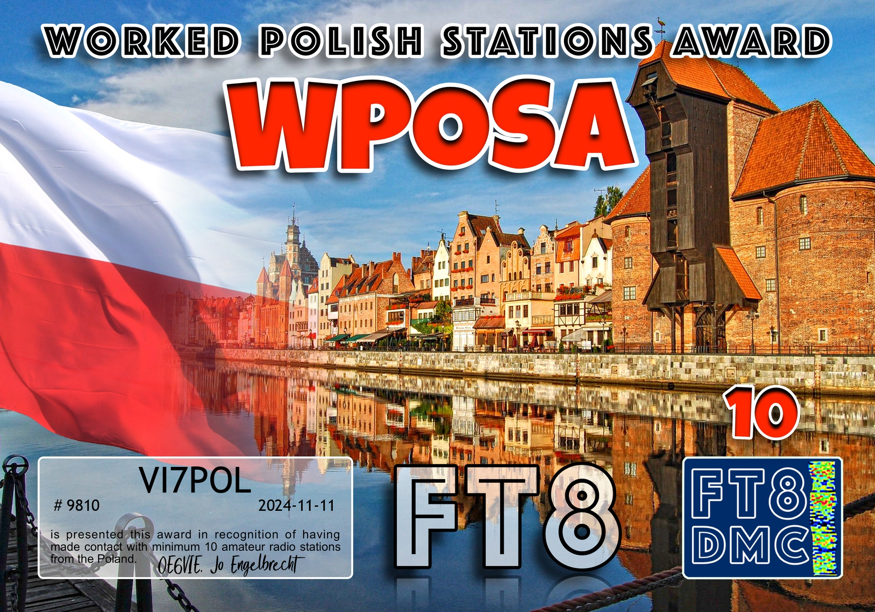
Some more FT8 award certificates for VI7POL
Thank you to all of the FT8 operators and the various award managers.
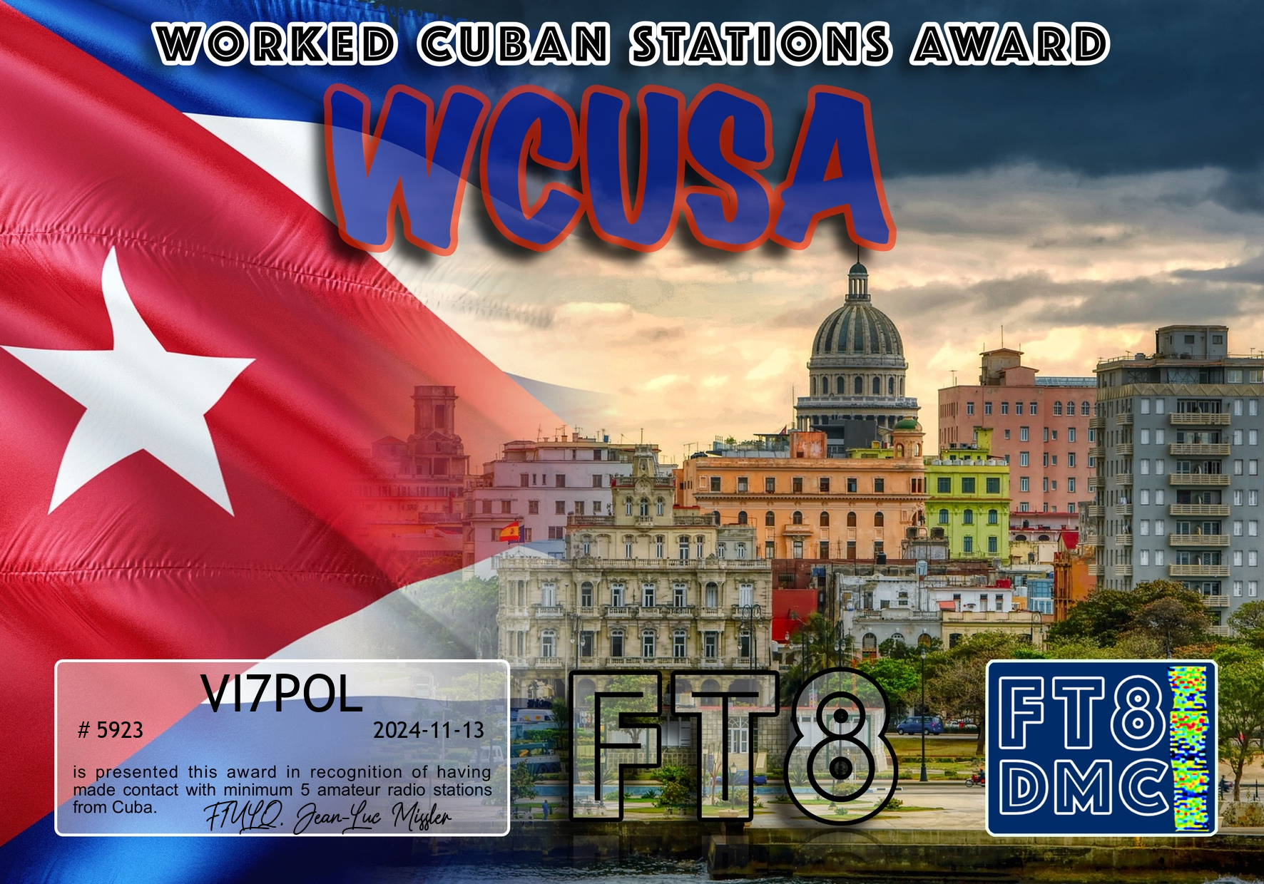
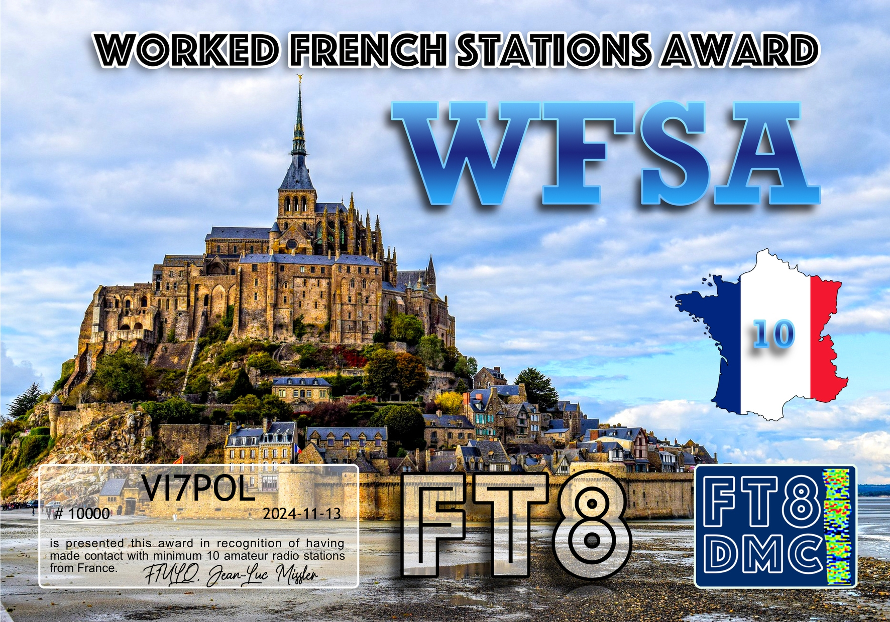


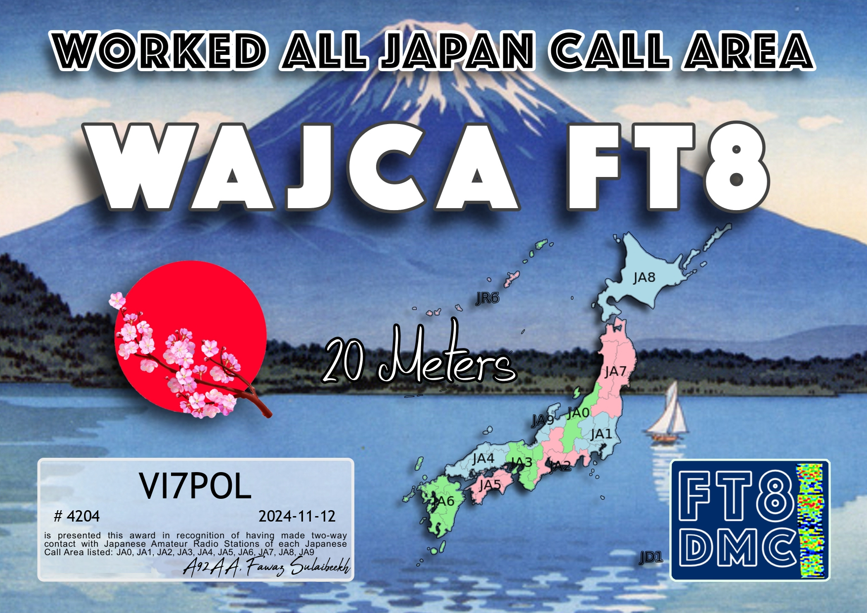


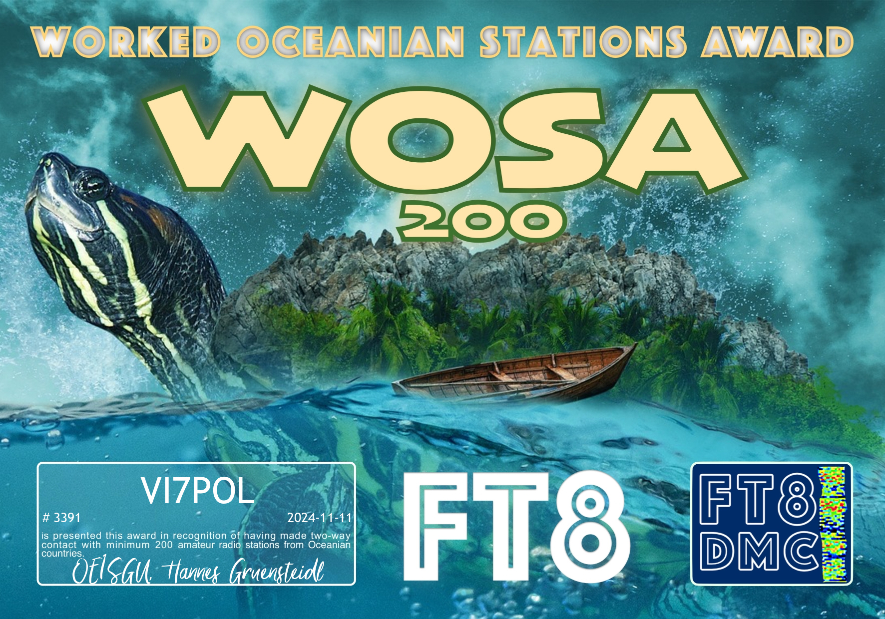
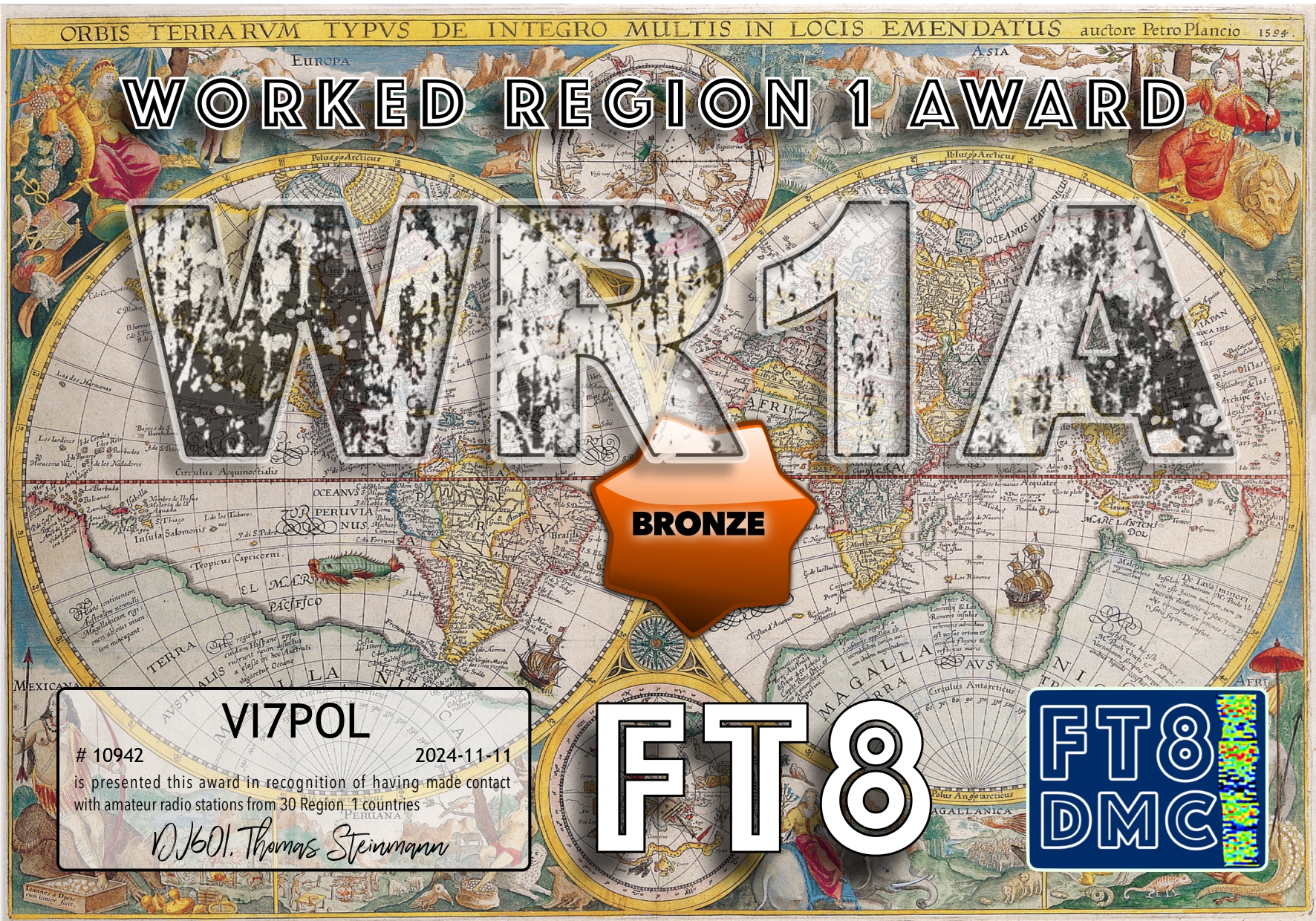
Some more FT8 award certificates for VI7POL
Thank you to all of the FT8 operators and the various award managers.
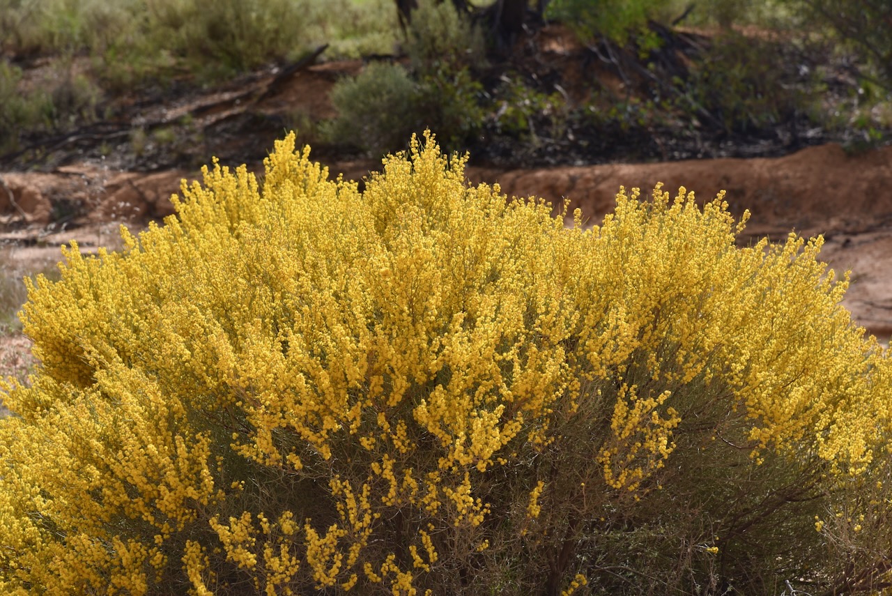
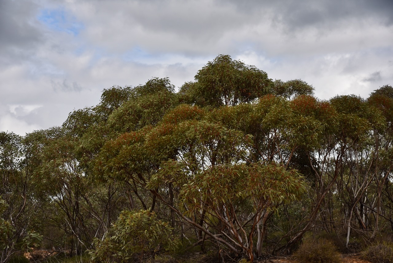
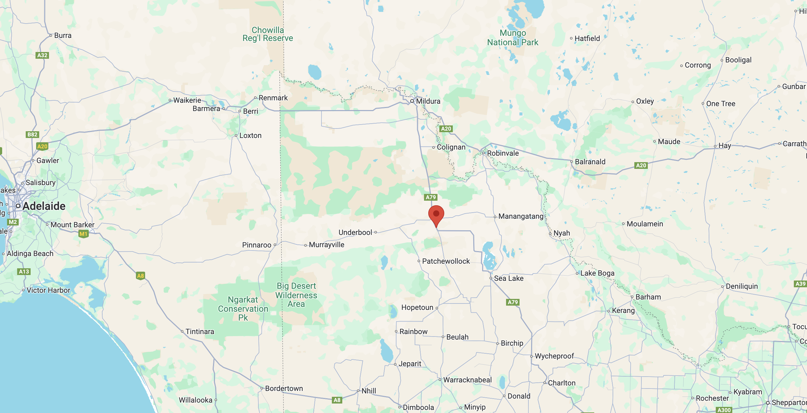
My next activation for Wednesday 21st August 2024 was the Tiega I81 Bushland Reserve VKFF-4205.
The reserve is about 11 km west of Ouyen in northwest Victoria.
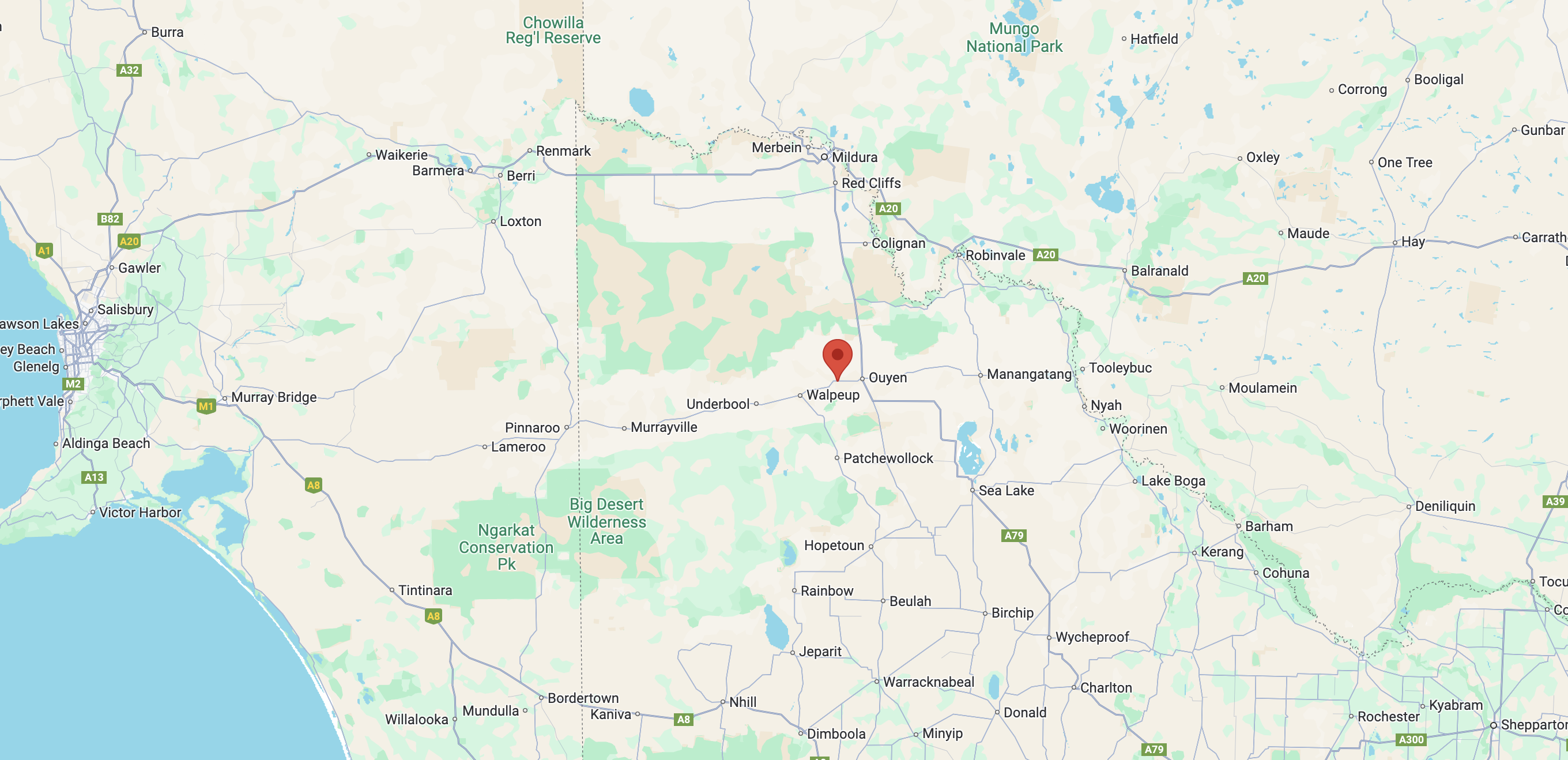
Above:- Map showing the location of the Tiega I81 Bushland Reserve. Map c/o Google Maps.
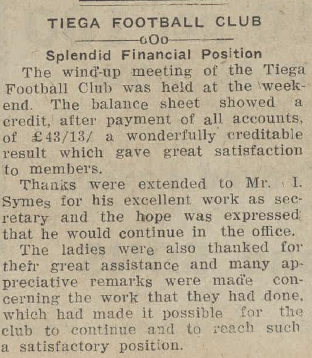
Tiega is an aboriginal word for ‘sister’. Tiega was once a thriving community having its own school, a tennis club, and a football club. (Blake 1978)
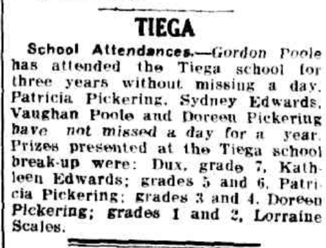
Above:- Article from the Sunraysia Daily, Thu 30 Dec 1937. Image c/o Trove.
Above:- Article from the Ouyen Mail, Wed 11 Oct 1939. Image c/o Trove.
Today, little remains at Tiega, other than a sign to let you know that you are entering the district.

The Tiega I81 Bushland Reserve is located on the northern side of the Mallee Highway at the junction with Le Couteur Road.
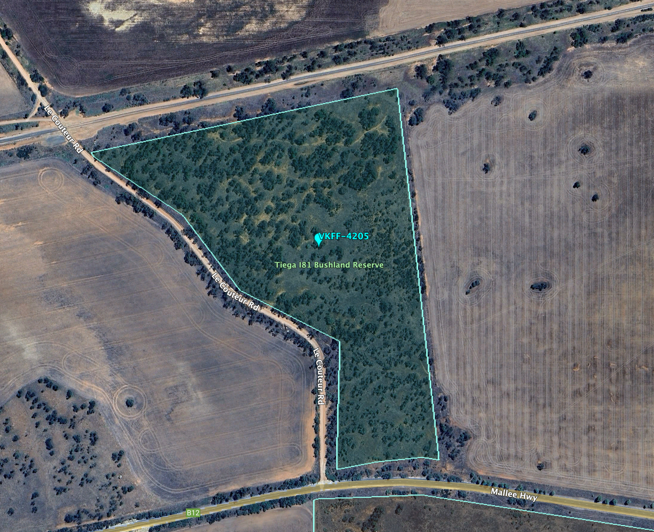
Above:- An aerial view of the Tiega I81 Bushland Reserve. Image c/o Google Earth.
The reserve is about 16 hectares in size and was established on the 1st day of May 1979. (CAPAD 2022)

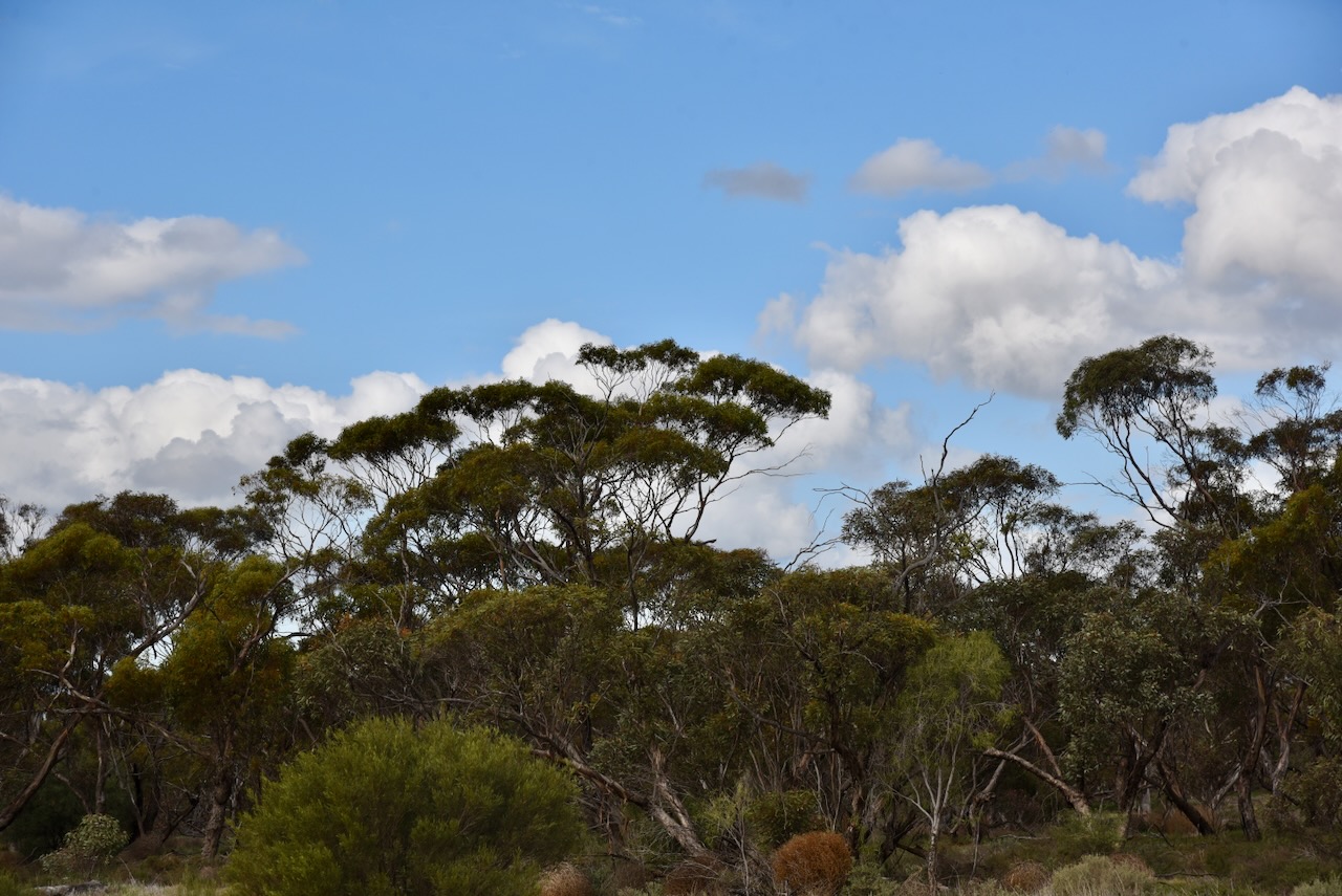
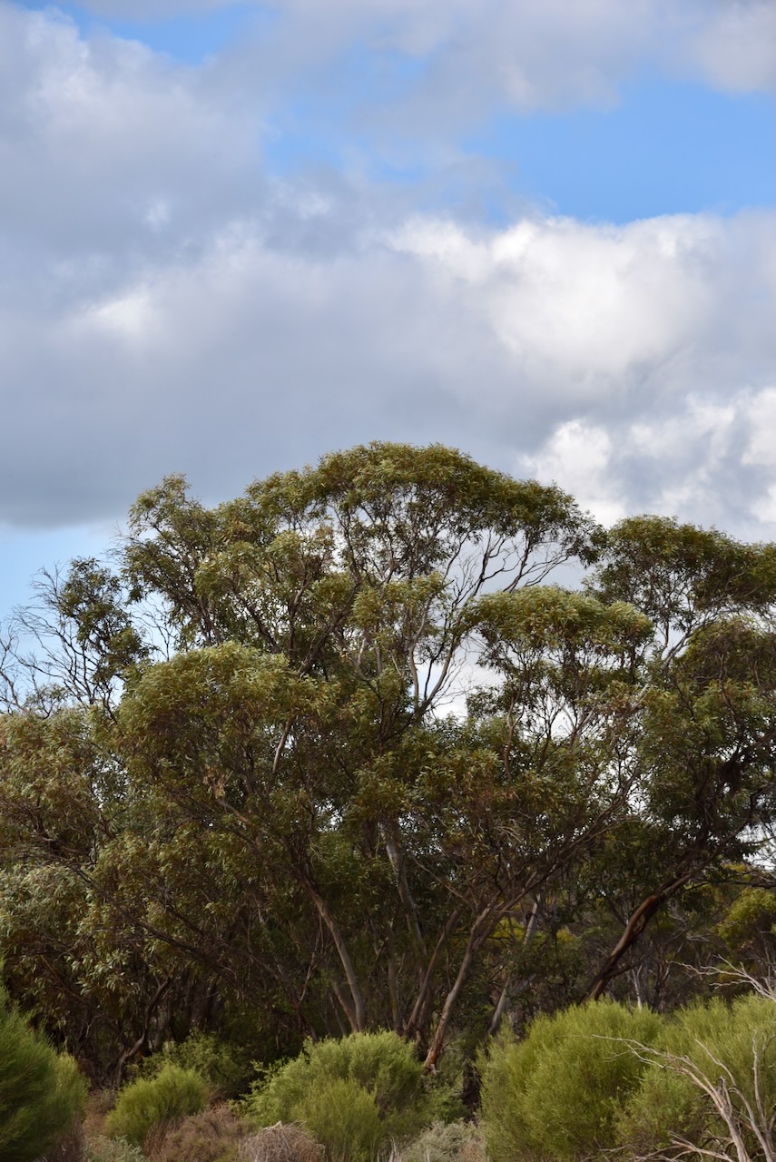
I drove down to the railway line and I accessed the northern section of the park. I ran the Yaesu FT857d, 40 watts, and the 20/40/80m linked dipole for this activation.
I worked the following stations on 20m SSB:-
I worked the following stations on 40m SSB:-
References.
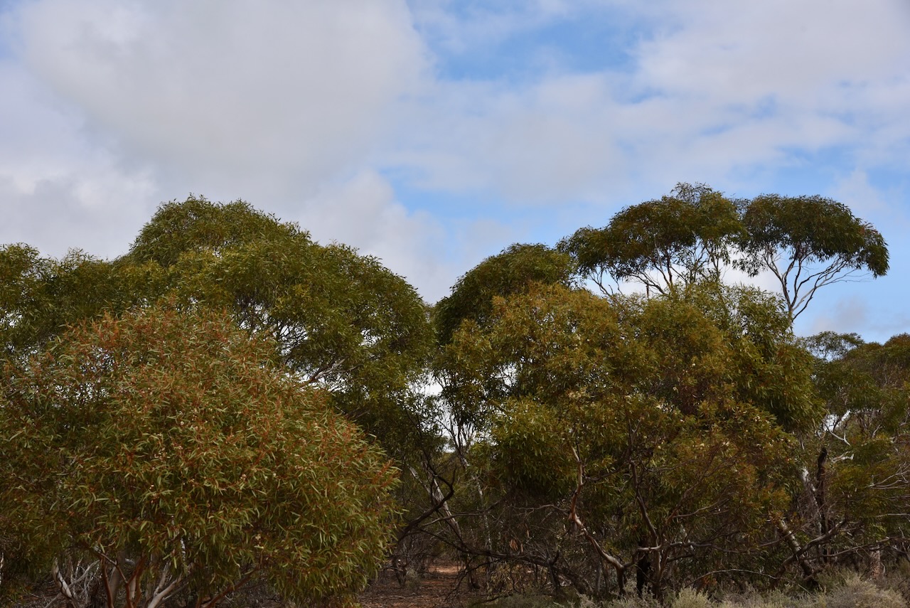
My third park for Wednesday 21st August 2024 was the Kia I242 Bushland Reserve VKFF-4229.
It was just a short drive from the Kia I242A Bushland Reserve to reach this park which is located about 23 km north of Ouyen in northwest Victoria.
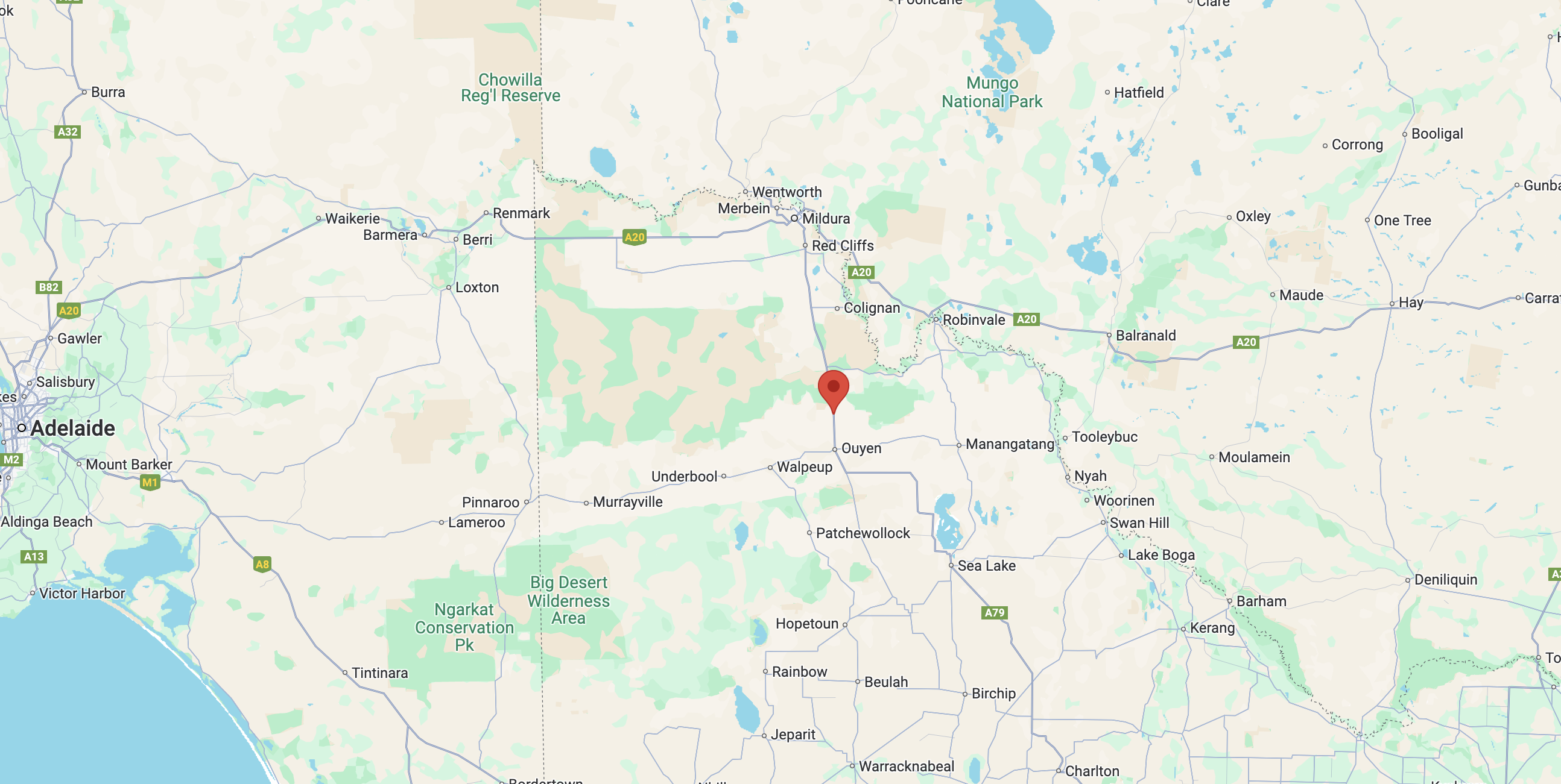
Above:- Map showing the location of the Kia I242 Bushland Reserve. Map c/o Google Maps.
The reserve is located in the southern side of Box Flat Road.
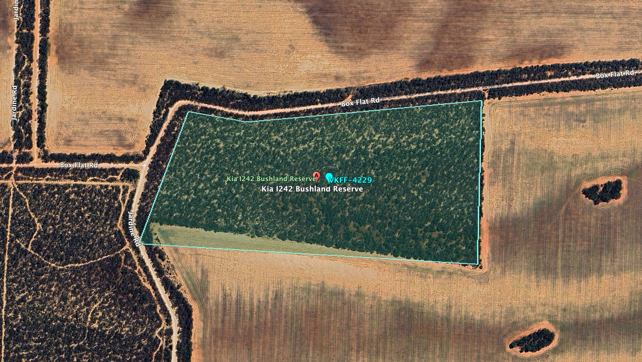
Above:- AN aerial view of the Kia I242 Bushland Reserve. Image c/o Google Earth.
The reserve is about 20 hectares in size and was established on the 8th day of May 1990. (CAPAD 2022)
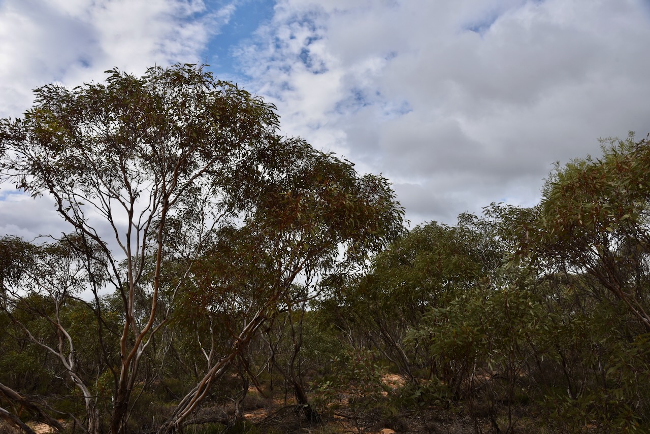
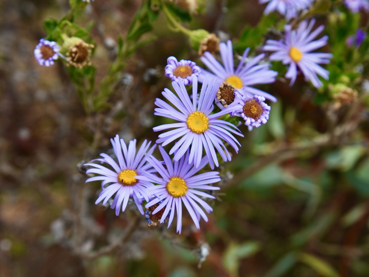
This was another park that was not easy to string out the 20/40/80m dipole. So much so that the 80m sections were lying on the ground amongst the mallee scrub. But the antenna still seemed to perform okay.
I worked the following stations on 40m SSB:-
I worked the following stations on 20m SSB:-
References.
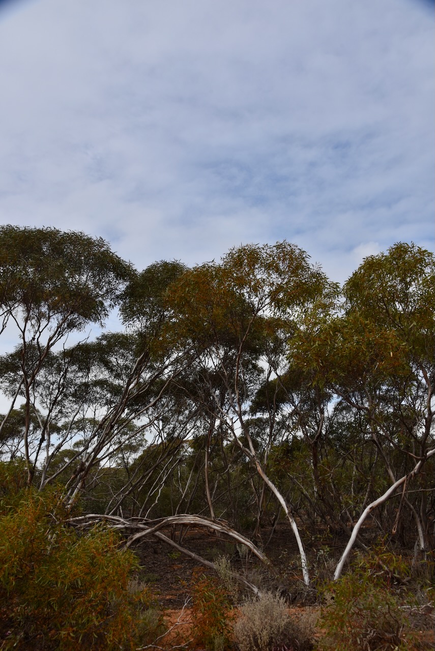
My second activation for Wednesday 21st August 2024 was the Kia I242 Bushland Reserve VKFF-4230.
The reserve is located about 16 km north of Ouyen in northwest Victoria. This was the first time that I had activated the park for the World Wide Flora Fauna (WWFF) program.
Above:- Map showing the location of the Kia I242A Bushland Reserve. Map c/o Google Maps.
The reserve is located on the corner of Calder Highway and Chapman Road.

Above:- An aerial view of the Kia I242A Bushland Reserve. Image c/o Google Earth.
This is just a small park comprising about 8 hectares of mallee scrub. It was established on the 8th day of May 1990. (CAPAD 2022)
I access the park via Chapman Road. There was just enough room amongst the scrub for me to string out the 20/40/80m linked dipole. I ran the Yaesu FT857d and 40 watts.
It was nice to pick up six Park to Park contacts from this park.
I worked the following stations on 40m SSB:-
I worked the following stations on 20m SSB:-
References.
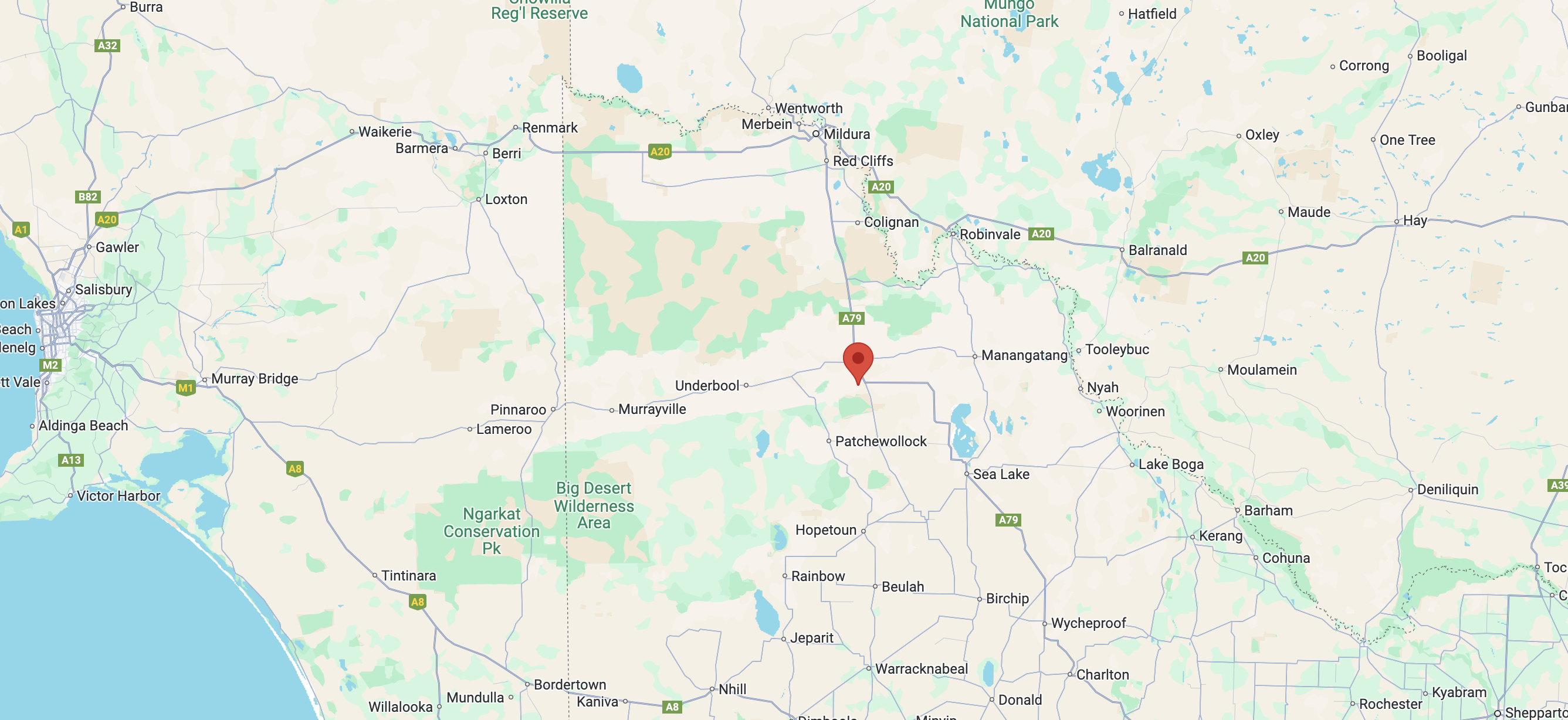
My first activation for Wednesday 21st August 2024 was the Ouyen I34 Bushland Reserve VKFF-4210.
The reserve is located about 10 km north of Ouyen in northwest Victoria. This was the first time that I had activated the park for the World Wide Flora Fauna (WWFF) program.
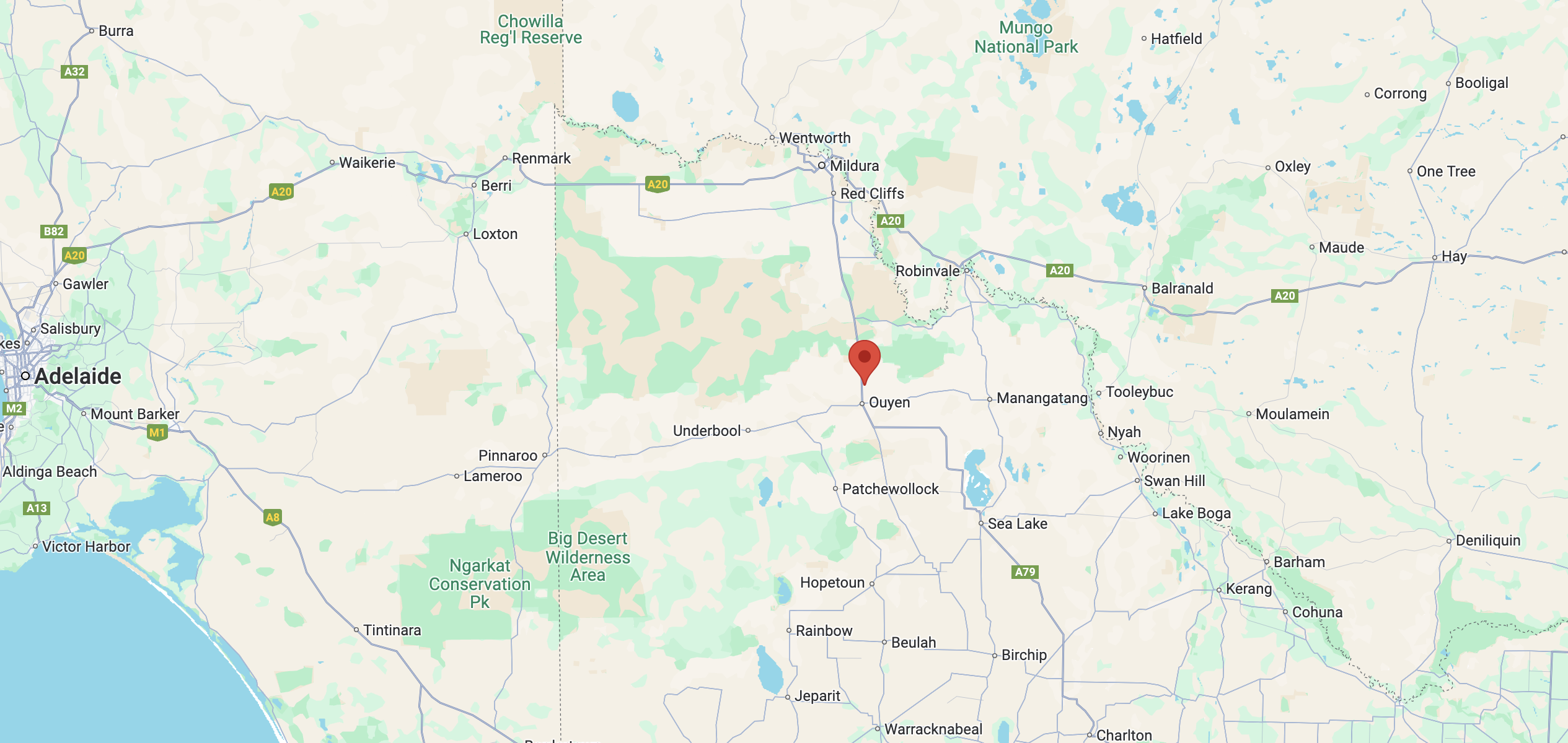
Above:- Map showing the location of the Ouyen I34 Bushland Reserve. Map c/o Google Maps.
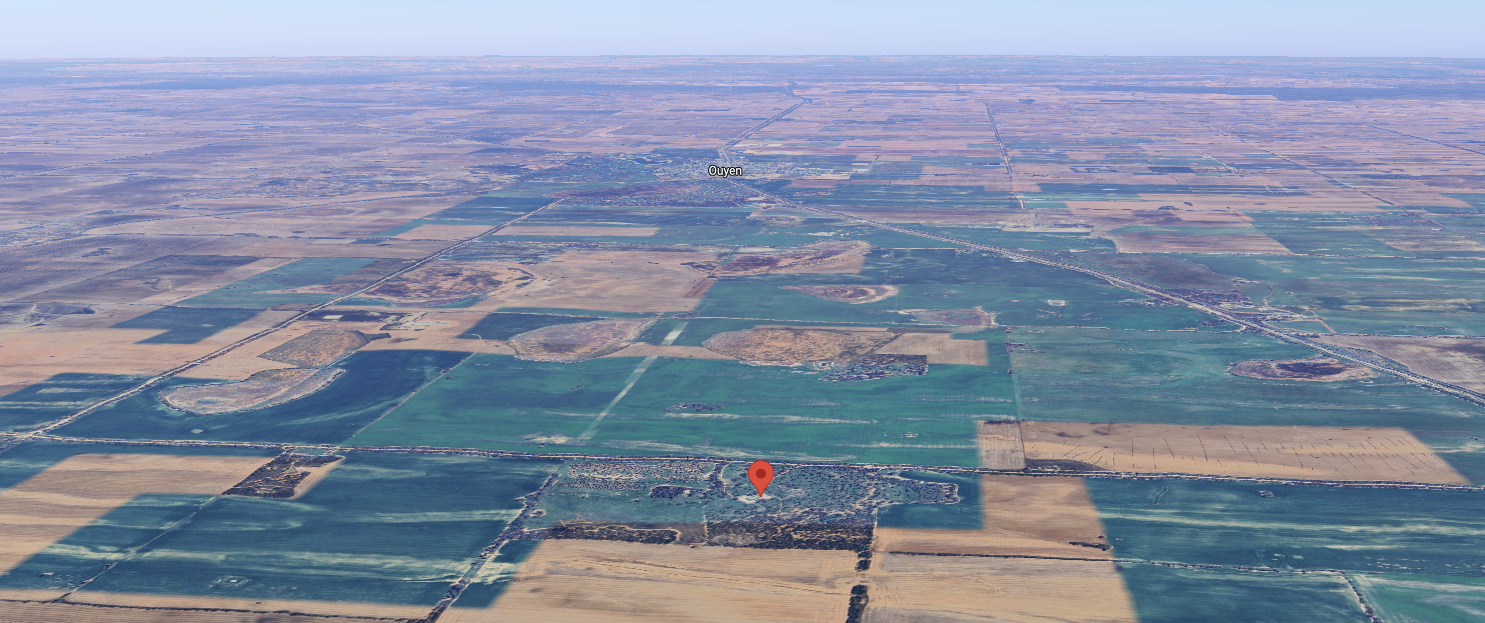
The reserve is located on the northern and southern sides of Dingo Tank Road on the Calder Highway’s eastern side. Presumably, there were dingoes or wild dogs in this area back in the day.
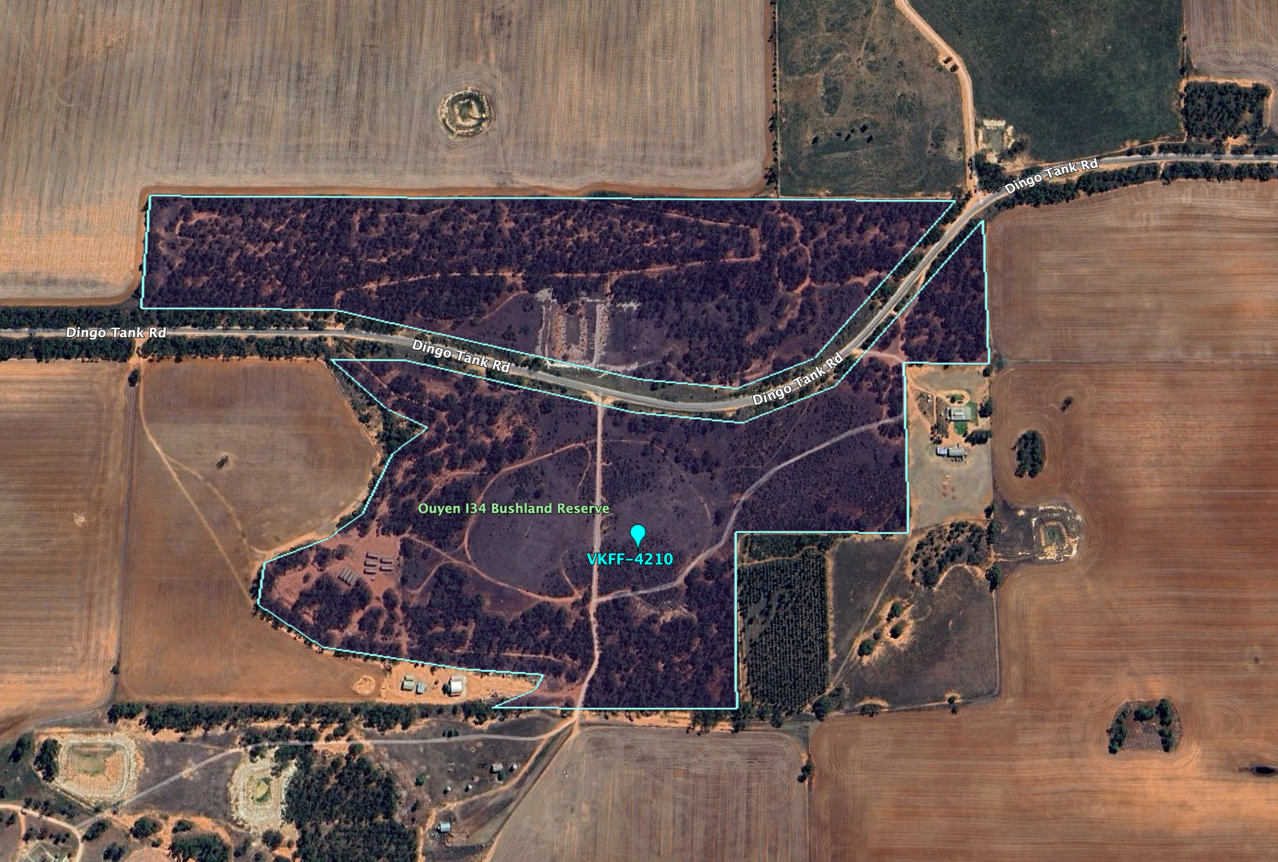
Above:- An aerial view of the park. Image c/o Google Earth.
The reserve is about 36 hectares in size and was established on the 1st day of May 1979. (CAPAD 2022)
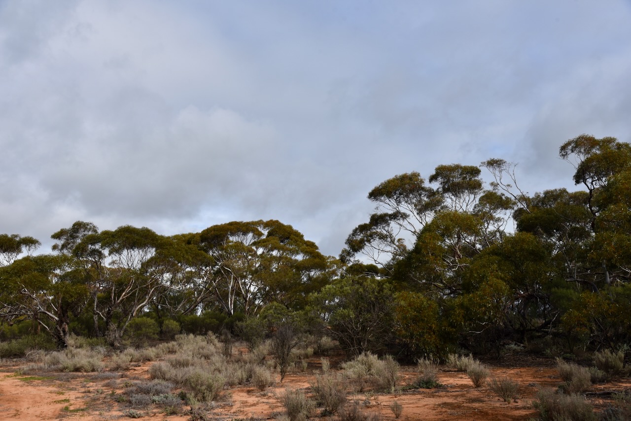
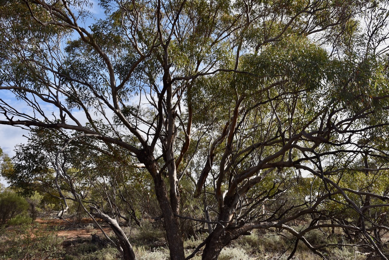

This was another park that was unfenced and I was able to drive in and set up amongst a clearing in the mallee scrub. I ran the Yaesu FT857d, 40 watts, and the 20/40/80m linked dipole.
I worked the following stations on 40m SSB:-
I worked the following stations on 20m SSB:-
References.
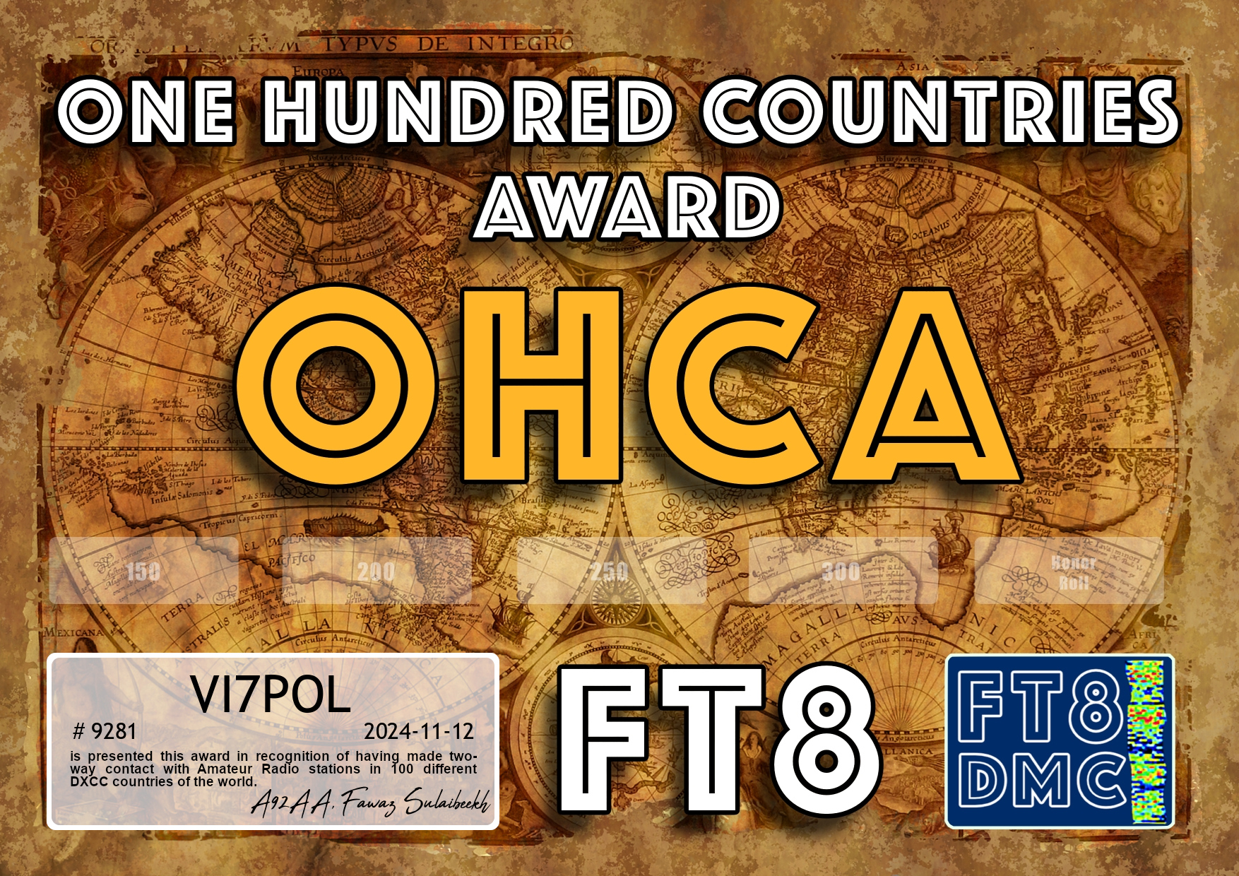
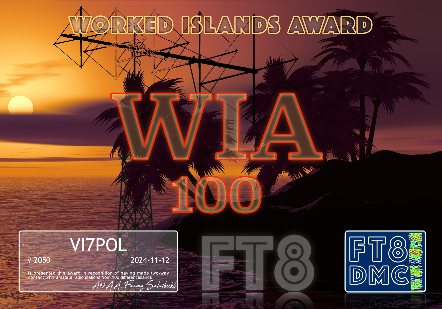
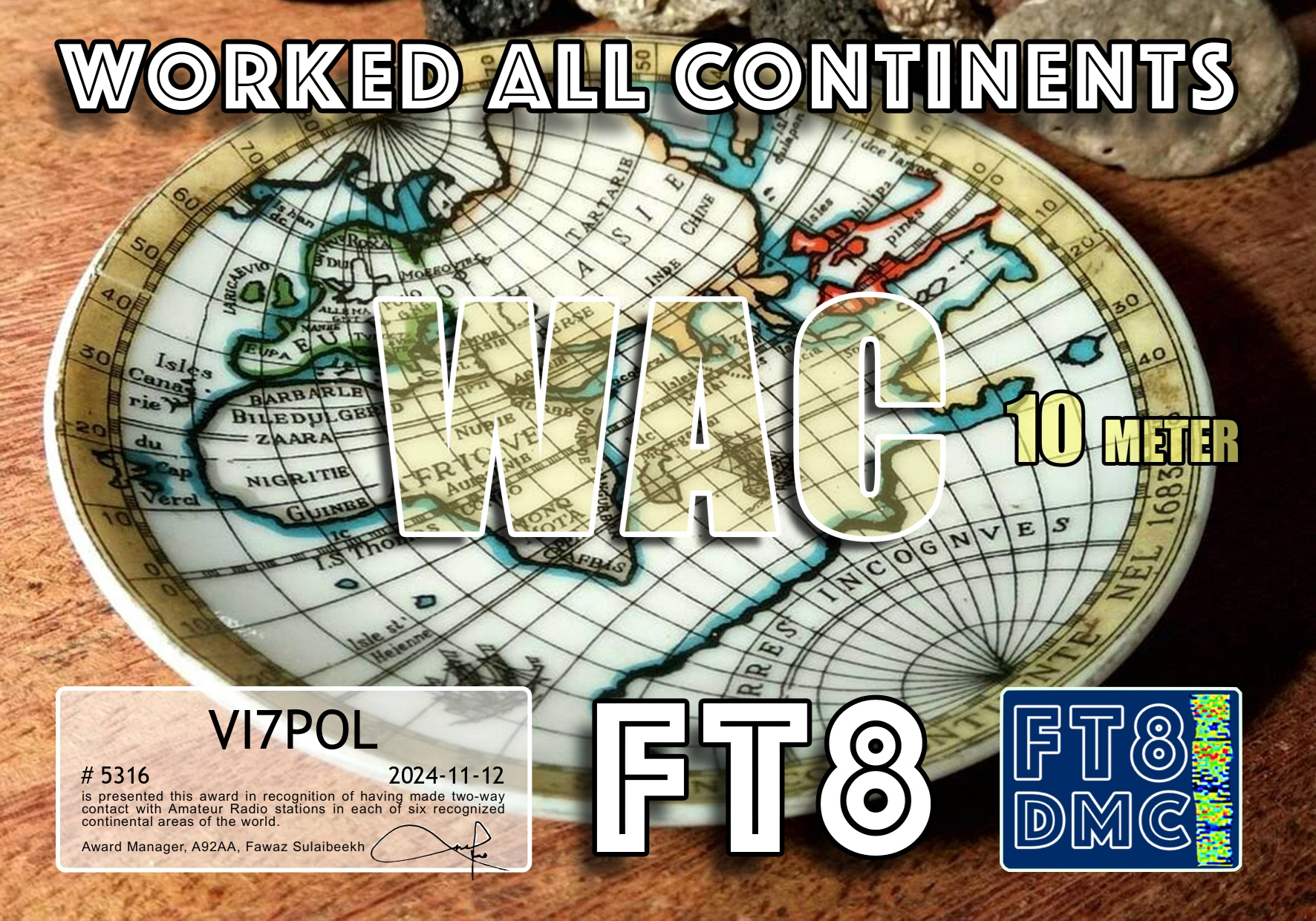
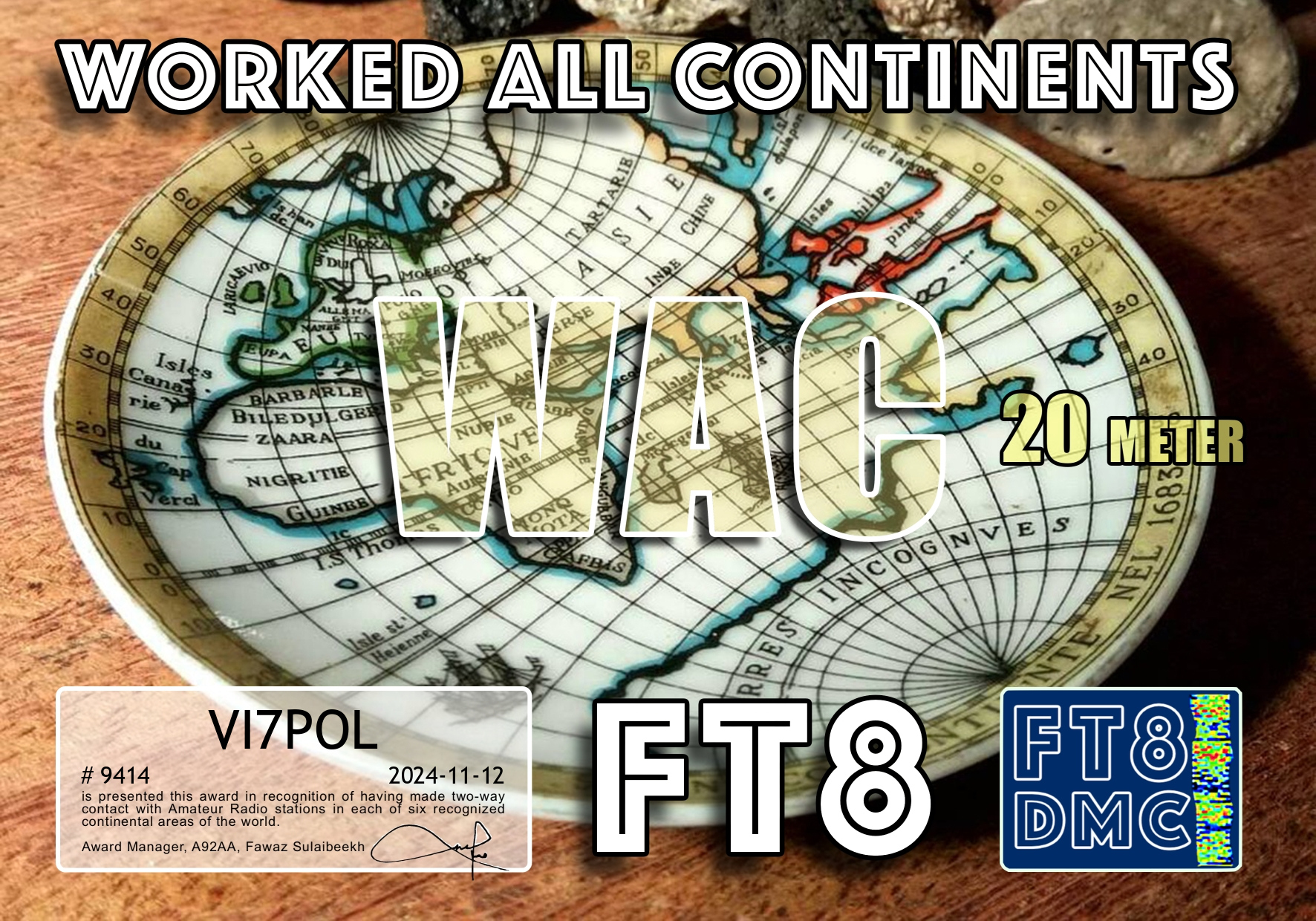
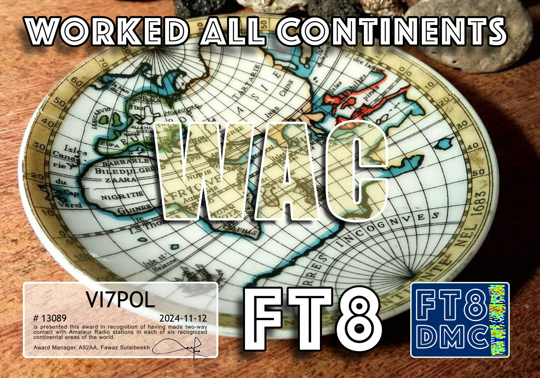
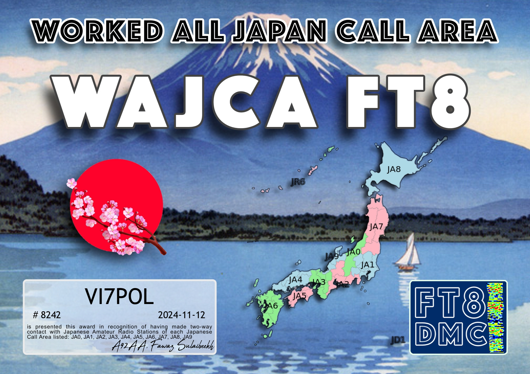
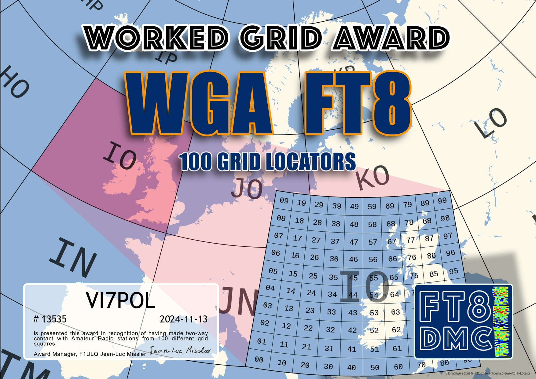
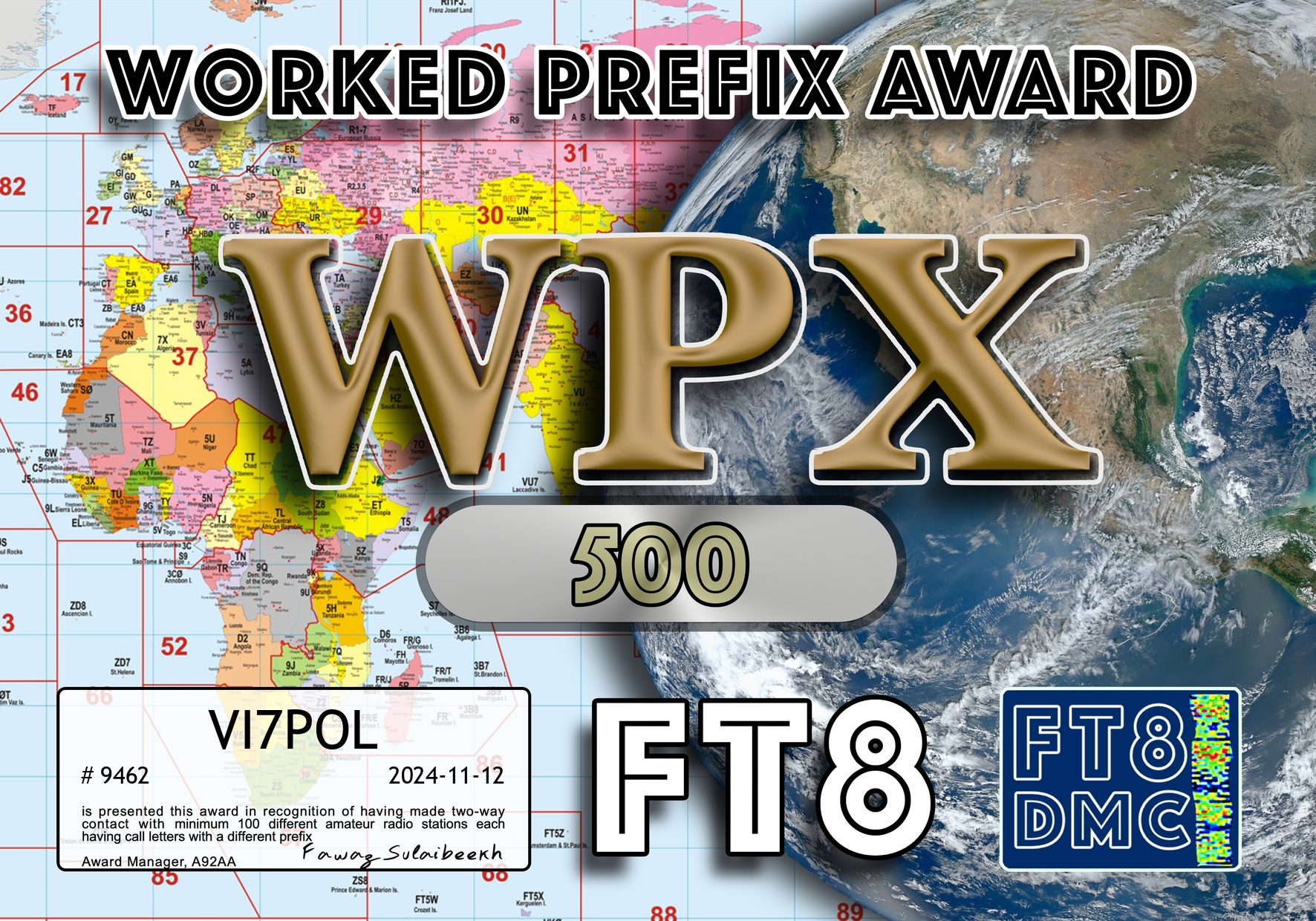
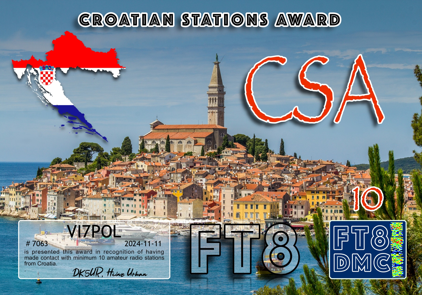
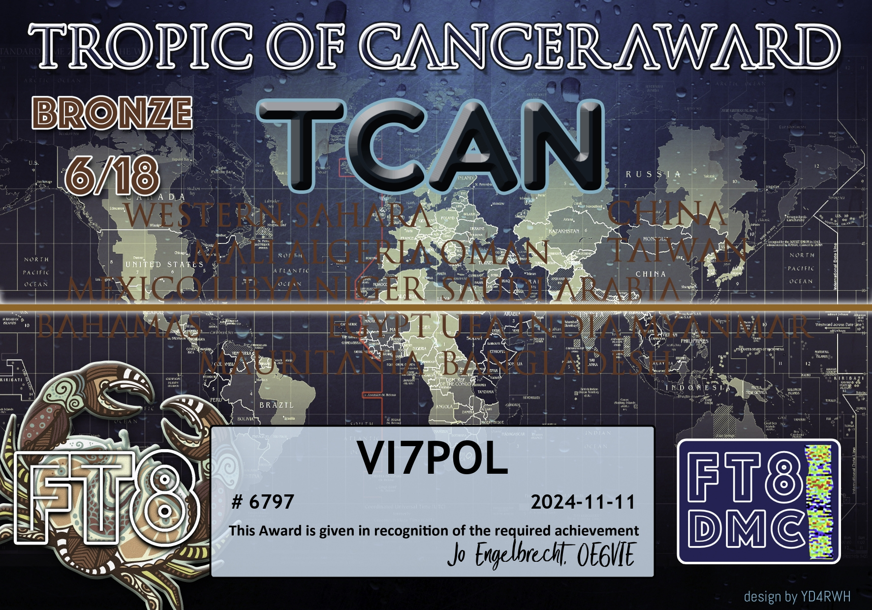
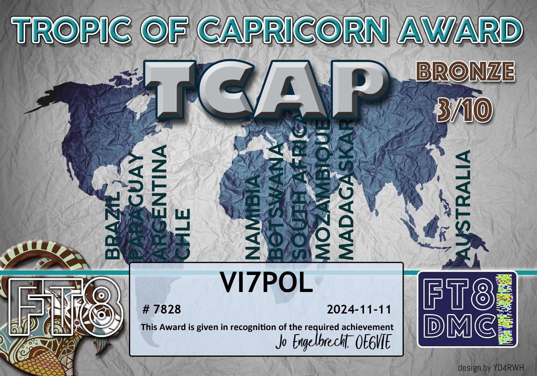
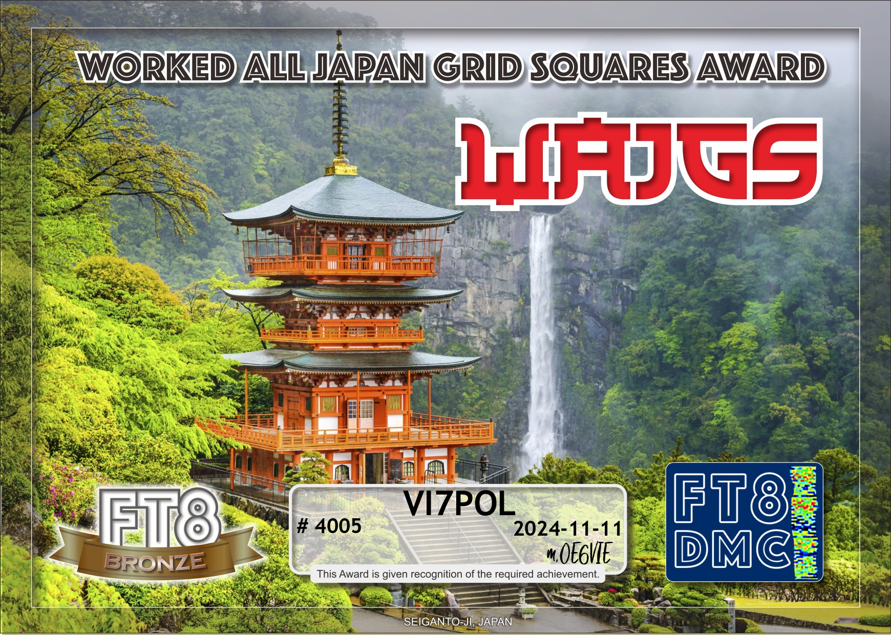
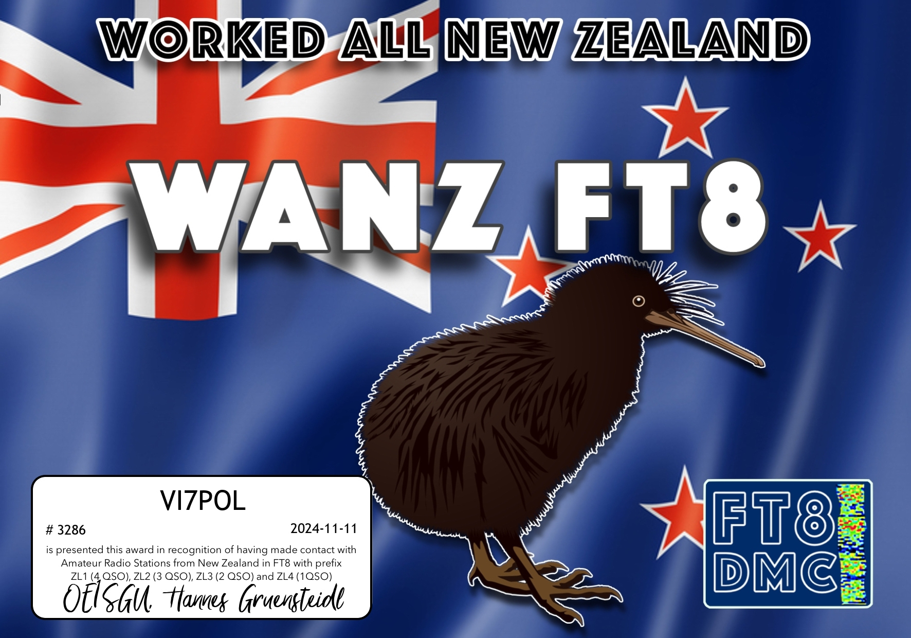
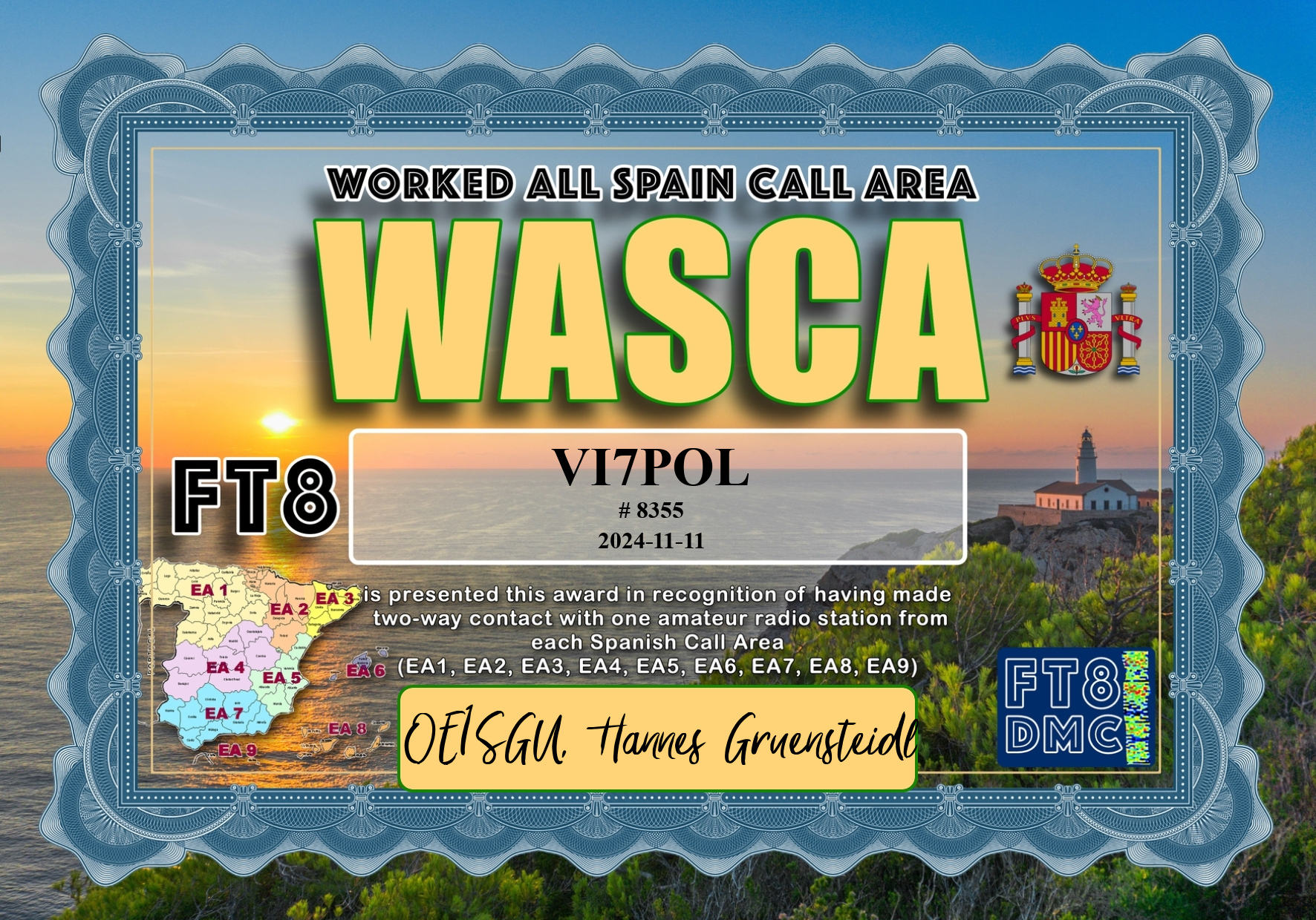
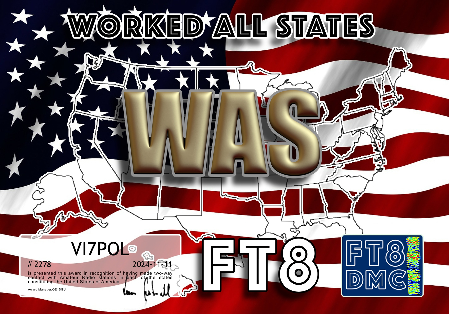
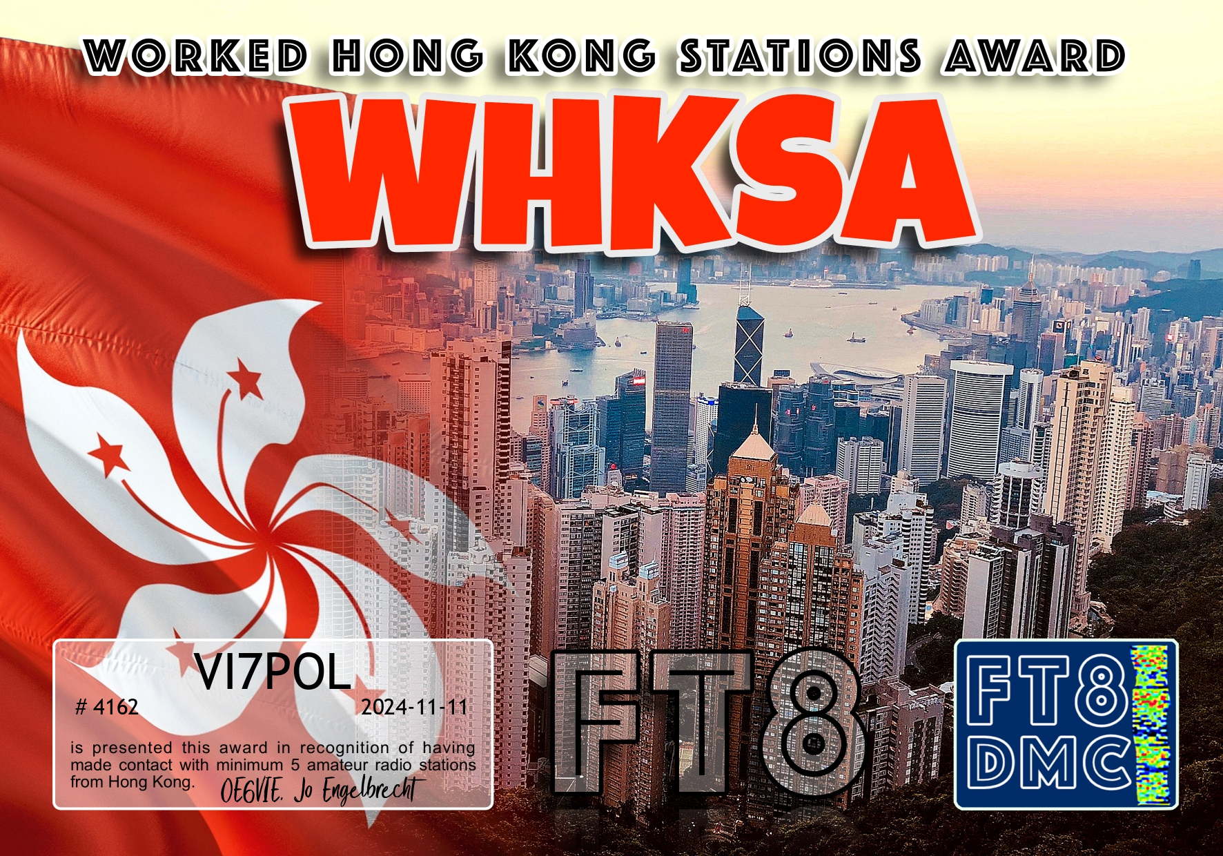
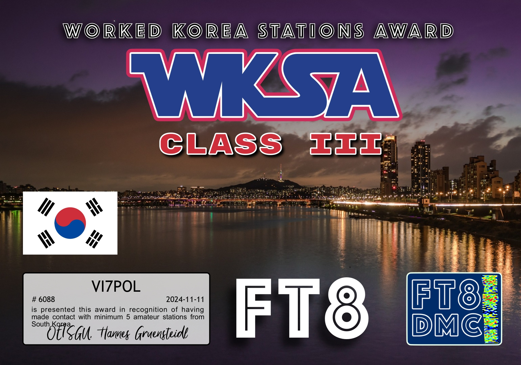
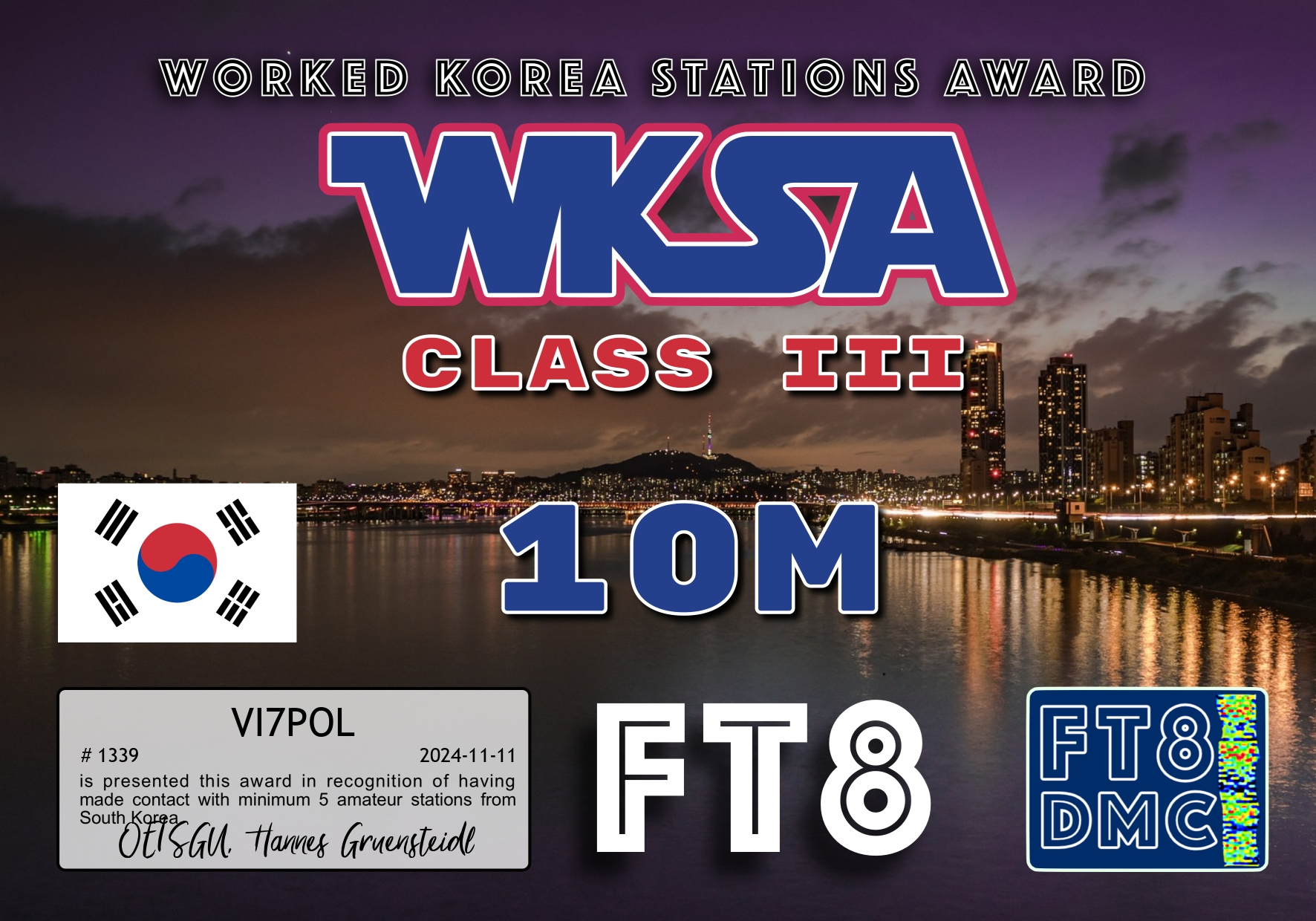
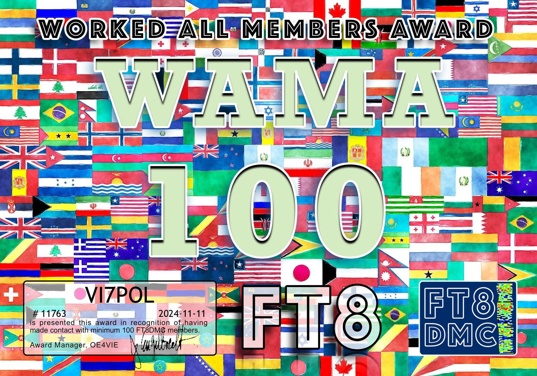
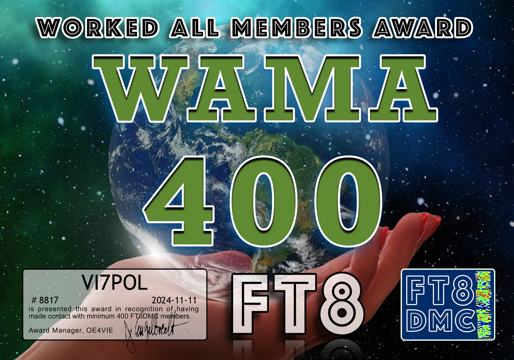
Here are the latest FT8 award certificates for VI7POL.
Thankyou to all of the FT8 operators and to the various Award Managers.


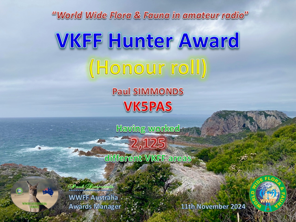
My latest VKFF Hunter Honour Roll certificate, issued for having worked 2,125 VKFF references.
Thank you to all of the VKFF activators and to Adam VK2YK, the VK5 VKFF State Rep, for the certificate.
Today I uploaded my log for VI7POL to UAAC and I have started to receive some FT8 award certificates.


My final activation for Tuesday 20th August 2024 was the Blue Mountain Bushland Reserve VKFF-4220.
I headed to the park after enjoying a very nice meal at the Victoria Hotel at Ouyen.
The Victoria Hotel was built in c. 1920. It was extensively enlarged in 1934.

Above:- The Victoria Hotel Ouyen. Image c/o Walking Ouyen Facebook page.
The park is located about 13 km (by road) south of Ouyen in northwest Victoria.
Above:- Map showing the location of Blue Mountain Bushland Reserve. Map c/o Google Maps.
The park is located on the southern side of Steele Road which runs off the western side of the Calder Highway.

Above:- An aerial view of the Blue Mountain Bushland Reserve. Image c/o Google Earth.
The park is about 40 hectares in size and was established on the 1st day of May 1979. I am not sure how it was named as there is certainly no mountain in or near the reserve. (CAPAD 2022)
Above:- An aerial view of the park looking north towards Ouyen. Image c/o Google Maps.
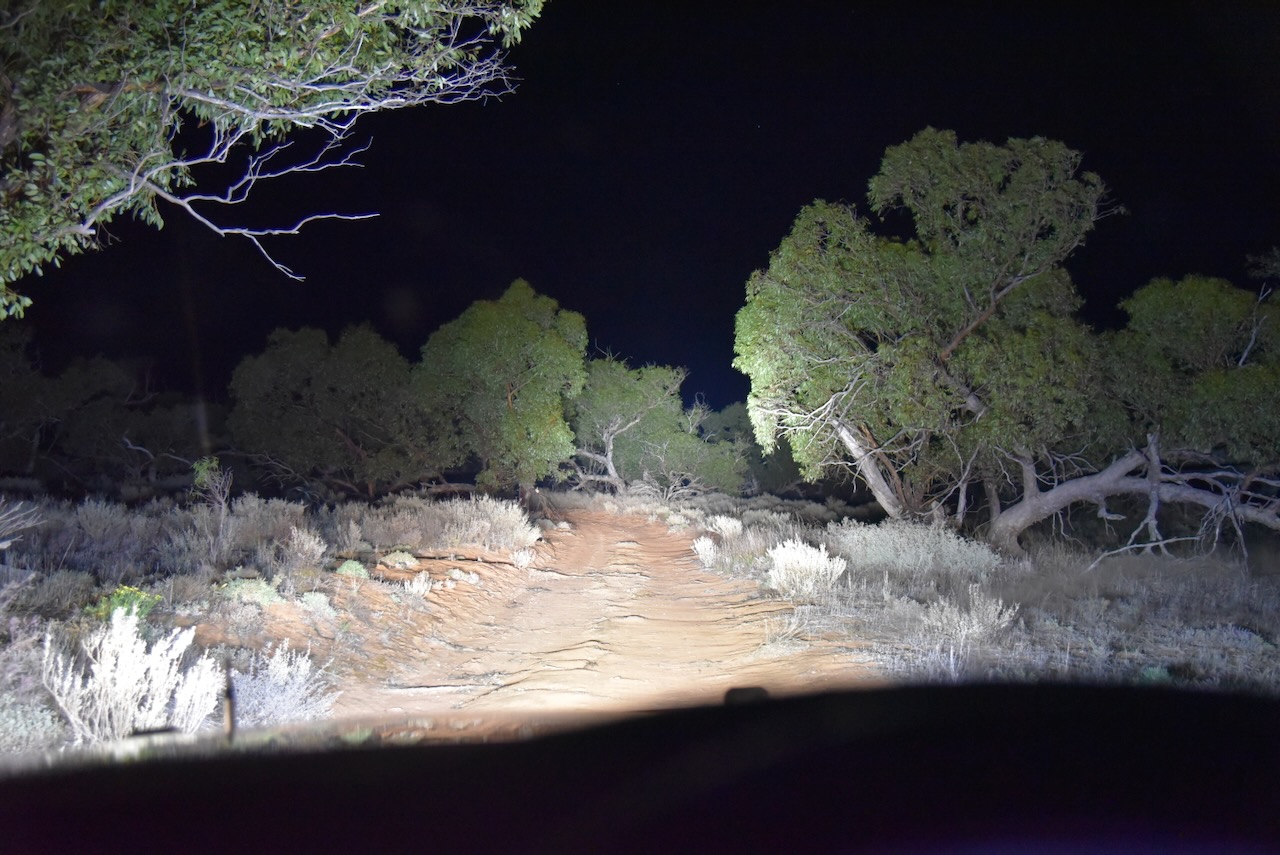
By the time I arrived at the park, it was completely dark. I ran the Yaesu FT857d, 40 watts, and the 20/40/80m linked dipole for this activation.
I worked the following stations on 40m SSB:-
I worked the following stations on 80m SSB:-
References.
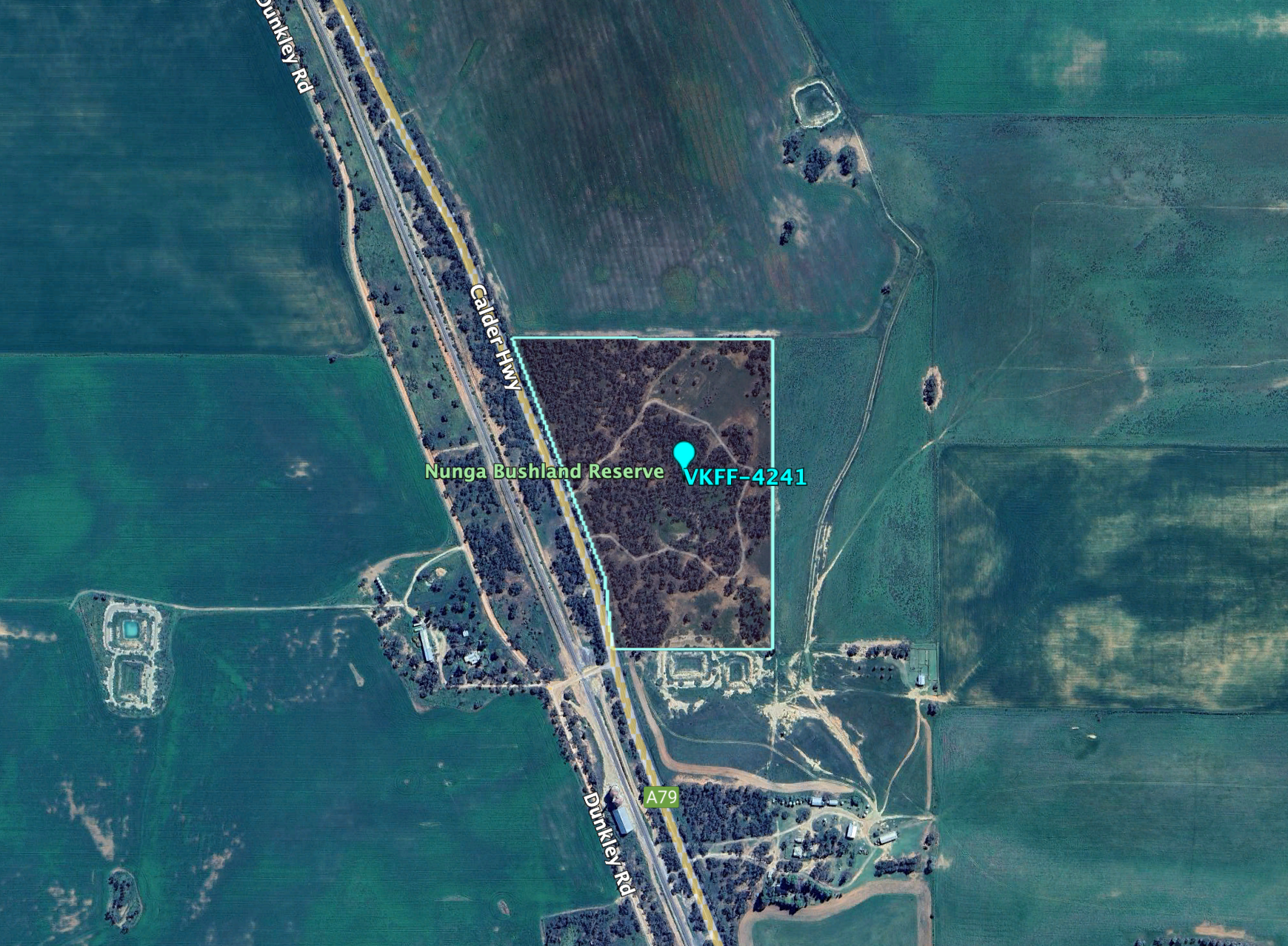
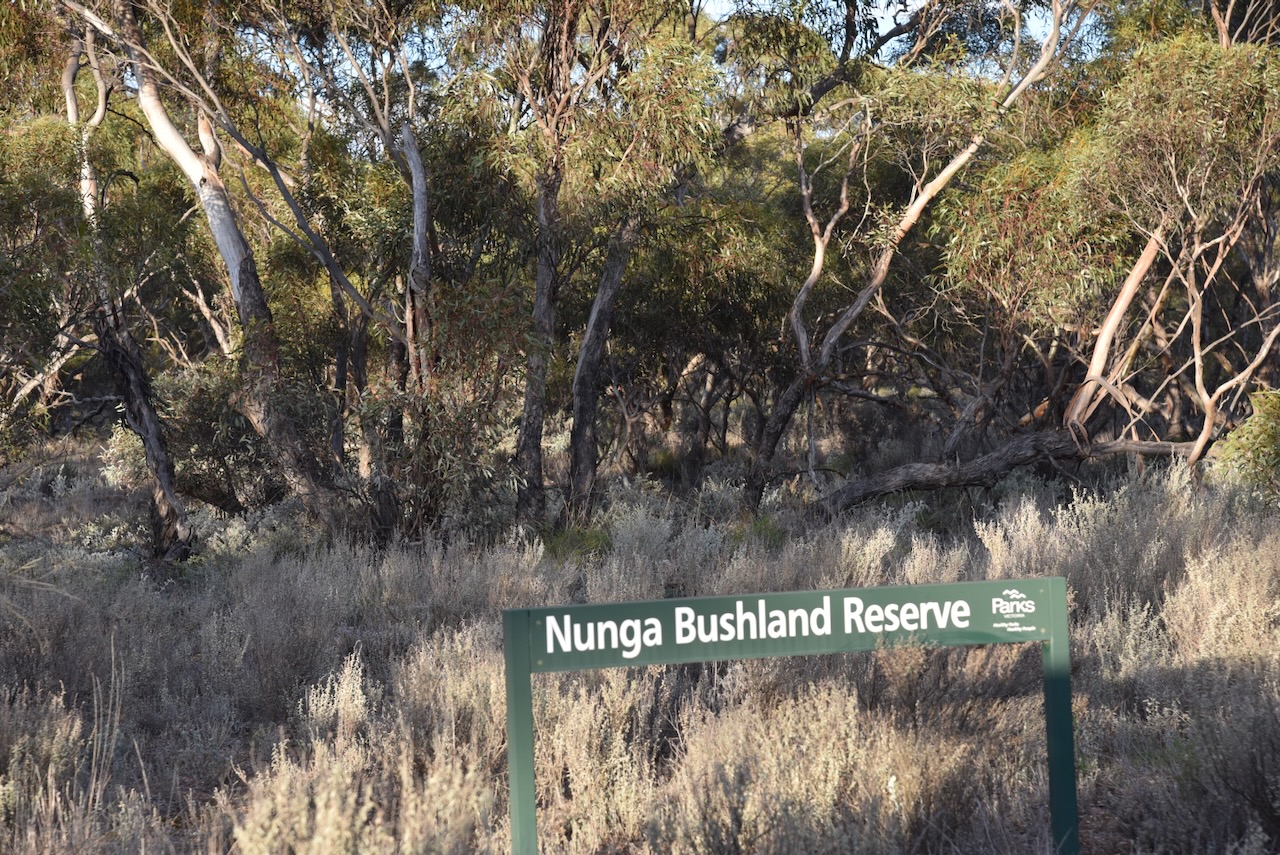
The next activation for Tuesday 20th August 2024, was the Nunga Bushland Reserve VKFF-4241 and the Nunga silo VK-NNG3.
Nunga is about 7 km south of Ouyen on the Calder Highway in northwest Victoria.
Above:- Map showing the location of the Nunga Bushland Reserve. Map c/o Google Maps.
Nunga is an aboriginal word for ‘day. Interestingly it is also a term of self-identification for Aboriginal Australians and was originally used by Aboriginal people in the southern settled areas of South Australia. (Blake 1978) (Wikipedia 2024)
At one time Nunga had a State School and also had its own cricket club.
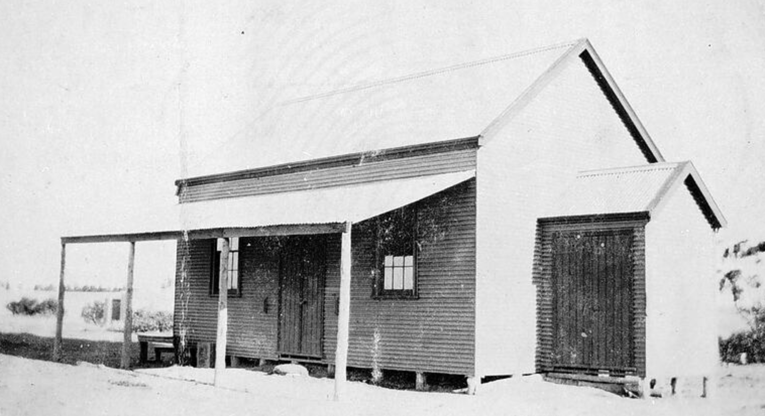
Above:- The State School, No. 3756, at Nunga. Image c/o Museums Victoria.
During the 1940’s Nunga saw a significant mice plague.
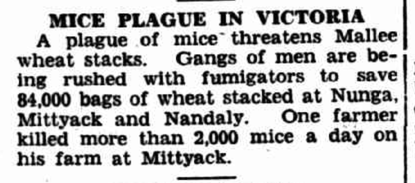
Above:- Article from The Inverell Times Wed 9 Apr 1947. Image c/o Trove.
The Nunga silos are located on Dunkley Road on the western side of the Calder Highway
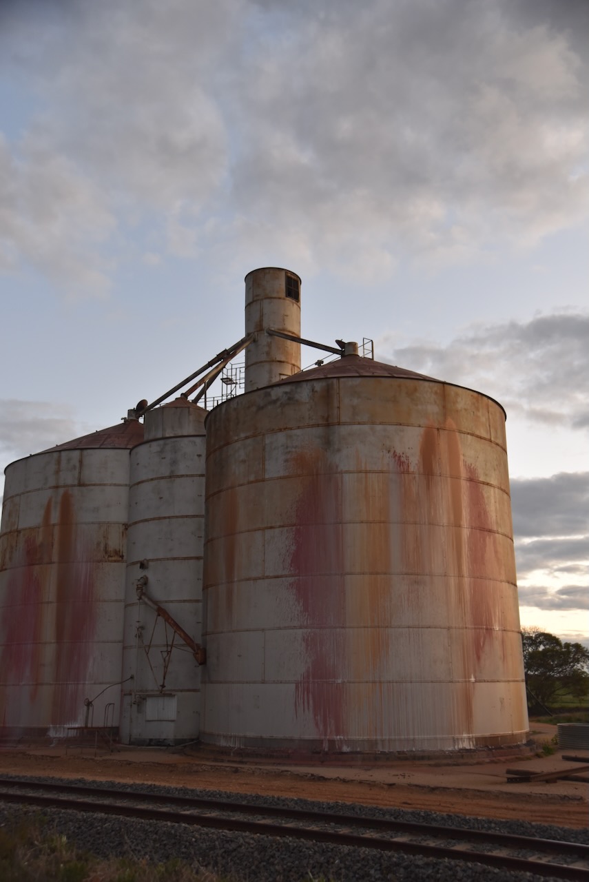
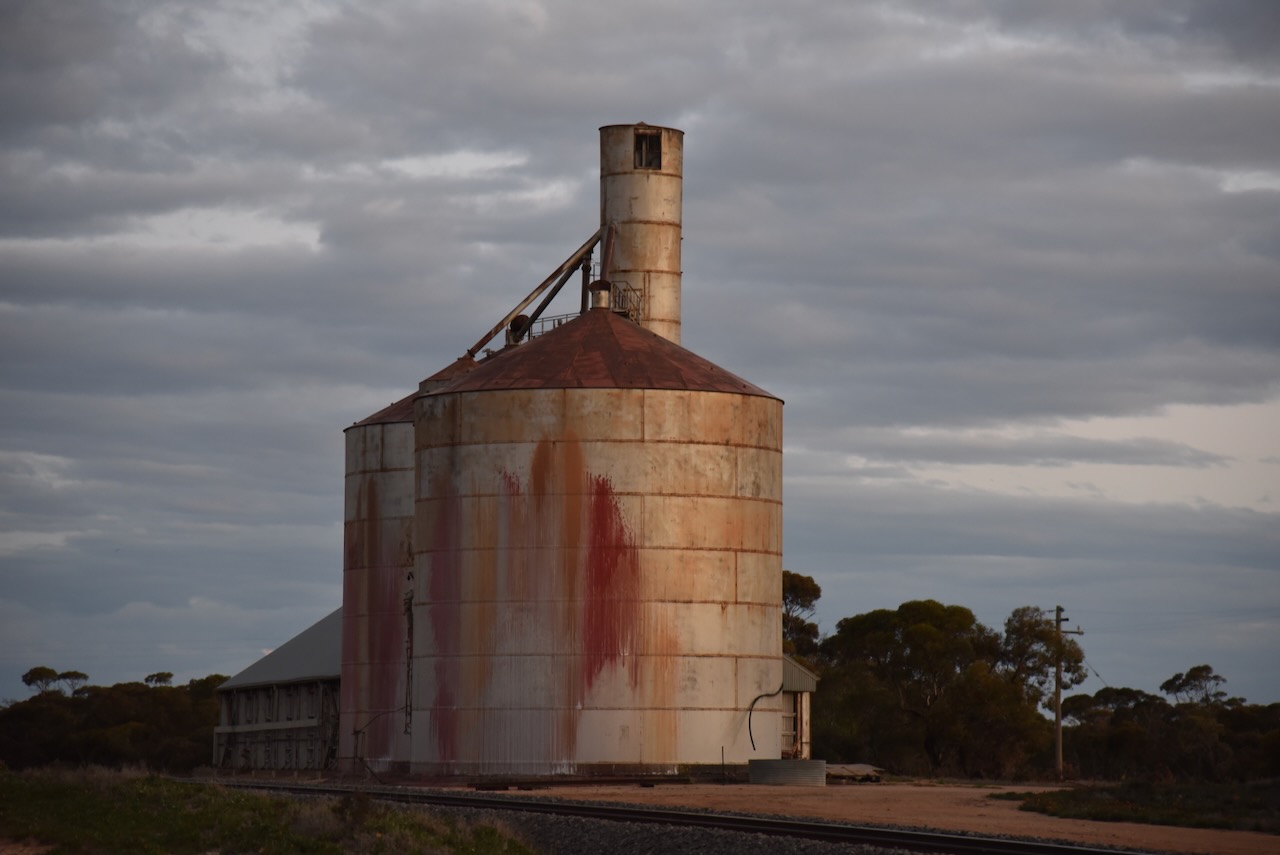
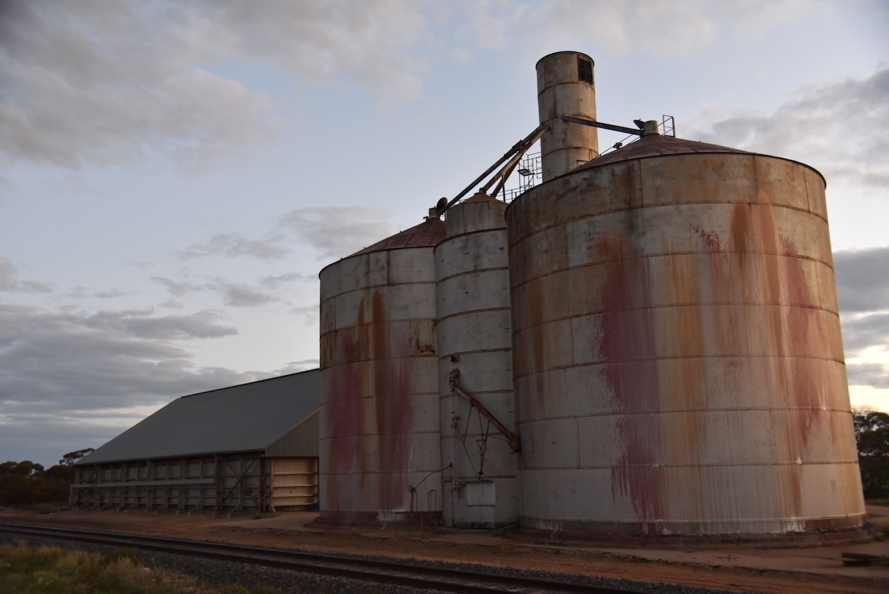
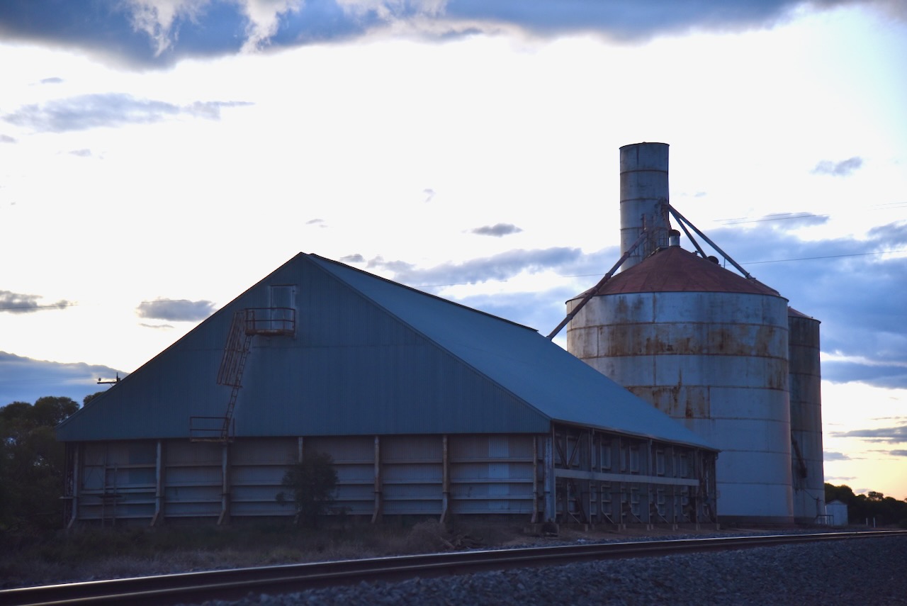
The Nunga Bushland Reserve is located on the eastern side of the Calder Highway.
Above:- An aerial view of the park. Image c/o Google Earth.
The park is about 14 hectares in size and was established on the 1st day of May 1979. (CAPAD 2022)

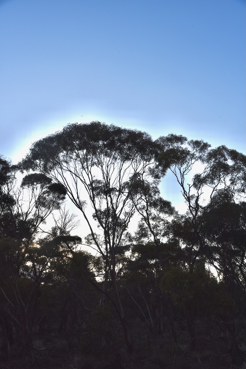
I accessed the park via a 4WD track that led into the park. I ran the Yaesu FT857d, 40 watts, and the 20/40/80m linked dipole for this activation.
I worked the following stations on 40m SSB:-
I worked the following stations on 40m AM:-
I worked the following stations on 40m FM:-
References.
Amateur Radio, Short Wave Listening, travel and history
Amateur radio experiences with VK1DA
Brisbane - Australia
german amateur radio station
Summits On The Air
SOTA on the peaks, wilderness QRP and some bushwalking
A fine WordPress.com site
Amateur Radio Adventures
Summits on the Ai
Amateur radio station from Belgium
Radio craft, homebrew, QRP/SOTA, AM
Ego loqui ad viros super montes
My adventures with Amateur Radio and Geocaching!
The rantings of VK2GAZ on his SOTA experiences in Australia
A survivor, with minor cuts and abrasions.
The Art and Craft of Blogging
The latest news on WordPress.com and the WordPress community.
Blog of Justin Giles-Clark VK7TW's SOTA and amateur radio adventures.
Occasional SOTA & Microwave operation
