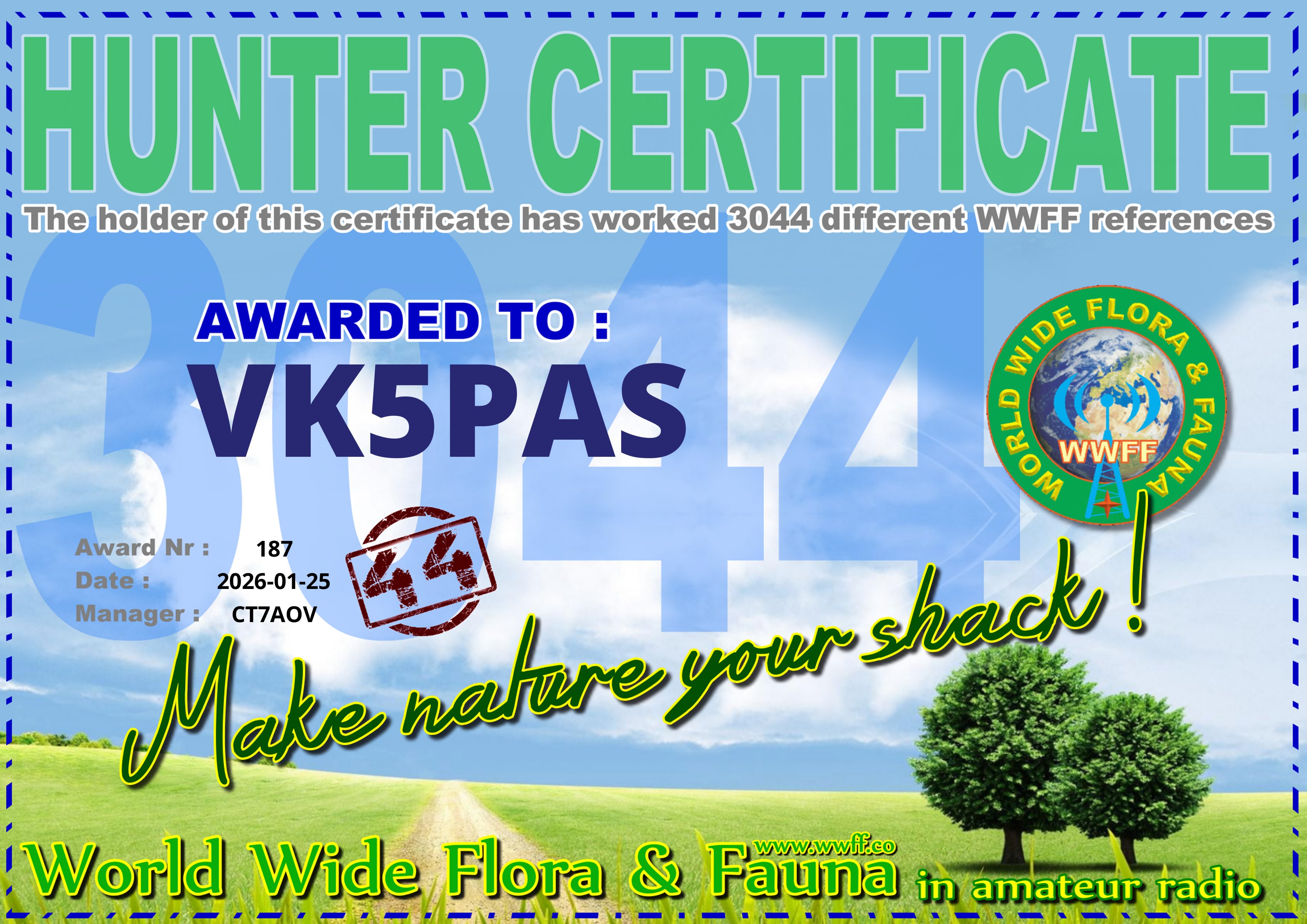
A few weeks ago, I qualified for my latest World Wide Flora Fauna (WWFF) certificate. It is issued for having hunted 3,044 WWFF references.
Thank you to all of the WWFF activators and to Hugo CT7AOV, the Award Manager.

A few weeks ago, I qualified for my latest World Wide Flora Fauna (WWFF) certificate. It is issued for having hunted 3,044 WWFF references.
Thank you to all of the WWFF activators and to Hugo CT7AOV, the Award Manager.
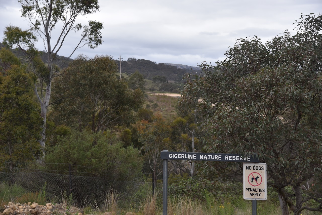
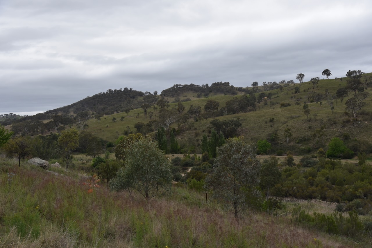
Our final activation for Tuesday, 28th October 2025, was the Gigerline Nature Reserve VKFF-0985. The reserve is about 40 km south of Canberra.
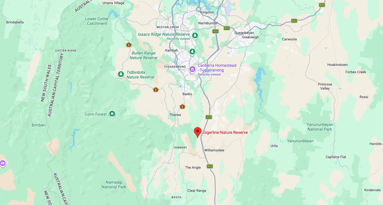
Above: Map showing the location of Gigerline Nature Reserve. Map c/o Google Maps
Marija and I drove south on Tharwa Drive until we reached the little town of Tharwa. Tharwa is the oldest official settlement in the Australian Capital Territory. It was proclaimed a settlement in 1862.
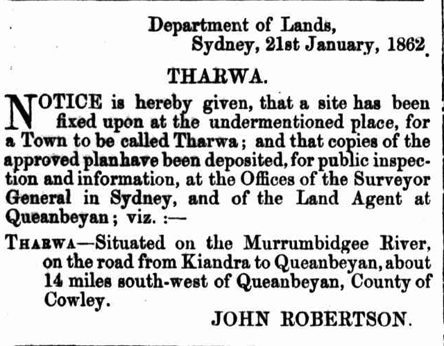
Above: NSW Govt Gazette, Fri 24 Jan 1862. Image c/o Trove
Tharwa is the Aboriginal word for nearby Mount Tennent, which is located in the Namadgi National Park. Mount Tennant is named after the bushranger John Tennant. (Wikipedia n.d.)
I have posted a significant amount of information about John Tennant in my previous post about Mount Ainslie…….
The town of Tharwa has a population of about 82 people (at the 2021 census). It contains a general store, a church, a community hall, a cemetery, and tennis courts. (Wikipedia n.d.)
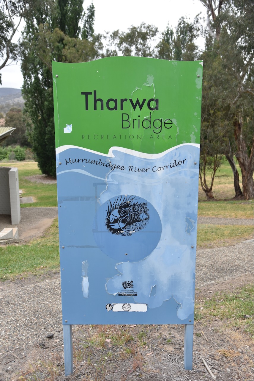
Marija and I stopped to admire the Tharwa Bridge, which was opened on the 27th day of March 1895, and crosses the Murrumbidgee River.
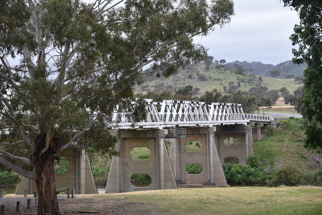
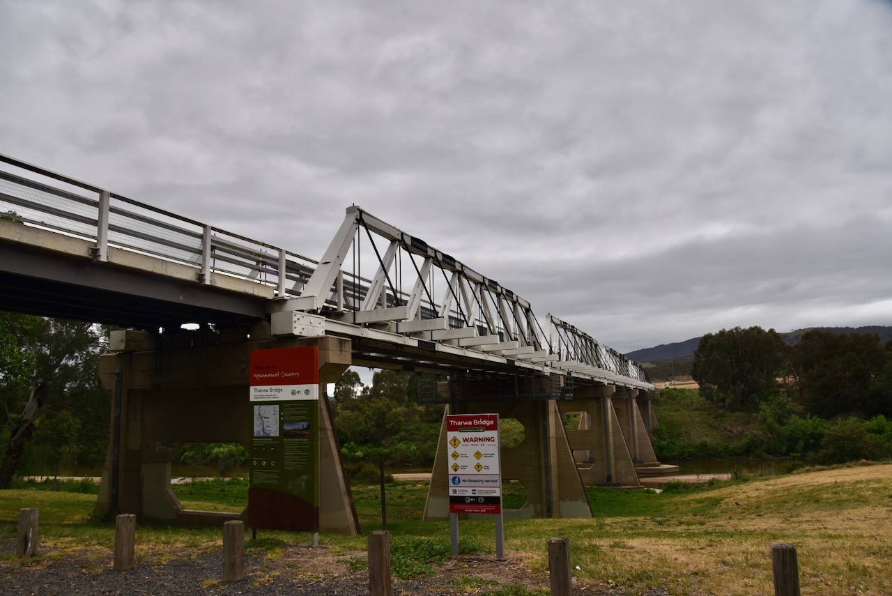
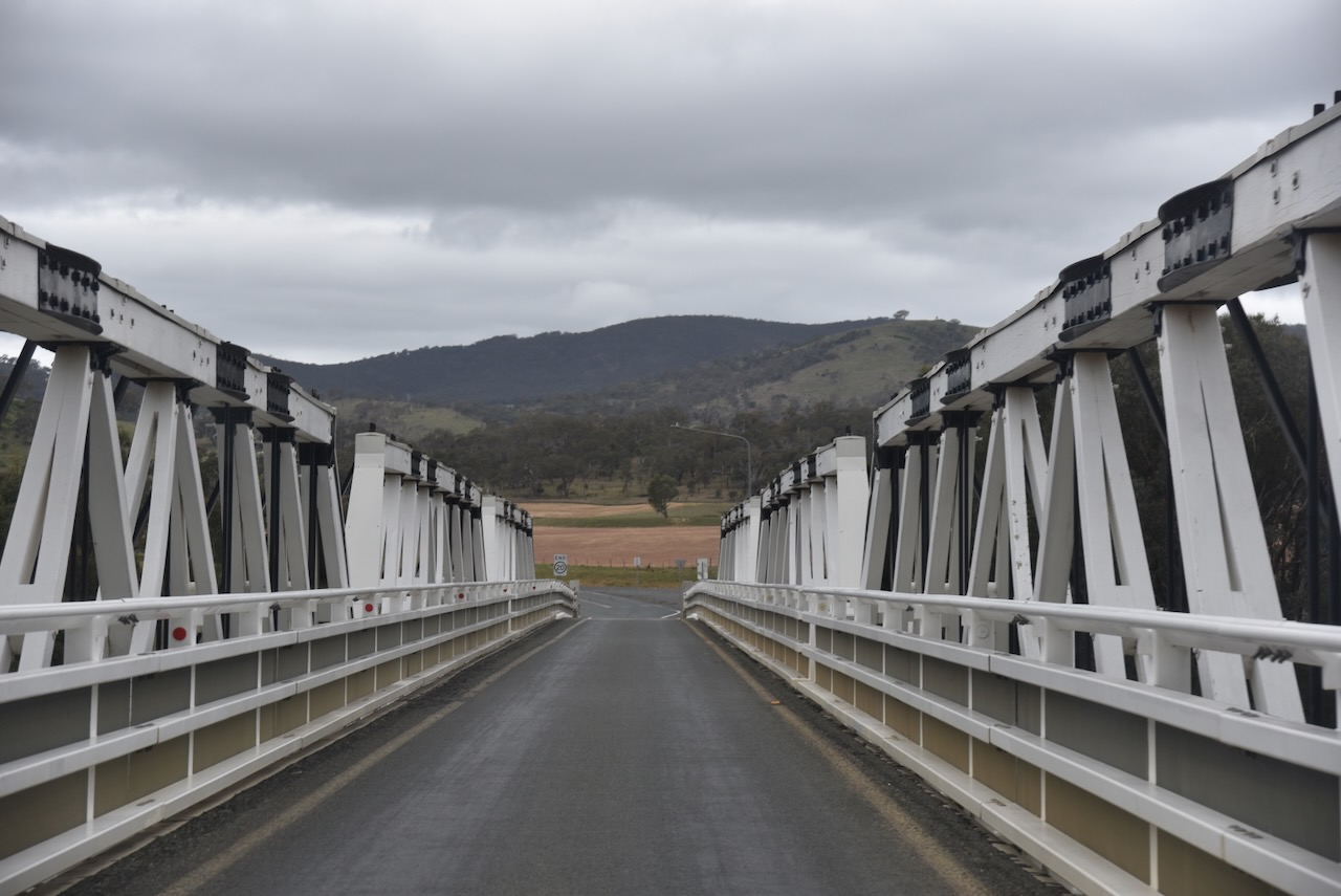
The Tharwa Bridge is a four-span Allan truss bridge and is the oldest surviving bridge in the Australian Capital Territory. A truss bridge is composed of a truss, which is a structure of connected elements, usually forming triangular units. The Allan truss was designed by Percy Allan, an Australian civil engineer who designed many public works, including the design of 583 bridges. (Wikipedia 2021) (Wikipedia 2026)
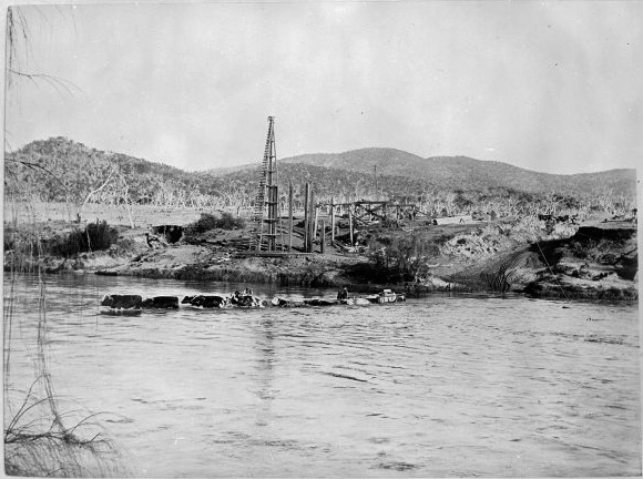
Above: Construction of Tharwa Bridge in 1893. Image c/o Wikipedia
When the bridge was opened in 1895, a public holiday was declared in the region. A parade was held in Tharwa, and about 1,500 people watched the official opening. The oldest resident of the district performed the christening ceremony In 1998, the bridge was entered in the ACT Heritage Register. It is also listed in the National Trust of Australia. (Wikipedia 2021)
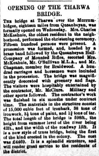
Above: Article from the Goulburn Herald, Fri 29 Mar 1895. Image c/o Trove
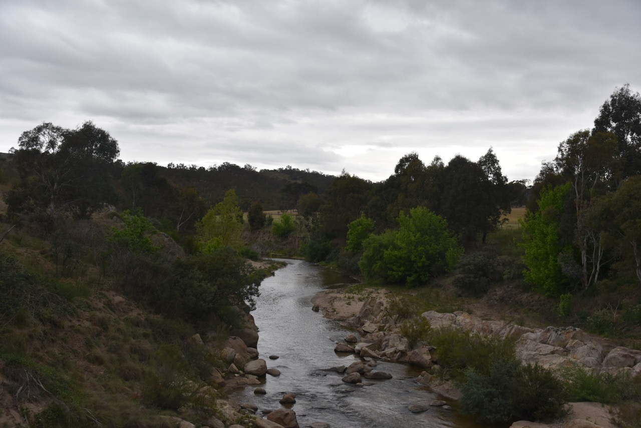
Marija and I continued along Naas Road and then Smiths Road, crossing over Gudgenby River. Its confluence with the Murrumbidgee River is a short distance away.
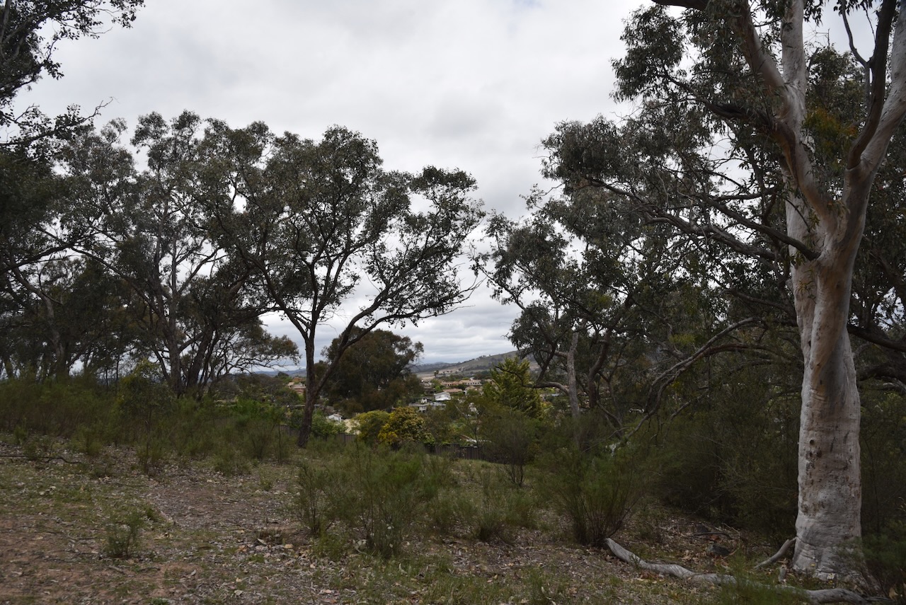
We soon reached the western boundary of the Gigerline Nature Reserve.
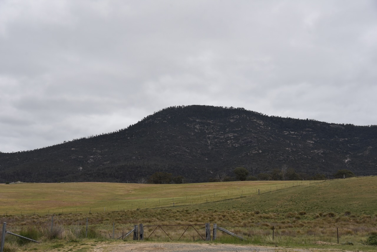
Mount Tennent was clearly visible as we drove along Smiths Road.
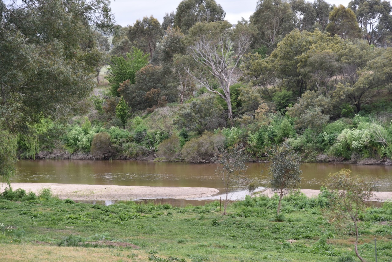
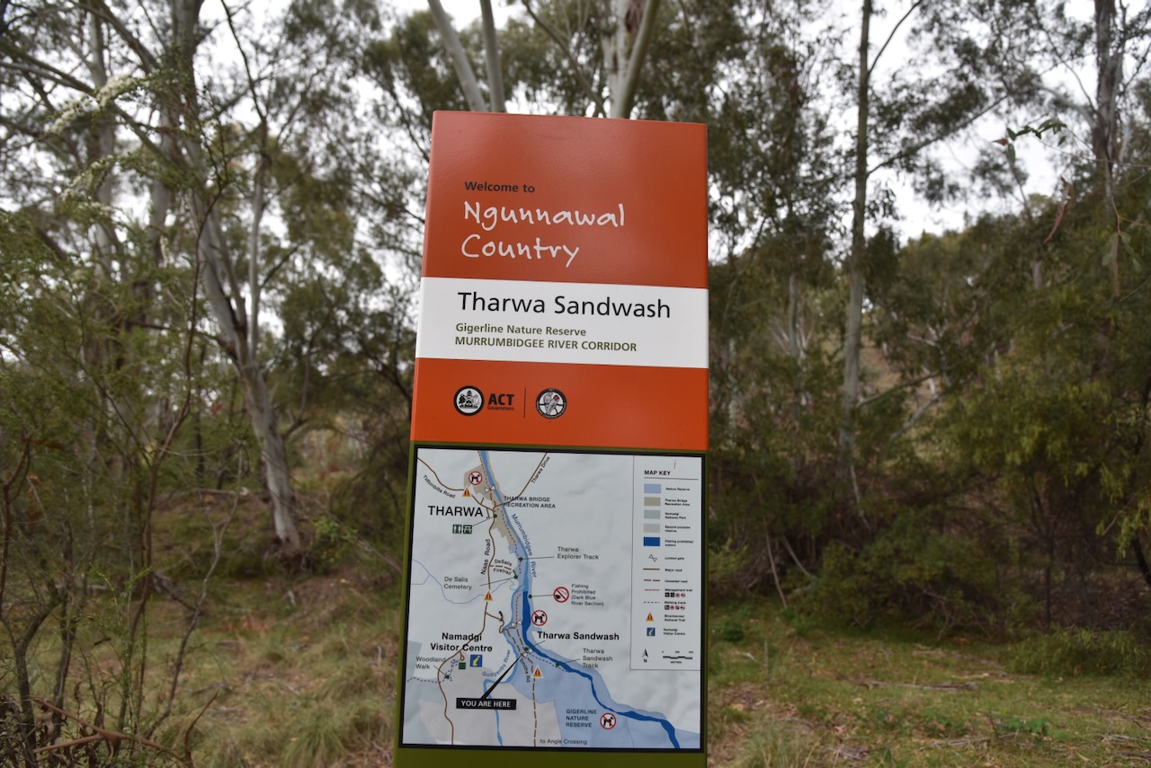
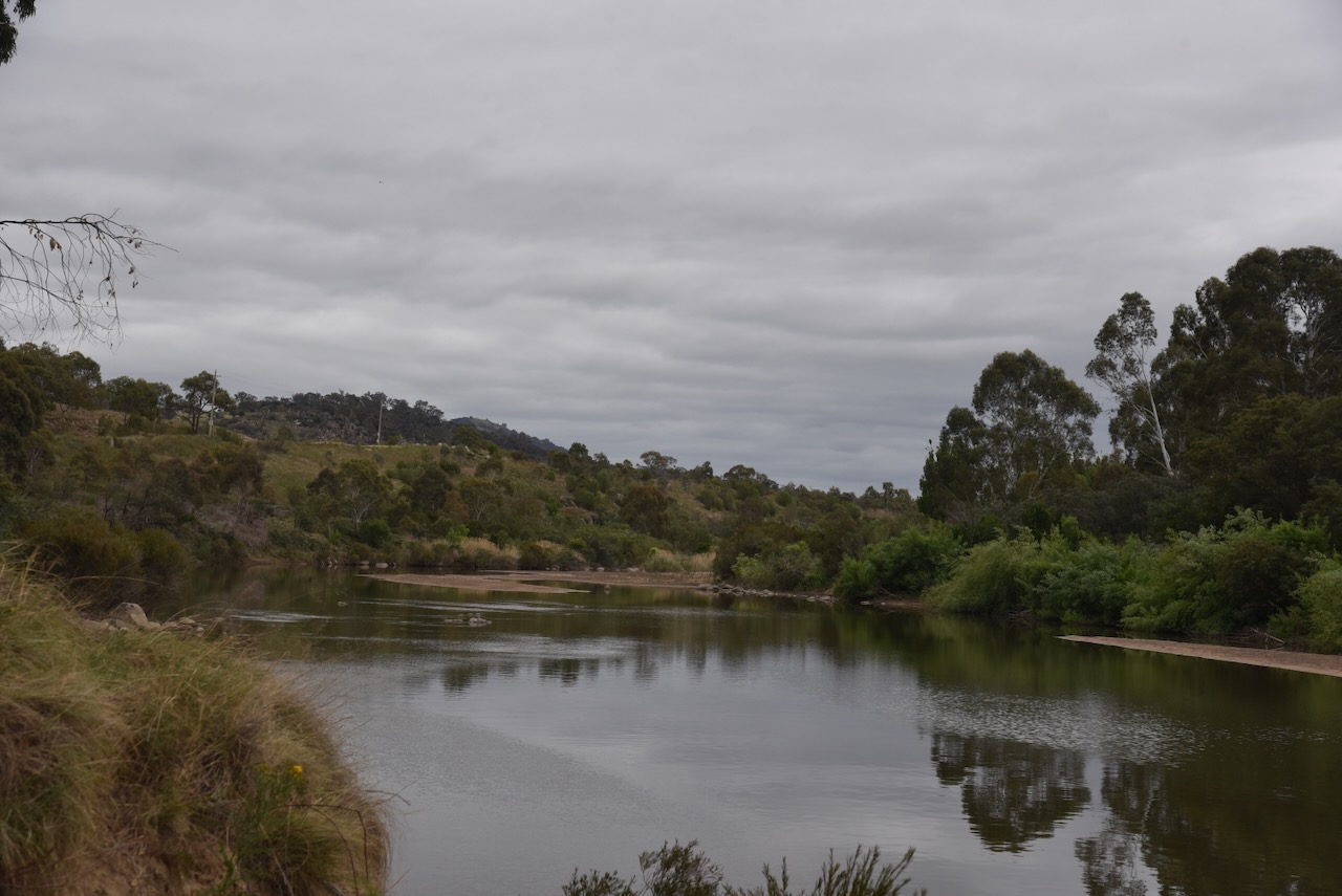
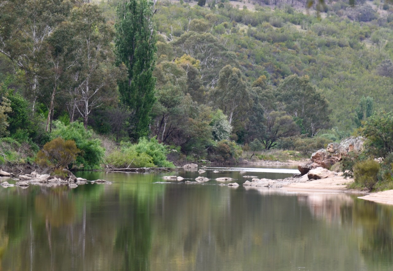
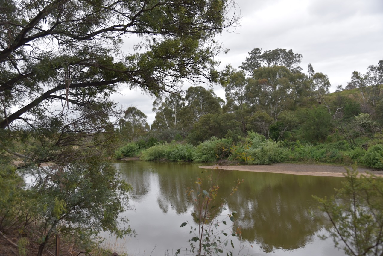
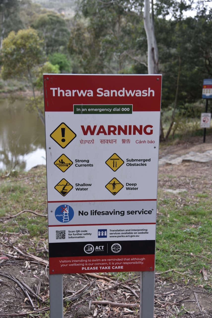
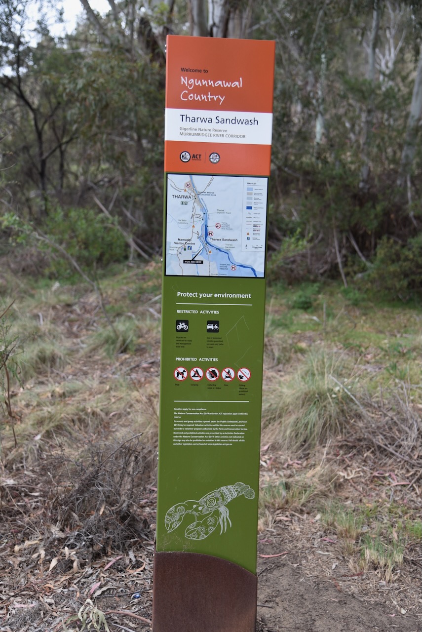
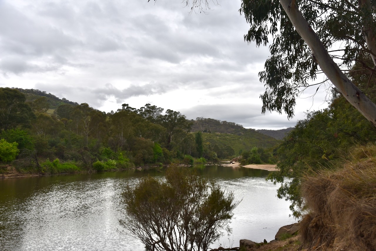
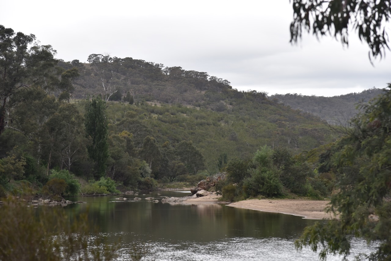
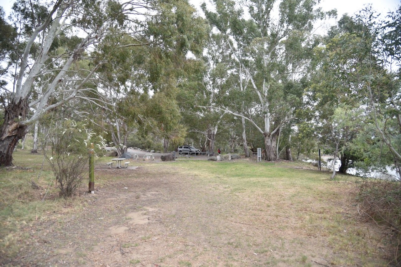
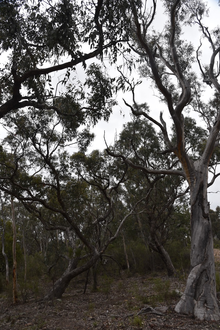
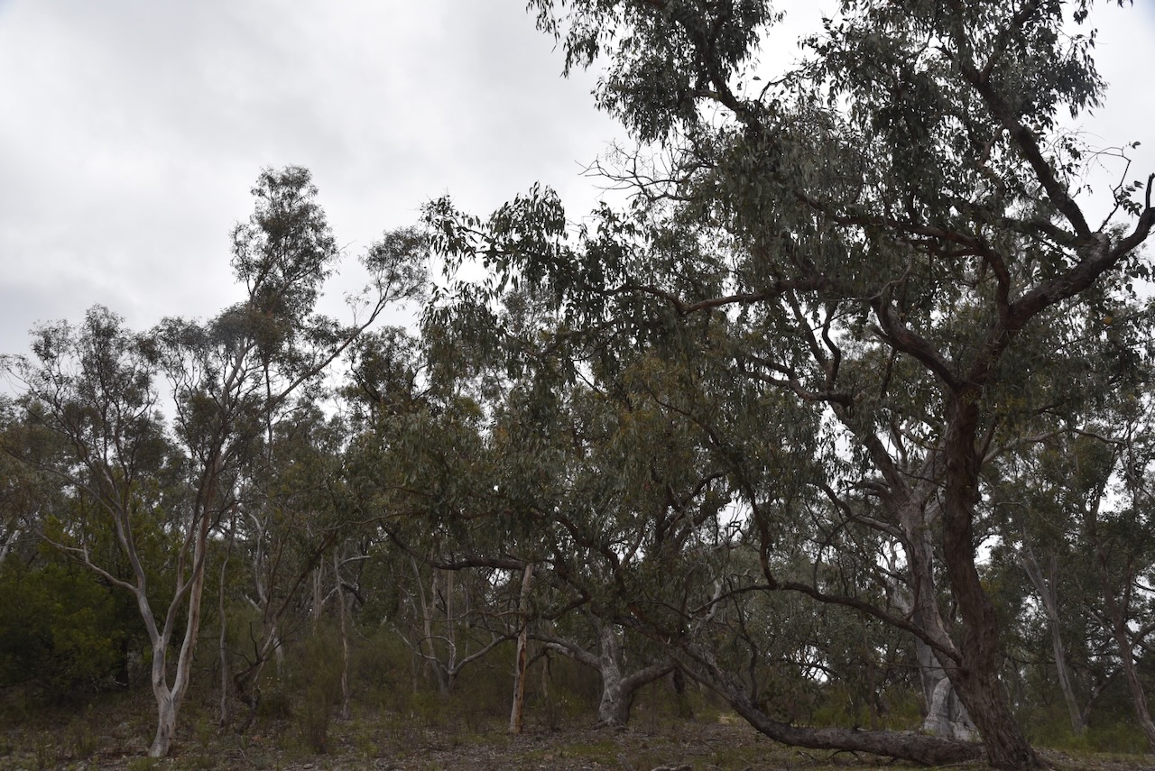
Not far along Smiths Road, Marija and I reached the sign for Tharwa Sandwash. This is beautiful countryside, and we were rewarded with some very nice views of the Murrumbidgee River.
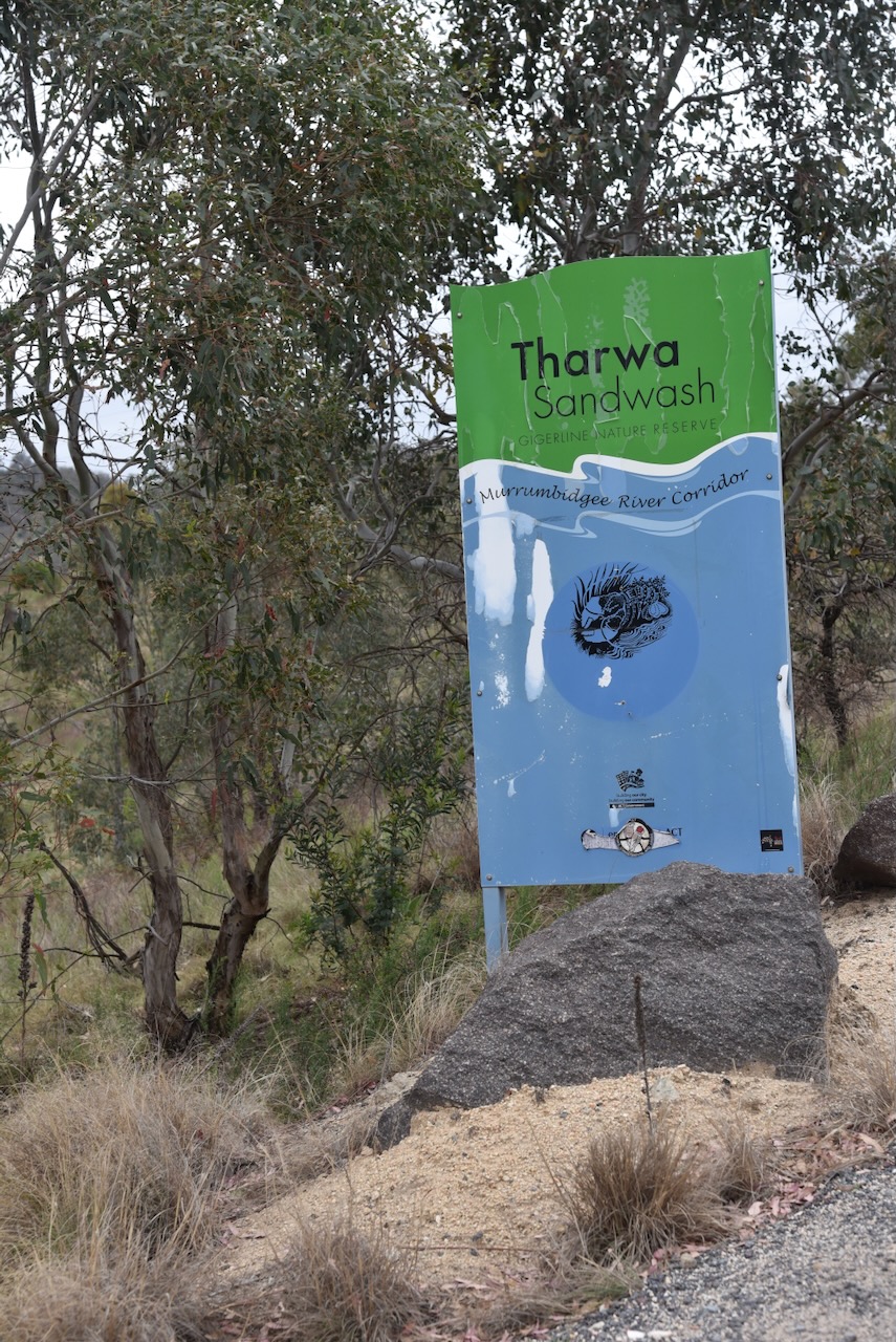
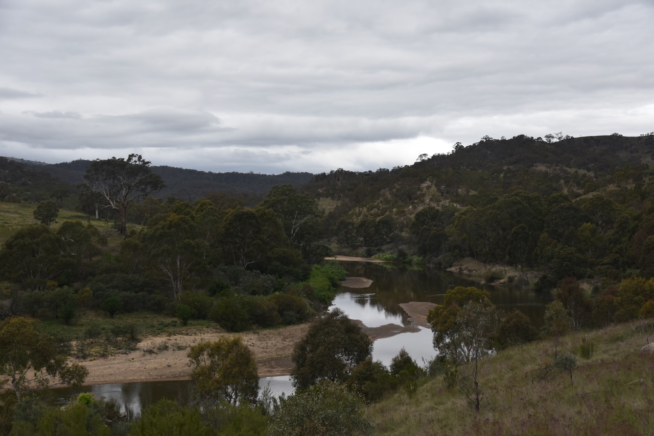
Tharwa Sandwash is located in the Gigerlone Nature Reserve. The Sandwash is a beautiful picnic spot on the banks of the Murrumbidgee River.
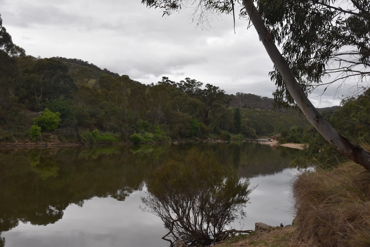
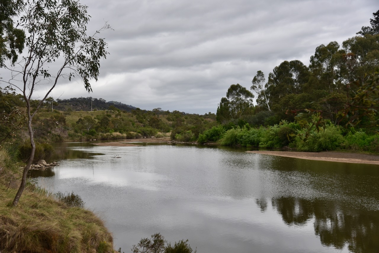
The Murrumbidgee River is a major tributary of the Murray River. The name originates from the Wiradjuri Aboriginal language, meaning ‘big water.’ The river flows for a distance of 1,485 km. The first European to see the river was the explorer Charles Throsby in April 1821. Two years later, Brigade-Major John Ovens and Captain Mark Currie reached the upper Murrumbidgee. In 1829, Captain Charles Sturt and his party rowed down the lower half of the Murrumbidgee River. (Wikipedia 2020)

The Gigerline Nature Reserve is located just to the west of the New South Wales & ACT State/Territory border.
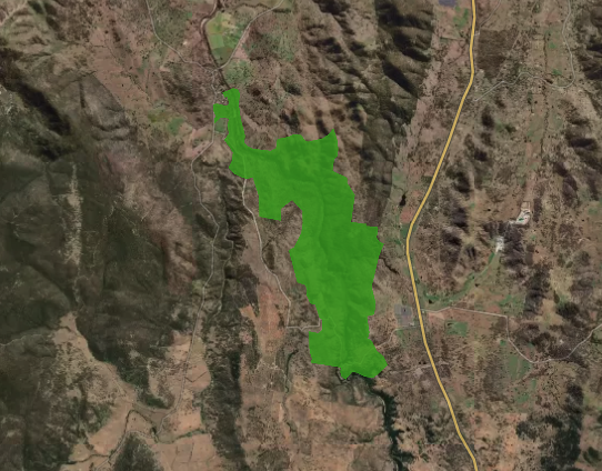
Above: An aerial view of the reserve showing its boundaries. Image c/o Protected Planet.
The reserve is about 1,500 hectares in size and was established in 1993. (Protected Planet 2026)
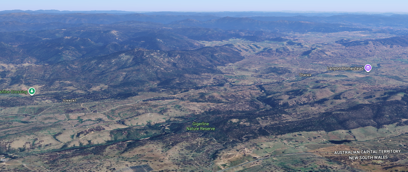
Above: An aerial view of the Gigerline Nature Reserve. Image c/o Google Maps
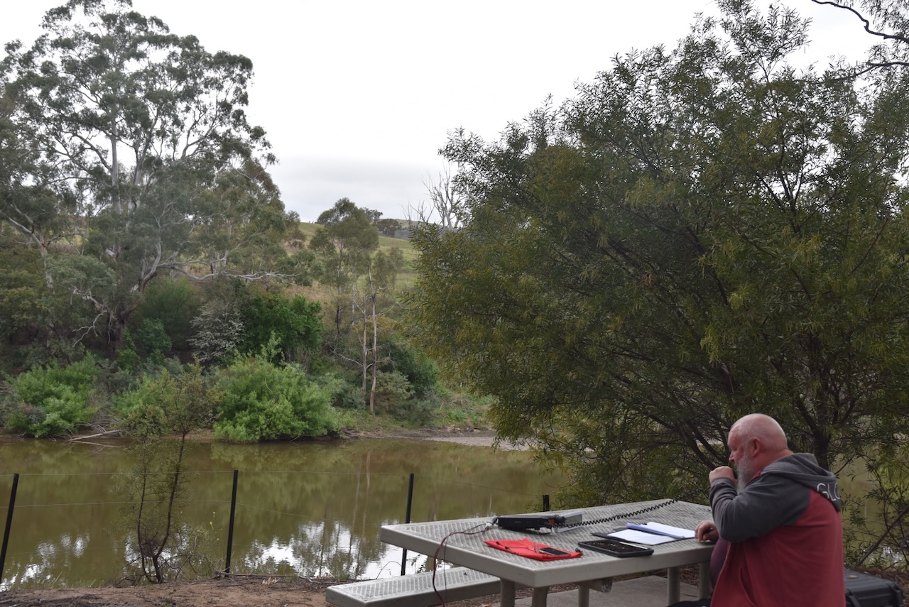
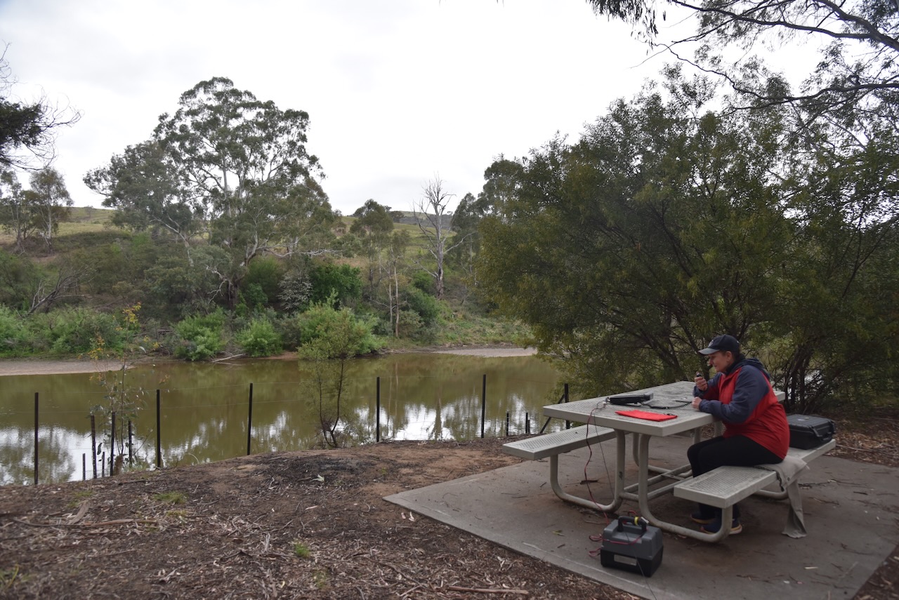
Marija and I set up in the Tharwa Sandwash picnic grounds.
We ran the Yaesu FT857, 40 watts, and the 20/40/80m linked dipole.
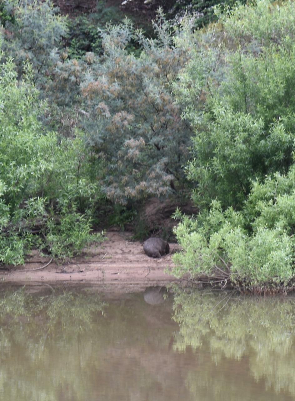
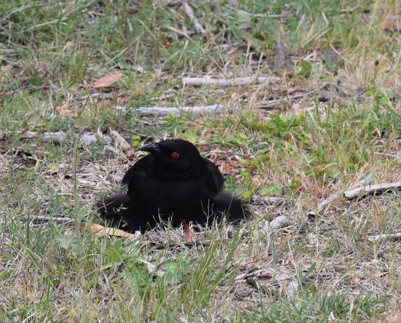
During our activation, we watched a wombat on the opposite bank of the Murrumbidgee River.
Marija worked the following stations on 40m SSB:-
I worked the following stations on 40m SSB:-
References.
This morning, I learnt of the passing of Sharon Taratula from the American Radio Relay League (ARRL). I am an official DXCC card checker here in Australia and have dealt with Sharon over several years in her capacity as an Administrative Manager at the ARRL.
Sharon was always incredibly friendly, very helpful and a pleasure to deal with.
Sharon was only 63 years old. It is a reminder that life is precious and that every moment should be cherished.
I pass on my condolences to Sharon’s family and friends.
For more information on Sharon, please have a look at legacy.com
Tonight, I noticed that on my WordPress site, my RevolverMaps map was not visible. This was whilst using Chrome. I tried Safari, and it was visible.
I tried the RevolverMaps website and got the message below….
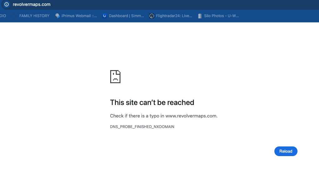
A little bit of searching on the web as to what the problem might be revealed that RevolverMaps shut down in November 2024. Clearly, I had not been paying enough attention to my WordPress site.
For about 16 years, RevolverMaps provided a service to thousands and thousands of websites around the world with a widget that could be placed on your website that tracked visitors to your site and showed a map and/or a revolving globe. And this was not just for amateur radio operators. Their widget appeared on thousands of other sites.
Below is the RevolverMaps map on my WordPress site.
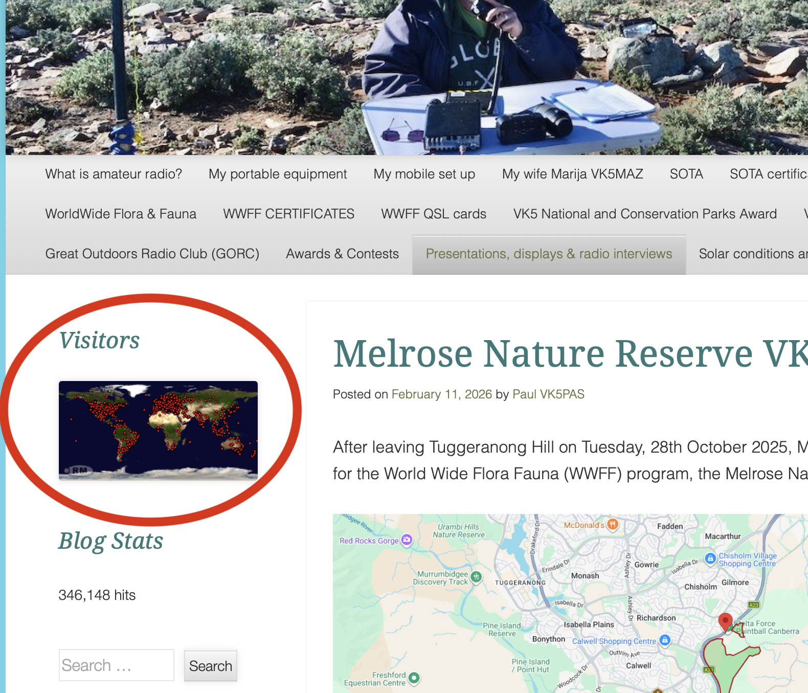
The rotating globe on RevolverMaps was always interesting to watch live when working a pileup.
The reason why RevolverMaps shut down is not known. From reading various threads on the web, it just shut down without any alleged warning.
The other excellent site, called Flag Counter, is still working. Flag Counter’s free counter can be added to your website or blog and collects flags from around the world. Each time someone from a new country visits your website, a flag is added to your counter. Below are my flag counters from my QRZ.com page.

There are some other options as a replacement for RevolverMaps. They include:
Map My Visitors.
Here Interactive Map Tools.
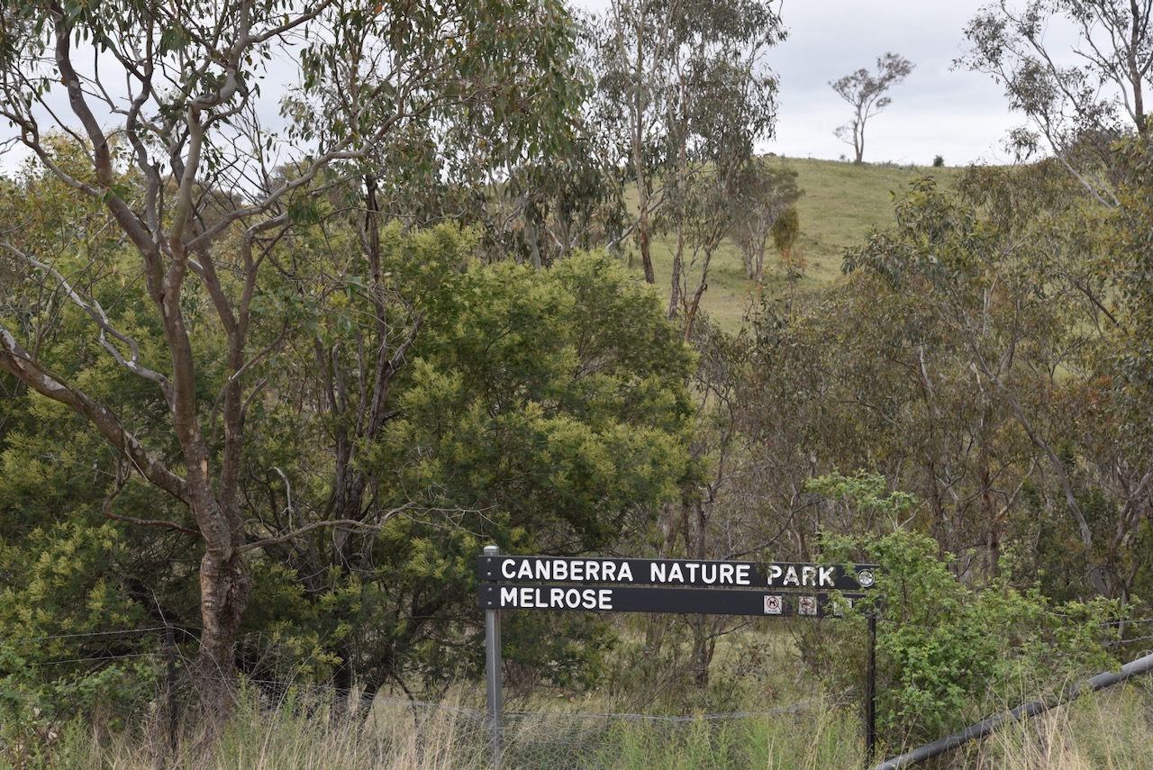
After leaving Tuggeranong Hill on Tuesday, 28th October 2025, Marija and I headed to our next activation for the World Wide Flora Fauna (WWFF) program, the Melrose Nature Reserve VKFF-3183.
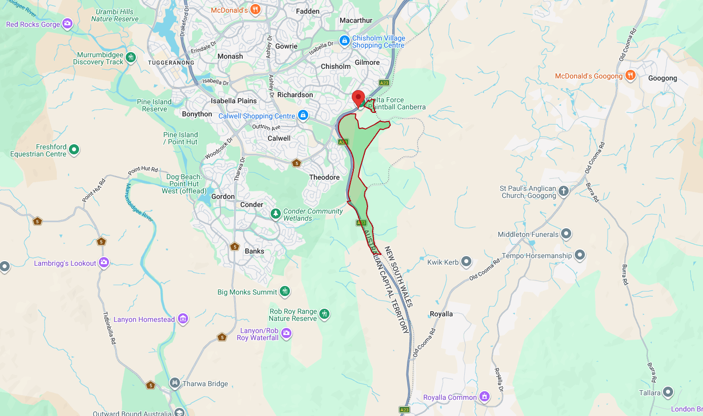
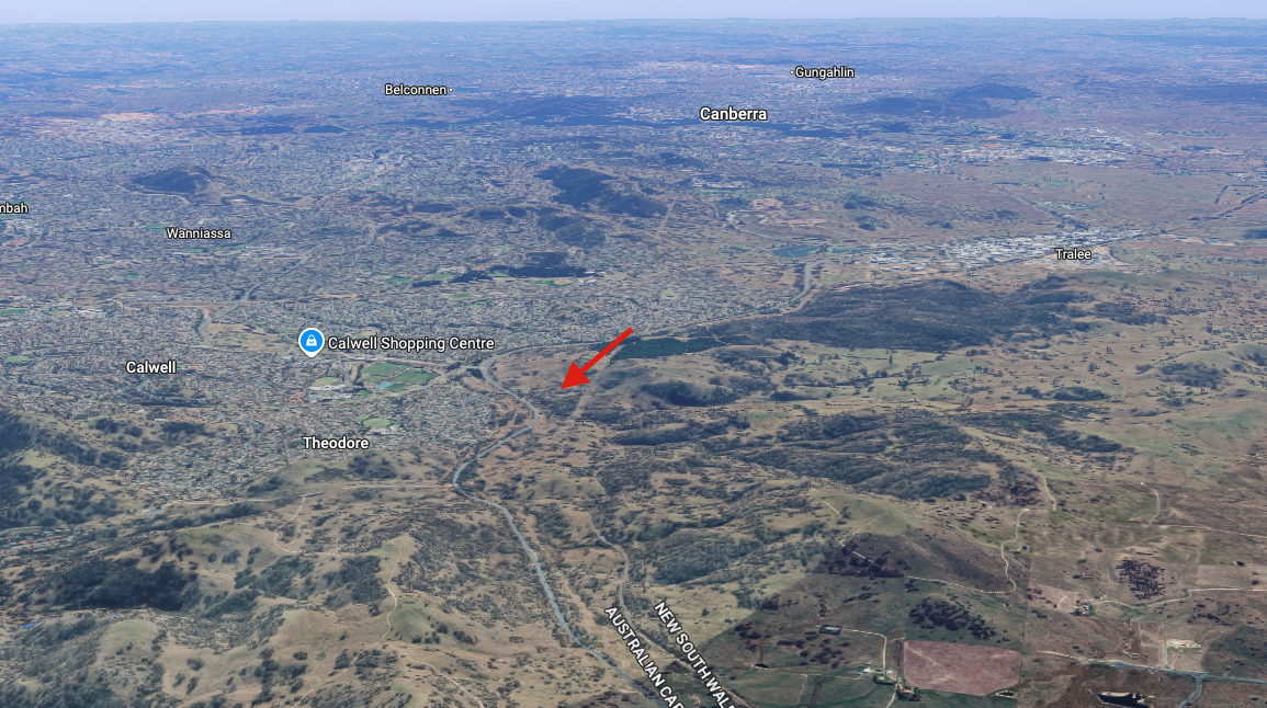
Above: Map showing the location and boundaries of Melrose Nature Reserve. Map c/o parks.act.gov.au
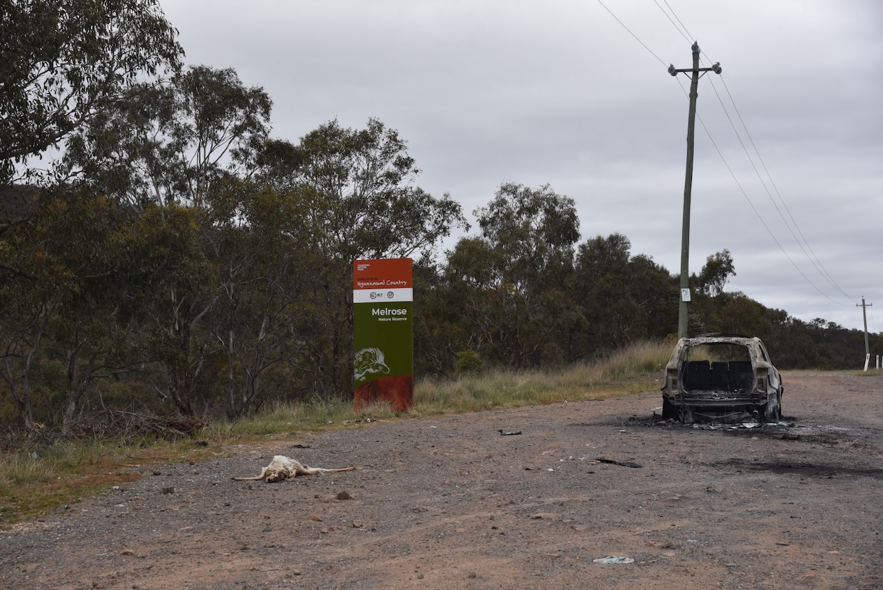
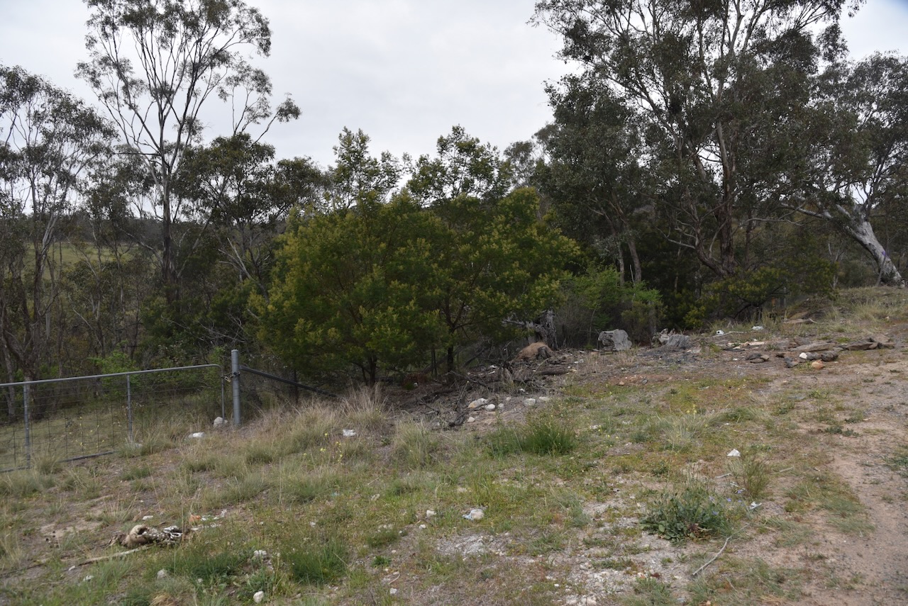
Over the years, Marija and I have activated some beautiful parks around Australia. I am saddened to report that this was not one of those. The rest area on the Monaro Highway, where the park sign is located, was littered with rubbish and a burnt-out car. In fact, the entire boundary of the park along Monaro Highway was full of rubbish. And the park itself was not much better, with discarded rubbish blowing over into the park. We even found discarded needles. This was one park which we were quick to activate and get out of asap.
Melrose Nature Reserve is about 193 hectares in size and was established in 1993. About 20% of the reserve contains the critically endangered Yellow Box-Blakely’s Red Gum Grassy woodland. (ACT Govt 2023)
Above: an aerial view of the reserve. Image c/o Google Maps
Grazing by European settlers has occurred in the area since the 1860s. In 1861, the NSW Crown Lands Alienation Act was enacted. This provided for the legal purchase and occupation of Crown land. The Brennan family established a house above Tuggeranong Creek. (ACT Govt 2023)
John Brennan was born c. 1820 in County Roscommon, Ireland. He married Mary Cunningham. Mary died in 1881. John died on the 5th day of July 1895 at Tuggeranong, ACT. They are buried at the Queanbeyan Riverside Cemetery, New South Wales. (ancestry 2016) (Chirp 2023) (Findagrave.com 2016)
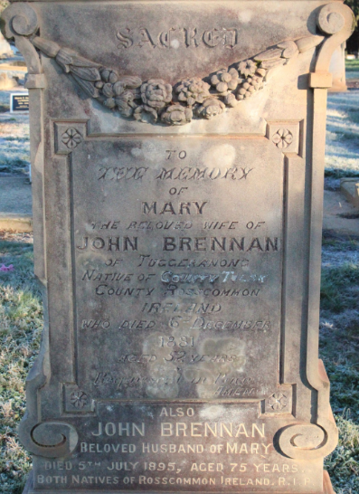
Above: Headstone of John and Mary Brennan. Image c/o findagrave.com
In 1937, the majority of the land became part of the Melrose Valley Station. The ruins of the Brennan home can be found to the east of Tuggeranong Creek. (ACT Govt 2023)
In the northeast of the reserve is a former Travelling Stock Route (TSR), which is listed on the ACT Heritage Register. This TSR was 7 hectares in size and allowed cattle to be moved from properties located in the Tuggeranong Valley, along the Old Tuggeranong Road, to the Tuggeranong railway siding. The cattle were then transported by train to locations as far away as Sydney. (ACT Govt 2023)
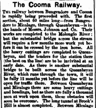
The New South Wales State border is the eastern boundary of Melrose Nature Reserve. It is followed by the old Bombala Railway Line just inside New South Wales. From 1887 to 1921, sections of this railway line southward from Queanbeyan were completed in stages. In 1988, the last passenger service was run on the line. In the following year, 1989, the last freight train operated. (ACT Govt 2023)
Above: part of an article from The Manaro Mercury, Wed 6 Jan 1886. Image c/o Trove
Marija and I operated from the reserve using the Yaesu FT857, 40 watts, and the 20/40/80m linked dipole, supported on the 7 metre heavy duty telescopic squid pole.
Marija worked the following stations on 40m SSB:-
Marija worked the following stations on 20m SSB:-
I worked the following stations on 40m SSB:-
I worked the following stations on 20m SSB:-
References.
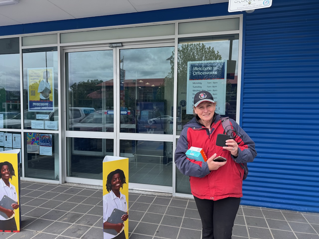
After our activation of Wanniassa Hills on Tuesday, 28th October 2025, Marija and I headed to Officeworks to purchase a new mobile phone for Marija. Unfortunately, during our activation of Justice Robert Hope Reserve the day before, we were totally rained out with torrential rain. Marija’s phone was damaged and would not charge.
After leaving Oficeworks, we headed to the Tuggeranong Hill Nature Reserve VKFF-0863.
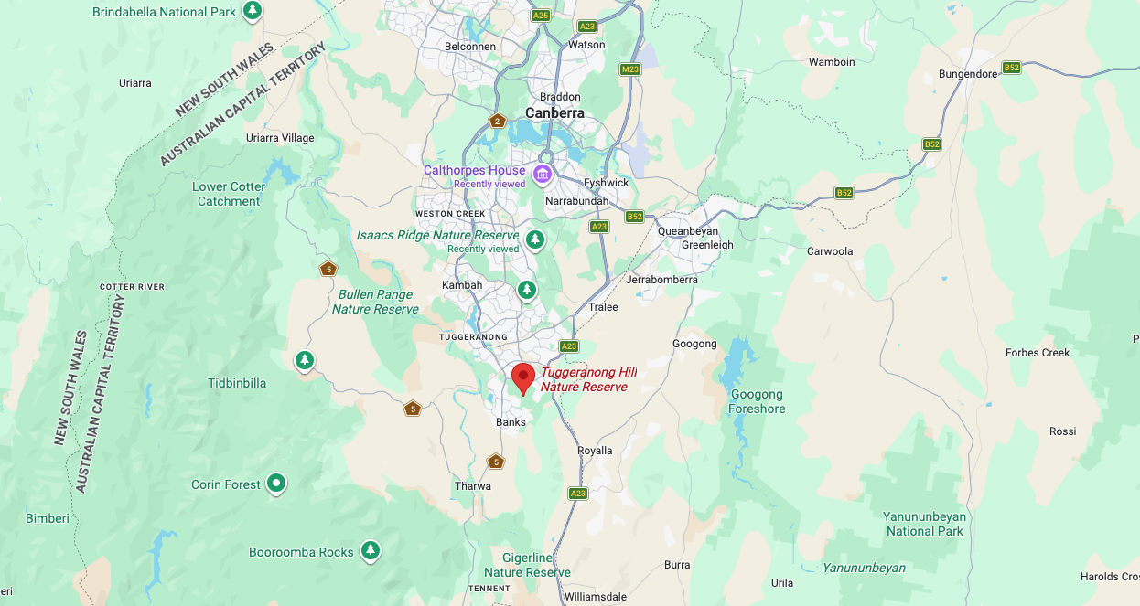
Above:- Map showing the location of the Tuggeranong Hill Nature Reserve. Map c/o Google Maps
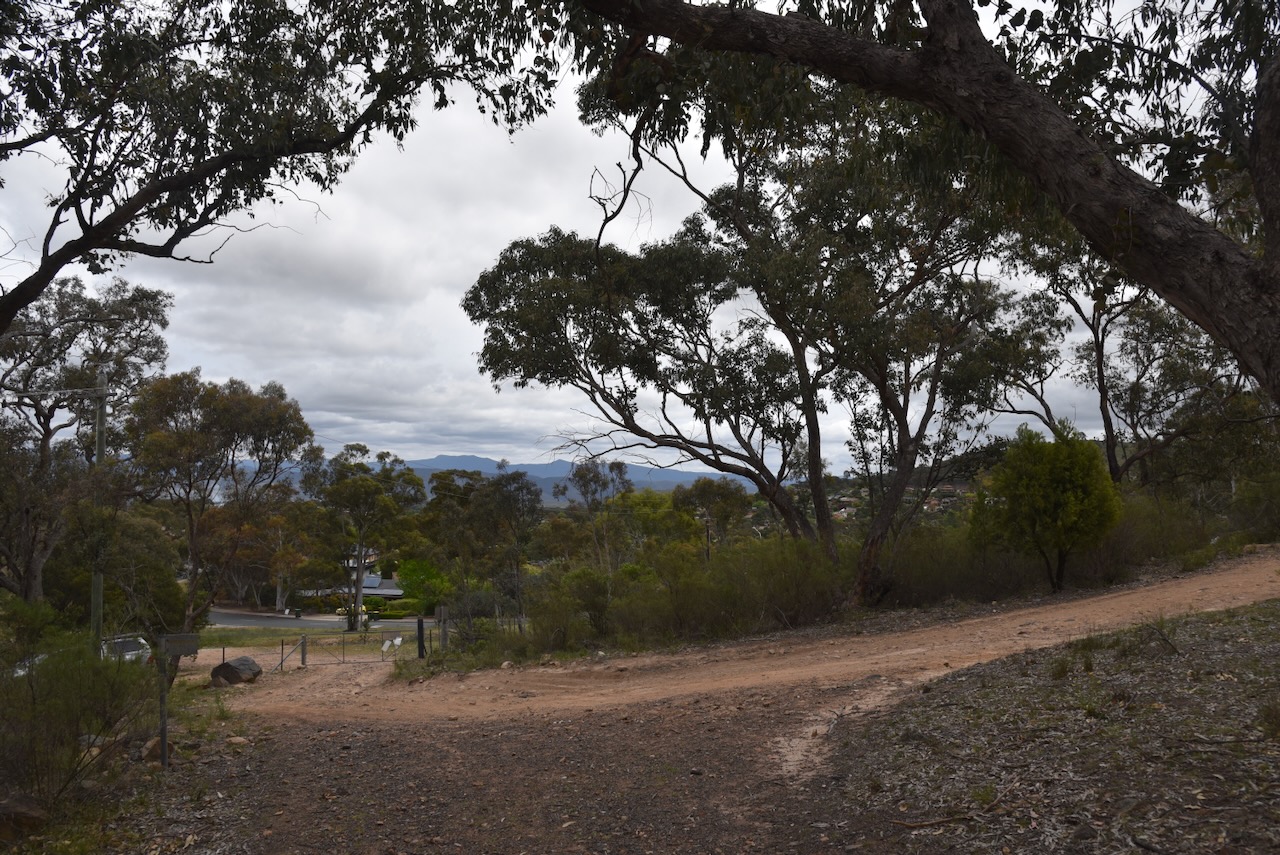
The Tuggeranong Hill Nature Reserve is located in southern Canberra. Its northern boundary is Tharwa Avenue and the suburb of Calwell. Its eastern boundary is Monaro Highway. Its western boundary is Tharwa Drive and its southern boundary is the suburb of Conder.
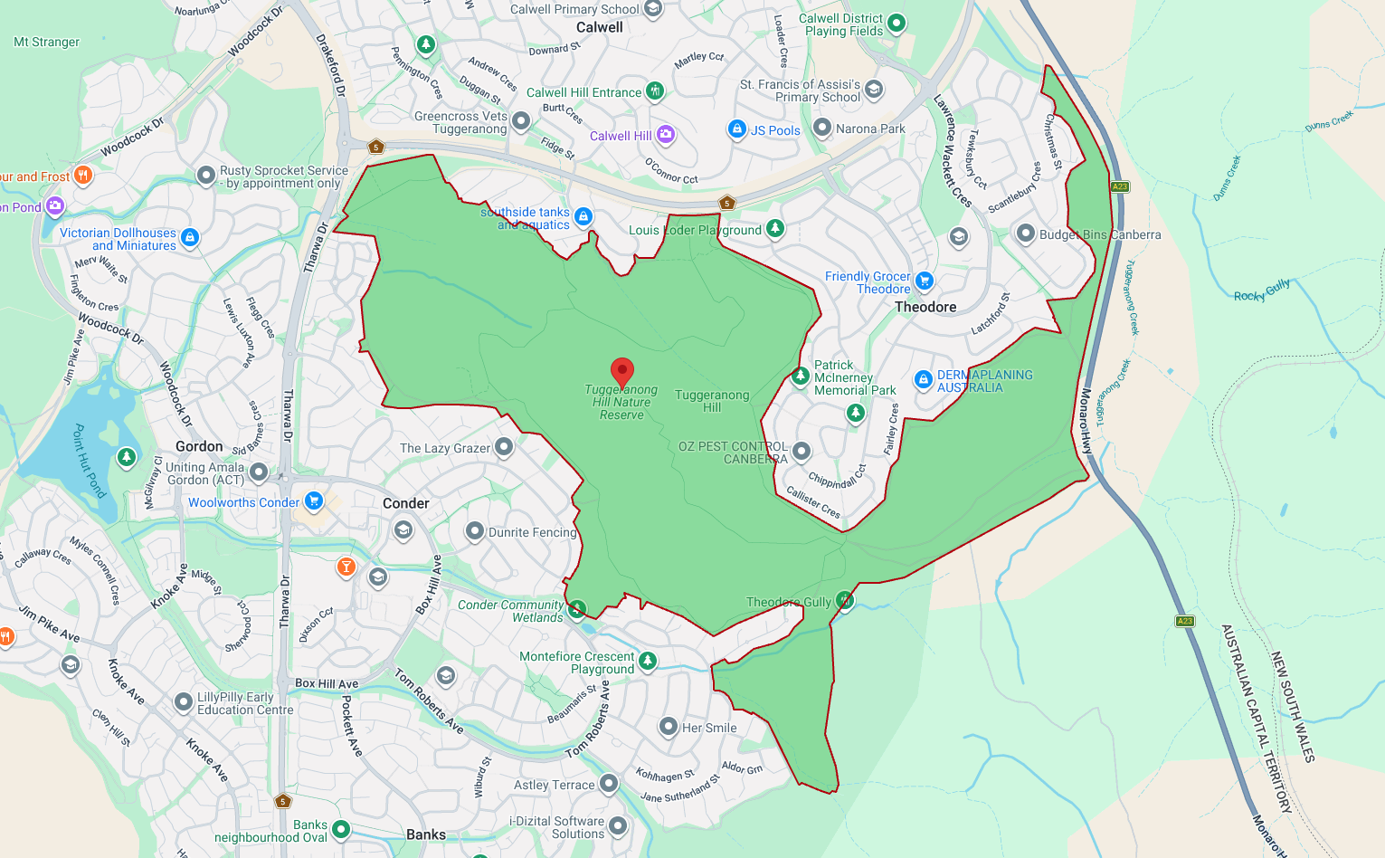
Above: a view of the reserve showing its boundaries. Map c/o parks.act.gov.au
Tuggeranong is derived from the Aboriginal Ngunnawal language, meaning ‘cold place.’ (Wikipedia 2026)
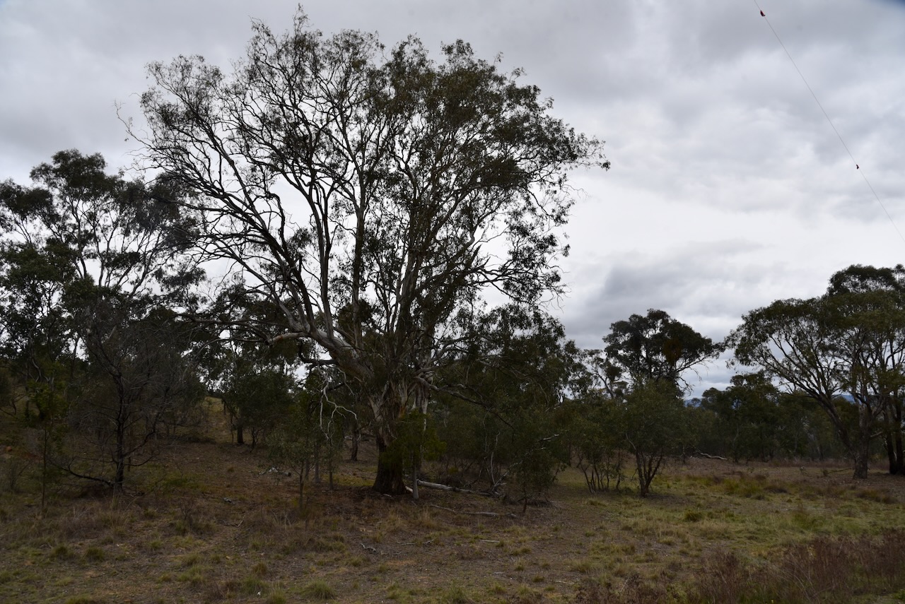
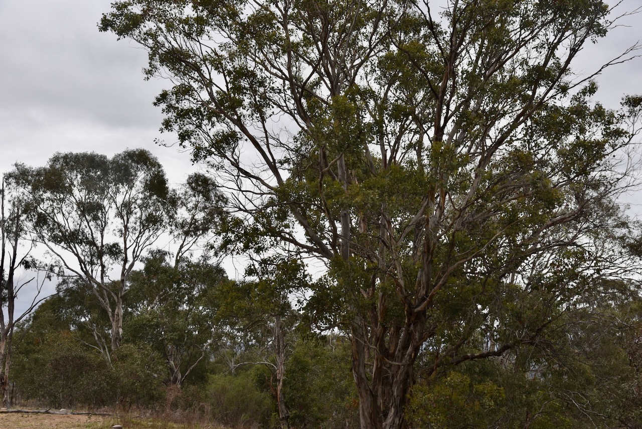
The reserve lies on the boundary between the 2 historic heritage-listed farming estates, Lanyon and Tuggeranong. Much of the native vegetation in Tuggeranong Hill has survived as the land is steep and rocky, and as such was not ploughed and a smaller number of trees were cleared. (ACT Govt 2023)
Tuggeranong Hill Nature Reserve is about 365 hectares in size and was established in 1993. It protects the critically endangered Yellow Box-Blakely’s Red Gum Grassy Woodland. The reserve contains a large area of Dropping She-oak open forest, which provides a food source for the vulnerable Glossy Black-cockatoo. (ACT Govt 2023)
In 2004 and 2006, two areas of land totalling 22 hectares were added to the reserve on the lower slopes of Tuggeranong Hill above the suburb of Conder. These 2 areas were to become residential blocks. However, surveys revealed that they contained a high diversity of plants and the land was saved from development. (ACT Govt 2023)
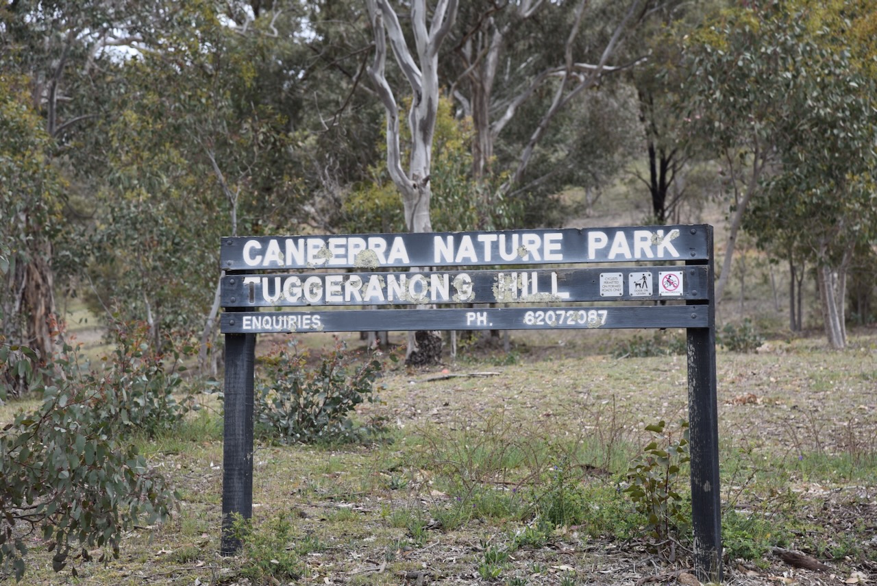
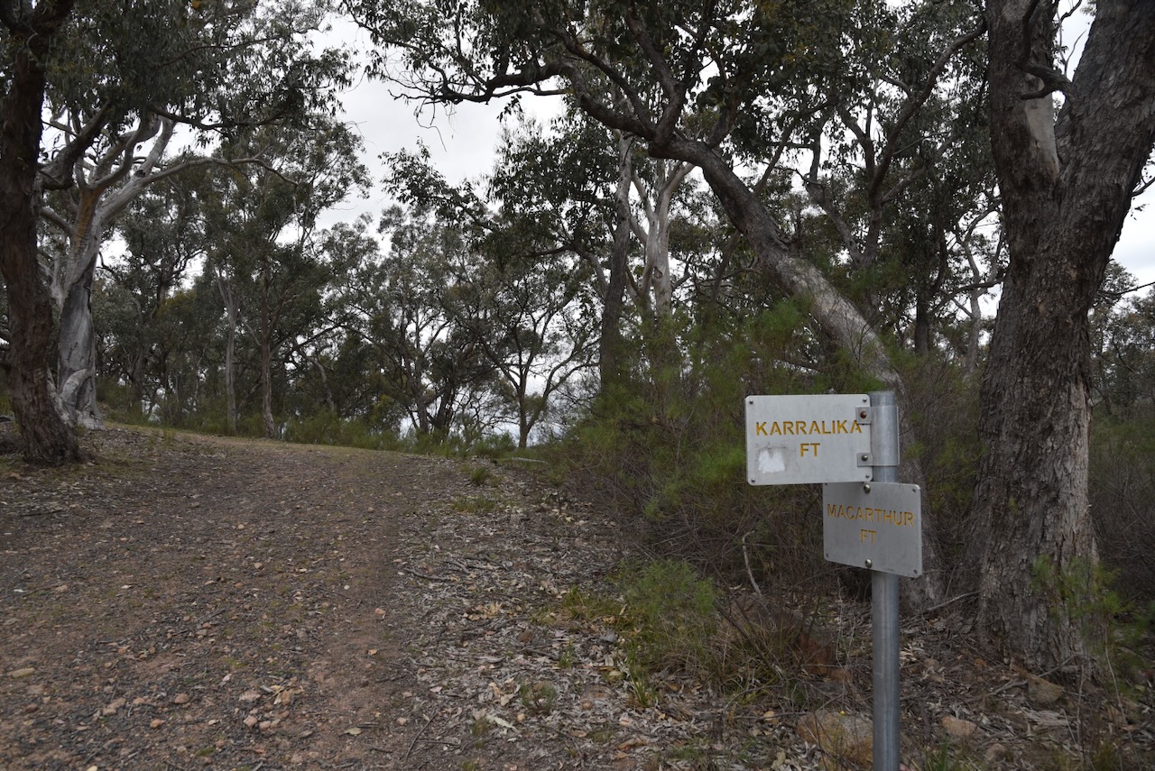
The reserve contains Tuggeranong Hill, a summit which qualifies for the Summits On The Air (SOTA) program. The summit is 855 metres above sea level. The summit requires a walk to get to the top, and we were pressed for time.
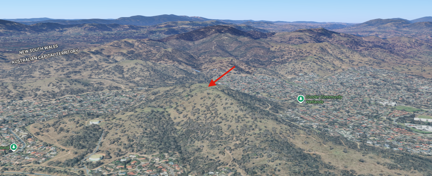
Above: An aerial view of the park showing the summit (indicated with an arrow). Image c/o Google Maps
Marija and I operated with the Yaesu FT857, 40 watts, and the 20/40/80m linked dipole.
Marija worked the following stations on 40m SSB:-
I worked the following stations on 40m SSB:-
I worked the following stations on 20m SSB:-
References.
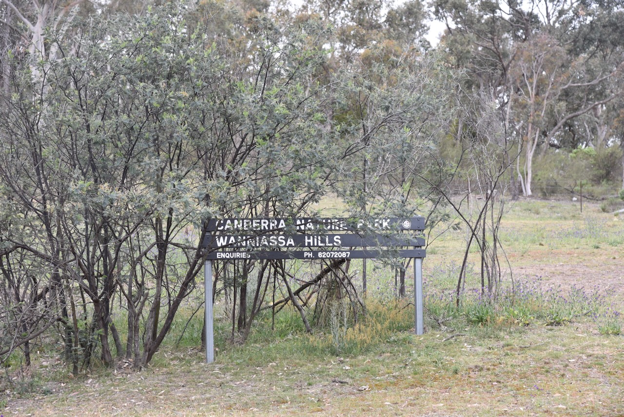
Our next activation for Tuesday, 28th October 2025, was the Wanniassa Hills Nature Reserve VKFF-0865.
Above: Map showing the location of Wanniassa Hills Nature Reserve. Map c/o Google Maps
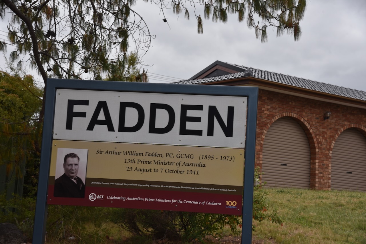
The reserve is located in the suburb of Fadden which is named in honour of Sir Arthur William Fadden who was the 13th Prime Minister of Australia, for a very short period from 29th August 1941 to 7th October 1941. (Wikipedia 2025)
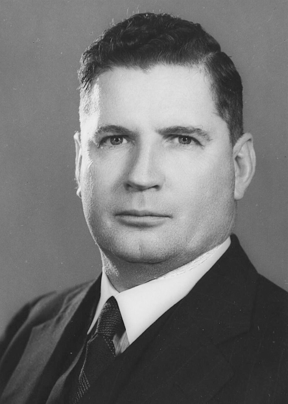
Above: Sir Arthur William Fadden. Image c/o Wikipedia
The reserve’s western boundary os Erindale Drive. Its northern boundary is Yamba Drive and Long Gully Road. Its eastern boundary is Mugga Lane. Its southern boundary is the suburb of Fadden.
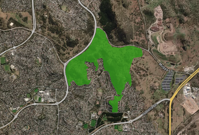
Above: An aerial view of the reserve showing its boundaries. Image c/o Protected Planet.
The reserve includes Mount Wanniassa which is 809 metres above sea level. (Wikipedia 2022)
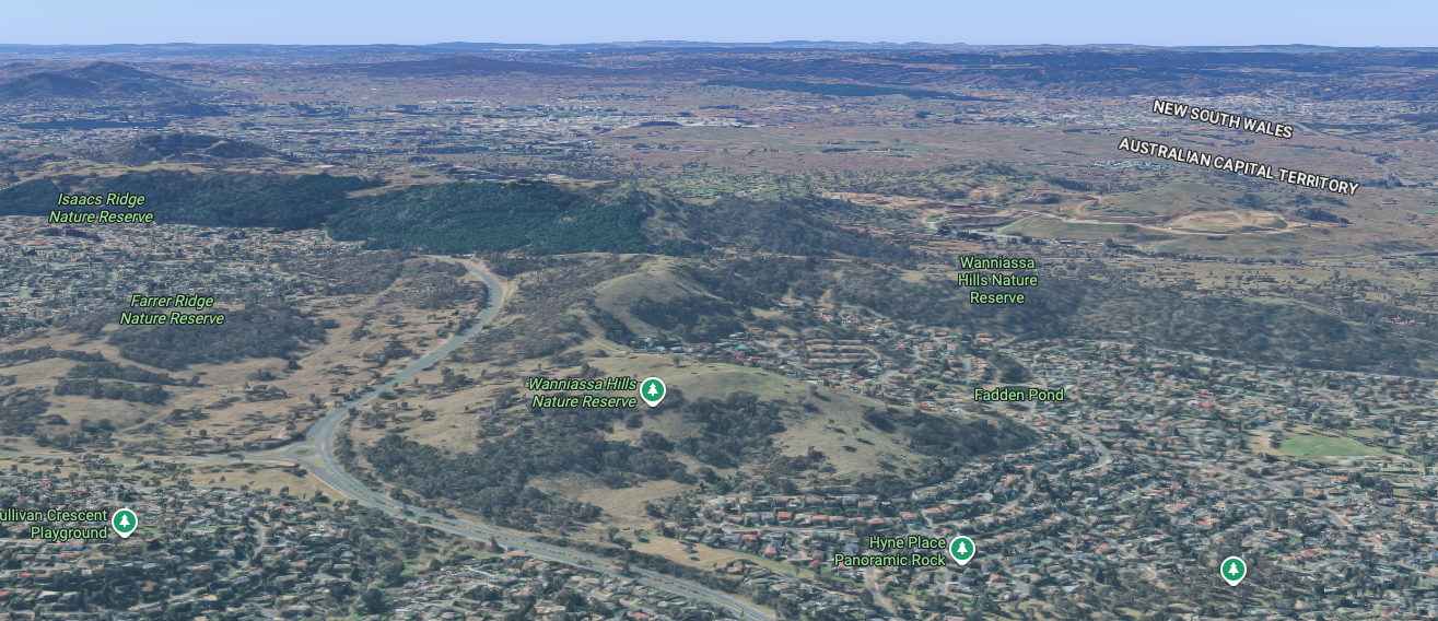
Above: An aerial view of Wanniassa Hills Nature Reserve. Image c/o Google Maps
The reserve takes its name from a pastoral property that was granted to Thomas McQuoid in 1835. He named the property Wanniassa after an estate he previously owned in Wanayas in West Java Indonesia, where he produced coffee crops for the East India Company. (Canberra Homestead n.d.) (Wikipedia 2025)
Prior to the acquisiton of the land by MacQuoid, the land around Wanniassa was owned by Peter Murdoch. Murdoch was born in January 1795 and arrived in Australia in 1821. He was accompanied by his friend Sir Thomas Brisbane. Murdoch was appointed by Brisbane to the role of Superintendent of the government Agricultural Establishment at Emu Plains, New South Wales. The Establishment had been implemented by Lachlan Macquarie, the Governor of New South Wales. It held up to 500 convicts. Brisbane would later go on to defend Murdoch who was accused of misconduct with female convicts. (Canberra Homestead n.d.) (Eldershaw 1967) (Nsw.gov.au 2026)
In 1829 Murdoch was appinted a a position n Tasmania. The area then became part of a grant to John McLaren. He had arrived from Glasgow, Scotland in 1828. It was managed by William Wright who had several convicts on the property. In 1835 McLaren sold the property to MacQuoid. (Canberra Homestead n.d.) (Wikipedia 2025)
Thomas Hyacinth MacQuoid was born in 1779 in Ireland. He emigrated to Australia arriving in Sydney in 1829. He was appointed the Sheriff of the Supreme Court of New South Wales. MacQuoid built a stone cottage and barn on the Wanniassa property using convict labor. This ended up becoming Tuggeranong Homestead. (Canberra Homestead n.d.) (Find a Grave 2019)
MacQuoid took his own life on the 12th day of October 1841, aged 62 years. It is suspected his sicide was due to a severe drought which has caused MacQuoid to suffer fromdepressed economic circumstances. He was originally buried at Devonshire Street Cemetery. In 1901 his remains and headstone were relocated to Bunnerong Cemetery. (Canberra Homestead n.d.) (Find a Grave 2019)
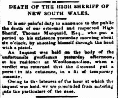
Above: article from The Sydney Monitor & Commercial Advertiser, Wed 13 Oct 1841. Image c/o Trove
Following Macquoid’s death, his son Thomas MacQuoid Jr remained on the property and successfully paid off all debts. In 1857 he returned to England to visit family. On the return voyage to Australia aboard the clipper Dunbar, the vessel was wrecked at South Head, Sydney. A total of 120 persons aboard the Dunbar drowned. MacQuoid’s body was never recovered. (Canberra Homestead n.d.) (Nla.gov.au 2026)
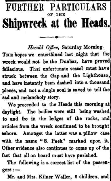
Above: part of an article from The Sydney Morning Herald, Sat 22 Aug 1857. Image c/o Trove
In 1858 the property was purchased by Andrew Cunningham who owned the nearby Lanyon property. It was renamed Tuggeranong following its purchase by Cunningham. In 1917 the land was acquired by the Australian Commonwealth Government for military purposes. Marija and I visited Lanyon homestead during our trip, and I will detail that extensively in a subsequent post. (ACT Govt 2023) (Canberra Homestead n.d.)
The Wanniassa Hills Nature Reserve is about 262 hectares in size and was established in 1993. It contains an area of the critically endangered Yellow Box-Blakely’s Red Gum Grassy Woodland. (ACT Govt 2023)
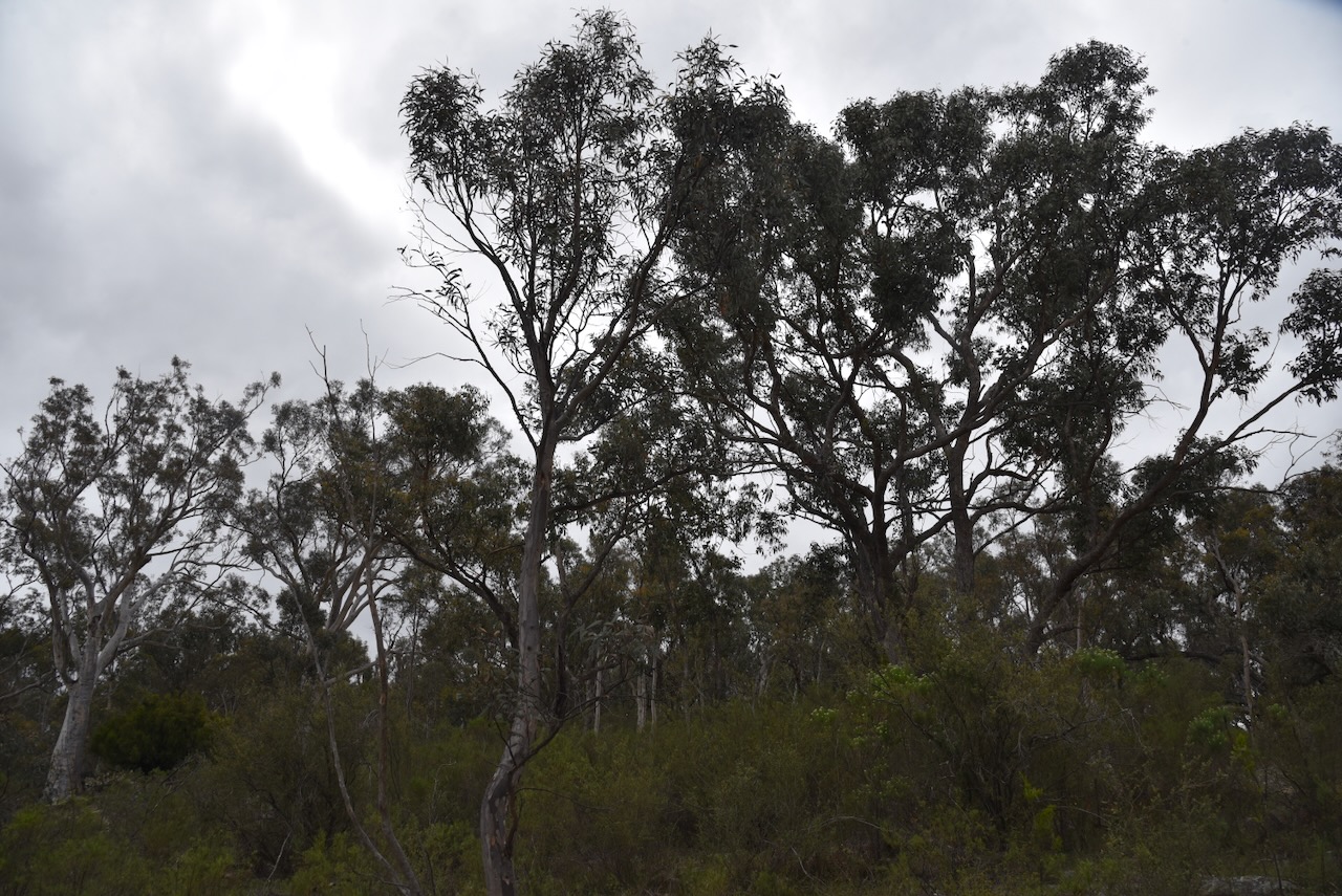
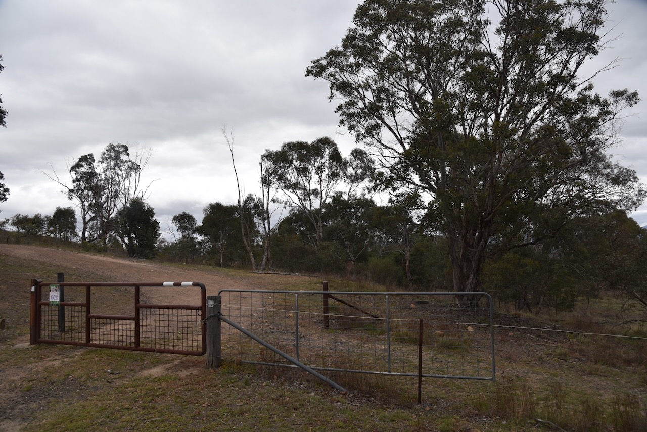
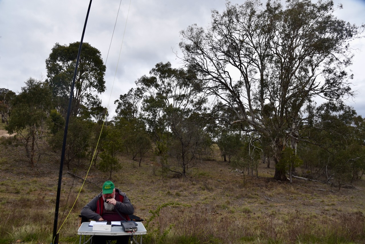
Marija and I parked our vehicle and walked through a gate and set up on the edge of a walking track. We ran the Yaesu FT857, 40 watts, and the 20/40/80m linked dipole.
Marija worked the following stations on 40m SSB:-
I worked the following stations on 40m SSB:-
References.
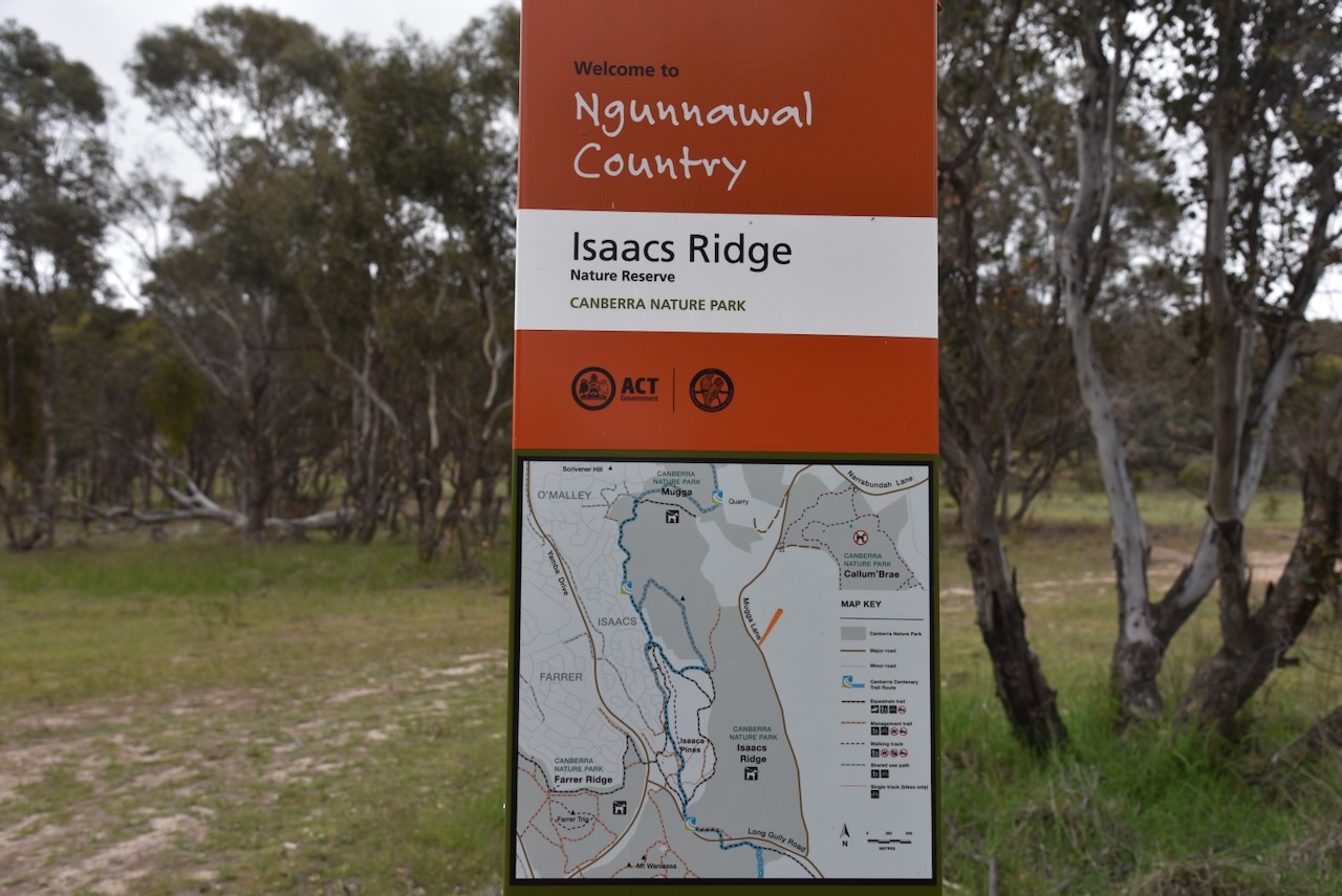
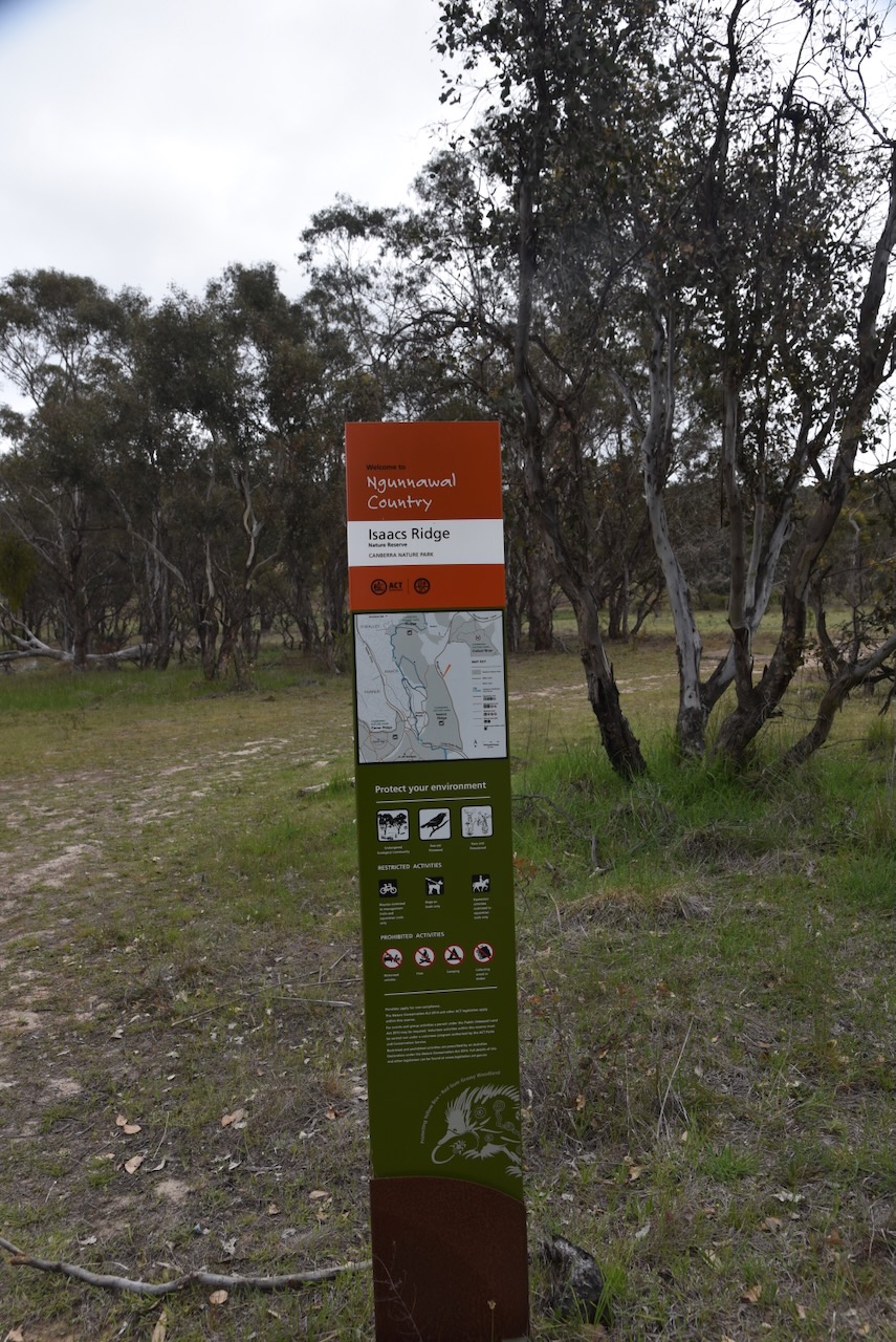
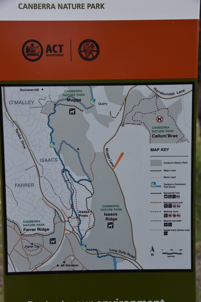
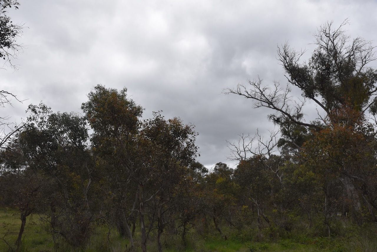
Our third park activation for Tuesday, 28th October 2025, was Isaacs Ridge Nature Reserve VKFF-0845.
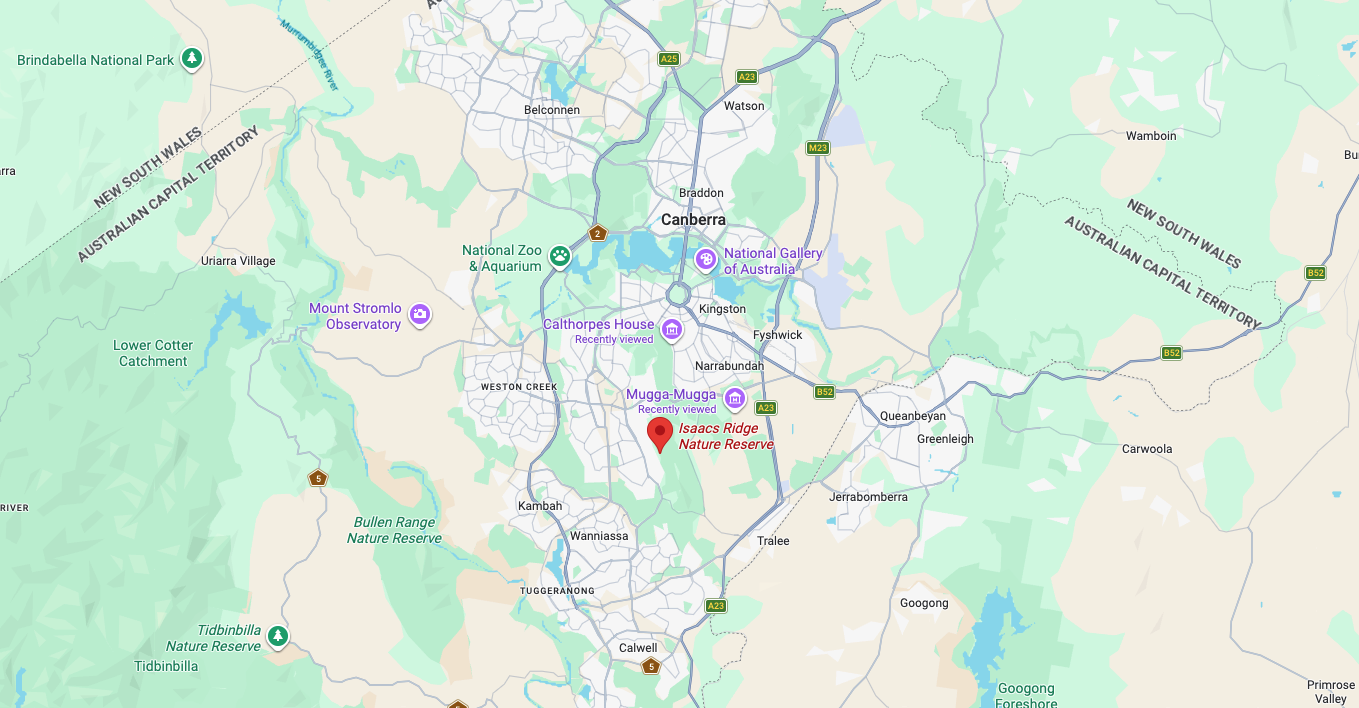
Above: Map showing the location of Isaacs Ridge Nature Reserve. Map c/o Google Maps
The reserve is located in the suburb of Isaacs, which is named in honour of Sir Isaac Alfred Isaacs. He was born in August 1855 in Melbourne, Victoria. He was an Australian lawyer, politician and Judge. He served as the ninth Governor-General, in office from 1931 to 1936. Isaacs died in February 1948 in Melbourne, aged 92 years. (Wikipedia 2025)
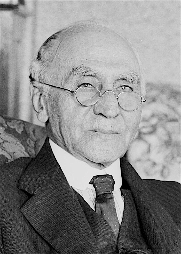
Above: Sir Isaac Isaacs. Image c/o Wikipedia
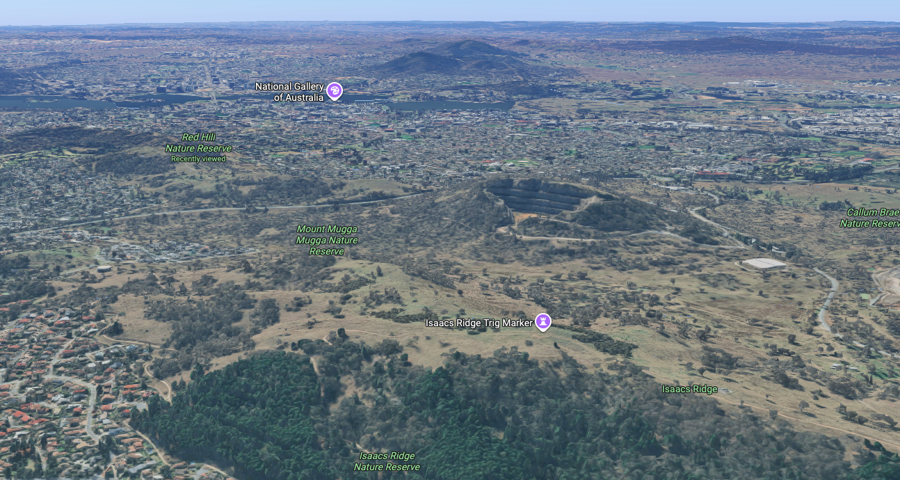
Isaac Ridge Nature Reserve is located in the south-eastern part of the Woden Valley in Canberra. The reserve’s eastern boundary is Mugga Lane. Its southern boundary is Long Gully Road. To the west of the reserve are the suburbs of O’Malley, Mawson, and Farrer. The reserve connects with Mount Mugga Mugga Nature Reserve and Wanniassa Hills Nature Reserve. (ACT Govt 2023)
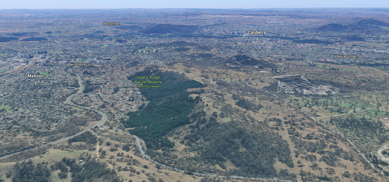
Above: An aerial view of Isaacs Ridge Nature Reserve. Image c/o Google Maps
The area in which the reserve is located was once part of the Duntroon pastoral lease and also part of Mugga Mugga Station. (ACT Govt 2023)
Isaacs Ridge Nature Reserve is about 387 hectares in size and was established in 1993. The reserve protects one of the largest areas of critically endangered Yellow Box-Blakely’s Red Gum Grassy Woodland remaining in Australia. The park is home to the vulnerable Glossy Black-cockatoo and the vulnerable Pink-tailed Worm-lizard. (ACT Govt 2023)
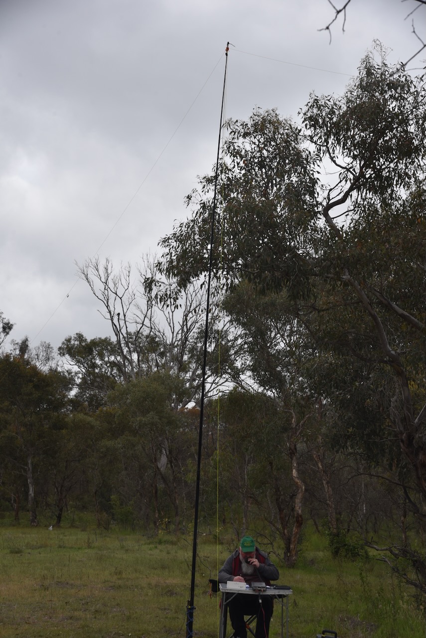
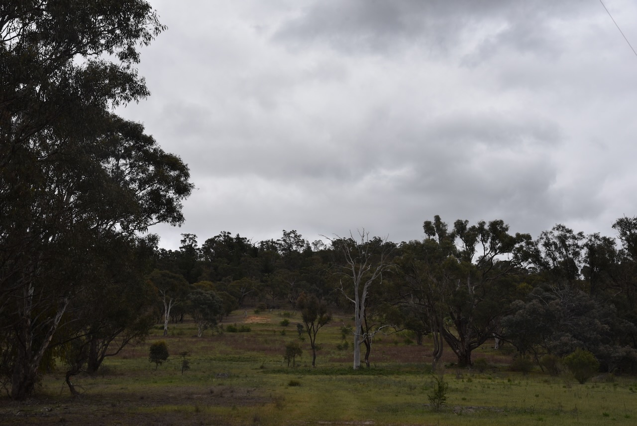
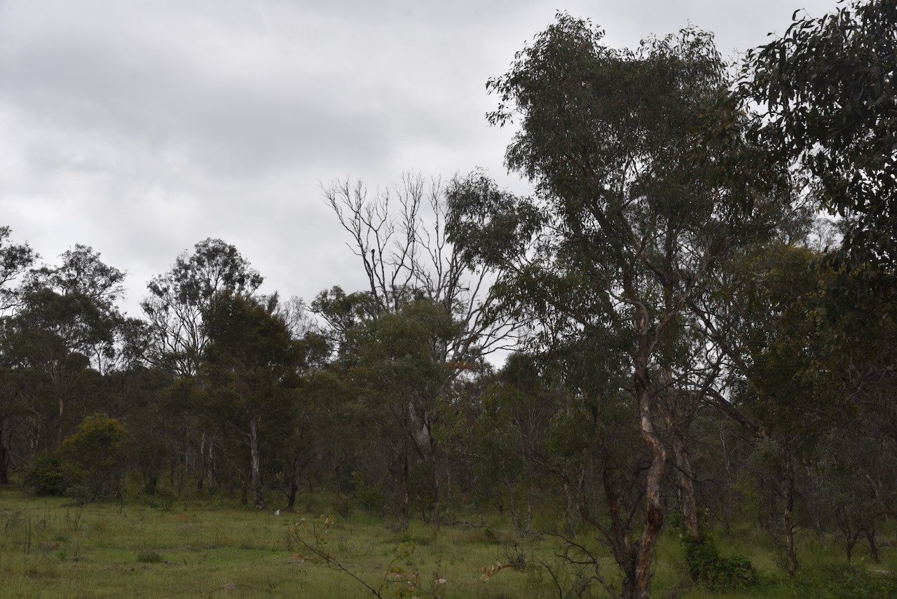
Marija and I set up our station off Mugga Lane. We ran the Yaesu FT857, 40 watts, and the 20/40/80m linked dipole.
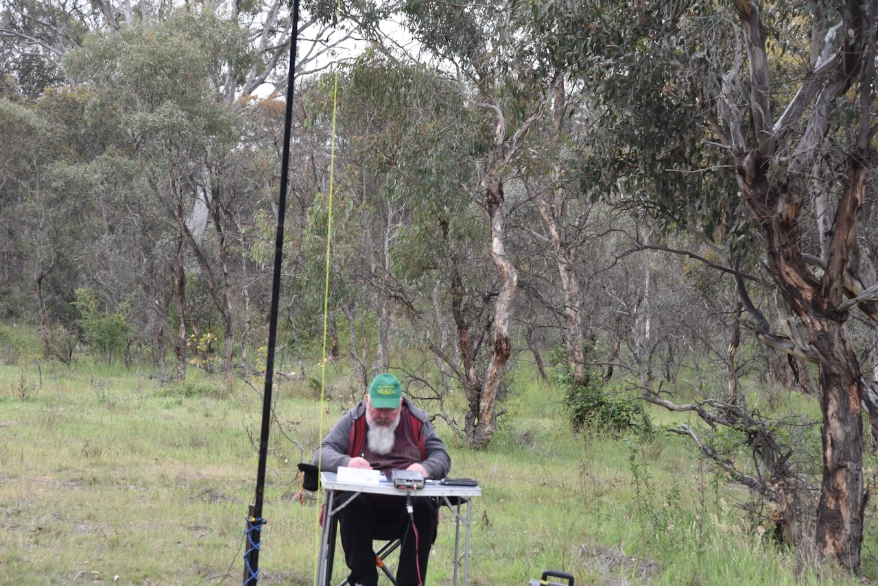
Marija worked the following stations on 40m SSB:-
I worked the following stations on 40m SSB:-
References.
After packing up at Red Hill on Tuesday, 28th October 2025, Marija and I drove into the suburb of Deakin for some breakfast and coffee. Deakin is named in honour of Australia’s second Prime Minister, Alfred Deakin. He was born in August 1856 in Melbourne and served as Prime Minister from June 1909 to April 1910. He died in October 1919. (Wikipedia 2019)
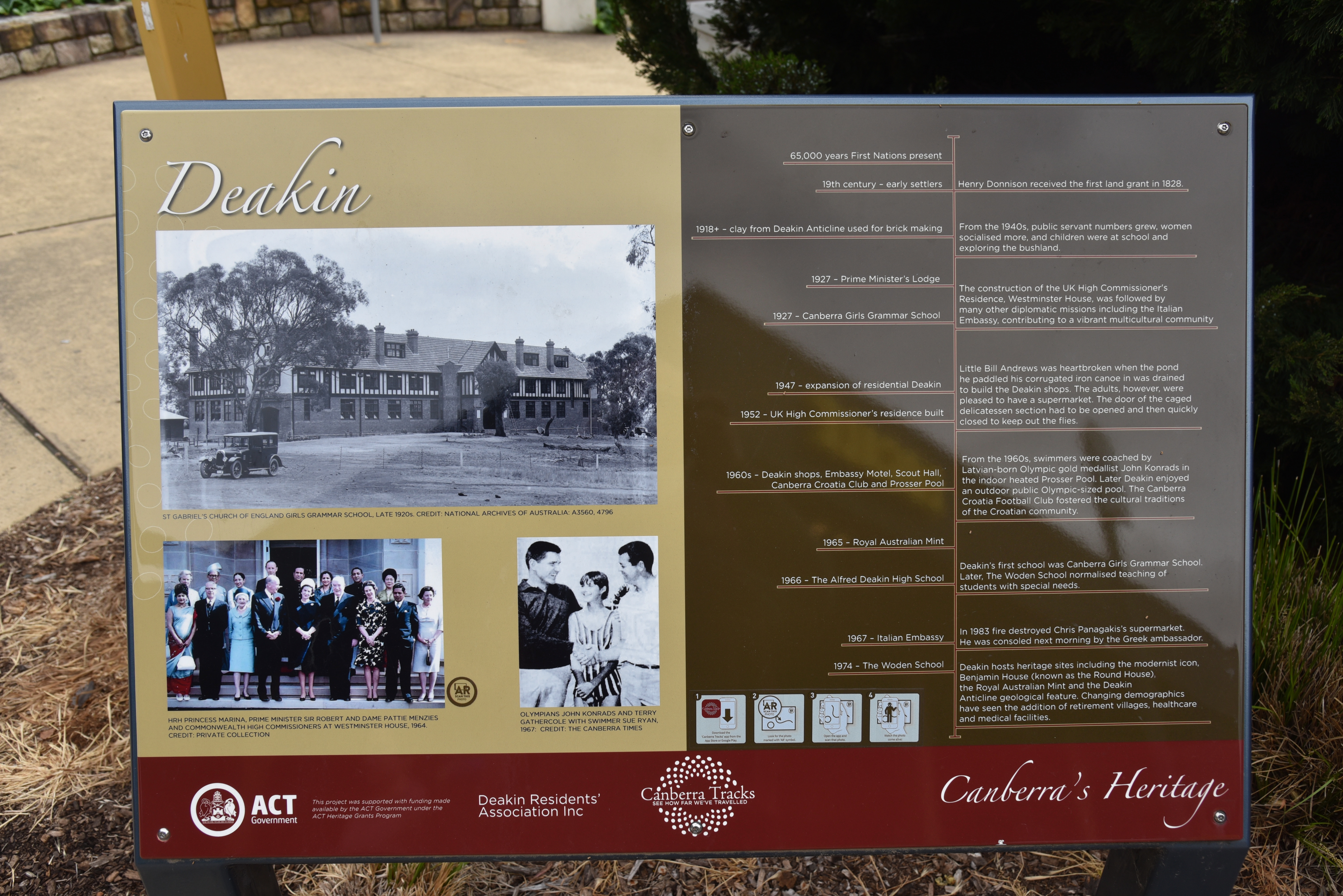
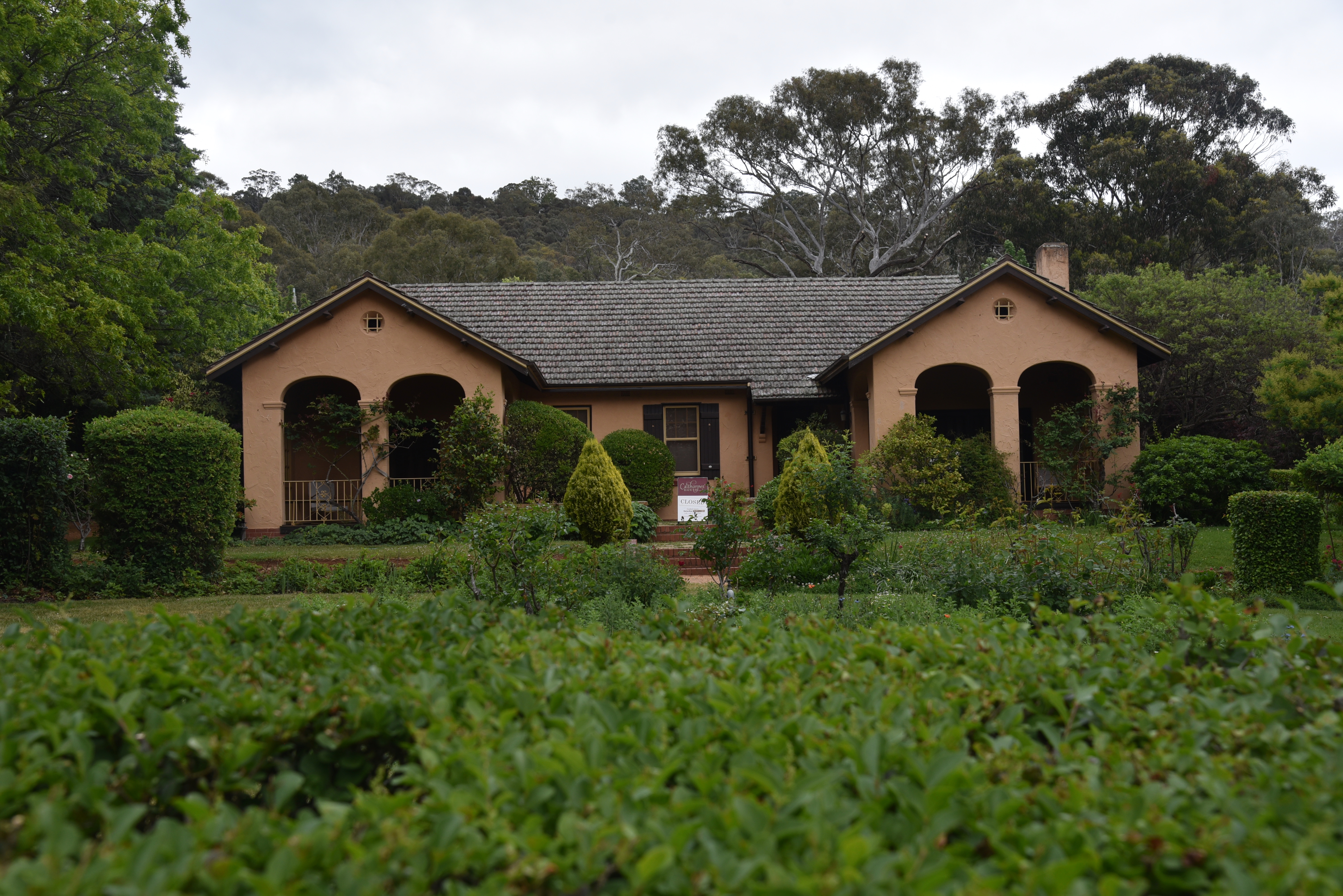
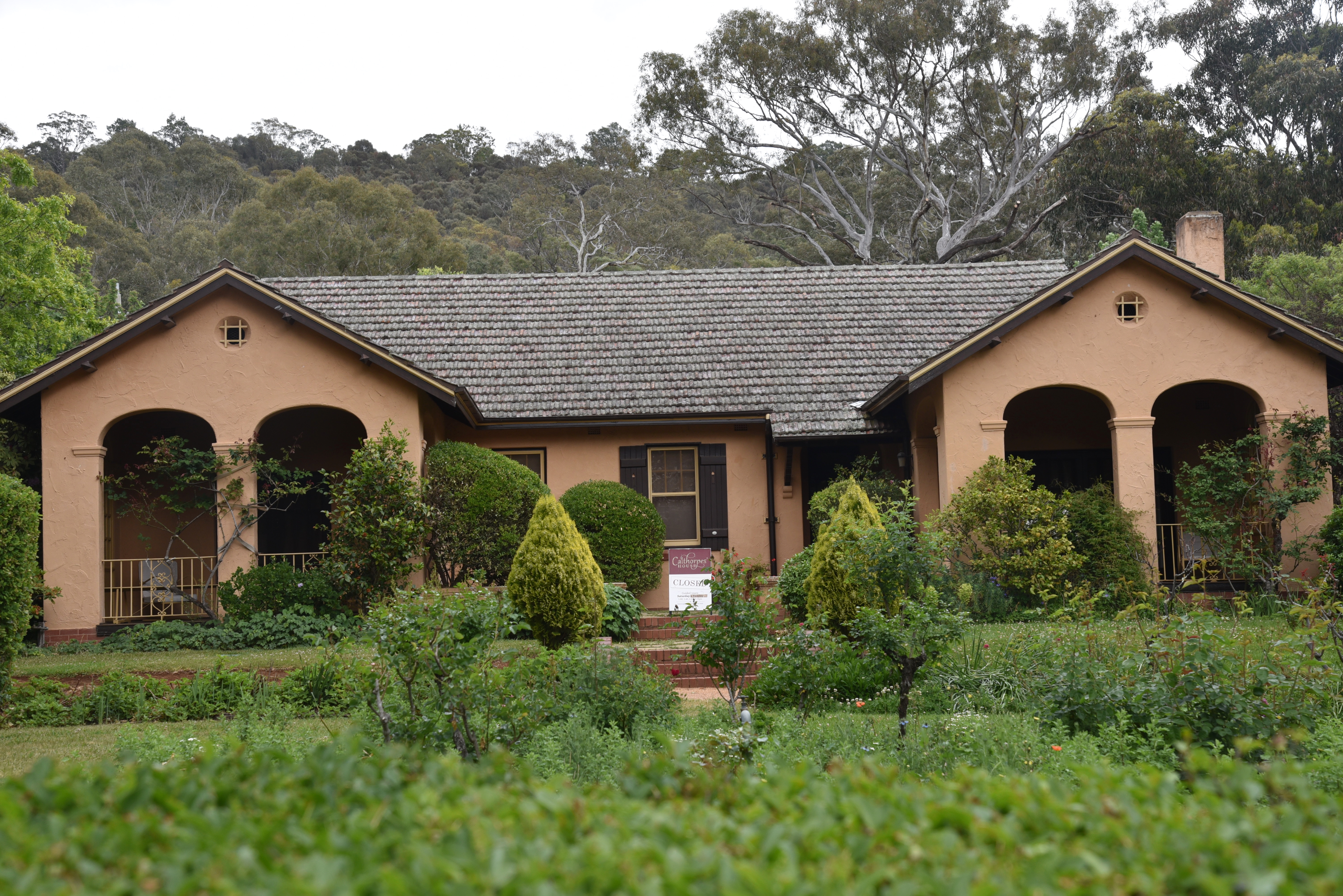
We then drove along Mugga Way to Calthorpe’s House, which, unfortunately, was not open. The home was built in 1927 for the Calthorpe family. This was the same year that the Federal Parliament and public service were transferred to Canberra. (ACT Historic Places 2017)
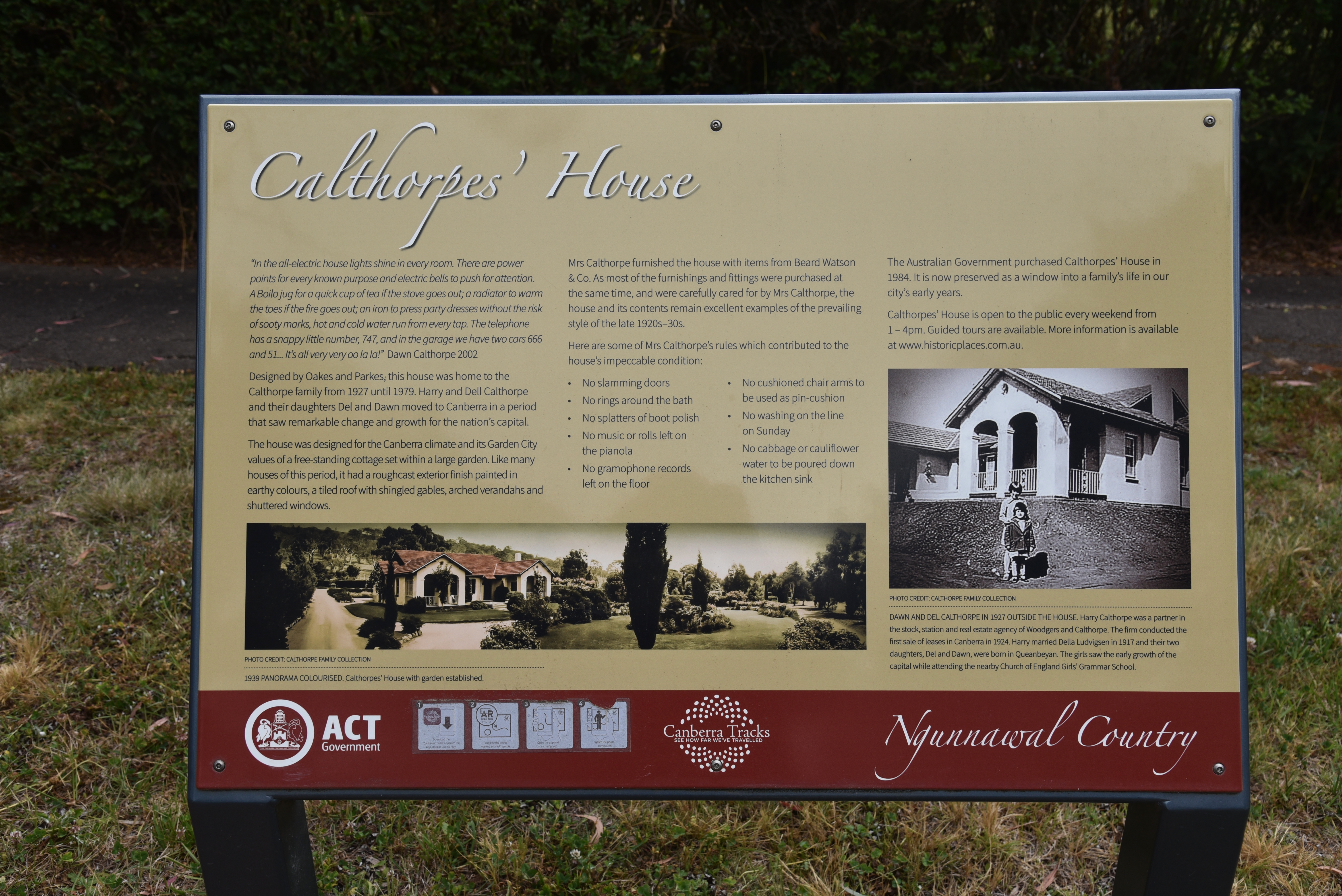
For more information on this historic home, please have a look at the YouTube video below.
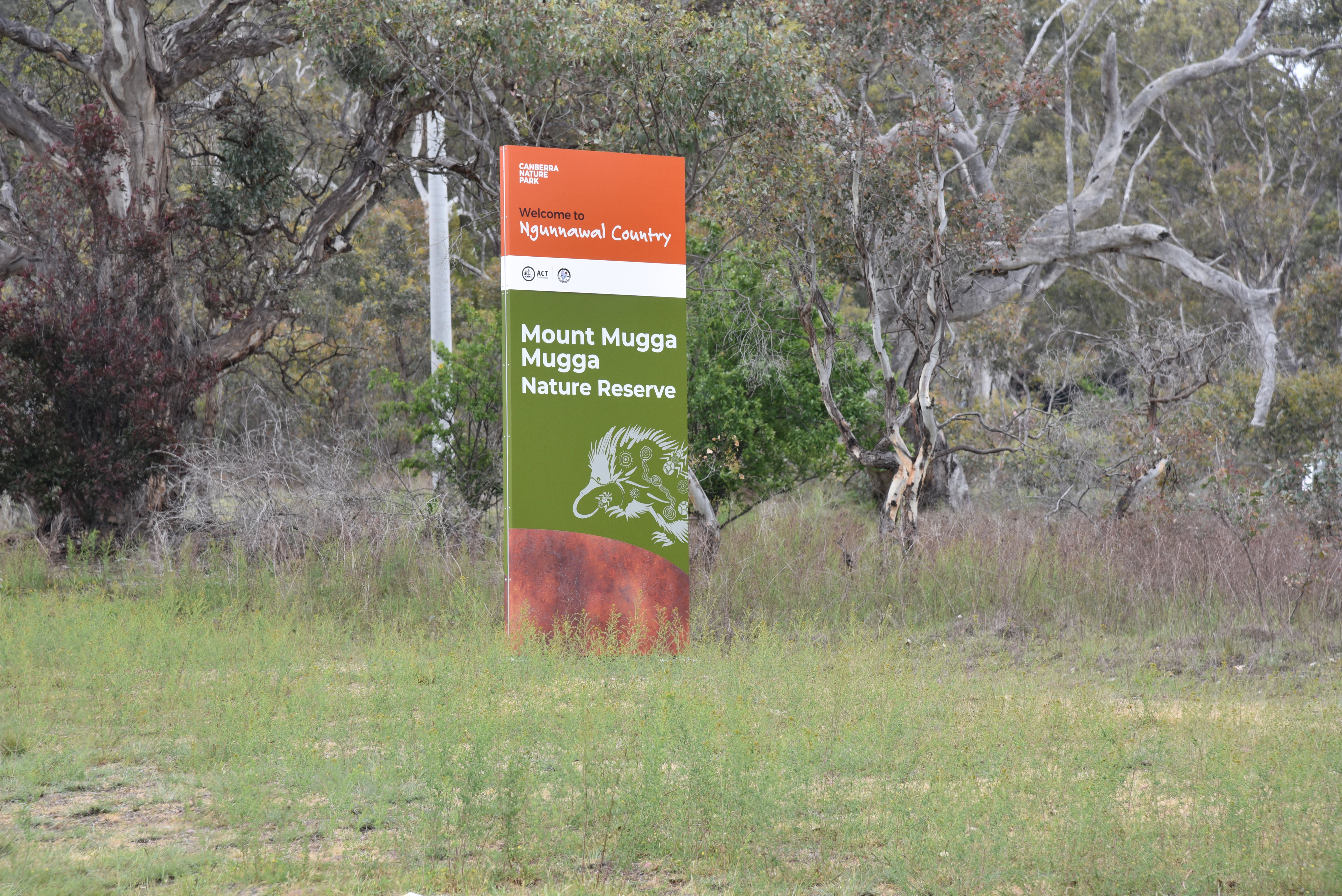
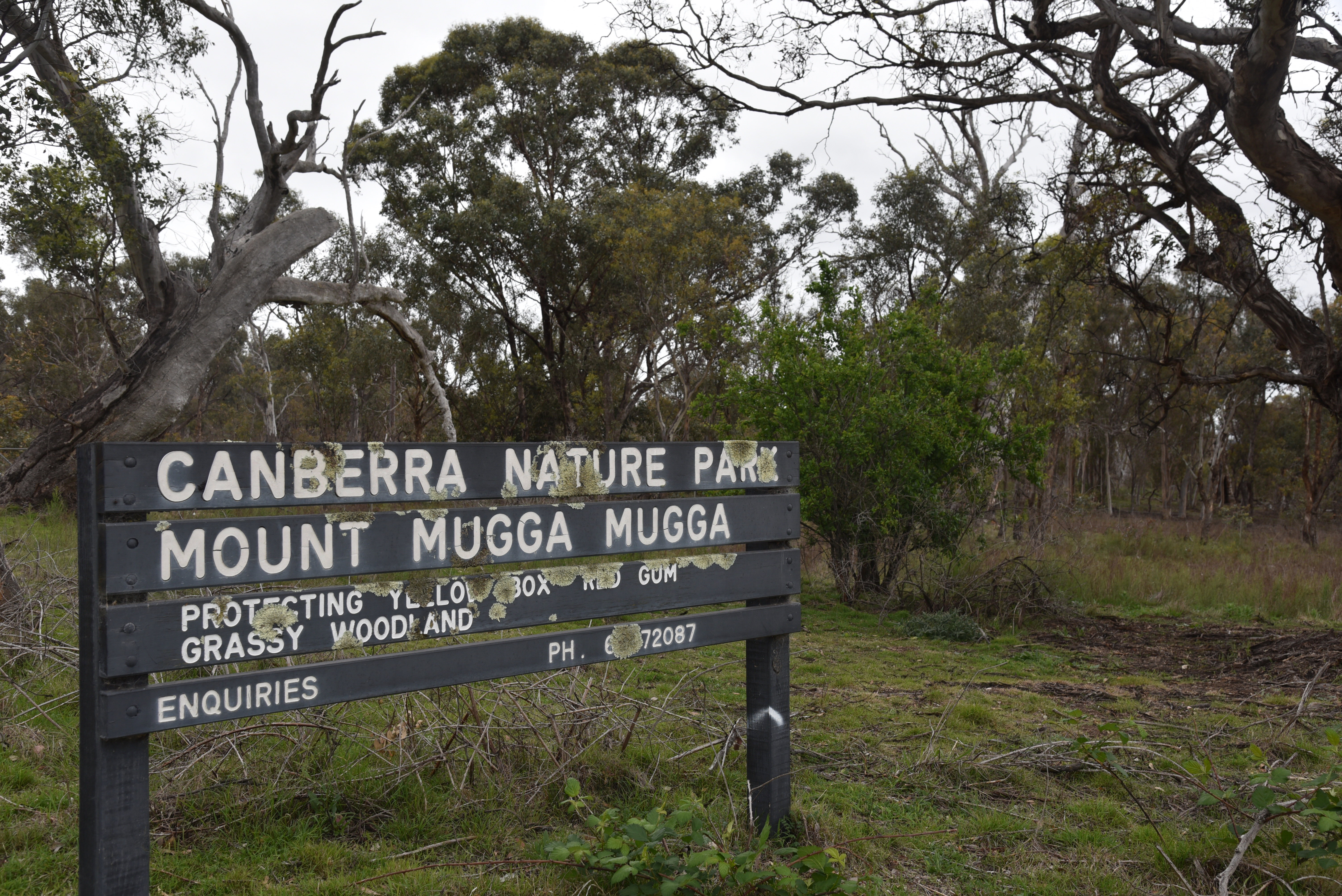
We then headed to our second park activation for the day, the Mount Mugga Mugga Nature Reserve VKFF-0852.
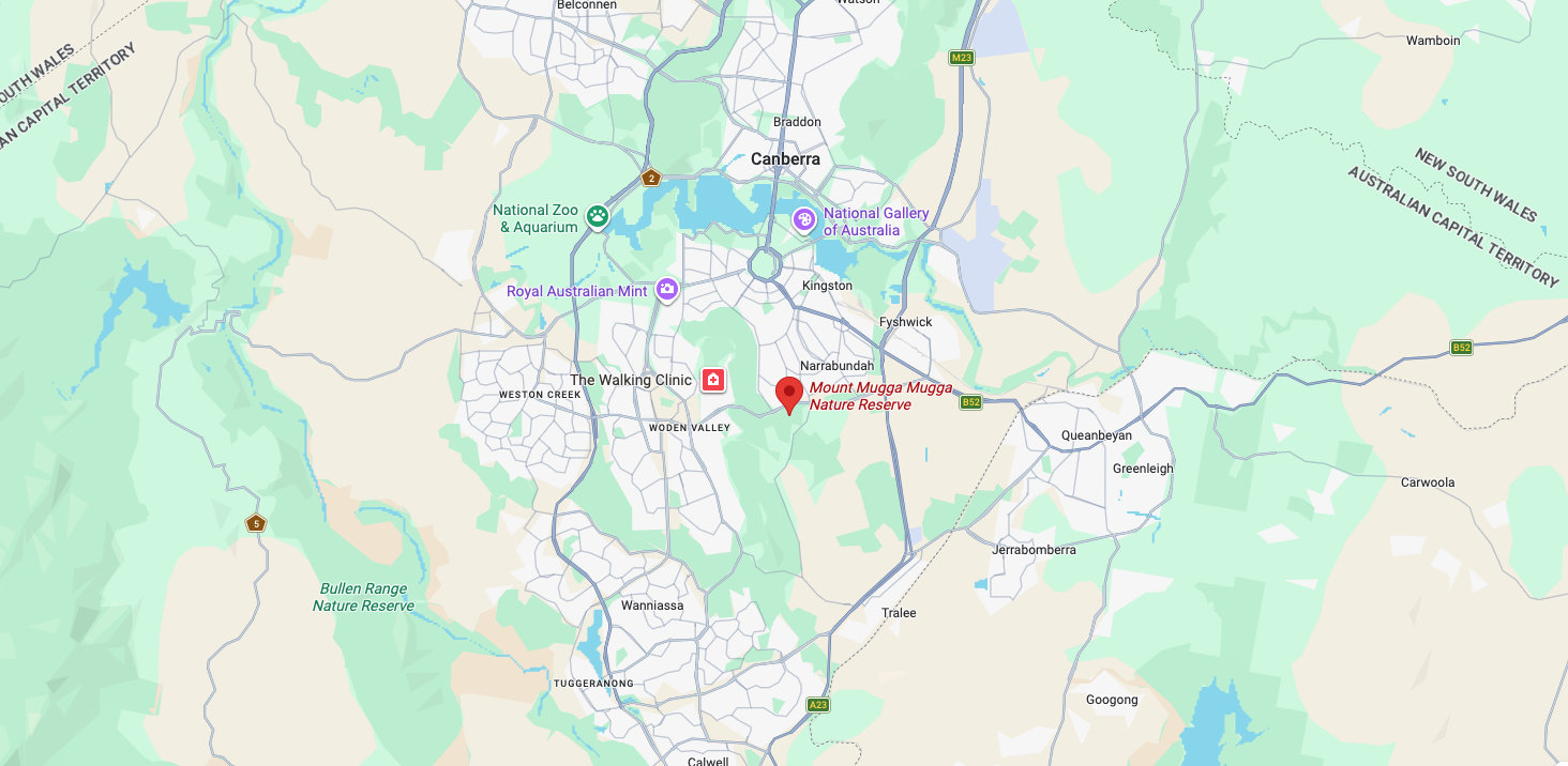
Above: Map showing the location of Mount Mugga Mugga Nature Reserve. Map c/o Google Maps
The northern boundary of the reserve is Hindmarsh Drive. Its eastern boundary is Mugga Lane. To the west of the reserve is the suburb of O’Malley, which contains several embassies, including the Embassy of Nepal, the Embassy of the Islamic Republic of Iran, and the Lebanese Embassy.
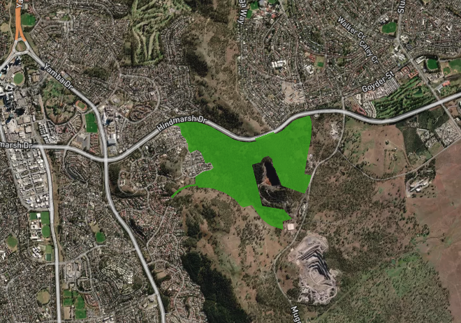
Mount Mugga Mugga Nature Reserve is about 148 hectares in size and is located on the eastern edge of the Woden Valley in Canberra. The reserve is connected with the Red Hill Nature Reserve and Isaacs Ridge Nature Reserve. It was established in 1993 and was extended in 2005. (ACT Govt 2023)
Above: Aerial view of Mount Mugga Mugga Nature Reserve. Image c/o Google Maps
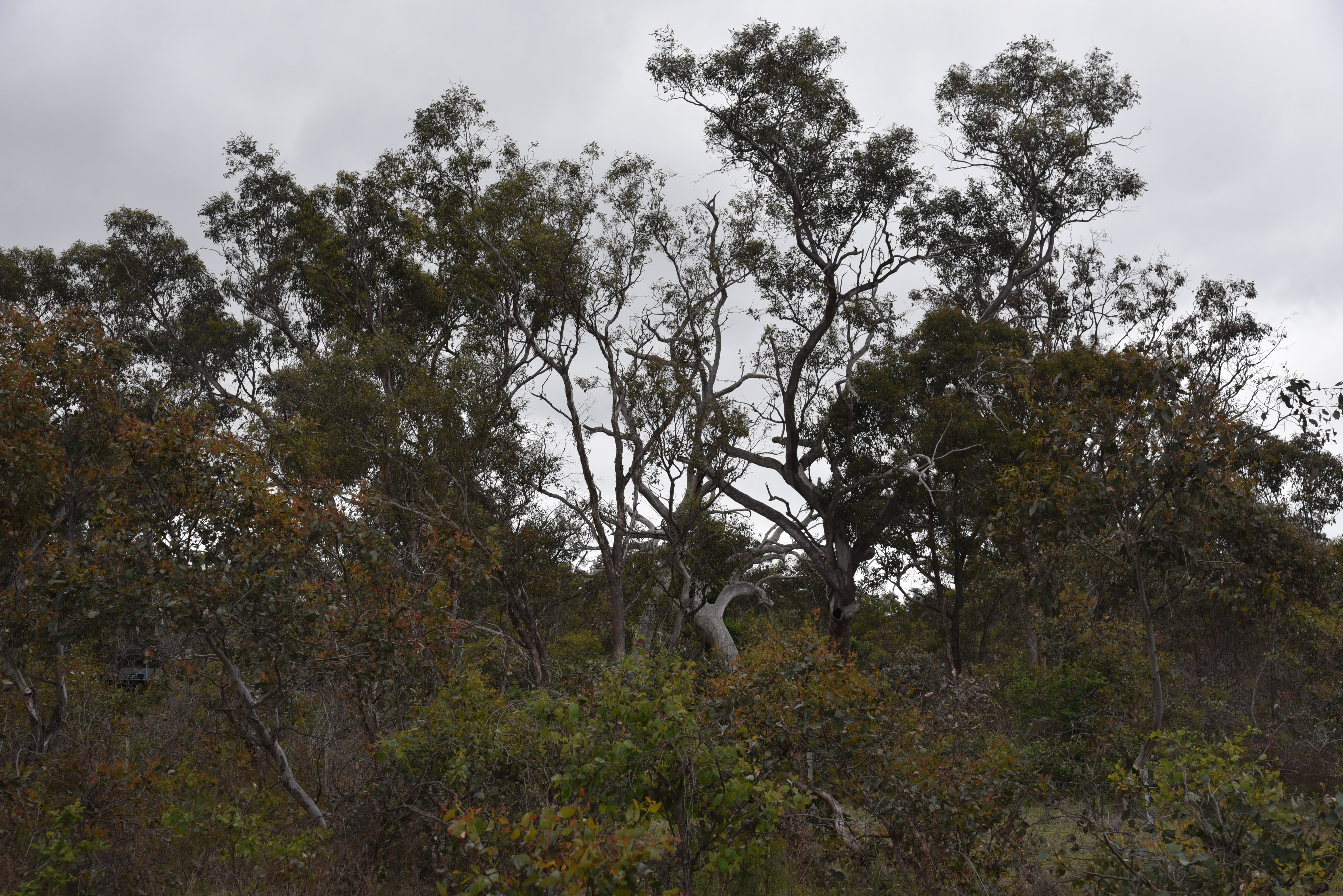
The reserve is part of one of the largest areas of the critically endangered Yellow Box-Blakely’s Red Gum Grassy Woodland remaining in Australia. Native birds found in the park include the threatened Diamond Firetail, Hooded Robin, Wedge-tailed Eagle, and Speckled Warbler. (ACT Govt 2023)
Just to the south of the reserve is the Mugga Quarry, which provided material in the building of early Canberra during the 20th century. (ACT Govt 2023)
During the early 1900s, plantings were undertaken in the reserve of various species, including Argyle Apple, White Box, and Golden Wattle. These were initiated by Walter Burley Griffen and were supervised by Charles Weston. (ACT Govt 2023)
Walter Burley Griffin was an American architect and landscape architect, and was the designer of Canberra. (Wikipedia 2019)
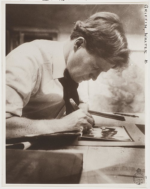
Above: Walter Burley Griffin. Image c/o Wikipedia
Thomas Charles George Weston was an Australian horticulturist and was responsible for the establishment of trees in Canberra. (Wikipedia 2026)
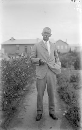
Above: Charles Weston. Image c/o Wikipedia
Marija and I set up our station off Mugga Lane, not far from the ACT Dog Pound. I am sure all those who worked us during the activation could hear the dogs barking in the background.
Marija worked the following stations on 40m SSB before the UTC rollover:-
I worked the following stations on 40m SSB before the UTC rollover:-
Marija worked the following stations on 40m SSB after the UTC rollover:-
Marija worked the following stations on 20m SSB:-
I worked the following stations on 40m SSB before the UTC rollover:-
I worked the following stations on 40m SSB after the UTC rollover:-
I worked the following stations on 20m SSB:-
References.
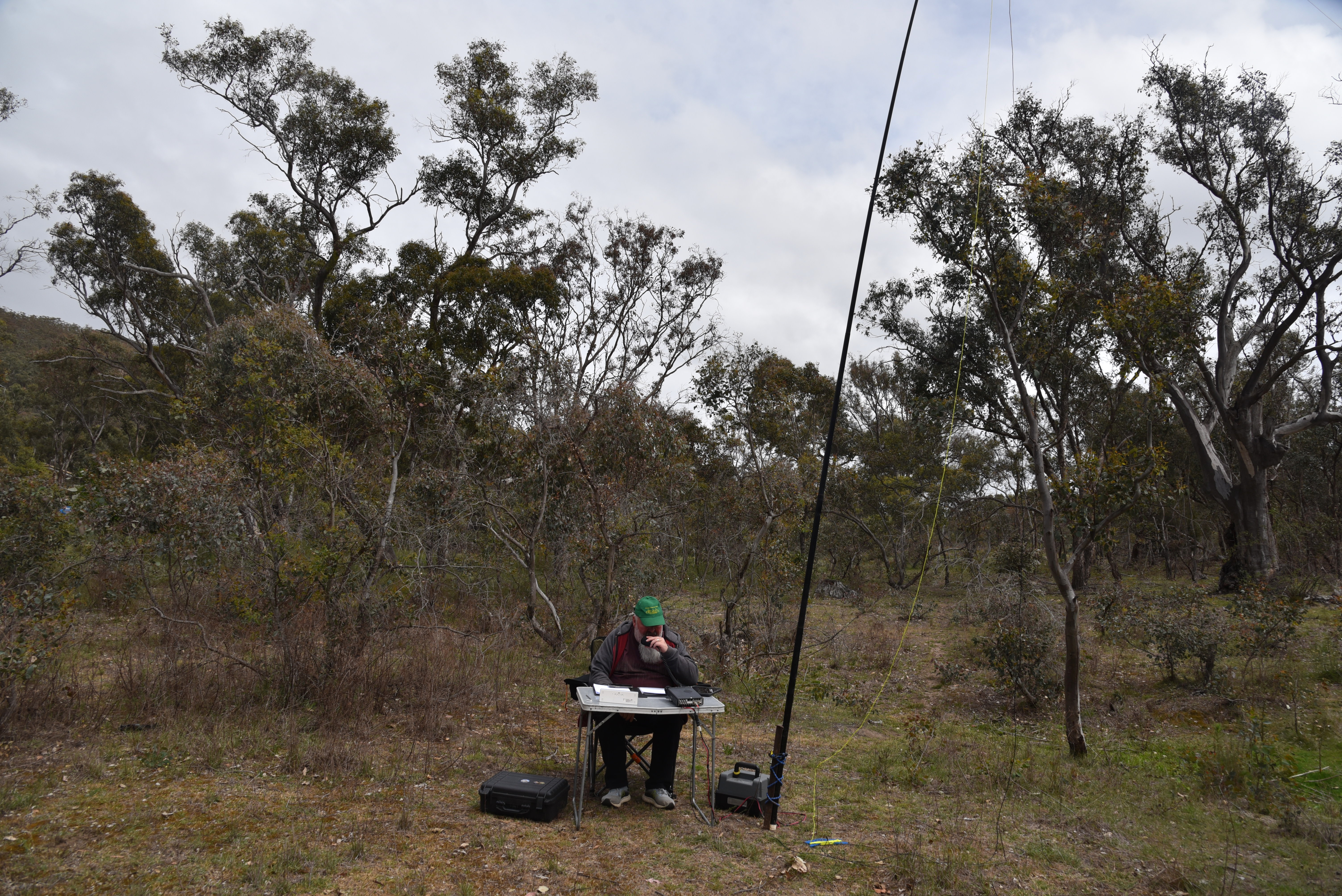
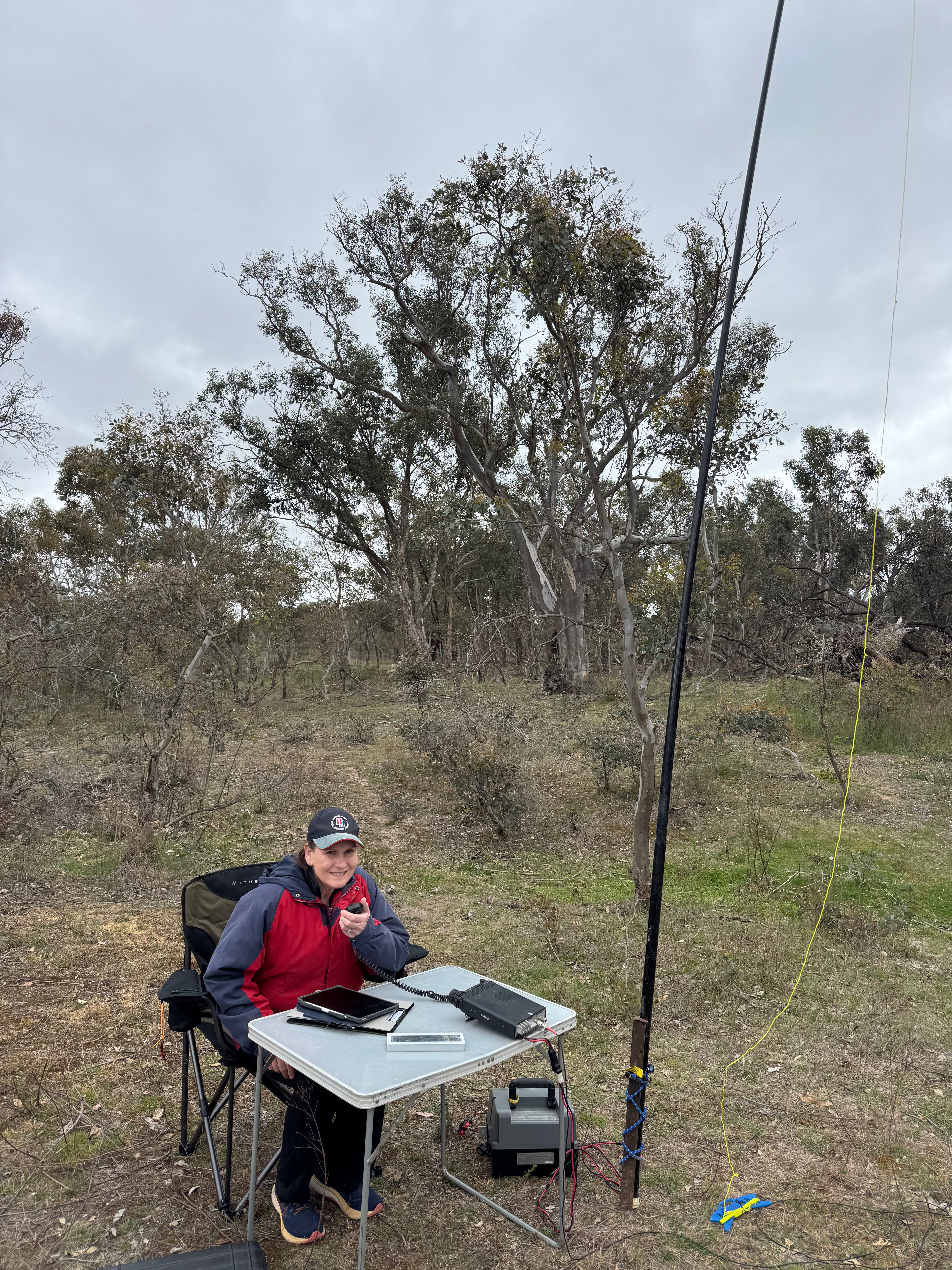
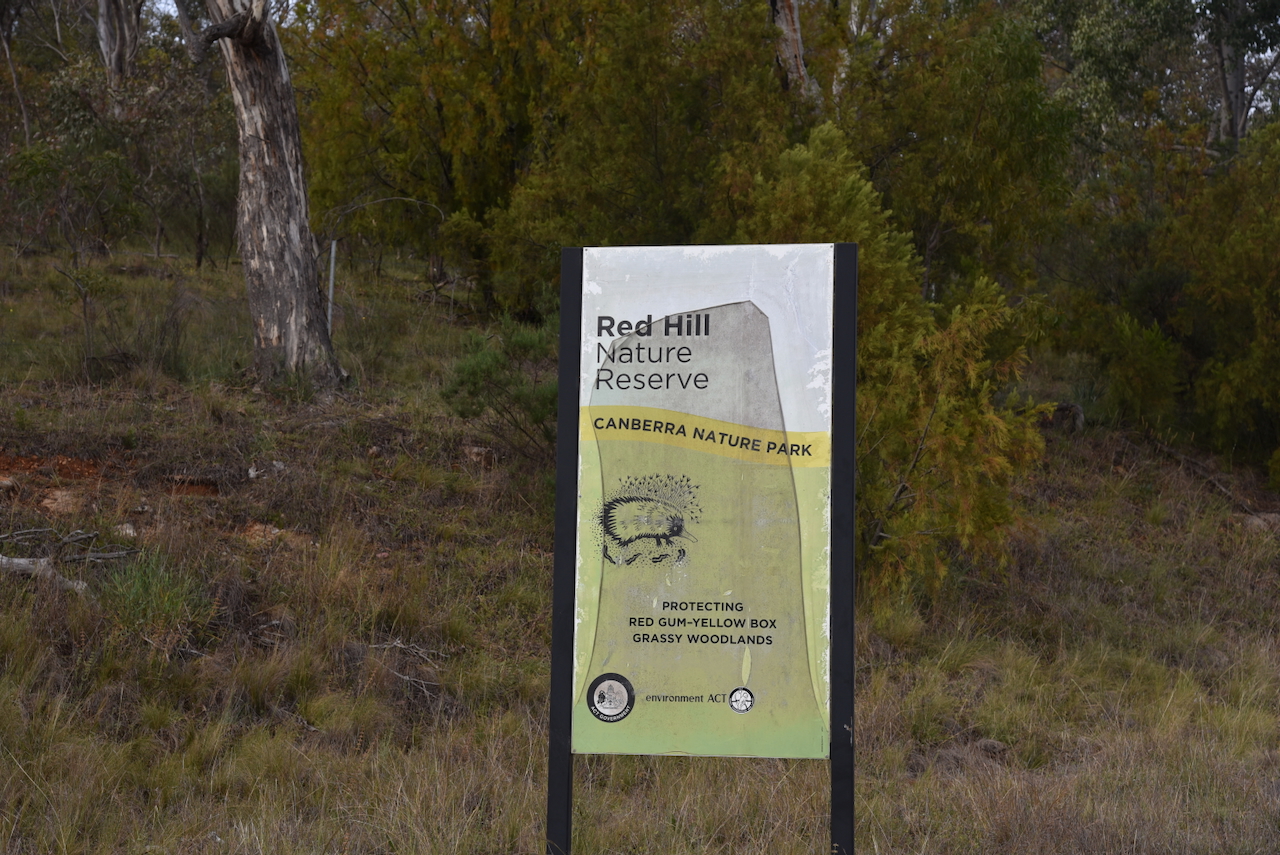
After breakfast on Tuesday, 28th October 2025, Marija and I headed to the Red Hill Nature Conservation Reserve VKFF-0860.
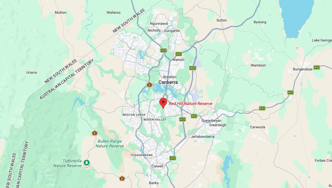
Above: Map showing the location of Red Hill Nature Reserve. Map c/o Google Maps
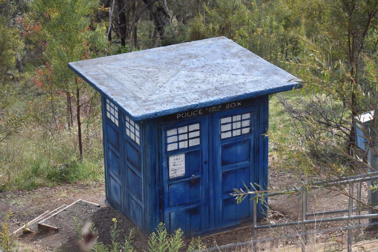
Prior to activating, we discovered the police box, the TARDIS, which is located in the park. It is actually a utility box that has been painted blue to resemble the TARDIS. The TARDIS stands for Time and Relative Dimension in Space, and is the time machine of Doctor Who.
The Red Hill Nature Reserve is about 293 hectares in size and is located on the eastern edge of Woden Valley in Canberra. The reserve includes Davidson Hill, which is 750 metres above sea level, and Red Hill, which is 720 metres above sea level. The reserve is adjacent to the Mount Ainslie Nature Reserve. (and 2023)
Red Hill was once part of the Narrabundah lease, which was held by Charles ‘Charlie’ Croft Russell. He grazed sheep there from 1938 until 1992. As the Canberra suburb of Red Hill became more populated, local dogs often attacked his sheep, and as a result he moved to cattle. He finally relinquished the lease in 1992 and died in 1998. (ancestry 2016) (Wikipedia 2020)
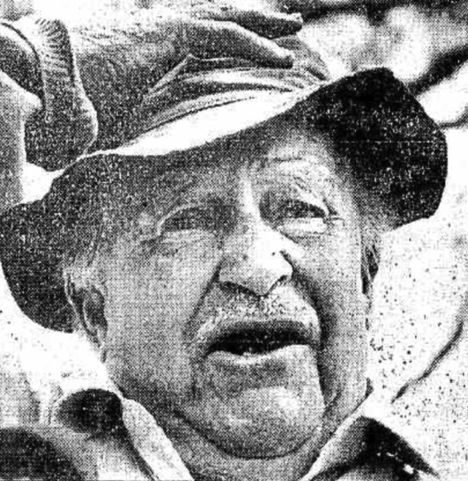
Above: Charles Russell. Image c/o ancestry.com.au
The land was previously part of the Duntroon Estate run by Patrick Sheedy.
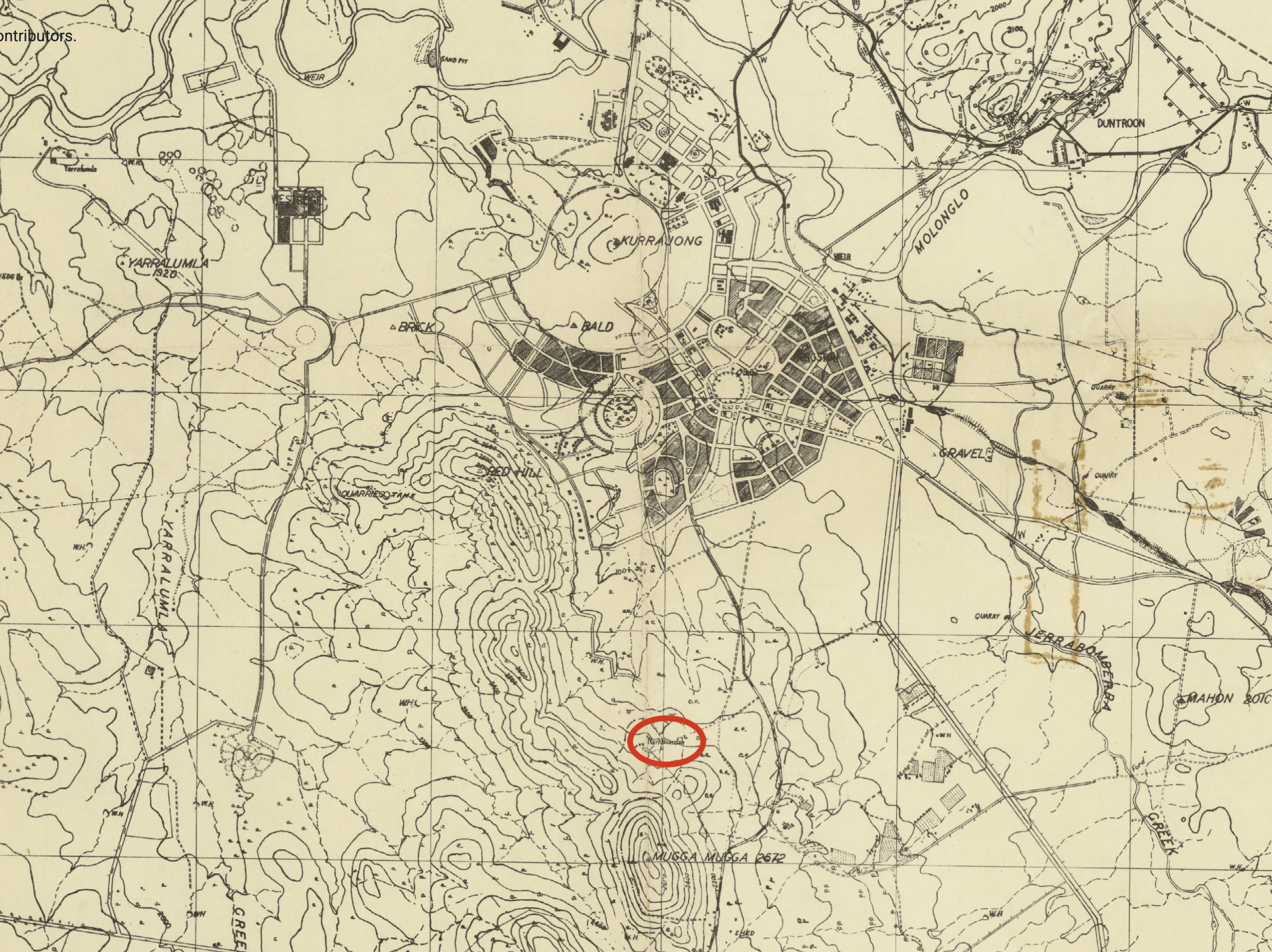
Above: A 1942 map showing the location of Narrabundah. Map c/o mapsearch.nla.gov.au
In 1952, several devastating fires raged across the Canberra region. During one of those fires, the Narrabunda homestead was destroyed.
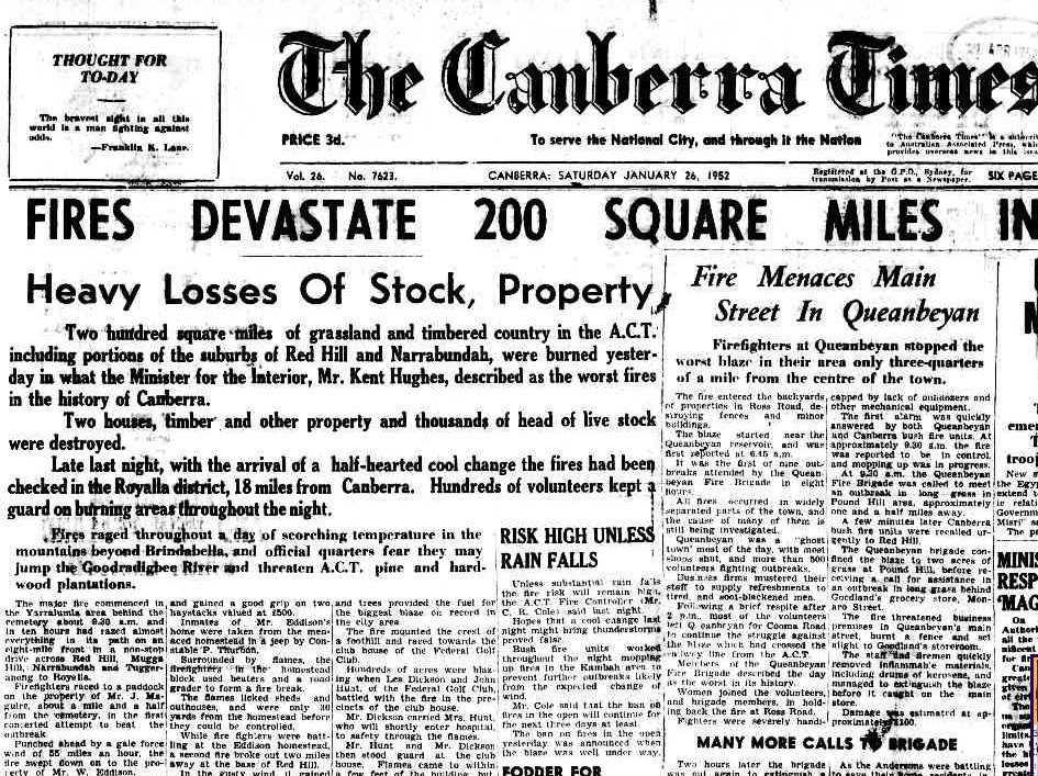
Above: part of an article from The Canberra Times, Sat 26 Jan 1952. Image c/o Trove
The Red Hill Nature Reserve contains the critically endangered Yellow Box–Blakely’s Red Gum Grassy Woodland. It is the fifth-largest known population of the endangered, heritage-listed Button Wrinklewort and an important habitat for the rare Pale Flax Lily. Hollows in old trees in the reserve provide breeding habitat for the NSW vulnerable-listed Gang-gang Cockatoo. (and 2023)
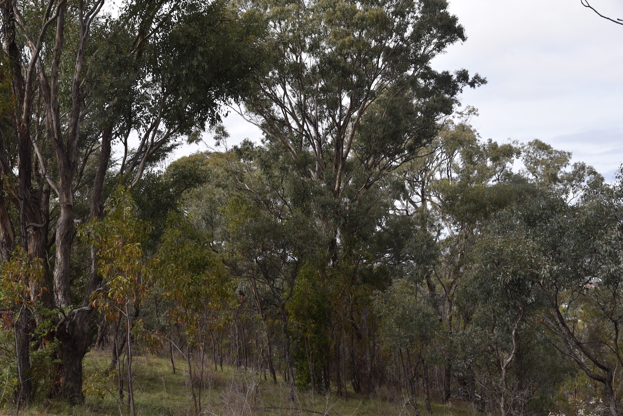
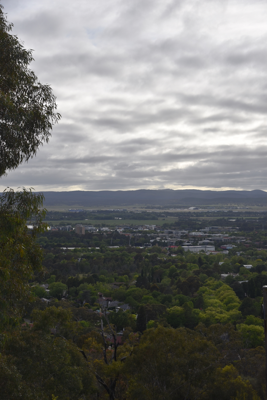
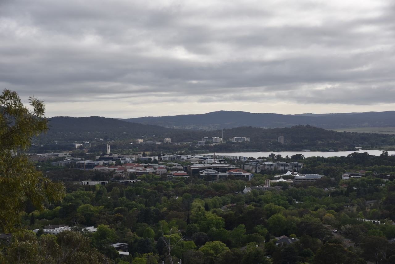
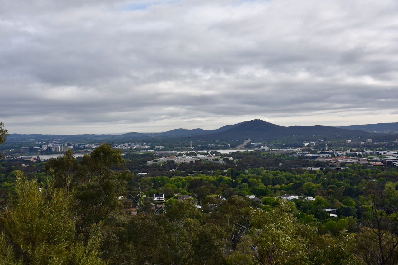
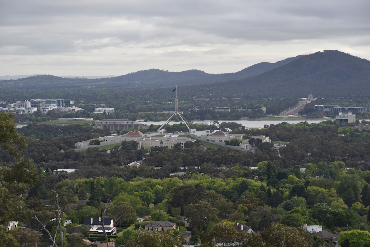
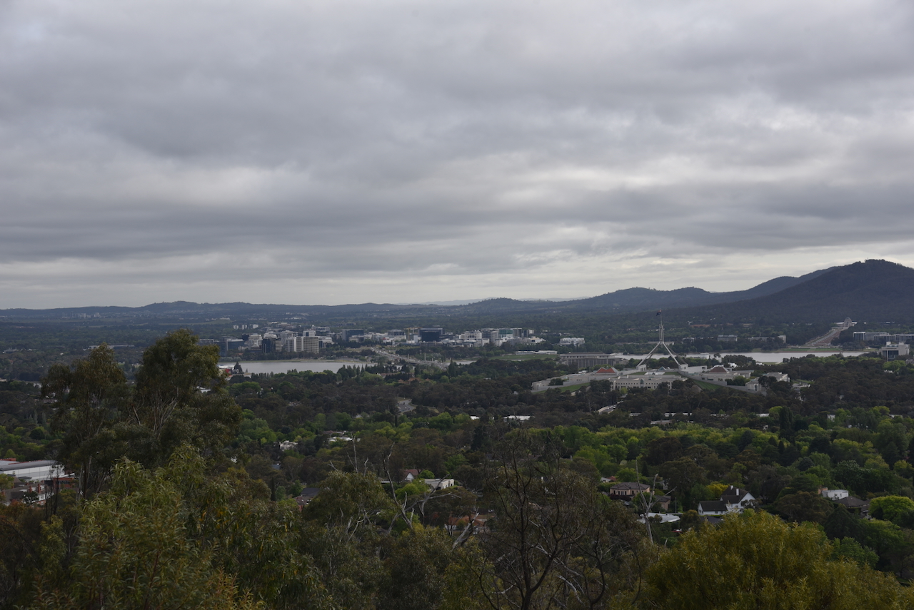
There are some panoramic views of Canberra to be enjoyed from the reserve.
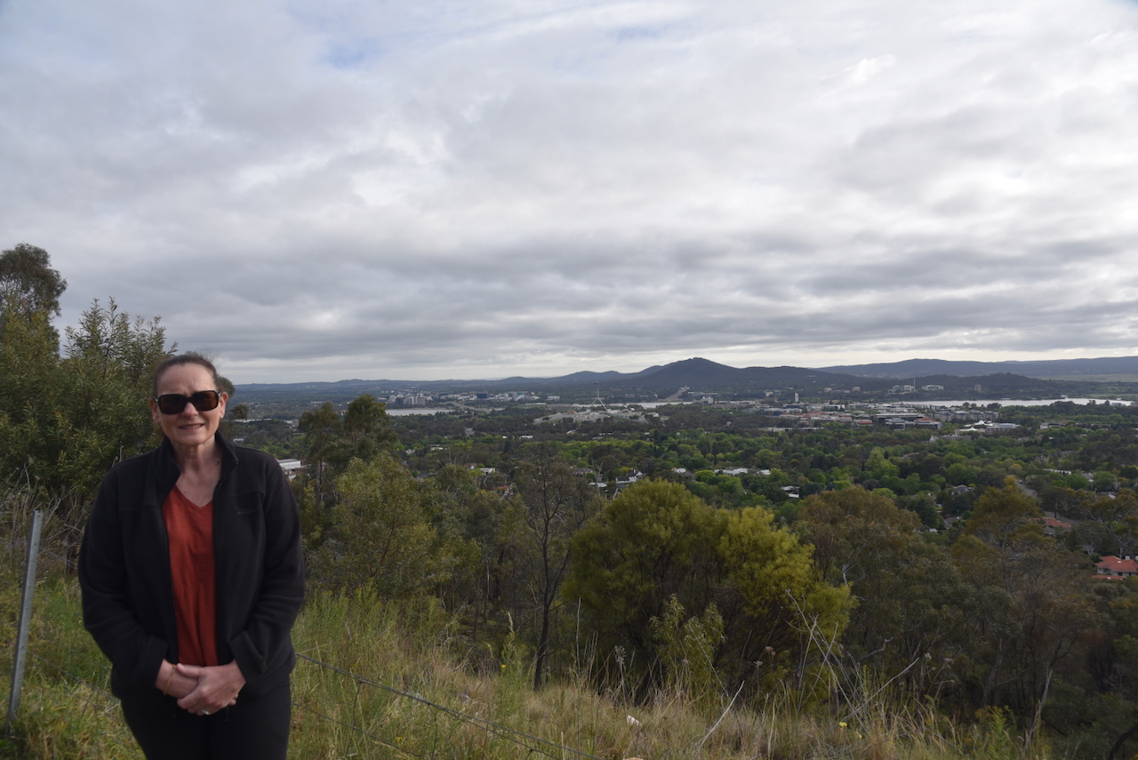
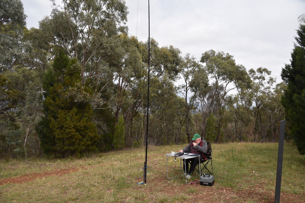
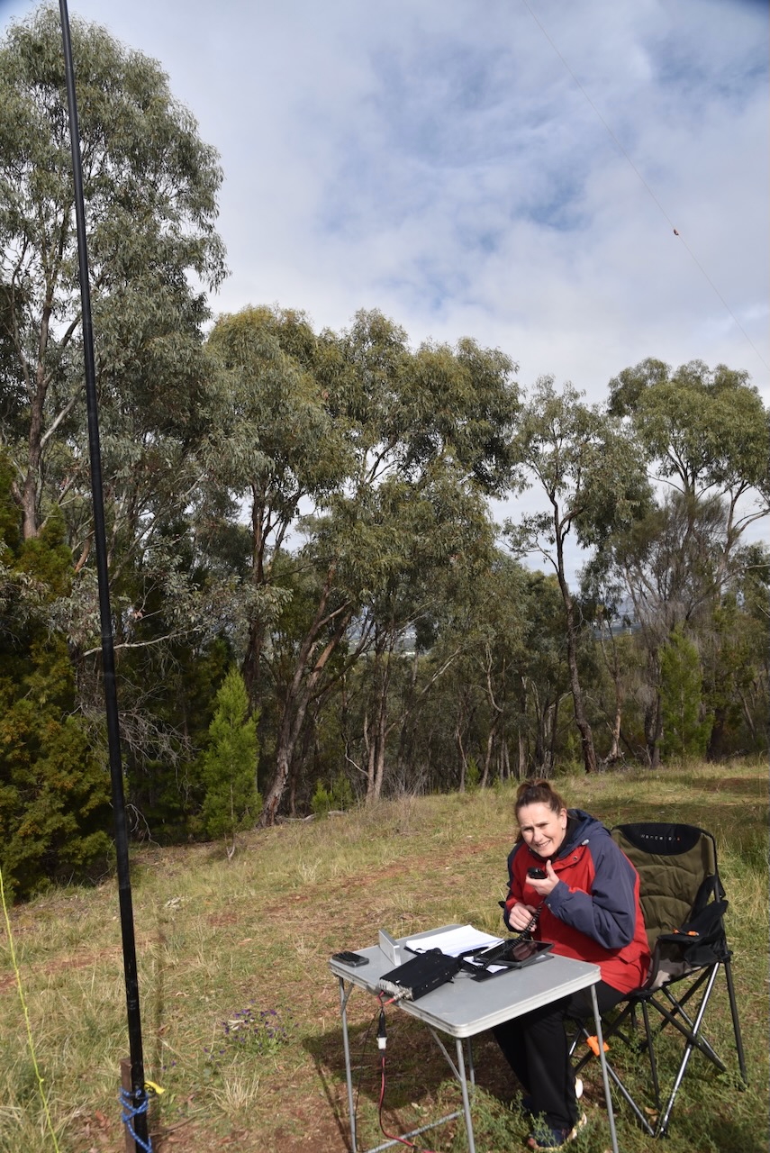
Marija and I set up on the side of Red Hill Drive. We ran the Yaesu FT857, 40 watts, and the 20/40/80m linked dipole supported on the 7 metre heavy duty squid pole.
Marija worked the following stations on 40m SSB:-
Marija worked the following stations on 20m SSB:-
I worked the following stations on 40m SSB:-
I worked the following stations on 20m SSB:-
References.
Amateur Radio, Short Wave Listening, travel and history
Amateur radio experiences with VK1DA
Brisbane - Australia
german amateur radio station
Summits On The Air
SOTA on the peaks, wilderness QRP and some bushwalking
A fine WordPress.com site
Amateur Radio Adventures
Summits on the Ai
Amateur radio station from Belgium
Radio craft, homebrew, QRP/SOTA, AM
Ego loqui ad viros super montes
My adventures with Amateur Radio and Geocaching!
The rantings of VK2GAZ on his SOTA experiences in Australia
A survivor, with minor cuts and abrasions.
The Art and Craft of Blogging
The latest news on WordPress.com and the WordPress community.
Blog of Justin Giles-Clark VK7TW's SOTA and amateur radio adventures.
Occasional SOTA & Microwave operation
