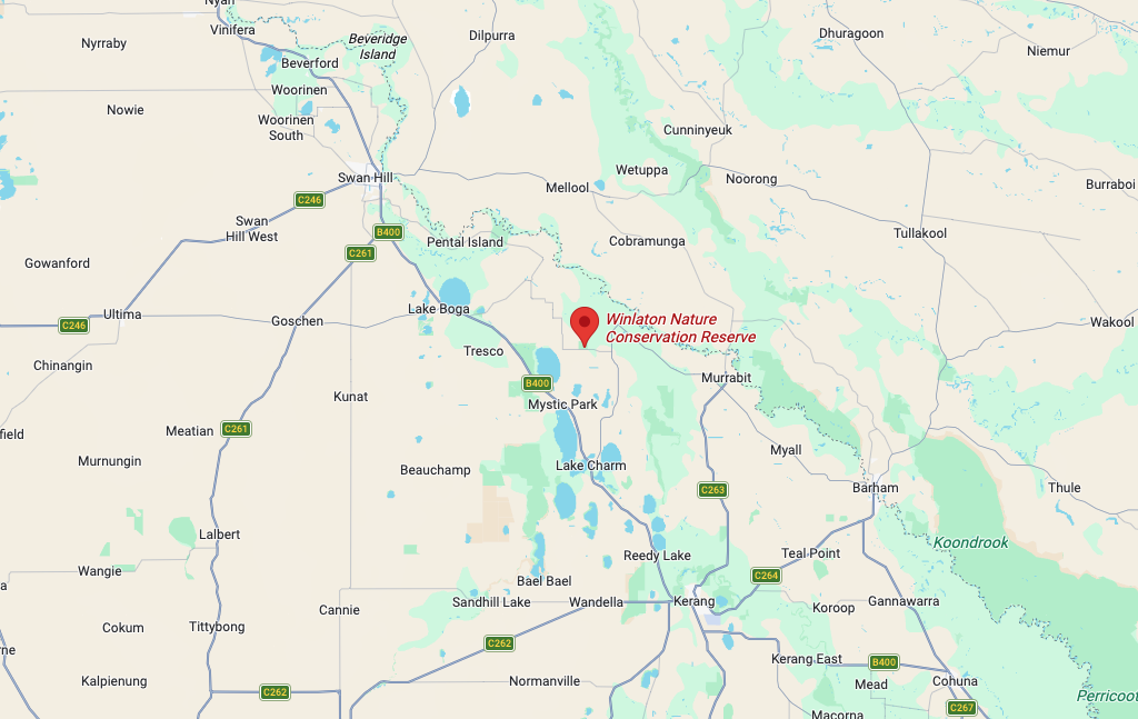
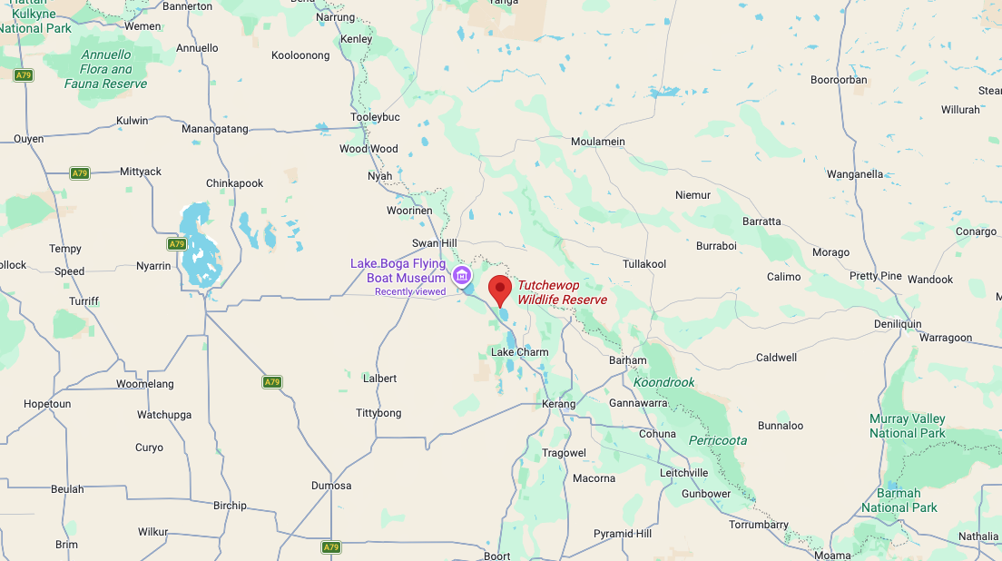
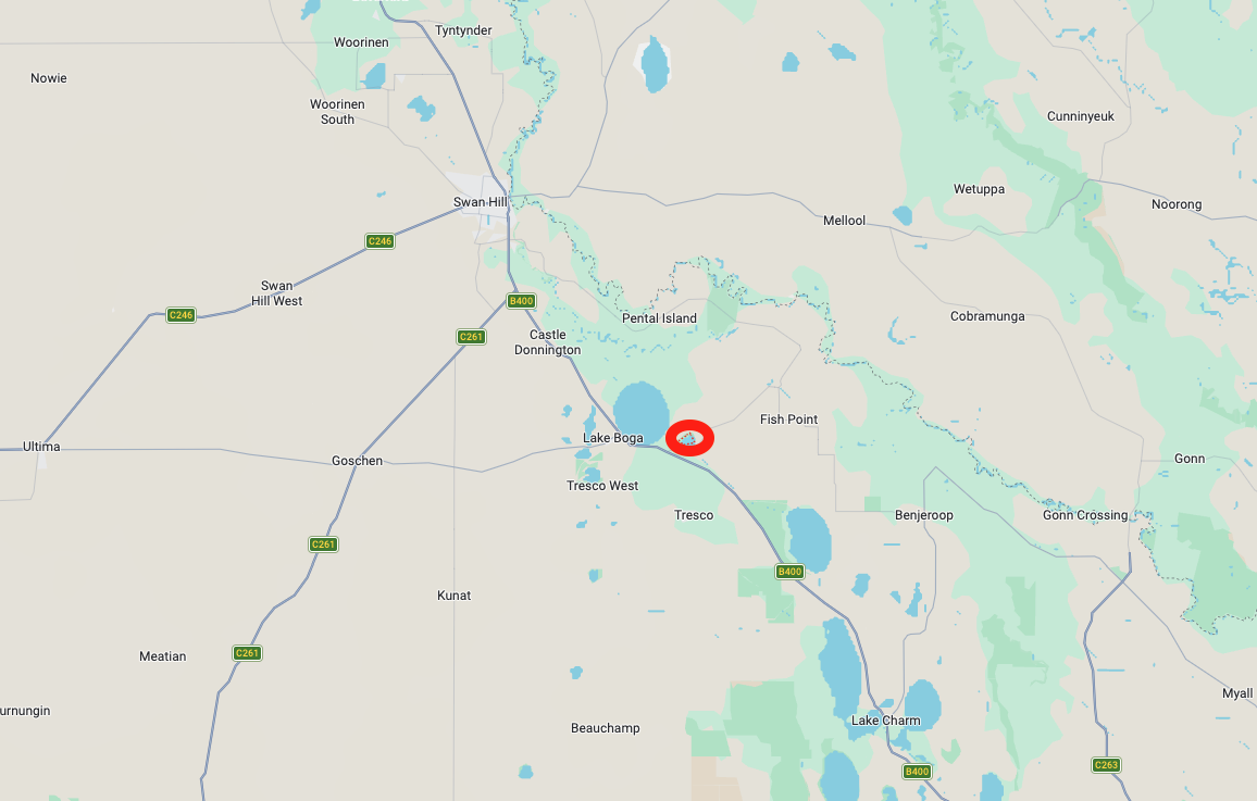
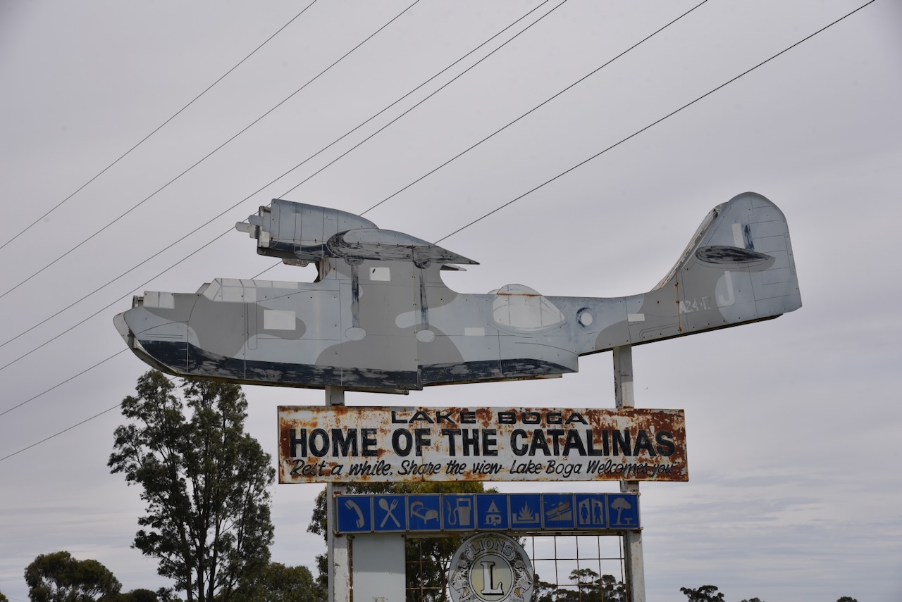
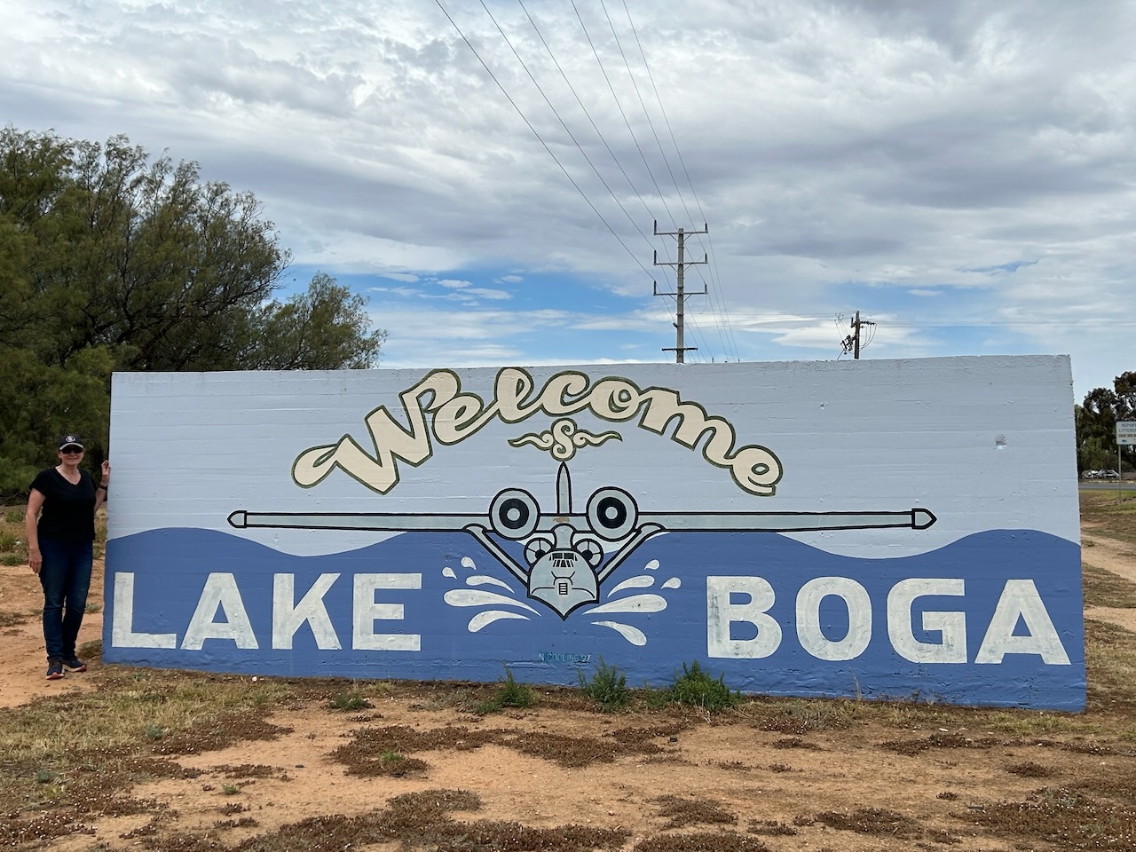
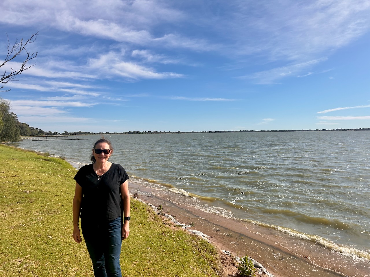
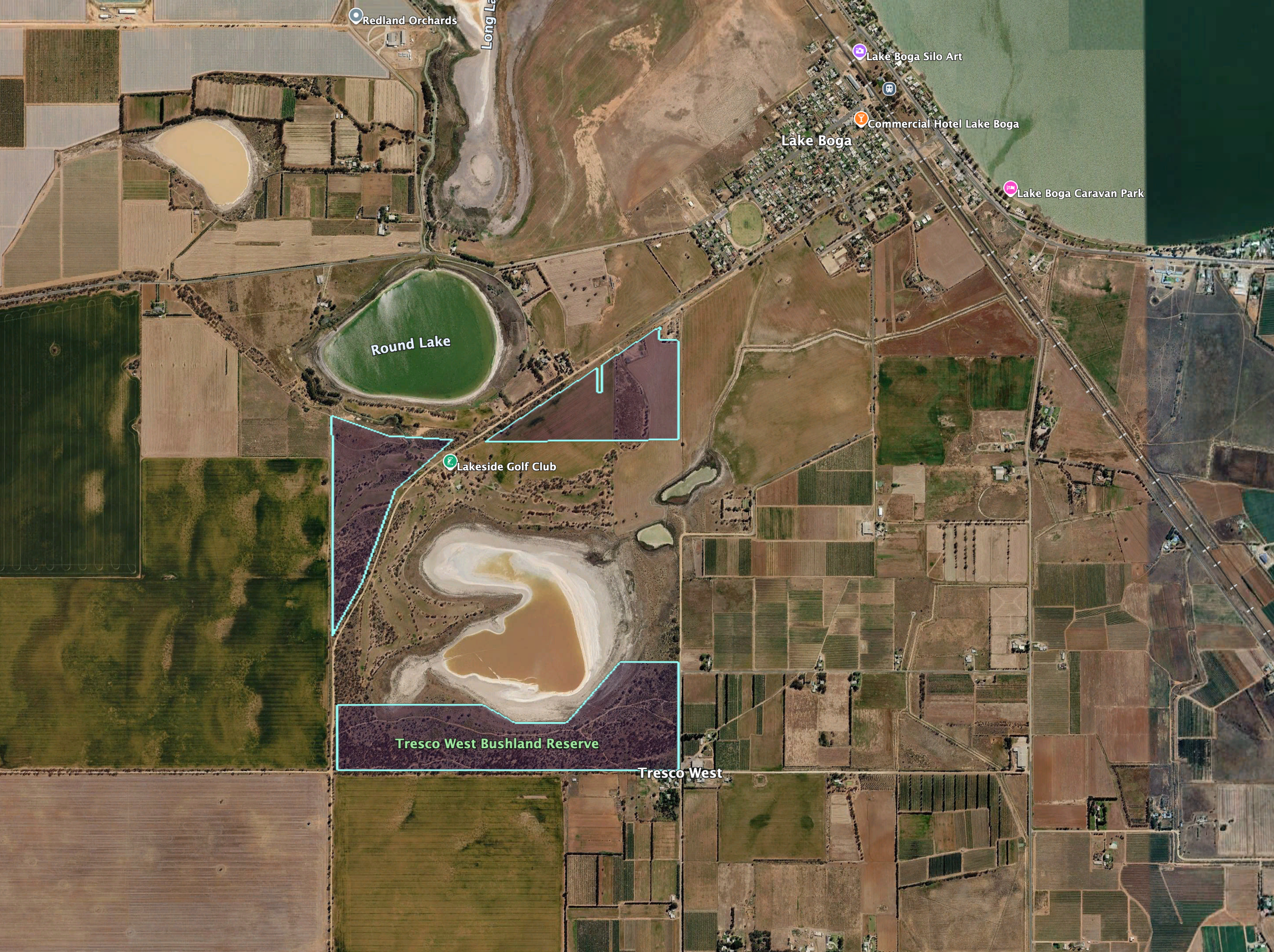
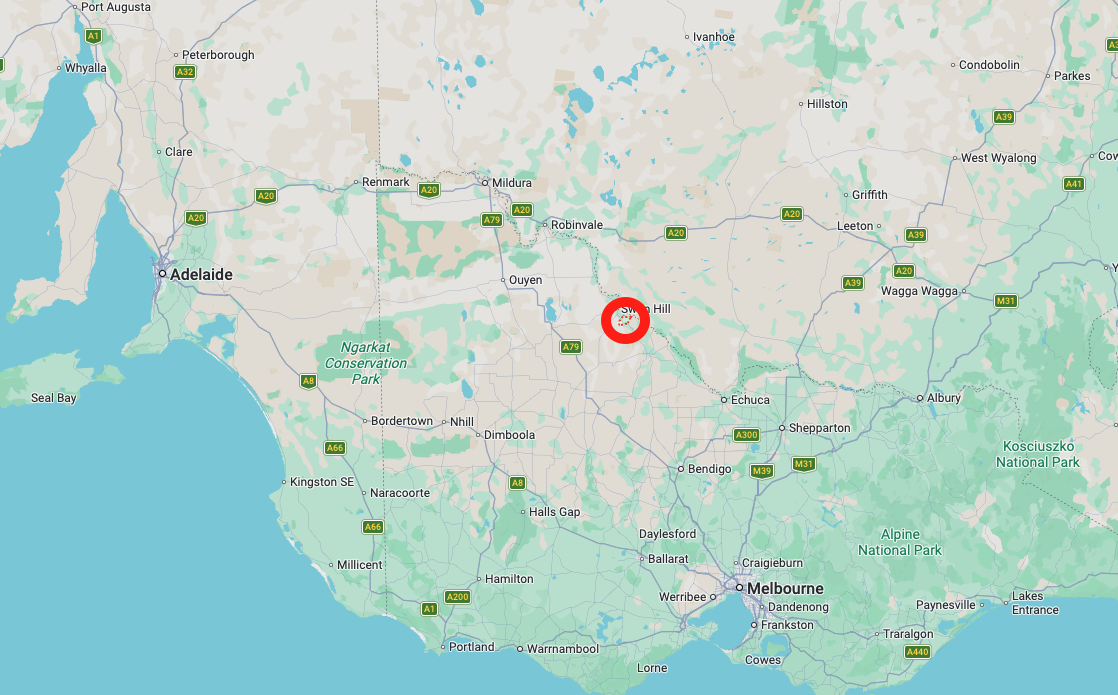
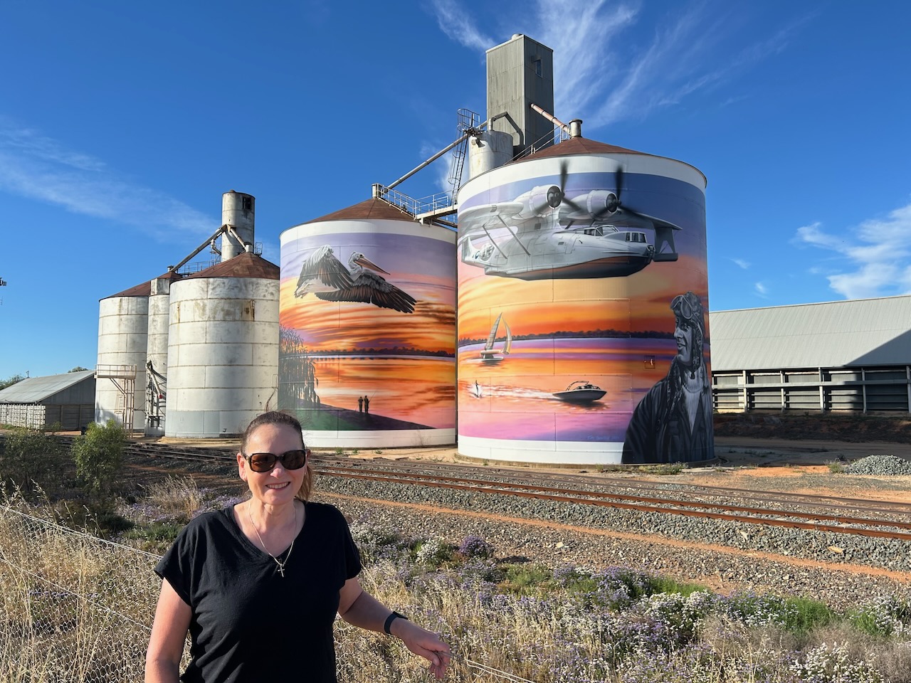
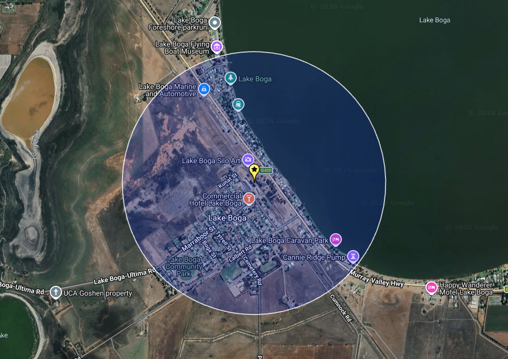
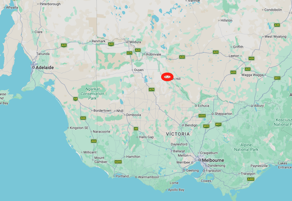
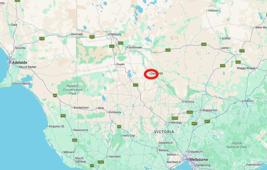
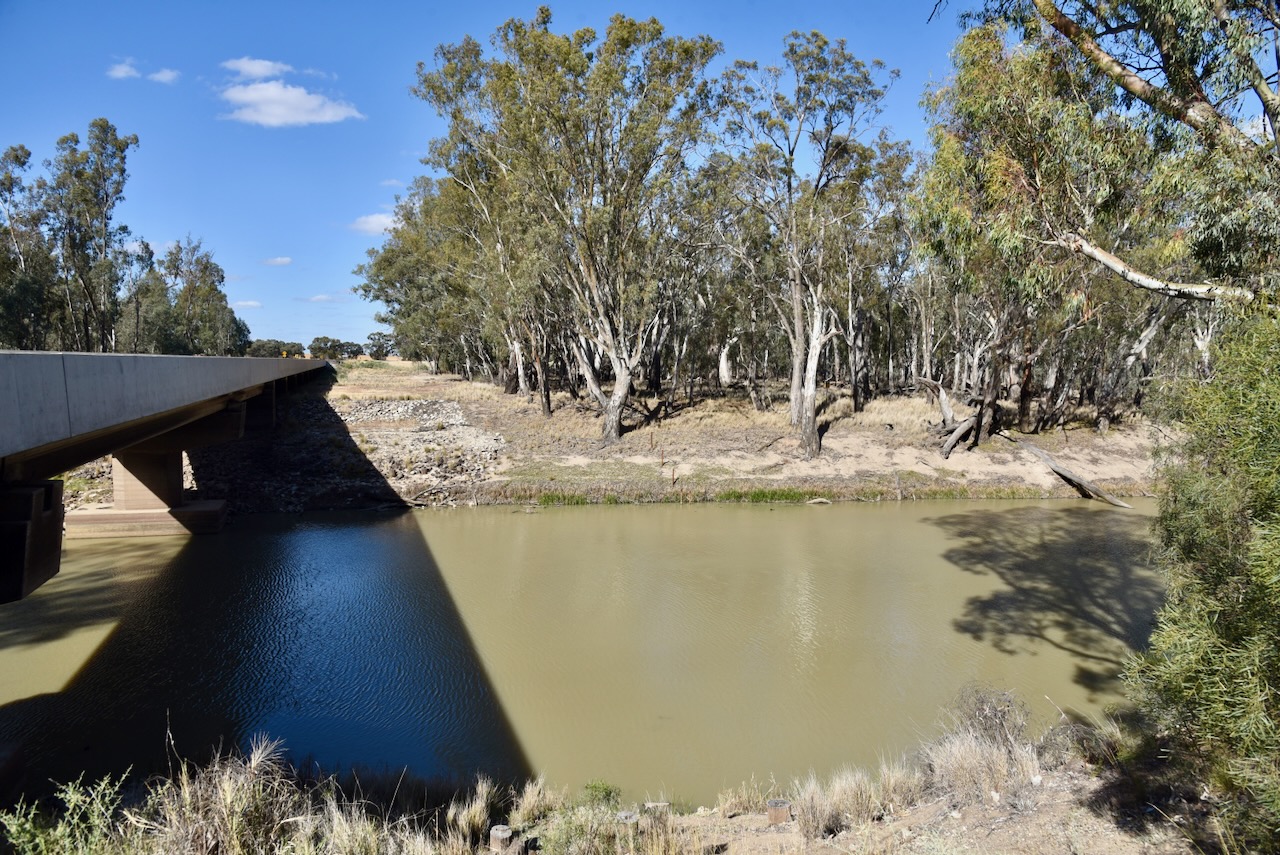
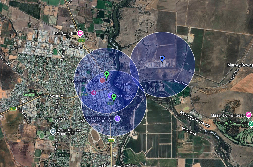
Our first activation for Thursday, 6th November 2025, was the Lake Boga silo VK-LKA3, for the Silos On The Air (SiOTA) program. Lake Boga is located about 17 km south of Swan Hill, and about 323 km north of Melbourne.
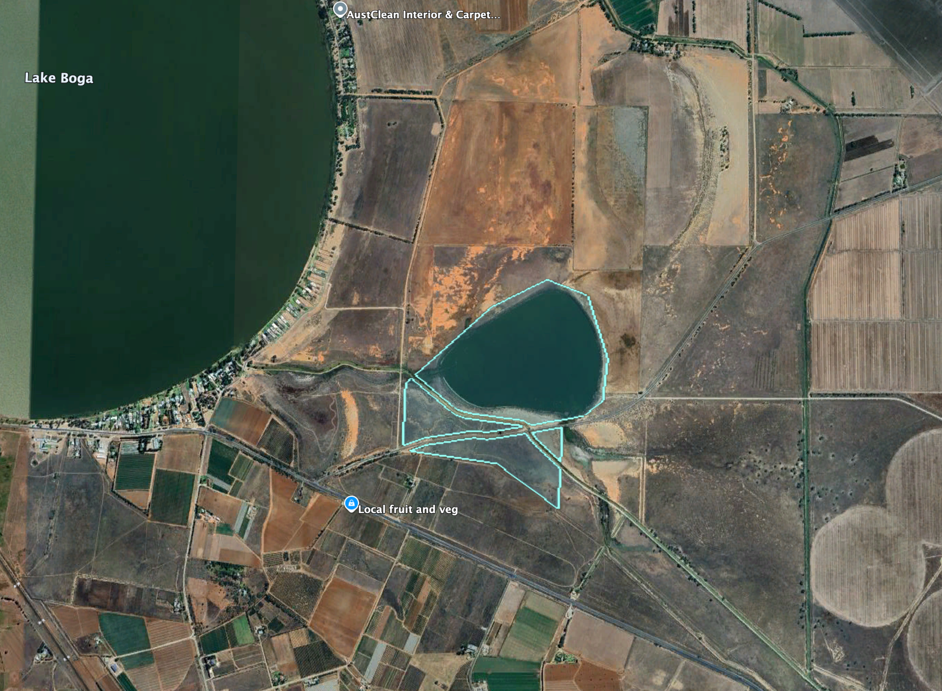
Above: Map showing the location of Lake Boga, Victoria. Map c/o Google Maps
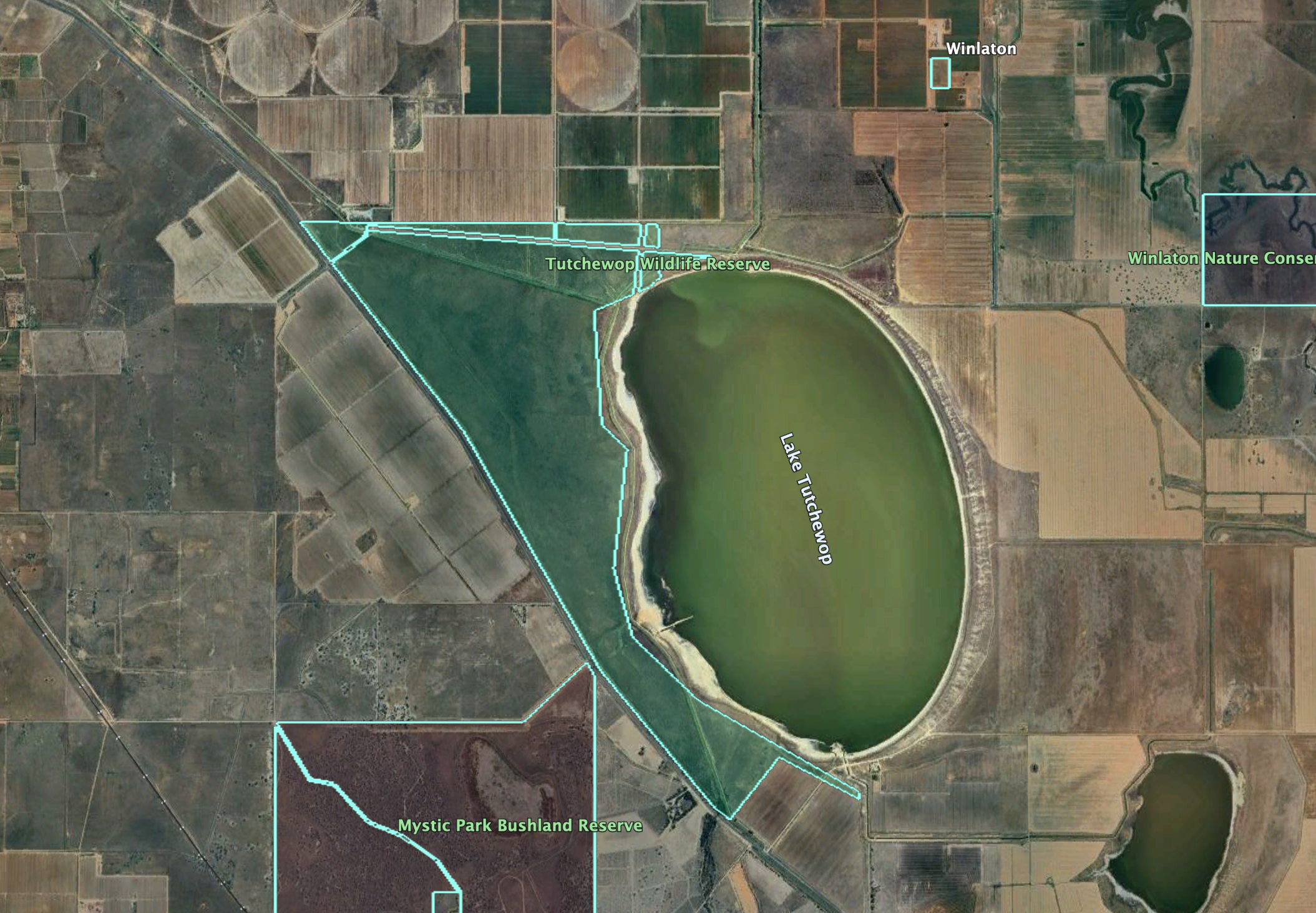
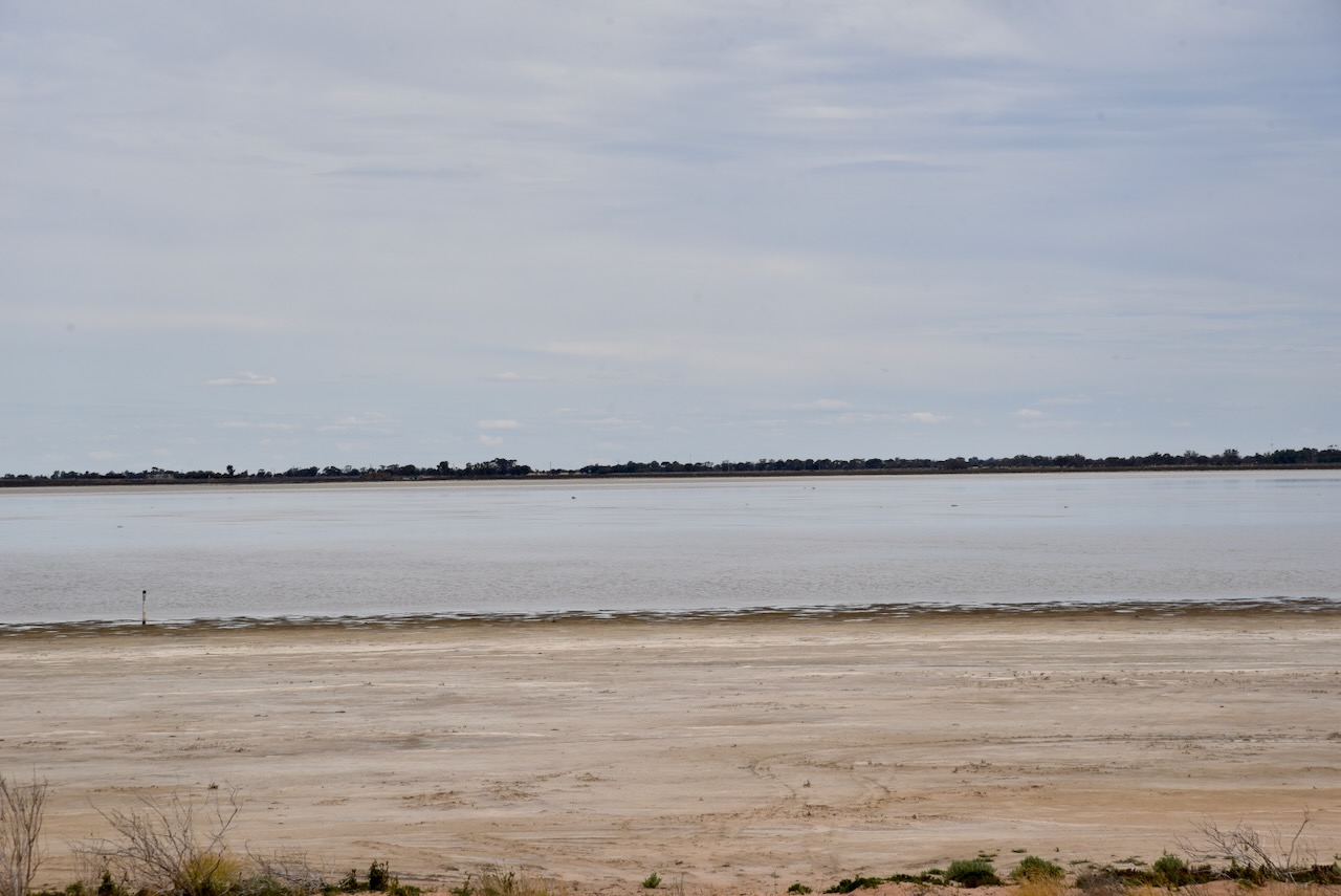
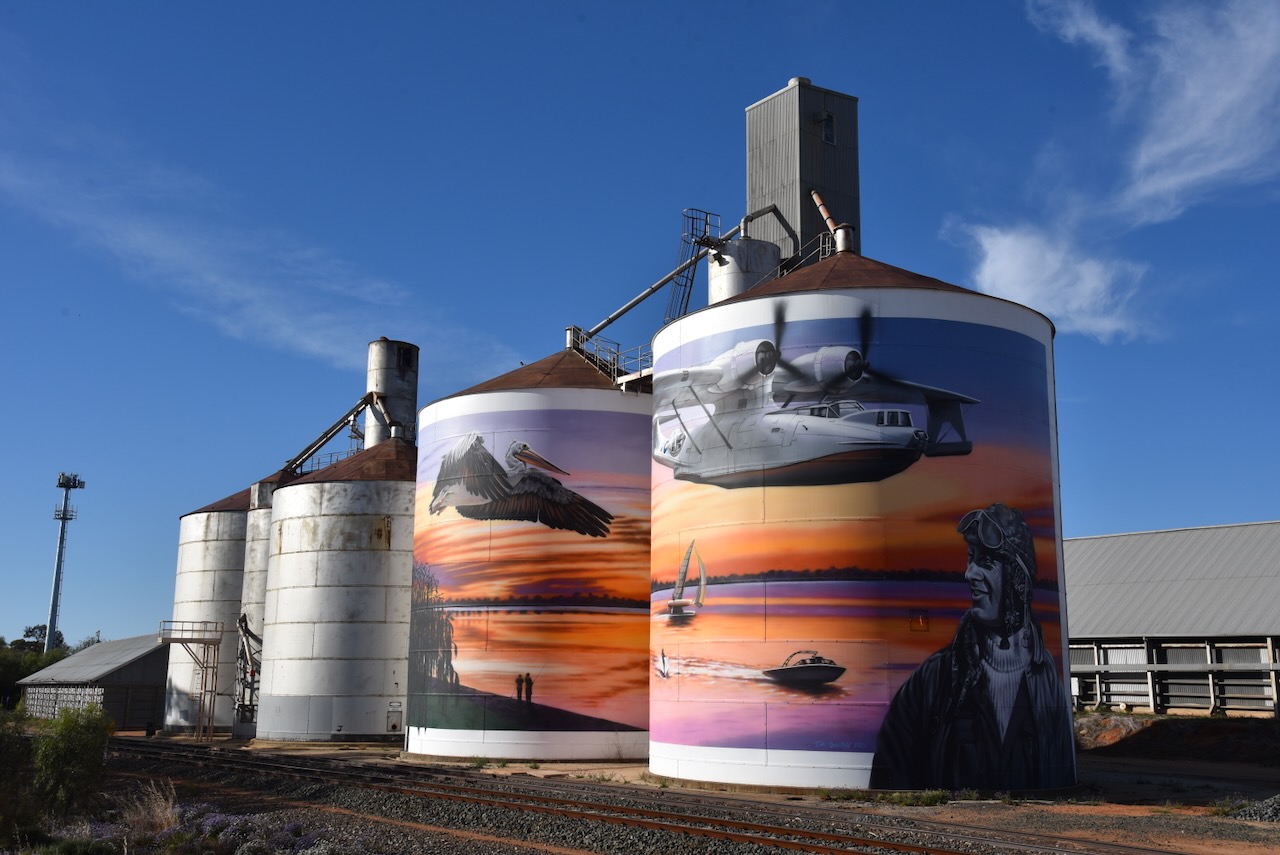
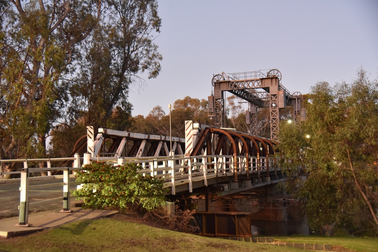
The Lake Boga silo is located on the western side of the Murray Valley Highway, opposite Lake Boga. The silos are operated by GrainCorp.
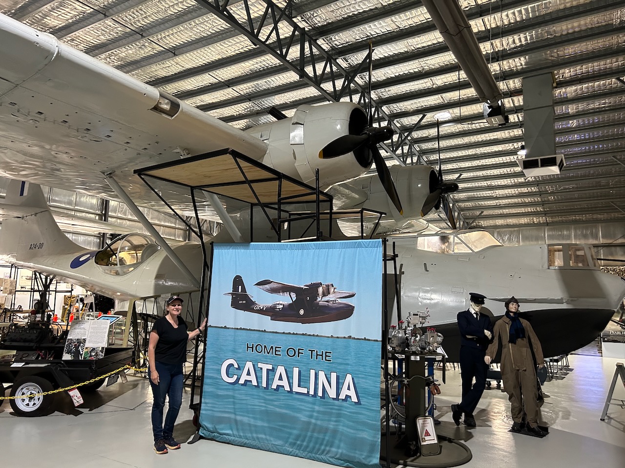
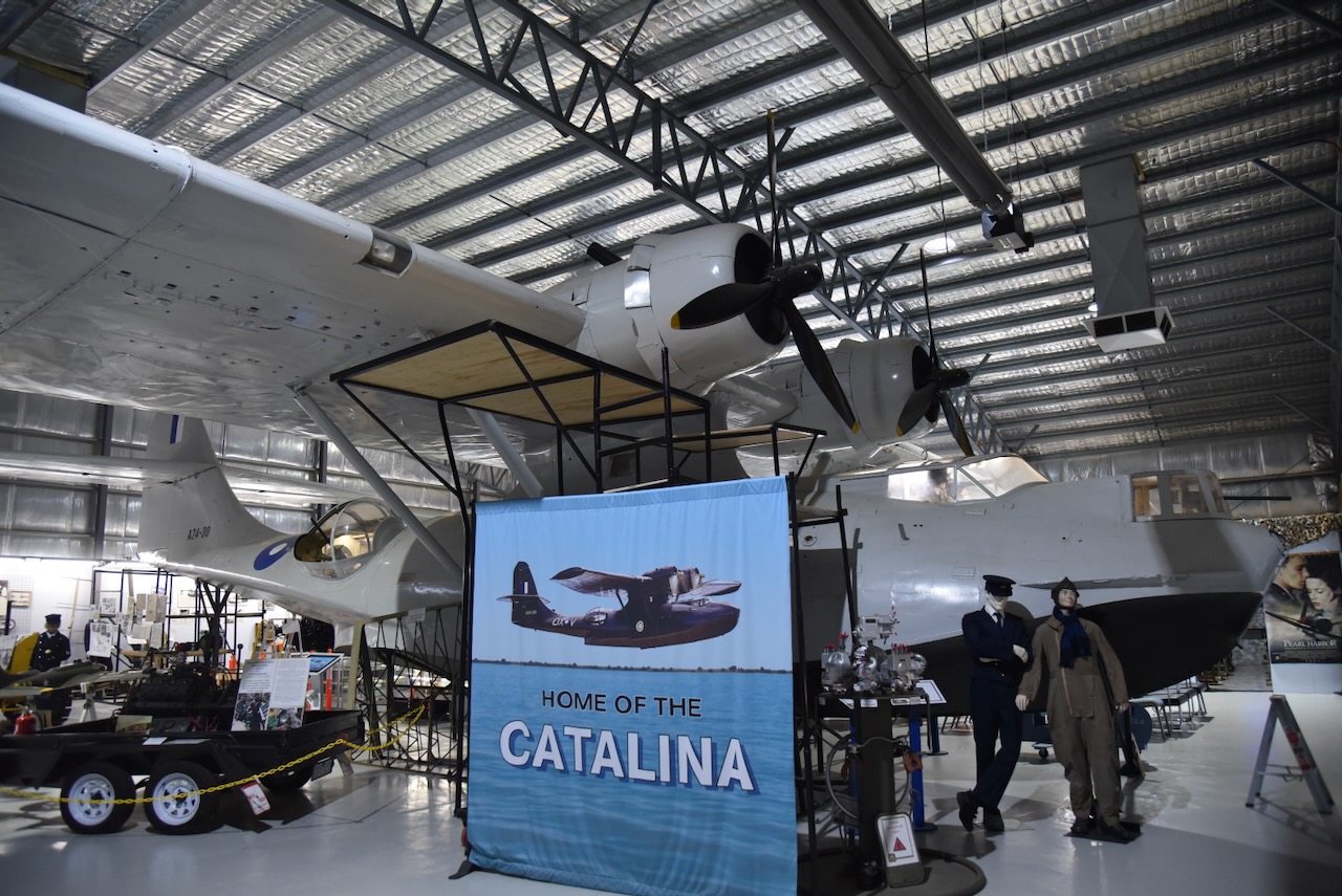
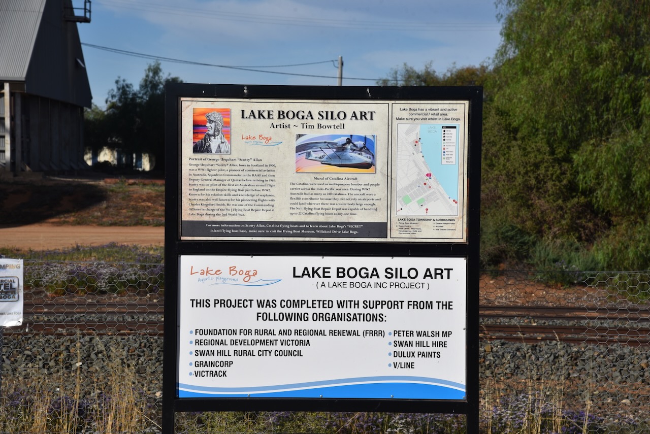
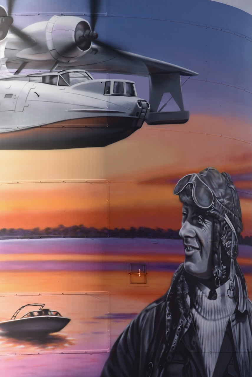
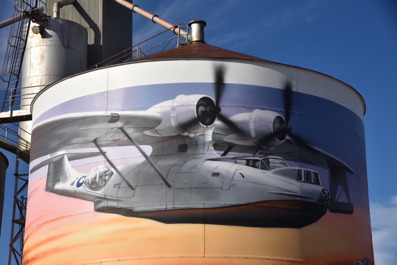
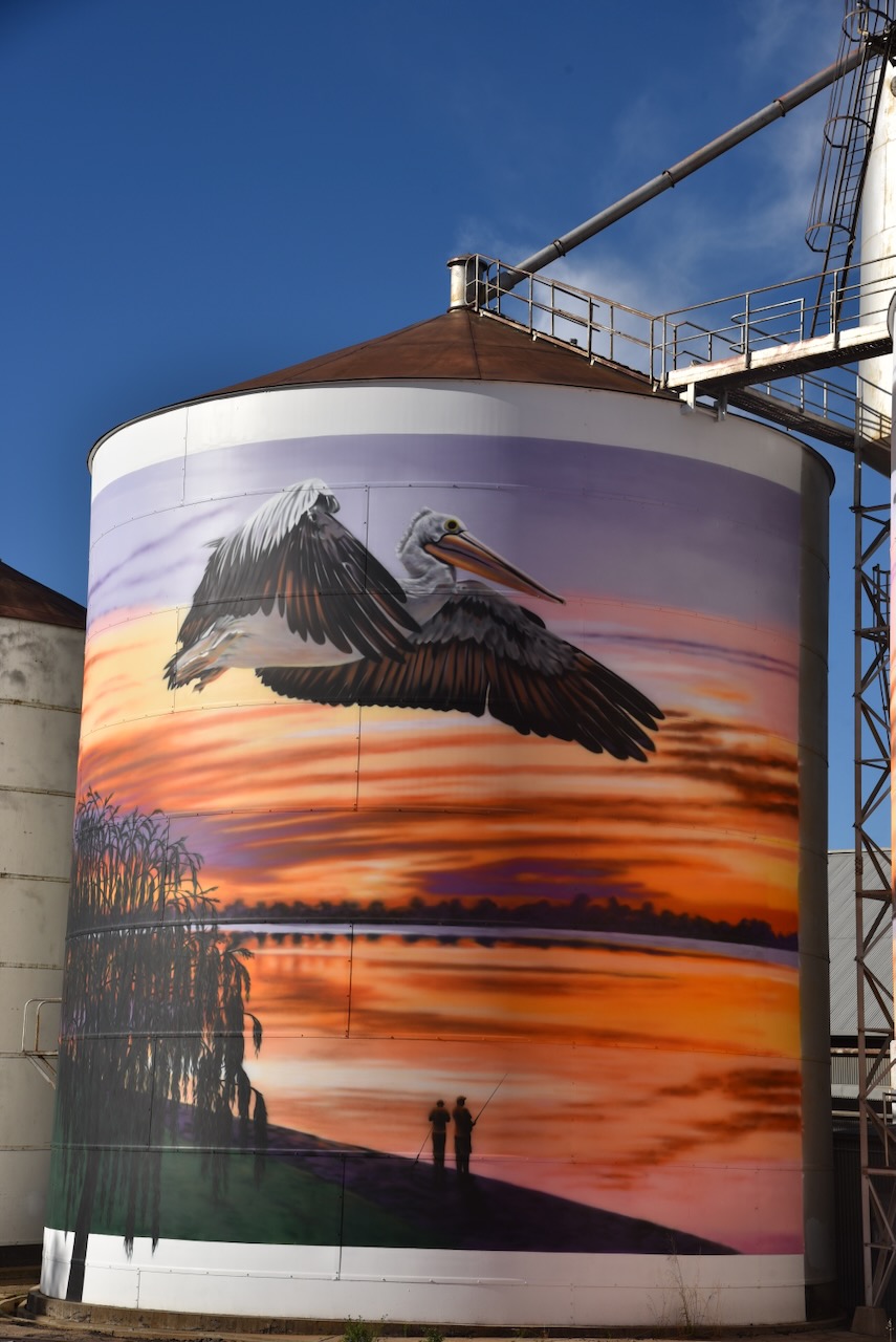
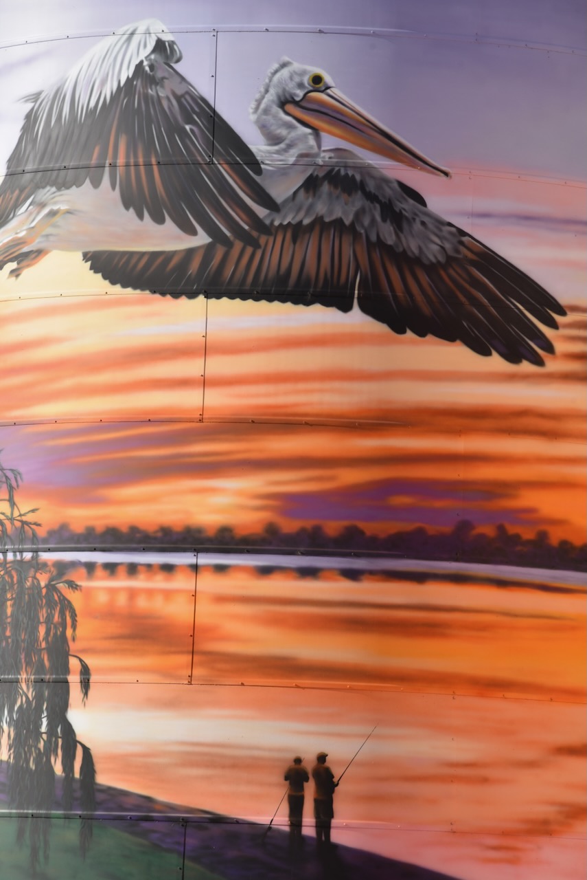
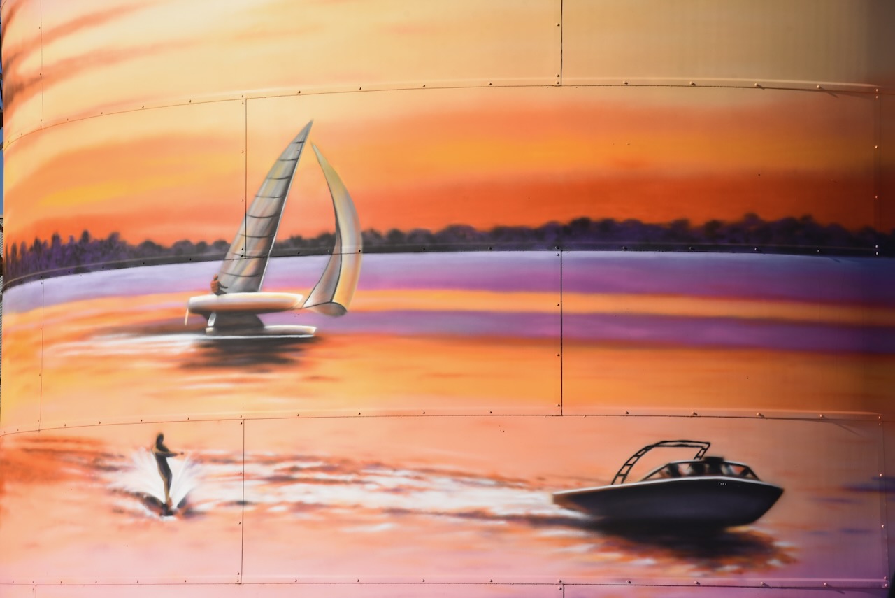
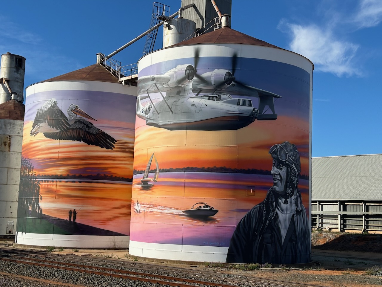
The Lake Boga silos are part of the Australian Silo Art Trail and feature magnificent art, the work of Tim Bowtell. They were completed in October 2023 and feature a Pelican, a speedboat on Lake Boga, a Catalina Flying Boat and its commanding officer, George ‘Scotty’ Urquhart Allan. (Australiansiloarttrail.com 2023)
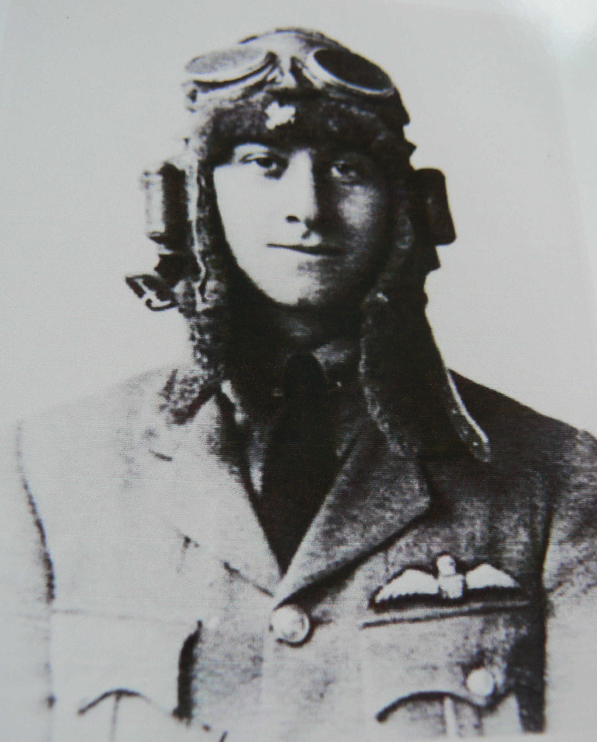
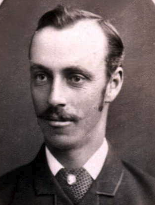
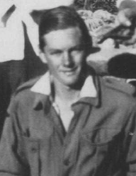
George Urquhart Allan was born on the 2nd day of February 1900 in Bellshill, Lanarkshire, Scotland, to James John Allan and Elspet Elsie Allan, nee Aitken. In 1917, when aged just 17 years old, he joined the Royal Flying Corps (RFC). During the First World War, he served on the Western Front. This included service with the 71 Squadron RFC. He later served with the Royal Air Force (RAF) in several squadrons, including 11, 47, and 58 Squadrons. At the conclusion of the war, he continued to serve with the RAF and was stationed in the Middle East. (ancestry 2016) (Australiansiloarttrail.com 2023)
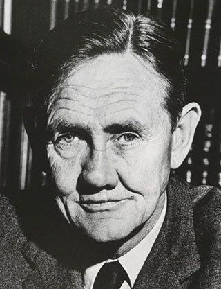
Above: George Allan. Image c/o ancestry.com.au
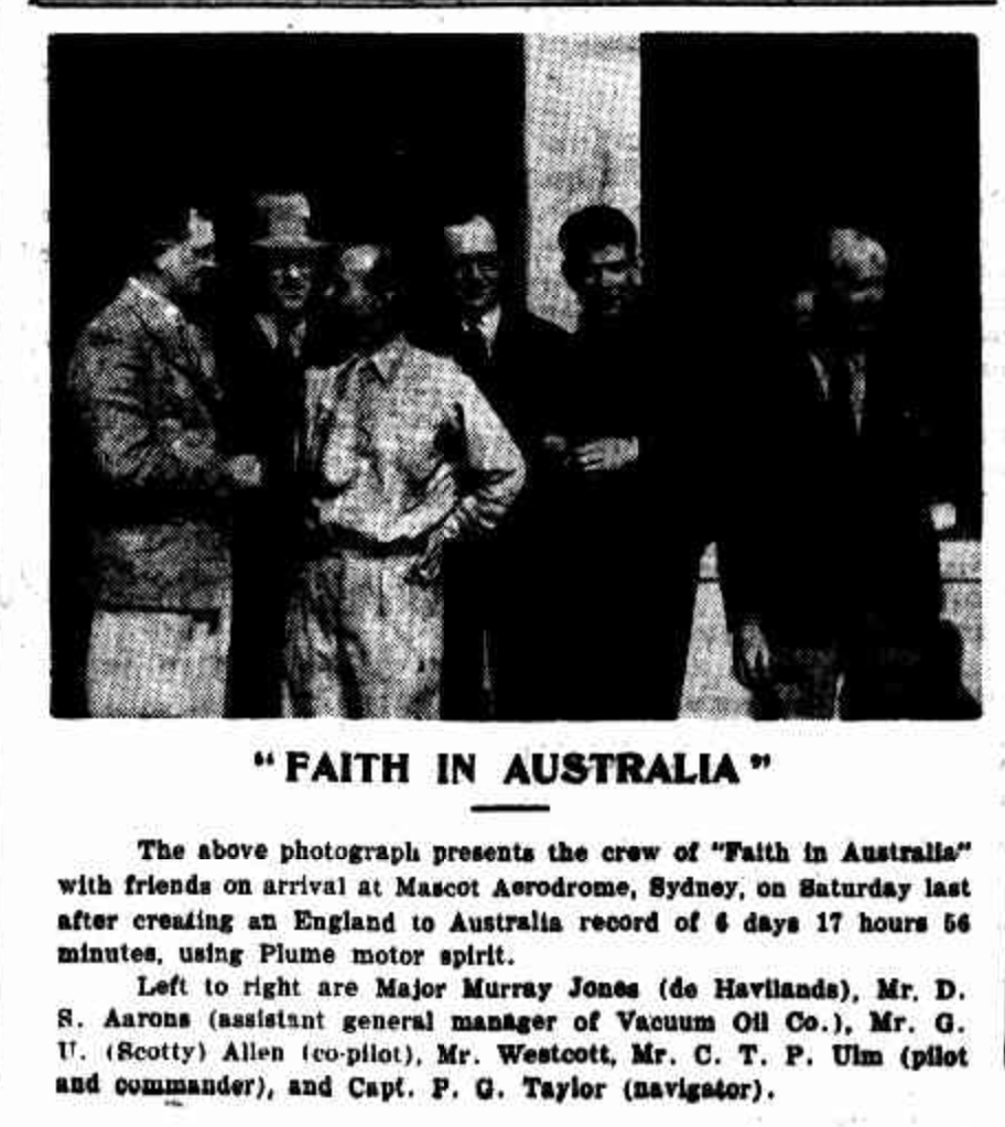
In 1929, he emigrated to Australia and commenced work for Charles Ulm and Charles Kingsford Smith at Australian National Airways. He soon gained a reputation for his exceptional piloting skills, particularly in the Avro X aircraft. He was involved in the first airmail flights from Sydney to Brisbane with Kingsford-Smith and from Sydney to Melbourne with Pat Hall. He acted as a co-pilot for Kingsford-Smith and Ulm on several long-distance flights. In 1933, he flew aboard the aircraft ‘Faith in Australia’, with Charles Ulm and Sir Patrick Gordon Taylor on the record-breaking flight from England to Australia. The following year, in 1934, he joined QANTAS, where he flew aircraft between Brisbane and Singapore. (Australiansiloarttrail.com 2023)
Above: article from the Murrumbidgee Irrigator, Fri 3 Nov 1933. Image c/o Trove
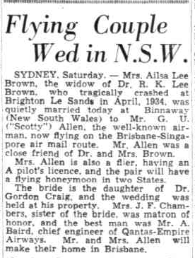
Allan also worked as a flight instructor and trained Dr Robert Kingsbury Lee Brown, who sadly, was killed in a plane crash in April 1934 at Brighton Le Sands. (Australiansiloarttrail.com 2023)
On the 22nd day of June 1935, Allan married Dr Brown’s widow, Ailsa Lee-Brown, in Binnaway, New South Wales. Ailsa was also a pilot and an artist. (ancestry 2016) (Trove 2026) (Wikitree 2026)
Above: article from The Mail, Sat 22 Jun 1935. Image c/o Trove
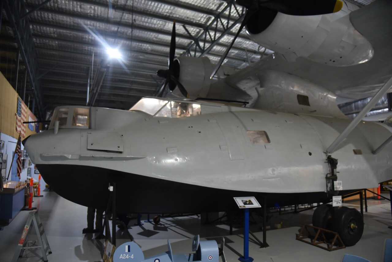
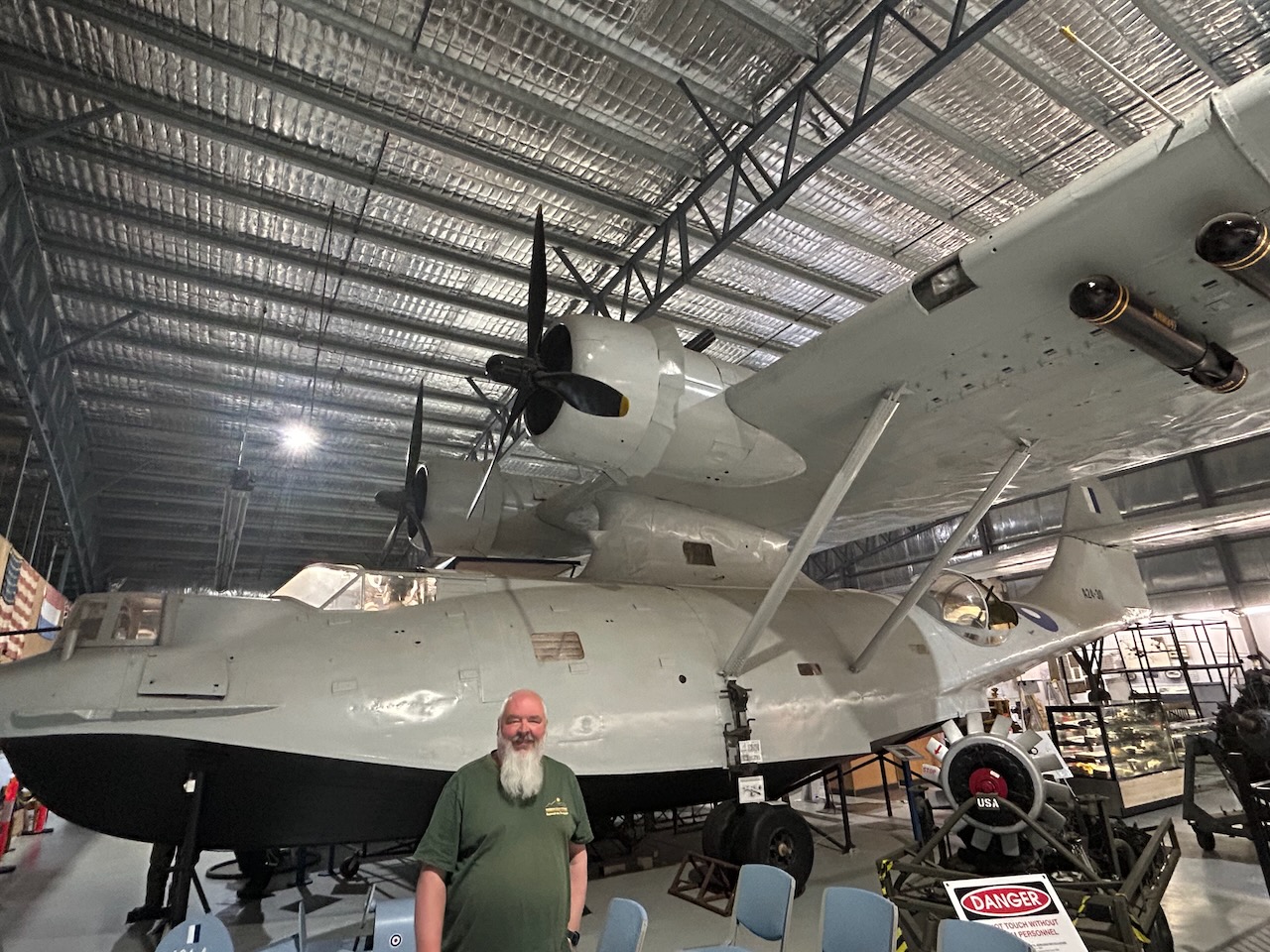
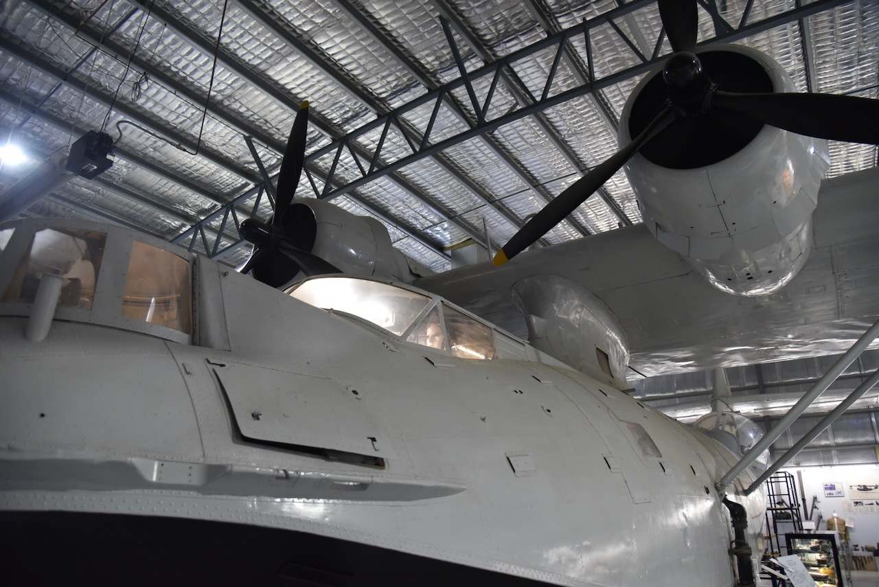
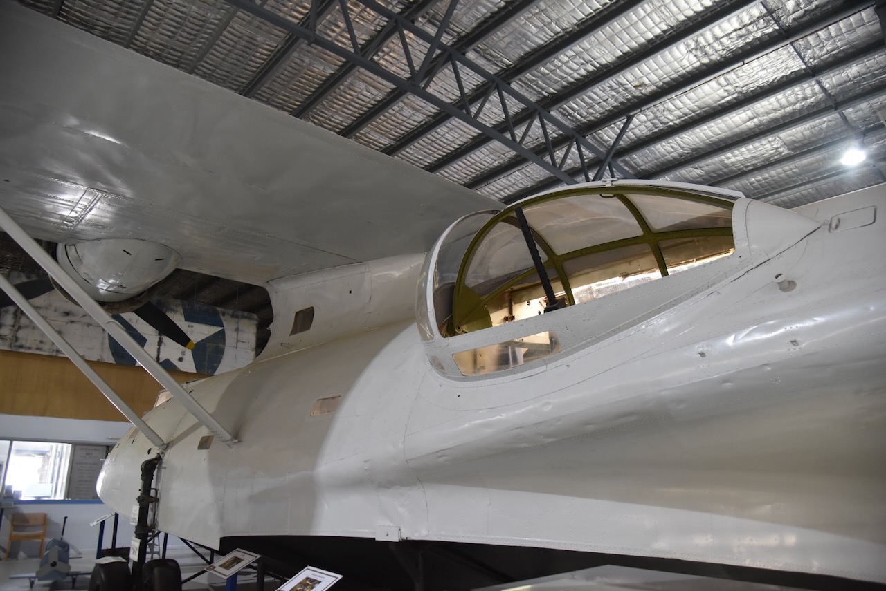
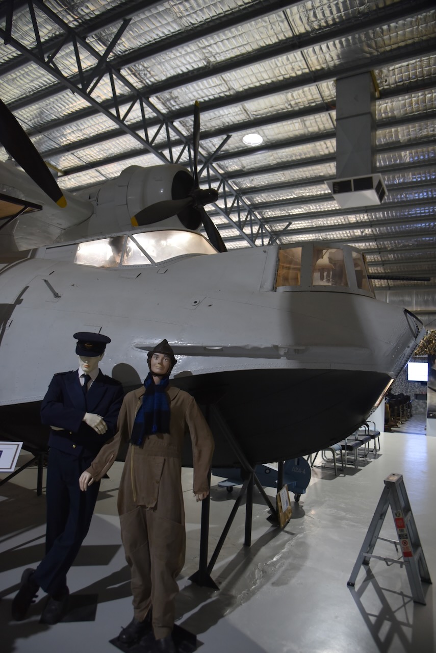
In September 1940, Allen was commissioned in the Royal Australian Air Force for service during WWII. He was posted as the commanding officer of the Seaplane Training Flight at Rathmines, N.S.W. In 1941 he was the first pilot to fly a Catalina flying boat from San Diego, California, to Australia. This was only the third time that such a flight had been made, after Kingsford-Smith & Ulm, and Kingsford-Smith and P.G. Taylor. (Wikitree 2026)
In January 1942, at the rank of Flight Lieutenant, he was awarded the Air Force Cross. (Wikitree 2026)
Sadly, Allen’s wife Ailsa died in 1943 in Palm Beach, New South Wales, after being struck by a bicycle rider. Allan was in the United States of America at the time negotiating the purchase of a DC-4 Symaster aircraft. (Wikitree 2026)
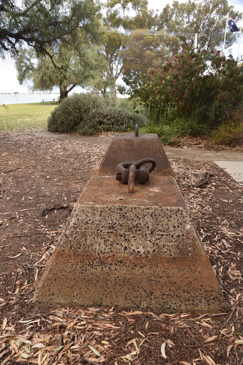
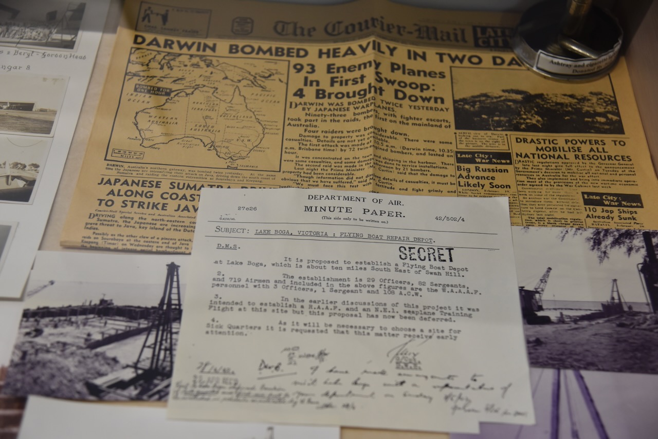
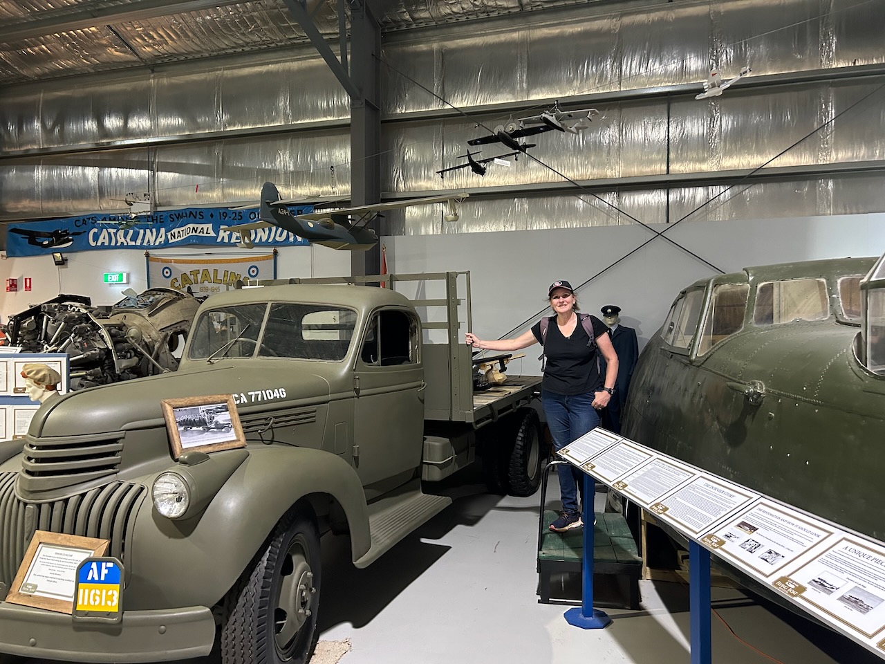
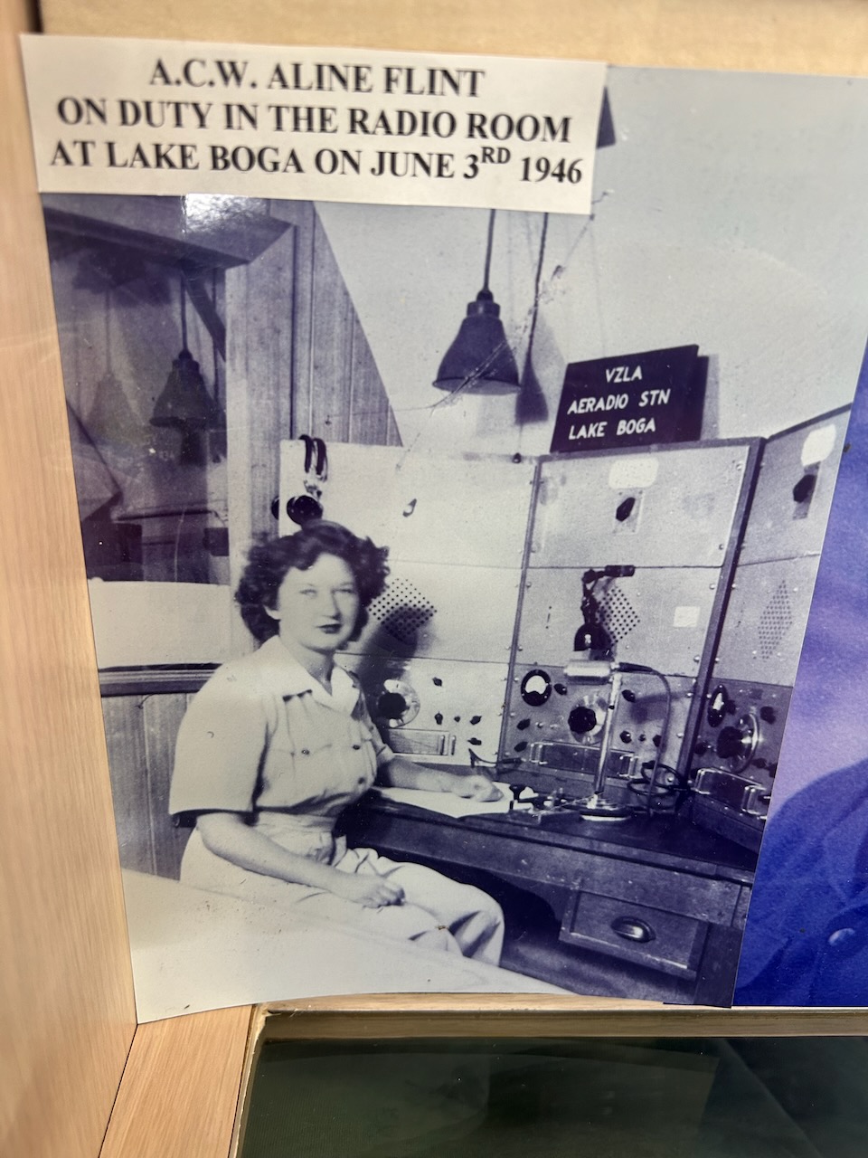
Allan attained the rank of Wind Commander and was posted to the No. 1 Flying Boat Repair Depot at Lake Boga. (Wikitree 2026)
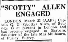
In 1945, Allan married Barbara Millbourn in England. (ancestry 2016).
Above: article from The Telegraph, Sat 24 Mar 1945. Image c/o Trove
Following WWII he became Deputy General Manager for QANTAS. In the 1957 New Year’s Honours, he was appointed Commander of the Order of the British Empire (CBE) for his service to QANTAS. (Wikitree 2026)
George Allan died on the 12th day of August 1996, in Sydney, New South Wales. He is buried in the New South Wales Garden of Remembrance, Rookwood, N.S.W. (ancestry 2016) (Wikitree 2026)
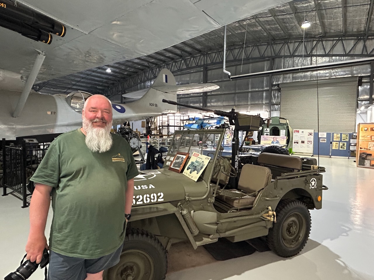
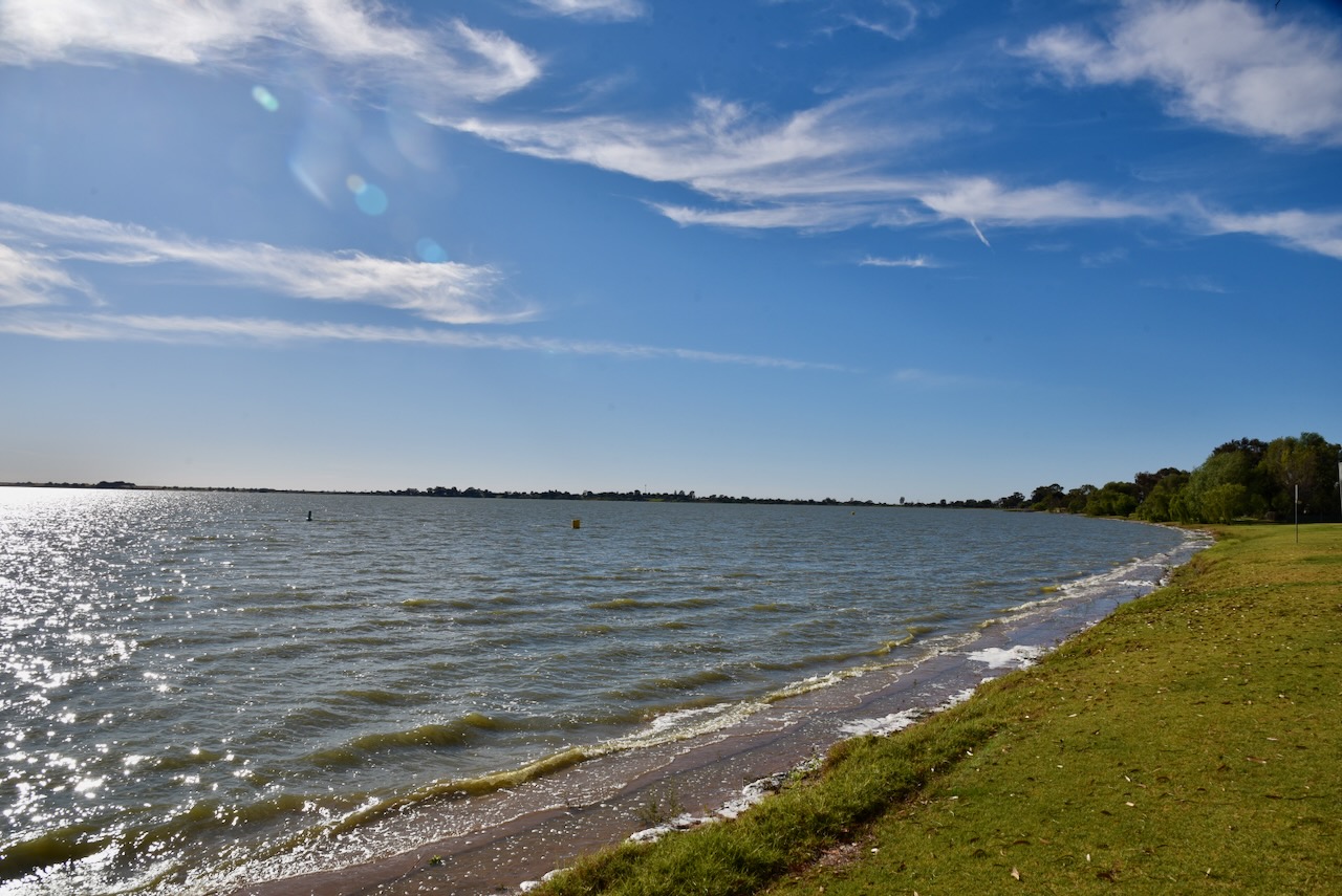
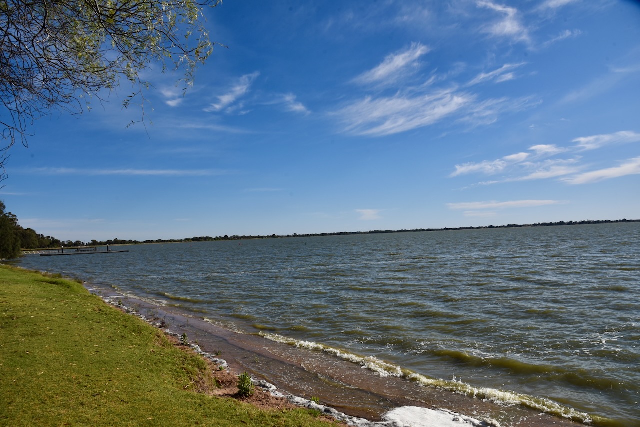
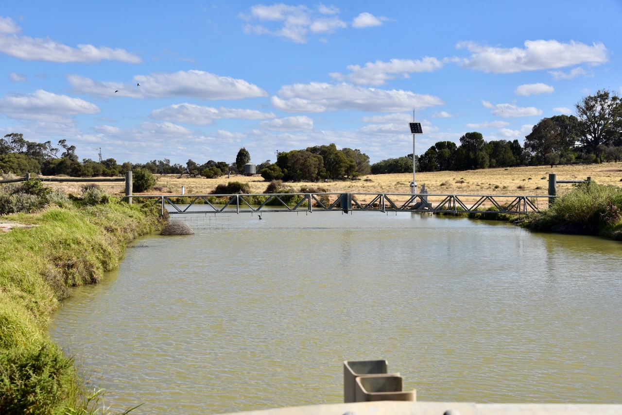
Marija and I parked alongside the silo and operated from the 4WD, running the Icom IC-7000, 100 watts, and the Codan 9350 antenna with the 1.5 metre stainless steel whip.
Unfortunately, we found band conditions to be very poor. We called CQ for 5 solid minutes on 40m before getting our first contact in the log.
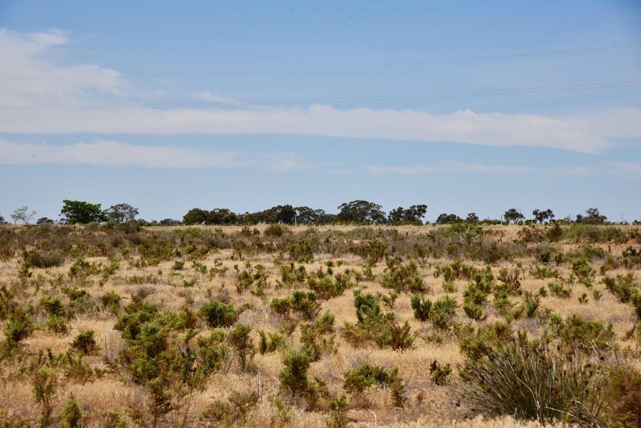
Above: the activation zone at the Lake Boga silo. Image c/o SiOTA website
Marija worked the following stations on 40m SSB:-
- VK2IO
- VK5NHG
- VK7HOB
Marija worked the following stations on 80m SSB:-
- VK3PF
- VK5LA
- VK5KAW
I worked the following stations on 40m SSB:-
- VK2IO
- VK5NHG
- VK7HOB
I worked the following stations on 80m SSB:-
- VK3PF
- VK5LA
- VK5KAW
I worked the following station on 20m SSB:-
- VK4LP
References.
- ancestry (2016). Ancestry® | Genealogy, Family Trees & Family History Records. [online] Ancestry.com.au. Available at: https://www.ancestry.com.au/. [Accessed 13 Apr. 2026]
- Australiansiloarttrail.com. (2023). \r\n \n Graincorp Silo Art Lake Boga\n \r\n. [online] Available at: https://www.australiansiloarttrail.com/lake-boga [Accessed 13 Apr. 2026].
- Wikitree.com. (2026). George Urquhart Allan CBE AFC (1900-1996) | WikiTree FREE Family Tree. [online] Available at: https://www.wikitree.com/wiki/Allan-5500. [Accessed 13 Apr. 2026]