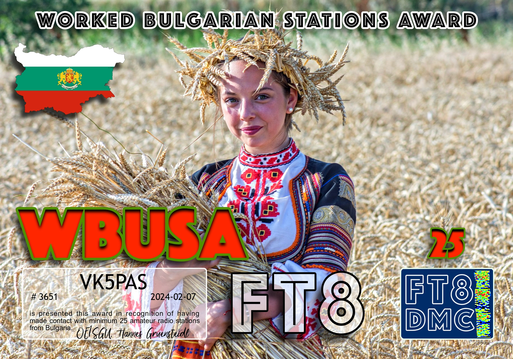
Here are my latest FT8 award certificates.
Thank you to all of the FT8 operators and to the various Award Managers.


Here are my latest FT8 award certificates.
Thank you to all of the FT8 operators and to the various Award Managers.
On Friday morning 17th November 2023, Marija and I returned to Victoria for another road trip. This was to coincide with the 2023 VKFF Activation Weekend.
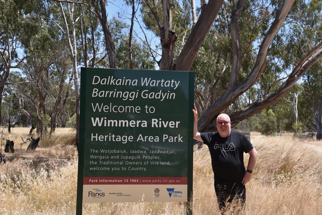
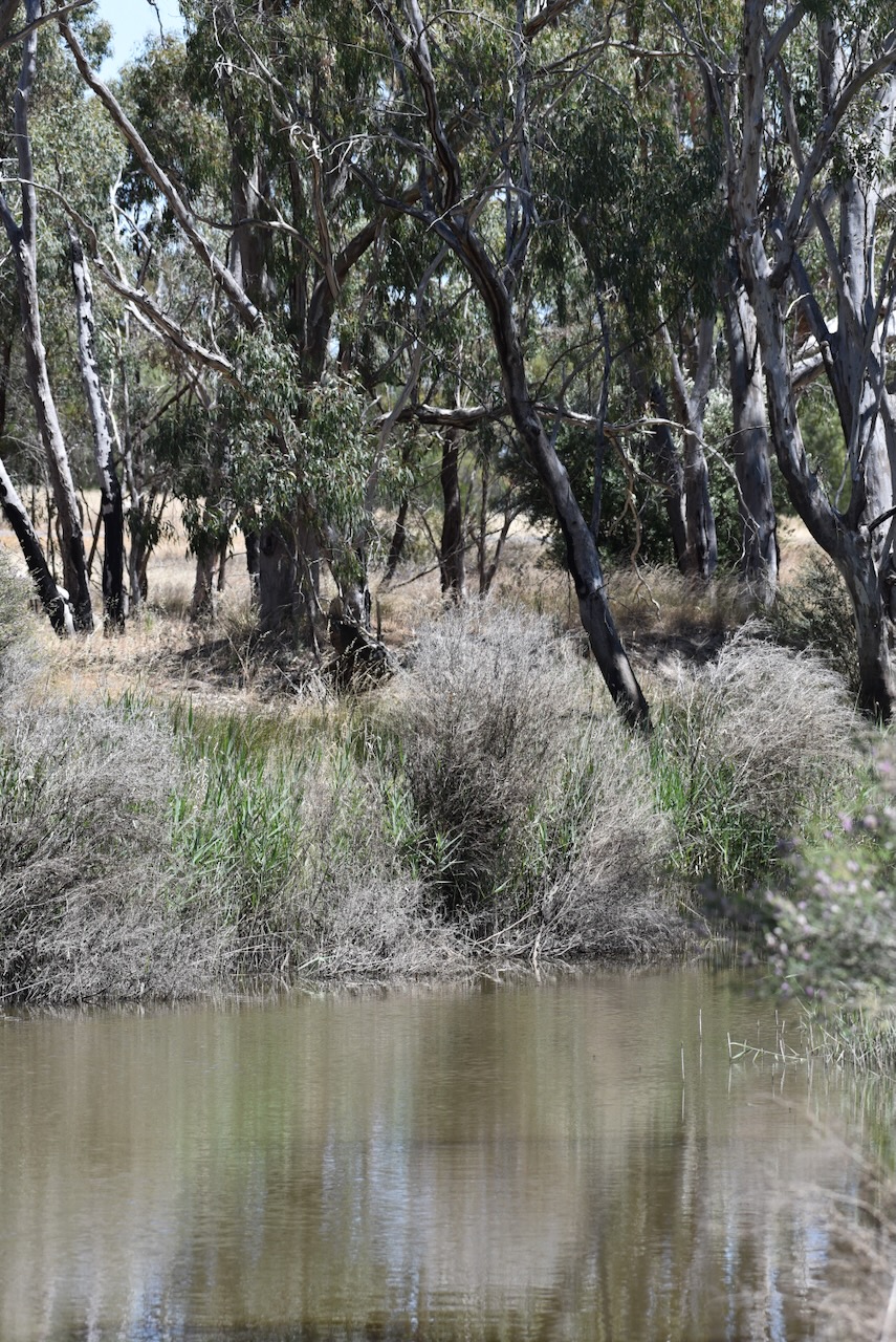
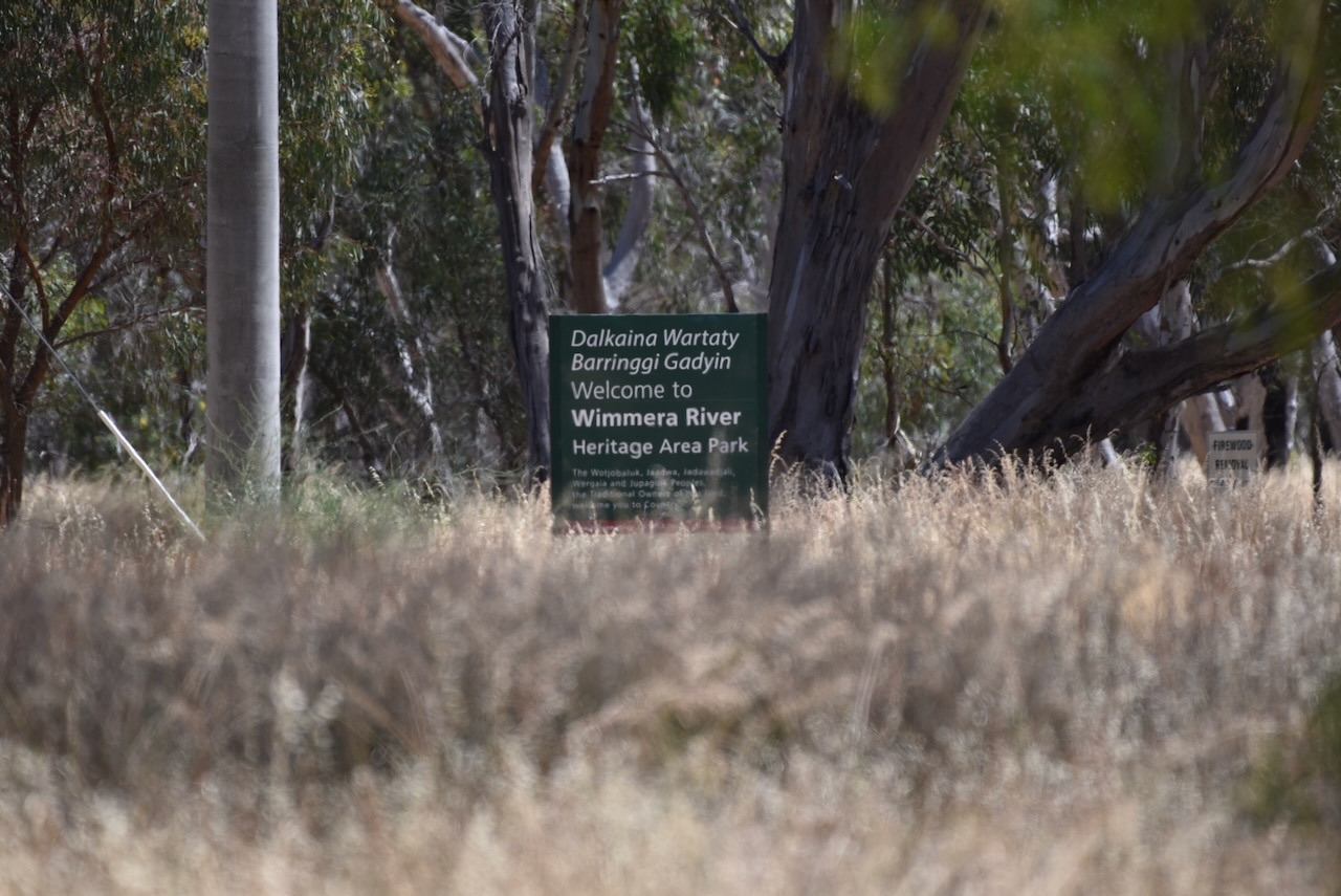
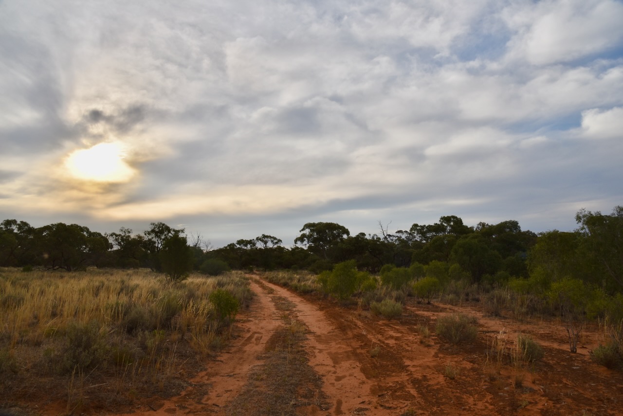
After stopping off at the local Strathalbyn bakery for a bacon & egg roll and hot coffee, we travelled along the Dukes Highway before entering Victoria. We continued east along the Western Highway, with our first activation of the day being the Wimmera River Heritage Area Park VKFF-4258.
This was the first activation of the park for the World Wide Flora Fauna (WWFF) program.
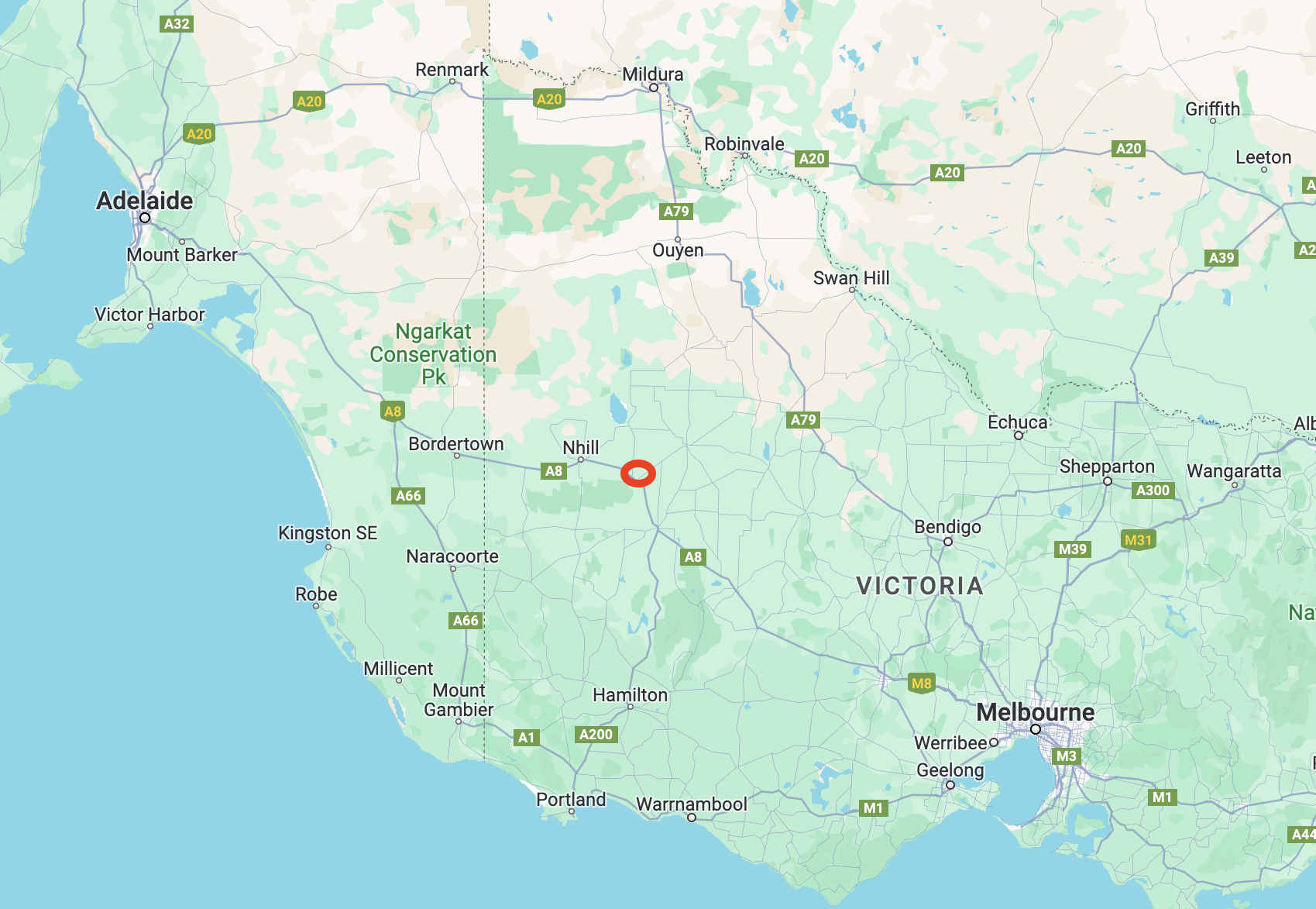
Above:- Map showing the location of our activation in western Victoria. Map c/o Google Maps.
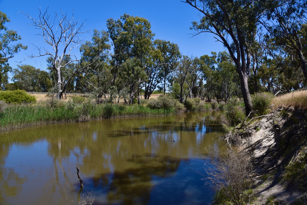
The Wimmera River Heritage Area Park is 26,736 hectares in size and was created on the 10th day of September 1992. (CAPAD 2022) It stretches from Lake Albacutya in the north to below the Little Desert National Park in the south.

Above:- The Wimmera River Heritage Area Park. Image c/o Google Earth.
The Wimmera River rises in the Great Dividing Range near Elmhurst, before reaching its mouth at Lake Hindmarsh. The river is joined by fourteen tributaries. The Wimmera River’s total length is 278 km. It takes its name from the aboriginal word woomera, meaning throwing stick. (Blake 1977)

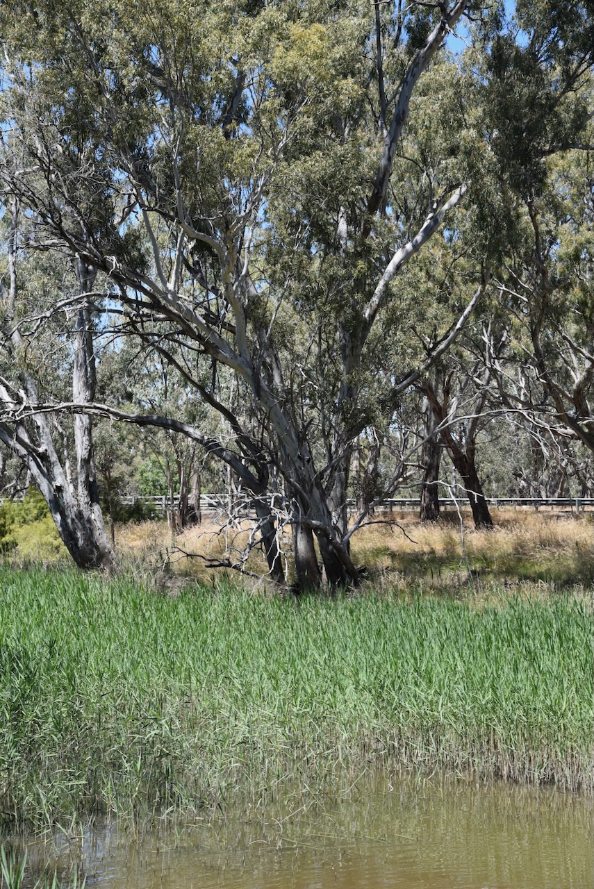
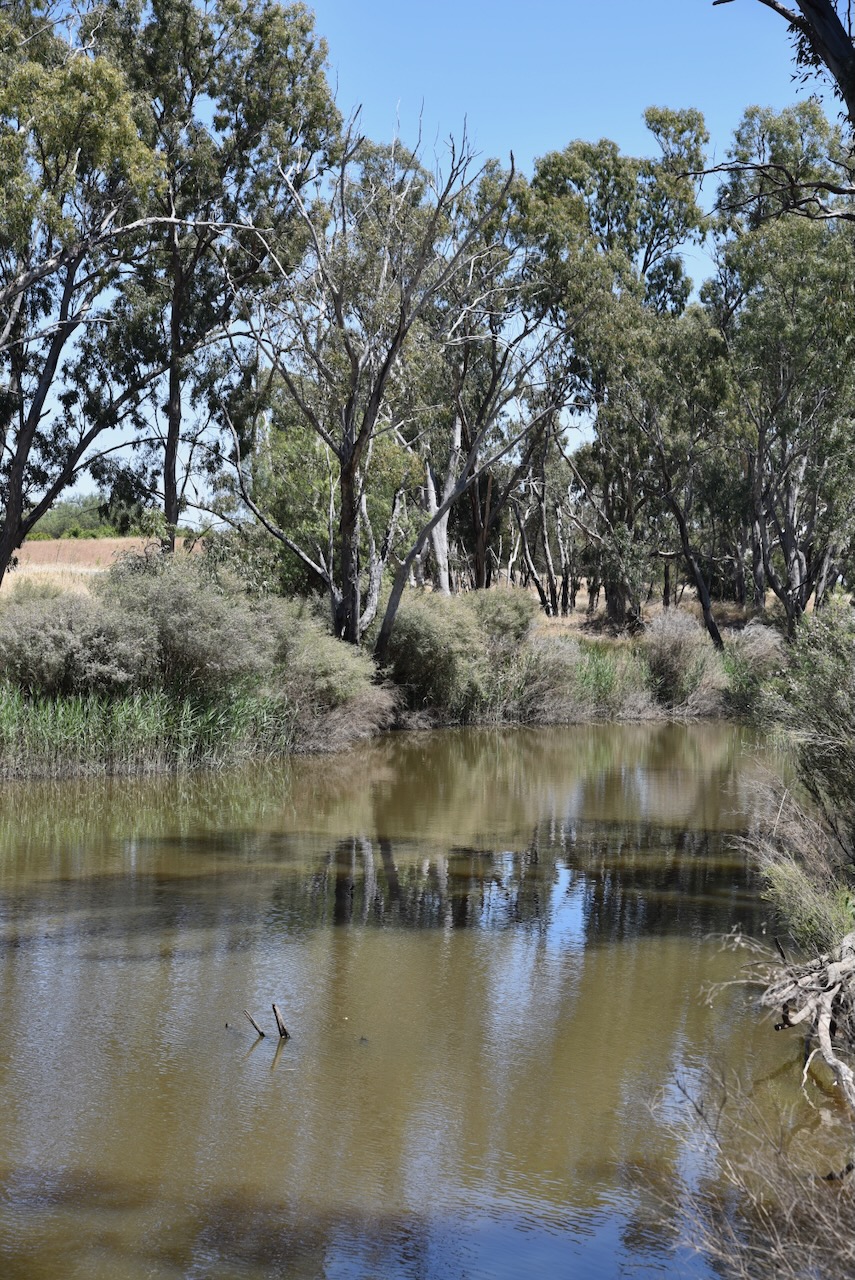
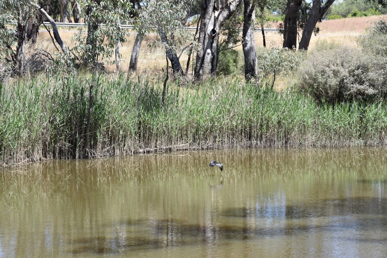
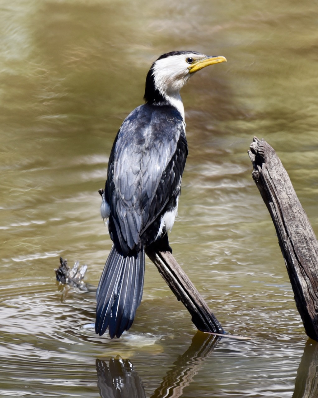
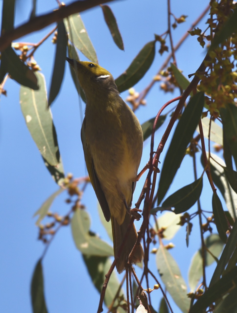
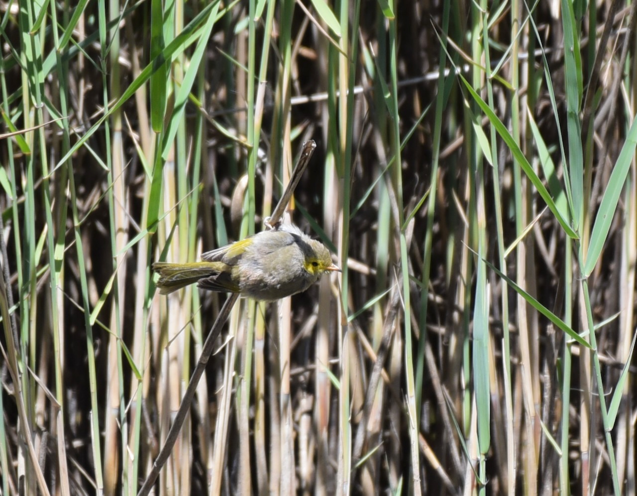
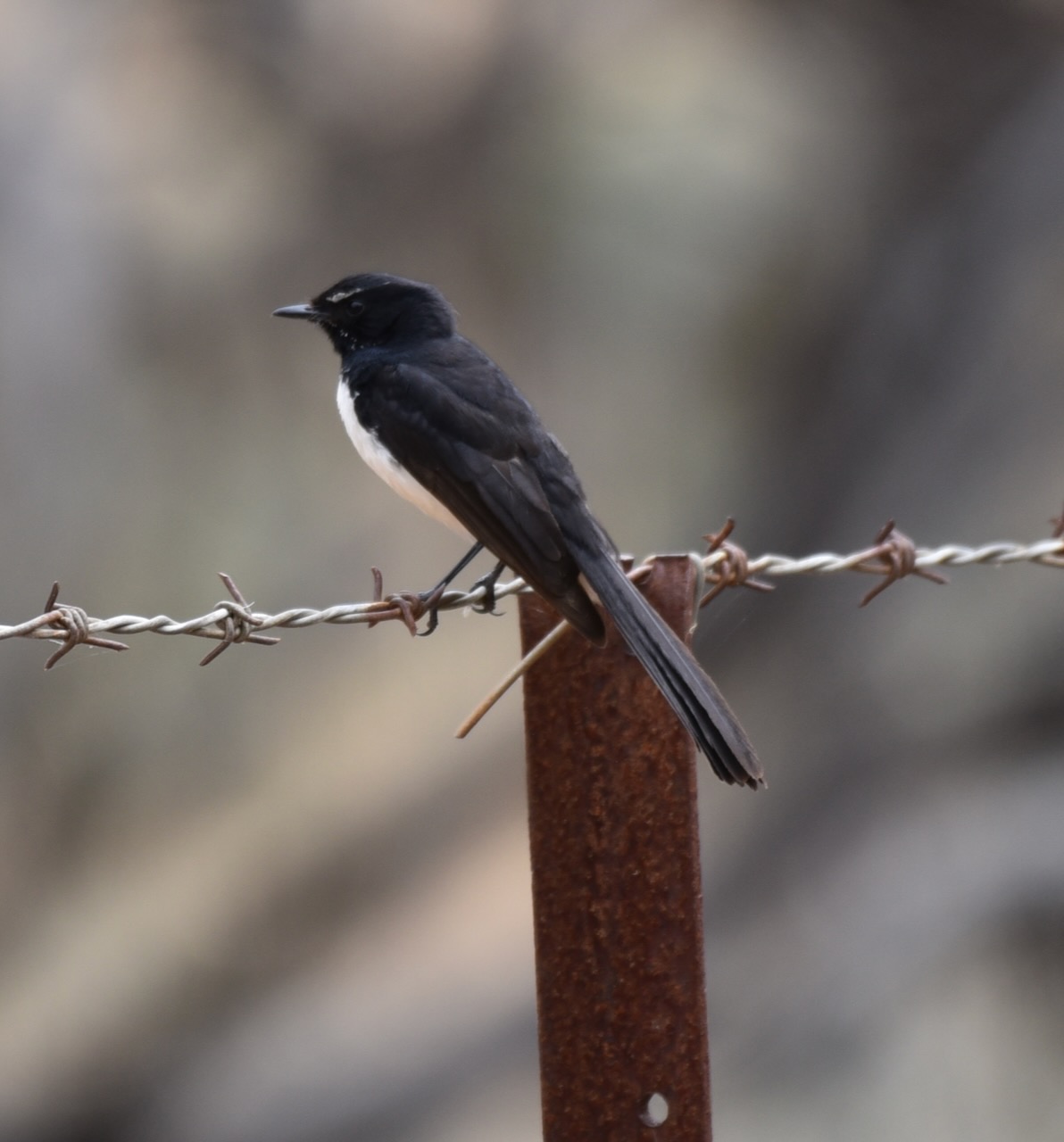
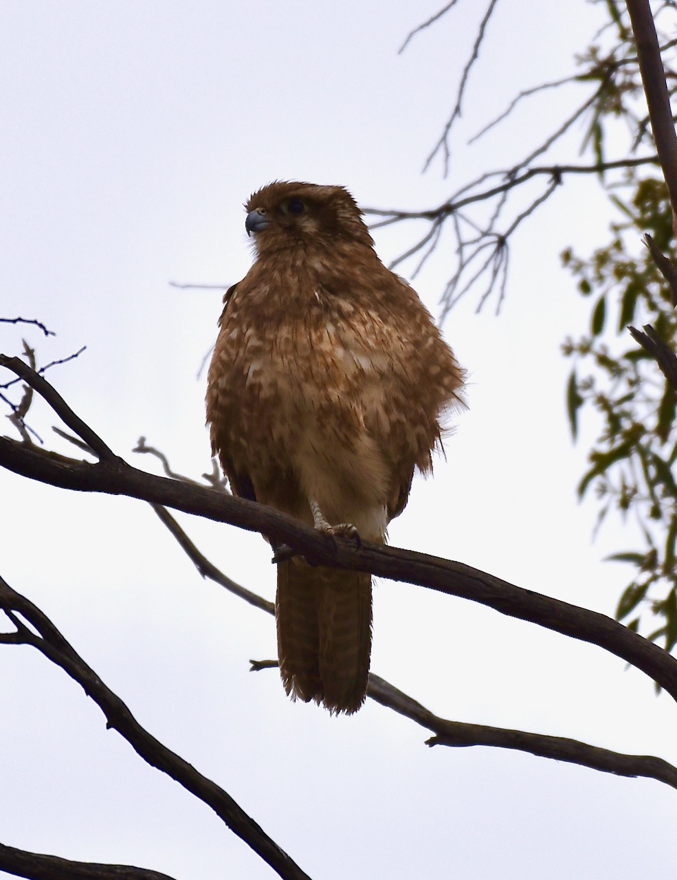
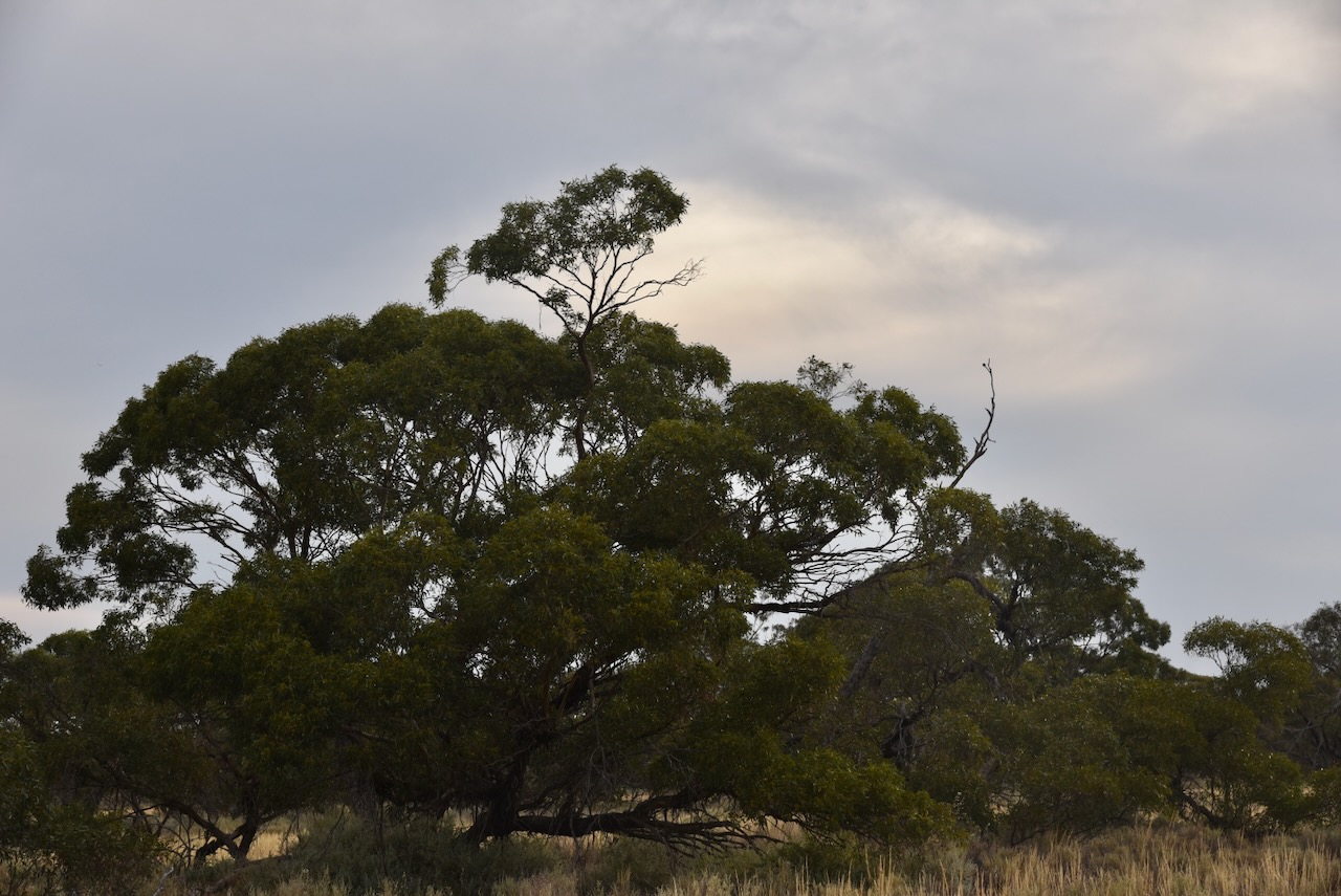
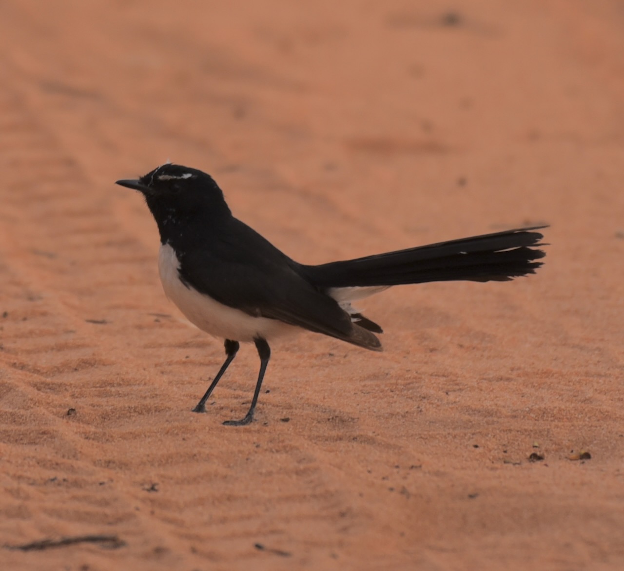
During our visit to the park we observed quite a bit of birdlife.
The Wimmera region includes the traditional lands of the Wotjobaluk, Jaadwa, Jadawadjali, Wergaia and Jupagulk People. (Wimmera CMA 2024)
The area was first surveyed by Europeans in 1836, when explorer Major Thomas Mitchell passed through the area. He did however make an inaccurate deduction regarding the Wimmera River. Mitchell stated:
“Upon the whole, I think that the estuary of the Wimmera will most probably be found either between Cape Bernouilli and Cape Jaffa, or at some of the sandy inlets laid down by Captain Flinders…At all events I here abandoned the pursuit of that river, and determined to turn towards the south-west that we might ascertain what streams fell in that direction from the Grampians and also the nature of the country between these mountains and the shores of the Southern Ocean.” (Project Gutenberg 2007)
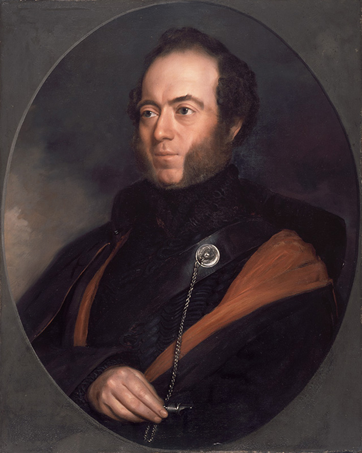
Above:- Major Mitchell. Image c/o Wikipedia.
We operated from the rest area on the Western Highway where the Wimmera River crosses the Highway northwest of the town of Dimboola.
We ran the Yaesu FT857, 40 watts, and the 20/40/80m linked dipole supported on the 7-metre heavy-duty squid pole. I used the special call of VI10VKFF to celebrate the 10-year anniversary of the VKFF program.
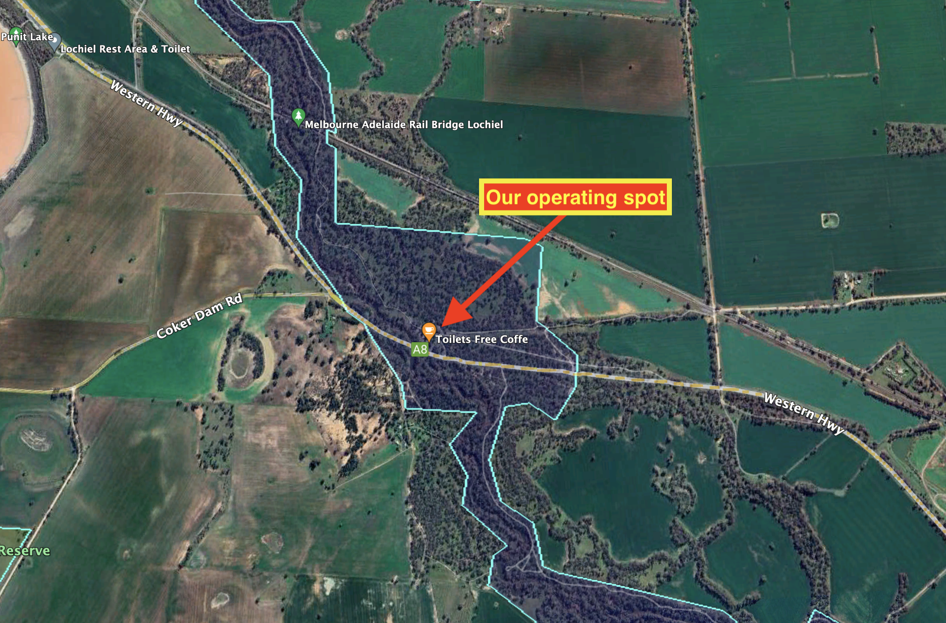
Above:- An aerial view showing our operating spot. Image c/o Google Earth.
Marija worked the following stations on 40m SSB:-
Marija worked the following station on 40m AM:-
I worked the following stations on 40m SSB:-
I worked the following stations on 40m AM:-
I worked the following stations on 20m SSB:-
References.
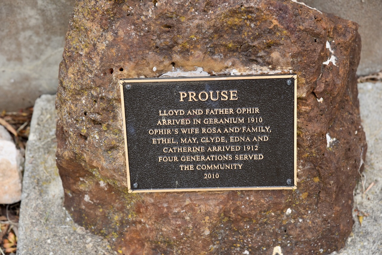
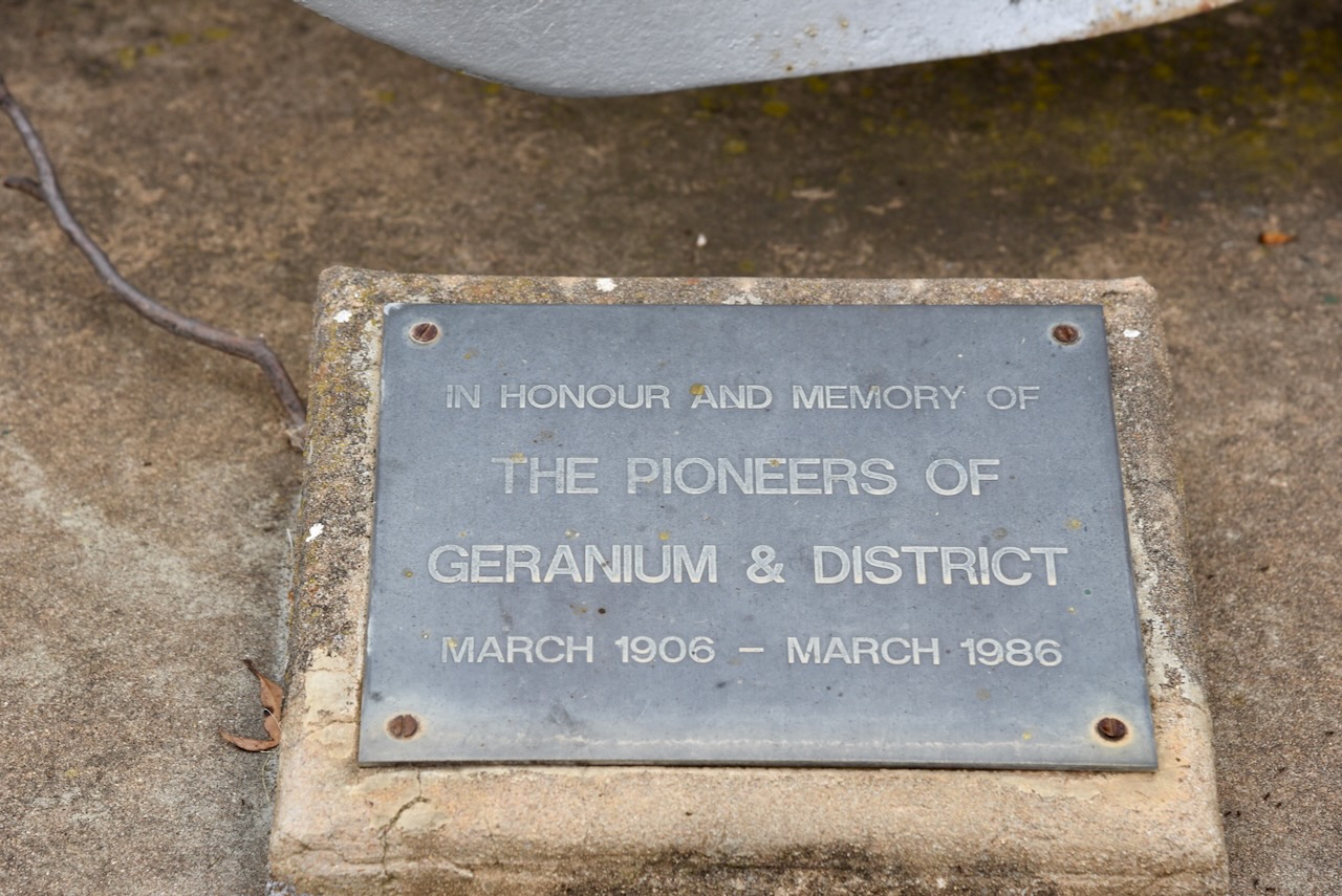
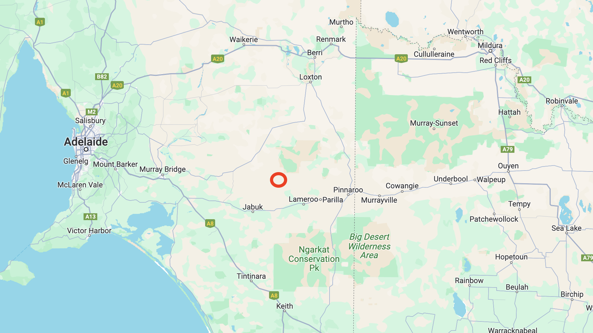
Our fourth and final silo activation for the Silos On the Air (SiOTA) program for Tuesday 14th November 2023 was the Geranium silo VK-GRM5.
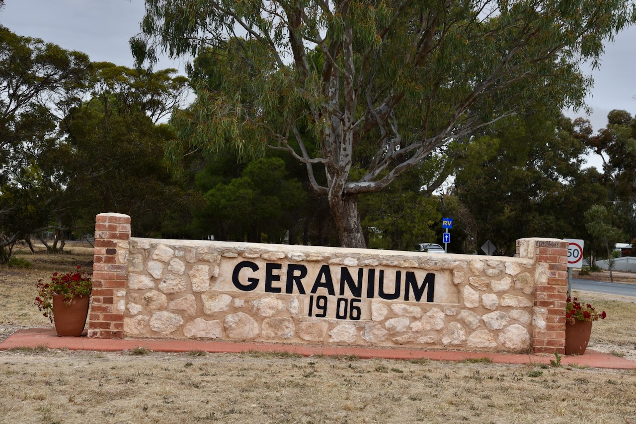
Geranium is about 165 km east of the city of Adelaide.

Above:- Map showing the location of Geranium. Map c/o Google Maps.
The town of Geranium was proclaimed on the 24th day of March 1910 and takes its name from the native plant, Pelargonium australe “Geranium. The plant once grew profusely in the district, however, it is rarely found today due to the clearing of the land for agricultural pursuits. ; it is rarely seen today due to the cultivation of the land. Children once called the plant “knives and forks” due to its unusual seed pod which was three inches long and very pointed. (Manning 2012)
The school was held at Geranium in the local until 1929 when a stone schoolroom was built. Attendances were around 40 children at that time. In 1961 the parents of students at Geranium, and the nearby towns of Peake, Jabuk, and Parrakie, undertook moves to establish an Area School at Geranium. In 1965 the new school opened with a total of 247 students.

Above:- Schoolchildren at Geranium c. 1914. Image c/o State Library South Australia (B46982)
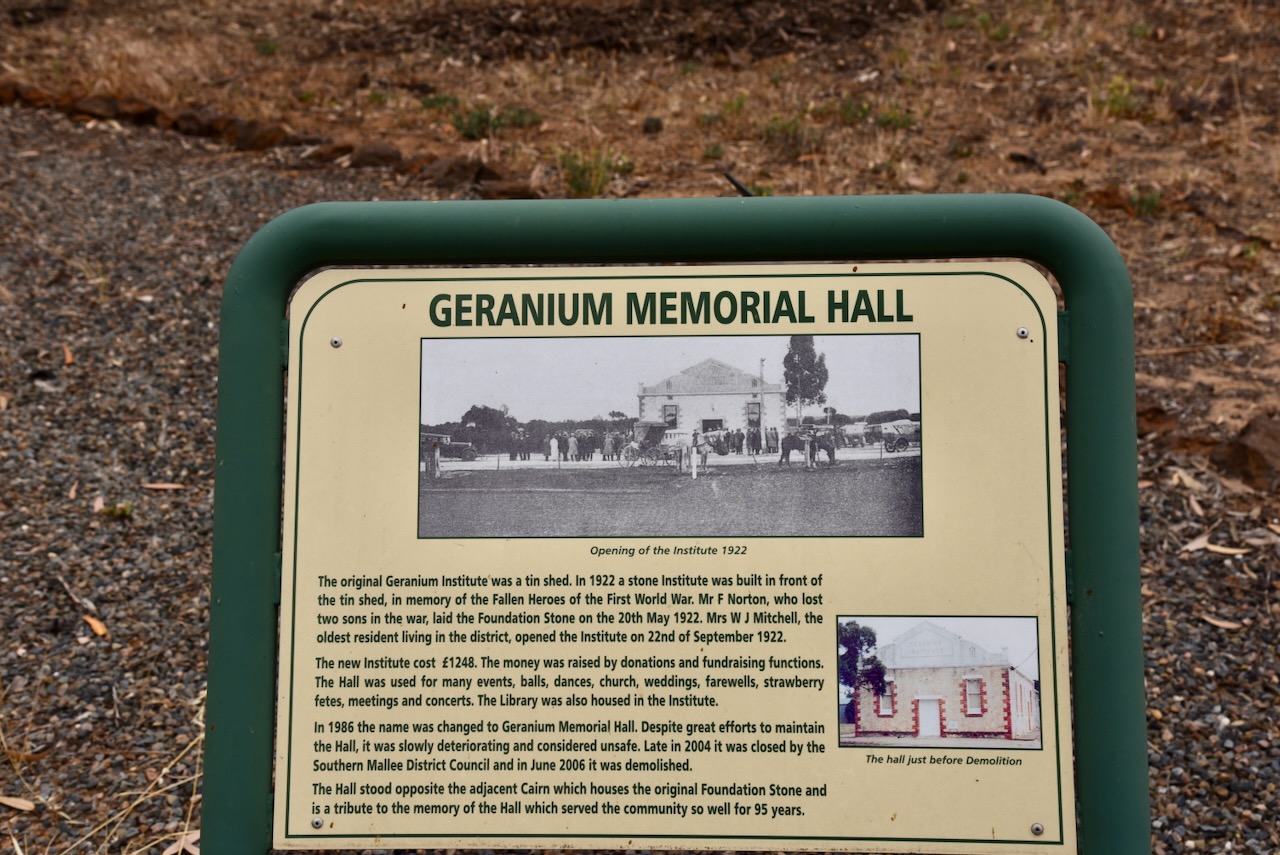
The Geranium Hall was a popular place during the peak of the town of Geranium. Numerous dances and balls were held there.

Above:- Article from the Daily Herald, Wed 22 July 1914. Image c/o Trove.
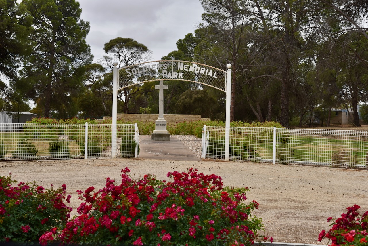
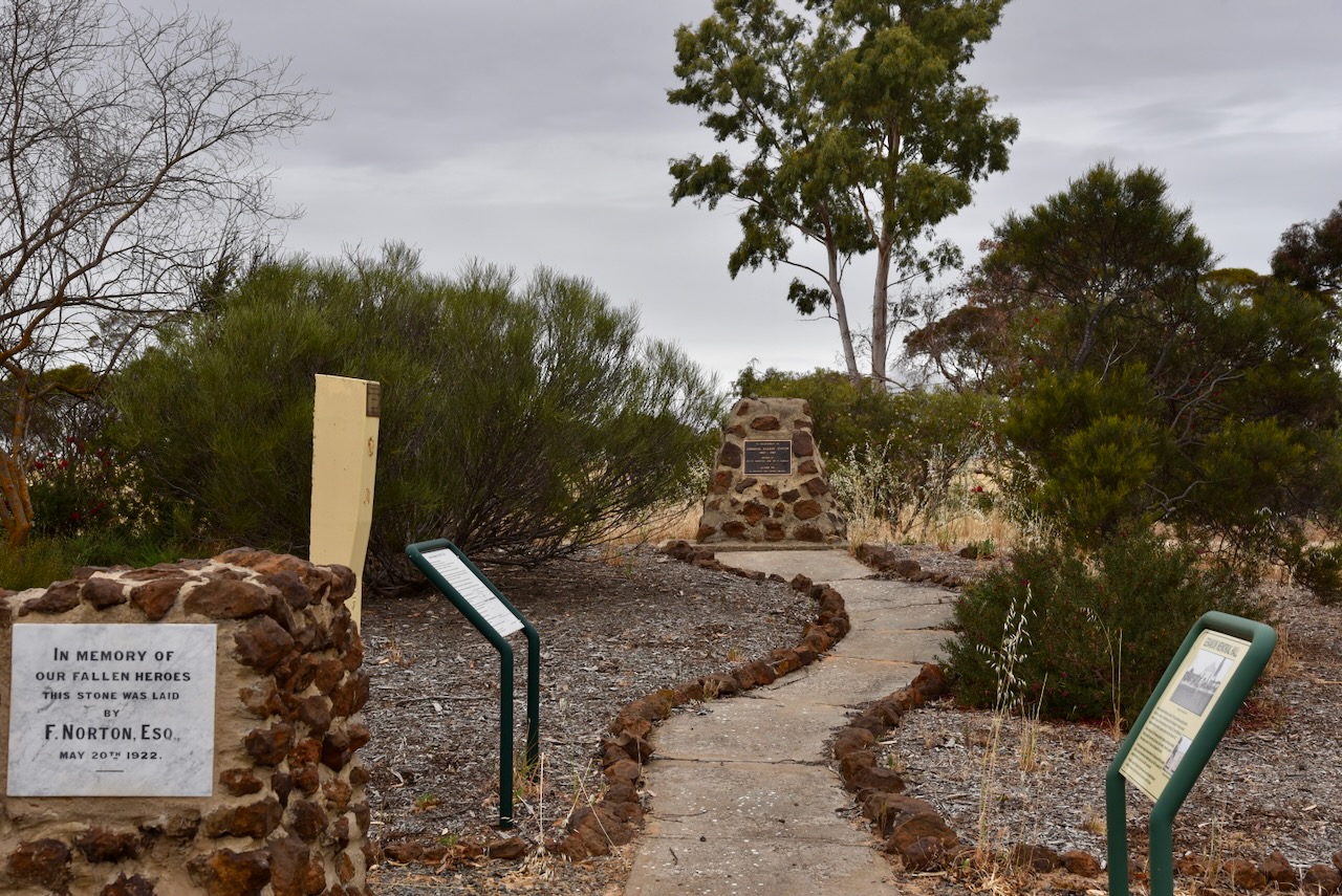
Although a small town, there is quite a bit to see here. Clearly, the locals are very proud of their heritage. In 2000, Geranium was a National Finalist for the Tidy Towns Award. In 1999 it won an award as South Australia’s Tidest Town. (Mallee Tracks 2003)
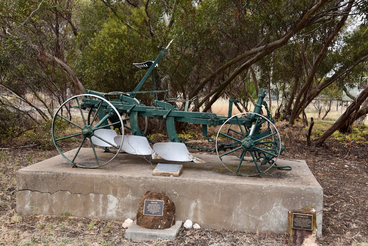
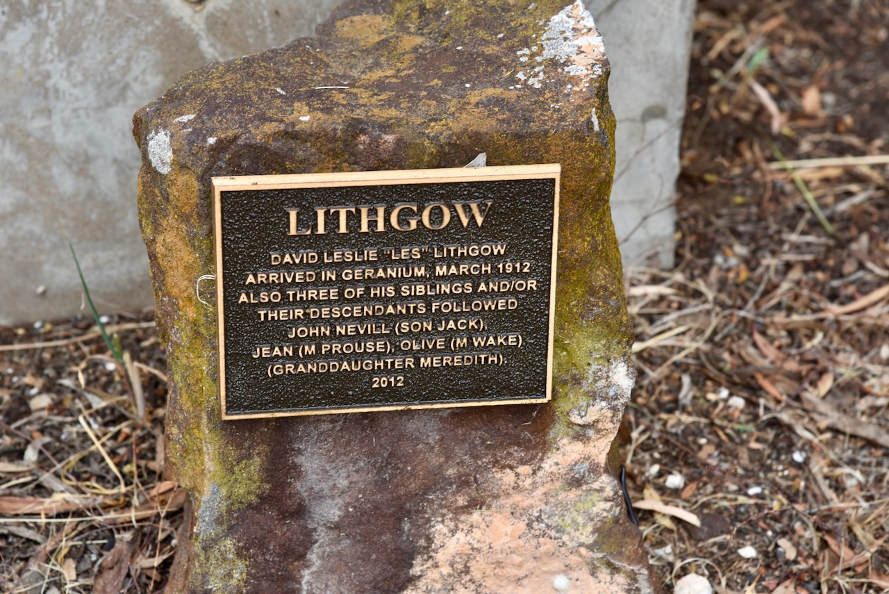
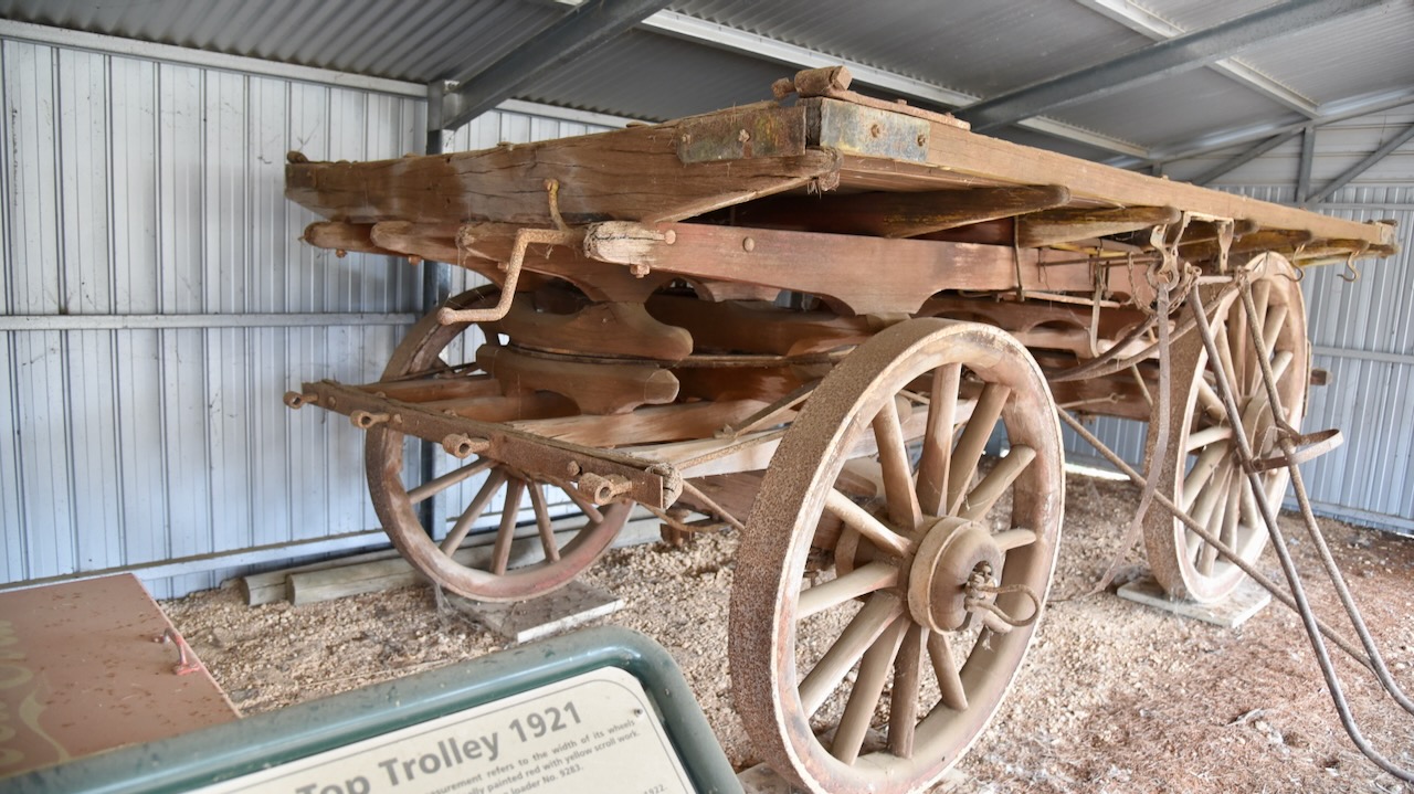
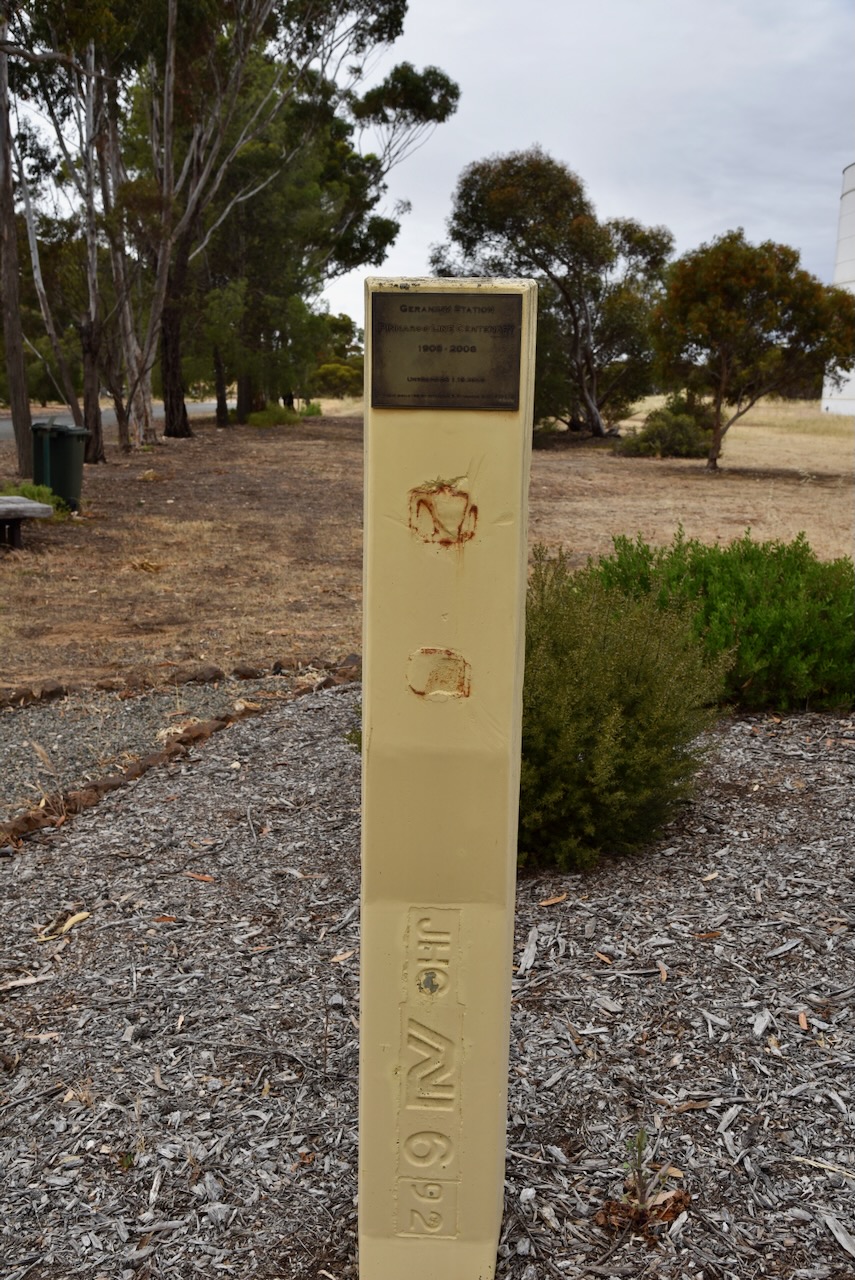
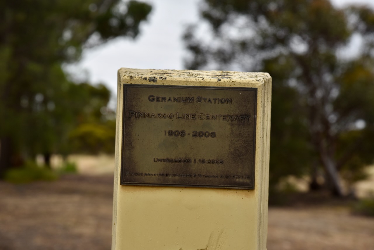
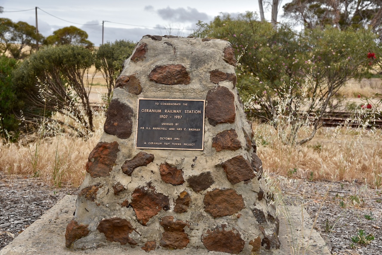
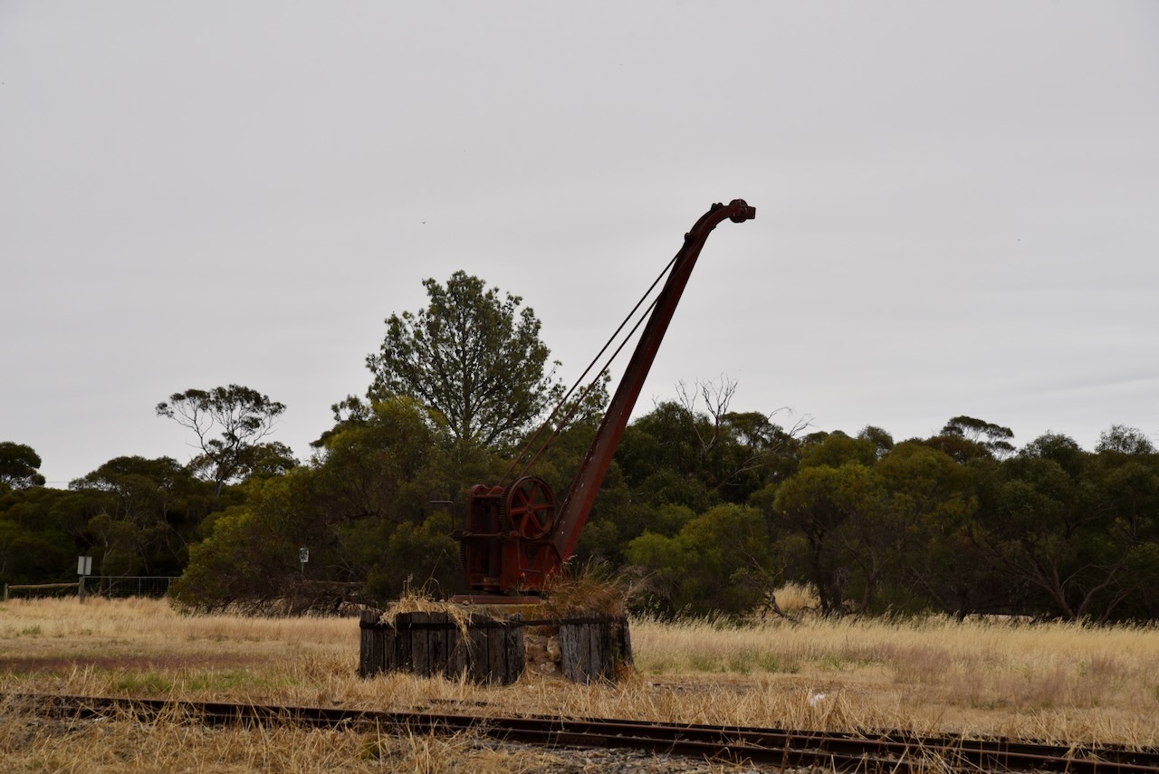
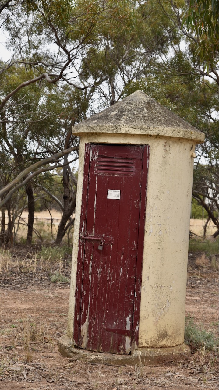
Alongside the silos are some interesting monuments and information boards about the old Geranium railway yards. Geranium was on the Pinaroo line and had a railway station which was operational from 1907 until 1987. The railway was the lifeline of the town with cream, eggs, grain (wheat & barley), stock (sheep & cattle) going out, and supplies for local business, farm machinery and fertilizer coming in. In its heyday, up to two goods trains per day and a passenger train would travel through Geranium.
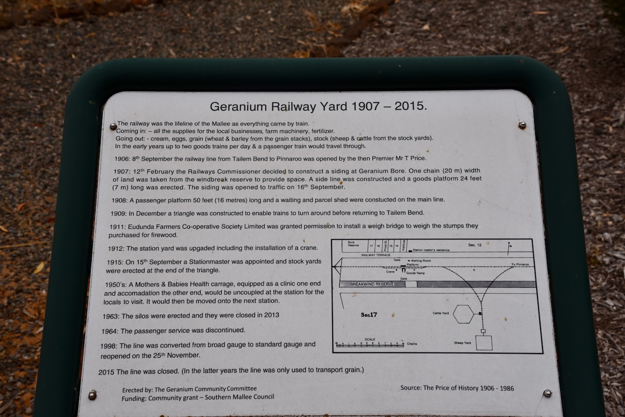
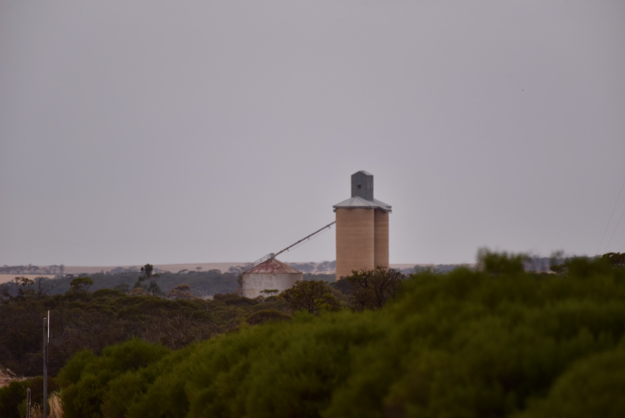
As is often the case in little towns, the silos are located in Railway Terrace. They were erected in 1963 and closed in 2013.
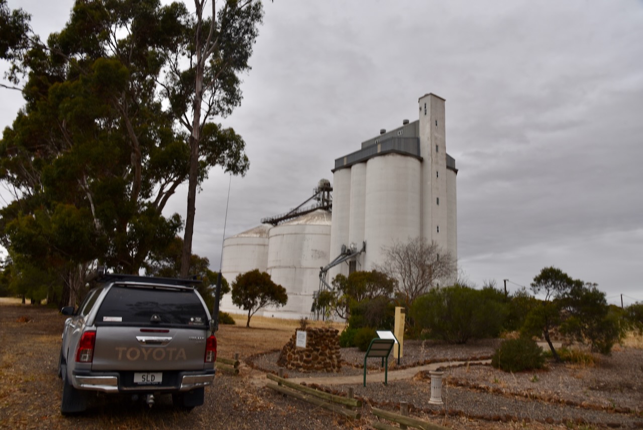
We parked adjacent to the silos and operated from the 4WD running the Icom IC7000, 100 watts, and the Codan 9350 with the 1.5-metre stainless steel whip.

Above:- The activation zone at the Geranium silos. Image c/o SiOTA website.
Marija worked the following stations on 40m SSB:-
I worked the following stations on 40m SSB:-
I worked the following stations on 20m SSB:-
References.
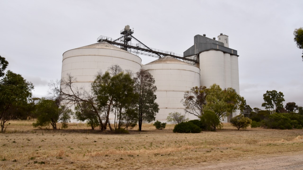
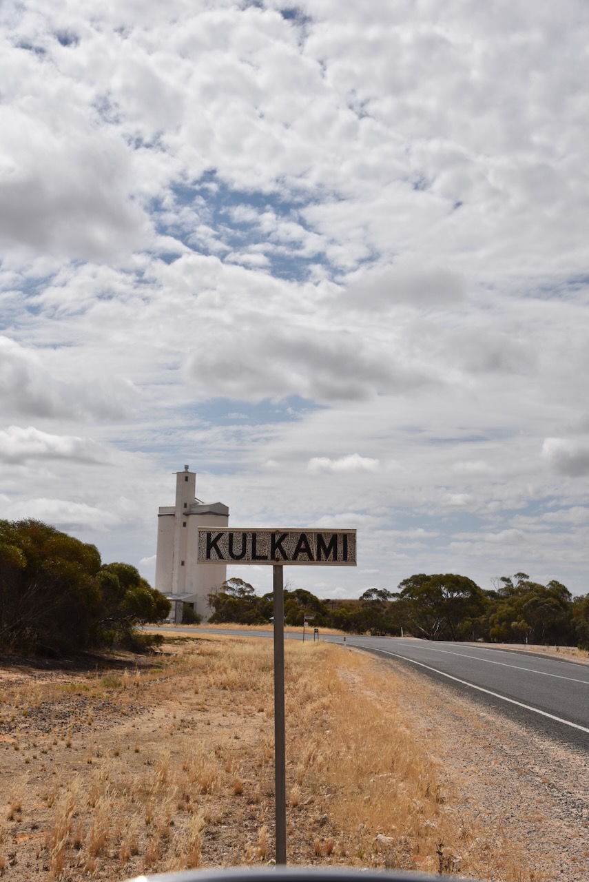
Our third silo activation for the Silos On the Air (SiOTA) program for Tuesday 14th November 2023 was the Lameroo 2 silo VK-LMR5. Although it is referred to as Lameroo 2, it is actually located in the small town of Kulkami which is 30km northwest of Lameroo.
Kulkami is located about 185 km east of the city of Adelaide.
Above:- Map showing the location of Kulkami. Map c/o Google Maps.
Kulkami is an aboriginal word meaning ‘to wait’. There isn’t much at Kulkami other than the silos, a Country Fire Service station, and some farmhouses.
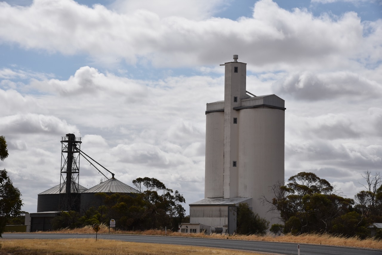
We parked opposite the silos and operated from the 4WD, running the Icom IC7000, 100 watts, and the Codan 9350 antenna with the 1.5 metre stainless steel whip.
Marija worked the following stations on 40m SSB:-
I worked the following stations on 40m SSB:-
I worked the following stations on 20m SSB:-
References.
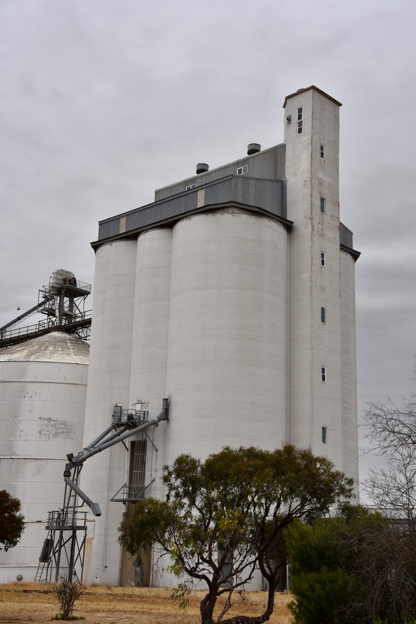
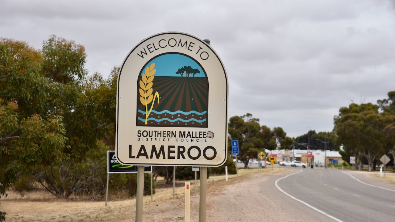
Our second silo activation for the Silos On the Air (SiOTA) program for Tuesday 14th November 2023 was the Lameroo silo VK-LMO5.
Lameroo is located about 200 km east of the city of Adelaide.

Above:- Map showing the location of Lameroo. Map c/o Google Maps.
The first European pastoralist in the Lameroo district was William Butcher. In 1873 he took out pastoral lease no. 2177 when it was described as Winike Berick which is believed to be a corruption of the aboriginal words byrlung byrleck meaning ‘the sea’. In 1849, a group of European settlers were travelling through the Long Desert with their sheep. Whilst camping, some other men were sinking a well that was about 80 feet deep. It was reported that there were beautiful sea shells at the bottom of the well. An aboriginal man named Kropingeri told the settlers that during the life of his great-grandfather Goorapee, the area was covered by the sea. (Place Names SA 2012)
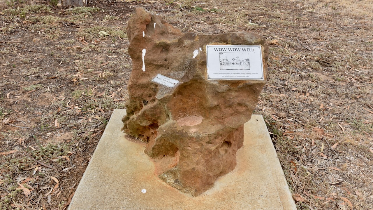
The Aboriginal name for the district was wauwauwe – ‘many kangaroos’. It was called Wowell or Wow Wow Plain by the Europeans. (Place Names 2012)
The first European settler in the district following its survey was Thomas Leckie (b. 1848. d. 1919). He was born in Scotland in 1848 and at age 4 emigrated to Australia with his parents in 1852. He took up a block of 450 acres about ‘half a mile’ from Lameroo in 1896. He cleared and cultivated the land. He lived a remote life, with the nearest European settler’s property being ’60 miles’ away. Every three months, Leckie carted his family provisions from Tailem Bend across the harsh country with no roads. (1919 The Pioneer of Lameroo) (Place Names 2012).

Above:- Thomas Leckie. Image c/o https://www.ancestry.com.au/family-tree/person/tree/42536149/person/19804681998/facts
In 1884 a well was sunk at Wow Wow Plains. The well had a whim and served both the locals and travellers with water for personal use and stock supplies. The well’s measurements were 7 feet by 4 feet in section and 254 feet deep. It was timbered with round Cypress Pine and was dug by pick and shovel. (Mallee Highway 2024)
Following this, settlement on Wow Wow Plain became more permanent. In 1894 the land was surveyed, with the initial survey giving each block some natural open land to start cultivating. In 1894 the town reserve was proclaimed. (Mallee Highway 2024)
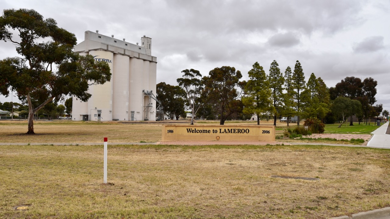
The town of Lameroo was proclaimed on the 17th day of November 1904. (Place Names 2012)

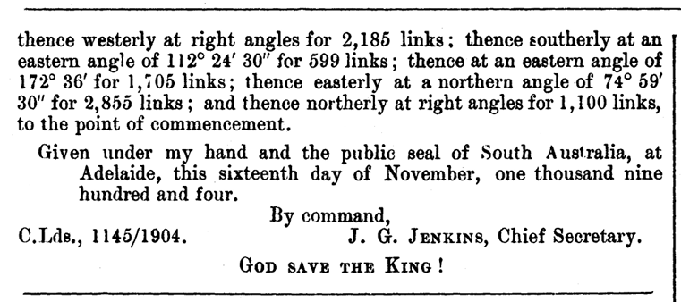
Above:- SA Govt Gazette, Nov 17 1904 re the proclamation of the town of Lameroo.
The name Lameroo was the suggestion of Mr J.M. Johnston, an Inspector in the Post and Telegraph Office who had spent time in the Northern Territory working on the Overland Telegraph Line. He suggested the name after Lameroo Beach in the Northern Territory (Cockburn 1990)
Johnston stated:
“I was at a farmer’s house where Lameroo now is, one evening in 1904, returning from Pinnaroo. I had intended to go on further and camp out, but the farmer (Mr. Byrne) asked me to stay there, as there was a meeting that night to name the place. I attended a fairly large meeting. The settlers could not agree on a name and finally appealed to me, whereupon I suggested Lameroo, which was adopted with only one dissentient. I do not know the meaning of the word. I suggested it because its euphony pleased me and I had so named a little bay in the Northern Territory between the Darwin Hospital and the Gaol.” (Cockburn 1990)
The railway was declared open on the 8th day of September 1906 and the first trains arrived at Lameroo with passengers and goods. Regular train services to Lameroo brought other settlers, building materials, and machinery. By the time the First World War had commenced, every surveyed block at Lameroo was taken. (Mallee Highway 2024)
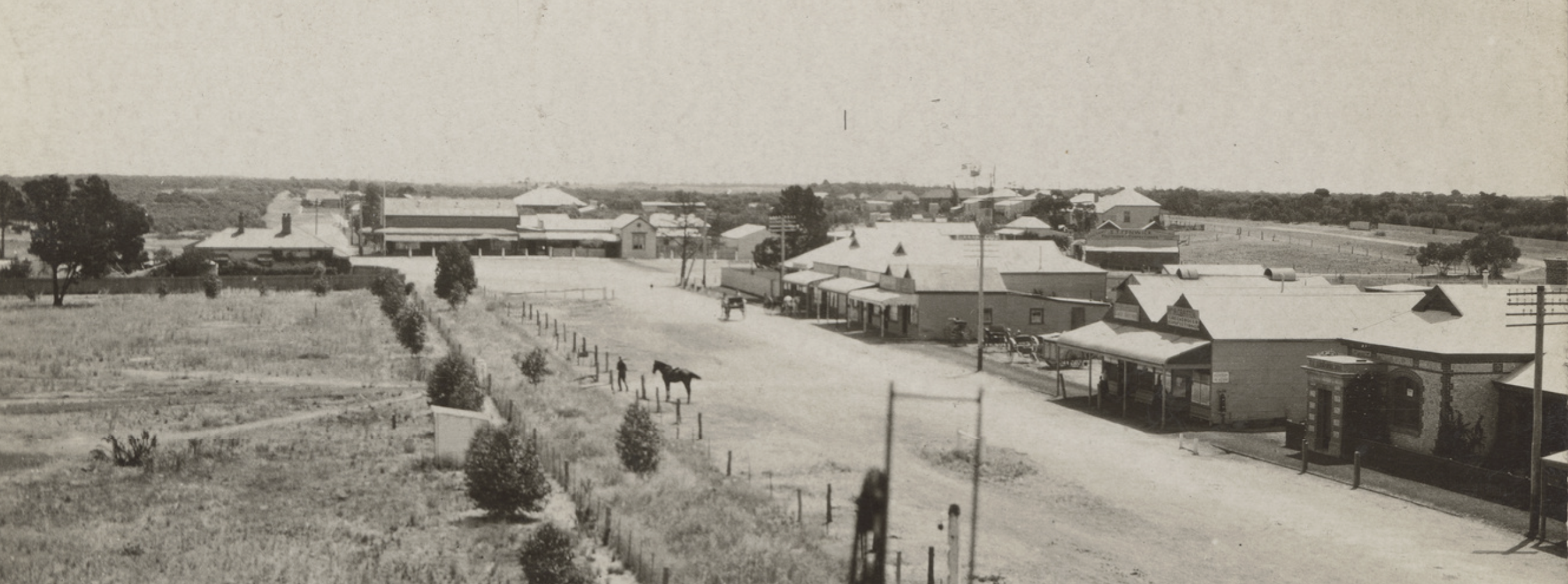
Above:- Lameroo, c. 1918. Image c/o State Library South Australia (B37383)
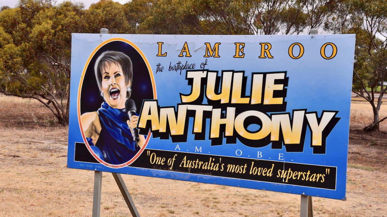
Today Lameroo is a vibrant town and service centre for the surrounding farming community.
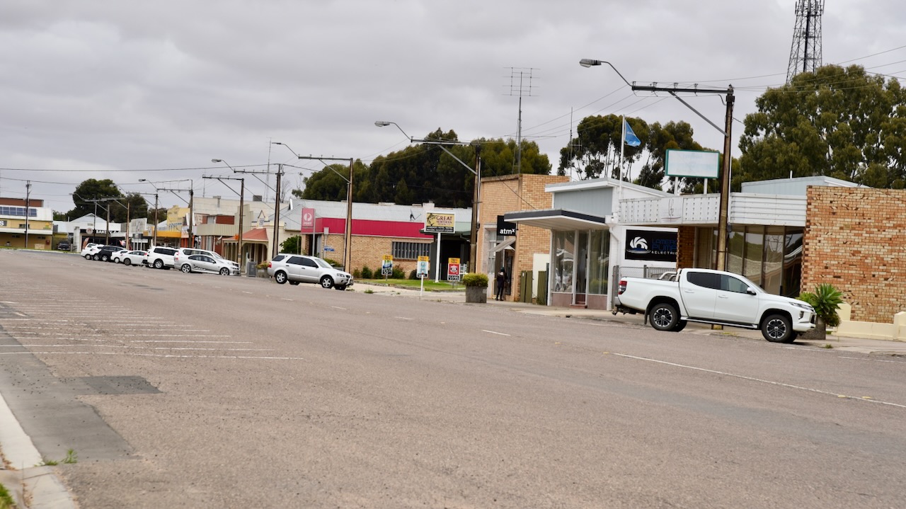
The Lameroo silos are located in Railway Terrace South and are operational. In late 2023 it was announced that the silos would become part of Australia’s Silo Art Trail. There is a Lameroo Silo Art Project Facebook page.
The bulk grain silo (wheat) opened in Lameroo for the 1959-60 grain harvest. It was the first grain silo outside of Port Adelaide in the Eastern Division. The barley silo opened in 1964. (Discover Murray 2024)
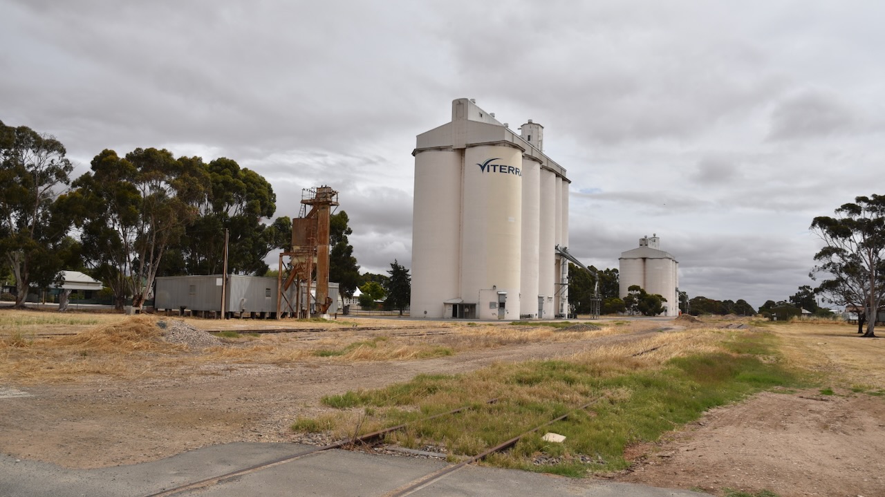
We parked right alongside the silos on Railway Terrace South. We ran the Icom IC7000, 100 watts, and the Codan 9350 antenna with the 1.5 metre stainless steel whip.

Above:- Map showing the activation zone at the Lameroo silo. Image c/o SiOTA website.
Marija worked the following stations on 40m SSB:-
I worked the following stations on 40m SSB:-
I worked the following stations on 20m SSB:-
References.
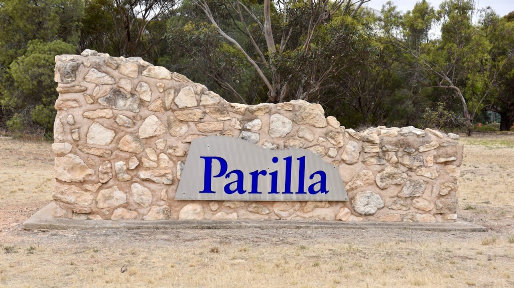
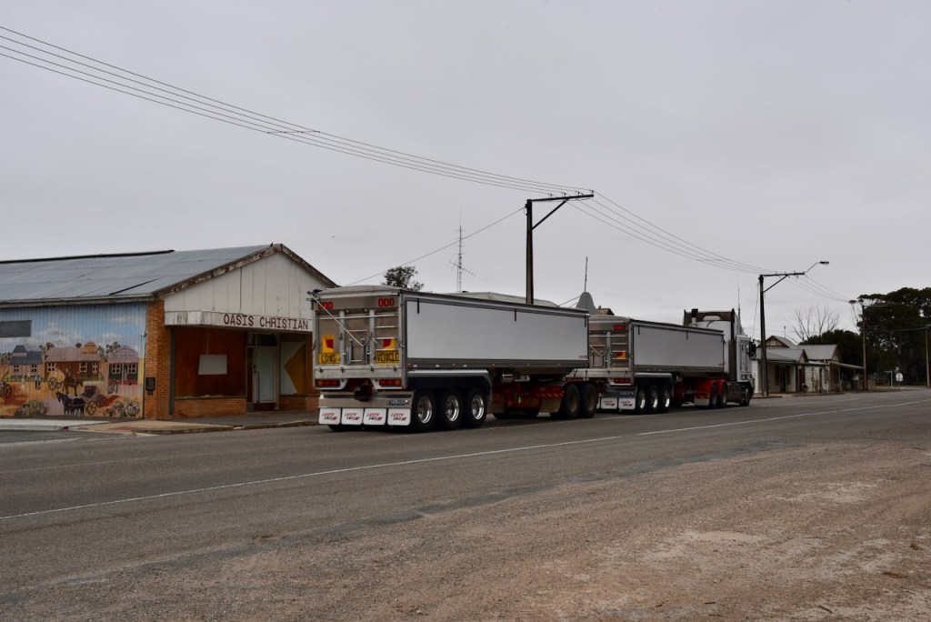
Following our activation of the Duddo Bushland Reserve in Victoria on Tuesday 14th November 2023, Marija and I headed back into South Australia on our way home. We stopped briefly at Parilla to activate the Parilla silo VK-PRA5.
Parilla is about 214 km east of the city of Adelaide and about 14 km east of the town of Lameroo.

Above:- Map showing the location of Parilla. Map c/o Google Maps.
The town of Parilla was surveyed in 1904 and proclaimed as a town on the 1st day of August 1907. The town was named after the Hundred of Parilla. The name Parilla is an aboriginal word meaning ‘cold place’. (Monument Australia 2024) (Southern Mallee 2024)

Above:- 1907 Map of Parilla. Image c/o National Library of Australia.
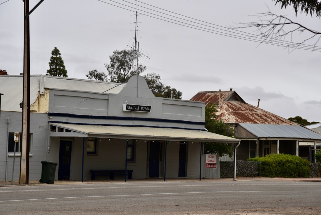
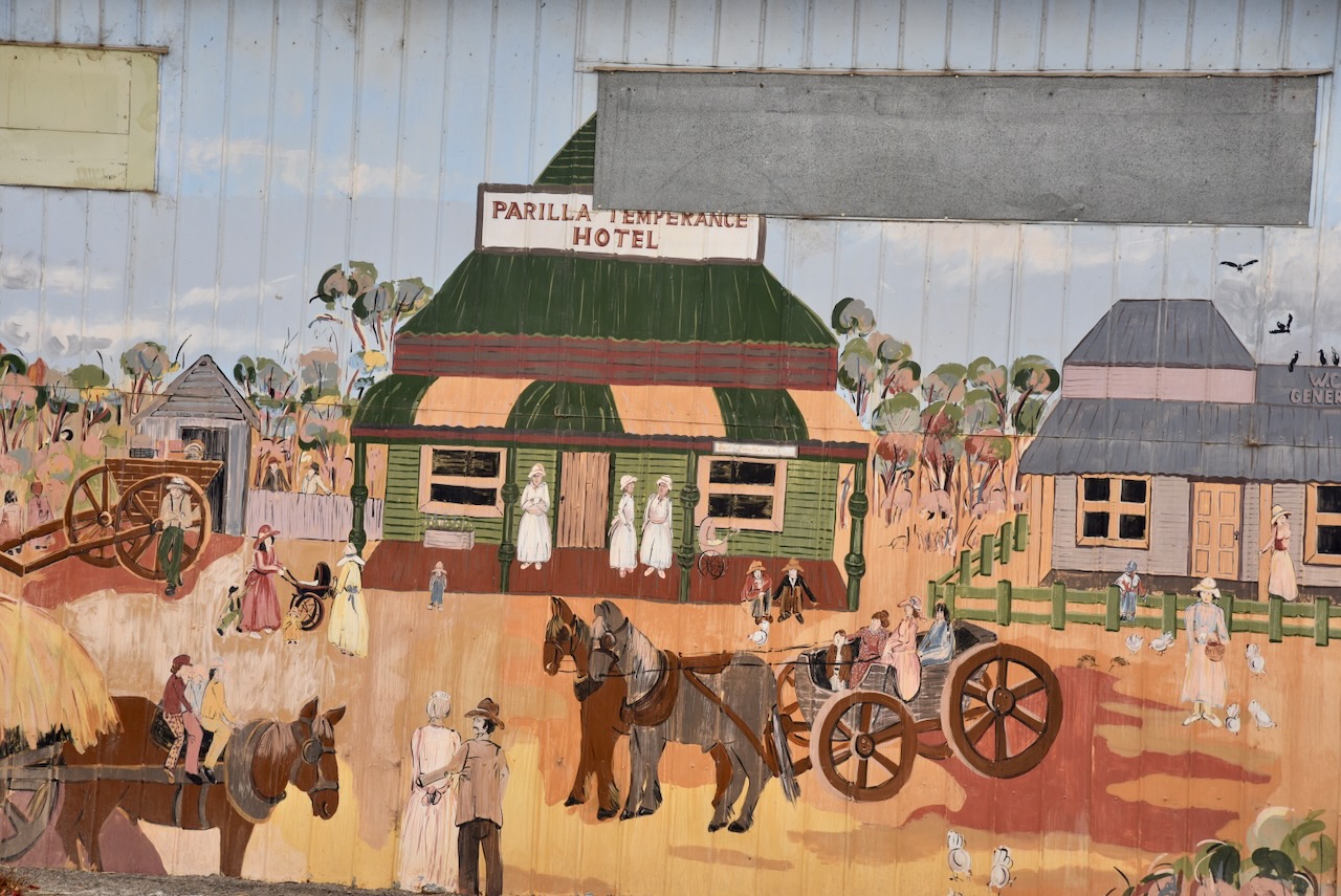
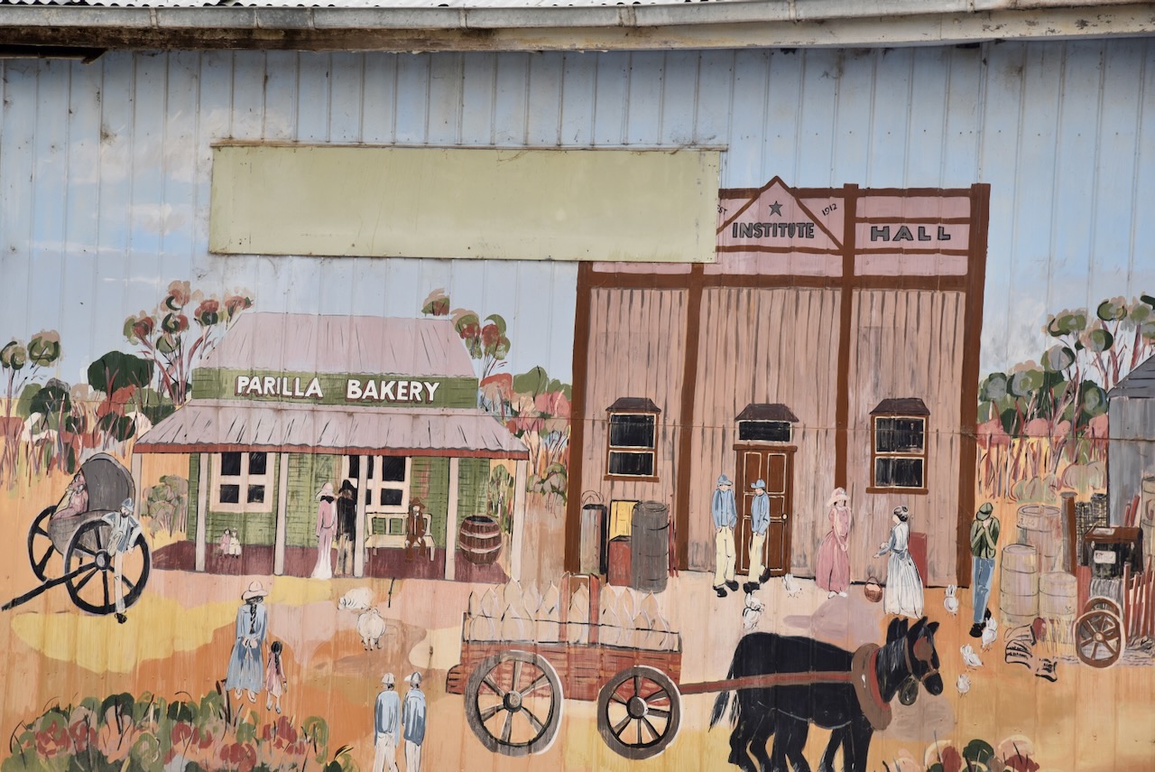
Just one year after being proclaimed a town, the Parilla Hotel opened in 1908. Parilla also had an old gaol, which was opened in 1911. It was located where the current playground is now situated. Parilla once had a hotel, general store, temperance hotel, public hall, school, baker shop, blacksmith shop, butcher, slaughterhouse, gaol, station master’s house, churches, a football club, and a tennis club. (Mallee Tracks 2003)

Above:- A view of Parilla, c. 1912. Image c.o State Library South Australia (B17207).
The first person to be imprisoned in the police cell was Ernest Walters, who was charged with abusive language and causing a disturbance at the hotel. A 1912 news article stated:
“After standing for some months untenanted, the police call has broken its spell as an ornament and has been used for the special purpose for which it was erected.”

Above:- Article from the Pinnaroo and Border Times, Fri 5 Apr 1912. Image c/o Trove.
Today, Parilla is a small town with a population of about 160 people.
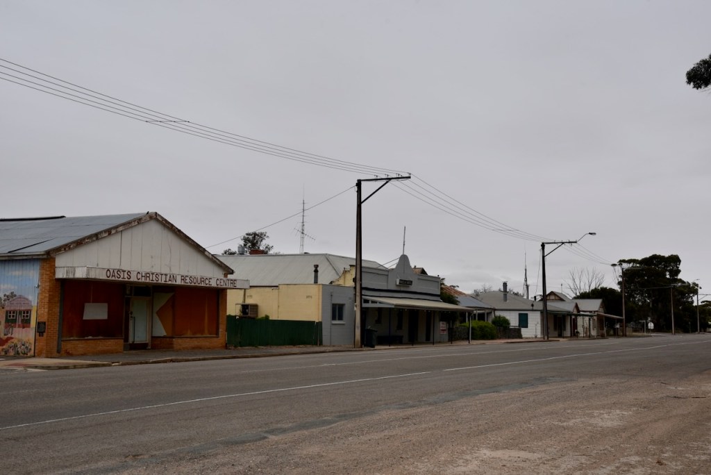
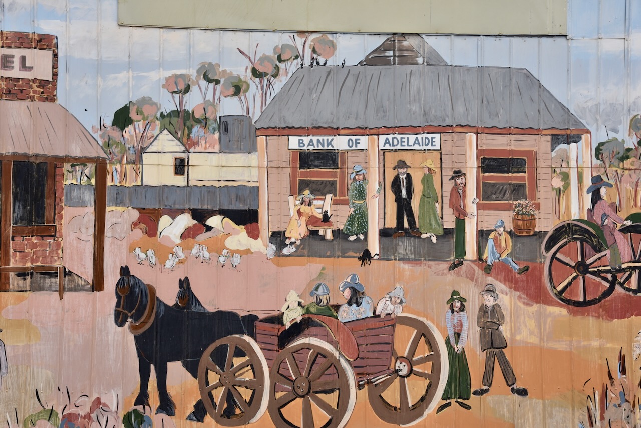
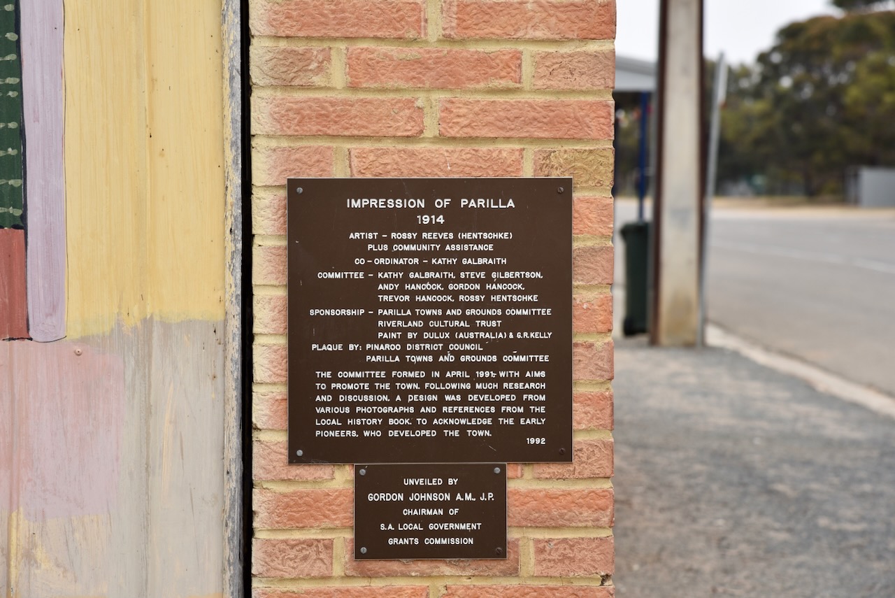
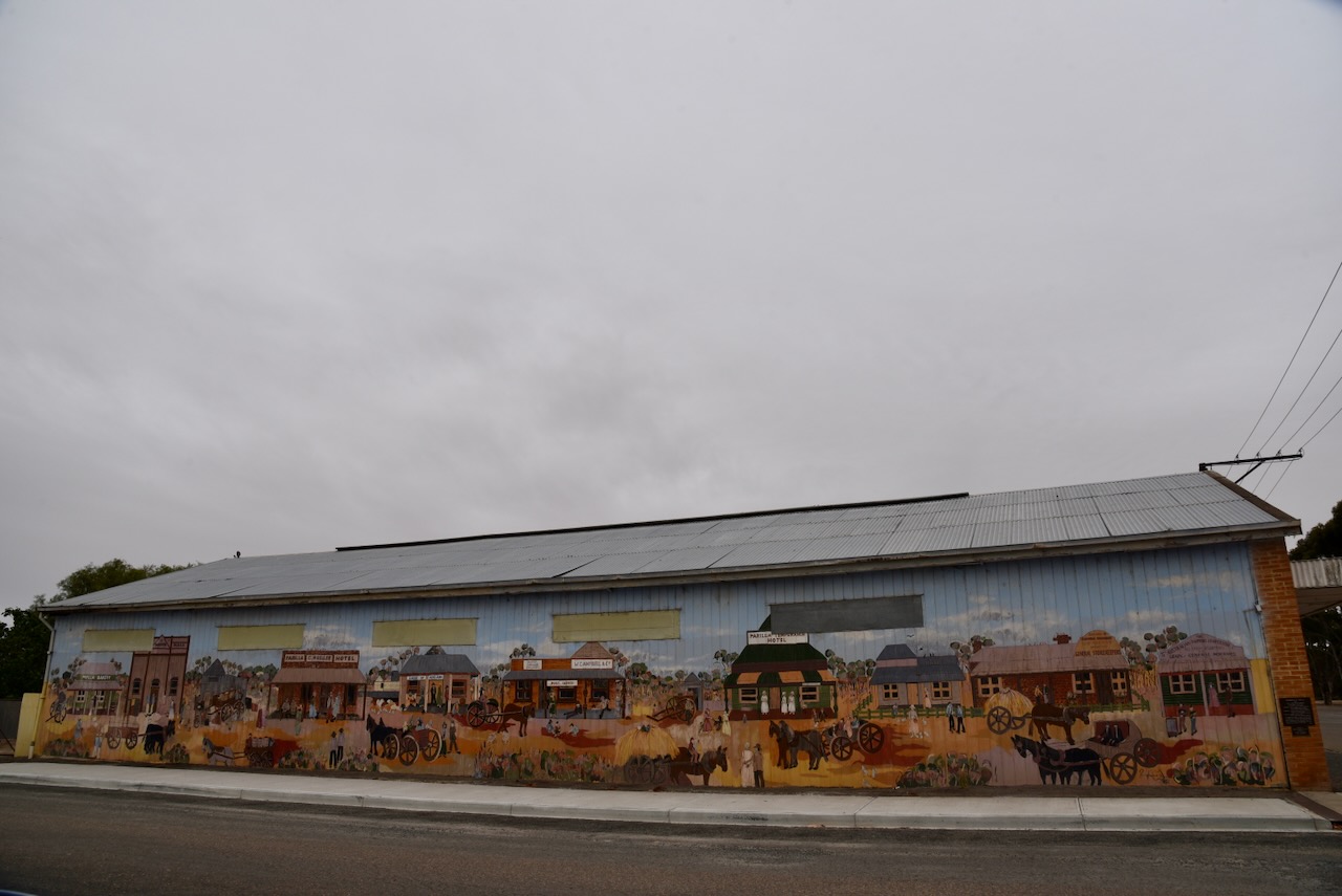
This small town has an excellent mural on the side of one of the buildings on the main street. It depicts Parilla’s early years.
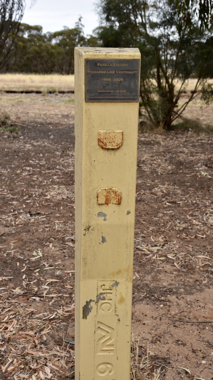
There are also signs of the old railway including a monument for the Pinaroo Line centenary. There was a station at Parilla and the railway line operated from 1906 until 2006.
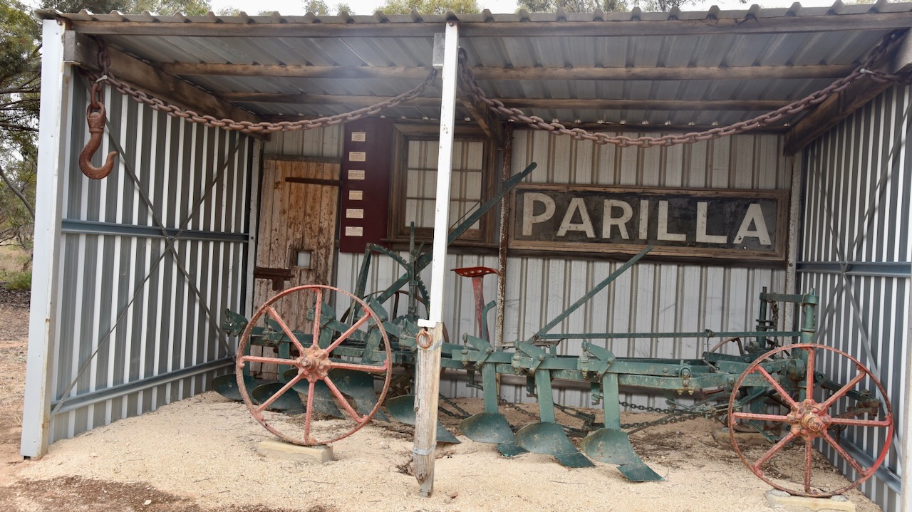
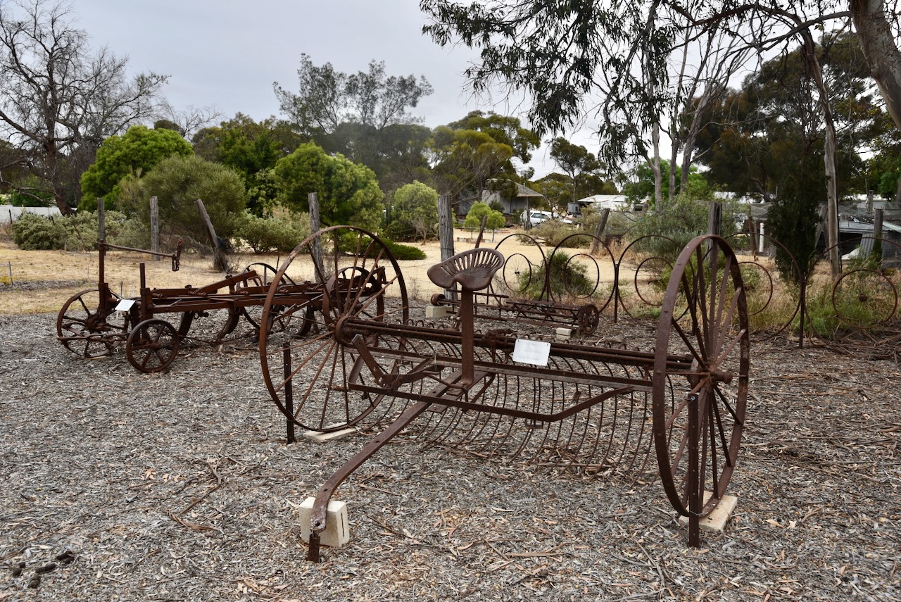
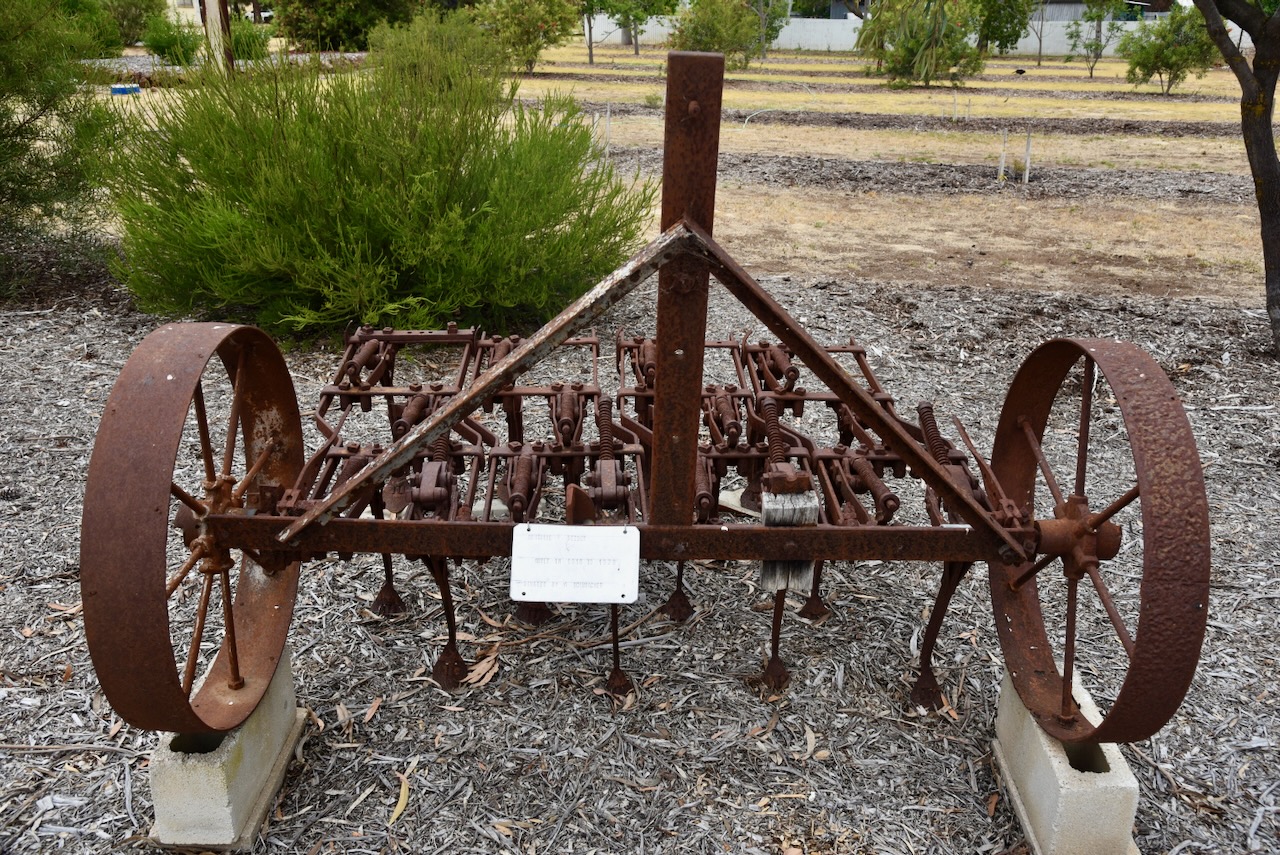
There is also a small display of historic farm machinery.
There is also a small monument to commemorate the Centenary of Federation and International Year of the Volunteer.

Below is a very interesting video on the town of Parilla from a current affair program a number of years ago
The bulk grain silos at Parilla are located adjacent to the railway line, however, grain is freighted out by the road, as are vegetables.

Marija and I parked right alongside the silos and operated from the 4WD, running the Icom IC7000, 100 watts, and the Codan 930 with the 1.5 metres stainless steel whip.

Above:- Map showing the activation zone at the Parilla silo. Image c/o SiOTA website.
Marija worked the following stations on 40m SSB:-
I worked the following stations on 40m SSB:-
I worked the following stations on 20m SSB:-
References.
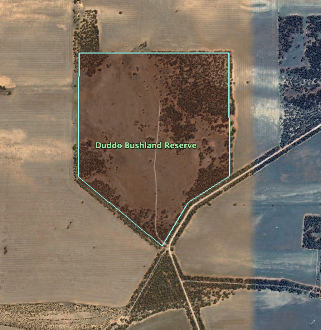
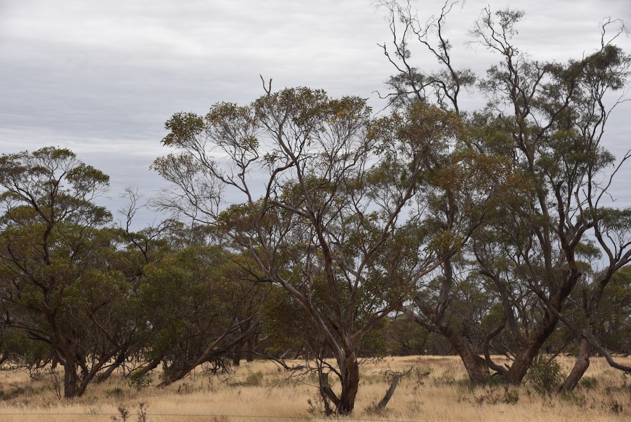
Our final park for Tuesday 14th November 2023, was the Duddo Bushland Reserve VKFF-4152. This was the first time the reserve had been activated for the World Wide Flora Fauna (WWFF) program.
The reserve is located about 15 km north of the town of Murrayville in northwest Victoria.

Above:- Map showing the location of the Duddo Bushland Reserve. Map c/o Google Maps.
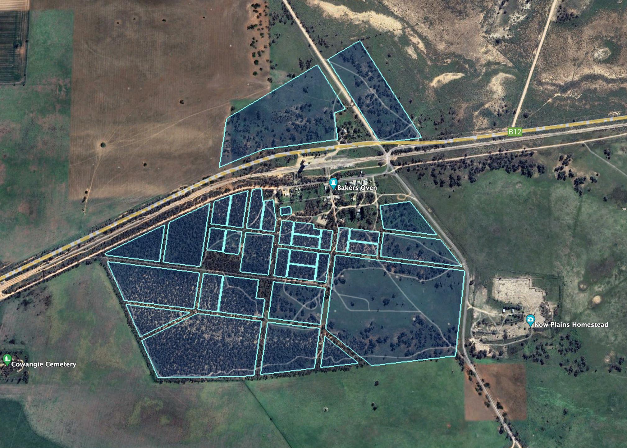
Duddo was originally an outstation of Brimin on Kow Plains. (Blake 1977) More information on Duddo can be found in my post regarding my activation of Duddo Wells Bushland Reserve.

Above:- Map of Duddo. Image c/o State Library Victoria.
Duddo Bushland Reserve is 86 hectares in size and was declared on the 1st day of May 1979. (CAPAD 2022)
Above:- An aerial view of the Duddo Bushland Reserve. Image c/o Google Earth.
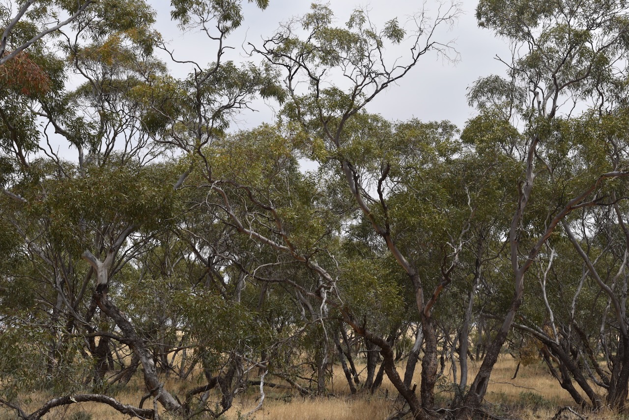
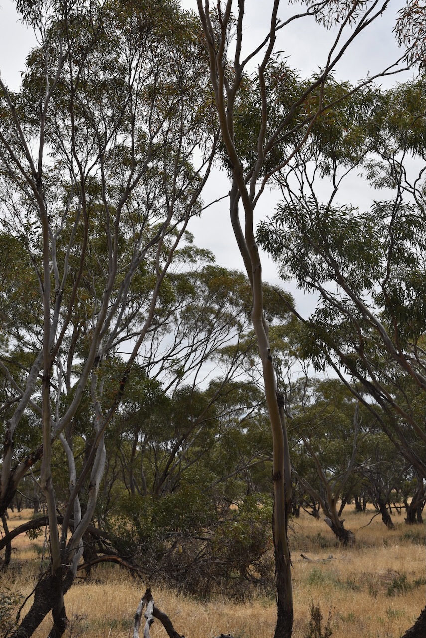
The park is located on Forsyth Road and is a piece of remnant mallee scrub surrounded by cleared farming land.
Marija and I found an unlocked gate and entered the reserve via a dirt track. We ran the Yaesu FT857, 40 watts, and the 20/40/80m linked dipole. I used the special callsign of VI10VKFF.

Marija worked the following stations on 40m SSB:-
Marija worked the following stations on 40m AM:-
I worked the following stations on 40m SSB:-
I worked the following stations on 40m AM:-
I worked the following stations on 20m SSB:-
References.
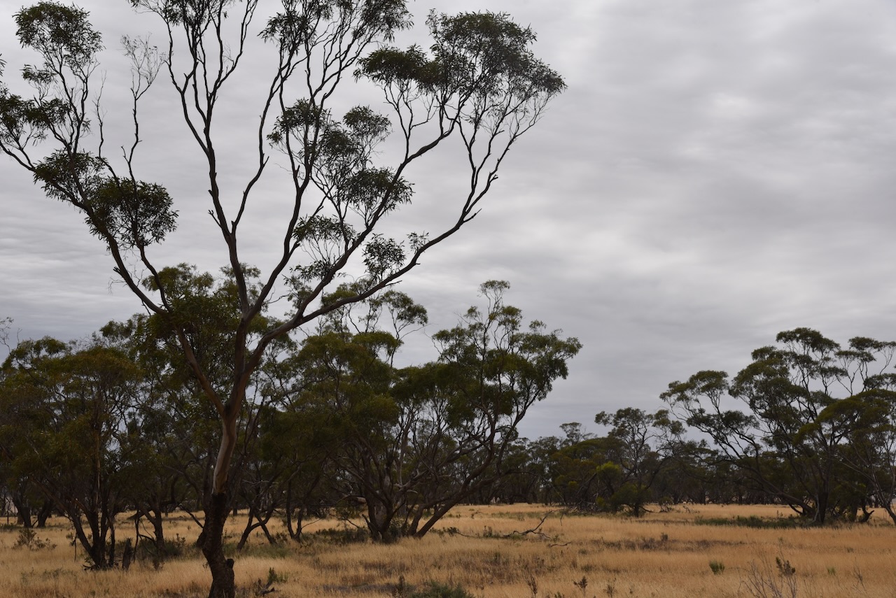
Our second park for Tuesday 14th November 2023 was the Pallarang Bushland Reserve VKFF-4157. This was the first time the reserve had been activated for the World Wide Flora Fauna (WWFF) program.
The reserve is located about 17 km north of the town of Cowangie in northwest Victoria.
Above:- Map showing the location of the Pallarang Bushland Reserve. Map c/o Google Maps.
Pallarang is a district in northwest Victoria. (MapshareVic 2024) Pallarang is an aboriginal word meaning to bow down. (Blake 1977)

Above:- The Pallarang district. Map c/o Map Share Victoria.
The Pallarang Bushland Reserve is about 23 hectares in size and was established on the 1st day of May 1979.
Parks Victoria has a page for Pallarang Bushland Reserve, but it contains no information about the reserve.

Above:- An aerial view of the Pallarang Bushland Reserve. Image c/o Google Earth.
The reserve is located on the eastern side of Chatterton Road, north of Morrison Plain Road.
We ran the Yaesu FT857, 40 watts, and the 20/40/80m linked dipole for this activation. I used the special call of VI10VKFF.
Marija worked the following stations on 40m SSB:-
I worked the following stations on 40m SSB before the UTC rollover:-
I worked the following stations on 40m SSB after the UTC rollover:-
I worked the following stations on 20m SSB:-
I worked the following stations on 15m SSB:-
References.
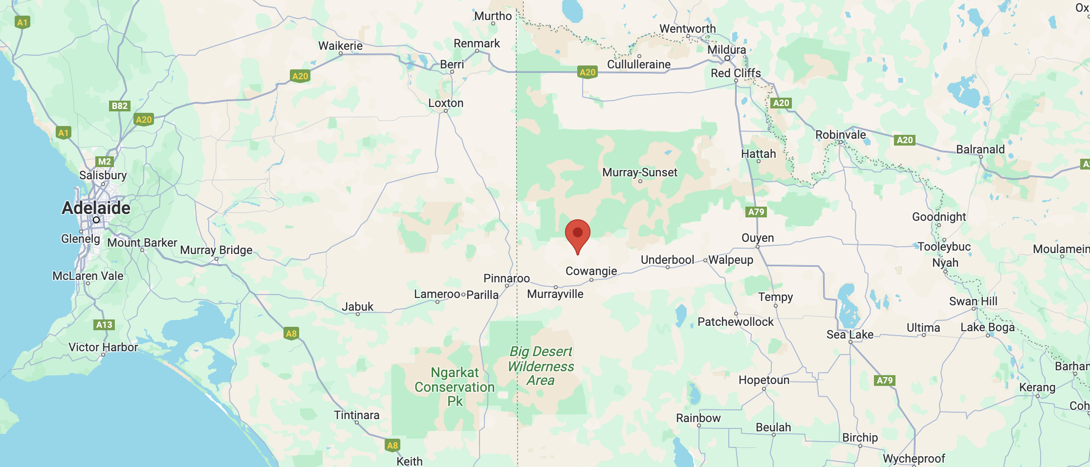
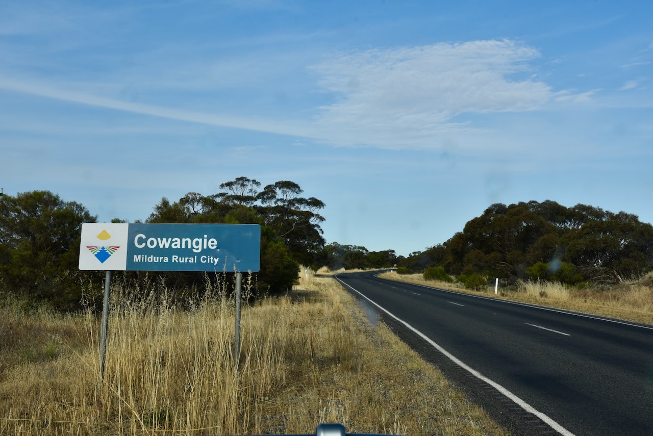
Our first activation for Tuesday 14th November 2023, was the Cowangie Railway Bushland Reserve VKFF-4158. This was the first time the reserve had been activated for the World Wide Flora Fauna (WWFF) program.
The reserve is located in the Mallee region of northwest Victoria.

Above:- Map showing the location of the Cowangie Railway Bushland Reserve. Map c/o Google Maps.
For a detailed history of Cowangie, please see my previous post.
The Cowangie Railway Bushland Reserve is about 60 hectares and was declared on the 1st day of May 1979. (CAPAD 2022)
The Parks Victoria website has a page about the reserve, but it contains no information other than a park boundary map.
The Reserve consists of part of the old Cowangie railway line,

Above:- An aerial view of the Cowangie Railway Bushland Reserve. Image c/o Google Earth.
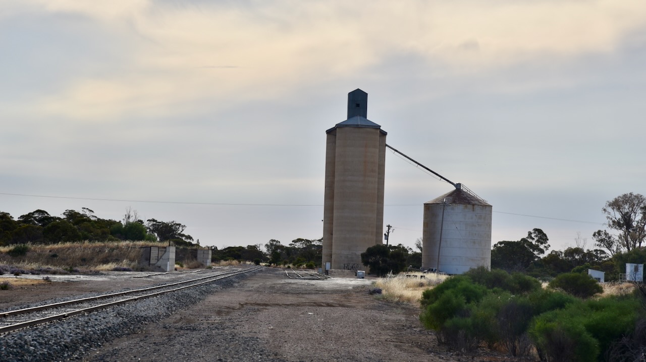
The railway line reached Cowangie in February 1912 and was part of the Pinnaroo line. (Kow Plains 2024)

Above:- Cowangie Railway Station c. 1925. Image c/o Museums Victoria.
We found a dirt track off Cemetery Road, which followed the railway line. We ran the Yaesu FT857, 40 watts and the 20/40/80m linked dipole for this activation. I used the special event call of VI10VKFF.
The highlight of this activation was working 4W8X in Timor Leste on 20m SSB.
Marija worked the following stations on 40m SSB:-
I worked the following stations on 40m SSB:-
I worked the following station on 80m SSB:-
I worked the following stations on 20m SSB:-
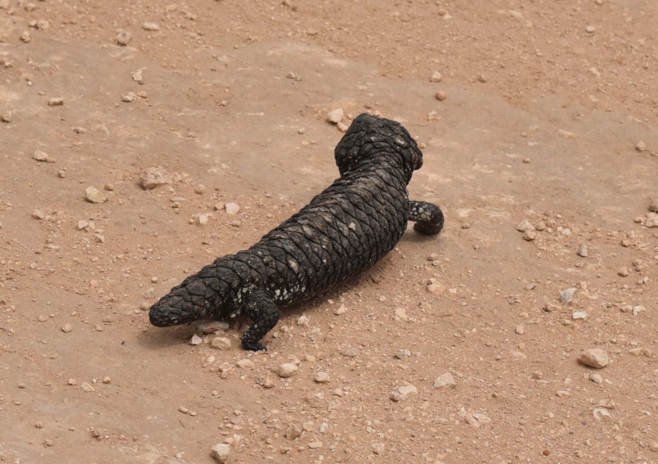
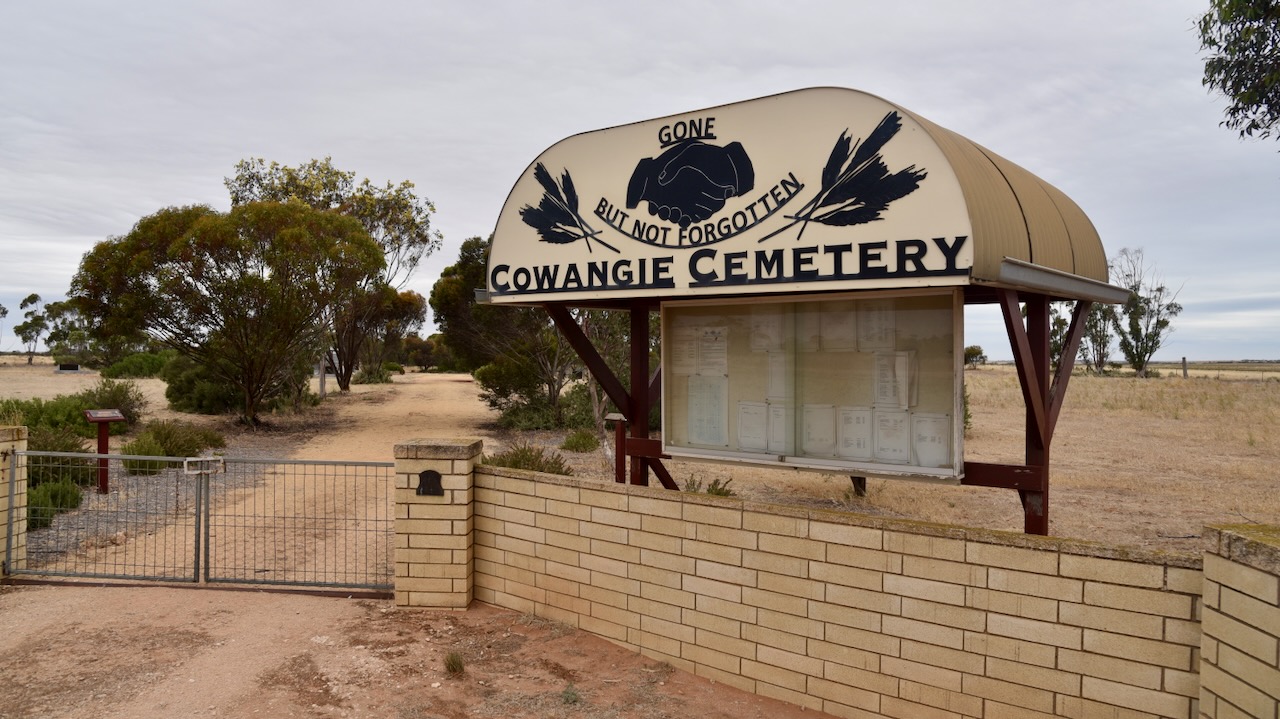
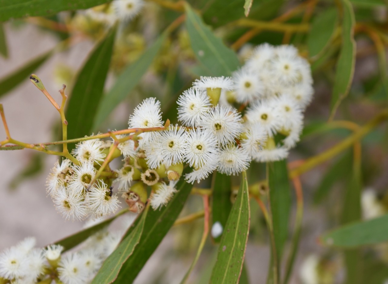
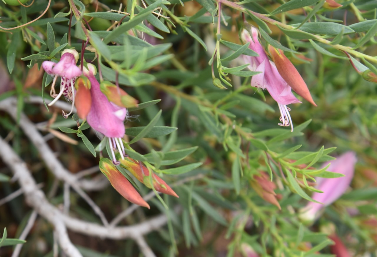
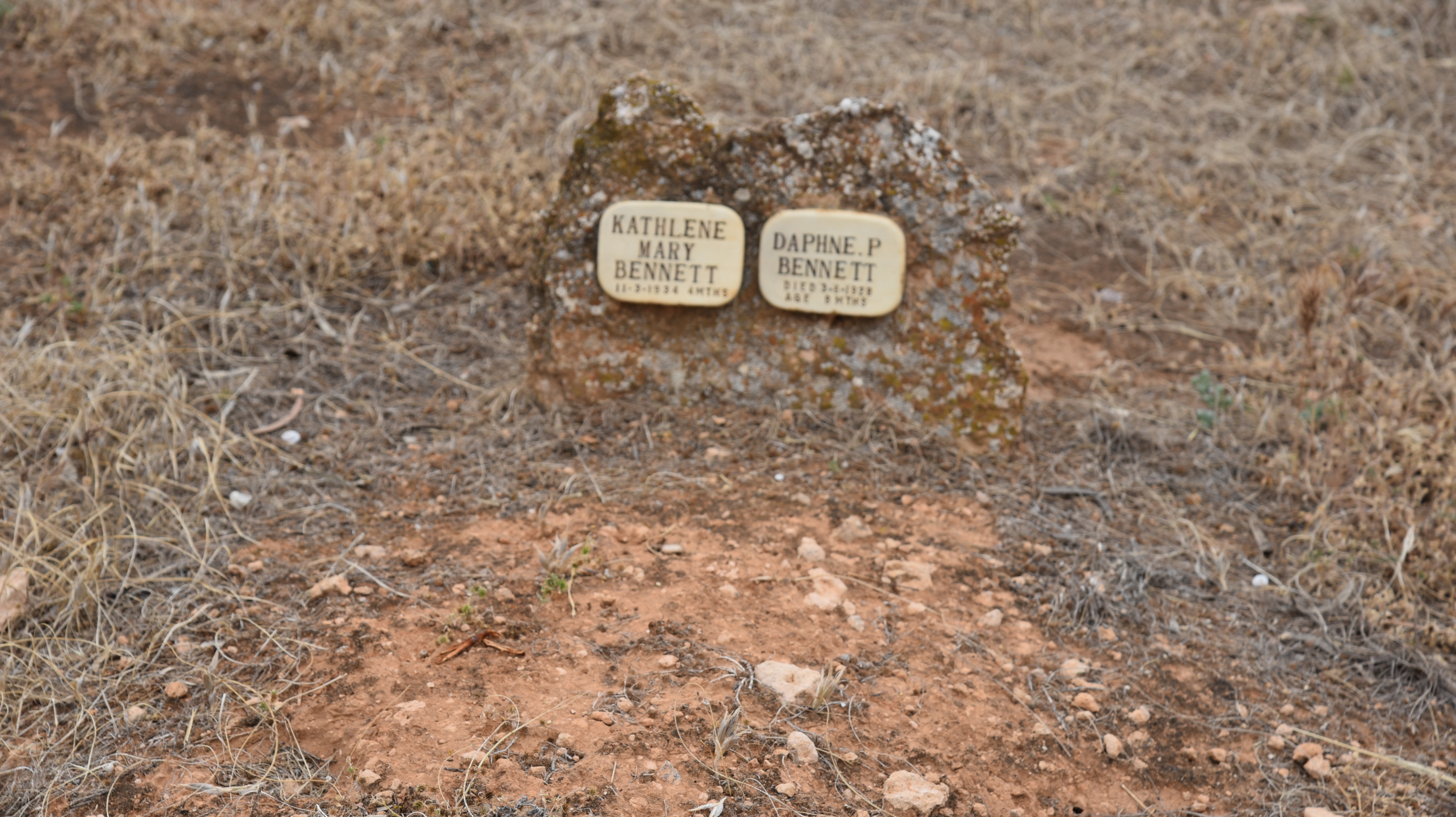
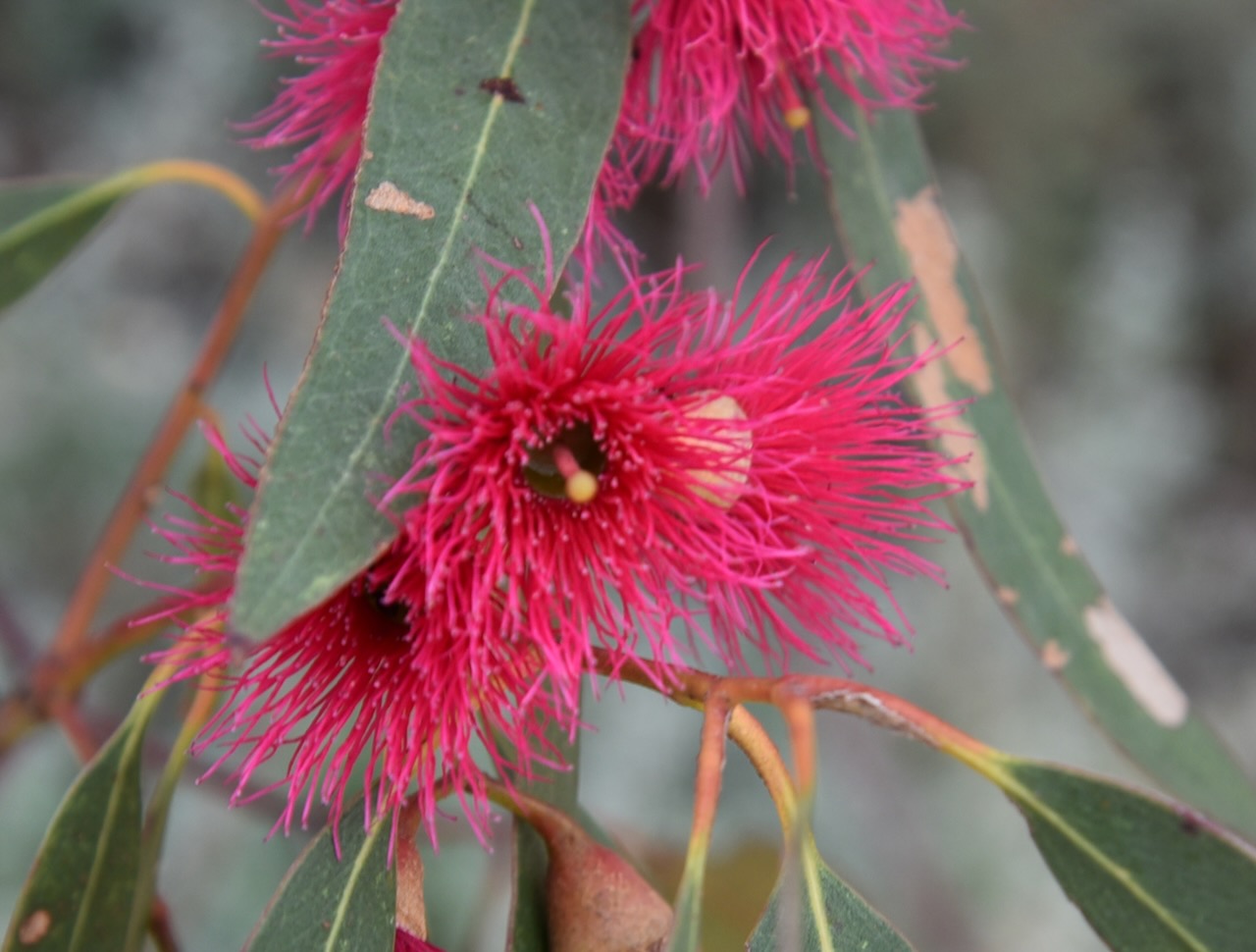
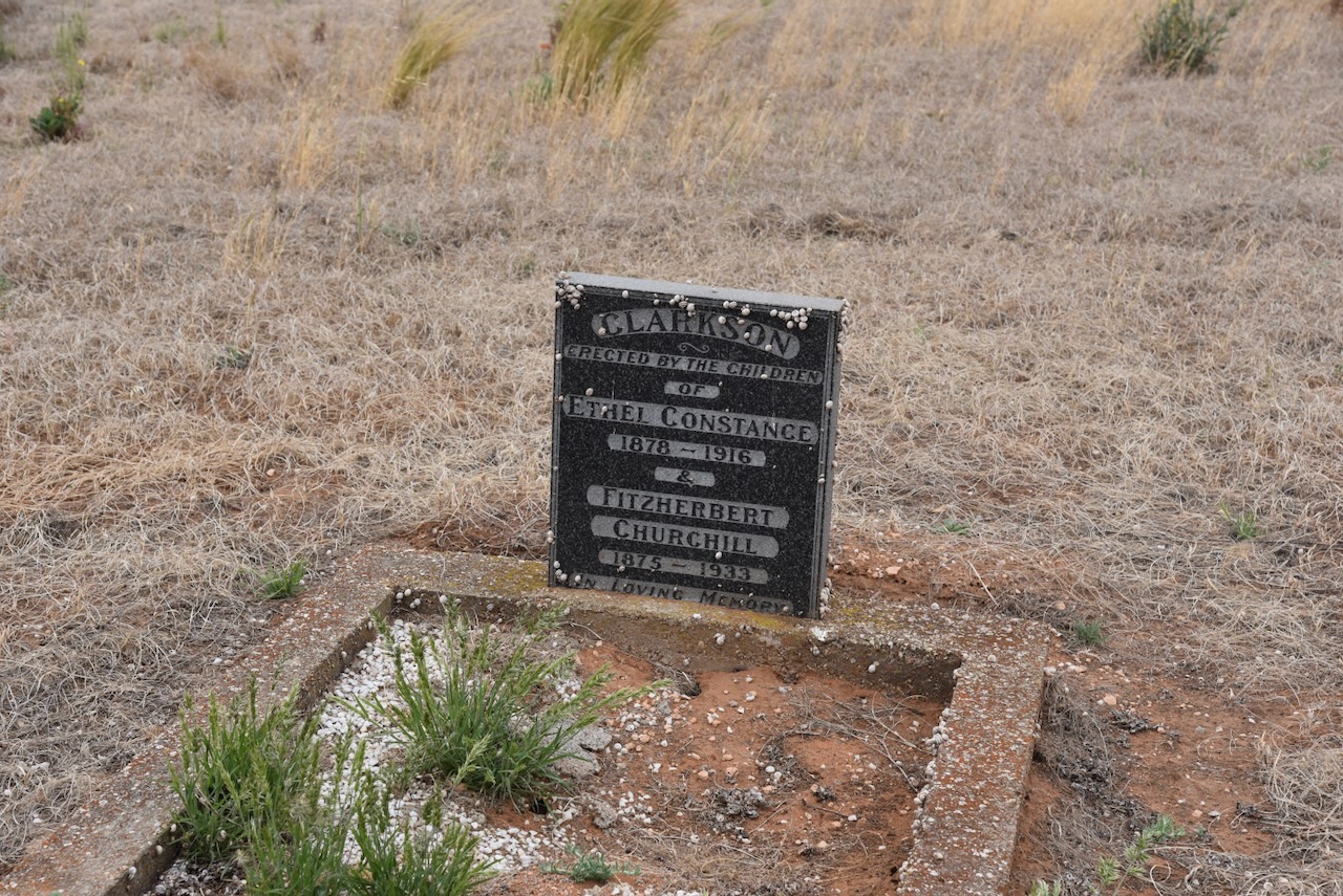
Following our activation we visited the Cowangie cemetery to view some of the old headstones. Many of the native shrubs at the cemetery were in flower.
References.
Our eighth and final activation for Monday 13th November 2023 was the Cowangie Bushland Reserve VKFF-4159 and the Cowangie silo VK-CWE3. This was the first time the reserve had been activated for the World Wide Flora Fauna (WWFF) program.
The reserve is located about 19 km east of Murrayville in northwest Victoria.
Above:- Map showing the location of the Cowangie Bushland Reserve. Map c/o Google Maps.
The Cowangie Bushland Reserve is about 142 hectares in size and was declared on the 1st day of May 1979. (CAPAD 2022)
The Parks Victoria website has a page regarding the reserve but contains no information other than a park boundary map.
The reserve consists of a number of separate pieces of land surrounding the town of Cowangie.
Above:- An aerial view of the Cowangie Bushland Reserve. Image c/o Google Earth.
We set up within the activation zone of the Cowangie silo. We found a dirt track in one of the southern sections of the reserve.
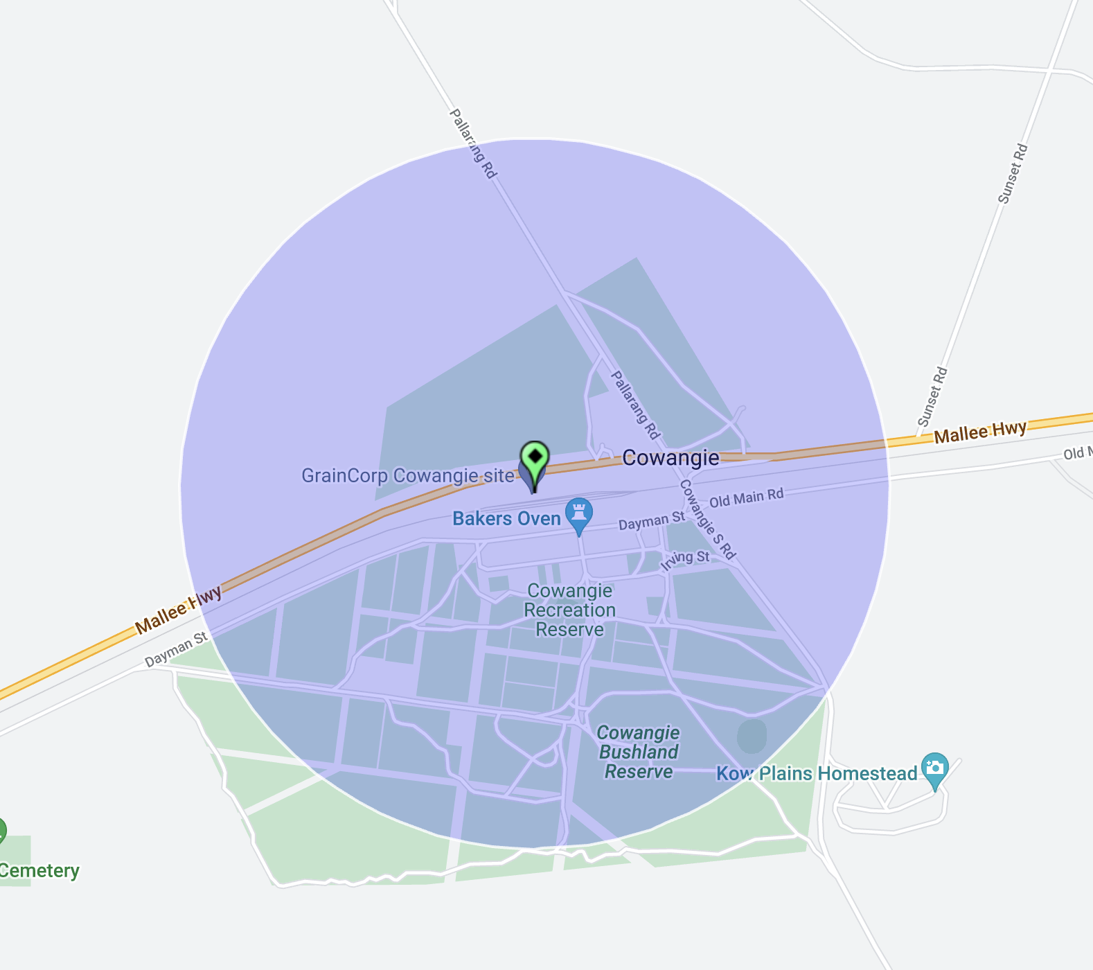
Above:- The activation zone at the Cowangie silo. Image c/o SiOTA website.
We ran the Yaesu FT857, 40 watts, and the 20/40/80m linked dipole for this activation. I used the special event call of VI10VKFF.
We ended up with a total of 56 QSOs on 40m SSB. As it was getting late, we did not operate on the 20m band.
Marija worked the following stations on 40m SSB:-
I worked the following stations on 40m SSB:-
I worked the following station on 40m AM:-
References.
Amateur Radio, Short Wave Listening, travel and history
Amateur radio experiences with VK1DA
Brisbane - Australia
german amateur radio station
Summits On The Air
SOTA on the peaks, wilderness QRP and some bushwalking
A fine WordPress.com site
Amateur Radio Adventures
Summits on the Ai
Amateur radio station from Belgium
Radio craft, homebrew, QRP/SOTA, AM
Ego loqui ad viros super montes
My adventures with Amateur Radio and Geocaching!
The rantings of VK2GAZ on his SOTA experiences in Australia
A survivor, with minor cuts and abrasions.
The Art and Craft of Blogging
The latest news on WordPress.com and the WordPress community.
Blog of Justin Giles-Clark VK7TW's SOTA and amateur radio adventures.
Occasional SOTA & Microwave operation
