On Monday morning (11th May 2015), David VK5KC, Trevor VK5ATQ, and I were picked up outside of the motel by Andrew VK1NAM. Andrew had organised with us the day before to take us up to Mount Stromlo, VK1/ AC-043 for a SOTA activation. I was due to fly out of Canberra back to Adelaide later that afternoon.

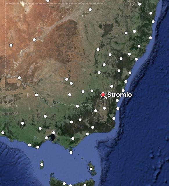
Above:- Map showing the location of Mt Stromlo. Image courtesy of mapcarta.com
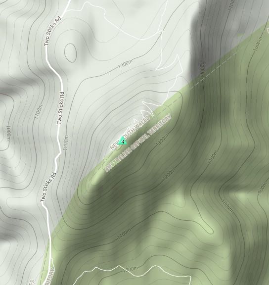
Mount Stromlo, VK1/ AC-043, is 782 metres above sea level and is worth 1 SOTA point. The summit is located just outside of Canberra and is the site of the Mount Stromlo Observatory, which is part of the Research School of Astronomy and Astrphysics at the Australian National University. The observatory was established in 1924 as the Commonwealth Solar Observatory. In January 2003, Mt Stromlo was devastated by the Canberra bushfires. The summit was surrounded by pine forest at that time, which was totally destroyed along with five telescopes, workshops, seven homes, and the heritage listed administration building. The only telescope to survive the fires was the 1886 15-centimetre Farnham telescope.

Above image courtesy of http://www.smh.com.au
For more information on the observatory, have a look at…..
http://rsaa.anu.edu.au/observatories/mount-stromlo-observatory
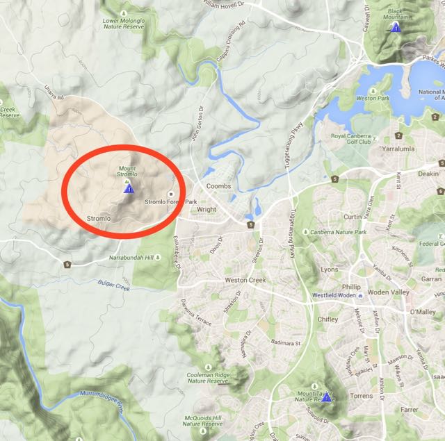
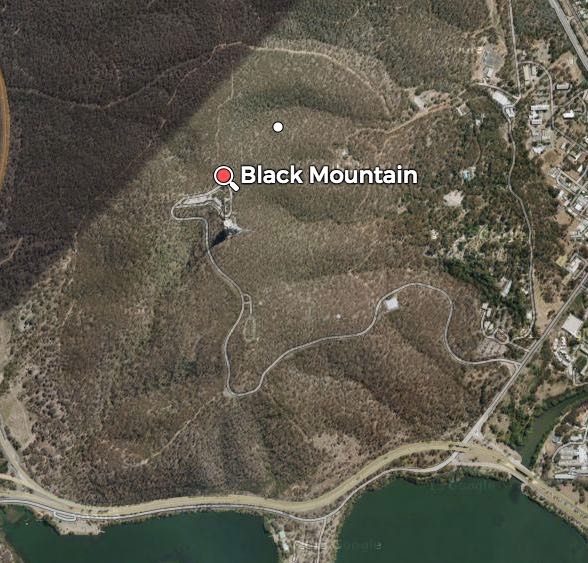
Above:- Map showing the location of Mt Stromlo. Image courtesy of sotamaps.org
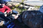
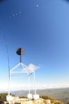
Andrew parked his car in the lower carpark, and we walked up the track to our operating spot, which was a little further on from the trig point. Andrew had warned us that operating from the trig point would end in misery, as the noise floor at that location was extremely high. So we continued on the path and set up at a high point with spectacular views in all directions.

One of the damaged buildings

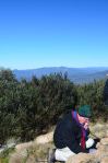
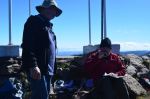
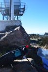
Andrew VK1NAM setting up
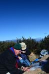
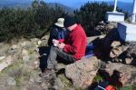
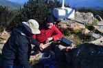
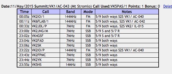
David VK5KC started off first and he had soon bagged his 4 contacts to qualify the summit. I then got my 4 qualifying contacts consisting of Gerard VK2JNG mobile, George VK4GSF, John VK2FAD and Markus VK2SK. Trevor VK5ATQ then took control of the mic and appeared to have a lot of fun on his very first SOTA activation.
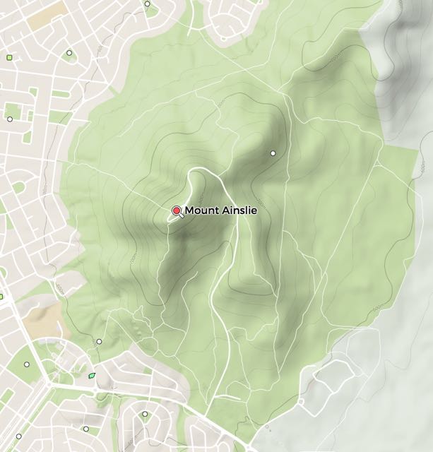
Whilst Trevor was on air, Andrew called me over for a 2m FM contact with Gerard VK2IO who was portable on SOTA peak, Mount Ainslee, VK1/ AC-040.
The four of us kept swapping the mic, and after the UTC rollover I managed another three summit to summit contacts: Gerard VK2IO/1 on Mount Ainslee on 2m FM, Onno VK6FLAB/1 on Black Mountain VK1/ AC-042, and Phil VK2JDL portable on Mount Kembla VK2/ IL-015.
This slideshow requires JavaScript.
At the conclusion of the activation we walked over to the cemetery located on the summit. A number of people are buried here including Walter Geoffrey Duffile, (1879-1929, who was the founding Director of the Commonwealth Solar Observatory.
This slideshow requires JavaScript.
We then started walking back to the car and bumped in to Andrew VK1MBE and Onno VK6FLAB who had just arrived at the summit from Black Mountain. They were in the middle of setting up.
We continued back to the car and had a quick look at some of the burnt out buildings near the carpark. We were in desperate need of a coffee, but unfortunately the cafe was closed. And we had timed the activation well, as it had just started to rain. Poor old Andrew & Onno. We did try to make contact with them via 2m once we had driven outside the activation zone, but could not get through to them.
This slideshow requires JavaScript.
After leaving Stromlo we paid a visit to one of the local cafes where we enjoyed some nice hot coffee and a bowl of soup. Fortunately there was a bottle shop next door, so I quickly rushed in there to buy a bottle of South Australian red for Andrew VK1NAM and Andrew VK1DA in recognition of their efforts in taking us out for some portable action. It was a lot of fun.
I worked the following stations:-


![[Panorama of the site for Canberra taken from Mt. Ainslie, 1910s] [picture] /](https://vk5pas.org/wp-content/uploads/2015/05/panorama-of-the-site-for-canberra-taken-from-mt-ainslie-1910s-picture1.jpg)