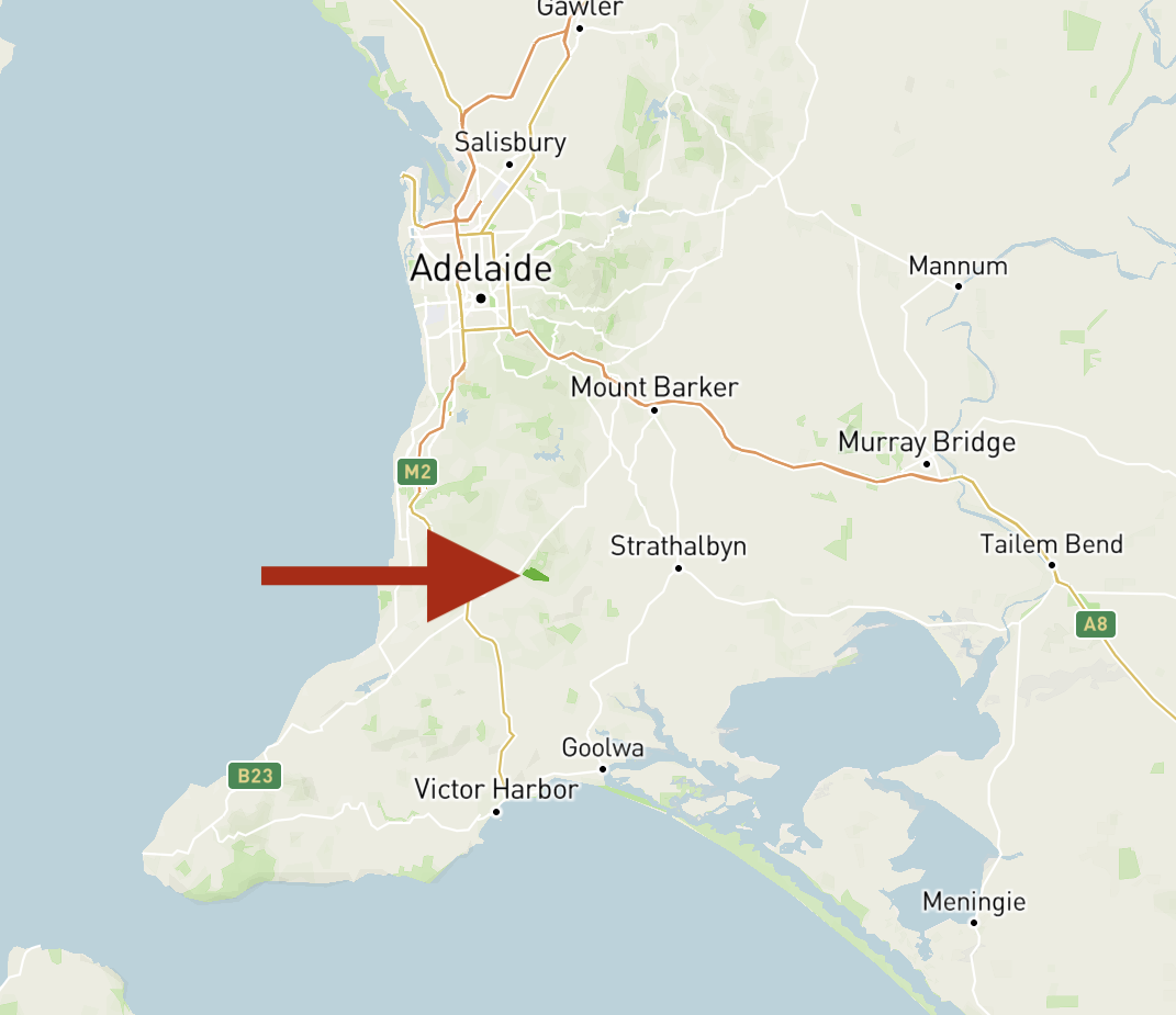
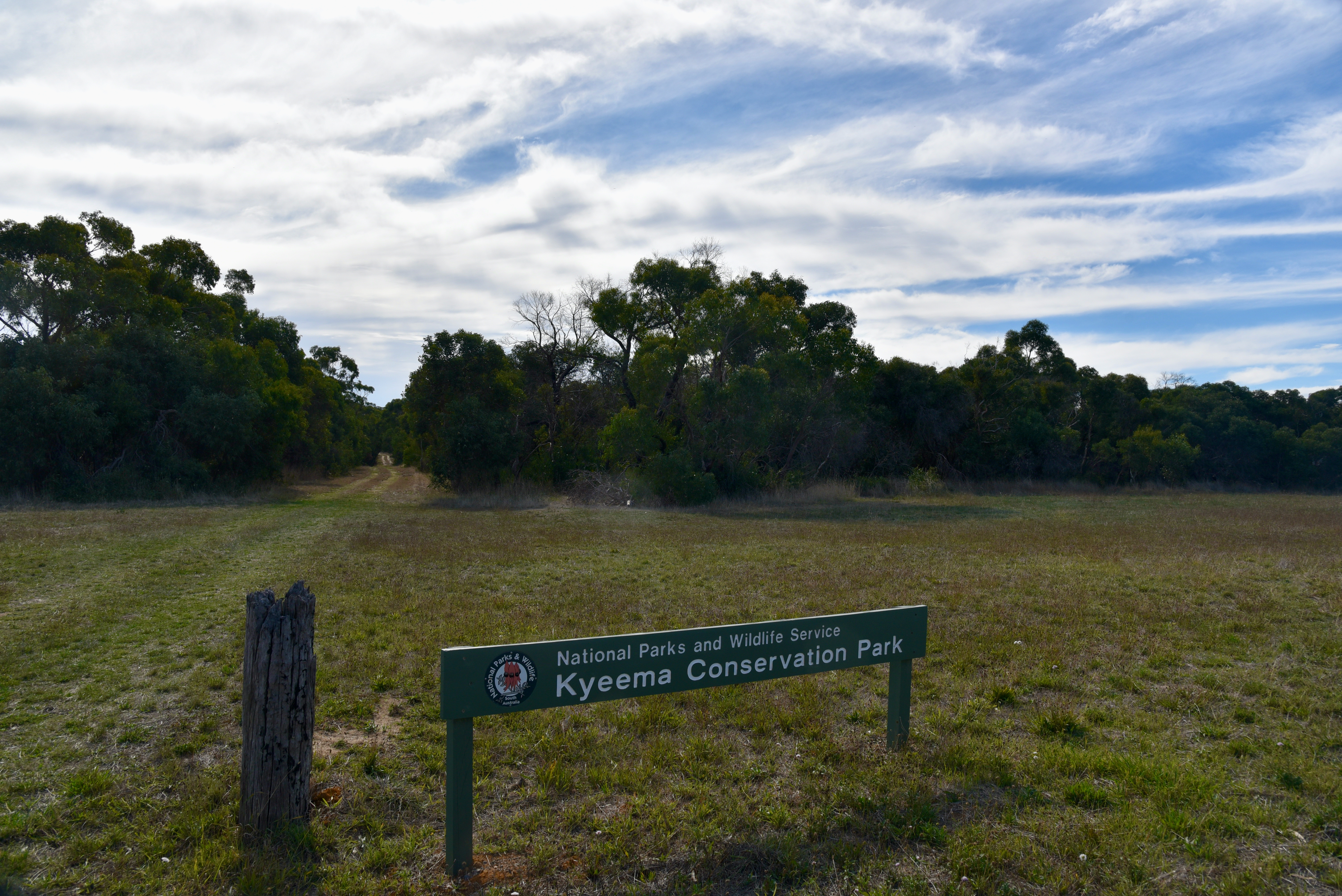
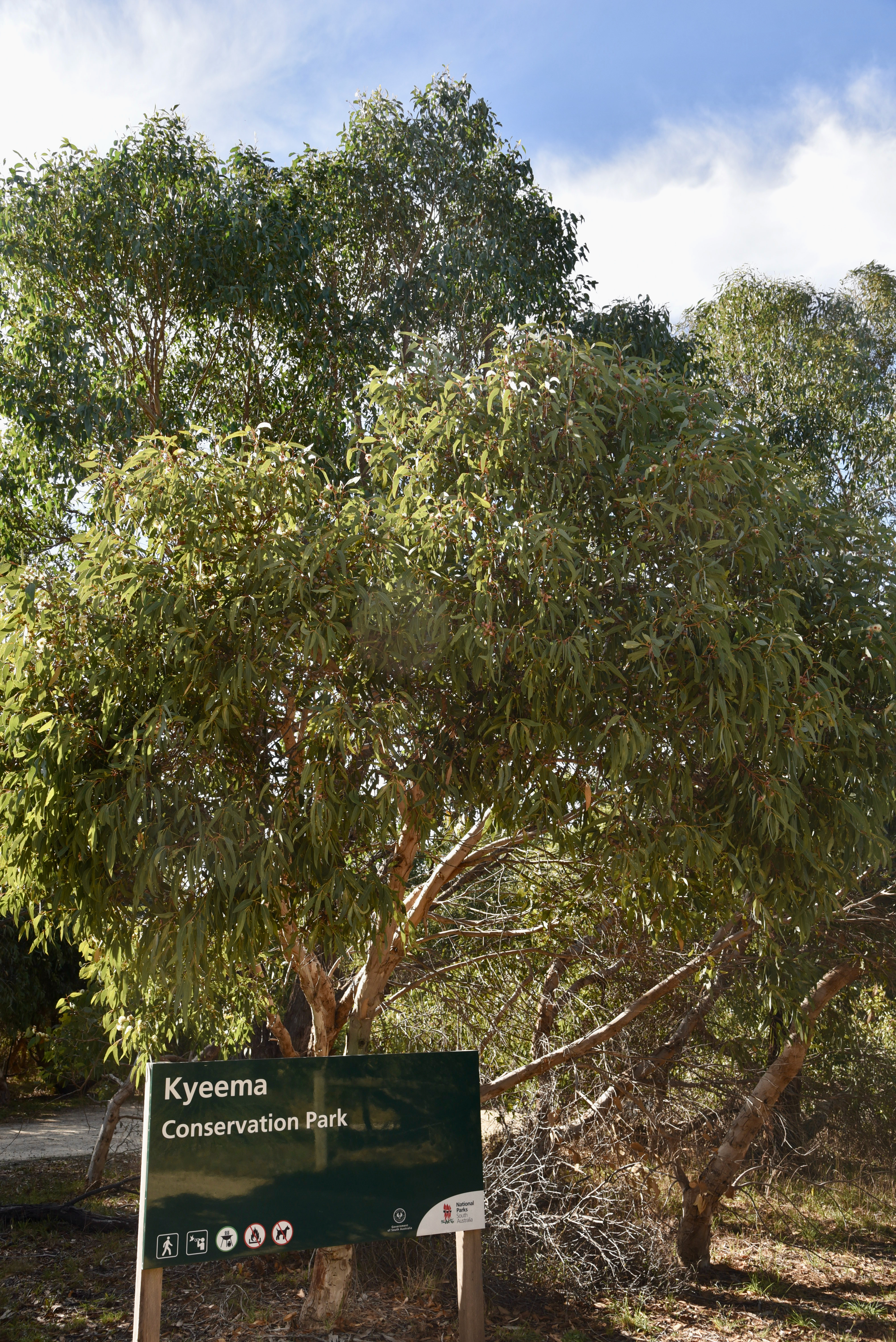
After packing up at Mount Lofty I headed to the Kyeema Conservation Park 5CP-107 & VKFF-0826. The park is located about 62 km south of Adelaide
Above:- Map showing the location of the Kyeema Conservation Park. Map c/o Protected Planet.
The Kyeema Conservation Park is about 346 hectares (850 acres) in size and was established on the 12th day of November 1964. In those days it was a wildlife reserve proclaimed under the National Park & Wildlife Reserves Act. On the 2rd day of August 1967 the wildlife reserve and another section of land were proclaimed as the Kyeema National Park. On the 27th day of April 1972 the park was reconstituted as the Kyeema Conservation Park. On the 4th day of April 1974 further sections were added to the park.
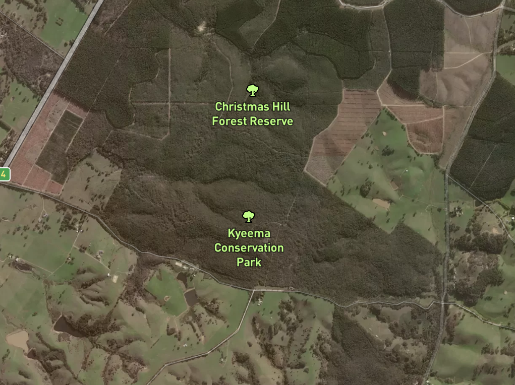
Above:- The Kyeema Conservation Park showing the adjacent Christmas Hill Native Forest Reserve. Image c/o Protected Planet.
The name Kyeema is believed to be local Kaurna aboriginal language meaning ‘dawn’.
The park is bounded in the south by Woodgate Hill Road, in the east by Blackfellows Creek Road, and the park’s boundary with the locality of Kuitpo in the west and in part to the north.
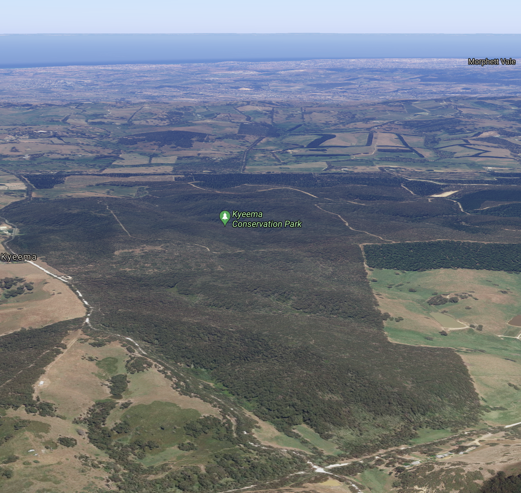
Above:- An aerial shot of the Kyeema Conservation Park. Image c/o Google maps
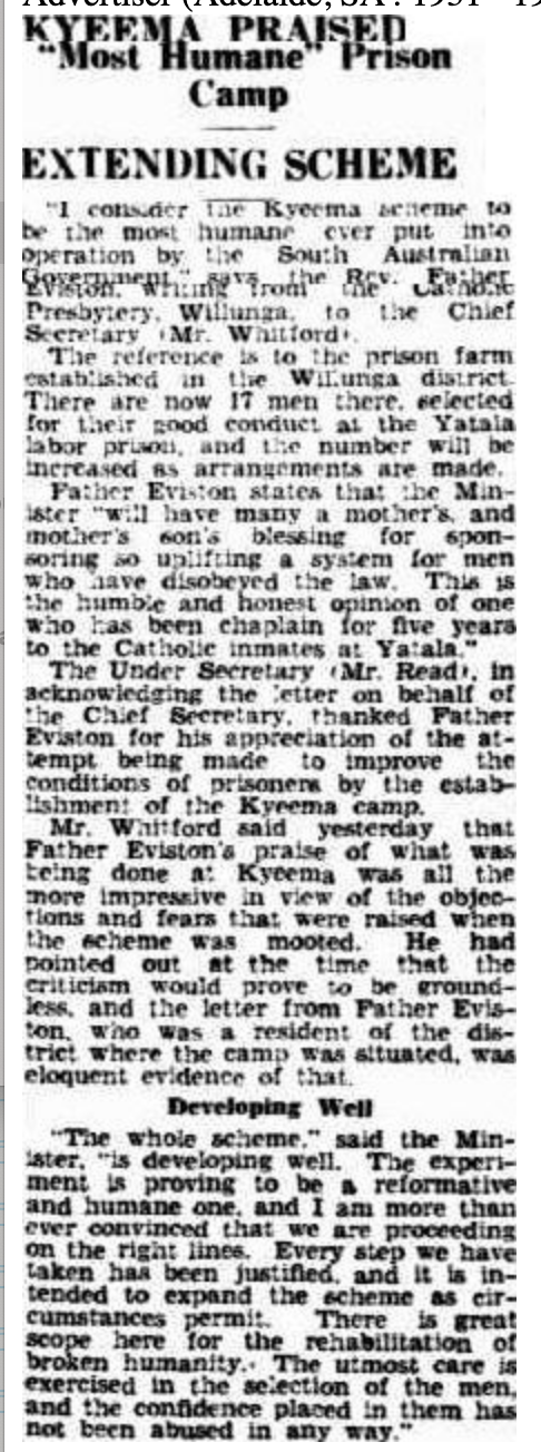
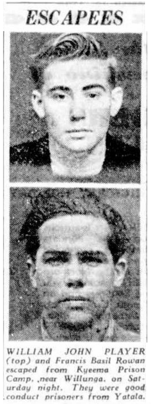
Prior uses of the land included the use of part of the current day park as a labour prison reserve, the Kyeema Afforestation Camp, which was opened on the 22nd day of March 1932. This was South Australia’s first prison camp. On the 27th day of October 1932 it was gazetted as the Kyeema Prison Camp. It operated until 1959 when it was replaced by the current Cadell Training Centre in the Riverland region of South Australia.
Above:- Article from The Advertiser, Adelaide, Tues 6 Sept 1932. Image c/o Trove
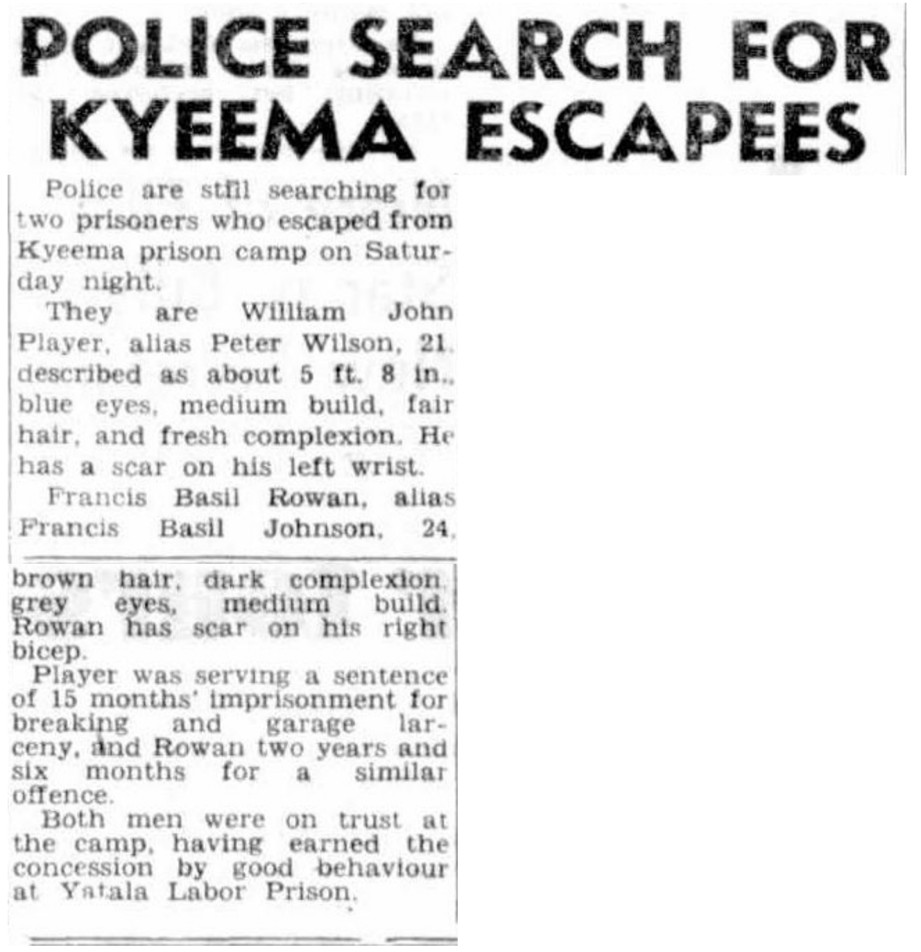
Above:- News article re escapees from Kyeema, The News Adelaide, 15 March 1948. Image c/o Trove
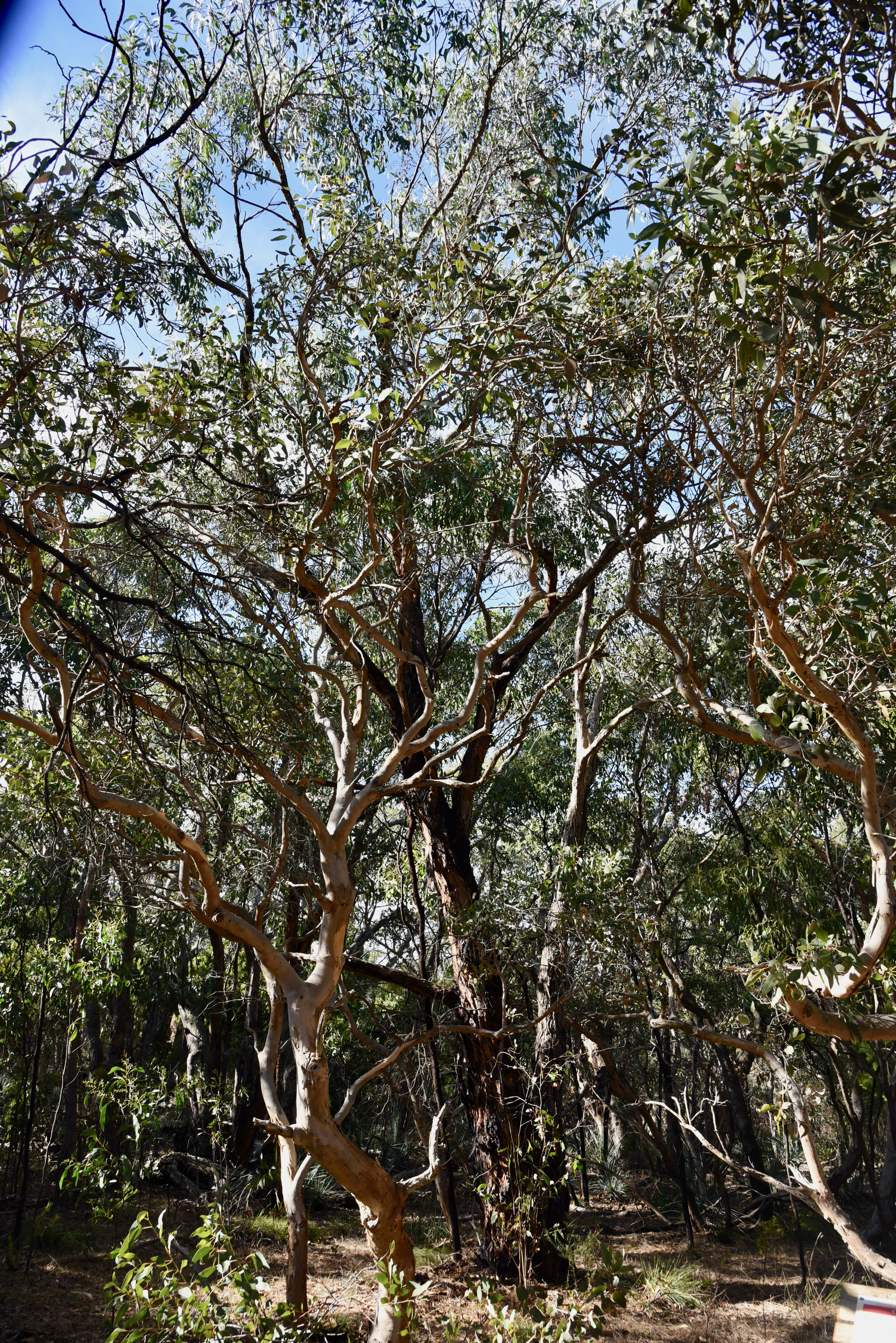
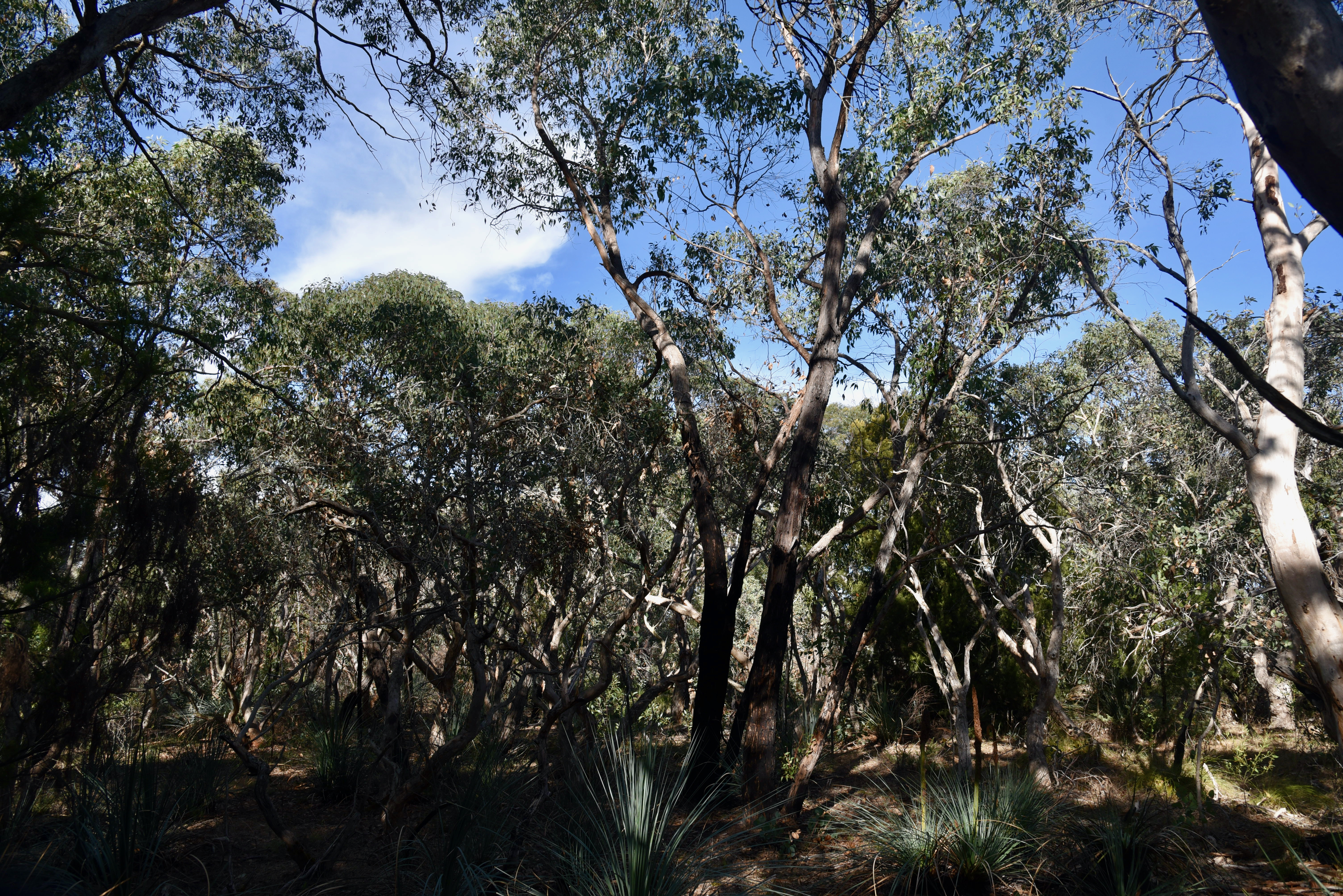
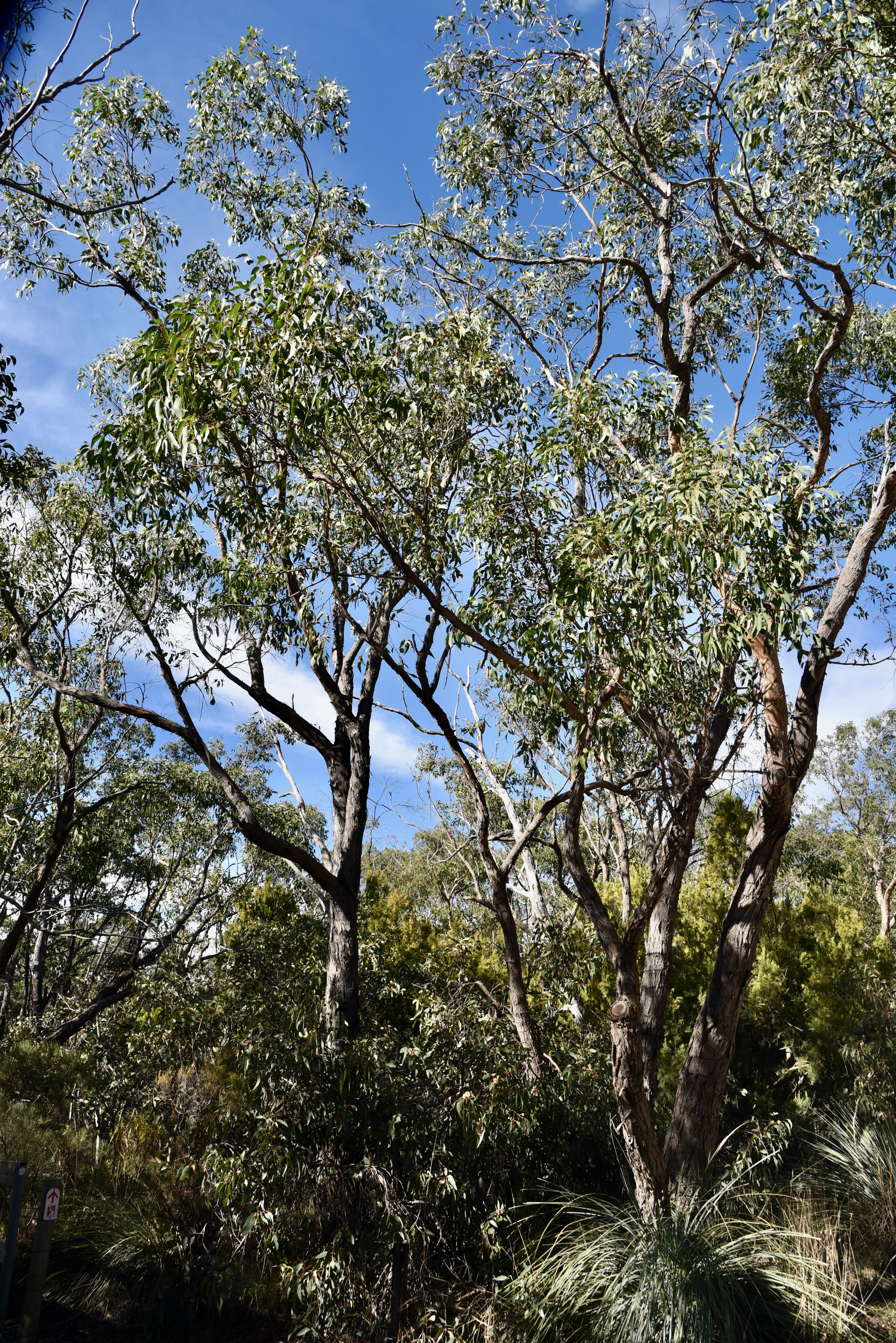
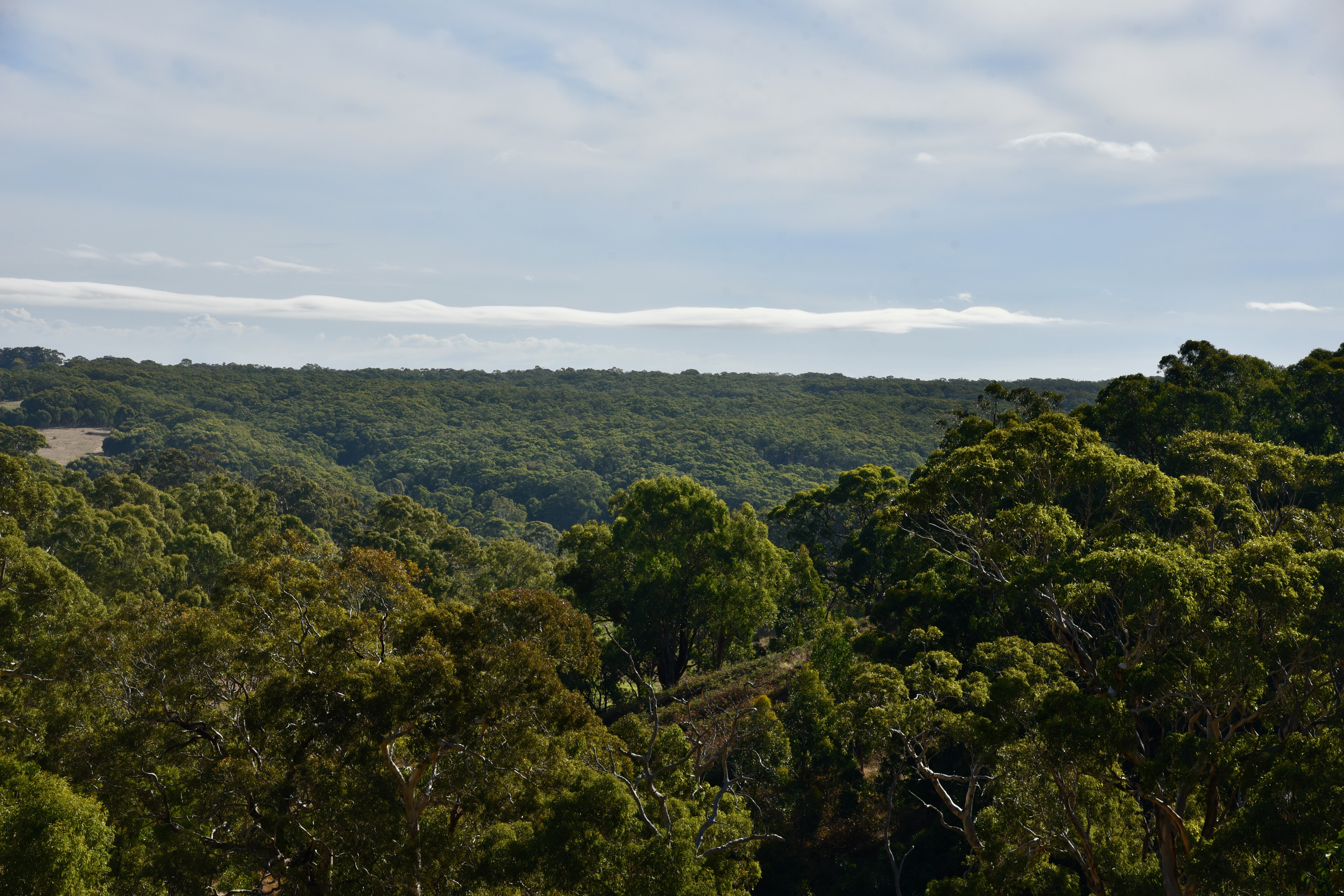
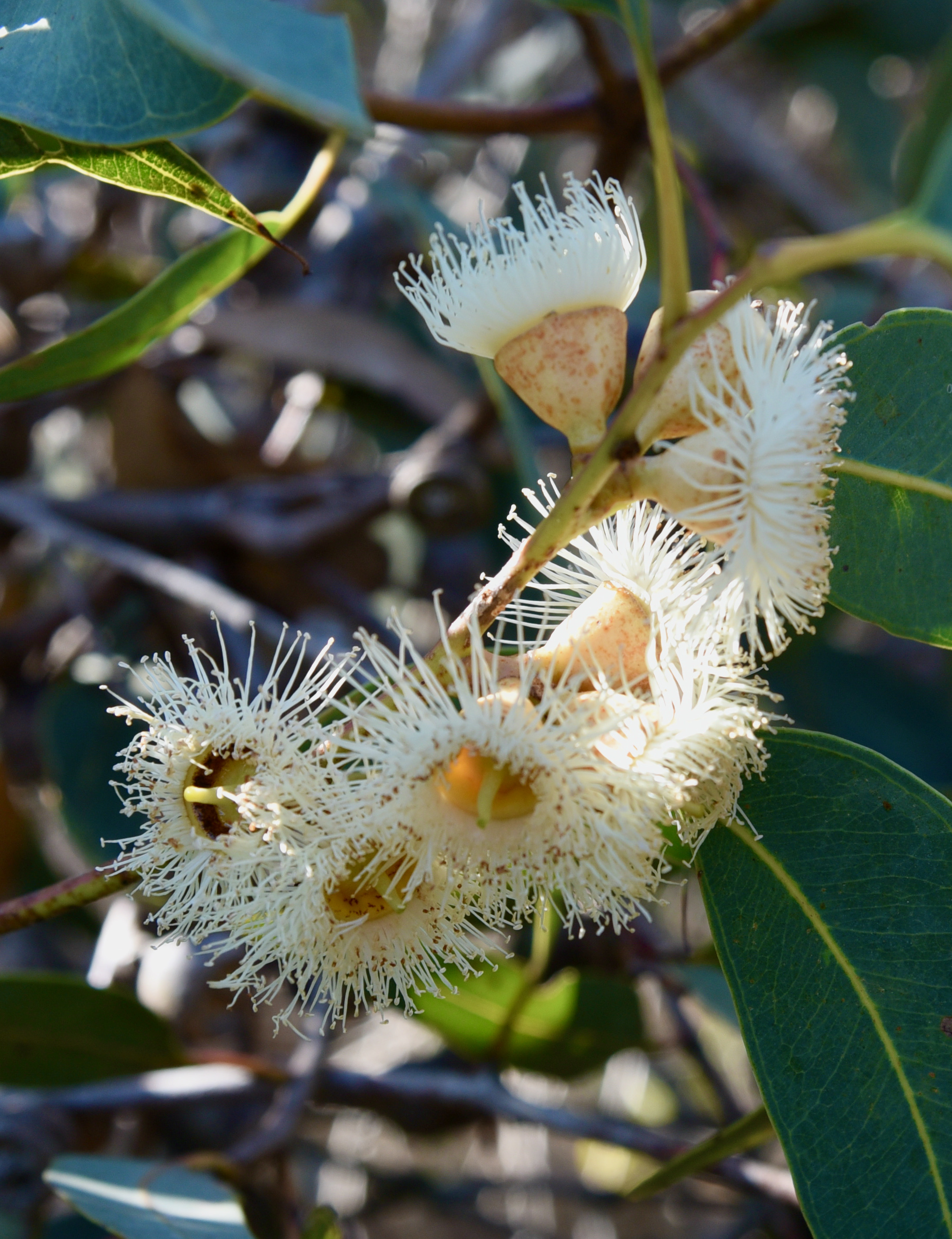
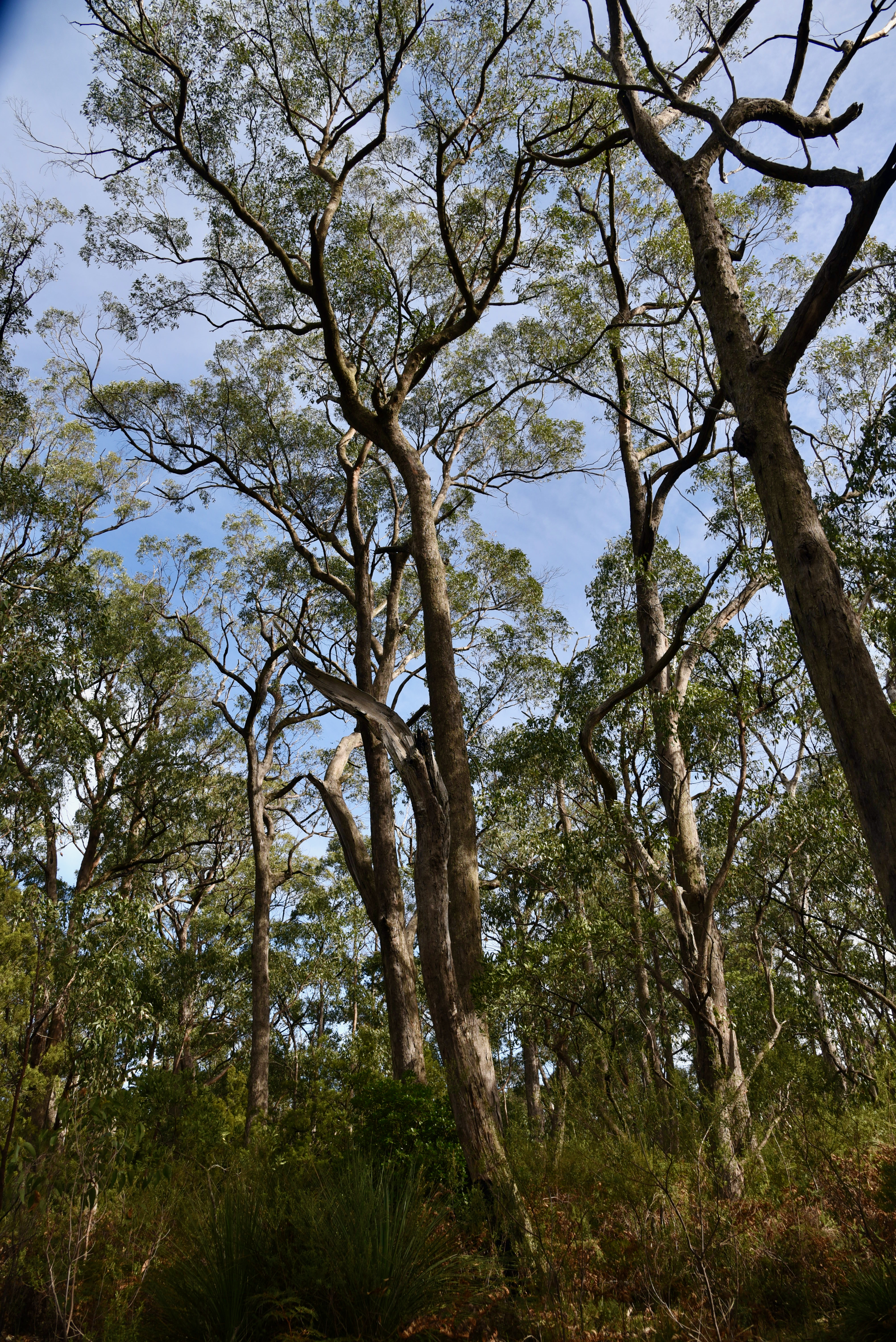
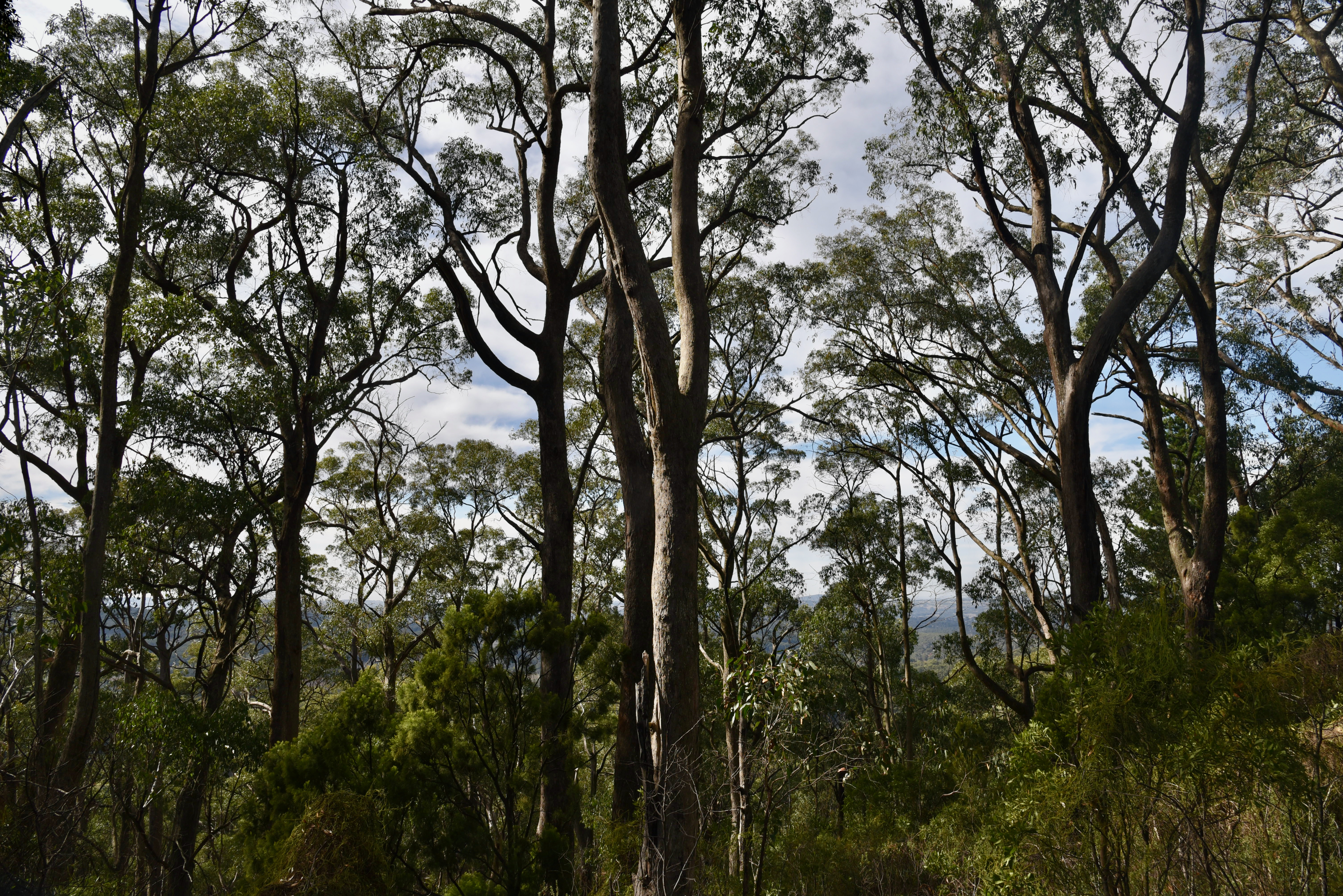
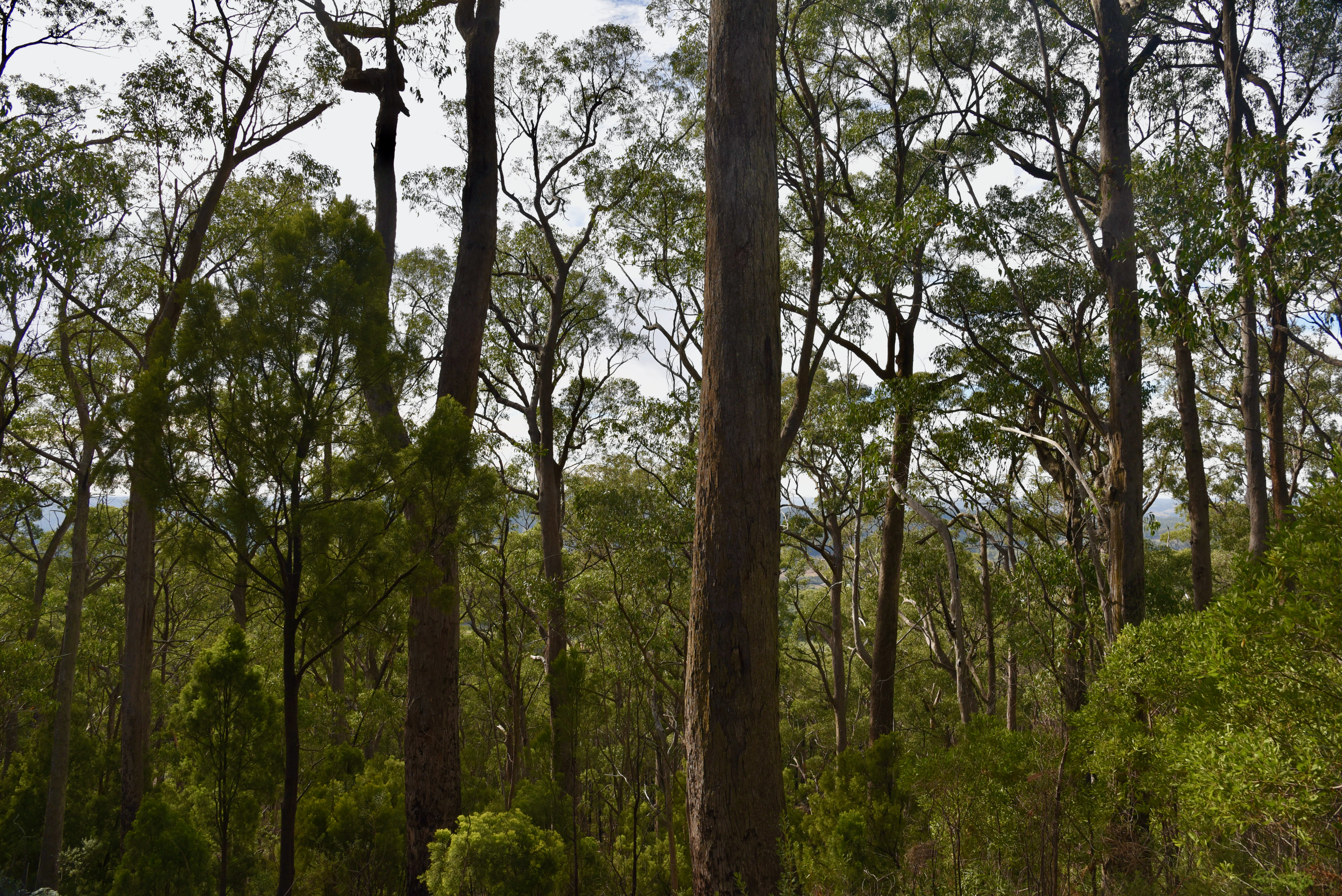
The overstorey in the park is predominantly messmate stringy bark (Eucalyptus obliqua), with some pink gum (E. fasciculosa) and cup gum (E. cosmophylla) and a diverse under storey.
Birds Sa have recorded about 84 native species of bird in the park including Superb Fairywren, Striated Thornbill, Brown Thornbill, White-browed Scrubwren, Crescent Honeyeater, Yellow-faced Honeyeater, and Grey Shrikethrush.
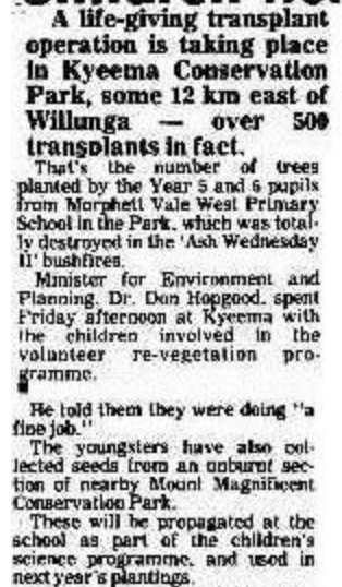
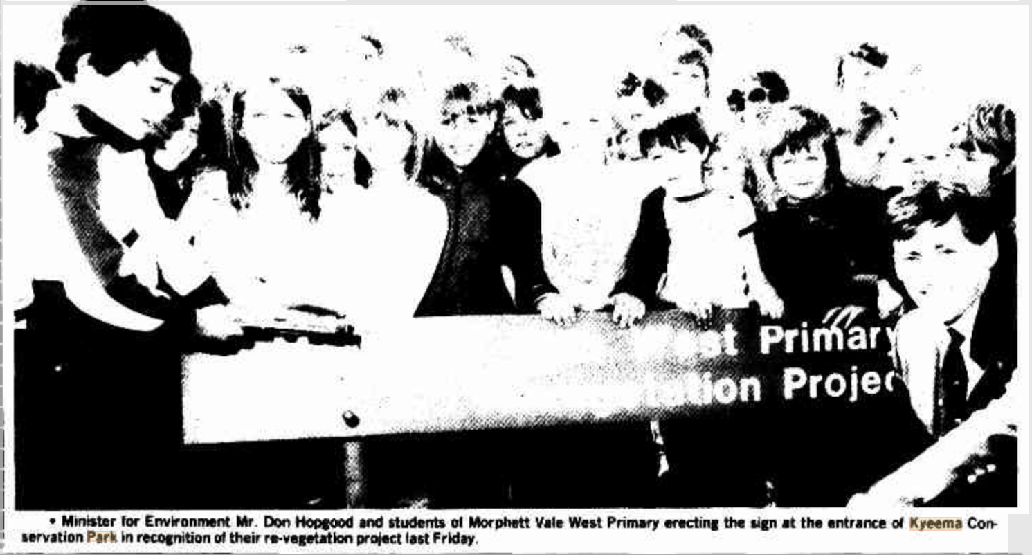
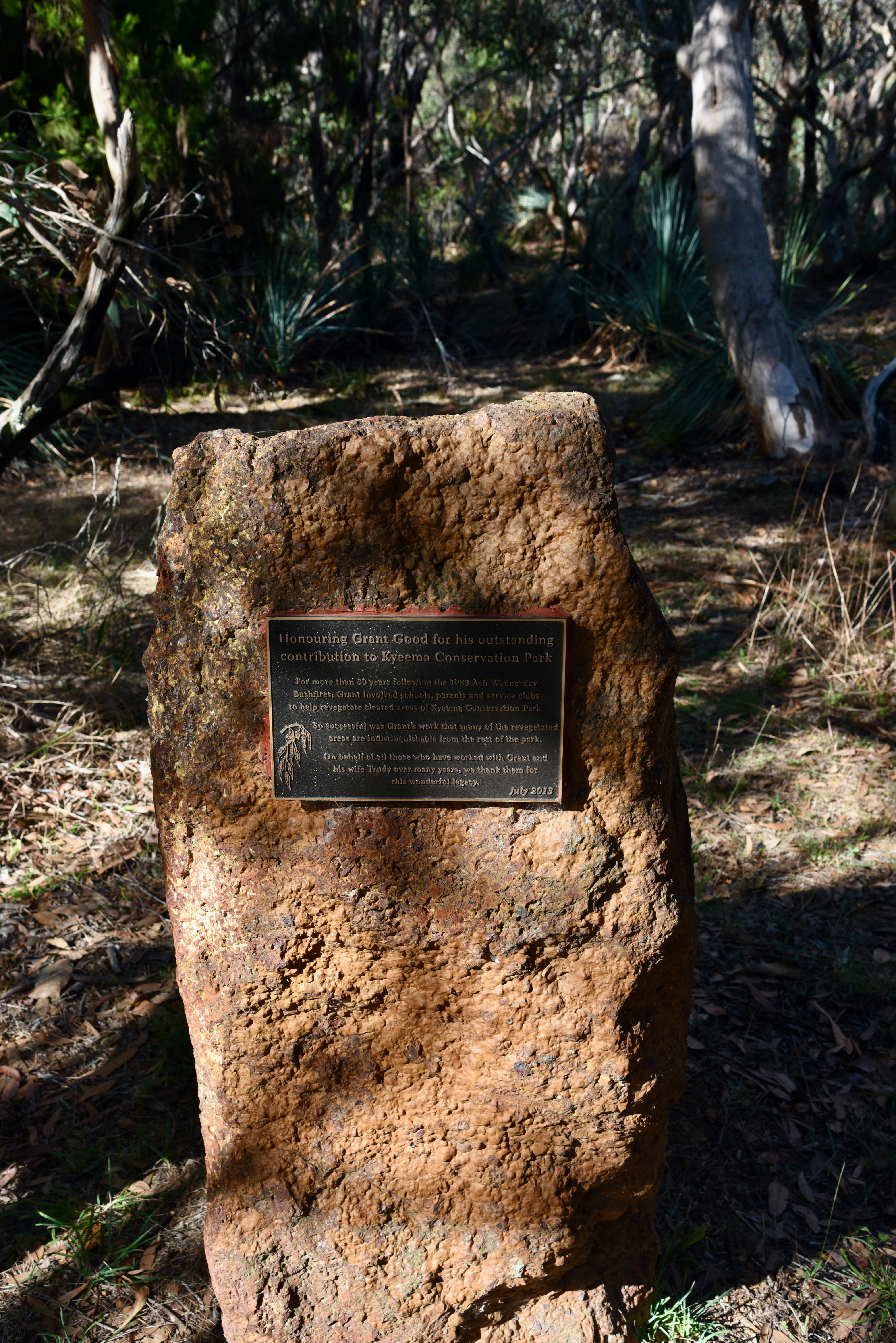
The park was significantly damaged during the devastating Ash Wednesday bushfires in February 1983. Following the fires, the park became the focus of a large revegetation project involving local school students. About 20,000 seedlings were planted in the first three years after commencement of the project. This area is now known as ‘The Childrens Forest’.
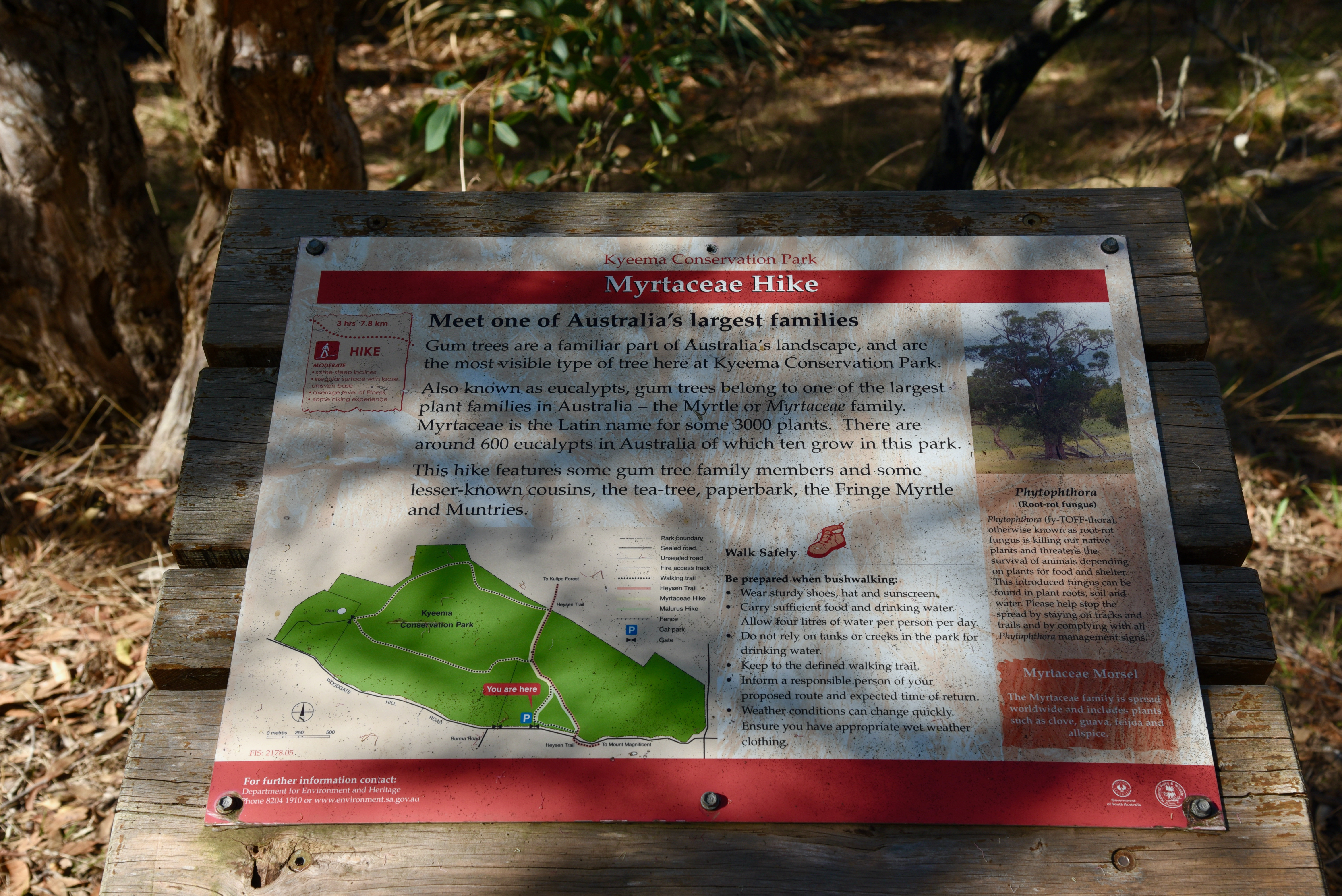
There are some nice walks in the park, including the famous Heysen Trail walking track passes through the park.
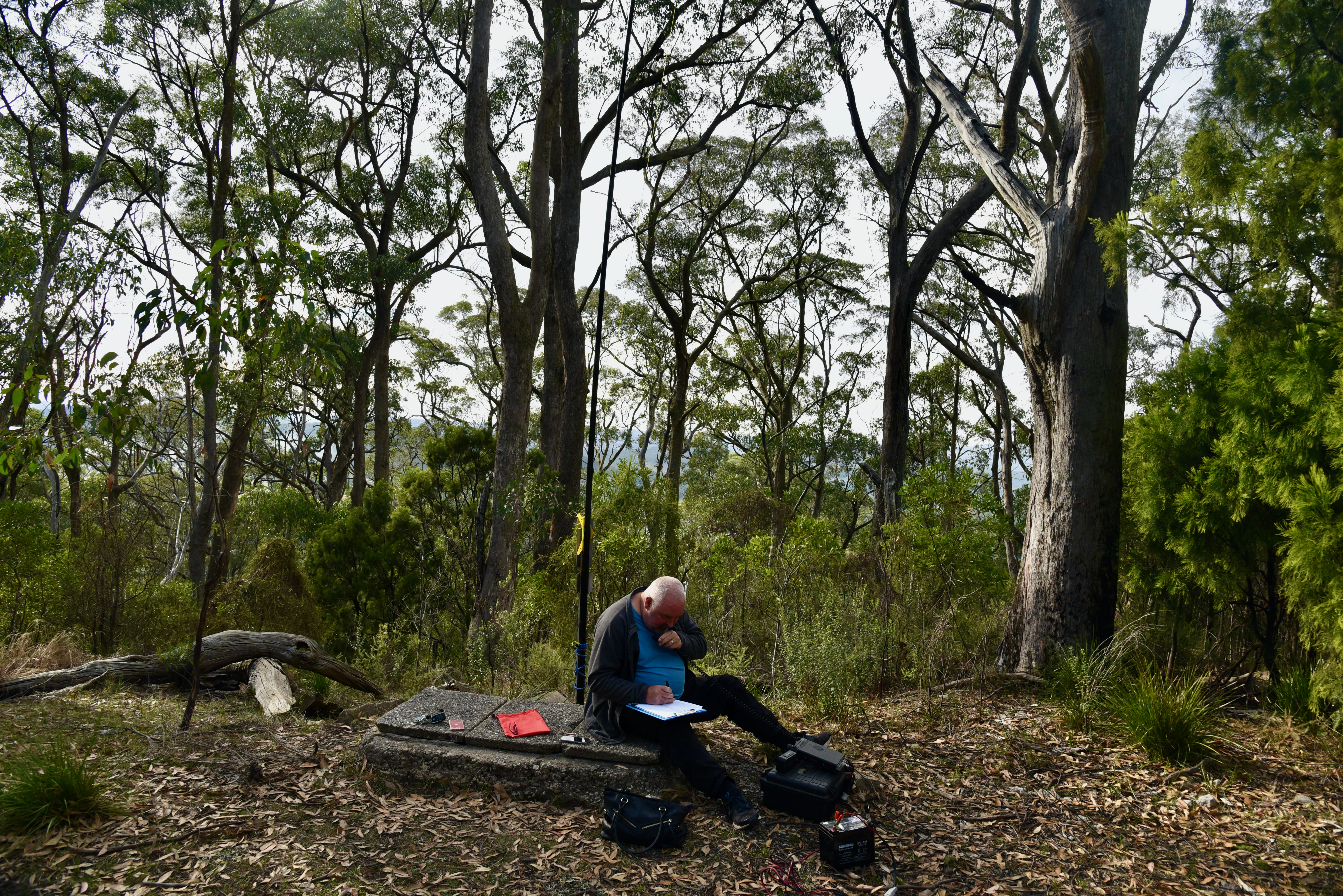
After setting up I called CQ on 7.144 on the 40m band and this was answered by Peter VK3PF. It was very slow going however, and it took me about 14 minutes before I had contact number ten in the log, a QSO with none other than my wife Marija VK5MAZ.
I logged a total of 28 stations on 40m before callers dried up. Contacts were logged into VK2, VK3, VK4, VK5, and VK7. This included two Park to Park contacts, with Bob VK2BYF/p and Gerald VK2HBG who were activating the Brundee Swamp Nature Reserve VKFF-2547.
I then moved down to 7.090 and logged David VK3IL, Glen VK3YY, and Andrew VK3JBL who were activating SOTA summit VK3/ VT-011.
After logging the SOTA contacts I moved back to 7.144 where I logged a further 5 stations from VK3, VK5, and VK7. Unfortunately callers dried up very quickly, so I headed to the 80m band. I logged 6 stations on 80m, all from VK5.
It was then off to 20m where I logged 6 stations from Indonesia, VK4, VK5, and VK6.
To conclude the activation I went back to 80m and logged Adrian VK5FANA who had missed me during my first go on 80m.
I worked the following stations on 40m SSB:-
VK3PF
VK3CAT
VK2VW
VK2HFI
VK3SQ
VK3VRA
VK3DWL/m
VK2LEE
VK3DEN
VK5MAZ
VK7FAMP
VK3ARH
VK2IO/m
VK3UH
VK3AV
VK3AMB
VK7LTD
VK7ME
VK3PI
VK7QP
VK4KLA
VK3TV/m
VK2BYF/p (Brundee Swamp Nature Reserve VKFF-2547)
VK2HBG/p (Brundee Swamp Nature Reserve VKFF-2547)
VK3AZN
VK3FIMD
VK7KT
VK3DAC
VK3IL/p (SOTA VK3/ VT-011)
VK3YY/p (SOTA VK3/ VT-011)
VK3JBL/p (SOTA VK3/ VT-011)
VK7JFD
VK3KV
VK5CZ
VK3IH
VK3EJ
I worked the following stations on 80m SSB:-
VK5CZ
VK5MAZ
VK5ST
VK5LA
VK5GY
VK5WG
VK5FANA
I worked the following stations on 20m SSB:-
YB1TIA
VK6NU
VK5MAZ
VK6XN
VK4JWT
VK4CZ
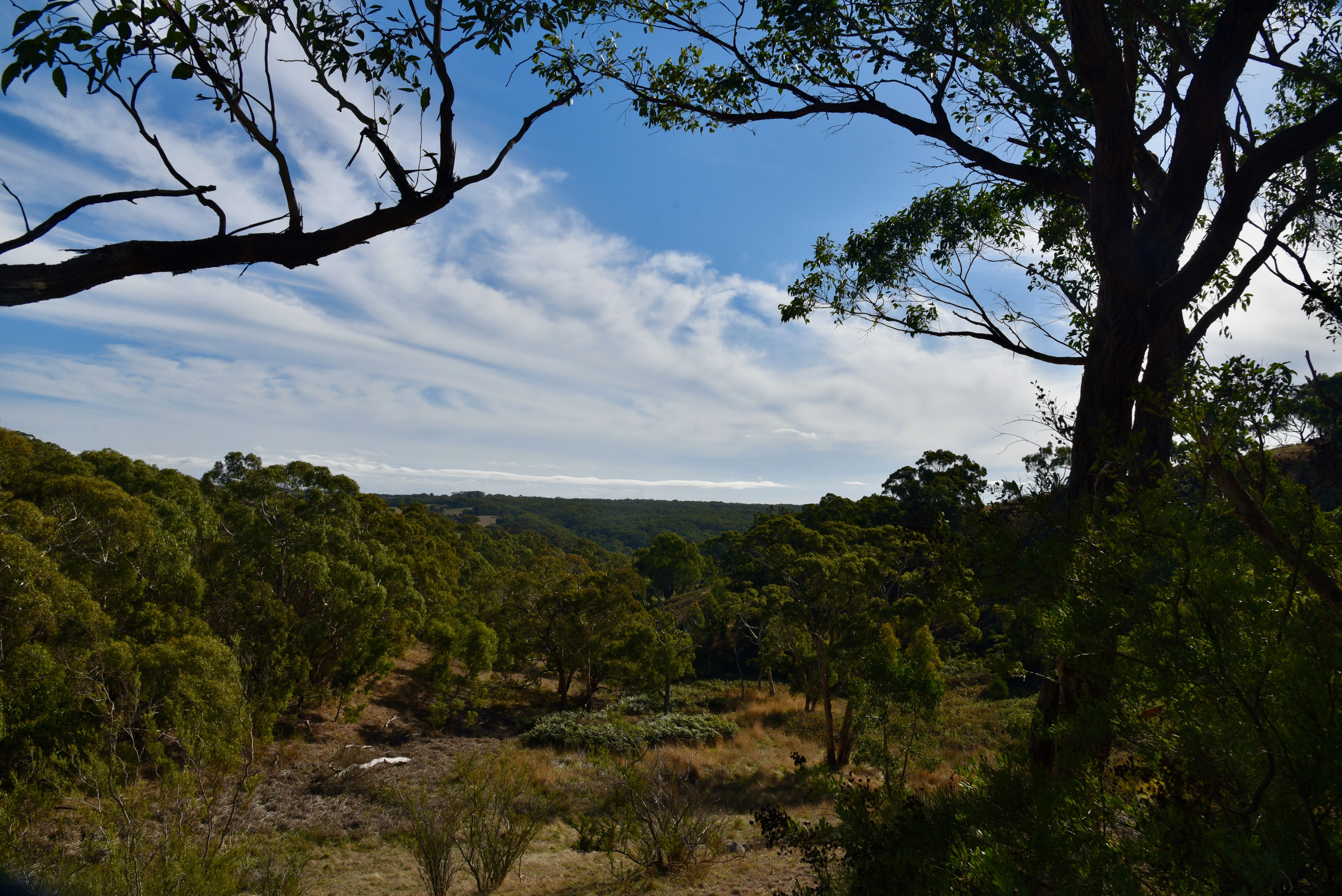
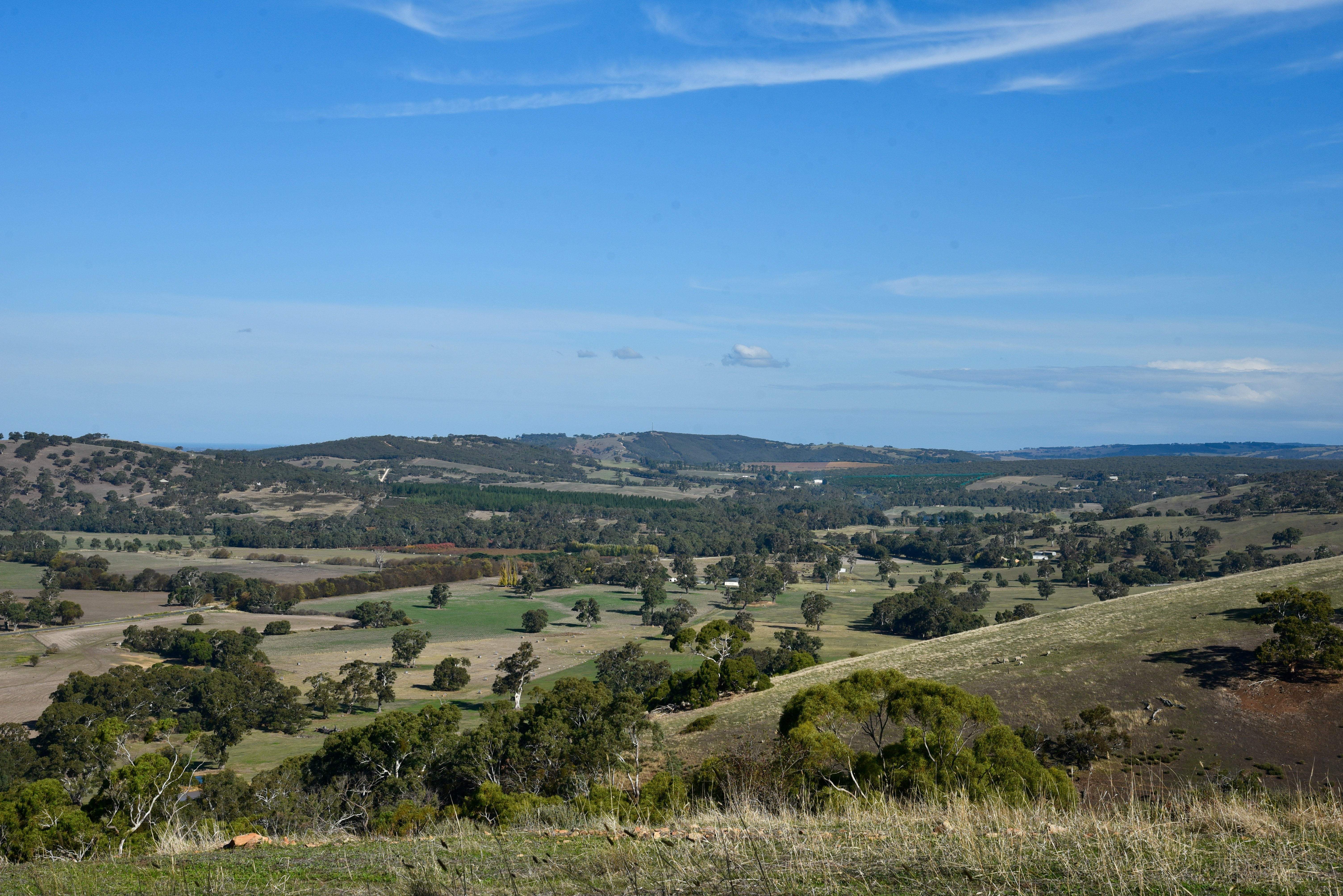
I packed up and made the short drive back to my home at Ashbourne, travelling down Kirkham Road, enjoying the fabulous views of Ashbourne and surrounds.
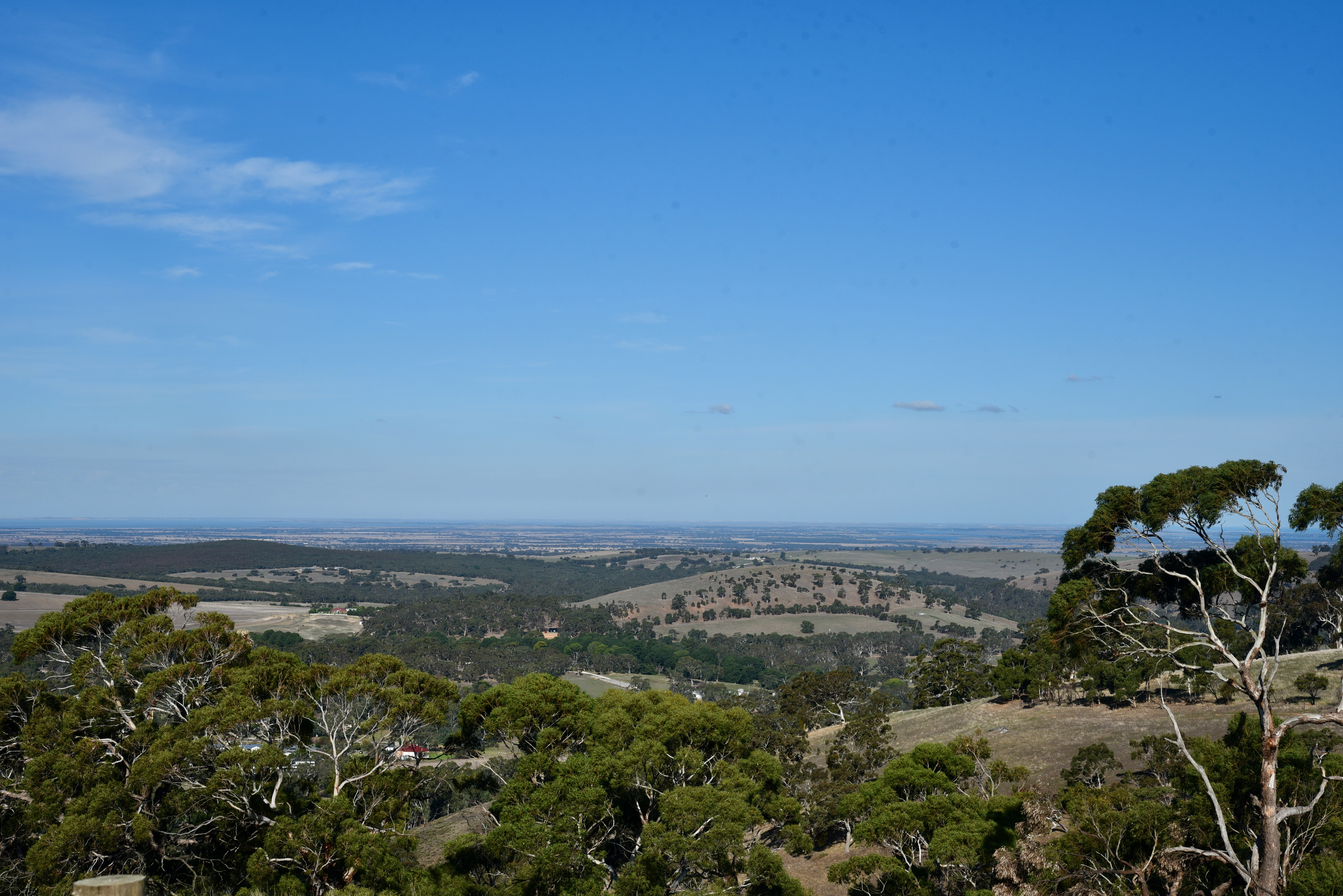
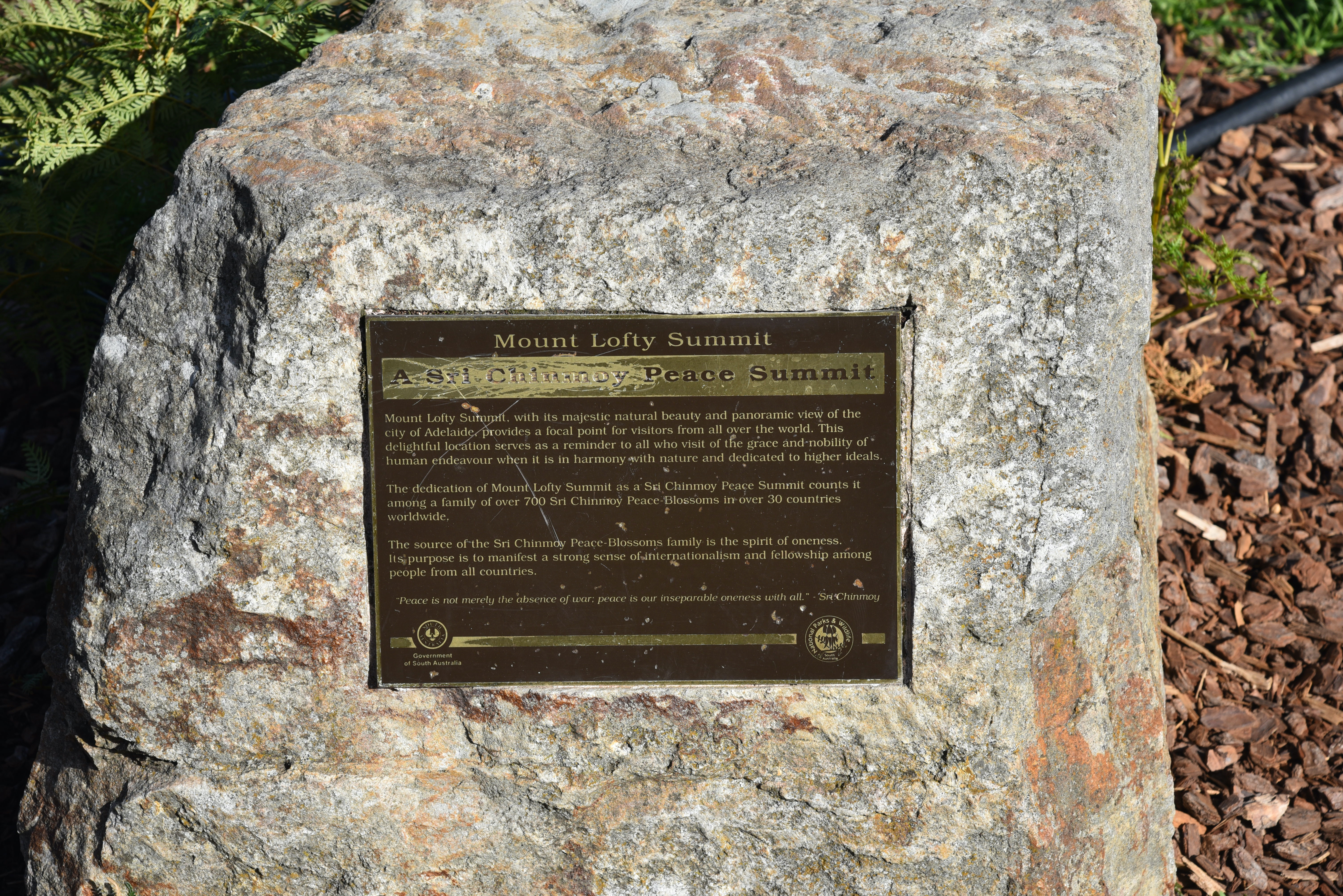
On Friday 7th May 2021, I activated Mount Lofty summit VK5/ SE-005 which is within the Cleland Conservation Park 5CP-042 & VKFF-0778, using the special callsign of VK100AF. The activation qualified for the Summits on the Air (SOTA) program, World Wide Flora Fauna (WWFF), and the VK5 National & Conservation Parks Award.
VK100AF is a special event callsign for the 100 year anniversary of the Royal Australian Air Force (RAAF).
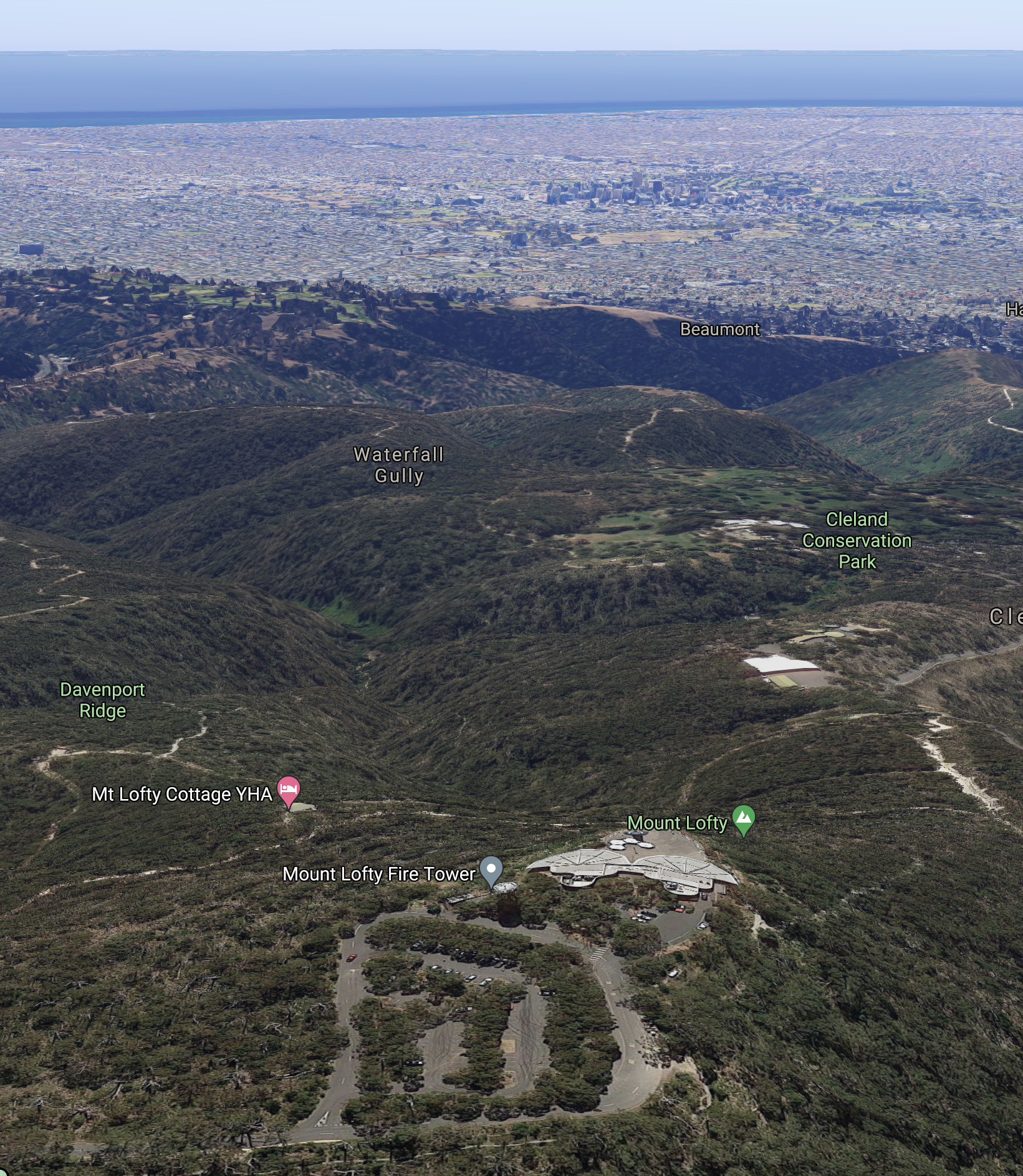
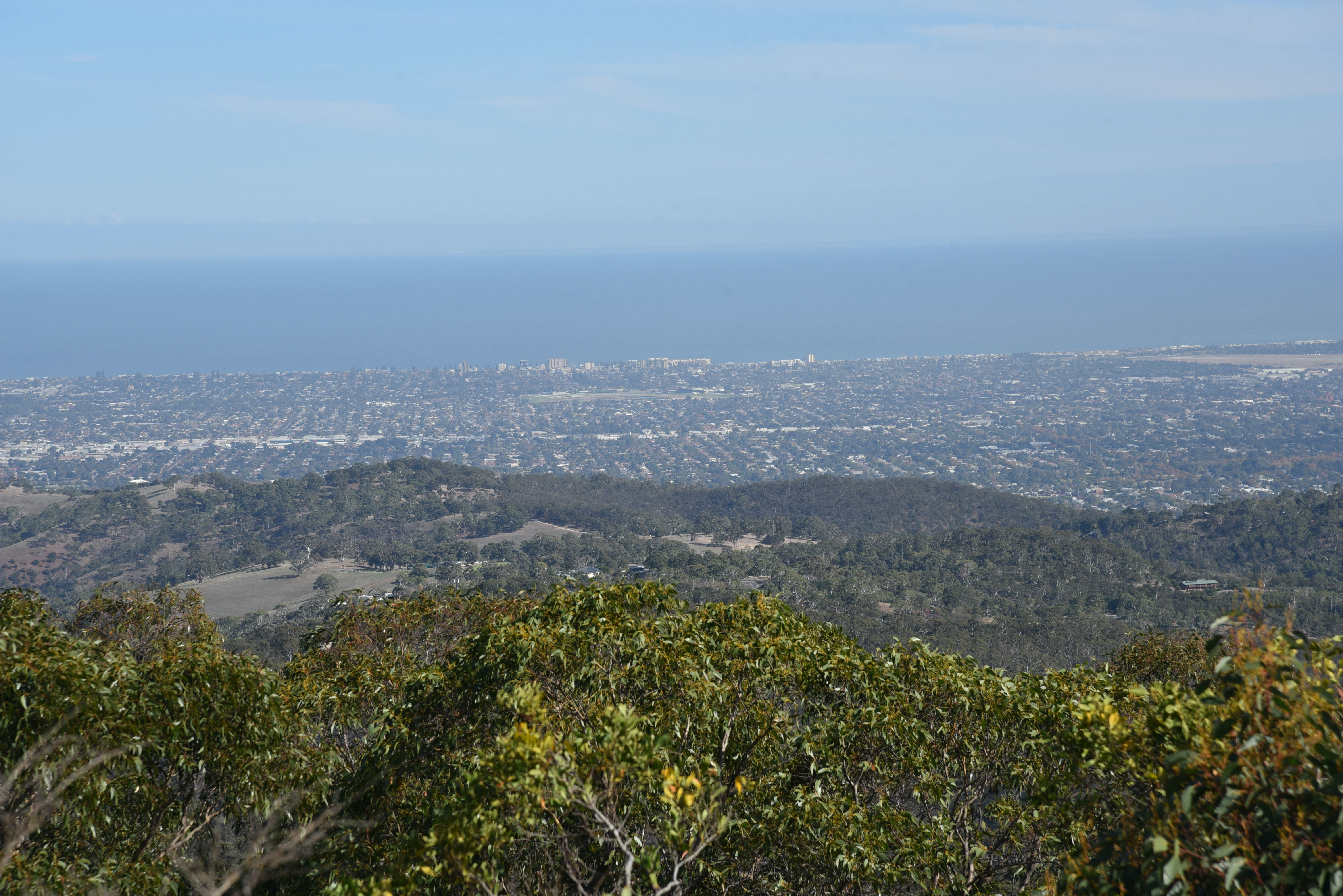
Mount Lofty summit is 727 metres above sea level and is the highest peak in the southern Mount Lofty Ranges ‘Adelaide Hills’. It is located about 15 km east of the city of Adelaide.
The summit is worth 4 points for the SOTA program. It has been activated 96 times for SOTA. This includes a number of activations by myself and Marija.
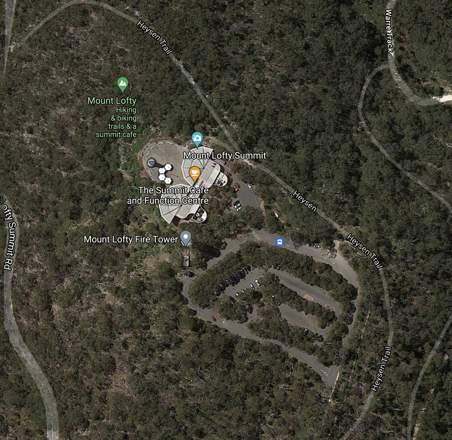
Above:- Mount Lofty summit. Image c/o Google maps
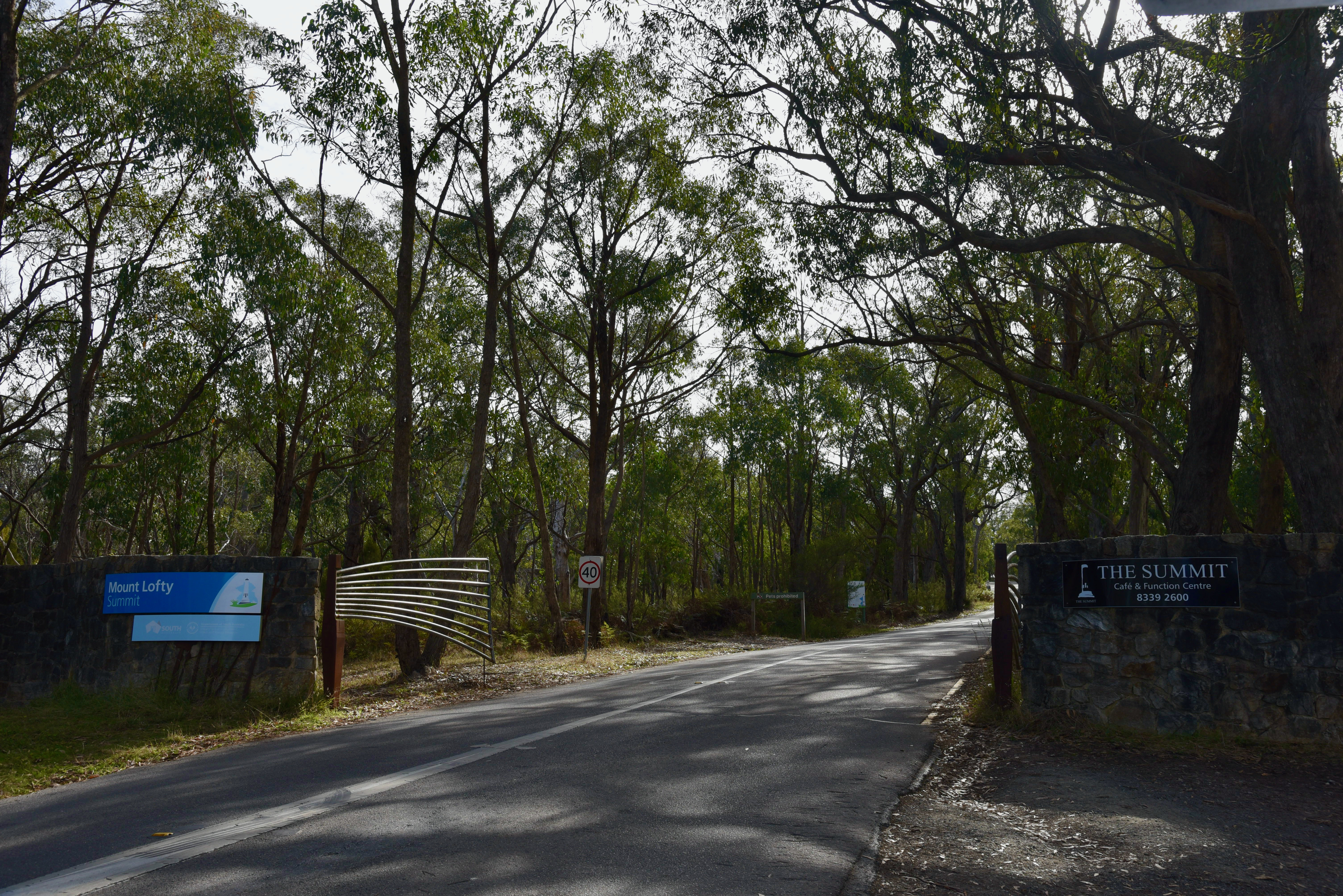
The summit is accessed via Summit Road from the South Eastern Freeway at Crafers, or from the eastern suburbs of Adelaide via Greenhill Road and the Mount Lofty Scenic Route. For those who are keen, you can walk up the gully to the summit from Waterfall Gully. It is a challenging walk.
An aerial view, looking west towatds the city fo Adelaide. Image c/o Google maps
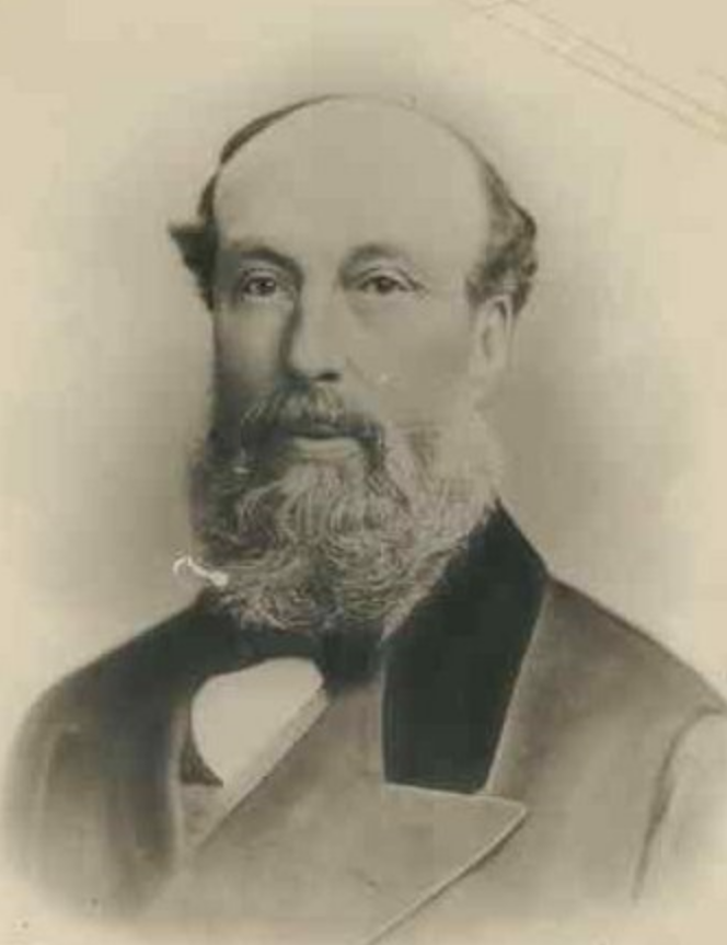
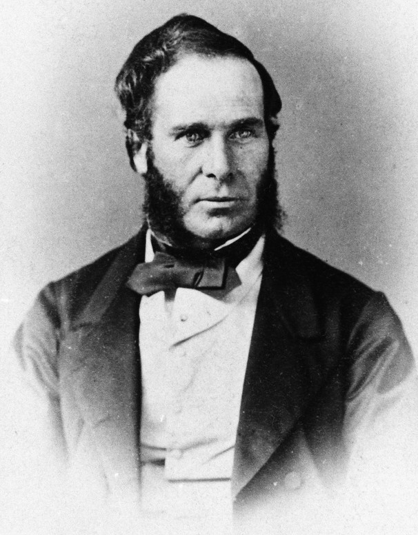
Mount Lofty was named by Matthew Flinders on the 23rd day of March 1802, during his circumnavigation of the Australian continent. The summit was first climbed in 1831 by Collet Barker (1784-1831) a British military officer and explorer. This was about 6 years before Adelaide was settled.
Above:- Captain Matthew Flinders. Image c/o Wikipedia.
The road from Crafers to Mount Lofty summit was originally known as Ridge Road. The route of the present day Summit Road varies in places from the original. Numerous stately homes were built along the road during the 1800’s, as summer retreats for families of the so-called ‘Adelaide Establishment’, a group of wealthy landowners and industrialists.
The first was ‘Mount Lofty House’. Frequently, extensive grounds complemented the grand houses on Ridge (Summit) Road. The houses gave employment to local families as servants and gardeners.
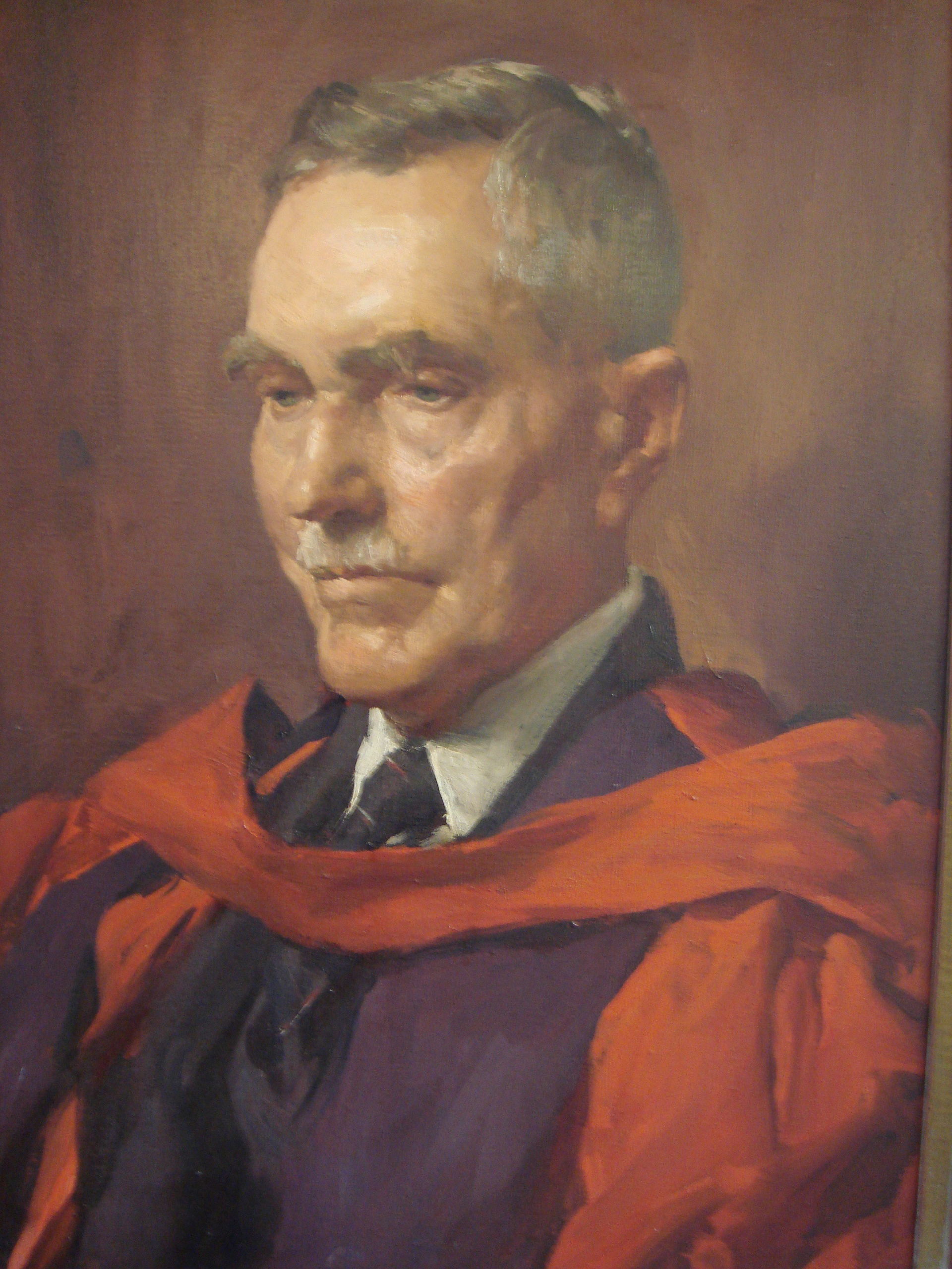
Construction commenced of Mount Lofty House in the mid 1850s by Arthur Hardy (1817-1909), the patriarch of the famous South Australian Hardy family. Hardy arrived in South Australia in 1839 from England, aboard the Platina. He had received doctor’s advice to seek a warmer climate, and as a result he emigrated to Australia.
Above:- Arthur Hardy. Image c/o Wikipedia.
While building Mount Lofty House he planted three Californian Redwood Sequoias and through further plantings on the grounds of Mount Lofty House, he set the foundations for what would become the current day 97 hectare Mount Lofty Botanic Gardens.
In Australia, Hardy went on to be a pastoralist, barrister, quarry owners, business and politician.
On the ridge-line near Mount Lofty summit are three television transmission towers for Adelaide television.
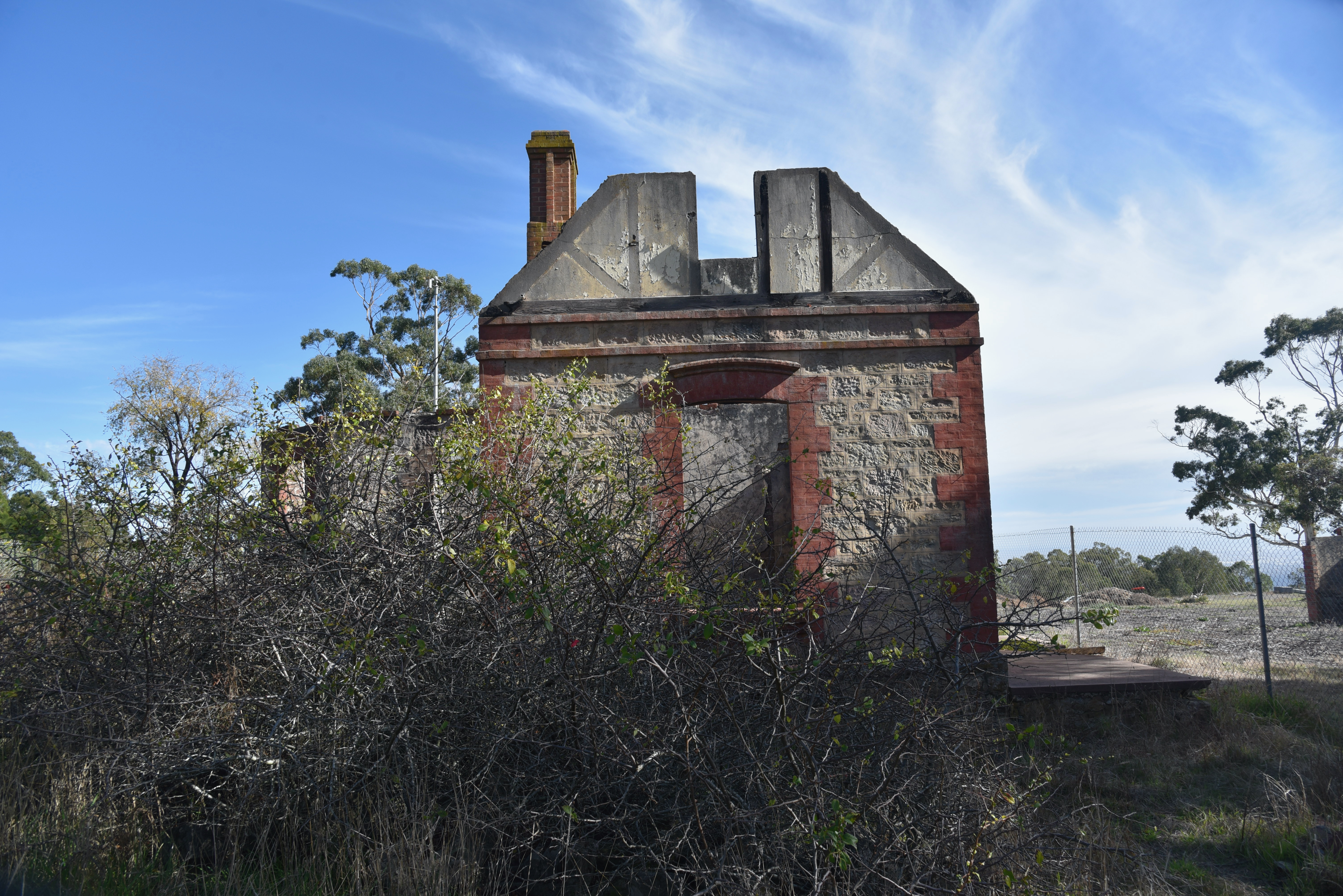
There is also the ruin of St Michael’s House. The property was originally called Koralla and was left to the Anglican Diocese of Adelaide in 1943 by Mrs. Audine G. O’Leary, the widow of Dr. Arthur Pryce Evelyn O’Leary. Soon after this, Bryan Percival Robin, the Bishop of Adelaide, invited the Society of the Sacred Mission to establish themselves in Adelaide at the property which was to become their monastery and theological college. The building was destroyed during the devastating Ash Wednesday Bushfires in February 1983.
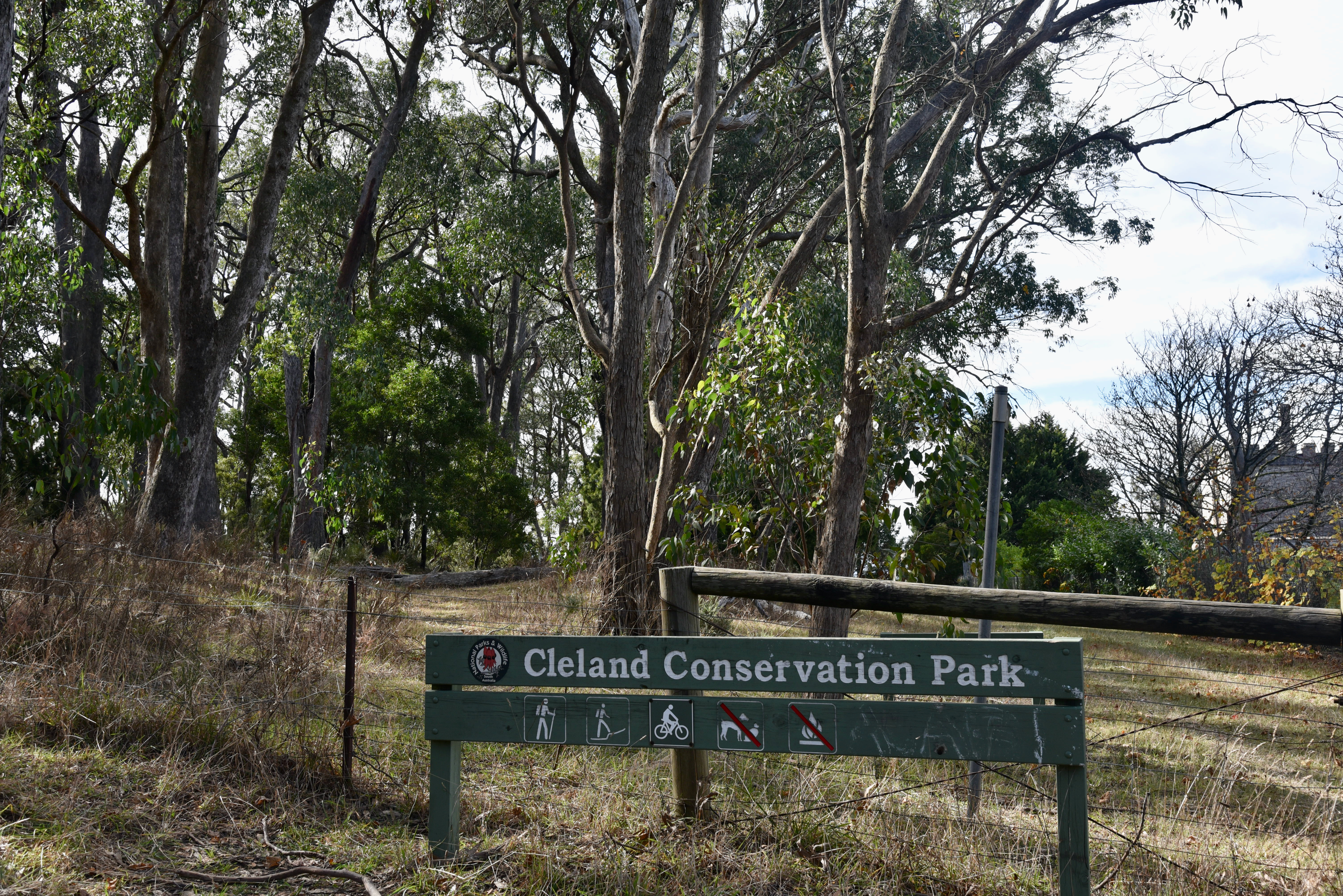
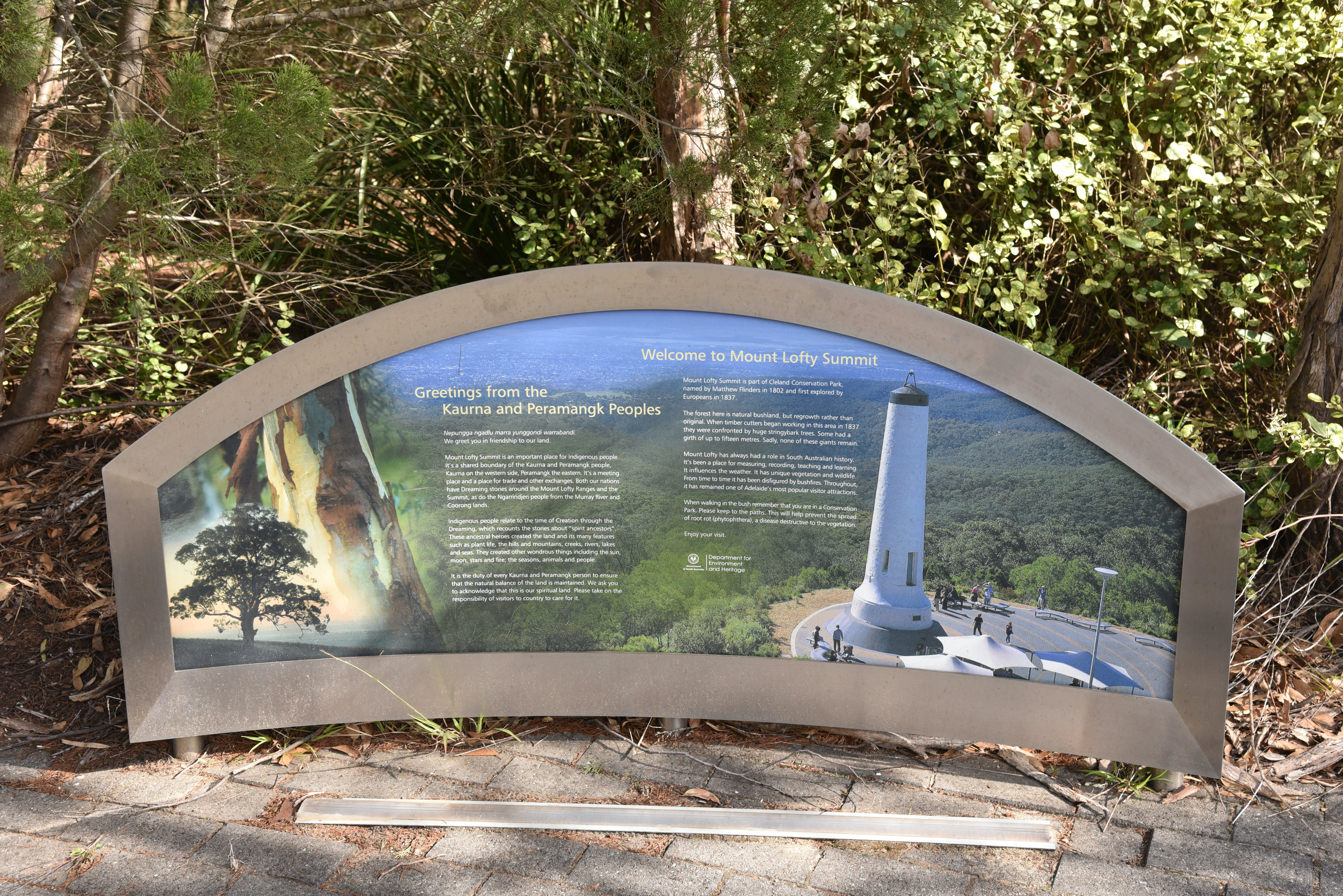
The summit is located in the Cleland Conservation Park
The park is named in honour of Sir. John Burton Cleland CBE (1878-1971) who was a renowned Australian naturalist, microbiologist, mycologist, and ornithologist. Following a successful career in medicine and pathology, Cleland became keenly interested in wildlife conservation.
Above:- John Burton Cleland. Image c/o Wikipedia.
Cleland Conservation Park is about 11.25 km2 in size and was established on the 1st day of January 1945.
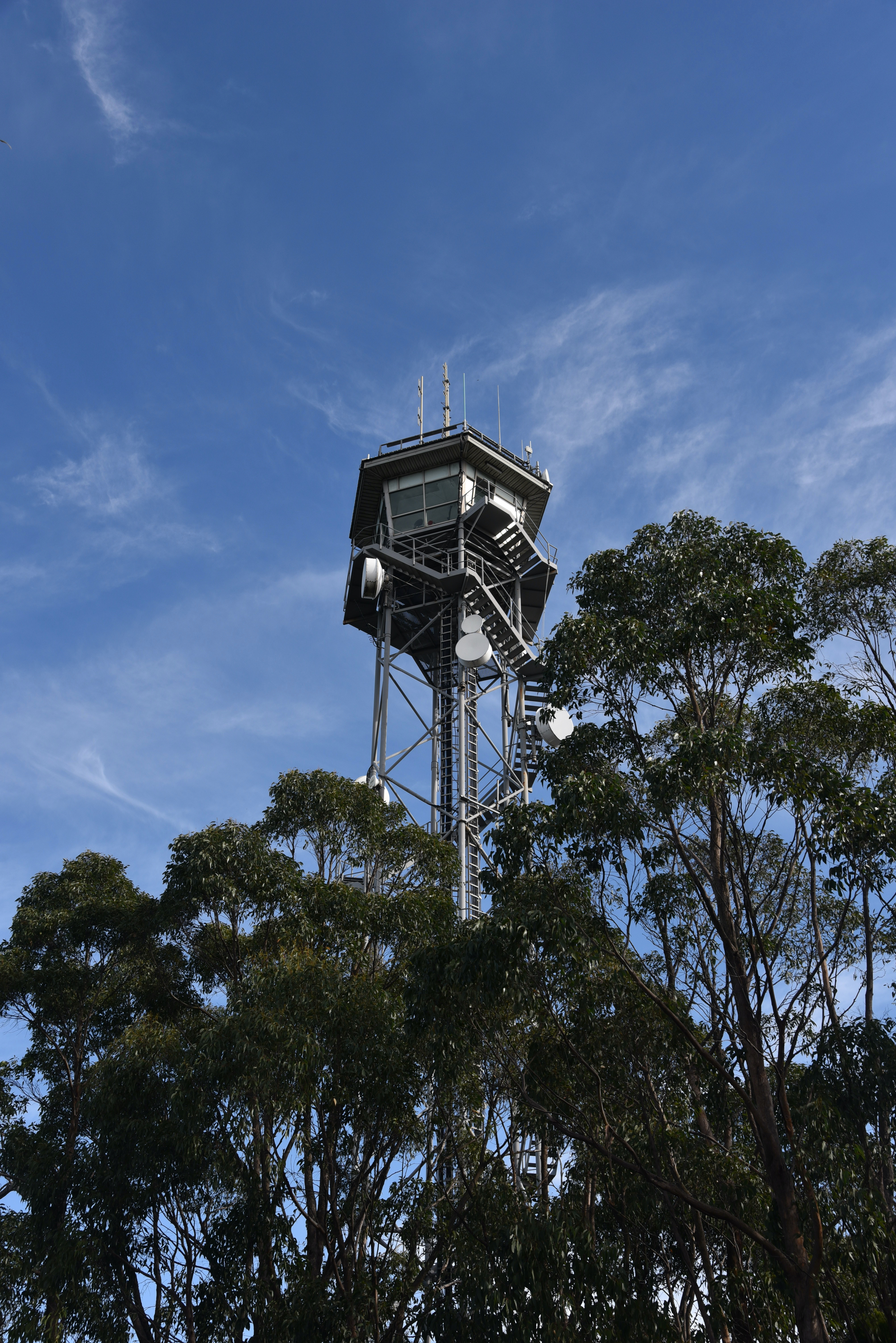
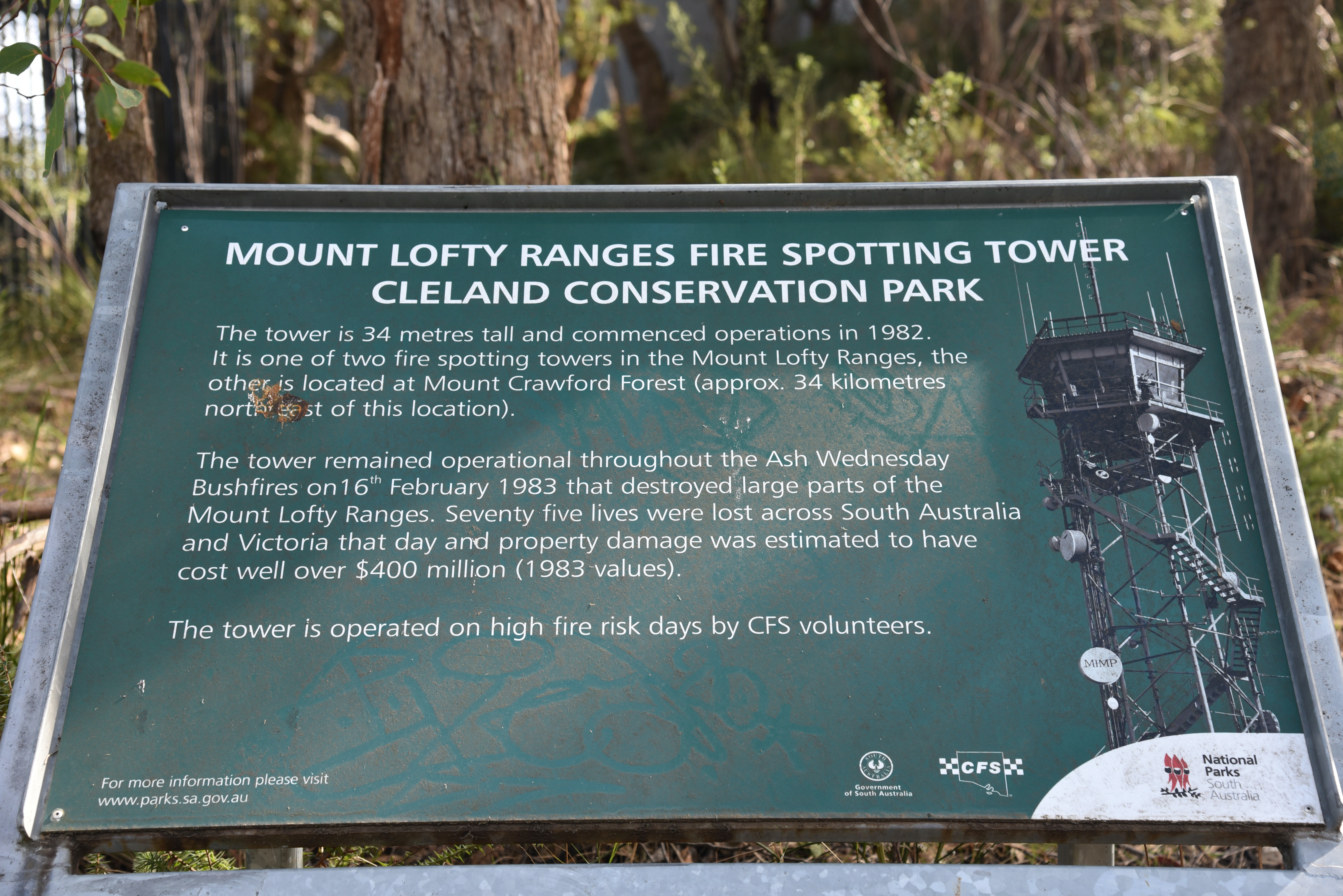
At Mount Lofty summit you can find the fire spotting tower which is 34 metres tall and commenced operation in 1982. It is one of two fire spotting towers in the Mount Lofty Ranges.
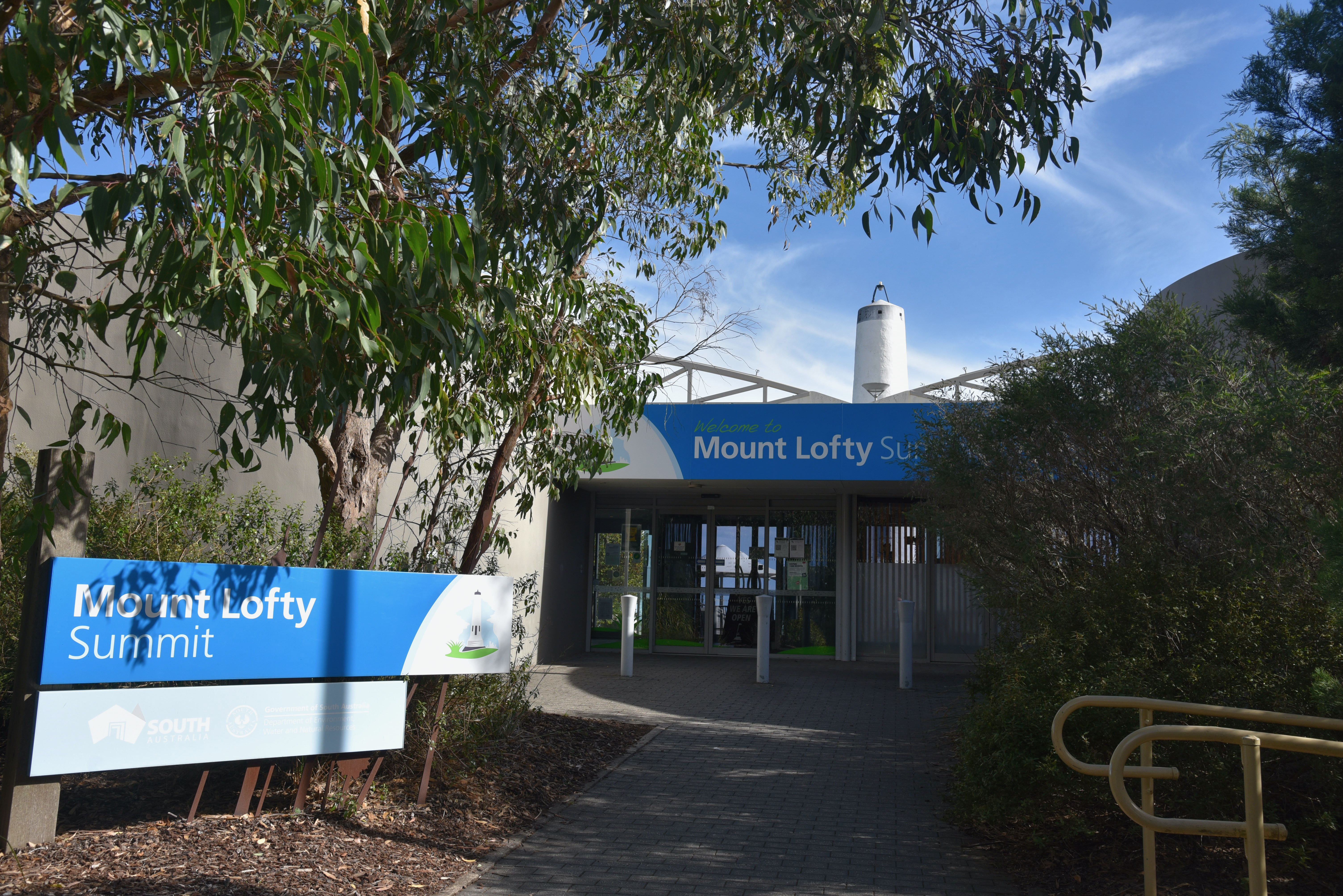
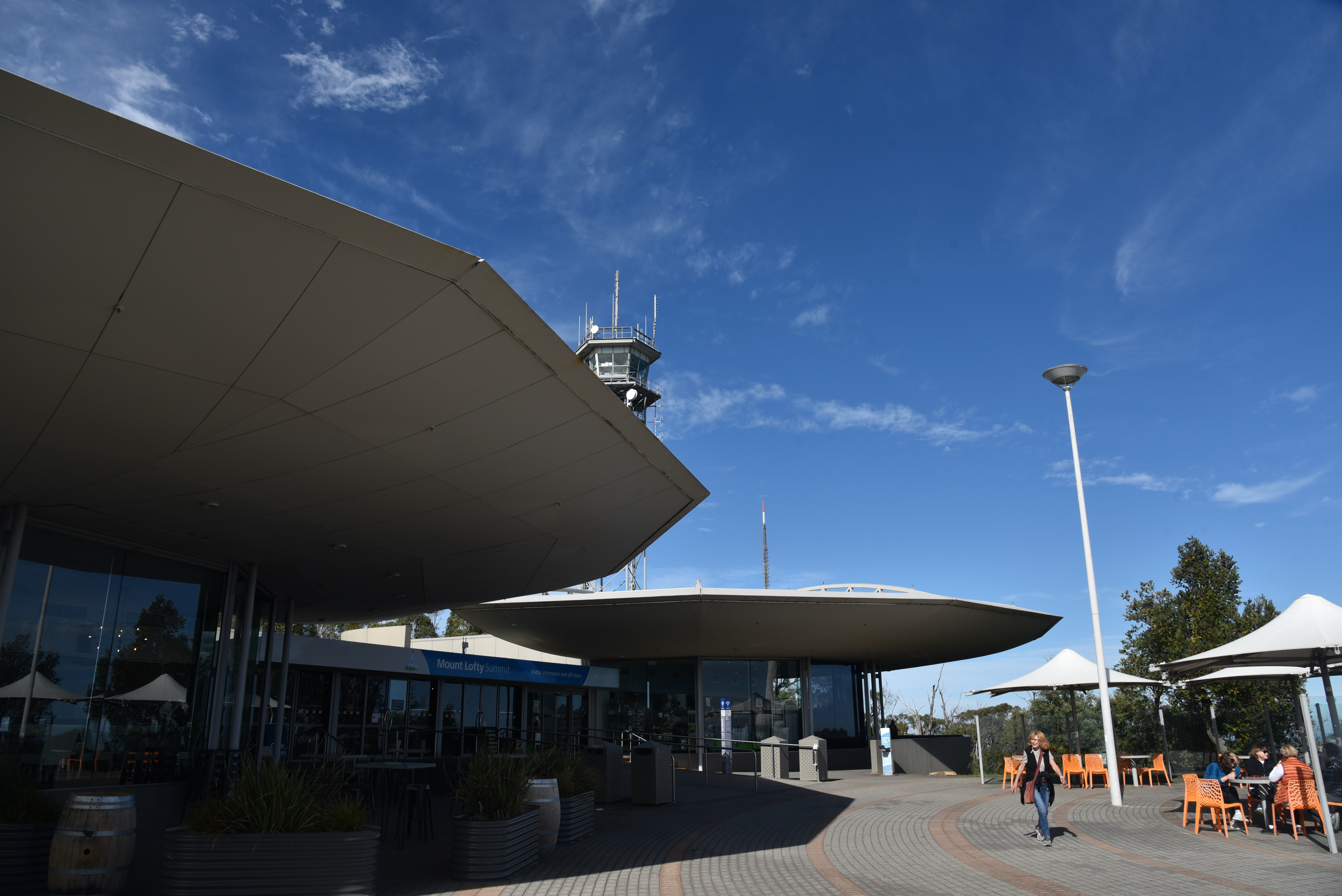
Mount Lofty summit also has a visitor information centre, cafe and restaurant. The old 1958 built tearooms at the summit were replaced with the new summit restaurant in 1997.
Just outside of the building is a paved outdoor area, with a number of spots under cover to enjoy a coffee or a meal.
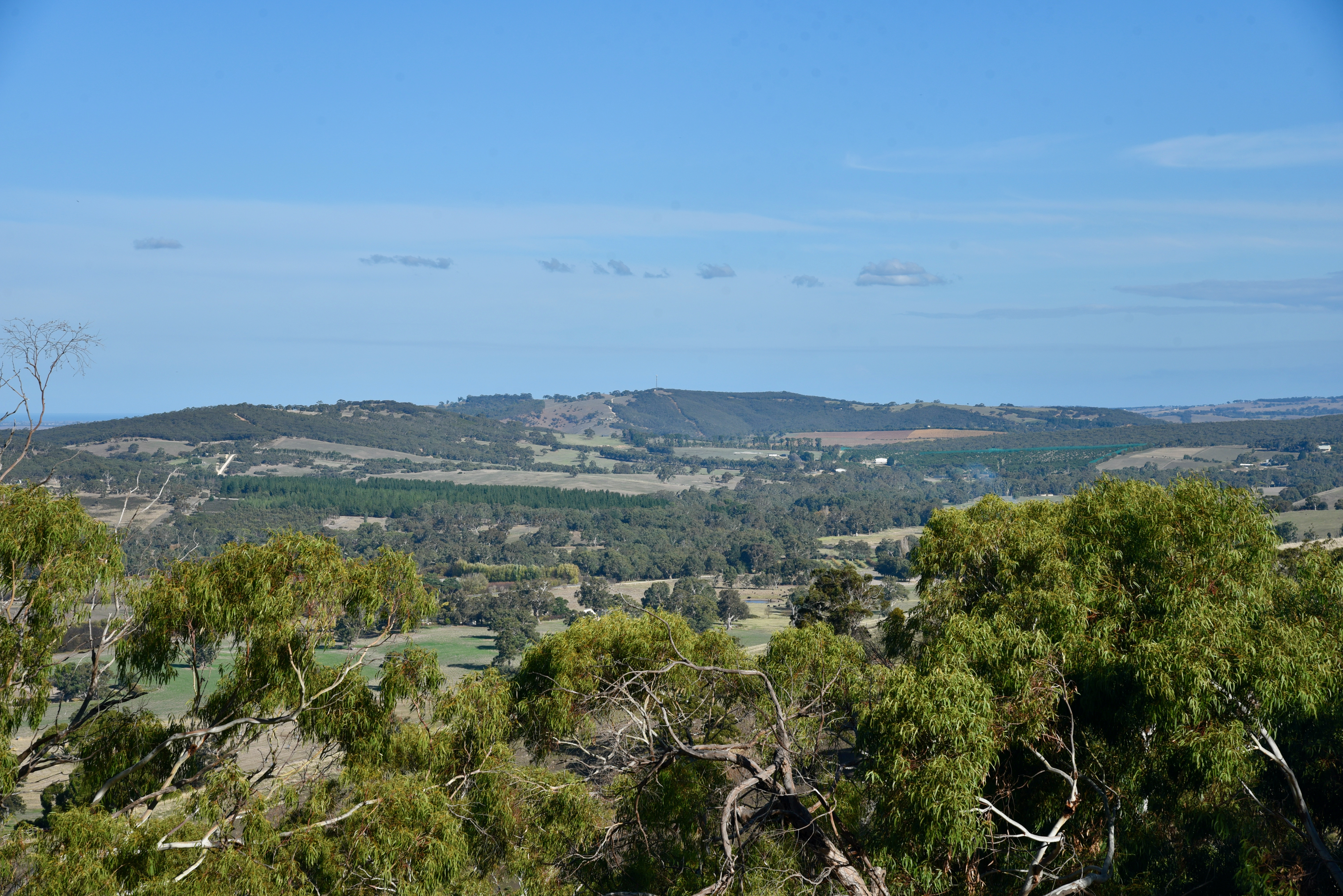
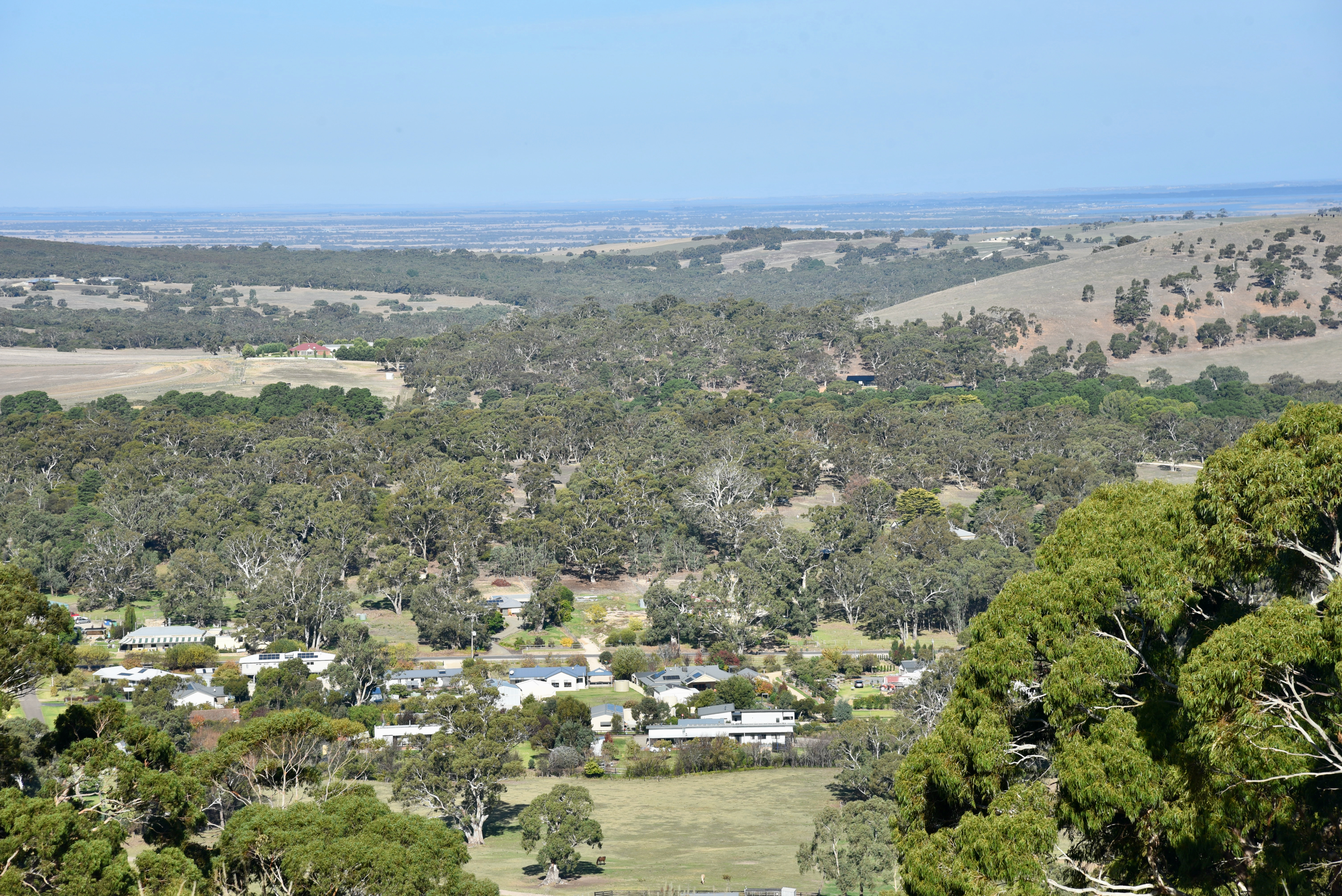
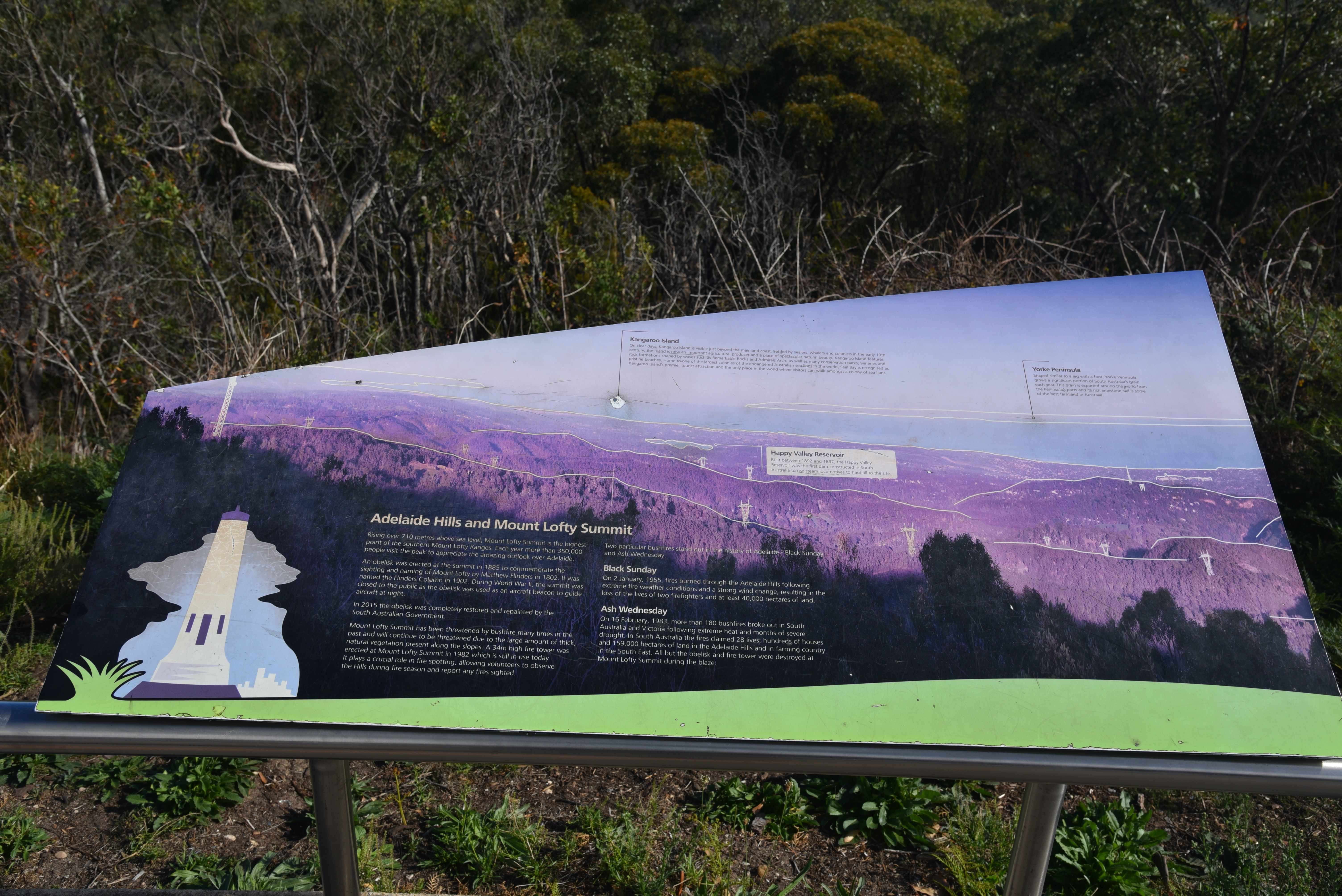
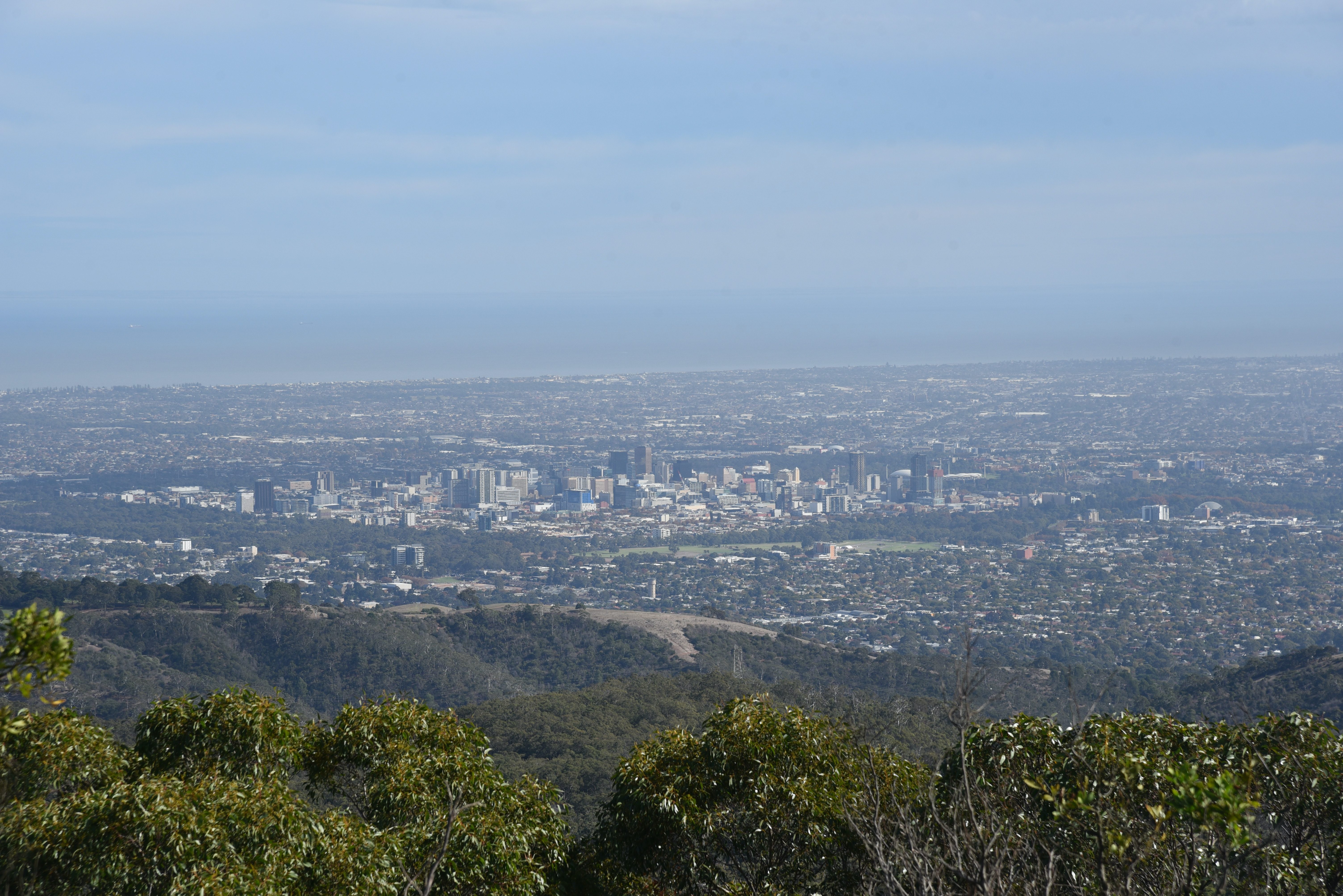
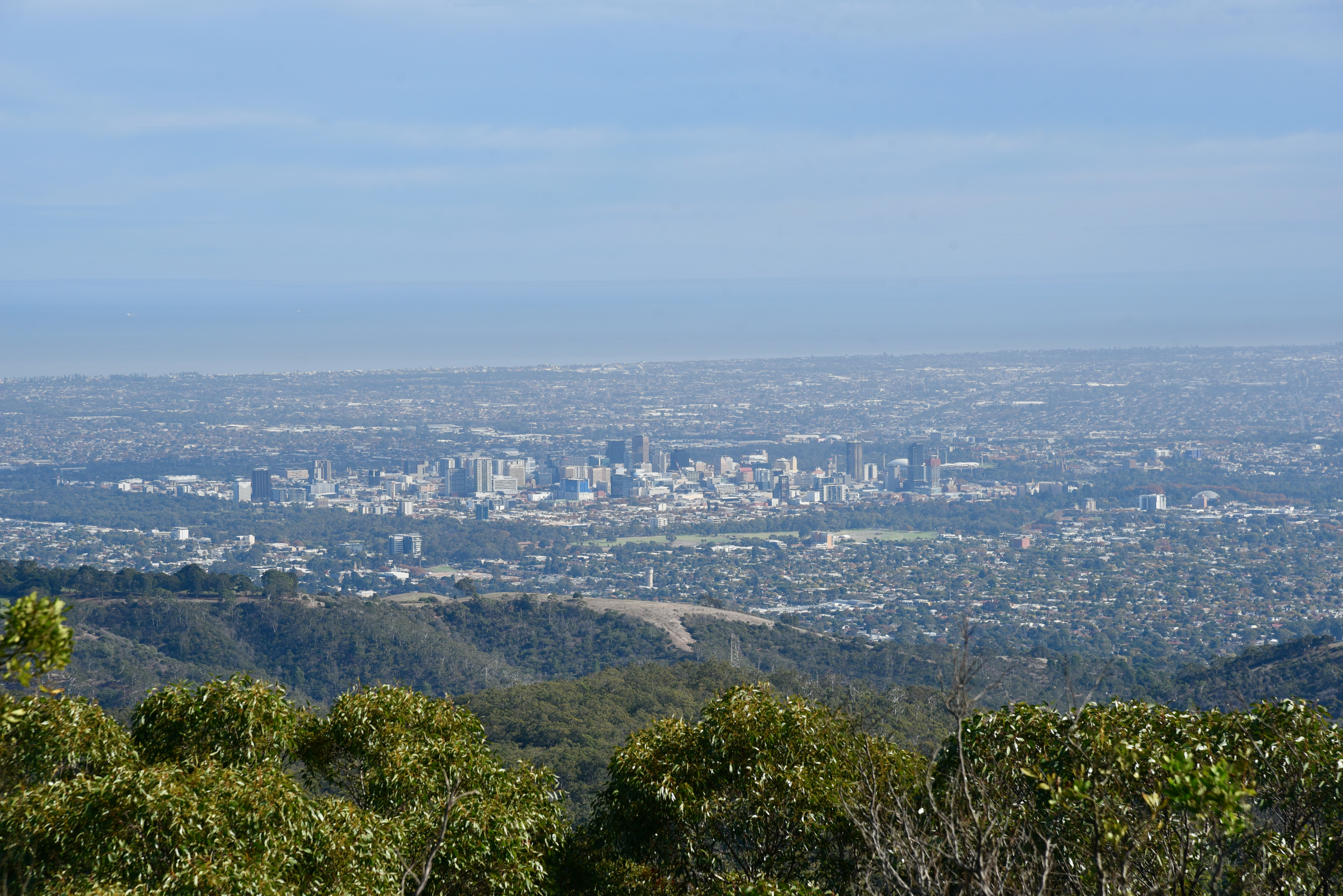
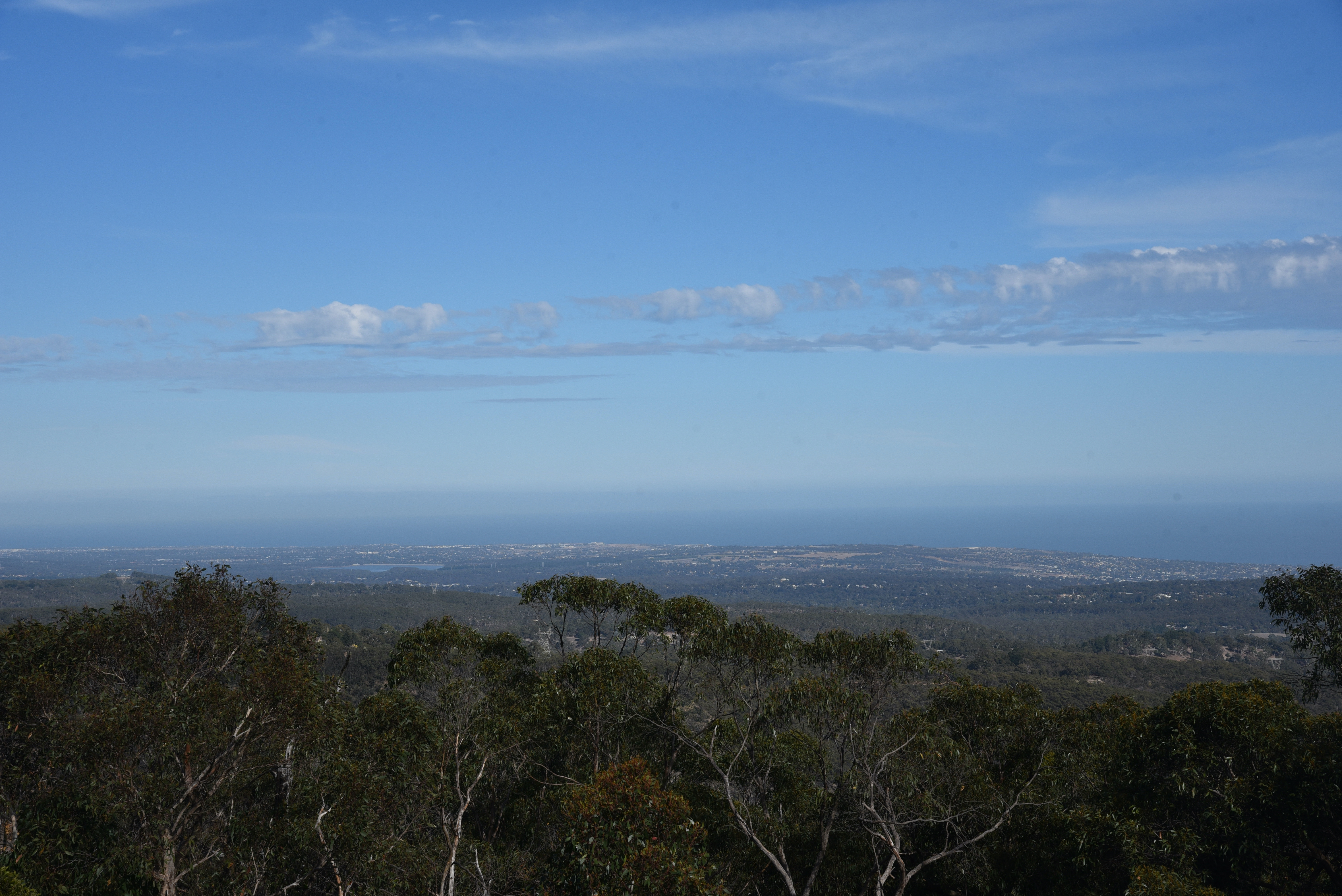
Some sensational panoramic views of the city of Adelaide and its suburbs can be enjoyed from Mount Lofty summit.
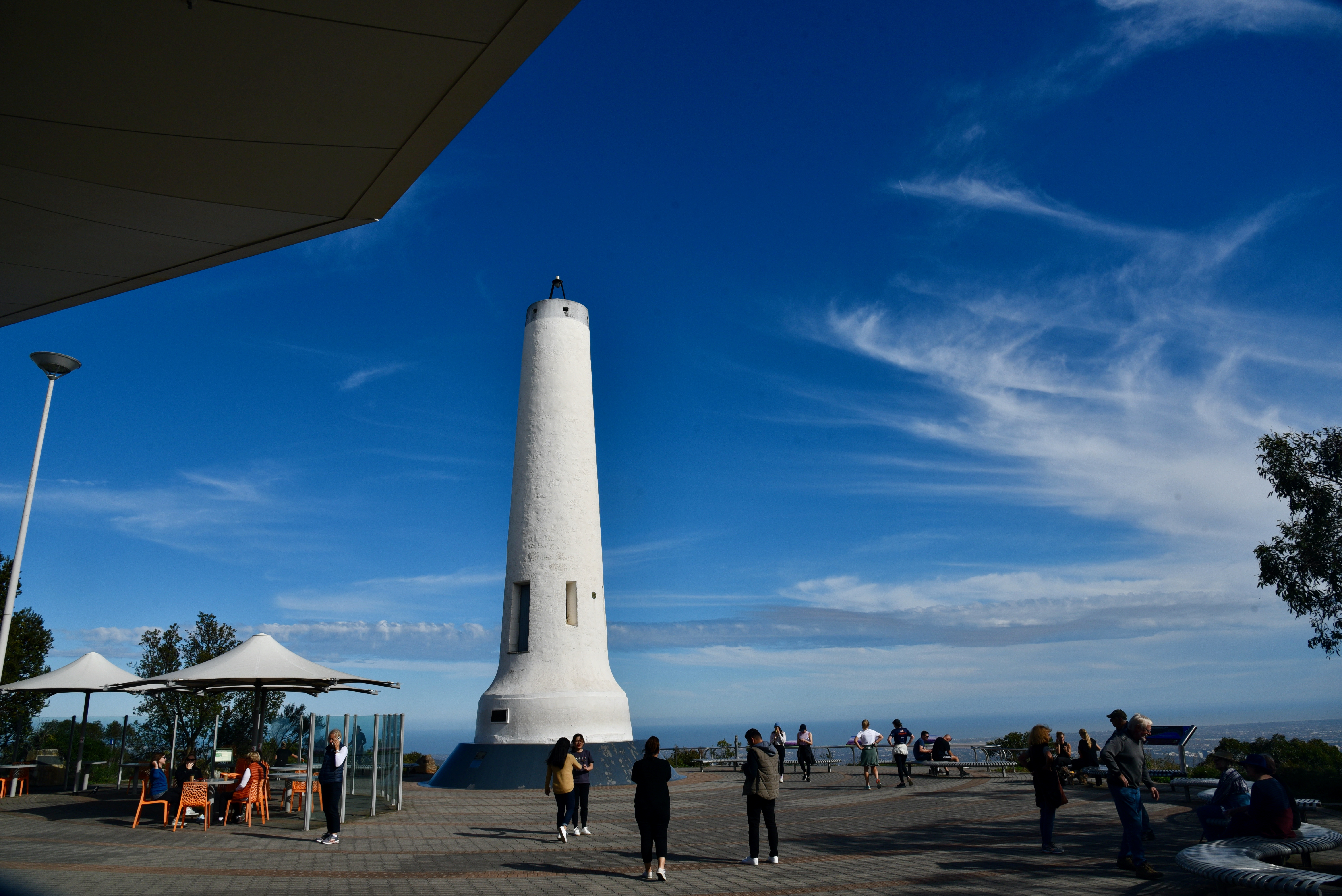
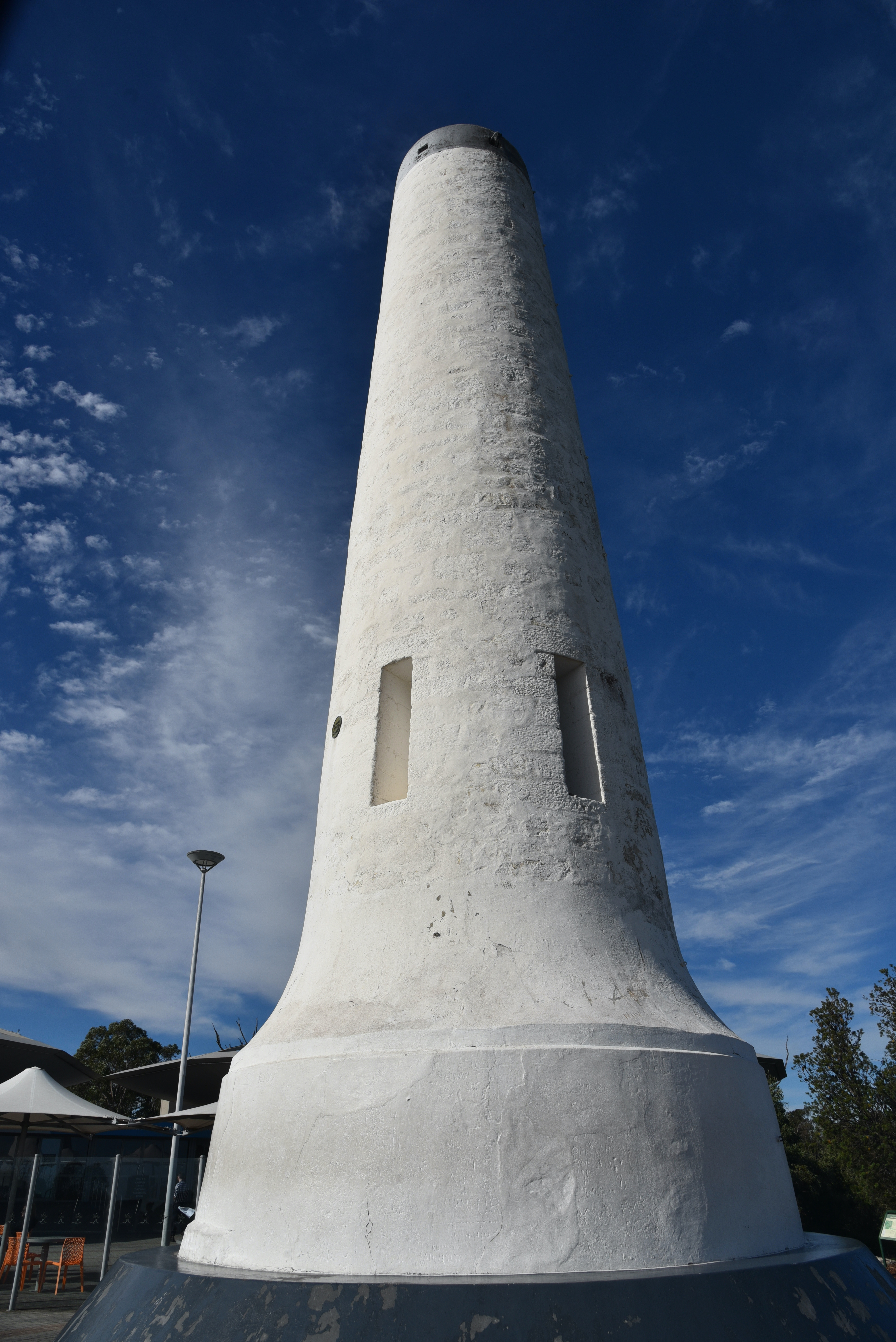
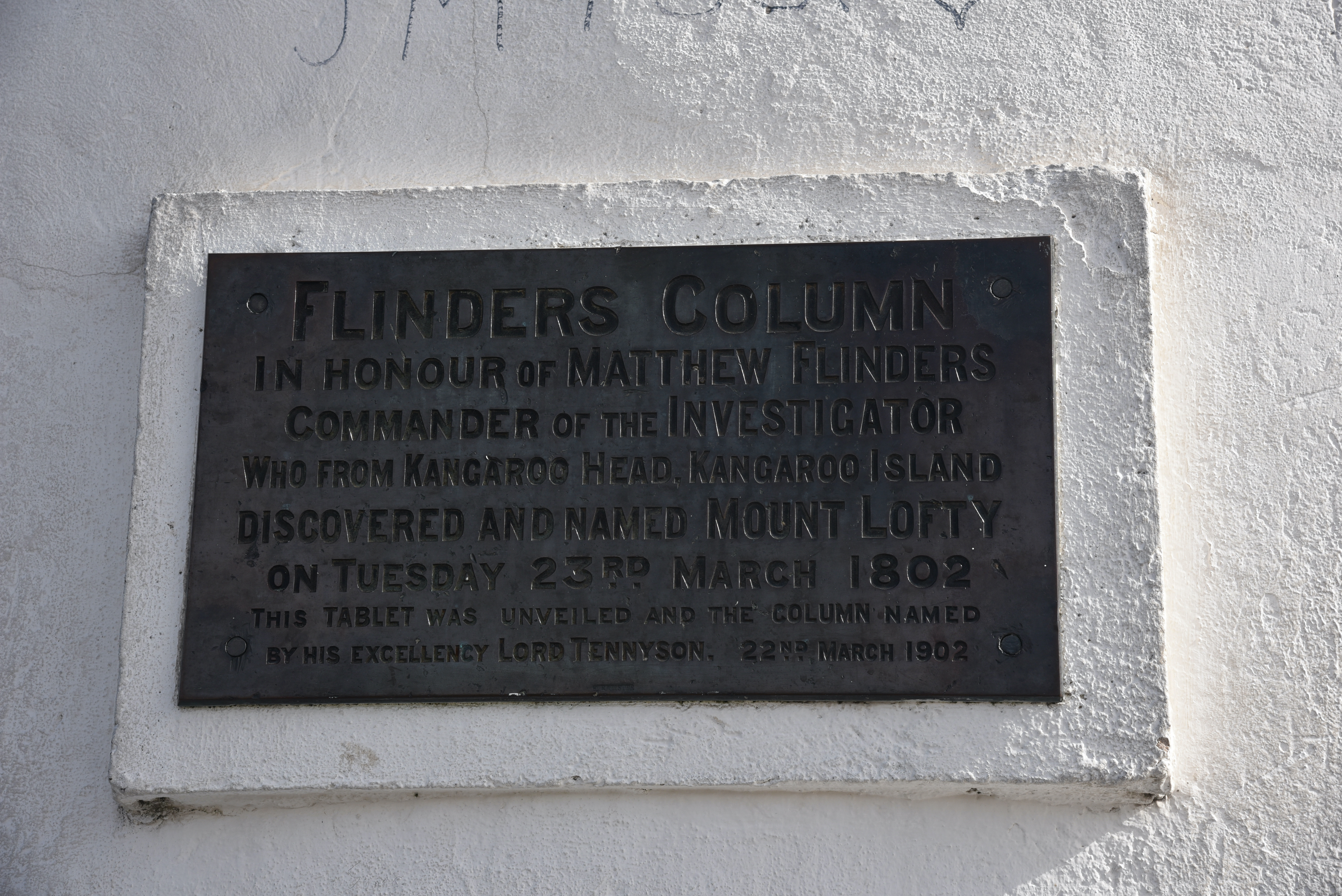
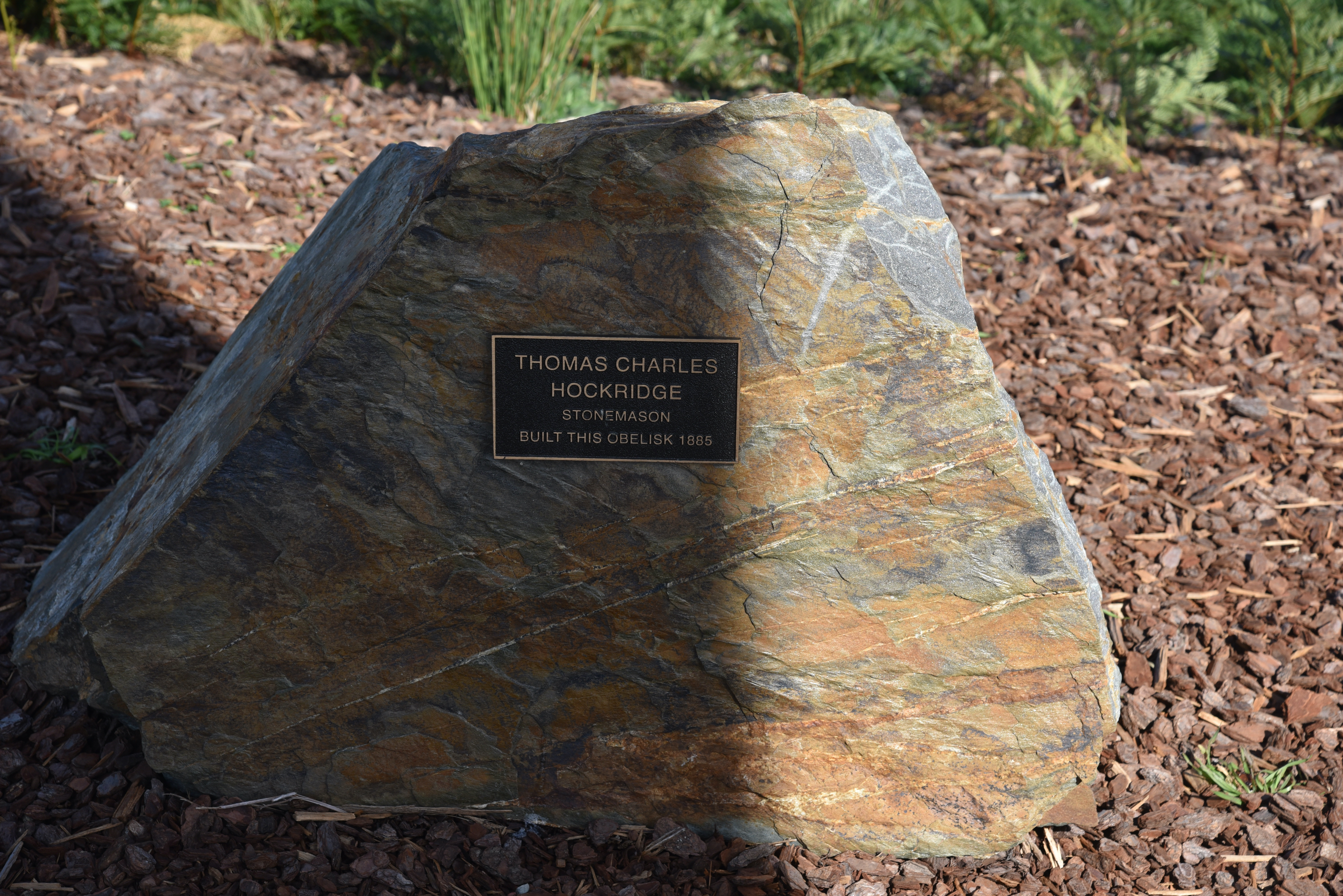
You can also find the obelisk known as Flinders Column. It was named in honour of the famous explorer Captain Matthew Flinders, who in 1802 from Kangaroo Island, discovered and named Mount Lofty. The obelisk was originally erected as a trig station in 1885.
A cairn of stones was erected on the summit in 1865, along with a table & chairs and a wooden flagstaff. The wooden flagstaff was replaced in 1885 when the stone tower was built.
At the summit you can also find a number of memorials, including one which honours the firefighters who fought the Ash Wednesday fires in 1983. The fires commenced on the 16th February 1983 on a day when the temperature reached 40 deg C with a strong, hot northerly wind. The fires resulted in the death of 28 people including 3 Country Fire Service volunteer firefighters. A total of 363 homes and 200 other buildings were destroyed and 160,000 hectares were burnt.
Another one acknowledges Thomas Charles Hockridge, the stonemason who erected the obelisk in 1885.
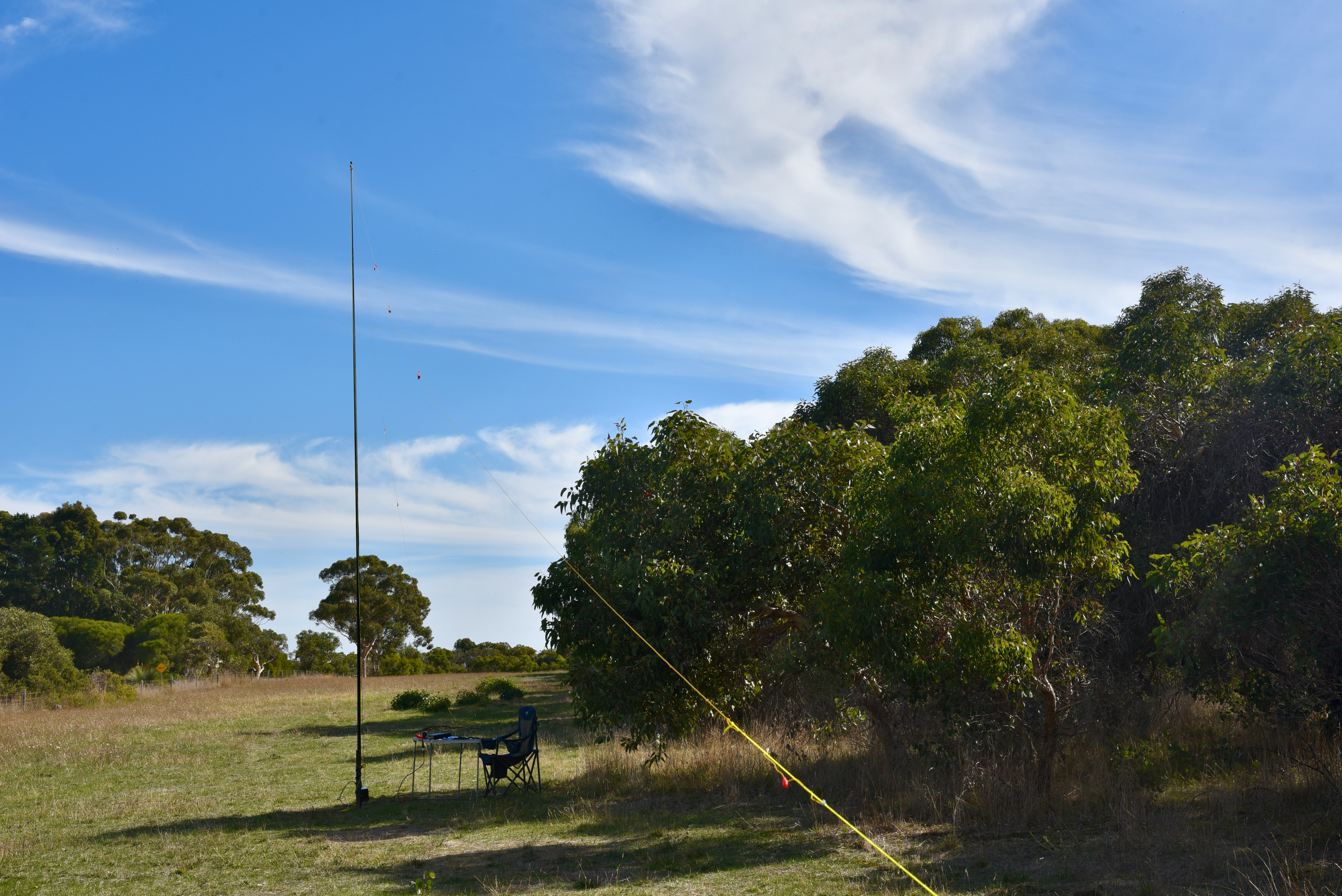
For this activation I ran the Yaesu FT857d, 40 watts, and the 20/40/80m linked dipole.
First in the log for the activation was Peter VK3PF, followed by Alan VK2MET, Neil VK4HNS, and Gerard VK2IO. With 4 contacts in the log, the summit has been qualified.
Callers were a bit thin, but I boxed on and logged a total of 23 stations on 40m before the UTC rollover at 9.30 a.m. South Australian local time. Contacts were made into VK1, VK2, VK3, VK4, VK5, VK6, and New Zealand.
After the UTC rollover I logged 12 from VK2, VK3, VK7, and New Zealand.
I then moved to the 80m band where I logged just 3 stations, all VK5’s.
I then headed to 20m and lgoged three stations from VK2 and New Zealand.
To conclude the activation I moved back to 40m and put out a few final CQ calls on 7.144, logging a total of 7 stations from VK2, VK3, VK4, VK6, and VK7.
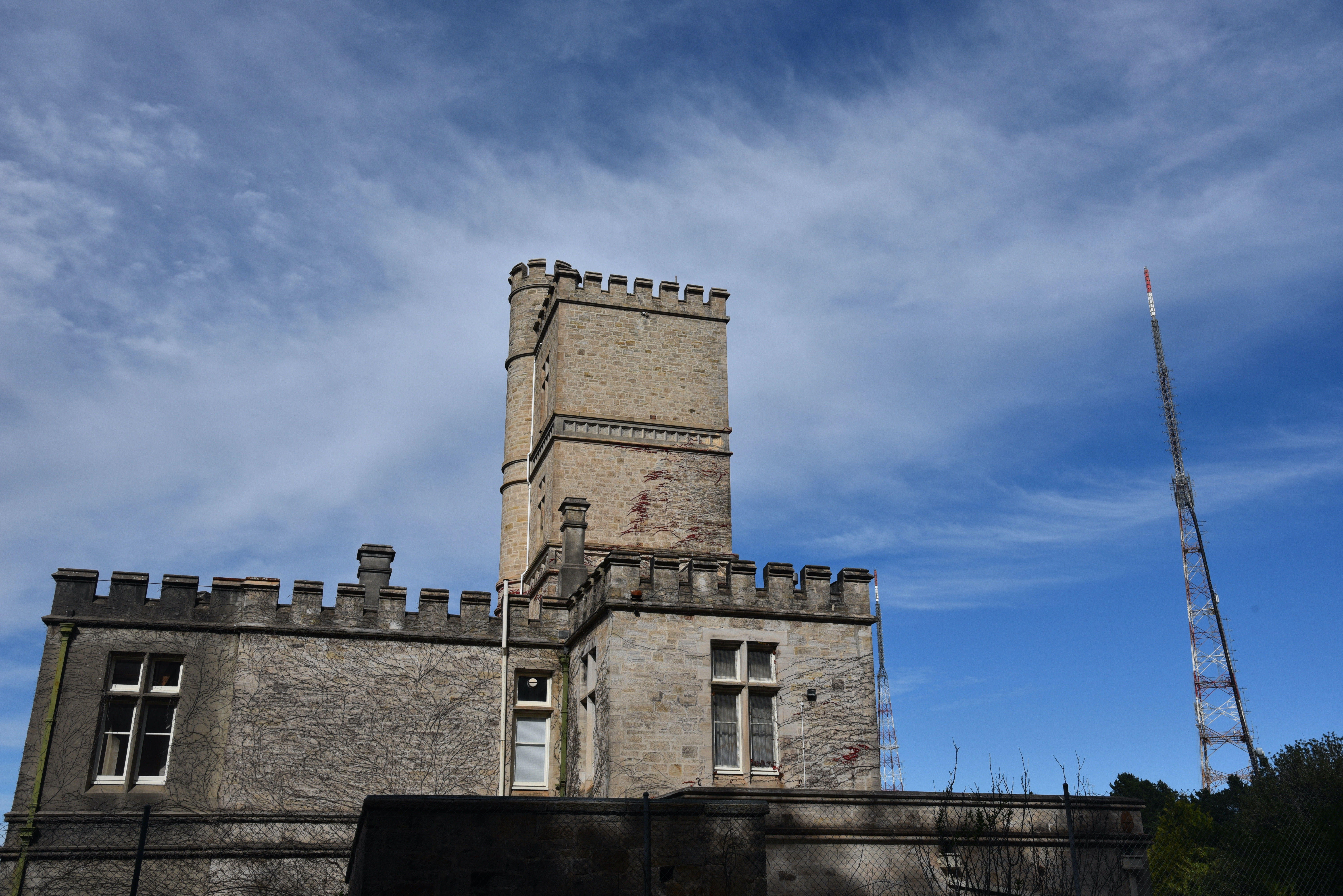
Adjacent to where I was operating was Carminow Castle which was built in 1885 in Scottish baronial style as a summer house by the Scottish migrant Sir. Thomas Elder (1818-1897). Elder was a highly successful businessman, philanthropist, politician, race-horse owner and breeder, and public figure.
His main house was called Birksgate and was located at Urbrae. His summer house was Carminow.
Above:- Sir Thomas Elder. Image c/o Wikipedia.
It was later owned from 1902 by Sir. Langdon Bonython, a proprietor of the Advertiser newspaper. The castle was inherited by his grandson Kym Bonython (1920-2011). During the Second World War it was used to house up to 120 troops at a time.
With 48 QSOs in the log, it was time to pack up and head off to the Kyeema Conservation Park for a park activation using VK100AF.
I worked the following stations before the UTC rollover on 40m SSB:-
VK3PF
VK2MET
VK4HNS
VK2IO
VK2RO
VK6XN
VK4NH
VK4DXA
ZL4TY/VK4
VK1MIC
VK5HS
VK3ARH
VK3SQ
VK5GA
VK3FIMD
VK2VW
VK2HFI
ZL3RIK
VK5JK
VK5CZ
VK4HMI
VK2ZK
VK2SLB
I worked the following stations after the UTC rollover on 40m SSB:-