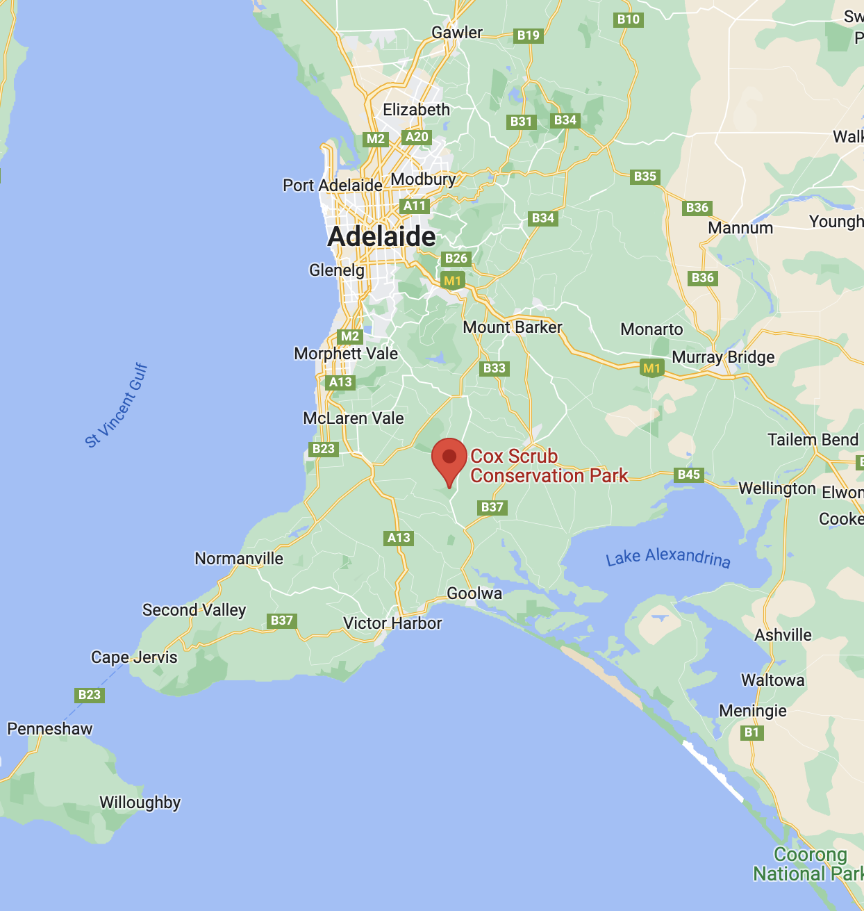
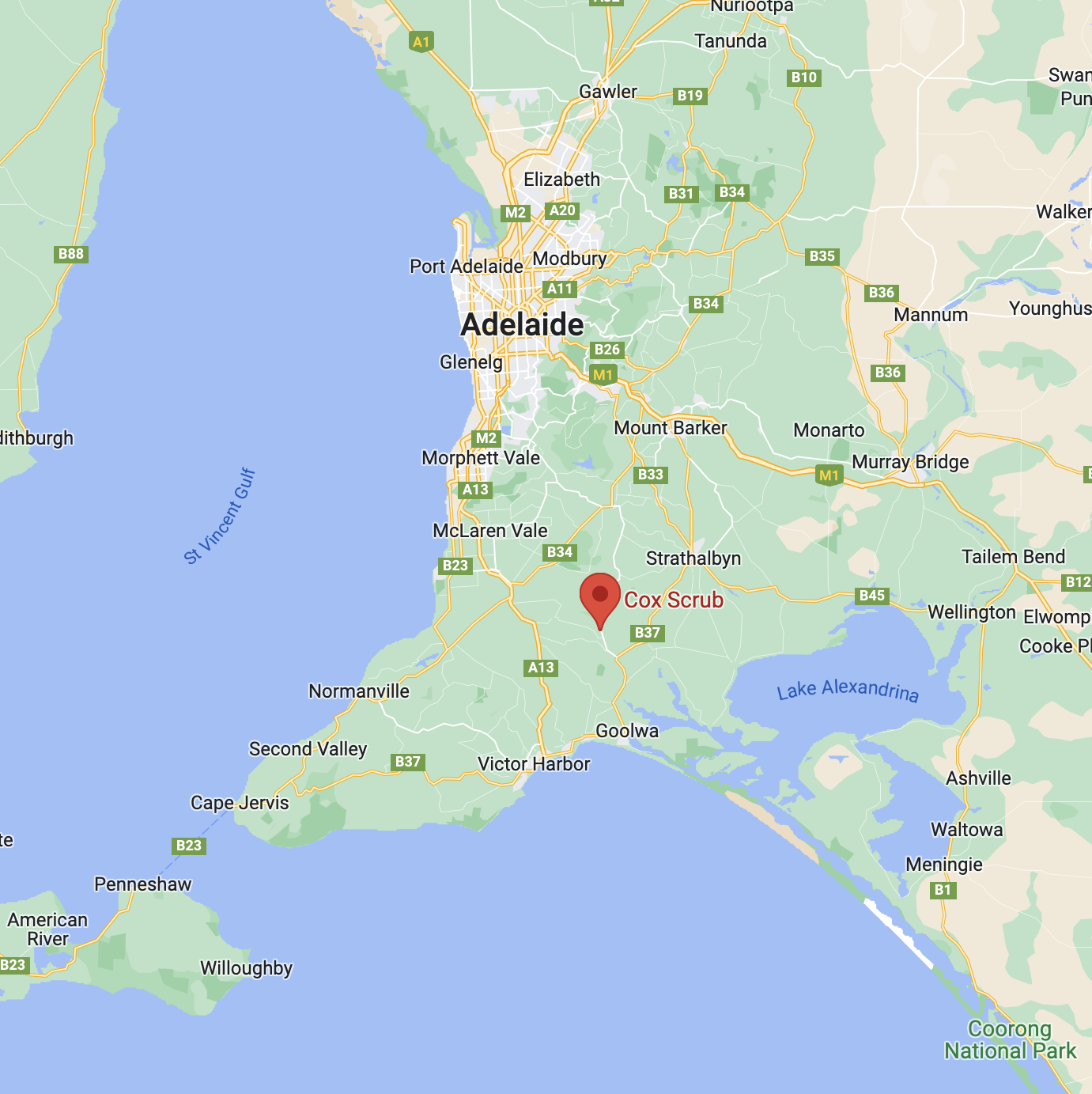
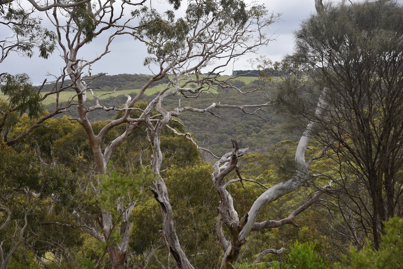
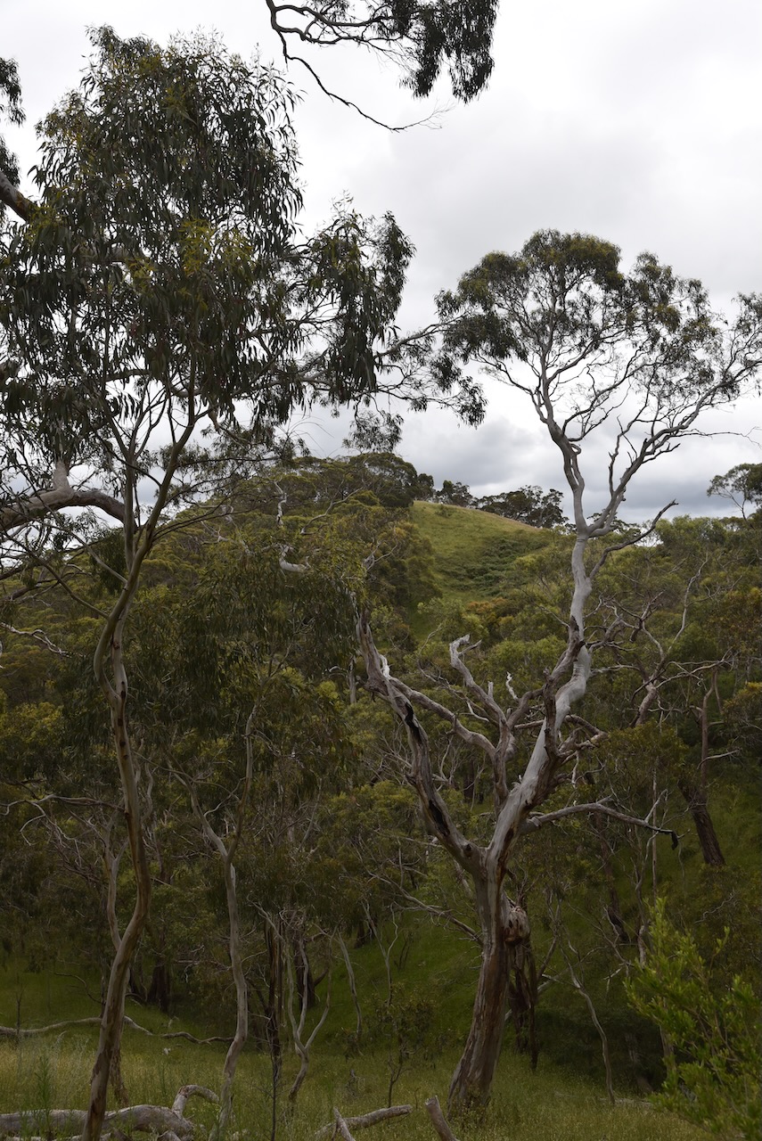
Our final park for Sunday 27th November 2022 and the 2022 VKFF Activation Weekend was the Cox Scrub Conservation Park VKFF-0824. The park is located about 70 km south-south-east of the city of Adelaide and about 8 km south of the town of Ashbourne where I live.
Above:- Map showing the location of the Cox Scrub Conservation Park. Map c/o Google maps.
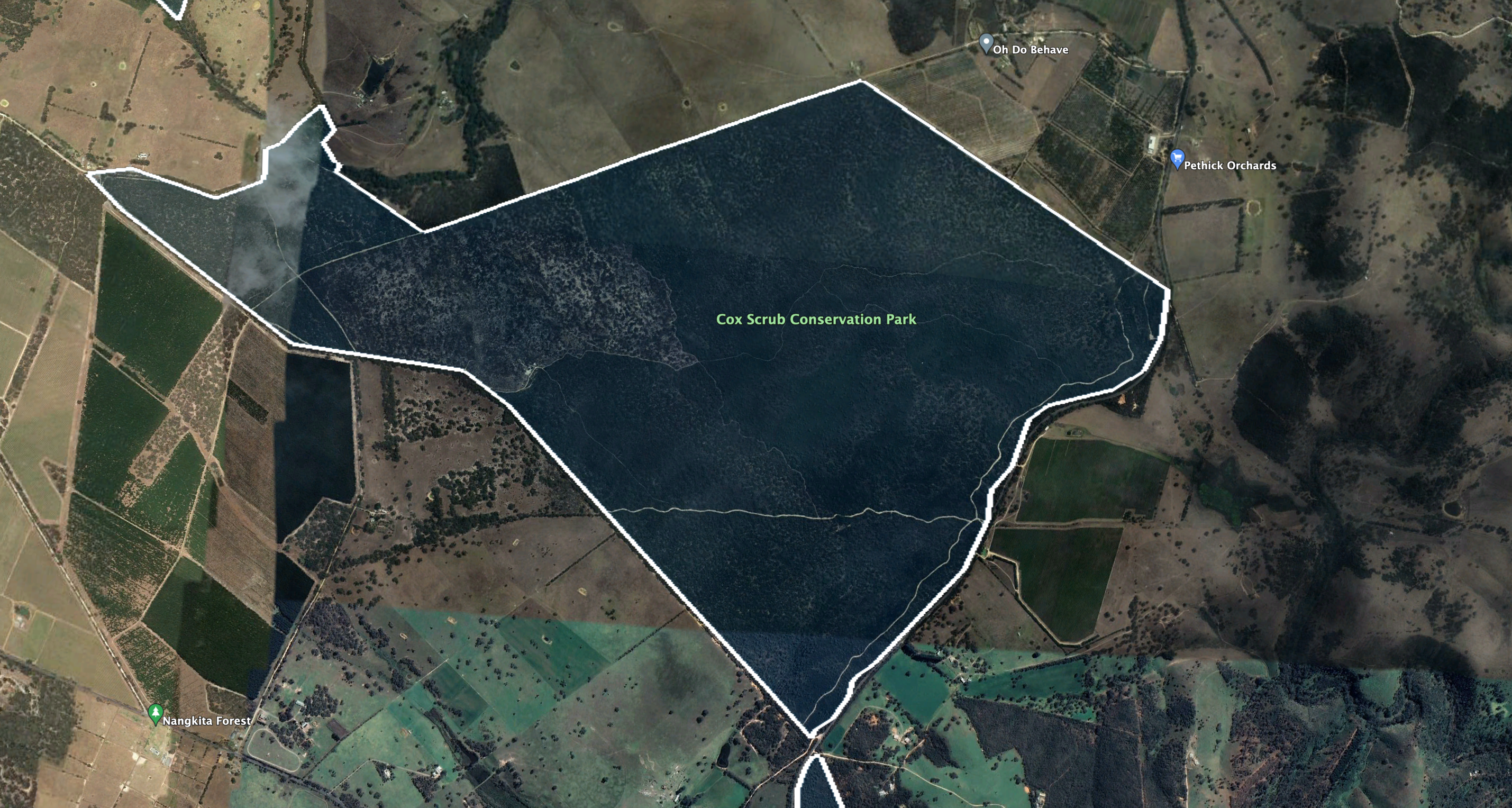
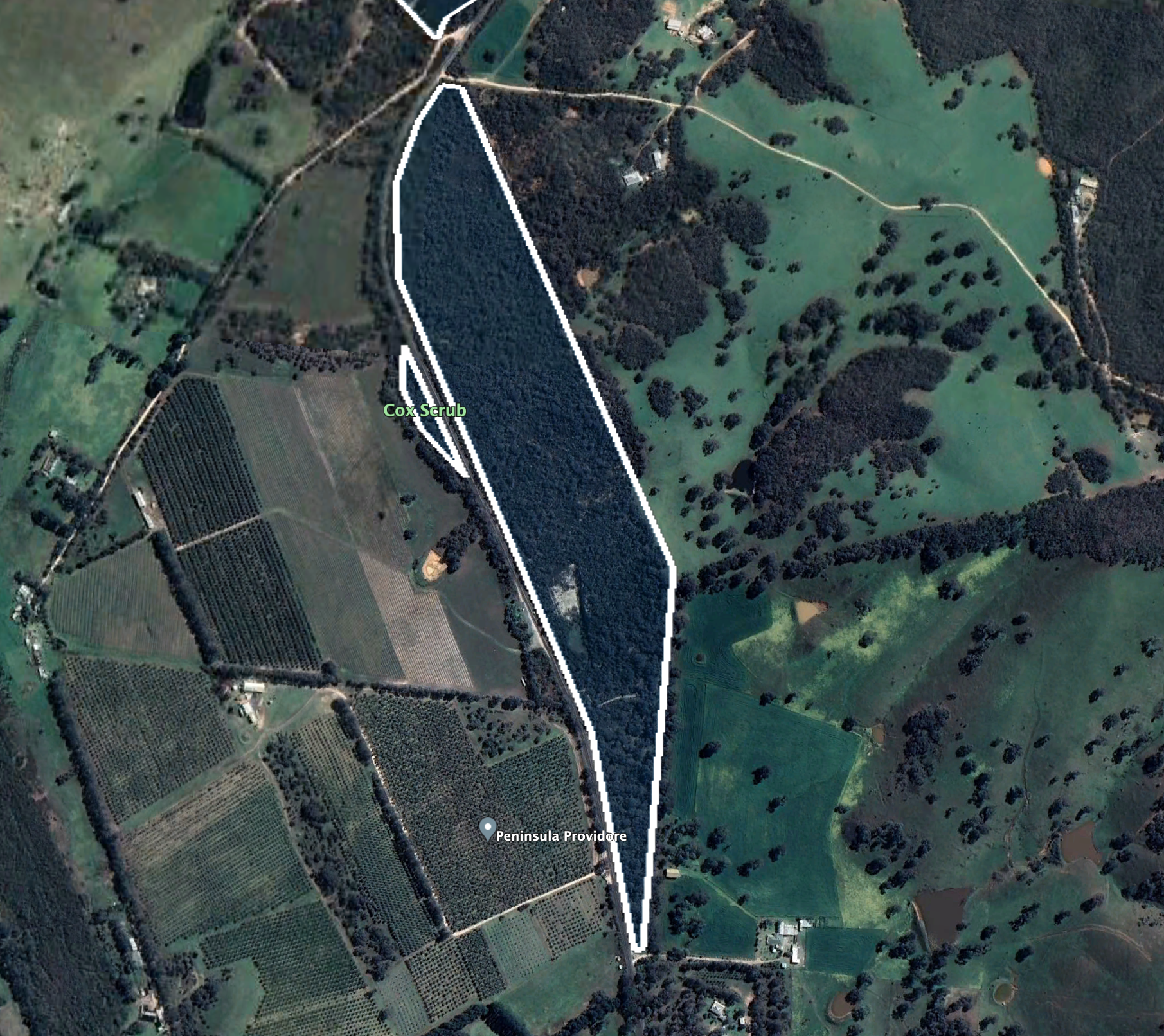
The park is bordered by Bull Creek Road to the east, and Rymill Road to the west. Cleared farming land can be found to the south and north.
Above:- An aerial view of the park showing the boundaries. Image c/o Google Earth.
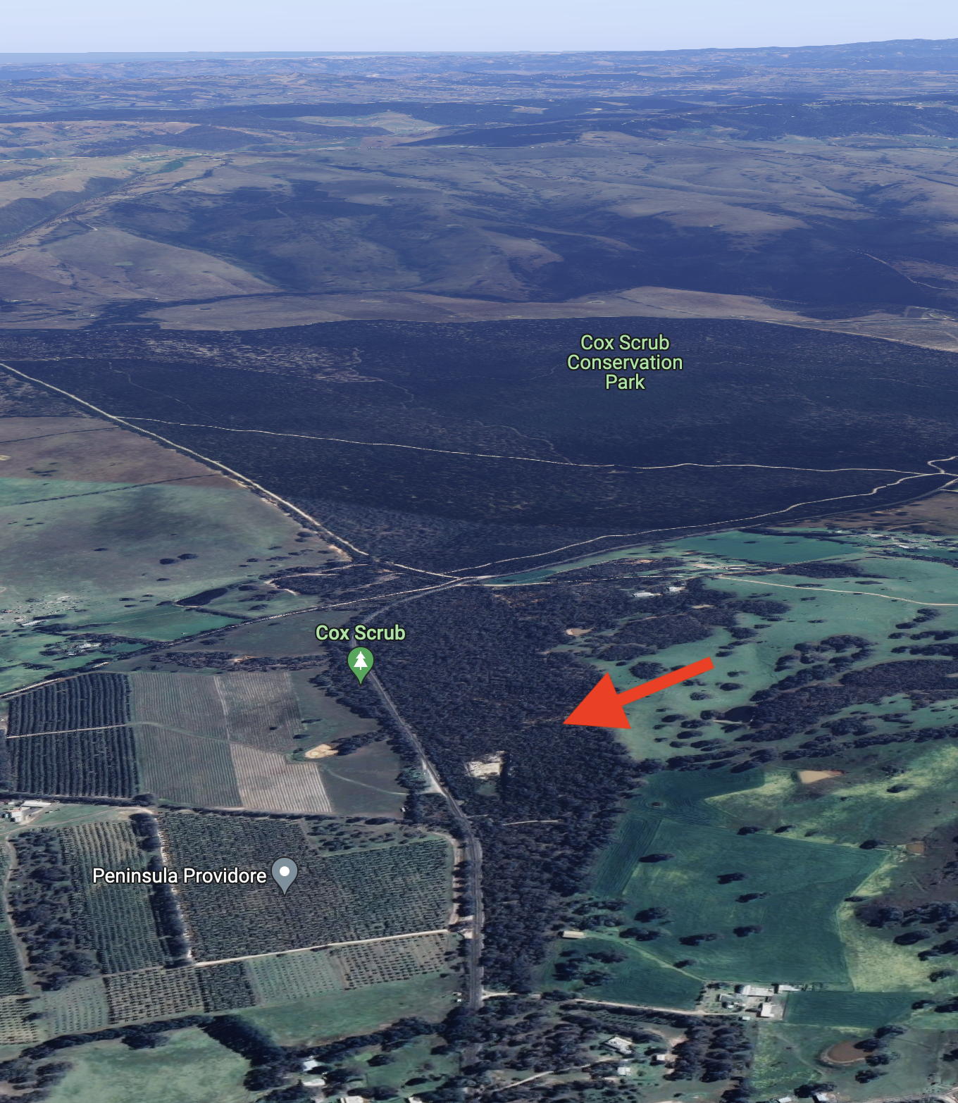
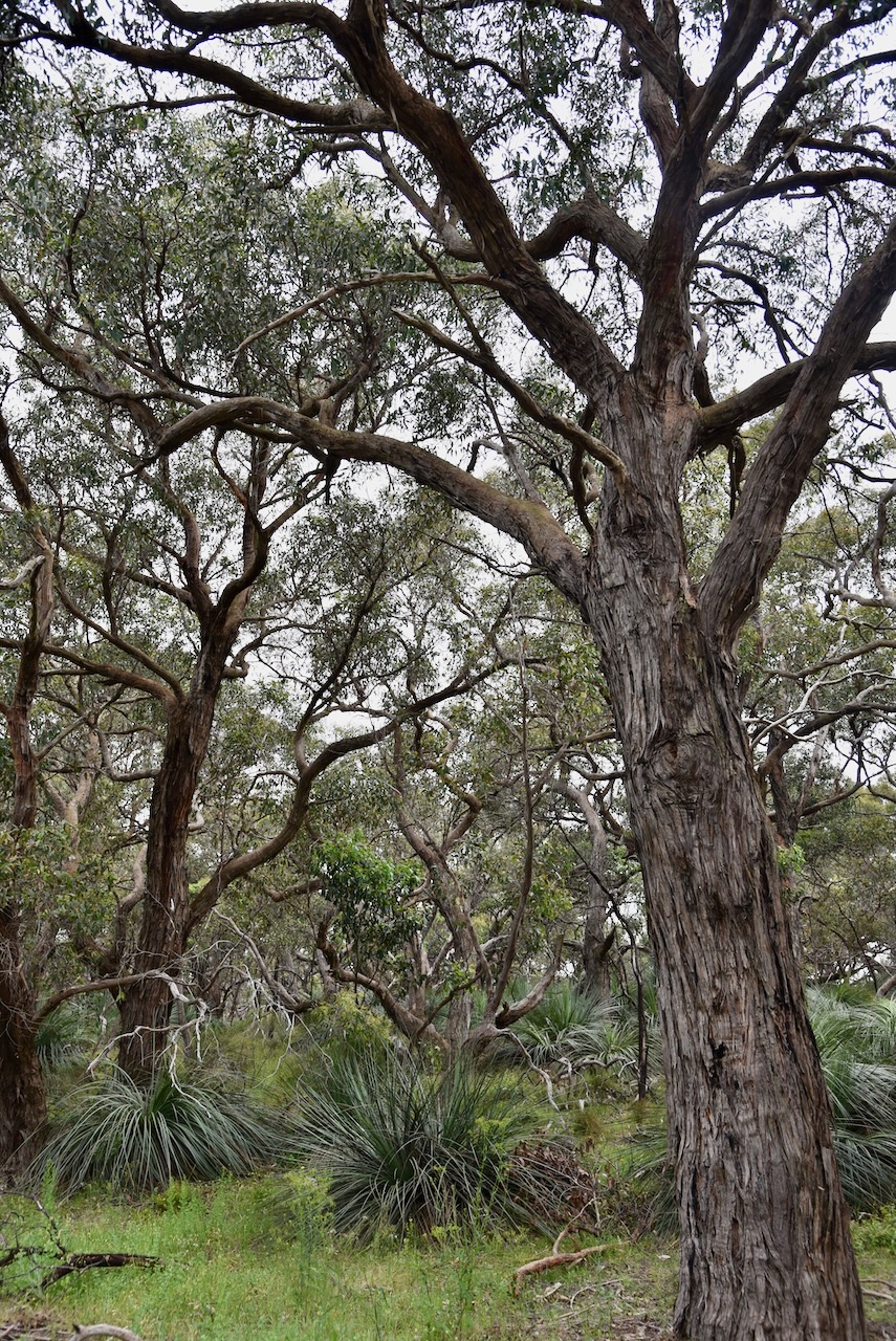
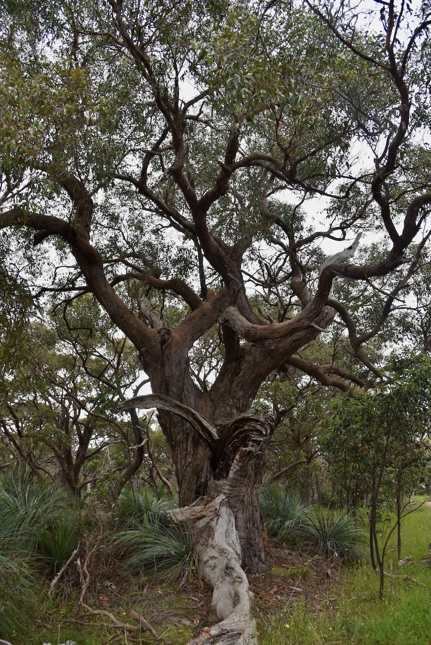
Cox Scrub Conservation Park is about 563 hectares in size and is one of the largest parks on the Fleurieu Peninsula south of Adelaide.
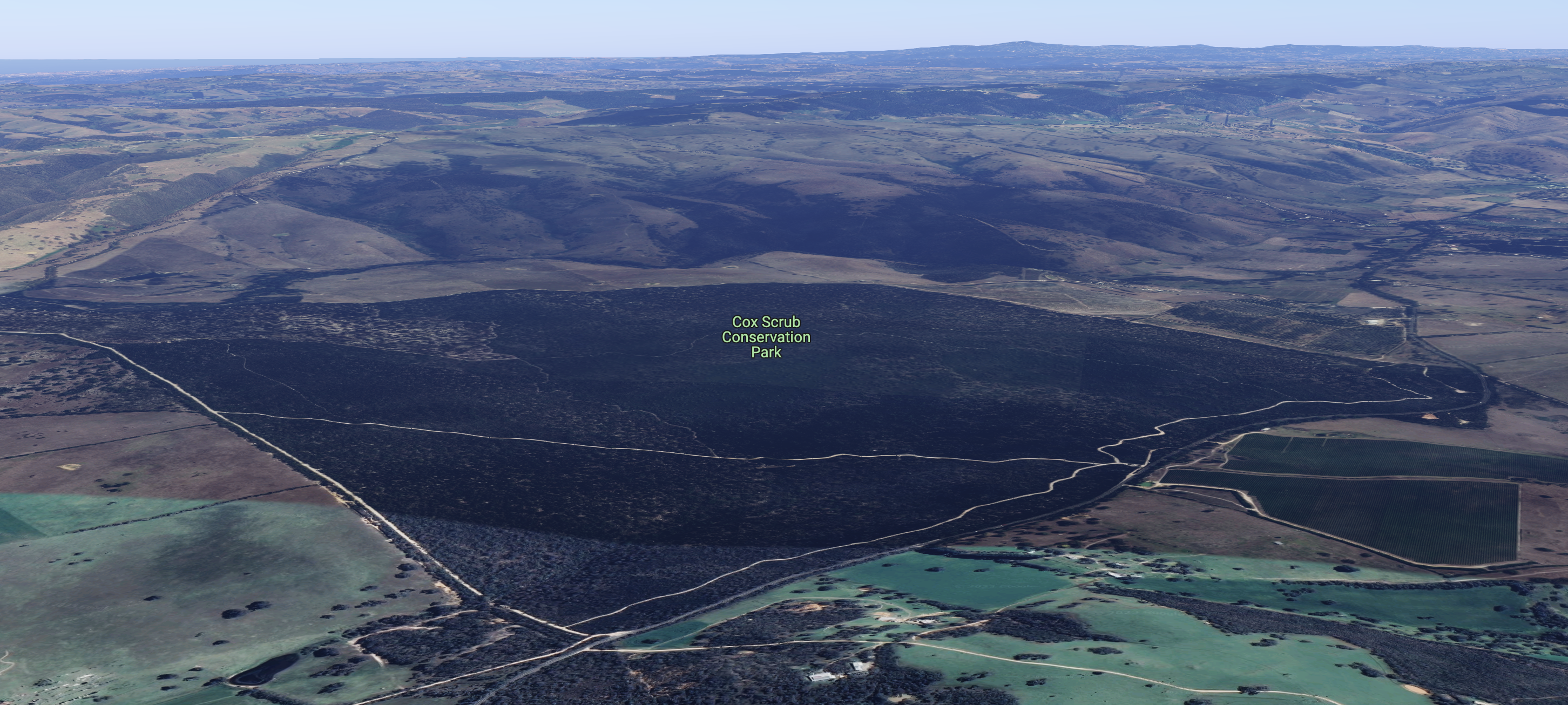
Above:- An aerial view of the Cox Scrub Conservation Park. Image c/o Google maps.
The park was proclaimed on the 5th day of March 1970 as the Cox’s Scrub National Park. Prior to this, the park was owned by Mr V. Cox, an apiarist of Ashbourne> He preserved the park in is natural state for the bees which he bred. On the 27th day of April 1972, it was reconstituted as the Cox Scrub Conservation Park. Additional areas were added to the park in 1977, 1982, 1984, 1986, and 2018.
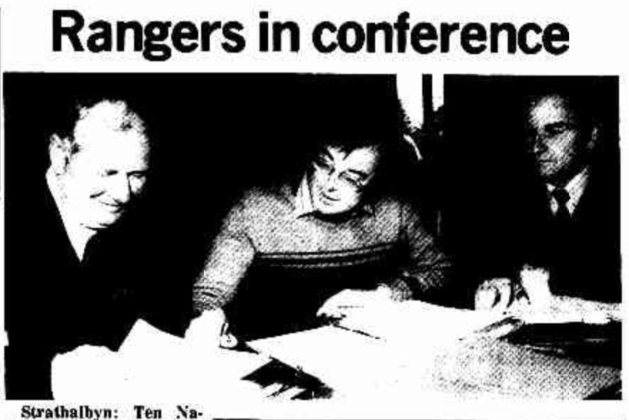
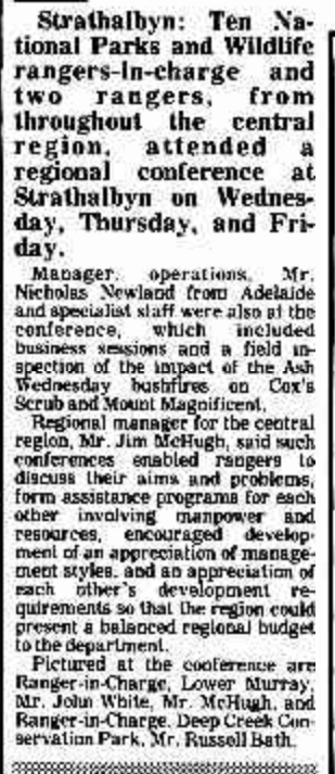
In 1983 the park was destroyed during the Ash Wednesday Bushfires.
Above:- Article from the Victor Harbour Times, Wed 21 Sep 1983. Image c/o Trove.
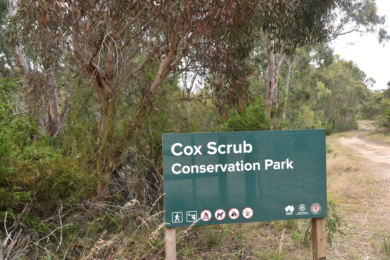
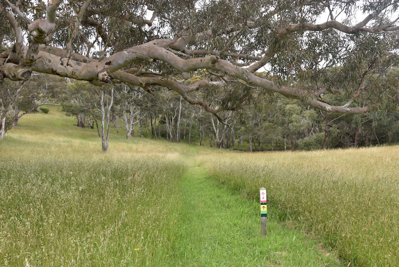
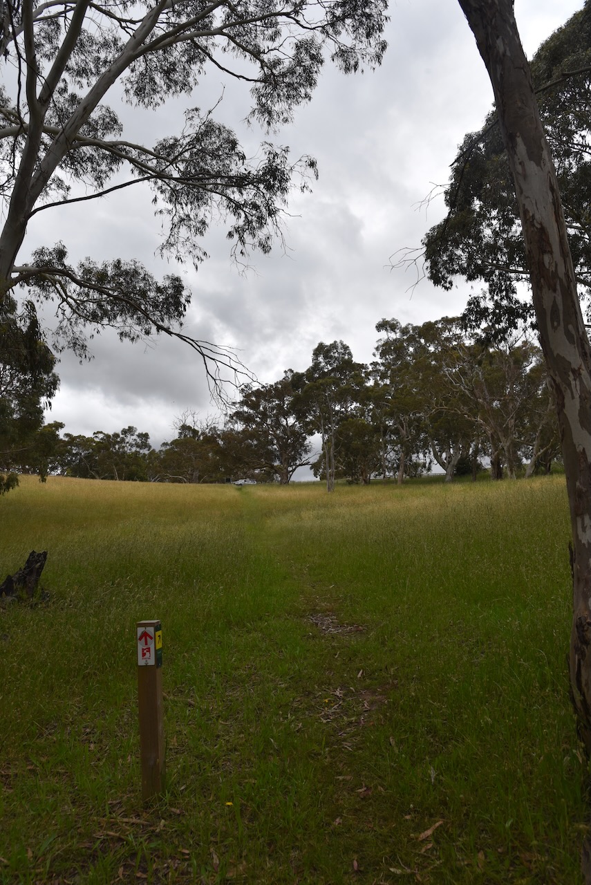
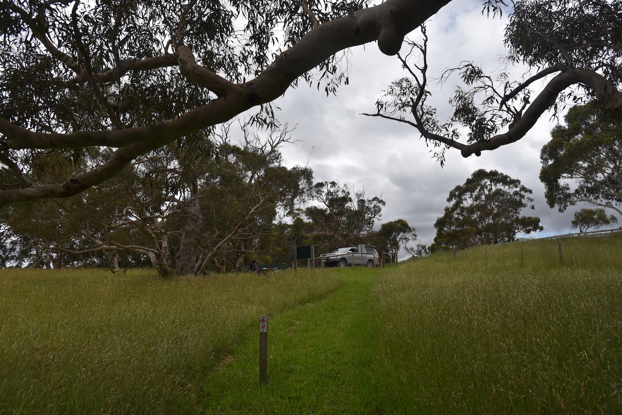
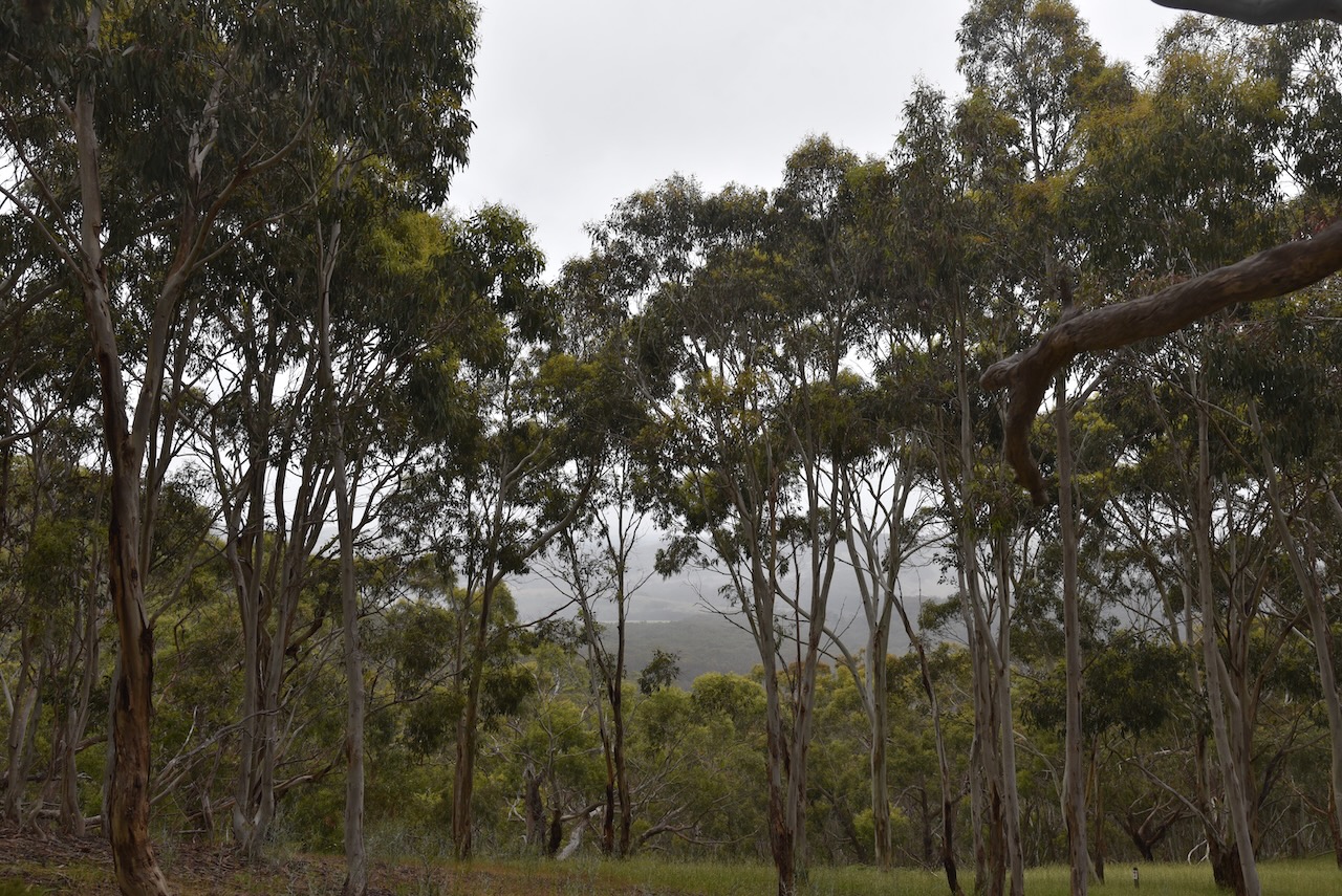
The park is well-signposted from Bull Creek Road.
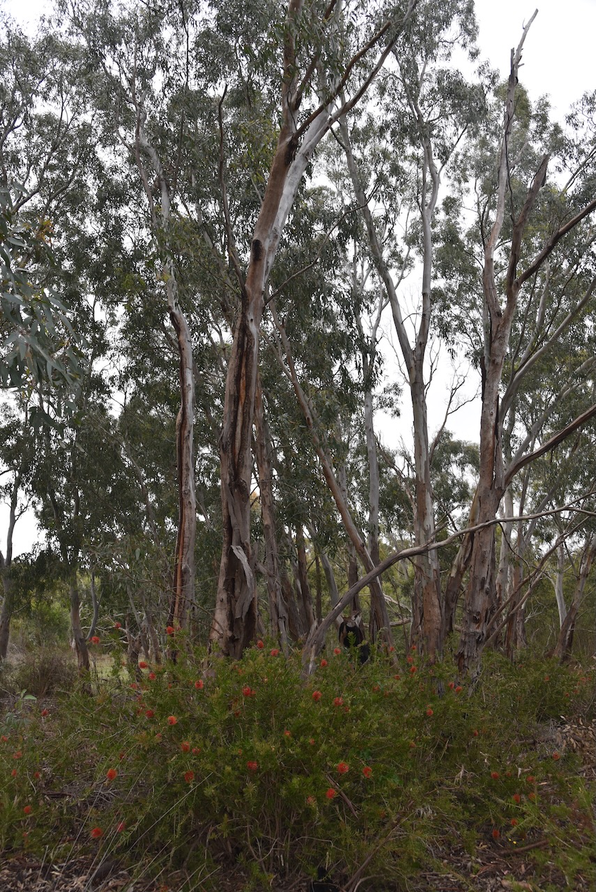
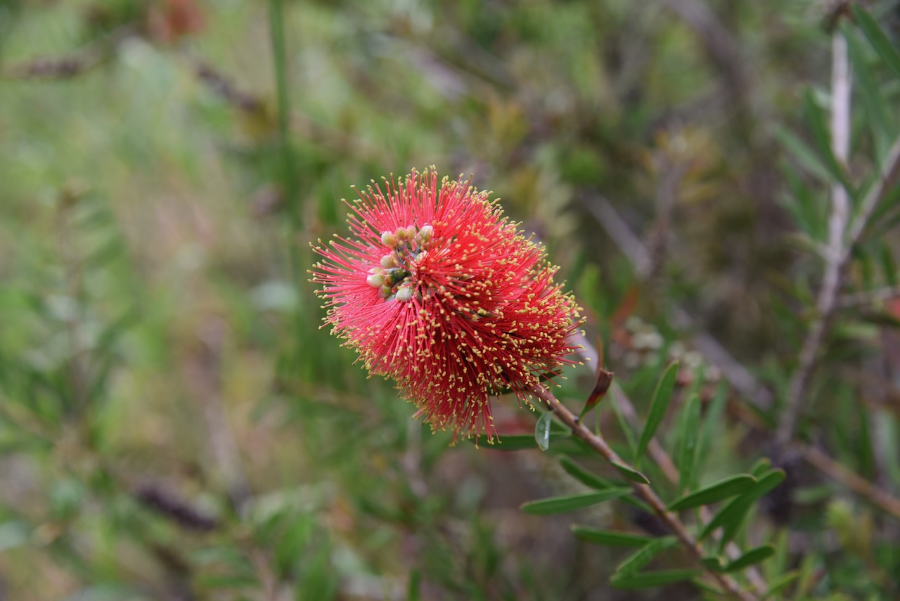
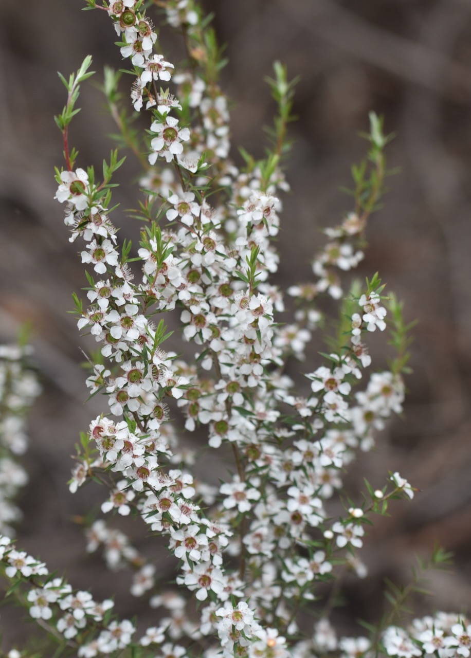
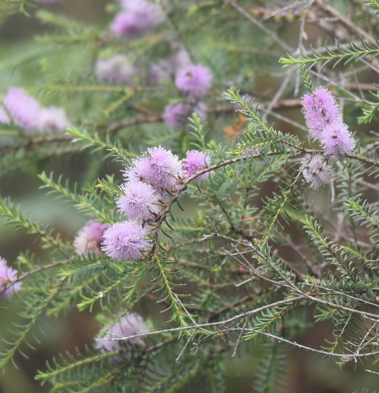
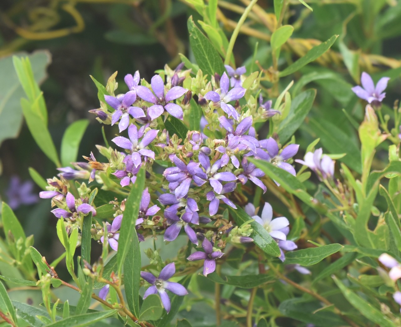
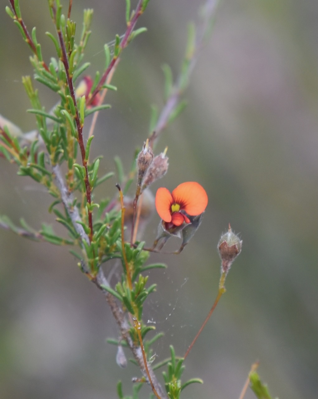
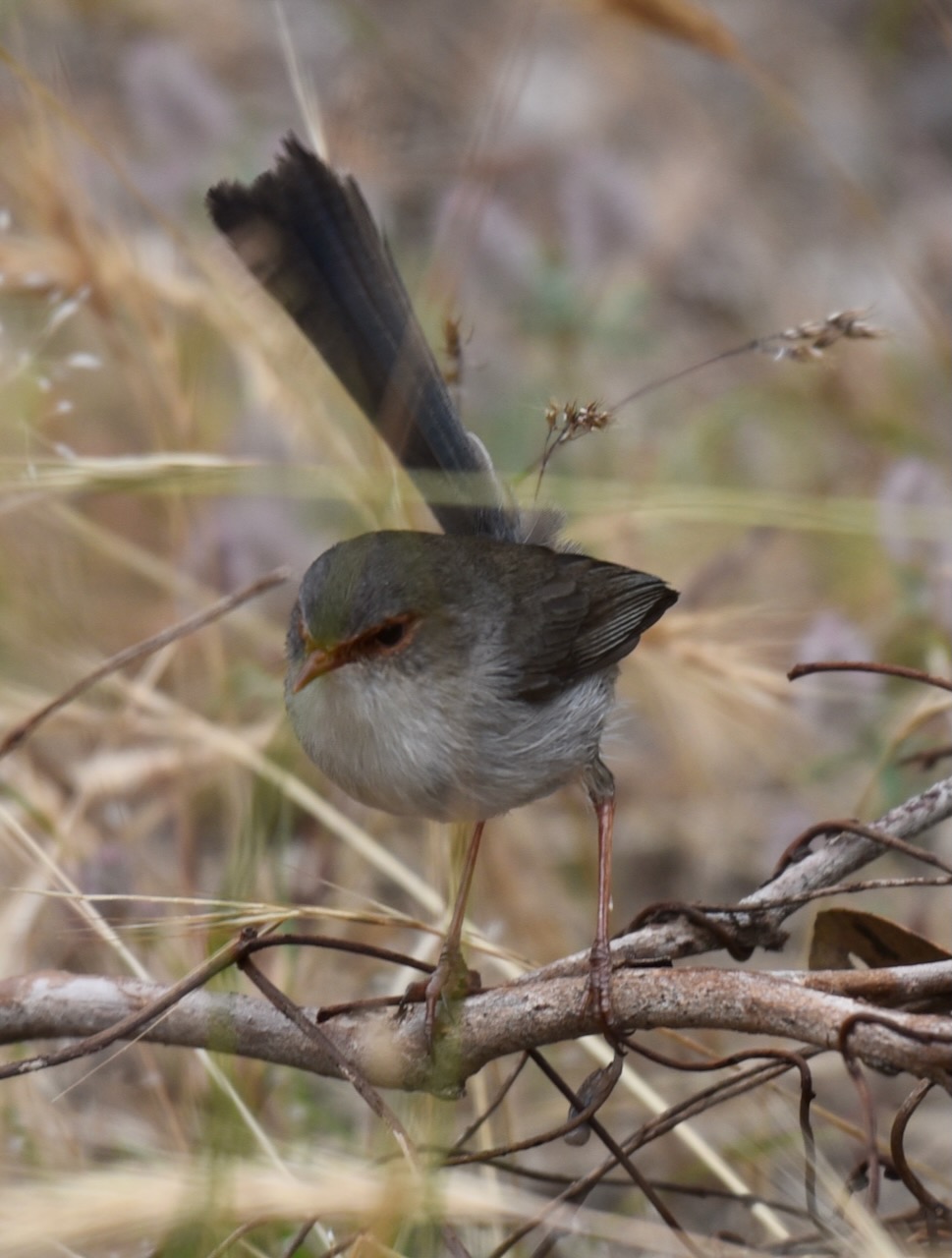
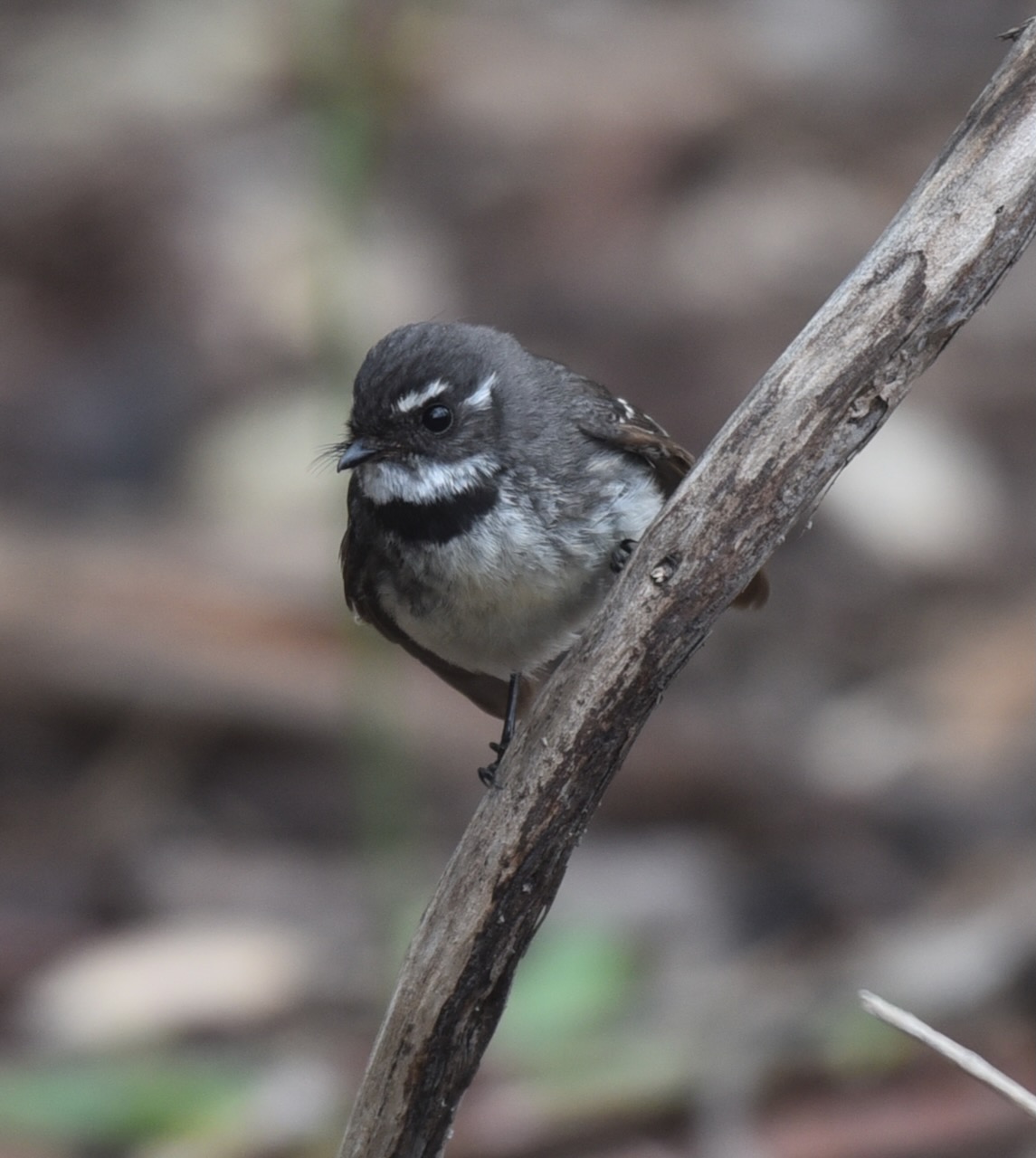
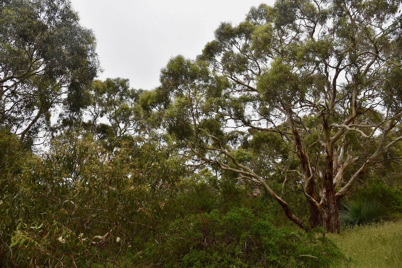
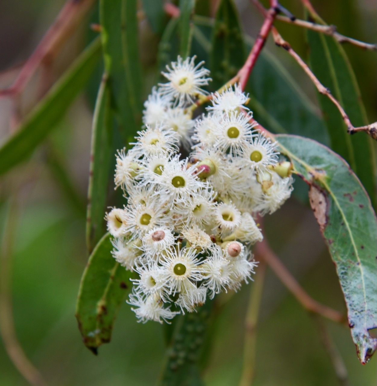
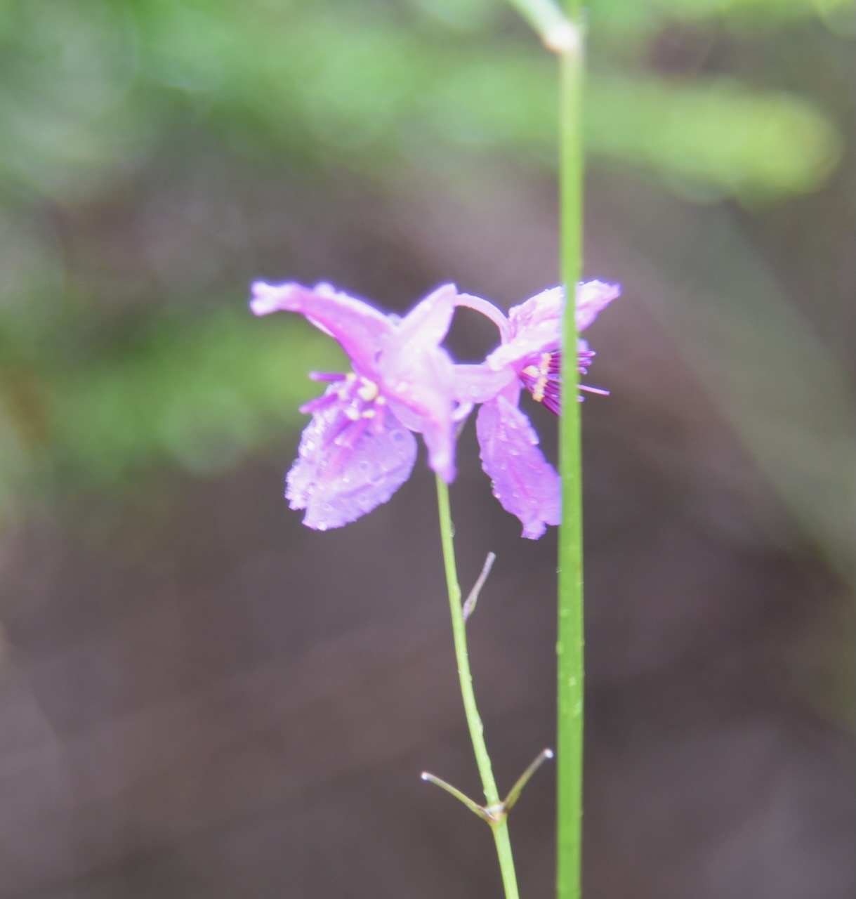
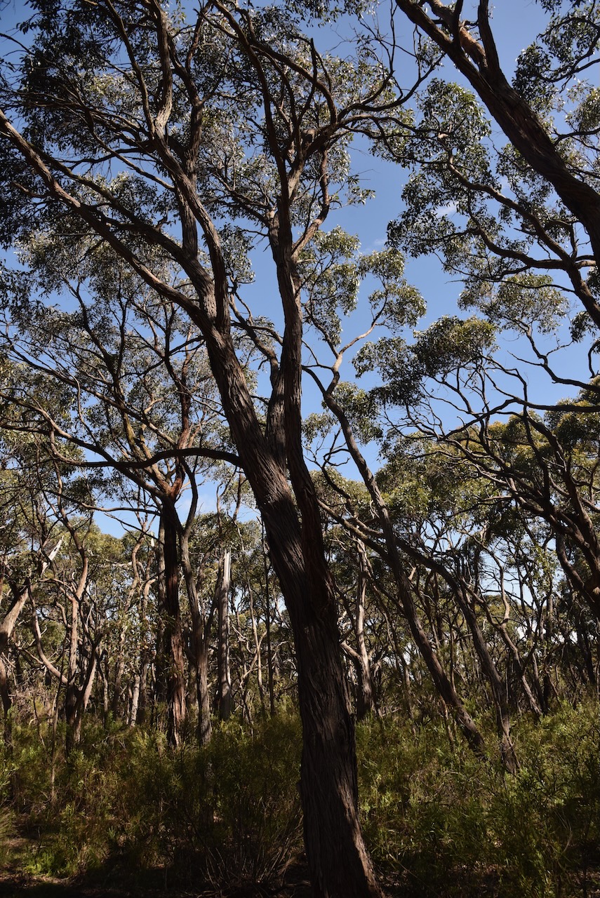
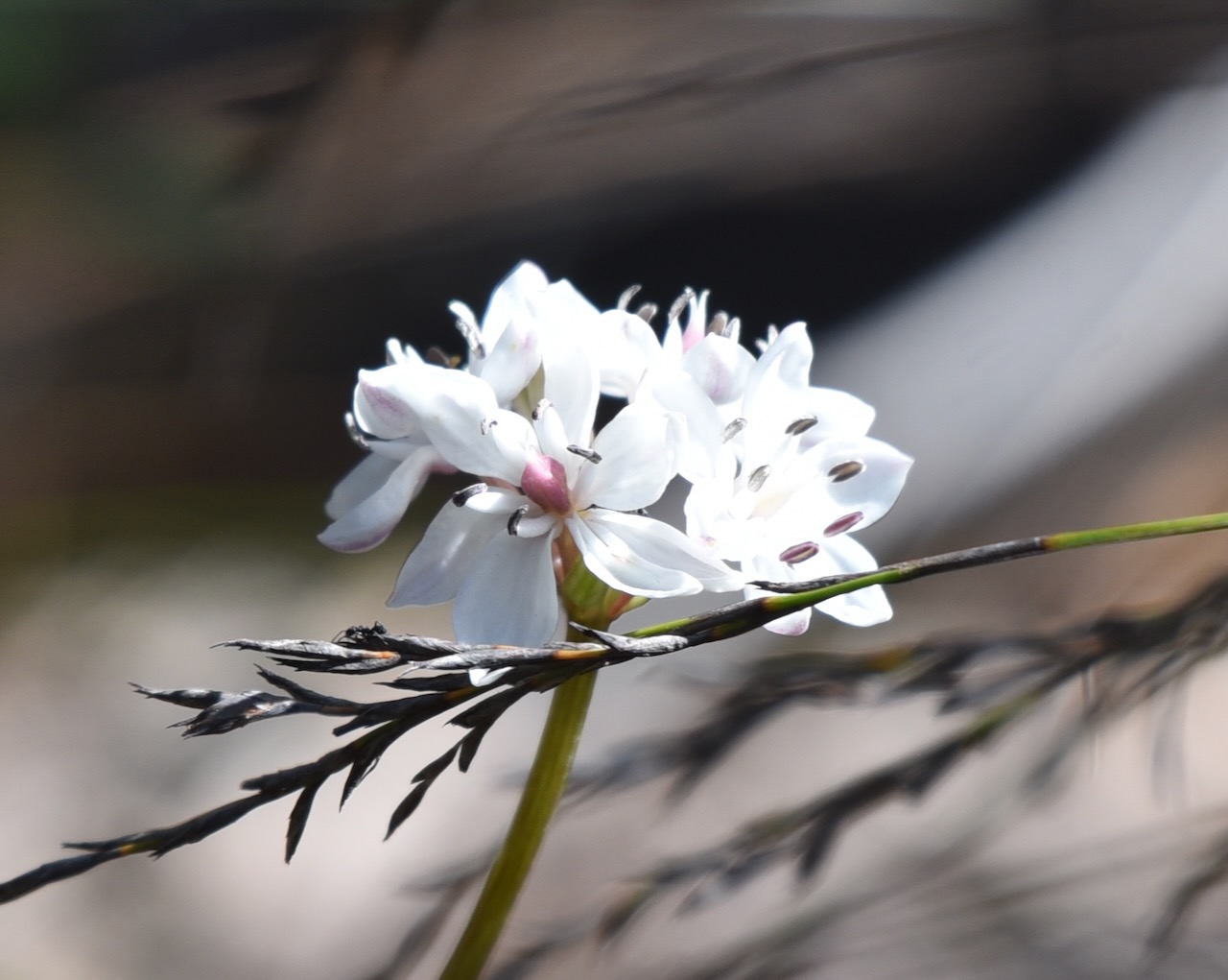
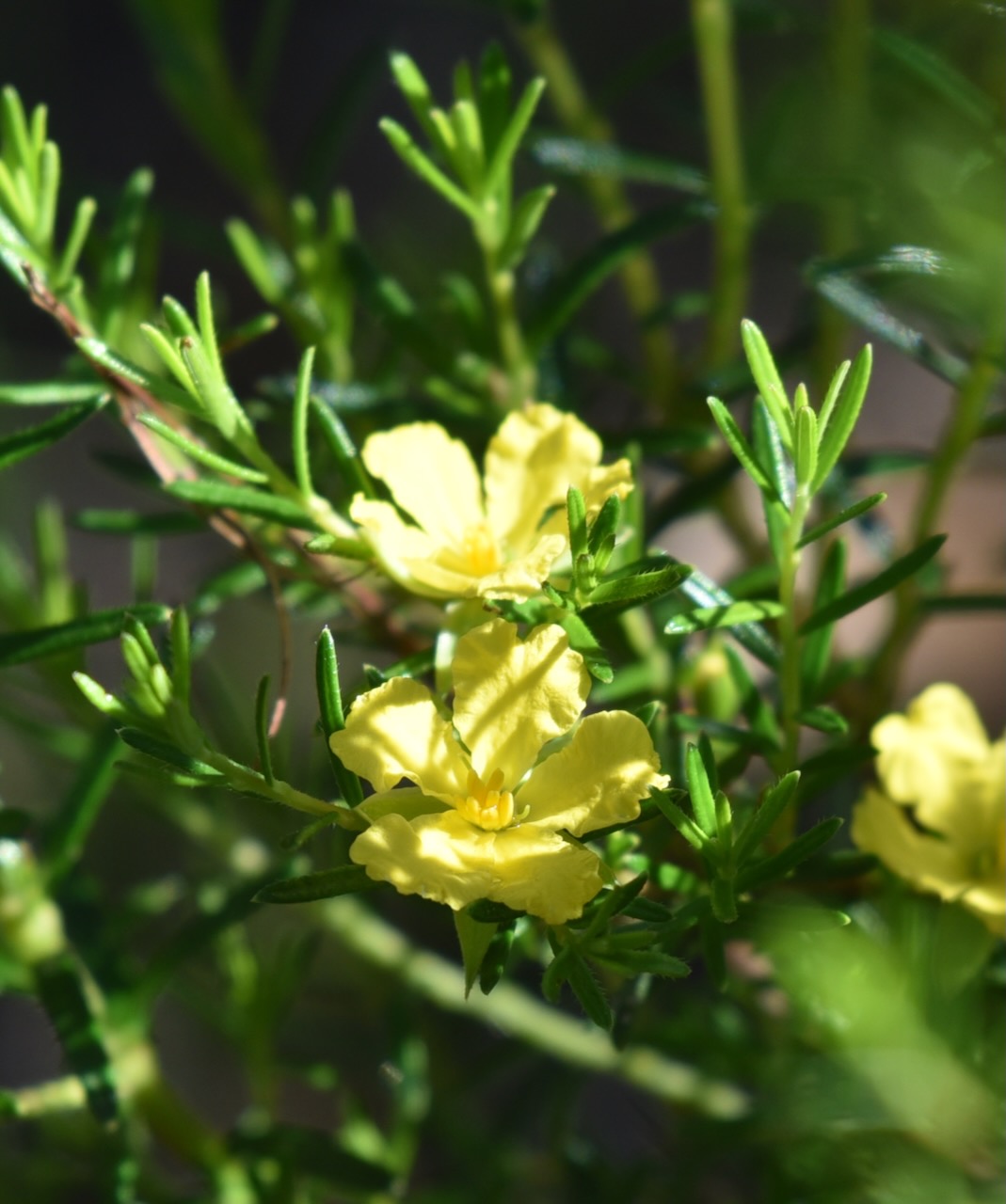
The majority of the park’s vegetation is low stringybark and banksia with a dense understorey
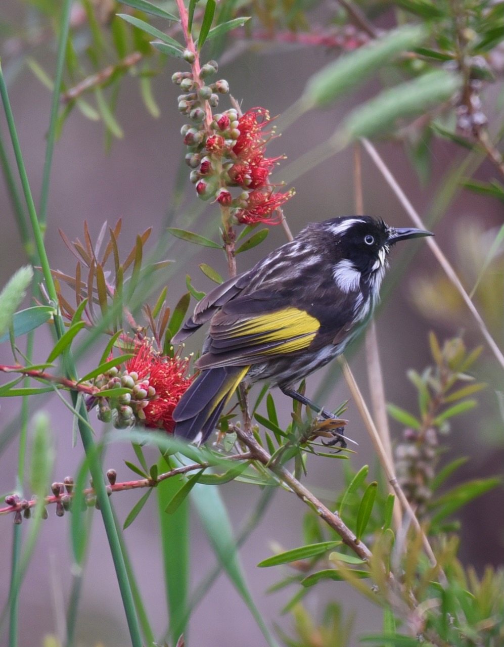
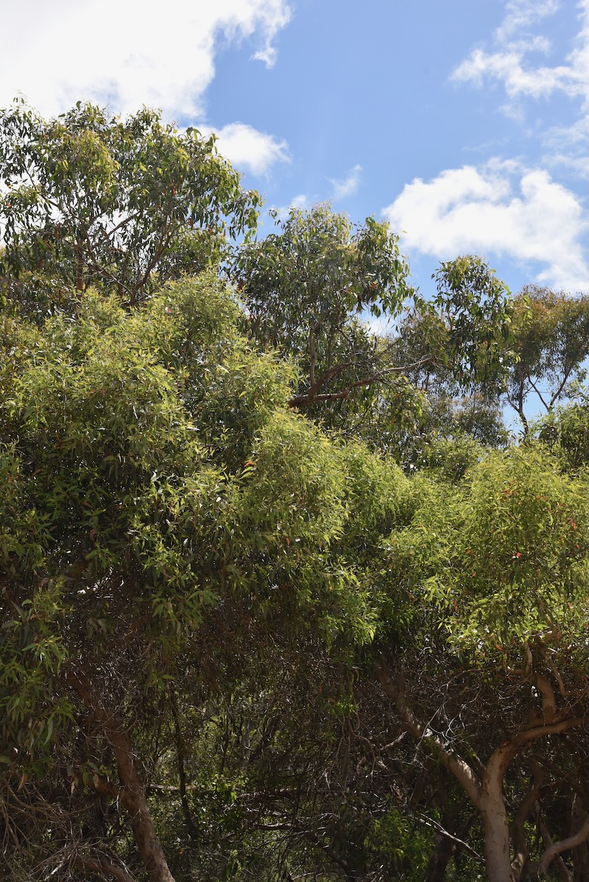
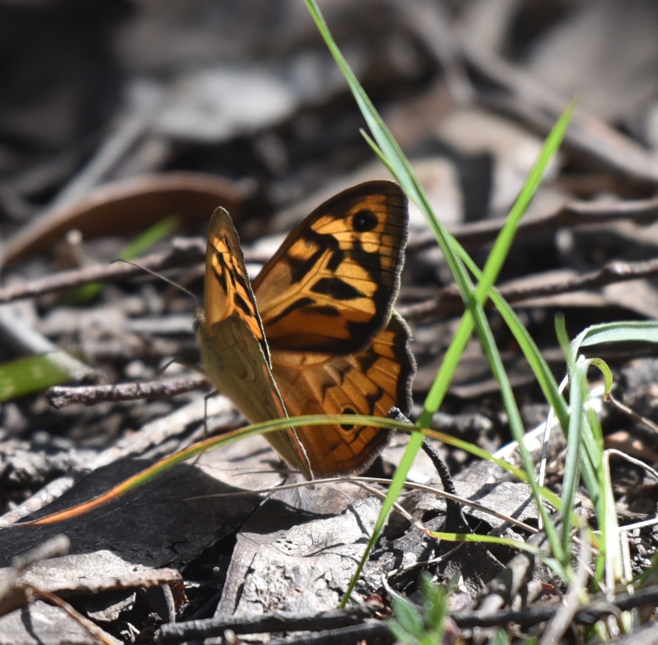
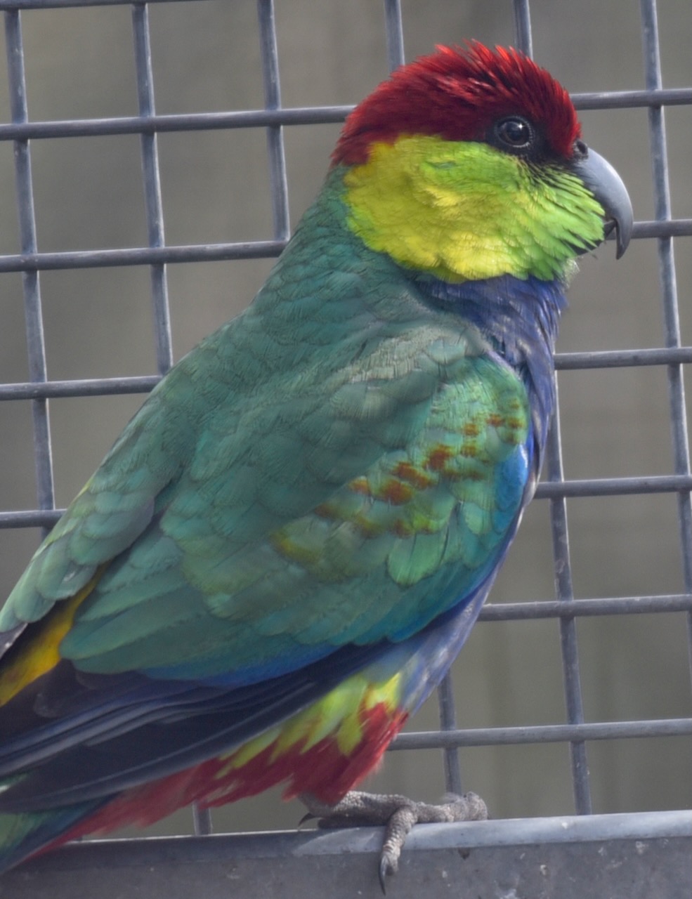
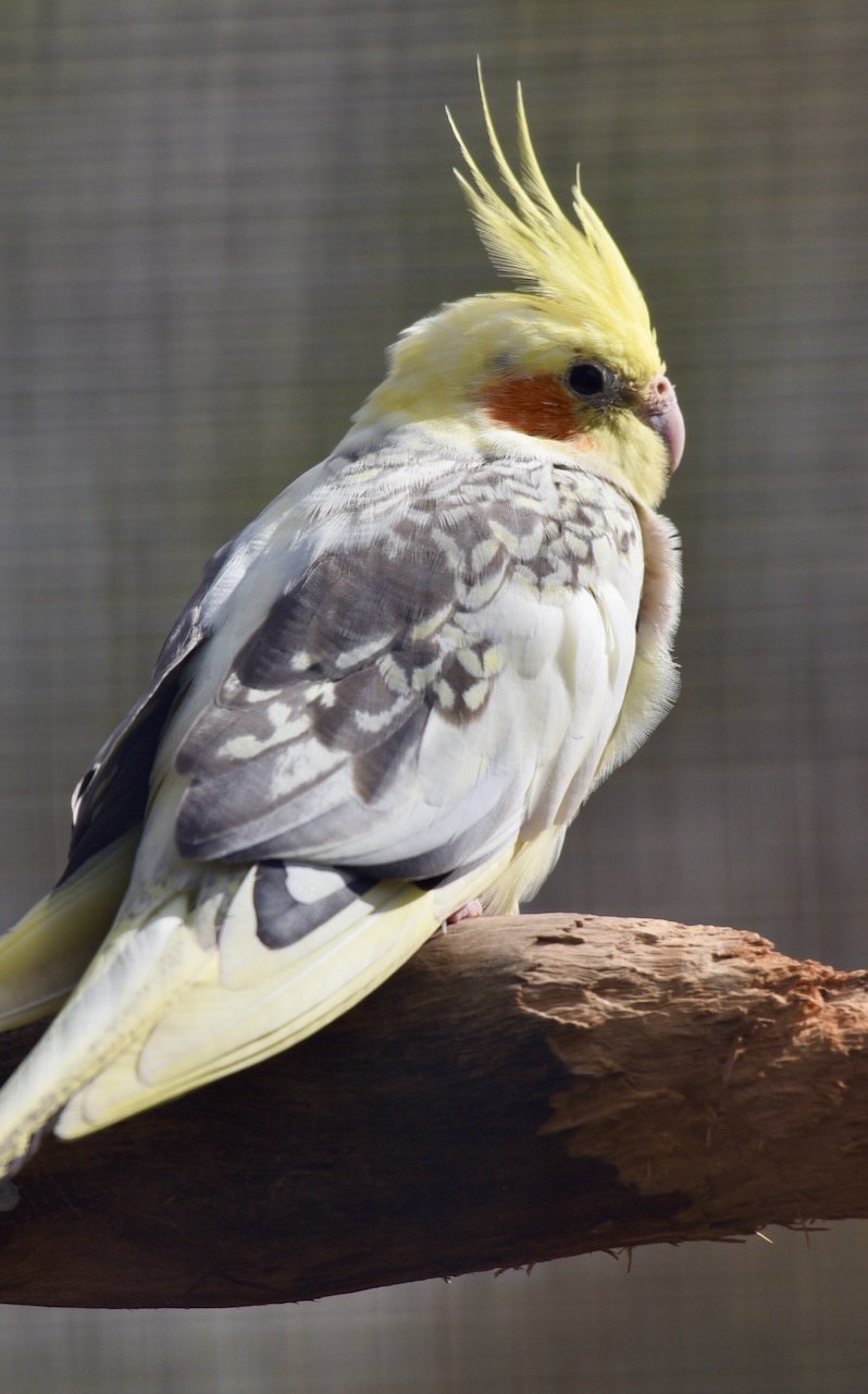
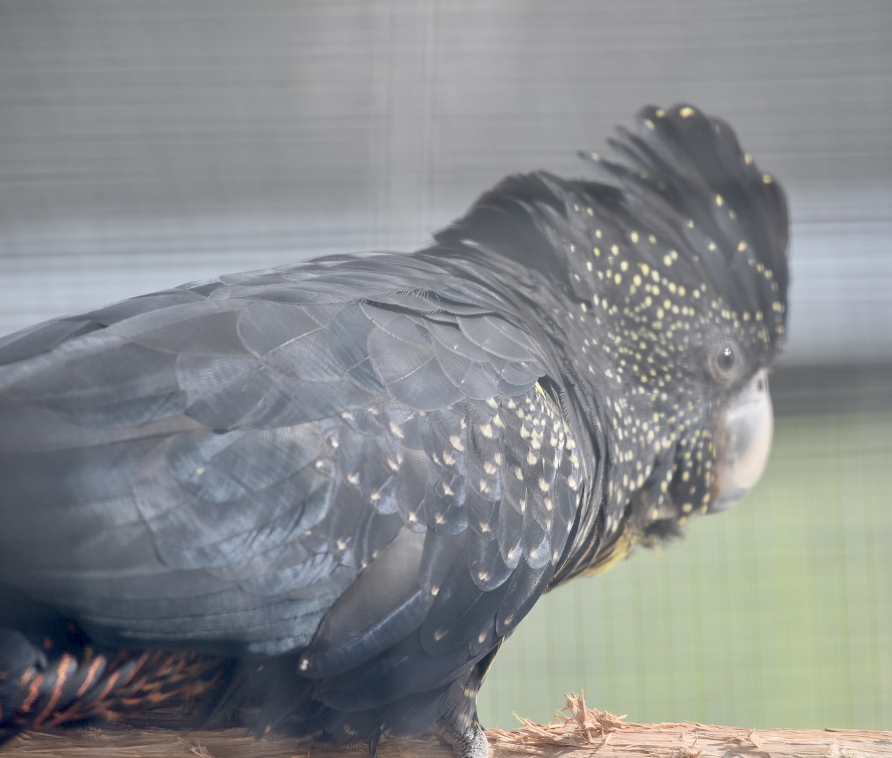
The park is home to numerous birds. Below are some photos I took during our visit.
Birds SA have recorded 152 different bird species in the park including Superb Fairywren, Red-browed Finch, Galah, New Holland Honeyeater, White-browed Scrubwren, and Red Wattlebird.
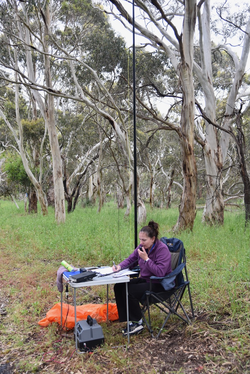
Marija and I logged a total of 70 QSOs, including 22 Park to Park contacts.
It was the end of an excellent weekend and another successful VKFF Activation Weekend. Marija and I activated eight (8) parks on the Fleurieu Peninsula.
Our third park for Sunday 27th November 2022 was the Cox Scrub Conservation Reserve VKFF-1701. The park is located about 65 km south of the city of Adelaide.
Above:- Map showing the location of the Cox Scrub Conservation Reserve. Map c/o Google maps.
The Cox Scrub Conservation Reserve is located on the eastern side of Bull Creek Road (Meadows-to Goolwa Road). It is not to be confused with the Cox Scrub Conservation Park which is much larger in size.
Above:- An aerial shot of the Cox Scrub Conservation Reserve showing the boundaries. Image c/o Google Earth.
The majority of the adjacent Conservation Park was previously owned by the late Mr. V. COX of Ashbourne, who preserved the area in a natural state for overwintering his honey bees. In 1969 the land was purchased from Mr. COX on the condition that he was allowed to keep bees in the park. This agreement was upheld until he passed away.
Above:- Aerial shot showing the Cox Scrub Conservation Reserve with the Conservation Park in the background. Image c/o Google maps.
The park does not have a sign. There is an overgrown track on the eastern side of the road which is suitable for 4WD only.
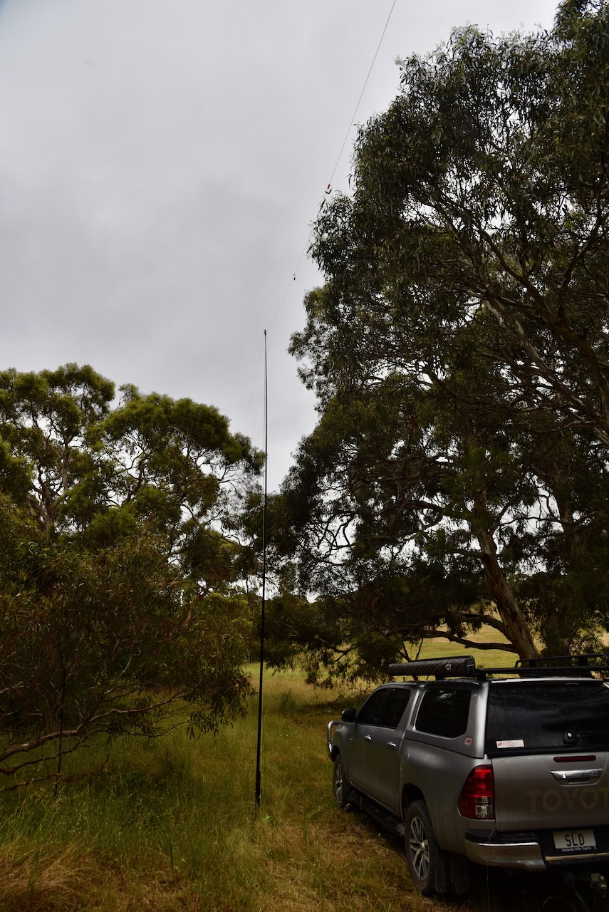
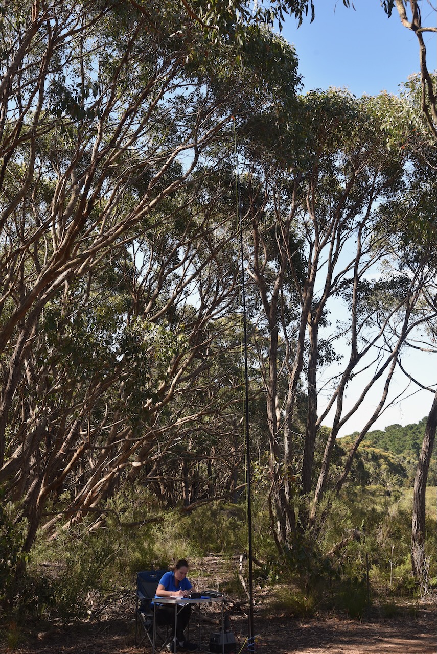
Marija and I drove along the 4WD track and found a clearing on the eastern side of the park. We ran the Yaesu FT857. 40 watts, and the 20/40/80m linked dipole for this activation.
VK7IAN/p (Coningham Nature Recreation Area VKFF-1135)
VK3ZPF/p (Kurth Kiln Regional Park VKFF-0971)
VK2EG/p (Werakata National Park VKFF-0528)
I worked the following stations on 20m SSB:-
VK4NH
VK4DXA
VK2IO/p (Wollemi National Park VKFF-0544)
ZL1BQD
VK2MET/p (Tomaree National Park VKFF-0490)
VK1AO/p (Tomaree National Park VKFF-0490)
Vk2VW
VK2HFI
ZL1TM
VK4FW
VK8MM
VK7XX
VK7CEJ
VK6JK
VK4UMB
VK7IAN/p (Coningham Nature Recreation Area VKFF-1135)
I worked the following stations on 80m SSB:-
VK5HAA
VK5FANA
VK5CZ
VK5WWW
I worked the following station on 80m AM:-
VK5HAA
With 97 QSOs in the log, and 30 Park to Park contacts, it was time to head across the road to our final park for the day, the Cox Scrub Conservation Park.
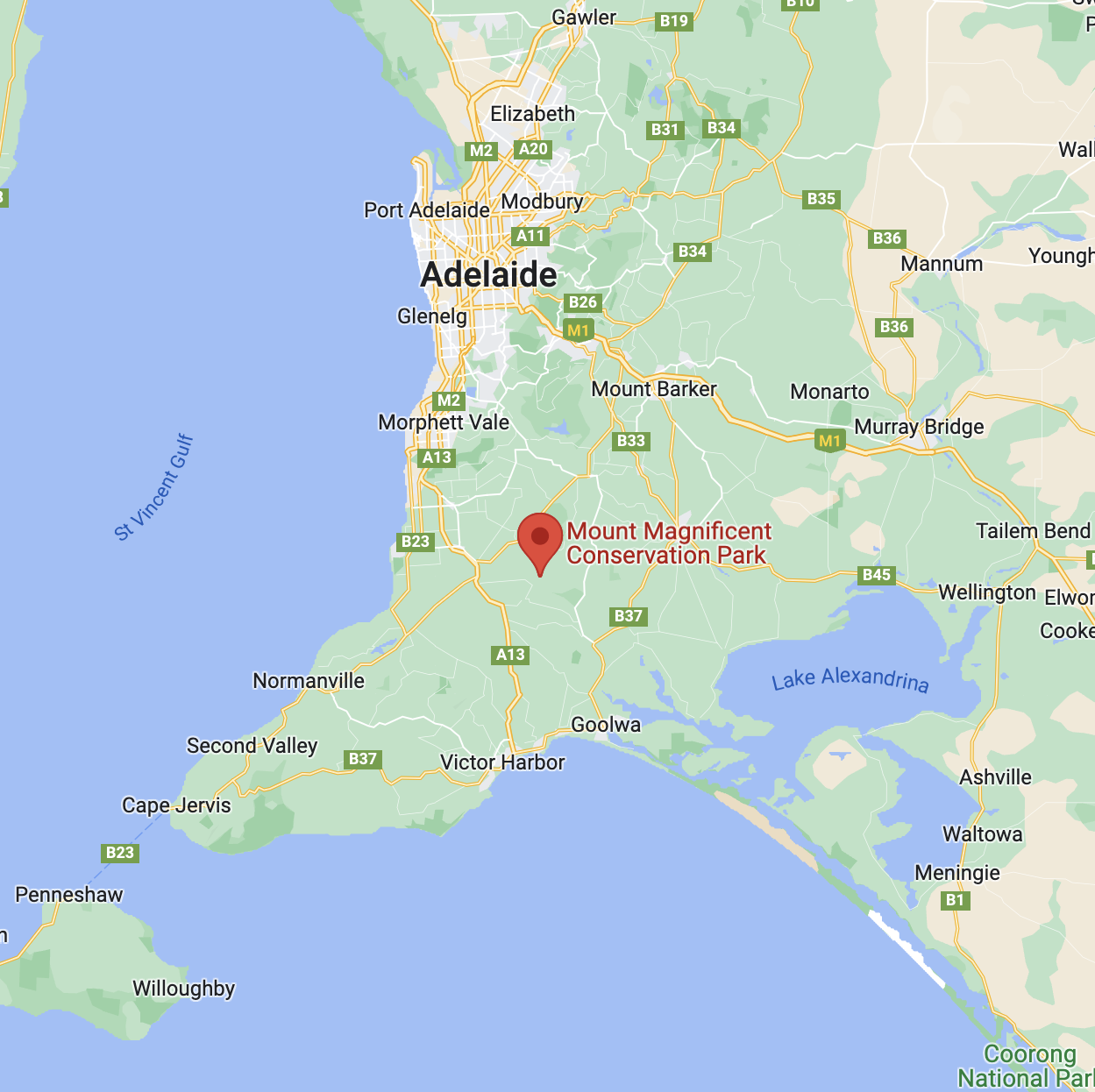
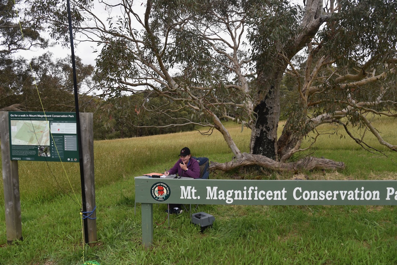
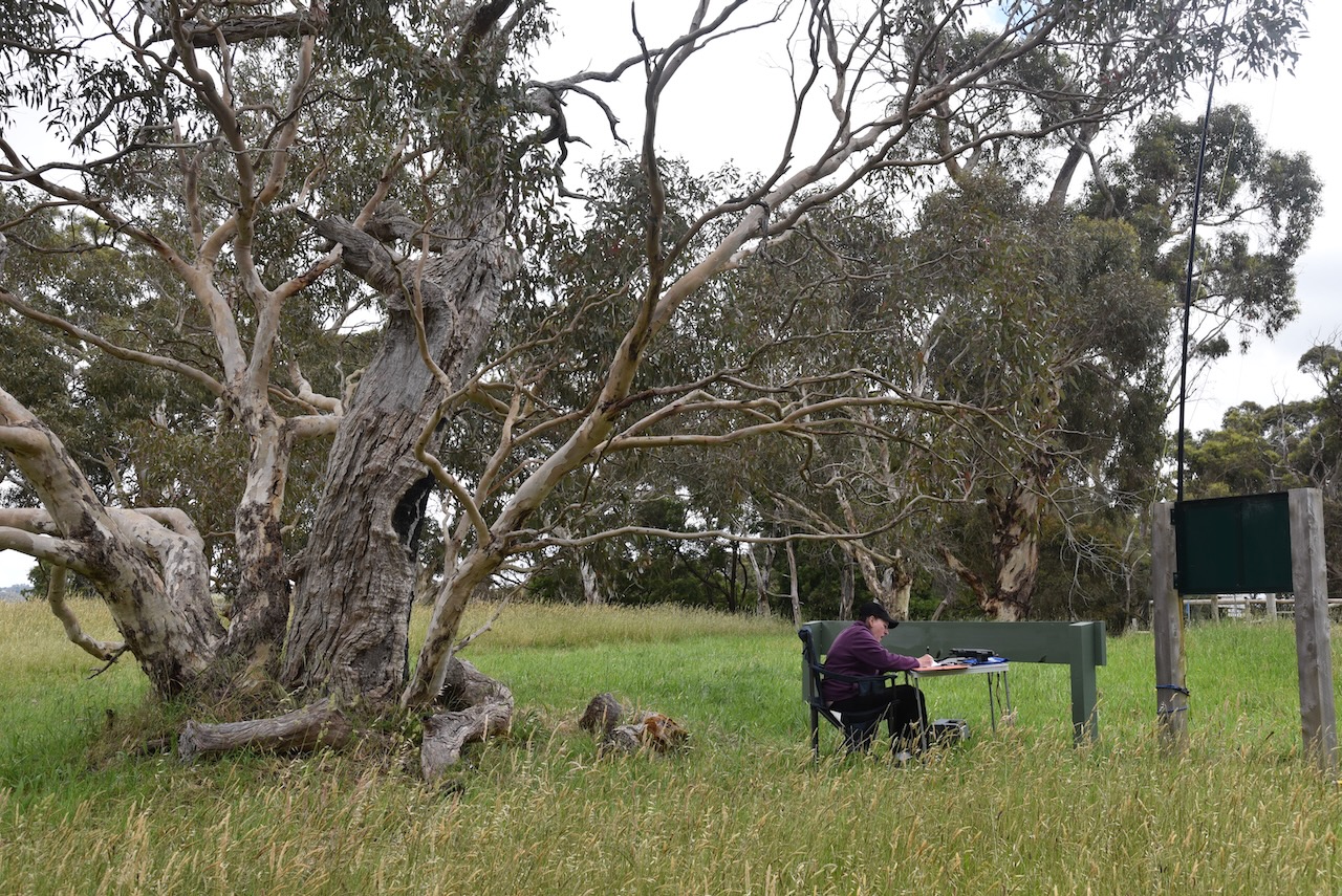
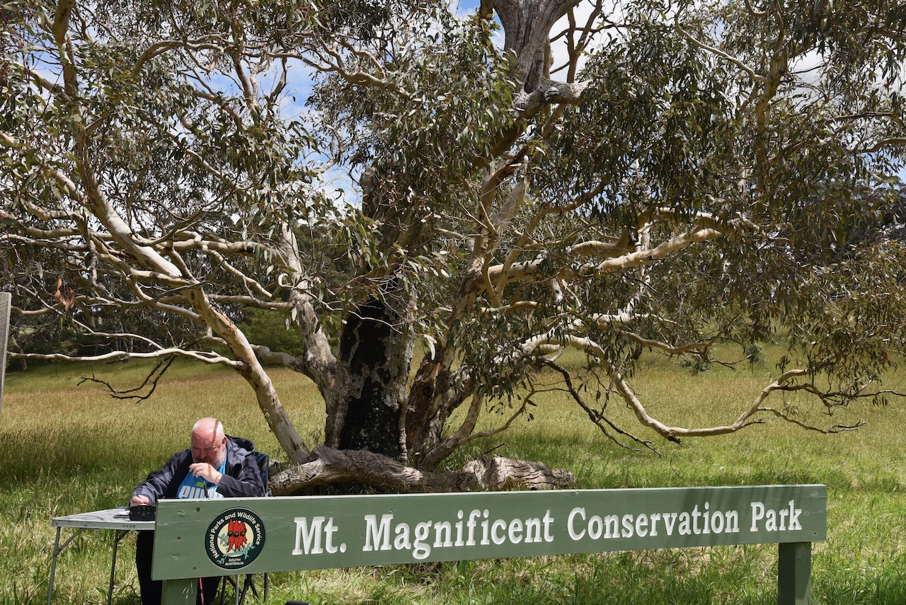
Our second park for Sunday 27th November 2022 was the Mount Magnificent Conservation Park VKFF-0916. The park is located about 64 km (by road) south of the city of Adelaide.
I have activated Mount Magnificent a number of times previously.
Above:- Map showing the location of the Mount Magnificent Conservation Park. Map c/o Google maps.
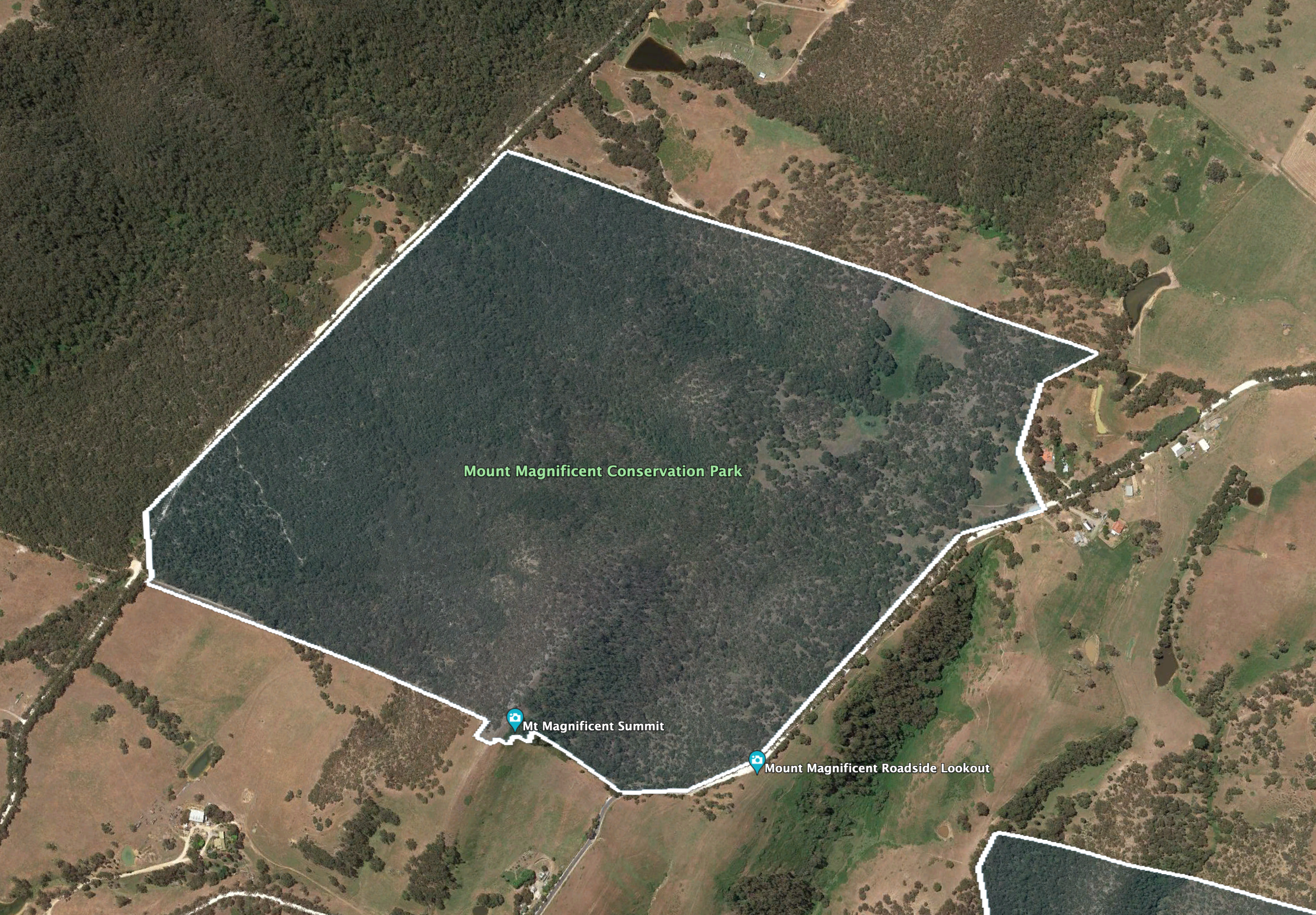
The park is bounded to the west by the Blackfellows Creek Road and to the east by Mount Magnificent Road. The Heysen trail passes through the park.
Above:- An aerial view of the park showing the park boundaries. Image c/o Google Earth.
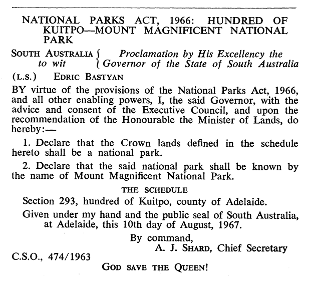
The park was previously known as the Mount Magnificent National Park when it was gazetted on the 10th day of August 1967. On the 27th day of April 1972, it was reconstituted as the Mount Magnificent Conservation Park.
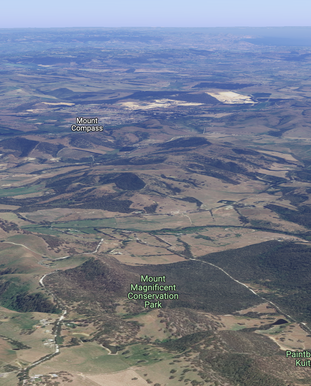
Mount Magnificent Conservation Park is 90 hectares (220 acres) in size. The summit of Mount Magnificent which rises 380 metres above sea level can be found in the park.
Above:- An aerial view of the Mt Magnificent CP. Image c/o Google maps
Mount Magnificent Conservation Park conserves remnant land which was left virtually untouched by landowners due to the steep terrain and rocky outcrops in the area. The park has Stringybark low open forest various eucalypts, and banksia.
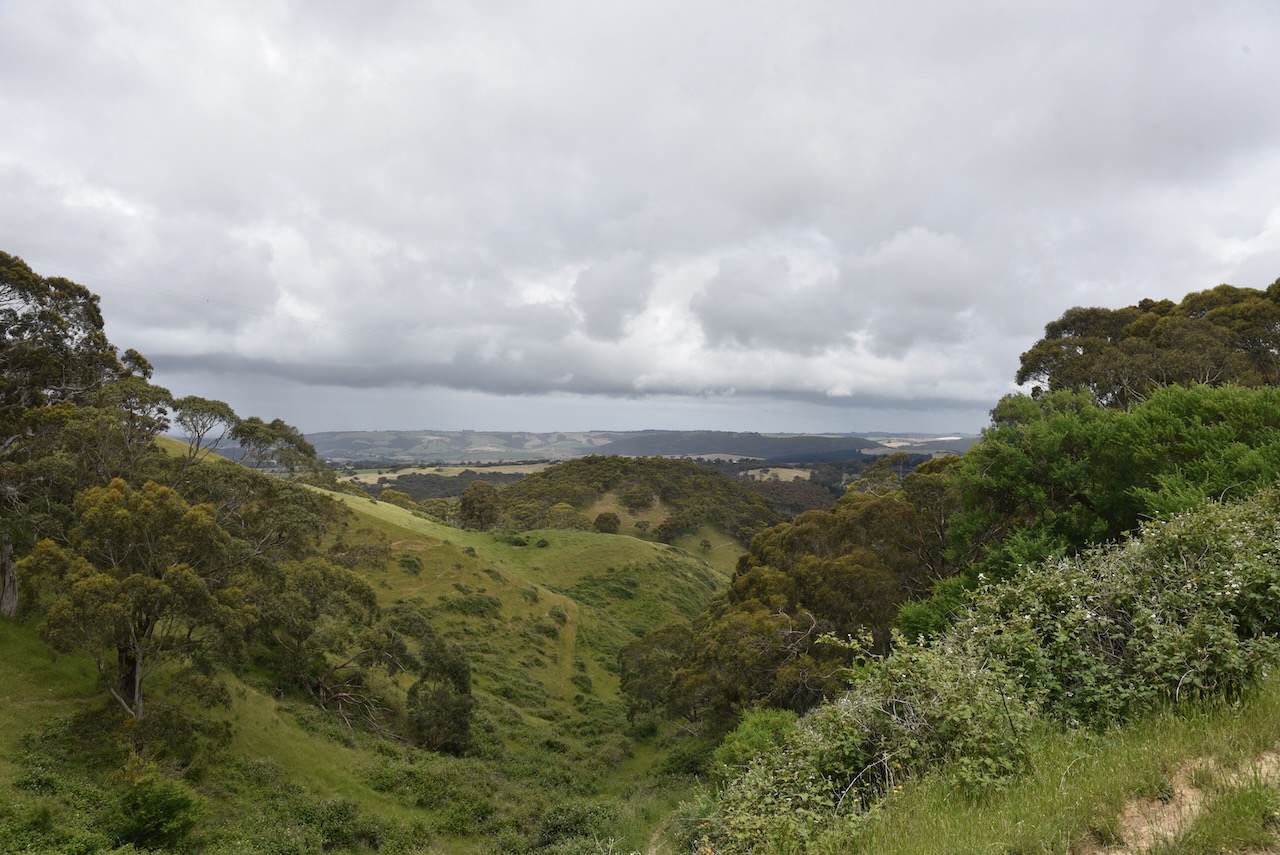
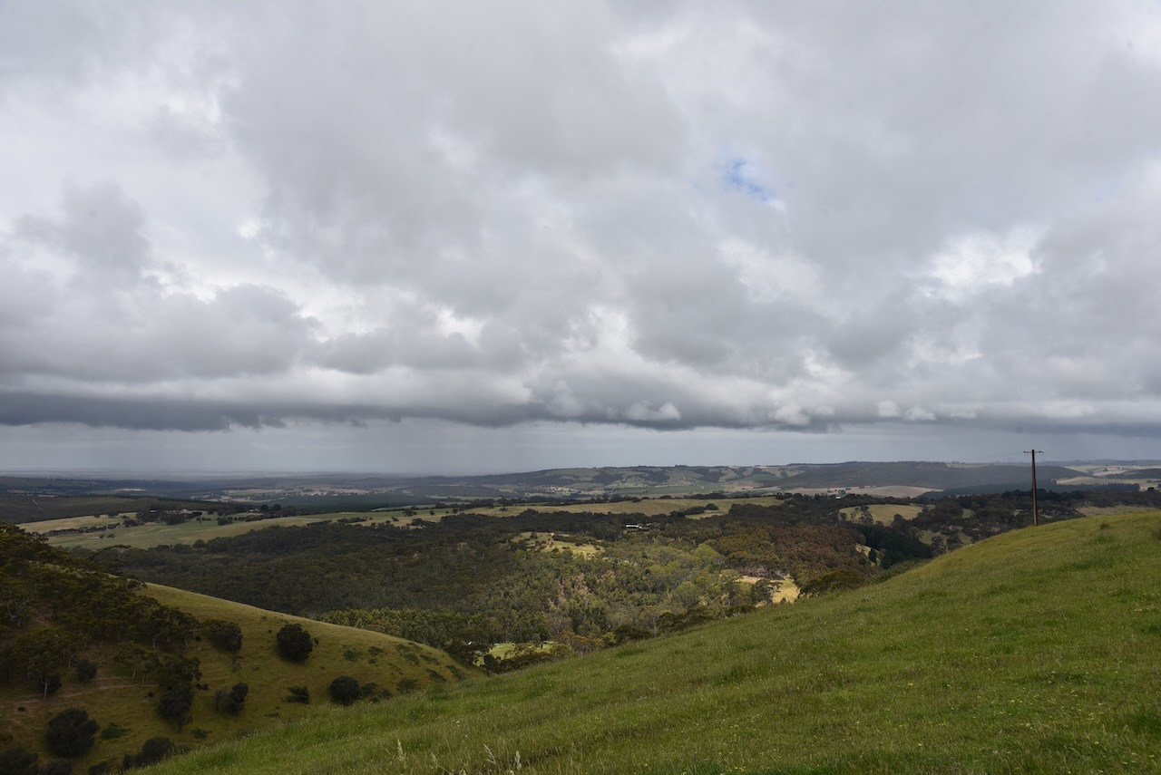
There are some magnificent views to be enjoyed from the park of the southern coast, the Coorong, Lake Alexandrina and Lake Albert.
Marija and I set up alongside the park sign on Mount Magnificent Road. We ran the Yaesu FT857, 40 watts, and the 20/40/80m linked dipole.
We made a total of 76 QSOs, including 21 Park to Park contacts.
Marija worked the following stations on 40m SSB:-
VK3BEZ/p (Herb Guyatt Flora Reserve VKFF-2329)
VK5HS
VK5LA
VK3CJN
VK2IO/p (Parr State Conservation Area VKFF-1370)
VK2MET/p (Worimi National Park VKFF-0614)
VK1AO/p (Worimi National Park VKFF-0614)
VK3GJG/p (Bunyip State Park VKFF-0753)
VK3BBB
VK2CCP
VK2VH
VK4AAC
VK3TKK/p (Organ Pipes National Park VKFF-0627)
VK3BEZ/p (Sale Common Nature Conservation Reserve VKFF-2431)
VK5DW
VK5KLV/p (Whyalla Conservation Park VKFF-0808)
VK5HAA
VK3SQ
VK3AMO
VK5MRD
VK5AKR/m
VK3OAK/p (Chiltern-Mount Pilot National Park VKFF-0620)
Marija worked the following stations on 80m SSB:-
VK5HAA
VK5CZ
VK5KLV/p (Whyalla Conservation Park VKFF-0808)
I worked the following stations on 40m SSB:-
VK3BEZ/p (Herb Guyatt Flora Reserve VKFF-2329)
VK5HS
VK5LA
VK3CJN
VK2IO/p (Parr State Conservation Area VKFF-1370)
VK2MET/p (Worimi National Park VKFF-0614)
VK1AO/p (Worimi National Park VKFF-0614)
VK3GJG/p (Bunyip State Park VKFF-0753)
VK3BBB
VK2CCP
VK2VH
VK4AAC
VK5FANA
VK3GRX
VK3UH
VK5BJE
VK2EXA
VK5KVA
VK5VST
VK5MRD
VK5HYZ
VK2TRL
VK3TKK/p (Organ Pipes National Park VKFF-0627)
VK5FB
VK5HAA
VK5KLV/p (Whyalla Conservation Park VKFF-0808)
VK2LEE
VK5CZ
VK3NBL
VK5PL
VK3SQ
VK3BEZ/p (Sale Common Nature Conservation Reserve VKFF-2431)
VK3CWF
VK5DW
VK3OAK/p (Chiltern-Mount Pilot National Park VKFF-0620)
I worked the following stations on 20m SSB:-
VK4NH
VK4DXA
VK4TJ
VK2LEE
VK4MUD
VK2VW
VK2HFI
VK4HNS
VK6NU
VK5HAA
VK4SMA/p (The Palms National Park VKFF-0485)
VK7XX
I worked the following stations on 80m SSB:-
VK5HAA
VK5CZ
VK5JAK
VK5KLV/p (Whyalla Conservation Park VKFF-0808)
It was off to our third park for the day, the Cox Scrub Conservation Reserve, not far from our home.
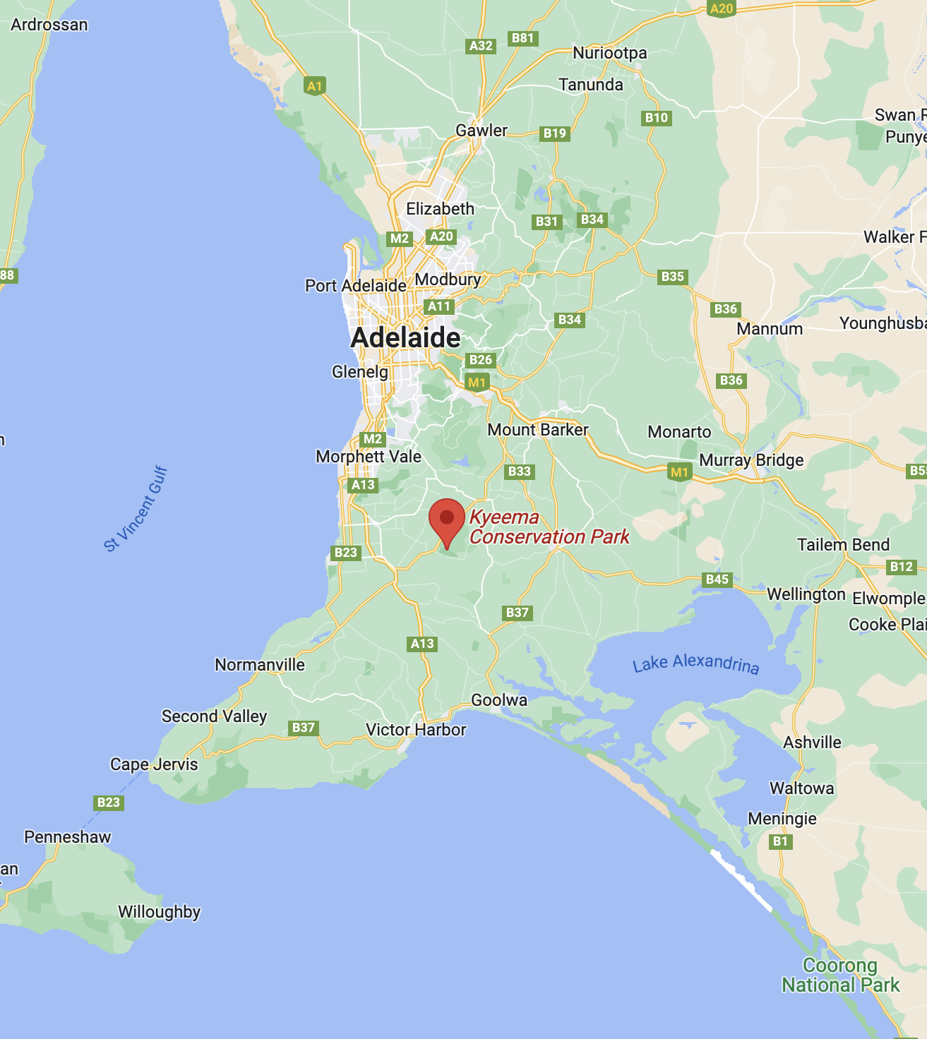
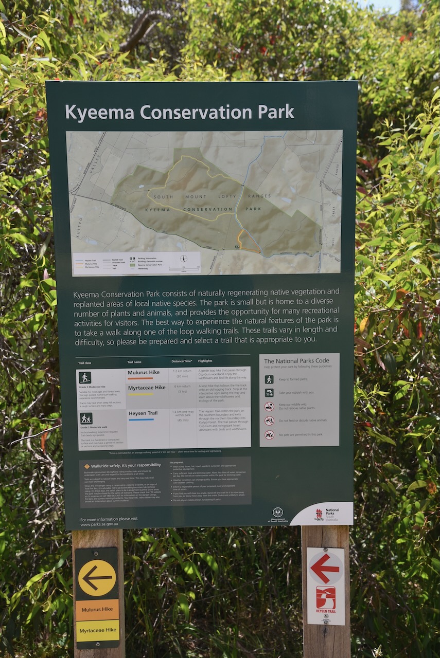
Our first park for Sunday 27th November 2022 and day two of the 2022 VKFF Activation Weekend, was the Kyeema Conservation Park VKFF-0826.
Kyeema is about 53 km south (by road) of the city of Adelaide.
Above:- Map showing the location of the Kyeema Conservation Park. Map c/o Google maps.
I have activated Kyeema Conservation Park seven times previously, the first being in 2014.
The park is located on the northern side of Woodgate Hill Road, between Brookman Road and Blackfellows Creek Road. The Heysen Trail passes through the park.
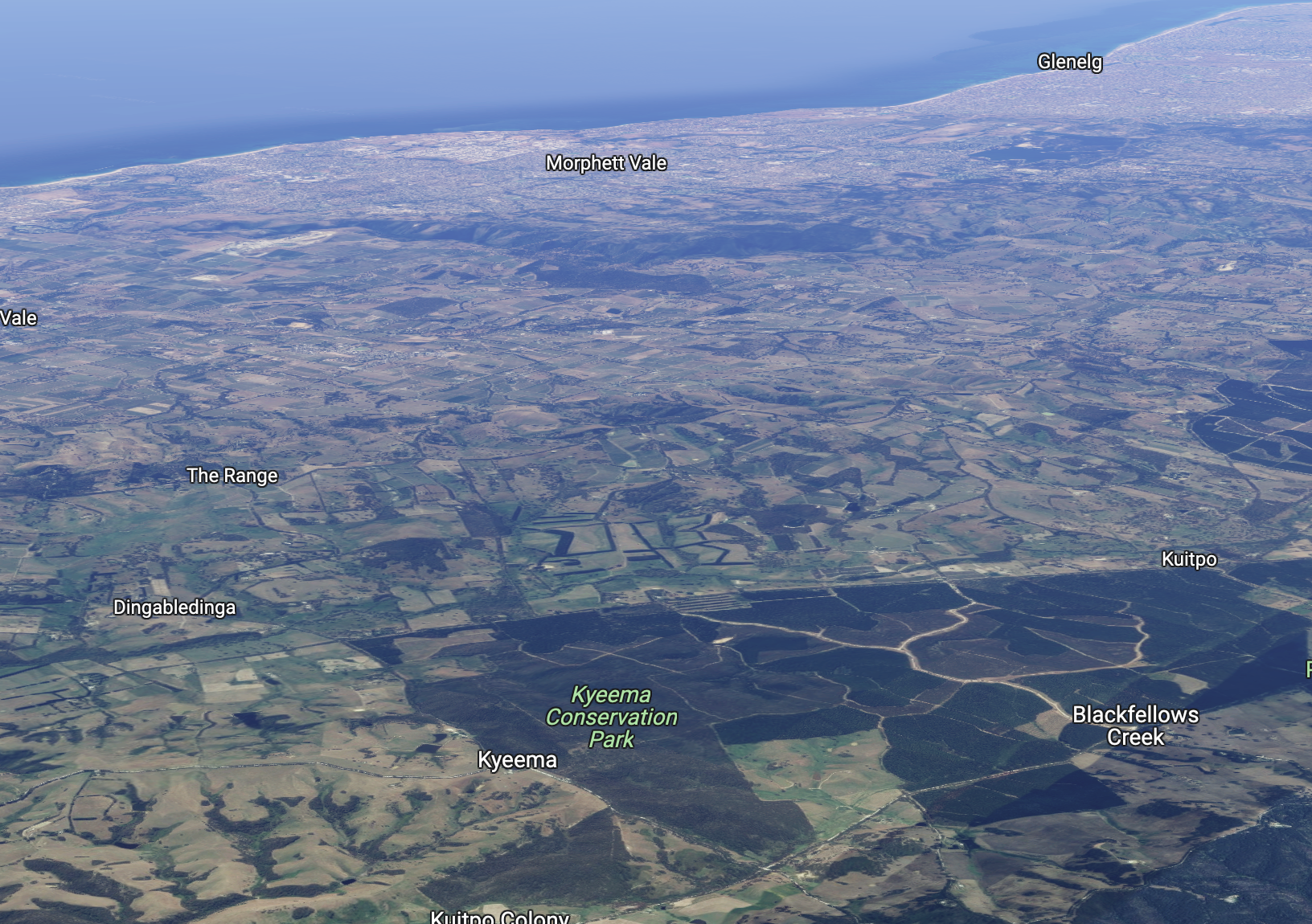
Above:- An aerial view of the park showing the park’s boundaries. Image c/o Google Earth.
The Kyeema Conservation Park is about 347 hectares in size. On the 12th day of November 1964, the park was proclaimed as a Wildlife Reserve. On the 3rd day of August 1967, the park was proclaimed as the Kyeema National Park. On the 27th day of April 1972, it was reconstituted as the Kyeema Conservation Park. On the 4th day of April 1972,
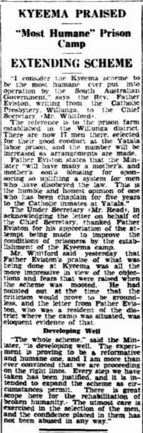
The land which is now the Kyeema Conservation Park was used as a labour prison reserve. It was originally known as the Kyeema Afforestation Camp, then the Kyeema Prison Camp. It operated between October 1932 and 1959 when it was replaced by the Cadell Training Centre in the Riverland region of South Australia.
Above:- Article from The Advertiser, Tue 6 Sep 1932. Image c/o Trove.
The park mainly consists of Messmate Stringybark, Pink Gum, Cup Gum and a diverse range of understorey plants.
Above:- An aerial view of the Kyeema Conservation Park. Image c/o Google maps.
Birds SA have recorded a total of 84 different bird species in the park. This includes Superb Fairywren, Striated Thornbill, Brown Thornbill, White-browed Scrubwren, Crescent Honeyeater, Yellow-faced Honeyeater, and Grey Shrike-thrush.
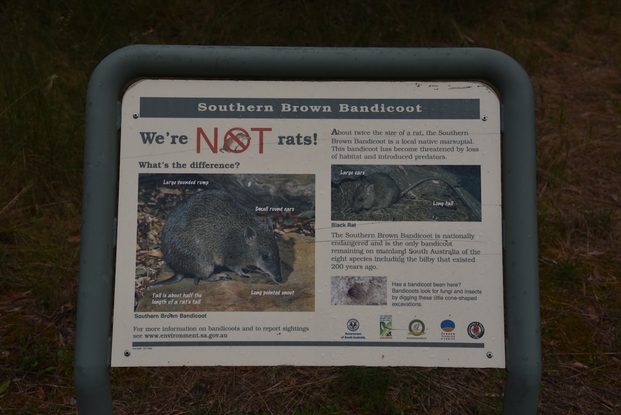
Native mammals found in the park include the rare Southern Brown Bandicoot, the Australian Swamp Rat, and Western Grey Kangaroo.
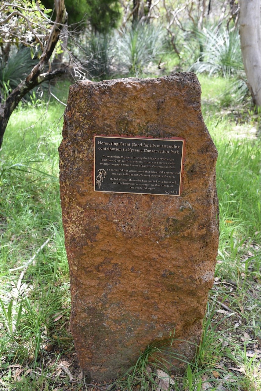
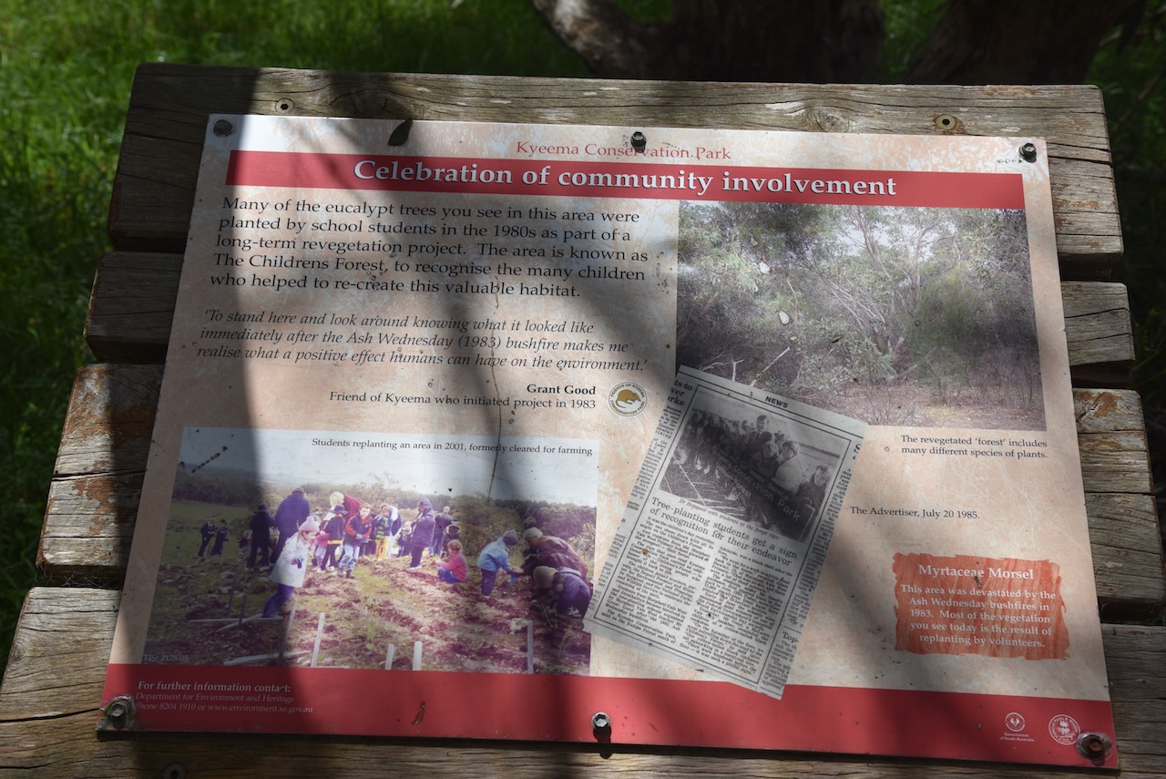
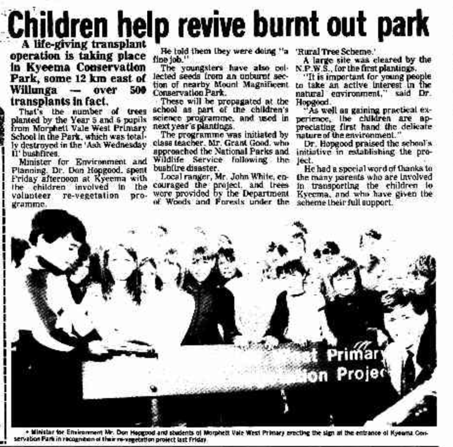
In February 1983, the park was destroyed by the Ash Wednesday bushfires. In the years after the bushfire, local school students replanted the park. In the first three years a total of 20,000 seedlings were planted in an area now officially known as The Childrens Forest.
Above: Article from the Victor Harbour Times, Wed 28 Sep 1983. Image c/o Trove.
We set up in the cleared area adjacent to the car park on Woodgate Hill Road. We ran the Yaesu FT857, 40 watts, and the 20/40/80m linked dipole.
Marija and I made a total of 130 QSOs, including 58 Park to Park contacts.
Marija worked the following stations on 40m SSB before the UTC rollover:-
VK2YAK/p (Glenrock State Conservation Area VKFF-1319)
VK4YAK/p (Glenrock State Conservation Area VKFF-1319)
VK2OKR/p (Glenrock State Conservation Area VKFF-1319)
VK2AUS/p (Glenrock State Conservation Area VKFF-1319)
VK4FDJL/p (Boyne Island Conservation Park VKFF-1485)
VK3PF
VK2EXA
VK4NH
VK4DXA
VK5HAA
VK4MUD
VK4FW/p (Police Paddock Conservation Park VKFF-1632)
VK8MM/p (Police Paddock Conservation Park VKFF-1632)
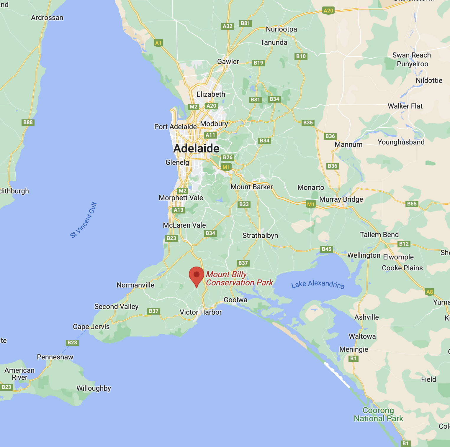
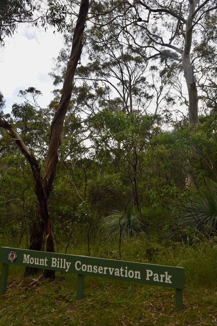
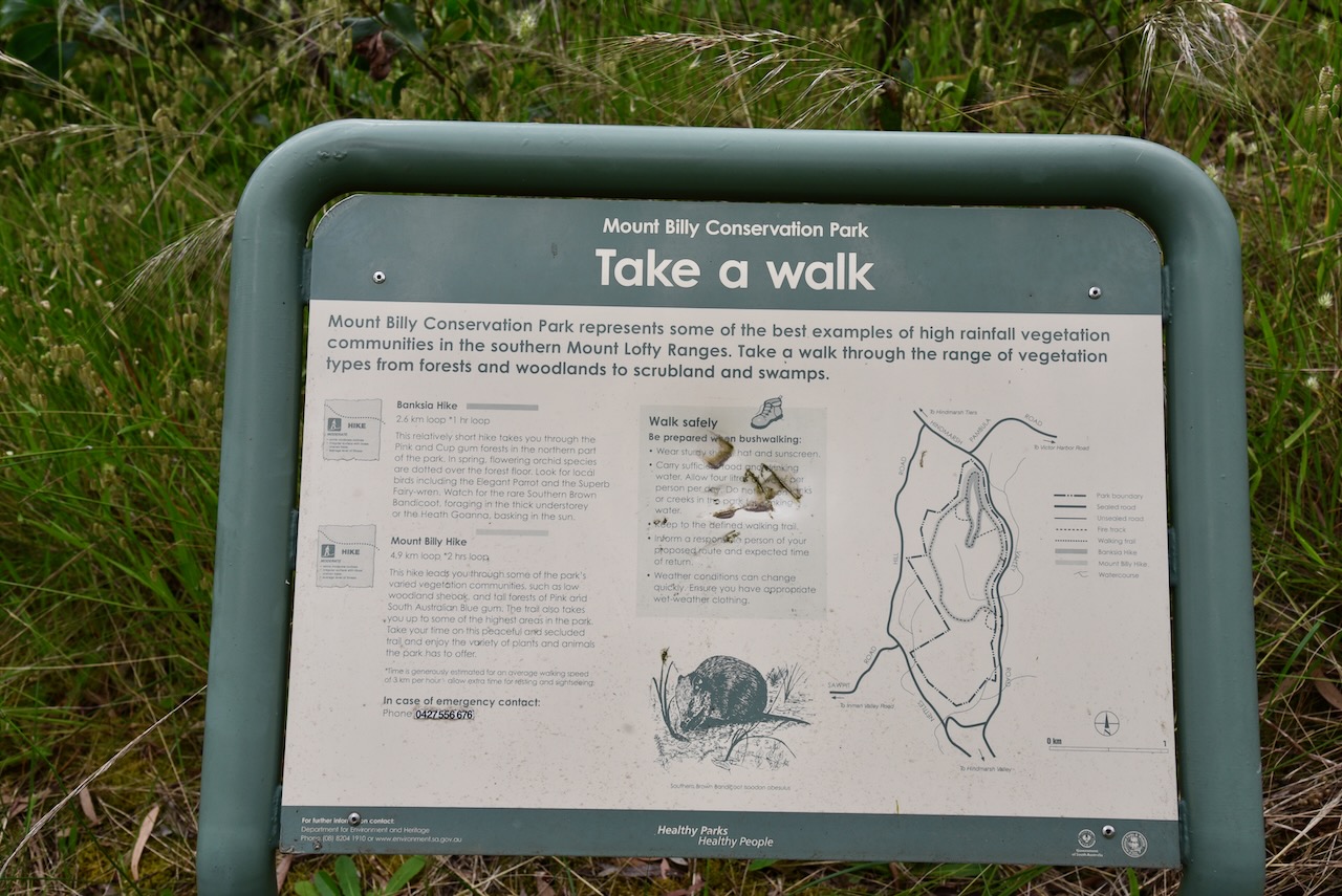
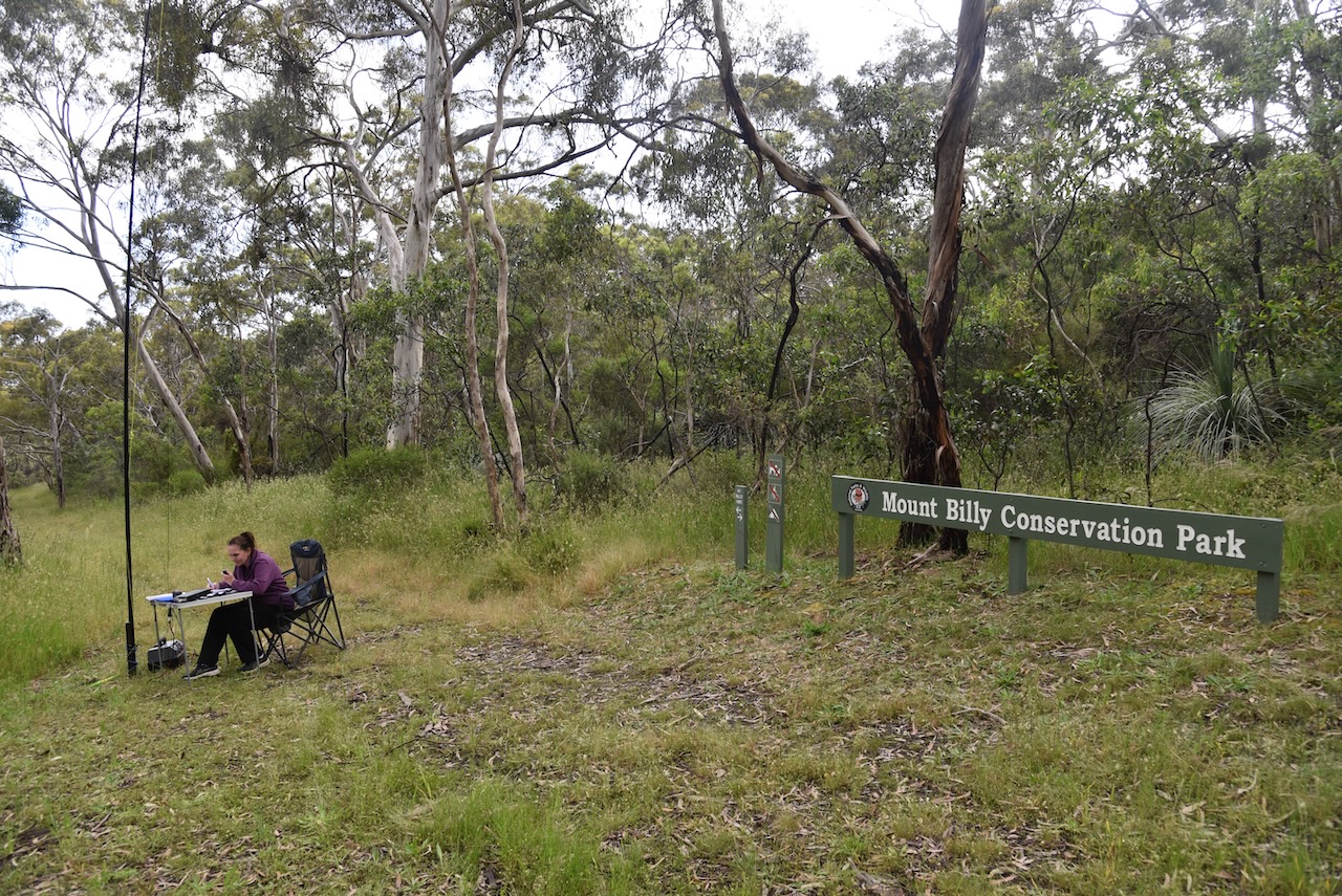
Our last park for Saturday 26th November 2022 was the Mount Billy Conservation Park VKFF-0912. The park is located about 79 km (by road) south of the city of Adelaide.
Above:- Map showing the location of the Mount Billy Conservation Park. Map c/o Google maps.
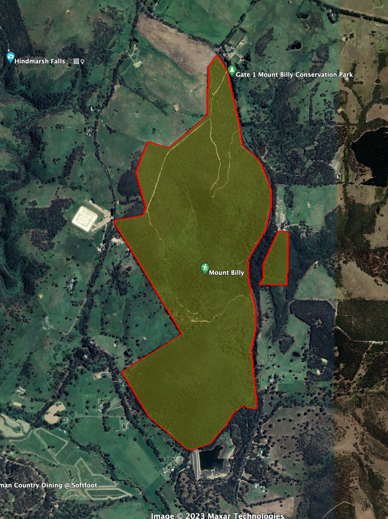
Mount Billy is located on the western side of Hindmarsh Tiers Road and on the eastern side of Nettle Hill Road.
Above:- Aerial view of the Mount Billy Conservation Park. Image c/o Google Earth.
The park is about 198 hectares in size and was proclaimed on the 12th day of August 1999. The land was originally owned by SA Water and was transferred to the Department for Environment and Water in 1999. It originally served as a catchment area for the Hindmarsh Valley Reservoir which is now decommissioned.
Above:- An aerial view of the Mount Billy Conservation Park. Image c/o Google maps.
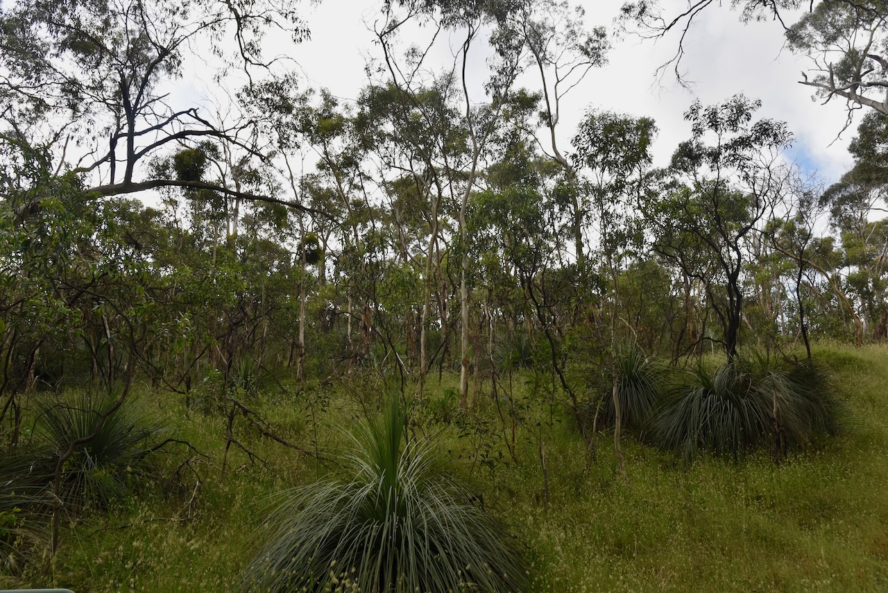
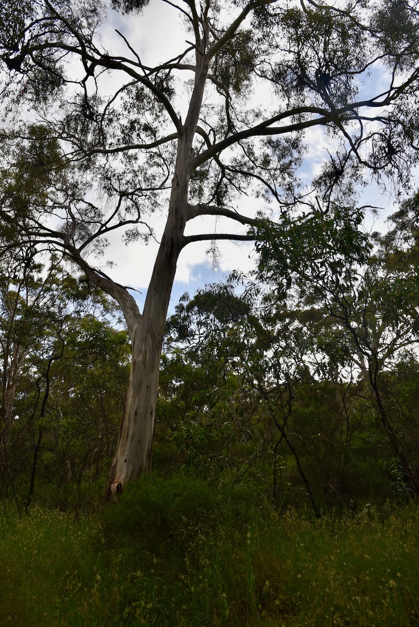
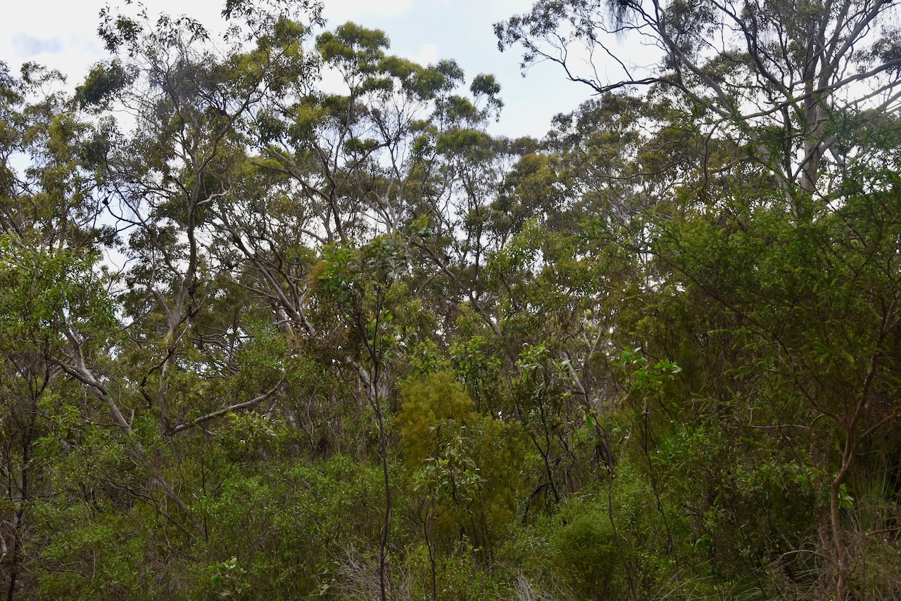
The Mount Billy Conservation Park represents some of the best preserved mallee and forest communities in the southern Mount Lofty Ranges.
Birds SA have recorded a total of 79 bird species in the park including Superb Fairywren, Eastern Spinebill, Crescent Honeyeater, Brown Thornbill, Grey Shrikethrush, and Australian Golden Whistler.
The rare Southern Brown bandicoot can be found in the park.
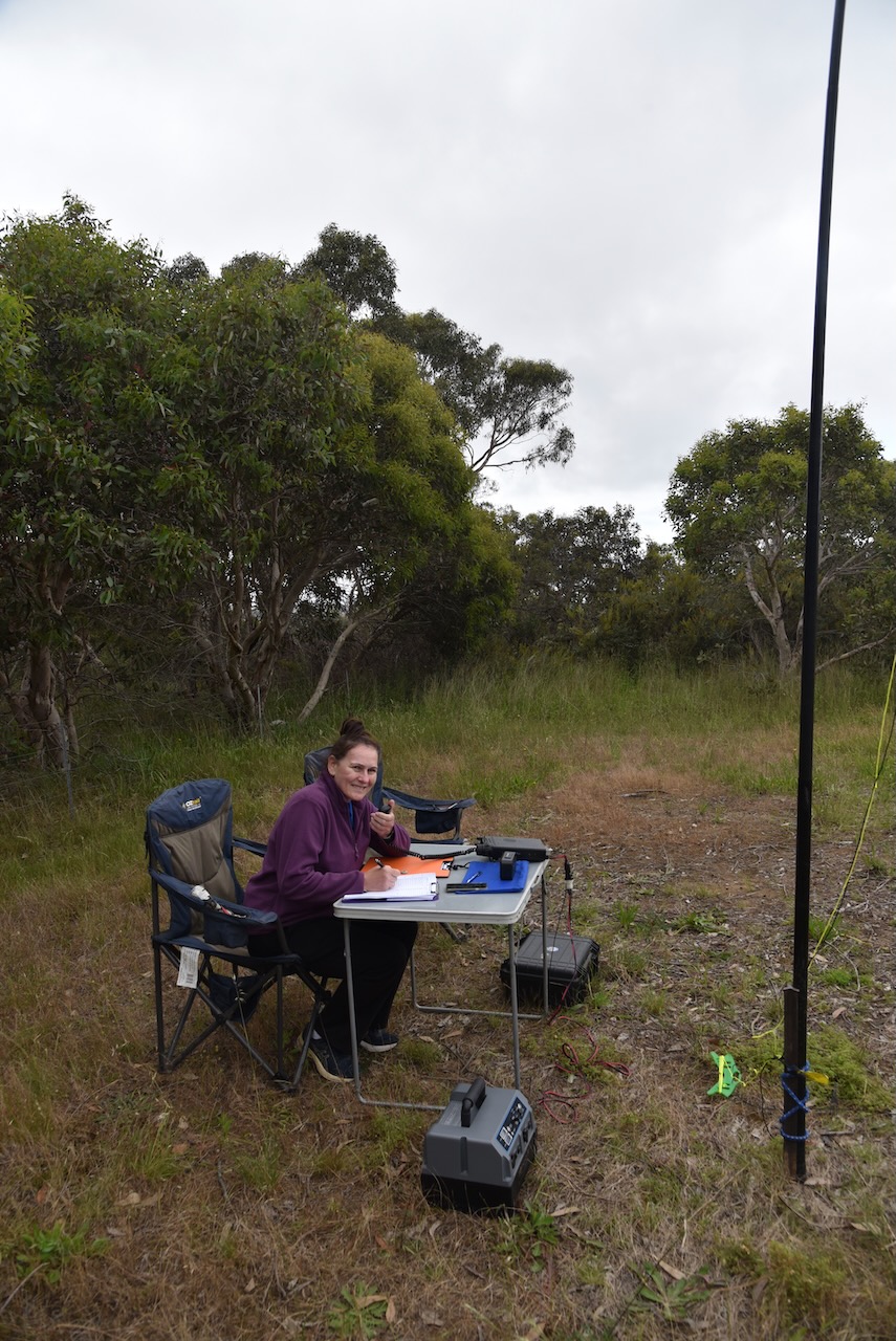
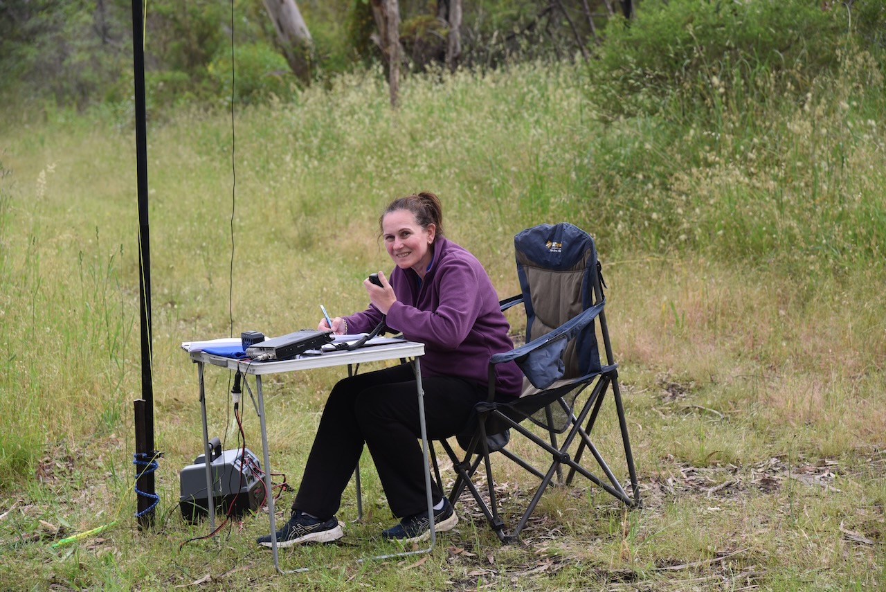
Marija and I operated from just inside the park boundary on Hindmarsh Tiers Road. We ran the Yaesu FT857, 40 watts, and the 20/40/80m linked dipole for this activation.
We made a total of 68 QSOs including 18 Park to Park contacts. A few dozen European stations on 20m SSB on the long path was also a bonus.
Marija worked the following stations on 40m SSB:-
VK4FDJL/p (Calliope Conservation Park VKFF-1499)
VK3ZK/p (Ninety Mile Beach Marine National Park VKFF-0951)
VK4NH
VK4DXA
VK3AHR
VK3VIN
VK3CAT
VK2DG
VK2IO/p (Blue Mountains National Park VKFF-0041)
VK4FW/p (Tinana Island Conservation Park VKFF-1659)
VK8MM/p (Tinana Island Conservation Park VKFF-1659)
VK3BEZ/p (Traralgon South Flora Reserve VKFF-2465)
VK2VW
VK2HFI
VK3ZPF/p (Churchill National Park VKFF-0621)
VK3MCA/p (Werribee Gorge State Park VKFF-0775)
VK4EMP/p (Crows Nest National Park VKFF-0121)
Marija worked the following station on 20m SSB:-
OP7M
I worked the following stations on 40m SSB:-
VK4FDJL/p (Calliope Conservation Park VKFF-1499)
VK3ZK/p (Ninety Mile Beach Marine National Park VKFF-0951)
VK4NH
VK4DXA
VK3AHR
VK3VIN
VK3CAT
VK2DG
VK2IO/p (Blue Mountains National Park VKFF-0041)
VK4FW/p (Tinana Island Conservation Park VKFF-1659)
VK8MM/p (Tinana Island Conservation Park VKFF-1659)
VK3BEZ/p (Traralgon South Flora Reserve VKFF-2465)
VK2VW
VK2HFI
VK3ZPF/p (Churchill National Park VKFF-0621)
VK3SMW
VK3QH
VK4HAT
VK7OT
VK3MCA/p (Werribee Gorge State Park VKFF-0775)
VK4SMA
VK4EMP/p (Crows Nest National Park VKFF-0121)
VK4SYD
VK3BKO
VK4TJ
VK3JDO
VK3HBG
VK5KLV
VK3GJG
VK2MET
VK1AO
VK4CPS
VK3DAC
VK3ZD
I worked the following stations on 20m SSB:-
F4ILH
IW2NXI
UT5ZC
ON3MDZ
IK4IDF
PA5WK
OH1MM
PD1ATH
OP7M
ON2LVC
OH1XT
OH6GAZ
ON4VT
F4GYH
SV1FTY
F6EOC
It had been a terrific day, but we were tired and hungry and headed back home.
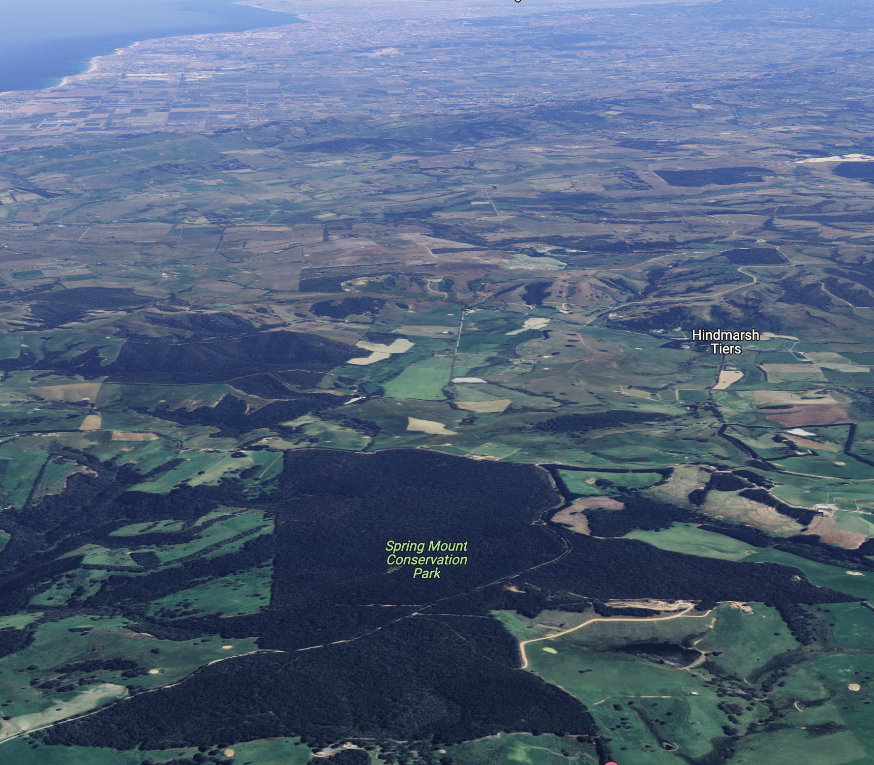
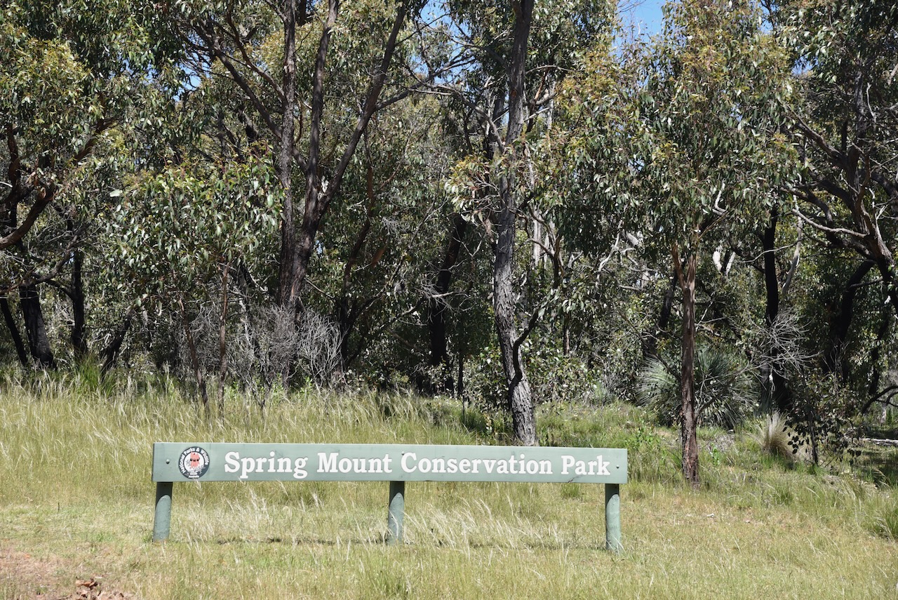
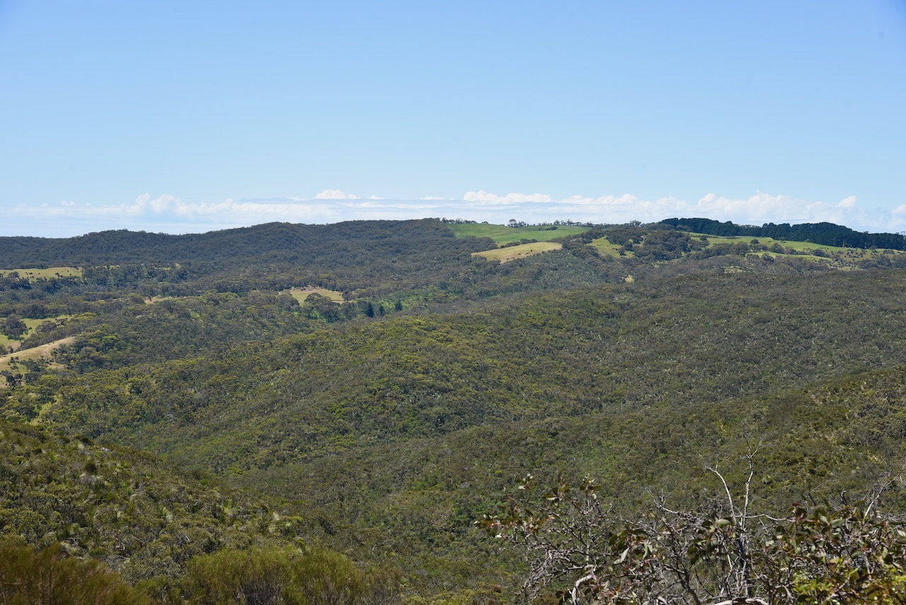
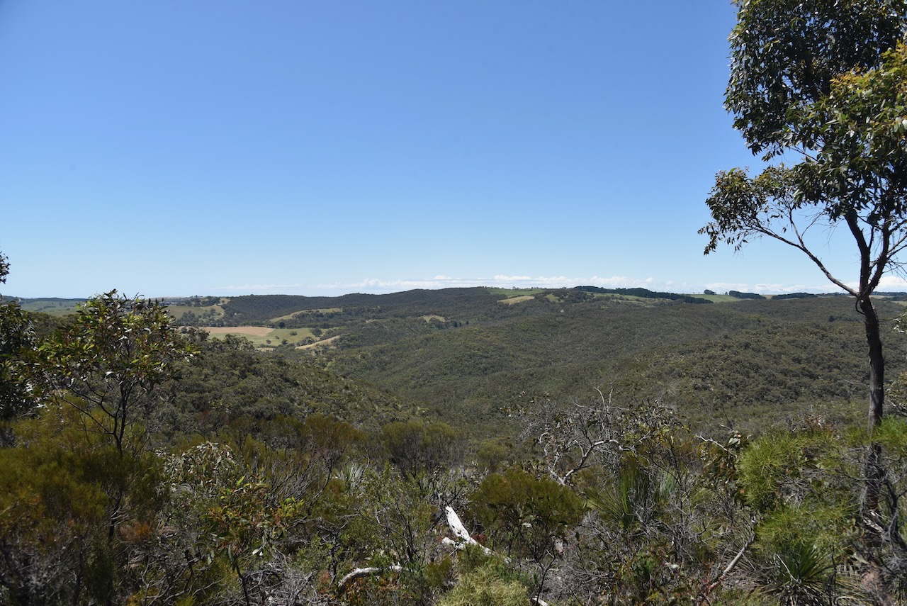
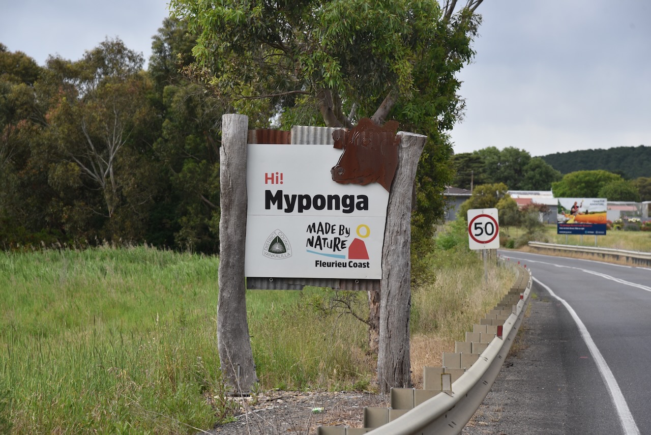
After packing up at Myponga, we headed further south to one of my favourite parks, the Spring Mount Conservation Park VKFF-0789.
The park is located on the Fleurieu Peninsula about 76 km south of the city of Adelaide.
Above:- Map showing the location of the Spring Mount CP. Map c/o Google maps.
I have activated Spring Mount on three prior occasions, the first time in 2017.
The Spring Mount Conservation Park is about 279 hectares in size and is located south of Springmount Road and on the western and eastern side of Mount Alma Road which dissects the park.
Above:- Aerial shot of the Spring Mount Conservation Park. Image c/o google maps.
Spring Mount first acquired protected area status on the 3rd day of February 1966 as the Spring Mount wild-life reserve. On the 27th day of April 1972 the wild-life reserve was reconstituted as the Spring Mount Conservation Park. Additions were made to the park on the 13th day of September 1973, and on the 17th day of October 2013.
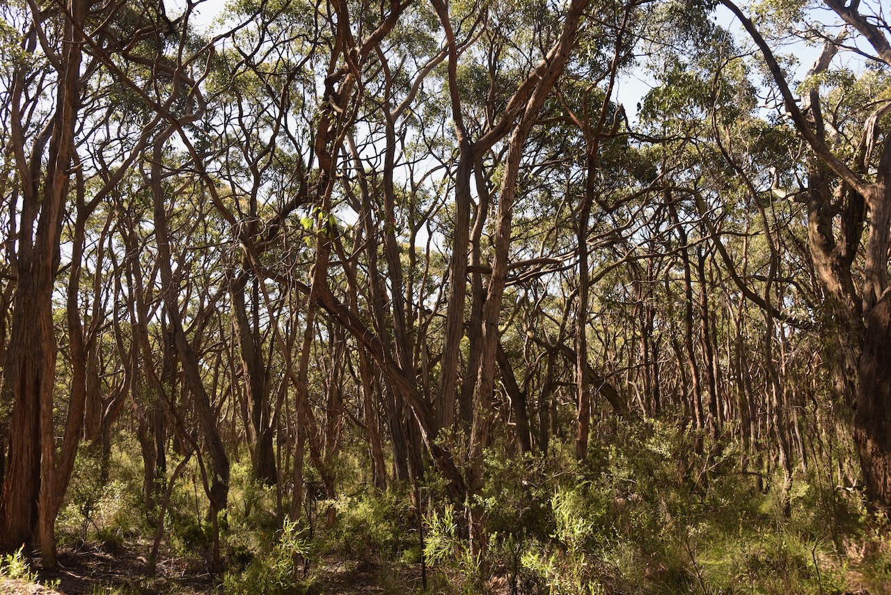
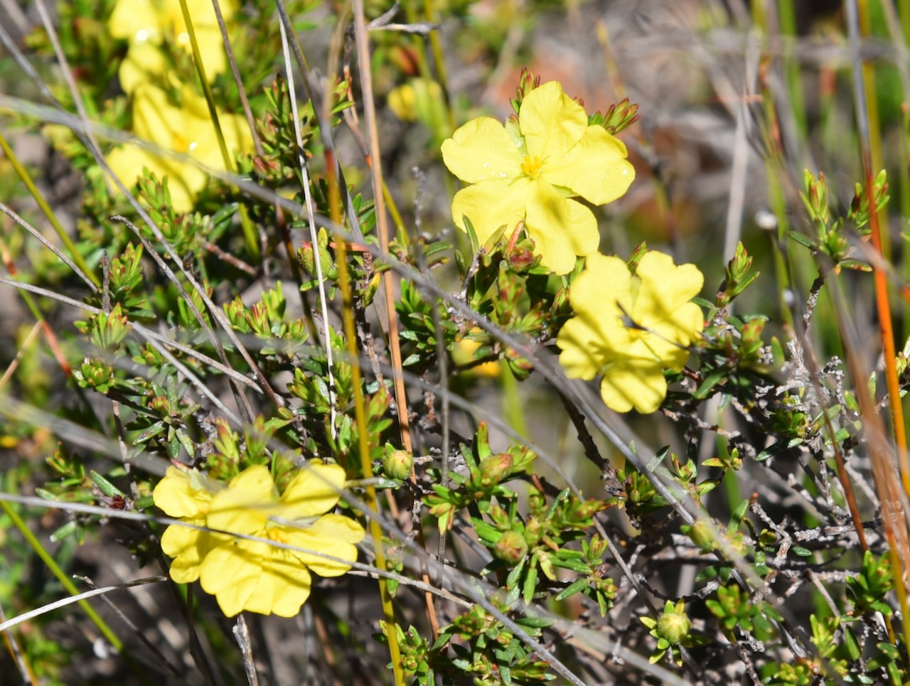
The park consists predominantly of Open Forest of Brown Stringybark and Messmate Stringybark with various understorey plants including Myrtle Wattle, Beaked Hakea, and Yacca.
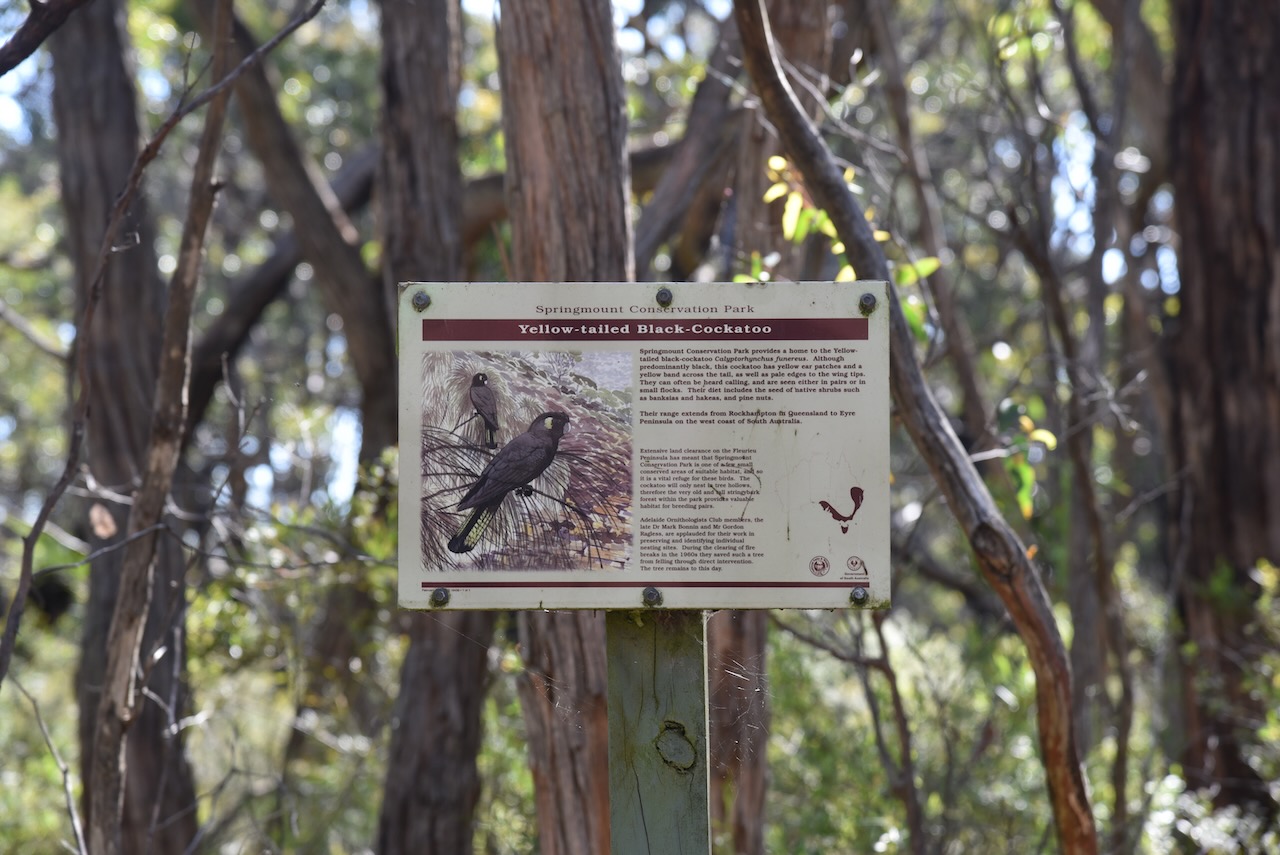
Birds SA have recorded 90 species of bird in the park including Adelaide Rosella, White-throated Treecreeper, Superb Fairywren, Crescent Honeyeater, Grey Shrikethrush, Grey Fantail, and Scarlet Robin.
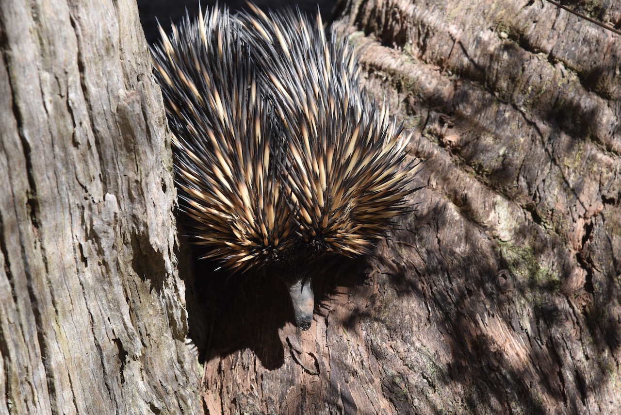
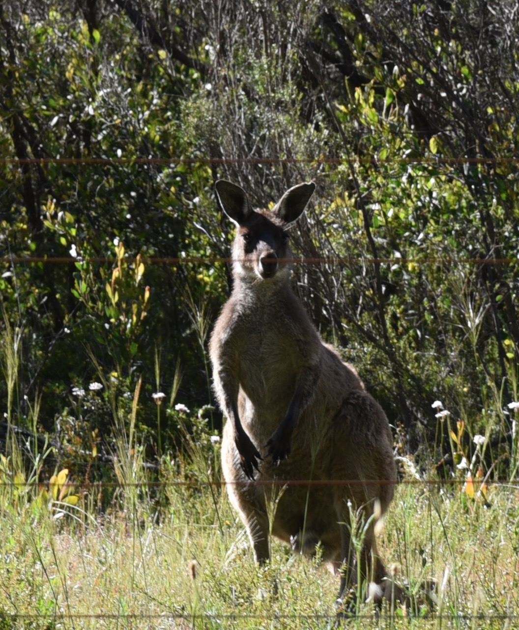
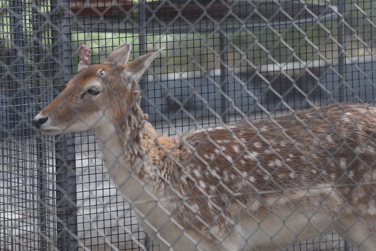
During our visit to the park we observed Yellow-tailed Black cockatoos, echidnas, and Western Grey kangaroos.
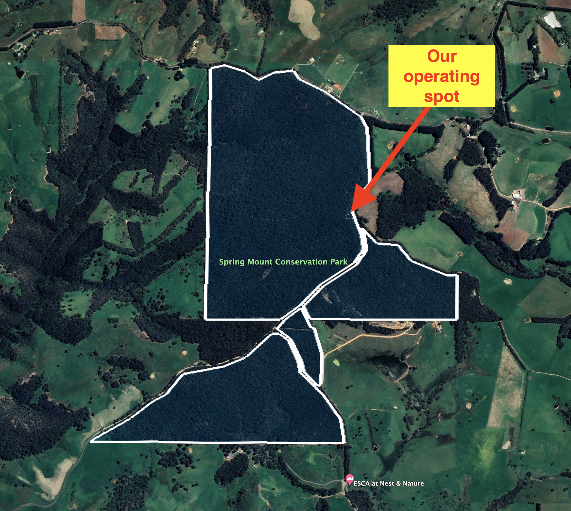
Marija and I set up in the carpark on Mount Alma Road.
Above:- An aerial view of the park showing our operating spot. Image c/o Google Earth.
We ran the Yaesu FT857, 40 watts, and the 20/40/80m linked dipole for this activation.
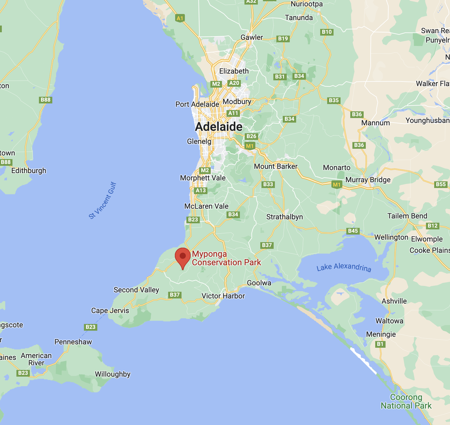
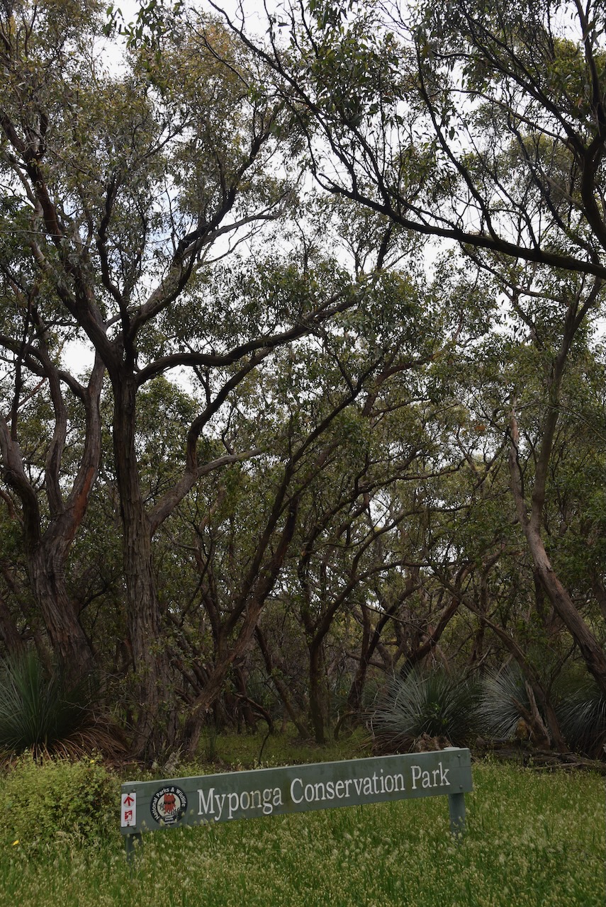
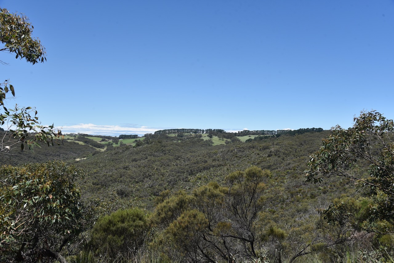
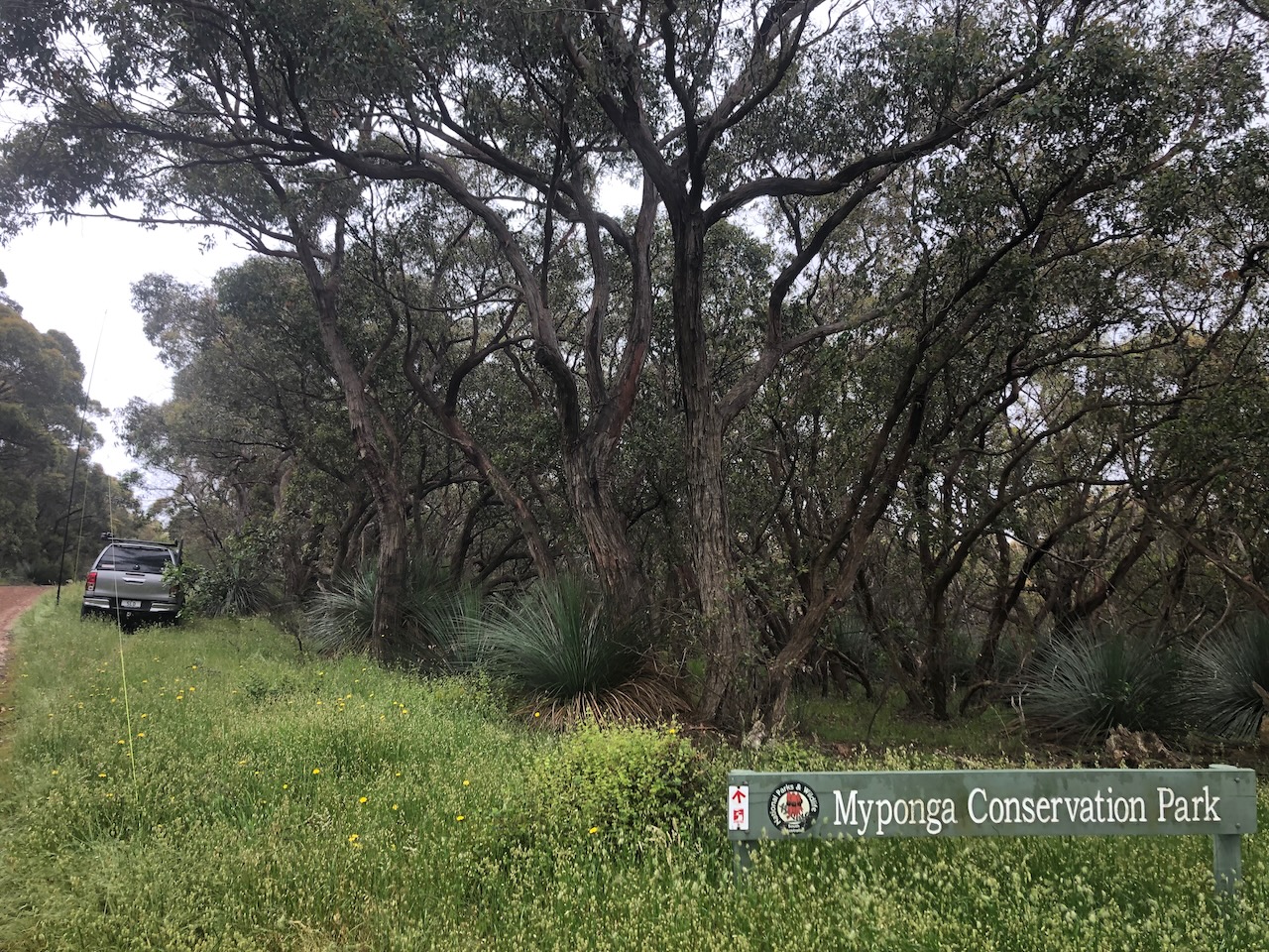
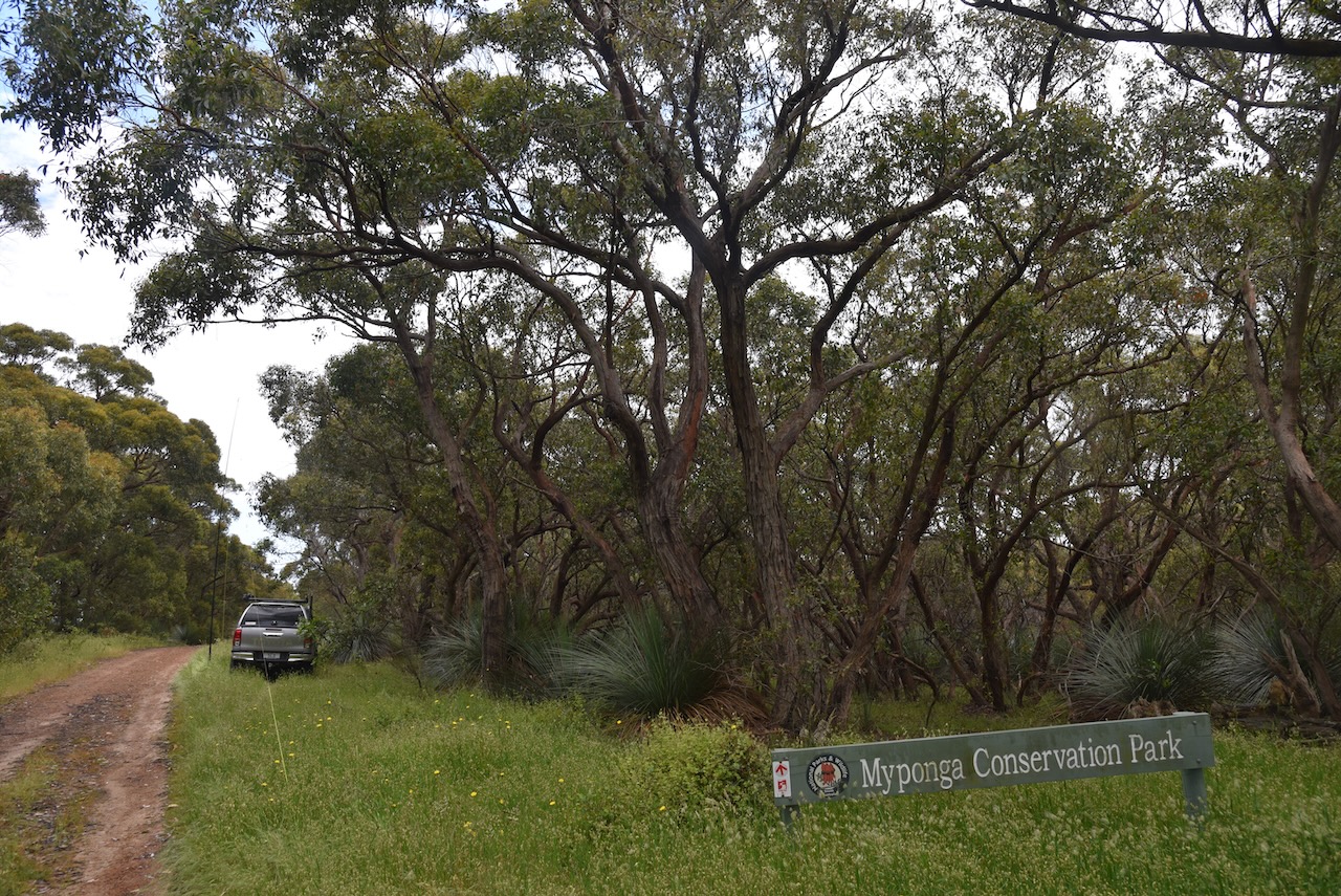
Our second park for Saturday 26th November 2022 was the Myponga Conservation Park, located about 71 km south of the city of Adelaide.
I have activated Myponga Conservation Park on 4 prior occasions, the first being in April 2016.
Above:- Map showing the location of the Myponga Conservation Park. Map c/o Google maps.
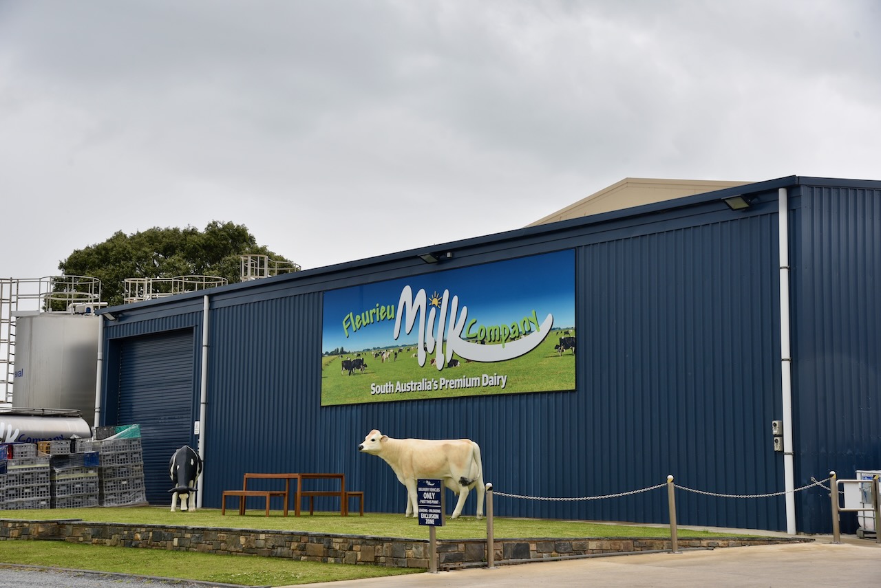
On our way to the park we passed the Fleurieu Milk Company who is supplied milk by five local farmers. Myponga has a rich history of dairy farms. During the mid to late 1900s Myponga had about 40 dairy farms.
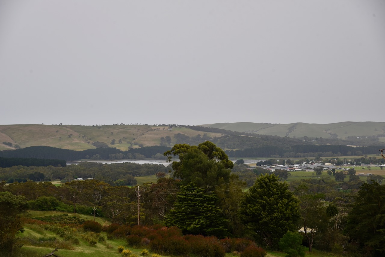
As we drove up James Track we were rewarded with some nice views of the township of Myponga and the Myponga Reservoir.
The Myponga Conservation Park is about 167 hectares in size. The park first received protected status as the Myponga National park on the 24th day of February 1972. On the 27th day of April 1972 the park was reconstituted as the Myponga Conservation Park.
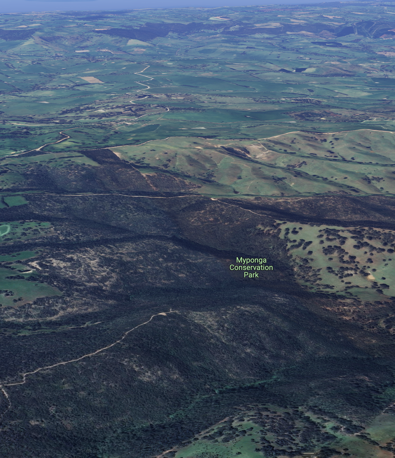
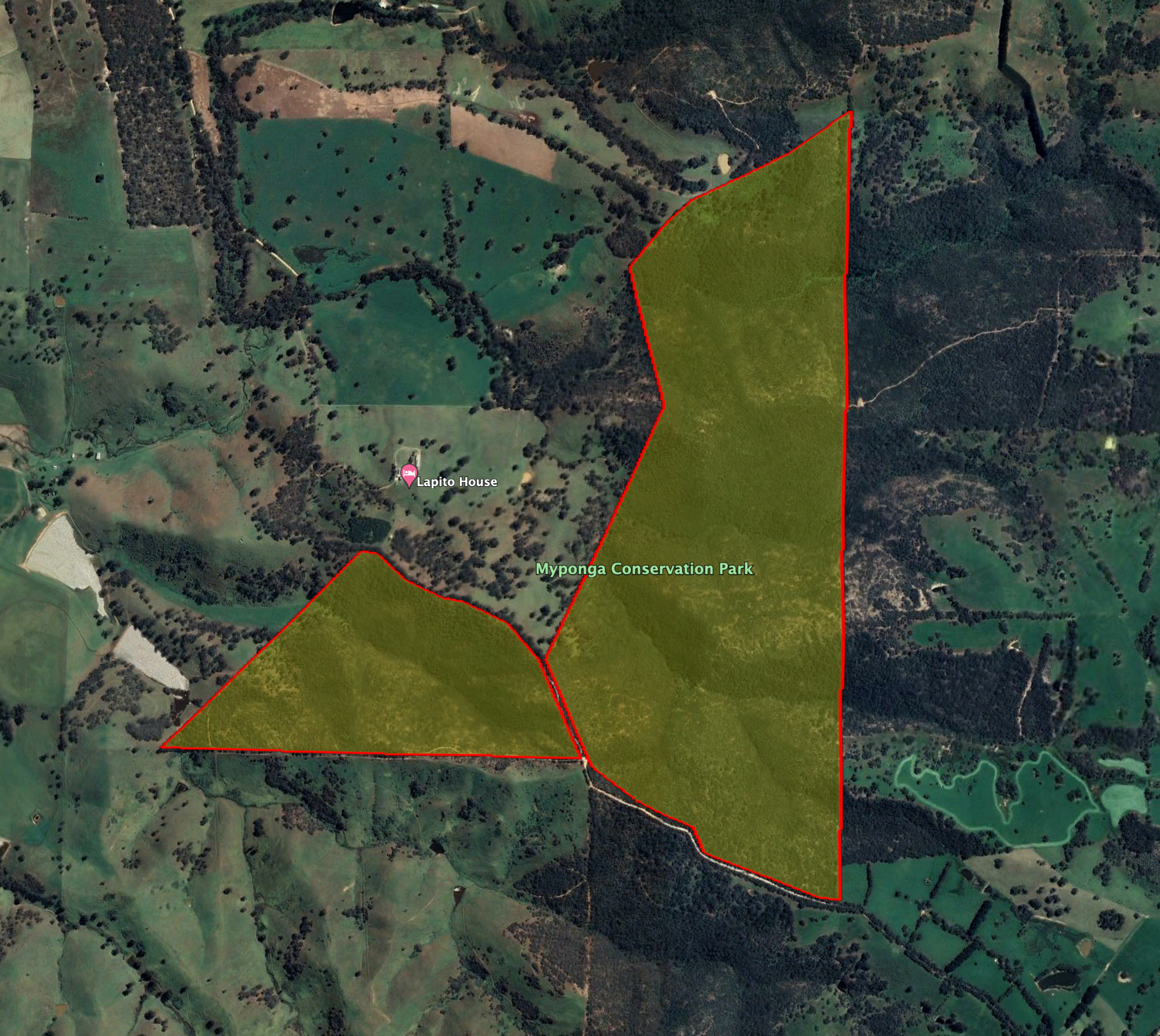
Above:- An aerial view of the Myponga Conservation Park. Image c/o Google maps.
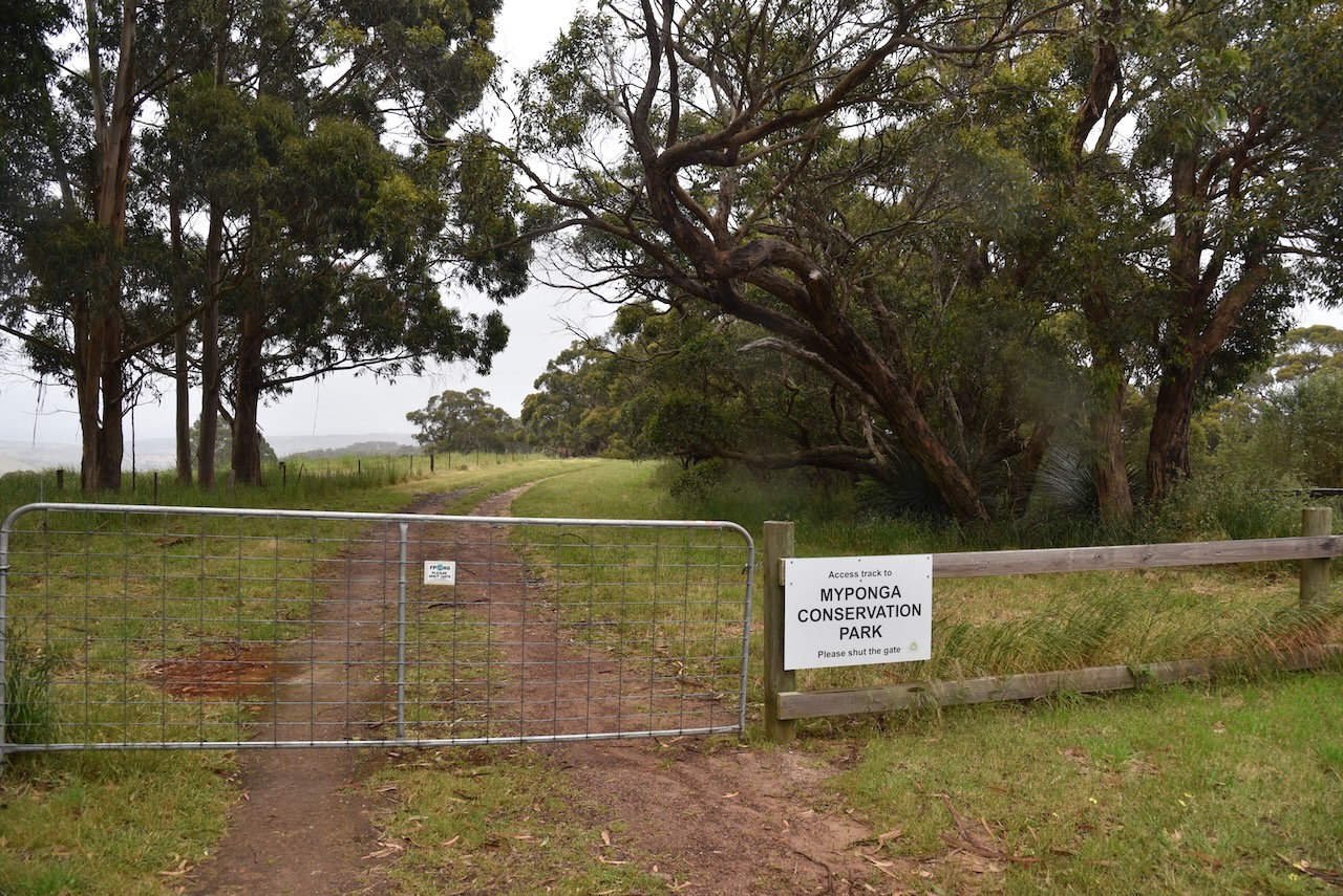
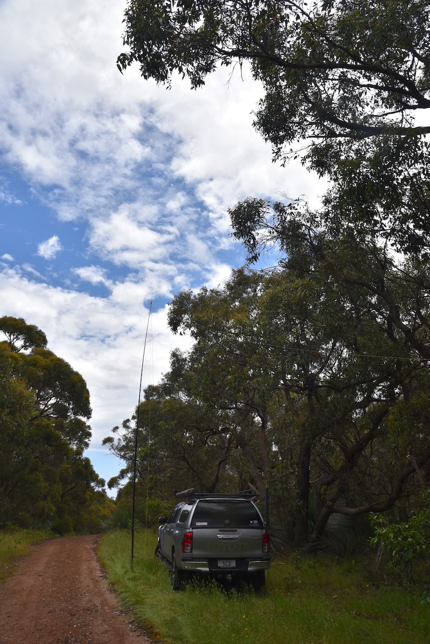
Access to the Myponga Conservation Park is via James Track. The Heysen walking trail also passes through the park.
Above:- An aerial view of the Myponga Conservation Park. Image c/o Google Earth.
The park consists of several flora habitats including Open Forest Over Wet Heaths in the gullies – messmate stringybark and cup gum over prickly tea-tree and heath tea-tree; Low Very Open Woodland – cup gum and pink gum over cranberry heath and common fringe-myrtle.
Birds SA have recorded a total of 68 bird species in the park including Crescent Honeyeater, New Holland Honeyeater, Australian Golden Whistler, Scarlet Robin, and Grey Shrikethrush.
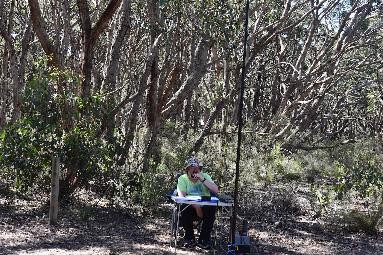
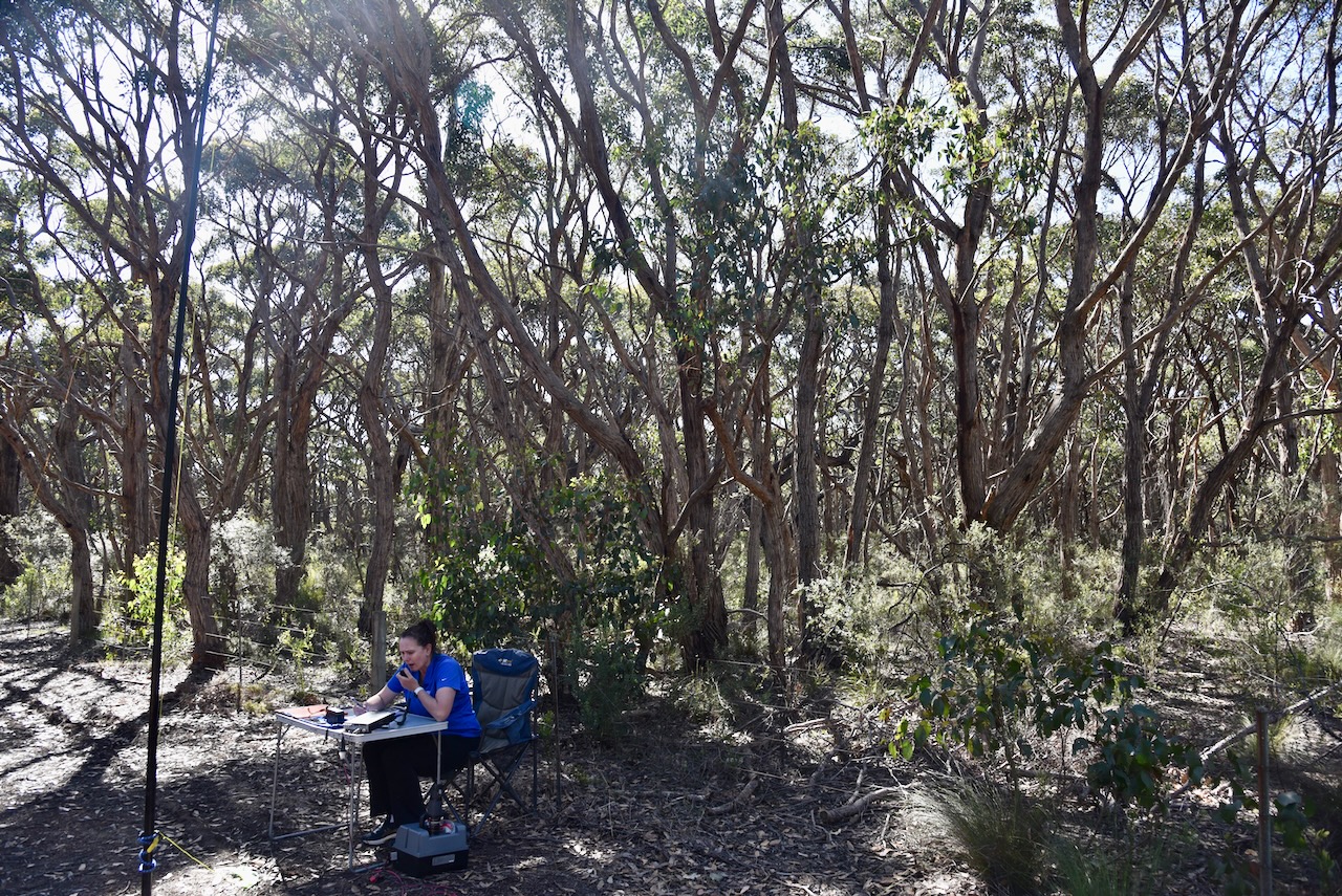
Marija and I drove down the 4WD track (Heysen trail) and set up on the side of the track. We ran the Yaesu FT857, 40 watts, and the 20/40/80m linked dipole for this activation.
We made a total of 97 QSOs on 20, 40 & 80m SSB. This included 58 Park to Park contacts.
Marija worked the following stations on 40m SSB:-
VK2EG/p (Pulbah Island Nature Reserve VKFF-2705)
VK7FAMP/p (Eaglehawk Bay State Reserve VKFF-1797)
VK3MCA/p (You Yangs Regional Park VKFF-0982)
VK2APC/p (Edmondson Regional Park VKFF-2781)
VK2LP/p (Edmondson Regional Park VKFF-2781)
VK2YAK/p (Copeland Tops State Conservation Area VKFF-1308)
VK4YAK/p (Copeland Tops State Conservation Area VKFF-1308)
VK3BEZ/p (Traralgon South Flora Reserve VKFF-2465)
VK1DI/p (Molonglo Gorge Nature Reserve VKFF-0991)
VK2IO/p (Blue Mountains National Park VKFF-0041)
VK1RF/p (Yatteyattah Nature Reserve VKFF-2779)
VK3BBB
VK2CCP
VK3DL/p (Cooriemungle Creek Flora Reserve VKFF-2299)
Saturday 26th and Sunday 27th November 2022 was the annual VKFF Activation Weekend. Marija VK5MAZ and I had planned to activate four parks on Saturday and another four on Sunday.
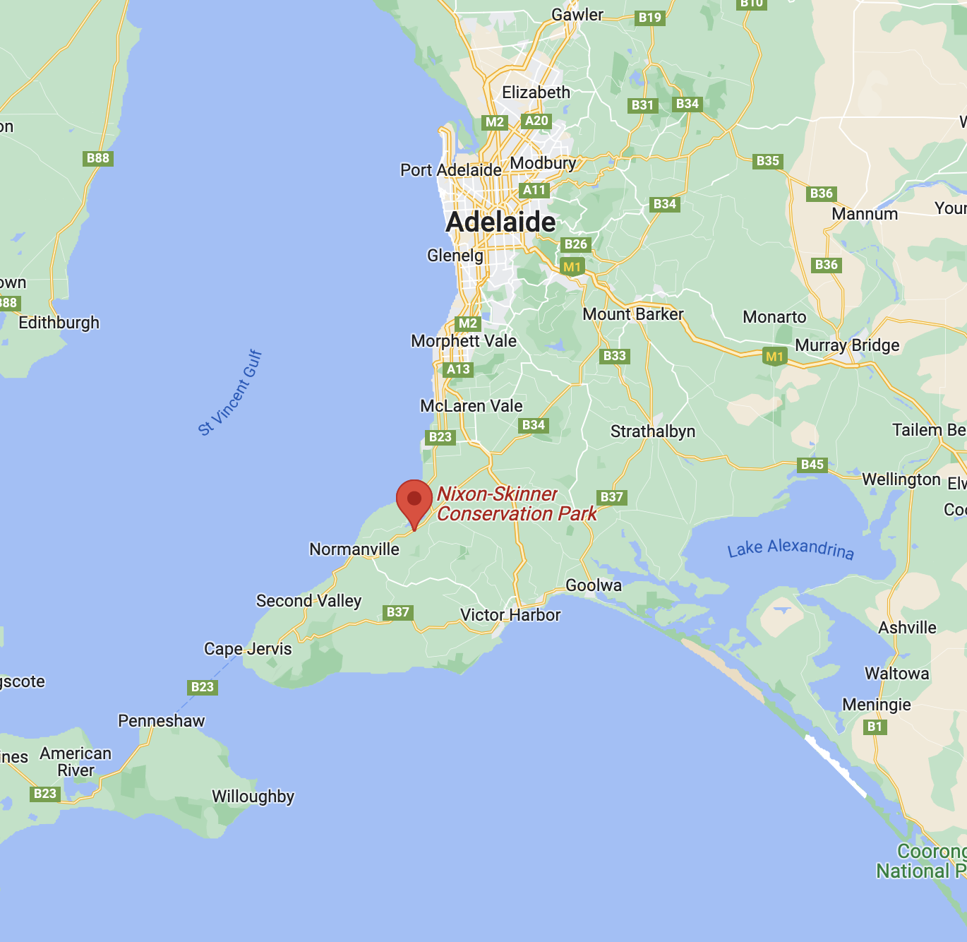
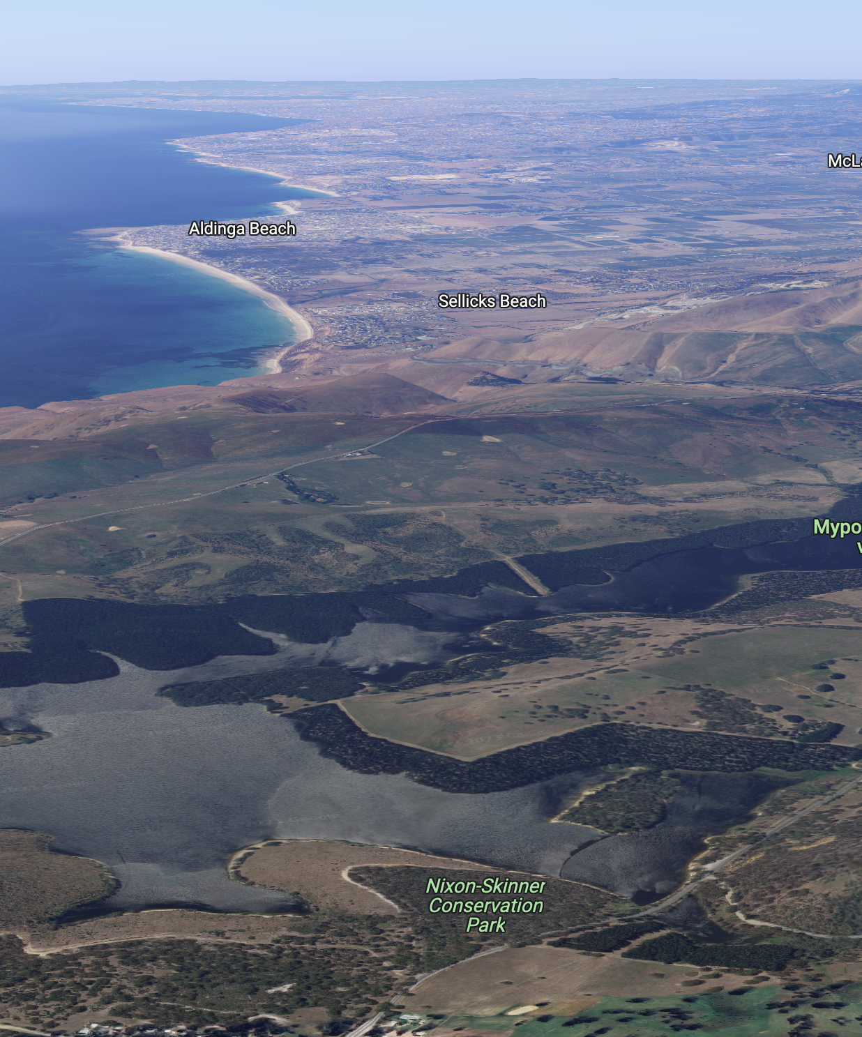
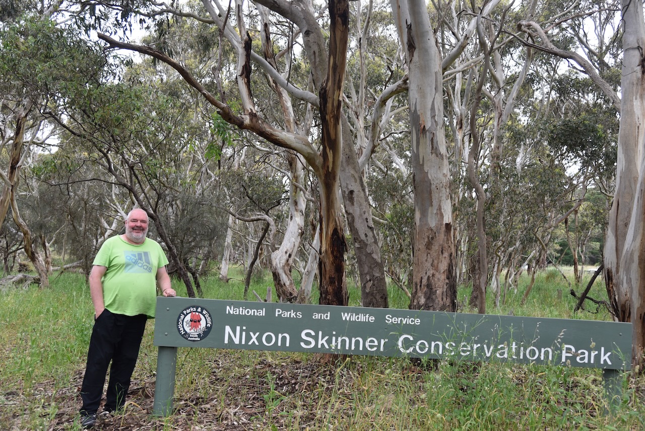
Our first park for Saturday 26th was the Nixon Skinner Conservation Park VKFF-0923, located near the town of Myponga on the Fleurieu Peninsula, about 63 km south of the city of Adelaide.
Above:- Map showing the location of the Nixon Skinner Conservation Park. Map c/o Google maps.
I have activated Nixon Skinner on four previous occasions, the first being in 2013.
Prior to European settlement, the Myponga area was the home of the Kaurna aboriginal people. The Kaurna name for Myponga was Maitpungga or Miappunga believed to mean vegetable food place.
One of the earliest European families to settle in the Myponga area was Con Polden and his wife and their children, from Wiltshire in England. They settled in the area in about 1840. In 1858 Myponga became a settlement as a series of land purchases.
We stopped briefly in Myponga for a coffee and some breakfast.
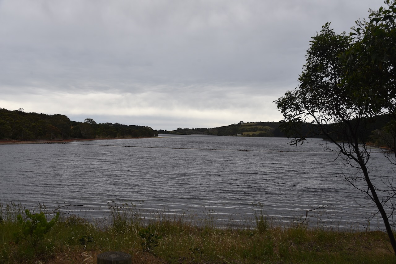
As we travelled to the park out of Myponga on Main South Road, we came to the Myponga Reservoir. It is fed by the Myponga River and other tributaries in the Myponga catchment area. The reservoir provides about 5% of the water supply for the city of Adelaide.
Construction of Myponga Reservoir commenced in 1958 and was completed in 1962. As a result of the reservoir,the area known as Lovely Valley was flooded.
The Nixon Skinner Conservation Park is 8 hectares (20 acres) in size and was established on the 1st day of January 1956. The park is bounded in the south by Main South Road and to the east by the Myponga Reservoir
Above:- An aerial shot of the Nixon Skinner CP. Image c/o Google maps.
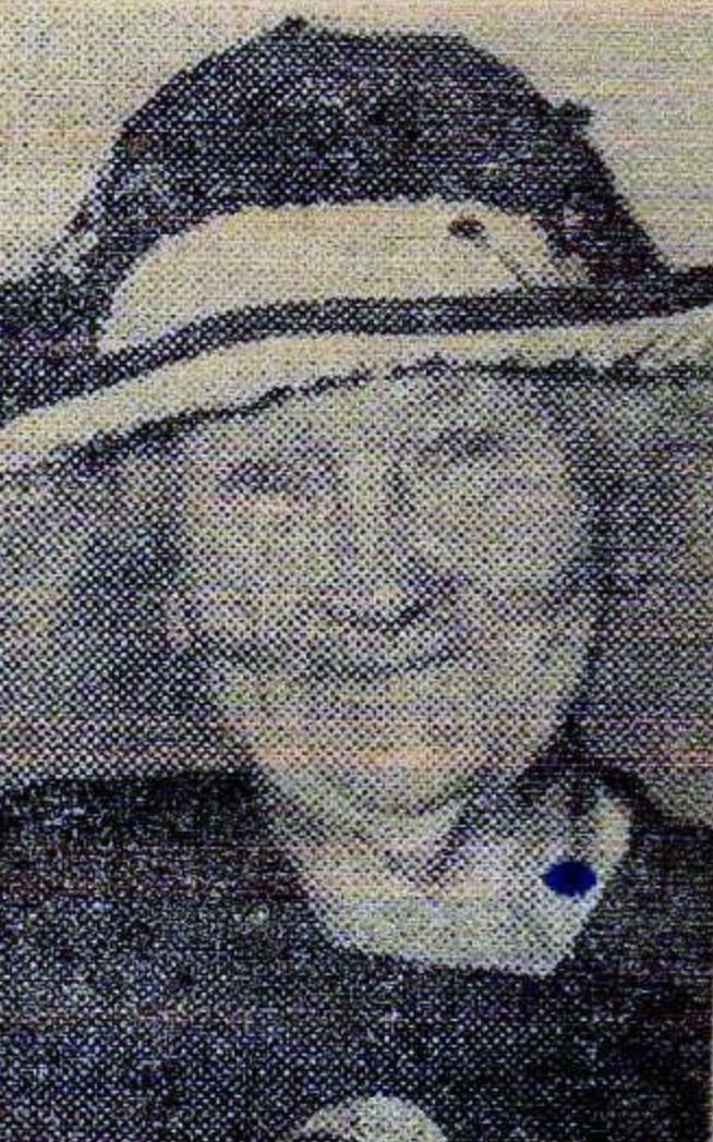
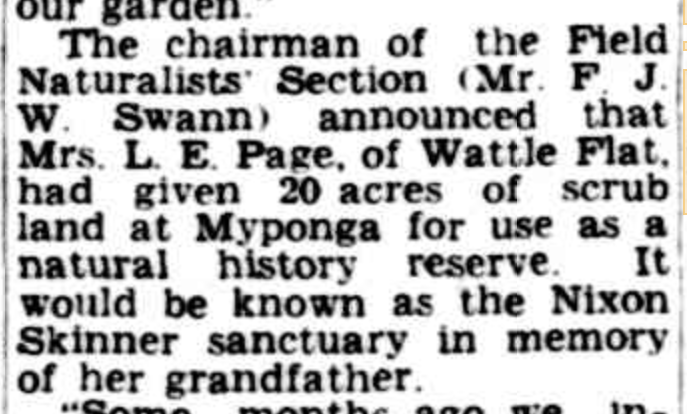
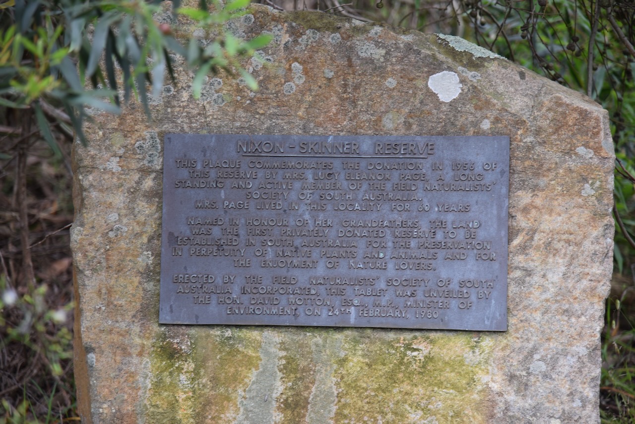
In 1948 Mrs. Lucy Eleanor Page nee Skinner (b. 1870. d. 1960) donated 20 acres of land to the Field Naturalists Section for use as a natural history reserve. It was named as the Nixon Skinner sanctuary in memory of her grandfather.
On the 1st day of January 1956, ownership was transferred to the South Australian Government. On the 9th day of November 1967 the reserve was proclaimed as the Nixon Skinner National Parks Reserve. On the 27th day of April 1972 it was reconstituted as the Nixon Skinner Conservation Park.
Above:- Item from The Advertiser, Sat 16 Oct 1948. Image c/o Trove.
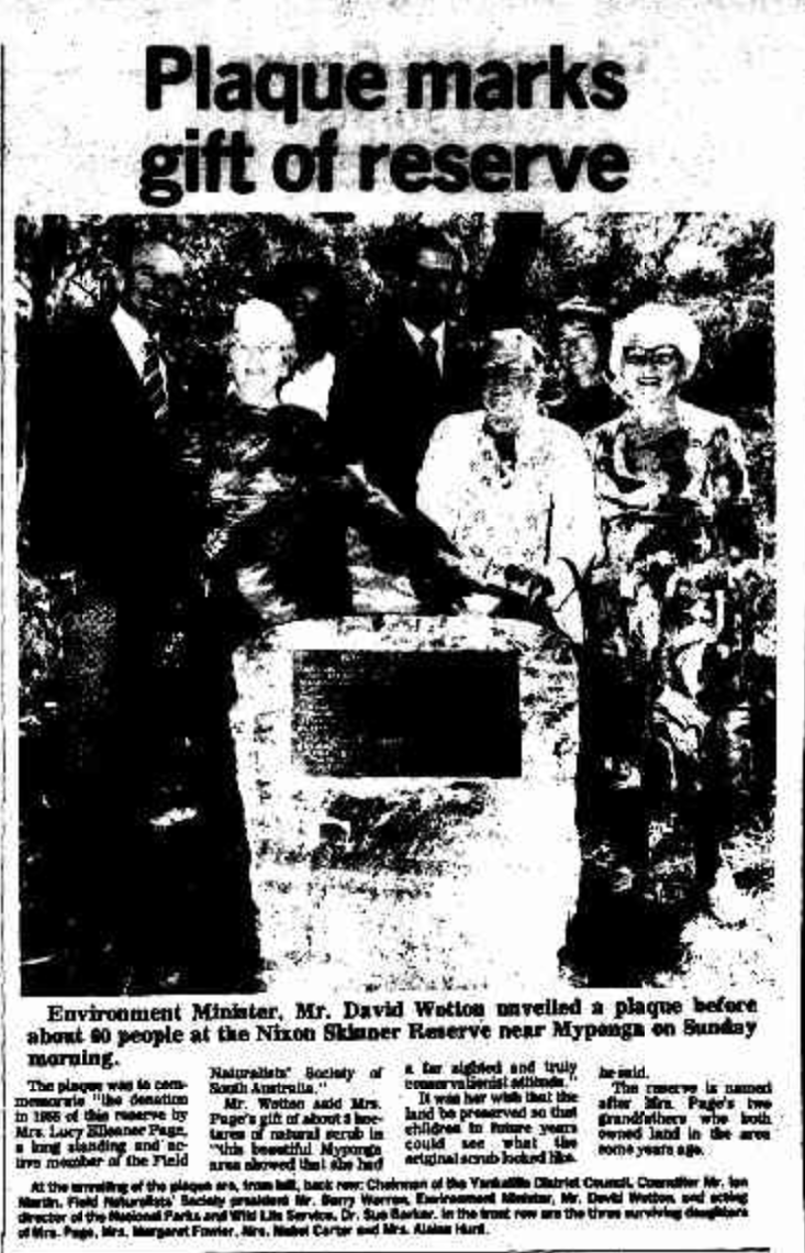
On the 24th day of February 1980, a memorial plaque was unveiled in the park by the Environment Minister David Wotton in the presence of Mrs. Page’s three surviving daughters.
Above: Article from the Victor Harbour Times, Wed 27 Feb 1980. Image c/o Trove.
The plaque is a little hard to find if you don’t know where to look. It is located in amongst the scrub off the main walking trail leading down to the reservoir.
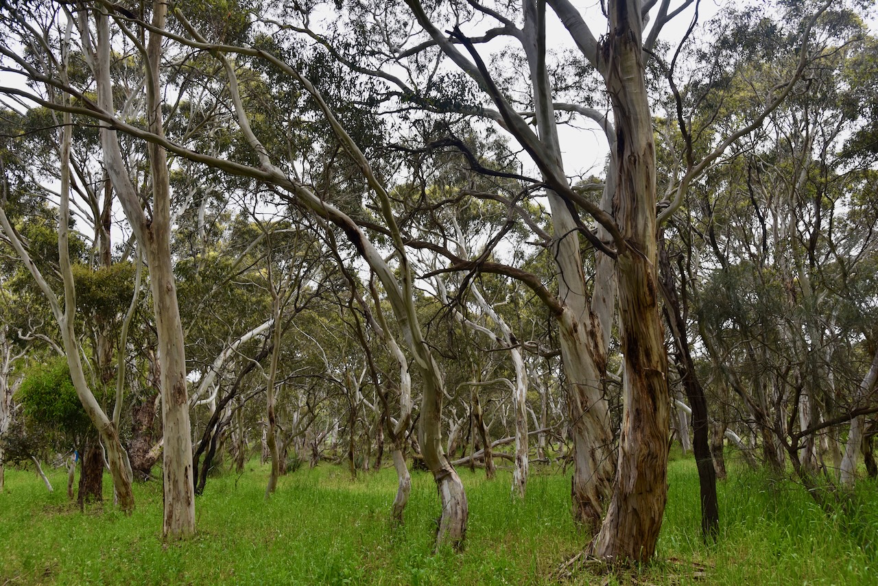
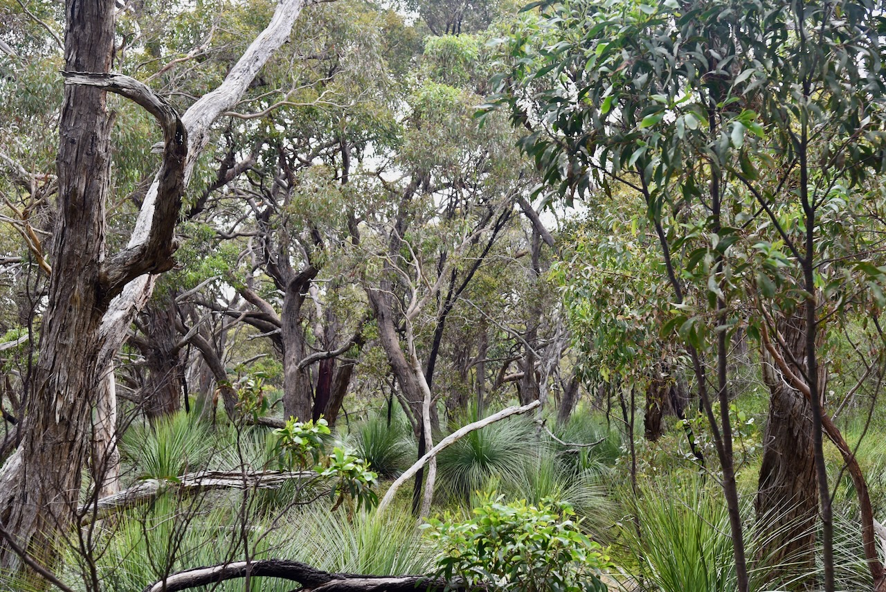
The park consists of Messmate Stringybark, Pink Gum, River Red Gum, South Australian Blue Gum with an understorey of Erect Guinea-flower, Heath Tea-tree, Myrtle Wattle, Golden Wattle, Silver Banksia, Cross-leaved Honey-myrtle, and Silky Tea-tree. The rare Cherry helmet orchid can be found in the park.
Above:- Aerial view of the Nixon Skinner Conservation Park. Image c/o Google Earth.
Birds SA have recorded 81 species of bird in the park including Laughing Kookaburra, White-throated Treecreeper, Superb Fairywren. Crescent Honeyeater, Brown Thornbill, Grey Shrikethrush, and Scarlet Robin.
Various native mammals can be found in the park including the Western Grey kangaroo.
The video below shows the park and the Myponga reservoir.
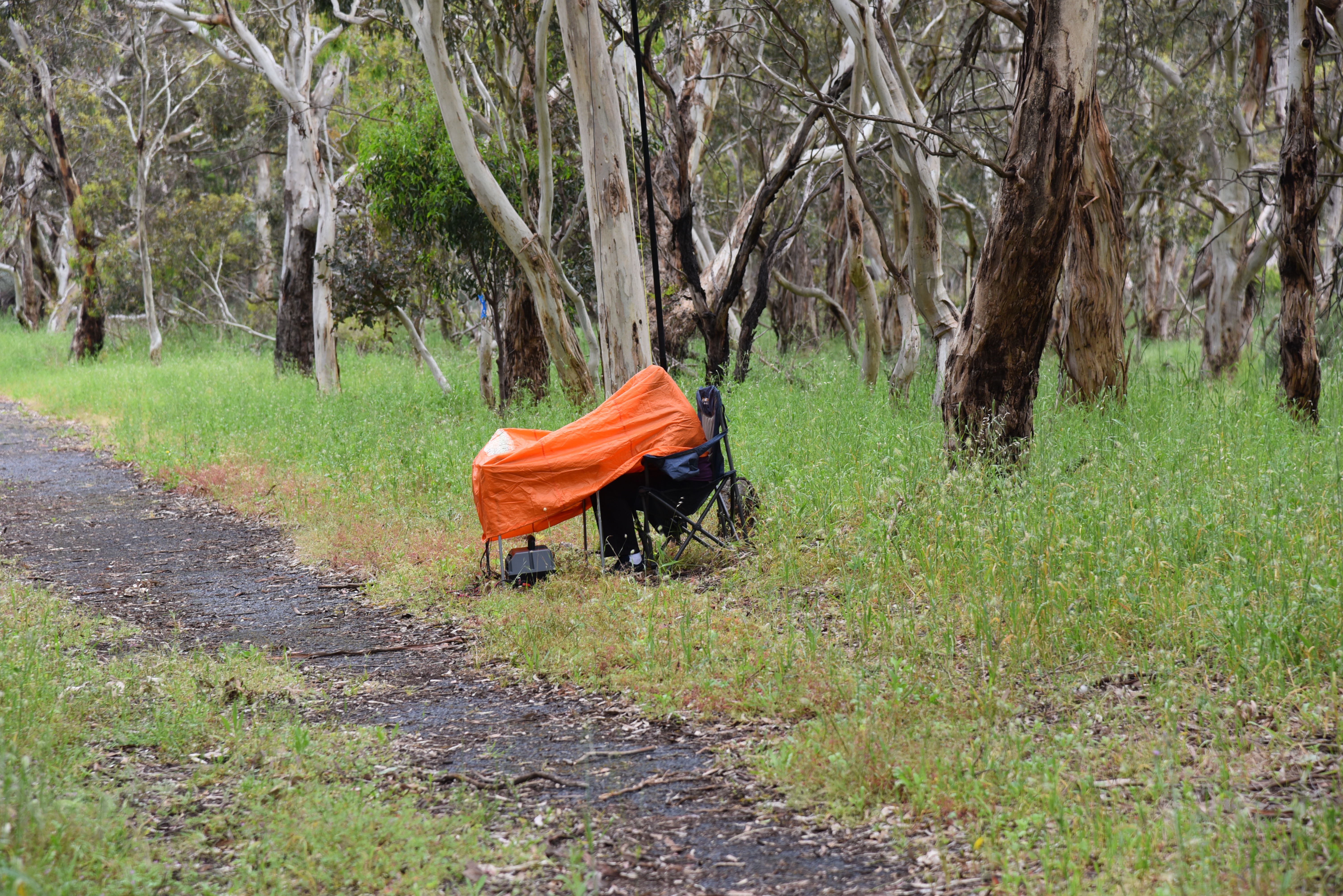
Marija and I set up in our normal spot, alongside of the walking trail leading from Main South Road down to the reservoir. It was a cold and dull day with occasional showers. During the day we had to deploy the bothy bag on a few occasions to keep out of the rain.
We spent about 1 hour & 45 minutes in the park and logged a total of 94 QSOs on 20, 40 & 80m SSB. This included a total of 61 Park to Park QSOs.
Marija worked the following stations on 40m SSB before the UTC rollover:-
VK5AV/3 (Kulwin Flora & Fauna Reserve VKFF-2353)
VK1RF/p (Yatteyattah Nature Reserve VKFF-2779)
VK3BEZ/p (Traralgon South Flora Reserve VKFF-2465)
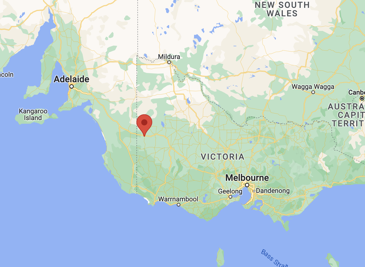
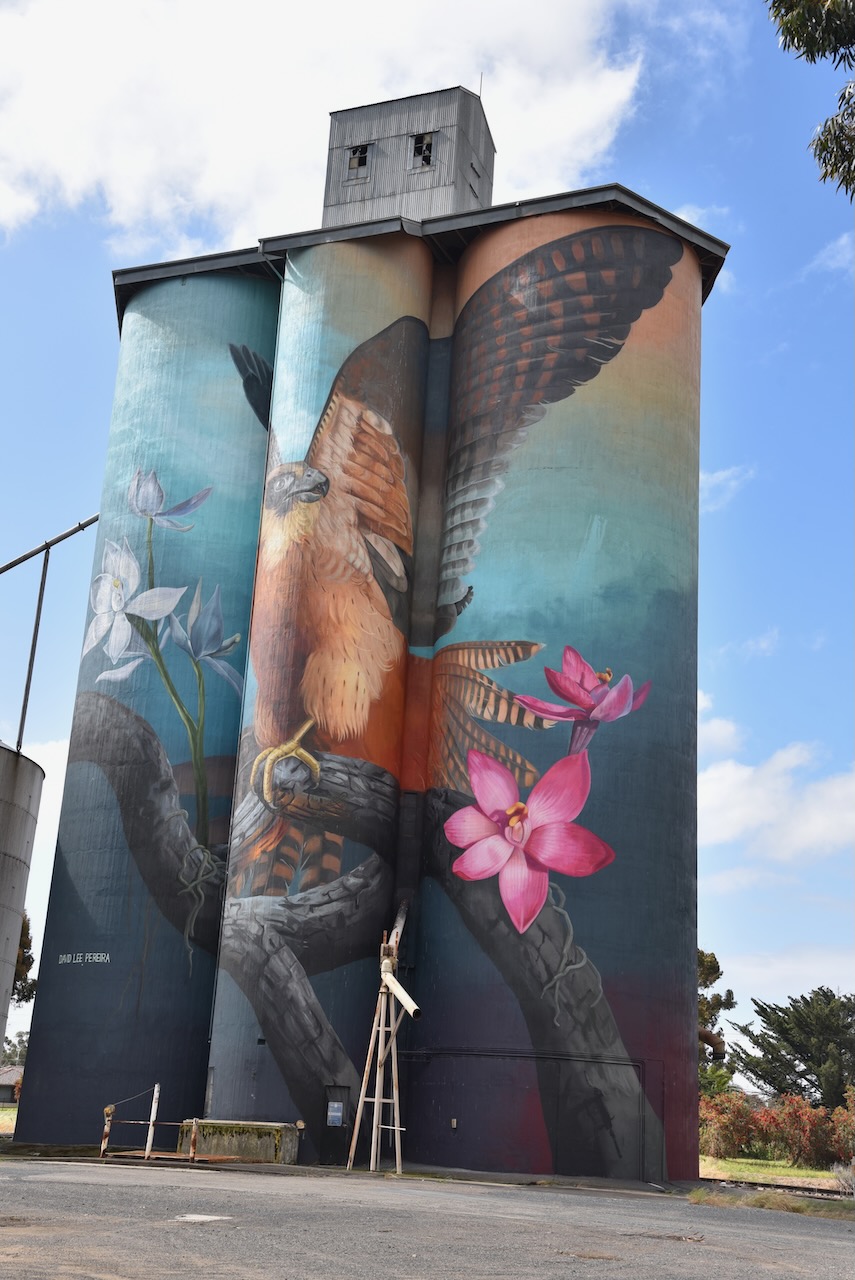
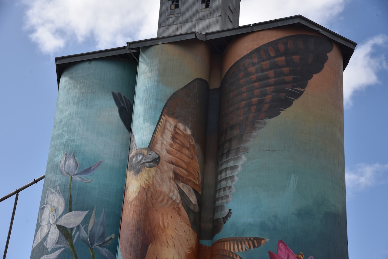
Our final silo for our trip (Monday 21st November 2022) was the Kaniva 2 silo VK-KNV3. We made quite a mistake, as we had forgotten that we had activated this silo on the 1st day of our trip. Oh well, we added some more QSOs to our tally for this silo.
Above:- Map showing the location of Kaniva. Map c/o Google maps.
Kaniva is located about 416 km north west of Melbourne.
Please see my previous post re this silo. There are some interesting videos at that post about the silo.
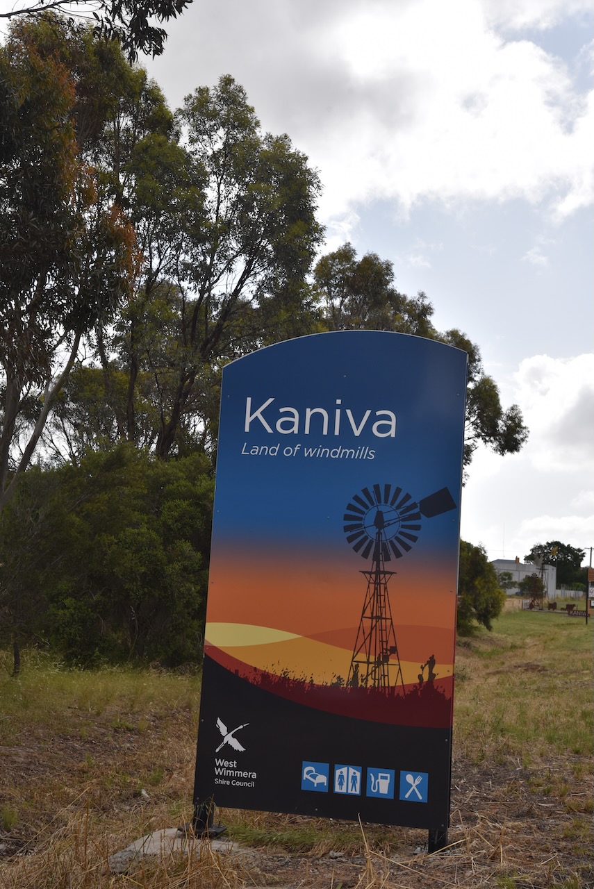
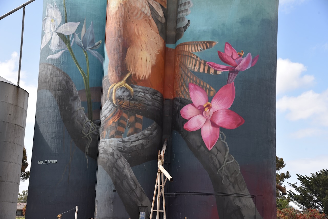
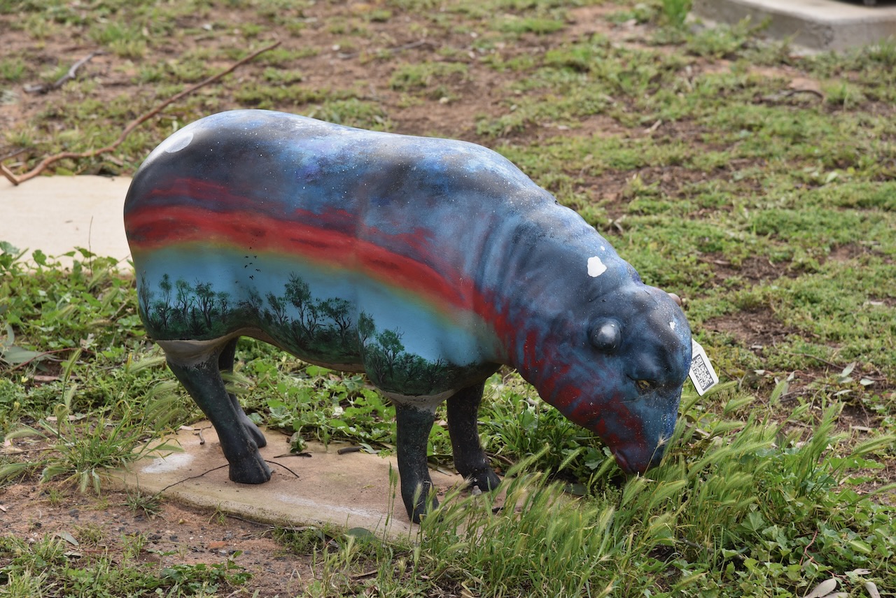
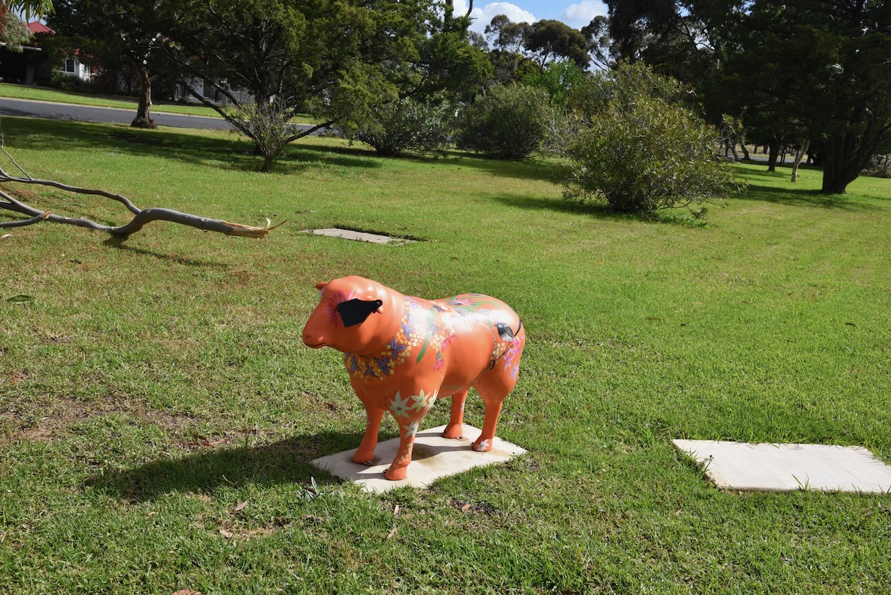
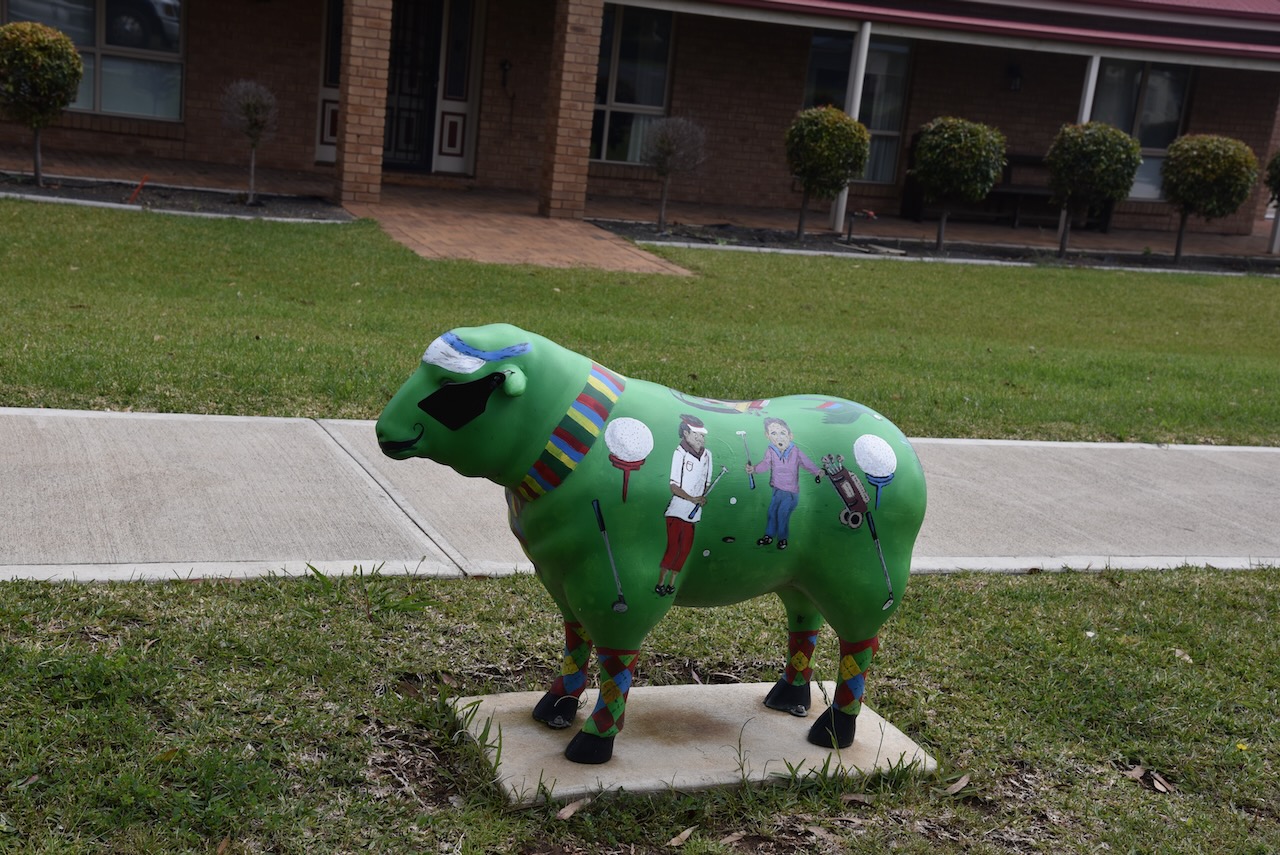
Kaniva is home to the sheep art trail which spans about 900 metres in length, running from from the Big Windmill connecting the Silo Art to the Wetlands and Fauna Park. The Sheep Art Trail features 46 sheep, murals and games.
Every time we travel through Kaniva, we stop at the Fauna Park and aviary at Kaniva. It was established by the Kaniva Rotary Club during the 1980s.
It was time for us to hit the road. Sadly there was no more time for any further silos. It had been a brilliant 4 weeks away.
Thankyou to everyone who called us and thanks to those who took the time to spot us on parksnpeaks.
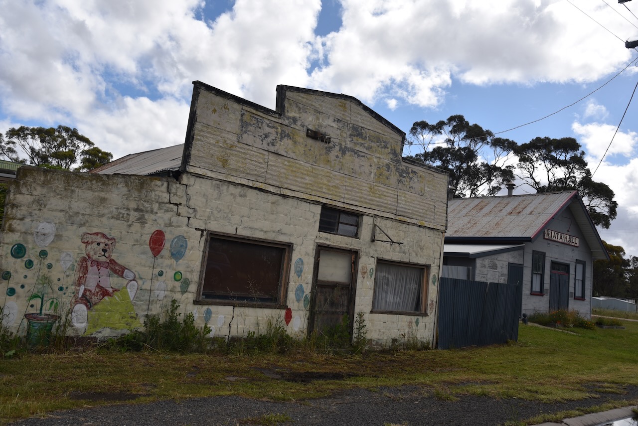
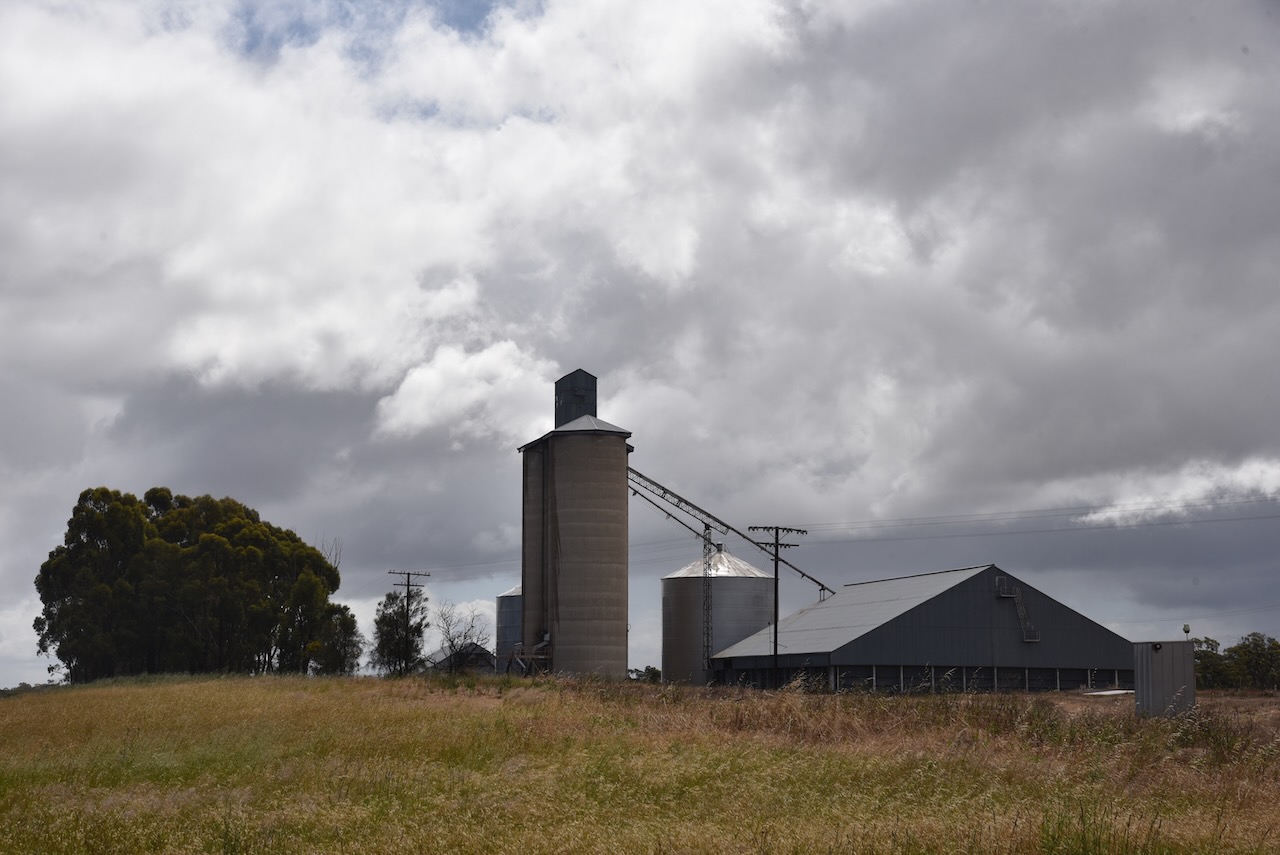
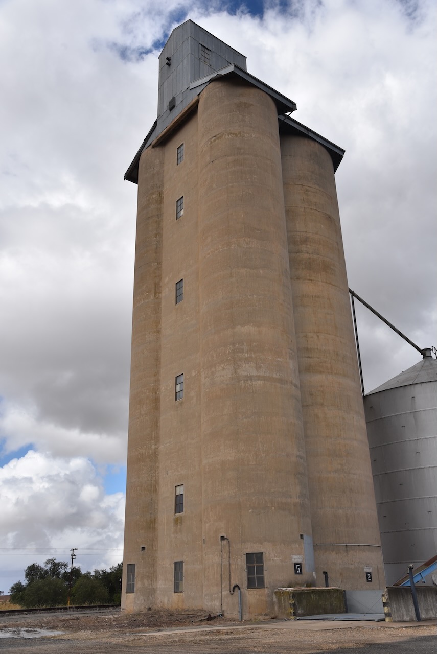
We then activated our 8th silo for the day (Monday 21st November 2022), the Kiata silo VK-KTT3.
Kiata is located on the Western Highway about 13 km east of the town of Nhill and about 362 km north west of the city of Melbourne.
Above:- Map showing the location of Kiata in western Victoria. Map c/o Google maps.
Kiata is an aboriginal word meaning summer heat. During the early 1870s the land around Kiata was taken up for farm selections. In 1876 the township of Kiata was surveyed. In 1879 the Kiata West school opened, followed by the Kiata East school in 1881. In 1884 the Kiata Anglican church was opened and used as a school. In 1887 the railway line was opened and a hotel, store and blacksmith followed.
Today little remains in Kiata. Many of the old shops and the hotel are now sadly closed.
The Kiata silo is located on the northern side of the Western Highway.
We ran the Icom IC-7000, 100 watts, and the Codan 9350 self tuning antenna for this activation, and operated from alongside of the silo.
Above:- Map showing the location of the silo and the activation zone. Image c/o SiOTA website.