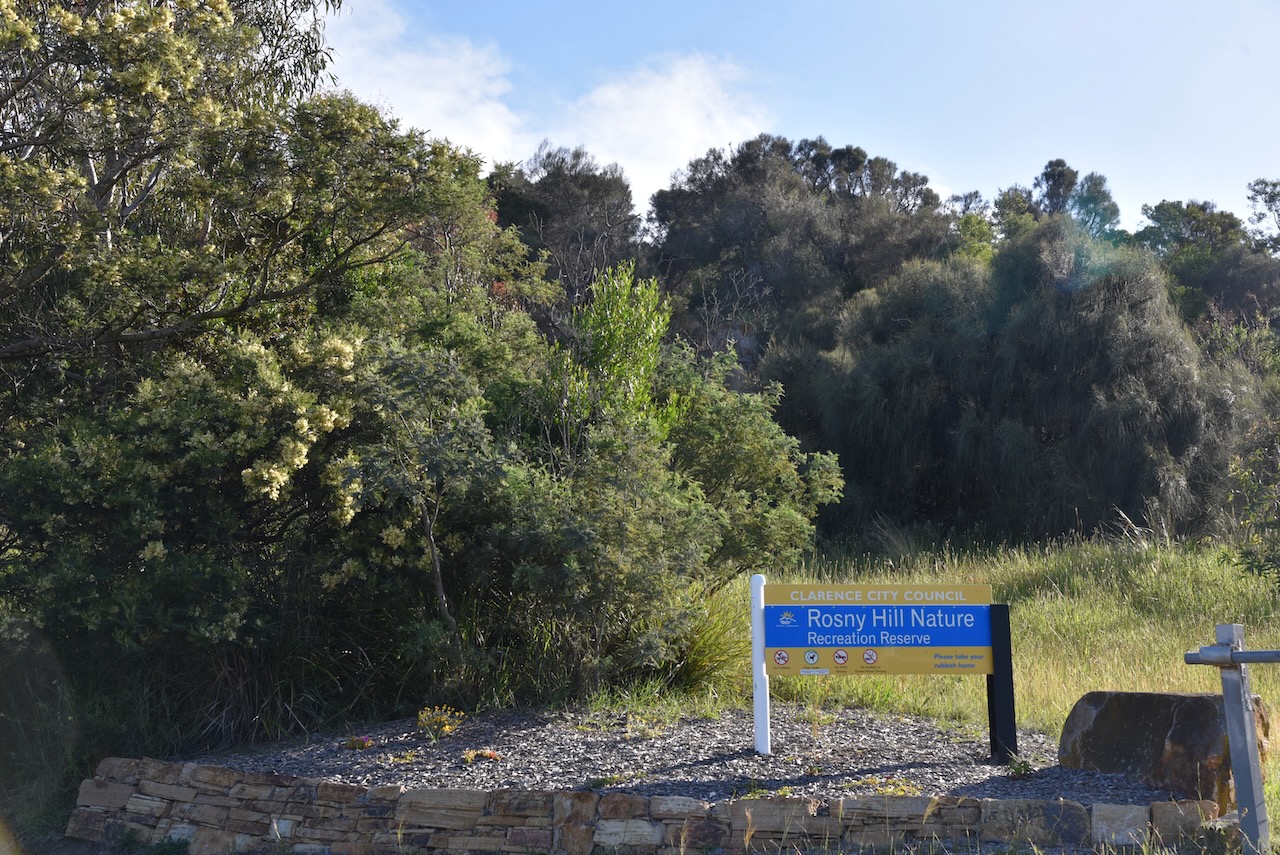
After packing up at East Risdon State Reserve (9th November 2022) we headed to our second park for the day, the Rosny Hill Nature Reserve VKFF-2928.
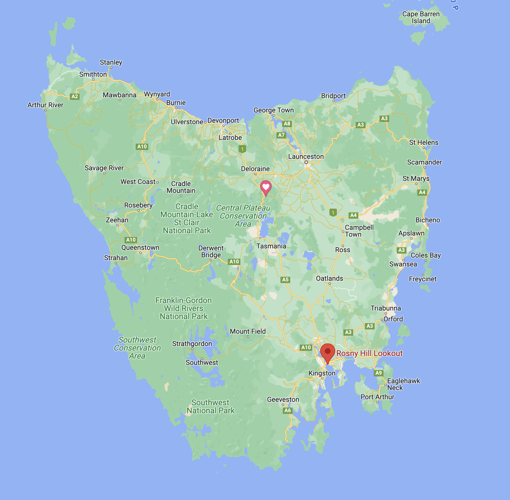
Above:- Map showing the location of the Rosny Hill Nature Reserve. Map c/o Google maps
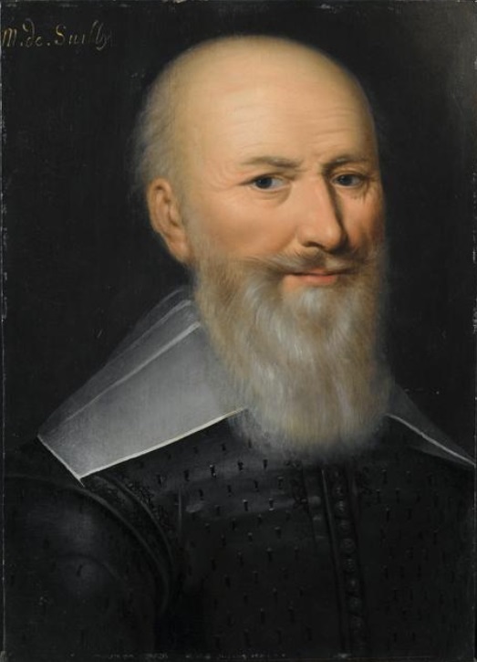
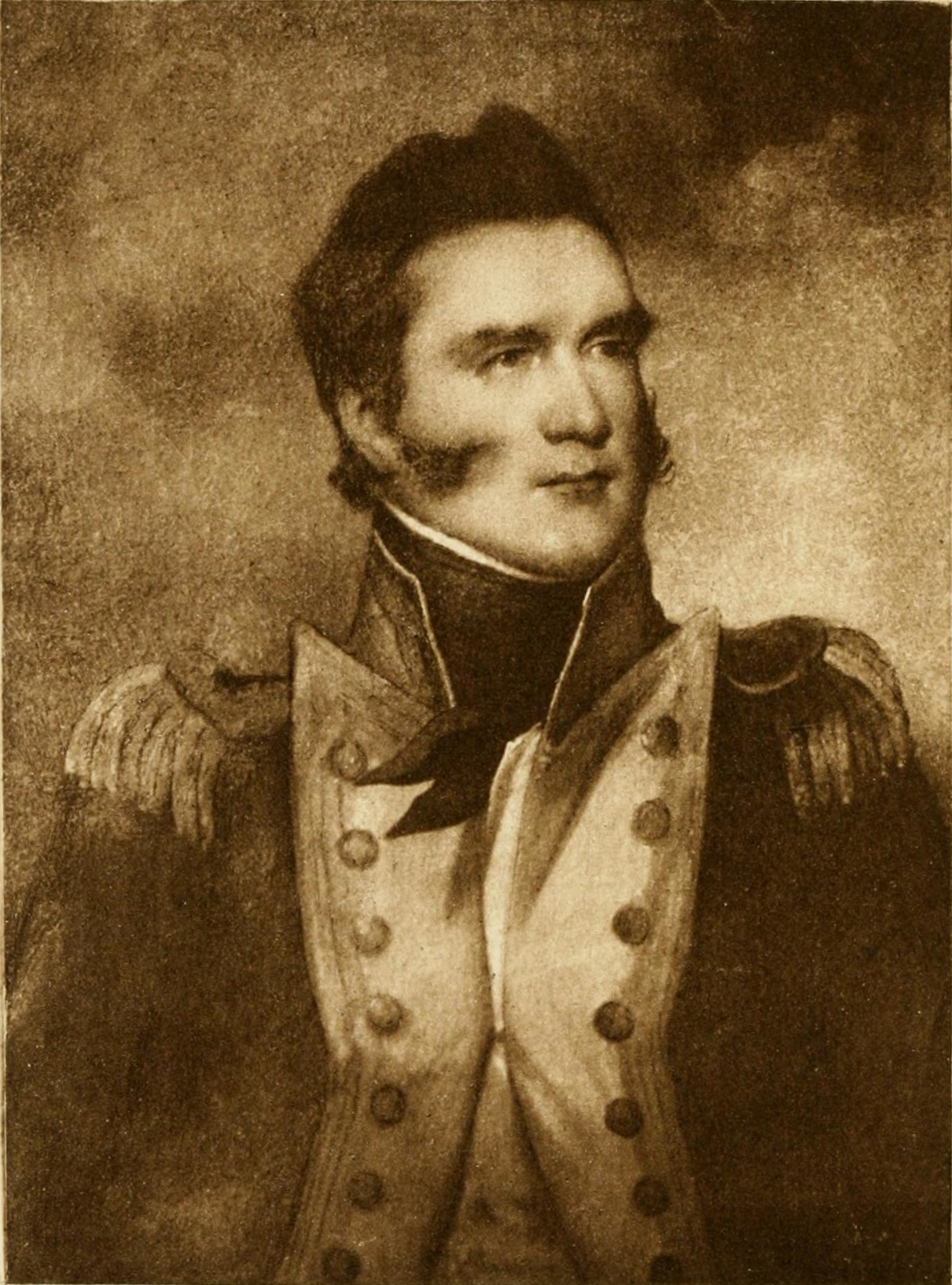
The park is located in the Hobart suburb of Rosny on the eastern banks of the River Derwent. Rosny was named by W.A. Bethune, the holder of the original grant on the point, in honour of his ancestor, the Duc de Maximilien de Bethune Sully, of Rosny-sur-Seine near Mantes in France.
Above:- Maximilien de Béthune. Image c/o Wikipedia.
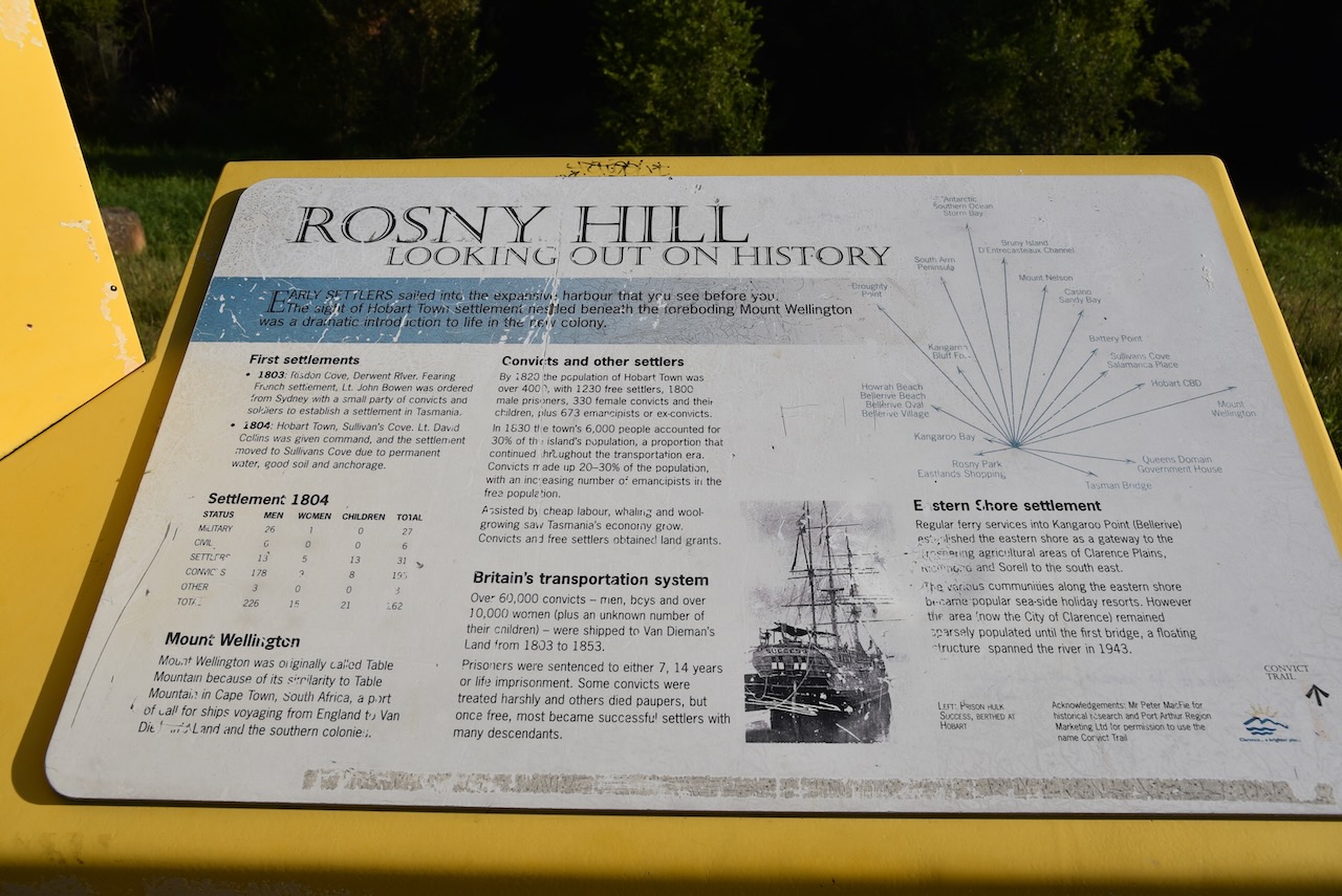
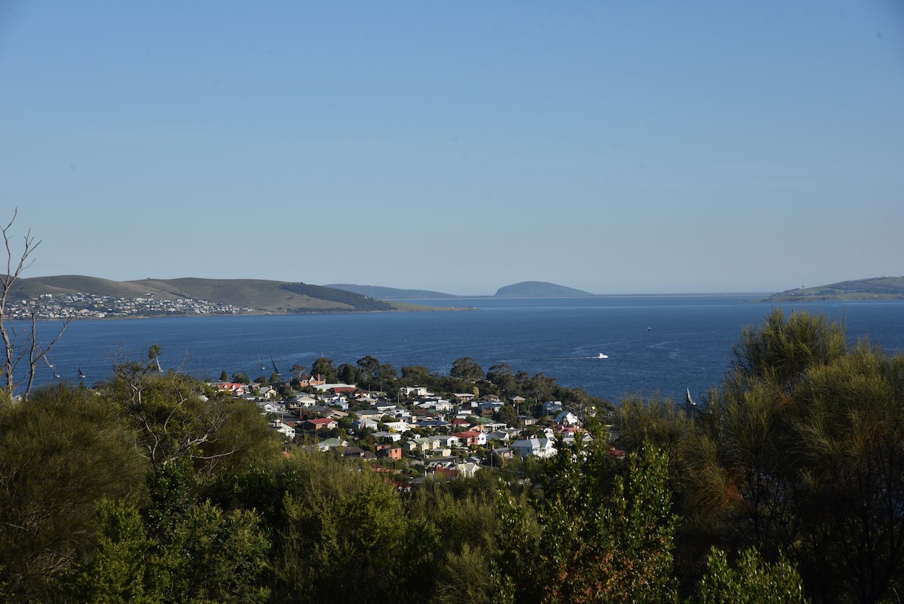
The Rosny Hill Nature Reserve is about 21.4 hectares in size. It encompassed the prominent wooded hill to the south of the Tasman Bridge. The park includes the Rosny Hill Lookout which is well known scenic vantage point. The park contains remnant vegetation which is entirely surrounded by residential subdivision.
The park is within the original homelands of the Oyster Bay people who were once the largest tribe in Tasmania. The band most closely associated with Rosny Hill were the Moomairremener people.
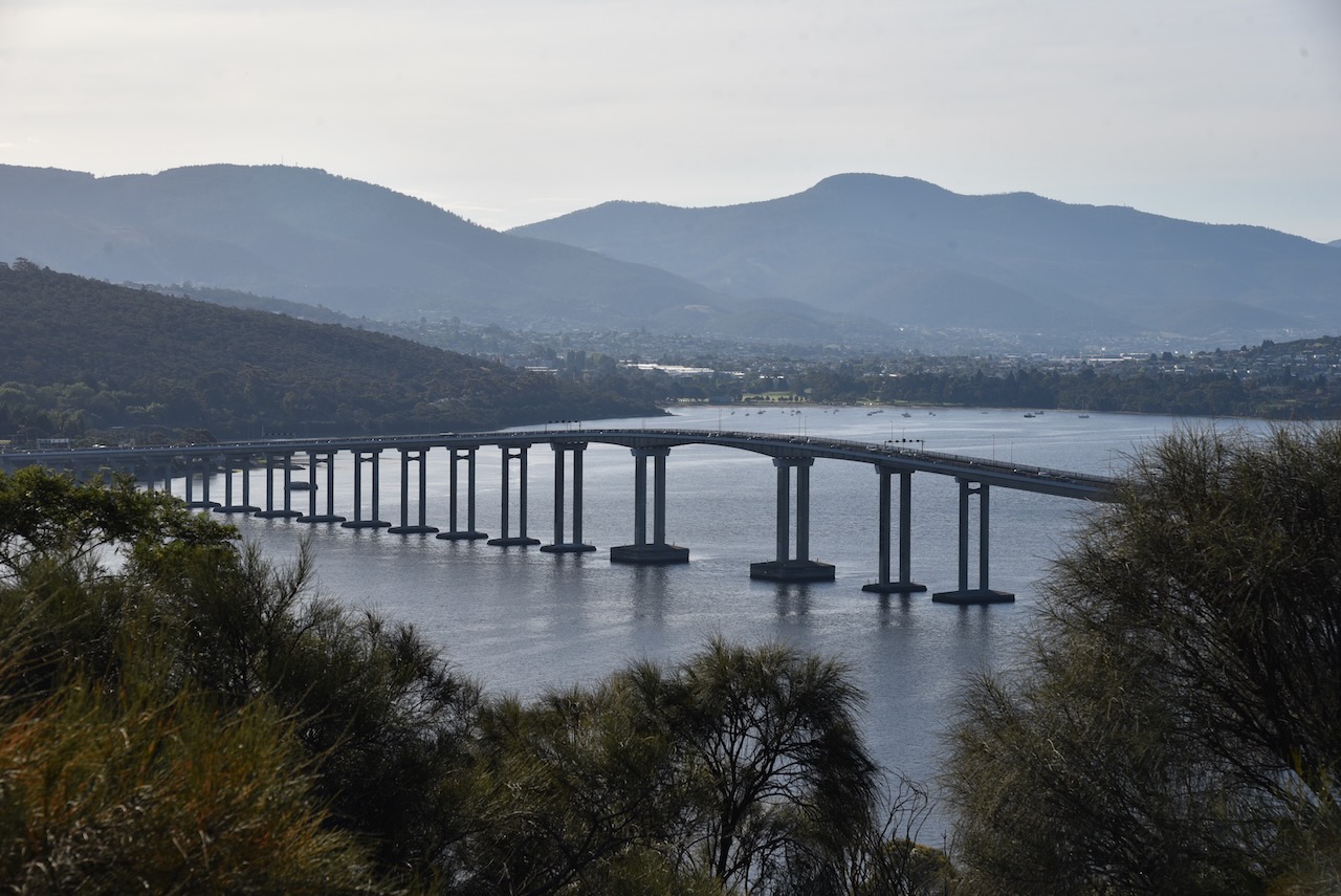
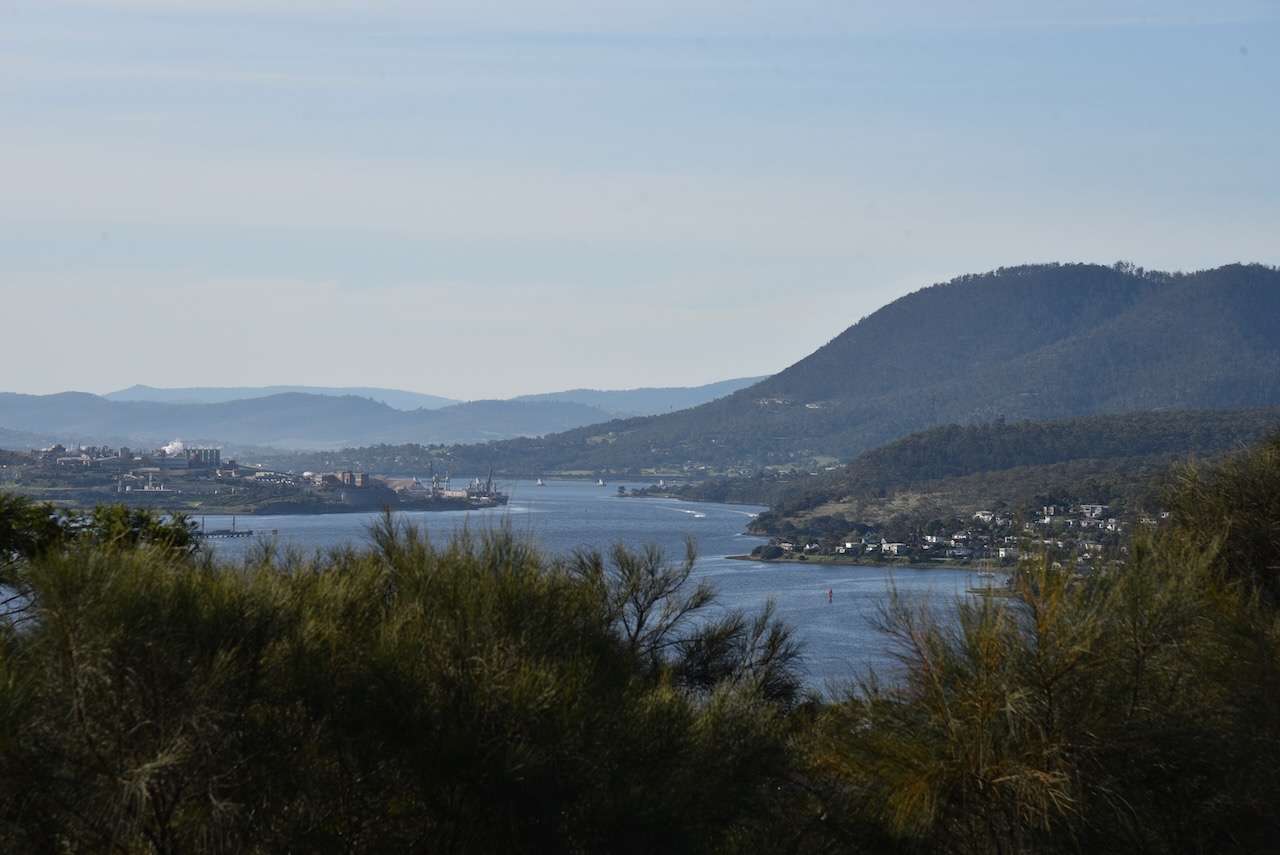
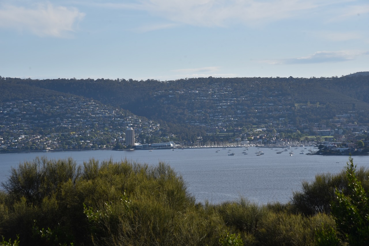
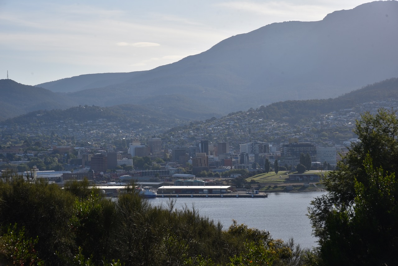
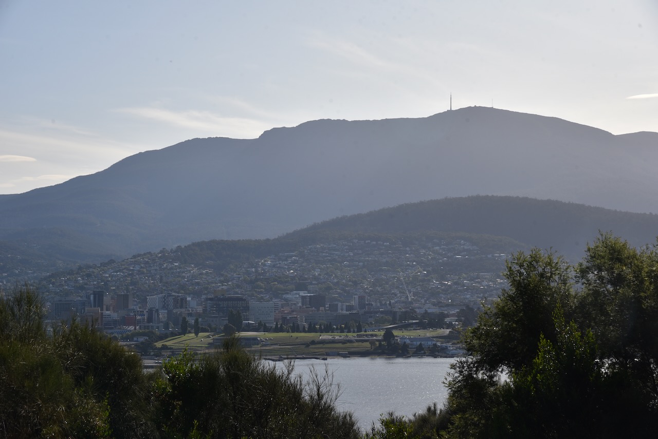
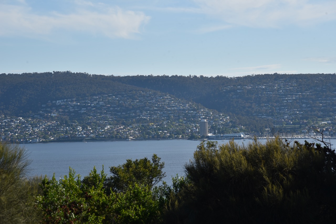
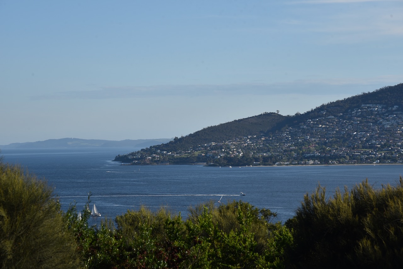
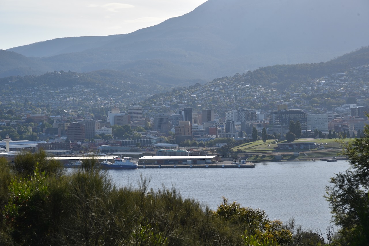
The lookout at Rosny Hill provides spectacular views of the city of Hobart, the Derwent River, Mount Wellington, and the Meehan Range. Residents of Hobart often use the lookout to view special events such as the Sydney to Hobart yacht race and New Years Eve fire works.
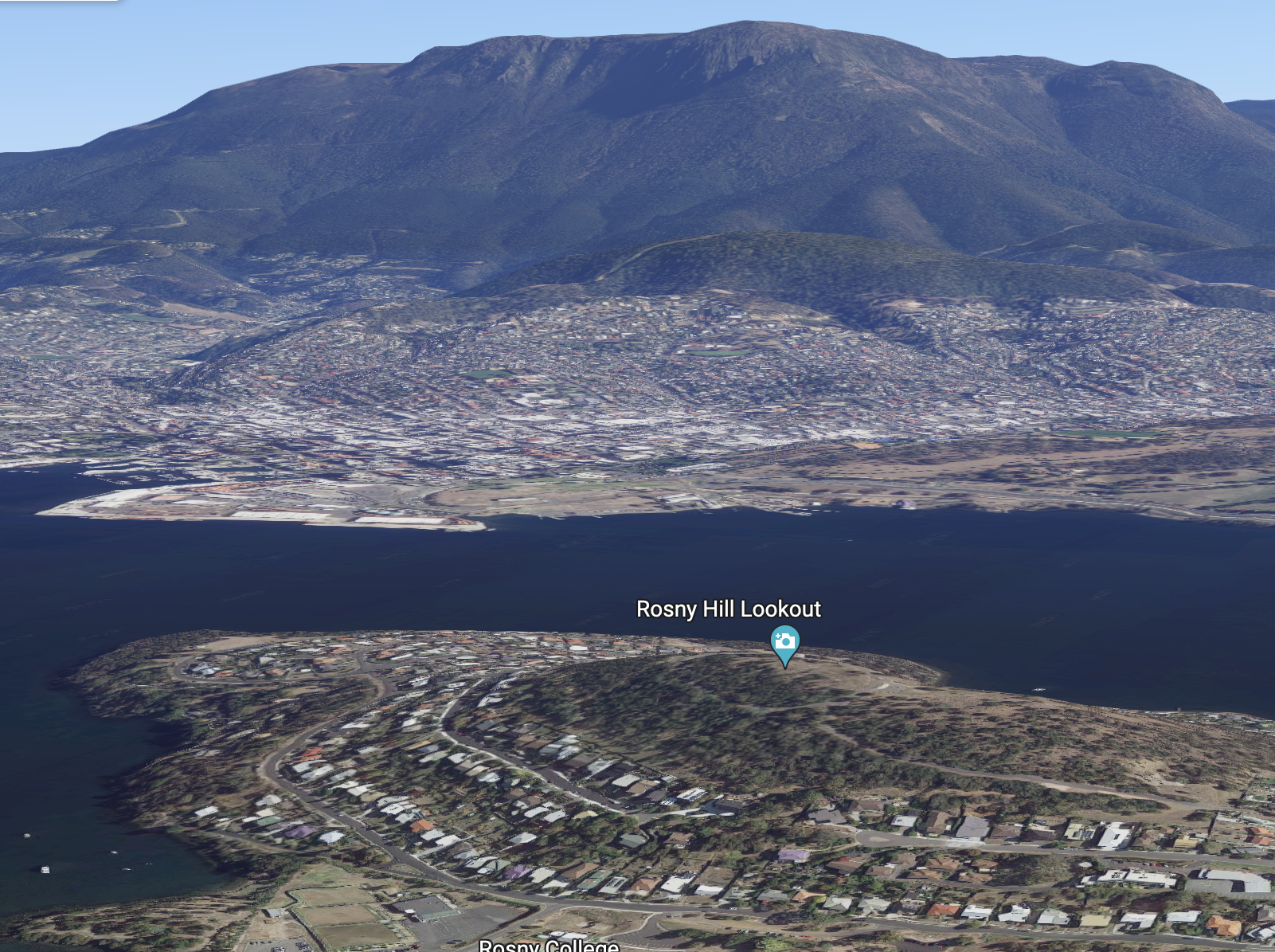
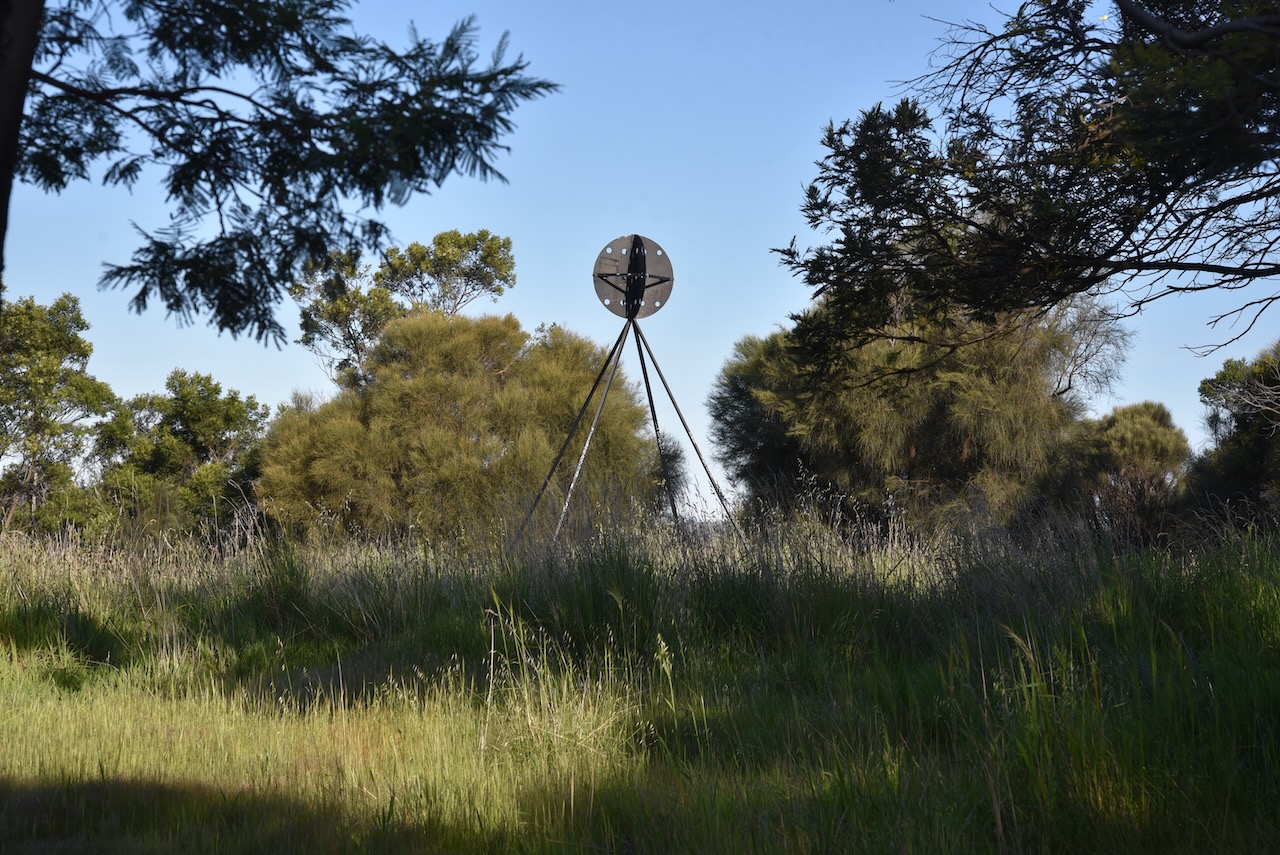
We operated from a clearing in the scrub hust down from the main lookout. We ran the Yaesu FT857, 40 watts, and the 20/40/80m linked dipole for this activation.
Above:- An aerial view of the park showing our operating spot. Image c/o Google maps.
We spent a little over an hour in the park and made a total of 66 QSOs. This included a bit of DX on 20m SSB into Italy, Slovak Republic, Marshall Islands, Finland, Switzerland, Belgium, and France. It was a great pleasure to work Danny ON4ON on both 40m SSB and 20m SSB.
Marija worked the following stations on 40m SSB:-
VK3TWO/p
VK2YAK
VK4YAK
VK3VIN
Vk2HHA
VK2MET
VK1AO
VK3PF
VK3SQ
VK5PL
VK2IO
VK3TWO/p (Pieman River State Reserve VKFF-1822)
I worked the following stations on 40m SSB:-
VK3TWO/7
VK2YAK
VK4YAK
VK3VIN
VK2HHA
VK2MET
VK1AO
VK3PF
VK3SQ
VK5PL
VK2IO
VK7FAMP
VK3NDG/m
VK4TJ
VK4EW
VK4BXX
VK2YK
VK5GA
VK7MOO
VK2EXA
VK4SMA
ZL3MR
VK2LD
VK3MCA
VK3TWO/p (Pieman River State Reserve VKFF-1822)
VK3HJW
VK7AAE
VK2VY
VK7LTD
VK4EMP
VK5HAA
VK3KKP
VK3AMO
VK3TR
VK2WOG
VK3ZPF
ON4ON
I worked the following stations on 20m SSB:-
IW2BNA
IK4IDF
VK7LTD
OM5DP
V73MS
VK7HH
ZL3MR
ZL1TM
IW2NXI
OH1MM
HB9BEV
VK4SMA
ON4ON
F4ILH
VK4MGL
VK4EMP
F1BLL
References.
Rosny Hill Nature Recreation Area Management Strategy, August 2011.
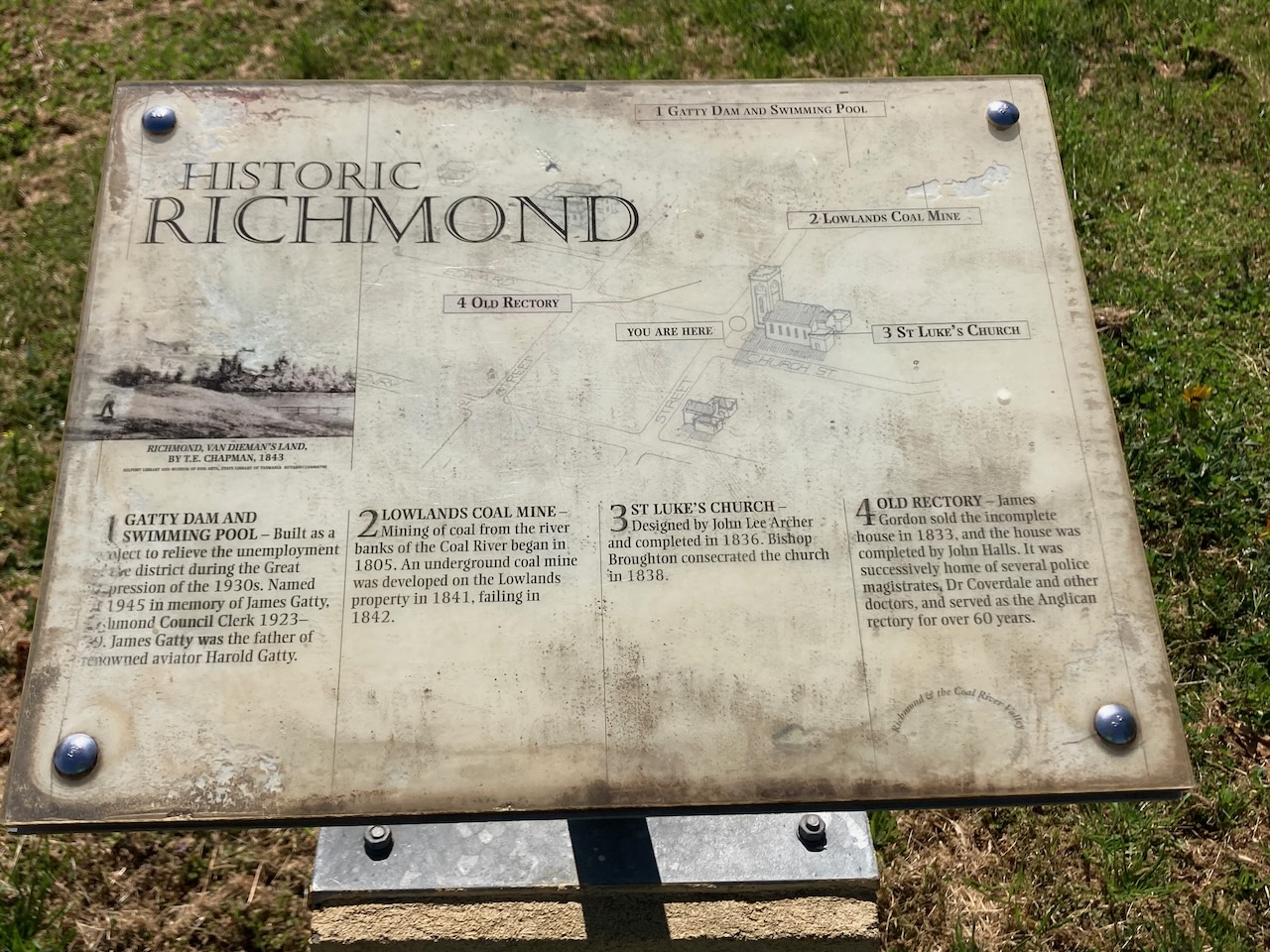
It was now day fourteen (Wednesday 9th November 2022) and we had planned on travelling to the historic little town of Richmond and specifically the old Richmond Gaol.
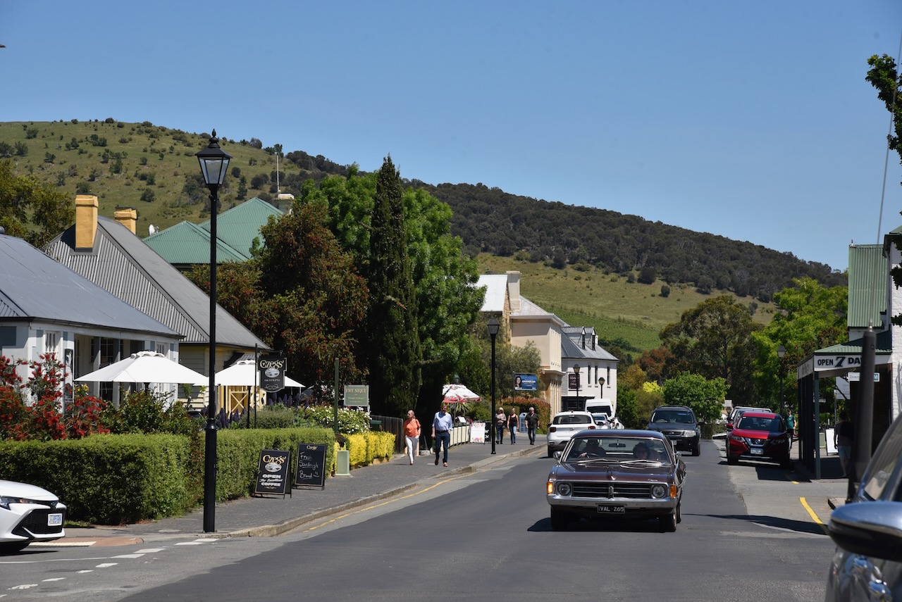
We headed north along the Tasman Highway and soon reached Richmond,about 27 km north of Hobart.
The Richmond area was originally inhabited by the Moomairremener people. The first European to explore the area was Surveyor James Meehan. He named the Coal River after the coal that he discovered there. From around 1808 land grants were given in the Richmond area and Richmond soon became a rich agricultural area. In 1825 the famous Richmond bridge was built over the Coal River and this resulted in travel to the east coast of Tasmania. The town of Richmond then grew.
In 1824, Lieutenant Governor William Sorell proclaimed the township of Richmond. It was named after the nearby property called Richmond Park which was owned by David Lord. Land from Lord’s site was used for the town.
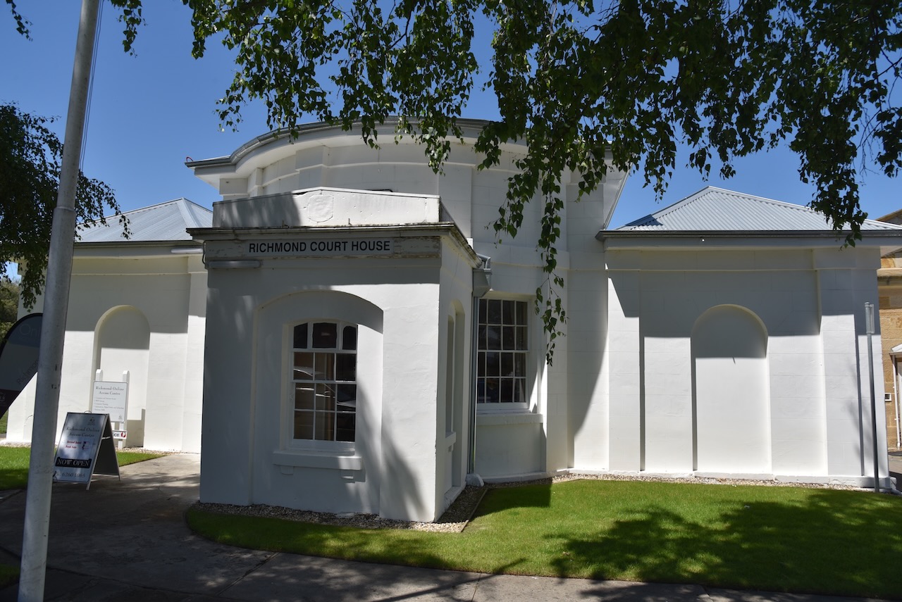
Richmond was developed as a police district for the surrounding area and by 1825 had a gaol, courthouse, barracks and watch house. By 1835 Richmond was the third largest district in Tasmania.
Above:- Lieutenant Governor William Sorell. Image c/o Wikipedia.
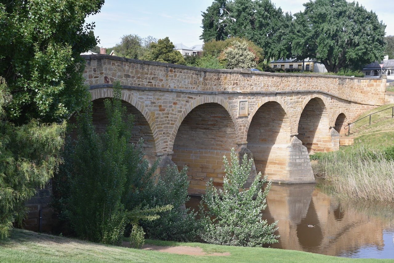
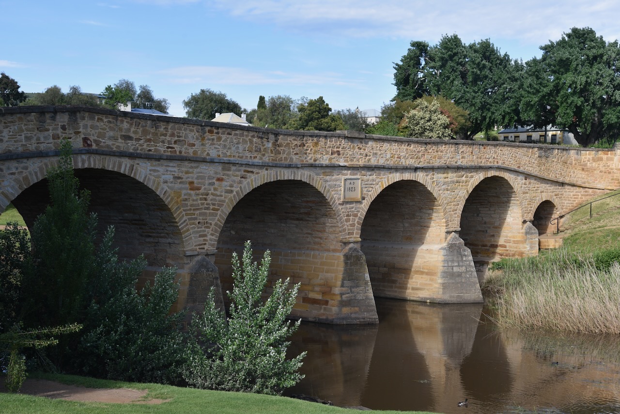
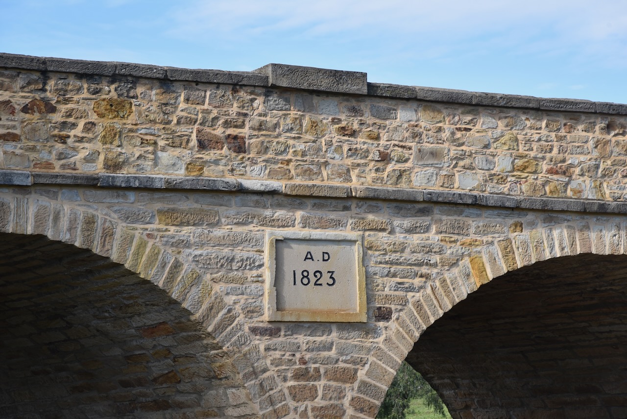
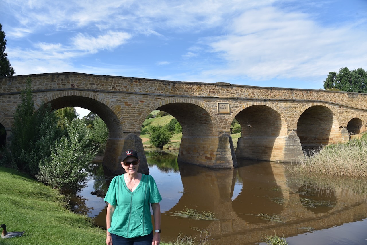
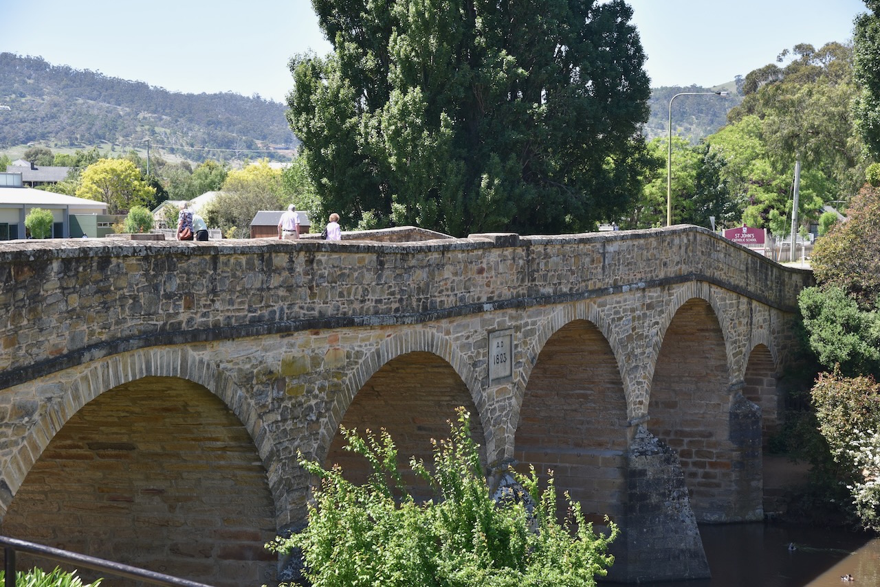
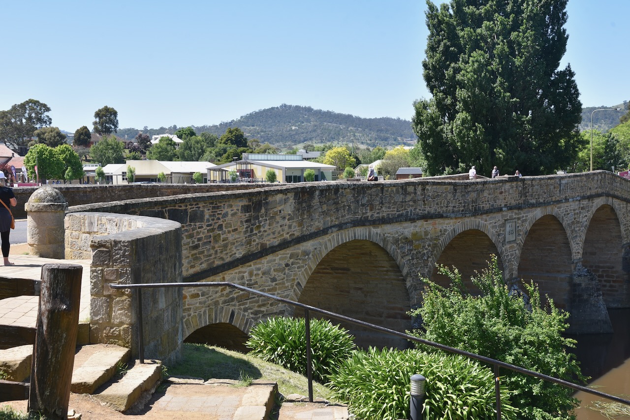
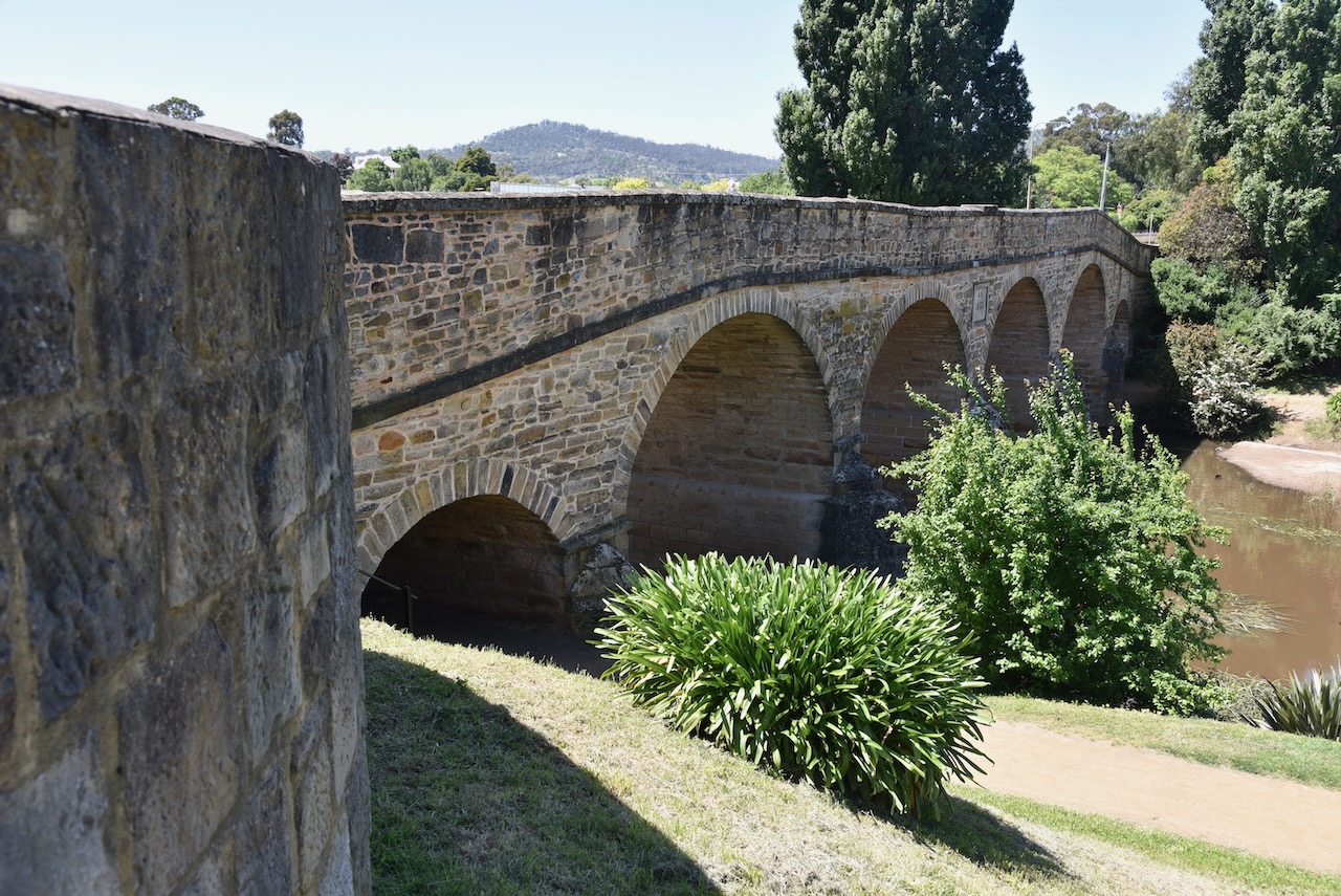
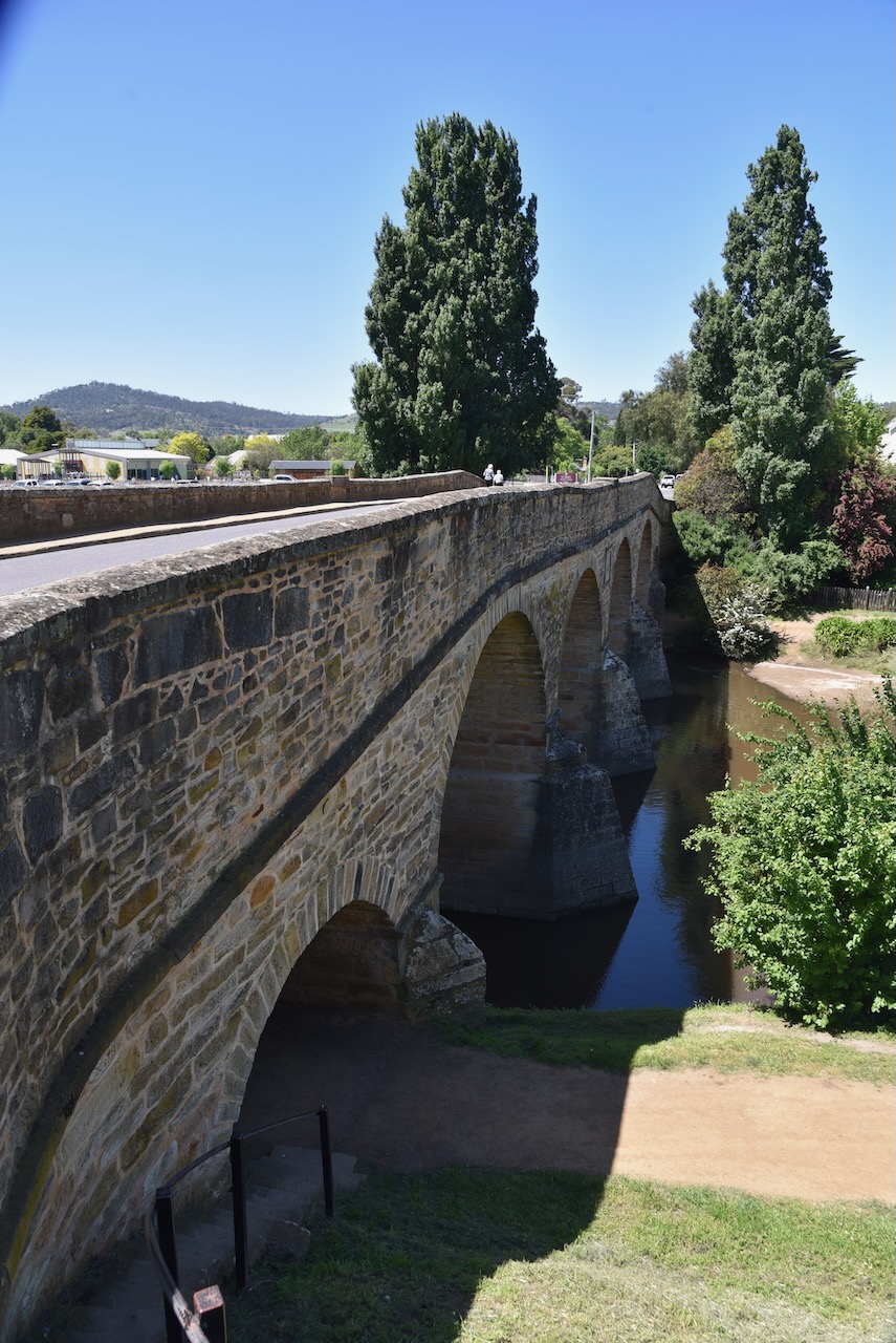
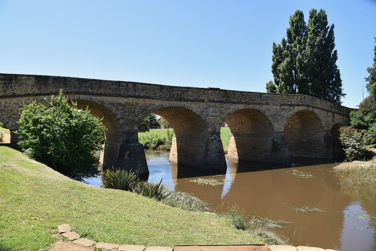
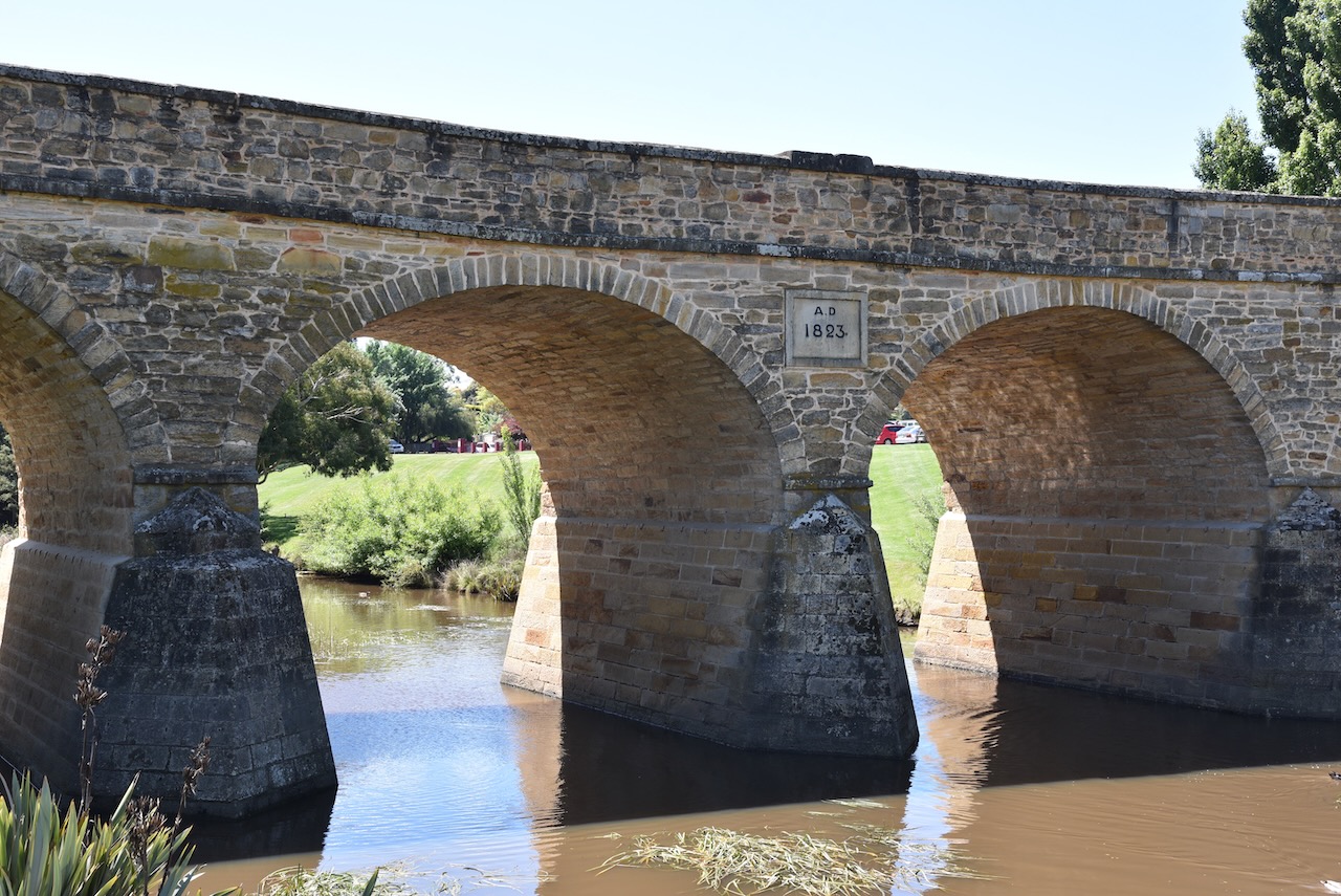
Known to be Richmond’s most famous landmark, the Richmond bridge, it was built between 1823 to 1825. It is Australia’s oldest bridge still in use. The bridge was opened in April 1825, ten years before any similar structure in Australia. It was built by convict labour from hand-hewn sandstone which was quarried from nearby Butchers Hill. The bridge was commissioned by Royal Commissioner John Thomas Biggs in 1820. In the early years the bridge was known as Bigg’s Bridge.
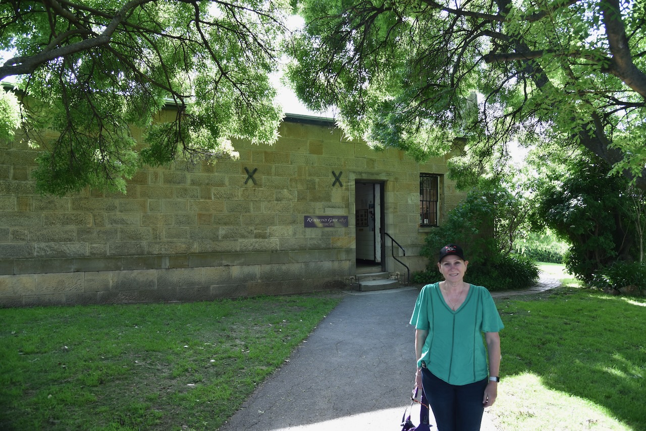
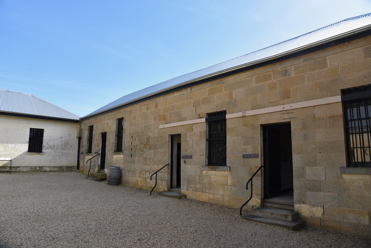
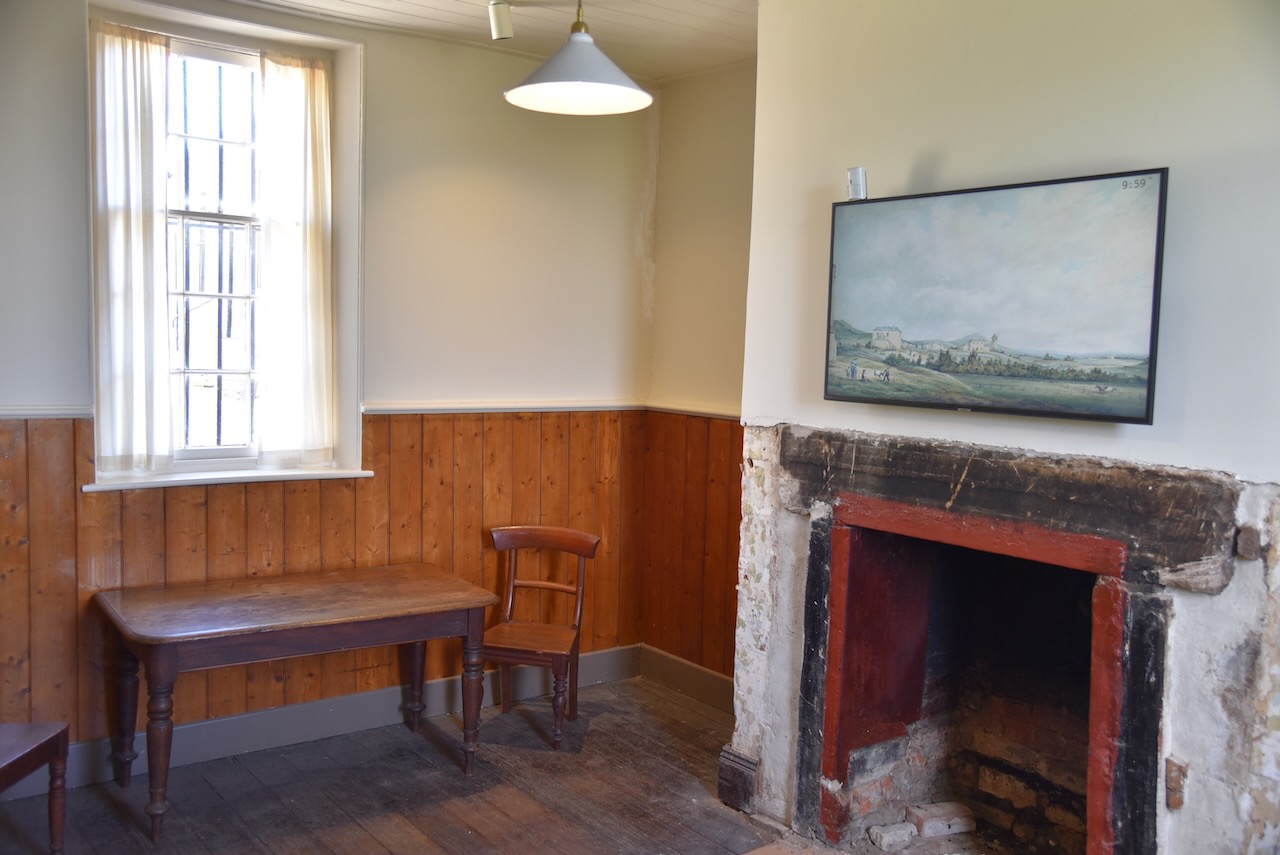
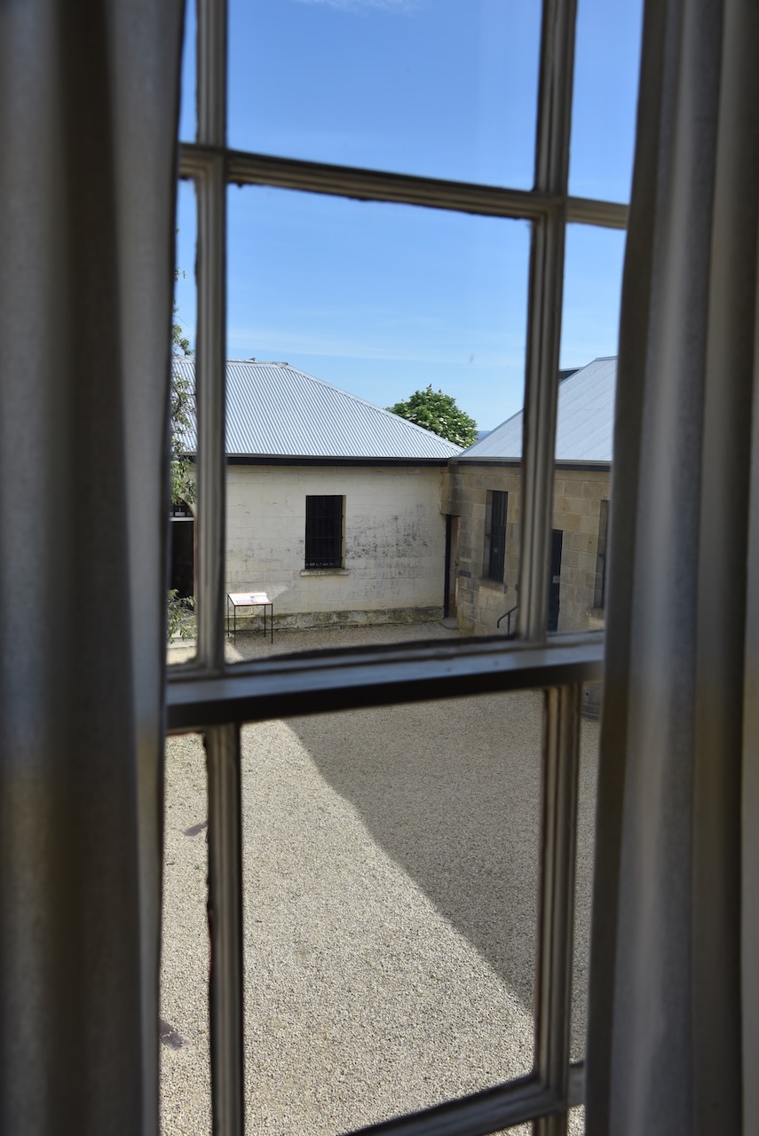
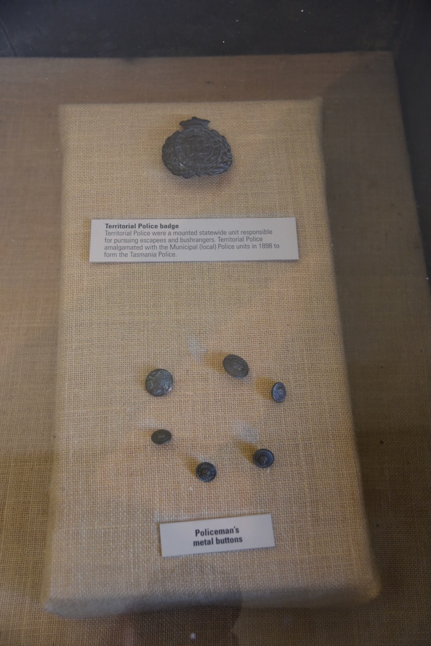
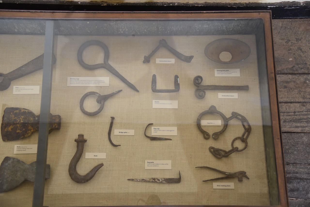
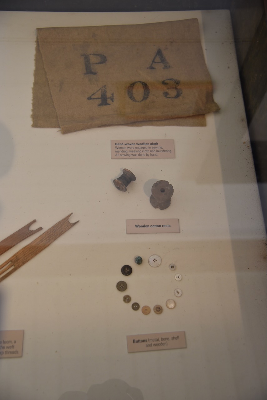
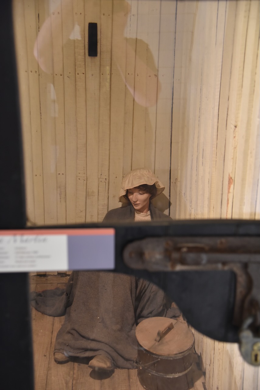
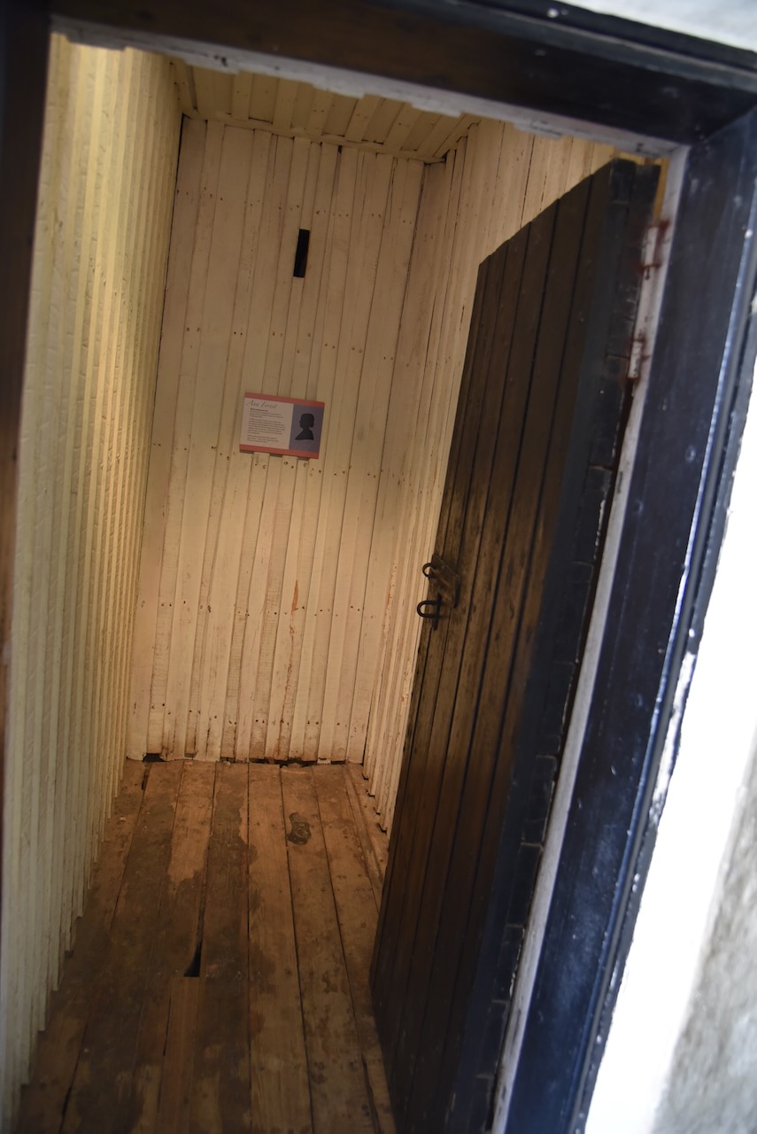
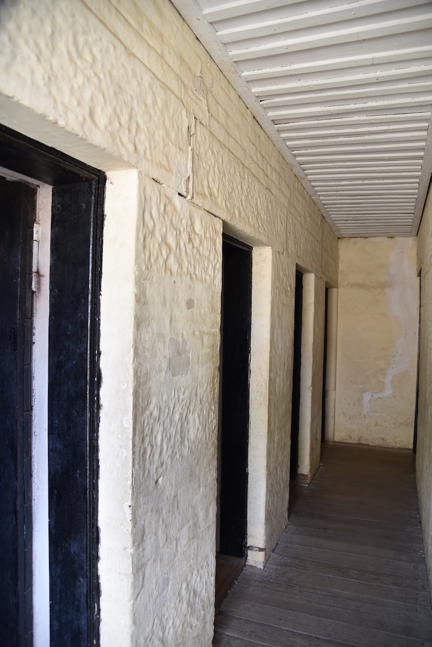
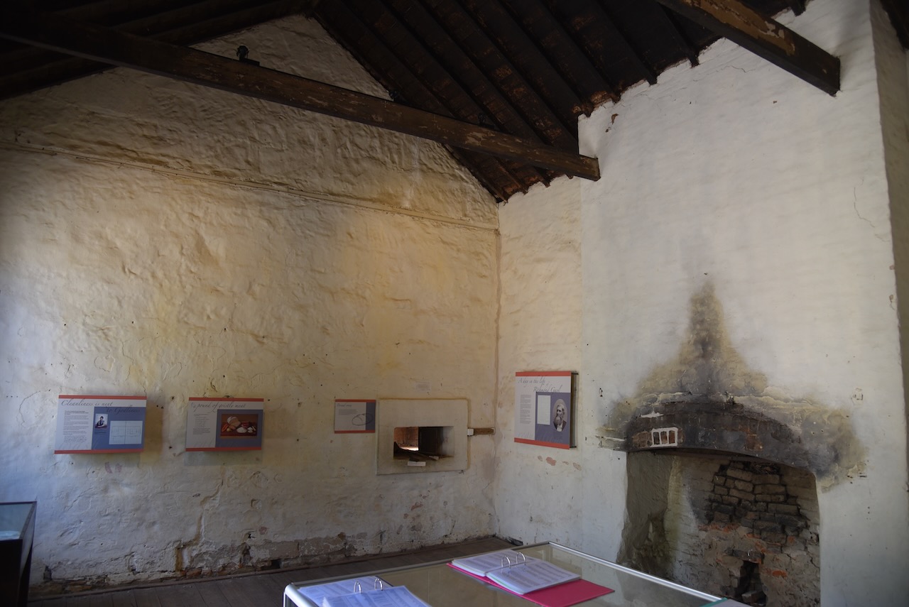
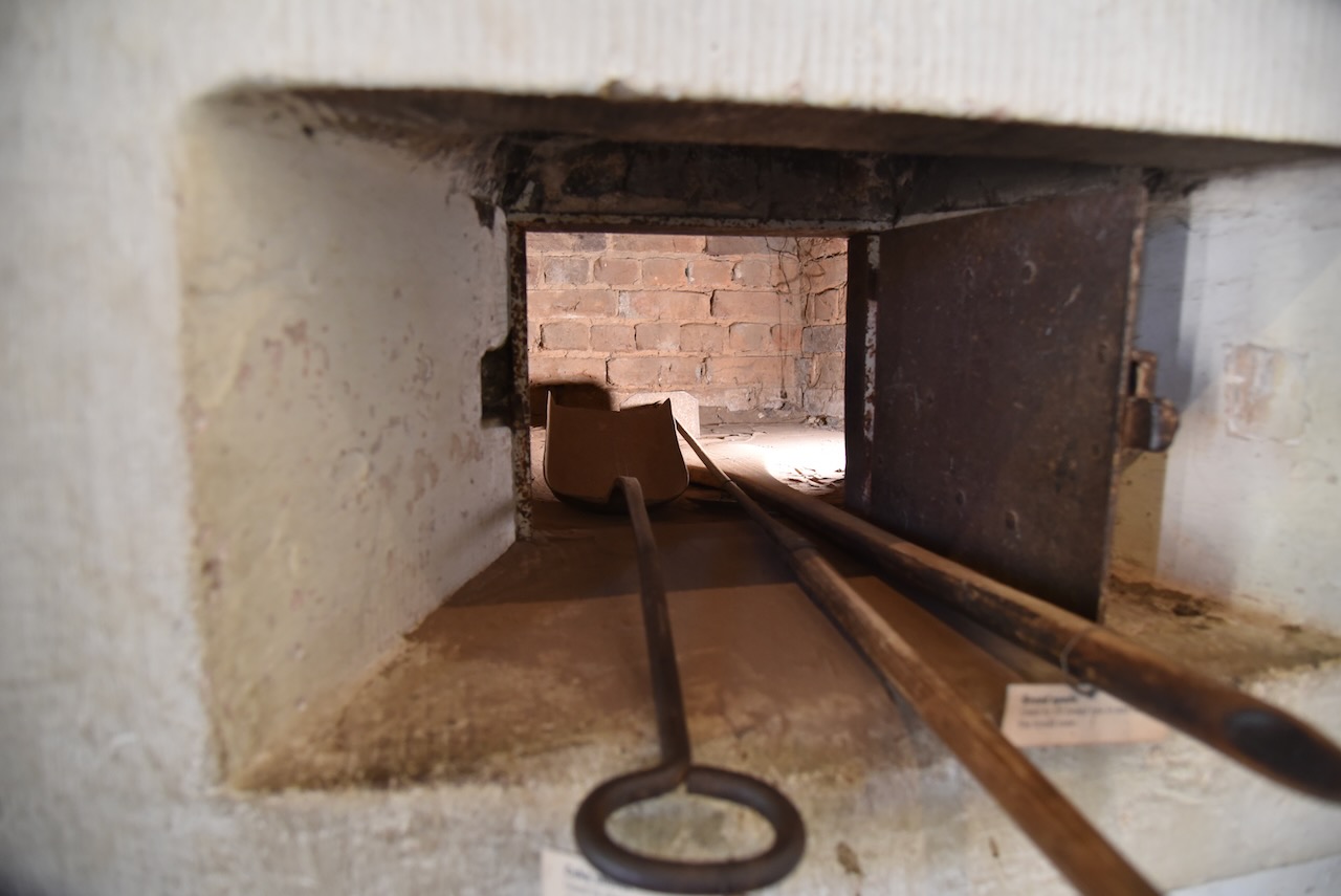
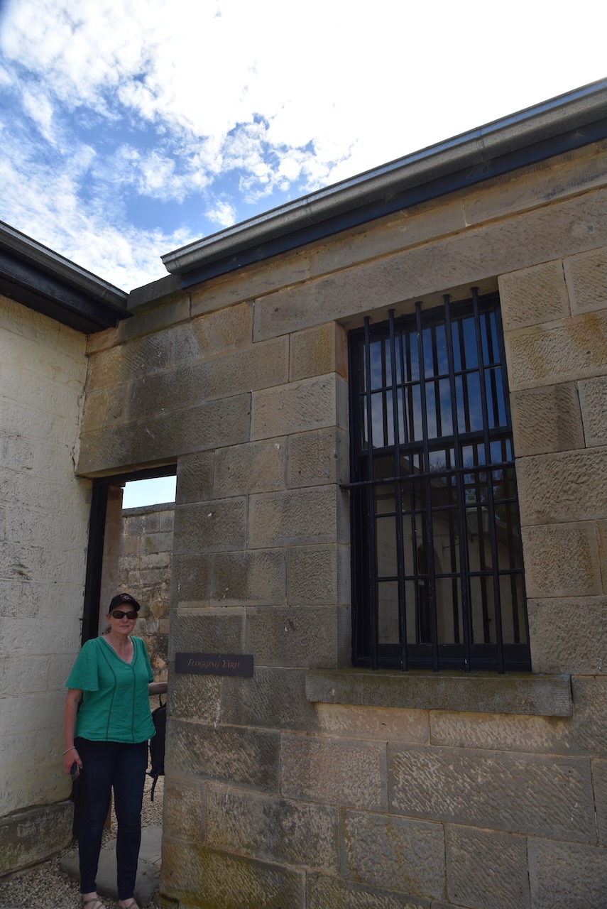
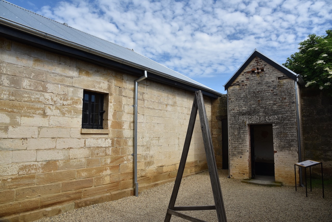
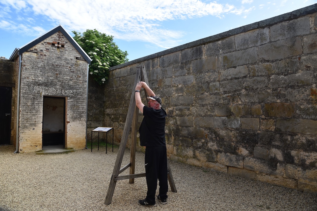
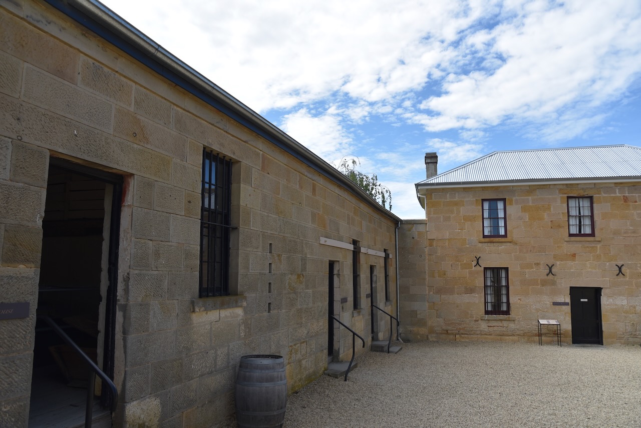
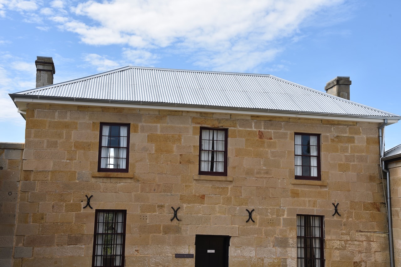
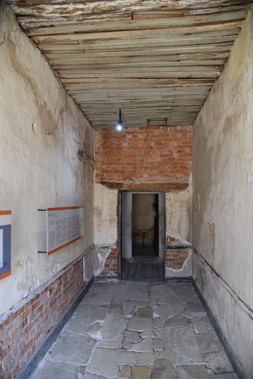
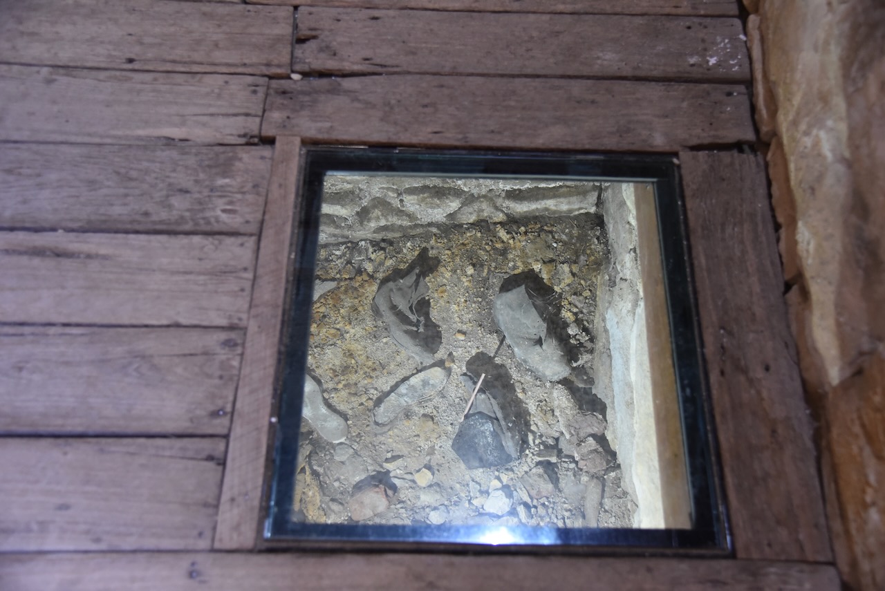
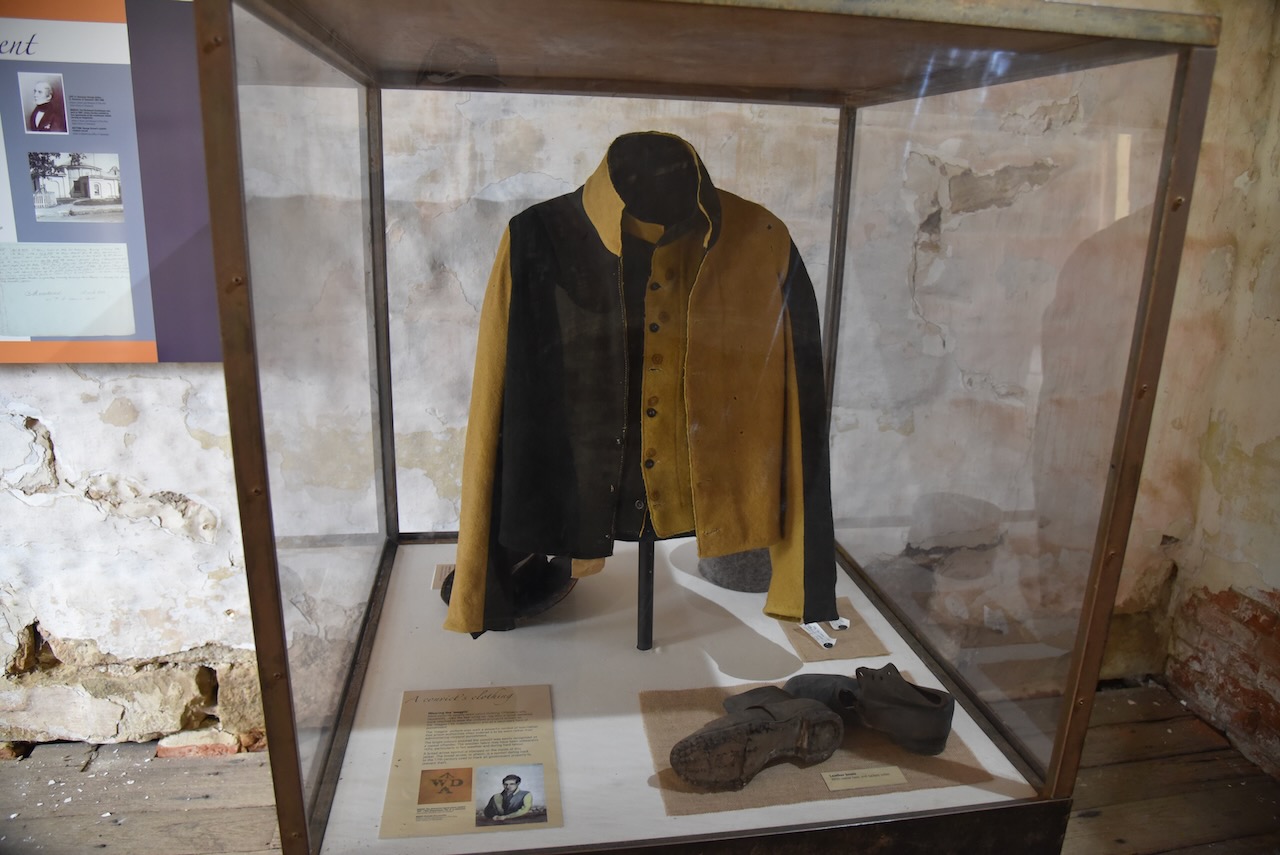
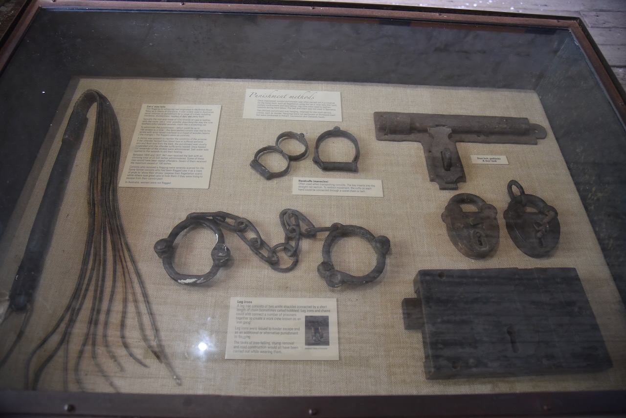
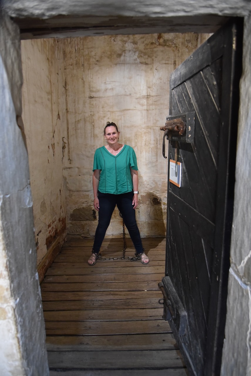
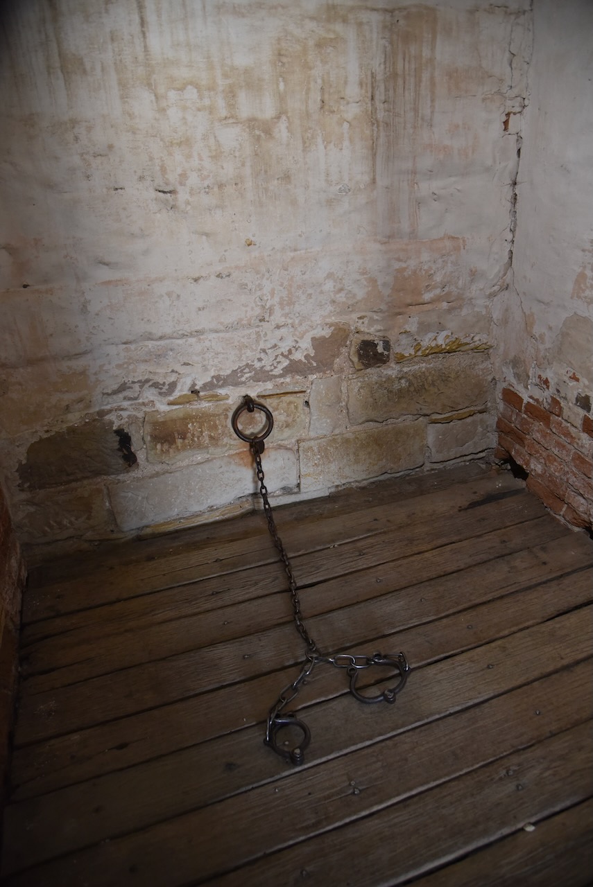
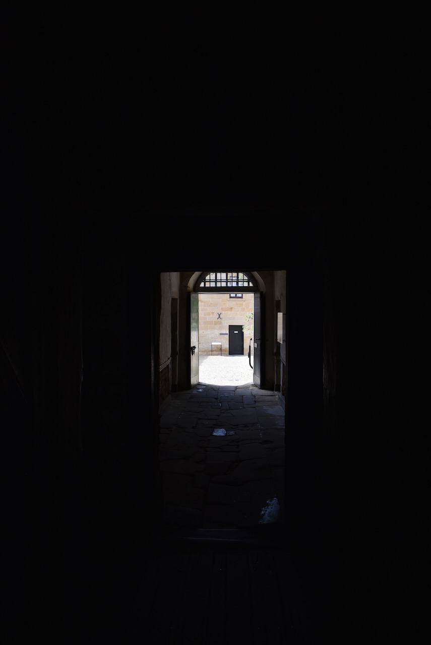
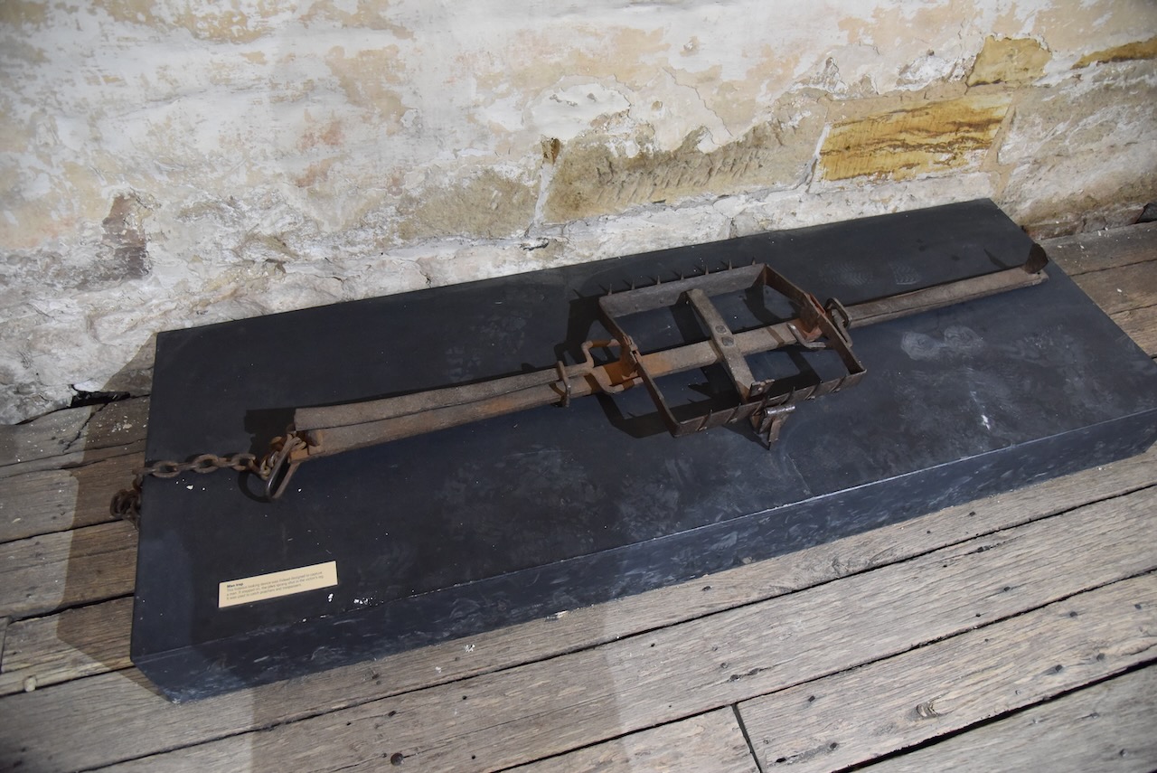
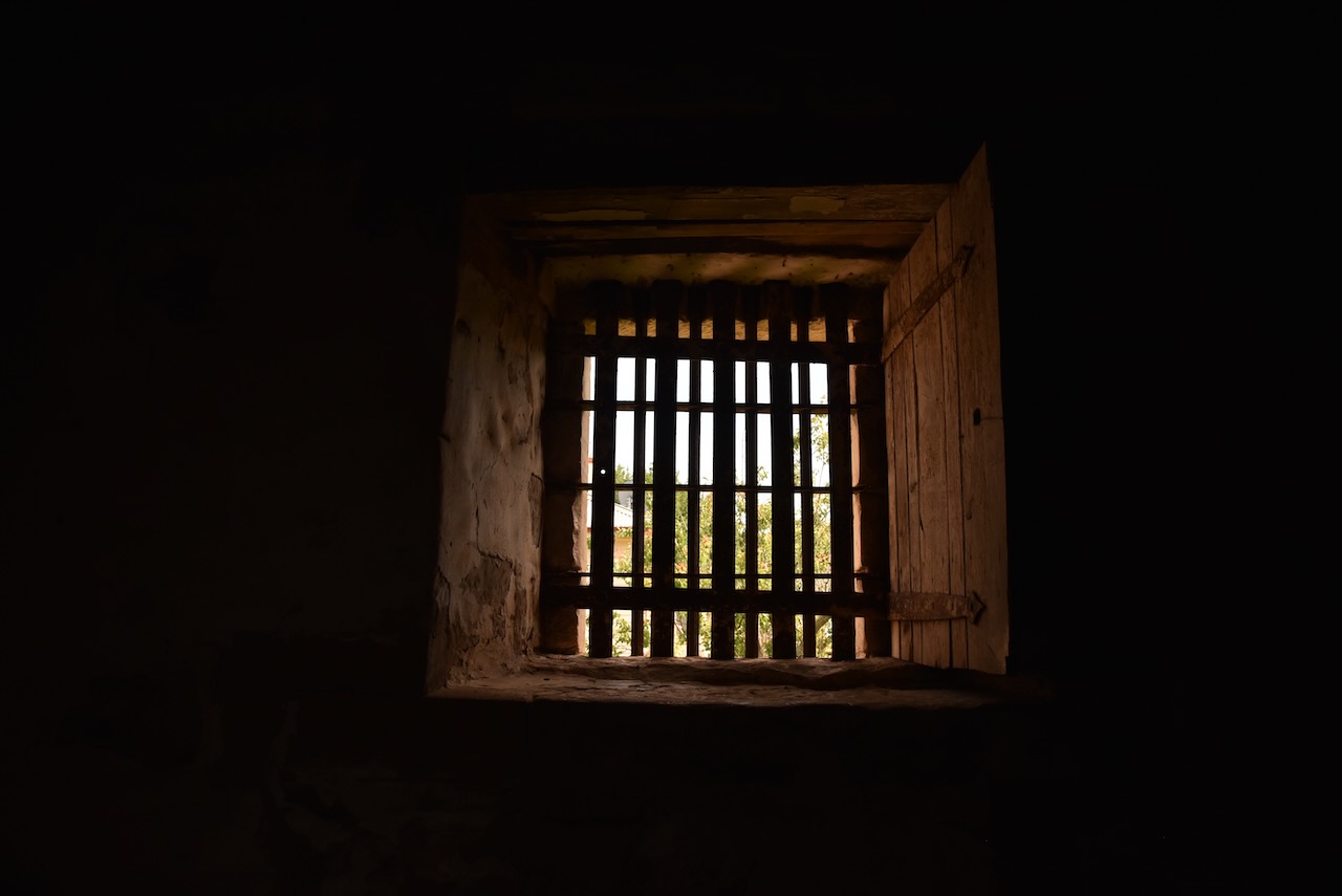
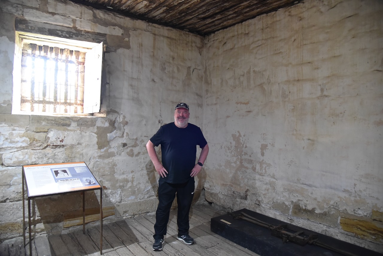
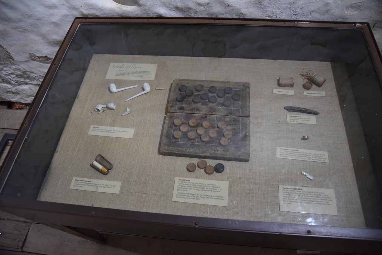
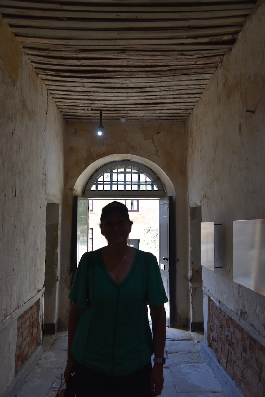
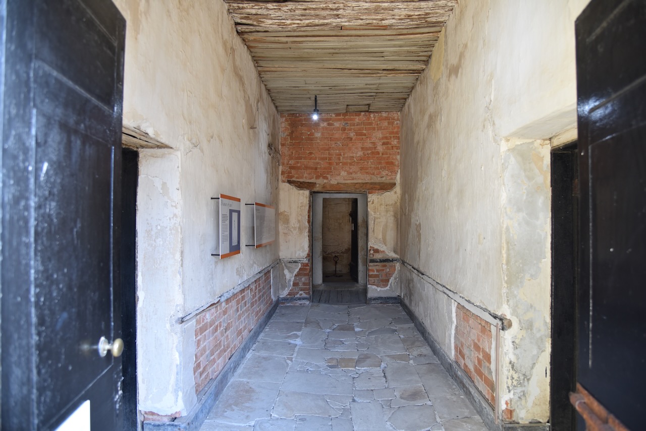
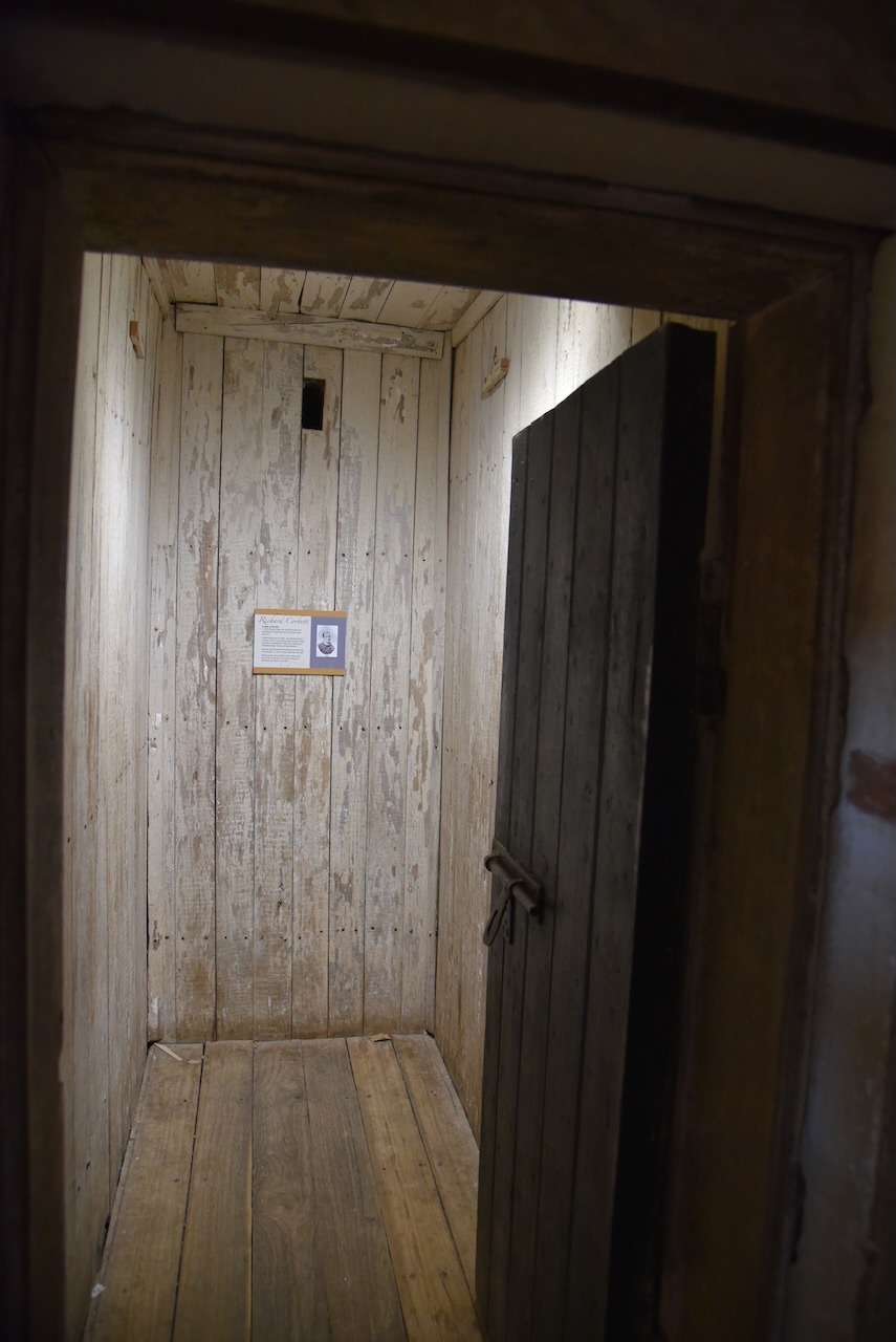
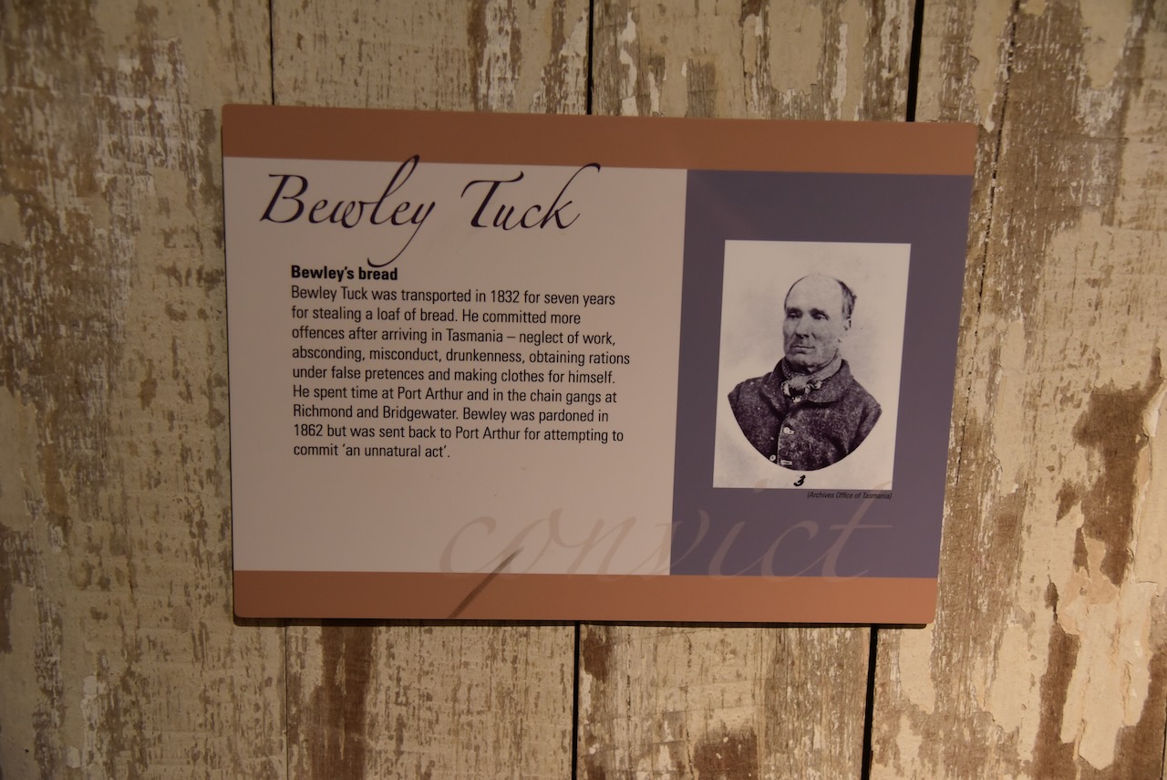
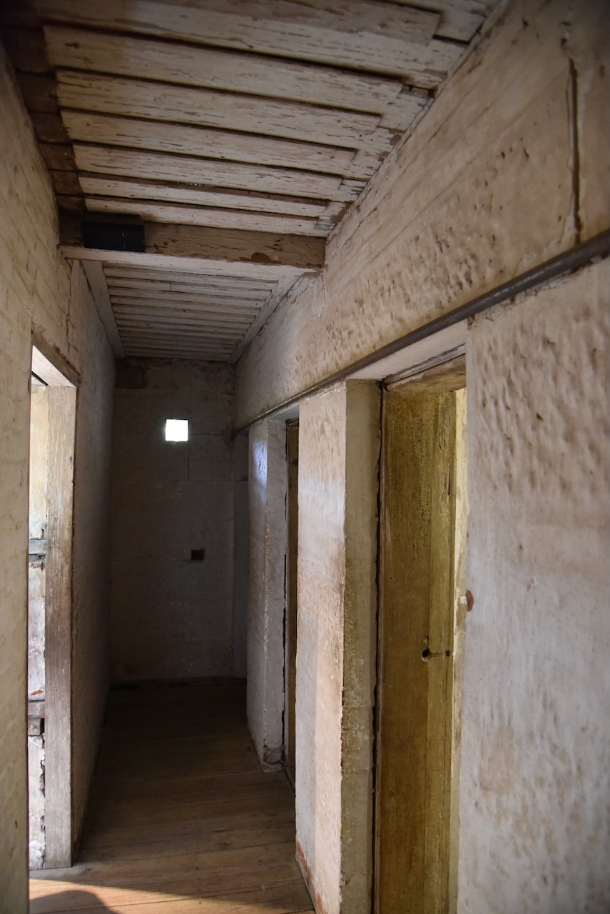
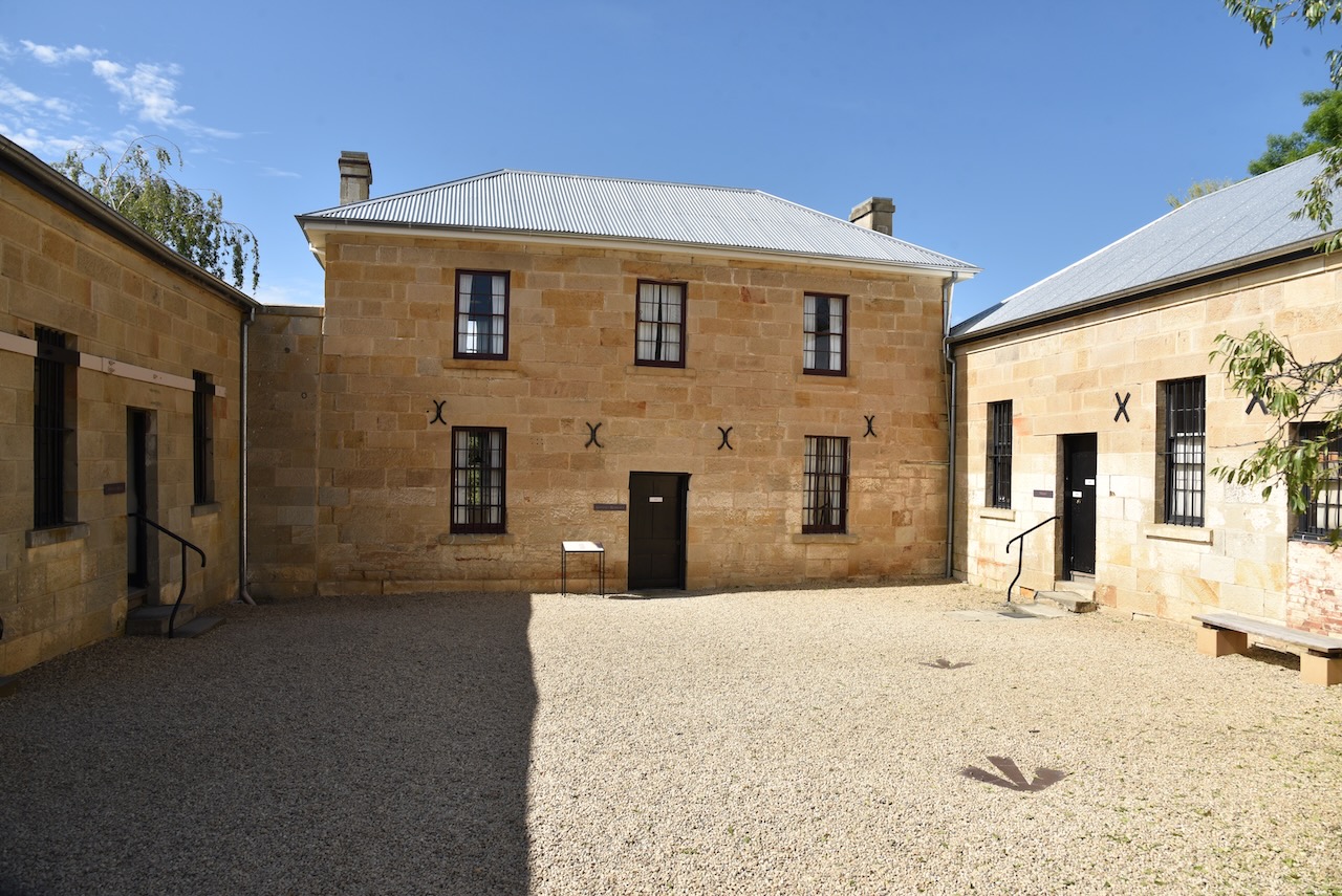
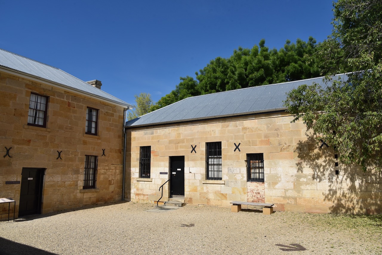
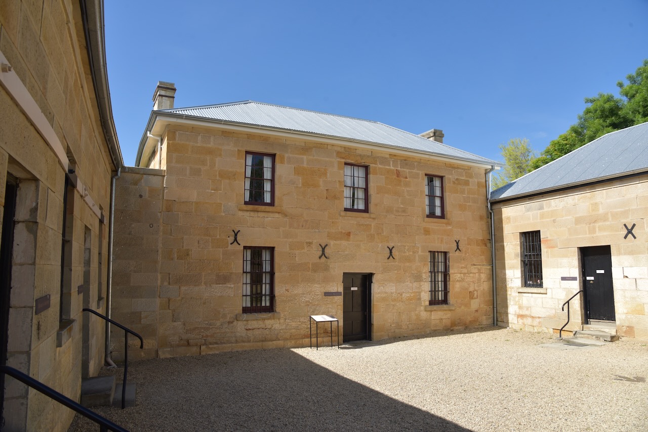
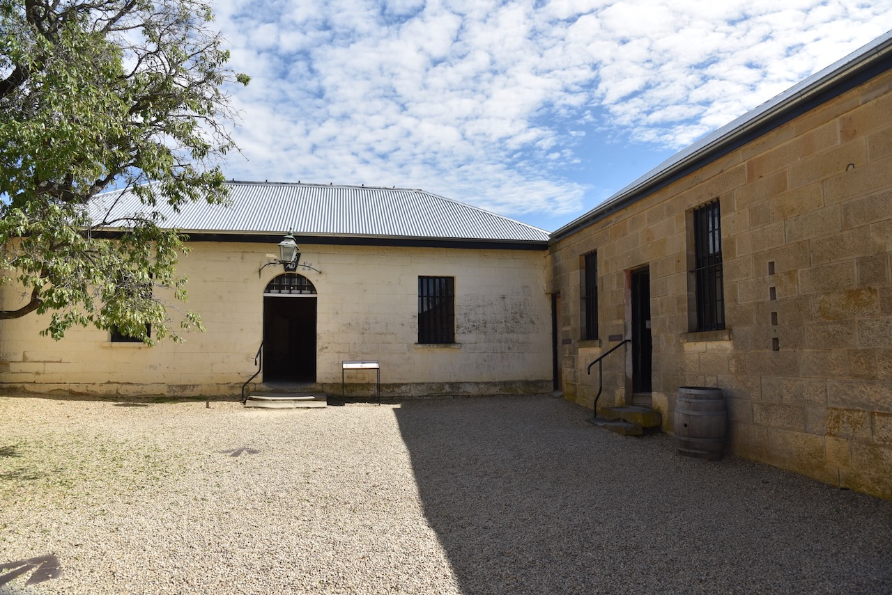
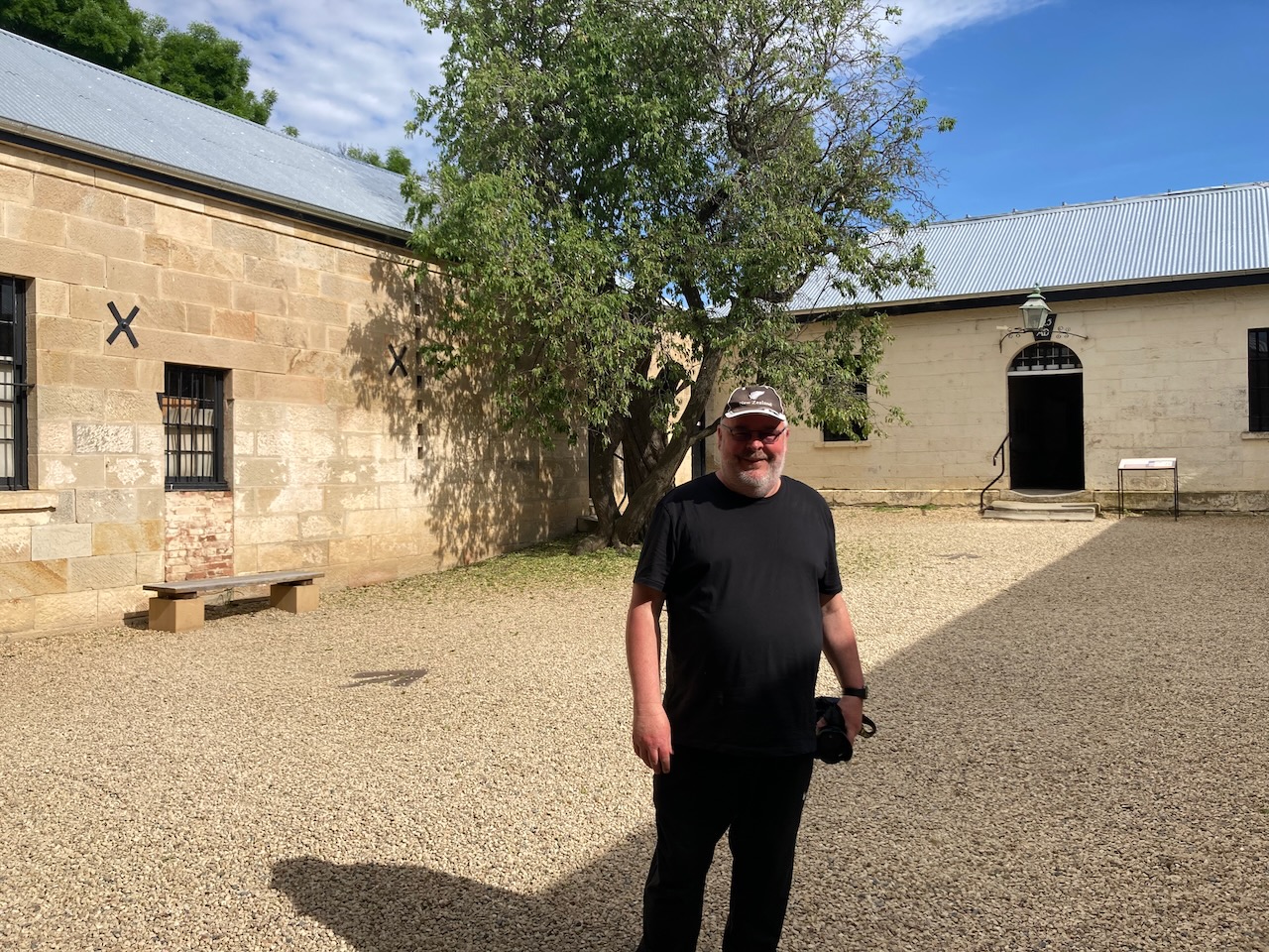
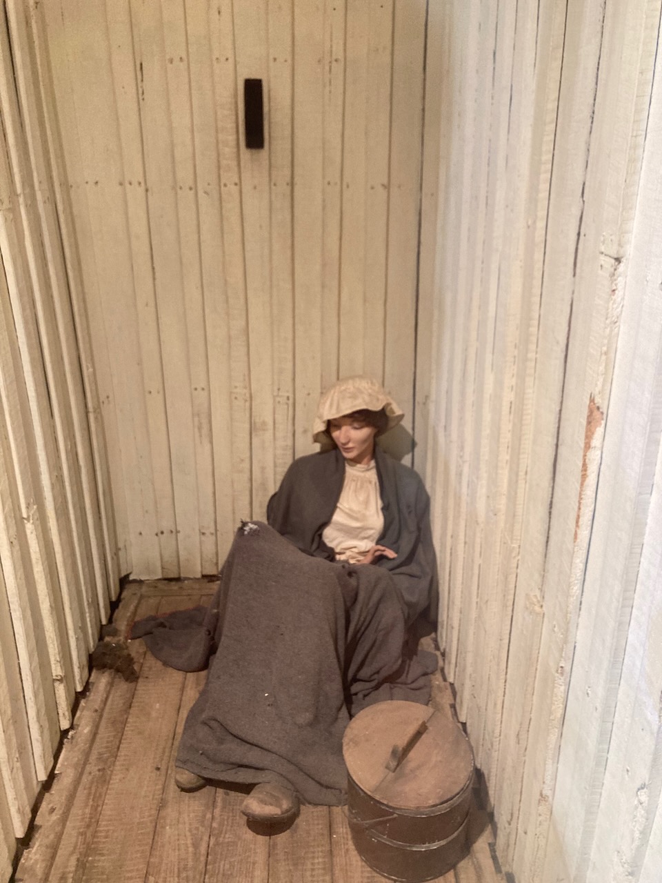
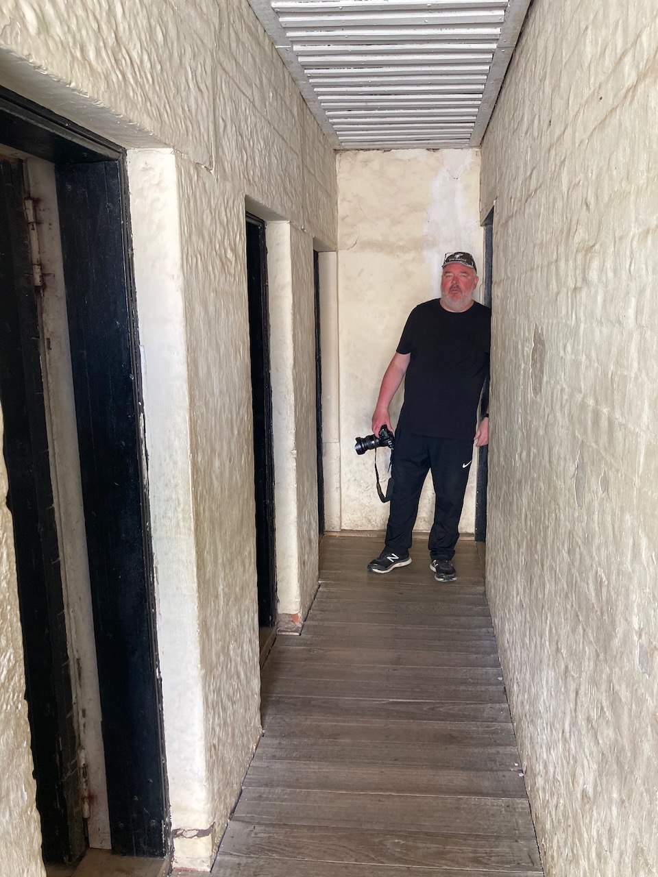
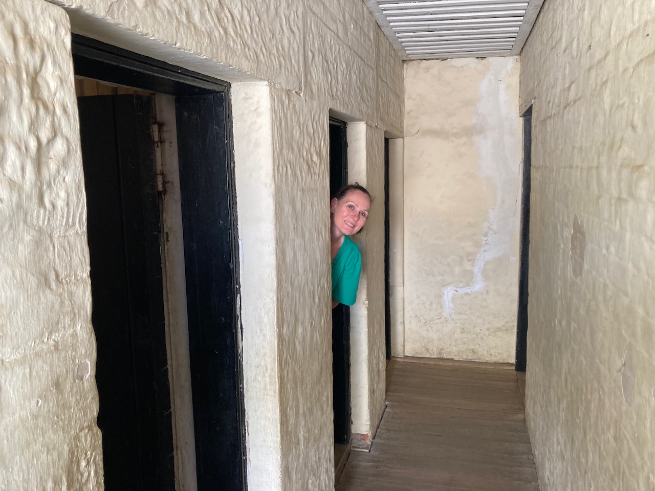
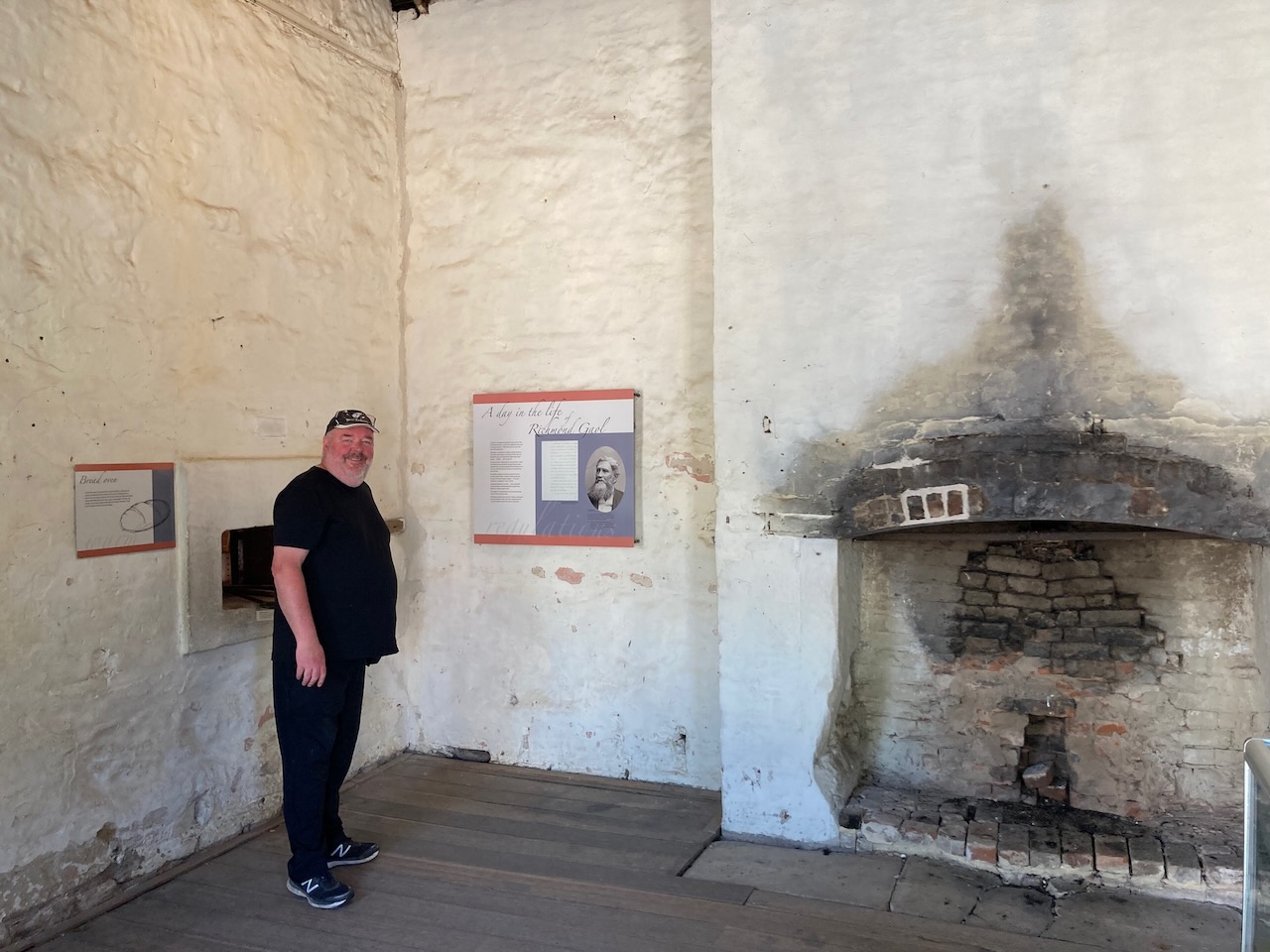
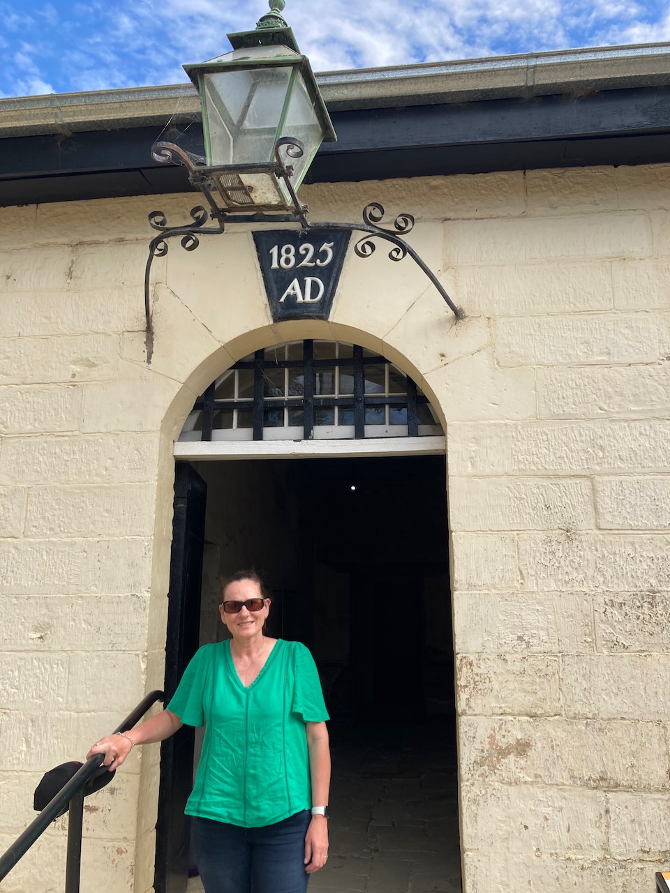
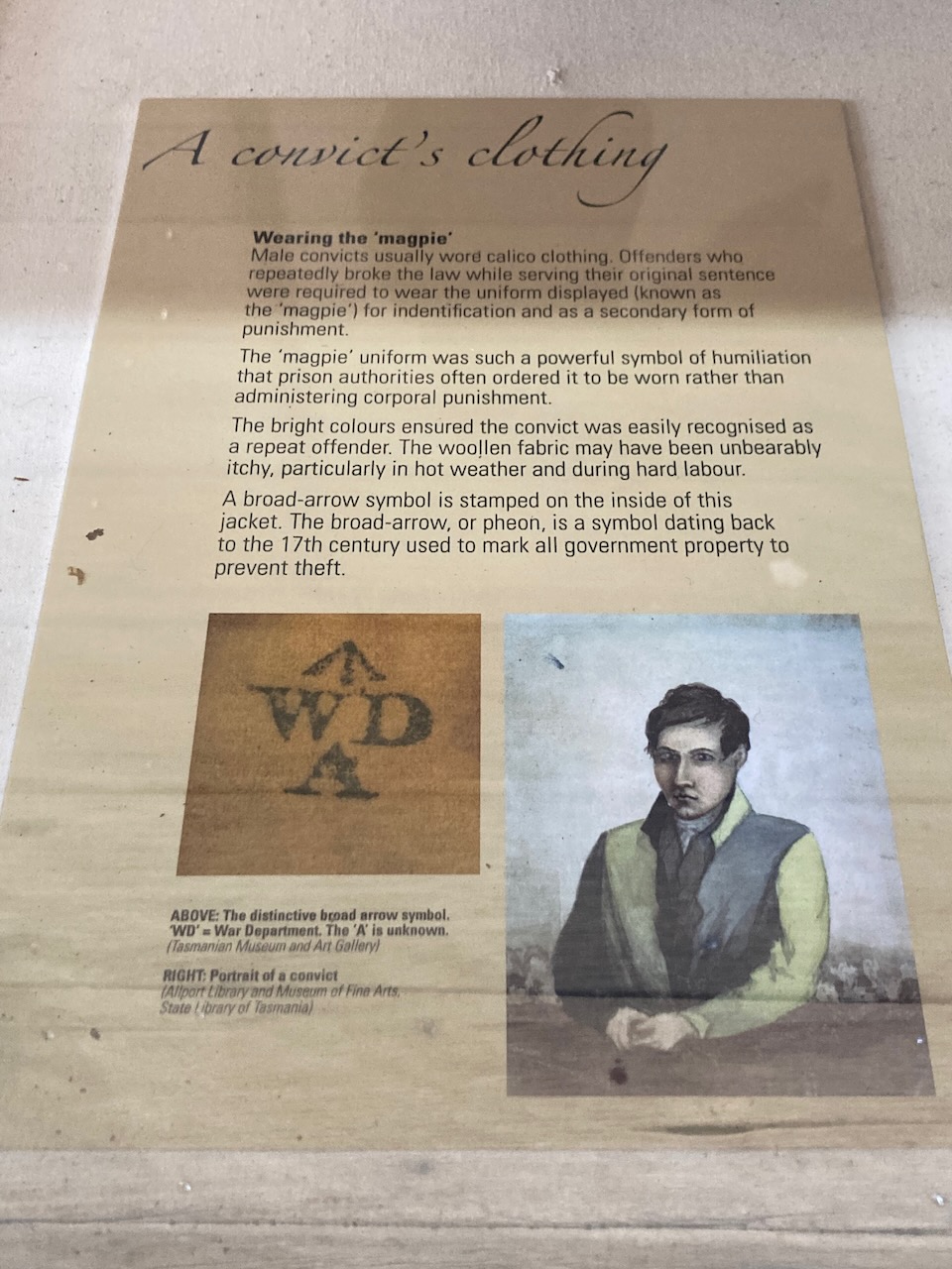
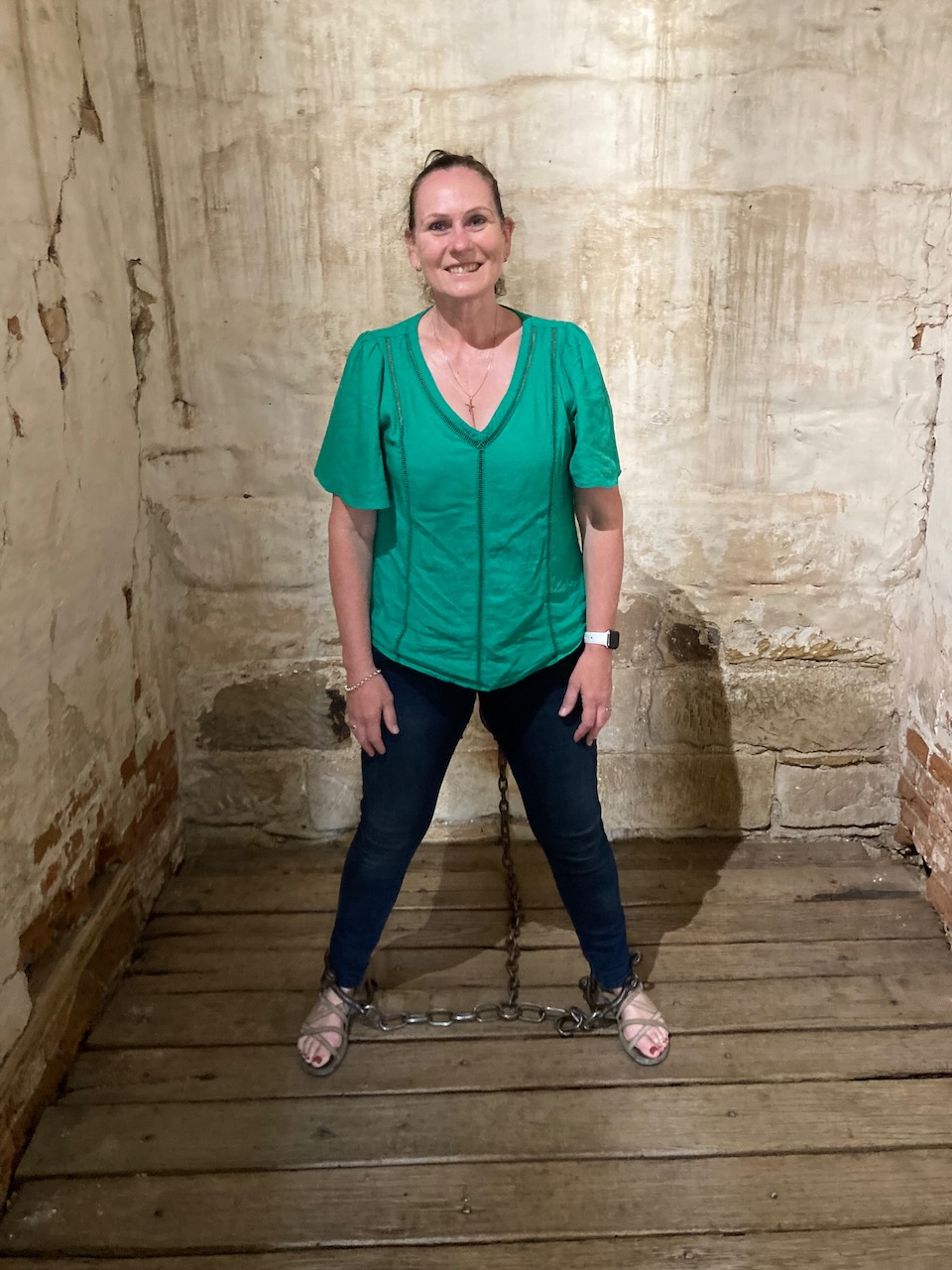
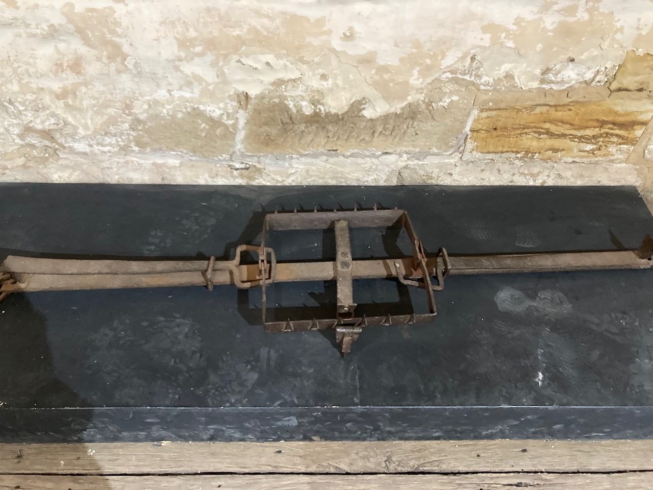
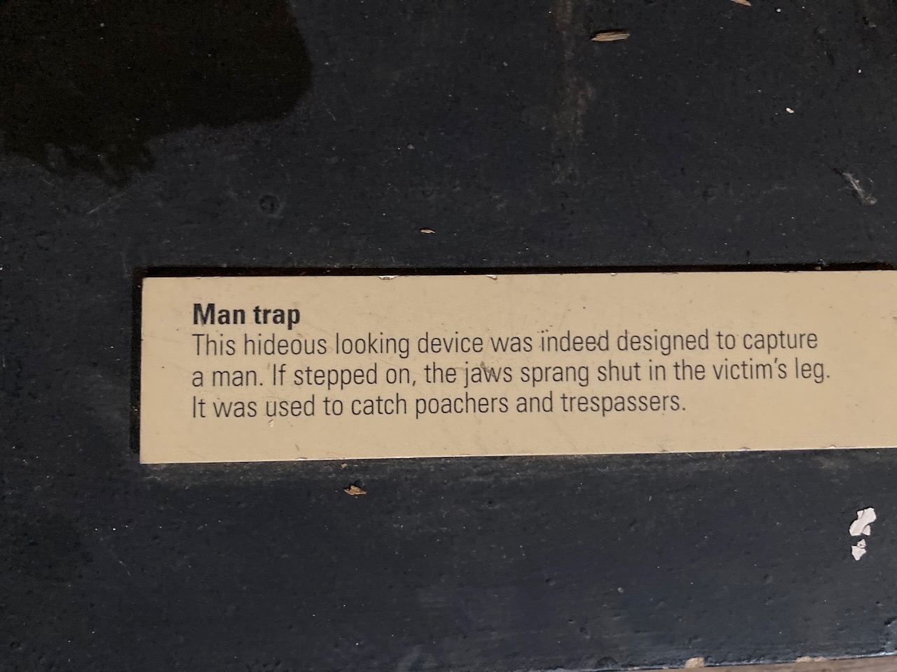
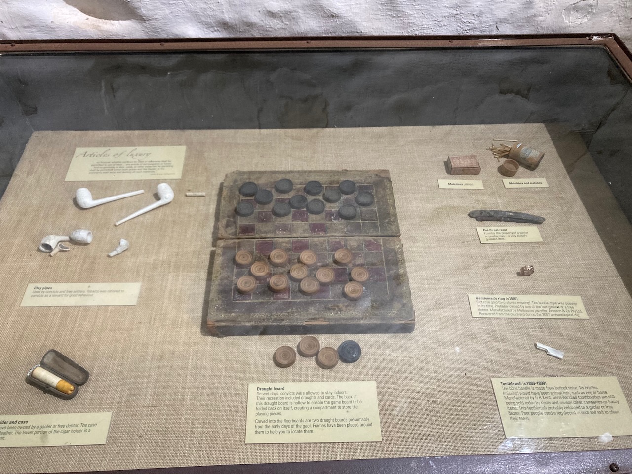
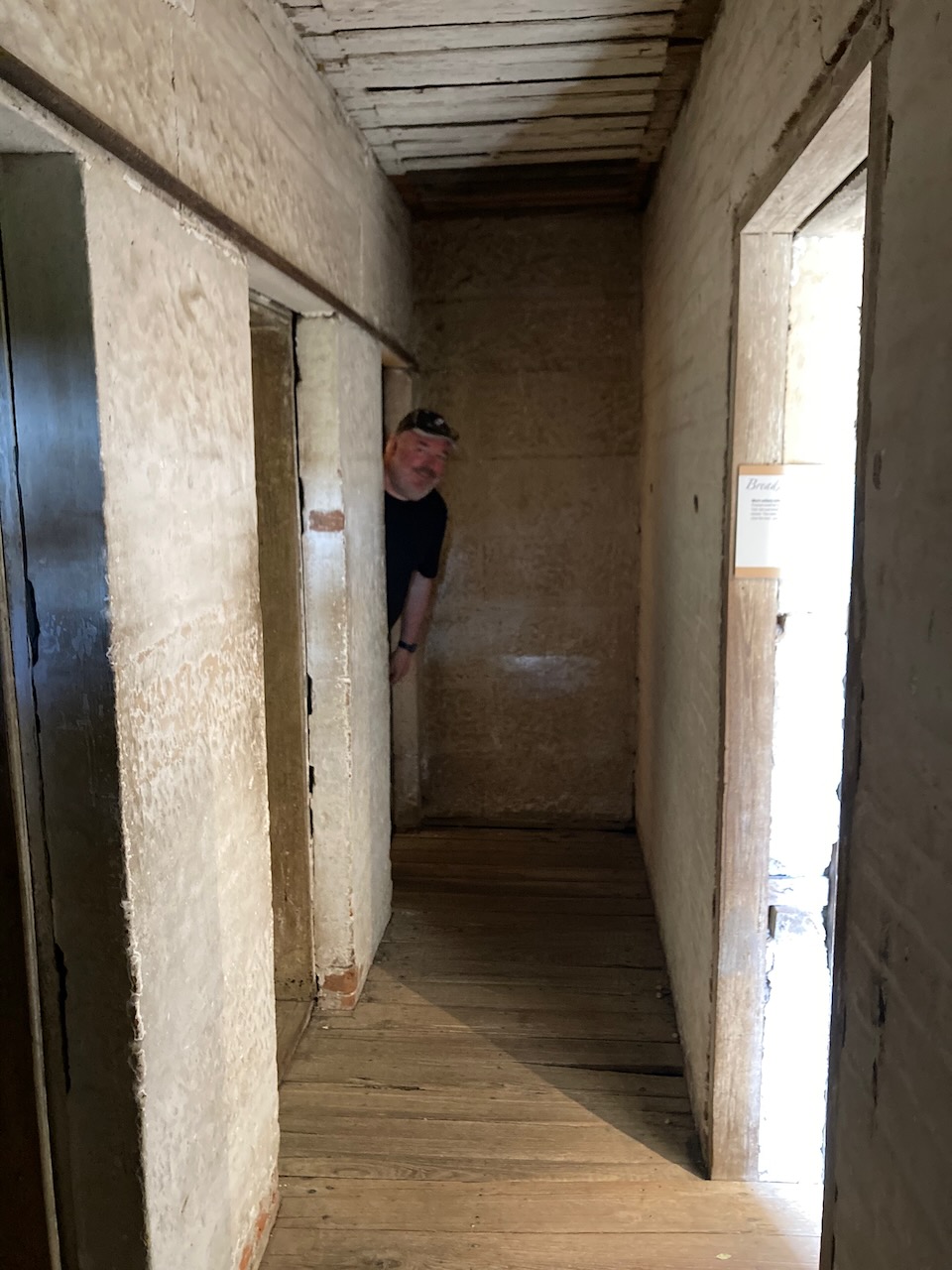
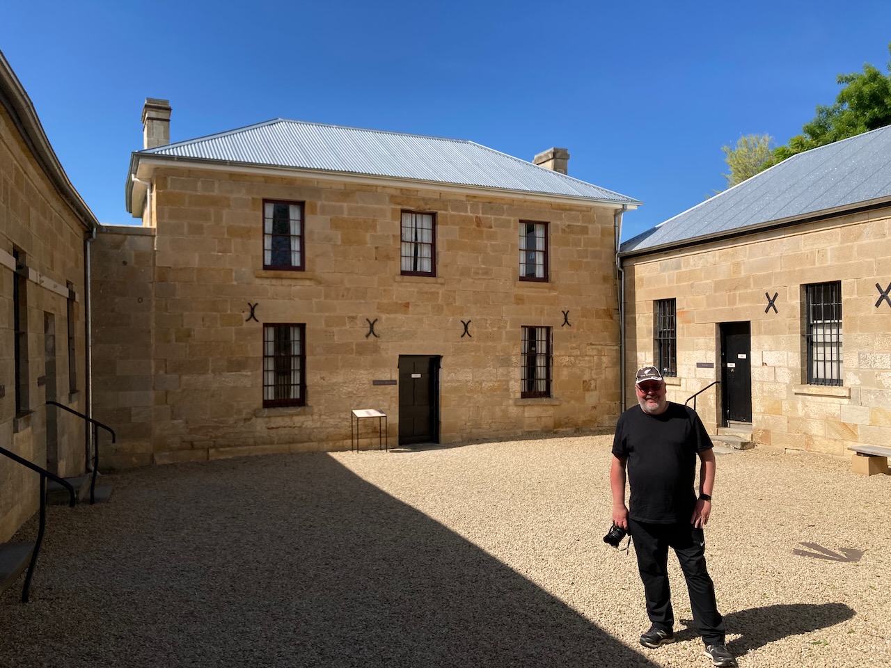
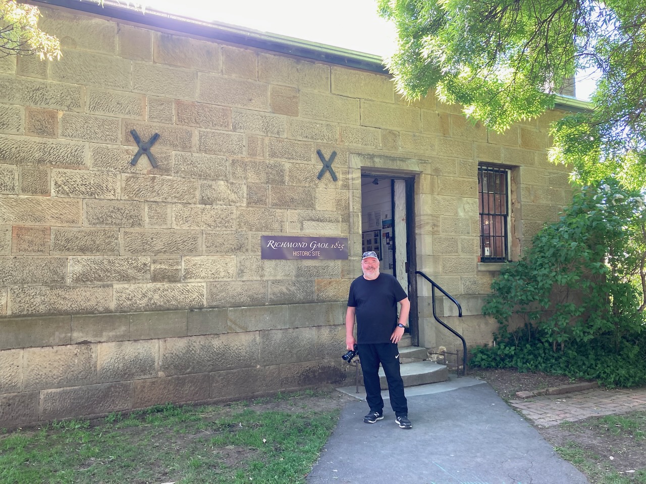
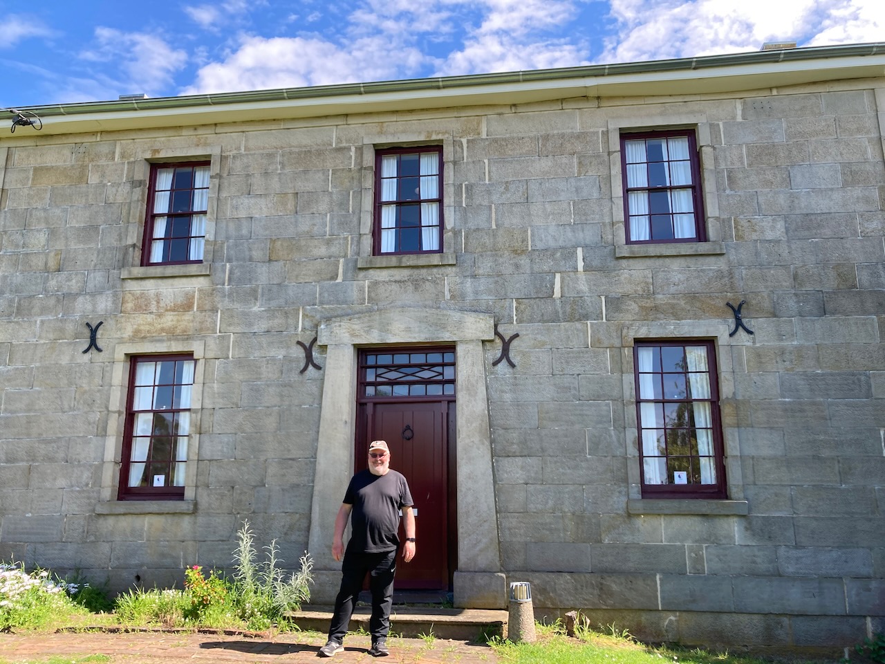
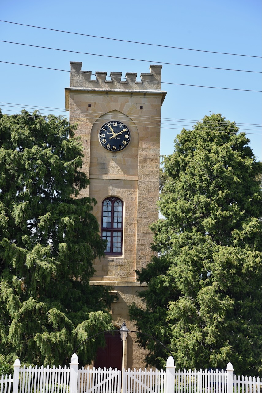
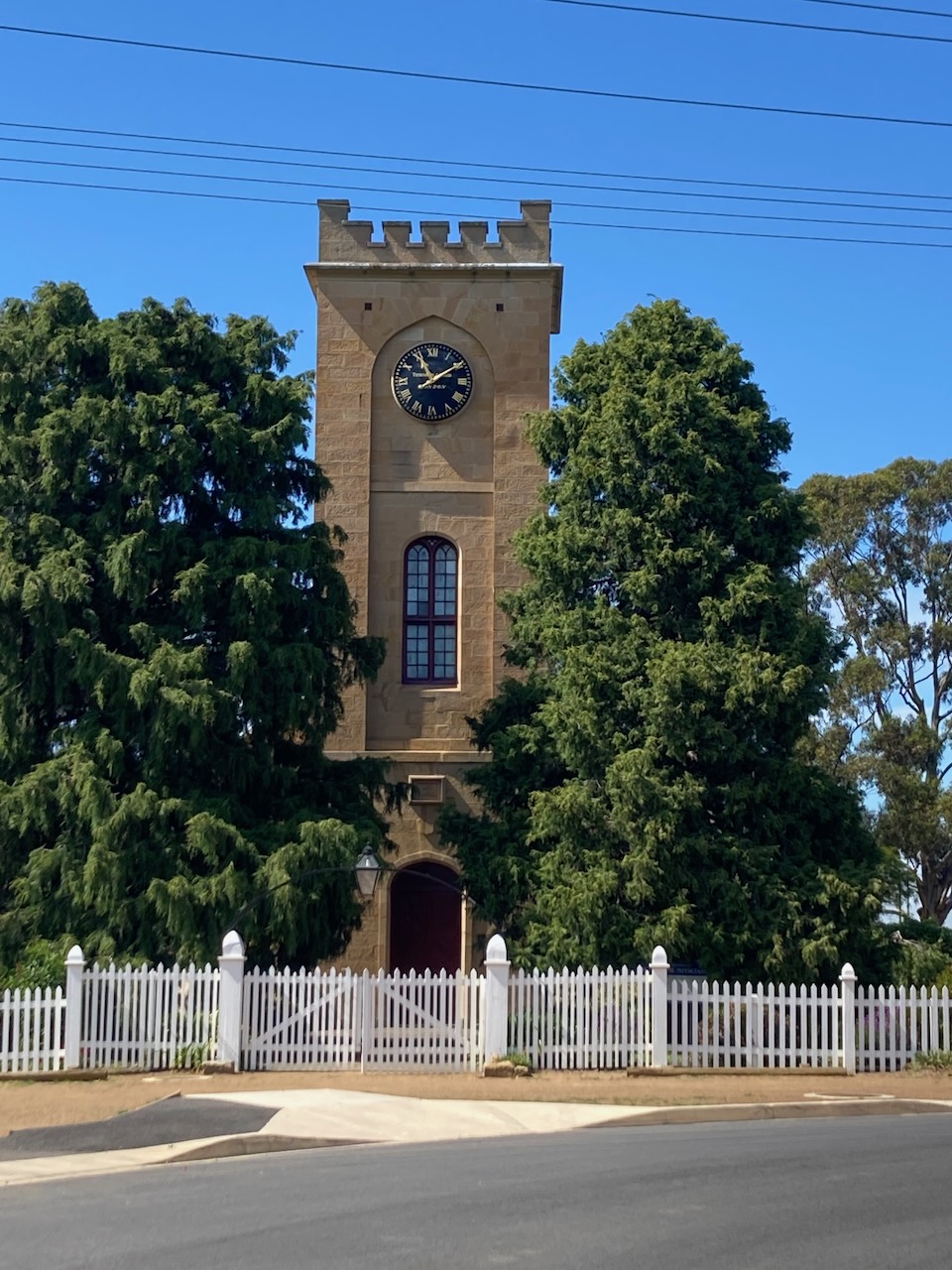
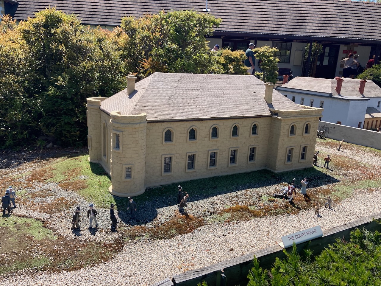
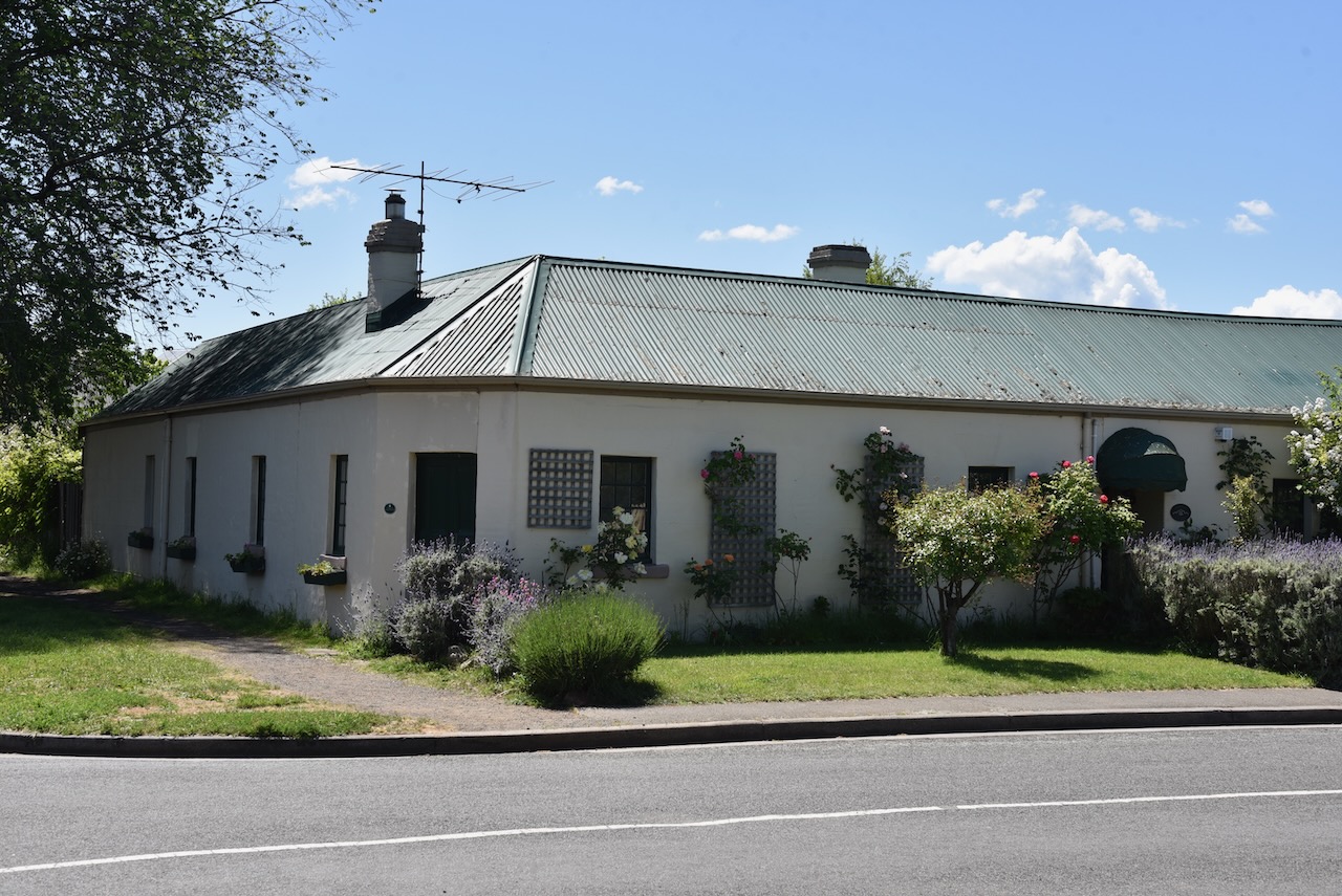
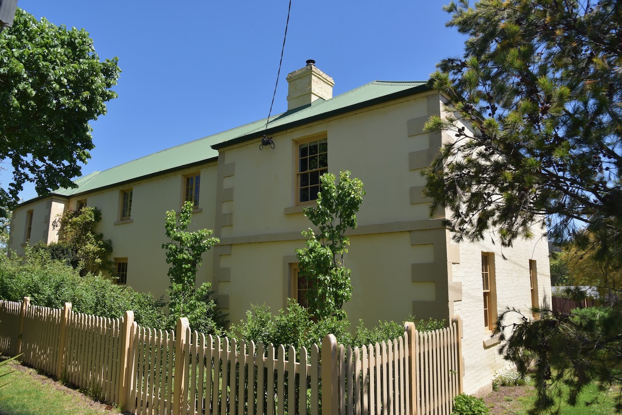
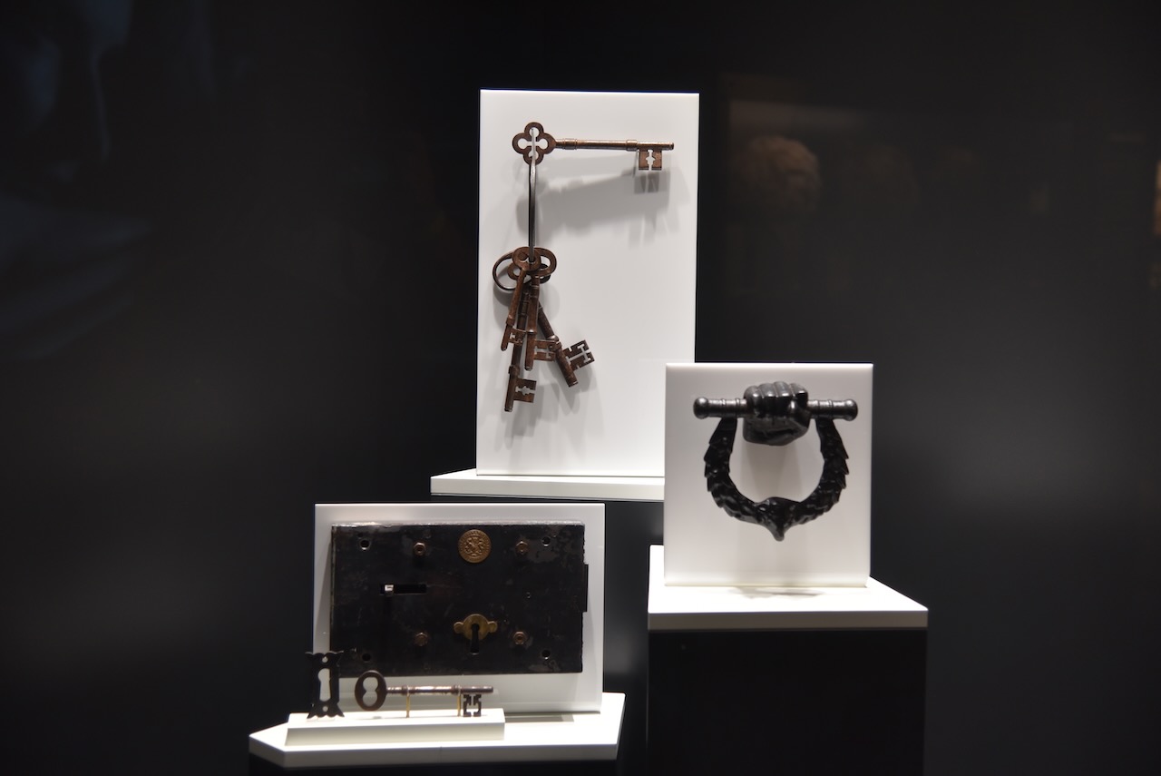
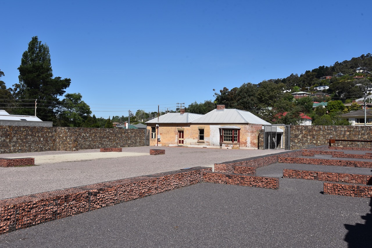
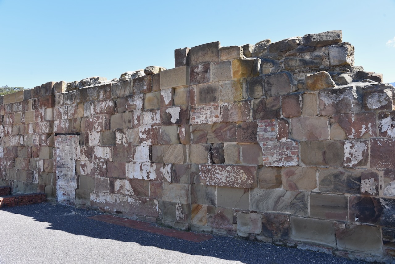
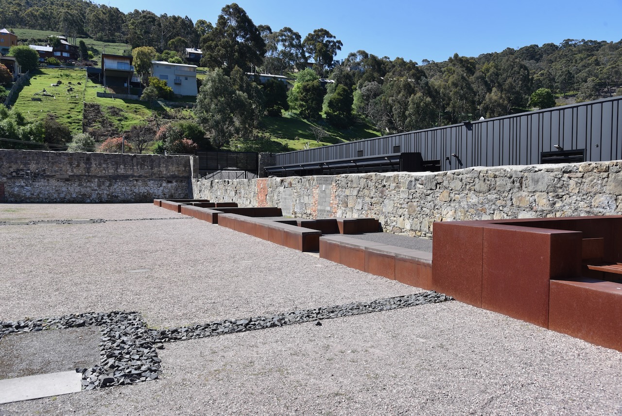
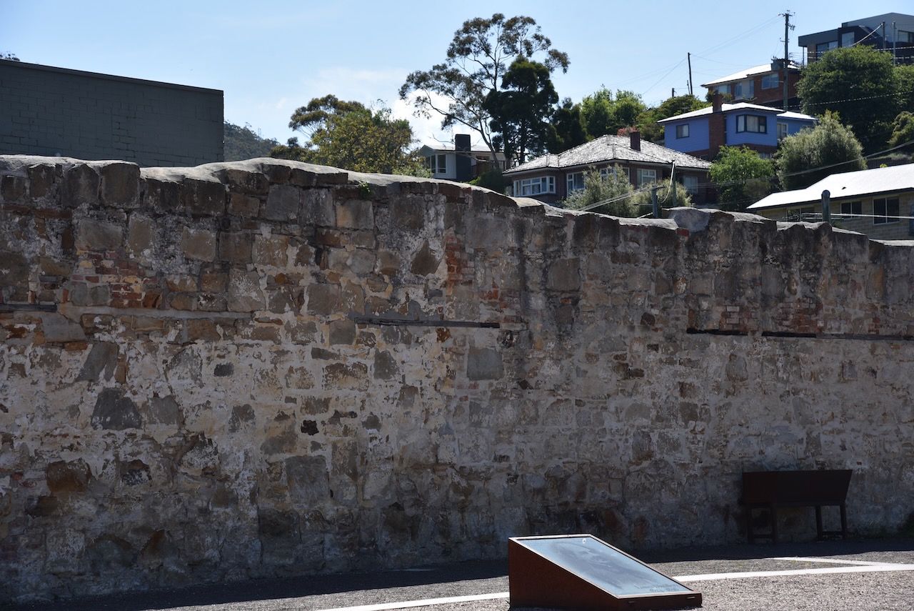
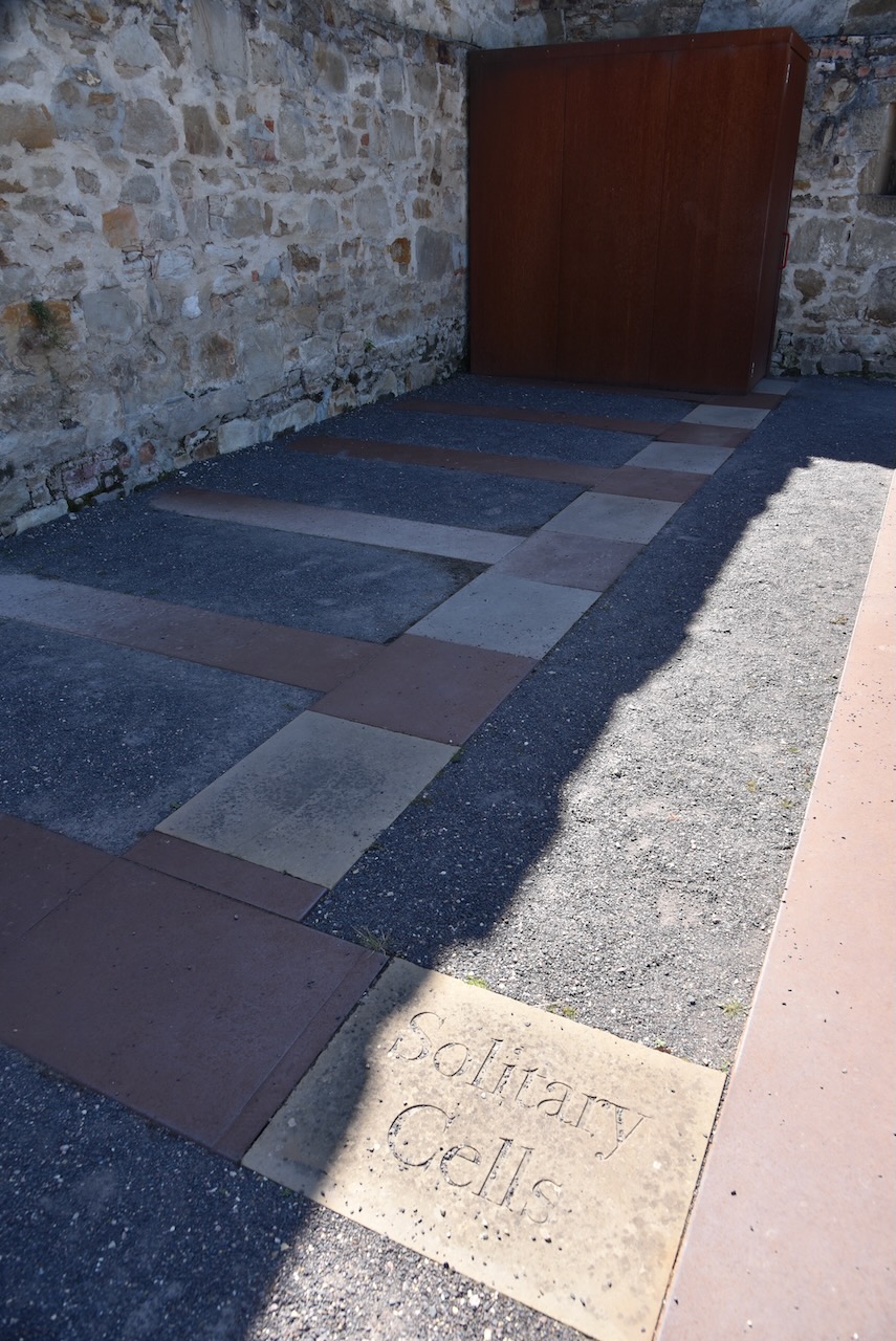
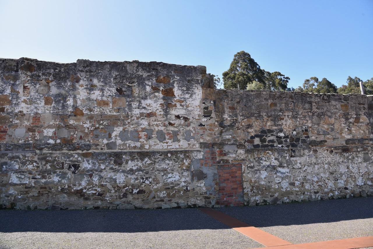
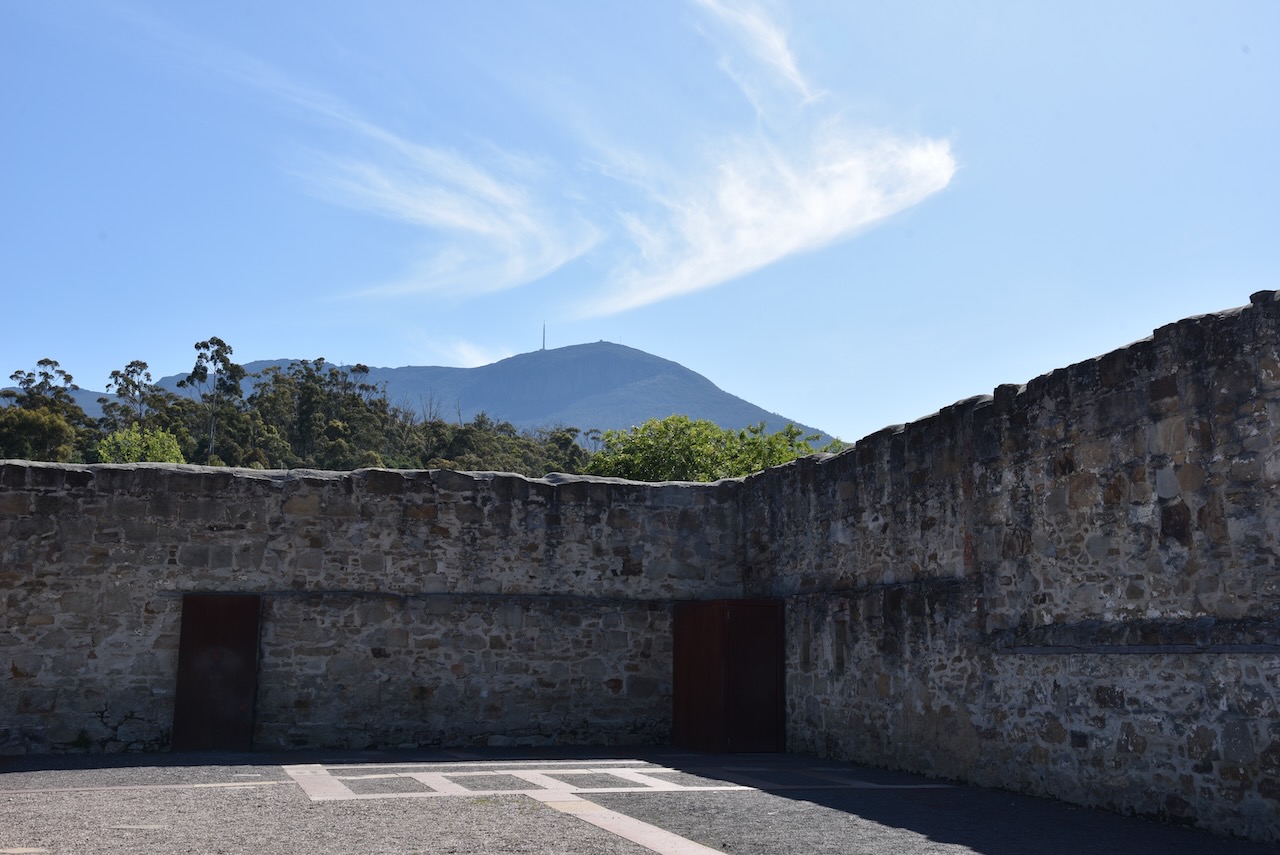
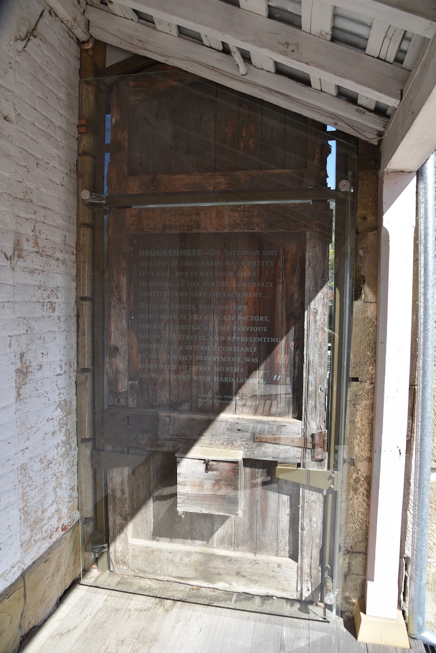
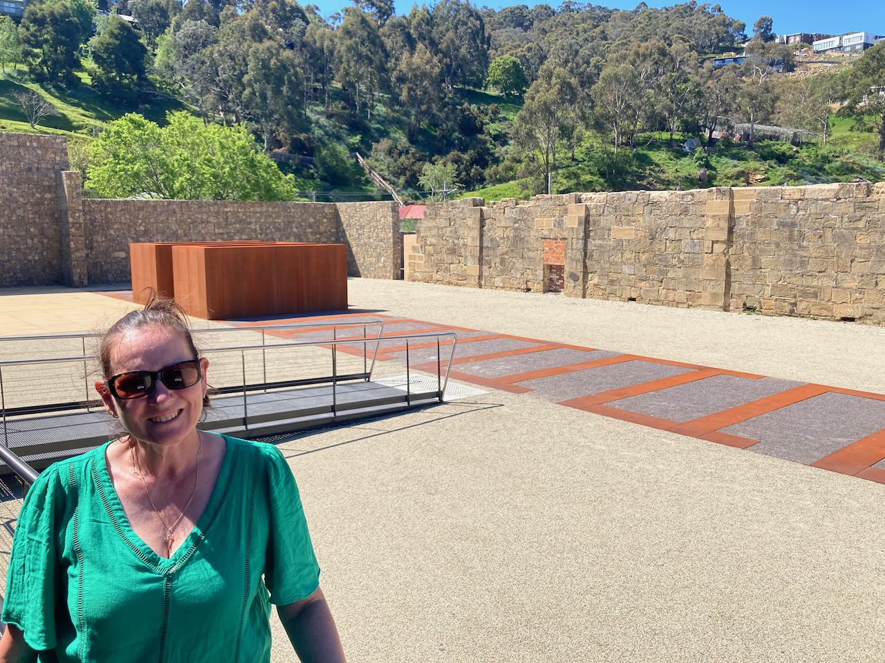
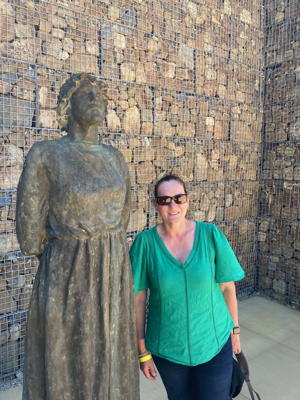
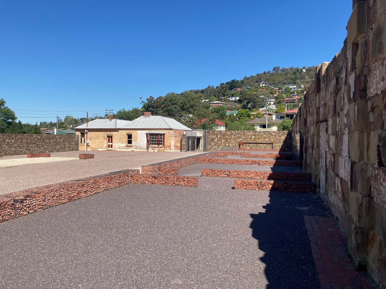
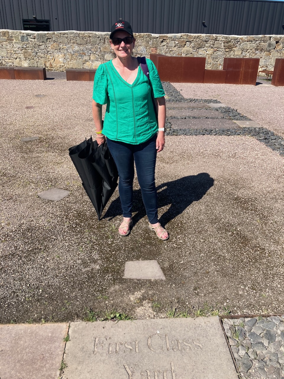
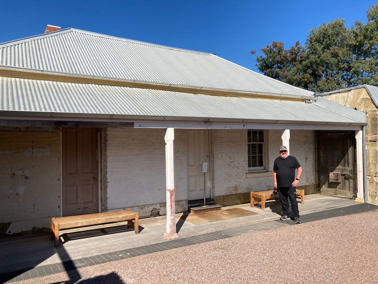
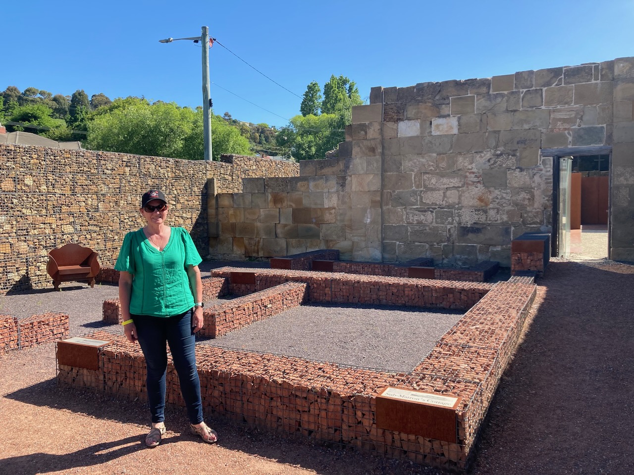
We then visited the historic Richmond Gaol which is the oldest intact gaol in Australia. Construction of the gaol commenced in 1825. This was eight years prior to the establishment of the Port Arthur penal settlement.
We spent a number of hours here as there is a lot to see, Most of the gaol buildings have not changed since the convict era.
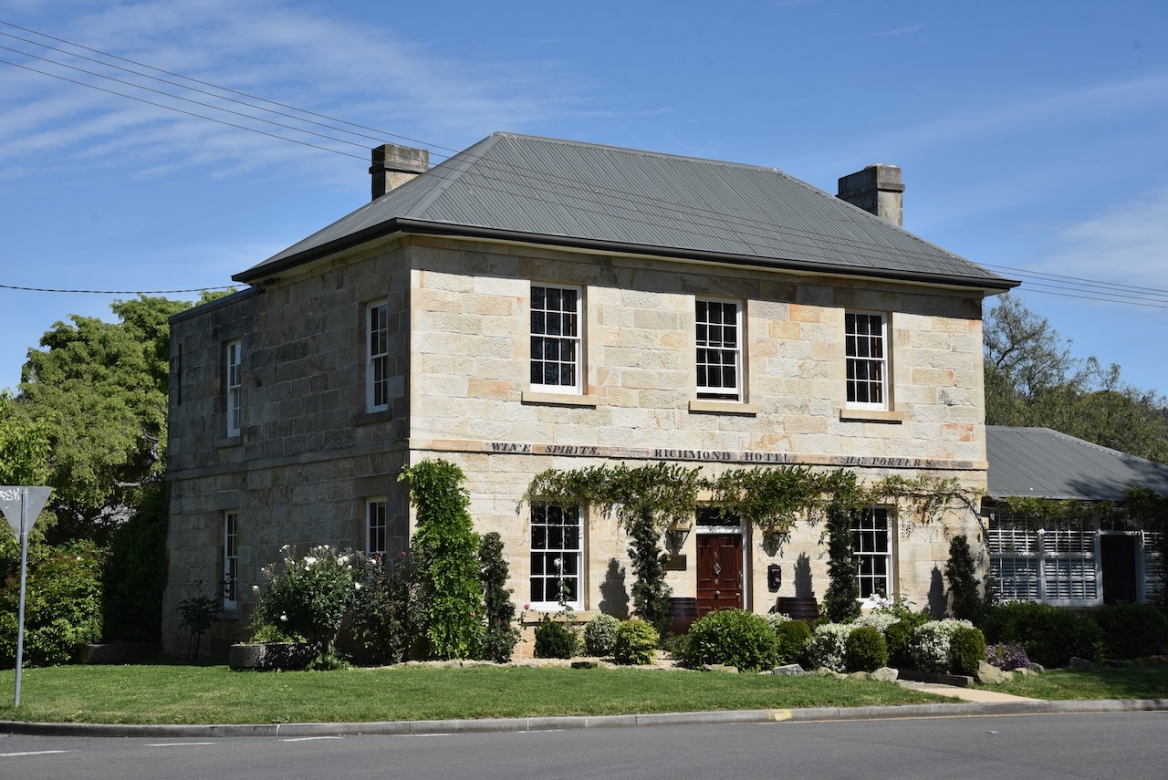
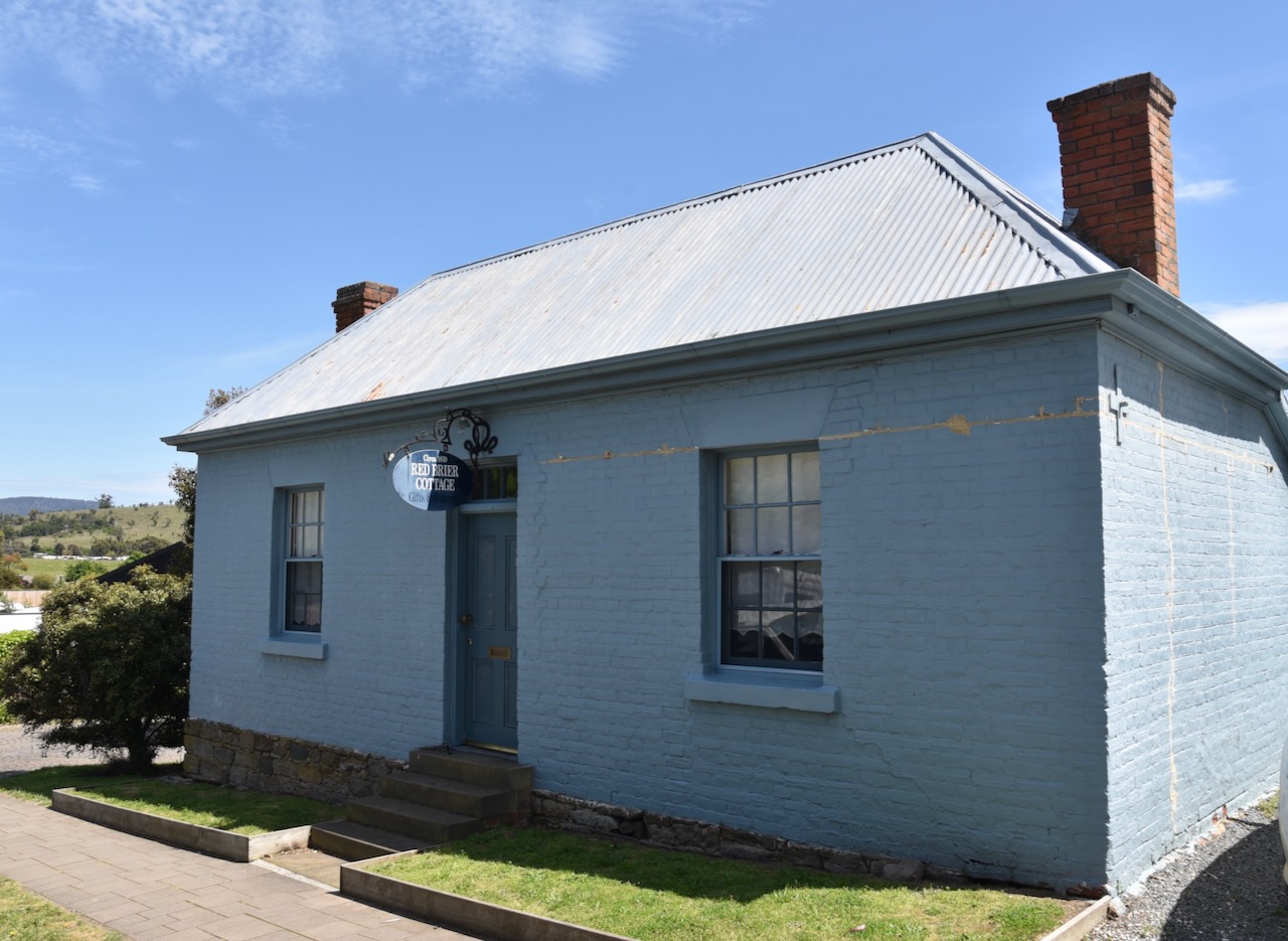
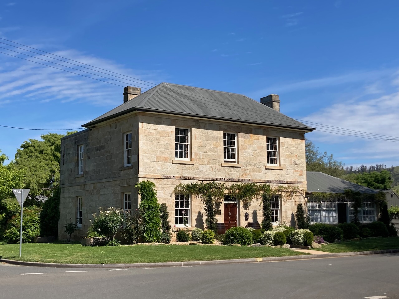
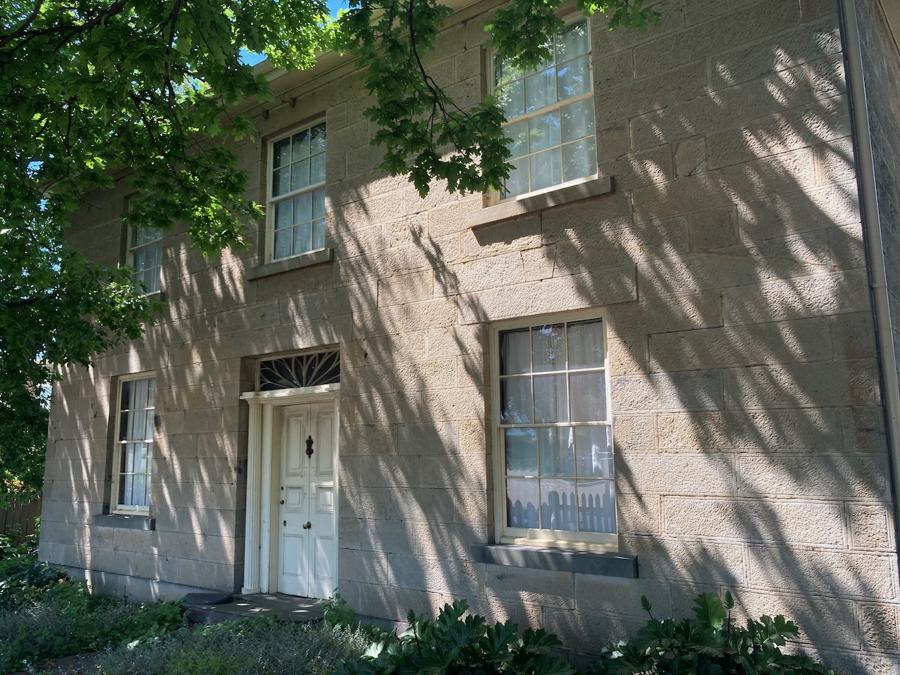
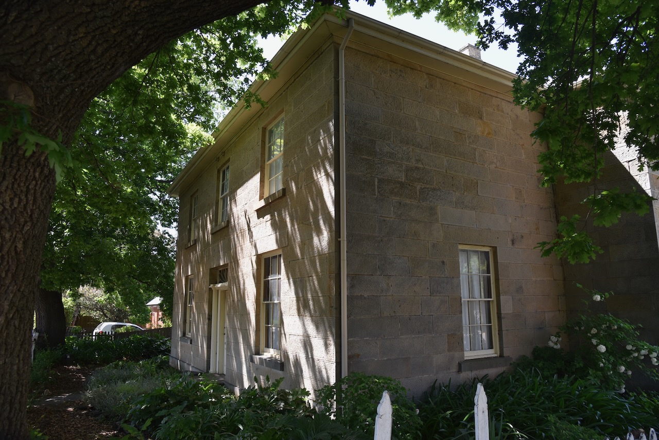
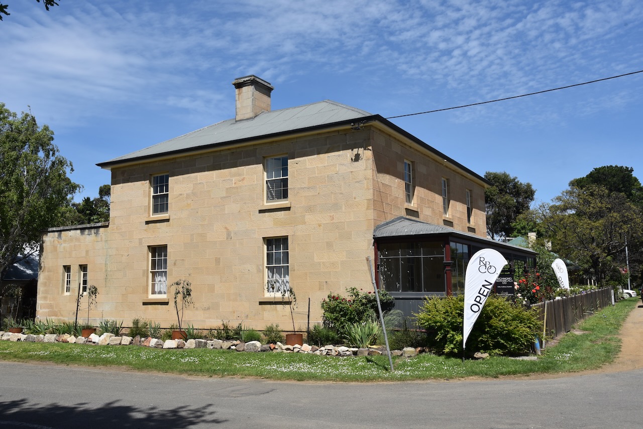
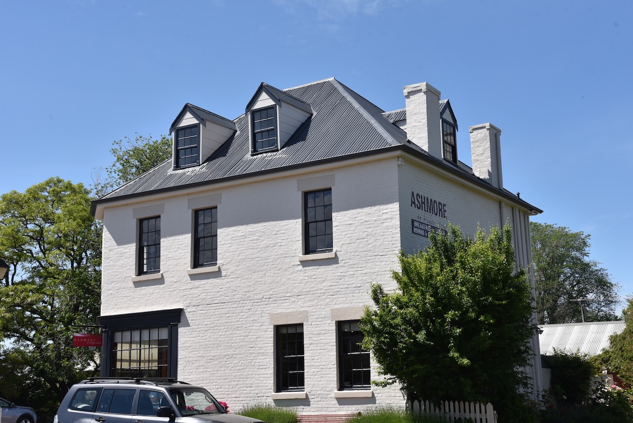
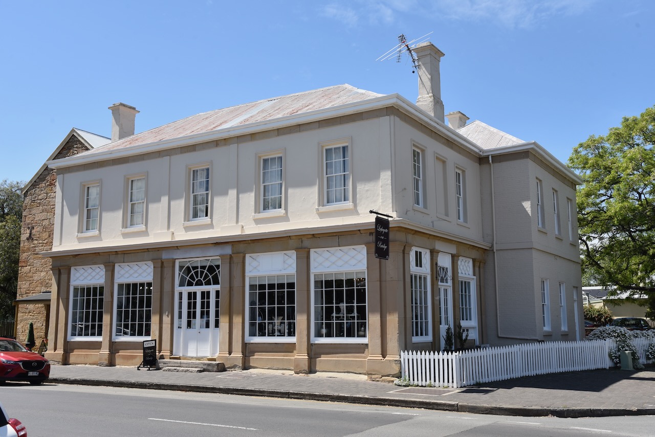
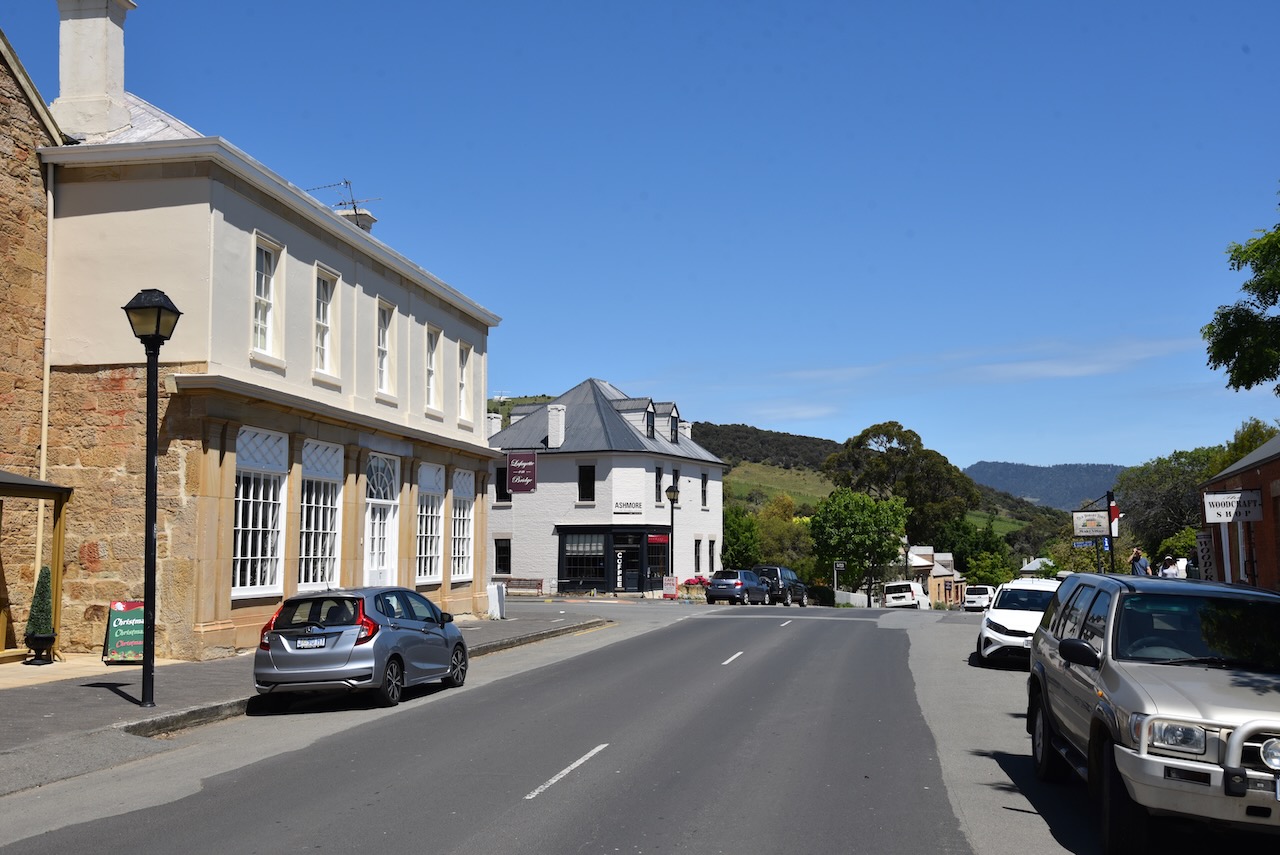
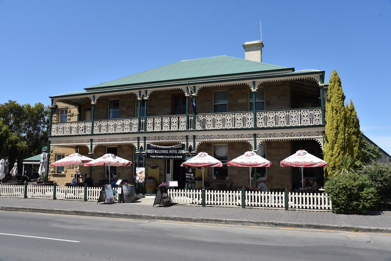
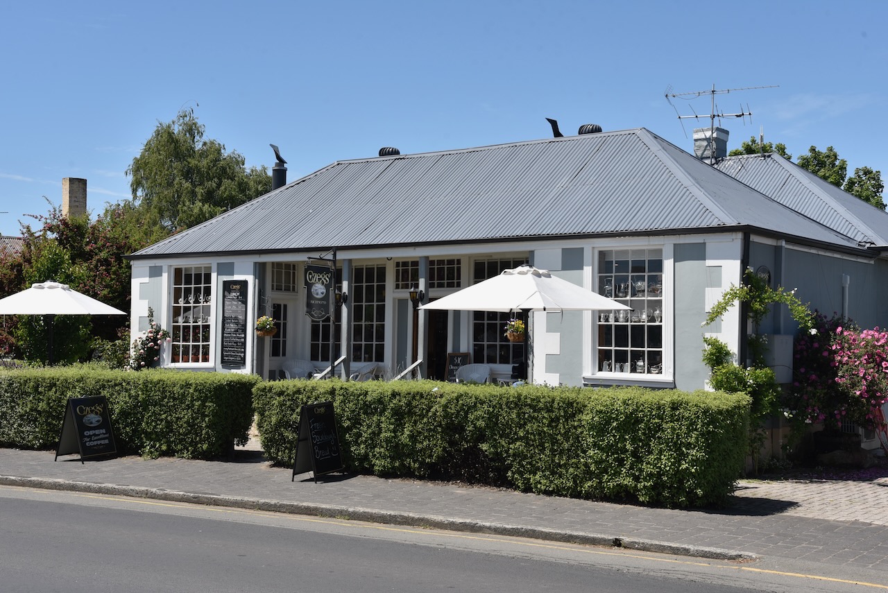
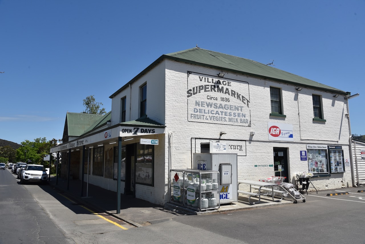
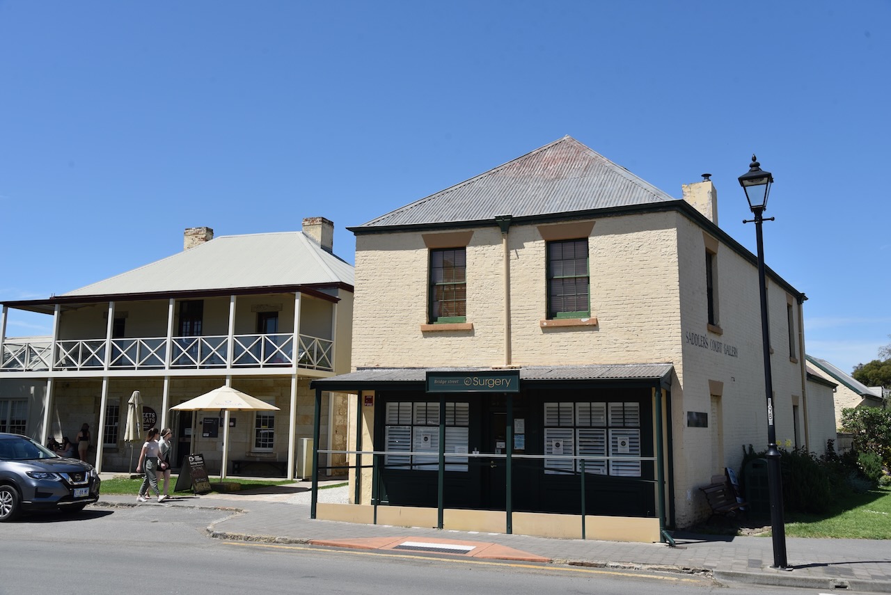
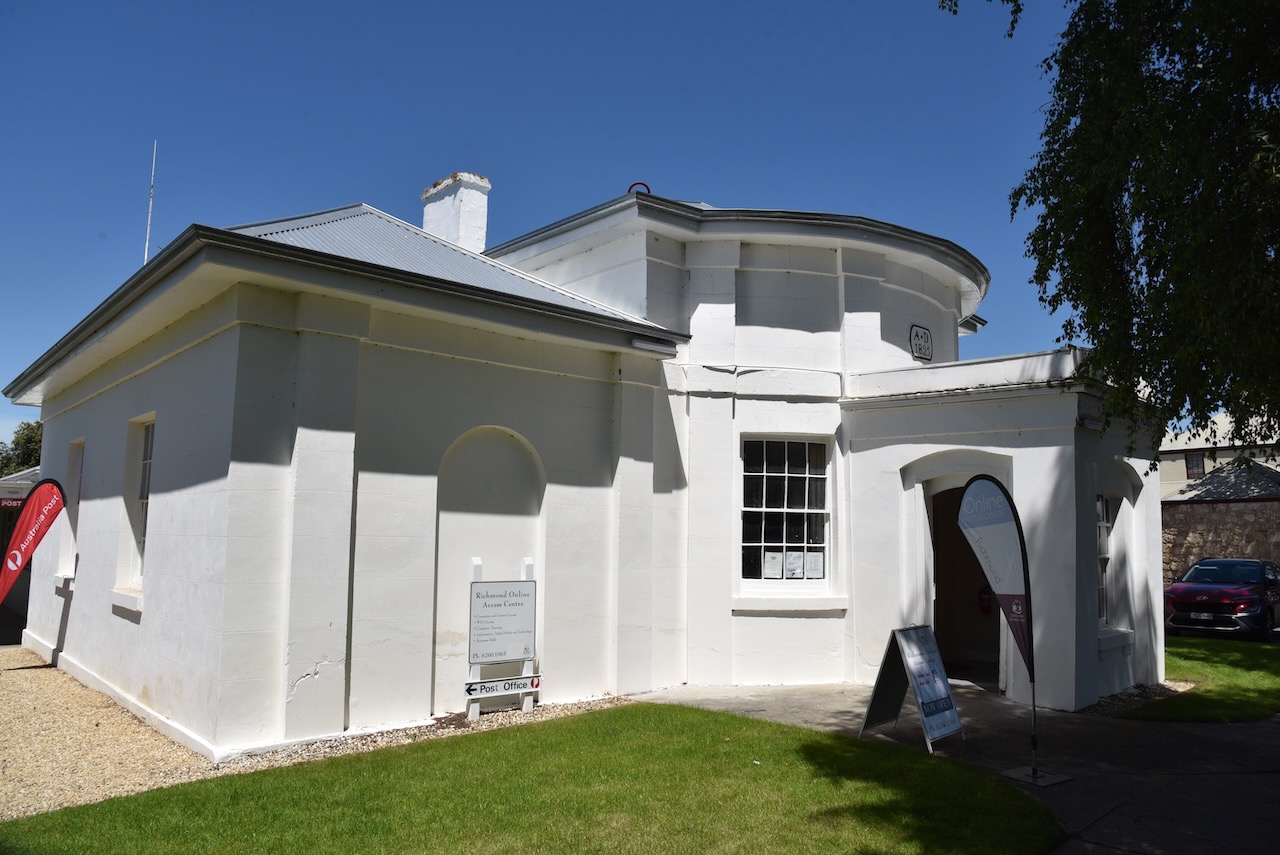
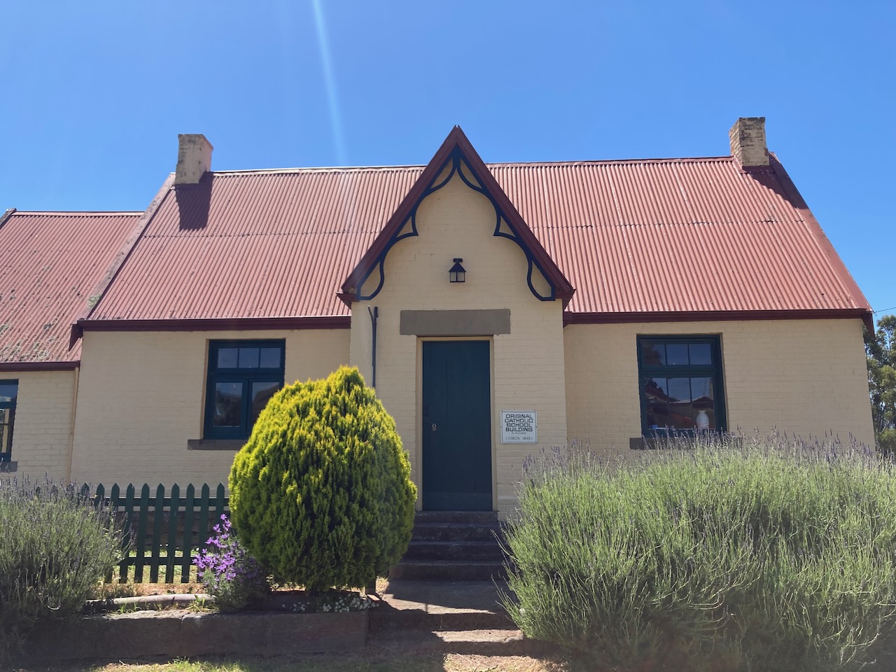
We then spent a number of hours admiring the many historic heritage listed buildings in the town of Richmond.
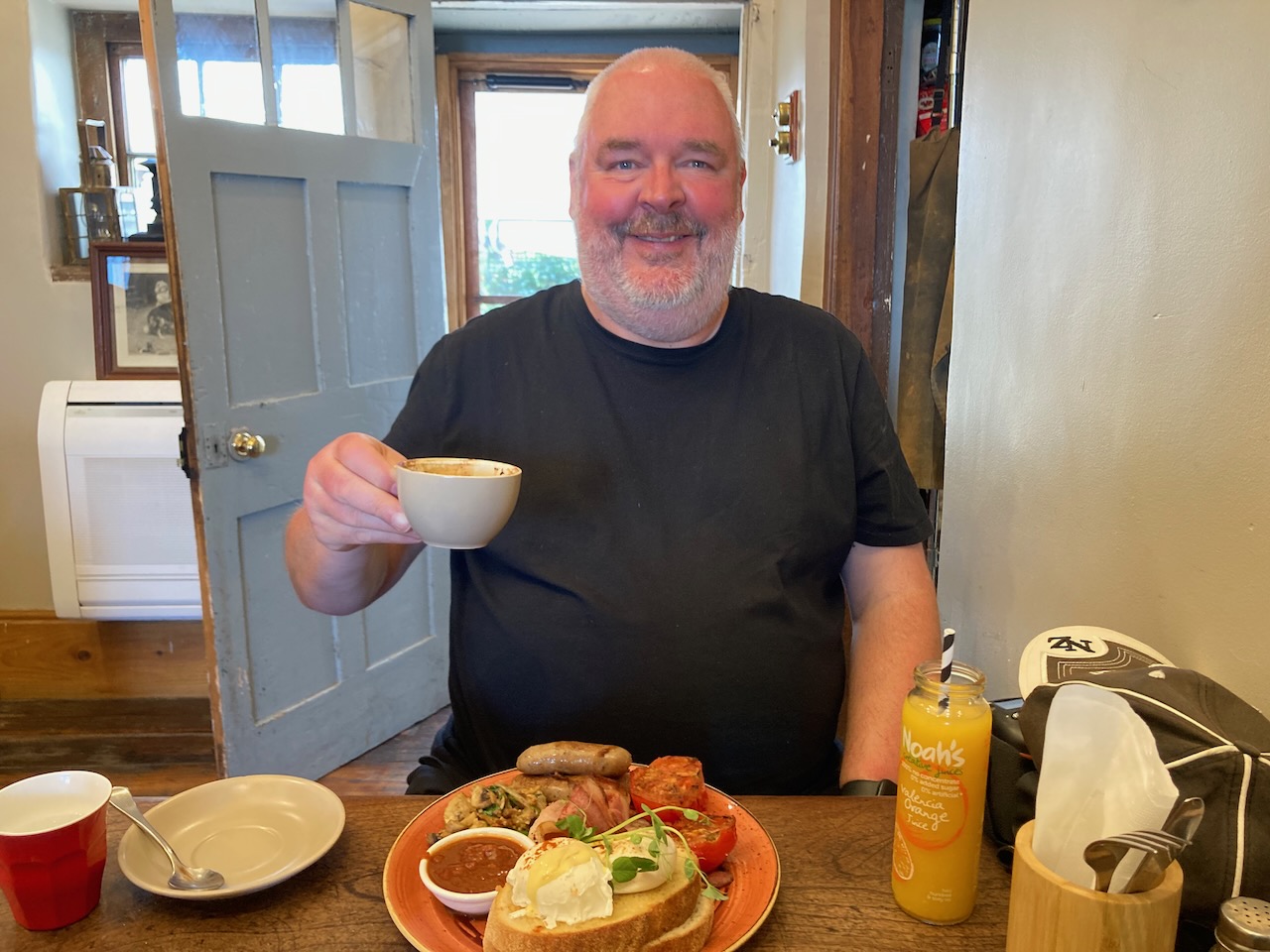
We then enjoyed a magnificent brunch at Czeg cafe in Richmond. We can highly recommend this place, the meal was sensational.
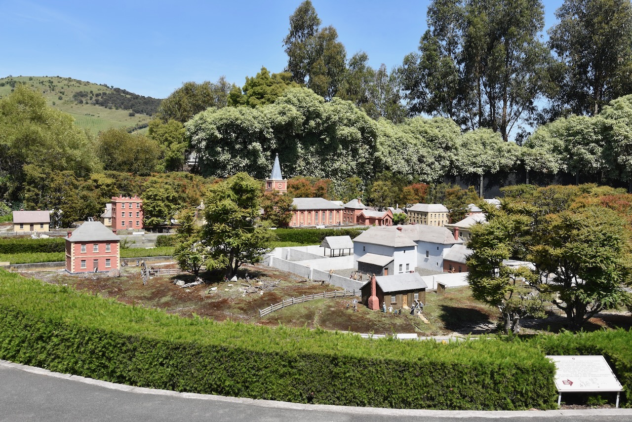
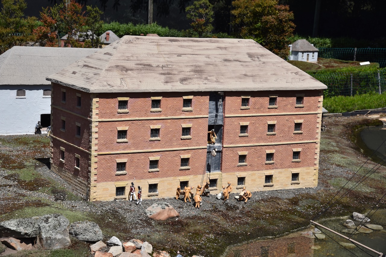
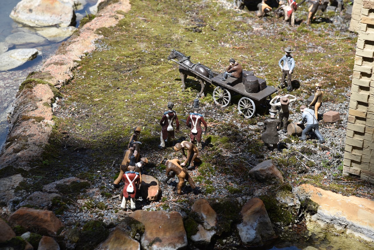
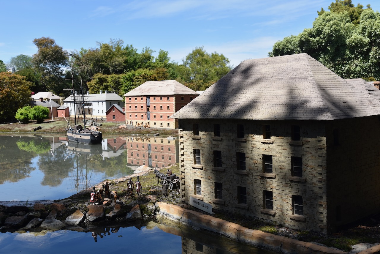
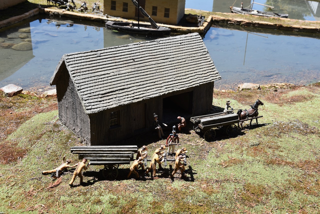
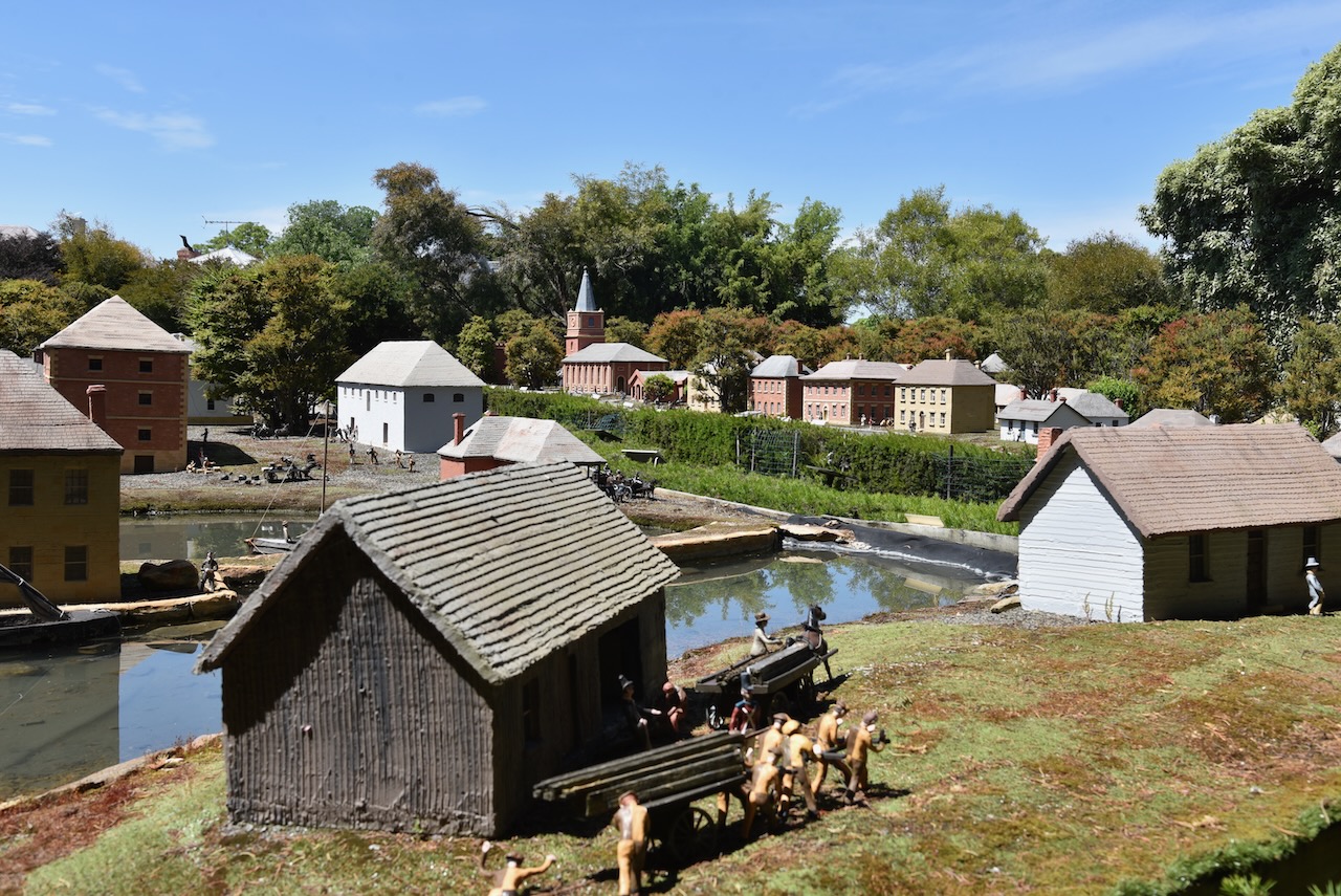
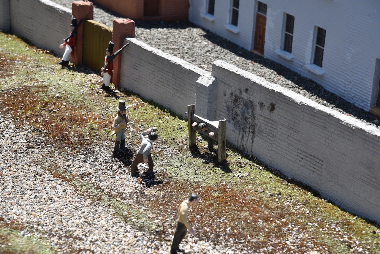
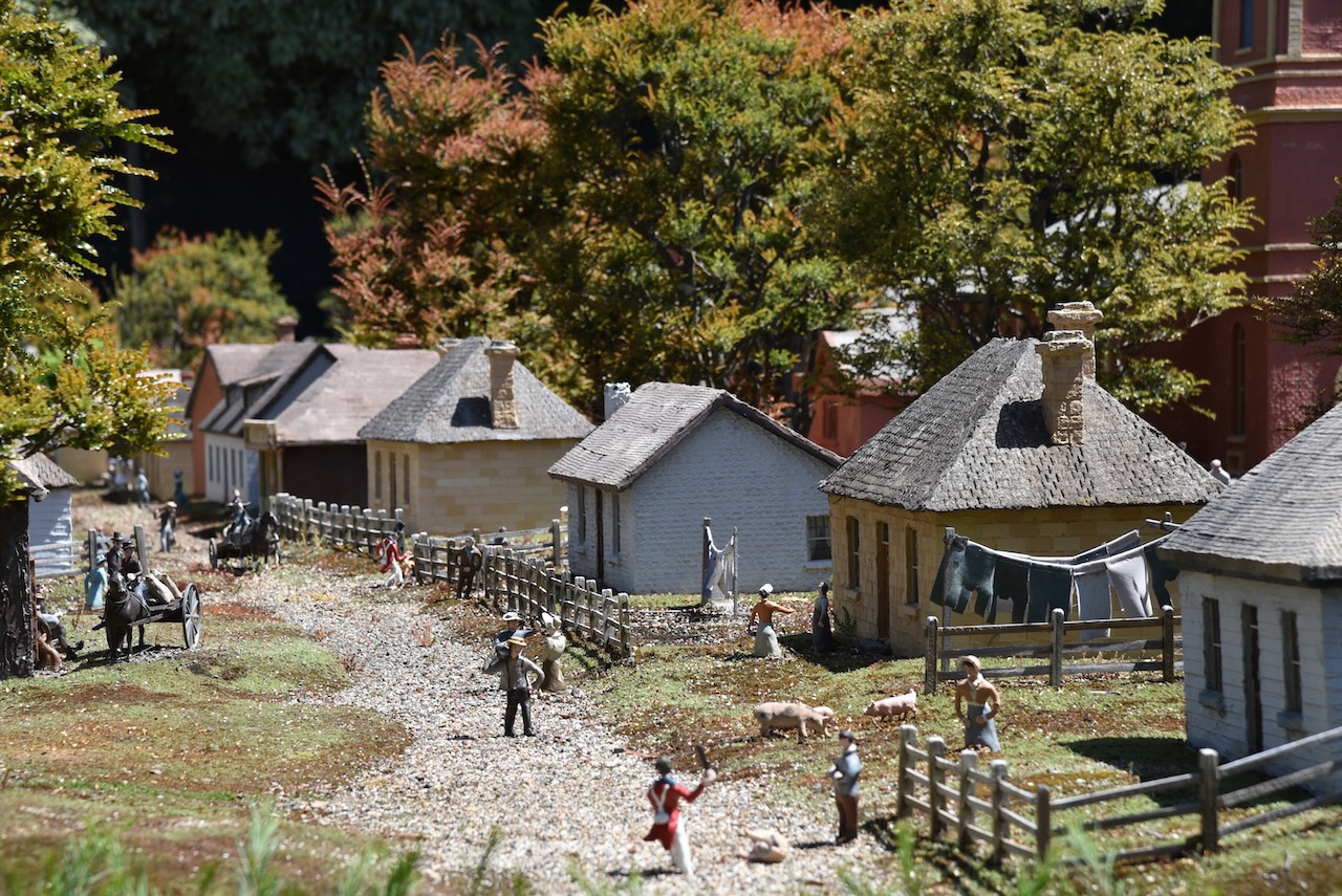
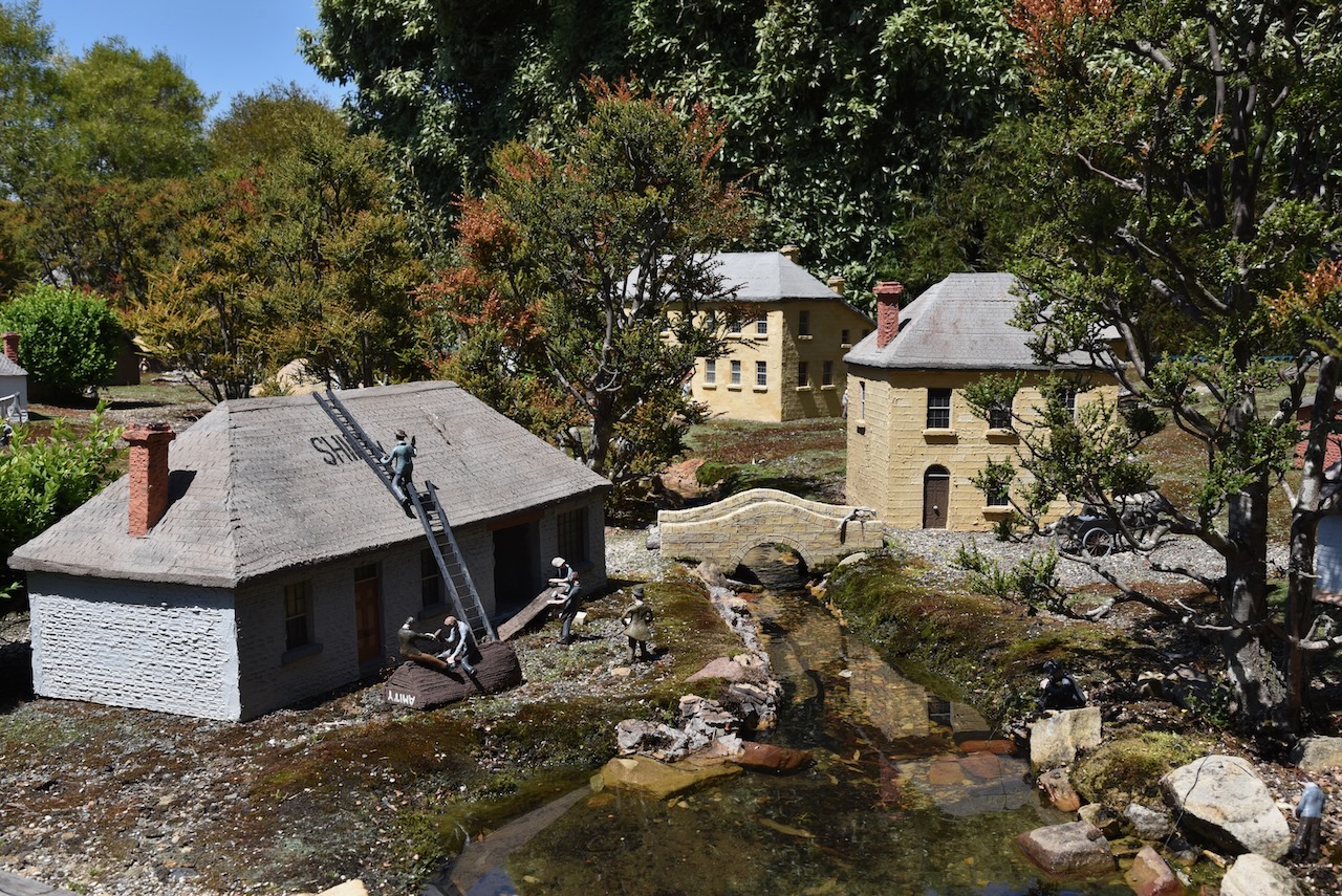
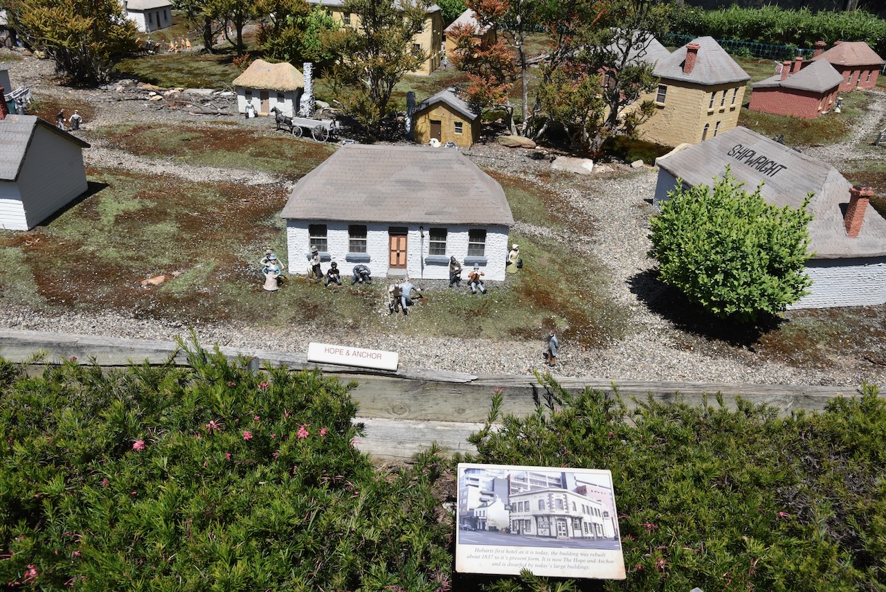
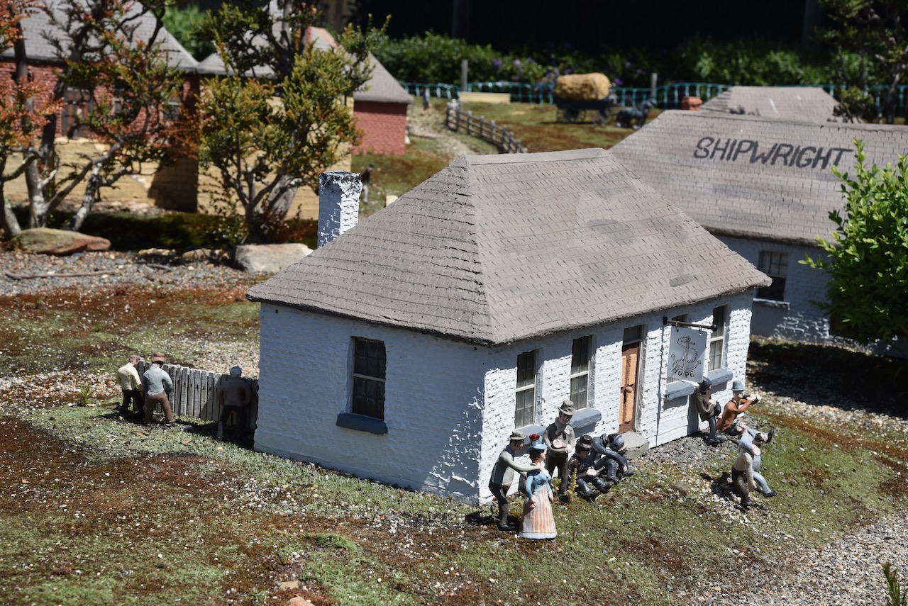
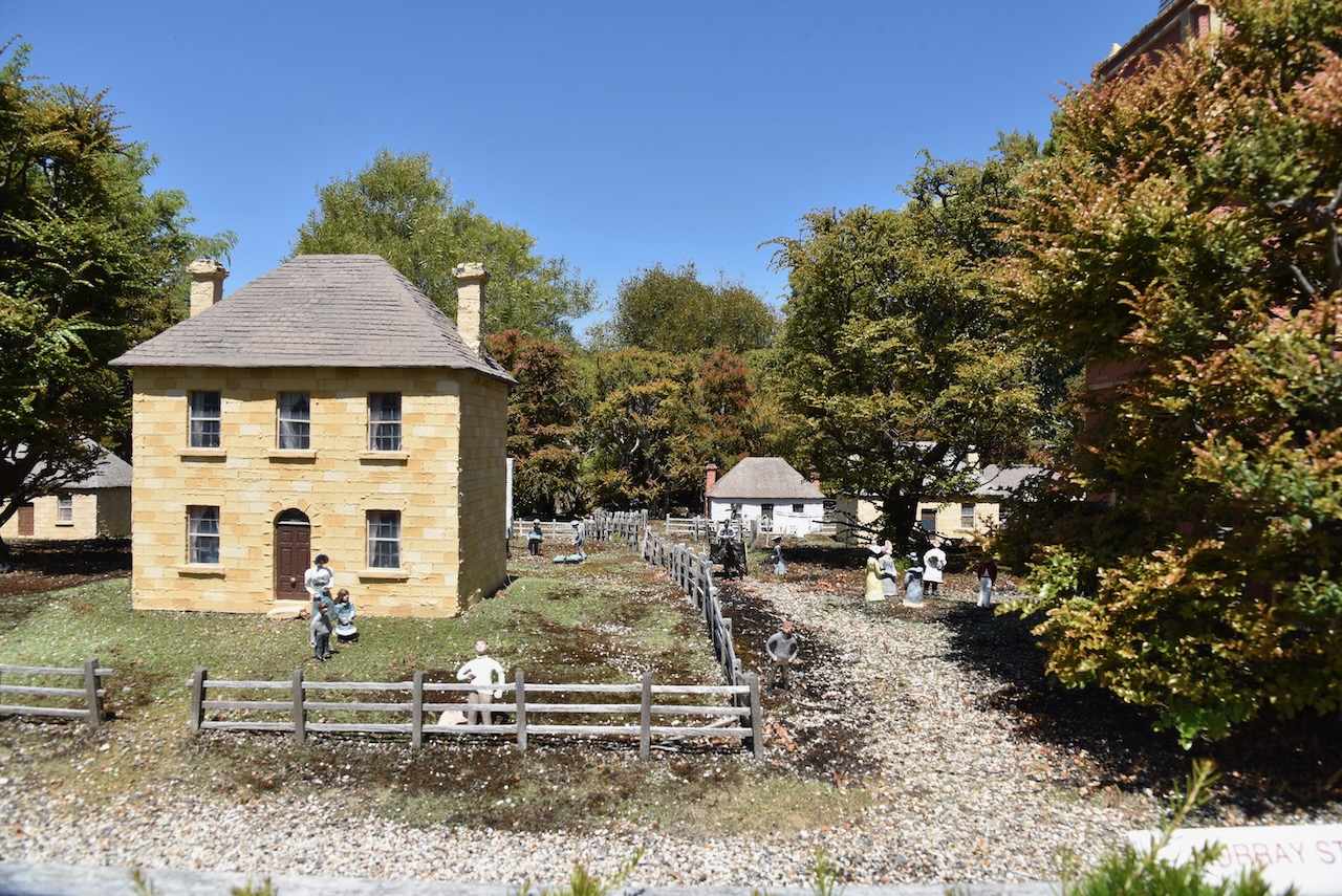
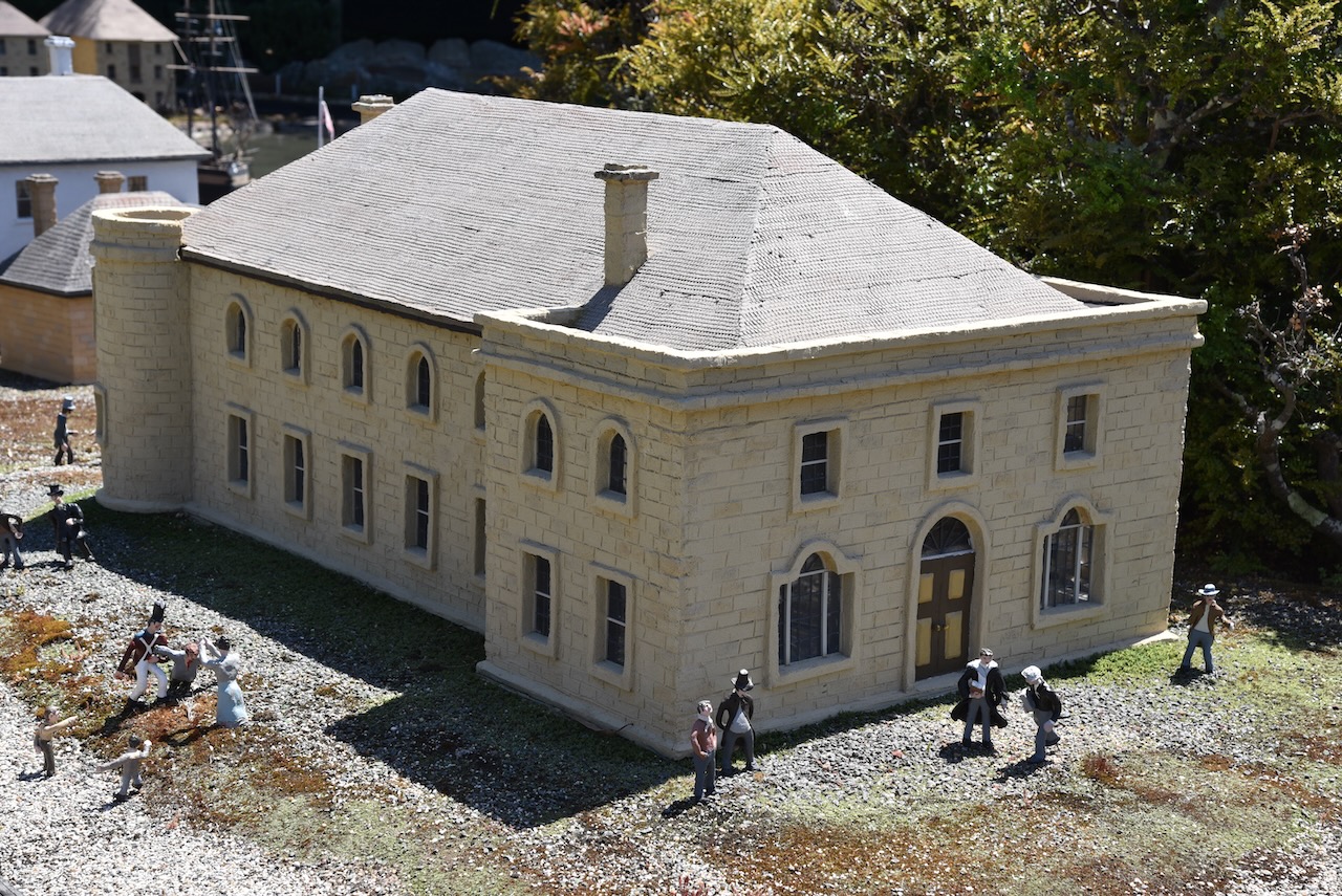
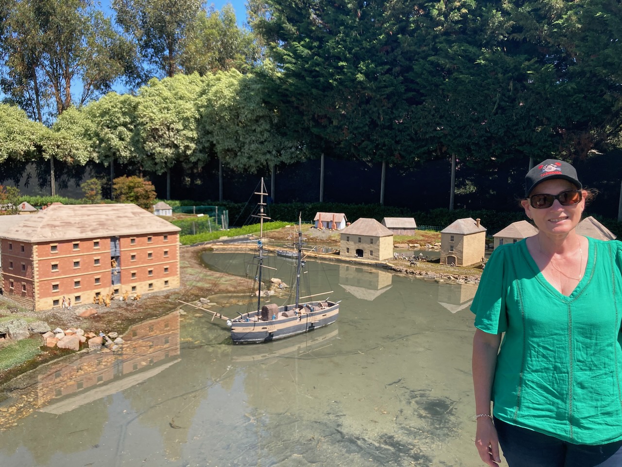
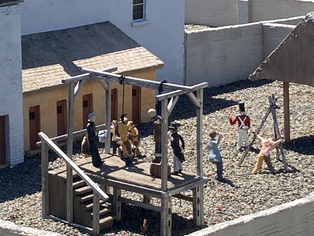
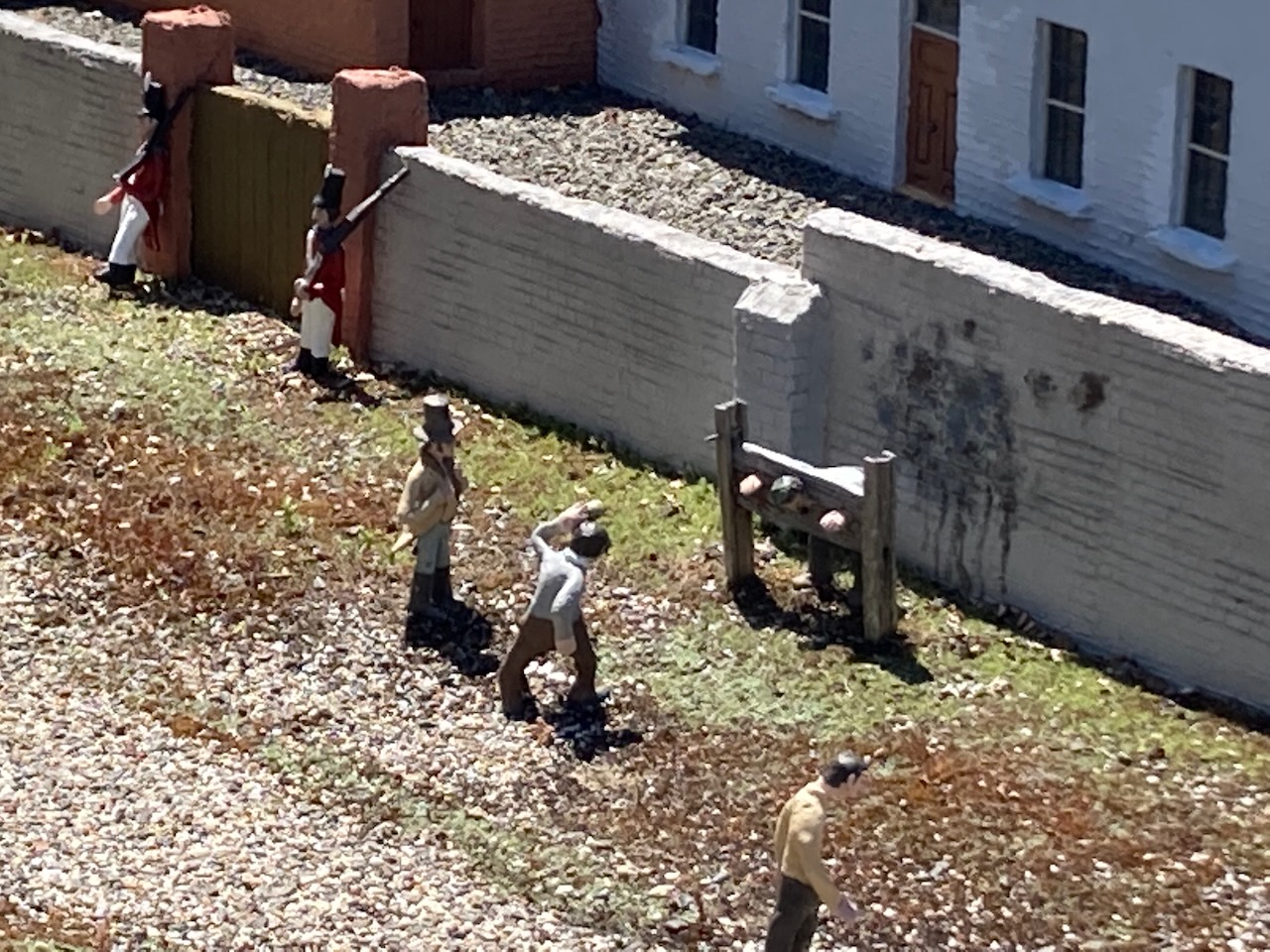
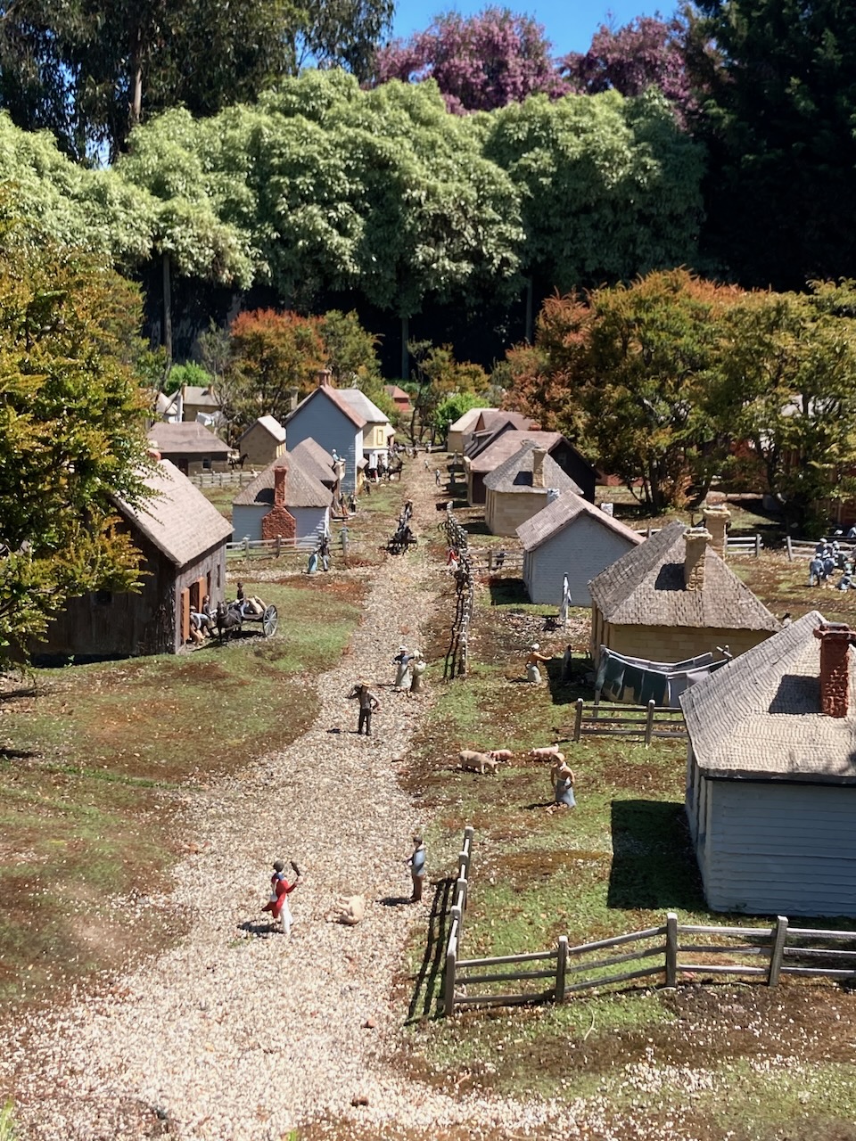
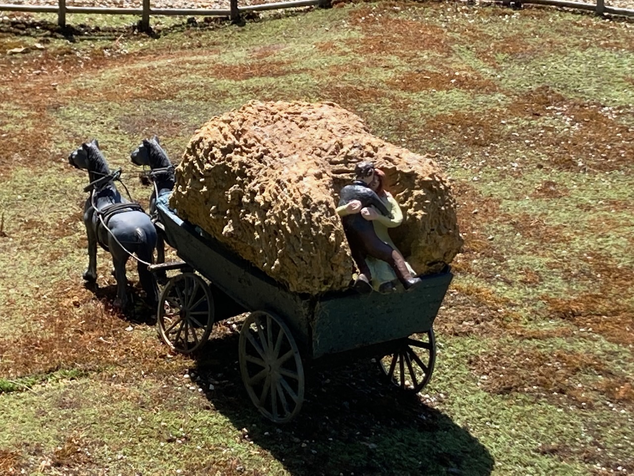
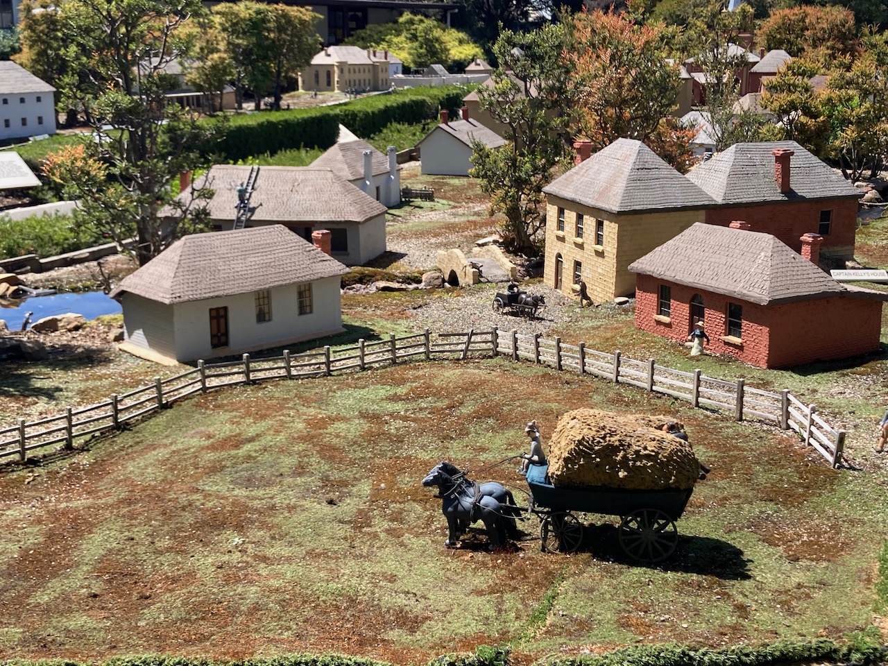
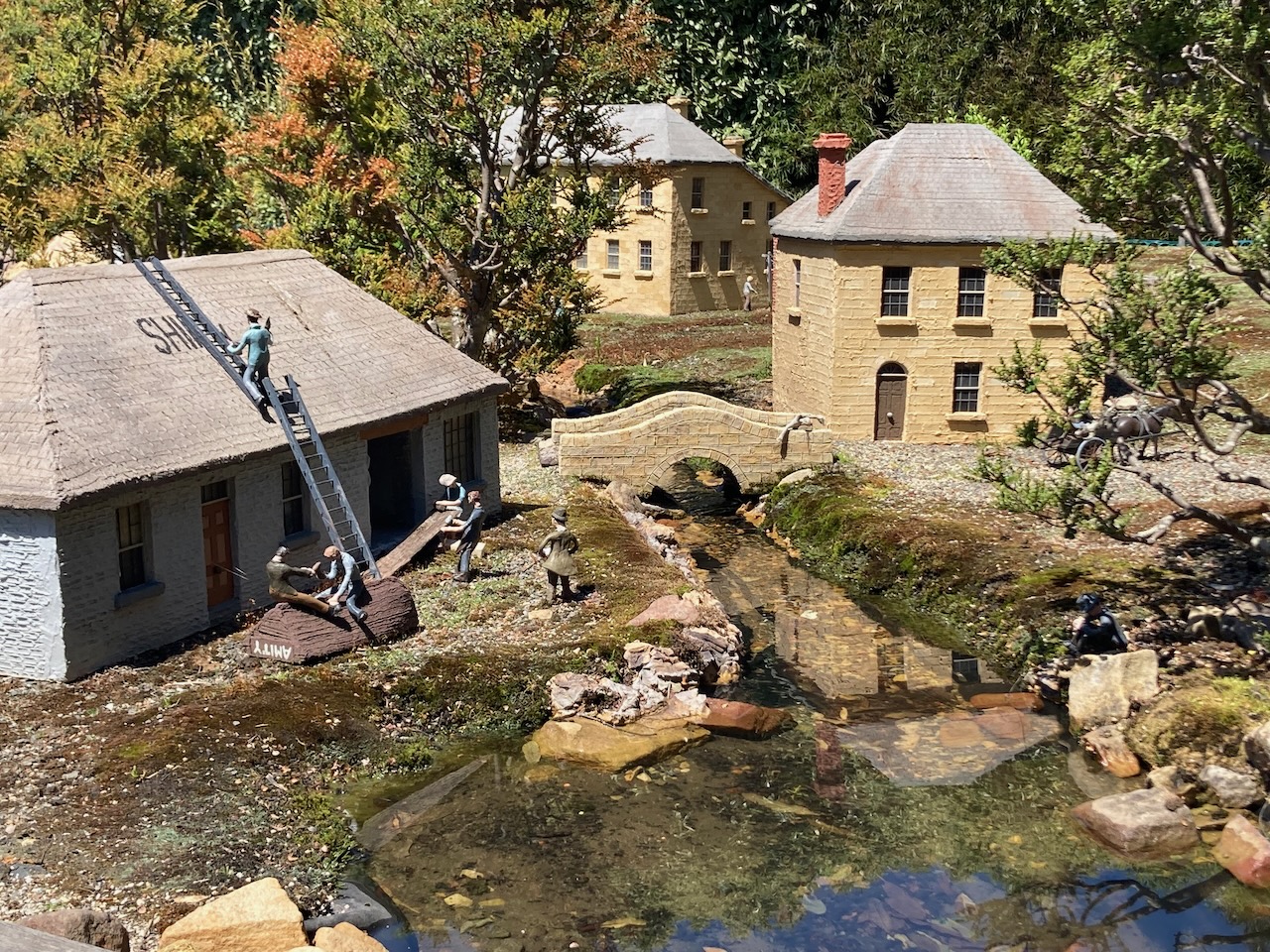
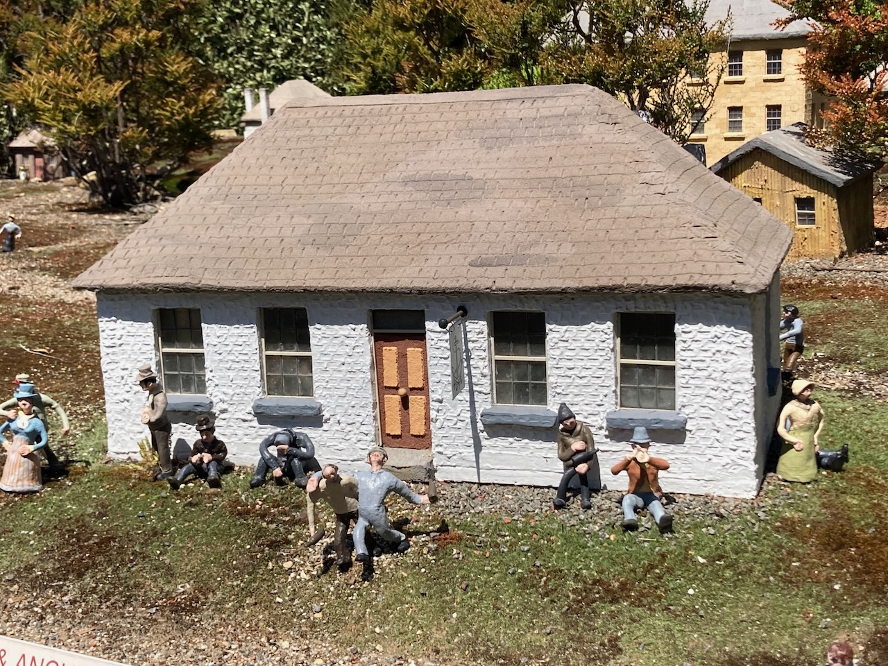
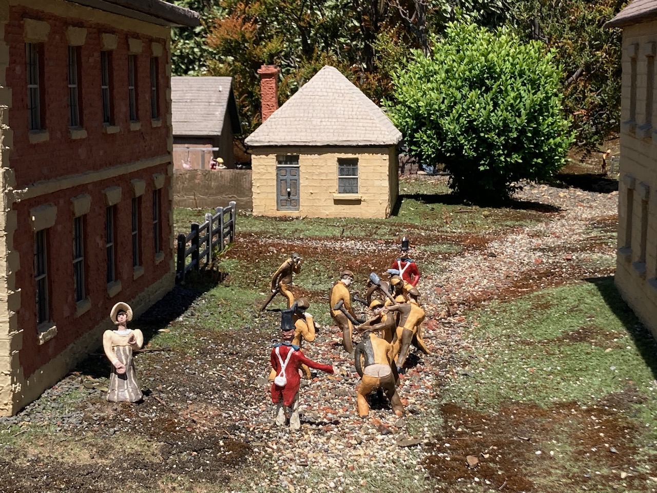
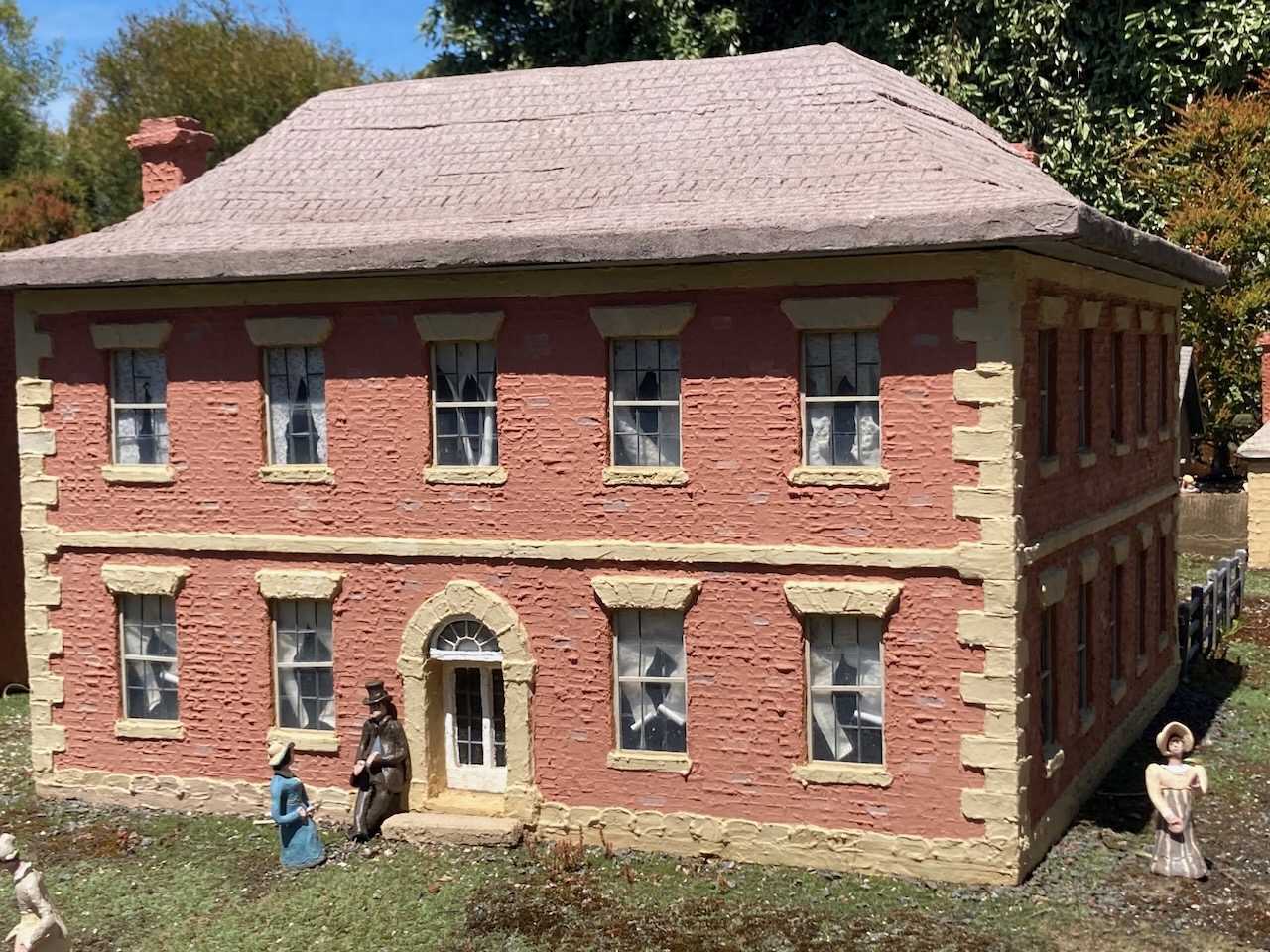
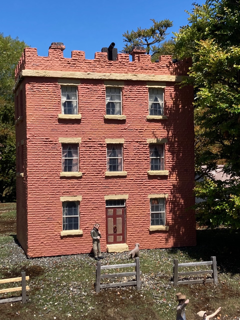
Following brunch we visited Old Hobart Town, Australia’s only, and Tasmania’s original historical model village which depicts life in Hobart Town during 1820. What an amazing job has been made to put this together. Absolutely brilliant. There are over 60 replica model buildings and about 600 period figurines including convicts, soldiers, ladies and gentlemen.
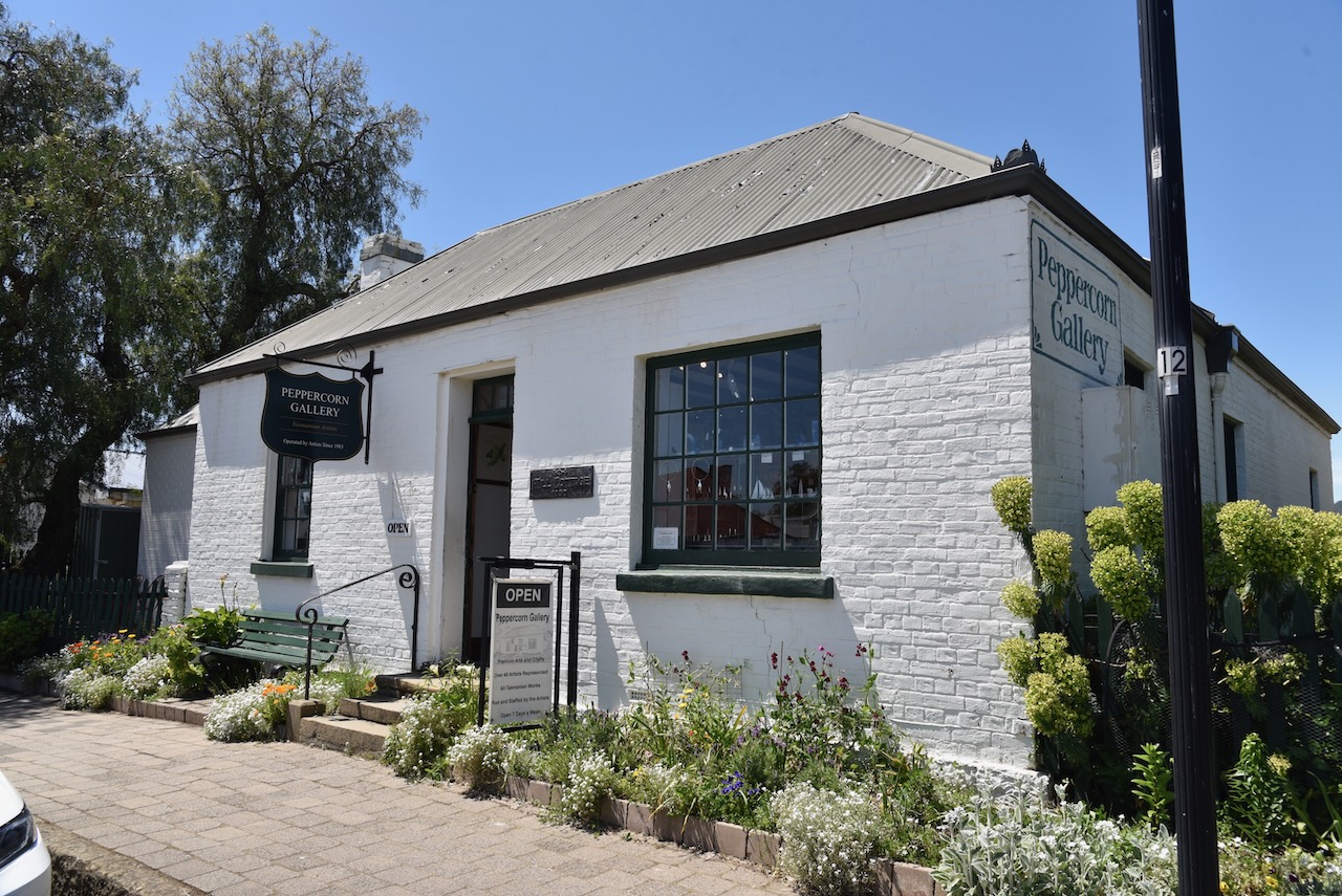
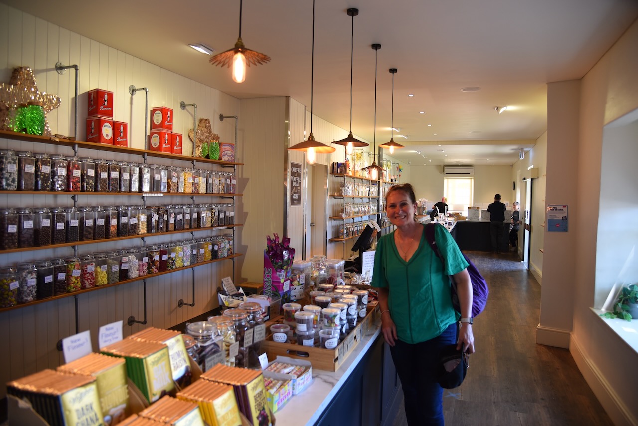
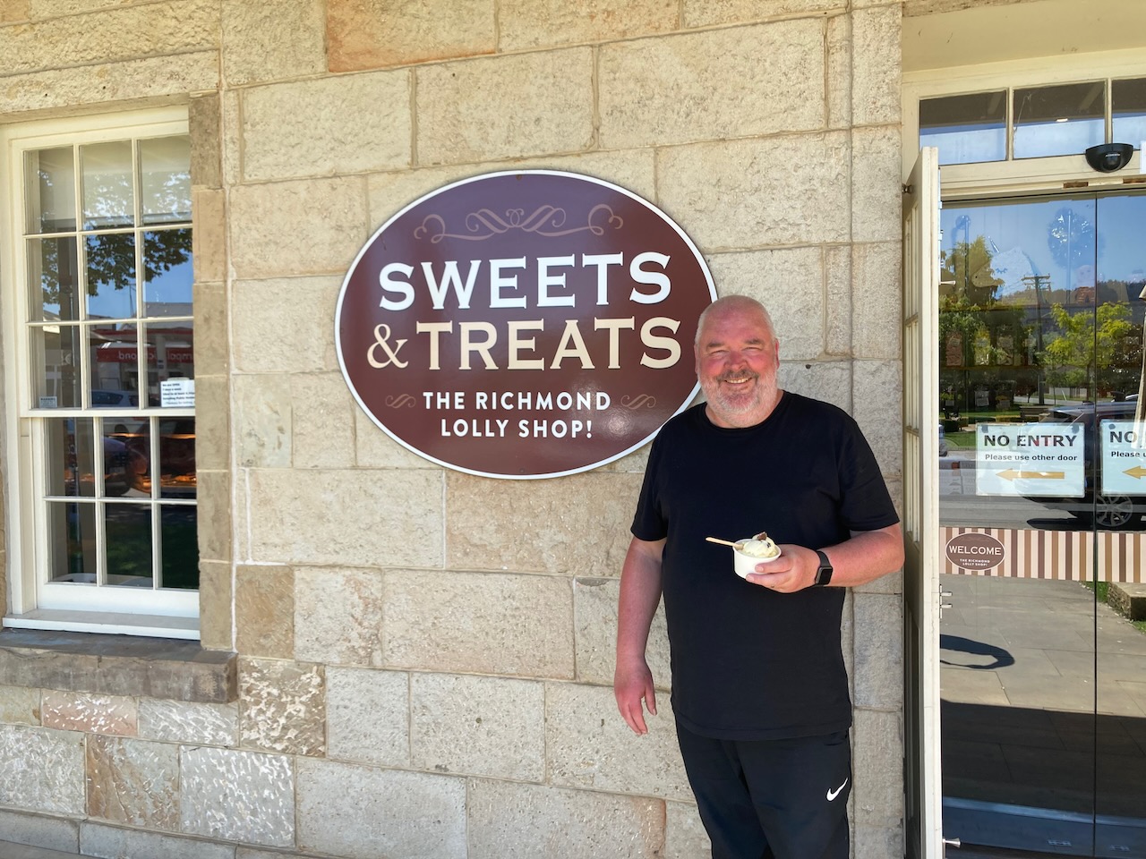
We then took another walk down Richmond’s main street which included a visit to Sweets and Treats of course, for some lollies and icecream.
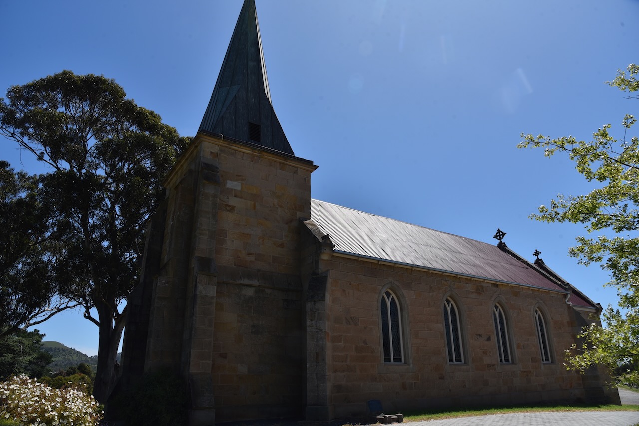
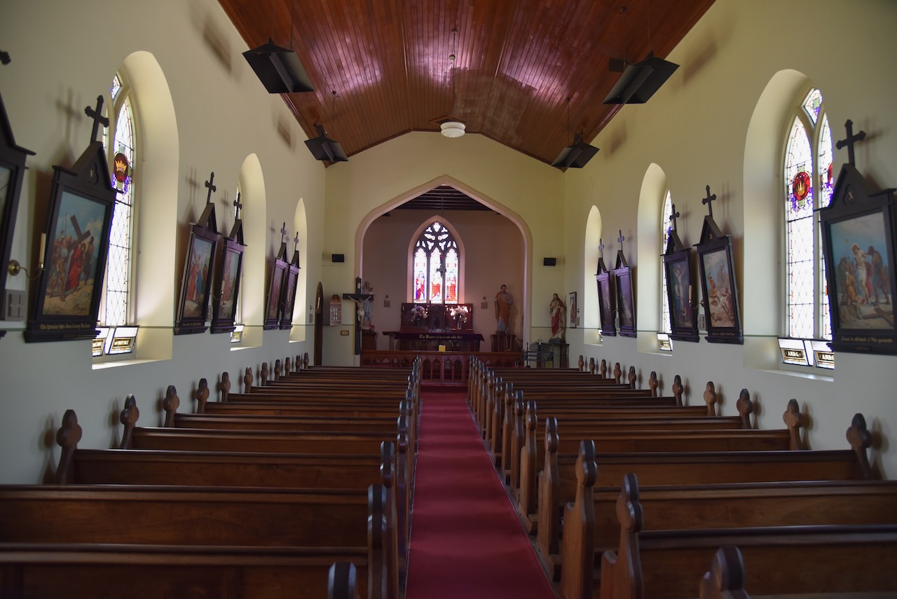
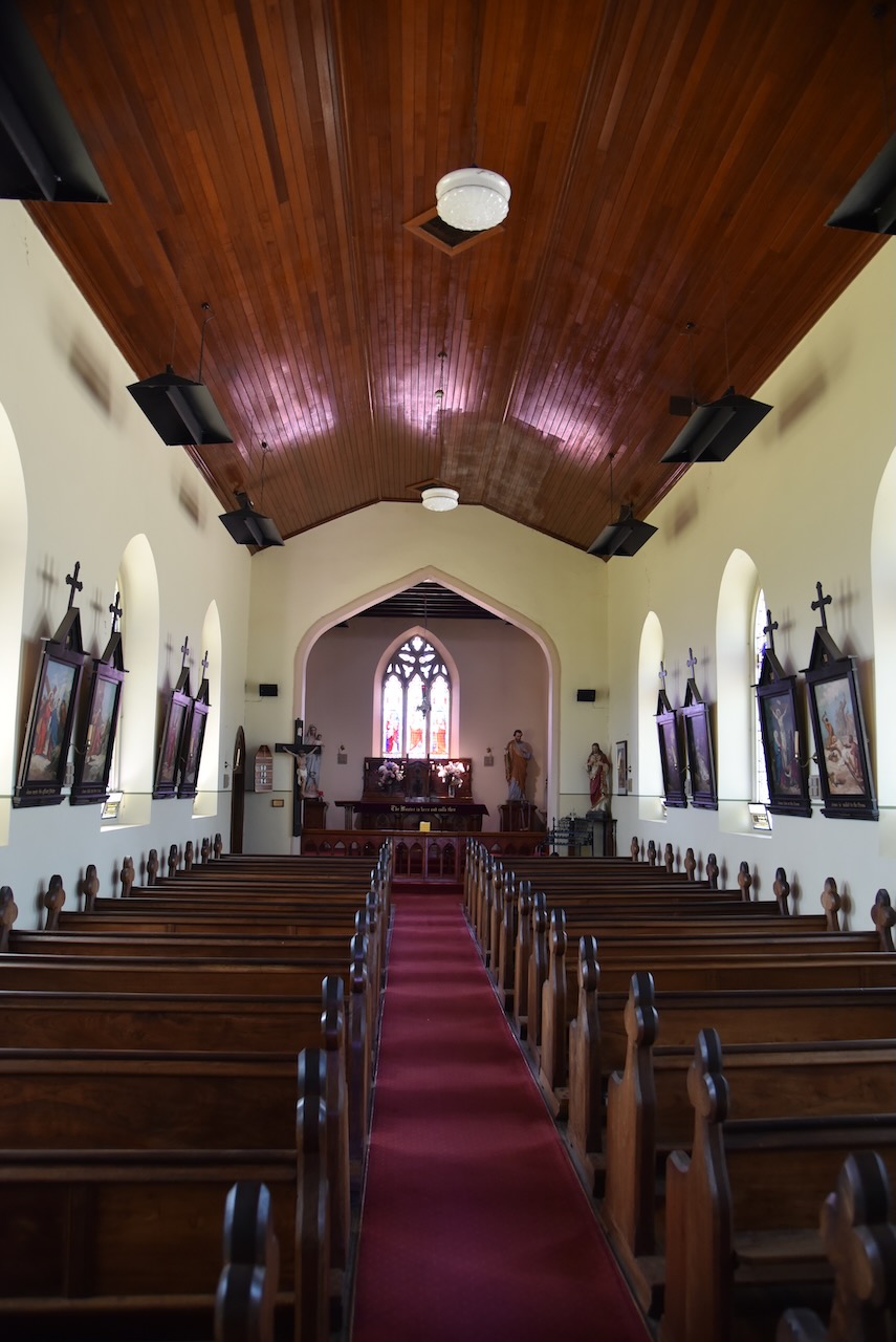
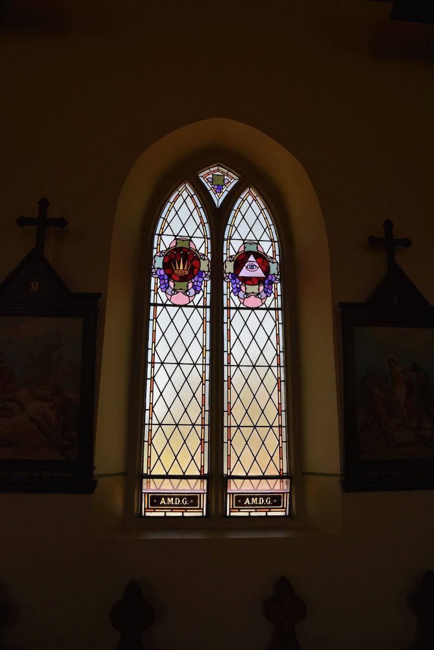
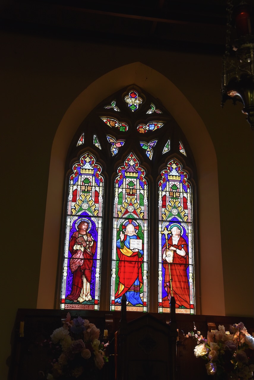
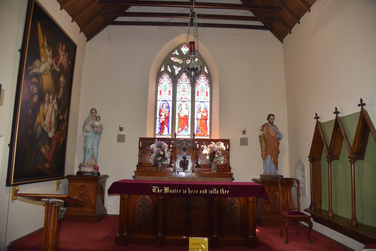
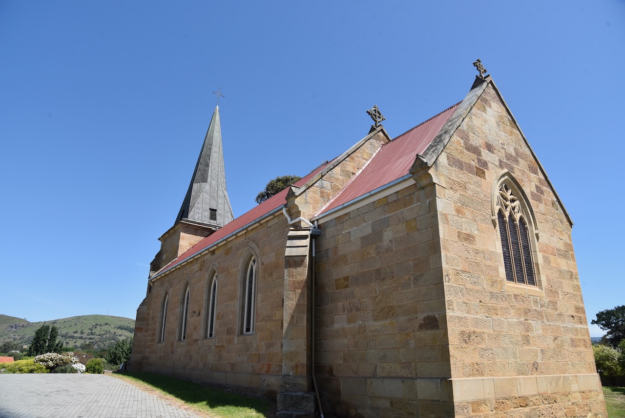
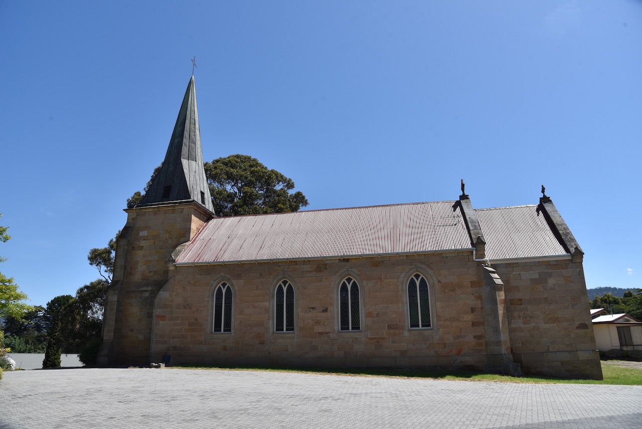
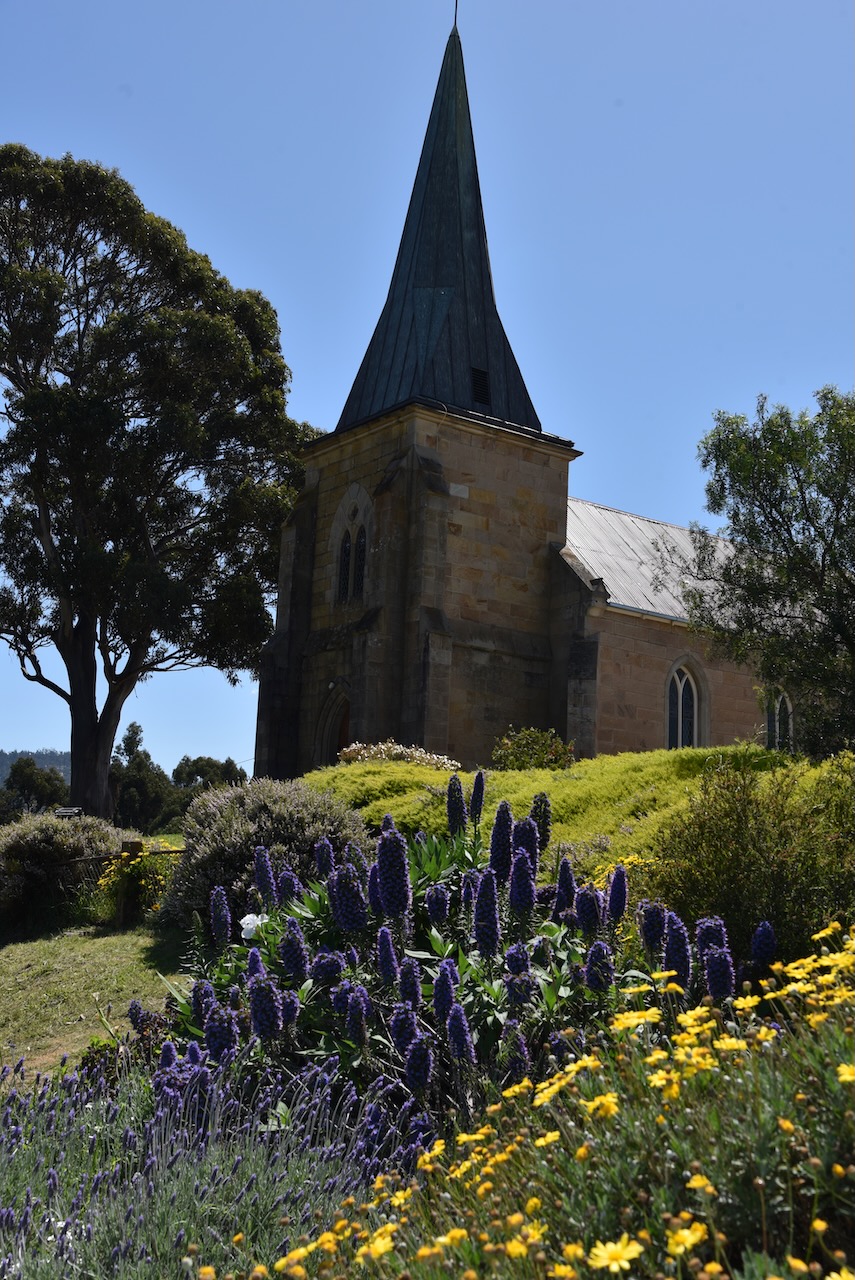
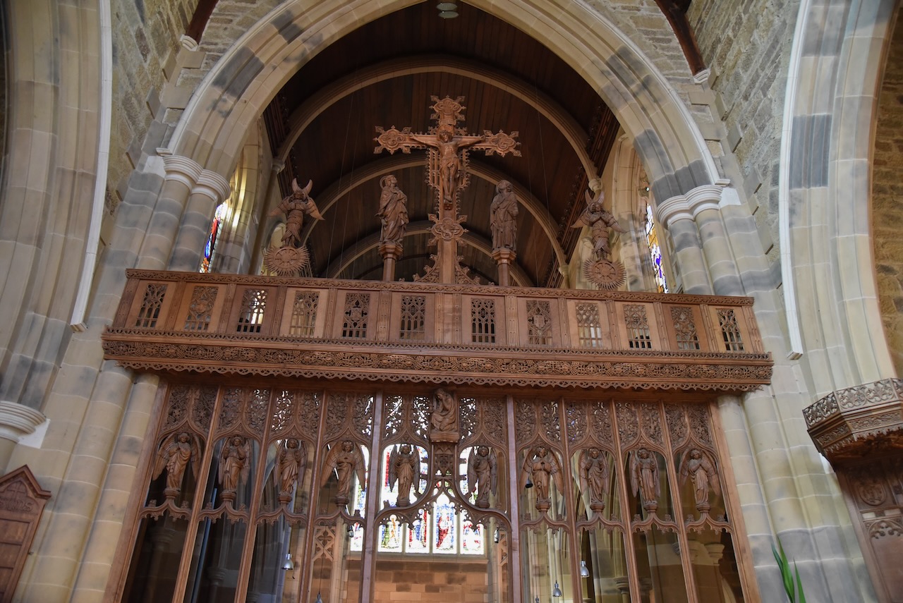
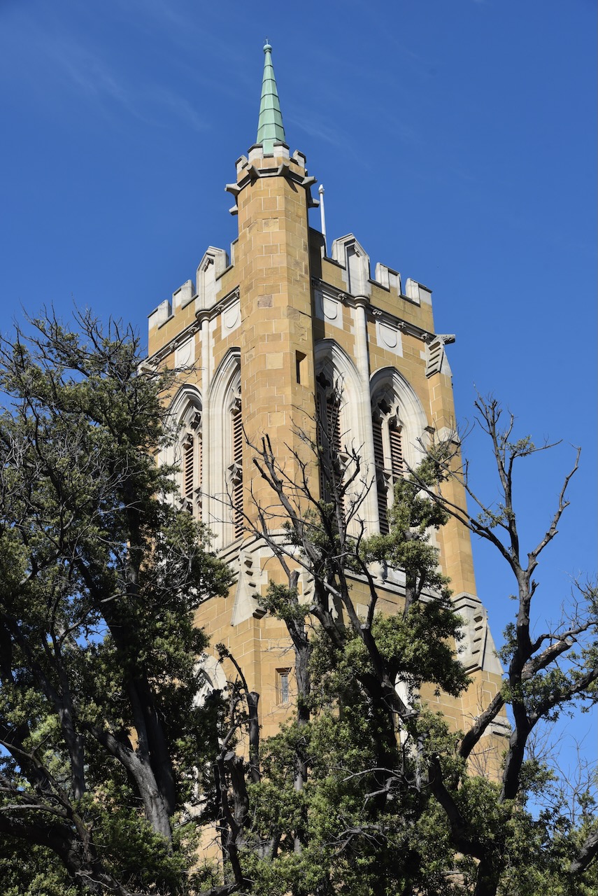
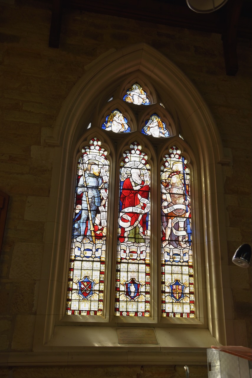
We then visited the St John’s Church Richmond, which is the oldest existing Catholic church in Australia. The foundation stone was laid in 1835.
We then paid one last visit to Richmond bridge and views a few more historic buildings in the town.
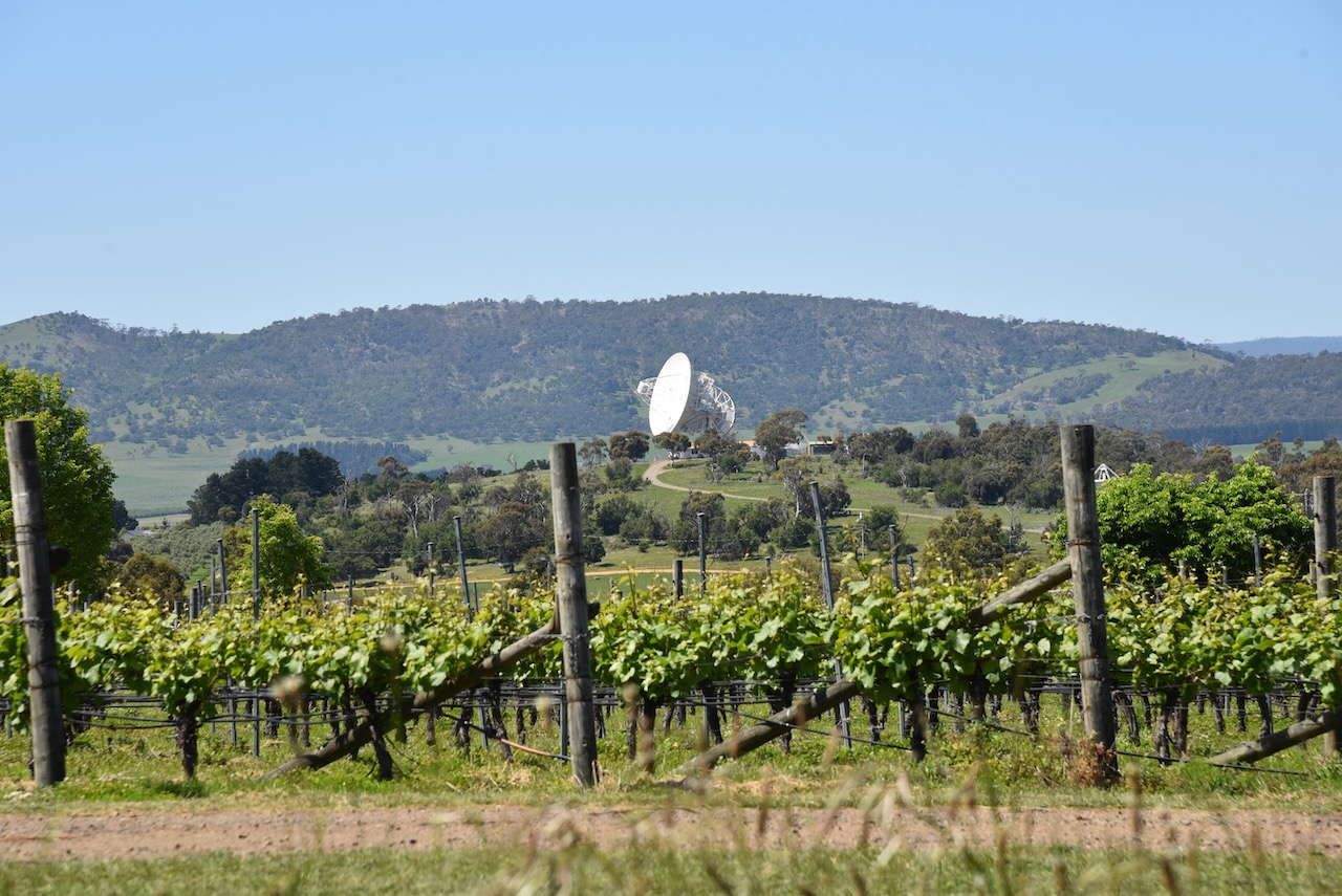
We then headed back to Hobart via the Richmond Road. We stopped briefly to view from the road, the Mount Pleasant Radio Astronomy Observatory and Grote Reber Museum. The radio observatory has been operational for about 20 years. There is also an astronomy museum which celebrates the life and work of Tasmanian radio astronomer, Grote Reber.
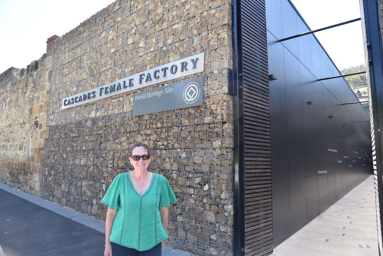
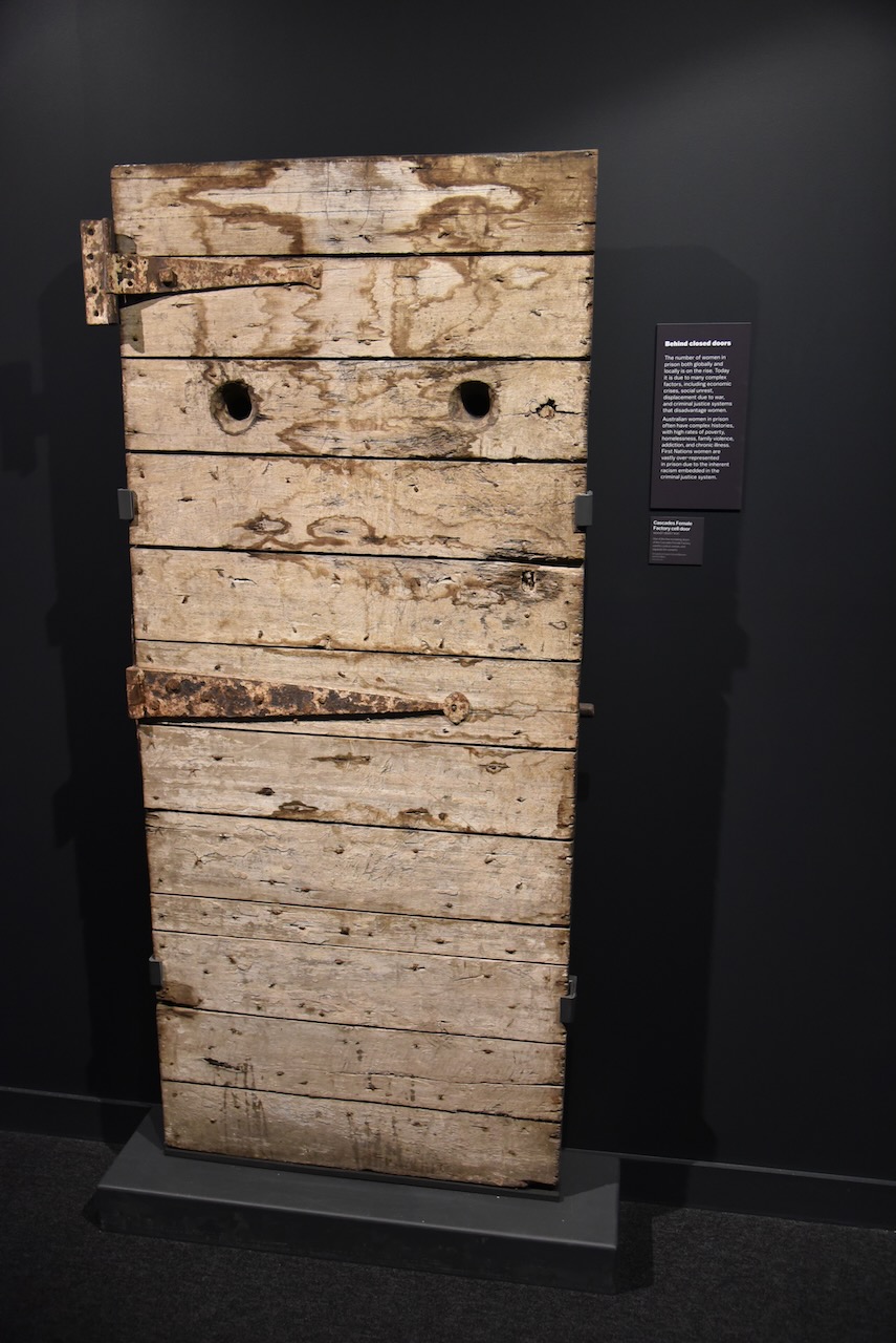
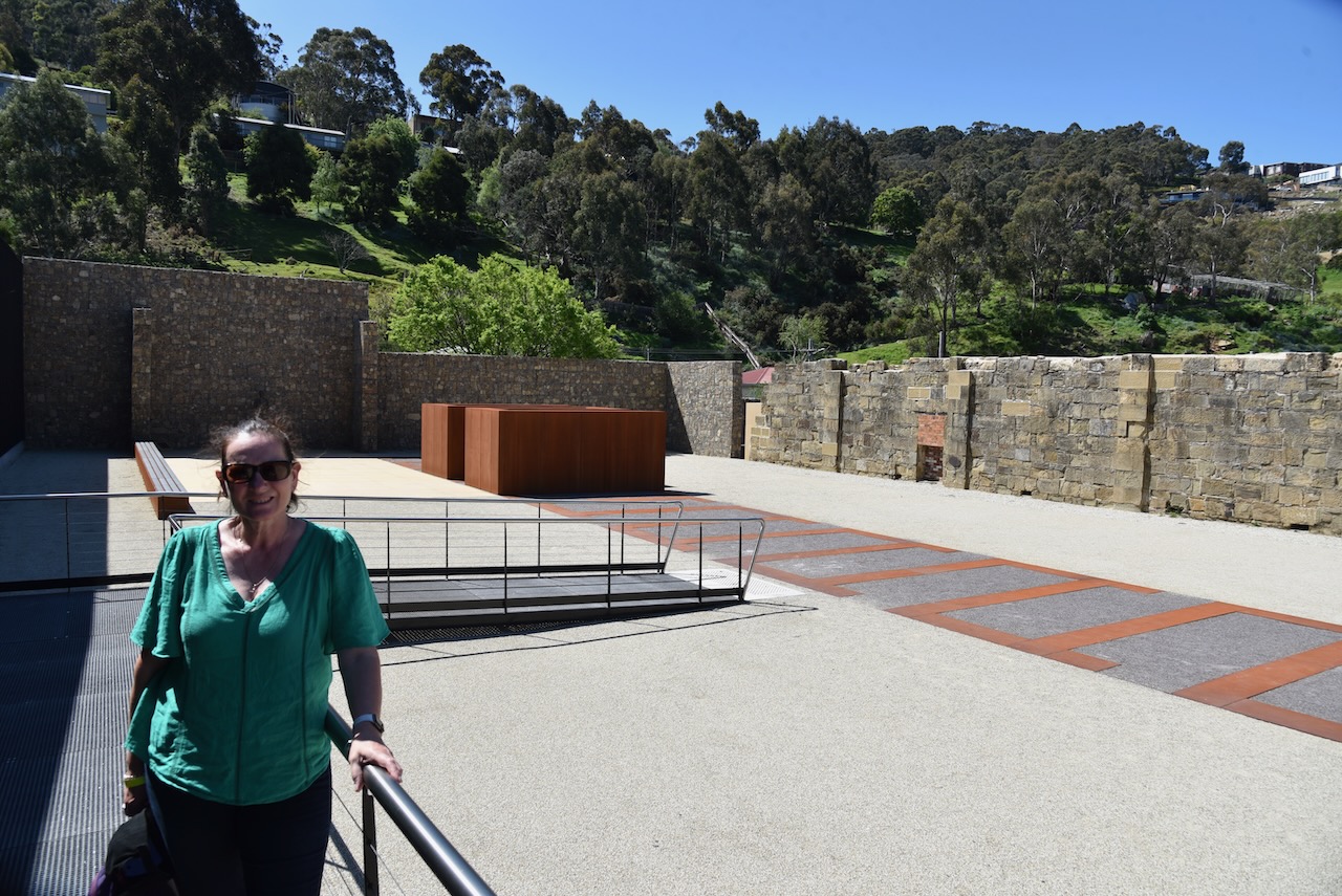
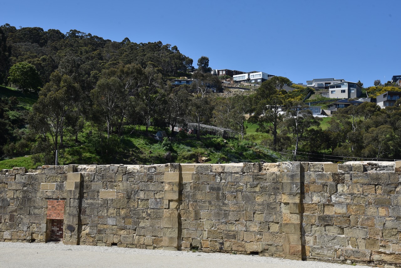
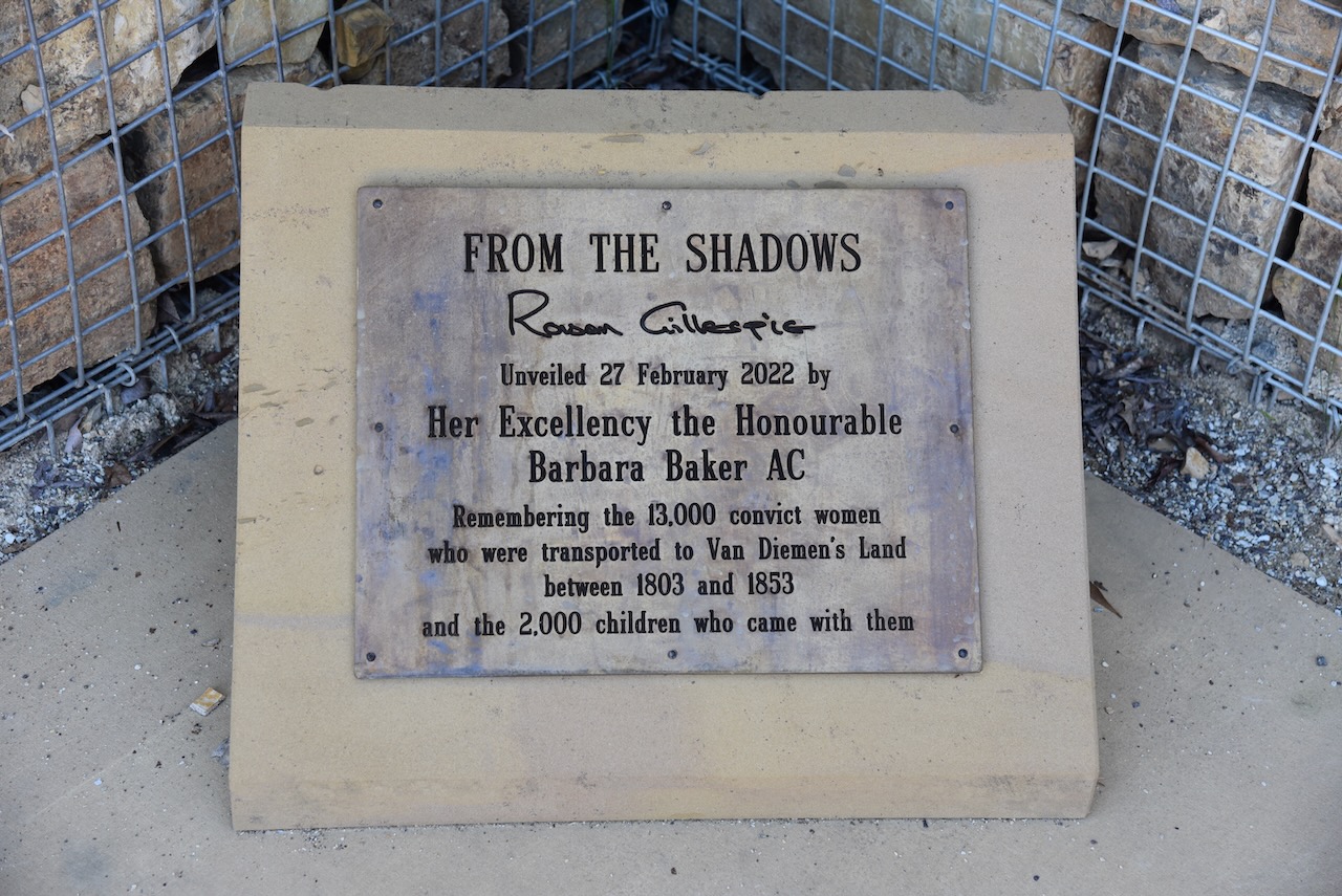
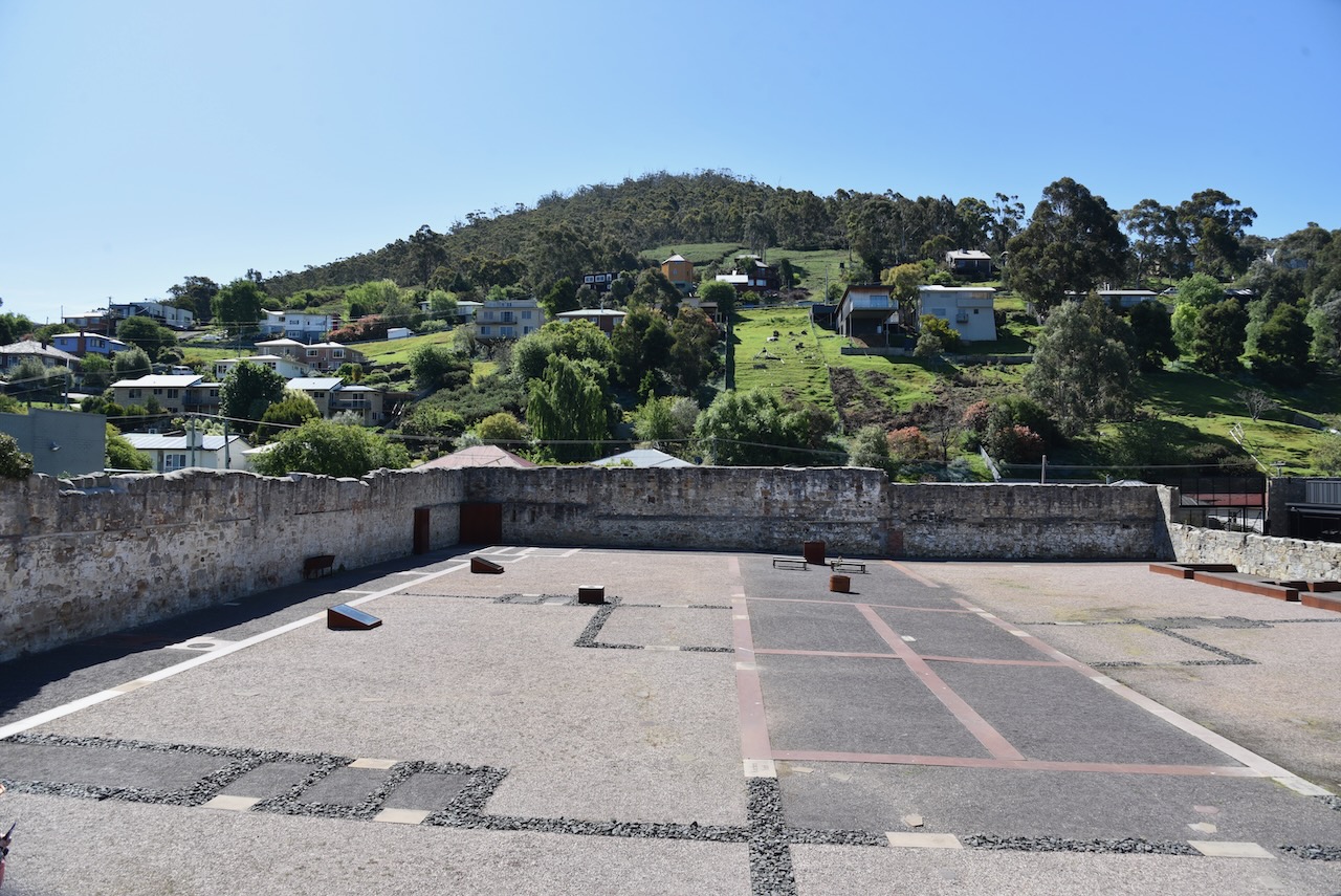
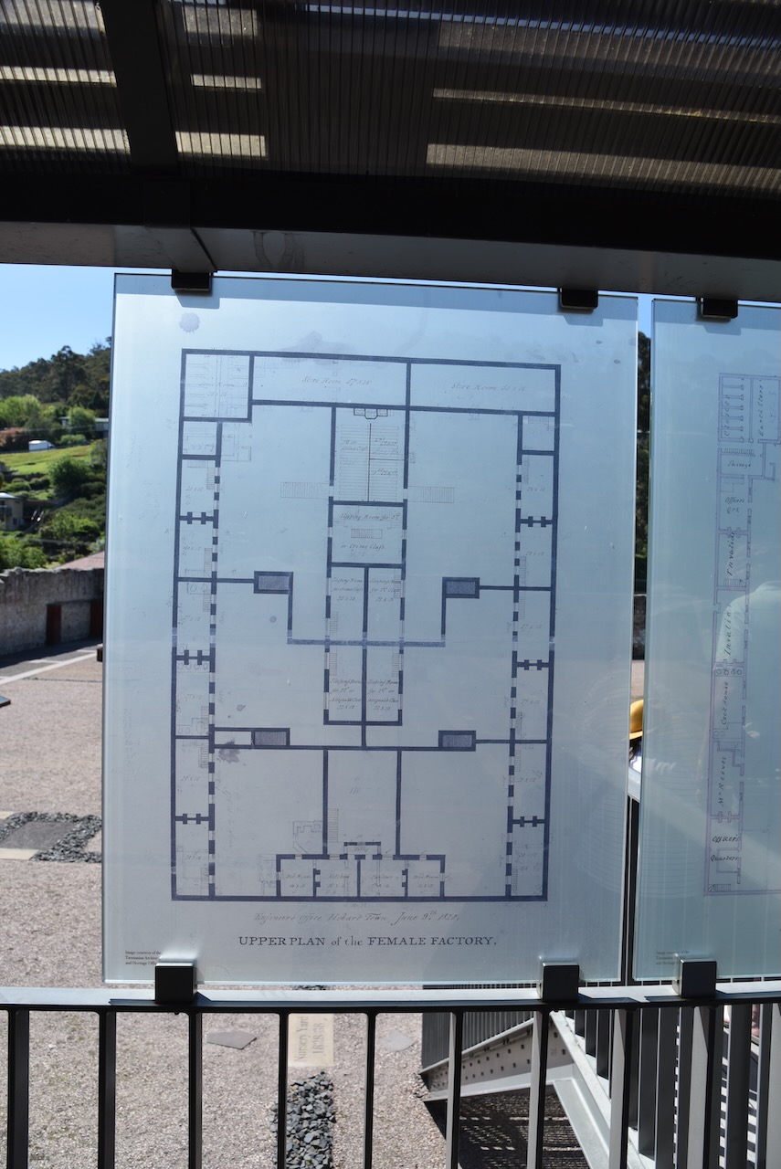
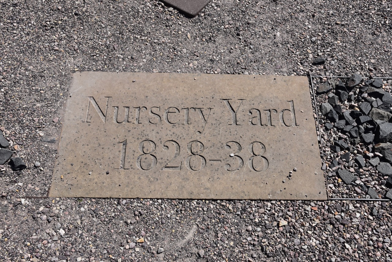
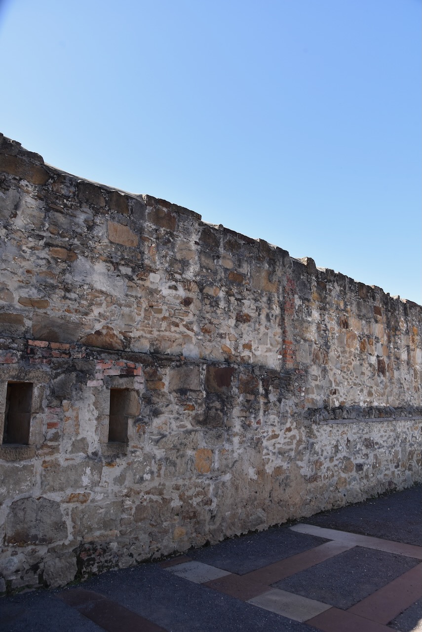
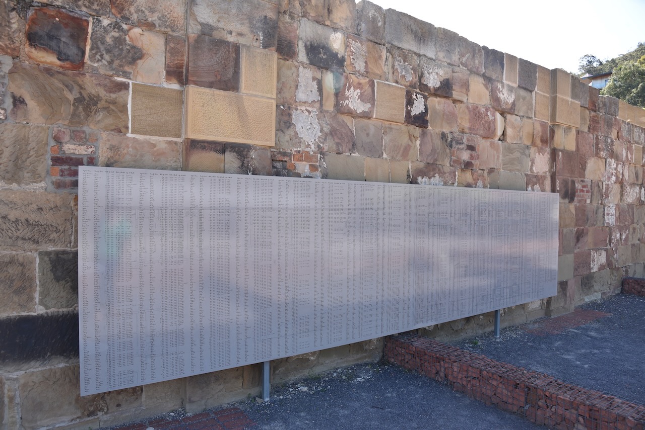
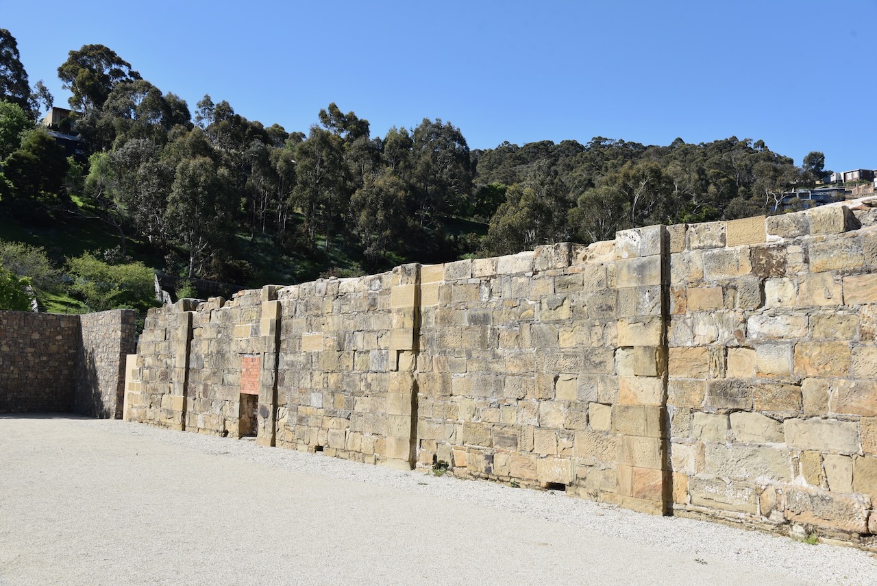
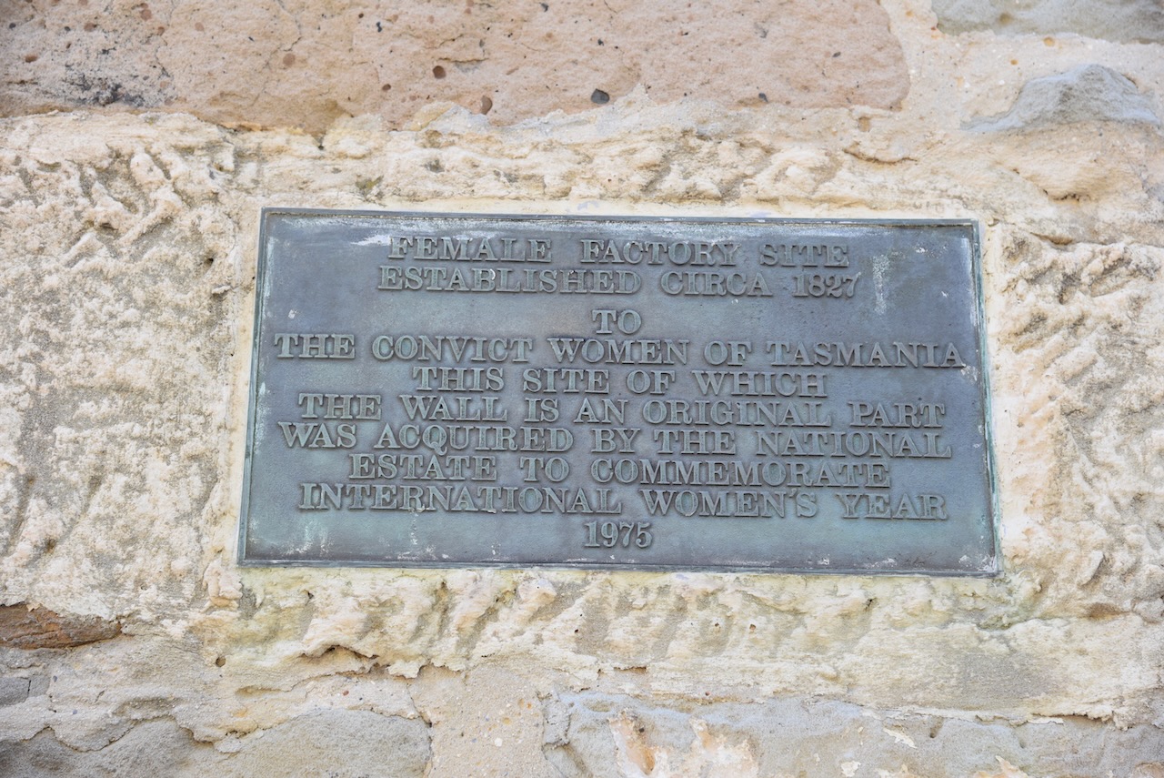
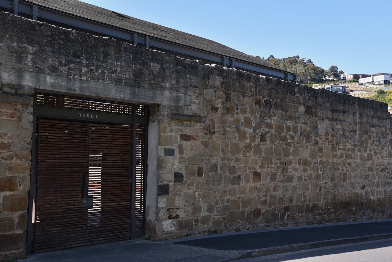
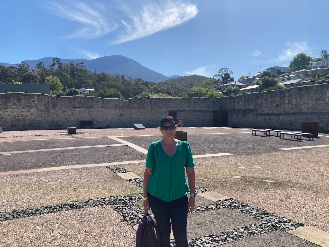
Once we got back into Hobart we visited the Cascades Female Factory which is a former Australian workhouse for female convicts in the penalcolony of Van Dieman’s Land. It is listed on the World Heritage List by UNESCO. The Female Factory opened in1828 and closed in 1856.
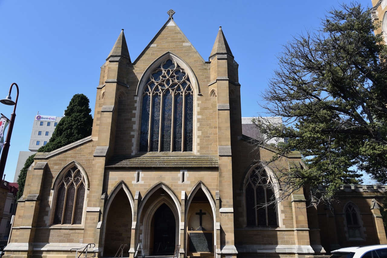
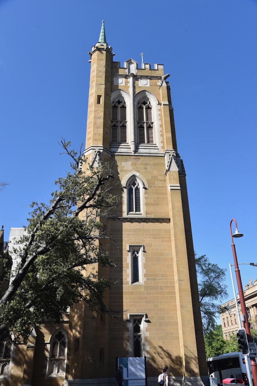
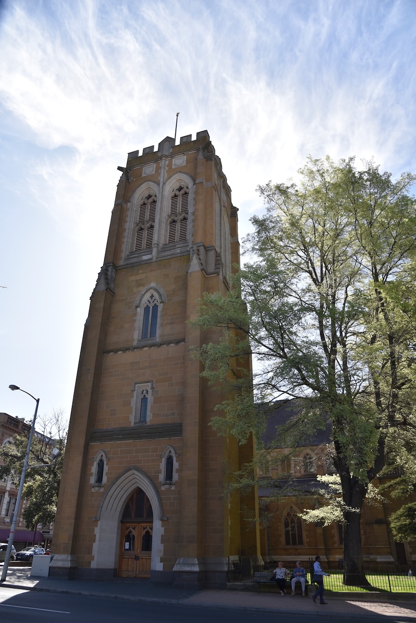
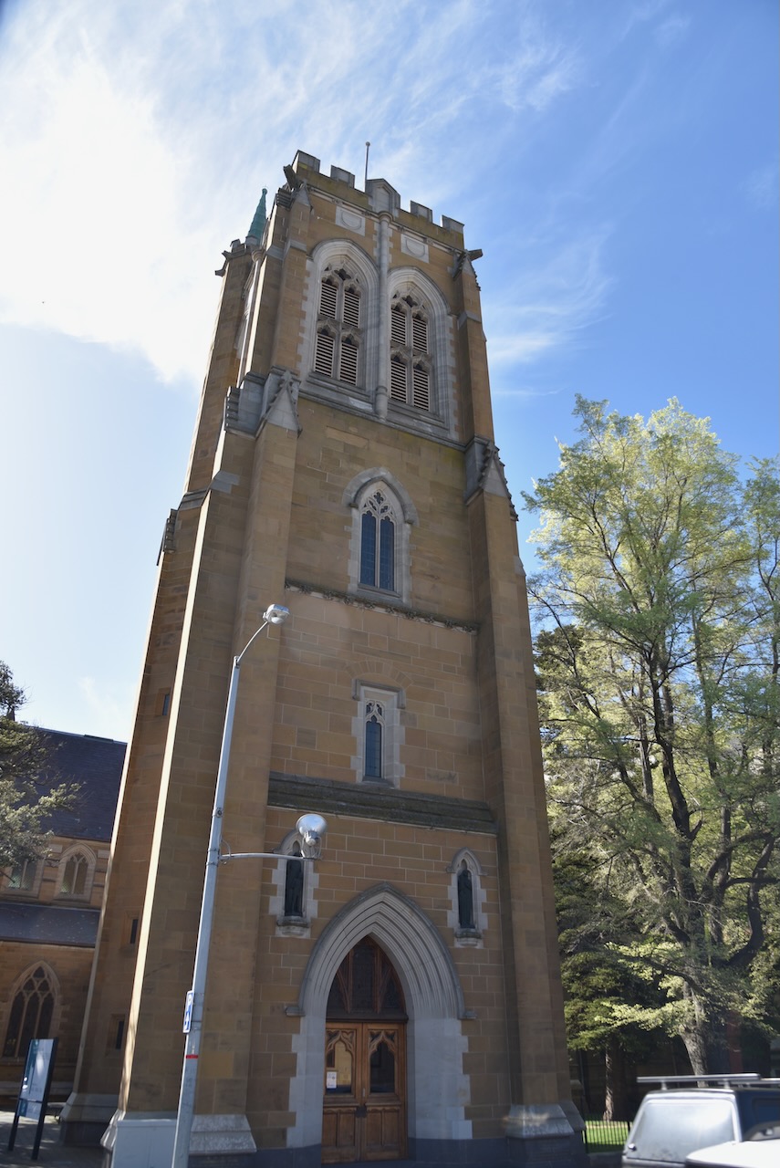
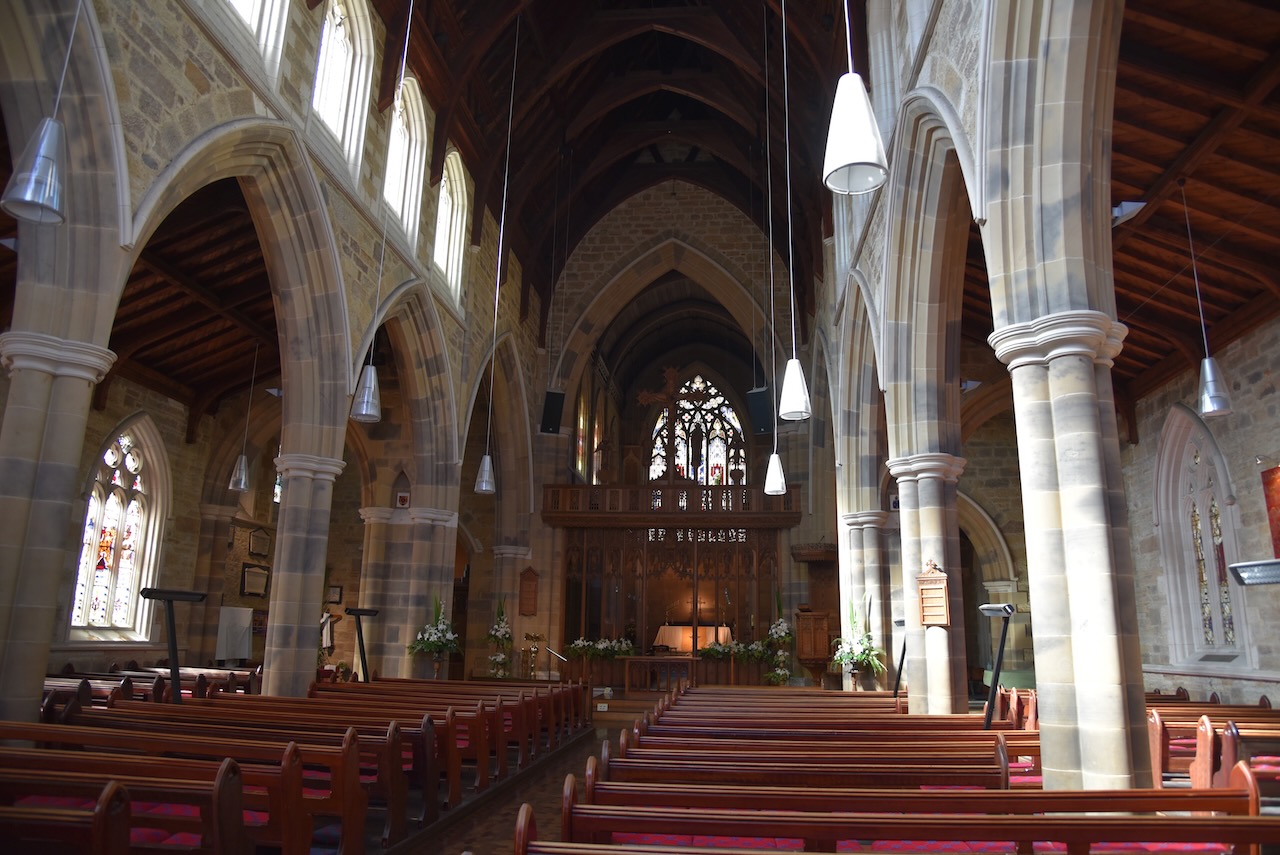
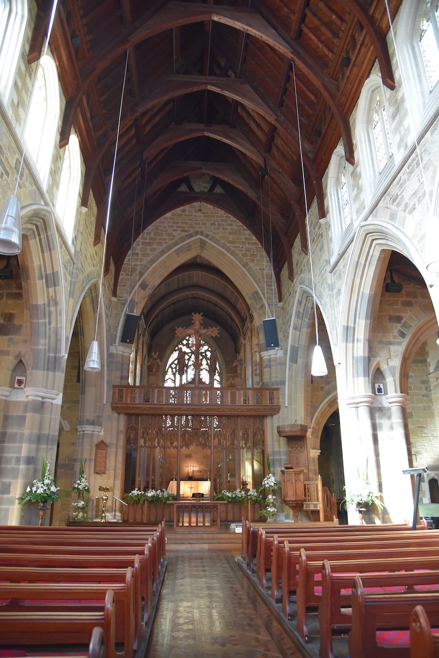
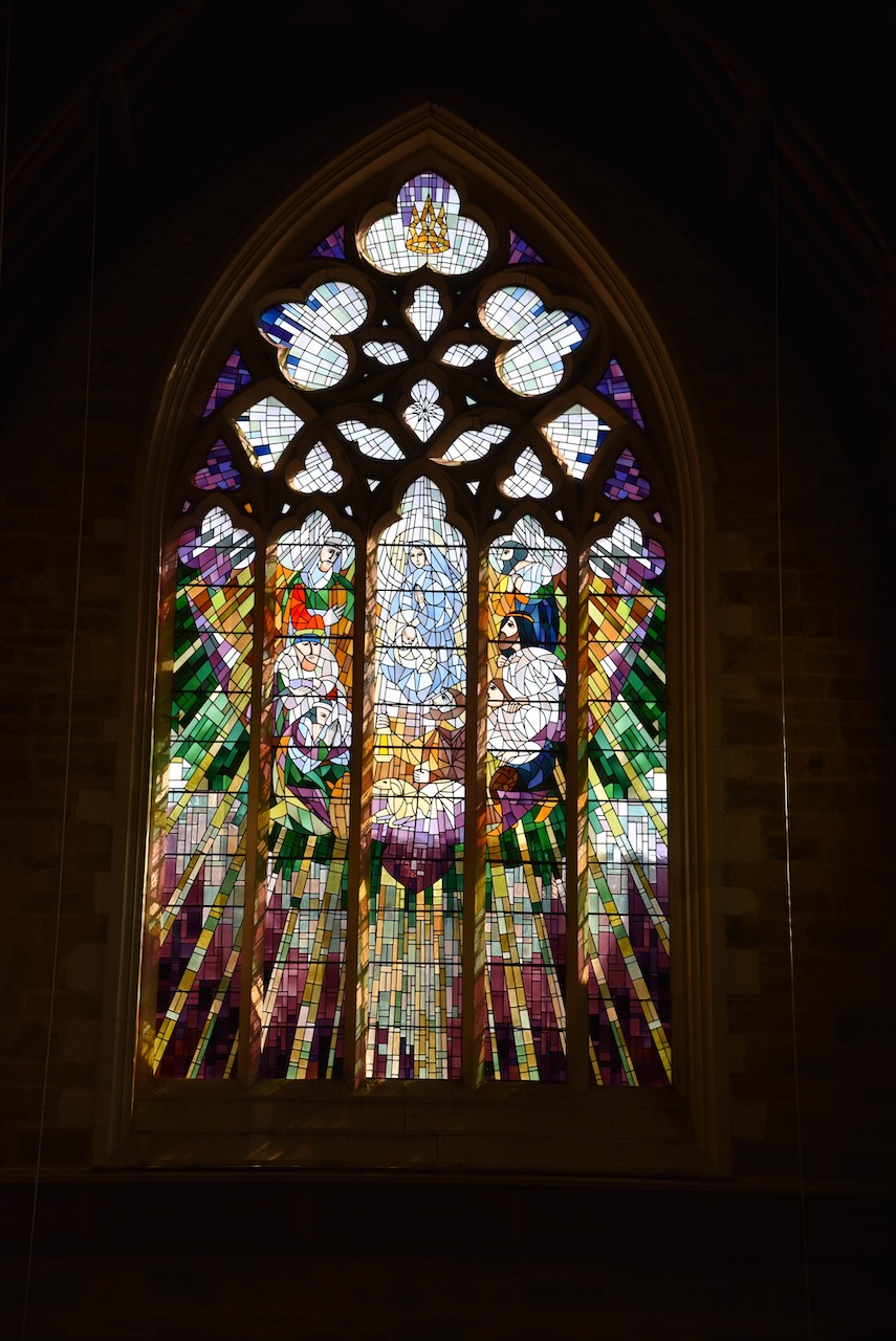
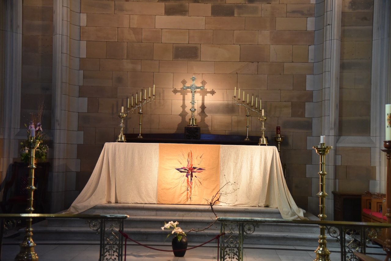
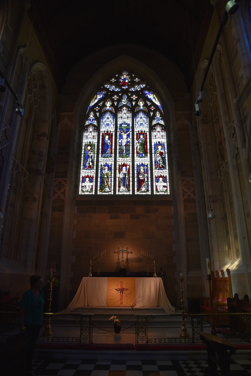
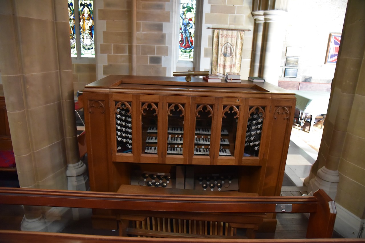
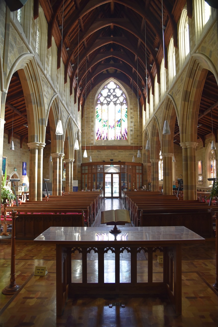
One of my hobbies includes Family history and I have a strong connection with Tasmania. My great great great grandparents were married in St David’s cathedral in Hobart, and I wanted to visit the church which is what we did next.
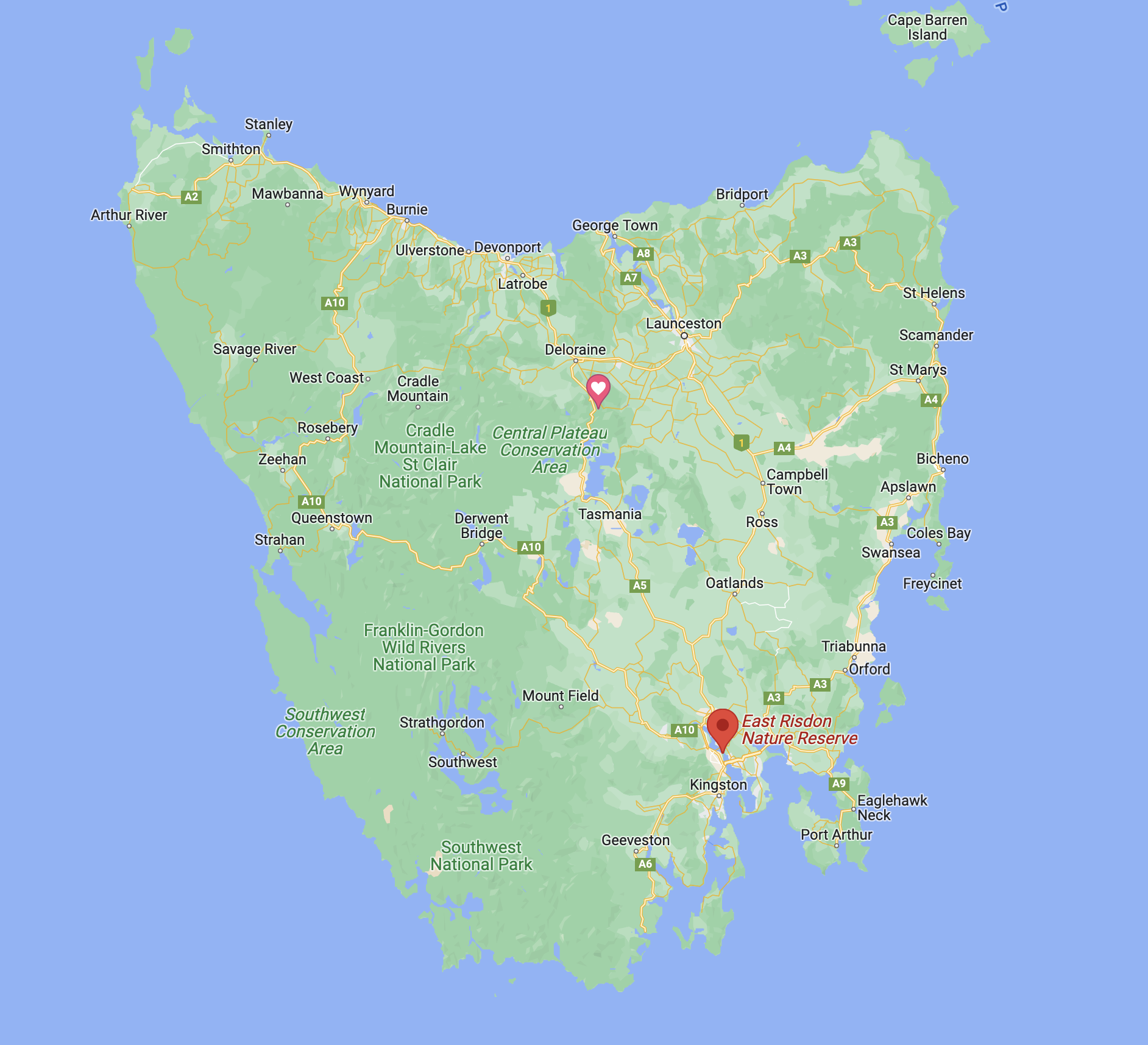
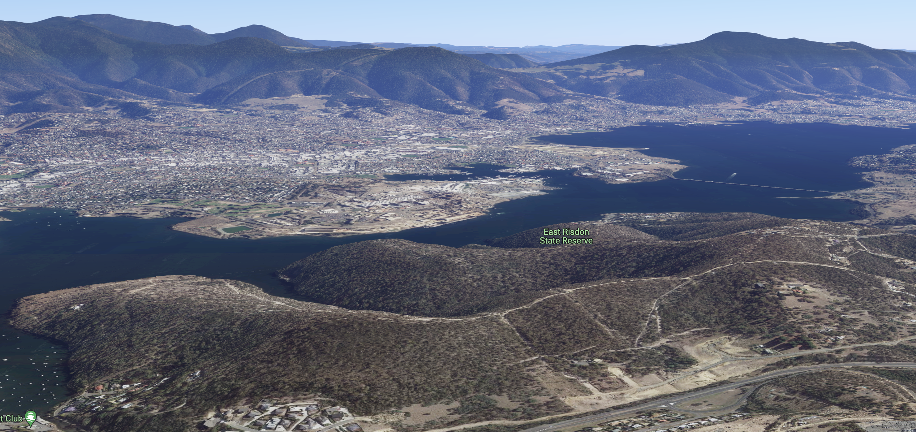
It was late afternoon and we decided to do a park activation. We had a few on our list, but we chose East Risdon State Reserve VKFF-1798.
Above:- Map showing the location of the East Risdon State Reserve. Map c/o Google maps.
Risdon Cove State Reserve is 0.8788 km2 in size and was established on the 17th day of March 1971. It is located on the eastern shore of the Derwent River.
Risdon was named by Commodore Sir John Hayes in 1794, who mapped the Derwent River in the ship Duke of Clarence, after his second officer William Bellamy Risdon.
Above:- Commodore Sir John Hayes. Image c/o Wikipedia.
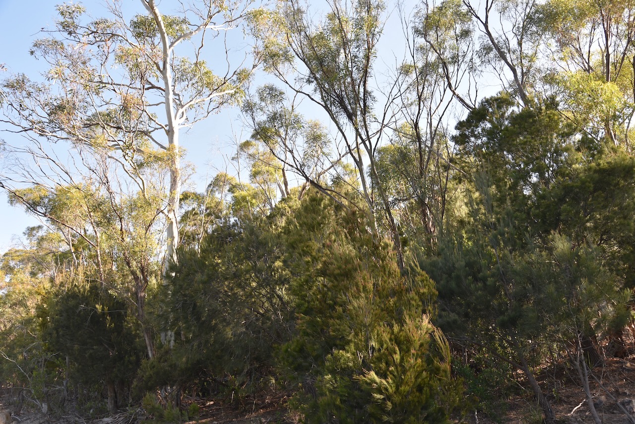
A number of rare and endangered plants can be found in the park including Eucalyptus risdonii and Eucalyptus morrisbyi. Also found in the park is Black peppermint, Prickly moses, Silver Wattle, Blackwood, Native daphne, Dolly bush, Common heath, Golden pea, Spreading wattle, Manna Gum or White Gum, and Blue gum.
This was not an easy park to access. We could not find a spot to drive into the park, so we parked the 4WD and walked a short distance along one of the trails until we reached the park.