After packing up at Mount Roland (16th November 2022) Marija and I headed to our next park for the day, the Mole Creek Karst National Park VKFF-0322.
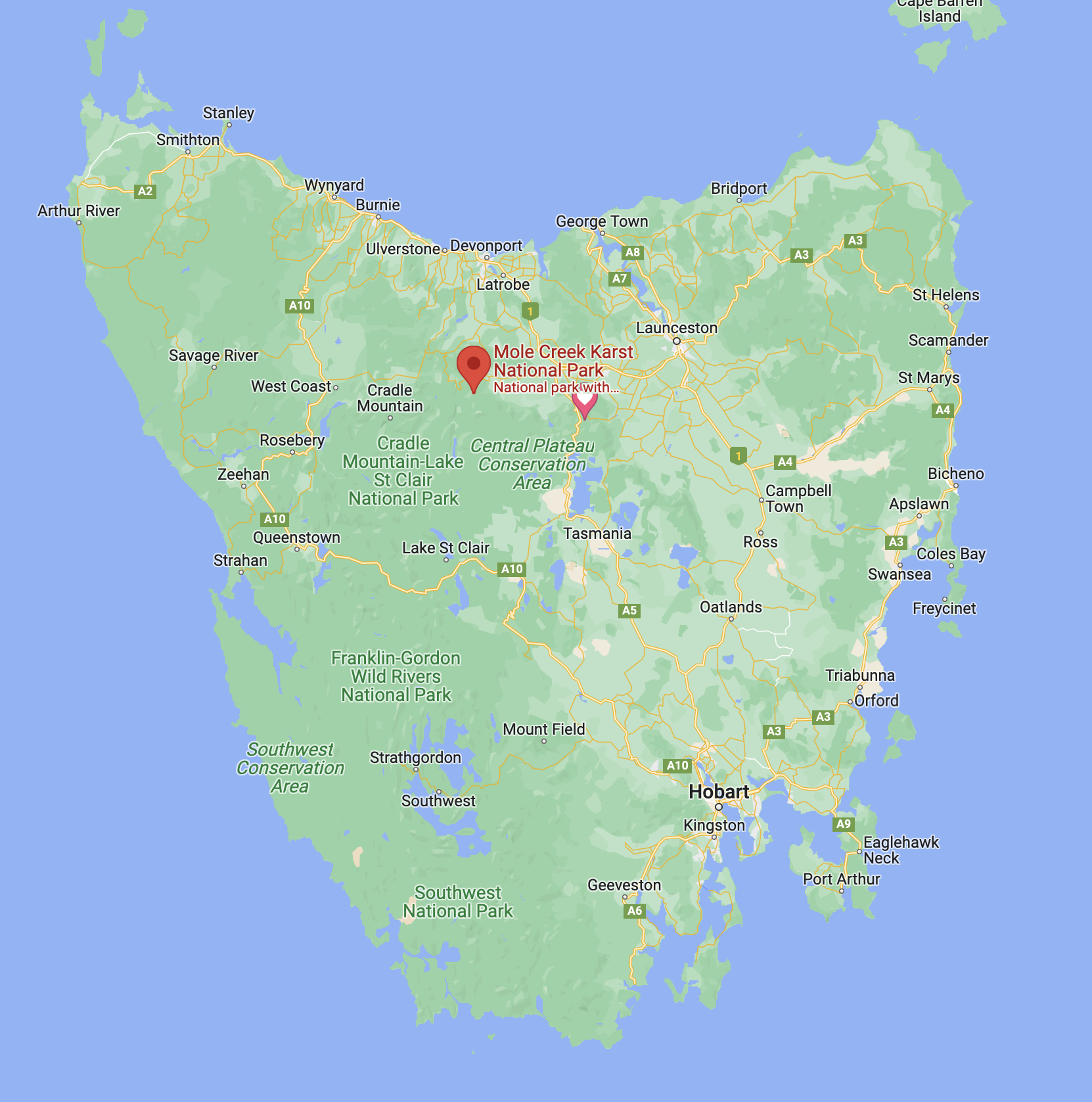
Above:- Map showing the location of the Mole Creek Karst National Park. Map c/o Google maps.
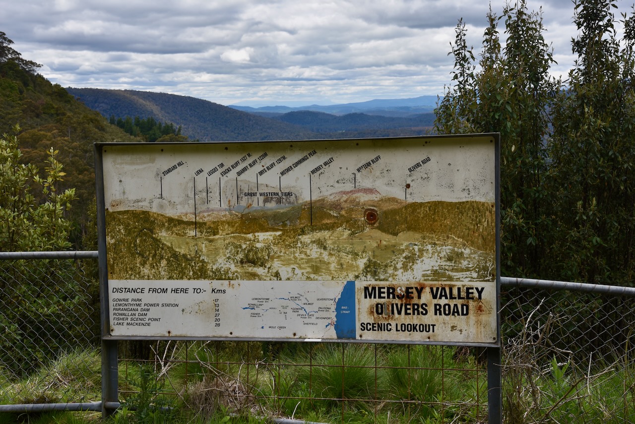
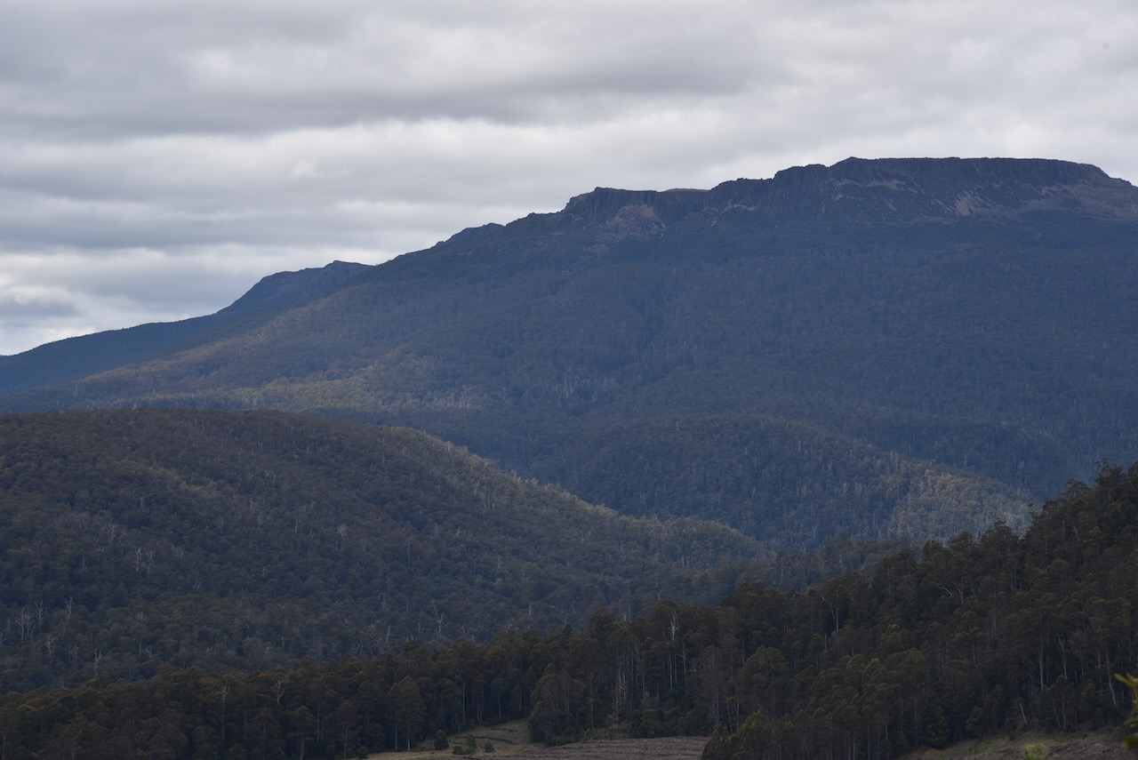
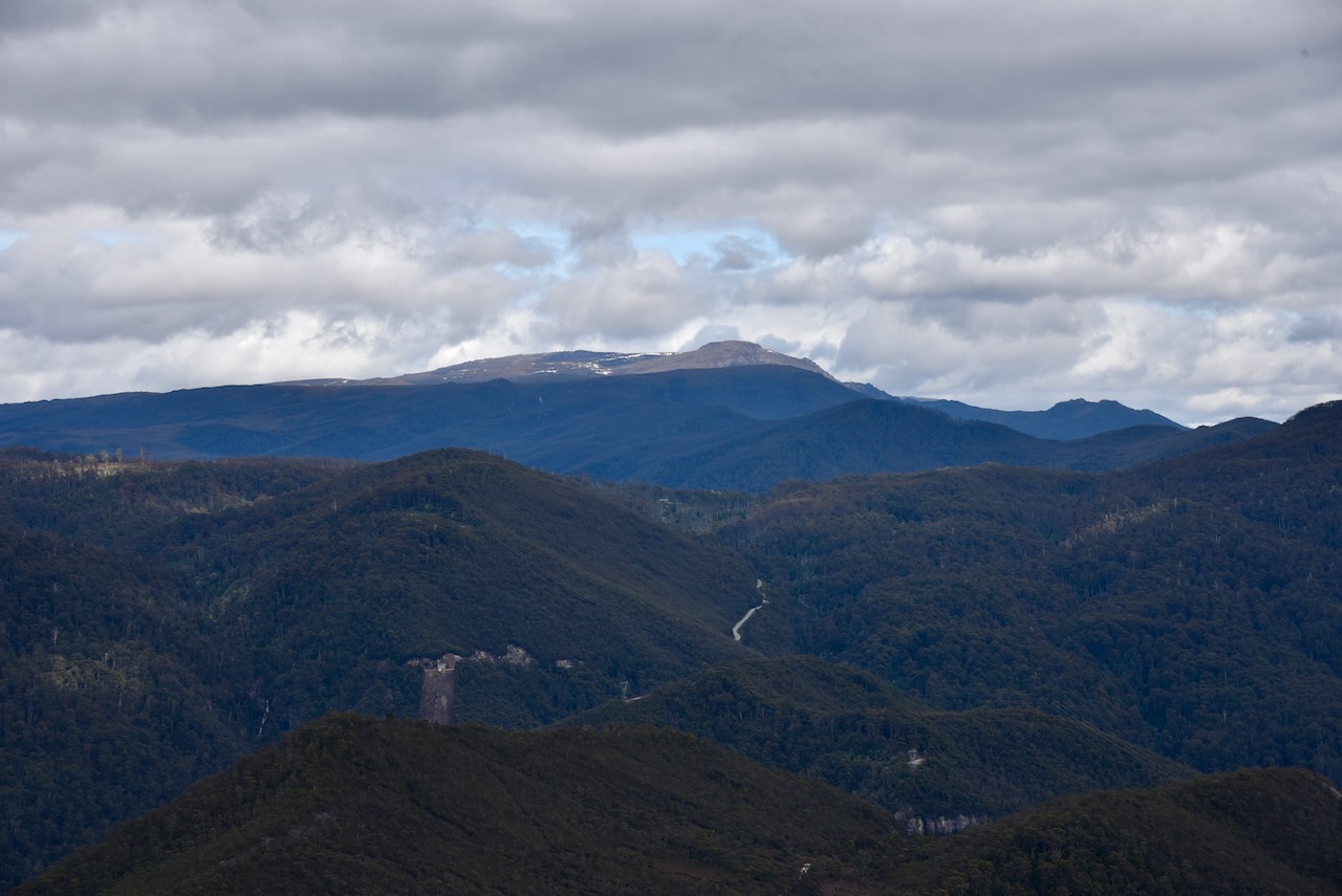
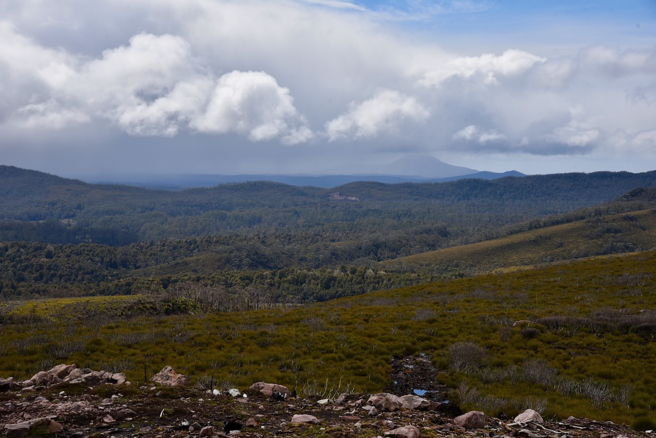
Our first stop along the way was the Mersey Valley/Olivers Road Scenic lookout which offered spectacular views of the Great Western Tiers.
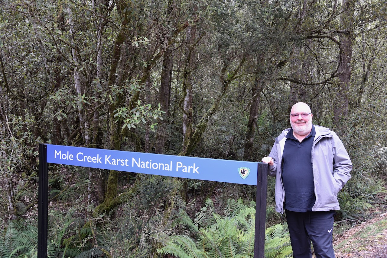
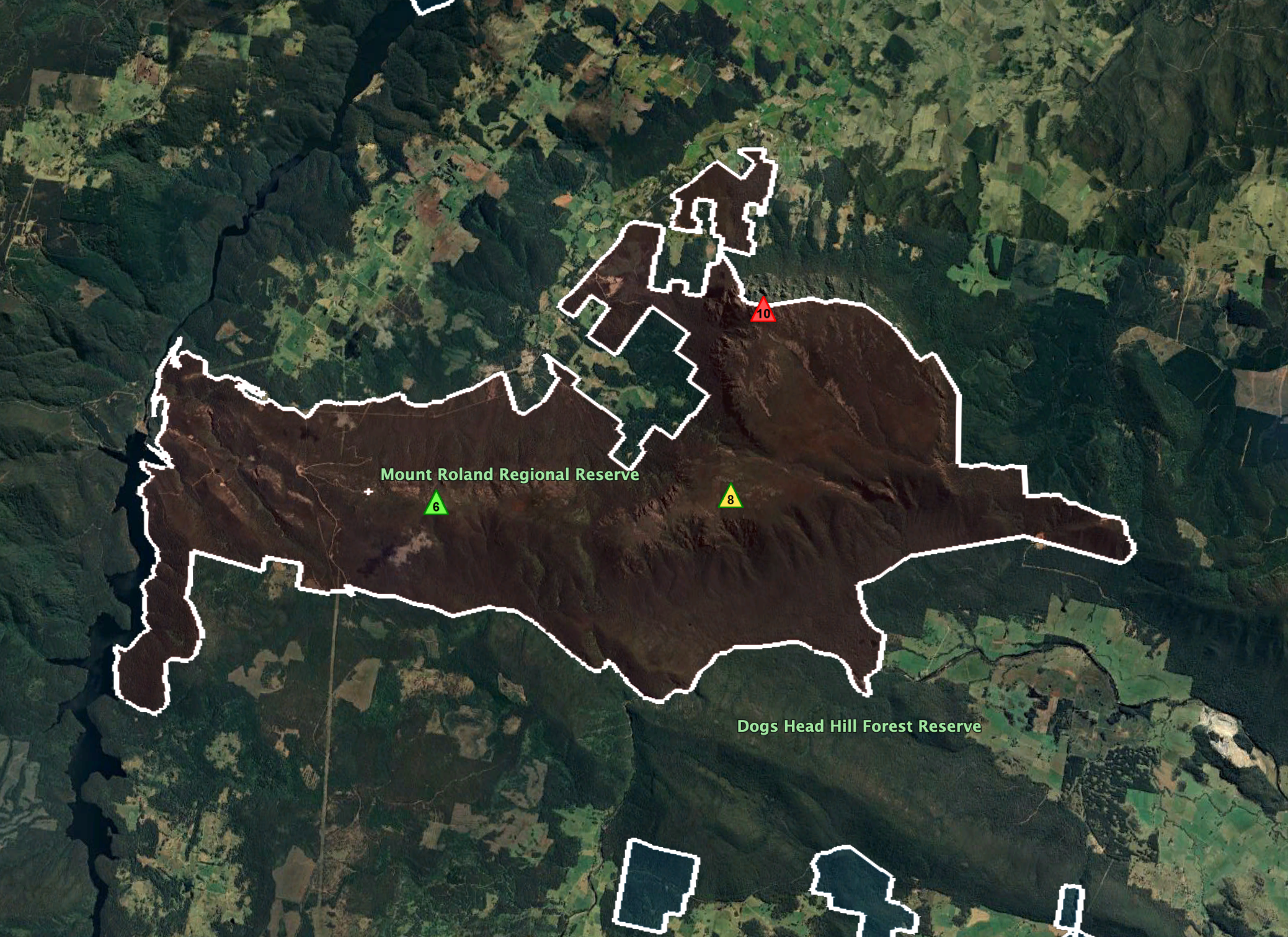
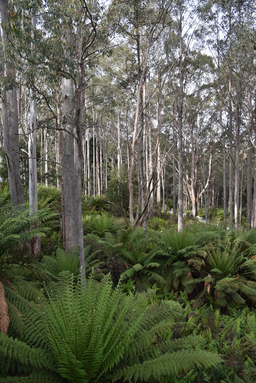
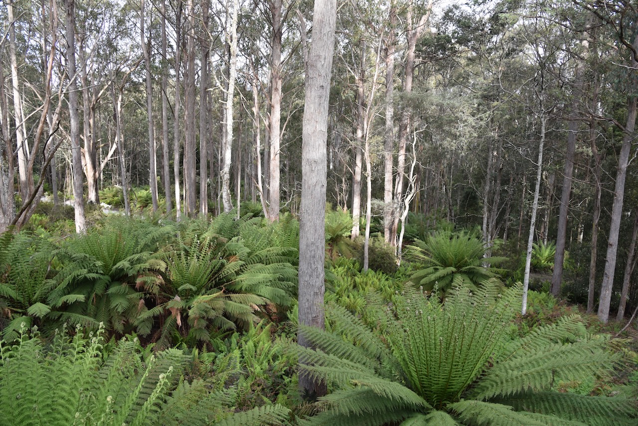
We soon reached the Mole Creek Karst National Park. This is one of those unusual parks in that it is made up of a number of different sections. In fact there are a total of twelve (12) separate blocks comprising an area of 13.45 km2.
Above:- Aerial view showing the various sections of the Mole Creek Karst National Park. Image c/o Google Earth.
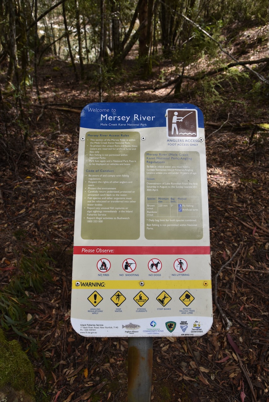
Mole Creek Karst National Park is the only Tasmanian National Park specifically created to protect karst (sinkholes and caves) landforms. It is is part of the Tasmanian Wilderness World Heritage Site. The park contains numerous caves (a total of 470) with the two best known being the King Solomon Cave and the Marakoopa cave.
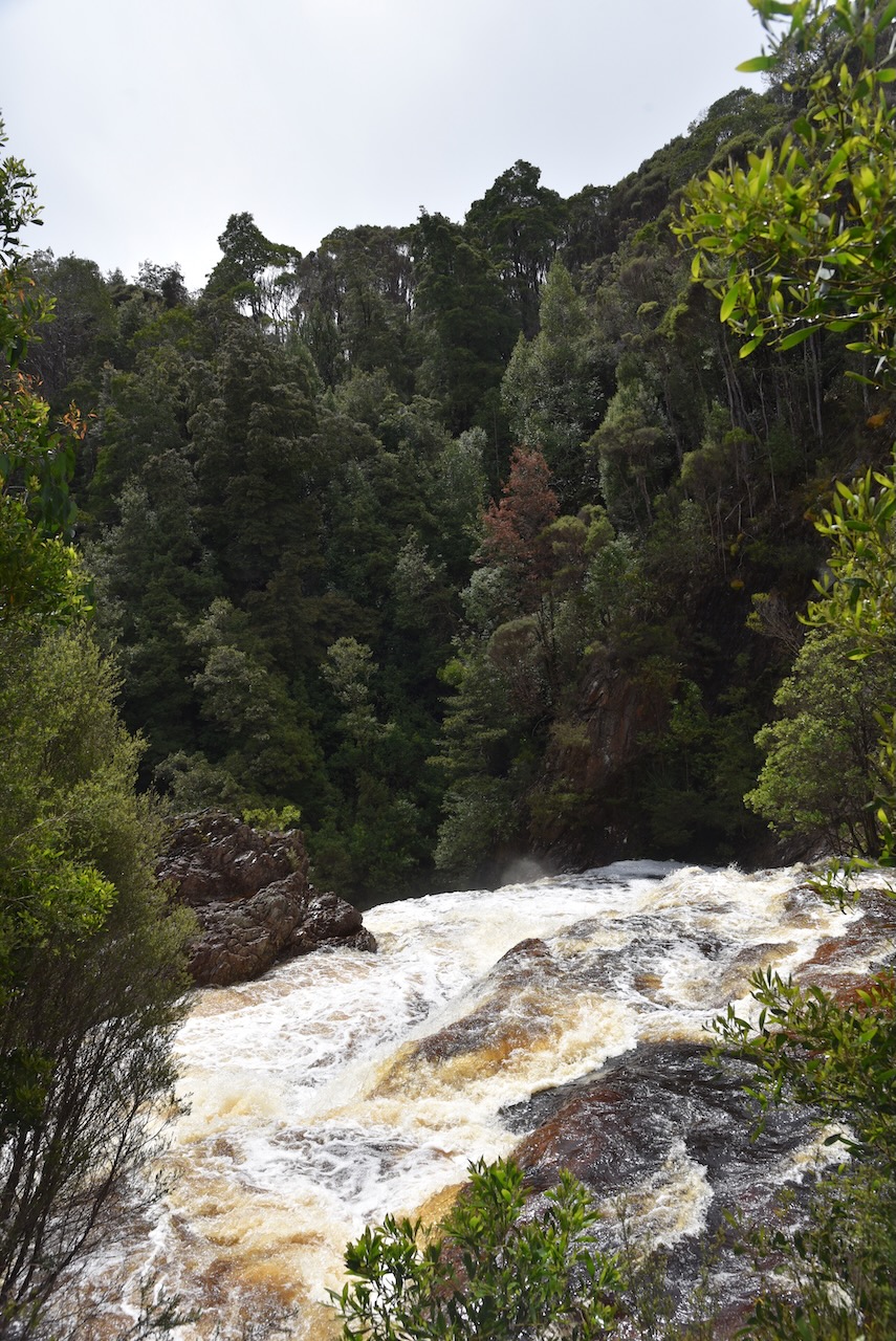
Unfortunately the caves were all shut during our time in Tasmania due to flooding and the very heavy rain that Tasmania had experienced prior to our arrival. We were very disappointed, but we will be back.
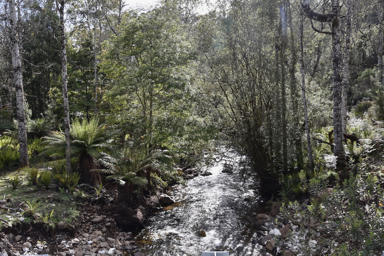
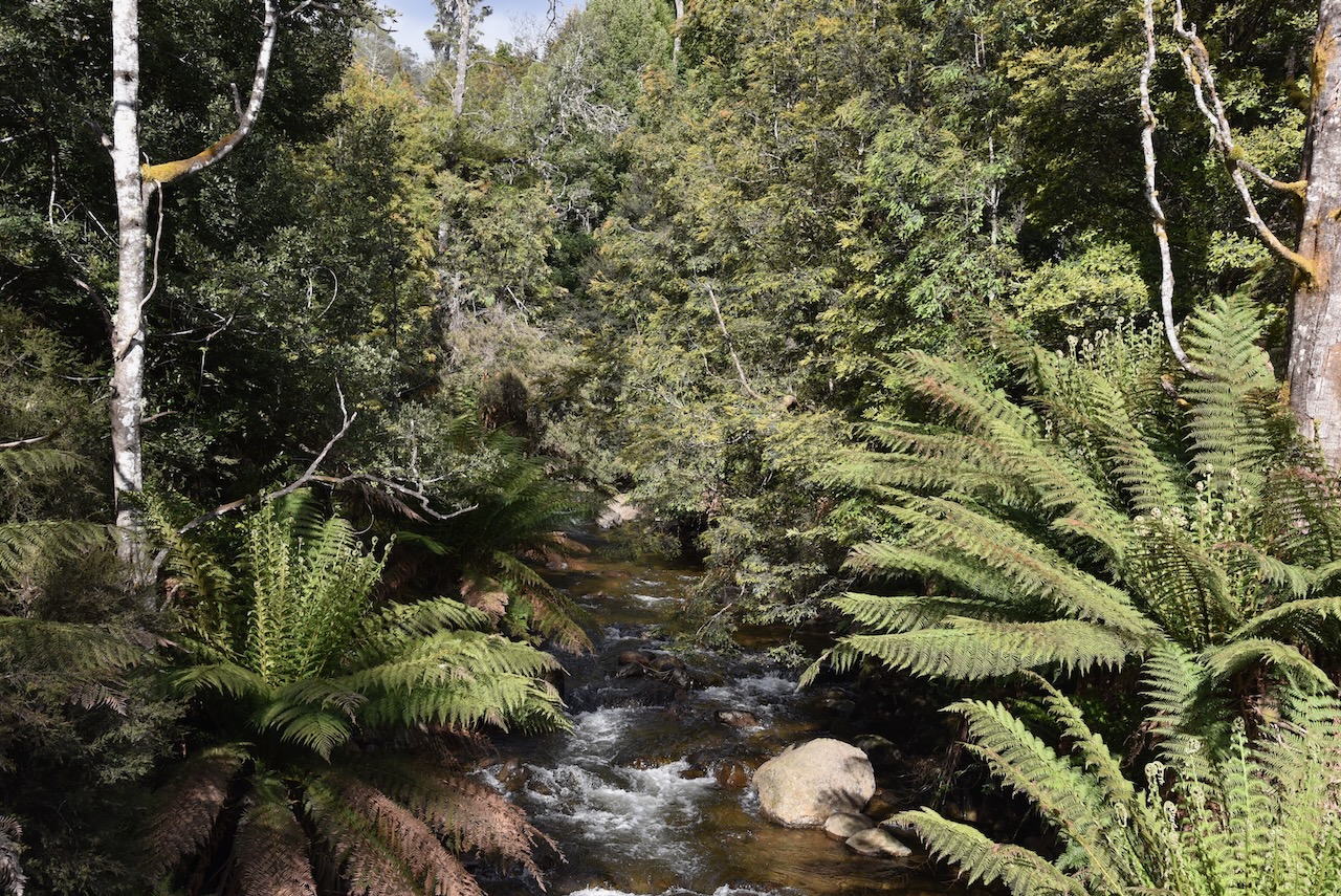
The park takes its name from the streams in the area which appear to disappear into the ground.
The Mole Creek Karst National Park has numerous animal species which are unique to the Karst system and are listed as protected cave species. Glow worms Arachnocampus tasmaniensis inhabit many of the caves and are a big tourist attraction. Other protected cave species include particular crickets and beetles. The Mole Creek Pseudoscorpion Pseudotyrannochthonius typhlus is a very rare creature which is very rarely sighted.
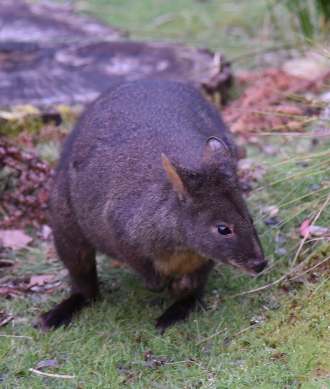
Endangered mammals found in the park include the Eastern Barred Bandicoot which is listed as vulnerable. Endangered birds include the Grey Goshawk and the Wedge-Tailed Eagle. The Giant Freshwater Crayfish species is also considered vulnerable.
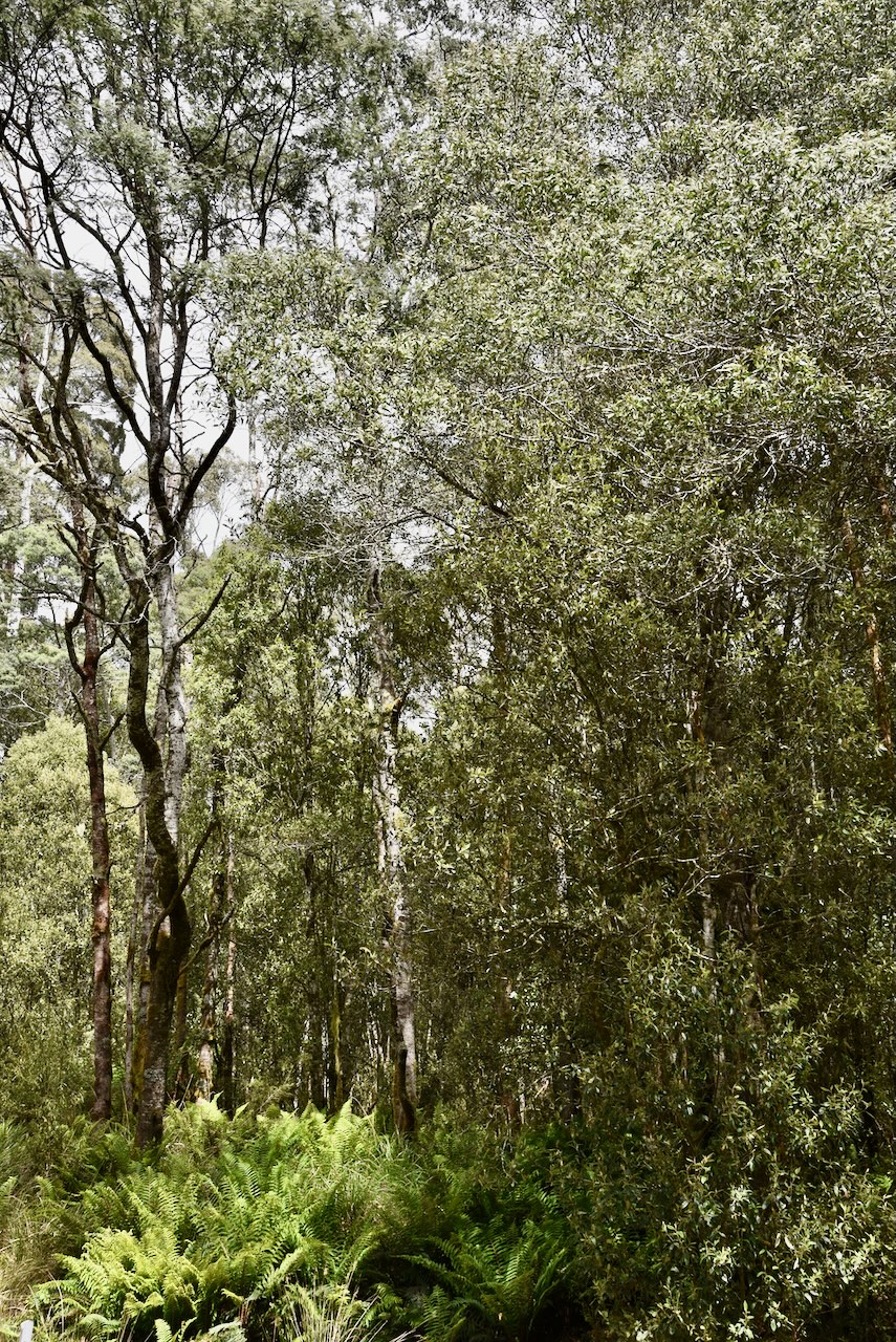
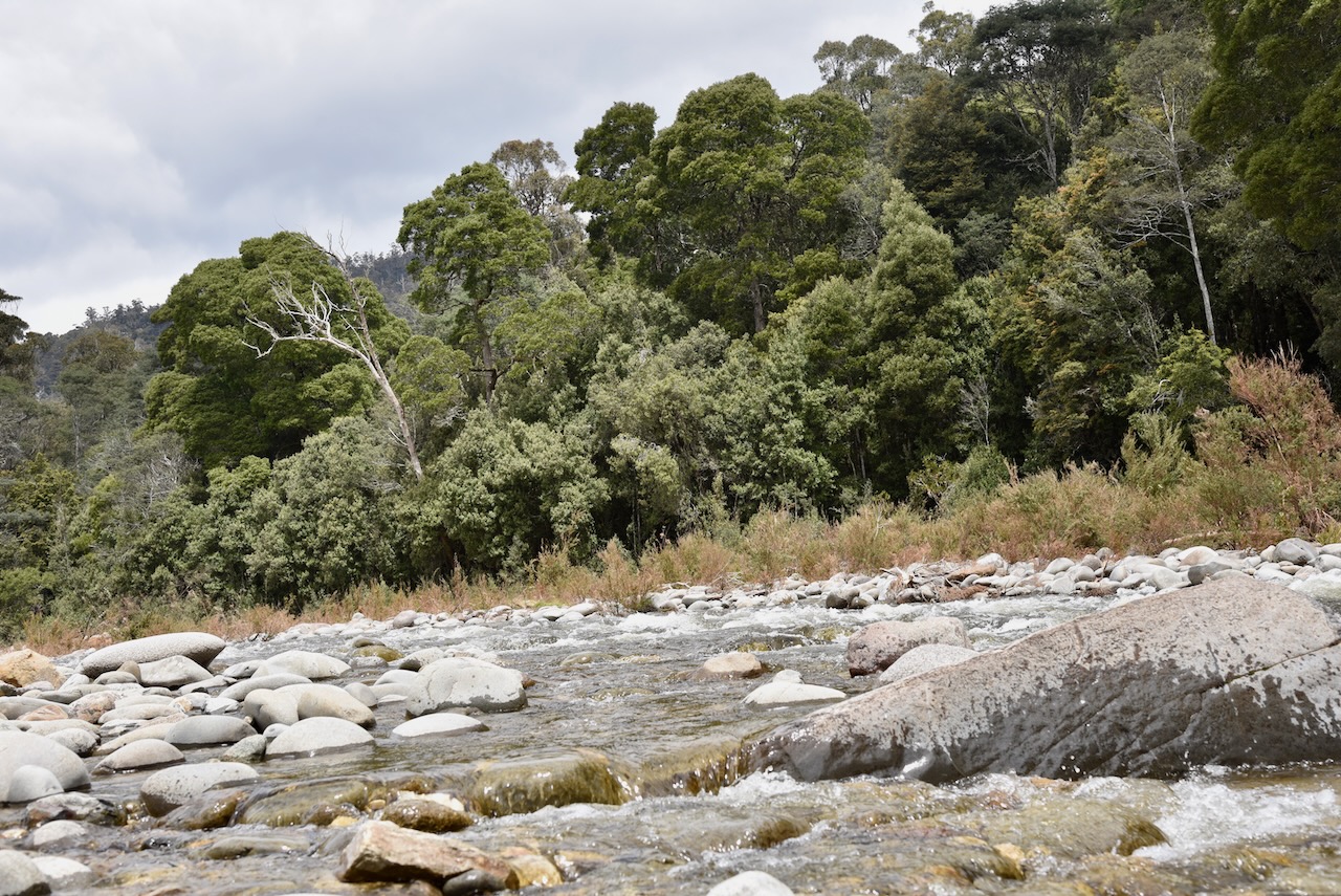
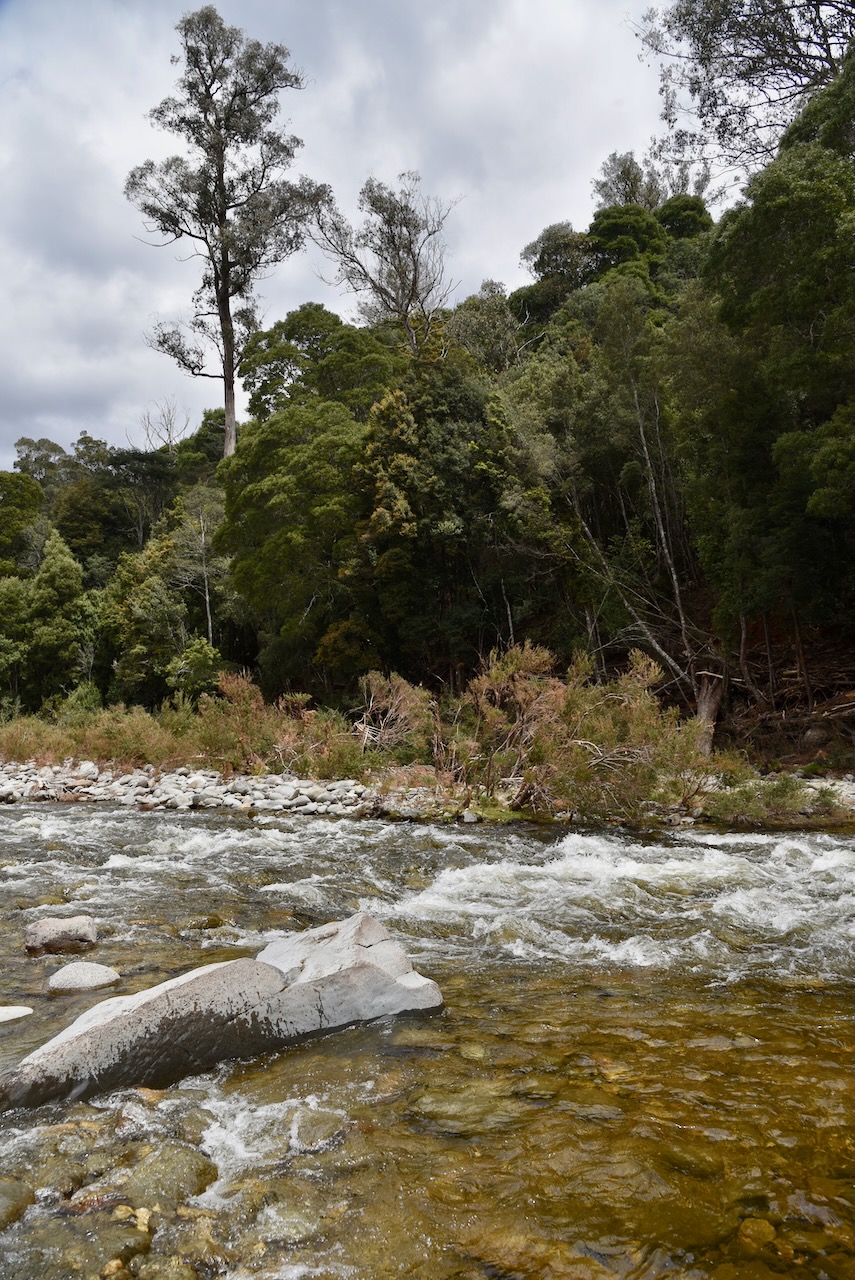
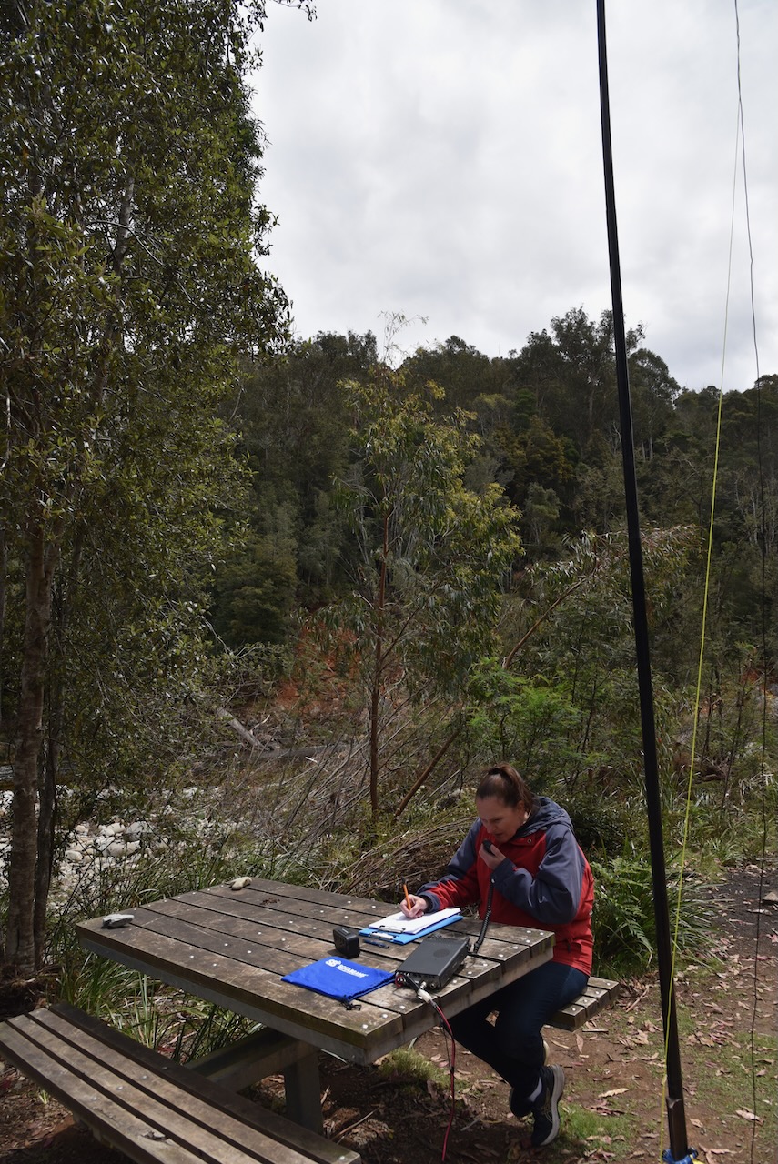
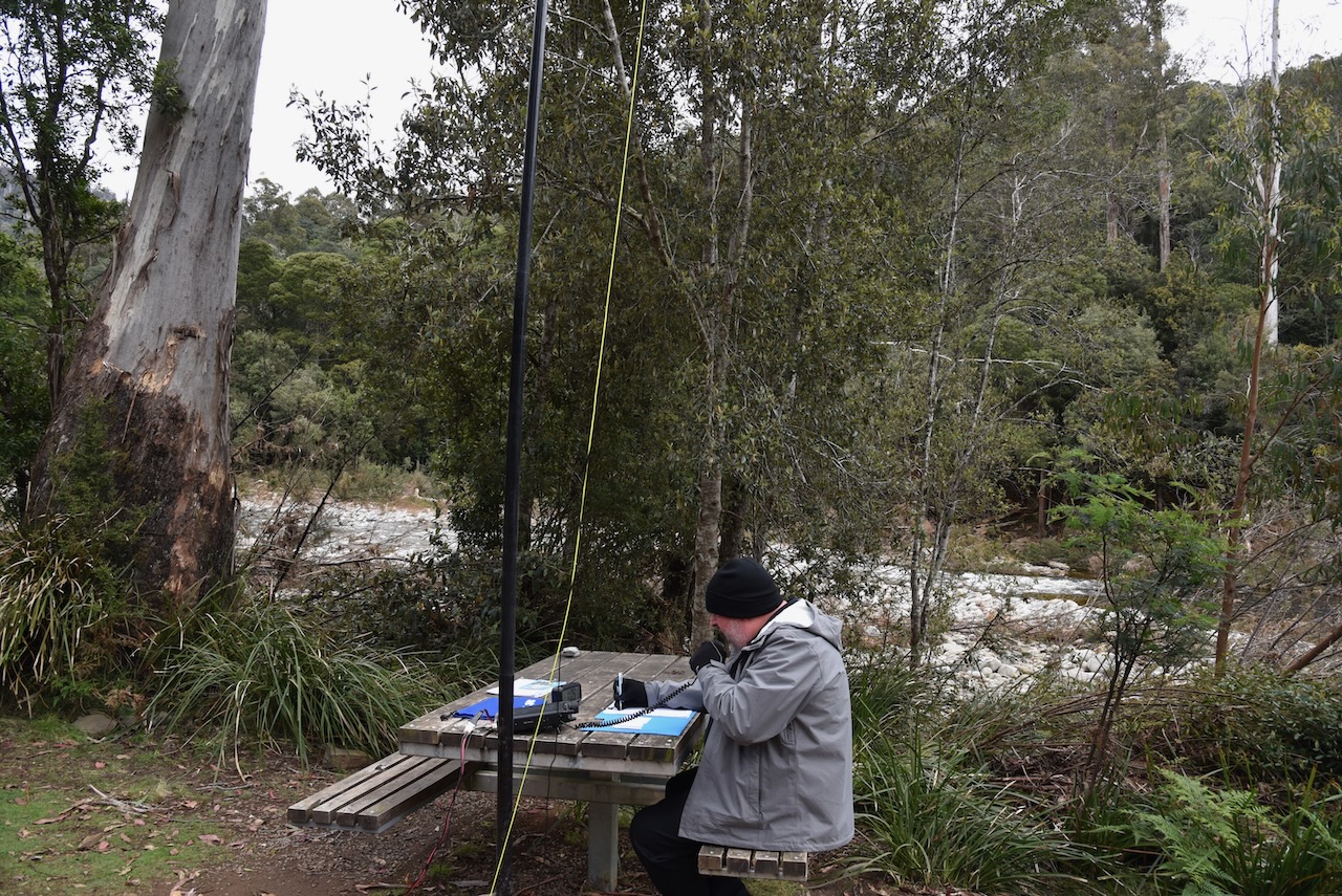
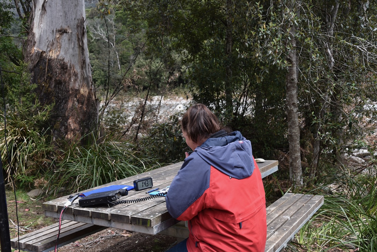
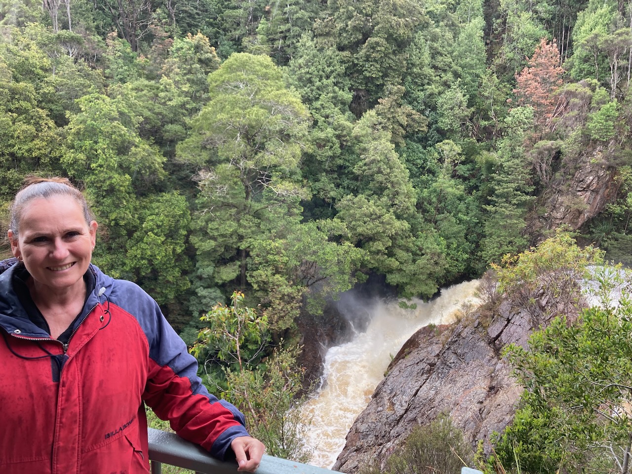
We set up in the Mersey River campgrounds alongside of the Mersey River. It was an idyllic location.
The Mersey River flows a distance of 147 km from Lake Meston onwards to Devonport. Ther Mersey was originally known as the Second Western River. In 1826 it was named the Mersey River after the Mersey River in the UK, by the Van Diemen’s Land Company’s agricultural adviser, Alexander Goldie, and surveyor Joseph Fossey.
Above:- Aerial shot showing our operating spot at the Mersey River campgrounds. Image c/o Google Maps
There was a nice wooden table and bench right alongside of the river and although it was a cool day, there was no rain. We ran the Yaesu FT857, 40 watts, and the 20/40/80m linked dipole for this activation .
Marija worked the following stations on 40m SSB:-
VK3PF
VK3VRA
VK7JFD
VK2MET
VK1AO
VK3ZSC
VK3VIN
VK3MDC
VK3SRC
VK3FOWL
VK3BEL
VK2HHA
Marija worked the following stations on 20m SSB:-
VK4NH
VK4DXA
VK4TJ
VK2IO
VK2MET
VK1AO
I worked the following stations on 40m SSB:-
VK3PF
VK3VRA
VK7JFD
VK2MET
VK1AO
VK3ZSC
VK3VIN
VK3MDC
VK3SRC
VK3FOWL
VK3BEL
VK2HHA
VK2EXA
VK3AMO
VK5BJE
VK3GH
VK3CAT
I worked the following stations on 20m SSB :-
VK4TJ
VK4NH
VK4DXA
VK2MET
VK1AO
VK4HAT
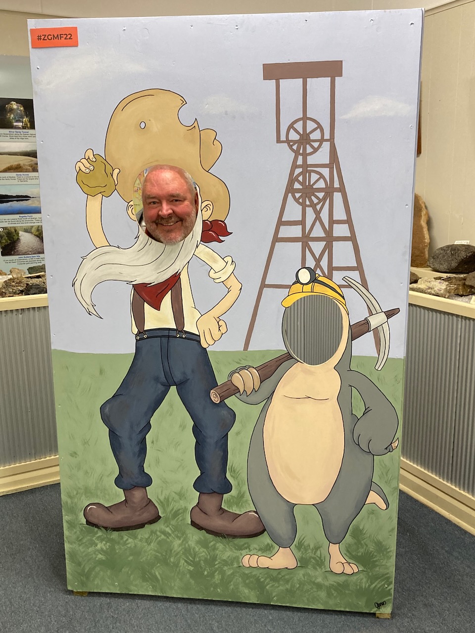
Although we didn’t get to 44, we did qualify the park for the VKFF chapter of the World Wide Flora Fauna (WWFF) program. We decided to move on as Joe VK3YSP convinced us to visit the hotel at Mole Creek as they had an incredible collection of material relating to the Thylacine ‘Tasmanian Tiger’. And we were hungry, so we didn’t need much convincing.
Thank you to everyone who spotted us on parksnpeaks as we had no internet coverage.
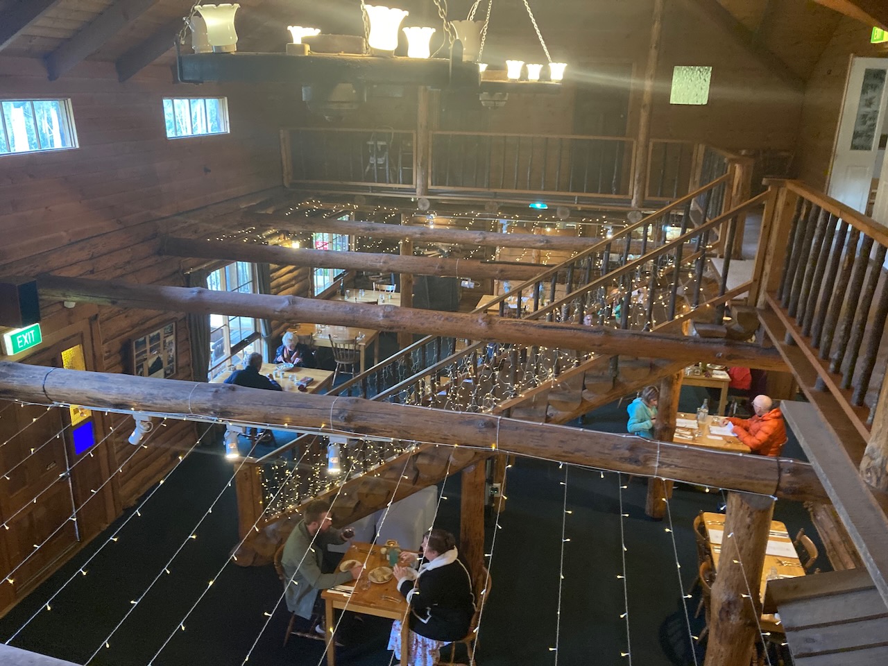
Day 22 (Wednesday 16th November 2022) was now upon us. We enjoyed a beautiful cooked breakfast at the retreat before hitting the road. We had planned on visiting a number of the caves in the area, but sadly they were all closed due to flooding and the recent heavy rain experienced in Tasmania. So we decided to do a day of park activating instead.
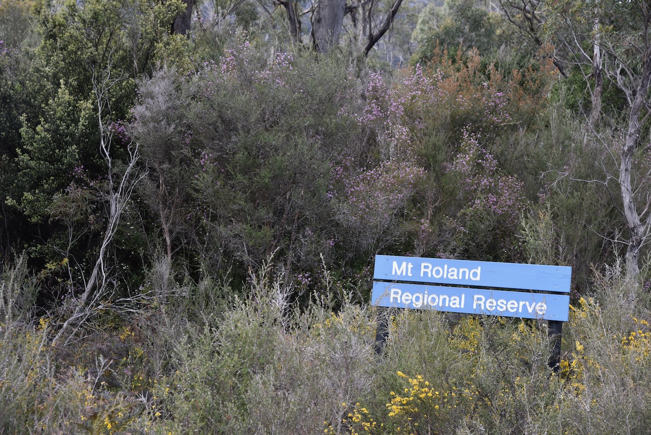
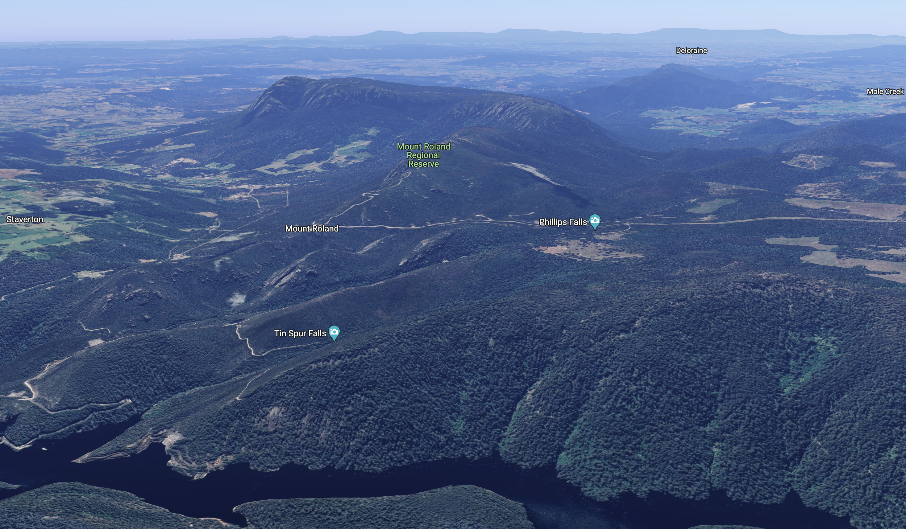
Our first park for the day was going to be the Mount Roland Regional Reserve VKFF-2938.
Above:- Map showing the location of the Mount Roland Regional Reserve. Map c/o Google maps.
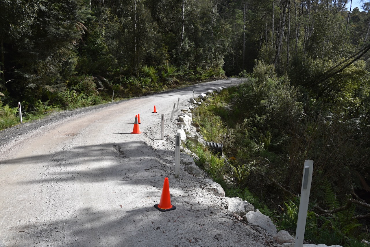
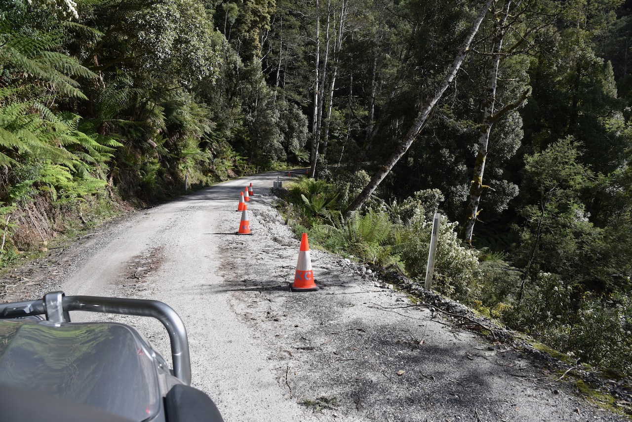
We left Lemonthyme along the windy but very picturesque Dolcoath Road. It was slow going as many parts of the road were still under repair after the flooding and heavy rain that Tasmania had experienced weeks earlier.
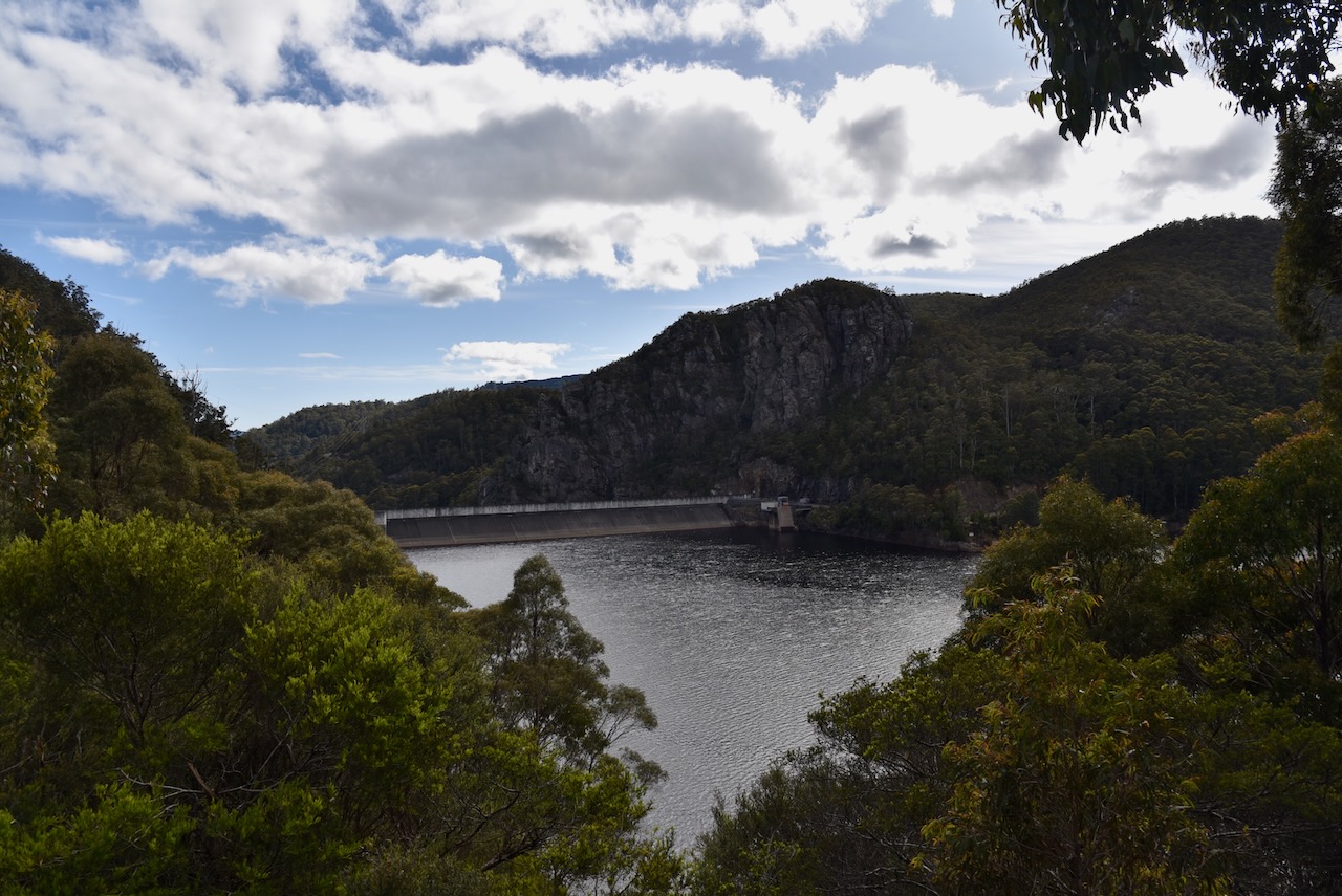
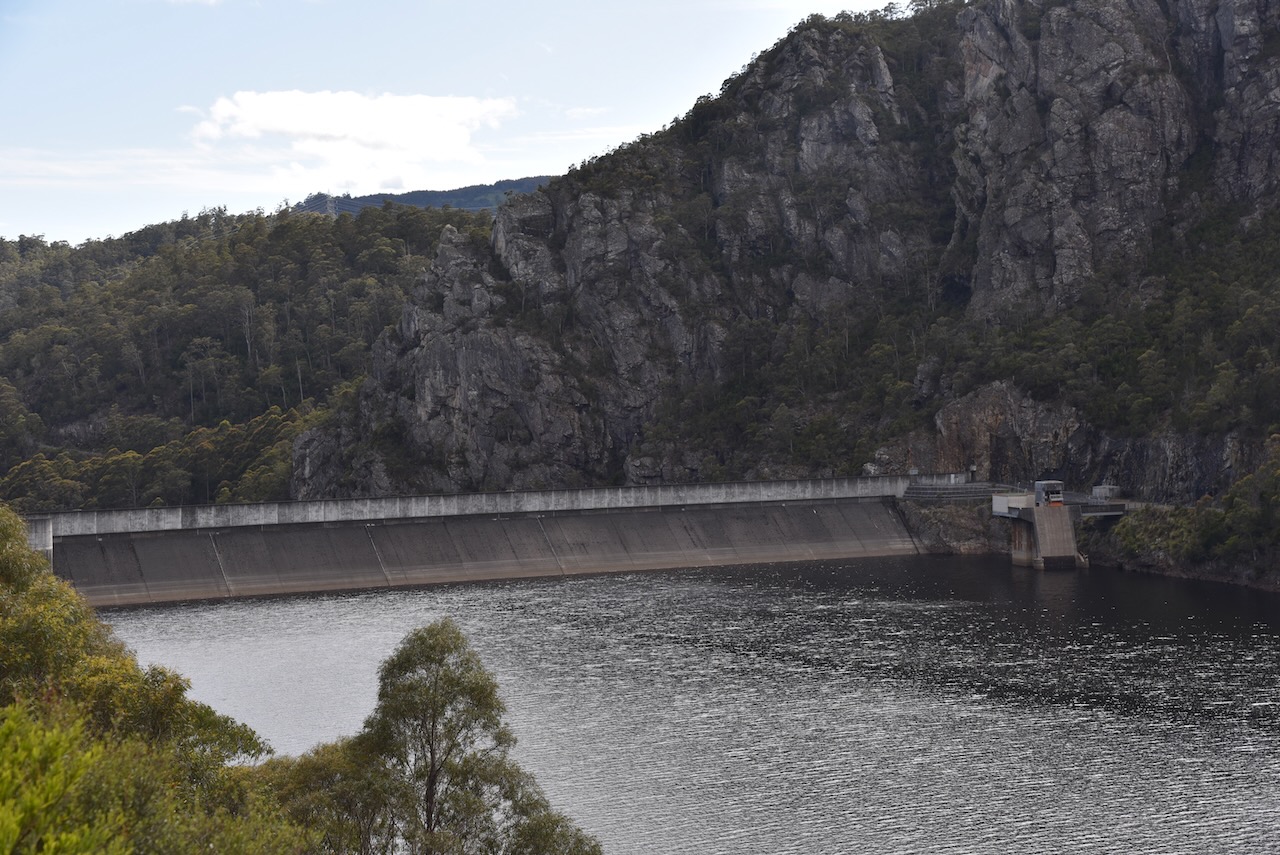
Our first stop for the day was Lake Cethana which is one of Hydro Tasmania storages on the River Forth. The Cethana Power Station was opened in 1971, and is one of only a few underground hydro stations in Tasmania. Cethana is aboriginal for ‘hair’. Large trout can be caught on Lake Cethana.
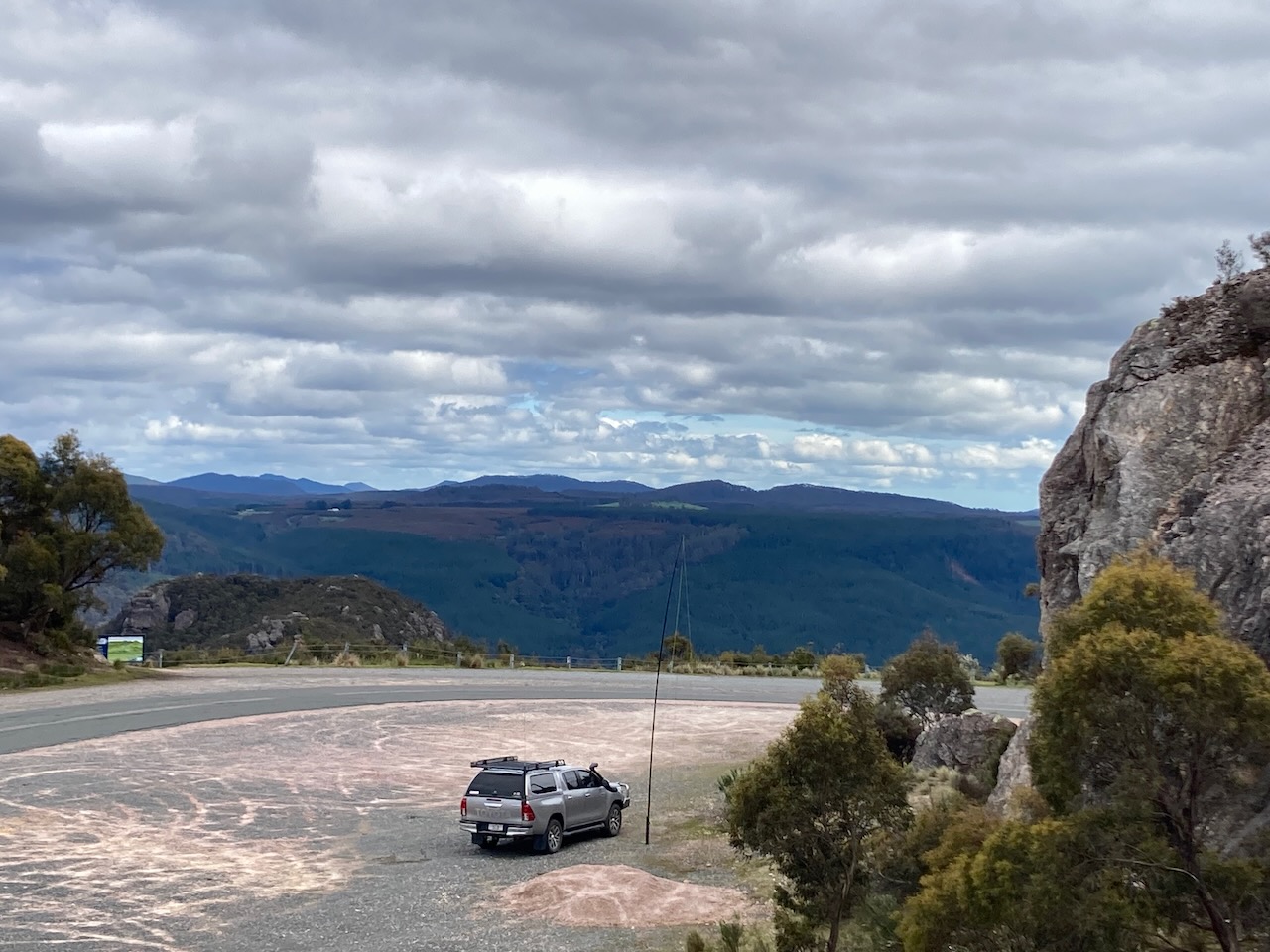
We then left the Cethana Road and took Olivers Road and we immediately saw the sign for the Mount Roland Regional Reserve.
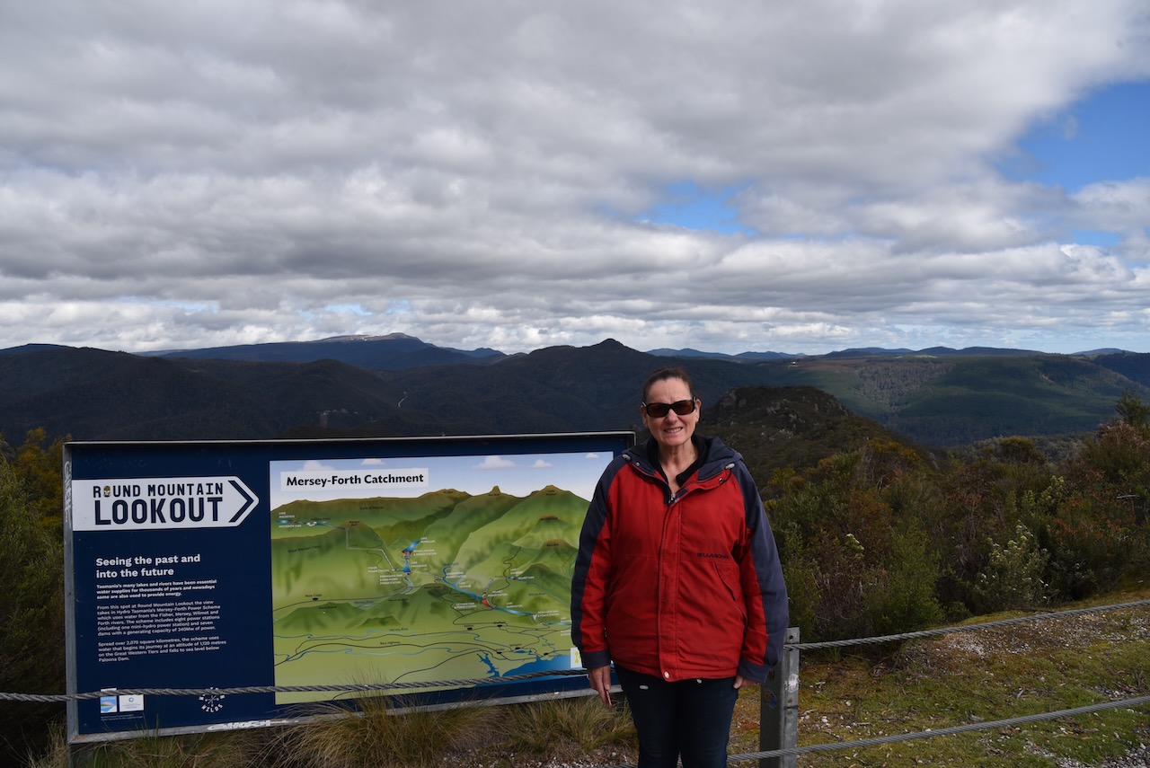
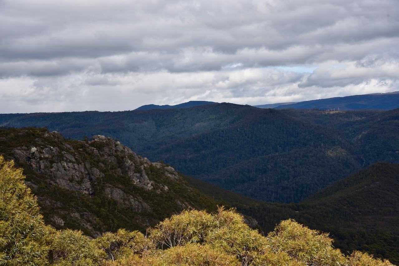
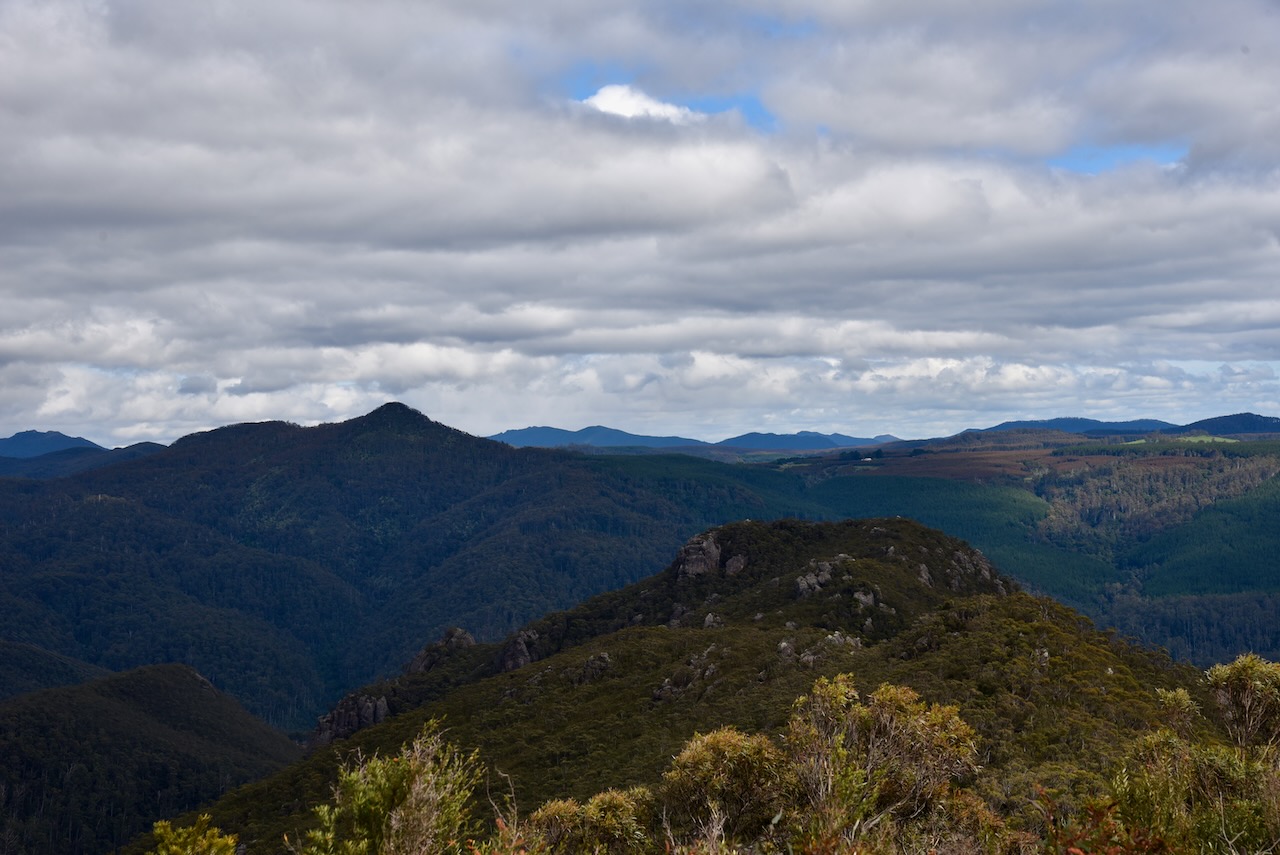
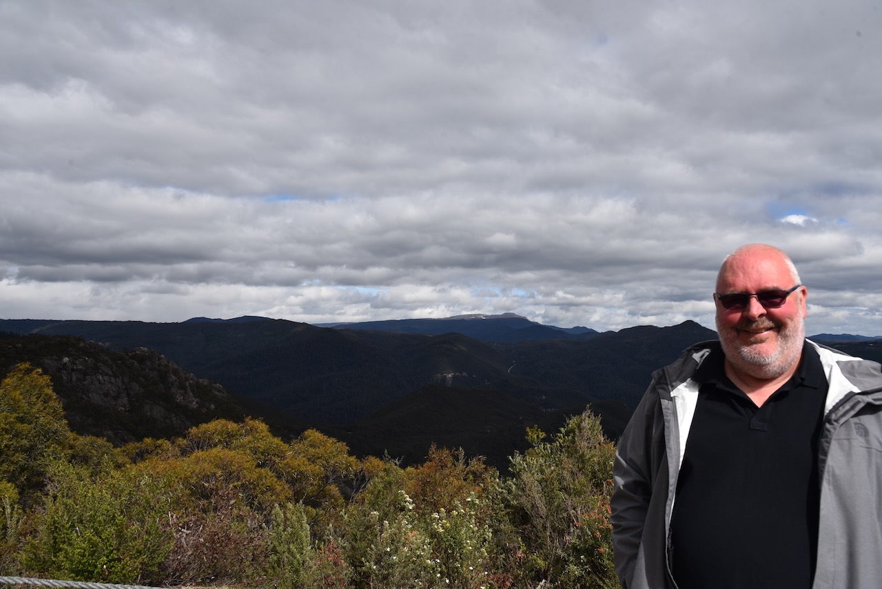
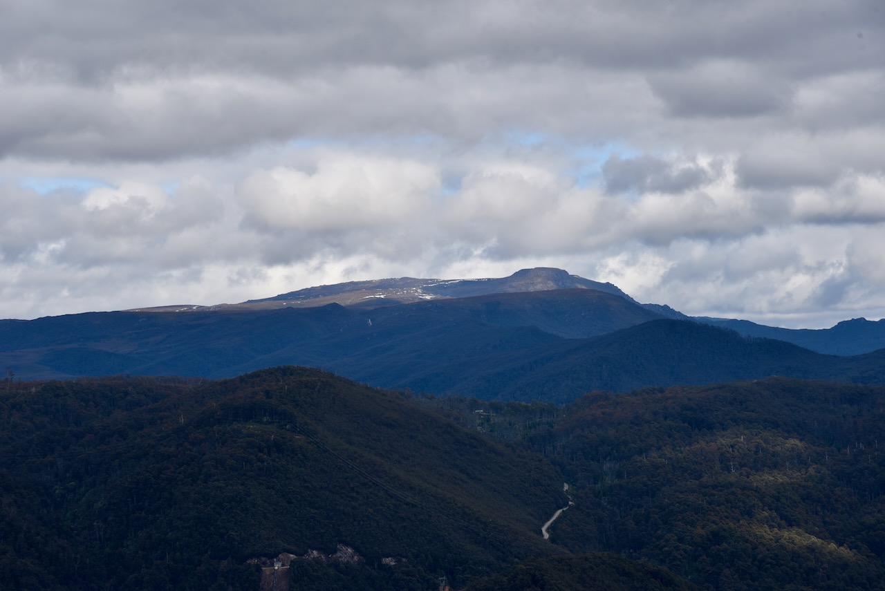
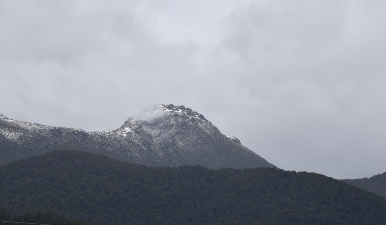
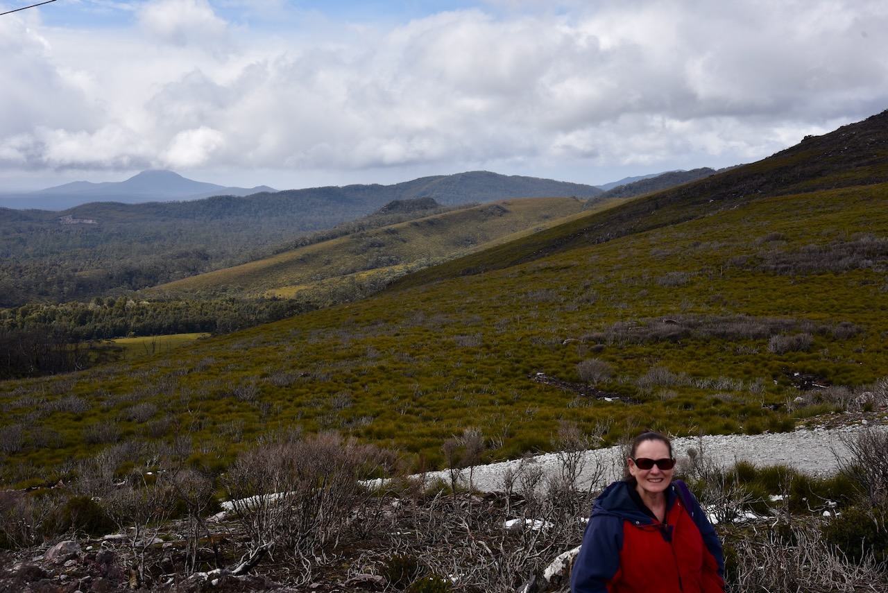
We continued on the Round Mountain lookout which takes in the Hydro Tasmania Mersey Forth Power Scheme, Cradle Mountain, Black Bluff, Mount Ossa, and the surrounding countryside. The views from here are brilliant. There was snow visible on Cradle Mountain.
The Mount Roland Regional Reserve is a large park. It stretches from Lake Cethana in the west to to Minnow Falls in the east. It adjoins the Dogs Head Hill Forest Reserve and the Mount Roland Conservation Area.
There are a number of summits within the park, the highest being Mount Roland at 1,233 metres above sea level. It was originally known as Rollands Repulse in honour of Captain John Rolland, an early explorer in the area.
The first successful ascent of Mount Roland in 1826 when Henry Hellyer (b. 1790. d. 1832) and Joseph Fossey (b. 1788. d. 1851) who were part of a Van Dieman’s Land Company party climbed the mountain.
Above:- An aerial view of the Mount Roland Regional Reserve. Image c/o Google Earth.
Marija and I set up in the area adjacent to the main carpark of Round Mountain lookout. We ran the Yaesu FT857, 40 watts, and the 20/40/80m linked dipole for this activation. We operated from within the 4WD as the outside temperature was about -34 deg C.
Marija made the following QSOs on 40m SSB before the UTC rollover:-
VK3VIN
VK7WUU
VK7JFD
VK3ZSC
VK2MET
VK1AO
VK5BHE
VK2IO
VK3PF
VK3APJ
VK3GRX/p
Marija made the following QSOs on 20m SSB before the UTC rollover:-
VK4KC/p (VKFF-1190)
VK4MAD/p (VKFF-1190)
VK4DOG/p (VKFF-1190)
Marija made the following QSOs on 20m SSB after the UTC rollover:-
VK4KC/p (VKFF-1190)
VK4MAD/p (VKFF-1190)
VK4DOG/p (VKFF-1190)
I made the following QSOs on 40m SSB before the UTC rollover:-
VK3VIN
VK7WUU
VK7JFD
VK3ZSC
VK2MET
VK1AO
VK5BJE
VK2IO
VK3PF
VK3APJ
VK3GRX/p
VK3EJ
VK1DI
VK3SQ
VK7AN
VK2EXA
VK5AV
VK3AHR
VK2HHA
VK3VB
I made the following QSOs on 20m SSB:-
VK4NH
VK4DXA
VK2MET
VK1AO
VK4KLA
VK2PKT
VK4KC/p (VKFF-1190)
VK4MAD/p (VKFF-1190)
VK4DOG/p (VKFF-1190)
VK6JK
I made the following QSOs on 20m SSB:-
VK6JK
VK4KC/p (VKFF-1190)
VK4MAD/p (VKFF-1190)
VK4DOG/p (VKFF-1190)
VK4NH
VK4DXA
VK4TJ
VK4HAT
VK4KLA
VK2IO
VK4KUS
I worked the following QSOs on 40m SSB:-
VK5AV
VK3VIN
VK3PF
VK3VB
We packed up and headed to our next park, the Mole Creek Karst National Park.
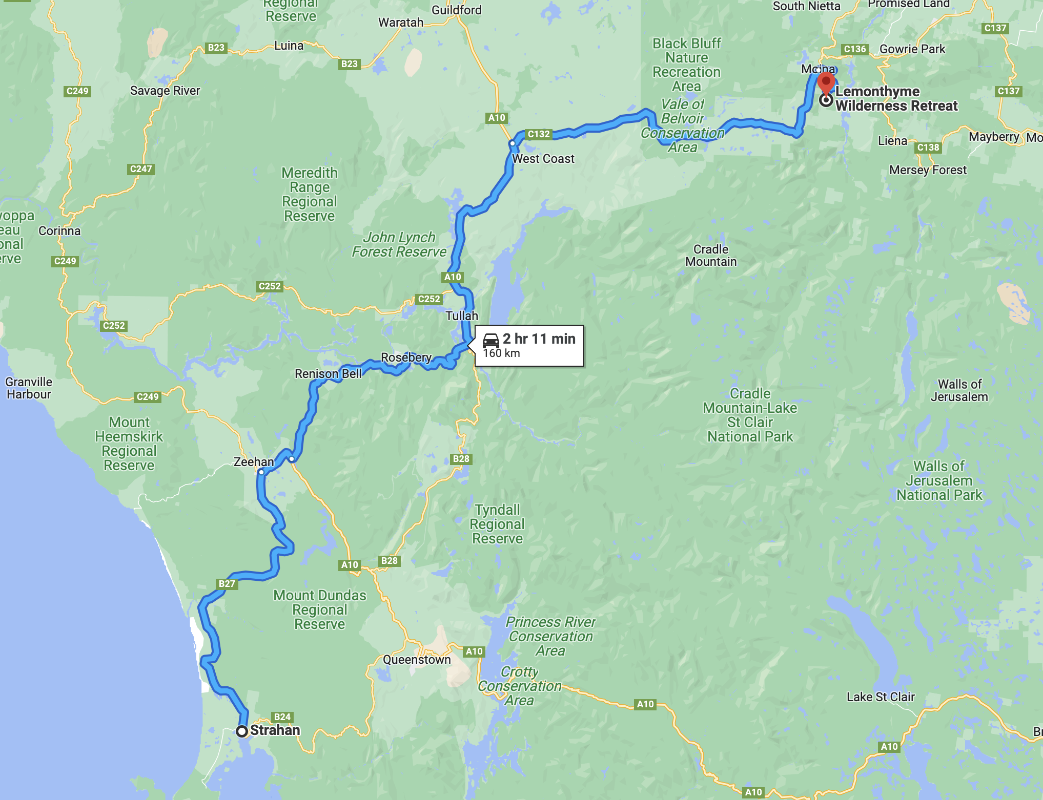
We were now into week three of our Tasmania trip and it was day 21 (Sunday 15th November 2022). We had spent 3 enjoyable nights in Strahan and now it was time to head inland to Lemonthyme Wilderness Retreat. We had a 160 km trip ahead of us that day.
Above:- Map showing our route between Strahan and Lemonthyme Wilderness Retreat. Map c/o Google maps
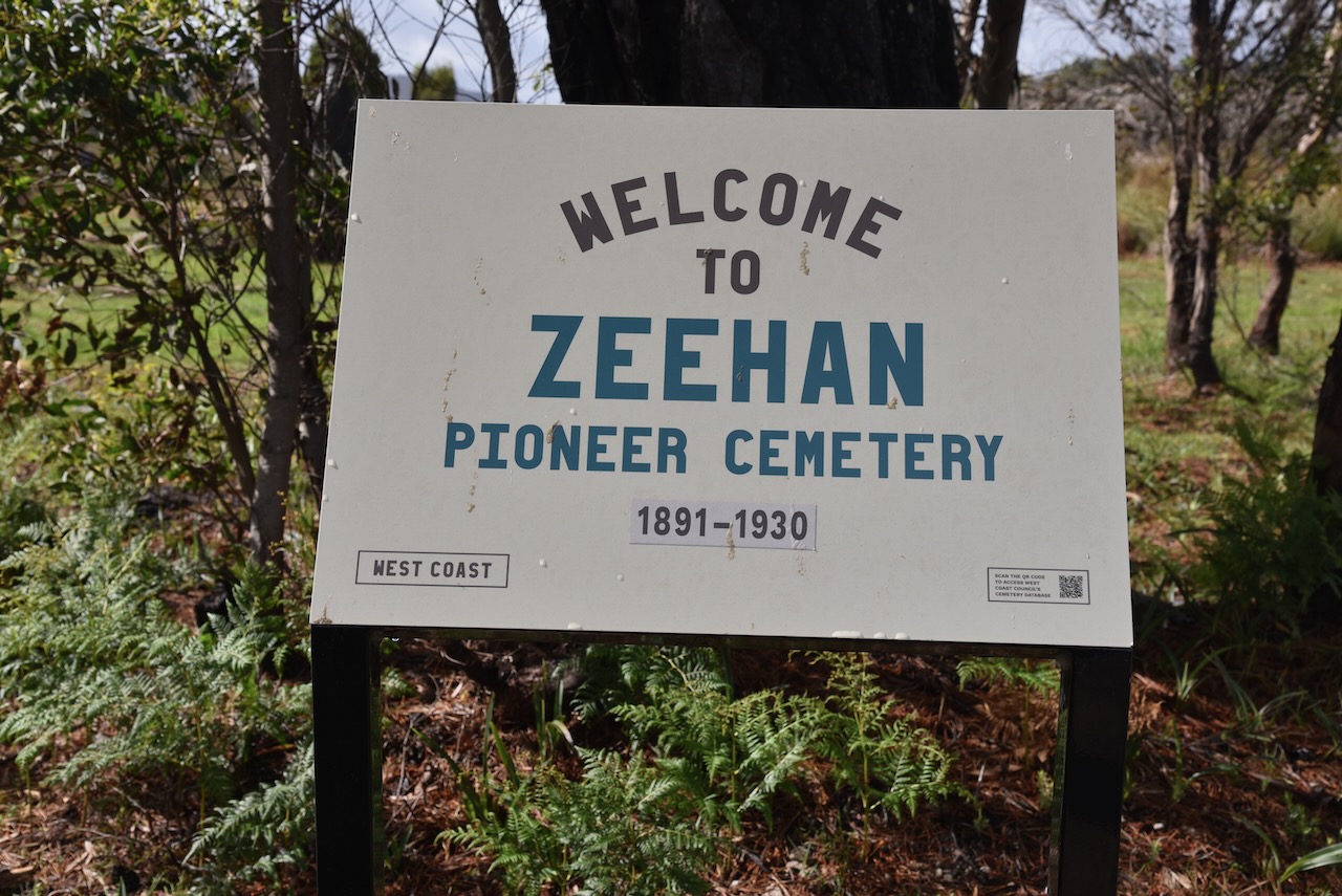
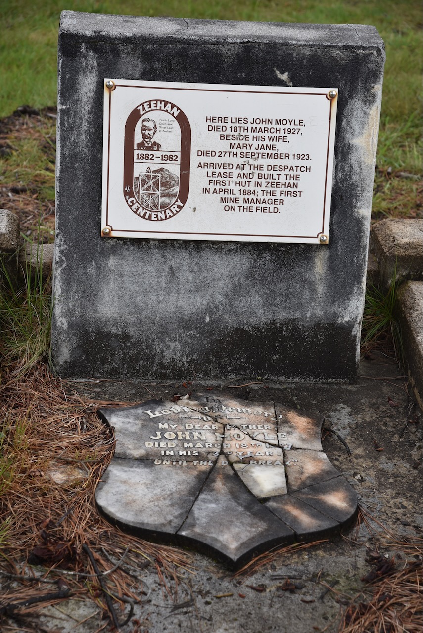
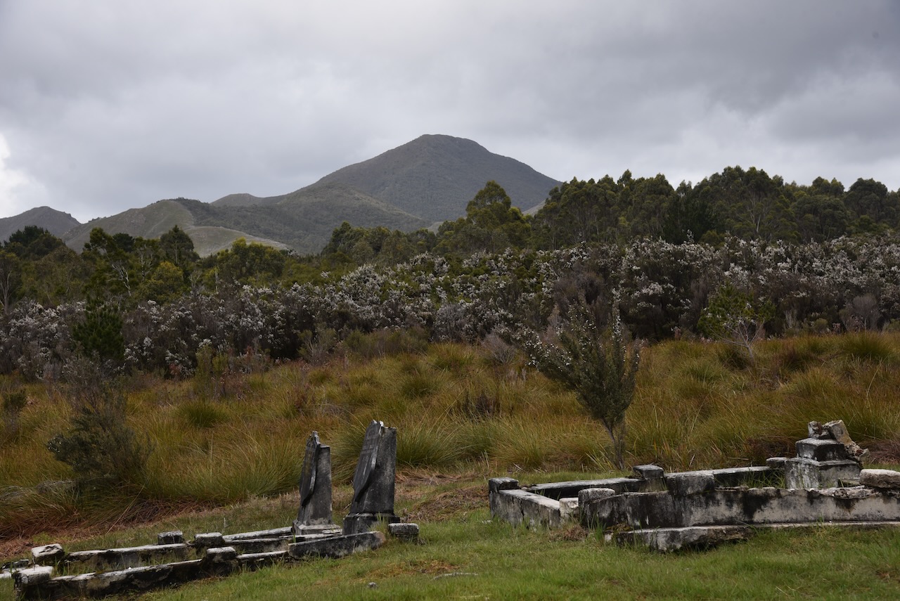
Once again, as we did the day before, we headed north out of Strahan on the Henty Road. Our first stop was the Zeehan Pioneer cemetery. There are a number of historic graves within the cemetery including that of John Moyle who built the first hut in Zeehan and was the first mine manager on the field. Sadly we found the cemetery in a bad state of repair.
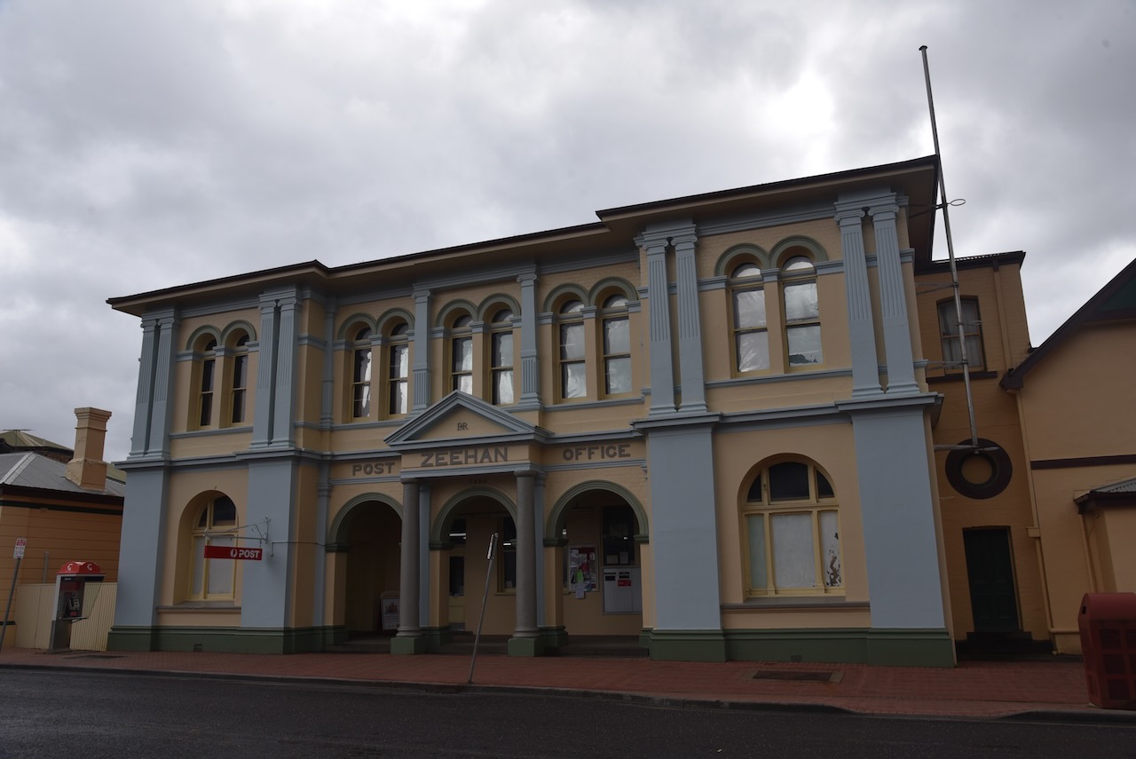
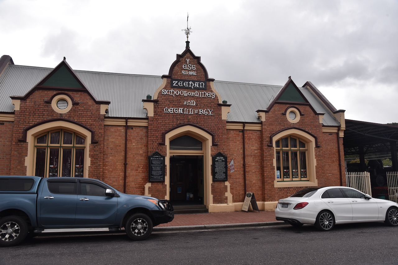
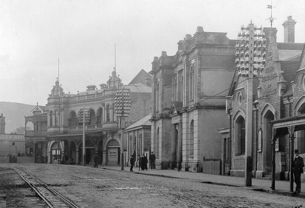
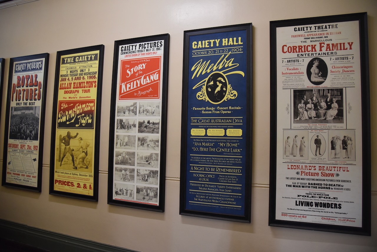
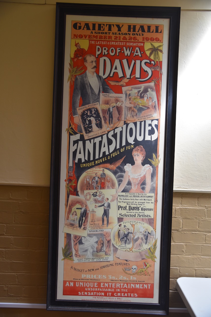
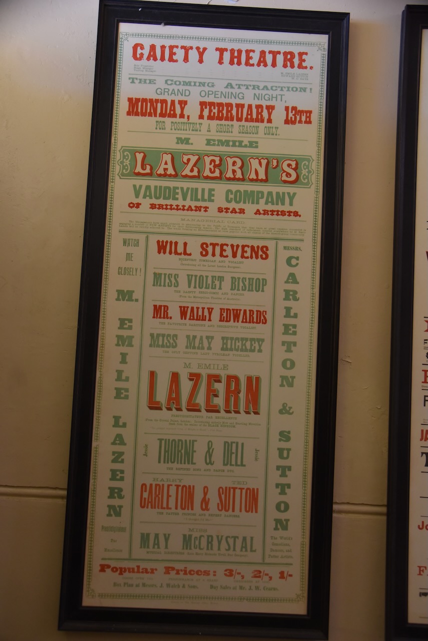
We then drove into the little town of Zeehan which is located about 139 km south west of Burnie. There are a number of historic buildings in Zeehan including the Gaiety Theatre which was built in 1898 and the Zeehan School of Mines built in 1903.
Prior to European settlement the Zeehan area was the home to the indigenous Peerapper and Tommeginne people of the North West group.
The first European explorer to sight the west coast near Zeehan was Dutch explorer Abel Tasman (b. 1603. d. 1659) in 1642. He sailed close to the coastline but waa unable to send a landing party due to poor weather.
Above:- Abel Tasman. Image c/o Wikipedia
Over 100 years later, during their 1798-99 circumnavigation of Tasmania, British explorers Matthew Flinders and George Bass named Mount Zeehan after one of Tasman’s ships the Zeehaen (Old Dutch for “Sea Rooster”) in honour of Tasman.
Above:- Matthew Flinders and George Bass. Images c/o Wikipedia.
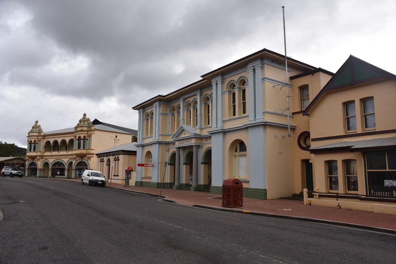
In 1871, tin was discovered at Mount Bischoff and then in 1879 at Mount Heemskirk. In 1882, deposits of lead and silver were also discovered. By August 1888 the Mount Zeehan Post Office had opened. In 1890 the township was named Zeehan. The town flourished due to it being close to the Zeehan mineral field. Up to the First World War, a total of 159 companies operated with the town stock exchange having 60 members.
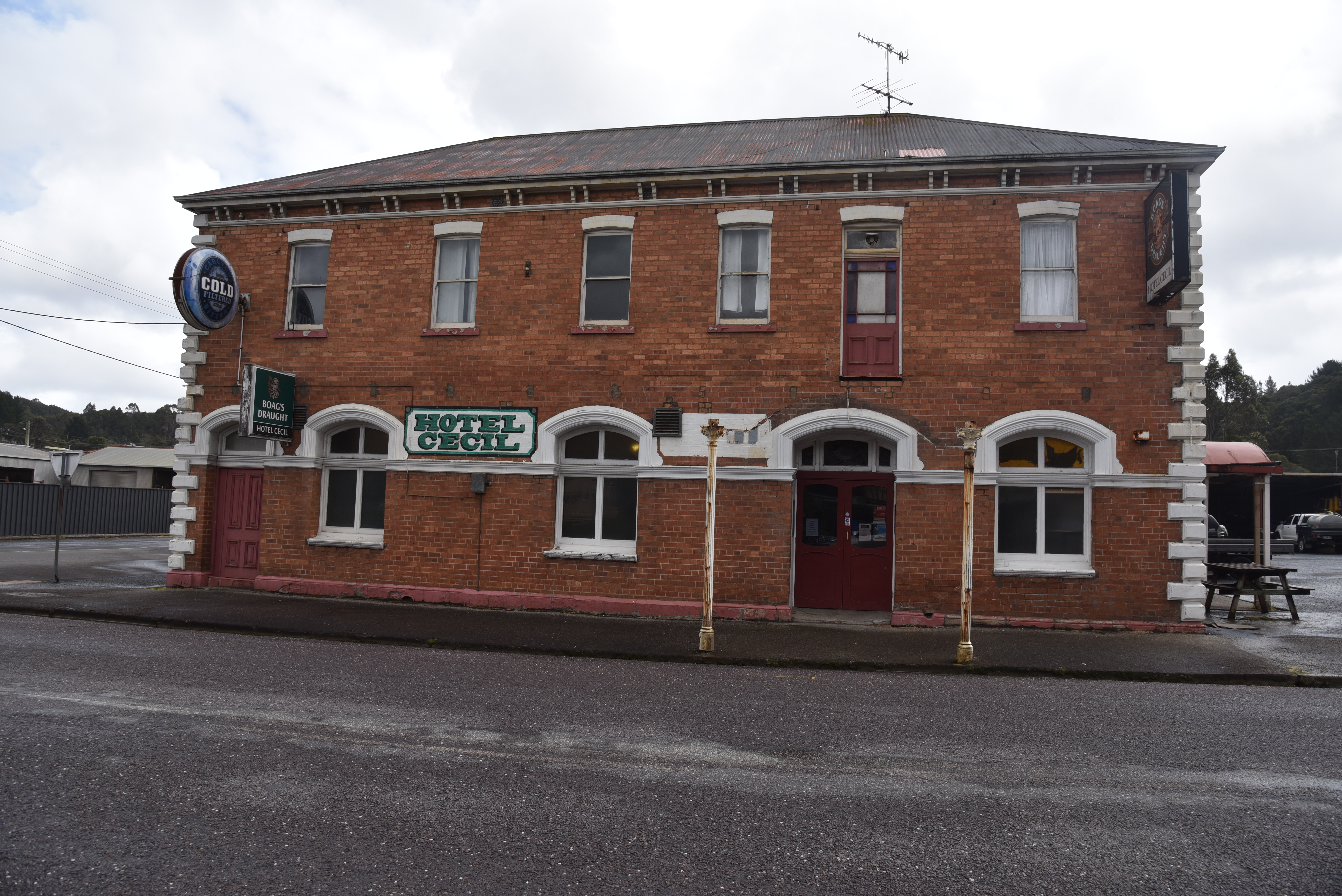
The main street of Zeehan was over two miles long and had 20 hotels, a hospital, and two theatres, the Gaeity Theatre and the Theatre Royal. In 1910 the town’s population peaked at about 10,000 and it was the third largest town in Tasmania after Hobart and Launceston.
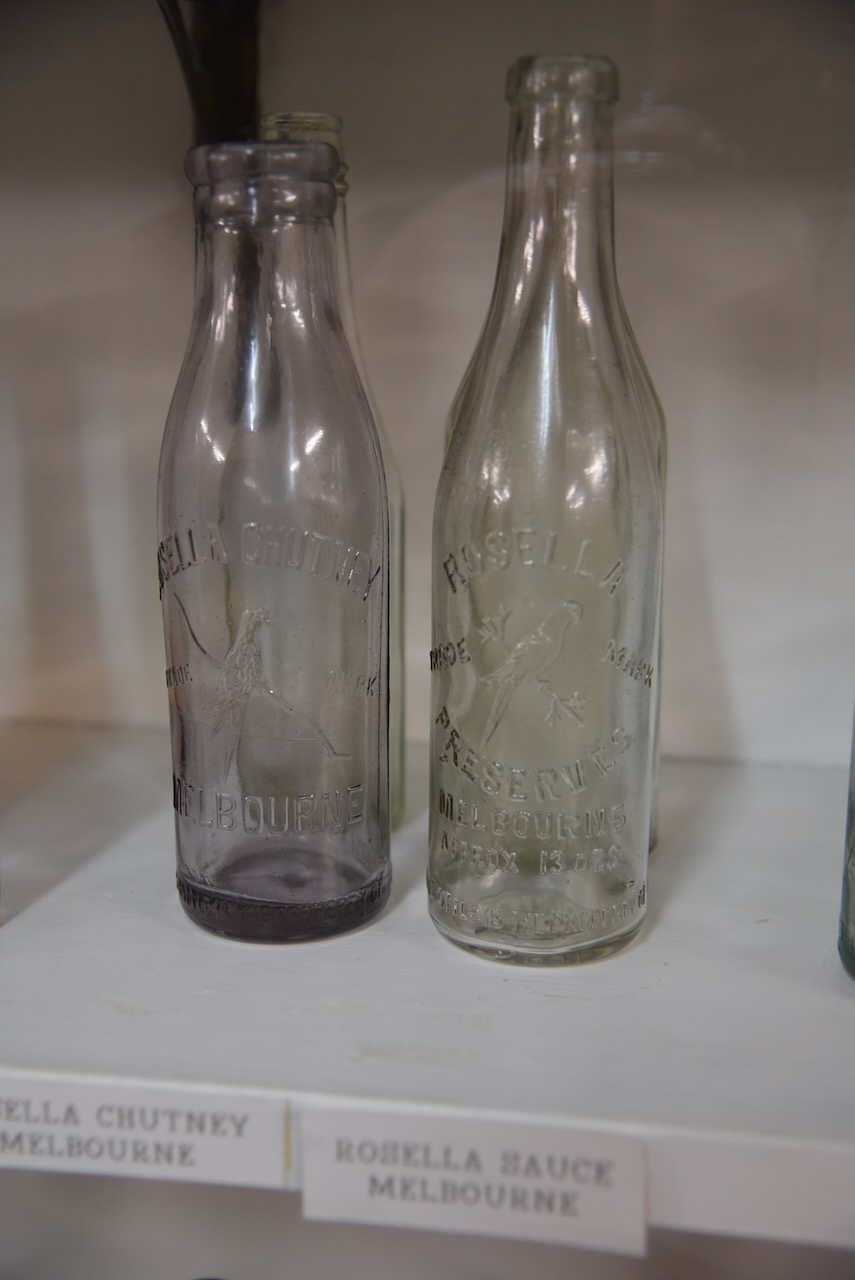
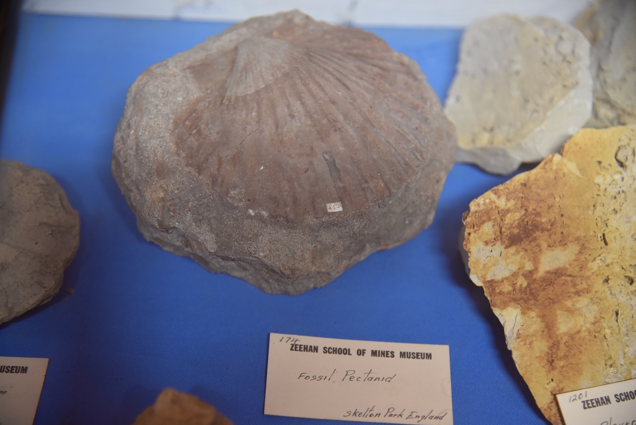
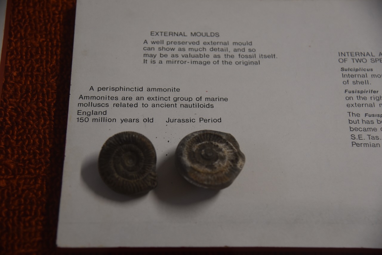
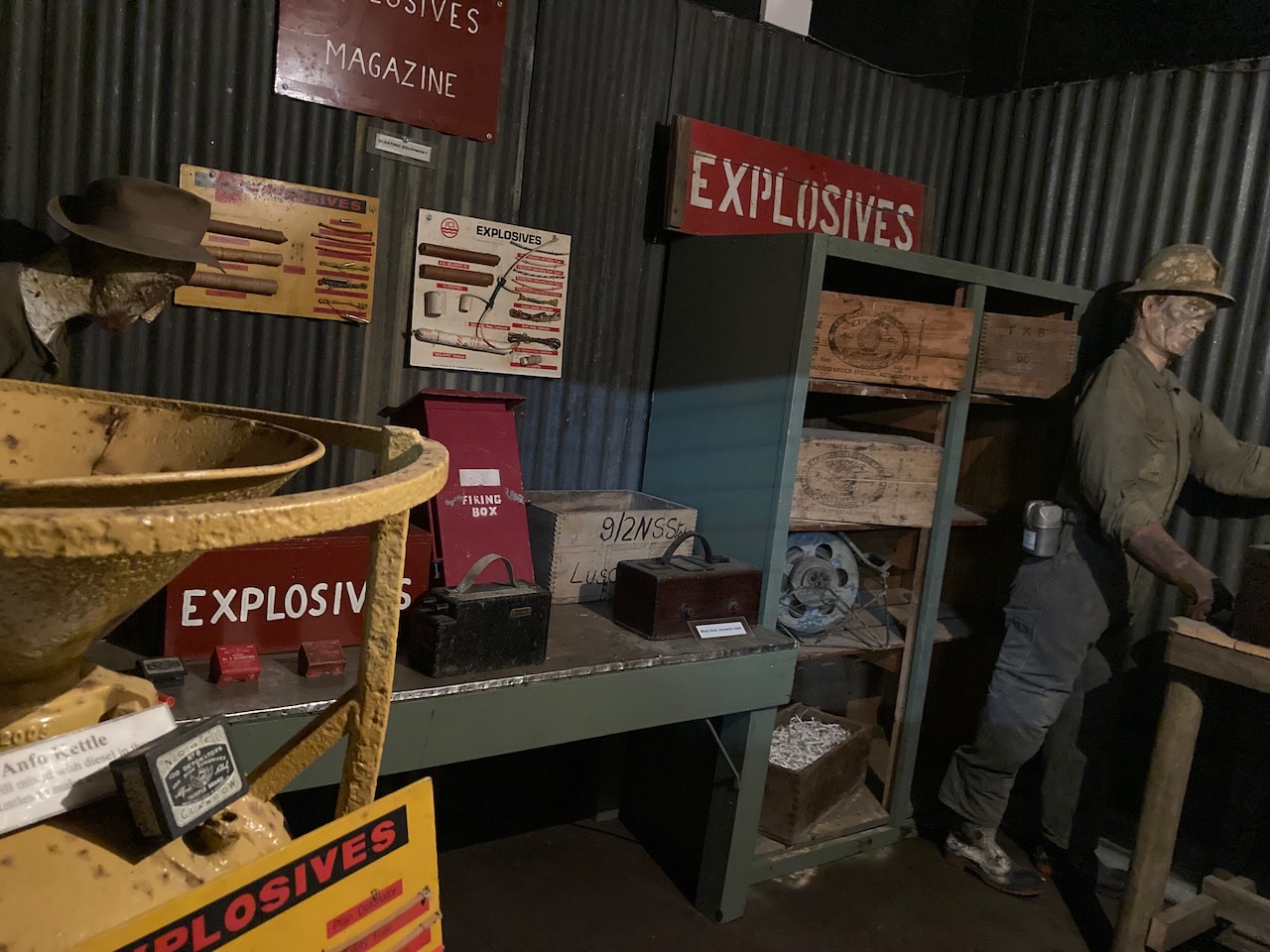
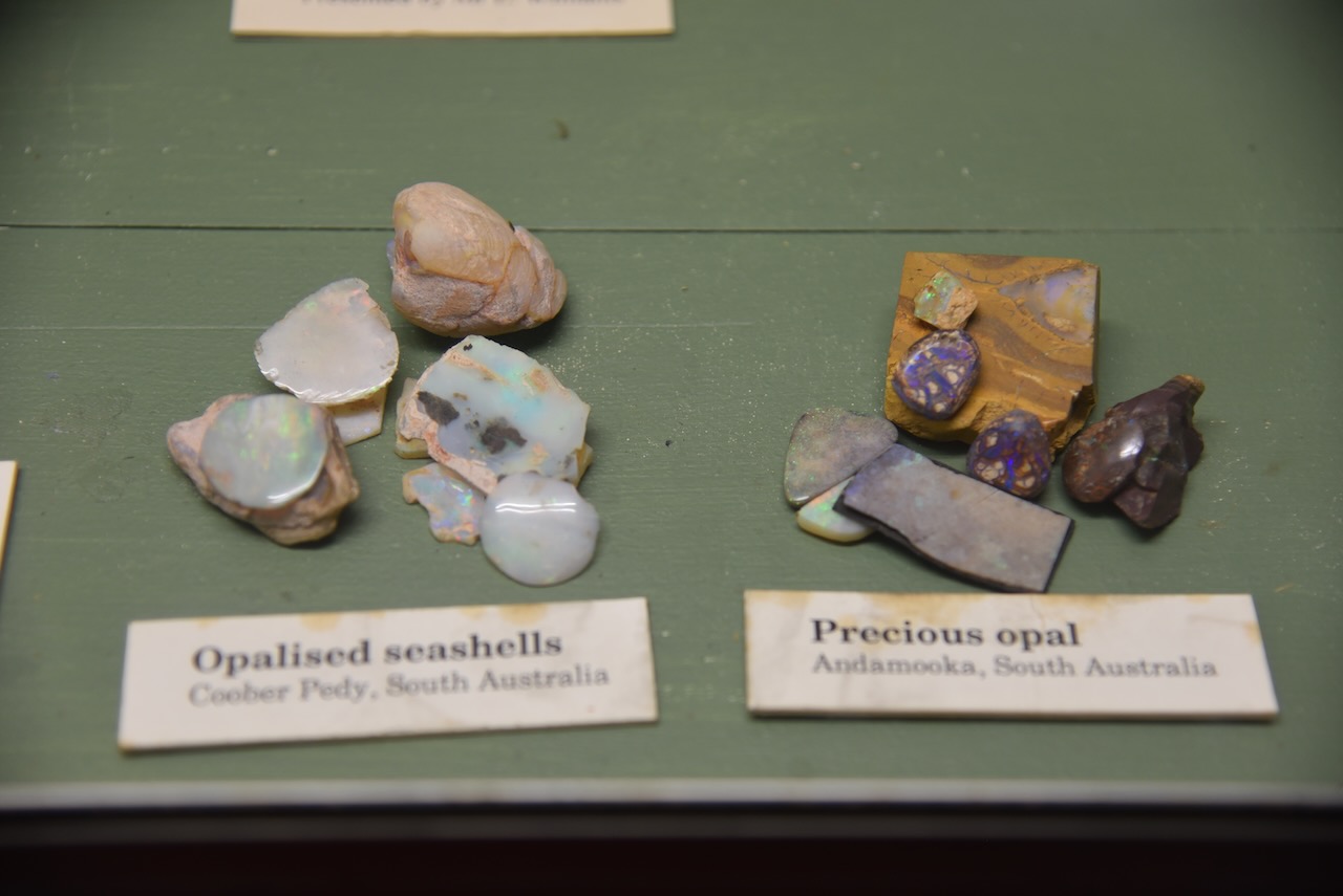
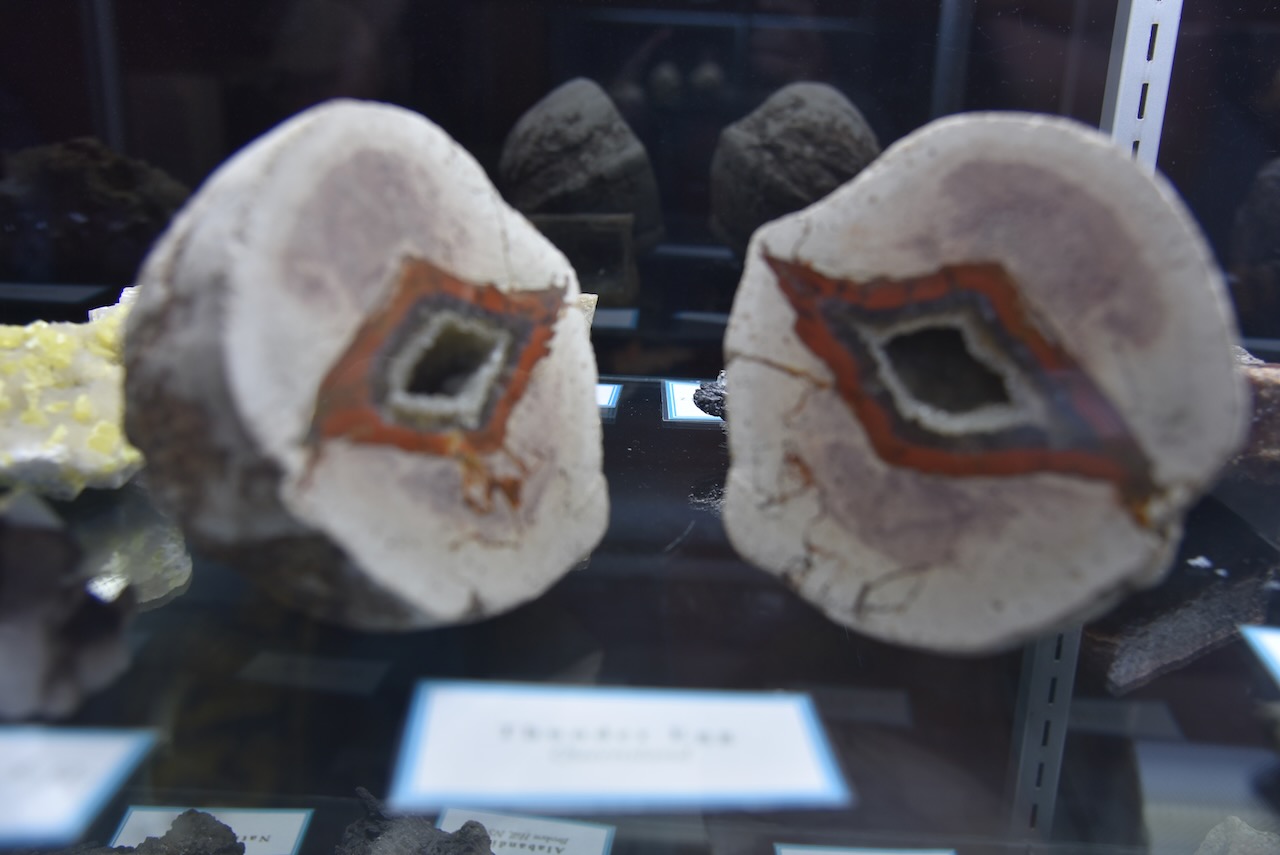
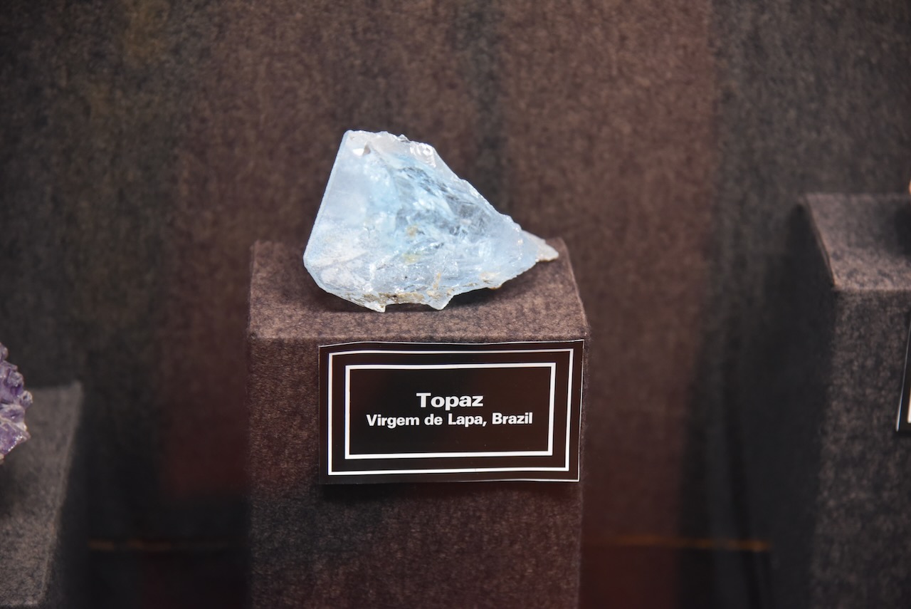
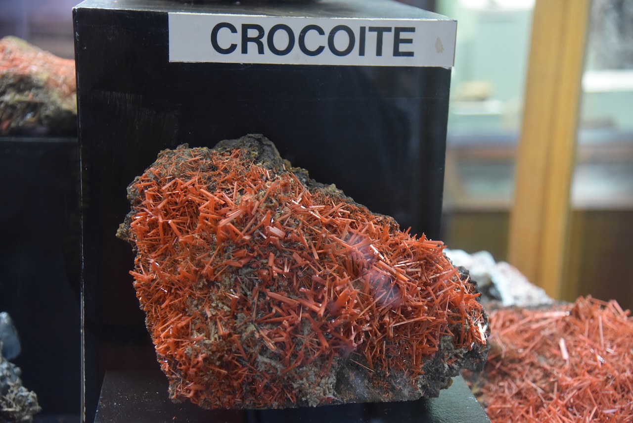
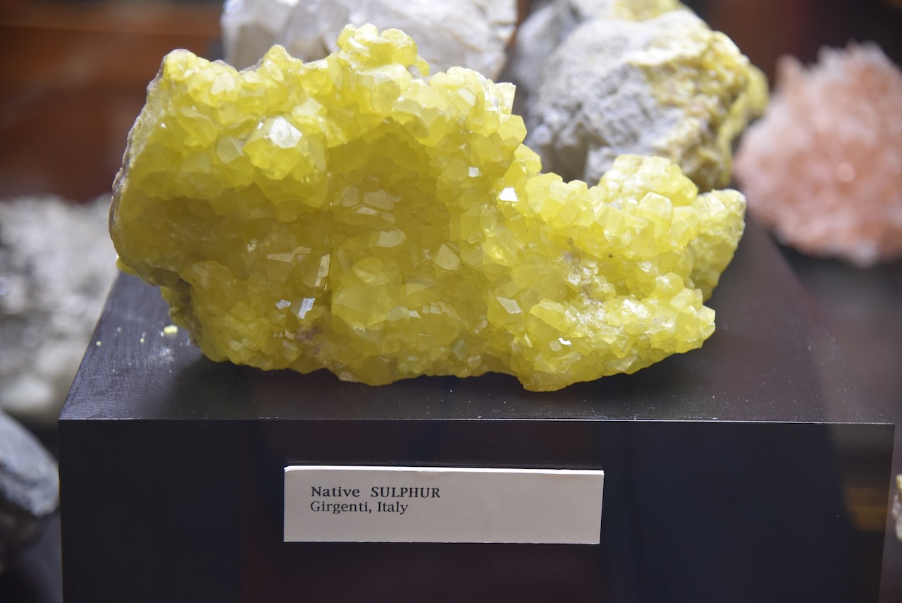
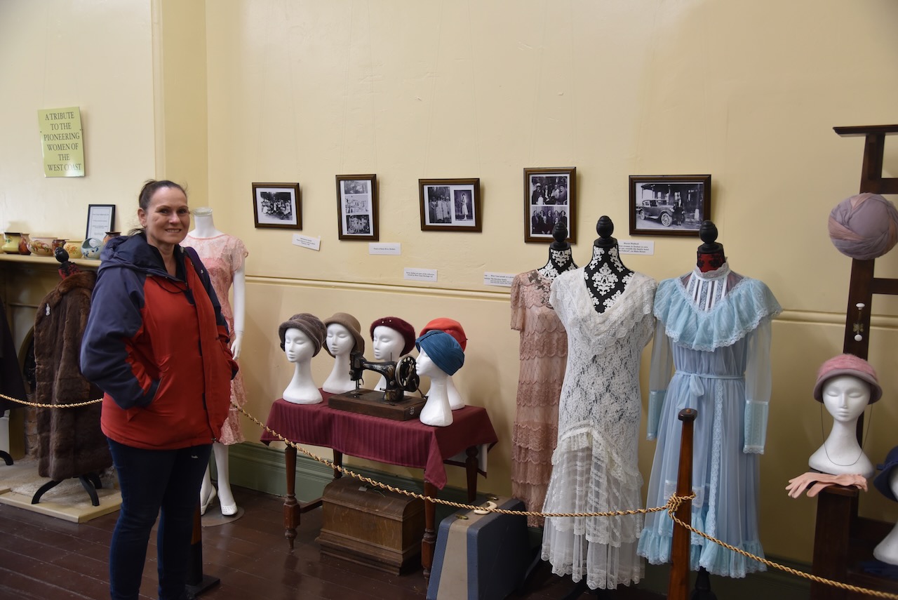
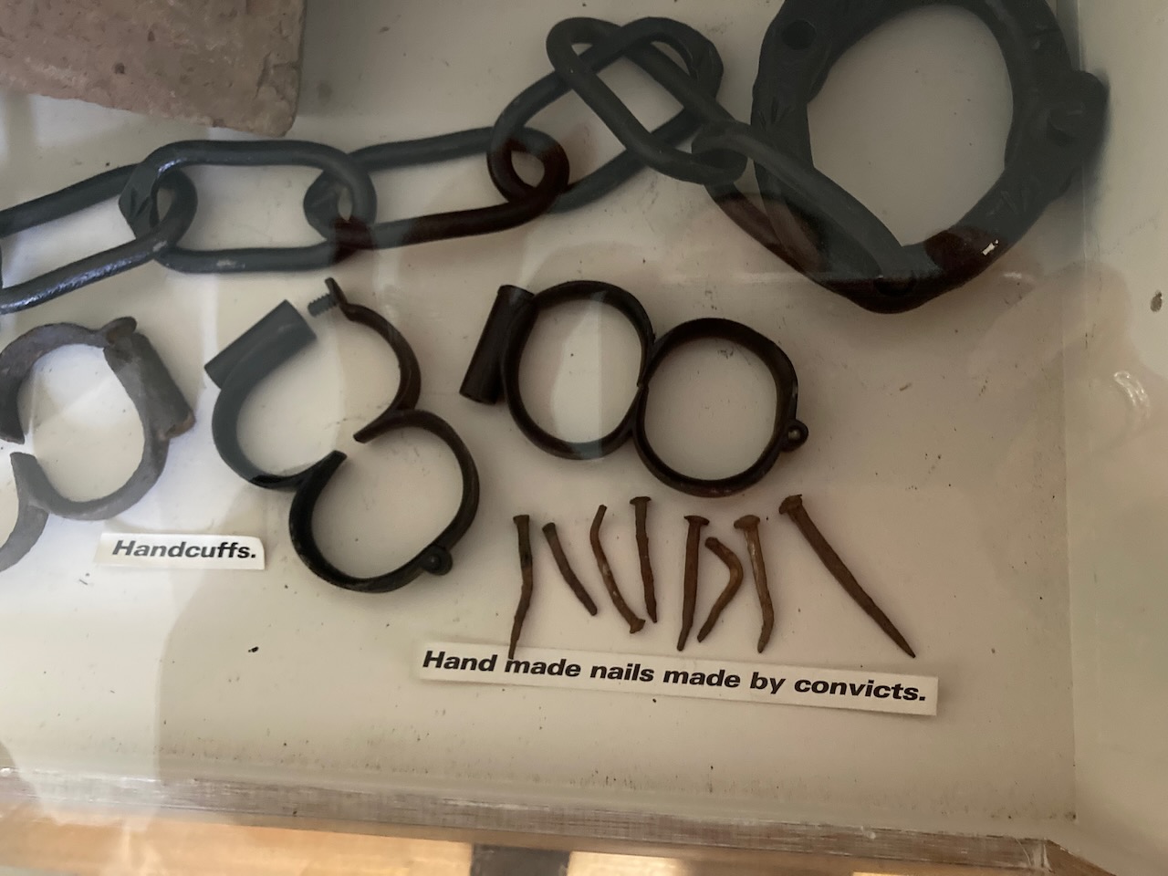
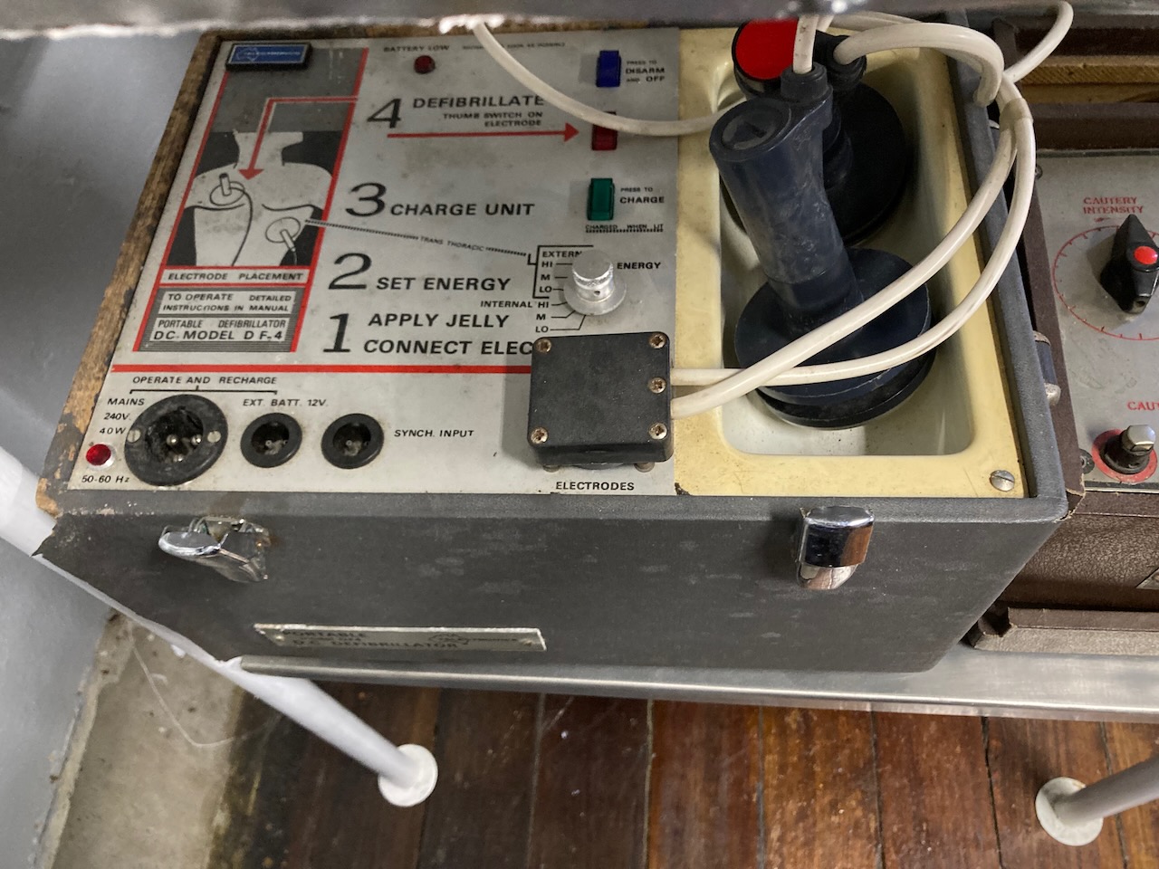
We visited the West Coast Heritage Centre at Zeehan which is located in the old Zeehan School of Mines building. This is a very good museum and is a must do during a visit to Zeehan.
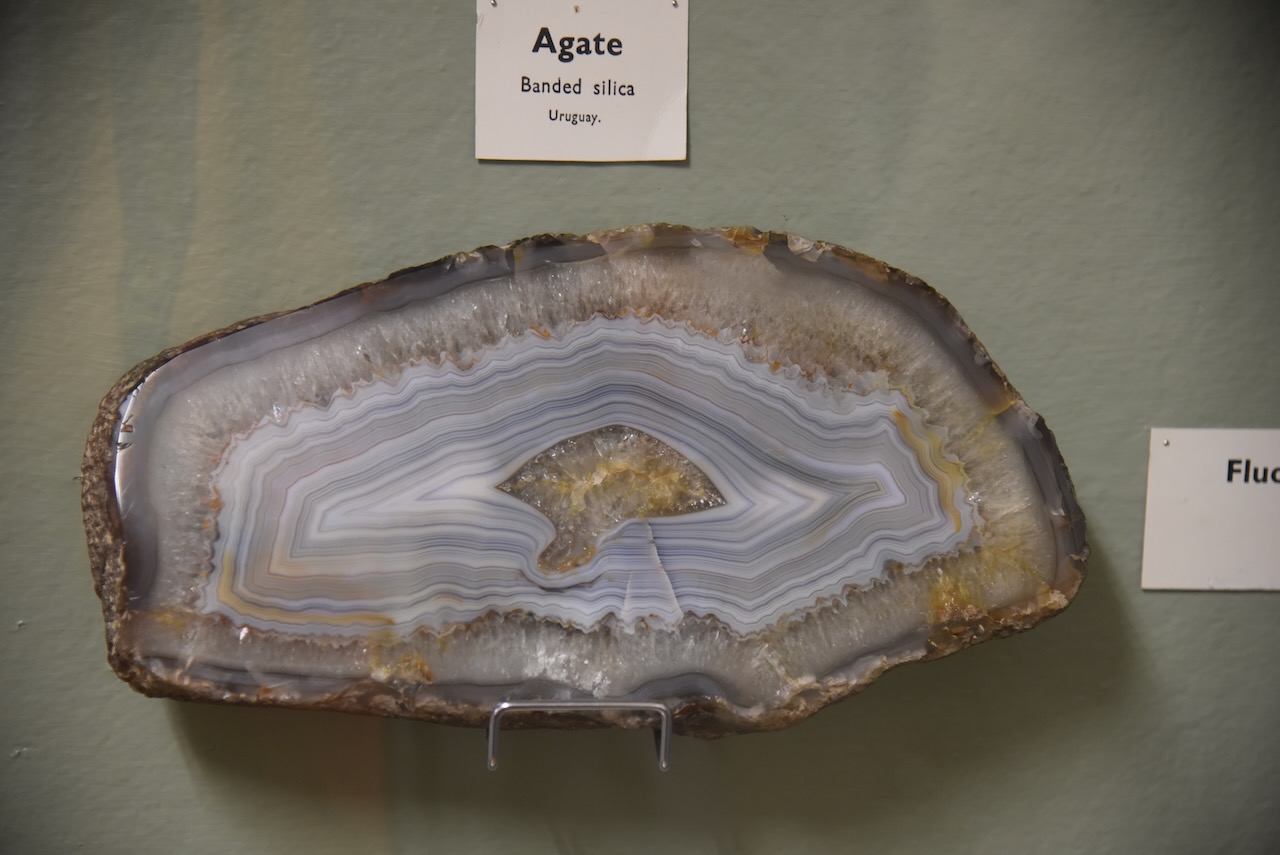
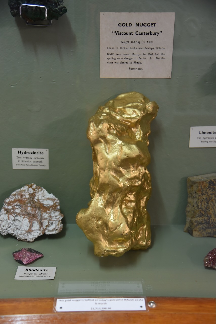
The museum has an excellent display of minerals and gems.
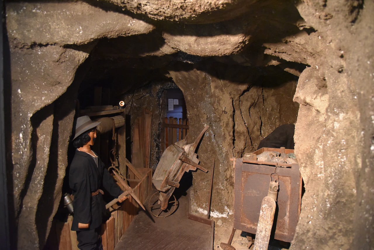
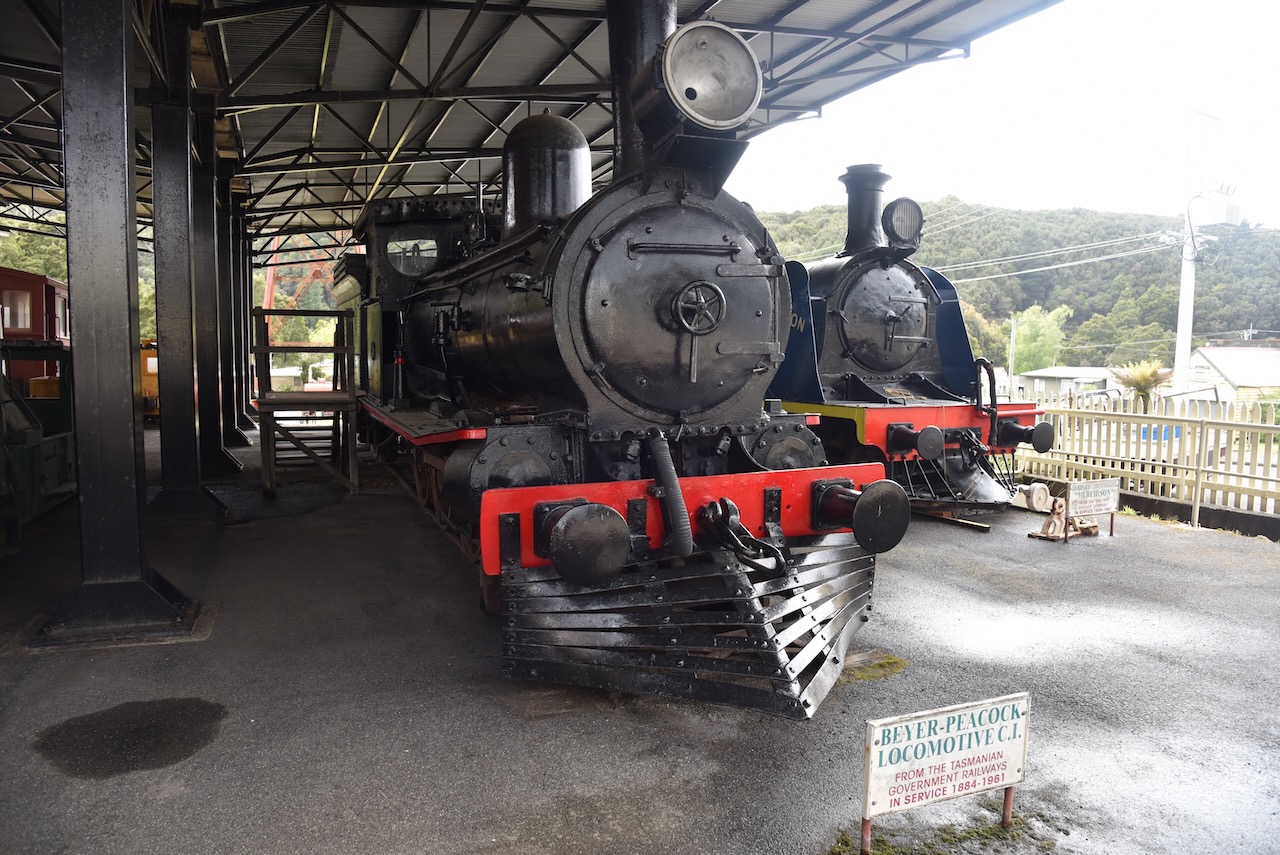
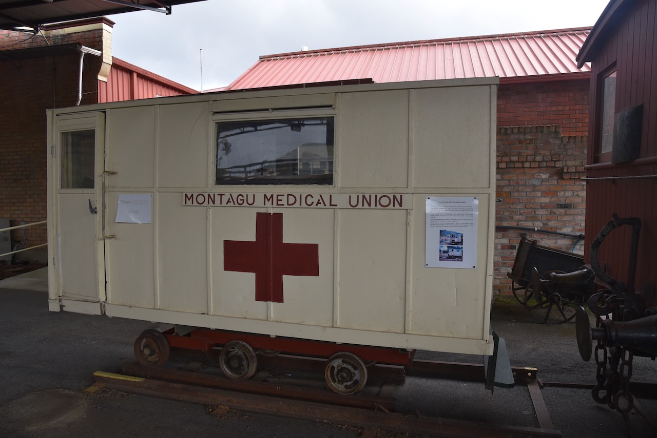
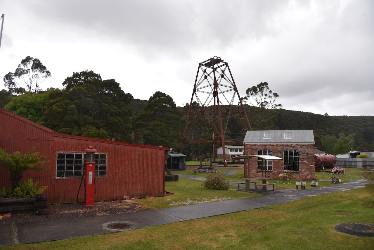
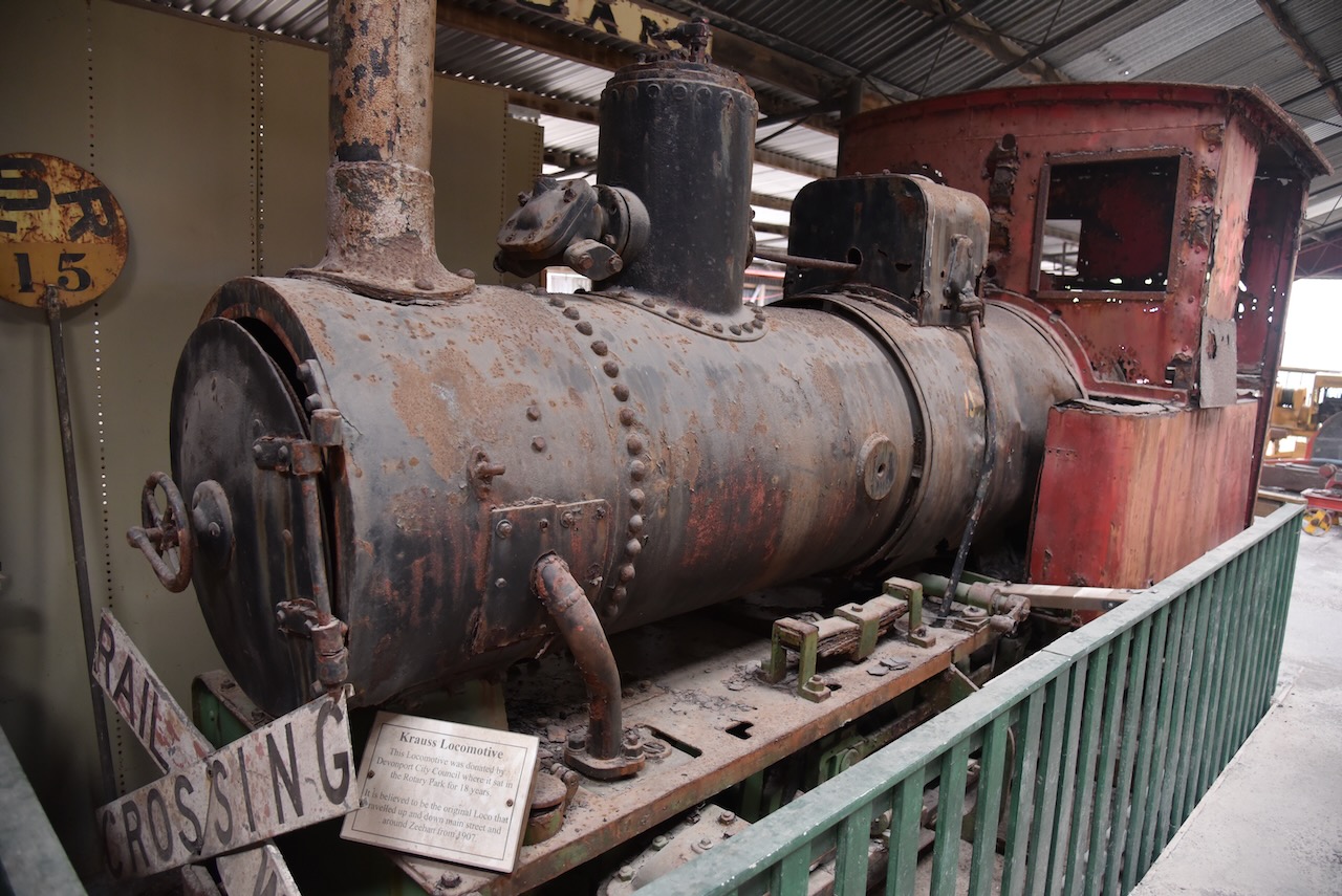
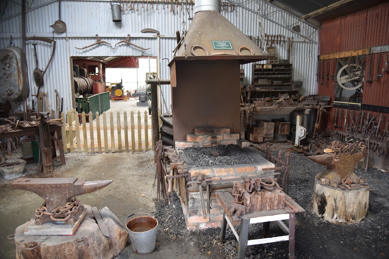
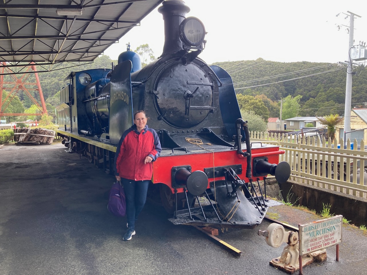
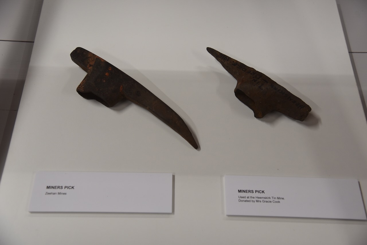
Outside they have a blacksmith workshop, machinery shed, an underground mine, and railway exhibits.
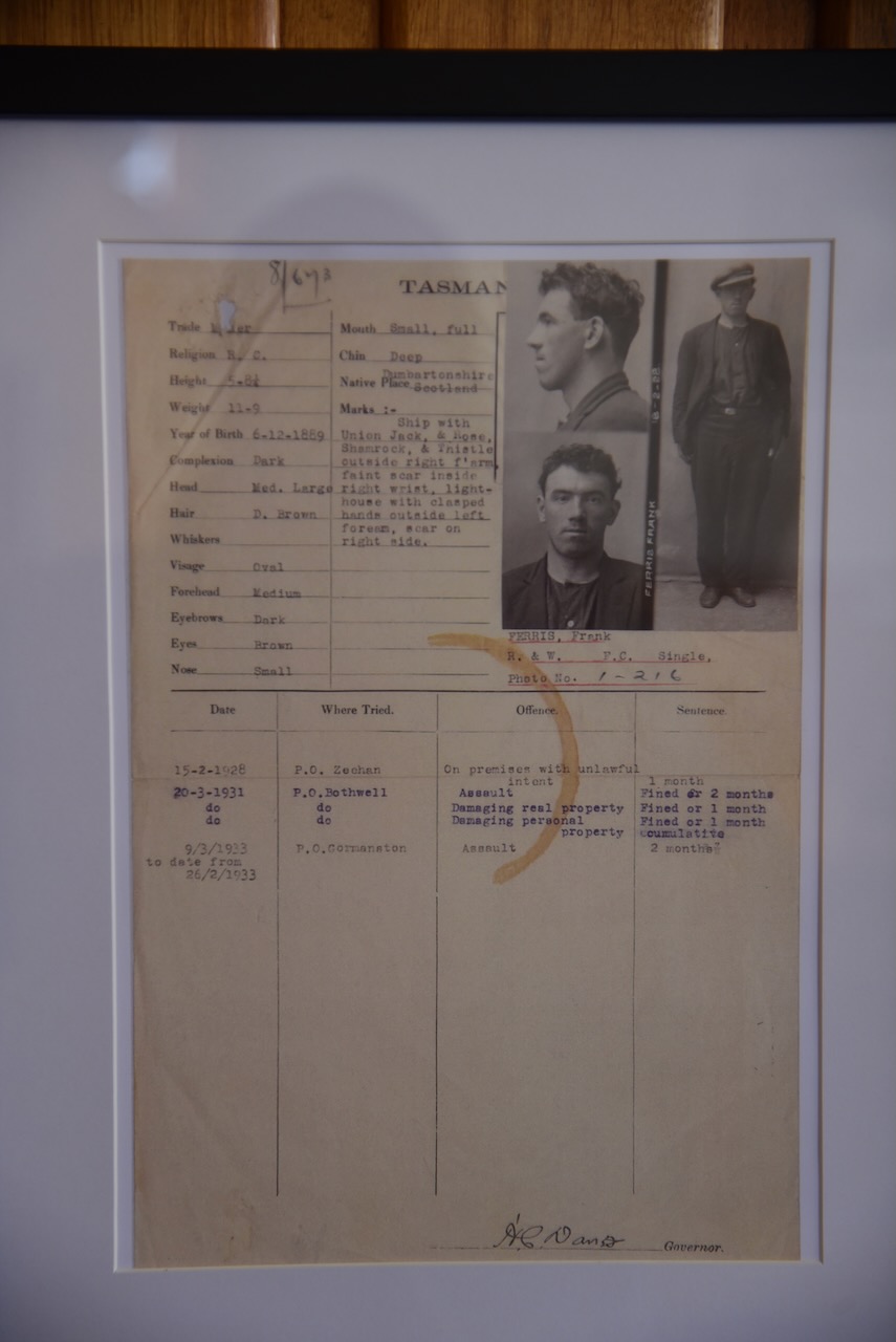
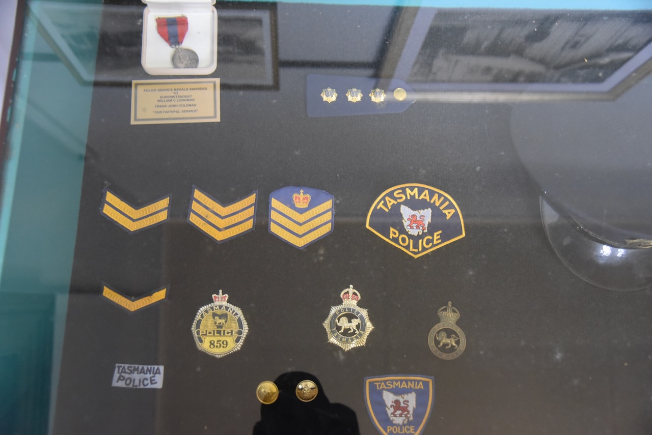
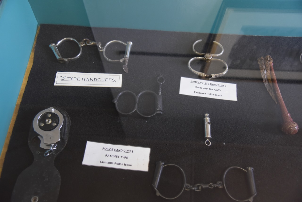
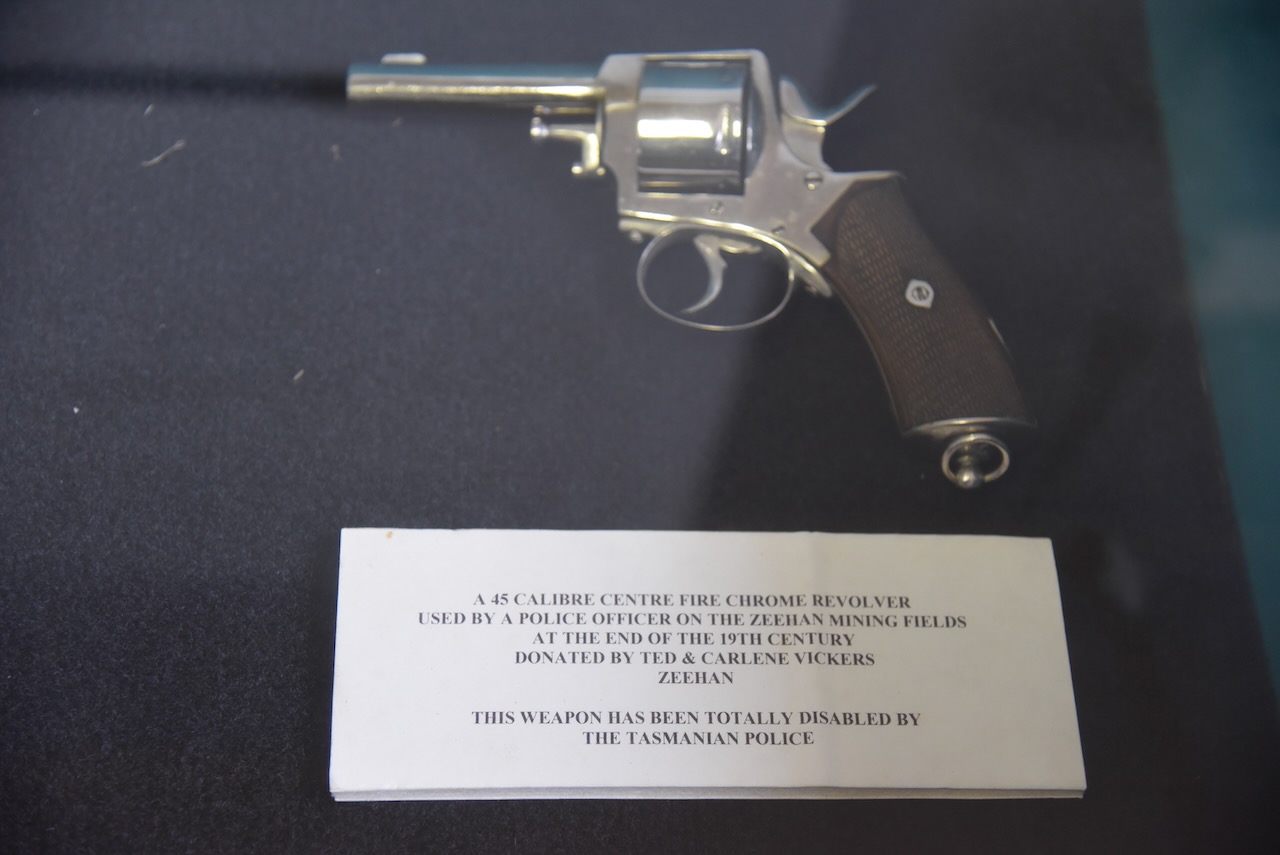
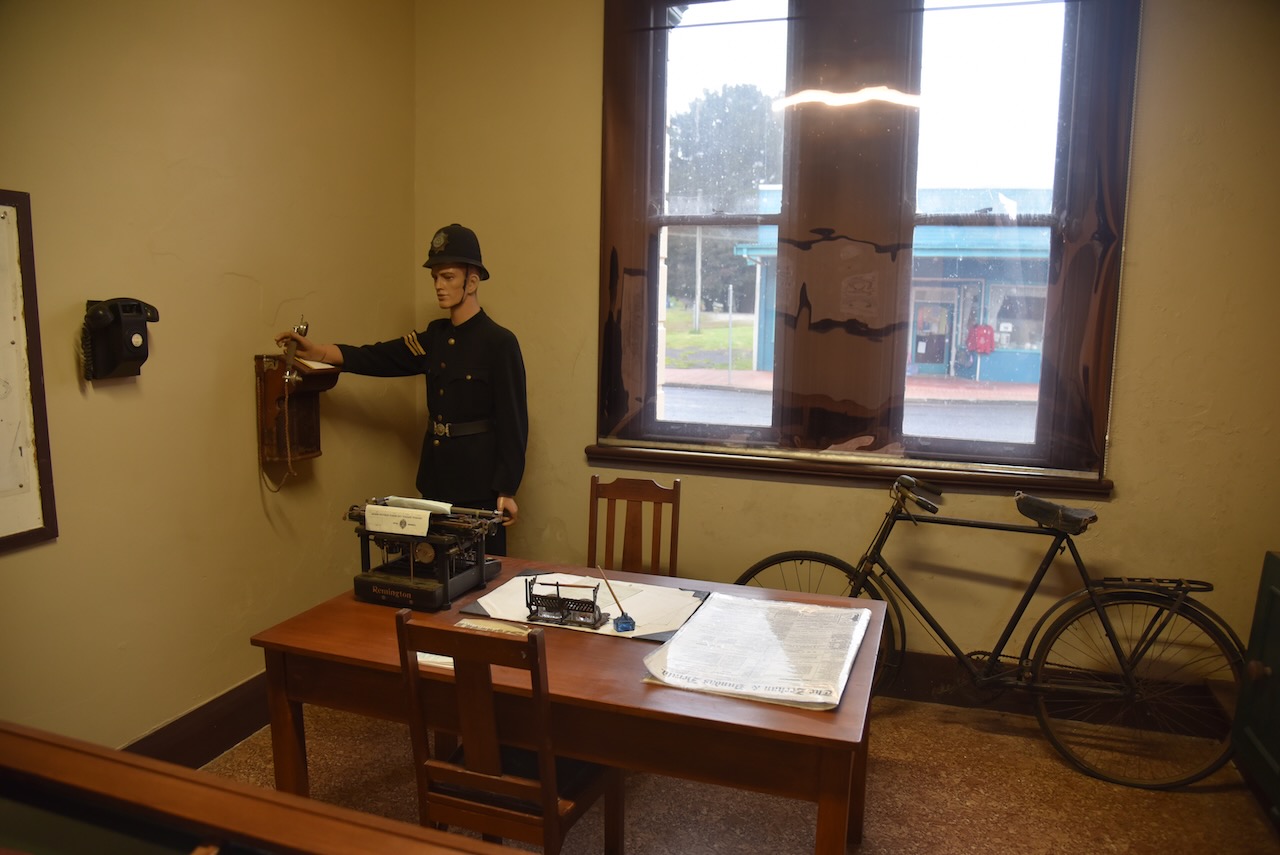
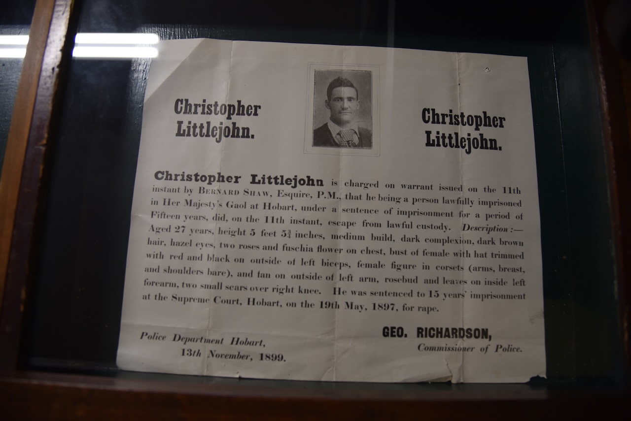
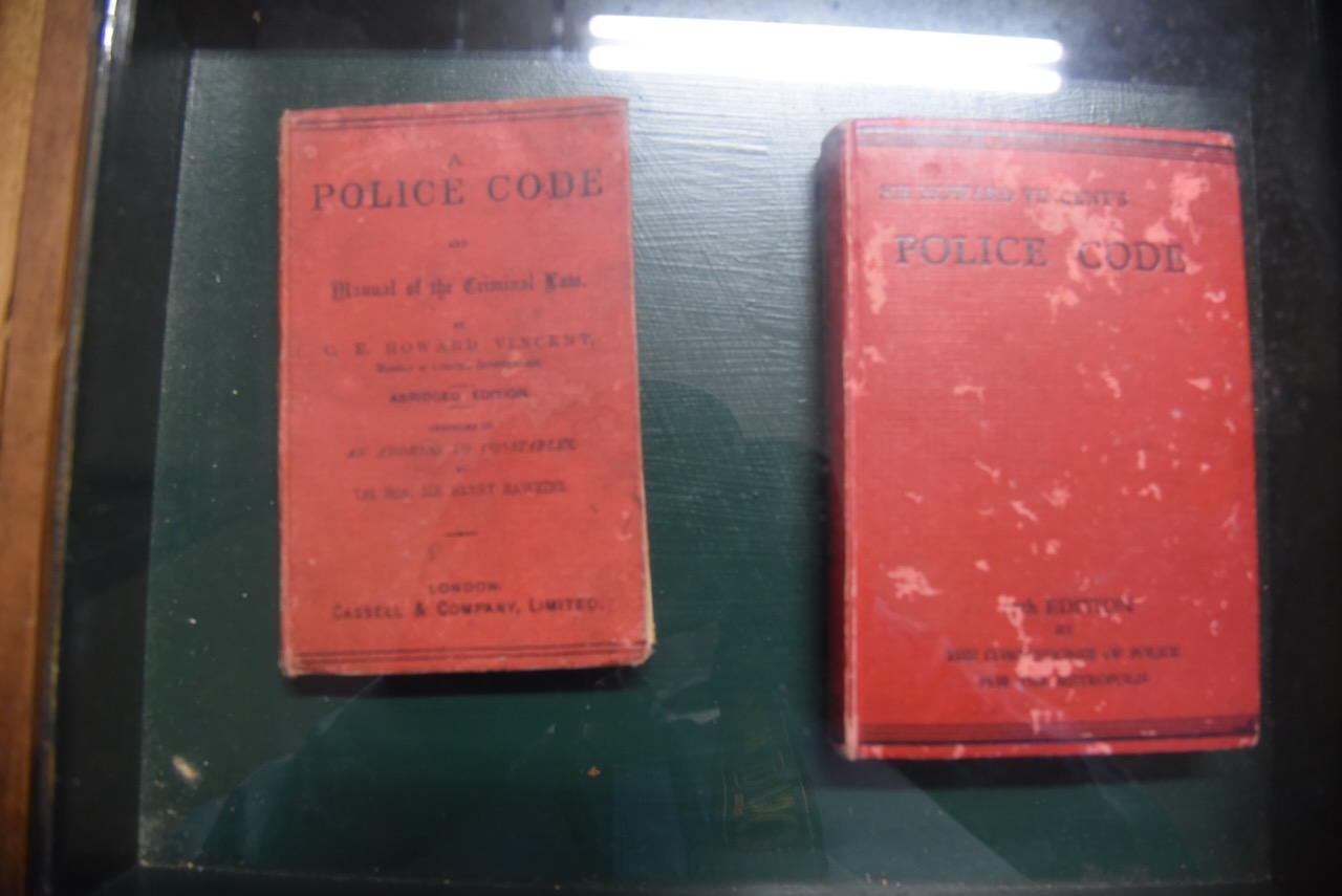
The old Zeehan Police Station is part of the museum and contains various police memorabilia and the magistrates court.
The museum also includes the Gaiety Theatre and Hotel which was built in 1898 by the Hon. Edward Mulcahy.
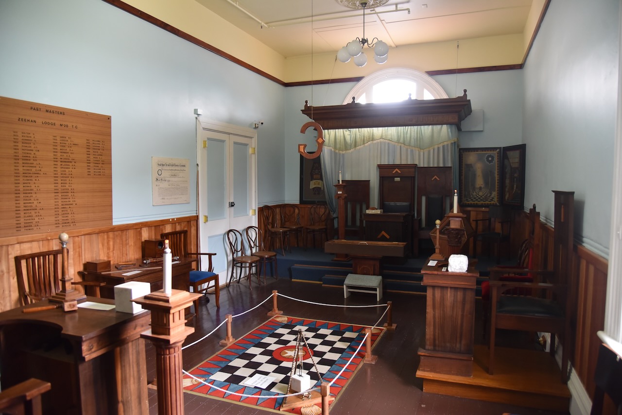
There is also a Masonic Lodge Display and a huge amount of other display and history of Zeehan.
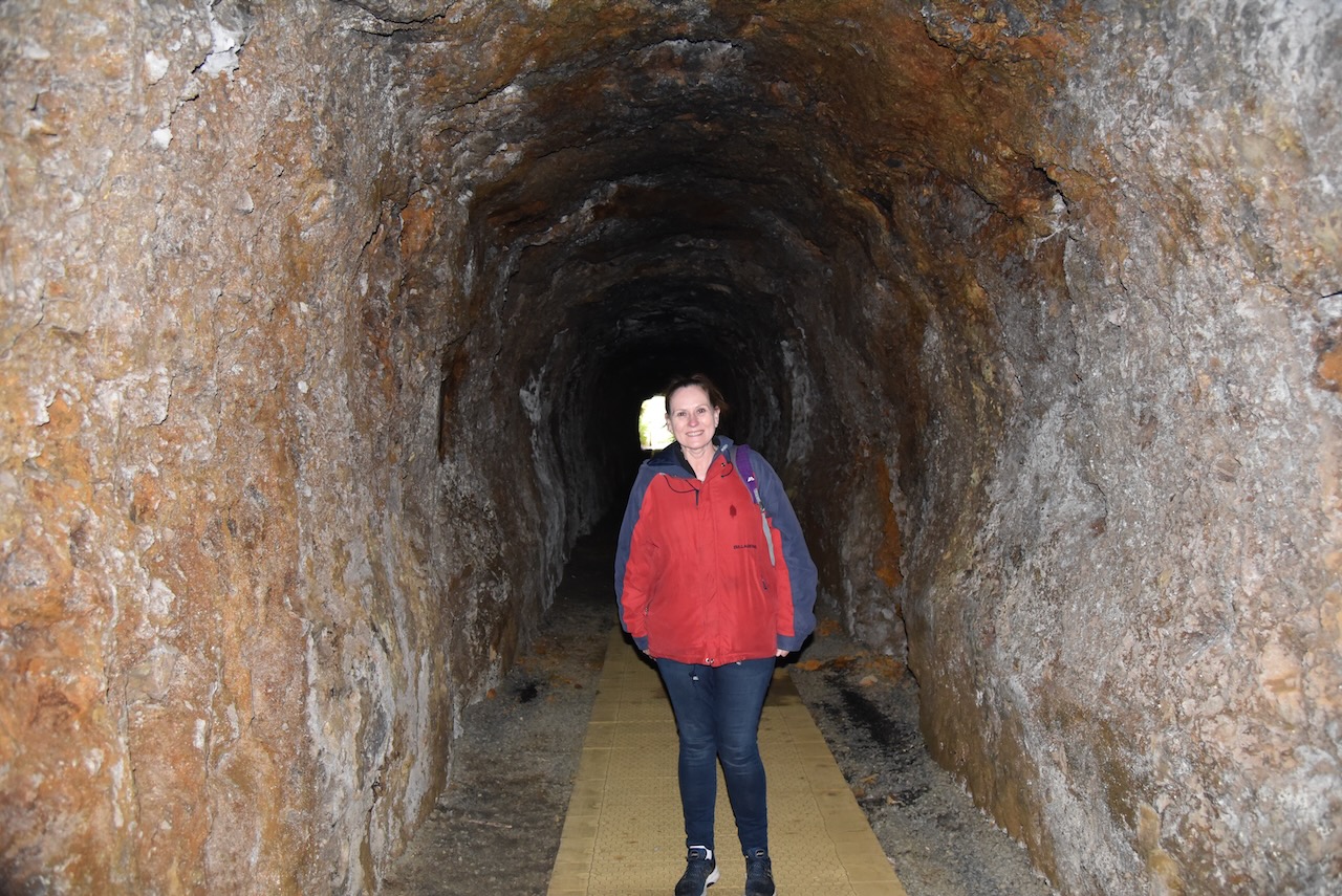
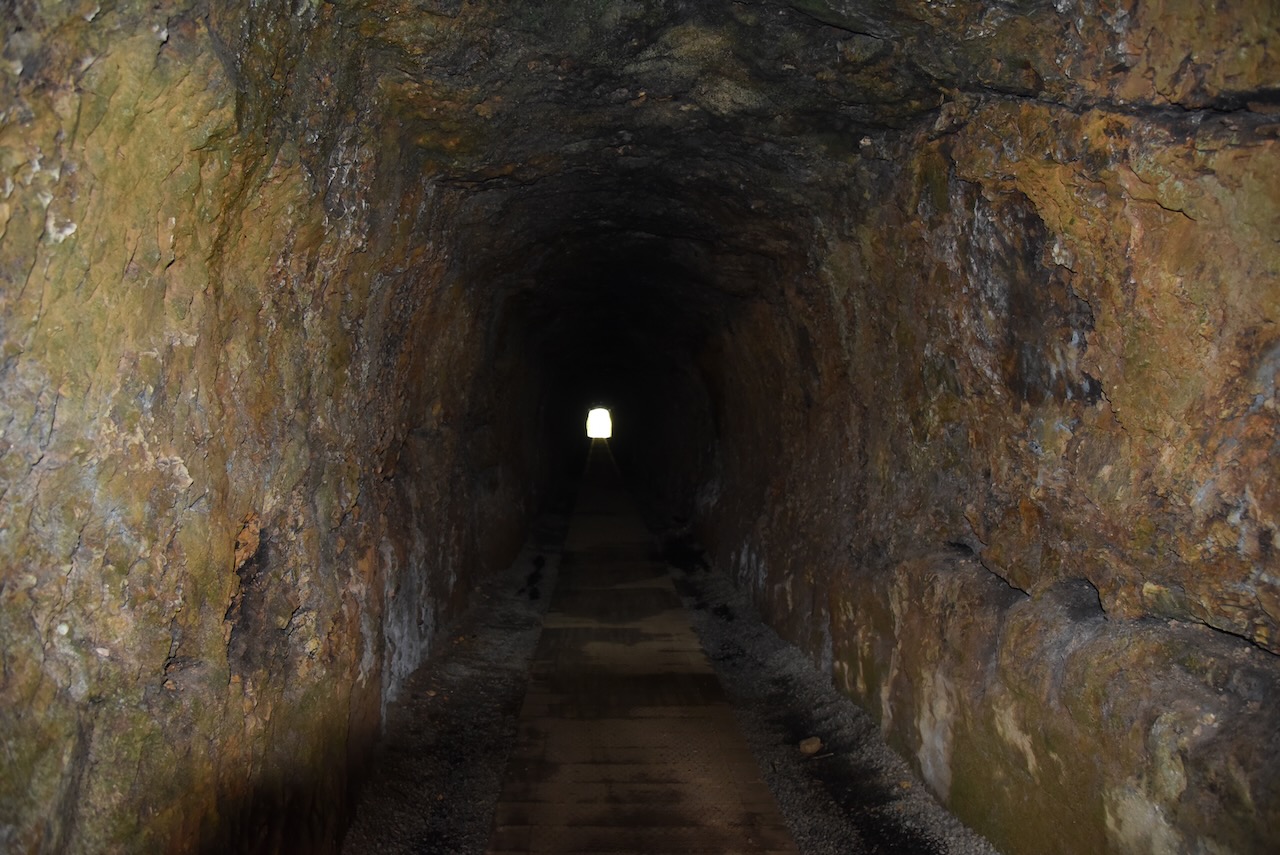
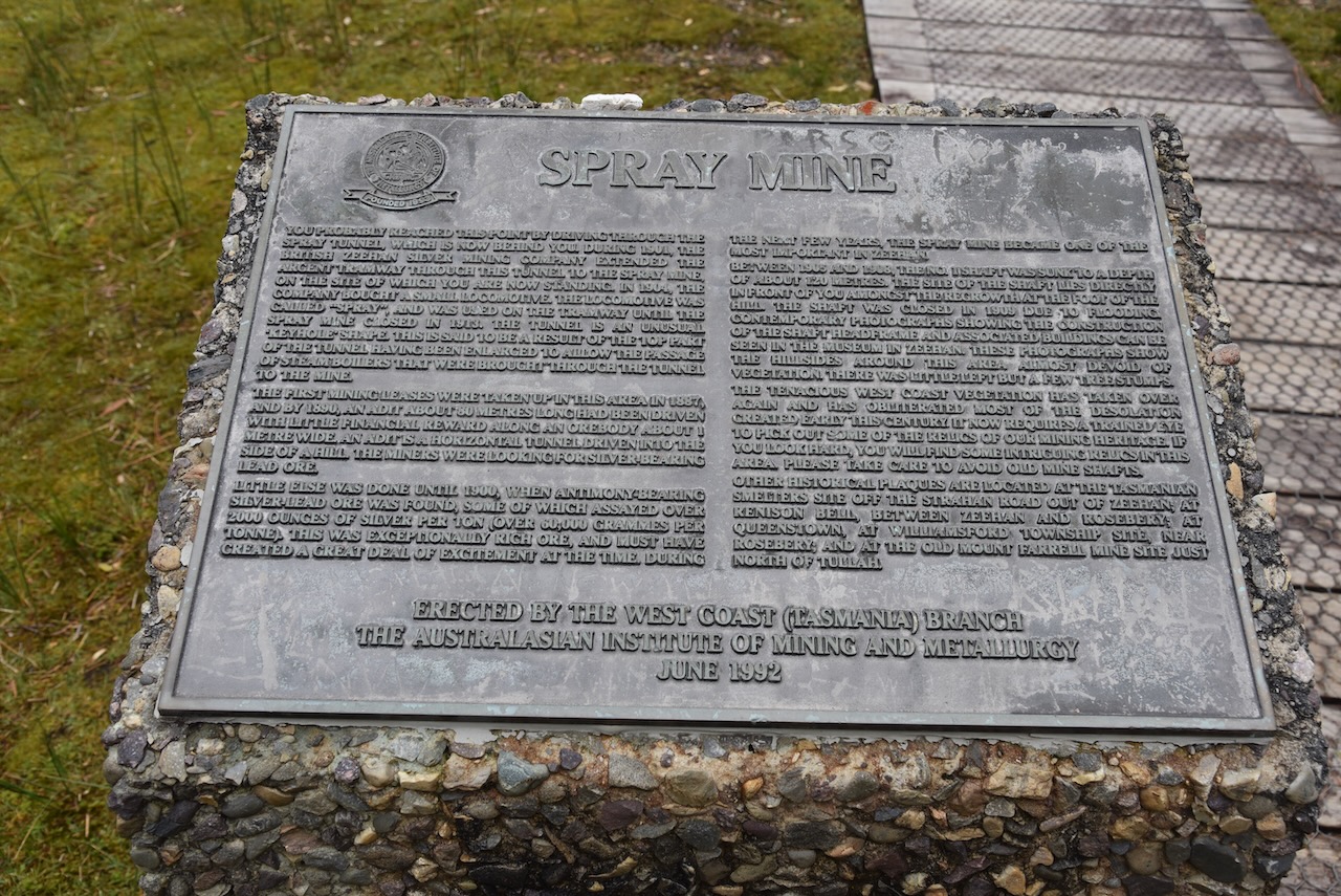
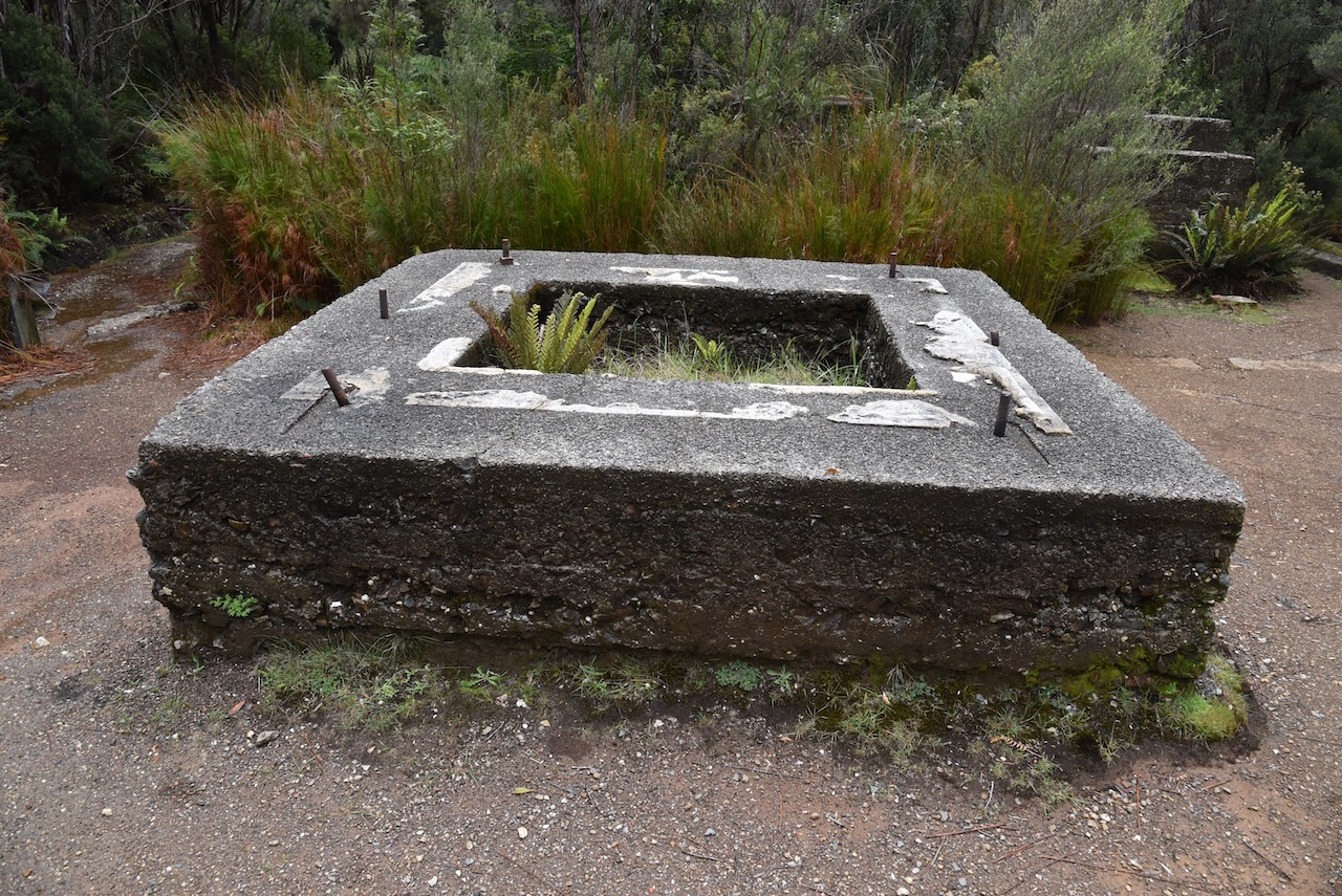
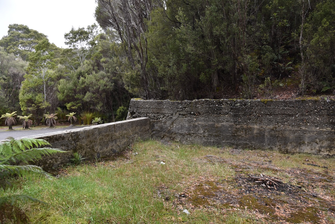
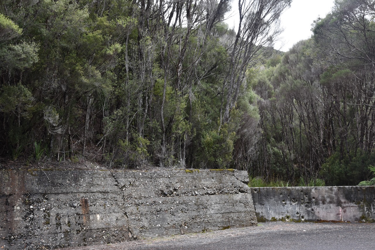
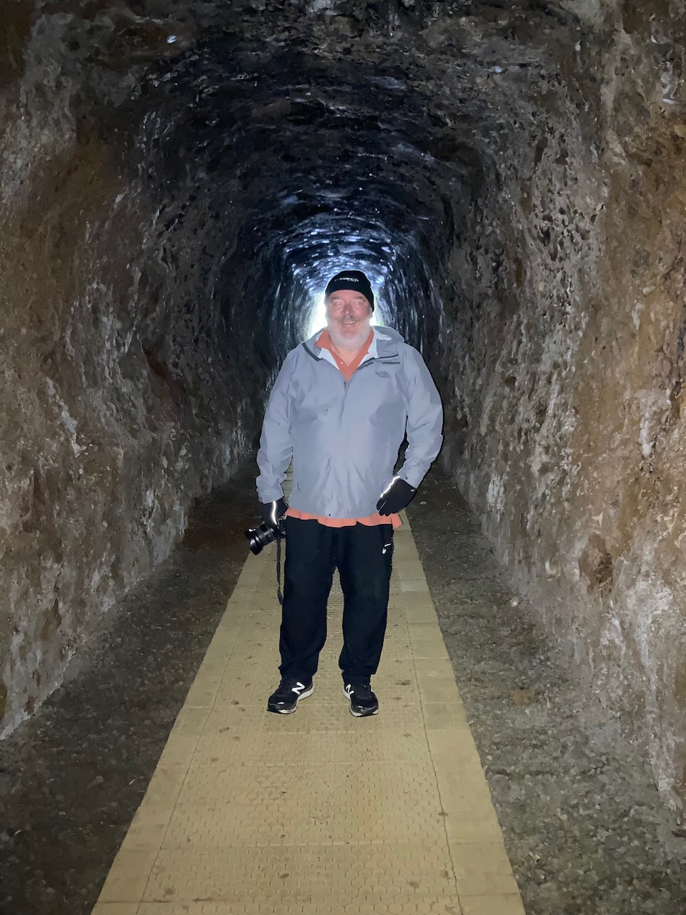
We then drove out to the Zeehan Spray tunnel, a 100 metre long abandoned railway tunnel which leads to the old Spray Silver mine. It was carved through the hill to enable ore being moved from the mine. The tunnel is 3 metres high, 2.2 metres wide and 100 metres long.
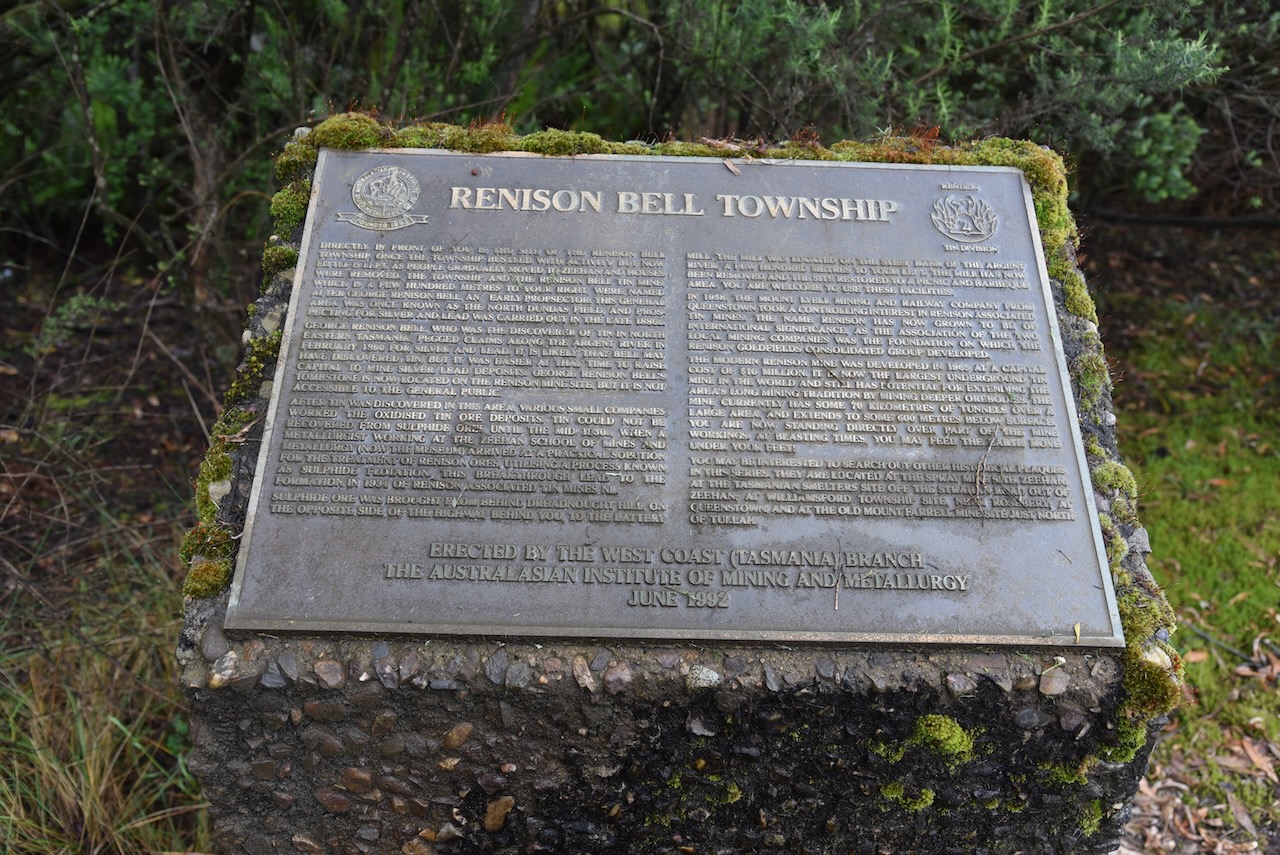
We drove north out of Zeehan on the Murchison Highway and stopped briefly at the site of the old Renison Bell township. It was once a thriving tin mining centre and was named in honour of George Renison Bell who was an early settler and prospector in the area.
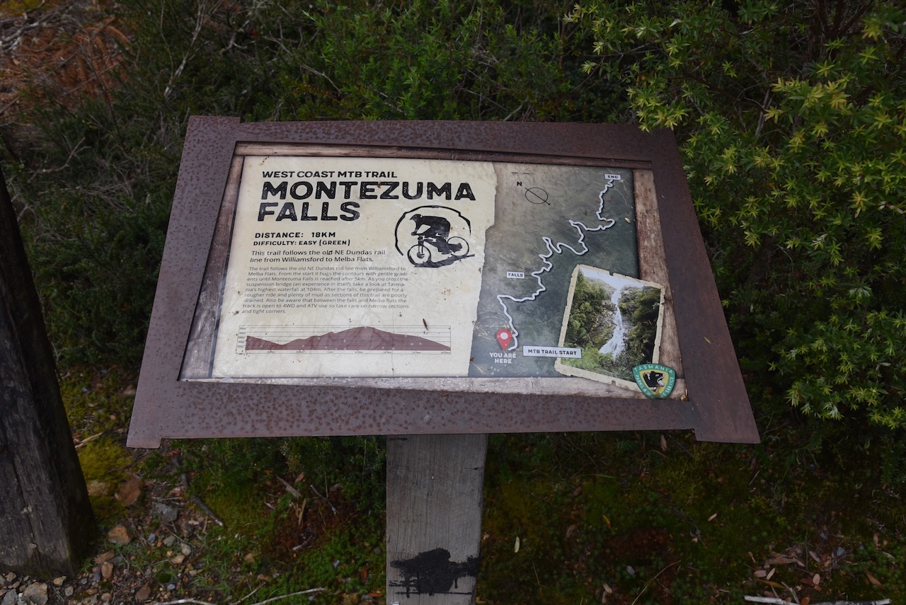
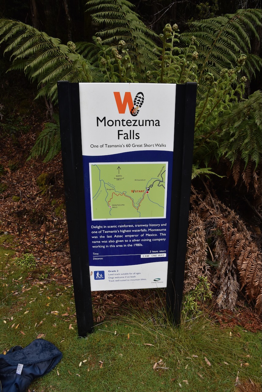
We had Montezuma Falls on our list of things we wanted to see. But when we arrived we found it was an 8m – 3 hour return walk and we just didn’t have the time unfortunately.
The video below shows what we missed out on. Montezuma Fllas is Tasmania’s largest single drop waterfall, with the water falling 104 metres.
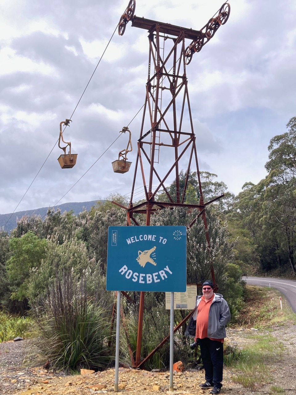
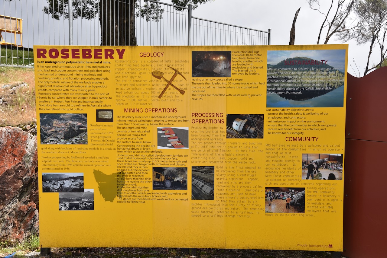
We then drove back to the Highway and on to the town of Rosebery.
In 1893 gold was discovered in the rainforest on the slopes of nearby Mount Black by prospector Tom McDonald. He made several claims in the name of the Rosebery Prospecting Association which was named after Archibald Primrose, 5th Earl of Rosebery.
Above:- Lord Rosebery. Image c/o Wikipedia
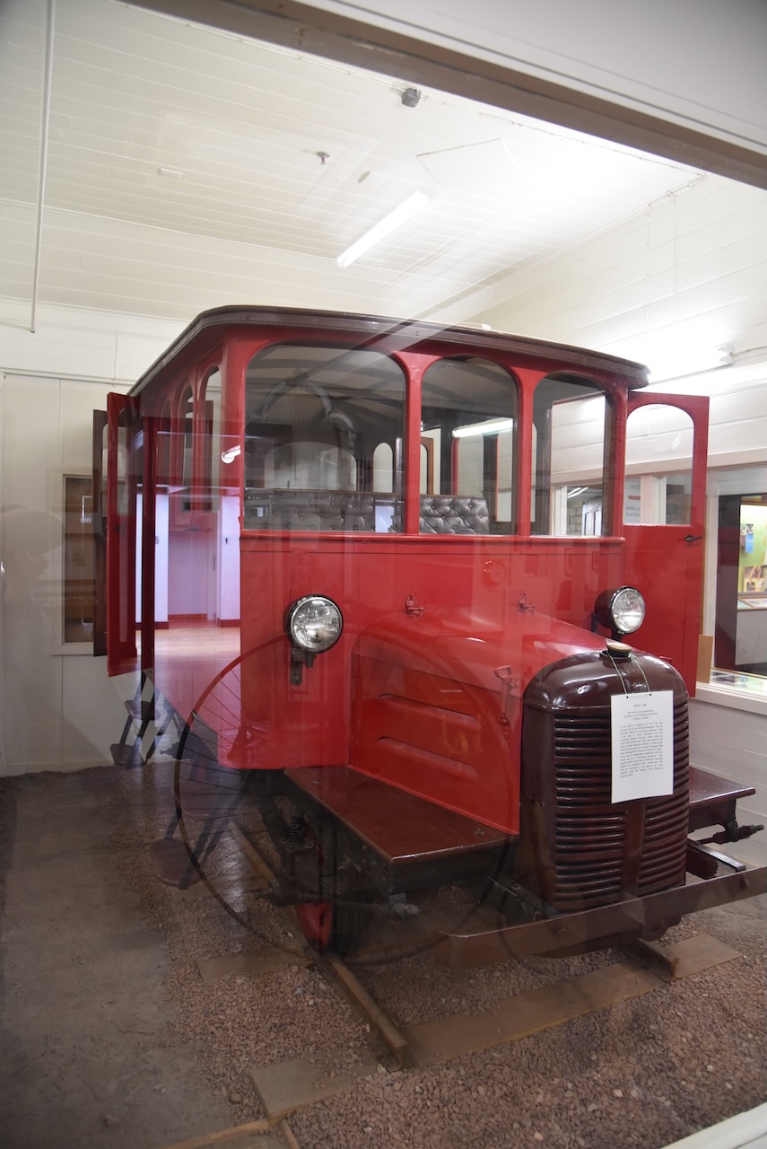
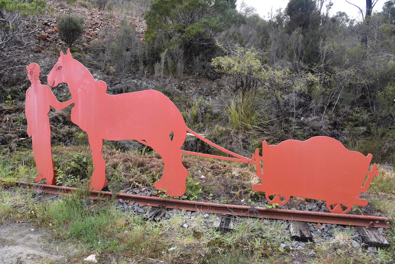
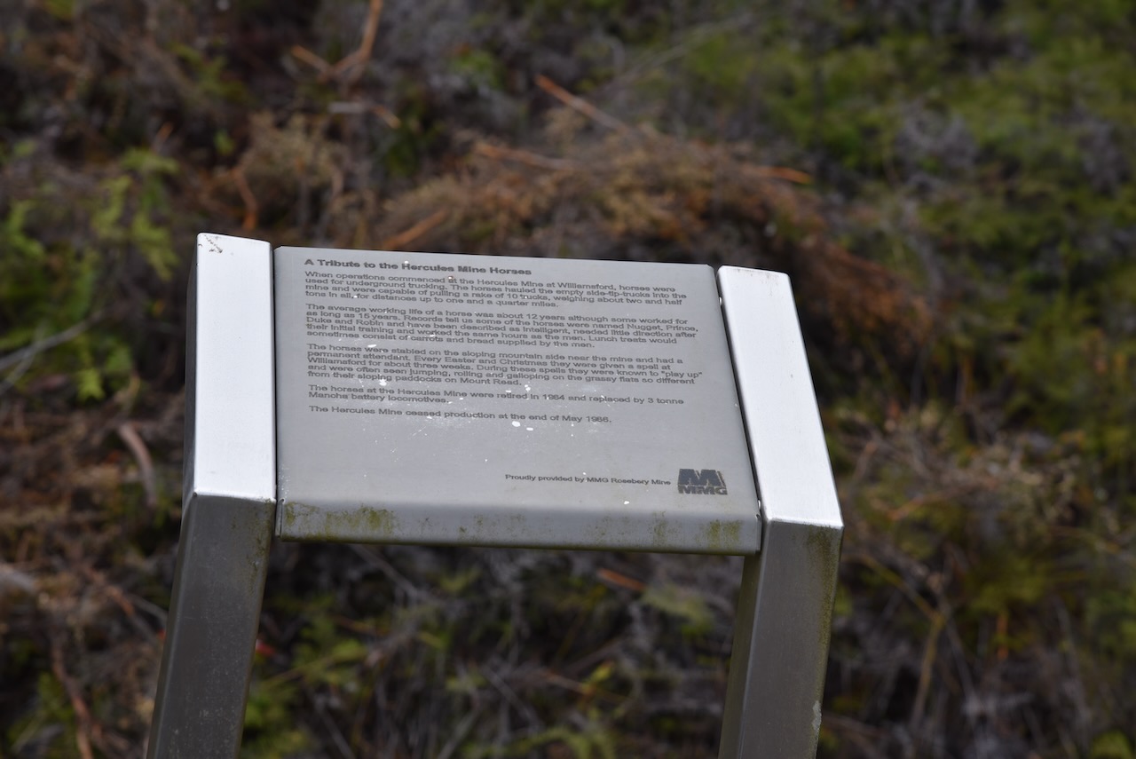
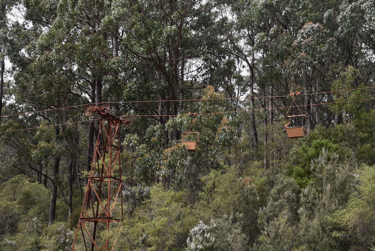
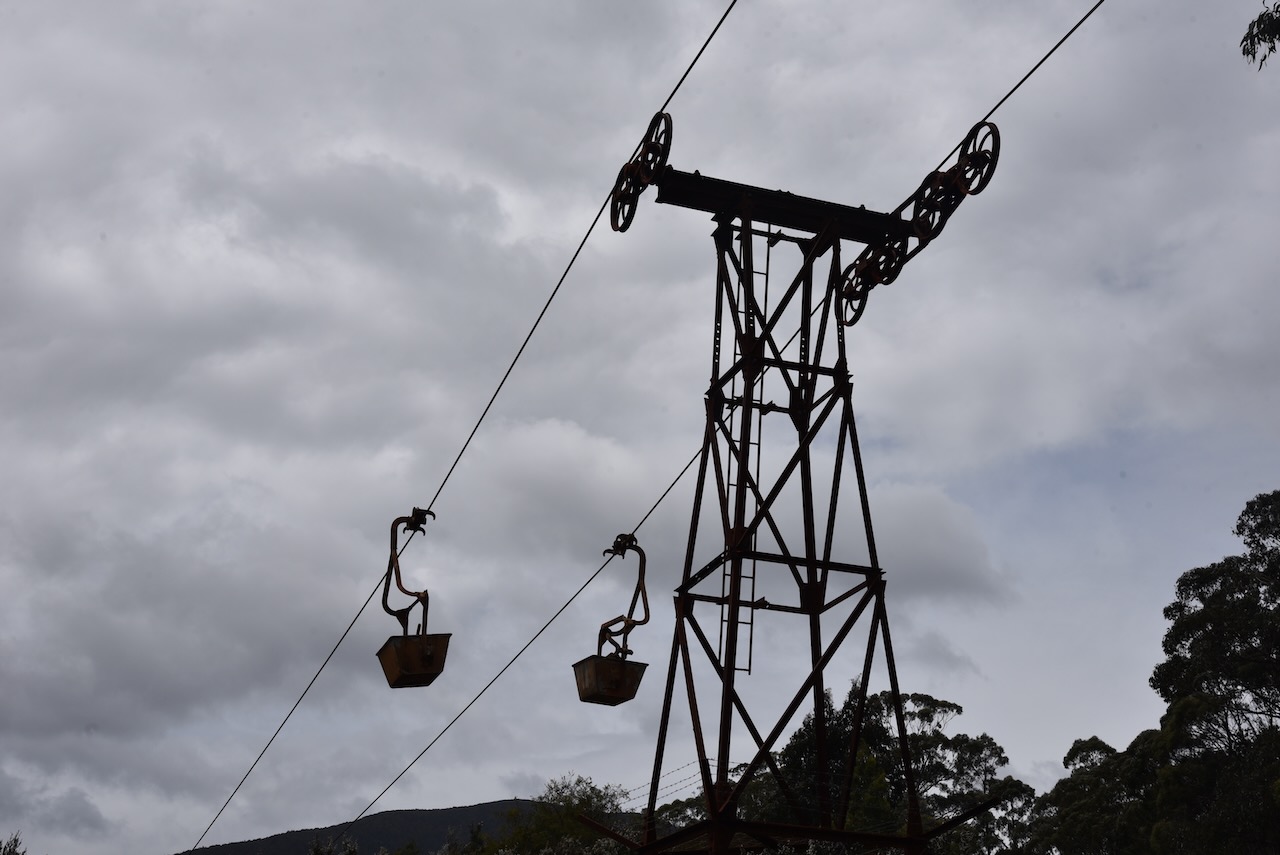
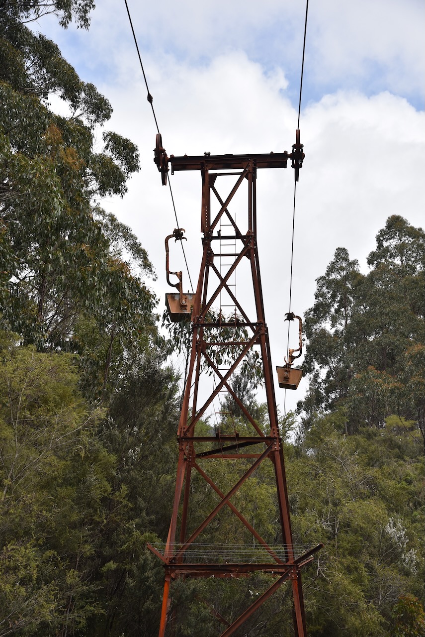
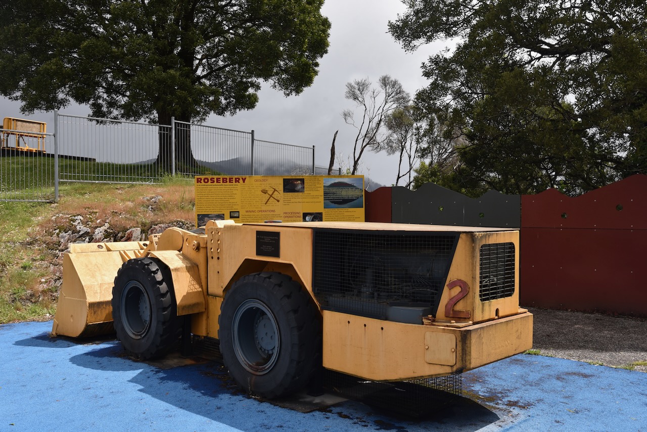
One of the interesting things to see in Rosebery is the Rosebery Aerial Ropeway which was constructed in 1928 to enable lead/zinc ore from the Hercules Mine to be transported to a new ore concentrating mill being built in Rosebery. The aerial ropway was used until its closure in February 1965. It transported an estimated 2 million tonnes of ore to Rosebery.
We then visited the replica of an early miners camp in Rosebery. It si a replica of one of two early accomodation huts for engineers who were required to stay on site for security reasons and other duties. The original was built in 1915 and was used until the 1950s.
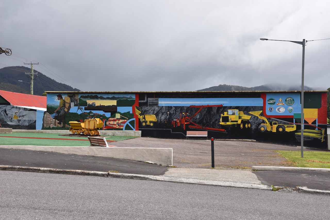
Next was the Rosebery mural and the Visitor Centre which unfortunately was closed.
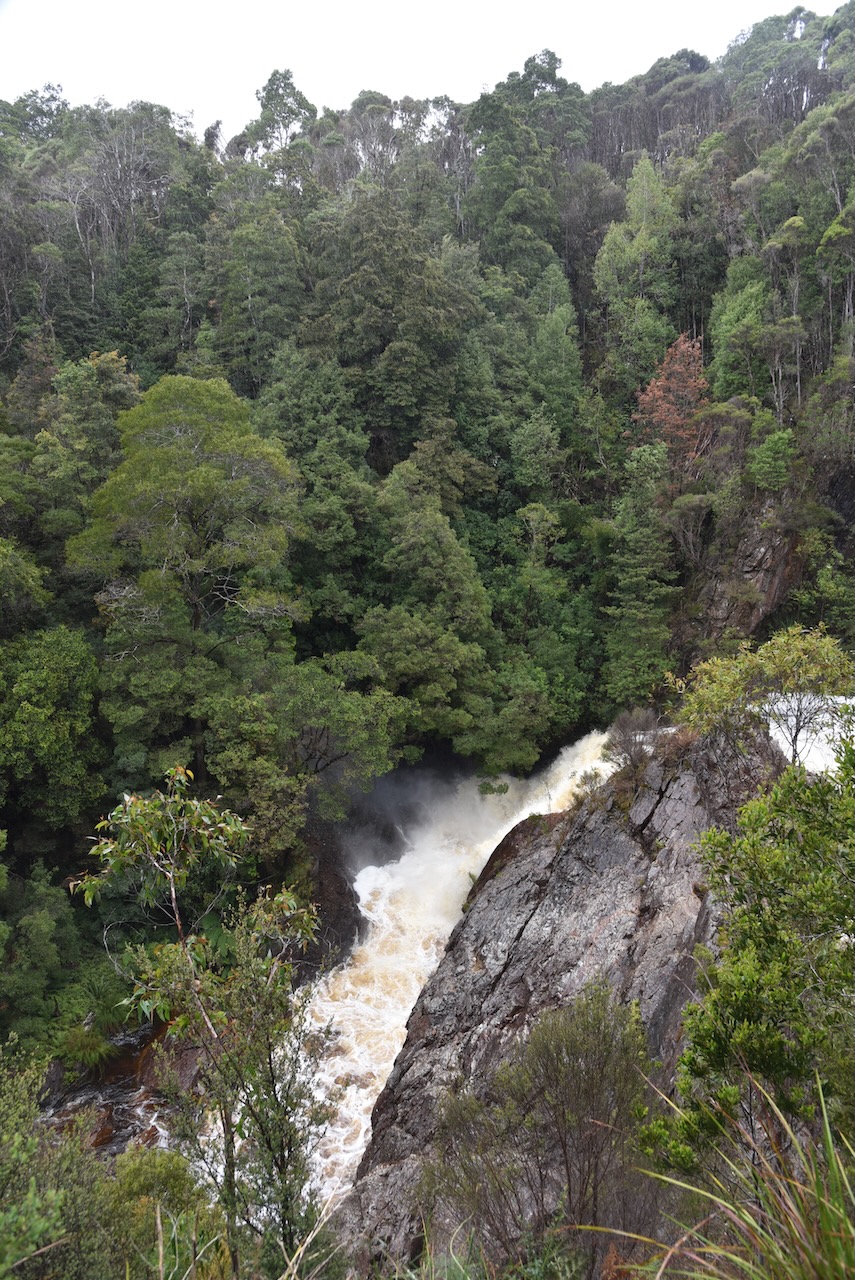
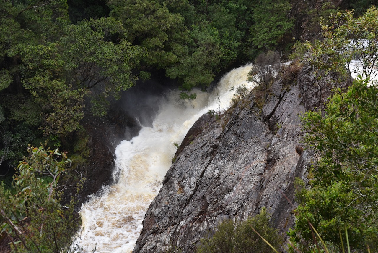
Stitt Falls was our next stop in Rosebery. The falls can be viewed after a very short walk from the carpark. Stitt Falls drops about 5-8 metres.
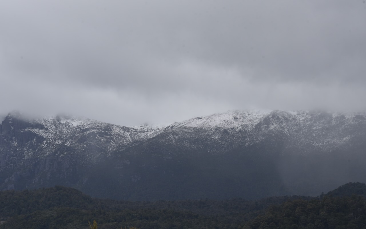
It was a rather chilly and overcast day and there was snow on the top of the nearby mountains close to Rosebery.
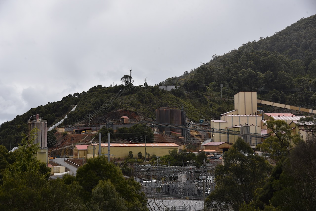
Prior to leaving Rosebery we had a quick look from the roadway at the MMG Limited Mine. Zinc, copper and lead concentrates as well as gold ore are produced at Rosebery.
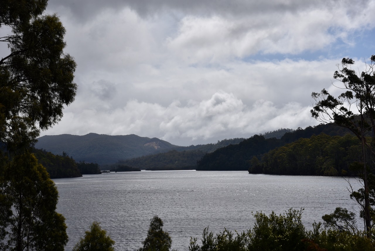
North of Rosebery, we stopped briefly to have a look at Lake Rosebery and the Murchison River.
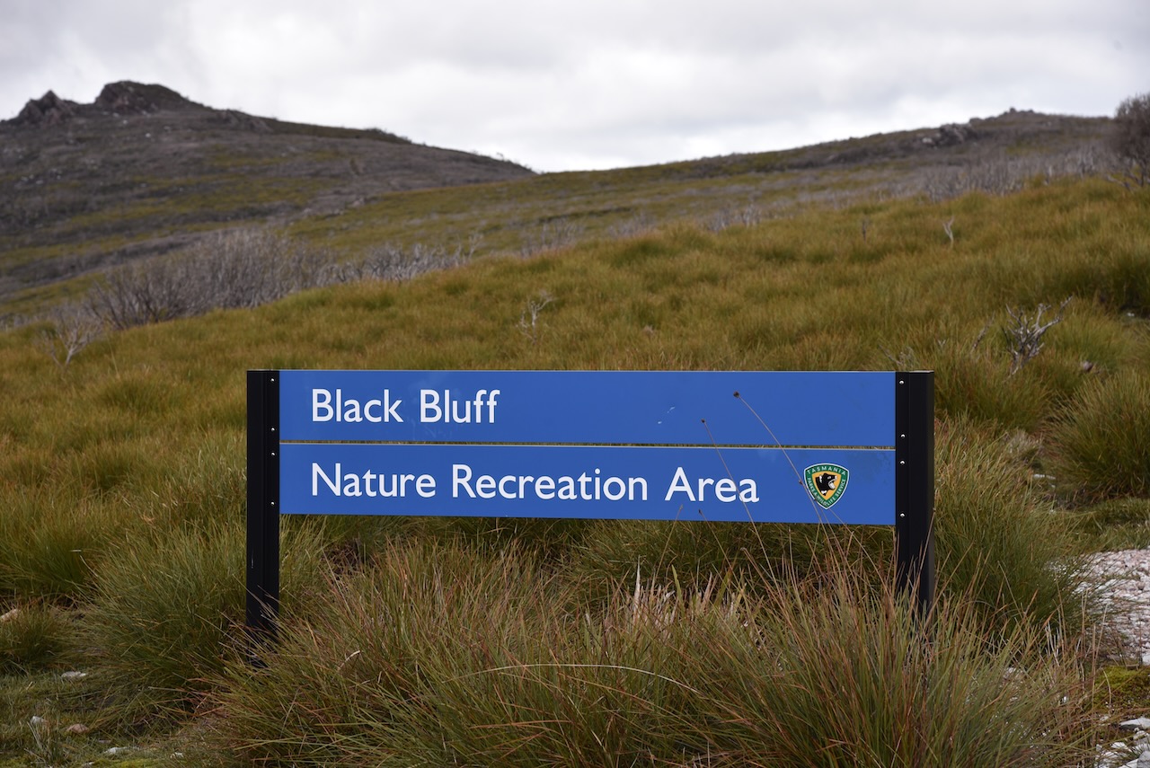
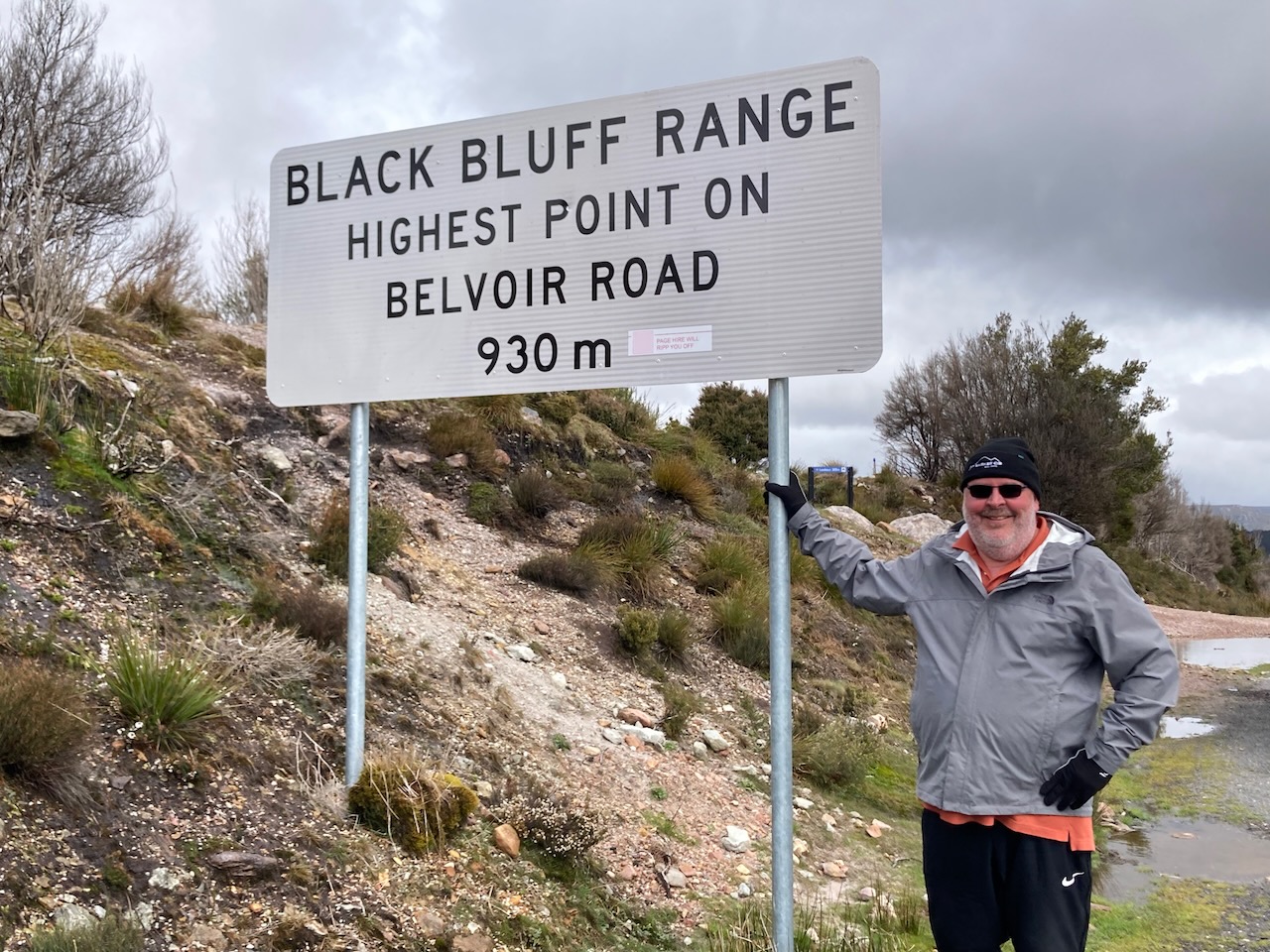
We then turned off the Murchison Road and headed east on the Belvoir Road. We soon reached the Black Bluff Nature Recreation Area. A check of the WWFF Australia website revealed sadly that this park was not on the list of VK7 qualifying parks.
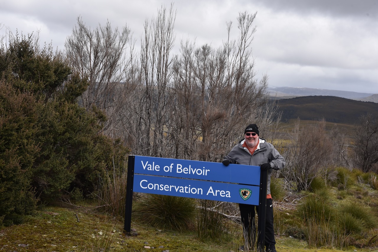
But within sight was another sign, this one for the Vale of Belvoir Conservation Area, and that was on the list, VKFF-2925.
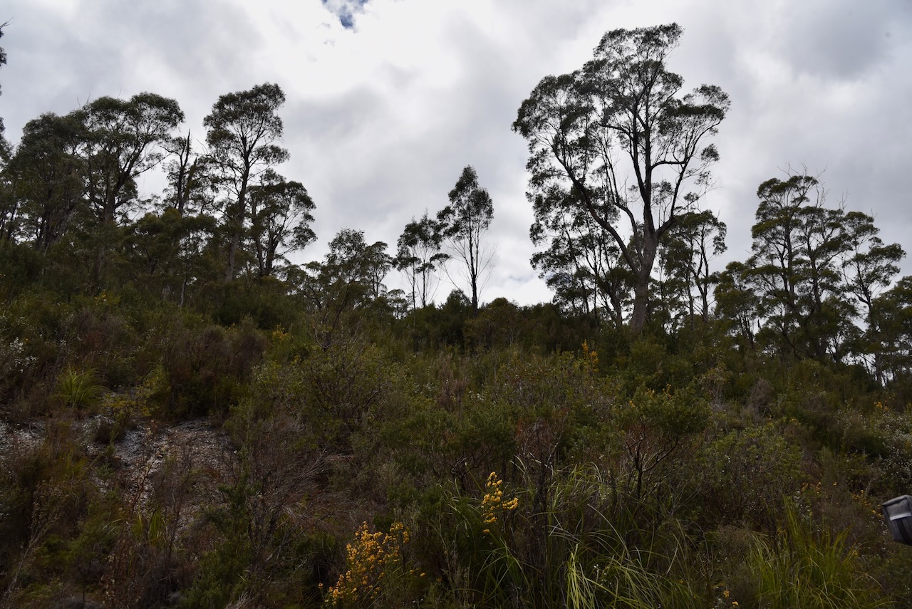
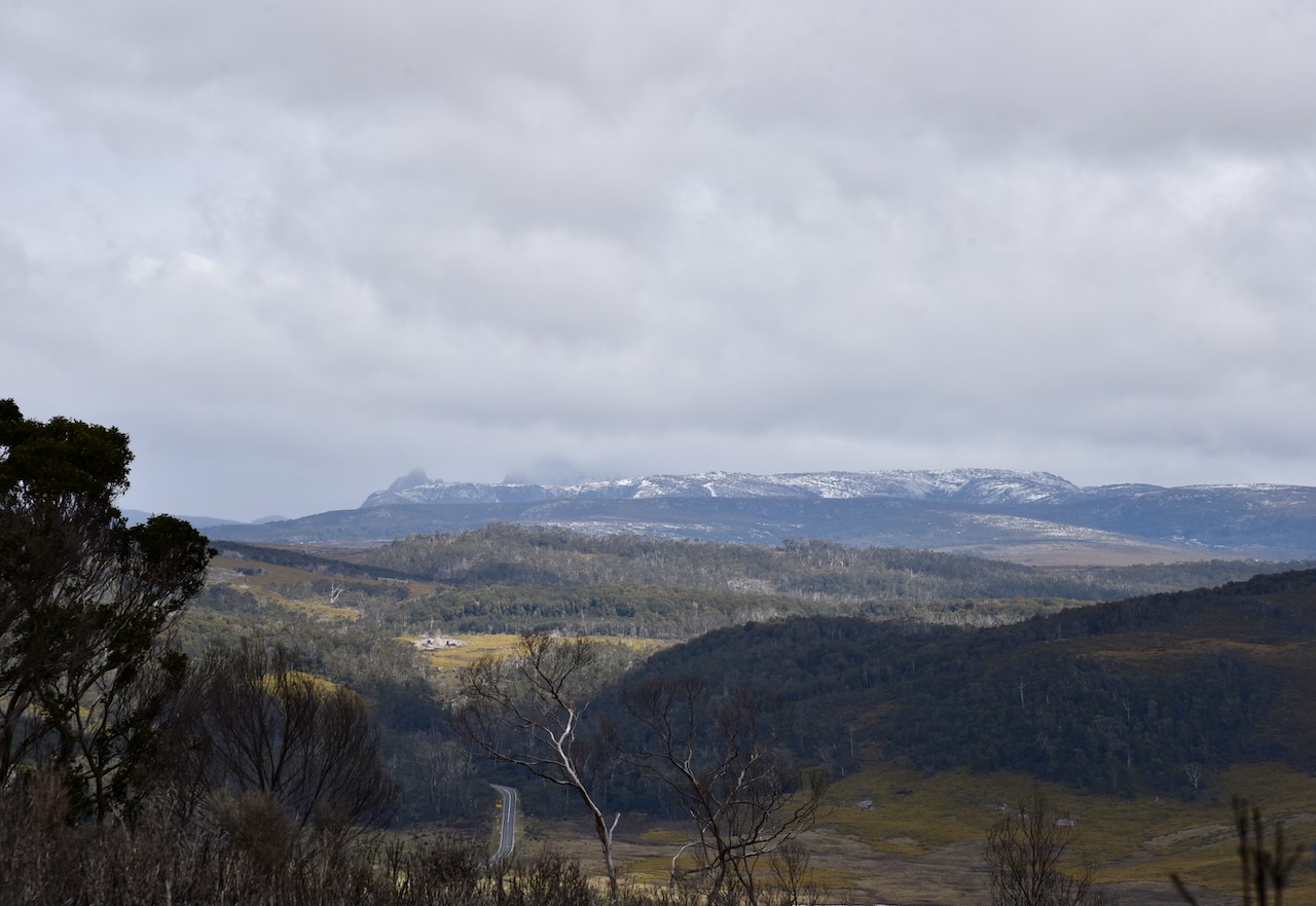
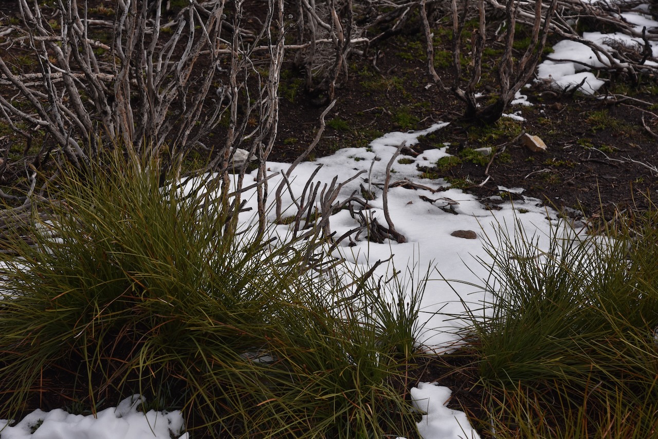
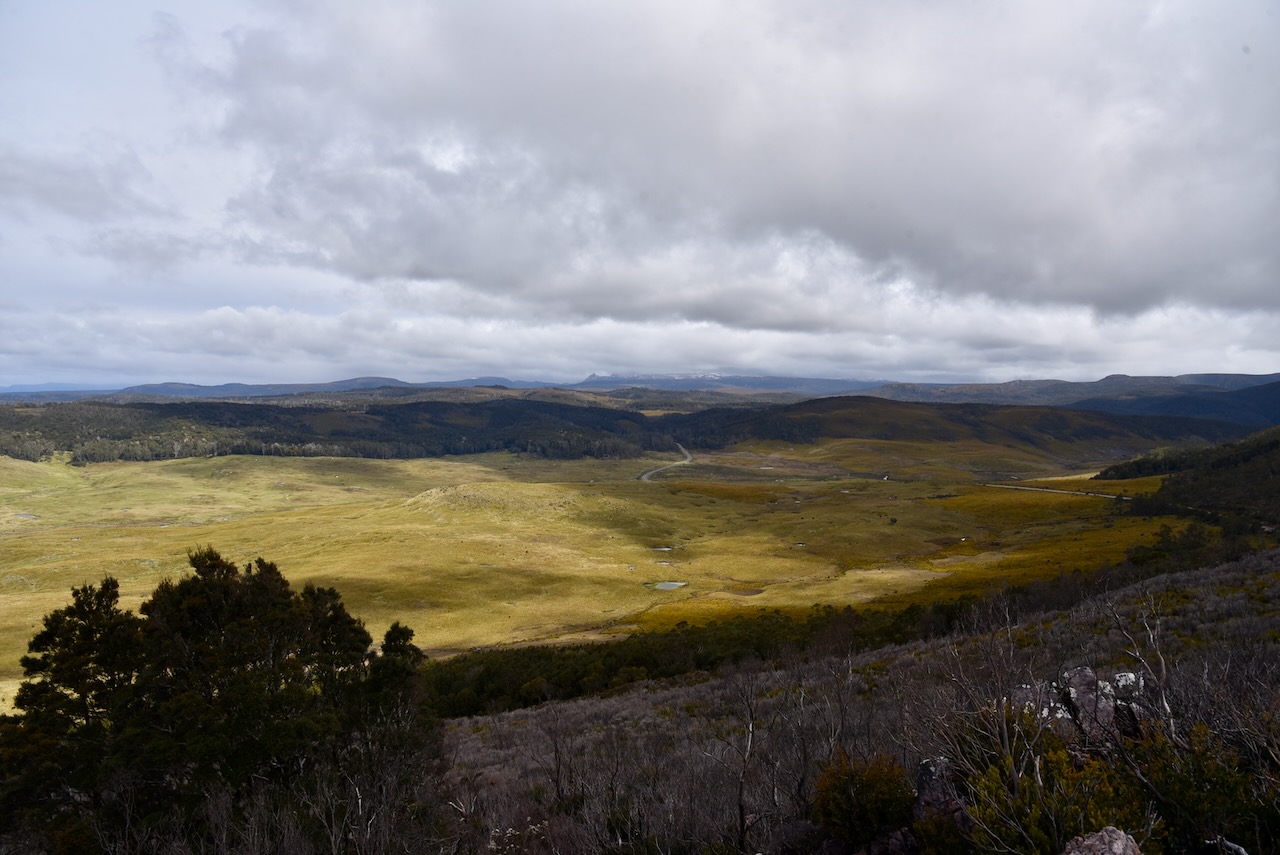
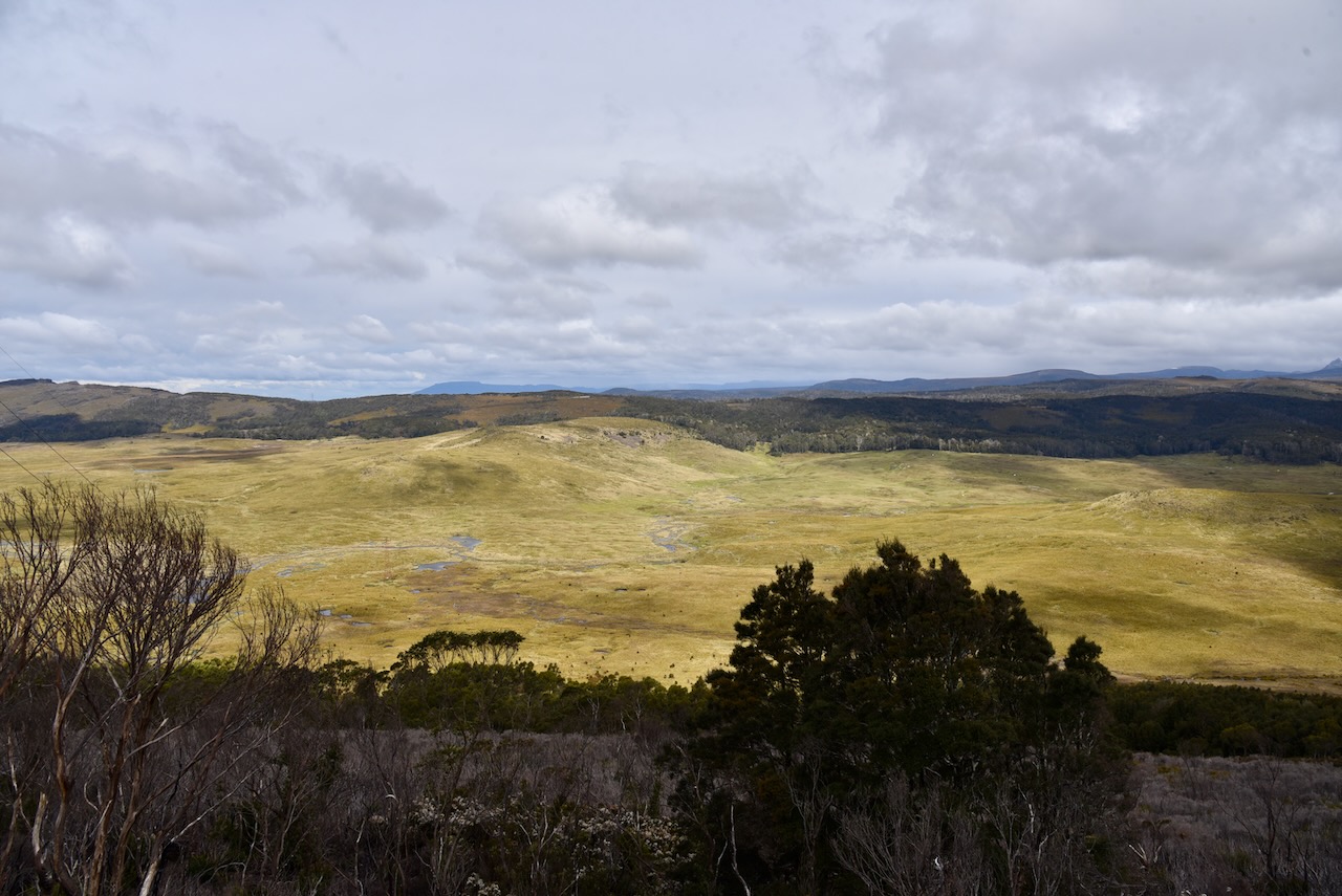
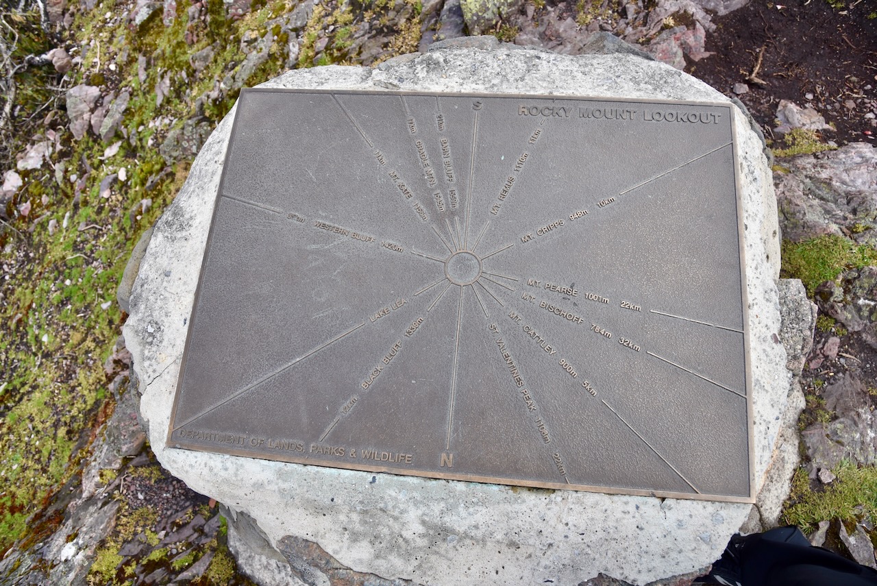
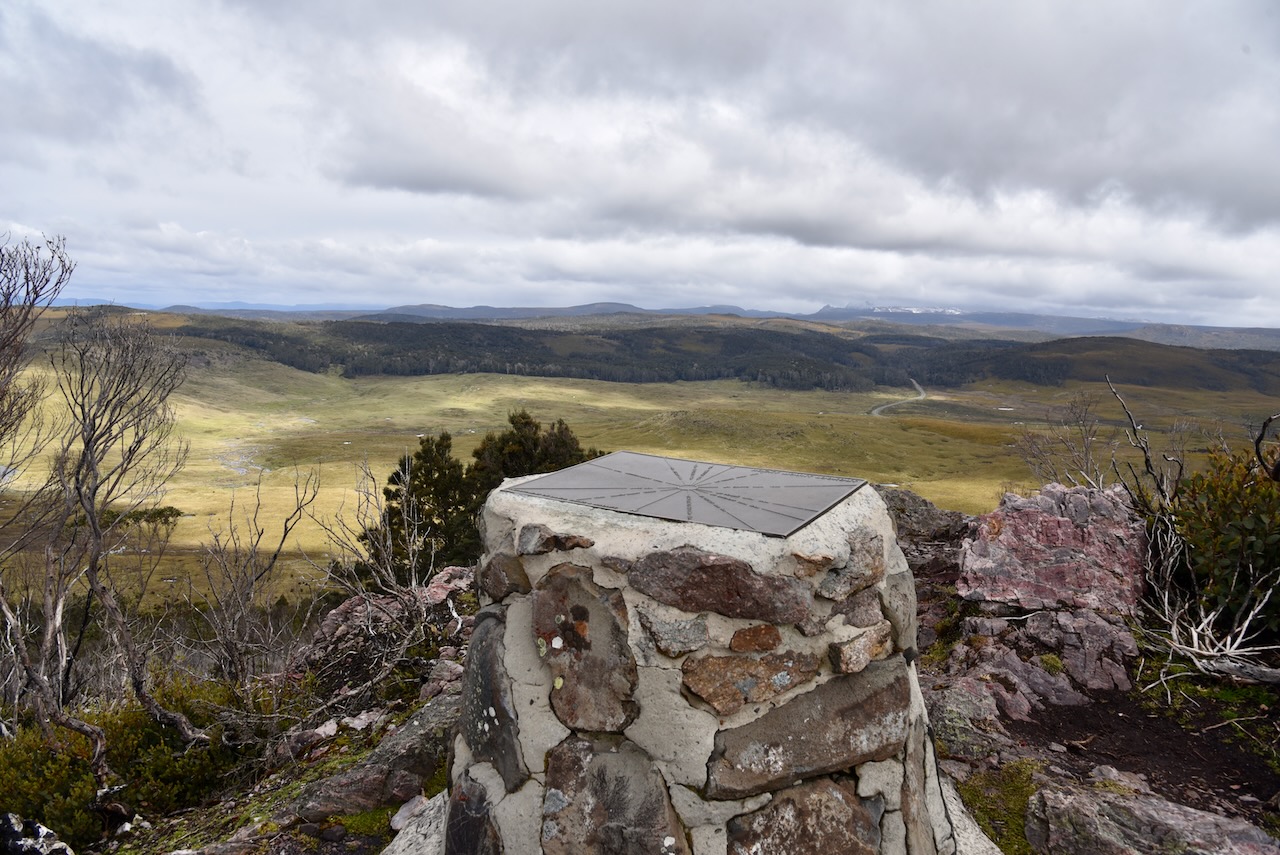
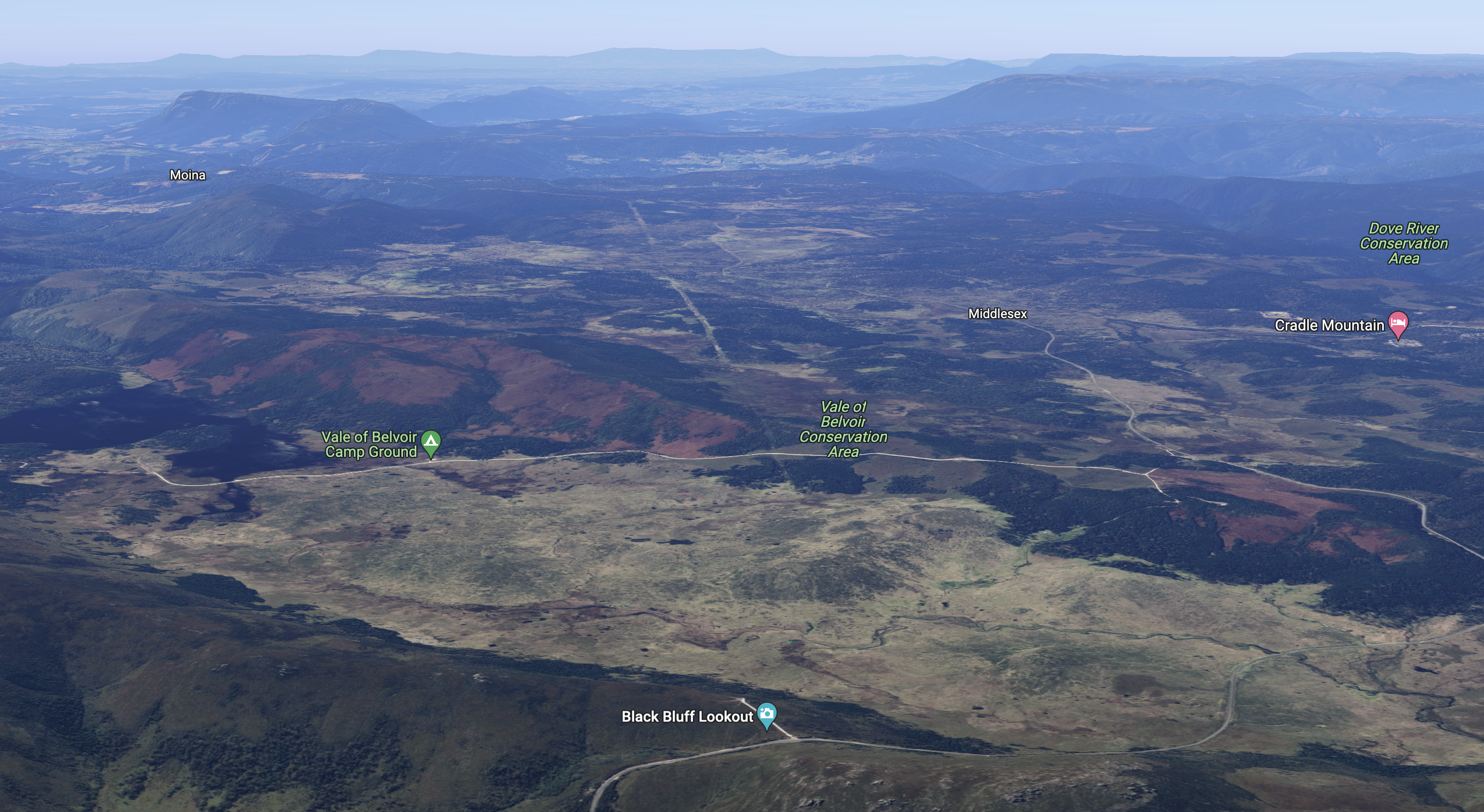
It was an extremely cold afternoon with the outside temperature being about 3-4 deg c, but we decided to brave the elements and walk to the top of the Black Bluff lookout. There was lots of snow on the ground as we walked to the top. Once at the top you are rewarded with some amazing views of the Black Bluff Nature Recreation Area, the Vale of Belvoir Conservation Area, and the Cradle Mountain Lake St Clair National Park.
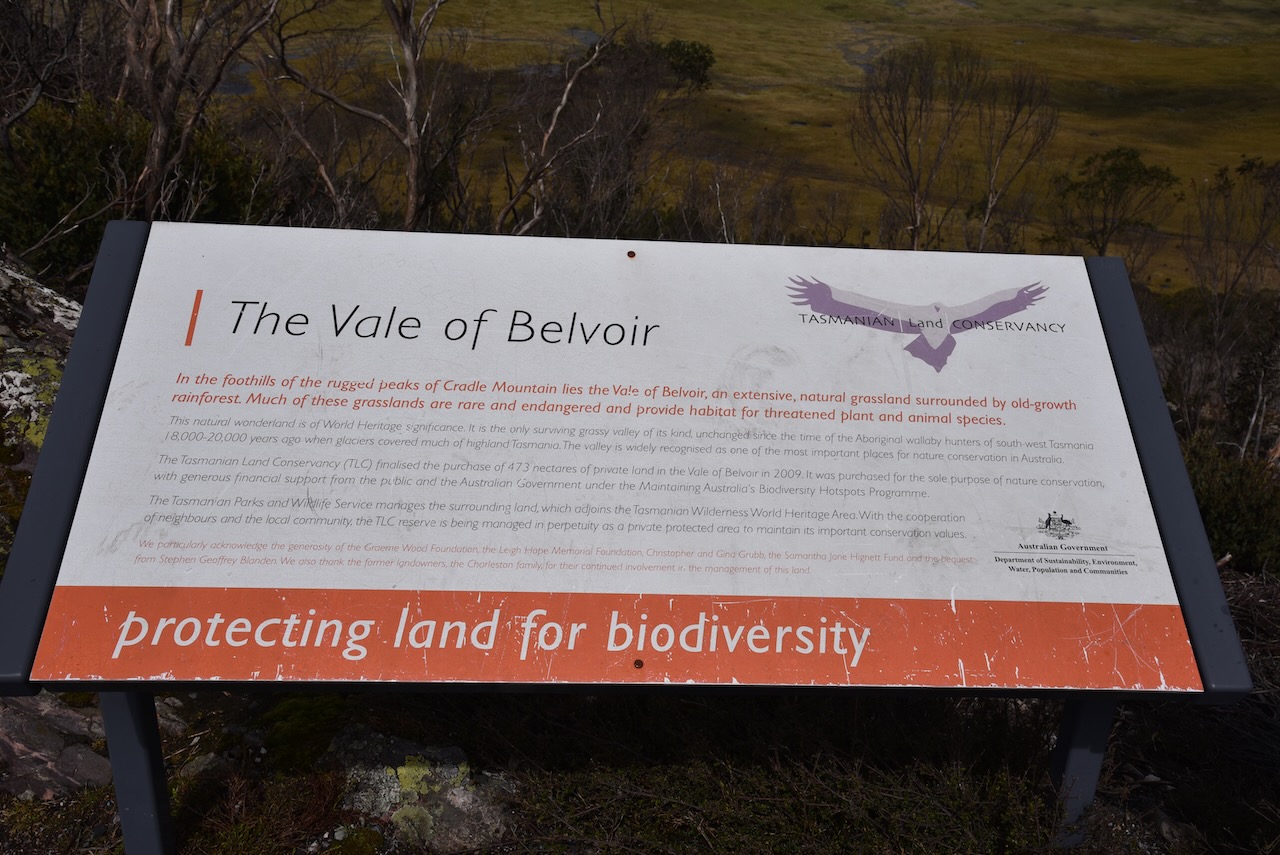
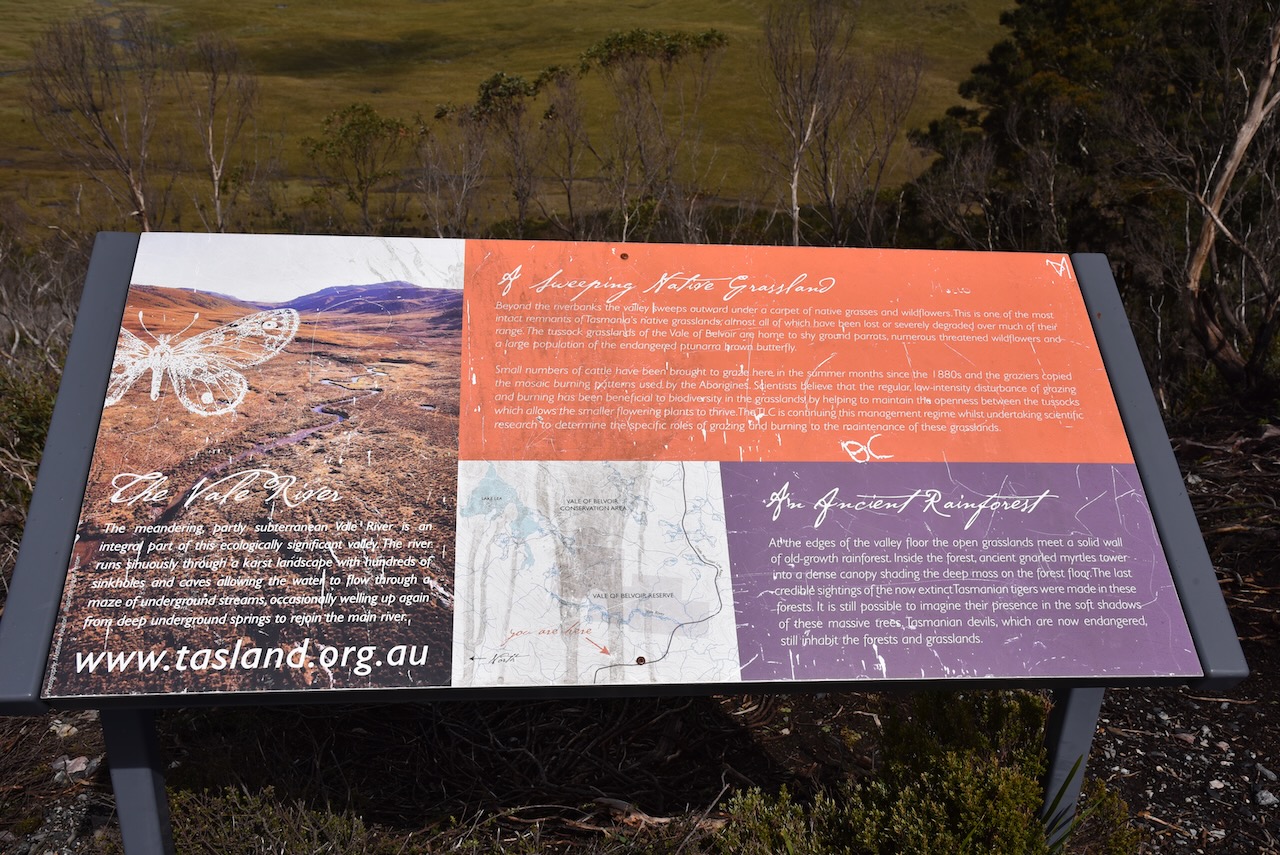
The Vale of Belvoir is located in the foothills of the rugged peaks of Cradle Mountain. It is an extensive natural grassland which is surrounded by old growth rainforest. Much of these grasslands are rare and endangered and provide habitat for threatened plant and animal species.
The Vale of Belvoir is of World Heritage significance and is the only surviving grassy valley of its kind, unchanged since the time of the Aboriginal wallaby hunters of south-west Tasmania 18,000 – 20,000 years ago when glaciers covered much of highland Tasmania. The valley is widely recognised as one of the most important places for nature conservation in Australia.
Above:- An aerial view of the Vale of Belvoir Conservation Area. Image c/o Google maps.
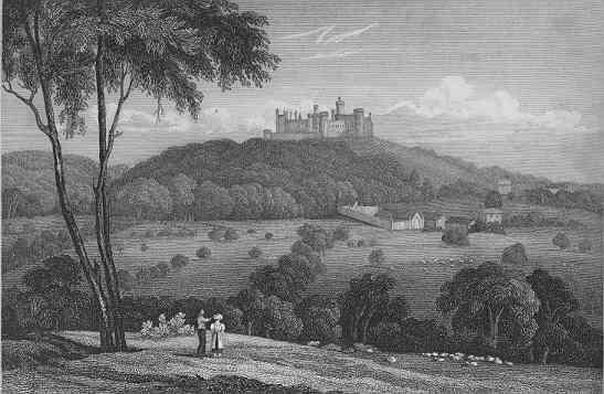
The Vale of Belvoir was named in 1827 by land surveyor Joseph Fossey (b. 1788. d. 1851) after the Vale of Belvoir in Leicestershire in England. The name derives from the Norman-French for “beautiful view” and dates back to Norman times.
Above:- Belvoir Castle overlooking the Vale of Belvoir in England, c. 1819. Image c/o Wikipedia.
From the 1850s cattle was grazed in the area. One settler, George Williams also had a dairy herd and a cheese factory. During the 1960s the Charleston family took over the land from the Williams family.
The Tasmanian Land Conservancy finalised the purchase of 473 hectares of private land in the Vale of Belvoir in 2009. It was purchased for the ole purpose of nature conservation.
Above:- The Vale of Belvoir Conservation Area. Image c/o Google Earth.
We then headed back down to the vehicle and strung out the 20/40/80m linked dipole while there was slight snow falling. As it was so cold we operated from the comfort of the 4WD.
Marija worked the following stations on 40m SSB:-
VK3PF
VK2HHA
VK3SQ
VK3SMW
VK2VH
VK4AAC
VK7JFD
VK7AN
VK2IO
VK3AWA
VK3EJ
VK7FAMP
I worked the following stations on 40m SSB:-
VK3PF
VK2HHA
VK3SQ
VK3SMW
VK2VH
VK4AAC
VK7JFD
VK7AN
VK2IO
VK3AWA
VK7STO
VK3YUN
VK3EJ
VK3ZPF
VK3JW
VK3BWS
VK3NP
VK3VIN
VKESRC
VK3FOWL
VK1DI
VK3GRX
VK2YAK
VK4YAK
VK3XL
VK7DIK
VK3NBL
VK3BEL
VK7WUU
VK5BJE
VK7WJT
VK7LTD
VK7FAMP
VK2EXA
VK3MCA
VK3PMC
VK7AAE
VK3SKT
I worked the following stations on 20m SSB:-
VK4NH
VK4DXA
VK4KLA
VK4TJ
F1BLL
UT5PI
IW2NXI
ZL1TM
VK4KC
VK4MAD
VK4DOG
VK4EMP
VK4TI
VK4AOC
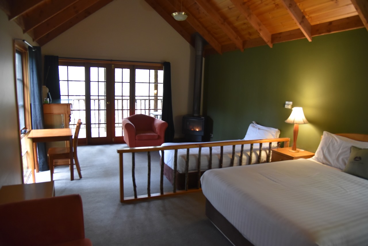
It was getting late, so we packed up and continued on to our accomodation at Lemonthyme Wilderness Retreat. And what a beautiful spot it was.