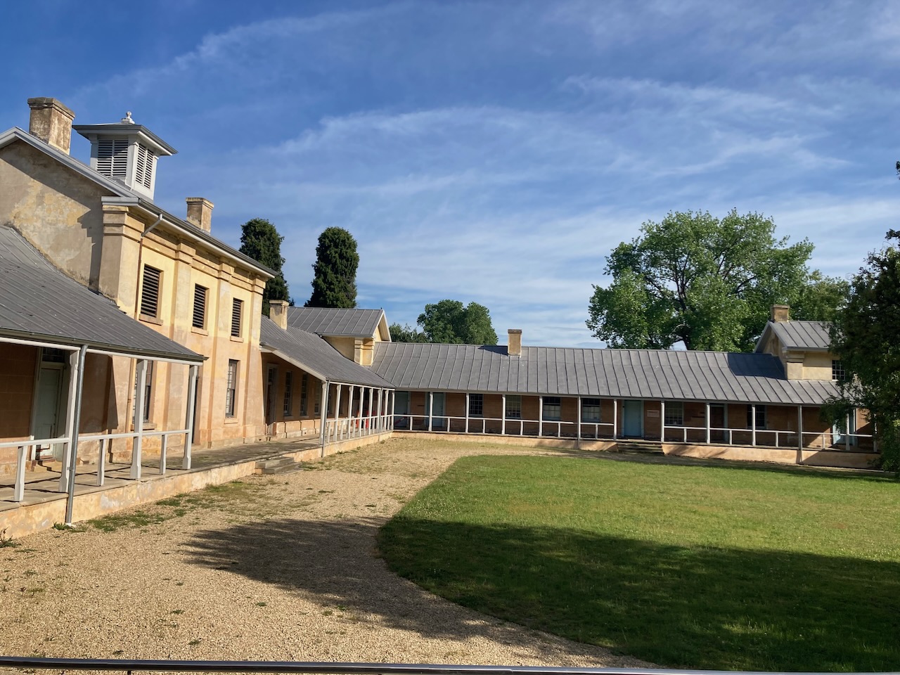
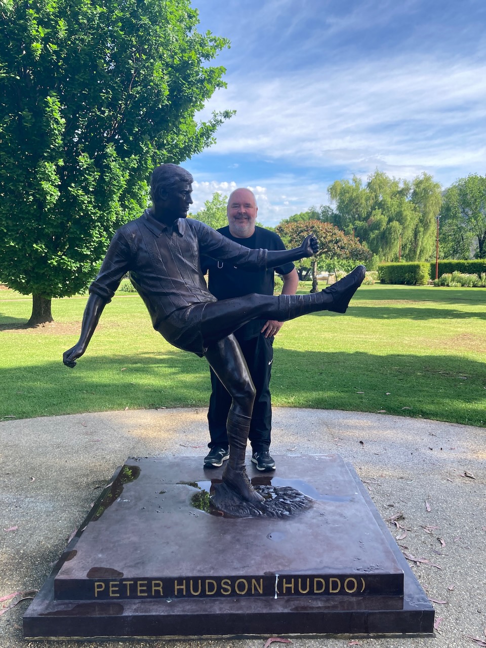
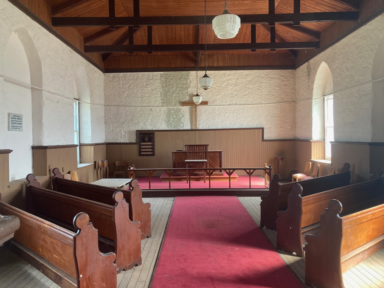
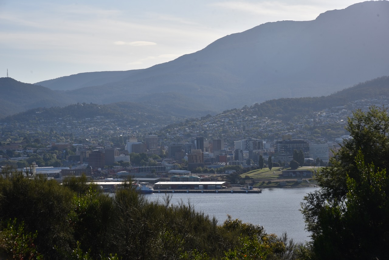
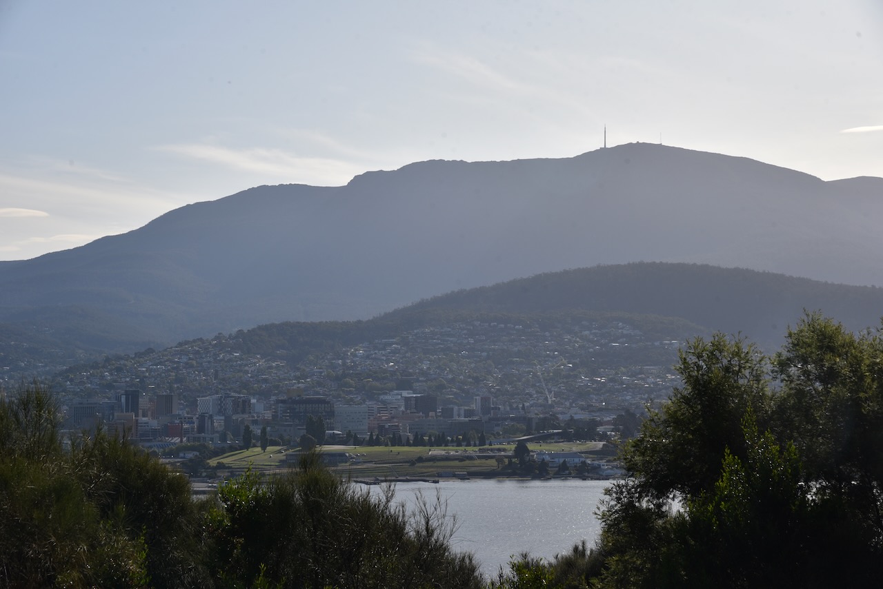
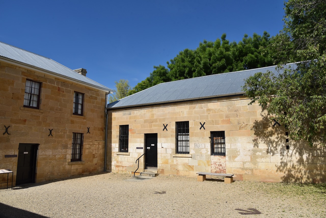
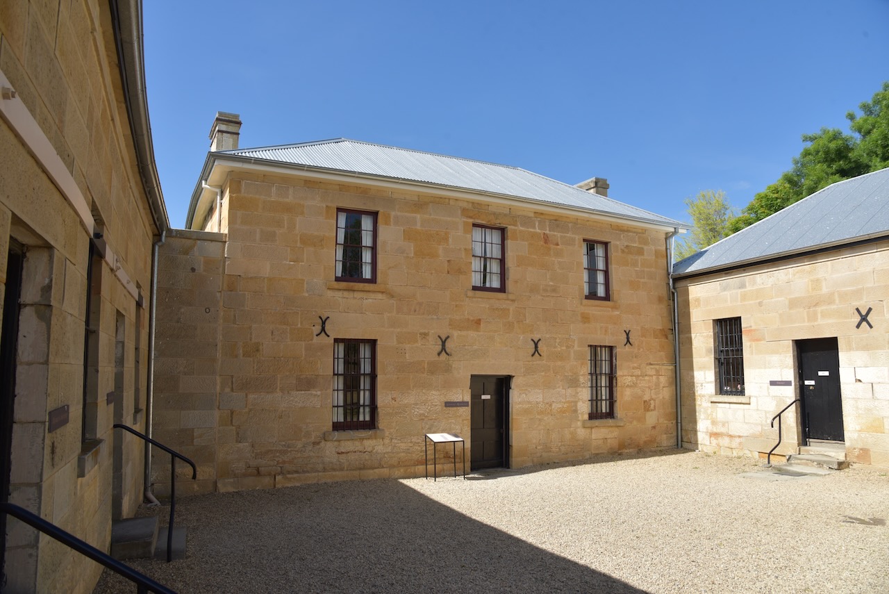
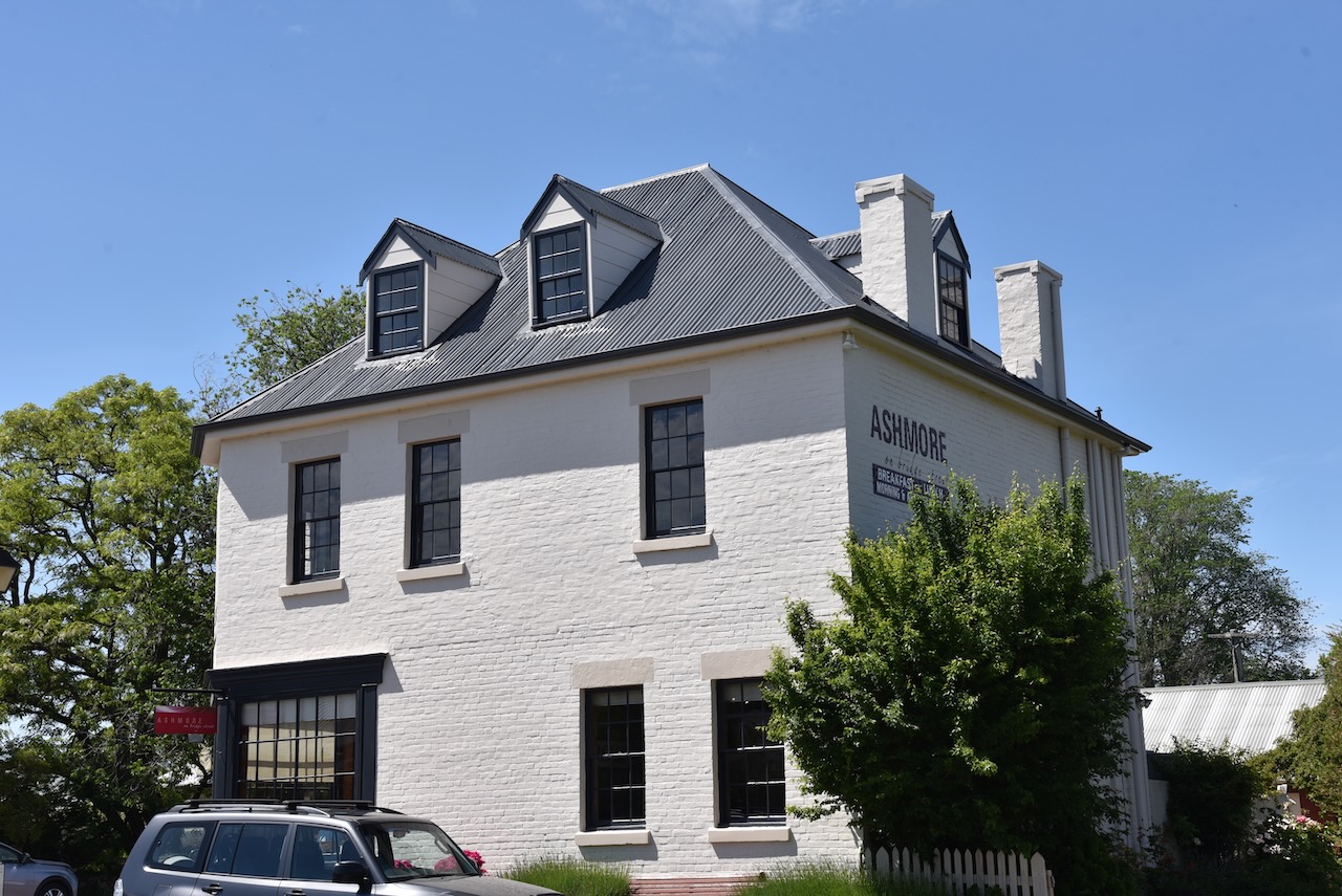
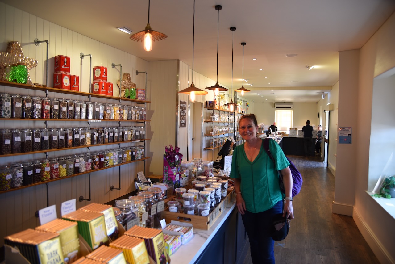
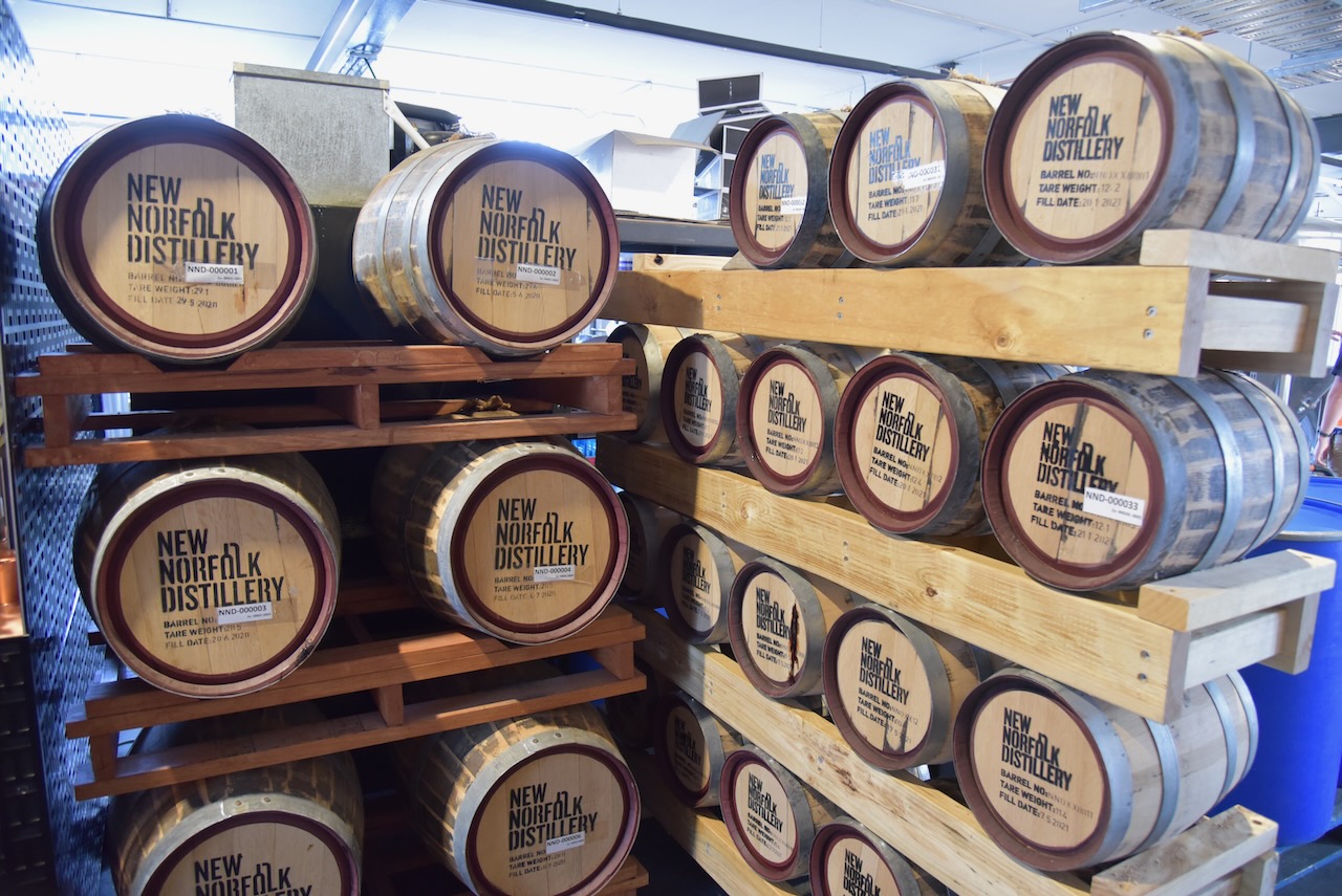
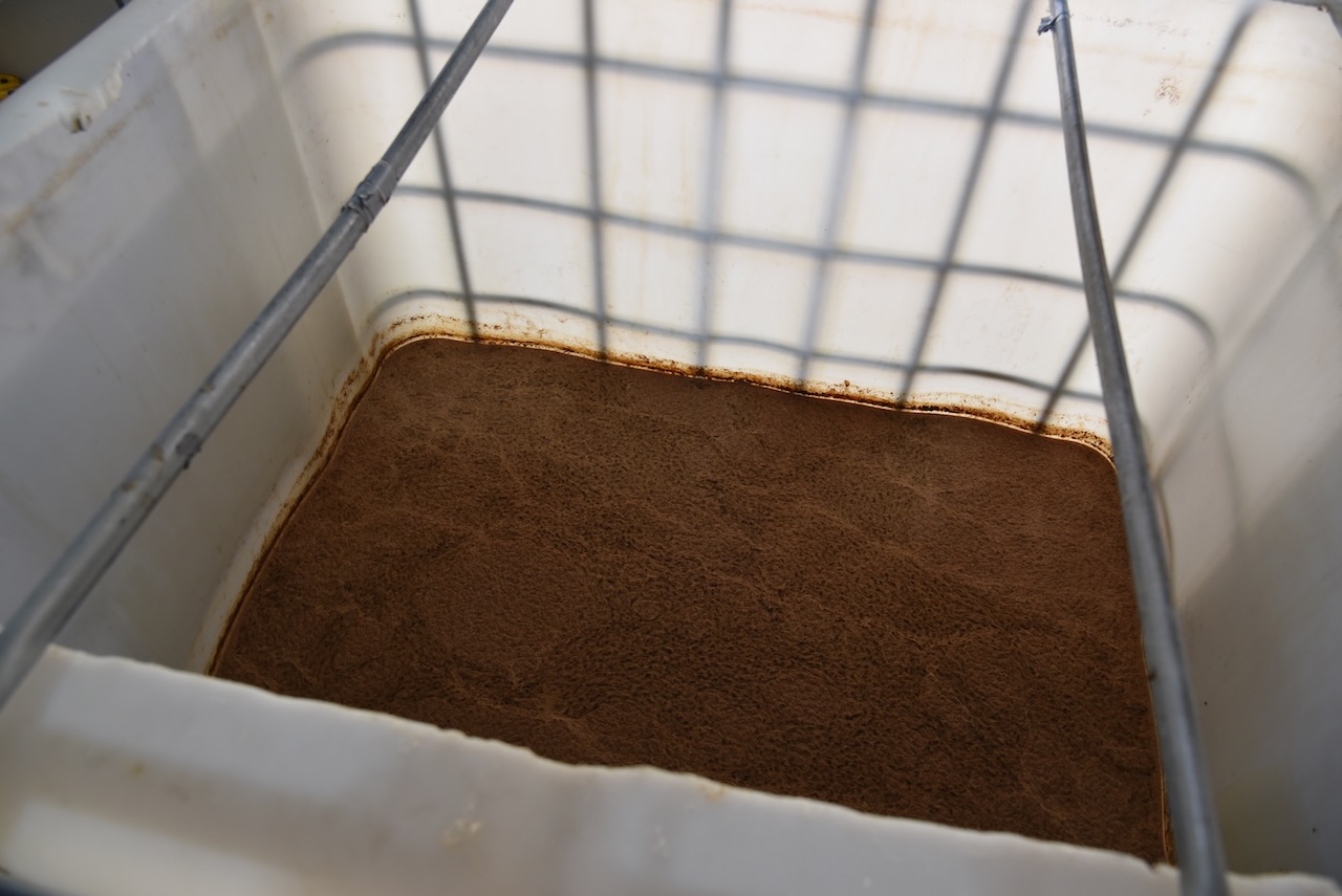
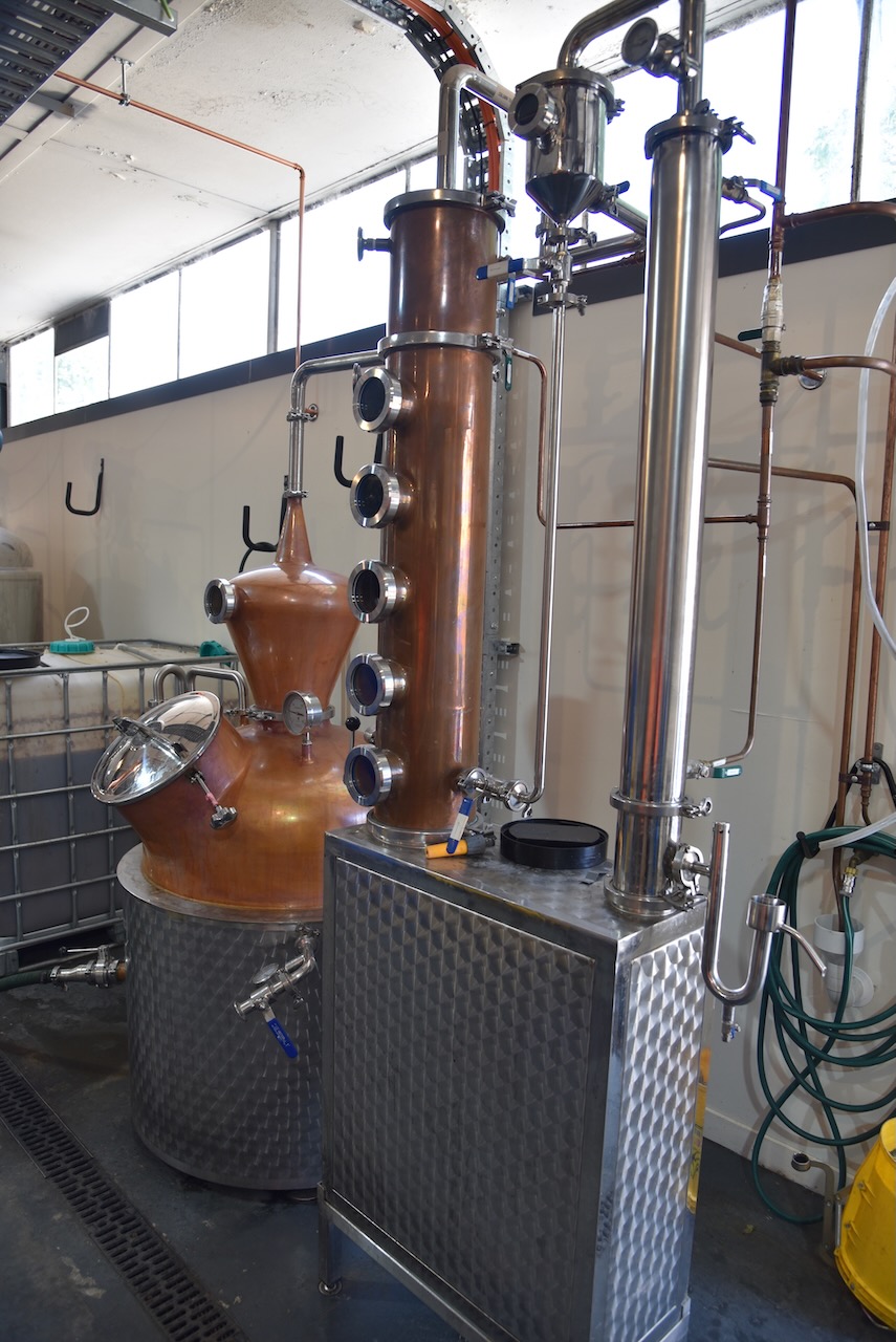
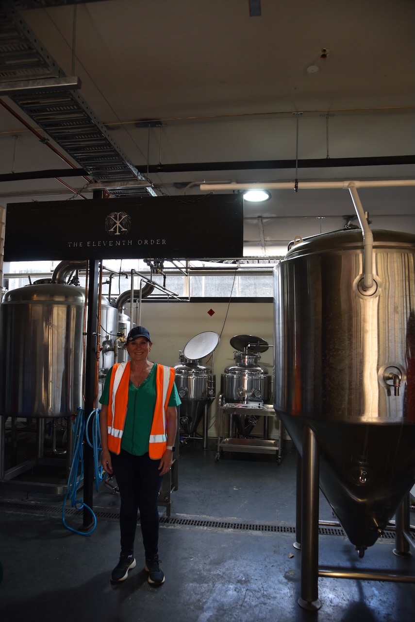
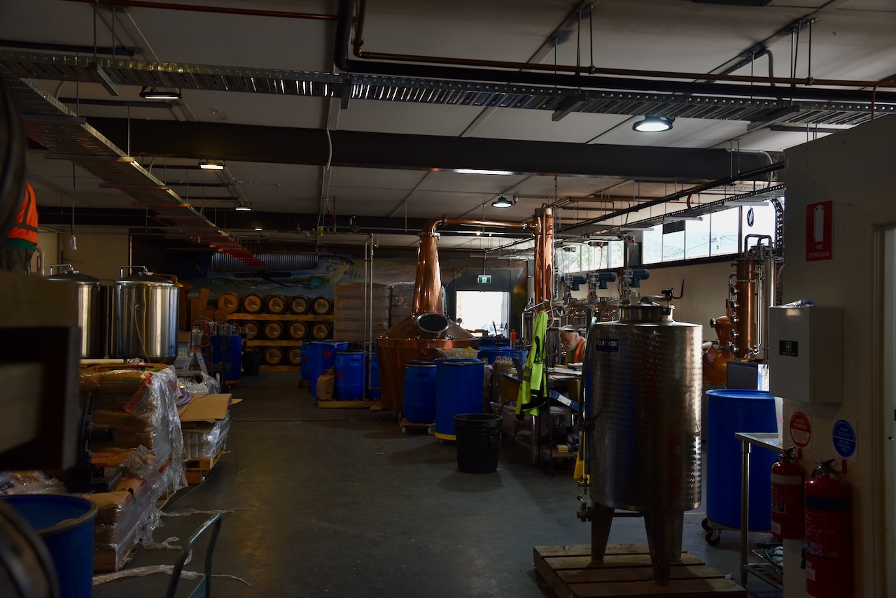
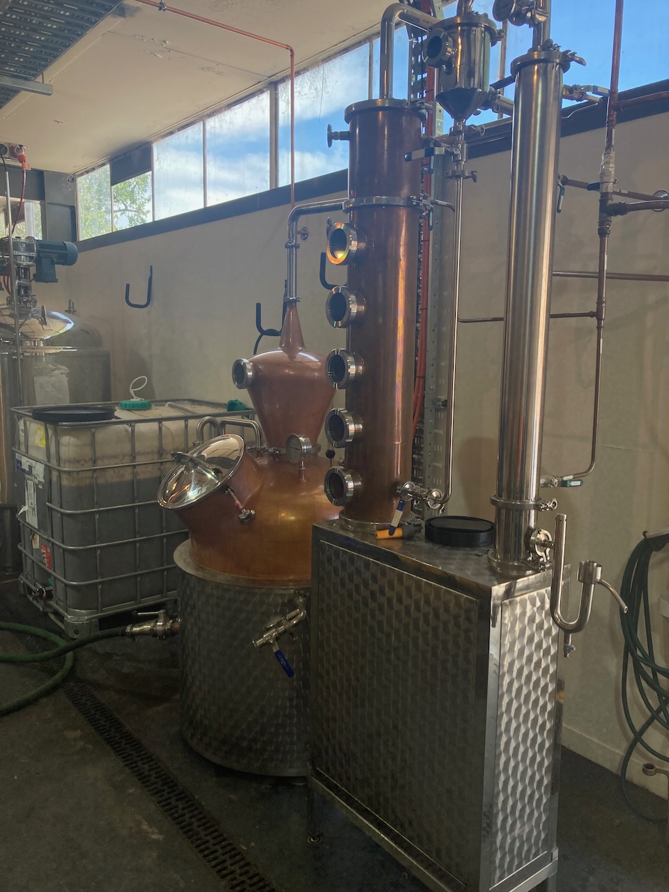
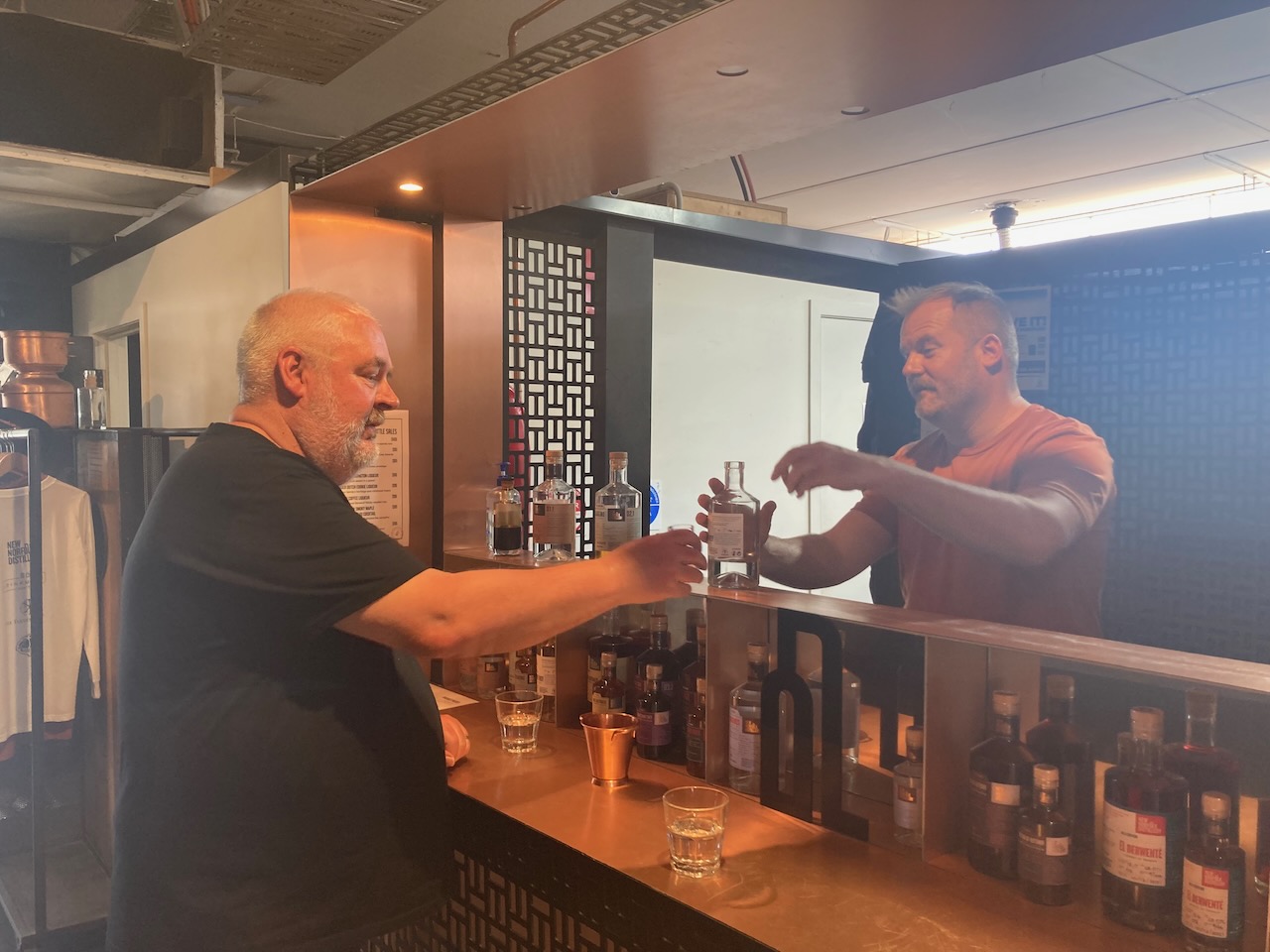
After packing up at the Derwent Cliffs State Reserve (10th November 2022) we visited the New Norfolk Distillery which is Tasmania’s only rum dedicated distillery. We undertook a short our which included some tastings at the end. I walked away with a nice bottle of rum and another bottle of liqueur.


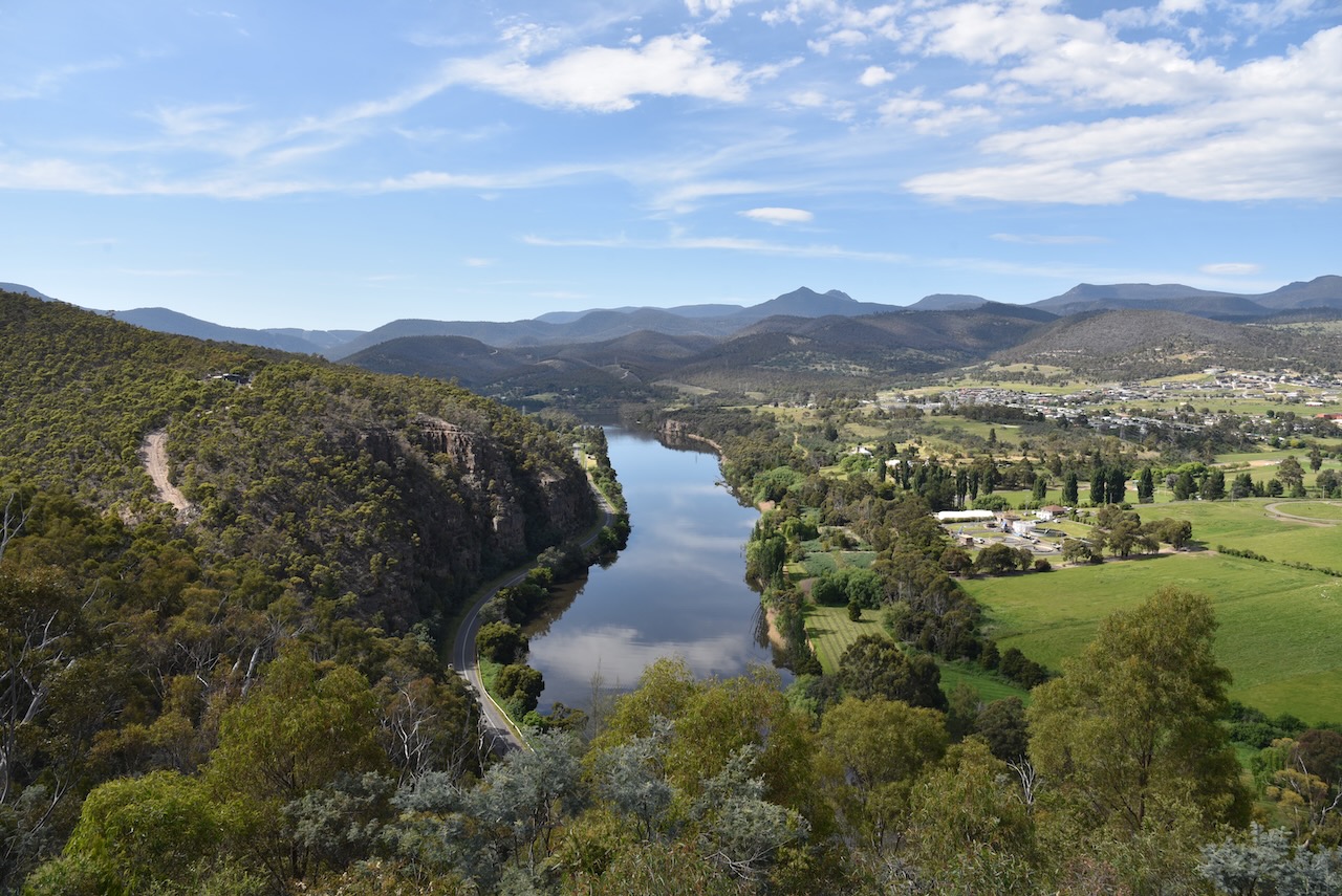
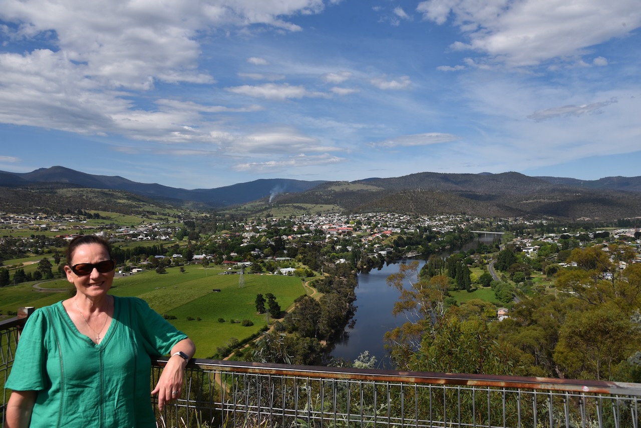
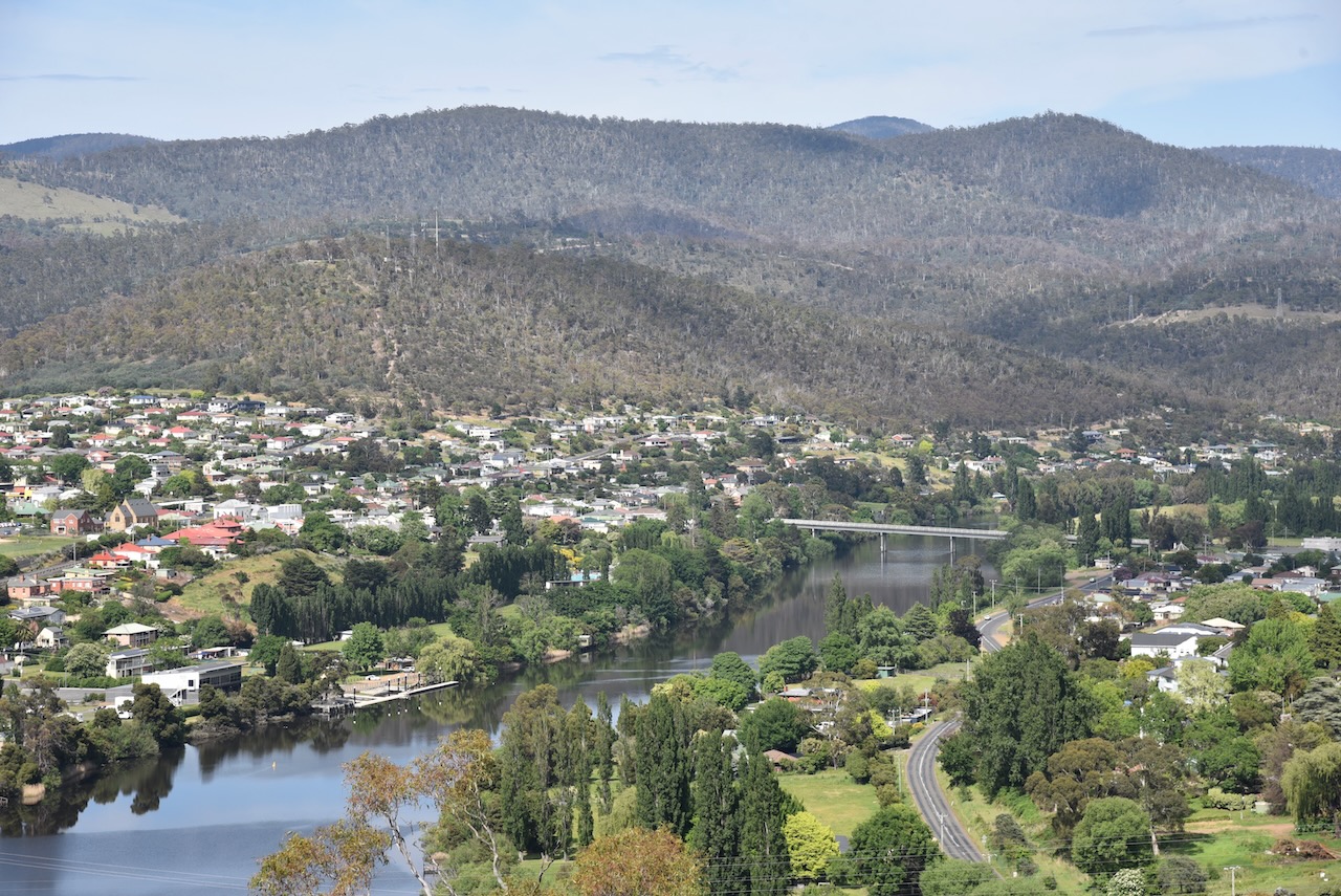
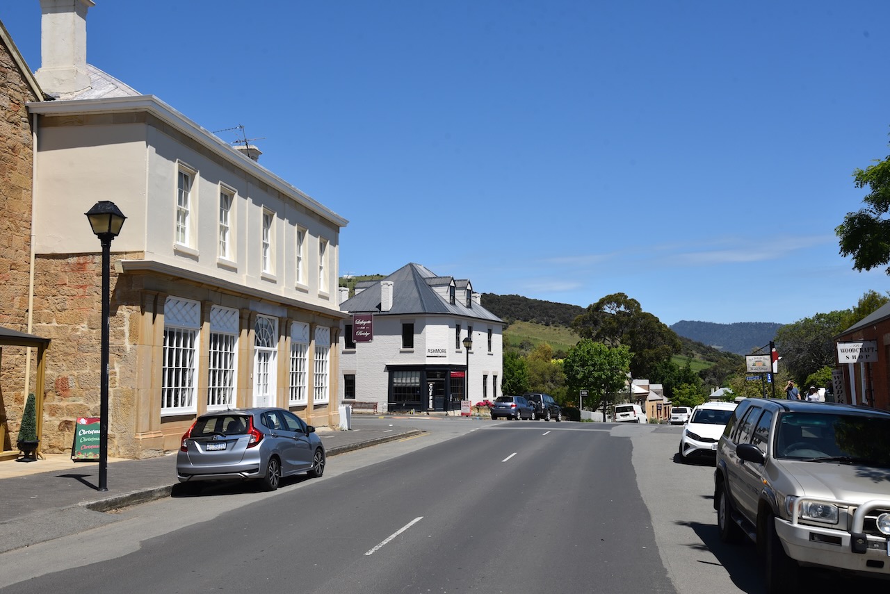
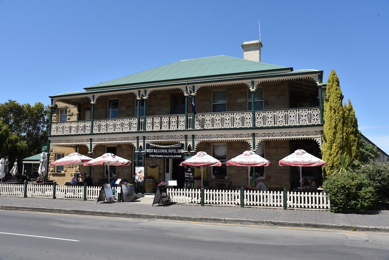
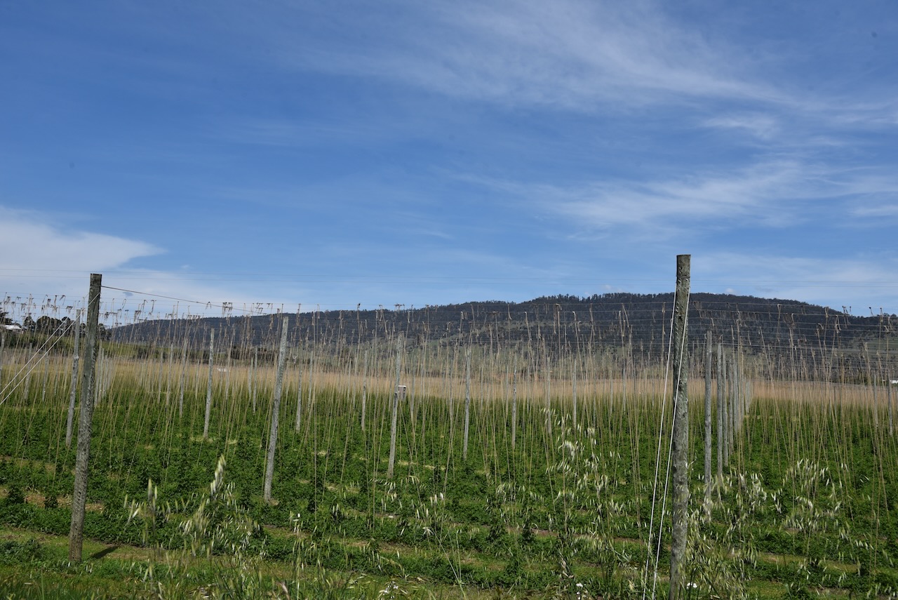
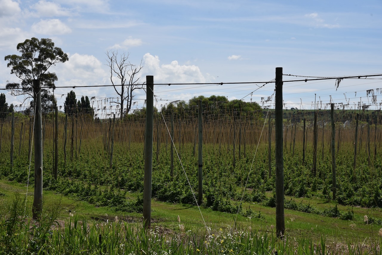
After talking with our guide at the distillery, we decided to take a detour from our planned route and we drove out to Bushy Park, the hops capital of Tasmania.
Hops are the green cone-shaped flowers of the Humulus lupulus plant which is the the source of bitterness, aroma, and flavor in beer.
The Bushy Park are was first called Humphreyyille after one of the first European settlers A.W.H. Humphrey who arrived in 1812. In about 1850 William Blyth, who had arrived in Hobart in 1835, bought out Humphrey. The name was changed to Bushy Park to honour the Blyth family estate near Hampton Court in England.

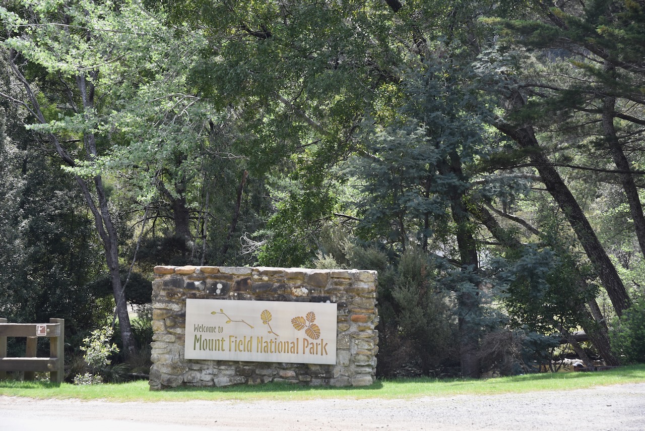
As were were now close to the Mount Field National Park VKFF-0347, we decided to detour out to the park for the park activation for the Wodl Wide Flora Fauna (WWFF) program
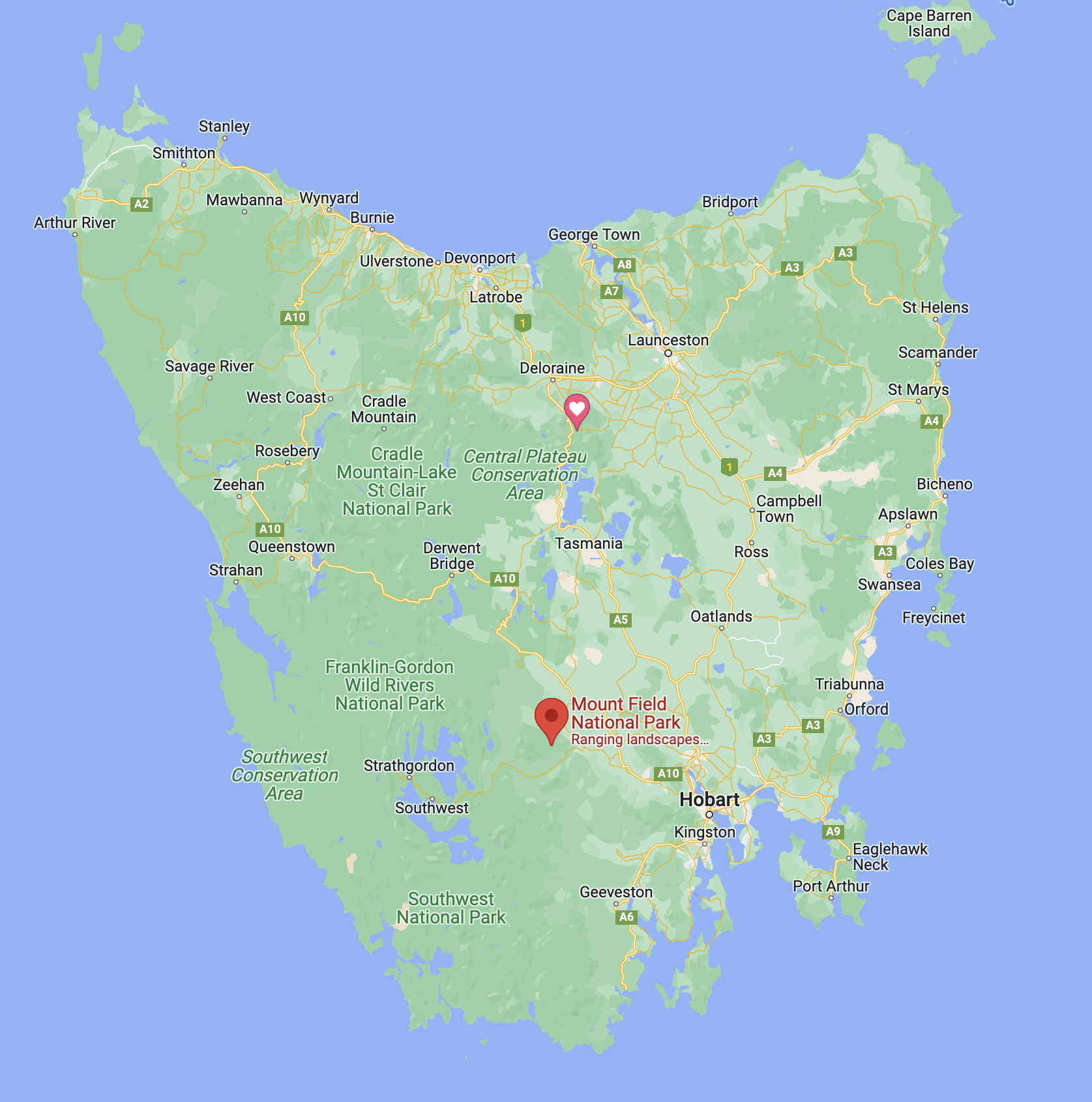
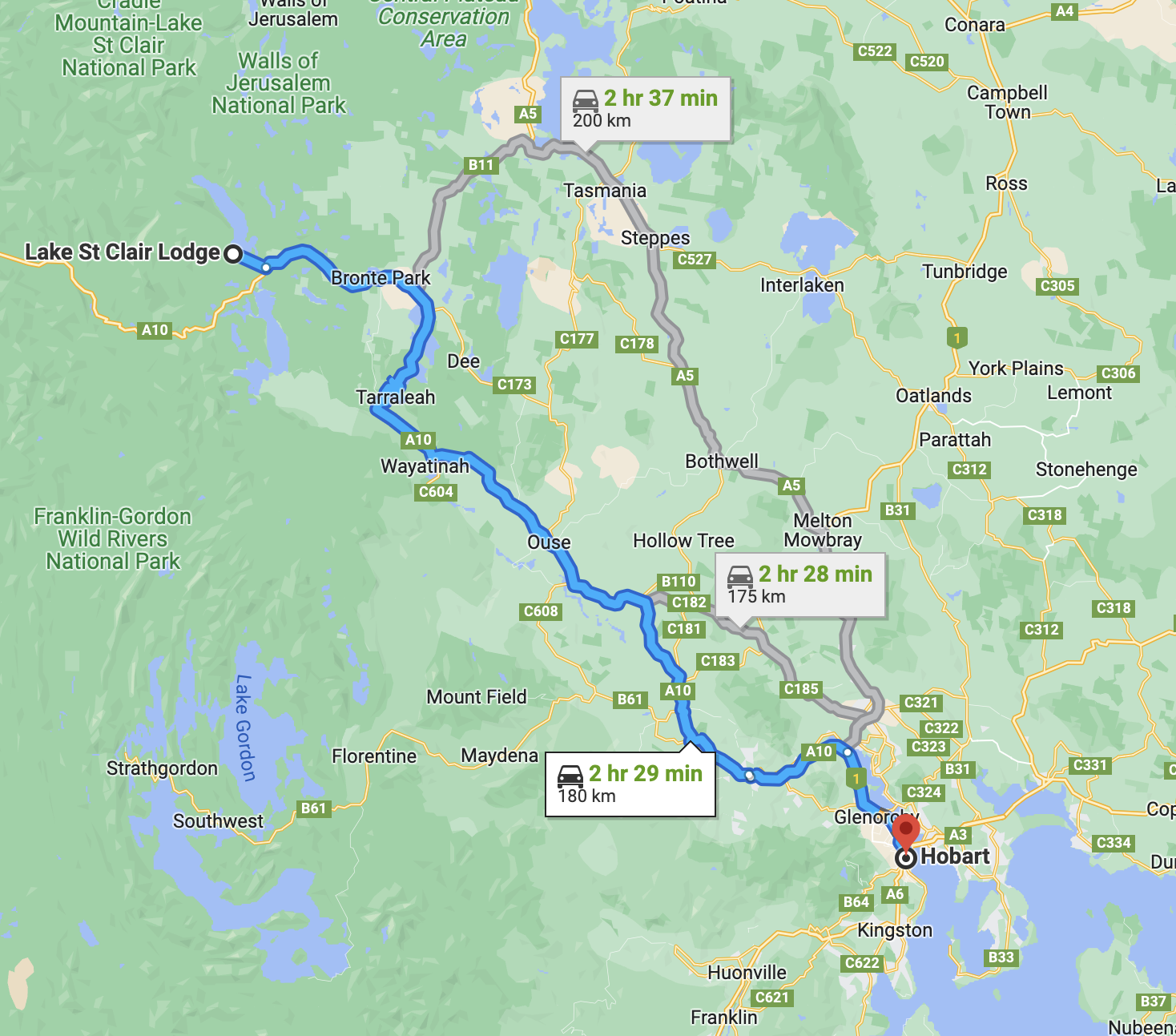
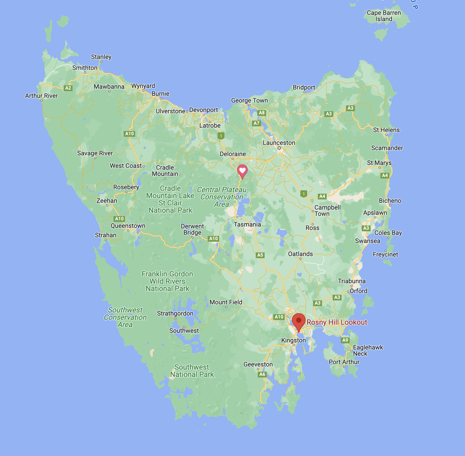
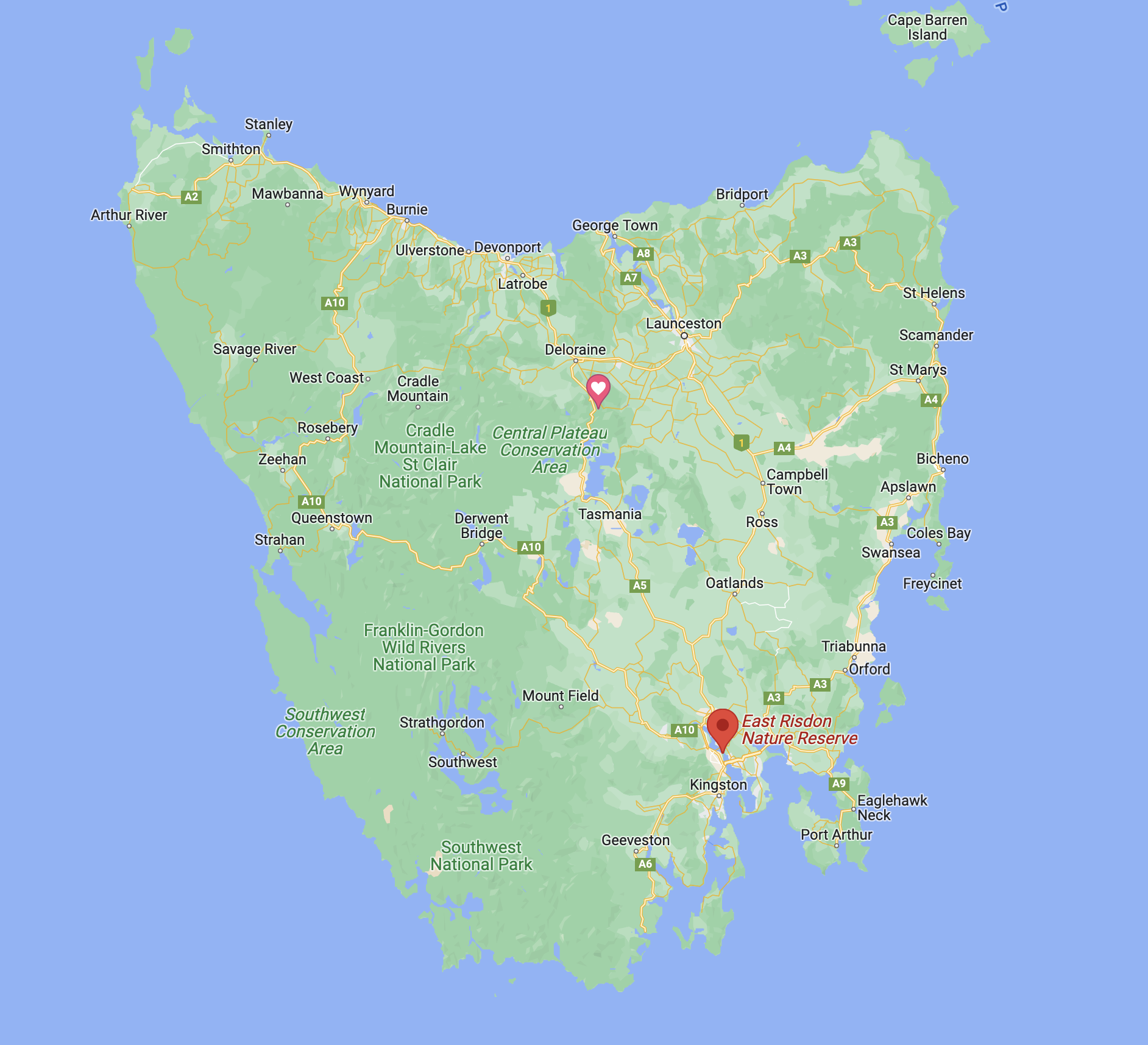
Above:- Map of Tasmania showing the location of the Mount Field National Park. Map c/o Google maps.
Mount Field National Park is located about 64 km northwest of Hobart. Its highest point is the summit of Mount Field West which is about 1,434 meters above sea level. The park is 162.65 km2 in size and was established in 1916.
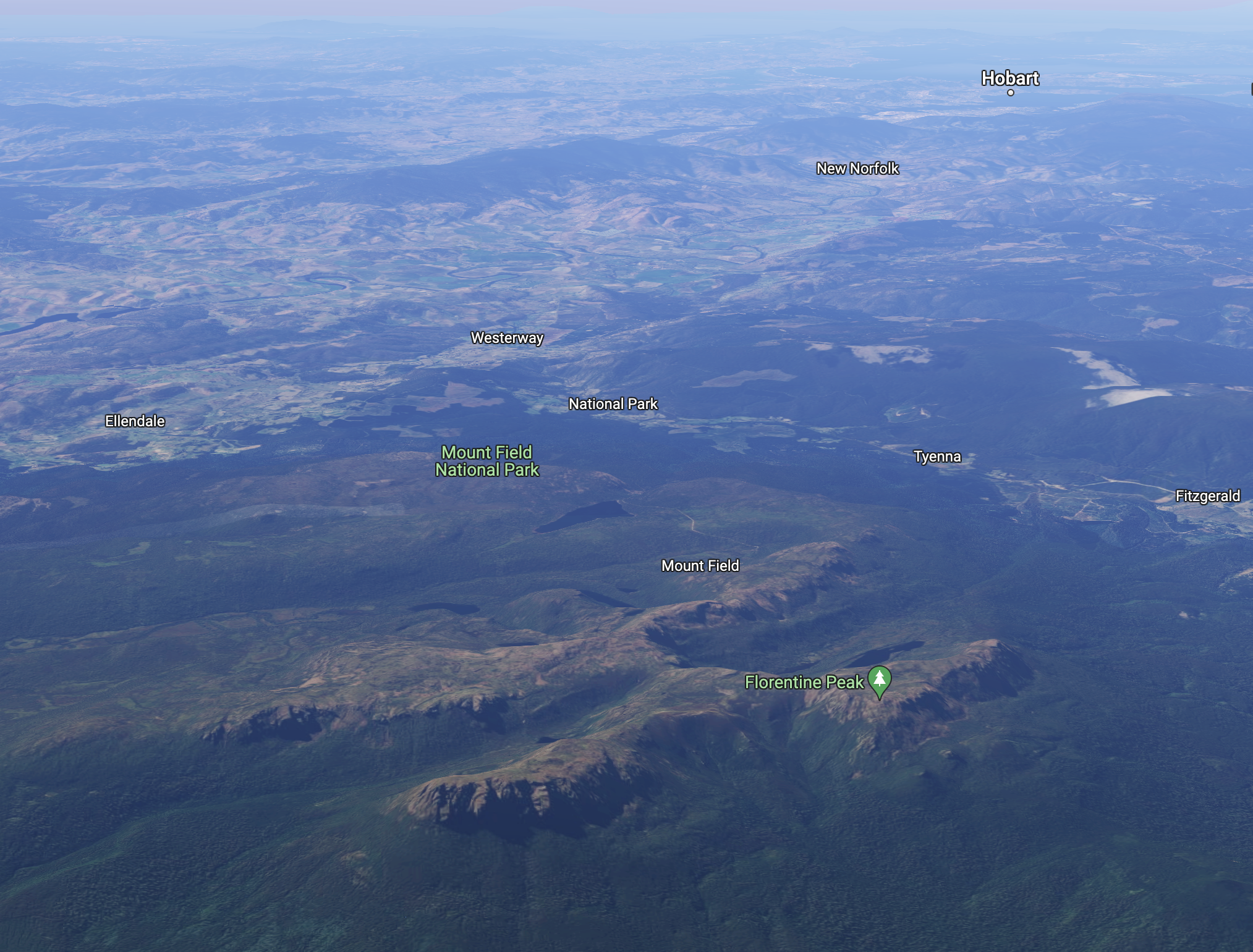
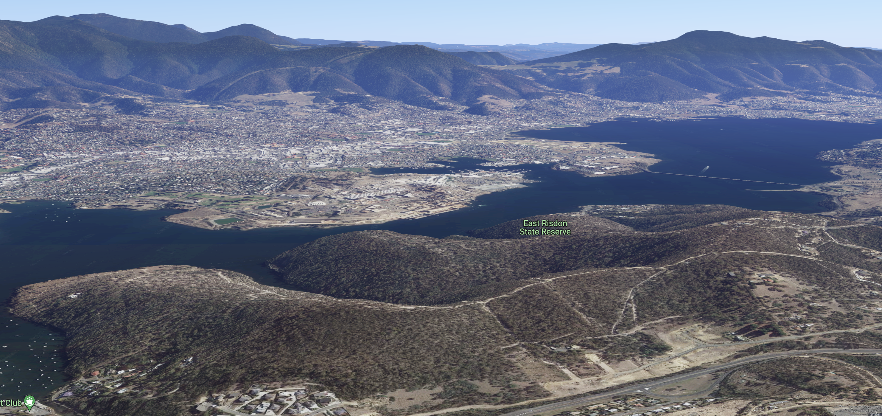
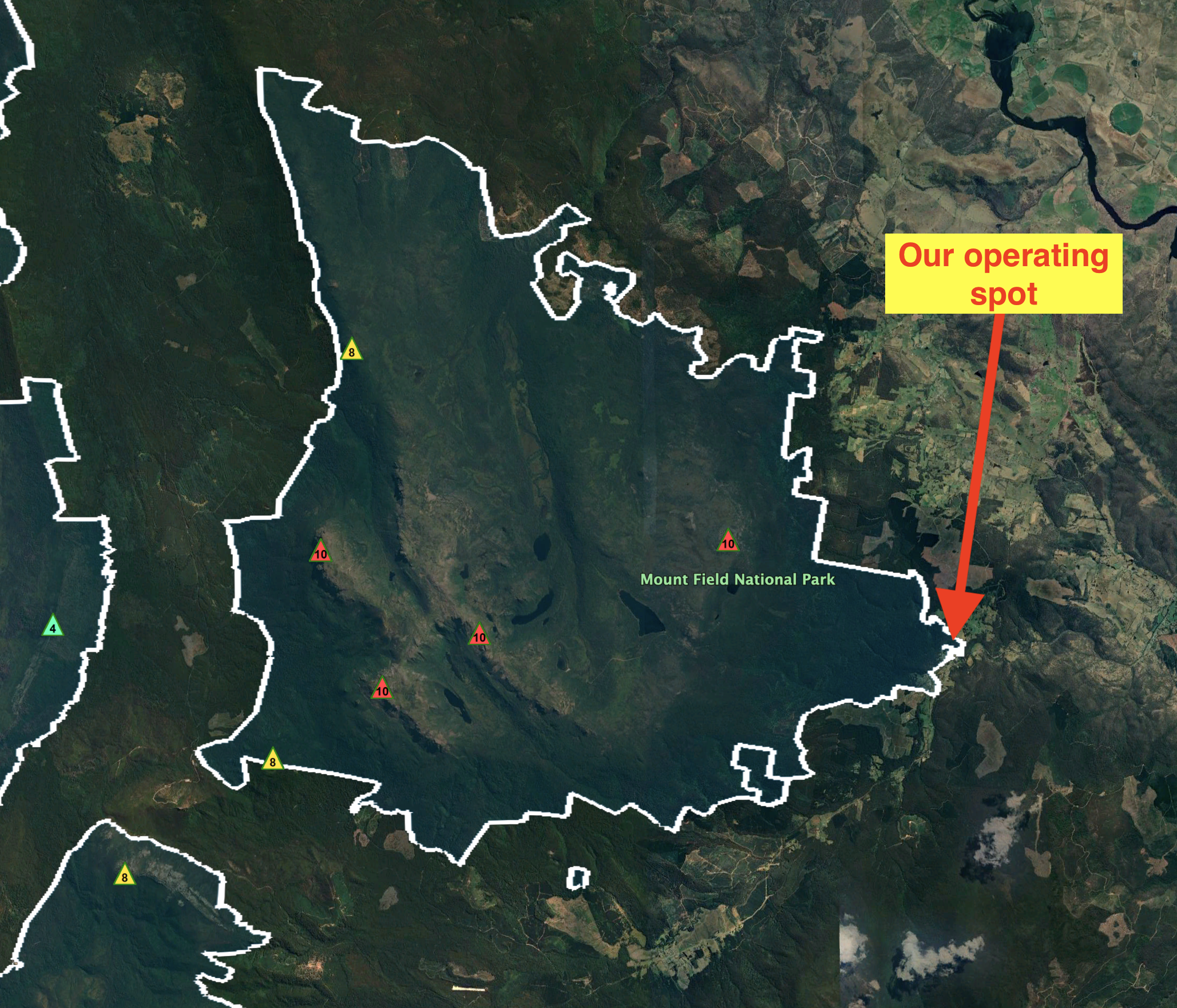
Above:- An aerial view of the Mount Field National Park. Image c/o Google maps.
Along with Freycinet National Park, Mount Field is Tasmania’s oldest National Park. Russell Falls which is located within the National Park has been protected for its natural beauty since 1885. At that time it was set aside as Tasmania’s very first nature reserve.
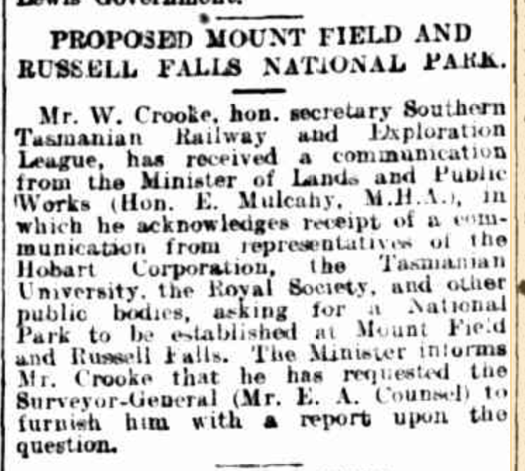
Above:- Article from The Mercury, Hobart, Mon 17 Nov 1913. c/o Trove.
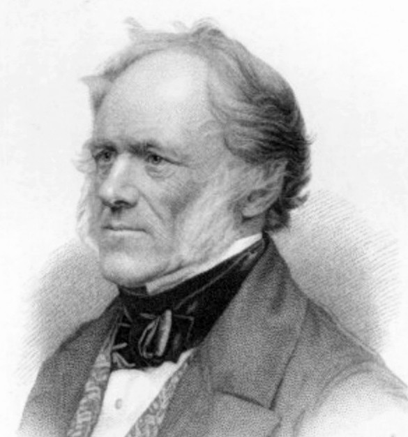
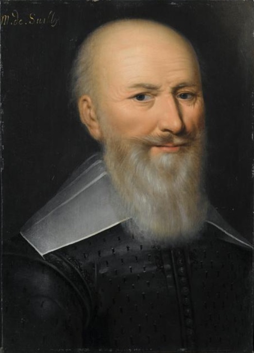
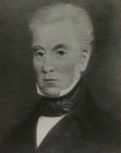
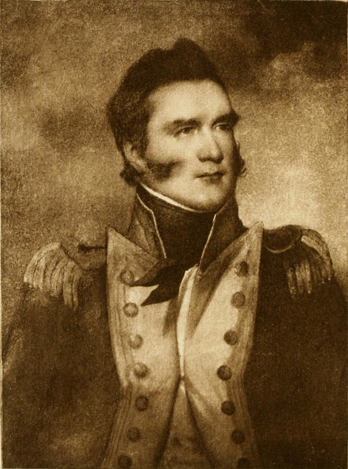
The Mount Field National Park is named in honour of Judge Barron Field (b. 1796. d. 1846), an English born Australian judge and poet. He visited Van Dieman’s Land as an itinerant judge in 1819 and 1821.
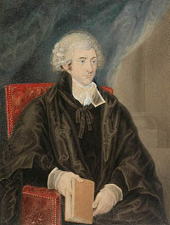
Above:- Barron Field. Image c/o Australian Dictionary of Biography.
In 1933, the last known wild Thylacine was captured in the vicinity of the Mount Field National Park. The Thylacine, also known as the Tasmanian Tiger or an extinct carnivorous marsupial. Intensive hunting of the Thylacine encouraged by bounties brought about its extinction.
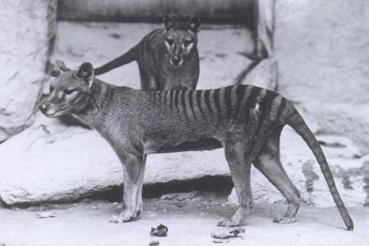
Above:- A Thylacine. Image c/o WIkipedia.
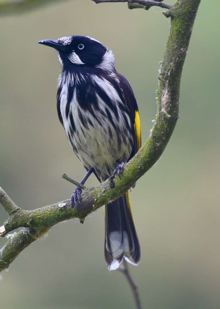
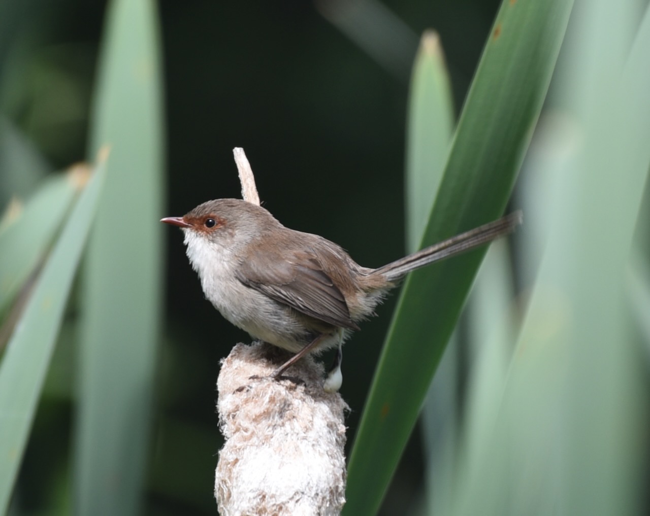
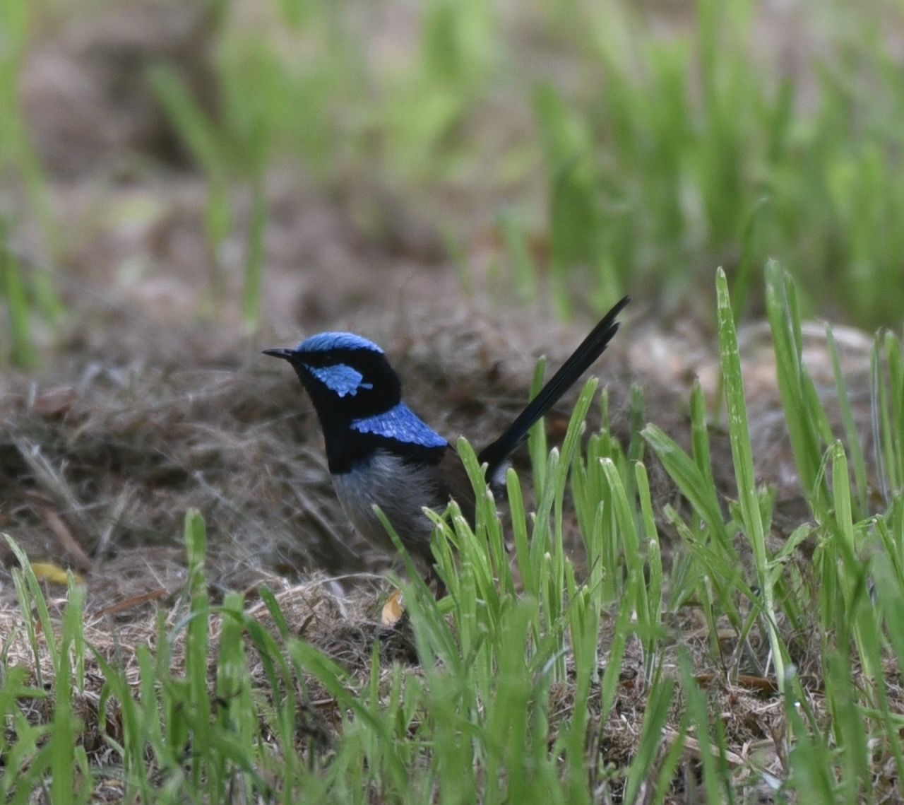
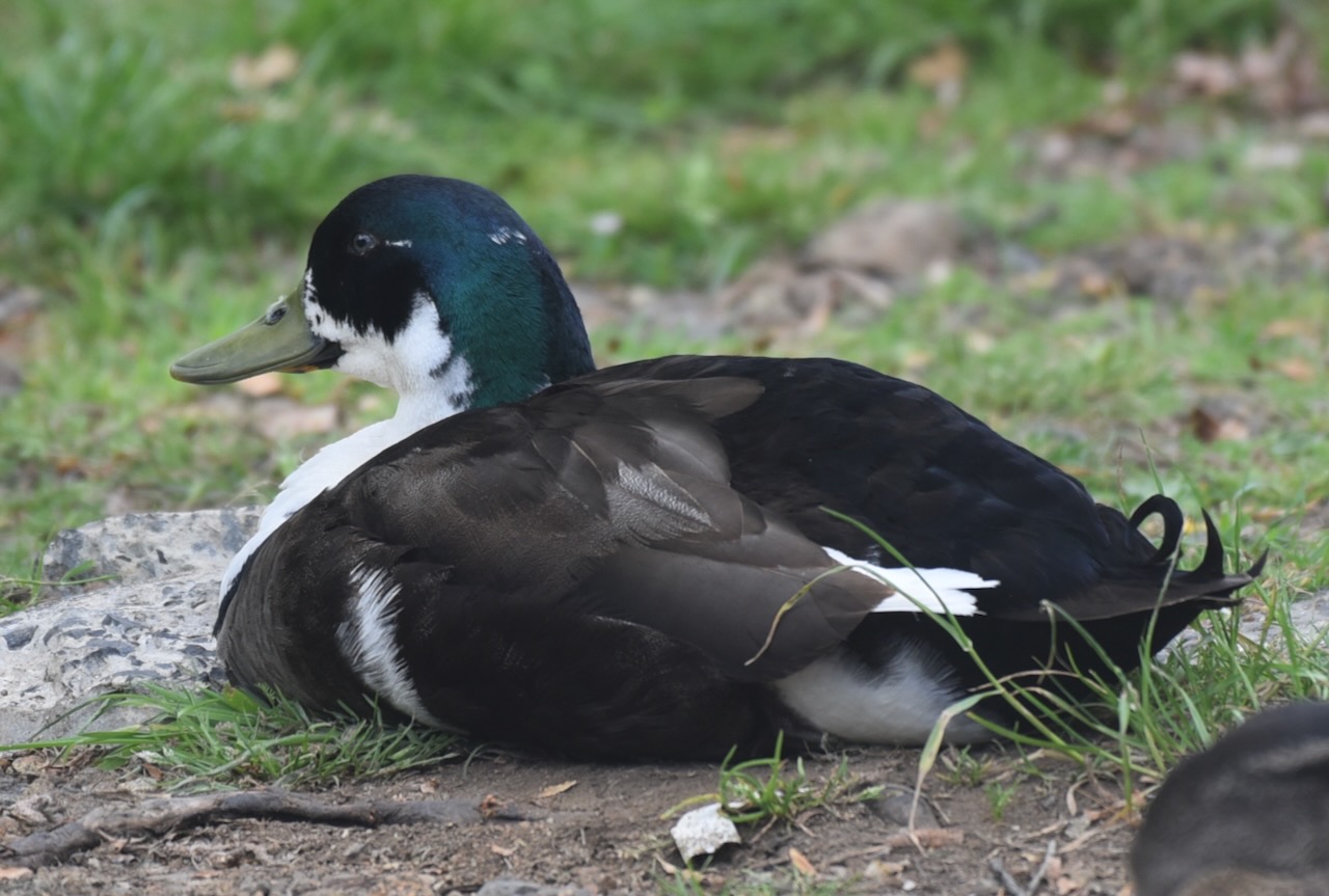
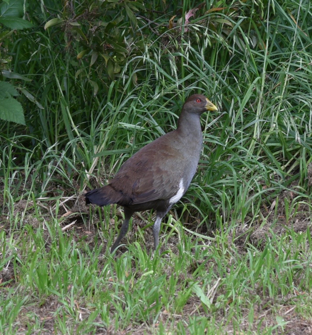
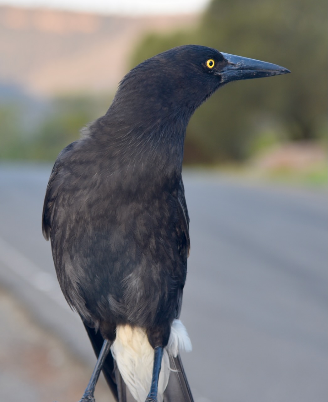
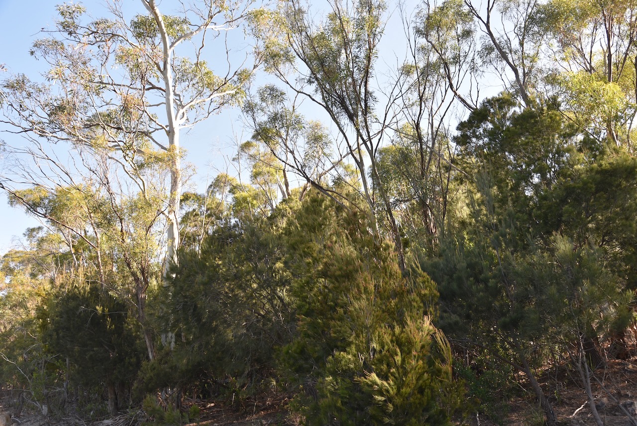
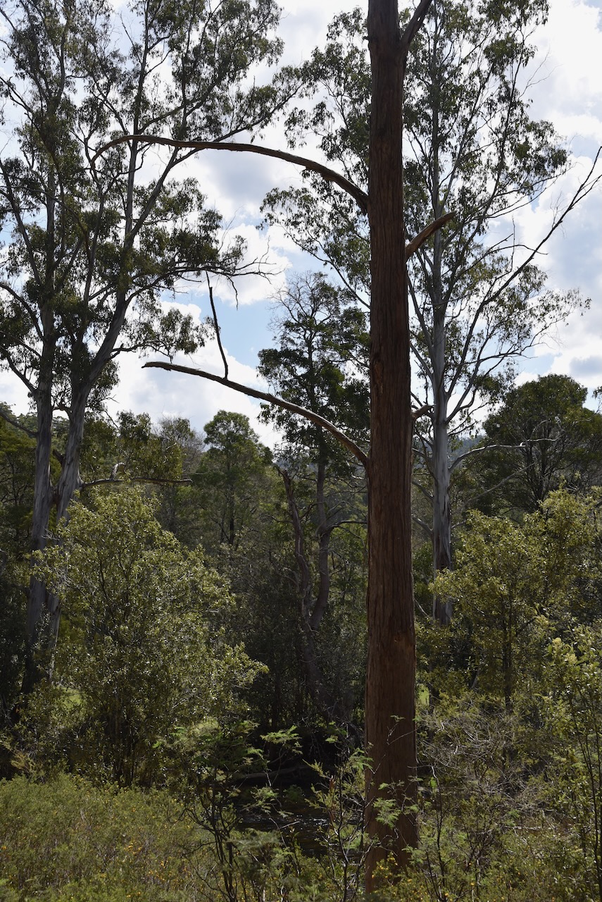
Native mammals that call the park home include wombats, platypus, eastern barred bandicoot, echidnas, and Tasmanian devil. Mount Field National Park is also home to an enormous diversity of fungi. The Fagus, a deciduous beech can be found in the park. It is one of only a handful of deciduous native trees in Australia.
During winter, the National Park is one of Tasmania’s two popular ski fields. The park is part of the Tasmanian Wilderness World Heritage Area.
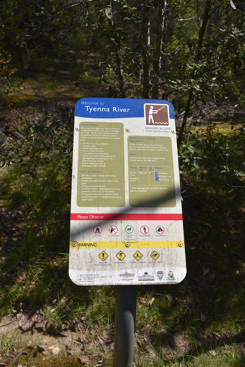
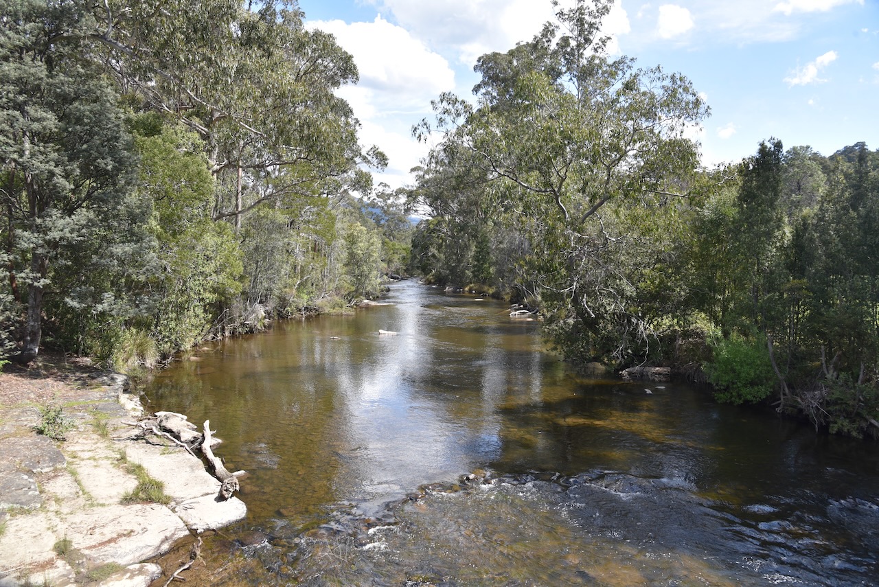
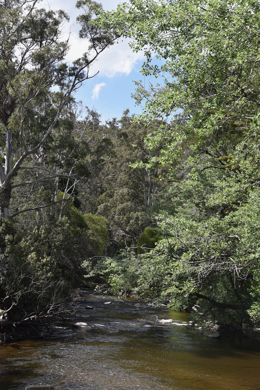
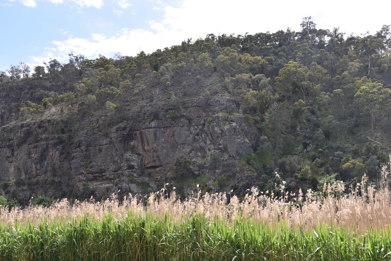
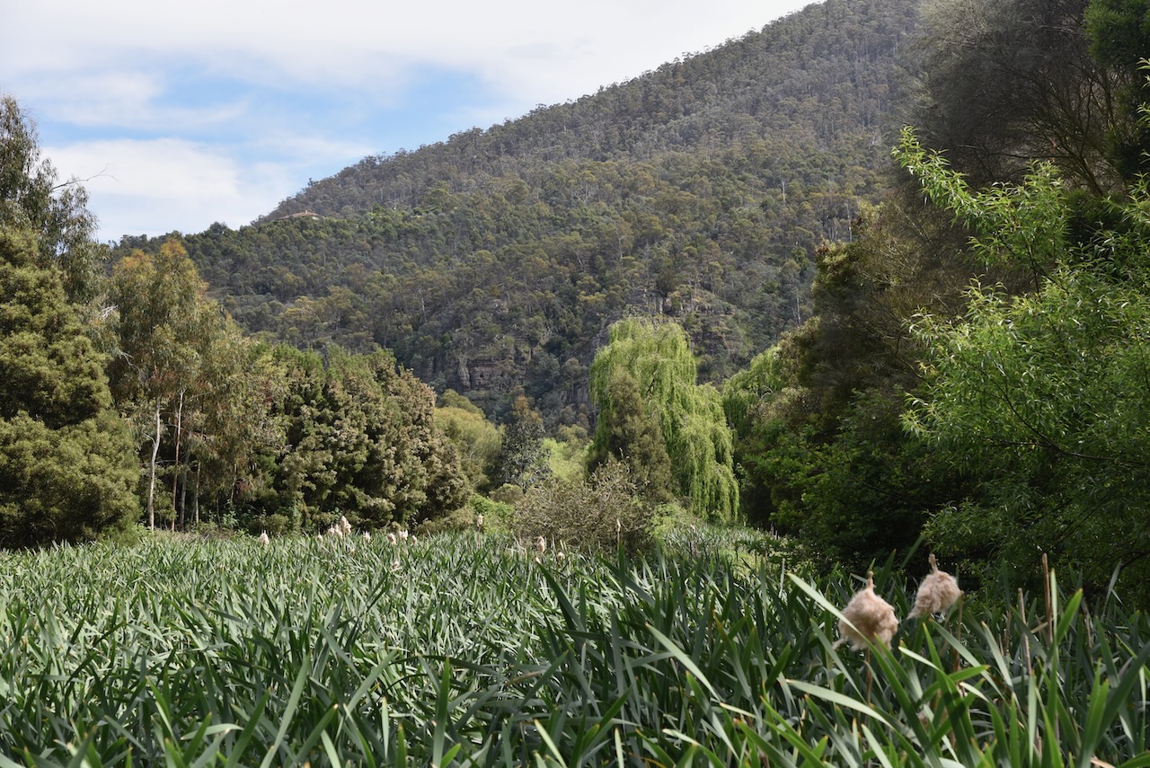
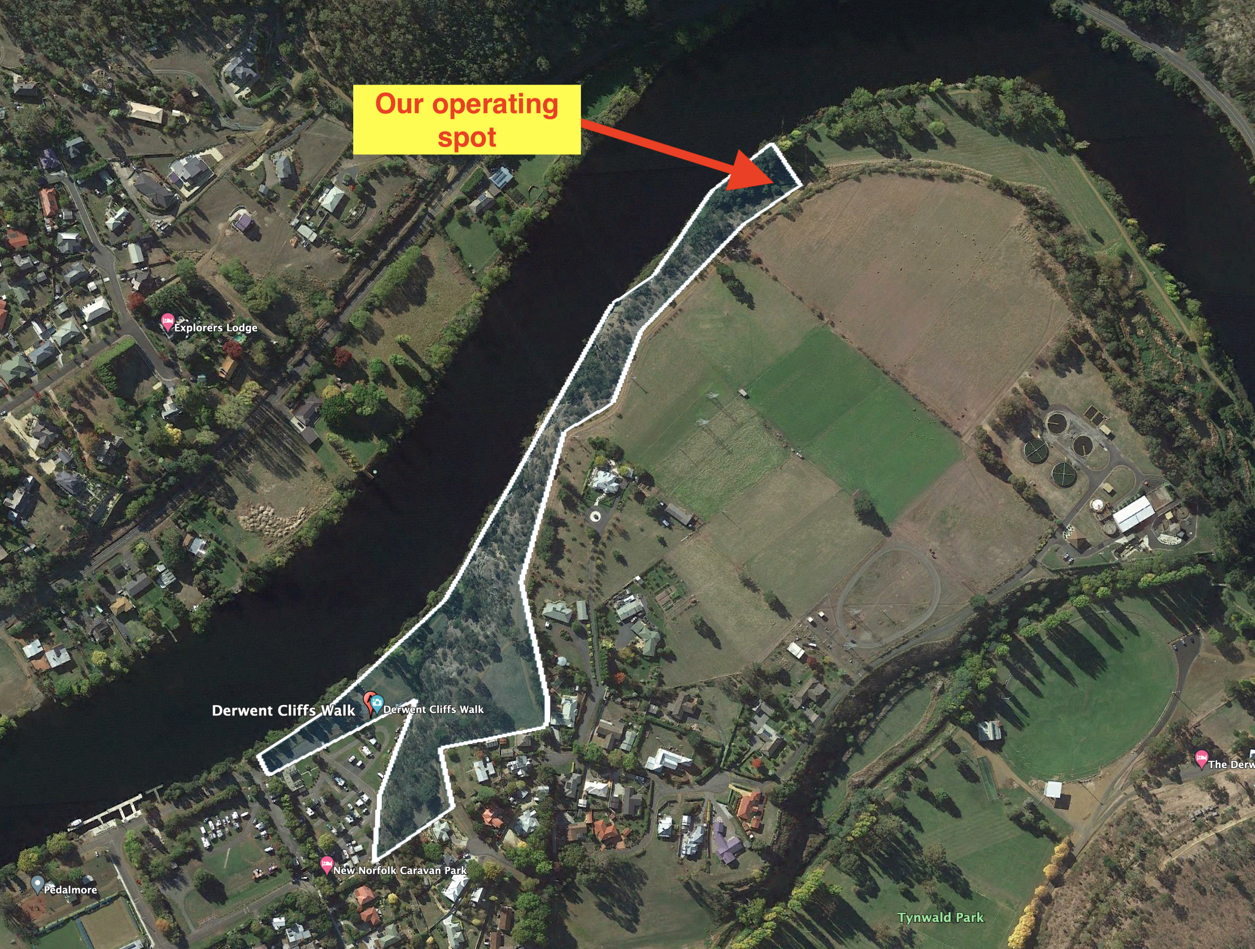
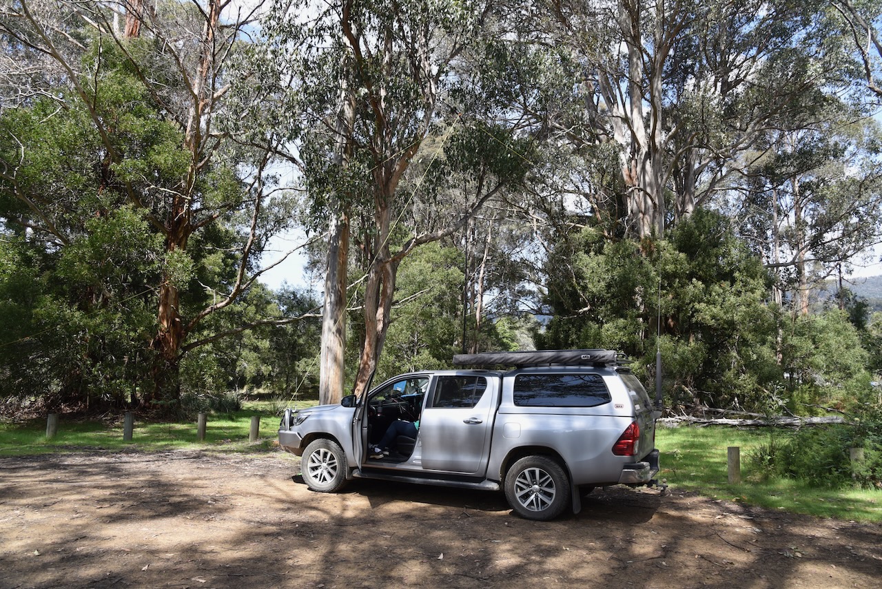
We set up in a car parking area alongside of the Tyenna River. Tyenna means bandicoot in aboriginal. It is one of the best trout fishing rivers in Tasmania.
Above:- Map showing our operating spot in the park. Image c/o Google Earth.
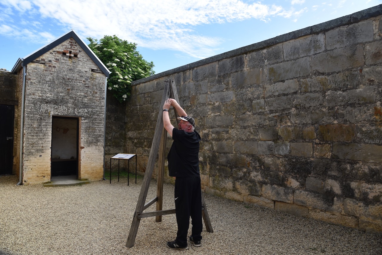
We ran the Yaesu FT857, 40 watts, and the 20/40/80m linked dipole for this activation.
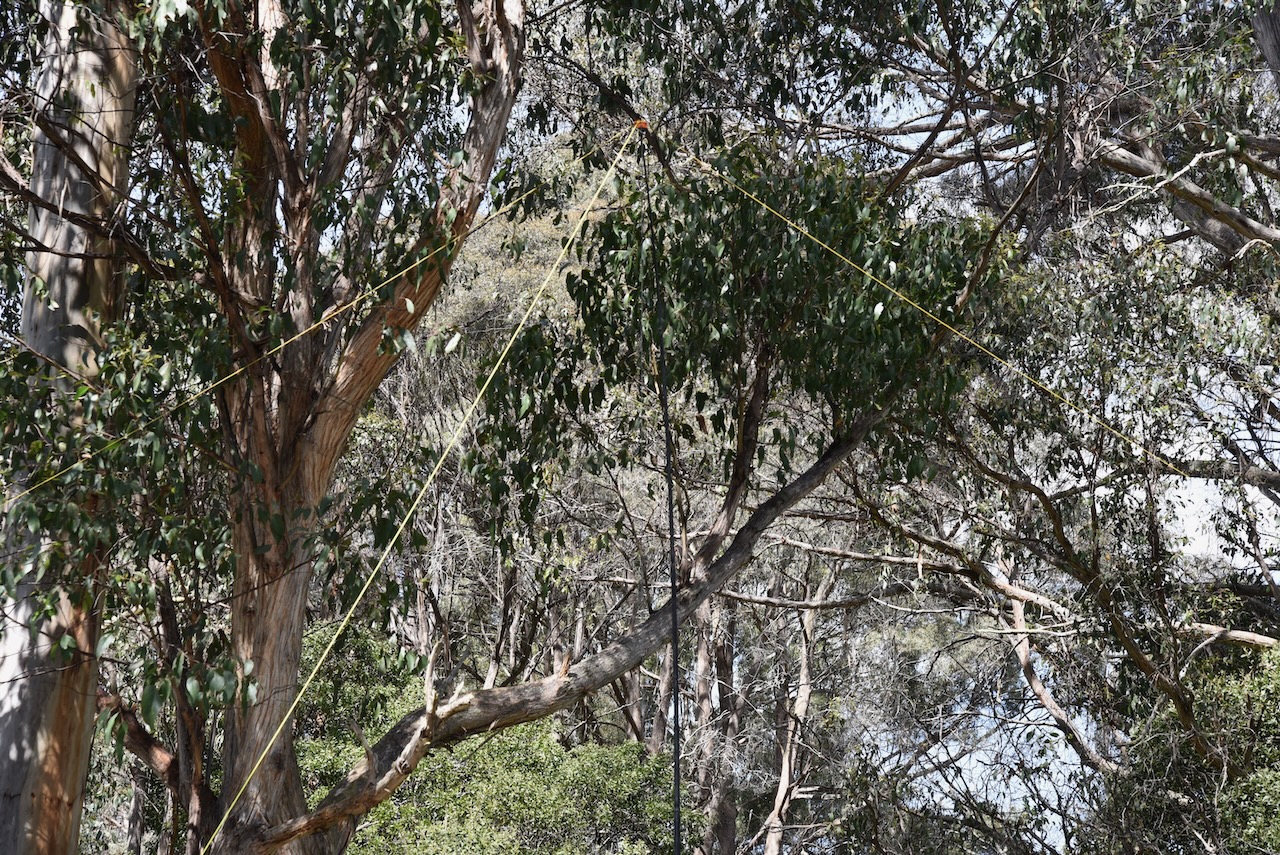
We found band conditions to be extremely poor and there were long stretches of calling CQ with no response. A tune across the 40m band found no other stations. We were the only ones calling CQ.
Marija made the following QSOs on 40m SSB:-
- VK3UAO
- VK2MET
- VK1AO
- VK3AFW
- VK3PF
- VK3KAI
- VK5DW
- VK3ZLP
- VK3VIN
- VK3PF/m
- VK3KAI/m
I made the following QSOs on 40m SSB:-
- VK3UAO
- VK2MET
- VK1AO
- VK3AFW
- VK3PF
- VK3KAI
- VK5DW
- VK3ZLP
- VK3VIN
- VK3PF/m
- VK3KAI/m
I made the following QSO on 20m SSB:-
- ZL1TM
We had both scraped in and qualified the park for the VKF program with more than 10 QSOs each.
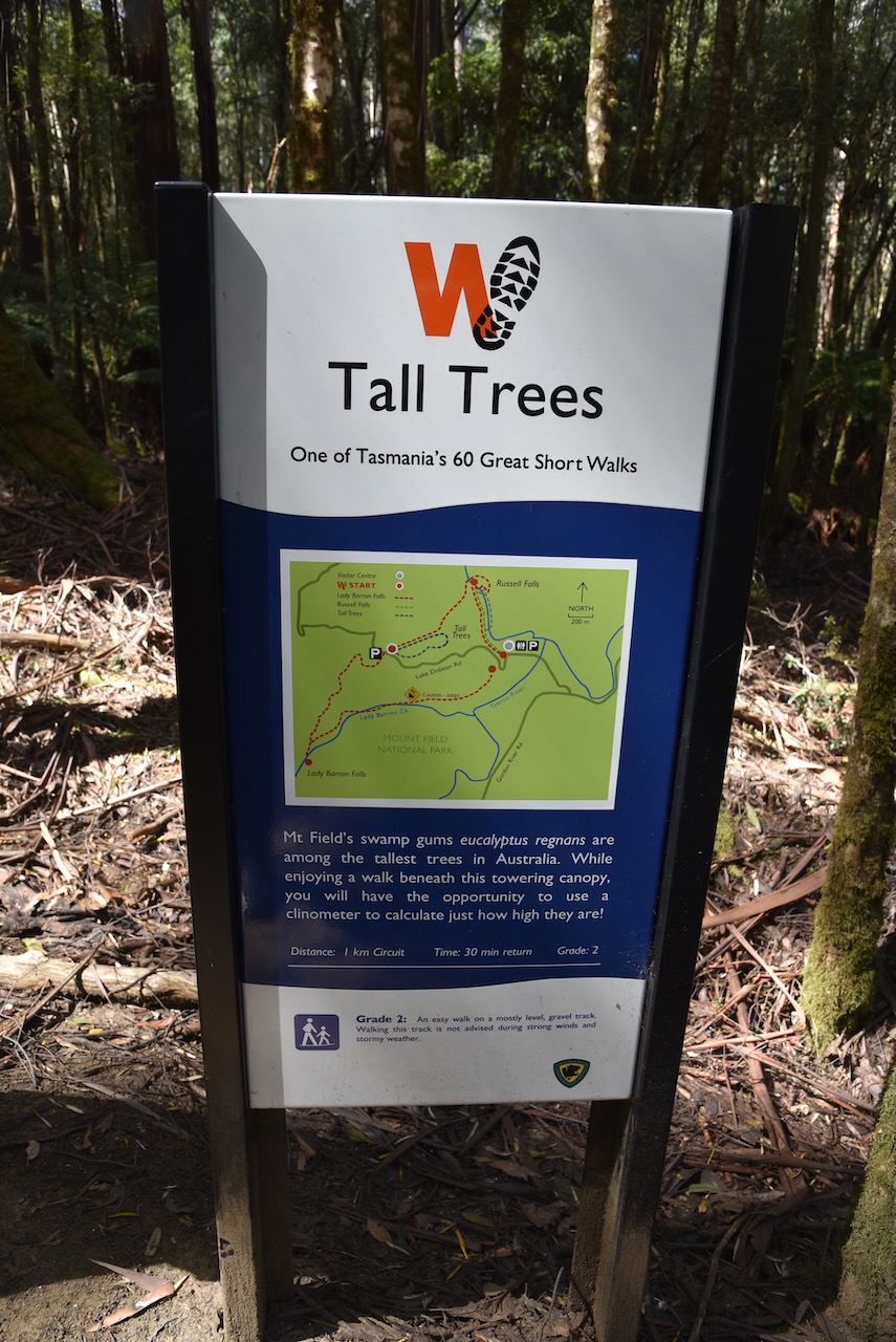
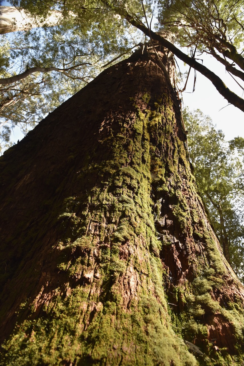
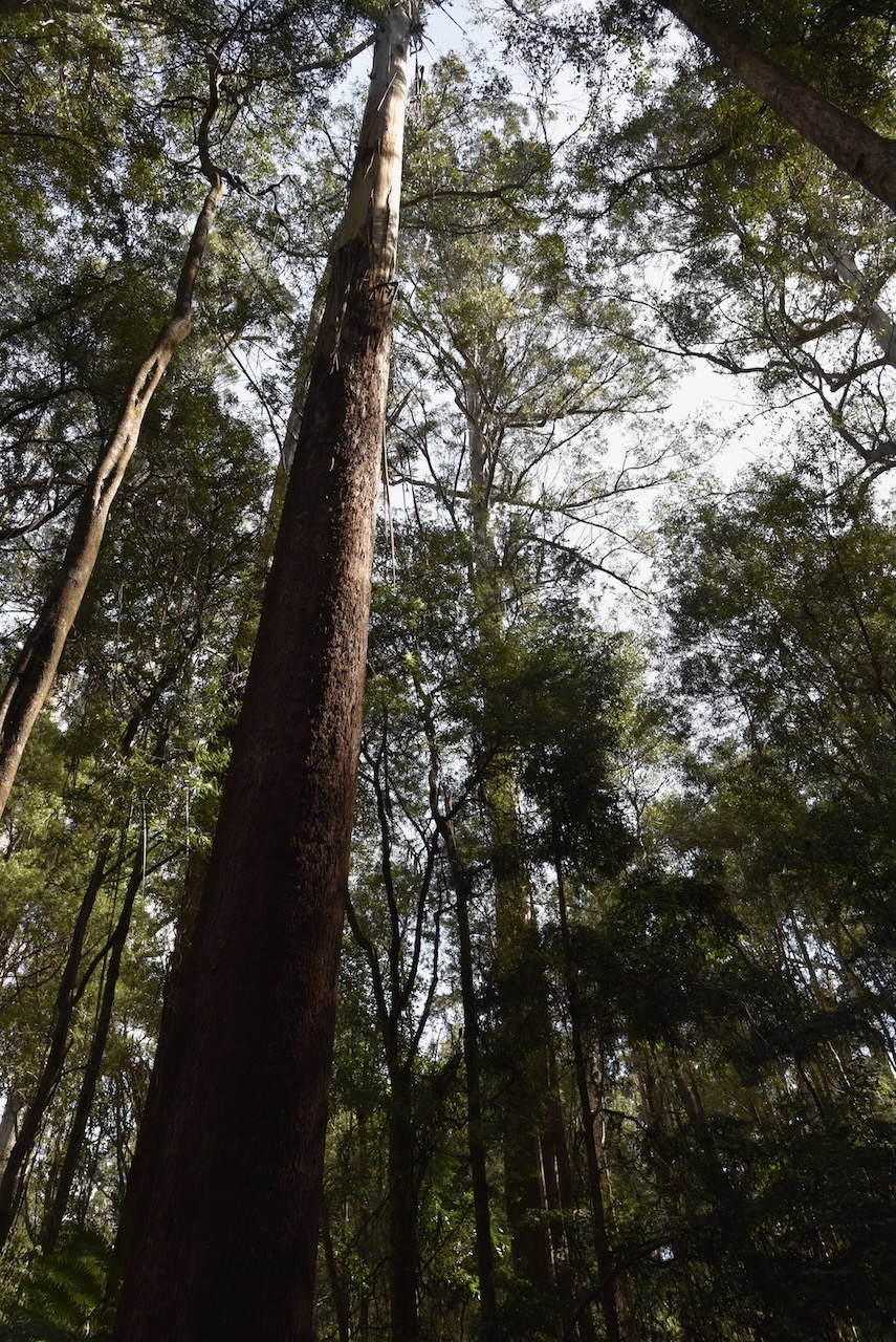
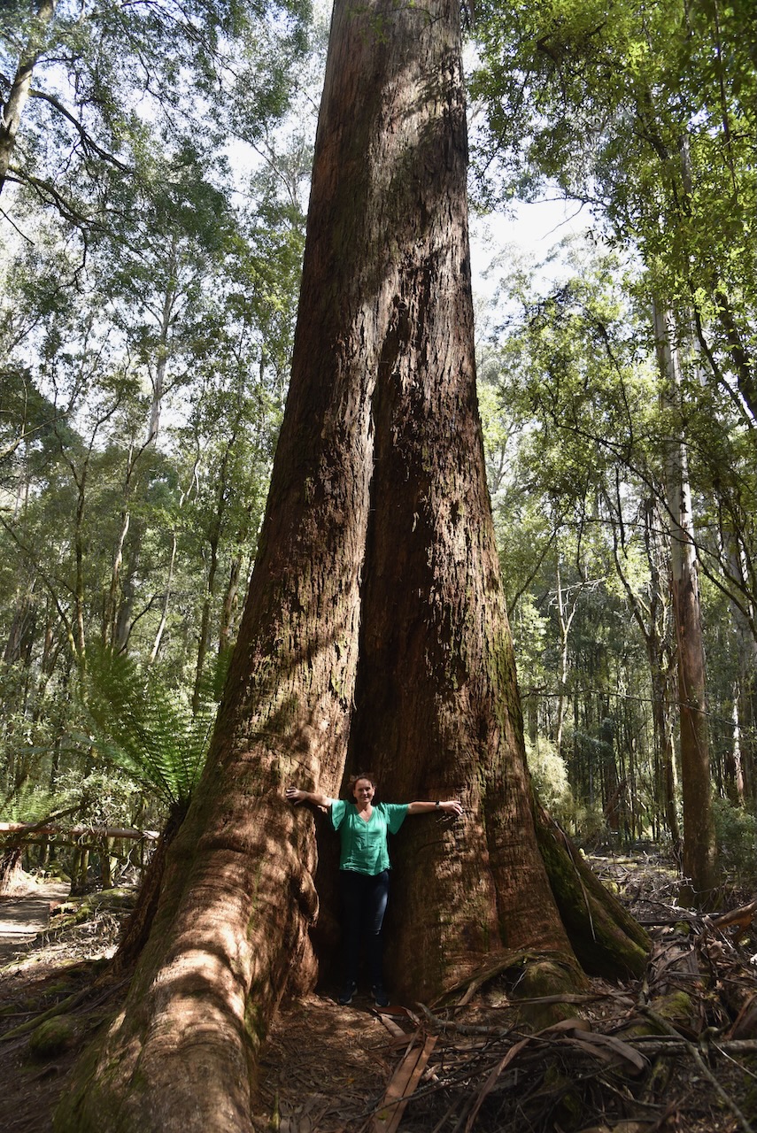
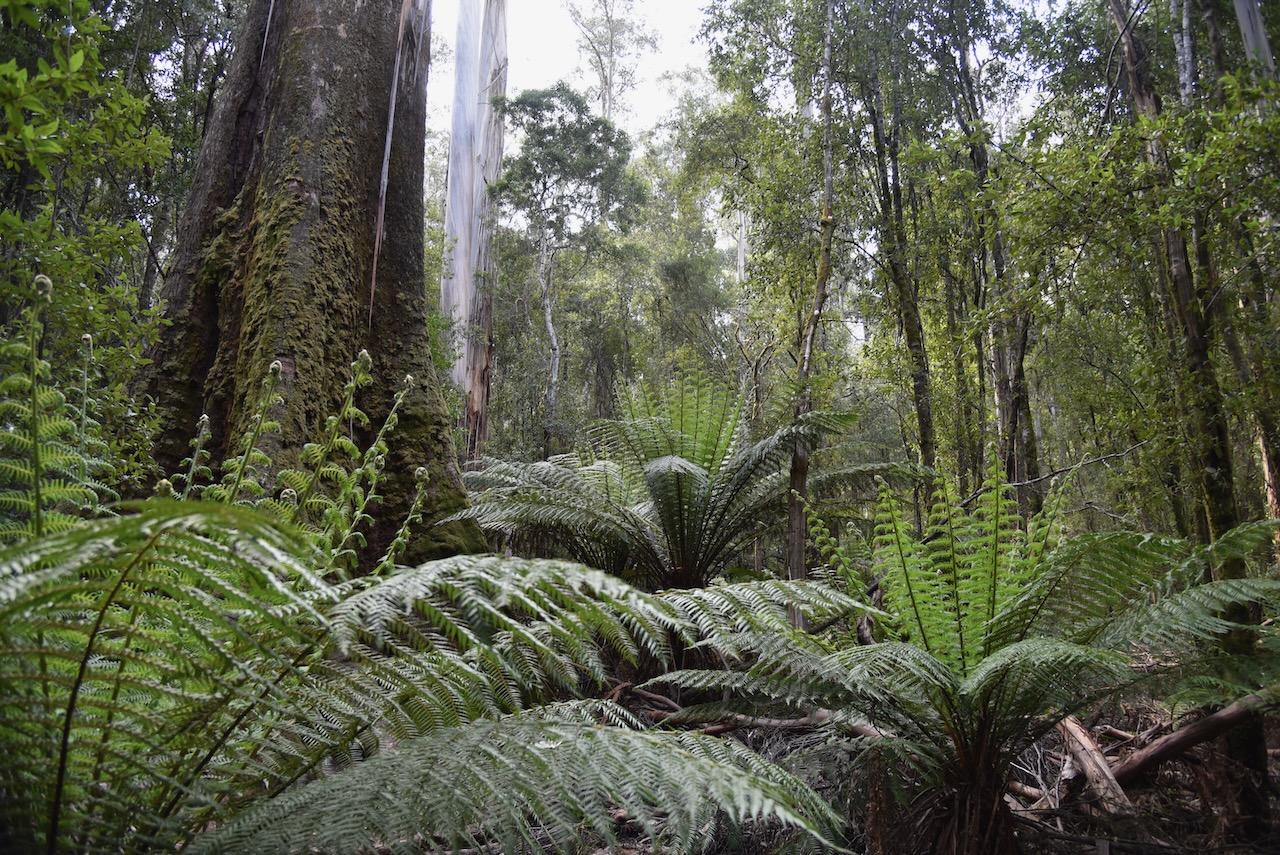
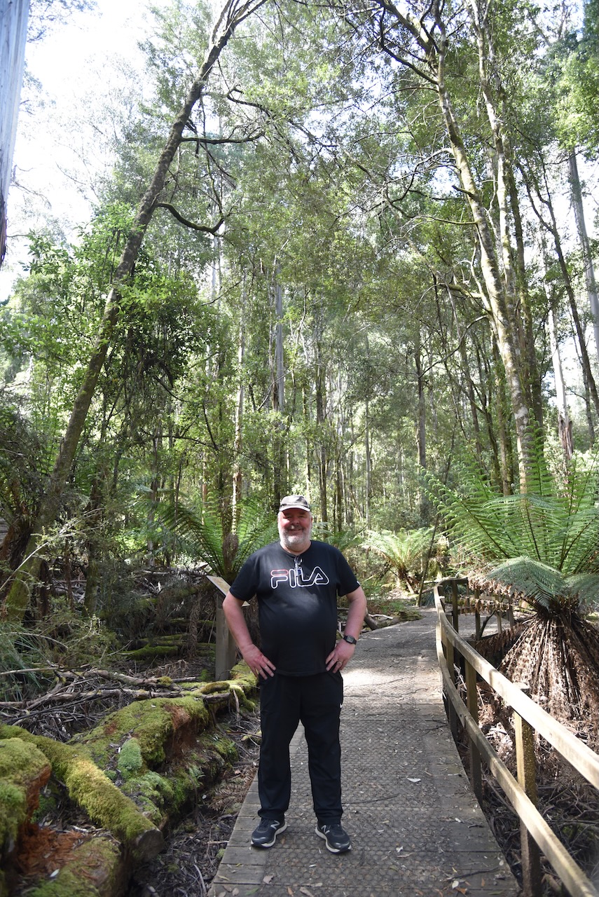
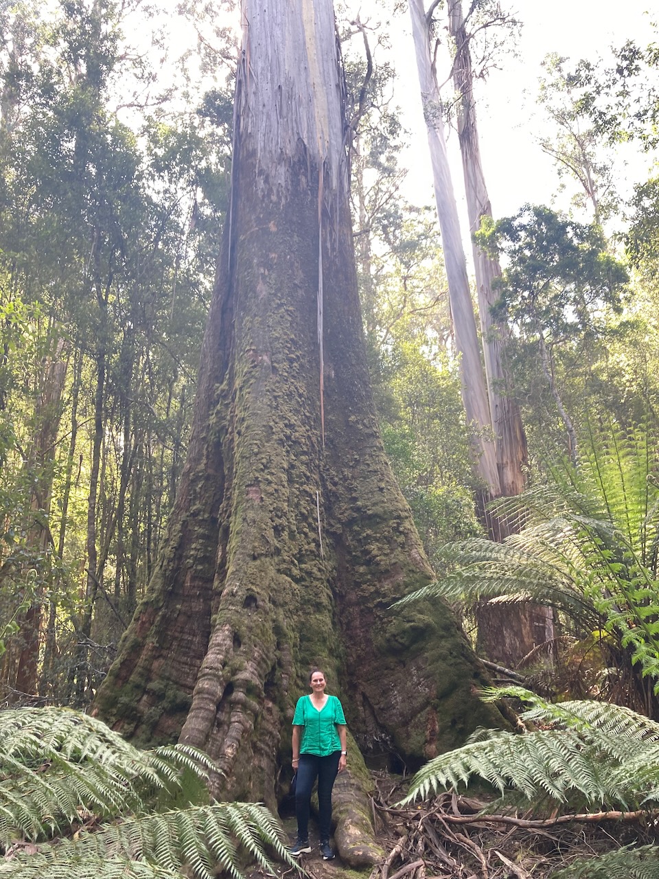
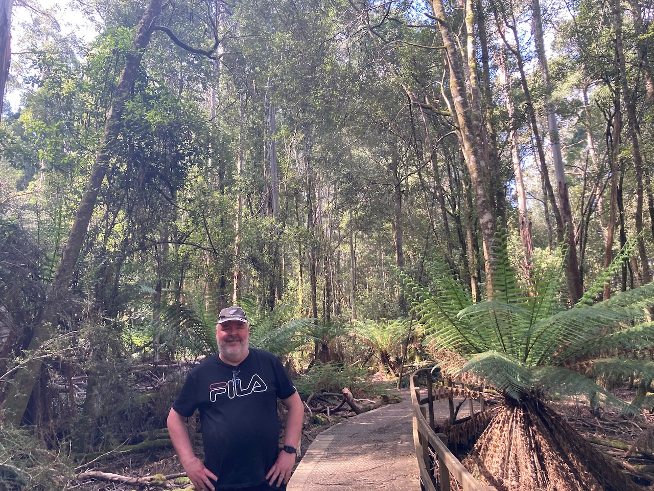
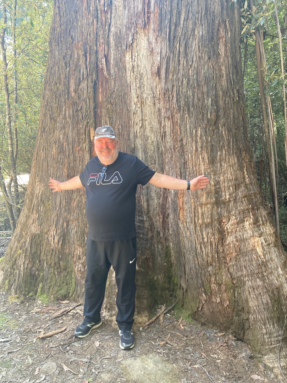
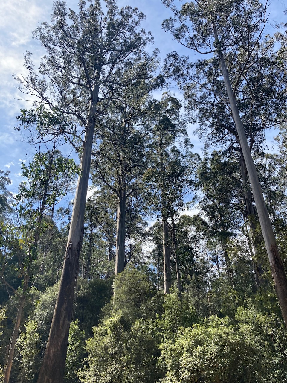
We packed up and drove further into the park and went for a walk at the Tall Trees trail. It is a 1 km loop which takes you passed the tallest flowering plants in the world, massive Eucalyptus regnans ‘Swamp Gum’. Some of the trees that you see here were growing when explorer Abel Tasman first sighted Tasmania in 1642. The trees can live for hundreds of years nad can reach over 100 metres in height.


We wished we had more time to explore this magnificent National Park. But it was time for us to continue along the Lyell Highway to our destination at Lake St Clair Lodge.
References.
- Aussie Towns, 2023, <https://www.aussietowns.com.au/town/bushy-park-tas>, viewed 2nd January 2023.
- Discoveer Tasmania, 2023, <https://www.discovertasmania.com.au/>, viewed 2nd January 2023.
- Tasmania Parks and Wildlife Service, 2023, <https://parks.tas.gov.au/explore-our-parks/mount-field-national-park/tall-trees>, viewed 2nd January 2023.
- Tyenna River Cottages, 2023, <https://tyennarivercottages.com.au/sights/>, viewed 2nd January 2023.
- Wikipedia, 2023, <https://en.wikipedia.org/wiki/Hops>, viewed 2nd January 2023.
- Wikipedia, 2023, <https://en.wikipedia.org/wiki/Mount_Field_National_Park>, viewed 2nd January 2023.
- Wikipedia, 2023, <https://en.wikipedia.org/wiki/Barron_Field_(author)>, viewed 2nd January 2023.