Lillimur silo VK-LLR3

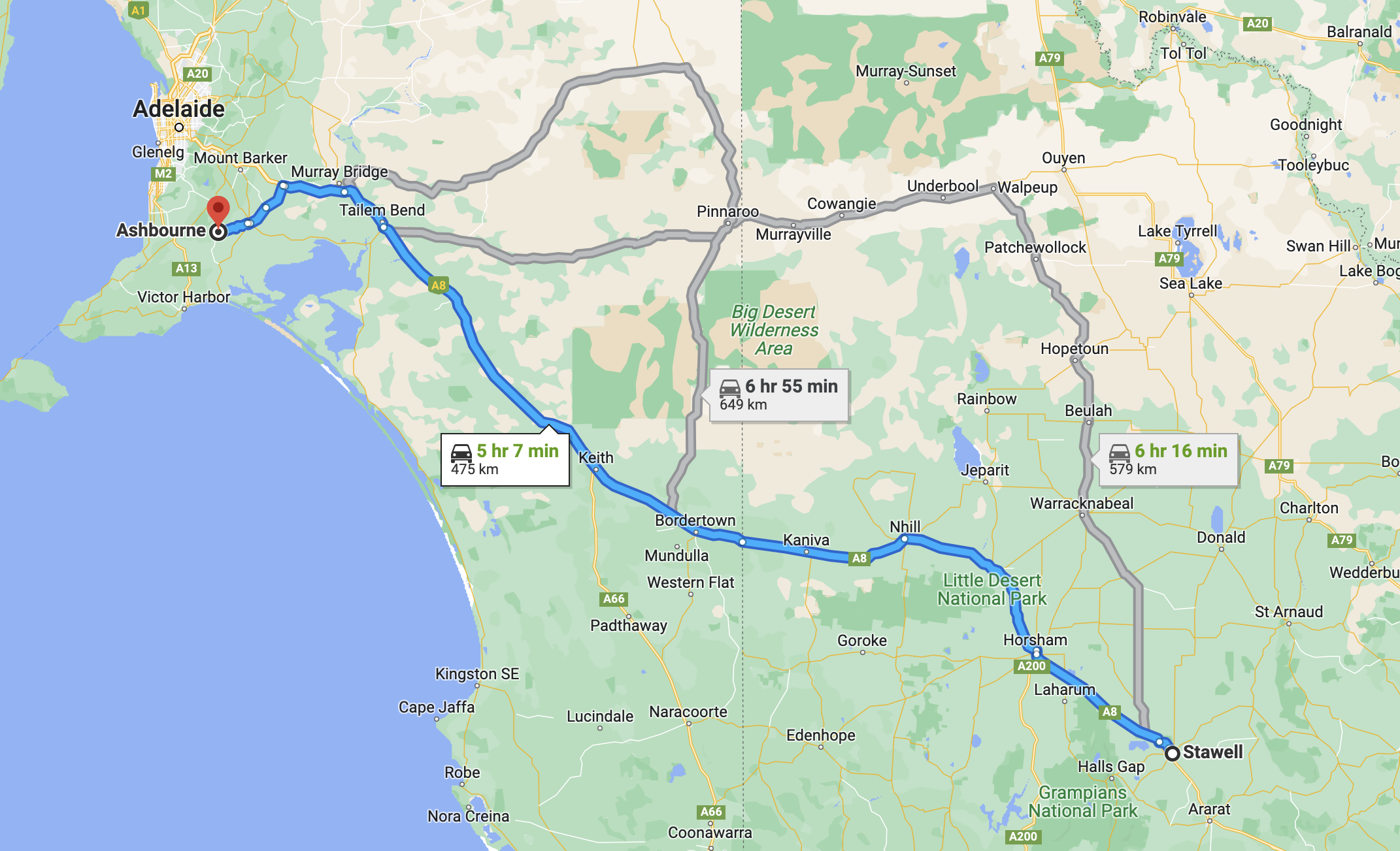
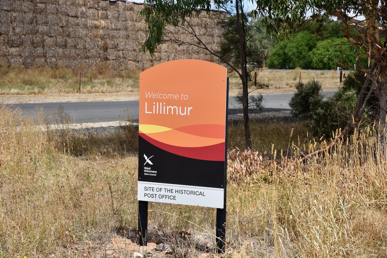
After leaving Tintinara, Marija and I continued southeast on the Dukes Highway and we soon crossed the South Australia/Victoria State border. We continued east on the Western Highway, with our next stop being the little town of Lillimur in western Victoria, about 15km from the State border.

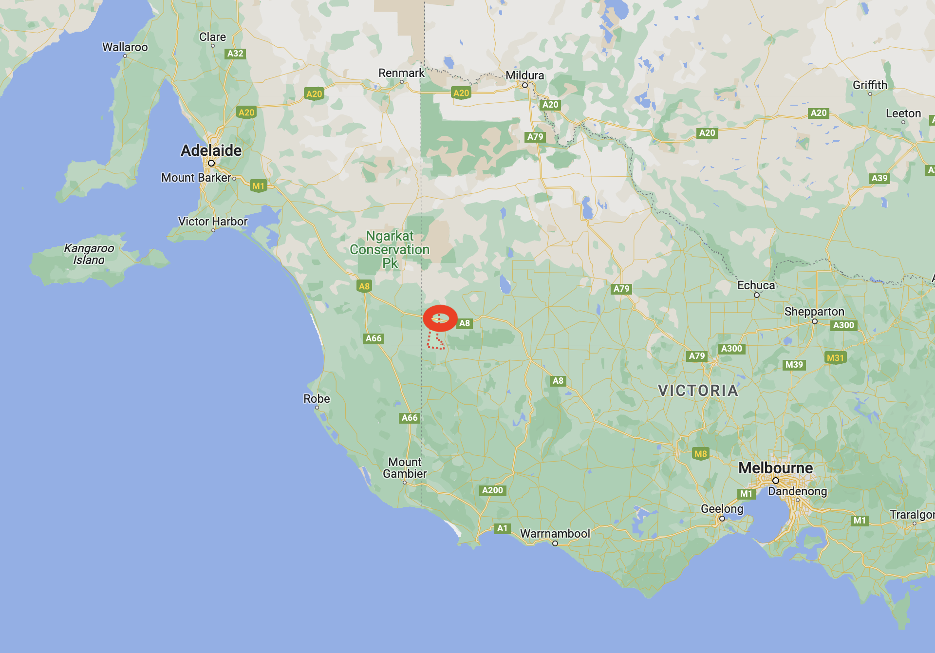
Above:- Map showing the location of Lillimur in western Victoria. Map c/o Google maps.

Lillimur takes its name from the Lillymur pastoral station which was established in 1866. It is believed that the name Lillimur was derived from the aboriginal word meaning bone or wattle gum.

Are you ready to be confused? In 1878 a township was reserved at Lillimur South and was first called Lillimur. In 1879, a settlement to the north, with a school opened there in 1879. This was called Kaniva. In 1881 a flour mill was opened further to the east and the name Kaniva was associated with it. This is the town of Kaniva as we know it today. Lillimur became Lillimur South, and the former settlement of Kaniva became the present-day Lillimur.

Prior to the development of current-day Kaniva, Lillimur was a bustling town with several stores, two hotels, a Wesleyan church built in 1881, and a mechanics institute that was built in 1882.

In 1887 the extension of the railway occurred from Dimboola to Serviceton. This resulted in the line running through Kaniva and bypassing Lillimur. As a result, Kaniva became the prominent town in the district. Despite that, Lillimur still had a courthouse, and a number of churches – Presbyterian, Catholic, Methodist, Anglican, and Church of Christ.

Above:- Albion Hotel, Lillimur North. Image c/o Mortat cemetery Peronne, and district’s Facebook page.

Below is a description of Lillimur in 1903 in the Australian handbook.

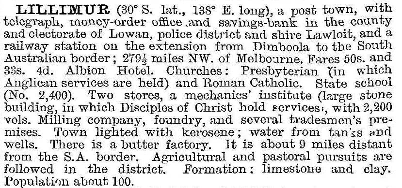
Above:- Image c/o Victorian Places.

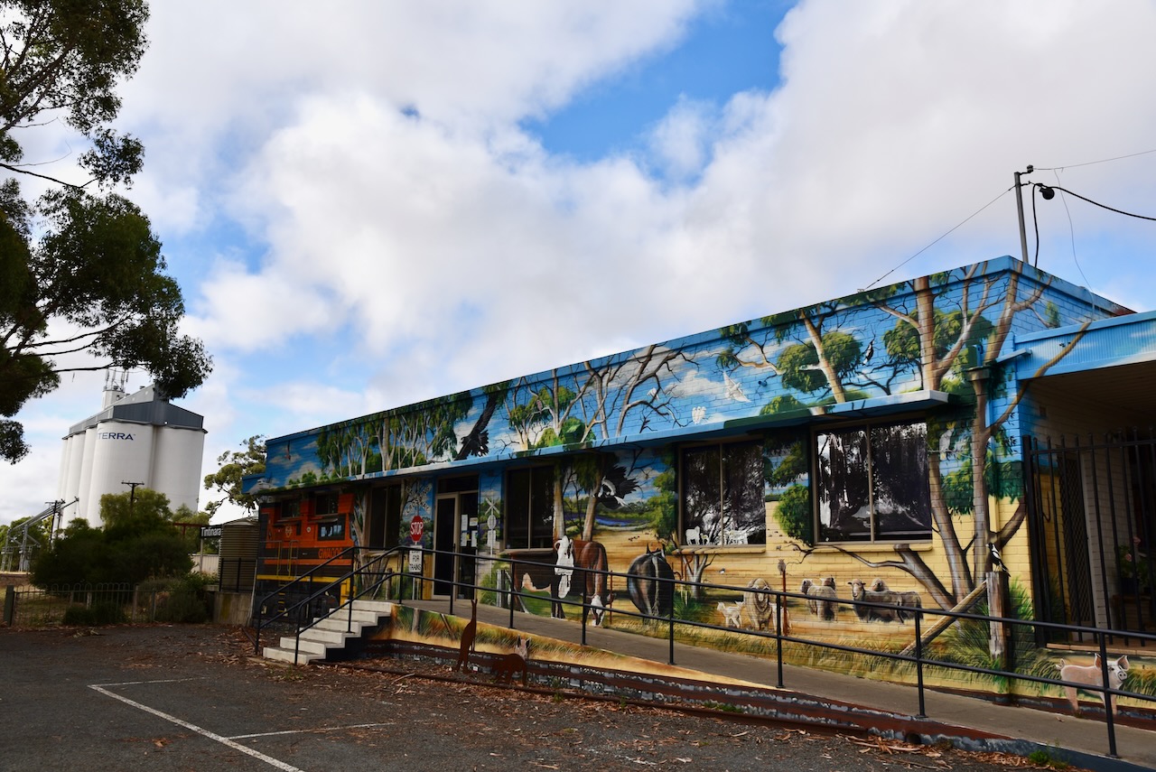
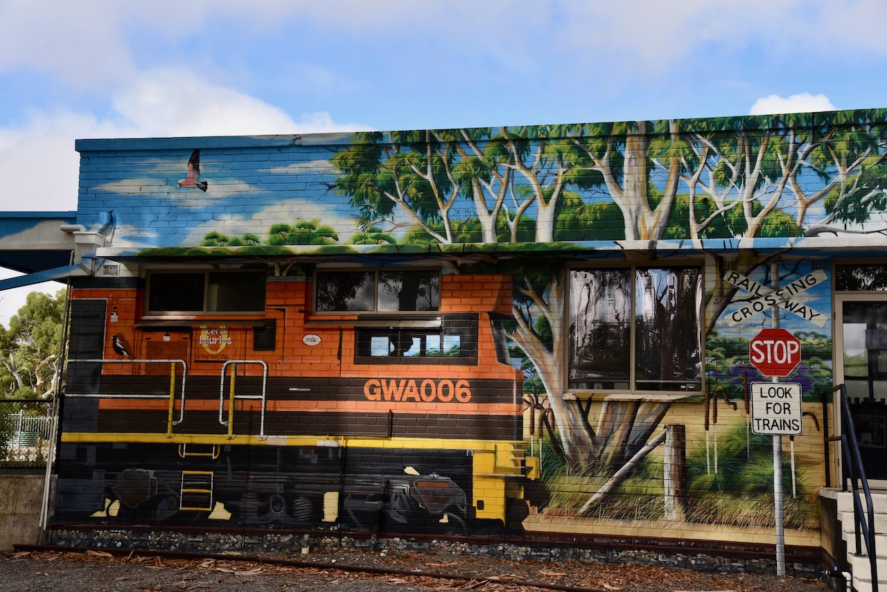
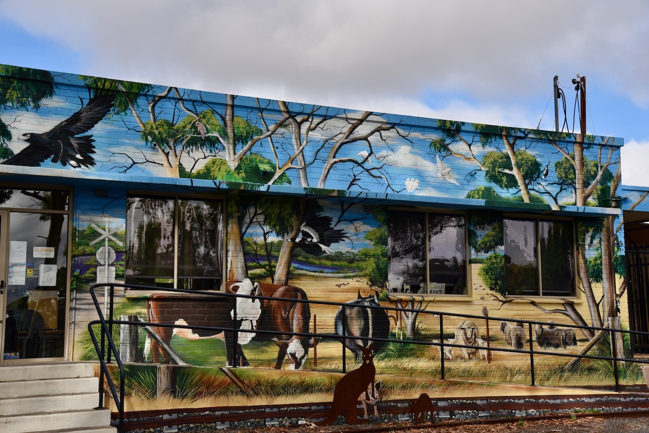
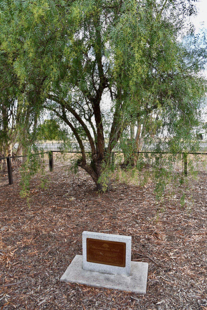
Sadly today not much remains of what was once the thriving town of Lillimur. But, one of the interesting structures in the town which does remain, is the old courthouse and post office. I suspect that the vast majority of people who drive through the town would just view the building as an old abandoned house in a very poor state of disrepair. Not many would know its history.

The old Lillimur Post office and courthouse is a weatherboard building with a brick chimney, that was built in 1887. It operated as a courthouse from 1887 until its closure in 1892. In 1913 it became a Post Office.

Below is a photo of what the building once looked like.

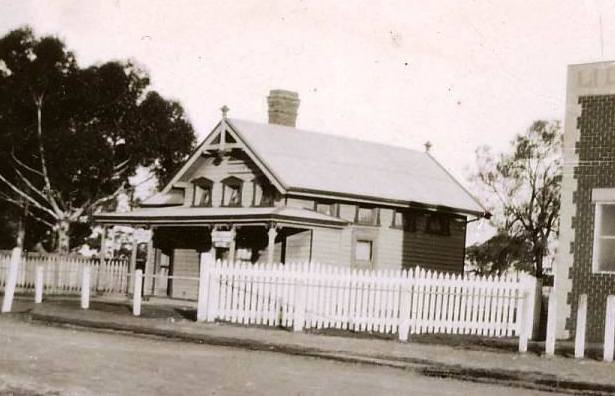
Above:- Photo c/o Lillimur, Victoria Facebook page.

Below is an excellent video of this historic building. It includes some old photographs of what the building once looked like. I find it very sad that it sits in the state if disrepair that it is today.

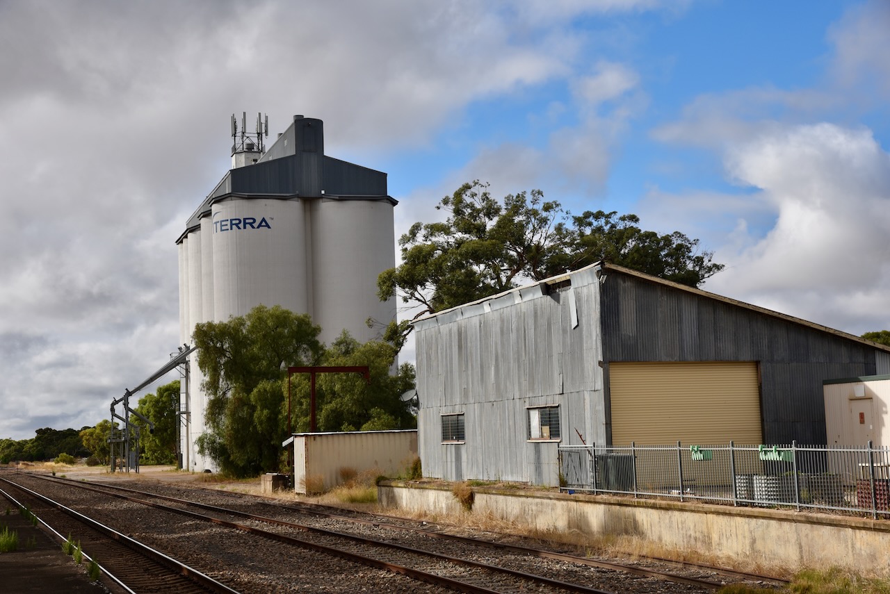
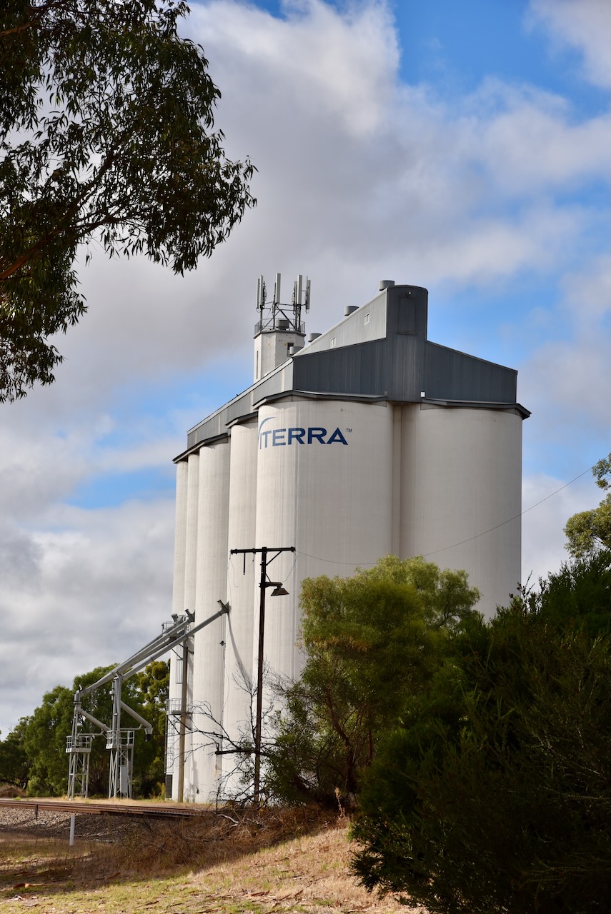
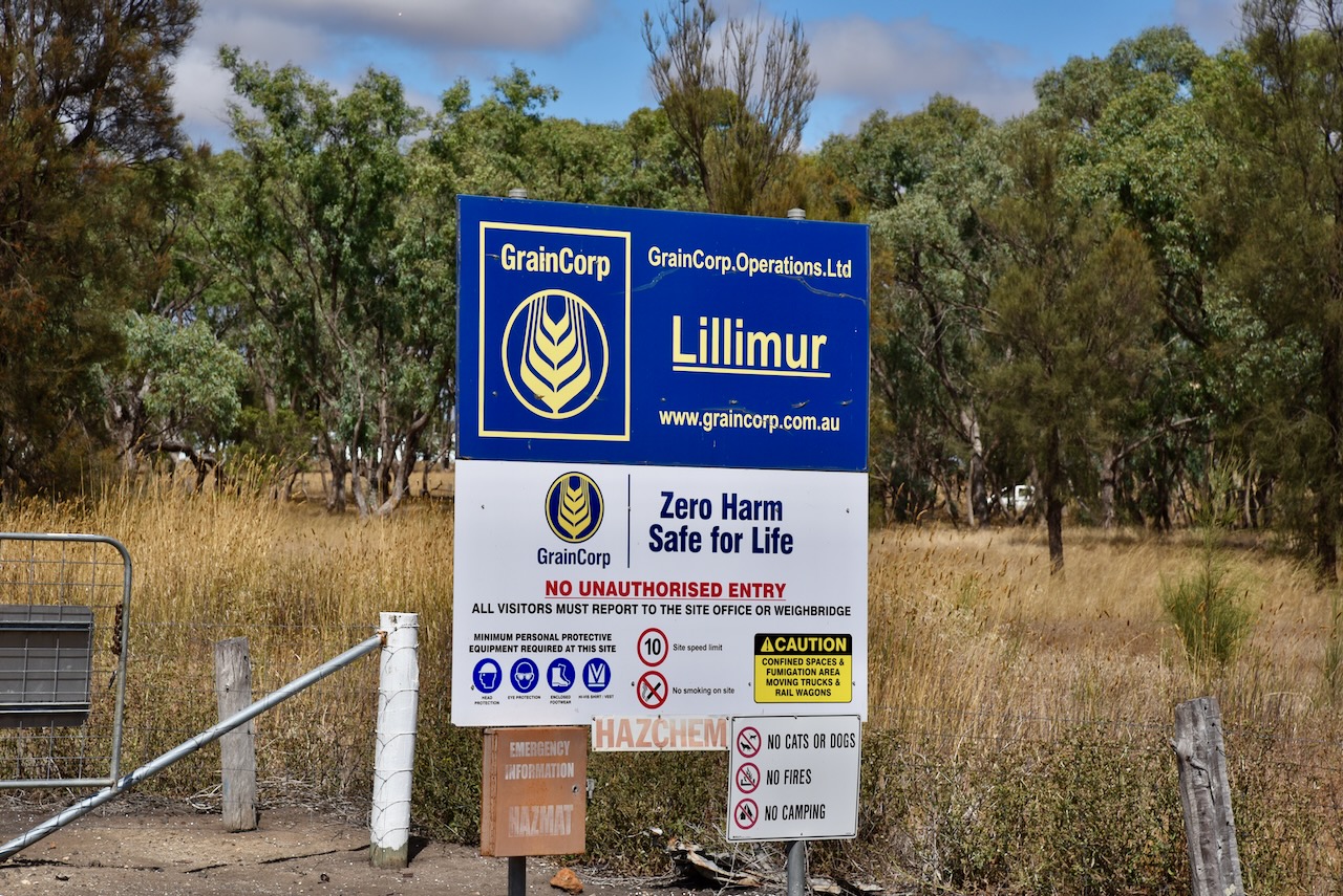
We headed to the Lillimur silos which are located on the southern edge of the town on K Clarks Road which runs off Station Road. The silo is operated by Graincorp.

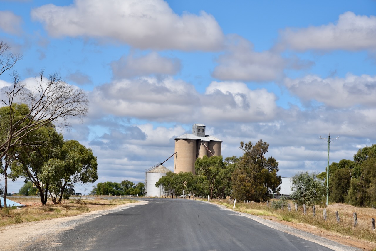
We operated from the 4WD for this activation, running the Icom IC-7000, 100 watts, and the Codan 9350 antenna mounted on the rear of the 4WD.

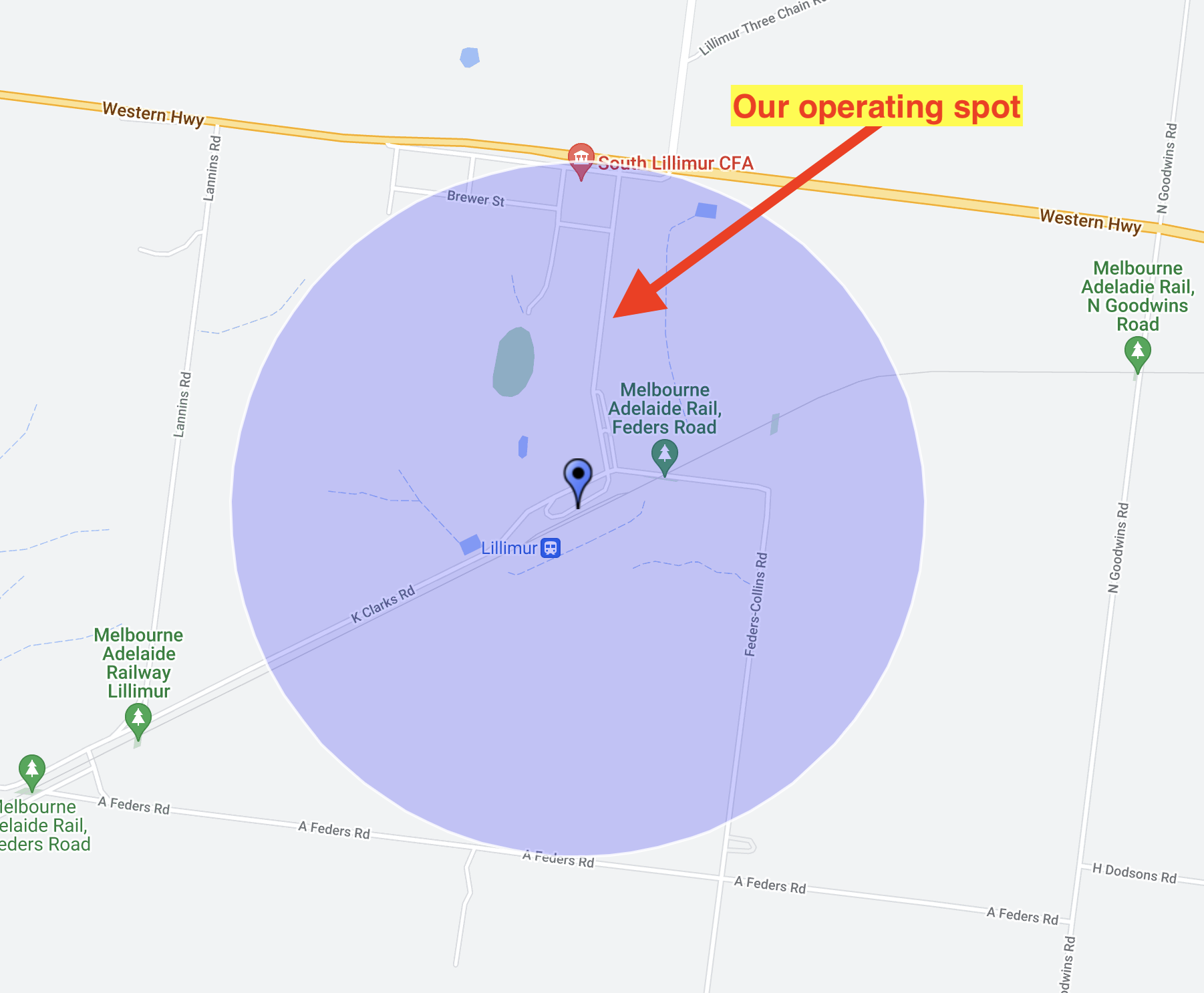
Above:- Map showing the silo activation zone, and our operating spot. Map c/o SiOTA website.

Marija worked the following stations on 40m SSB:-

  1. VK3PF
  2. VK3MCK
  3. VK3SQ
  4. VK1AO
  5. VK2MET

I worked the following stations on 40m SSB:-

  1. VK3PF
  2. VK3MCK
  3. VK3SQ
  4. VK1AO
  5. VK2MET
  6. VK3NBL
  7. VK5AYL
  8. VK5FANA
  9. VK5IS
  10. VK3ZSC
  11. VK2PKT
  12. VK3ANL
  13. VK2VIN
  14. VK2GQR

I worked the following stations on 20m SSB:-

  1. VK2FR
  2. VK2IO
  3. VK4EW

References.

  1. Victorian Places, 2023, <https://www.victorianplaces.com.au/lillimur>, viewed 17th March 2023.

Tintinara silo VK-TNA5

On Monday 27th February 2023, Marija VK5MAZ and I headed off on our way to the Avalon Air Show in Geelong. On day one we planned on travelling to Stawell in western Victoria where we would stay for one night, and then head off to Geelong. The drive from home to Stawell was about 475 km. We planned on activating some silos and parks along the way.

Above:- Map showing our route from home to Stawell in Victoria. Map c/o Google maps.

Our first stop for the day was the little town of Tintinara, about 188 km southeast of the city of Adelaide.

The area around Tintinara was first settled by Europeans during the 1840s, with graziers moving their flocks of sheep into the area. This was followed in about 1860 by the building of Tintinara homestead by brothers Thomas Wilde Boothby (b. 1839. d. 1908) and James Henry Boothby (b. 1841. d. 1920). They were the sons of Chief Justice Benjamin Boothby. They held a 427 square km lease in the Tintinara district. In 1865, William Harding and George Bunn, the new owners of the Tintianara homestead, built a 16-stand shearing shed and accompanying shearers’ quarters on the property. In 1868 the Tintinara Post office was opened.

The town of Tintinara was proclaimed on the 30th day of August 1906. In 1907 the Tintinara School opened with 12 students and Miss Maud Jackson as the teacher.

The origin of the name of Tintinara is unclear. An article entitled ‘Reminiscences of an old colonist’ appeared in The Register, Adelaide, on Tuesday 22nd April 1919. It was the reminiscences of James Henry Boothby. He wrote:

“We had a smart young g blackfellow in our employ, with a name that sounded like ‘Tin Tin. We liked the sound of it, and when choosing a name for the station we put an ‘ara’ at the end of it, and made Tintinara’ of it.

Above:- portion of the article from The Register, Tues 22 April 1919. Image c/o Trove.

There is an aboriginal word tinyara meaning ‘boy’, ‘lad’, or ‘youth’.)

John Philip Gell, Principal of Queens School, Hobart, stated in a lecture on the vocabulary of the Kaurna aboriginal people, that the name derived from tinlinyara, the Aboriginal name for stars in ‘Orion’s Belt’. It is said that it depicts a number of young aboriginal men hunting emus, kangaroos and other native animals on the great celestial plain in the sky.

In the 1915 publication of ‘Names of South Australian Railway Stations’ it states that Tintinara:

“Was the name of a blackfellow who used to loaf about the original Boothby homestead. Mrs. Boothby suggested the name as being a pretty one”.

Tintinara has an excellent visitor centre which is located in the old railway station. It is well worth a visit if you are in the area. The building features a magnificent mural.

There is a good parking area at the Visitor Centre and a small park to stretch your legs, along with toilet facilities.

The Tintinara silos are just down from the visitor centre. They are owned by Viterra Australia.

It was a little noisy at the Visitor Centre so Marija and Drove down a little bit to a spot adjacent to the silos. We ran the Icom IC7000 in the vehicle for this activation, 100 watts, and the Codan 9350 antenna mounted on the rear of the 4WD

Marija made the following QSOs on 40m SSB:-

  1. VK3PF
  2. VK3ANL
  3. VK1AO
  4. VK2MET
  5. VK5TRM/p (Newland Head Conservation Park VKFF-0922)

I made the following QSOs on 40m SSB:-

  1. VK3PF
  2. VK3ANL
  3. VK1AO
  4. VK2MET
  5. VK5TRM/p (Newland Head Conservation Park VKFF-0922)
  6. VK5FANA
  7. VK3QH
  8. VK1CHW
  9. VK7CIA
  10. VK2PKT
  11. VK5HS
  12. VK3MKE

I made the following QSOs on 20m SSB:-

  1. VK1IO

I made the following QSO on 80m SSB:-

  1. VK5BJE

References.

  1. A Compendium of the Place Names of South Australia, 2023, <https://published.collections.slsa.sa.gov.au/placenamesofsouthaustralia/>, viewed 16th March 2023.
  2. Monument Australia, 2023, <https://monumentaustralia.org.au/themes/landscape/settlement/display/117848-pioneers-of-tintinara>, viewed 16th March 2023.
  3. Wikipedia, 2023, <https://en.wikipedia.org/wiki/Tintinara,_South_Australia>, viewed 16th March 2023.