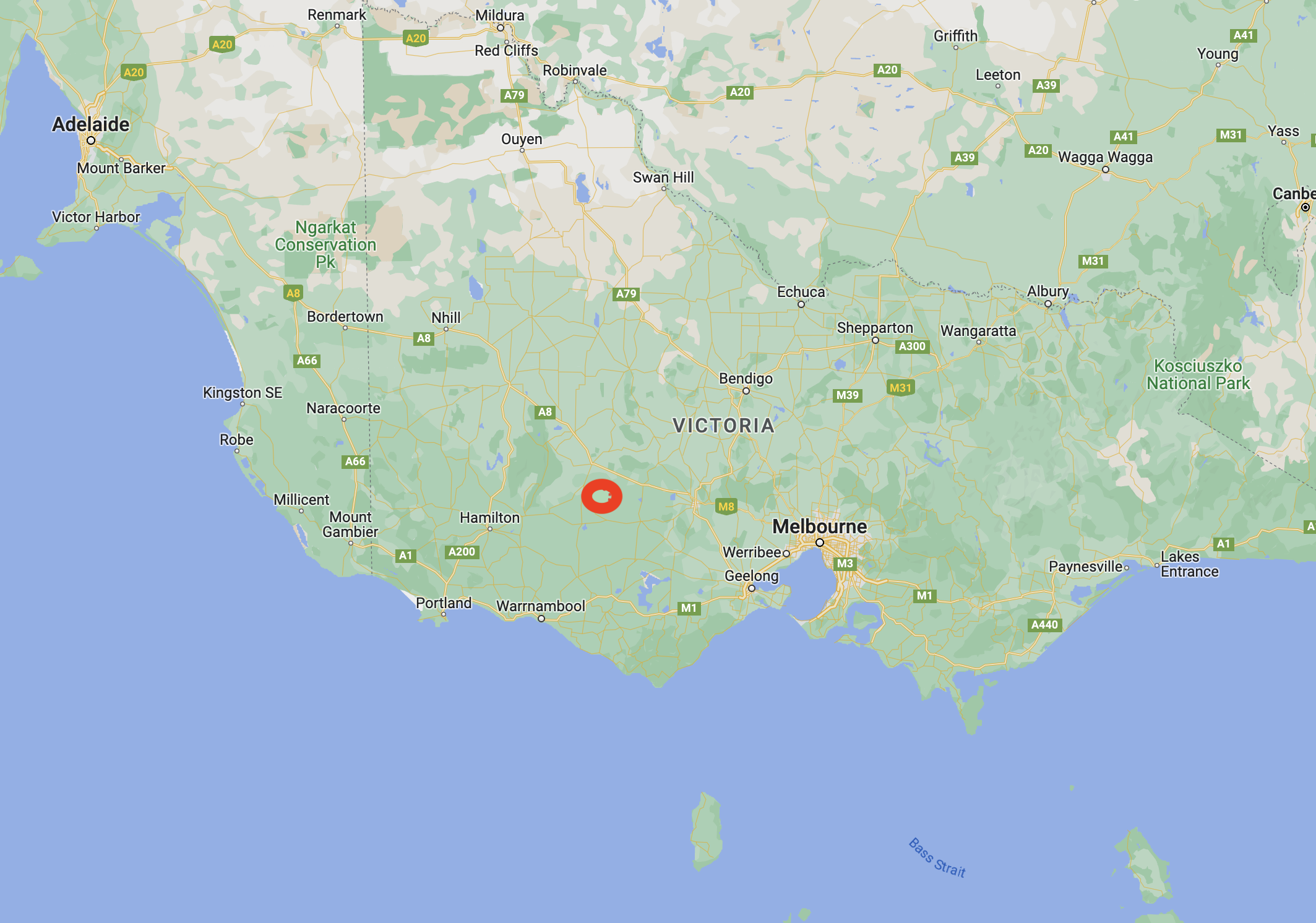
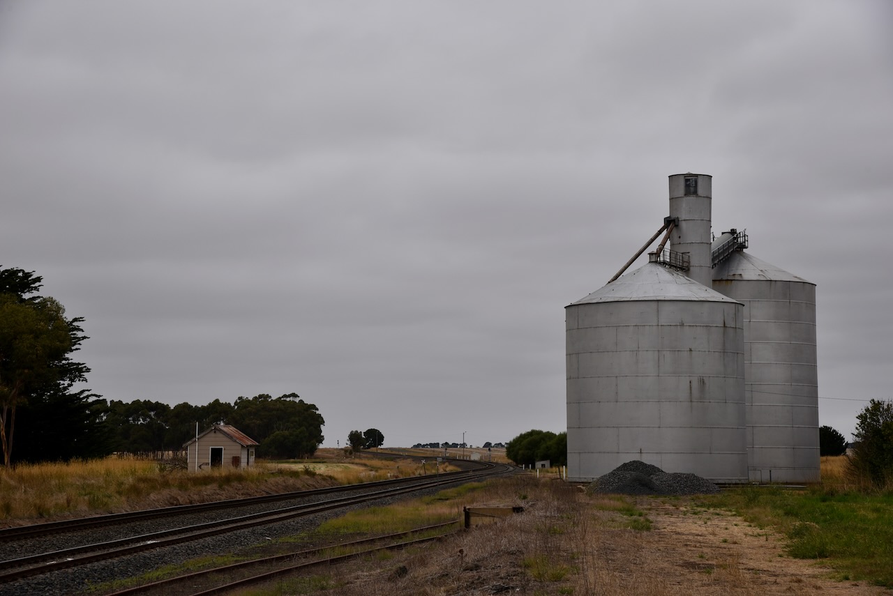
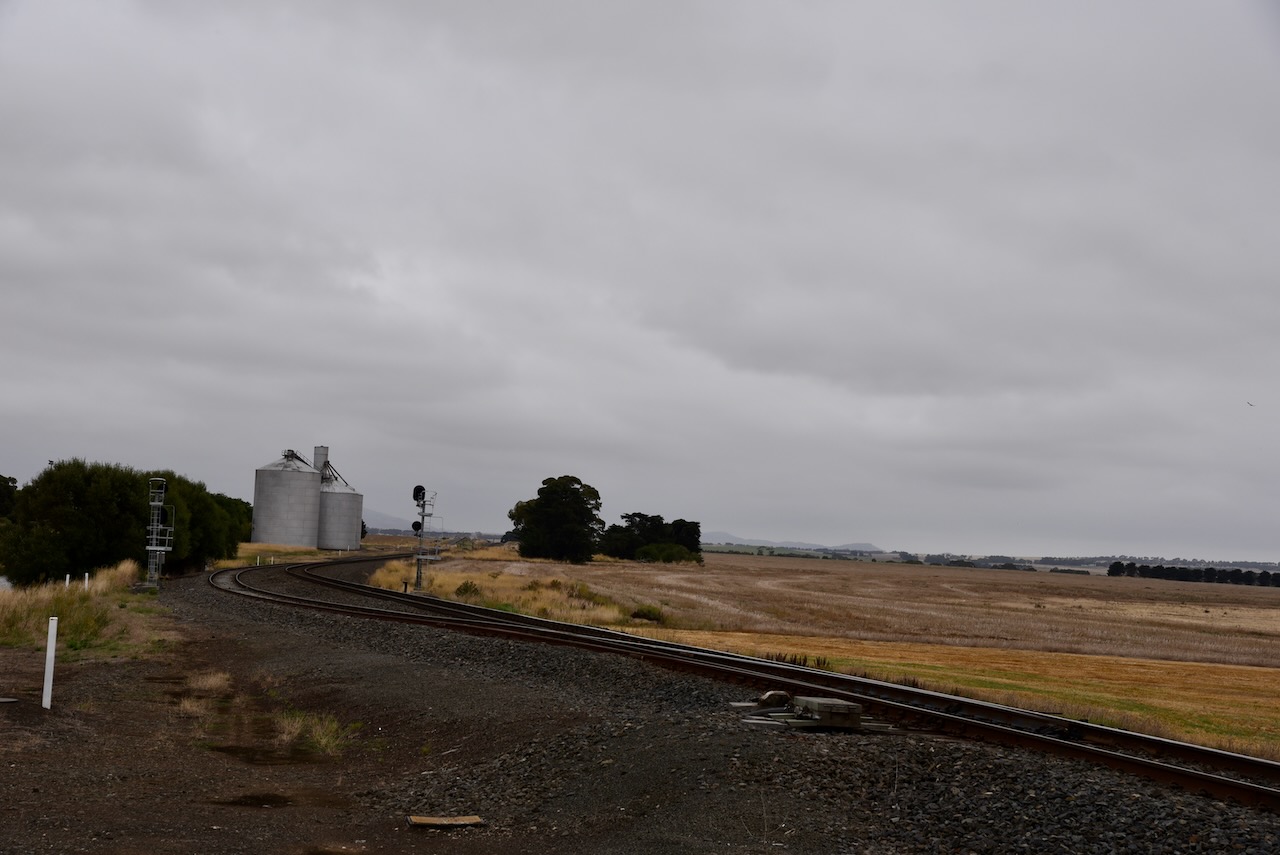
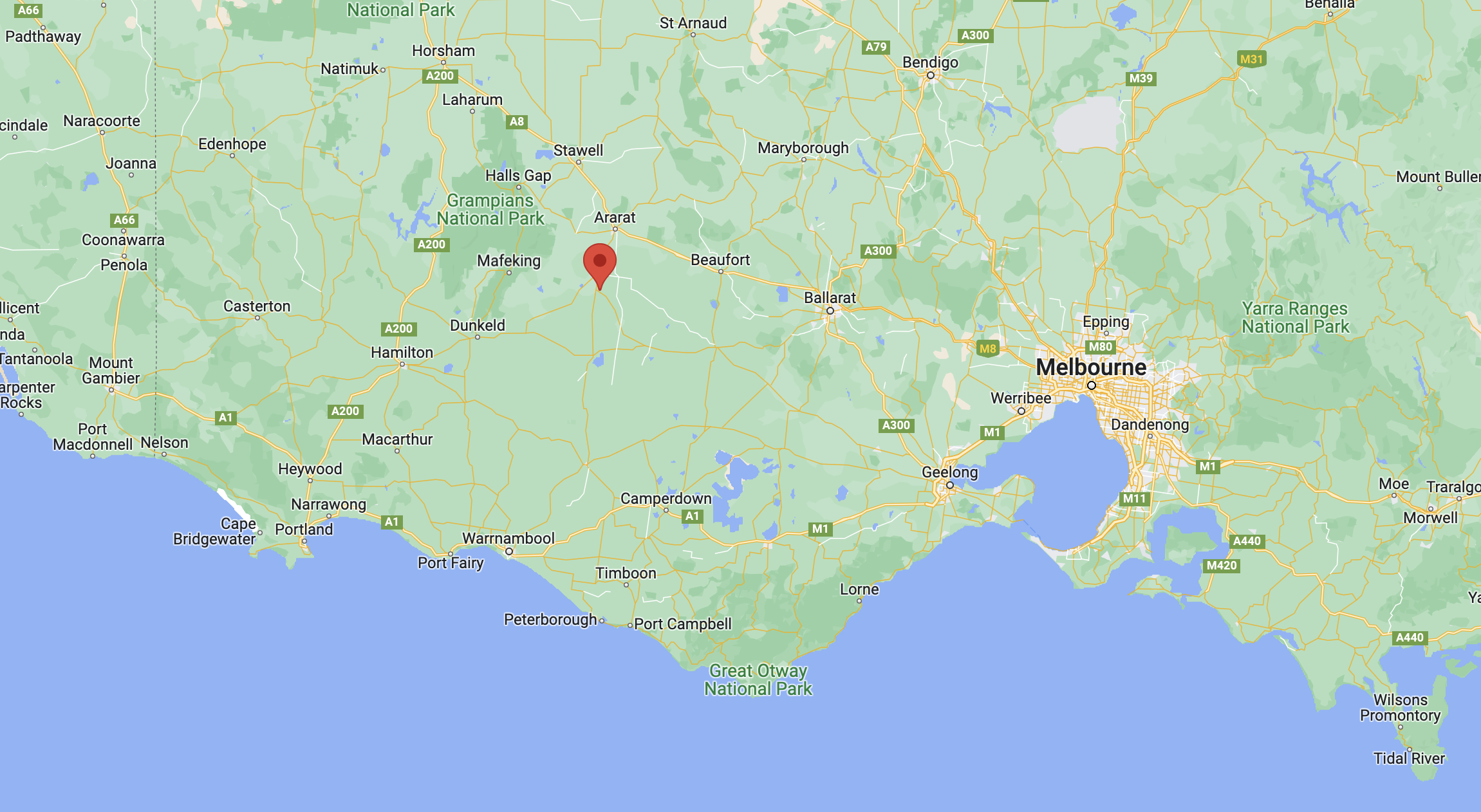
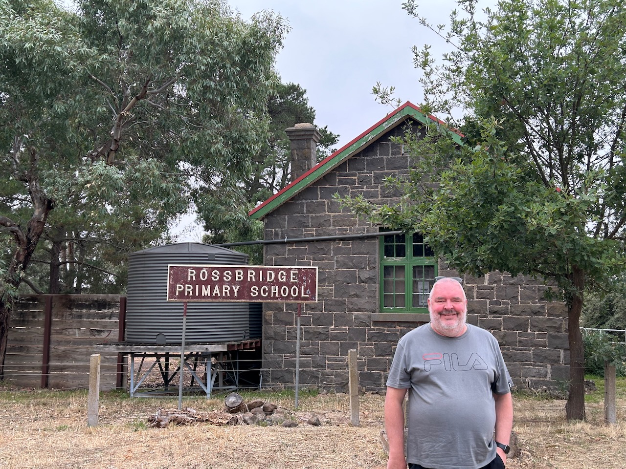
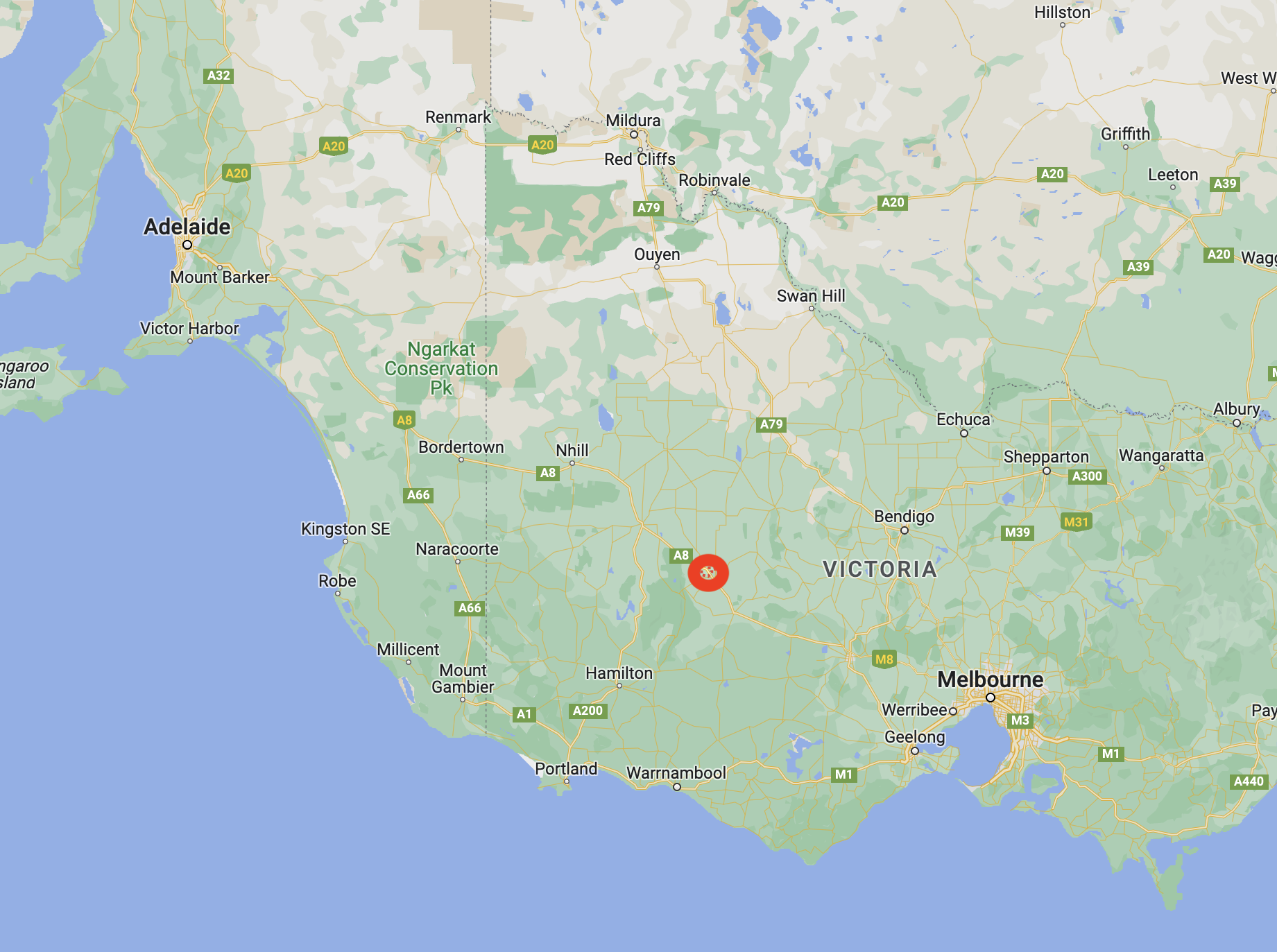
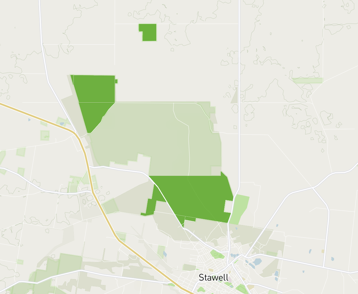
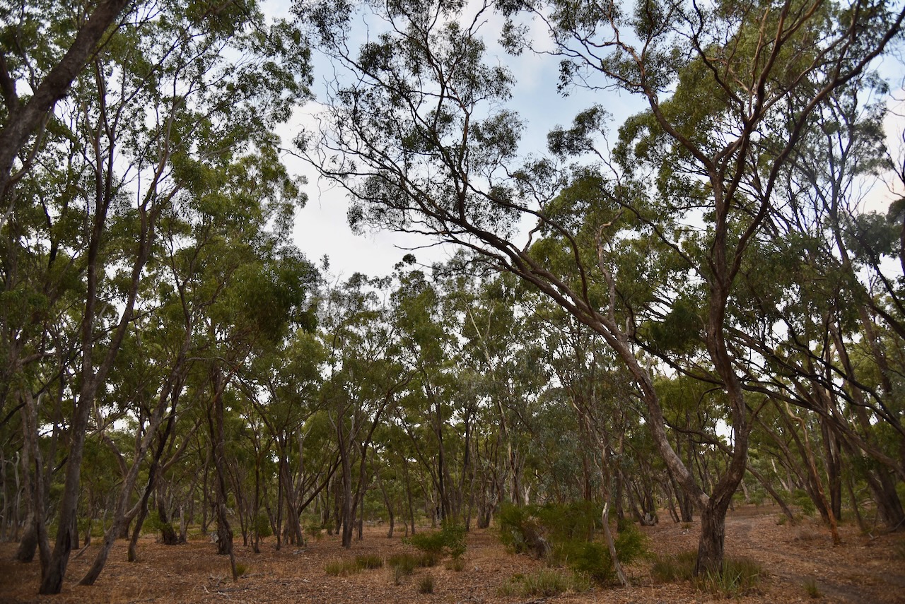
Our next stop on Monday 27th February 2023, was the Deep Lead Nature Conservation Reserve (NCR) VKFF-2078, which is located about 8 kilometres northwest of the town of Stawell in western Victoria.
Above:- Map showing the location of the Deep Lead NCR. Map c/o Google maps.
In July 1857, gold was discovered between Deep Lead and Stawell. Within a year of the discovery, mining was located almost the distance between Deep Lead and Stawell. ‘Deep Lead’ described the run of gold gravel which was uncovered at great depth that ran normally north-south. At the time it was one of Victoria’s richest alluvial gold fields.
By 1858 Deep Lead had a population of about 12,000 people and it appeared to be the likely administrative centre for the district, above Stawell. By 1860 the majority of gold had been removed from the area and a community of Chinese gold fossickers remained in the area. The Junction Hotel was run by one of the Chinese miners.
In 1857 the Deep Lead schools were opened. In 1858 Catholic and Presbyterian churches were opened. In 1862 a Common School was built. In 1861 the Pleasant Creek Hospital was opened. By 1878 the railway had reached Deep Lead. Between 1921 to the 1940s a eucalyptus distillery ran at Deep Lead.
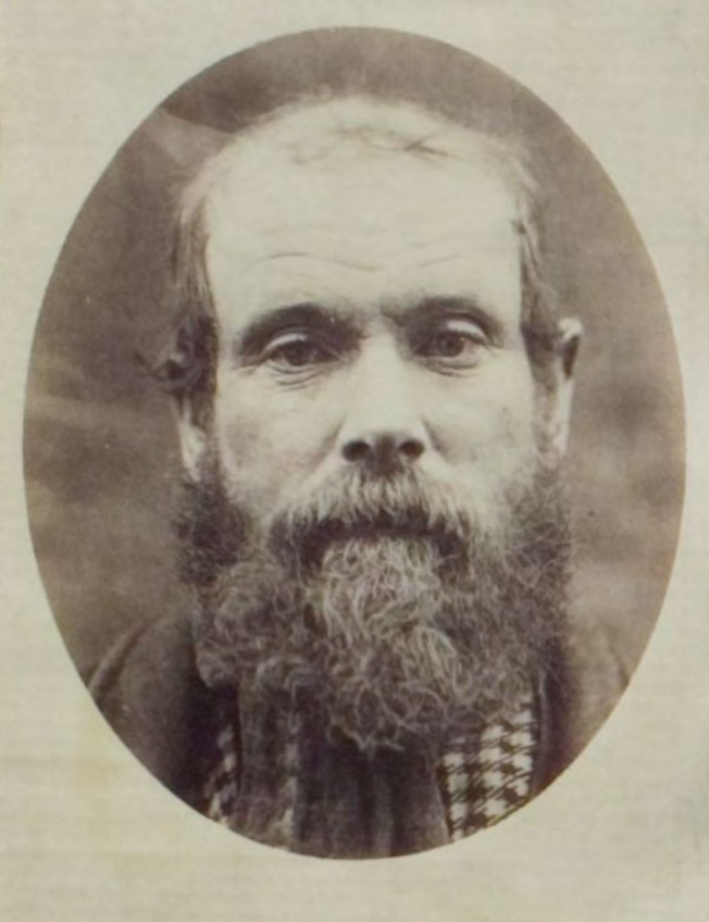
Above:- A miner at Deep Lead. Image c/o https://victoriancollections.net.au/items/6052a342c9704ed38a6f7d7e
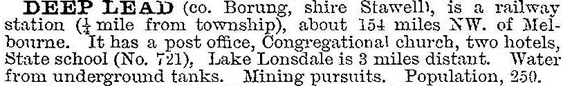
Deep Lead was described in the 1903 Australian handbook as follows:
Deep Lead does have some infamy attached to it. It is the story of Robert Francis Burns (b. 1840. d. 1883) who was a convicted murderer and probable serial killer.
On the 17th day of January 1882, a miner came across the headless naked corpse at Deep Lead. Police subsequently determined that the head of the victim had been severed by ‘some sharp instrument’. A few months later in April 1882, the Police identified the victim as being Charles Forbes aka Scotty or Charley, and that he had last been seen in company with Robert Francis Burns.
On the 12th day of April 1882, Burns was arrested by Police at Rupanyup near Stawell. On the 28th day of April 1882, Burns was charged in the Stawell police court with the murder of Charles Forbes on or about the 19th day of December 1991. He appeared in court the following day where there was legal argument that the police had failed to prove that Forbes was dead and that ‘he might turn up at any day to confound the police’.
Leading up to the Burns’ trial, the Police undertook extensive enquiries regarding Charles Forbes, particularly if he was still alive. His details were published in various police and government gazetted throughout Australia and New Zealand.
A police officer from the town of Murtoa, Mounted Constable Mullaney was tasked with visiting various settlements in Victoria with printed notices containing a photograph and description of Forbes. Constable Hilliard who was stationed t Deep Lead was dispatched on various trips as far afield as Hobart and New Zealand to make enquiries to locate Forbes. Detective Forster also carried out enquiries in South Australia and other colonies.
Above:- Article from NSW Govt Gazette, Fri 16 Jun 1882. Image c/o Trove.
Burns’ murder trial was held between the 16th and 18th day of August 1882 in the Central Criminal Court, Melbourne, before Justice Williams. A total of 45 witnesses gave evidence, but the identity of the murder victim was never proved beyond doubt and Burns was acquitted. If today’s DNA technology existed back in 1882, the result would most likely have been very different.
Upon leaving the court, Burns was arrested for another murder, that of Michael Quinlivan. Police commenced enquiries into other deaths which were suspected to be connected to Burns.
Burns was held in the Hamilton gaol on remand. He was described by the warders as volatile and savage. During his last three months imprisoned, he barely slept at night with “his rest being broken by most hideous roars and cries”. The police barracks were just a few hundred metres from the gaol and they were “nightly disturbed by his roaring’.
He was subsequently convicted of the murder of Quinlivan and was sentenced to death. He was held at the Ararat Gaol. A Roman Catholic priest, Father Meade was “in constant attendance on him” and efforts were made to elicit a confession from him. This was to no avail and he was described as being “callously indifferent to all the entreaties”.
Burns was hung at the Ararat Gaol on Tuesday the 25th day of September 1883. It was reported that Burns claimed to the hangman, Elijah Upjohn, that he had murdered a total of eight people – five in Victoria, and three in New South Wales. Burns was alleged to have said: “I have cooked eight, five in Victoria and three in Sydney, and now you are going to cook me”.
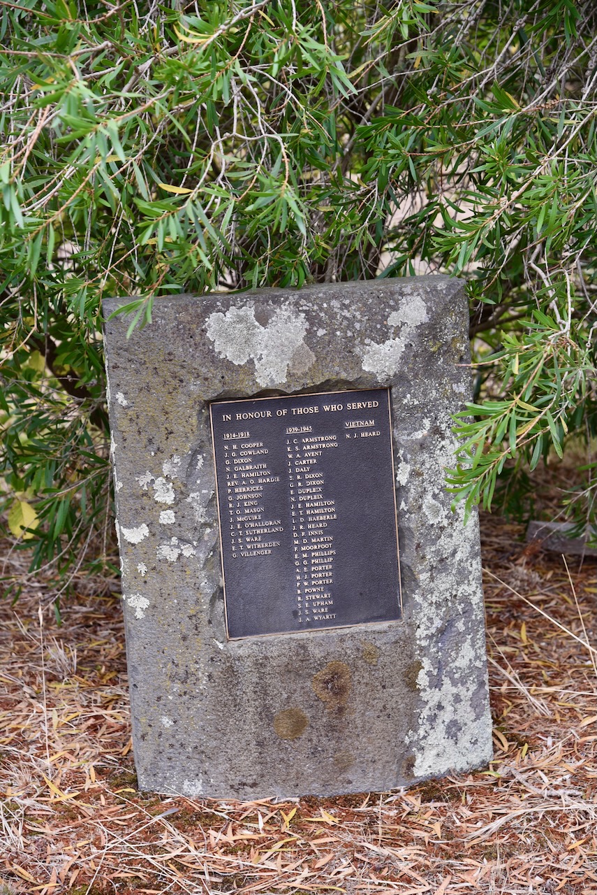
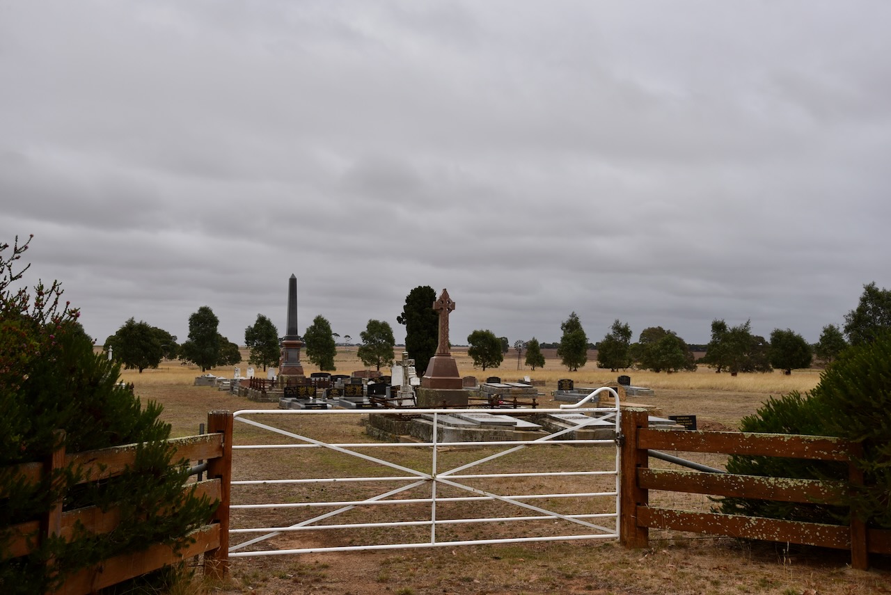
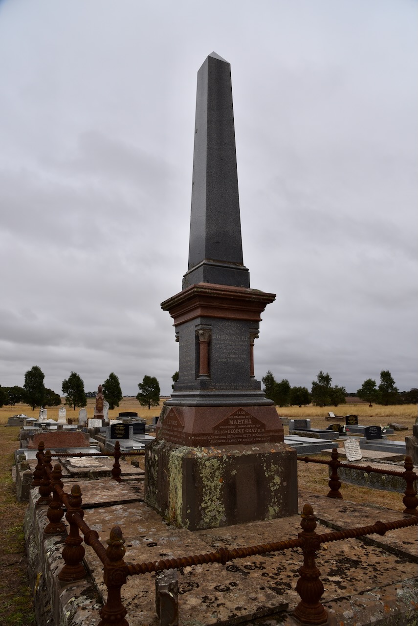
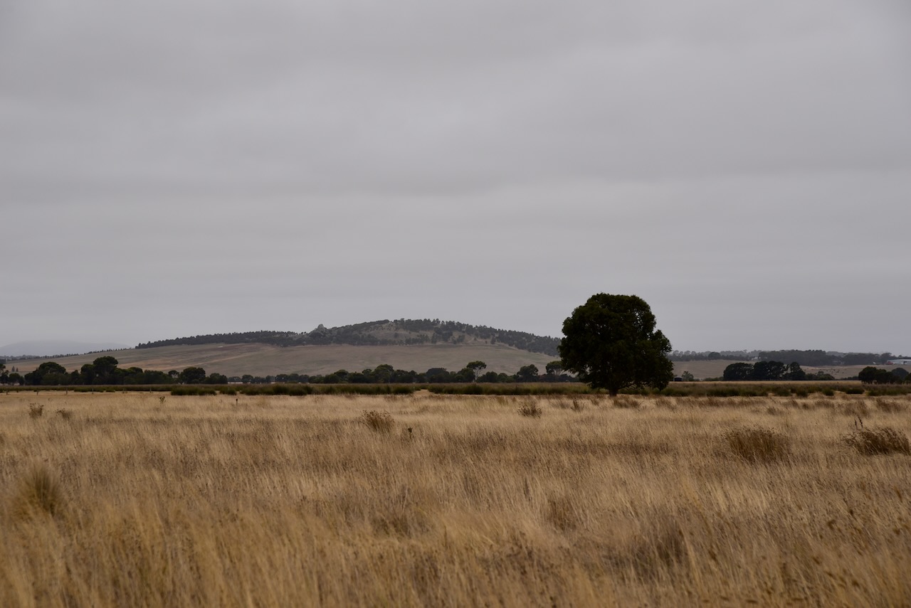
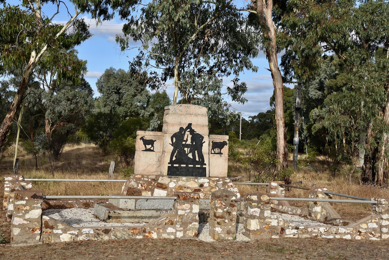
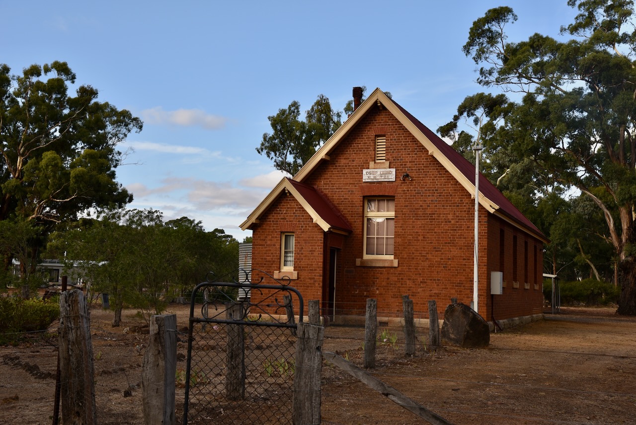
Very little remains of Deep Lead today. There is the Deep Lead Hall and a memorial to the early pioneers of the district.
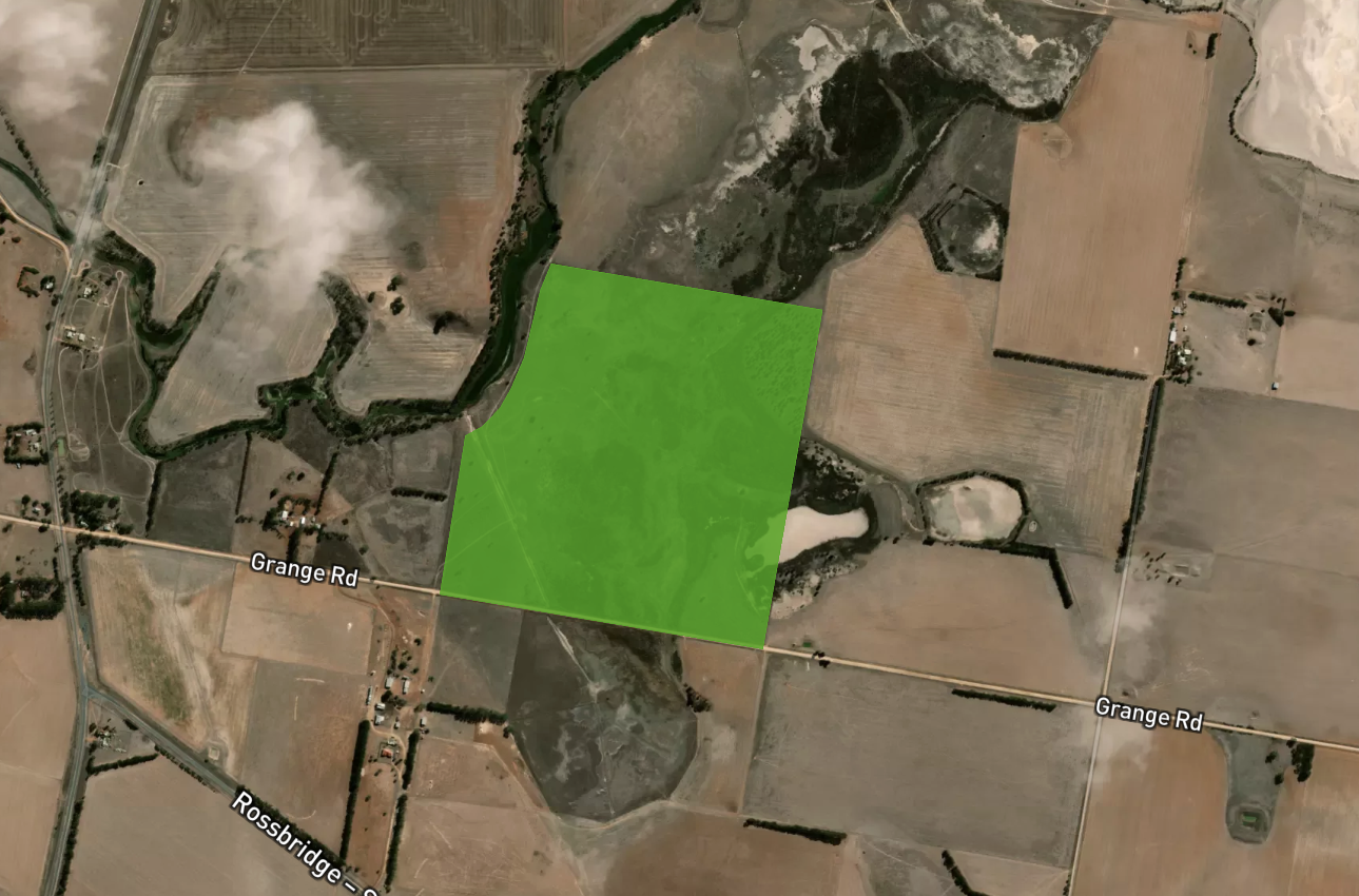
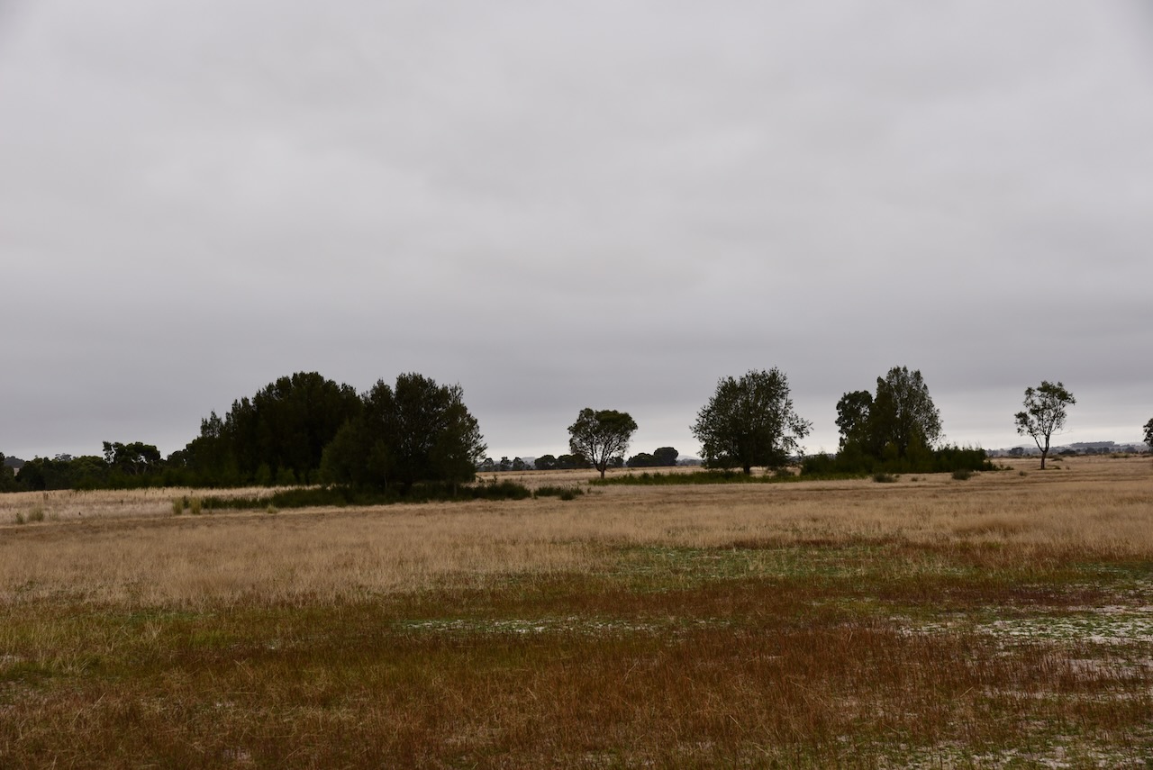
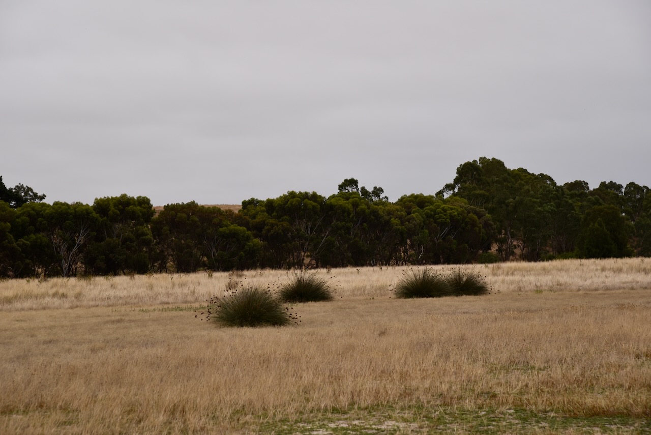
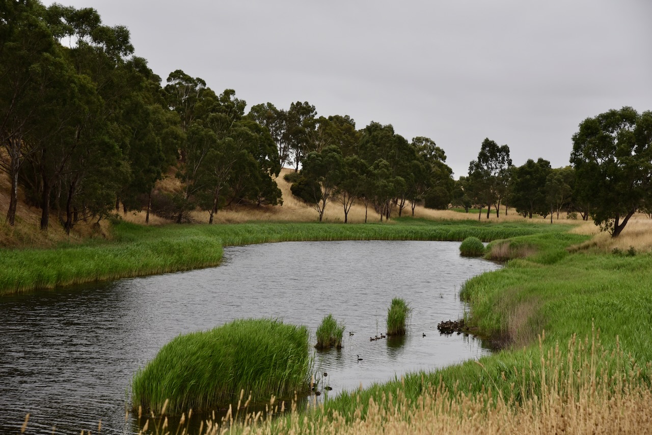
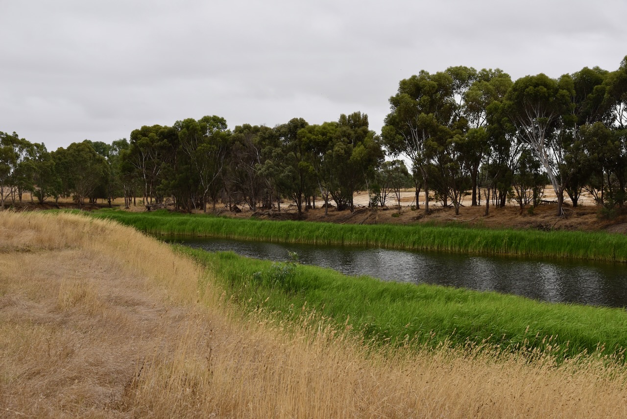
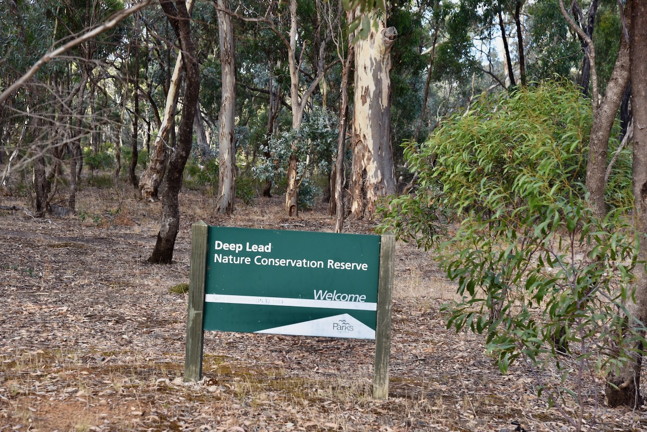
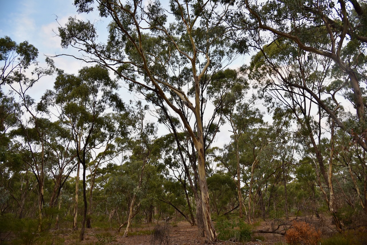
The Deep Lead Nature Conservation Parks consists of two distinct parks, No. 1 and No. 2. The Deep Lead NCR No. 2 has three separate sections. One is located on either side of Deep Lead Road, another on either side of Deap Lead Park Road, and the third on the southern side of Germania Mine Road.
Above:- Map showing the location of Deep Lead No. 2 NCR. Map c/o Protected Planet.
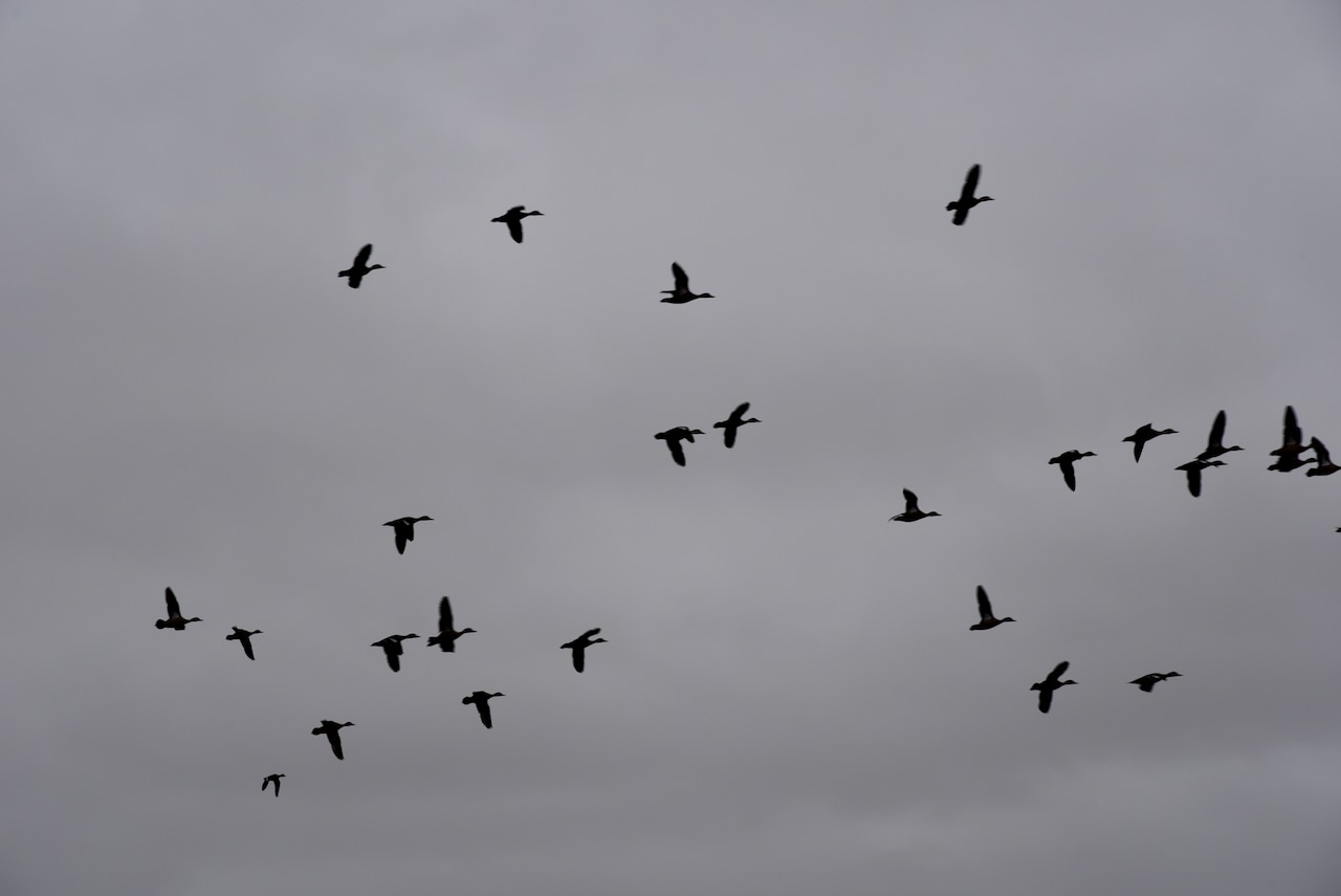
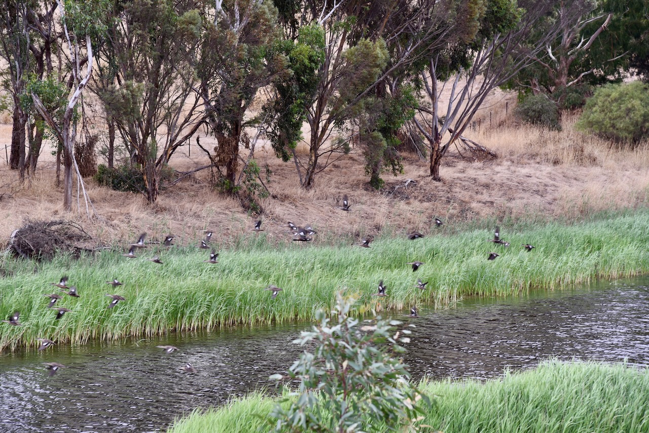
The park provides a habitat for a variety of native birds and mammals, including some endangered species including the Swift parrot and the squirrel glider. The park contains about 350 species of native plants, including several species of rare ground orchids. The park was first established in 1982 when 2,800 acres were set aside. In 2002 a further 1,855 acres were added to the park.
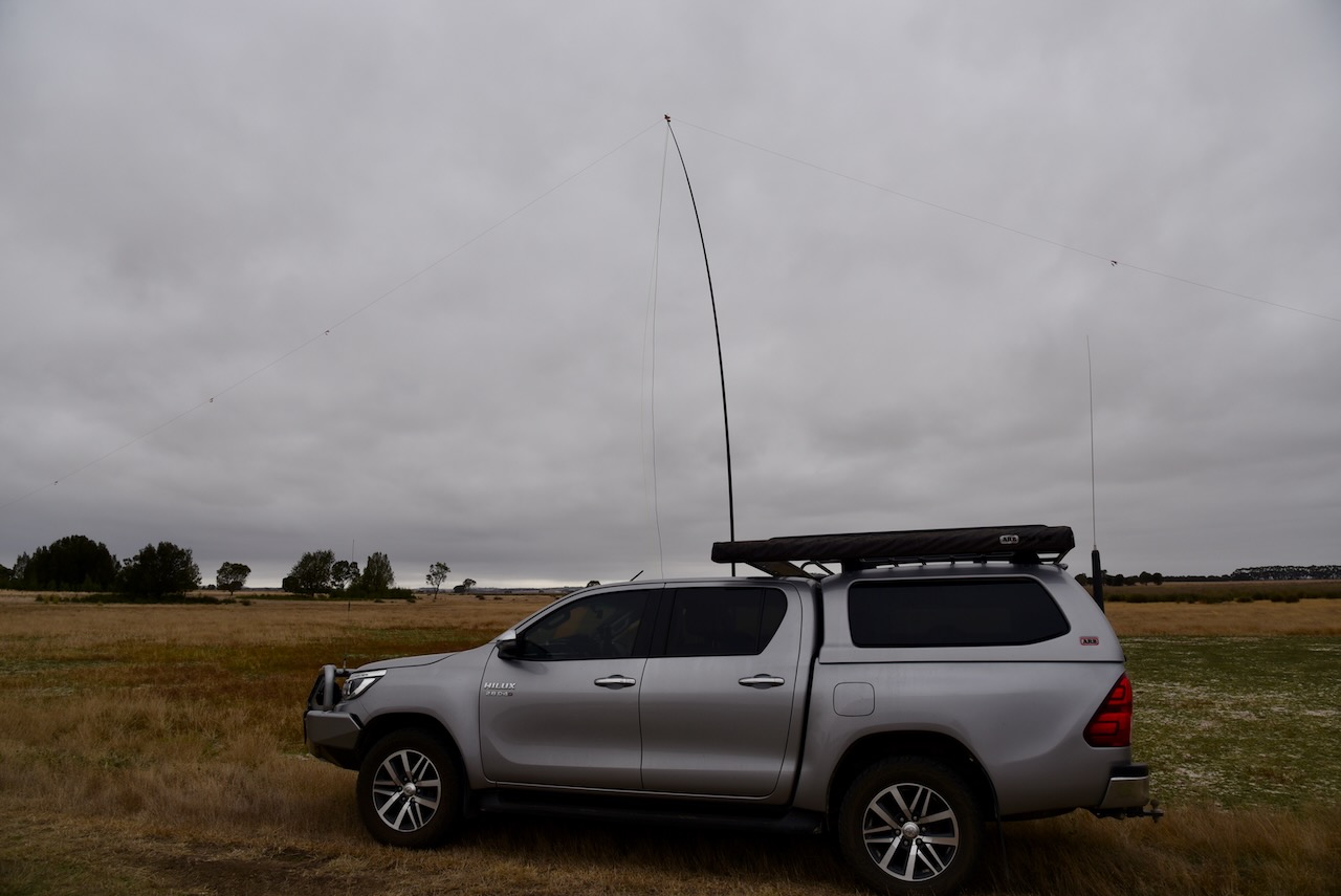
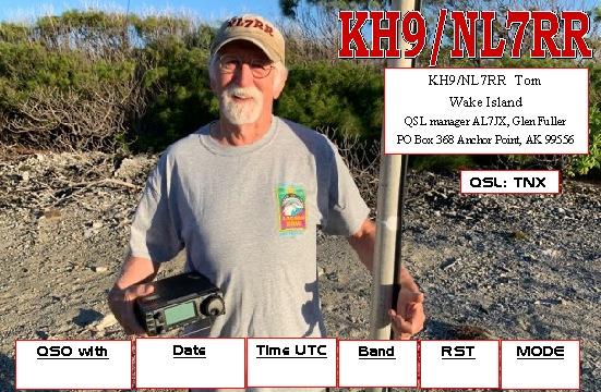
The absolute highlight of this activation was being called by Tom KH9/NL7RR on Wake Island. Yes he called us. We couldn’t believe it. Wake Island is listed as the 33rd most-wanted DXCC entity in the world.
Marija worked the following stations on 40m SSB:-
- VK3VIN
- VK3PF
- VK5CZ
- VK2MOE
- VK2EXA
- VK2WE
- VK2IO
- VK4HNS
- VK4SMA
- VK5HAA
- NL7RR/KH9
I worked the following stations on 40m SSB:-
- VK3VIN
- VK3PF
- VK5CZ
- VK2MOE
- VK2EXA
- VK2WE
- VK2IO
- VK4HNS
- VK4SMA
- VK5HAA
- VK2XB/m
- VK3APJ
- VK3AMO
- VK3VEK
- VK5KVA
- VK1CHW
- VK4TJ
- VK2VMG
- VK2HOC/4
- VK3TMO
- VK3TDK
- VK1JMH
- VK5LA
- VK5KAW
- VK2VJE
- VK3TCM
- VK2CDB
- VK5PL
- VK2YKL
- VK5GA
- VK5MCB
I worked the following stations on 20m SSB:-
- VK4SMA
- VK4TJ
- VK4EGS
- VK4HAT
- IW2NXI
- 3D2BT
- NL7RR/KH9
- IW1GGR
- DL1EJA
- ON4VT
- IW2BNA
- UT5PI
- F1EMX
- VK6JK
- ON4ON
I worked the following stations on 80m SSB:-
- VK3PF
- VK5BJE
- VK5HS
- VK3ANL
- VK2YK
- VK5GA
- VK1AO
- VK2MET
With a total of 65 QSOs in the log, Marija and I packed up and headed to get a bite to eat and back to our accommodation in Stawell. We had one night in Stawell before heading off for Geelong.
References.
- Victorian Places, 2023, <https://www.victorianplaces.com.au/deep-lead>, viewed 27th March 2023.
- Wikipedia, 2023, <https://en.wikipedia.org/wiki/Robert_Francis_Burns>, viewed 27th March 2023.
- Wikipedia, 2023, <https://en.wikipedia.org/wiki/Deep_Lead_Nature_Conservation_Reserve>, viewed 27th March 2023.