
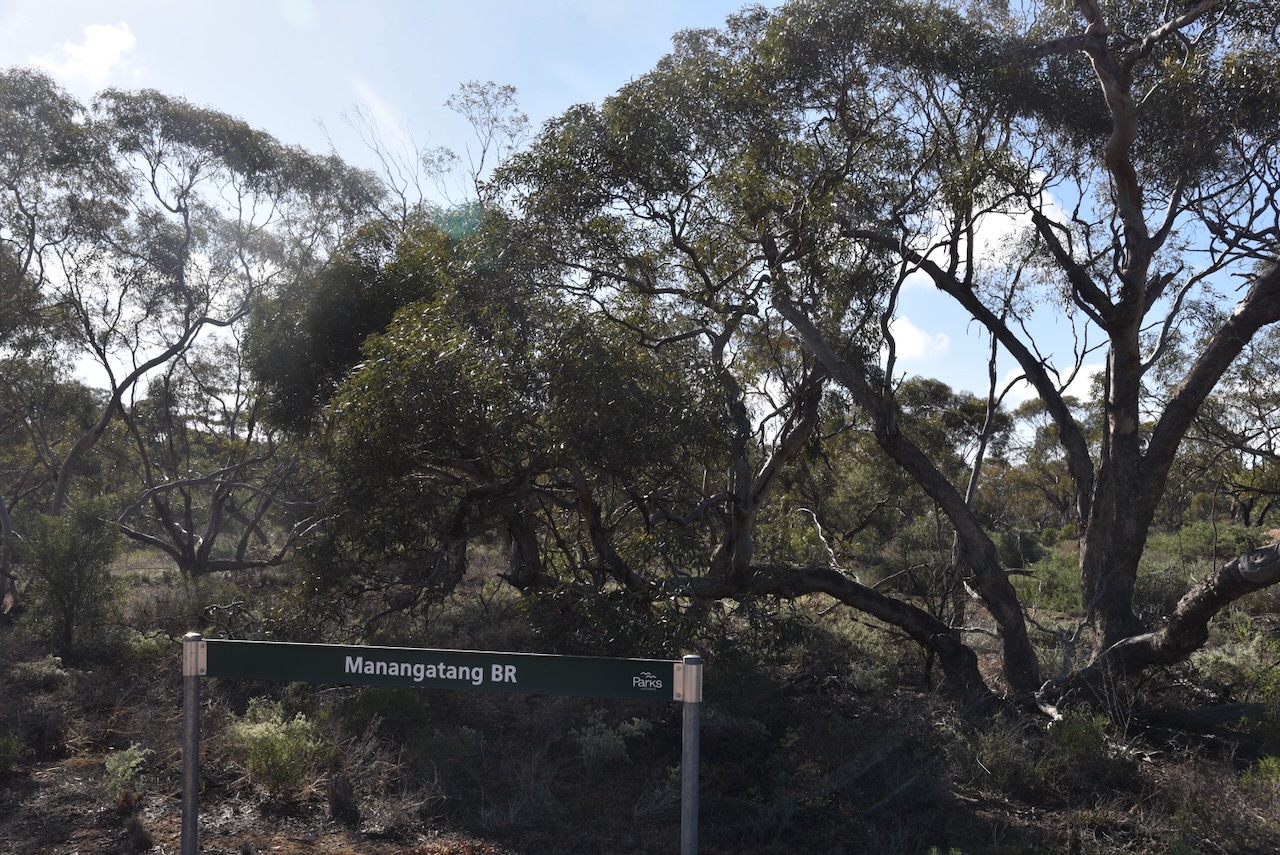
Our final activation for Tuesday, the 5th day of May 2026, was the Manangatang Bushland Reserve VKFF-5428 and the Manangatang silo VK-MNG3.
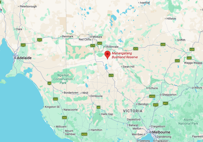
Above: the location of the Manangatang Bushland Reserve. Image c/o Google Earth
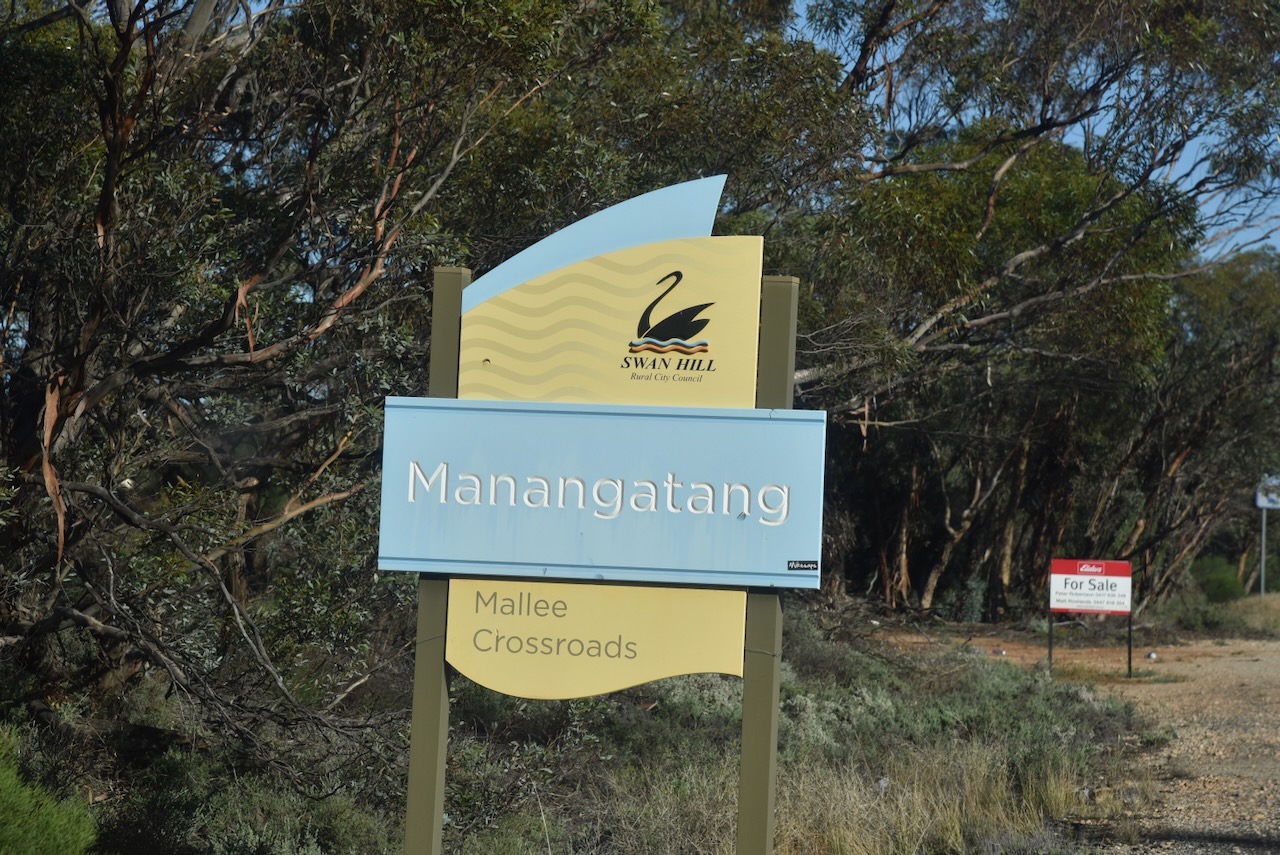
We stopped briefly at Manangatang for breakfast and ventured over the road to the park while we enjoyed our coffee and a bacon & egg roll. Manangatang is derived from an Aboriginal term “manang” meaning land and “kaaiti” meaning water. (Wikipedia 2025)
The reserve comprises four separate sections of remnant mallee scrub, located on the eastern and northern side of the town.
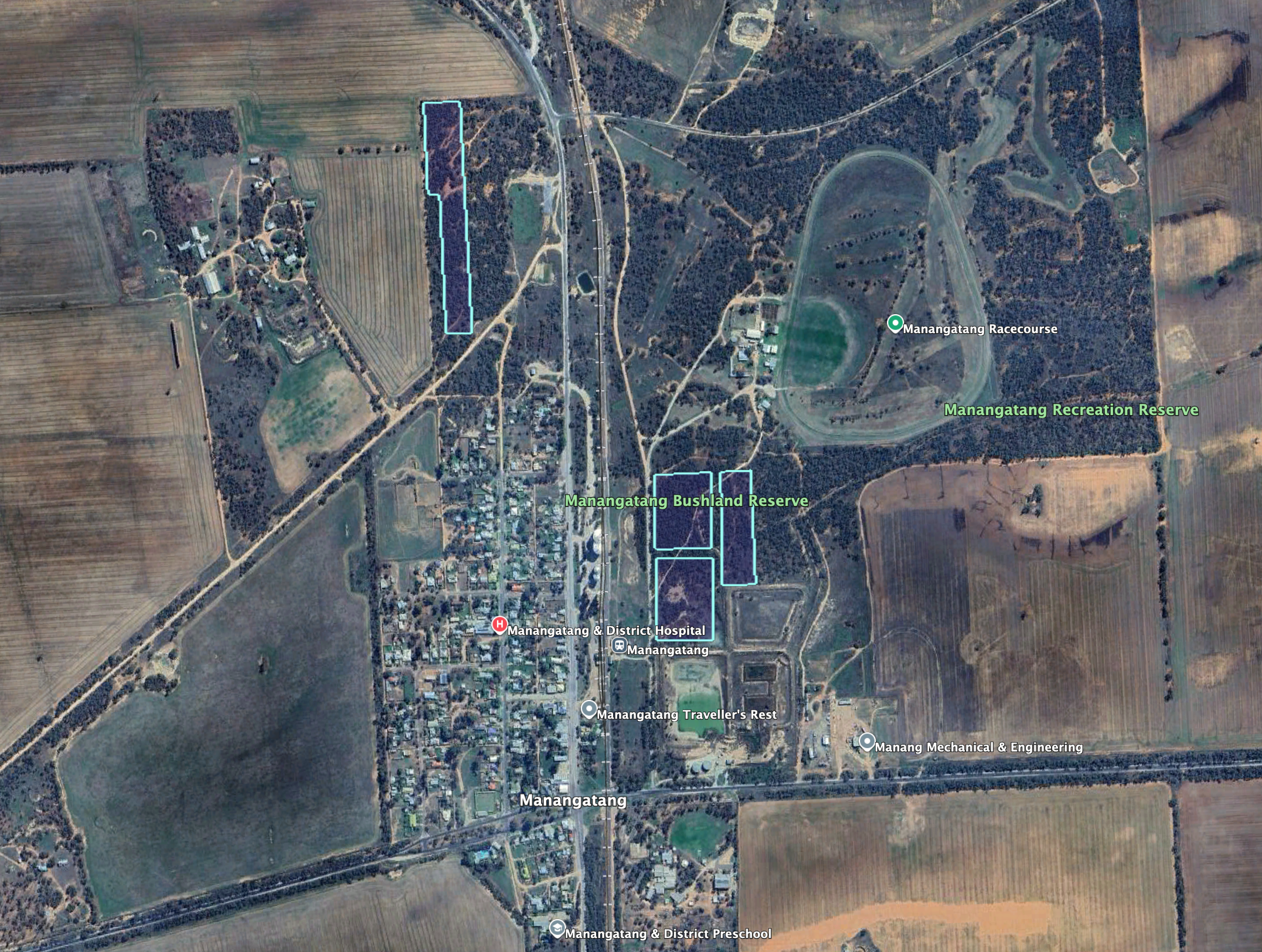
Above: the boundaries of the Manangatang Bushland Reserve. Image c/o Google Earth
The reserve is about 9.4 hectares in size and was established on the 8th day of May 1990. (Dcceew.gov.au 2023)
The Manangatang silos are located alongside the Robinvale railway line, between Sport Street and Wattle Street.
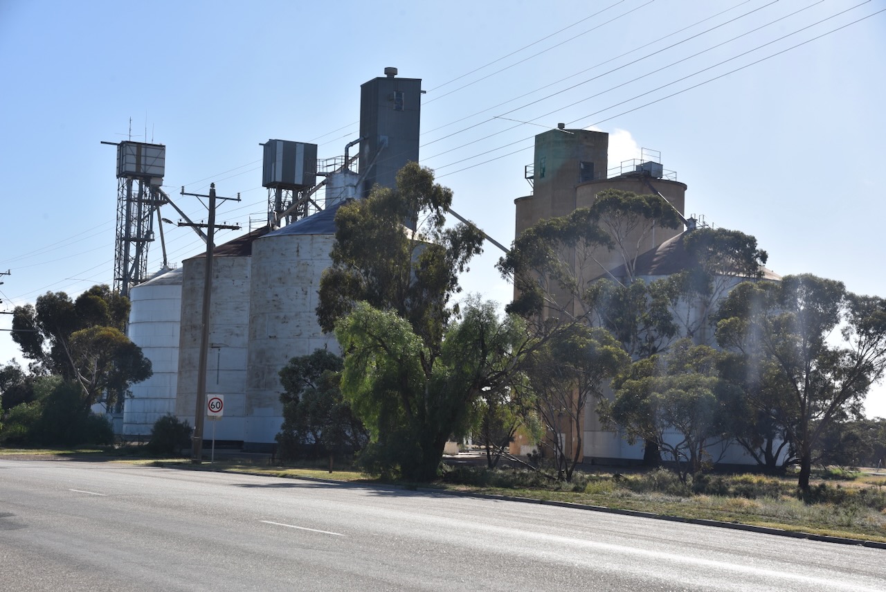
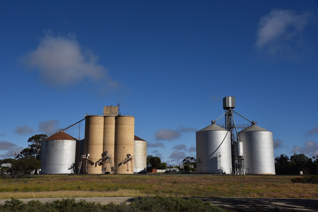
Chris and I accessed the park via Sport Street and set up within the activation zone of the silos.
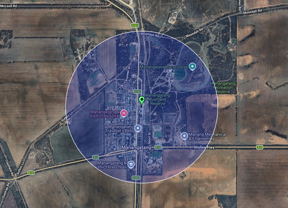
Above: the activation zone at the Manangatang silos. Image c/o SiOTA website
I worked the following stations on 40m SSB:-
- VK3PF (VKFF-4736 & VK-WHH3)
- VK5PL
- VK2VW
- VK2HFI
- VK2AKA
- VK2BUG
- VK2IO/P (VKFF-3599)
- VK2GEZ/P (VKFF-3599)
- VK3WSG
- VK3BRT
- VK3FTX
- VK3CEO
- VK5LRB
- VK3ZSC
- VK3BSC
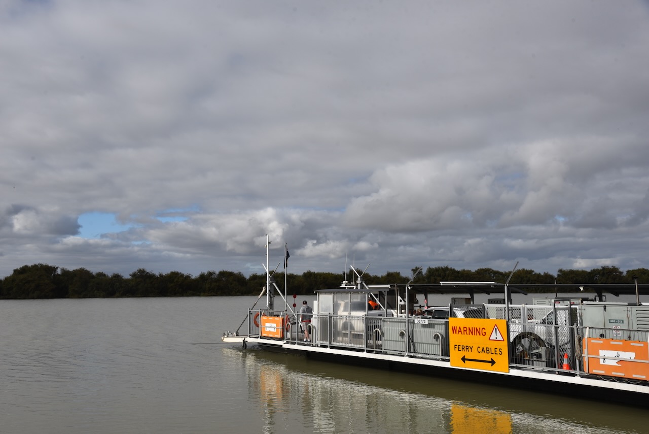
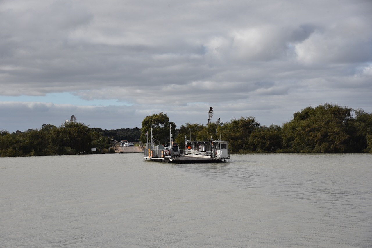
We then continued west towards home, and we crossed over the Victorian & South Australian State border. We stopped at the fruit fly roadblock at Pinnaroo and continued along the Mallee Highway to Tailem Bend. Rather than continuing along the Princes Highway to Murray Bridge, we headed down to Wellington and crossed over the ferry on the Murray River.
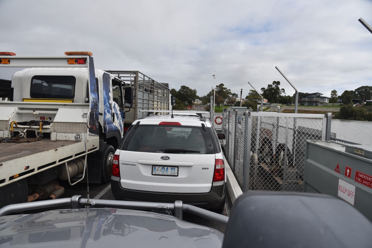
The Wellington ferry is a free 24/7 cable ferry that crosses the Murray River.
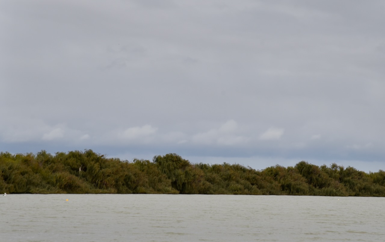
Wellington is located just upstream of where the Murray River empties into Lake Alexandrina. The European colonists who settled in the Wellington area compared the development opportunities of Wellington to those of New Orleans due to its geographical similarities. (Wikipedia 2021)
By 1839, the town of Wellington had become one of the most important settlements on the Murray River in the colony of South Australia. Following the establishment of a ferry, it was the only point where traffic could cross over the Murray River. (Bridge 2023)
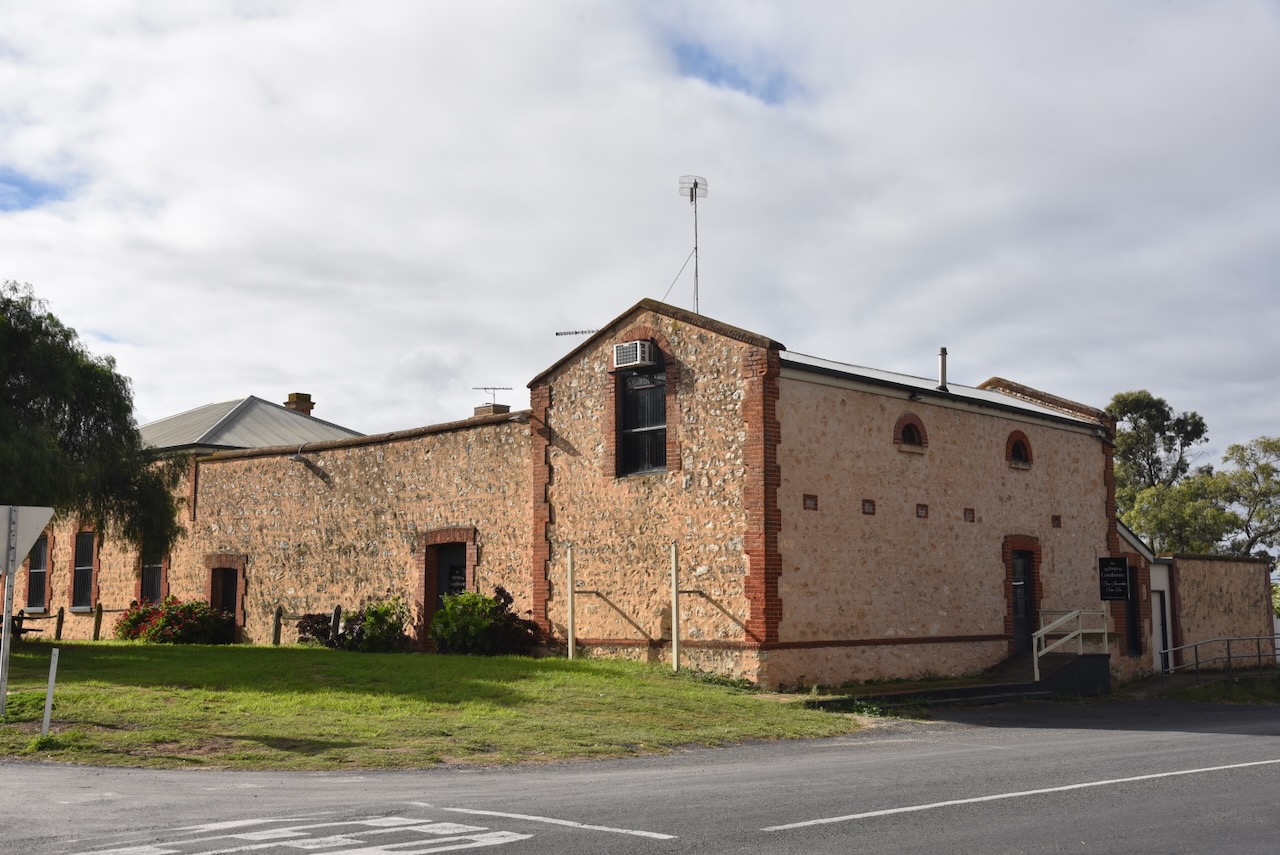
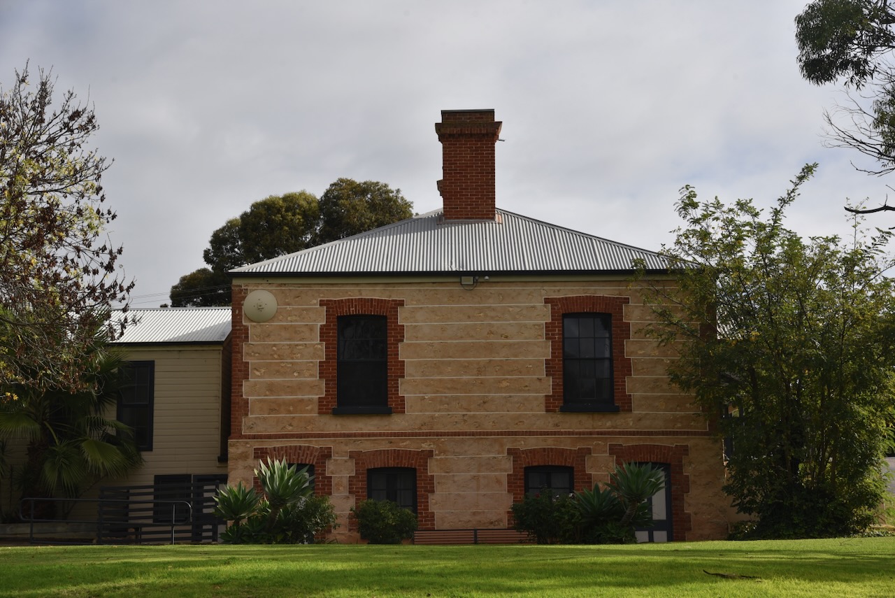
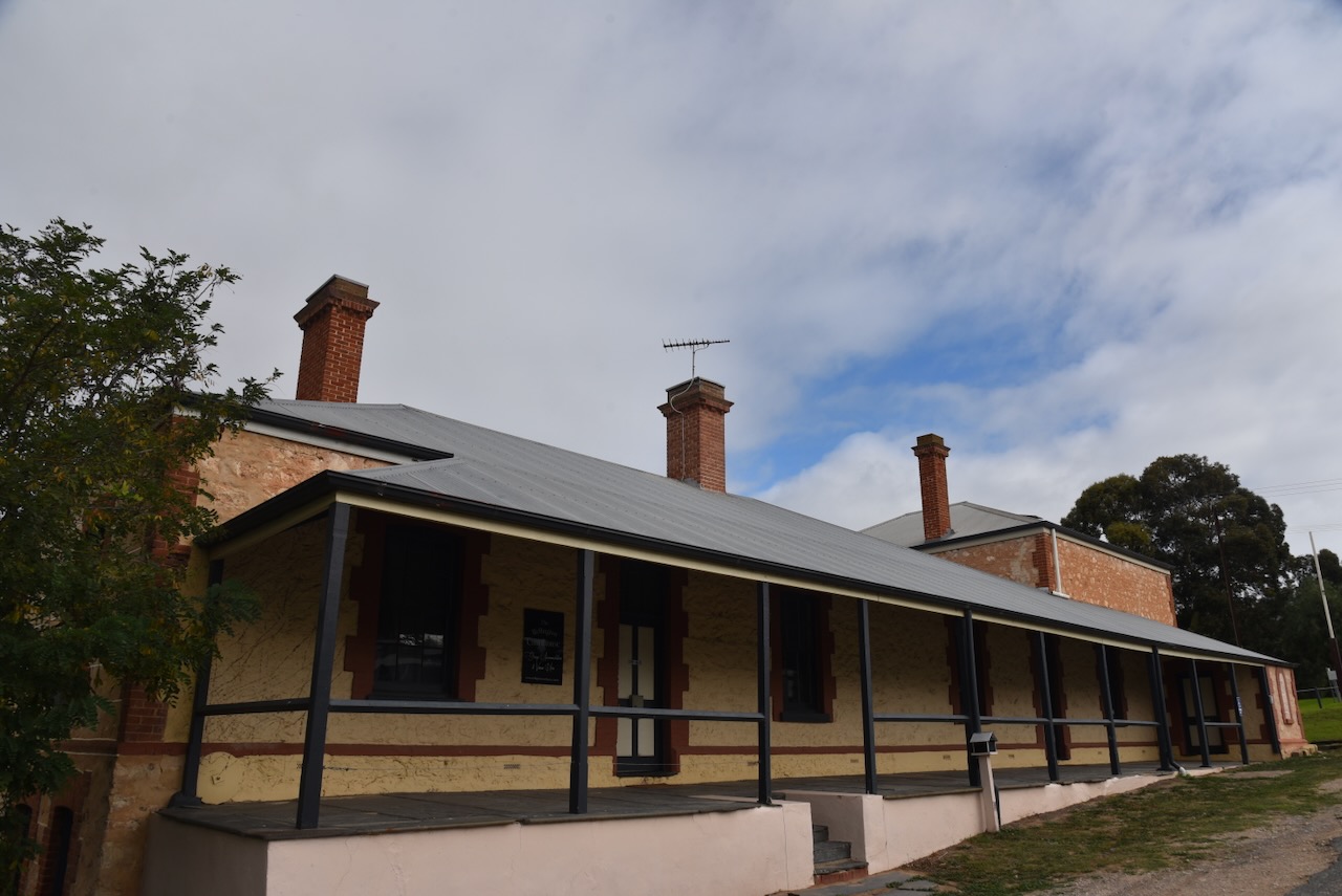
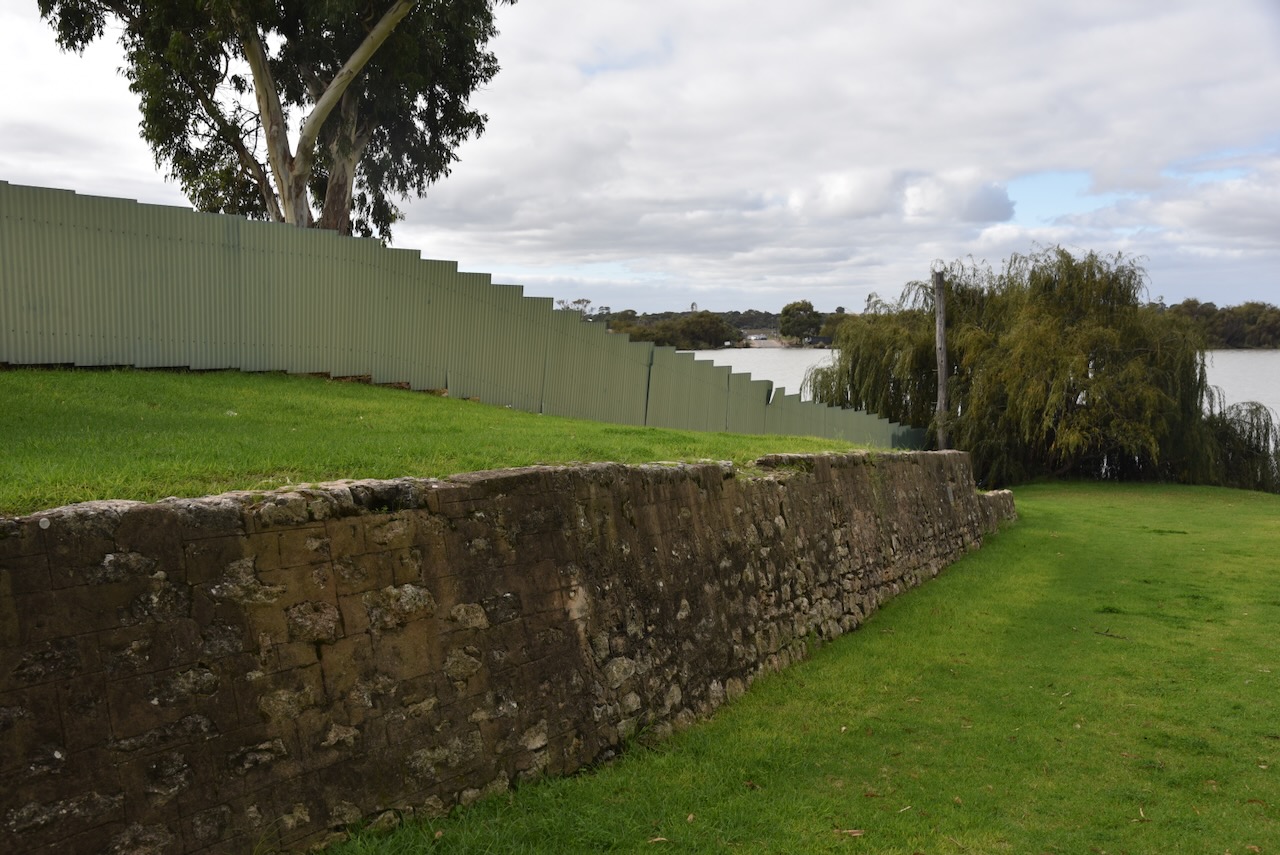
The former Wellington police station and courthouse was built in 1864. It was formerly a museum, and now serves as accommodation and venue hire.
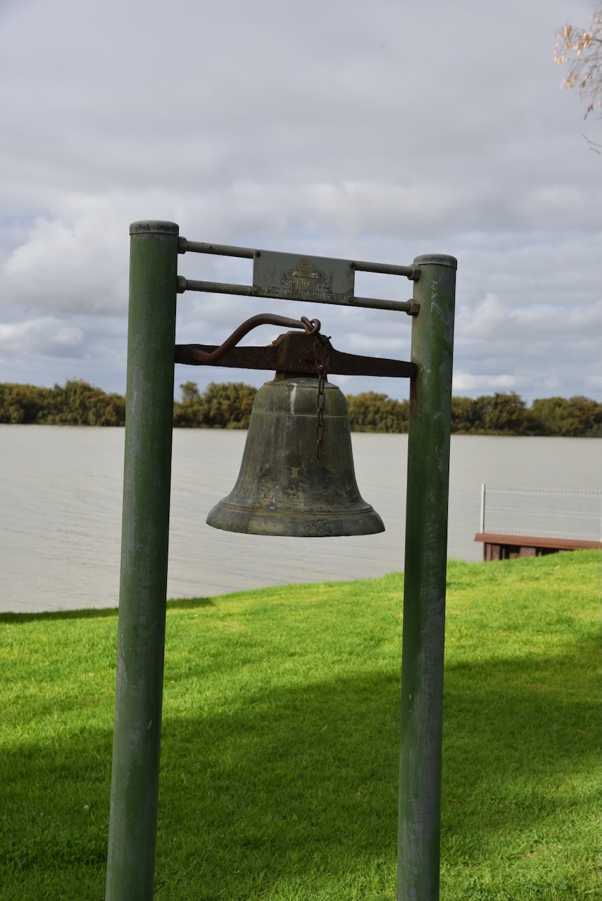
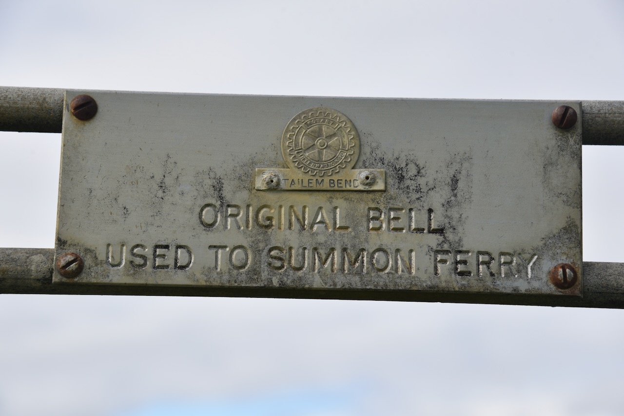
In the park alongside the old courthouse, you can view the original bell that was used to summon the ferry.
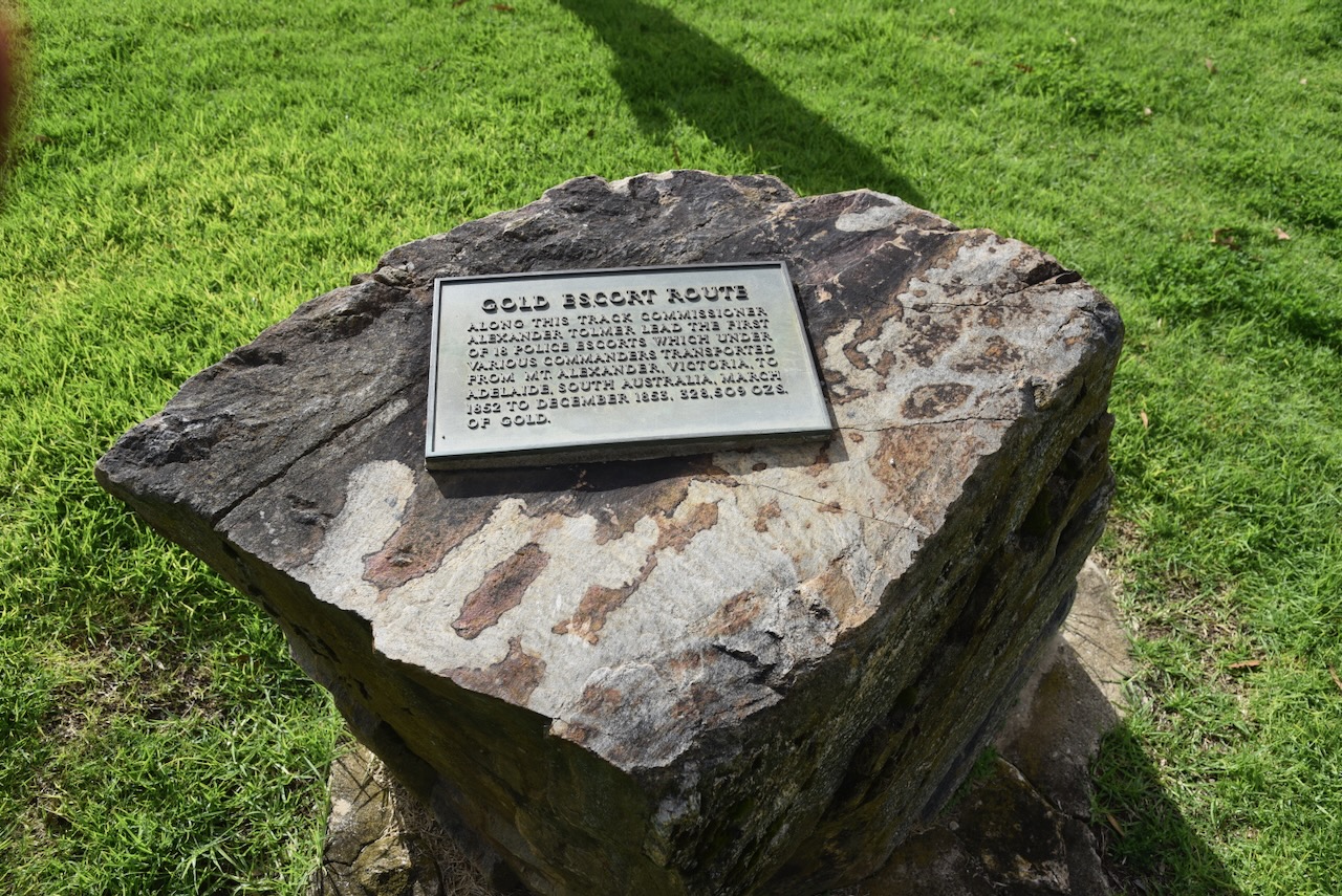
Wellington was located on the Gold Escort route, where gold from the Victorian goldfields was escorted by South Australian Police. You can find a monument here to commemorate the Gold Escort route.
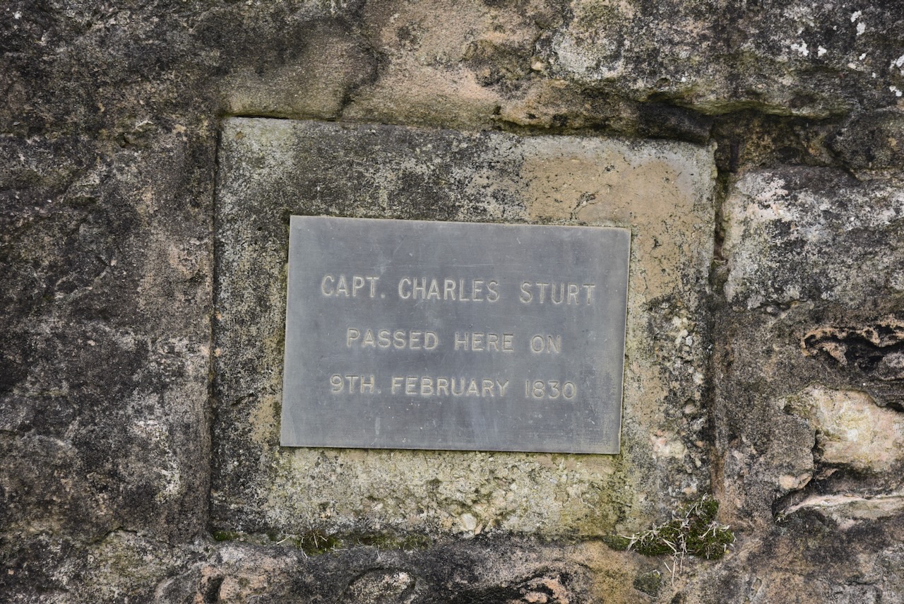
There is also a monument co commemorate the explorer Captain Charles Sturt who passed here in February 1830.
We continued on to home. It had been a great week away with Chris. I thoroughly enjoyed myself.
References.
- Bridge, R.C. of M. (2023). Murray Bridge Council. [online] Murray Bridge Council. Available at: https://www.murraybridge.sa.gov.au. [Accessed 15 May 2026]
- Dcceew.gov.au. (2023). Collaborative Australian Protected Areas Database (CAPAD) 2022 – DCCEEW. [online] Available at: https://www.dcceew.gov.au/environment/land/nrs/science/capad/2022. [Accessed 14 May. 2026]
- Wikipedia Contributors (2025). Manangatang. Wikipedia.
- Wikipedia. (2021). Wellington. [online] Available at: https://en.wikipedia.org/wiki/Wellington. [Accessed 15 May 2026]
