
After leaving the Worooa Bushland Reserve on 23rd August 2024, I headed to my next planned park activation, the Purnya Bushland Reserve. However, this did not end well. The park showed up as bright green on the MapshareVic website, which indicates public access is allowed. However, it was not easy to access the park. I initially took Megaw Road which ran off the northern side of the Mallee Highway which turned into Kinnersley Road. But I soon started encountering gates. In the end, I decided not to continue.
It was off to option number two, the Mamengoroock I72 Bushland Reserve VKFF-4174.
The reserve is located about 14 km north of Underbool in northwest Victoria.

Above:- Map showing the location of the Mamengoroock I72 Bushland Reserve. Map c/o Google Maps.
The park is located at the corner of Mamengoroock Road and Bertalli Road, Underbool.
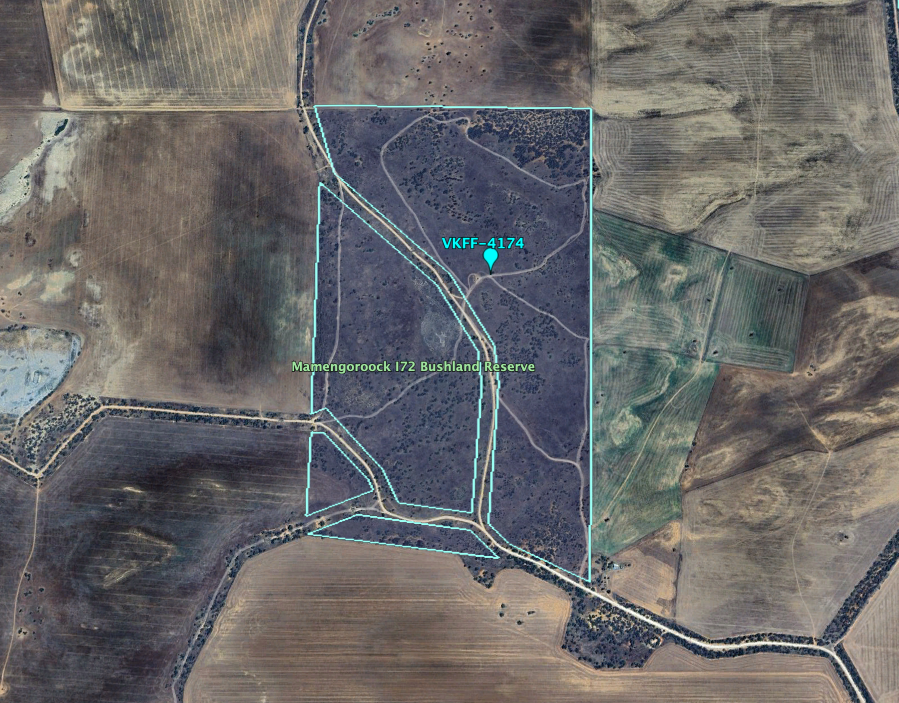
Above:- An aerial view of the Mamengoroock I72 Bushland Reserve. Image c/o Google Earth.
Mamengoroock is an aboriginal reference to great father, e.g. spirit god. (Blake 1978) It is interesting to note that there is a Mamengorook I236 Bushland Reserve. Note the spelling difference.
The Mamengoroock I71 Bushland Reserve is about 144 hectares in size and was established on the 1st day of May 1979. (CAPAD 2022)

To the north of the park is the great expanse of the Murray Sunset National Park.

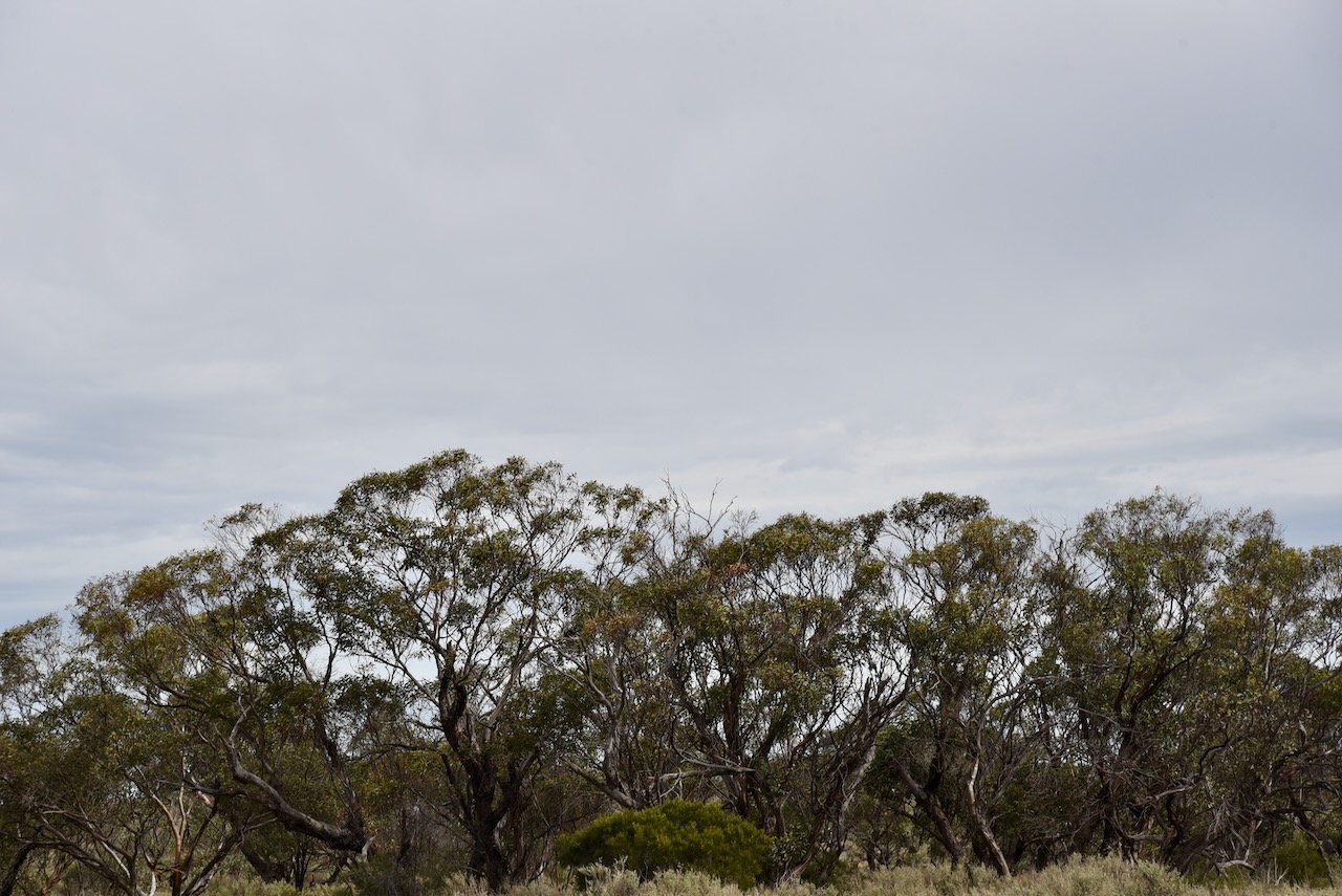
Above:- An aerial view of the park looking north. Image c/o Google Maps.
I ran the Yaesu FT857, 40 watts, and the 20/40/80m linked dipole for this activation.
I logged a total of 67 QSOs.
I worked the following stations on 40m SSB:-
- VK5MAZ
- VK3PF
- VK3CEO
- VK5JK
- VK3APJ
- VK3VIN
- VK3BBB
- VK2CCP
- VK5GY
- VK5TUX
- VK3SMW
- VK2IO
- VK2GEZ
- VK3PWG
- VK3TTK
- VK3ANL
- VK3WSG/P (VKFF-2151)
- VK2VAR
- VK2GOM
- VK3EJ
- VK2VW
- VK2HFI
- VK2AKA
- VK2BUG
- VK3CA
- VK3HM
- VK2SLB
- VK2BRN
- VK2KBT
- VK5CZ
- VK3KRL
- VK3HJW
- VK7EE
- VK3ZPF
- VK3JW
- VK1XX/M
- VK1CHW/P (VKFF-0834)
- VK3UAO
- VK1AD/P (SOTA VK1/ AC-021 & VKFF-033)
I worked the following stations on 20m SSB:-
- VK2IP
- VK2GEZ
- VK3PWF
- VK3TTK
- VK3PF
- VK4EMP
- VK4TI
- VK4GKO
- VK3ZZS
- VK2VW
- VK2HFI
- VK2AKA
- VK2BUG
- VK2SLB
- VK2BRN
- VK2KBT
- VK4HNS
- VK2VAR
- VK2GOM
- VK7XX
- VK4KLA
- VK4CEG
- VK1DI
- VK2VIN
- VK7MAZ
- VK7AAE
- VK7DWS
- VK6NU
References.
- Dcceew.gov.au. (2023). Collaborative Australian Protected Areas Database (CAPAD) 2022 – DCCEEW. [online] Available at: https://www.dcceew.gov.au/environment/land/nrs/science/capad/2022 [Accessed 12 Dec. 2024].
- Leslie James Blake, 1978, Place Names of Victoria.
