
My third park activation for Friday 23rd August 2024 was the Mamengoroock I18 Bushland Reserve VKFF-4234.
The reserve is located about 18 km north of Underbool in northwest Victoria.

Above:- Map showing the location of the Mamengoroock I18 Bushland Reserve. Map c/o Google Maps.
To access the park I took a dirt track that ran off Bertalli Road. It took me passed the ruins of an old farm with several old tractors rusting away.


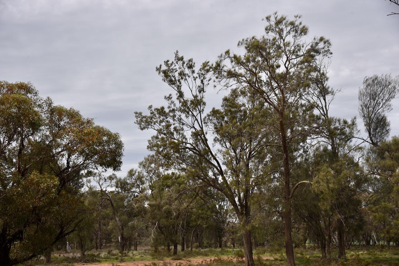
This was quite an isolated location. The reserve is located just to the south of the remote expanse of the Murray Sunset National Park.

Above:- An aerial view of the Mamengoroock I18 Bushland Reserve. Image c/o Google Earth.
The reserve is about 16 hectares in size and was established on the 1st day of May 1979. Mount Gnarr is just to the south of the park. It is not really a mountain, more like a hill at just 99 metres above sea level. (CAPAD 2022) (Peak Advisor 2024)


I ran the Yaesu FT857, 40 watts, and the 20/40/80m linked dipole for this activation.
I worked the following stations on 20m SSB:-
- VK5MAZ
- VK7XX
- VK2SLB
- VK2BRN
- VK2KBT
- VK3SO
- VK3SFG
- VK7HBR
- VK2VW
- VK2HFI
- VK2AKA
- VK2BUG
- VK3PF
- VK3MCK
- VK2DML
- VK7AAE
- VK7DWS
- VK4EMP
- VK4TI
- VK4GKO
- VK2EXA
- VK2IO
- VK2GEZ
- VK3PWG/P
- VK3TTK/P
- VK2JDL
- VK5HS
- VK4MUD
I worked the following stations on 40m SSB:-
- VK3PF
- VK5MAZ
- VK5HS
- VK3WSG/P (VKFF-2151)
- VK2EXA
- VK3EJ
- VK3APJ
- VK3VIN
- VK3MTT
- VK2DWPO
- VK5FANA
- VK3SQ
- VK2BD
- VK3CA
- VK3HM
- VK5TUX
- VK2MOE
- VK1MO
- VK3PWG
- VK3TTK
- VK2SLB
- VK2BRN
- VK2KBT
- VK5WU
- VK3ANL
- VK3HJW
- VK2VW
- VK2HFI
- VK2AKA
- VK2BUG
- VK2GQR
- VK5AC
- VK3UAO
- VK3ZPF
- VK3JW
References.
- Dcceew.gov.au. (2023). Collaborative Australian Protected Areas Database (CAPAD) 2022 – DCCEEW. [online] Available at: https://www.dcceew.gov.au/environment/land/nrs/science/capad/2022 [Accessed 12 Dec. 2024].
- PeakVisor (2022). Mount Gnarr. [online] PeakVisor. Available at: https://peakvisor.com/peak/mount-gnarr.html [Accessed 12 Dec. 2024].
