
My next park for Friday 23rd August 2024 was the Walpeup I101 Bushland Reserve VKFF-4191.
The reserve is located about 7 km south of the town of Walpeup in northwest Victoria.
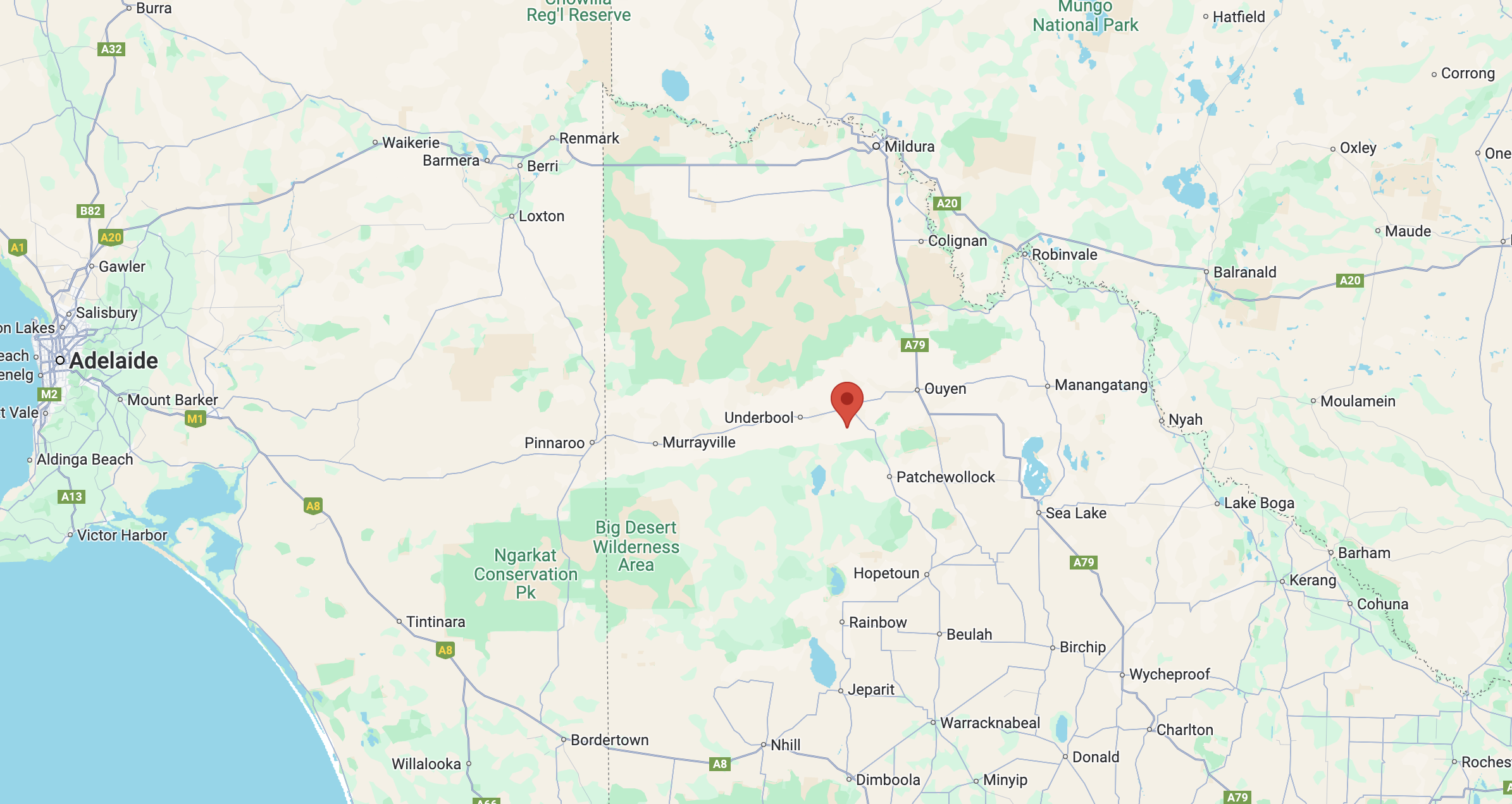
Above:- Map showing the location of the Walpeup I101 Bushland Reserve. Map c/o Google Maps.
Along the way, I had another look at access to the Gnarr I237 Bushland Reserve. It shows as bright green on MapshareVic which indicates the public can access it. However, the only apparent access point was a road running off Aikman Road, and there were two gates at this location and they were padlocked.
The reserve is located on the western side of Donnelly Road and to the north of Stock Route Road.
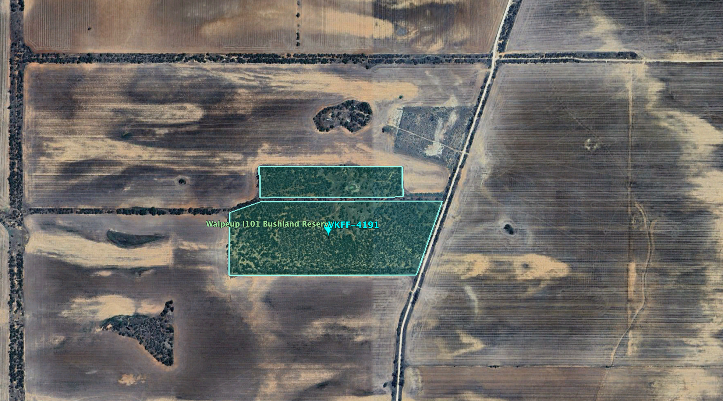
Above:- An aerial view of the Walpeup I101 Bushland Reserve. Image c/o Google Earth.
The reserve is about 43 hectares in size and was established on the 1st day of May 1979. (CAPAD 2022)


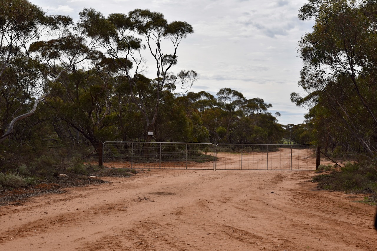
I found a dirt track leading into the park. I ran the Yaesu FT857, 40 watts, and the 20/40/80m linked dipole for this activation.
I worked the following stations on 40m SSB:-
- VK5MAZ
- VK3APJ
- VK3HJW
- VK3PF
- VK5TUX
- VK3SQ
- VK2BD
- VK5AYL
- VK3PWG/P
- VK3TTK/P
- VK2HAK
- VK7DW
- VK2VW
- VK2HFI
- VK2AKA
- VK2BUG
- VK3CEO
- VK3MTT
- VK3ZPF
- VK3JW
- VK2RK
- VK2ACR
- VK5JK
- VK3ZSC
- VK5AC
- VK5HS/M
- VK2IO/M
- VK2GEZ/M
- VK2SLB
- VK2BRN
- VK2KBT
- VK3EJ
I worked the following stations on 20m SSB:-
- VK7XX
- VK2KBT
- VK2BRN
- VK2SLB
- VK5MAZ
- VK7HBR
- VK5QA/4
- VK3CLD/4
- VK2DBF/4
- VK4EMP
- VK4TI
- VK4GKO
- VK2VW
- VK2HFI
- VK2AKA
- VK2BUG
- KG5CIK
- VK7HCK
- VK2MW
- VK2COS
- VK2IO/M
- VK2GEZ/M
- VK2TM
- OH2CGU
- VK7SW
- VK7AAE
- VK7DWS
- IW2NXI
- IK4IDF
- VK4HNS
- VK2TER
- ZL4KD
- OH5EP
- VK6XL/5
- F5PYI
- VK3SX
- SQ9CWO
References.
- Dcceew.gov.au. (2023). Collaborative Australian Protected Areas Database (CAPAD) 2022 – DCCEEW. [online] Available at: https://www.dcceew.gov.au/environment/land/nrs/science/capad/2022 [Accessed 12 Dec. 2024].
