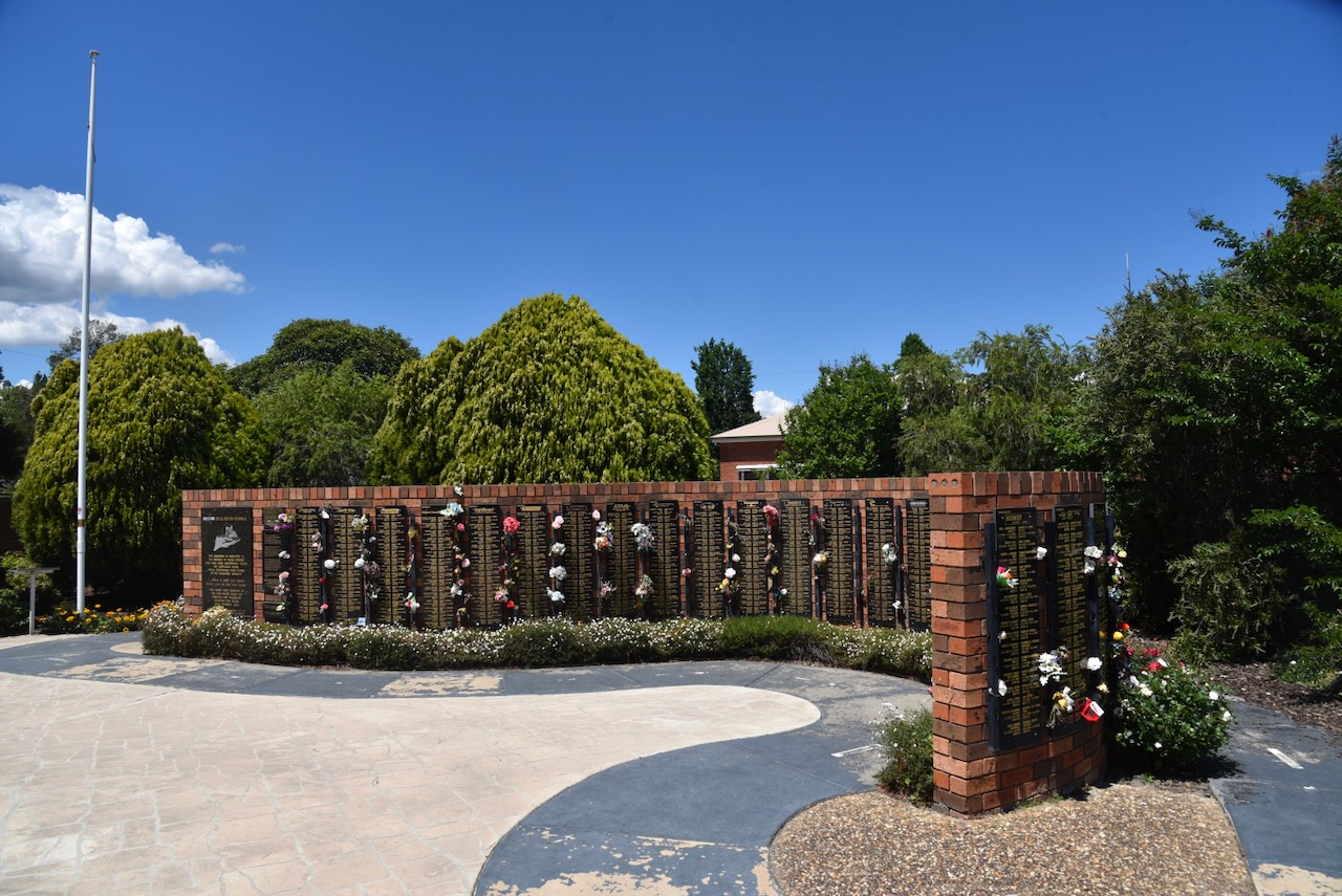
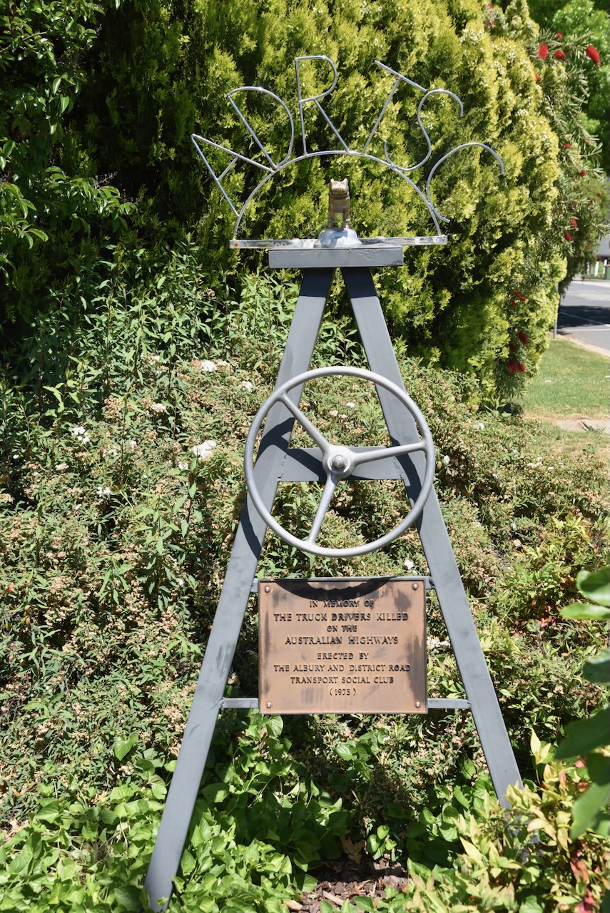
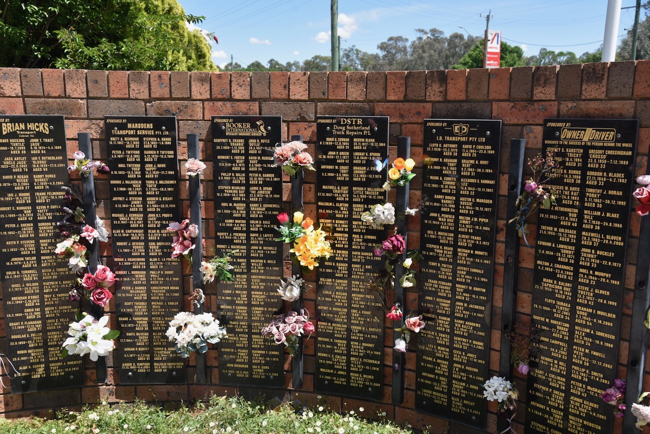
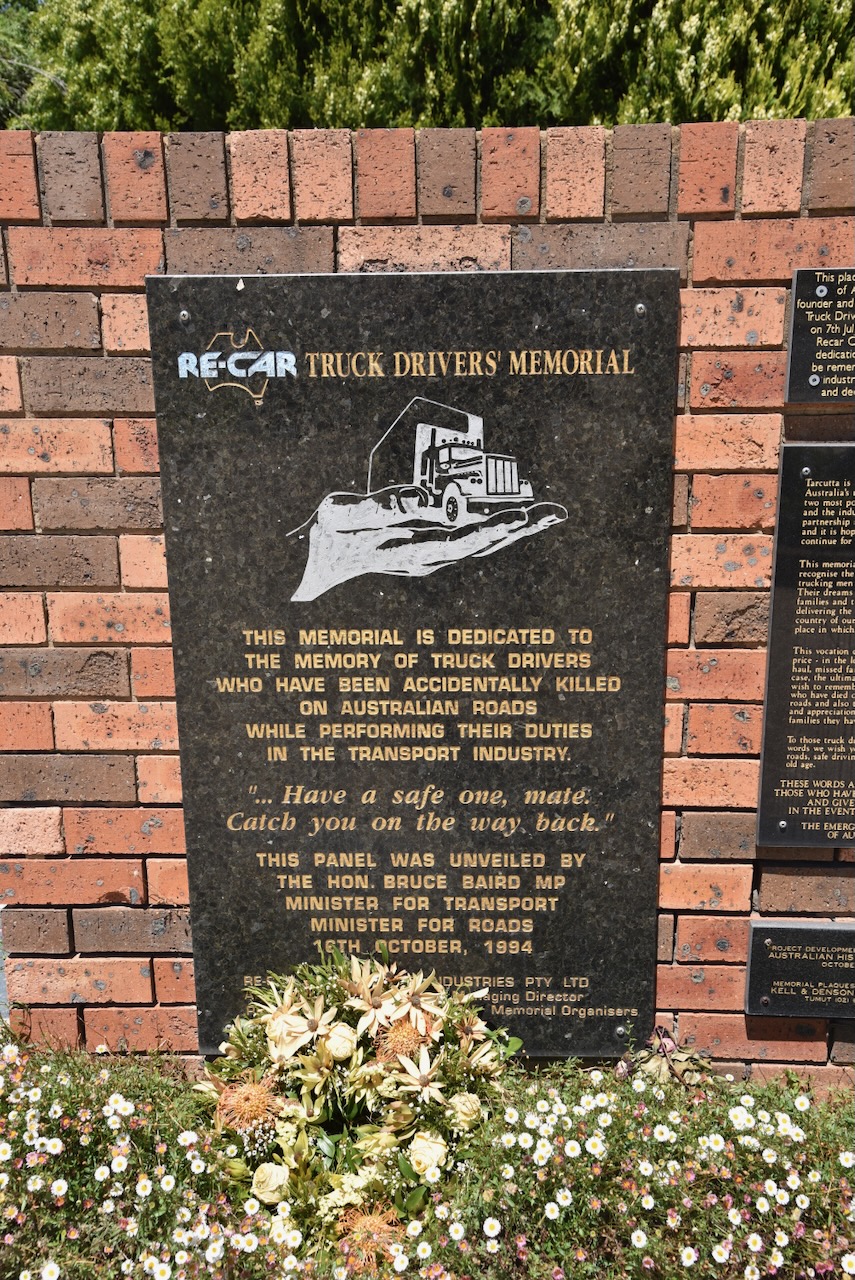
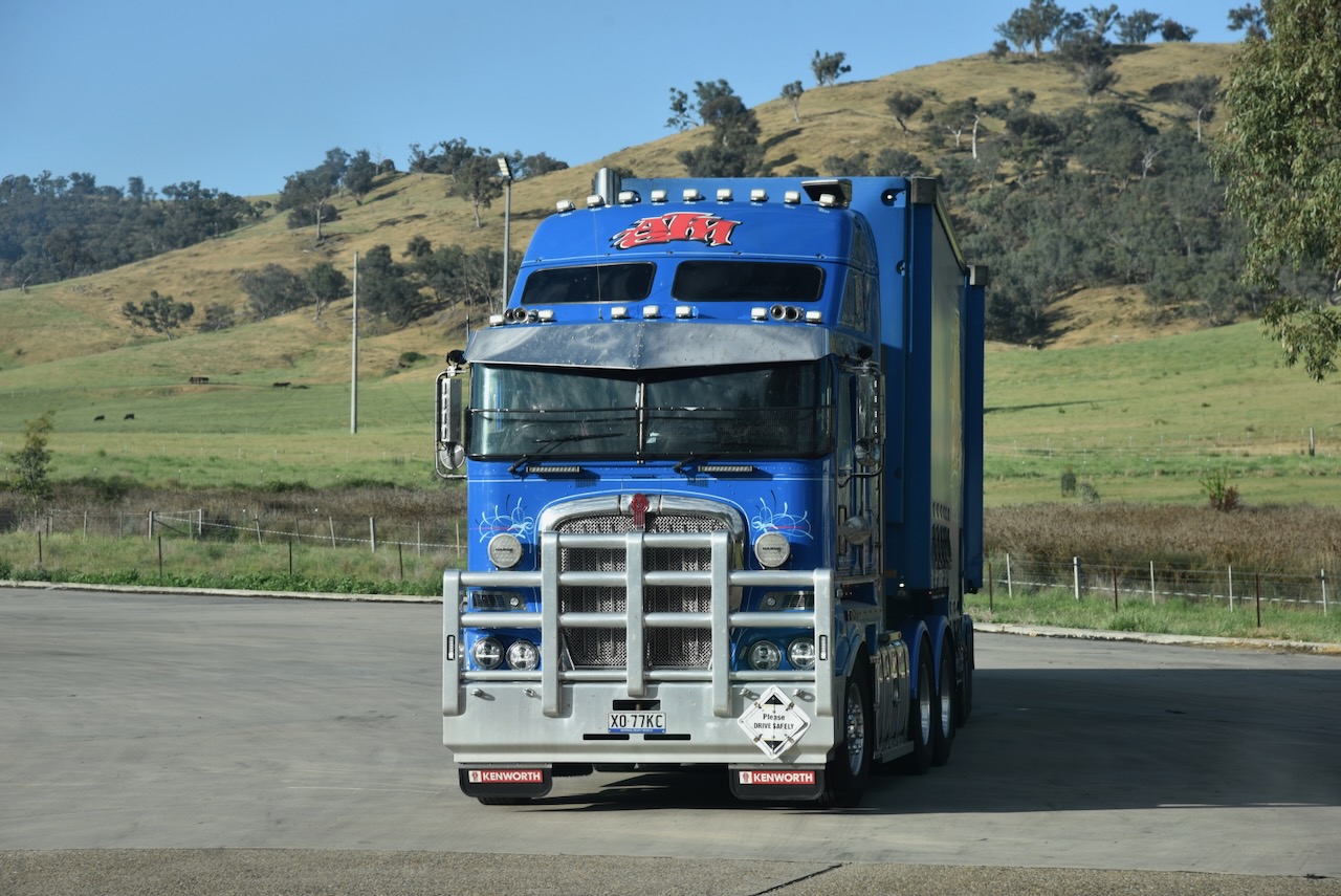
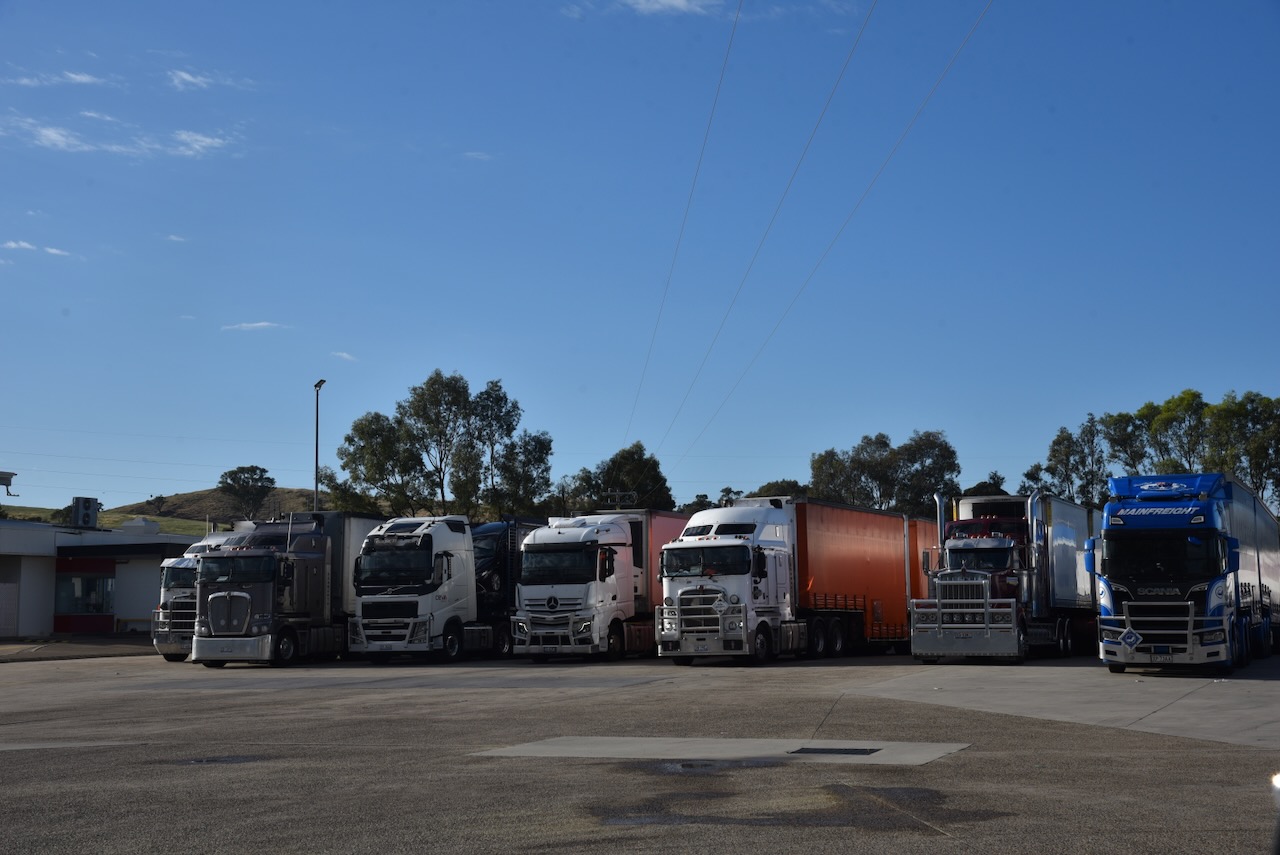
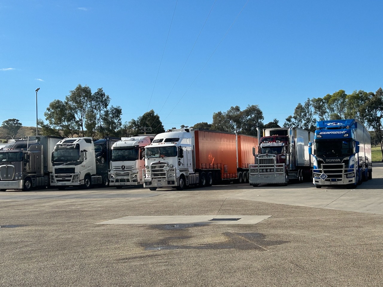
On Saturday, 1st November 2025, Marija and I headed down to the petrol station/truck stop north of Gundagai for some breakfast. As you would expect, with plenty of truckies frequenting the servo, the food was very good. While there, I took a few more photos of the trucks for our little grandson, Flynn, who is truck mad.
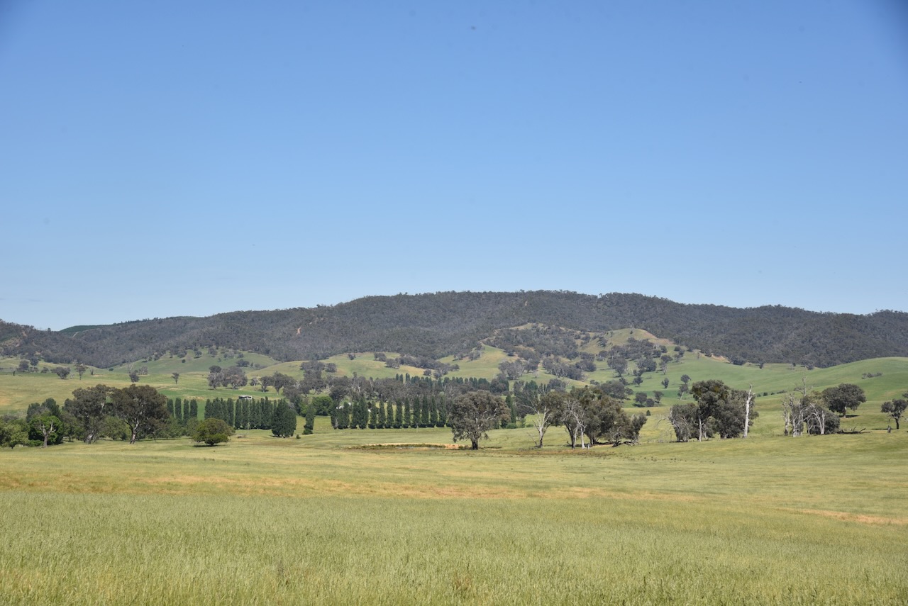
After breakfast, we headed southwest out of Gundagai along the busy Hume Highway. Marija and I were hoping to activate the Tumblong State Conservation Area.
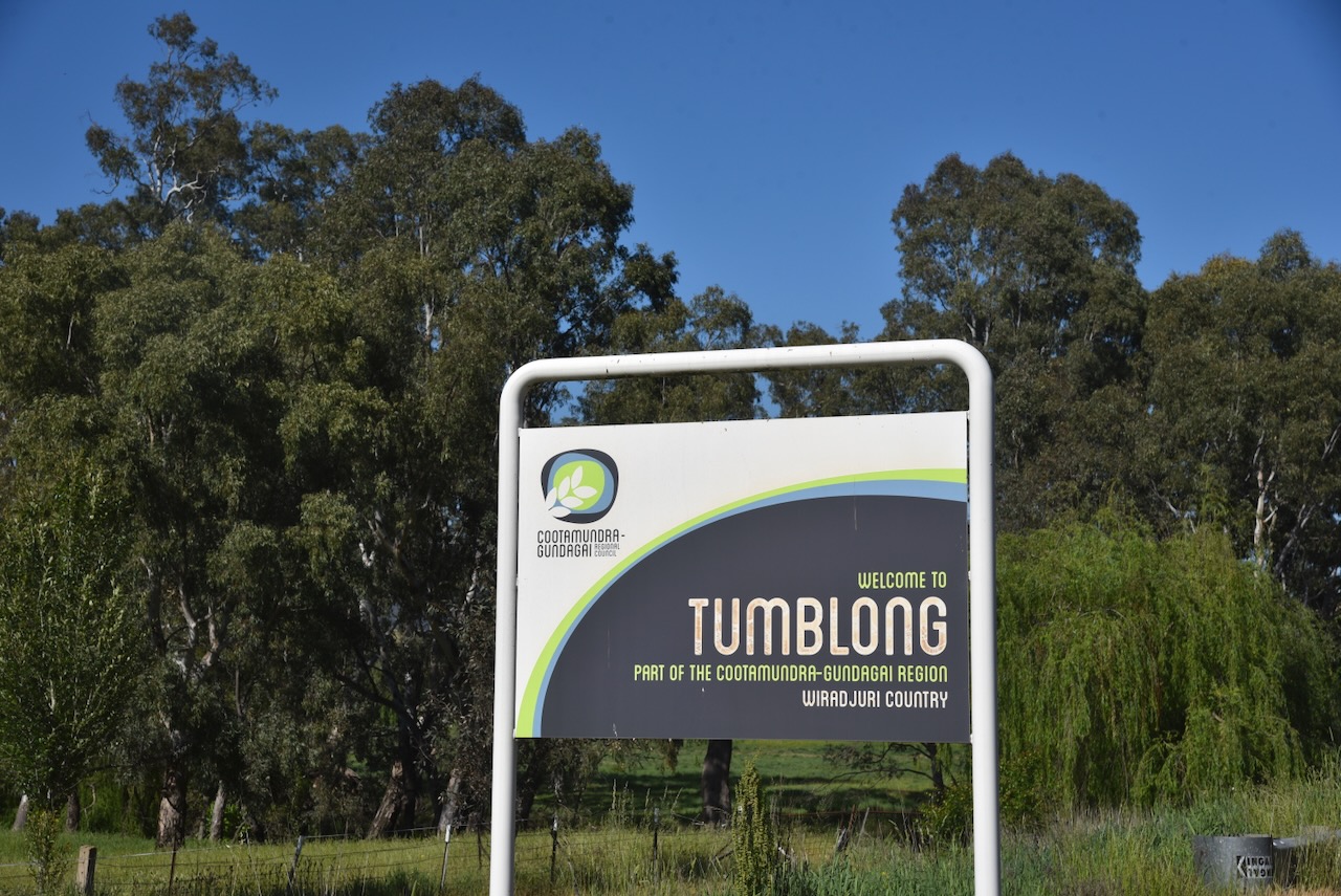
We soon reached the small town of Tumblong, about 15 km southwest of Gundagai. Until 1913, Tumblong was called Adelong Crossing Place, after the nearby Adelong Creek. Although it is called a creek, it is technically a river. It flows for 46 km from the Australian Alps, with its mouth being the Murrumbidgee River. It is believed that Adelong is an Aboriginal word meaning ‘along the way’ or river on a plain’. (Elder 2023) (Wikipedia 2025)
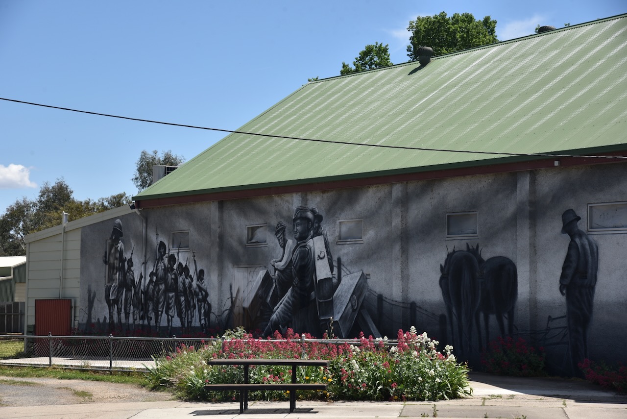
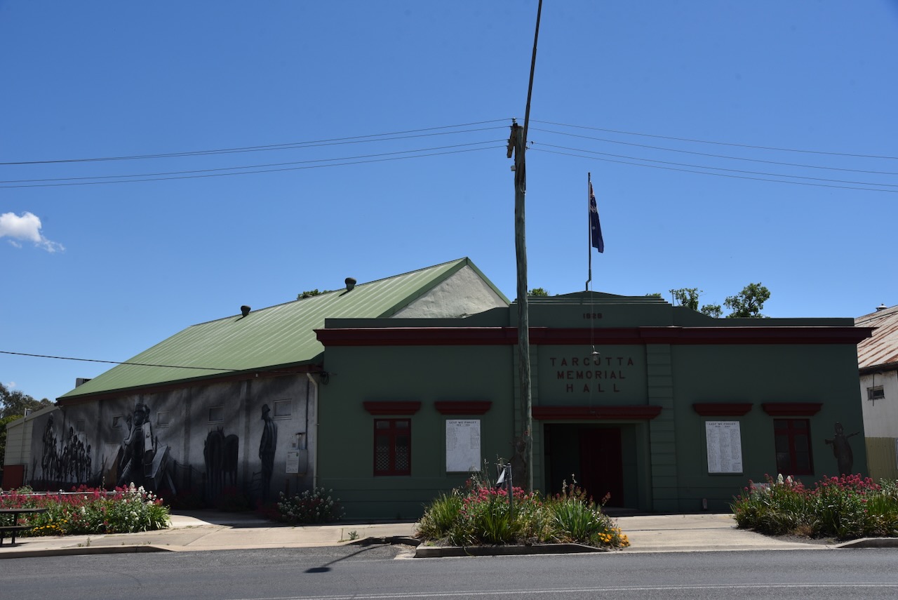
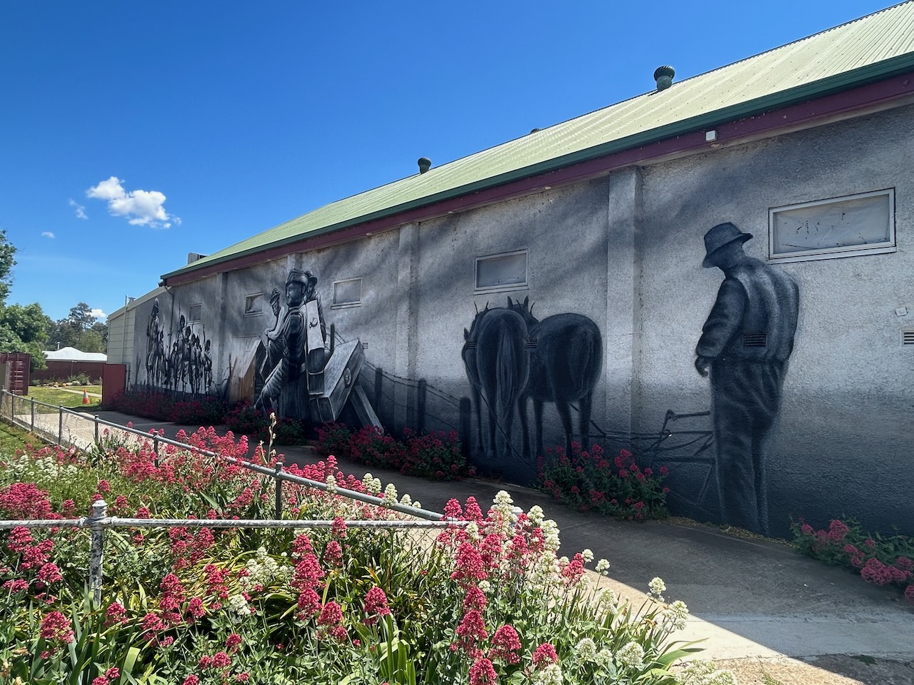
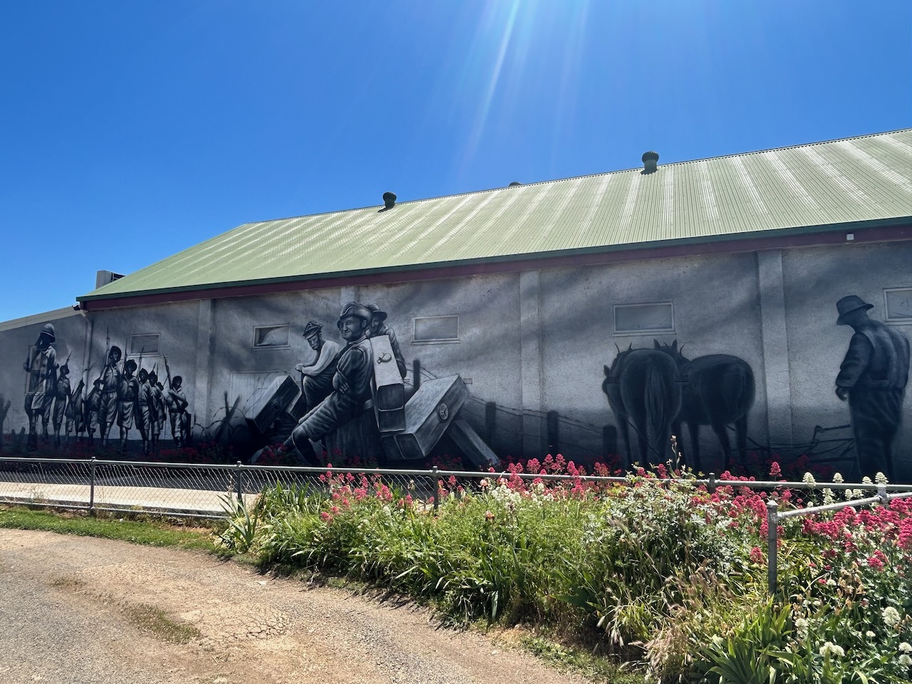
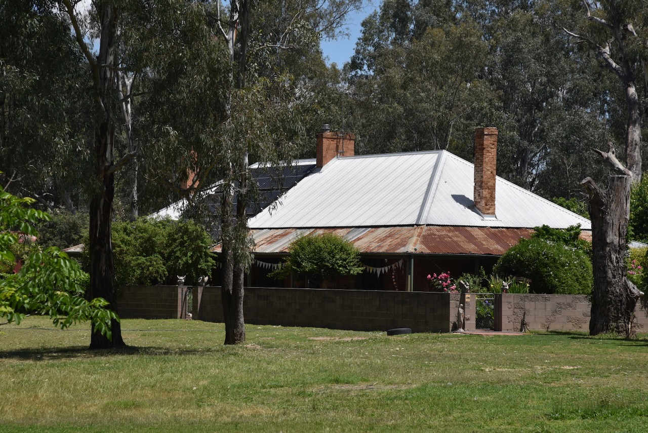
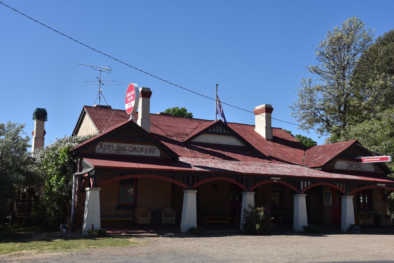
Today, little remains at Tumblong of what was a thriving town. The most impressive surviving building is the hotel. (Wikipedia 2025)
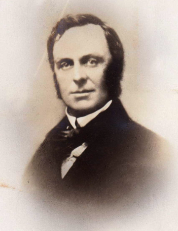
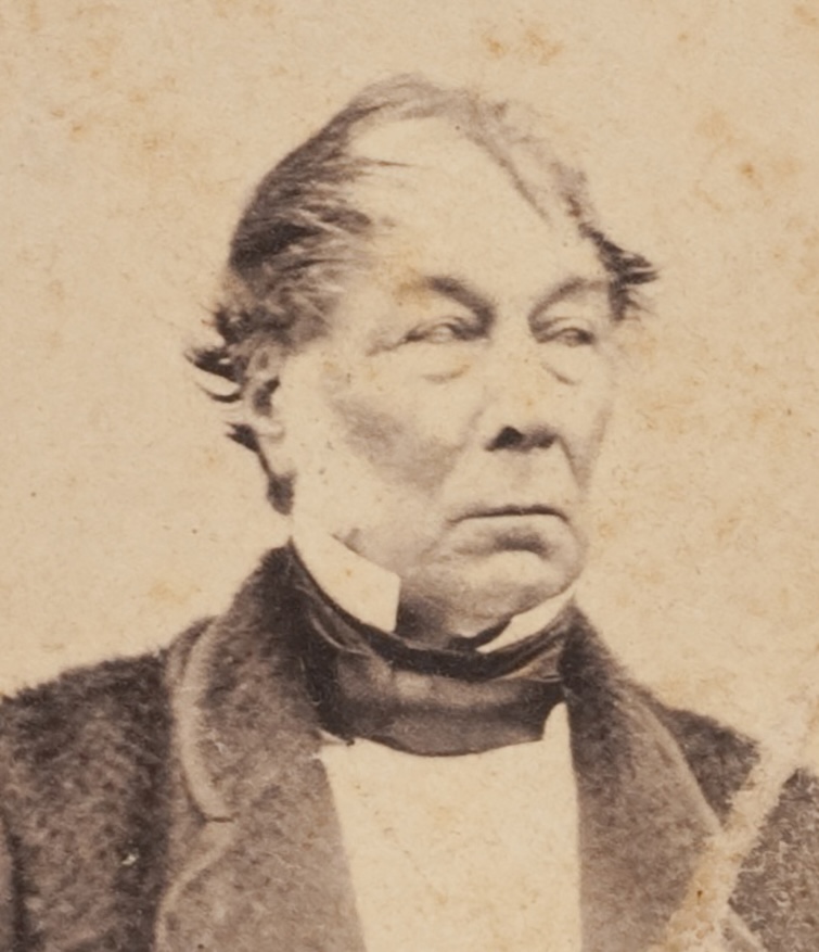
The first European settler in the area was Robert Pitt Jenkins, who had a 25,000-acre property called Bangus Station. He was born in January 1814 in Richmond, N.S.W., and was the son of a wealthy colonial family. Jenkins also owned other land, including Bramballa in the Marulan area. Jenkins built a substantial 10-room home on the Bangus property, and in 1848, he moved his family into the home. (Wikipedia 2025)
Above: Robert Pitt Jenkins. Image c/o ancestry.com.au
Jenkins was the Magistrate at Gundagai until 1853 when he left the district. He was unable to sell Bangus Station and 3,000 sheep. As a result he let out the residence and it became known as the Bangus Inn, a public house. (Wikipedia 2025)
By 1856, he successfully sold the Bangus Inn and an acre of land for £1,000. In that same year, he was appointed as a member of the New South Wales Legislative Council. (Wikipedia 2025)
The new owner of the Bangus Inn renamed it the Home Hotel. During the 1870s it was purchased by William Williams of Adelong who built a new hotel called the Coach and Horses in 1873. This lasted intil 1905 when it was replaced with the Adelong Crossing Hotel, and now the Tumblong Tavern. (Wikipedia 2025)
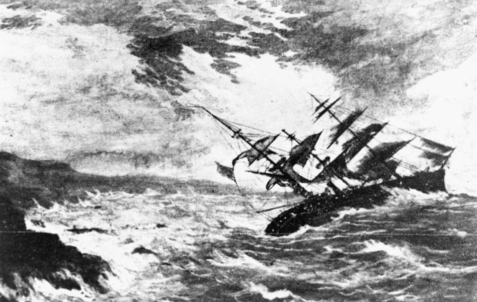
Sadly, in 1859, whilst en route to visit their daughter Alice who was at school in Paris, Robert Pitt Jenkins, his wife, and four sons lost their lives in the sinking of the Royal Charter off the English Coast. Following their deaths, Alice inherited the Bangus property which was later sold off by her husband, Hubert de Castella, to finance vineyards which he owned in Victoria. (Wikipedia 2025)
Above: the wreck of the Royal Charter. Image c/o Wikipedia
Author Charles Dickens wrote about the Royal Charter disaster in an article called The Uncommercial Traveller in his journal entitled All Year Round. Dickens spoke with the Reverend Stephen Roose Hughes who had located many of the bodies from the wreck. (Wikipedia 2025)
Dickens wrote:
“So tremendous had the force of the sea been when it broke the ship, that it had beaten one great ingot of gold, deep into a strong and heavy piece of her solid iron-work: in which also several loose sovereigns that the ingot had swept in before it, had been found, as firmly embedded as though the iron had been liquid when they were forced there.” (Wikipedia 2025)
The wreck of the Royal Charter brought about changes in meteorogical warnings.
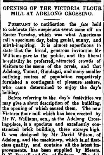
By 1874, William Williams had opened the Victoria Flour Mill at Adelong Crossing Place, and continued to operate until about 1880. (Wikipedia 2025)
Above: part of an article from The Gundagai Times, Sat 11 Apr 1874. Image c/o Trove
In 1913, Adelong Crossing Place was renamed Tumblong to avoid confusion with the town of Adelong. The name Tumblong came from a property owned by Henry Stuckey that was across Adelong Creek. (Wikipedia 2025)
In 1903 the Adelong Crossing railway station was opened. It was renamed Tumblong in 1913 and closed in 1975. The station had a 40 metre long platform and a siding serving stockyards and a loading bank. The railway line closed in 1984. (Wikipedia 2025)
The Adelong Crossing Place Post Office opened on the 1st day of August 1864. In April 1913, it was renamed Tumblong. It closed in November 1973. (Wikipedia 2025)
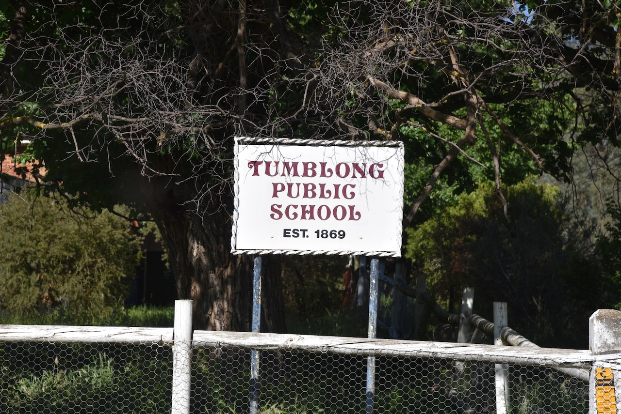
In 1869, the Adelong Crossing School opened as a provisional school. By 1870, it became a public school, and in 1913 was renamed Tumblong. It closed in 1990 and is today a private premises. (Wikipedia 2025)
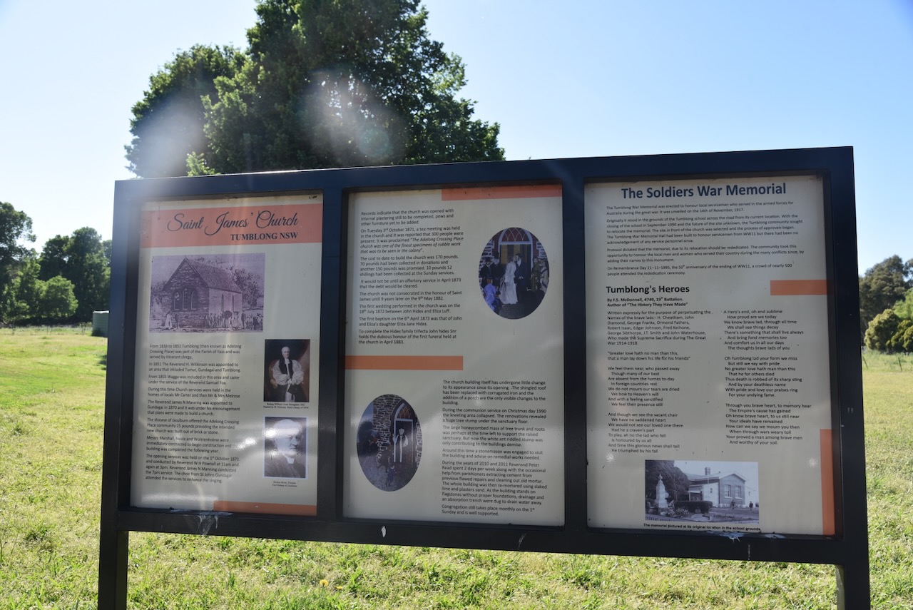
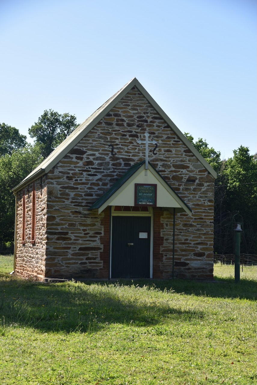
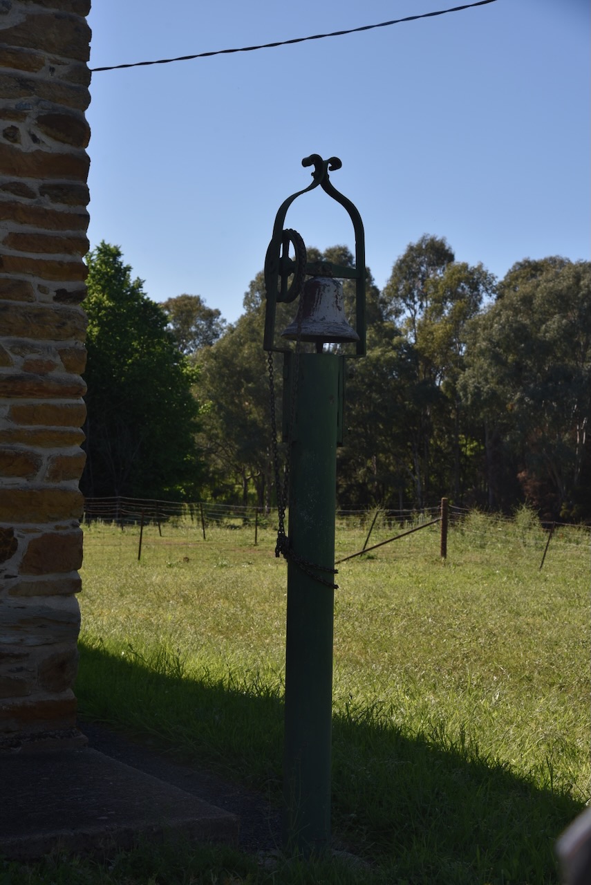
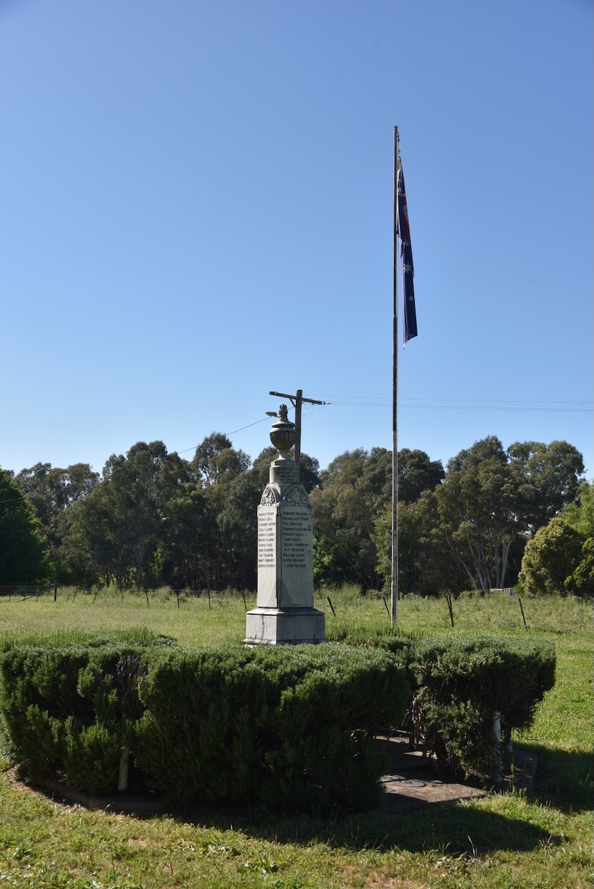
Opposite the old school is Saint James Church and the Soldiers’ War Memorial. There is an excellent information board at this location, detailing information about both the church and the War Memorial.
Between 1839 and 1851, Tumblong (Adelong Crossing Place) was served by itinerant clergy from the Parish of Yass. In 1851, the Reverend H Wilkinson was appointed to the area that included Tumut, Gundagai and Tumblong. Four years later in 1855, Wagga was included in this area and was serviced by the Reverend Samuel Fox. It was during this time that church services were held in the homes of local people including Mr Carter and Mr & Mrs Melrose.
In 1870, the Reverend James H Manning was appointed to Gundagai. Under his encouragement, plans commenced to build a church. A total of £25 was offered to the Adelong Crossing Place community by the Diocese of Goulburn. This was provided that the new church would be constructed from brick or stone.
In 1870, Messrs Marshall, Neale and Wolstenholme were contracted to commence construction of the church, which was completed in 1871. The opening services were held on the 1st day of October 1871 at 11 am and 3pm and were conducted by Reverend William Henry Pownall. An additional service was held at 7pm and was conducted by Reverend James Manning. The choir from St Johns at Gundagai attended the services. (Thorn 1974)
Records indicate that at the time of opening, the church was not quite complete, with the internal plastering still to be completed, and pews and other furniture yet to be added. It cost £170 to construct the church. A total of £70 was collected in donations with another £150 promised. The debt was cleared at an offertory service in April 1873.
On Tuesday, the 3rd day of October 1871, a tea meeting was held in the church, which was attended by 300 people. The church was described as ‘one of the finest specimens of rubble work that was to be seen in the colony.’
The church was consecrated in the honour of St James on the 9th day of May 1882.
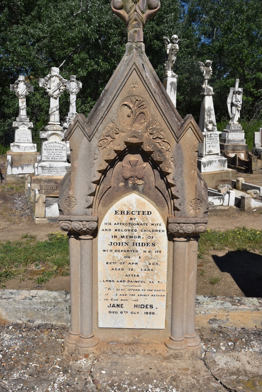
On the 18th day of July 1872, the first wedding was performed in the church between John Hides and Eliza Luff. The first baptism took place on the 6th day of April 1873. This was John and Eliza Hide’s daughter, Eliza Jane Hides. In April 1883, the first funeral service was held for John Hides Snr.
The Soldier’s War Memorial was erected to honour the local servicemen who served in the armed forces for Australia during the First World War. It was unveiled on the 14th day of November 1917. The memorial was initially located in the grounds of the school, but following the school’s closure, the memorial was moved across the road to its current location.
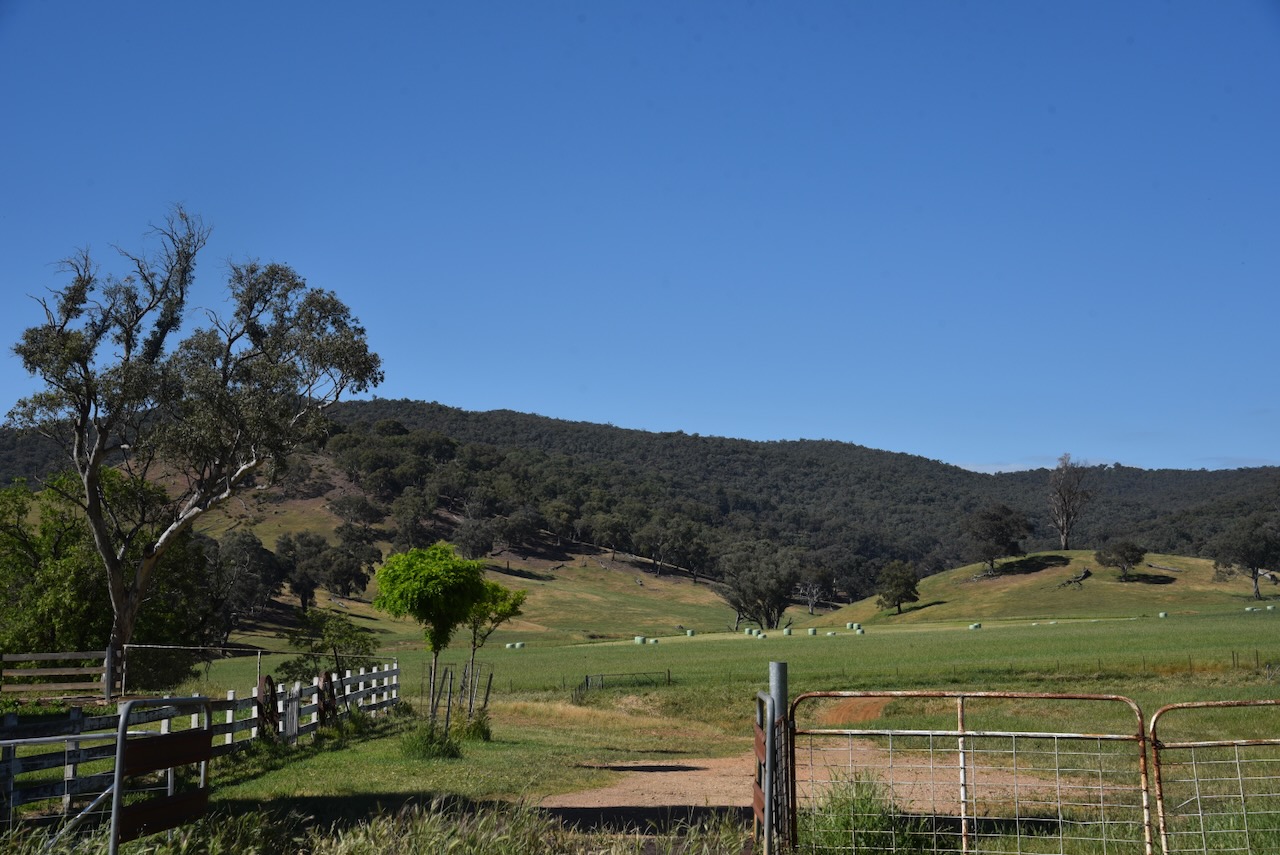
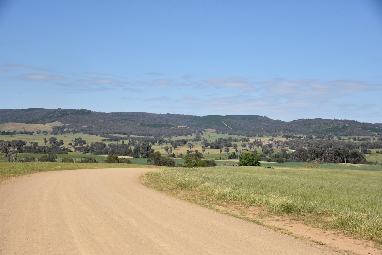
Marija and I undertook our very best efforts to get into the Tumblong State Conservation Area. Sadly, we could not get in there. Each road we drove along took us to private property with no landowners at home.
Feeling a little disappointed as we were unable to get into the park, we headed back to Adelong Road and paid a brief visit to the Adelong Cemetery. We found the headstone of John and Jane Hides, whom I mentioned above.
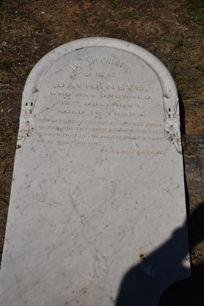
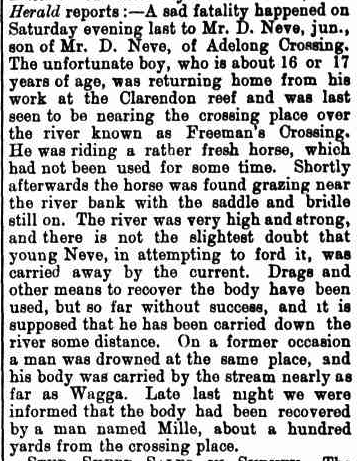
Another interesting headstone in the cemetery is that of David Neve, who drowned in 1884, aged 16 years.
Young David was returning home from work at the Clarendon reef and was last seen near Freeman’s Crossing. His horse was found grazing near the riverbank with the saddle and bridle still on. His body was located about 100 yards downstream from the crossing place. (Trove 2026)
Above: article from the Cootamundra Herald, Sat 19 Jul 1884. Image c/o Trove
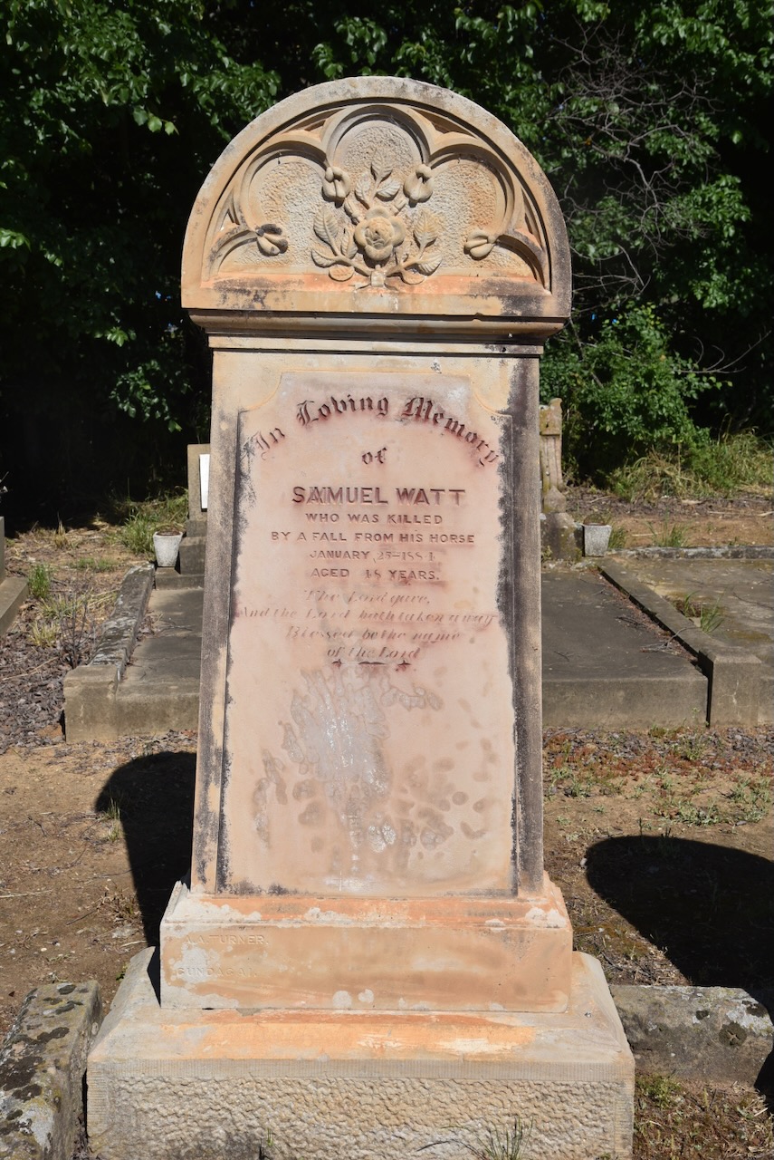
Samuel Watt was killed following a fall from his horse in 1884. He was 48 years old. Samuel was born c. 1842 in Ireland. In 1882, he married Lina Charlotte Devlin. (ancestry 2016)
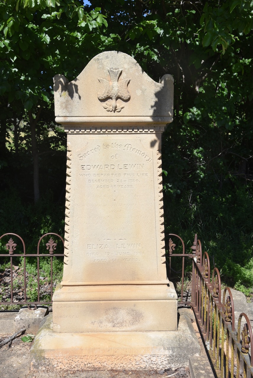
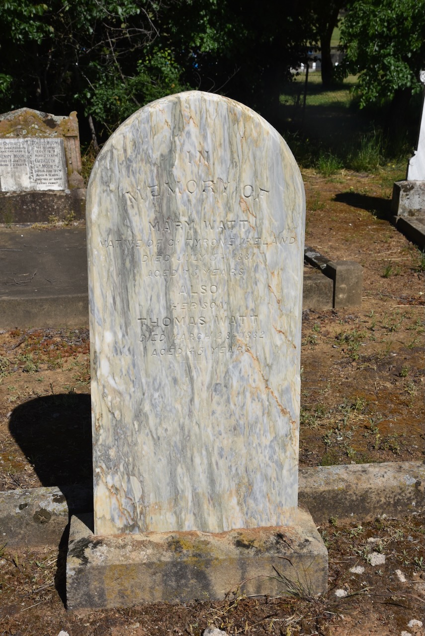
There are several other historic headstones in the cemetery.
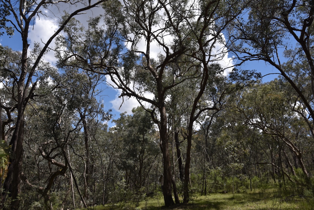
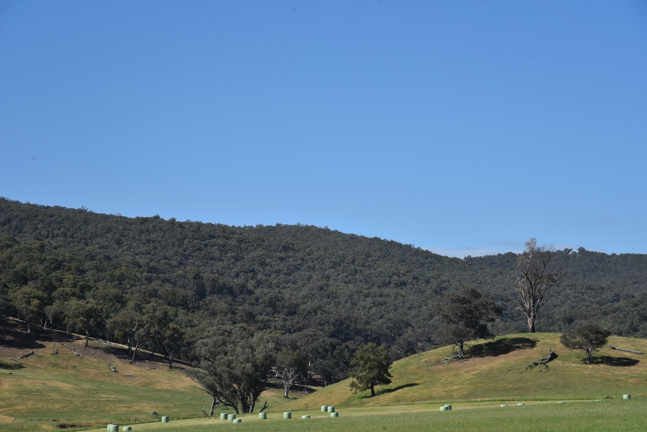
Marija and I then consulted our maps, and we decided to head to the Ellerslie Nature Reserve for a WWFF activation. Our drive took us through beautiful countryside towards the park.
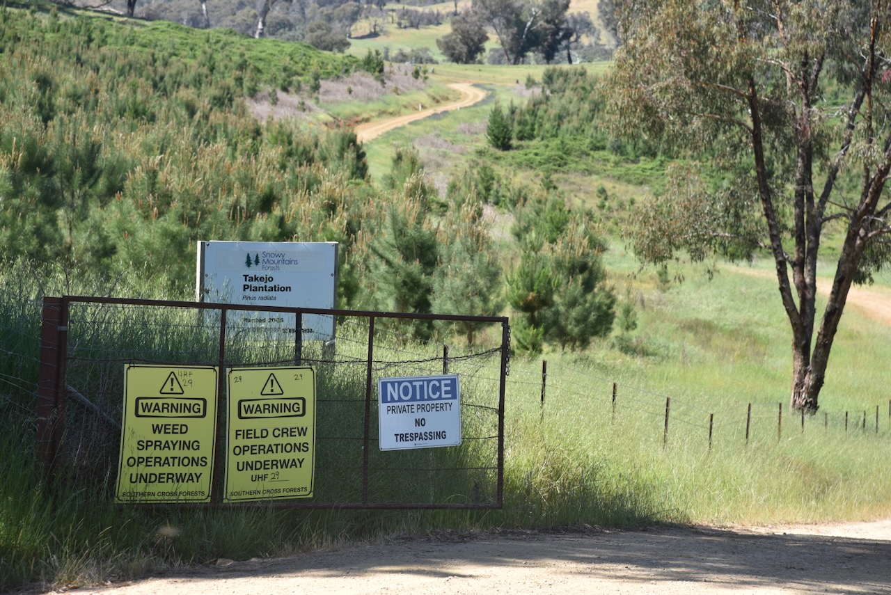
However, once again, we encountered difficulties and could not reach the park.
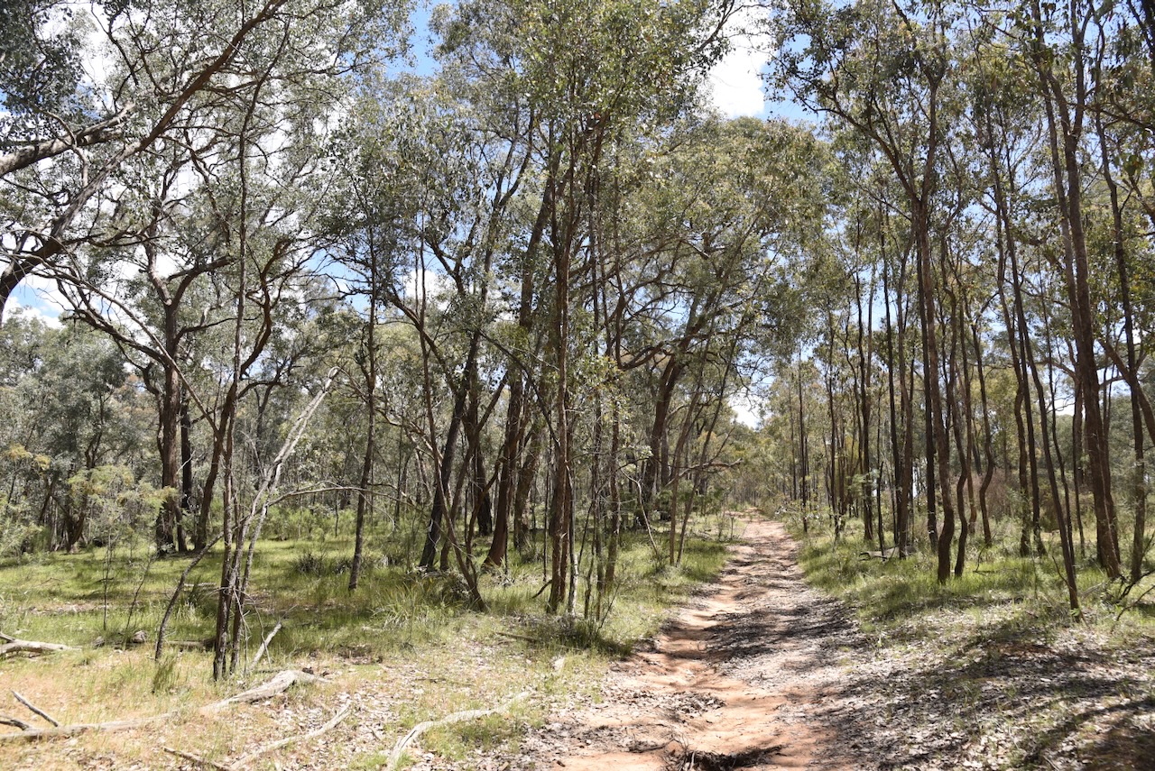
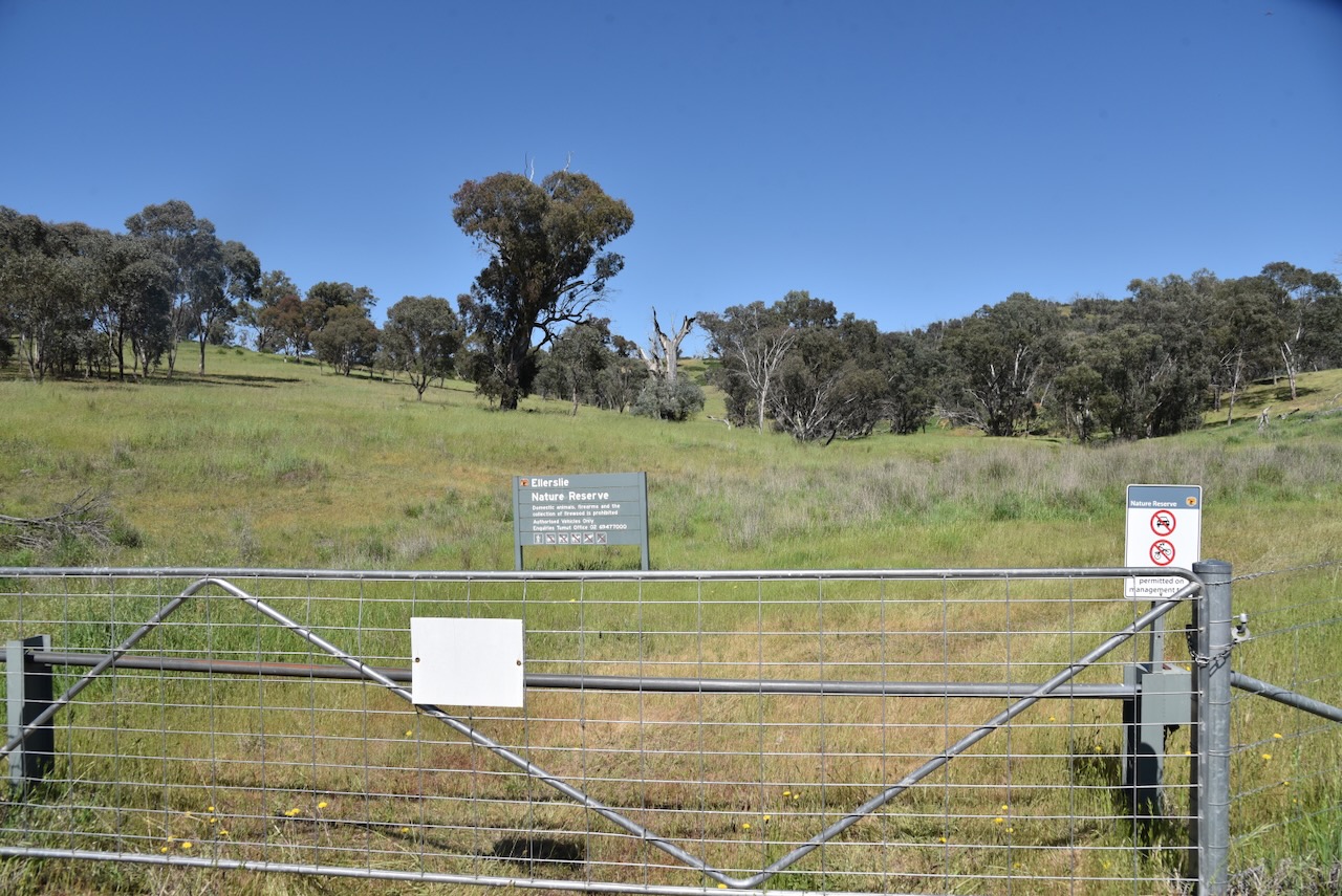
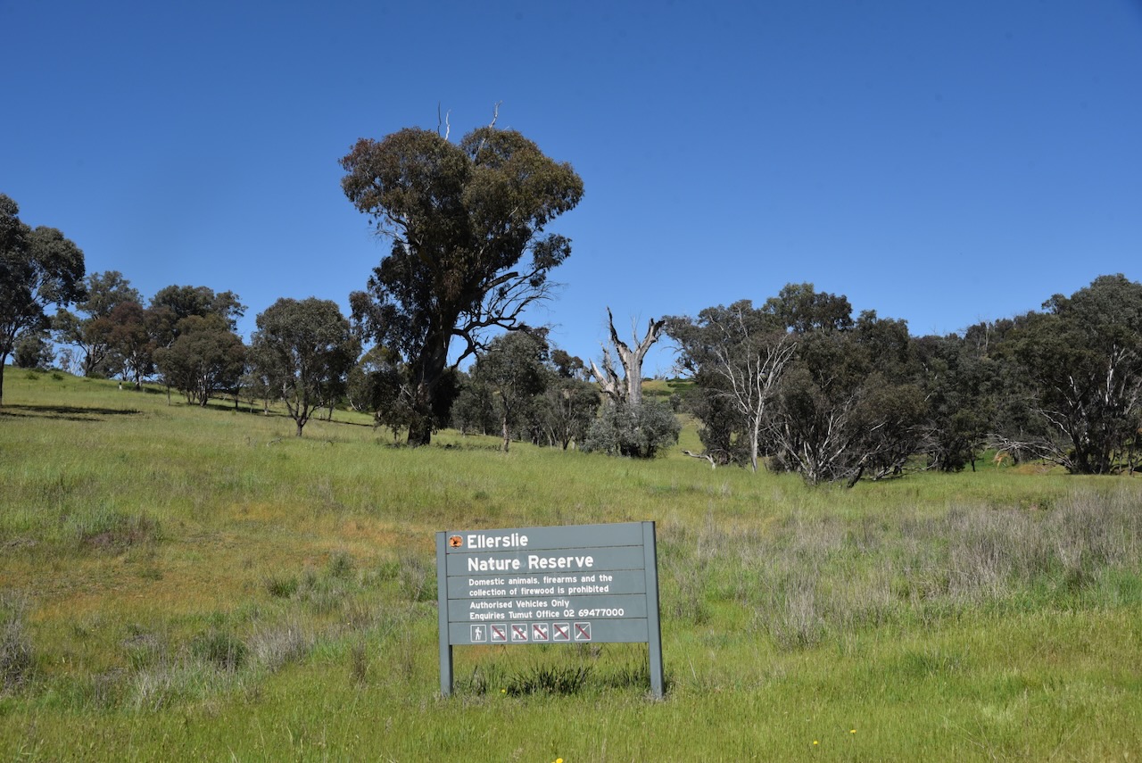
We doubled back and found a small section of the reserve that was accessible off the Snowy Mountains Highway.
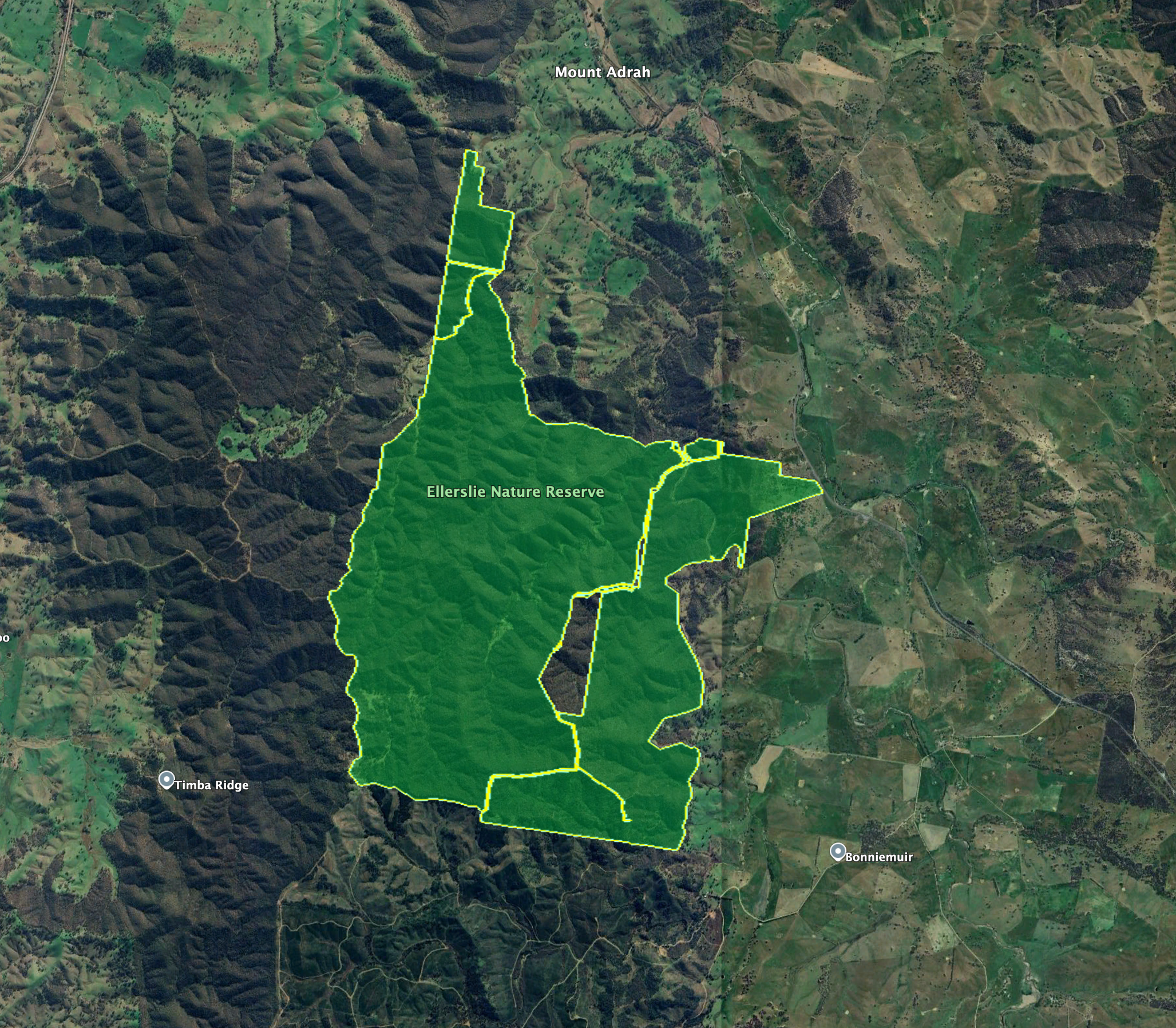
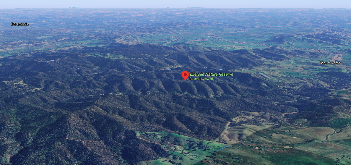
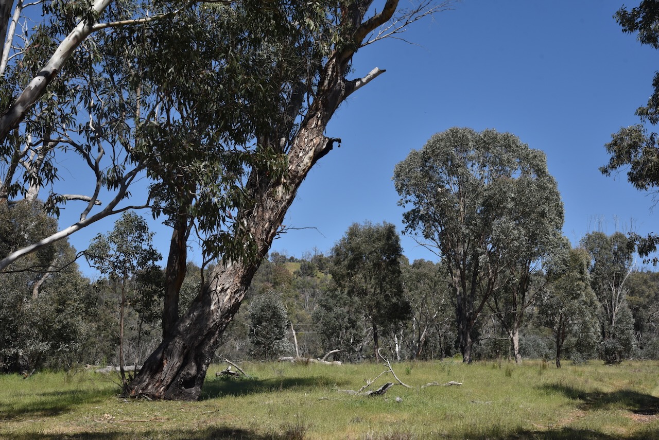
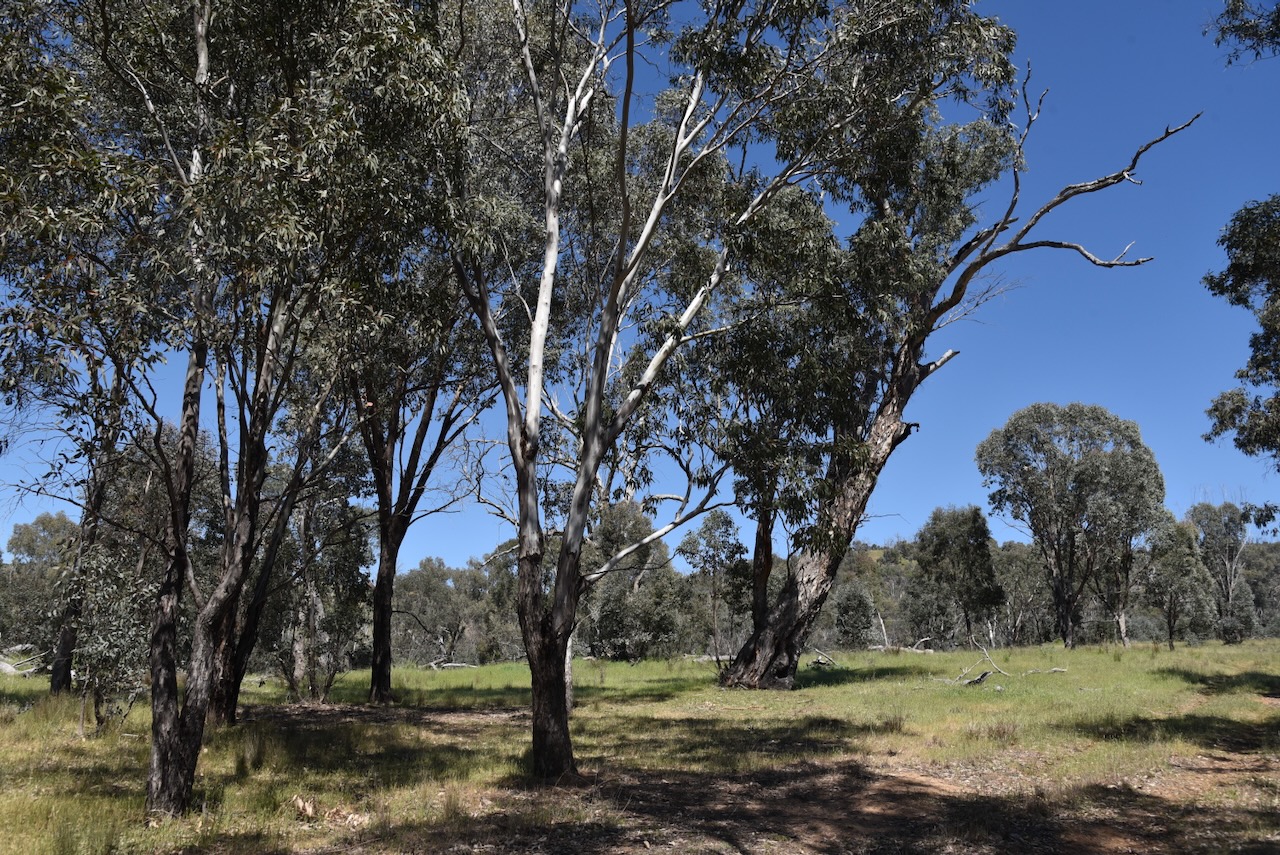
The Ellerslie Nature Reserve is located in the Mount Adrah district, about 17km northwest of the town of Adelong. The reserve is named after the former Ellerslie pastoral property. (NSW Govt 2010)
Ellerslie Nature Reserve is located in the traditional lands of the Wiradjuri Aboriginal people. The first known Europeans in the area were the explorers Hamilton Hume and William Hovell, who passed through the area in 1825 and 1825 during their journey of exploration. (NSW Govt 2010)
Above: Hamilton Hume (left) and William Hovell (right). Images c/o Wikipedia
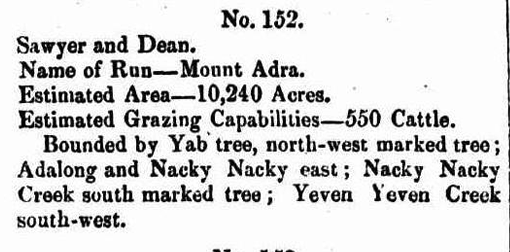
Several pastoral runs existed in the area during the 1840s. This included Ellerslie, Mount Adra, and Yab Tree.
In 1841, William Sawyer held a pasturage license in the Murrumbidgee district. He was born in Dorset, England, in 1798. By 1825, he had emigrated to Australia, and in that year, he married Ann Kneebone in Hobart, Tasmania. Sawyer was a veteran of the Battle of Waterloo. By 1845, Sawyer held a run called Mount Adrah with John Dean. Mount Adrah run was 10,240 acres in size and had an estimated 500 cattle. In 1869, Sawyer moved to Bethungra, and the property passed to his sons. (ancestry 2016) (Wikipedia 2026)
Sawyer died in 1873, and following his death, the property was passed to Job Dunn. Job Dunn was born in March 1835 in Somerset, England. In 1855, he married Sarah Uncles. They emigrated to Australia in 1862. (ancestry 2016) (Wikipedia 2026)
Above: from the Wagga Wagga Advertiser, Wed 17 Nov 1875. Image c/o Trove
In 1866, Irish immigrants Thomas and Matilda Crain, selected land near Spring Creek at Mount Adrah. Thomas was born in August 1822 in County Tyrone, Ireland. He married Matilda Lindsay in 1840. They built a slab hut and commenced farming in the district, purchasing further land over several decades. Thomas died in September 1883 at Adelong. Matilda died in 1907 at Adelong. (ancestry 2016) (Wikipedia 2026)
By the 1860s, Mount Adrah had become a regular stopping point for travellers to and from Tumut. A licence for the Mount Adra Inn was granted to Job Dunn. It subsequently became The Vineyard Hotel, run by James Nicholls. In 1881, Irvine Crain, the son of Thomas and Maitilda, obtained the license for the inn, which was renamed the Mount Adrah Hotel. It continued to operate until 1914, following the retirement of Irvine Crain and the family’s move to Sydney (Wikipedia 2026)
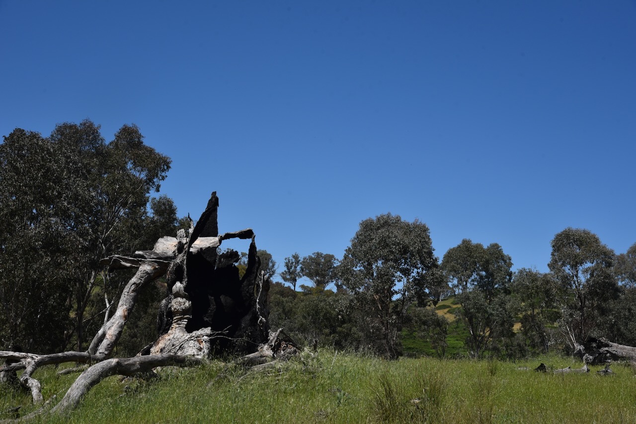
In the central eastern section of the park is an old boundary tree that contains an inscribed plaque. The plaque was originally placed to commemorate the centenary of the occupation of Yab Tree station by the Horsley family. In 1959, the tree containing the plaque was destroyed in a fire. The plaque was later cemented into the tree stump. (NSW Govt 2010)
In the 30th September 1848 issue of the New South Wales Government Gazette, when describing Mount Adra Run, Commissioner Binningham talks about a north-west marked tree and it being bounded by Yab tree. It is believed that the tree he refers to is the tree that contains the plaque. (NSW Govt 2010)
Above: NSW Govt Gazette, 30 Sept 1848. Image c/o Trove
Prior to the Horsley family, the Yab Tree property appears to have been owned by John Hillas. Yab Tree obtained its name from the Kurrajoing trees that grew on the ridges near the homestead. The Aboriginal people called them ‘yabs’, hence the name Yab Tree. (Trove 2026)
The Horsley family owned Yab Tree Station from about 1859. Richard Frederick Horsley. Richard died in 1891. At this time, his son Richard Frederick Lachlan Horsley inherited the property. Yabtree was well known for its fine-wooled stud sheep. Richard Jr died in 1925 and Yabtree passed to his three sons, Frederick Lachlan Horsley, Wallace Horsley, and Richard Neville Horsley. (WWDHS 2019)
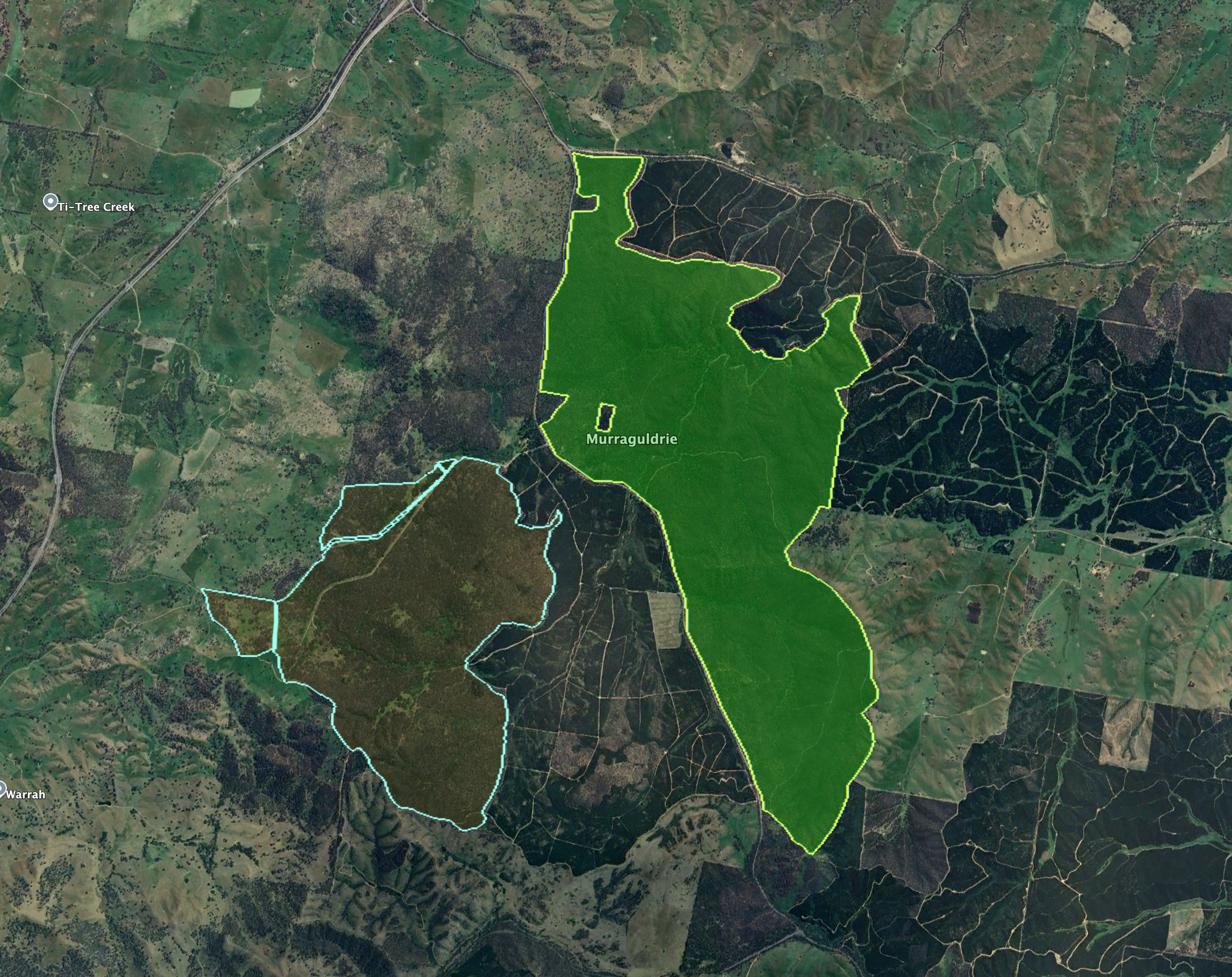
The eastern boundary of the reserve licks the Snowy Mountains Highway. Mount Pleasant Creek flows near the southern boundary, while there are a series of trails to the west and north of the reserve.
The reserve is about 1,877 hectares in size and was established in January 2001. It encompasses part of the Ellerslie Range (NSW Govt 2010) (NSW National Parks 2026)
Above: an aerial view of the Ellerslie Nature Reserve. Image c/o Google Maps
On the 24th day of December 1954, part of the current day reserve was declared as a Bird and Animal Sanctuary. On the 19th day of August 1955, the majority of the reserve was declared as Ellerslie State Forest. (NSW Govt 2010)
The reserve was first established on the 1st day of January 2001 as part of the Southern Regional Forest Agreement. At the time, the reserve’s size was 1,278 hectares. Prior to this, the majority of the reserve was managed as the Ellerslie State Forest by the then State Forests of New South Wales. After originally being gazetted, further land has been added to the reserve following the purchase of private land. (NSW Govt 2010)
A total of 15 native mammal species, 85 bird species, and 10 reptiles have been recorded in the reserve. Several threatened bird species can be found in the park, including Gang-gang cockatoo, Diamond Firetail, and Turquoise Parrot. The threatened Squirrel glider can also be found in the reserve. (NSW Govt 2010)
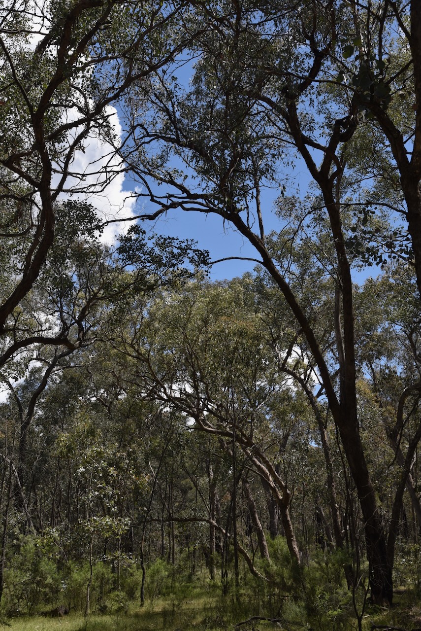
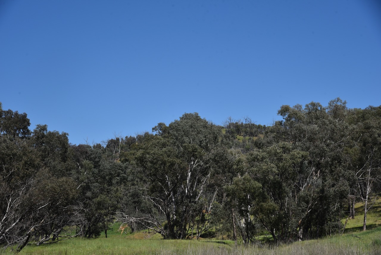
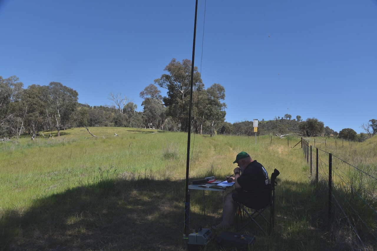
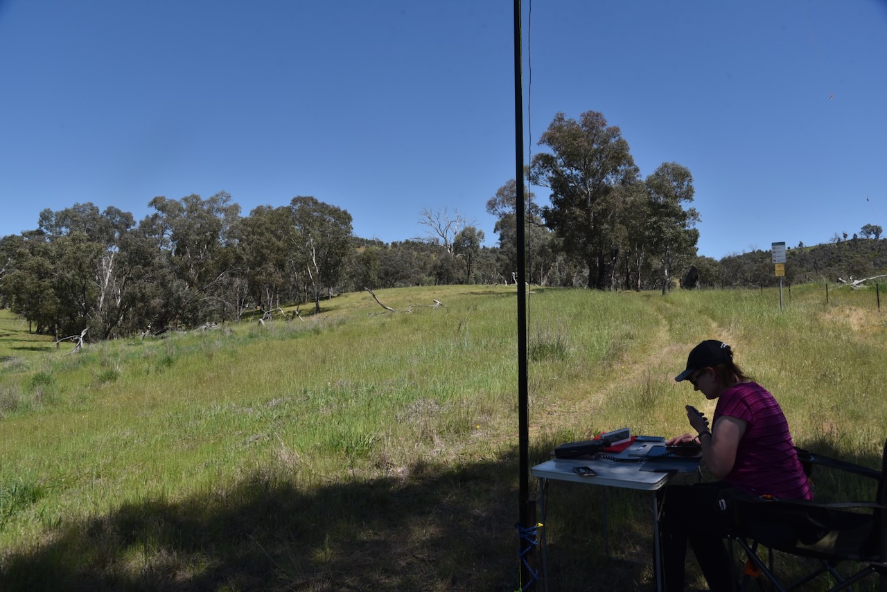
Marija and I parked the 4WD at the park gate and walked a short distance along the fenceline. We set up under some shade as it was quite a warm day. We were careful where we walked, ever vigilant of snakes.
We ran the Yaesu FT857, 40 watts, and the 20/40/80m linked dipole.
Marija worked the following stations on 40m SSB before the UTC rollover:-
- VK2BAI
- VK3GCD
- VK1AO
- VK2MET
- VK2DA
- VK1DA
- VK1ACE
- VK2IO/P (VKFF-0845 & SOTA VK1/ AC-041)
- VK2GEZ/P (VKFF-0845 & SOTA VK1/ AC-041)
- VK3SMW
- VK1AD/P (VKFF-0865)
- VK1CHW/P (VKFF-0852)
- VK2CHW/P (VKFF-0852)
Marija worked the following stations on 40m SSB after the UTC rollover:-
- VK2IO/P (VKFF-0845 & SOTA VK1/ AC-041)
- VK2GEZ/P (VKFF-0845 & SOTA VK1/ AC-041)
- VK5HS/P (VKFF-0372)
I worked the following stations on 40m SSB before the UTC rollover:-
- VK2BAI
- VK3GCD
- VK1AO
- VK2MET
- VK2DA
- VK1DA
- VK1ACE
- VK2IO/P (VKFF-0845 & SOTA VK1/ AC-041)
- VK2GEZ/P (VKFF-0845 & SOTA VK1/ AC-041)
- VK3SMW
- VK1AD/P (VKFF-0865)
- VK3CLD
- VK5QA
- VK2DBF
- VK5LA
- VK5KAW
- VK1CHW/P (VKFF-0852)
- VK2CHW/P (VKFF-0852)
- VK2LDJ
- VK2NP
I worked the following stations on 40m SSB after the UTC rollover:-
- VK2VW
- VK2HFI
- VK2AKA
- VK2BUG
- VK3KLI
- VK2HRX
- VK2MG
- VK1MA
- VK2HAK
- VK1CHW/P (VKFF-0852)
- VK2CHW/P (VKFF-0852)
- VK3CEO
- VK3MCK
- VK3TDK
- VK2NYC
- VK3ZSC
- VK3UH
- VK2DA
- VK1DA
- VK2IO/P (VKFF-0845 & SOTA VK1/ AC-041)
- VK2GEZ/P (VKFF-0845 & SOTA VK1/ AC-041)
- VK3WSG
- VK1AO
- VK2MET
- VK2USH
- VK1SIG/M
- VK1BUB
- VK2LWK
- VK3OAK
- VK5HS/P (VKFF-0372)
- VK3MDC/M
- VK3MIJ
- VK3HJW
- VK1RT
- VK1MCW
- VK1QRP
- VK1GH
- VK5LA
- VK5KAW
- VK2FI
- VK3HBG
- VK3JR
- VK2YAK
- VK4YAK
- VK7VZ
- VK2TKU
- VK2YL
- VK1ACE
I worked the following stations on 20m SSB:-
- VK6XL
- ZL3ASN
References.
- ancestry (2016). Ancestry® | Genealogy, Family Trees & Family History Records. [online] Ancestry.com.au. Available at: https://www.ancestry.com.au/. [Accessed 12 Mar. 2026]
- Elder, B. (2023). A complete guide to Adelong, NSW. [online] Australian Geographic. Available at: https://www.australiangeographic.com.au/travel/2023/01/a-complete-guide-to-adelong-nsw/ [Accessed 13 Mar. 2026].
- Thorn, B. (1974). Pownall, William Henry (1834–1903). [online] Anu.edu.au. Available at: https://adb.anu.edu.au/biography/pownall-william-henry-4413 [Accessed 11 Mar. 2026].
- NSW Govt, 2010, Ellerslie Nature Reserve Plan of Management
- NSW National Parks. (2026). Ellerslie Nature Reserve. [online] Available at: https://www.nationalparks.nsw.gov.au/visit-a-park/parks/ellerslie-nature-reserve [Accessed 12 Mar. 2026].
- Trove. (2026). Yabtree. – Wagga Wagga Advertiser (NSW : 1875 – 1910) – 15 Apr 1893. [online] Available at: https://trove.nla.gov.au/newspaper/article/101831344 [Accessed 12 Mar. 2026].
- Trove. (2026). [?]NG. – Cootamundra Herald (NSW : 1877 – 1954) – 19 Jul 1884. [online] Available at: https://trove.nla.gov.au/newspaper/article/143765361?searchTerm=neve%20%2B%20drown%20%2B%20adelong%20crossing [Accessed 13 Mar. 2026].
- Wikipedia Contributors (2025). Tumblong, New South Wales. Wikipedia.
- Wikipedia Contributors (2025). Royal Charter (ship). Wikipedia.
- Wikipedia Contributors (2026). Mount Adrah. Wikipedia.
- Wikipedia Contributors (2025). Adelong Creek. Wikipedia.