
Our first activation for Sunday, 2nd November 2026, was the Minjary National Park VKFF-0319. The park is located about 30 km south of Gundagai in New South Wales.
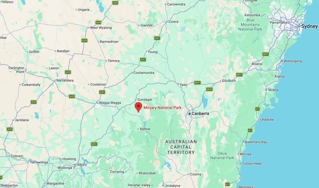
Above: Map showing the location of Minjary National Park. Map c/o Google Maps
The park is not signposted from any major road, and the park is not widely promoted. We attempted to reach the park via Meadow Creek Road, which runs off Gocup Road, but we struck a ‘Private Property Keep Out’ sign, and we decided not to venture any further.
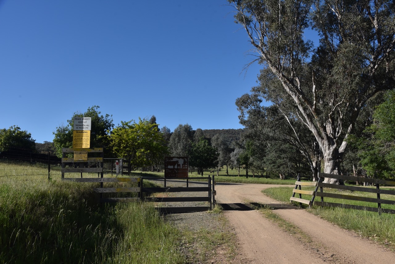
We got very close and could see the park, but we respected the sign and turned back.
We received some advice from a local that if we headed back along Gocup Road to McGrath Trail, we could access the park via that road.
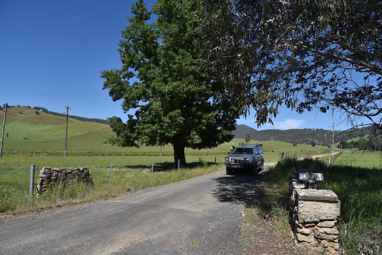
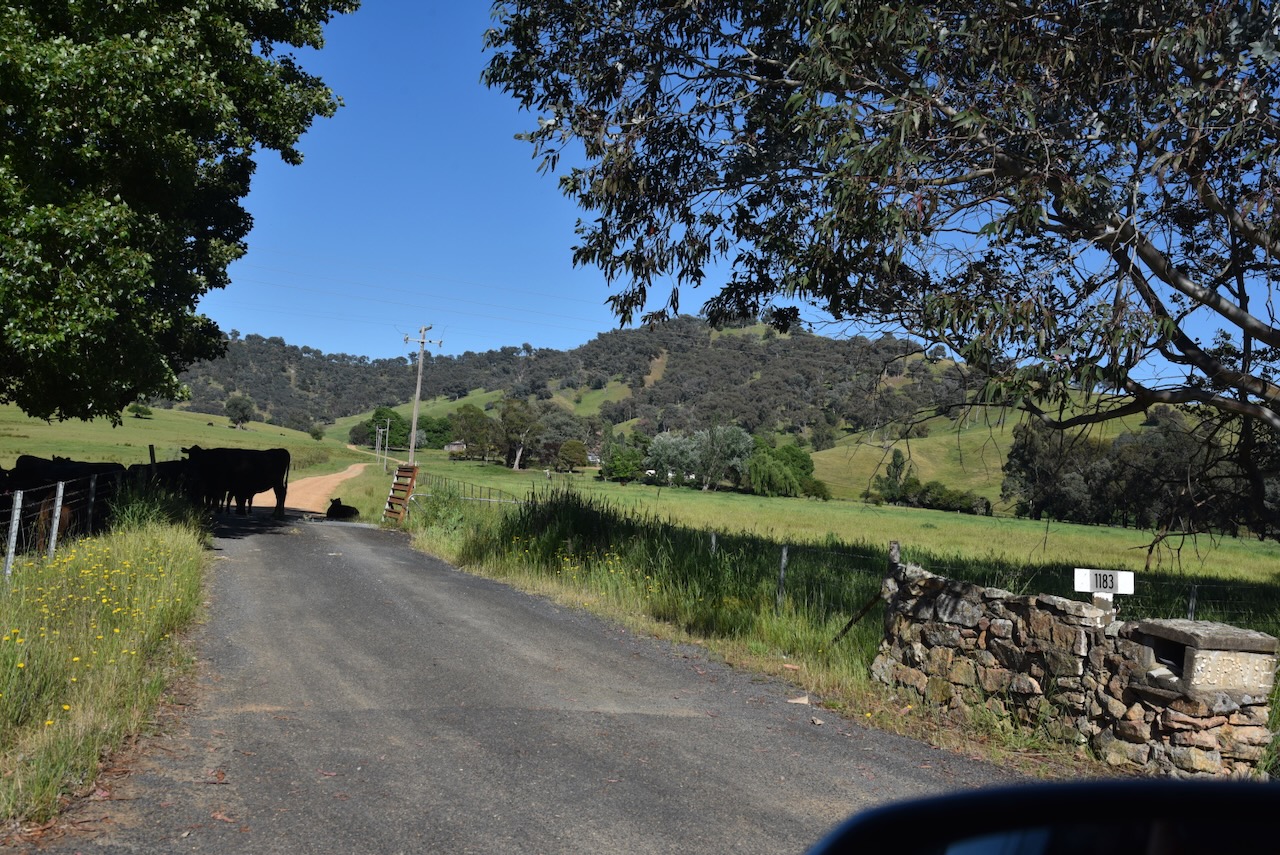
We did a few door knocks on the dirt road leading up to the park, and each time, the landowners kindly gave us permission to access the park via their property.
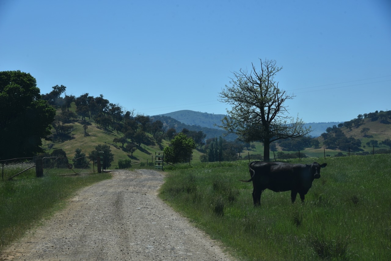
We passed through a few gates and grids on our way to the park.
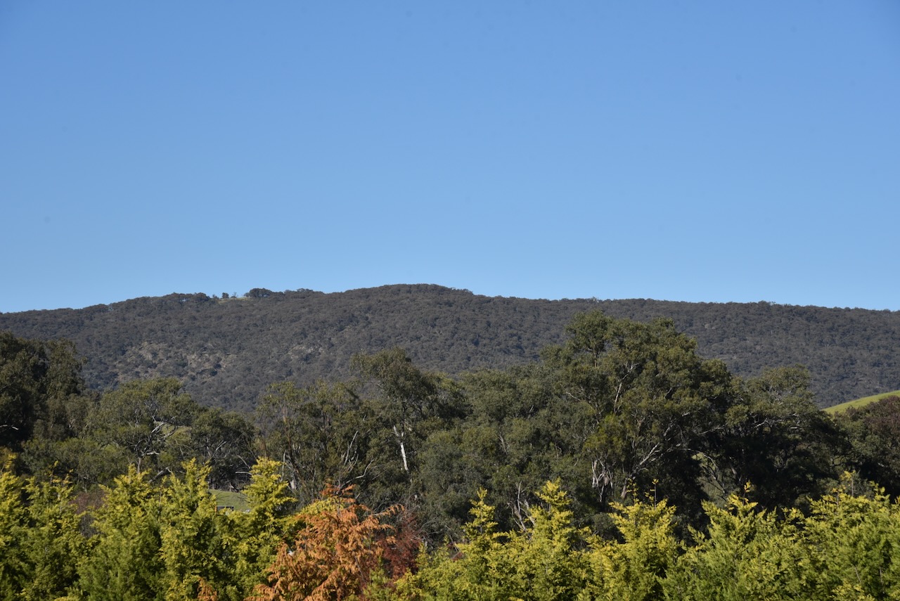
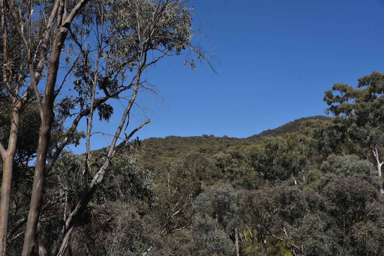
As we got further along Mcgrath Trail, the park came clearly into view.
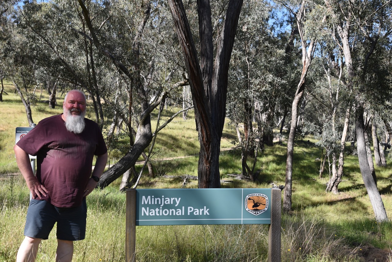
Until we finally reached an open gate and the park sign. It had been a bit of an adventure, but we had made it. It is so important in the WWFF program to obey all signs, specifically with regard to private property, and to ‘door knock’ and get permission from landowners. An incident of trespassing could place the WWFF program in jeopardy.
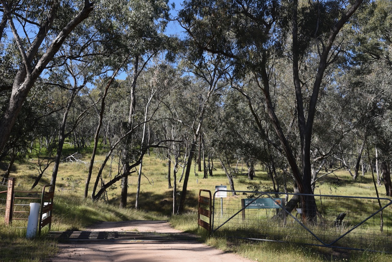
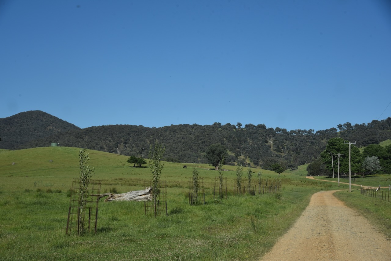
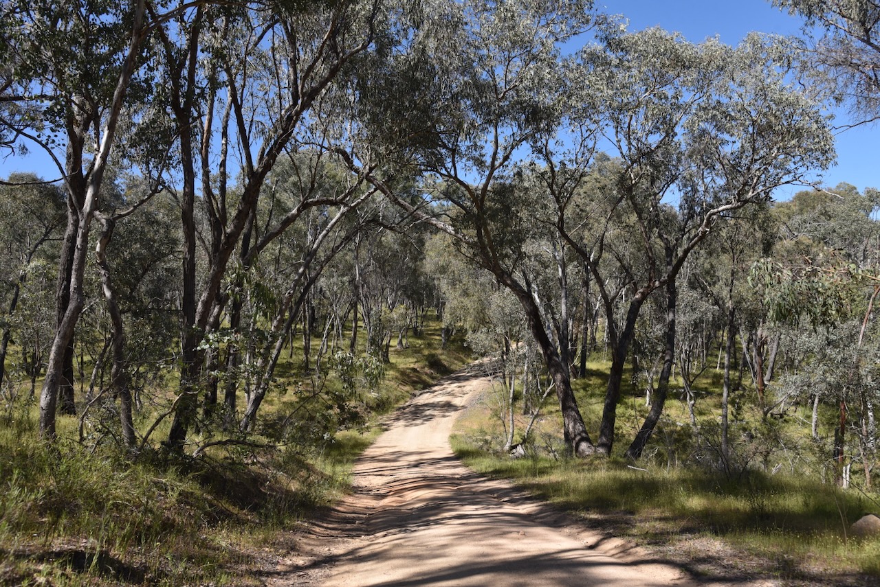
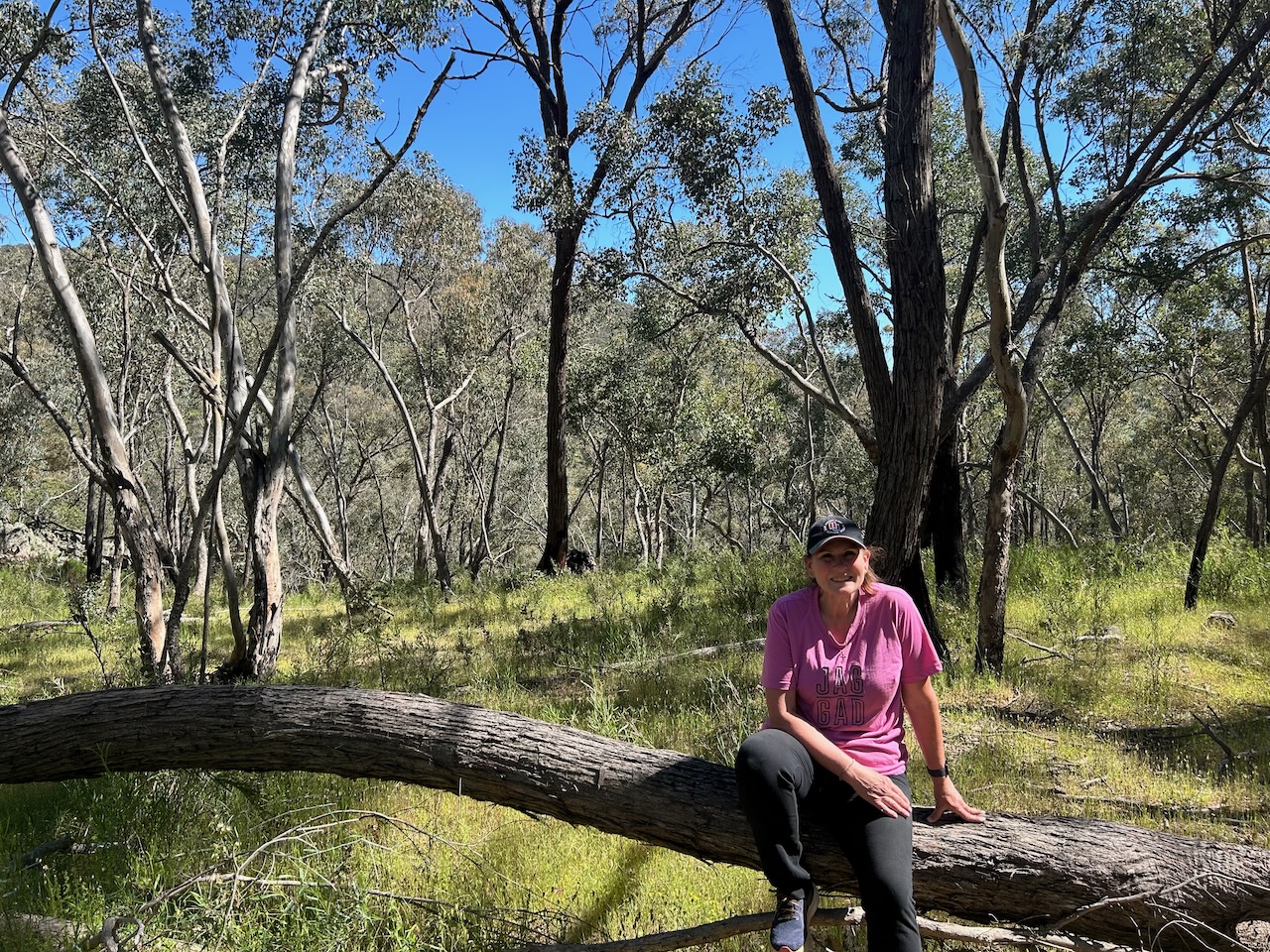
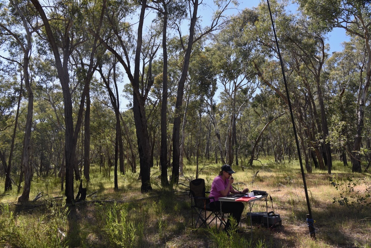
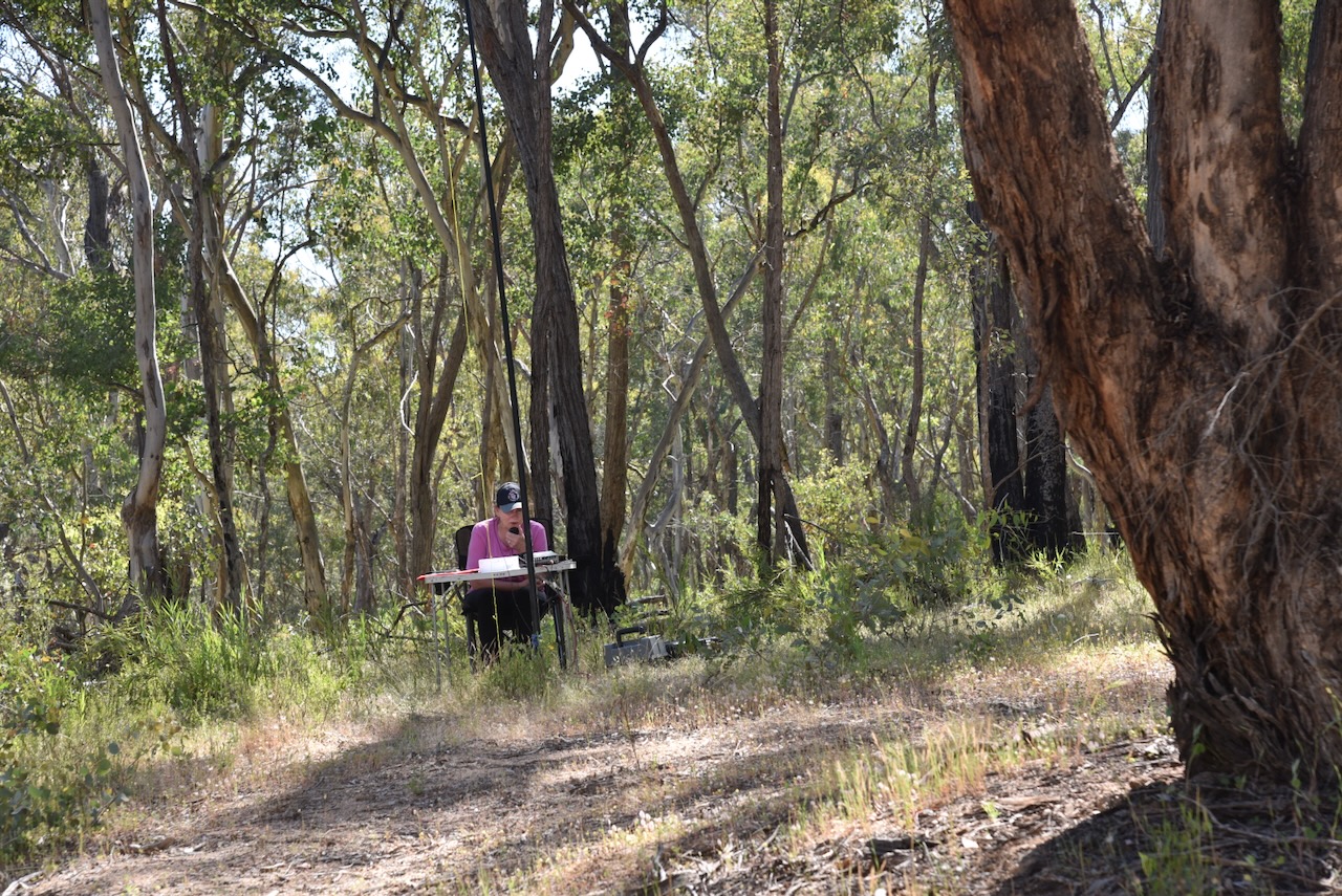
After passing through the gate, Marija and I followed the dirt track for about 1 km before we found a nice clearing in the scrub to set up.
Minjary National Park is about 1,462 hectares in size and is located on the South West Slopes of New South Wales. It takes its name from Minjary mountain, the highest point in the park at 762 metres above sea level. (NSW NPWS 2004)
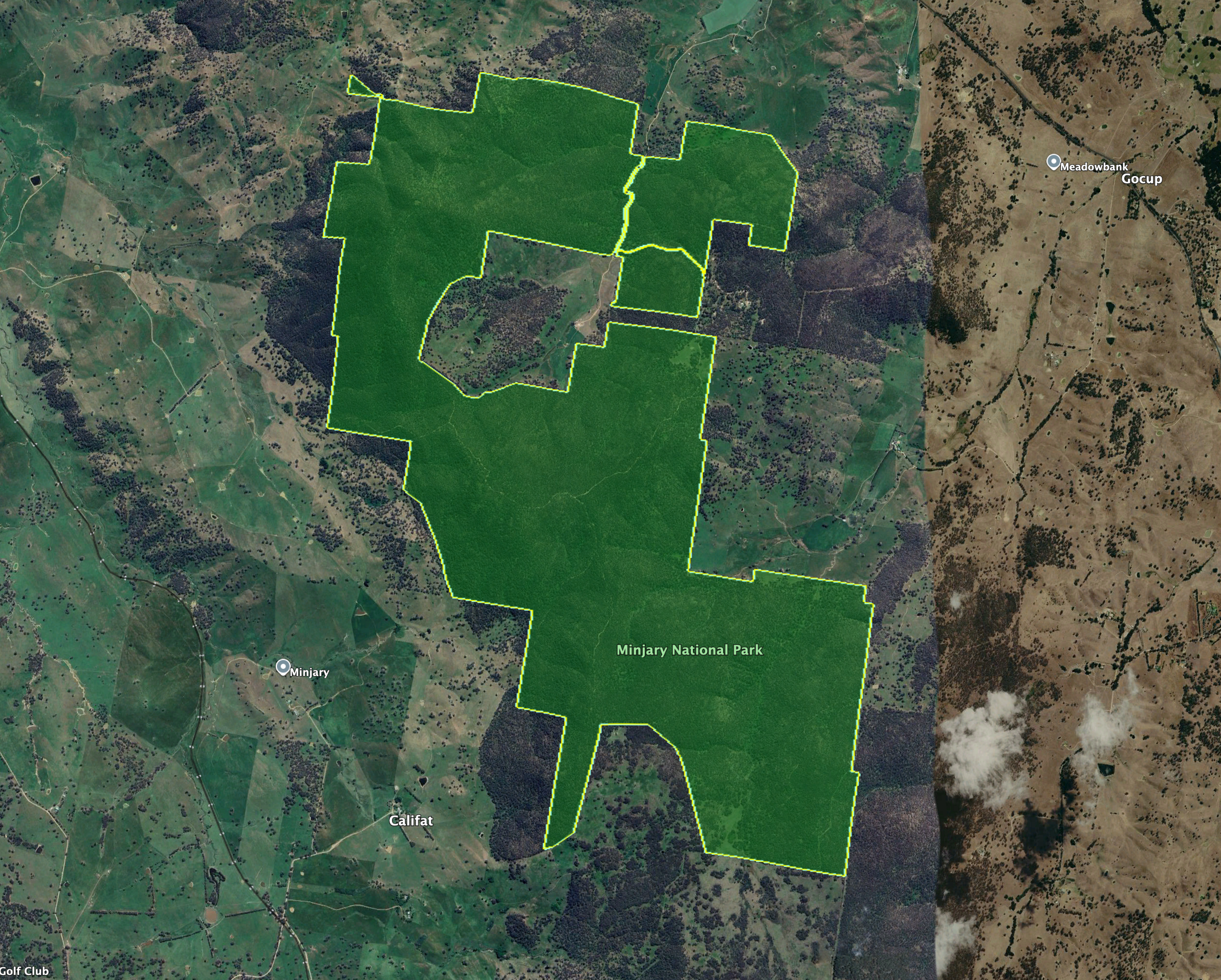
Above: the boundaries of Minjary National Park. Image c/o Google Earth
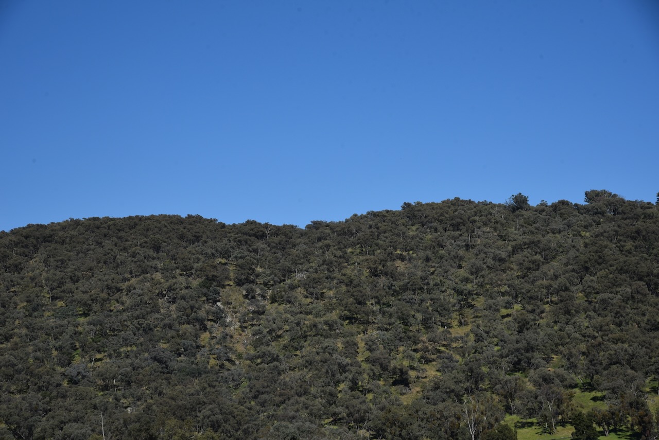
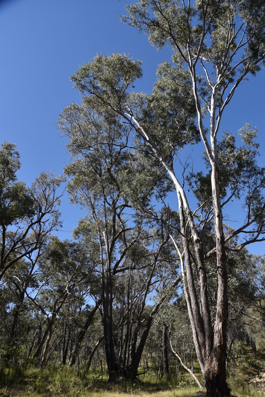
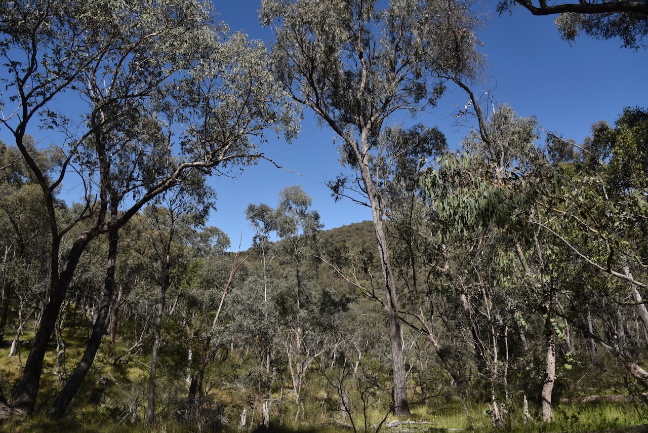
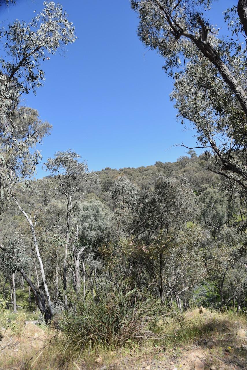
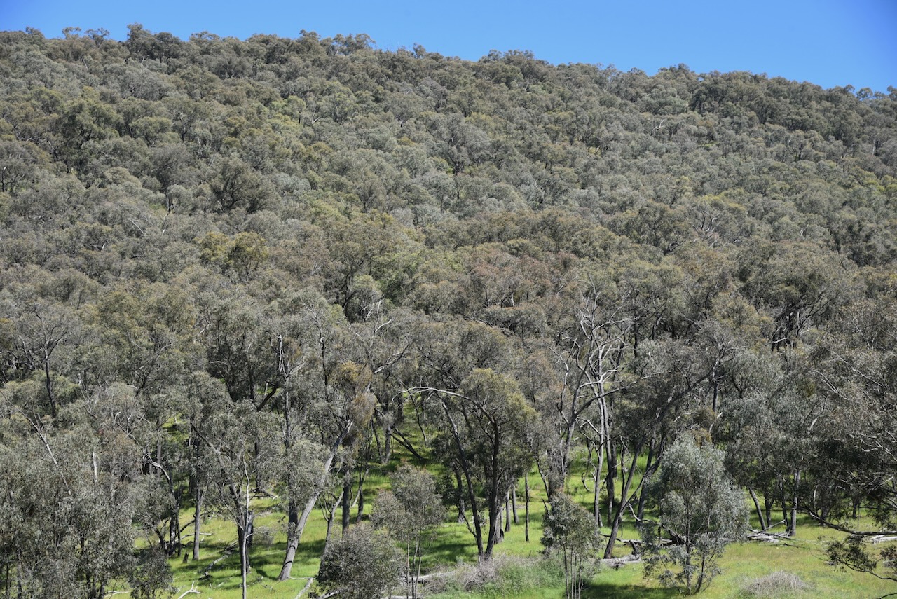
The park consists of undulating to steep, forested country, which is surrounded by cleared farming land. It contains significant intact remnants of South West Slopes forest and woodland, including White Box Grassy Woodland which has been identified as an endangered ecological community. (NSW NPWS 2004)
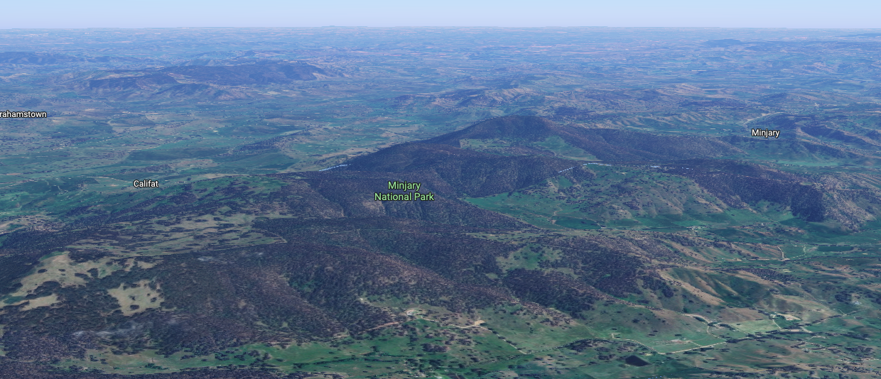
Above: an aerial view of Minjary National Park. Image c/o Google Maps
Minjary National Park was formerly administered and managed by State Forests of New South Wales as Minjary State Forest. Minjary National Park was gazetted on the 1st day of January 2001. (NSW NPWS 2004)
The park lies near the border of the Wiradjuri and Walgalu Aboriginal people. It is believed that the park was part of an Aboriginal travelling route between the Western Plains and the Kosciuszko area via the Tumut River. (NSW NPWS 2004)
During the late 1880s and early 1900s, there was extensive timber harvesting in the Minjary area. The timber was used to fuel steam boilers used in the gold mining industry in the Adelong area. The timber was felled with axes and ‘spare-chained’ down to wagons by horses. (NSW NPWS 2004)
A sulky route that was used between Adelong and Minjary existed on an east-west alignment through the park. It was constructed and used by the Hogan family and other locals as a shortcut between Adelong and Minjary. (NSW NPWS 2004)
A total of 8 mammal species, 31 bird species, 6 reptile species, and 2 amphibian species have been recorded in the park. This includes the threatened Turquoise Parrot and the Powerful Owl. (NSW NPWS 2004)
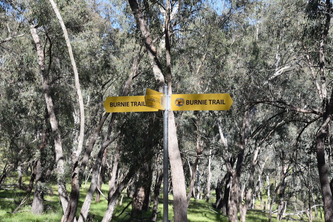
Marija and I operated from near Burnie Trail and O’Shea’s Trail.
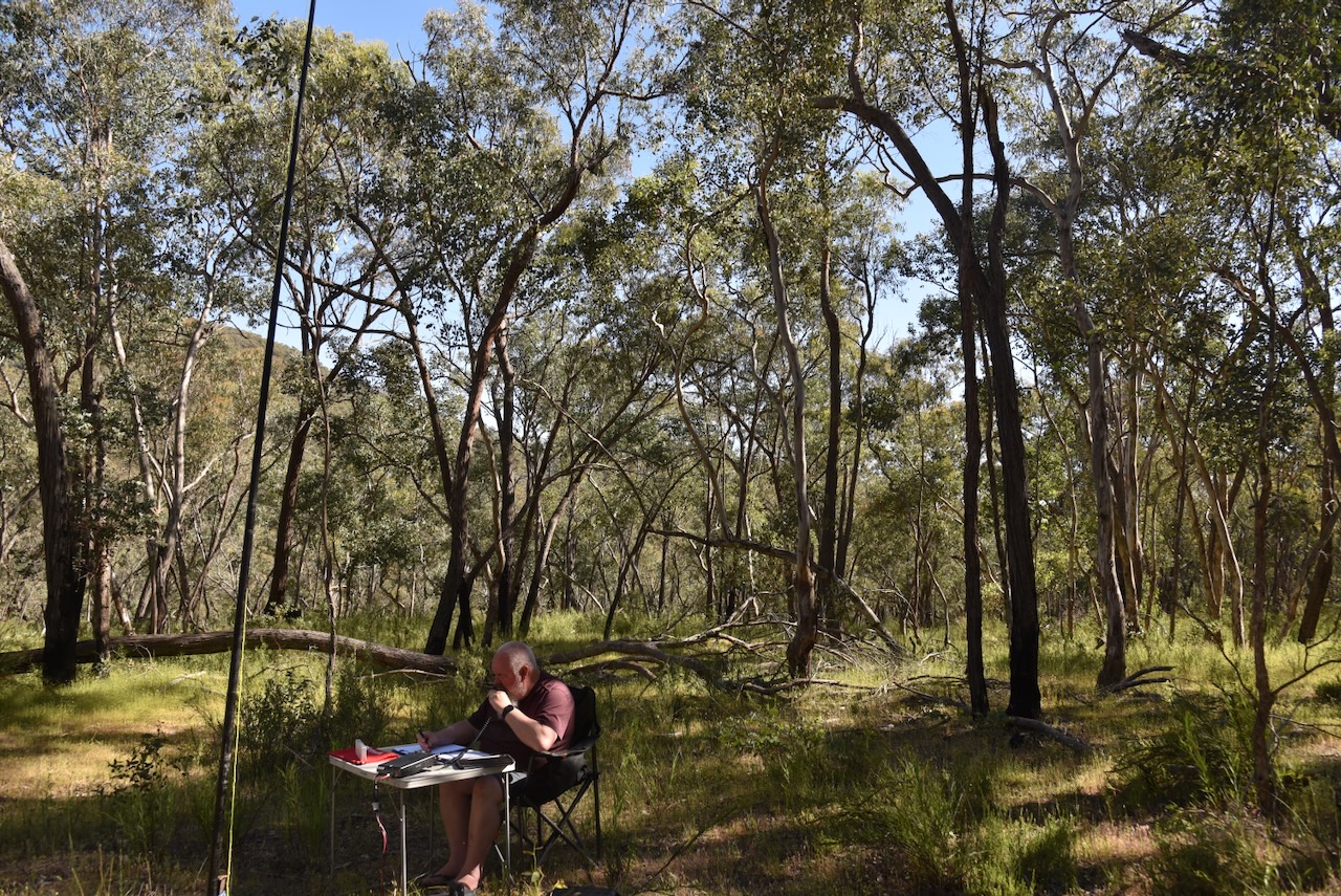
We ran the Yaesu FT857, 40 watts, and the 20/40/80m linked dipole.
Marija worked the following stations on 40m SSB:-
- VK2IO/P (VKFF-0851)
- VK2GEZ/P (VKFF-0851)
- VK3PF/M
- VK3KAI/M
- VK1AO
- VK2MET
- VK5LA
- VK5KAW
- VK5HS
- VK2LEE
Marija worked the following stations on 20m SSB:-
- VK5HS
- VK4EMP
- VK4TI
- VK4GKO
- VK2IO/P (VKFF-0851)
- VK2GEZ/P (VKFF-0851)
- VK4CK
- VK4MGL
- VK4HRE
I worked the following stations on 40m SSB:-
- VK2IO/P (VKFF-0851)
- VK2GEZ/P (VKFF-0851)
- VK3PF/M
- VK3KAI/M
- VK1AO
- VK2MET
- VK5LA
- VK5KAW
- VK5HS
- VK2LEE
- VK3ALF
- VK2VW
- VK2HFI
- VK2AKA
- VK2BUG
- VK2JV
- VK1DI
- VK1MA
- VK3PWG/2
- VK3TT/2
- VK3CLD
- VK2DBF
- VK5QA
- VK3CEO
- VK3WSG
- VK1CHW
- VK2CHW
- VK2NP
- VK3HJW
- VK3MCK
- VK1JIM
- VK2TER
- VK2BM
- VK2QRP
- VK2JON
- VK2GSV
- VK7IAN
- VK7PJM
- VK3LK
- VK3ZPF/P (VKFF-6164)
- VK3PJT
- VK2EGC/M
- VK2HBR
- VK3JOC
I made the following contacts on 20m SSB:-
- VK5HS
- VK4EMP
- VK4TI
- VK4GKO
- VK2IO/P (VKFF-0851)
- VK2GEZ/P (VKFF-0851)
References.
- National Parks and Wildlife Service, 2004, Minjary National Park Plan of Management.
