
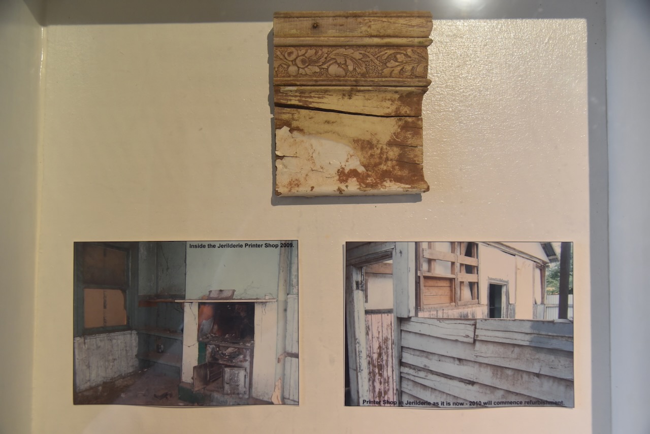
After activating the two silos at Jerilderie on Monday, 3rd November 2025, Marija and I went to the bakery at Jerilderie for some lunch. After a very nice lunch, we visited the Bolt exhibition in the old printery building.
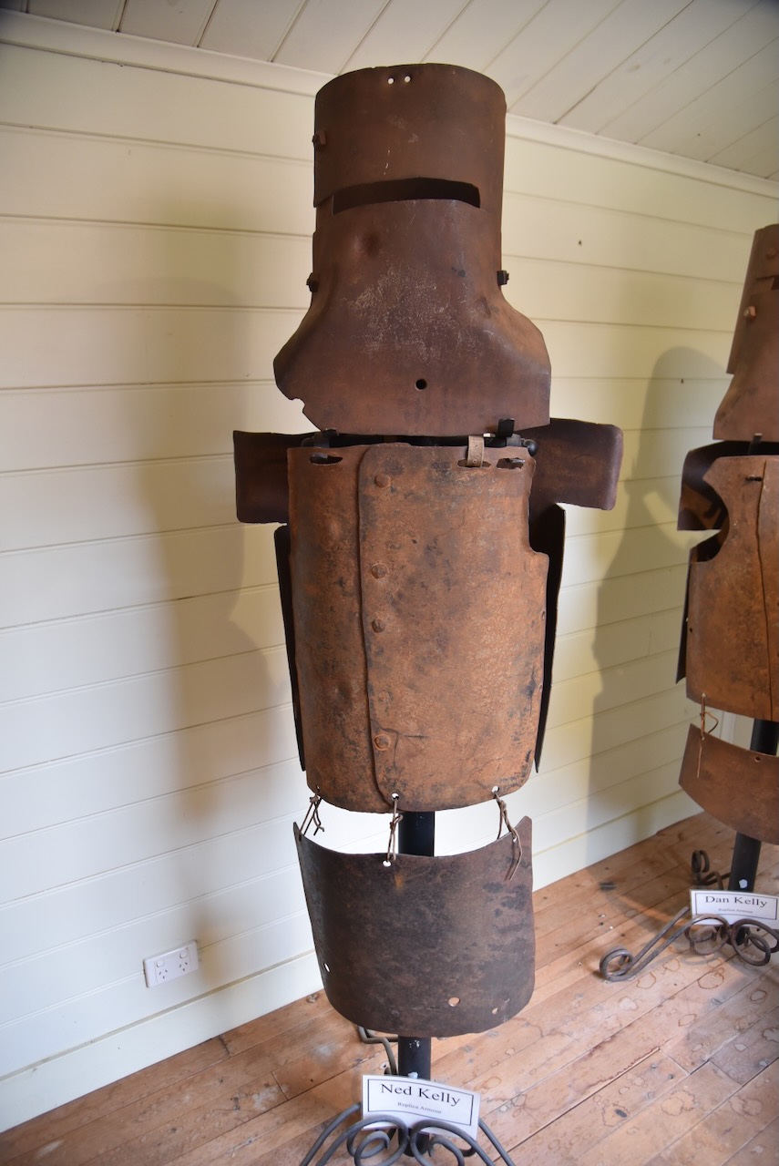
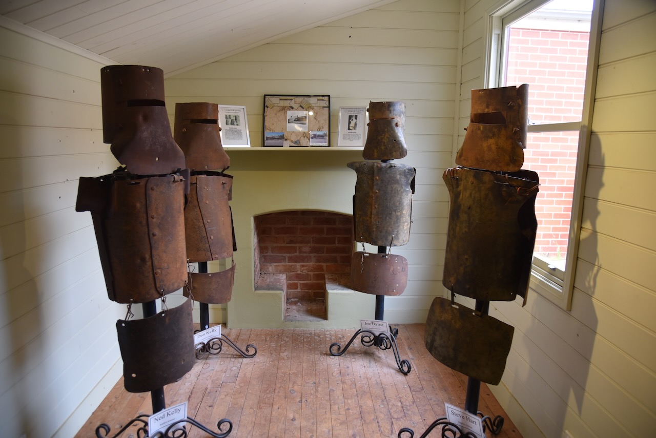
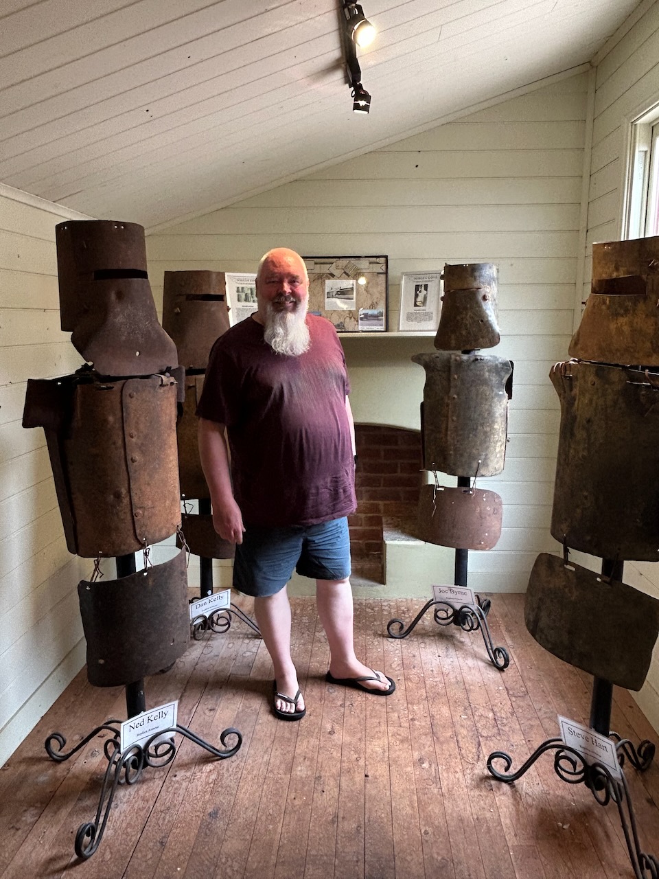
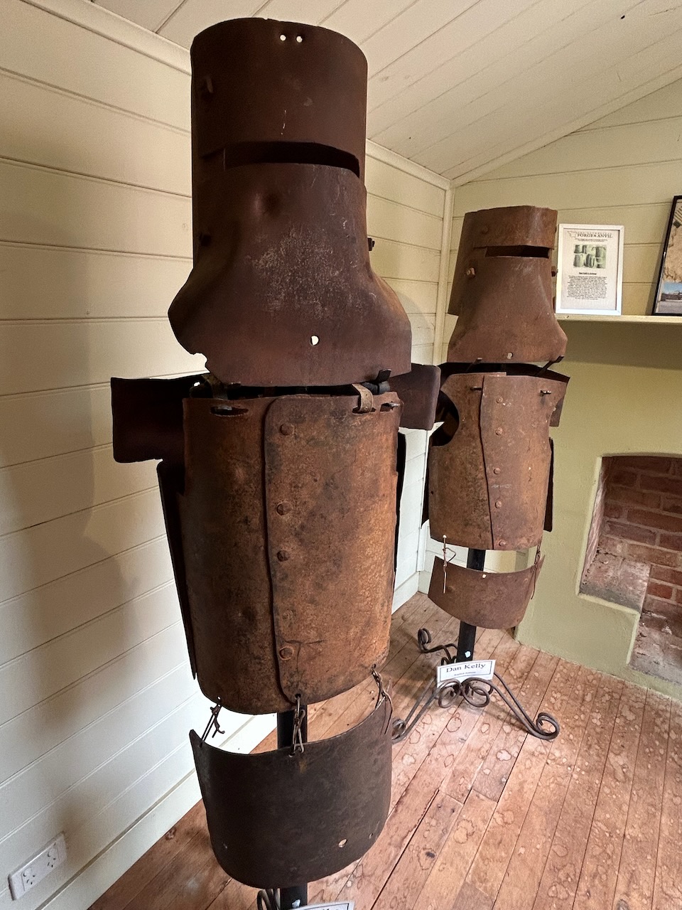
The display includes replicas of the armour worn by the Kelly gang. In 1870, the gang constructed 4 suits of bulletproof iron armour, which they wore during their final confrontation with the police at the siege at Glenrowan.
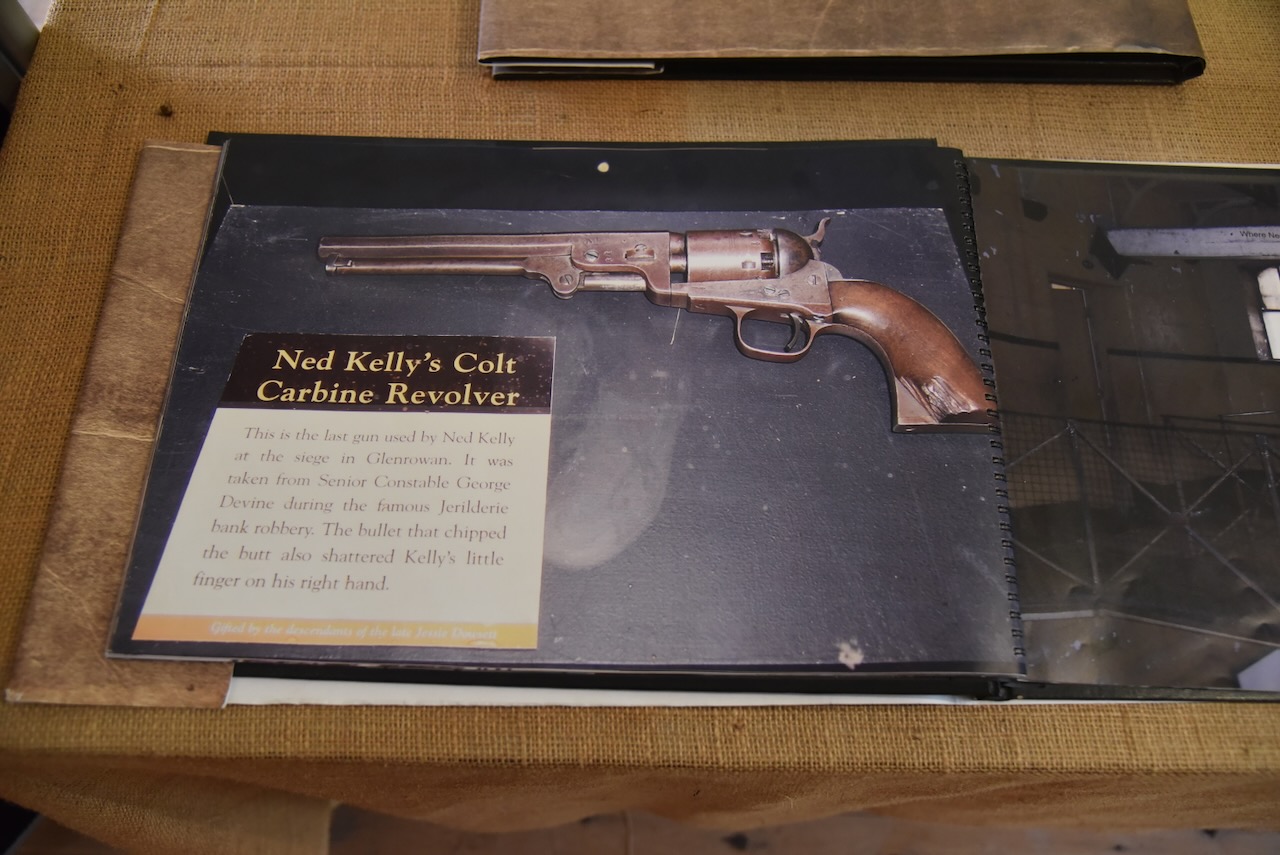
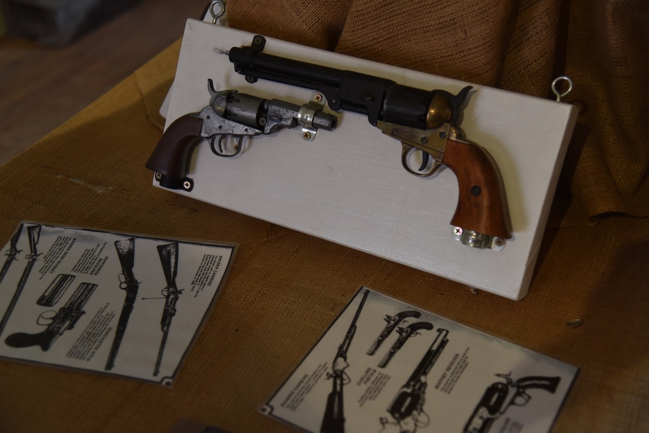
On display is Ned Kelly’s Colt carbine revolver, which was his last gun used during the siege at Glenrowan. It was taken from Senior Constable George Devne during the Jerilderie raid. The chip on the revolver’s butt is from the bullet that also shattered Ned Kelly’s little finger on his right hand.
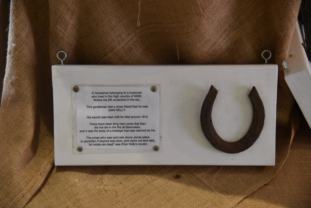
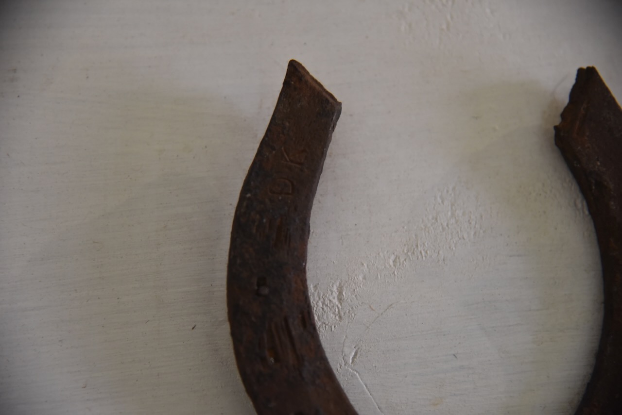
There is a horseshoe that has ‘DK’ marked in it. It was owned by a bushman who lived in the high country of New South Wales, who, in 1912, just before his death, told a close friend that DK was Dan Kelly.
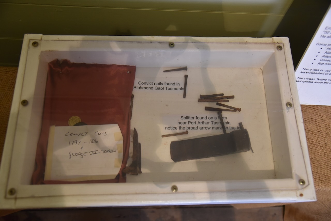
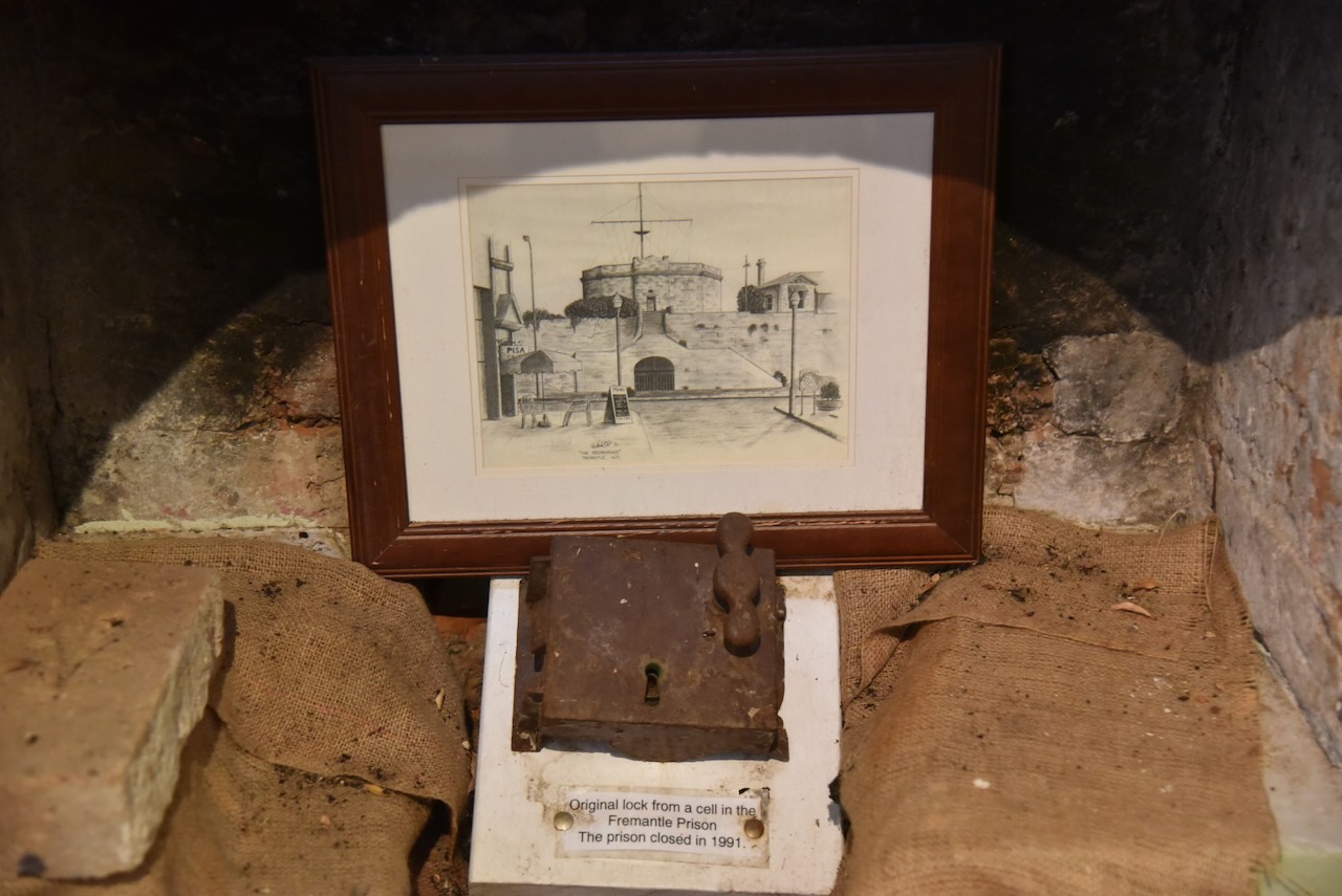
There are various other items on display, including an original lock from a cell in Fremantle Prison, and convict nails that were found in Richmond Gaol in Tasmania.
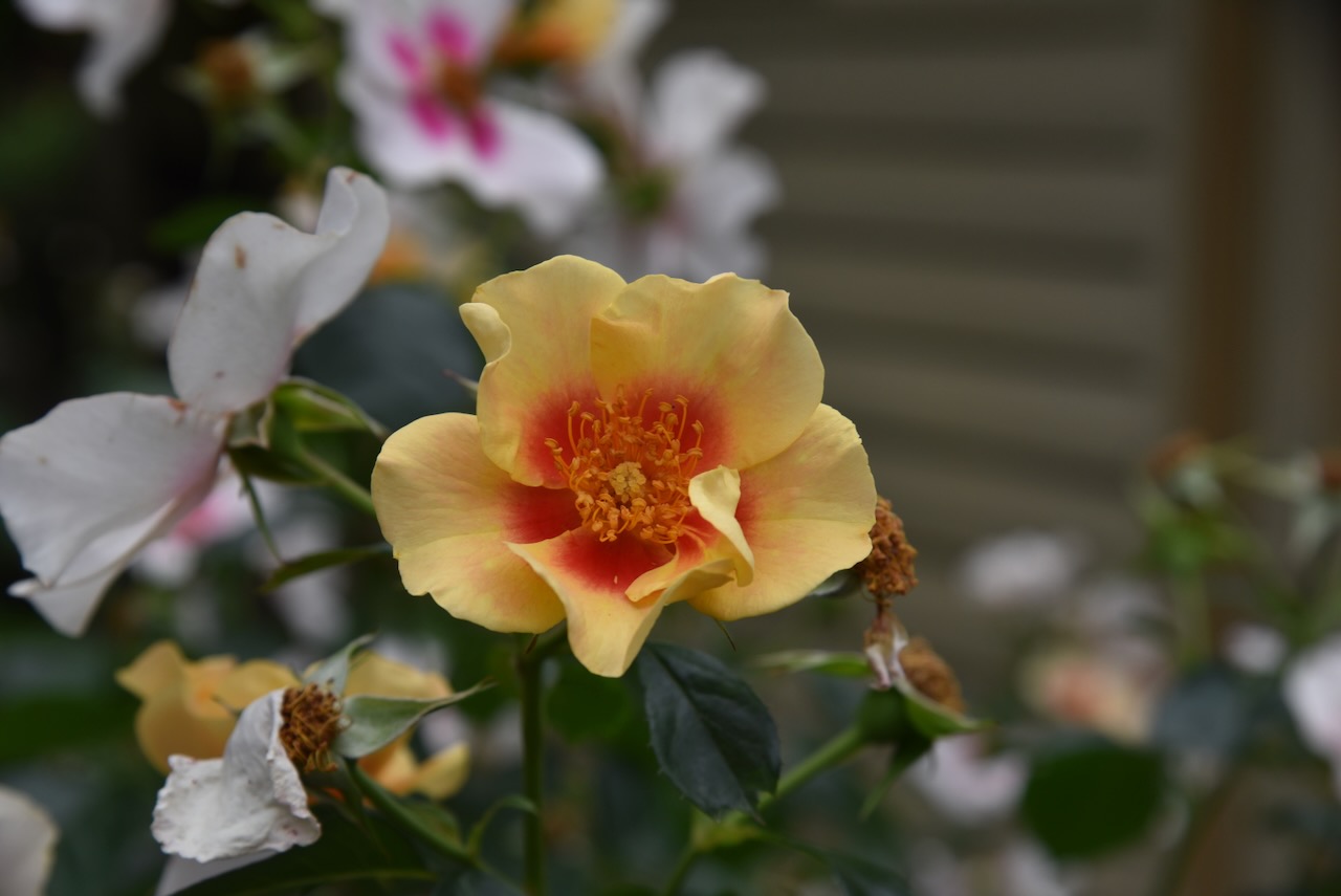
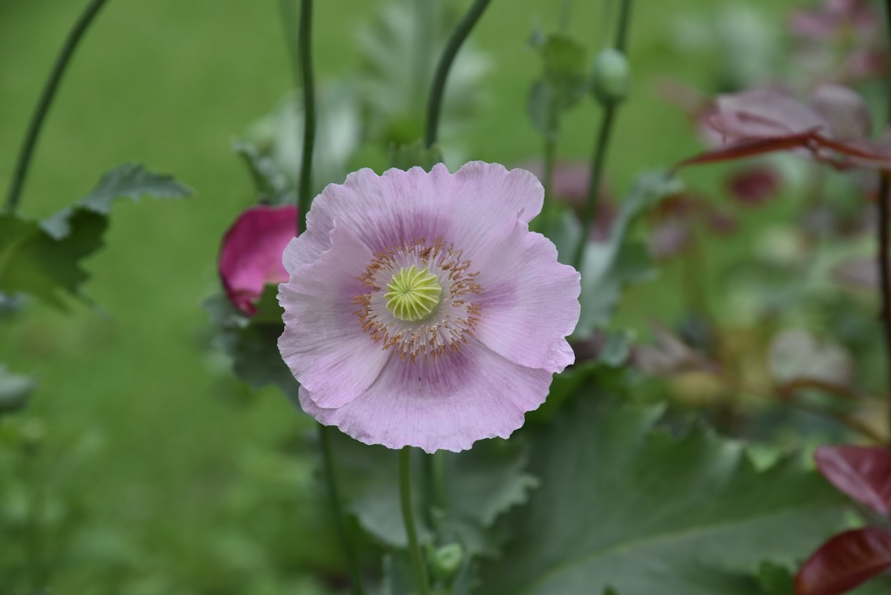
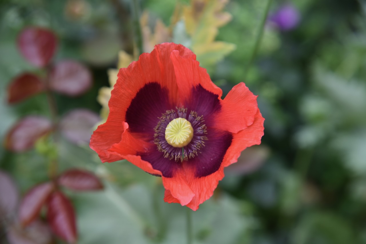
We then visited Flora Bank, previously known as Ye Olde Bank. The Bank of New South Wales building was constructed in 1880, one year after the raid at Jerilderie by the Kelly gang.
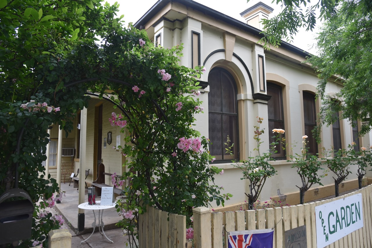
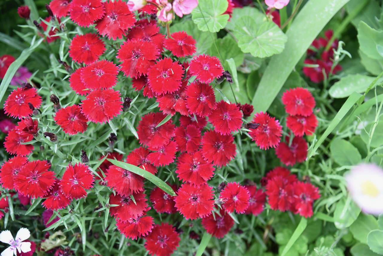
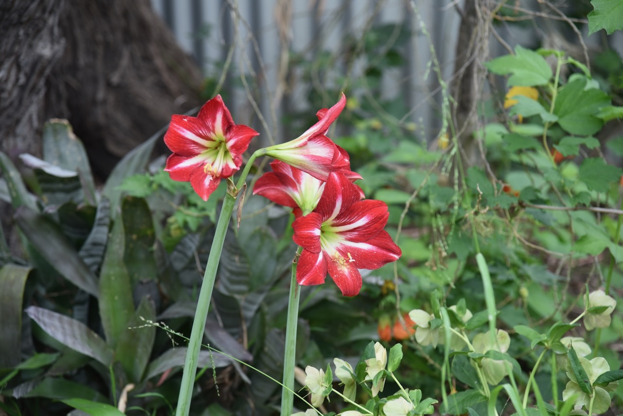
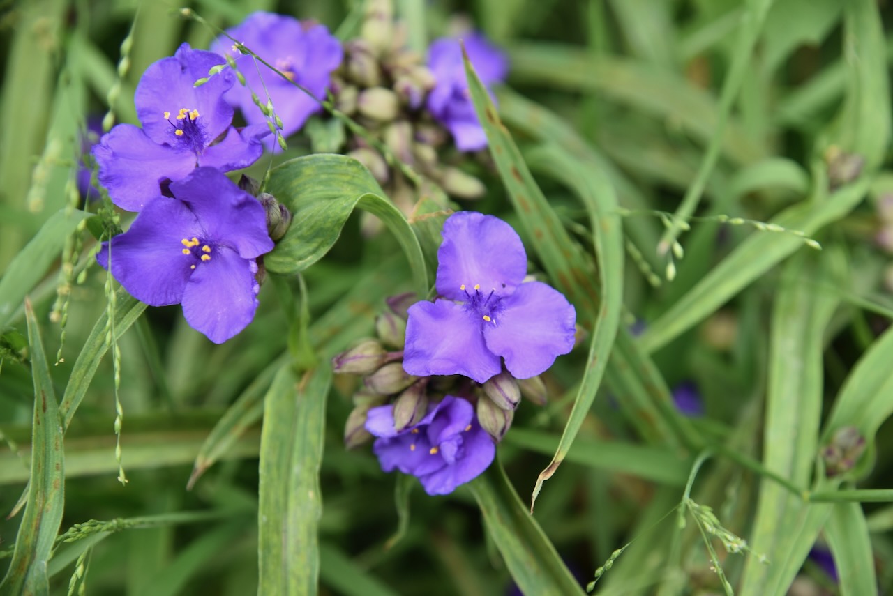
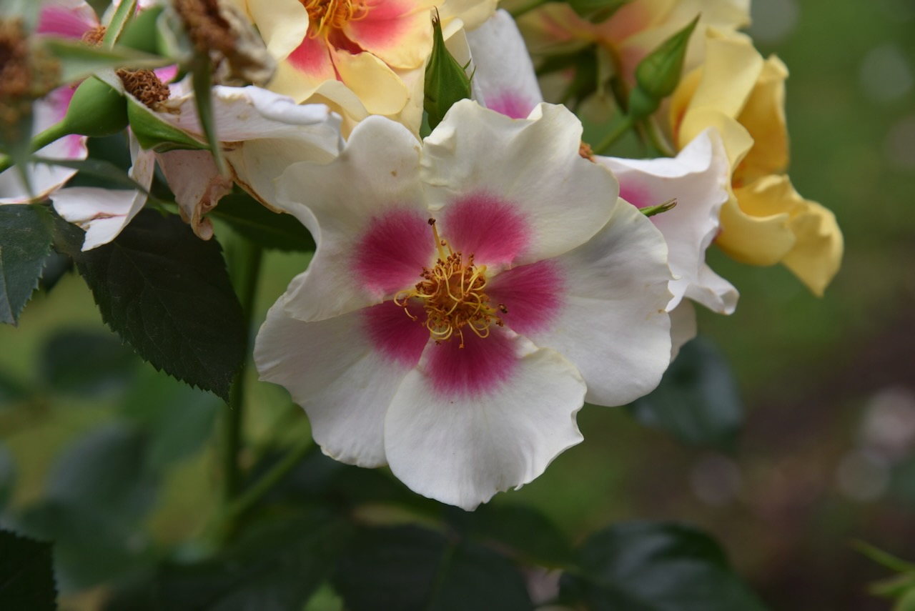
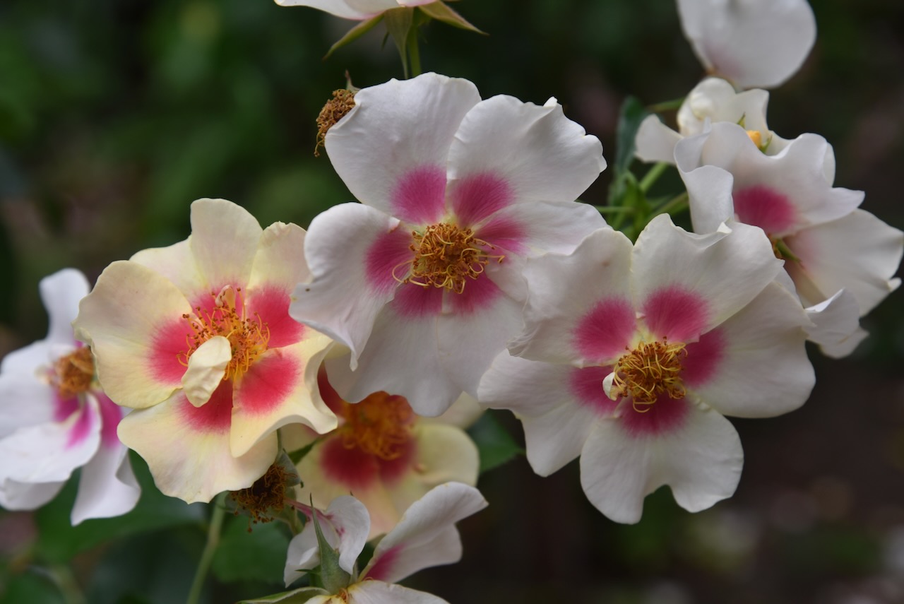
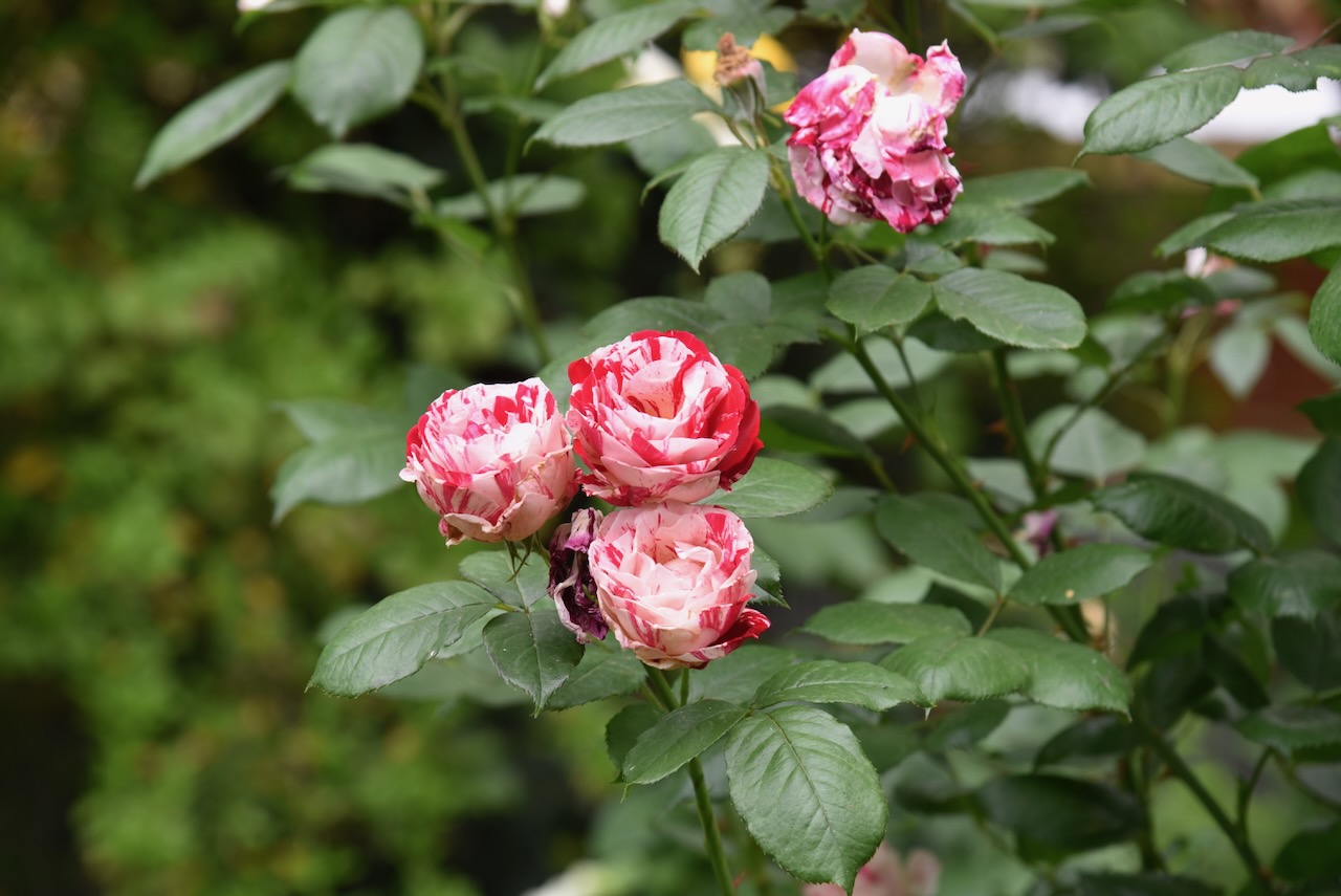
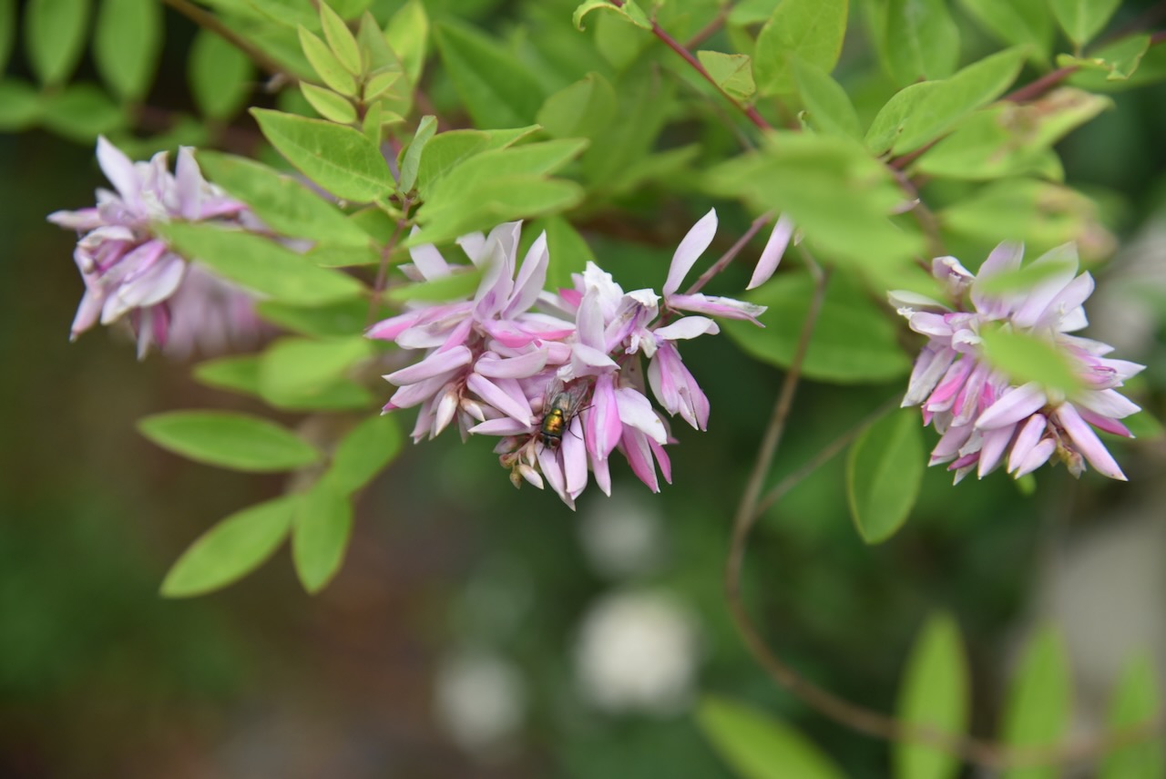
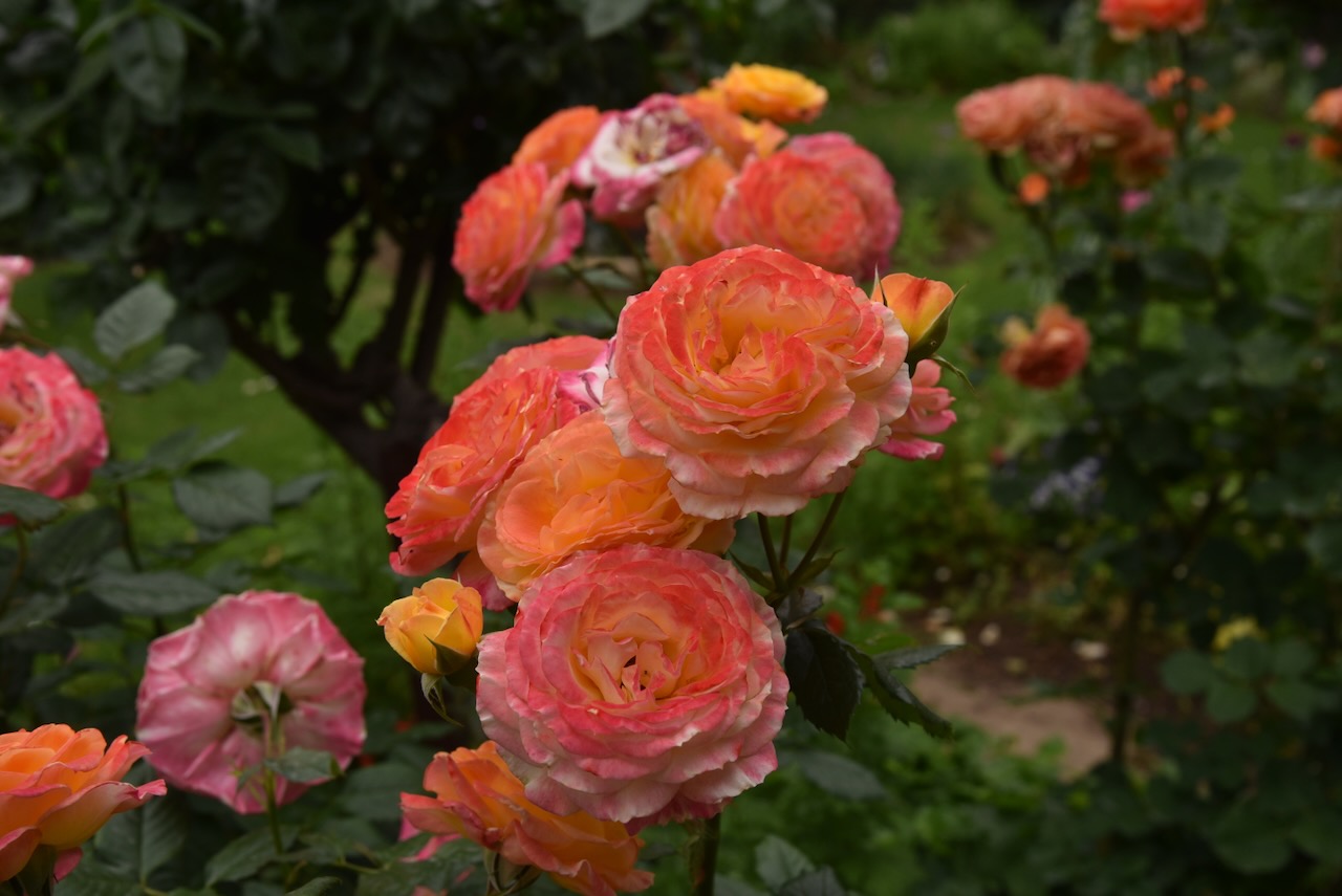
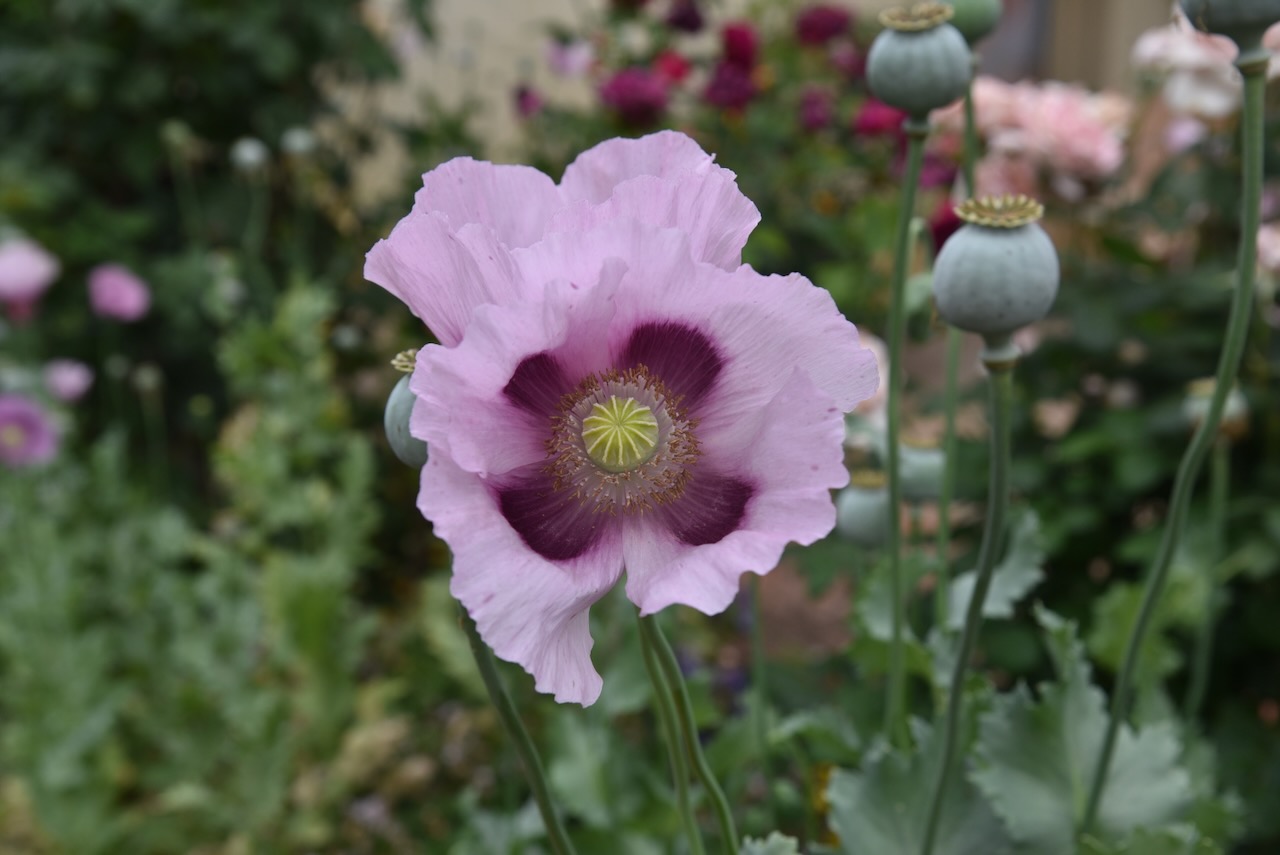
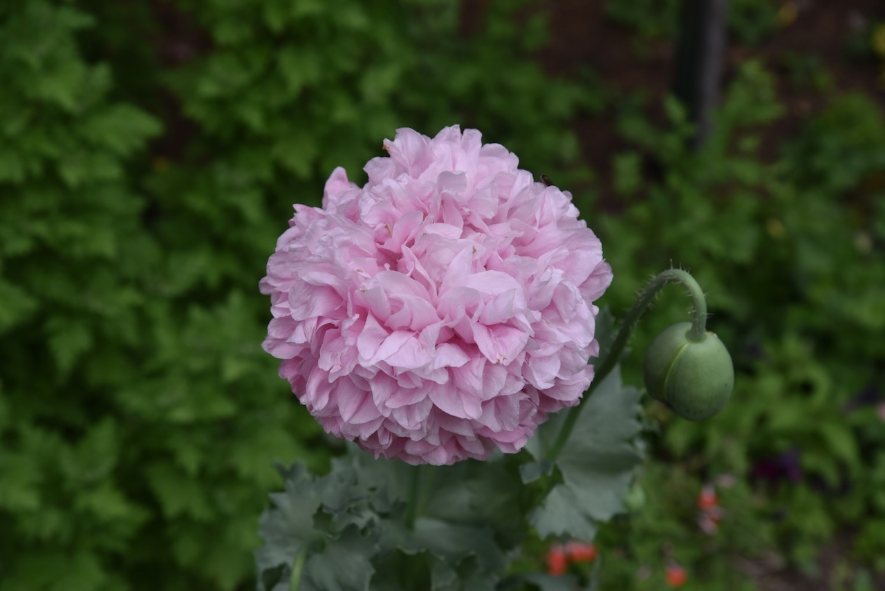
For a small fee, you can stroll around the spectacular gardens.
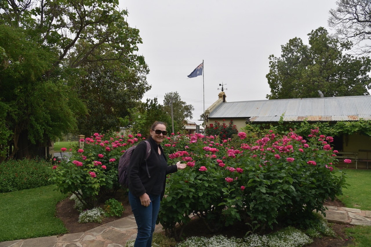
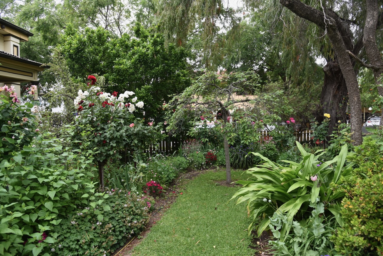
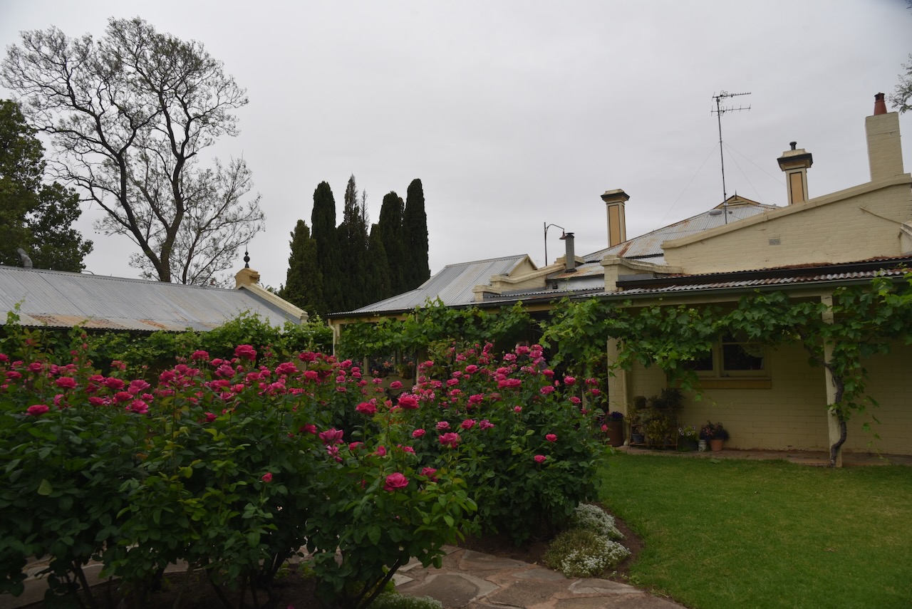
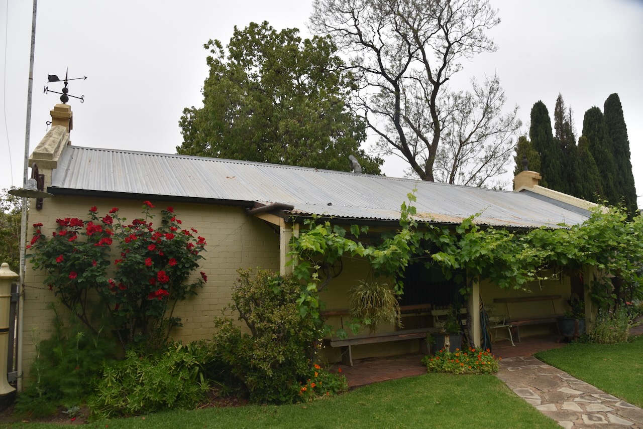
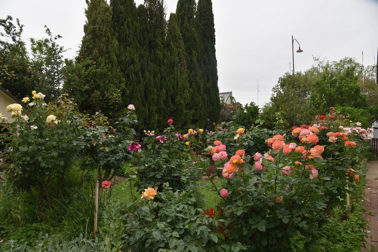
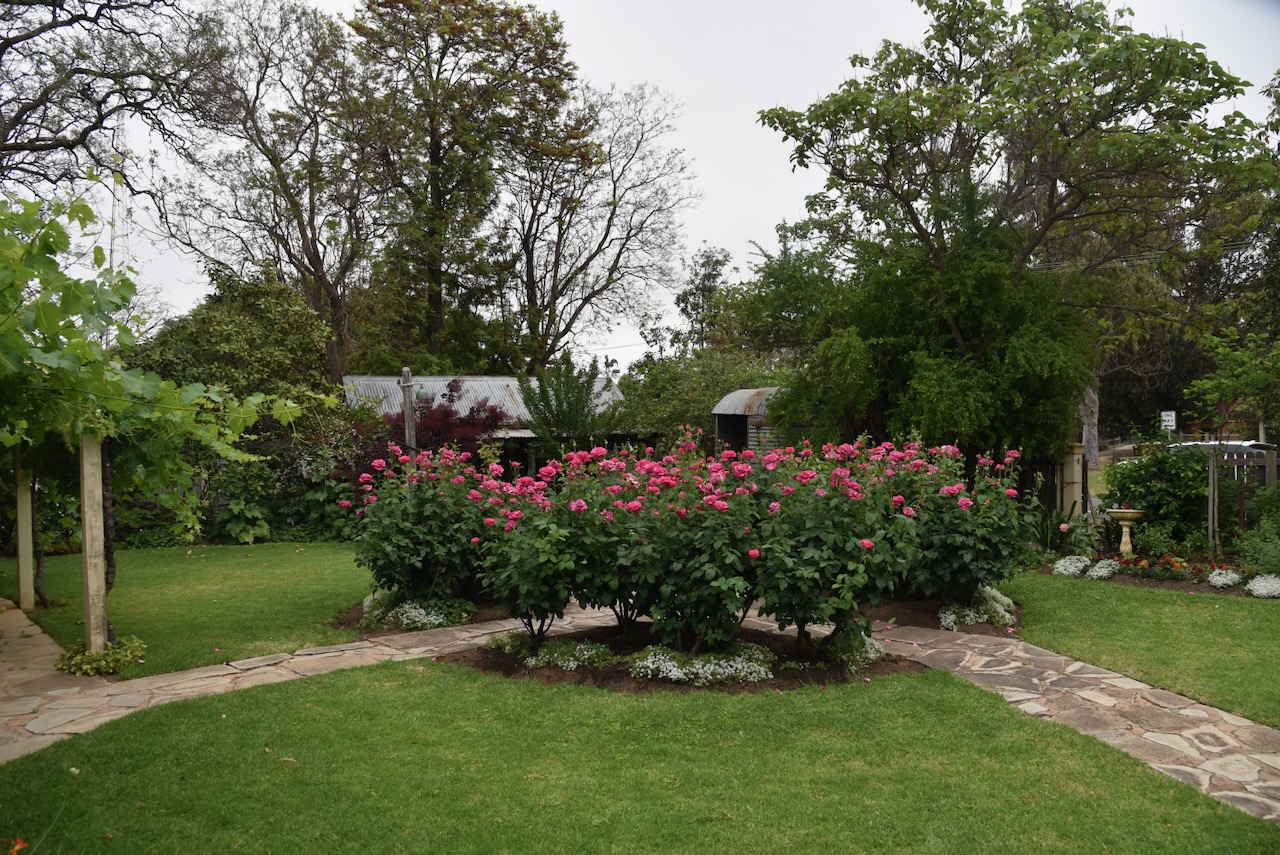
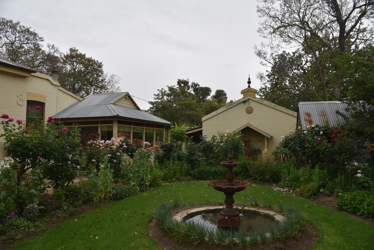
During our visit, the garden was alive with colour.
Marija and I then drove past the Jerilderie Police Station. The cells are made in the image of Ned Kelly.
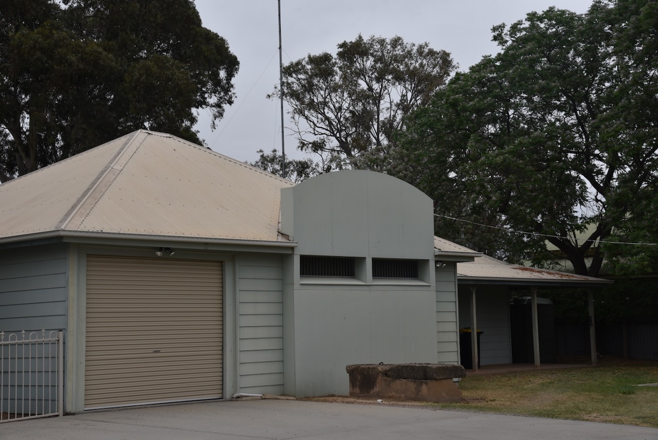
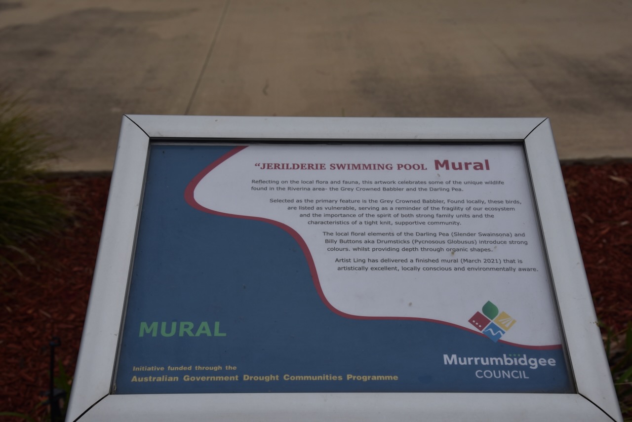
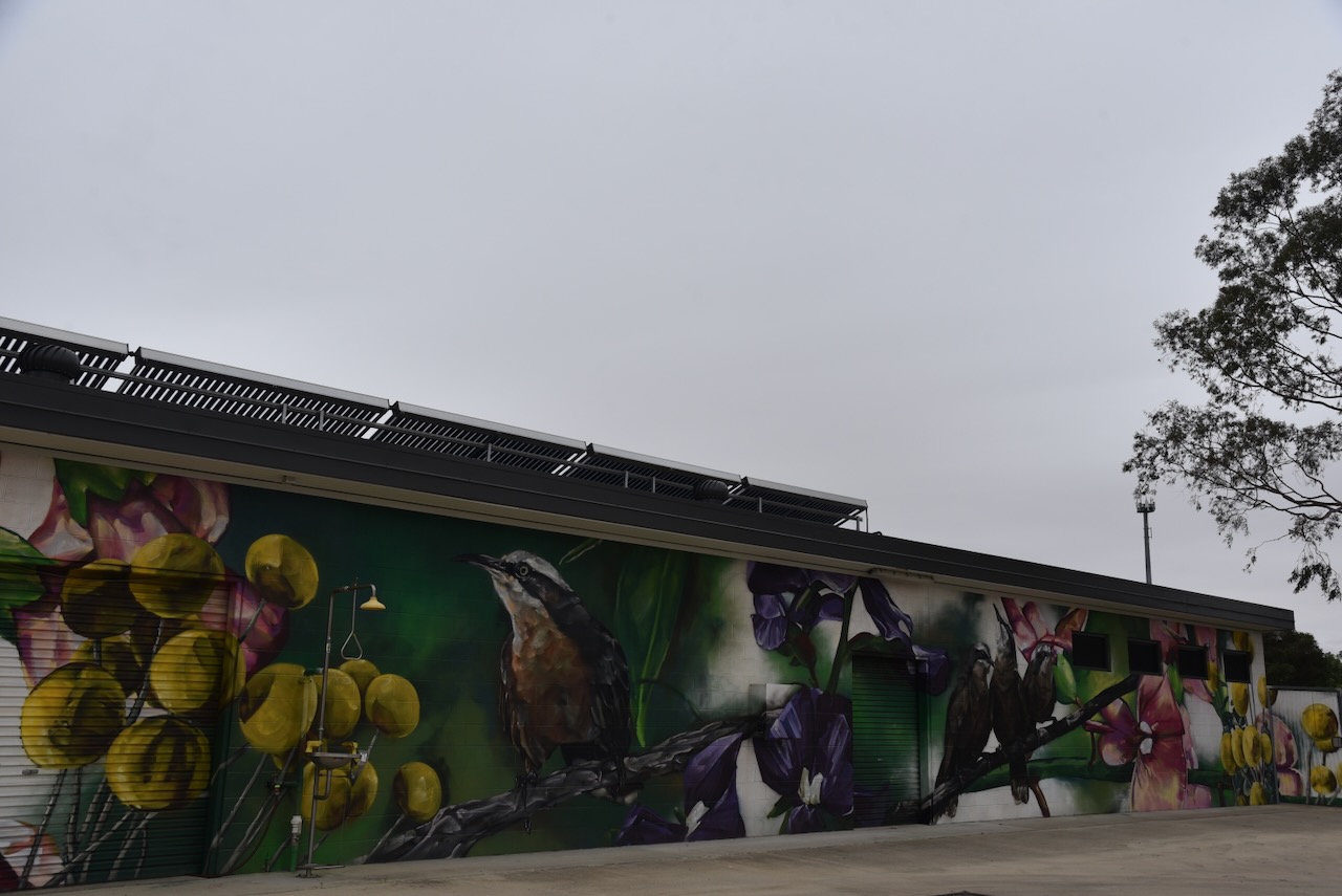
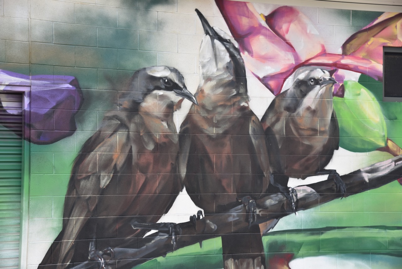
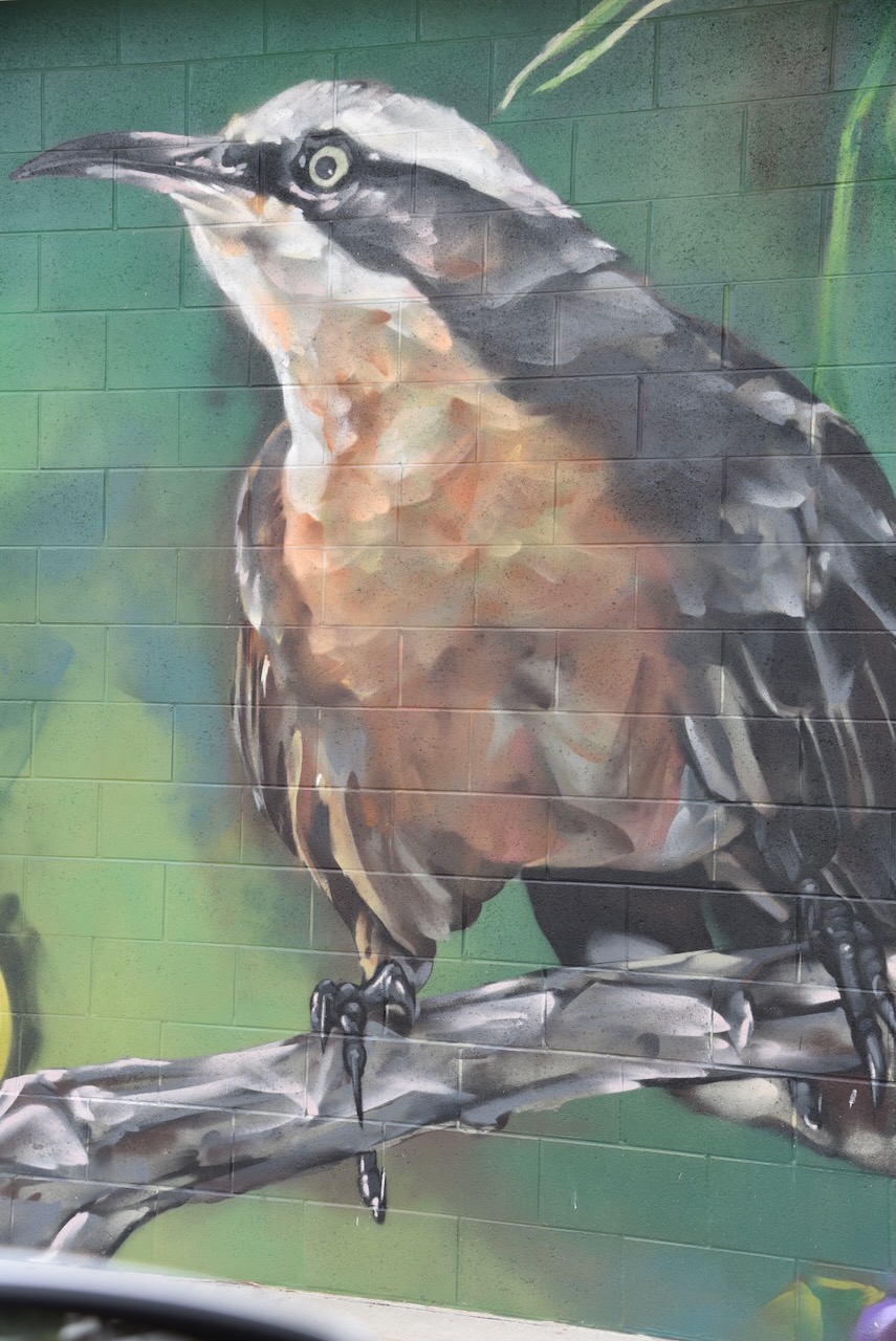
Our next stop was the mural at the Jerilderie swimming pool. The artwork features the local flora and fauna, including the Grey-Crowned Babbler and the Darling Pea.
We then left Jerilderie and headed north to activate a park for the World Wide Flora Fauna (WWFF) program, the Buckingbong Flora Reserve VKFF-3049.
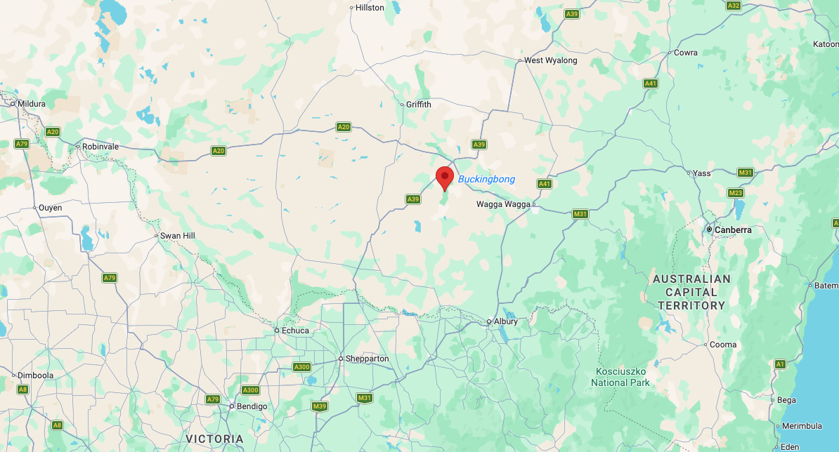
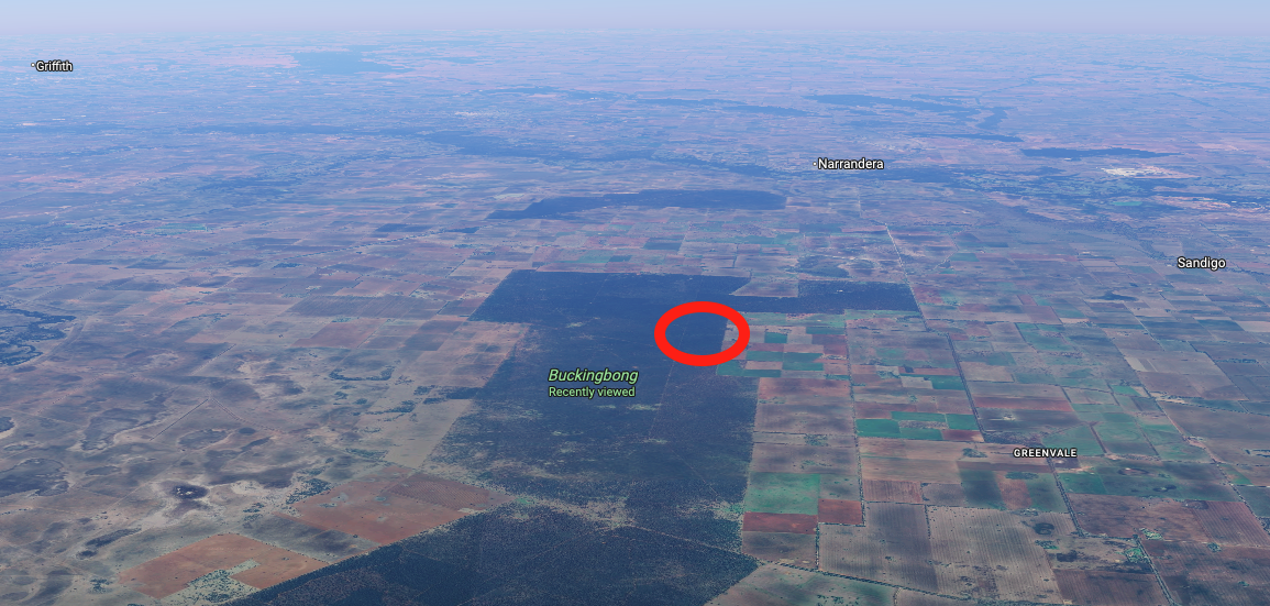
Above: Map showing the location of Buckingbong Flora Reserve. Map c/o Google Maps
Marija and I drove north out of Jerilderie on the Newell Highway, which is the longest highway in New South Wales. It spans 1,058 km from the Victorian border at Tocumwal to the Queensland border at Goondiwindi. The highway is named in honour of H.H. Newell, the first Commissioner for Main Roads in New South Wales. (Wikipedia 2026)
We then reached the junction with the Kidman Way. It is 643 km long and runs from Jerilderie to Barringun.
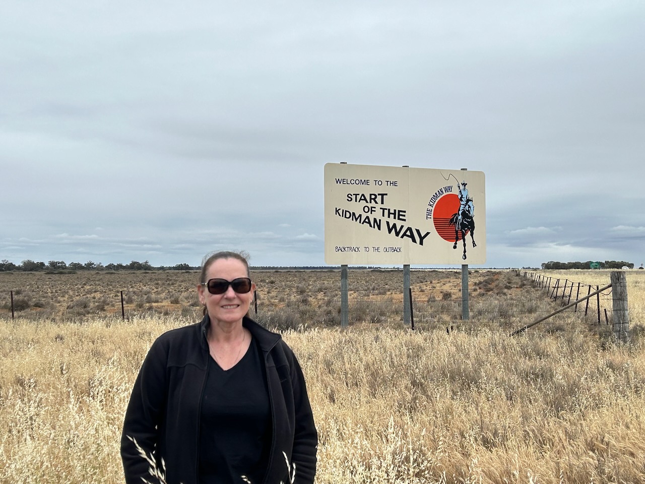
The Kidman Way is named in honour of Sir Sidney Kidman, an Australian pastoralist and entrepreneur. He owned vast areas of land in Australia and was known as ‘the Cattle King’. At his peak, he owned about 3.5 % of Australia.
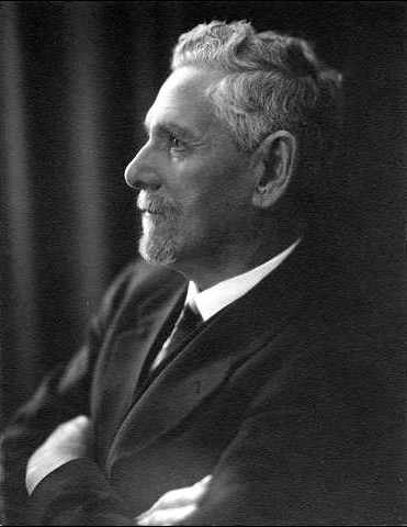
Below is an excellent video on the life of Sir Sidney Kidman.
The reserve is located south of Narrandera in the district of Boree Creek. Boree is believed to originate from Corroboree, a ceremonial gathering of Aboriginal people.
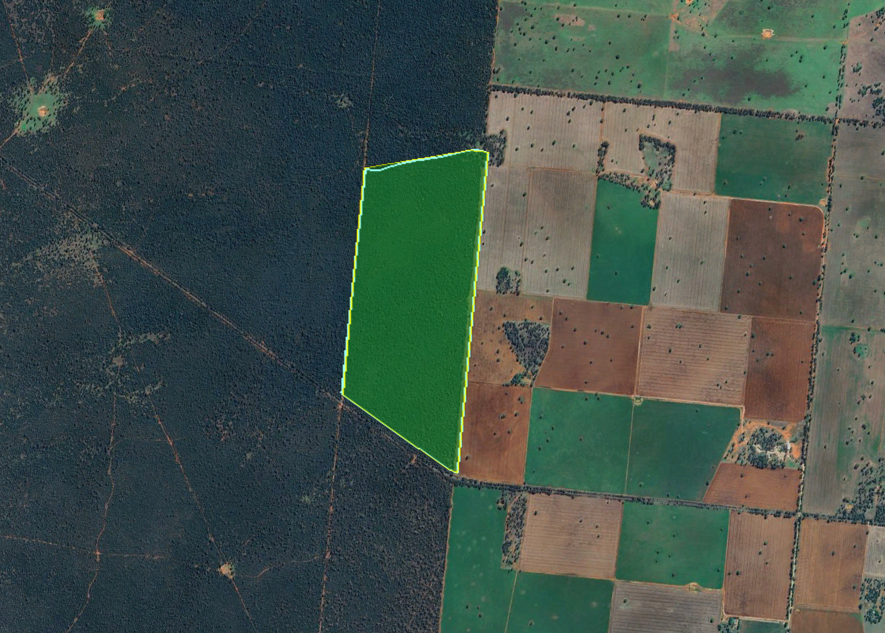
Above: the boundaries of Buckingbong Flora Reserve. Image c/o Google Earth
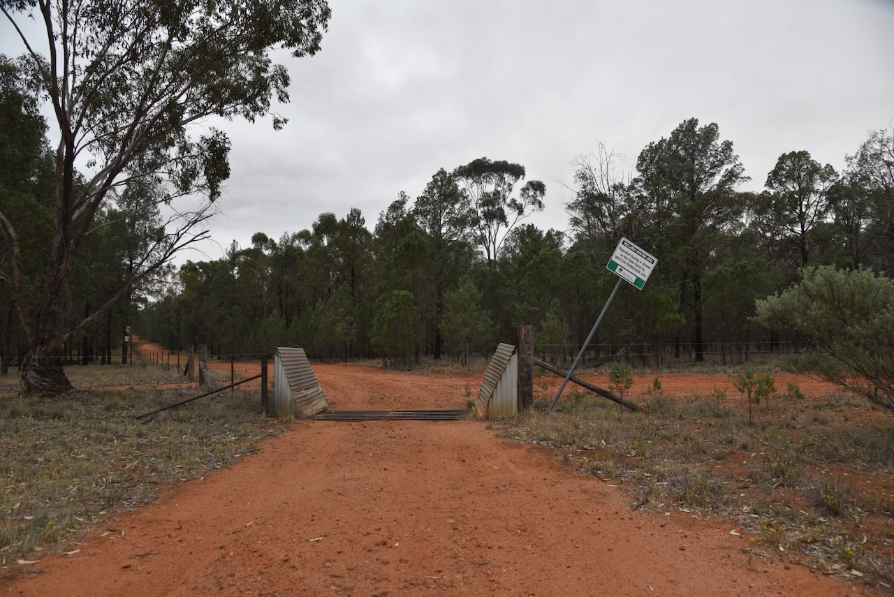
We drove along Greenvale Road and found a gate with a cattle grid on the northern side of the road. This was the southwestern corner of the park.
This little reserve is not to be confused with Buckingbong Reserve, which is located further to the northeast on Buckingbong Road, Sandigo.
Above: an aerial view of the reserve. Image c/o Google Maps
Buckingbong Flora Reserve is about 155 hectares in size and was established on the 17th day of June 1994. The reserve is surrounded by the much larger Buckingbong State Forest, so you need to ensure that you are in the correct spot before operating. (Dcceew.gov.au 2025)
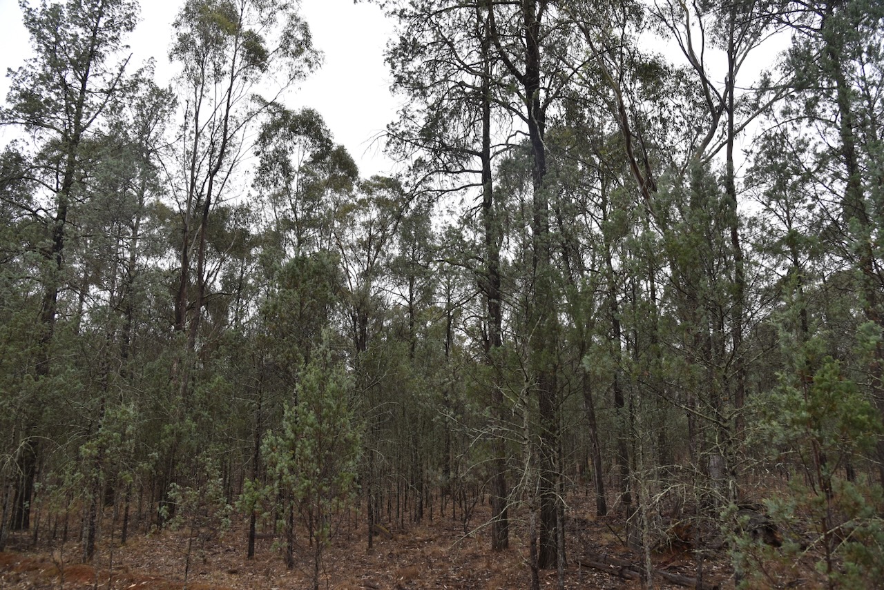
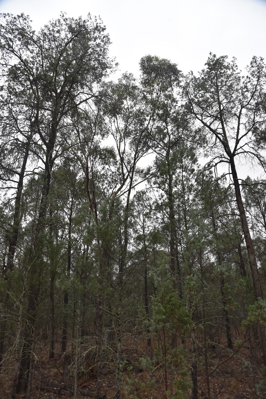
We found a clearing in the scrub and ran out the 20/40/80m linked dipole. We ran the Yaesu FT857 and 40 watts.
Unfortunately, it started raining during our activation, and we had to hurriedly pack up the gear. But we did manage to qualify the park.
Marija worked the following stations on 40m SSB:-
- VK3PF
- VK3KAI
- VK3SQ
- VK3JT
- VK2BD
- VK5HS
- VK1DI
- VK2LEE
- VK3ZPF
- VK2NP
- VK2USH/P (VKFF-0406)
- VK1AD
- VK1NAM
- VK2YL
- VK2YAK
- VK4YAK
- VK3KRL
- VK3CJN
- VK3QHU
- VK3UAO
- VK3ACU
- VK2TM
I worked the following stations on 40m SSB:-
- VK3PF
- VK3KAI
- VK3SQ
- VK3JT
- VK2BD
- VK5HS
- VK1DI
- VK2LEE
- VK3ZPF
- VK2NP
- VK2HAK
- VK2BL
- VK3CLD
- VK5QA
- VK2DBF
- VK3UH
- VK3ZSC
- VK1AO
- VK2MET
- VK3BDW
- VK2COS
- VK3GJG
- VK3CEO
- VK7DD
- VK3ABI
- VK2USH/P (VKFF-0406)
- VK3APJ
- VK2VW
- VK2HFI
- VK2AKA
- VK2BUG
- VK3HBG
- VK2HBR
- VK1AD
- VK1NAM
- VK2YL
- VK2YAK
- VK4YAK
- VK3KRL
- VK3CJN
- VK3QHU
- VK3UAO
- VK3ACU
- VK2TM
- VK2LAG
- VK2EXA
- VK3HJW
I worked the following stations on 20m SSB:-
- VK2VW
- VK2HFI
- VK2AKA
- VK2BUG
References.
- Dcceew.gov.au. (2025). Collaborative Australian Protected Areas Database 2024 – DCCEEW. [online] Available at: https://www.dcceew.gov.au/environment/land/nrs/science/capad/2024. [Accessed 23 Mar. 2026]
- Wikipedia Contributors (2026). Newell Highway. Wikipedia.
